Quick filters:
Gorge gully Stock Photos and Images
 Gorge Gully, , AU, Australia, Queensland, S 25 34' 0'', N 147 46' 59'', map, Cartascapes Map published in 2024. Explore Cartascapes, a map revealing Earth's diverse landscapes, cultures, and ecosystems. Journey through time and space, discovering the interconnectedness of our planet's past, present, and future. Stock Photohttps://www.alamy.com/image-license-details/?v=1https://www.alamy.com/gorge-gully-au-australia-queensland-s-25-34-0-n-147-46-59-map-cartascapes-map-published-in-2024-explore-cartascapes-a-map-revealing-earths-diverse-landscapes-cultures-and-ecosystems-journey-through-time-and-space-discovering-the-interconnectedness-of-our-planets-past-present-and-future-image625761548.html
RM2YA1W6M–Gorge Gully, , AU, Australia, Queensland, S 25 34' 0'', N 147 46' 59'', map, Cartascapes Map published in 2024. Explore Cartascapes, a map revealing Earth's diverse landscapes, cultures, and ecosystems. Journey through time and space, discovering the interconnectedness of our planet's past, present, and future.
 USA, Arizona, view showing the layered rock formations of the Grand canyon from Yavapai Point at the South Rim Stock Photohttps://www.alamy.com/image-license-details/?v=1https://www.alamy.com/usa-arizona-view-showing-the-layered-rock-formations-of-the-grand-canyon-from-yavapai-point-at-the-south-rim-image216200005.html
RMPFMN8N–USA, Arizona, view showing the layered rock formations of the Grand canyon from Yavapai Point at the South Rim
 Nine Barrow Down, Francis Seymour Haden, 1818–1910, British, 1877, Etching and drypoint, with plate tone on medium, slightly textured, cream laid paper, Sheet: 7 3/4 x 10 3/8in. (19.7 x 26.4cm), Plate: 5 7/8 x 8 13/16 inches (15 x 22.4 cm), and Image: 5 7/8 x 8 13/16 inches (15 x 22.4 cm), buildings, cottages, distance, gorge, gully, hills, landscape, moor, river, rocks (landforms), slope, trees, valley, Dorset, England, Europe, United Kingdom Stock Photohttps://www.alamy.com/image-license-details/?v=1https://www.alamy.com/nine-barrow-down-francis-seymour-haden-18181910-british-1877-etching-and-drypoint-with-plate-tone-on-medium-slightly-textured-cream-laid-paper-sheet-7-34-x-10-38in-197-x-264cm-plate-5-78-x-8-1316-inches-15-x-224-cm-and-image-5-78-x-8-1316-inches-15-x-224-cm-buildings-cottages-distance-gorge-gully-hills-landscape-moor-river-rocks-landforms-slope-trees-valley-dorset-england-europe-united-kingdom-image389736067.html
RM2DJ2097–Nine Barrow Down, Francis Seymour Haden, 1818–1910, British, 1877, Etching and drypoint, with plate tone on medium, slightly textured, cream laid paper, Sheet: 7 3/4 x 10 3/8in. (19.7 x 26.4cm), Plate: 5 7/8 x 8 13/16 inches (15 x 22.4 cm), and Image: 5 7/8 x 8 13/16 inches (15 x 22.4 cm), buildings, cottages, distance, gorge, gully, hills, landscape, moor, river, rocks (landforms), slope, trees, valley, Dorset, England, Europe, United Kingdom
 River gorge through Sierra Madre mountains of Jalisco Mexico Stock Photohttps://www.alamy.com/image-license-details/?v=1https://www.alamy.com/river-gorge-through-sierra-madre-mountains-of-jalisco-mexico-image67363175.html
RFDWGJBK–River gorge through Sierra Madre mountains of Jalisco Mexico
 gorge with roots of trees in Kazimierz Dolny in Poland Stock Photohttps://www.alamy.com/image-license-details/?v=1https://www.alamy.com/stock-photo-gorge-with-roots-of-trees-in-kazimierz-dolny-in-poland-57328923.html
RFD97FHF–gorge with roots of trees in Kazimierz Dolny in Poland
 The Allt Mhic Chiarain gorge leading to the summit of Beinn Resipol, Sunart, Scotland, UK. Stock Photohttps://www.alamy.com/image-license-details/?v=1https://www.alamy.com/stock-photo-the-allt-mhic-chiarain-gorge-leading-to-the-summit-of-beinn-resipol-55435638.html
RMD658M6–The Allt Mhic Chiarain gorge leading to the summit of Beinn Resipol, Sunart, Scotland, UK.
 Switzerland, canton Bern, Gasteretal, Gasterental, creek, brook, mountain torrent, beck, water, rocks, ravine, gorge, gully, gul Stock Photohttps://www.alamy.com/image-license-details/?v=1https://www.alamy.com/stock-photo-switzerland-canton-bern-gasteretal-gasterental-creek-brook-mountain-43895268.html
RMCFBGT4–Switzerland, canton Bern, Gasteretal, Gasterental, creek, brook, mountain torrent, beck, water, rocks, ravine, gorge, gully, gul
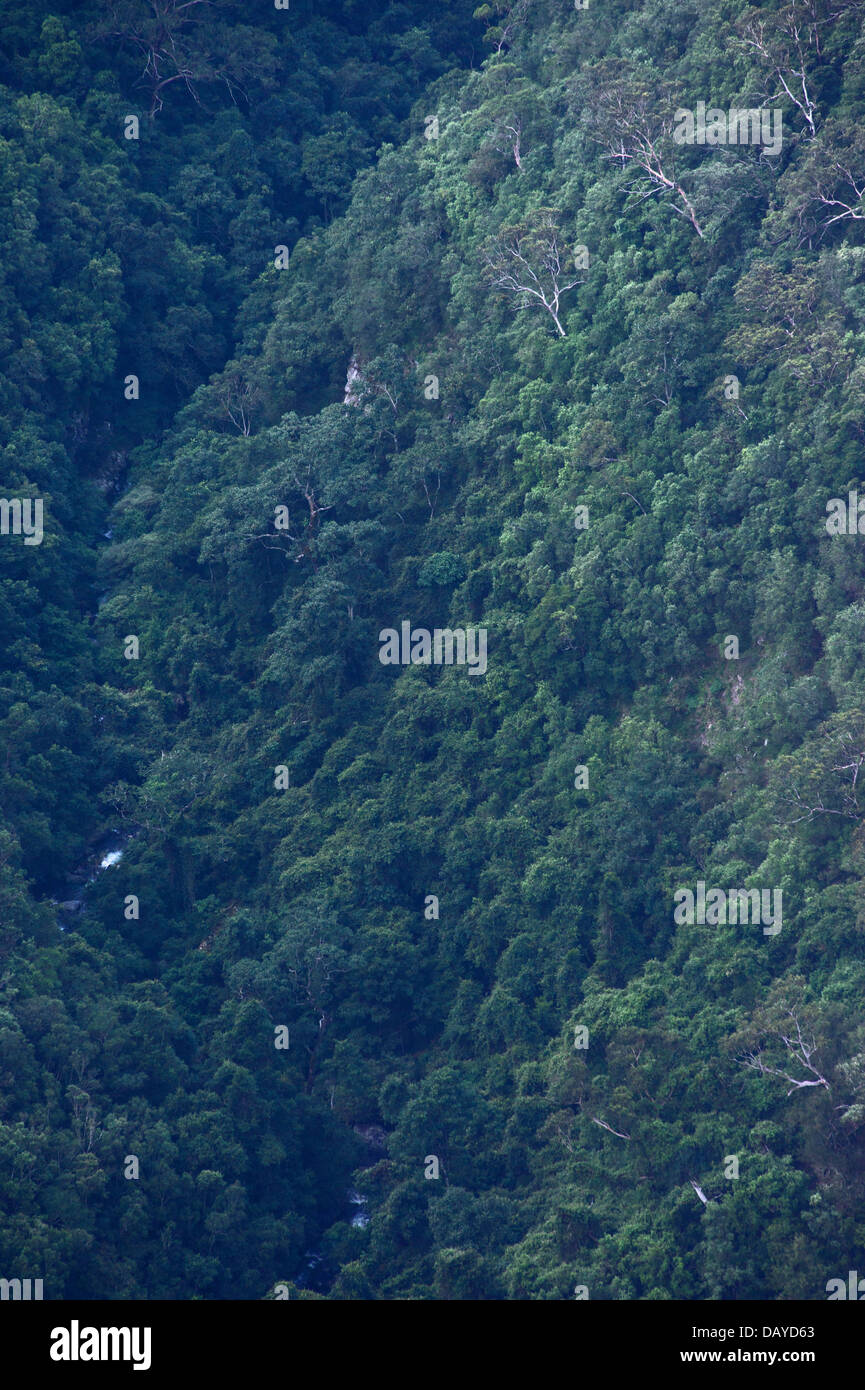 View of trees and bushland growing in a steep valley in Kanangra Boyd National Park, NSW, Australia Stock Photohttps://www.alamy.com/image-license-details/?v=1https://www.alamy.com/stock-photo-view-of-trees-and-bushland-growing-in-a-steep-valley-in-kanangra-boyd-58380731.html
RMDAYD63–View of trees and bushland growing in a steep valley in Kanangra Boyd National Park, NSW, Australia
 Ouimet Canyon is a large gorge in the municipality of Dorion, Thunder Bay District in northwestern Ontario, Canada Stock Photohttps://www.alamy.com/image-license-details/?v=1https://www.alamy.com/ouimet-canyon-is-a-large-gorge-in-the-municipality-of-dorion-thunder-bay-district-in-northwestern-ontario-canada-image332903472.html
RM2A9H1NM–Ouimet Canyon is a large gorge in the municipality of Dorion, Thunder Bay District in northwestern Ontario, Canada
 Waterfall in limestone gully at The Howk, Caldbeck, Lake District, Cumbria, England, UK Stock Photohttps://www.alamy.com/image-license-details/?v=1https://www.alamy.com/stock-photo-waterfall-in-limestone-gully-at-the-howk-caldbeck-lake-district-cumbria-50625707.html
RMCXA5GY–Waterfall in limestone gully at The Howk, Caldbeck, Lake District, Cumbria, England, UK
 andes, boulder, brown, change, climate, ecuador, environment, erosion, flood, flow, global, gorge, gully, jungle, mud, natural, nature, raging, rapid, Stock Photohttps://www.alamy.com/image-license-details/?v=1https://www.alamy.com/andes-boulder-brown-change-climate-ecuador-environment-erosion-flood-flow-global-gorge-gully-jungle-mud-natural-nature-raging-rapid-image393450432.html
RF2DT3614–andes, boulder, brown, change, climate, ecuador, environment, erosion, flood, flow, global, gorge, gully, jungle, mud, natural, nature, raging, rapid,
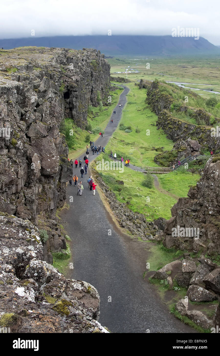 Thingvellir Stock Photohttps://www.alamy.com/image-license-details/?v=1https://www.alamy.com/stock-photo-thingvellir-74105197.html
RFE8FNX5–Thingvellir
 A rocky inlet on Porth Island off the coast of Newquay. Stock Photohttps://www.alamy.com/image-license-details/?v=1https://www.alamy.com/stock-photo-a-rocky-inlet-on-porth-island-off-the-coast-of-newquay-54154107.html
RMD42X37–A rocky inlet on Porth Island off the coast of Newquay.
 A stream forces its way through a narrow gorge between rocks in Lydford Gorge Dartmoor National Park Devon UK Stock Photohttps://www.alamy.com/image-license-details/?v=1https://www.alamy.com/a-stream-forces-its-way-through-a-narrow-gorge-between-rocks-in-lydford-image117635.html
RMA1CB83–A stream forces its way through a narrow gorge between rocks in Lydford Gorge Dartmoor National Park Devon UK
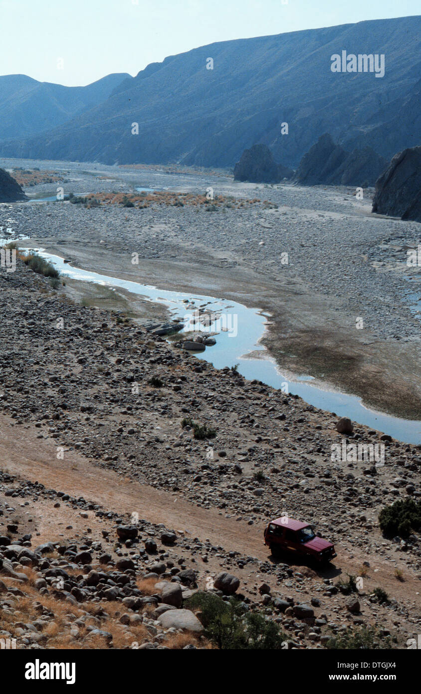 River gorge, Pakistan Stock Photohttps://www.alamy.com/image-license-details/?v=1https://www.alamy.com/river-gorge-pakistan-image66748924.html
RMDTGJX4–River gorge, Pakistan
 Wooden walkway in the Austrian gorge 'Wolfsklamm' being lit by the sun Stock Photohttps://www.alamy.com/image-license-details/?v=1https://www.alamy.com/stock-image-wooden-walkway-in-the-austrian-gorge-wolfsklamm-being-lit-by-the-sun-165160297.html
RFKGKKJ1–Wooden walkway in the Austrian gorge 'Wolfsklamm' being lit by the sun
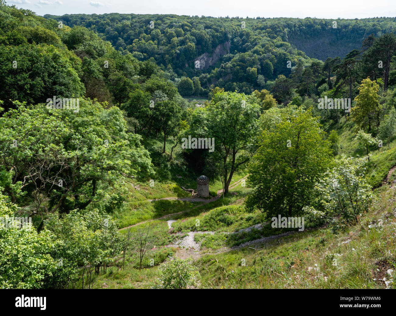 The Gully - a dry limestone valley linking the Avon Gorge with The Downs in Bristol UK Stock Photohttps://www.alamy.com/image-license-details/?v=1https://www.alamy.com/the-gully-a-dry-limestone-valley-linking-the-avon-gorge-with-the-downs-in-bristol-uk-image262675846.html
RMW79WM6–The Gully - a dry limestone valley linking the Avon Gorge with The Downs in Bristol UK
 Mt Moon, from Mt Greville. Mt Barney and Maroon are in the background. Queensland, Australia Stock Photohttps://www.alamy.com/image-license-details/?v=1https://www.alamy.com/mt-moon-from-mt-greville-mt-barney-and-maroon-are-in-the-background-queensland-australia-image430173796.html
RF2FYT31T–Mt Moon, from Mt Greville. Mt Barney and Maroon are in the background. Queensland, Australia
 A picture taken at Red Rock Canyon Stock Photohttps://www.alamy.com/image-license-details/?v=1https://www.alamy.com/a-picture-taken-at-red-rock-canyon-image351105728.html
RF2BB66X8–A picture taken at Red Rock Canyon
 Gorge Gully, , NZ, New Zealand, Marlborough, S 41 29' 53'', N 173 38' 24'', map, Cartascapes Map published in 2024. Explore Cartascapes, a map revealing Earth's diverse landscapes, cultures, and ecosystems. Journey through time and space, discovering the interconnectedness of our planet's past, present, and future. Stock Photohttps://www.alamy.com/image-license-details/?v=1https://www.alamy.com/gorge-gully-nz-new-zealand-marlborough-s-41-29-53-n-173-38-24-map-cartascapes-map-published-in-2024-explore-cartascapes-a-map-revealing-earths-diverse-landscapes-cultures-and-ecosystems-journey-through-time-and-space-discovering-the-interconnectedness-of-our-planets-past-present-and-future-image634000571.html
RM2YRD65F–Gorge Gully, , NZ, New Zealand, Marlborough, S 41 29' 53'', N 173 38' 24'', map, Cartascapes Map published in 2024. Explore Cartascapes, a map revealing Earth's diverse landscapes, cultures, and ecosystems. Journey through time and space, discovering the interconnectedness of our planet's past, present, and future.
 Icicles Devil's Pulpit near Drymen Stirlingshire Scotland Stock Photohttps://www.alamy.com/image-license-details/?v=1https://www.alamy.com/stock-photo-icicles-devils-pulpit-near-drymen-stirlingshire-scotland-33705040.html
RFBXRB3C–Icicles Devil's Pulpit near Drymen Stirlingshire Scotland
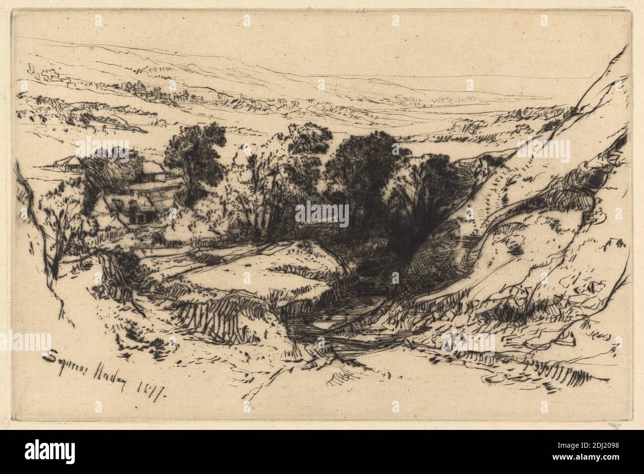 Nine Barrow Down, Francis Seymour Haden, 1818–1910, British, 1877, Etching and drypoint on medium, slightly textured, cream antique laid paper, Sheet: 8 1/16 x 11 7/8 inches (20.4 x 30.1 cm), Plate: 5 7/8 x 8 13/16 inches (14.9 x 22.4 cm), and Image: 5 7/8 x 8 13/16 inches (14.9 x 22.4 cm), buildings, cottages, distance, gorge, gully, hills, landscape, moor, river, rocks (landforms), slope, trees, valley, Dorset, England, Europe, United Kingdom Stock Photohttps://www.alamy.com/image-license-details/?v=1https://www.alamy.com/nine-barrow-down-francis-seymour-haden-18181910-british-1877-etching-and-drypoint-on-medium-slightly-textured-cream-antique-laid-paper-sheet-8-116-x-11-78-inches-204-x-301-cm-plate-5-78-x-8-1316-inches-149-x-224-cm-and-image-5-78-x-8-1316-inches-149-x-224-cm-buildings-cottages-distance-gorge-gully-hills-landscape-moor-river-rocks-landforms-slope-trees-valley-dorset-england-europe-united-kingdom-image389736068.html
RM2DJ2098–Nine Barrow Down, Francis Seymour Haden, 1818–1910, British, 1877, Etching and drypoint on medium, slightly textured, cream antique laid paper, Sheet: 8 1/16 x 11 7/8 inches (20.4 x 30.1 cm), Plate: 5 7/8 x 8 13/16 inches (14.9 x 22.4 cm), and Image: 5 7/8 x 8 13/16 inches (14.9 x 22.4 cm), buildings, cottages, distance, gorge, gully, hills, landscape, moor, river, rocks (landforms), slope, trees, valley, Dorset, England, Europe, United Kingdom
 Kirkstone Pass in winter. Stock Photohttps://www.alamy.com/image-license-details/?v=1https://www.alamy.com/kirkstone-pass-in-winter-image6671364.html
RMA6YHM5–Kirkstone Pass in winter.
 Francis Seymour Haden, 1818–1910, British, Nine Barrow Down, 1877. Etching and drypoint on medium, slightly textured, cream antique laid paper. buildings , cottages , distance , gorge , gully , hills , landscape , moor , river , rocks (landforms) , slope , trees , valley. Dorset , England , Europe , United Kingdom Stock Photohttps://www.alamy.com/image-license-details/?v=1https://www.alamy.com/francis-seymour-haden-18181910-british-nine-barrow-down-1877-etching-and-drypoint-on-medium-slightly-textured-cream-antique-laid-paper-buildings-cottages-distance-gorge-gully-hills-landscape-moor-river-rocks-landforms-slope-trees-valley-dorset-england-europe-united-kingdom-image398350531.html
RM2E42C4K–Francis Seymour Haden, 1818–1910, British, Nine Barrow Down, 1877. Etching and drypoint on medium, slightly textured, cream antique laid paper. buildings , cottages , distance , gorge , gully , hills , landscape , moor , river , rocks (landforms) , slope , trees , valley. Dorset , England , Europe , United Kingdom
 Gully at Guan Yin Gorge Stock Photohttps://www.alamy.com/image-license-details/?v=1https://www.alamy.com/stock-photo-gully-at-guan-yin-gorge-75347556.html
RFEAGAG4–Gully at Guan Yin Gorge
 Switzerland, canton Bern, Gasteretal, Gasterental, creek, brook, mountain torrent, beck, water, rocks, ravine, gorge, gully, gul Stock Photohttps://www.alamy.com/image-license-details/?v=1https://www.alamy.com/stock-photo-switzerland-canton-bern-gasteretal-gasterental-creek-brook-mountain-43895260.html
RMCFBGRT–Switzerland, canton Bern, Gasteretal, Gasterental, creek, brook, mountain torrent, beck, water, rocks, ravine, gorge, gully, gul
 Paehler Schlucht gorge gully with waterfall of Burgleitenbach Pähl Paehl Landkreis Weilheim upper Bavaria Germany Stock Photohttps://www.alamy.com/image-license-details/?v=1https://www.alamy.com/paehler-schlucht-gorge-gully-with-waterfall-of-burgleitenbach-phl-image3788582.html
RFA6KY27–Paehler Schlucht gorge gully with waterfall of Burgleitenbach Pähl Paehl Landkreis Weilheim upper Bavaria Germany
 Ouimet Canyon is a large gorge in the municipality of Dorion, Thunder Bay District in northwestern Ontario, Canada Stock Photohttps://www.alamy.com/image-license-details/?v=1https://www.alamy.com/ouimet-canyon-is-a-large-gorge-in-the-municipality-of-dorion-thunder-bay-district-in-northwestern-ontario-canada-image332903144.html
RM2A9H1A0–Ouimet Canyon is a large gorge in the municipality of Dorion, Thunder Bay District in northwestern Ontario, Canada
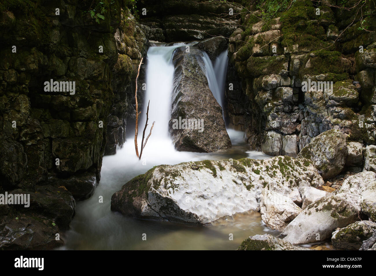 Waterfall in limestone gully at The Howk, Caldbeck, Lake District, Cumbria, England, UK Stock Photohttps://www.alamy.com/image-license-details/?v=1https://www.alamy.com/stock-photo-waterfall-in-limestone-gully-at-the-howk-caldbeck-lake-district-cumbria-50625450.html
RMCXA57P–Waterfall in limestone gully at The Howk, Caldbeck, Lake District, Cumbria, England, UK
 The wild Bristol goats, being used to control vegetation and encourage biodiversity in Avon Gorge Stock Photohttps://www.alamy.com/image-license-details/?v=1https://www.alamy.com/the-wild-bristol-goats-being-used-to-control-vegetation-and-encourage-biodiversity-in-avon-gorge-image508410876.html
RM2MF4378–The wild Bristol goats, being used to control vegetation and encourage biodiversity in Avon Gorge
 laddder on hiking trail with waterfall and rocks bellow in Janosikove diery gully in Mala Fatra mountains in Slovakia near Terchova resort Stock Photohttps://www.alamy.com/image-license-details/?v=1https://www.alamy.com/stock-photo-laddder-on-hiking-trail-with-waterfall-and-rocks-bellow-in-janosikove-127027910.html
RMHAJHB2–laddder on hiking trail with waterfall and rocks bellow in Janosikove diery gully in Mala Fatra mountains in Slovakia near Terchova resort
 Porth Island off the Coast of Newquay. Stock Photohttps://www.alamy.com/image-license-details/?v=1https://www.alamy.com/stock-photo-porth-island-off-the-coast-of-newquay-54154110.html
RMD42X3A–Porth Island off the Coast of Newquay.
 Rock pool in Porcupine Gorge near Hughenden Queensland Australia The face of The Pyramid is behind Stock Photohttps://www.alamy.com/image-license-details/?v=1https://www.alamy.com/stock-photo-rock-pool-in-porcupine-gorge-near-hughenden-queensland-australia-the-10272026.html
RFA1JE4Y–Rock pool in Porcupine Gorge near Hughenden Queensland Australia The face of The Pyramid is behind
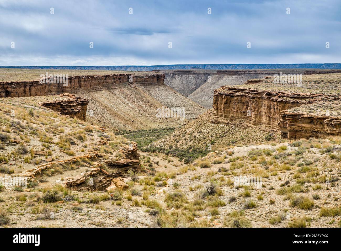 Gully in North Franks Canyon area, leading to Nine Mile Canyon, view from Wrinkle Road, West Tavaputs Plateau, Utah, USA Stock Photohttps://www.alamy.com/image-license-details/?v=1https://www.alamy.com/gully-in-north-franks-canyon-area-leading-to-nine-mile-canyon-view-from-wrinkle-road-west-tavaputs-plateau-utah-usa-image503399314.html
RF2M6YPXX–Gully in North Franks Canyon area, leading to Nine Mile Canyon, view from Wrinkle Road, West Tavaputs Plateau, Utah, USA
 Blue river flowing through the nice little gorge 'Wolfsklamm' in Austria Stock Photohttps://www.alamy.com/image-license-details/?v=1https://www.alamy.com/stock-image-blue-river-flowing-through-the-nice-little-gorge-wolfsklamm-in-austria-165160269.html
RFKGKKH1–Blue river flowing through the nice little gorge 'Wolfsklamm' in Austria
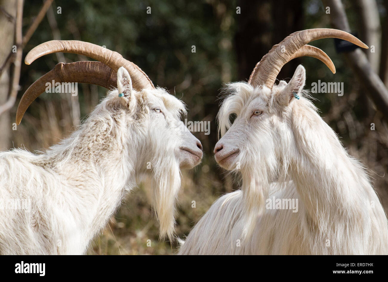 White billy goats - members of the small flock used to control vegetation and encourage biodiversity in Avon Gorge Bristol UK Stock Photohttps://www.alamy.com/image-license-details/?v=1https://www.alamy.com/stock-photo-white-billy-goats-members-of-the-small-flock-used-to-control-vegetation-83269926.html
RMERD7HX–White billy goats - members of the small flock used to control vegetation and encourage biodiversity in Avon Gorge Bristol UK
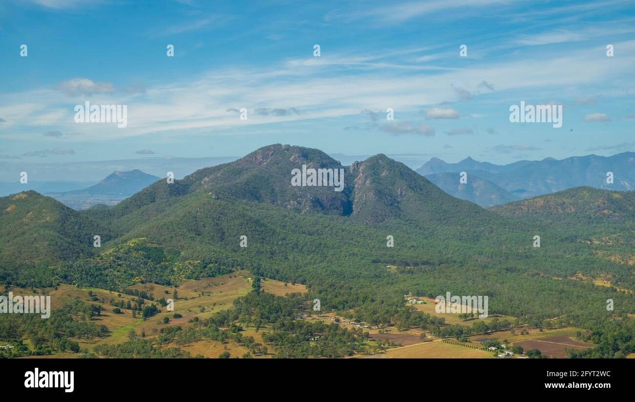 Mt Moon, from Mt Greville. Mt Barney and Maroon are in the background. Queensland, Australia Stock Photohttps://www.alamy.com/image-license-details/?v=1https://www.alamy.com/mt-moon-from-mt-greville-mt-barney-and-maroon-are-in-the-background-queensland-australia-image430173672.html
RF2FYT2WC–Mt Moon, from Mt Greville. Mt Barney and Maroon are in the background. Queensland, Australia
 Quebrada de Escoipe, Salta, Argentina. Stock Photohttps://www.alamy.com/image-license-details/?v=1https://www.alamy.com/stock-image-quebrada-de-escoipe-salta-argentina-169384333.html
RFKRG3CD–Quebrada de Escoipe, Salta, Argentina.
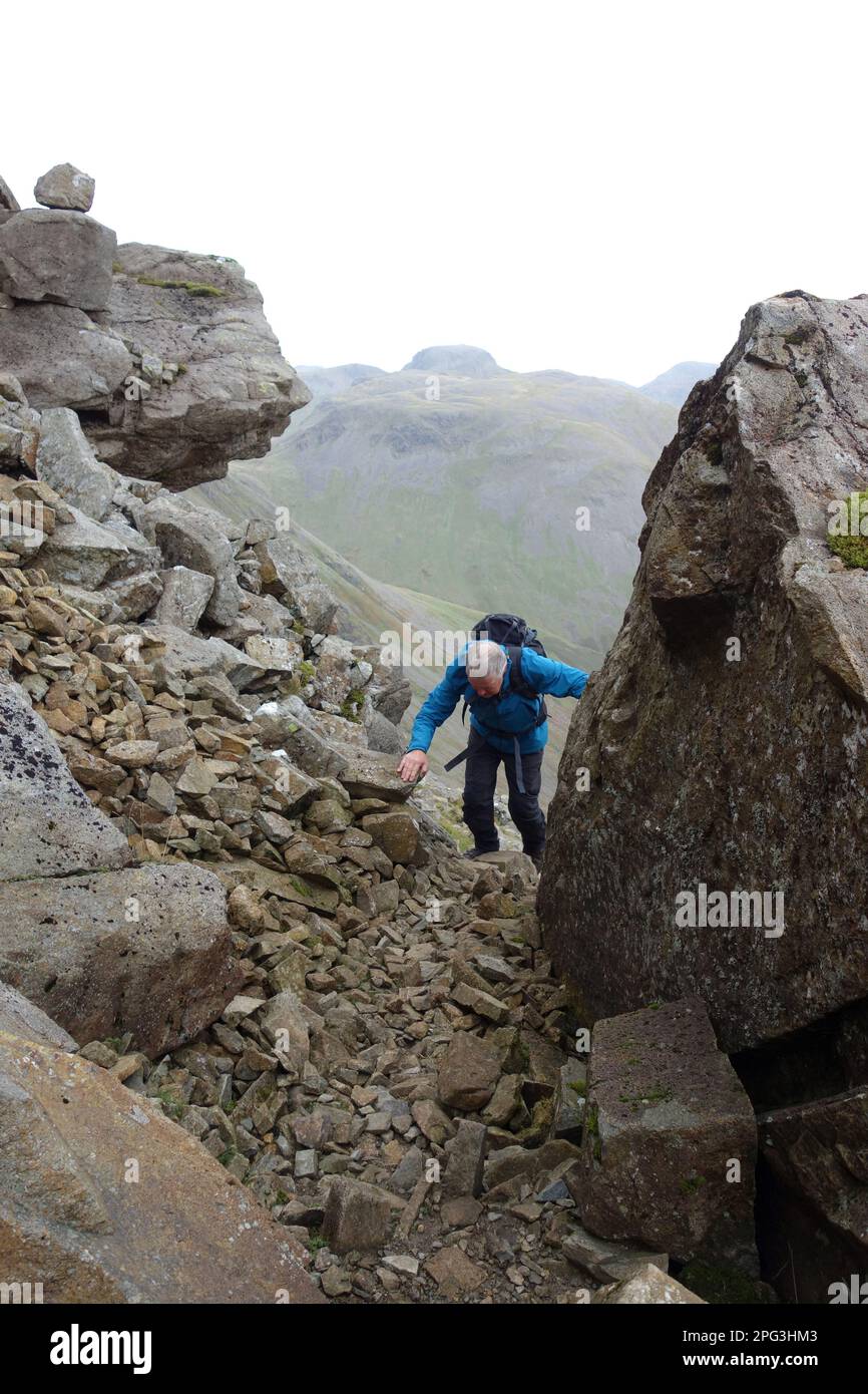 Man Climbing a Rocky Gully (Gorge) on 'Black Crag' near the Wainwright Pillar in the Lake District National Park, Cumbria, England, UK Stock Photohttps://www.alamy.com/image-license-details/?v=1https://www.alamy.com/man-climbing-a-rocky-gully-gorge-on-black-crag-near-the-wainwright-pillar-in-the-lake-district-national-park-cumbria-england-uk-image543435651.html
RM2PG3HM3–Man Climbing a Rocky Gully (Gorge) on 'Black Crag' near the Wainwright Pillar in the Lake District National Park, Cumbria, England, UK
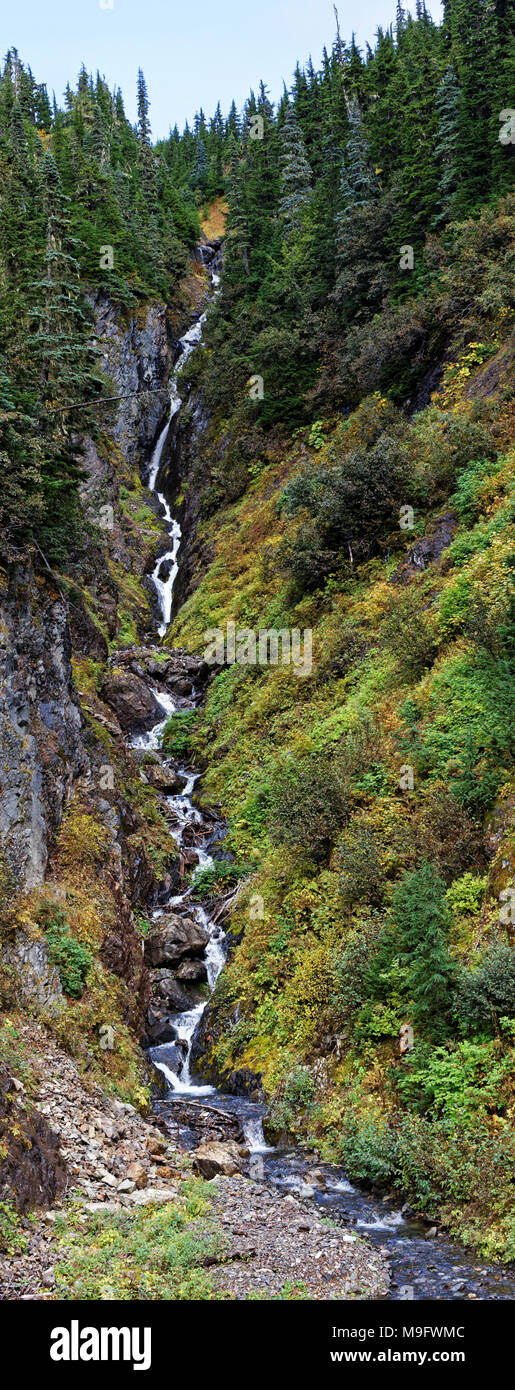 42,630.05544 vertical panorama steep mountain summer whitewater stream in deep gully gorge of mixed conifer & deciduous forest trees Stock Photohttps://www.alamy.com/image-license-details/?v=1https://www.alamy.com/4263005544-vertical-panorama-steep-mountain-summer-whitewater-stream-in-deep-gully-gorge-of-mixed-conifer-deciduous-forest-trees-image177985036.html
RFM9FWMC–42,630.05544 vertical panorama steep mountain summer whitewater stream in deep gully gorge of mixed conifer & deciduous forest trees
 Negative - Denison Gorge, Tasmania, circa 1900, Bridge over a fern gully in Denison Gorge Stock Photohttps://www.alamy.com/image-license-details/?v=1https://www.alamy.com/negative-denison-gorge-tasmania-circa-1900-bridge-over-a-fern-gully-in-denison-gorge-image328792621.html
RM2A2WP9H–Negative - Denison Gorge, Tasmania, circa 1900, Bridge over a fern gully in Denison Gorge
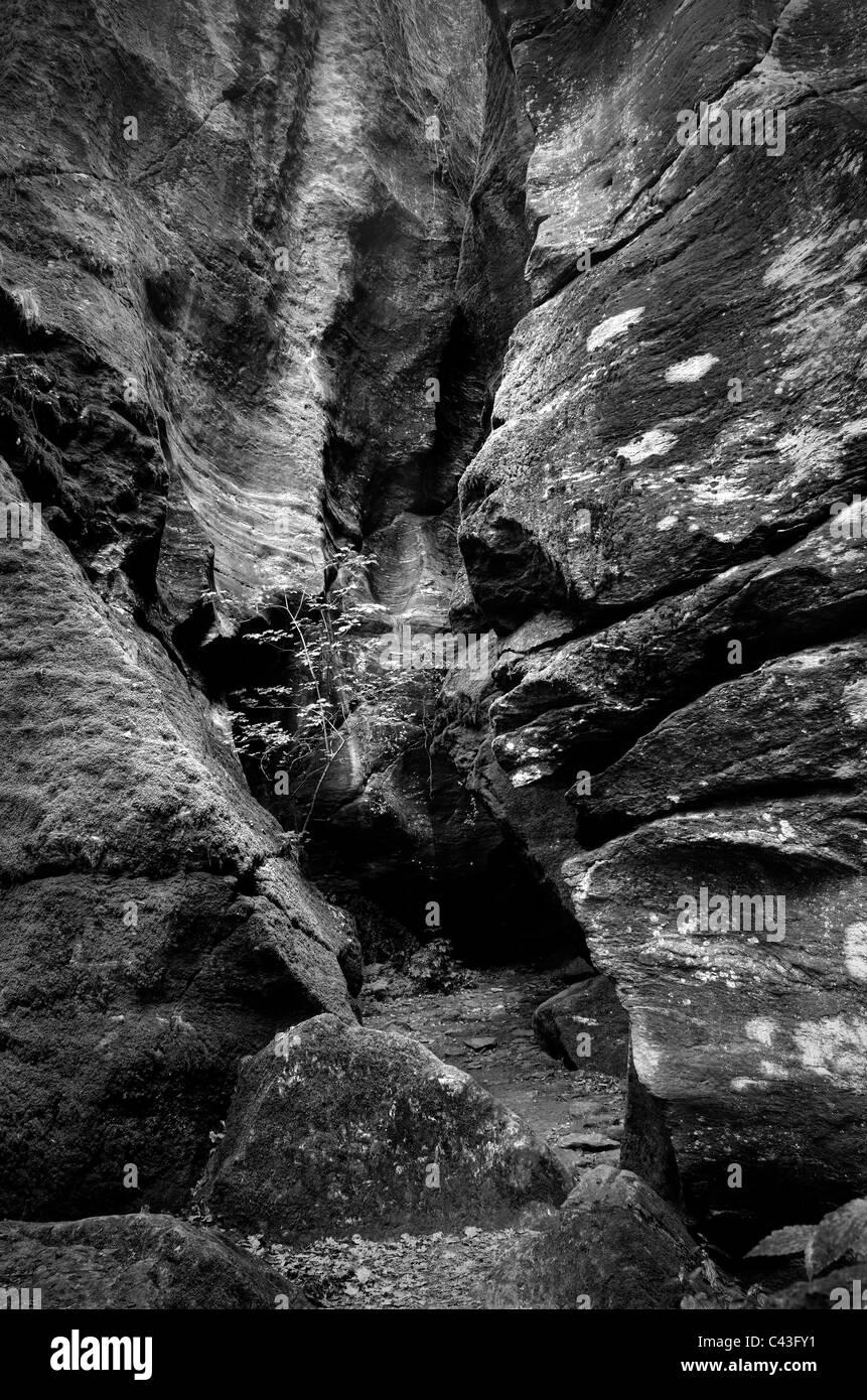 Mountain canyon Stock Photohttps://www.alamy.com/image-license-details/?v=1https://www.alamy.com/stock-photo-mountain-canyon-36957733.html
RMC43FY1–Mountain canyon
 Francis Seymour Haden, 1818–1910, British, Nine Barrow Down, 1877. Etching and drypoint, with plate tone on medium, slightly textured, cream laid paper. buildings , cottages , distance , gorge , gully , hills , landscape , moor , river , rocks (landforms) , slope , trees , valley. Dorset , England , Europe , United Kingdom Stock Photohttps://www.alamy.com/image-license-details/?v=1https://www.alamy.com/francis-seymour-haden-18181910-british-nine-barrow-down-1877-etching-and-drypoint-with-plate-tone-on-medium-slightly-textured-cream-laid-paper-buildings-cottages-distance-gorge-gully-hills-landscape-moor-river-rocks-landforms-slope-trees-valley-dorset-england-europe-united-kingdom-image398350529.html
RM2E42C4H–Francis Seymour Haden, 1818–1910, British, Nine Barrow Down, 1877. Etching and drypoint, with plate tone on medium, slightly textured, cream laid paper. buildings , cottages , distance , gorge , gully , hills , landscape , moor , river , rocks (landforms) , slope , trees , valley. Dorset , England , Europe , United Kingdom
 Vertical image overlooking a verdant canyon in Hawaii. Stock Photohttps://www.alamy.com/image-license-details/?v=1https://www.alamy.com/vertical-image-overlooking-a-verdant-canyon-in-hawaii-image608201966.html
RF2X9DYPP–Vertical image overlooking a verdant canyon in Hawaii.
 Primeval temperate rain forest around the Chasm, Fiordland, South Island of New Zealand 6 Stock Photohttps://www.alamy.com/image-license-details/?v=1https://www.alamy.com/stock-photo-primeval-temperate-rain-forest-around-the-chasm-fiordland-south-island-49173593.html
RMCT01BN–Primeval temperate rain forest around the Chasm, Fiordland, South Island of New Zealand 6
 Paehler Schlucht gorge gully with waterfall of Burgleitenbach Pähl Paehl Landkreis Weilheim upper Bavaria Germany Stock Photohttps://www.alamy.com/image-license-details/?v=1https://www.alamy.com/paehler-schlucht-gorge-gully-with-waterfall-of-burgleitenbach-phl-image3787705.html
RFA6KRBA–Paehler Schlucht gorge gully with waterfall of Burgleitenbach Pähl Paehl Landkreis Weilheim upper Bavaria Germany
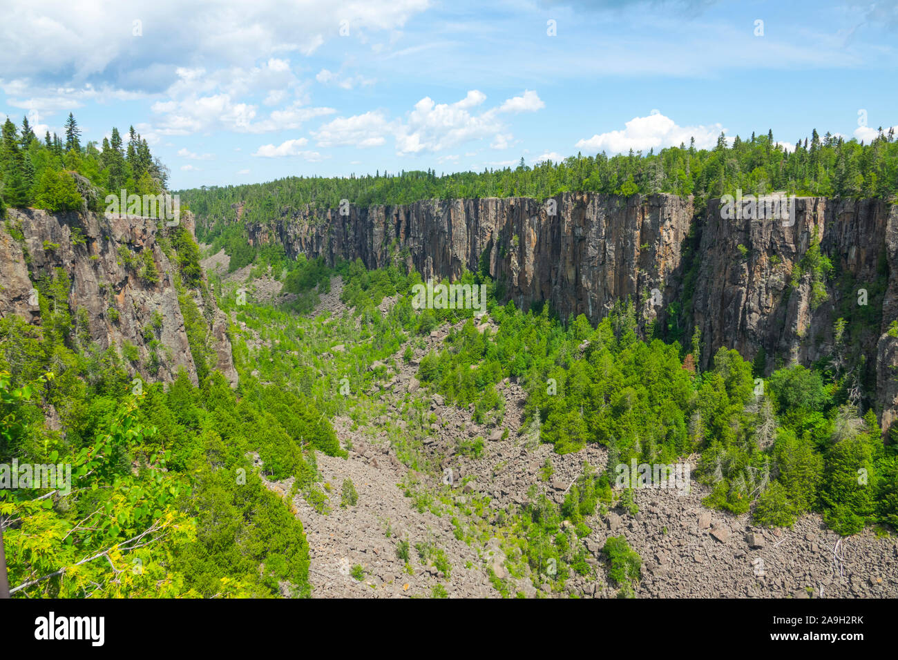 Ouimet Canyon is a large gorge in the municipality of Dorion, Thunder Bay District in northwestern Ontario, Canada Stock Photohttps://www.alamy.com/image-license-details/?v=1https://www.alamy.com/ouimet-canyon-is-a-large-gorge-in-the-municipality-of-dorion-thunder-bay-district-in-northwestern-ontario-canada-image332904311.html
RM2A9H2RK–Ouimet Canyon is a large gorge in the municipality of Dorion, Thunder Bay District in northwestern Ontario, Canada
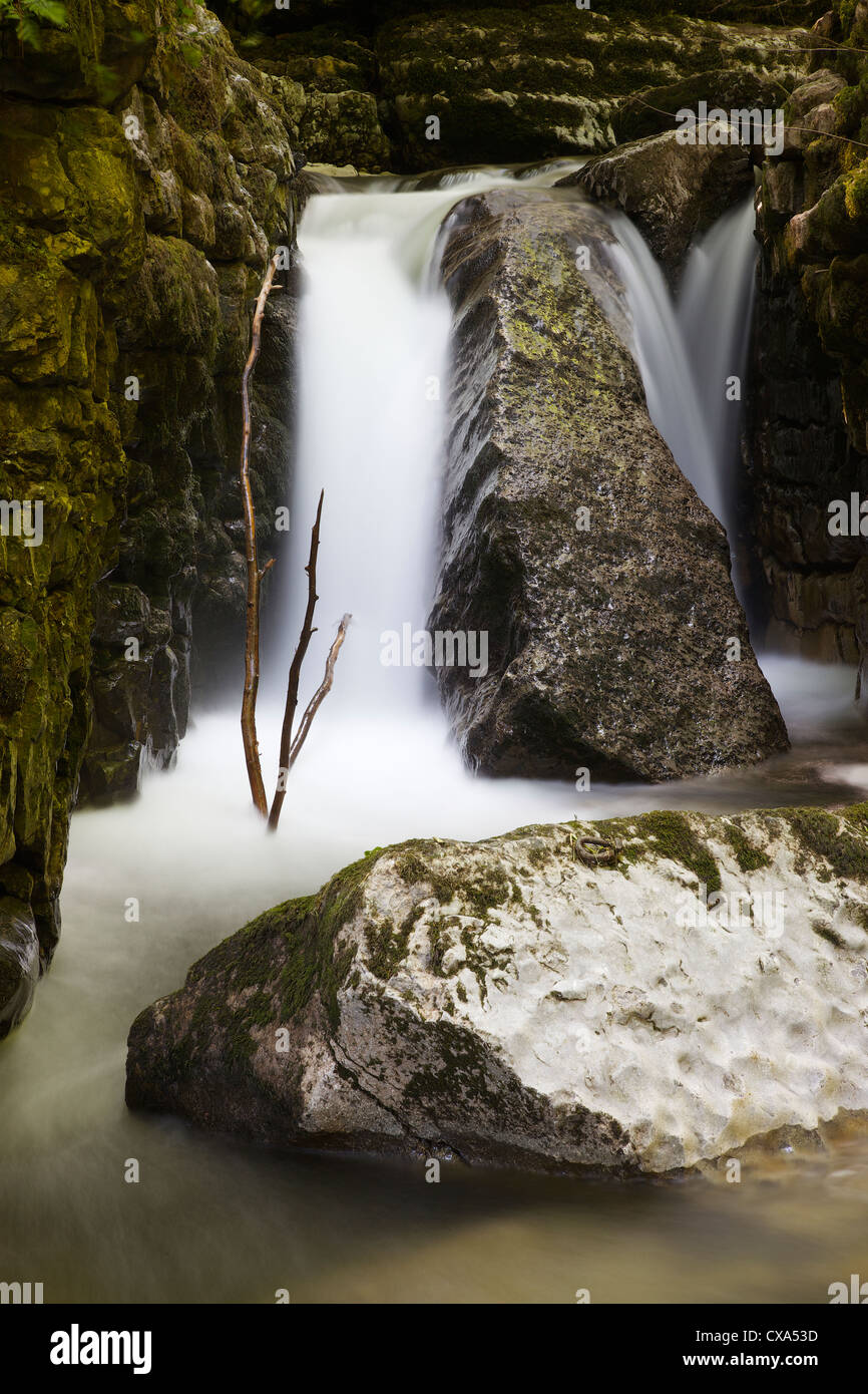 Waterfall in limestone gully at The Howk, Caldbeck, Lake District, Cumbria, England, UK Stock Photohttps://www.alamy.com/image-license-details/?v=1https://www.alamy.com/stock-photo-waterfall-in-limestone-gully-at-the-howk-caldbeck-lake-district-cumbria-50625329.html
RMCXA53D–Waterfall in limestone gully at The Howk, Caldbeck, Lake District, Cumbria, England, UK
 The wild Bristol goats, being used to control vegetation and encourage biodiversity in Avon Gorge Stock Photohttps://www.alamy.com/image-license-details/?v=1https://www.alamy.com/the-wild-bristol-goats-being-used-to-control-vegetation-and-encourage-biodiversity-in-avon-gorge-image508410811.html
RM2MF434Y–The wild Bristol goats, being used to control vegetation and encourage biodiversity in Avon Gorge
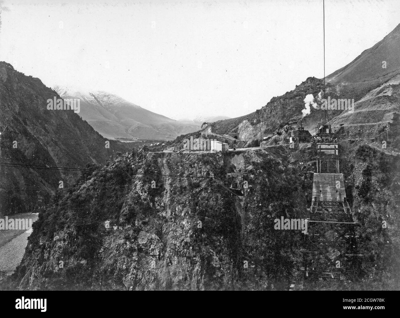 Work continues on the railway viaduct across Staircase Gully on the Midland Line, South Island, New Zealand, in about 1905. The viaduct from point to point is 180 feet across and consists of a 60 foot abutment, two spaces of 192 feet each and a 36 feet piece.From the Logie family collection. Stock Photohttps://www.alamy.com/image-license-details/?v=1https://www.alamy.com/work-continues-on-the-railway-viaduct-across-staircase-gully-on-the-midland-line-south-island-new-zealand-in-about-1905-the-viaduct-from-point-to-point-is-180-feet-across-and-consists-of-a-60-foot-abutment-two-spaces-of-192-feet-each-and-a-36-feet-piecefrom-the-logie-family-collection-image371806839.html
RM2CGW7BK–Work continues on the railway viaduct across Staircase Gully on the Midland Line, South Island, New Zealand, in about 1905. The viaduct from point to point is 180 feet across and consists of a 60 foot abutment, two spaces of 192 feet each and a 36 feet piece.From the Logie family collection.
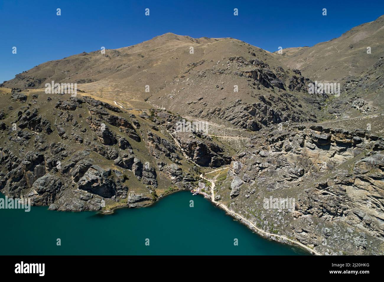 Cairnmuir Gully, Lake Dunstan Cycle Trail and Lake Dunstan, near Cromwell, Central Otago, South Island, New Zealand Stock Photohttps://www.alamy.com/image-license-details/?v=1https://www.alamy.com/cairnmuir-gully-lake-dunstan-cycle-trail-and-lake-dunstan-near-cromwell-central-otago-south-island-new-zealand-image465923124.html
RM2J20HKG–Cairnmuir Gully, Lake Dunstan Cycle Trail and Lake Dunstan, near Cromwell, Central Otago, South Island, New Zealand
 Goats in the Gully, Avon Gorge, Bristol Stock Photohttps://www.alamy.com/image-license-details/?v=1https://www.alamy.com/goats-in-the-gully-avon-gorge-bristol-image367148262.html
RF2C9919X–Goats in the Gully, Avon Gorge, Bristol
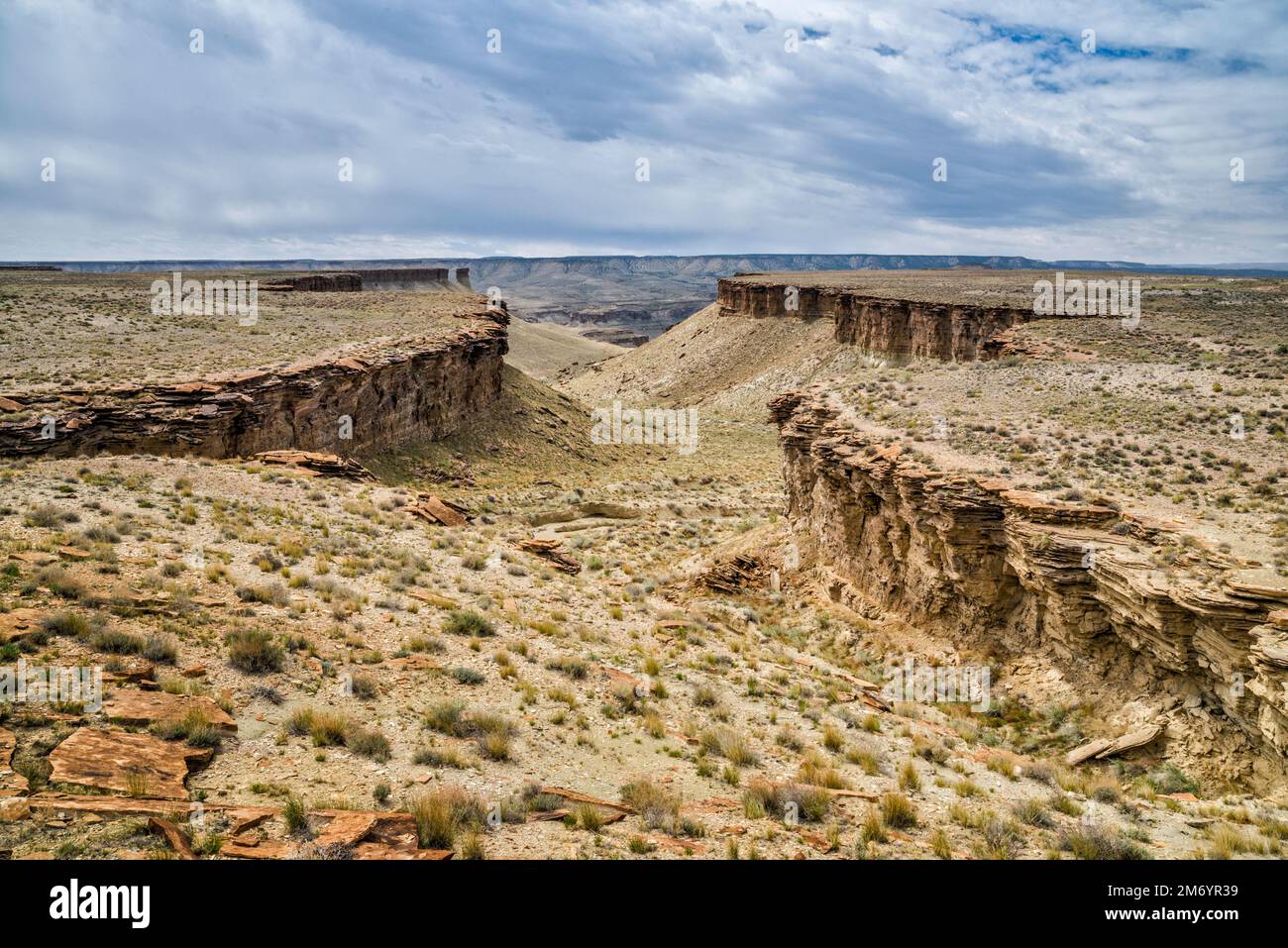 Gully in North Franks Canyon area, leading to Nine Mile Canyon, view from Wrinkle Road, West Tavaputs Plateau, Utah, USA Stock Photohttps://www.alamy.com/image-license-details/?v=1https://www.alamy.com/gully-in-north-franks-canyon-area-leading-to-nine-mile-canyon-view-from-wrinkle-road-west-tavaputs-plateau-utah-usa-image503399437.html
RF2M6YR39–Gully in North Franks Canyon area, leading to Nine Mile Canyon, view from Wrinkle Road, West Tavaputs Plateau, Utah, USA
 Tiefenbach Gorge in summer, Kramsach, Tyrol, Austria Stock Photohttps://www.alamy.com/image-license-details/?v=1https://www.alamy.com/stock-photo-tiefenbach-gorge-in-summer-kramsach-tyrol-austria-130608177.html
RMHGDM1N–Tiefenbach Gorge in summer, Kramsach, Tyrol, Austria
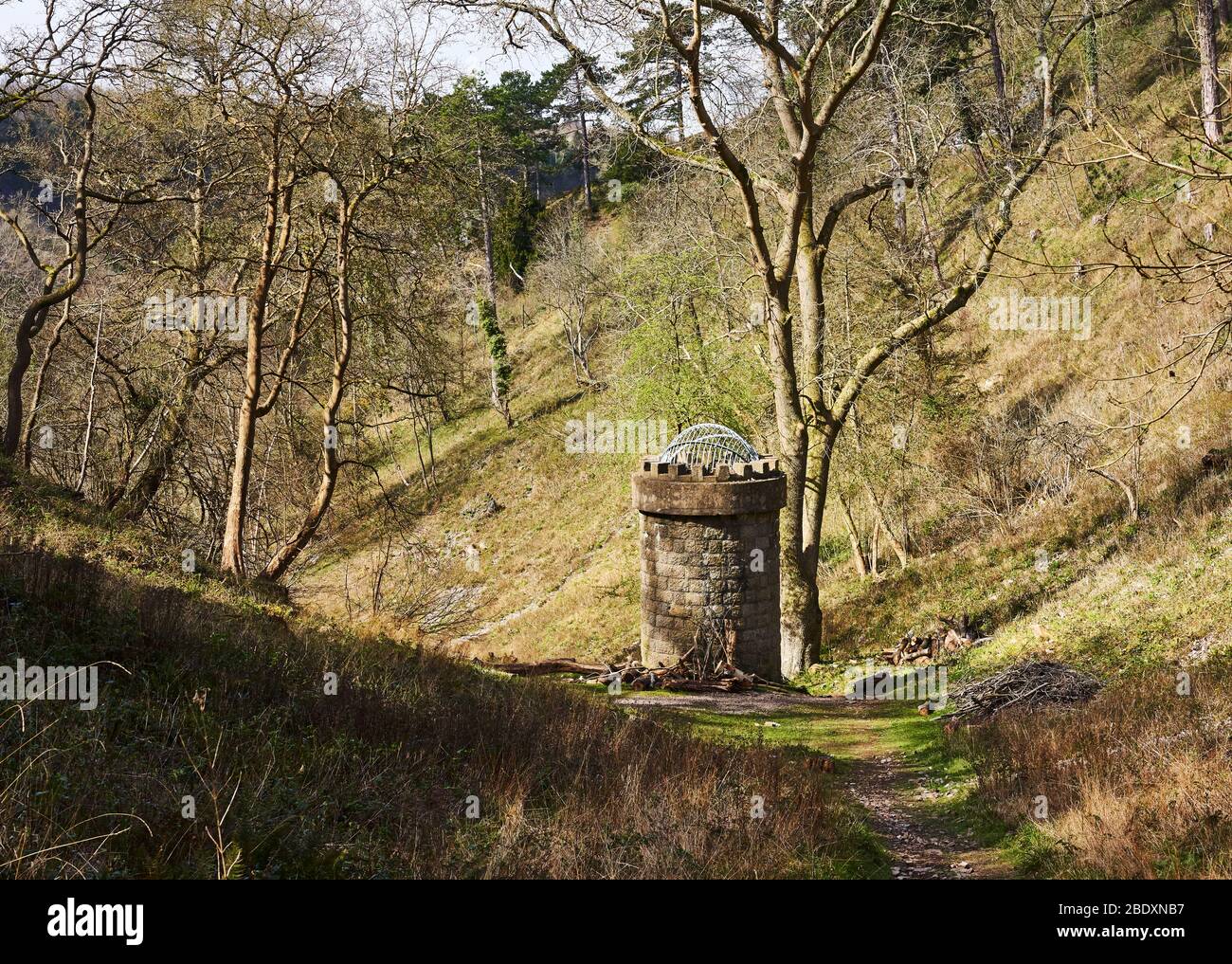 Railway tunnel ventilation shaft in The Gully a dry limestone valley linking the Avon Gorge with The Downs in Bristol UK Stock Photohttps://www.alamy.com/image-license-details/?v=1https://www.alamy.com/railway-tunnel-ventilation-shaft-in-the-gully-a-dry-limestone-valley-linking-the-avon-gorge-with-the-downs-in-bristol-uk-image352785419.html
RM2BDXNB7–Railway tunnel ventilation shaft in The Gully a dry limestone valley linking the Avon Gorge with The Downs in Bristol UK
 View of the gorge from Rock-cut city and monestary of Vardzia (caves), Southern Georgia, excavated from the slopes of the Erusheti Mountain on the lef Stock Photohttps://www.alamy.com/image-license-details/?v=1https://www.alamy.com/view-of-the-gorge-from-rock-cut-city-and-monestary-of-vardzia-caves-southern-georgia-excavated-from-the-slopes-of-the-erusheti-mountain-on-the-lef-image363872846.html
RM2C3YREP–View of the gorge from Rock-cut city and monestary of Vardzia (caves), Southern Georgia, excavated from the slopes of the Erusheti Mountain on the lef
 Waterfall Gorge, Mt Greville Stock Photohttps://www.alamy.com/image-license-details/?v=1https://www.alamy.com/waterfall-gorge-mt-greville-image430173962.html
RF2FYT37P–Waterfall Gorge, Mt Greville
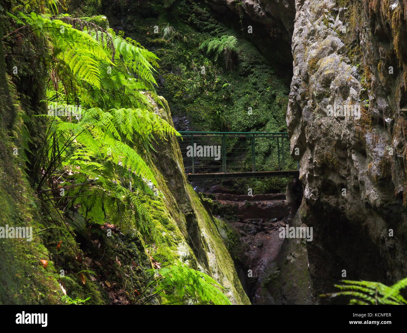 Bridge crossing a gully in Madeira Stock Photohttps://www.alamy.com/image-license-details/?v=1https://www.alamy.com/stock-image-bridge-crossing-a-gully-in-madeira-162742351.html
RFKCNFER–Bridge crossing a gully in Madeira
 Caves area, Cathedral Gorge State Park, Nevada Stock Photohttps://www.alamy.com/image-license-details/?v=1https://www.alamy.com/caves-area-cathedral-gorge-state-park-nevada-image354460112.html
RF2BGK1DM–Caves area, Cathedral Gorge State Park, Nevada
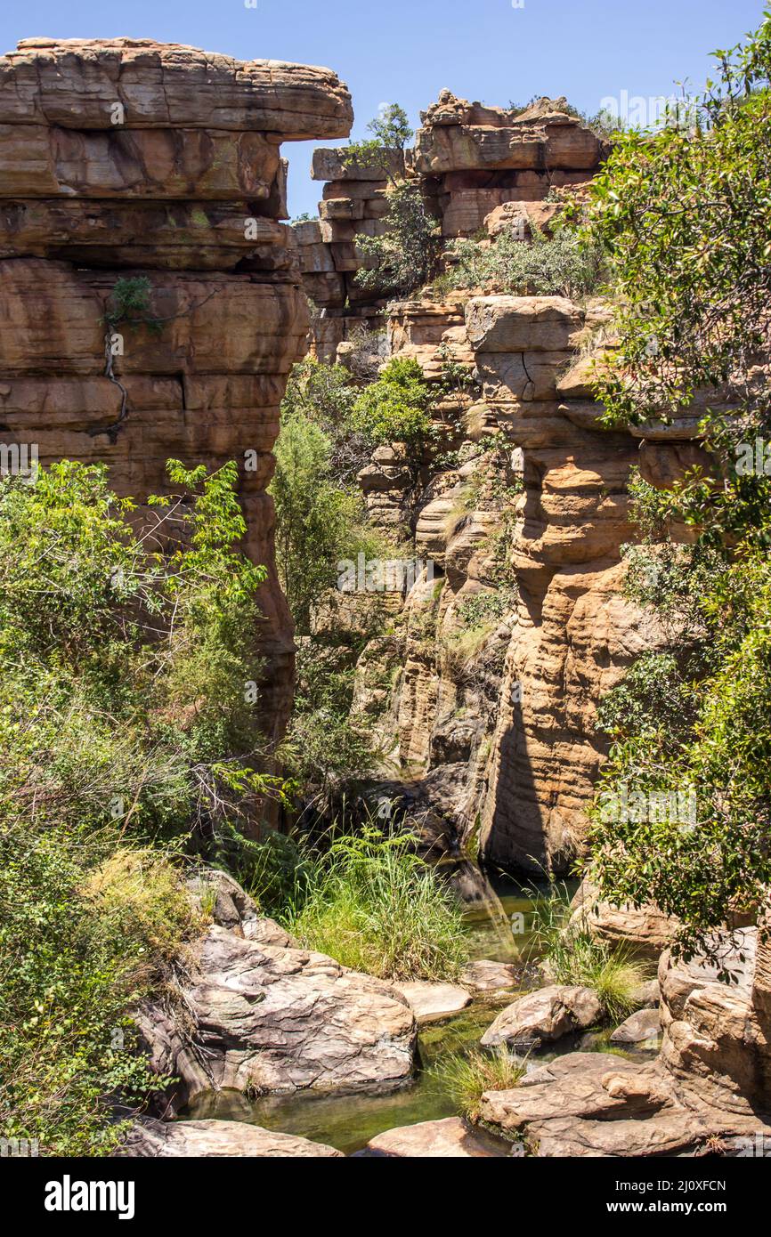 A narrow gully, between steep quartzite cliffs in the Magaliesberg Mountains of South Africa Stock Photohttps://www.alamy.com/image-license-details/?v=1https://www.alamy.com/a-narrow-gully-between-steep-quartzite-cliffs-in-the-magaliesberg-mountains-of-south-africa-image465262805.html
RF2J0XFCN–A narrow gully, between steep quartzite cliffs in the Magaliesberg Mountains of South Africa
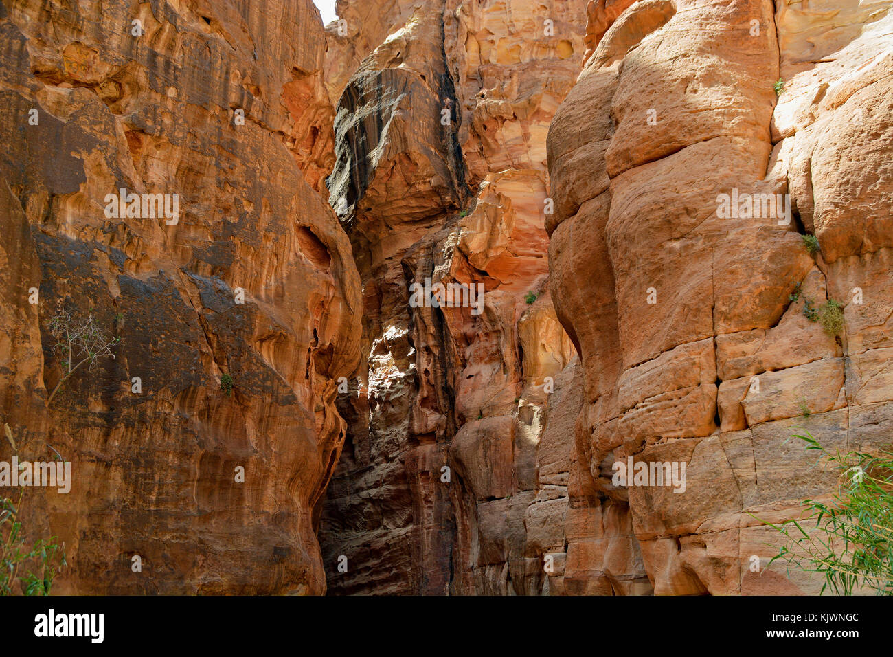 Pathway to the ancient city of Petra, Jordan. The pathway is a Siq - narrow gorge carved by water flow. Stock Photohttps://www.alamy.com/image-license-details/?v=1https://www.alamy.com/stock-image-pathway-to-the-ancient-city-of-petra-jordan-the-pathway-is-a-siq-narrow-166522844.html
RFKJWNGC–Pathway to the ancient city of Petra, Jordan. The pathway is a Siq - narrow gorge carved by water flow.
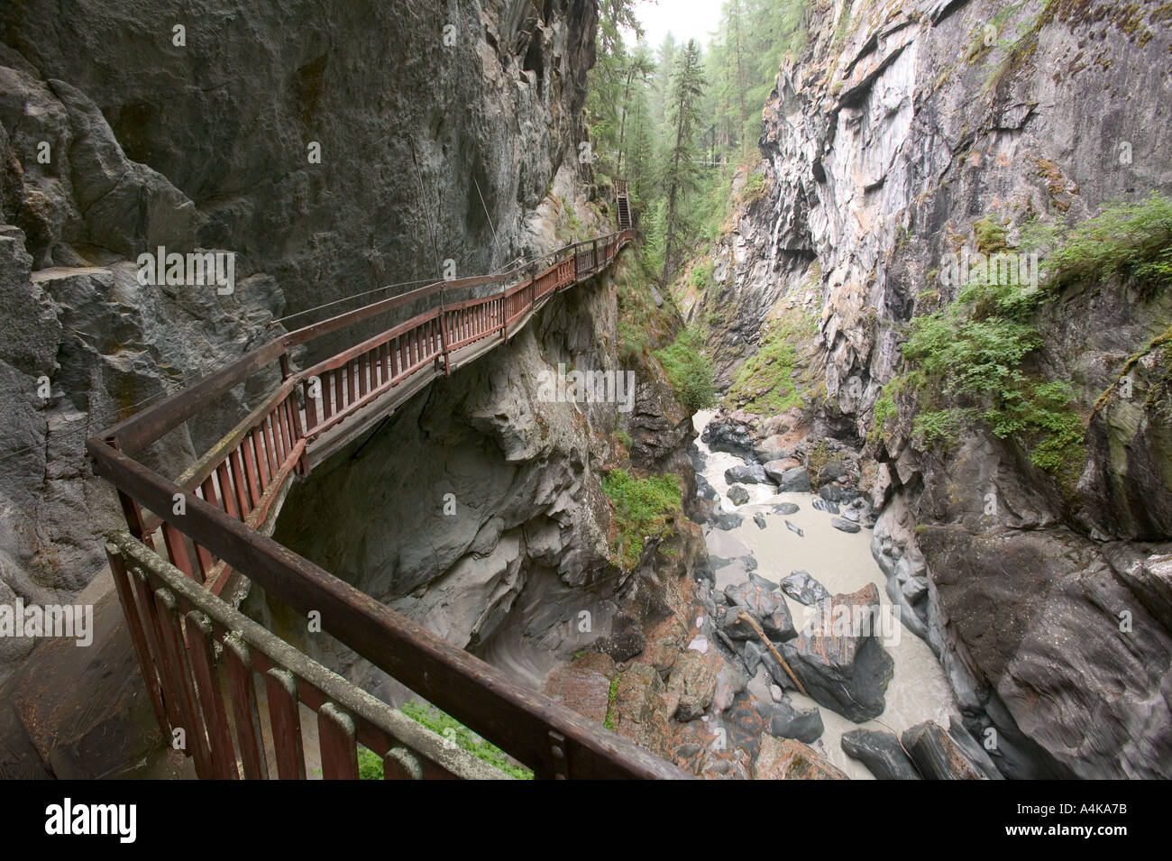
 a boardwalk round the Gorner gorge Zermatt Switzerland Stock Photohttps://www.alamy.com/image-license-details/?v=1https://www.alamy.com/a-boardwalk-round-the-gorner-gorge-zermatt-switzerland-image2046589.html
RMA4KA7E–a boardwalk round the Gorner gorge Zermatt Switzerland
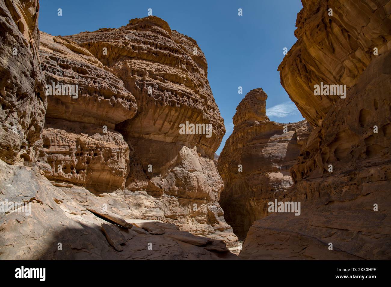 Narrow gorge near Al Ula Saudi Arabia Stock Photohttps://www.alamy.com/image-license-details/?v=1https://www.alamy.com/narrow-gorge-near-al-ula-saudi-arabia-image483748230.html
RM2K30HPE–Narrow gorge near Al Ula Saudi Arabia
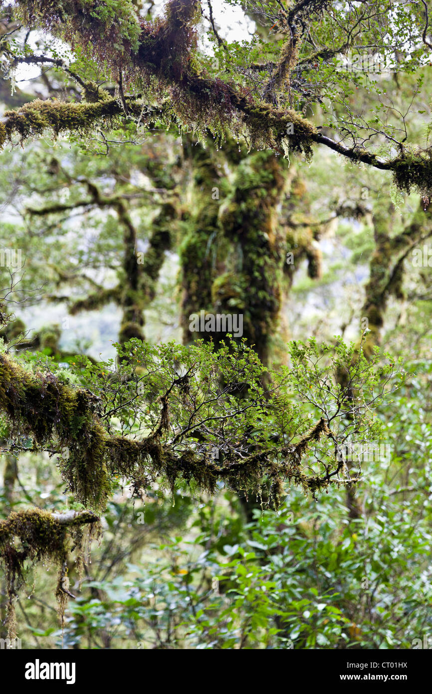 Primeval temperate rain forest around the Chasm, Fiordland, South Island of New Zealand 4 Stock Photohttps://www.alamy.com/image-license-details/?v=1https://www.alamy.com/stock-photo-primeval-temperate-rain-forest-around-the-chasm-fiordland-south-island-49173766.html
RMCT01HX–Primeval temperate rain forest around the Chasm, Fiordland, South Island of New Zealand 4
 Paehler Schlucht gorge gully with waterfall of Burgleitenbach Pähl Paehl Landkreis Weilheim upper Bavaria Germany Stock Photohttps://www.alamy.com/image-license-details/?v=1https://www.alamy.com/paehler-schlucht-gorge-gully-with-waterfall-of-burgleitenbach-phl-image3788594.html
RFA6KY33–Paehler Schlucht gorge gully with waterfall of Burgleitenbach Pähl Paehl Landkreis Weilheim upper Bavaria Germany
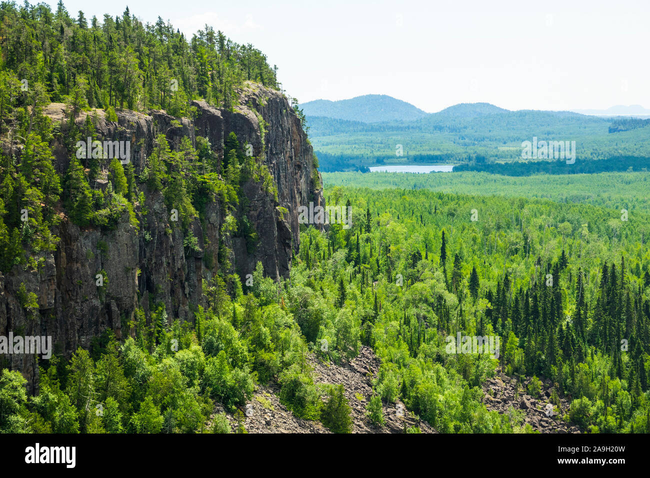 Ouimet Canyon is a large gorge in the municipality of Dorion, Thunder Bay District in northwestern Ontario, Canada Stock Photohttps://www.alamy.com/image-license-details/?v=1https://www.alamy.com/ouimet-canyon-is-a-large-gorge-in-the-municipality-of-dorion-thunder-bay-district-in-northwestern-ontario-canada-image332903673.html
RM2A9H20W–Ouimet Canyon is a large gorge in the municipality of Dorion, Thunder Bay District in northwestern Ontario, Canada
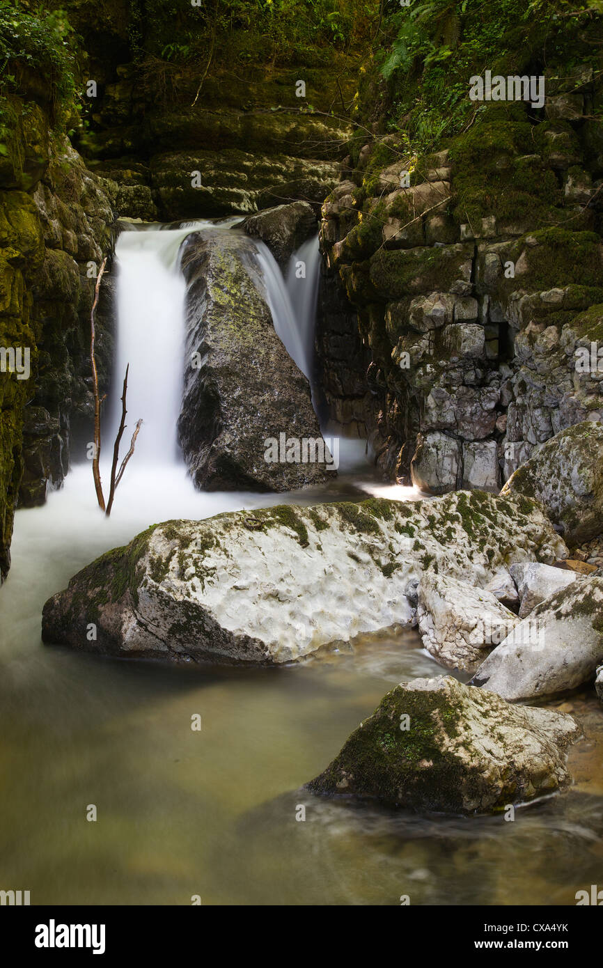 Waterfall in limestone gully at The Howk, Caldbeck, Lake District, Cumbria, England, UK Stock Photohttps://www.alamy.com/image-license-details/?v=1https://www.alamy.com/stock-photo-waterfall-in-limestone-gully-at-the-howk-caldbeck-lake-district-cumbria-50625223.html
RMCXA4YK–Waterfall in limestone gully at The Howk, Caldbeck, Lake District, Cumbria, England, UK
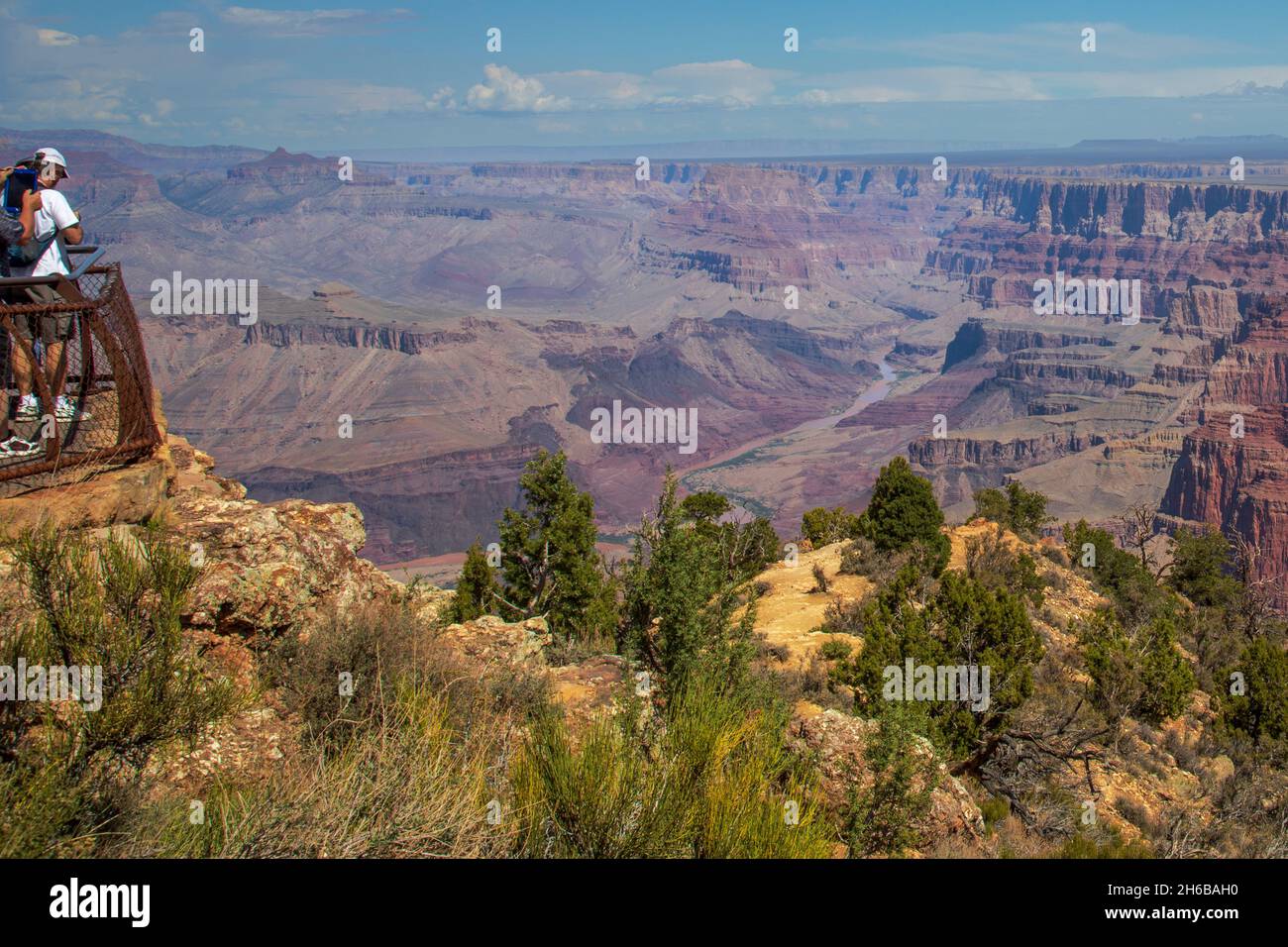 Couple viewing Grand Canyon. Stock Photohttps://www.alamy.com/image-license-details/?v=1https://www.alamy.com/couple-viewing-grand-canyon-image451407292.html
RF2H6BAH0–Couple viewing Grand Canyon.
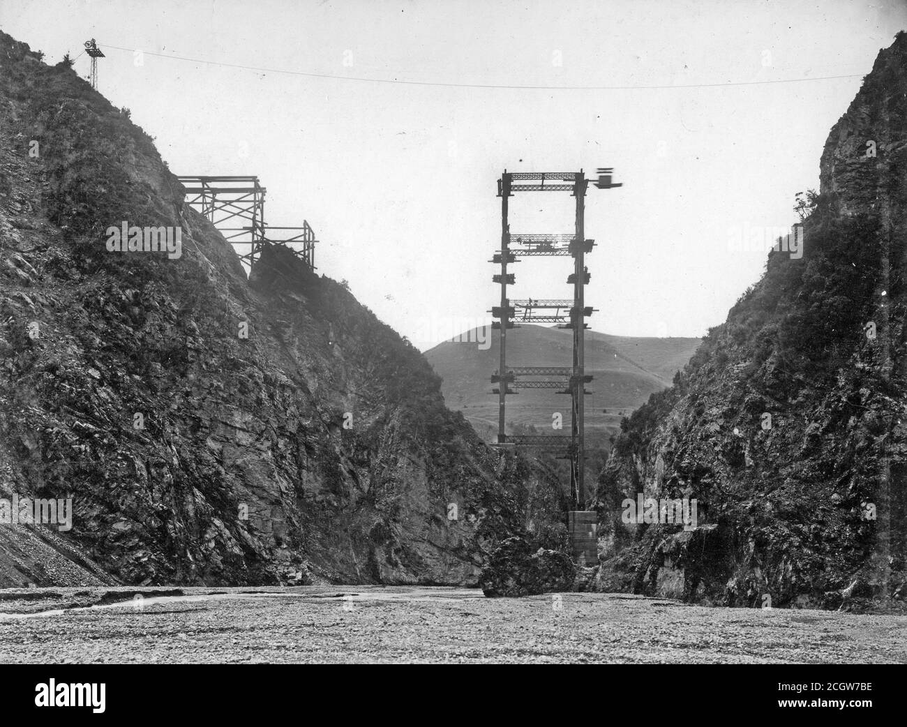 Work continues on the railway viaduct across Staircase Gully on the Midland Line, South Island, New Zealand, in about 1905. The viaduct from point to point is 180 feet across and consists of a 60 foot abutment, two space of 192 feet each and a 36 feet piece. The pier is made of iron 220 feet in height on a strong concrete foundation. From the Logie family collection. Stock Photohttps://www.alamy.com/image-license-details/?v=1https://www.alamy.com/work-continues-on-the-railway-viaduct-across-staircase-gully-on-the-midland-line-south-island-new-zealand-in-about-1905-the-viaduct-from-point-to-point-is-180-feet-across-and-consists-of-a-60-foot-abutment-two-space-of-192-feet-each-and-a-36-feet-piece-the-pier-is-made-of-iron-220-feet-in-height-on-a-strong-concrete-foundation-from-the-logie-family-collection-image371806834.html
RM2CGW7BE–Work continues on the railway viaduct across Staircase Gully on the Midland Line, South Island, New Zealand, in about 1905. The viaduct from point to point is 180 feet across and consists of a 60 foot abutment, two space of 192 feet each and a 36 feet piece. The pier is made of iron 220 feet in height on a strong concrete foundation. From the Logie family collection.
 Samaria gorge Stock Photohttps://www.alamy.com/image-license-details/?v=1https://www.alamy.com/stock-photo-samaria-gorge-17927916.html
RFB14K6M–Samaria gorge
 The famous gorge and bridge of the divided town of Ronda in the Serrania de Ronda southern Spain Stock Photohttps://www.alamy.com/image-license-details/?v=1https://www.alamy.com/the-famous-gorge-and-bridge-of-the-divided-town-of-ronda-in-the-serrania-image7029944.html
RMA9A8Y9–The famous gorge and bridge of the divided town of Ronda in the Serrania de Ronda southern Spain
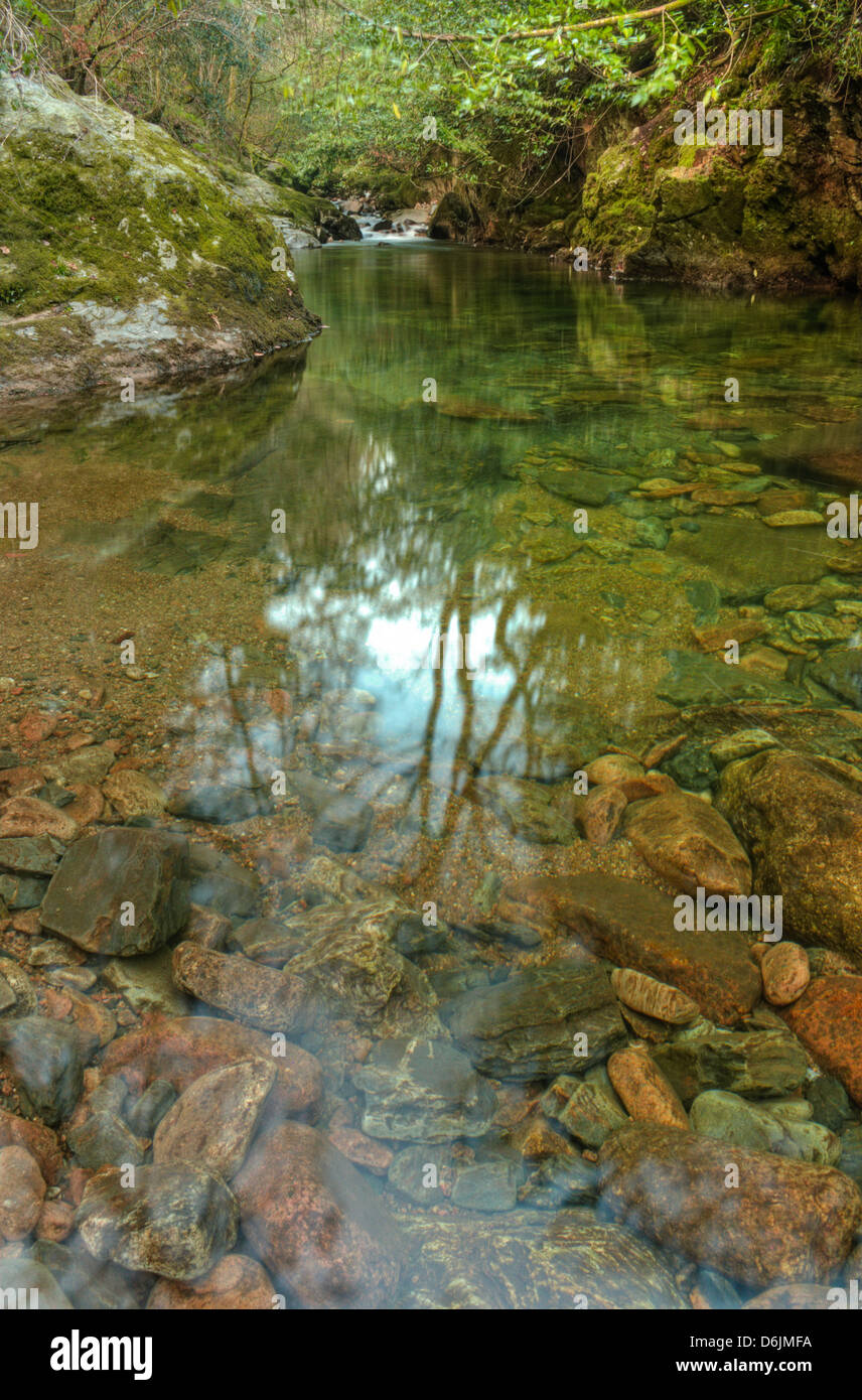 The calm waters of the River Erme below the second of two Grade 4 dog-leg rapids deep in the Upper section of the Erme Gorge in Stock Photohttps://www.alamy.com/image-license-details/?v=1https://www.alamy.com/stock-photo-the-calm-waters-of-the-river-erme-below-the-second-of-two-grade-4-55730286.html
RMD6JMFA–The calm waters of the River Erme below the second of two Grade 4 dog-leg rapids deep in the Upper section of the Erme Gorge in
 Gorge, stream, Taugl, Tauglbach, Tauglbachklamm, Hallein District, Salzburg, Austria Stock Photohttps://www.alamy.com/image-license-details/?v=1https://www.alamy.com/stock-photo-gorge-stream-taugl-tauglbach-tauglbachklamm-hallein-district-salzburg-127420169.html
RFHB8DM9–Gorge, stream, Taugl, Tauglbach, Tauglbachklamm, Hallein District, Salzburg, Austria
 Bundanoon Gully, captured from the Echo Point Lookout, Morton National Park, Bundanoon Stock Photohttps://www.alamy.com/image-license-details/?v=1https://www.alamy.com/stock-photo-bundanoon-gully-captured-from-the-echo-point-lookout-morton-national-52695462.html
RFD1MDGP–Bundanoon Gully, captured from the Echo Point Lookout, Morton National Park, Bundanoon
 View of the gorge from Rock-cut city and monestary of Vardzia (caves), Southern Georgia, excavated from the slopes of the Erusheti Mountain on the lef Stock Photohttps://www.alamy.com/image-license-details/?v=1https://www.alamy.com/view-of-the-gorge-from-rock-cut-city-and-monestary-of-vardzia-caves-southern-georgia-excavated-from-the-slopes-of-the-erusheti-mountain-on-the-lef-image363872854.html
RM2C3YRF2–View of the gorge from Rock-cut city and monestary of Vardzia (caves), Southern Georgia, excavated from the slopes of the Erusheti Mountain on the lef
 Waterfall Gorge, Mt Greville Stock Photohttps://www.alamy.com/image-license-details/?v=1https://www.alamy.com/waterfall-gorge-mt-greville-image430173966.html
RF2FYT37X–Waterfall Gorge, Mt Greville
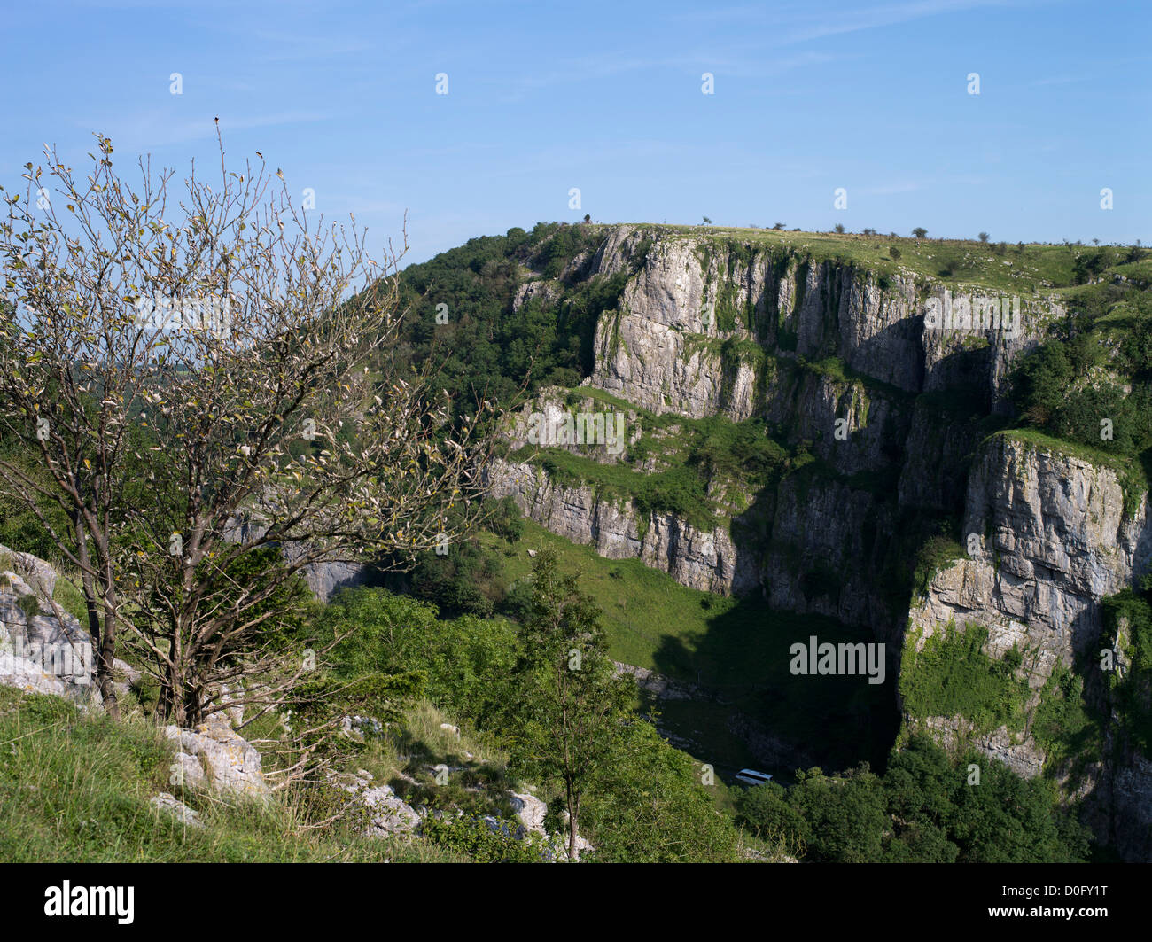 dh Cheddar Gorge MENDIP HILLS SOMERSET Gorge valley limestone Cheddar cliffs face Stock Photohttps://www.alamy.com/image-license-details/?v=1https://www.alamy.com/stock-photo-dh-cheddar-gorge-mendip-hills-somerset-gorge-valley-limestone-cheddar-51981604.html
RMD0FY1T–dh Cheddar Gorge MENDIP HILLS SOMERSET Gorge valley limestone Cheddar cliffs face
 Caves area, Cathedral Gorge State Park, Nevada Stock Photohttps://www.alamy.com/image-license-details/?v=1https://www.alamy.com/stock-photo-caves-area-cathedral-gorge-state-park-nevada-147645497.html
RFJG5R9D–Caves area, Cathedral Gorge State Park, Nevada
 Tiny oasis and tree in gorge between plateaus in desert in Namib-Naukluft National Park, Namibia Stock Photohttps://www.alamy.com/image-license-details/?v=1https://www.alamy.com/tiny-oasis-and-tree-in-gorge-between-plateaus-in-desert-in-namib-naukluft-image65624162.html
RMDPNC82–Tiny oasis and tree in gorge between plateaus in desert in Namib-Naukluft National Park, Namibia
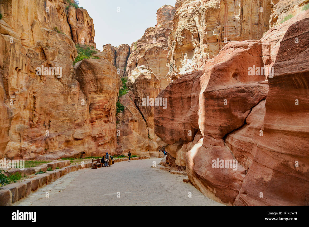 Pathway to the ancient city of Petra, Jordan. The pathway is a Siq - narrow gorge carved by water flow. Stock Photohttps://www.alamy.com/image-license-details/?v=1https://www.alamy.com/stock-image-pathway-to-the-ancient-city-of-petra-jordan-the-pathway-is-a-siq-narrow-166467441.html
RFKJR6WN–Pathway to the ancient city of Petra, Jordan. The pathway is a Siq - narrow gorge carved by water flow.
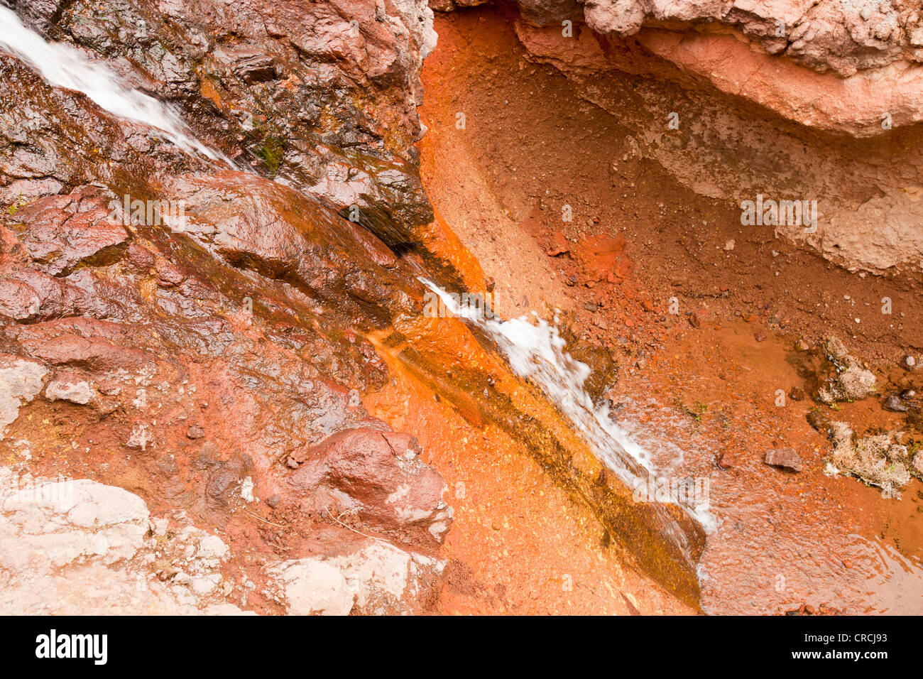 A water fall in the Anti Atlas mountains of Morocco, North Africa. Stock Photohttps://www.alamy.com/image-license-details/?v=1https://www.alamy.com/stock-photo-a-water-fall-in-the-anti-atlas-mountains-of-morocco-north-africa-48835615.html
RMCRCJ93–A water fall in the Anti Atlas mountains of Morocco, North Africa.
 Two Men Climbing a Gully to Foxes Tarn near the Wainwright 'Scafell' in Eskdale, Lake District National Park, Cumbria, England, UK. Stock Photohttps://www.alamy.com/image-license-details/?v=1https://www.alamy.com/two-men-climbing-a-gully-to-foxes-tarn-near-the-wainwright-scafell-in-eskdale-lake-district-national-park-cumbria-england-uk-image466573764.html
RM2J327GM–Two Men Climbing a Gully to Foxes Tarn near the Wainwright 'Scafell' in Eskdale, Lake District National Park, Cumbria, England, UK.
 Primeval temperate rain forest around the Chasm, Fiordland, South Island of New Zealand 9 Stock Photohttps://www.alamy.com/image-license-details/?v=1https://www.alamy.com/stock-photo-primeval-temperate-rain-forest-around-the-chasm-fiordland-south-island-49173277.html
RMCT010D–Primeval temperate rain forest around the Chasm, Fiordland, South Island of New Zealand 9
 Paehler Schlucht gorge gully with waterfall of Burgleitenbach Pähl Paehl Landkreis Weilheim upper Bavaria Germany Stock Photohttps://www.alamy.com/image-license-details/?v=1https://www.alamy.com/paehler-schlucht-gorge-gully-with-waterfall-of-burgleitenbach-phl-image3788588.html
RFA6KY2D–Paehler Schlucht gorge gully with waterfall of Burgleitenbach Pähl Paehl Landkreis Weilheim upper Bavaria Germany
 Ouimet Canyon is a large gorge in the municipality of Dorion, Thunder Bay District in northwestern Ontario, Canada Stock Photohttps://www.alamy.com/image-license-details/?v=1https://www.alamy.com/ouimet-canyon-is-a-large-gorge-in-the-municipality-of-dorion-thunder-bay-district-in-northwestern-ontario-canada-image332905540.html
RM2A9H4BG–Ouimet Canyon is a large gorge in the municipality of Dorion, Thunder Bay District in northwestern Ontario, Canada
 Waterfall in limestone gully at The Howk, Caldbeck, Lake District, Cumbria, England, UK Stock Photohttps://www.alamy.com/image-license-details/?v=1https://www.alamy.com/stock-photo-waterfall-in-limestone-gully-at-the-howk-caldbeck-lake-district-cumbria-50625560.html
RMCXA5BM–Waterfall in limestone gully at The Howk, Caldbeck, Lake District, Cumbria, England, UK
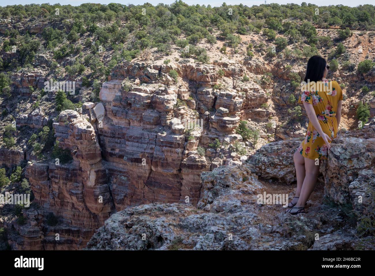 Woman standing near cliff at Grand Canyon. Stock Photohttps://www.alamy.com/image-license-details/?v=1https://www.alamy.com/woman-standing-near-cliff-at-grand-canyon-image451408463.html
RF2H6BC2R–Woman standing near cliff at Grand Canyon.
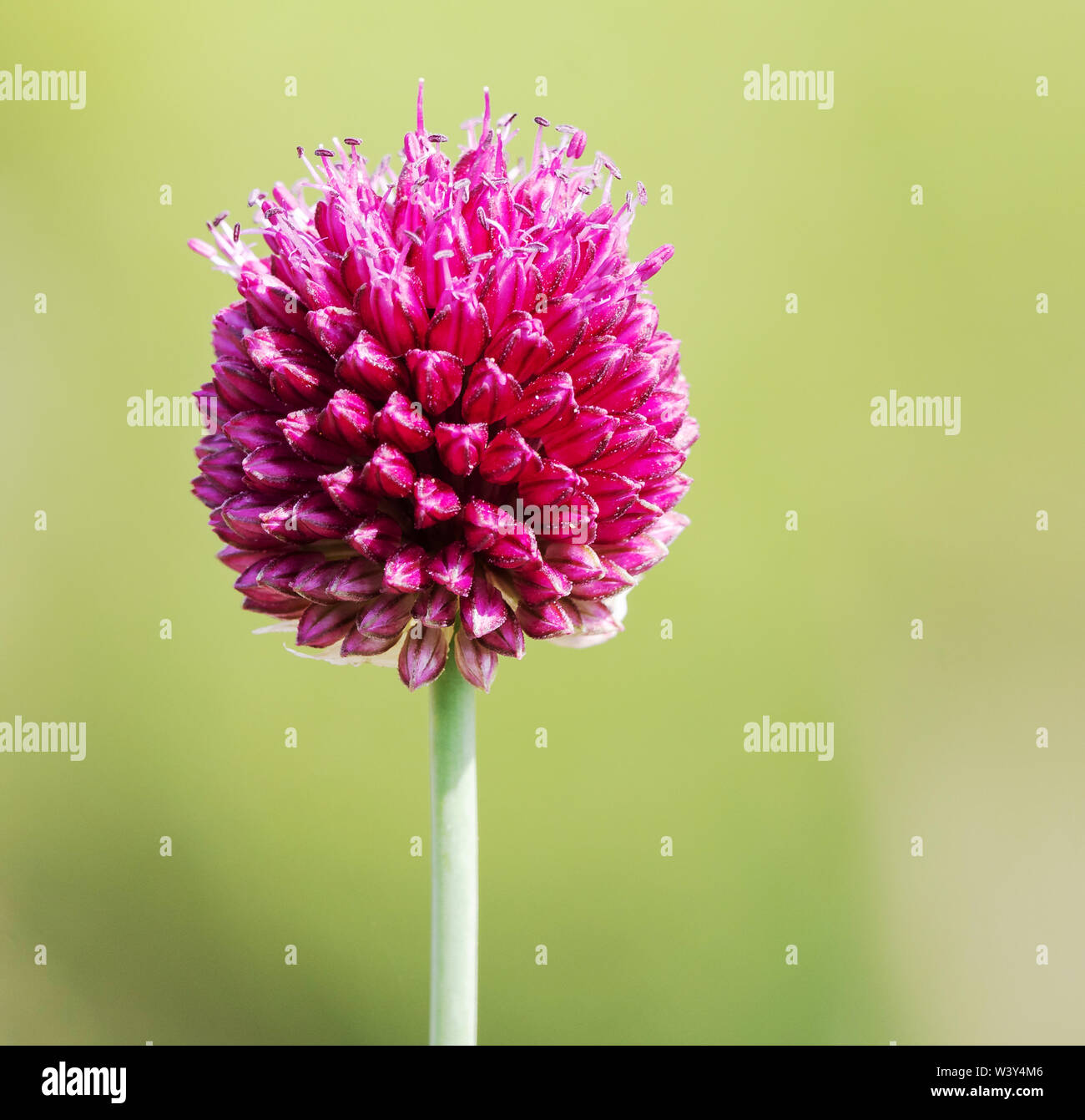 Flower head of round headed leek or Bristol onion Allium sphaerocephalum found only in the Avon Gorge Bristol on the British mainland Stock Photohttps://www.alamy.com/image-license-details/?v=1https://www.alamy.com/flower-head-of-round-headed-leek-or-bristol-onion-allium-sphaerocephalum-found-only-in-the-avon-gorge-bristol-on-the-british-mainland-image260595894.html
RMW3Y4M6–Flower head of round headed leek or Bristol onion Allium sphaerocephalum found only in the Avon Gorge Bristol on the British mainland
 Samaria Gorge Stock Photohttps://www.alamy.com/image-license-details/?v=1https://www.alamy.com/stock-photo-samaria-gorge-17927910.html
RFB14K6E–Samaria Gorge
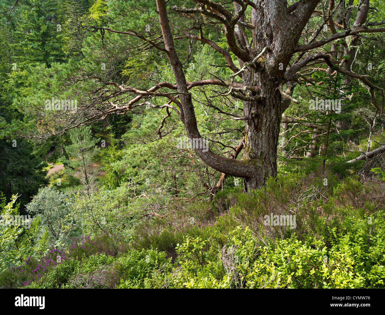 Wooded gorge or canyon at Raven's Rock, Sutherland, Scotland Stock Photohttps://www.alamy.com/image-license-details/?v=1https://www.alamy.com/stock-photo-wooded-gorge-or-canyon-at-ravens-rock-sutherland-scotland-51475290.html
RFCYMW76–Wooded gorge or canyon at Raven's Rock, Sutherland, Scotland
 Rock pool in Porcupine Gorge near Hughenden Queensland Australia The face of The Pyramid is behind Stock Photohttps://www.alamy.com/image-license-details/?v=1https://www.alamy.com/stock-photo-rock-pool-in-porcupine-gorge-near-hughenden-queensland-australia-the-10272020.html
RFA1JE4N–Rock pool in Porcupine Gorge near Hughenden Queensland Australia The face of The Pyramid is behind
 Gorge, stream, Taugl, Tauglbach, Tauglbachklamm, Hallein District, Salzburg, Austria Stock Photohttps://www.alamy.com/image-license-details/?v=1https://www.alamy.com/stock-photo-gorge-stream-taugl-tauglbach-tauglbachklamm-hallein-district-salzburg-127420176.html
RFHB8DMG–Gorge, stream, Taugl, Tauglbach, Tauglbachklamm, Hallein District, Salzburg, Austria
 Bundanoon Gully, captured from the Echo Point Lookout, Morton National Park, Bundanoon Stock Photohttps://www.alamy.com/image-license-details/?v=1https://www.alamy.com/stock-photo-bundanoon-gully-captured-from-the-echo-point-lookout-morton-national-52695468.html
RFD1MDH0–Bundanoon Gully, captured from the Echo Point Lookout, Morton National Park, Bundanoon
 The river Ziz cutting its way through a Gorge in the Atlas Mountains near the Legionaires Tunnel, Morocco Stock Photohttps://www.alamy.com/image-license-details/?v=1https://www.alamy.com/the-river-ziz-cutting-its-way-through-a-gorge-in-the-atlas-mountains-image67726333.html
RFDX55HH–The river Ziz cutting its way through a Gorge in the Atlas Mountains near the Legionaires Tunnel, Morocco
 Waterfall Gorge, Mt Greville Stock Photohttps://www.alamy.com/image-license-details/?v=1https://www.alamy.com/waterfall-gorge-mt-greville-image430173956.html
RF2FYT37G–Waterfall Gorge, Mt Greville
 Rock Cliffs near the Entrance to the Narrow Regalon Gorge, Canyon or Gorges du Regalon Luberon Provence France Stock Photohttps://www.alamy.com/image-license-details/?v=1https://www.alamy.com/rock-cliffs-near-the-entrance-to-the-narrow-regalon-gorge-canyon-or-gorges-du-regalon-luberon-provence-france-image440902760.html
RM2GH8RY4–Rock Cliffs near the Entrance to the Narrow Regalon Gorge, Canyon or Gorges du Regalon Luberon Provence France
 Miller Point view, Cathedral Gorge State Park, Nevada Stock Photohttps://www.alamy.com/image-license-details/?v=1https://www.alamy.com/miller-point-view-cathedral-gorge-state-park-nevada-image354460122.html
RF2BGK1E2–Miller Point view, Cathedral Gorge State Park, Nevada
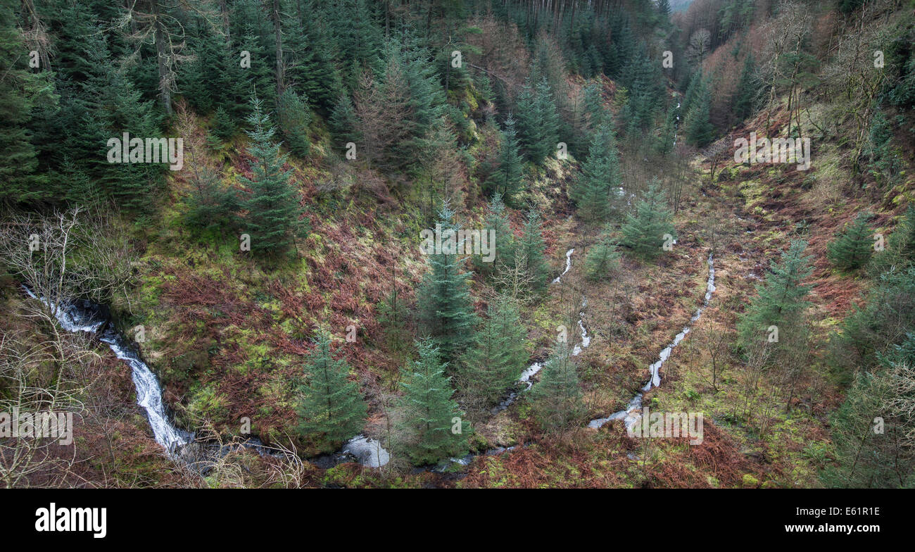 Glen of The Bar in the Galloway Forest park in Scotland. Stock Photohttps://www.alamy.com/image-license-details/?v=1https://www.alamy.com/stock-photo-glen-of-the-bar-in-the-galloway-forest-park-in-scotland-72569434.html
RME61R1E–Glen of The Bar in the Galloway Forest park in Scotland.
 Pathway to the ancient city of Petra, Jordan. The pathway is a Siq - narrow gorge carved by water flow. Stock Photohttps://www.alamy.com/image-license-details/?v=1https://www.alamy.com/stock-image-pathway-to-the-ancient-city-of-petra-jordan-the-pathway-is-a-siq-narrow-166357559.html
RFKJJ6NB–Pathway to the ancient city of Petra, Jordan. The pathway is a Siq - narrow gorge carved by water flow.
