Quick filters:
Graded gravel Stock Photos and Images
 A freshly graded gravel road lined with brittlebrush (Encelia farinose) and young saguaro cactus leads past a rocky hill in Saguaro National Park Stock Photohttps://www.alamy.com/image-license-details/?v=1https://www.alamy.com/a-freshly-graded-gravel-road-lined-with-brittlebrush-encelia-farinose-and-young-saguaro-cactus-leads-past-a-rocky-hill-in-saguaro-national-park-image229216752.html
RFR8WM8G–A freshly graded gravel road lined with brittlebrush (Encelia farinose) and young saguaro cactus leads past a rocky hill in Saguaro National Park
 Gravel road heading to Sparrow Lake in Muskoka Ontario Canada Stock Photohttps://www.alamy.com/image-license-details/?v=1https://www.alamy.com/gravel-road-heading-to-sparrow-lake-in-muskoka-ontario-canada-image558902340.html
RM2RD85HT–Gravel road heading to Sparrow Lake in Muskoka Ontario Canada
 Graded Gravel Path Stock Photohttps://www.alamy.com/image-license-details/?v=1https://www.alamy.com/stock-photo-graded-gravel-path-139004165.html
RFJ2456D–Graded Gravel Path
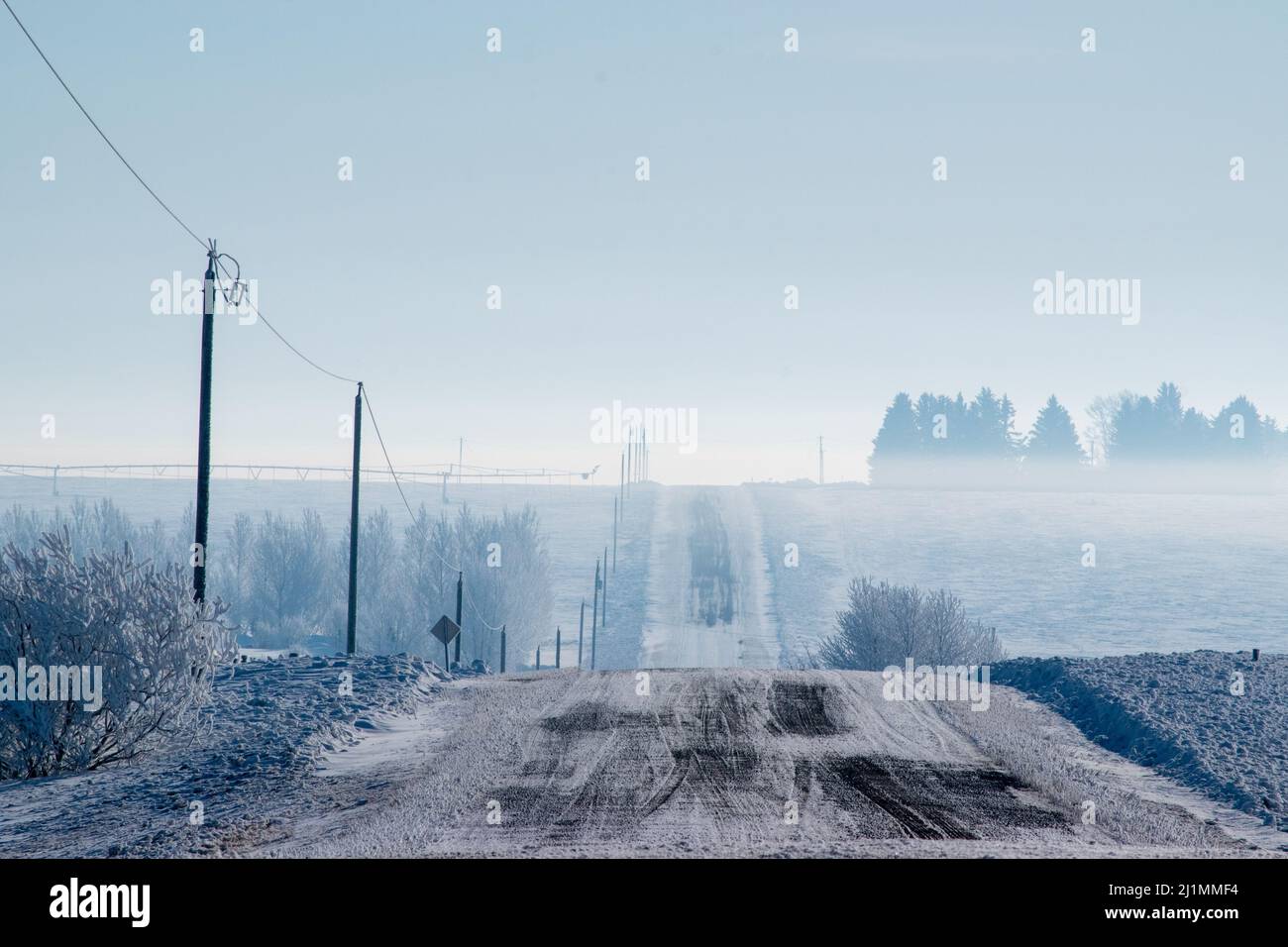 Typical gravel rural range road in Alberta. Near Rosebud, Alberta, Canada, March 11, 2018. Stock Photohttps://www.alamy.com/image-license-details/?v=1https://www.alamy.com/typical-gravel-rural-range-road-in-alberta-near-rosebud-alberta-canada-march-11-2018-image465749736.html
RM2J1MMF4–Typical gravel rural range road in Alberta. Near Rosebud, Alberta, Canada, March 11, 2018.
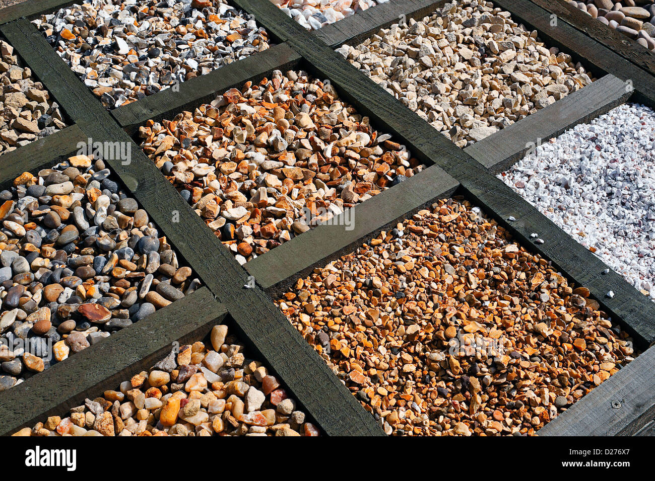 Selection of various different types of gravel for patios and paving at a garden centre Stock Photohttps://www.alamy.com/image-license-details/?v=1https://www.alamy.com/stock-photo-selection-of-various-different-types-of-gravel-for-patios-and-paving-53019519.html
RFD276X7–Selection of various different types of gravel for patios and paving at a garden centre
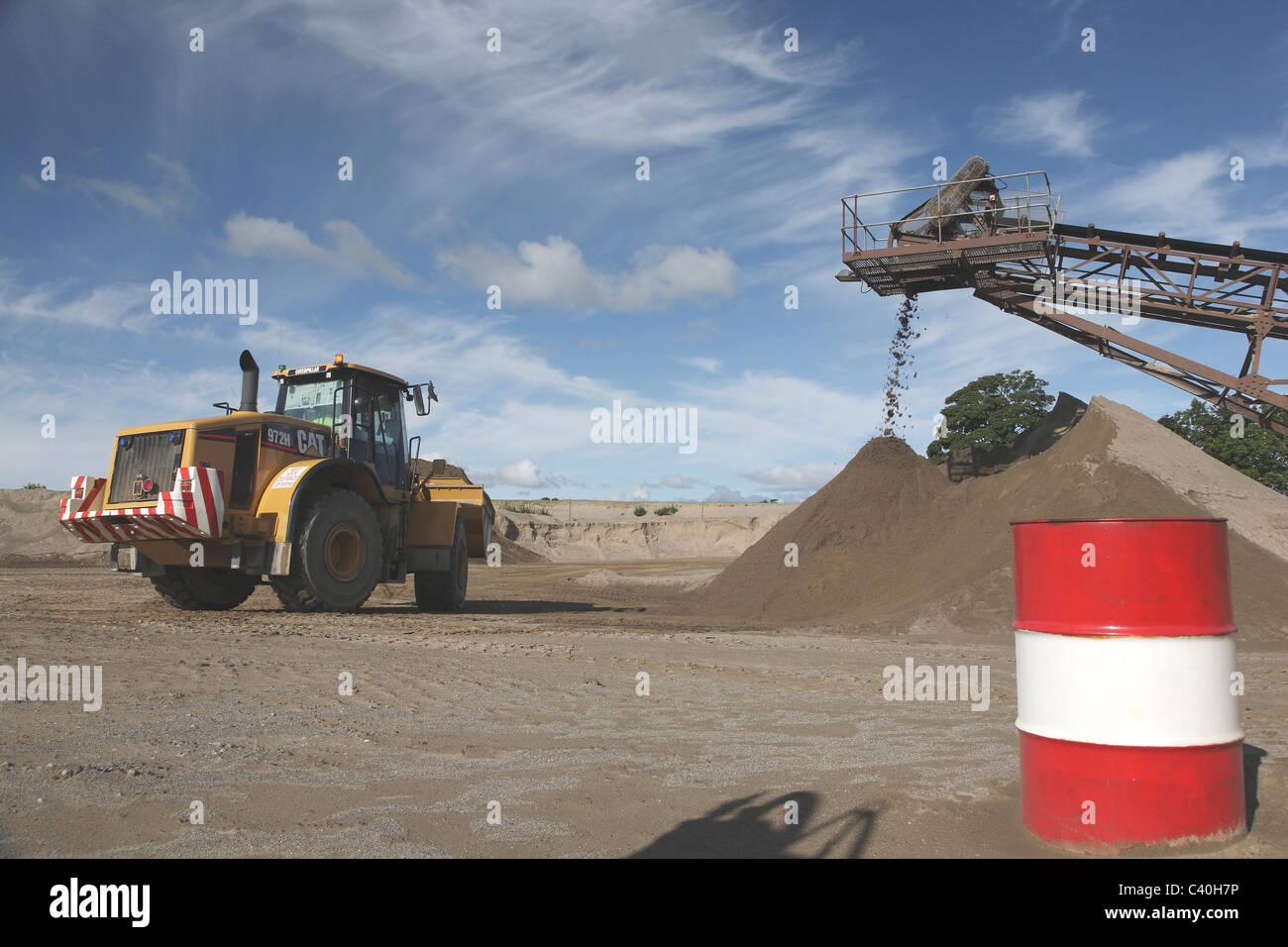 A Caterpillar CAT 972H front loader working in gravel beds moving graded sand Stock Photohttps://www.alamy.com/image-license-details/?v=1https://www.alamy.com/stock-photo-a-caterpillar-cat-972h-front-loader-working-in-gravel-beds-moving-36892906.html
RMC40H7P–A Caterpillar CAT 972H front loader working in gravel beds moving graded sand
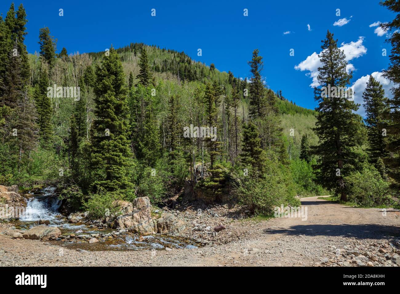 Creek crossing, La Plata Canyon Road, San Juan National Forest, Colorado. Stock Photohttps://www.alamy.com/image-license-details/?v=1https://www.alamy.com/creek-crossing-la-plata-canyon-road-san-juan-national-forest-colorado-image384965661.html
RM2DA8KHH–Creek crossing, La Plata Canyon Road, San Juan National Forest, Colorado.
 White gravel Stock Photohttps://www.alamy.com/image-license-details/?v=1https://www.alamy.com/white-gravel-image217194996.html
RMPHA2C4–White gravel
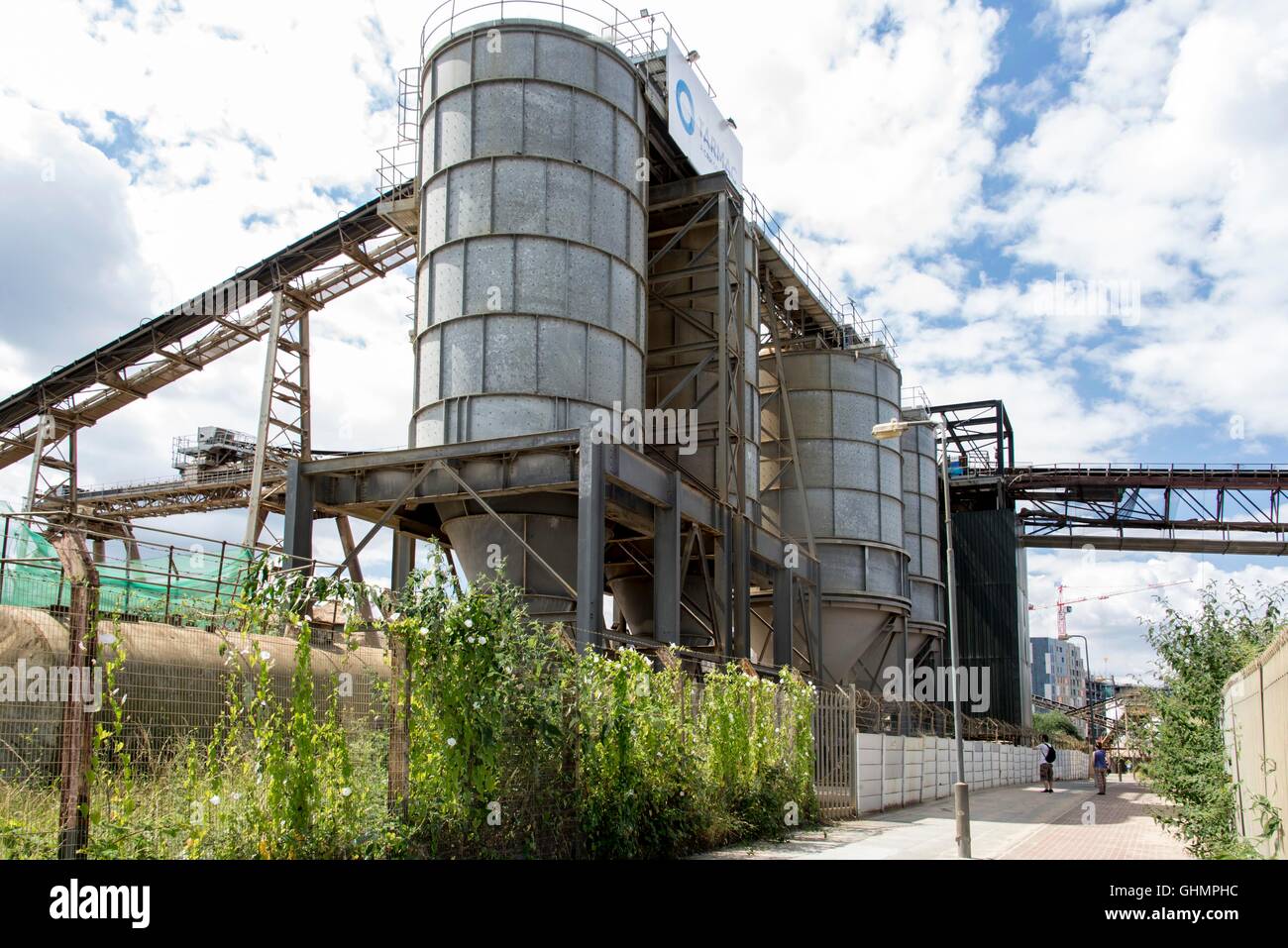 Gravel aggregates sorting plant with silos and conveyor gravel conveyor belt on the River Thames Path London United Kingdom Stock Photohttps://www.alamy.com/image-license-details/?v=1https://www.alamy.com/stock-photo-gravel-aggregates-sorting-plant-with-silos-and-conveyor-gravel-conveyor-114168136.html
RMGHMPHC–Gravel aggregates sorting plant with silos and conveyor gravel conveyor belt on the River Thames Path London United Kingdom
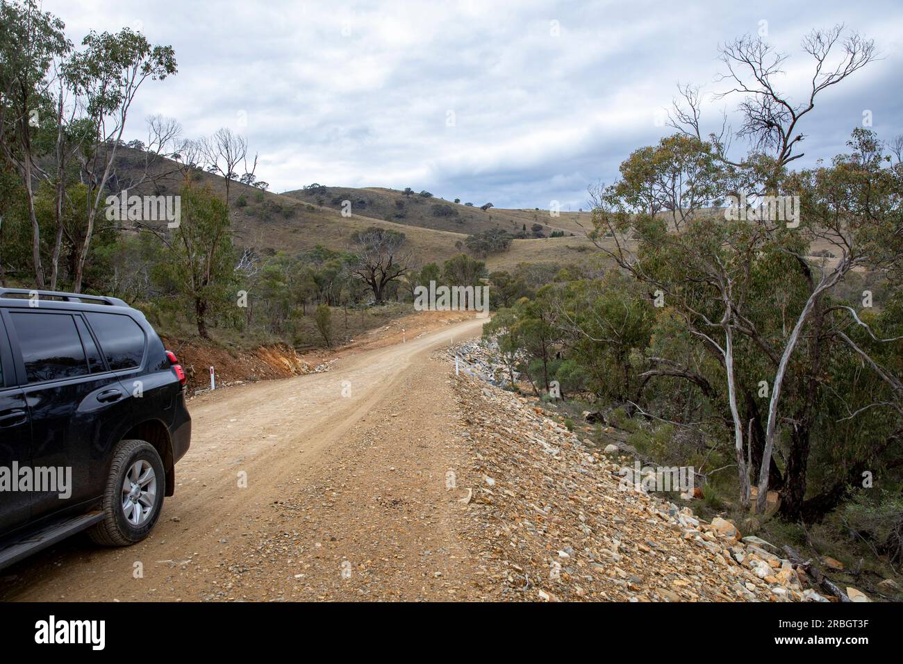 July 2023, Hill End Bridle track former gold mining trail, 4x4 vehicle travels along graded trail,NSW,Australia Stock Photohttps://www.alamy.com/image-license-details/?v=1https://www.alamy.com/july-2023-hill-end-bridle-track-former-gold-mining-trail-4x4-vehicle-travels-along-graded-trailnswaustralia-image557863139.html
RM2RBGT3F–July 2023, Hill End Bridle track former gold mining trail, 4x4 vehicle travels along graded trail,NSW,Australia
 UT00632-00...UTAH - Layered sandstone along viewed along the Moki Dugway, a steep, narrow, gravel road that climbs up to the top of the Cedar Mesa. Stock Photohttps://www.alamy.com/image-license-details/?v=1https://www.alamy.com/ut00632-00utah-layered-sandstone-along-viewed-along-the-moki-dugway-a-steep-narrow-gravel-road-that-climbs-up-to-the-top-of-the-cedar-mesa-image359393475.html
RM2BTKP17–UT00632-00...UTAH - Layered sandstone along viewed along the Moki Dugway, a steep, narrow, gravel road that climbs up to the top of the Cedar Mesa.
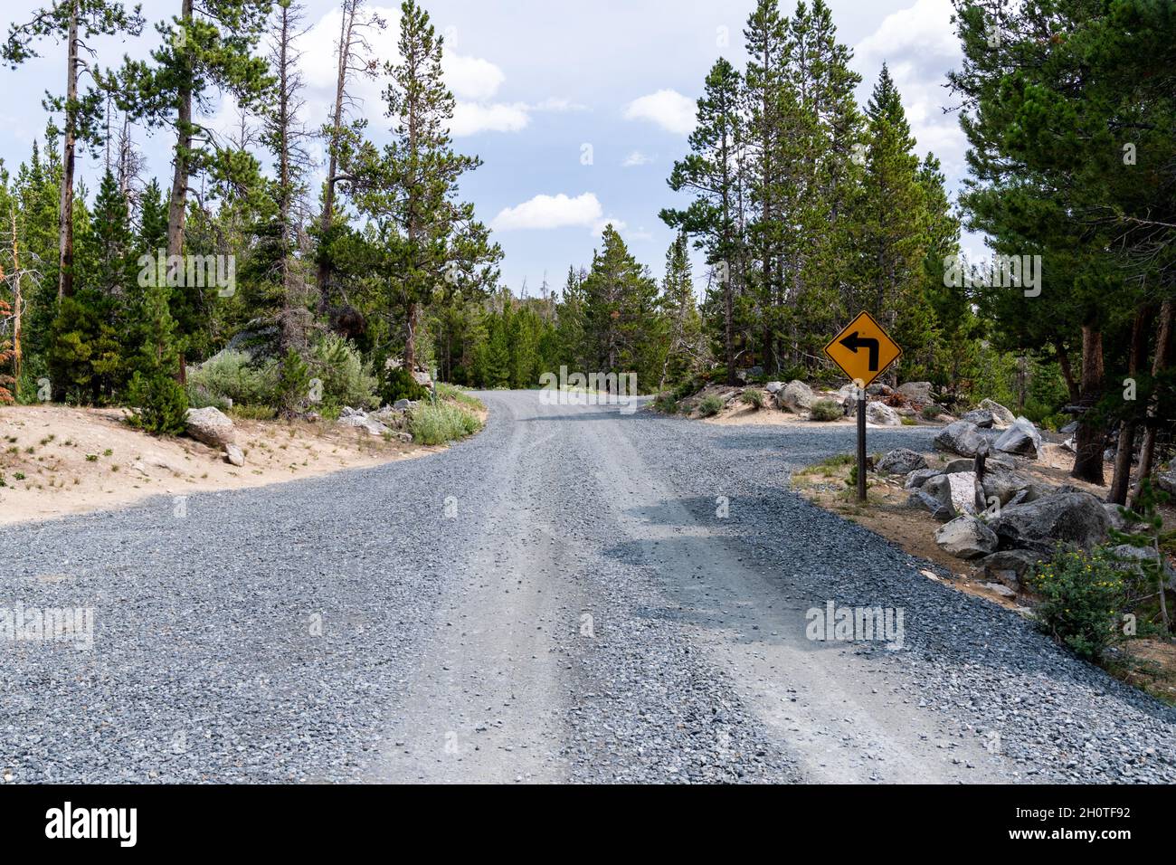 Newly graded gravel road near Fiddlers Lake and the Little Popo Agie River outside of Lander, Wyoming Stock Photohttps://www.alamy.com/image-license-details/?v=1https://www.alamy.com/newly-graded-gravel-road-near-fiddlers-lake-and-the-little-popo-agie-river-outside-of-lander-wyoming-image448008430.html
RF2H0TF92–Newly graded gravel road near Fiddlers Lake and the Little Popo Agie River outside of Lander, Wyoming
 Car driving on dirt road Big Bend Ranch State Park Texas USA Stock Photohttps://www.alamy.com/image-license-details/?v=1https://www.alamy.com/stock-photo-car-driving-on-dirt-road-big-bend-ranch-state-park-texas-usa-35740188.html
RMC242Y8–Car driving on dirt road Big Bend Ranch State Park Texas USA
 Gravel country route in Iceland. Unadsdalur. Summer time Stock Photohttps://www.alamy.com/image-license-details/?v=1https://www.alamy.com/stock-photo-gravel-country-route-in-iceland-unadsdalur-summer-time-48755085.html
RFCR8YH1–Gravel country route in Iceland. Unadsdalur. Summer time
 A straight gravel road of apparent infinite length across the Canadian prairie Stock Photohttps://www.alamy.com/image-license-details/?v=1https://www.alamy.com/stock-photo-a-straight-gravel-road-of-apparent-infinite-length-across-the-canadian-34673721.html
RMC0BEK5–A straight gravel road of apparent infinite length across the Canadian prairie
 Gravel pile for the Rural Municipality of Churchbridge to use for road maintenance and grading. North of Churchbridge, Saskatchewan. Stock Photohttps://www.alamy.com/image-license-details/?v=1https://www.alamy.com/gravel-pile-for-the-rural-municipality-of-churchbridge-to-use-for-road-maintenance-and-grading-north-of-churchbridge-saskatchewan-image402845896.html
RM2EBB61C–Gravel pile for the Rural Municipality of Churchbridge to use for road maintenance and grading. North of Churchbridge, Saskatchewan.
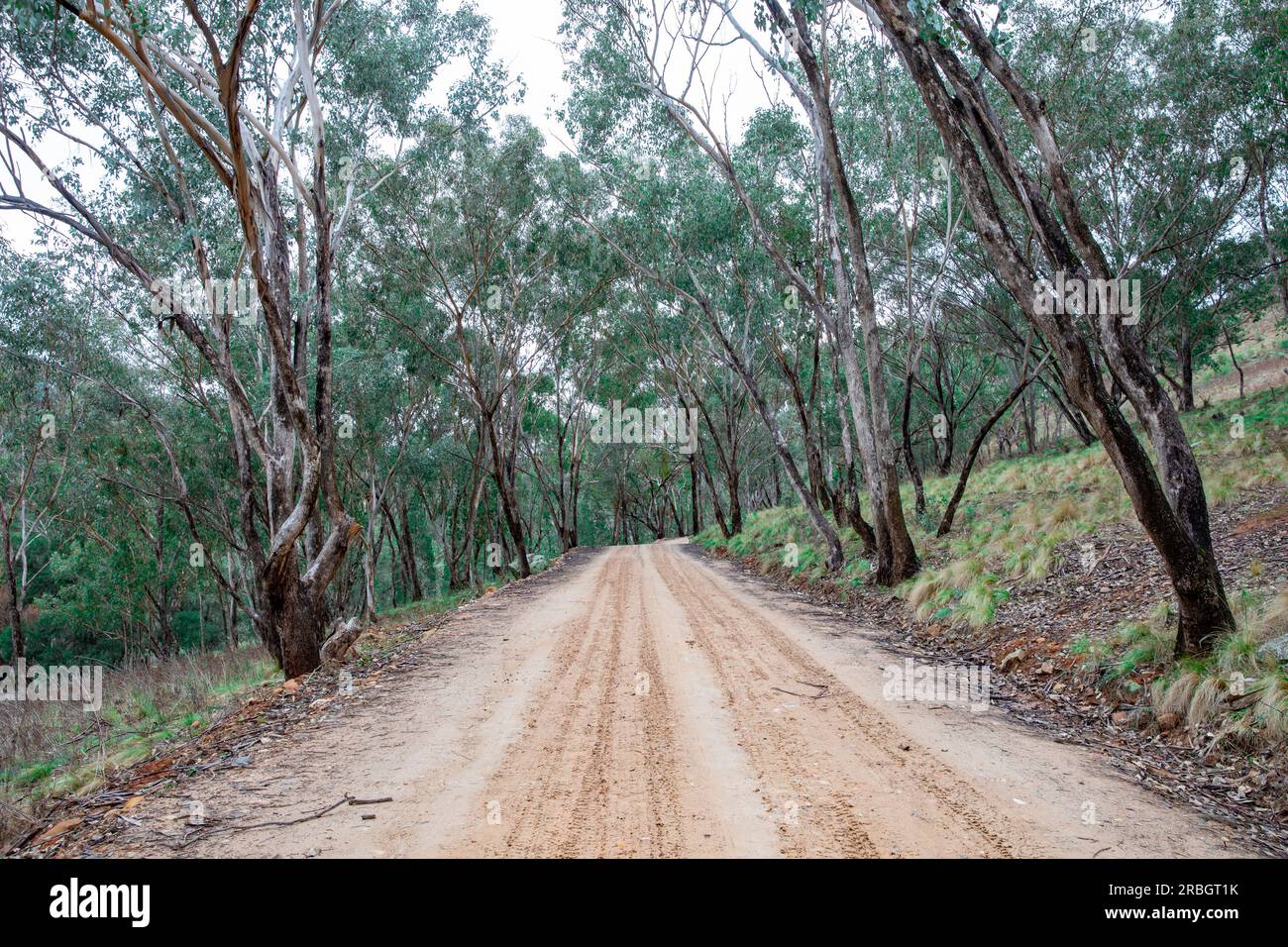 The Hill End bridle track, former walking and horse trail during the gold mining boom in central New South Wales,Australia Stock Photohttps://www.alamy.com/image-license-details/?v=1https://www.alamy.com/the-hill-end-bridle-track-former-walking-and-horse-trail-during-the-gold-mining-boom-in-central-new-south-walesaustralia-image557863087.html
RF2RBGT1K–The Hill End bridle track, former walking and horse trail during the gold mining boom in central New South Wales,Australia
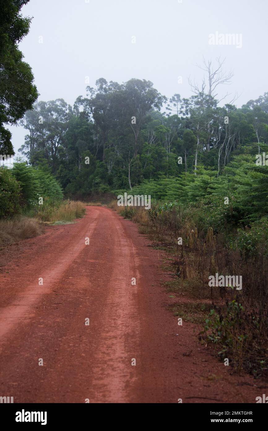 Forestry road at Roger's ParkYarraman State Forest Australia Stock Photohttps://www.alamy.com/image-license-details/?v=1https://www.alamy.com/forestry-road-at-rogers-parkyarraman-state-forest-australia-image511319027.html
RF2MKTGHR–Forestry road at Roger's ParkYarraman State Forest Australia
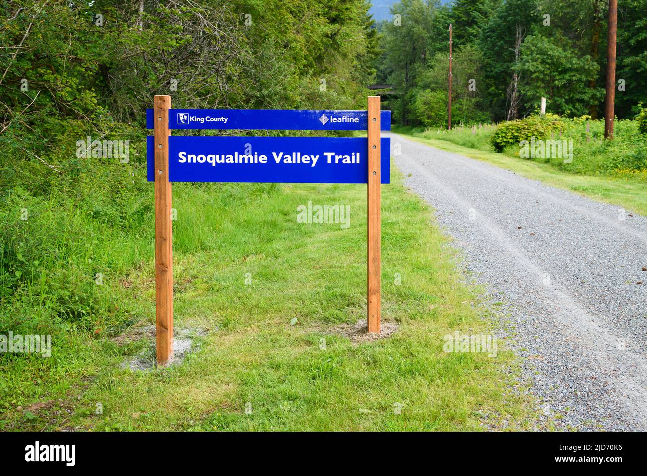 North Bend, WA, USA - June 16, 2022; Blue sign on wooden posts for the Snoqualmie Valley Trail with former gravel rail bed Stock Photohttps://www.alamy.com/image-license-details/?v=1https://www.alamy.com/north-bend-wa-usa-june-16-2022-blue-sign-on-wooden-posts-for-the-snoqualmie-valley-trail-with-former-gravel-rail-bed-image472824666.html
RF2JD70K6–North Bend, WA, USA - June 16, 2022; Blue sign on wooden posts for the Snoqualmie Valley Trail with former gravel rail bed
 Chimney Peak Back Country Byway sign on the dirt road in the South Sierra Nevada mountains of California USA Stock Photohttps://www.alamy.com/image-license-details/?v=1https://www.alamy.com/chimney-peak-back-country-byway-sign-on-the-dirt-road-in-the-south-sierra-nevada-mountains-of-california-usa-image185254539.html
RMMNB21F–Chimney Peak Back Country Byway sign on the dirt road in the South Sierra Nevada mountains of California USA
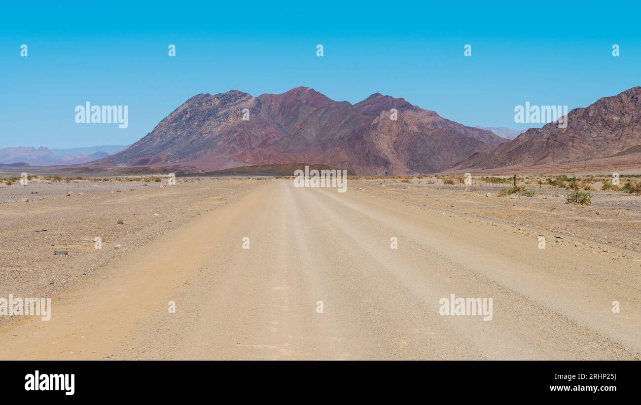 Graded gravel road in Namibia Stock Photohttps://www.alamy.com/image-license-details/?v=1https://www.alamy.com/graded-gravel-road-in-namibia-image561665598.html
RF2RHP25J–Graded gravel road in Namibia
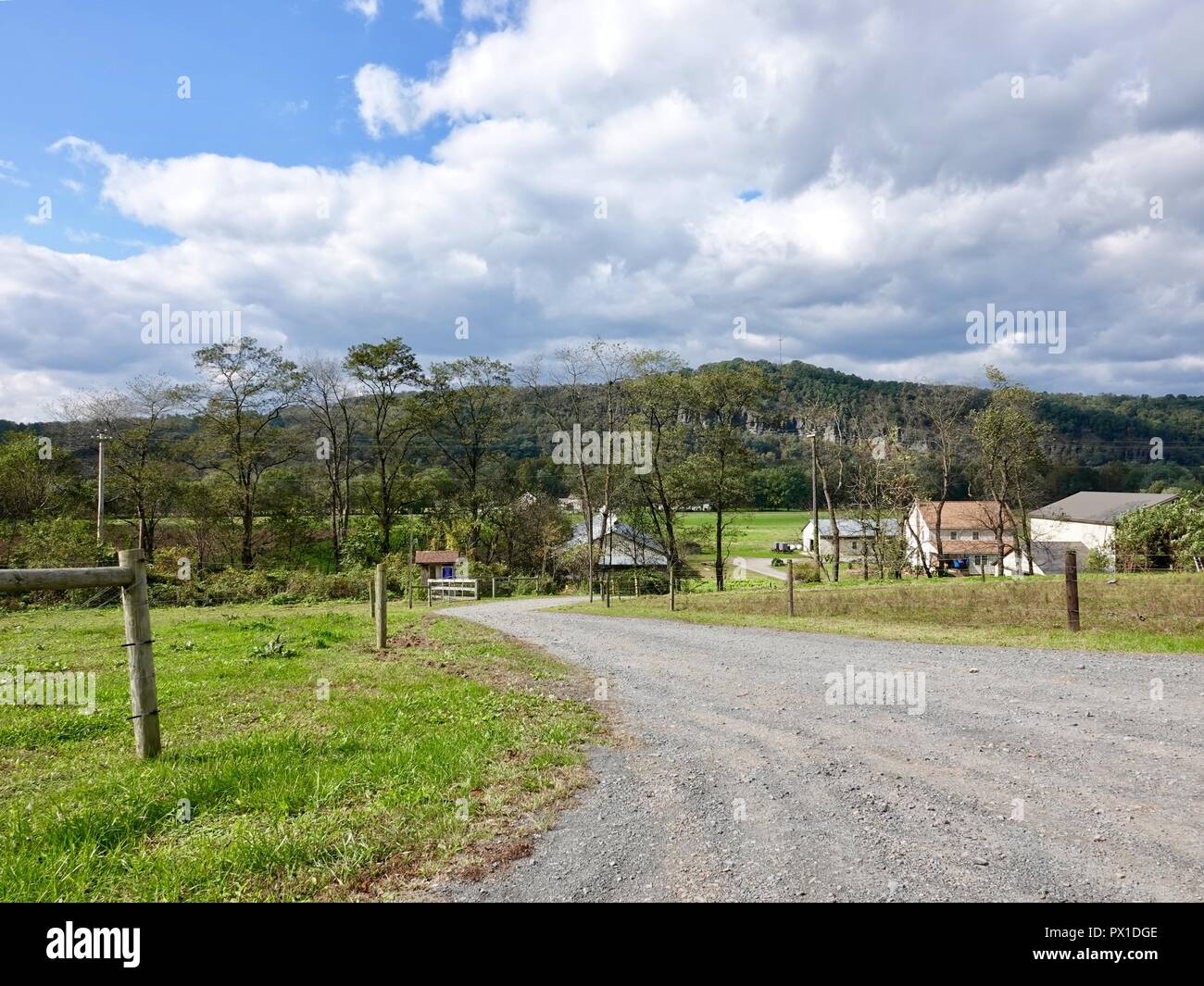 Looking down graded road towards farm land and homes in sparsely populated area of rural Lycoming County, Pennsylvania, USA. Stock Photohttps://www.alamy.com/image-license-details/?v=1https://www.alamy.com/looking-down-graded-road-towards-farm-land-and-homes-in-sparsely-populated-area-of-rural-lycoming-county-pennsylvania-usa-image222538078.html
RMPX1DGE–Looking down graded road towards farm land and homes in sparsely populated area of rural Lycoming County, Pennsylvania, USA.
 Northern cardinal graveling on a May morning in northern Wisconsin. Stock Photohttps://www.alamy.com/image-license-details/?v=1https://www.alamy.com/northern-cardinal-graveling-on-a-may-morning-in-northern-wisconsin-image640935198.html
RM2S6N3AP–Northern cardinal graveling on a May morning in northern Wisconsin.
 Gravel road on the way to Mjoifjordur in east Iceland Stock Photohttps://www.alamy.com/image-license-details/?v=1https://www.alamy.com/stock-photo-gravel-road-on-the-way-to-mjoifjordur-in-east-iceland-97835312.html
RFFK4NX8–Gravel road on the way to Mjoifjordur in east Iceland
 Pebbles on the beach Stock Photohttps://www.alamy.com/image-license-details/?v=1https://www.alamy.com/stock-photo-pebbles-on-the-beach-134150218.html
RFHP71Y6–Pebbles on the beach
 Travel caution sign, North Puerto Blanco Drive, Organ Pipe Cactus National Monument, Arizona. Stock Photohttps://www.alamy.com/image-license-details/?v=1https://www.alamy.com/travel-caution-sign-north-puerto-blanco-drive-organ-pipe-cactus-national-monument-arizona-image468061324.html
RF2J5E0YT–Travel caution sign, North Puerto Blanco Drive, Organ Pipe Cactus National Monument, Arizona.
 construction jobsite excavation grading gravel and rock piles for sitework Stock Photohttps://www.alamy.com/image-license-details/?v=1https://www.alamy.com/stock-photo-construction-jobsite-excavation-grading-gravel-and-rock-piles-for-102289831.html
RFFXBKM7–construction jobsite excavation grading gravel and rock piles for sitework
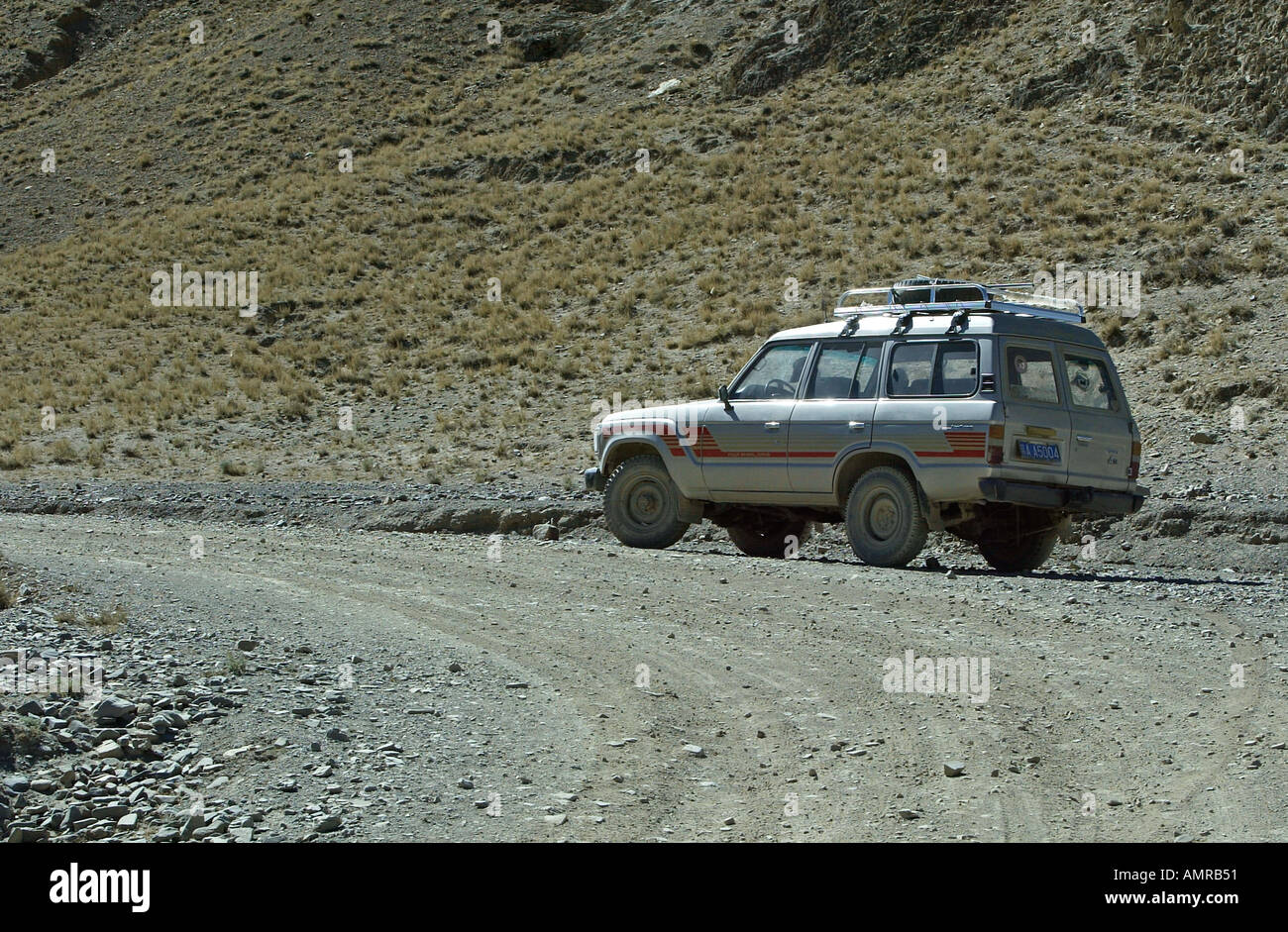 Four wheel drive vehicle on unmade road to Sakya Tibet Stock Photohttps://www.alamy.com/image-license-details/?v=1https://www.alamy.com/four-wheel-drive-vehicle-on-unmade-road-to-sakya-tibet-image2849616.html
RMAMRB51–Four wheel drive vehicle on unmade road to Sakya Tibet
 A gravel road through Alberta farmland and hills. Stock Photohttps://www.alamy.com/image-license-details/?v=1https://www.alamy.com/stock-image-a-gravel-road-through-alberta-farmland-and-hills-169258606.html
RFKRAB26–A gravel road through Alberta farmland and hills.
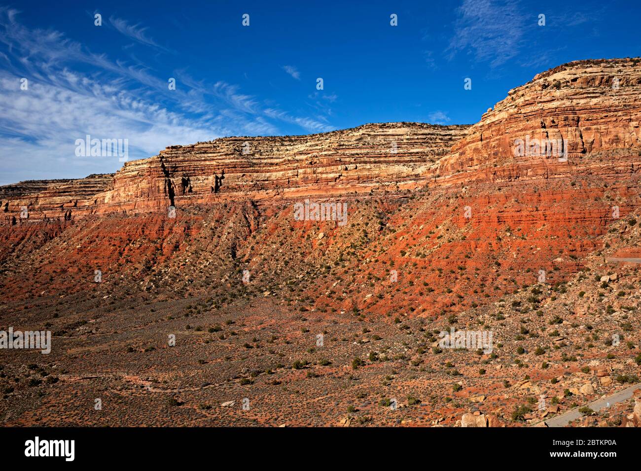 UT00630-00...UTAH - Colorful sandstone in perfect layers viewed from the Moki Dugway, a road that steeply switchbacks up to the crest of Cedar Mesa. Stock Photohttps://www.alamy.com/image-license-details/?v=1https://www.alamy.com/ut00630-00utah-colorful-sandstone-in-perfect-layers-viewed-from-the-moki-dugway-a-road-that-steeply-switchbacks-up-to-the-crest-of-cedar-mesa-image359393450.html
RM2BTKP0A–UT00630-00...UTAH - Colorful sandstone in perfect layers viewed from the Moki Dugway, a road that steeply switchbacks up to the crest of Cedar Mesa.
 Newly graded gravel road over a bridge spanning the Little Popo Agie River outside of Lander, Wyoming Stock Photohttps://www.alamy.com/image-license-details/?v=1https://www.alamy.com/newly-graded-gravel-road-over-a-bridge-spanning-the-little-popo-agie-river-outside-of-lander-wyoming-image448008453.html
RF2H0TF9W–Newly graded gravel road over a bridge spanning the Little Popo Agie River outside of Lander, Wyoming
 Springtime flowers carpet the landscape, Cottonwood Canyon Road 400, Grand Staircase-Escalante National Monument, Utah. Stock Photohttps://www.alamy.com/image-license-details/?v=1https://www.alamy.com/springtime-flowers-carpet-the-landscape-cottonwood-canyon-road-400-grand-staircase-escalante-national-monument-utah-image556479504.html
RM2R99R80–Springtime flowers carpet the landscape, Cottonwood Canyon Road 400, Grand Staircase-Escalante National Monument, Utah.
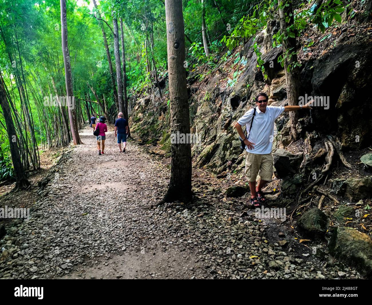 Photography of the photographer at Hell Fire Pass museum graded railroad path. Stock Photohttps://www.alamy.com/image-license-details/?v=1https://www.alamy.com/photography-of-the-photographer-at-hell-fire-pass-museum-graded-railroad-path-image467320920.html
RM2J488GT–Photography of the photographer at Hell Fire Pass museum graded railroad path.
 Dry river beds are graded and used as roads in the Flinders Ranges, Outback South Australia Stock Photohttps://www.alamy.com/image-license-details/?v=1https://www.alamy.com/stock-photo-dry-river-beds-are-graded-and-used-as-roads-in-the-flinders-ranges-57832227.html
RMDA2DGK–Dry river beds are graded and used as roads in the Flinders Ranges, Outback South Australia
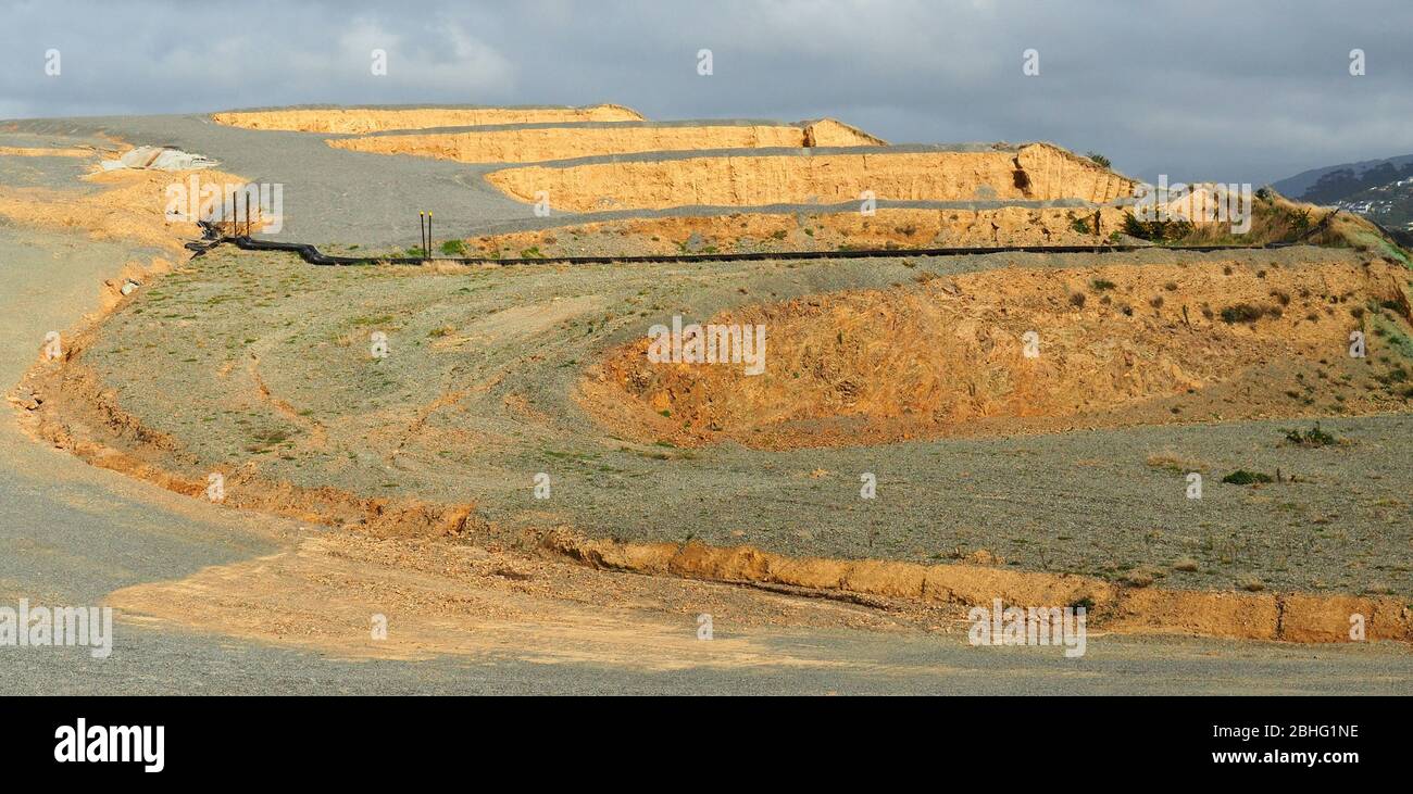 Graded housing pads in a new subdivision Stock Photohttps://www.alamy.com/image-license-details/?v=1https://www.alamy.com/graded-housing-pads-in-a-new-subdivision-image355009130.html
RF2BHG1NE–Graded housing pads in a new subdivision
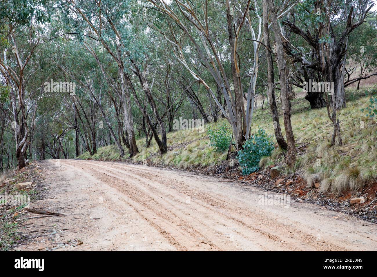 The Hill End bridle track, former walking and horse trail during the gold mining boom in central New South Wales,Australia now popular with campers Stock Photohttps://www.alamy.com/image-license-details/?v=1https://www.alamy.com/the-hill-end-bridle-track-former-walking-and-horse-trail-during-the-gold-mining-boom-in-central-new-south-walesaustralia-now-popular-with-campers-image557800917.html
RF2RBE0N9–The Hill End bridle track, former walking and horse trail during the gold mining boom in central New South Wales,Australia now popular with campers
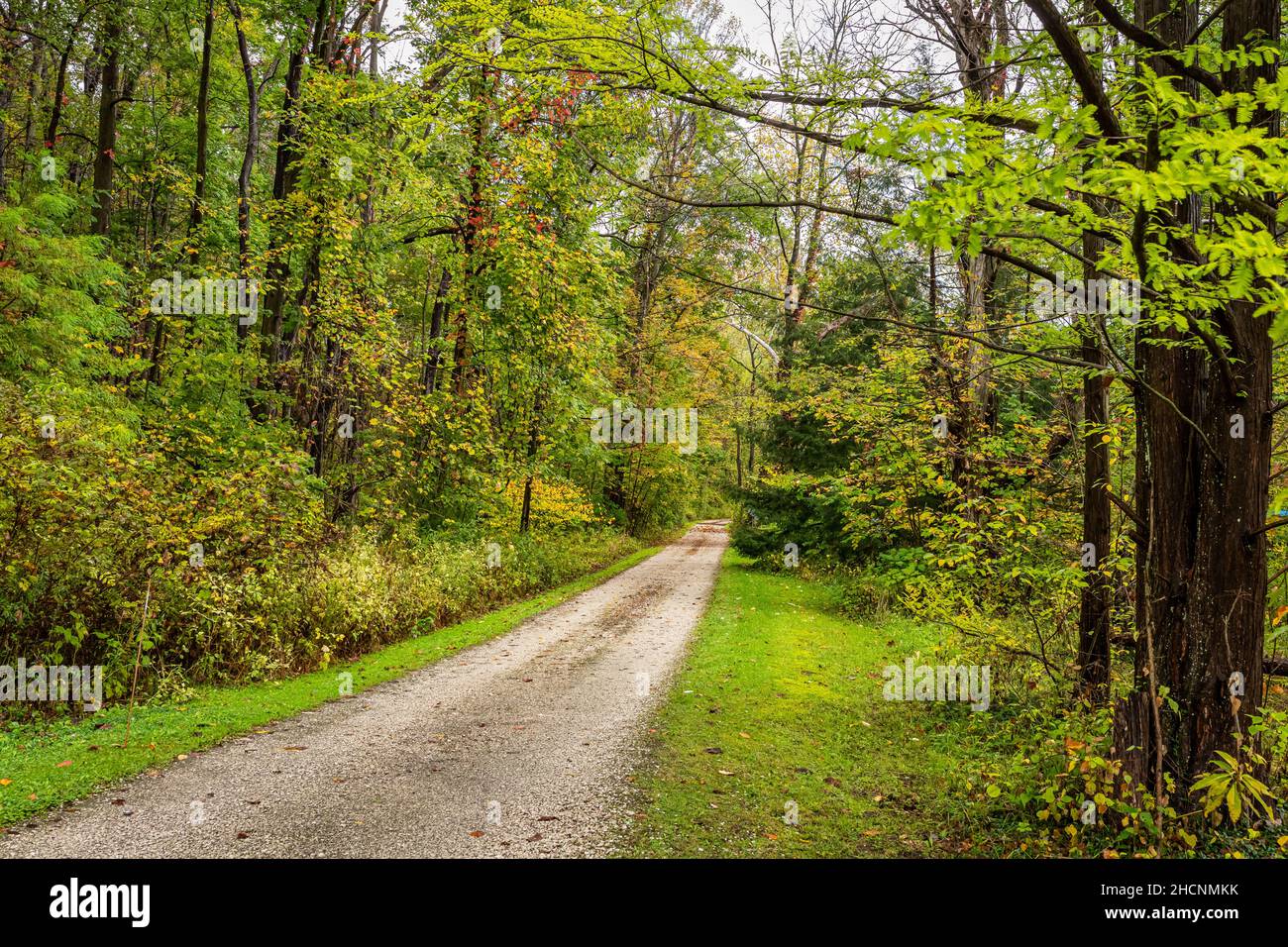 A rural gravel road in Ashtabula County, Ohio during the Autumn leaf color change. Stock Photohttps://www.alamy.com/image-license-details/?v=1https://www.alamy.com/a-rural-gravel-road-in-ashtabula-county-ohio-during-the-autumn-leaf-color-change-image455322663.html
RF2HCNMKK–A rural gravel road in Ashtabula County, Ohio during the Autumn leaf color change.
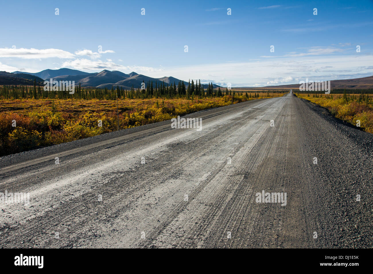 The Dempster Highway near the Yukon/ Northwest Territory border in northern Canada Stock Photohttps://www.alamy.com/image-license-details/?v=1https://www.alamy.com/the-dempster-highway-near-the-yukon-northwest-territory-border-in-image62727999.html
RMDJ1E5K–The Dempster Highway near the Yukon/ Northwest Territory border in northern Canada
 Chimney Peak Back Country Byway sign on the dirt road in the South Sierra Nevada mountains of California USA Stock Photohttps://www.alamy.com/image-license-details/?v=1https://www.alamy.com/chimney-peak-back-country-byway-sign-on-the-dirt-road-in-the-south-sierra-nevada-mountains-of-california-usa-image185254438.html
RMMNB1WX–Chimney Peak Back Country Byway sign on the dirt road in the South Sierra Nevada mountains of California USA
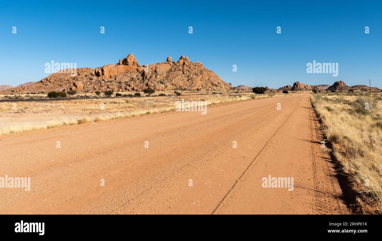 Graded gravel road in Namibia Stock Photohttps://www.alamy.com/image-license-details/?v=1https://www.alamy.com/graded-gravel-road-in-namibia-image561663919.html
RF2RHP01K–Graded gravel road in Namibia
 Cabeza Prieta National Wildlife Refuge, El Camino Del Diablo Road, Bates Well Road, Organ Pipe Cactus National Monument, Arizona. Stock Photohttps://www.alamy.com/image-license-details/?v=1https://www.alamy.com/cabeza-prieta-national-wildlife-refuge-el-camino-del-diablo-road-bates-well-road-organ-pipe-cactus-national-monument-arizona-image606879011.html
RF2X79MAB–Cabeza Prieta National Wildlife Refuge, El Camino Del Diablo Road, Bates Well Road, Organ Pipe Cactus National Monument, Arizona.
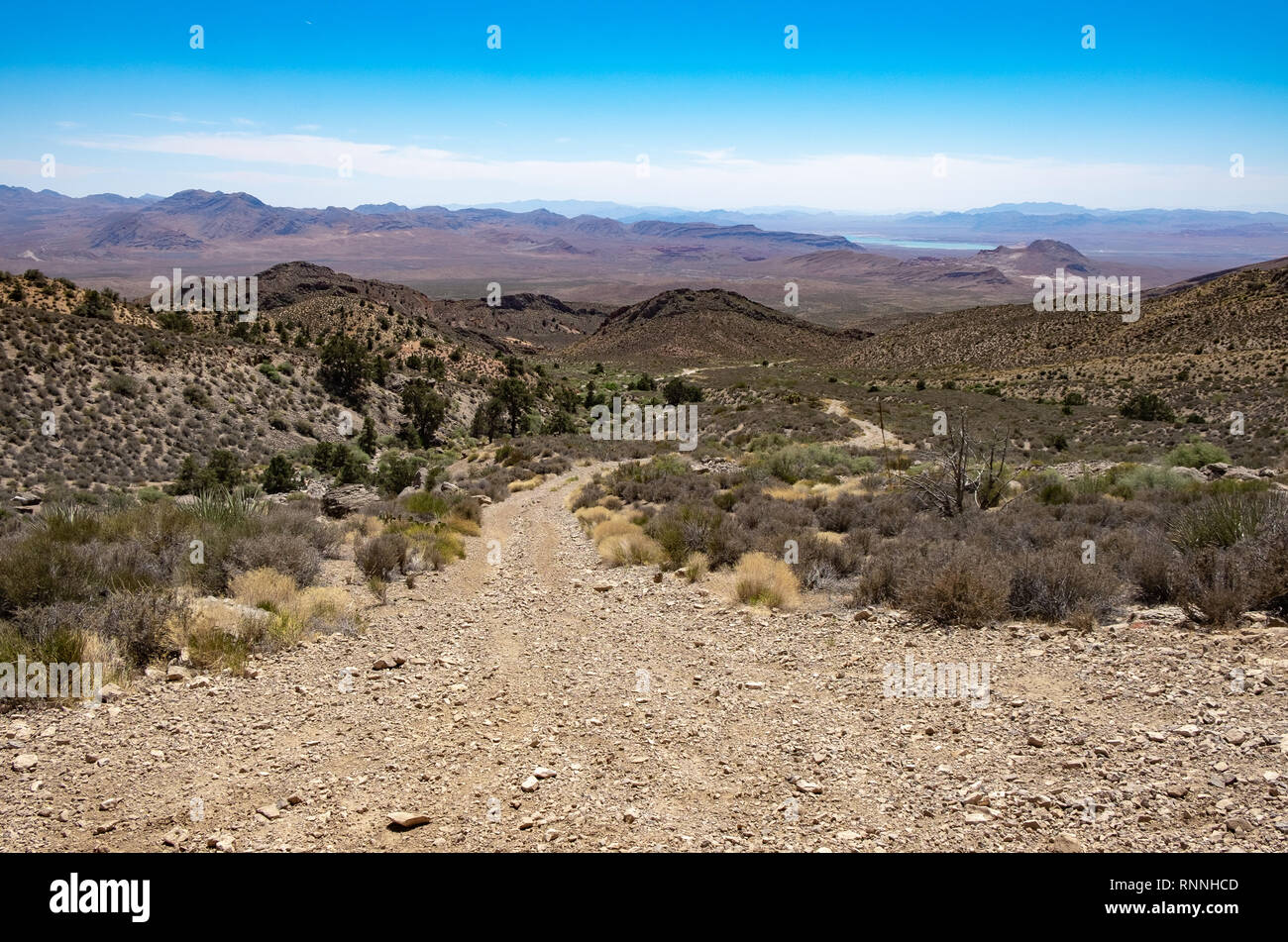 USA, Nevada, Clark County, Gold Butte National Monument. Whitney Pass Road climbs over the Virgin Mountains with Lake Mead visible in the distance bel Stock Photohttps://www.alamy.com/image-license-details/?v=1https://www.alamy.com/usa-nevada-clark-county-gold-butte-national-monument-whitney-pass-road-climbs-over-the-virgin-mountains-with-lake-mead-visible-in-the-distance-bel-image237117229.html
RFRNNHCD–USA, Nevada, Clark County, Gold Butte National Monument. Whitney Pass Road climbs over the Virgin Mountains with Lake Mead visible in the distance bel
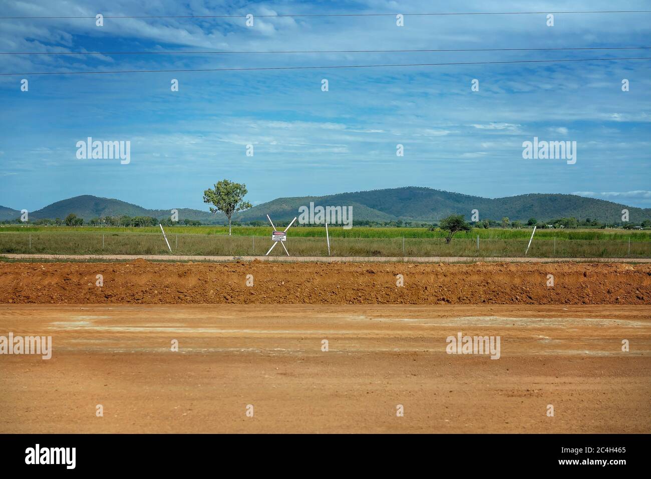 Road construction with the dirt surface having been graded to smooth it out in preparation Stock Photohttps://www.alamy.com/image-license-details/?v=1https://www.alamy.com/road-construction-with-the-dirt-surface-having-been-graded-to-smooth-it-out-in-preparation-image364252845.html
RF2C4H465–Road construction with the dirt surface having been graded to smooth it out in preparation
 Pebbles on the beach Stock Photohttps://www.alamy.com/image-license-details/?v=1https://www.alamy.com/stock-photo-pebbles-on-the-beach-134150176.html
RFHP71WM–Pebbles on the beach
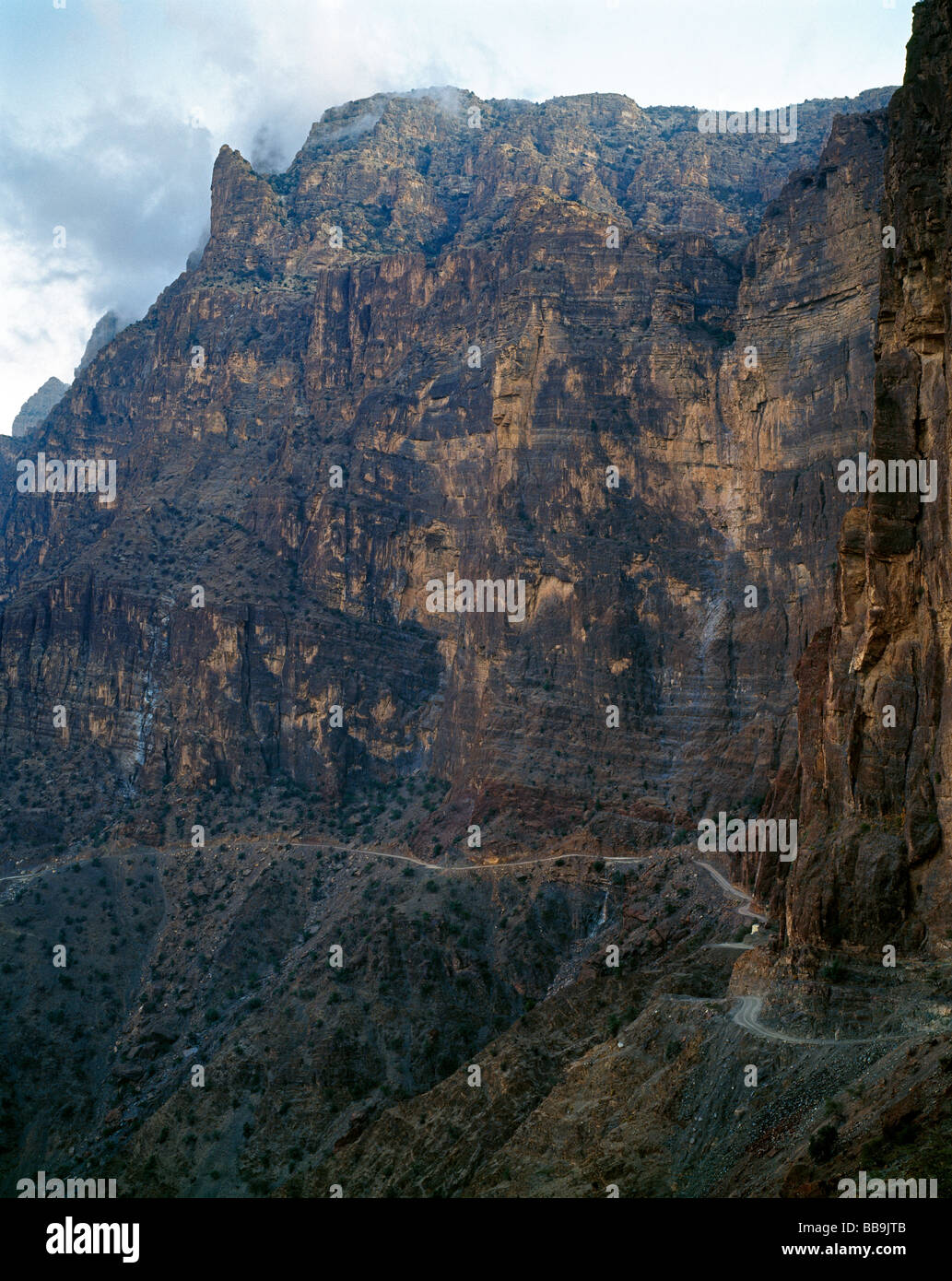 Breathtaking gravel road to Yasab Yasib Al Hajar al Gharb mountainsi on top of Jabal Shams Stock Photohttps://www.alamy.com/image-license-details/?v=1https://www.alamy.com/stock-photo-breathtaking-gravel-road-to-yasab-yasib-al-hajar-al-gharb-mountainsi-24183947.html
RMBB9JTB–Breathtaking gravel road to Yasab Yasib Al Hajar al Gharb mountainsi on top of Jabal Shams
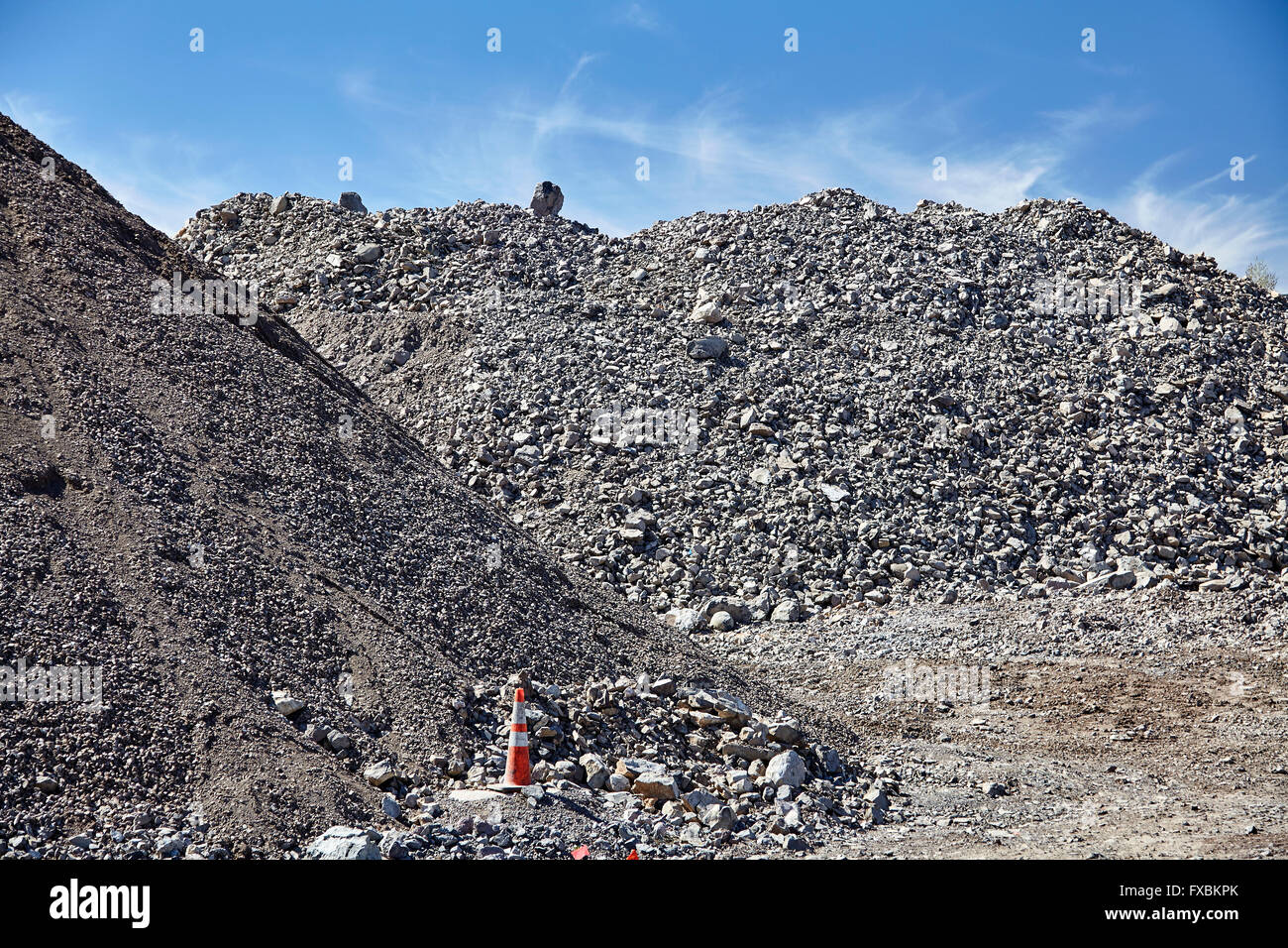 construction jobsite excavation grading gravel and rock piles for sitework Stock Photohttps://www.alamy.com/image-license-details/?v=1https://www.alamy.com/stock-photo-construction-jobsite-excavation-grading-gravel-and-rock-piles-for-102289899.html
RFFXBKPK–construction jobsite excavation grading gravel and rock piles for sitework
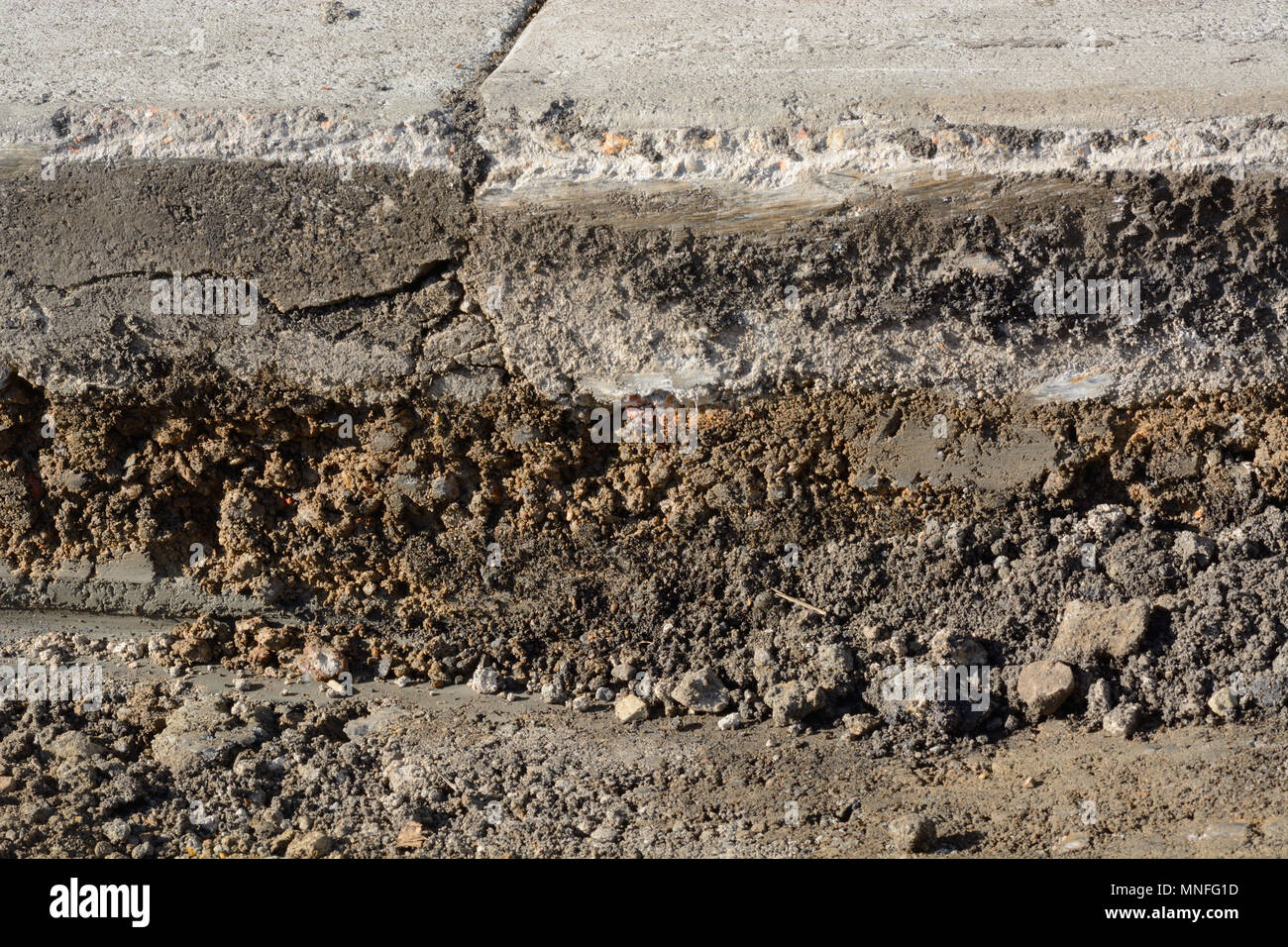 Close up of layers from scraping off of old asphalt in road pavement construction work Stock Photohttps://www.alamy.com/image-license-details/?v=1https://www.alamy.com/close-up-of-layers-from-scraping-off-of-old-asphalt-in-road-pavement-construction-work-image185353321.html
RFMNFG1D–Close up of layers from scraping off of old asphalt in road pavement construction work
 Icelandic dirt track (550) in south west highlands with snow covered Ok shield volcano in the backgroud Stock Photohttps://www.alamy.com/image-license-details/?v=1https://www.alamy.com/stock-photo-icelandic-dirt-track-550-in-south-west-highlands-with-snow-covered-114395829.html
RFGJ3519–Icelandic dirt track (550) in south west highlands with snow covered Ok shield volcano in the backgroud
 UT00633-00...UTAH - Moki Dugway, Highway 261, a dirt road that switchbacks steeply to the summity of Cedar Mesa. Stock Photohttps://www.alamy.com/image-license-details/?v=1https://www.alamy.com/ut00633-00utah-moki-dugway-highway-261-a-dirt-road-that-switchbacks-steeply-to-the-summity-of-cedar-mesa-image359393492.html
RM2BTKP1T–UT00633-00...UTAH - Moki Dugway, Highway 261, a dirt road that switchbacks steeply to the summity of Cedar Mesa.
 Close-up view of the embankment material used on the approaches to the new high-level bridge across the river near Old Lyme. Original caption: This is a close-up view of the embankment material used on the approaches to the new high-level bridge across the river near Old Lyme. Connecticut. On the right may be seen the selected and graded gravel material for embankment compaction needs and on the left may be noted the fine slope cover established by mulching and spray seeding operations without the use of any topsoil. The light meter and case mark the line of division between the unprotected ra Stock Photohttps://www.alamy.com/image-license-details/?v=1https://www.alamy.com/close-up-view-of-the-embankment-material-used-on-the-approaches-to-the-new-high-level-bridge-across-the-river-near-old-lyme-original-caption-this-is-a-close-up-view-of-the-embankment-material-used-on-the-approaches-to-the-new-high-level-bridge-across-the-river-near-old-lyme-connecticut-on-the-right-may-be-seen-the-selected-and-graded-gravel-material-for-embankment-compaction-needs-and-on-the-left-may-be-noted-the-fine-slope-cover-established-by-mulching-and-spray-seeding-operations-without-the-use-of-any-topsoil-the-light-meter-and-case-mark-the-line-of-division-between-the-unprotected-ra-image501742842.html
RM2M48A36–Close-up view of the embankment material used on the approaches to the new high-level bridge across the river near Old Lyme. Original caption: This is a close-up view of the embankment material used on the approaches to the new high-level bridge across the river near Old Lyme. Connecticut. On the right may be seen the selected and graded gravel material for embankment compaction needs and on the left may be noted the fine slope cover established by mulching and spray seeding operations without the use of any topsoil. The light meter and case mark the line of division between the unprotected ra
 Scenery along Cottonwood Canyon Road 400, Grand Staircase-Escalante National Monument, Utah. Stock Photohttps://www.alamy.com/image-license-details/?v=1https://www.alamy.com/scenery-along-cottonwood-canyon-road-400-grand-staircase-escalante-national-monument-utah-image594800641.html
RM2WFKE81–Scenery along Cottonwood Canyon Road 400, Grand Staircase-Escalante National Monument, Utah.
 Water truck spraying a newly graded road and prepare for asphalting. Truck sprays water on new road construction site. Stock Photohttps://www.alamy.com/image-license-details/?v=1https://www.alamy.com/water-truck-spraying-a-newly-graded-road-and-prepare-for-asphalting-truck-sprays-water-on-new-road-construction-site-image453168302.html
RF2H97GP6–Water truck spraying a newly graded road and prepare for asphalting. Truck sprays water on new road construction site.
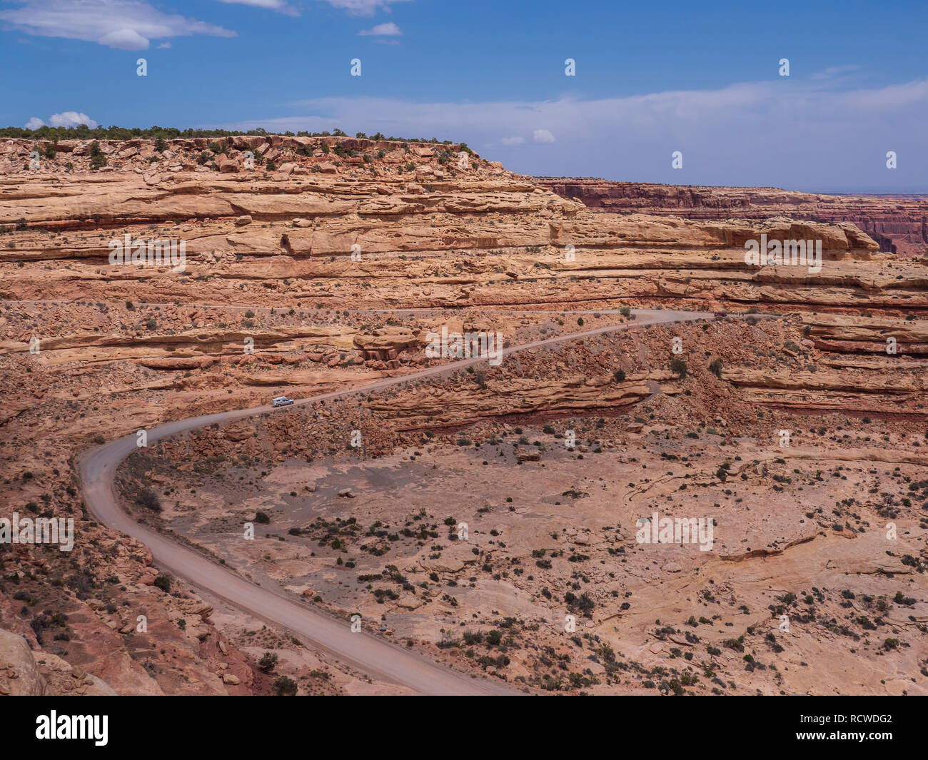 View from the Moki Dugway overlook, Utah Highway 261 outside of Bluff, Utah. Stock Photohttps://www.alamy.com/image-license-details/?v=1https://www.alamy.com/view-from-the-moki-dugway-overlook-utah-highway-261-outside-of-bluff-utah-image231670098.html
RMRCWDG2–View from the Moki Dugway overlook, Utah Highway 261 outside of Bluff, Utah.
 Dry river beds are graded and used as roads in the Flinders Ranges, Outback South Australia Stock Photohttps://www.alamy.com/image-license-details/?v=1https://www.alamy.com/stock-photo-dry-river-beds-are-graded-and-used-as-roads-in-the-flinders-ranges-57832611.html
RMDA2E2B–Dry river beds are graded and used as roads in the Flinders Ranges, Outback South Australia
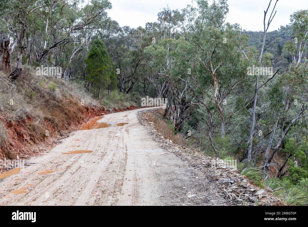 The Hill End bridle track, former walking and horse trail during the gold mining boom in central New South Wales,Australia Stock Photohttps://www.alamy.com/image-license-details/?v=1https://www.alamy.com/the-hill-end-bridle-track-former-walking-and-horse-trail-during-the-gold-mining-boom-in-central-new-south-walesaustralia-image557863062.html
RF2RBGT0P–The Hill End bridle track, former walking and horse trail during the gold mining boom in central New South Wales,Australia
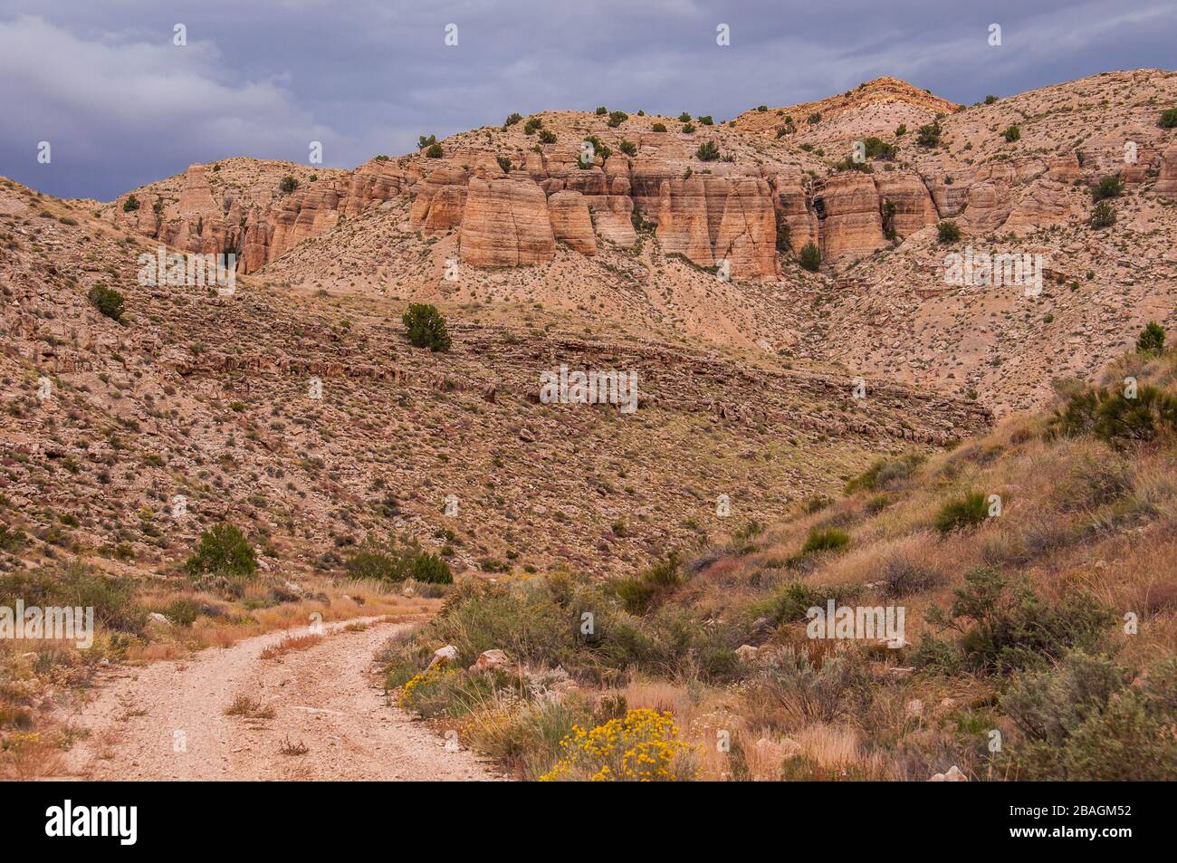 Hack Canyon Road, Arizona Strip, Arizona. Stock Photohttps://www.alamy.com/image-license-details/?v=1https://www.alamy.com/hack-canyon-road-arizona-strip-arizona-image350720974.html
RM2BAGM52–Hack Canyon Road, Arizona Strip, Arizona.
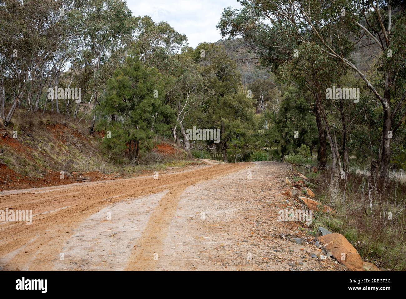 The Hill End bridle track, former walking and horse trail during the gold mining boom in central New South Wales,Australia, July 2023 Stock Photohttps://www.alamy.com/image-license-details/?v=1https://www.alamy.com/the-hill-end-bridle-track-former-walking-and-horse-trail-during-the-gold-mining-boom-in-central-new-south-walesaustralia-july-2023-image557863136.html
RF2RBGT3C–The Hill End bridle track, former walking and horse trail during the gold mining boom in central New South Wales,Australia, July 2023
 Chimney Peak Back Country Byway sign on the dirt road in the South Sierra Nevada mountains of California USA Stock Photohttps://www.alamy.com/image-license-details/?v=1https://www.alamy.com/chimney-peak-back-country-byway-sign-on-the-dirt-road-in-the-south-sierra-nevada-mountains-of-california-usa-image185254500.html
RMMNB204–Chimney Peak Back Country Byway sign on the dirt road in the South Sierra Nevada mountains of California USA
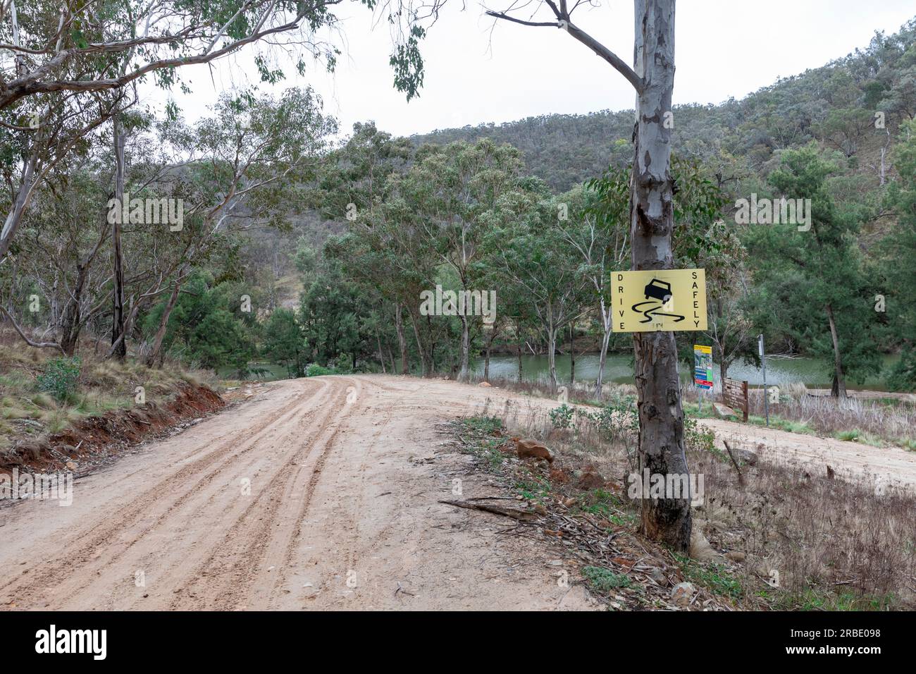 The Hill End bridle track, former walking and horse trail during the gold mining boom in central New South Wales,Australia now popular with campers Stock Photohttps://www.alamy.com/image-license-details/?v=1https://www.alamy.com/the-hill-end-bridle-track-former-walking-and-horse-trail-during-the-gold-mining-boom-in-central-new-south-walesaustralia-now-popular-with-campers-image557800580.html
RM2RBE098–The Hill End bridle track, former walking and horse trail during the gold mining boom in central New South Wales,Australia now popular with campers
 Grand Staircase-Escalante entrance sign, Cottonwood Canyon Road 400, Grand Staircase-Escalante National Monument, Utah. Stock Photohttps://www.alamy.com/image-license-details/?v=1https://www.alamy.com/grand-staircase-escalante-entrance-sign-cottonwood-canyon-road-400-grand-staircase-escalante-national-monument-utah-image556479444.html
RM2R99R5T–Grand Staircase-Escalante entrance sign, Cottonwood Canyon Road 400, Grand Staircase-Escalante National Monument, Utah.
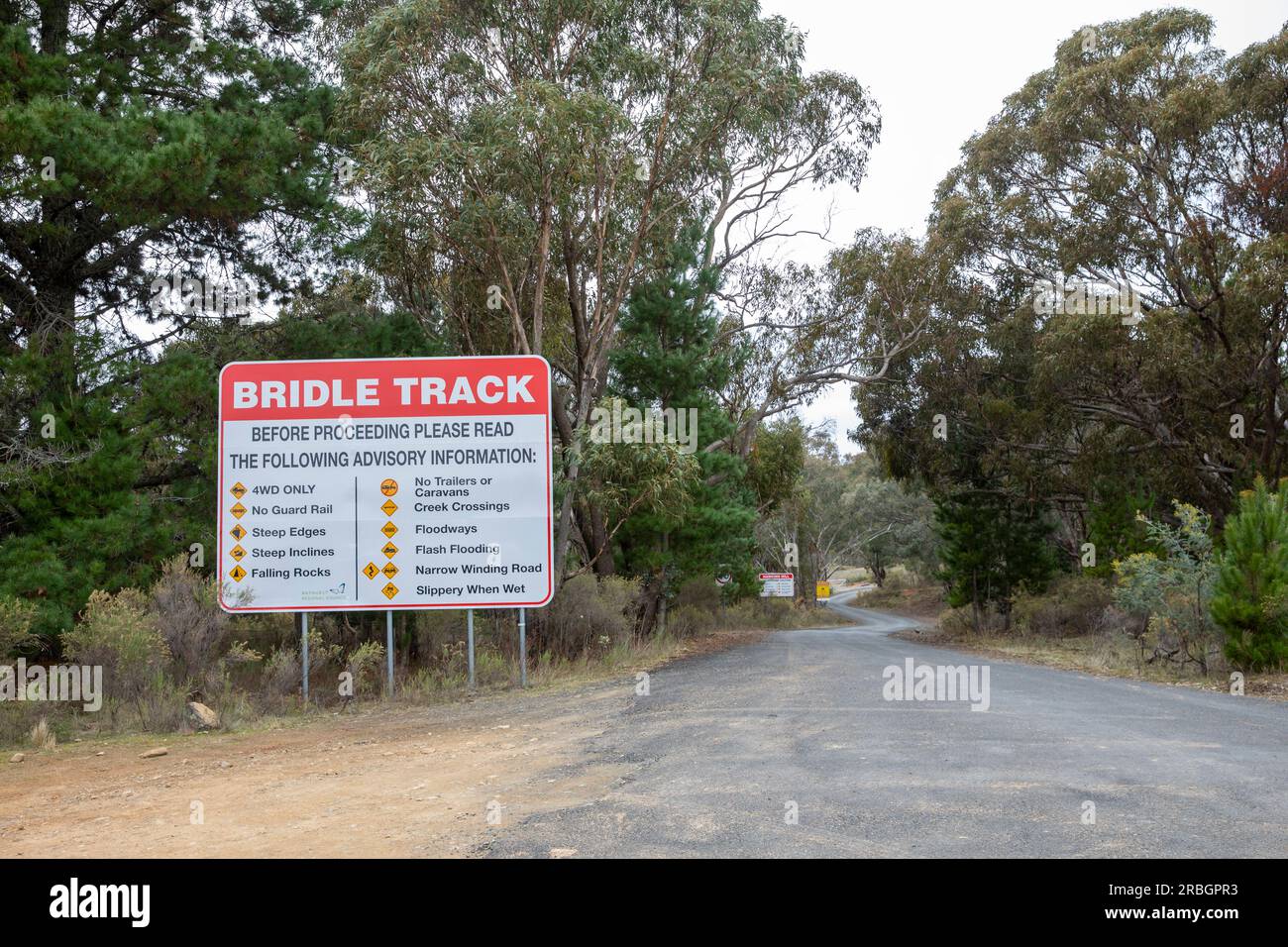 Bridle track and warning sign, Hill End New South Wales,Australia Stock Photohttps://www.alamy.com/image-license-details/?v=1https://www.alamy.com/bridle-track-and-warning-sign-hill-end-new-south-walesaustralia-image557862119.html
RM2RBGPR3–Bridle track and warning sign, Hill End New South Wales,Australia
 Road near the lower end of the Sheep Creek Canyon Geological Area, Ashley National Forest, Utah. Stock Photohttps://www.alamy.com/image-license-details/?v=1https://www.alamy.com/road-near-the-lower-end-of-the-sheep-creek-canyon-geological-area-ashley-national-forest-utah-image341438888.html
RM2ARDTP0–Road near the lower end of the Sheep Creek Canyon Geological Area, Ashley National Forest, Utah.
 Pebbles on the beach Stock Photohttps://www.alamy.com/image-license-details/?v=1https://www.alamy.com/stock-photo-pebbles-on-the-beach-134150153.html
RFHP71TW–Pebbles on the beach
 Graded housing pads in a new subdivision Stock Photohttps://www.alamy.com/image-license-details/?v=1https://www.alamy.com/graded-housing-pads-in-a-new-subdivision-image355009165.html
RF2BHG1PN–Graded housing pads in a new subdivision
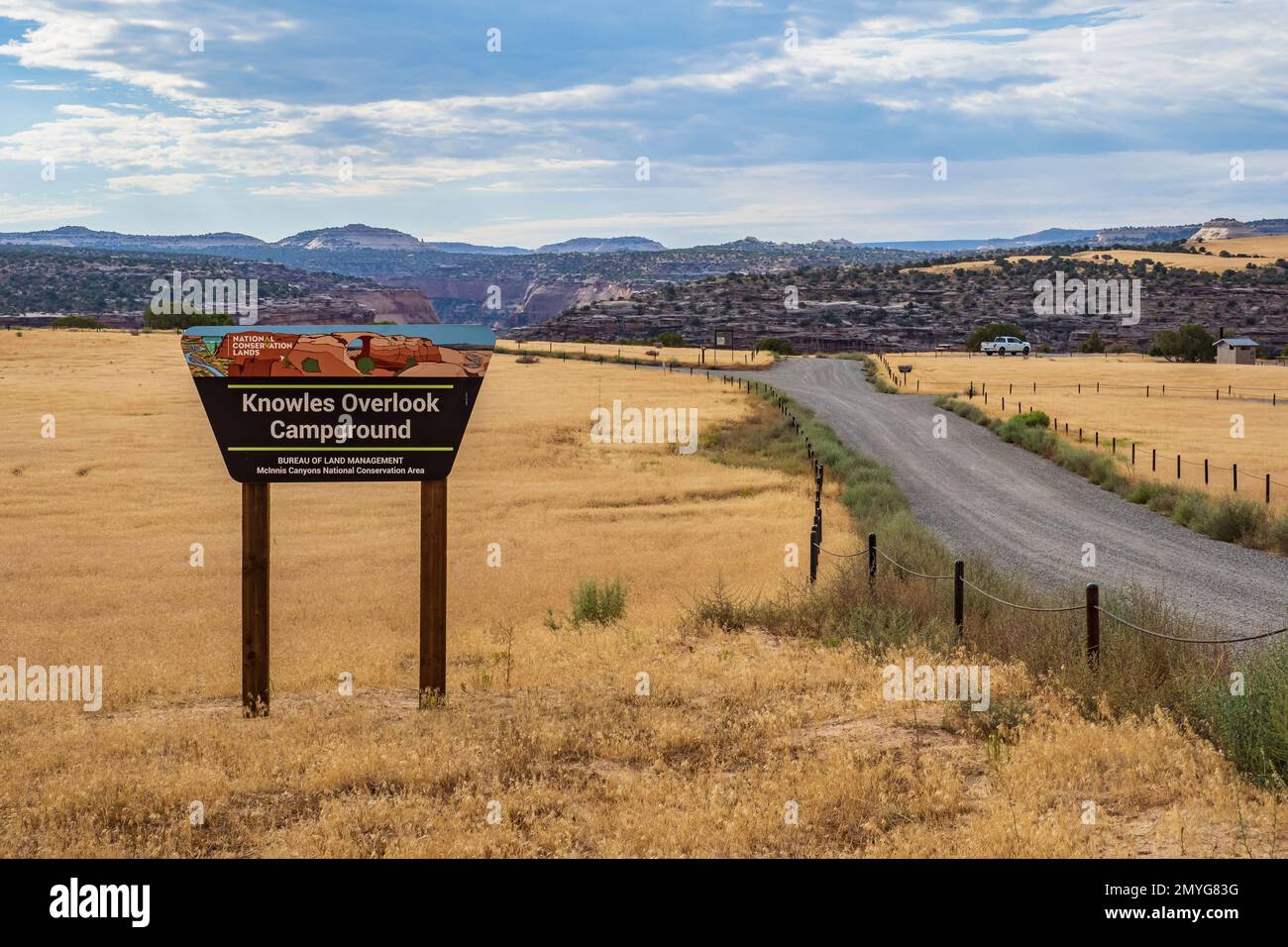 Entry sign, Knowles Canyon Overlook Campground, Rabbit Valley, McInnis Canyons National Conservation Area, Colorado. Stock Photohttps://www.alamy.com/image-license-details/?v=1https://www.alamy.com/entry-sign-knowles-canyon-overlook-campground-rabbit-valley-mcinnis-canyons-national-conservation-area-colorado-image516053988.html
RM2MYG83G–Entry sign, Knowles Canyon Overlook Campground, Rabbit Valley, McInnis Canyons National Conservation Area, Colorado.
 Gravel country route in Iceland. Summer time Stock Photohttps://www.alamy.com/image-license-details/?v=1https://www.alamy.com/gravel-country-route-in-iceland-summer-time-image270230904.html
RFWKJ27M–Gravel country route in Iceland. Summer time
 Grey stone shale stone background Stock Photohttps://www.alamy.com/image-license-details/?v=1https://www.alamy.com/grey-stone-shale-stone-background-image349205357.html
RF2B83JYW–Grey stone shale stone background
 UT00631-00...UTAH - Hightway 261, the Moki Dugway, switchbacking up around cliffs to reach the summit of the Cedar Mesa. Stock Photohttps://www.alamy.com/image-license-details/?v=1https://www.alamy.com/ut00631-00utah-hightway-261-the-moki-dugway-switchbacking-up-around-cliffs-to-reach-the-summit-of-the-cedar-mesa-image359393462.html
RM2BTKP0P–UT00631-00...UTAH - Hightway 261, the Moki Dugway, switchbacking up around cliffs to reach the summit of the Cedar Mesa.
 Wooden Post Supports A Tree In The City Stock Photohttps://www.alamy.com/image-license-details/?v=1https://www.alamy.com/wooden-post-supports-a-tree-in-the-city-image396561939.html
RF2E14XPB–Wooden Post Supports A Tree In The City
 Car on the C43 road with a rainbow in the distance, Damaraland, Namibia. Stock Photohttps://www.alamy.com/image-license-details/?v=1https://www.alamy.com/stock-photo-car-on-the-c43-road-with-a-rainbow-in-the-distance-damaraland-namibia-29612376.html
RMBM4XTT–Car on the C43 road with a rainbow in the distance, Damaraland, Namibia.
 Logging road on the west side of Harrison Lake, Harrison, British Columbia, Canada Stock Photohttps://www.alamy.com/image-license-details/?v=1https://www.alamy.com/logging-road-on-the-west-side-of-harrison-lake-harrison-british-columbia-canada-image222125352.html
RFPWAK48–Logging road on the west side of Harrison Lake, Harrison, British Columbia, Canada
 Maverick Drive runs through the southwestern section of the Big Bend National Park toward the Rio Grande River. Stock Photohttps://www.alamy.com/image-license-details/?v=1https://www.alamy.com/stock-photo-maverick-drive-runs-through-the-southwestern-section-of-the-big-bend-104093265.html
RMG19T0H–Maverick Drive runs through the southwestern section of the Big Bend National Park toward the Rio Grande River.
 Dry river beds are graded and used as roads in the Flinders Ranges, Outback South Australia Stock Photohttps://www.alamy.com/image-license-details/?v=1https://www.alamy.com/stock-photo-dry-river-beds-are-graded-and-used-as-roads-in-the-flinders-ranges-57832508.html
RMDA2DXM–Dry river beds are graded and used as roads in the Flinders Ranges, Outback South Australia
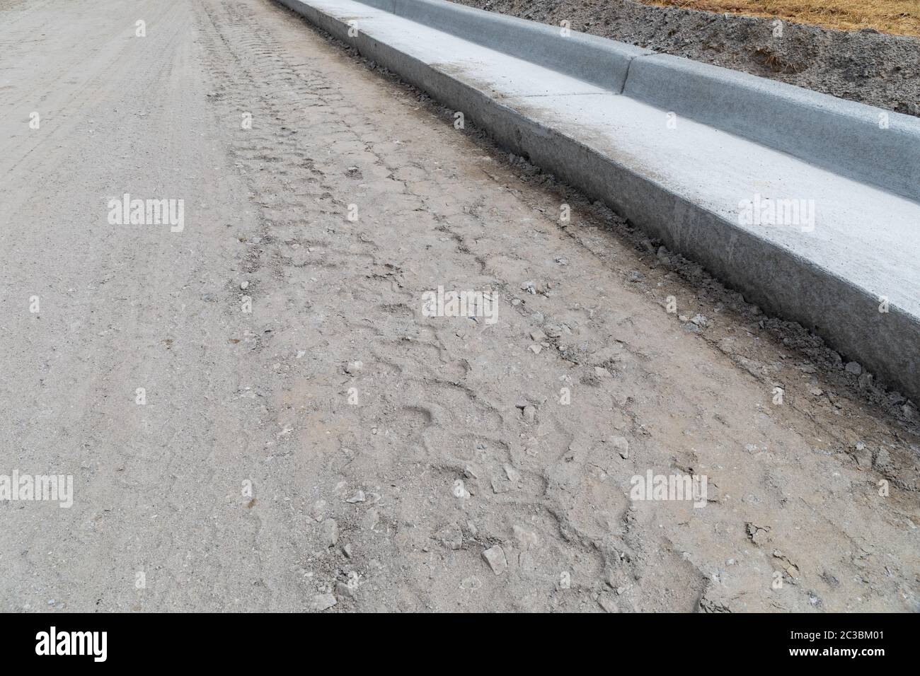 Freshly graded road bed next to new extruded concrete curb, street construction site, horizontal aspect Stock Photohttps://www.alamy.com/image-license-details/?v=1https://www.alamy.com/freshly-graded-road-bed-next-to-new-extruded-concrete-curb-street-construction-site-horizontal-aspect-image363518849.html
RF2C3BM01–Freshly graded road bed next to new extruded concrete curb, street construction site, horizontal aspect
 top view of surface of gravel road made of small stones and sand with traces of car tires Stock Photohttps://www.alamy.com/image-license-details/?v=1https://www.alamy.com/top-view-of-surface-of-gravel-road-made-of-small-stones-and-sand-with-traces-of-car-tires-image545397569.html
RF2PK904H–top view of surface of gravel road made of small stones and sand with traces of car tires
 Otago Rail Trail cycle track close to Ranfurly, south island, New Zealand. Stock Photohttps://www.alamy.com/image-license-details/?v=1https://www.alamy.com/stock-photo-otago-rail-trail-cycle-track-close-to-ranfurly-south-island-new-zealand-80500275.html
RFEJY2WR–Otago Rail Trail cycle track close to Ranfurly, south island, New Zealand.
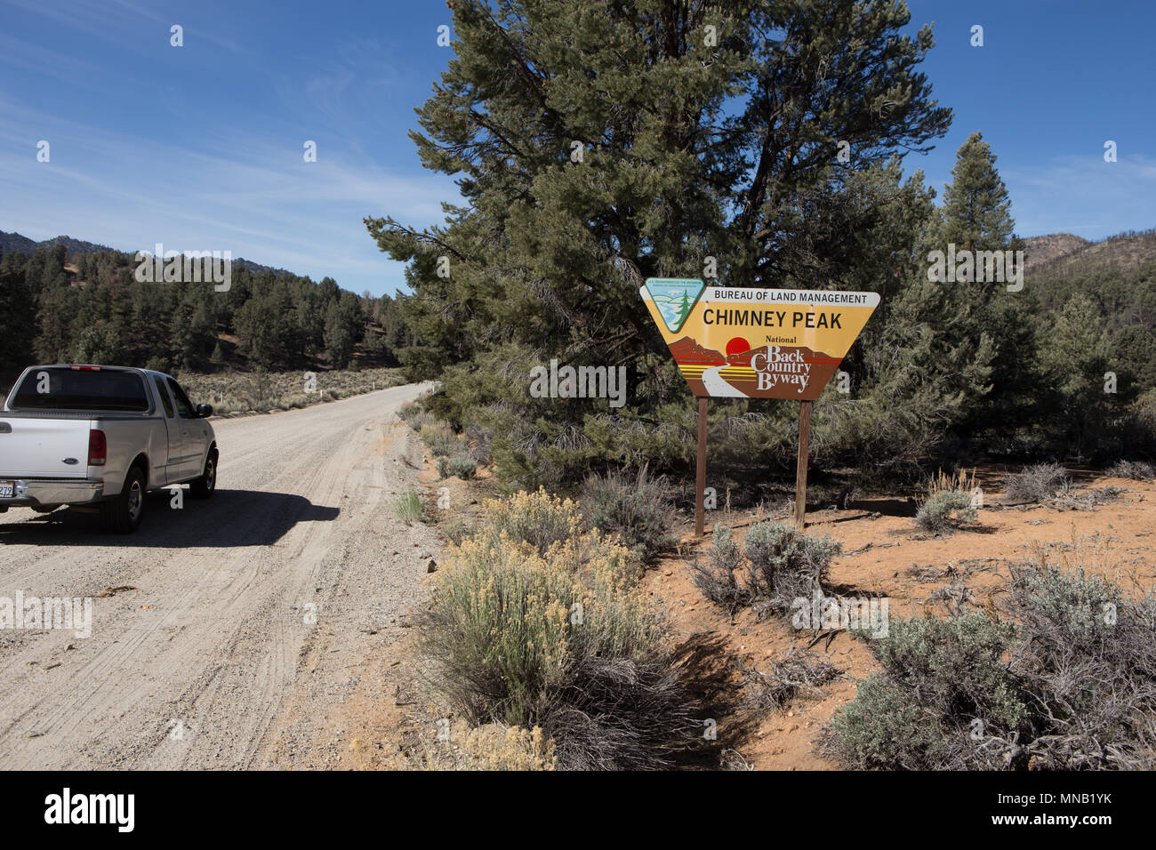 Chimney Peak Back Country Byway sign on the dirt road in the South Sierra Nevada mountains of California USA Stock Photohttps://www.alamy.com/image-license-details/?v=1https://www.alamy.com/chimney-peak-back-country-byway-sign-on-the-dirt-road-in-the-south-sierra-nevada-mountains-of-california-usa-image185254487.html
RMMNB1YK–Chimney Peak Back Country Byway sign on the dirt road in the South Sierra Nevada mountains of California USA
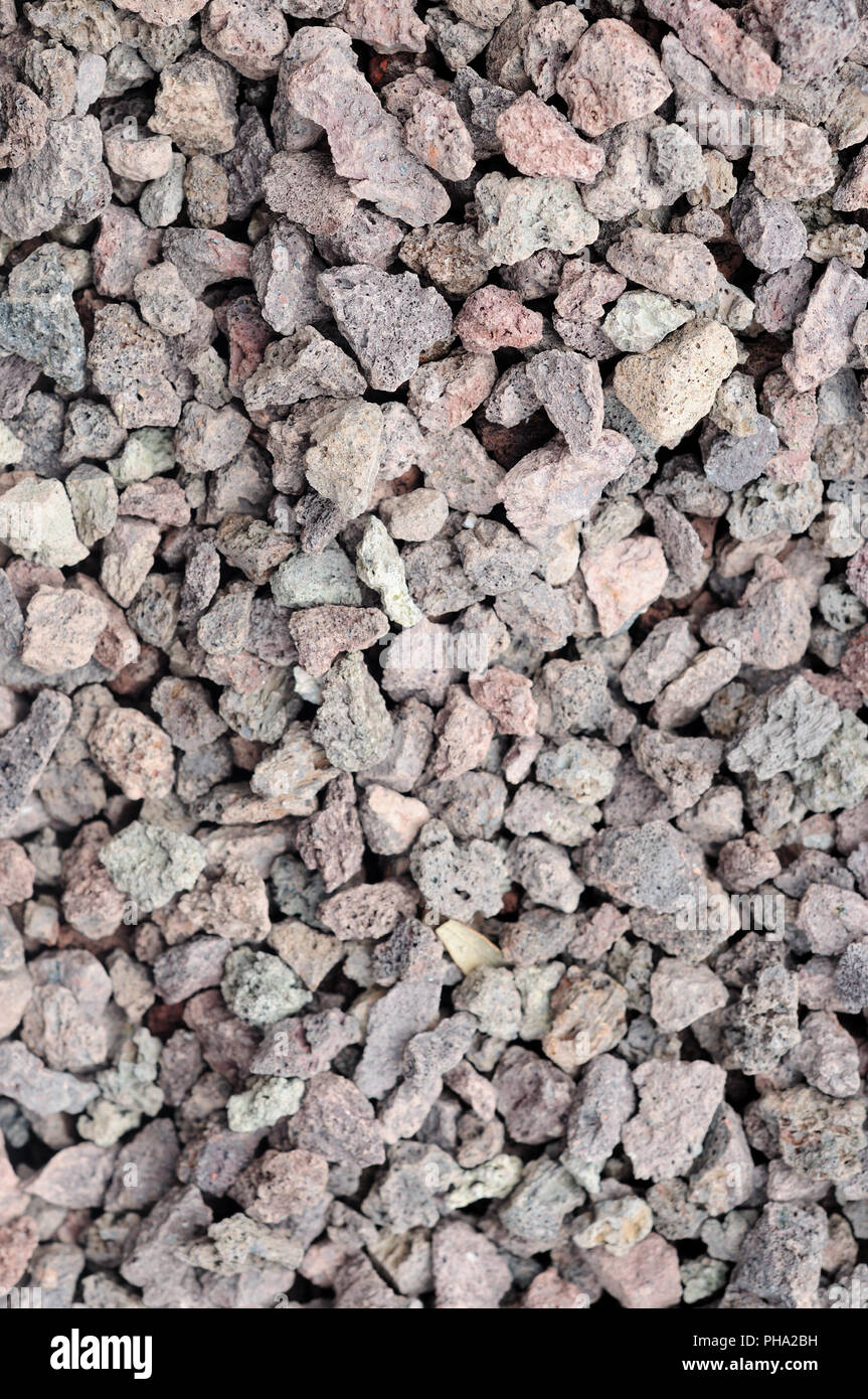 Grit Stock Photohttps://www.alamy.com/image-license-details/?v=1https://www.alamy.com/grit-image217194981.html
RMPHA2BH–Grit
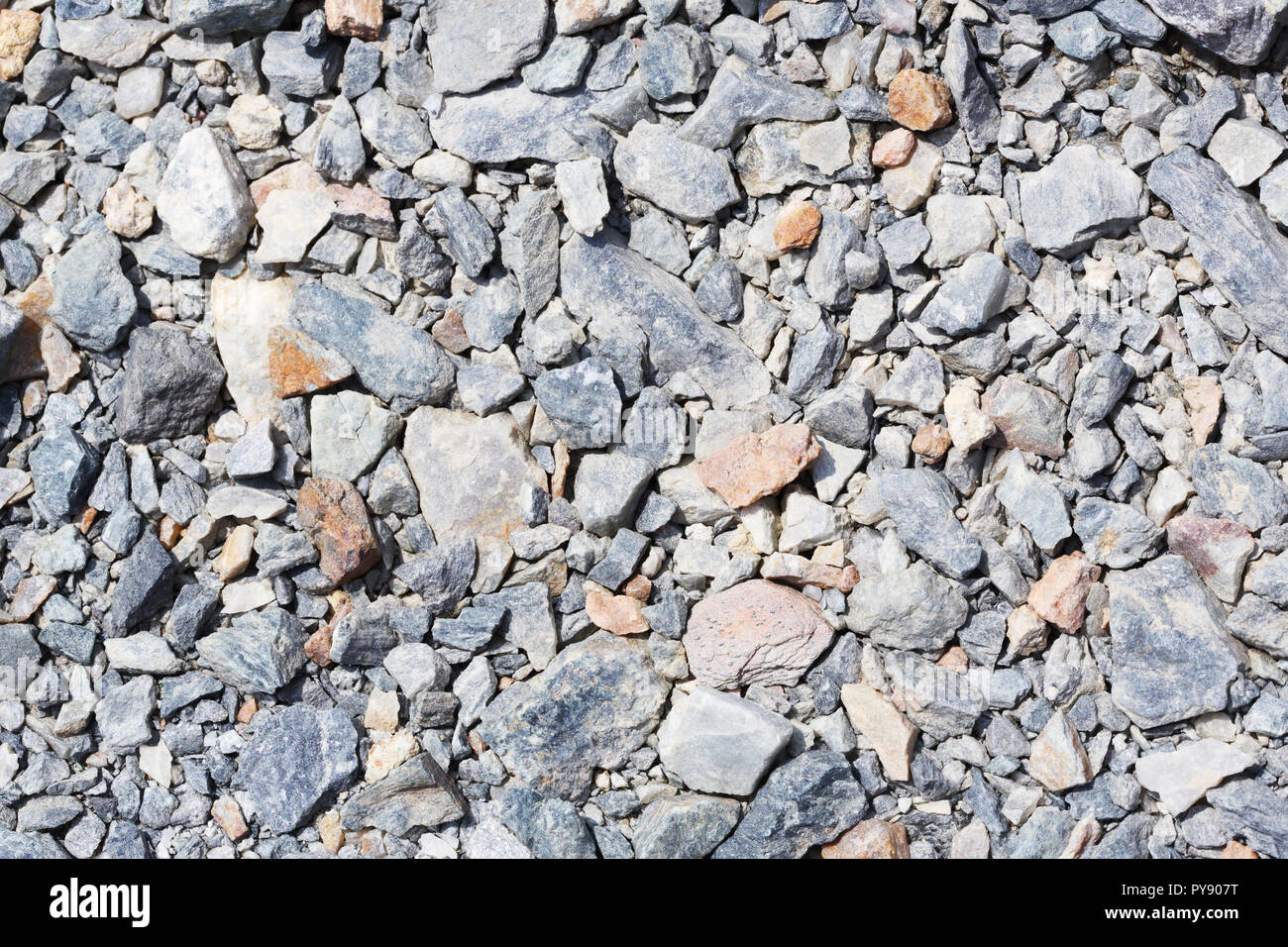 Multicolored crushed stone in bright sunlight day Stock Photohttps://www.alamy.com/image-license-details/?v=1https://www.alamy.com/multicolored-crushed-stone-in-bright-sunlight-day-image223317916.html
RFPY907T–Multicolored crushed stone in bright sunlight day
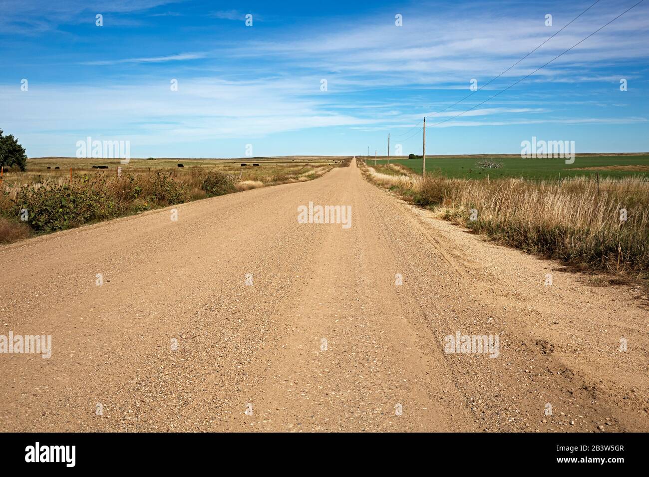 SD00297-00...SOUTH DAKOTA - County Road 502 heading straight past fields and range land, near Wall. Stock Photohttps://www.alamy.com/image-license-details/?v=1https://www.alamy.com/sd00297-00south-dakota-county-road-502-heading-straight-past-fields-and-range-land-near-wall-image346604519.html
RM2B3W5GR–SD00297-00...SOUTH DAKOTA - County Road 502 heading straight past fields and range land, near Wall.
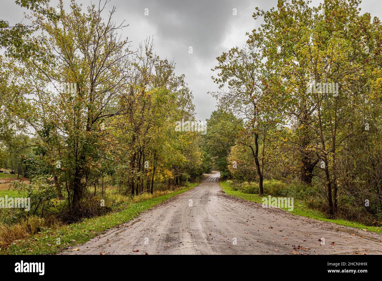 A rural dirt road in Ashtabula County, Ohio during the Autumn leaf color change. Stock Photohttps://www.alamy.com/image-license-details/?v=1https://www.alamy.com/a-rural-dirt-road-in-ashtabula-county-ohio-during-the-autumn-leaf-color-change-image455320262.html
RF2HCNHHX–A rural dirt road in Ashtabula County, Ohio during the Autumn leaf color change.
 A newly cleared section of woods, forest is now an unpaved access road for the construction of a house. In Surry, Maine. Stock Photohttps://www.alamy.com/image-license-details/?v=1https://www.alamy.com/a-newly-cleared-section-of-woods-forest-is-now-an-unpaved-access-road-for-the-construction-of-a-house-in-surry-maine-image388520075.html
RM2DG2H8Y–A newly cleared section of woods, forest is now an unpaved access road for the construction of a house. In Surry, Maine.
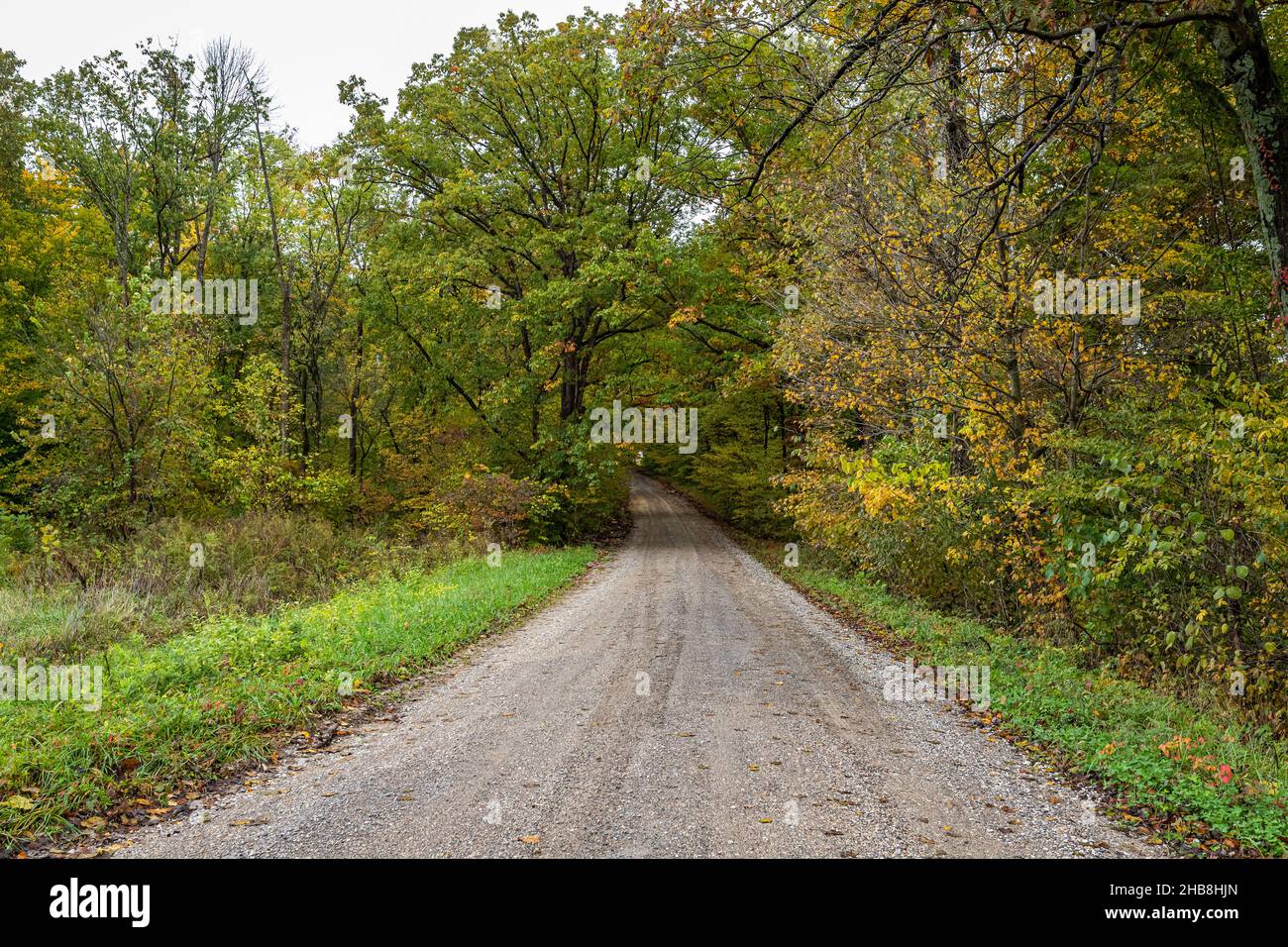 A rural dirt road in Parke County, Indiana during the Autumn leaf color change. Stock Photohttps://www.alamy.com/image-license-details/?v=1https://www.alamy.com/a-rural-dirt-road-in-parke-county-indiana-during-the-autumn-leaf-color-change-image454420253.html
RF2HB8HJN–A rural dirt road in Parke County, Indiana during the Autumn leaf color change.
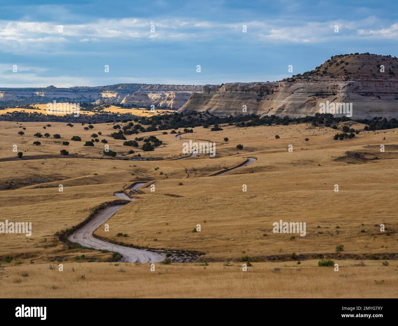 Road heading toward Knowles Canyon Overlook Campground, Rabbit Valley, McInnis Canyons National Conservation Area, Colorado. Stock Photohttps://www.alamy.com/image-license-details/?v=1https://www.alamy.com/road-heading-toward-knowles-canyon-overlook-campground-rabbit-valley-mcinnis-canyons-national-conservation-area-colorado-image516053859.html
RM2MYG7XY–Road heading toward Knowles Canyon Overlook Campground, Rabbit Valley, McInnis Canyons National Conservation Area, Colorado.
 Gravel country route in Iceland. Summer time. Panorama Stock Photohttps://www.alamy.com/image-license-details/?v=1https://www.alamy.com/gravel-country-route-in-iceland-summer-time-panorama-image270230923.html
RFWKJ28B–Gravel country route in Iceland. Summer time. Panorama
 Log fence along private ranch road, Last Dollar Road, County Road 58P, San Juan Mountains near Ridgway, Colorado. Stock Photohttps://www.alamy.com/image-license-details/?v=1https://www.alamy.com/log-fence-along-private-ranch-road-last-dollar-road-county-road-58p-san-juan-mountains-near-ridgway-colorado-image333595704.html
RM2AAMGM8–Log fence along private ranch road, Last Dollar Road, County Road 58P, San Juan Mountains near Ridgway, Colorado.
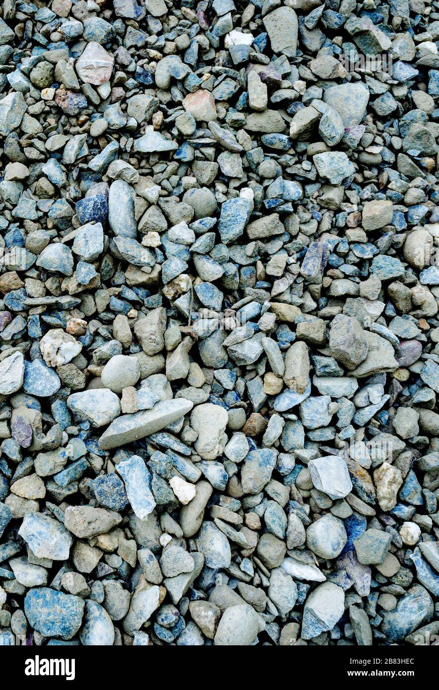 Grey stone shale stone background Stock Photohttps://www.alamy.com/image-license-details/?v=1https://www.alamy.com/grey-stone-shale-stone-background-image349204196.html
RF2B83HEC–Grey stone shale stone background
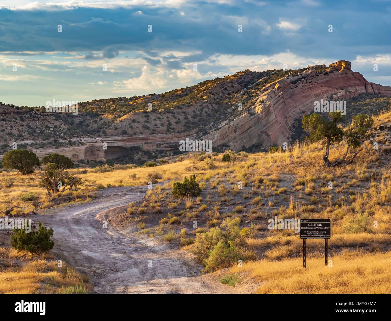 Road heading toward Knowles Canyon Overlook Campground, Rabbit Valley, McInnis Canyons National Conservation Area, Colorado. Stock Photohttps://www.alamy.com/image-license-details/?v=1https://www.alamy.com/road-heading-toward-knowles-canyon-overlook-campground-rabbit-valley-mcinnis-canyons-national-conservation-area-colorado-image516053671.html
RM2MYG7M7–Road heading toward Knowles Canyon Overlook Campground, Rabbit Valley, McInnis Canyons National Conservation Area, Colorado.
 Long road to nowhere Stock Photohttps://www.alamy.com/image-license-details/?v=1https://www.alamy.com/stock-photo-long-road-to-nowhere-56872275.html
RMD8EN4K–Long road to nowhere
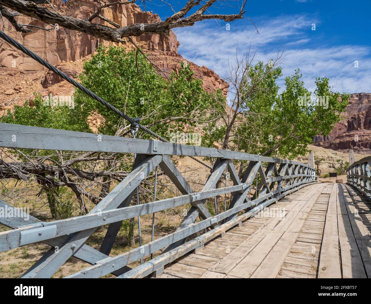 Historic San Rafael Swinging Bridge, Buckhorn Draw Road, San Rafael Swell area northwest of Green River, Utah. Stock Photohttps://www.alamy.com/image-license-details/?v=1https://www.alamy.com/historic-san-rafael-swinging-bridge-buckhorn-draw-road-san-rafael-swell-area-northwest-of-green-river-utah-image429290323.html
RM2FXBT57–Historic San Rafael Swinging Bridge, Buckhorn Draw Road, San Rafael Swell area northwest of Green River, Utah.
 Seabees on Guam, # 3, Nov. 1944. A man in the lean-to and another are working in the assembly area for coming buildings. Note tools on a box to the right of the lean-to. This photo shows a newly roughed out gravel road in front of the broken trees behind the lean-to and lumber piles. This also shows two white-ish areas of ground behind the road that were graded for coming buildings. These Seabees are working on the construction of buildings for CINCPAC officers' buildings. To see my related vintage images, Search: Prestor vintage WW II Stock Photohttps://www.alamy.com/image-license-details/?v=1https://www.alamy.com/seabees-on-guam-3-nov-1944-a-man-in-the-lean-to-and-another-are-working-in-the-assembly-area-for-coming-buildings-note-tools-on-a-box-to-the-right-of-the-lean-to-this-photo-shows-a-newly-roughed-out-gravel-road-in-front-of-the-broken-trees-behind-the-lean-to-and-lumber-piles-this-also-shows-two-white-ish-areas-of-ground-behind-the-road-that-were-graded-for-coming-buildings-these-seabees-are-working-on-the-construction-of-buildings-for-cincpac-officers-buildings-to-see-my-related-vintage-images-search-prestor-vintage-ww-ii-image348241192.html
RF2B6FN5C–Seabees on Guam, # 3, Nov. 1944. A man in the lean-to and another are working in the assembly area for coming buildings. Note tools on a box to the right of the lean-to. This photo shows a newly roughed out gravel road in front of the broken trees behind the lean-to and lumber piles. This also shows two white-ish areas of ground behind the road that were graded for coming buildings. These Seabees are working on the construction of buildings for CINCPAC officers' buildings. To see my related vintage images, Search: Prestor vintage WW II
 Popular science monthly . k of the roof—is hingedto be opened for ventilation and air-ing. A 20-in. galvanized ventilatoris placed at the rear, and in the roargable-end is a barn-sash, which is hingedto swing up. A coop of this size will comfortablyshelter more than a hundred full-grownbirds. The covered nests are built inalong the side walls, and the roostsare all at the rear end of the house.Materials, such as lumber, tile, andcement, as listed herewith, will be needed: 17 bbls. cement for floor and footing $24.00 8 yards clean, coarse, sharp sand 8.00 12 yards well-graded gravel or slonc 12 Stock Photohttps://www.alamy.com/image-license-details/?v=1https://www.alamy.com/popular-science-monthly-k-of-the-roofis-hingedto-be-opened-for-ventilation-and-air-ing-a-20-in-galvanized-ventilatoris-placed-at-the-rear-and-in-the-roargable-end-is-a-barn-sash-which-is-hingedto-swing-up-a-coop-of-this-size-will-comfortablyshelter-more-than-a-hundred-full-grownbirds-the-covered-nests-are-built-inalong-the-side-walls-and-the-roostsare-all-at-the-rear-end-of-the-housematerials-such-as-lumber-tile-andcement-as-listed-herewith-will-be-needed-17-bbls-cement-for-floor-and-footing-2400-8-yards-clean-coarse-sharp-sand-800-12-yards-well-graded-gravel-or-slonc-12-image339134325.html
RM2AKMW85–Popular science monthly . k of the roof—is hingedto be opened for ventilation and air-ing. A 20-in. galvanized ventilatoris placed at the rear, and in the roargable-end is a barn-sash, which is hingedto swing up. A coop of this size will comfortablyshelter more than a hundred full-grownbirds. The covered nests are built inalong the side walls, and the roostsare all at the rear end of the house.Materials, such as lumber, tile, andcement, as listed herewith, will be needed: 17 bbls. cement for floor and footing $24.00 8 yards clean, coarse, sharp sand 8.00 12 yards well-graded gravel or slonc 12
 New roadway under construction, extruded concrete curb beside graded dirt road, straw and erosion protection, horizontal aspect Stock Photohttps://www.alamy.com/image-license-details/?v=1https://www.alamy.com/new-roadway-under-construction-extruded-concrete-curb-beside-graded-dirt-road-straw-and-erosion-protection-horizontal-aspect-image358679597.html
RF2BRF7DH–New roadway under construction, extruded concrete curb beside graded dirt road, straw and erosion protection, horizontal aspect
 top view of surface of gravel road made of small stones and sand with traces of car tires Stock Photohttps://www.alamy.com/image-license-details/?v=1https://www.alamy.com/top-view-of-surface-of-gravel-road-made-of-small-stones-and-sand-with-traces-of-car-tires-image545397567.html
RF2PK904F–top view of surface of gravel road made of small stones and sand with traces of car tires
 Old barn on the Otago Rail Trail, south island, New Zealand. Stock Photohttps://www.alamy.com/image-license-details/?v=1https://www.alamy.com/stock-photo-old-barn-on-the-otago-rail-trail-south-island-new-zealand-80500271.html
RMEJY2WK–Old barn on the Otago Rail Trail, south island, New Zealand.
 Chimney Peak Back Country Byway sign on the dirt road in the South Sierra Nevada mountains of California USA Stock Photohttps://www.alamy.com/image-license-details/?v=1https://www.alamy.com/chimney-peak-back-country-byway-sign-on-the-dirt-road-in-the-south-sierra-nevada-mountains-of-california-usa-image185254460.html
RMMNB1XM–Chimney Peak Back Country Byway sign on the dirt road in the South Sierra Nevada mountains of California USA
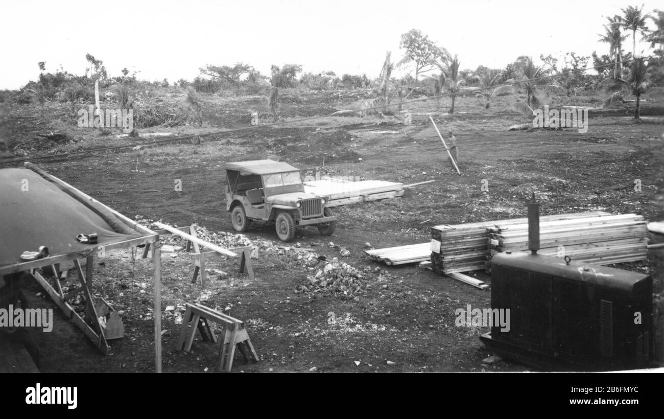 Seabees on Guam, # 2, Nov. 16, 1944. A man in the lean-to and another carrying lumber are setting up the assembly area for coming buildings. See tool box, saw horse, stacks of lumber, & a Jeep-sized generator at lower right. My next photo shows a gravel road in front of the broken trees behind the Jeep. That photo will also show two areas of ground that were graded for coming buildings. These Seabees are beginning construction of roads and buildings for CINCPAC officers' buildings. To see my related vintage images, Search: Prestor vintage WW II vehicle Stock Photohttps://www.alamy.com/image-license-details/?v=1https://www.alamy.com/seabees-on-guam-2-nov-16-1944-a-man-in-the-lean-to-and-another-carrying-lumber-are-setting-up-the-assembly-area-for-coming-buildings-see-tool-box-saw-horse-stacks-of-lumber-a-jeep-sized-generator-at-lower-right-my-next-photo-shows-a-gravel-road-in-front-of-the-broken-trees-behind-the-jeep-that-photo-will-also-show-two-areas-of-ground-that-were-graded-for-coming-buildings-these-seabees-are-beginning-construction-of-roads-and-buildings-for-cincpac-officers-buildings-to-see-my-related-vintage-images-search-prestor-vintage-ww-ii-vehicle-image348241024.html
RF2B6FMYC–Seabees on Guam, # 2, Nov. 16, 1944. A man in the lean-to and another carrying lumber are setting up the assembly area for coming buildings. See tool box, saw horse, stacks of lumber, & a Jeep-sized generator at lower right. My next photo shows a gravel road in front of the broken trees behind the Jeep. That photo will also show two areas of ground that were graded for coming buildings. These Seabees are beginning construction of roads and buildings for CINCPAC officers' buildings. To see my related vintage images, Search: Prestor vintage WW II vehicle
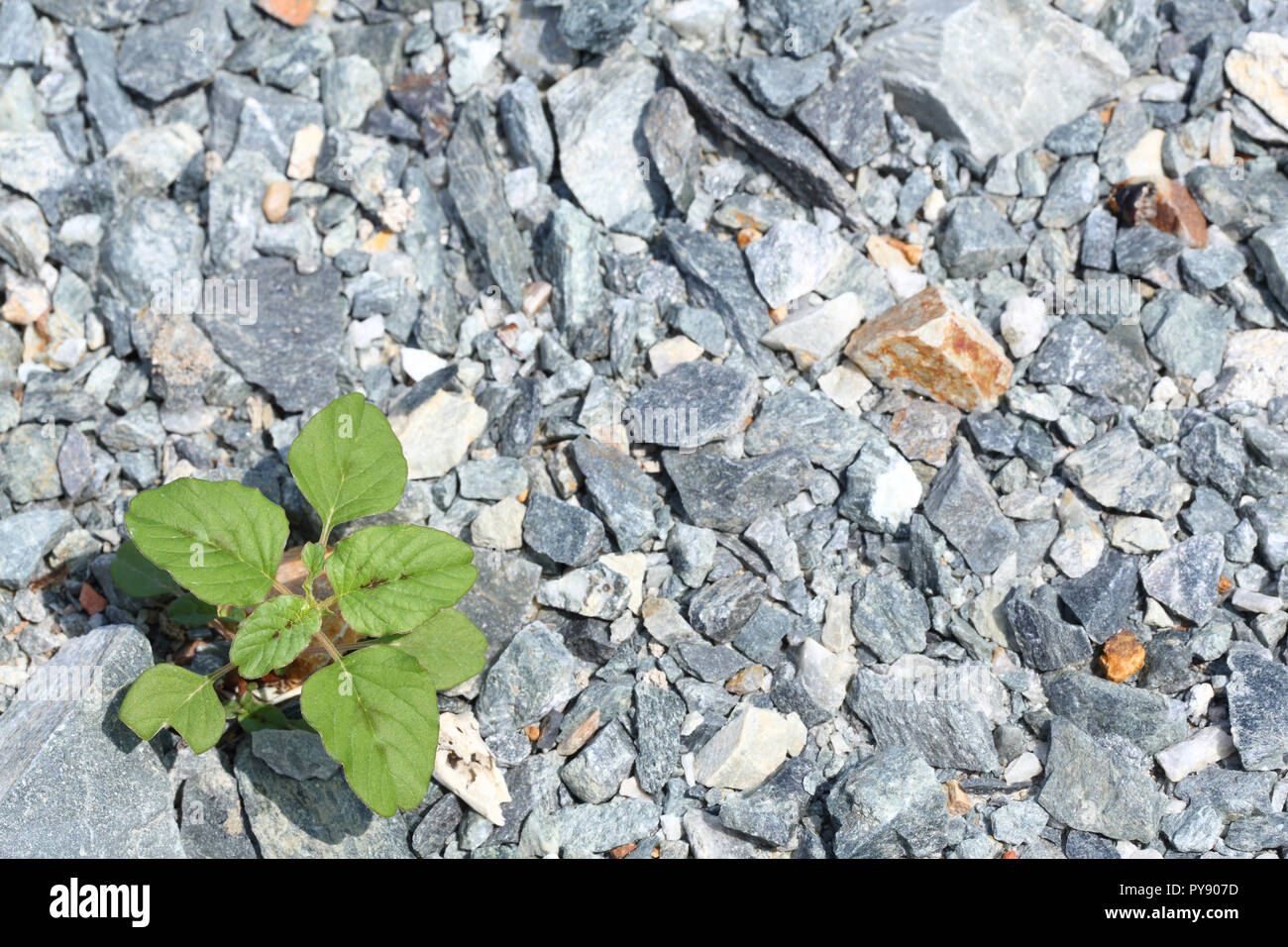 A grass growth on multicolored crushed stone Stock Photohttps://www.alamy.com/image-license-details/?v=1https://www.alamy.com/a-grass-growth-on-multicolored-crushed-stone-image223317905.html
RFPY907D–A grass growth on multicolored crushed stone
 portrait of worker at quarry Stock Photohttps://www.alamy.com/image-license-details/?v=1https://www.alamy.com/portrait-of-worker-at-quarry-image343770322.html
RF2AY82FE–portrait of worker at quarry
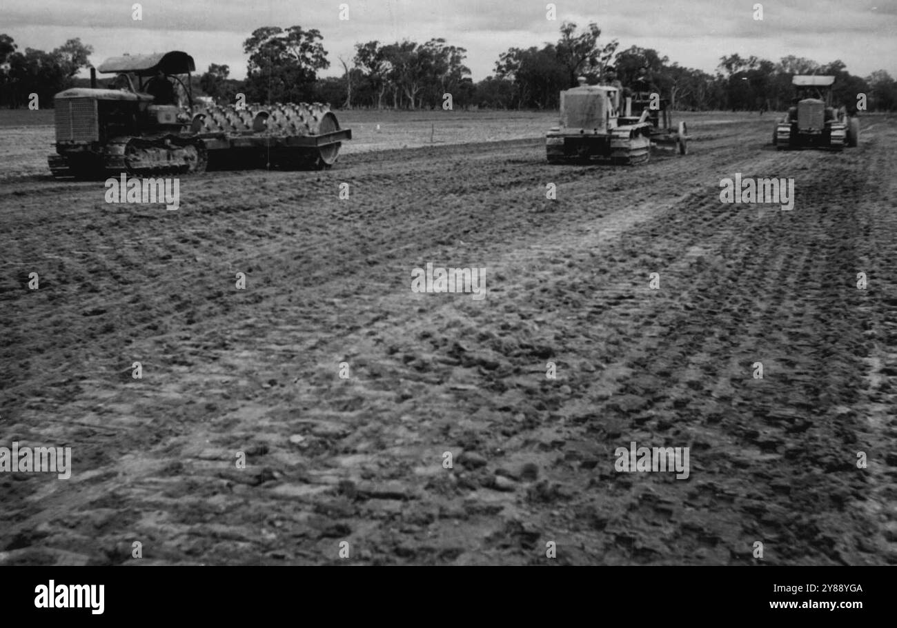 Three of the many operations in the building of a runway. On the left a sheep's foot roller consolidates the graded, gravelled surface. Centre a grader levels gravel distributed over the surface by the tractor-drawn scoop which now operates at right. June 22, 1943. (Photo by Allied Works Council). Stock Photohttps://www.alamy.com/image-license-details/?v=1https://www.alamy.com/three-of-the-many-operations-in-the-building-of-a-runway-on-the-left-a-sheeps-foot-roller-consolidates-the-graded-gravelled-surface-centre-a-grader-levels-gravel-distributed-over-the-surface-by-the-tractor-drawn-scoop-which-now-operates-at-right-june-22-1943-photo-by-allied-works-council-image624687738.html
RM2Y88YGA–Three of the many operations in the building of a runway. On the left a sheep's foot roller consolidates the graded, gravelled surface. Centre a grader levels gravel distributed over the surface by the tractor-drawn scoop which now operates at right. June 22, 1943. (Photo by Allied Works Council).