Grangeville map Cut Out Stock Images
 City of Grangeville, Idaho County, US, United States, Idaho, N 45 55' 33'', S 116 7' 18'', map, Cartascapes Map published in 2024. Explore Cartascapes, a map revealing Earth's diverse landscapes, cultures, and ecosystems. Journey through time and space, discovering the interconnectedness of our planet's past, present, and future. Stock Photohttps://www.alamy.com/image-license-details/?v=1https://www.alamy.com/city-of-grangeville-idaho-county-us-united-states-idaho-n-45-55-33-s-116-7-18-map-cartascapes-map-published-in-2024-explore-cartascapes-a-map-revealing-earths-diverse-landscapes-cultures-and-ecosystems-journey-through-time-and-space-discovering-the-interconnectedness-of-our-planets-past-present-and-future-image633875423.html
RM2YR7EFY–City of Grangeville, Idaho County, US, United States, Idaho, N 45 55' 33'', S 116 7' 18'', map, Cartascapes Map published in 2024. Explore Cartascapes, a map revealing Earth's diverse landscapes, cultures, and ecosystems. Journey through time and space, discovering the interconnectedness of our planet's past, present, and future.
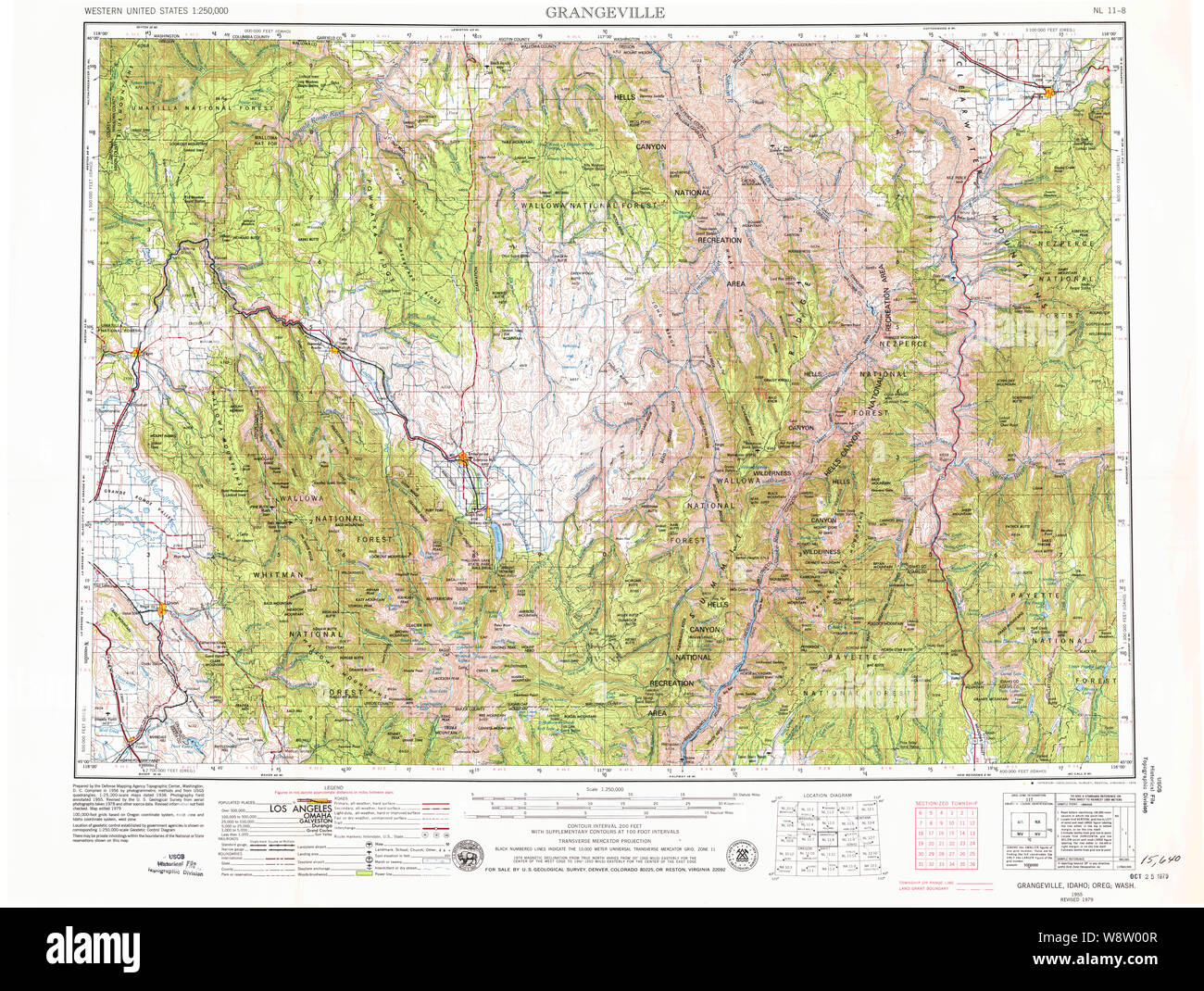 USGS Topo Map Idaho Grangeville 239641 1955 250000 Restoration Stock Photohttps://www.alamy.com/image-license-details/?v=1https://www.alamy.com/usgs-topo-map-idaho-grangeville-239641-1955-250000-restoration-image263621591.html
RMW8W00R–USGS Topo Map Idaho Grangeville 239641 1955 250000 Restoration
 Grangeville, Idaho County, US, United States, Idaho, N 45 55' 35'', S 116 7' 20'', map, Cartascapes Map published in 2024. Explore Cartascapes, a map revealing Earth's diverse landscapes, cultures, and ecosystems. Journey through time and space, discovering the interconnectedness of our planet's past, present, and future. Stock Photohttps://www.alamy.com/image-license-details/?v=1https://www.alamy.com/grangeville-idaho-county-us-united-states-idaho-n-45-55-35-s-116-7-20-map-cartascapes-map-published-in-2024-explore-cartascapes-a-map-revealing-earths-diverse-landscapes-cultures-and-ecosystems-journey-through-time-and-space-discovering-the-interconnectedness-of-our-planets-past-present-and-future-image621206633.html
RM2Y2JBB5–Grangeville, Idaho County, US, United States, Idaho, N 45 55' 35'', S 116 7' 20'', map, Cartascapes Map published in 2024. Explore Cartascapes, a map revealing Earth's diverse landscapes, cultures, and ecosystems. Journey through time and space, discovering the interconnectedness of our planet's past, present, and future.
 Idaho County, Idaho (U.S. county, United States of America, USA, U.S., US) map vector illustration, scribble sketch Idaho map Stock Vectorhttps://www.alamy.com/image-license-details/?v=1https://www.alamy.com/idaho-county-idaho-us-county-united-states-of-america-usa-us-us-map-vector-illustration-scribble-sketch-idaho-map-image359621804.html
RF2BW257T–Idaho County, Idaho (U.S. county, United States of America, USA, U.S., US) map vector illustration, scribble sketch Idaho map
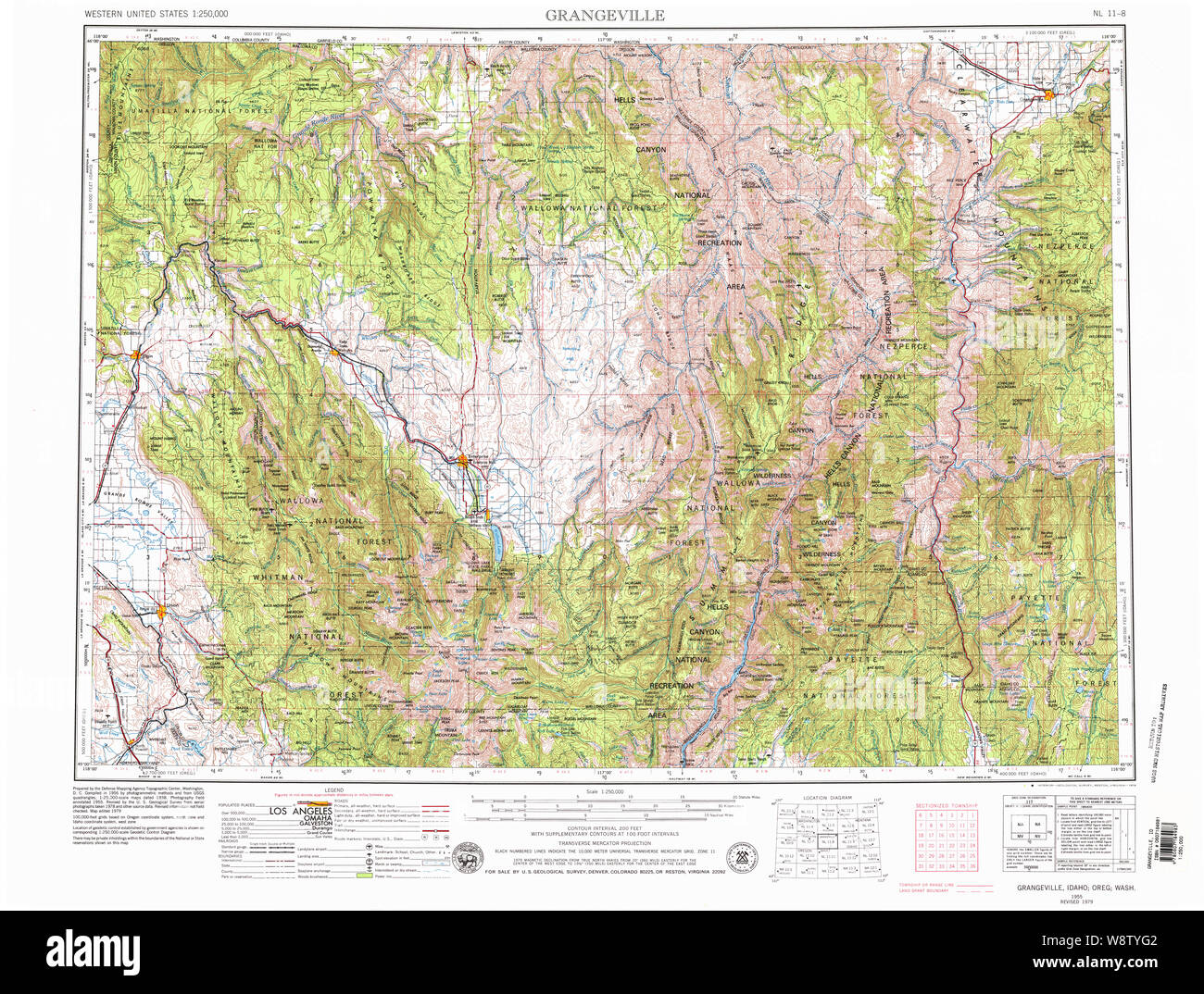 USGS Topo Map Idaho Grangeville 239640 1955 250000 Restoration Stock Photohttps://www.alamy.com/image-license-details/?v=1https://www.alamy.com/usgs-topo-map-idaho-grangeville-239640-1955-250000-restoration-image263621234.html
RMW8TYG2–USGS Topo Map Idaho Grangeville 239640 1955 250000 Restoration
 Grangeville, Idaho County, US, United States, Idaho, N 45 55' 35'', S 116 7' 20'', map, Cartascapes Map published in 2024. Explore Cartascapes, a map revealing Earth's diverse landscapes, cultures, and ecosystems. Journey through time and space, discovering the interconnectedness of our planet's past, present, and future. Stock Photohttps://www.alamy.com/image-license-details/?v=1https://www.alamy.com/grangeville-idaho-county-us-united-states-idaho-n-45-55-35-s-116-7-20-map-cartascapes-map-published-in-2024-explore-cartascapes-a-map-revealing-earths-diverse-landscapes-cultures-and-ecosystems-journey-through-time-and-space-discovering-the-interconnectedness-of-our-planets-past-present-and-future-image621162349.html
RM2Y2GAWH–Grangeville, Idaho County, US, United States, Idaho, N 45 55' 35'', S 116 7' 20'', map, Cartascapes Map published in 2024. Explore Cartascapes, a map revealing Earth's diverse landscapes, cultures, and ecosystems. Journey through time and space, discovering the interconnectedness of our planet's past, present, and future.
 Idaho County, Idaho (U.S. county, United States of America, USA, U.S., US) map vector illustration, scribble sketch Idaho map Stock Vectorhttps://www.alamy.com/image-license-details/?v=1https://www.alamy.com/idaho-county-idaho-us-county-united-states-of-america-usa-us-us-map-vector-illustration-scribble-sketch-idaho-map-image367583370.html
RF2CA0T9E–Idaho County, Idaho (U.S. county, United States of America, USA, U.S., US) map vector illustration, scribble sketch Idaho map
 USGS Topo Map Idaho Grangeville 239639 1955 250000 Restoration Stock Photohttps://www.alamy.com/image-license-details/?v=1https://www.alamy.com/usgs-topo-map-idaho-grangeville-239639-1955-250000-restoration-image263621071.html
RMW8TYA7–USGS Topo Map Idaho Grangeville 239639 1955 250000 Restoration
 Grangeville, Marion County, US, United States, West Virginia, N 39 27' 22'', S 80 24' 22'', map, Cartascapes Map published in 2024. Explore Cartascapes, a map revealing Earth's diverse landscapes, cultures, and ecosystems. Journey through time and space, discovering the interconnectedness of our planet's past, present, and future. Stock Photohttps://www.alamy.com/image-license-details/?v=1https://www.alamy.com/grangeville-marion-county-us-united-states-west-virginia-n-39-27-22-s-80-24-22-map-cartascapes-map-published-in-2024-explore-cartascapes-a-map-revealing-earths-diverse-landscapes-cultures-and-ecosystems-journey-through-time-and-space-discovering-the-interconnectedness-of-our-planets-past-present-and-future-image621316680.html
RM2Y2RBNC–Grangeville, Marion County, US, United States, West Virginia, N 39 27' 22'', S 80 24' 22'', map, Cartascapes Map published in 2024. Explore Cartascapes, a map revealing Earth's diverse landscapes, cultures, and ecosystems. Journey through time and space, discovering the interconnectedness of our planet's past, present, and future.
 USGS Topo Map Idaho Grangeville 239381 1980 100000 Restoration Stock Photohttps://www.alamy.com/image-license-details/?v=1https://www.alamy.com/usgs-topo-map-idaho-grangeville-239381-1980-100000-restoration-image263620768.html
RMW8TXYC–USGS Topo Map Idaho Grangeville 239381 1980 100000 Restoration
 Idaho County, Idaho (U.S. county, United States of America, USA, U.S., US) map vector illustration, scribble sketch Idaho map Stock Vectorhttps://www.alamy.com/image-license-details/?v=1https://www.alamy.com/idaho-county-idaho-us-county-united-states-of-america-usa-us-us-map-vector-illustration-scribble-sketch-idaho-map-image364906540.html
RF2C5JX0C–Idaho County, Idaho (U.S. county, United States of America, USA, U.S., US) map vector illustration, scribble sketch Idaho map
 USGS Topo Map Indiana ID Grangeville 239641 1955 250000 Restoration Stock Photohttps://www.alamy.com/image-license-details/?v=1https://www.alamy.com/usgs-topo-map-indiana-id-grangeville-239641-1955-250000-restoration-image265213198.html
RMWBDE3X–USGS Topo Map Indiana ID Grangeville 239641 1955 250000 Restoration
 Grangeville (historical), Newton County, US, United States, Missouri, N 36 48' 0'', S 94 4' 39'', map, Cartascapes Map published in 2024. Explore Cartascapes, a map revealing Earth's diverse landscapes, cultures, and ecosystems. Journey through time and space, discovering the interconnectedness of our planet's past, present, and future. Stock Photohttps://www.alamy.com/image-license-details/?v=1https://www.alamy.com/grangeville-historical-newton-county-us-united-states-missouri-n-36-48-0-s-94-4-39-map-cartascapes-map-published-in-2024-explore-cartascapes-a-map-revealing-earths-diverse-landscapes-cultures-and-ecosystems-journey-through-time-and-space-discovering-the-interconnectedness-of-our-planets-past-present-and-future-image621208961.html
RM2Y2JEA9–Grangeville (historical), Newton County, US, United States, Missouri, N 36 48' 0'', S 94 4' 39'', map, Cartascapes Map published in 2024. Explore Cartascapes, a map revealing Earth's diverse landscapes, cultures, and ecosystems. Journey through time and space, discovering the interconnectedness of our planet's past, present, and future.
 USGS Topo Map Indiana ID Grangeville 239640 1955 250000 Restoration Stock Photohttps://www.alamy.com/image-license-details/?v=1https://www.alamy.com/usgs-topo-map-indiana-id-grangeville-239640-1955-250000-restoration-image265213072.html
RMWBDDYC–USGS Topo Map Indiana ID Grangeville 239640 1955 250000 Restoration
 Grangeville, Kings County, US, United States, California, N 36 20' 36'', S 119 42' 31'', map, Cartascapes Map published in 2024. Explore Cartascapes, a map revealing Earth's diverse landscapes, cultures, and ecosystems. Journey through time and space, discovering the interconnectedness of our planet's past, present, and future. Stock Photohttps://www.alamy.com/image-license-details/?v=1https://www.alamy.com/grangeville-kings-county-us-united-states-california-n-36-20-36-s-119-42-31-map-cartascapes-map-published-in-2024-explore-cartascapes-a-map-revealing-earths-diverse-landscapes-cultures-and-ecosystems-journey-through-time-and-space-discovering-the-interconnectedness-of-our-planets-past-present-and-future-image620744586.html
RM2Y1WA1E–Grangeville, Kings County, US, United States, California, N 36 20' 36'', S 119 42' 31'', map, Cartascapes Map published in 2024. Explore Cartascapes, a map revealing Earth's diverse landscapes, cultures, and ecosystems. Journey through time and space, discovering the interconnectedness of our planet's past, present, and future.
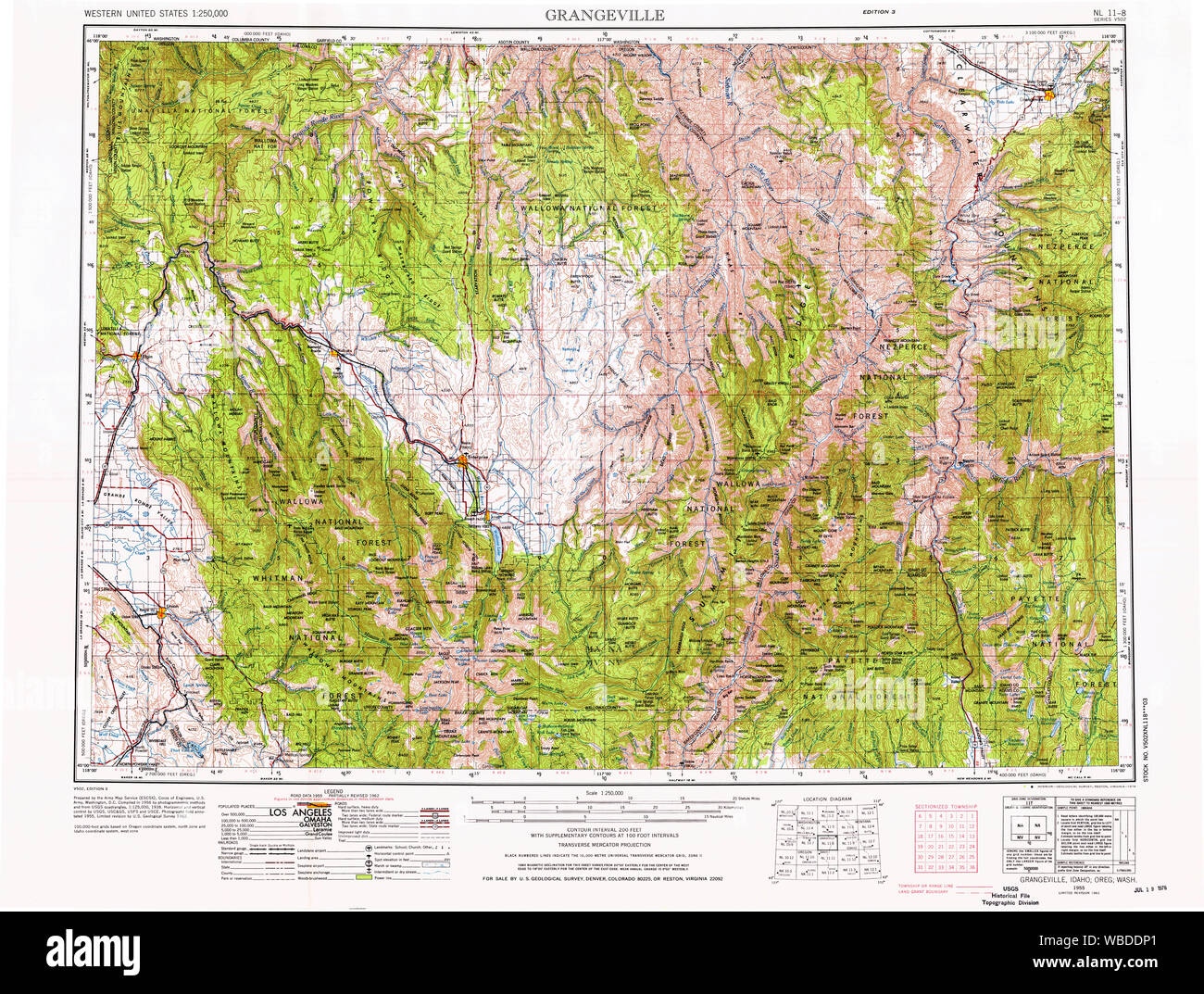 USGS Topo Map Indiana ID Grangeville 239639 1955 250000 Restoration Stock Photohttps://www.alamy.com/image-license-details/?v=1https://www.alamy.com/usgs-topo-map-indiana-id-grangeville-239639-1955-250000-restoration-image265212921.html
RMWBDDP1–USGS Topo Map Indiana ID Grangeville 239639 1955 250000 Restoration
 USGS Topo Map Indiana ID Grangeville 239381 1980 100000 Restoration Stock Photohttps://www.alamy.com/image-license-details/?v=1https://www.alamy.com/usgs-topo-map-indiana-id-grangeville-239381-1980-100000-restoration-image265212170.html
RMWBDCR6–USGS Topo Map Indiana ID Grangeville 239381 1980 100000 Restoration
 USGS TOPO Map Idaho ID Grangeville West 20100928 TM Restoration Stock Photohttps://www.alamy.com/image-license-details/?v=1https://www.alamy.com/usgs-topo-map-idaho-id-grangeville-west-20100928-tm-restoration-image245752368.html
RMT7PYJ8–USGS TOPO Map Idaho ID Grangeville West 20100928 TM Restoration
 Grangeville, Saint Helena Parish, US, United States, Louisiana, N 30 44' 32'', S 90 50' 1'', map, Cartascapes Map published in 2024. Explore Cartascapes, a map revealing Earth's diverse landscapes, cultures, and ecosystems. Journey through time and space, discovering the interconnectedness of our planet's past, present, and future. Stock Photohttps://www.alamy.com/image-license-details/?v=1https://www.alamy.com/grangeville-saint-helena-parish-us-united-states-louisiana-n-30-44-32-s-90-50-1-map-cartascapes-map-published-in-2024-explore-cartascapes-a-map-revealing-earths-diverse-landscapes-cultures-and-ecosystems-journey-through-time-and-space-discovering-the-interconnectedness-of-our-planets-past-present-and-future-image620720527.html
RM2Y1T7A7–Grangeville, Saint Helena Parish, US, United States, Louisiana, N 30 44' 32'', S 90 50' 1'', map, Cartascapes Map published in 2024. Explore Cartascapes, a map revealing Earth's diverse landscapes, cultures, and ecosystems. Journey through time and space, discovering the interconnectedness of our planet's past, present, and future.
 USGS TOPO Map Idaho ID Grangeville East 20110125 TM Restoration Stock Photohttps://www.alamy.com/image-license-details/?v=1https://www.alamy.com/usgs-topo-map-idaho-id-grangeville-east-20110125-tm-restoration-image245752349.html
RMT7PYHH–USGS TOPO Map Idaho ID Grangeville East 20110125 TM Restoration
 Grangeville, Canada, New Brunswick, N 46 25' 15'', W 65 12' 16'', map, Timeless Map published in 2021. Travelers, explorers and adventurers like Florence Nightingale, David Livingstone, Ernest Shackleton, Lewis and Clark and Sherlock Holmes relied on maps to plan travels to the world's most remote corners, Timeless Maps is mapping most locations on the globe, showing the achievement of great dreams Stock Photohttps://www.alamy.com/image-license-details/?v=1https://www.alamy.com/grangeville-canada-new-brunswick-n-46-25-15-w-65-12-16-map-timeless-map-published-in-2021-travelers-explorers-and-adventurers-like-florence-nightingale-david-livingstone-ernest-shackleton-lewis-and-clark-and-sherlock-holmes-relied-on-maps-to-plan-travels-to-the-worlds-most-remote-corners-timeless-maps-is-mapping-most-locations-on-the-globe-showing-the-achievement-of-great-dreams-image457865056.html
RM2HGWFFC–Grangeville, Canada, New Brunswick, N 46 25' 15'', W 65 12' 16'', map, Timeless Map published in 2021. Travelers, explorers and adventurers like Florence Nightingale, David Livingstone, Ernest Shackleton, Lewis and Clark and Sherlock Holmes relied on maps to plan travels to the world's most remote corners, Timeless Maps is mapping most locations on the globe, showing the achievement of great dreams
 USGS TOPO Map Idaho ID Grangeville West 236298 1963 24000 Restoration Stock Photohttps://www.alamy.com/image-license-details/?v=1https://www.alamy.com/usgs-topo-map-idaho-id-grangeville-west-236298-1963-24000-restoration-image245752401.html
RMT7PYKD–USGS TOPO Map Idaho ID Grangeville West 236298 1963 24000 Restoration
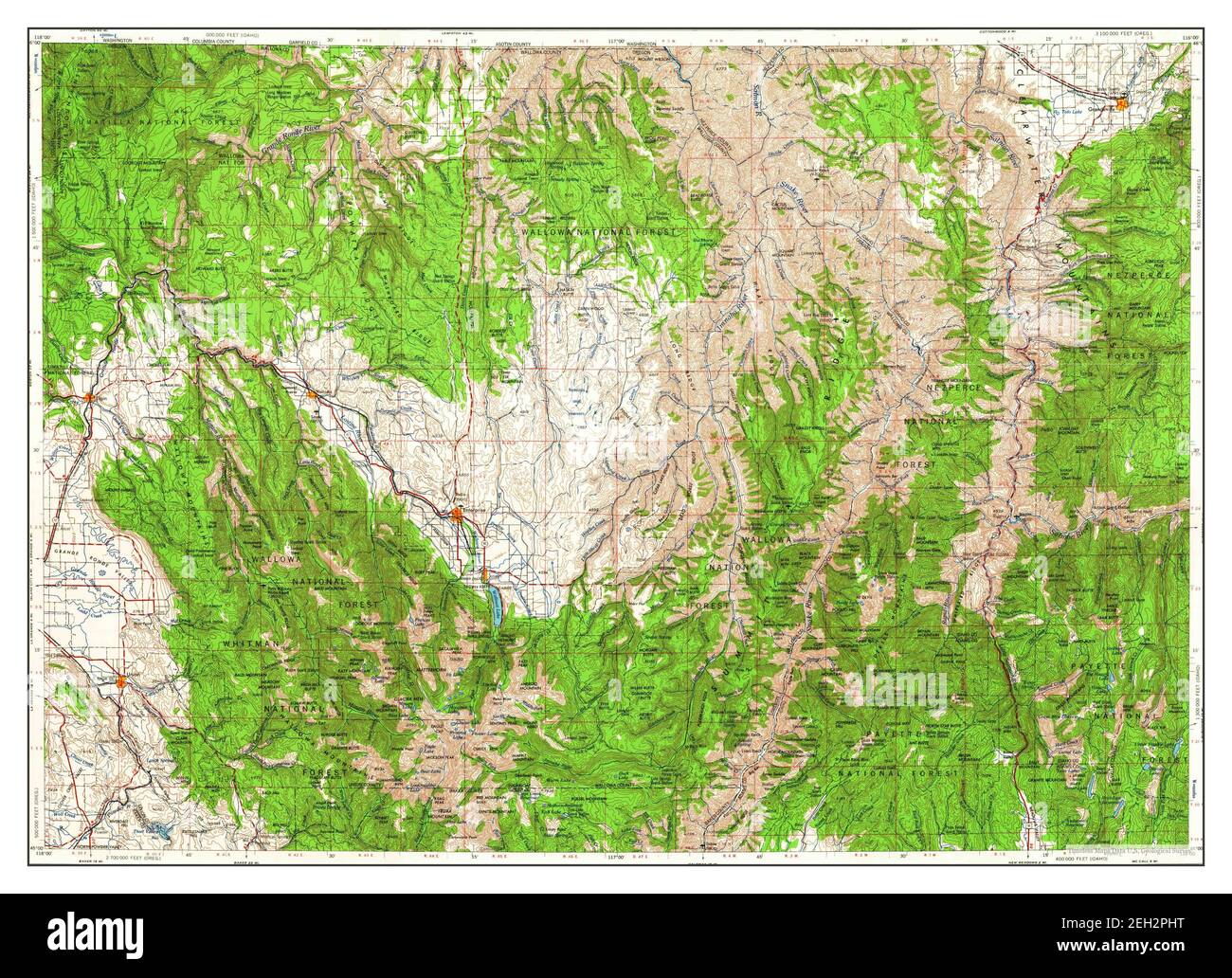 Grangeville, Idaho, map 1955, 1:250000, United States of America by Timeless Maps, data U.S. Geological Survey Stock Photohttps://www.alamy.com/image-license-details/?v=1https://www.alamy.com/grangeville-idaho-map-1955-1250000-united-states-of-america-by-timeless-maps-data-us-geological-survey-image406349268.html
RM2EH2PHT–Grangeville, Idaho, map 1955, 1:250000, United States of America by Timeless Maps, data U.S. Geological Survey
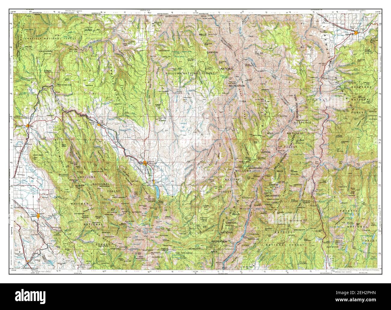 Grangeville, Idaho, map 1955, 1:250000, United States of America by Timeless Maps, data U.S. Geological Survey Stock Photohttps://www.alamy.com/image-license-details/?v=1https://www.alamy.com/grangeville-idaho-map-1955-1250000-united-states-of-america-by-timeless-maps-data-us-geological-survey-image406349265.html
RM2EH2PHN–Grangeville, Idaho, map 1955, 1:250000, United States of America by Timeless Maps, data U.S. Geological Survey
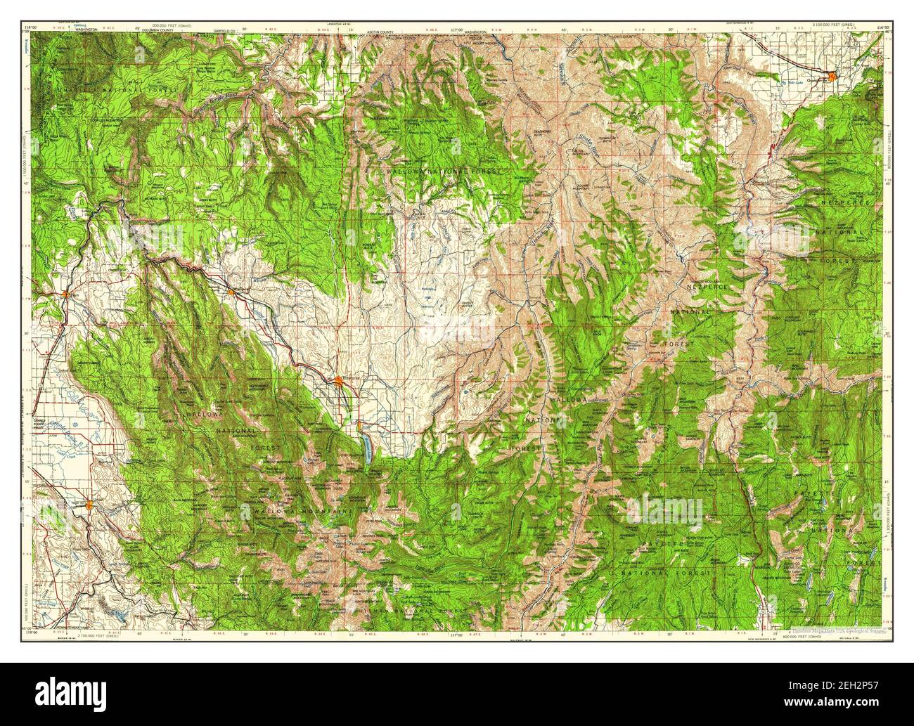 Grangeville, Idaho, map 1959, 1:250000, United States of America by Timeless Maps, data U.S. Geological Survey Stock Photohttps://www.alamy.com/image-license-details/?v=1https://www.alamy.com/grangeville-idaho-map-1959-1250000-united-states-of-america-by-timeless-maps-data-us-geological-survey-image406348915.html
RM2EH2P57–Grangeville, Idaho, map 1959, 1:250000, United States of America by Timeless Maps, data U.S. Geological Survey
 Grangeville, Idaho, map 1955, 1:250000, United States of America by Timeless Maps, data U.S. Geological Survey Stock Photohttps://www.alamy.com/image-license-details/?v=1https://www.alamy.com/grangeville-idaho-map-1955-1250000-united-states-of-america-by-timeless-maps-data-us-geological-survey-image406349255.html
RM2EH2PHB–Grangeville, Idaho, map 1955, 1:250000, United States of America by Timeless Maps, data U.S. Geological Survey
 Grangeville, Idaho, map 1955, 1:250000, United States of America by Timeless Maps, data U.S. Geological Survey Stock Photohttps://www.alamy.com/image-license-details/?v=1https://www.alamy.com/grangeville-idaho-map-1955-1250000-united-states-of-america-by-timeless-maps-data-us-geological-survey-image406349302.html
RM2EH2PK2–Grangeville, Idaho, map 1955, 1:250000, United States of America by Timeless Maps, data U.S. Geological Survey
 Grangeville, Idaho, map 1959, 1:250000, United States of America by Timeless Maps, data U.S. Geological Survey Stock Photohttps://www.alamy.com/image-license-details/?v=1https://www.alamy.com/grangeville-idaho-map-1959-1250000-united-states-of-america-by-timeless-maps-data-us-geological-survey-image406349260.html
RM2EH2PHG–Grangeville, Idaho, map 1959, 1:250000, United States of America by Timeless Maps, data U.S. Geological Survey
 Grangeville, Idaho, map 1980, 1:100000, United States of America by Timeless Maps, data U.S. Geological Survey Stock Photohttps://www.alamy.com/image-license-details/?v=1https://www.alamy.com/grangeville-idaho-map-1980-1100000-united-states-of-america-by-timeless-maps-data-us-geological-survey-image406349246.html
RM2EH2PH2–Grangeville, Idaho, map 1980, 1:100000, United States of America by Timeless Maps, data U.S. Geological Survey
 Grangeville West, Idaho, map 1963, 1:24000, United States of America by Timeless Maps, data U.S. Geological Survey Stock Photohttps://www.alamy.com/image-license-details/?v=1https://www.alamy.com/grangeville-west-idaho-map-1963-124000-united-states-of-america-by-timeless-maps-data-us-geological-survey-image406348917.html
RM2EH2P59–Grangeville West, Idaho, map 1963, 1:24000, United States of America by Timeless Maps, data U.S. Geological Survey
 Grangeville West, Idaho, map 1963, 1:24000, United States of America by Timeless Maps, data U.S. Geological Survey Stock Photohttps://www.alamy.com/image-license-details/?v=1https://www.alamy.com/grangeville-west-idaho-map-1963-124000-united-states-of-america-by-timeless-maps-data-us-geological-survey-image406348903.html
RM2EH2P4R–Grangeville West, Idaho, map 1963, 1:24000, United States of America by Timeless Maps, data U.S. Geological Survey
 Grangeville West, Idaho, map 1995, 1:24000, United States of America by Timeless Maps, data U.S. Geological Survey Stock Photohttps://www.alamy.com/image-license-details/?v=1https://www.alamy.com/grangeville-west-idaho-map-1995-124000-united-states-of-america-by-timeless-maps-data-us-geological-survey-image406348913.html
RM2EH2P55–Grangeville West, Idaho, map 1995, 1:24000, United States of America by Timeless Maps, data U.S. Geological Survey
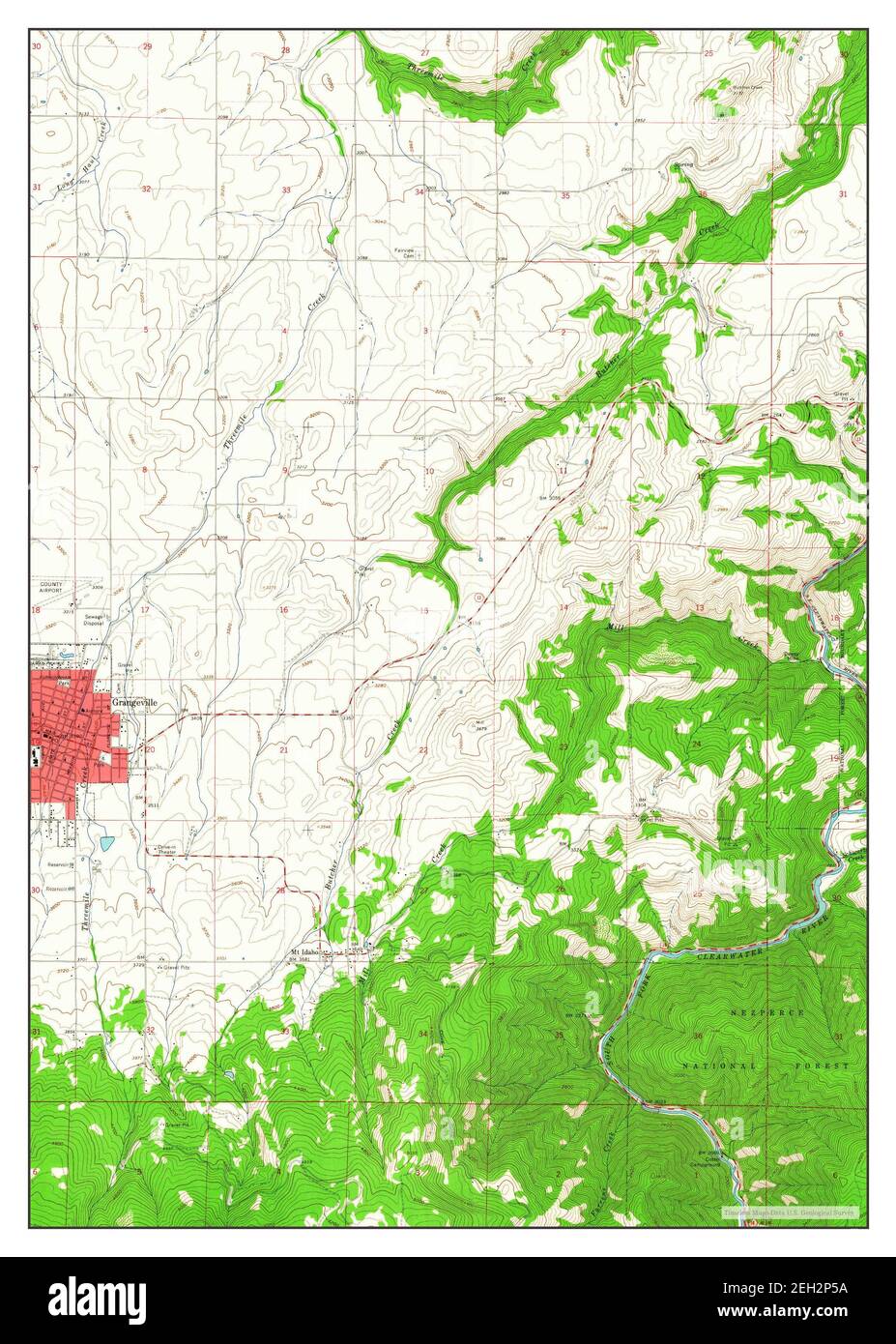 Grangeville East, Idaho, map 1963, 1:24000, United States of America by Timeless Maps, data U.S. Geological Survey Stock Photohttps://www.alamy.com/image-license-details/?v=1https://www.alamy.com/grangeville-east-idaho-map-1963-124000-united-states-of-america-by-timeless-maps-data-us-geological-survey-image406348918.html
RM2EH2P5A–Grangeville East, Idaho, map 1963, 1:24000, United States of America by Timeless Maps, data U.S. Geological Survey
 Grangeville East, Idaho, map 1995, 1:24000, United States of America by Timeless Maps, data U.S. Geological Survey Stock Photohttps://www.alamy.com/image-license-details/?v=1https://www.alamy.com/grangeville-east-idaho-map-1995-124000-united-states-of-america-by-timeless-maps-data-us-geological-survey-image406348914.html
RM2EH2P56–Grangeville East, Idaho, map 1995, 1:24000, United States of America by Timeless Maps, data U.S. Geological Survey