Great britain map illustrated Stock Photos and Images
(760)See great britain map illustrated stock video clipsQuick filters:
Great britain map illustrated Stock Photos and Images
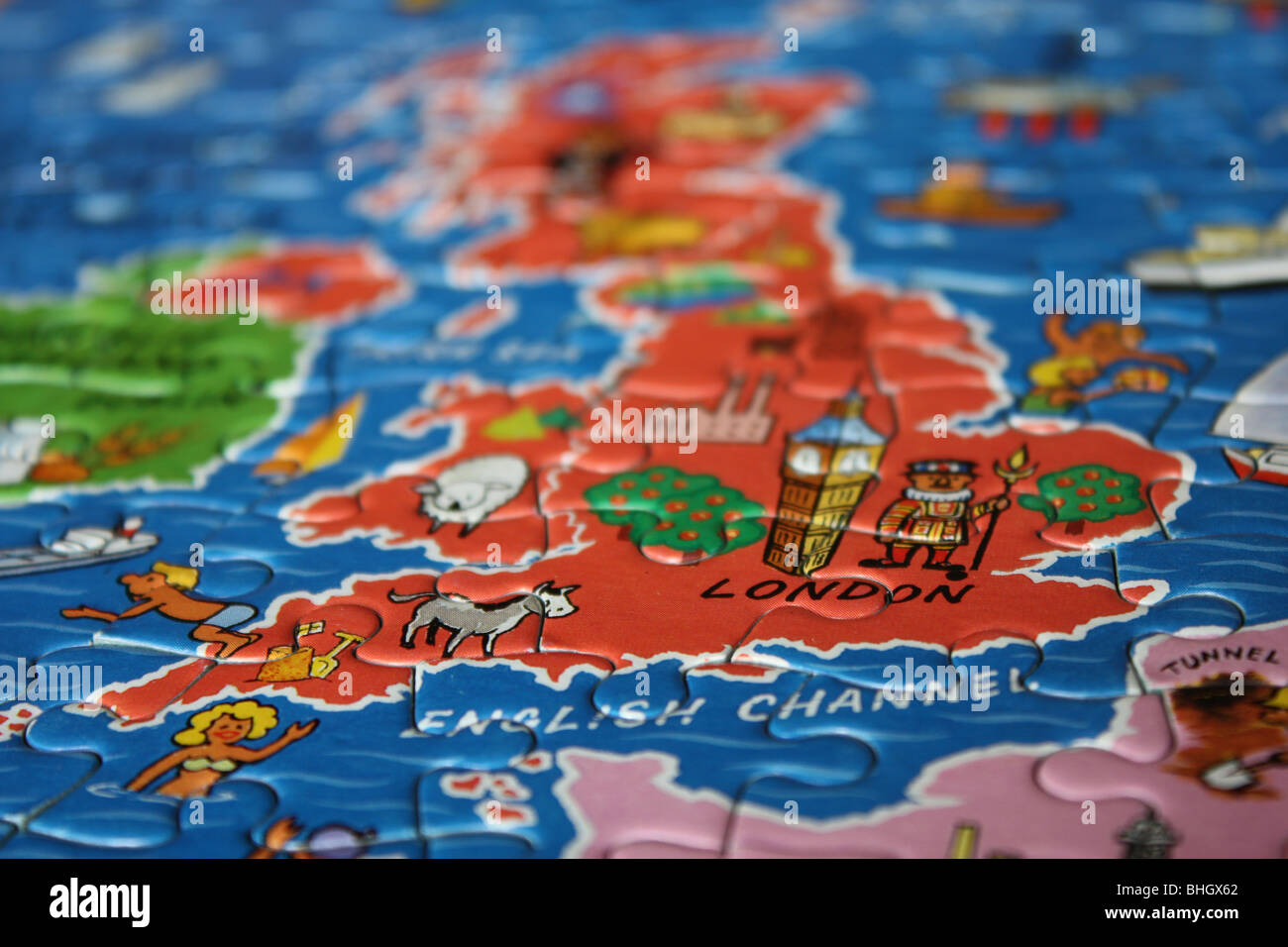 jigsaw image of england and UK Stock Photohttps://www.alamy.com/image-license-details/?v=1https://www.alamy.com/stock-photo-jigsaw-image-of-england-and-uk-28031306.html
RMBHGX62–jigsaw image of england and UK
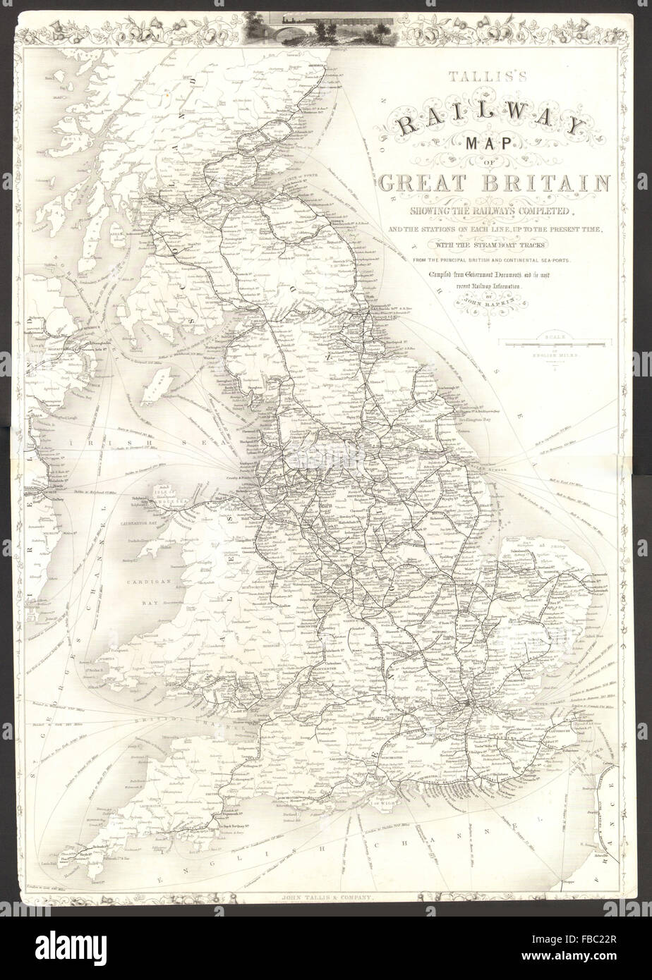 'Tallis's Railway Map of Great Britain'. Antique map by John RAPKIN, 1851 Stock Photohttps://www.alamy.com/image-license-details/?v=1https://www.alamy.com/stock-photo-talliss-railway-map-of-great-britain-antique-map-by-john-rapkin-1851-93078127.html
RFFBC22R–'Tallis's Railway Map of Great Britain'. Antique map by John RAPKIN, 1851
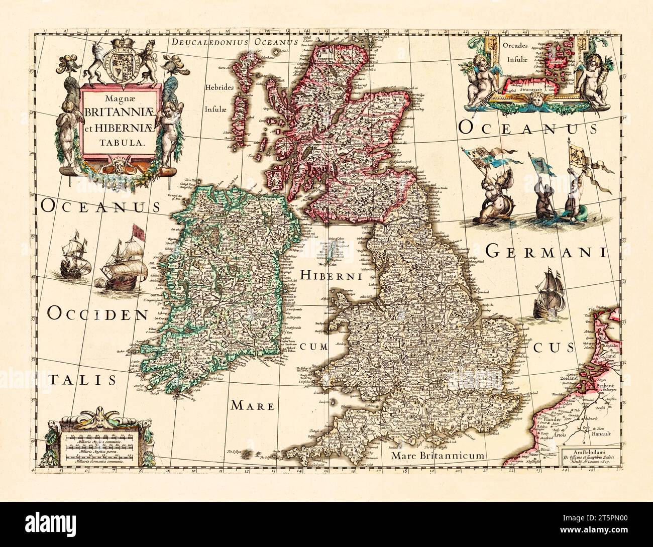 Great Britain and Ireland old map. By Hondius, publ. In 1617 Stock Photohttps://www.alamy.com/image-license-details/?v=1https://www.alamy.com/great-britain-and-ireland-old-map-by-hondius-publ-in-1617-image571514832.html
RF2T5PN00–Great Britain and Ireland old map. By Hondius, publ. In 1617
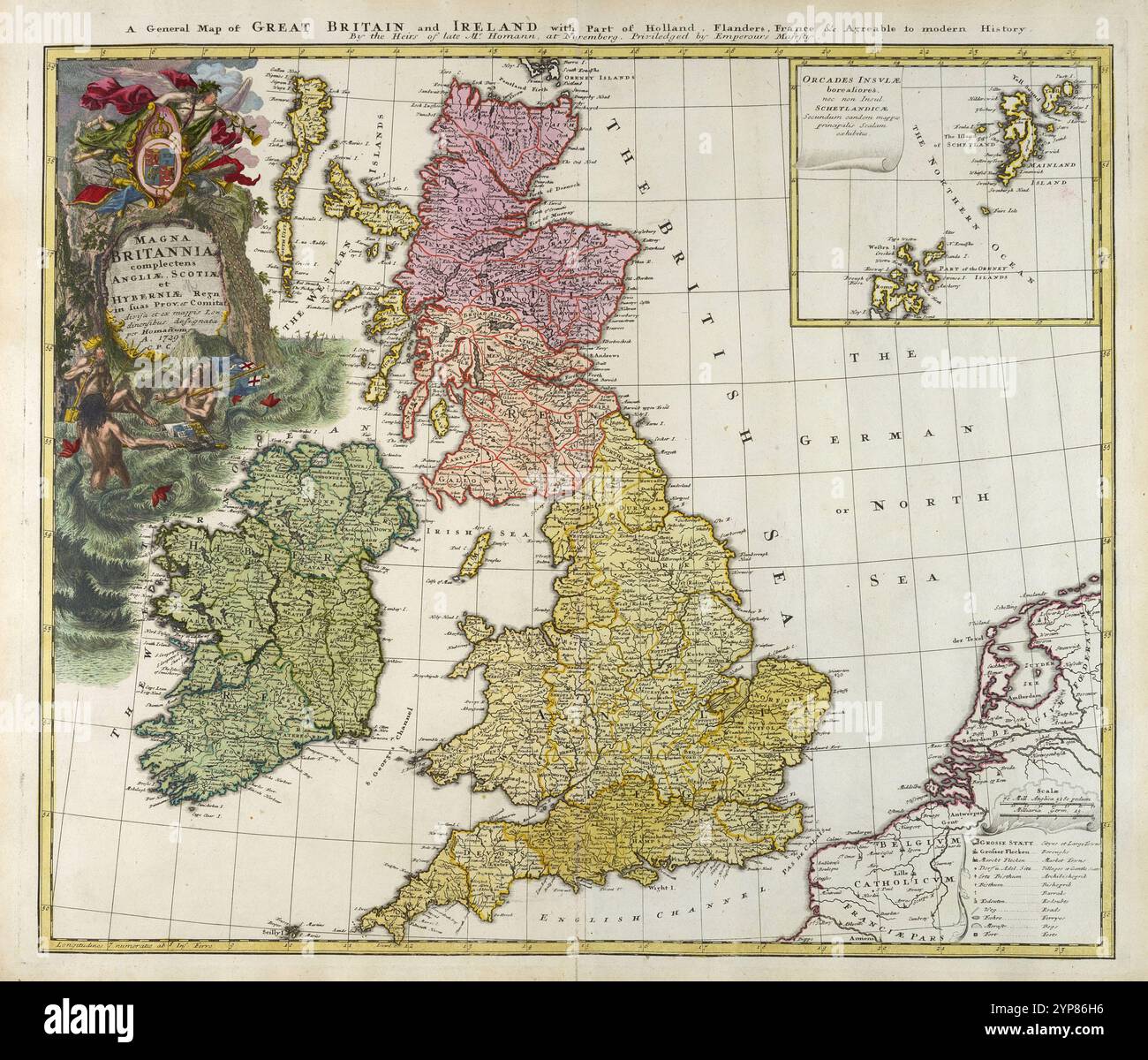 Vintage map of Great Britain and Ireland, 1729. based on work of Johann Baptist Homann Stock Photohttps://www.alamy.com/image-license-details/?v=1https://www.alamy.com/vintage-map-of-great-britain-and-ireland-1729-based-on-work-of-johann-baptist-homann-image633276482.html
RM2YP86H6–Vintage map of Great Britain and Ireland, 1729. based on work of Johann Baptist Homann
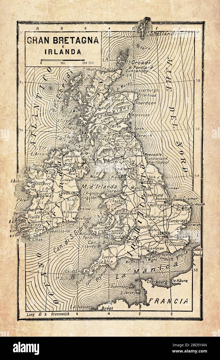 Ancient map of Great Britain and Ireland islands in the North Atlantic Ocean with the British Isles archipelago, with geographical Italian names and descriptions Stock Photohttps://www.alamy.com/image-license-details/?v=1https://www.alamy.com/ancient-map-of-great-britain-and-ireland-islands-in-the-north-atlantic-ocean-with-the-british-isles-archipelago-with-geographical-italian-names-and-descriptions-image352329117.html
RF2BD5YAN–Ancient map of Great Britain and Ireland islands in the North Atlantic Ocean with the British Isles archipelago, with geographical Italian names and descriptions
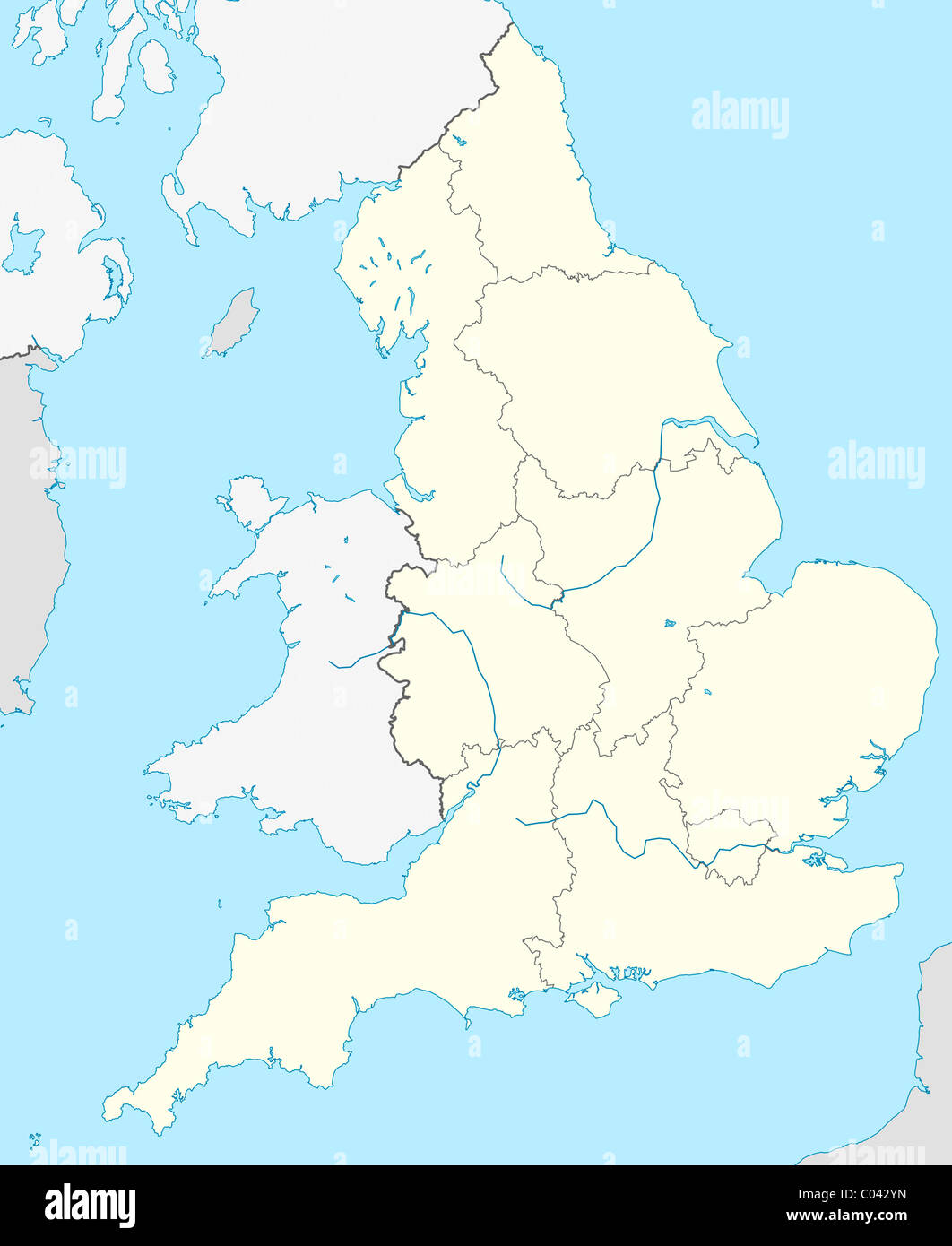 Illustrated map of the country of England in Europe. Stock Photohttps://www.alamy.com/image-license-details/?v=1https://www.alamy.com/stock-photo-illustrated-map-of-the-country-of-england-in-europe-34510889.html
RMC042YN–Illustrated map of the country of England in Europe.
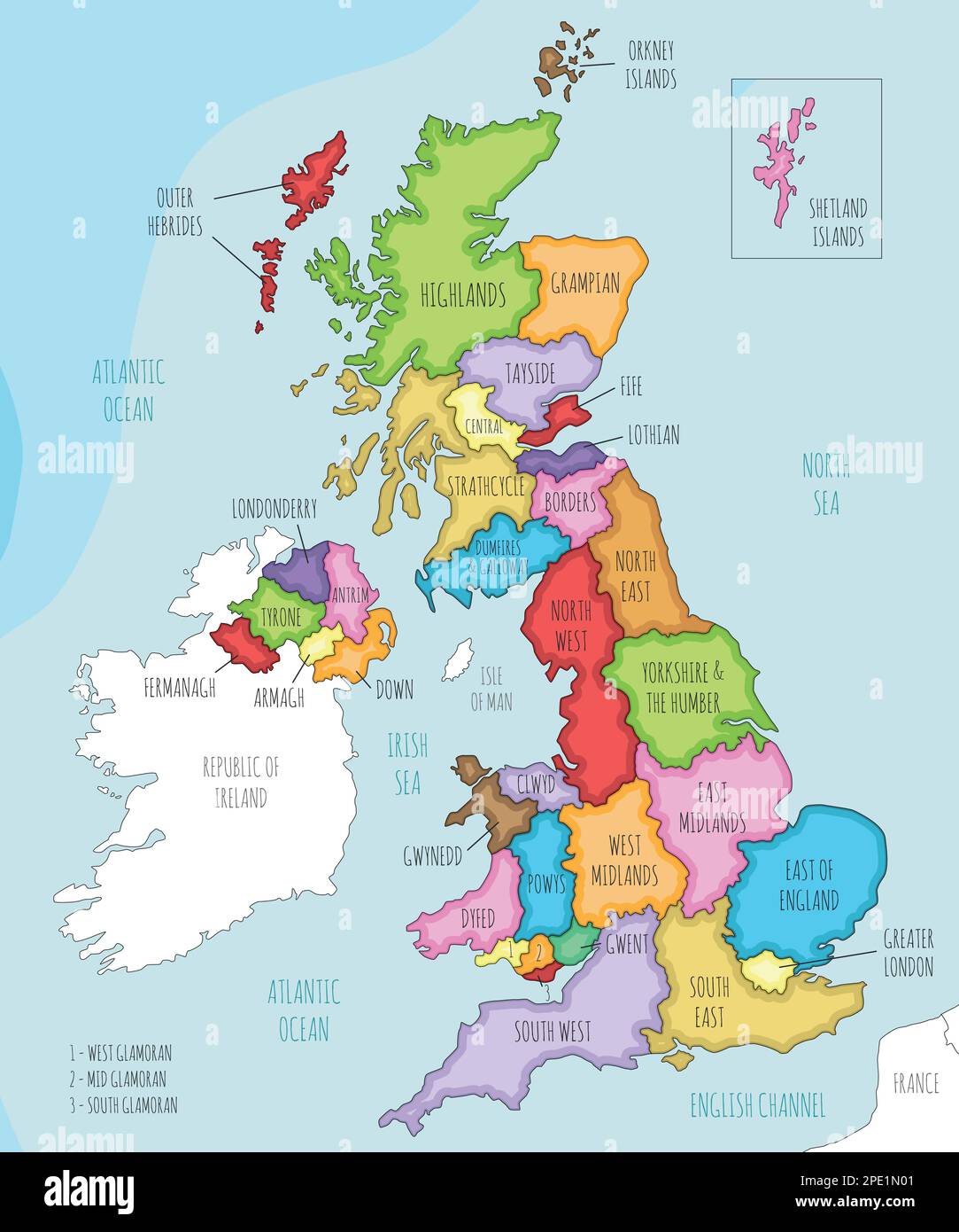 Vector illustrated map of UK with administrative divisions, and neighbouring countries. Editable and clearly labeled layers. Stock Vectorhttps://www.alamy.com/image-license-details/?v=1https://www.alamy.com/vector-illustrated-map-of-uk-with-administrative-divisions-and-neighbouring-countries-editable-and-clearly-labeled-layers-image542165009.html
RF2PE1N01–Vector illustrated map of UK with administrative divisions, and neighbouring countries. Editable and clearly labeled layers.
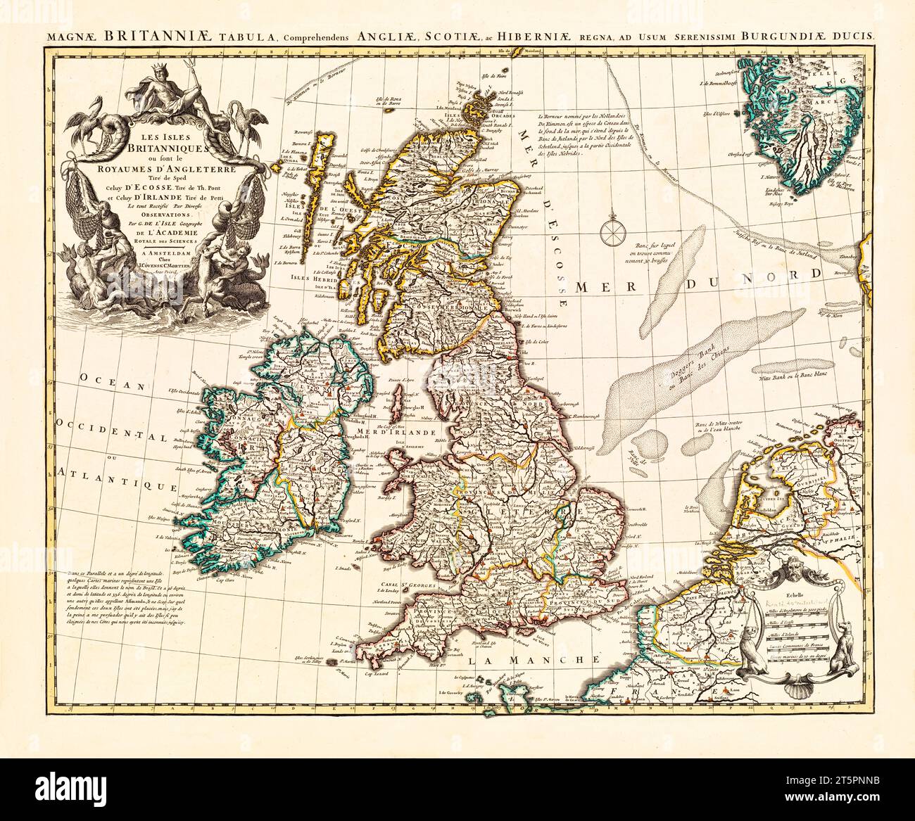 Old map of British Isles. By L'Isle, publ. in 1754 Stock Photohttps://www.alamy.com/image-license-details/?v=1https://www.alamy.com/old-map-of-british-isles-by-lisle-publ-in-1754-image571515431.html
RF2T5PNNB–Old map of British Isles. By L'Isle, publ. in 1754
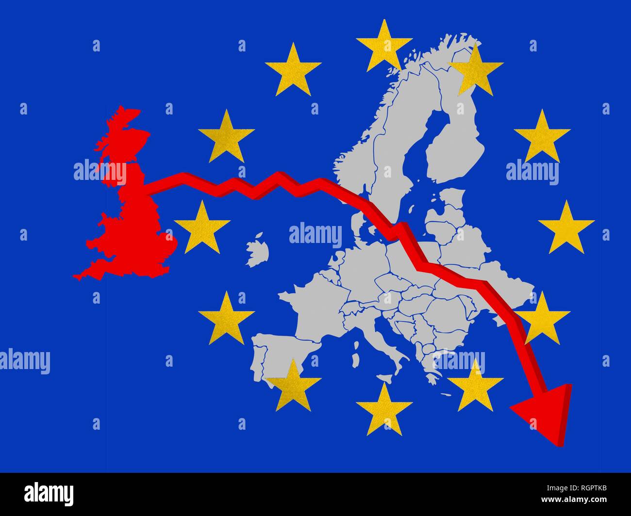 Brexit, Great Britain leaving the EU, map, Germany Stock Photohttps://www.alamy.com/image-license-details/?v=1https://www.alamy.com/brexit-great-britain-leaving-the-eu-map-germany-image234071583.html
RFRGPTKB–Brexit, Great Britain leaving the EU, map, Germany
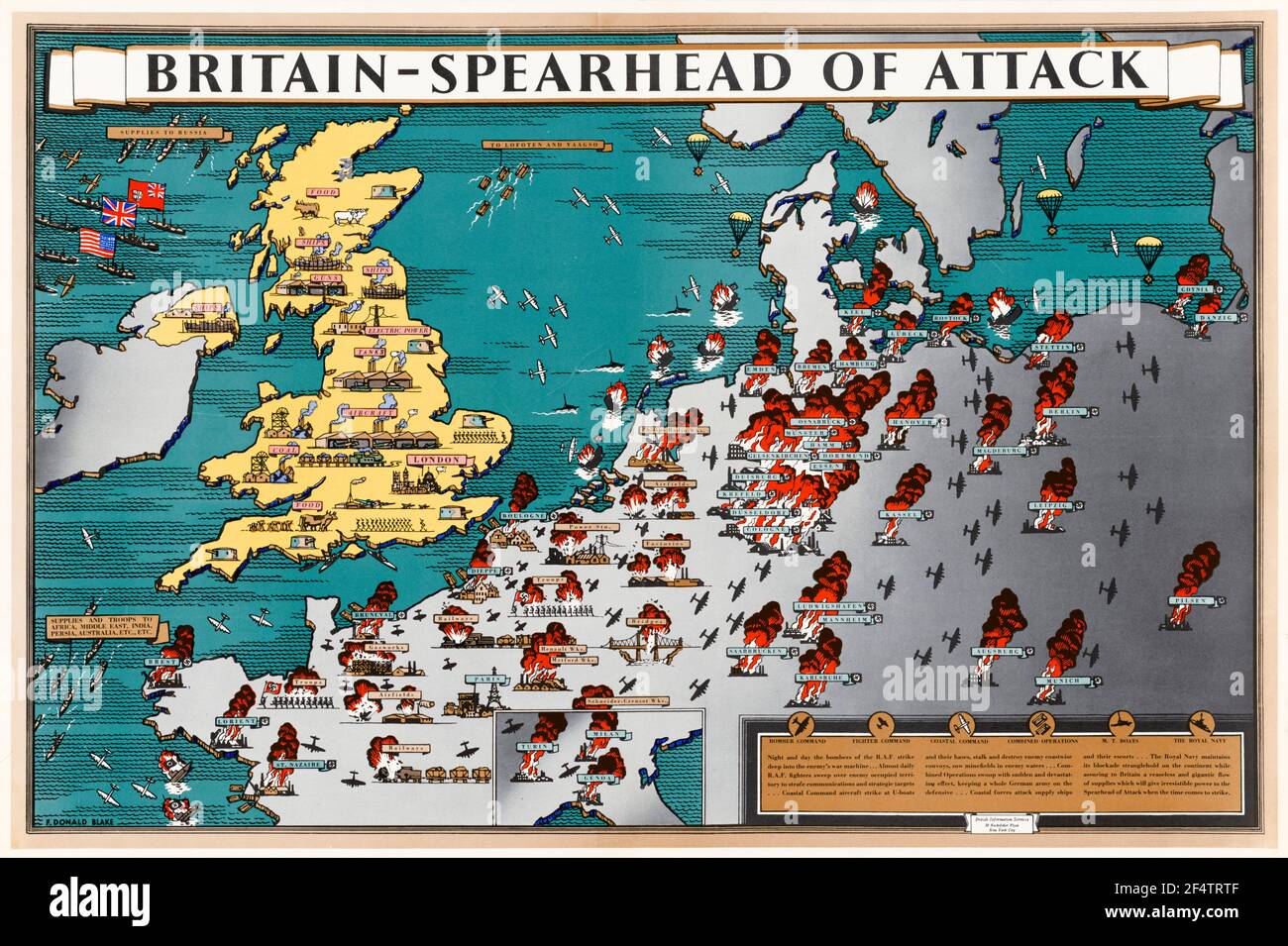 British, WW2, Britain: Spearhead of Attack, Poster Map showing how wartime manufacture helped military action liberate occupied Europe, 1942-1945 Stock Photohttps://www.alamy.com/image-license-details/?v=1https://www.alamy.com/british-ww2-britain-spearhead-of-attack-poster-map-showing-how-wartime-manufacture-helped-military-action-liberate-occupied-europe-1942-1945-image416053023.html
RM2F4TRTF–British, WW2, Britain: Spearhead of Attack, Poster Map showing how wartime manufacture helped military action liberate occupied Europe, 1942-1945
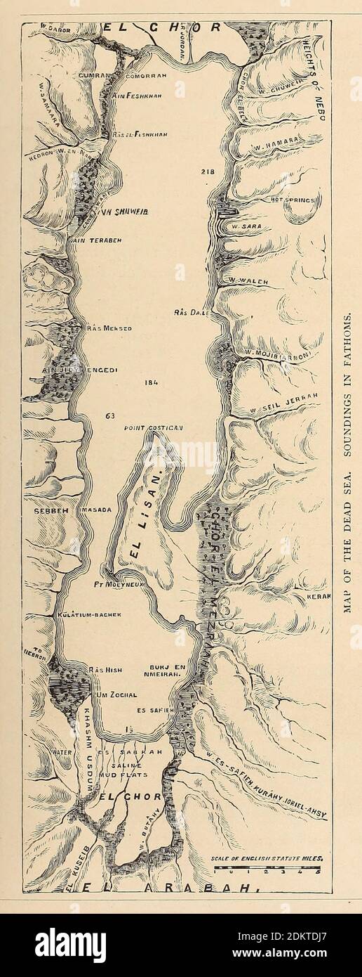 Map of the Dead Sea From the book 'Those holy fields : Palestine, illustrated by pen and pencil' by Manning, Samuel, 1822-1881; Religious Tract Society (Great Britain) Published in 1874 Stock Photohttps://www.alamy.com/image-license-details/?v=1https://www.alamy.com/map-of-the-dead-sea-from-the-book-those-holy-fields-palestine-illustrated-by-pen-and-pencil-by-manning-samuel-1822-1881-religious-tract-society-great-britain-published-in-1874-image390844111.html
RF2DKTDJ7–Map of the Dead Sea From the book 'Those holy fields : Palestine, illustrated by pen and pencil' by Manning, Samuel, 1822-1881; Religious Tract Society (Great Britain) Published in 1874
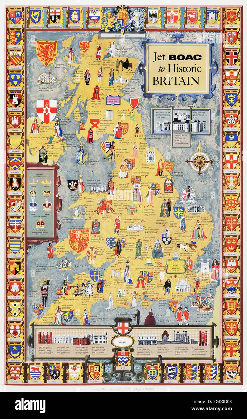 Vintage Travel Poster, Jet Boac to Historic Britain. (British Travel Association, 1969). Describing and illustrating historical families, facts etc. Stock Photohttps://www.alamy.com/image-license-details/?v=1https://www.alamy.com/vintage-travel-poster-jet-boac-to-historic-britain-british-travel-association-1969-describing-and-illustrating-historical-families-facts-etc-image438259923.html
RM2GD0D03–Vintage Travel Poster, Jet Boac to Historic Britain. (British Travel Association, 1969). Describing and illustrating historical families, facts etc.
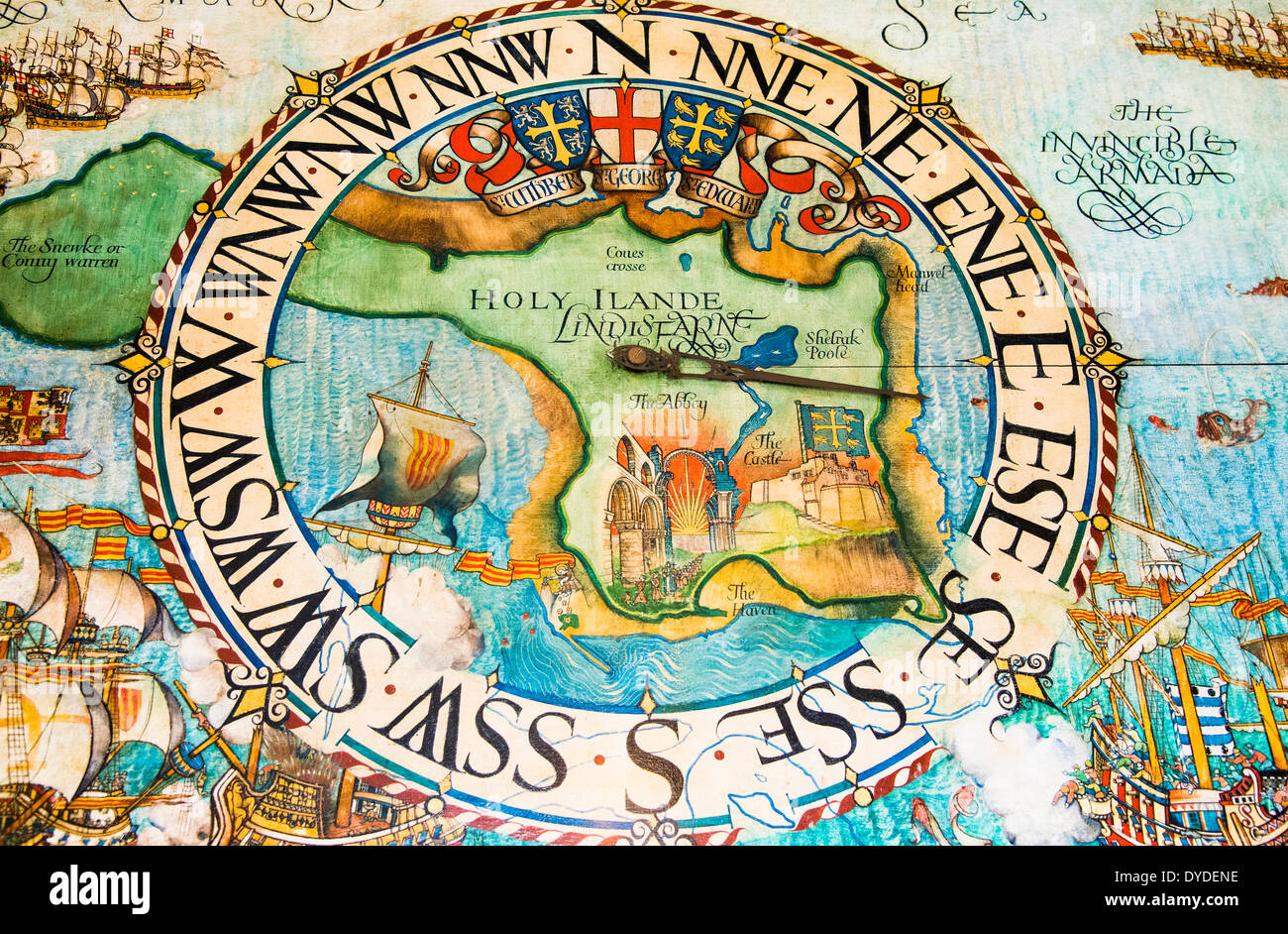 An illustrated map at Lindisfarne Castle. Stock Photohttps://www.alamy.com/image-license-details/?v=1https://www.alamy.com/an-illustrated-map-at-lindisfarne-castle-image68523770.html
RMDYDENE–An illustrated map at Lindisfarne Castle.
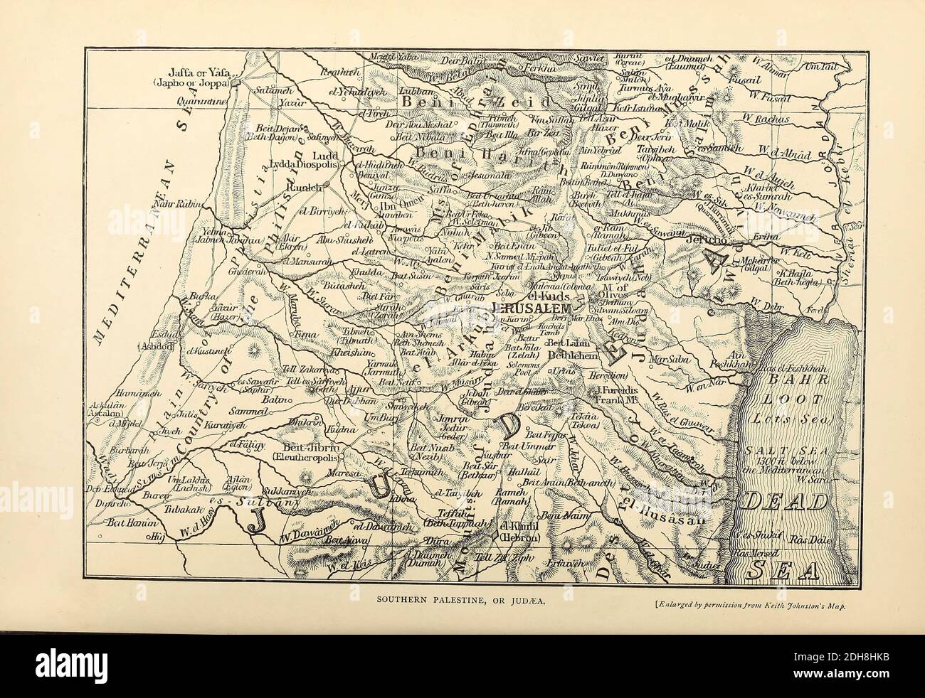 Ancient 19th Century map of Southern Palestine or Judaea From the book 'Those holy fields : Palestine, illustrated by pen and pencil' by Manning, Samuel, 1822-1881; Religious Tract Society (Great Britain) Published in 1873 Stock Photohttps://www.alamy.com/image-license-details/?v=1https://www.alamy.com/ancient-19th-century-map-of-southern-palestine-or-judaea-from-the-book-those-holy-fields-palestine-illustrated-by-pen-and-pencil-by-manning-samuel-1822-1881-religious-tract-society-great-britain-published-in-1873-image389266735.html
RF2DH8HKB–Ancient 19th Century map of Southern Palestine or Judaea From the book 'Those holy fields : Palestine, illustrated by pen and pencil' by Manning, Samuel, 1822-1881; Religious Tract Society (Great Britain) Published in 1873
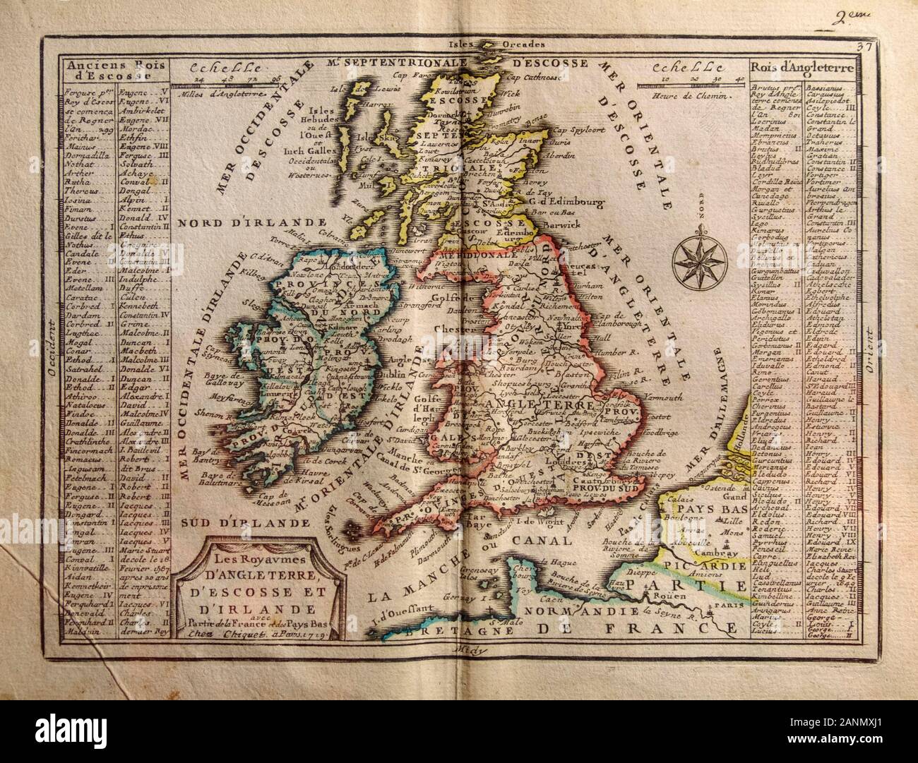 Map of 1719 with the kingdoms of England, Scotland and Ireland and the name of their kings. From Part of France and the Netherlands 1719. Stock Photohttps://www.alamy.com/image-license-details/?v=1https://www.alamy.com/map-of-1719-with-the-kingdoms-of-england-scotland-and-ireland-and-the-name-of-their-kings-from-part-of-france-and-the-netherlands-1719-image340364697.html
RM2ANMXJ1–Map of 1719 with the kingdoms of England, Scotland and Ireland and the name of their kings. From Part of France and the Netherlands 1719.
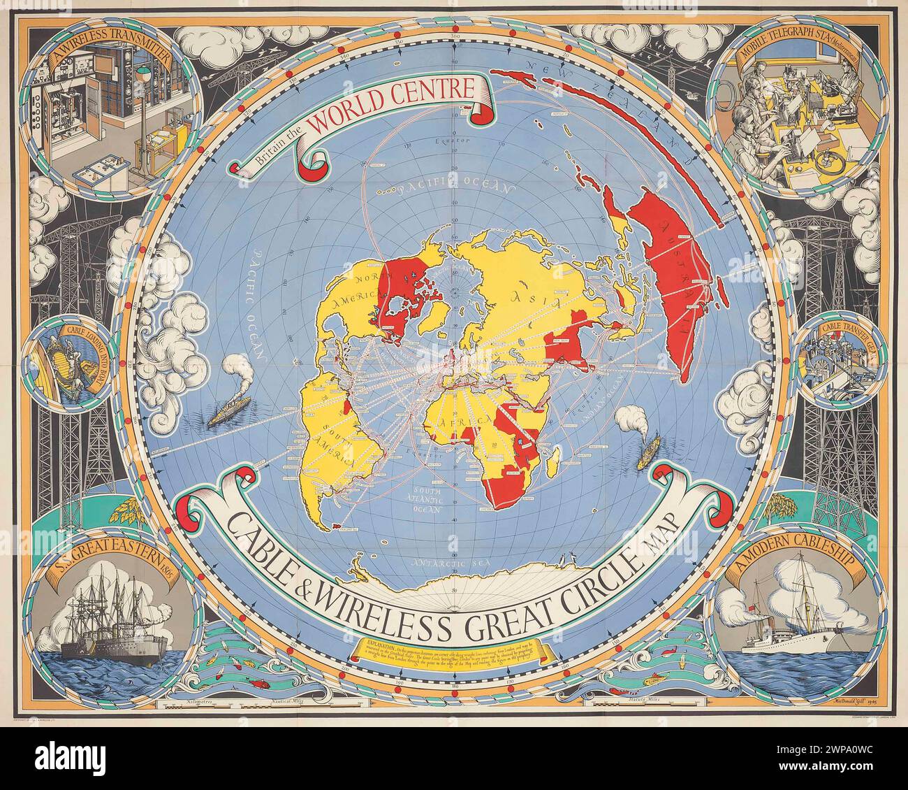 Vintage Illustrated Specialised Map. Britain The World Centre, Cable and Wireless Great Circle Map by MacDonald Gill lithograph in colours, 1945. Shows a map of world centred on London, with lines to world cable connections, as will as border image illustrations of various processes involved. Stock Photohttps://www.alamy.com/image-license-details/?v=1https://www.alamy.com/vintage-illustrated-specialised-map-britain-the-world-centre-cable-and-wireless-great-circle-map-by-macdonald-gill-lithograph-in-colours-1945-shows-a-map-of-world-centred-on-london-with-lines-to-world-cable-connections-as-will-as-border-image-illustrations-of-various-processes-involved-image598895176.html
RM2WPA0WC–Vintage Illustrated Specialised Map. Britain The World Centre, Cable and Wireless Great Circle Map by MacDonald Gill lithograph in colours, 1945. Shows a map of world centred on London, with lines to world cable connections, as will as border image illustrations of various processes involved.
![An IMPROVED MAP of the COUNTY of STAFFORD Divided into its HUNDREDS Collected from the best materials, and Illustrated with various additional Improvements with Historical Extracts, relating to its Natural Produc Author Bowen, Emanuel 38.38. Place of publication: [London] Publisher: Sold by I Hinton at the Kings Arms in St. Pauls Church Yard London. Date of publication: 1749. Item type: 1 map Medium: copperplate engraving, hand colour Dimensions: 65.8 x 50.3 cm Former owner: George III, King of Great Britain, 1738-1820 Stock Photo An IMPROVED MAP of the COUNTY of STAFFORD Divided into its HUNDREDS Collected from the best materials, and Illustrated with various additional Improvements with Historical Extracts, relating to its Natural Produc Author Bowen, Emanuel 38.38. Place of publication: [London] Publisher: Sold by I Hinton at the Kings Arms in St. Pauls Church Yard London. Date of publication: 1749. Item type: 1 map Medium: copperplate engraving, hand colour Dimensions: 65.8 x 50.3 cm Former owner: George III, King of Great Britain, 1738-1820 Stock Photo](https://c8.alamy.com/comp/2E9HP81/an-improved-map-of-the-county-of-stafford-divided-into-its-hundreds-collected-from-the-best-materials-and-illustrated-with-various-additional-improvements-with-historical-extracts-relating-to-its-natural-produc-author-bowen-emanuel-3838-place-of-publication-london-publisher-sold-by-i-hinton-at-the-kings-arms-in-st-pauls-church-yard-london-date-of-publication-1749-item-type-1-map-medium-copperplate-engraving-hand-colour-dimensions-658-x-503-cm-former-owner-george-iii-king-of-great-britain-1738-1820-2E9HP81.jpg) An IMPROVED MAP of the COUNTY of STAFFORD Divided into its HUNDREDS Collected from the best materials, and Illustrated with various additional Improvements with Historical Extracts, relating to its Natural Produc Author Bowen, Emanuel 38.38. Place of publication: [London] Publisher: Sold by I Hinton at the Kings Arms in St. Pauls Church Yard London. Date of publication: 1749. Item type: 1 map Medium: copperplate engraving, hand colour Dimensions: 65.8 x 50.3 cm Former owner: George III, King of Great Britain, 1738-1820 Stock Photohttps://www.alamy.com/image-license-details/?v=1https://www.alamy.com/an-improved-map-of-the-county-of-stafford-divided-into-its-hundreds-collected-from-the-best-materials-and-illustrated-with-various-additional-improvements-with-historical-extracts-relating-to-its-natural-produc-author-bowen-emanuel-3838-place-of-publication-london-publisher-sold-by-i-hinton-at-the-kings-arms-in-st-pauls-church-yard-london-date-of-publication-1749-item-type-1-map-medium-copperplate-engraving-hand-colour-dimensions-658-x-503-cm-former-owner-george-iii-king-of-great-britain-1738-1820-image401761025.html
An IMPROVED MAP of the COUNTY of STAFFORD Divided into its HUNDREDS Collected from the best materials, and Illustrated with various additional Improvements with Historical Extracts, relating to its Natural Produc Author Bowen, Emanuel 38.38. Place of publication: [London] Publisher: Sold by I Hinton at the Kings Arms in St. Pauls Church Yard London. Date of publication: 1749. Item type: 1 map Medium: copperplate engraving, hand colour Dimensions: 65.8 x 50.3 cm Former owner: George III, King of Great Britain, 1738-1820 Stock Photohttps://www.alamy.com/image-license-details/?v=1https://www.alamy.com/an-improved-map-of-the-county-of-stafford-divided-into-its-hundreds-collected-from-the-best-materials-and-illustrated-with-various-additional-improvements-with-historical-extracts-relating-to-its-natural-produc-author-bowen-emanuel-3838-place-of-publication-london-publisher-sold-by-i-hinton-at-the-kings-arms-in-st-pauls-church-yard-london-date-of-publication-1749-item-type-1-map-medium-copperplate-engraving-hand-colour-dimensions-658-x-503-cm-former-owner-george-iii-king-of-great-britain-1738-1820-image401761025.htmlRM2E9HP81–An IMPROVED MAP of the COUNTY of STAFFORD Divided into its HUNDREDS Collected from the best materials, and Illustrated with various additional Improvements with Historical Extracts, relating to its Natural Produc Author Bowen, Emanuel 38.38. Place of publication: [London] Publisher: Sold by I Hinton at the Kings Arms in St. Pauls Church Yard London. Date of publication: 1749. Item type: 1 map Medium: copperplate engraving, hand colour Dimensions: 65.8 x 50.3 cm Former owner: George III, King of Great Britain, 1738-1820
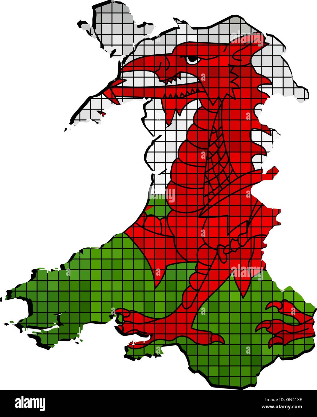 Wales map with flag inside Stock Vectorhttps://www.alamy.com/image-license-details/?v=1https://www.alamy.com/stock-photo-wales-map-with-flag-inside-116259318.html
RFGN41XE–Wales map with flag inside
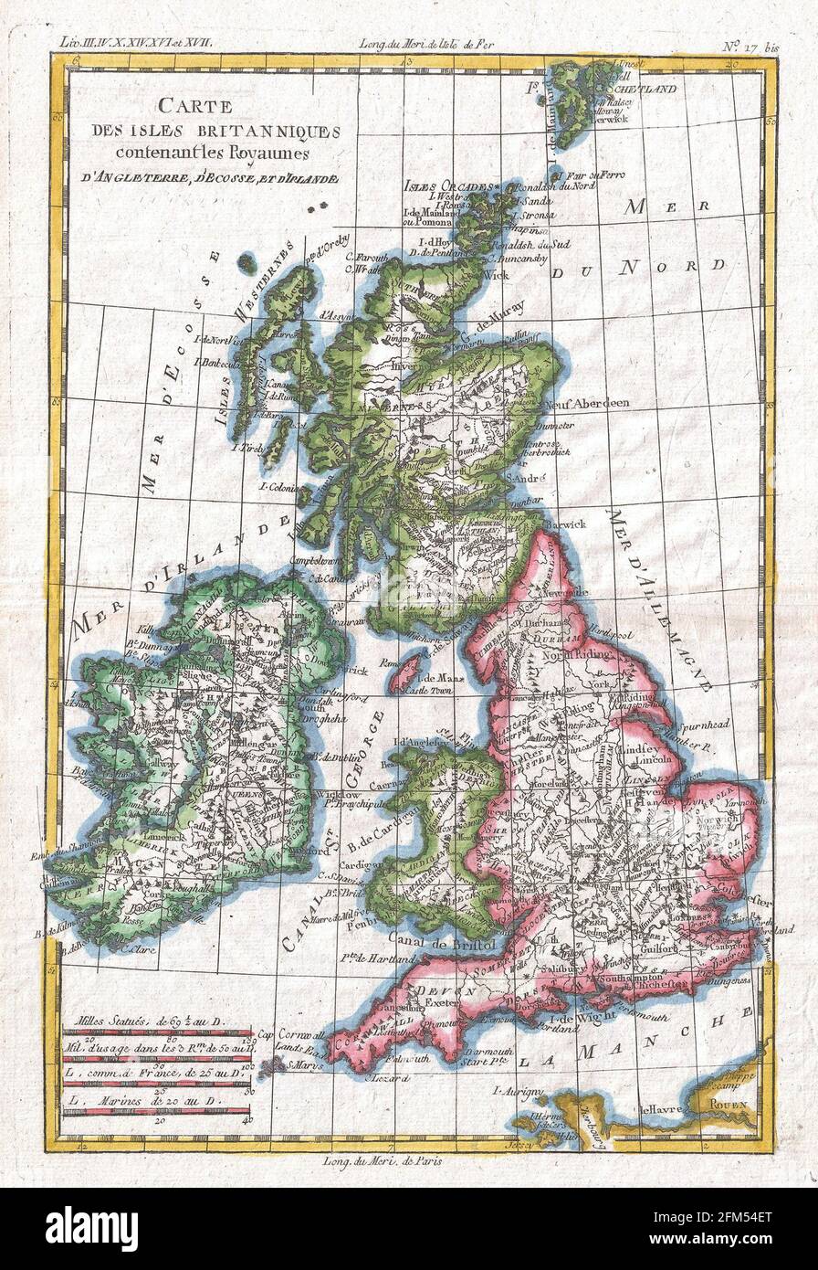 Vintage copper engraved map of Great Britain from 18th century. All maps are beautifully colored and illustrated showing the world at the time. Stock Photohttps://www.alamy.com/image-license-details/?v=1https://www.alamy.com/vintage-copper-engraved-map-of-great-britain-from-18th-century-all-maps-are-beautifully-colored-and-illustrated-showing-the-world-at-the-time-image425455264.html
RF2FM54ET–Vintage copper engraved map of Great Britain from 18th century. All maps are beautifully colored and illustrated showing the world at the time.
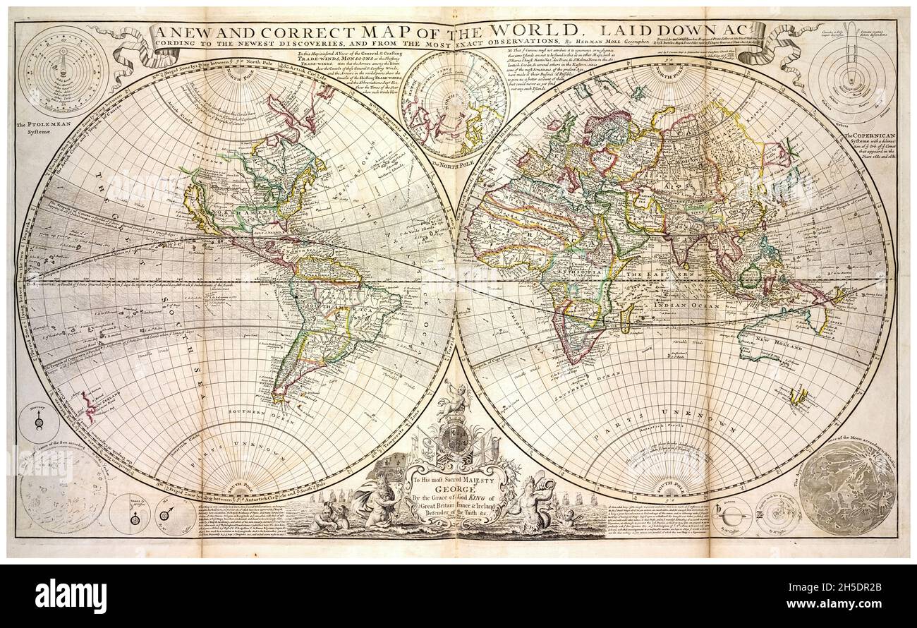 18th Century vintage World Map by Herman Moll, circa 1736 Stock Photohttps://www.alamy.com/image-license-details/?v=1https://www.alamy.com/18th-century-vintage-world-map-by-herman-moll-circa-1736-image450846323.html
RM2H5DR2B–18th Century vintage World Map by Herman Moll, circa 1736
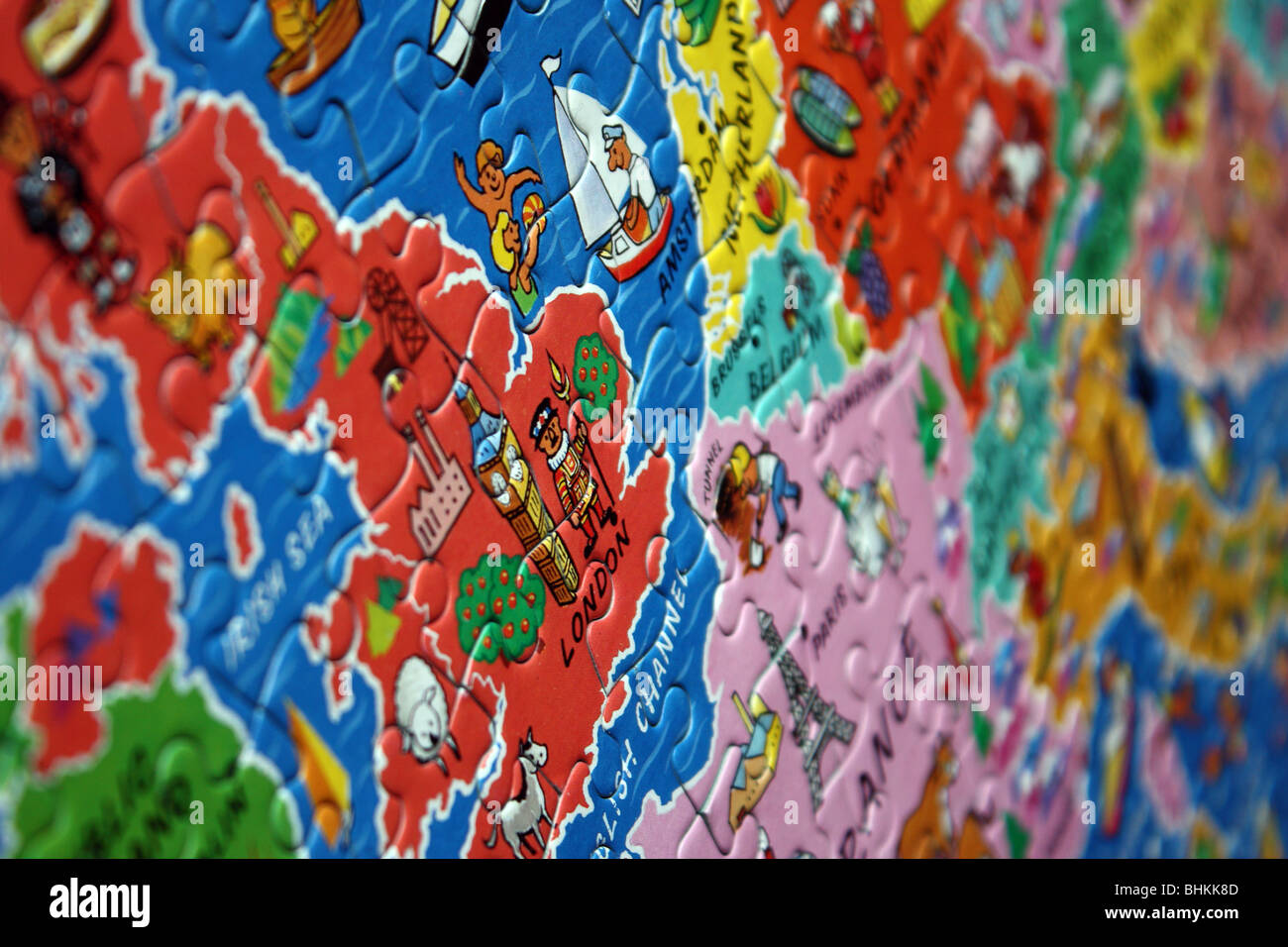 child's jigsaw puzzle image of Britain Stock Photohttps://www.alamy.com/image-license-details/?v=1https://www.alamy.com/stock-photo-childs-jigsaw-puzzle-image-of-britain-28091741.html
RMBHKK8D–child's jigsaw puzzle image of Britain
 Index entomologicus, or, A complete illustrated catalogue, consisting of 1944 figures, of the lepidopterous insects of Great Britain (Pl. 14) (6055590687) Stock Photohttps://www.alamy.com/image-license-details/?v=1https://www.alamy.com/index-entomologicus-or-a-complete-illustrated-catalogue-consisting-image159782368.html
RMK7XM14–Index entomologicus, or, A complete illustrated catalogue, consisting of 1944 figures, of the lepidopterous insects of Great Britain (Pl. 14) (6055590687)
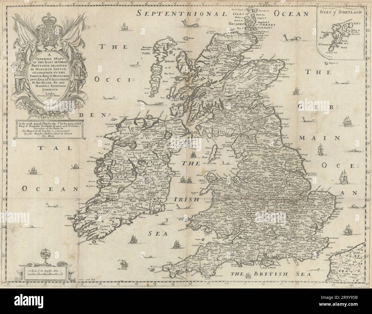 A Generall Mapp of the Isles of Great Brittaine by Richard Blome 1673 old Stock Photohttps://www.alamy.com/image-license-details/?v=1https://www.alamy.com/a-generall-mapp-of-the-isles-of-great-brittaine-by-richard-blome-1673-old-image556863591.html
RF2R9Y95B–A Generall Mapp of the Isles of Great Brittaine by Richard Blome 1673 old
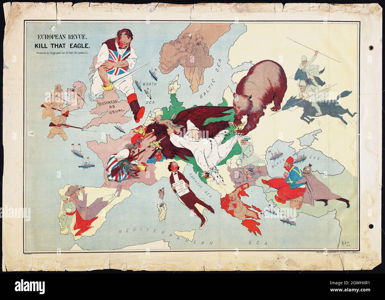 European Revue (Kill That Eagle) - London, 1914. Fascinating Serio-comic map of Europe, showing a satirical depection of Europe at War. Satirical map. Stock Photohttps://www.alamy.com/image-license-details/?v=1https://www.alamy.com/european-revue-kill-that-eagle-london-1914-fascinating-serio-comic-map-of-europe-showing-a-satirical-depection-of-europe-at-war-satirical-map-image446019813.html
RF2GWHXR1–European Revue (Kill That Eagle) - London, 1914. Fascinating Serio-comic map of Europe, showing a satirical depection of Europe at War. Satirical map.
 European flag on mag of United Kingdom; isolated on white background. Stock Photohttps://www.alamy.com/image-license-details/?v=1https://www.alamy.com/stock-photo-european-flag-on-mag-of-united-kingdom-isolated-on-white-background-36283489.html
RMC30RXW–European flag on mag of United Kingdom; isolated on white background.
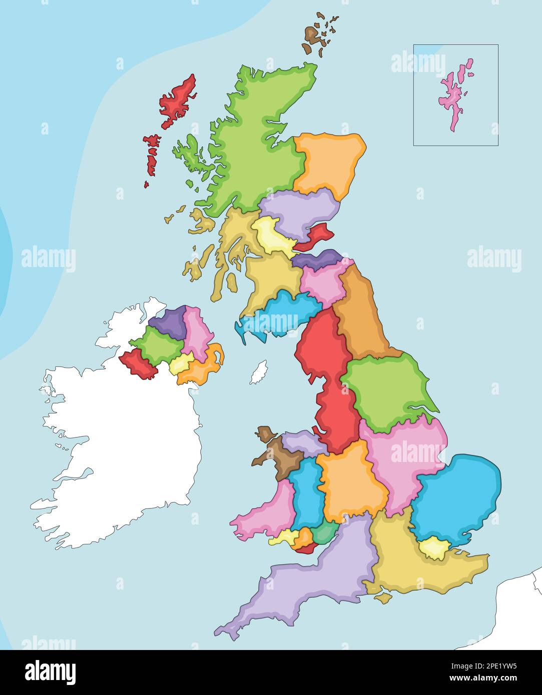 Vector illustrated blank map of UK with administrative divisions, and neighbouring countries. Editable and clearly labeled layers. Stock Vectorhttps://www.alamy.com/image-license-details/?v=1https://www.alamy.com/vector-illustrated-blank-map-of-uk-with-administrative-divisions-and-neighbouring-countries-editable-and-clearly-labeled-layers-image542170417.html
RF2PE1YW5–Vector illustrated blank map of UK with administrative divisions, and neighbouring countries. Editable and clearly labeled layers.
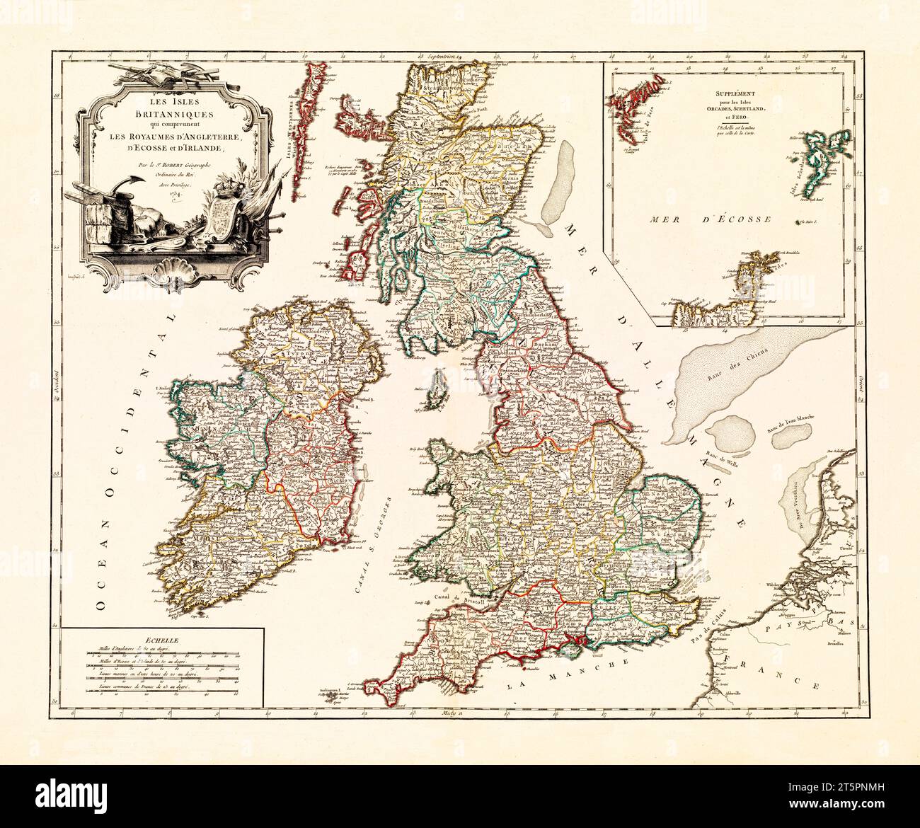 Old map of British Isles. By De Vaugondy, publ. in 1754 Stock Photohttps://www.alamy.com/image-license-details/?v=1https://www.alamy.com/old-map-of-british-isles-by-de-vaugondy-publ-in-1754-image571515409.html
RF2T5PNMH–Old map of British Isles. By De Vaugondy, publ. in 1754
 Silhouetted map of United Kingdom on green eco button, isolated on white background. Stock Photohttps://www.alamy.com/image-license-details/?v=1https://www.alamy.com/stock-photo-silhouetted-map-of-united-kingdom-on-green-eco-button-isolated-on-33917315.html
RMBY51TK–Silhouetted map of United Kingdom on green eco button, isolated on white background.
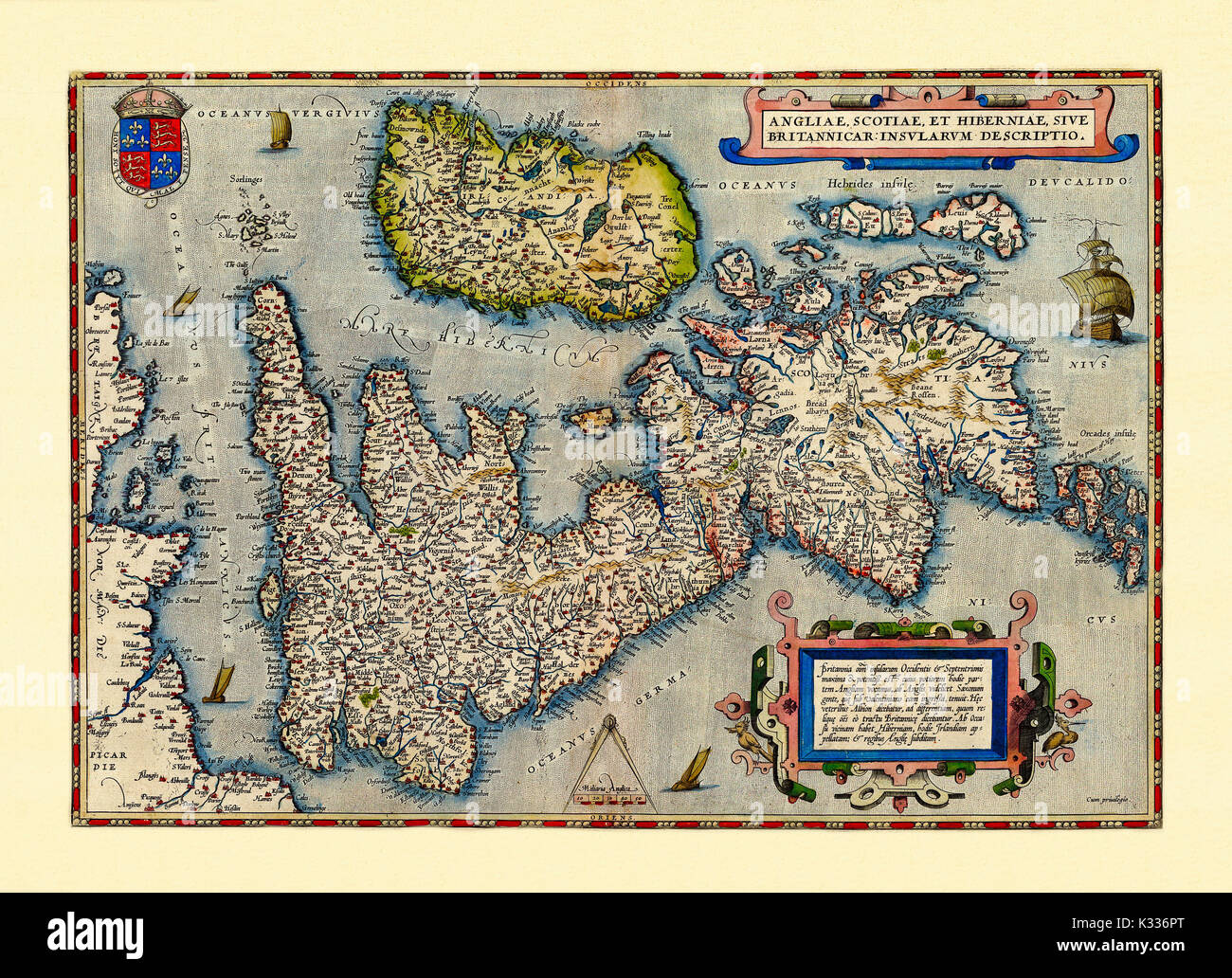 Old map of Great Britain in excellent state of preservation. By Ortelius, Theatrum Orbis Terrarum, Antwerp, 1570 Stock Photohttps://www.alamy.com/image-license-details/?v=1https://www.alamy.com/old-map-of-great-britain-in-excellent-state-of-preservation-by-ortelius-image156808480.html
RFK336PT–Old map of Great Britain in excellent state of preservation. By Ortelius, Theatrum Orbis Terrarum, Antwerp, 1570
 Dark silhouetted and textured map of United Kingdom isolated on white background. Stock Photohttps://www.alamy.com/image-license-details/?v=1https://www.alamy.com/stock-photo-dark-silhouetted-and-textured-map-of-united-kingdom-isolated-on-white-53601746.html
RMD35NG2–Dark silhouetted and textured map of United Kingdom isolated on white background.
 Map of Northern Palestine, Galilee From the book 'Those holy fields : Palestine, illustrated by pen and pencil' by Manning, Samuel, 1822-1881; Religious Tract Society (Great Britain) Published in 1874 Stock Photohttps://www.alamy.com/image-license-details/?v=1https://www.alamy.com/map-of-northern-palestine-galilee-from-the-book-those-holy-fields-palestine-illustrated-by-pen-and-pencil-by-manning-samuel-1822-1881-religious-tract-society-great-britain-published-in-1874-image418348035.html
RM2F8HB57–Map of Northern Palestine, Galilee From the book 'Those holy fields : Palestine, illustrated by pen and pencil' by Manning, Samuel, 1822-1881; Religious Tract Society (Great Britain) Published in 1874
 Illustration of United Kingdom flag on map of country; isolated on white background. Stock Photohttps://www.alamy.com/image-license-details/?v=1https://www.alamy.com/stock-photo-illustration-of-united-kingdom-flag-on-map-of-country-isolated-on-35833653.html
RMC28A59–Illustration of United Kingdom flag on map of country; isolated on white background.
!['Map Showing the German Cameroon Colony', 1916. German Cameroon was an African colony of the German Empire from 1884 to 1916. Following Germany's defeat, the Treaty of Versailles divided the territory between Great Britain and France. From "The War Illustrated Album De Luxe - Volume IV. The Summer Campaign - 1915", edited by J. A. Hammerton. [The Amalgamated Press, Limited, London, 1916] Stock Photo 'Map Showing the German Cameroon Colony', 1916. German Cameroon was an African colony of the German Empire from 1884 to 1916. Following Germany's defeat, the Treaty of Versailles divided the territory between Great Britain and France. From "The War Illustrated Album De Luxe - Volume IV. The Summer Campaign - 1915", edited by J. A. Hammerton. [The Amalgamated Press, Limited, London, 1916] Stock Photo](https://c8.alamy.com/comp/2A8E9NH/map-showing-the-german-cameroon-colony-1916-german-cameroon-was-an-african-colony-of-the-german-empire-from-1884-to-1916-following-germanys-defeat-the-treaty-of-versailles-divided-the-territory-between-great-britain-and-france-from-quotthe-war-illustrated-album-de-luxe-volume-iv-the-summer-campaign-1915quot-edited-by-j-a-hammerton-the-amalgamated-press-limited-london-1916-2A8E9NH.jpg) 'Map Showing the German Cameroon Colony', 1916. German Cameroon was an African colony of the German Empire from 1884 to 1916. Following Germany's defeat, the Treaty of Versailles divided the territory between Great Britain and France. From "The War Illustrated Album De Luxe - Volume IV. The Summer Campaign - 1915", edited by J. A. Hammerton. [The Amalgamated Press, Limited, London, 1916] Stock Photohttps://www.alamy.com/image-license-details/?v=1https://www.alamy.com/map-showing-the-german-cameroon-colony-1916-german-cameroon-was-an-african-colony-of-the-german-empire-from-1884-to-1916-following-germanys-defeat-the-treaty-of-versailles-divided-the-territory-between-great-britain-and-france-from-quotthe-war-illustrated-album-de-luxe-volume-iv-the-summer-campaign-1915quot-edited-by-j-a-hammerton-the-amalgamated-press-limited-london-1916-image332229229.html
'Map Showing the German Cameroon Colony', 1916. German Cameroon was an African colony of the German Empire from 1884 to 1916. Following Germany's defeat, the Treaty of Versailles divided the territory between Great Britain and France. From "The War Illustrated Album De Luxe - Volume IV. The Summer Campaign - 1915", edited by J. A. Hammerton. [The Amalgamated Press, Limited, London, 1916] Stock Photohttps://www.alamy.com/image-license-details/?v=1https://www.alamy.com/map-showing-the-german-cameroon-colony-1916-german-cameroon-was-an-african-colony-of-the-german-empire-from-1884-to-1916-following-germanys-defeat-the-treaty-of-versailles-divided-the-territory-between-great-britain-and-france-from-quotthe-war-illustrated-album-de-luxe-volume-iv-the-summer-campaign-1915quot-edited-by-j-a-hammerton-the-amalgamated-press-limited-london-1916-image332229229.htmlRM2A8E9NH–'Map Showing the German Cameroon Colony', 1916. German Cameroon was an African colony of the German Empire from 1884 to 1916. Following Germany's defeat, the Treaty of Versailles divided the territory between Great Britain and France. From "The War Illustrated Album De Luxe - Volume IV. The Summer Campaign - 1915", edited by J. A. Hammerton. [The Amalgamated Press, Limited, London, 1916]
 UK map on blue and starry European button isolated on white background with copy space. Stock Photohttps://www.alamy.com/image-license-details/?v=1https://www.alamy.com/stock-photo-uk-map-on-blue-and-starry-european-button-isolated-on-white-background-41871778.html
RMCC3BTJ–UK map on blue and starry European button isolated on white background with copy space.
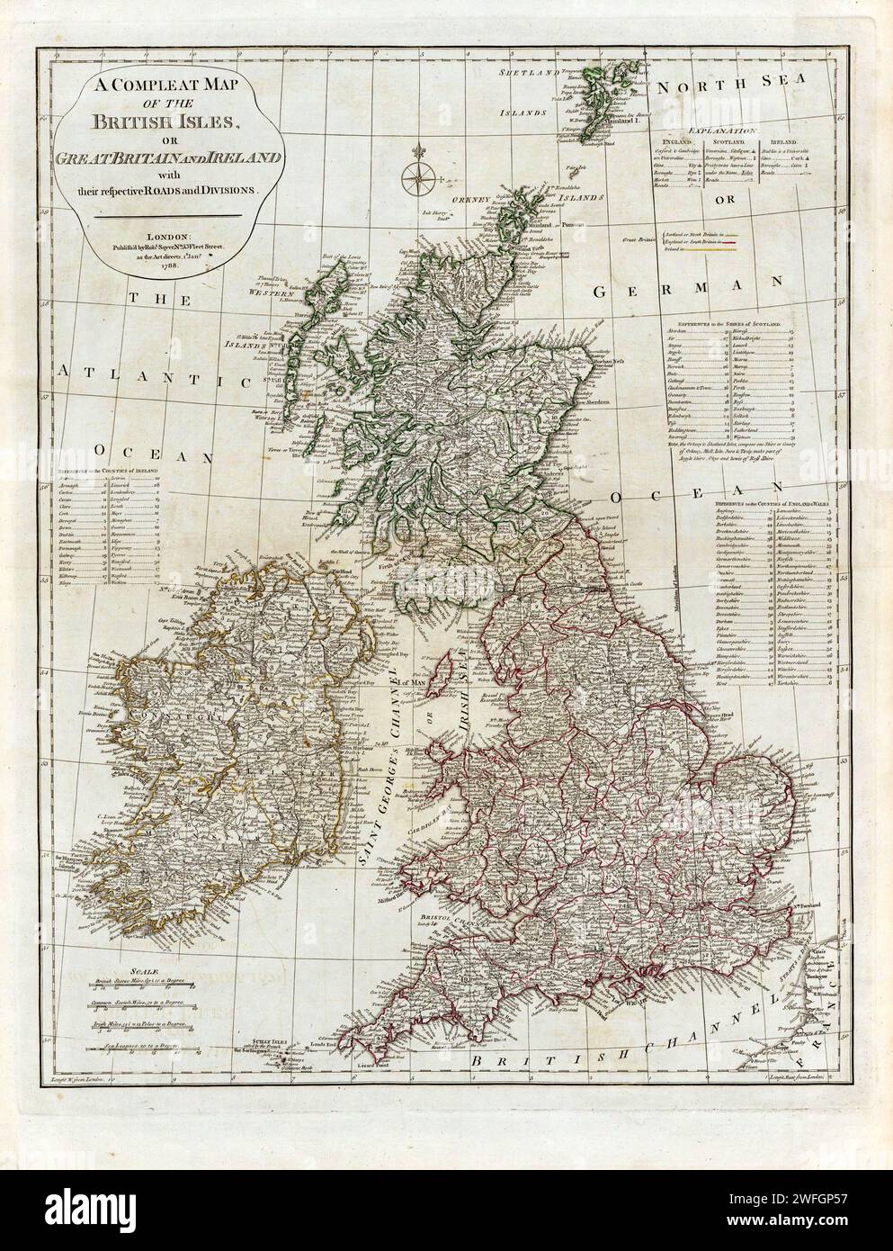 A Complete Map of the British Isles or Great Britain And Ireland with their respective Roads and Divisions. circa 1790s Stock Photohttps://www.alamy.com/image-license-details/?v=1https://www.alamy.com/a-complete-map-of-the-british-isles-or-great-britain-and-ireland-with-their-respective-roads-and-divisions-circa-1790s-image594740979.html
RM2WFGP57–A Complete Map of the British Isles or Great Britain And Ireland with their respective Roads and Divisions. circa 1790s
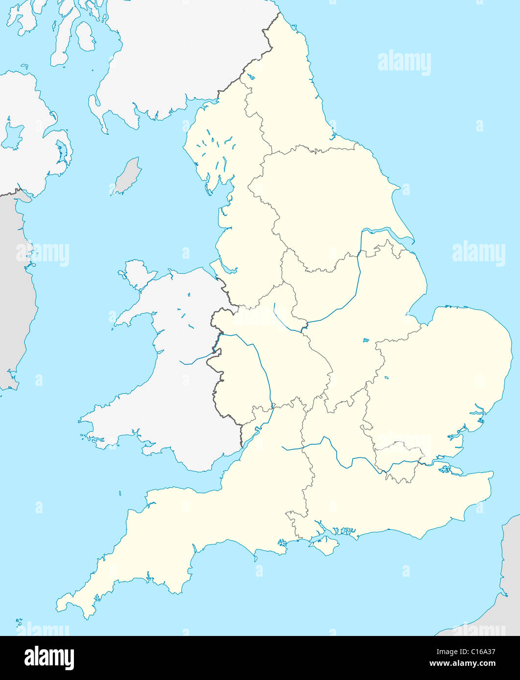 Illustrated map of the country of England in Europe. Stock Photohttps://www.alamy.com/image-license-details/?v=1https://www.alamy.com/stock-photo-illustrated-map-of-the-country-of-england-in-europe-35175035.html
RMC16A37–Illustrated map of the country of England in Europe.
![An ACCURATE MAP of SHROPSHIRE Divided into its HUNDREDS. Drawn and Compiled from the most approved Maps & Surveys, & ILLUSTRATED with various additional Improvements. ALSO, Historical Extracts relative to Trade, Ma Author Bowen, Emanuel 36.8. Place of publication: [London] Publisher: Sold by J. Hinton at the Kings Arms in St. Paul's Church Yard London Date of publication: 1751. Item type: 1 map Medium: copperplate engraving Dimensions: 50.1 x 67.0 cm Former owner: George III, King of Great Britain, 1738-1820 Stock Photo An ACCURATE MAP of SHROPSHIRE Divided into its HUNDREDS. Drawn and Compiled from the most approved Maps & Surveys, & ILLUSTRATED with various additional Improvements. ALSO, Historical Extracts relative to Trade, Ma Author Bowen, Emanuel 36.8. Place of publication: [London] Publisher: Sold by J. Hinton at the Kings Arms in St. Paul's Church Yard London Date of publication: 1751. Item type: 1 map Medium: copperplate engraving Dimensions: 50.1 x 67.0 cm Former owner: George III, King of Great Britain, 1738-1820 Stock Photo](https://c8.alamy.com/comp/2E9HNJC/an-accurate-map-of-shropshire-divided-into-its-hundreds-drawn-and-compiled-from-the-most-approved-maps-surveys-illustrated-with-various-additional-improvements-also-historical-extracts-relative-to-trade-ma-author-bowen-emanuel-368-place-of-publication-london-publisher-sold-by-j-hinton-at-the-kings-arms-in-st-pauls-church-yard-london-date-of-publication-1751-item-type-1-map-medium-copperplate-engraving-dimensions-501-x-670-cm-former-owner-george-iii-king-of-great-britain-1738-1820-2E9HNJC.jpg) An ACCURATE MAP of SHROPSHIRE Divided into its HUNDREDS. Drawn and Compiled from the most approved Maps & Surveys, & ILLUSTRATED with various additional Improvements. ALSO, Historical Extracts relative to Trade, Ma Author Bowen, Emanuel 36.8. Place of publication: [London] Publisher: Sold by J. Hinton at the Kings Arms in St. Paul's Church Yard London Date of publication: 1751. Item type: 1 map Medium: copperplate engraving Dimensions: 50.1 x 67.0 cm Former owner: George III, King of Great Britain, 1738-1820 Stock Photohttps://www.alamy.com/image-license-details/?v=1https://www.alamy.com/an-accurate-map-of-shropshire-divided-into-its-hundreds-drawn-and-compiled-from-the-most-approved-maps-surveys-illustrated-with-various-additional-improvements-also-historical-extracts-relative-to-trade-ma-author-bowen-emanuel-368-place-of-publication-london-publisher-sold-by-j-hinton-at-the-kings-arms-in-st-pauls-church-yard-london-date-of-publication-1751-item-type-1-map-medium-copperplate-engraving-dimensions-501-x-670-cm-former-owner-george-iii-king-of-great-britain-1738-1820-image401760532.html
An ACCURATE MAP of SHROPSHIRE Divided into its HUNDREDS. Drawn and Compiled from the most approved Maps & Surveys, & ILLUSTRATED with various additional Improvements. ALSO, Historical Extracts relative to Trade, Ma Author Bowen, Emanuel 36.8. Place of publication: [London] Publisher: Sold by J. Hinton at the Kings Arms in St. Paul's Church Yard London Date of publication: 1751. Item type: 1 map Medium: copperplate engraving Dimensions: 50.1 x 67.0 cm Former owner: George III, King of Great Britain, 1738-1820 Stock Photohttps://www.alamy.com/image-license-details/?v=1https://www.alamy.com/an-accurate-map-of-shropshire-divided-into-its-hundreds-drawn-and-compiled-from-the-most-approved-maps-surveys-illustrated-with-various-additional-improvements-also-historical-extracts-relative-to-trade-ma-author-bowen-emanuel-368-place-of-publication-london-publisher-sold-by-j-hinton-at-the-kings-arms-in-st-pauls-church-yard-london-date-of-publication-1751-item-type-1-map-medium-copperplate-engraving-dimensions-501-x-670-cm-former-owner-george-iii-king-of-great-britain-1738-1820-image401760532.htmlRM2E9HNJC–An ACCURATE MAP of SHROPSHIRE Divided into its HUNDREDS. Drawn and Compiled from the most approved Maps & Surveys, & ILLUSTRATED with various additional Improvements. ALSO, Historical Extracts relative to Trade, Ma Author Bowen, Emanuel 36.8. Place of publication: [London] Publisher: Sold by J. Hinton at the Kings Arms in St. Paul's Church Yard London Date of publication: 1751. Item type: 1 map Medium: copperplate engraving Dimensions: 50.1 x 67.0 cm Former owner: George III, King of Great Britain, 1738-1820
 England or United Kingdom European button isolated on white background with copy space. Stock Photohttps://www.alamy.com/image-license-details/?v=1https://www.alamy.com/stock-photo-england-or-united-kingdom-european-button-isolated-on-white-background-41872168.html
RMCC3CAG–England or United Kingdom European button isolated on white background with copy space.
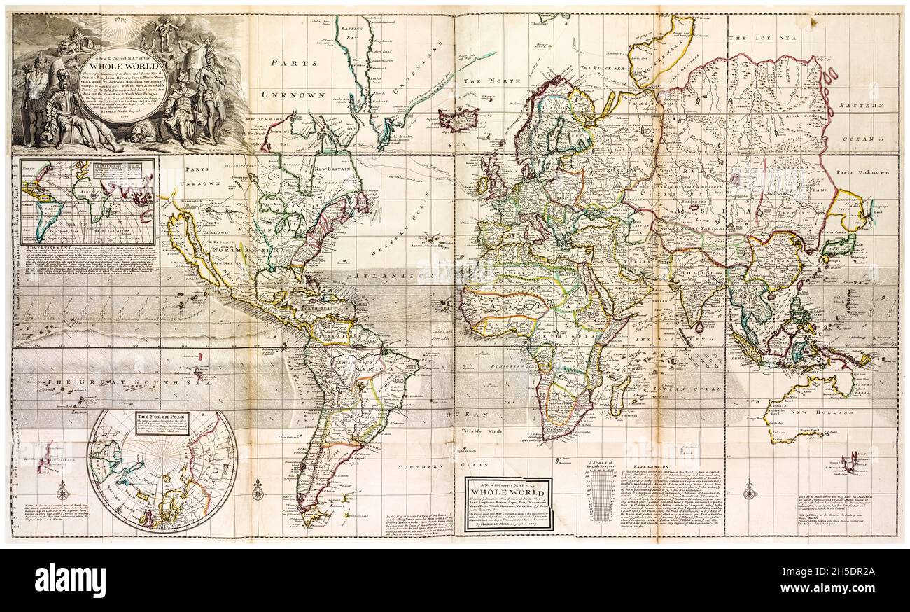 18th Century vintage World Map by Herman Moll, circa 1736 Stock Photohttps://www.alamy.com/image-license-details/?v=1https://www.alamy.com/18th-century-vintage-world-map-by-herman-moll-circa-1736-image450846322.html
RM2H5DR2A–18th Century vintage World Map by Herman Moll, circa 1736
 U.K or United Kingdom European button isolated on a white background with clipping path. Stock Photohttps://www.alamy.com/image-license-details/?v=1https://www.alamy.com/stock-photo-uk-or-united-kingdom-european-button-isolated-on-a-white-background-47926074.html
RMCNY65E–U.K or United Kingdom European button isolated on a white background with clipping path.
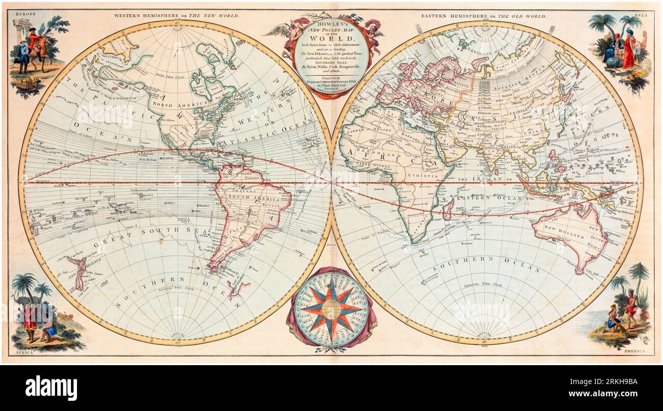 18th Century British Vintage World Map by Carington Bowles, 1780 Stock Photohttps://www.alamy.com/image-license-details/?v=1https://www.alamy.com/18th-century-british-vintage-world-map-by-carington-bowles-1780-image562790798.html
RM2RKH9BA–18th Century British Vintage World Map by Carington Bowles, 1780
 Index entomologicus, or, A complete illustrated catalogue, consisting of 1944 figures, of the lepidopterous insects of Great Britain (Pl. 45) (6056145038) Stock Photohttps://www.alamy.com/image-license-details/?v=1https://www.alamy.com/index-entomologicus-or-a-complete-illustrated-catalogue-consisting-image159782734.html
RMK7XME6–Index entomologicus, or, A complete illustrated catalogue, consisting of 1944 figures, of the lepidopterous insects of Great Britain (Pl. 45) (6056145038)
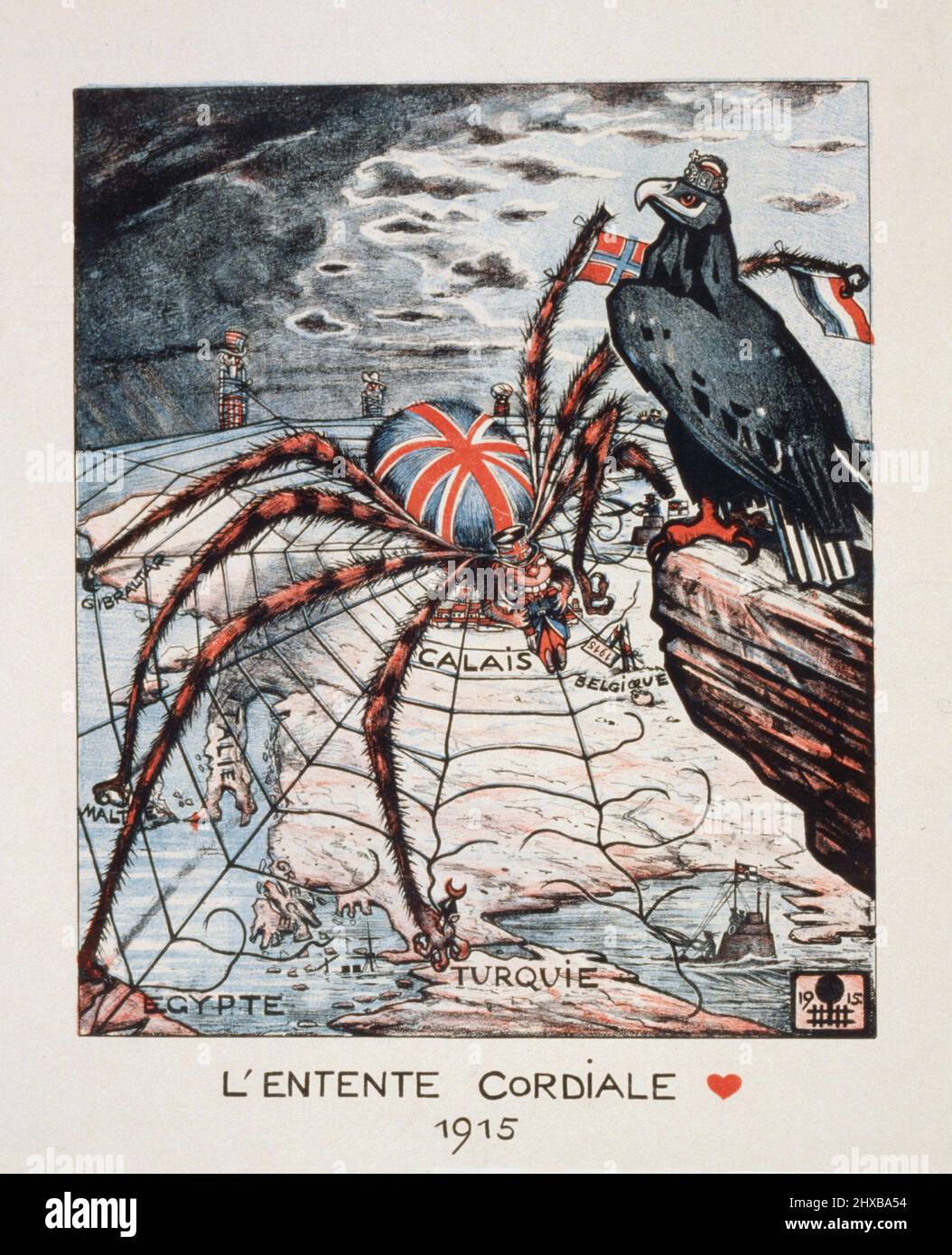 L'Entente Cordiale 1915 . Depiction of Britain as a spider, German eagle sitting overhead, Uncle Sam and two others tied up in web in background. Stock Photohttps://www.alamy.com/image-license-details/?v=1https://www.alamy.com/lentente-cordiale-1915-depiction-of-britain-as-a-spider-german-eagle-sitting-overhead-uncle-sam-and-two-others-tied-up-in-web-in-background-image463700080.html
RF2HXBA54–L'Entente Cordiale 1915 . Depiction of Britain as a spider, German eagle sitting overhead, Uncle Sam and two others tied up in web in background.
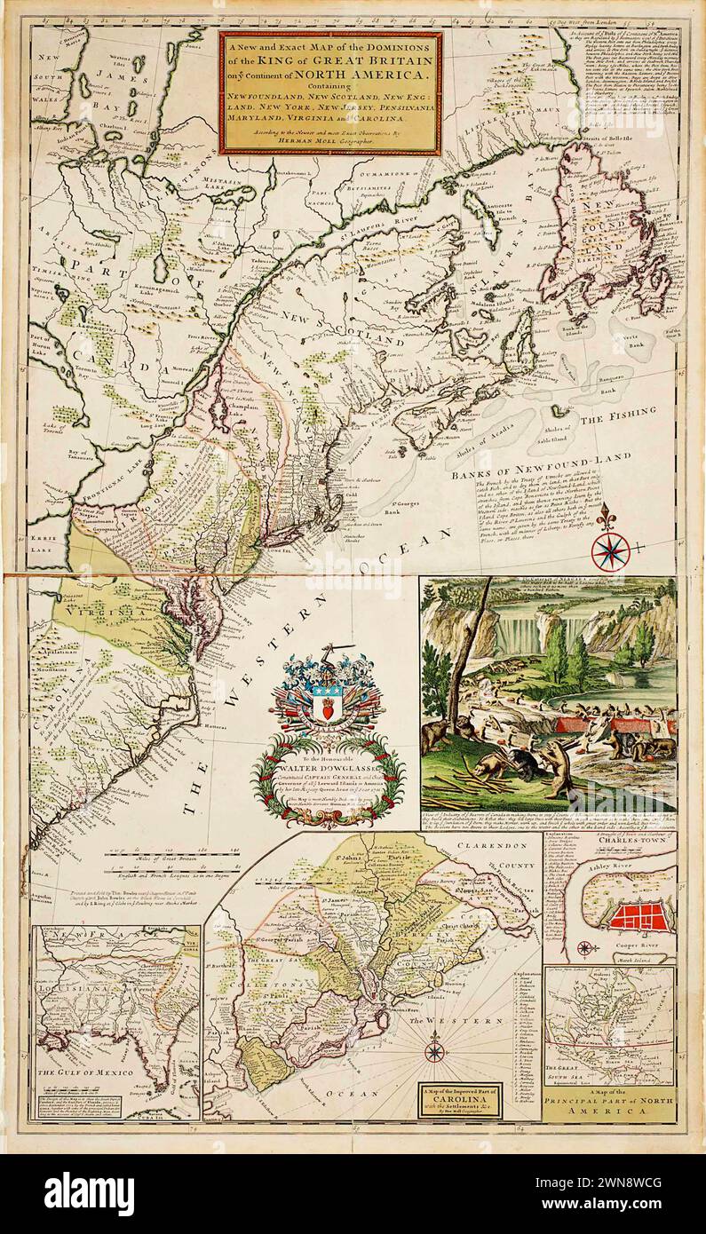 Vintage Map of 'A New and Exact Map of Dominions of the King of Great Britain on ye Continent of North America. By Herman Moll Geographer. 1715, Stock Photohttps://www.alamy.com/image-license-details/?v=1https://www.alamy.com/vintage-map-of-a-new-and-exact-map-of-dominions-of-the-king-of-great-britain-on-ye-continent-of-north-america-by-herman-moll-geographer-1715-image598255856.html
RM2WN8WCG–Vintage Map of 'A New and Exact Map of Dominions of the King of Great Britain on ye Continent of North America. By Herman Moll Geographer. 1715,
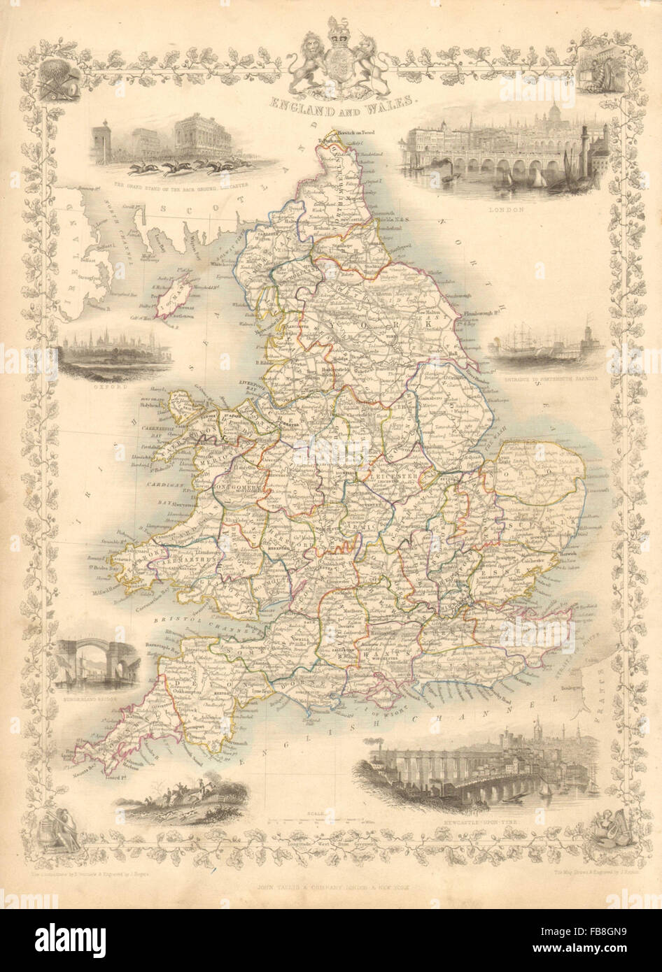 ENGLAND & WALES: London Newcastle Doncaster races views. TALLIS/RAPKIN, 1851 map Stock Photohttps://www.alamy.com/image-license-details/?v=1https://www.alamy.com/stock-photo-england-wales-london-newcastle-doncaster-races-views-tallisrapkin-93001813.html
RFFB8GN9–ENGLAND & WALES: London Newcastle Doncaster races views. TALLIS/RAPKIN, 1851 map
 Vintage medieval map of Great Britain 1661 with illustrations. Stock Photohttps://www.alamy.com/image-license-details/?v=1https://www.alamy.com/vintage-medieval-map-of-great-britain-1661-with-illustrations-image482285873.html
RF2K0J0FD–Vintage medieval map of Great Britain 1661 with illustrations.
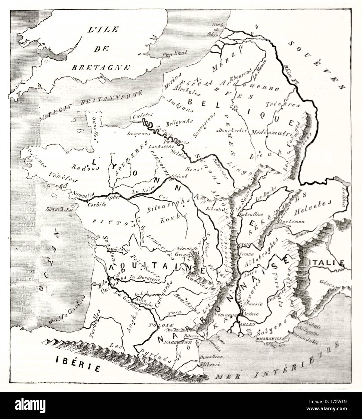 Gaule, today's France, old map such as Strabo could have designed. Blank and white illustration by MacCarthy publ. on Magasin Pittoresque Paris 1848 Stock Photohttps://www.alamy.com/image-license-details/?v=1https://www.alamy.com/gaule-todays-france-old-map-such-as-strabo-could-have-designed-blank-and-white-illustration-by-maccarthy-publ-on-magasin-pittoresque-paris-1848-image245838789.html
RFT7XWTN–Gaule, today's France, old map such as Strabo could have designed. Blank and white illustration by MacCarthy publ. on Magasin Pittoresque Paris 1848
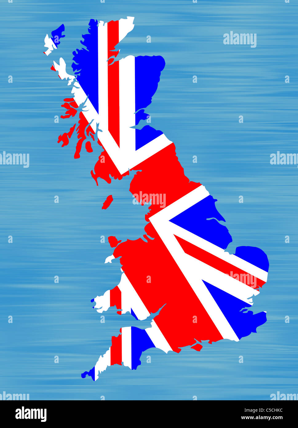 Drawing of a map of Britain infilled with British flag. Stock Photohttps://www.alamy.com/image-license-details/?v=1https://www.alamy.com/stock-photo-drawing-of-a-map-of-britain-infilled-with-british-flag-37771312.html
RMC5CHKC–Drawing of a map of Britain infilled with British flag.
 Anglo Saxon Britain. Anglo-Saxon map of the world in the 10th century. Victorian woodcut circa 1845. Stock Photohttps://www.alamy.com/image-license-details/?v=1https://www.alamy.com/anglo-saxon-britain-anglo-saxon-map-of-the-world-in-the-10th-century-image62191610.html
RMDH520X–Anglo Saxon Britain. Anglo-Saxon map of the world in the 10th century. Victorian woodcut circa 1845.
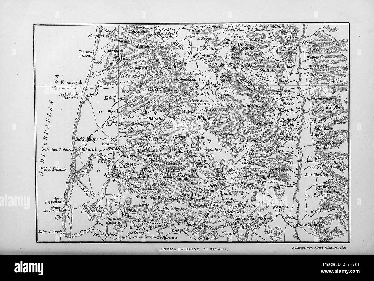 Map of Central Palestine or Samaria From the book 'Those holy fields : Palestine, illustrated by pen and pencil' by Manning, Samuel, 1822-1881; Religious Tract Society (Great Britain) Published in 1874 Stock Photohttps://www.alamy.com/image-license-details/?v=1https://www.alamy.com/map-of-central-palestine-or-samaria-from-the-book-those-holy-fields-palestine-illustrated-by-pen-and-pencil-by-manning-samuel-1822-1881-religious-tract-society-great-britain-published-in-1874-image418346069.html
RM2F8H8K1–Map of Central Palestine or Samaria From the book 'Those holy fields : Palestine, illustrated by pen and pencil' by Manning, Samuel, 1822-1881; Religious Tract Society (Great Britain) Published in 1874
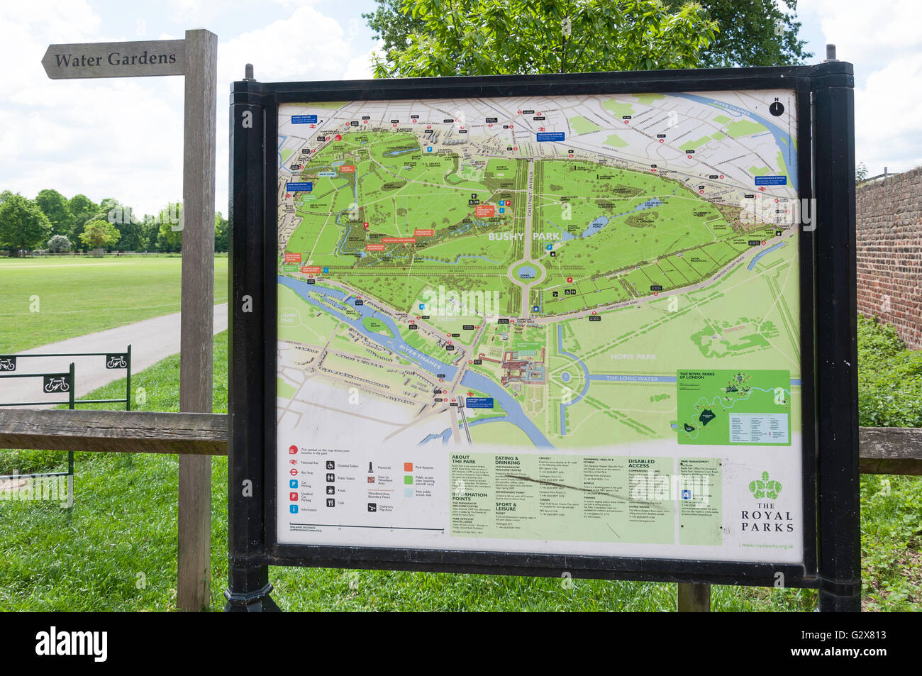 Bushy Park map at Hampton Hill Newgate, Hampton Hill, Borough of Richmond upon Thames, Greater London, England, United Kingdom Stock Photohttps://www.alamy.com/image-license-details/?v=1https://www.alamy.com/stock-photo-bushy-park-map-at-hampton-hill-newgate-hampton-hill-borough-of-richmond-105068575.html
RMG2X813–Bushy Park map at Hampton Hill Newgate, Hampton Hill, Borough of Richmond upon Thames, Greater London, England, United Kingdom
!['Map of Greater Britain in Relation to the Homeland', 1916. From "The War Illustrated Album De Luxe - Volume IV. The Summer Campaign - 1915", edited by J. A. Hammerton. [The Amalgamated Press, Limited, London, 1916] Stock Photo 'Map of Greater Britain in Relation to the Homeland', 1916. From "The War Illustrated Album De Luxe - Volume IV. The Summer Campaign - 1915", edited by J. A. Hammerton. [The Amalgamated Press, Limited, London, 1916] Stock Photo](https://c8.alamy.com/comp/2A8E9NK/map-of-greater-britain-in-relation-to-the-homeland-1916-from-quotthe-war-illustrated-album-de-luxe-volume-iv-the-summer-campaign-1915quot-edited-by-j-a-hammerton-the-amalgamated-press-limited-london-1916-2A8E9NK.jpg) 'Map of Greater Britain in Relation to the Homeland', 1916. From "The War Illustrated Album De Luxe - Volume IV. The Summer Campaign - 1915", edited by J. A. Hammerton. [The Amalgamated Press, Limited, London, 1916] Stock Photohttps://www.alamy.com/image-license-details/?v=1https://www.alamy.com/map-of-greater-britain-in-relation-to-the-homeland-1916-from-quotthe-war-illustrated-album-de-luxe-volume-iv-the-summer-campaign-1915quot-edited-by-j-a-hammerton-the-amalgamated-press-limited-london-1916-image332229231.html
'Map of Greater Britain in Relation to the Homeland', 1916. From "The War Illustrated Album De Luxe - Volume IV. The Summer Campaign - 1915", edited by J. A. Hammerton. [The Amalgamated Press, Limited, London, 1916] Stock Photohttps://www.alamy.com/image-license-details/?v=1https://www.alamy.com/map-of-greater-britain-in-relation-to-the-homeland-1916-from-quotthe-war-illustrated-album-de-luxe-volume-iv-the-summer-campaign-1915quot-edited-by-j-a-hammerton-the-amalgamated-press-limited-london-1916-image332229231.htmlRM2A8E9NK–'Map of Greater Britain in Relation to the Homeland', 1916. From "The War Illustrated Album De Luxe - Volume IV. The Summer Campaign - 1915", edited by J. A. Hammerton. [The Amalgamated Press, Limited, London, 1916]
 Map of Great Britain. A Generall Mapp of the Isles of Great Brittaine, designed by Monsieur Sanson ... & rendered into English & illustrated by Ric: Blome. By his Maiestis especiall command. Francis Lamb sculp. London : Printed for Richard Blome, 1669. Source: C.39.d.2 page 130-131. Stock Photohttps://www.alamy.com/image-license-details/?v=1https://www.alamy.com/map-of-great-britain-a-generall-mapp-of-the-isles-of-great-brittaine-designed-by-monsieur-sanson-rendered-into-english-illustrated-by-ric-blome-by-his-maiestis-especiall-command-francis-lamb-sculp-london-printed-for-richard-blome-1669-source-c39d2-page-130-131-image226864332.html
RMR52FNG–Map of Great Britain. A Generall Mapp of the Isles of Great Brittaine, designed by Monsieur Sanson ... & rendered into English & illustrated by Ric: Blome. By his Maiestis especiall command. Francis Lamb sculp. London : Printed for Richard Blome, 1669. Source: C.39.d.2 page 130-131.
 Map of United Kingdom Stock Photohttps://www.alamy.com/image-license-details/?v=1https://www.alamy.com/stock-photo-map-of-united-kingdom-23221057.html
RFB9NPKD–Map of United Kingdom
 Imperial Airways Map of Empire & European Air Routes. 1937 by Laszlo Moholy-Nagy Stock Photohttps://www.alamy.com/image-license-details/?v=1https://www.alamy.com/imperial-airways-map-of-empire-european-air-routes-1937-by-laszlo-moholy-nagy-image576268716.html
RM2TDF8HG–Imperial Airways Map of Empire & European Air Routes. 1937 by Laszlo Moholy-Nagy
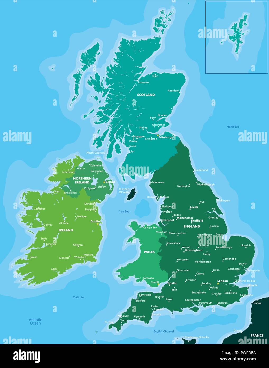 Color map of Great Britain and Ireland detailed vector illustration Stock Vectorhttps://www.alamy.com/image-license-details/?v=1https://www.alamy.com/color-map-of-great-britain-and-ireland-detailed-vector-illustration-image222384270.html
RFPWPDBA–Color map of Great Britain and Ireland detailed vector illustration
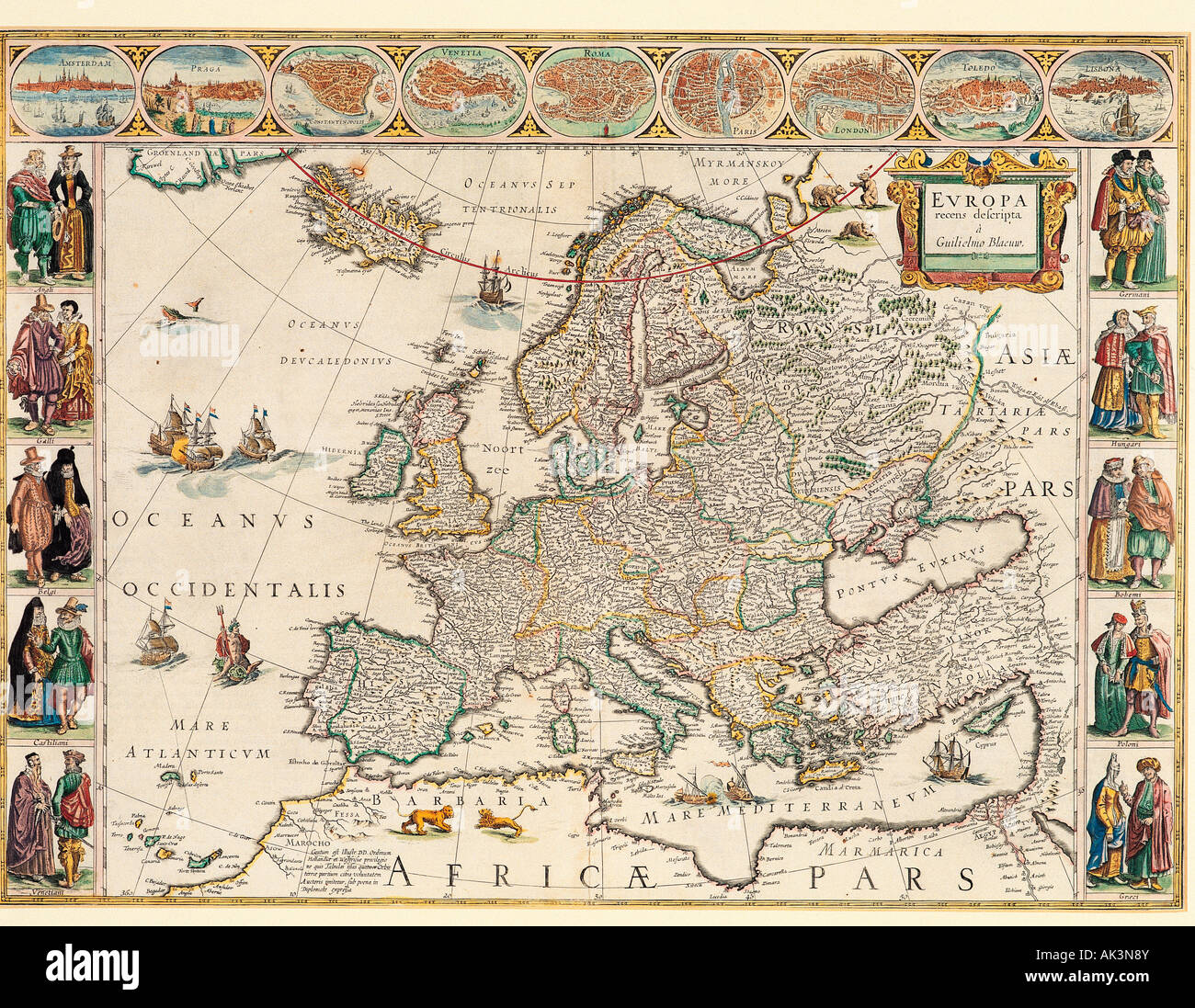 Historical map of Europe. Stock Photohttps://www.alamy.com/image-license-details/?v=1https://www.alamy.com/stock-photo-historical-map-of-europe-14874938.html
RMAK3N8Y–Historical map of Europe.
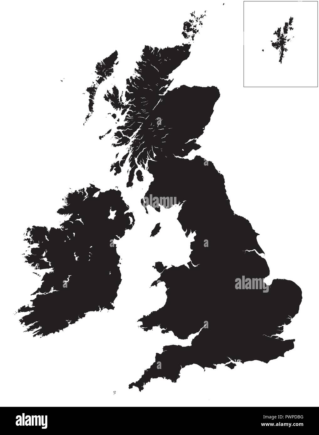 High detail map of Great Britain and Ireland vector illustration for your design Stock Vectorhttps://www.alamy.com/image-license-details/?v=1https://www.alamy.com/high-detail-map-of-great-britain-and-ireland-vector-illustration-for-your-design-image222384276.html
RFPWPDBG–High detail map of Great Britain and Ireland vector illustration for your design
 Silhouetted black map of United Kingdom, isolated on white background. Stock Photohttps://www.alamy.com/image-license-details/?v=1https://www.alamy.com/stock-photo-silhouetted-black-map-of-united-kingdom-isolated-on-white-background-28515029.html
RMBJAY5W–Silhouetted black map of United Kingdom, isolated on white background.
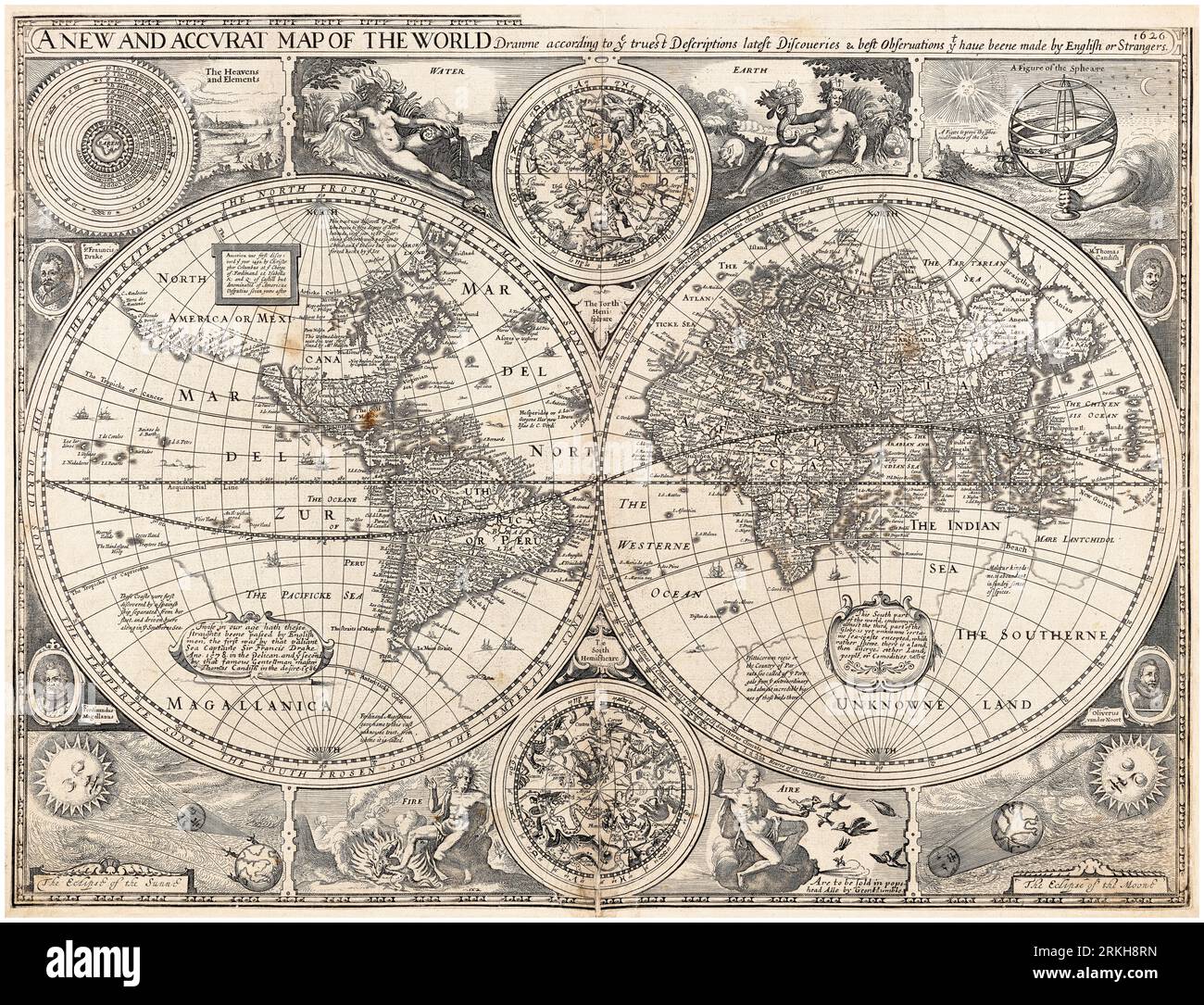 Vintage 17th Century World Map, A New and Accurate Map of the World, by John Speed, 1627 Stock Photohttps://www.alamy.com/image-license-details/?v=1https://www.alamy.com/vintage-17th-century-world-map-a-new-and-accurate-map-of-the-world-by-john-speed-1627-image562790361.html
RM2RKH8RN–Vintage 17th Century World Map, A New and Accurate Map of the World, by John Speed, 1627
 Index entomologicus, or, A complete illustrated catalogue, consisting of 1944 figures, of the lepidopterous insects of Great Britain (Pl. 37) (6056143040) Stock Photohttps://www.alamy.com/image-license-details/?v=1https://www.alamy.com/index-entomologicus-or-a-complete-illustrated-catalogue-consisting-image159782639.html
RMK7XMAR–Index entomologicus, or, A complete illustrated catalogue, consisting of 1944 figures, of the lepidopterous insects of Great Britain (Pl. 37) (6056143040)
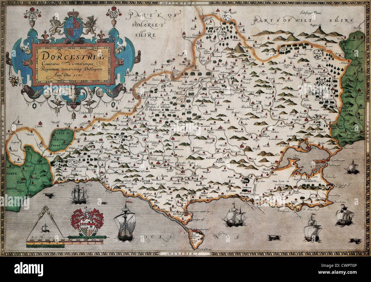 Dorset old map Stock Photohttps://www.alamy.com/image-license-details/?v=1https://www.alamy.com/stock-photo-dorset-old-map-50288918.html
RFCWPT0P–Dorset old map
 United Kingdom map with flag inside Stock Vectorhttps://www.alamy.com/image-license-details/?v=1https://www.alamy.com/stock-photo-united-kingdom-map-with-flag-inside-116290864.html
RFGN5E54–United Kingdom map with flag inside
 Vintage Welsh Maps, Flintshire. 1607. From John Speed's County maps of Wales for first published in The Theatre of the Empire of Great Britain by George Humble Stock Photohttps://www.alamy.com/image-license-details/?v=1https://www.alamy.com/vintage-welsh-maps-flintshire-1607-from-john-speeds-county-maps-of-wales-for-first-published-in-the-theatre-of-the-empire-of-great-britain-by-george-humble-image596700165.html
RM2WJP145–Vintage Welsh Maps, Flintshire. 1607. From John Speed's County maps of Wales for first published in The Theatre of the Empire of Great Britain by George Humble
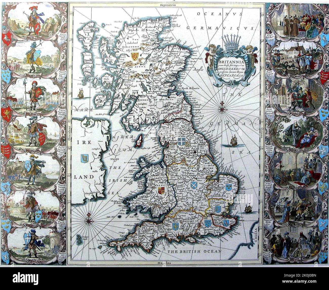 Vintage medieval map of Great Britain with illustrations. 1676. Stock Photohttps://www.alamy.com/image-license-details/?v=1https://www.alamy.com/vintage-medieval-map-of-great-britain-with-illustrations-1676-image482285769.html
RF2K0J0BN–Vintage medieval map of Great Britain with illustrations. 1676.
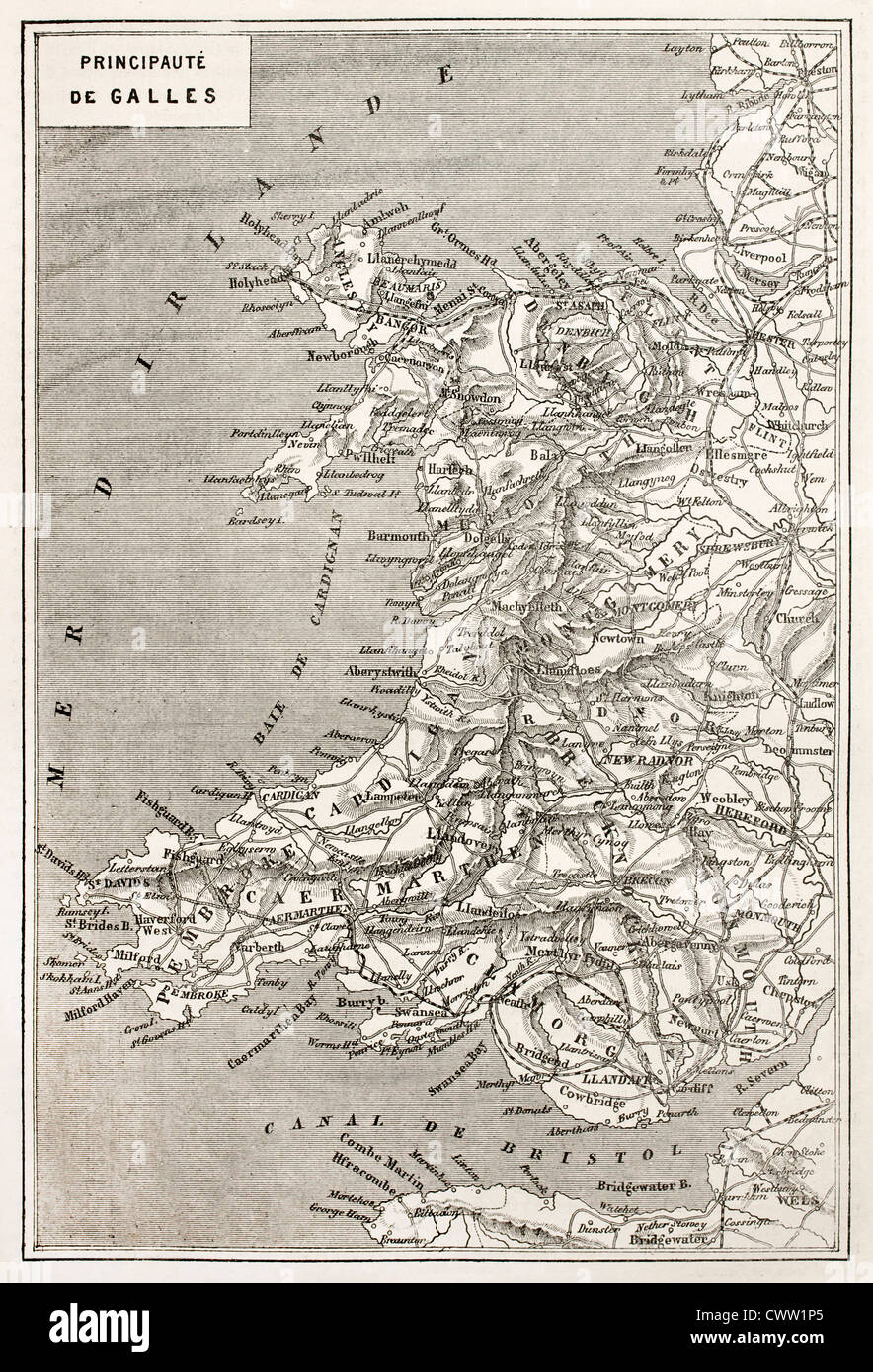 Wales old map Stock Photohttps://www.alamy.com/image-license-details/?v=1https://www.alamy.com/stock-photo-wales-old-map-50337341.html
RFCWW1P5–Wales old map
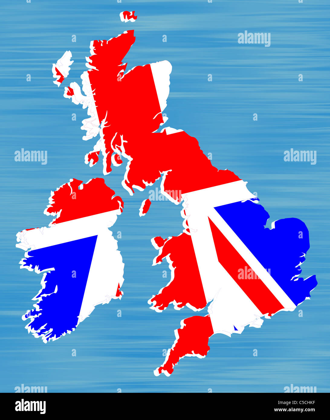 Drawing of a map of Britain infilled with British flag. Stock Photohttps://www.alamy.com/image-license-details/?v=1https://www.alamy.com/stock-photo-drawing-of-a-map-of-britain-infilled-with-british-flag-37771315.html
RMC5CHKF–Drawing of a map of Britain infilled with British flag.
 Cambridgeshire old map Stock Photohttps://www.alamy.com/image-license-details/?v=1https://www.alamy.com/stock-photo-cambridgeshire-old-map-50288882.html
RFCWPRYE–Cambridgeshire old map
 Sketch Plan of Site of Jerusalem From the book 'Those holy fields : Palestine, illustrated by pen and pencil' by Manning, Samuel, 1822-1881; Religious Tract Society (Great Britain) Published in 1874 Stock Photohttps://www.alamy.com/image-license-details/?v=1https://www.alamy.com/sketch-plan-of-site-of-jerusalem-from-the-book-those-holy-fields-palestine-illustrated-by-pen-and-pencil-by-manning-samuel-1822-1881-religious-tract-society-great-britain-published-in-1874-image418344566.html
RM2F8H6NA–Sketch Plan of Site of Jerusalem From the book 'Those holy fields : Palestine, illustrated by pen and pencil' by Manning, Samuel, 1822-1881; Religious Tract Society (Great Britain) Published in 1874
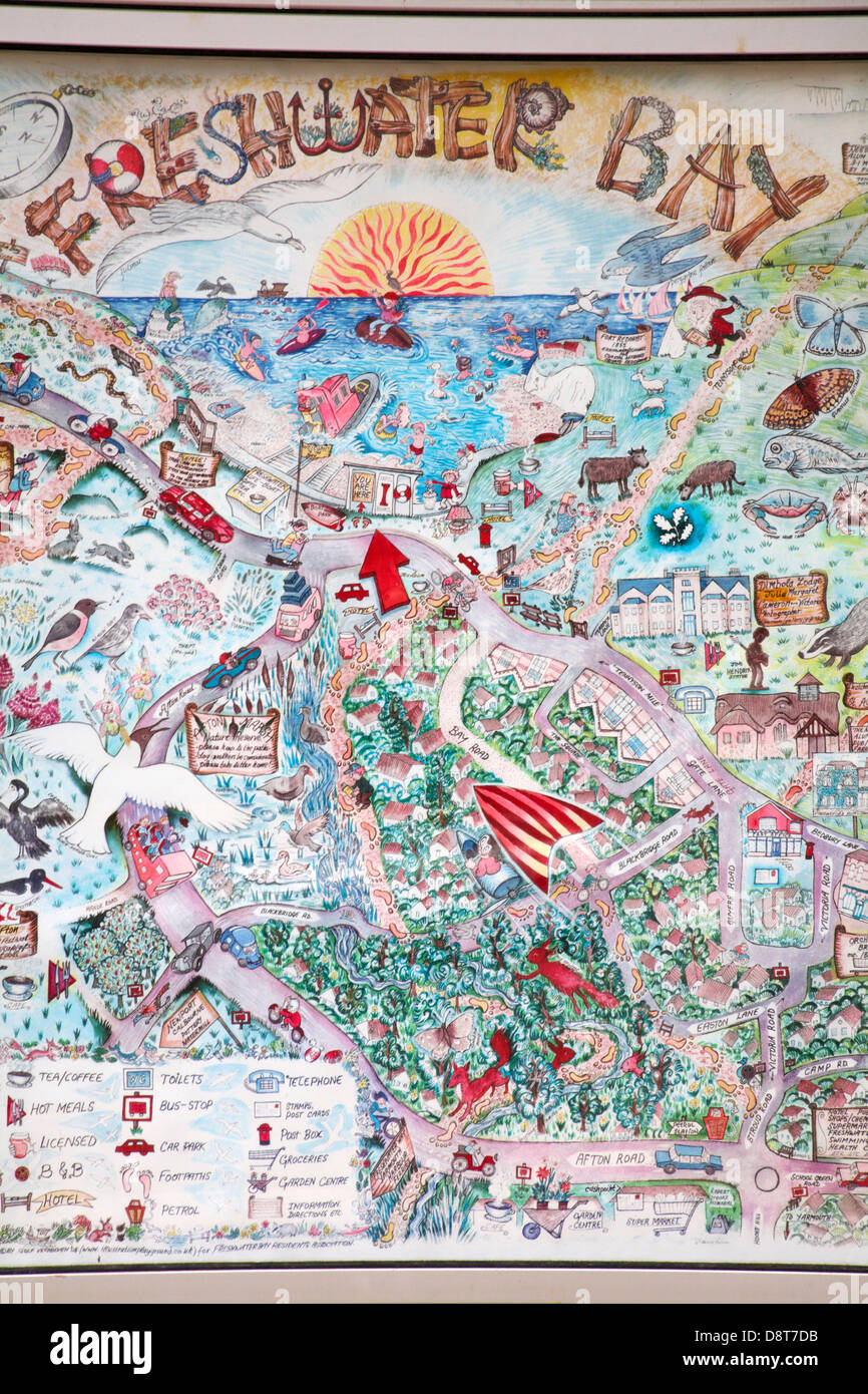 Freshwater Bay map at Freshwater Bay, Isle of Wight, Hampshire UK in May Stock Photohttps://www.alamy.com/image-license-details/?v=1https://www.alamy.com/stock-photo-freshwater-bay-map-at-freshwater-bay-isle-of-wight-hampshire-uk-in-57081063.html
RMD8T7DB–Freshwater Bay map at Freshwater Bay, Isle of Wight, Hampshire UK in May
!['Large Scale Map of the Area of Victory in the "Great Push" of 1916', 1917. The Battle of the Somme began on 1st July 1916, with General Douglas Haig's offensive known as the Great Push, the victories great, the horrors were greater. From "The War Illustrated Album De Luxe - Volume VII. The Autumn Campaign of 1916", edited by J. A. Hammerton. [The Amalgamated Press, Limited, London, 1917] Stock Photo 'Large Scale Map of the Area of Victory in the "Great Push" of 1916', 1917. The Battle of the Somme began on 1st July 1916, with General Douglas Haig's offensive known as the Great Push, the victories great, the horrors were greater. From "The War Illustrated Album De Luxe - Volume VII. The Autumn Campaign of 1916", edited by J. A. Hammerton. [The Amalgamated Press, Limited, London, 1917] Stock Photo](https://c8.alamy.com/comp/2A8E9KW/large-scale-map-of-the-area-of-victory-in-the-quotgreat-pushquot-of-1916-1917-the-battle-of-the-somme-began-on-1st-july-1916-with-general-douglas-haigs-offensive-known-as-the-great-push-the-victories-great-the-horrors-were-greater-from-quotthe-war-illustrated-album-de-luxe-volume-vii-the-autumn-campaign-of-1916quot-edited-by-j-a-hammerton-the-amalgamated-press-limited-london-1917-2A8E9KW.jpg) 'Large Scale Map of the Area of Victory in the "Great Push" of 1916', 1917. The Battle of the Somme began on 1st July 1916, with General Douglas Haig's offensive known as the Great Push, the victories great, the horrors were greater. From "The War Illustrated Album De Luxe - Volume VII. The Autumn Campaign of 1916", edited by J. A. Hammerton. [The Amalgamated Press, Limited, London, 1917] Stock Photohttps://www.alamy.com/image-license-details/?v=1https://www.alamy.com/large-scale-map-of-the-area-of-victory-in-the-quotgreat-pushquot-of-1916-1917-the-battle-of-the-somme-began-on-1st-july-1916-with-general-douglas-haigs-offensive-known-as-the-great-push-the-victories-great-the-horrors-were-greater-from-quotthe-war-illustrated-album-de-luxe-volume-vii-the-autumn-campaign-of-1916quot-edited-by-j-a-hammerton-the-amalgamated-press-limited-london-1917-image332229181.html
'Large Scale Map of the Area of Victory in the "Great Push" of 1916', 1917. The Battle of the Somme began on 1st July 1916, with General Douglas Haig's offensive known as the Great Push, the victories great, the horrors were greater. From "The War Illustrated Album De Luxe - Volume VII. The Autumn Campaign of 1916", edited by J. A. Hammerton. [The Amalgamated Press, Limited, London, 1917] Stock Photohttps://www.alamy.com/image-license-details/?v=1https://www.alamy.com/large-scale-map-of-the-area-of-victory-in-the-quotgreat-pushquot-of-1916-1917-the-battle-of-the-somme-began-on-1st-july-1916-with-general-douglas-haigs-offensive-known-as-the-great-push-the-victories-great-the-horrors-were-greater-from-quotthe-war-illustrated-album-de-luxe-volume-vii-the-autumn-campaign-of-1916quot-edited-by-j-a-hammerton-the-amalgamated-press-limited-london-1917-image332229181.htmlRM2A8E9KW–'Large Scale Map of the Area of Victory in the "Great Push" of 1916', 1917. The Battle of the Somme began on 1st July 1916, with General Douglas Haig's offensive known as the Great Push, the victories great, the horrors were greater. From "The War Illustrated Album De Luxe - Volume VII. The Autumn Campaign of 1916", edited by J. A. Hammerton. [The Amalgamated Press, Limited, London, 1917]
 A map of the islands of Great Britain with an index. The coastline and landscape of Great Britain. Drawn and engraved by William Daniell. A Voyage Round Great Britain undertaken in the summer of the year 1813. London England. Source: G.7043 Index Map. Language: English. Author: DANIELL, WILLIAM. AYTON, RICHARD. Stock Photohttps://www.alamy.com/image-license-details/?v=1https://www.alamy.com/a-map-of-the-islands-of-great-britain-with-an-index-the-coastline-and-landscape-of-great-britain-drawn-and-engraved-by-william-daniell-a-voyage-round-great-britain-undertaken-in-the-summer-of-the-year-1813-london-england-source-g7043-index-map-language-english-author-daniell-william-ayton-richard-image226952900.html
RMR56GMM–A map of the islands of Great Britain with an index. The coastline and landscape of Great Britain. Drawn and engraved by William Daniell. A Voyage Round Great Britain undertaken in the summer of the year 1813. London England. Source: G.7043 Index Map. Language: English. Author: DANIELL, WILLIAM. AYTON, RICHARD.
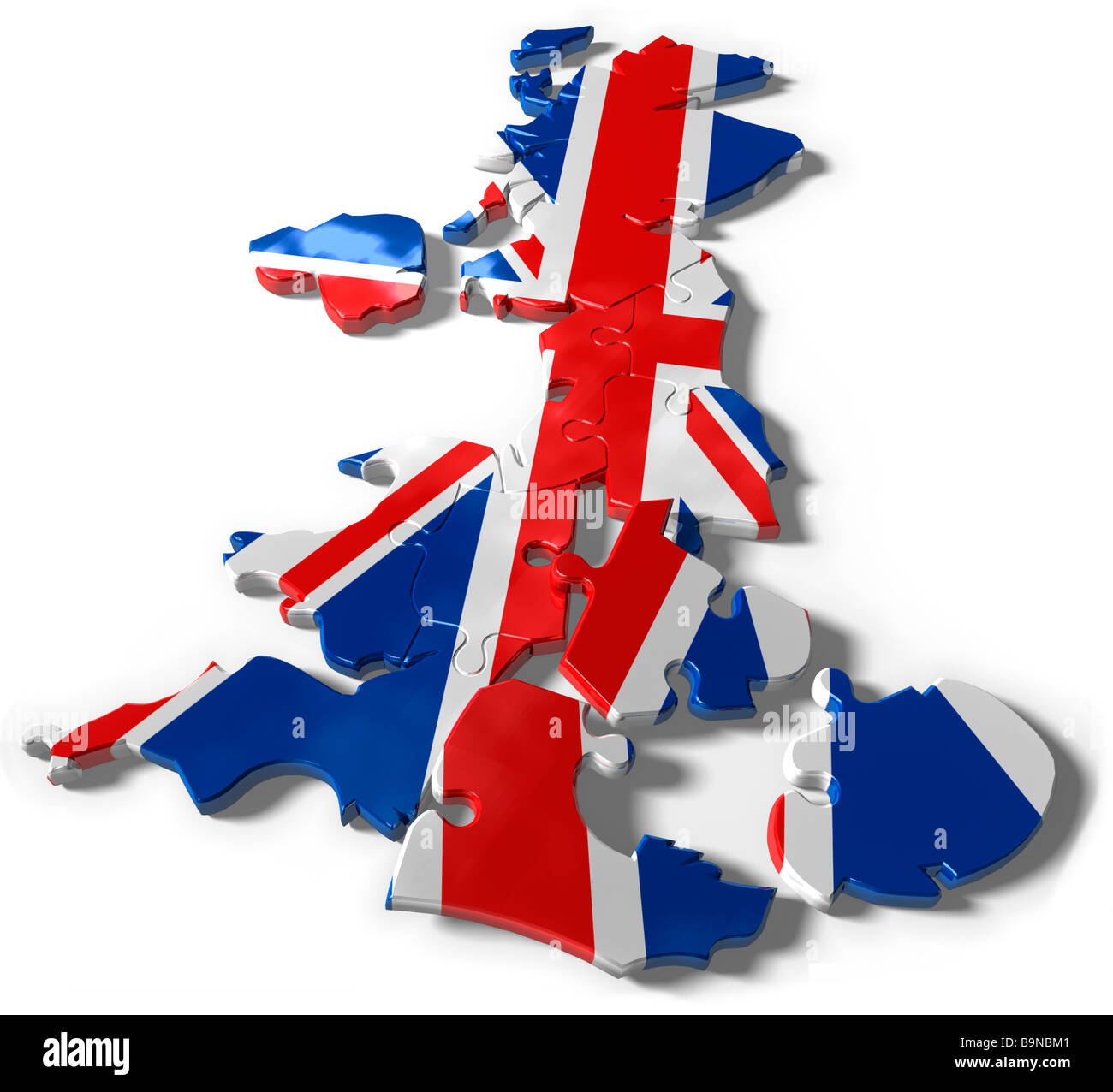 United Kingdom jigsaw puzzle map Stock Photohttps://www.alamy.com/image-license-details/?v=1https://www.alamy.com/stock-photo-united-kingdom-jigsaw-puzzle-map-23212449.html
RFB9NBM1–United Kingdom jigsaw puzzle map
 Vintage copper engraved map of British Isles from 19th century. All maps are beautifully colored and illustrated showing the world at the time. Stock Photohttps://www.alamy.com/image-license-details/?v=1https://www.alamy.com/vintage-copper-engraved-map-of-british-isles-from-19th-century-all-maps-are-beautifully-colored-and-illustrated-showing-the-world-at-the-time-image425536033.html
RF2FM8RFD–Vintage copper engraved map of British Isles from 19th century. All maps are beautifully colored and illustrated showing the world at the time.
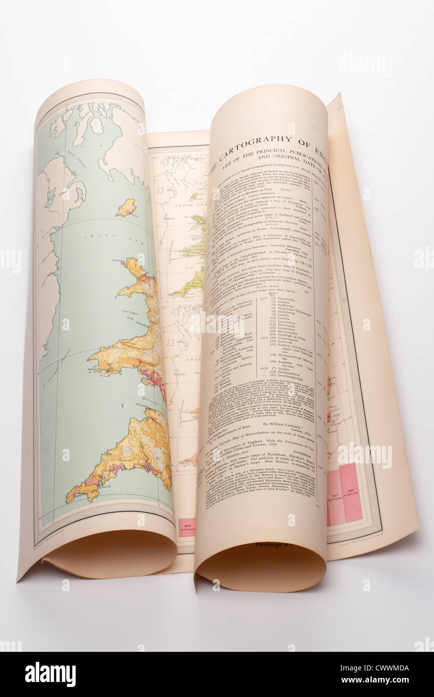 Old folded Cartography map of England. Editorial only Stock Photohttps://www.alamy.com/image-license-details/?v=1https://www.alamy.com/stock-photo-old-folded-cartography-map-of-england-editorial-only-50351990.html
RMCWWMDA–Old folded Cartography map of England. Editorial only
 Image from page 118 of 'Geology in systematic notes and tables for the use of teachers and of taught. . With . illustrations and a geological map of Great Britain. Second edition' . Stock Photohttps://www.alamy.com/image-license-details/?v=1https://www.alamy.com/image-from-page-118-of-geology-in-systematic-notes-and-tables-for-the-use-of-teachers-and-of-taught-with-illustrations-and-a-geological-map-of-great-britain-second-edition-image217004334.html
RMPH1B6P–Image from page 118 of 'Geology in systematic notes and tables for the use of teachers and of taught. . With . illustrations and a geological map of Great Britain. Second edition' .
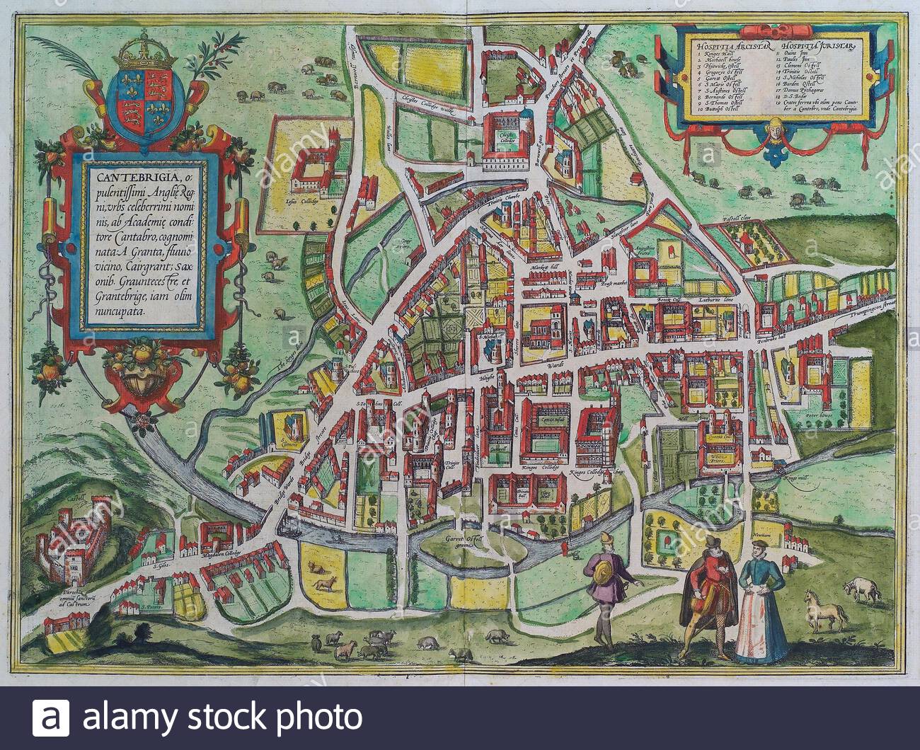 Cambridge, England, vintage map from 1575 Stock Photohttps://www.alamy.com/image-license-details/?v=1https://www.alamy.com/cambridge-england-vintage-map-from-1575-image398089560.html
RM2E3JF88–Cambridge, England, vintage map from 1575
 Silhouetted map of United Kingdom and Ireland, isolated on white background. Stock Photohttps://www.alamy.com/image-license-details/?v=1https://www.alamy.com/stock-photo-silhouetted-map-of-united-kingdom-and-ireland-isolated-on-white-background-28514851.html
RMBJAXYF–Silhouetted map of United Kingdom and Ireland, isolated on white background.
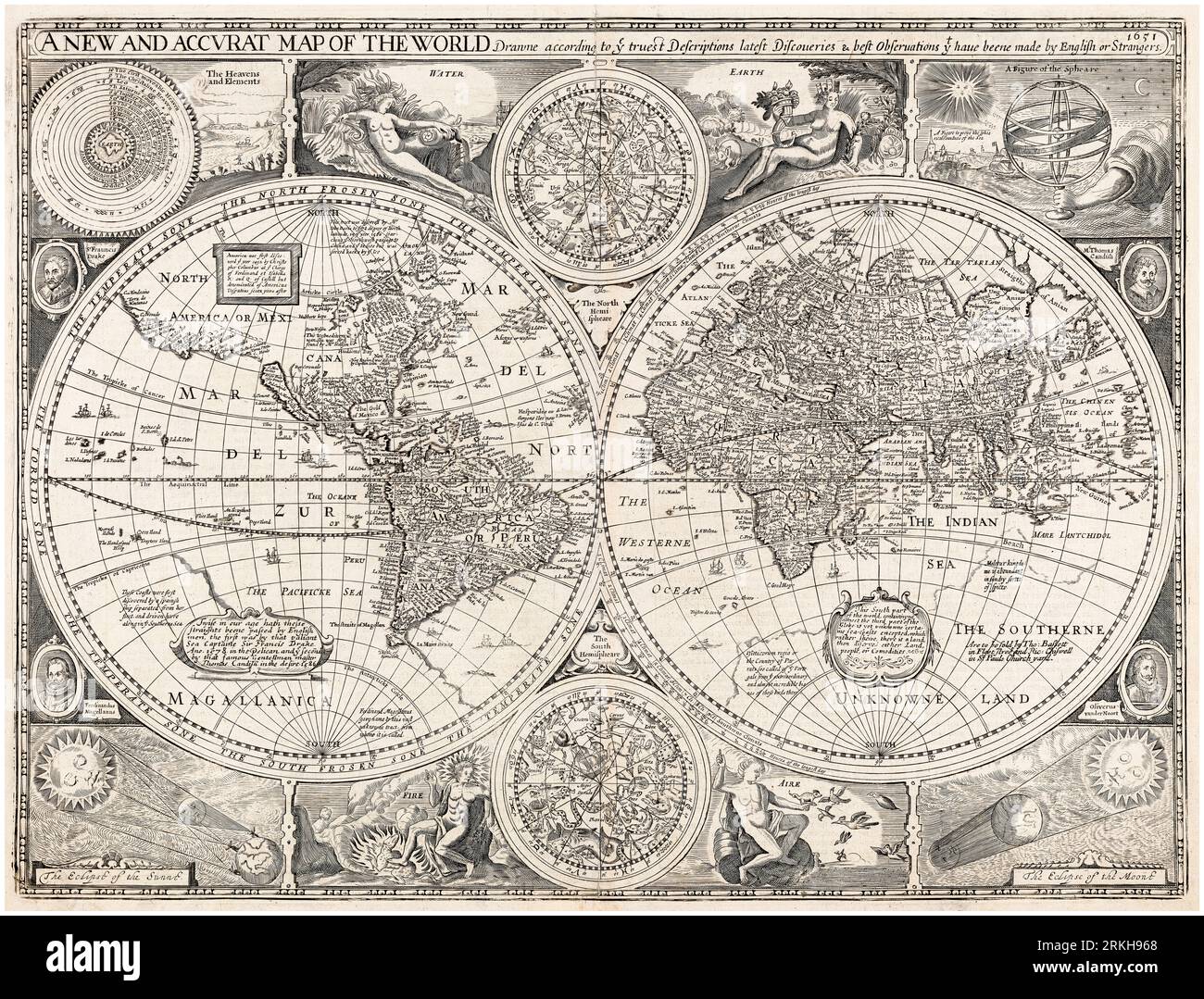 17th Century Vintage World Map, A New and Accurate Map of the World, by John Speed, 1676 Stock Photohttps://www.alamy.com/image-license-details/?v=1https://www.alamy.com/17th-century-vintage-world-map-a-new-and-accurate-map-of-the-world-by-john-speed-1676-image562790656.html
RM2RKH968–17th Century Vintage World Map, A New and Accurate Map of the World, by John Speed, 1676
 Index entomologicus, or, A complete illustrated catalogue, consisting of 1944 figures, of the lepidopterous insects of Great Britain (Pl. 18) (6056137970) Stock Photohttps://www.alamy.com/image-license-details/?v=1https://www.alamy.com/index-entomologicus-or-a-complete-illustrated-catalogue-consisting-image159782414.html
RMK7XM2P–Index entomologicus, or, A complete illustrated catalogue, consisting of 1944 figures, of the lepidopterous insects of Great Britain (Pl. 18) (6056137970)
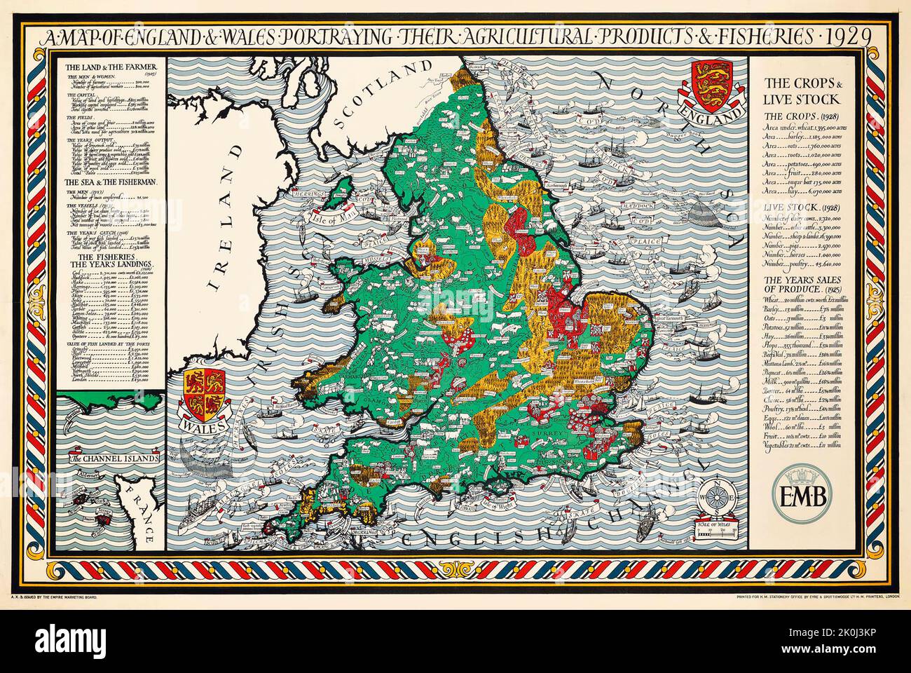 A MAP OF ENGLAND AND WALES 1928, Gill MacDonald Stock Photohttps://www.alamy.com/image-license-details/?v=1https://www.alamy.com/a-map-of-england-and-wales-1928-gill-macdonald-image482288346.html
RM2K0J3KP–A MAP OF ENGLAND AND WALES 1928, Gill MacDonald
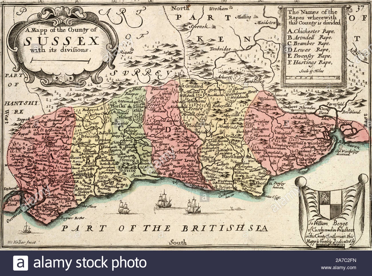 Vintage map of Sussex, etching by Bohemian etcher Wenceslaus Hollar from 1600s Stock Photohttps://www.alamy.com/image-license-details/?v=1https://www.alamy.com/vintage-map-of-sussex-etching-by-bohemian-etcher-wenceslaus-hollar-from-1600s-image331565017.html
RM2A7C2FN–Vintage map of Sussex, etching by Bohemian etcher Wenceslaus Hollar from 1600s
 Index entomologicus, or, A complete illustrated catalogue, consisting of 1944 figures, of the lepidopterous insects of Great Britain (Pl. 16) Stock Photohttps://www.alamy.com/image-license-details/?v=1https://www.alamy.com/stock-photo-index-entomologicus-or-a-complete-illustrated-catalogue-consisting-98343090.html
RMFKYWH6–Index entomologicus, or, A complete illustrated catalogue, consisting of 1944 figures, of the lepidopterous insects of Great Britain (Pl. 16)
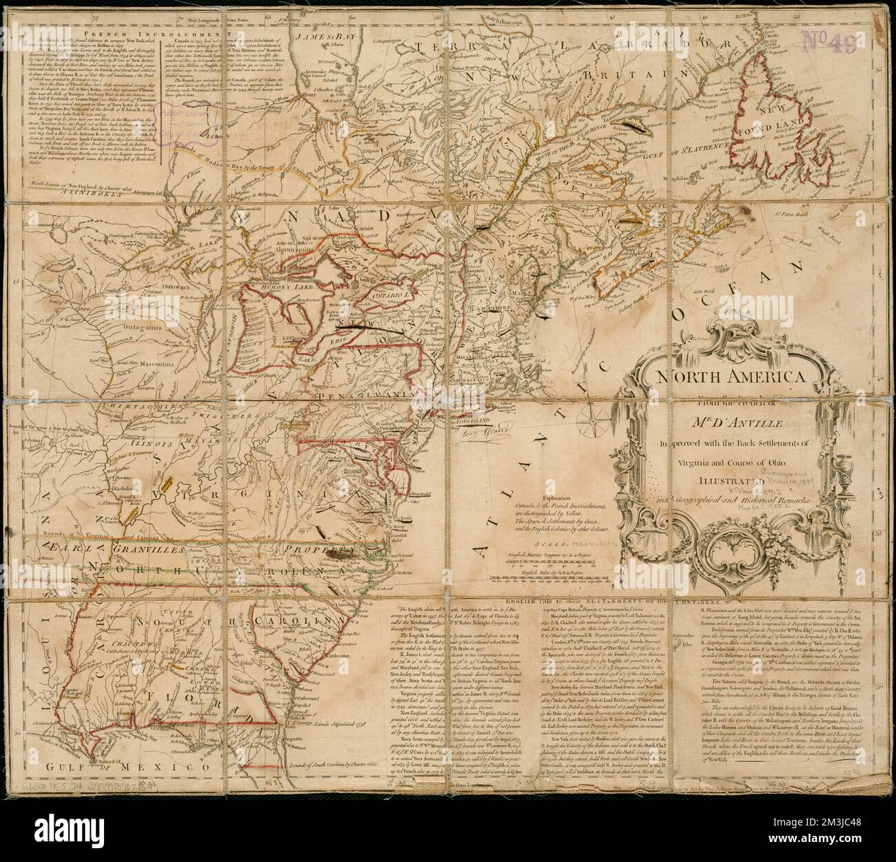 North America from the French of Mr. D'Anville, improved with the back settlements of Virginia and course of Ohio, illustrated with geographical and historical remarks , North America, Maps, Early works to 1800, Great Britain, Colonies, America, Maps, Early works to 1800, France, Colonies, America, Maps, Early works to 1800 Norman B. Leventhal Map Center Collection Stock Photohttps://www.alamy.com/image-license-details/?v=1https://www.alamy.com/north-america-from-the-french-of-mr-danville-improved-with-the-back-settlements-of-virginia-and-course-of-ohio-illustrated-with-geographical-and-historical-remarks-north-america-maps-early-works-to-1800-great-britain-colonies-america-maps-early-works-to-1800-france-colonies-america-maps-early-works-to-1800-norman-b-leventhal-map-center-collection-image501349304.html
RM2M3JC48–North America from the French of Mr. D'Anville, improved with the back settlements of Virginia and course of Ohio, illustrated with geographical and historical remarks , North America, Maps, Early works to 1800, Great Britain, Colonies, America, Maps, Early works to 1800, France, Colonies, America, Maps, Early works to 1800 Norman B. Leventhal Map Center Collection
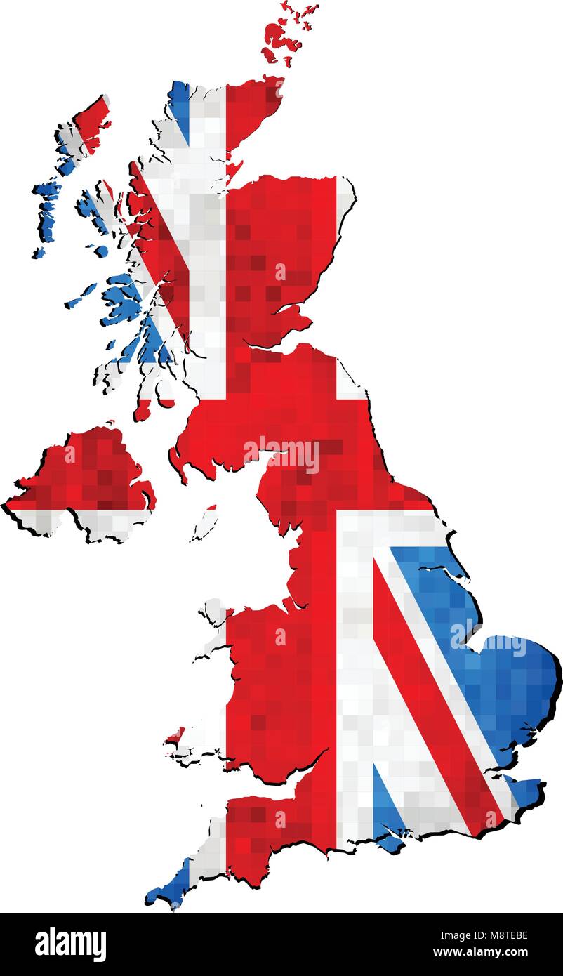 Grunge United Kingdom map with flag inside - Illustration, Map of Great Britain vector, Abstract grunge mosaic flag of Great Britain Stock Vectorhttps://www.alamy.com/image-license-details/?v=1https://www.alamy.com/stock-photo-grunge-united-kingdom-map-with-flag-inside-illustration-map-of-great-177559074.html
RFM8TEBE–Grunge United Kingdom map with flag inside - Illustration, Map of Great Britain vector, Abstract grunge mosaic flag of Great Britain
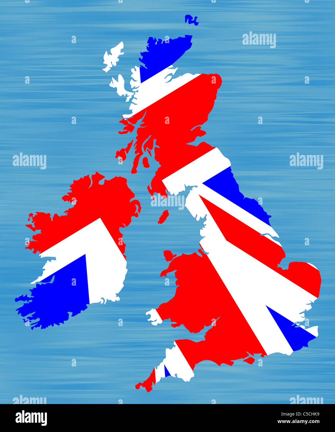 Drawing of a map of Britain infilled with British flag. Stock Photohttps://www.alamy.com/image-license-details/?v=1https://www.alamy.com/stock-photo-drawing-of-a-map-of-britain-infilled-with-british-flag-37771309.html
RMC5CHK9–Drawing of a map of Britain infilled with British flag.
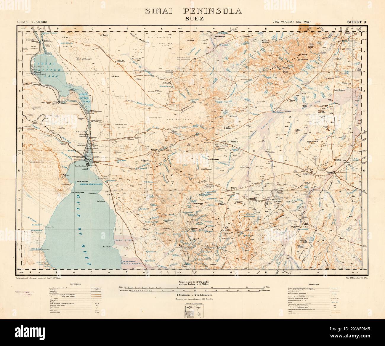 Vintage Map. The Sinai Peninsula- Suez. by Great Britain General Staff, Suez . Great Britain. War Office, 1915 Stock Photohttps://www.alamy.com/image-license-details/?v=1https://www.alamy.com/vintage-map-the-sinai-peninsula-suez-by-great-britain-general-staff-suez-great-britain-war-office-1915-image618077157.html
RM2XWFRM5–Vintage Map. The Sinai Peninsula- Suez. by Great Britain General Staff, Suez . Great Britain. War Office, 1915
 Plan of Jerusalem from the Ordnance Survey From the book 'Those holy fields : Palestine, illustrated by pen and pencil' by Manning, Samuel, 1822-1881; Religious Tract Society (Great Britain) Published in 1874 Stock Photohttps://www.alamy.com/image-license-details/?v=1https://www.alamy.com/plan-of-jerusalem-from-the-ordnance-survey-from-the-book-those-holy-fields-palestine-illustrated-by-pen-and-pencil-by-manning-samuel-1822-1881-religious-tract-society-great-britain-published-in-1874-image418344331.html
RM2F8H6CY–Plan of Jerusalem from the Ordnance Survey From the book 'Those holy fields : Palestine, illustrated by pen and pencil' by Manning, Samuel, 1822-1881; Religious Tract Society (Great Britain) Published in 1874
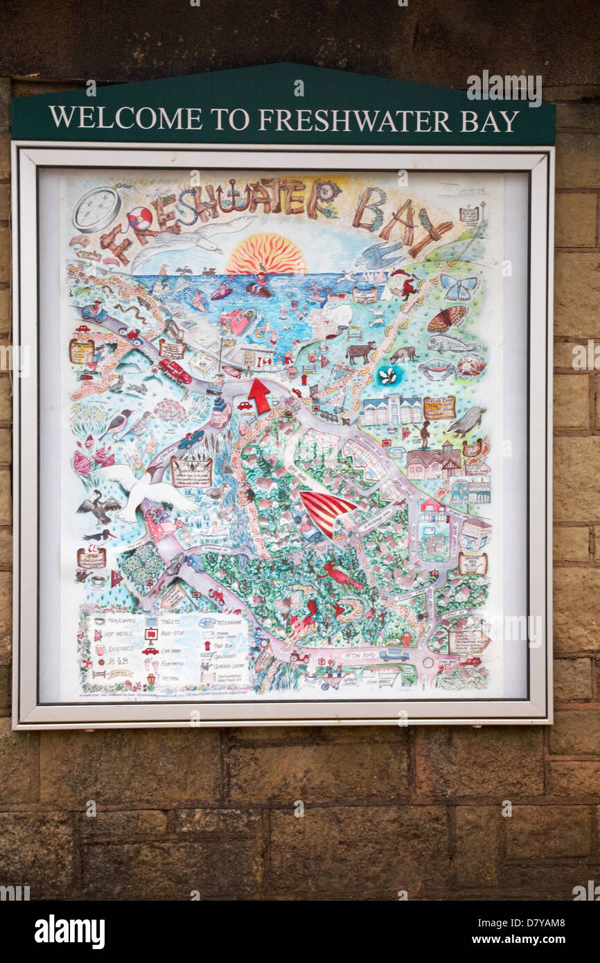 Welcome to Freshwater Bay sign and map at Freshwater Bay, Isle of Wight, Hampshire UK in May Stock Photohttps://www.alamy.com/image-license-details/?v=1https://www.alamy.com/stock-photo-welcome-to-freshwater-bay-sign-and-map-at-freshwater-bay-isle-of-wight-56534808.html
RMD7YAM8–Welcome to Freshwater Bay sign and map at Freshwater Bay, Isle of Wight, Hampshire UK in May
!['Map Showing the Great British Advance of July 1916', 1916. From "The War Illustrated Album De Luxe - Volume VI. Allied operations during the Battle of the Somme. The Spring and Summer Campaign of 1916", edited by J. A. Hammerton. [The Amalgamated Press, Limited, London, 1916] Stock Photo 'Map Showing the Great British Advance of July 1916', 1916. From "The War Illustrated Album De Luxe - Volume VI. Allied operations during the Battle of the Somme. The Spring and Summer Campaign of 1916", edited by J. A. Hammerton. [The Amalgamated Press, Limited, London, 1916] Stock Photo](https://c8.alamy.com/comp/2A8E9J7/map-showing-the-great-british-advance-of-july-1916-1916-from-quotthe-war-illustrated-album-de-luxe-volume-vi-allied-operations-during-the-battle-of-the-somme-the-spring-and-summer-campaign-of-1916quot-edited-by-j-a-hammerton-the-amalgamated-press-limited-london-1916-2A8E9J7.jpg) 'Map Showing the Great British Advance of July 1916', 1916. From "The War Illustrated Album De Luxe - Volume VI. Allied operations during the Battle of the Somme. The Spring and Summer Campaign of 1916", edited by J. A. Hammerton. [The Amalgamated Press, Limited, London, 1916] Stock Photohttps://www.alamy.com/image-license-details/?v=1https://www.alamy.com/map-showing-the-great-british-advance-of-july-1916-1916-from-quotthe-war-illustrated-album-de-luxe-volume-vi-allied-operations-during-the-battle-of-the-somme-the-spring-and-summer-campaign-of-1916quot-edited-by-j-a-hammerton-the-amalgamated-press-limited-london-1916-image332229135.html
'Map Showing the Great British Advance of July 1916', 1916. From "The War Illustrated Album De Luxe - Volume VI. Allied operations during the Battle of the Somme. The Spring and Summer Campaign of 1916", edited by J. A. Hammerton. [The Amalgamated Press, Limited, London, 1916] Stock Photohttps://www.alamy.com/image-license-details/?v=1https://www.alamy.com/map-showing-the-great-british-advance-of-july-1916-1916-from-quotthe-war-illustrated-album-de-luxe-volume-vi-allied-operations-during-the-battle-of-the-somme-the-spring-and-summer-campaign-of-1916quot-edited-by-j-a-hammerton-the-amalgamated-press-limited-london-1916-image332229135.htmlRM2A8E9J7–'Map Showing the Great British Advance of July 1916', 1916. From "The War Illustrated Album De Luxe - Volume VI. Allied operations during the Battle of the Somme. The Spring and Summer Campaign of 1916", edited by J. A. Hammerton. [The Amalgamated Press, Limited, London, 1916]
 3D Illustration of United Kingdom map with as Flag Stock Photohttps://www.alamy.com/image-license-details/?v=1https://www.alamy.com/stock-photo-3d-illustration-of-united-kingdom-map-with-as-flag-74182549.html
RFE8K8GN–3D Illustration of United Kingdom map with as Flag
 Map of the San Juan Archipelago, with the disputed channel and boundary, 1872. 'The publisher, Mr. Murray, of Commander Richard O. Mayne's " Four Years in British Columbia and Vancouver Island," which appeared in 1862, has favoured us with the loan of a "Sketch Map" of the Haro Archipelago, showing the Three Channels - namely, the line of division claimed by Great Britain, through Rosario Strait; the line claimed by the United States, through Haro Strait; and the intermediate line, through the Douglas Channel, which was suggested to compromise the dispute. The arbitration b Stock Photohttps://www.alamy.com/image-license-details/?v=1https://www.alamy.com/map-of-the-san-juan-archipelago-with-the-disputed-channel-and-boundary-1872-the-publisher-mr-murray-of-commander-richard-o-maynes-quot-four-years-in-british-columbia-and-vancouver-islandquot-which-appeared-in-1862-has-favoured-us-with-the-loan-of-a-quotsketch-mapquot-of-the-haro-archipelago-showing-the-three-channels-namely-the-line-of-division-claimed-by-great-britain-through-rosario-strait-the-line-claimed-by-the-united-states-through-haro-strait-and-the-intermediate-line-through-the-douglas-channel-which-was-suggested-to-compromise-the-dispute-the-arbitration-b-image635650997.html
RM2YX4B99–Map of the San Juan Archipelago, with the disputed channel and boundary, 1872. 'The publisher, Mr. Murray, of Commander Richard O. Mayne's " Four Years in British Columbia and Vancouver Island," which appeared in 1862, has favoured us with the loan of a "Sketch Map" of the Haro Archipelago, showing the Three Channels - namely, the line of division claimed by Great Britain, through Rosario Strait; the line claimed by the United States, through Haro Strait; and the intermediate line, through the Douglas Channel, which was suggested to compromise the dispute. The arbitration b
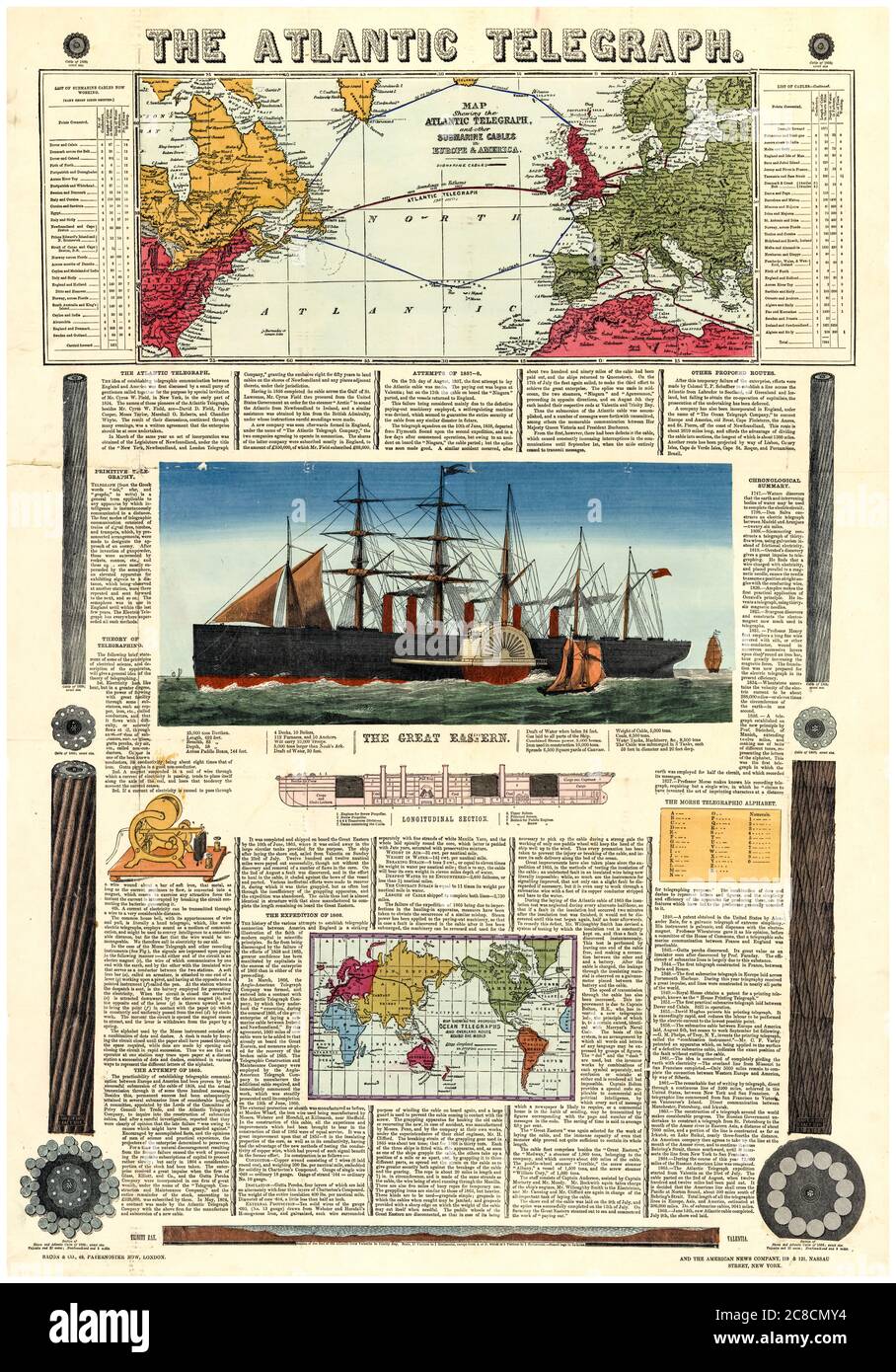 Bacon's vintage infographic chart and map of the Transatlantic Telegraph route across the Atlantic Ocean, 1865 Stock Photohttps://www.alamy.com/image-license-details/?v=1https://www.alamy.com/bacons-vintage-infographic-chart-and-map-of-the-transatlantic-telegraph-route-across-the-atlantic-ocean-1865-image366614840.html
RM2C8CMY4–Bacon's vintage infographic chart and map of the Transatlantic Telegraph route across the Atlantic Ocean, 1865
 Map of Britain and Ireland, 10th century AH/AD 16th century. Page from an early Ottoman illuminated and illustrated maritime atlas, referred to as the Walters Deniz atlasi. The work contains 8 double-page charts executed on parchment. The various geographical names are written in black Nasta'liq script. A distinguishing feature of this atlas is the detailed approach to representing such features as city vignettes. Stock Photohttps://www.alamy.com/image-license-details/?v=1https://www.alamy.com/map-of-britain-and-ireland-10th-century-ahad-16th-century-page-from-an-early-ottoman-illuminated-and-illustrated-maritime-atlas-referred-to-as-the-walters-deniz-atlasi-the-work-contains-8-double-page-charts-executed-on-parchment-the-various-geographical-names-are-written-in-black-nastaliq-script-a-distinguishing-feature-of-this-atlas-is-the-detailed-approach-to-representing-such-features-as-city-vignettes-image571914562.html
RM2T6CXT2–Map of Britain and Ireland, 10th century AH/AD 16th century. Page from an early Ottoman illuminated and illustrated maritime atlas, referred to as the Walters Deniz atlasi. The work contains 8 double-page charts executed on parchment. The various geographical names are written in black Nasta'liq script. A distinguishing feature of this atlas is the detailed approach to representing such features as city vignettes.
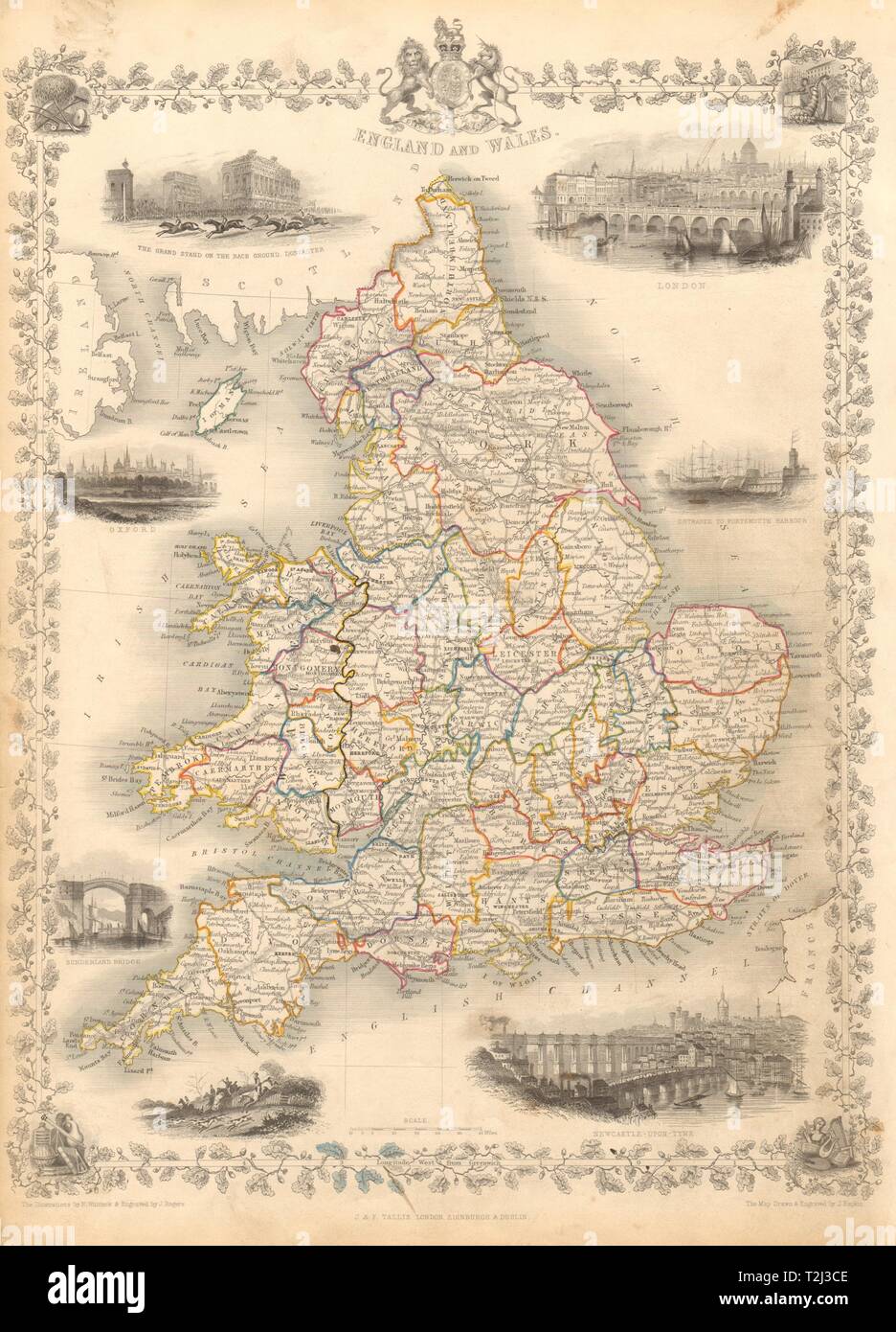 ENGLAND & WALES. London Newcastle Doncaster races views. RAPKIN/TALLIS 1851 map Stock Photohttps://www.alamy.com/image-license-details/?v=1https://www.alamy.com/england-wales-london-newcastle-doncaster-races-views-rapkintallis-1851-map-image242572302.html
RFT2J3CE–ENGLAND & WALES. London Newcastle Doncaster races views. RAPKIN/TALLIS 1851 map
 Simple outline map of United Kingdom with capital location. Stylized minimal line design Stock Vectorhttps://www.alamy.com/image-license-details/?v=1https://www.alamy.com/simple-outline-map-of-united-kingdom-with-capital-location-stylized-minimal-line-design-image462704501.html
RF2HTP08N–Simple outline map of United Kingdom with capital location. Stylized minimal line design
 Map of UK on blue button; isolated on white background. Stock Photohttps://www.alamy.com/image-license-details/?v=1https://www.alamy.com/stock-photo-map-of-uk-on-blue-button-isolated-on-white-background-33918485.html
RMBY53AD–Map of UK on blue button; isolated on white background.
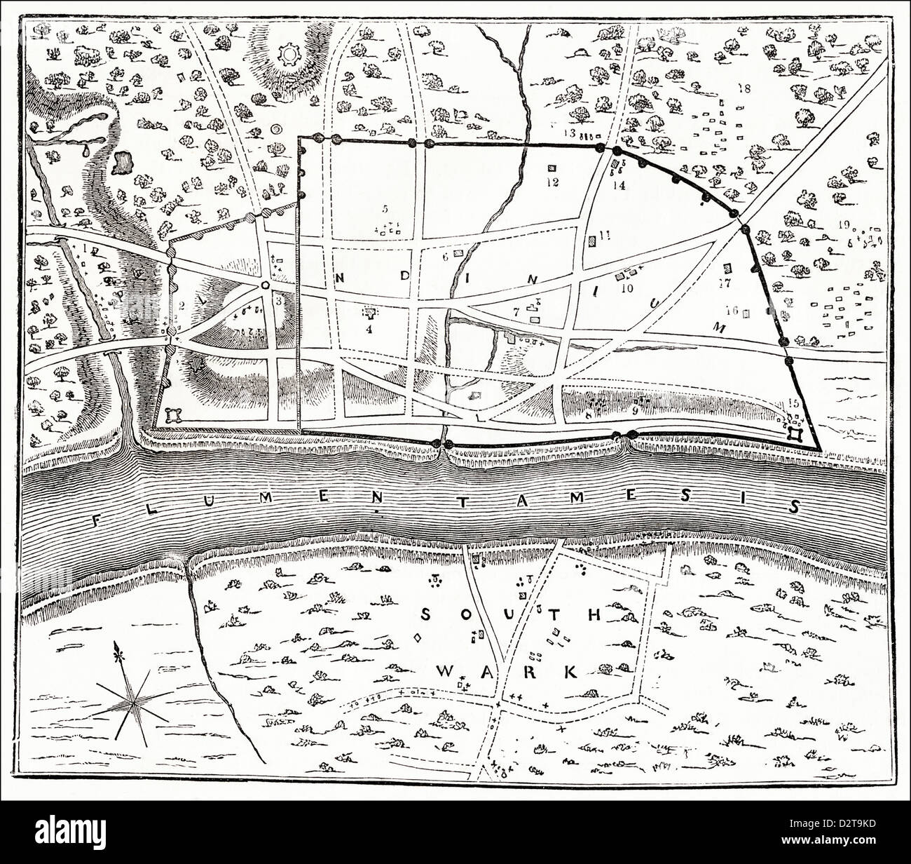 Plan of Roman London showing city walls and River Thames Victorian woodcut engraving circa 1845 Stock Photohttps://www.alamy.com/image-license-details/?v=1https://www.alamy.com/stock-photo-plan-of-roman-london-showing-city-walls-and-river-thames-victorian-53394865.html
RMD2T9KD–Plan of Roman London showing city walls and River Thames Victorian woodcut engraving circa 1845
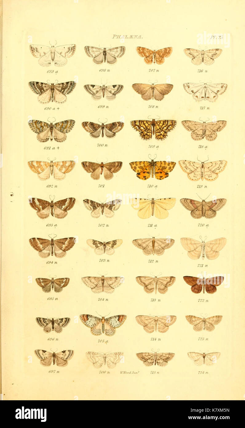 Index entomologicus, or, A complete illustrated catalogue, consisting of 1944 figures, of the lepidopterous insects of Great Britain (Pl. 25) (6055593651) Stock Photohttps://www.alamy.com/image-license-details/?v=1https://www.alamy.com/index-entomologicus-or-a-complete-illustrated-catalogue-consisting-image159782497.html
RMK7XM5N–Index entomologicus, or, A complete illustrated catalogue, consisting of 1944 figures, of the lepidopterous insects of Great Britain (Pl. 25) (6055593651)
 Image from page 108 of 'Geology in systematic notes and tables for the use of teachers and of taught. ... With ... illustrations and a geological map of Great Britain. Second edition' . Stock Photohttps://www.alamy.com/image-license-details/?v=1https://www.alamy.com/image-from-page-108-of-geology-in-systematic-notes-and-tables-for-the-use-of-teachers-and-of-taught-with-illustrations-and-a-geological-map-of-great-britain-second-edition-image216657277.html
RMPGDGFW–Image from page 108 of 'Geology in systematic notes and tables for the use of teachers and of taught. ... With ... illustrations and a geological map of Great Britain. Second edition' .