Quick filters:
Great river road sign Stock Photos and Images
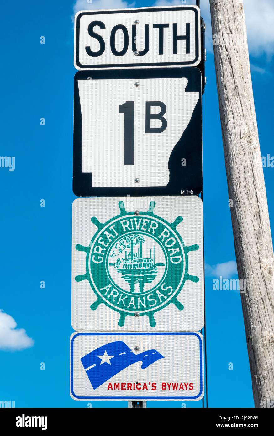 Great River Road National Scenic Byway sign in Marianna Arkansas on W Chestnut St. American Byways sign. Stock Photohttps://www.alamy.com/image-license-details/?v=1https://www.alamy.com/great-river-road-national-scenic-byway-sign-in-marianna-arkansas-on-w-chestnut-st-american-byways-sign-image470273448.html
RM2J92PG8–Great River Road National Scenic Byway sign in Marianna Arkansas on W Chestnut St. American Byways sign.
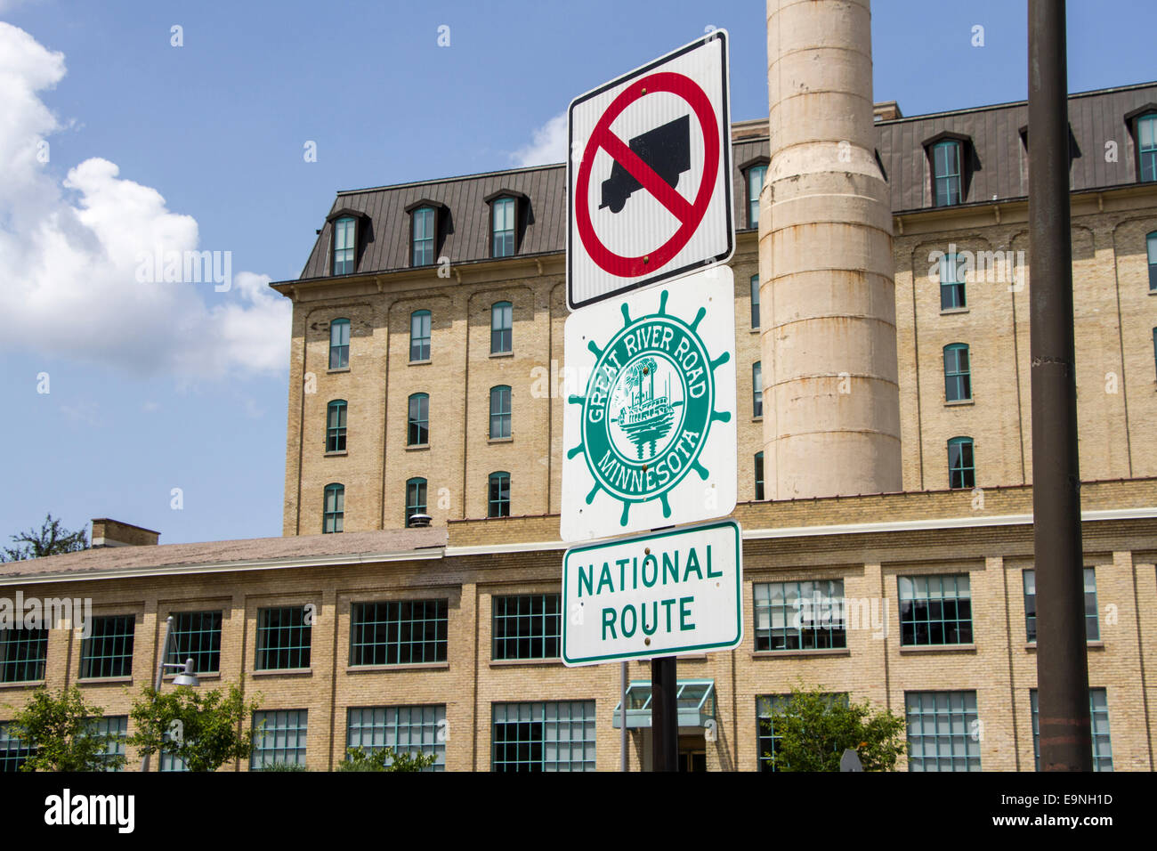 Great River Road Sign, Mill ruins park, Minneapolis, Minnesota, USA Stock Photohttps://www.alamy.com/image-license-details/?v=1https://www.alamy.com/stock-photo-great-river-road-sign-mill-ruins-park-minneapolis-minnesota-usa-74847737.html
RME9NH1D–Great River Road Sign, Mill ruins park, Minneapolis, Minnesota, USA
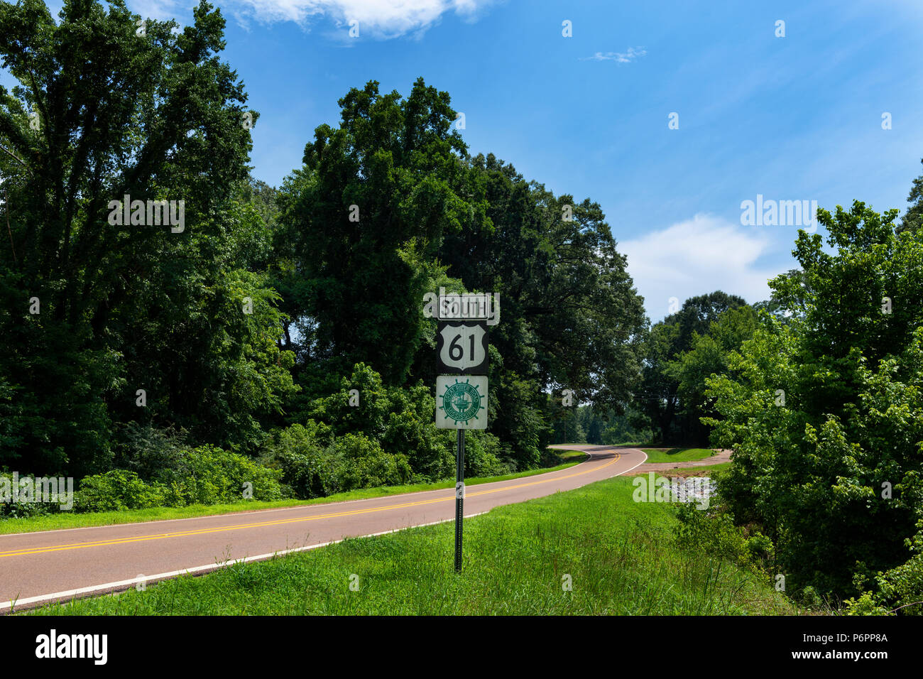 A Great River Road Sign along the US Route 61 near the city of Viksburg, in the State of Mississippi; Concept for travel in America and road trip in A Stock Photohttps://www.alamy.com/image-license-details/?v=1https://www.alamy.com/a-great-river-road-sign-along-the-us-route-61-near-the-city-of-viksburg-in-the-state-of-mississippi-concept-for-travel-in-america-and-road-trip-in-a-image210712778.html
RFP6PP8A–A Great River Road Sign along the US Route 61 near the city of Viksburg, in the State of Mississippi; Concept for travel in America and road trip in A
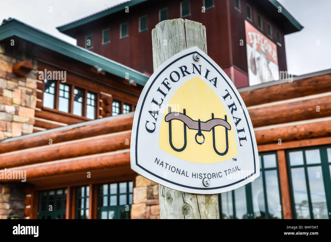 California Trail Sign National Historic Trail post marker at Great Platte River Road Archway Monument Museum in Kearney, Nebraska. Stock Photohttps://www.alamy.com/image-license-details/?v=1https://www.alamy.com/stock-photo-california-trail-sign-national-historic-trail-post-marker-at-great-175159232.html
RFM4Y5AT–California Trail Sign National Historic Trail post marker at Great Platte River Road Archway Monument Museum in Kearney, Nebraska.
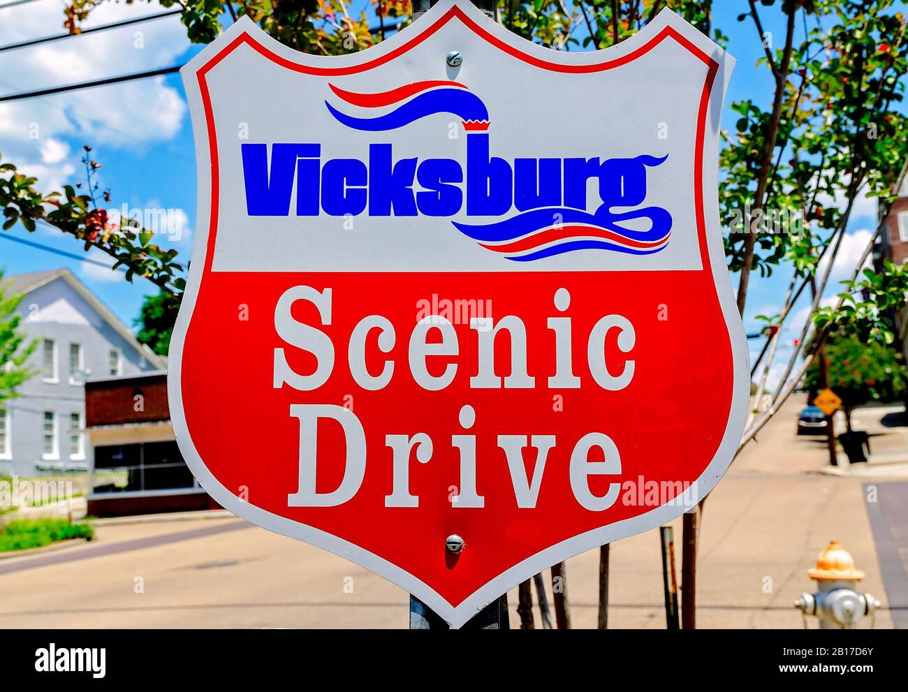 A scenic drive sign is posted downtown along the Great River Road Scenic Byway, July 28, 2019, in Vicksburg, Mississippi. Stock Photohttps://www.alamy.com/image-license-details/?v=1https://www.alamy.com/a-scenic-drive-sign-is-posted-downtown-along-the-great-river-road-scenic-byway-july-28-2019-in-vicksburg-mississippi-image344986067.html
RM2B17D6Y–A scenic drive sign is posted downtown along the Great River Road Scenic Byway, July 28, 2019, in Vicksburg, Mississippi.
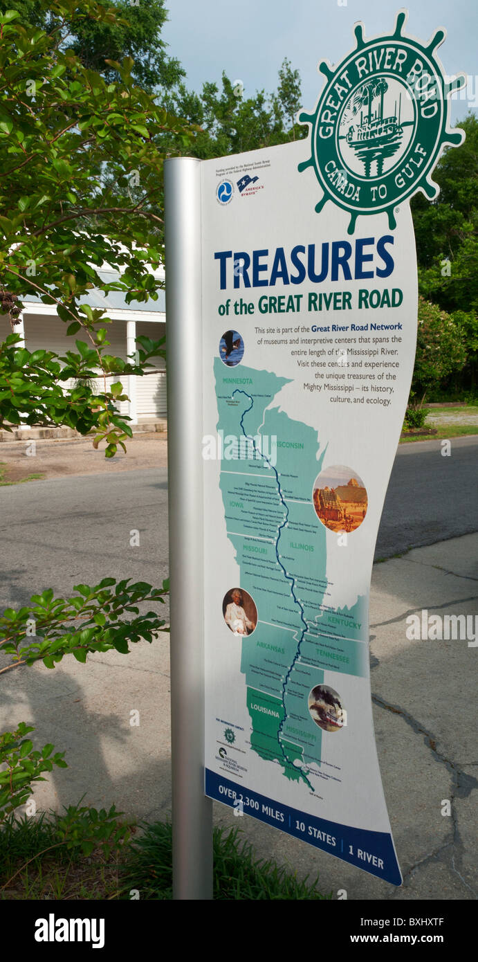 Great River Road informational sign map Stock Photohttps://www.alamy.com/image-license-details/?v=1https://www.alamy.com/stock-photo-great-river-road-informational-sign-map-33585679.html
RMBXHXTF–Great River Road informational sign map
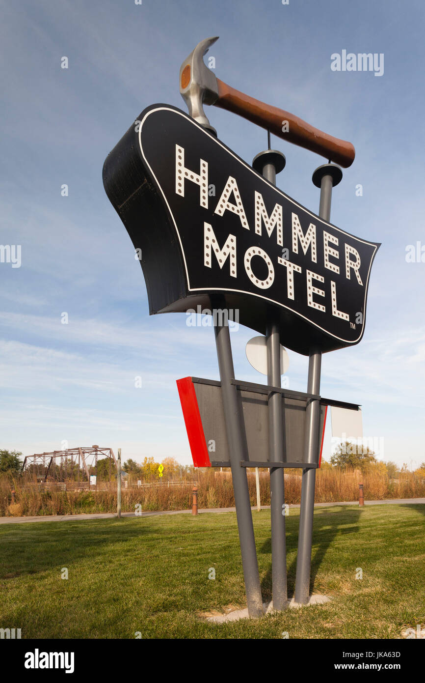 USA, Nebraska, Kearney, Great Platte River Road Archway Monument, sign for the Hammer Motel Stock Photohttps://www.alamy.com/image-license-details/?v=1https://www.alamy.com/stock-photo-usa-nebraska-kearney-great-platte-river-road-archway-monument-sign-149585729.html
RMJKA63D–USA, Nebraska, Kearney, Great Platte River Road Archway Monument, sign for the Hammer Motel
 Stone plinth with plaque marking the site of the old Roman Great North Road ford / crossing of the River Welland, Stamford, Lincolnshire, England, UK Stock Photohttps://www.alamy.com/image-license-details/?v=1https://www.alamy.com/stone-plinth-with-plaque-marking-the-site-of-the-old-roman-great-north-road-ford-crossing-of-the-river-welland-stamford-lincolnshire-england-uk-image273829779.html
RMWWE0JY–Stone plinth with plaque marking the site of the old Roman Great North Road ford / crossing of the River Welland, Stamford, Lincolnshire, England, UK
 BP Petrol Station sign, Milton Road, Gravesend, Kent, England, United Kingdom Stock Photohttps://www.alamy.com/image-license-details/?v=1https://www.alamy.com/stock-photo-bp-petrol-station-sign-milton-road-gravesend-kent-england-united-kingdom-89989016.html
RMF6B9WC–BP Petrol Station sign, Milton Road, Gravesend, Kent, England, United Kingdom
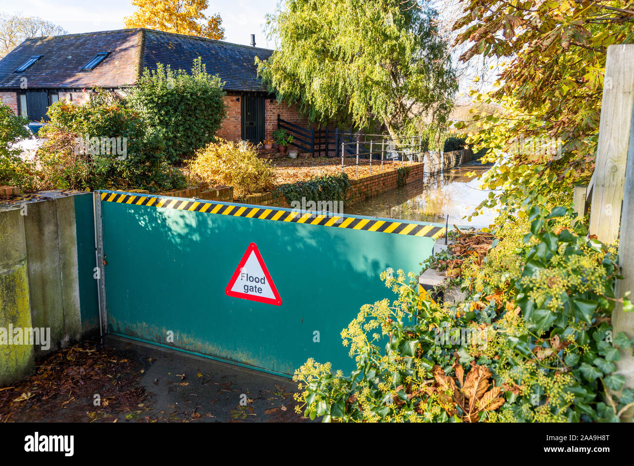 A flood gate in the Severn Vale holding back the River Severn at Deerhurst, Gloucestershire UK on 18/11/2019 Stock Photohttps://www.alamy.com/image-license-details/?v=1https://www.alamy.com/a-flood-gate-in-the-severn-vale-holding-back-the-river-severn-at-deerhurst-gloucestershire-uk-on-18112019-image333354696.html
RF2AA9H8T–A flood gate in the Severn Vale holding back the River Severn at Deerhurst, Gloucestershire UK on 18/11/2019
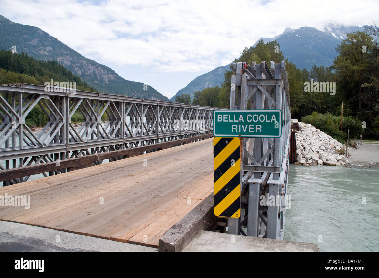 A bridge over the Bella Coola River in the town of Hagensborg, in the Great Bear Rainforest region of British Columbia, Canada. Stock Photohttps://www.alamy.com/image-license-details/?v=1https://www.alamy.com/stock-photo-a-bridge-over-the-bella-coola-river-in-the-town-of-hagensborg-in-the-54117745.html
RFD417MH–A bridge over the Bella Coola River in the town of Hagensborg, in the Great Bear Rainforest region of British Columbia, Canada.
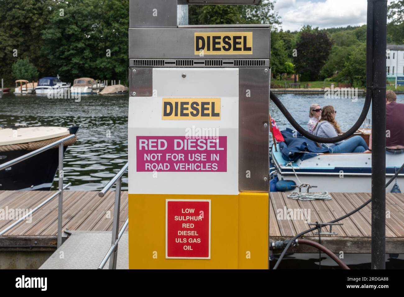 Red diesel pump providing fuel for river boats, England, UK. With sign not for use in road vehicles Stock Photohttps://www.alamy.com/image-license-details/?v=1https://www.alamy.com/red-diesel-pump-providing-fuel-for-river-boats-england-uk-with-sign-not-for-use-in-road-vehicles-image559081608.html
RM2RDGA88–Red diesel pump providing fuel for river boats, England, UK. With sign not for use in road vehicles
 Saint Genevieve, MO--July 3, 2020; Signs welcome people to Great River Road visitor center at historic French Colonial district and National Park in c Stock Photohttps://www.alamy.com/image-license-details/?v=1https://www.alamy.com/saint-genevieve-mo-july-3-2020-signs-welcome-people-to-great-river-road-visitor-center-at-historic-french-colonial-district-and-national-park-in-c-image365057611.html
RF2C5WPKR–Saint Genevieve, MO--July 3, 2020; Signs welcome people to Great River Road visitor center at historic French Colonial district and National Park in c
 Passing place sign on the edge of the tidal road linking Sunderland Point and Morecambe, along the banks of the River Lune Stock Photohttps://www.alamy.com/image-license-details/?v=1https://www.alamy.com/passing-place-sign-on-the-edge-of-the-tidal-road-linking-sunderland-point-and-morecambe-along-the-banks-of-the-river-lune-image407326945.html
RM2EJK9JW–Passing place sign on the edge of the tidal road linking Sunderland Point and Morecambe, along the banks of the River Lune
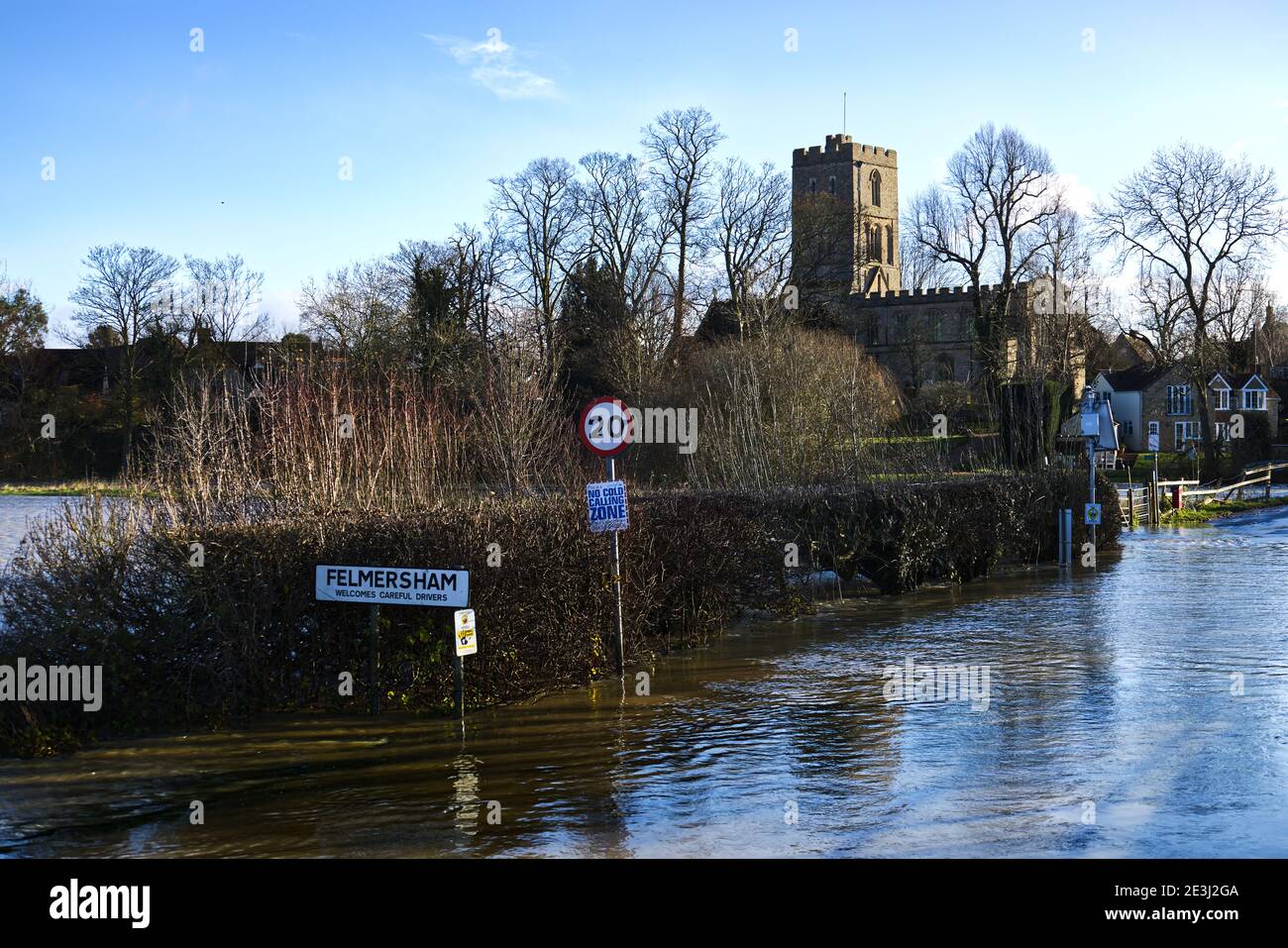 Flooded road after River Great Ouse burst its banks at Felmersham Bridge, Bedfordshire, England, UK Stock Photohttps://www.alamy.com/image-license-details/?v=1https://www.alamy.com/flooded-road-after-river-great-ouse-burst-its-banks-at-felmersham-bridge-bedfordshire-england-uk-image398079594.html
RF2E3J2GA–Flooded road after River Great Ouse burst its banks at Felmersham Bridge, Bedfordshire, England, UK
 CHERTSEY, UK - 20 February 2014 - Sign outside Chertsey Surrey England UK declaring a closed road due to floods Stock Photohttps://www.alamy.com/image-license-details/?v=1https://www.alamy.com/chertsey-uk-20-february-2014-sign-outside-chertsey-surrey-england-uk-declaring-a-closed-road-due-to-floods-image340463489.html
RF2ANWCJ9–CHERTSEY, UK - 20 February 2014 - Sign outside Chertsey Surrey England UK declaring a closed road due to floods
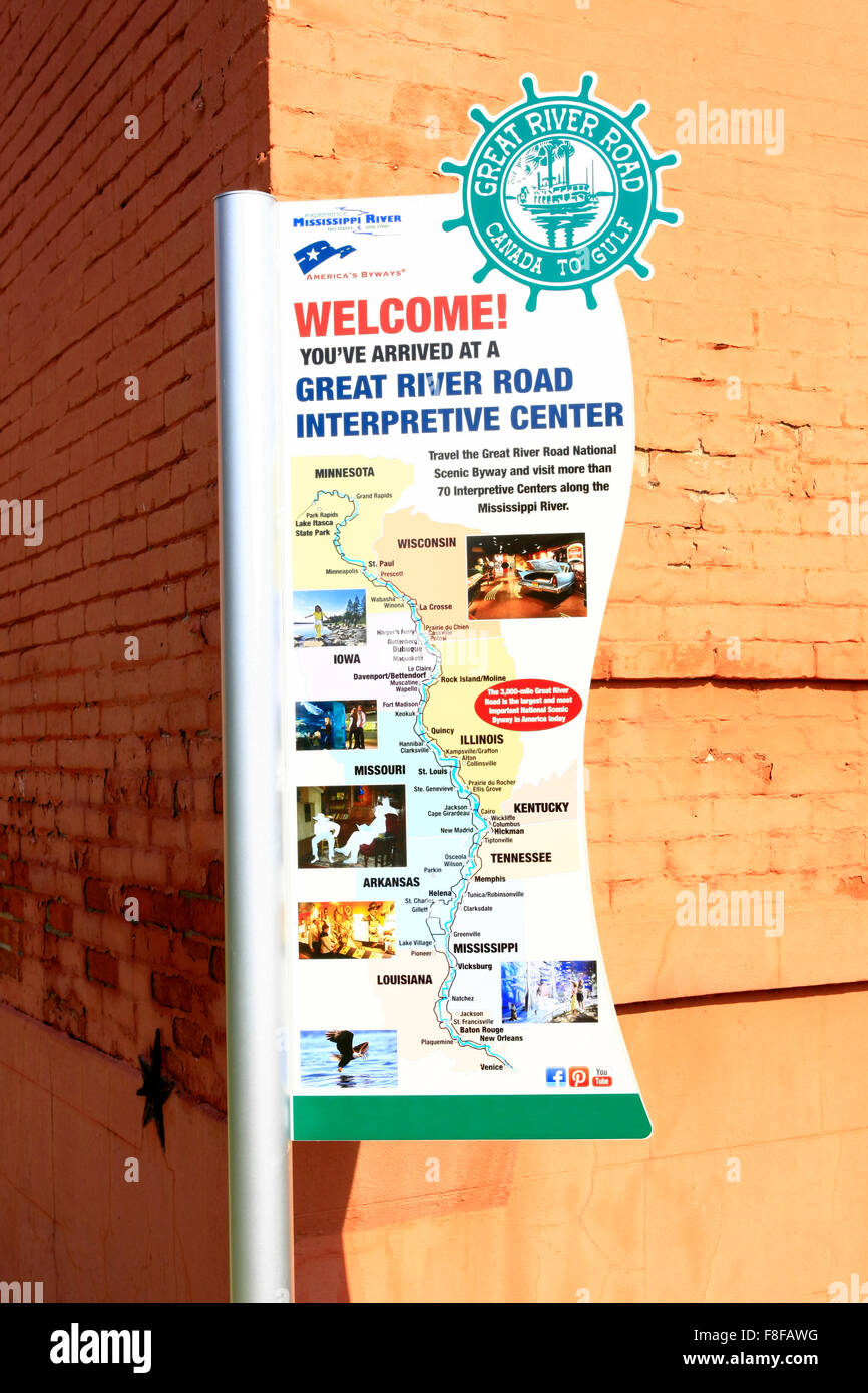 Welcome to the Great River Road Interpretive center in Helena Arkansas Stock Photohttps://www.alamy.com/image-license-details/?v=1https://www.alamy.com/stock-photo-welcome-to-the-great-river-road-interpretive-center-in-helena-arkansas-91306924.html
RMF8FAWG–Welcome to the Great River Road Interpretive center in Helena Arkansas
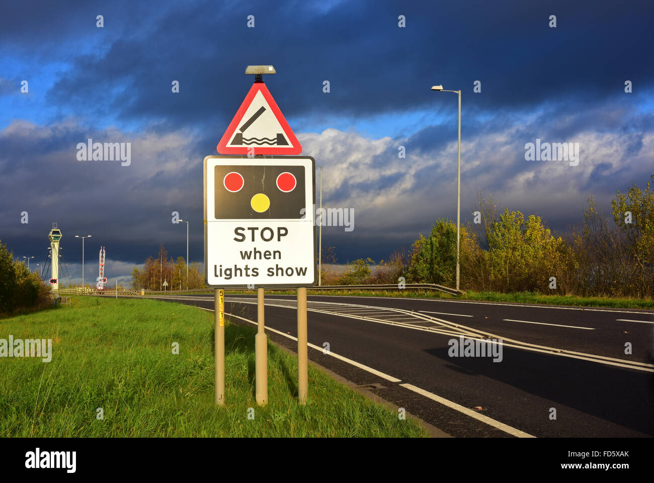 warning sign of Selby swingbridge crossing the river Ouse ahead Yorkshire united kingdom Stock Photohttps://www.alamy.com/image-license-details/?v=1https://www.alamy.com/stock-photo-warning-sign-of-selby-swingbridge-crossing-the-river-ouse-ahead-yorkshire-94172811.html
RMFD5XAK–warning sign of Selby swingbridge crossing the river Ouse ahead Yorkshire united kingdom
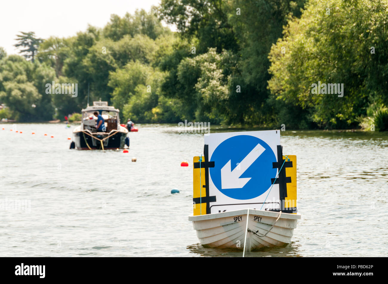 A floating traffic sign on a busy section of the River Thames at Hampton Court. Stock Photohttps://www.alamy.com/image-license-details/?v=1https://www.alamy.com/a-floating-traffic-sign-on-a-busy-section-of-the-river-thames-at-hampton-court-image213575790.html
RMPBD62P–A floating traffic sign on a busy section of the River Thames at Hampton Court.
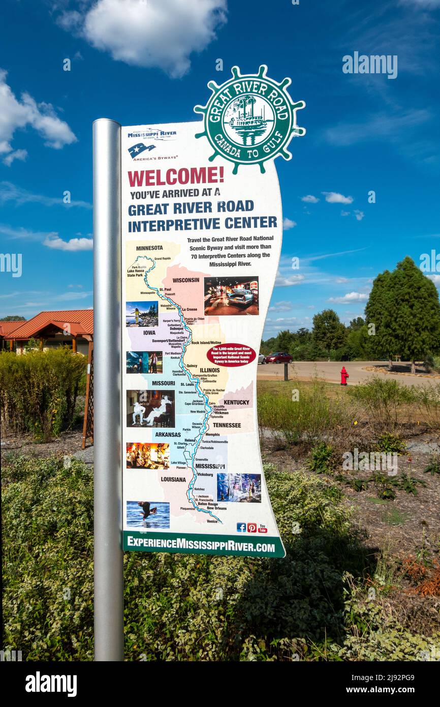 Great River Road National Scenic Byway. Official Interpretive Center Mississippi River State Park. St Francis National Forest Visitor Center Stock Photohttps://www.alamy.com/image-license-details/?v=1https://www.alamy.com/great-river-road-national-scenic-byway-official-interpretive-center-mississippi-river-state-park-st-francis-national-forest-visitor-center-image470273449.html
RM2J92PG9–Great River Road National Scenic Byway. Official Interpretive Center Mississippi River State Park. St Francis National Forest Visitor Center
 Oxfordshire Sign, Henley Bridge, Henley-on-Thames, Oxfordshire, England, UK, GB. Stock Photohttps://www.alamy.com/image-license-details/?v=1https://www.alamy.com/stock-photo-oxfordshire-sign-henley-bridge-henley-on-thames-oxfordshire-england-146769091.html
RMJENWD7–Oxfordshire Sign, Henley Bridge, Henley-on-Thames, Oxfordshire, England, UK, GB.
 A Great River Road Sign along the US Route 61 near the city of Viksburg, in the State of Mississippi; Concept for travel in America and road trip in A Stock Photohttps://www.alamy.com/image-license-details/?v=1https://www.alamy.com/a-great-river-road-sign-along-the-us-route-61-near-the-city-of-viksburg-in-the-state-of-mississippi-concept-for-travel-in-america-and-road-trip-in-a-image211241625.html
RFP7JTRN–A Great River Road Sign along the US Route 61 near the city of Viksburg, in the State of Mississippi; Concept for travel in America and road trip in A
 Road sign directions on King Geroge V bridge, River Clyde, Glasgow, Scotland, UK Stock Photohttps://www.alamy.com/image-license-details/?v=1https://www.alamy.com/road-sign-directions-on-king-geroge-v-bridge-river-clyde-glasgow-scotland-uk-image271447954.html
RMWNHEHP–Road sign directions on King Geroge V bridge, River Clyde, Glasgow, Scotland, UK
 The 'Linn of Dee' Road Sign, with the River Dee and Pine Forests in Autumn Mist in the Background Stock Photohttps://www.alamy.com/image-license-details/?v=1https://www.alamy.com/the-linn-of-dee-road-sign-with-the-river-dee-and-pine-forests-in-autumn-mist-in-the-background-image571412924.html
RF2T5J30C–The 'Linn of Dee' Road Sign, with the River Dee and Pine Forests in Autumn Mist in the Background
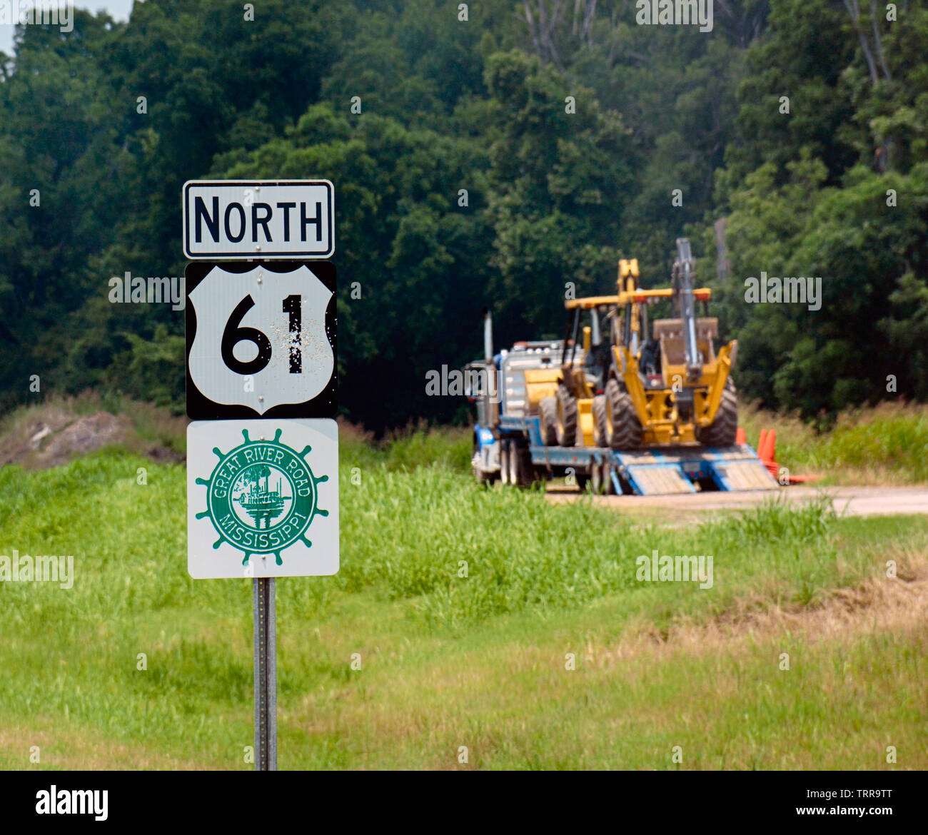 A bulldozer on a tractor trailer rig is parked alongside a highway sign for North 61 in Northwest Mississippi, along the historic Great Stock Photohttps://www.alamy.com/image-license-details/?v=1https://www.alamy.com/a-bulldozer-on-a-tractor-trailer-rig-is-parked-alongside-a-highway-sign-for-north-61-in-northwest-mississippi-along-the-historic-great-image255594888.html
RMTRR9TT–A bulldozer on a tractor trailer rig is parked alongside a highway sign for North 61 in Northwest Mississippi, along the historic Great
 Man of hay figure at speed limit warning sign, near Reese River Cabins, Reese River Valley, west of Austin, Nevada, USA Stock Photohttps://www.alamy.com/image-license-details/?v=1https://www.alamy.com/man-of-hay-figure-at-speed-limit-warning-sign-near-reese-river-cabins-reese-river-valley-west-of-austin-nevada-usa-image396856473.html
RF2E1JADD–Man of hay figure at speed limit warning sign, near Reese River Cabins, Reese River Valley, west of Austin, Nevada, USA
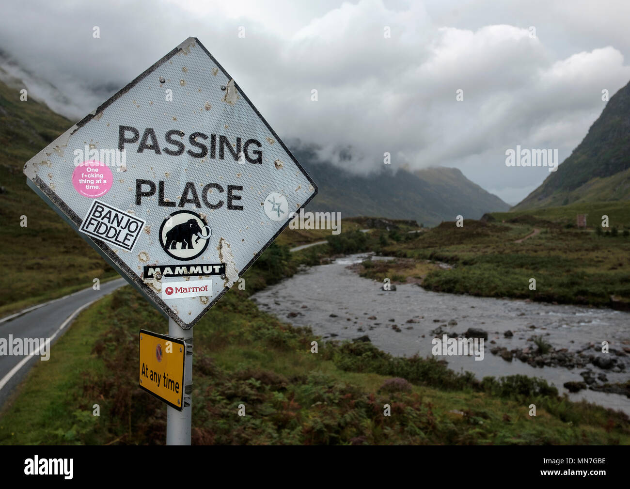 A passing place road sign in a single lane road besides the River Coe in Glen Coe defaced with stickers Stock Photohttps://www.alamy.com/image-license-details/?v=1https://www.alamy.com/a-passing-place-road-sign-in-a-single-lane-road-besides-the-river-coe-in-glen-coe-defaced-with-stickers-image185177986.html
RMMN7GBE–A passing place road sign in a single lane road besides the River Coe in Glen Coe defaced with stickers
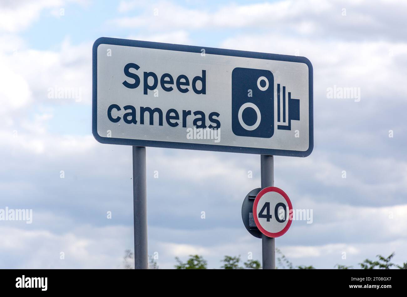 Speed camera road sign, Windsor Road, Runnymede, Surrey, England, United Kingdom Stock Photohttps://www.alamy.com/image-license-details/?v=1https://www.alamy.com/speed-camera-road-sign-windsor-road-runnymede-surrey-england-united-kingdom-image568131039.html
RM2T08GX7–Speed camera road sign, Windsor Road, Runnymede, Surrey, England, United Kingdom
 Wainlode Lane junction with the B4213 closed due to flooding by the River Severn nr the Severn Vale village of Apperley, Gloucestershire UK 18/11/2019 Stock Photohttps://www.alamy.com/image-license-details/?v=1https://www.alamy.com/wainlode-lane-junction-with-the-b4213-closed-due-to-flooding-by-the-river-severn-nr-the-severn-vale-village-of-apperley-gloucestershire-uk-18112019-image333457776.html
RF2AAE8P8–Wainlode Lane junction with the B4213 closed due to flooding by the River Severn nr the Severn Vale village of Apperley, Gloucestershire UK 18/11/2019
 Aftermath of Carlisle Floods. December 2015. Foot path sign showing flotsam illustrating height of flooded River Eden caused by Storm Desmond. Carlisle, Cumbria, England, UK. Stock Photohttps://www.alamy.com/image-license-details/?v=1https://www.alamy.com/stock-photo-aftermath-of-carlisle-floods-december-2015-foot-path-sign-showing-91485594.html
RMF8REPJ–Aftermath of Carlisle Floods. December 2015. Foot path sign showing flotsam illustrating height of flooded River Eden caused by Storm Desmond. Carlisle, Cumbria, England, UK.
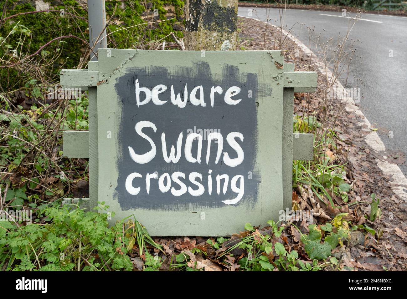 Beware swans crossing sign or notice on a road beside a river, England, UK Stock Photohttps://www.alamy.com/image-license-details/?v=1https://www.alamy.com/beware-swans-crossing-sign-or-notice-on-a-road-beside-a-river-england-uk-image503258964.html
RM2M6NBXC–Beware swans crossing sign or notice on a road beside a river, England, UK
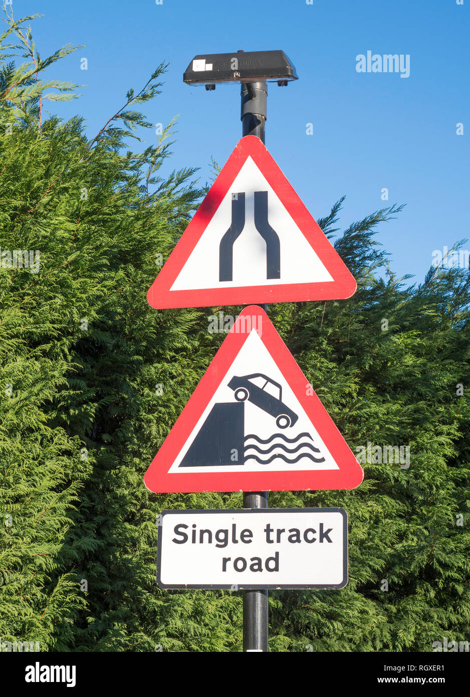 Triangular warning road signs, road narrows and river bank or quayside, a risk of drowning, England, UK Stock Photohttps://www.alamy.com/image-license-details/?v=1https://www.alamy.com/triangular-warning-road-signs-road-narrows-and-river-bank-or-quayside-a-risk-of-drowning-england-uk-image234151653.html
RMRGXER1–Triangular warning road signs, road narrows and river bank or quayside, a risk of drowning, England, UK
 Passing place sign on the edge of the tidal road linking Sunderland Point and Morecambe, along the banks of the River Lune Stock Photohttps://www.alamy.com/image-license-details/?v=1https://www.alamy.com/passing-place-sign-on-the-edge-of-the-tidal-road-linking-sunderland-point-and-morecambe-along-the-banks-of-the-river-lune-image407327014.html
RM2EJK9NA–Passing place sign on the edge of the tidal road linking Sunderland Point and Morecambe, along the banks of the River Lune
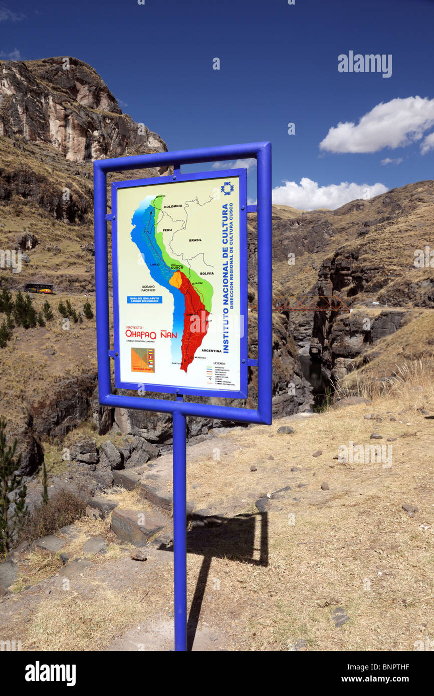 Sign with map of Inca Empire for Qhapaq Ñan Inca road project at the site of the last Inca suspension bridge, Qeswachaca, Cusco Region, Peru Stock Photohttps://www.alamy.com/image-license-details/?v=1https://www.alamy.com/stock-photo-sign-with-map-of-inca-empire-for-qhapaq-an-inca-road-project-at-the-30620395.html
RMBNPTHF–Sign with map of Inca Empire for Qhapaq Ñan Inca road project at the site of the last Inca suspension bridge, Qeswachaca, Cusco Region, Peru
 River Dee signpost in Scotland UK Aberdeenshire Stock Photohttps://www.alamy.com/image-license-details/?v=1https://www.alamy.com/stock-photo-river-dee-signpost-in-scotland-uk-aberdeenshire-20559289.html
RMB5CFG9–River Dee signpost in Scotland UK Aberdeenshire
 Road works sign London, England, U.K. Stock Photohttps://www.alamy.com/image-license-details/?v=1https://www.alamy.com/stock-photo-road-works-sign-london-england-uk-84630902.html
RMEWK7G6–Road works sign London, England, U.K.
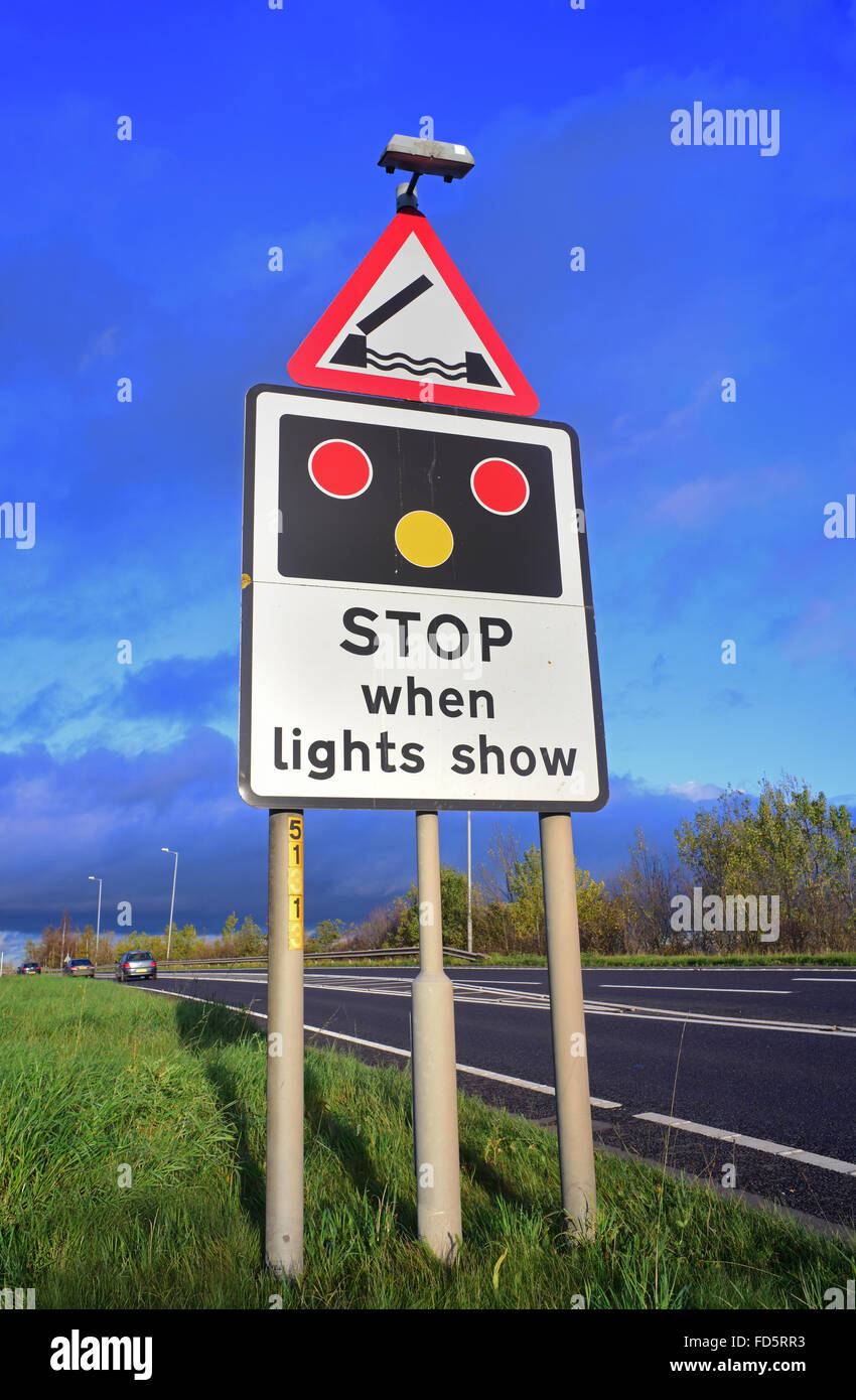 warning sign of Selby swingbridge crossing the river Ouse ahead Yorkshire united kingdom Stock Photohttps://www.alamy.com/image-license-details/?v=1https://www.alamy.com/stock-photo-warning-sign-of-selby-swingbridge-crossing-the-river-ouse-ahead-yorkshire-94170807.html
RMFD5RR3–warning sign of Selby swingbridge crossing the river Ouse ahead Yorkshire united kingdom
 Walking the Old Ghost Road trail, Lyell to Seddonville, New Zealand. Sign at Seddonville Stock Photohttps://www.alamy.com/image-license-details/?v=1https://www.alamy.com/walking-the-old-ghost-road-trail-lyell-to-seddonville-new-zealand-sign-at-seddonville-image339458669.html
RM2AM7JYW–Walking the Old Ghost Road trail, Lyell to Seddonville, New Zealand. Sign at Seddonville
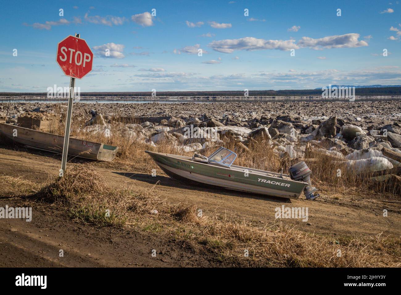 Boat parked on land at stop sign waiting for Great Bear River to thaw in spring, in the Indigenous community of Tulita, Northwest Territories, Canada. Stock Photohttps://www.alamy.com/image-license-details/?v=1https://www.alamy.com/boat-parked-on-land-at-stop-sign-waiting-for-great-bear-river-to-thaw-in-spring-in-the-indigenous-community-of-tulita-northwest-territories-canada-image475743071.html
RF2JHYY3Y–Boat parked on land at stop sign waiting for Great Bear River to thaw in spring, in the Indigenous community of Tulita, Northwest Territories, Canada.
 A road information sign on the Northern Spire bridge crossing the River Wear at Sunderland,England,Uk Stock Photohttps://www.alamy.com/image-license-details/?v=1https://www.alamy.com/a-road-information-sign-on-the-northern-spire-bridge-crossing-the-river-wear-at-sunderlandenglanduk-image217094526.html
RMPH5E7X–A road information sign on the Northern Spire bridge crossing the River Wear at Sunderland,England,Uk
 Oxfordshire Sign, Henley Bridge, Henley-on-Thames, Oxfordshire, England Stock Photohttps://www.alamy.com/image-license-details/?v=1https://www.alamy.com/stock-photo-oxfordshire-sign-henley-bridge-henley-on-thames-oxfordshire-england-146769100.html
RMJENWDG–Oxfordshire Sign, Henley Bridge, Henley-on-Thames, Oxfordshire, England
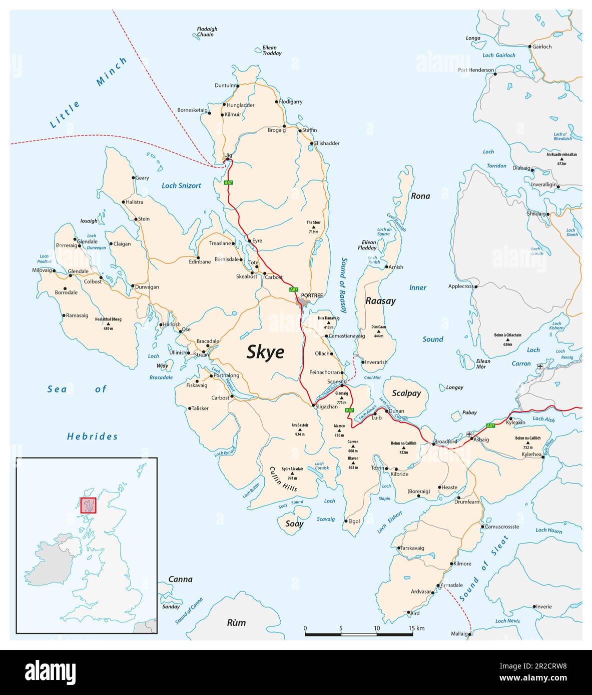 Vector road map of the Scottish Isle of Skye Stock Photohttps://www.alamy.com/image-license-details/?v=1https://www.alamy.com/vector-road-map-of-the-scottish-isle-of-skye-image552243252.html
RF2R2CRW8–Vector road map of the Scottish Isle of Skye
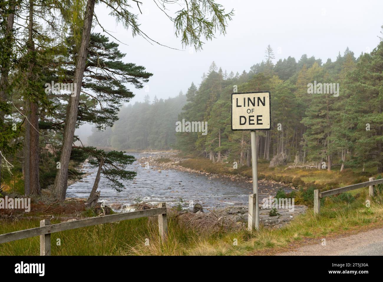 The Roadside 'Linn of Dee' Sign with Views of the River Dee and Pine Forests on the Riverbanks in Autumn Mist Stock Photohttps://www.alamy.com/image-license-details/?v=1https://www.alamy.com/the-roadside-linn-of-dee-sign-with-views-of-the-river-dee-and-pine-forests-on-the-riverbanks-in-autumn-mist-image571412922.html
RF2T5J30A–The Roadside 'Linn of Dee' Sign with Views of the River Dee and Pine Forests on the Riverbanks in Autumn Mist
 Springtime on the River Great Ouse at Felmersham village bridge in Bedfordshire, UK, overlooked by St Mary's Church tower Stock Photohttps://www.alamy.com/image-license-details/?v=1https://www.alamy.com/springtime-on-the-river-great-ouse-at-felmersham-village-bridge-in-bedfordshire-uk-overlooked-by-st-marys-church-tower-image353136769.html
RF2BEENFD–Springtime on the River Great Ouse at Felmersham village bridge in Bedfordshire, UK, overlooked by St Mary's Church tower
 Man of hay figure at speed limit warning sign, near Reese River Cabins, Reese River Valley, west of Austin, Nevada, USA Stock Photohttps://www.alamy.com/image-license-details/?v=1https://www.alamy.com/man-of-hay-figure-at-speed-limit-warning-sign-near-reese-river-cabins-reese-river-valley-west-of-austin-nevada-usa-image396856328.html
RF2E1JA88–Man of hay figure at speed limit warning sign, near Reese River Cabins, Reese River Valley, west of Austin, Nevada, USA
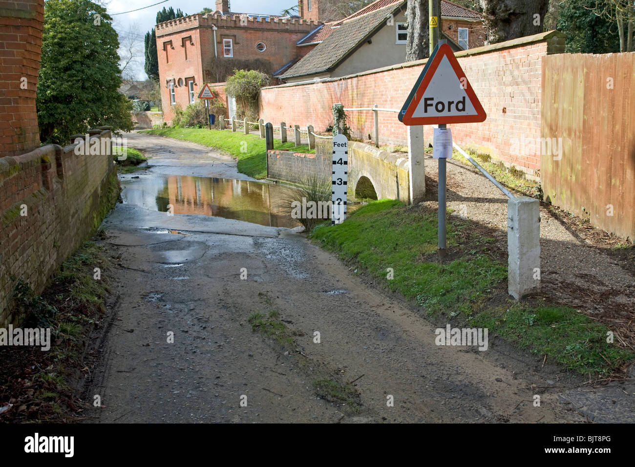 Road passing through ford on River Lark, Grundisburgh, Suffolk Stock Photohttps://www.alamy.com/image-license-details/?v=1https://www.alamy.com/stock-photo-road-passing-through-ford-on-river-lark-grundisburgh-suffolk-28807928.html
RMBJT8PG–Road passing through ford on River Lark, Grundisburgh, Suffolk
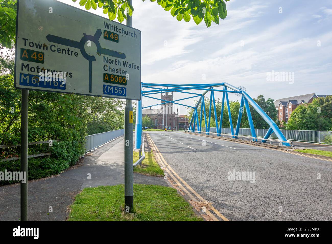 Bridge over River Mersey, Park Boulevard, Square, Warrington, Cheshire, England, United Kingdom Stock Photohttps://www.alamy.com/image-license-details/?v=1https://www.alamy.com/bridge-over-river-mersey-park-boulevard-square-warrington-cheshire-england-united-kingdom-image470293934.html
RM2J93MKX–Bridge over River Mersey, Park Boulevard, Square, Warrington, Cheshire, England, United Kingdom
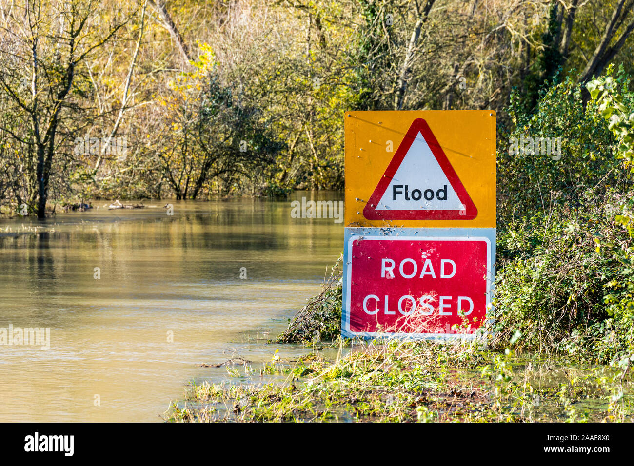 B4213 closed due to flooding by the River Severn on the approach to Haw Bridge near the Severn Vale village of Apperley, Gloucestershire UK 18/11/2019 Stock Photohttps://www.alamy.com/image-license-details/?v=1https://www.alamy.com/b4213-closed-due-to-flooding-by-the-river-severn-on-the-approach-to-haw-bridge-near-the-severn-vale-village-of-apperley-gloucestershire-uk-18112019-image333457880.html
RF2AAE8X0–B4213 closed due to flooding by the River Severn on the approach to Haw Bridge near the Severn Vale village of Apperley, Gloucestershire UK 18/11/2019
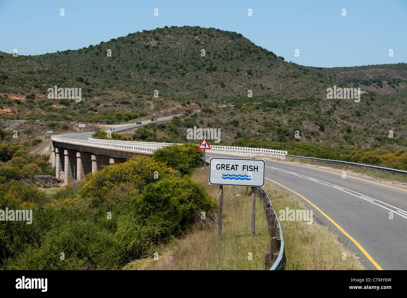 Bridge over Great Fish river, Eastern Cape, South Africa Stock Photohttps://www.alamy.com/image-license-details/?v=1https://www.alamy.com/stock-photo-bridge-over-great-fish-river-eastern-cape-south-africa-49632881.html
RFCTMY6W–Bridge over Great Fish river, Eastern Cape, South Africa
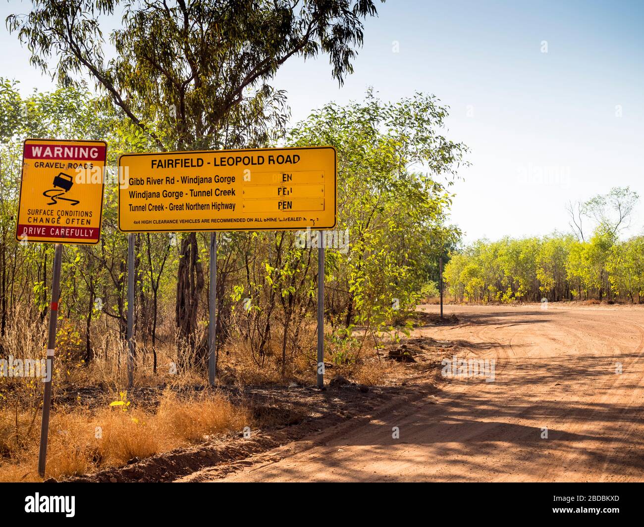 Road conditions sign for the unsealed Fairfield - Leopold Downs Road that links Gibb River Rd to the Great Northern Highway, the Kimberley Stock Photohttps://www.alamy.com/image-license-details/?v=1https://www.alamy.com/road-conditions-sign-for-the-unsealed-fairfield-leopold-downs-road-that-links-gibb-river-rd-to-the-great-northern-highway-the-kimberley-image352454997.html
RF2BDBKXD–Road conditions sign for the unsealed Fairfield - Leopold Downs Road that links Gibb River Rd to the Great Northern Highway, the Kimberley
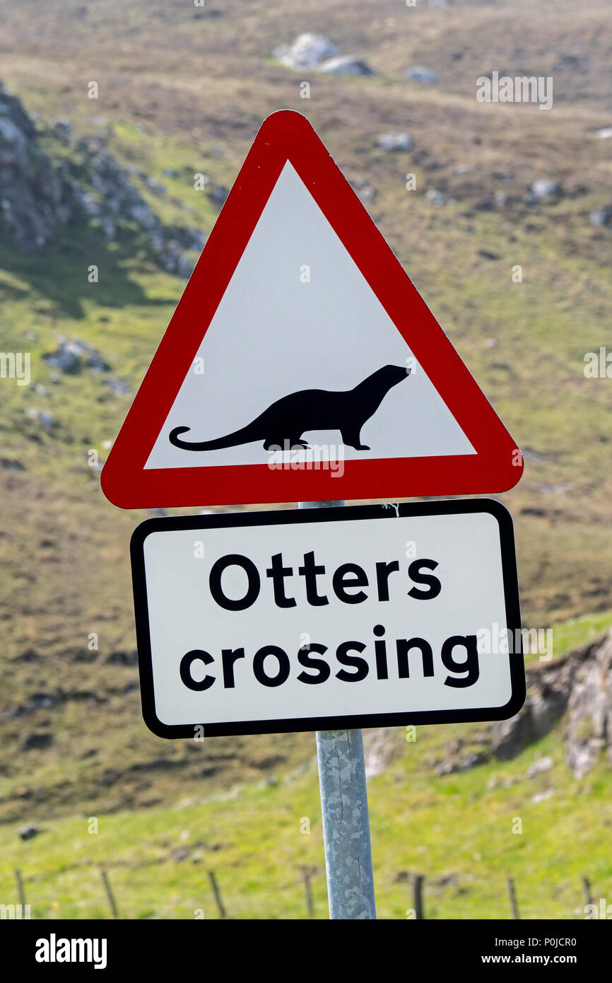 Eurasian otter / European otter (Lutra lutra) road warning sign for otters crossing street in coastal Scotland, UK Stock Photohttps://www.alamy.com/image-license-details/?v=1https://www.alamy.com/eurasian-otter-european-otter-lutra-lutra-road-warning-sign-for-otters-crossing-street-in-coastal-scotland-uk-image206929604.html
RMP0JCR0–Eurasian otter / European otter (Lutra lutra) road warning sign for otters crossing street in coastal Scotland, UK
 Passing place sign on the edge of the tidal road linking Sunderland Point and Morecambe, along the banks of the River Lune Stock Photohttps://www.alamy.com/image-license-details/?v=1https://www.alamy.com/passing-place-sign-on-the-edge-of-the-tidal-road-linking-sunderland-point-and-morecambe-along-the-banks-of-the-river-lune-image407327050.html
RM2EJK9PJ–Passing place sign on the edge of the tidal road linking Sunderland Point and Morecambe, along the banks of the River Lune
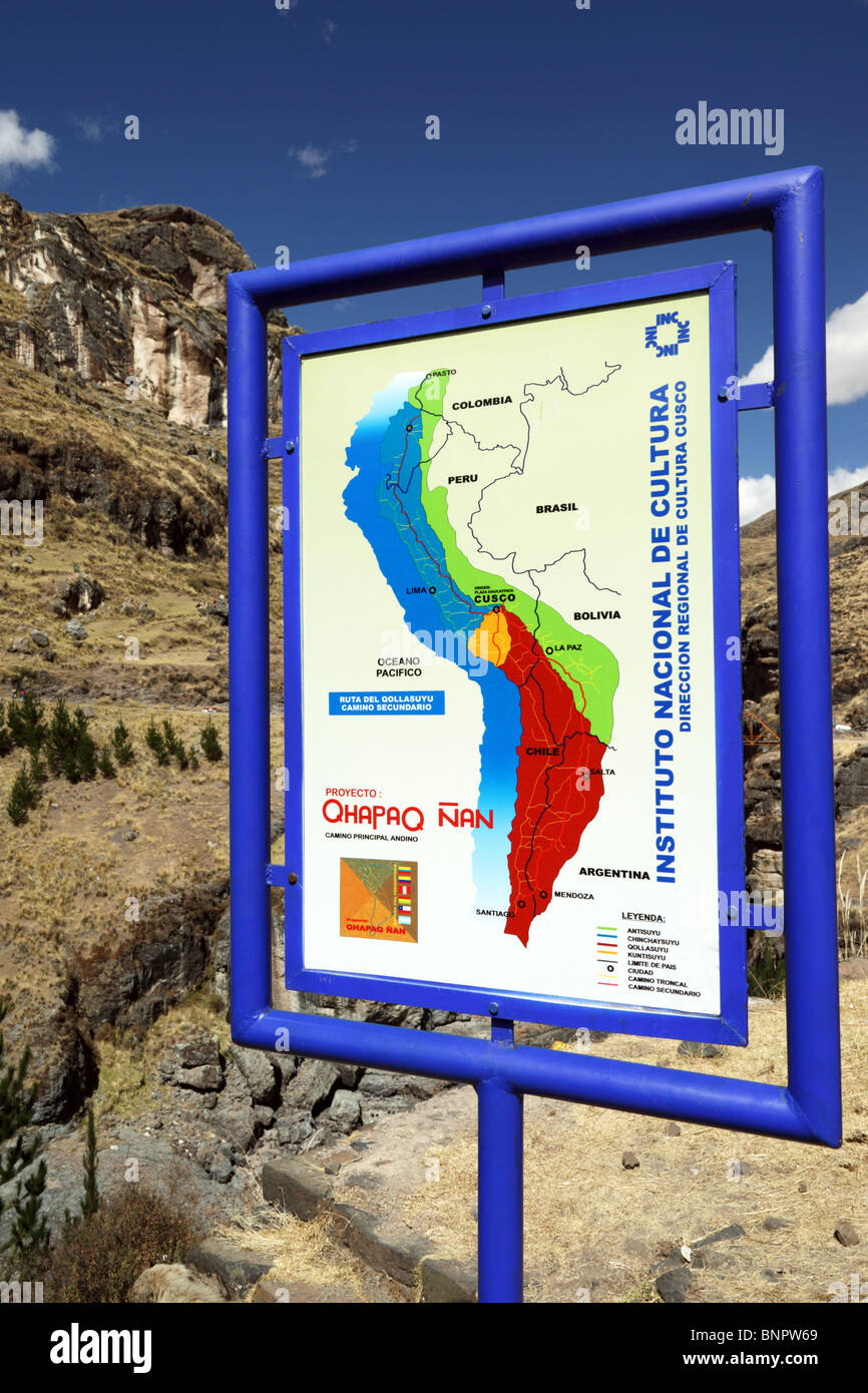 Sign with map of Inca Empire for Qhapaq Ñan Inca road project at the site of the last Inca suspension bridge, Qeswachaca, Cusco Region, Peru Stock Photohttps://www.alamy.com/image-license-details/?v=1https://www.alamy.com/stock-photo-sign-with-map-of-inca-empire-for-qhapaq-an-inca-road-project-at-the-30620865.html
RMBNPW69–Sign with map of Inca Empire for Qhapaq Ñan Inca road project at the site of the last Inca suspension bridge, Qeswachaca, Cusco Region, Peru
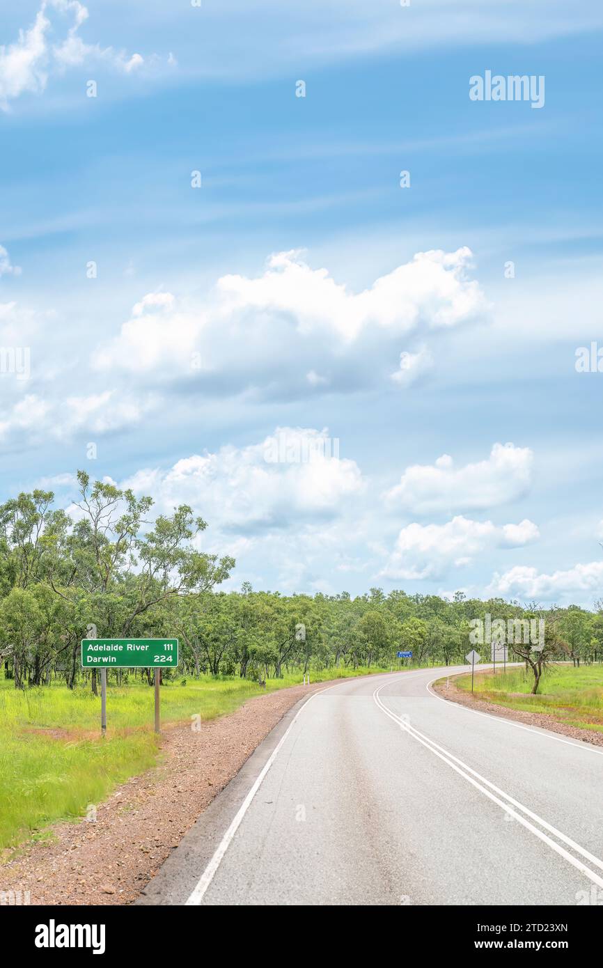 A road sign for Darwin and Adelaide River on the Stuart Highway in Australia's Northern Territory Stock Photohttps://www.alamy.com/image-license-details/?v=1https://www.alamy.com/a-road-sign-for-darwin-and-adelaide-river-on-the-stuart-highway-in-australias-northern-territory-image575979677.html
RF2TD23XN–A road sign for Darwin and Adelaide River on the Stuart Highway in Australia's Northern Territory
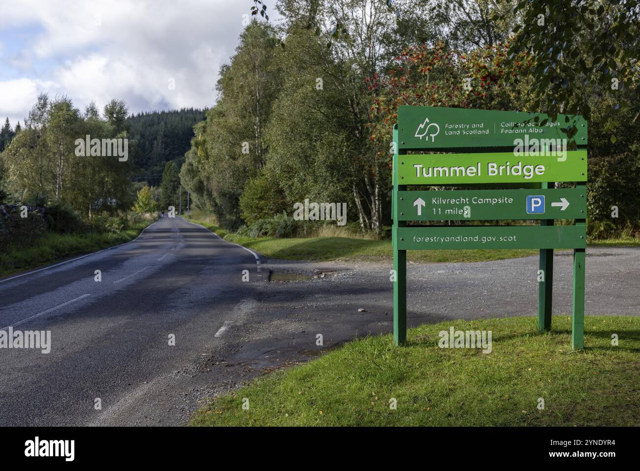 Road sign, Tummel Bridge, old stone arch bridge over the River Tummel in the village of the same name, Tummel Bridge, Highlands, Scotland, Great Brita Stock Photohttps://www.alamy.com/image-license-details/?v=1https://www.alamy.com/road-sign-tummel-bridge-old-stone-arch-bridge-over-the-river-tummel-in-the-village-of-the-same-name-tummel-bridge-highlands-scotland-great-brita-image632788216.html
RM2YNDYR4–Road sign, Tummel Bridge, old stone arch bridge over the River Tummel in the village of the same name, Tummel Bridge, Highlands, Scotland, Great Brita
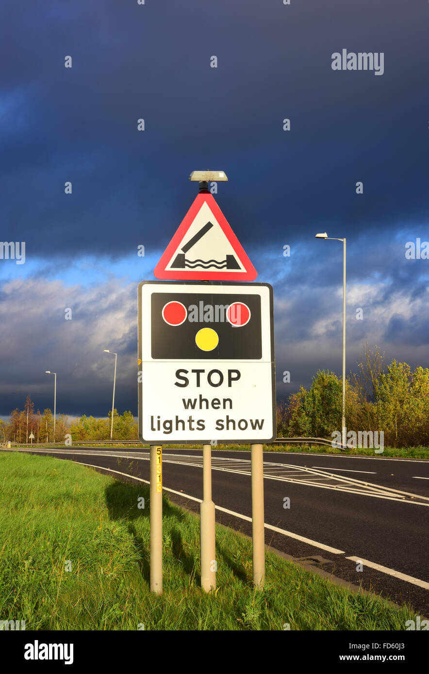 warning sign of Selby swingbridge crossing the river Ouse ahead Yorkshire united kingdom Stock Photohttps://www.alamy.com/image-license-details/?v=1https://www.alamy.com/stock-photo-warning-sign-of-selby-swingbridge-crossing-the-river-ouse-ahead-yorkshire-94174587.html
RMFD60J3–warning sign of Selby swingbridge crossing the river Ouse ahead Yorkshire united kingdom
 Walking the Old Ghost Road trail, Lyell to Seddonville, New Zealand. Sign near Specimen Point hut Stock Photohttps://www.alamy.com/image-license-details/?v=1https://www.alamy.com/walking-the-old-ghost-road-trail-lyell-to-seddonville-new-zealand-sign-near-specimen-point-hut-image339457941.html
RM2AM7J1W–Walking the Old Ghost Road trail, Lyell to Seddonville, New Zealand. Sign near Specimen Point hut
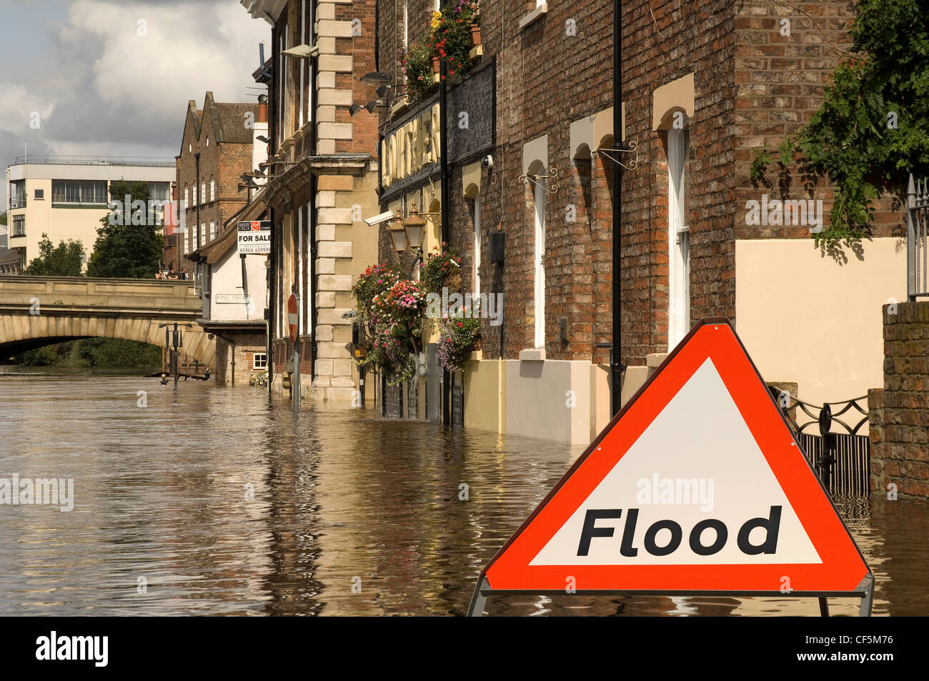 A flood warning sign by the flooded River Ouse in York. Stock Photohttps://www.alamy.com/image-license-details/?v=1https://www.alamy.com/stock-photo-a-flood-warning-sign-by-the-flooded-river-ouse-in-york-43766218.html
RMCF5M76–A flood warning sign by the flooded River Ouse in York.
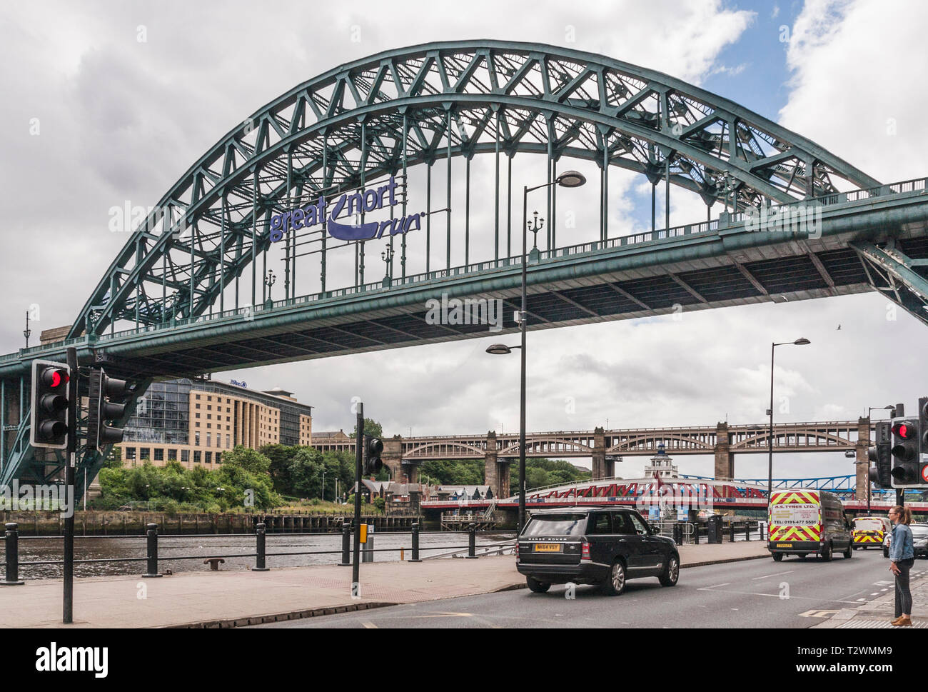 A scenic view of the Newcastle Quayside featuring the Tyne Bridge advertising the Great North Run Stock Photohttps://www.alamy.com/image-license-details/?v=1https://www.alamy.com/a-scenic-view-of-the-newcastle-quayside-featuring-the-tyne-bridge-advertising-the-great-north-run-image242739513.html
RMT2WMM9–A scenic view of the Newcastle Quayside featuring the Tyne Bridge advertising the Great North Run
 Flooded River Thames weir at Marlow, on the River Thames, Buckinghamshire, England Stock Photohttps://www.alamy.com/image-license-details/?v=1https://www.alamy.com/flooded-river-thames-weir-at-marlow-on-the-river-thames-buckinghamshire-england-image605015856.html
RM2X48RW4–Flooded River Thames weir at Marlow, on the River Thames, Buckinghamshire, England
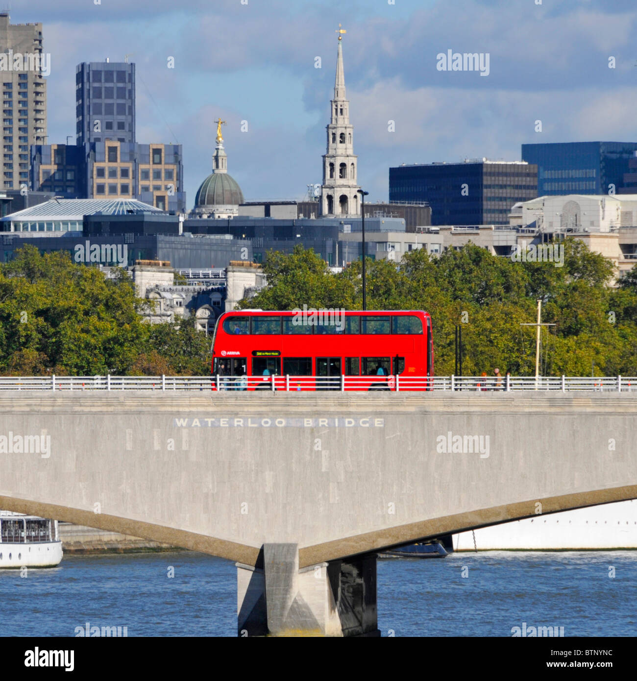 Waterloo Bridge & sign on Portland Stone red double decker unmarked public transport bus pedestrian steel balustrade City of London skyline England UK Stock Photohttps://www.alamy.com/image-license-details/?v=1https://www.alamy.com/stock-photo-waterloo-bridge-sign-on-portland-stone-red-double-decker-unmarked-32444872.html
RMBTNYNC–Waterloo Bridge & sign on Portland Stone red double decker unmarked public transport bus pedestrian steel balustrade City of London skyline England UK
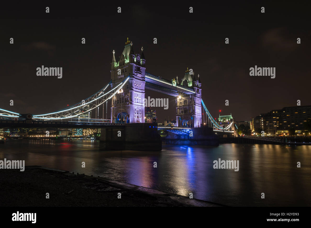 Tower Bridge over the River Thames at night viewed from Butler's Wharf, London, UK Stock Photohttps://www.alamy.com/image-license-details/?v=1https://www.alamy.com/stock-photo-tower-bridge-over-the-river-thames-at-night-viewed-from-butlers-wharf-122305039.html
RFH2YD93–Tower Bridge over the River Thames at night viewed from Butler's Wharf, London, UK
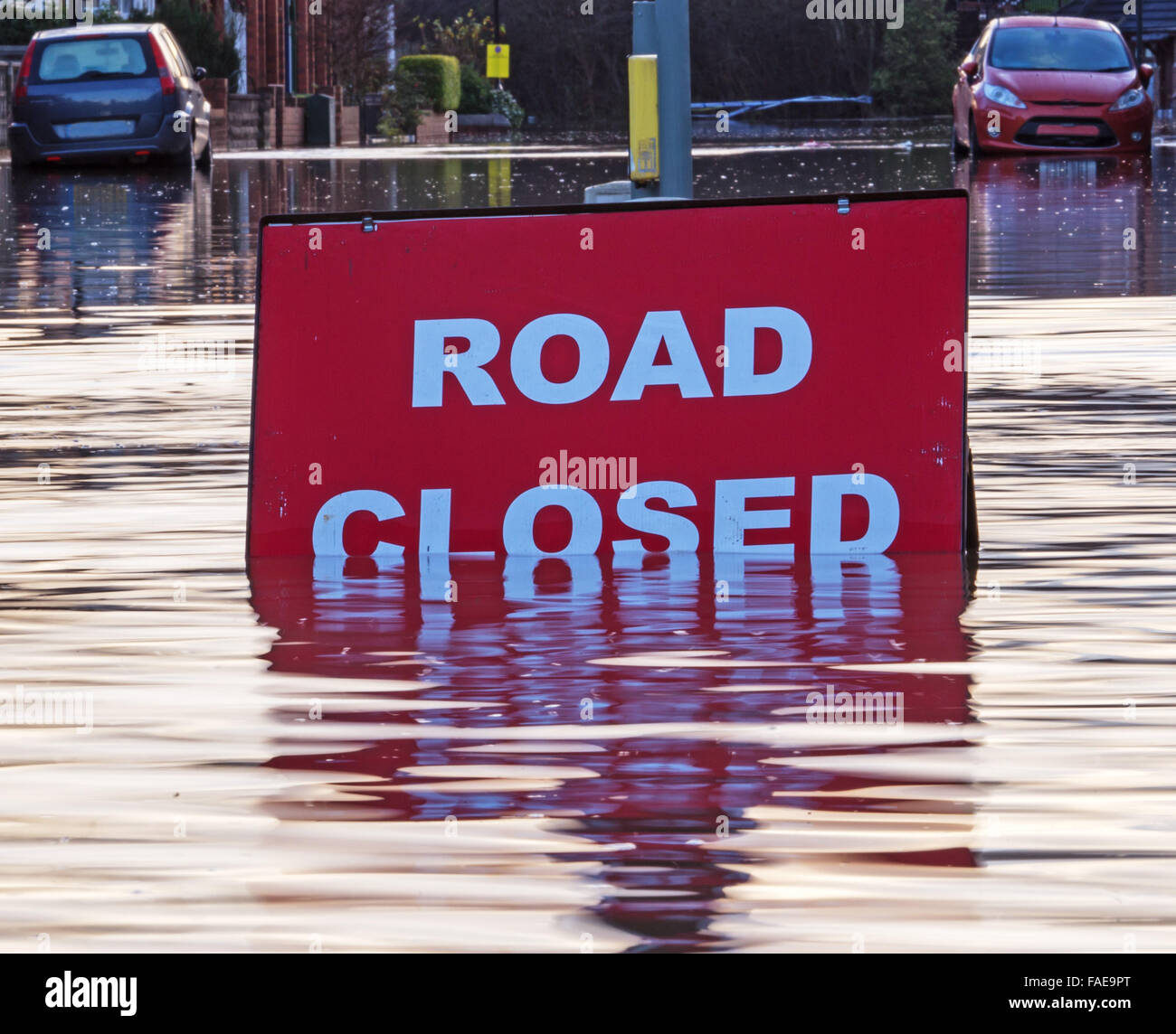 A picture of the scene at a flooded road junction showing a submerged 'Road Closed' sign Stock Photohttps://www.alamy.com/image-license-details/?v=1https://www.alamy.com/stock-photo-a-picture-of-the-scene-at-a-flooded-road-junction-showing-a-submerged-92513424.html
RFFAE9PT–A picture of the scene at a flooded road junction showing a submerged 'Road Closed' sign
 Pony Express Trail, Reese River Valley, Toiyabe Mountains in dist, Great Basin Desert, view from The Loneliest Road (Hwy 50), west of Austin, Nevada Stock Photohttps://www.alamy.com/image-license-details/?v=1https://www.alamy.com/pony-express-trail-reese-river-valley-toiyabe-mountains-in-dist-great-basin-desert-view-from-the-loneliest-road-hwy-50-west-of-austin-nevada-image396855041.html
RF2E1J8J9–Pony Express Trail, Reese River Valley, Toiyabe Mountains in dist, Great Basin Desert, view from The Loneliest Road (Hwy 50), west of Austin, Nevada
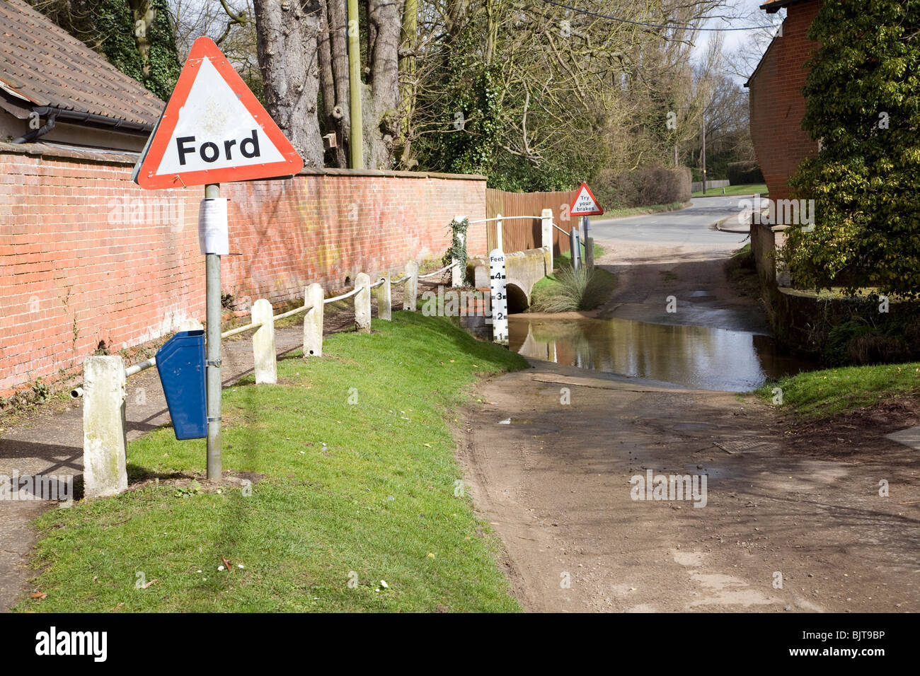 Road passing through ford on River Lark, Grundisburgh, Suffolk Stock Photohttps://www.alamy.com/image-license-details/?v=1https://www.alamy.com/stock-photo-road-passing-through-ford-on-river-lark-grundisburgh-suffolk-28808410.html
RMBJT9BP–Road passing through ford on River Lark, Grundisburgh, Suffolk
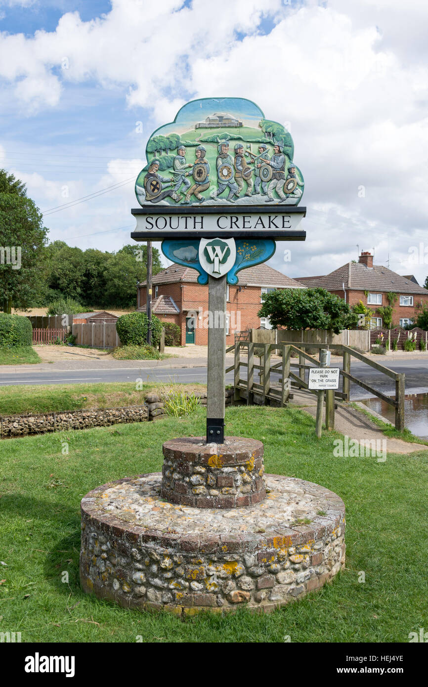 Village sign, South Creake, Norfolk, England, United Kingdom Stock Photohttps://www.alamy.com/image-license-details/?v=1https://www.alamy.com/stock-photo-village-sign-south-creake-norfolk-england-united-kingdom-129476802.html
RMHEJ4YE–Village sign, South Creake, Norfolk, England, United Kingdom
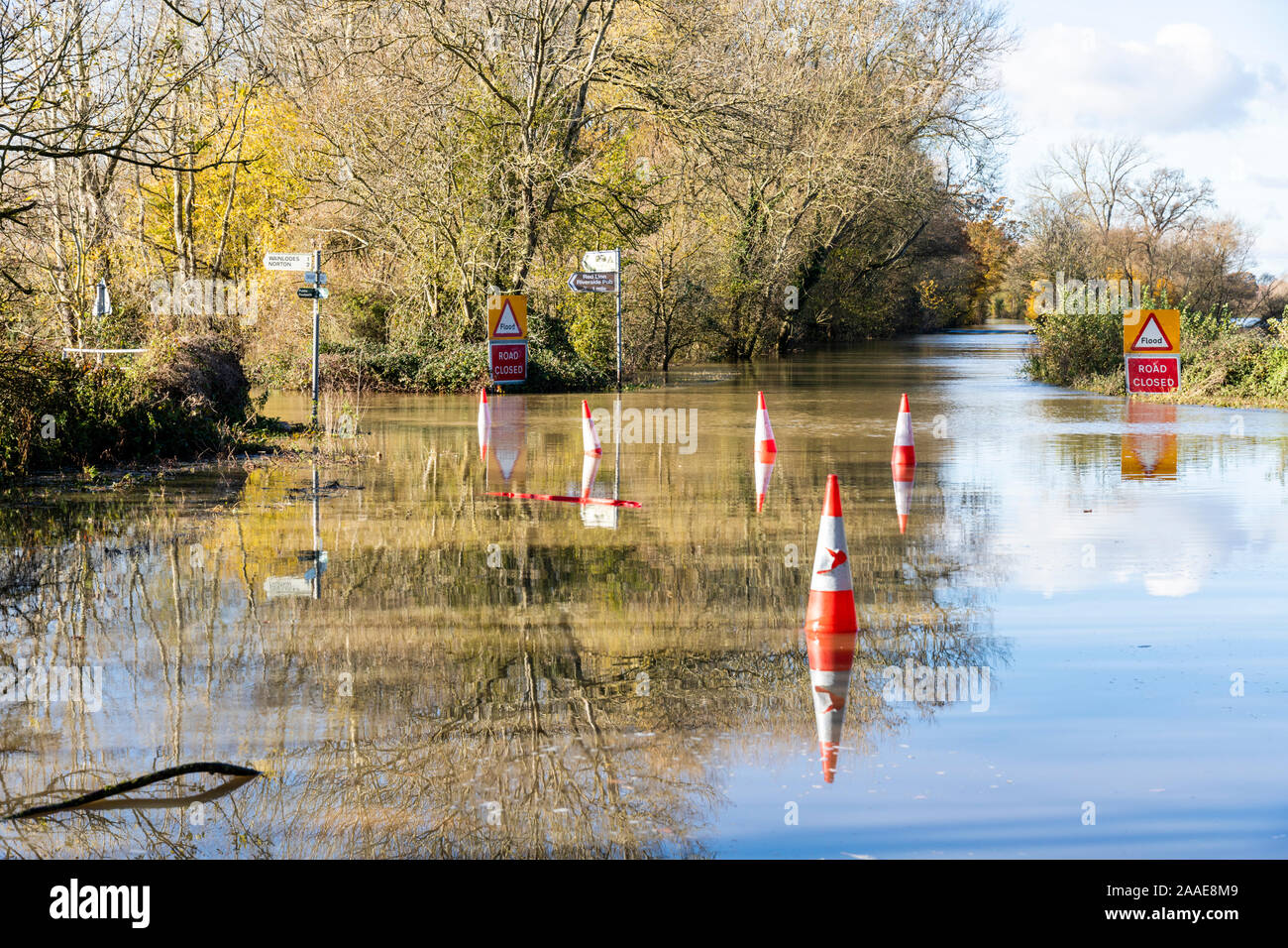 B4213 closed due to flooding by the River Severn on the approach to Haw Bridge near the Severn Vale village of Apperley, Gloucestershire UK 18/11/2019 Stock Photohttps://www.alamy.com/image-license-details/?v=1https://www.alamy.com/b4213-closed-due-to-flooding-by-the-river-severn-on-the-approach-to-haw-bridge-near-the-severn-vale-village-of-apperley-gloucestershire-uk-18112019-image333457721.html
RF2AAE8M9–B4213 closed due to flooding by the River Severn on the approach to Haw Bridge near the Severn Vale village of Apperley, Gloucestershire UK 18/11/2019
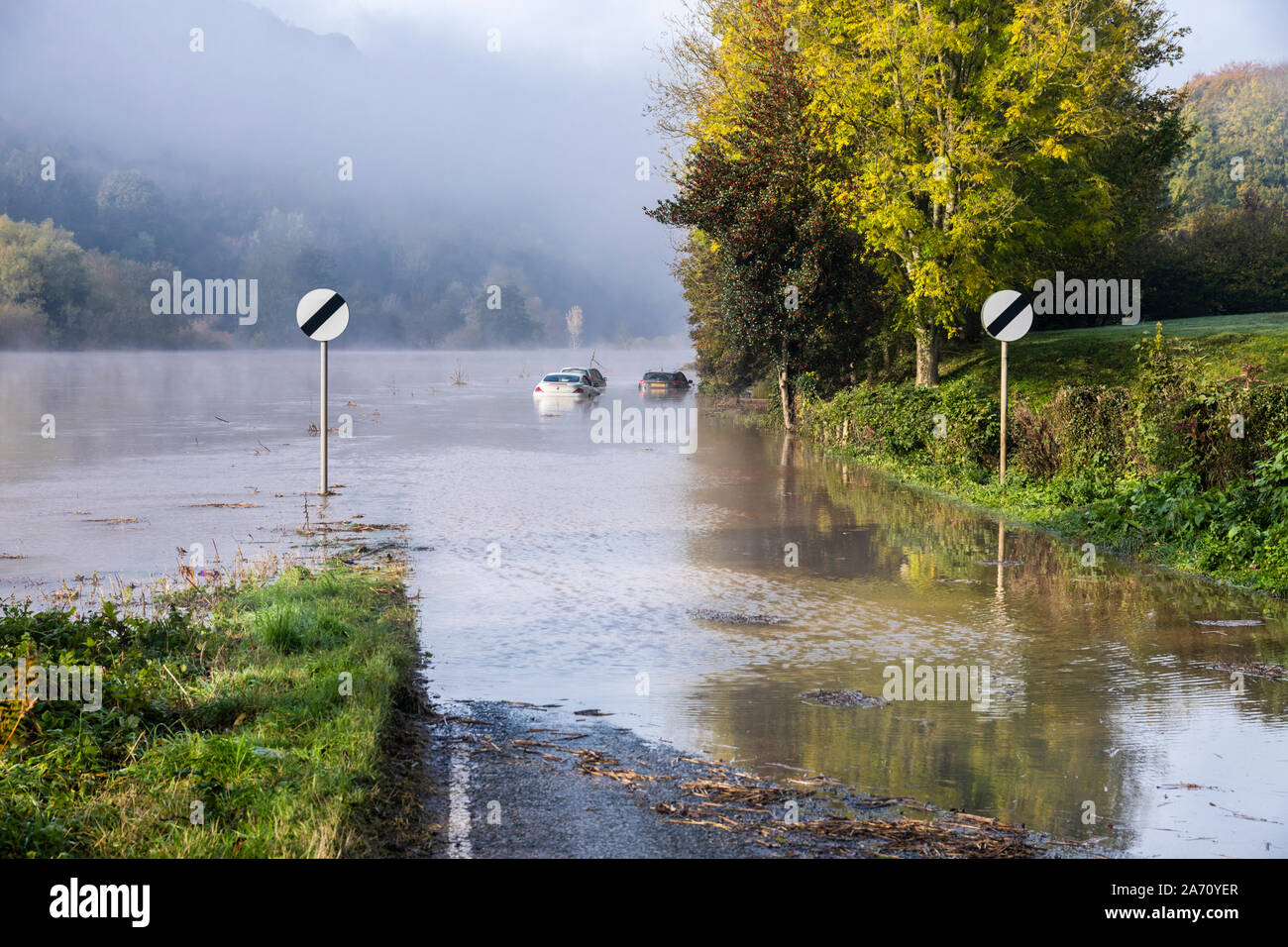 Cars stuck in flood water on B4234 beside the River Wye on the Gloucestershire/Herefordshire border on 28.10.2019 nr Lower Lydbrook, Gloucestershire Stock Photohttps://www.alamy.com/image-license-details/?v=1https://www.alamy.com/cars-stuck-in-flood-water-on-b4234-beside-the-river-wye-on-the-gloucestershireherefordshire-border-on-28102019-nr-lower-lydbrook-gloucestershire-image331321167.html
RM2A70YER–Cars stuck in flood water on B4234 beside the River Wye on the Gloucestershire/Herefordshire border on 28.10.2019 nr Lower Lydbrook, Gloucestershire
 Forth and Clyde canal bridge over great western road with sign in stone Stock Photohttps://www.alamy.com/image-license-details/?v=1https://www.alamy.com/stock-photo-forth-and-clyde-canal-bridge-over-great-western-road-with-sign-in-124430195.html
RMH6C7YF–Forth and Clyde canal bridge over great western road with sign in stone
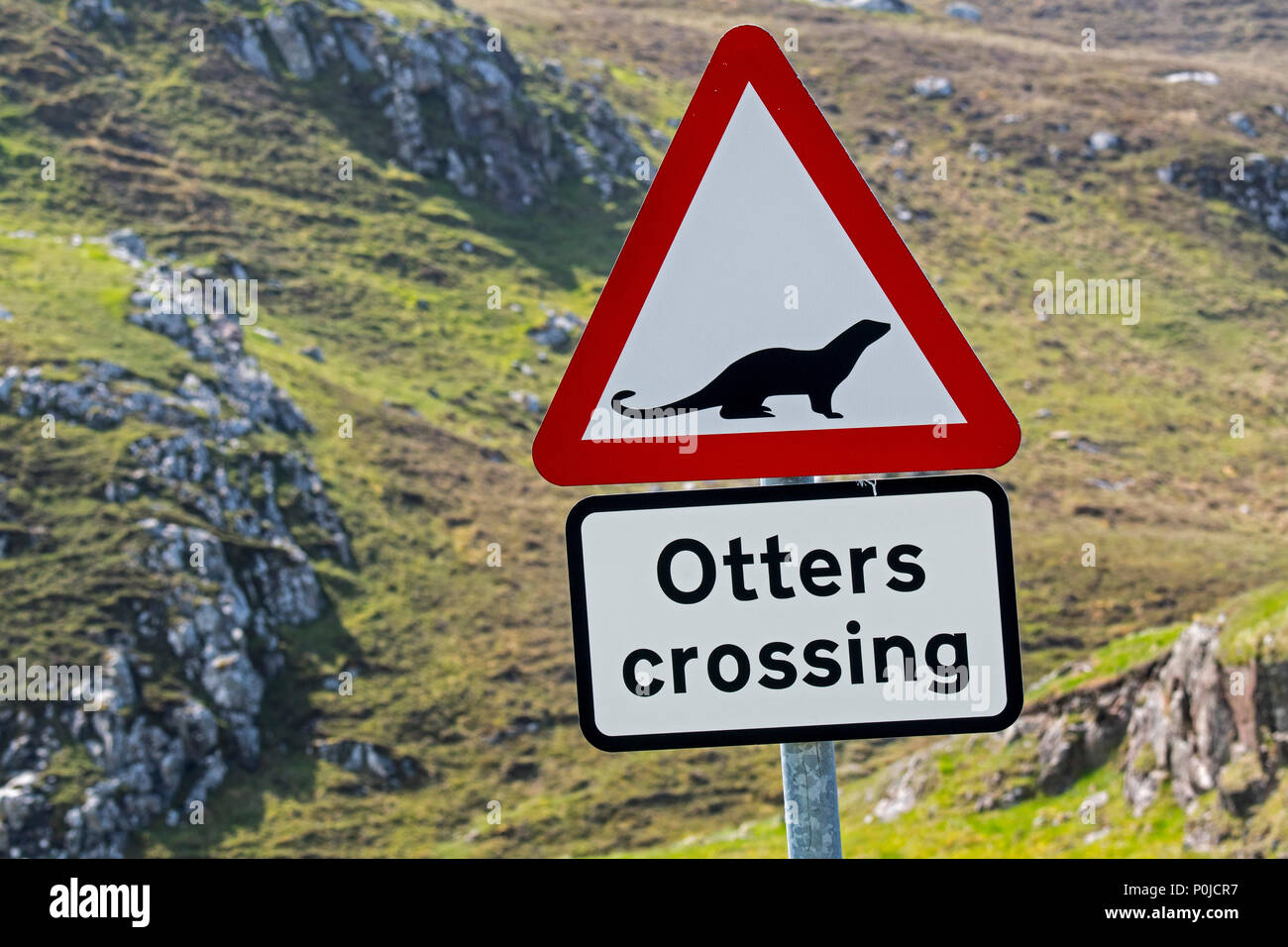 Eurasian otter / European otter (Lutra lutra) road warning sign for otters crossing street in coastal Scotland, UK Stock Photohttps://www.alamy.com/image-license-details/?v=1https://www.alamy.com/eurasian-otter-european-otter-lutra-lutra-road-warning-sign-for-otters-crossing-street-in-coastal-scotland-uk-image206929611.html
RMP0JCR7–Eurasian otter / European otter (Lutra lutra) road warning sign for otters crossing street in coastal Scotland, UK
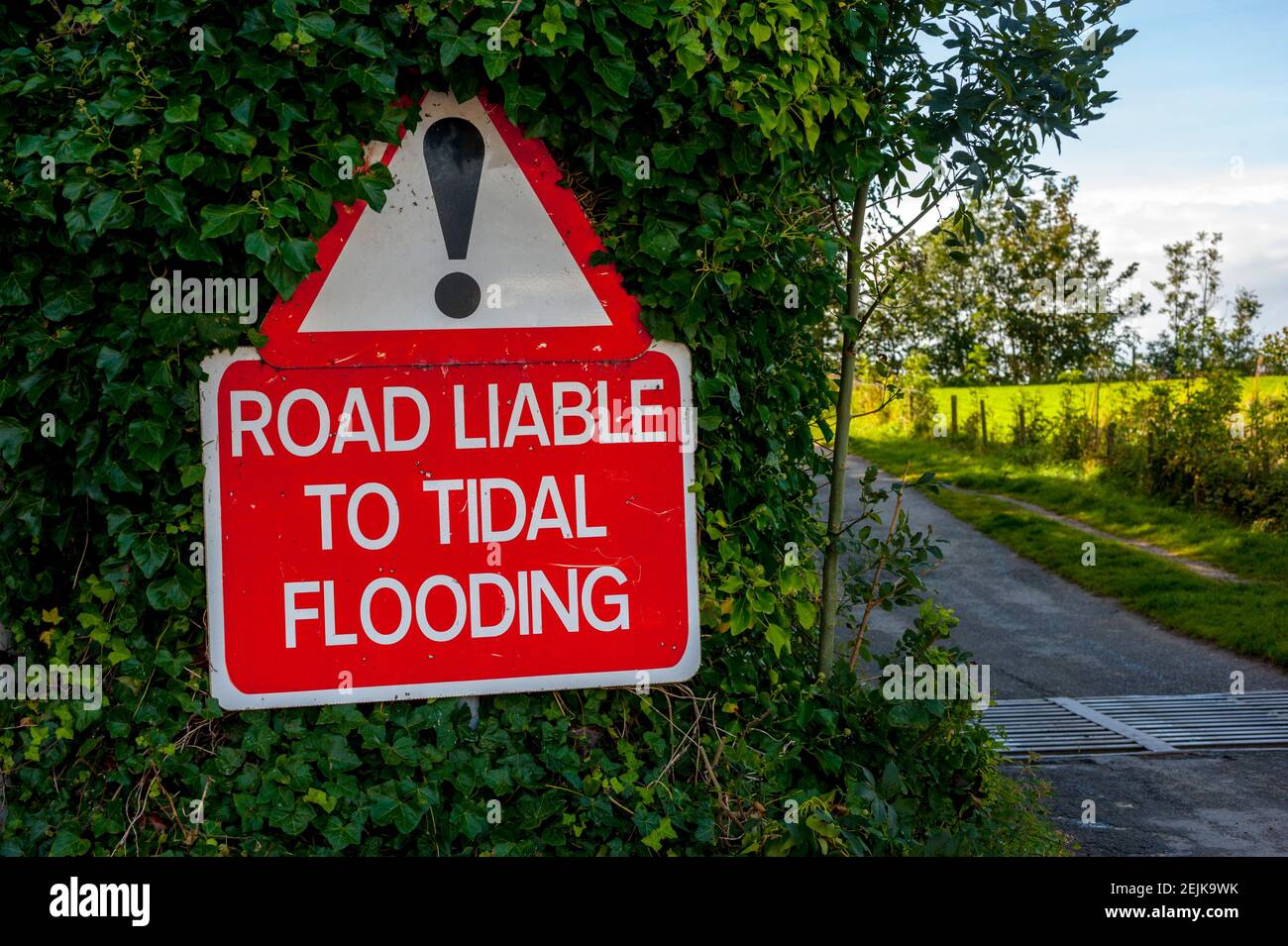 Road liable to flooding sign at start of the tidal road linking Sunderland Point and Morecambe, along the banks of the River Lune Stock Photohttps://www.alamy.com/image-license-details/?v=1https://www.alamy.com/road-liable-to-flooding-sign-at-start-of-the-tidal-road-linking-sunderland-point-and-morecambe-along-the-banks-of-the-river-lune-image407327135.html
RM2EJK9WK–Road liable to flooding sign at start of the tidal road linking Sunderland Point and Morecambe, along the banks of the River Lune
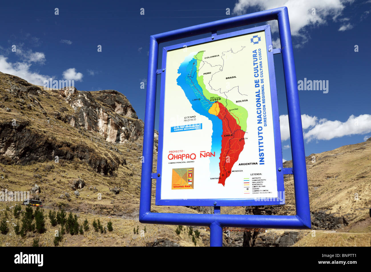 Sign with map of Inca Empire for Qhapaq Ñan Inca road project at the site of the last Inca suspension bridge, Qeswachaca, Cusco Region, Peru Stock Photohttps://www.alamy.com/image-license-details/?v=1https://www.alamy.com/stock-photo-sign-with-map-of-inca-empire-for-qhapaq-an-inca-road-project-at-the-30620577.html
RMBNPTT1–Sign with map of Inca Empire for Qhapaq Ñan Inca road project at the site of the last Inca suspension bridge, Qeswachaca, Cusco Region, Peru
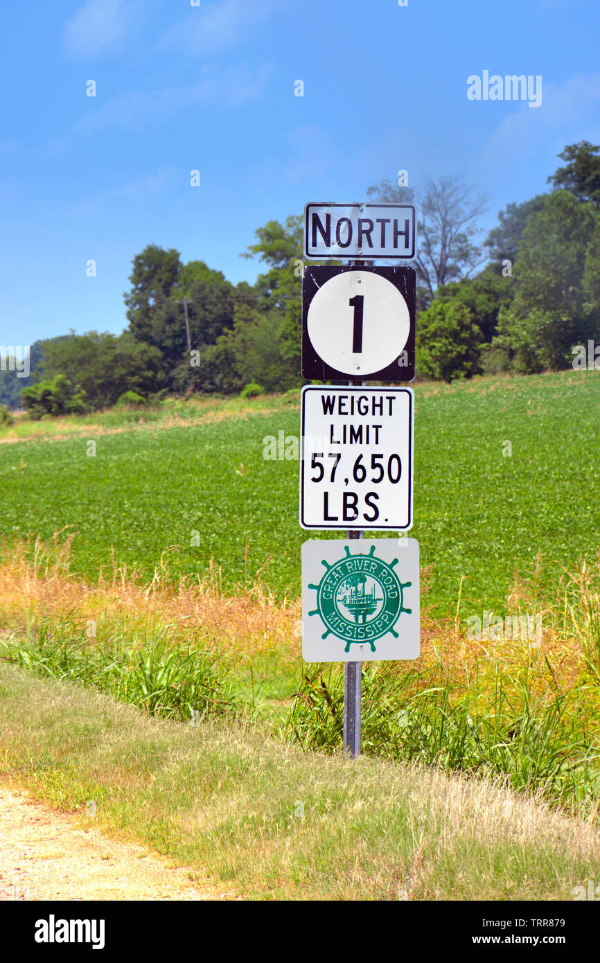 A road sign for Highway North 1 with a weight limitation, in rural Northwestern Mississippi Stock Photohttps://www.alamy.com/image-license-details/?v=1https://www.alamy.com/a-road-sign-for-highway-north-1-with-a-weight-limitation-in-rural-northwestern-mississippi-image255593613.html
RMTRR879–A road sign for Highway North 1 with a weight limitation, in rural Northwestern Mississippi
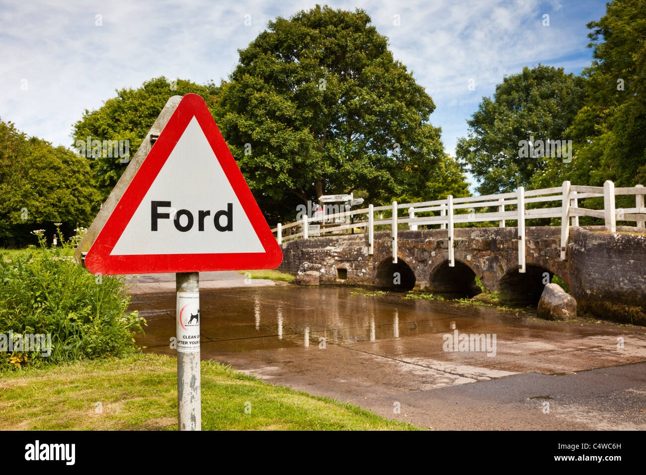 The Ford over a river stream at Tarrant Monkton, Dorset, England, UK Stock Photohttps://www.alamy.com/image-license-details/?v=1https://www.alamy.com/stock-photo-the-ford-over-a-river-stream-at-tarrant-monkton-dorset-england-uk-37437753.html
RMC4WC6H–The Ford over a river stream at Tarrant Monkton, Dorset, England, UK
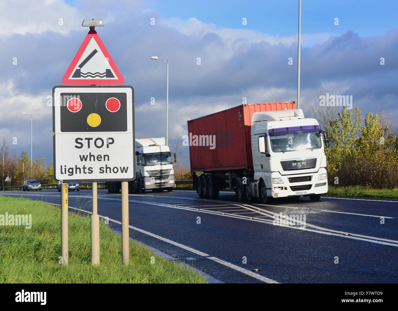 lorry passing warning sign of Selby swingbridge crossing the river Ouse ahead Yorkshire united kingdom Stock Photohttps://www.alamy.com/image-license-details/?v=1https://www.alamy.com/stock-photo-lorry-passing-warning-sign-of-selby-swingbridge-crossing-the-river-90922421.html
RMF7WTD9–lorry passing warning sign of Selby swingbridge crossing the river Ouse ahead Yorkshire united kingdom
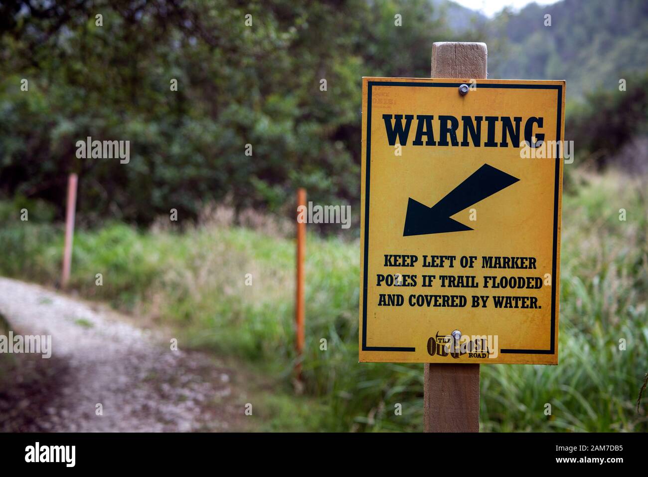 Walking the Old Ghost Road trail, Lyell to Seddonville, New Zealand. Warning sign signage near Specimen Point hut Stock Photohttps://www.alamy.com/image-license-details/?v=1https://www.alamy.com/walking-the-old-ghost-road-trail-lyell-to-seddonville-new-zealand-warning-sign-signage-near-specimen-point-hut-image339454281.html
RM2AM7DB5–Walking the Old Ghost Road trail, Lyell to Seddonville, New Zealand. Warning sign signage near Specimen Point hut
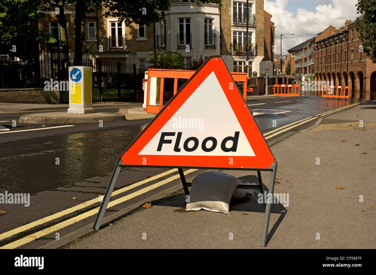 Flood warning sign and barriers across road halting traffic due to flooding. Stock Photohttps://www.alamy.com/image-license-details/?v=1https://www.alamy.com/stock-photo-flood-warning-sign-and-barriers-across-road-halting-traffic-due-to-43766227.html
RMCF5M7F–Flood warning sign and barriers across road halting traffic due to flooding.
 A scenic view of the Newcastle Quayside featuring the Tyne Bridge advertising the Great North Run Stock Photohttps://www.alamy.com/image-license-details/?v=1https://www.alamy.com/stock-photo-a-scenic-view-of-the-newcastle-quayside-featuring-the-tyne-bridge-111821524.html
RMGDWWDT–A scenic view of the Newcastle Quayside featuring the Tyne Bridge advertising the Great North Run
 Market Place sign over the road. The Fenland market town of Wisbech on the River Nene, Cambridgeshire, England Stock Photohttps://www.alamy.com/image-license-details/?v=1https://www.alamy.com/market-place-sign-over-the-road-the-fenland-market-town-of-wisbech-on-the-river-nene-cambridgeshire-england-image248263508.html
RMTBWAHT–Market Place sign over the road. The Fenland market town of Wisbech on the River Nene, Cambridgeshire, England
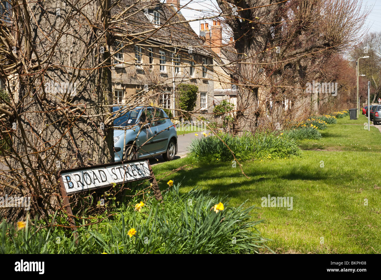 Broad Street sign on spring verge in the Cotswold village of Bampton, Oxfordshire, Uk Stock Photohttps://www.alamy.com/image-license-details/?v=1https://www.alamy.com/stock-photo-broad-street-sign-on-spring-verge-in-the-cotswold-village-of-bampton-29385112.html
RMBKPH08–Broad Street sign on spring verge in the Cotswold village of Bampton, Oxfordshire, Uk
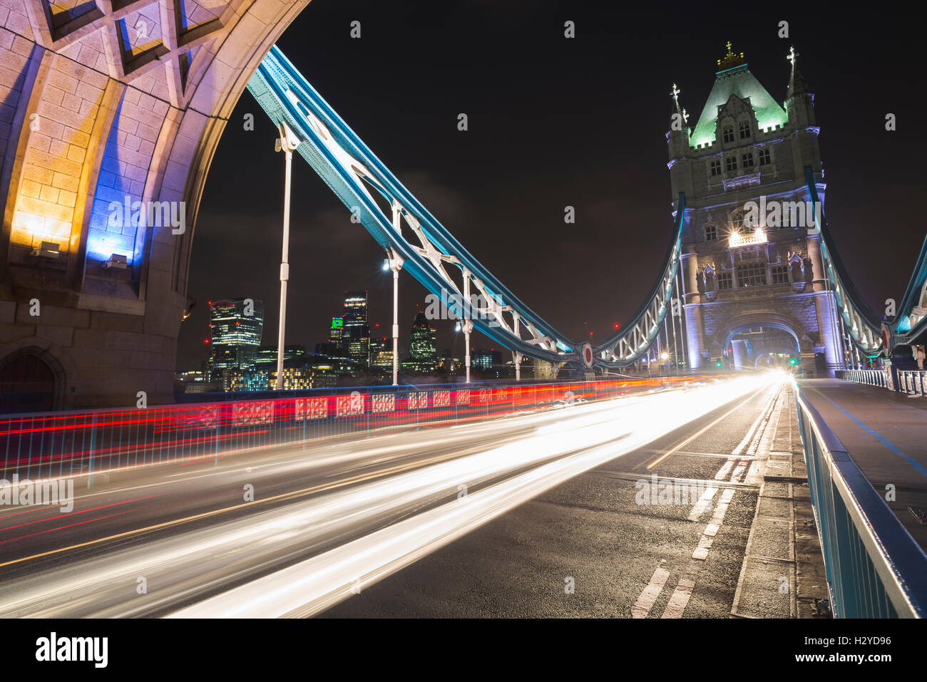 Skyline of City of London and gleam of traffic on the Tower Bridge over the river Thames at night, London, UK Stock Photohttps://www.alamy.com/image-license-details/?v=1https://www.alamy.com/stock-photo-skyline-of-city-of-london-and-gleam-of-traffic-on-the-tower-bridge-122305042.html
RFH2YD96–Skyline of City of London and gleam of traffic on the Tower Bridge over the river Thames at night, London, UK
 A picture of the scene at a flooded road junction showing stranded cars and a submerged 'Road Closed' sign Stock Photohttps://www.alamy.com/image-license-details/?v=1https://www.alamy.com/stock-photo-a-picture-of-the-scene-at-a-flooded-road-junction-showing-stranded-92513425.html
RFFAE9PW–A picture of the scene at a flooded road junction showing stranded cars and a submerged 'Road Closed' sign
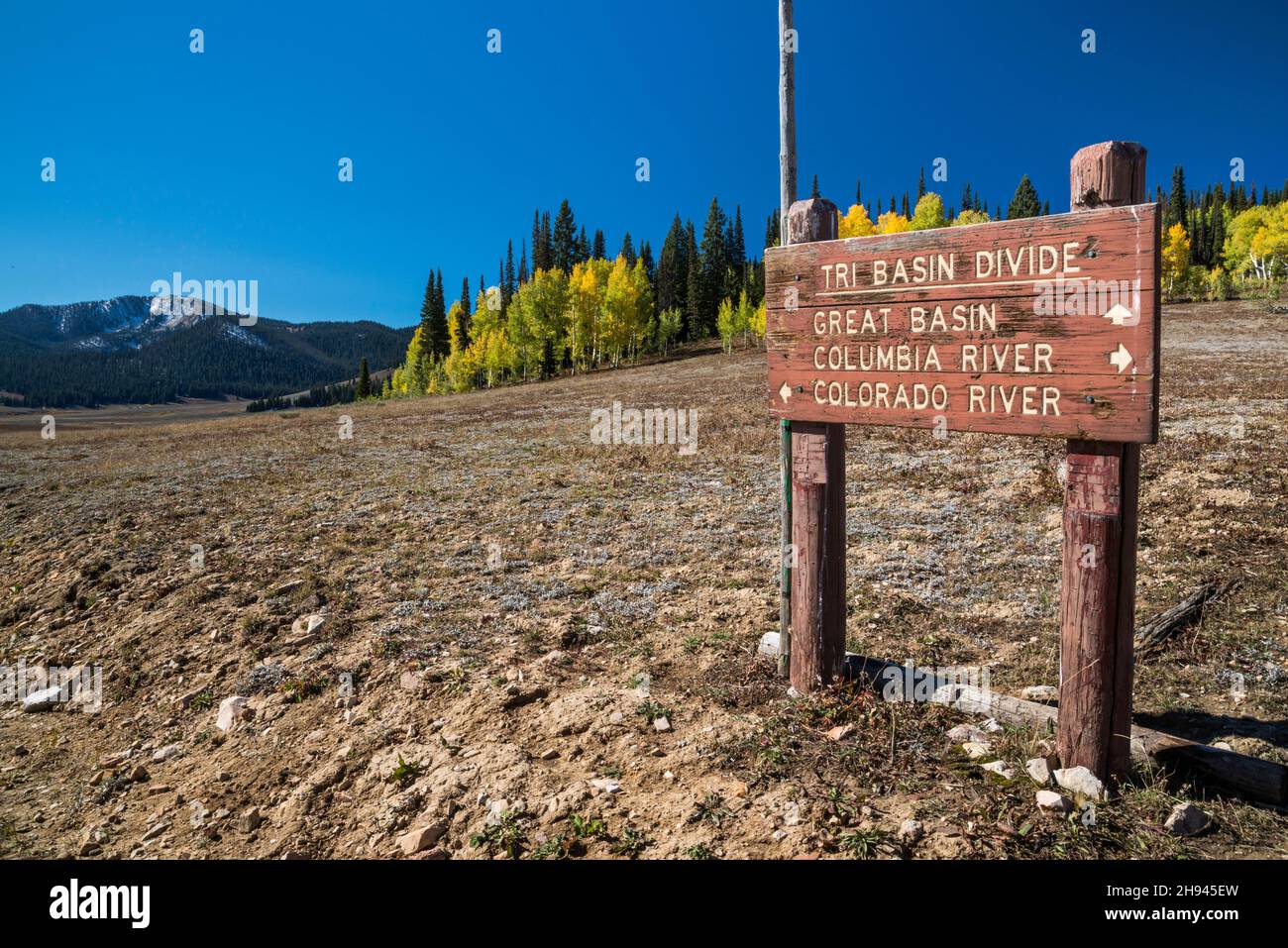 Sign at Tri Basin Divide, separating Great Basin, Columbia River and Colorado River watersheds, Greys River Rd, Bridger Teton National Forest, Wyoming Stock Photohttps://www.alamy.com/image-license-details/?v=1https://www.alamy.com/sign-at-tri-basin-divide-separating-great-basin-columbia-river-and-colorado-river-watersheds-greys-river-rd-bridger-teton-national-forest-wyoming-image453093617.html
RF2H945EW–Sign at Tri Basin Divide, separating Great Basin, Columbia River and Colorado River watersheds, Greys River Rd, Bridger Teton National Forest, Wyoming
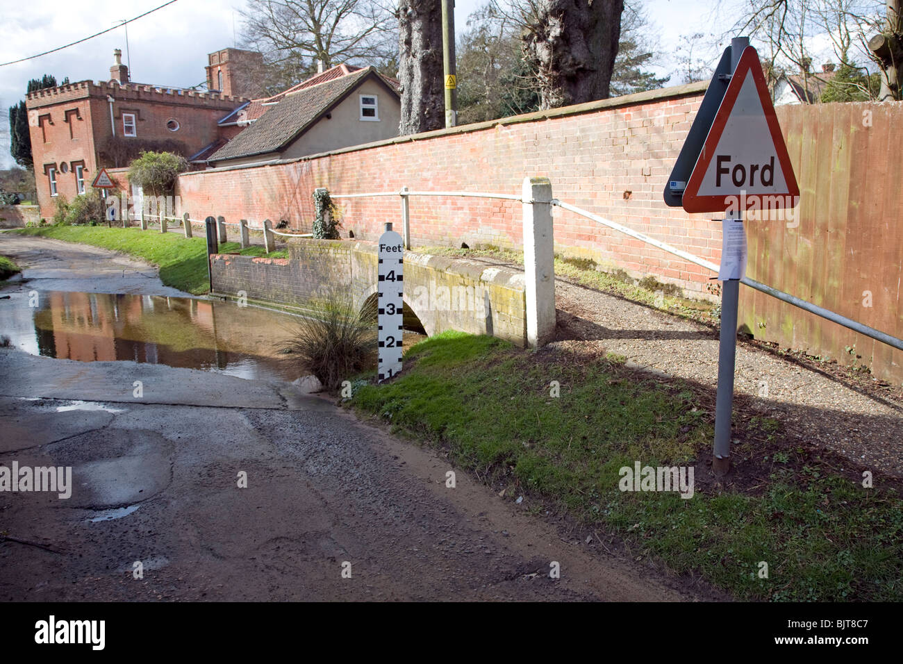 Road passing through ford on River Lark, Grundisburgh, Suffolk Stock Photohttps://www.alamy.com/image-license-details/?v=1https://www.alamy.com/stock-photo-road-passing-through-ford-on-river-lark-grundisburgh-suffolk-28807639.html
RMBJT8C7–Road passing through ford on River Lark, Grundisburgh, Suffolk
 Vintage sign on tollboth, Albert Bridge, Albert Bridge Road, Battersea, London Borough of Wandsworth, Greater London, England, United Kingdom Stock Photohttps://www.alamy.com/image-license-details/?v=1https://www.alamy.com/vintage-sign-on-tollboth-albert-bridge-albert-bridge-road-battersea-london-borough-of-wandsworth-greater-london-england-united-kingdom-image486902254.html
RM2K848P6–Vintage sign on tollboth, Albert Bridge, Albert Bridge Road, Battersea, London Borough of Wandsworth, Greater London, England, United Kingdom
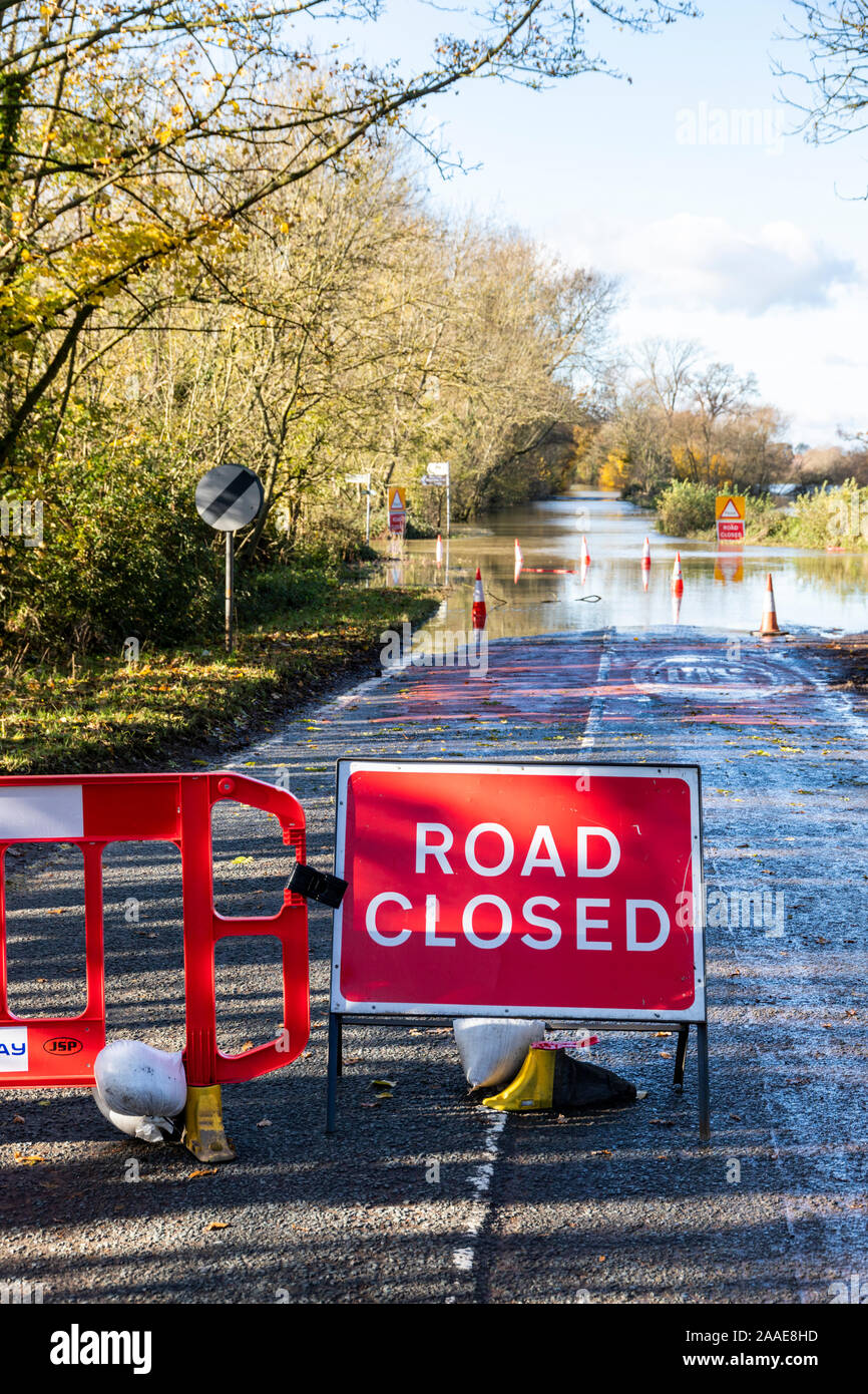 B4213 closed due to flooding by the River Severn on the approach to Haw Bridge near the Severn Vale village of Apperley, Gloucestershire UK 18/11/2019 Stock Photohttps://www.alamy.com/image-license-details/?v=1https://www.alamy.com/b4213-closed-due-to-flooding-by-the-river-severn-on-the-approach-to-haw-bridge-near-the-severn-vale-village-of-apperley-gloucestershire-uk-18112019-image333457641.html
RF2AAE8HD–B4213 closed due to flooding by the River Severn on the approach to Haw Bridge near the Severn Vale village of Apperley, Gloucestershire UK 18/11/2019
 Cars stuck in flood water on B4234 beside the River Wye on the Gloucestershire/Herefordshire border on 28.10.2019 nr Lower Lydbrook, Gloucestershire Stock Photohttps://www.alamy.com/image-license-details/?v=1https://www.alamy.com/cars-stuck-in-flood-water-on-b4234-beside-the-river-wye-on-the-gloucestershireherefordshire-border-on-28102019-nr-lower-lydbrook-gloucestershire-image331321203.html
RM2A70YG3–Cars stuck in flood water on B4234 beside the River Wye on the Gloucestershire/Herefordshire border on 28.10.2019 nr Lower Lydbrook, Gloucestershire
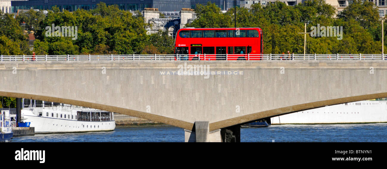 Waterloo Bridge & sign on Portland Stone red double decker unmarked public transport bus steel balustrade pedestrian handrails London England UK Stock Photohttps://www.alamy.com/image-license-details/?v=1https://www.alamy.com/stock-photo-waterloo-bridge-sign-on-portland-stone-red-double-decker-unmarked-32444861.html
RMBTNYN1–Waterloo Bridge & sign on Portland Stone red double decker unmarked public transport bus steel balustrade pedestrian handrails London England UK
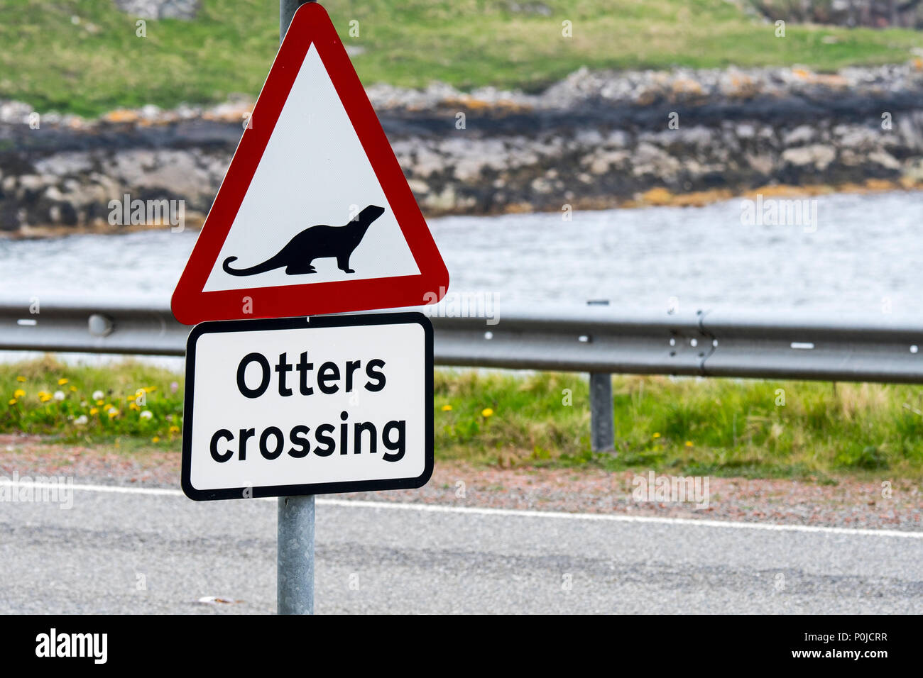 Eurasian otter / European otter (Lutra lutra) road warning sign for otters crossing street in coastal Scotland, UK Stock Photohttps://www.alamy.com/image-license-details/?v=1https://www.alamy.com/eurasian-otter-european-otter-lutra-lutra-road-warning-sign-for-otters-crossing-street-in-coastal-scotland-uk-image206929627.html
RMP0JCRR–Eurasian otter / European otter (Lutra lutra) road warning sign for otters crossing street in coastal Scotland, UK
 Road sign pointing to Sunderland pointing along the tidal road linking Sunderland Point and Morecambe, along the banks of the River Lune Stock Photohttps://www.alamy.com/image-license-details/?v=1https://www.alamy.com/road-sign-pointing-to-sunderland-pointing-along-the-tidal-road-linking-sunderland-point-and-morecambe-along-the-banks-of-the-river-lune-image407327163.html
RM2EJK9XK–Road sign pointing to Sunderland pointing along the tidal road linking Sunderland Point and Morecambe, along the banks of the River Lune
 Road sign, Tummel Bridge, old stone arch bridge over the River Tummel in the village of the same name, Tummel Bridge, Highlands, Scotland, Great Brita Stock Photohttps://www.alamy.com/image-license-details/?v=1https://www.alamy.com/road-sign-tummel-bridge-old-stone-arch-bridge-over-the-river-tummel-in-the-village-of-the-same-name-tummel-bridge-highlands-scotland-great-brita-image632785175.html
RM2YNDRXF–Road sign, Tummel Bridge, old stone arch bridge over the River Tummel in the village of the same name, Tummel Bridge, Highlands, Scotland, Great Brita
 Way of St. James, Jacobean Route. Ponte Maceira, River Tambre, the most significant bridge all the way. It is a beautiful building from the late fourteenth century, rebuilt in the XVIII, which for centuries had great importance in communications between Santiago de Compostela and the lands of Finistère. St. James's Way, St. James's Path, St. James's Trail, Route of Santiago de Compostela or Road to Santiago Stock Photohttps://www.alamy.com/image-license-details/?v=1https://www.alamy.com/stock-photo-way-of-st-james-jacobean-route-ponte-maceira-river-tambre-the-most-95665373.html
RMFFHX4D–Way of St. James, Jacobean Route. Ponte Maceira, River Tambre, the most significant bridge all the way. It is a beautiful building from the late fourteenth century, rebuilt in the XVIII, which for centuries had great importance in communications between Santiago de Compostela and the lands of Finistère. St. James's Way, St. James's Path, St. James's Trail, Route of Santiago de Compostela or Road to Santiago
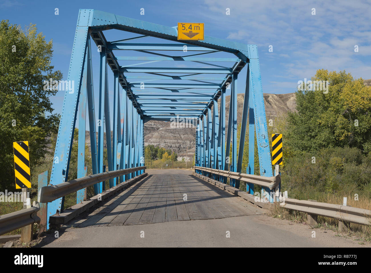 One lane metal bridge, #9 of a series of 11 bridges across the Rosebud River on a 6 km stretch from Rosedale to Wayne in rural Alberta, Canada Stock Photohttps://www.alamy.com/image-license-details/?v=1https://www.alamy.com/one-lane-metal-bridge-9-of-a-series-of-11-bridges-across-the-rosebud-river-on-a-6-km-stretch-from-rosedale-to-wayne-in-rural-alberta-canada-image230655366.html
RMRB777J–One lane metal bridge, #9 of a series of 11 bridges across the Rosebud River on a 6 km stretch from Rosedale to Wayne in rural Alberta, Canada
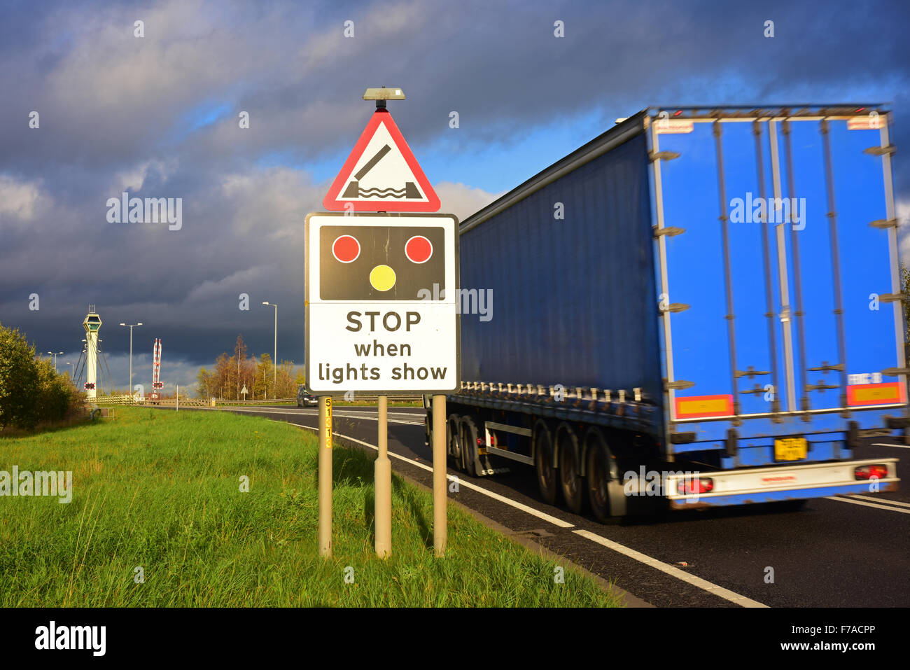 lorry passing warning sign of Selby swingbridge crossing the river Ouse ahead Yorkshire united kingdom Stock Photohttps://www.alamy.com/image-license-details/?v=1https://www.alamy.com/stock-photo-lorry-passing-warning-sign-of-selby-swingbridge-crossing-the-river-90583998.html
RMF7ACPP–lorry passing warning sign of Selby swingbridge crossing the river Ouse ahead Yorkshire united kingdom
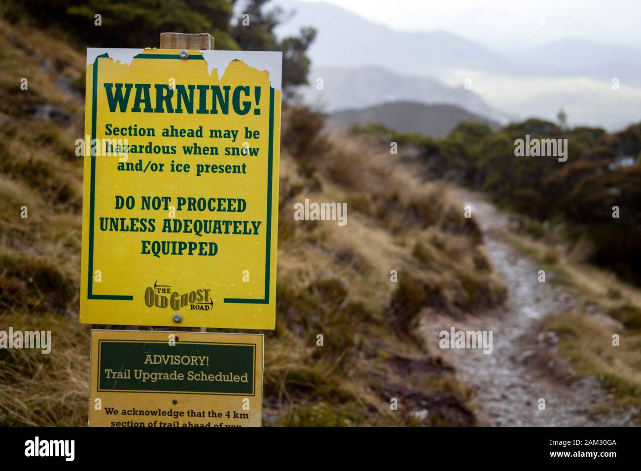 Walking the Old Ghost Road trail, Lyell to Seddonville, New Zealand. Warning sign at Ghost Lake hut for travellers heading north Stock Photohttps://www.alamy.com/image-license-details/?v=1https://www.alamy.com/walking-the-old-ghost-road-trail-lyell-to-seddonville-new-zealand-warning-sign-at-ghost-lake-hut-for-travellers-heading-north-image339356426.html
RM2AM30GA–Walking the Old Ghost Road trail, Lyell to Seddonville, New Zealand. Warning sign at Ghost Lake hut for travellers heading north
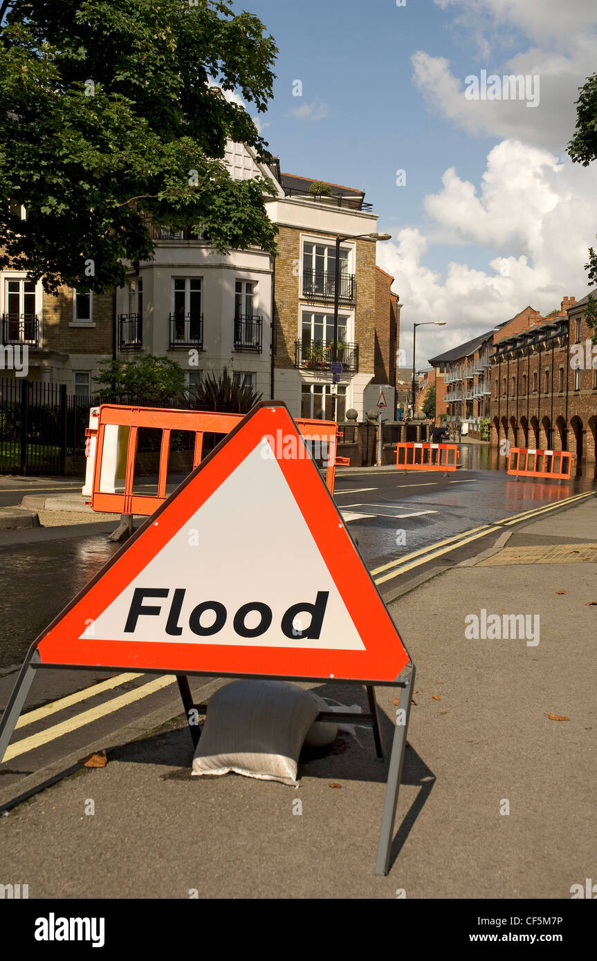 Flood warning sign and barriers across road halting traffic due to flooding. Stock Photohttps://www.alamy.com/image-license-details/?v=1https://www.alamy.com/stock-photo-flood-warning-sign-and-barriers-across-road-halting-traffic-due-to-43766234.html
RMCF5M7P–Flood warning sign and barriers across road halting traffic due to flooding.
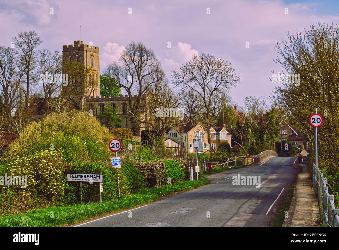 Springtime on the River Great Ouse at Felmersham village bridge in Bedfordshire, UK, overlooked by St Mary's Church tower Stock Photohttps://www.alamy.com/image-license-details/?v=1https://www.alamy.com/springtime-on-the-river-great-ouse-at-felmersham-village-bridge-in-bedfordshire-uk-overlooked-by-st-marys-church-tower-image353136790.html
RF2BEENG6–Springtime on the River Great Ouse at Felmersham village bridge in Bedfordshire, UK, overlooked by St Mary's Church tower
 Street sign at Quay Side on the River Yare, Norwich, Norfolk, East Anglia, eastern England, with notice of site of a historical ducking stool Stock Photohttps://www.alamy.com/image-license-details/?v=1https://www.alamy.com/stock-photo-street-sign-at-quay-side-on-the-river-yare-norwich-norfolk-east-anglia-122248396.html
RMH2TW24–Street sign at Quay Side on the River Yare, Norwich, Norfolk, East Anglia, eastern England, with notice of site of a historical ducking stool
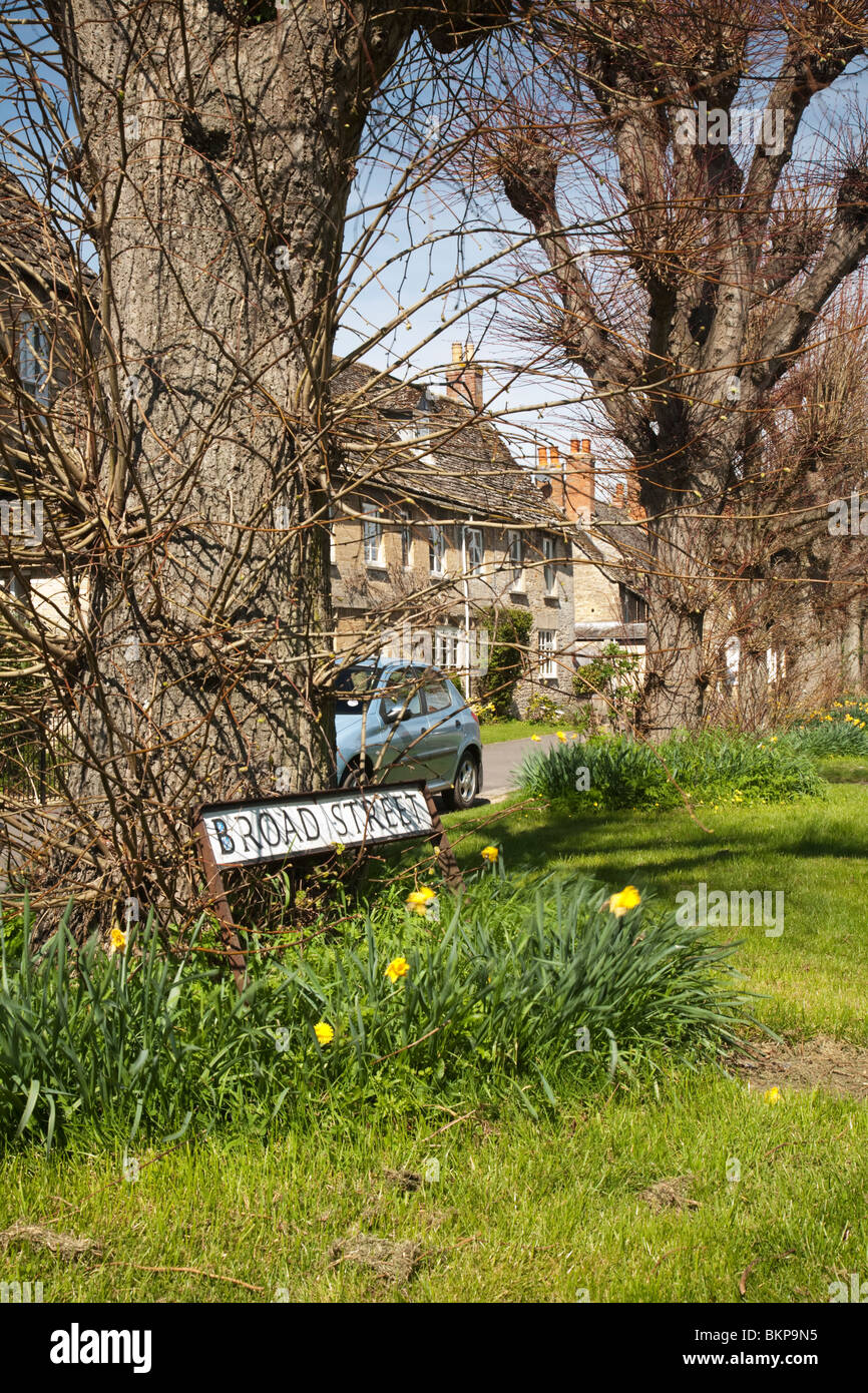 Broad Street sign on spring verge in the Cotswold village of Bampton, Oxfordshire, Uk Stock Photohttps://www.alamy.com/image-license-details/?v=1https://www.alamy.com/stock-photo-broad-street-sign-on-spring-verge-in-the-cotswold-village-of-bampton-29379425.html
RMBKP9N5–Broad Street sign on spring verge in the Cotswold village of Bampton, Oxfordshire, Uk
 Skyline of the City of London behind the gleam of traffic on the Tower Bridge deck over the river Thames at night, London, UK Stock Photohttps://www.alamy.com/image-license-details/?v=1https://www.alamy.com/stock-photo-skyline-of-the-city-of-london-behind-the-gleam-of-traffic-on-the-tower-122305045.html
RFH2YD99–Skyline of the City of London behind the gleam of traffic on the Tower Bridge deck over the river Thames at night, London, UK