Greater yellowstone rockies Stock Photos and Images
(71)See greater yellowstone rockies stock video clipsGreater yellowstone rockies Stock Photos and Images
 Big Elk Creek Trail, Snake River Range, Greater Yellowstone Rockies, Targhee National Forest, Idaho, USA Stock Photohttps://www.alamy.com/image-license-details/?v=1https://www.alamy.com/big-elk-creek-trail-snake-river-range-greater-yellowstone-rockies-targhee-national-forest-idaho-usa-image567558138.html
RF2RYAE5E–Big Elk Creek Trail, Snake River Range, Greater Yellowstone Rockies, Targhee National Forest, Idaho, USA
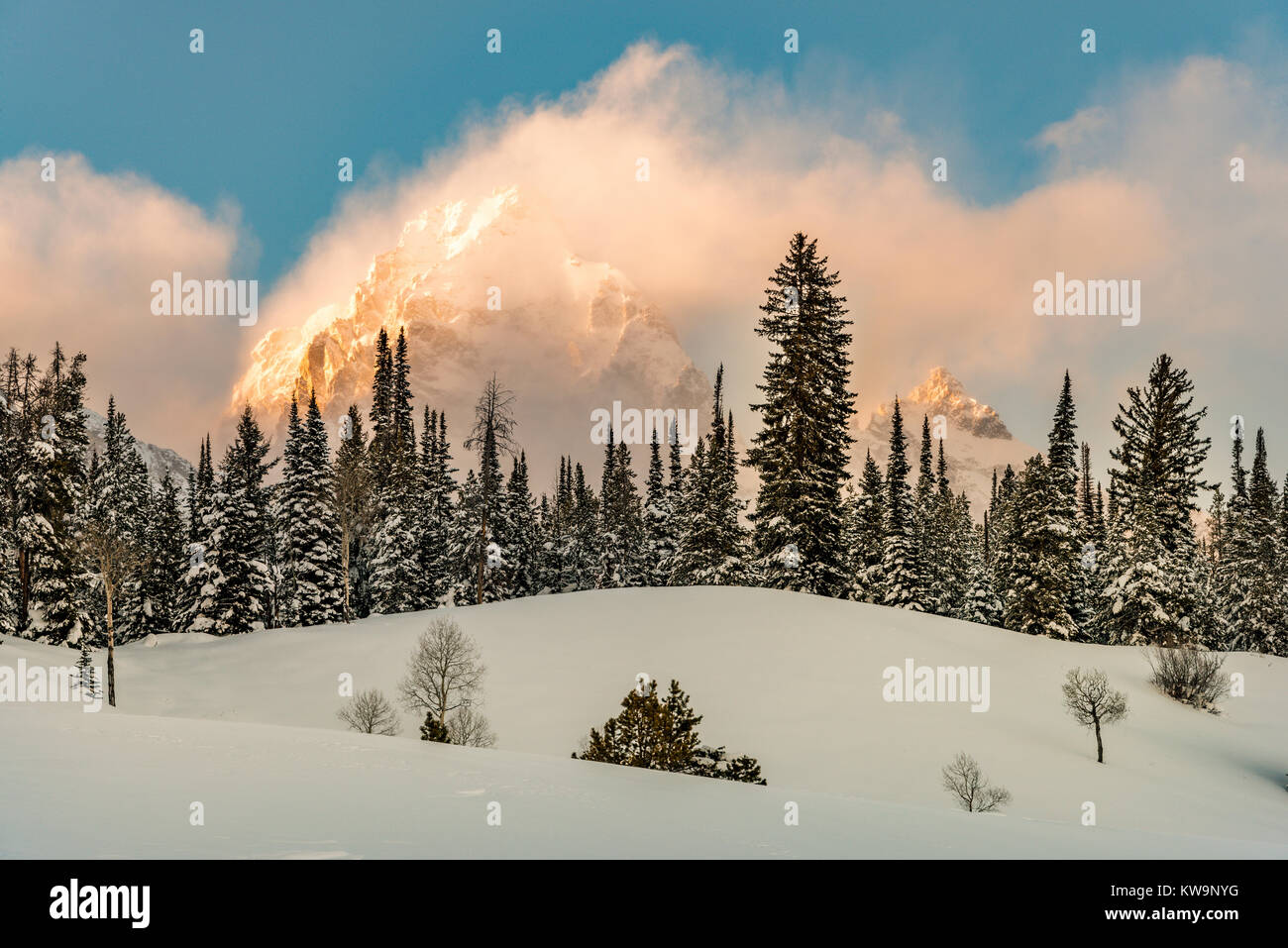 Winter scene, Grand Teton National Park, WY, USA, Winter, by Bill Lea/Dembinsky Photo Assoc Stock Photohttps://www.alamy.com/image-license-details/?v=1https://www.alamy.com/stock-photo-winter-scene-grand-teton-national-park-wy-usa-winter-by-bill-leadembinsky-170474516.html
RMKW9NYG–Winter scene, Grand Teton National Park, WY, USA, Winter, by Bill Lea/Dembinsky Photo Assoc
 Mammoth Hot Springs area of Yellowstone Natonal Park in Wyoming. Stock Photohttps://www.alamy.com/image-license-details/?v=1https://www.alamy.com/mammoth-hot-springs-area-of-yellowstone-natonal-park-in-wyoming-image565774970.html
RM2RTD7MX–Mammoth Hot Springs area of Yellowstone Natonal Park in Wyoming.
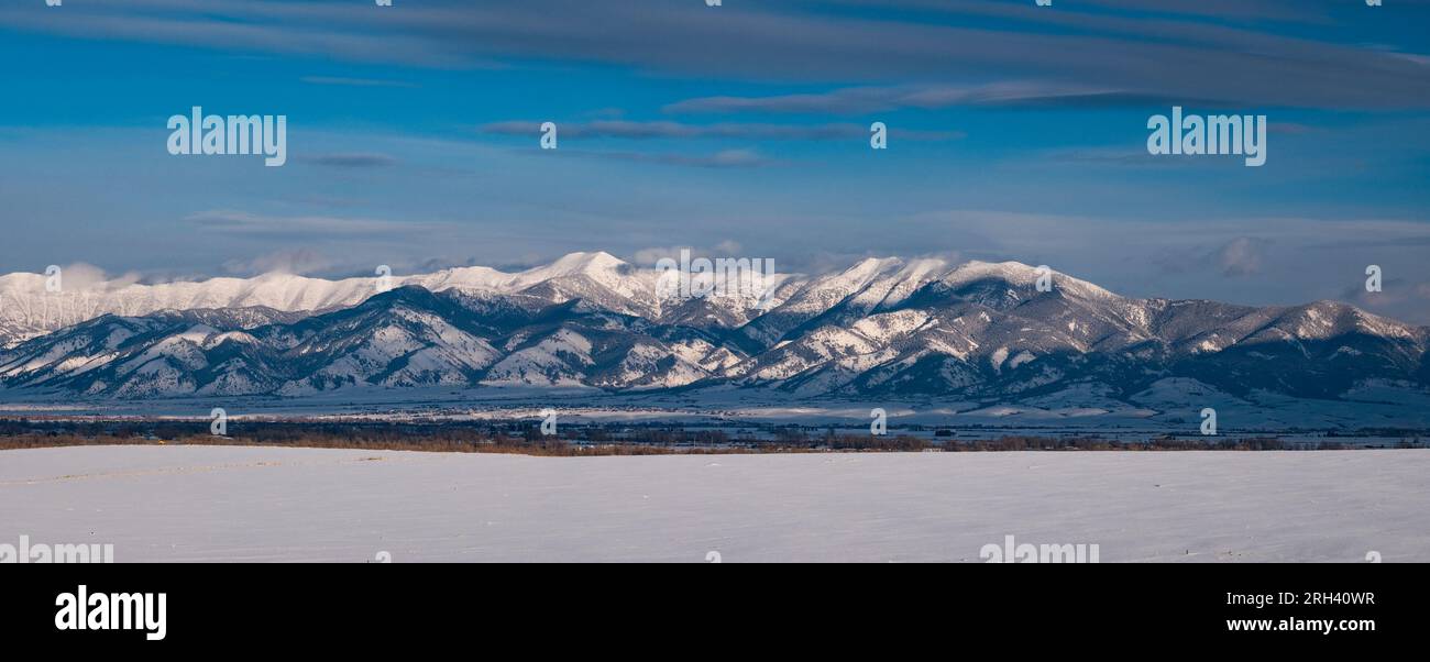 Panoramic view of The Bridger Mountain Range and the Gallatin Valley on a cold winter afternoon. Gallatin County, Montana, USA. Stock Photohttps://www.alamy.com/image-license-details/?v=1https://www.alamy.com/panoramic-view-of-the-bridger-mountain-range-and-the-gallatin-valley-on-a-cold-winter-afternoon-gallatin-county-montana-usa-image561269459.html
RM2RH40WR–Panoramic view of The Bridger Mountain Range and the Gallatin Valley on a cold winter afternoon. Gallatin County, Montana, USA.
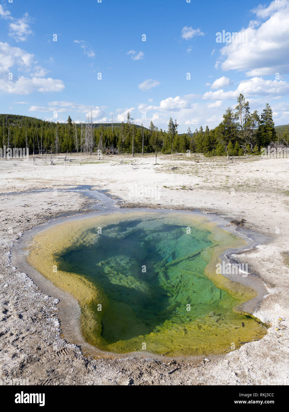 Yellowstone National Park, USA Stock Photohttps://www.alamy.com/image-license-details/?v=1https://www.alamy.com/yellowstone-national-park-usa-image235811084.html
RFRKJ3CC–Yellowstone National Park, USA
 Tourists enjoying Geyser basin in Yellowstone National Park summer 2018. Stock Photohttps://www.alamy.com/image-license-details/?v=1https://www.alamy.com/tourists-enjoying-geyser-basin-in-yellowstone-national-park-summer-2018-image409861258.html
RF2EPPP62–Tourists enjoying Geyser basin in Yellowstone National Park summer 2018.
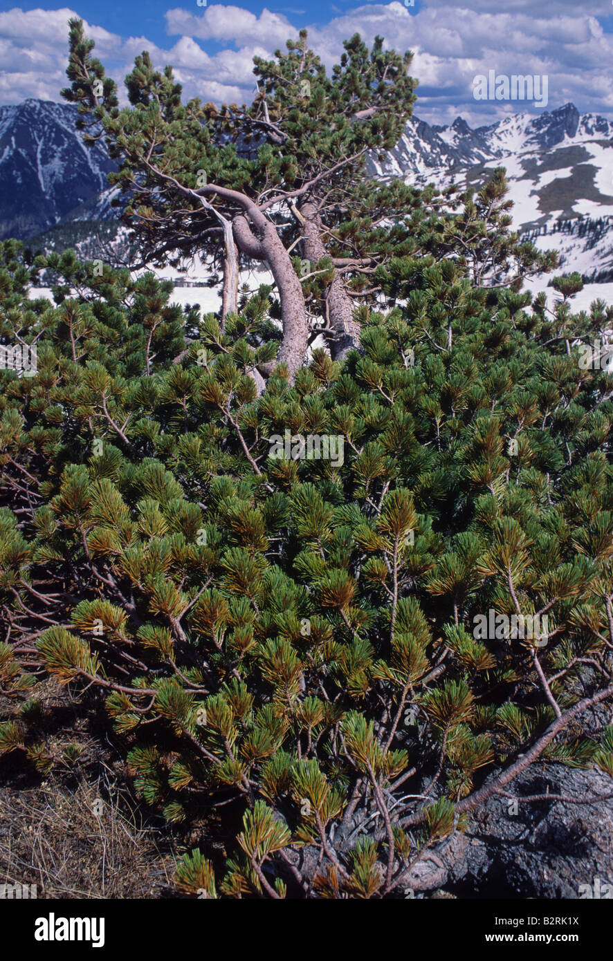 Whitebark Pine, Pinus albicaulis, tree at 2,300 meters elevation, Yellowstone National Park, Stock Photohttps://www.alamy.com/image-license-details/?v=1https://www.alamy.com/stock-photo-whitebark-pine-pinus-albicaulis-tree-at-2300-meters-elevation-yellowstone-18959526.html
RMB2RK1X–Whitebark Pine, Pinus albicaulis, tree at 2,300 meters elevation, Yellowstone National Park,
 Silhouetted trees, smoke and sunset set the mood, Yellowstone National Park, Summer 2019. Stock Photohttps://www.alamy.com/image-license-details/?v=1https://www.alamy.com/silhouetted-trees-smoke-and-sunset-set-the-mood-yellowstone-national-park-summer-2019-image409002164.html
RF2ENBJC4–Silhouetted trees, smoke and sunset set the mood, Yellowstone National Park, Summer 2019.
 Rocky mountain landscape with snowy peaks and clouds Stock Photohttps://www.alamy.com/image-license-details/?v=1https://www.alamy.com/stock-photo-rocky-mountain-landscape-with-snowy-peaks-and-clouds-132889038.html
RMHM5H92–Rocky mountain landscape with snowy peaks and clouds
 Oxbow Bend at sunset. Grand Teton National Park, WY. Late September. Stock Photohttps://www.alamy.com/image-license-details/?v=1https://www.alamy.com/oxbow-bend-at-sunset-grand-teton-national-park-wy-late-september-image383880802.html
RM2D8F7TJ–Oxbow Bend at sunset. Grand Teton National Park, WY. Late September.
 Hidden Falls Grand Teton National Park Wyoming Stock Photohttps://www.alamy.com/image-license-details/?v=1https://www.alamy.com/stock-photo-hidden-falls-grand-teton-national-park-wyoming-96327556.html
RMFGM2NT–Hidden Falls Grand Teton National Park Wyoming
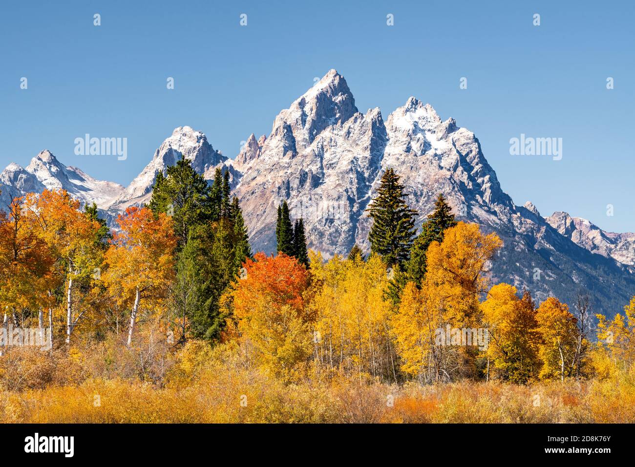 Autumn Aspens and Mt Moran, Grand Teton National Park, WY, USA, by Dominique Braud/Dembinsky Photo Assoc Stock Photohttps://www.alamy.com/image-license-details/?v=1https://www.alamy.com/autumn-aspens-and-mt-moran-grand-teton-national-park-wy-usa-by-dominique-brauddembinsky-photo-assoc-image383968115.html
RM2D8K76Y–Autumn Aspens and Mt Moran, Grand Teton National Park, WY, USA, by Dominique Braud/Dembinsky Photo Assoc
 A grizzly bear subadult sitting up to scour its surroundings in snow-covered sagebrush. Grand Teton National Park, Wyoming Stock Photohttps://www.alamy.com/image-license-details/?v=1https://www.alamy.com/a-grizzly-bear-subadult-sitting-up-to-scour-its-surroundings-in-snow-covered-sagebrush-grand-teton-national-park-wyoming-image458915074.html
RM2HJHAT2–A grizzly bear subadult sitting up to scour its surroundings in snow-covered sagebrush. Grand Teton National Park, Wyoming
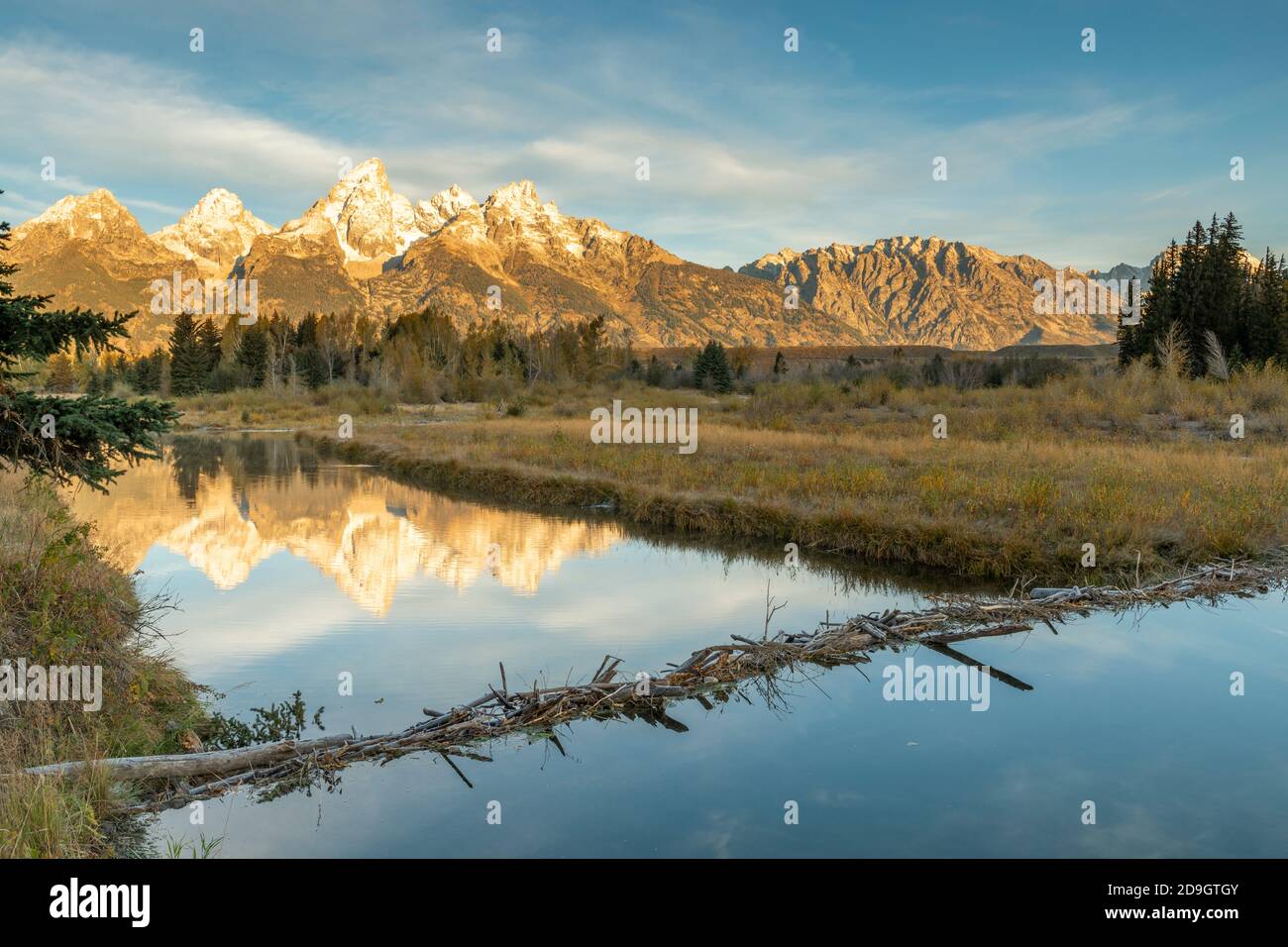 The Teton Range from Schwabacher's landing, beaver dam, Grand Teton NP, WY, USA, by Dominique Braud/Dembinsky Photo Assoc Stock Photohttps://www.alamy.com/image-license-details/?v=1https://www.alamy.com/the-teton-range-from-schwabachers-landing-beaver-dam-grand-teton-np-wy-usa-by-dominique-brauddembinsky-photo-assoc-image384530523.html
RM2D9GTGY–The Teton Range from Schwabacher's landing, beaver dam, Grand Teton NP, WY, USA, by Dominique Braud/Dembinsky Photo Assoc
 The Teton Range from Schwabacher's landing, beaver dam, Grand Teton NP, WY, USA, by Dominique Braud/Dembinsky Photo Assoc Stock Photohttps://www.alamy.com/image-license-details/?v=1https://www.alamy.com/the-teton-range-from-schwabachers-landing-beaver-dam-grand-teton-np-wy-usa-by-dominique-brauddembinsky-photo-assoc-image383968970.html
RM2D8K89E–The Teton Range from Schwabacher's landing, beaver dam, Grand Teton NP, WY, USA, by Dominique Braud/Dembinsky Photo Assoc
 Oxbow Bend at sunrise, Snake river, Autumn, Grand Teton National Park, WY, USA, by Dominique Braud/Dembinsky Photo Assoc Stock Photohttps://www.alamy.com/image-license-details/?v=1https://www.alamy.com/oxbow-bend-at-sunrise-snake-river-autumn-grand-teton-national-park-wy-usa-by-dominique-brauddembinsky-photo-assoc-image384038045.html
RM2D8PCCD–Oxbow Bend at sunrise, Snake river, Autumn, Grand Teton National Park, WY, USA, by Dominique Braud/Dembinsky Photo Assoc
 Rapids, Big Elk Creek Trail, Snake River Range, Greater Yellowstone Rockies, Targhee National Forest, Idaho, USA Stock Photohttps://www.alamy.com/image-license-details/?v=1https://www.alamy.com/rapids-big-elk-creek-trail-snake-river-range-greater-yellowstone-rockies-targhee-national-forest-idaho-usa-image567558013.html
RF2RYAE11–Rapids, Big Elk Creek Trail, Snake River Range, Greater Yellowstone Rockies, Targhee National Forest, Idaho, USA
 Mammoth Hot Springs area of Yellowstone Natonal Park in Wyoming. Stock Photohttps://www.alamy.com/image-license-details/?v=1https://www.alamy.com/mammoth-hot-springs-area-of-yellowstone-natonal-park-in-wyoming-image565774909.html
RM2RTD7JN–Mammoth Hot Springs area of Yellowstone Natonal Park in Wyoming.
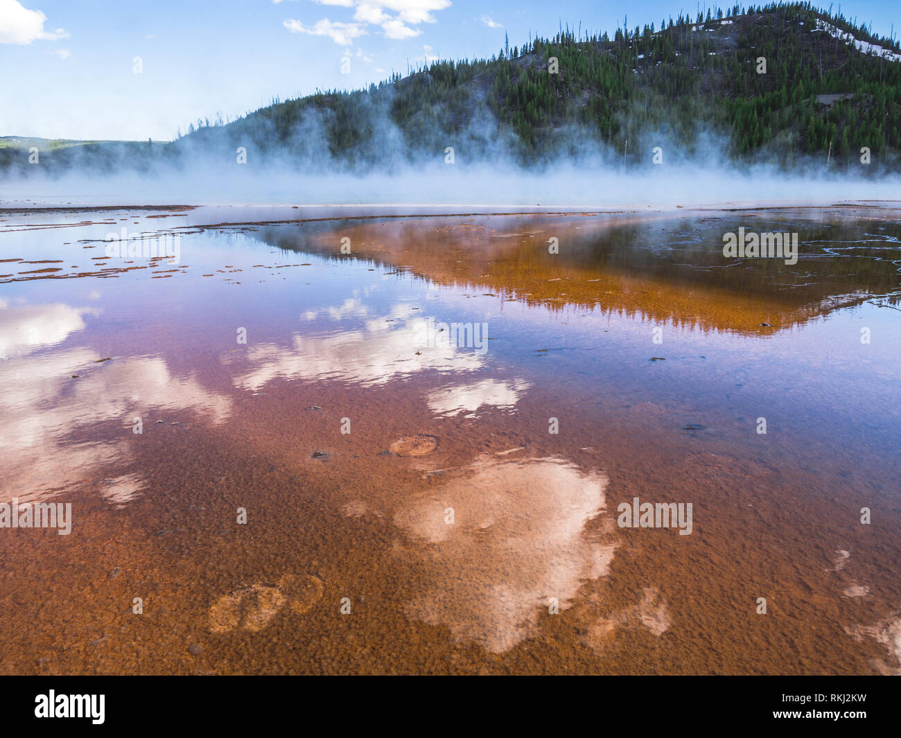 Landscape of Great Prismatic Spring, Yellowstone National Park, Wyoming, USA Stock Photohttps://www.alamy.com/image-license-details/?v=1https://www.alamy.com/landscape-of-great-prismatic-spring-yellowstone-national-park-wyoming-usa-image235810509.html
RFRKJ2KW–Landscape of Great Prismatic Spring, Yellowstone National Park, Wyoming, USA
 Hidden Falls Horizontal Landscape Grand Tetons National Park Stock Photohttps://www.alamy.com/image-license-details/?v=1https://www.alamy.com/stock-photo-hidden-falls-horizontal-landscape-grand-tetons-national-park-96328376.html
RMFGM3R4–Hidden Falls Horizontal Landscape Grand Tetons National Park
 Rapids, Big Elk Creek Trail, Snake River Range, Greater Yellowstone Rockies, Targhee National Forest, Idaho, USA Stock Photohttps://www.alamy.com/image-license-details/?v=1https://www.alamy.com/rapids-big-elk-creek-trail-snake-river-range-greater-yellowstone-rockies-targhee-national-forest-idaho-usa-image567558352.html
RF2RYAED4–Rapids, Big Elk Creek Trail, Snake River Range, Greater Yellowstone Rockies, Targhee National Forest, Idaho, USA
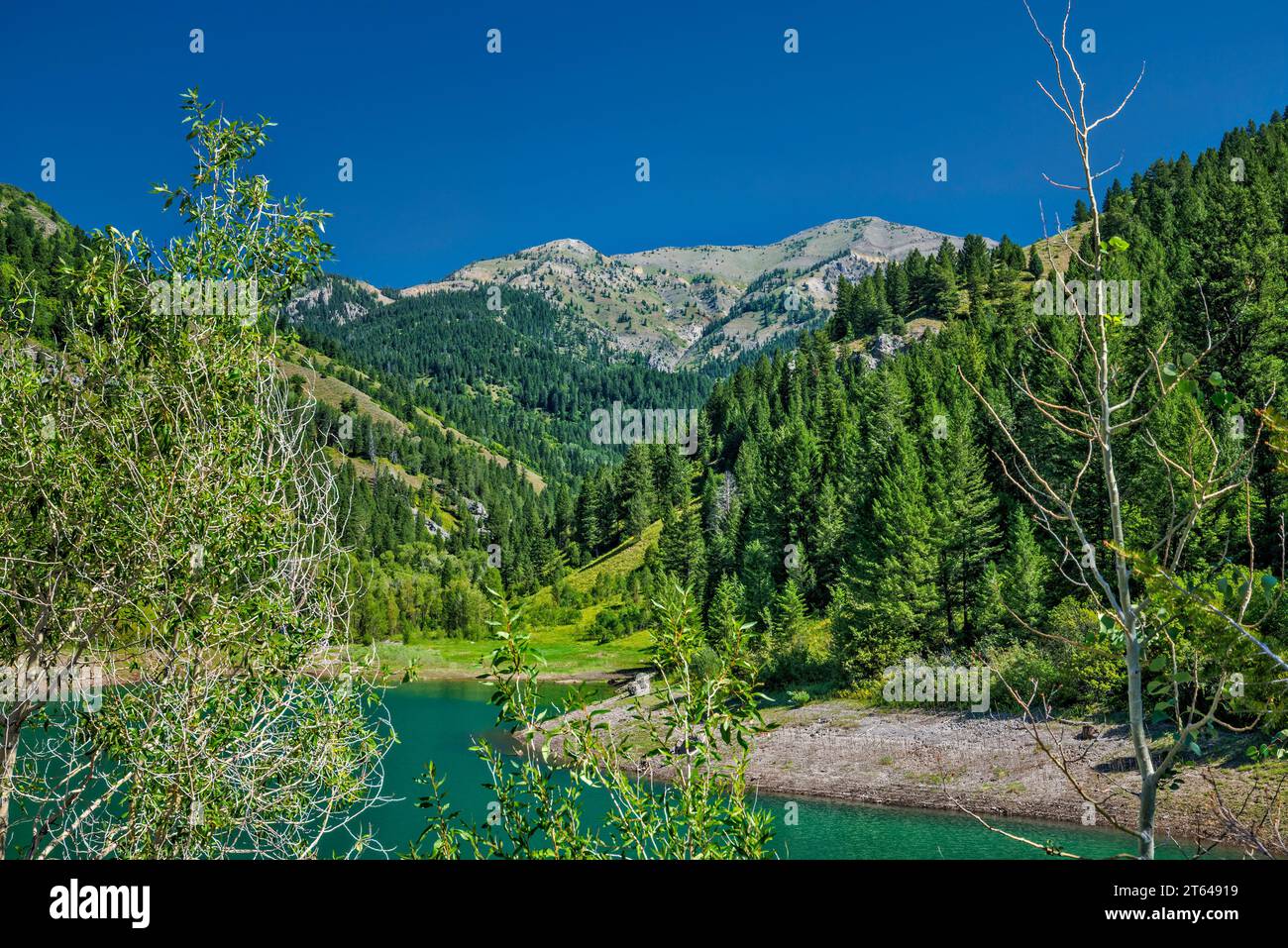 Sheep Creek Peak massif, Palisades Reservoir, Snake River Range, Greater Yellowstone Rockies, Targhee National Forest, Idaho, USA Stock Photohttps://www.alamy.com/image-license-details/?v=1https://www.alamy.com/sheep-creek-peak-massif-palisades-reservoir-snake-river-range-greater-yellowstone-rockies-targhee-national-forest-idaho-usa-image571724981.html
RF2T64919–Sheep Creek Peak massif, Palisades Reservoir, Snake River Range, Greater Yellowstone Rockies, Targhee National Forest, Idaho, USA
 Mammoth Hot Springs area of Yellowstone Natonal Park in Wyoming. Stock Photohttps://www.alamy.com/image-license-details/?v=1https://www.alamy.com/mammoth-hot-springs-area-of-yellowstone-natonal-park-in-wyoming-image565775028.html
RM2RTD7R0–Mammoth Hot Springs area of Yellowstone Natonal Park in Wyoming.
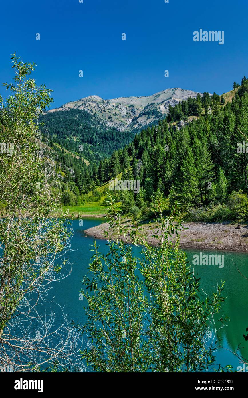 Sheep Creek Peak massif, Palisades Reservoir, Snake River Range, Greater Yellowstone Rockies, Targhee National Forest, Idaho, USA Stock Photohttps://www.alamy.com/image-license-details/?v=1https://www.alamy.com/sheep-creek-peak-massif-palisades-reservoir-snake-river-range-greater-yellowstone-rockies-targhee-national-forest-idaho-usa-image571725030.html
RF2T64932–Sheep Creek Peak massif, Palisades Reservoir, Snake River Range, Greater Yellowstone Rockies, Targhee National Forest, Idaho, USA
 Mammoth Hot Springs area in northwestern corner of Yellowstone National Park in Wyoming. Stock Photohttps://www.alamy.com/image-license-details/?v=1https://www.alamy.com/mammoth-hot-springs-area-in-northwestern-corner-of-yellowstone-national-park-in-wyoming-image565775101.html
RM2RTD7WH–Mammoth Hot Springs area in northwestern corner of Yellowstone National Park in Wyoming.
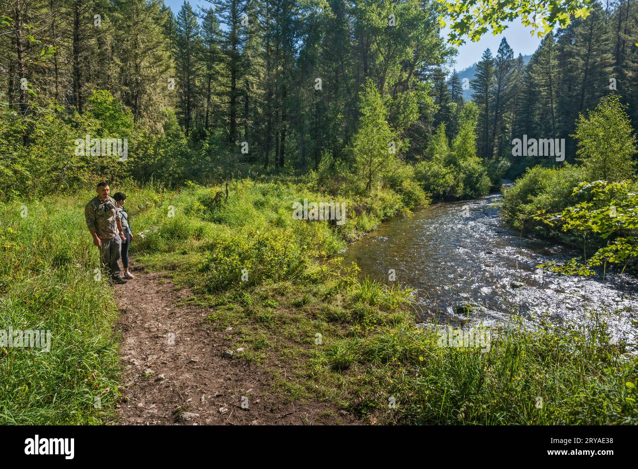 Hikers, Big Elk Creek Trail, Snake River Range, Greater Yellowstone Rockies, Targhee National Forest, Idaho, USA Stock Photohttps://www.alamy.com/image-license-details/?v=1https://www.alamy.com/hikers-big-elk-creek-trail-snake-river-range-greater-yellowstone-rockies-targhee-national-forest-idaho-usa-image567558076.html
RF2RYAE38–Hikers, Big Elk Creek Trail, Snake River Range, Greater Yellowstone Rockies, Targhee National Forest, Idaho, USA
 Mammoth Hot Springs area in northwestern corner of Yellowstone National Park in Wyoming. Stock Photohttps://www.alamy.com/image-license-details/?v=1https://www.alamy.com/mammoth-hot-springs-area-in-northwestern-corner-of-yellowstone-national-park-in-wyoming-image565775226.html
RM2RTD822–Mammoth Hot Springs area in northwestern corner of Yellowstone National Park in Wyoming.
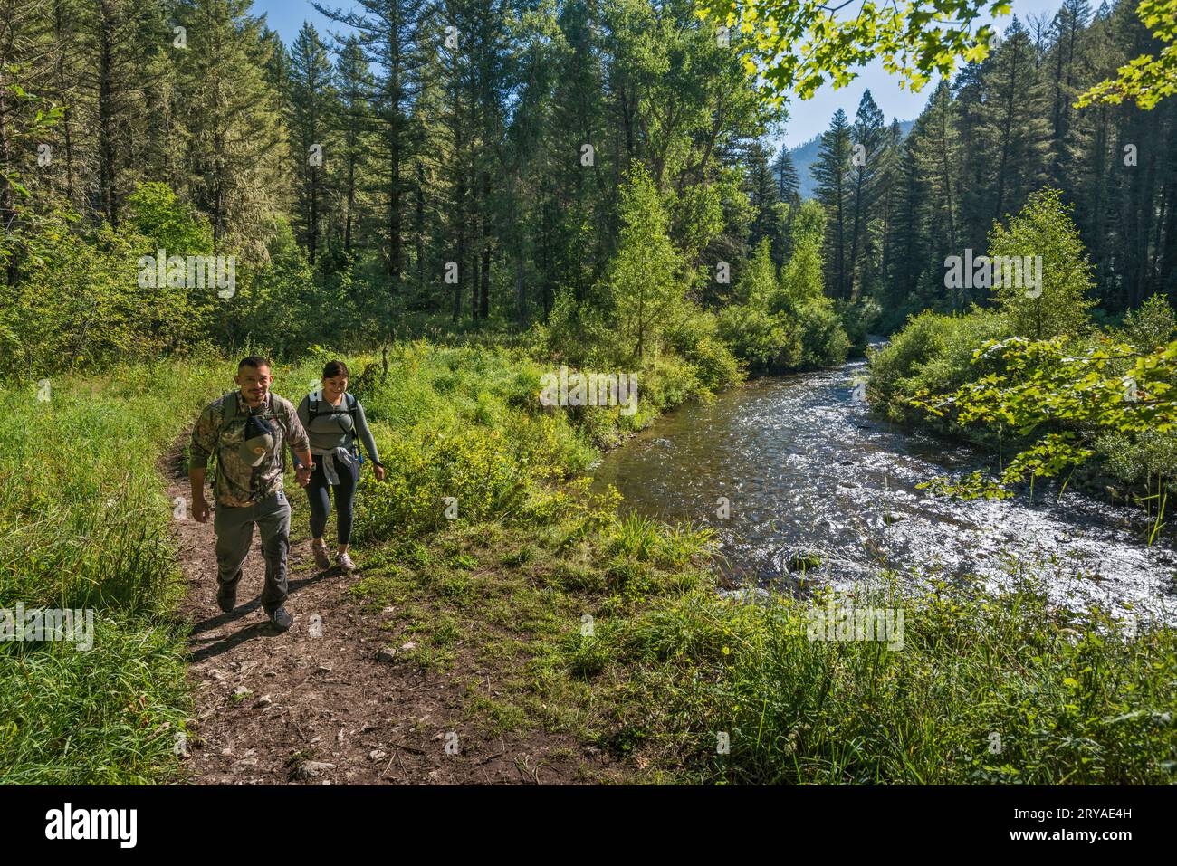 Hikers, Big Elk Creek Trail, Snake River Range, Greater Yellowstone Rockies, Targhee National Forest, Idaho, USA Stock Photohttps://www.alamy.com/image-license-details/?v=1https://www.alamy.com/hikers-big-elk-creek-trail-snake-river-range-greater-yellowstone-rockies-targhee-national-forest-idaho-usa-image567558113.html
RF2RYAE4H–Hikers, Big Elk Creek Trail, Snake River Range, Greater Yellowstone Rockies, Targhee National Forest, Idaho, USA
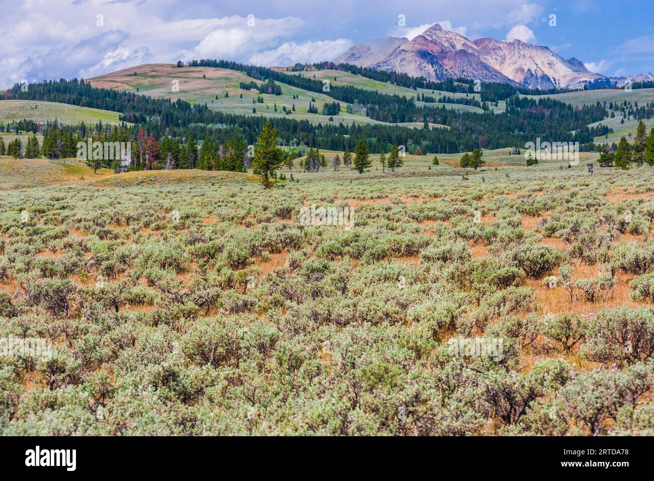 Sagebrush and native grass meadow with view of Gallatin Mountain Range near Mammoth Hot Springs in Yellowstone National Park in Wyoming. Stock Photohttps://www.alamy.com/image-license-details/?v=1https://www.alamy.com/sagebrush-and-native-grass-meadow-with-view-of-gallatin-mountain-range-near-mammoth-hot-springs-in-yellowstone-national-park-in-wyoming-image565776940.html
RM2RTDA78–Sagebrush and native grass meadow with view of Gallatin Mountain Range near Mammoth Hot Springs in Yellowstone National Park in Wyoming.
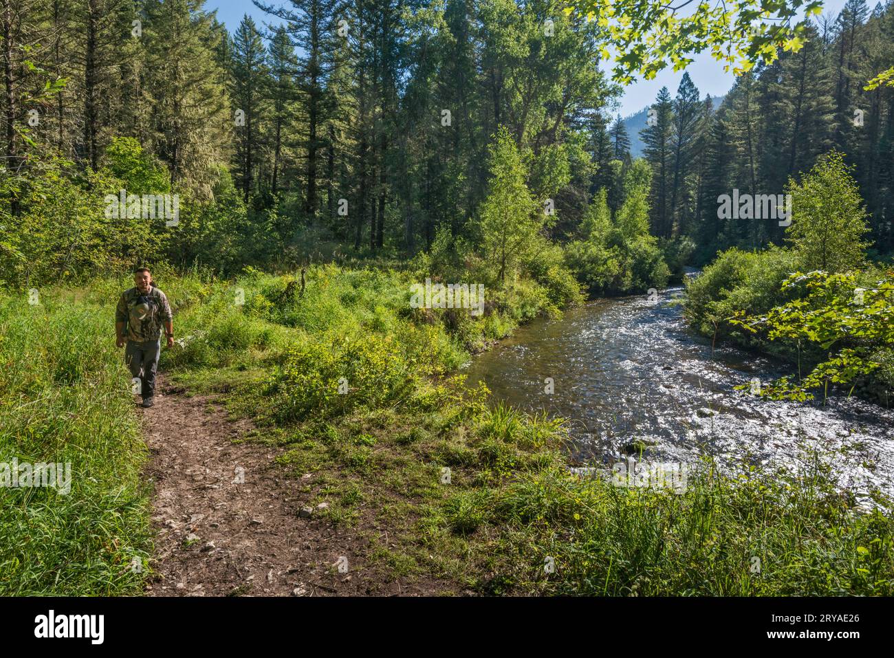 Hikers, Big Elk Creek Trail, Snake River Range, Greater Yellowstone Rockies, Targhee National Forest, Idaho, USA Stock Photohttps://www.alamy.com/image-license-details/?v=1https://www.alamy.com/hikers-big-elk-creek-trail-snake-river-range-greater-yellowstone-rockies-targhee-national-forest-idaho-usa-image567558046.html
RF2RYAE26–Hikers, Big Elk Creek Trail, Snake River Range, Greater Yellowstone Rockies, Targhee National Forest, Idaho, USA
 Little Elk Creek Trail, overgrown, unmaintained trail, Snake River Range, Greater Yellowstone Rockies, Targhee National Forest, Idaho, USA Stock Photohttps://www.alamy.com/image-license-details/?v=1https://www.alamy.com/little-elk-creek-trail-overgrown-unmaintained-trail-snake-river-range-greater-yellowstone-rockies-targhee-national-forest-idaho-usa-image567558422.html
RF2RYAEFJ–Little Elk Creek Trail, overgrown, unmaintained trail, Snake River Range, Greater Yellowstone Rockies, Targhee National Forest, Idaho, USA
 Big Elk Creek Trail crossing open meadow, Snake River Range, Greater Yellowstone Rockies, Targhee National Forest, Idaho, USA Stock Photohttps://www.alamy.com/image-license-details/?v=1https://www.alamy.com/big-elk-creek-trail-crossing-open-meadow-snake-river-range-greater-yellowstone-rockies-targhee-national-forest-idaho-usa-image567558215.html
RF2RYAE87–Big Elk Creek Trail crossing open meadow, Snake River Range, Greater Yellowstone Rockies, Targhee National Forest, Idaho, USA
 Big Elk Creek Trail crossing open meadow, Snake River Range, Greater Yellowstone Rockies, Targhee National Forest, Idaho, USA Stock Photohttps://www.alamy.com/image-license-details/?v=1https://www.alamy.com/big-elk-creek-trail-crossing-open-meadow-snake-river-range-greater-yellowstone-rockies-targhee-national-forest-idaho-usa-image567558175.html
RF2RYAE6R–Big Elk Creek Trail crossing open meadow, Snake River Range, Greater Yellowstone Rockies, Targhee National Forest, Idaho, USA
 Blooming wildflowers, Little Elk Creek Trail, unmaintained, in Snake River Range, Greater Yellowstone Rockies, Targhee Natl Forest, Idaho, USA Stock Photohttps://www.alamy.com/image-license-details/?v=1https://www.alamy.com/blooming-wildflowers-little-elk-creek-trail-unmaintained-in-snake-river-range-greater-yellowstone-rockies-targhee-natl-forest-idaho-usa-image571724712.html
RF2T648KM–Blooming wildflowers, Little Elk Creek Trail, unmaintained, in Snake River Range, Greater Yellowstone Rockies, Targhee Natl Forest, Idaho, USA
 Blooming wildflowers, Little Elk Creek Trail, unmaintained, in Snake River Range, Greater Yellowstone Rockies, Targhee Natl Forest, Idaho, USA Stock Photohttps://www.alamy.com/image-license-details/?v=1https://www.alamy.com/blooming-wildflowers-little-elk-creek-trail-unmaintained-in-snake-river-range-greater-yellowstone-rockies-targhee-natl-forest-idaho-usa-image571724813.html
RF2T648R9–Blooming wildflowers, Little Elk Creek Trail, unmaintained, in Snake River Range, Greater Yellowstone Rockies, Targhee Natl Forest, Idaho, USA
 Blooming wildflowers, Little Elk Creek Trail, unmaintained, in Snake River Range, Greater Yellowstone Rockies, Targhee Natl Forest, Idaho, USA Stock Photohttps://www.alamy.com/image-license-details/?v=1https://www.alamy.com/blooming-wildflowers-little-elk-creek-trail-unmaintained-in-snake-river-range-greater-yellowstone-rockies-targhee-natl-forest-idaho-usa-image571724889.html
RF2T648X1–Blooming wildflowers, Little Elk Creek Trail, unmaintained, in Snake River Range, Greater Yellowstone Rockies, Targhee Natl Forest, Idaho, USA
 Blooming wildflowers, Little Elk Creek Trail, unmaintained, in Snake River Range, Greater Yellowstone Rockies, Targhee Natl Forest, Idaho, USA Stock Photohttps://www.alamy.com/image-license-details/?v=1https://www.alamy.com/blooming-wildflowers-little-elk-creek-trail-unmaintained-in-snake-river-range-greater-yellowstone-rockies-targhee-natl-forest-idaho-usa-image571724605.html
RF2T648FW–Blooming wildflowers, Little Elk Creek Trail, unmaintained, in Snake River Range, Greater Yellowstone Rockies, Targhee Natl Forest, Idaho, USA
 View from inside tent, Big Elk Creek Campground, near Palisades Reservoir, Snake River Range, Greater Yellowstone Rockies, Idaho, USA Stock Photohttps://www.alamy.com/image-license-details/?v=1https://www.alamy.com/view-from-inside-tent-big-elk-creek-campground-near-palisades-reservoir-snake-river-range-greater-yellowstone-rockies-idaho-usa-image567558526.html
RF2RYAEKA–View from inside tent, Big Elk Creek Campground, near Palisades Reservoir, Snake River Range, Greater Yellowstone Rockies, Idaho, USA
 Blooming wildflowers, Little Elk Creek Trail, unmaintained, in Snake River Range, Greater Yellowstone Rockies, Targhee Natl Forest, Idaho, USA Stock Photohttps://www.alamy.com/image-license-details/?v=1https://www.alamy.com/blooming-wildflowers-little-elk-creek-trail-unmaintained-in-snake-river-range-greater-yellowstone-rockies-targhee-natl-forest-idaho-usa-image571724963.html
RF2T6490K–Blooming wildflowers, Little Elk Creek Trail, unmaintained, in Snake River Range, Greater Yellowstone Rockies, Targhee Natl Forest, Idaho, USA
 Campsite at Big Elk Creek Campground, near Palisades Reservoir, Snake River Range, Greater Yellowstone Rockies, Targhee National Forest, Idaho, USA Stock Photohttps://www.alamy.com/image-license-details/?v=1https://www.alamy.com/campsite-at-big-elk-creek-campground-near-palisades-reservoir-snake-river-range-greater-yellowstone-rockies-targhee-national-forest-idaho-usa-image567558480.html
RF2RYAEHM–Campsite at Big Elk Creek Campground, near Palisades Reservoir, Snake River Range, Greater Yellowstone Rockies, Targhee National Forest, Idaho, USA
 Picnic table, bear box at campsite, Big Elk Creek Campground, near Palisades Reservoir, Snake River Range, Greater Yellowstone Rockies, Idaho, USA Stock Photohttps://www.alamy.com/image-license-details/?v=1https://www.alamy.com/picnic-table-bear-box-at-campsite-big-elk-creek-campground-near-palisades-reservoir-snake-river-range-greater-yellowstone-rockies-idaho-usa-image567558519.html
RF2RYAEK3–Picnic table, bear box at campsite, Big Elk Creek Campground, near Palisades Reservoir, Snake River Range, Greater Yellowstone Rockies, Idaho, USA
 Little Elk Creek Trail, unmaintained trail, Sheep Creek Pk in dist, Snake River Range, Greater Yellowstone Rockies, Targhee Natl Forest, Idaho, USA Stock Photohttps://www.alamy.com/image-license-details/?v=1https://www.alamy.com/little-elk-creek-trail-unmaintained-trail-sheep-creek-pk-in-dist-snake-river-range-greater-yellowstone-rockies-targhee-natl-forest-idaho-usa-image567558381.html
RF2RYAEE5–Little Elk Creek Trail, unmaintained trail, Sheep Creek Pk in dist, Snake River Range, Greater Yellowstone Rockies, Targhee Natl Forest, Idaho, USA
 Family of hikers on Big Elk Creek Trail crossing open meadow, Snake River Range, Greater Yellowstone Rockies, Targhee National Forest, Idaho, USA Stock Photohttps://www.alamy.com/image-license-details/?v=1https://www.alamy.com/family-of-hikers-on-big-elk-creek-trail-crossing-open-meadow-snake-river-range-greater-yellowstone-rockies-targhee-national-forest-idaho-usa-image567558270.html
RF2RYAEA6–Family of hikers on Big Elk Creek Trail crossing open meadow, Snake River Range, Greater Yellowstone Rockies, Targhee National Forest, Idaho, USA
 Family of hikers on Big Elk Creek Trail crossing open meadow, Snake River Range, Greater Yellowstone Rockies, Targhee National Forest, Idaho, USA Stock Photohttps://www.alamy.com/image-license-details/?v=1https://www.alamy.com/family-of-hikers-on-big-elk-creek-trail-crossing-open-meadow-snake-river-range-greater-yellowstone-rockies-targhee-national-forest-idaho-usa-image567558310.html
RF2RYAEBJ–Family of hikers on Big Elk Creek Trail crossing open meadow, Snake River Range, Greater Yellowstone Rockies, Targhee National Forest, Idaho, USA
 The Wedge formation over Teton Canyon, South Teton Trail, Teton Range, Greater Yellowstone Rockies, summer morning, Jedediah Smith Wilderness, Wyoming Stock Photohttps://www.alamy.com/image-license-details/?v=1https://www.alamy.com/the-wedge-formation-over-teton-canyon-south-teton-trail-teton-range-greater-yellowstone-rockies-summer-morning-jedediah-smith-wilderness-wyoming-image572003931.html
RF2T6H0RR–The Wedge formation over Teton Canyon, South Teton Trail, Teton Range, Greater Yellowstone Rockies, summer morning, Jedediah Smith Wilderness, Wyoming
 Tall Western Larkspur blooming in Teton Canyon, South Teton Trail, Teton Range, Greater Yellowstone Rockies, Jedediah Smith Wilderness, Wyoming, USA Stock Photohttps://www.alamy.com/image-license-details/?v=1https://www.alamy.com/tall-western-larkspur-blooming-in-teton-canyon-south-teton-trail-teton-range-greater-yellowstone-rockies-jedediah-smith-wilderness-wyoming-usa-image572004047.html
RF2T6H0YY–Tall Western Larkspur blooming in Teton Canyon, South Teton Trail, Teton Range, Greater Yellowstone Rockies, Jedediah Smith Wilderness, Wyoming, USA
 Trail sign near Devils Stairs, South Teton Trail (Alaska Basin Trail) Teton Range, Greater Yellowstone Rockies, Jedediah Smith Wilderness, Wyoming USA Stock Photohttps://www.alamy.com/image-license-details/?v=1https://www.alamy.com/trail-sign-near-devils-stairs-south-teton-trail-alaska-basin-trail-teton-range-greater-yellowstone-rockies-jedediah-smith-wilderness-wyoming-usa-image572003961.html
RF2T6H0TW–Trail sign near Devils Stairs, South Teton Trail (Alaska Basin Trail) Teton Range, Greater Yellowstone Rockies, Jedediah Smith Wilderness, Wyoming USA
 The Open Door, Antoinette Peak, Corner Peak, at Gros Ventre Range, spruce grove, Granite Creek valley, Bridger Teton National Forest, Wyoming, USA Stock Photohttps://www.alamy.com/image-license-details/?v=1https://www.alamy.com/the-open-door-antoinette-peak-corner-peak-at-gros-ventre-range-spruce-grove-granite-creek-valley-bridger-teton-national-forest-wyoming-usa-image454173428.html
RF2HAWARG–The Open Door, Antoinette Peak, Corner Peak, at Gros Ventre Range, spruce grove, Granite Creek valley, Bridger Teton National Forest, Wyoming, USA
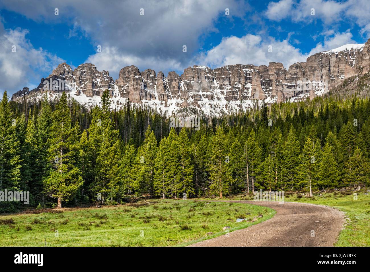 Rock formations at Lincoln Point massif, Wiggins Fork Road aka Horse Creek Road (FR 285), to Double Cabin, Absaroka Range, Wyoming, USA Stock Photohttps://www.alamy.com/image-license-details/?v=1https://www.alamy.com/rock-formations-at-lincoln-point-massif-wiggins-fork-road-aka-horse-creek-road-fr-285-to-double-cabin-absaroka-range-wyoming-usa-image480218254.html
RF2JW7R7X–Rock formations at Lincoln Point massif, Wiggins Fork Road aka Horse Creek Road (FR 285), to Double Cabin, Absaroka Range, Wyoming, USA
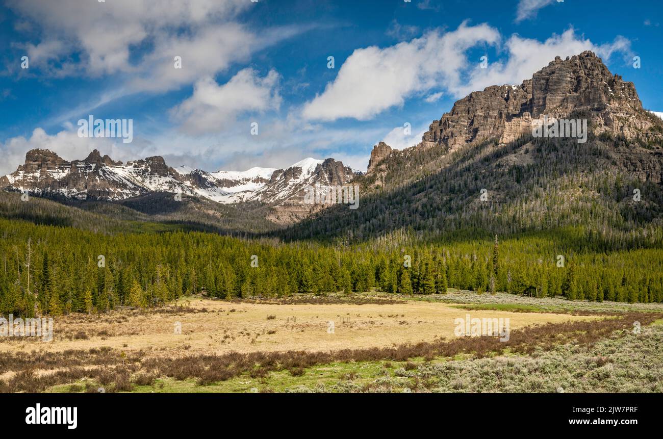 Lincoln Point on right, Boedeker Butte on left, Cartridge Creek area, Wiggins Fork Road aka Horse Creek Road, to Double Cabin, Absaroka Range, Wyoming Stock Photohttps://www.alamy.com/image-license-details/?v=1https://www.alamy.com/lincoln-point-on-right-boedeker-butte-on-left-cartridge-creek-area-wiggins-fork-road-aka-horse-creek-road-to-double-cabin-absaroka-range-wyoming-image480217907.html
RF2JW7PRF–Lincoln Point on right, Boedeker Butte on left, Cartridge Creek area, Wiggins Fork Road aka Horse Creek Road, to Double Cabin, Absaroka Range, Wyoming
 Breccia Cliffs on left, Pinnacle Buttes on right, Absaroka Range, from Union Pass Road (FR 263), near Union Pass, Shoshone Natl Forest, Wyoming, USA Stock Photohttps://www.alamy.com/image-license-details/?v=1https://www.alamy.com/breccia-cliffs-on-left-pinnacle-buttes-on-right-absaroka-range-from-union-pass-road-fr-263-near-union-pass-shoshone-natl-forest-wyoming-usa-image454060428.html
RF2HAM6KT–Breccia Cliffs on left, Pinnacle Buttes on right, Absaroka Range, from Union Pass Road (FR 263), near Union Pass, Shoshone Natl Forest, Wyoming, USA
 Lincoln Point massif, Wiggins Fork Road aka Horse Creek Road (FR 285), to Double Cabin, Absaroka Range, Wyoming, USA Stock Photohttps://www.alamy.com/image-license-details/?v=1https://www.alamy.com/lincoln-point-massif-wiggins-fork-road-aka-horse-creek-road-fr-285-to-double-cabin-absaroka-range-wyoming-usa-image480218757.html
RF2JW7RWW–Lincoln Point massif, Wiggins Fork Road aka Horse Creek Road (FR 285), to Double Cabin, Absaroka Range, Wyoming, USA
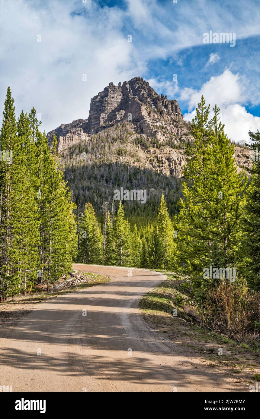 Lincoln Point massif, Wiggins Fork Road aka Horse Creek Road (FR 285), to Double Cabin, Absaroka Range, Wyoming, USA Stock Photohttps://www.alamy.com/image-license-details/?v=1https://www.alamy.com/lincoln-point-massif-wiggins-fork-road-aka-horse-creek-road-fr-285-to-double-cabin-absaroka-range-wyoming-usa-image480218619.html
RF2JW7RMY–Lincoln Point massif, Wiggins Fork Road aka Horse Creek Road (FR 285), to Double Cabin, Absaroka Range, Wyoming, USA
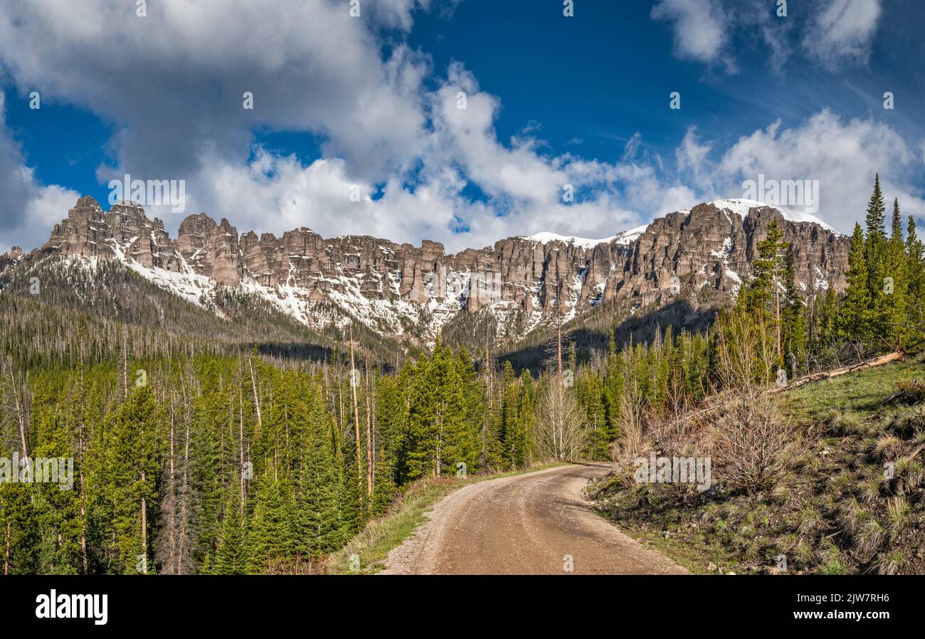 Rock formations at Lincoln Point massif, Wiggins Fork Road aka Horse Creek Road (FR 285), to Double Cabin, Absaroka Range, Wyoming, USA Stock Photohttps://www.alamy.com/image-license-details/?v=1https://www.alamy.com/rock-formations-at-lincoln-point-massif-wiggins-fork-road-aka-horse-creek-road-fr-285-to-double-cabin-absaroka-range-wyoming-usa-image480218514.html
RF2JW7RH6–Rock formations at Lincoln Point massif, Wiggins Fork Road aka Horse Creek Road (FR 285), to Double Cabin, Absaroka Range, Wyoming, USA
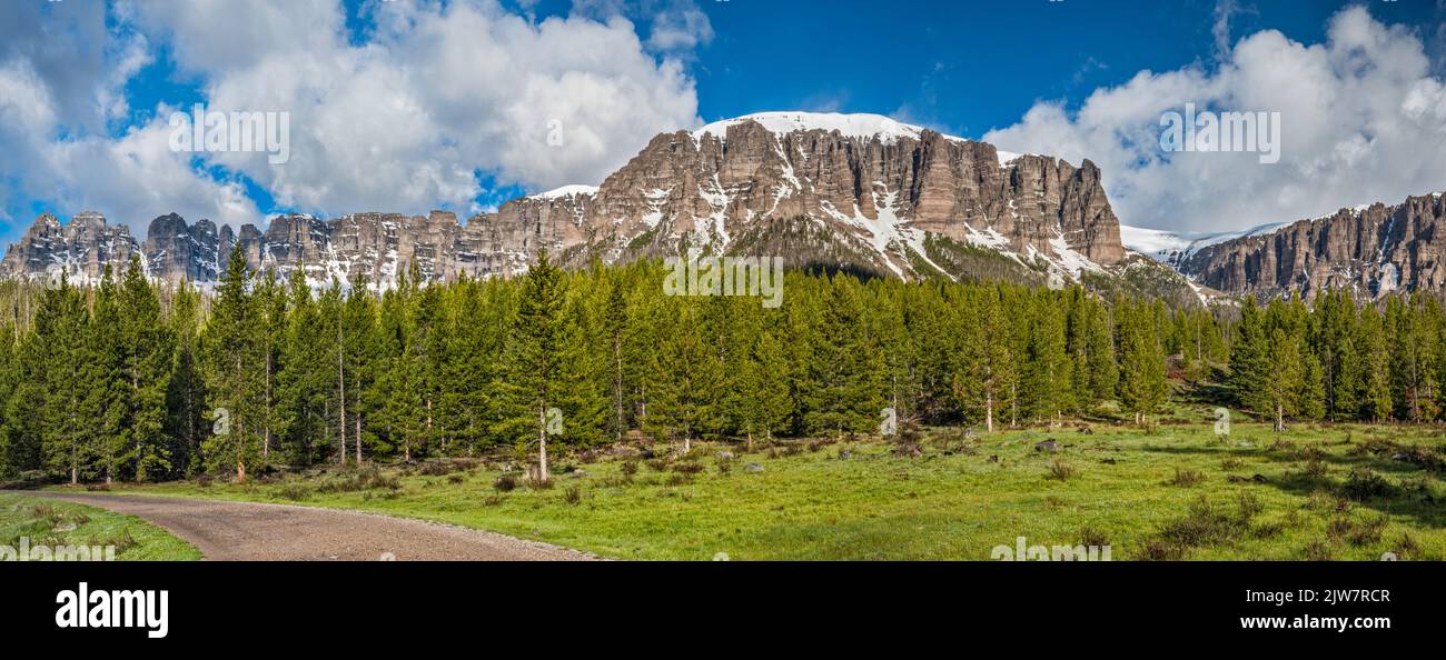 Rock formations at Lincoln Point massif, Wiggins Fork Road aka Horse Creek Road (FR 285), to Double Cabin, Absaroka Range, Wyoming, USA Stock Photohttps://www.alamy.com/image-license-details/?v=1https://www.alamy.com/rock-formations-at-lincoln-point-massif-wiggins-fork-road-aka-horse-creek-road-fr-285-to-double-cabin-absaroka-range-wyoming-usa-image480218391.html
RF2JW7RCR–Rock formations at Lincoln Point massif, Wiggins Fork Road aka Horse Creek Road (FR 285), to Double Cabin, Absaroka Range, Wyoming, USA
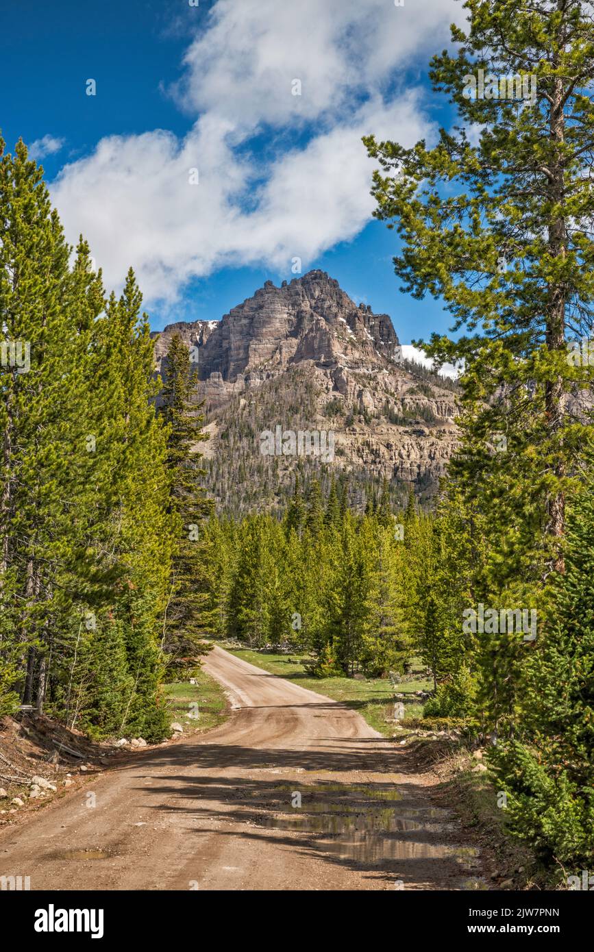 Lincoln Point over Wiggins Fork Road aka Horse Creek Road (FR 285), to Double Cabin, Absaroka Range, Wyoming, USA Stock Photohttps://www.alamy.com/image-license-details/?v=1https://www.alamy.com/lincoln-point-over-wiggins-fork-road-aka-horse-creek-road-fr-285-to-double-cabin-absaroka-range-wyoming-usa-image480217857.html
RF2JW7PNN–Lincoln Point over Wiggins Fork Road aka Horse Creek Road (FR 285), to Double Cabin, Absaroka Range, Wyoming, USA
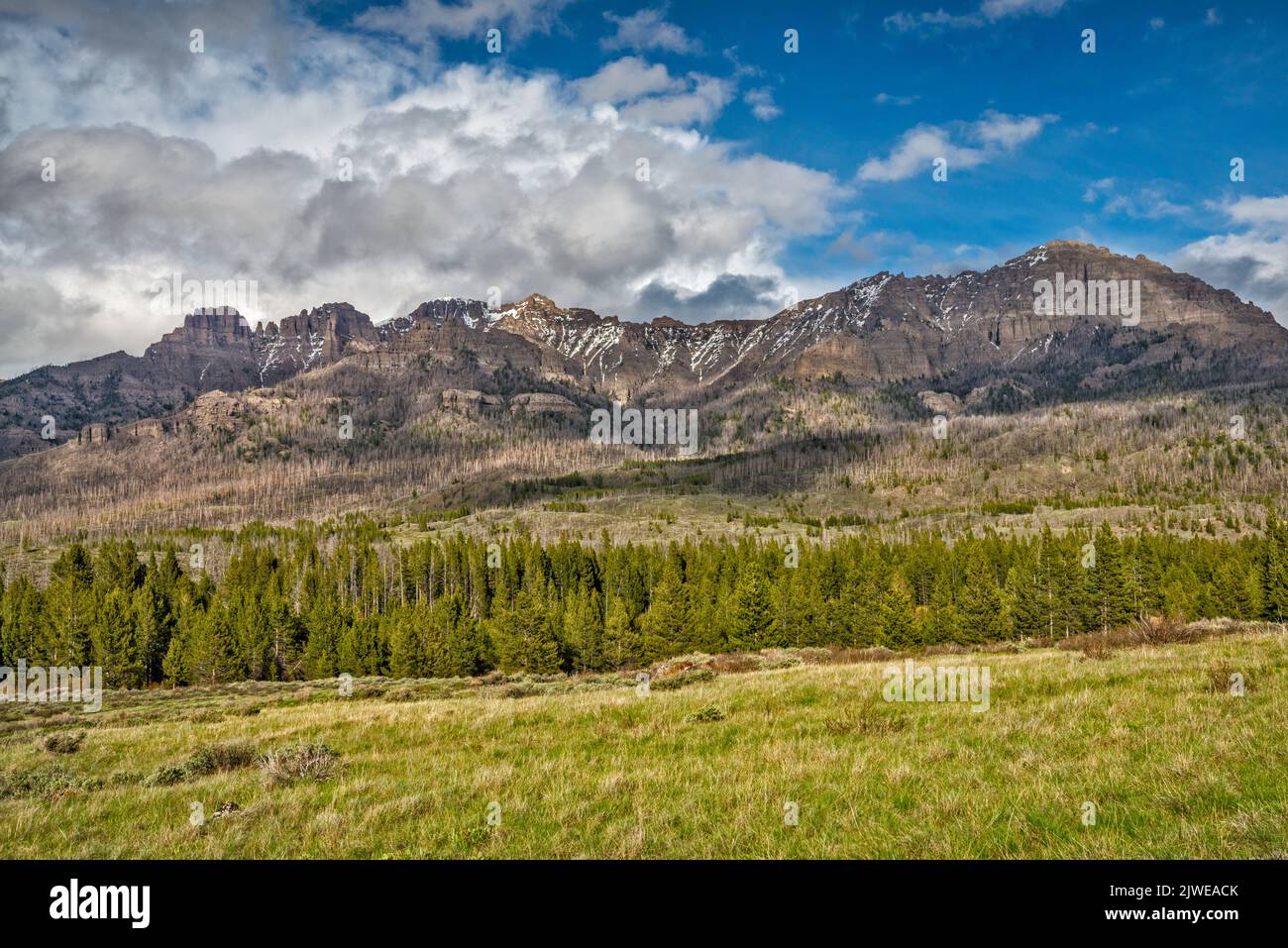 Whitebark pine (Pinus albicaulis) dead trees, victims of insects, native bark beetles (Dendroctonus ponderosae), due to climate change, forest below unnamed peaks around Double Cabin campground at end of Wiggins Fork Road aka Horse Creek Road (FR 285), Absaroka Range, Wyoming, USA Stock Photohttps://www.alamy.com/image-license-details/?v=1https://www.alamy.com/whitebark-pine-pinus-albicaulis-dead-trees-victims-of-insects-native-bark-beetles-dendroctonus-ponderosae-due-to-climate-change-forest-below-unnamed-peaks-around-double-cabin-campground-at-end-of-wiggins-fork-road-aka-horse-creek-road-fr-285-absaroka-range-wyoming-usa-image480361859.html
RF2JWEACK–Whitebark pine (Pinus albicaulis) dead trees, victims of insects, native bark beetles (Dendroctonus ponderosae), due to climate change, forest below unnamed peaks around Double Cabin campground at end of Wiggins Fork Road aka Horse Creek Road (FR 285), Absaroka Range, Wyoming, USA
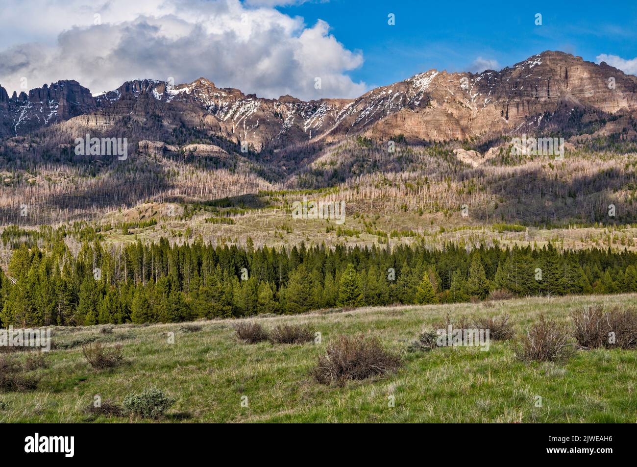 Whitebark pine (Pinus albicaulis) dead trees, victims of insects, native bark beetles (Dendroctonus ponderosae), due to climate change, forest below unnamed peaks around Double Cabin campground at end of Wiggins Fork Road aka Horse Creek Road (FR 285), Absaroka Range, Wyoming, USA Stock Photohttps://www.alamy.com/image-license-details/?v=1https://www.alamy.com/whitebark-pine-pinus-albicaulis-dead-trees-victims-of-insects-native-bark-beetles-dendroctonus-ponderosae-due-to-climate-change-forest-below-unnamed-peaks-around-double-cabin-campground-at-end-of-wiggins-fork-road-aka-horse-creek-road-fr-285-absaroka-range-wyoming-usa-image480361986.html
RF2JWEAH6–Whitebark pine (Pinus albicaulis) dead trees, victims of insects, native bark beetles (Dendroctonus ponderosae), due to climate change, forest below unnamed peaks around Double Cabin campground at end of Wiggins Fork Road aka Horse Creek Road (FR 285), Absaroka Range, Wyoming, USA
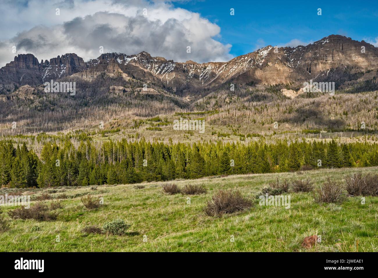 Whitebark pine (Pinus albicaulis) dead trees, victims of insects, native bark beetles (Dendroctonus ponderosae), due to climate change, forest below unnamed peaks around Double Cabin campground at end of Wiggins Fork Road aka Horse Creek Road (FR 285), Absaroka Range, Wyoming, USA Stock Photohttps://www.alamy.com/image-license-details/?v=1https://www.alamy.com/whitebark-pine-pinus-albicaulis-dead-trees-victims-of-insects-native-bark-beetles-dendroctonus-ponderosae-due-to-climate-change-forest-below-unnamed-peaks-around-double-cabin-campground-at-end-of-wiggins-fork-road-aka-horse-creek-road-fr-285-absaroka-range-wyoming-usa-image480361897.html
RF2JWEAE1–Whitebark pine (Pinus albicaulis) dead trees, victims of insects, native bark beetles (Dendroctonus ponderosae), due to climate change, forest below unnamed peaks around Double Cabin campground at end of Wiggins Fork Road aka Horse Creek Road (FR 285), Absaroka Range, Wyoming, USA
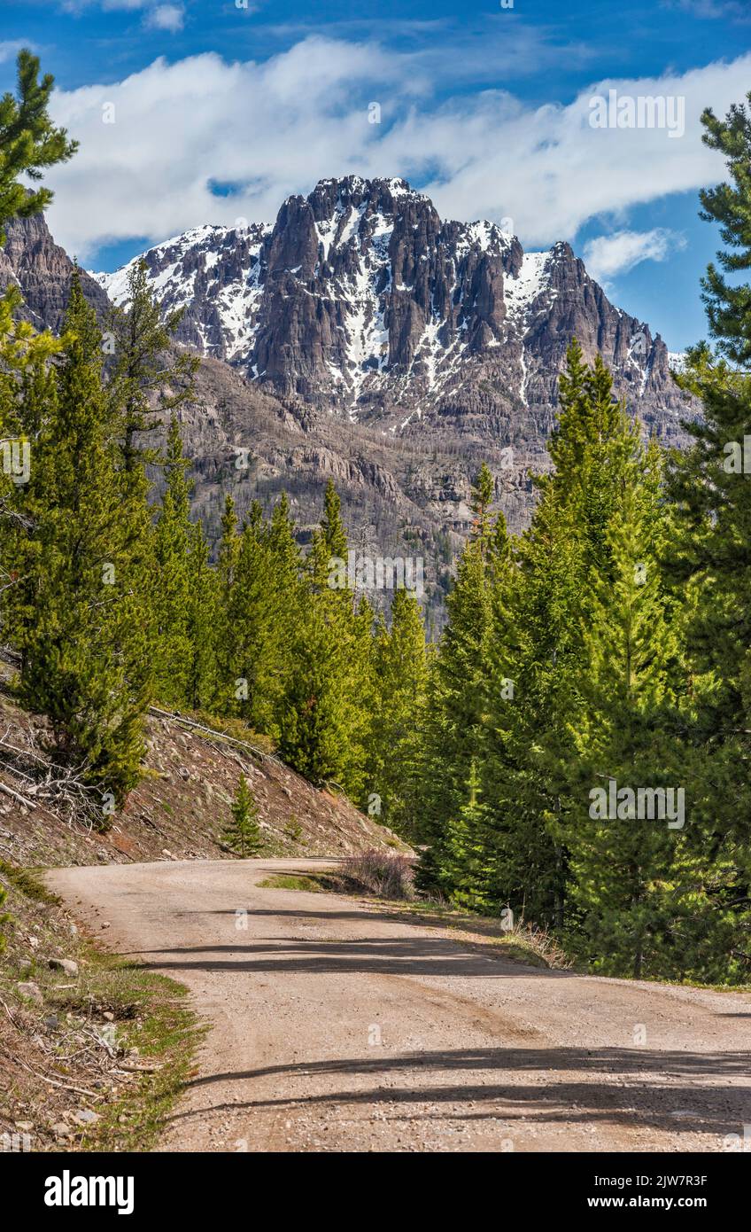 Crescent Top massif, view from Wiggins Fork Road aka Horse Creek Road (FR 285), near Double Cabin campground, Absaroka Range, Wyoming, USA Stock Photohttps://www.alamy.com/image-license-details/?v=1https://www.alamy.com/crescent-top-massif-view-from-wiggins-fork-road-aka-horse-creek-road-fr-285-near-double-cabin-campground-absaroka-range-wyoming-usa-image480218131.html
RF2JW7R3F–Crescent Top massif, view from Wiggins Fork Road aka Horse Creek Road (FR 285), near Double Cabin campground, Absaroka Range, Wyoming, USA
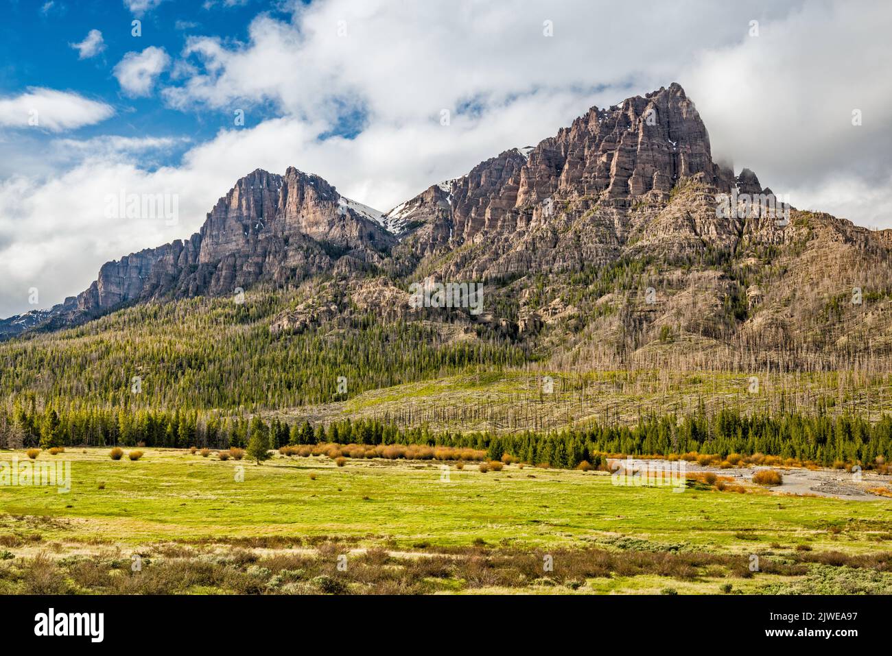 Whitebark pine (Pinus albicaulis) dead trees, victims of insects, native bark beetles (Dendroctonus ponderosae), due to climate change, forest in Absaroka Range, Norton Point on right, Coffman Butte on left, over Frontier Creek, view near Double Cabin campground at end of Wiggins Fork Road (FR 285), Wyoming, USA Stock Photohttps://www.alamy.com/image-license-details/?v=1https://www.alamy.com/whitebark-pine-pinus-albicaulis-dead-trees-victims-of-insects-native-bark-beetles-dendroctonus-ponderosae-due-to-climate-change-forest-in-absaroka-range-norton-point-on-right-coffman-butte-on-left-over-frontier-creek-view-near-double-cabin-campground-at-end-of-wiggins-fork-road-fr-285-wyoming-usa-image480361763.html
RF2JWEA97–Whitebark pine (Pinus albicaulis) dead trees, victims of insects, native bark beetles (Dendroctonus ponderosae), due to climate change, forest in Absaroka Range, Norton Point on right, Coffman Butte on left, over Frontier Creek, view near Double Cabin campground at end of Wiggins Fork Road (FR 285), Wyoming, USA
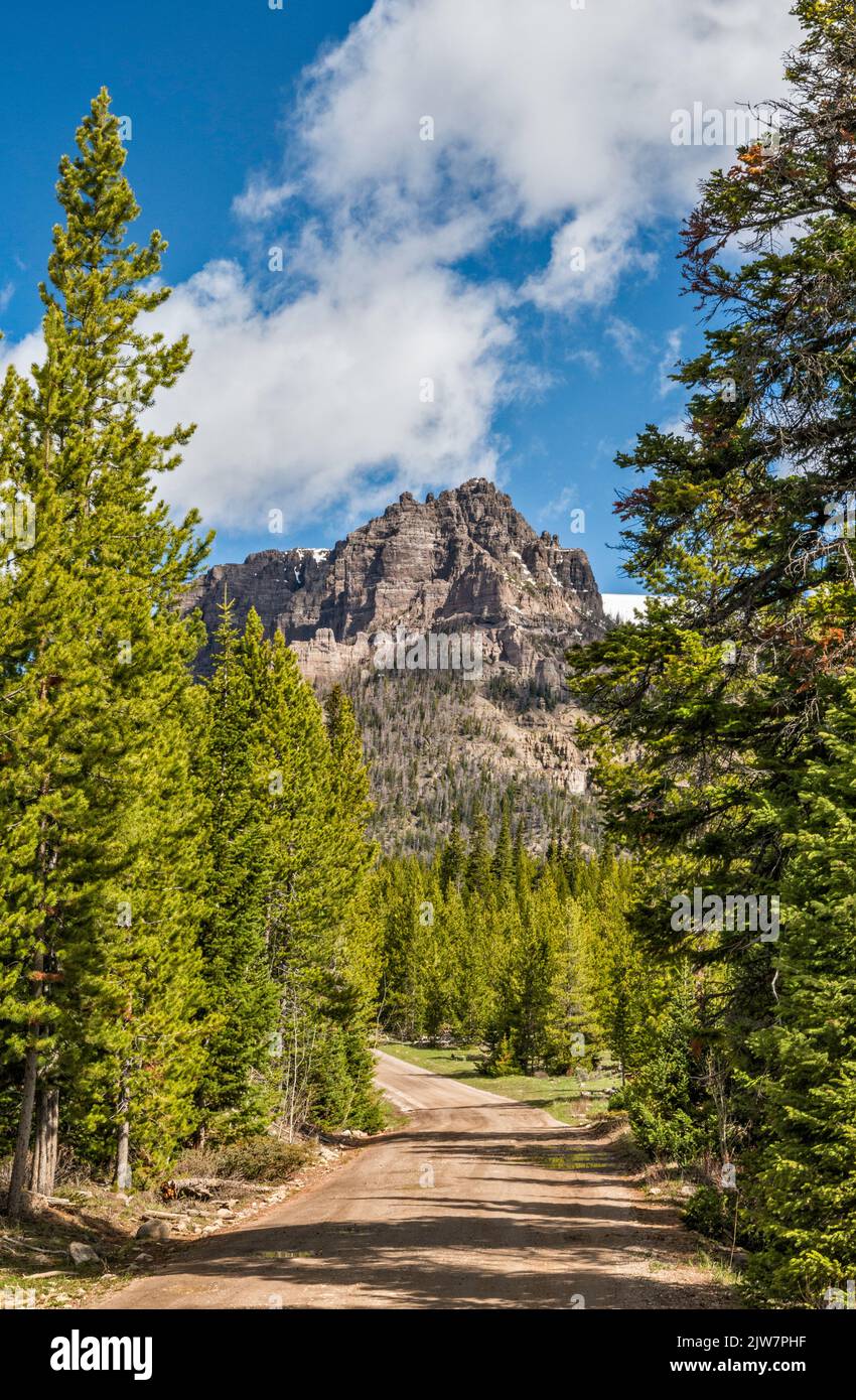 Lincoln Point over Wiggins Fork Road aka Horse Creek Road (FR 285), to Double Cabin, Absaroka Range, Wyoming, USA Stock Photohttps://www.alamy.com/image-license-details/?v=1https://www.alamy.com/lincoln-point-over-wiggins-fork-road-aka-horse-creek-road-fr-285-to-double-cabin-absaroka-range-wyoming-usa-image480217739.html
RF2JW7PHF–Lincoln Point over Wiggins Fork Road aka Horse Creek Road (FR 285), to Double Cabin, Absaroka Range, Wyoming, USA
 The Open Door, Antoinette Peak, Corner Peak, at Gros Ventre Range, aspen grove in autumn, Granite Creek valley, Bridger Teton National Forest, Wyoming Stock Photohttps://www.alamy.com/image-license-details/?v=1https://www.alamy.com/the-open-door-antoinette-peak-corner-peak-at-gros-ventre-range-aspen-grove-in-autumn-granite-creek-valley-bridger-teton-national-forest-wyoming-image454173580.html
RF2HAWB10–The Open Door, Antoinette Peak, Corner Peak, at Gros Ventre Range, aspen grove in autumn, Granite Creek valley, Bridger Teton National Forest, Wyoming
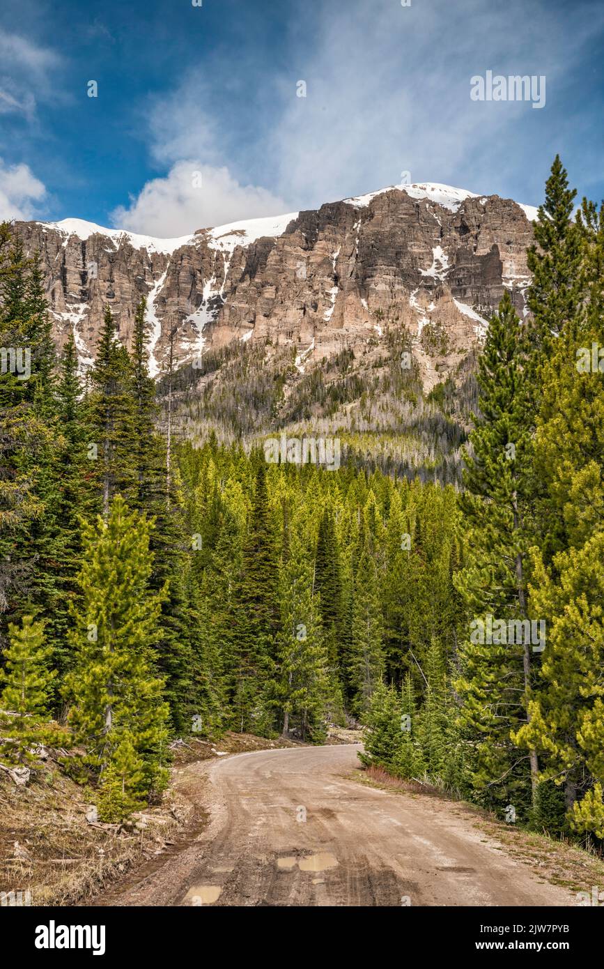 Rock formations at Lincoln Point massif, Wiggins Fork Road aka Horse Creek Road (FR 285), to Double Cabin, Absaroka Range, Wyoming, USA Stock Photohttps://www.alamy.com/image-license-details/?v=1https://www.alamy.com/rock-formations-at-lincoln-point-massif-wiggins-fork-road-aka-horse-creek-road-fr-285-to-double-cabin-absaroka-range-wyoming-usa-image480218015.html
RF2JW7PYB–Rock formations at Lincoln Point massif, Wiggins Fork Road aka Horse Creek Road (FR 285), to Double Cabin, Absaroka Range, Wyoming, USA
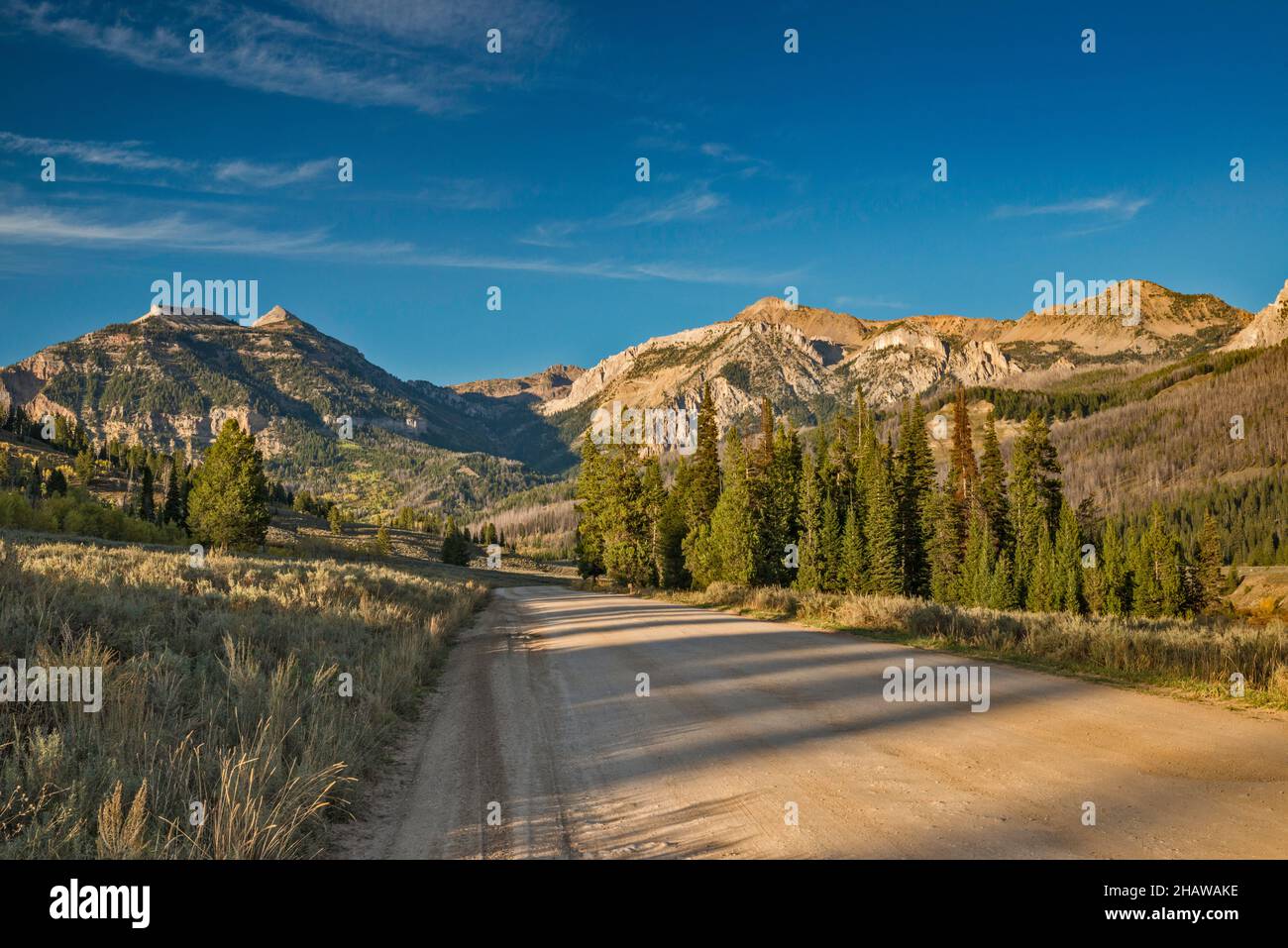 Granite Creek Road, spruce grove, Gros Ventre Range, Bridger Teton National Forest, Wyoming, USA Stock Photohttps://www.alamy.com/image-license-details/?v=1https://www.alamy.com/granite-creek-road-spruce-grove-gros-ventre-range-bridger-teton-national-forest-wyoming-usa-image454173314.html
RF2HAWAKE–Granite Creek Road, spruce grove, Gros Ventre Range, Bridger Teton National Forest, Wyoming, USA
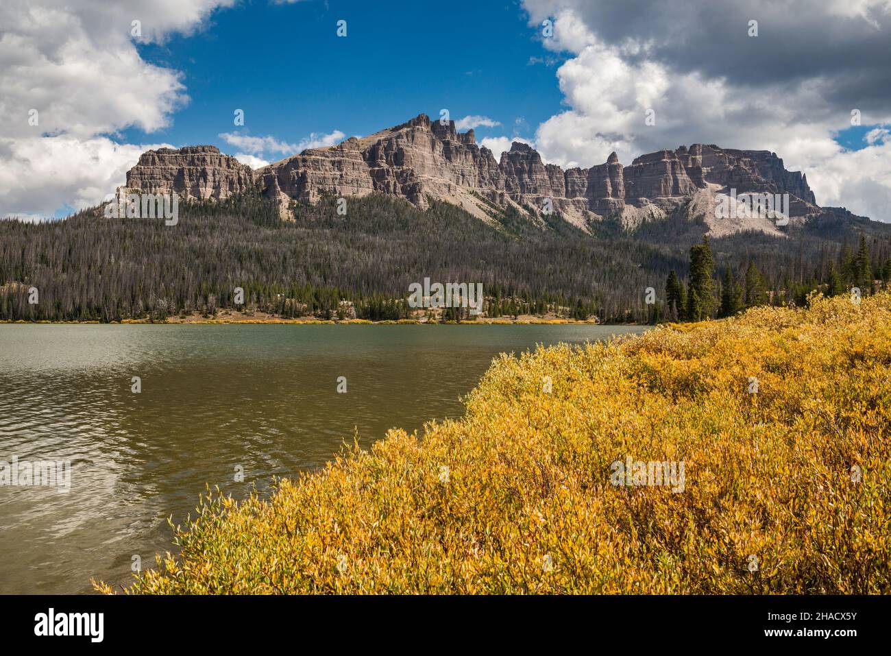 Fall color willow shrubs at Brooks Lake, Pinnacle Buttes, many dead trees, victims of native bark beetles infestation, Absaroka Range, Wyoming, USA Stock Photohttps://www.alamy.com/image-license-details/?v=1https://www.alamy.com/fall-color-willow-shrubs-at-brooks-lake-pinnacle-buttes-many-dead-trees-victims-of-native-bark-beetles-infestation-absaroka-range-wyoming-usa-image453900103.html
RF2HACX5Y–Fall color willow shrubs at Brooks Lake, Pinnacle Buttes, many dead trees, victims of native bark beetles infestation, Absaroka Range, Wyoming, USA
 Fall color willow shrubs at Brooks Lake, Pinnacle Buttes, many dead trees, victims of native bark beetles infestation, Absaroka Range, Wyoming, USA Stock Photohttps://www.alamy.com/image-license-details/?v=1https://www.alamy.com/fall-color-willow-shrubs-at-brooks-lake-pinnacle-buttes-many-dead-trees-victims-of-native-bark-beetles-infestation-absaroka-range-wyoming-usa-image453900191.html
RF2HACX93–Fall color willow shrubs at Brooks Lake, Pinnacle Buttes, many dead trees, victims of native bark beetles infestation, Absaroka Range, Wyoming, USA
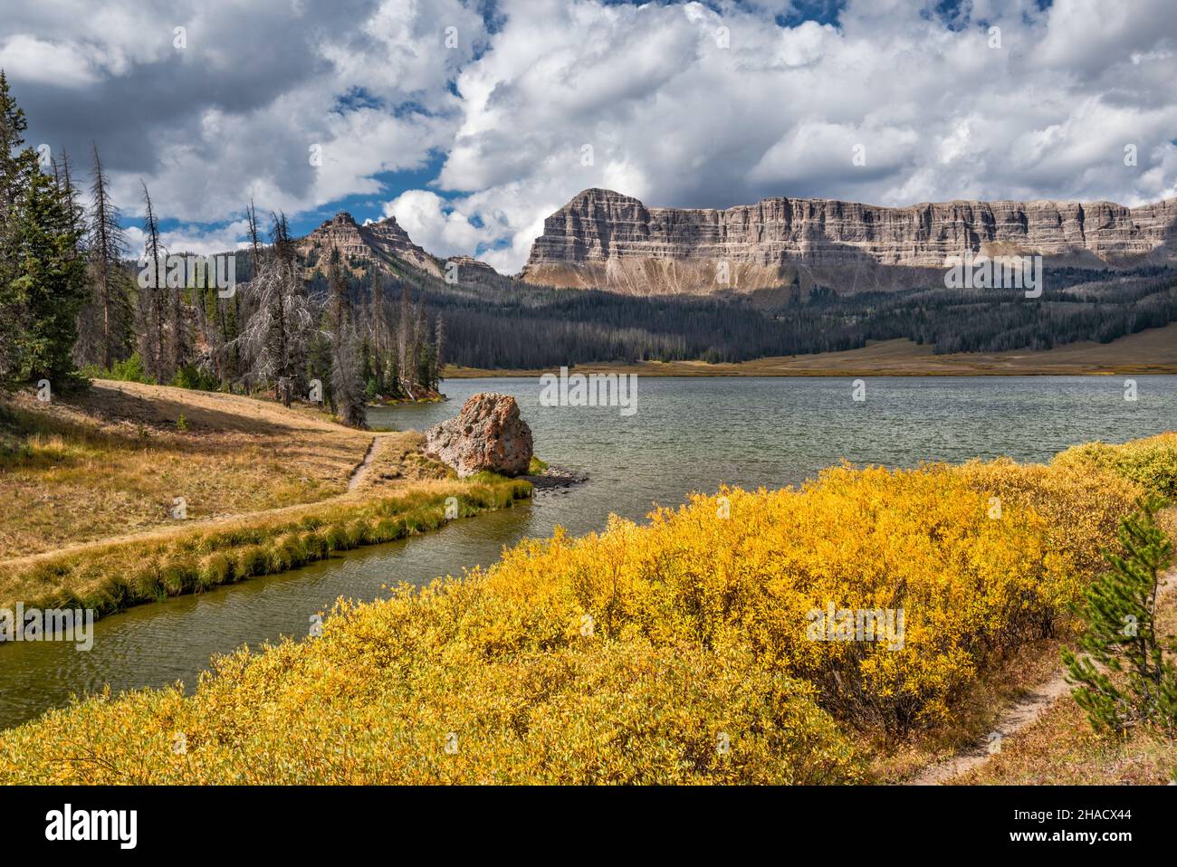 Breccia Cliffs, Sublette Peak on left, fall color bushes at Brooks Lake, Absaroka Range, Rocky Mountains, Shoshone National Forest, Wyoming, USA Stock Photohttps://www.alamy.com/image-license-details/?v=1https://www.alamy.com/breccia-cliffs-sublette-peak-on-left-fall-color-bushes-at-brooks-lake-absaroka-range-rocky-mountains-shoshone-national-forest-wyoming-usa-image453900052.html
RF2HACX44–Breccia Cliffs, Sublette Peak on left, fall color bushes at Brooks Lake, Absaroka Range, Rocky Mountains, Shoshone National Forest, Wyoming, USA
 Breccia Cliffs, Sublette Peak on left, fall color bushes at Brooks Lake, Absaroka Range, Rocky Mountains, Shoshone National Forest, Wyoming, USA Stock Photohttps://www.alamy.com/image-license-details/?v=1https://www.alamy.com/breccia-cliffs-sublette-peak-on-left-fall-color-bushes-at-brooks-lake-absaroka-range-rocky-mountains-shoshone-national-forest-wyoming-usa-image453900036.html
RF2HACX3G–Breccia Cliffs, Sublette Peak on left, fall color bushes at Brooks Lake, Absaroka Range, Rocky Mountains, Shoshone National Forest, Wyoming, USA
 Fall color willow shrubs at Brooks Lake, Pinnacle Buttes, many dead trees, victims of native bark beetles infestation, Absaroka Range, Wyoming, USA Stock Photohttps://www.alamy.com/image-license-details/?v=1https://www.alamy.com/fall-color-willow-shrubs-at-brooks-lake-pinnacle-buttes-many-dead-trees-victims-of-native-bark-beetles-infestation-absaroka-range-wyoming-usa-image453900137.html
RF2HACX75–Fall color willow shrubs at Brooks Lake, Pinnacle Buttes, many dead trees, victims of native bark beetles infestation, Absaroka Range, Wyoming, USA
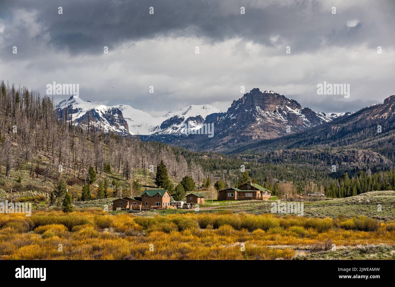 Houses at ranch over Horse Creek, Whitebark pine (Pinus albicaulis) dead trees, victims of insects, native bark beetles (Dendroctonus ponderosae), due to climate change, Absaroka Range, with Boedeker Butte on left, Lincoln Point on right, Horse Creek Road (FR 285), to Double Cabin, Wyoming, USA Stock Photohttps://www.alamy.com/image-license-details/?v=1https://www.alamy.com/houses-at-ranch-over-horse-creek-whitebark-pine-pinus-albicaulis-dead-trees-victims-of-insects-native-bark-beetles-dendroctonus-ponderosae-due-to-climate-change-absaroka-range-with-boedeker-butte-on-left-lincoln-point-on-right-horse-creek-road-fr-285-to-double-cabin-wyoming-usa-image480362089.html
RF2JWEAMW–Houses at ranch over Horse Creek, Whitebark pine (Pinus albicaulis) dead trees, victims of insects, native bark beetles (Dendroctonus ponderosae), due to climate change, Absaroka Range, with Boedeker Butte on left, Lincoln Point on right, Horse Creek Road (FR 285), to Double Cabin, Wyoming, USA