Quick filters:
Greeley colorado map Stock Photos and Images
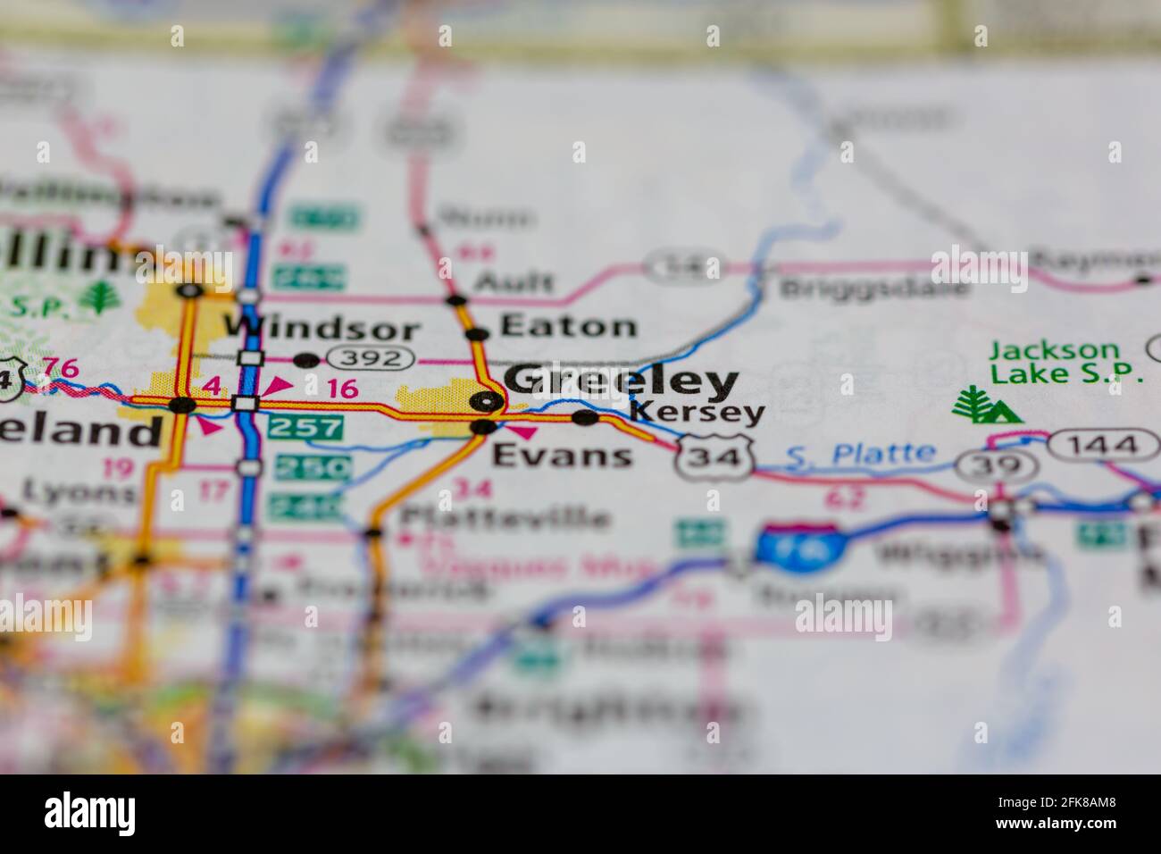 Greeley Colorado USA shown on a Geography map or road map Stock Photohttps://www.alamy.com/image-license-details/?v=1https://www.alamy.com/greeley-colorado-usa-shown-on-a-geography-map-or-road-map-image424911320.html
RM2FK8AM8–Greeley Colorado USA shown on a Geography map or road map
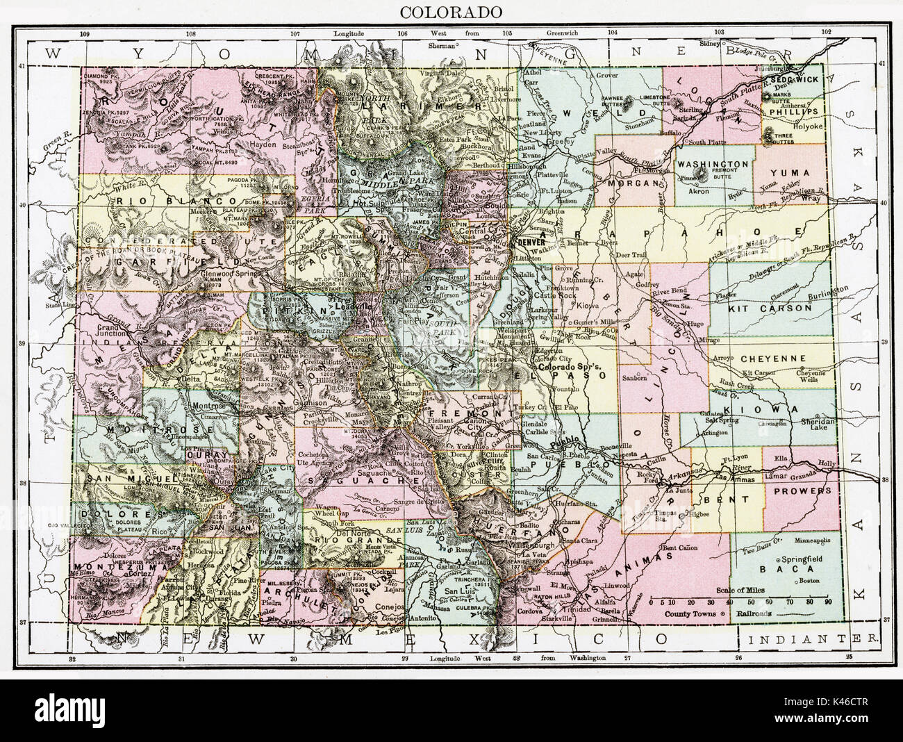 Antique map, circa 1875, of Colorado Stock Photohttps://www.alamy.com/image-license-details/?v=1https://www.alamy.com/antique-map-circa-1875-of-colorado-image157493751.html
RMK46CTR–Antique map, circa 1875, of Colorado
 Greeley, Weld County, US, United States, Colorado, N 40 25' 23'', S 104 42' 32'', map, Cartascapes Map published in 2024. Explore Cartascapes, a map revealing Earth's diverse landscapes, cultures, and ecosystems. Journey through time and space, discovering the interconnectedness of our planet's past, present, and future. Stock Photohttps://www.alamy.com/image-license-details/?v=1https://www.alamy.com/greeley-weld-county-us-united-states-colorado-n-40-25-23-s-104-42-32-map-cartascapes-map-published-in-2024-explore-cartascapes-a-map-revealing-earths-diverse-landscapes-cultures-and-ecosystems-journey-through-time-and-space-discovering-the-interconnectedness-of-our-planets-past-present-and-future-image621441528.html
RM2Y31308–Greeley, Weld County, US, United States, Colorado, N 40 25' 23'', S 104 42' 32'', map, Cartascapes Map published in 2024. Explore Cartascapes, a map revealing Earth's diverse landscapes, cultures, and ecosystems. Journey through time and space, discovering the interconnectedness of our planet's past, present, and future.
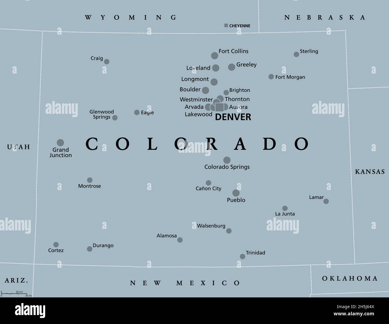 Colorado, CO, gray political map, with the capital Denver and most important cities. State in the Mountain West subregion of the Western United States Stock Photohttps://www.alamy.com/image-license-details/?v=1https://www.alamy.com/colorado-co-gray-political-map-with-the-capital-denver-and-most-important-cities-state-in-the-mountain-west-subregion-of-the-western-united-states-image450942826.html
RF2H5J64X–Colorado, CO, gray political map, with the capital Denver and most important cities. State in the Mountain West subregion of the Western United States
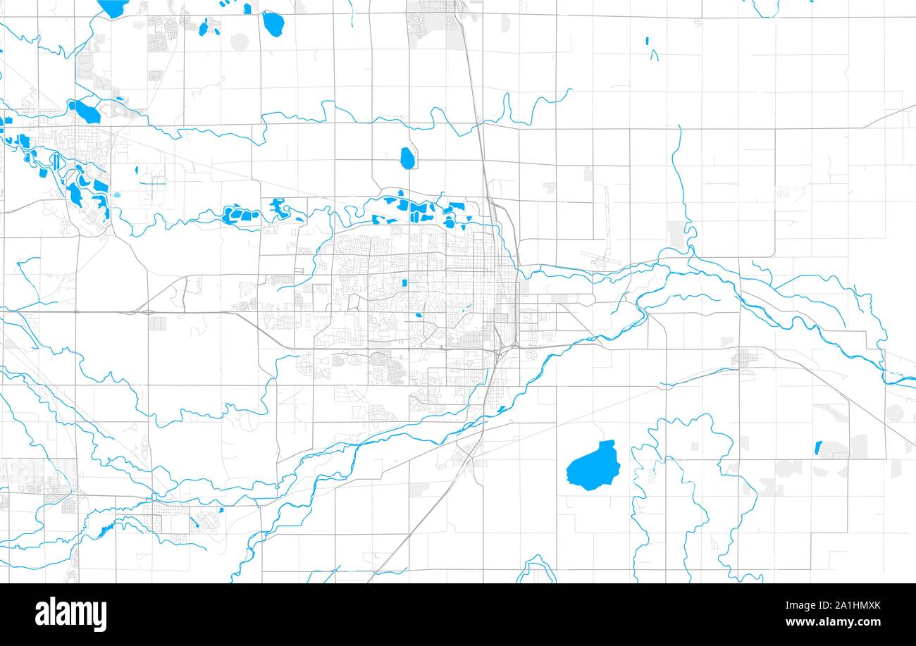 Rich detailed vector area map of Greeley, Colorado, USA. Map template for home decor. Stock Vectorhttps://www.alamy.com/image-license-details/?v=1https://www.alamy.com/rich-detailed-vector-area-map-of-greeley-colorado-usa-map-template-for-home-decor-image328001259.html
RF2A1HMXK–Rich detailed vector area map of Greeley, Colorado, USA. Map template for home decor.
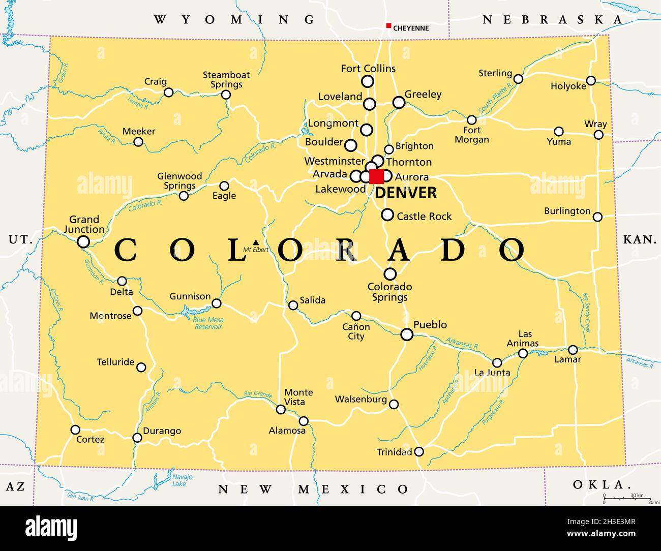 Colorado, CO political map with the capital Denver, most important rivers and lakes. State in the Mountain West subregion of the Western United States. Stock Photohttps://www.alamy.com/image-license-details/?v=1https://www.alamy.com/colorado-co-political-map-with-the-capital-denver-most-important-rivers-and-lakes-state-in-the-mountain-west-subregion-of-the-western-united-states-image449623799.html
RF2H3E3MR–Colorado, CO political map with the capital Denver, most important rivers and lakes. State in the Mountain West subregion of the Western United States.
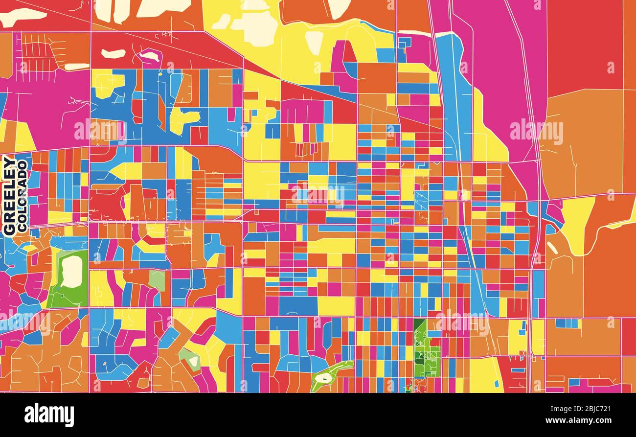 Colorful vector map of Greeley, Colorado, USA. Art Map template for selfprinting wall art in landscape format. Stock Vectorhttps://www.alamy.com/image-license-details/?v=1https://www.alamy.com/colorful-vector-map-of-greeley-colorado-usa-art-map-template-for-selfprinting-wall-art-in-landscape-format-image355540137.html
RF2BJC721–Colorful vector map of Greeley, Colorado, USA. Art Map template for selfprinting wall art in landscape format.
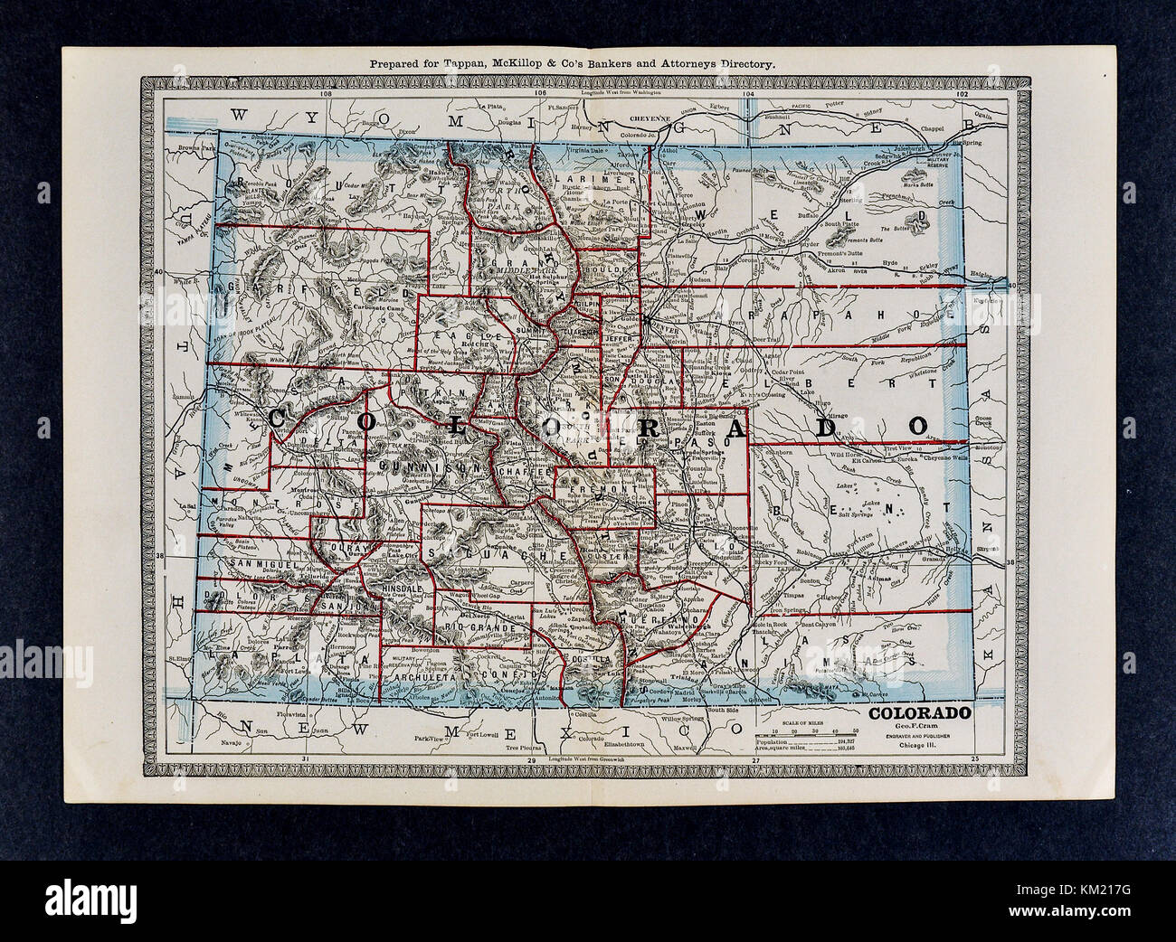 George Cram Antique Map from 1866 Atlas for Attorneys and Bankers: United States - Colorado - Denver Stock Photohttps://www.alamy.com/image-license-details/?v=1https://www.alamy.com/stock-image-george-cram-antique-map-from-1866-atlas-for-attorneys-and-bankers-167231332.html
RFKM217G–George Cram Antique Map from 1866 Atlas for Attorneys and Bankers: United States - Colorado - Denver
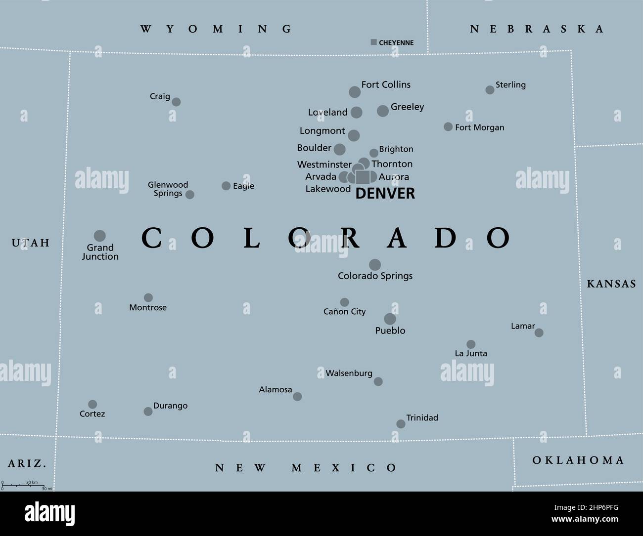 Colorado, CO, gray political map, US state, The Centennial State Stock Vectorhttps://www.alamy.com/image-license-details/?v=1https://www.alamy.com/colorado-co-gray-political-map-us-state-the-centennial-state-image461141396.html
RF2HP6PFG–Colorado, CO, gray political map, US state, The Centennial State
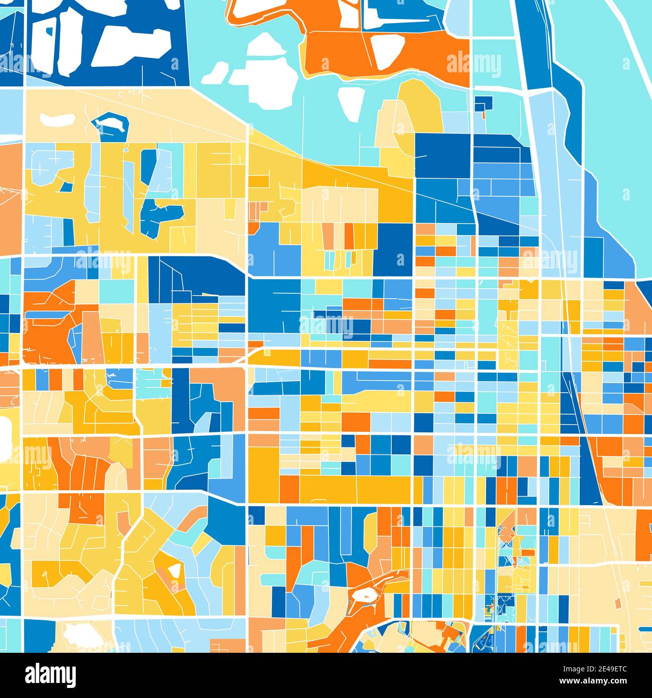 Color art map of Greeley, Colorado, UnitedStates in blues and oranges. The color gradations in Greeley map follow a random pattern. Stock Vectorhttps://www.alamy.com/image-license-details/?v=1https://www.alamy.com/color-art-map-of-greeley-colorado-unitedstates-in-blues-and-oranges-the-color-gradations-in-greeley-map-follow-a-random-pattern-image398506316.html
RF2E49ETC–Color art map of Greeley, Colorado, UnitedStates in blues and oranges. The color gradations in Greeley map follow a random pattern.
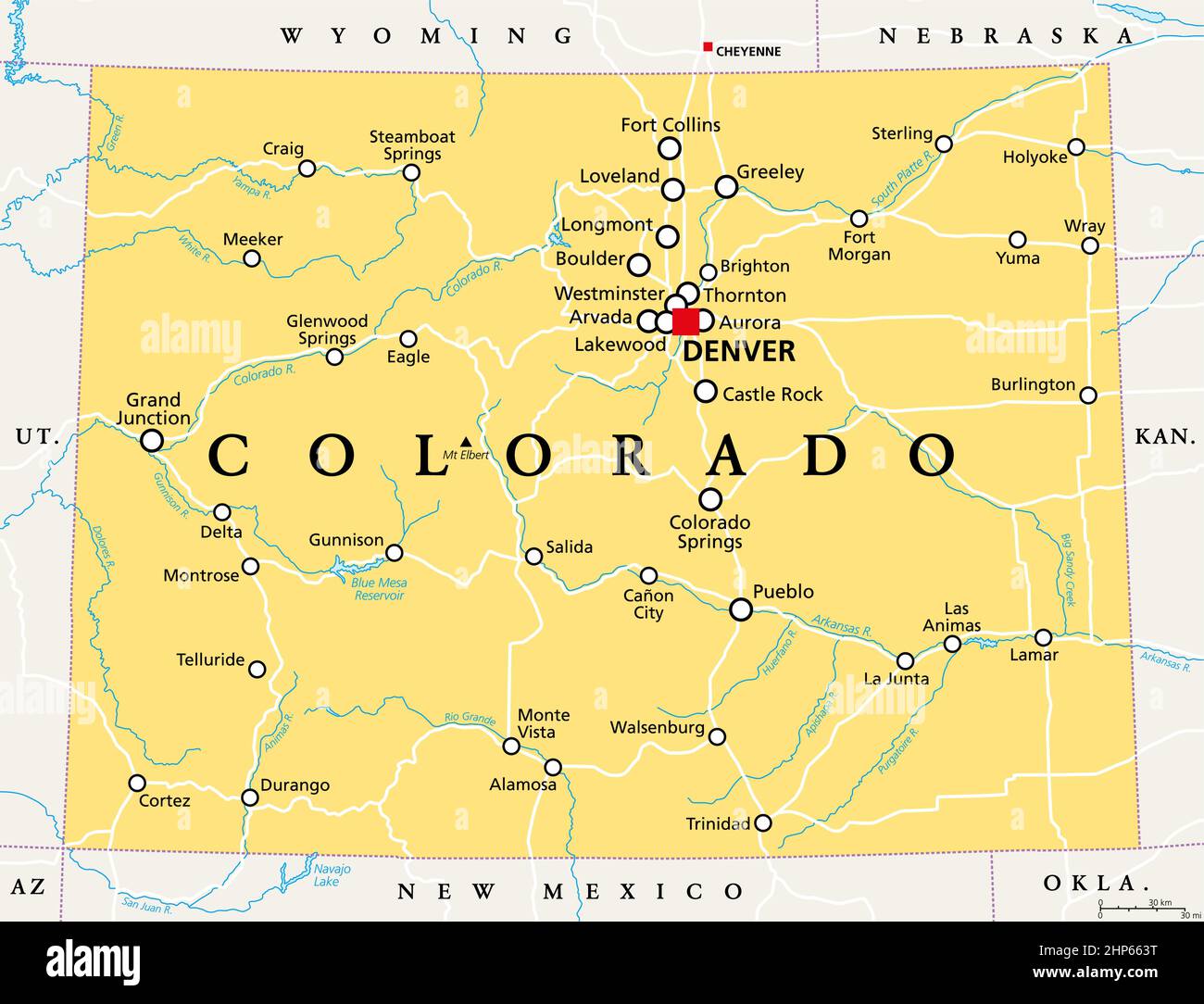 Colorado, CO, political map, US state, nicknamed The Centennial State Stock Vectorhttps://www.alamy.com/image-license-details/?v=1https://www.alamy.com/colorado-co-political-map-us-state-nicknamed-the-centennial-state-image461128524.html
RF2HP663T–Colorado, CO, political map, US state, nicknamed The Centennial State
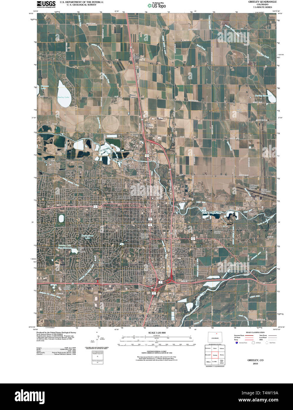 USGS TOPO Map Colorado CO Greeley 20100816 TM Restoration Stock Photohttps://www.alamy.com/image-license-details/?v=1https://www.alamy.com/usgs-topo-map-colorado-co-greeley-20100816-tm-restoration-image243953622.html
RMT4W19A–USGS TOPO Map Colorado CO Greeley 20100816 TM Restoration
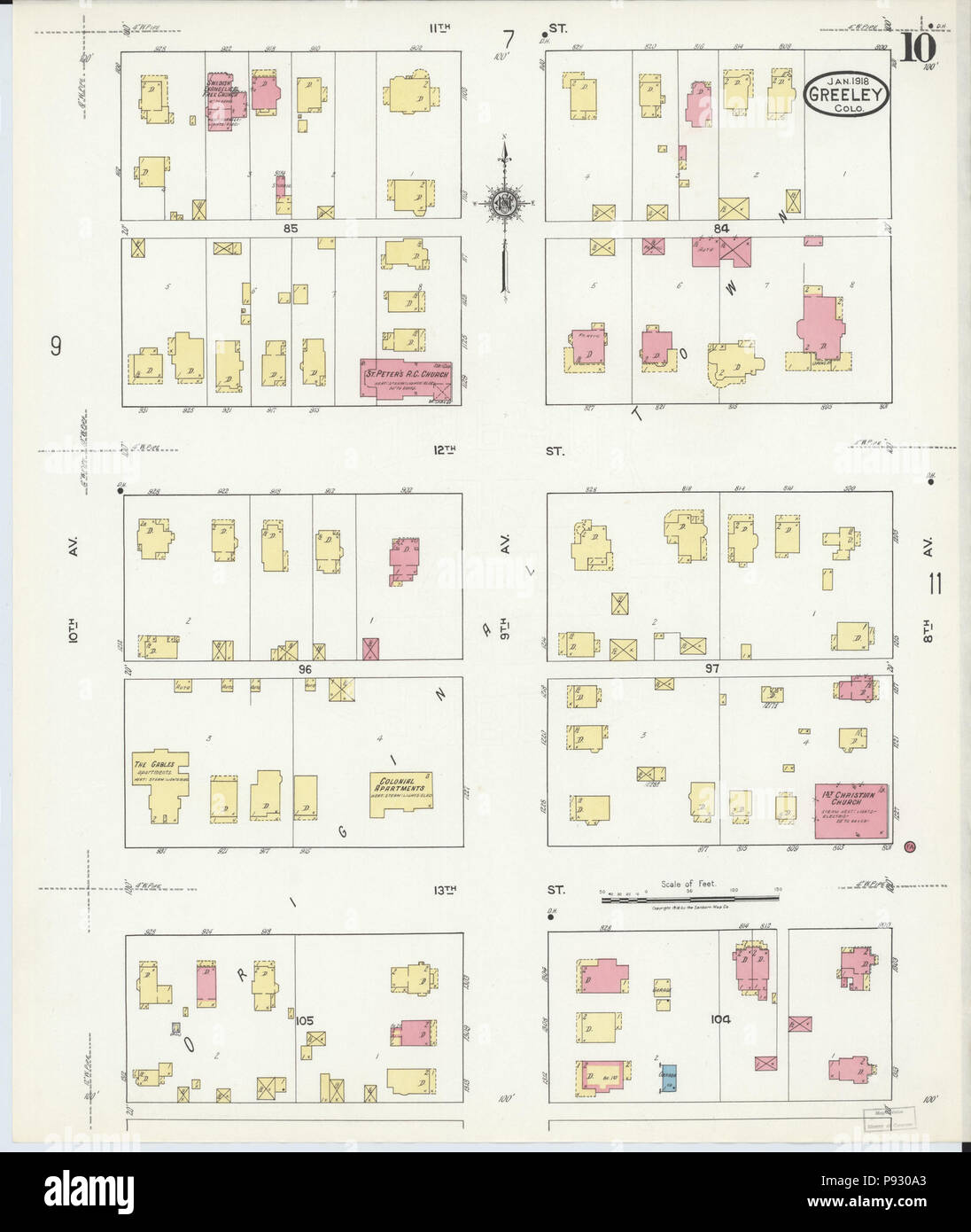 . 499 Sanborn Fire Insurance Map from Greeley, Weld County, Colorado. LOC sanborn01009 008-10 Stock Photohttps://www.alamy.com/image-license-details/?v=1https://www.alamy.com/499-sanborn-fire-insurance-map-from-greeley-weld-county-colorado-loc-sanborn01009-008-10-image212122459.html
RMP930A3–. 499 Sanborn Fire Insurance Map from Greeley, Weld County, Colorado. LOC sanborn01009 008-10
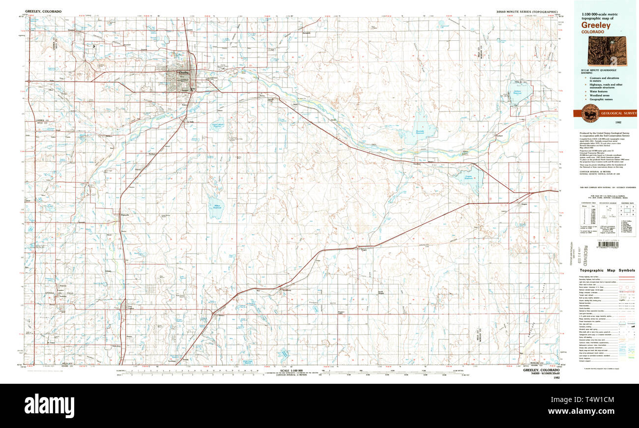 USGS TOPO Map Colorado CO Greeley 233154 1982 100000 Restoration Stock Photohttps://www.alamy.com/image-license-details/?v=1https://www.alamy.com/usgs-topo-map-colorado-co-greeley-233154-1982-100000-restoration-image243953716.html
RMT4W1CM–USGS TOPO Map Colorado CO Greeley 233154 1982 100000 Restoration
 Sanborn Fire Insurance Map from Greeley, Weld County, Colorado. Stock Photohttps://www.alamy.com/image-license-details/?v=1https://www.alamy.com/sanborn-fire-insurance-map-from-greeley-weld-county-colorado-image456415659.html
RM2HEFER7–Sanborn Fire Insurance Map from Greeley, Weld County, Colorado.
 Greetings from Greeley vintage rusty metal sign on a white background, vector illustration Stock Vectorhttps://www.alamy.com/image-license-details/?v=1https://www.alamy.com/greetings-from-greeley-vintage-rusty-metal-sign-on-a-white-background-vector-illustration-image504348027.html
RF2M8F11F–Greetings from Greeley vintage rusty metal sign on a white background, vector illustration
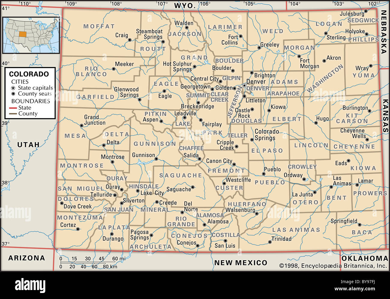 Political map of Colorado Stock Photohttps://www.alamy.com/image-license-details/?v=1https://www.alamy.com/stock-photo-political-map-of-colorado-34009574.html
RMBY97FJ–Political map of Colorado
 Colorado, state of United States of America. Open Street Map Stock Photohttps://www.alamy.com/image-license-details/?v=1https://www.alamy.com/colorado-state-of-united-states-of-america-open-street-map-image546010305.html
RF2PM8WM1–Colorado, state of United States of America. Open Street Map
 Colorado state cities Stock Vectorhttps://www.alamy.com/image-license-details/?v=1https://www.alamy.com/colorado-state-cities-image234963857.html
RFRJ7EP9–Colorado state cities
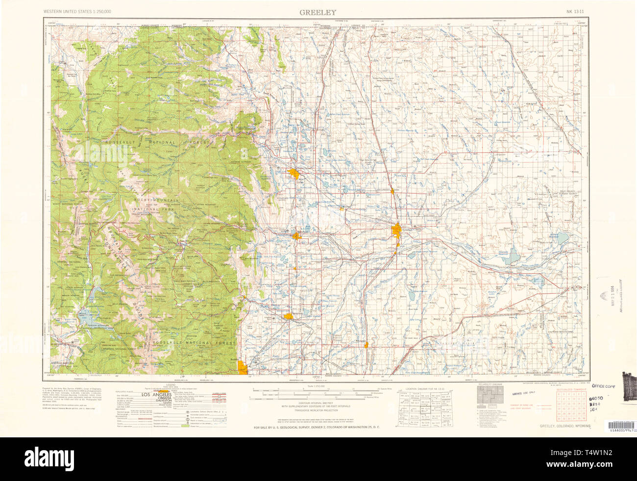 USGS TOPO Map Colorado CO Greeley 403134 1958 250000 Restoration Stock Photohttps://www.alamy.com/image-license-details/?v=1https://www.alamy.com/usgs-topo-map-colorado-co-greeley-403134-1958-250000-restoration-image243953950.html
RMT4W1N2–USGS TOPO Map Colorado CO Greeley 403134 1958 250000 Restoration
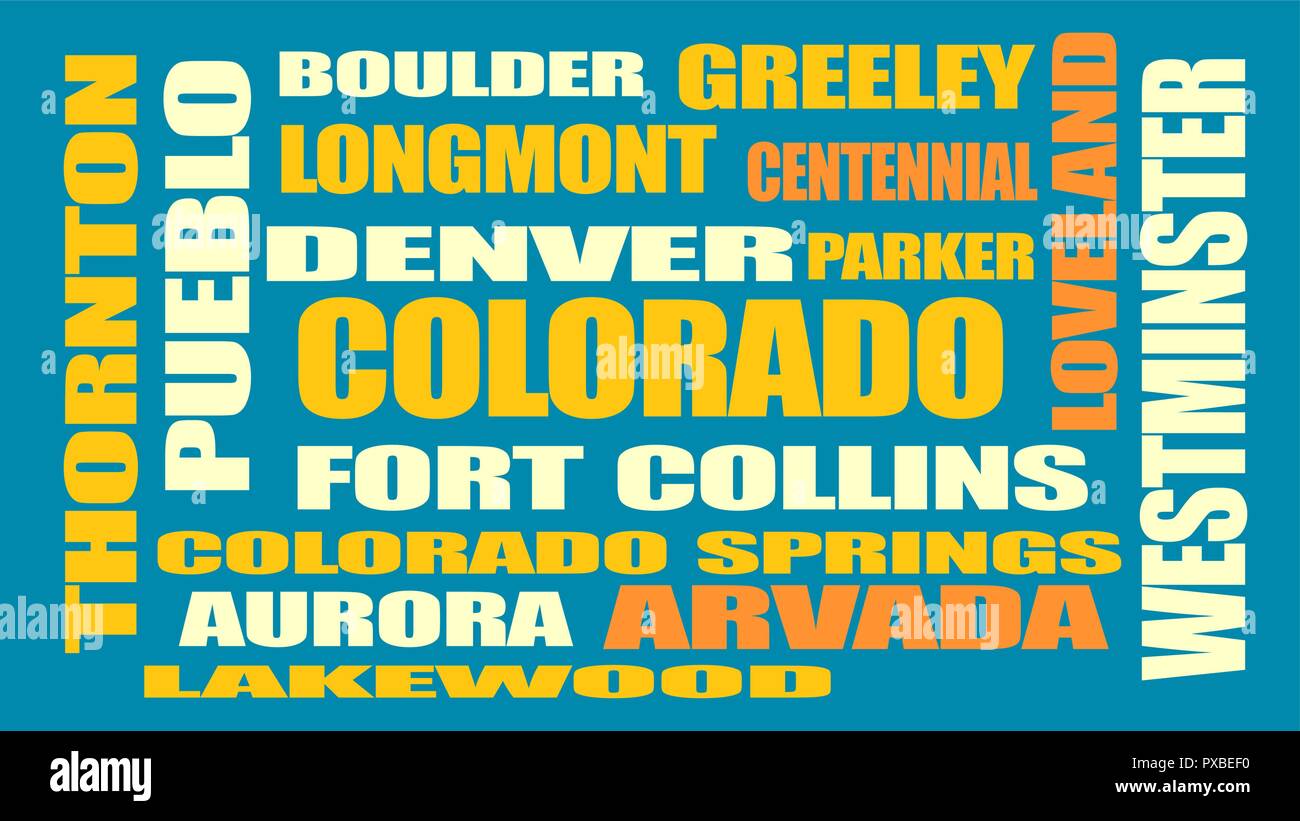 colorado state cities list Stock Vectorhttps://www.alamy.com/image-license-details/?v=1https://www.alamy.com/colorado-state-cities-list-image222758340.html
RFPXBEF0–colorado state cities list
 Greeley, Weld County, US, United States, Colorado, N 40 25' 23'', S 104 42' 32'', map, Cartascapes Map published in 2024. Explore Cartascapes, a map revealing Earth's diverse landscapes, cultures, and ecosystems. Journey through time and space, discovering the interconnectedness of our planet's past, present, and future. Stock Photohttps://www.alamy.com/image-license-details/?v=1https://www.alamy.com/greeley-weld-county-us-united-states-colorado-n-40-25-23-s-104-42-32-map-cartascapes-map-published-in-2024-explore-cartascapes-a-map-revealing-earths-diverse-landscapes-cultures-and-ecosystems-journey-through-time-and-space-discovering-the-interconnectedness-of-our-planets-past-present-and-future-image621430781.html
RM2Y30H8D–Greeley, Weld County, US, United States, Colorado, N 40 25' 23'', S 104 42' 32'', map, Cartascapes Map published in 2024. Explore Cartascapes, a map revealing Earth's diverse landscapes, cultures, and ecosystems. Journey through time and space, discovering the interconnectedness of our planet's past, present, and future.
 Greeley City, Colorado (United States cities, United States of America, us, usa city) map vector illustration, scribble sketch City of Greeley map Stock Vectorhttps://www.alamy.com/image-license-details/?v=1https://www.alamy.com/greeley-city-colorado-united-states-cities-united-states-of-america-us-usa-city-map-vector-illustration-scribble-sketch-city-of-greeley-map-image609661463.html
RF2XBTDBK–Greeley City, Colorado (United States cities, United States of America, us, usa city) map vector illustration, scribble sketch City of Greeley map
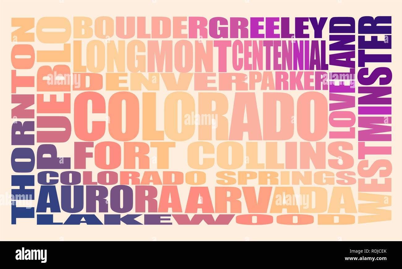 Colorado state cities Stock Vectorhttps://www.alamy.com/image-license-details/?v=1https://www.alamy.com/colorado-state-cities-image232130267.html
RFRDJCEK–Colorado state cities
 499 Sanborn Fire Insurance Map from Greeley, Weld County, Colorado. LOC sanborn01009 008-9 Stock Photohttps://www.alamy.com/image-license-details/?v=1https://www.alamy.com/499-sanborn-fire-insurance-map-from-greeley-weld-county-colorado-loc-sanborn01009-008-9-image212122480.html
RMP930AT–499 Sanborn Fire Insurance Map from Greeley, Weld County, Colorado. LOC sanborn01009 008-9
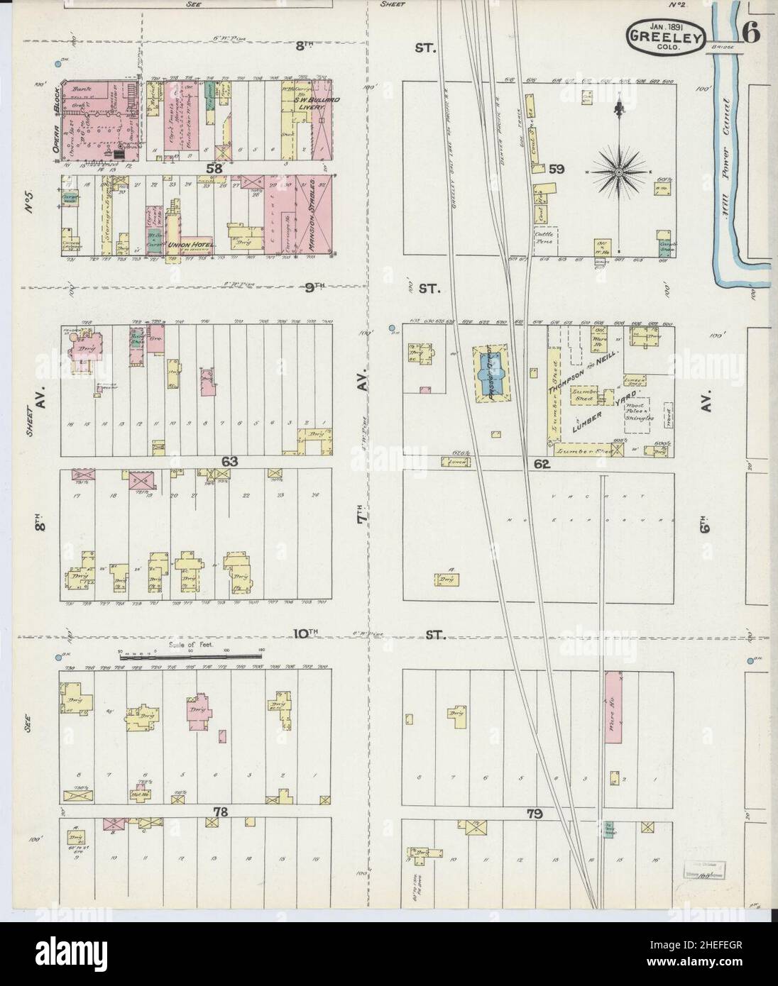 Sanborn Fire Insurance Map from Greeley, Weld County, Colorado. Stock Photohttps://www.alamy.com/image-license-details/?v=1https://www.alamy.com/sanborn-fire-insurance-map-from-greeley-weld-county-colorado-image456415479.html
RM2HEFEGR–Sanborn Fire Insurance Map from Greeley, Weld County, Colorado.
 Greetings from Greeley vintage rusty metal sign on a white background, vector illustration Stock Vectorhttps://www.alamy.com/image-license-details/?v=1https://www.alamy.com/greetings-from-greeley-vintage-rusty-metal-sign-on-a-white-background-vector-illustration-image504348028.html
RF2M8F11G–Greetings from Greeley vintage rusty metal sign on a white background, vector illustration
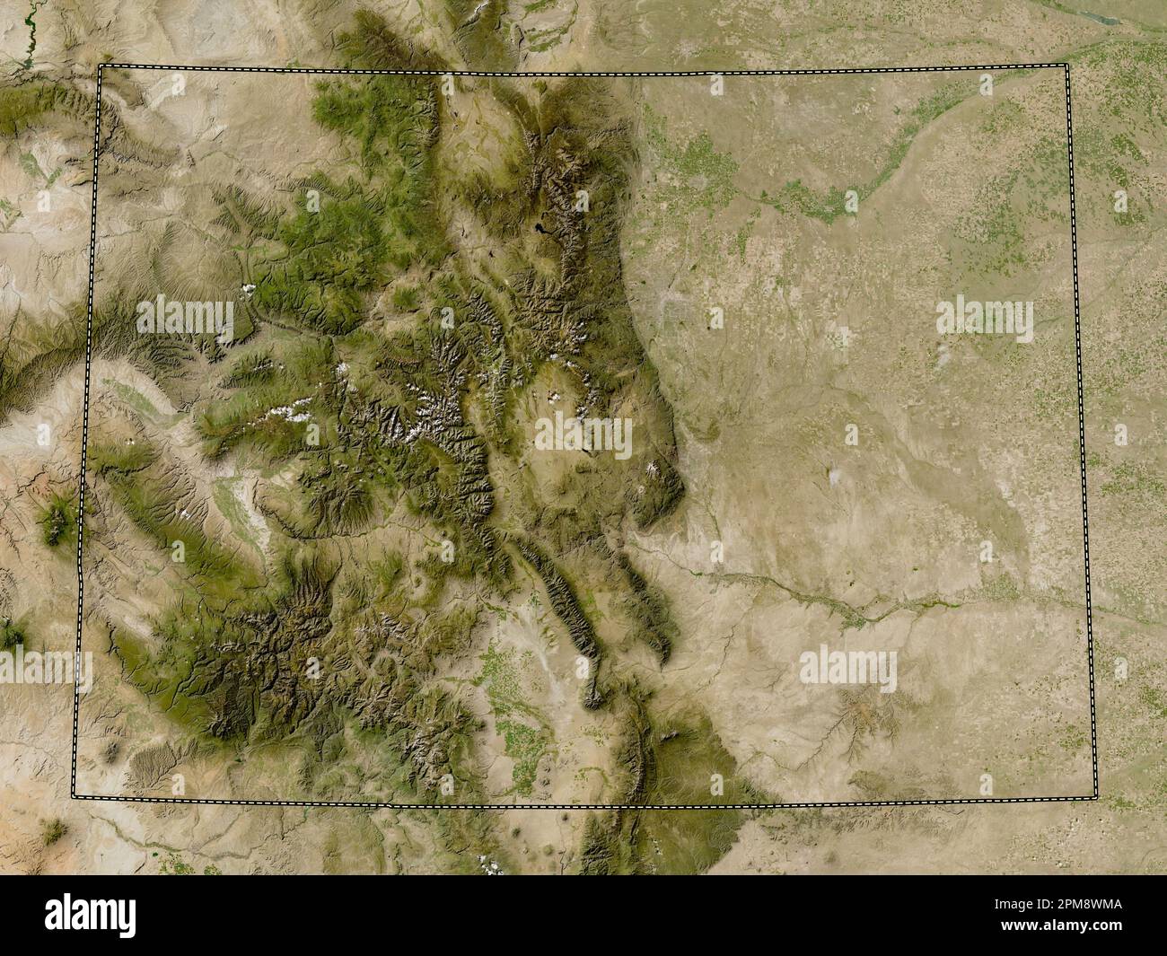 Colorado, state of United States of America. Low resolution satellite map Stock Photohttps://www.alamy.com/image-license-details/?v=1https://www.alamy.com/colorado-state-of-united-states-of-america-low-resolution-satellite-map-image546010314.html
RF2PM8WMA–Colorado, state of United States of America. Low resolution satellite map
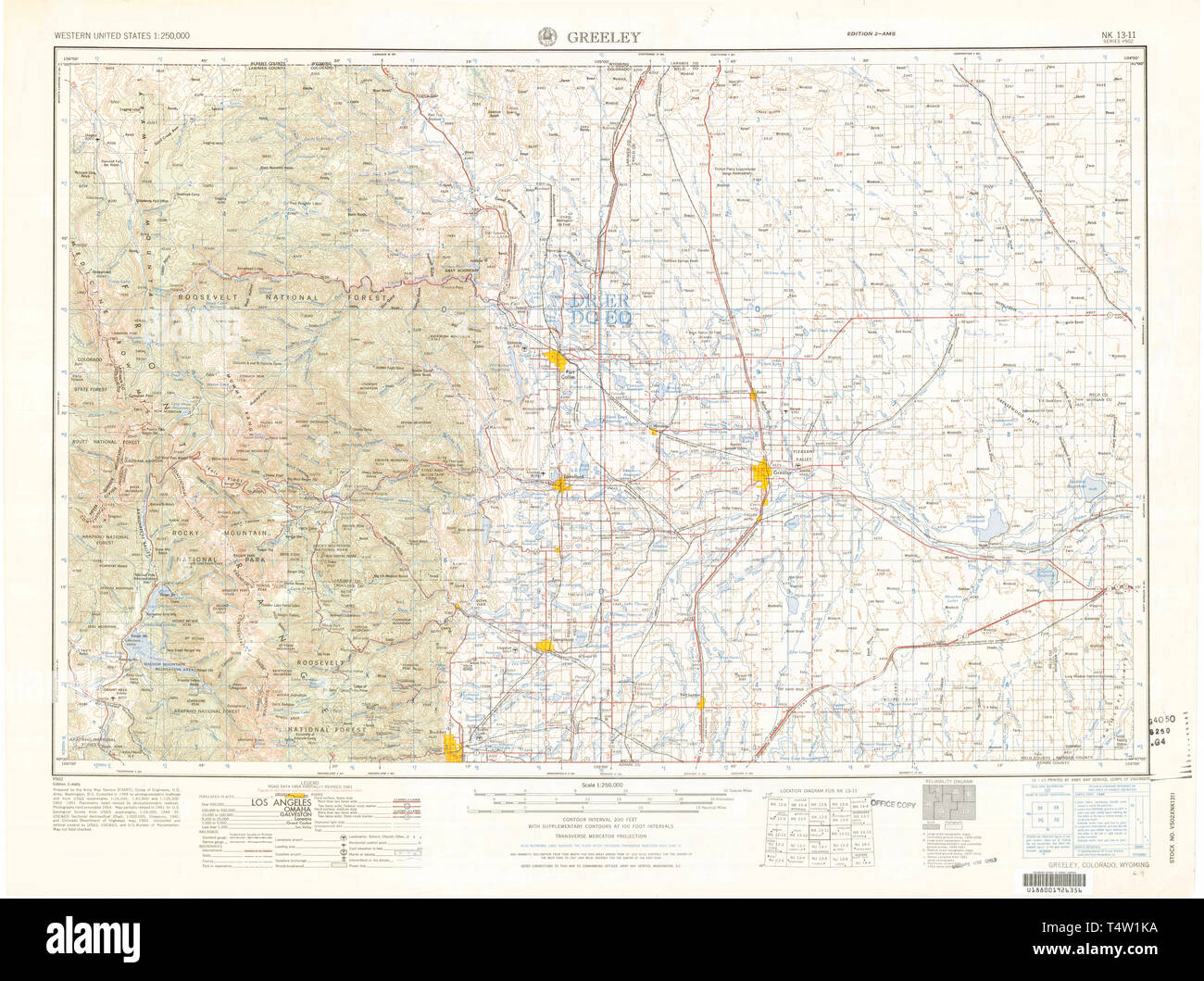 USGS TOPO Map Colorado CO Greeley 403131 1965 250000 Restoration Stock Photohttps://www.alamy.com/image-license-details/?v=1https://www.alamy.com/usgs-topo-map-colorado-co-greeley-403131-1965-250000-restoration-image243953902.html
RMT4W1KA–USGS TOPO Map Colorado CO Greeley 403131 1965 250000 Restoration
 Greeley Junction, Weld County, US, United States, Colorado, N 40 27' 19'', S 104 41' 39'', map, Cartascapes Map published in 2024. Explore Cartascapes, a map revealing Earth's diverse landscapes, cultures, and ecosystems. Journey through time and space, discovering the interconnectedness of our planet's past, present, and future. Stock Photohttps://www.alamy.com/image-license-details/?v=1https://www.alamy.com/greeley-junction-weld-county-us-united-states-colorado-n-40-27-19-s-104-41-39-map-cartascapes-map-published-in-2024-explore-cartascapes-a-map-revealing-earths-diverse-landscapes-cultures-and-ecosystems-journey-through-time-and-space-discovering-the-interconnectedness-of-our-planets-past-present-and-future-image621494850.html
RM2Y33F0J–Greeley Junction, Weld County, US, United States, Colorado, N 40 27' 19'', S 104 41' 39'', map, Cartascapes Map published in 2024. Explore Cartascapes, a map revealing Earth's diverse landscapes, cultures, and ecosystems. Journey through time and space, discovering the interconnectedness of our planet's past, present, and future.
 Greeley City, Colorado (United States cities, United States of America, us, usa city) map vector illustration, scribble sketch City of Greeley map Stock Vectorhttps://www.alamy.com/image-license-details/?v=1https://www.alamy.com/greeley-city-colorado-united-states-cities-united-states-of-america-us-usa-city-map-vector-illustration-scribble-sketch-city-of-greeley-map-image601579081.html
RF2WXM875–Greeley City, Colorado (United States cities, United States of America, us, usa city) map vector illustration, scribble sketch City of Greeley map
 Colorado state cities Stock Photohttps://www.alamy.com/image-license-details/?v=1https://www.alamy.com/colorado-state-cities-image245847813.html
RFT7Y9B1–Colorado state cities
 . 499 Sanborn Fire Insurance Map from Greeley, Weld County, Colorado. LOC sanborn01009 008-5 Stock Photohttps://www.alamy.com/image-license-details/?v=1https://www.alamy.com/499-sanborn-fire-insurance-map-from-greeley-weld-county-colorado-loc-sanborn01009-008-5-image212122467.html
RMP930AB–. 499 Sanborn Fire Insurance Map from Greeley, Weld County, Colorado. LOC sanborn01009 008-5
 Sanborn Fire Insurance Map from Greeley, Weld County, Colorado. Stock Photohttps://www.alamy.com/image-license-details/?v=1https://www.alamy.com/sanborn-fire-insurance-map-from-greeley-weld-county-colorado-image456415639.html
RM2HEFEPF–Sanborn Fire Insurance Map from Greeley, Weld County, Colorado.
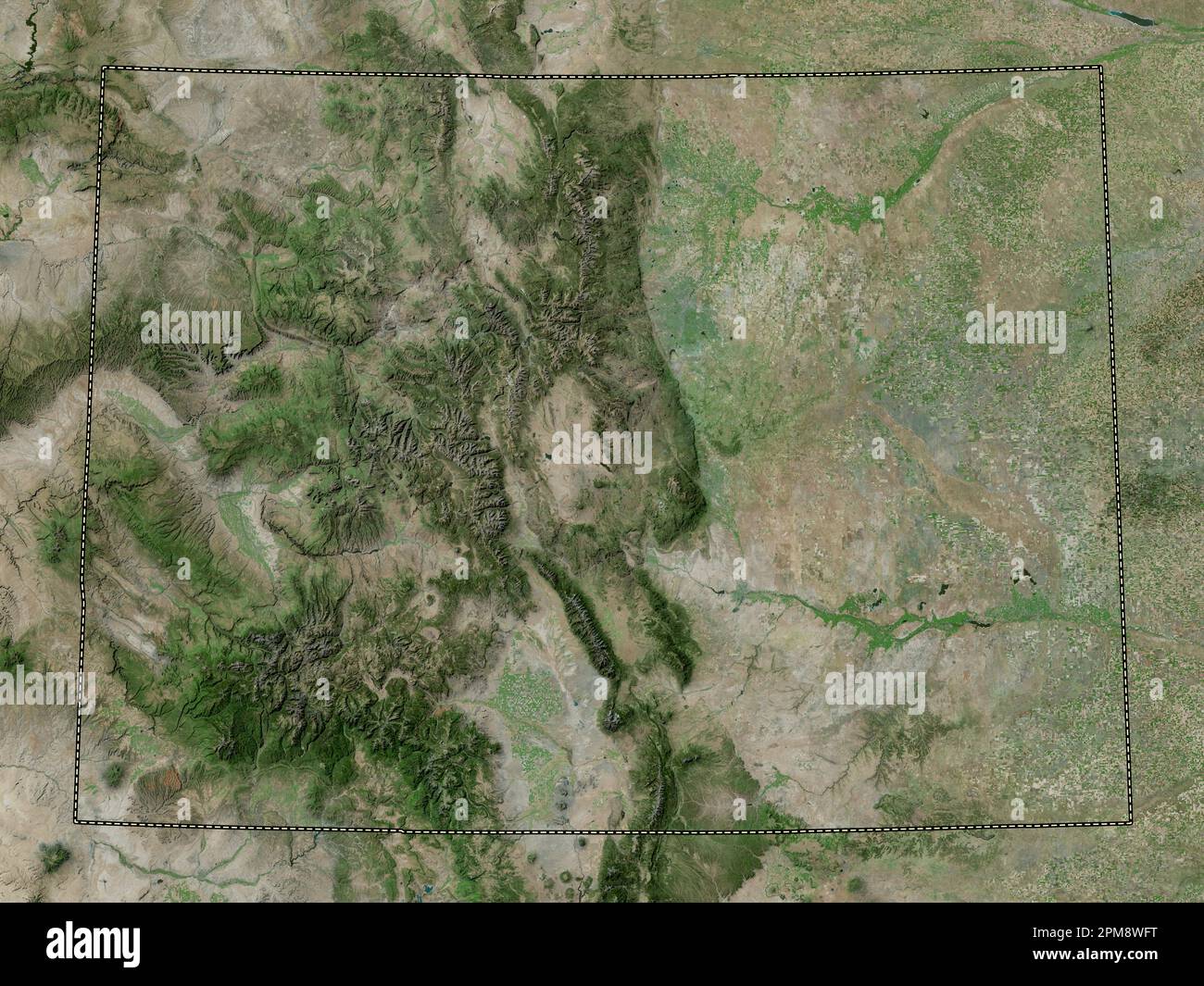 Colorado, state of United States of America. High resolution satellite map Stock Photohttps://www.alamy.com/image-license-details/?v=1https://www.alamy.com/colorado-state-of-united-states-of-america-high-resolution-satellite-map-image546010188.html
RF2PM8WFT–Colorado, state of United States of America. High resolution satellite map
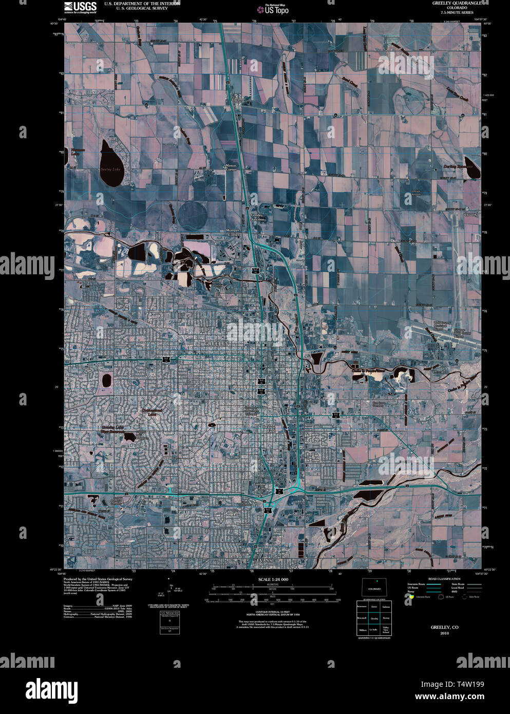 USGS TOPO Map Colorado CO Greeley 20100816 TM Inverted Restoration Stock Photohttps://www.alamy.com/image-license-details/?v=1https://www.alamy.com/usgs-topo-map-colorado-co-greeley-20100816-tm-inverted-restoration-image243953621.html
RMT4W199–USGS TOPO Map Colorado CO Greeley 20100816 TM Inverted Restoration
 Greeley, Colorado, map 1902, 1:125000, United States of America by Timeless Maps, data U.S. Geological Survey Stock Photohttps://www.alamy.com/image-license-details/?v=1https://www.alamy.com/greeley-colorado-map-1902-1125000-united-states-of-america-by-timeless-maps-data-us-geological-survey-image414025684.html
RM2F1GDYG–Greeley, Colorado, map 1902, 1:125000, United States of America by Timeless Maps, data U.S. Geological Survey
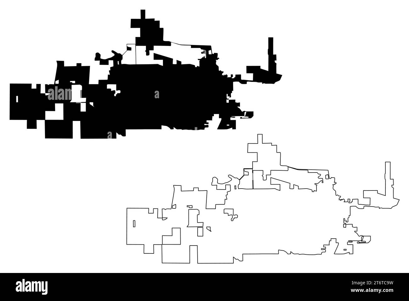 Greeley City, Colorado (United States cities, United States of America, us, usa city) map vector illustration, scribble sketch City of Greeley map Stock Vectorhttps://www.alamy.com/image-license-details/?v=1https://www.alamy.com/greeley-city-colorado-united-states-cities-united-states-of-america-us-usa-city-map-vector-illustration-scribble-sketch-city-of-greeley-map-image572166613.html
RF2T6TC9W–Greeley City, Colorado (United States cities, United States of America, us, usa city) map vector illustration, scribble sketch City of Greeley map
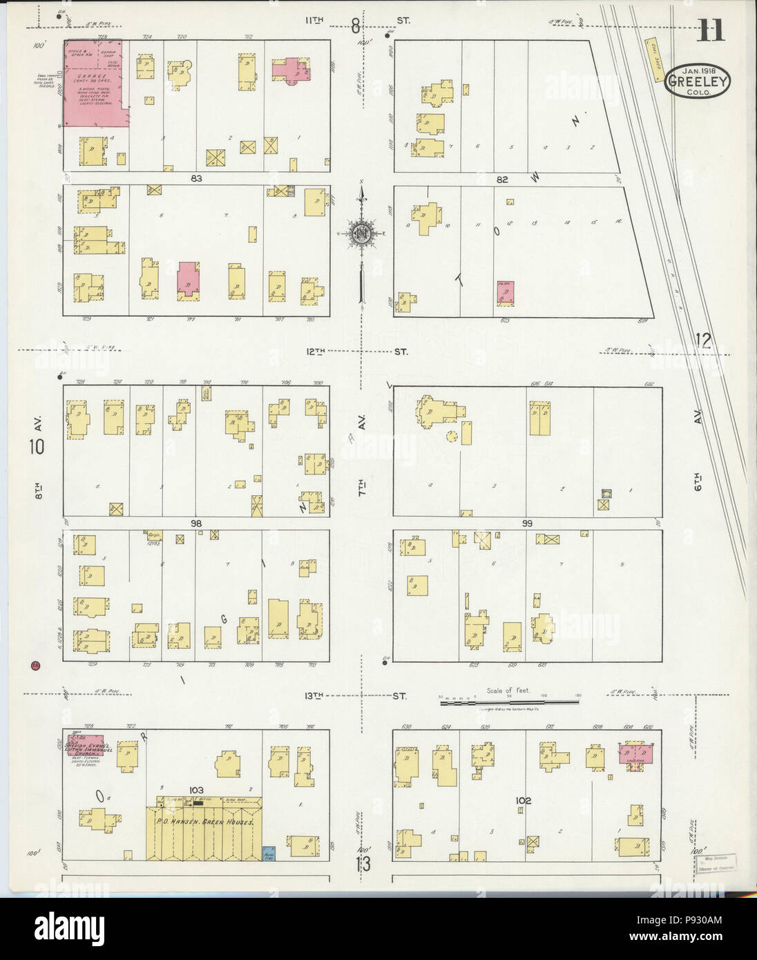 499 Sanborn Fire Insurance Map from Greeley, Weld County, Colorado. LOC sanborn01009 008-11 Stock Photohttps://www.alamy.com/image-license-details/?v=1https://www.alamy.com/499-sanborn-fire-insurance-map-from-greeley-weld-county-colorado-loc-sanborn01009-008-11-image212122476.html
RMP930AM–499 Sanborn Fire Insurance Map from Greeley, Weld County, Colorado. LOC sanborn01009 008-11
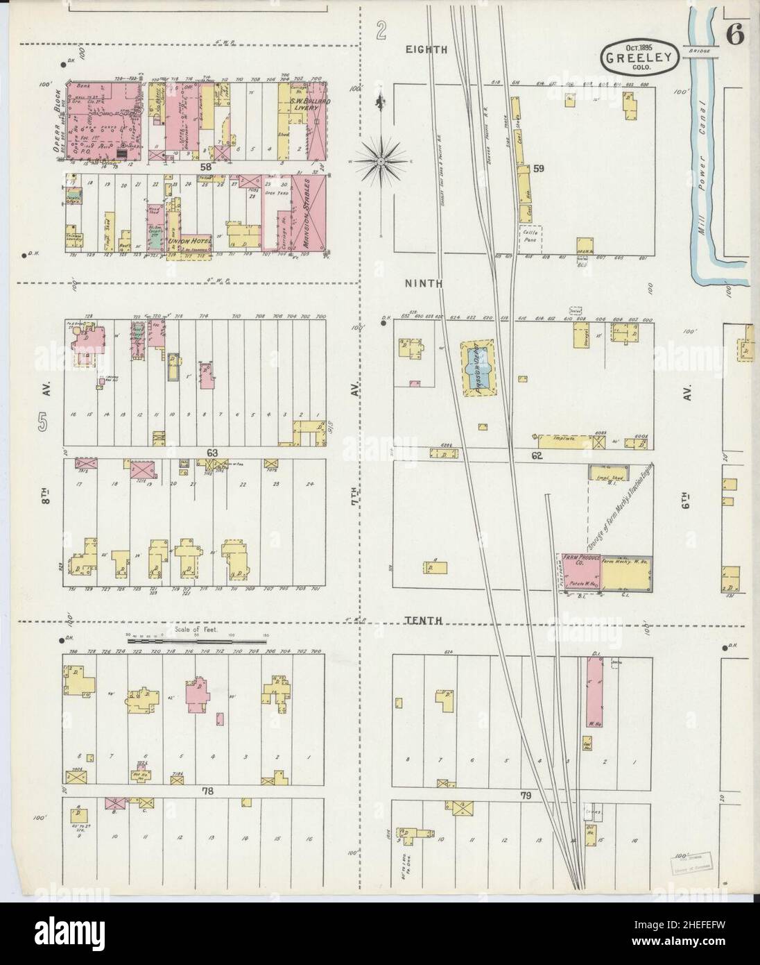 Sanborn Fire Insurance Map from Greeley, Weld County, Colorado. Stock Photohttps://www.alamy.com/image-license-details/?v=1https://www.alamy.com/sanborn-fire-insurance-map-from-greeley-weld-county-colorado-image456415453.html
RM2HEFEFW–Sanborn Fire Insurance Map from Greeley, Weld County, Colorado.
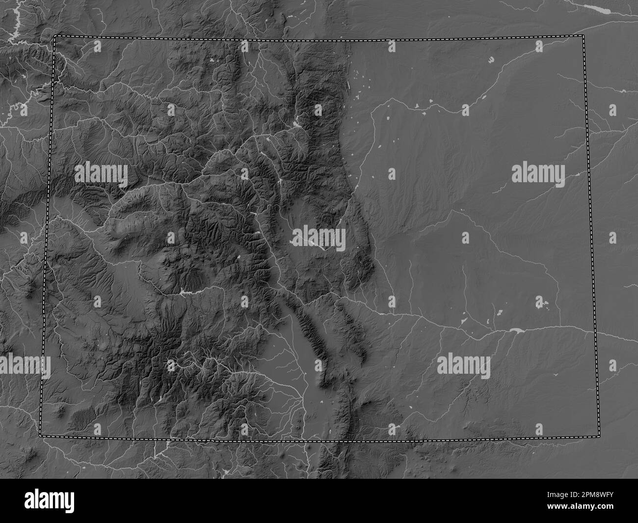 Colorado, state of United States of America. Grayscale elevation map with lakes and rivers Stock Photohttps://www.alamy.com/image-license-details/?v=1https://www.alamy.com/colorado-state-of-united-states-of-america-grayscale-elevation-map-with-lakes-and-rivers-image546010191.html
RF2PM8WFY–Colorado, state of United States of America. Grayscale elevation map with lakes and rivers
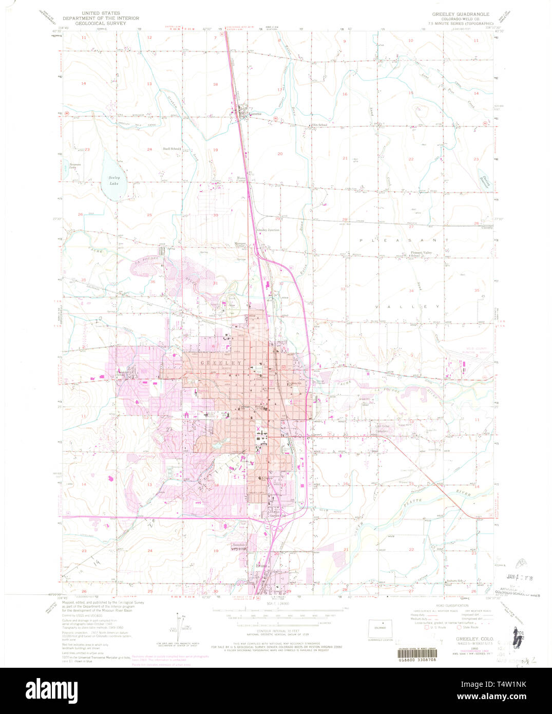 USGS TOPO Map Colorado CO Greeley 450905 1950 24000 Restoration Stock Photohttps://www.alamy.com/image-license-details/?v=1https://www.alamy.com/usgs-topo-map-colorado-co-greeley-450905-1950-24000-restoration-image243953967.html
RMT4W1NK–USGS TOPO Map Colorado CO Greeley 450905 1950 24000 Restoration
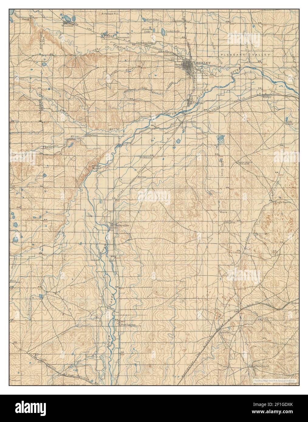 Greeley, Colorado, map 1902, 1:125000, United States of America by Timeless Maps, data U.S. Geological Survey Stock Photohttps://www.alamy.com/image-license-details/?v=1https://www.alamy.com/greeley-colorado-map-1902-1125000-united-states-of-america-by-timeless-maps-data-us-geological-survey-image414025659.html
RM2F1GDXK–Greeley, Colorado, map 1902, 1:125000, United States of America by Timeless Maps, data U.S. Geological Survey
 Rio Grande and Weld County, Colorado (U.S. county, United States of America,USA, U.S., US) map vector illustration, scribble sketch Rio Grande and Wel Stock Vectorhttps://www.alamy.com/image-license-details/?v=1https://www.alamy.com/rio-grande-and-weld-county-colorado-us-county-united-states-of-americausa-us-us-map-vector-illustration-scribble-sketch-rio-grande-and-wel-image341402491.html
RF2ARC6A3–Rio Grande and Weld County, Colorado (U.S. county, United States of America,USA, U.S., US) map vector illustration, scribble sketch Rio Grande and Wel
 . 499 Sanborn Fire Insurance Map from Greeley, Weld County, Colorado. LOC sanborn01009 008-12 Stock Photohttps://www.alamy.com/image-license-details/?v=1https://www.alamy.com/499-sanborn-fire-insurance-map-from-greeley-weld-county-colorado-loc-sanborn01009-008-12-image212122460.html
RMP930A4–. 499 Sanborn Fire Insurance Map from Greeley, Weld County, Colorado. LOC sanborn01009 008-12
 Sanborn Fire Insurance Map from Greeley, Weld County, Colorado. Stock Photohttps://www.alamy.com/image-license-details/?v=1https://www.alamy.com/sanborn-fire-insurance-map-from-greeley-weld-county-colorado-image456415448.html
RM2HEFEFM–Sanborn Fire Insurance Map from Greeley, Weld County, Colorado.
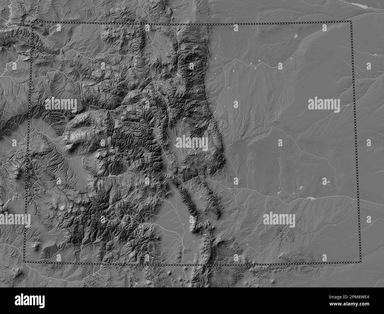 Colorado, state of United States of America. Bilevel elevation map with lakes and rivers Stock Photohttps://www.alamy.com/image-license-details/?v=1https://www.alamy.com/colorado-state-of-united-states-of-america-bilevel-elevation-map-with-lakes-and-rivers-image546010140.html
RF2PM8WE4–Colorado, state of United States of America. Bilevel elevation map with lakes and rivers
 USGS TOPO Map Colorado CO Greeley 402955 1902 125000 Restoration Stock Photohttps://www.alamy.com/image-license-details/?v=1https://www.alamy.com/usgs-topo-map-colorado-co-greeley-402955-1902-125000-restoration-image243953774.html
RMT4W1EP–USGS TOPO Map Colorado CO Greeley 402955 1902 125000 Restoration
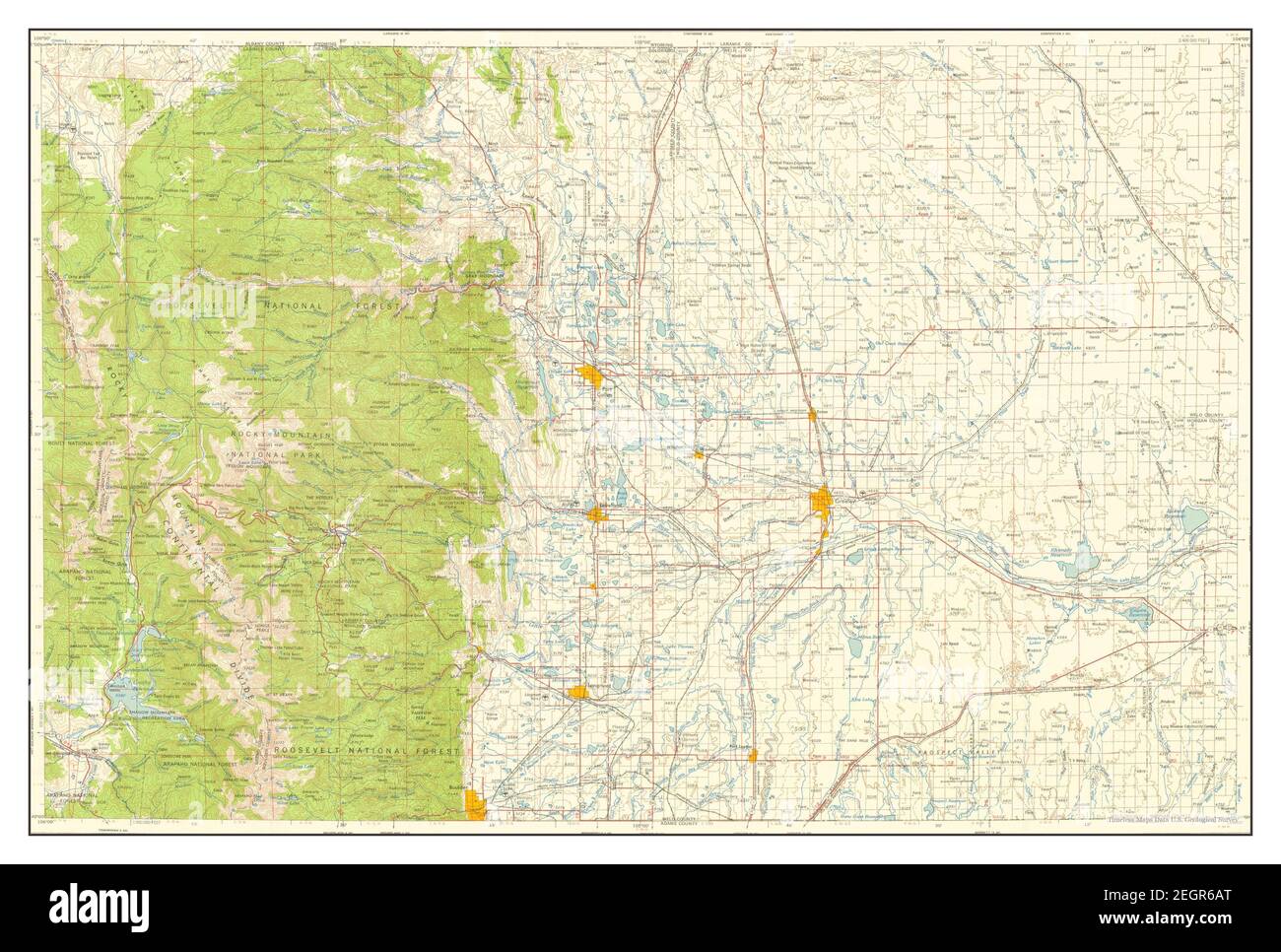 Greeley, Colorado, map 1958, 1:250000, United States of America by Timeless Maps, data U.S. Geological Survey Stock Photohttps://www.alamy.com/image-license-details/?v=1https://www.alamy.com/greeley-colorado-map-1958-1250000-united-states-of-america-by-timeless-maps-data-us-geological-survey-image406182864.html
RM2EGR6AT–Greeley, Colorado, map 1958, 1:250000, United States of America by Timeless Maps, data U.S. Geological Survey
 Rio Grande and Weld County, Colorado (U.S. county, United States of America,USA, U.S., US) map vector illustration, scribble sketch Rio Grande and Wel Stock Vectorhttps://www.alamy.com/image-license-details/?v=1https://www.alamy.com/rio-grande-and-weld-county-colorado-us-county-united-states-of-americausa-us-us-map-vector-illustration-scribble-sketch-rio-grande-and-wel-image345165376.html
RF2B1FHXT–Rio Grande and Weld County, Colorado (U.S. county, United States of America,USA, U.S., US) map vector illustration, scribble sketch Rio Grande and Wel
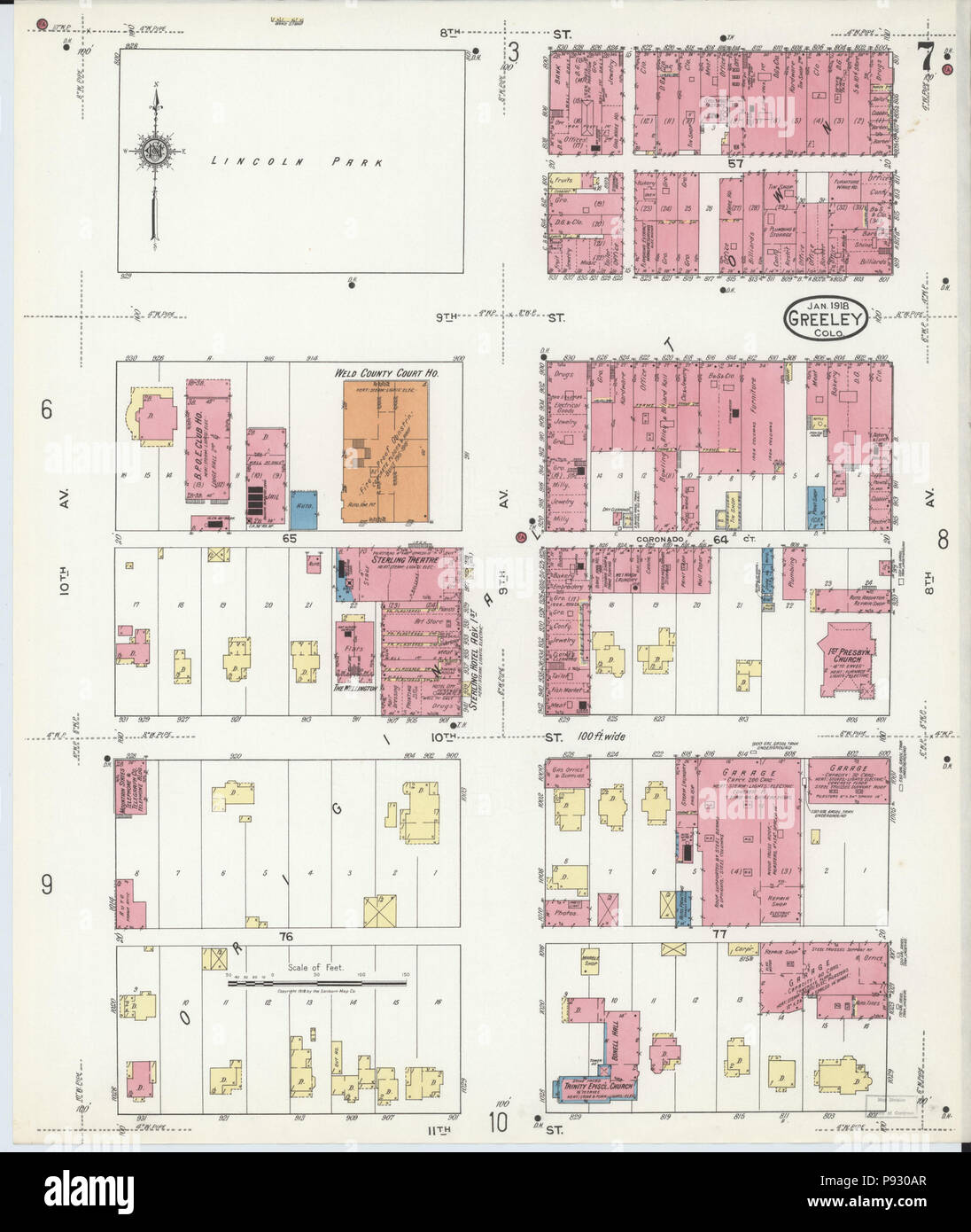 499 Sanborn Fire Insurance Map from Greeley, Weld County, Colorado. LOC sanborn01009 008-7 Stock Photohttps://www.alamy.com/image-license-details/?v=1https://www.alamy.com/499-sanborn-fire-insurance-map-from-greeley-weld-county-colorado-loc-sanborn01009-008-7-image212122479.html
RMP930AR–499 Sanborn Fire Insurance Map from Greeley, Weld County, Colorado. LOC sanborn01009 008-7
 Sanborn Fire Insurance Map from Greeley, Weld County, Colorado. Stock Photohttps://www.alamy.com/image-license-details/?v=1https://www.alamy.com/sanborn-fire-insurance-map-from-greeley-weld-county-colorado-image456415470.html
RM2HEFEGE–Sanborn Fire Insurance Map from Greeley, Weld County, Colorado.
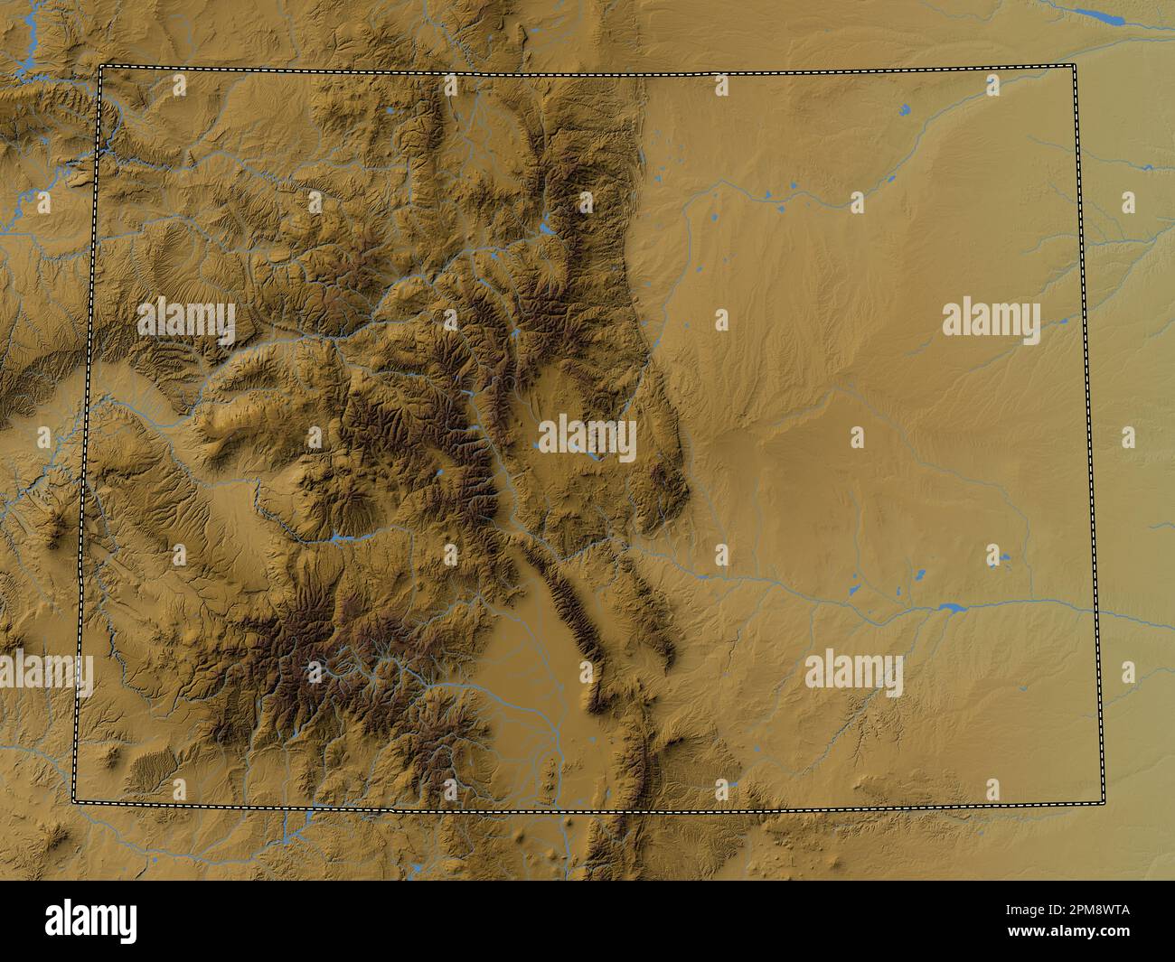 Colorado, state of United States of America. Colored elevation map with lakes and rivers Stock Photohttps://www.alamy.com/image-license-details/?v=1https://www.alamy.com/colorado-state-of-united-states-of-america-colored-elevation-map-with-lakes-and-rivers-image546010426.html
RF2PM8WTA–Colorado, state of United States of America. Colored elevation map with lakes and rivers
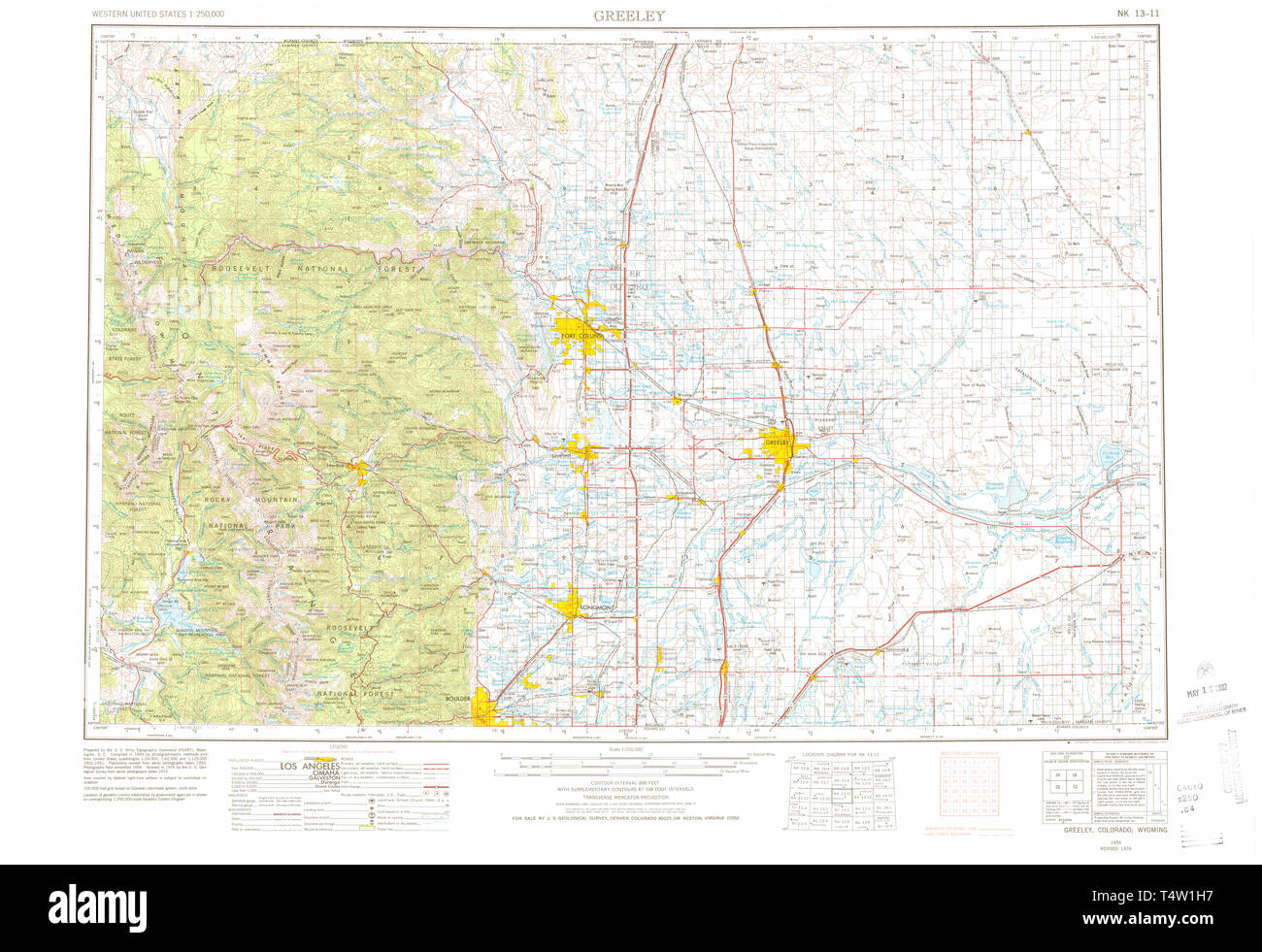 USGS TOPO Map Colorado CO Greeley 403129 1954 250000 Restoration Stock Photohttps://www.alamy.com/image-license-details/?v=1https://www.alamy.com/usgs-topo-map-colorado-co-greeley-403129-1954-250000-restoration-image243953843.html
RMT4W1H7–USGS TOPO Map Colorado CO Greeley 403129 1954 250000 Restoration
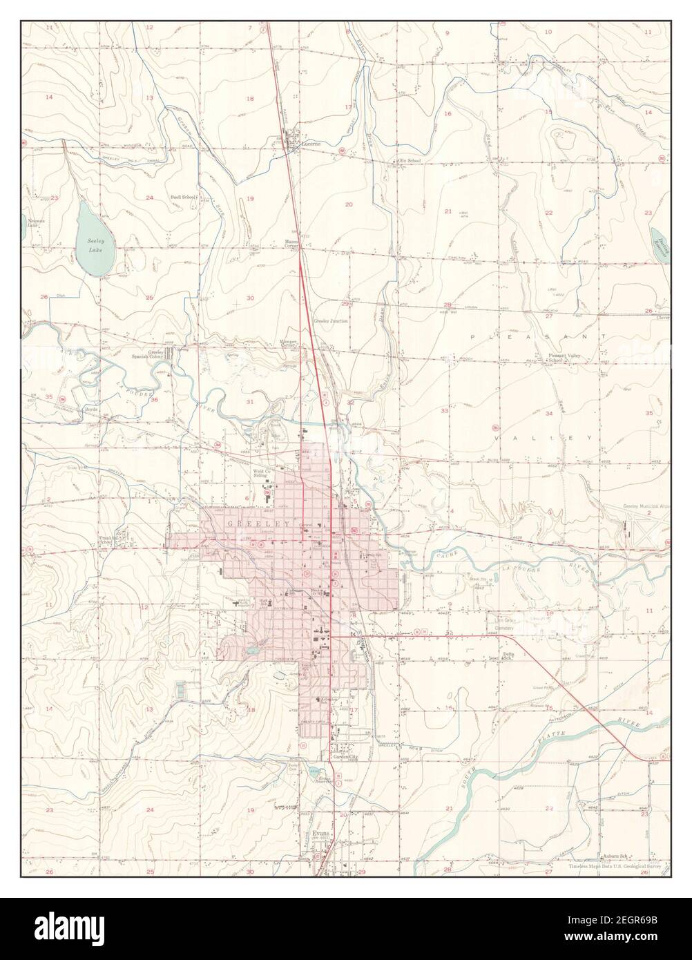 Greeley, Colorado, map 1950, 1:24000, United States of America by Timeless Maps, data U.S. Geological Survey Stock Photohttps://www.alamy.com/image-license-details/?v=1https://www.alamy.com/greeley-colorado-map-1950-124000-united-states-of-america-by-timeless-maps-data-us-geological-survey-image406182823.html
RM2EGR69B–Greeley, Colorado, map 1950, 1:24000, United States of America by Timeless Maps, data U.S. Geological Survey
 Rio Grande and Weld County, Colorado (U.S. county, United States of America,USA, U.S., US) map vector illustration, scribble sketch Rio Grande and Wel Stock Vectorhttps://www.alamy.com/image-license-details/?v=1https://www.alamy.com/rio-grande-and-weld-county-colorado-us-county-united-states-of-americausa-us-us-map-vector-illustration-scribble-sketch-rio-grande-and-wel-image343698352.html
RF2AY4PN4–Rio Grande and Weld County, Colorado (U.S. county, United States of America,USA, U.S., US) map vector illustration, scribble sketch Rio Grande and Wel
 499 Sanborn Fire Insurance Map from Greeley, Weld County, Colorado. LOC sanborn01009 008-4 Stock Photohttps://www.alamy.com/image-license-details/?v=1https://www.alamy.com/499-sanborn-fire-insurance-map-from-greeley-weld-county-colorado-loc-sanborn01009-008-4-image212122477.html
RMP930AN–499 Sanborn Fire Insurance Map from Greeley, Weld County, Colorado. LOC sanborn01009 008-4
 Sanborn Fire Insurance Map from Greeley, Weld County, Colorado. Stock Photohttps://www.alamy.com/image-license-details/?v=1https://www.alamy.com/sanborn-fire-insurance-map-from-greeley-weld-county-colorado-image456415554.html
RM2HEFEKE–Sanborn Fire Insurance Map from Greeley, Weld County, Colorado.
 Colorado, state of United States of America. Elevation map colored in wiki style with lakes and rivers Stock Photohttps://www.alamy.com/image-license-details/?v=1https://www.alamy.com/colorado-state-of-united-states-of-america-elevation-map-colored-in-wiki-style-with-lakes-and-rivers-image546010431.html
RF2PM8WTF–Colorado, state of United States of America. Elevation map colored in wiki style with lakes and rivers
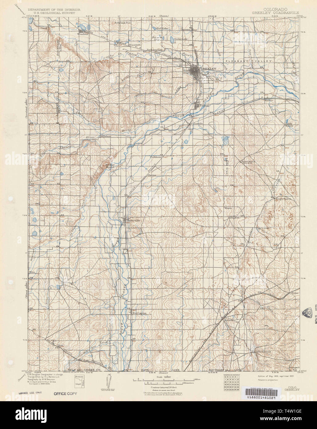 USGS TOPO Map Colorado CO Greeley 402957 1902 125000 Restoration Stock Photohttps://www.alamy.com/image-license-details/?v=1https://www.alamy.com/usgs-topo-map-colorado-co-greeley-402957-1902-125000-restoration-image243953822.html
RMT4W1GE–USGS TOPO Map Colorado CO Greeley 402957 1902 125000 Restoration
 Greeley, Colorado, map 1954, 1:250000, United States of America by Timeless Maps, data U.S. Geological Survey Stock Photohttps://www.alamy.com/image-license-details/?v=1https://www.alamy.com/greeley-colorado-map-1954-1250000-united-states-of-america-by-timeless-maps-data-us-geological-survey-image406182845.html
RM2EGR6A5–Greeley, Colorado, map 1954, 1:250000, United States of America by Timeless Maps, data U.S. Geological Survey
 499 Sanborn Fire Insurance Map from Greeley, Weld County, Colorado. LOC sanborn01009 008-16 Stock Photohttps://www.alamy.com/image-license-details/?v=1https://www.alamy.com/499-sanborn-fire-insurance-map-from-greeley-weld-county-colorado-loc-sanborn01009-008-16-image212122474.html
RMP930AJ–499 Sanborn Fire Insurance Map from Greeley, Weld County, Colorado. LOC sanborn01009 008-16
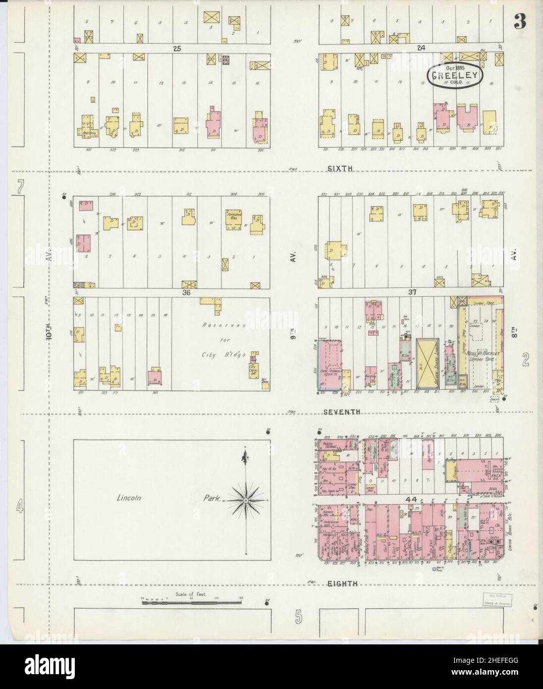 Sanborn Fire Insurance Map from Greeley, Weld County, Colorado. Stock Photohttps://www.alamy.com/image-license-details/?v=1https://www.alamy.com/sanborn-fire-insurance-map-from-greeley-weld-county-colorado-image456415472.html
RM2HEFEGG–Sanborn Fire Insurance Map from Greeley, Weld County, Colorado.
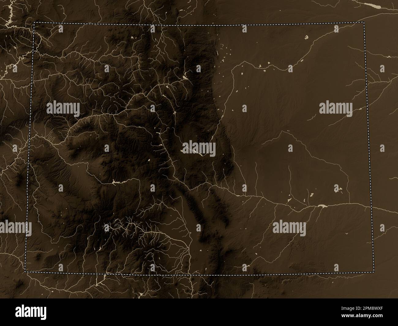 Colorado, state of United States of America. Elevation map colored in sepia tones with lakes and rivers Stock Photohttps://www.alamy.com/image-license-details/?v=1https://www.alamy.com/colorado-state-of-united-states-of-america-elevation-map-colored-in-sepia-tones-with-lakes-and-rivers-image546010487.html
RF2PM8WXF–Colorado, state of United States of America. Elevation map colored in sepia tones with lakes and rivers
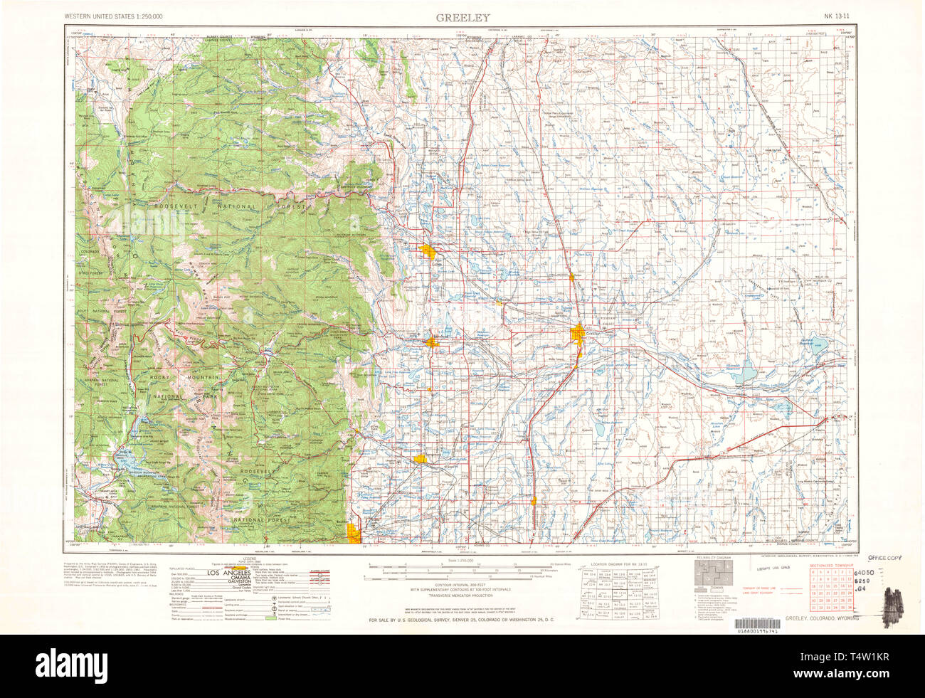 USGS TOPO Map Colorado CO Greeley 403132 1964 250000 Restoration Stock Photohttps://www.alamy.com/image-license-details/?v=1https://www.alamy.com/usgs-topo-map-colorado-co-greeley-403132-1964-250000-restoration-image243953915.html
RMT4W1KR–USGS TOPO Map Colorado CO Greeley 403132 1964 250000 Restoration
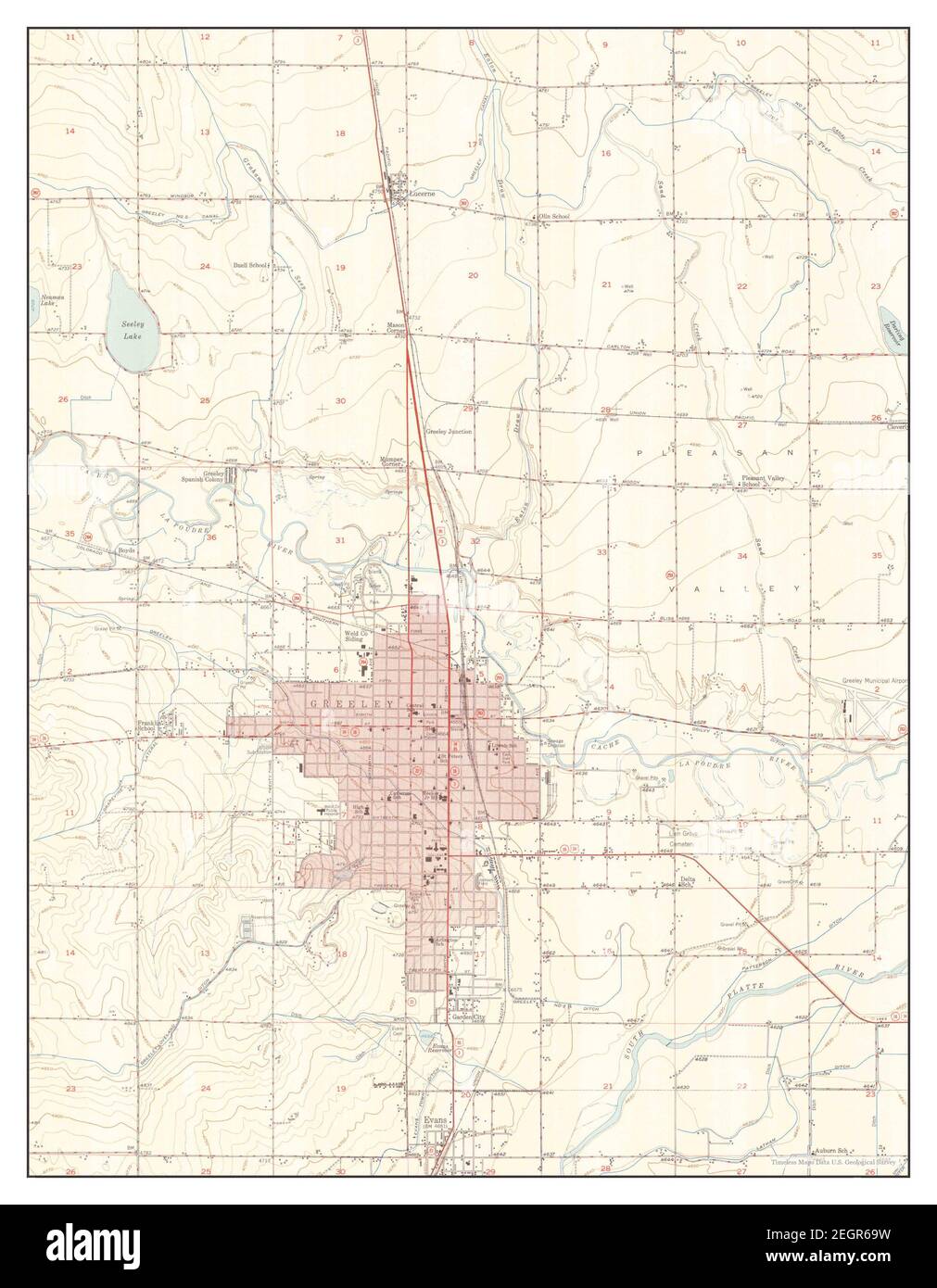 Greeley, Colorado, map 1950, 1:24000, United States of America by Timeless Maps, data U.S. Geological Survey Stock Photohttps://www.alamy.com/image-license-details/?v=1https://www.alamy.com/greeley-colorado-map-1950-124000-united-states-of-america-by-timeless-maps-data-us-geological-survey-image406182837.html
RM2EGR69W–Greeley, Colorado, map 1950, 1:24000, United States of America by Timeless Maps, data U.S. Geological Survey
 . 499 Sanborn Fire Insurance Map from Greeley, Weld County, Colorado. LOC sanborn01009 008-6 Stock Photohttps://www.alamy.com/image-license-details/?v=1https://www.alamy.com/499-sanborn-fire-insurance-map-from-greeley-weld-county-colorado-loc-sanborn01009-008-6-image212122468.html
RMP930AC–. 499 Sanborn Fire Insurance Map from Greeley, Weld County, Colorado. LOC sanborn01009 008-6
 Sanborn Fire Insurance Map from Greeley, Weld County, Colorado. Stock Photohttps://www.alamy.com/image-license-details/?v=1https://www.alamy.com/sanborn-fire-insurance-map-from-greeley-weld-county-colorado-image456415648.html
RM2HEFEPT–Sanborn Fire Insurance Map from Greeley, Weld County, Colorado.
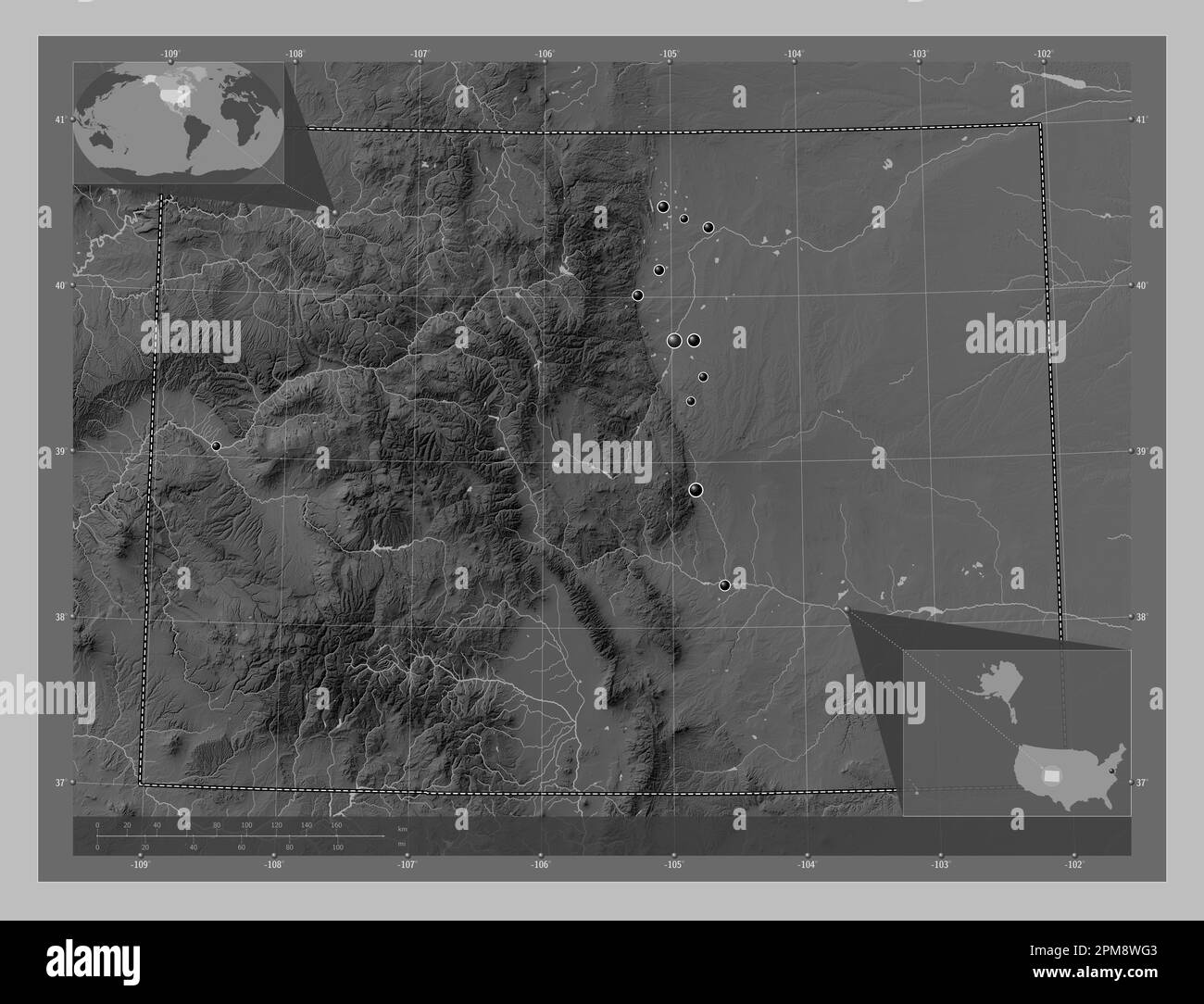 Colorado, state of United States of America. Grayscale elevation map with lakes and rivers. Locations of major cities of the region. Corner auxiliary Stock Photohttps://www.alamy.com/image-license-details/?v=1https://www.alamy.com/colorado-state-of-united-states-of-america-grayscale-elevation-map-with-lakes-and-rivers-locations-of-major-cities-of-the-region-corner-auxiliary-image546010195.html
RF2PM8WG3–Colorado, state of United States of America. Grayscale elevation map with lakes and rivers. Locations of major cities of the region. Corner auxiliary
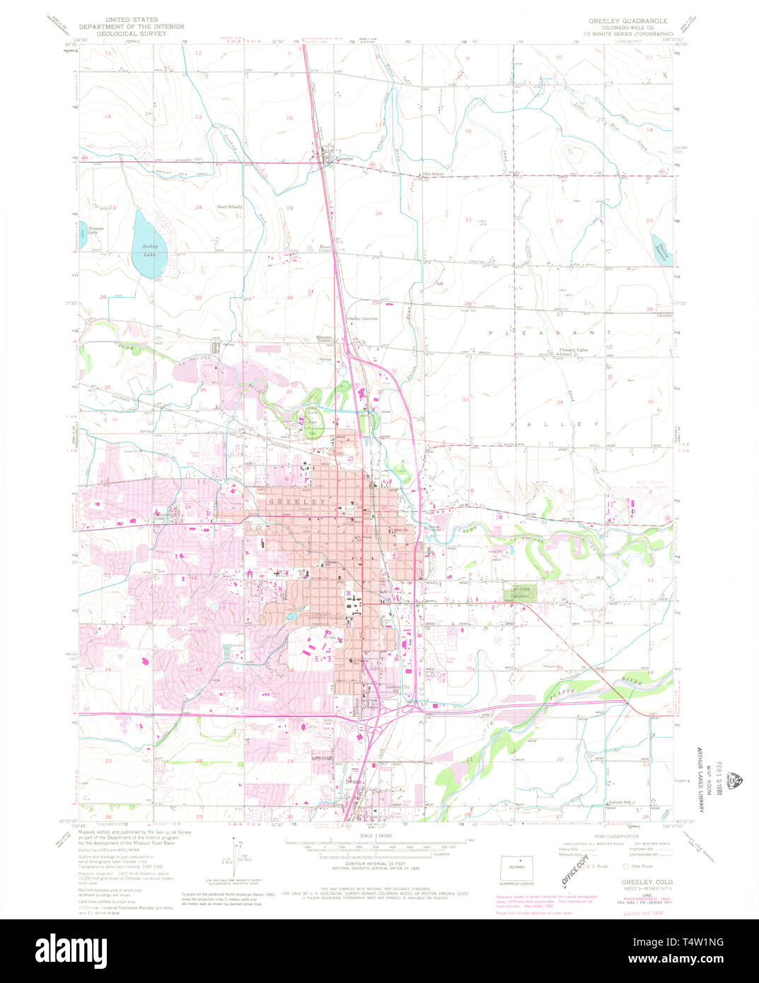 USGS TOPO Map Colorado CO Greeley 450904 1950 24000 Restoration Stock Photohttps://www.alamy.com/image-license-details/?v=1https://www.alamy.com/usgs-topo-map-colorado-co-greeley-450904-1950-24000-restoration-image243953964.html
RMT4W1NG–USGS TOPO Map Colorado CO Greeley 450904 1950 24000 Restoration
 Greeley, Colorado, map 1902, 1:125000, United States of America by Timeless Maps, data U.S. Geological Survey Stock Photohttps://www.alamy.com/image-license-details/?v=1https://www.alamy.com/greeley-colorado-map-1902-1125000-united-states-of-america-by-timeless-maps-data-us-geological-survey-image414025654.html
RM2F1GDXE–Greeley, Colorado, map 1902, 1:125000, United States of America by Timeless Maps, data U.S. Geological Survey
 499 Sanborn Fire Insurance Map from Greeley, Weld County, Colorado. LOC sanborn01009 008-13 Stock Photohttps://www.alamy.com/image-license-details/?v=1https://www.alamy.com/499-sanborn-fire-insurance-map-from-greeley-weld-county-colorado-loc-sanborn01009-008-13-image212122470.html
RMP930AE–499 Sanborn Fire Insurance Map from Greeley, Weld County, Colorado. LOC sanborn01009 008-13
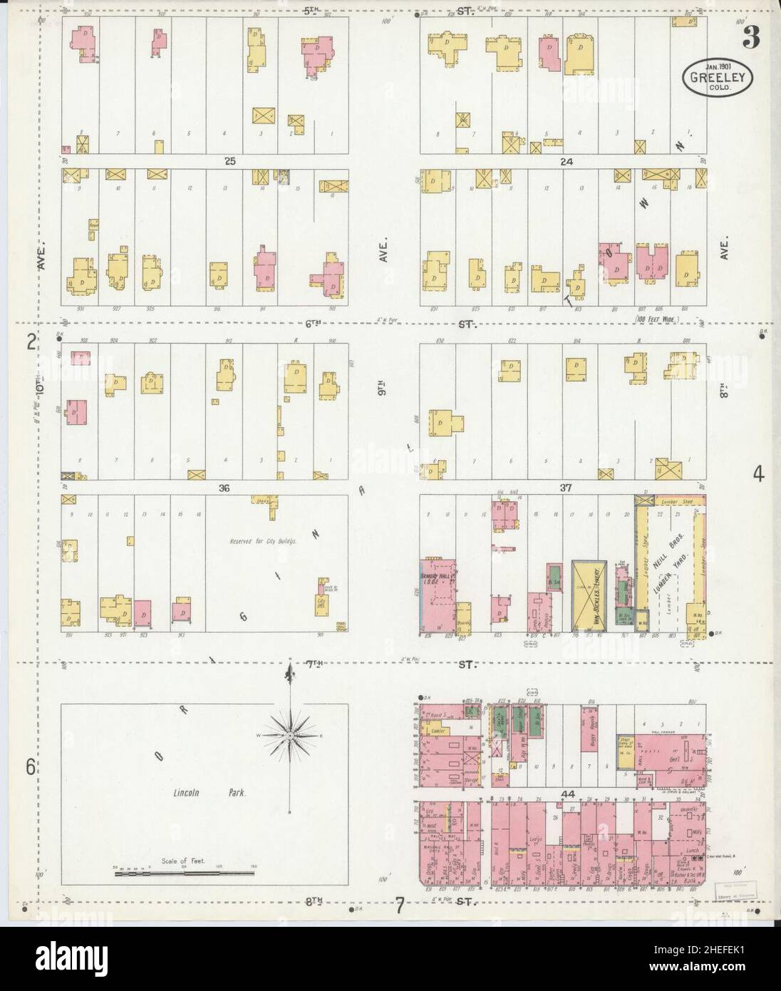 Sanborn Fire Insurance Map from Greeley, Weld County, Colorado. Stock Photohttps://www.alamy.com/image-license-details/?v=1https://www.alamy.com/sanborn-fire-insurance-map-from-greeley-weld-county-colorado-image456415541.html
RM2HEFEK1–Sanborn Fire Insurance Map from Greeley, Weld County, Colorado.
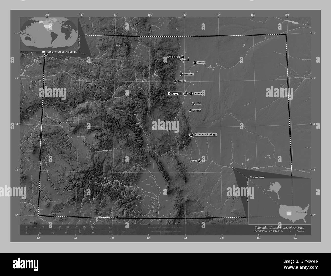 Colorado, state of United States of America. Grayscale elevation map with lakes and rivers. Locations and names of major cities of the region. Corner Stock Photohttps://www.alamy.com/image-license-details/?v=1https://www.alamy.com/colorado-state-of-united-states-of-america-grayscale-elevation-map-with-lakes-and-rivers-locations-and-names-of-major-cities-of-the-region-corner-image546010187.html
RF2PM8WFR–Colorado, state of United States of America. Grayscale elevation map with lakes and rivers. Locations and names of major cities of the region. Corner
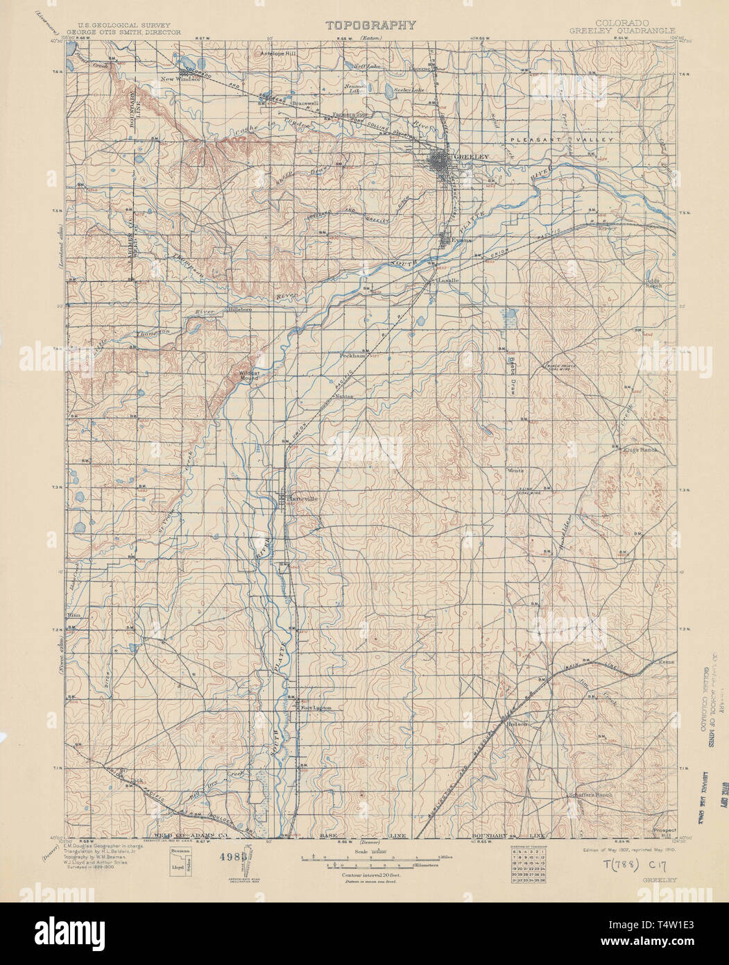 USGS TOPO Map Colorado CO Greeley 402954 1902 125000 Restoration Stock Photohttps://www.alamy.com/image-license-details/?v=1https://www.alamy.com/usgs-topo-map-colorado-co-greeley-402954-1902-125000-restoration-image243953755.html
RMT4W1E3–USGS TOPO Map Colorado CO Greeley 402954 1902 125000 Restoration
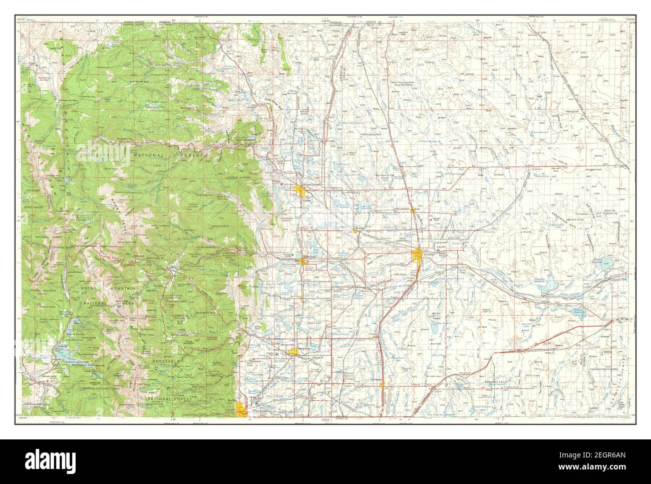 Greeley, Colorado, map 1961, 1:250000, United States of America by Timeless Maps, data U.S. Geological Survey Stock Photohttps://www.alamy.com/image-license-details/?v=1https://www.alamy.com/greeley-colorado-map-1961-1250000-united-states-of-america-by-timeless-maps-data-us-geological-survey-image406182861.html
RM2EGR6AN–Greeley, Colorado, map 1961, 1:250000, United States of America by Timeless Maps, data U.S. Geological Survey
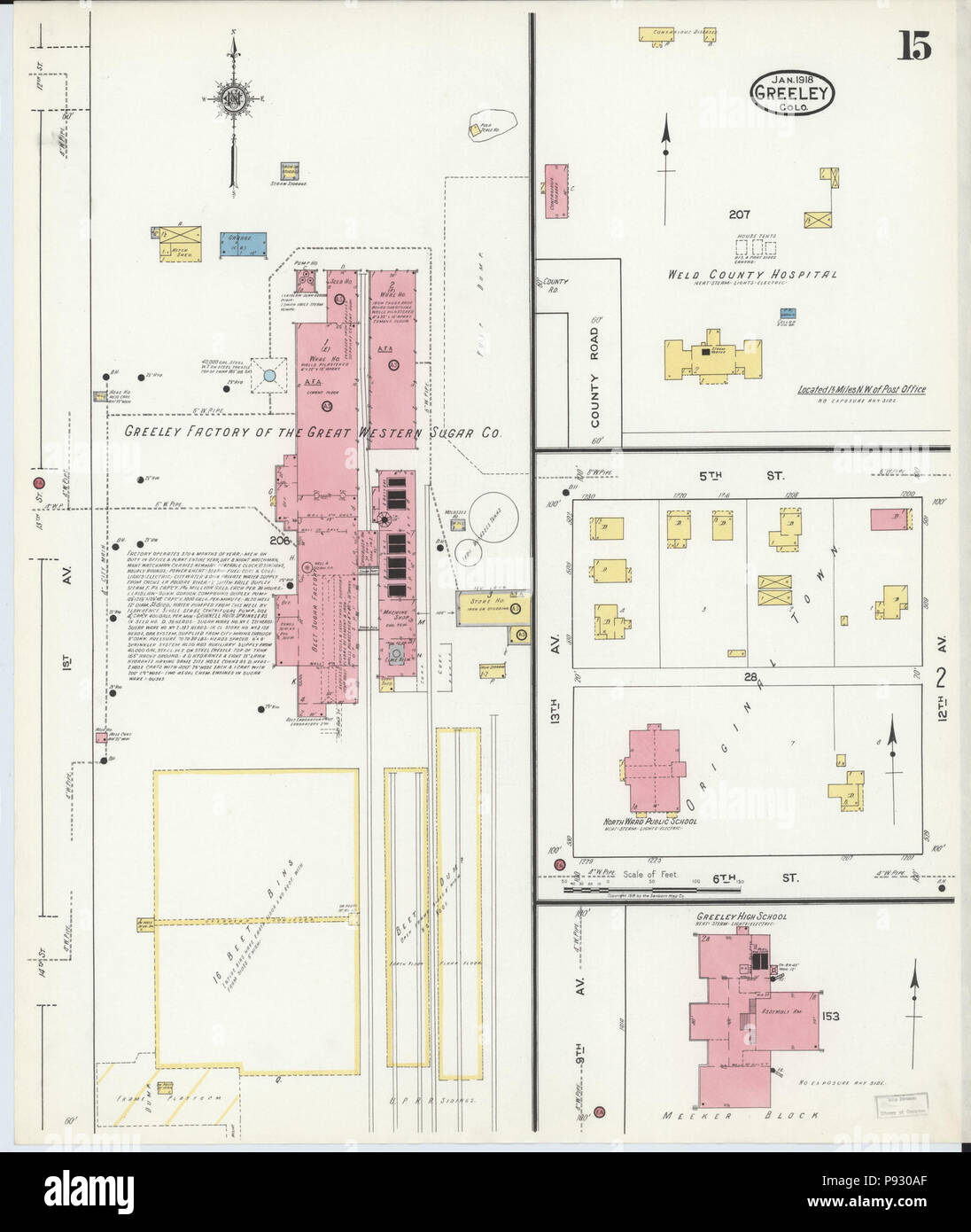 499 Sanborn Fire Insurance Map from Greeley, Weld County, Colorado. LOC sanborn01009 008-15 Stock Photohttps://www.alamy.com/image-license-details/?v=1https://www.alamy.com/499-sanborn-fire-insurance-map-from-greeley-weld-county-colorado-loc-sanborn01009-008-15-image212122471.html
RMP930AF–499 Sanborn Fire Insurance Map from Greeley, Weld County, Colorado. LOC sanborn01009 008-15
 Sanborn Fire Insurance Map from Greeley, Weld County, Colorado. Stock Photohttps://www.alamy.com/image-license-details/?v=1https://www.alamy.com/sanborn-fire-insurance-map-from-greeley-weld-county-colorado-image456415569.html
RM2HEFEM1–Sanborn Fire Insurance Map from Greeley, Weld County, Colorado.
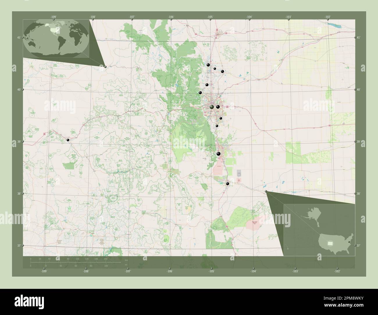 Colorado, state of United States of America. Open Street Map. Locations of major cities of the region. Corner auxiliary location maps Stock Photohttps://www.alamy.com/image-license-details/?v=1https://www.alamy.com/colorado-state-of-united-states-of-america-open-street-map-locations-of-major-cities-of-the-region-corner-auxiliary-location-maps-image546010303.html
RF2PM8WKY–Colorado, state of United States of America. Open Street Map. Locations of major cities of the region. Corner auxiliary location maps
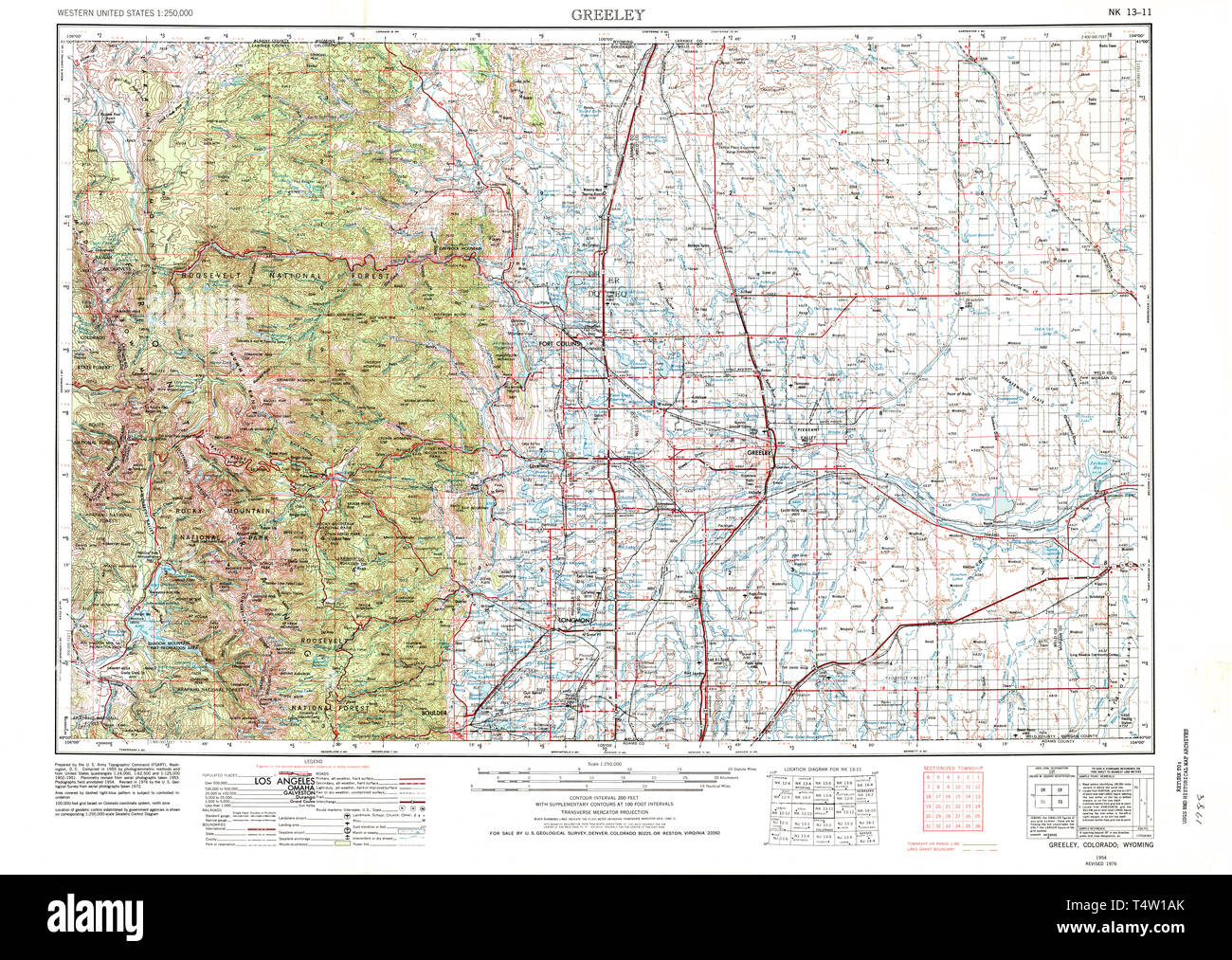 USGS TOPO Map Colorado CO Greeley 233152 1954 250000 Restoration Stock Photohttps://www.alamy.com/image-license-details/?v=1https://www.alamy.com/usgs-topo-map-colorado-co-greeley-233152-1954-250000-restoration-image243953659.html
RMT4W1AK–USGS TOPO Map Colorado CO Greeley 233152 1954 250000 Restoration
 Greeley, Colorado, map 1902, 1:125000, United States of America by Timeless Maps, data U.S. Geological Survey Stock Photohttps://www.alamy.com/image-license-details/?v=1https://www.alamy.com/greeley-colorado-map-1902-1125000-united-states-of-america-by-timeless-maps-data-us-geological-survey-image414025645.html
RM2F1GDX5–Greeley, Colorado, map 1902, 1:125000, United States of America by Timeless Maps, data U.S. Geological Survey
 . 499 Sanborn Fire Insurance Map from Greeley, Weld County, Colorado. LOC sanborn01009 008-14 Stock Photohttps://www.alamy.com/image-license-details/?v=1https://www.alamy.com/499-sanborn-fire-insurance-map-from-greeley-weld-county-colorado-loc-sanborn01009-008-14-image212122464.html
RMP930A8–. 499 Sanborn Fire Insurance Map from Greeley, Weld County, Colorado. LOC sanborn01009 008-14
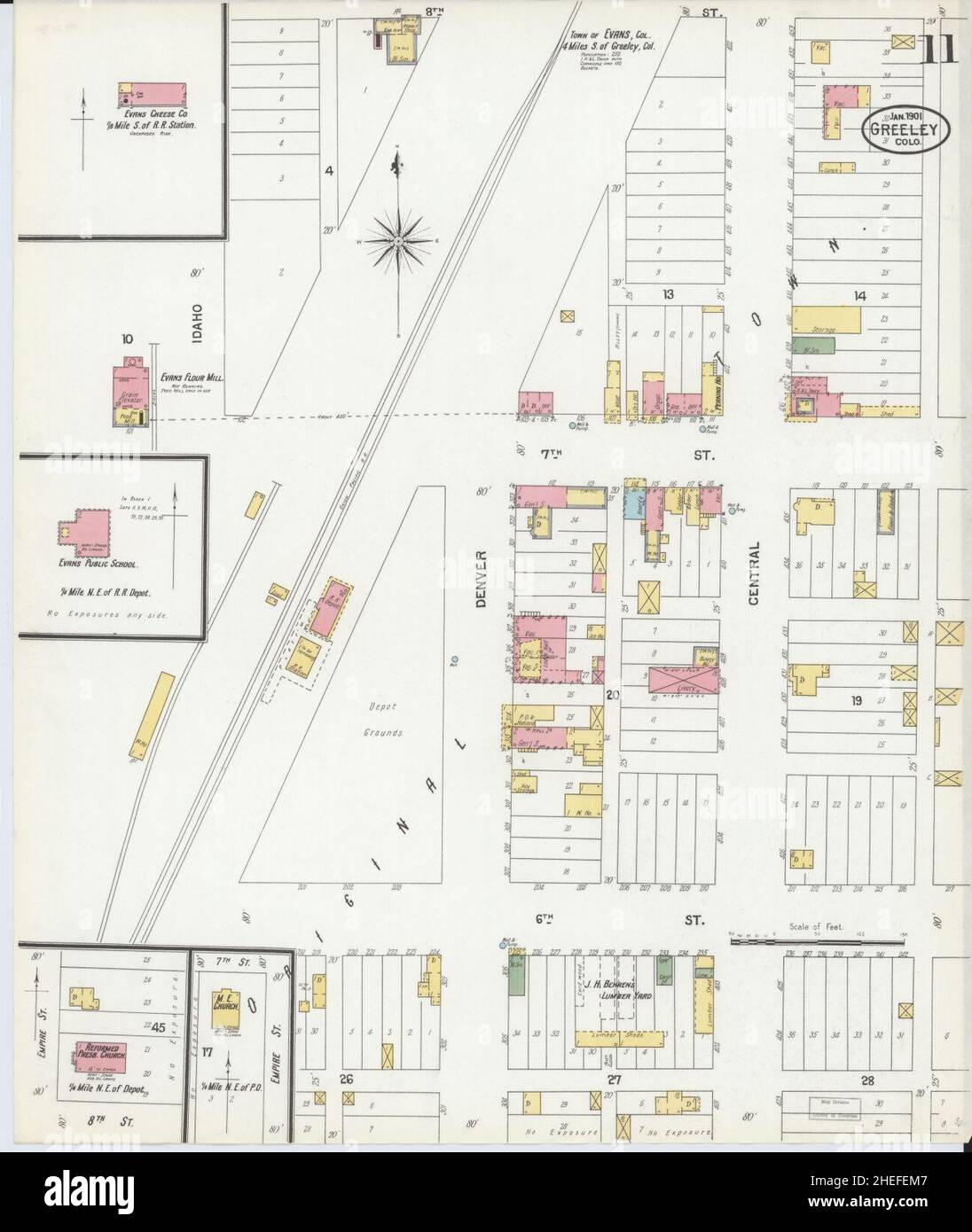 Sanborn Fire Insurance Map from Greeley, Weld County, Colorado. Stock Photohttps://www.alamy.com/image-license-details/?v=1https://www.alamy.com/sanborn-fire-insurance-map-from-greeley-weld-county-colorado-image456415575.html
RM2HEFEM7–Sanborn Fire Insurance Map from Greeley, Weld County, Colorado.
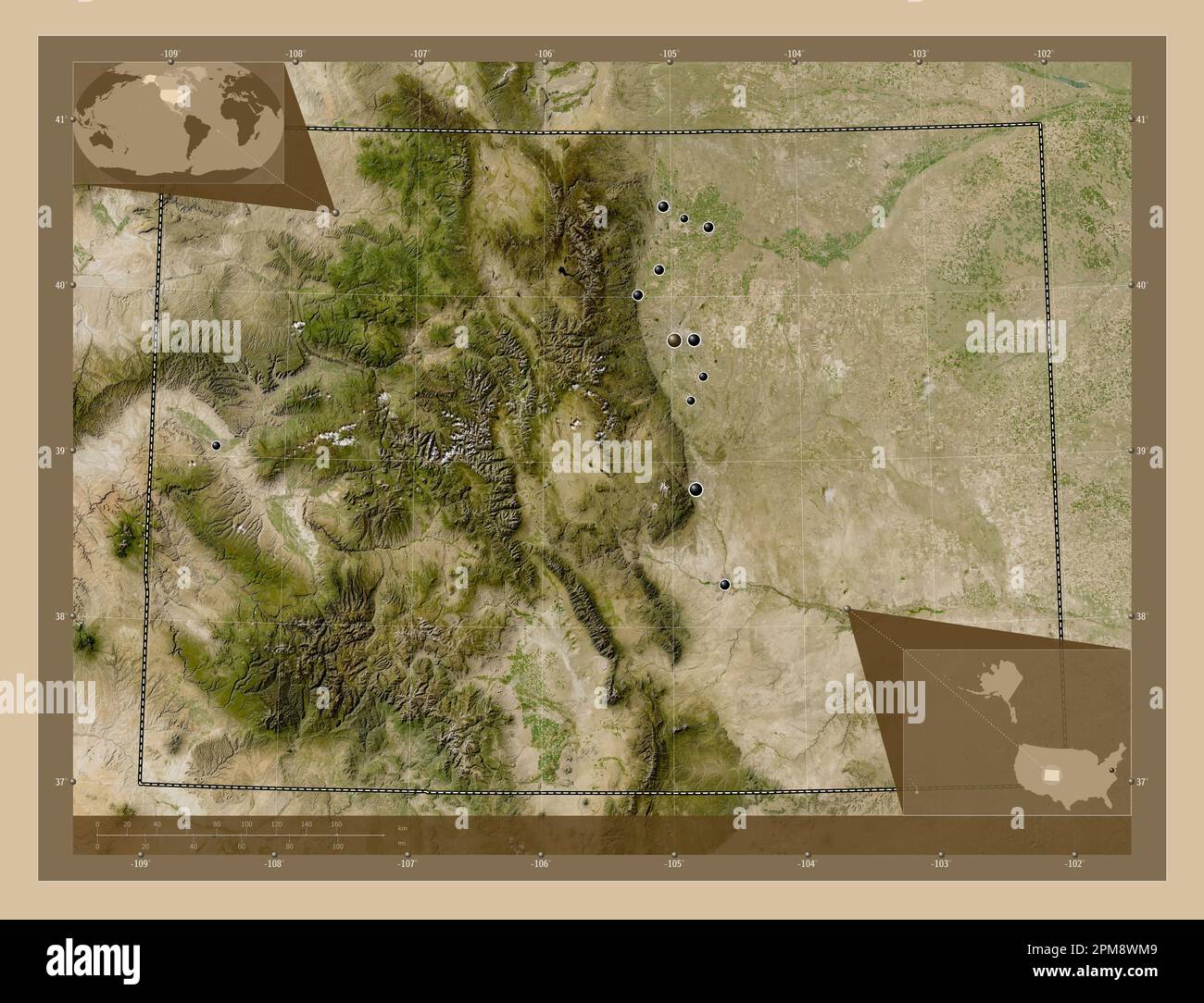 Colorado, state of United States of America. Low resolution satellite map. Locations of major cities of the region. Corner auxiliary location maps Stock Photohttps://www.alamy.com/image-license-details/?v=1https://www.alamy.com/colorado-state-of-united-states-of-america-low-resolution-satellite-map-locations-of-major-cities-of-the-region-corner-auxiliary-location-maps-image546010313.html
RF2PM8WM9–Colorado, state of United States of America. Low resolution satellite map. Locations of major cities of the region. Corner auxiliary location maps
 USGS TOPO Map Colorado CO Greeley 403130 1954 250000 Restoration Stock Photohttps://www.alamy.com/image-license-details/?v=1https://www.alamy.com/usgs-topo-map-colorado-co-greeley-403130-1954-250000-restoration-image243953872.html
RMT4W1J8–USGS TOPO Map Colorado CO Greeley 403130 1954 250000 Restoration
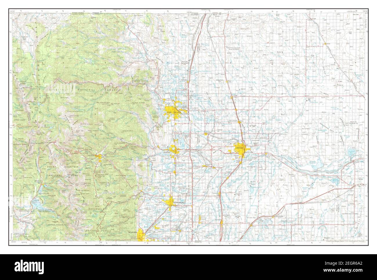 Greeley, Colorado, map 1954, 1:250000, United States of America by Timeless Maps, data U.S. Geological Survey Stock Photohttps://www.alamy.com/image-license-details/?v=1https://www.alamy.com/greeley-colorado-map-1954-1250000-united-states-of-america-by-timeless-maps-data-us-geological-survey-image406182842.html
RM2EGR6A2–Greeley, Colorado, map 1954, 1:250000, United States of America by Timeless Maps, data U.S. Geological Survey
 499 Sanborn Fire Insurance Map from Greeley, Weld County, Colorado. LOC sanborn01009 008-3 Stock Photohttps://www.alamy.com/image-license-details/?v=1https://www.alamy.com/499-sanborn-fire-insurance-map-from-greeley-weld-county-colorado-loc-sanborn01009-008-3-image212122472.html
RMP930AG–499 Sanborn Fire Insurance Map from Greeley, Weld County, Colorado. LOC sanborn01009 008-3
 Sanborn Fire Insurance Map from Greeley, Weld County, Colorado. Stock Photohttps://www.alamy.com/image-license-details/?v=1https://www.alamy.com/sanborn-fire-insurance-map-from-greeley-weld-county-colorado-image456415558.html
RM2HEFEKJ–Sanborn Fire Insurance Map from Greeley, Weld County, Colorado.
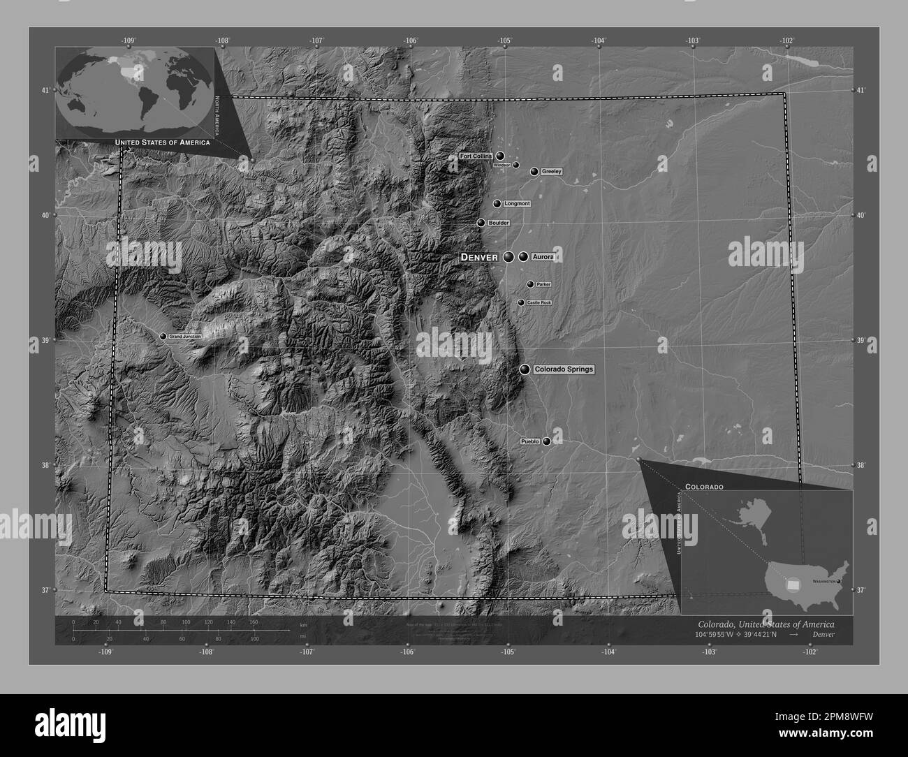 Colorado, state of United States of America. Bilevel elevation map with lakes and rivers. Locations and names of major cities of the region. Corner au Stock Photohttps://www.alamy.com/image-license-details/?v=1https://www.alamy.com/colorado-state-of-united-states-of-america-bilevel-elevation-map-with-lakes-and-rivers-locations-and-names-of-major-cities-of-the-region-corner-au-image546010189.html
RF2PM8WFW–Colorado, state of United States of America. Bilevel elevation map with lakes and rivers. Locations and names of major cities of the region. Corner au
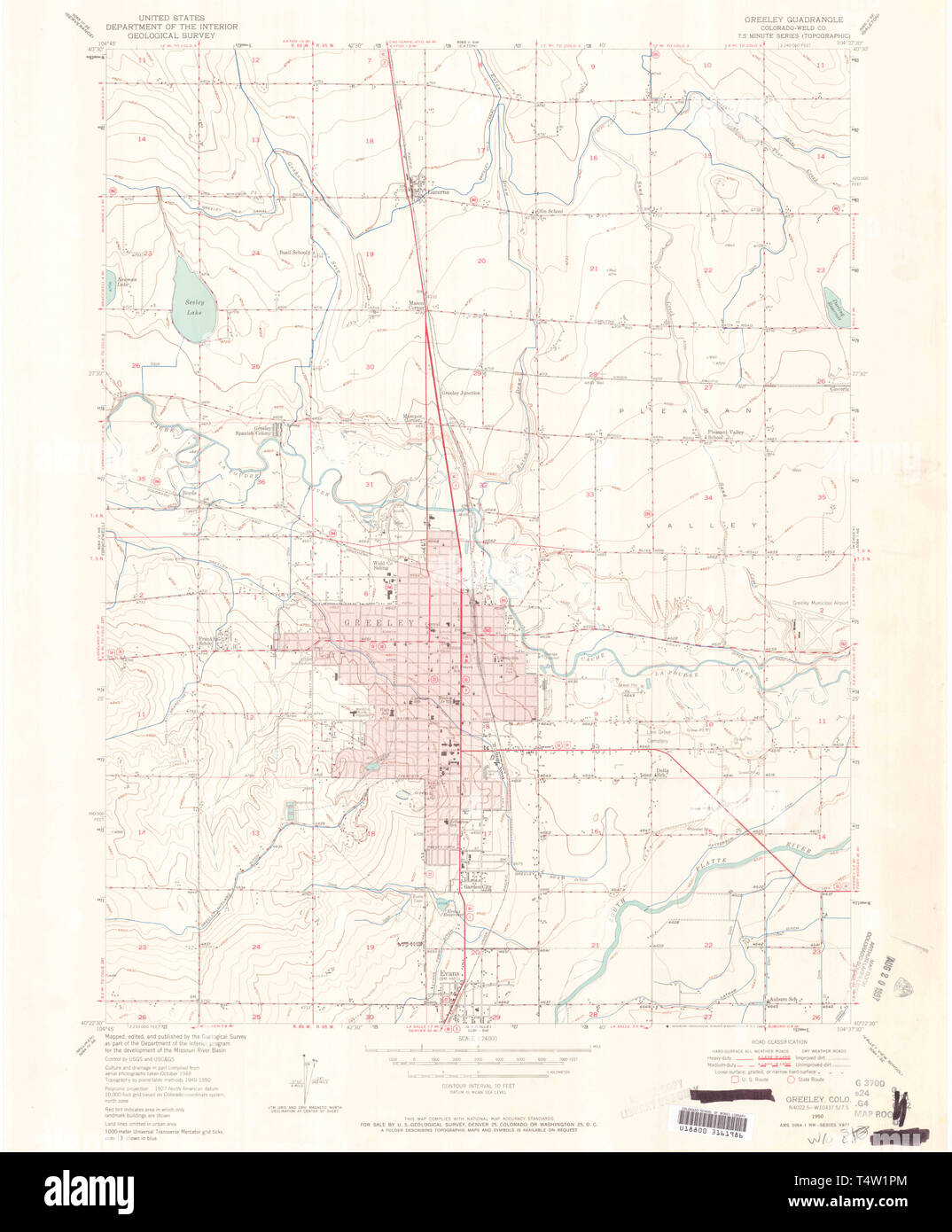 USGS TOPO Map Colorado CO Greeley 450908 1950 24000 Restoration Stock Photohttps://www.alamy.com/image-license-details/?v=1https://www.alamy.com/usgs-topo-map-colorado-co-greeley-450908-1950-24000-restoration-image243953996.html
RMT4W1PM–USGS TOPO Map Colorado CO Greeley 450908 1950 24000 Restoration
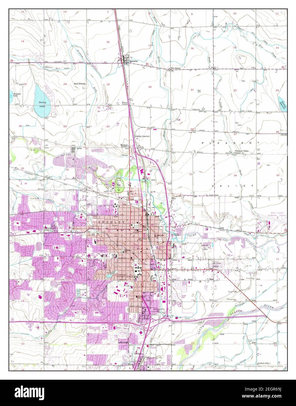 Greeley, Colorado, map 1950, 1:24000, United States of America by Timeless Maps, data U.S. Geological Survey Stock Photohttps://www.alamy.com/image-license-details/?v=1https://www.alamy.com/greeley-colorado-map-1950-124000-united-states-of-america-by-timeless-maps-data-us-geological-survey-image406182830.html
RM2EGR69J–Greeley, Colorado, map 1950, 1:24000, United States of America by Timeless Maps, data U.S. Geological Survey
 499 Sanborn Fire Insurance Map from Greeley, Weld County, Colorado. LOC sanborn01009 008-8 Stock Photohttps://www.alamy.com/image-license-details/?v=1https://www.alamy.com/499-sanborn-fire-insurance-map-from-greeley-weld-county-colorado-loc-sanborn01009-008-8-image212122482.html
RMP930AX–499 Sanborn Fire Insurance Map from Greeley, Weld County, Colorado. LOC sanborn01009 008-8
 Sanborn Fire Insurance Map from Greeley, Weld County, Colorado. Stock Photohttps://www.alamy.com/image-license-details/?v=1https://www.alamy.com/sanborn-fire-insurance-map-from-greeley-weld-county-colorado-image456415579.html
RM2HEFEMB–Sanborn Fire Insurance Map from Greeley, Weld County, Colorado.
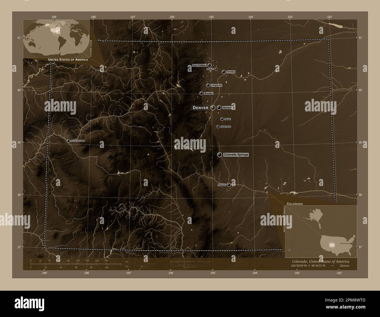 Colorado, state of United States of America. Elevation map colored in sepia tones with lakes and rivers. Locations and names of major cities of the re Stock Photohttps://www.alamy.com/image-license-details/?v=1https://www.alamy.com/colorado-state-of-united-states-of-america-elevation-map-colored-in-sepia-tones-with-lakes-and-rivers-locations-and-names-of-major-cities-of-the-re-image546010429.html
RF2PM8WTD–Colorado, state of United States of America. Elevation map colored in sepia tones with lakes and rivers. Locations and names of major cities of the re
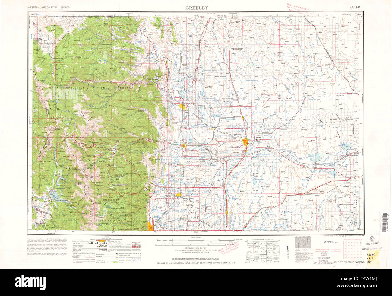 USGS TOPO Map Colorado CO Greeley 403133 1961 250000 Restoration Stock Photohttps://www.alamy.com/image-license-details/?v=1https://www.alamy.com/usgs-topo-map-colorado-co-greeley-403133-1961-250000-restoration-image243953938.html
RMT4W1MJ–USGS TOPO Map Colorado CO Greeley 403133 1961 250000 Restoration
 Greeley, Colorado, map 1964, 1:250000, United States of America by Timeless Maps, data U.S. Geological Survey Stock Photohttps://www.alamy.com/image-license-details/?v=1https://www.alamy.com/greeley-colorado-map-1964-1250000-united-states-of-america-by-timeless-maps-data-us-geological-survey-image406182831.html
RM2EGR69K–Greeley, Colorado, map 1964, 1:250000, United States of America by Timeless Maps, data U.S. Geological Survey
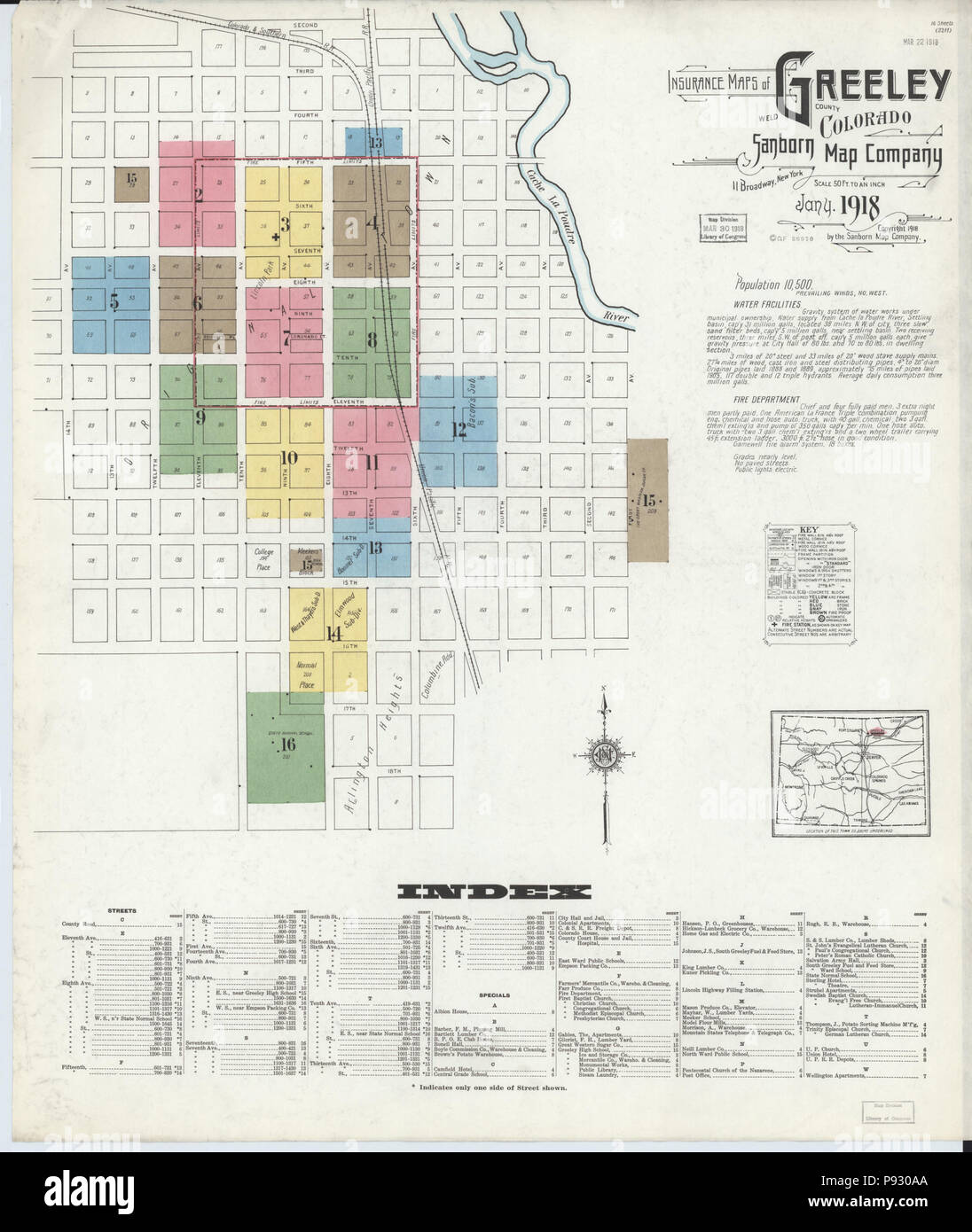 499 Sanborn Fire Insurance Map from Greeley, Weld County, Colorado. LOC sanborn01009 008-1 Stock Photohttps://www.alamy.com/image-license-details/?v=1https://www.alamy.com/499-sanborn-fire-insurance-map-from-greeley-weld-county-colorado-loc-sanborn01009-008-1-image212122466.html
RMP930AA–499 Sanborn Fire Insurance Map from Greeley, Weld County, Colorado. LOC sanborn01009 008-1
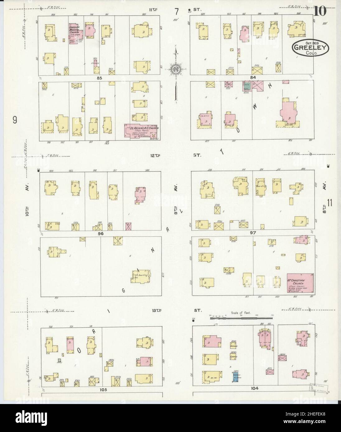 Sanborn Fire Insurance Map from Greeley, Weld County, Colorado. Stock Photohttps://www.alamy.com/image-license-details/?v=1https://www.alamy.com/sanborn-fire-insurance-map-from-greeley-weld-county-colorado-image456415548.html
RM2HEFEK8–Sanborn Fire Insurance Map from Greeley, Weld County, Colorado.
 Colorado, state of United States of America. Colored elevation map with lakes and rivers. Locations and names of major cities of the region. Corner au Stock Photohttps://www.alamy.com/image-license-details/?v=1https://www.alamy.com/colorado-state-of-united-states-of-america-colored-elevation-map-with-lakes-and-rivers-locations-and-names-of-major-cities-of-the-region-corner-au-image546010488.html
RF2PM8WXG–Colorado, state of United States of America. Colored elevation map with lakes and rivers. Locations and names of major cities of the region. Corner au
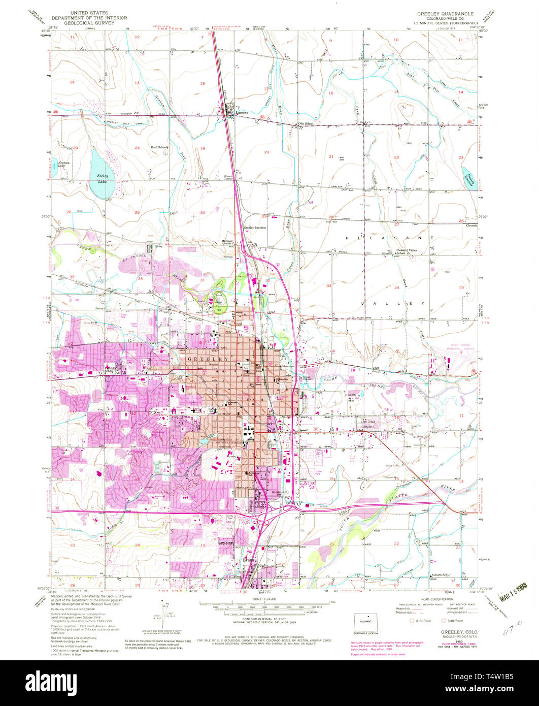 USGS TOPO Map Colorado CO Greeley 233153 1950 24000 Restoration Stock Photohttps://www.alamy.com/image-license-details/?v=1https://www.alamy.com/usgs-topo-map-colorado-co-greeley-233153-1950-24000-restoration-image243953673.html
RMT4W1B5–USGS TOPO Map Colorado CO Greeley 233153 1950 24000 Restoration