Quick filters:
Greenville illinois map Stock Photos and Images
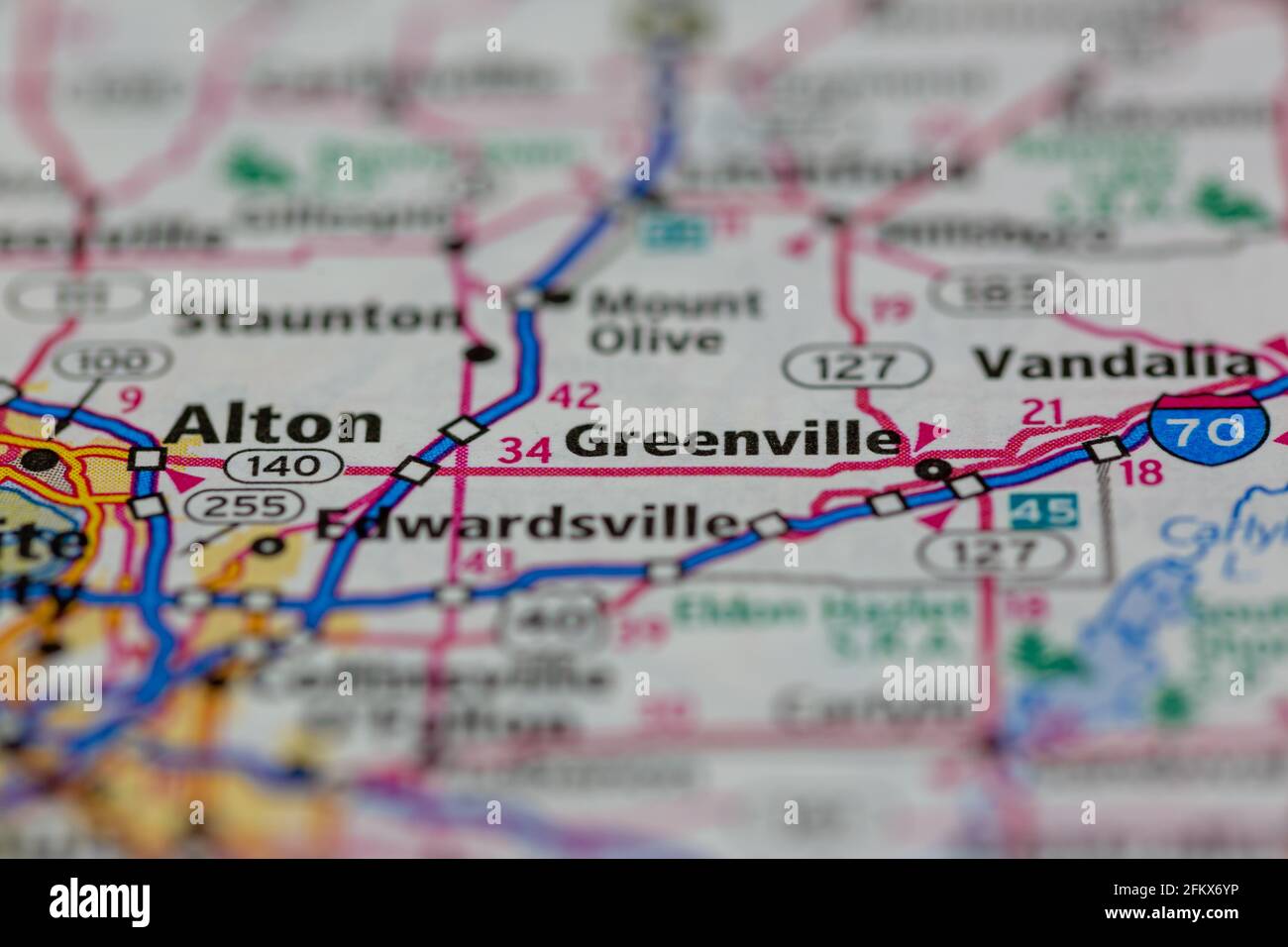 Greenville Illinois Shown on a Geography map or road map Stock Photohttps://www.alamy.com/image-license-details/?v=1https://www.alamy.com/greenville-illinois-shown-on-a-geography-map-or-road-map-image425303530.html
RM2FKX6YP–Greenville Illinois Shown on a Geography map or road map
 Greenville, Bond County, US, United States, Illinois, N 38 53' 32'', S 89 24' 47'', map, Cartascapes Map published in 2024. Explore Cartascapes, a map revealing Earth's diverse landscapes, cultures, and ecosystems. Journey through time and space, discovering the interconnectedness of our planet's past, present, and future. Stock Photohttps://www.alamy.com/image-license-details/?v=1https://www.alamy.com/greenville-bond-county-us-united-states-illinois-n-38-53-32-s-89-24-47-map-cartascapes-map-published-in-2024-explore-cartascapes-a-map-revealing-earths-diverse-landscapes-cultures-and-ecosystems-journey-through-time-and-space-discovering-the-interconnectedness-of-our-planets-past-present-and-future-image621362100.html
RM2Y2WDKG–Greenville, Bond County, US, United States, Illinois, N 38 53' 32'', S 89 24' 47'', map, Cartascapes Map published in 2024. Explore Cartascapes, a map revealing Earth's diverse landscapes, cultures, and ecosystems. Journey through time and space, discovering the interconnectedness of our planet's past, present, and future.
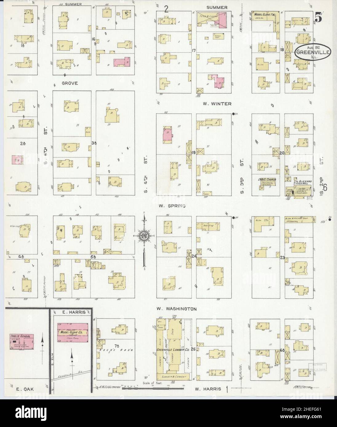 Sanborn Fire Insurance Map from Greenville, Bond County, Illinois. Stock Photohttps://www.alamy.com/image-license-details/?v=1https://www.alamy.com/sanborn-fire-insurance-map-from-greenville-bond-county-illinois-image456416745.html
RM2HEFG61–Sanborn Fire Insurance Map from Greenville, Bond County, Illinois.
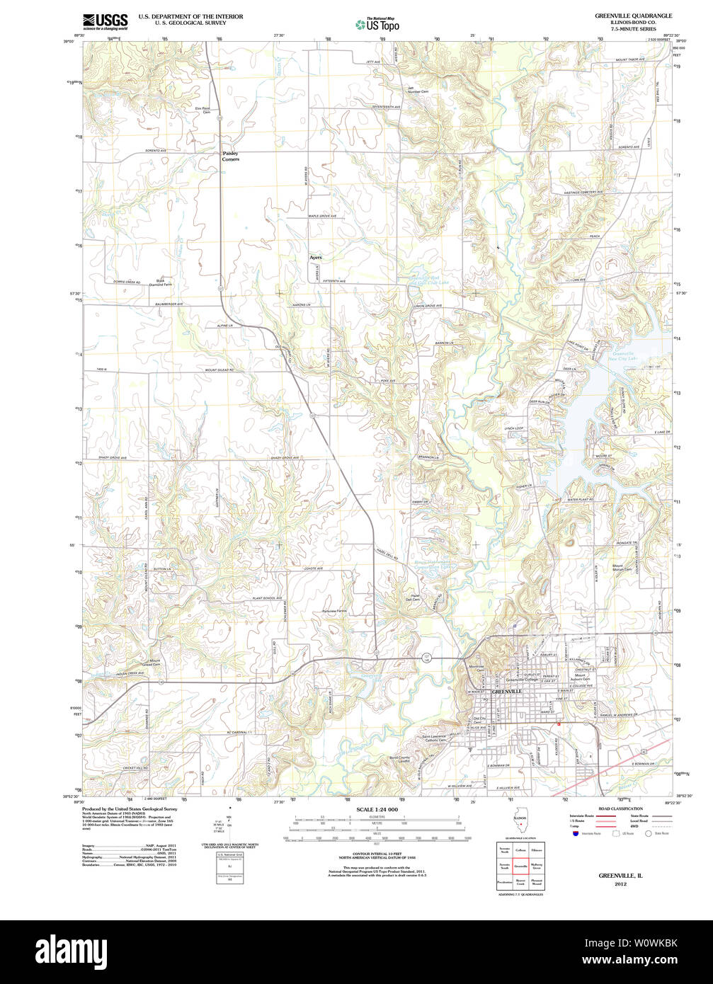 USGS TOPO Map Illinois IL Greenville 20120806 TM Restoration Stock Photohttps://www.alamy.com/image-license-details/?v=1https://www.alamy.com/usgs-topo-map-illinois-il-greenville-20120806-tm-restoration-image258719543.html
RMW0WKBK–USGS TOPO Map Illinois IL Greenville 20120806 TM Restoration
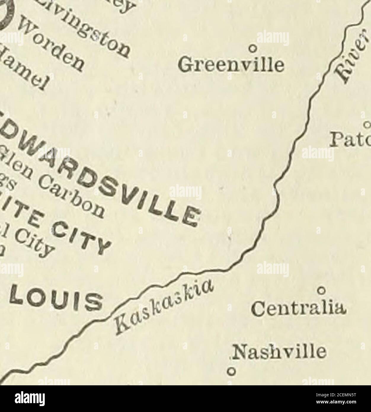 . The Commercial and financial chronicle. Greenville ^^J^^. TOPEKA IKANSASJ ST,LOUI& BelleyJUeoVaterloo. Louis City Properties controlledby the Illinois Traction Co.J^ Street* ■Railway O Electric tight 9 Street Railway & Electiic Llehf ■ Street Railway, Electric Liglit and Heat i^ Street Railway, Electric Liglit and Gas )( Street Railway, Electric Liflht, Gas and Heat A Electric Light and Gas □ Electric Current Sold to Local Companies ^ Electric Light and Water t Electric Light, Gas and Heat MAP OF TH E ILLINOIS TRACTION SYSTEM CHICAGO, OTTAWA & PEORIA RAILWAY SHOWING CONNECTIONS WITHCHICAGO a Stock Photohttps://www.alamy.com/image-license-details/?v=1https://www.alamy.com/the-commercial-and-financial-chronicle-greenville-j-topeka-ikansasj-stloui-belleyjueovaterloo-louis-city-properties-controlledby-the-illinois-traction-coj-street-railway-o-electric-tight-9-street-railway-electiic-llehf-street-railway-electric-liglit-and-heat-i-street-railway-electric-liglit-and-gas-street-railway-electric-liflht-gas-and-heat-a-electric-light-and-gas-electric-current-sold-to-local-companies-electric-light-and-water-t-electric-light-gas-and-heat-map-of-th-e-illinois-traction-system-chicago-ottawa-peoria-railway-showing-connections-withchicago-a-image370478580.html
RM2CEMN5T–. The Commercial and financial chronicle. Greenville ^^J^^. TOPEKA IKANSASJ ST,LOUI& BelleyJUeoVaterloo. Louis City Properties controlledby the Illinois Traction Co.J^ Street* ■Railway O Electric tight 9 Street Railway & Electiic Llehf ■ Street Railway, Electric Liglit and Heat i^ Street Railway, Electric Liglit and Gas )( Street Railway, Electric Liflht, Gas and Heat A Electric Light and Gas □ Electric Current Sold to Local Companies ^ Electric Light and Water t Electric Light, Gas and Heat MAP OF TH E ILLINOIS TRACTION SYSTEM CHICAGO, OTTAWA & PEORIA RAILWAY SHOWING CONNECTIONS WITHCHICAGO a
 Boone and Bond County, Illinois (U.S. county, United States of America, USA, U.S., US) map vector illustration, scribble sketch Boone and Bond map Stock Vectorhttps://www.alamy.com/image-license-details/?v=1https://www.alamy.com/boone-and-bond-county-illinois-us-county-united-states-of-america-usa-us-us-map-vector-illustration-scribble-sketch-boone-and-bond-map-image361550751.html
RF2C061JR–Boone and Bond County, Illinois (U.S. county, United States of America, USA, U.S., US) map vector illustration, scribble sketch Boone and Bond map
 Greenville, Bond County, US, United States, Illinois, N 38 53' 32'', S 89 24' 47'', map, Cartascapes Map published in 2024. Explore Cartascapes, a map revealing Earth's diverse landscapes, cultures, and ecosystems. Journey through time and space, discovering the interconnectedness of our planet's past, present, and future. Stock Photohttps://www.alamy.com/image-license-details/?v=1https://www.alamy.com/greenville-bond-county-us-united-states-illinois-n-38-53-32-s-89-24-47-map-cartascapes-map-published-in-2024-explore-cartascapes-a-map-revealing-earths-diverse-landscapes-cultures-and-ecosystems-journey-through-time-and-space-discovering-the-interconnectedness-of-our-planets-past-present-and-future-image621466975.html
RM2Y327D3–Greenville, Bond County, US, United States, Illinois, N 38 53' 32'', S 89 24' 47'', map, Cartascapes Map published in 2024. Explore Cartascapes, a map revealing Earth's diverse landscapes, cultures, and ecosystems. Journey through time and space, discovering the interconnectedness of our planet's past, present, and future.
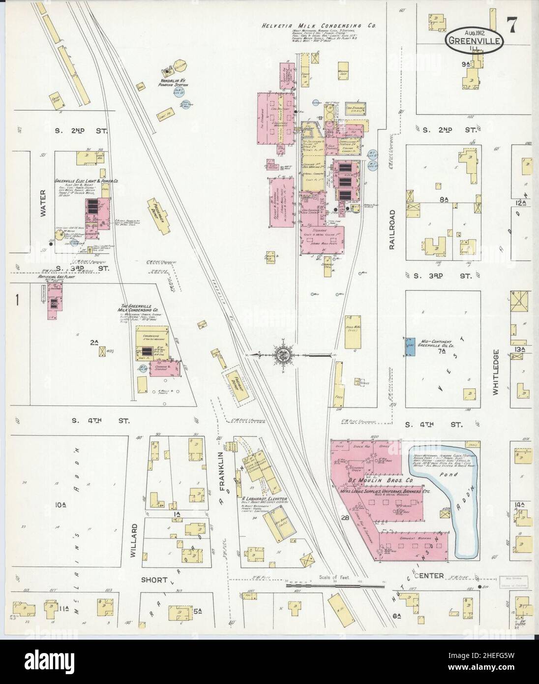 Sanborn Fire Insurance Map from Greenville, Bond County, Illinois. Stock Photohttps://www.alamy.com/image-license-details/?v=1https://www.alamy.com/sanborn-fire-insurance-map-from-greenville-bond-county-illinois-image456416741.html
RM2HEFG5W–Sanborn Fire Insurance Map from Greenville, Bond County, Illinois.
 USGS TOPO Map Illinois IL Greenville 309534 1943 62500 Restoration Stock Photohttps://www.alamy.com/image-license-details/?v=1https://www.alamy.com/usgs-topo-map-illinois-il-greenville-309534-1943-62500-restoration-image258719981.html
RMW0WKY9–USGS TOPO Map Illinois IL Greenville 309534 1943 62500 Restoration
 Boone and Bond County, Illinois (U.S. county, United States of America, USA, U.S., US) map vector illustration, scribble sketch Boone and Bond map Stock Vectorhttps://www.alamy.com/image-license-details/?v=1https://www.alamy.com/boone-and-bond-county-illinois-us-county-united-states-of-america-usa-us-us-map-vector-illustration-scribble-sketch-boone-and-bond-map-image361550748.html
RF2C061JM–Boone and Bond County, Illinois (U.S. county, United States of America, USA, U.S., US) map vector illustration, scribble sketch Boone and Bond map
 Greenville (historical), Franklin County, US, United States, Illinois, N 37 53' 37'', S 88 49' 8'', map, Cartascapes Map published in 2024. Explore Cartascapes, a map revealing Earth's diverse landscapes, cultures, and ecosystems. Journey through time and space, discovering the interconnectedness of our planet's past, present, and future. Stock Photohttps://www.alamy.com/image-license-details/?v=1https://www.alamy.com/greenville-historical-franklin-county-us-united-states-illinois-n-37-53-37-s-88-49-8-map-cartascapes-map-published-in-2024-explore-cartascapes-a-map-revealing-earths-diverse-landscapes-cultures-and-ecosystems-journey-through-time-and-space-discovering-the-interconnectedness-of-our-planets-past-present-and-future-image621381018.html
RM2Y2X9R6–Greenville (historical), Franklin County, US, United States, Illinois, N 37 53' 37'', S 88 49' 8'', map, Cartascapes Map published in 2024. Explore Cartascapes, a map revealing Earth's diverse landscapes, cultures, and ecosystems. Journey through time and space, discovering the interconnectedness of our planet's past, present, and future.
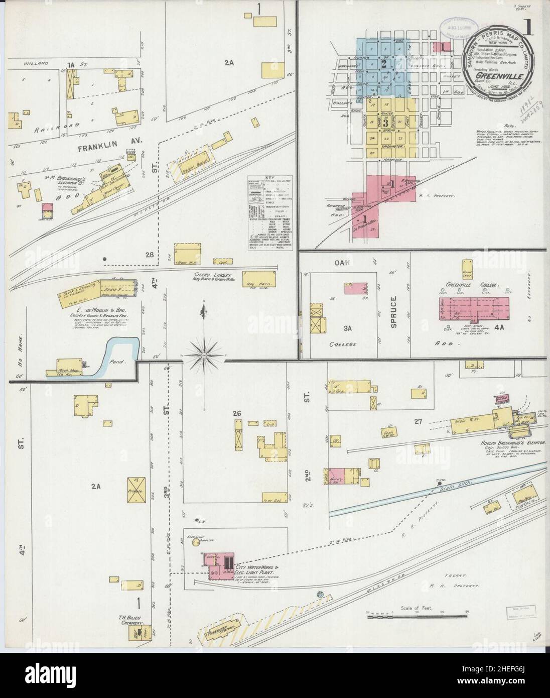 Sanborn Fire Insurance Map from Greenville, Bond County, Illinois. Stock Photohttps://www.alamy.com/image-license-details/?v=1https://www.alamy.com/sanborn-fire-insurance-map-from-greenville-bond-county-illinois-image456416762.html
RM2HEFG6J–Sanborn Fire Insurance Map from Greenville, Bond County, Illinois.
 USGS TOPO Map Illinois IL Greenville 309533 1939 62500 Restoration Stock Photohttps://www.alamy.com/image-license-details/?v=1https://www.alamy.com/usgs-topo-map-illinois-il-greenville-309533-1939-62500-restoration-image258719921.html
RMW0WKW5–USGS TOPO Map Illinois IL Greenville 309533 1939 62500 Restoration
 Boone and Bond County, Illinois (U.S. county, United States of America, USA, U.S., US) map vector illustration, scribble sketch Boone and Bond map Stock Vectorhttps://www.alamy.com/image-license-details/?v=1https://www.alamy.com/boone-and-bond-county-illinois-us-county-united-states-of-america-usa-us-us-map-vector-illustration-scribble-sketch-boone-and-bond-map-image368910782.html
RF2CC59D2–Boone and Bond County, Illinois (U.S. county, United States of America, USA, U.S., US) map vector illustration, scribble sketch Boone and Bond map
 Township of Greenville, Bureau County, US, United States, Illinois, N 41 32' 26'', S 89 41' 8'', map, Cartascapes Map published in 2024. Explore Cartascapes, a map revealing Earth's diverse landscapes, cultures, and ecosystems. Journey through time and space, discovering the interconnectedness of our planet's past, present, and future. Stock Photohttps://www.alamy.com/image-license-details/?v=1https://www.alamy.com/township-of-greenville-bureau-county-us-united-states-illinois-n-41-32-26-s-89-41-8-map-cartascapes-map-published-in-2024-explore-cartascapes-a-map-revealing-earths-diverse-landscapes-cultures-and-ecosystems-journey-through-time-and-space-discovering-the-interconnectedness-of-our-planets-past-present-and-future-image633801940.html
RM2YR44RG–Township of Greenville, Bureau County, US, United States, Illinois, N 41 32' 26'', S 89 41' 8'', map, Cartascapes Map published in 2024. Explore Cartascapes, a map revealing Earth's diverse landscapes, cultures, and ecosystems. Journey through time and space, discovering the interconnectedness of our planet's past, present, and future.
 Sanborn Fire Insurance Map from Greenville, Bond County, Illinois. Stock Photohttps://www.alamy.com/image-license-details/?v=1https://www.alamy.com/sanborn-fire-insurance-map-from-greenville-bond-county-illinois-image456416747.html
RM2HEFG63–Sanborn Fire Insurance Map from Greenville, Bond County, Illinois.
 USGS TOPO Map Illinois IL Greenville 307741 1974 24000 Restoration Stock Photohttps://www.alamy.com/image-license-details/?v=1https://www.alamy.com/usgs-topo-map-illinois-il-greenville-307741-1974-24000-restoration-image258719866.html
RMW0WKR6–USGS TOPO Map Illinois IL Greenville 307741 1974 24000 Restoration
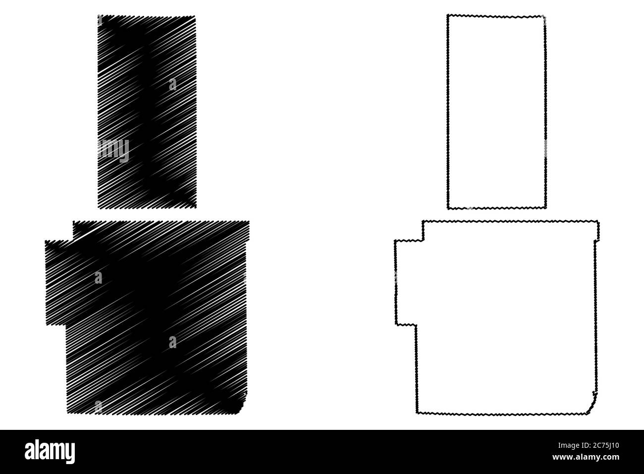 Boone and Bond County, Illinois (U.S. county, United States of America, USA, U.S., US) map vector illustration, scribble sketch Boone and Bond map Stock Vectorhttps://www.alamy.com/image-license-details/?v=1https://www.alamy.com/boone-and-bond-county-illinois-us-county-united-states-of-america-usa-us-us-map-vector-illustration-scribble-sketch-boone-and-bond-map-image365844220.html
RF2C75J10–Boone and Bond County, Illinois (U.S. county, United States of America, USA, U.S., US) map vector illustration, scribble sketch Boone and Bond map
 City of Greenville, Bond County, US, United States, Illinois, N 38 53' 12'', S 89 23' 21'', map, Cartascapes Map published in 2024. Explore Cartascapes, a map revealing Earth's diverse landscapes, cultures, and ecosystems. Journey through time and space, discovering the interconnectedness of our planet's past, present, and future. Stock Photohttps://www.alamy.com/image-license-details/?v=1https://www.alamy.com/city-of-greenville-bond-county-us-united-states-illinois-n-38-53-12-s-89-23-21-map-cartascapes-map-published-in-2024-explore-cartascapes-a-map-revealing-earths-diverse-landscapes-cultures-and-ecosystems-journey-through-time-and-space-discovering-the-interconnectedness-of-our-planets-past-present-and-future-image633886406.html
RM2YR80G6–City of Greenville, Bond County, US, United States, Illinois, N 38 53' 12'', S 89 23' 21'', map, Cartascapes Map published in 2024. Explore Cartascapes, a map revealing Earth's diverse landscapes, cultures, and ecosystems. Journey through time and space, discovering the interconnectedness of our planet's past, present, and future.
 Sanborn Fire Insurance Map from Greenville, Bond County, Illinois. Stock Photohttps://www.alamy.com/image-license-details/?v=1https://www.alamy.com/sanborn-fire-insurance-map-from-greenville-bond-county-illinois-image456416752.html
RM2HEFG68–Sanborn Fire Insurance Map from Greenville, Bond County, Illinois.
 USGS TOPO Map Illinois IL Greenville 20120806 TM Inverted Restoration Stock Photohttps://www.alamy.com/image-license-details/?v=1https://www.alamy.com/usgs-topo-map-illinois-il-greenville-20120806-tm-inverted-restoration-image258719575.html
RMW0WKCR–USGS TOPO Map Illinois IL Greenville 20120806 TM Inverted Restoration
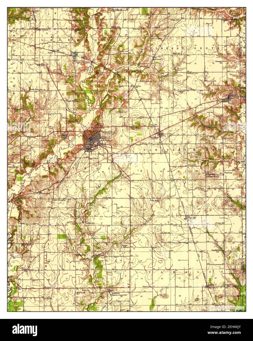 Greenville, Illinois, map 1939, 1:62500, United States of America by Timeless Maps, data U.S. Geological Survey Stock Photohttps://www.alamy.com/image-license-details/?v=1https://www.alamy.com/greenville-illinois-map-1939-162500-united-states-of-america-by-timeless-maps-data-us-geological-survey-image406380659.html
RM2EH46JY–Greenville, Illinois, map 1939, 1:62500, United States of America by Timeless Maps, data U.S. Geological Survey
 Sanborn Fire Insurance Map from Greenville, Bond County, Illinois. Stock Photohttps://www.alamy.com/image-license-details/?v=1https://www.alamy.com/sanborn-fire-insurance-map-from-greenville-bond-county-illinois-image456416744.html
RM2HEFG60–Sanborn Fire Insurance Map from Greenville, Bond County, Illinois.
 USGS TOPO Map Illinois IL Greenville 309531 1932 62500 Restoration Stock Photohttps://www.alamy.com/image-license-details/?v=1https://www.alamy.com/usgs-topo-map-illinois-il-greenville-309531-1932-62500-restoration-image258719856.html
RMW0WKPT–USGS TOPO Map Illinois IL Greenville 309531 1932 62500 Restoration
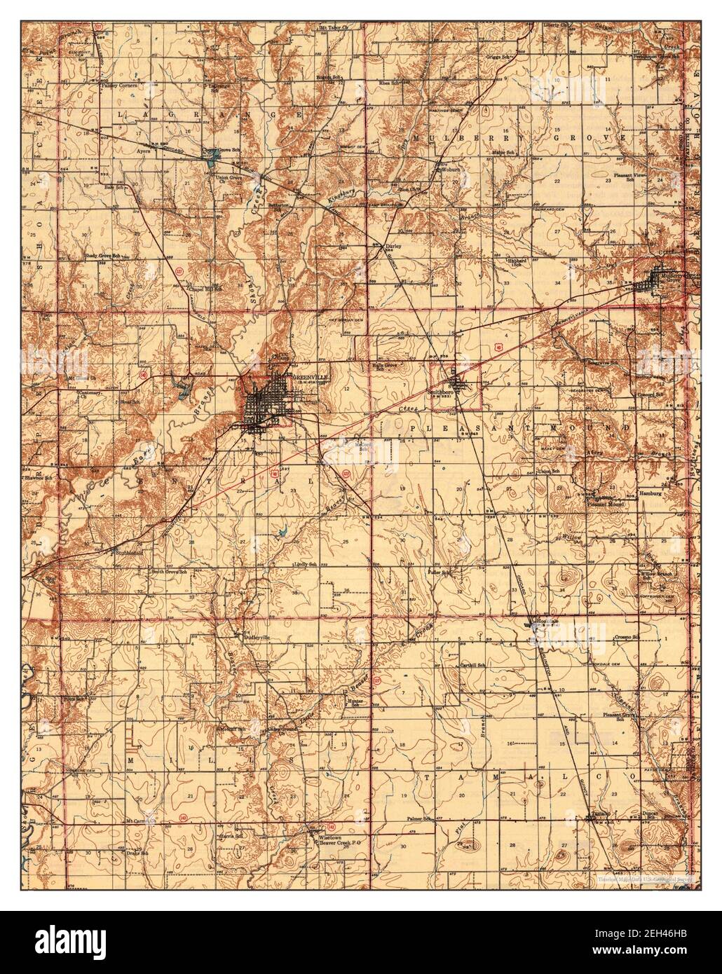 Greenville, Illinois, map 1943, 1:62500, United States of America by Timeless Maps, data U.S. Geological Survey Stock Photohttps://www.alamy.com/image-license-details/?v=1https://www.alamy.com/greenville-illinois-map-1943-162500-united-states-of-america-by-timeless-maps-data-us-geological-survey-image406380615.html
RM2EH46HB–Greenville, Illinois, map 1943, 1:62500, United States of America by Timeless Maps, data U.S. Geological Survey
 Sanborn Fire Insurance Map from Greenville, Bond County, Illinois. Stock Photohttps://www.alamy.com/image-license-details/?v=1https://www.alamy.com/sanborn-fire-insurance-map-from-greenville-bond-county-illinois-image456416748.html
RM2HEFG64–Sanborn Fire Insurance Map from Greenville, Bond County, Illinois.
 USGS TOPO Map Illinois IL Greenville 309531 1932 62500 Inverted Restoration Stock Photohttps://www.alamy.com/image-license-details/?v=1https://www.alamy.com/usgs-topo-map-illinois-il-greenville-309531-1932-62500-inverted-restoration-image258719844.html
RMW0WKPC–USGS TOPO Map Illinois IL Greenville 309531 1932 62500 Inverted Restoration
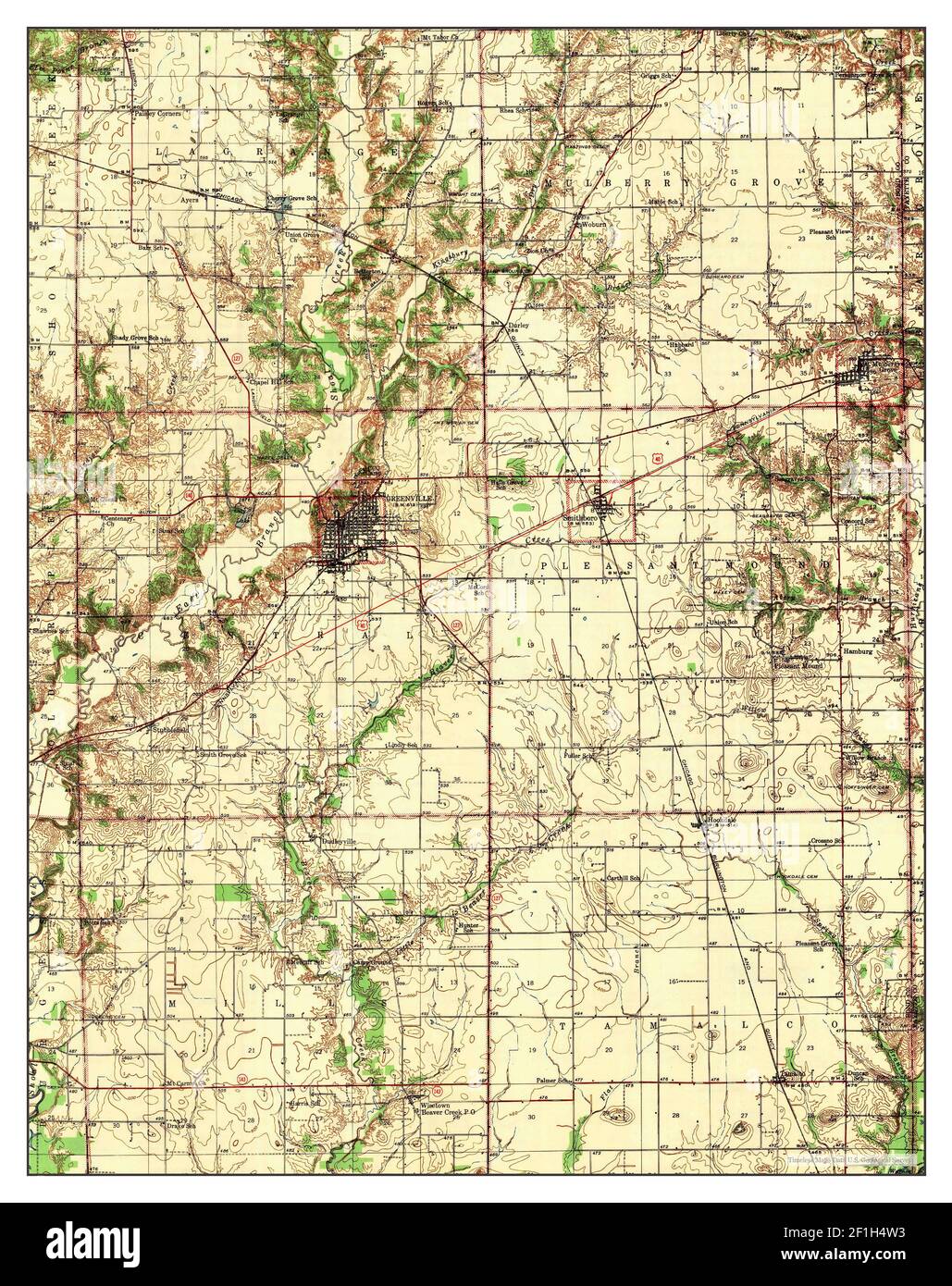 Greenville, Illinois, map 1943, 1:62500, United States of America by Timeless Maps, data U.S. Geological Survey Stock Photohttps://www.alamy.com/image-license-details/?v=1https://www.alamy.com/greenville-illinois-map-1943-162500-united-states-of-america-by-timeless-maps-data-us-geological-survey-image414040511.html
RM2F1H4W3–Greenville, Illinois, map 1943, 1:62500, United States of America by Timeless Maps, data U.S. Geological Survey
 Sanborn Fire Insurance Map from Greenville, Bond County, Illinois. Stock Photohttps://www.alamy.com/image-license-details/?v=1https://www.alamy.com/sanborn-fire-insurance-map-from-greenville-bond-county-illinois-image456416734.html
RM2HEFG5J–Sanborn Fire Insurance Map from Greenville, Bond County, Illinois.
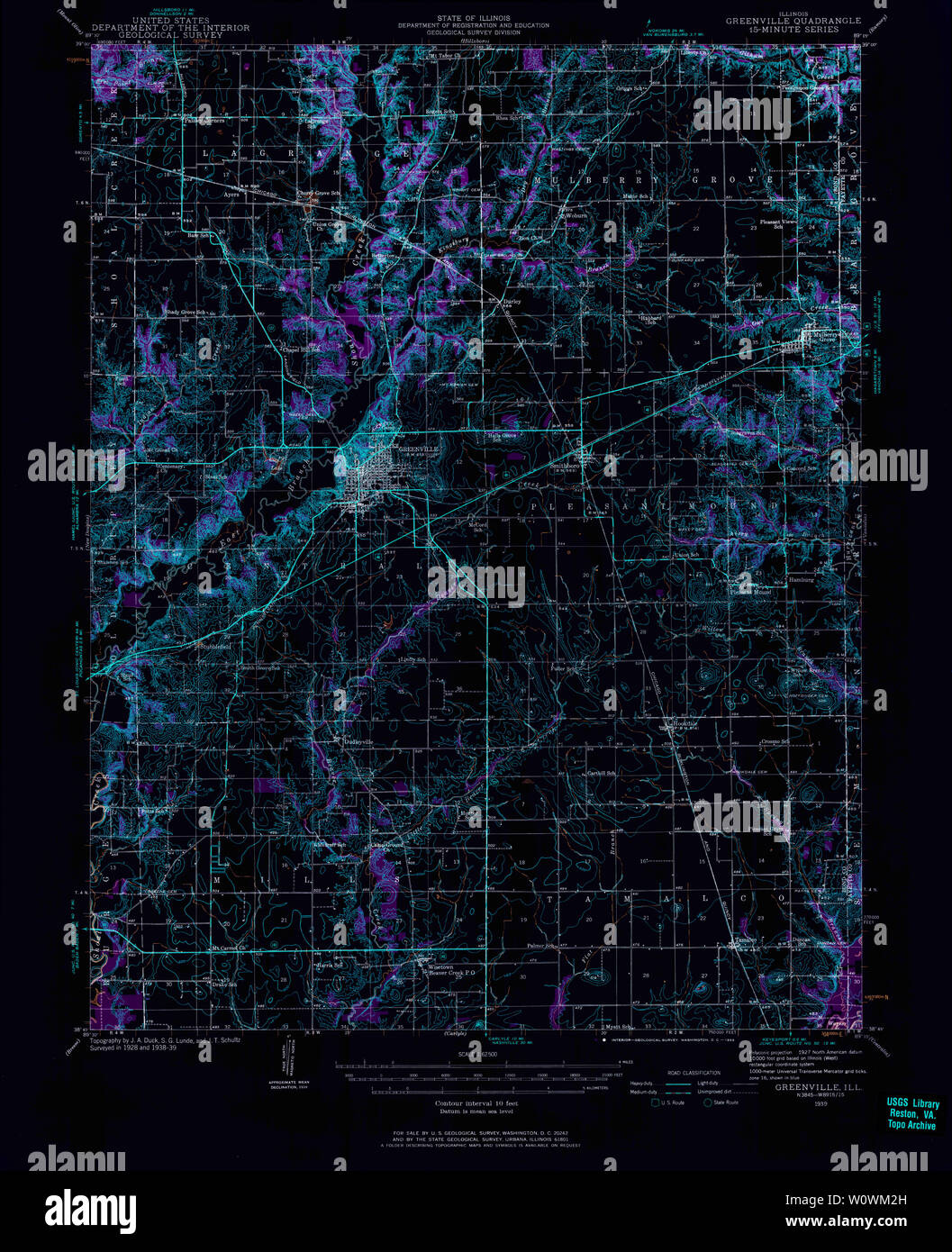 USGS TOPO Map Illinois IL Greenville 309533 1939 62500 Inverted Restoration Stock Photohttps://www.alamy.com/image-license-details/?v=1https://www.alamy.com/usgs-topo-map-illinois-il-greenville-309533-1939-62500-inverted-restoration-image258720073.html
RMW0WM2H–USGS TOPO Map Illinois IL Greenville 309533 1939 62500 Inverted Restoration
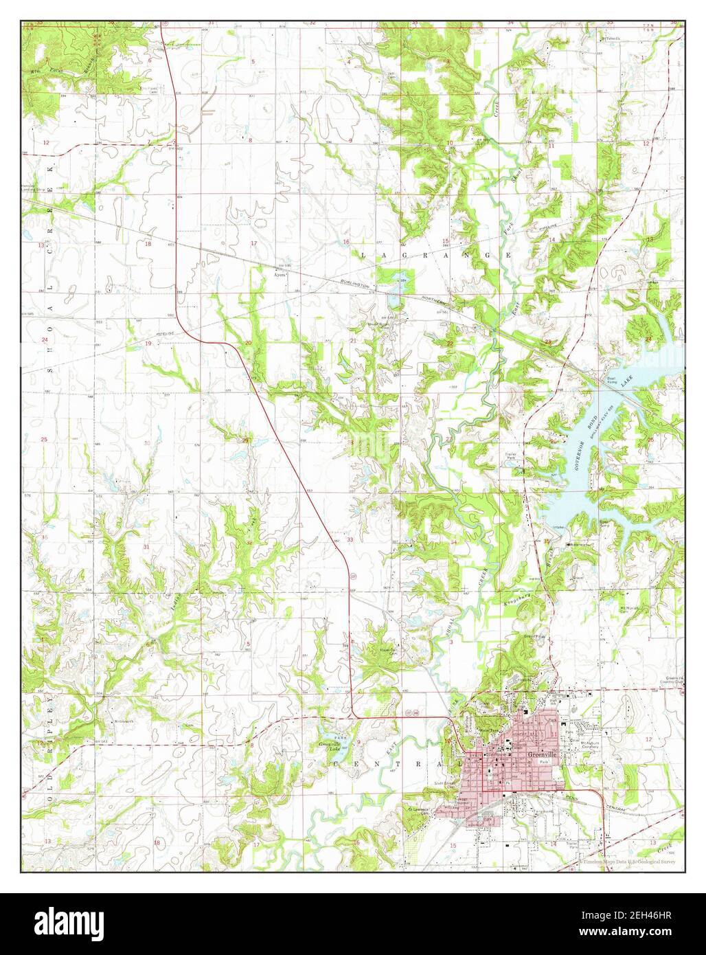 Greenville, Illinois, map 1974, 1:24000, United States of America by Timeless Maps, data U.S. Geological Survey Stock Photohttps://www.alamy.com/image-license-details/?v=1https://www.alamy.com/greenville-illinois-map-1974-124000-united-states-of-america-by-timeless-maps-data-us-geological-survey-image406380627.html
RM2EH46HR–Greenville, Illinois, map 1974, 1:24000, United States of America by Timeless Maps, data U.S. Geological Survey
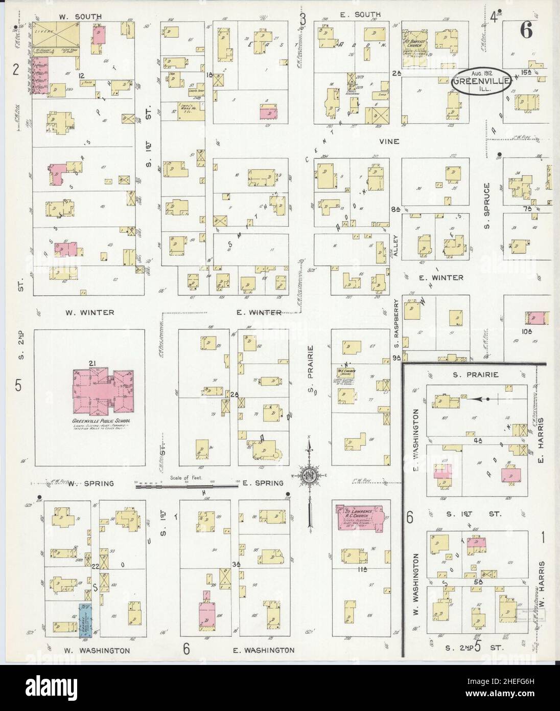 Sanborn Fire Insurance Map from Greenville, Bond County, Illinois. Stock Photohttps://www.alamy.com/image-license-details/?v=1https://www.alamy.com/sanborn-fire-insurance-map-from-greenville-bond-county-illinois-image456416761.html
RM2HEFG6H–Sanborn Fire Insurance Map from Greenville, Bond County, Illinois.
 USGS TOPO Map Illinois IL Greenville 309534 1943 62500 Inverted Restoration Stock Photohttps://www.alamy.com/image-license-details/?v=1https://www.alamy.com/usgs-topo-map-illinois-il-greenville-309534-1943-62500-inverted-restoration-image258719923.html
RMW0WKW7–USGS TOPO Map Illinois IL Greenville 309534 1943 62500 Inverted Restoration
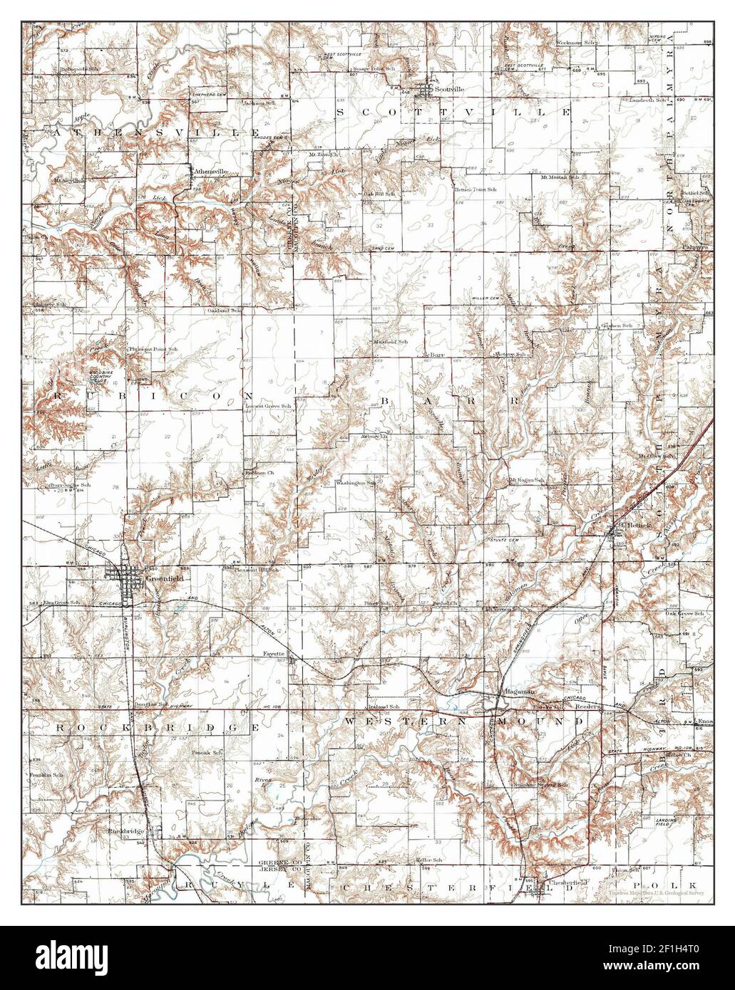 Greenville, Illinois, map 1932, 1:62500, United States of America by Timeless Maps, data U.S. Geological Survey Stock Photohttps://www.alamy.com/image-license-details/?v=1https://www.alamy.com/greenville-illinois-map-1932-162500-united-states-of-america-by-timeless-maps-data-us-geological-survey-image414040480.html
RM2F1H4T0–Greenville, Illinois, map 1932, 1:62500, United States of America by Timeless Maps, data U.S. Geological Survey
 Sanborn Fire Insurance Map from Greenville, Bond County, Illinois. Stock Photohttps://www.alamy.com/image-license-details/?v=1https://www.alamy.com/sanborn-fire-insurance-map-from-greenville-bond-county-illinois-image456416755.html
RM2HEFG6B–Sanborn Fire Insurance Map from Greenville, Bond County, Illinois.
 USGS TOPO Map Illinois IL Greenville 307741 1974 24000 Inverted Restoration Stock Photohttps://www.alamy.com/image-license-details/?v=1https://www.alamy.com/usgs-topo-map-illinois-il-greenville-307741-1974-24000-inverted-restoration-image258719788.html
RMW0WKMC–USGS TOPO Map Illinois IL Greenville 307741 1974 24000 Inverted Restoration
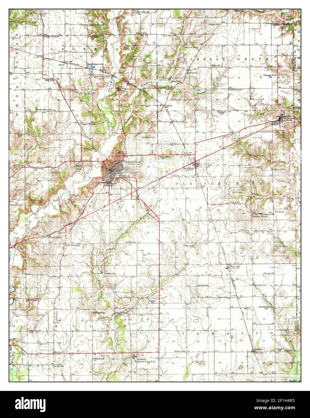 Greenville, Illinois, map 1939, 1:62500, United States of America by Timeless Maps, data U.S. Geological Survey Stock Photohttps://www.alamy.com/image-license-details/?v=1https://www.alamy.com/greenville-illinois-map-1939-162500-united-states-of-america-by-timeless-maps-data-us-geological-survey-image414040457.html
RM2F1H4R5–Greenville, Illinois, map 1939, 1:62500, United States of America by Timeless Maps, data U.S. Geological Survey
 Sanborn Fire Insurance Map from Greenville, Bond County, Illinois. Stock Photohttps://www.alamy.com/image-license-details/?v=1https://www.alamy.com/sanborn-fire-insurance-map-from-greenville-bond-county-illinois-image456416740.html
RM2HEFG5T–Sanborn Fire Insurance Map from Greenville, Bond County, Illinois.
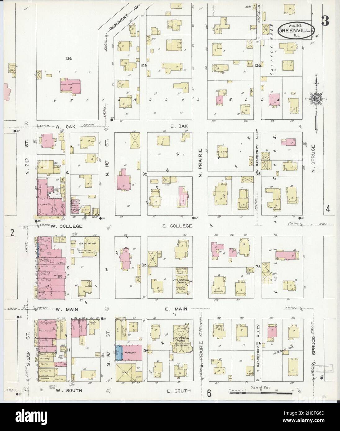 Sanborn Fire Insurance Map from Greenville, Bond County, Illinois. Stock Photohttps://www.alamy.com/image-license-details/?v=1https://www.alamy.com/sanborn-fire-insurance-map-from-greenville-bond-county-illinois-image456416757.html
RM2HEFG6D–Sanborn Fire Insurance Map from Greenville, Bond County, Illinois.
 Sanborn Fire Insurance Map from Greenville, Bond County, Illinois. Stock Photohttps://www.alamy.com/image-license-details/?v=1https://www.alamy.com/sanborn-fire-insurance-map-from-greenville-bond-county-illinois-image456416759.html
RM2HEFG6F–Sanborn Fire Insurance Map from Greenville, Bond County, Illinois.
 Sanborn Fire Insurance Map from Greenville, Bond County, Illinois. Stock Photohttps://www.alamy.com/image-license-details/?v=1https://www.alamy.com/sanborn-fire-insurance-map-from-greenville-bond-county-illinois-image456416751.html
RM2HEFG67–Sanborn Fire Insurance Map from Greenville, Bond County, Illinois.
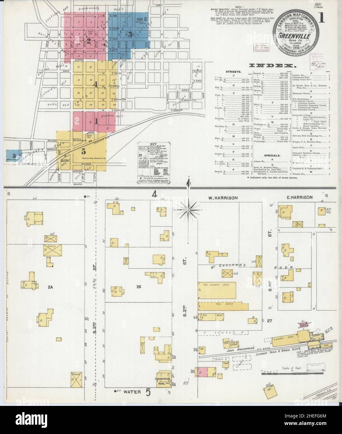 Sanborn Fire Insurance Map from Greenville, Bond County, Illinois. Stock Photohttps://www.alamy.com/image-license-details/?v=1https://www.alamy.com/sanborn-fire-insurance-map-from-greenville-bond-county-illinois-image456416764.html
RM2HEFG6M–Sanborn Fire Insurance Map from Greenville, Bond County, Illinois.
 Sanborn Fire Insurance Map from Greenville, Bond County, Illinois. Stock Photohttps://www.alamy.com/image-license-details/?v=1https://www.alamy.com/sanborn-fire-insurance-map-from-greenville-bond-county-illinois-image456416750.html
RM2HEFG66–Sanborn Fire Insurance Map from Greenville, Bond County, Illinois.
 Sanborn Fire Insurance Map from Greenville, Bond County, Illinois. Stock Photohttps://www.alamy.com/image-license-details/?v=1https://www.alamy.com/sanborn-fire-insurance-map-from-greenville-bond-county-illinois-image456416760.html
RM2HEFG6G–Sanborn Fire Insurance Map from Greenville, Bond County, Illinois.
 Sanborn Fire Insurance Map from Greenville, Bond County, Illinois. Stock Photohttps://www.alamy.com/image-license-details/?v=1https://www.alamy.com/sanborn-fire-insurance-map-from-greenville-bond-county-illinois-image456416730.html
RM2HEFG5E–Sanborn Fire Insurance Map from Greenville, Bond County, Illinois.
 Sanborn Fire Insurance Map from Greenville, Bond County, Illinois. Stock Photohttps://www.alamy.com/image-license-details/?v=1https://www.alamy.com/sanborn-fire-insurance-map-from-greenville-bond-county-illinois-image456416753.html
RM2HEFG69–Sanborn Fire Insurance Map from Greenville, Bond County, Illinois.