Guanajuato vector Stock Vectors & Vector Art
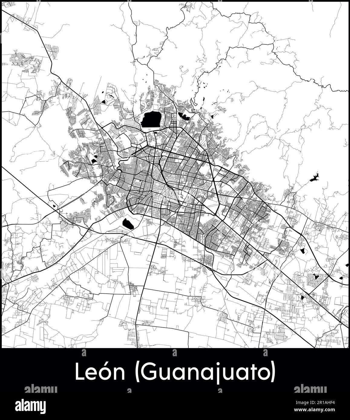 City Map North America Mexico Leon (Guanajuato) vector illustration Stock Vectorhttps://www.alamy.com/image-license-details/?v=1https://www.alamy.com/city-map-north-america-mexico-leon-guanajuato-vector-illustration-image551579704.html
RF2R1AHF4–City Map North America Mexico Leon (Guanajuato) vector illustration
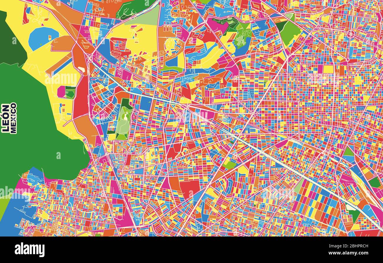 Colorful vector map of León, Guanajuato, Mexico. Art Map template for selfprinting wall art in landscape format. Stock Vectorhttps://www.alamy.com/image-license-details/?v=1https://www.alamy.com/colorful-vector-map-of-len-guanajuato-mexico-art-map-template-for-selfprinting-wall-art-in-landscape-format-image355157841.html
RF2BHPRCH–Colorful vector map of León, Guanajuato, Mexico. Art Map template for selfprinting wall art in landscape format.
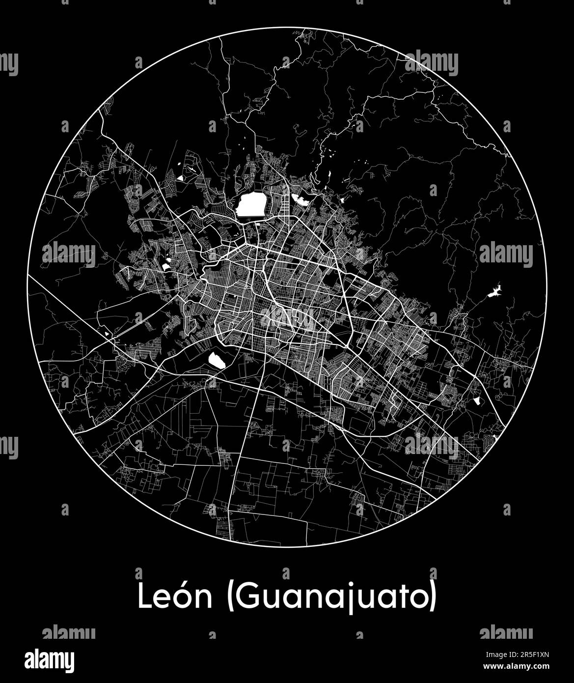 City Map Leon (Guanajuato) Mexico North America vector illustration Stock Vectorhttps://www.alamy.com/image-license-details/?v=1https://www.alamy.com/city-map-leon-guanajuato-mexico-north-america-vector-illustration-image554135869.html
RF2R5F1XN–City Map Leon (Guanajuato) Mexico North America vector illustration
 Wave flag of Guanajuato is a region of Mexico. Banner or ribbon vector template Stock Vectorhttps://www.alamy.com/image-license-details/?v=1https://www.alamy.com/wave-flag-of-guanajuato-is-a-region-of-mexico-banner-or-ribbon-vector-template-image465479223.html
RF2J18BDY–Wave flag of Guanajuato is a region of Mexico. Banner or ribbon vector template
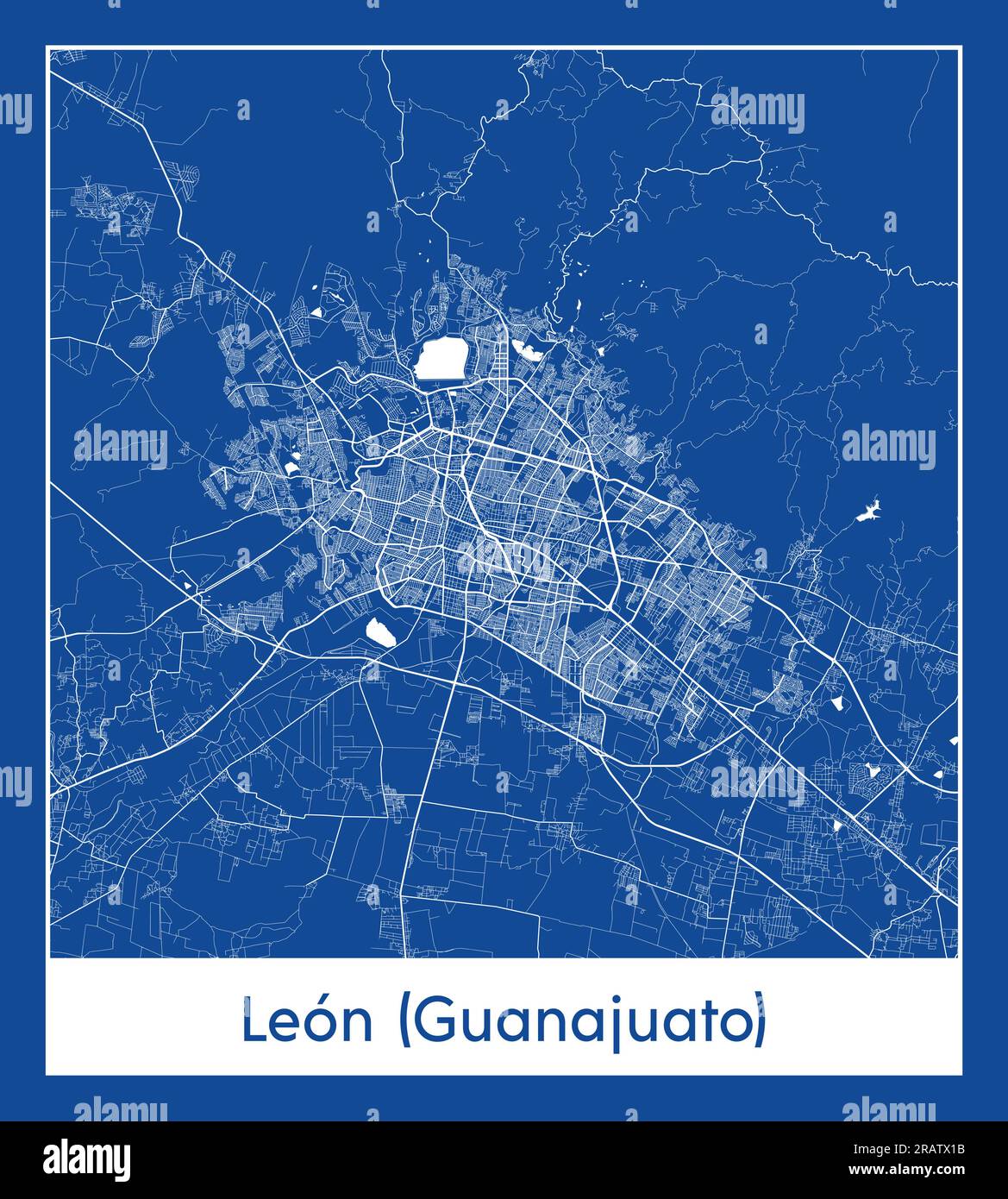 Leon Guanajuato Mexico North America City map blue print vector illustration Stock Vectorhttps://www.alamy.com/image-license-details/?v=1https://www.alamy.com/leon-guanajuato-mexico-north-america-city-map-blue-print-vector-illustration-image557425607.html
RF2RATX1B–Leon Guanajuato Mexico North America City map blue print vector illustration
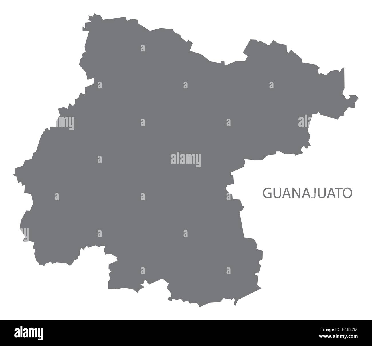 Guanajuato Mexico Map grey Stock Vectorhttps://www.alamy.com/image-license-details/?v=1https://www.alamy.com/stock-photo-guanajuato-mexico-map-grey-123174456.html
RFH4B27M–Guanajuato Mexico Map grey
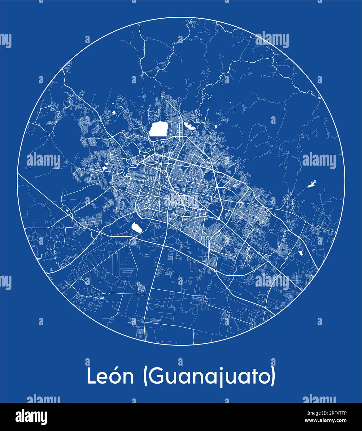 City Map Leon Guanajuato Mexico North America blue print round Circle vector illustration Stock Vectorhttps://www.alamy.com/image-license-details/?v=1https://www.alamy.com/city-map-leon-guanajuato-mexico-north-america-blue-print-round-circle-vector-illustration-image560541878.html
RF2RFXTTP–City Map Leon Guanajuato Mexico North America blue print round Circle vector illustration
RFR0XD07–Set of vector icons. States of Mexico flags. 3D illustration.
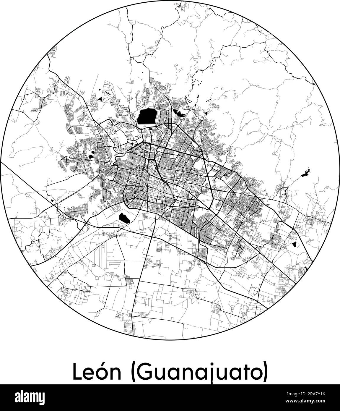 City Map Leon (Guanajuato) Mexico North America vector illustration black white Stock Vectorhttps://www.alamy.com/image-license-details/?v=1https://www.alamy.com/city-map-leon-guanajuato-mexico-north-america-vector-illustration-black-white-image557053215.html
RF2RA7Y1K–City Map Leon (Guanajuato) Mexico North America vector illustration black white
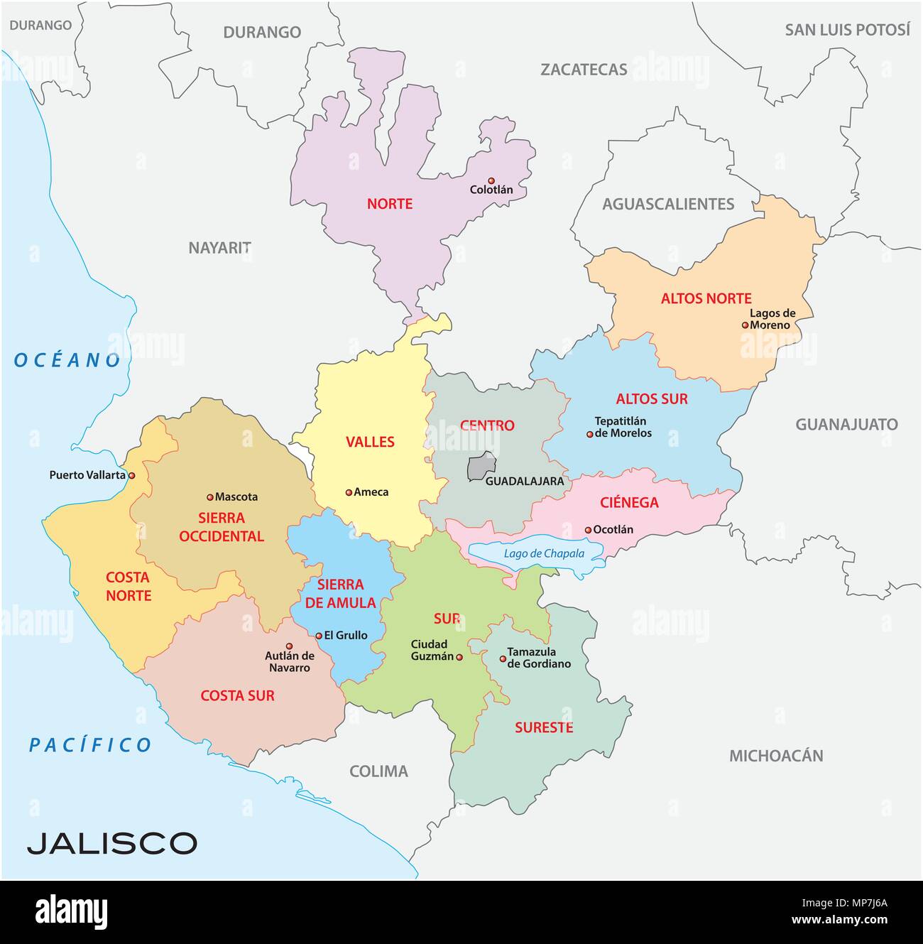 jalisco, administrative and political vector map, mexico Stock Vectorhttps://www.alamy.com/image-license-details/?v=1https://www.alamy.com/jalisco-administrative-and-political-vector-map-mexico-image185794066.html
RFMP7J6A–jalisco, administrative and political vector map, mexico
 National Flag of Guyana Vector, Guyana Flag background, Guyana sign Stock Vectorhttps://www.alamy.com/image-license-details/?v=1https://www.alamy.com/national-flag-of-guyana-vector-guyana-flag-background-guyana-sign-image598482817.html
RF2WNK6X9–National Flag of Guyana Vector, Guyana Flag background, Guyana sign
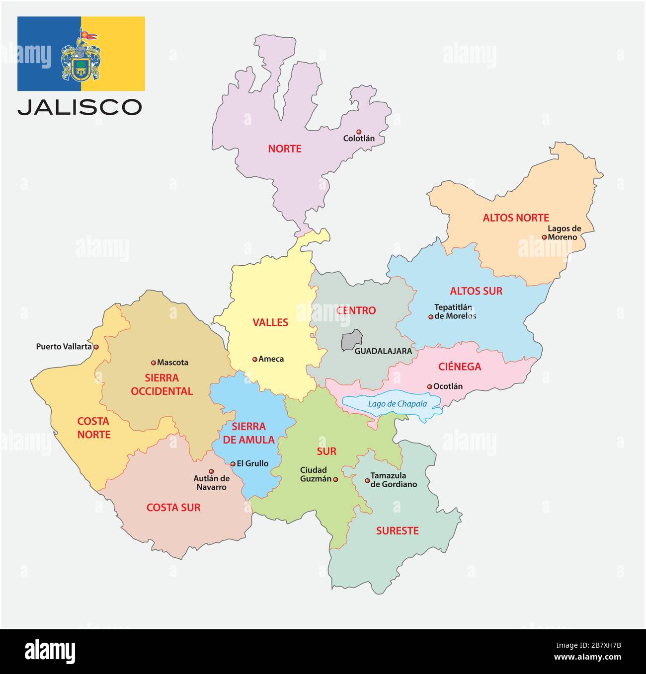 jalisco, administrative and political vector map with flag, mexico Stock Vectorhttps://www.alamy.com/image-license-details/?v=1https://www.alamy.com/jalisco-administrative-and-political-vector-map-with-flag-mexico-image349094239.html
RF2B7XH7B–jalisco, administrative and political vector map with flag, mexico
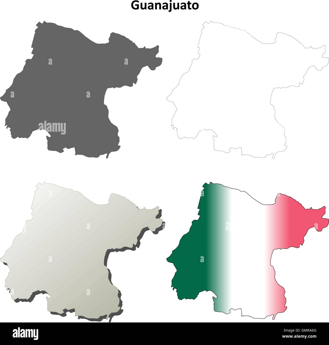 Guanajuato blank outline map set Stock Vectorhttps://www.alamy.com/image-license-details/?v=1https://www.alamy.com/stock-photo-guanajuato-blank-outline-map-set-116068248.html
RFGMRA6G–Guanajuato blank outline map set
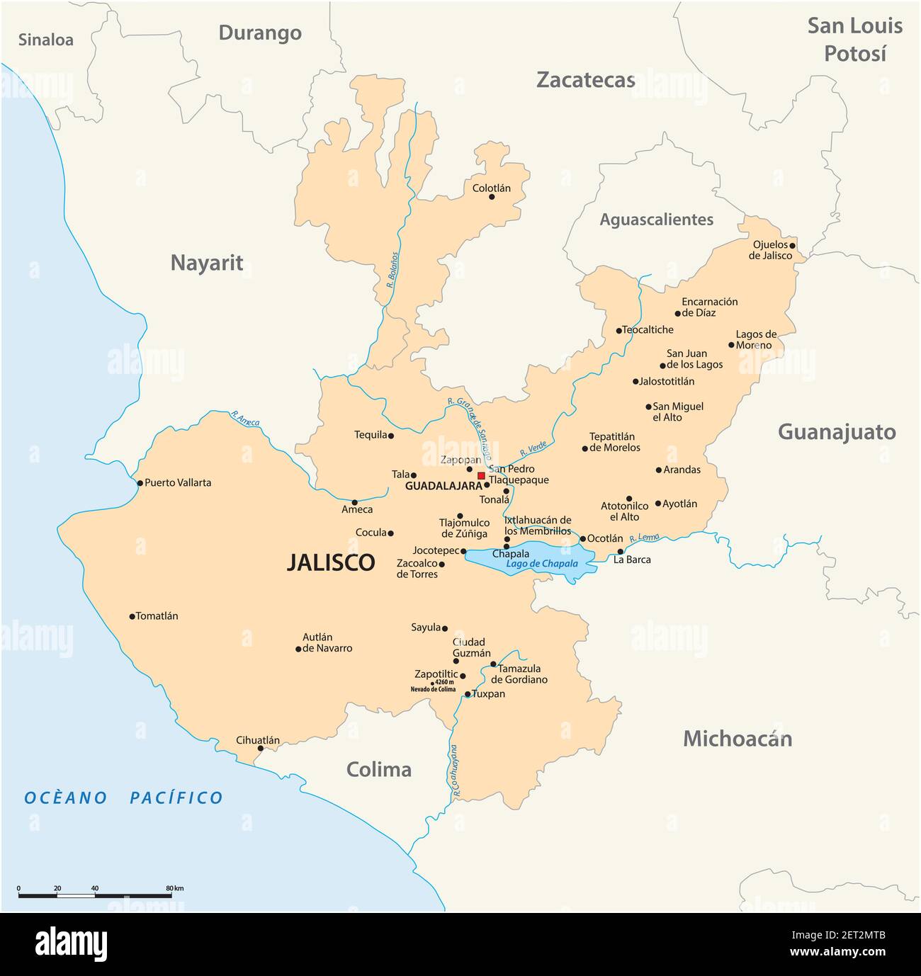 vector map of the Mexican state of Jalisco Stock Vectorhttps://www.alamy.com/image-license-details/?v=1https://www.alamy.com/vector-map-of-the-mexican-state-of-jalisco-image410650475.html
RF2ET2MTB–vector map of the Mexican state of Jalisco
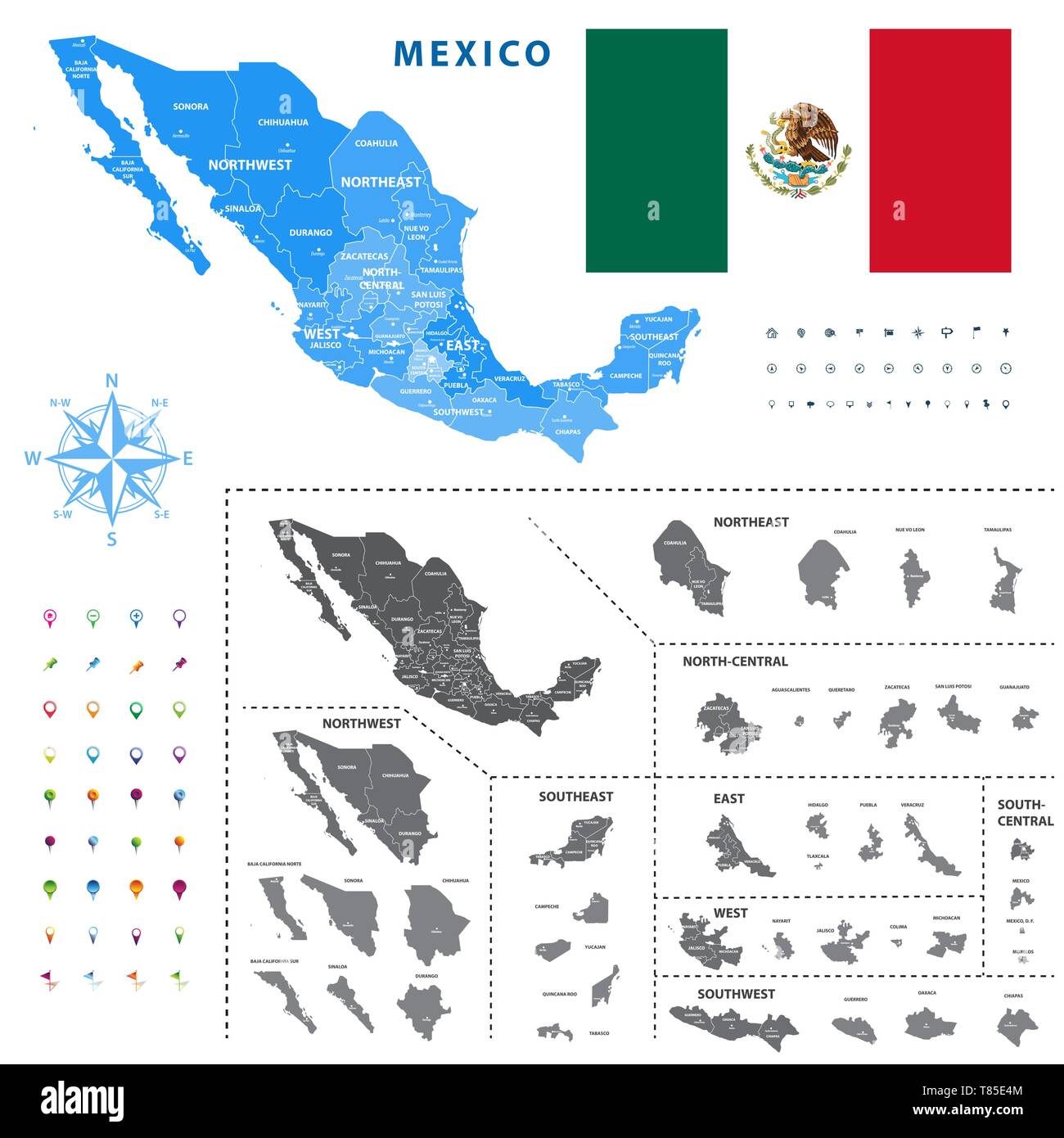 map of Mexico regions represents a general outline of a states ciudades Stock Vectorhttps://www.alamy.com/image-license-details/?v=1https://www.alamy.com/map-of-mexico-regions-represents-a-general-outline-of-a-states-ciudades-image245983268.html
RFT85E4M–map of Mexico regions represents a general outline of a states ciudades
RFPJHJM6–Set of icons. Flags of the Mexico.
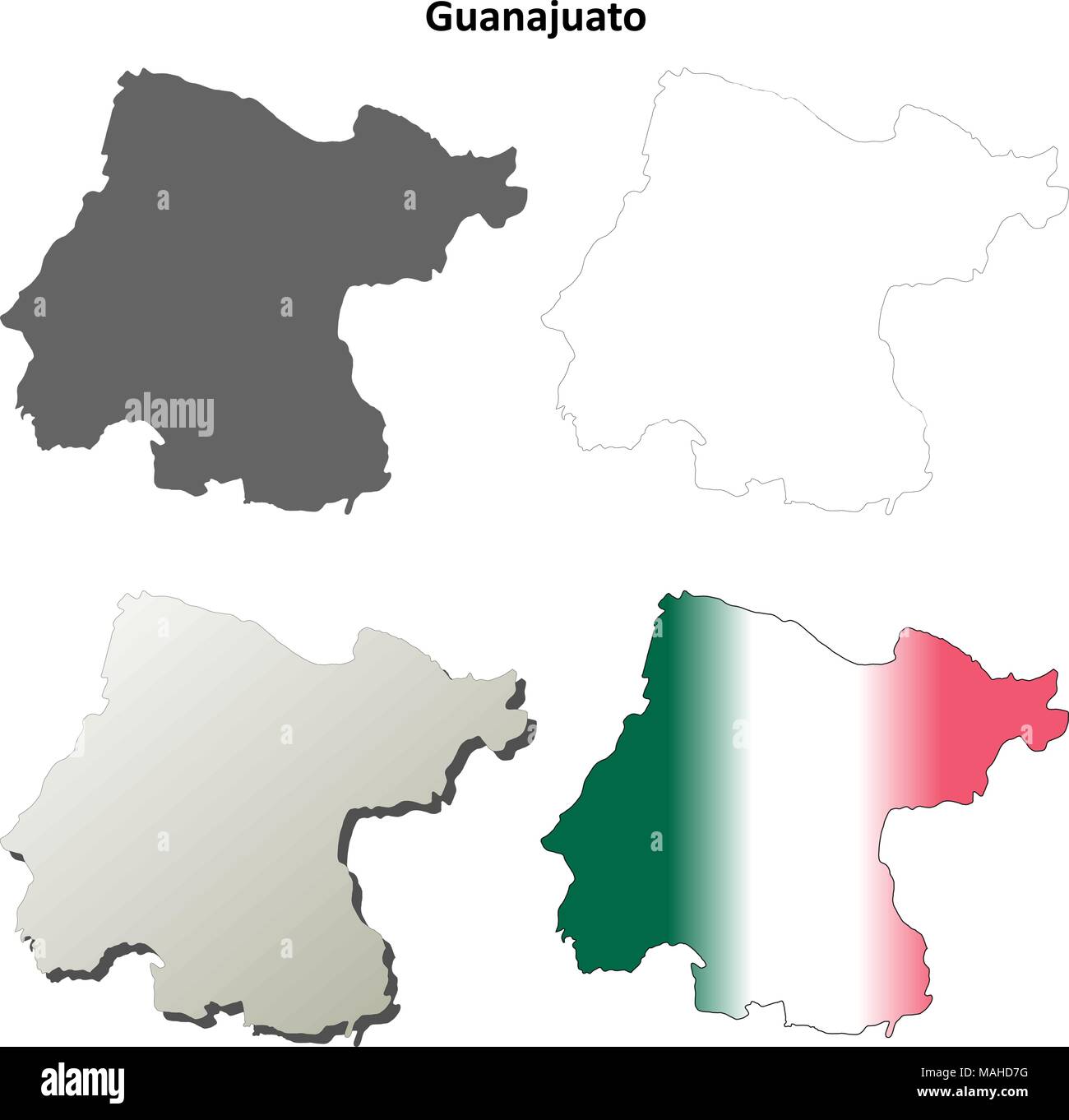 Guanajuato blank outline map set Stock Vectorhttps://www.alamy.com/image-license-details/?v=1https://www.alamy.com/guanajuato-blank-outline-map-set-image178633828.html
RFMAHD7G–Guanajuato blank outline map set
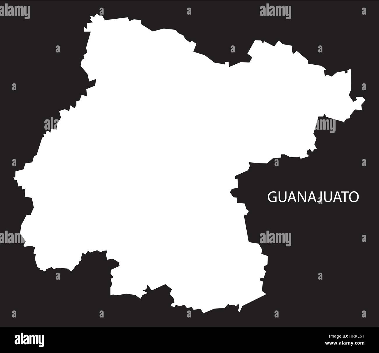 Guanajuato Mexico Map black inverted silhouette Stock Vectorhttps://www.alamy.com/image-license-details/?v=1https://www.alamy.com/stock-photo-guanajuato-mexico-map-black-inverted-silhouette-135037920.html
RFHRKE6T–Guanajuato Mexico Map black inverted silhouette
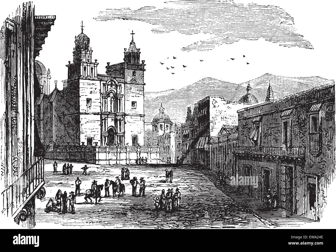 Cathedral at Guanajuato vintage engraving. Old engraved illustration of historic cathedral building at Guanajuato, 1890s. Stock Vectorhttps://www.alamy.com/image-license-details/?v=1https://www.alamy.com/stock-photo-cathedral-at-guanajuato-vintage-engraving-old-engraved-illustration-84429086.html
RFEWA24E–Cathedral at Guanajuato vintage engraving. Old engraved illustration of historic cathedral building at Guanajuato, 1890s.
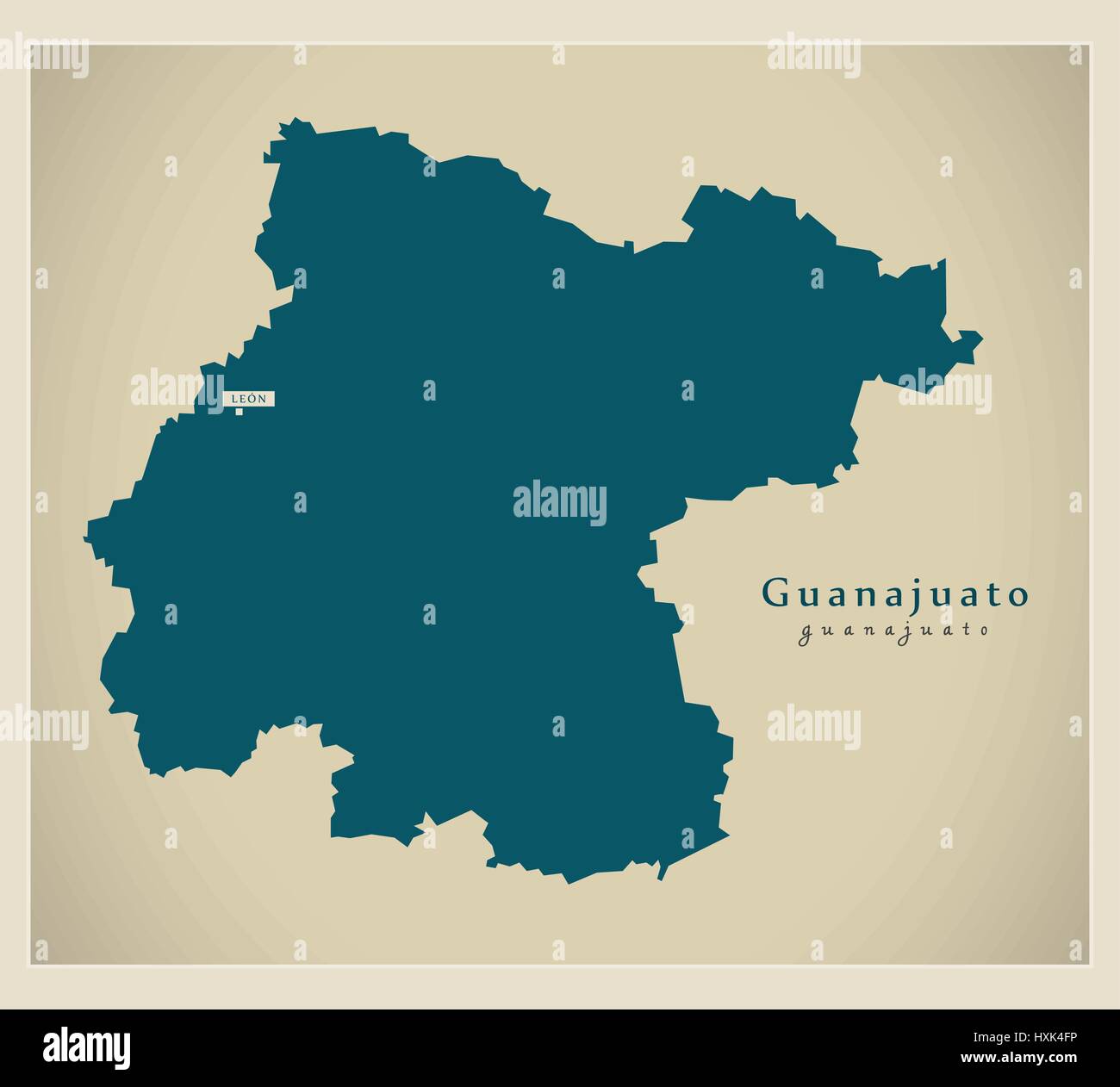 Modern Map - Guanajuato MX Stock Vectorhttps://www.alamy.com/image-license-details/?v=1https://www.alamy.com/stock-photo-modern-map-guanajuato-mx-136874298.html
RFHXK4FP–Modern Map - Guanajuato MX
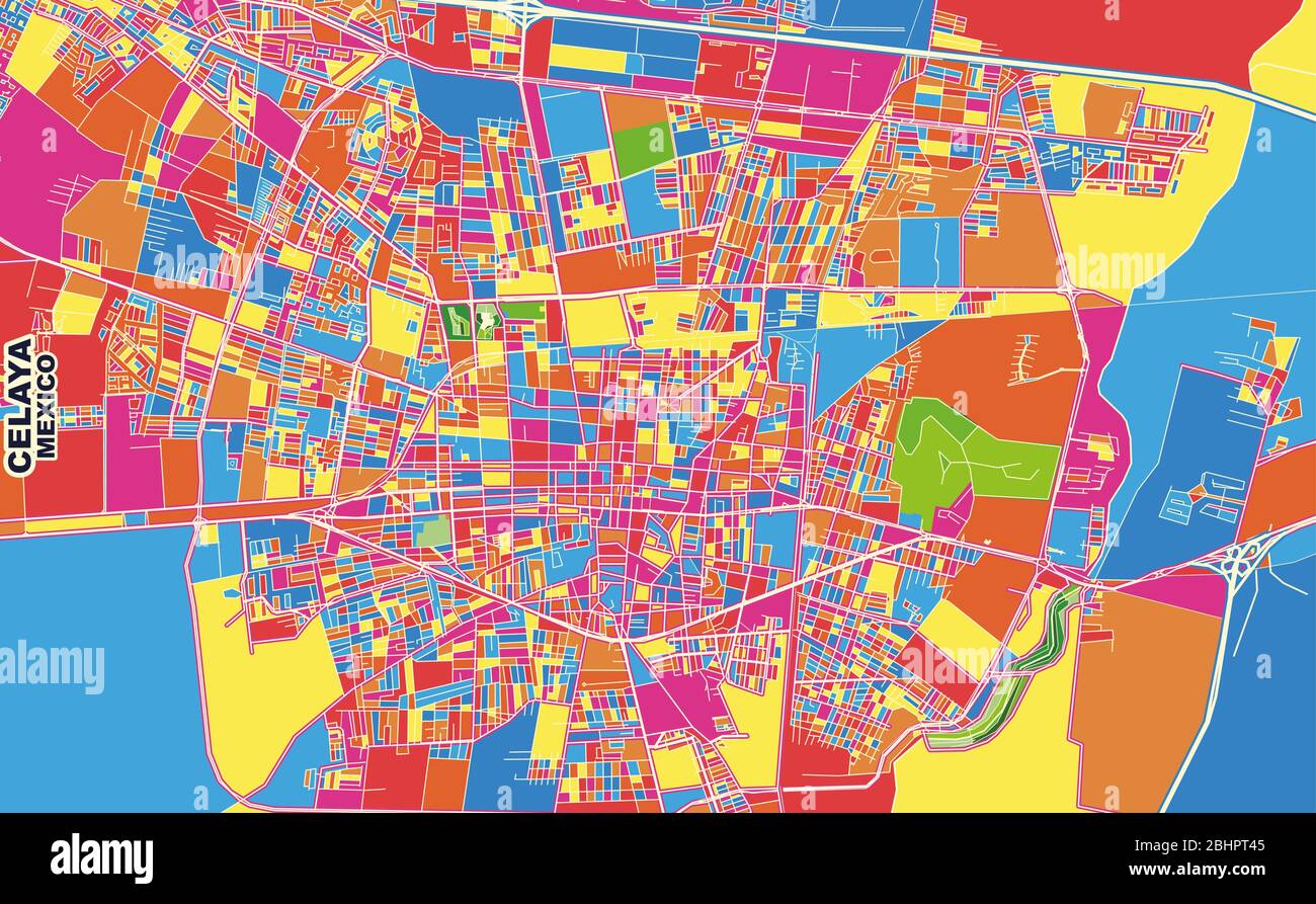 Colorful vector map of Celaya, Guanajuato, Mexico. Art Map template for selfprinting wall art in landscape format. Stock Vectorhttps://www.alamy.com/image-license-details/?v=1https://www.alamy.com/colorful-vector-map-of-celaya-guanajuato-mexico-art-map-template-for-selfprinting-wall-art-in-landscape-format-image355158389.html
RF2BHPT45–Colorful vector map of Celaya, Guanajuato, Mexico. Art Map template for selfprinting wall art in landscape format.
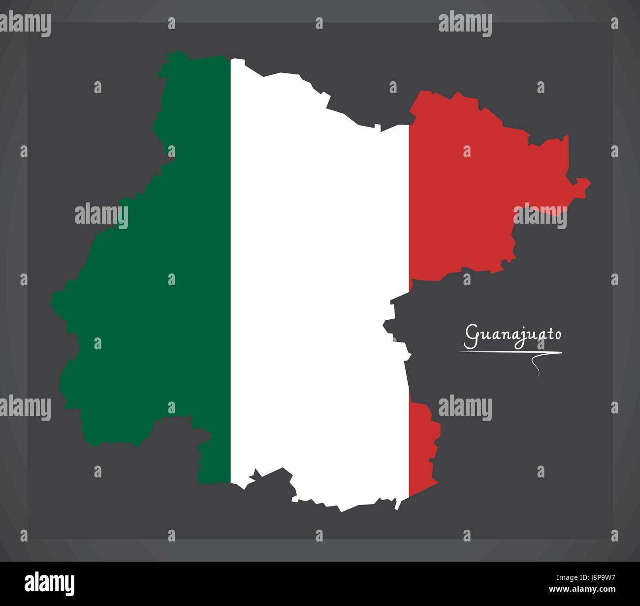 Guanajuato map with Mexican national flag illustration Stock Vectorhttps://www.alamy.com/image-license-details/?v=1https://www.alamy.com/stock-photo-guanajuato-map-with-mexican-national-flag-illustration-143090899.html
RFJ8P9W7–Guanajuato map with Mexican national flag illustration
 Guanajuato State silhouette map isolated on white background, Mexico Stock Vectorhttps://www.alamy.com/image-license-details/?v=1https://www.alamy.com/guanajuato-state-silhouette-map-isolated-on-white-background-mexico-image616181513.html
RF2XPDDPH–Guanajuato State silhouette map isolated on white background, Mexico
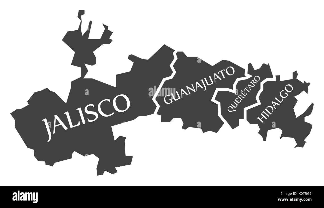 Jalisco - Guanajuato - Queretaro - Hidalgo Map Mexico illustration Stock Vectorhttps://www.alamy.com/image-license-details/?v=1https://www.alamy.com/jalisco-guanajuato-queretaro-hidalgo-map-mexico-illustration-image155438649.html
RFK0TRG9–Jalisco - Guanajuato - Queretaro - Hidalgo Map Mexico illustration
 Cities in Mexico word cloud concept. Vector illustration Stock Vectorhttps://www.alamy.com/image-license-details/?v=1https://www.alamy.com/cities-in-mexico-word-cloud-concept-vector-illustration-image239943953.html
RFRXAAXW–Cities in Mexico word cloud concept. Vector illustration
 Minimal city map of Leon (Guanajuato) (Mexico North America) Stock Vectorhttps://www.alamy.com/image-license-details/?v=1https://www.alamy.com/minimal-city-map-of-leon-guanajuato-mexico-north-america-image553870027.html
RF2R52XTB–Minimal city map of Leon (Guanajuato) (Mexico North America)
 Guanajuato (United Mexican States, Mexico, federal republic) map vector illustration, scribble sketch Free and Sovereign State of Guanajuato map Stock Vectorhttps://www.alamy.com/image-license-details/?v=1https://www.alamy.com/guanajuato-united-mexican-states-mexico-federal-republic-map-vector-illustration-scribble-sketch-free-and-sovereign-state-of-guanajuato-map-image222076899.html
RFPW8D9R–Guanajuato (United Mexican States, Mexico, federal republic) map vector illustration, scribble sketch Free and Sovereign State of Guanajuato map
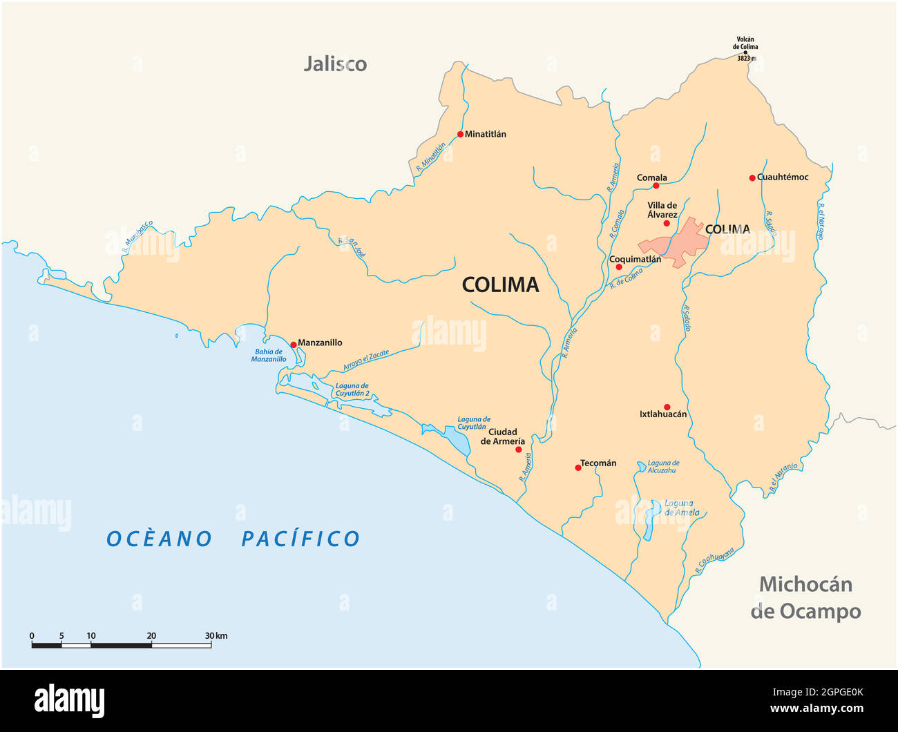 vector map of the Mexican state of Colima Stock Vectorhttps://www.alamy.com/image-license-details/?v=1https://www.alamy.com/vector-map-of-the-mexican-state-of-colima-image444143859.html
RF2GPGE0K–vector map of the Mexican state of Colima
 Guanajuato, vector tin sign, Mexico states plate. Free and Sovereign State of Guanajuato, mexico state sign. Mexican plaque with vintage typography, North America travel destination memory plate Stock Vectorhttps://www.alamy.com/image-license-details/?v=1https://www.alamy.com/guanajuato-vector-tin-sign-mexico-states-plate-free-and-sovereign-state-of-guanajuato-mexico-state-sign-mexican-plaque-with-vintage-typography-north-america-travel-destination-memory-plate-image597154317.html
RF2WKEMBW–Guanajuato, vector tin sign, Mexico states plate. Free and Sovereign State of Guanajuato, mexico state sign. Mexican plaque with vintage typography, North America travel destination memory plate
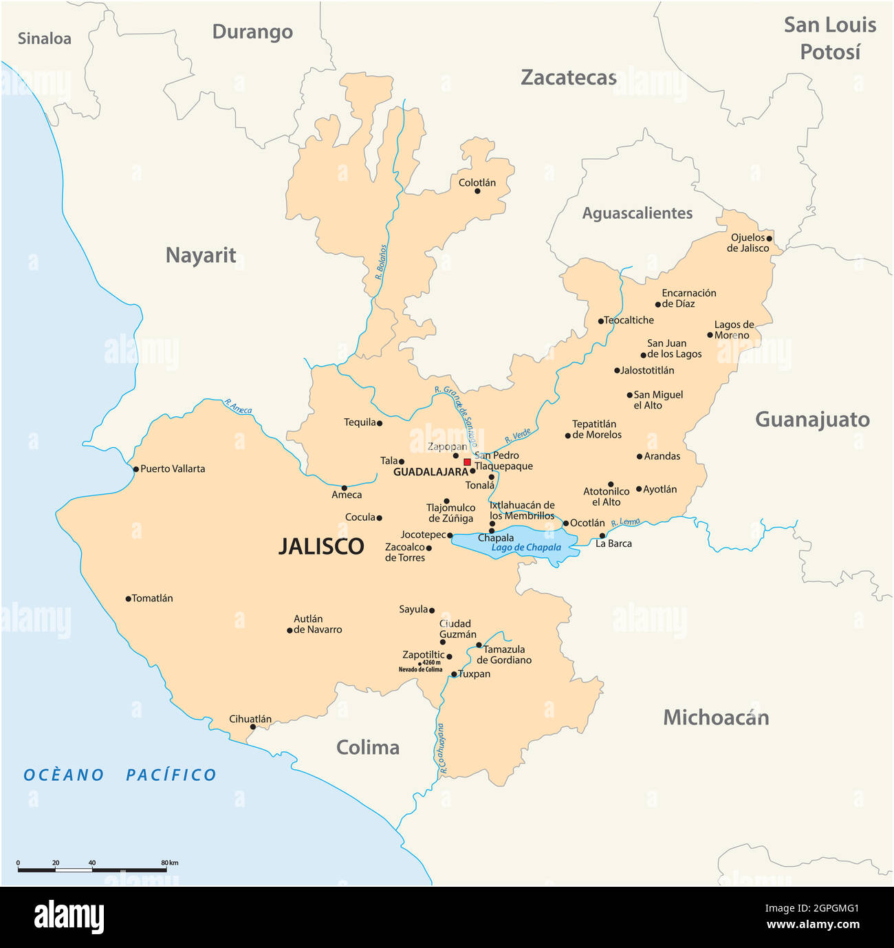 vector map of the Mexican state of Jalisco Stock Vectorhttps://www.alamy.com/image-license-details/?v=1https://www.alamy.com/vector-map-of-the-mexican-state-of-jalisco-image444148993.html
RF2GPGMG1–vector map of the Mexican state of Jalisco
RF2EFYYFM–Mexico architecture landmarks and famous buildings facade line icons. Vector set of Mexican aqueduct, churches, cathedrals and monastery of Santa Rosa
 Waving flag of Guanajuato is a state of Mexico on white background. Banner or ribbon vector template Stock Vectorhttps://www.alamy.com/image-license-details/?v=1https://www.alamy.com/waving-flag-of-guanajuato-is-a-state-of-mexico-on-white-background-banner-or-ribbon-vector-template-image449942122.html
RF2H40HNE–Waving flag of Guanajuato is a state of Mexico on white background. Banner or ribbon vector template
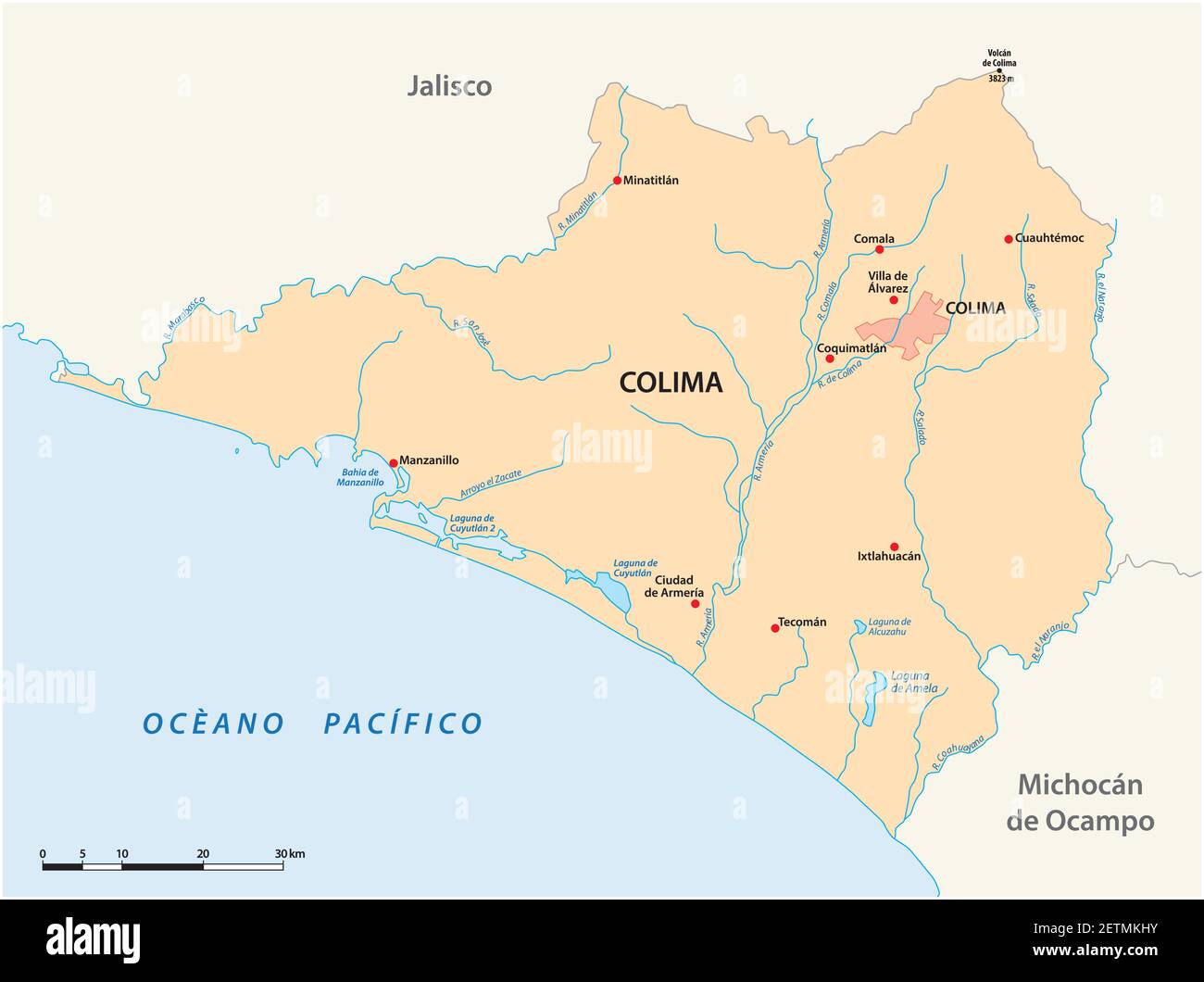 vector map of the Mexican state of Colima Stock Vectorhttps://www.alamy.com/image-license-details/?v=1https://www.alamy.com/vector-map-of-the-mexican-state-of-colima-image411044647.html
RF2ETMKHY–vector map of the Mexican state of Colima
RF2EGJ1N5–Travel landmark of Mexico thin line icon of famous tourist sight. Guadalajara Cathedral, Guanajuato University and Government Palace, Degollado Theate
 Mexico, Leon city skyline isolated vector illustration. Mexico, Leon travel cityscape with landmarks Stock Vectorhttps://www.alamy.com/image-license-details/?v=1https://www.alamy.com/mexico-leon-city-skyline-isolated-vector-illustration-mexico-leon-travel-cityscape-with-landmarks-image334180794.html
RF2ABK70A–Mexico, Leon city skyline isolated vector illustration. Mexico, Leon travel cityscape with landmarks
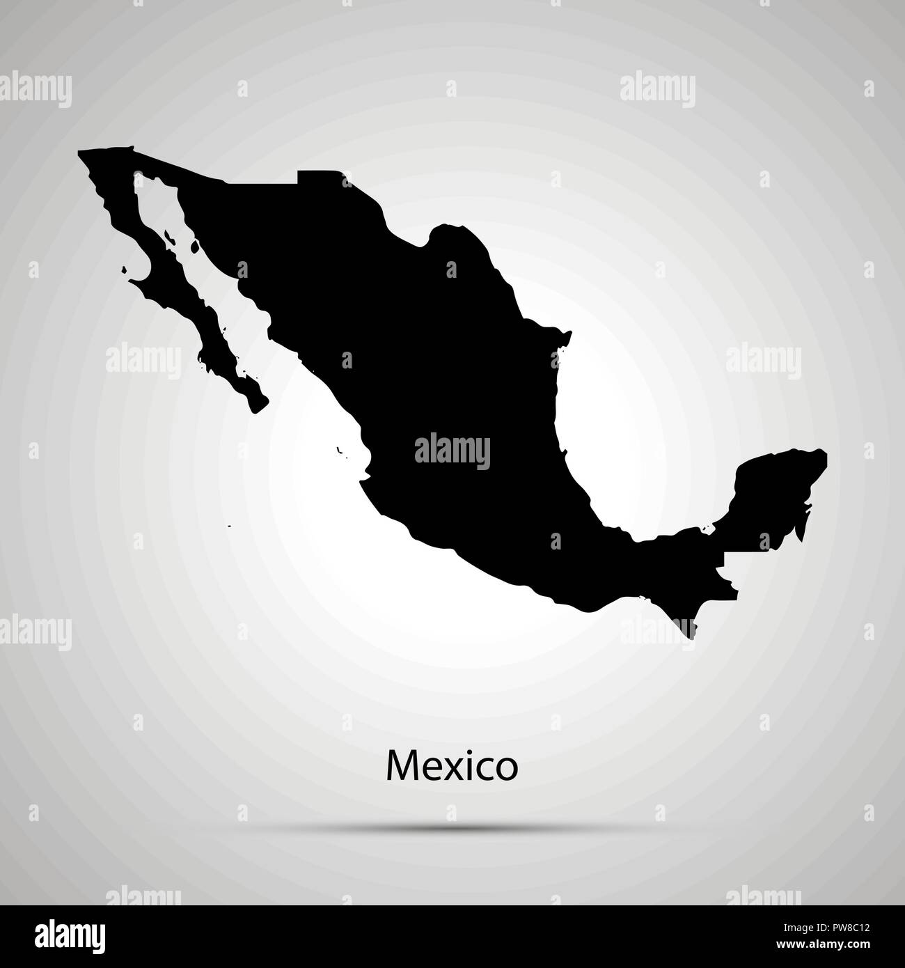 Mexico country map, simple black silhouette on gray Stock Vectorhttps://www.alamy.com/image-license-details/?v=1https://www.alamy.com/mexico-country-map-simple-black-silhouette-on-gray-image222075870.html
RFPW8C12–Mexico country map, simple black silhouette on gray
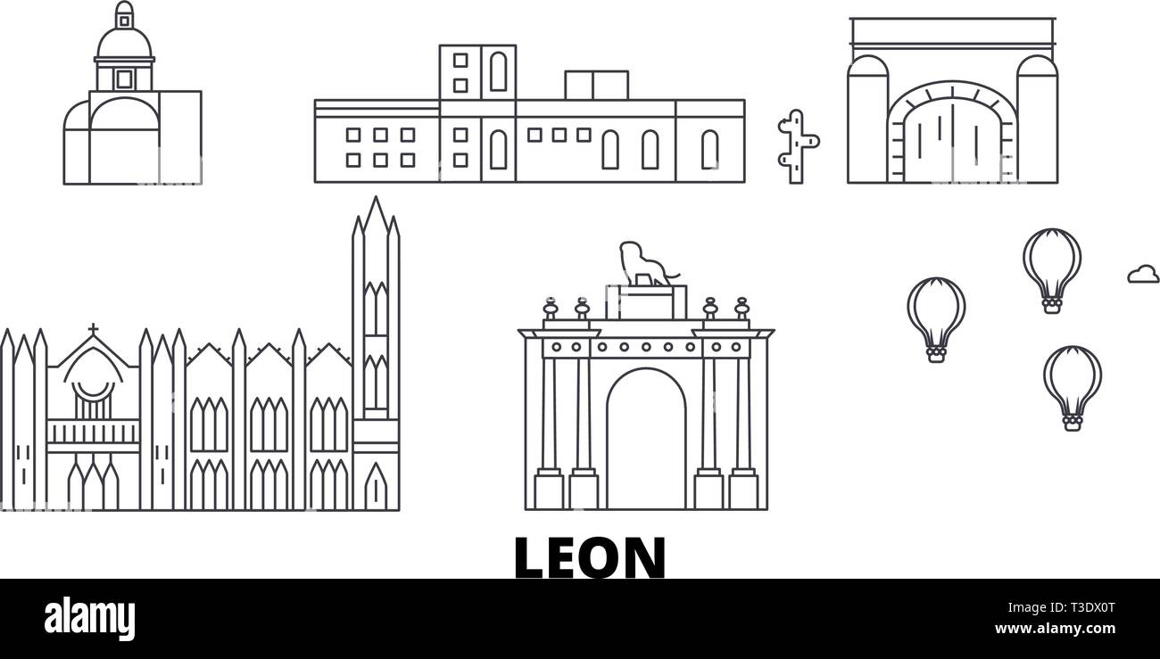 Mexico, Leon line travel skyline set. Mexico, Leon outline city vector illustration, symbol, travel sights, landmarks. Stock Vectorhttps://www.alamy.com/image-license-details/?v=1https://www.alamy.com/mexico-leon-line-travel-skyline-set-mexico-leon-outline-city-vector-illustration-symbol-travel-sights-landmarks-image243094904.html
RFT3DX0T–Mexico, Leon line travel skyline set. Mexico, Leon outline city vector illustration, symbol, travel sights, landmarks.
 Guanajuato state outline map set Stock Vectorhttps://www.alamy.com/image-license-details/?v=1https://www.alamy.com/guanajuato-state-outline-map-set-image620782107.html
RF2Y1Y1WF–Guanajuato state outline map set
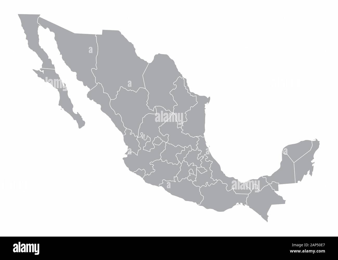 Mexico gray map Stock Vectorhttps://www.alamy.com/image-license-details/?v=1https://www.alamy.com/mexico-gray-map-image340629583.html
RF2AP50E7–Mexico gray map
 Colorful vector map of Irapuato, Guanajuato, Mexico. Art Map template for selfprinting wall art in landscape format. Stock Vectorhttps://www.alamy.com/image-license-details/?v=1https://www.alamy.com/colorful-vector-map-of-irapuato-guanajuato-mexico-art-map-template-for-selfprinting-wall-art-in-landscape-format-image355158336.html
RF2BHPT28–Colorful vector map of Irapuato, Guanajuato, Mexico. Art Map template for selfprinting wall art in landscape format.
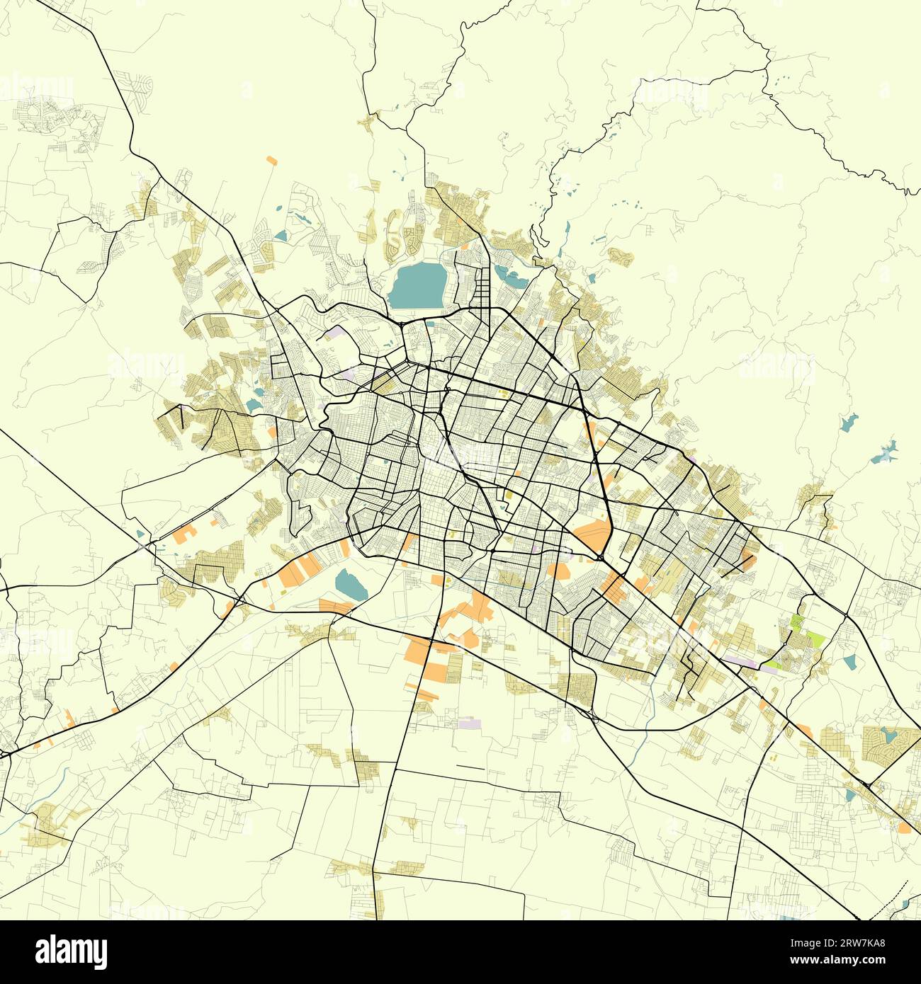 Map of León Guanajuato Mexico Stock Vectorhttps://www.alamy.com/image-license-details/?v=1https://www.alamy.com/map-of-len-guanajuato-mexico-image566267024.html
RF2RW7KA8–Map of León Guanajuato Mexico
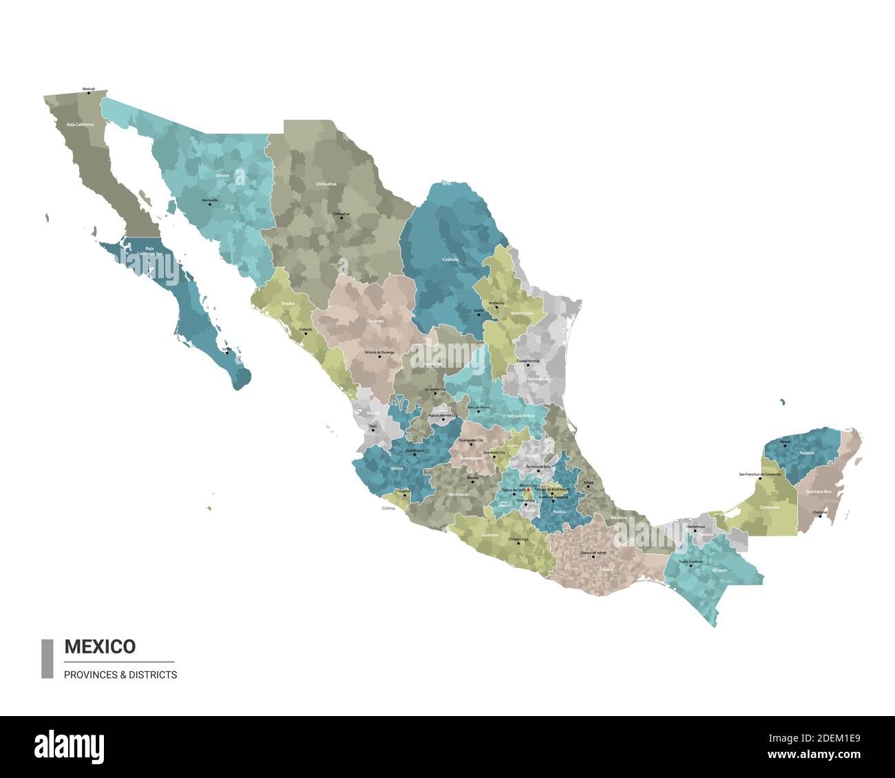 Mexico higt detailed map with subdivisions. Administrative map of Mexico with districts and cities name, colored by states and administrative district Stock Vectorhttps://www.alamy.com/image-license-details/?v=1https://www.alamy.com/mexico-higt-detailed-map-with-subdivisions-administrative-map-of-mexico-with-districts-and-cities-name-colored-by-states-and-administrative-district-image387673505.html
RF2DEM1E9–Mexico higt detailed map with subdivisions. Administrative map of Mexico with districts and cities name, colored by states and administrative district
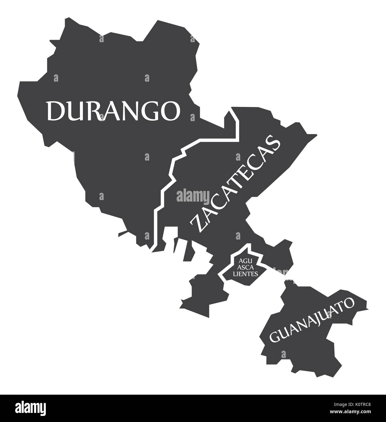 Durango - Zacatecas - Aguascalientes - Guanajuato Map Mexico illustration Stock Vectorhttps://www.alamy.com/image-license-details/?v=1https://www.alamy.com/durango-zacatecas-aguascalientes-guanajuato-map-mexico-illustration-image155438536.html
RFK0TRC8–Durango - Zacatecas - Aguascalientes - Guanajuato Map Mexico illustration
 Cities in Mexico word cloud concept. Vector illustration Stock Vectorhttps://www.alamy.com/image-license-details/?v=1https://www.alamy.com/cities-in-mexico-word-cloud-concept-vector-illustration-image239943954.html
RFRXAAXX–Cities in Mexico word cloud concept. Vector illustration
 Guanajuato (United Mexican States, Mexico, federal republic) map vector illustration, scribble sketch Free and Sovereign State of Guanajuato map Stock Vectorhttps://www.alamy.com/image-license-details/?v=1https://www.alamy.com/guanajuato-united-mexican-states-mexico-federal-republic-map-vector-illustration-scribble-sketch-free-and-sovereign-state-of-guanajuato-map-image221246531.html
RFPRXJ5R–Guanajuato (United Mexican States, Mexico, federal republic) map vector illustration, scribble sketch Free and Sovereign State of Guanajuato map
 Waving flag of Guanajuato is a state of Mexico on white background. Banner or ribbon vector template Stock Vectorhttps://www.alamy.com/image-license-details/?v=1https://www.alamy.com/waving-flag-of-guanajuato-is-a-state-of-mexico-on-white-background-banner-or-ribbon-vector-template-image449869784.html
RF2H3W9E0–Waving flag of Guanajuato is a state of Mexico on white background. Banner or ribbon vector template
RF2EGET9Y–Mexican travel landmark of Guadalajara and Guanajuato tourist sights thin line icon set. La Valenciana Church, Degollado Theater and Guadalajara Cathe
RF2EG32RK–Travel landmark of Mexico icon set of famous mexican architecture. Aqueduct of Padre Tembleque, Juarez Theater and St Clara Church, Temple of Santa Ro
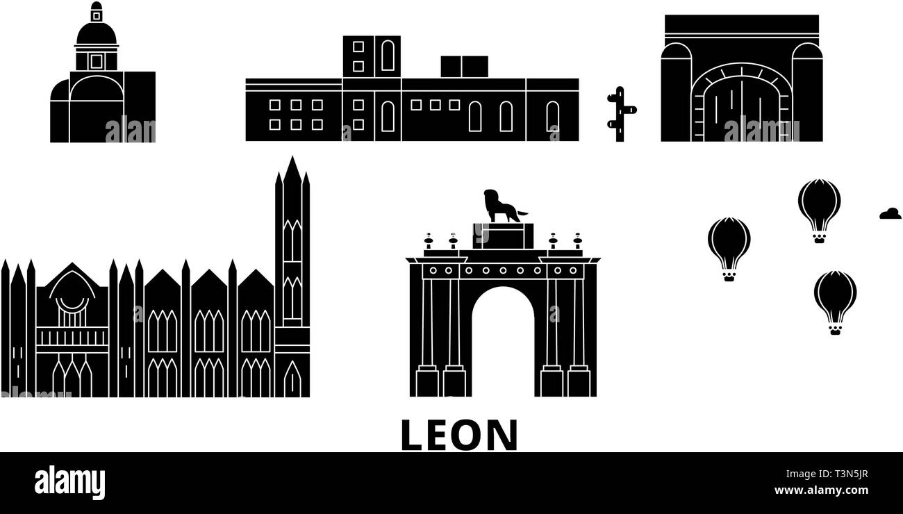 Mexico, Leon flat travel skyline set. Mexico, Leon black city vector illustration, symbol, travel sights, landmarks. Stock Vectorhttps://www.alamy.com/image-license-details/?v=1https://www.alamy.com/mexico-leon-flat-travel-skyline-set-mexico-leon-black-city-vector-illustration-symbol-travel-sights-landmarks-image243254559.html
RFT3N5JR–Mexico, Leon flat travel skyline set. Mexico, Leon black city vector illustration, symbol, travel sights, landmarks.
 Guanajuato, Durango and Hidalgo vector tin signs, Mexico states plates. Mexican regions grunge plates with vintage typography and shabby sides. North Stock Vectorhttps://www.alamy.com/image-license-details/?v=1https://www.alamy.com/guanajuato-durango-and-hidalgo-vector-tin-signs-mexico-states-plates-mexican-regions-grunge-plates-with-vintage-typography-and-shabby-sides-north-image424831152.html
RF2FK4MD4–Guanajuato, Durango and Hidalgo vector tin signs, Mexico states plates. Mexican regions grunge plates with vintage typography and shabby sides. North
 Mexico, Leon, Forum Cultural Guanajuato travel landmark vector illustration Stock Vectorhttps://www.alamy.com/image-license-details/?v=1https://www.alamy.com/mexico-leon-forum-cultural-guanajuato-travel-landmark-vector-illustration-image544425396.html
RF2PHMM44–Mexico, Leon, Forum Cultural Guanajuato travel landmark vector illustration
 Colorful vector map of Salamanca, Guanajuato, Mexico. Art Map template for selfprinting wall art in landscape format. Stock Vectorhttps://www.alamy.com/image-license-details/?v=1https://www.alamy.com/colorful-vector-map-of-salamanca-guanajuato-mexico-art-map-template-for-selfprinting-wall-art-in-landscape-format-image355160822.html
RF2BHPY72–Colorful vector map of Salamanca, Guanajuato, Mexico. Art Map template for selfprinting wall art in landscape format.
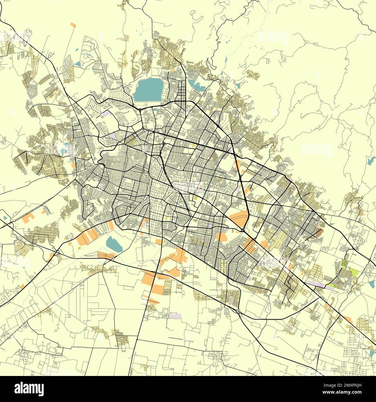 City map of Leon, Guanajuato, Mexico Stock Vectorhttps://www.alamy.com/image-license-details/?v=1https://www.alamy.com/city-map-of-leon-guanajuato-mexico-image601479833.html
RF2WXFNJH–City map of Leon, Guanajuato, Mexico
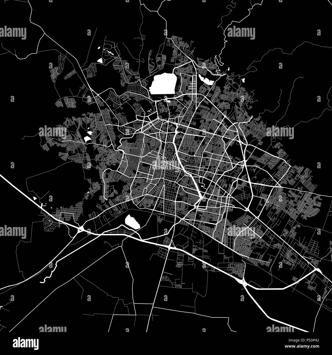 Area map of León, Mexico. Dark background version for infographic and marketing projects. This map of León, León Municipality, contains typical landma Stock Vectorhttps://www.alamy.com/image-license-details/?v=1https://www.alamy.com/area-map-of-len-mexico-dark-background-version-for-infographic-and-marketing-projects-this-map-of-len-len-municipality-contains-typical-landma-image209900434.html
RFP5DP42–Area map of León, Mexico. Dark background version for infographic and marketing projects. This map of León, León Municipality, contains typical landma
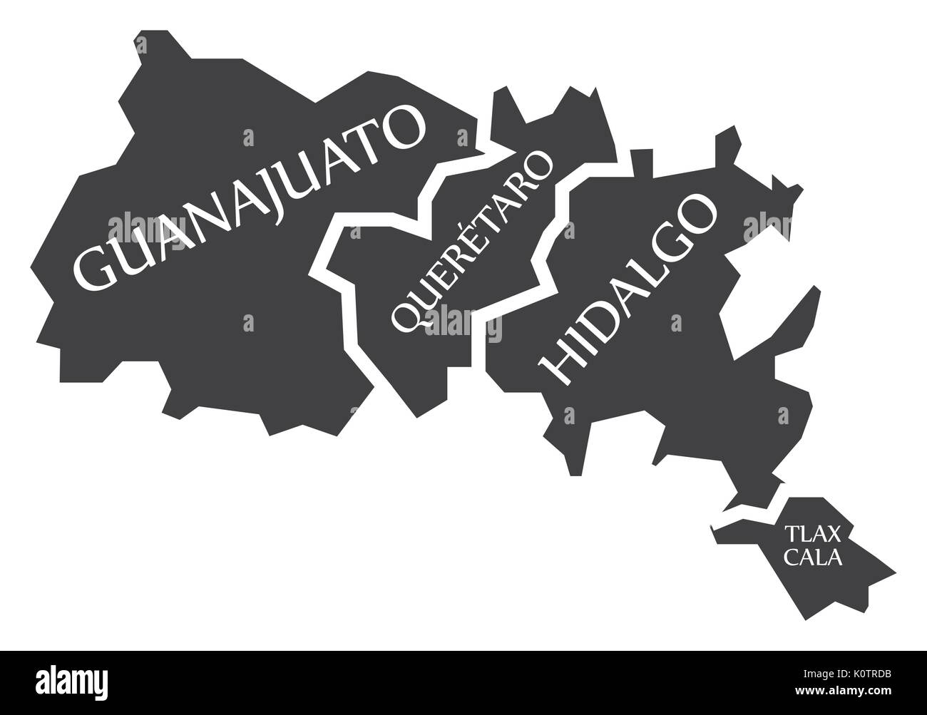 Guanajuato - Queretaro - Hidalgo - Tlaxcala Map Mexico illustration Stock Vectorhttps://www.alamy.com/image-license-details/?v=1https://www.alamy.com/guanajuato-queretaro-hidalgo-tlaxcala-map-mexico-illustration-image155438567.html
RFK0TRDB–Guanajuato - Queretaro - Hidalgo - Tlaxcala Map Mexico illustration
 Cities in Mexico word cloud concept. Vector illustration Stock Vectorhttps://www.alamy.com/image-license-details/?v=1https://www.alamy.com/cities-in-mexico-word-cloud-concept-vector-illustration-image239943969.html
RFRXAAYD–Cities in Mexico word cloud concept. Vector illustration
 Guanajuato (United Mexican States, Mexico, federal republic) map vector illustration, scribble sketch Free and Sovereign State of Guanajuato map Stock Vectorhttps://www.alamy.com/image-license-details/?v=1https://www.alamy.com/guanajuato-united-mexican-states-mexico-federal-republic-map-vector-illustration-scribble-sketch-free-and-sovereign-state-of-guanajuato-map-image221452866.html
RFPT81AX–Guanajuato (United Mexican States, Mexico, federal republic) map vector illustration, scribble sketch Free and Sovereign State of Guanajuato map
 Guanajuato municipality (Free and Sovereign State of Guanajuato, Mexico, United Mexican States) map vector illustration, scribble sketch map Stock Vectorhttps://www.alamy.com/image-license-details/?v=1https://www.alamy.com/guanajuato-municipality-free-and-sovereign-state-of-guanajuato-mexico-united-mexican-states-map-vector-illustration-scribble-sketch-map-image522704911.html
RF2NAB7CF–Guanajuato municipality (Free and Sovereign State of Guanajuato, Mexico, United Mexican States) map vector illustration, scribble sketch map
 Simple flag state of Mexico, Guanajuato Stock Vectorhttps://www.alamy.com/image-license-details/?v=1https://www.alamy.com/simple-flag-state-of-mexico-guanajuato-image223928947.html
RFR08RJB–Simple flag state of Mexico, Guanajuato
RF2F4T20W–Tequila making, Mexican agave alcohol drink production, vector equipment icons. Tequila traditional handmade factory process and making tools, thona o
 Mexico, Chihuahua, Copper Canyon, travel landmark vector illustration Stock Vectorhttps://www.alamy.com/image-license-details/?v=1https://www.alamy.com/mexico-chihuahua-copper-canyon-travel-landmark-vector-illustration-image544442678.html
RF2PHNE5A–Mexico, Chihuahua, Copper Canyon, travel landmark vector illustration
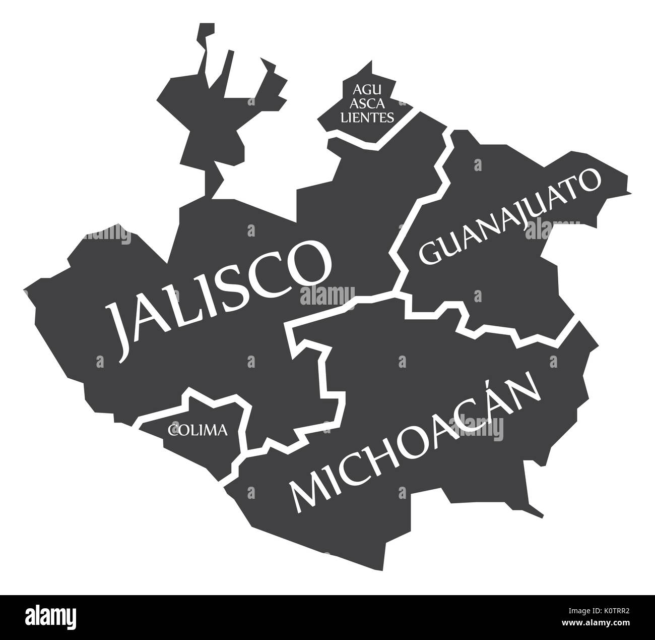 Aguascalientes - Jalisco - Colima - Guanajuato - Michoacan Map Mexico illustration Stock Vectorhttps://www.alamy.com/image-license-details/?v=1https://www.alamy.com/aguascalientes-jalisco-colima-guanajuato-michoacan-map-mexico-illustration-image155438838.html
RFK0TRR2–Aguascalientes - Jalisco - Colima - Guanajuato - Michoacan Map Mexico illustration
 Guanajuato municipality (Free and Sovereign State of Guanajuato, Mexico, United Mexican States) map vector illustration, scribble sketch map Stock Vectorhttps://www.alamy.com/image-license-details/?v=1https://www.alamy.com/guanajuato-municipality-free-and-sovereign-state-of-guanajuato-mexico-united-mexican-states-map-vector-illustration-scribble-sketch-map-image499821303.html
RF2M14R4R–Guanajuato municipality (Free and Sovereign State of Guanajuato, Mexico, United Mexican States) map vector illustration, scribble sketch map
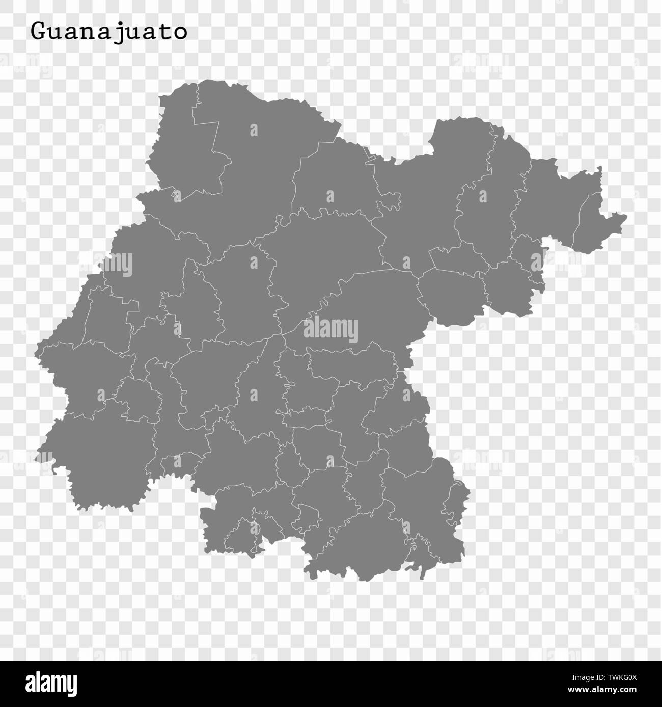 High Quality map of Guanajuato is a state of Mexico, with borders of the municipalities Stock Vectorhttps://www.alamy.com/image-license-details/?v=1https://www.alamy.com/high-quality-map-of-guanajuato-is-a-state-of-mexico-with-borders-of-the-municipalities-image256741210.html
RFTWKG0X–High Quality map of Guanajuato is a state of Mexico, with borders of the municipalities
 Mexico, Leon, Arco Triunfal De Leon travel landmark vector illustration Stock Vectorhttps://www.alamy.com/image-license-details/?v=1https://www.alamy.com/mexico-leon-arco-triunfal-de-leon-travel-landmark-vector-illustration-image544881084.html
RF2PJDDAM–Mexico, Leon, Arco Triunfal De Leon travel landmark vector illustration
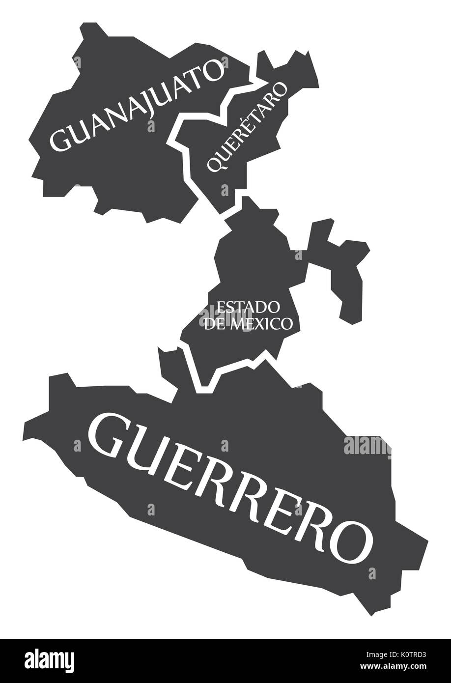 Guanajuato - Queretaro - Estado de Mexico - Guerrero Map Mexico illustration Stock Vectorhttps://www.alamy.com/image-license-details/?v=1https://www.alamy.com/guanajuato-queretaro-estado-de-mexico-guerrero-map-mexico-illustration-image155438559.html
RFK0TRD3–Guanajuato - Queretaro - Estado de Mexico - Guerrero Map Mexico illustration
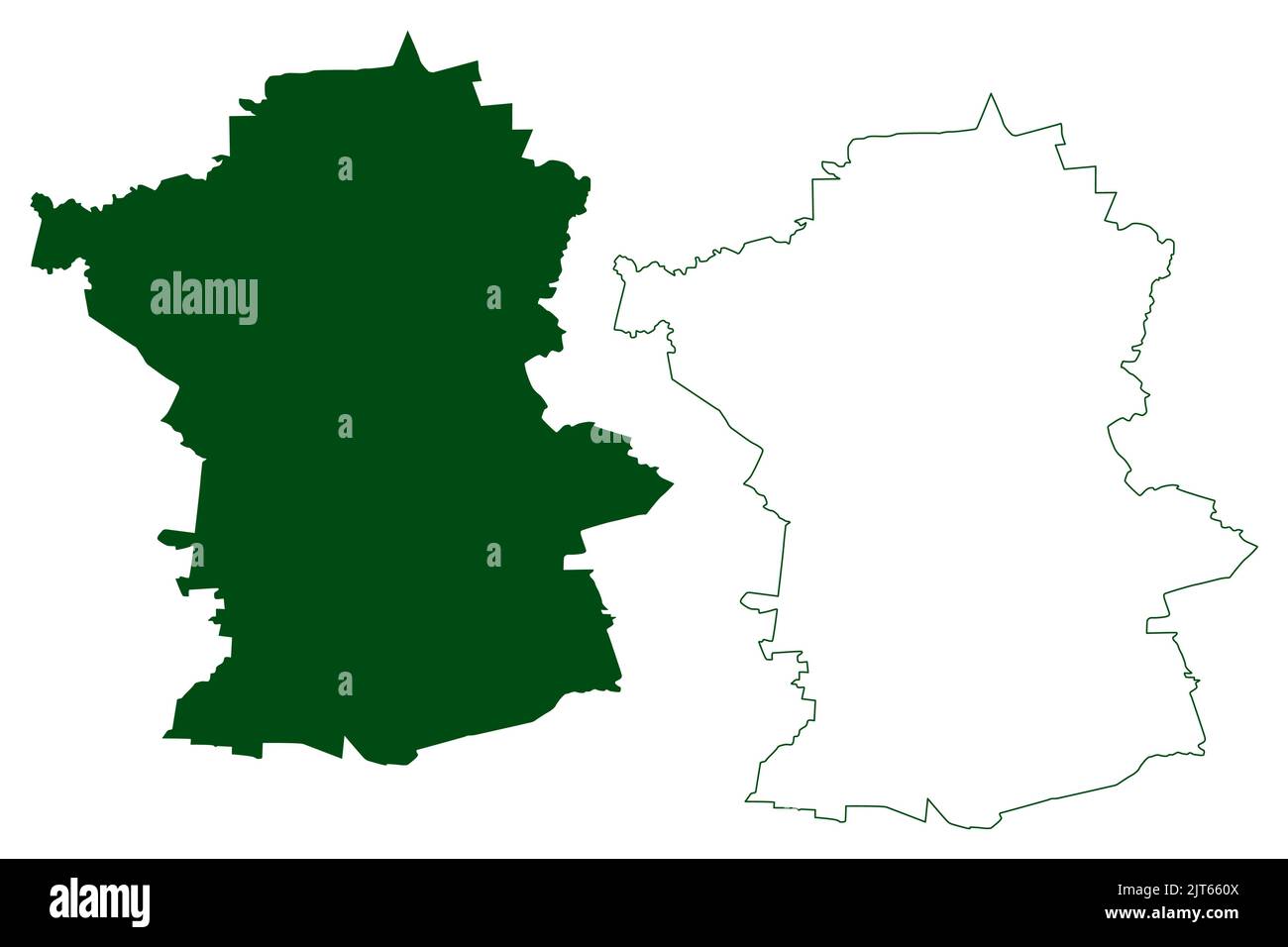 Guanajuato municipality (Free and Sovereign State of Guanajuato, Mexico, United Mexican States) map vector illustration, scribble sketch map Stock Vectorhttps://www.alamy.com/image-license-details/?v=1https://www.alamy.com/guanajuato-municipality-free-and-sovereign-state-of-guanajuato-mexico-united-mexican-states-map-vector-illustration-scribble-sketch-map-image479568122.html
RF2JT660X–Guanajuato municipality (Free and Sovereign State of Guanajuato, Mexico, United Mexican States) map vector illustration, scribble sketch map
 High Quality map of Guanajuato is a state of Mexico, with borders of the municipalities Stock Vectorhttps://www.alamy.com/image-license-details/?v=1https://www.alamy.com/high-quality-map-of-guanajuato-is-a-state-of-mexico-with-borders-of-the-municipalities-image334710414.html
RF2ACFAFA–High Quality map of Guanajuato is a state of Mexico, with borders of the municipalities
 Mexico, Leon, Forum Cultural Guanajuato travel landmark vector illustration Stock Vectorhttps://www.alamy.com/image-license-details/?v=1https://www.alamy.com/mexico-leon-forum-cultural-guanajuato-travel-landmark-vector-illustration-image544861631.html
RF2PJCGFY–Mexico, Leon, Forum Cultural Guanajuato travel landmark vector illustration
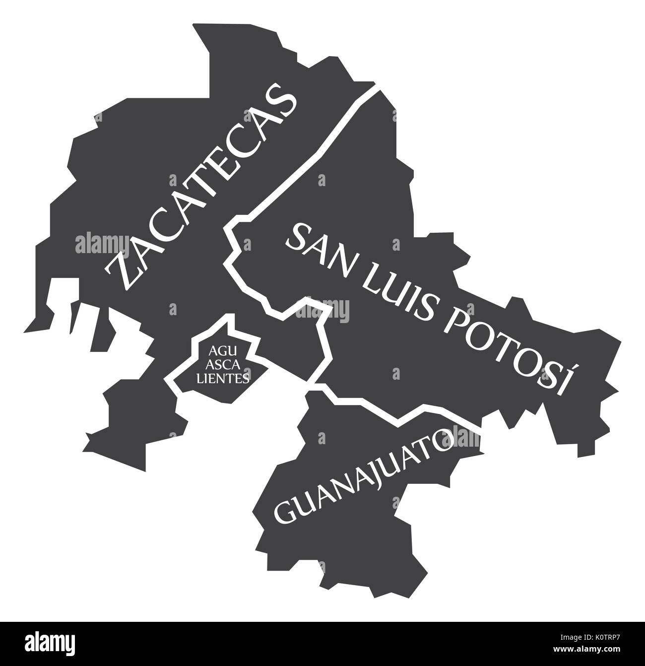 Zacatecas - Aguascalientes - San Luis Potosi - Guanajuato Map Mexico illustration Stock Vectorhttps://www.alamy.com/image-license-details/?v=1https://www.alamy.com/zacatecas-aguascalientes-san-luis-potosi-guanajuato-map-mexico-illustration-image155438815.html
RFK0TRP7–Zacatecas - Aguascalientes - San Luis Potosi - Guanajuato Map Mexico illustration
 Salvatierra municipality (Free and Sovereign State of Guanajuato, Mexico, United Mexican States) map vector illustration, scribble sketch Salvatierra Stock Vectorhttps://www.alamy.com/image-license-details/?v=1https://www.alamy.com/salvatierra-municipality-free-and-sovereign-state-of-guanajuato-mexico-united-mexican-states-map-vector-illustration-scribble-sketch-salvatierra-image526578705.html
RF2NGKME9–Salvatierra municipality (Free and Sovereign State of Guanajuato, Mexico, United Mexican States) map vector illustration, scribble sketch Salvatierra
 High quality map with flag state of Mexico - Guanajuato Stock Vectorhttps://www.alamy.com/image-license-details/?v=1https://www.alamy.com/high-quality-map-with-flag-state-of-mexico-guanajuato-image334689066.html
RF2ACEB8X–High quality map with flag state of Mexico - Guanajuato
 Mexico, Zapopan, The Minerva Guadalajara travel landmark vector illustration Stock Vectorhttps://www.alamy.com/image-license-details/?v=1https://www.alamy.com/mexico-zapopan-the-minerva-guadalajara-travel-landmark-vector-illustration-image544869372.html
RF2PJCXCC–Mexico, Zapopan, The Minerva Guadalajara travel landmark vector illustration
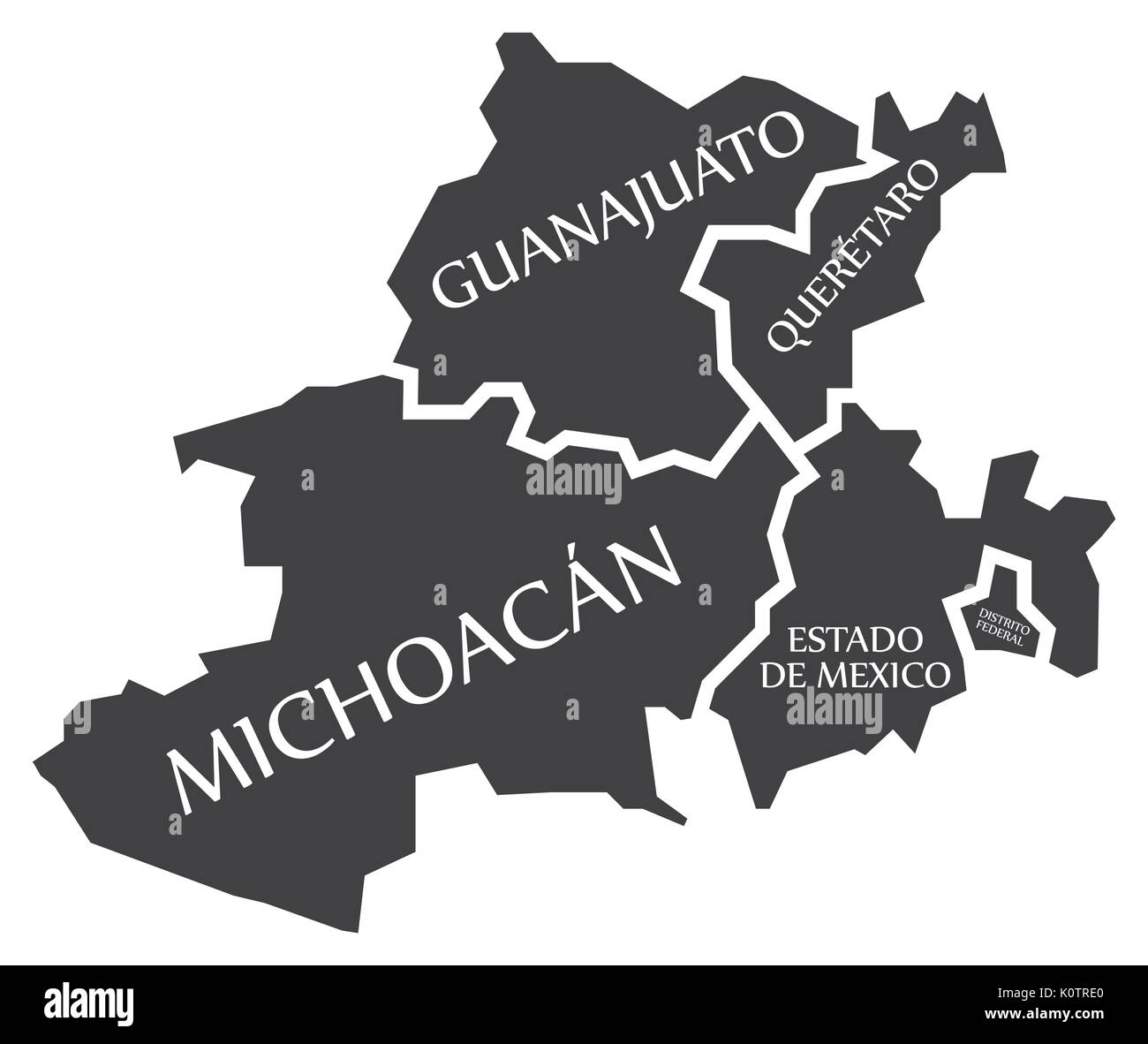 Guanajuato - Queretaro - Michoacan - Estado de Mexico - Distrito Federal Map Mexico illustration Stock Vectorhttps://www.alamy.com/image-license-details/?v=1https://www.alamy.com/guanajuato-queretaro-michoacan-estado-de-mexico-distrito-federal-map-image155438584.html
RFK0TRE0–Guanajuato - Queretaro - Michoacan - Estado de Mexico - Distrito Federal Map Mexico illustration
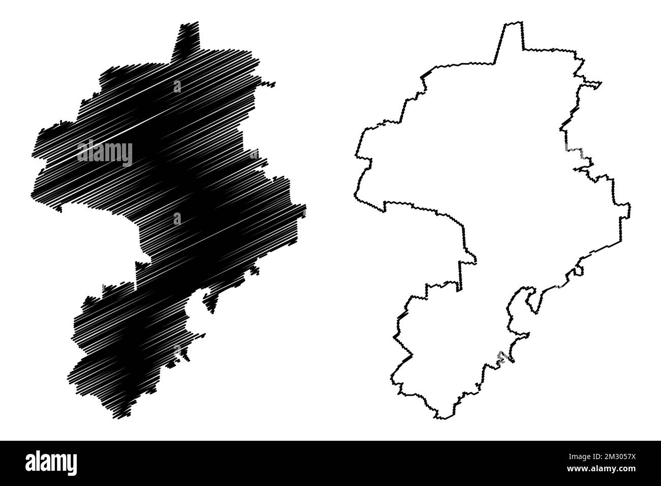 Salvatierra municipality (Free and Sovereign State of Guanajuato, Mexico, United Mexican States) map vector illustration, scribble sketch Salvatierra Stock Vectorhttps://www.alamy.com/image-license-details/?v=1https://www.alamy.com/salvatierra-municipality-free-and-sovereign-state-of-guanajuato-mexico-united-mexican-states-map-vector-illustration-scribble-sketch-salvatierra-image500948782.html
RF2M3057X–Salvatierra municipality (Free and Sovereign State of Guanajuato, Mexico, United Mexican States) map vector illustration, scribble sketch Salvatierra
 Waving ribbon or banner with flag of Guanajuato. State of Mexico. Template for poster design Stock Vectorhttps://www.alamy.com/image-license-details/?v=1https://www.alamy.com/waving-ribbon-or-banner-with-flag-of-guanajuato-state-of-mexico-template-for-poster-design-image334582693.html
RF2AC9FHW–Waving ribbon or banner with flag of Guanajuato. State of Mexico. Template for poster design
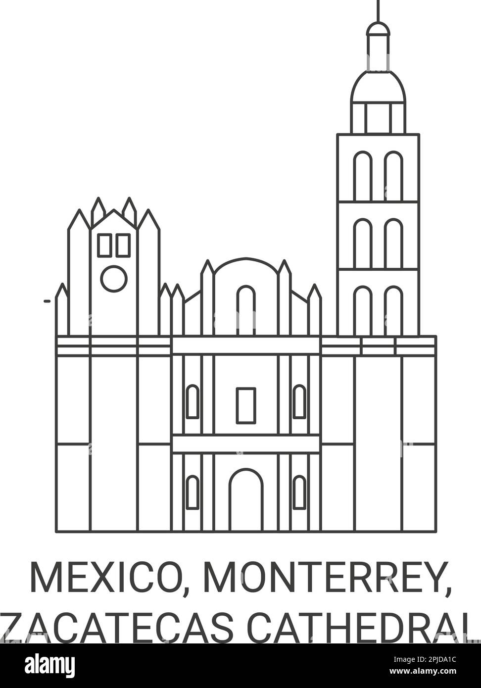 Mexico, Monterrey, Zacatecas Cathedral travel landmark vector illustration Stock Vectorhttps://www.alamy.com/image-license-details/?v=1https://www.alamy.com/mexico-monterrey-zacatecas-cathedral-travel-landmark-vector-illustration-image544878472.html
RF2PJDA1C–Mexico, Monterrey, Zacatecas Cathedral travel landmark vector illustration
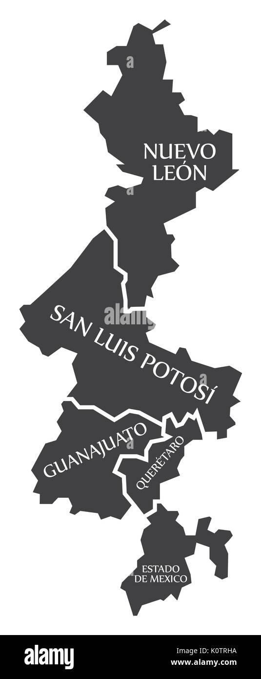 Nuevo Leon - San Luis Potosi - Guanajuato - Queretaro - Estado de Mexico Map Mexico illustration Stock Vectorhttps://www.alamy.com/image-license-details/?v=1https://www.alamy.com/nuevo-leon-san-luis-potosi-guanajuato-queretaro-estado-de-mexico-map-image155438678.html
RFK0TRHA–Nuevo Leon - San Luis Potosi - Guanajuato - Queretaro - Estado de Mexico Map Mexico illustration
 Salvatierra municipality (Free and Sovereign State of Guanajuato, Mexico, United Mexican States) map vector illustration, scribble sketch Salvatierra Stock Vectorhttps://www.alamy.com/image-license-details/?v=1https://www.alamy.com/salvatierra-municipality-free-and-sovereign-state-of-guanajuato-mexico-united-mexican-states-map-vector-illustration-scribble-sketch-salvatierra-image479752837.html
RF2JTEHHW–Salvatierra municipality (Free and Sovereign State of Guanajuato, Mexico, United Mexican States) map vector illustration, scribble sketch Salvatierra
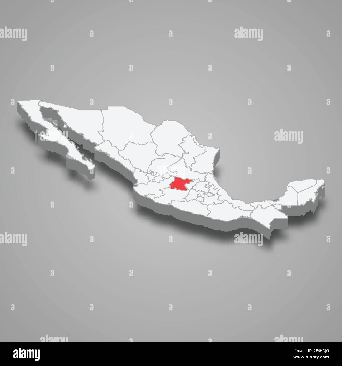 Guanajuato region location within Mexico 3d isometric map Stock Vectorhttps://www.alamy.com/image-license-details/?v=1https://www.alamy.com/guanajuato-region-location-within-mexico-3d-isometric-map-image417120664.html
RF2F6HDJG–Guanajuato region location within Mexico 3d isometric map
 Mexico, Zapopan, Arcos Vallarta Guadalajara, travel landmark vector illustration Stock Vectorhttps://www.alamy.com/image-license-details/?v=1https://www.alamy.com/mexico-zapopan-arcos-vallarta-guadalajara-travel-landmark-vector-illustration-image544876402.html
RF2PJD7BE–Mexico, Zapopan, Arcos Vallarta Guadalajara, travel landmark vector illustration
 Tarandacuao municipality (Free and Sovereign State of Guanajuato, Mexico, United Mexican States) map vector illustration, scribble sketch Tarandacuao Stock Vectorhttps://www.alamy.com/image-license-details/?v=1https://www.alamy.com/tarandacuao-municipality-free-and-sovereign-state-of-guanajuato-mexico-united-mexican-states-map-vector-illustration-scribble-sketch-tarandacuao-image526683917.html
RF2NGTEKW–Tarandacuao municipality (Free and Sovereign State of Guanajuato, Mexico, United Mexican States) map vector illustration, scribble sketch Tarandacuao
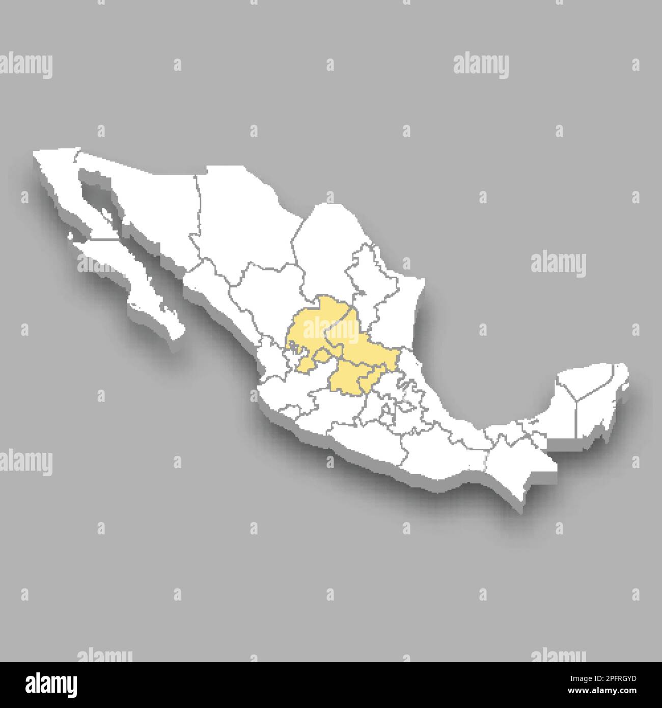 The Bajio region location within Mexico 3d isometric map Stock Vectorhttps://www.alamy.com/image-license-details/?v=1https://www.alamy.com/the-bajio-region-location-within-mexico-3d-isometric-map-image543259457.html
RF2PFRGYD–The Bajio region location within Mexico 3d isometric map
 Mexico, Caloocan travel landmark vector illustration Stock Vectorhttps://www.alamy.com/image-license-details/?v=1https://www.alamy.com/mexico-caloocan-travel-landmark-vector-illustration-image544532903.html
RF2PHWH7K–Mexico, Caloocan travel landmark vector illustration
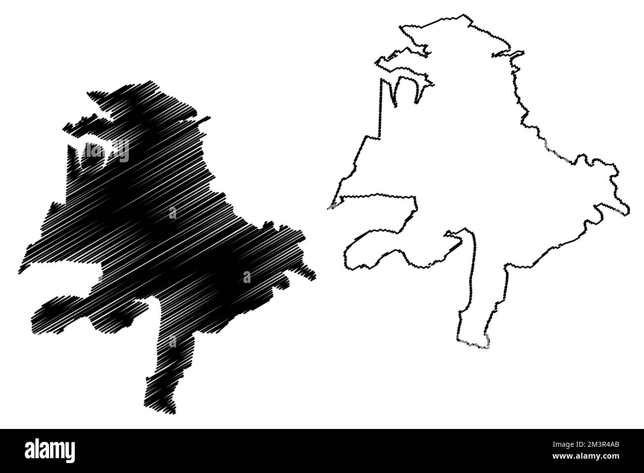 Tarandacuao municipality (Free and Sovereign State of Guanajuato, Mexico, United Mexican States) map vector illustration, scribble sketch Tarandacuao Stock Vectorhttps://www.alamy.com/image-license-details/?v=1https://www.alamy.com/tarandacuao-municipality-free-and-sovereign-state-of-guanajuato-mexico-united-mexican-states-map-vector-illustration-scribble-sketch-tarandacuao-image501452963.html
RF2M3R4AB–Tarandacuao municipality (Free and Sovereign State of Guanajuato, Mexico, United Mexican States) map vector illustration, scribble sketch Tarandacuao
 Mexico, Mexico, Historic Center travel landmark vector illustration Stock Vectorhttps://www.alamy.com/image-license-details/?v=1https://www.alamy.com/mexico-mexico-historic-center-travel-landmark-vector-illustration-image544411972.html
RF2PHM30M–Mexico, Mexico, Historic Center travel landmark vector illustration
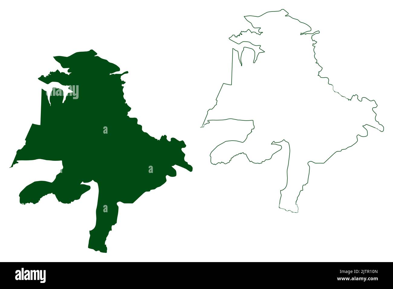 Tarandacuao municipality (Free and Sovereign State of Guanajuato, Mexico, United Mexican States) map vector illustration, scribble sketch Tarandacuao Stock Vectorhttps://www.alamy.com/image-license-details/?v=1https://www.alamy.com/tarandacuao-municipality-free-and-sovereign-state-of-guanajuato-mexico-united-mexican-states-map-vector-illustration-scribble-sketch-tarandacuao-image479937381.html
RF2JTR10N–Tarandacuao municipality (Free and Sovereign State of Guanajuato, Mexico, United Mexican States) map vector illustration, scribble sketch Tarandacuao
 Mexico, Acapulco tourism landmarks, vector city travel illustration Stock Vectorhttps://www.alamy.com/image-license-details/?v=1https://www.alamy.com/mexico-acapulco-tourism-landmarks-vector-city-travel-illustration-image542335355.html
RF2PE9E7R–Mexico, Acapulco tourism landmarks, vector city travel illustration
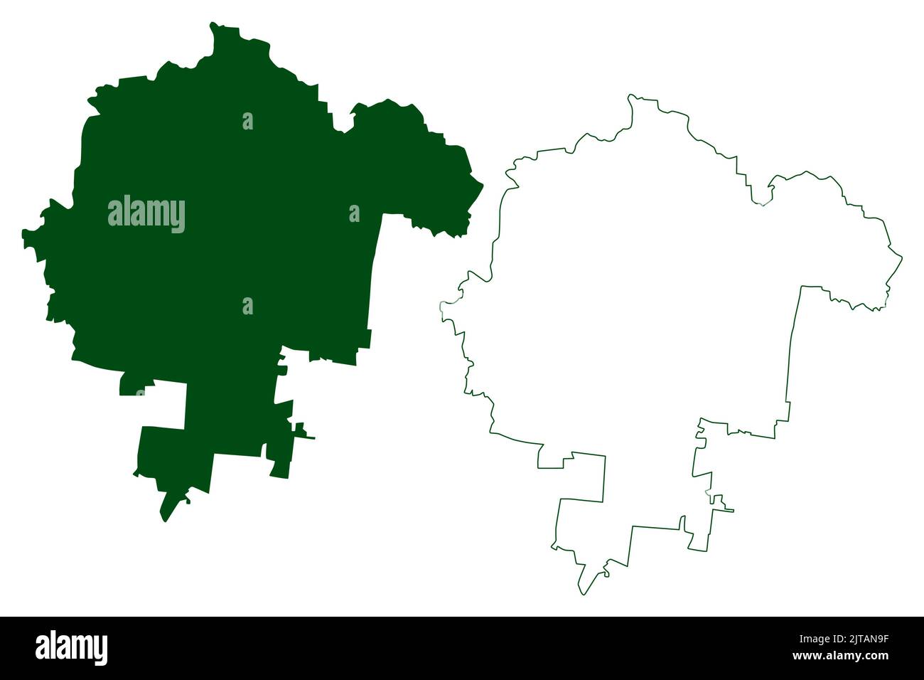 Leon municipality (Free and Sovereign State of Guanajuato, Mexico, United Mexican States) map vector illustration, scribble sketch León map Stock Vectorhttps://www.alamy.com/image-license-details/?v=1https://www.alamy.com/leon-municipality-free-and-sovereign-state-of-guanajuato-mexico-united-mexican-states-map-vector-illustration-scribble-sketch-len-map-image479667931.html
RF2JTAN9F–Leon municipality (Free and Sovereign State of Guanajuato, Mexico, United Mexican States) map vector illustration, scribble sketch León map
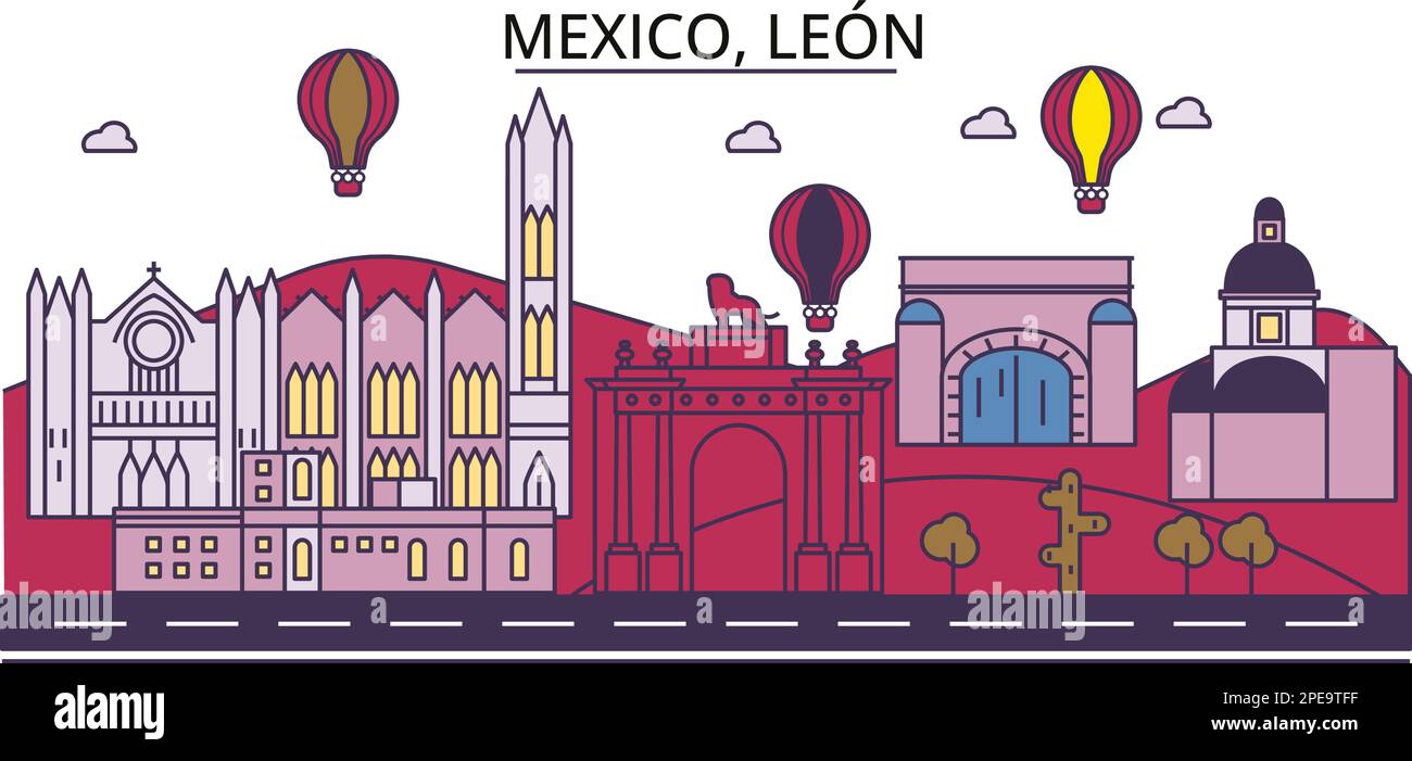 Mexico, Leon tourism landmarks, vector city travel illustration Stock Vectorhttps://www.alamy.com/image-license-details/?v=1https://www.alamy.com/mexico-leon-tourism-landmarks-vector-city-travel-illustration-image542343411.html
RF2PE9TFF–Mexico, Leon tourism landmarks, vector city travel illustration
 Abasolo municipality (Free and Sovereign State of Guanajuato, Mexico, United Mexican States) map vector illustration, scribble sketch Abasolo map Stock Vectorhttps://www.alamy.com/image-license-details/?v=1https://www.alamy.com/abasolo-municipality-free-and-sovereign-state-of-guanajuato-mexico-united-mexican-states-map-vector-illustration-scribble-sketch-abasolo-map-image499553581.html
RF2M0MHK9–Abasolo municipality (Free and Sovereign State of Guanajuato, Mexico, United Mexican States) map vector illustration, scribble sketch Abasolo map
RF2DC440A–Mexico, Leon line cityscape, flat vector. Travel city landmark, oultine illustration, line world icons
 Santiago Maravatio municipality (Free and Sovereign State of Guanajuato, Mexico, United Mexican States) map vector illustration, scribble sketch Santi Stock Vectorhttps://www.alamy.com/image-license-details/?v=1https://www.alamy.com/santiago-maravatio-municipality-free-and-sovereign-state-of-guanajuato-mexico-united-mexican-states-map-vector-illustration-scribble-sketch-santi-image479937450.html
RF2JTR136–Santiago Maravatio municipality (Free and Sovereign State of Guanajuato, Mexico, United Mexican States) map vector illustration, scribble sketch Santi
 Huanimaro municipality (Free and Sovereign State of Guanajuato, Mexico, United Mexican States) map vector illustration, scribble sketch Huanímaro map Stock Vectorhttps://www.alamy.com/image-license-details/?v=1https://www.alamy.com/huanimaro-municipality-free-and-sovereign-state-of-guanajuato-mexico-united-mexican-states-map-vector-illustration-scribble-sketch-huanmaro-map-image499821273.html
RF2M14R3N–Huanimaro municipality (Free and Sovereign State of Guanajuato, Mexico, United Mexican States) map vector illustration, scribble sketch Huanímaro map
 Penjamo municipality (Free and Sovereign State of Guanajuato, Mexico, United Mexican States) map vector illustration, scribble sketch Pénjamo, Penlamu Stock Vectorhttps://www.alamy.com/image-license-details/?v=1https://www.alamy.com/penjamo-municipality-free-and-sovereign-state-of-guanajuato-mexico-united-mexican-states-map-vector-illustration-scribble-sketch-pnjamo-penlamu-image479752790.html
RF2JTEHG6–Penjamo municipality (Free and Sovereign State of Guanajuato, Mexico, United Mexican States) map vector illustration, scribble sketch Pénjamo, Penlamu
 Uriangato municipality (Free and Sovereign State of Guanajuato, Mexico, United Mexican States) map vector illustration, scribble sketch Uriangato map Stock Vectorhttps://www.alamy.com/image-license-details/?v=1https://www.alamy.com/uriangato-municipality-free-and-sovereign-state-of-guanajuato-mexico-united-mexican-states-map-vector-illustration-scribble-sketch-uriangato-map-image526828875.html
RF2NH33GY–Uriangato municipality (Free and Sovereign State of Guanajuato, Mexico, United Mexican States) map vector illustration, scribble sketch Uriangato map
 Moroleon municipality (Free and Sovereign State of Guanajuato, Mexico, United Mexican States) map vector illustration, scribble sketch Moroleón map Stock Vectorhttps://www.alamy.com/image-license-details/?v=1https://www.alamy.com/moroleon-municipality-free-and-sovereign-state-of-guanajuato-mexico-united-mexican-states-map-vector-illustration-scribble-sketch-morolen-map-image500059176.html
RF2M1FJG8–Moroleon municipality (Free and Sovereign State of Guanajuato, Mexico, United Mexican States) map vector illustration, scribble sketch Moroleón map
 Irapuato municipality (Free and Sovereign State of Guanajuato, Mexico, United Mexican States) map vector illustration, scribble sketch Irapuato map Stock Vectorhttps://www.alamy.com/image-license-details/?v=1https://www.alamy.com/irapuato-municipality-free-and-sovereign-state-of-guanajuato-mexico-united-mexican-states-map-vector-illustration-scribble-sketch-irapuato-map-image523510632.html
RF2NBKY48–Irapuato municipality (Free and Sovereign State of Guanajuato, Mexico, United Mexican States) map vector illustration, scribble sketch Irapuato map
 Santiago Maravatio municipality (Free and Sovereign State of Guanajuato, Mexico, United Mexican States) map vector illustration, scribble sketch Santi Stock Vectorhttps://www.alamy.com/image-license-details/?v=1https://www.alamy.com/santiago-maravatio-municipality-free-and-sovereign-state-of-guanajuato-mexico-united-mexican-states-map-vector-illustration-scribble-sketch-santi-image501281242.html
RF2M3F99E–Santiago Maravatio municipality (Free and Sovereign State of Guanajuato, Mexico, United Mexican States) map vector illustration, scribble sketch Santi
 Jerecuaro municipality (Free and Sovereign State of Guanajuato, Mexico, United Mexican States) map vector illustration, scribble sketch Jerécuaro map Stock Vectorhttps://www.alamy.com/image-license-details/?v=1https://www.alamy.com/jerecuaro-municipality-free-and-sovereign-state-of-guanajuato-mexico-united-mexican-states-map-vector-illustration-scribble-sketch-jercuaro-map-image479667335.html
RF2JTAMG7–Jerecuaro municipality (Free and Sovereign State of Guanajuato, Mexico, United Mexican States) map vector illustration, scribble sketch Jerécuaro map