Quick filters:
Gujarat outline map Stock Photos and Images
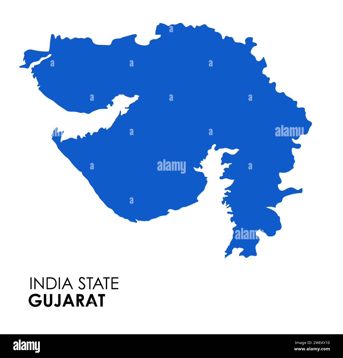 Gujarat map of Indian state. Gujarat map vector illustration. Gujarat map on white background. Stock Photohttps://www.alamy.com/image-license-details/?v=1https://www.alamy.com/gujarat-map-of-indian-state-gujarat-map-vector-illustration-gujarat-map-on-white-background-image593998412.html
RF2WEAY10–Gujarat map of Indian state. Gujarat map vector illustration. Gujarat map on white background.
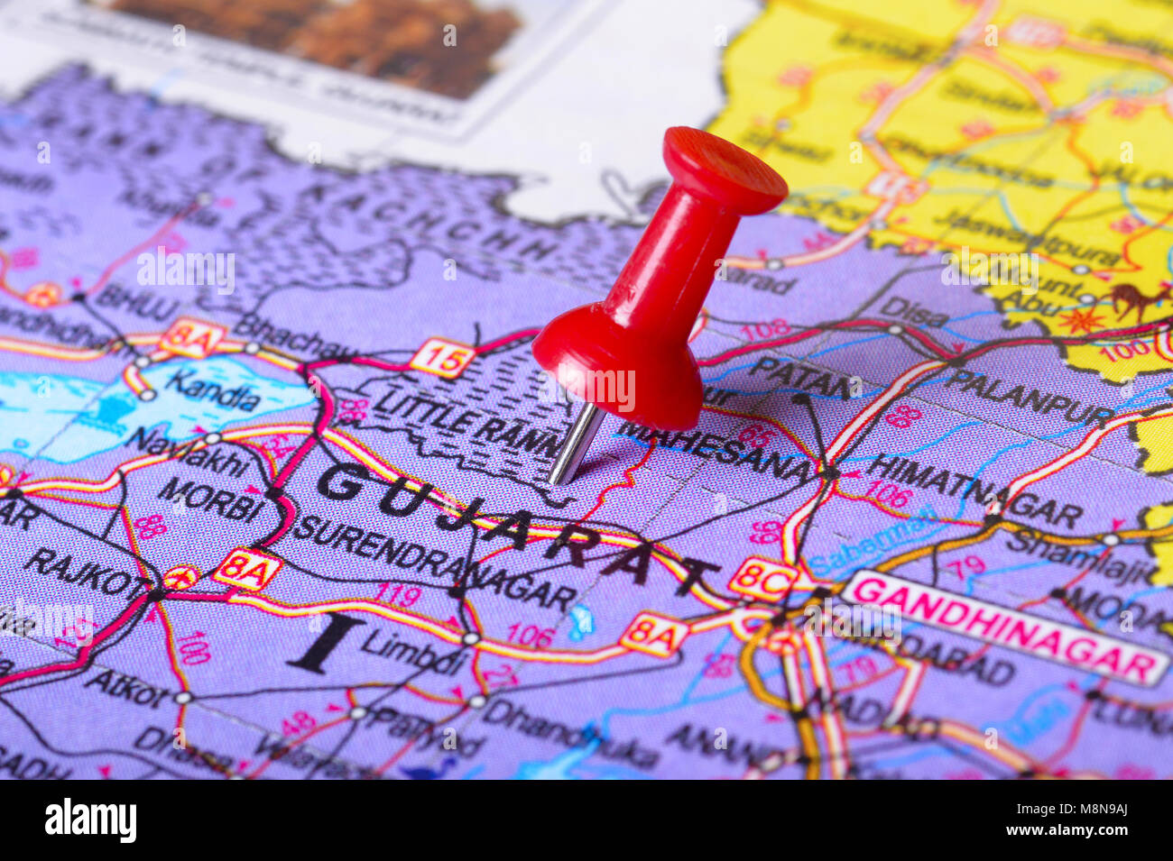 Close view of Pushpin pointing to Gujarat on a map of India Stock Photohttps://www.alamy.com/image-license-details/?v=1https://www.alamy.com/stock-photo-close-view-of-pushpin-pointing-to-gujarat-on-a-map-of-india-177489274.html
RFM8N9AJ–Close view of Pushpin pointing to Gujarat on a map of India
 Ahmedabad, Baseball MLB Stadium, outline vector map. The baseball statium map was drawn with white areas and lines for main roads, side roads. Stock Vectorhttps://www.alamy.com/image-license-details/?v=1https://www.alamy.com/ahmedabad-baseball-mlb-stadium-outline-vector-map-the-baseball-statium-map-was-drawn-with-white-areas-and-lines-for-main-roads-side-roads-image460058149.html
RF2HMDCT5–Ahmedabad, Baseball MLB Stadium, outline vector map. The baseball statium map was drawn with white areas and lines for main roads, side roads.
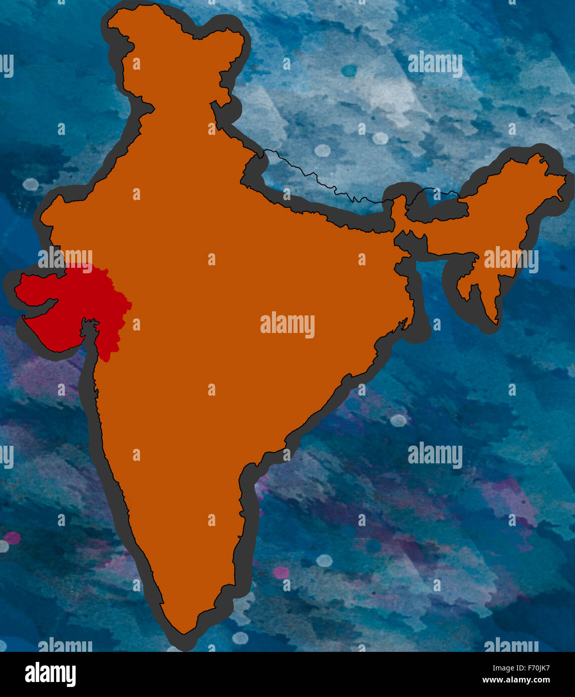 Illustration, gujarat location map, india, asia Stock Photohttps://www.alamy.com/image-license-details/?v=1https://www.alamy.com/stock-photo-illustration-gujarat-location-map-india-asia-90369083.html
RMF70JK7–Illustration, gujarat location map, india, asia
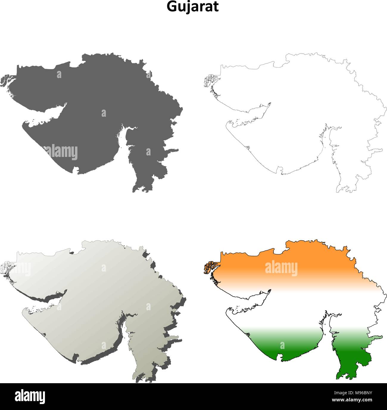 Gujarat blank detailed outline map set Stock Vectorhttps://www.alamy.com/image-license-details/?v=1https://www.alamy.com/gujarat-blank-detailed-outline-map-set-image177776535.html
RFM96BNY–Gujarat blank detailed outline map set
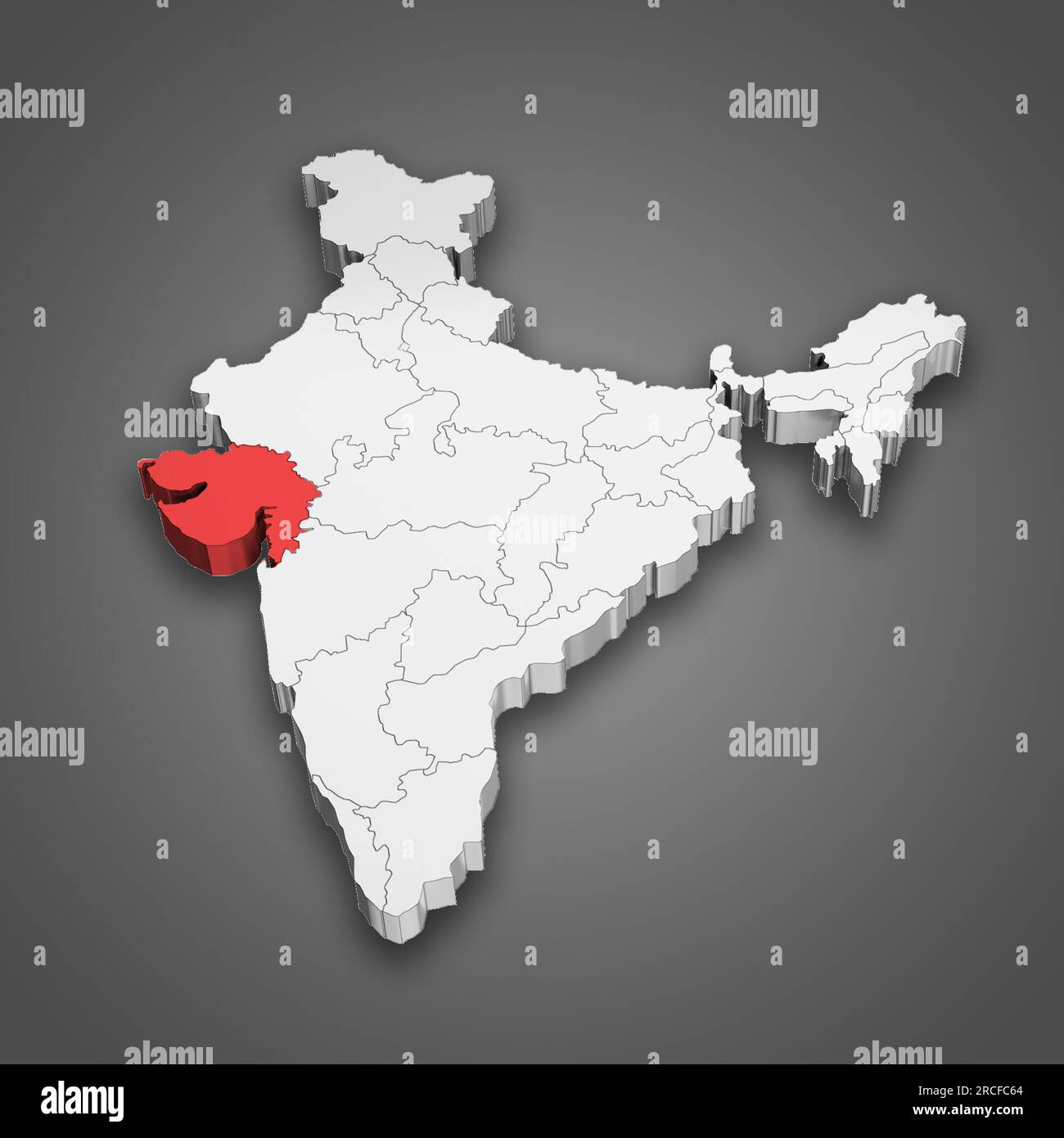 Gujarat state location within India map. 3D Illustration Stock Photohttps://www.alamy.com/image-license-details/?v=1https://www.alamy.com/gujarat-state-location-within-india-map-3d-illustration-image558446508.html
RF2RCFC64–Gujarat state location within India map. 3D Illustration
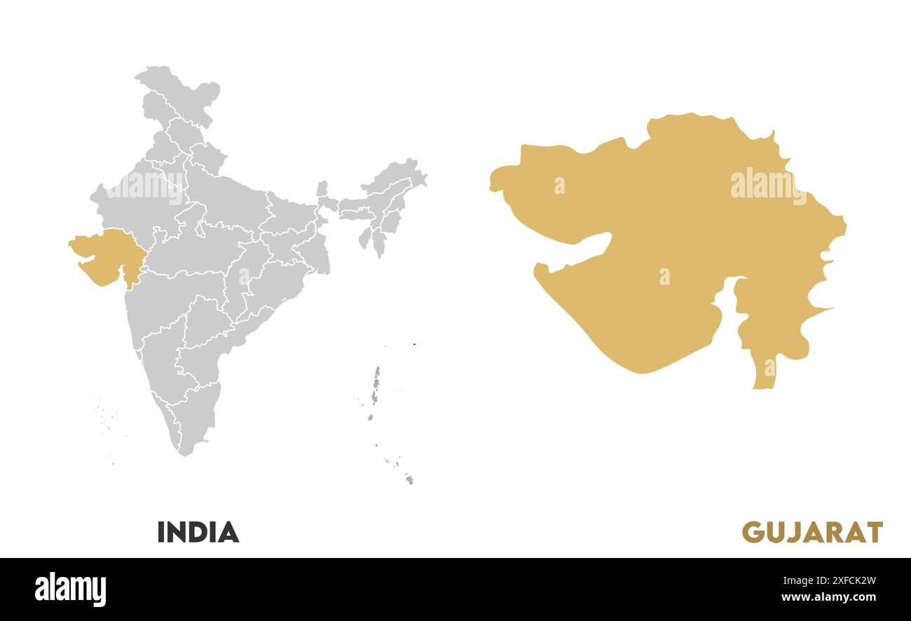 Gujarat Map1, State of India, Republic of India, government, Political map, modern map, Indian flag, vector illustration Stock Vectorhttps://www.alamy.com/image-license-details/?v=1https://www.alamy.com/gujarat-map1-state-of-india-republic-of-india-government-political-map-modern-map-indian-flag-vector-illustration-image611861121.html
RF2XFCK2W–Gujarat Map1, State of India, Republic of India, government, Political map, modern map, Indian flag, vector illustration
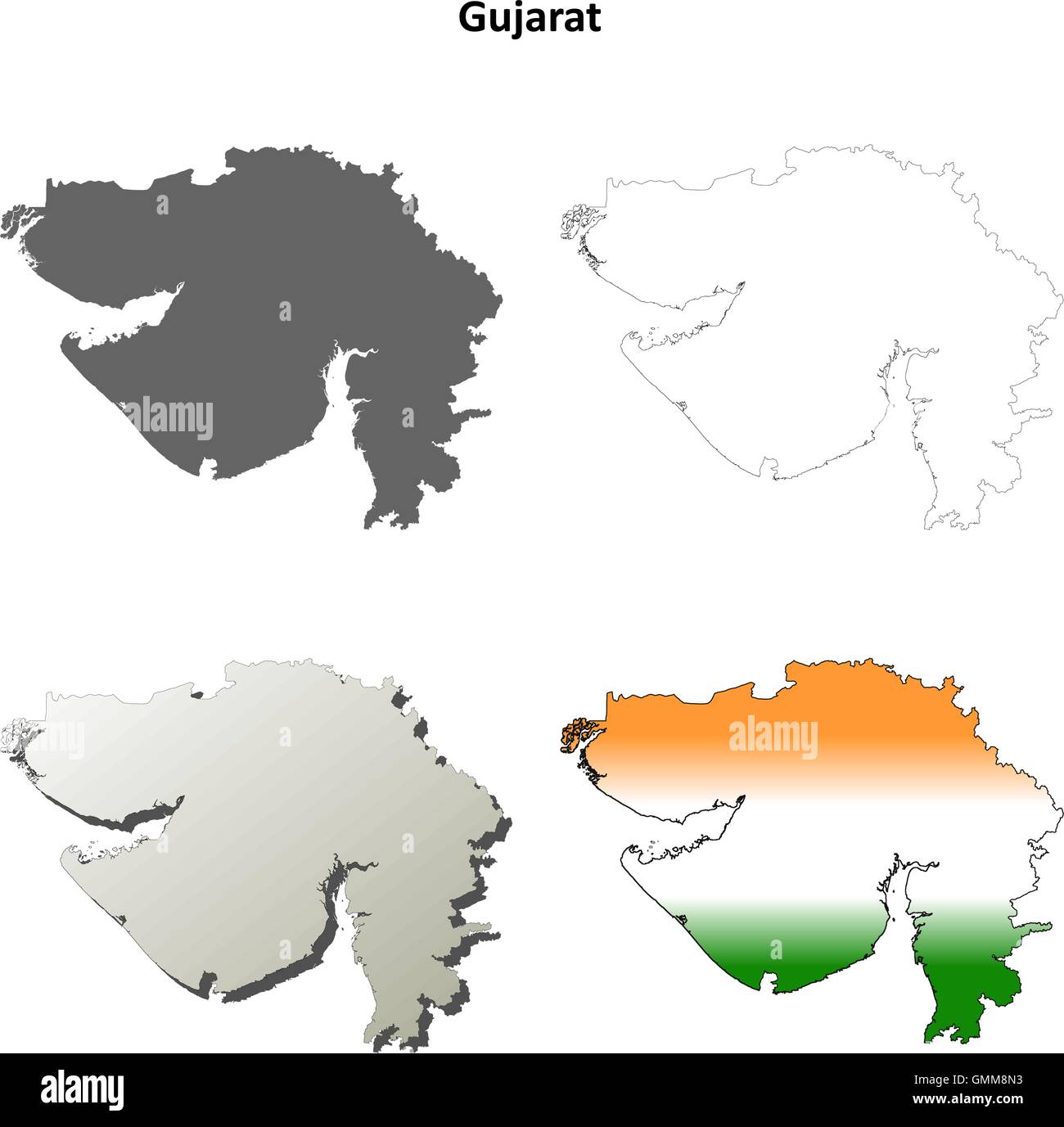 Gujarat blank detailed outline map set Stock Vectorhttps://www.alamy.com/image-license-details/?v=1https://www.alamy.com/stock-photo-gujarat-blank-detailed-outline-map-set-116001231.html
RFGMM8N3–Gujarat blank detailed outline map set
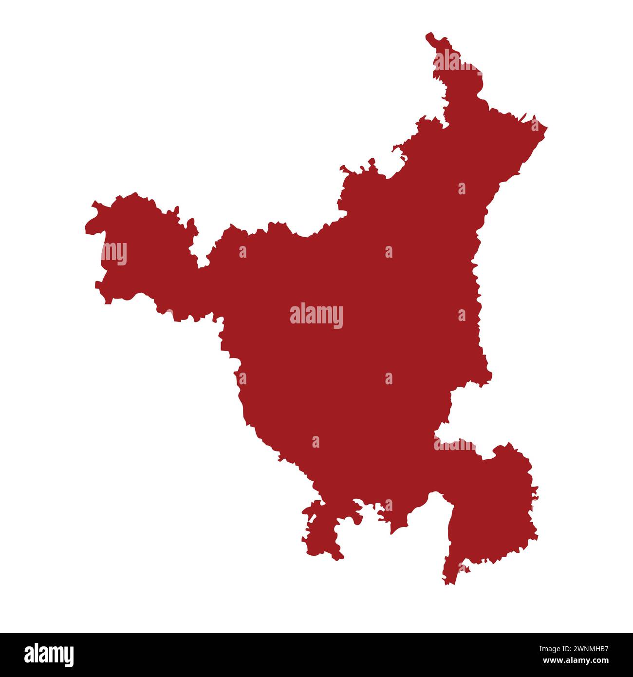 Indian state haryana map vector illustration Stock Vectorhttps://www.alamy.com/image-license-details/?v=1https://www.alamy.com/indian-state-haryana-map-vector-illustration-image598512971.html
RF2WNMHB7–Indian state haryana map vector illustration
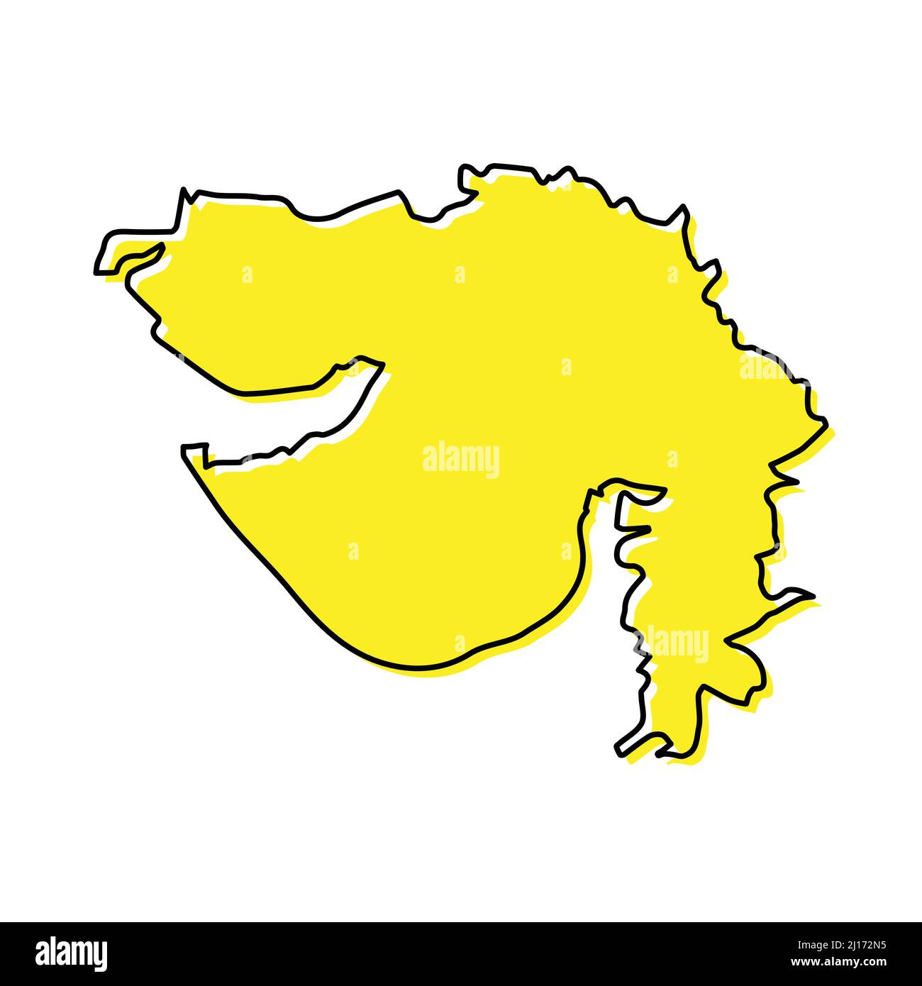 Simple outline map of Gujarat is a state of India. Stylized minimal line design Stock Vectorhttps://www.alamy.com/image-license-details/?v=1https://www.alamy.com/simple-outline-map-of-gujarat-is-a-state-of-india-stylized-minimal-line-design-image465450417.html
RF2J172N5–Simple outline map of Gujarat is a state of India. Stylized minimal line design
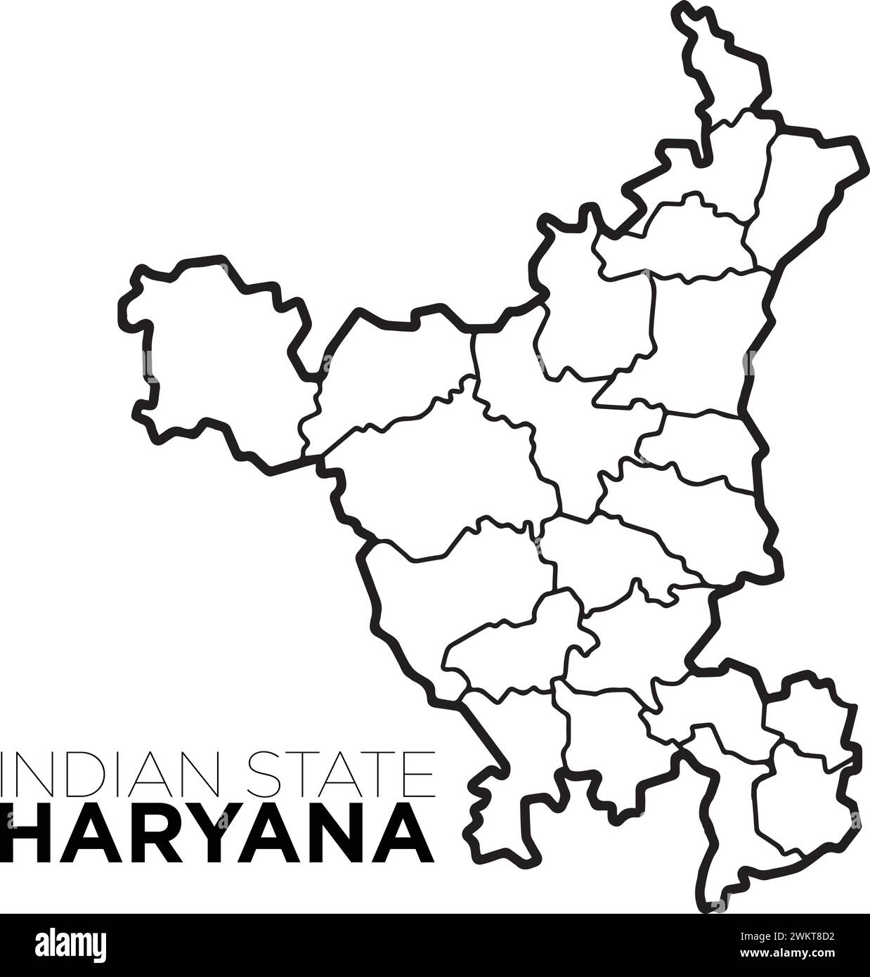 Indian map haryana map with district illustration vecor, distrtict map Stock Vectorhttps://www.alamy.com/image-license-details/?v=1https://www.alamy.com/indian-map-haryana-map-with-district-illustration-vecor-distrtict-map-image597364462.html
RF2WKT8D2–Indian map haryana map with district illustration vecor, distrtict map
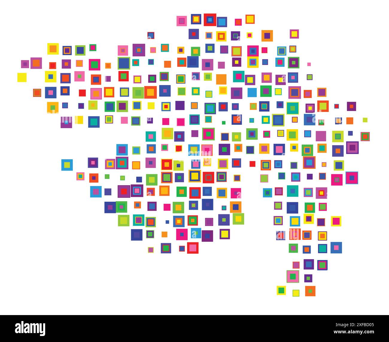 Symbol Map of the Gujarat (India). Abstract map showing the state/province with a pattern of overlapping colorful squares like candies Stock Vectorhttps://www.alamy.com/image-license-details/?v=1https://www.alamy.com/symbol-map-of-the-gujarat-india-abstract-map-showing-the-stateprovince-with-a-pattern-of-overlapping-colorful-squares-like-candies-image611834389.html
RF2XFBD05–Symbol Map of the Gujarat (India). Abstract map showing the state/province with a pattern of overlapping colorful squares like candies
 Indian State HImachal Pradesh Map vector illustration Stock Vectorhttps://www.alamy.com/image-license-details/?v=1https://www.alamy.com/indian-state-himachal-pradesh-map-vector-illustration-image598509213.html
RF2WNMCH1–Indian State HImachal Pradesh Map vector illustration
 Jharkhand administrative and political map, India Stock Vectorhttps://www.alamy.com/image-license-details/?v=1https://www.alamy.com/jharkhand-administrative-and-political-map-india-image155764628.html
RFK1BKAC–Jharkhand administrative and political map, India
RF2S1E0PH–Editable stroke icons of the 28 states of India with Union Territories. States including Tamil Nadu, Delhi, Mumbai, Kolkata, and more
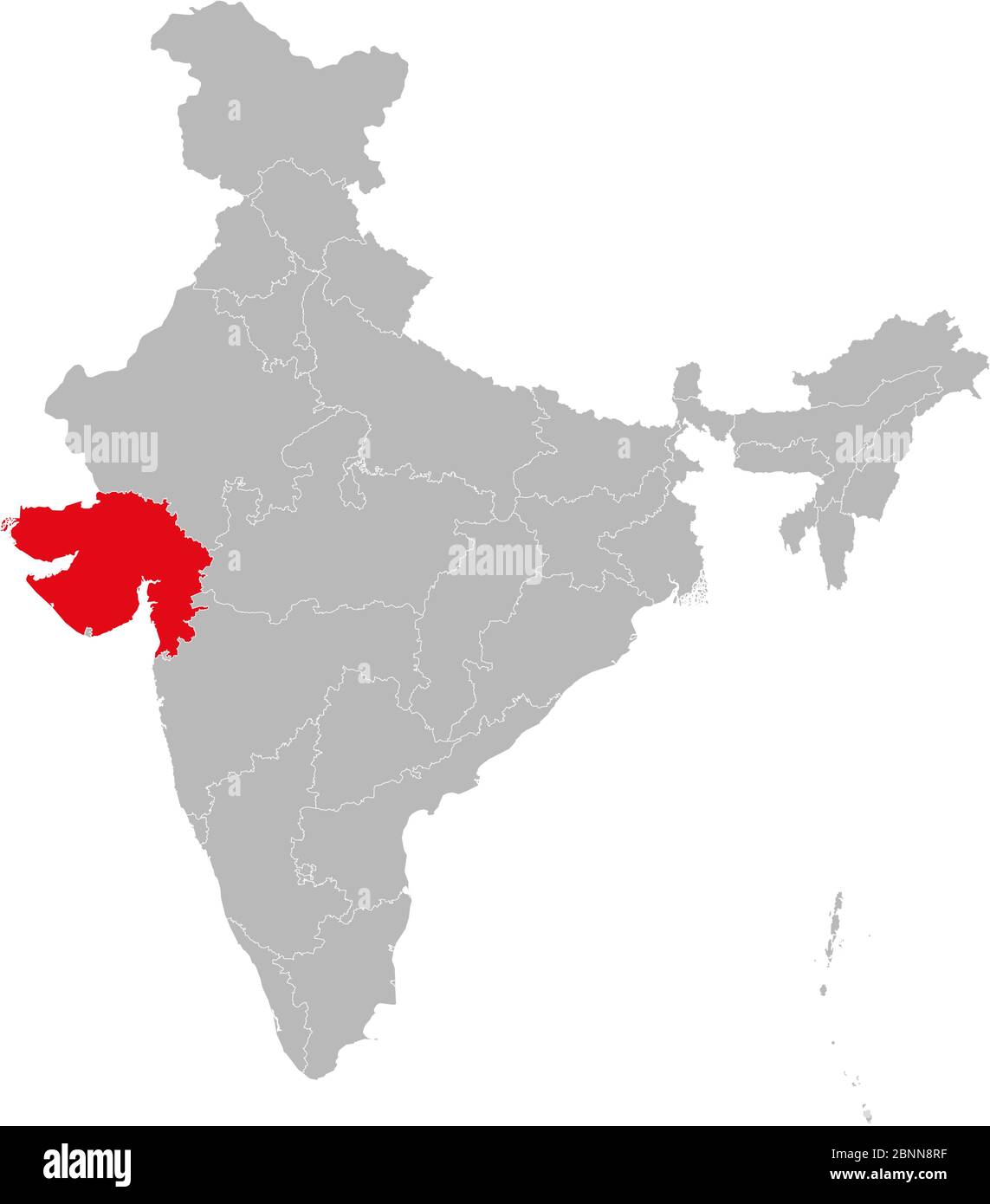 Gujarat map marked red on India political map vector illustration. Gray background Stock Vectorhttps://www.alamy.com/image-license-details/?v=1https://www.alamy.com/gujarat-map-marked-red-on-india-political-map-vector-illustration-gray-background-image357583059.html
RF2BNN8RF–Gujarat map marked red on India political map vector illustration. Gray background
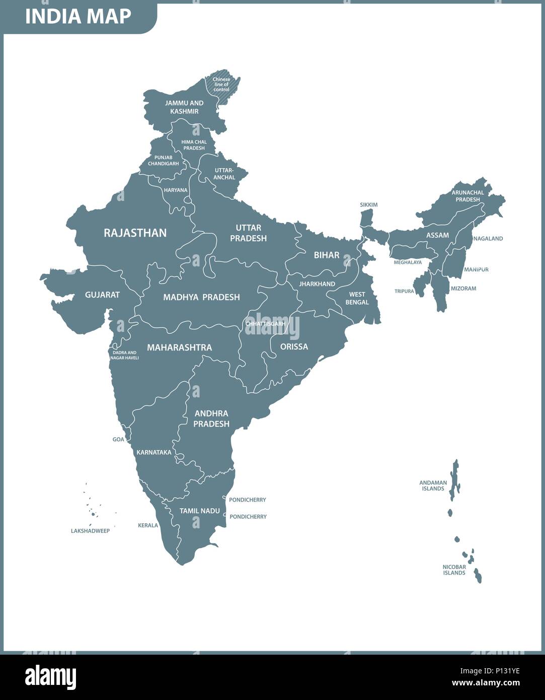 The detailed map of the India with regions or states. Administrative division. Stock Vectorhttps://www.alamy.com/image-license-details/?v=1https://www.alamy.com/the-detailed-map-of-the-india-with-regions-or-states-administrative-division-image207206482.html
RFP131YE–The detailed map of the India with regions or states. Administrative division.
 States of India. Handwritten stock lettering set ink typography. Stock Vectorhttps://www.alamy.com/image-license-details/?v=1https://www.alamy.com/states-of-india-handwritten-stock-lettering-set-ink-typography-image383367883.html
RF2D7KWJ3–States of India. Handwritten stock lettering set ink typography.
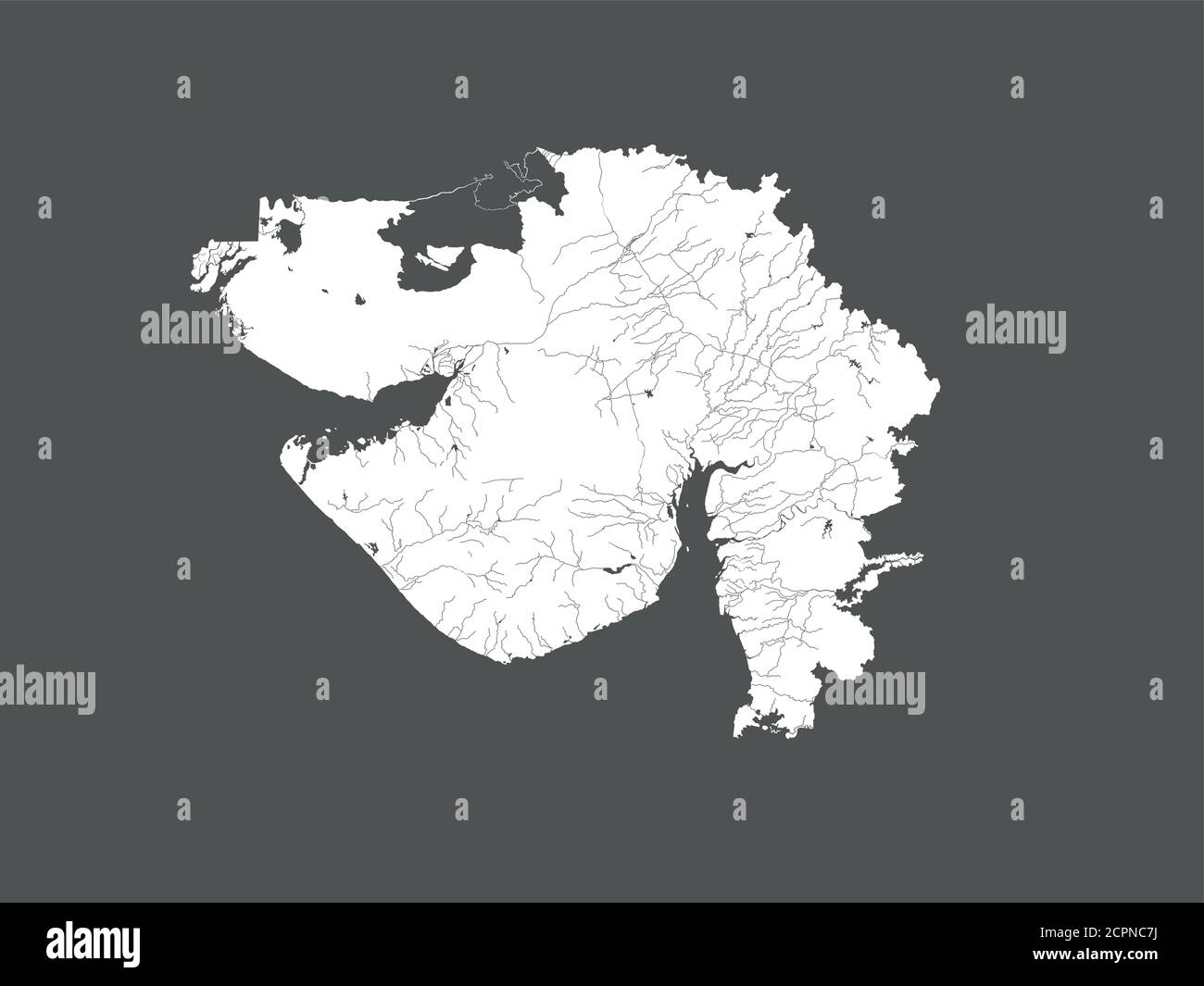 India states - map of Gujarat. Hand made. Rivers and lakes are shown. Please look at my other images of cartographic series - they are all very detail Stock Vectorhttps://www.alamy.com/image-license-details/?v=1https://www.alamy.com/india-states-map-of-gujarat-hand-made-rivers-and-lakes-are-shown-please-look-at-my-other-images-of-cartographic-series-they-are-all-very-detail-image375410774.html
RF2CPNC7J–India states - map of Gujarat. Hand made. Rivers and lakes are shown. Please look at my other images of cartographic series - they are all very detail
 Gujarat map of Indian state. Gujarat map vector illustration. Gujarat map on white background. Stock Vectorhttps://www.alamy.com/image-license-details/?v=1https://www.alamy.com/gujarat-map-of-indian-state-gujarat-map-vector-illustration-gujarat-map-on-white-background-image594079359.html
RF2WEEJ7Y–Gujarat map of Indian state. Gujarat map vector illustration. Gujarat map on white background.
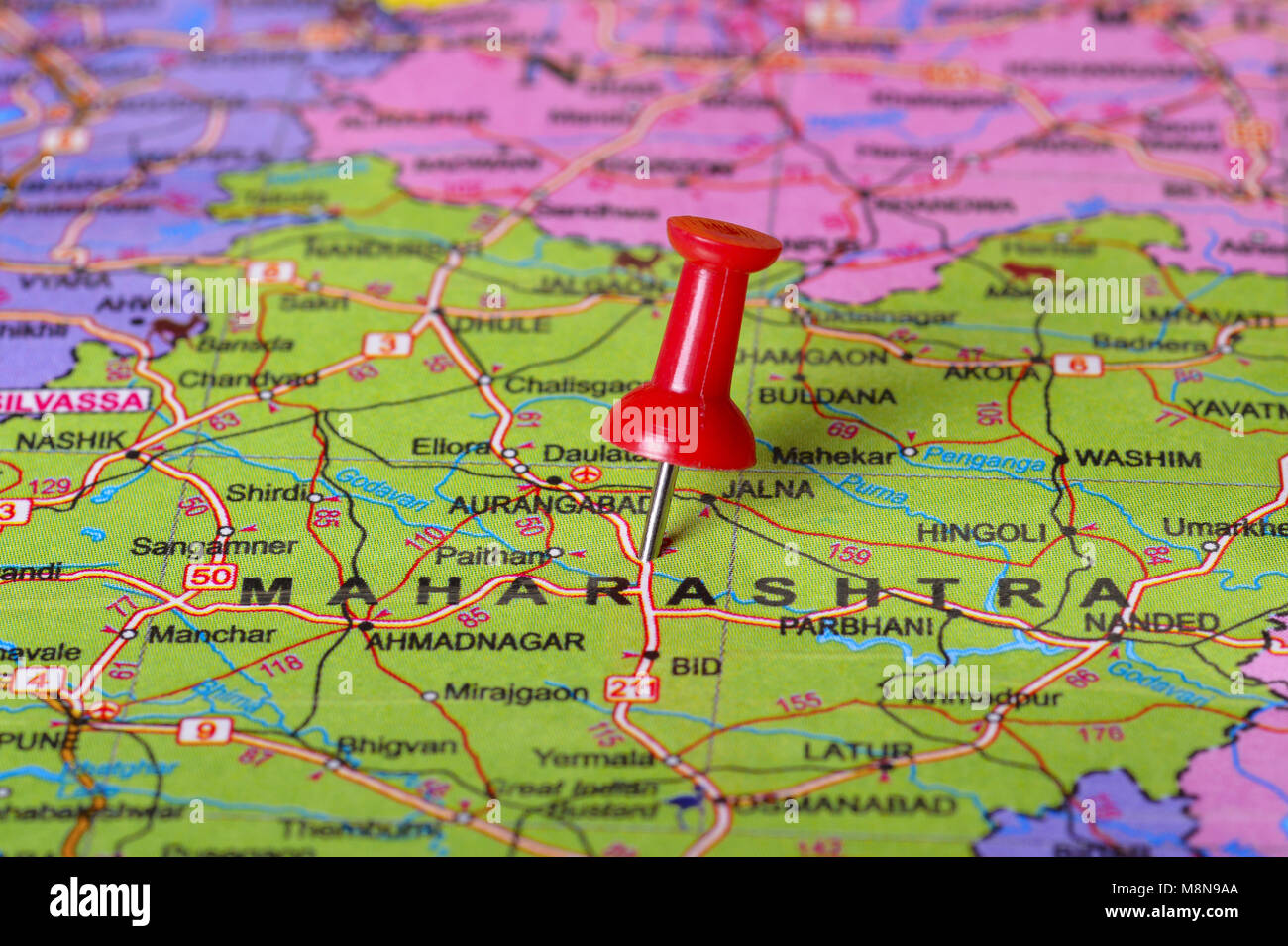 Close view of Pushpin pointing to Maharashtra on a map of India Stock Photohttps://www.alamy.com/image-license-details/?v=1https://www.alamy.com/stock-photo-close-view-of-pushpin-pointing-to-maharashtra-on-a-map-of-india-177489266.html
RFM8N9AA–Close view of Pushpin pointing to Maharashtra on a map of India
 India states - map of Gujarat with paper cut effect. Rivers and lakes are shown. Please look at my other images of cartographic series - they are all Stock Vectorhttps://www.alamy.com/image-license-details/?v=1https://www.alamy.com/india-states-map-of-gujarat-with-paper-cut-effect-rivers-and-lakes-are-shown-please-look-at-my-other-images-of-cartographic-series-they-are-all-image375411721.html
RF2CPNDDD–India states - map of Gujarat with paper cut effect. Rivers and lakes are shown. Please look at my other images of cartographic series - they are all
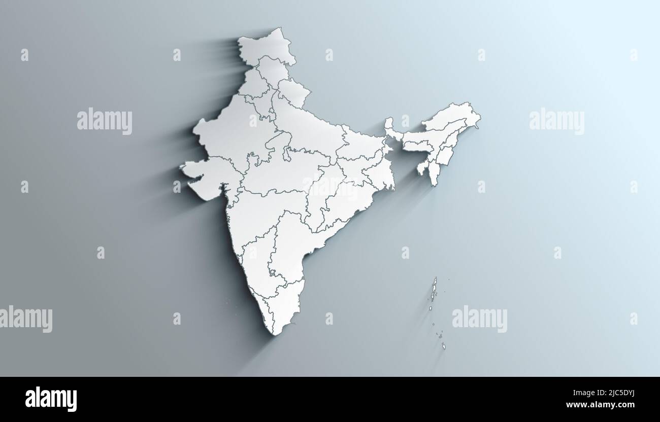 Country Political Geographical Map of India with States with Shadows Stock Photohttps://www.alamy.com/image-license-details/?v=1https://www.alamy.com/country-political-geographical-map-of-india-with-states-with-shadows-image472176534.html
RF2JC5DYJ–Country Political Geographical Map of India with States with Shadows
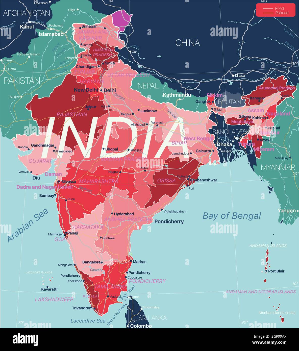 India country detailed editable map with regions cities and towns, roads and railways, geographic sites. Vector EPS-10 file Stock Photohttps://www.alamy.com/image-license-details/?v=1https://www.alamy.com/india-country-detailed-editable-map-with-regions-cities-and-towns-roads-and-railways-geographic-sites-vector-eps-10-file-image443986562.html
RF2GP99AX–India country detailed editable map with regions cities and towns, roads and railways, geographic sites. Vector EPS-10 file
RF2K9XY5N–India map graphic, travel geography icon, indian region GUJARAT, vector illustration .
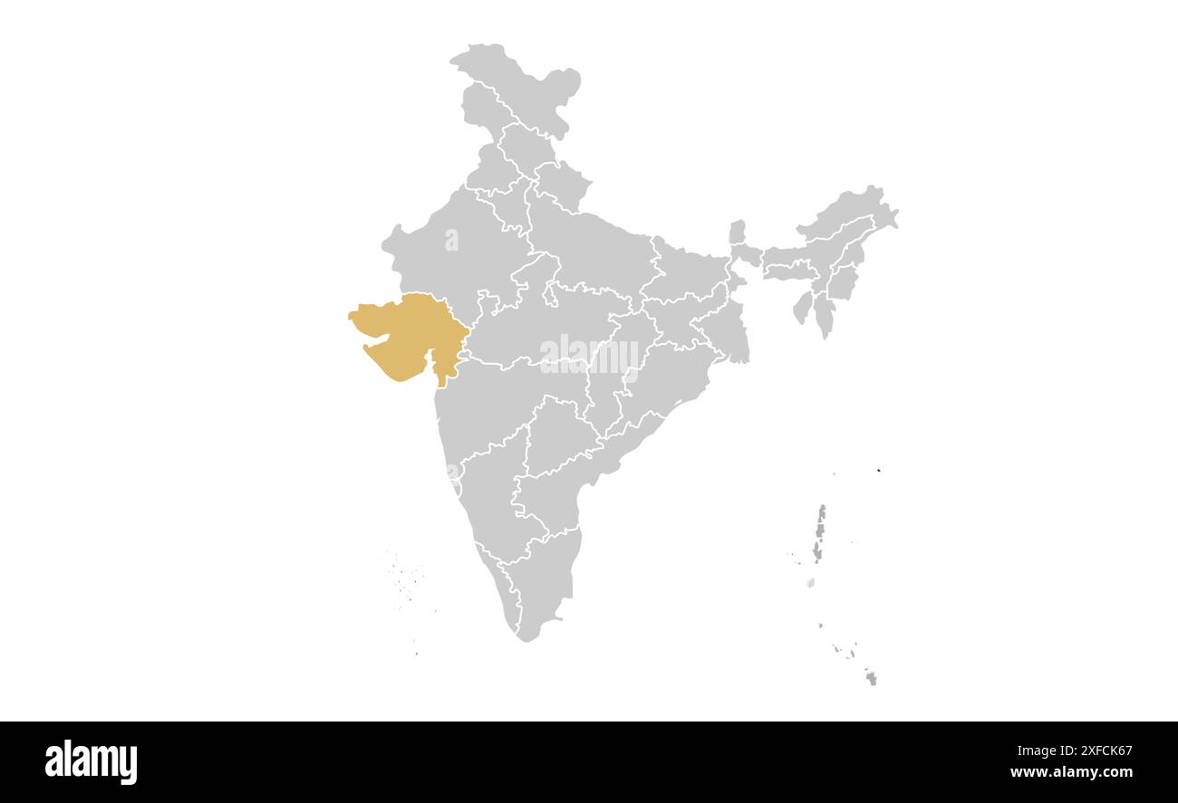 Gujarat political map1, State of India, Republic of India, government, Political map, modern map, Indian flag, vector illustration Stock Vectorhttps://www.alamy.com/image-license-details/?v=1https://www.alamy.com/gujarat-political-map1-state-of-india-republic-of-india-government-political-map-modern-map-indian-flag-vector-illustration-image611861215.html
RF2XFCK67–Gujarat political map1, State of India, Republic of India, government, Political map, modern map, Indian flag, vector illustration
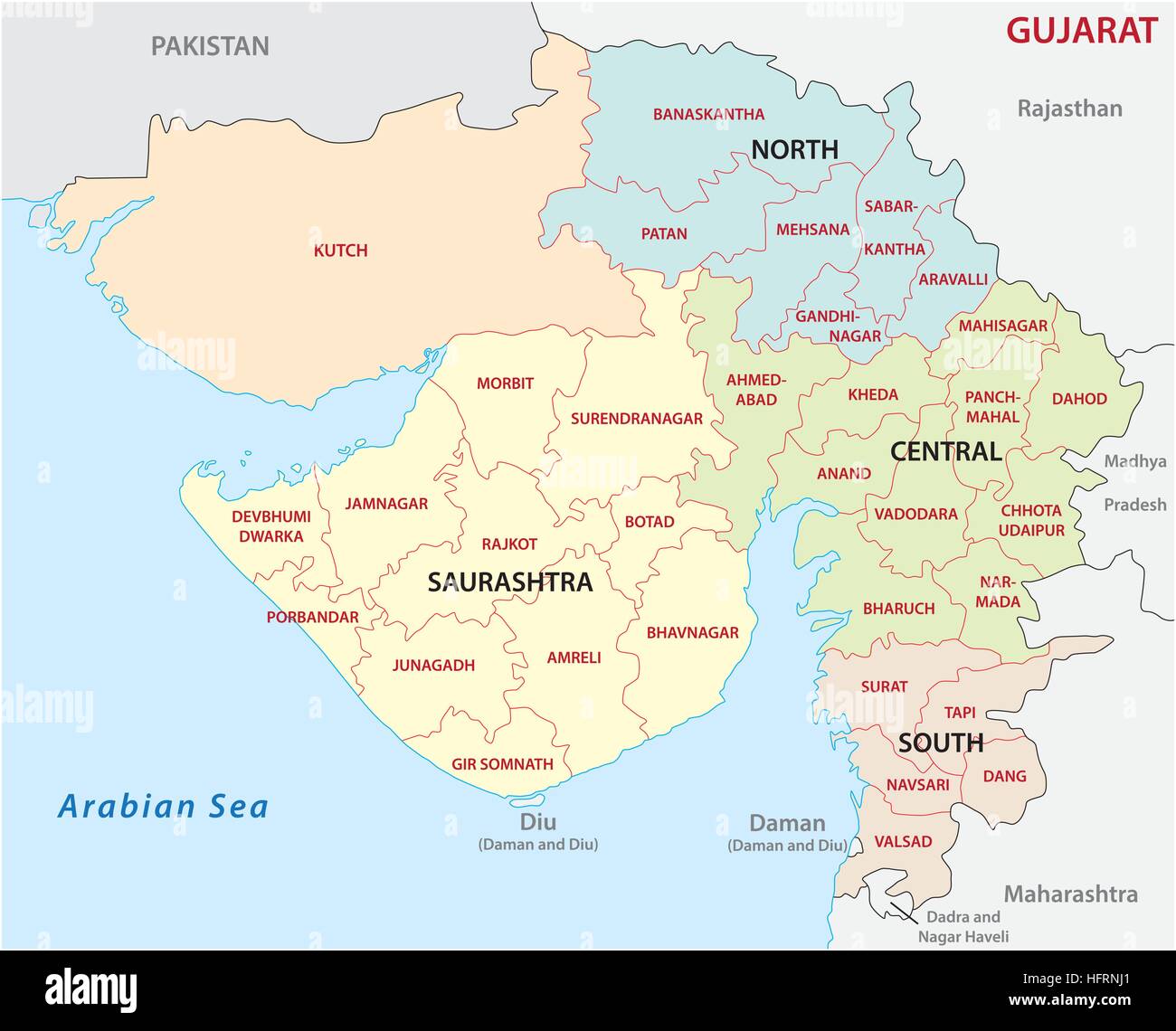 Gujarat administrative and political vector map Stock Vectorhttps://www.alamy.com/image-license-details/?v=1https://www.alamy.com/stock-photo-gujarat-administrative-and-political-vector-map-130214281.html
RFHFRNJ1–Gujarat administrative and political vector map
 Gujarat map lettering in hindi text. Gujarat map typography design in black color. Stock Vectorhttps://www.alamy.com/image-license-details/?v=1https://www.alamy.com/gujarat-map-lettering-in-hindi-text-gujarat-map-typography-design-in-black-color-image463639858.html
RF2HX8HAA–Gujarat map lettering in hindi text. Gujarat map typography design in black color.
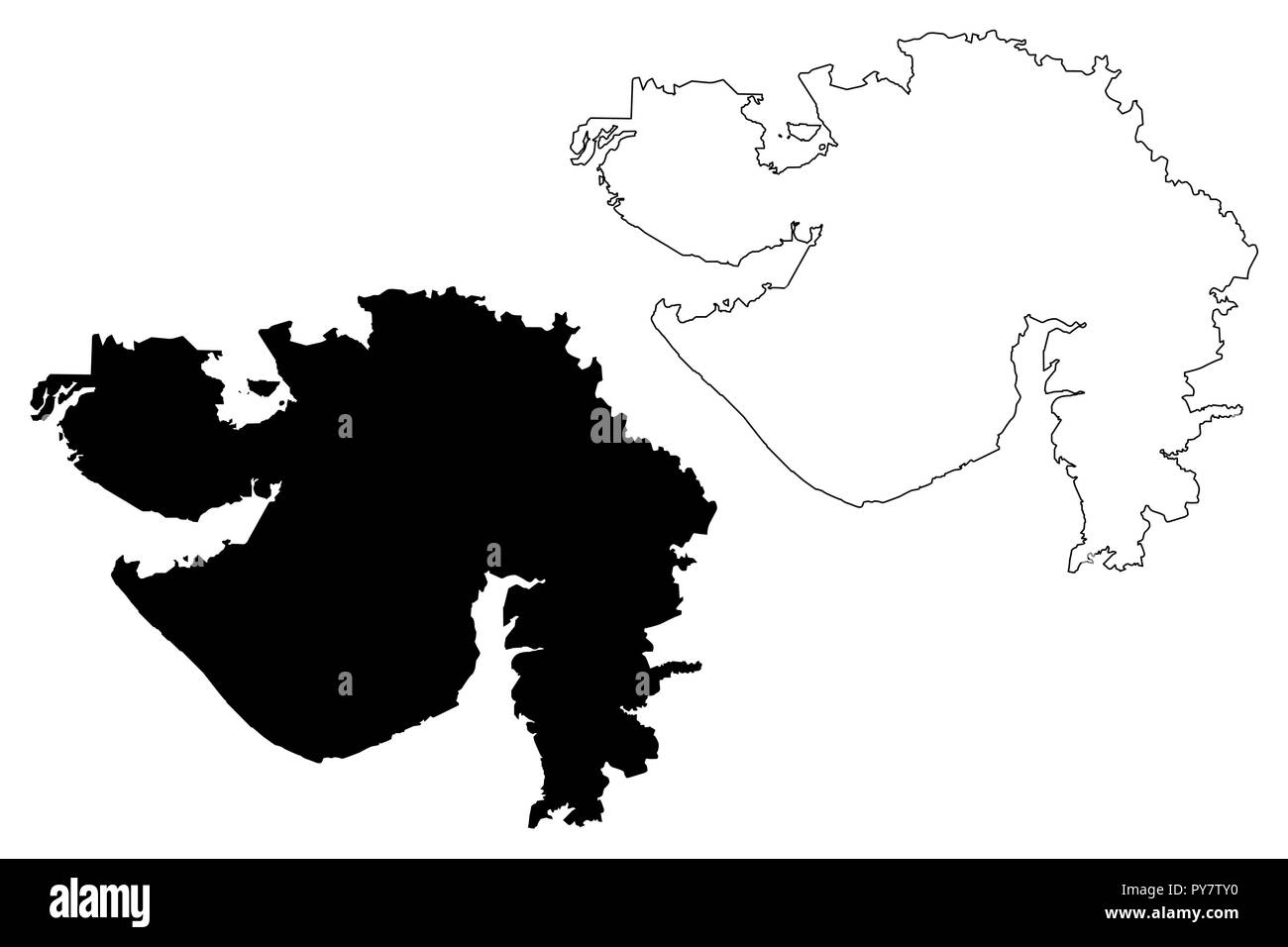 Gujarat (States and union territories of India, Federated states, Republic of India) map vector illustration, scribble sketch Gujarat state map Stock Vectorhttps://www.alamy.com/image-license-details/?v=1https://www.alamy.com/gujarat-states-and-union-territories-of-india-federated-states-republic-of-india-map-vector-illustration-scribble-sketch-gujarat-state-map-image223293364.html
RFPY7TY0–Gujarat (States and union territories of India, Federated states, Republic of India) map vector illustration, scribble sketch Gujarat state map
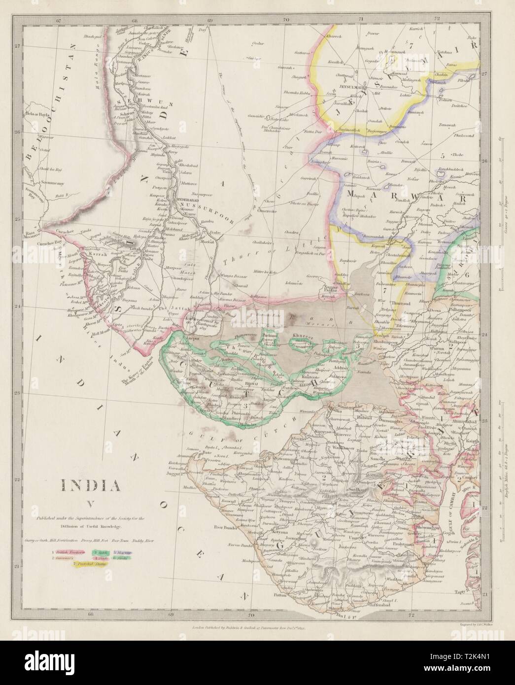 BRITISH INDIA. Sinde to Gujarat. Cutch Marwar Jaisalmer. Pakistan. SDUK 1844 map Stock Photohttps://www.alamy.com/image-license-details/?v=1https://www.alamy.com/british-india-sinde-to-gujarat-cutch-marwar-jaisalmer-pakistan-sduk-1844-map-image242595277.html
RFT2K4N1–BRITISH INDIA. Sinde to Gujarat. Cutch Marwar Jaisalmer. Pakistan. SDUK 1844 map
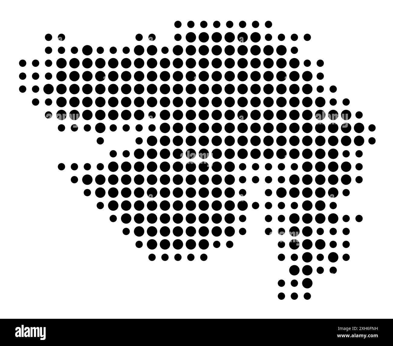 Symbol Map of the Gujarat (India) showing the state/province with a pattern of black circles Stock Vectorhttps://www.alamy.com/image-license-details/?v=1https://www.alamy.com/symbol-map-of-the-gujarat-india-showing-the-stateprovince-with-a-pattern-of-black-circles-image612956109.html
RF2XH6FNH–Symbol Map of the Gujarat (India) showing the state/province with a pattern of black circles
 Indian State Map Goa Vector illustration Stock Vectorhttps://www.alamy.com/image-license-details/?v=1https://www.alamy.com/indian-state-map-goa-vector-illustration-image598509262.html
RF2WNMCJP–Indian State Map Goa Vector illustration
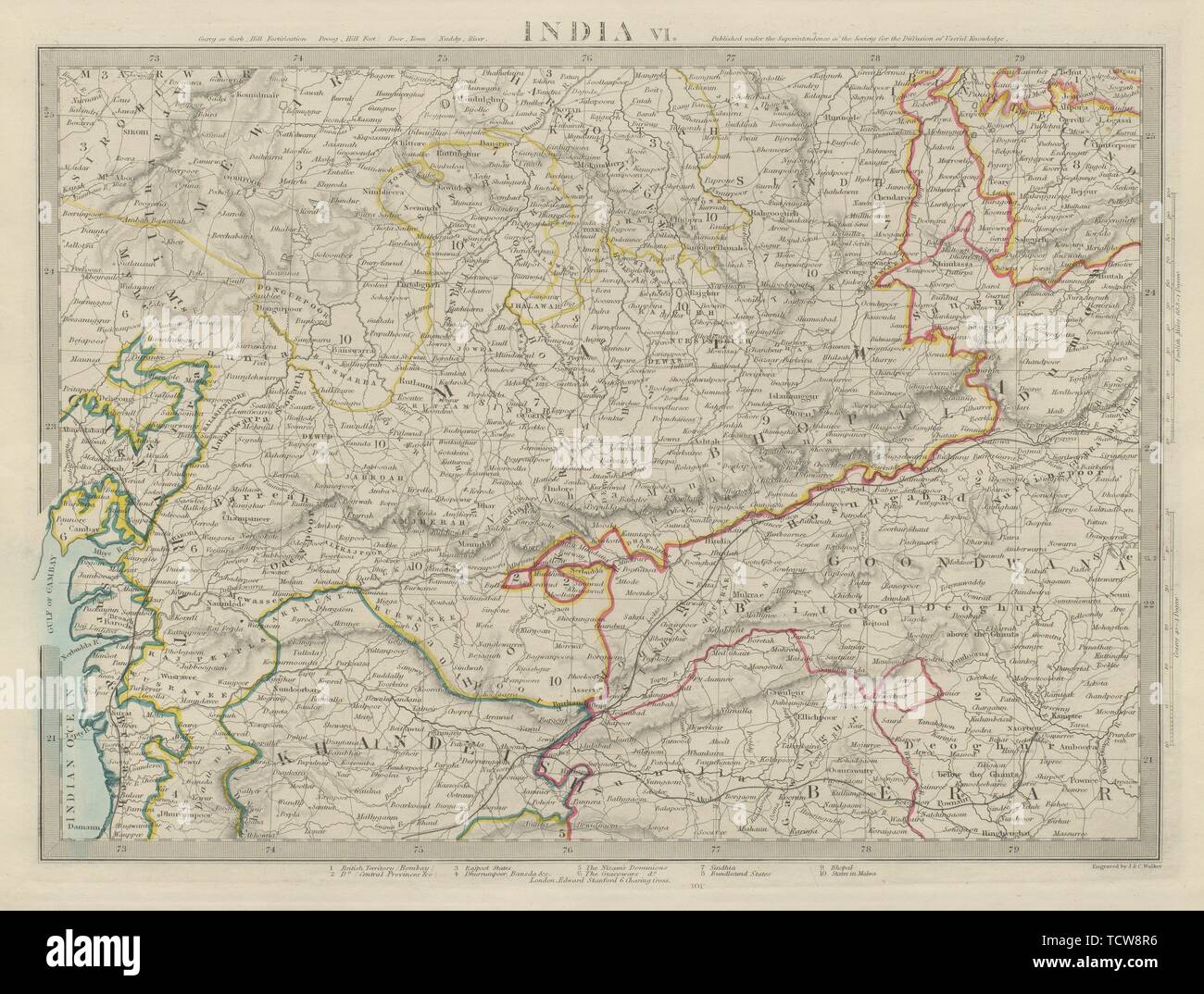 INDIA Madhya Pradesh Gujarat Malwa Khandeish Goondwana Bhopal SDUK 1874 map Stock Photohttps://www.alamy.com/image-license-details/?v=1https://www.alamy.com/india-madhya-pradesh-gujarat-malwa-khandeish-goondwana-bhopal-sduk-1874-map-image248876746.html
RFTCW8R6–INDIA Madhya Pradesh Gujarat Malwa Khandeish Goondwana Bhopal SDUK 1874 map
RF2S1E0PW–Editable stroke icons of the 28 states of India with Union Territories. States including Tamil Nadu, Delhi, Mumbai, Kolkata, and more
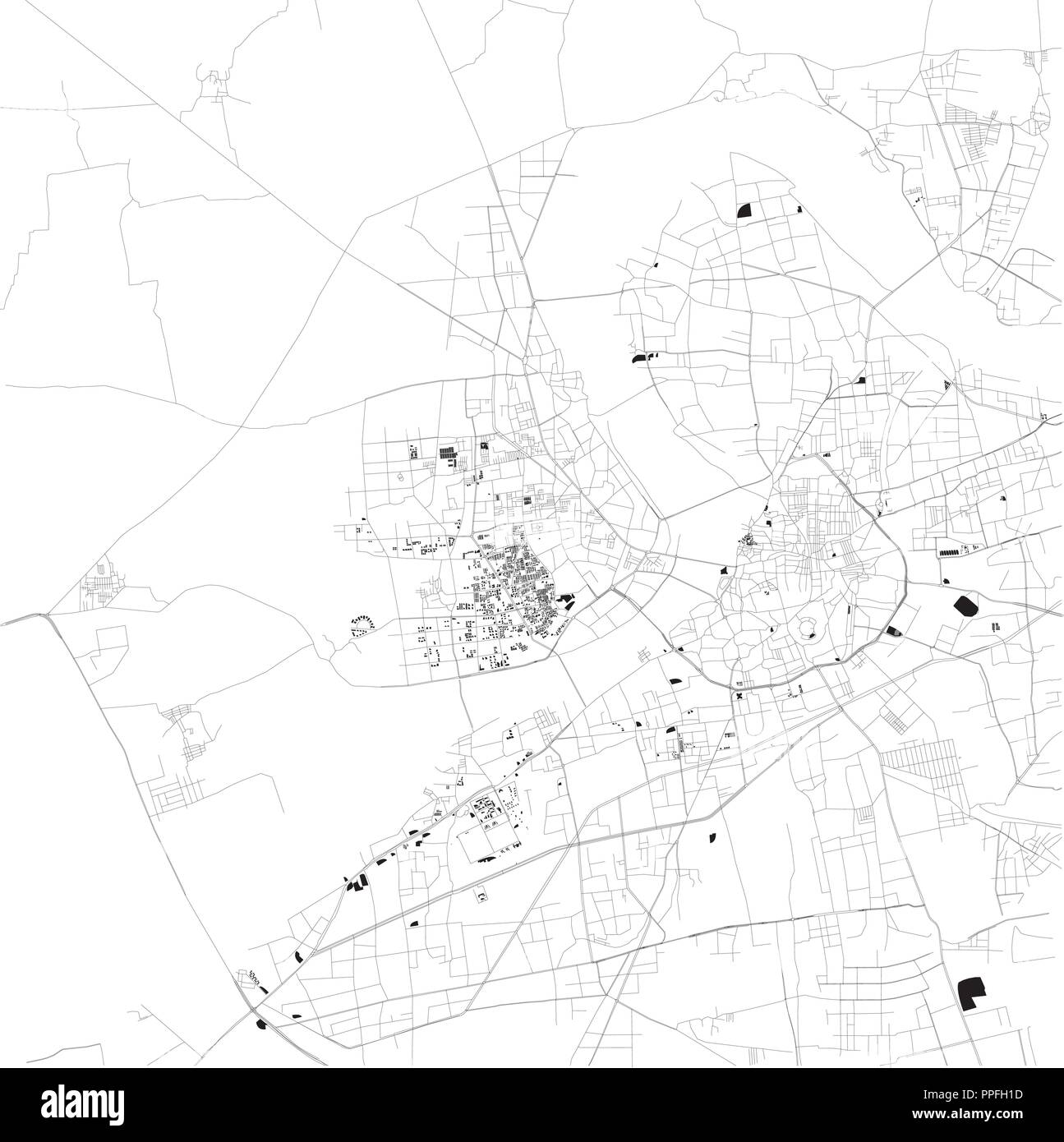 Map of Surat, Gujarat, satellite view, black and white map. Street directory and city map. India Stock Vectorhttps://www.alamy.com/image-license-details/?v=1https://www.alamy.com/map-of-surat-gujarat-satellite-view-black-and-white-map-street-directory-and-city-map-india-image220389497.html
RFPPFH1D–Map of Surat, Gujarat, satellite view, black and white map. Street directory and city map. India
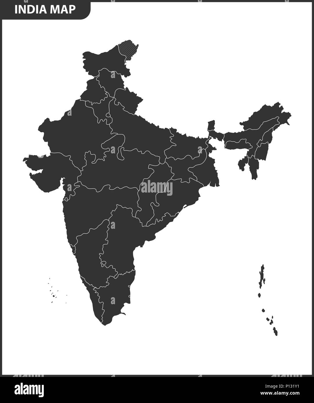 The detailed map of the India with regions or states. Administrative division. Stock Vectorhttps://www.alamy.com/image-license-details/?v=1https://www.alamy.com/the-detailed-map-of-the-india-with-regions-or-states-administrative-division-image207206469.html
RFP131Y1–The detailed map of the India with regions or states. Administrative division.
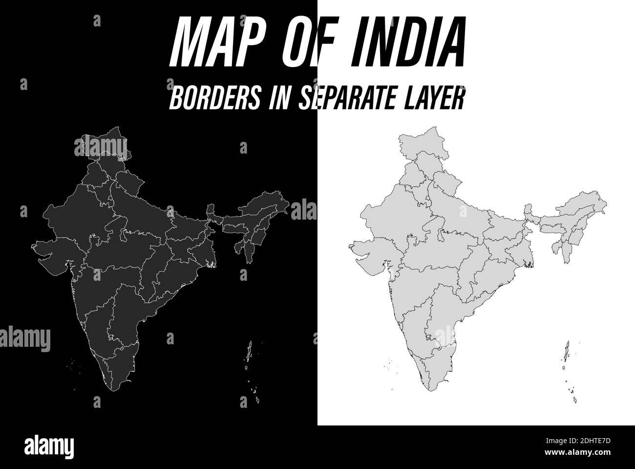 detailed map of India with borders. Black and white vector Stock Vectorhttps://www.alamy.com/image-license-details/?v=1https://www.alamy.com/detailed-map-of-india-with-borders-black-and-white-vector-image389615281.html
RF2DHTE7D–detailed map of India with borders. Black and white vector
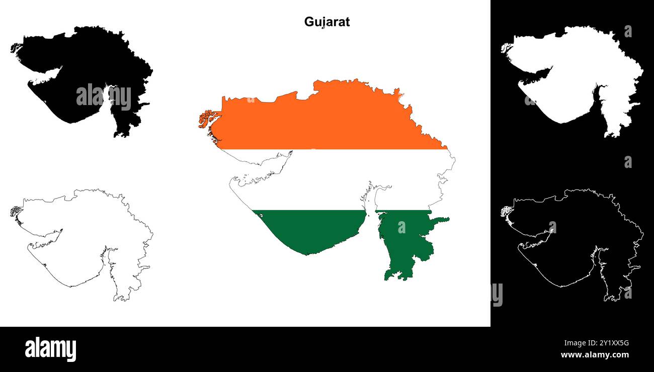 Gujarat state outline map set Stock Vectorhttps://www.alamy.com/image-license-details/?v=1https://www.alamy.com/gujarat-state-outline-map-set-image620779196.html
RF2Y1XX5G–Gujarat state outline map set
 Gujarat map of Indian state. Gujarat map vector illustration. Gujarat map on white background. Stock Vectorhttps://www.alamy.com/image-license-details/?v=1https://www.alamy.com/gujarat-map-of-indian-state-gujarat-map-vector-illustration-gujarat-map-on-white-background-image594080514.html
RF2WEEKN6–Gujarat map of Indian state. Gujarat map vector illustration. Gujarat map on white background.
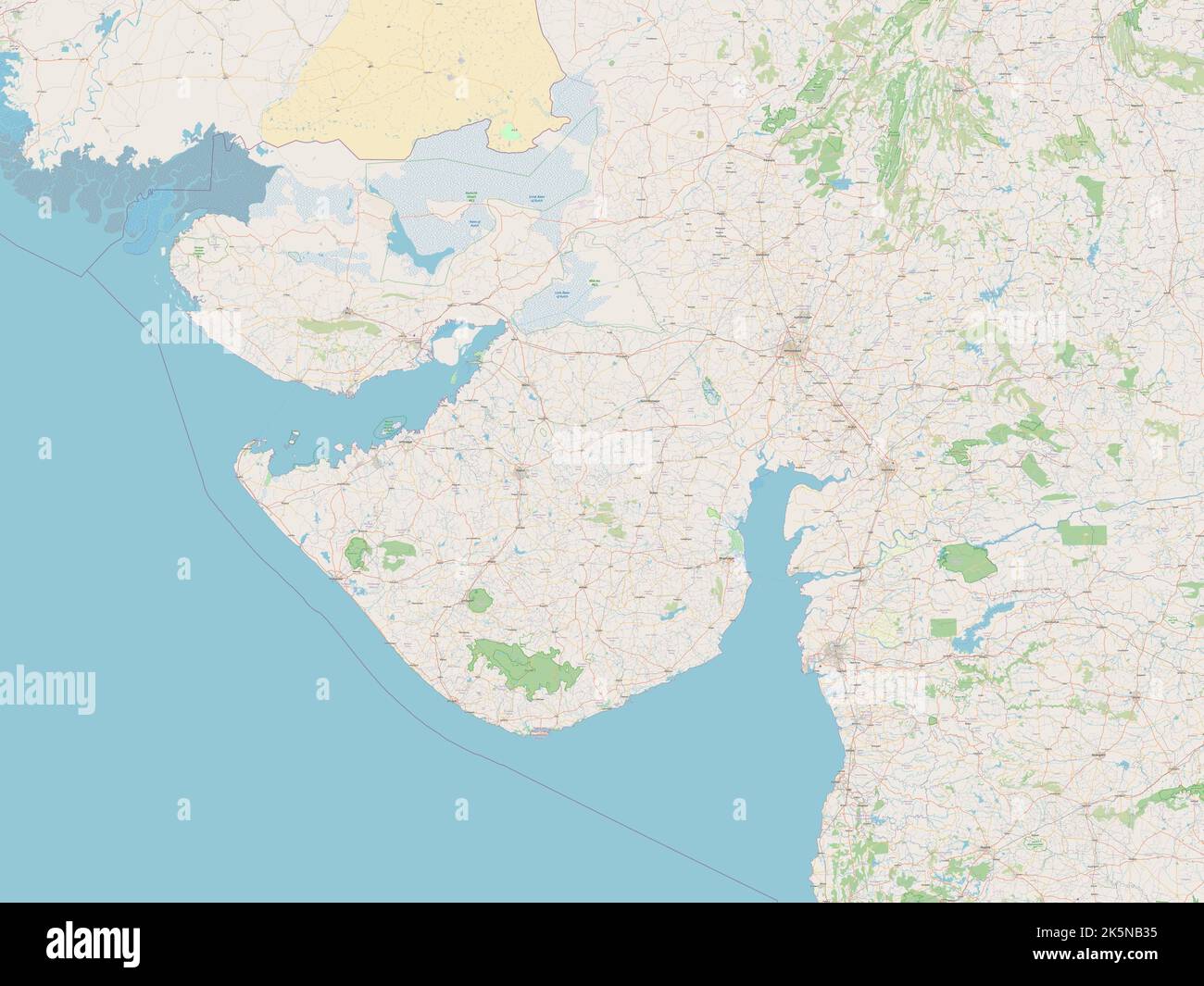 Gujarat, state of India. Open Street Map Stock Photohttps://www.alamy.com/image-license-details/?v=1https://www.alamy.com/gujarat-state-of-india-open-street-map-image485433289.html
RF2K5NB35–Gujarat, state of India. Open Street Map
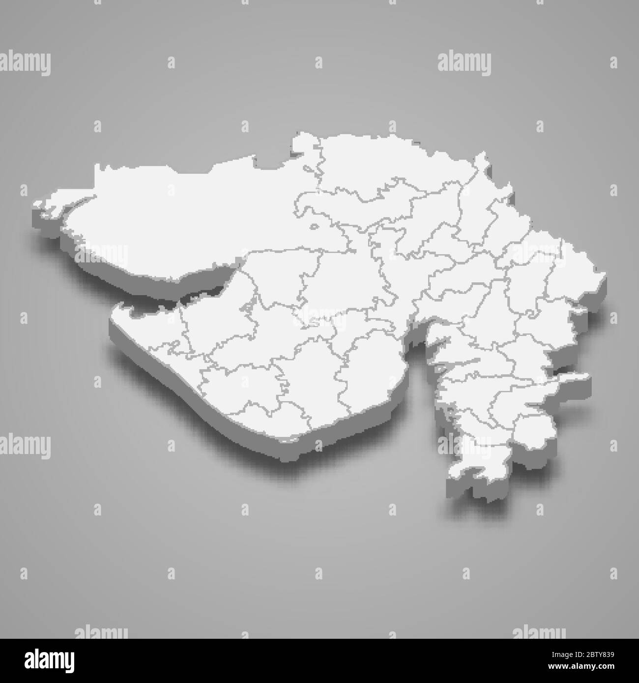 3d map of Gujarat is a state of India Stock Vectorhttps://www.alamy.com/image-license-details/?v=1https://www.alamy.com/3d-map-of-gujarat-is-a-state-of-india-image359558173.html
RF2BTY839–3d map of Gujarat is a state of India
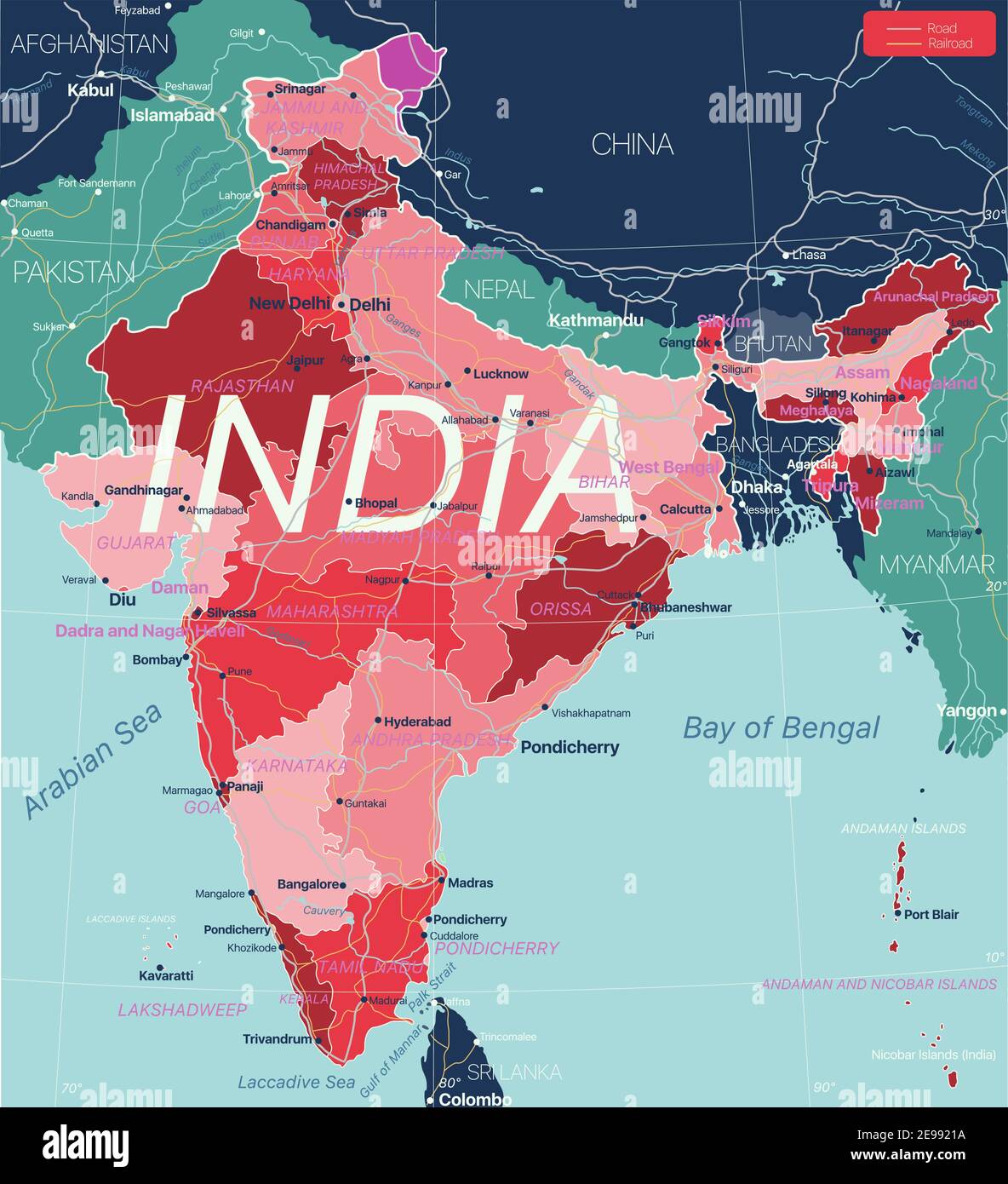 India country detailed editable map with regions cities and towns, roads and railways, geographic sites. Vector EPS-10 file Stock Vectorhttps://www.alamy.com/image-license-details/?v=1https://www.alamy.com/india-country-detailed-editable-map-with-regions-cities-and-towns-roads-and-railways-geographic-sites-vector-eps-10-file-image401569542.html
RF2E9921A–India country detailed editable map with regions cities and towns, roads and railways, geographic sites. Vector EPS-10 file
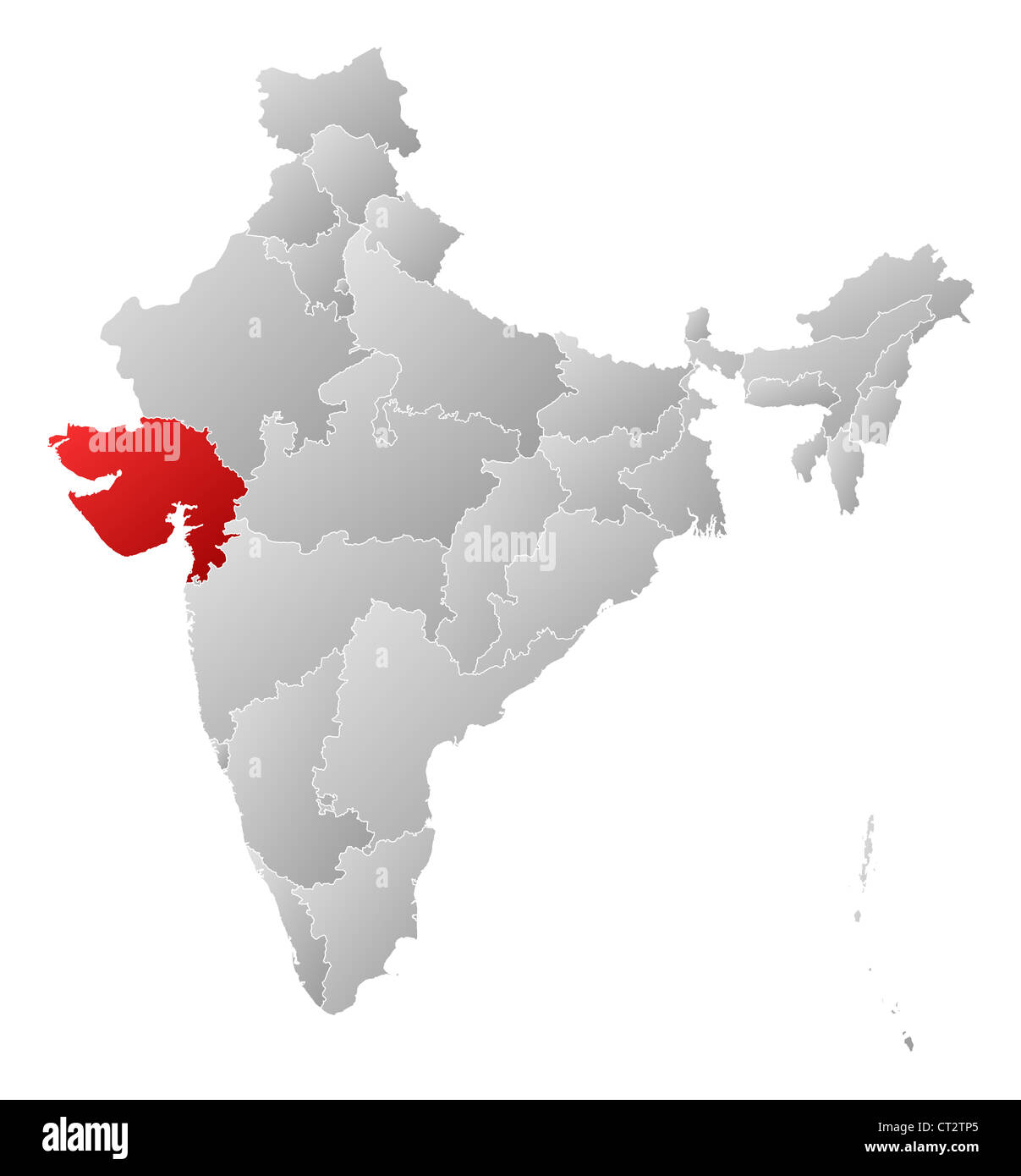 Political map of India with the several states where Gujarat is highlighted. Stock Photohttps://www.alamy.com/image-license-details/?v=1https://www.alamy.com/stock-photo-political-map-of-india-with-the-several-states-where-gujarat-is-highlighted-49235821.html
RFCT2TP5–Political map of India with the several states where Gujarat is highlighted.
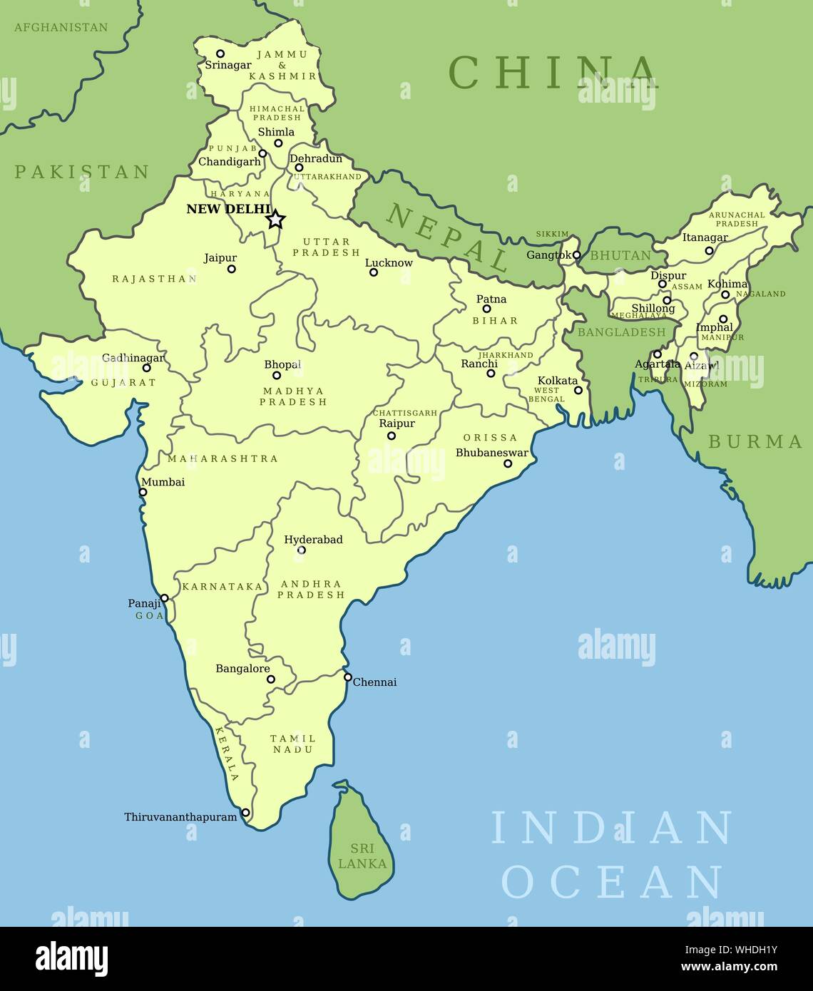 India map. Outline illustration country map with state names and their capital cities. Stock Vectorhttps://www.alamy.com/image-license-details/?v=1https://www.alamy.com/india-map-outline-illustration-country-map-with-state-names-and-their-capital-cities-image268903431.html
RFWHDH1Y–India map. Outline illustration country map with state names and their capital cities.
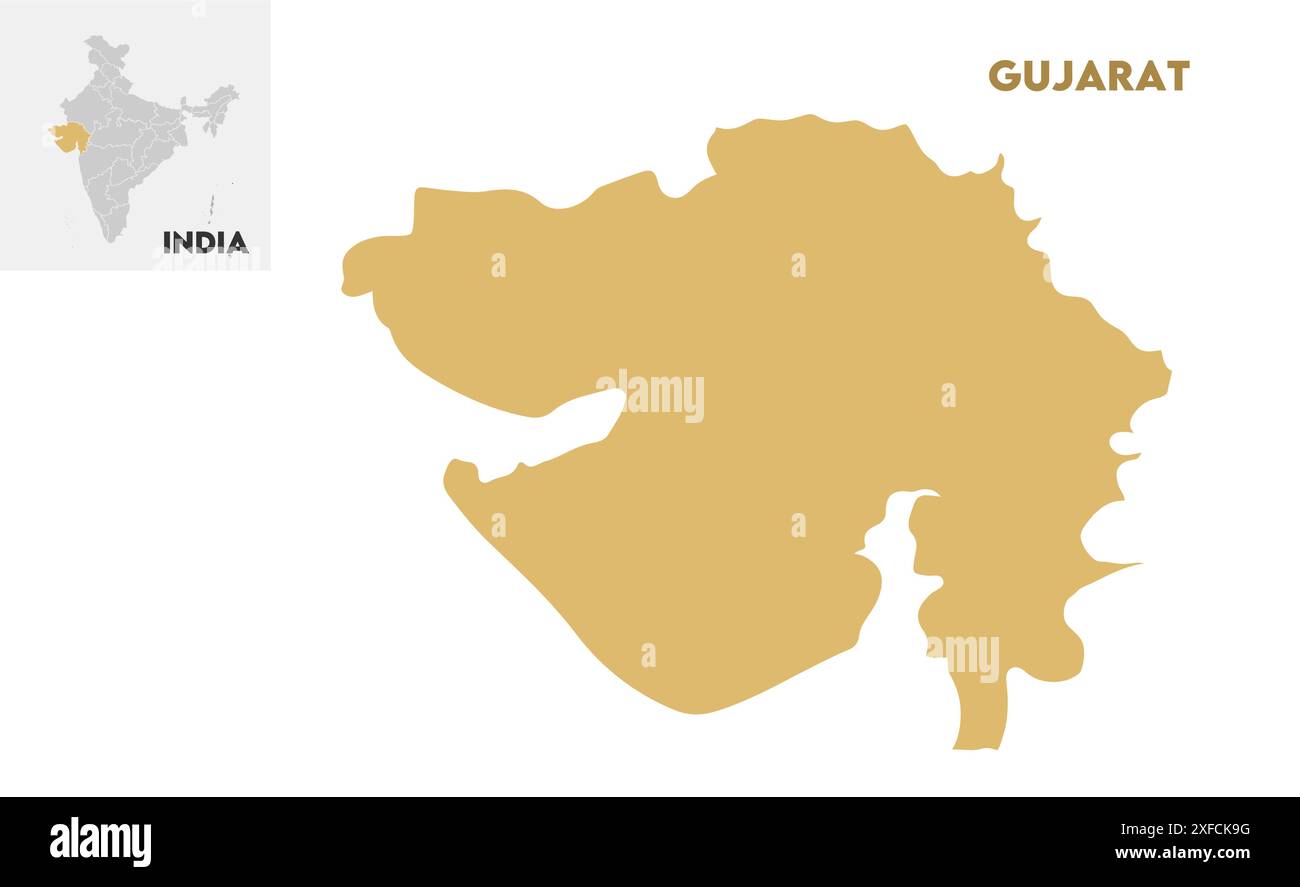 Gujarat administrative map1, State of India, Republic of India, government, Political map, modern map, Indian flag, vector illustration Stock Vectorhttps://www.alamy.com/image-license-details/?v=1https://www.alamy.com/gujarat-administrative-map1-state-of-india-republic-of-india-government-political-map-modern-map-indian-flag-vector-illustration-image611861308.html
RF2XFCK9G–Gujarat administrative map1, State of India, Republic of India, government, Political map, modern map, Indian flag, vector illustration
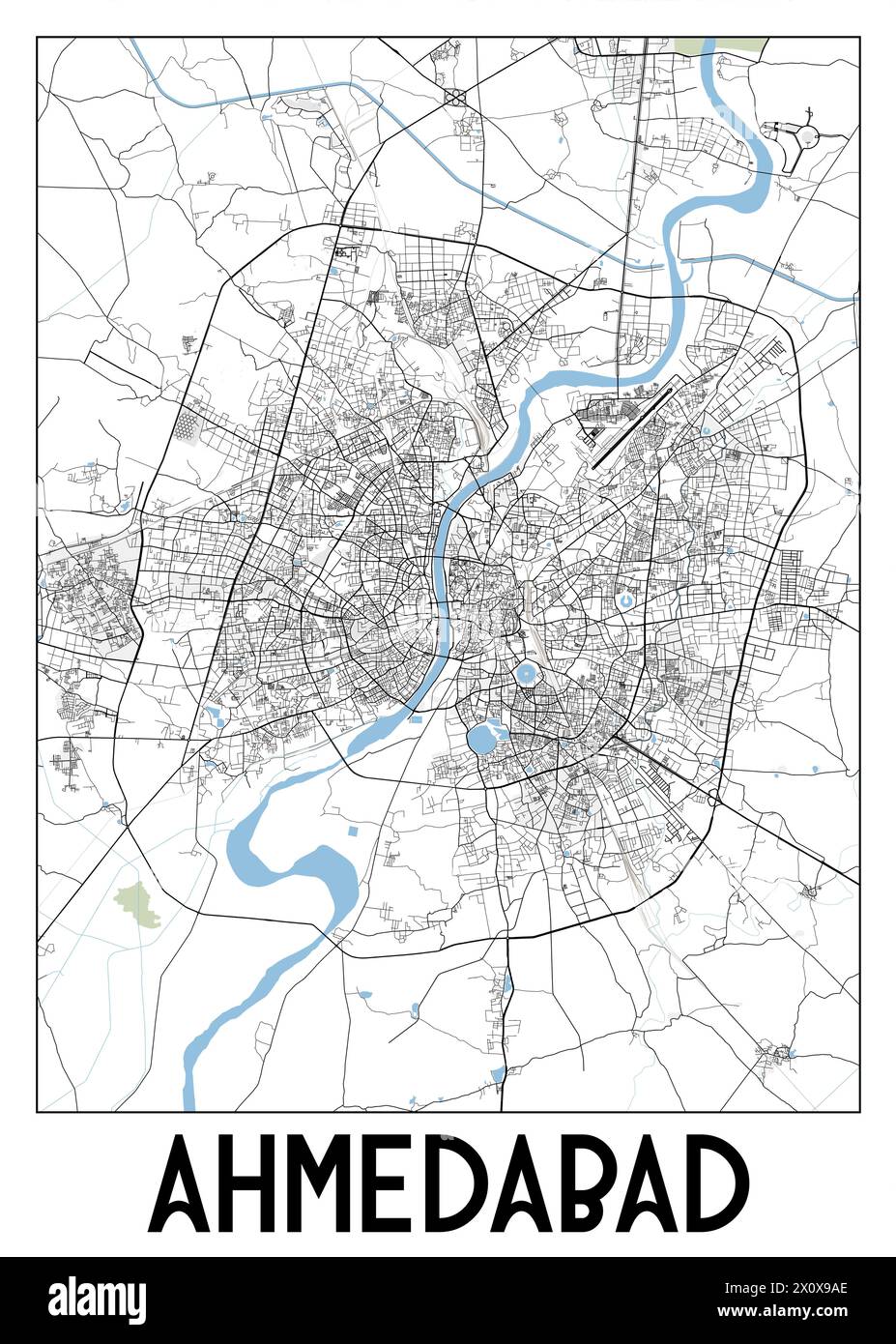 Poster map art of Ahmedabad, Gujarat, India Stock Vectorhttps://www.alamy.com/image-license-details/?v=1https://www.alamy.com/poster-map-art-of-ahmedabad-gujarat-india-image602940982.html
RF2X0X9AE–Poster map art of Ahmedabad, Gujarat, India
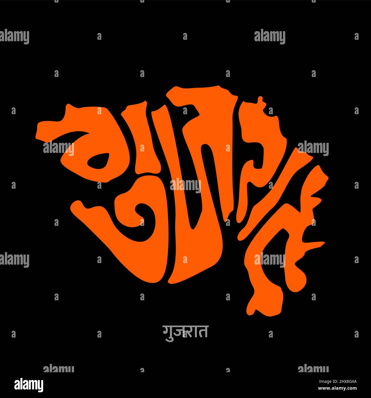 Gujarat map lettering in hindi text. Gujarat map typography design. Stock Vectorhttps://www.alamy.com/image-license-details/?v=1https://www.alamy.com/gujarat-map-lettering-in-hindi-text-gujarat-map-typography-design-image463639522.html
RF2HX8GXA–Gujarat map lettering in hindi text. Gujarat map typography design.
 Gujarat (States and union territories of India, Federated states, Republic of India) map vector illustration, scribble sketch Gujarat state map Stock Vectorhttps://www.alamy.com/image-license-details/?v=1https://www.alamy.com/gujarat-states-and-union-territories-of-india-federated-states-republic-of-india-map-vector-illustration-scribble-sketch-gujarat-state-map-image223684559.html
RFPYWKX7–Gujarat (States and union territories of India, Federated states, Republic of India) map vector illustration, scribble sketch Gujarat state map
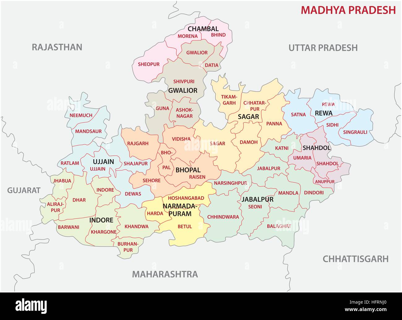 Madhya Pradesh administrative and political vector map Stock Vectorhttps://www.alamy.com/image-license-details/?v=1https://www.alamy.com/stock-photo-madhya-pradesh-administrative-and-political-vector-map-130214280.html
RFHFRNJ0–Madhya Pradesh administrative and political vector map
 Illustration of detailed map of India on colored back Stock Vectorhttps://www.alamy.com/image-license-details/?v=1https://www.alamy.com/illustration-of-detailed-map-of-india-on-colored-back-image263713804.html
RFW915J4–Illustration of detailed map of India on colored back
RF2JMXPY9–India, Ahmedabad city skyline isolated vector illustration, icons
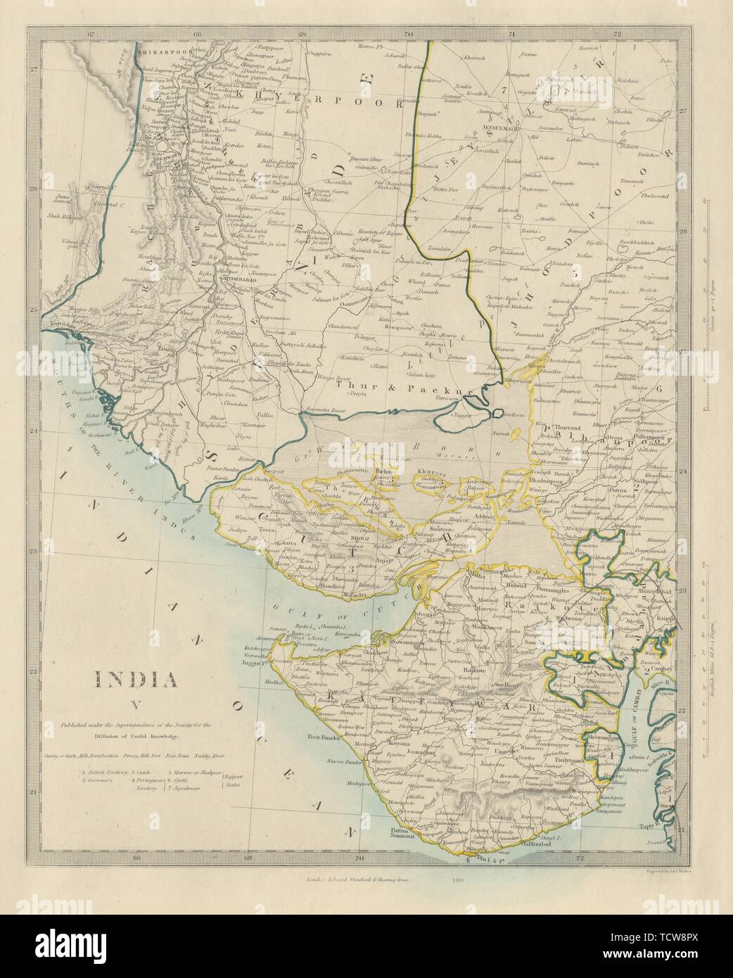 NW BRITISH INDIA. Sindh Gujarat. Marwar Cutch Jaisalmer Pakistan. SDUK 1874 map Stock Photohttps://www.alamy.com/image-license-details/?v=1https://www.alamy.com/nw-british-india-sindh-gujarat-marwar-cutch-jaisalmer-pakistan-sduk-1874-map-image248876738.html
RFTCW8PX–NW BRITISH INDIA. Sindh Gujarat. Marwar Cutch Jaisalmer Pakistan. SDUK 1874 map
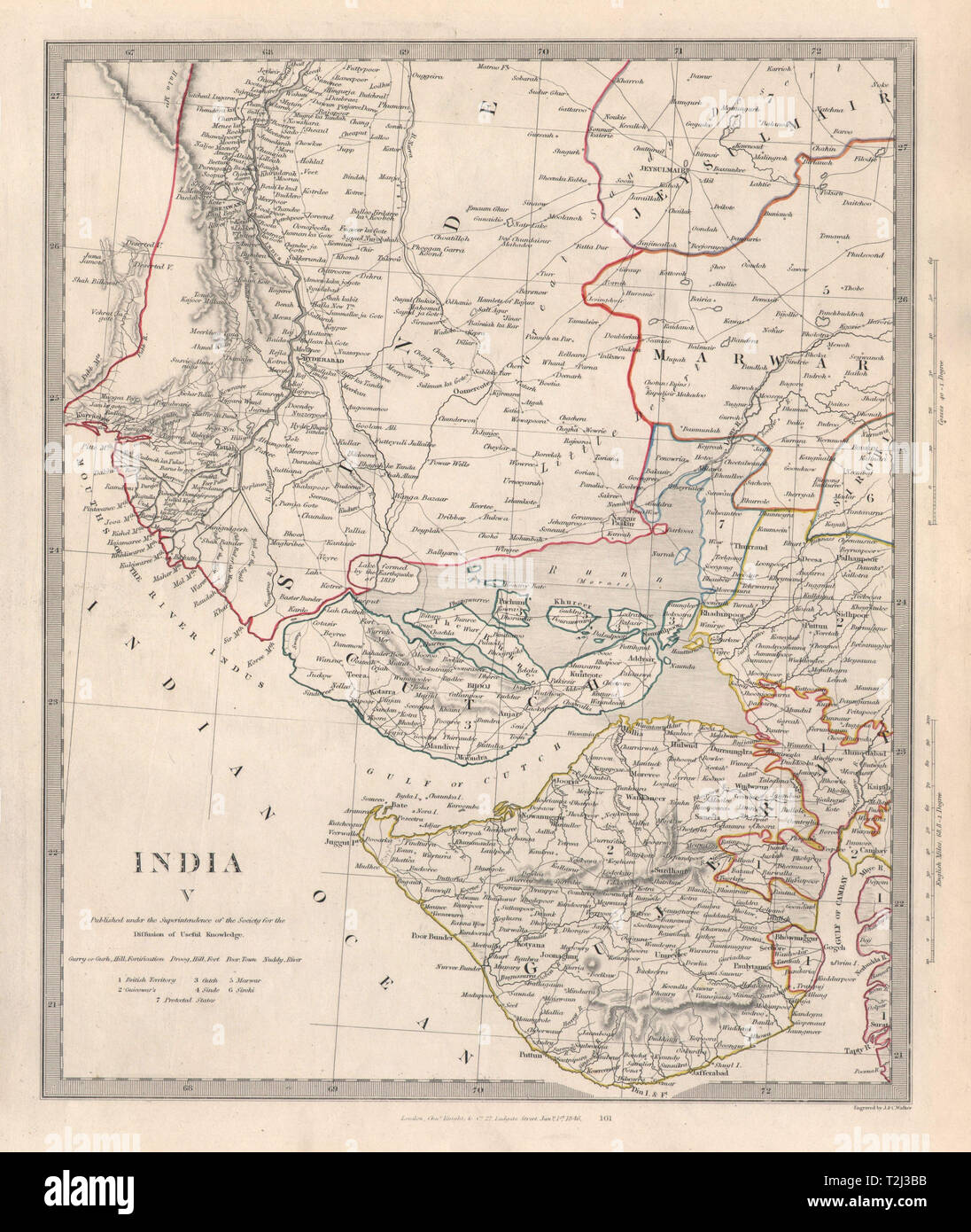 INDIA V. Sinde-Gujarat. Marwar Cutch Jaisalmer. SDUK 1846 old antique map Stock Photohttps://www.alamy.com/image-license-details/?v=1https://www.alamy.com/india-v-sinde-gujarat-marwar-cutch-jaisalmer-sduk-1846-old-antique-map-image242572271.html
RFT2J3BB–INDIA V. Sinde-Gujarat. Marwar Cutch Jaisalmer. SDUK 1846 old antique map
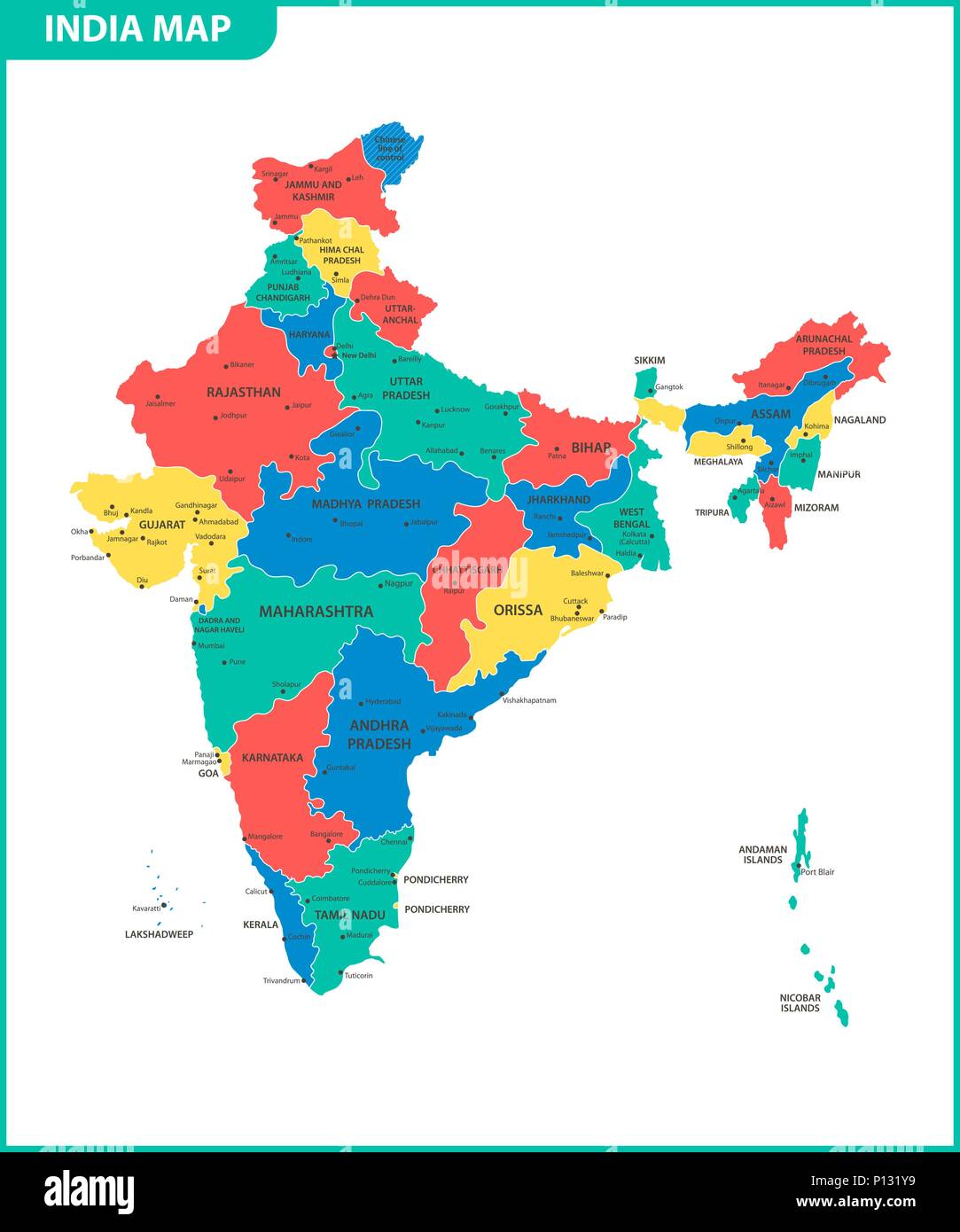 The detailed map of the India with regions or states and cities, capital. Administrative division. Stock Vectorhttps://www.alamy.com/image-license-details/?v=1https://www.alamy.com/the-detailed-map-of-the-india-with-regions-or-states-and-cities-capital-administrative-division-image207206477.html
RFP131Y9–The detailed map of the India with regions or states and cities, capital. Administrative division.
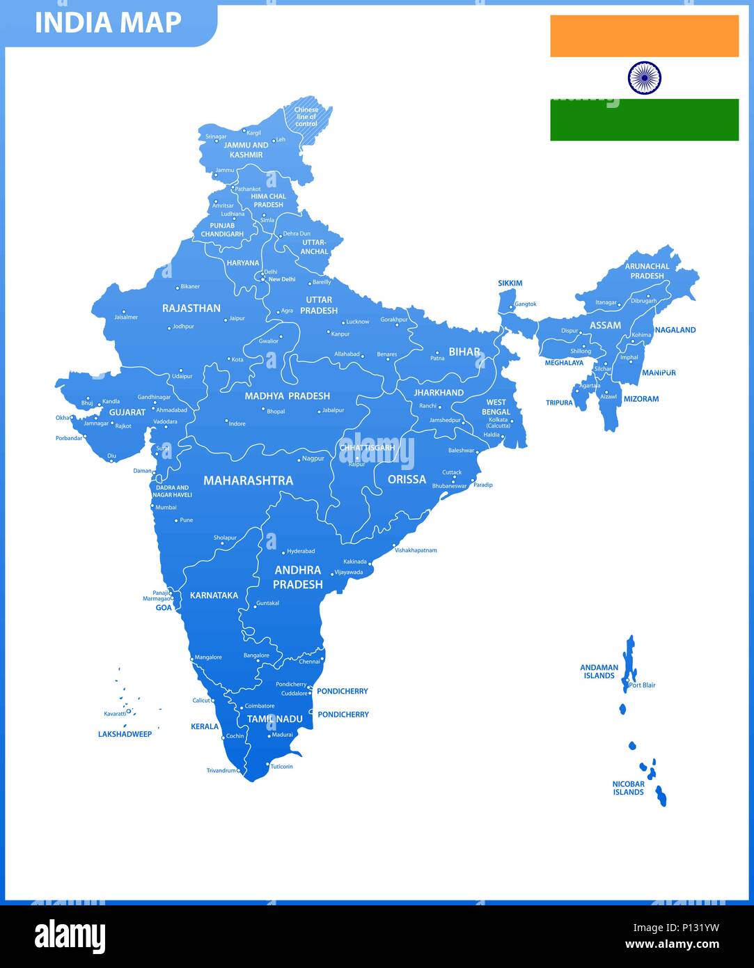 The detailed map of the India with regions or states and cities, capital. Administrative division. Stock Vectorhttps://www.alamy.com/image-license-details/?v=1https://www.alamy.com/the-detailed-map-of-the-india-with-regions-or-states-and-cities-capital-administrative-division-image207206493.html
RFP131YW–The detailed map of the India with regions or states and cities, capital. Administrative division.
 Gujarat map of Indian state. Gujarat map vector illustration. Gujarat map on white background. Stock Vectorhttps://www.alamy.com/image-license-details/?v=1https://www.alamy.com/gujarat-map-of-indian-state-gujarat-map-vector-illustration-gujarat-map-on-white-background-image594079628.html
RF2WEEJHG–Gujarat map of Indian state. Gujarat map vector illustration. Gujarat map on white background.
 Gujarat, state of India. High resolution satellite map Stock Photohttps://www.alamy.com/image-license-details/?v=1https://www.alamy.com/gujarat-state-of-india-high-resolution-satellite-map-image485433398.html
RF2K5NB72–Gujarat, state of India. High resolution satellite map
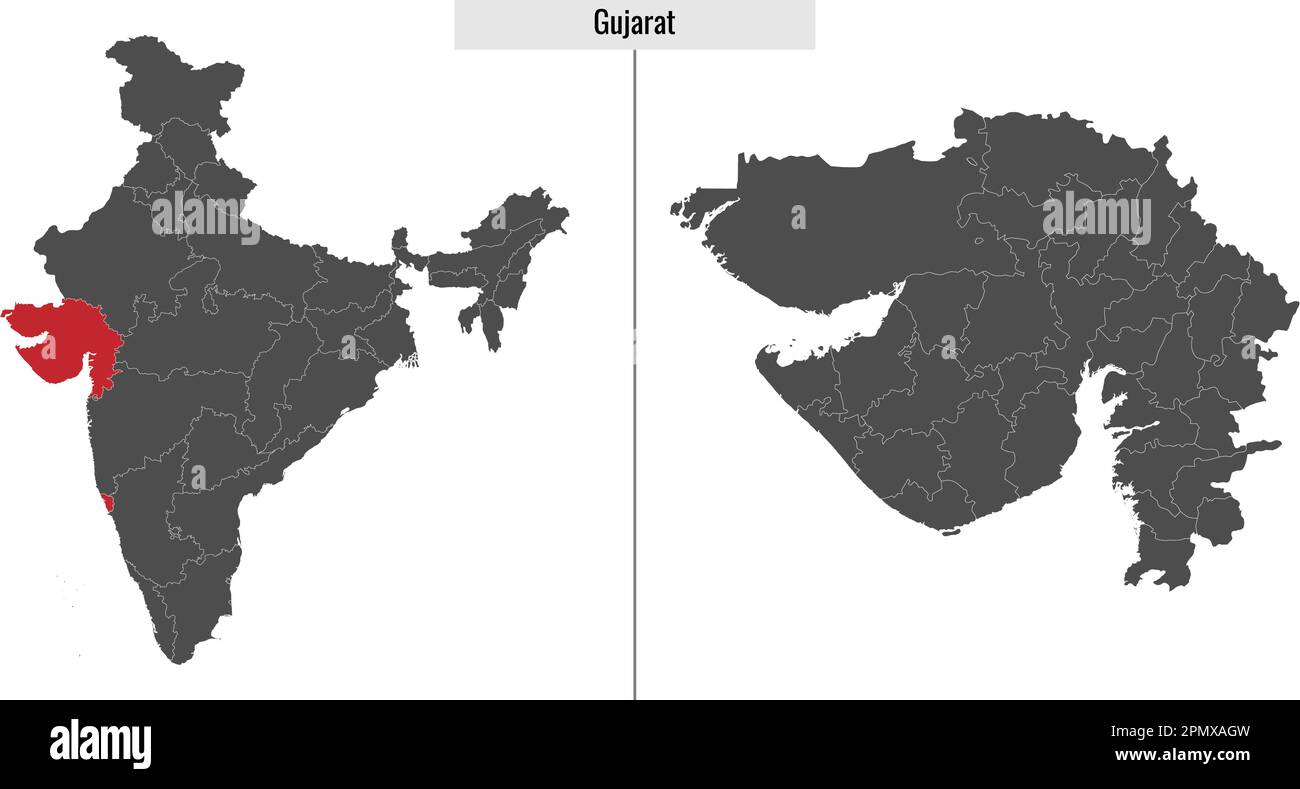 map of Gujarat state of India and location on Indian map Stock Vectorhttps://www.alamy.com/image-license-details/?v=1https://www.alamy.com/map-of-gujarat-state-of-india-and-location-on-indian-map-image546393593.html
RF2PMXAGW–map of Gujarat state of India and location on Indian map
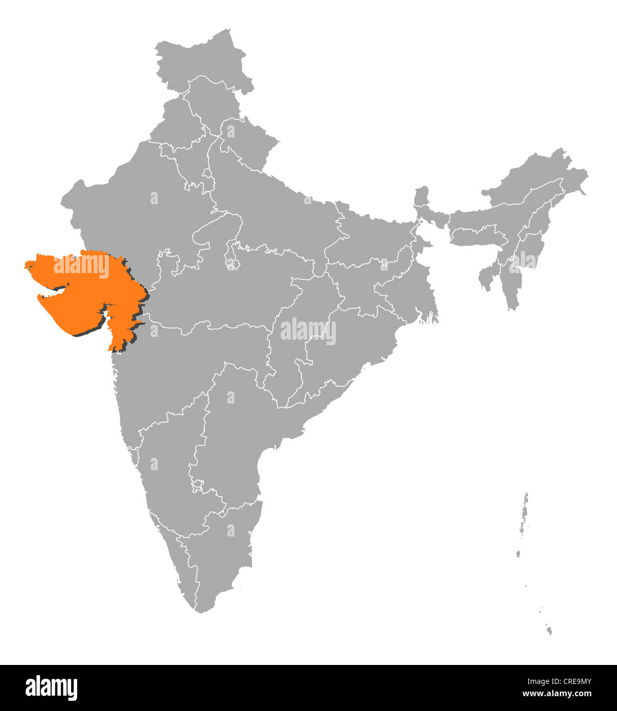 Political map of India with the several states where Gujarat is highlighted. Stock Photohttps://www.alamy.com/image-license-details/?v=1https://www.alamy.com/stock-photo-political-map-of-india-with-the-several-states-where-gujarat-is-highlighted-48872795.html
RFCRE9MY–Political map of India with the several states where Gujarat is highlighted.
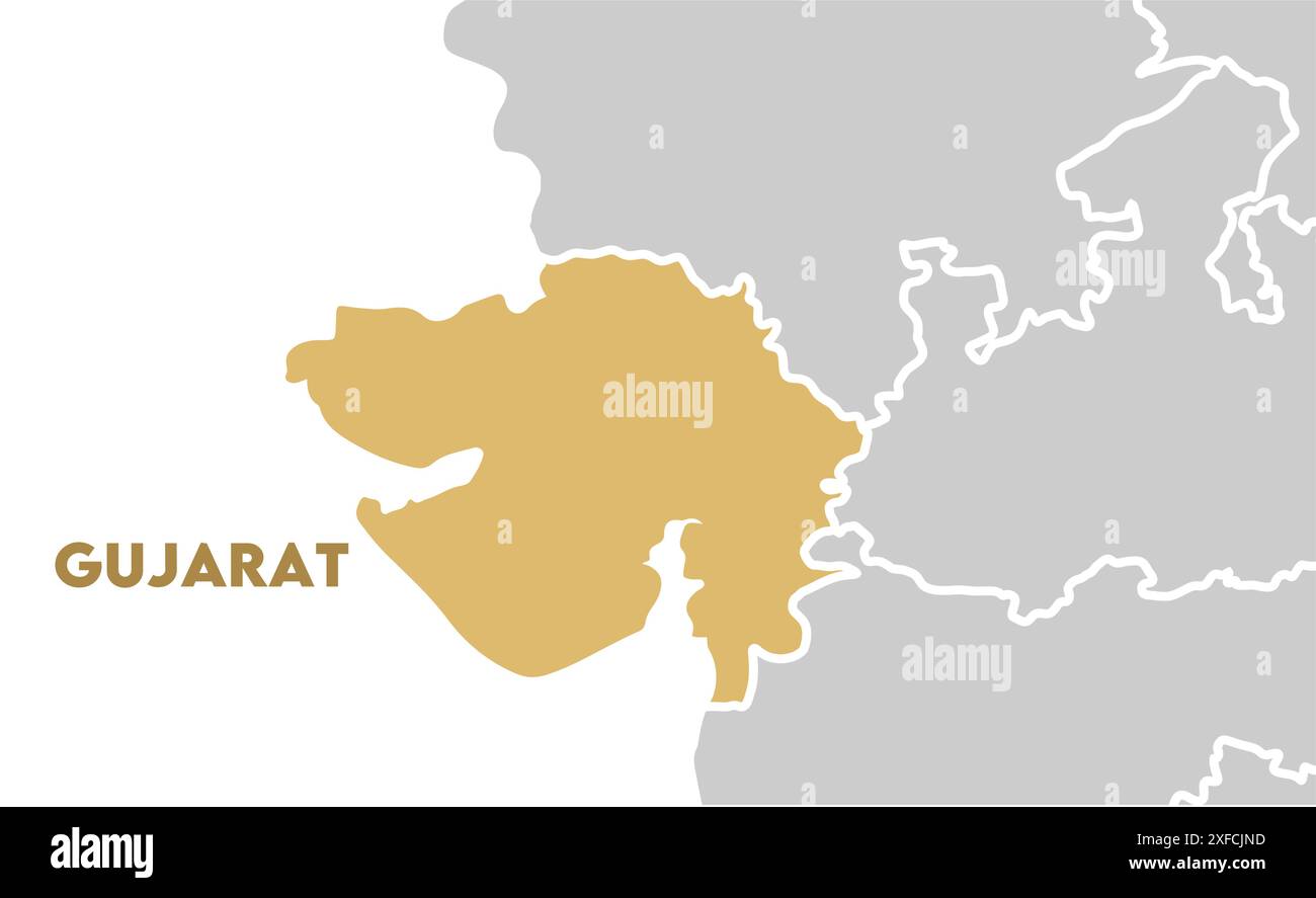 Gujarat Map highlighted1, State of India, Republic of India, government, Political map, modern map, Indian flag, vector illustration Stock Vectorhttps://www.alamy.com/image-license-details/?v=1https://www.alamy.com/gujarat-map-highlighted1-state-of-india-republic-of-india-government-political-map-modern-map-indian-flag-vector-illustration-image611860857.html
RF2XFCJND–Gujarat Map highlighted1, State of India, Republic of India, government, Political map, modern map, Indian flag, vector illustration
 City map of Vadodara,Gujarat, India Stock Vectorhttps://www.alamy.com/image-license-details/?v=1https://www.alamy.com/city-map-of-vadodaragujarat-india-image599748319.html
RF2WRMW2R–City map of Vadodara,Gujarat, India
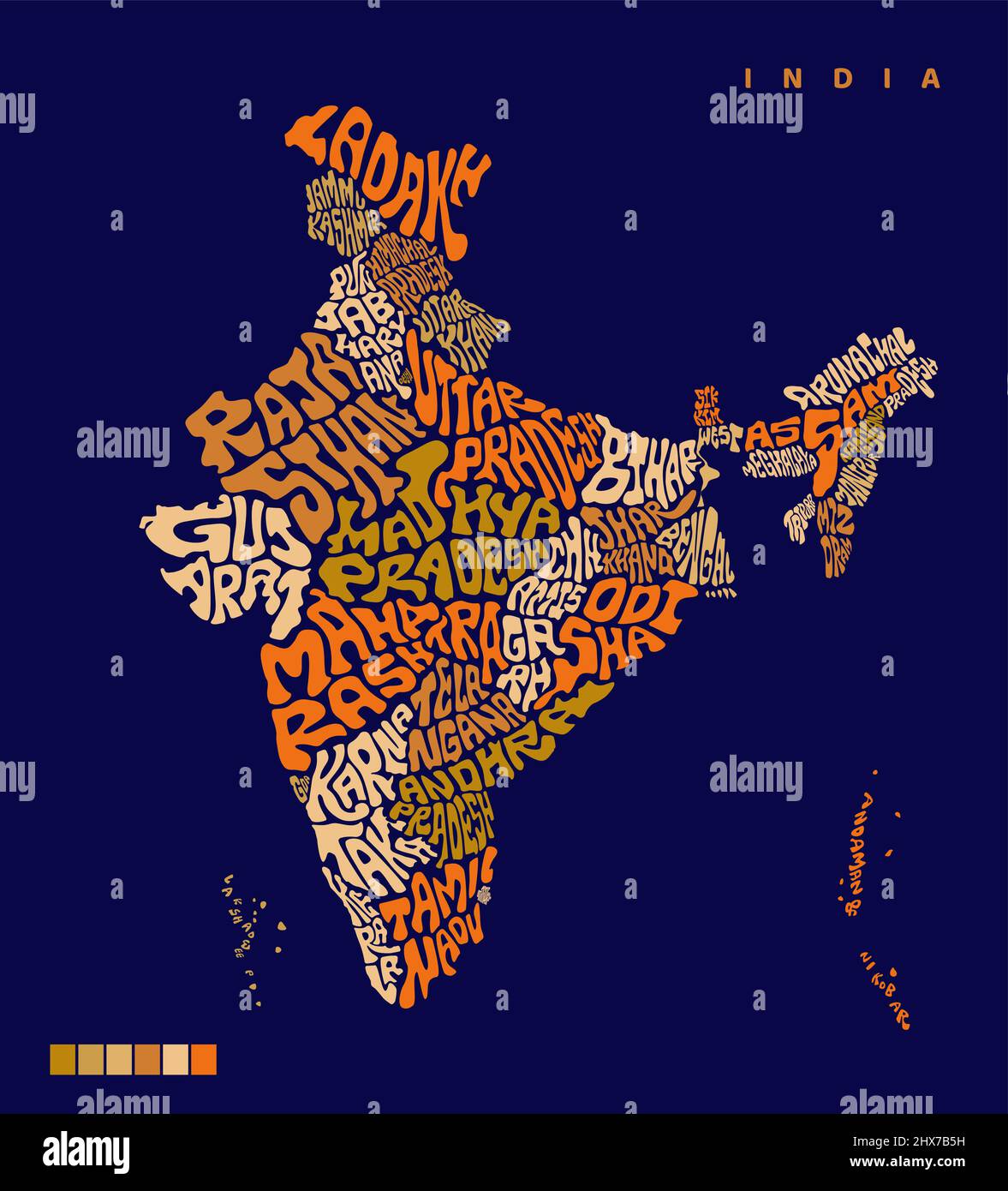 INDIA Map with all Indian states name lettering. India map vector lettering. Typography India map design. Indian all states name in map shape. Bharat Stock Vectorhttps://www.alamy.com/image-license-details/?v=1https://www.alamy.com/india-map-with-all-indian-states-name-lettering-india-map-vector-lettering-typography-india-map-design-indian-all-states-name-in-map-shape-bharat-image463613069.html
RF2HX7B5H–INDIA Map with all Indian states name lettering. India map vector lettering. Typography India map design. Indian all states name in map shape. Bharat
 Gujarat (States and union territories of India, Federated states, Republic of India) map vector illustration, scribble sketch Gujarat state map Stock Vectorhttps://www.alamy.com/image-license-details/?v=1https://www.alamy.com/gujarat-states-and-union-territories-of-india-federated-states-republic-of-india-map-vector-illustration-scribble-sketch-gujarat-state-map-image224139725.html
RFR0JCE5–Gujarat (States and union territories of India, Federated states, Republic of India) map vector illustration, scribble sketch Gujarat state map
 Gujarat (States and union territories of India, Federated states, Republic of India) map is designed cannabis leaf green and black, Gujarat state map Stock Vectorhttps://www.alamy.com/image-license-details/?v=1https://www.alamy.com/gujarat-states-and-union-territories-of-india-federated-states-republic-of-india-map-is-designed-cannabis-leaf-green-and-black-gujarat-state-map-image259453002.html
RFW232XJ–Gujarat (States and union territories of India, Federated states, Republic of India) map is designed cannabis leaf green and black, Gujarat state map
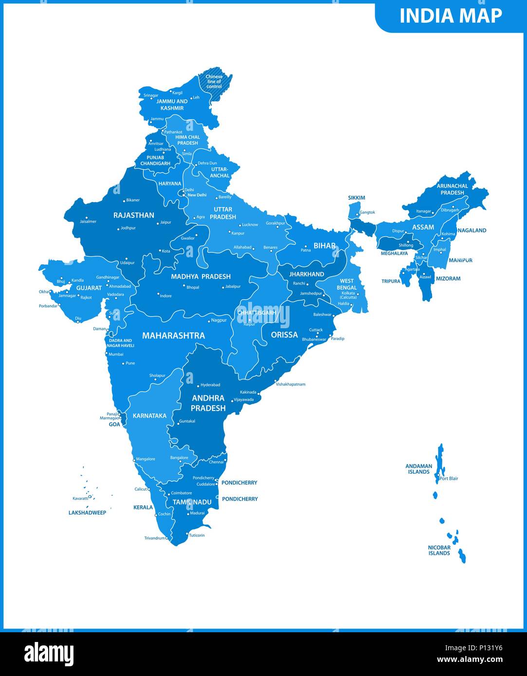 The detailed map of the India with regions or states and cities, capital. Administrative division. Stock Vectorhttps://www.alamy.com/image-license-details/?v=1https://www.alamy.com/the-detailed-map-of-the-india-with-regions-or-states-and-cities-capital-administrative-division-image207206474.html
RFP131Y6–The detailed map of the India with regions or states and cities, capital. Administrative division.
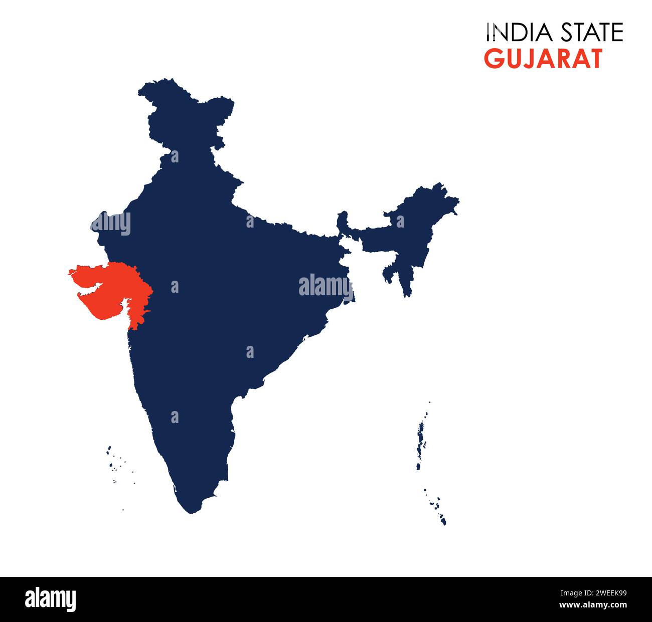 Gujarat map of Indian state. Gujarat map vector illustration. Gujarat map on white background. Stock Vectorhttps://www.alamy.com/image-license-details/?v=1https://www.alamy.com/gujarat-map-of-indian-state-gujarat-map-vector-illustration-gujarat-map-on-white-background-image594080181.html
RF2WEEK99–Gujarat map of Indian state. Gujarat map vector illustration. Gujarat map on white background.
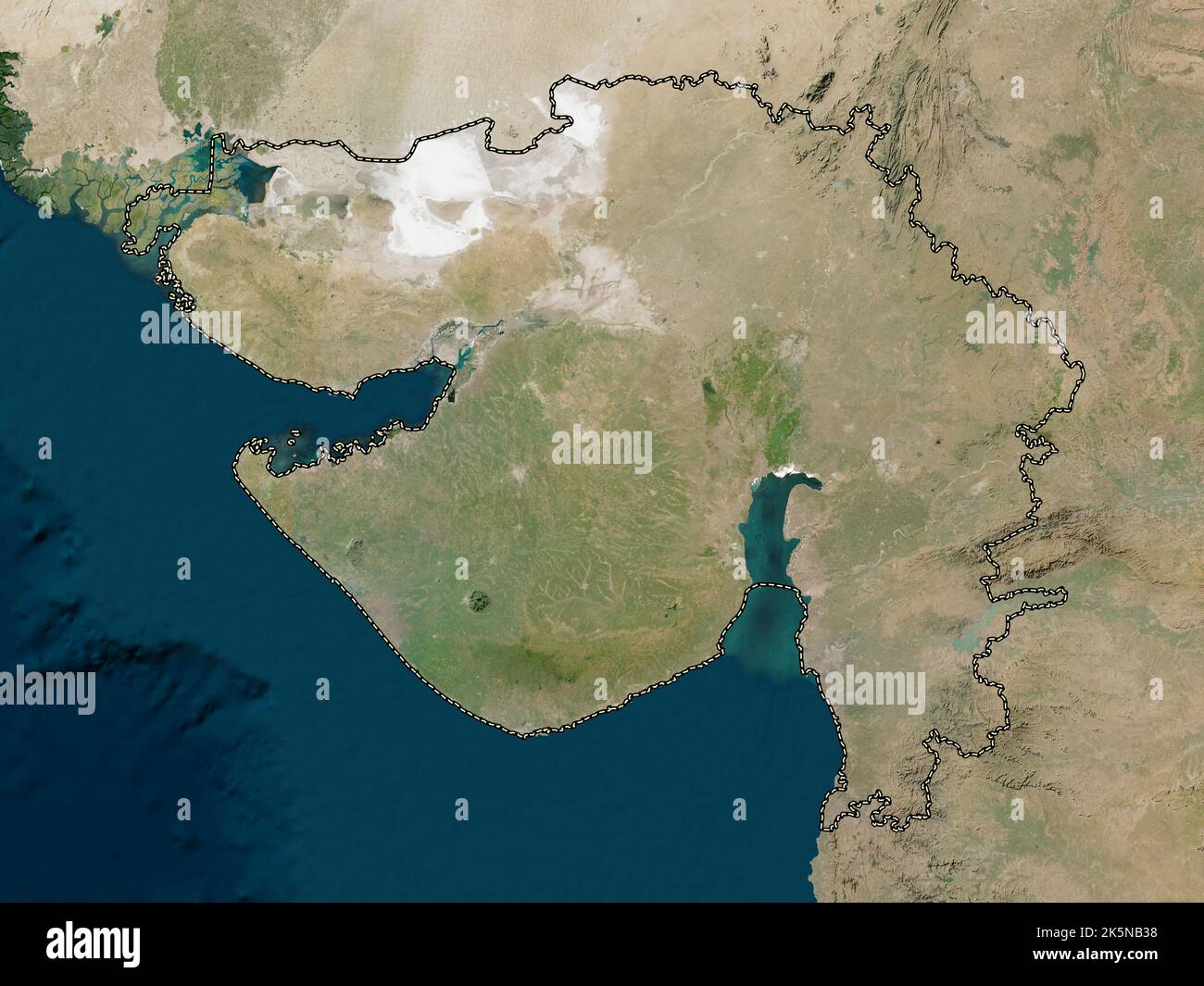 Gujarat, state of India. Low resolution satellite map Stock Photohttps://www.alamy.com/image-license-details/?v=1https://www.alamy.com/gujarat-state-of-india-low-resolution-satellite-map-image485433292.html
RF2K5NB38–Gujarat, state of India. Low resolution satellite map
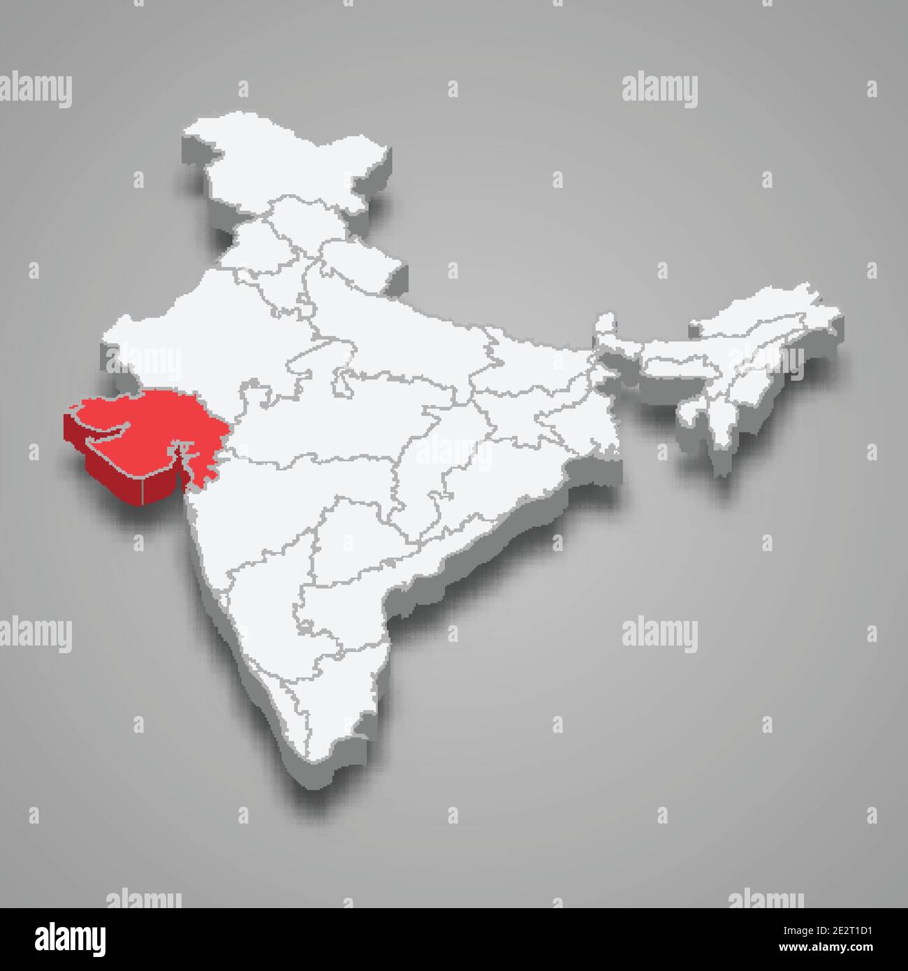 Gujarat state location within India 3d isometric map Stock Vectorhttps://www.alamy.com/image-license-details/?v=1https://www.alamy.com/gujarat-state-location-within-india-3d-isometric-map-image397595773.html
RF2E2T1D1–Gujarat state location within India 3d isometric map
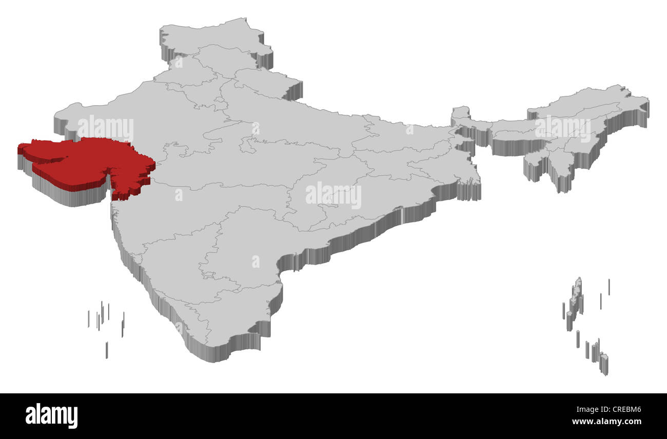 Political map of India with the several states where Gujarat is highlighted. Stock Photohttps://www.alamy.com/image-license-details/?v=1https://www.alamy.com/stock-photo-political-map-of-india-with-the-several-states-where-gujarat-is-highlighted-48874342.html
RFCREBM6–Political map of India with the several states where Gujarat is highlighted.
 Gujarat Map outline1, State of India, Republic of India, government, Political map, modern map, Indian flag, vector illustration Stock Vectorhttps://www.alamy.com/image-license-details/?v=1https://www.alamy.com/gujarat-map-outline1-state-of-india-republic-of-india-government-political-map-modern-map-indian-flag-vector-illustration-image611860849.html
RF2XFCJN5–Gujarat Map outline1, State of India, Republic of India, government, Political map, modern map, Indian flag, vector illustration
 Political map of India Stock Vectorhttps://www.alamy.com/image-license-details/?v=1https://www.alamy.com/political-map-of-india-image611412044.html
RF2XEM68C–Political map of India
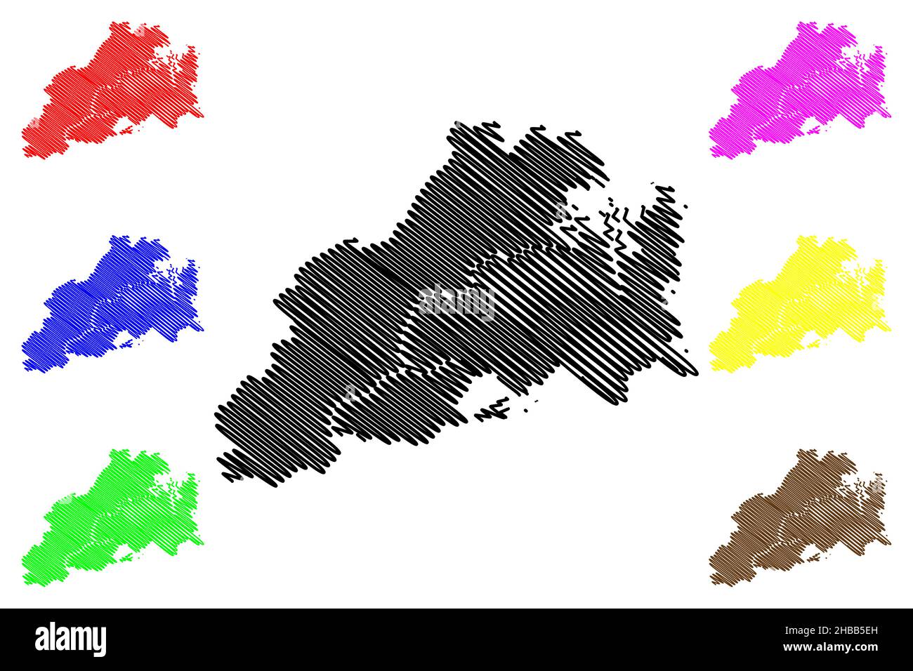 Mahisagar district (Gujarat State, Republic of India) map vector illustration, scribble sketch Mahisagar map Stock Vectorhttps://www.alamy.com/image-license-details/?v=1https://www.alamy.com/mahisagar-district-gujarat-state-republic-of-india-map-vector-illustration-scribble-sketch-mahisagar-map-image454476585.html
RF2HBB5EH–Mahisagar district (Gujarat State, Republic of India) map vector illustration, scribble sketch Mahisagar map
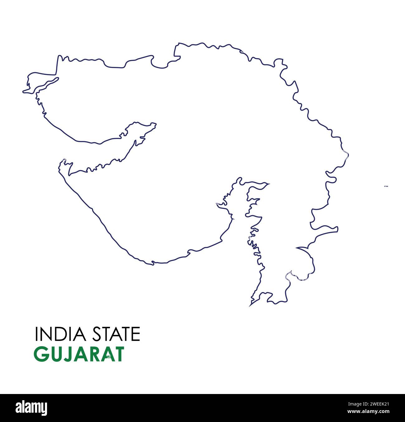 Gujarat map of Indian state. Gujarat map vector illustration. Gujarat map on white background. Stock Vectorhttps://www.alamy.com/image-license-details/?v=1https://www.alamy.com/gujarat-map-of-indian-state-gujarat-map-vector-illustration-gujarat-map-on-white-background-image594079977.html
RF2WEEK21–Gujarat map of Indian state. Gujarat map vector illustration. Gujarat map on white background.
 Gujarat, state of India. Colored elevation map with lakes and rivers Stock Photohttps://www.alamy.com/image-license-details/?v=1https://www.alamy.com/gujarat-state-of-india-colored-elevation-map-with-lakes-and-rivers-image485433416.html
RF2K5NB7M–Gujarat, state of India. Colored elevation map with lakes and rivers
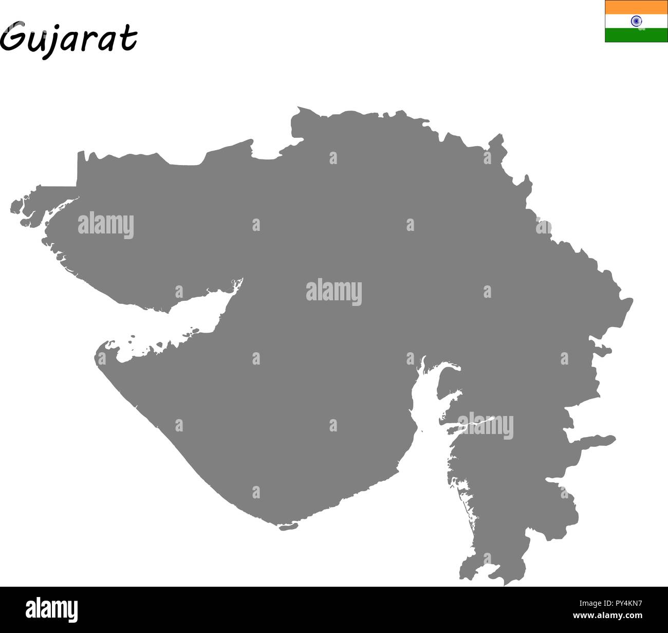 High Quality map of Gujarat is a state of India Stock Vectorhttps://www.alamy.com/image-license-details/?v=1https://www.alamy.com/high-quality-map-of-gujarat-is-a-state-of-india-image223223427.html
RFPY4KN7–High Quality map of Gujarat is a state of India
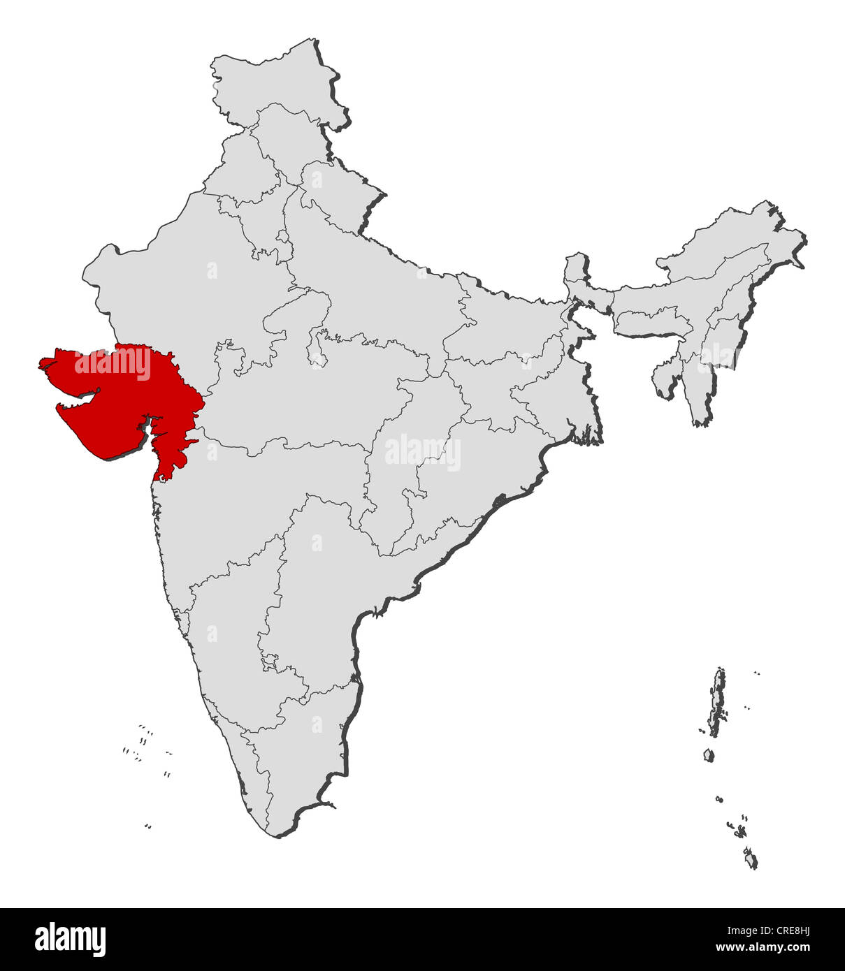 Political map of India with the several states where Gujarat is highlighted. Stock Photohttps://www.alamy.com/image-license-details/?v=1https://www.alamy.com/stock-photo-political-map-of-india-with-the-several-states-where-gujarat-is-highlighted-48871918.html
RFCRE8HJ–Political map of India with the several states where Gujarat is highlighted.
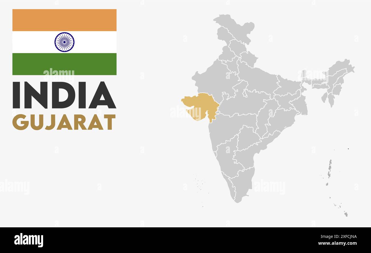 Gujarat Map image1, State of India, Republic of India, government, Political map, modern map, Indian flag, vector illustration Stock Vectorhttps://www.alamy.com/image-license-details/?v=1https://www.alamy.com/gujarat-map-image1-state-of-india-republic-of-india-government-political-map-modern-map-indian-flag-vector-illustration-image611860854.html
RF2XFCJNA–Gujarat Map image1, State of India, Republic of India, government, Political map, modern map, Indian flag, vector illustration
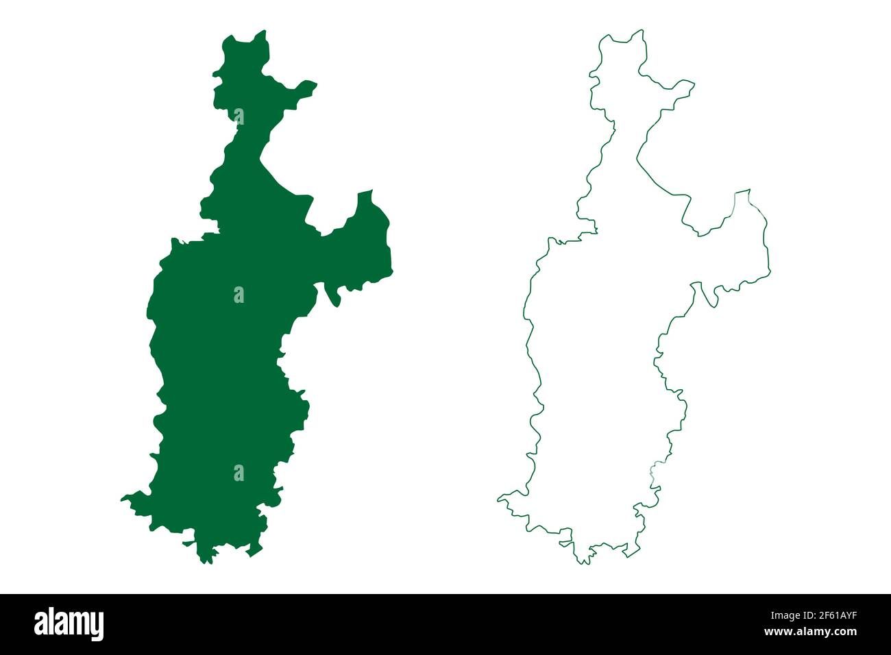 Sabarkantha district (Gujarat State, Republic of India) map vector illustration, scribble sketch Sabarkantha map Stock Vectorhttps://www.alamy.com/image-license-details/?v=1https://www.alamy.com/sabarkantha-district-gujarat-state-republic-of-india-map-vector-illustration-scribble-sketch-sabarkantha-map-image416767331.html
RF2F61AYF–Sabarkantha district (Gujarat State, Republic of India) map vector illustration, scribble sketch Sabarkantha map
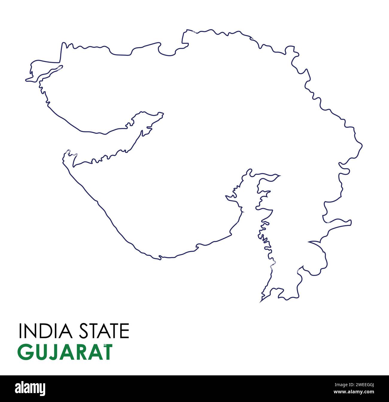 Gujarat map of Indian state. Gujarat map vector illustration. Gujarat map on white background. Stock Vectorhttps://www.alamy.com/image-license-details/?v=1https://www.alamy.com/gujarat-map-of-indian-state-gujarat-map-vector-illustration-gujarat-map-on-white-background-image594078034.html
RF2WEEGGJ–Gujarat map of Indian state. Gujarat map vector illustration. Gujarat map on white background.
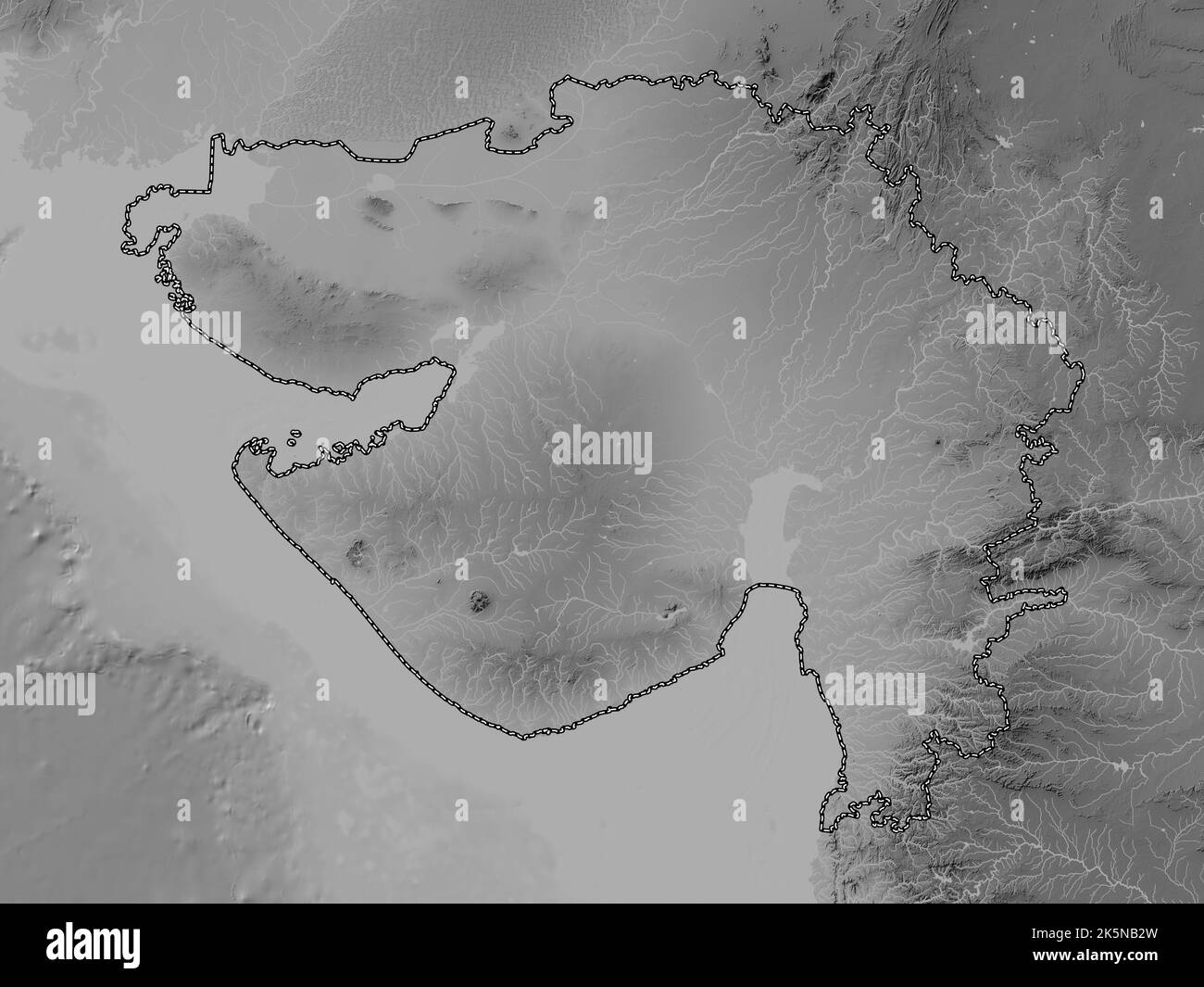 Gujarat, state of India. Grayscale elevation map with lakes and rivers Stock Photohttps://www.alamy.com/image-license-details/?v=1https://www.alamy.com/gujarat-state-of-india-grayscale-elevation-map-with-lakes-and-rivers-image485433281.html
RF2K5NB2W–Gujarat, state of India. Grayscale elevation map with lakes and rivers
 Location map of Gujarat is a state of India with neighbour state and country Stock Vectorhttps://www.alamy.com/image-license-details/?v=1https://www.alamy.com/location-map-of-gujarat-is-a-state-of-india-with-neighbour-state-and-country-image604546076.html
RF2X3FCK8–Location map of Gujarat is a state of India with neighbour state and country
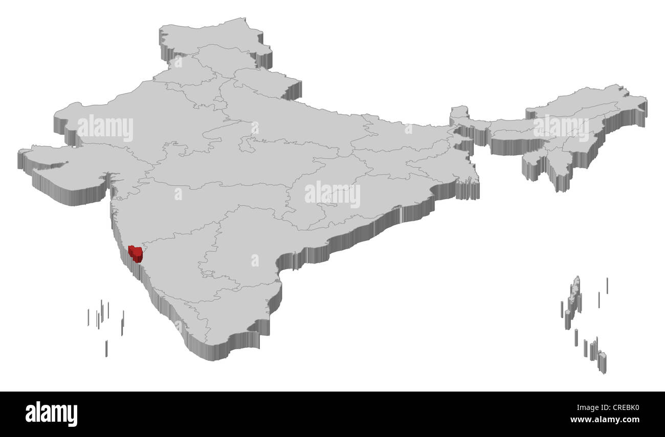 Political map of India with the several states where Goa is highlighted. Stock Photohttps://www.alamy.com/image-license-details/?v=1https://www.alamy.com/stock-photo-political-map-of-india-with-the-several-states-where-goa-is-highlighted-48874308.html
RFCREBK0–Political map of India with the several states where Goa is highlighted.
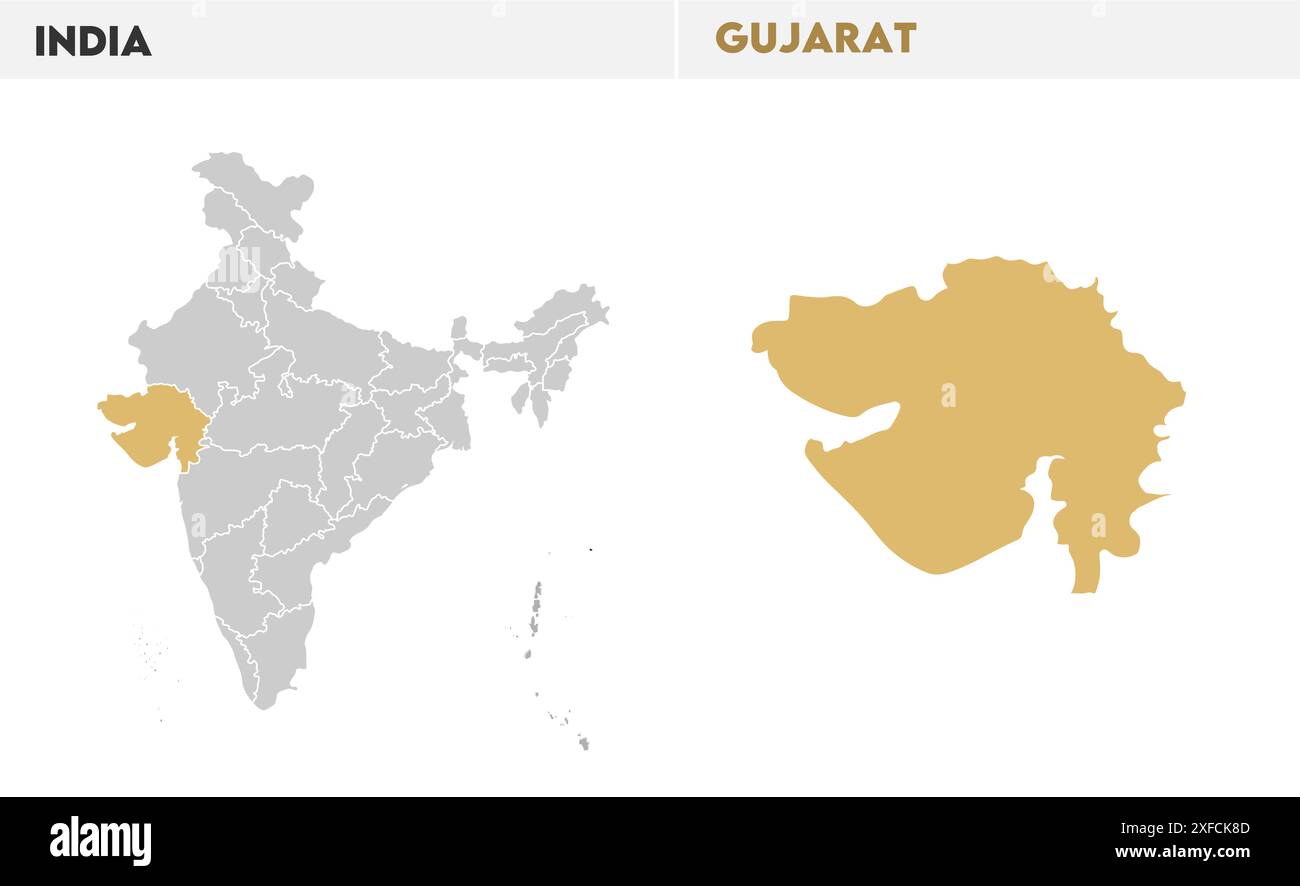 Gujarat map illustration1, State of India, Republic of India, government, Political map, modern map, Indian flag, vector illustration Stock Vectorhttps://www.alamy.com/image-license-details/?v=1https://www.alamy.com/gujarat-map-illustration1-state-of-india-republic-of-india-government-political-map-modern-map-indian-flag-vector-illustration-image611861277.html
RF2XFCK8D–Gujarat map illustration1, State of India, Republic of India, government, Political map, modern map, Indian flag, vector illustration
 Valsad district (Gujarat State, Republic of India) map vector illustration, scribble sketch Bulsar map Stock Vectorhttps://www.alamy.com/image-license-details/?v=1https://www.alamy.com/valsad-district-gujarat-state-republic-of-india-map-vector-illustration-scribble-sketch-bulsar-map-image456486145.html
RF2HEJMMH–Valsad district (Gujarat State, Republic of India) map vector illustration, scribble sketch Bulsar map
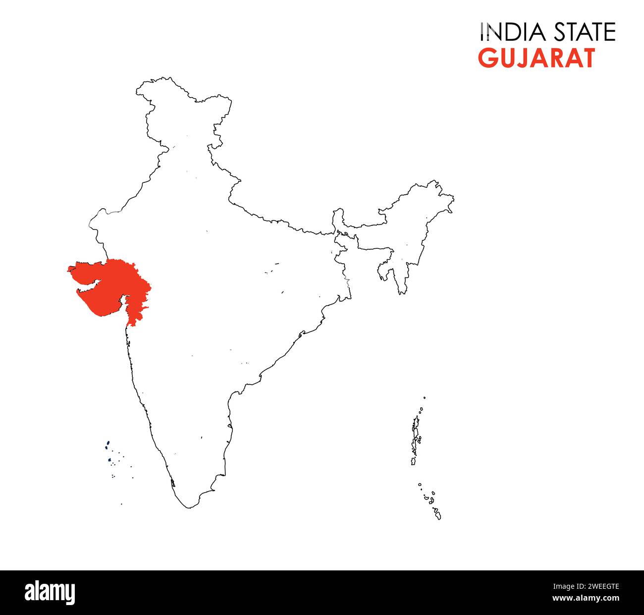 Gujarat map of Indian state. Gujarat map vector illustration. Gujarat map on white background. Stock Vectorhttps://www.alamy.com/image-license-details/?v=1https://www.alamy.com/gujarat-map-of-indian-state-gujarat-map-vector-illustration-gujarat-map-on-white-background-image594078254.html
RF2WEEGTE–Gujarat map of Indian state. Gujarat map vector illustration. Gujarat map on white background.
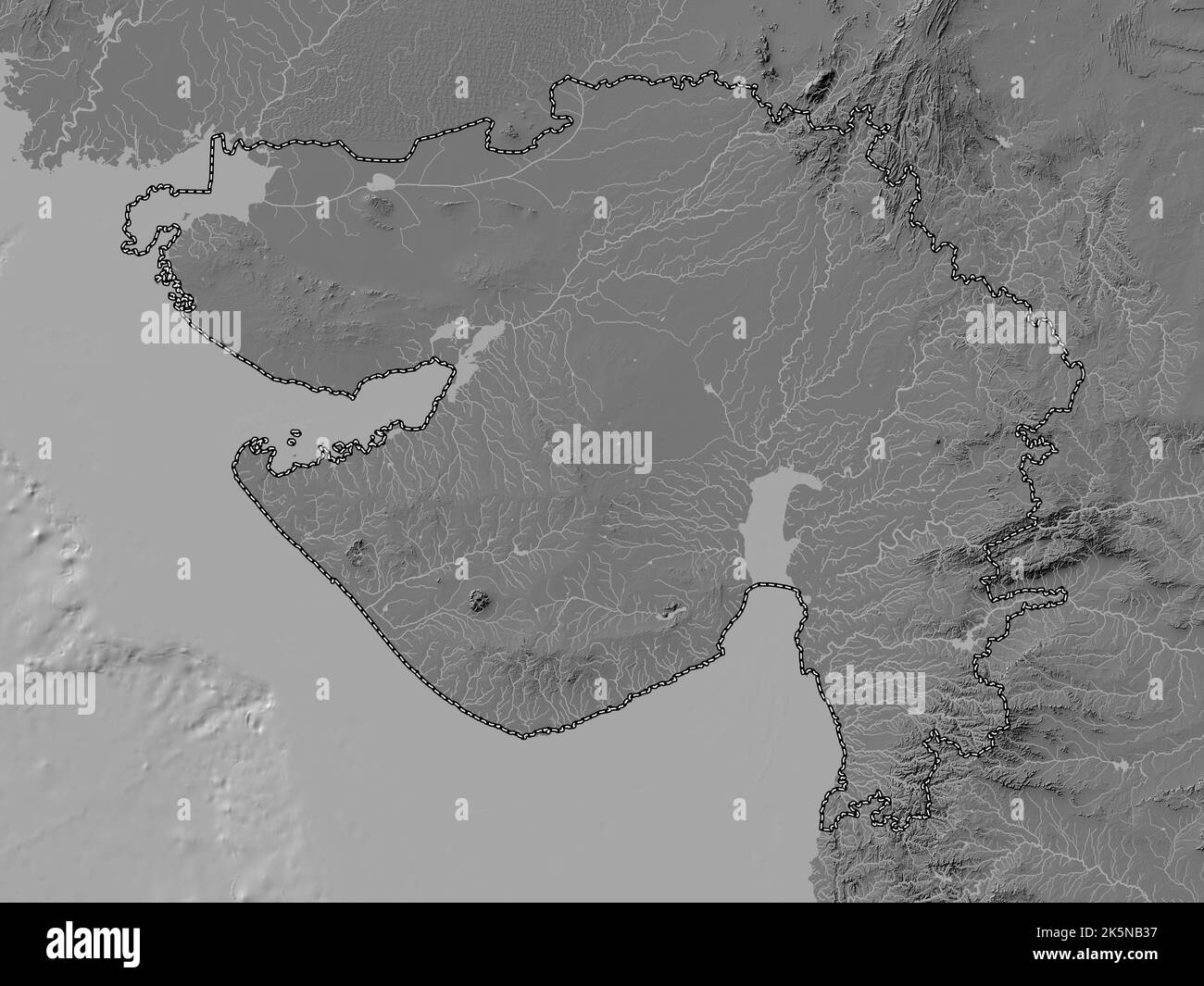 Gujarat, state of India. Bilevel elevation map with lakes and rivers Stock Photohttps://www.alamy.com/image-license-details/?v=1https://www.alamy.com/gujarat-state-of-india-bilevel-elevation-map-with-lakes-and-rivers-image485433291.html
RF2K5NB37–Gujarat, state of India. Bilevel elevation map with lakes and rivers
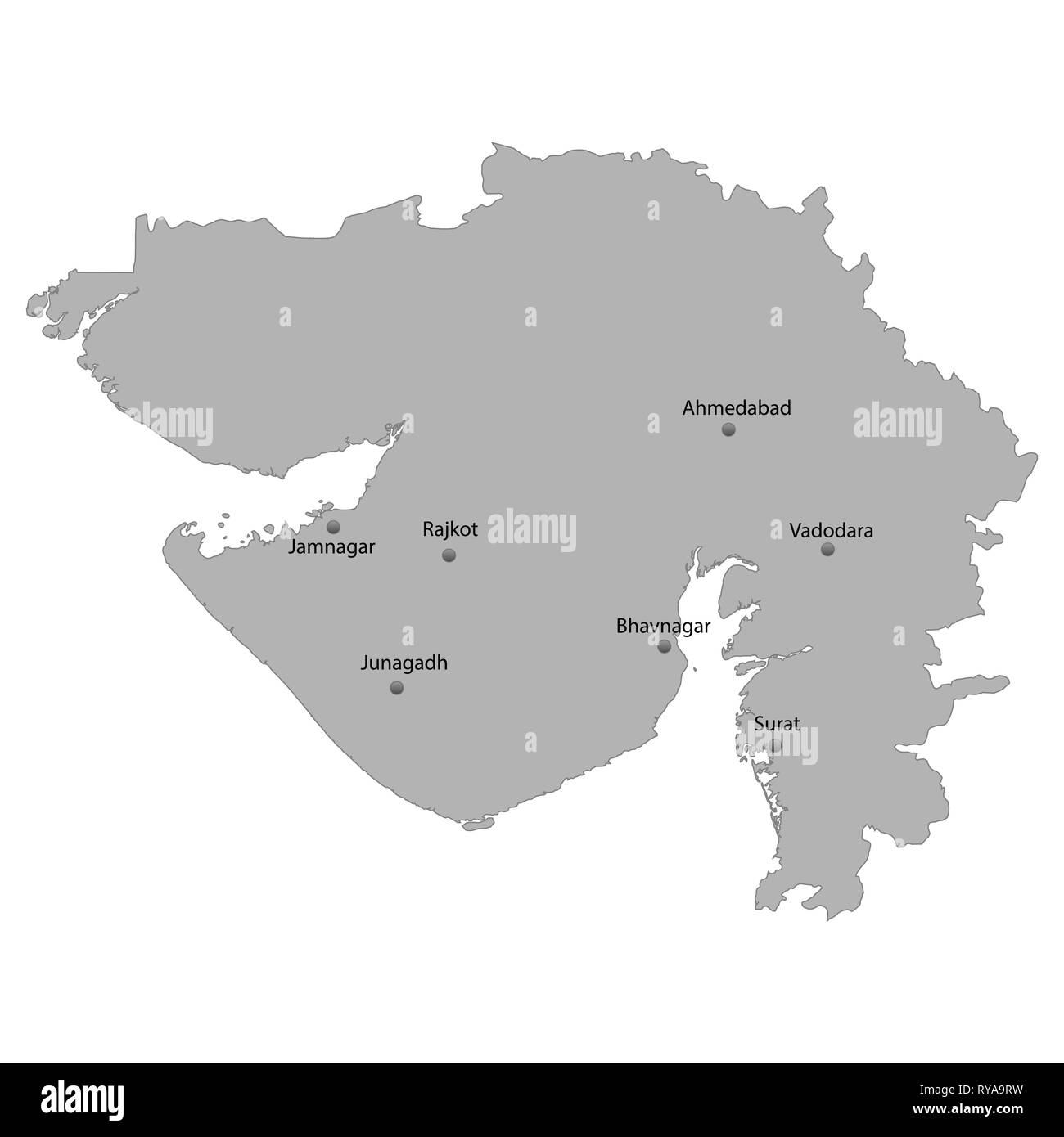 High Quality map of Gujarat is a state of India, With main cities location Stock Vectorhttps://www.alamy.com/image-license-details/?v=1https://www.alamy.com/high-quality-map-of-gujarat-is-a-state-of-india-with-main-cities-location-image240557741.html
RFRYA9RW–High Quality map of Gujarat is a state of India, With main cities location
 Gujarat vector map1, State of India, Republic of India, government, Political map, modern map, Indian flag, vector illustration Stock Vectorhttps://www.alamy.com/image-license-details/?v=1https://www.alamy.com/gujarat-vector-map1-state-of-india-republic-of-india-government-political-map-modern-map-indian-flag-vector-illustration-image611859916.html
RF2XFCHFT–Gujarat vector map1, State of India, Republic of India, government, Political map, modern map, Indian flag, vector illustration
 Patan district (Gujarat State, Republic of India) map vector illustration, scribble sketch Patan map Stock Vectorhttps://www.alamy.com/image-license-details/?v=1https://www.alamy.com/patan-district-gujarat-state-republic-of-india-map-vector-illustration-scribble-sketch-patan-map-image449551402.html
RF2H3ARB6–Patan district (Gujarat State, Republic of India) map vector illustration, scribble sketch Patan map
 Gujarat map of Indian state. Gujarat map vector illustration. Gujarat map on white background. Stock Vectorhttps://www.alamy.com/image-license-details/?v=1https://www.alamy.com/gujarat-map-of-indian-state-gujarat-map-vector-illustration-gujarat-map-on-white-background-image594078012.html
RF2WEEGFT–Gujarat map of Indian state. Gujarat map vector illustration. Gujarat map on white background.
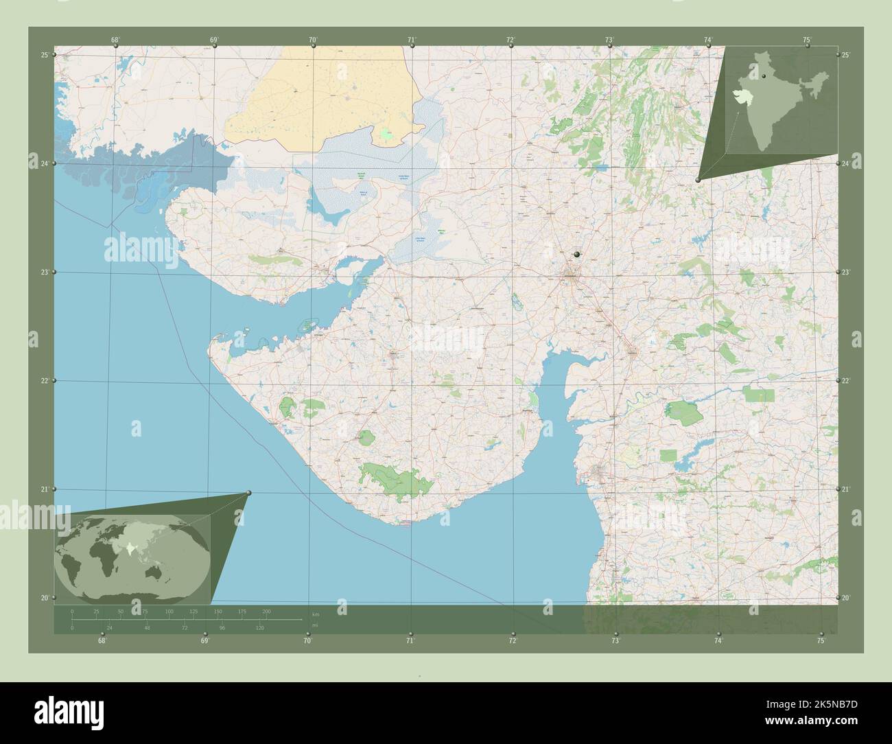 Gujarat, state of India. Open Street Map. Corner auxiliary location maps Stock Photohttps://www.alamy.com/image-license-details/?v=1https://www.alamy.com/gujarat-state-of-india-open-street-map-corner-auxiliary-location-maps-image485433409.html
RF2K5NB7D–Gujarat, state of India. Open Street Map. Corner auxiliary location maps
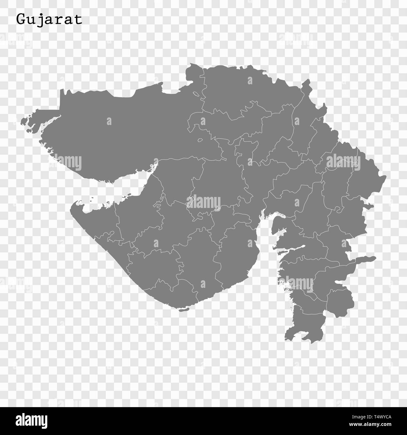 High Quality map of Gujarat is a state of India, with borders of the districts Stock Vectorhttps://www.alamy.com/image-license-details/?v=1https://www.alamy.com/high-quality-map-of-gujarat-is-a-state-of-india-with-borders-of-the-districts-image243974090.html
RFT4WYCA–High Quality map of Gujarat is a state of India, with borders of the districts
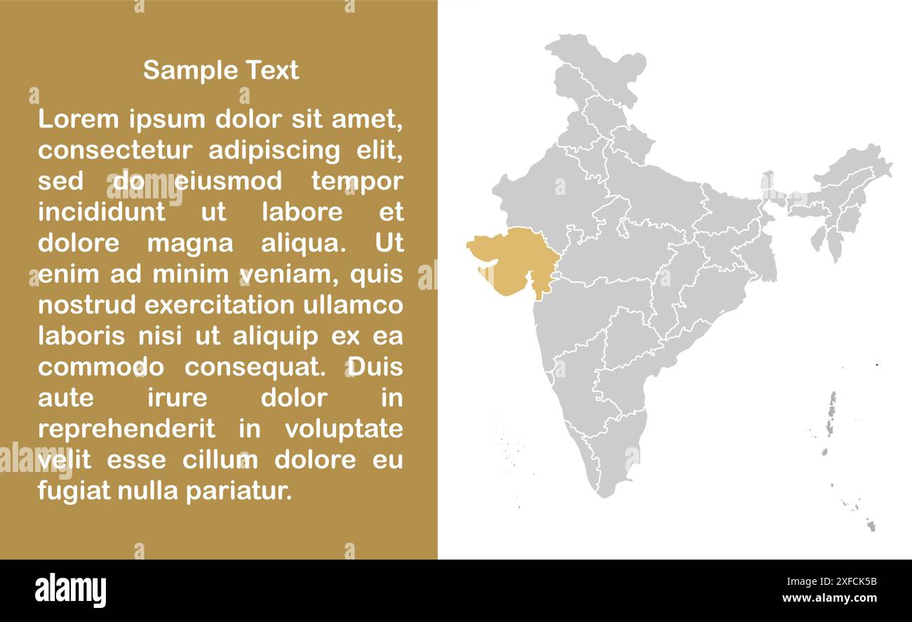 Gujarat Map template1, State of India, Republic of India, government, Political map, modern map, Indian flag, vector illustration Stock Vectorhttps://www.alamy.com/image-license-details/?v=1https://www.alamy.com/gujarat-map-template1-state-of-india-republic-of-india-government-political-map-modern-map-indian-flag-vector-illustration-image611861191.html
RF2XFCK5B–Gujarat Map template1, State of India, Republic of India, government, Political map, modern map, Indian flag, vector illustration
 Kutch district (Gujarat State, Republic of India) map vector illustration, scribble sketch Kachchh map Stock Vectorhttps://www.alamy.com/image-license-details/?v=1https://www.alamy.com/kutch-district-gujarat-state-republic-of-india-map-vector-illustration-scribble-sketch-kachchh-map-image448005025.html
RF2H0TAYD–Kutch district (Gujarat State, Republic of India) map vector illustration, scribble sketch Kachchh map
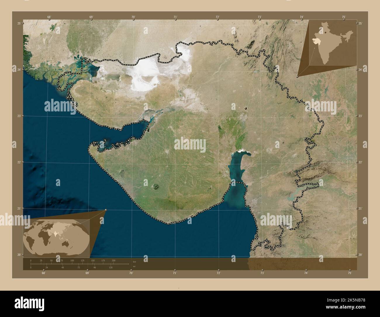 Gujarat, state of India. Low resolution satellite map. Corner auxiliary location maps Stock Photohttps://www.alamy.com/image-license-details/?v=1https://www.alamy.com/gujarat-state-of-india-low-resolution-satellite-map-corner-auxiliary-location-maps-image485433404.html
RF2K5NB78–Gujarat, state of India. Low resolution satellite map. Corner auxiliary location maps
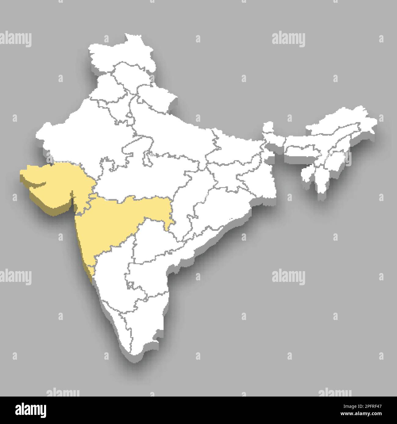 Western Zone location within India 3d isometric map Stock Vectorhttps://www.alamy.com/image-license-details/?v=1https://www.alamy.com/western-zone-location-within-india-3d-isometric-map-image543258023.html
RF2PFRF47–Western Zone location within India 3d isometric map
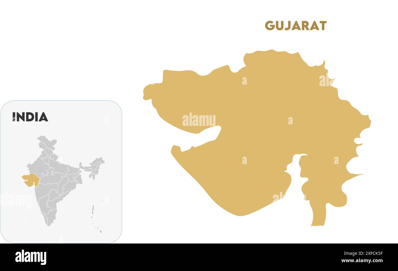 Gujarat State Map1, State of India, Republic of India, government, Political map, modern map, Indian flag, vector illustration Stock Vectorhttps://www.alamy.com/image-license-details/?v=1https://www.alamy.com/gujarat-state-map1-state-of-india-republic-of-india-government-political-map-modern-map-indian-flag-vector-illustration-image611861195.html
RF2XFCK5F–Gujarat State Map1, State of India, Republic of India, government, Political map, modern map, Indian flag, vector illustration
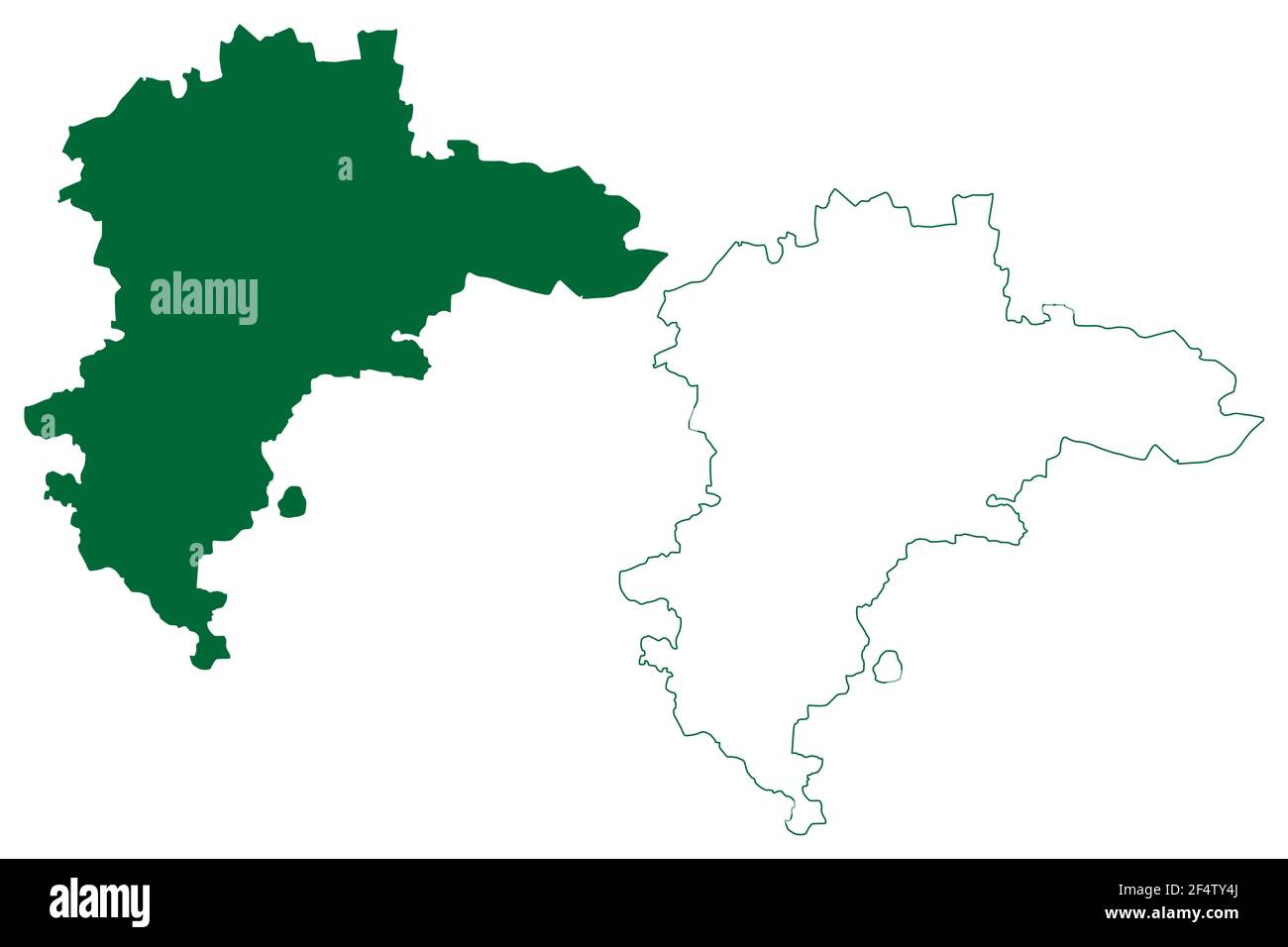 Botad district (Gujarat State, Republic of India) map vector illustration, scribble sketch Botad map Stock Vectorhttps://www.alamy.com/image-license-details/?v=1https://www.alamy.com/botad-district-gujarat-state-republic-of-india-map-vector-illustration-scribble-sketch-botad-map-image416055602.html
RF2F4TY4J–Botad district (Gujarat State, Republic of India) map vector illustration, scribble sketch Botad map
 Gujarat, state of India. High resolution satellite map. Corner auxiliary location maps Stock Photohttps://www.alamy.com/image-license-details/?v=1https://www.alamy.com/gujarat-state-of-india-high-resolution-satellite-map-corner-auxiliary-location-maps-image485433405.html
RF2K5NB79–Gujarat, state of India. High resolution satellite map. Corner auxiliary location maps
