Gulf of carpentaria australia Stock Photos and Images
(581)See gulf of carpentaria australia stock video clipsQuick filters:
Gulf of carpentaria australia Stock Photos and Images
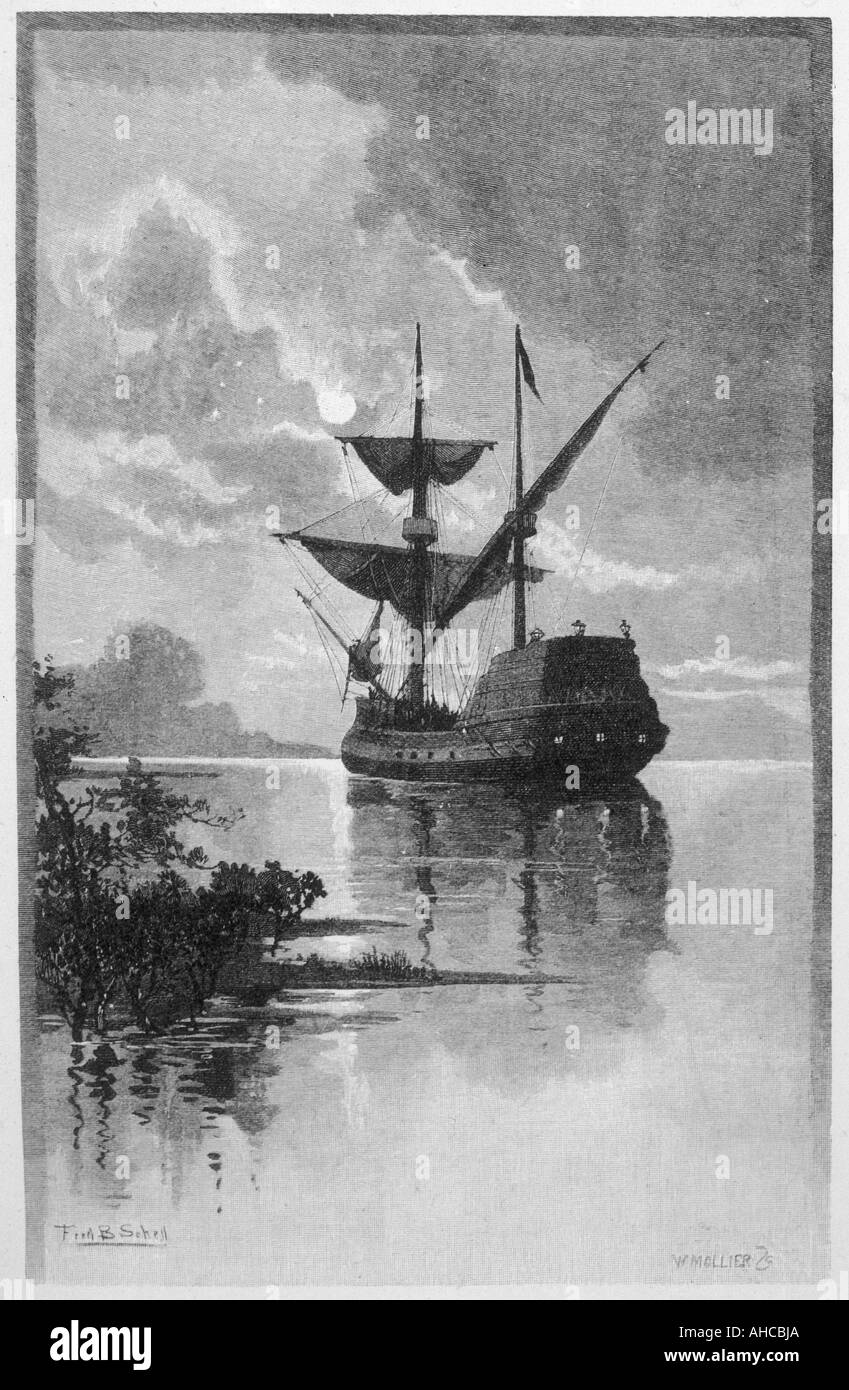
 The 'DUYFHEN' in the GULF OF CARPENTARIA. Australia, antique print 1888 Stock Photohttps://www.alamy.com/image-license-details/?v=1https://www.alamy.com/stock-photo-the-duyfhen-in-the-gulf-of-carpentaria-australia-antique-print-1888-93171221.html
RFFBG8RH–The 'DUYFHEN' in the GULF OF CARPENTARIA. Australia, antique print 1888
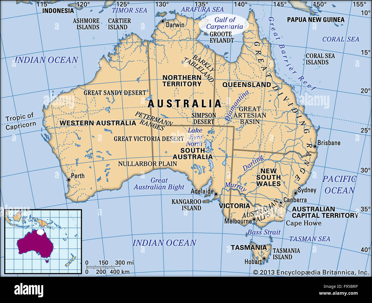 Gulf of Carpentaria Stock Photohttps://www.alamy.com/image-license-details/?v=1https://www.alamy.com/stock-photo-gulf-of-carpentaria-91702794.html
RMF95BRP–Gulf of Carpentaria
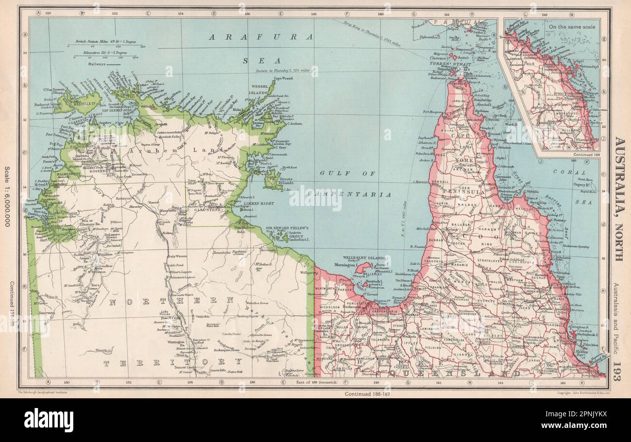 NORTHERN AUSTRALIA. Cape York. Gulf of Carpentaria. Queensland NT 1952 old map Stock Photohttps://www.alamy.com/image-license-details/?v=1https://www.alamy.com/northern-australia-cape-york-gulf-of-carpentaria-queensland-nt-1952-old-map-image546846046.html
RF2PNJYKX–NORTHERN AUSTRALIA. Cape York. Gulf of Carpentaria. Queensland NT 1952 old map
 BURKE AND WILLS EXPEDITION Contemporary engraving by Nicholas Chevalier showing Burke, Wills and King returning from the Gulf of Carpentaria, Australia, in 1861 Stock Photohttps://www.alamy.com/image-license-details/?v=1https://www.alamy.com/stock-photo-burke-and-wills-expedition-contemporary-engraving-by-nicholas-chevalier-78494319.html
RMEFKM8F–BURKE AND WILLS EXPEDITION Contemporary engraving by Nicholas Chevalier showing Burke, Wills and King returning from the Gulf of Carpentaria, Australia, in 1861
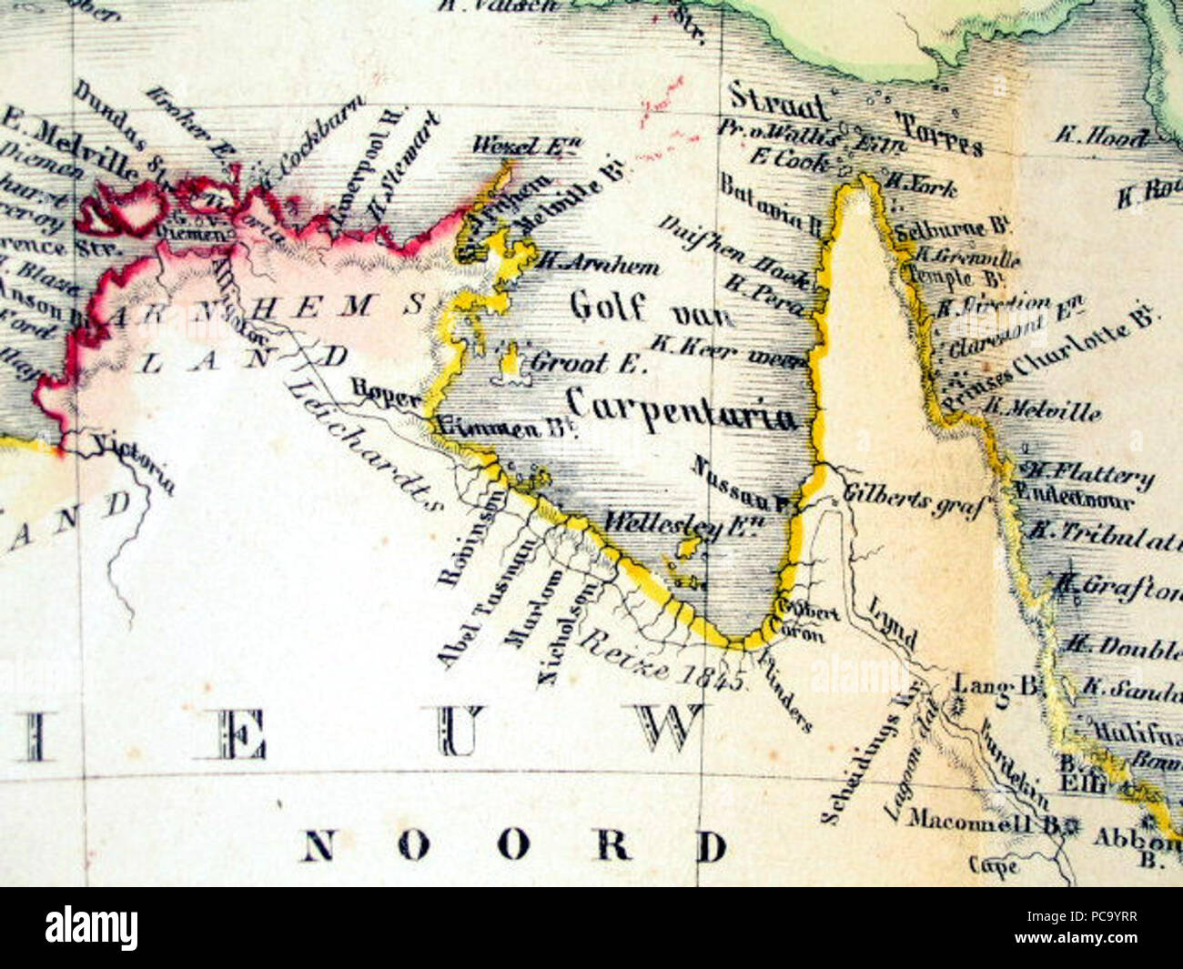 258 Gulf-of-Carpentaria-Australia-Otto-Petri-1859-Rotterdam Stock Photohttps://www.alamy.com/image-license-details/?v=1https://www.alamy.com/258-gulf-of-carpentaria-australia-otto-petri-1859-rotterdam-image214119691.html
RMPC9YRR–258 Gulf-of-Carpentaria-Australia-Otto-Petri-1859-Rotterdam
 Gulf-of-Carpentaria-Australia-Otto-Petri-1859-Rotterdam. Stock Photohttps://www.alamy.com/image-license-details/?v=1https://www.alamy.com/gulf-of-carpentaria-australia-otto-petri-1859-rotterdam-image351671808.html
RM2BC40YC–Gulf-of-Carpentaria-Australia-Otto-Petri-1859-Rotterdam.
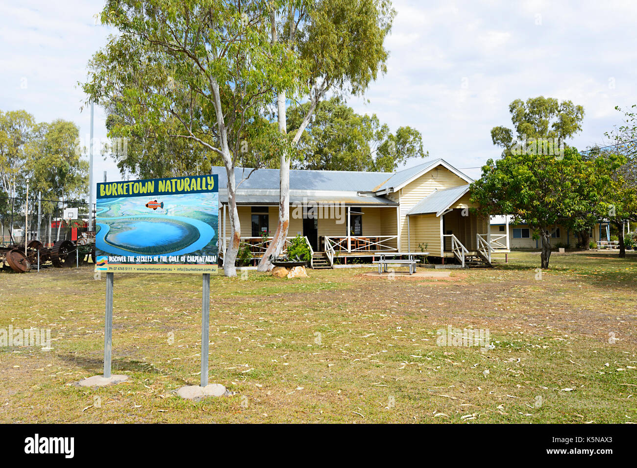 Visitor Information Centre and Museum at the remote rural small town of Burketown, Gulf of Carpentaria, Queensland, QLD, Australia Stock Photohttps://www.alamy.com/image-license-details/?v=1https://www.alamy.com/visitor-information-centre-and-museum-at-the-remote-rural-small-town-image158436155.html
RMK5NAX3–Visitor Information Centre and Museum at the remote rural small town of Burketown, Gulf of Carpentaria, Queensland, QLD, Australia
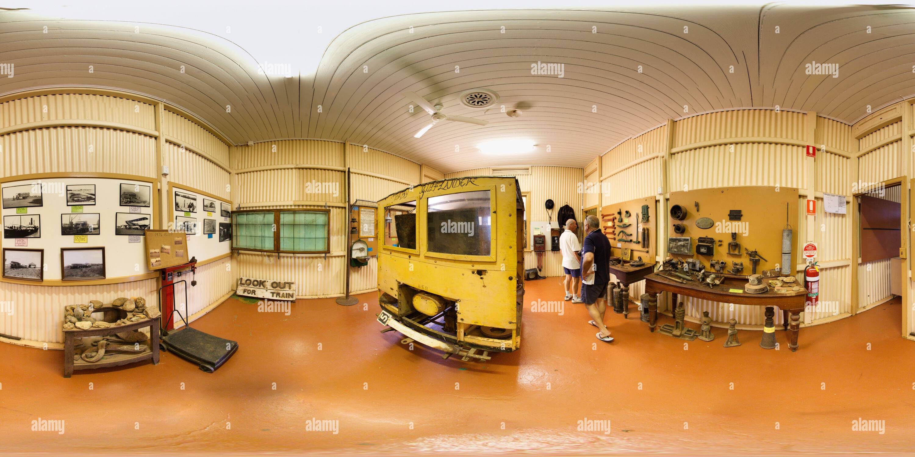 360 degree panoramic view of 360 pan of interior of Normanton Railway Station Museum Normanton Queensland Australiahttps://www.alamy.com/image-license-details/?v=1https://www.alamy.com/360-degree-panoramic-view-of-360-pan-of-interior-of-normanton-railway-station-museum-normanton-queensland-australia-image613061769.html
RM360°2XHBAF5–360 pan of interior of Normanton Railway Station Museum Normanton Queensland Australia
 Gulf of Carpentaria Australia Otto Petri 1859 Rotterdam Stock Photohttps://www.alamy.com/image-license-details/?v=1https://www.alamy.com/stock-photo-gulf-of-carpentaria-australia-otto-petri-1859-rotterdam-136556605.html
RMHX4K9H–Gulf of Carpentaria Australia Otto Petri 1859 Rotterdam
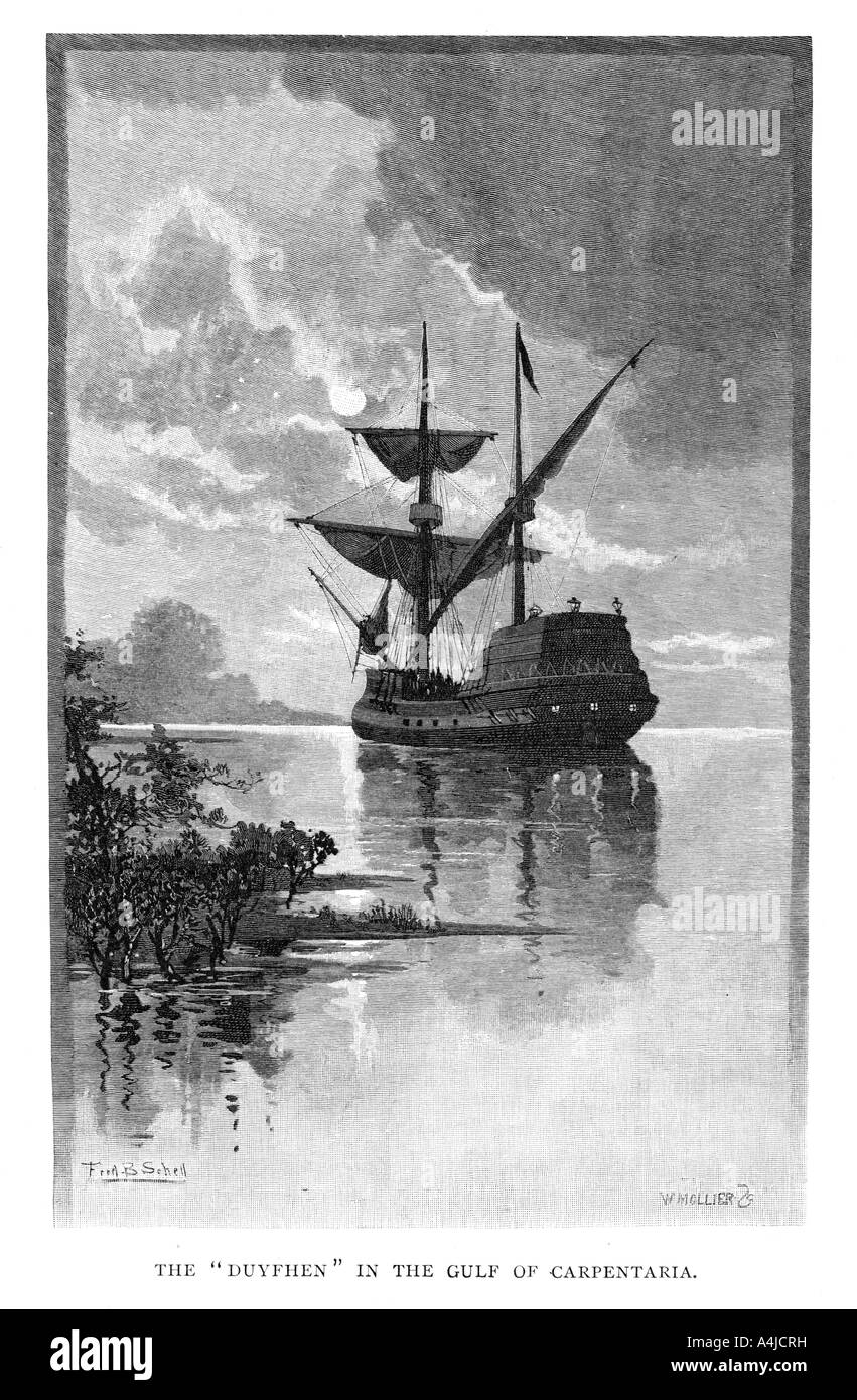 The 'Duyfken' in the Gulf of Carpentaria, Australia, 1606 (1886).Artist: W Mollier Stock Photohttps://www.alamy.com/image-license-details/?v=1https://www.alamy.com/stock-photo-the-duyfken-in-the-gulf-of-carpentaria-australia-1606-1886artist-w-11061844.html
RMA4JCRH–The 'Duyfken' in the Gulf of Carpentaria, Australia, 1606 (1886).Artist: W Mollier
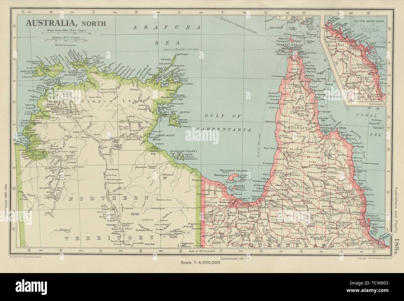 NORTHERN AUSTRALIA. Cape York. Gulf of Carpentaria. Queensland NT 1947 old map Stock Photohttps://www.alamy.com/image-license-details/?v=1https://www.alamy.com/northern-australia-cape-york-gulf-of-carpentaria-queensland-nt-1947-old-map-image248876099.html
RFTCW803–NORTHERN AUSTRALIA. Cape York. Gulf of Carpentaria. Queensland NT 1947 old map
 (160711) -- GULF OF CARPENTARIA (AUSTRALIA), July 11, 2016 (Xinhua) -- Photo taken on June 9, 2016 shows dead mangroves in Gulf of Carpentaria, Australia. Large swathes of key mangrove habitat in north Australia have died due to impact of the severe El Nino weather system earlier this year that was exacerbated by climate change, potentially having large impact on Australia's tourism and fisheries industry. (Xinhua/Norm Duke of James Cook University) Stock Photohttps://www.alamy.com/image-license-details/?v=1https://www.alamy.com/stock-photo-160711-gulf-of-carpentaria-australia-july-11-2016-xinhua-photo-taken-111272931.html
RMGD0WN7–(160711) -- GULF OF CARPENTARIA (AUSTRALIA), July 11, 2016 (Xinhua) -- Photo taken on June 9, 2016 shows dead mangroves in Gulf of Carpentaria, Australia. Large swathes of key mangrove habitat in north Australia have died due to impact of the severe El Nino weather system earlier this year that was exacerbated by climate change, potentially having large impact on Australia's tourism and fisheries industry. (Xinhua/Norm Duke of James Cook University)
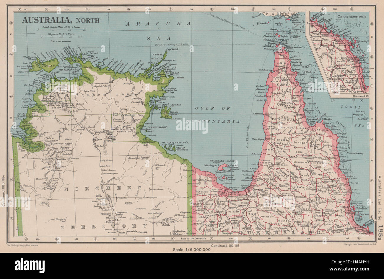 NORTHERN AUSTRALIA. Cape York. Gulf of Carpentaria. Queensland NT 1944 old map Stock Photohttps://www.alamy.com/image-license-details/?v=1https://www.alamy.com/stock-photo-northern-australia-cape-york-gulf-of-carpentaria-queensland-nt-1944-123164821.html
RFH4AHYH–NORTHERN AUSTRALIA. Cape York. Gulf of Carpentaria. Queensland NT 1944 old map
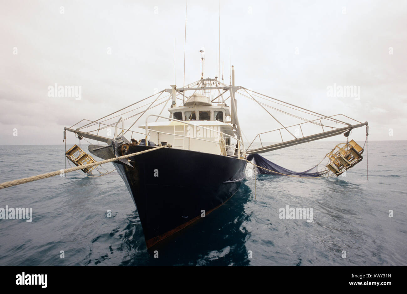 Prawn fishing trawler, Gulf of Carpentaria, Australia Stock Photohttps://www.alamy.com/image-license-details/?v=1https://www.alamy.com/stock-photo-prawn-fishing-trawler-gulf-of-carpentaria-australia-16675136.html
RFAWY31N–Prawn fishing trawler, Gulf of Carpentaria, Australia
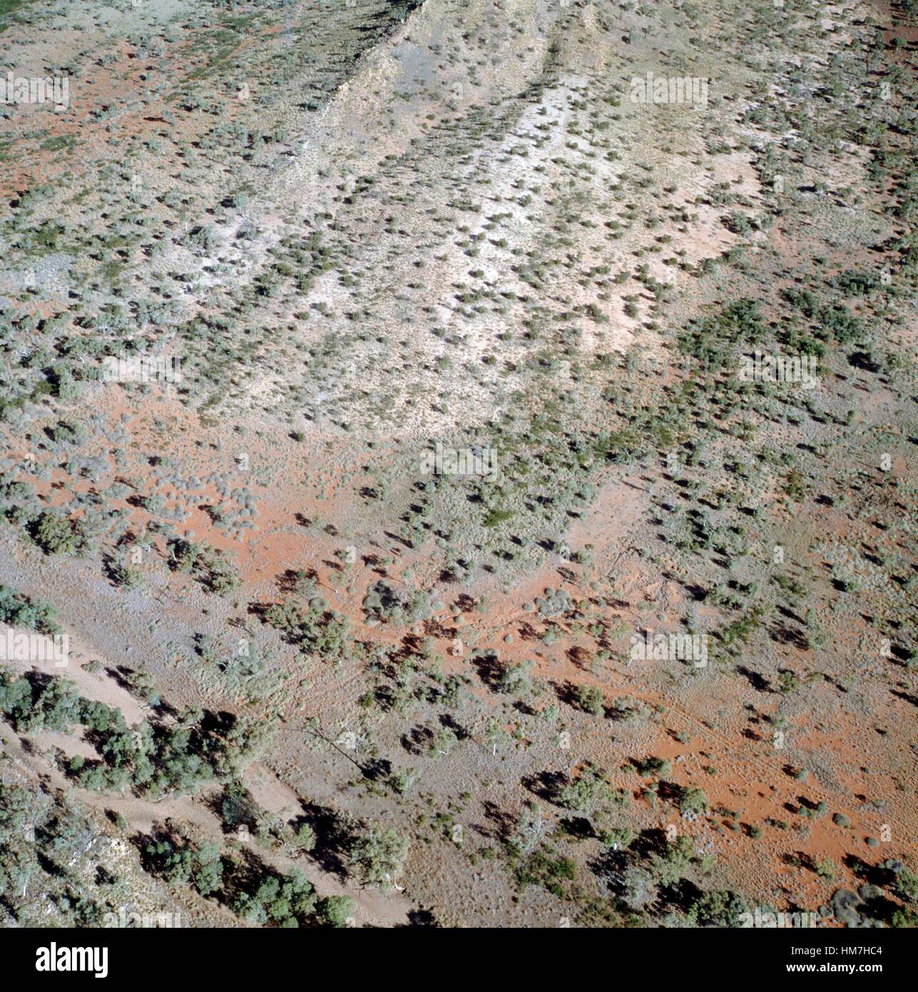 Vegetation in a barren landscape, aerial view, Gulf of Carpentaria, Australia. Stock Photohttps://www.alamy.com/image-license-details/?v=1https://www.alamy.com/stock-photo-vegetation-in-a-barren-landscape-aerial-view-gulf-of-carpentaria-australia-132933028.html
RMHM7HC4–Vegetation in a barren landscape, aerial view, Gulf of Carpentaria, Australia.
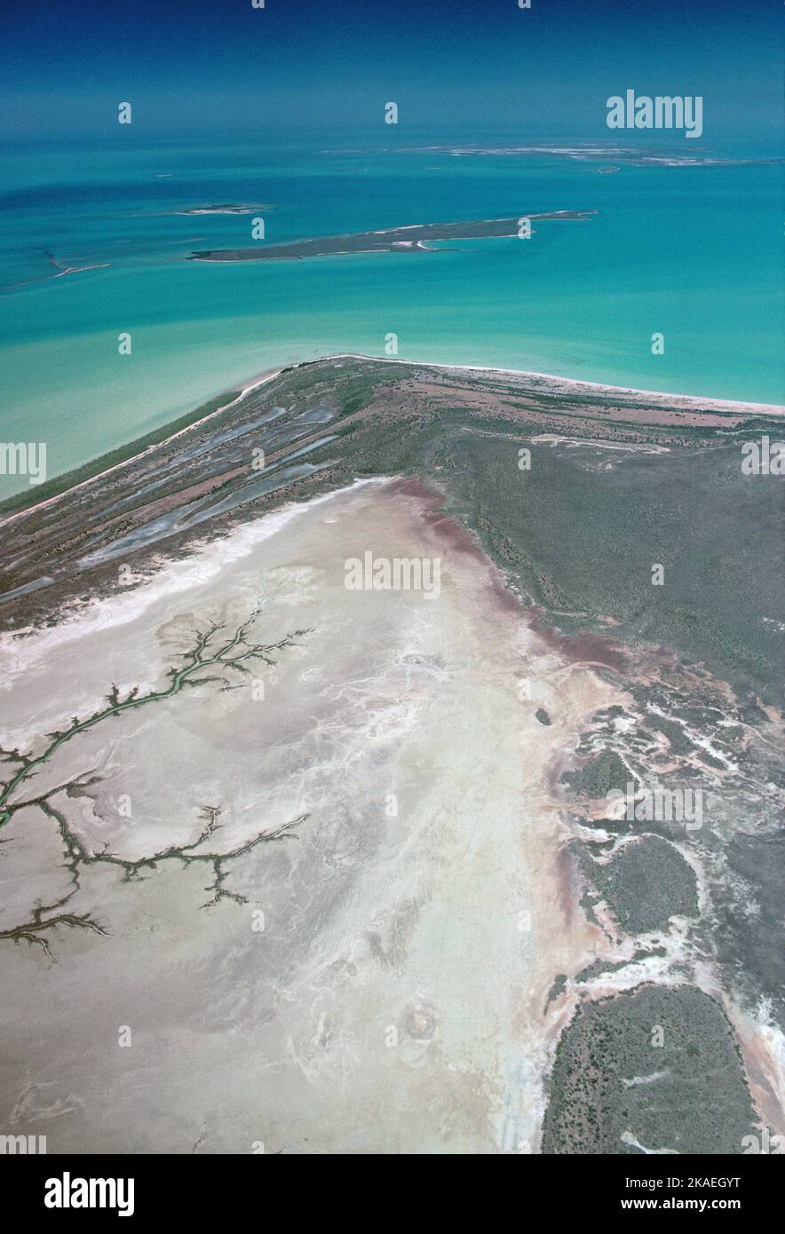 Australia. Queensland. Gulf of Carpentaria. Aerial view of coast east to Allen Island. Stock Photohttps://www.alamy.com/image-license-details/?v=1https://www.alamy.com/australia-queensland-gulf-of-carpentaria-aerial-view-of-coast-east-to-allen-island-image488357516.html
RM2KAEGYT–Australia. Queensland. Gulf of Carpentaria. Aerial view of coast east to Allen Island.
 NORTH AUSTRALIA: Queensland. Cape York. Gulf of Carpentaria. BLACKIE, 1893 map Stock Photohttps://www.alamy.com/image-license-details/?v=1https://www.alamy.com/stock-photo-north-australia-queensland-cape-york-gulf-of-carpentaria-blackie-1893-94685735.html
RFFE18HB–NORTH AUSTRALIA: Queensland. Cape York. Gulf of Carpentaria. BLACKIE, 1893 map
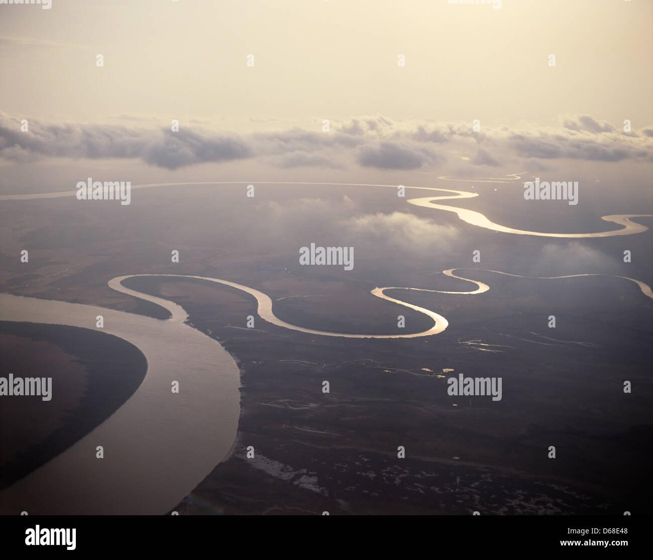 Australia, Queensland, Gulf of Carpentaria, aerial view of the Leichhardt River Stock Photohttps://www.alamy.com/image-license-details/?v=1https://www.alamy.com/stock-photo-australia-queensland-gulf-of-carpentaria-aerial-view-of-the-leichhardt-55505752.html
RMD68E48–Australia, Queensland, Gulf of Carpentaria, aerial view of the Leichhardt River
 Gulf of Carpentaria. Flinders Terra Australis ADMIRALTY chart 1929 (1953) map Stock Photohttps://www.alamy.com/image-license-details/?v=1https://www.alamy.com/gulf-of-carpentaria-flinders-terra-australis-admiralty-chart-1929-1953-map-image442255921.html
RF2GKEDX9–Gulf of Carpentaria. Flinders Terra Australis ADMIRALTY chart 1929 (1953) map
 Gulf of Carpentaria, , AU, Australia, , S 14 0' 0'', N 139 0' 0'', map, Cartascapes Map published in 2024. Explore Cartascapes, a map revealing Earth's diverse landscapes, cultures, and ecosystems. Journey through time and space, discovering the interconnectedness of our planet's past, present, and future. Stock Photohttps://www.alamy.com/image-license-details/?v=1https://www.alamy.com/gulf-of-carpentaria-au-australia-s-14-0-0-n-139-0-0-map-cartascapes-map-published-in-2024-explore-cartascapes-a-map-revealing-earths-diverse-landscapes-cultures-and-ecosystems-journey-through-time-and-space-discovering-the-interconnectedness-of-our-planets-past-present-and-future-image625710226.html
RM2Y9YFNP–Gulf of Carpentaria, , AU, Australia, , S 14 0' 0'', N 139 0' 0'', map, Cartascapes Map published in 2024. Explore Cartascapes, a map revealing Earth's diverse landscapes, cultures, and ecosystems. Journey through time and space, discovering the interconnectedness of our planet's past, present, and future.
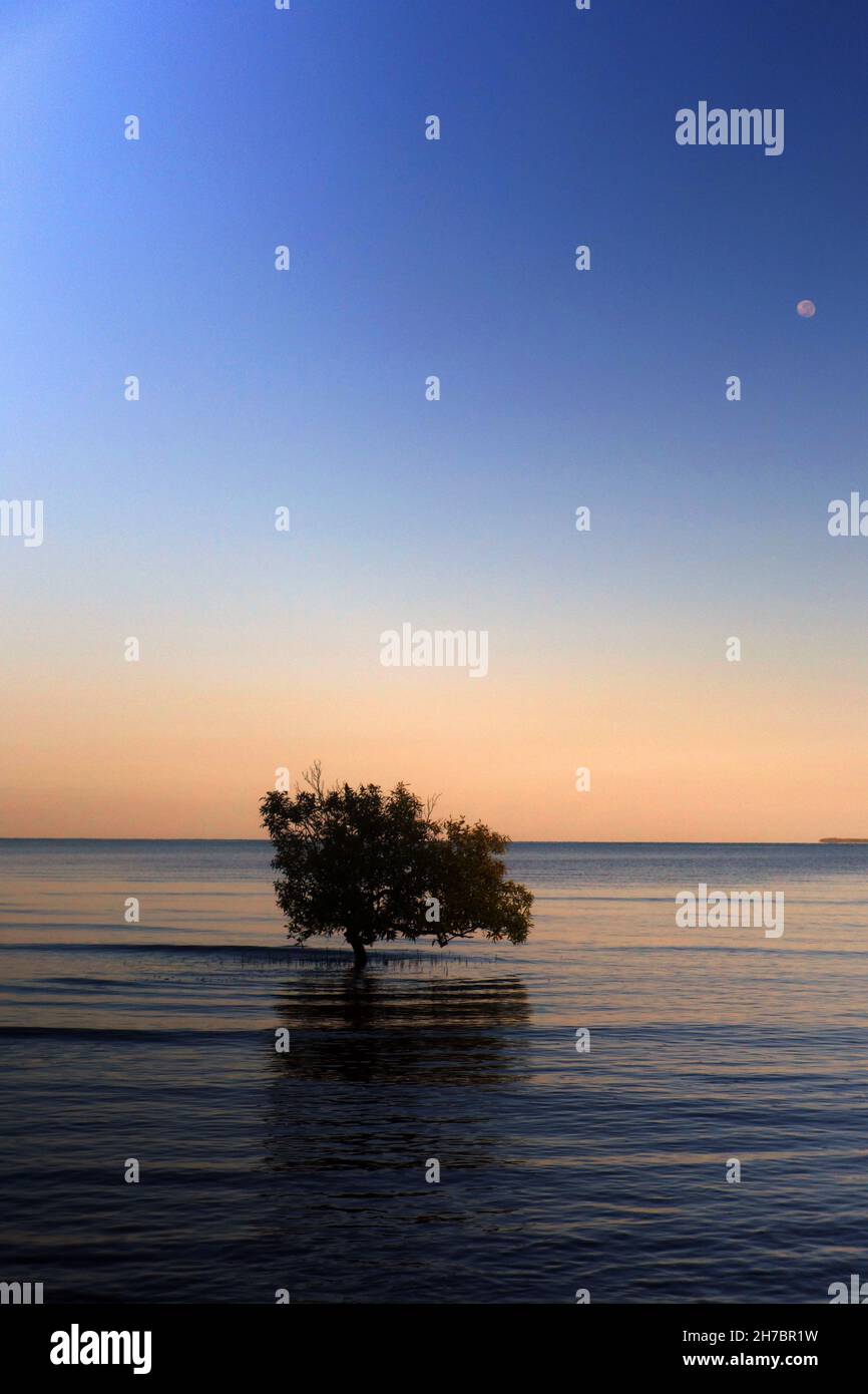 Mangrove at quiet dawn with moonset, Weipa, Gulf of Carpentaria, Queensland, Australia Stock Photohttps://www.alamy.com/image-license-details/?v=1https://www.alamy.com/mangrove-at-quiet-dawn-with-moonset-weipa-gulf-of-carpentaria-queensland-australia-image452031717.html
RM2H7BR1W–Mangrove at quiet dawn with moonset, Weipa, Gulf of Carpentaria, Queensland, Australia
 satellite view over Northern Australia, shows the northern portion of the Northern Territory, sometimes known as the Top End. There are also a few large islands visible, including Melville and Bathurst Islands to the north and the smaller Groote Eylandt to the east. The Timor Sea is to the west, with the Arafura Sea to the north, and the Gulf of Carpentaria to the east. Stock Photohttps://www.alamy.com/image-license-details/?v=1https://www.alamy.com/stock-photo-satellite-view-over-northern-australia-shows-the-northern-portion-57366115.html
RMD9971R–satellite view over Northern Australia, shows the northern portion of the Northern Territory, sometimes known as the Top End. There are also a few large islands visible, including Melville and Bathurst Islands to the north and the smaller Groote Eylandt to the east. The Timor Sea is to the west, with the Arafura Sea to the north, and the Gulf of Carpentaria to the east.
 Abstract view of a runway in isolated Burketown on the edge of the Gulf of Carpentaria Australia Stock Photohttps://www.alamy.com/image-license-details/?v=1https://www.alamy.com/stock-photo-abstract-view-of-a-runway-in-isolated-burketown-on-the-edge-of-the-21913514.html
RMB7J6WE–Abstract view of a runway in isolated Burketown on the edge of the Gulf of Carpentaria Australia
 . Portion of a map entitled 'Australie' by Otto Petri, Rotterdam, Holland 1859, showing the Gulf of Carpentaria . 1859. Otto Petri 257 Gulf-of-Carpentaria-Australia-Otto-Petri-1859-Rotterdam Stock Photohttps://www.alamy.com/image-license-details/?v=1https://www.alamy.com/portion-of-a-map-entitled-australie-by-otto-petri-rotterdam-holland-1859-showing-the-gulf-of-carpentaria-1859-otto-petri-257-gulf-of-carpentaria-australia-otto-petri-1859-rotterdam-image187584811.html
RMMW569F–. Portion of a map entitled 'Australie' by Otto Petri, Rotterdam, Holland 1859, showing the Gulf of Carpentaria . 1859. Otto Petri 257 Gulf-of-Carpentaria-Australia-Otto-Petri-1859-Rotterdam
 Aerial, Mangroove, Karumba, Gulf of Carpentaria Queensland, Australia Stock Photohttps://www.alamy.com/image-license-details/?v=1https://www.alamy.com/aerial-mangroove-karumba-gulf-of-carpentaria-queensland-australia-image9096008.html
RMAR2HT9–Aerial, Mangroove, Karumba, Gulf of Carpentaria Queensland, Australia
 Frederick Walker Memorial in front of the visitor Information Centre and Museum at the remote rural small town of Burketown, Gulf of Carpentaria, Quee Stock Photohttps://www.alamy.com/image-license-details/?v=1https://www.alamy.com/frederick-walker-memorial-in-front-of-the-visitor-information-centre-image158436304.html
RMK5NB3C–Frederick Walker Memorial in front of the visitor Information Centre and Museum at the remote rural small town of Burketown, Gulf of Carpentaria, Quee
 (160711) -- GULF OF CARPENTARIA (AUSTRALIA), July 11, 2016 -- Photo taken on June 9, 2016 shows dead mangroves in Gulf of Carpentaria, Australia. Large swathes of key mangrove habitat in north Australia have died due to impact of the severe El Nino weather system earlier this year that was exacerbated by climate change, potentially having large impact on Australia s tourism and fisheries industry. Norm Duke of James Cook University) AUSTRALIA-GULF OF CARPENTARIA-MANGROVES-DEAD NormxDukexofxJamesxCookxUni... PUBLICATIONxNOTxINxCHN GULF of Carpentaria Australia July 11 2016 Photo Taken ON June Stock Photohttps://www.alamy.com/image-license-details/?v=1https://www.alamy.com/160711-gulf-of-carpentaria-australia-july-11-2016-photo-taken-on-june-9-2016-shows-dead-mangroves-in-gulf-of-carpentaria-australia-large-swathes-of-key-mangrove-habitat-in-north-australia-have-died-due-to-impact-of-the-severe-el-nino-weather-system-earlier-this-year-that-was-exacerbated-by-climate-change-potentially-having-large-impact-on-australia-s-tourism-and-fisheries-industry-norm-duke-of-james-cook-university-australia-gulf-of-carpentaria-mangroves-dead-normxdukexofxjamesxcookxuni-publicationxnotxinxchn-gulf-of-carpentaria-australia-july-11-2016-photo-taken-on-june-image563969401.html
RM2RNF0M9–(160711) -- GULF OF CARPENTARIA (AUSTRALIA), July 11, 2016 -- Photo taken on June 9, 2016 shows dead mangroves in Gulf of Carpentaria, Australia. Large swathes of key mangrove habitat in north Australia have died due to impact of the severe El Nino weather system earlier this year that was exacerbated by climate change, potentially having large impact on Australia s tourism and fisheries industry. Norm Duke of James Cook University) AUSTRALIA-GULF OF CARPENTARIA-MANGROVES-DEAD NormxDukexofxJamesxCookxUni... PUBLICATIONxNOTxINxCHN GULF of Carpentaria Australia July 11 2016 Photo Taken ON June
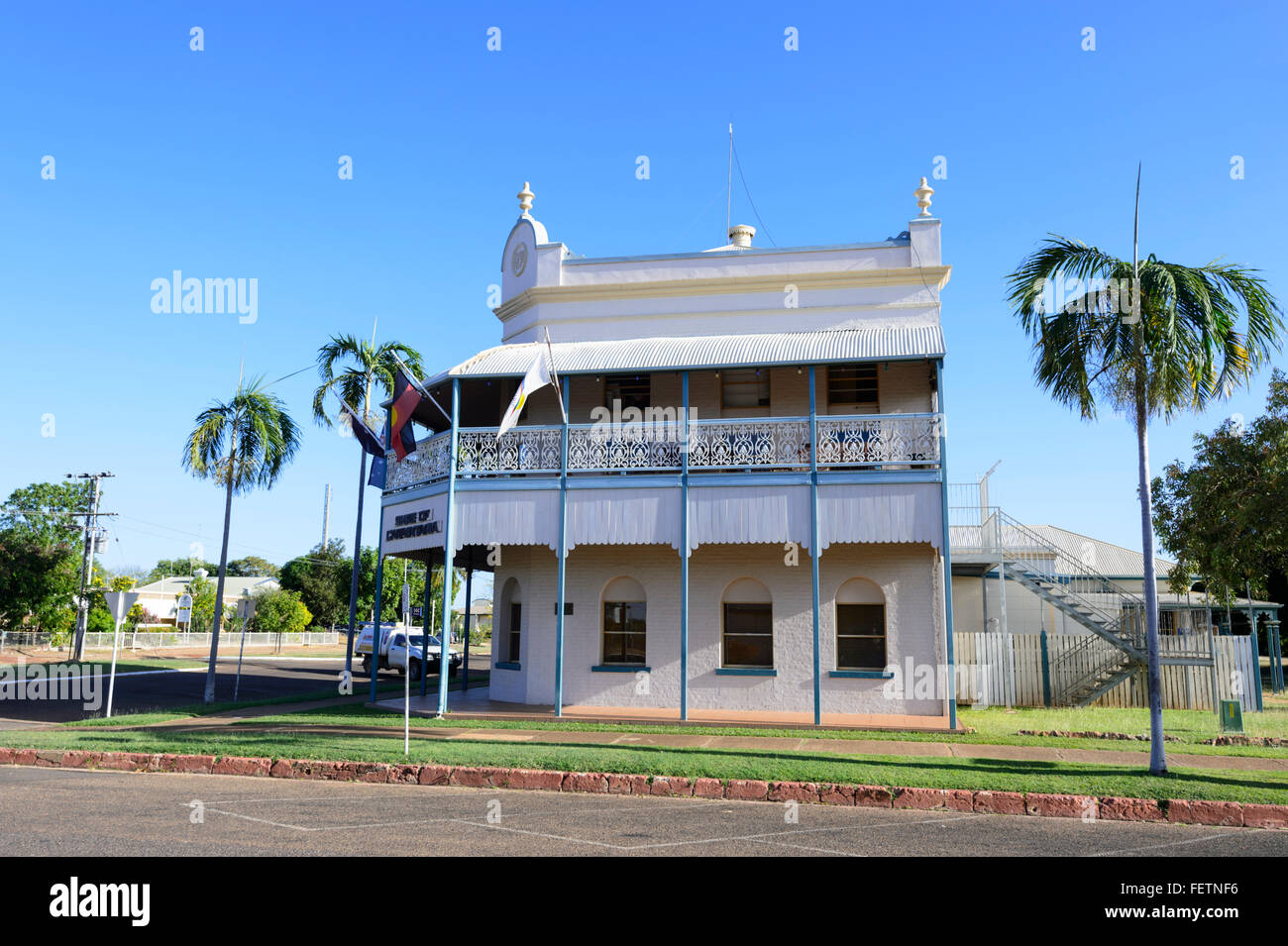 Heritage Building, Normanton, Gulf of Carpentaria, Queensland, Australia Stock Photohttps://www.alamy.com/image-license-details/?v=1https://www.alamy.com/stock-photo-heritage-building-normanton-gulf-of-carpentaria-queensland-australia-95200762.html
RMFETNF6–Heritage Building, Normanton, Gulf of Carpentaria, Queensland, Australia
 Sunset over the Gulf of Carpentaria, Karumba, Queensland, Australia Stock Photohttps://www.alamy.com/image-license-details/?v=1https://www.alamy.com/stock-photo-sunset-over-the-gulf-of-carpentaria-karumba-queensland-australia-149724249.html
RMJKGEPH–Sunset over the Gulf of Carpentaria, Karumba, Queensland, Australia
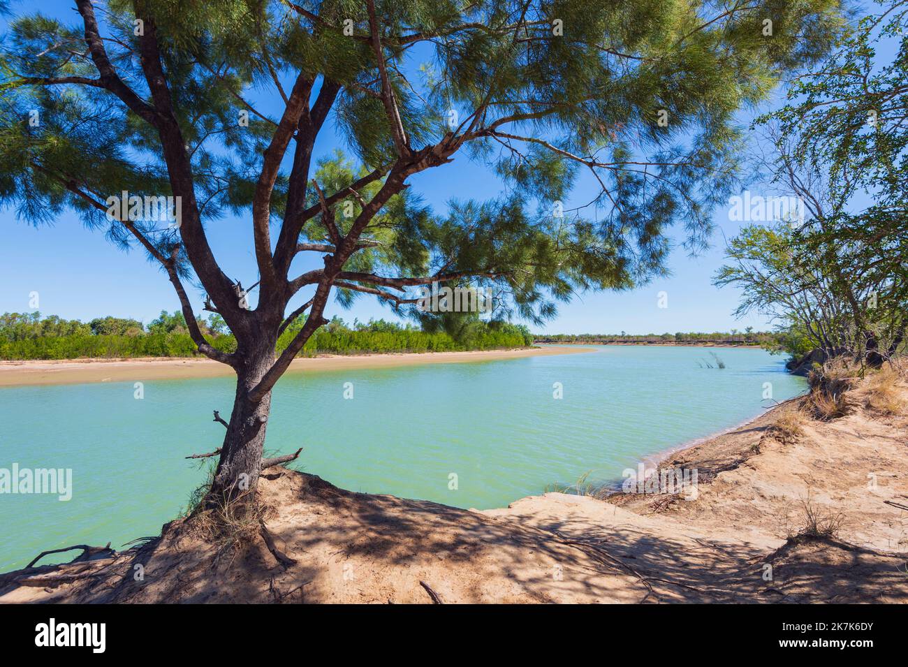 Scenic view of the Albert River, Burketown, Gulf of Carpentaria, Queensland, QLD, Australia Stock Photohttps://www.alamy.com/image-license-details/?v=1https://www.alamy.com/scenic-view-of-the-albert-river-burketown-gulf-of-carpentaria-queensland-qld-australia-image486615079.html
RM2K7K6DY–Scenic view of the Albert River, Burketown, Gulf of Carpentaria, Queensland, QLD, Australia
 (160711) -- GULF OF CARPENTARIA (AUSTRALIA), July 11, 2016 (Xinhua) -- Photo taken on June 9, 2016 shows mangroves in Gulf of Carpentaria, Australia. Large swathes of key mangrove habitat in north Australia have died due to impact of the severe El Nino weather system earlier this year that was exacerbated by climate change, potentially having large impact on Australia's tourism and fisheries industry. (Xinhua/Norm Duke of James Cook University) Stock Photohttps://www.alamy.com/image-license-details/?v=1https://www.alamy.com/stock-photo-160711-gulf-of-carpentaria-australia-july-11-2016-xinhua-photo-taken-111272927.html
RMGD0WN3–(160711) -- GULF OF CARPENTARIA (AUSTRALIA), July 11, 2016 (Xinhua) -- Photo taken on June 9, 2016 shows mangroves in Gulf of Carpentaria, Australia. Large swathes of key mangrove habitat in north Australia have died due to impact of the severe El Nino weather system earlier this year that was exacerbated by climate change, potentially having large impact on Australia's tourism and fisheries industry. (Xinhua/Norm Duke of James Cook University)
 Vintage geographical map in sepia showing the Gulf of Carpentaria, Australia. Stock Photohttps://www.alamy.com/image-license-details/?v=1https://www.alamy.com/vintage-geographical-map-in-sepia-showing-the-gulf-of-carpentaria-australia-image575715706.html
RF2TCJ376–Vintage geographical map in sepia showing the Gulf of Carpentaria, Australia.
 Prawn fishing trawler, Gulf of Carpentaria, Australia Stock Photohttps://www.alamy.com/image-license-details/?v=1https://www.alamy.com/stock-photo-prawn-fishing-trawler-gulf-of-carpentaria-australia-16675132.html
RFAWY31H–Prawn fishing trawler, Gulf of Carpentaria, Australia
 Telephoto image of local street with trees, cars, people in Burketown, Gulf of Carpentaria, Queensland, Australia Stock Photohttps://www.alamy.com/image-license-details/?v=1https://www.alamy.com/telephoto-image-of-local-street-with-trees-cars-people-in-burketown-gulf-of-carpentaria-queensland-australia-image612786877.html
RF2XGXRWH–Telephoto image of local street with trees, cars, people in Burketown, Gulf of Carpentaria, Queensland, Australia
 Burke, Wills and King in the Australian desert, 1861. The Burke and Wills expedition, 1860-61, initially consisted of 19 men, led by Robert O'Hara Burke (1821-c1861), and William John Wills (1834-c1861). Its objective was the crossing of Australia from Melbourne to the Gulf of Carpentaria, a distance of around 3,250 kilometres. The return journey was plagued by delays and monsoon rains. Burke and Wills died on or about 30th June 1861. Altogether, seven men died, and only one man, John King, crossed the continent with the expedition and returned alive to Melbourne. Stock Photohttps://www.alamy.com/image-license-details/?v=1https://www.alamy.com/burke-wills-and-king-in-the-australian-desert-1861-theburke-and-wills-expedition-1860-61-initially-consisted-of-19-men-led-byrobert-ohara-burke-1821-c1861-andwilliam-john-wills-1834-c1861-its-objective-was-the-crossing-of-australia-frommelbourne-to-thegulf-of-carpentaria-a-distance-of-around-3250-kilometres-the-return-journey-was-plagued-by-delays-and-monsoon-rains-burke-and-wills-died-on-or-about-30th-june-1861-altogether-seven-men-died-and-only-one-man-john-king-crossed-the-continent-with-the-expedition-and-returned-alive-to-melbourne-image567717186.html
RM2RYHN1P–Burke, Wills and King in the Australian desert, 1861. The Burke and Wills expedition, 1860-61, initially consisted of 19 men, led by Robert O'Hara Burke (1821-c1861), and William John Wills (1834-c1861). Its objective was the crossing of Australia from Melbourne to the Gulf of Carpentaria, a distance of around 3,250 kilometres. The return journey was plagued by delays and monsoon rains. Burke and Wills died on or about 30th June 1861. Altogether, seven men died, and only one man, John King, crossed the continent with the expedition and returned alive to Melbourne.
 Panorama of grasslands, forest, ranges from Casey's rest lookout near Georgetown in Gulf of Carpentaria, Queensland, Australia Stock Photohttps://www.alamy.com/image-license-details/?v=1https://www.alamy.com/panorama-of-grasslands-forest-ranges-from-caseys-rest-lookout-near-georgetown-in-gulf-of-carpentaria-queensland-australia-image612783788.html
RF2XGXKY8–Panorama of grasslands, forest, ranges from Casey's rest lookout near Georgetown in Gulf of Carpentaria, Queensland, Australia
 McArthur River country in the Gulf of Carpentaria probably after cultural burning by aboriginal custodians Stock Photohttps://www.alamy.com/image-license-details/?v=1https://www.alamy.com/mcarthur-river-country-in-the-gulf-of-carpentaria-probably-after-cultural-burning-by-aboriginal-custodians-image394774025.html
RF2DX7E89–McArthur River country in the Gulf of Carpentaria probably after cultural burning by aboriginal custodians
 Remote section of the Savannah Way red road near Burketown with trees and grass and blue sky, Gulf of Carpentaria, Queensland, Australia Stock Photohttps://www.alamy.com/image-license-details/?v=1https://www.alamy.com/remote-section-of-the-savannah-way-red-road-near-burketown-with-trees-and-grass-and-blue-sky-gulf-of-carpentaria-queensland-australia-image612786779.html
RF2XGXRP3–Remote section of the Savannah Way red road near Burketown with trees and grass and blue sky, Gulf of Carpentaria, Queensland, Australia
 Eastern Gulf of Carpentaria, , AU, Australia, , S 15 53' 58'', N 141 22' 4'', map, Cartascapes Map published in 2024. Explore Cartascapes, a map revealing Earth's diverse landscapes, cultures, and ecosystems. Journey through time and space, discovering the interconnectedness of our planet's past, present, and future. Stock Photohttps://www.alamy.com/image-license-details/?v=1https://www.alamy.com/eastern-gulf-of-carpentaria-au-australia-s-15-53-58-n-141-22-4-map-cartascapes-map-published-in-2024-explore-cartascapes-a-map-revealing-earths-diverse-landscapes-cultures-and-ecosystems-journey-through-time-and-space-discovering-the-interconnectedness-of-our-planets-past-present-and-future-image625719608.html
RM2Y9YYMT–Eastern Gulf of Carpentaria, , AU, Australia, , S 15 53' 58'', N 141 22' 4'', map, Cartascapes Map published in 2024. Explore Cartascapes, a map revealing Earth's diverse landscapes, cultures, and ecosystems. Journey through time and space, discovering the interconnectedness of our planet's past, present, and future.
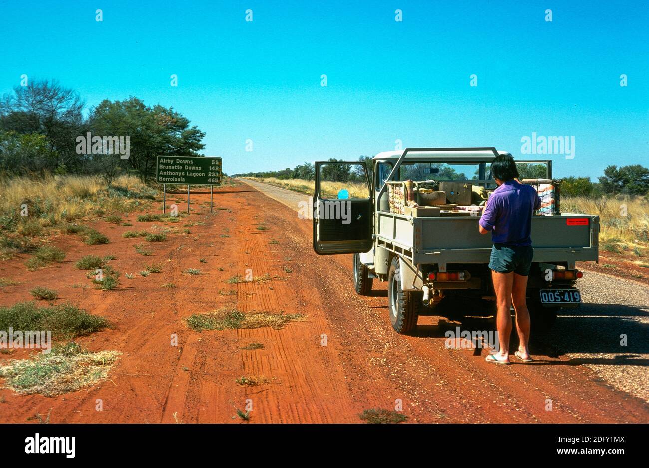 An exploration geologist and his field assistant turn off the Barkly Highway to head north into the remote Gulf country, Northern Territory, Australia, in 1975. Two decades later the world-class McArthur River zinc-lead deposit near Borroloola was commercialised by other interests. Stock Photohttps://www.alamy.com/image-license-details/?v=1https://www.alamy.com/an-exploration-geologist-and-his-field-assistant-turn-off-the-barkly-highway-to-head-north-into-the-remote-gulf-country-northern-territory-australia-in-1975-two-decades-later-the-world-class-mcarthur-river-zinc-lead-deposit-near-borroloola-was-commercialised-by-other-interests-image388442010.html
RM2DFY1MX–An exploration geologist and his field assistant turn off the Barkly Highway to head north into the remote Gulf country, Northern Territory, Australia, in 1975. Two decades later the world-class McArthur River zinc-lead deposit near Borroloola was commercialised by other interests.
 Events Australia Stock Photohttps://www.alamy.com/image-license-details/?v=1https://www.alamy.com/events-australia-image8245353.html
RMAHCBJA–Events Australia
 Bauxite mine, Weipa, Queensland, Australia Stock Photohttps://www.alamy.com/image-license-details/?v=1https://www.alamy.com/bauxite-mine-weipa-queensland-australia-image232389384.html
RFRE270T–Bauxite mine, Weipa, Queensland, Australia
 . Portion of a map entitled 'Australie' by Otto Petri, Rotterdam, Holland 1859, showing the Gulf of Carpentaria . 1859. Otto Petri 222 Gulf-of-Carpentaria-Australia-Otto-Petri-1859-Rotterdam Stock Photohttps://www.alamy.com/image-license-details/?v=1https://www.alamy.com/portion-of-a-map-entitled-australie-by-otto-petri-rotterdam-holland-1859-showing-the-gulf-of-carpentaria-1859-otto-petri-222-gulf-of-carpentaria-australia-otto-petri-1859-rotterdam-image188890178.html
RMMY8K9P–. Portion of a map entitled 'Australie' by Otto Petri, Rotterdam, Holland 1859, showing the Gulf of Carpentaria . 1859. Otto Petri 222 Gulf-of-Carpentaria-Australia-Otto-Petri-1859-Rotterdam
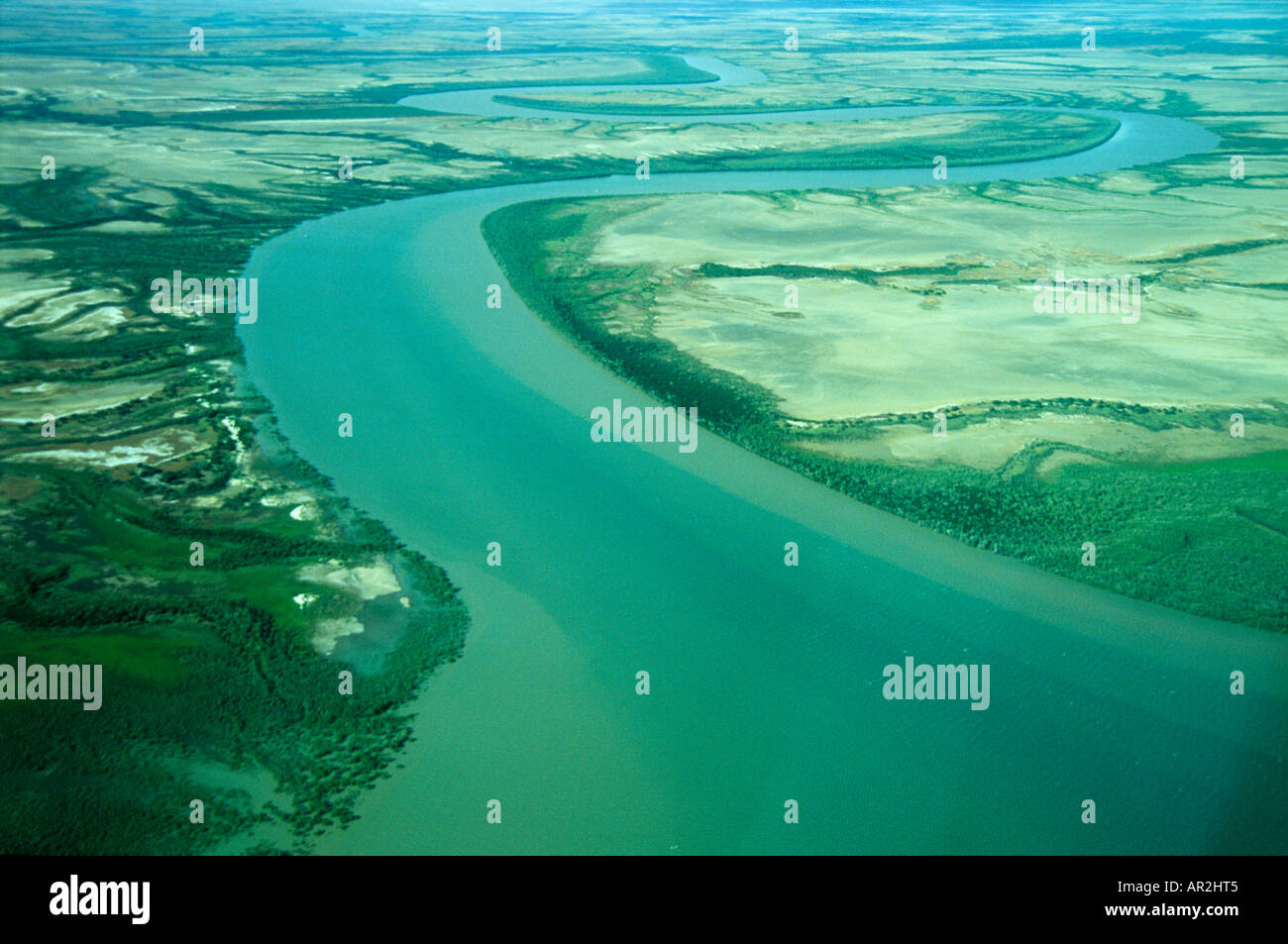 Aerial, Norman River, Karumba, Gulf Of Carpentaria Queensland, Australia Stock Photohttps://www.alamy.com/image-license-details/?v=1https://www.alamy.com/aerial-norman-river-karumba-gulf-of-carpentaria-queensland-australia-image9096004.html
RMAR2HT5–Aerial, Norman River, Karumba, Gulf Of Carpentaria Queensland, Australia
![Arrival of Burke & Wills at Flinders River, 1862. The Burke and Wills expedition was an Australian exploration expedition in 1860–61 led by Robert O'Hara Burke and William John Wills of 19 men with the objective of crossing Australia from Melbourne in the south, to the Gulf of Carpentaria in the north, a distance of around 3,250 kilometres (approximately 2,000 miles).[1] At that time most of the inland of Australia had not been explored by non-Indigenous people and was largely unknown to the European settlers. Stock Photo Arrival of Burke & Wills at Flinders River, 1862. The Burke and Wills expedition was an Australian exploration expedition in 1860–61 led by Robert O'Hara Burke and William John Wills of 19 men with the objective of crossing Australia from Melbourne in the south, to the Gulf of Carpentaria in the north, a distance of around 3,250 kilometres (approximately 2,000 miles).[1] At that time most of the inland of Australia had not been explored by non-Indigenous people and was largely unknown to the European settlers. Stock Photo](https://c8.alamy.com/comp/KWP0HE/arrival-of-burke-wills-at-flinders-river-1862-the-burke-and-wills-KWP0HE.jpg) Arrival of Burke & Wills at Flinders River, 1862. The Burke and Wills expedition was an Australian exploration expedition in 1860–61 led by Robert O'Hara Burke and William John Wills of 19 men with the objective of crossing Australia from Melbourne in the south, to the Gulf of Carpentaria in the north, a distance of around 3,250 kilometres (approximately 2,000 miles).[1] At that time most of the inland of Australia had not been explored by non-Indigenous people and was largely unknown to the European settlers. Stock Photohttps://www.alamy.com/image-license-details/?v=1https://www.alamy.com/stock-photo-arrival-of-burke-wills-at-flinders-river-1862-the-burke-and-wills-170743146.html
Arrival of Burke & Wills at Flinders River, 1862. The Burke and Wills expedition was an Australian exploration expedition in 1860–61 led by Robert O'Hara Burke and William John Wills of 19 men with the objective of crossing Australia from Melbourne in the south, to the Gulf of Carpentaria in the north, a distance of around 3,250 kilometres (approximately 2,000 miles).[1] At that time most of the inland of Australia had not been explored by non-Indigenous people and was largely unknown to the European settlers. Stock Photohttps://www.alamy.com/image-license-details/?v=1https://www.alamy.com/stock-photo-arrival-of-burke-wills-at-flinders-river-1862-the-burke-and-wills-170743146.htmlRMKWP0HE–Arrival of Burke & Wills at Flinders River, 1862. The Burke and Wills expedition was an Australian exploration expedition in 1860–61 led by Robert O'Hara Burke and William John Wills of 19 men with the objective of crossing Australia from Melbourne in the south, to the Gulf of Carpentaria in the north, a distance of around 3,250 kilometres (approximately 2,000 miles).[1] At that time most of the inland of Australia had not been explored by non-Indigenous people and was largely unknown to the European settlers.
 (160711) -- GULF OF CARPENTARIA (AUSTRALIA), July 11, 2016 -- Photo taken on June 9, 2016 shows mangroves in Gulf of Carpentaria, Australia. Large swathes of key mangrove habitat in north Australia have died due to impact of the severe El Nino weather system earlier this year that was exacerbated by climate change, potentially having large impact on Australia s tourism and fisheries industry. Norm Duke of James Cook University) AUSTRALIA-GULF OF CARPENTARIA-MANGROVES-DEAD NormxDukexofxJamesxCookxUni... PUBLICATIONxNOTxINxCHN GULF of Carpentaria Australia July 11 2016 Photo Taken ON June 9 20 Stock Photohttps://www.alamy.com/image-license-details/?v=1https://www.alamy.com/160711-gulf-of-carpentaria-australia-july-11-2016-photo-taken-on-june-9-2016-shows-mangroves-in-gulf-of-carpentaria-australia-large-swathes-of-key-mangrove-habitat-in-north-australia-have-died-due-to-impact-of-the-severe-el-nino-weather-system-earlier-this-year-that-was-exacerbated-by-climate-change-potentially-having-large-impact-on-australia-s-tourism-and-fisheries-industry-norm-duke-of-james-cook-university-australia-gulf-of-carpentaria-mangroves-dead-normxdukexofxjamesxcookxuni-publicationxnotxinxchn-gulf-of-carpentaria-australia-july-11-2016-photo-taken-on-june-9-20-image563969388.html
RM2RNF0KT–(160711) -- GULF OF CARPENTARIA (AUSTRALIA), July 11, 2016 -- Photo taken on June 9, 2016 shows mangroves in Gulf of Carpentaria, Australia. Large swathes of key mangrove habitat in north Australia have died due to impact of the severe El Nino weather system earlier this year that was exacerbated by climate change, potentially having large impact on Australia s tourism and fisheries industry. Norm Duke of James Cook University) AUSTRALIA-GULF OF CARPENTARIA-MANGROVES-DEAD NormxDukexofxJamesxCookxUni... PUBLICATIONxNOTxINxCHN GULF of Carpentaria Australia July 11 2016 Photo Taken ON June 9 20
 Train carrying bauxite into Weipa, Queensland, Australia. No PR Stock Photohttps://www.alamy.com/image-license-details/?v=1https://www.alamy.com/train-carrying-bauxite-into-weipa-queensland-australia-no-pr-image452032462.html
RM2H7BT0E–Train carrying bauxite into Weipa, Queensland, Australia. No PR
 Robert O'Hara Burke (1821-1861) and William John Wills (1834-1861) who led an expedition of 19 men with the intention of crossing Australia from Melbourne in the south to the Gulf of Carpentaria in the north. From a woodcut in a contemporary Australian account of the expedition. Stock Photohttps://www.alamy.com/image-license-details/?v=1https://www.alamy.com/stock-photo-robert-ohara-burke-1821-1861-and-william-john-wills-1834-1861-who-104968125.html
RMG2NKWH–Robert O'Hara Burke (1821-1861) and William John Wills (1834-1861) who led an expedition of 19 men with the intention of crossing Australia from Melbourne in the south to the Gulf of Carpentaria in the north. From a woodcut in a contemporary Australian account of the expedition.
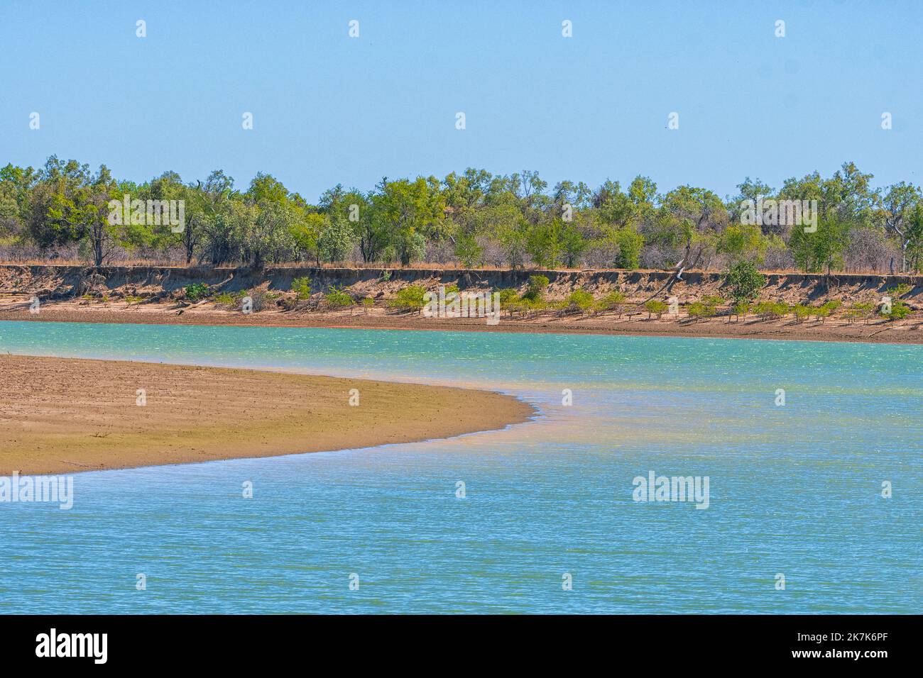 Scenic view of the Albert River, Burketown, Gulf of Carpentaria, Queensland, QLD, Australia Stock Photohttps://www.alamy.com/image-license-details/?v=1https://www.alamy.com/scenic-view-of-the-albert-river-burketown-gulf-of-carpentaria-queensland-qld-australia-image486615319.html
RM2K7K6PF–Scenic view of the Albert River, Burketown, Gulf of Carpentaria, Queensland, QLD, Australia
 (160711) -- GULF OF CARPENTARIA (AUSTRALIA), July 11, 2016 (Xinhua) -- Photo taken on June 9, 2016 shows dead mangroves in Gulf of Carpentaria, Australia. Large swathes of key mangrove habitat in north Australia have died due to impact of the severe El Nino weather system earlier this year that was exacerbated by climate change, potentially having large impact on Australia's tourism and fisheries industry. (Xinhua/Norm Duke of James Cook University) Stock Photohttps://www.alamy.com/image-license-details/?v=1https://www.alamy.com/stock-photo-160711-gulf-of-carpentaria-australia-july-11-2016-xinhua-photo-taken-111272930.html
RMGD0WN6–(160711) -- GULF OF CARPENTARIA (AUSTRALIA), July 11, 2016 (Xinhua) -- Photo taken on June 9, 2016 shows dead mangroves in Gulf of Carpentaria, Australia. Large swathes of key mangrove habitat in north Australia have died due to impact of the severe El Nino weather system earlier this year that was exacerbated by climate change, potentially having large impact on Australia's tourism and fisheries industry. (Xinhua/Norm Duke of James Cook University)
 Sunrise over the Albert River, Burketown, Gulf of Carpentaria, Queensland, QLD, Australia Stock Photohttps://www.alamy.com/image-license-details/?v=1https://www.alamy.com/stock-image-sunrise-over-the-albert-river-burketown-gulf-of-carpentaria-queensland-161524670.html
RMKAP2A6–Sunrise over the Albert River, Burketown, Gulf of Carpentaria, Queensland, QLD, Australia
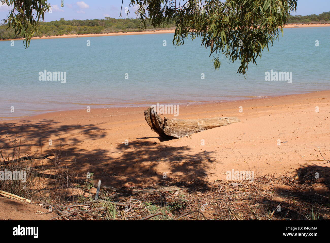 A remote beach in northern Australia Stock Photohttps://www.alamy.com/image-license-details/?v=1https://www.alamy.com/a-remote-beach-in-northern-australia-image226559322.html
RFR4GJMA–A remote beach in northern Australia
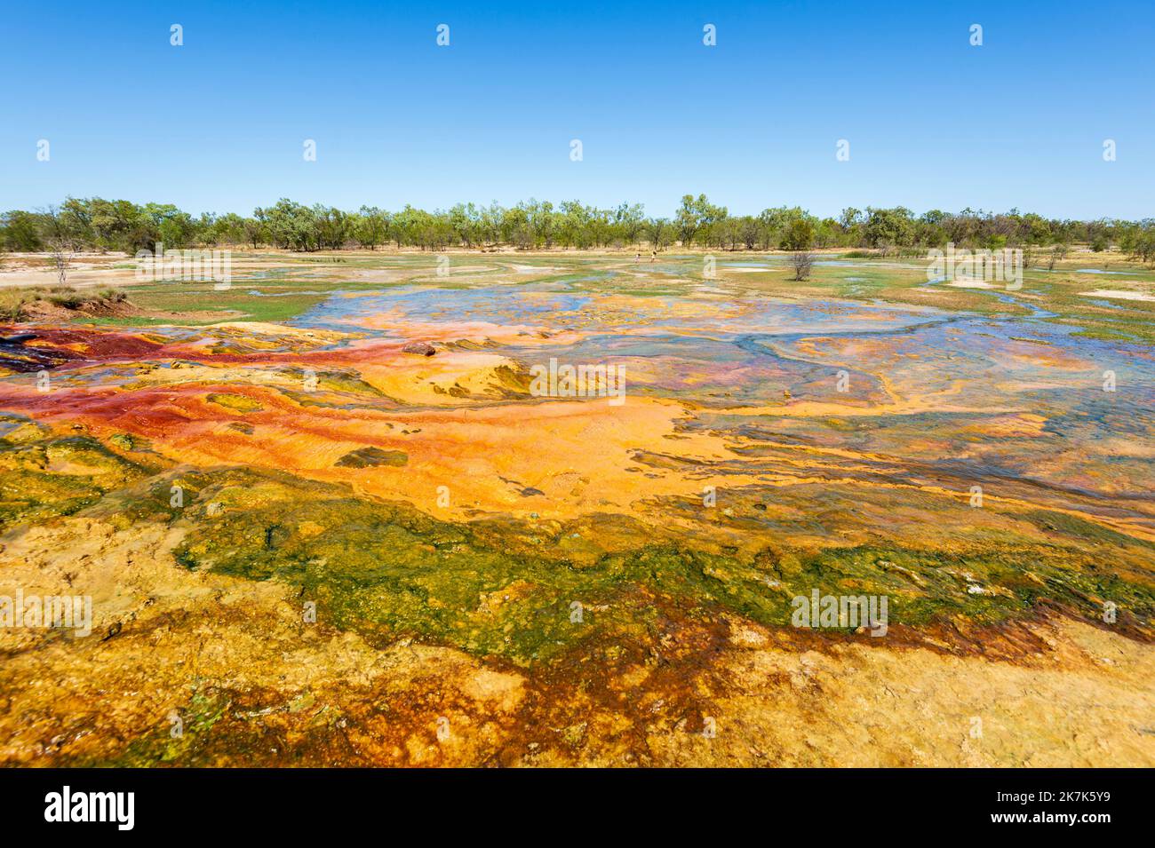 Spectacular colourful mineral deposits around an artesian bore, Burketown, Gulf of Carpentaria, Queensland, QLD, Australia Stock Photohttps://www.alamy.com/image-license-details/?v=1https://www.alamy.com/spectacular-colourful-mineral-deposits-around-an-artesian-bore-burketown-gulf-of-carpentaria-queensland-qld-australia-image486614669.html
RM2K7K5Y9–Spectacular colourful mineral deposits around an artesian bore, Burketown, Gulf of Carpentaria, Queensland, QLD, Australia
 Burke, Wills and King press on, exhausted by hunger and fatigue,1861. The Burke and Wills expedition, 1860-61, initially consisted of 19 men, led by Robert O'Hara Burke (1821-c1861), and William John Wills (1834-c1861). Its objective was the crossing of Australia from Melbourne to the Gulf of Carpentaria, a distance of around 3,250 kilometres. The return journey was plagued by delays and monsoon rains. Burke and Wills died on or about 30th June 1861. Altogether, seven men died, and only one man, John King, crossed the continent with the expedition and returned alive to Melbourne. Stock Photohttps://www.alamy.com/image-license-details/?v=1https://www.alamy.com/burke-wills-and-king-press-on-exhausted-by-hunger-and-fatigue1861-theburke-and-wills-expedition-1860-61-initially-consisted-of-19-men-led-byrobert-ohara-burke-1821-c1861-andwilliam-john-wills-1834-c1861-its-objective-was-the-crossing-of-australia-frommelbourne-to-thegulf-of-carpentaria-a-distance-of-around-3250-kilometres-the-return-journey-was-plagued-by-delays-and-monsoon-rains-burke-and-wills-died-on-or-about-30th-june-1861-altogether-seven-men-died-and-only-one-man-john-king-crossed-the-continent-with-the-expedition-and-returned-alive-to-melbourne-image567717153.html
RM2RYHN0H–Burke, Wills and King press on, exhausted by hunger and fatigue,1861. The Burke and Wills expedition, 1860-61, initially consisted of 19 men, led by Robert O'Hara Burke (1821-c1861), and William John Wills (1834-c1861). Its objective was the crossing of Australia from Melbourne to the Gulf of Carpentaria, a distance of around 3,250 kilometres. The return journey was plagued by delays and monsoon rains. Burke and Wills died on or about 30th June 1861. Altogether, seven men died, and only one man, John King, crossed the continent with the expedition and returned alive to Melbourne.
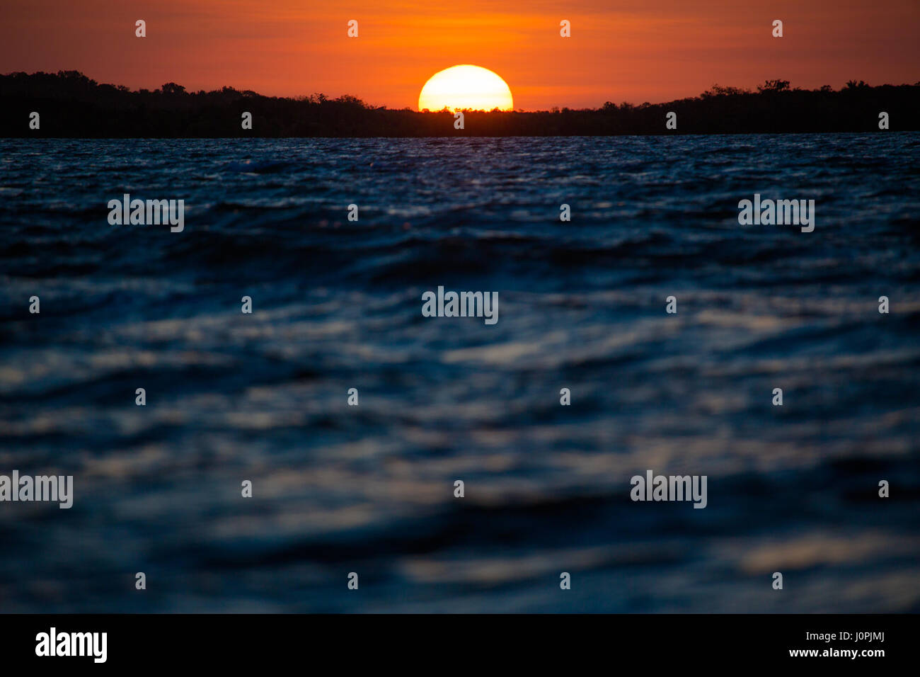 The last moments of sun as it touches an island in silhouette in the Gulf of Carpentaria, Weipa, North Queensland, Australia Stock Photohttps://www.alamy.com/image-license-details/?v=1https://www.alamy.com/stock-photo-the-last-moments-of-sun-as-it-touches-an-island-in-silhouette-in-the-138180578.html
RMJ0PJMJ–The last moments of sun as it touches an island in silhouette in the Gulf of Carpentaria, Weipa, North Queensland, Australia
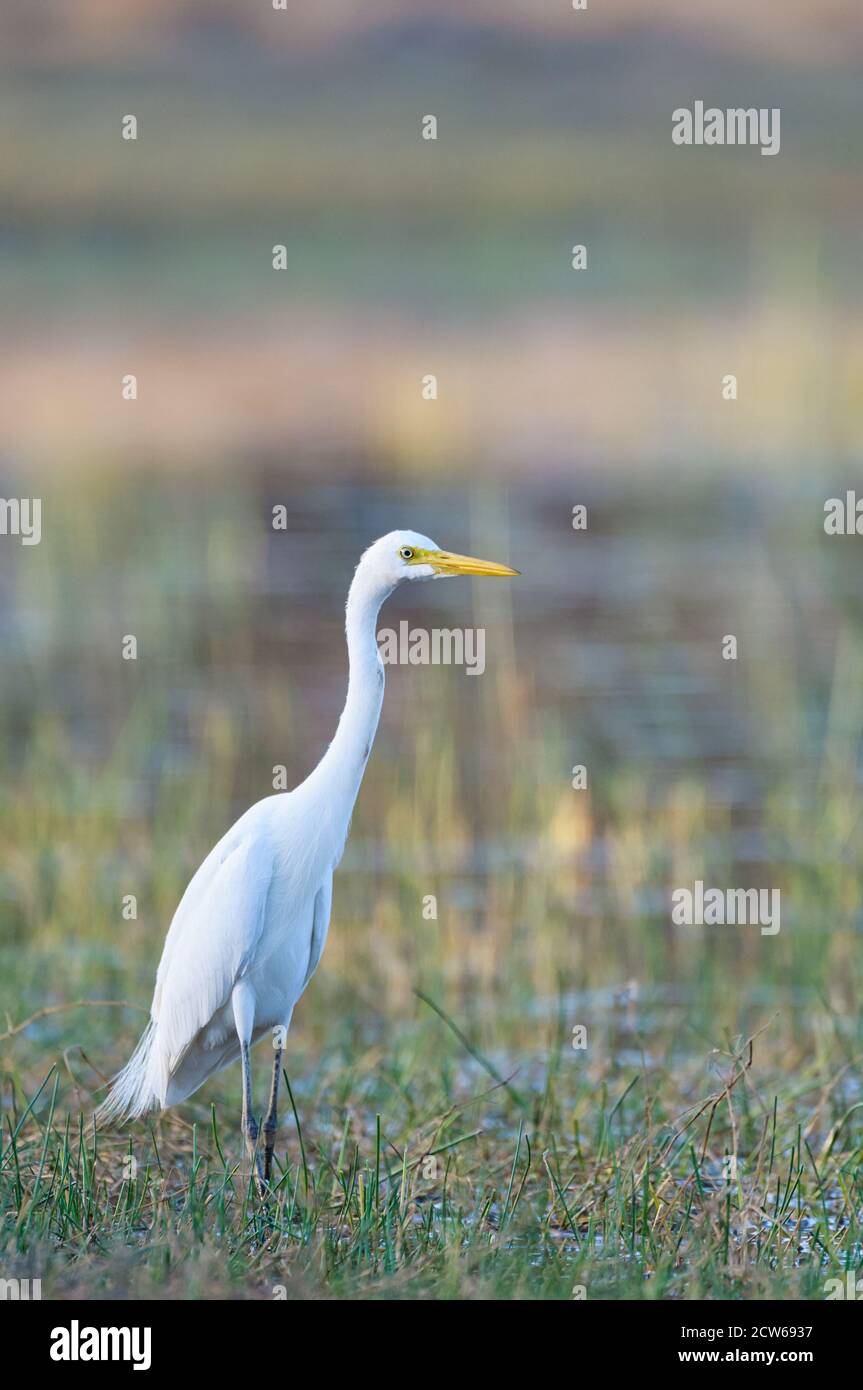 Single non-breeding Great Egret wading through wetland habitat in the Gulf country of Queensland in Australia. Stock Photohttps://www.alamy.com/image-license-details/?v=1https://www.alamy.com/single-non-breeding-great-egret-wading-through-wetland-habitat-in-the-gulf-country-of-queensland-in-australia-image376922987.html
RM2CW6937–Single non-breeding Great Egret wading through wetland habitat in the Gulf country of Queensland in Australia.
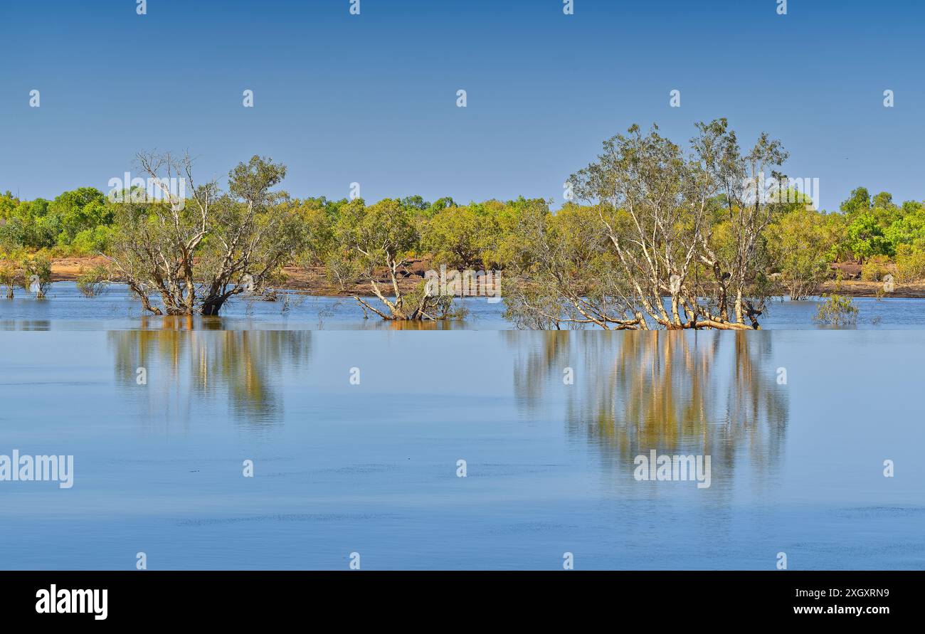 Outback Nicholson river crossing reflections of trees in water blue sky and split depth at Doomadgee, Gulf of Carpentaria, Queensland, Australia Stock Photohttps://www.alamy.com/image-license-details/?v=1https://www.alamy.com/outback-nicholson-river-crossing-reflections-of-trees-in-water-blue-sky-and-split-depth-at-doomadgee-gulf-of-carpentaria-queensland-australia-image612786757.html
RF2XGXRN9–Outback Nicholson river crossing reflections of trees in water blue sky and split depth at Doomadgee, Gulf of Carpentaria, Queensland, Australia
 Gulf of Carpentaria Marine Park, , AU, Australia, , S 15 53' 21'', N 139 55' 54'', map, Cartascapes Map published in 2024. Explore Cartascapes, a map revealing Earth's diverse landscapes, cultures, and ecosystems. Journey through time and space, discovering the interconnectedness of our planet's past, present, and future. Stock Photohttps://www.alamy.com/image-license-details/?v=1https://www.alamy.com/gulf-of-carpentaria-marine-park-au-australia-s-15-53-21-n-139-55-54-map-cartascapes-map-published-in-2024-explore-cartascapes-a-map-revealing-earths-diverse-landscapes-cultures-and-ecosystems-journey-through-time-and-space-discovering-the-interconnectedness-of-our-planets-past-present-and-future-image625521659.html
RM2Y9JY77–Gulf of Carpentaria Marine Park, , AU, Australia, , S 15 53' 21'', N 139 55' 54'', map, Cartascapes Map published in 2024. Explore Cartascapes, a map revealing Earth's diverse landscapes, cultures, and ecosystems. Journey through time and space, discovering the interconnectedness of our planet's past, present, and future.
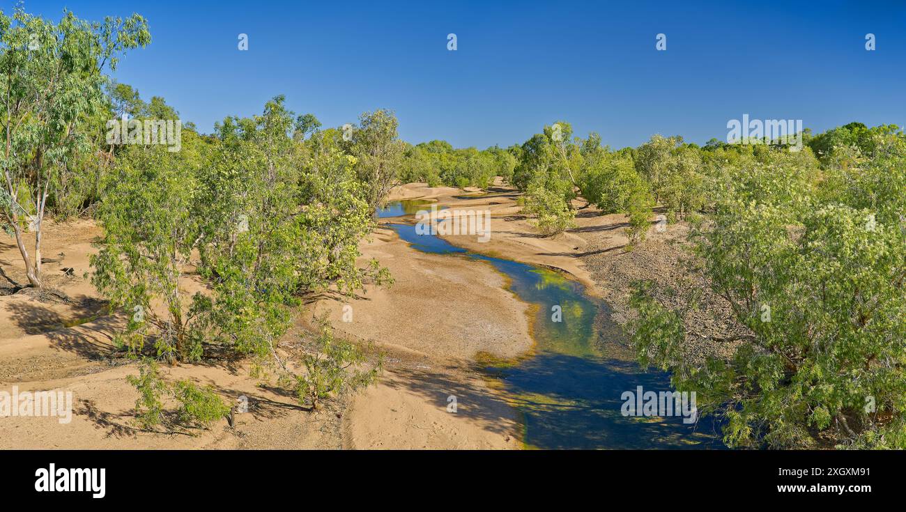 Sandy banks of the Einasleigh river in the dry season with small river channel and green trees, Georgetown, Gulf of Carpentaria, Queensland, Australia Stock Photohttps://www.alamy.com/image-license-details/?v=1https://www.alamy.com/sandy-banks-of-the-einasleigh-river-in-the-dry-season-with-small-river-channel-and-green-trees-georgetown-gulf-of-carpentaria-queensland-australia-image612784061.html
RF2XGXM91–Sandy banks of the Einasleigh river in the dry season with small river channel and green trees, Georgetown, Gulf of Carpentaria, Queensland, Australia
 EVENTS/AUSTRALIA Stock Photohttps://www.alamy.com/image-license-details/?v=1https://www.alamy.com/stock-photo-eventsaustralia-105279394.html
RMG37TXA–EVENTS/AUSTRALIA
 Burketown bore thermal spring mound with colorful toxic mineral deposit lit up at night with smoke steam, Gulf of Carpentaria, Queensland, Australia Stock Photohttps://www.alamy.com/image-license-details/?v=1https://www.alamy.com/burketown-bore-thermal-spring-mound-with-colorful-toxic-mineral-deposit-lit-up-at-night-with-smoke-steam-gulf-of-carpentaria-queensland-australia-image612786944.html
RF2XGXT00–Burketown bore thermal spring mound with colorful toxic mineral deposit lit up at night with smoke steam, Gulf of Carpentaria, Queensland, Australia
 . Portion of a map entitled 'Australie' by Otto Petri, Rotterdam, Holland 1859, showing the Gulf of Carpentaria . 1859. Otto Petri 258 Gulf-of-Carpentaria-Australia-Otto-Petri-1859-Rotterdam Stock Photohttps://www.alamy.com/image-license-details/?v=1https://www.alamy.com/portion-of-a-map-entitled-australie-by-otto-petri-rotterdam-holland-1859-showing-the-gulf-of-carpentaria-1859-otto-petri-258-gulf-of-carpentaria-australia-otto-petri-1859-rotterdam-image188119716.html
RMMX1GH8–. Portion of a map entitled 'Australie' by Otto Petri, Rotterdam, Holland 1859, showing the Gulf of Carpentaria . 1859. Otto Petri 258 Gulf-of-Carpentaria-Australia-Otto-Petri-1859-Rotterdam
 Aerial view of the coastline of Karumba, Gulf Of Carpentaria, Queensland, Australia Stock Photohttps://www.alamy.com/image-license-details/?v=1https://www.alamy.com/aerial-view-of-the-coastline-of-karumba-gulf-of-carpentaria-queensland-image9096006.html
RMAR2HT7–Aerial view of the coastline of Karumba, Gulf Of Carpentaria, Queensland, Australia
 Close up image of exterior of Normanton Purple Pub hotel with chair table door sign, Gulf of Carpentaria, Queensland, Australia Stock Photohttps://www.alamy.com/image-license-details/?v=1https://www.alamy.com/close-up-image-of-exterior-of-normanton-purple-pub-hotel-with-chair-table-door-sign-gulf-of-carpentaria-queensland-australia-image612785617.html
RF2XGXP8H–Close up image of exterior of Normanton Purple Pub hotel with chair table door sign, Gulf of Carpentaria, Queensland, Australia
 (160711) -- GULF OF CARPENTARIA (AUSTRALIA), July 11, 2016 -- Photo taken on June 9, 2016 shows dead mangroves in Gulf of Carpentaria, Australia. Large swathes of key mangrove habitat in north Australia have died due to impact of the severe El Nino weather system earlier this year that was exacerbated by climate change, potentially having large impact on Australia s tourism and fisheries industry. Norm Duke of James Cook University) AUSTRALIA-GULF OF CARPENTARIA-MANGROVES-DEAD NormxDukexofxJamesxCookxUni... PUBLICATIONxNOTxINxCHN GULF of Carpentaria Australia July 11 2016 Photo Taken ON June Stock Photohttps://www.alamy.com/image-license-details/?v=1https://www.alamy.com/160711-gulf-of-carpentaria-australia-july-11-2016-photo-taken-on-june-9-2016-shows-dead-mangroves-in-gulf-of-carpentaria-australia-large-swathes-of-key-mangrove-habitat-in-north-australia-have-died-due-to-impact-of-the-severe-el-nino-weather-system-earlier-this-year-that-was-exacerbated-by-climate-change-potentially-having-large-impact-on-australia-s-tourism-and-fisheries-industry-norm-duke-of-james-cook-university-australia-gulf-of-carpentaria-mangroves-dead-normxdukexofxjamesxcookxuni-publicationxnotxinxchn-gulf-of-carpentaria-australia-july-11-2016-photo-taken-on-june-image563969374.html
RM2RNF0KA–(160711) -- GULF OF CARPENTARIA (AUSTRALIA), July 11, 2016 -- Photo taken on June 9, 2016 shows dead mangroves in Gulf of Carpentaria, Australia. Large swathes of key mangrove habitat in north Australia have died due to impact of the severe El Nino weather system earlier this year that was exacerbated by climate change, potentially having large impact on Australia s tourism and fisheries industry. Norm Duke of James Cook University) AUSTRALIA-GULF OF CARPENTARIA-MANGROVES-DEAD NormxDukexofxJamesxCookxUni... PUBLICATIONxNOTxINxCHN GULF of Carpentaria Australia July 11 2016 Photo Taken ON June
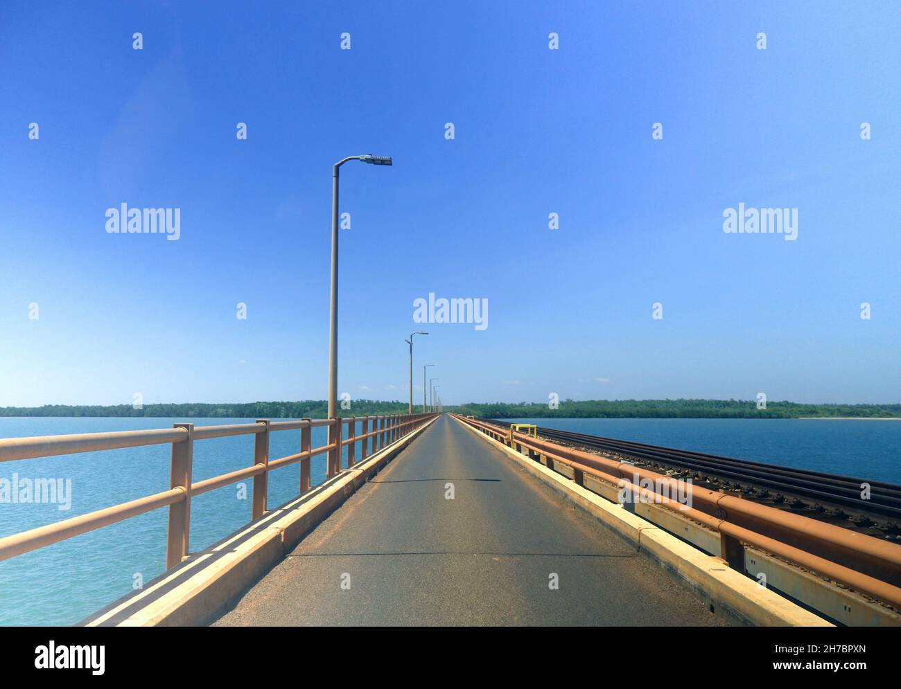 Mission River single-lane bridge, Weipa, Queensland, Australia. No PR Stock Photohttps://www.alamy.com/image-license-details/?v=1https://www.alamy.com/mission-river-single-lane-bridge-weipa-queensland-australia-no-pr-image452031629.html
RM2H7BPXN–Mission River single-lane bridge, Weipa, Queensland, Australia. No PR
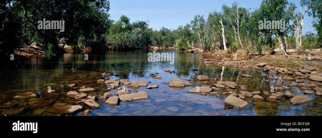 Clear, crocodile infested waters run through the Gulf of Carpentaria. Stock Photohttps://www.alamy.com/image-license-details/?v=1https://www.alamy.com/stock-photo-clear-crocodile-infested-waters-run-through-the-gulf-of-carpentaria-24915263.html
RFBCEYJR–Clear, crocodile infested waters run through the Gulf of Carpentaria.
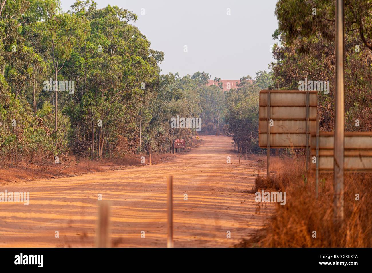 Dirt mining road, Weipa, North Queensland, Australia Stock Photohttps://www.alamy.com/image-license-details/?v=1https://www.alamy.com/dirt-mining-road-weipa-north-queensland-australia-image444722330.html
RF2GRERTA–Dirt mining road, Weipa, North Queensland, Australia
 (160711) -- GULF OF CARPENTARIA (AUSTRALIA), July 11, 2016 (Xinhua) -- Photo taken on June 9, 2016 shows dead mangroves in Gulf of Carpentaria, Australia. Large swathes of key mangrove habitat in north Australia have died due to impact of the severe El Nino weather system earlier this year that was exacerbated by climate change, potentially having large impact on Australia's tourism and fisheries industry. (Xinhua/Norm Duke of James Cook University) Stock Photohttps://www.alamy.com/image-license-details/?v=1https://www.alamy.com/stock-photo-160711-gulf-of-carpentaria-australia-july-11-2016-xinhua-photo-taken-111272929.html
RMGD0WN5–(160711) -- GULF OF CARPENTARIA (AUSTRALIA), July 11, 2016 (Xinhua) -- Photo taken on June 9, 2016 shows dead mangroves in Gulf of Carpentaria, Australia. Large swathes of key mangrove habitat in north Australia have died due to impact of the severe El Nino weather system earlier this year that was exacerbated by climate change, potentially having large impact on Australia's tourism and fisheries industry. (Xinhua/Norm Duke of James Cook University)
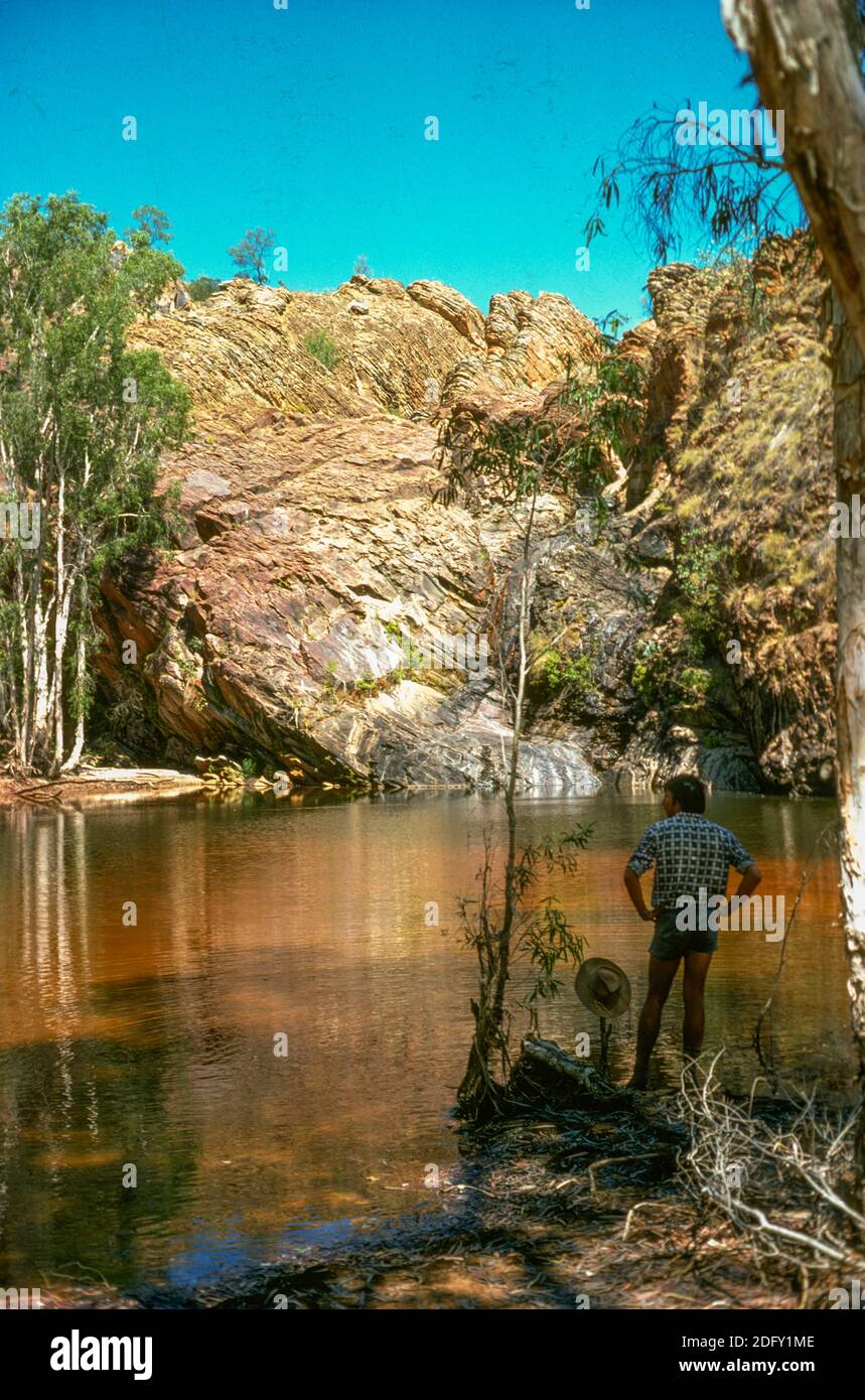 Beadell Springs on McArthur River Station, Borroloola, in the Gulf country of the Northern Territory, December 1975 Stock Photohttps://www.alamy.com/image-license-details/?v=1https://www.alamy.com/beadell-springs-on-mcarthur-river-station-borroloola-in-the-gulf-country-of-the-northern-territory-december-1975-image388441998.html
RM2DFY1ME–Beadell Springs on McArthur River Station, Borroloola, in the Gulf country of the Northern Territory, December 1975
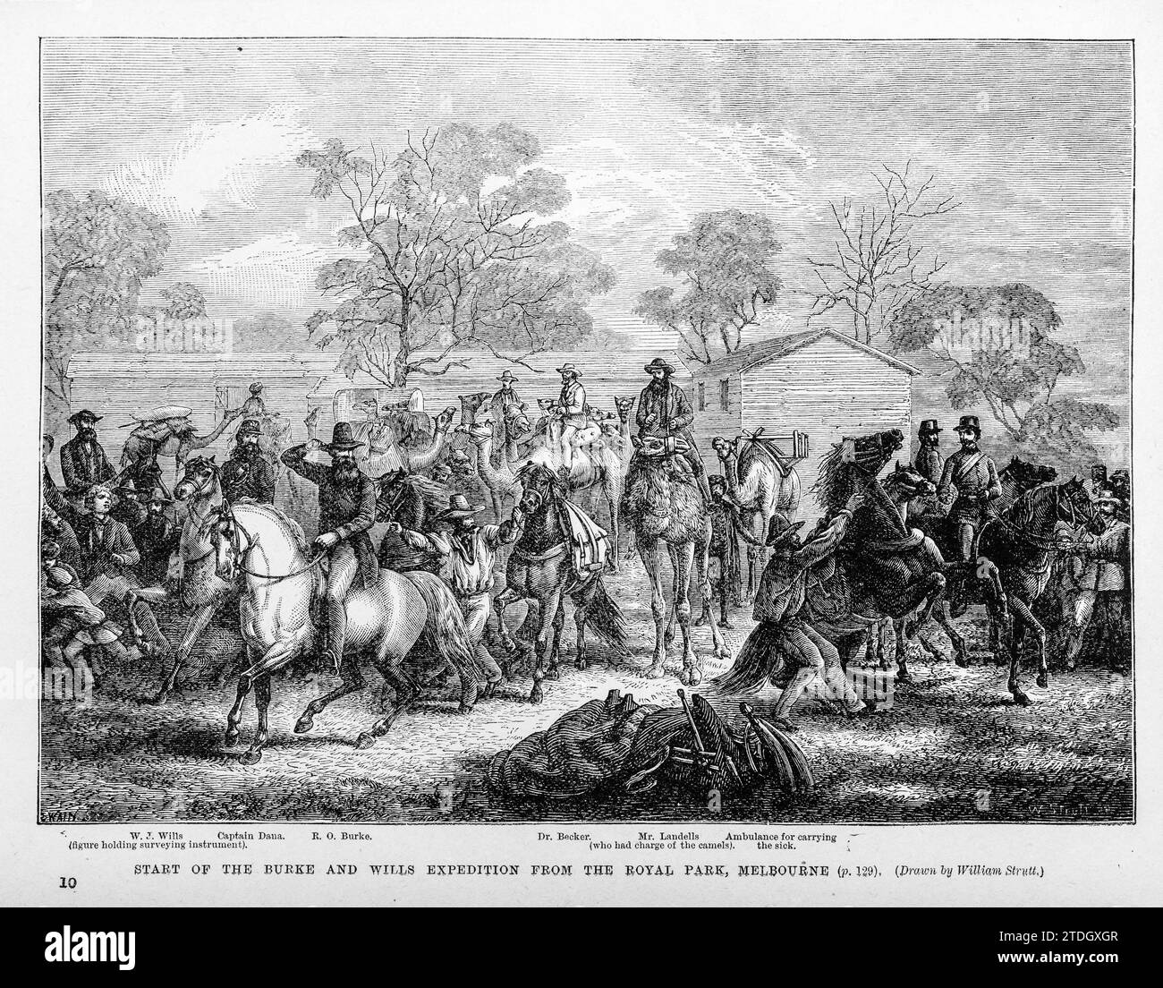 The start in 1860 of the Burke and Wills expedition, an attempt to cross Australia from Melbourne in the south to the Gulf of Carpentaria in the north. Both Burke and Wills died on the journey Stock Photohttps://www.alamy.com/image-license-details/?v=1https://www.alamy.com/the-start-in-1860-of-the-burke-and-wills-expedition-an-attempt-to-cross-australia-from-melbourne-in-the-south-to-the-gulf-of-carpentaria-in-the-north-both-burke-and-wills-died-on-the-journey-image576304759.html
RM2TDGXGR–The start in 1860 of the Burke and Wills expedition, an attempt to cross Australia from Melbourne in the south to the Gulf of Carpentaria in the north. Both Burke and Wills died on the journey
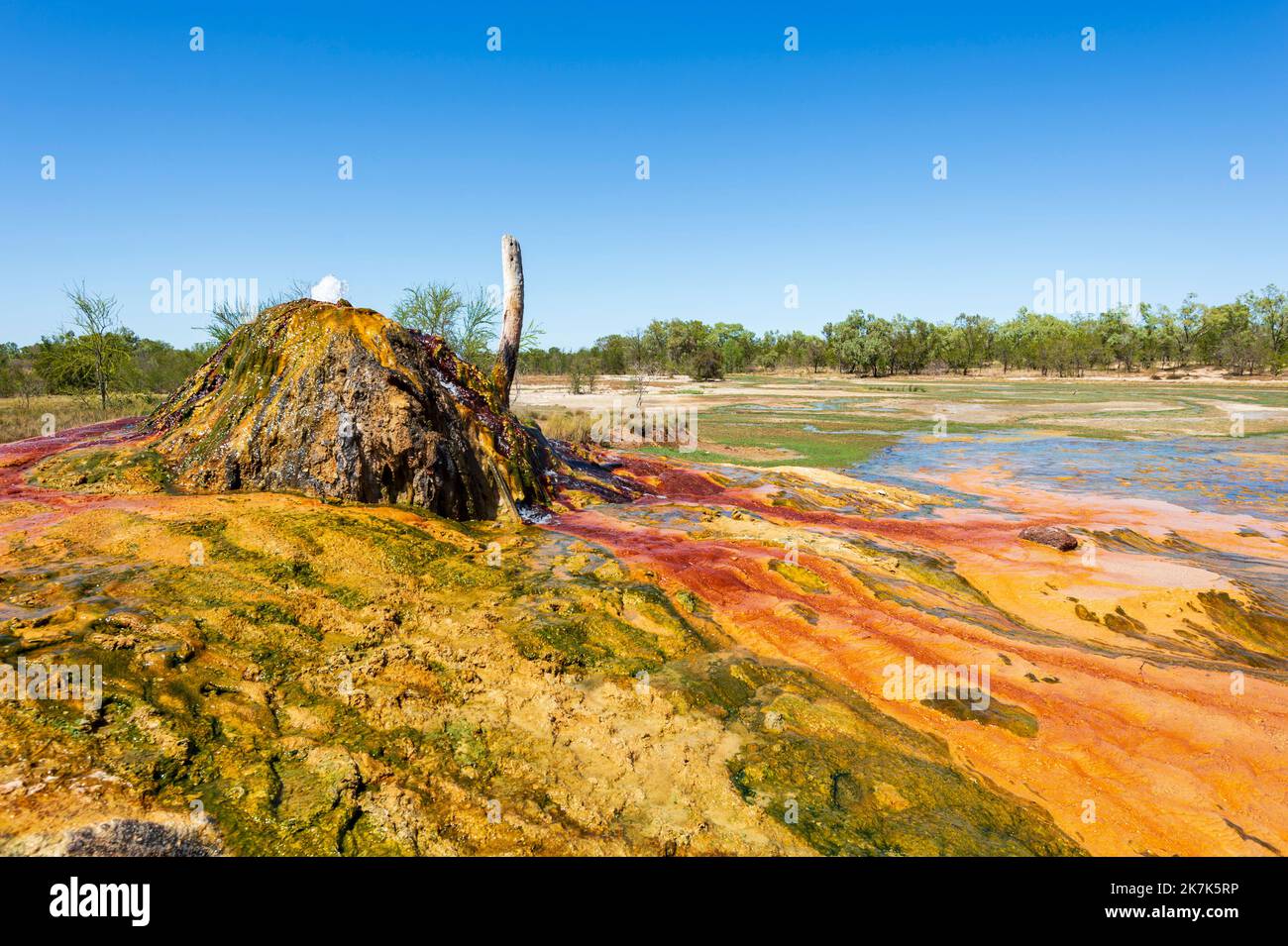 Century-old Artesian Bore showing colourful mineral deposits, Burketown, Gulf of Carpentaria, Queensland, QLD, Australia Stock Photohttps://www.alamy.com/image-license-details/?v=1https://www.alamy.com/century-old-artesian-bore-showing-colourful-mineral-deposits-burketown-gulf-of-carpentaria-queensland-qld-australia-image486614570.html
RM2K7K5RP–Century-old Artesian Bore showing colourful mineral deposits, Burketown, Gulf of Carpentaria, Queensland, QLD, Australia
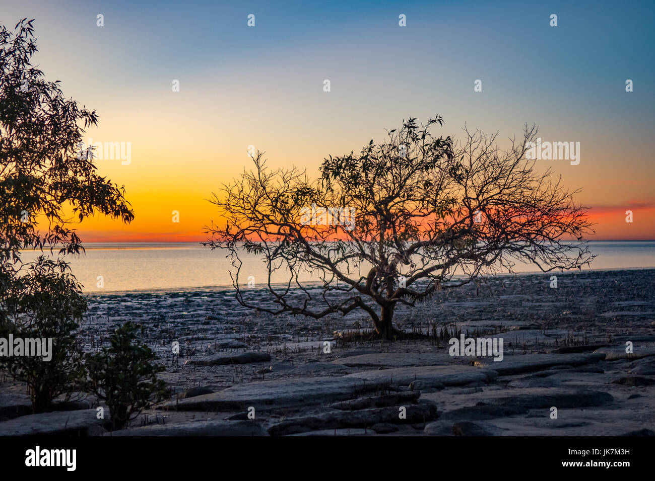 Sunset at Karumba, Queensland, Australia Stock Photohttps://www.alamy.com/image-license-details/?v=1https://www.alamy.com/stock-photo-sunset-at-karumba-queensland-australia-149530853.html
RMJK7M3H–Sunset at Karumba, Queensland, Australia
 Western, South, North Australia. Tasmania Van Diemen's Land BARTHOLOMEW 1860 map Stock Photohttps://www.alamy.com/image-license-details/?v=1https://www.alamy.com/western-south-north-australia-tasmania-van-diemens-land-bartholomew-1860-map-image599848164.html
RF2WRWCCM–Western, South, North Australia. Tasmania Van Diemen's Land BARTHOLOMEW 1860 map
 Crocodile warning sign, Australien, Australia, NT Warning sign on the beachfront as estuarine crocodiles infest the Gulf of Carp Stock Photohttps://www.alamy.com/image-license-details/?v=1https://www.alamy.com/crocodile-warning-sign-australien-australia-nt-warning-sign-on-the-image9085759.html
RMAR0MM0–Crocodile warning sign, Australien, Australia, NT Warning sign on the beachfront as estuarine crocodiles infest the Gulf of Carp
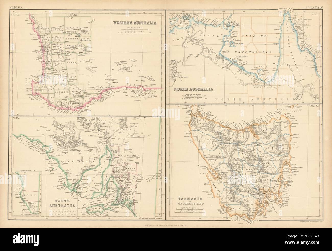 Western, South, North Australia. Tasmania Van Diemen's Land BARTHOLOMEW 1859 map Stock Photohttps://www.alamy.com/image-license-details/?v=1https://www.alamy.com/western-south-north-australia-tasmania-van-diemens-land-bartholomew-1859-map-image538953243.html
RF2P8RCA3–Western, South, North Australia. Tasmania Van Diemen's Land BARTHOLOMEW 1859 map
 Gulf of Carpentaria Marine Park, , AU, Australia, , S 15 53' 21'', N 139 55' 54'', map, Cartascapes Map published in 2024. Explore Cartascapes, a map revealing Earth's diverse landscapes, cultures, and ecosystems. Journey through time and space, discovering the interconnectedness of our planet's past, present, and future. Stock Photohttps://www.alamy.com/image-license-details/?v=1https://www.alamy.com/gulf-of-carpentaria-marine-park-au-australia-s-15-53-21-n-139-55-54-map-cartascapes-map-published-in-2024-explore-cartascapes-a-map-revealing-earths-diverse-landscapes-cultures-and-ecosystems-journey-through-time-and-space-discovering-the-interconnectedness-of-our-planets-past-present-and-future-image625523244.html
RM2Y9K17T–Gulf of Carpentaria Marine Park, , AU, Australia, , S 15 53' 21'', N 139 55' 54'', map, Cartascapes Map published in 2024. Explore Cartascapes, a map revealing Earth's diverse landscapes, cultures, and ecosystems. Journey through time and space, discovering the interconnectedness of our planet's past, present, and future.
 Karumba - Gulf Of Carpentaria Queensland - Australia Stock Photohttps://www.alamy.com/image-license-details/?v=1https://www.alamy.com/karumba-gulf-of-carpentaria-queensland-australia-image259238733.html
RMW1N9J5–Karumba - Gulf Of Carpentaria Queensland - Australia
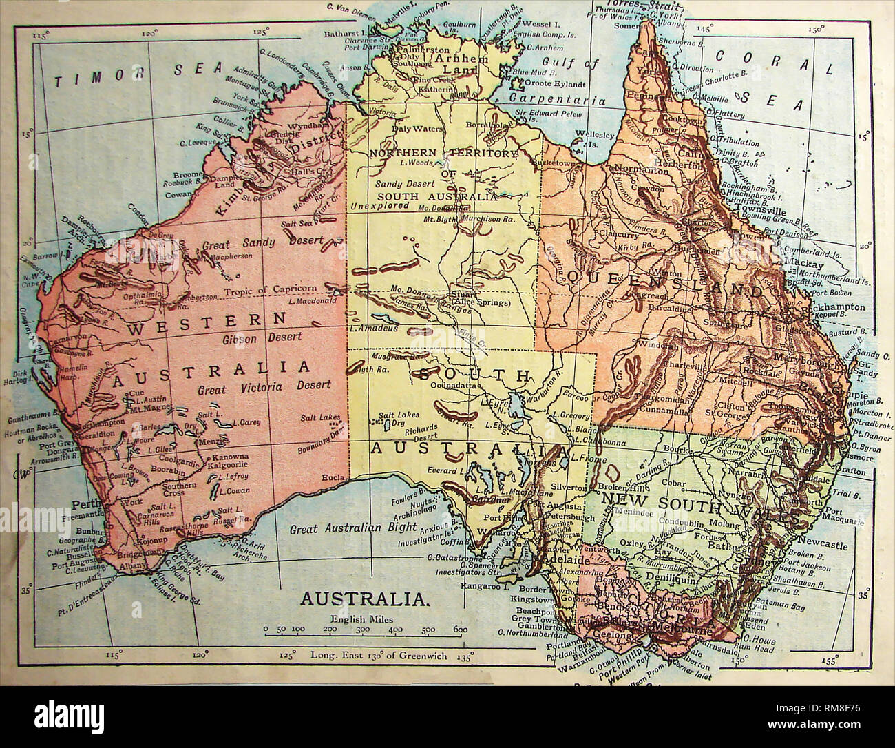 Coloured Map of Australia 1901 showing unexplored regions Stock Photohttps://www.alamy.com/image-license-details/?v=1https://www.alamy.com/coloured-map-of-australia-1901-showing-unexplored-regions-image236215482.html
RMRM8F76–Coloured Map of Australia 1901 showing unexplored regions
 Sunset over the Sea of Carpentaria, Karumba, Queensland, Australia Stock Photohttps://www.alamy.com/image-license-details/?v=1https://www.alamy.com/sunset-over-the-sea-of-carpentaria-karumba-queensland-australia-image362199731.html
RM2C17HCK–Sunset over the Sea of Carpentaria, Karumba, Queensland, Australia
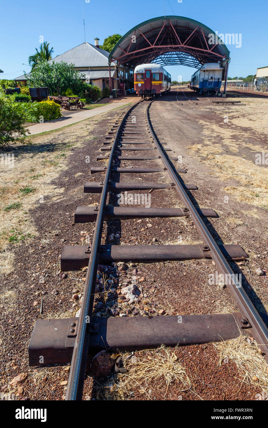 Australia, Queensland, Gulf of Carpentaria, Normanton railway station Stock Photohttps://www.alamy.com/image-license-details/?v=1https://www.alamy.com/stock-photo-australia-queensland-gulf-of-carpentaria-normanton-railway-station-101926153.html
RMFWR3RN–Australia, Queensland, Gulf of Carpentaria, Normanton railway station
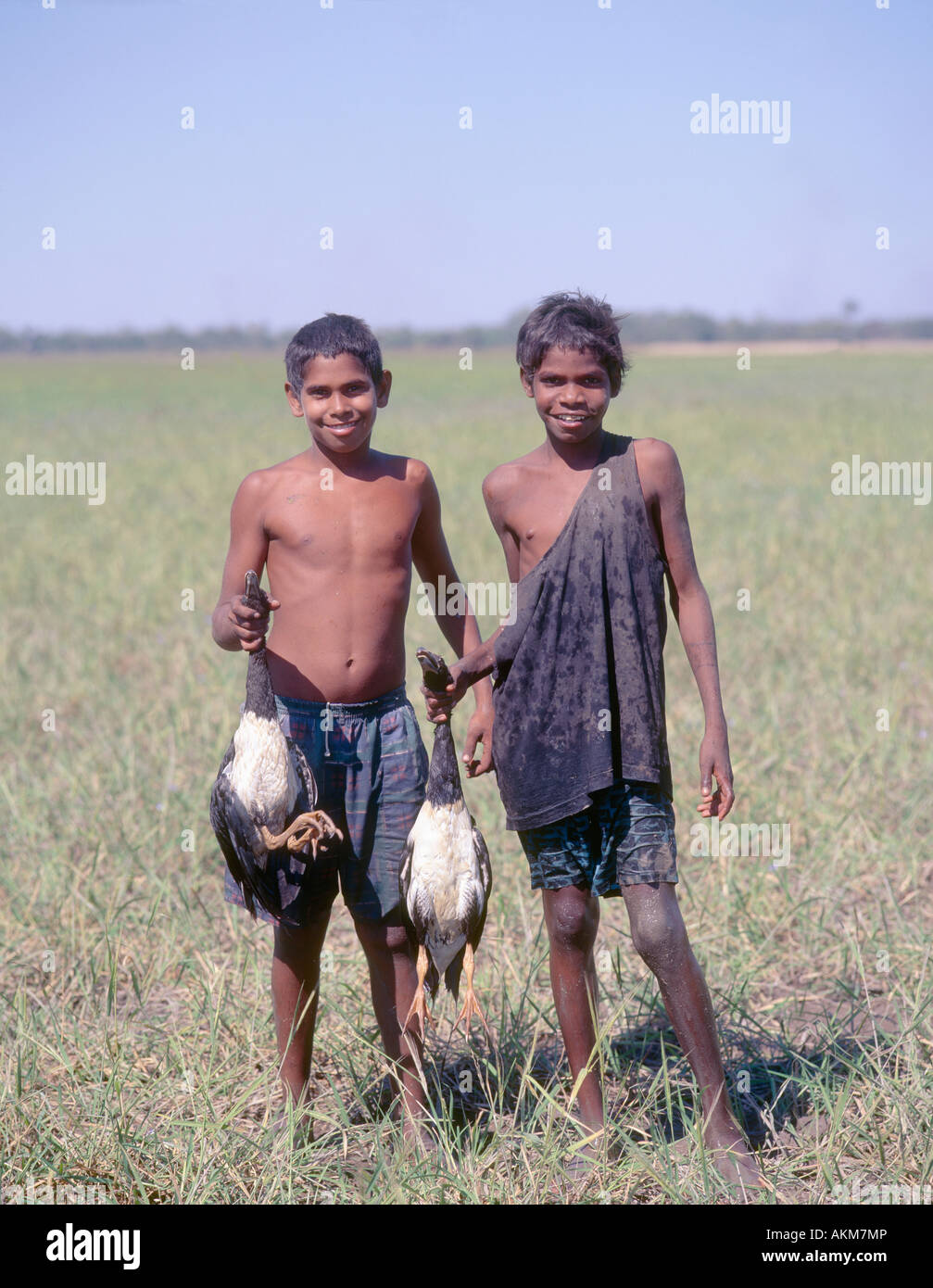 Two young Australian aboriginal boys with magpie geese they have just caught at Kowanyama Cape York North Queensland Australia Stock Photohttps://www.alamy.com/image-license-details/?v=1https://www.alamy.com/stock-photo-two-young-australian-aboriginal-boys-with-magpie-geese-they-have-just-15030309.html
RMAKM7MP–Two young Australian aboriginal boys with magpie geese they have just caught at Kowanyama Cape York North Queensland Australia
 Close up image of exterior of Normanton Purple Pub hotel with chair table door sign, Gulf of Carpentaria, Queensland, Australia Stock Photohttps://www.alamy.com/image-license-details/?v=1https://www.alamy.com/close-up-image-of-exterior-of-normanton-purple-pub-hotel-with-chair-table-door-sign-gulf-of-carpentaria-queensland-australia-image612785377.html
RF2XGXP01–Close up image of exterior of Normanton Purple Pub hotel with chair table door sign, Gulf of Carpentaria, Queensland, Australia
 (160711) -- GULF OF CARPENTARIA (AUSTRALIA), July 11, 2016 -- Photo taken on June 9, 2016 shows dead mangroves in Gulf of Carpentaria, Australia. Large swathes of key mangrove habitat in north Australia have died due to impact of the severe El Nino weather system earlier this year that was exacerbated by climate change, potentially having large impact on Australia s tourism and fisheries industry. Norm Duke of James Cook University) AUSTRALIA-GULF OF CARPENTARIA-MANGROVES-DEAD NormxDukexofxJamesxCookxUni... PUBLICATIONxNOTxINxCHN GULF of Carpentaria Australia July 11 2016 Photo Taken ON June Stock Photohttps://www.alamy.com/image-license-details/?v=1https://www.alamy.com/160711-gulf-of-carpentaria-australia-july-11-2016-photo-taken-on-june-9-2016-shows-dead-mangroves-in-gulf-of-carpentaria-australia-large-swathes-of-key-mangrove-habitat-in-north-australia-have-died-due-to-impact-of-the-severe-el-nino-weather-system-earlier-this-year-that-was-exacerbated-by-climate-change-potentially-having-large-impact-on-australia-s-tourism-and-fisheries-industry-norm-duke-of-james-cook-university-australia-gulf-of-carpentaria-mangroves-dead-normxdukexofxjamesxcookxuni-publicationxnotxinxchn-gulf-of-carpentaria-australia-july-11-2016-photo-taken-on-june-image563969372.html
RM2RNF0K8–(160711) -- GULF OF CARPENTARIA (AUSTRALIA), July 11, 2016 -- Photo taken on June 9, 2016 shows dead mangroves in Gulf of Carpentaria, Australia. Large swathes of key mangrove habitat in north Australia have died due to impact of the severe El Nino weather system earlier this year that was exacerbated by climate change, potentially having large impact on Australia s tourism and fisheries industry. Norm Duke of James Cook University) AUSTRALIA-GULF OF CARPENTARIA-MANGROVES-DEAD NormxDukexofxJamesxCookxUni... PUBLICATIONxNOTxINxCHN GULF of Carpentaria Australia July 11 2016 Photo Taken ON June
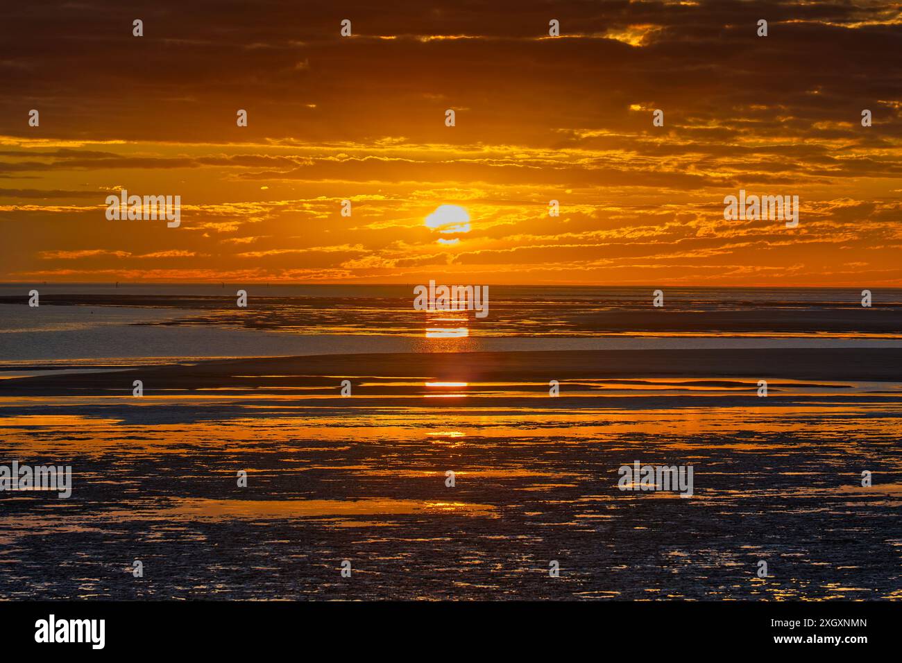 Looking west at orange glow sunset across ocean tidal flats of the Norman river at Karumba, Gulf of Carpentaria, Queensland, Australia Stock Photohttps://www.alamy.com/image-license-details/?v=1https://www.alamy.com/looking-west-at-orange-glow-sunset-across-ocean-tidal-flats-of-the-norman-river-at-karumba-gulf-of-carpentaria-queensland-australia-image612785173.html
RF2XGXNMN–Looking west at orange glow sunset across ocean tidal flats of the Norman river at Karumba, Gulf of Carpentaria, Queensland, Australia
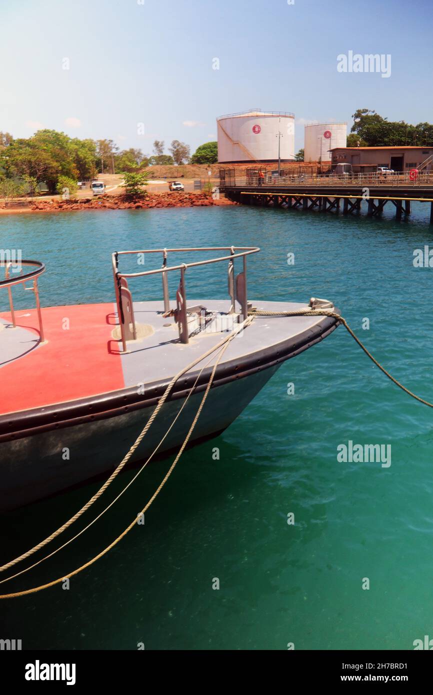 Fuel loading jetty, Evans Landing Wharf, Weipa, Queensland, Australia. No MR or PR Stock Photohttps://www.alamy.com/image-license-details/?v=1https://www.alamy.com/fuel-loading-jetty-evans-landing-wharf-weipa-queensland-australia-no-mr-or-pr-image452032029.html
RM2H7BRD1–Fuel loading jetty, Evans Landing Wharf, Weipa, Queensland, Australia. No MR or PR
 Robert O'Hara Burke (6 May 1821– c. 28 June 1861) was an Irish soldier and police officer, who achieved fame as an Australian explorer. He was the leader of the ill-fated Burke and Wills expedition, which was the first expedition to cross Australia from south to north, finding a route across the continent from the settled areas of Victoria to the Gulf of Carpentaria Stock Photohttps://www.alamy.com/image-license-details/?v=1https://www.alamy.com/stock-photo-robert-ohara-burke-6-may-1821-c-28-june-1861-was-an-irish-soldier-104176575.html
RMG1DJ7Y–Robert O'Hara Burke (6 May 1821– c. 28 June 1861) was an Irish soldier and police officer, who achieved fame as an Australian explorer. He was the leader of the ill-fated Burke and Wills expedition, which was the first expedition to cross Australia from south to north, finding a route across the continent from the settled areas of Victoria to the Gulf of Carpentaria
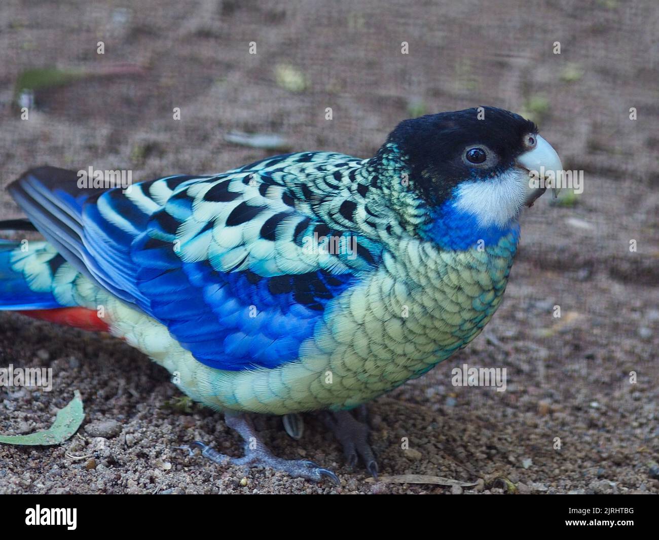 Delightful charming Northern Rosella with bright eyes and resplendent plumage. Stock Photohttps://www.alamy.com/image-license-details/?v=1https://www.alamy.com/delightful-charming-northern-rosella-with-bright-eyes-and-resplendent-plumage-image479209348.html
RF2JRHTBG–Delightful charming Northern Rosella with bright eyes and resplendent plumage.
 Bessie Springs on McArthur River Station, Borroloola, in the Gulf country of the Northern Territory, December 1975 Stock Photohttps://www.alamy.com/image-license-details/?v=1https://www.alamy.com/bessie-springs-on-mcarthur-river-station-borroloola-in-the-gulf-country-of-the-northern-territory-december-1975-image388442001.html
RM2DFY1MH–Bessie Springs on McArthur River Station, Borroloola, in the Gulf country of the Northern Territory, December 1975
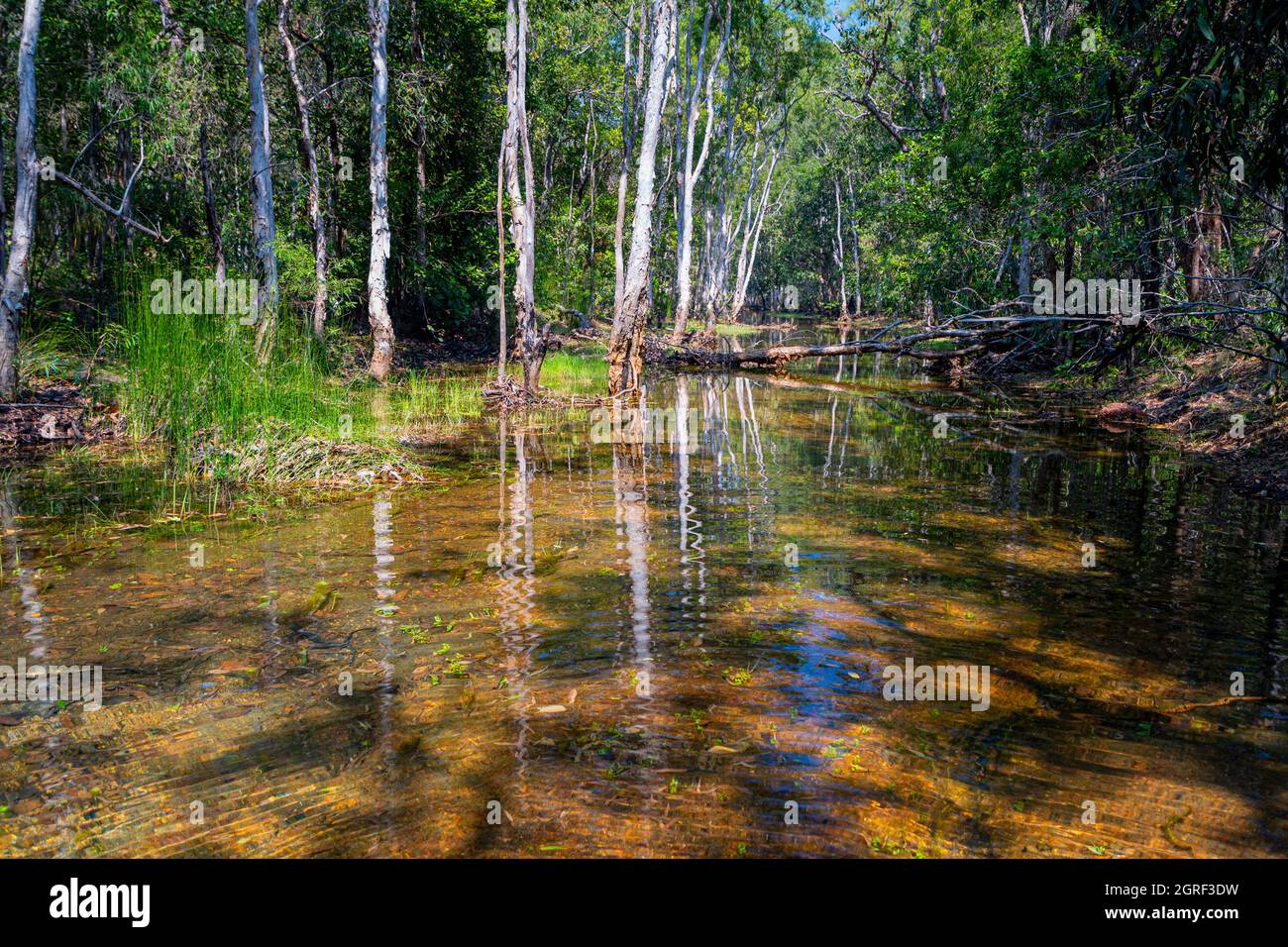 Freshwater creek at Vyces Crossing near Weipa, North Queensland, Australia Stock Photohttps://www.alamy.com/image-license-details/?v=1https://www.alamy.com/freshwater-creek-at-vyces-crossing-near-weipa-north-queensland-australia-image444728309.html
RF2GRF3DW–Freshwater creek at Vyces Crossing near Weipa, North Queensland, Australia
 View of a century-old Artesian Bore showing colourful mineral deposits, Burketown, Gulf of Carpentaria, Queensland, QLD, Australia Stock Photohttps://www.alamy.com/image-license-details/?v=1https://www.alamy.com/view-of-a-century-old-artesian-bore-showing-colourful-mineral-deposits-burketown-gulf-of-carpentaria-queensland-qld-australia-image486614900.html
RM2K7K67G–View of a century-old Artesian Bore showing colourful mineral deposits, Burketown, Gulf of Carpentaria, Queensland, QLD, Australia
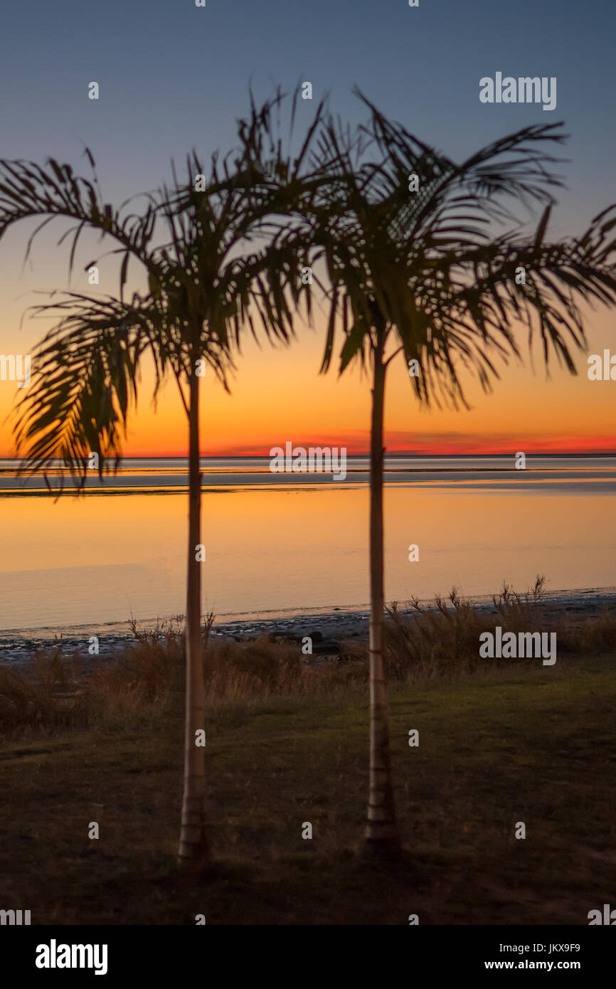 Sunset at Karumba, Queensland, Australia Stock Photohttps://www.alamy.com/image-license-details/?v=1https://www.alamy.com/stock-photo-sunset-at-karumba-queensland-australia-149939645.html
RMJKX9F9–Sunset at Karumba, Queensland, Australia
 Prawn fishing trawler, Gulf of Carpentaria, Australia Stock Photohttps://www.alamy.com/image-license-details/?v=1https://www.alamy.com/prawn-fishing-trawler-gulf-of-carpentaria-australia-image269218969.html
RFWHYYF5–Prawn fishing trawler, Gulf of Carpentaria, Australia
 A Dutch crew, in the 'DEUYPHEN' (= Dove) discover the Gulf of Carpentaria, but sail away almost at once Colourised version of : 10015257 Date: 1606 Stock Photohttps://www.alamy.com/image-license-details/?v=1https://www.alamy.com/a-dutch-crew-in-the-deuyphen-=-dove-discover-the-gulf-of-carpentaria-but-sail-away-almost-at-once-colourised-version-of-10015257-date-1606-image472807926.html
RM2JD679A–A Dutch crew, in the 'DEUYPHEN' (= Dove) discover the Gulf of Carpentaria, but sail away almost at once Colourised version of : 10015257 Date: 1606
 Ibis London Published for the British Ornithologists' Union by Academic Press. Ornithology Periodicals, A detailed representation of the Alexandra District in the Northern Territory of Australia. The map highlights the geographical layout, including surrounding regions such as Queensland and the Gulf of Carpentaria. It features labeled locations indicating the position of Alexandria along with additional annotations that provide context on various landforms and significant areas. The inset map of Australia illustrates the broader context of the district within the country, detailing adjacent s Stock Photohttps://www.alamy.com/image-license-details/?v=1https://www.alamy.com/ibis-london-published-for-the-british-ornithologists-union-by-academic-press-ornithology-periodicals-a-detailed-representation-of-the-alexandra-district-in-the-northern-territory-of-australia-the-map-highlights-the-geographical-layout-including-surrounding-regions-such-as-queensland-and-the-gulf-of-carpentaria-it-features-labeled-locations-indicating-the-position-of-alexandria-along-with-additional-annotations-that-provide-context-on-various-landforms-and-significant-areas-the-inset-map-of-australia-illustrates-the-broader-context-of-the-district-within-the-country-detailing-adjacent-s-image636109582.html
RM2YXW87A–Ibis London Published for the British Ornithologists' Union by Academic Press. Ornithology Periodicals, A detailed representation of the Alexandra District in the Northern Territory of Australia. The map highlights the geographical layout, including surrounding regions such as Queensland and the Gulf of Carpentaria. It features labeled locations indicating the position of Alexandria along with additional annotations that provide context on various landforms and significant areas. The inset map of Australia illustrates the broader context of the district within the country, detailing adjacent s
 Carpentaria Mining Area, Roper Gulf, AU, Australia, Northern Territory, S 14 24' 0'', N 132 28' 0'', map, Cartascapes Map published in 2024. Explore Cartascapes, a map revealing Earth's diverse landscapes, cultures, and ecosystems. Journey through time and space, discovering the interconnectedness of our planet's past, present, and future. Stock Photohttps://www.alamy.com/image-license-details/?v=1https://www.alamy.com/carpentaria-mining-area-roper-gulf-au-australia-northern-territory-s-14-24-0-n-132-28-0-map-cartascapes-map-published-in-2024-explore-cartascapes-a-map-revealing-earths-diverse-landscapes-cultures-and-ecosystems-journey-through-time-and-space-discovering-the-interconnectedness-of-our-planets-past-present-and-future-image625600372.html
RM2Y9PFJC–Carpentaria Mining Area, Roper Gulf, AU, Australia, Northern Territory, S 14 24' 0'', N 132 28' 0'', map, Cartascapes Map published in 2024. Explore Cartascapes, a map revealing Earth's diverse landscapes, cultures, and ecosystems. Journey through time and space, discovering the interconnectedness of our planet's past, present, and future.
 Karumba - Gulf Of Carpentaria Queensland - Australia Stock Photohttps://www.alamy.com/image-license-details/?v=1https://www.alamy.com/karumba-gulf-of-carpentaria-queensland-australia-image259238508.html
RMW1N9A4–Karumba - Gulf Of Carpentaria Queensland - Australia
 Robert O'Hara Burke (6 May 1821– c. 28 June 1861) was an Irish soldier and police officer, who achieved fame as an Australian explorer. He was the leader of the ill-fated Burke and Wills expedition, which was the first expedition to cross Australia from south to north, finding a route across the continent from the settled areas of Victoria to the Gulf of Carpentaria Stock Photohttps://www.alamy.com/image-license-details/?v=1https://www.alamy.com/robert-ohara-burke-6-may-1821-c-28-june-1861-was-an-irish-soldier-and-police-officer-who-achieved-fame-as-an-australian-explorer-he-was-the-leader-of-the-ill-fated-burke-and-wills-expedition-which-was-the-first-expedition-to-cross-australia-from-south-to-north-finding-a-route-across-the-continent-from-the-settled-areas-of-victoria-to-the-gulf-of-carpentaria-image330686060.html
RM2A601CC–Robert O'Hara Burke (6 May 1821– c. 28 June 1861) was an Irish soldier and police officer, who achieved fame as an Australian explorer. He was the leader of the ill-fated Burke and Wills expedition, which was the first expedition to cross Australia from south to north, finding a route across the continent from the settled areas of Victoria to the Gulf of Carpentaria
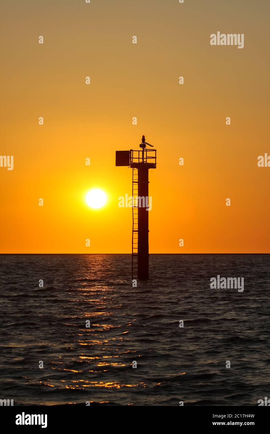 Sunset over the Sea of Carpentaria with a signal tower, Karumba, Queensland, Australia Stock Photohttps://www.alamy.com/image-license-details/?v=1https://www.alamy.com/sunset-over-the-sea-of-carpentaria-with-a-signal-tower-karumba-queensland-australia-image362199513.html
RM2C17H4W–Sunset over the Sea of Carpentaria with a signal tower, Karumba, Queensland, Australia
 Australia, Queensland, Gulf of Carpentaria, Gulflander at Normanton railway station Stock Photohttps://www.alamy.com/image-license-details/?v=1https://www.alamy.com/stock-photo-australia-queensland-gulf-of-carpentaria-gulflander-at-normanton-railway-101926105.html
RMFWR3P1–Australia, Queensland, Gulf of Carpentaria, Gulflander at Normanton railway station