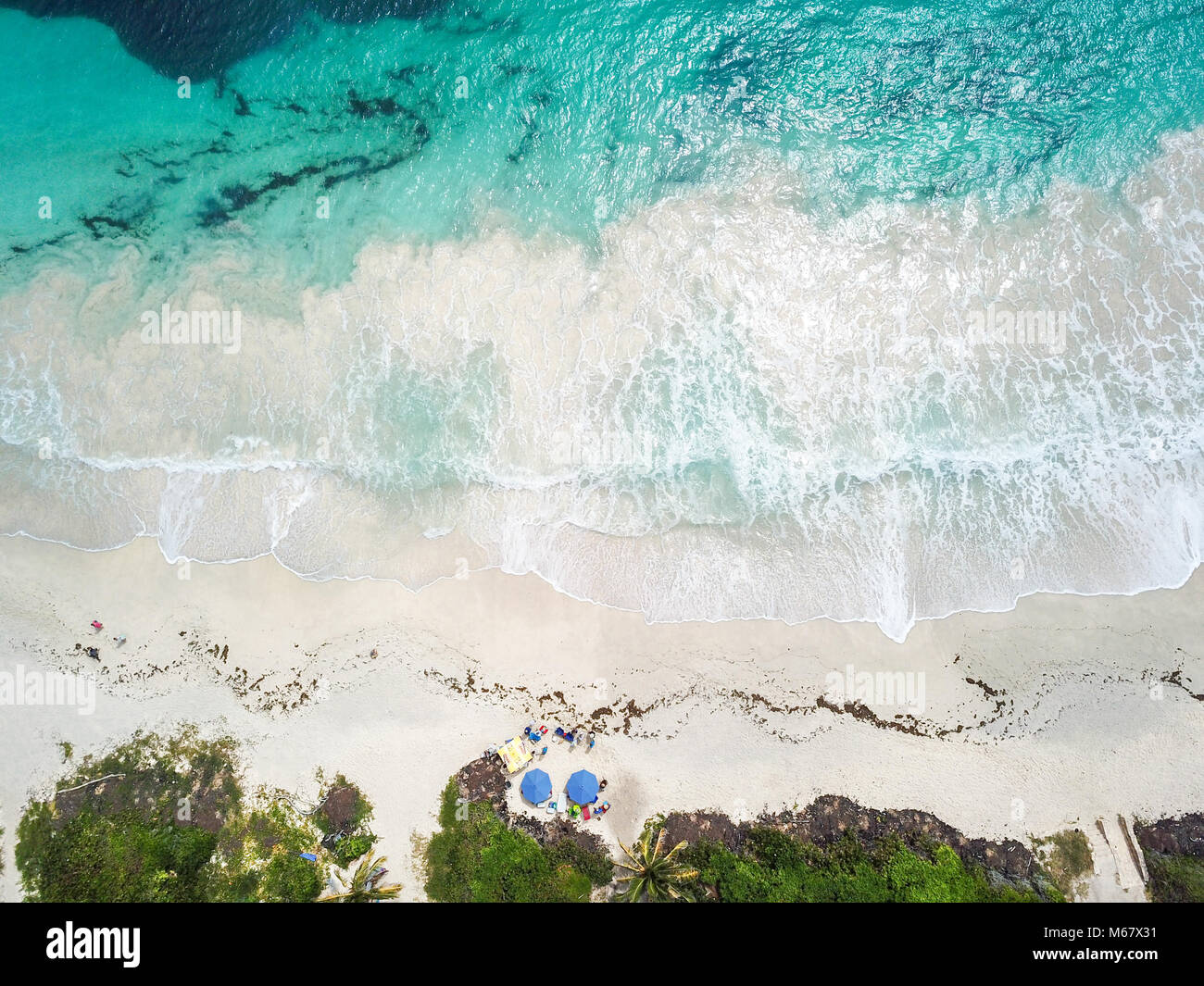
Quick filters:
Half moon bay aerial Stock Photos and Images
 8-10-2021: Half Moon Bay: Aerial Photo of Johnston House in Half Moon Bay California Stock Photohttps://www.alamy.com/image-license-details/?v=1https://www.alamy.com/8-10-2021-half-moon-bay-aerial-photo-of-johnston-house-in-half-moon-bay-california-image527609288.html
RF2NJAK0T–8-10-2021: Half Moon Bay: Aerial Photo of Johnston House in Half Moon Bay California
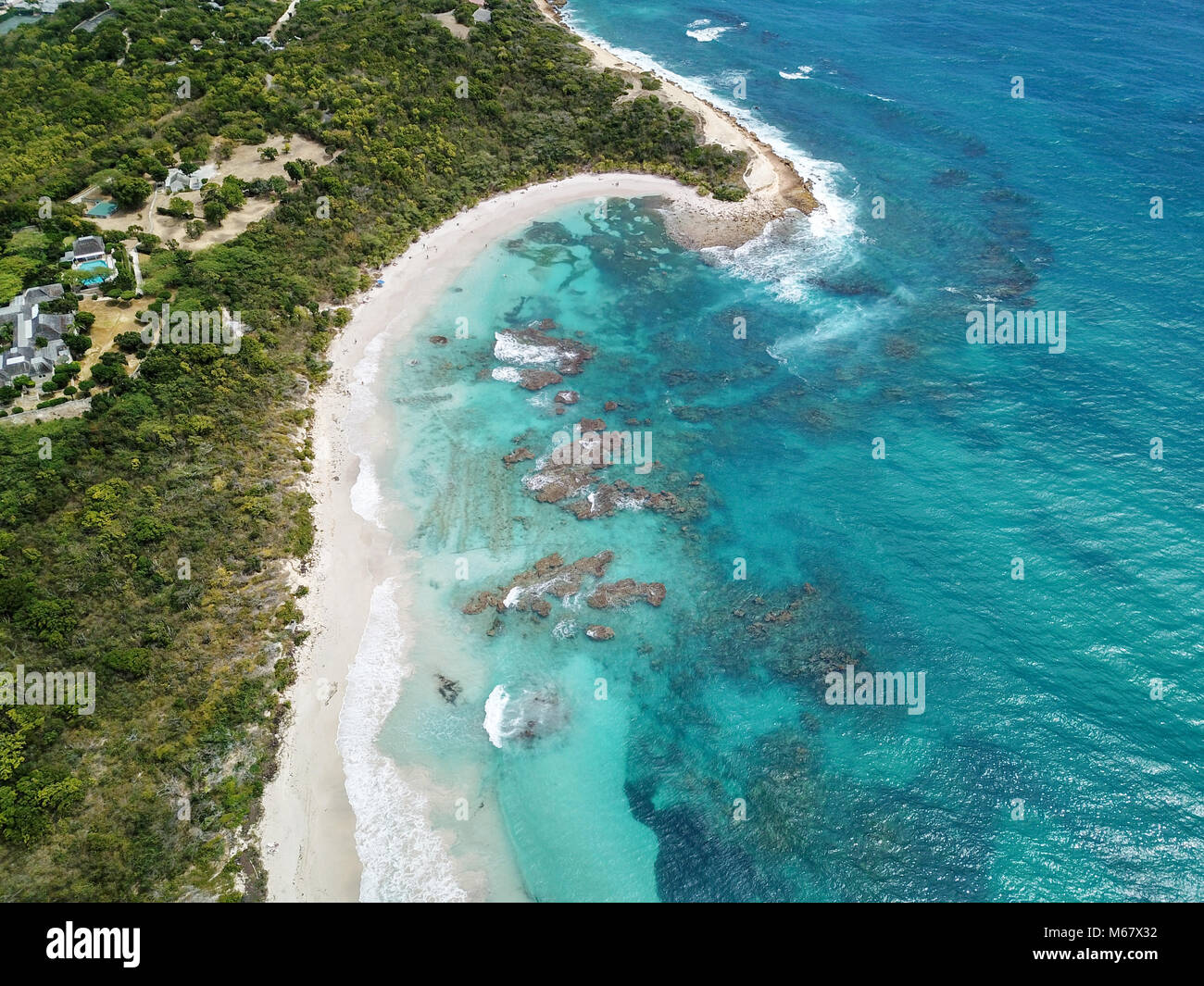 Half Moon Bay Beach, Antigua Stock Photohttps://www.alamy.com/image-license-details/?v=1https://www.alamy.com/stock-photo-half-moon-bay-beach-antigua-175965750.html
RMM67X32–Half Moon Bay Beach, Antigua
 An aerial view of a sunny day on Half Moon Bay in Victoria Stock Photohttps://www.alamy.com/image-license-details/?v=1https://www.alamy.com/an-aerial-view-of-a-sunny-day-on-half-moon-bay-in-victoria-image476231071.html
RF2JJP5GF–An aerial view of a sunny day on Half Moon Bay in Victoria
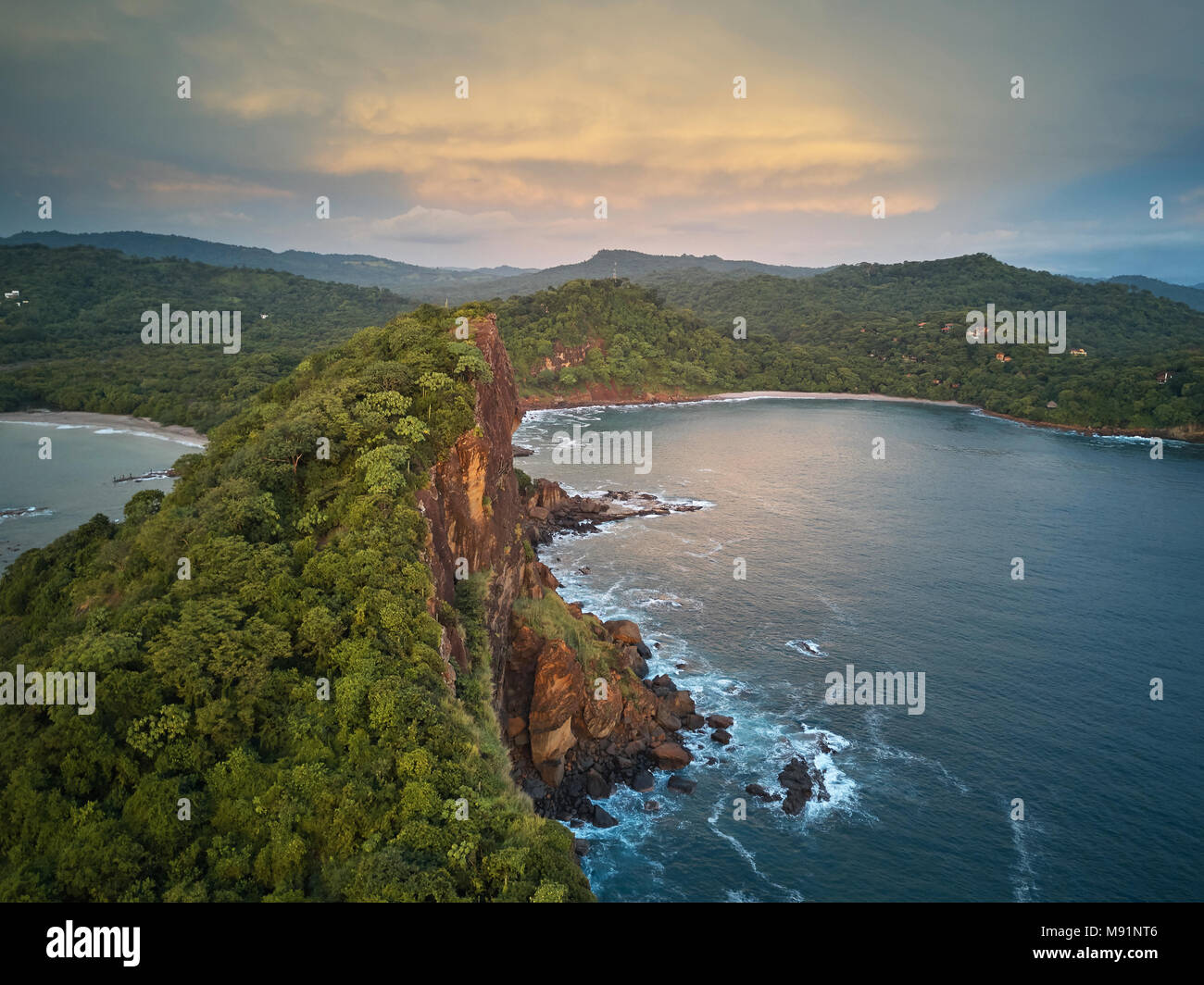 Ocean bay around rocks aerial drone view on sunset time Stock Photohttps://www.alamy.com/image-license-details/?v=1https://www.alamy.com/ocean-bay-around-rocks-aerial-drone-view-on-sunset-time-image177674678.html
RFM91NT6–Ocean bay around rocks aerial drone view on sunset time
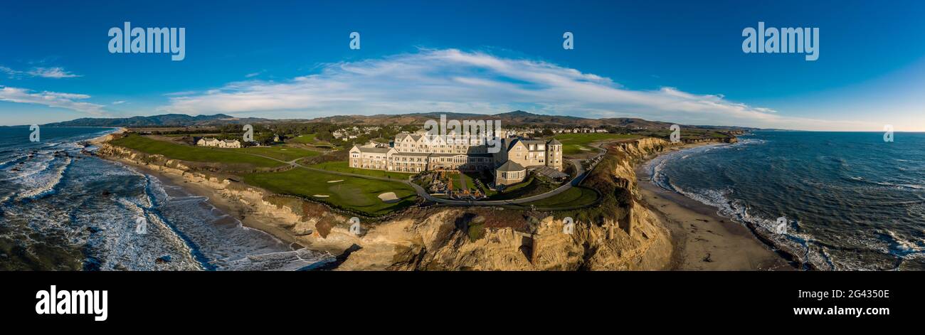 Aerial view of hotel and coastline, Half Moon Bay, California, USA Stock Photohttps://www.alamy.com/image-license-details/?v=1https://www.alamy.com/aerial-view-of-hotel-and-coastline-half-moon-bay-california-usa-image432787614.html
RM2G4350E–Aerial view of hotel and coastline, Half Moon Bay, California, USA
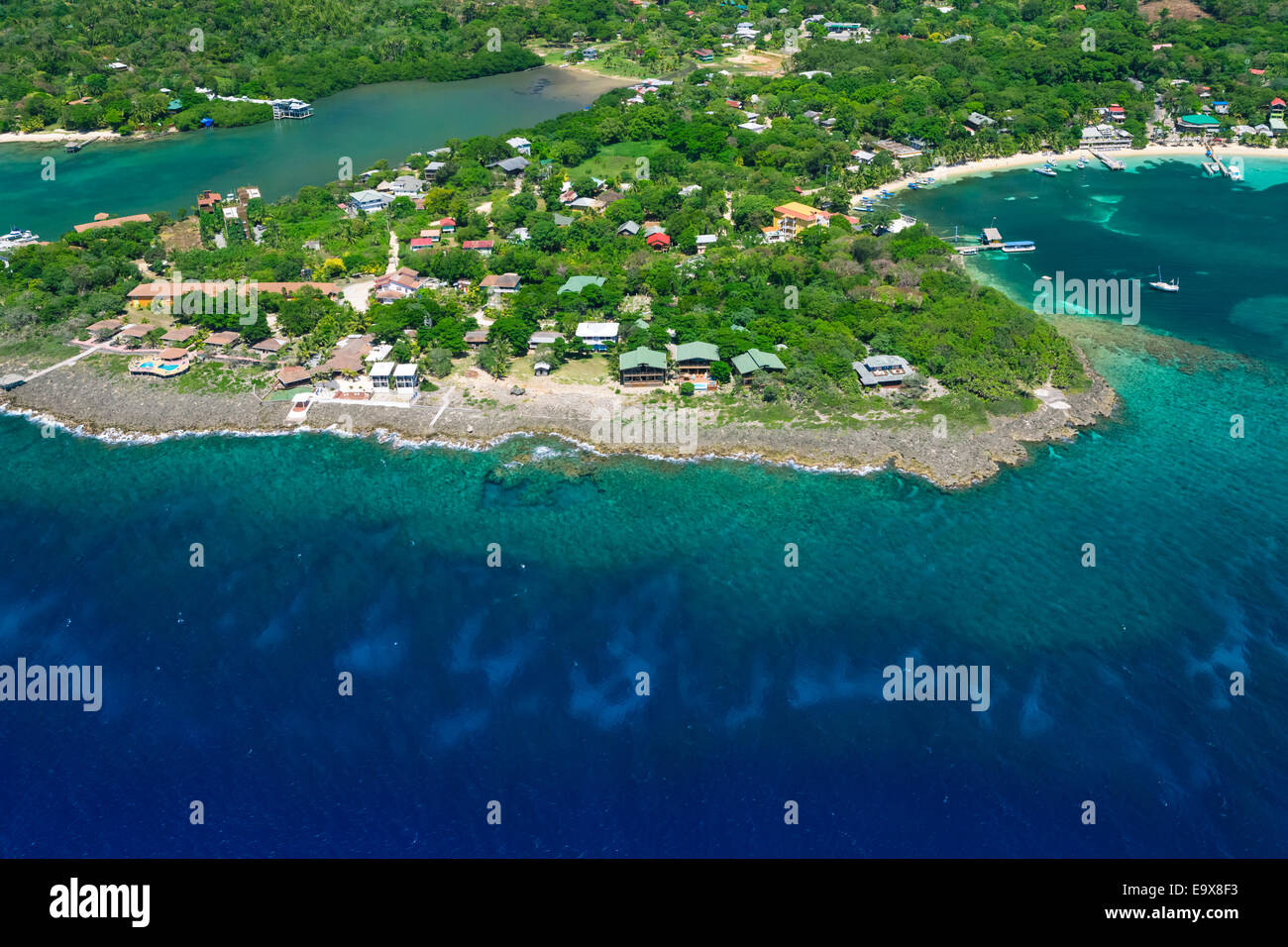 Aerial photo of Half Moon Bay, Roatan Honduras Stock Photohttps://www.alamy.com/image-license-details/?v=1https://www.alamy.com/stock-photo-aerial-photo-of-half-moon-bay-roatan-honduras-74950823.html
RME9X8F3–Aerial photo of Half Moon Bay, Roatan Honduras
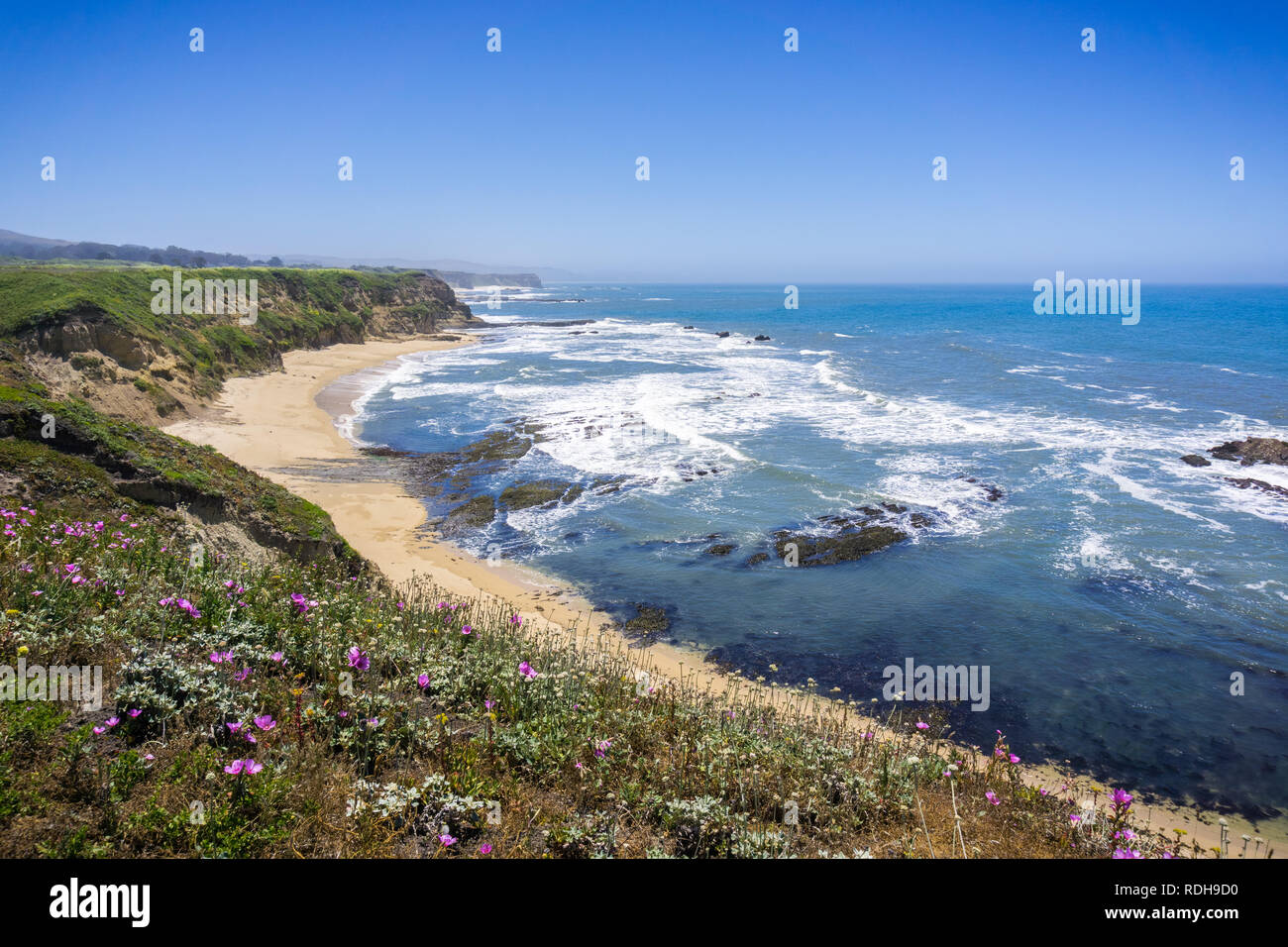 Cliffs and sandy beach on the Pacific Ocean coastline near Half Moon Bay, California Stock Photohttps://www.alamy.com/image-license-details/?v=1https://www.alamy.com/cliffs-and-sandy-beach-on-the-pacific-ocean-coastline-near-half-moon-bay-california-image232105916.html
RFRDH9D0–Cliffs and sandy beach on the Pacific Ocean coastline near Half Moon Bay, California
 Aerial of coastline and Half Moon Resort seen from parasail Rose Hall, near Montego Bay, Saint James, Jamaica Stock Photohttps://www.alamy.com/image-license-details/?v=1https://www.alamy.com/aerial-of-coastline-and-half-moon-resort-seen-from-parasail-rose-hall-near-montego-bay-saint-james-jamaica-image551155101.html
RM2R0K7XN–Aerial of coastline and Half Moon Resort seen from parasail Rose Hall, near Montego Bay, Saint James, Jamaica
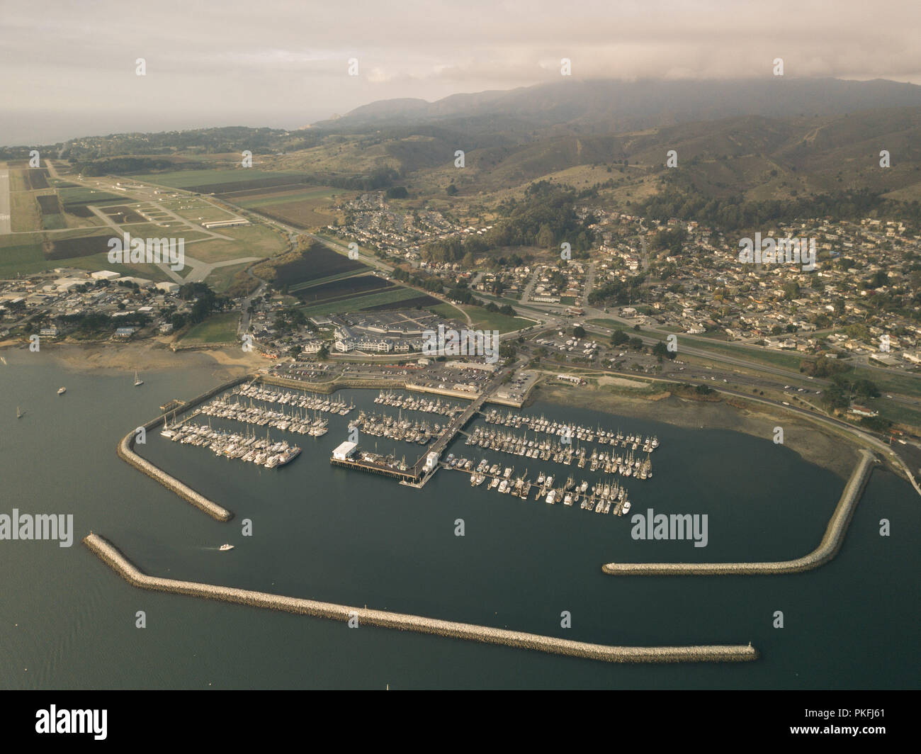 Half Moon Bay California Jetty Boat Docking Aerial Top Down Drone View Stock Photohttps://www.alamy.com/image-license-details/?v=1https://www.alamy.com/half-moon-bay-california-jetty-boat-docking-aerial-top-down-drone-view-image218546441.html
RFPKFJ61–Half Moon Bay California Jetty Boat Docking Aerial Top Down Drone View
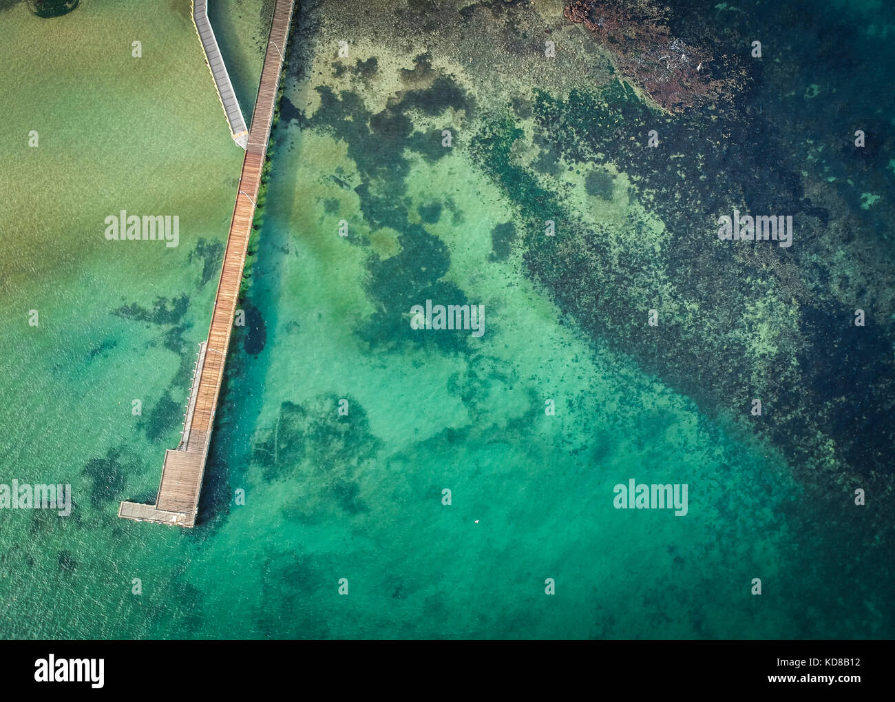 Aerial view of Half Moon Bay, Melbourne, Victoria, Australia Stock Photohttps://www.alamy.com/image-license-details/?v=1https://www.alamy.com/stock-image-aerial-view-of-half-moon-bay-melbourne-victoria-australia-163068110.html
RFKD8B12–Aerial view of Half Moon Bay, Melbourne, Victoria, Australia
 Aerial panorama of Black Rock suburban area and beautiful colorfoll cliffs of the coastline at sunset. Melbourne, Victoria, Australia Stock Photohttps://www.alamy.com/image-license-details/?v=1https://www.alamy.com/stock-photo-aerial-panorama-of-black-rock-suburban-area-and-beautiful-colorfoll-129560658.html
RFHENYXA–Aerial panorama of Black Rock suburban area and beautiful colorfoll cliffs of the coastline at sunset. Melbourne, Victoria, Australia
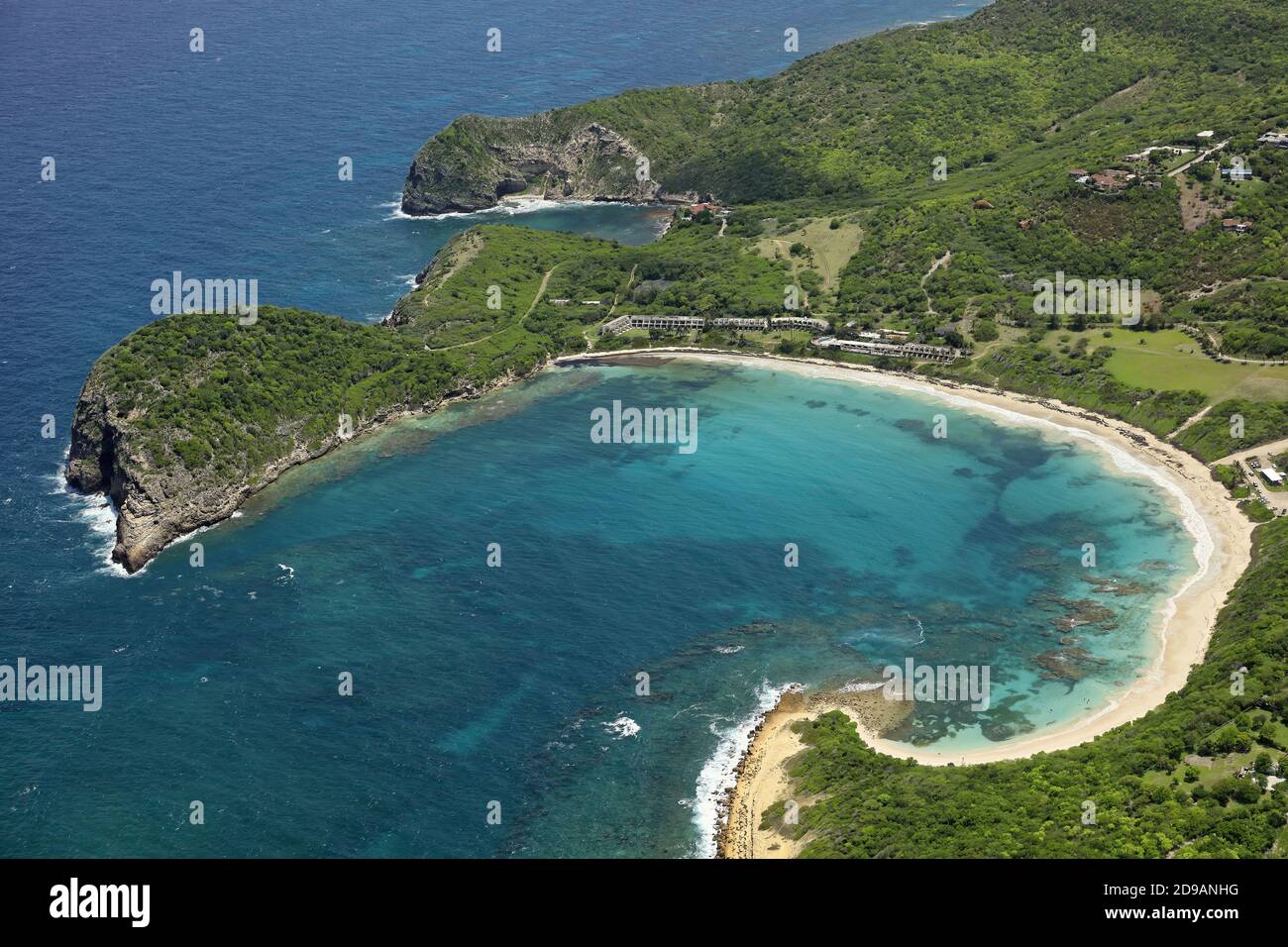 West Indies, Antigua and Barbuda: aerial view of Half Moon Bay on Antigua Island Stock Photohttps://www.alamy.com/image-license-details/?v=1https://www.alamy.com/west-indies-antigua-and-barbuda-aerial-view-of-half-moon-bay-on-antigua-island-image384396476.html
RM2D9ANHG–West Indies, Antigua and Barbuda: aerial view of Half Moon Bay on Antigua Island
 Aerial panoramic by drone of Half Moon Bay washed by Caribbean Sea, Antigua, Leeward Islands, West Indies, Caribbean, Central America Stock Photohttps://www.alamy.com/image-license-details/?v=1https://www.alamy.com/aerial-panoramic-by-drone-of-half-moon-bay-washed-by-caribbean-sea-antigua-leeward-islands-west-indies-caribbean-central-america-image330711018.html
RF2A6157P–Aerial panoramic by drone of Half Moon Bay washed by Caribbean Sea, Antigua, Leeward Islands, West Indies, Caribbean, Central America
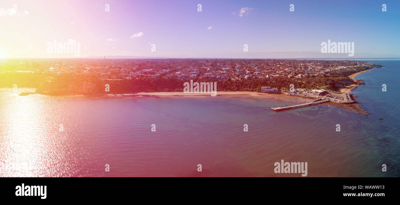 Wide aerial panorama of sunrise over Half Moon Beach and Black Rock wharf in Melbourne, Australia Stock Photohttps://www.alamy.com/image-license-details/?v=1https://www.alamy.com/wide-aerial-panorama-of-sunrise-over-half-moon-beach-and-black-rock-wharf-in-melbourne-australia-image264870511.html
RFWAWW13–Wide aerial panorama of sunrise over Half Moon Beach and Black Rock wharf in Melbourne, Australia
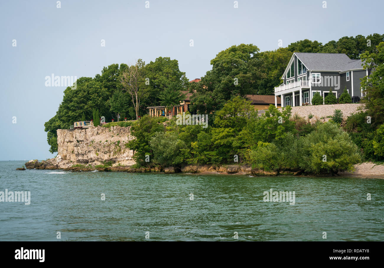 View from aboard the ferry at Put-in-Bay, Ohio. Stock Photohttps://www.alamy.com/image-license-details/?v=1https://www.alamy.com/view-from-aboard-the-ferry-at-put-in-bay-ohio-image231964412.html
RFRDATY8–View from aboard the ferry at Put-in-Bay, Ohio.
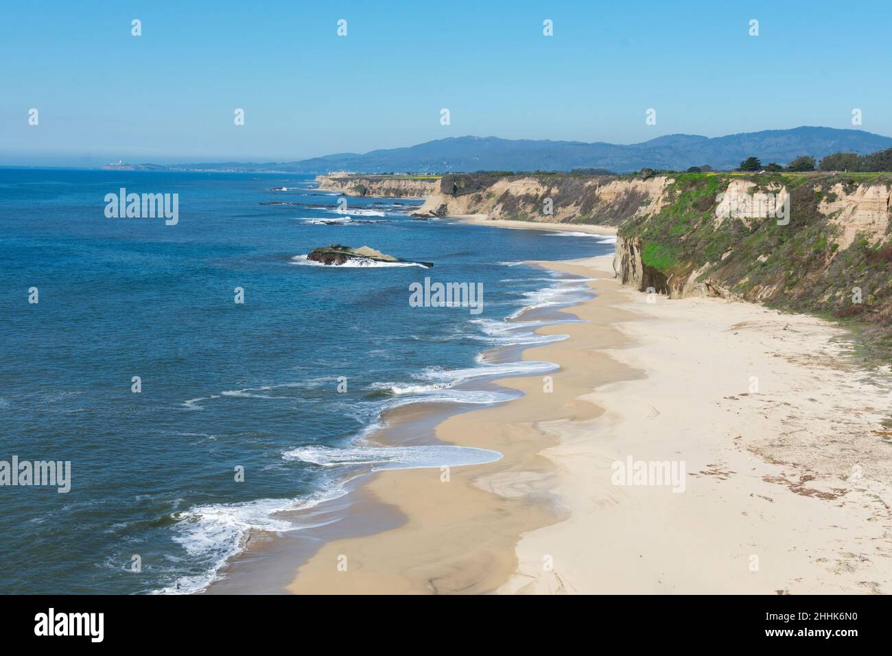 Aerial view of empty sandy beach, rocky outcrops, sandstone cliffs, rocky headlands and Pacific ocean on sunny winter day near Half Moon Bay in Califo Stock Photohttps://www.alamy.com/image-license-details/?v=1https://www.alamy.com/aerial-view-of-empty-sandy-beach-rocky-outcrops-sandstone-cliffs-rocky-headlands-and-pacific-ocean-on-sunny-winter-day-near-half-moon-bay-in-califo-image458341100.html
RF2HHK6N0–Aerial view of empty sandy beach, rocky outcrops, sandstone cliffs, rocky headlands and Pacific ocean on sunny winter day near Half Moon Bay in Califo
 A warm summer day in Half Moon Bay, Ca Stock Photohttps://www.alamy.com/image-license-details/?v=1https://www.alamy.com/a-warm-summer-day-in-half-moon-bay-ca-image188165800.html
RFMX3KB4–A warm summer day in Half Moon Bay, Ca
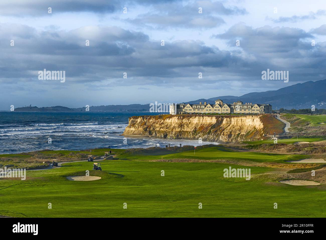 Coastal view with golf course and cliffs. Stock Photohttps://www.alamy.com/image-license-details/?v=1https://www.alamy.com/coastal-view-with-golf-course-and-cliffs-image551358635.html
RF2R10FFR–Coastal view with golf course and cliffs.
 Sunrise over the Half Moon swimming club at the Great South Wall Stock Photohttps://www.alamy.com/image-license-details/?v=1https://www.alamy.com/sunrise-over-the-half-moon-swimming-club-at-the-great-south-wall-image625001188.html
RF2Y8R7B0–Sunrise over the Half Moon swimming club at the Great South Wall
 8-10-2021: Half Moon Bay: Aerial Photo of Johnston House in Half Moon Bay California Stock Photohttps://www.alamy.com/image-license-details/?v=1https://www.alamy.com/8-10-2021-half-moon-bay-aerial-photo-of-johnston-house-in-half-moon-bay-california-image527609290.html
RF2NJAK0X–8-10-2021: Half Moon Bay: Aerial Photo of Johnston House in Half Moon Bay California
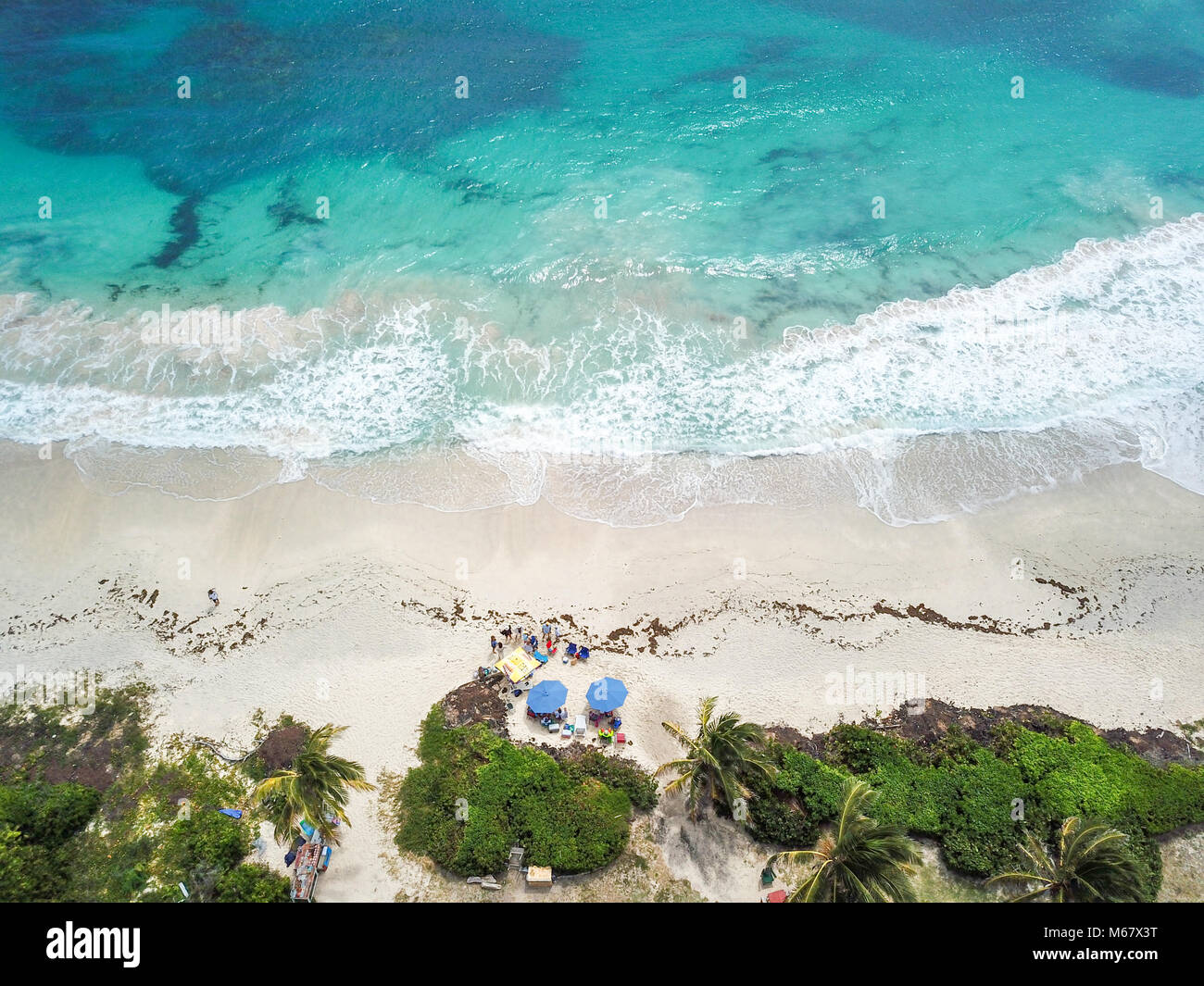 Half Moon Bay Beach, Antigua Stock Photohttps://www.alamy.com/image-license-details/?v=1https://www.alamy.com/stock-photo-half-moon-bay-beach-antigua-175965772.html
RMM67X3T–Half Moon Bay Beach, Antigua
 An aerial view of people walking on the Half Moon Bay on a sunny day in Victoria Stock Photohttps://www.alamy.com/image-license-details/?v=1https://www.alamy.com/an-aerial-view-of-people-walking-on-the-half-moon-bay-on-a-sunny-day-in-victoria-image476231038.html
RF2JJP5FA–An aerial view of people walking on the Half Moon Bay on a sunny day in Victoria
 Aquawellness bay in Nicaragua aerial done view on sunset light time Stock Photohttps://www.alamy.com/image-license-details/?v=1https://www.alamy.com/aquawellness-bay-in-nicaragua-aerial-done-view-on-sunset-light-time-image178627477.html
RFMAH54N–Aquawellness bay in Nicaragua aerial done view on sunset light time
 Aerial view of hotel and coastline, Half Moon Bay, California, USA Stock Photohttps://www.alamy.com/image-license-details/?v=1https://www.alamy.com/aerial-view-of-hotel-and-coastline-half-moon-bay-california-usa-image432787796.html
RM2G43570–Aerial view of hotel and coastline, Half Moon Bay, California, USA
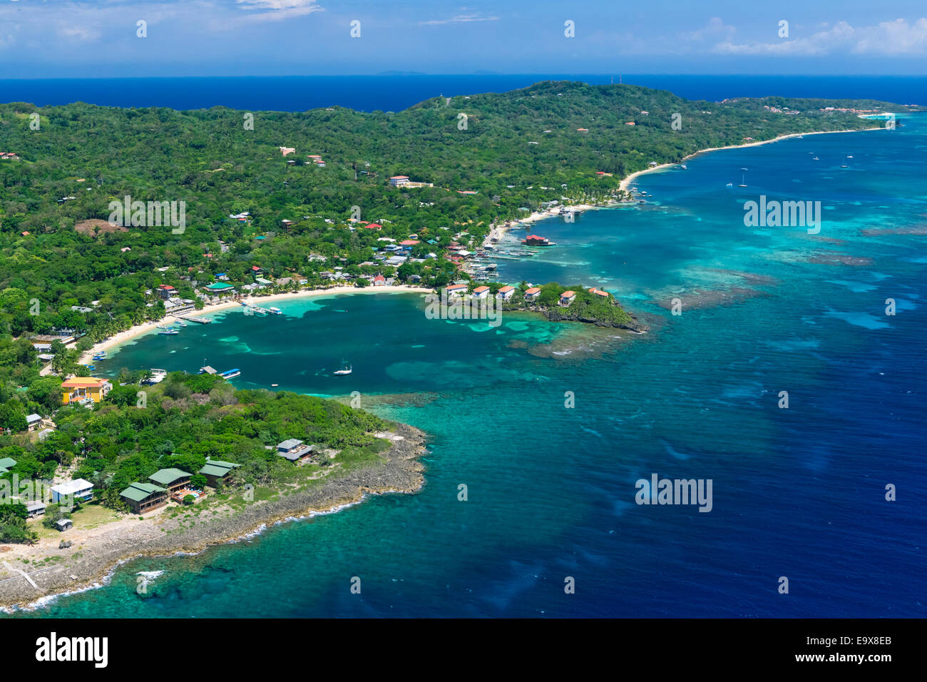 Aerial photo of Roatan's West End at Half Moon Bay Stock Photohttps://www.alamy.com/image-license-details/?v=1https://www.alamy.com/stock-photo-aerial-photo-of-roatans-west-end-at-half-moon-bay-74950803.html
RME9X8EB–Aerial photo of Roatan's West End at Half Moon Bay
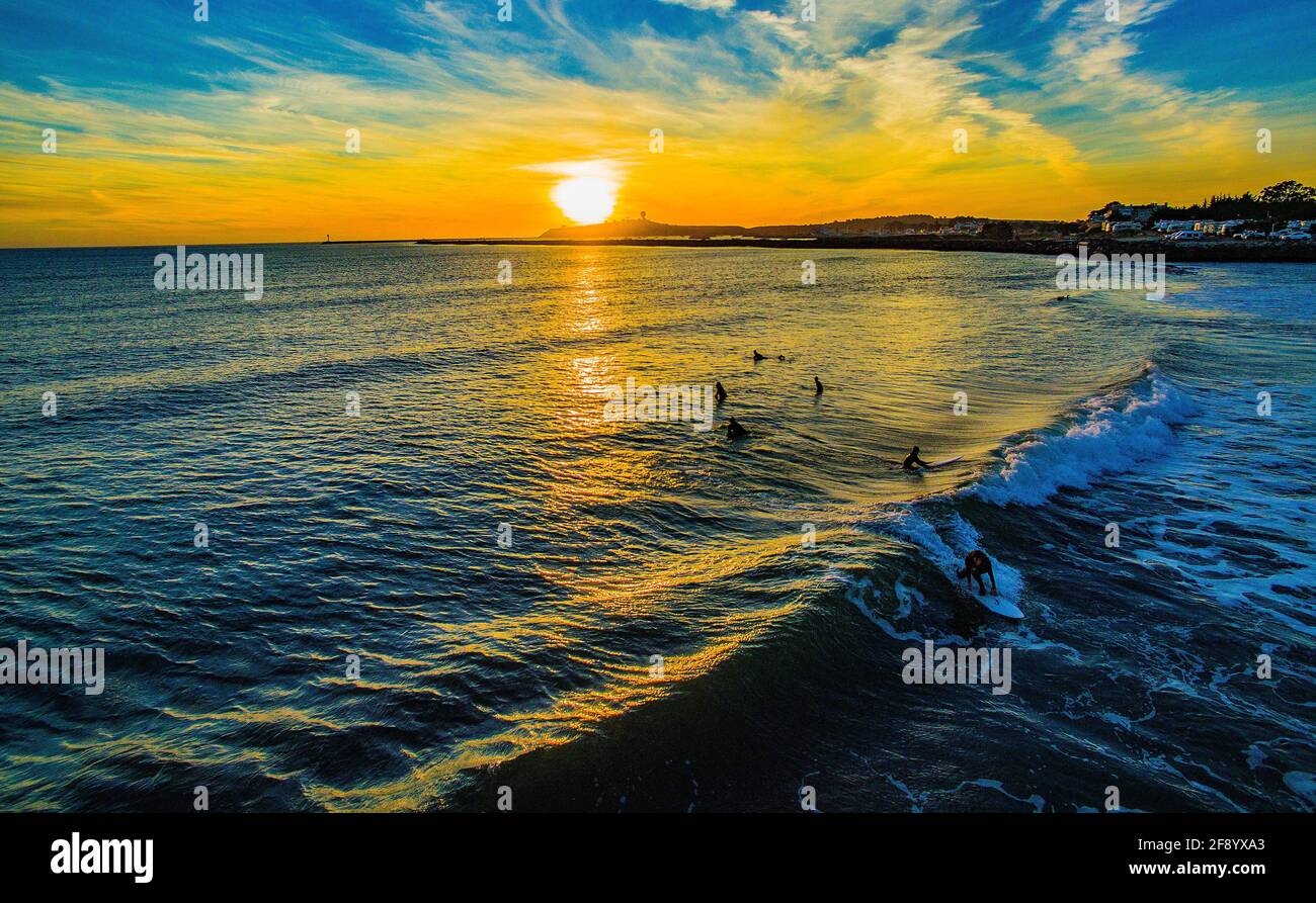 Aerial view of surfers in sea at sunset, Half Moon Bay, California, USA Stock Photohttps://www.alamy.com/image-license-details/?v=1https://www.alamy.com/aerial-view-of-surfers-in-sea-at-sunset-half-moon-bay-california-usa-image418579451.html
RM2F8YXA3–Aerial view of surfers in sea at sunset, Half Moon Bay, California, USA
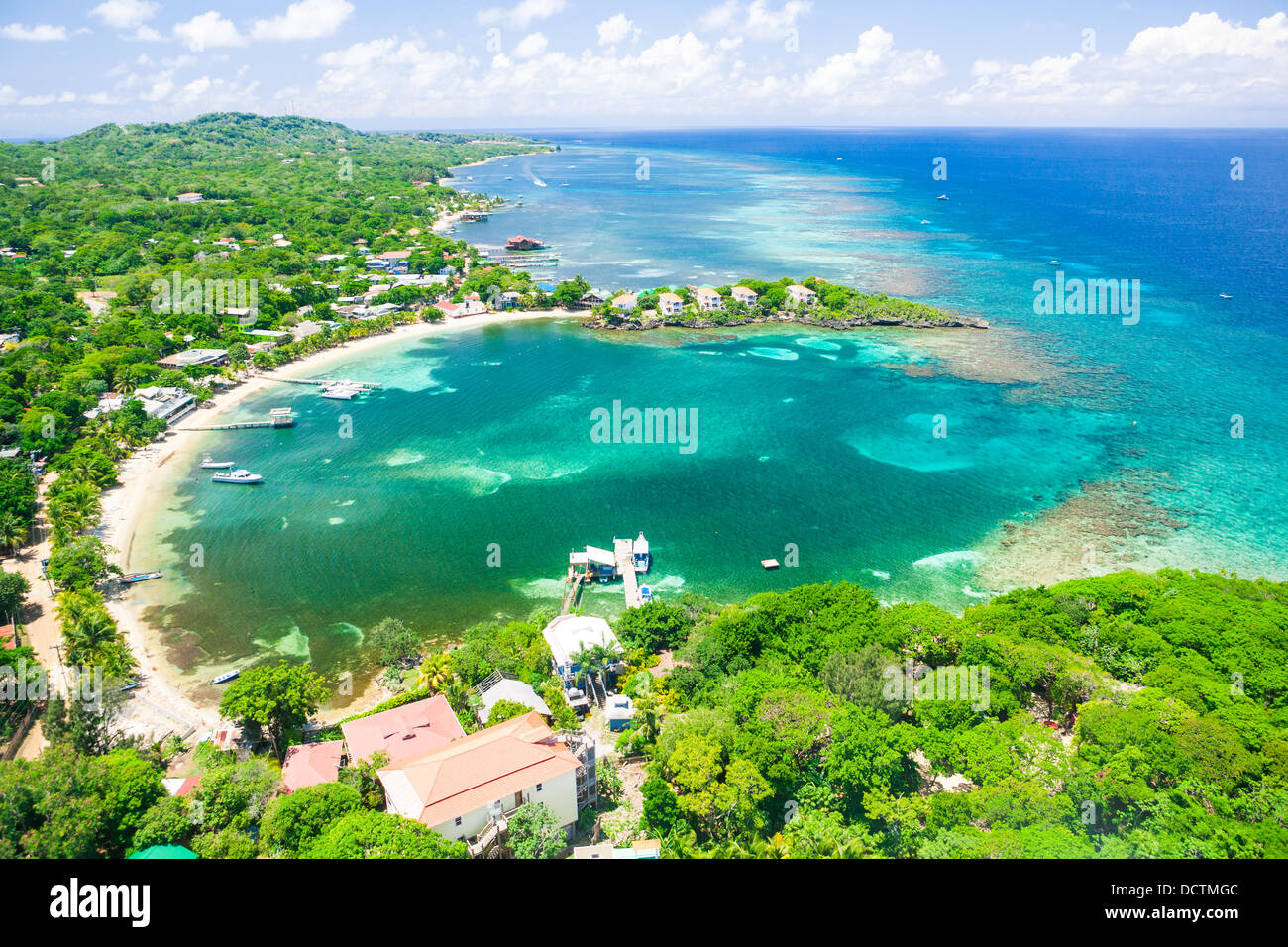 Aerial photo of Half Moon Bay, West End on the island of Roatan Stock Photohttps://www.alamy.com/image-license-details/?v=1https://www.alamy.com/stock-photo-aerial-photo-of-half-moon-bay-west-end-on-the-island-of-roatan-59549964.html
RMDCTMGC–Aerial photo of Half Moon Bay, West End on the island of Roatan
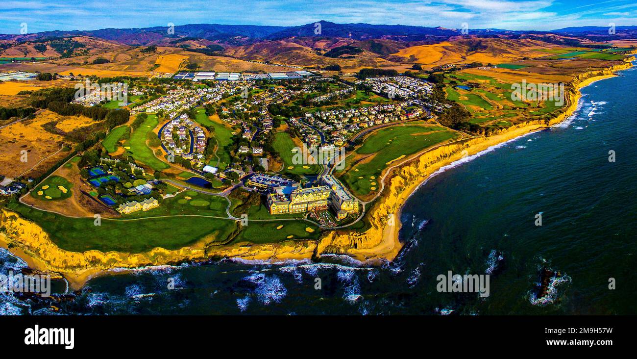 Aerial view of Half Moon Bay Golf Links golf course, Half Moon Bay, California, USA Stock Photohttps://www.alamy.com/image-license-details/?v=1https://www.alamy.com/aerial-view-of-half-moon-bay-golf-links-golf-course-half-moon-bay-california-usa-image505009901.html
RM2M9H57W–Aerial view of Half Moon Bay Golf Links golf course, Half Moon Bay, California, USA
 Aerial of coastline and Half Moon Resort seen from parasail Rose Hall, near Montego Bay, Saint James, Jamaica Stock Photohttps://www.alamy.com/image-license-details/?v=1https://www.alamy.com/aerial-of-coastline-and-half-moon-resort-seen-from-parasail-rose-hall-near-montego-bay-saint-james-jamaica-image551155098.html
RM2R0K7XJ–Aerial of coastline and Half Moon Resort seen from parasail Rose Hall, near Montego Bay, Saint James, Jamaica
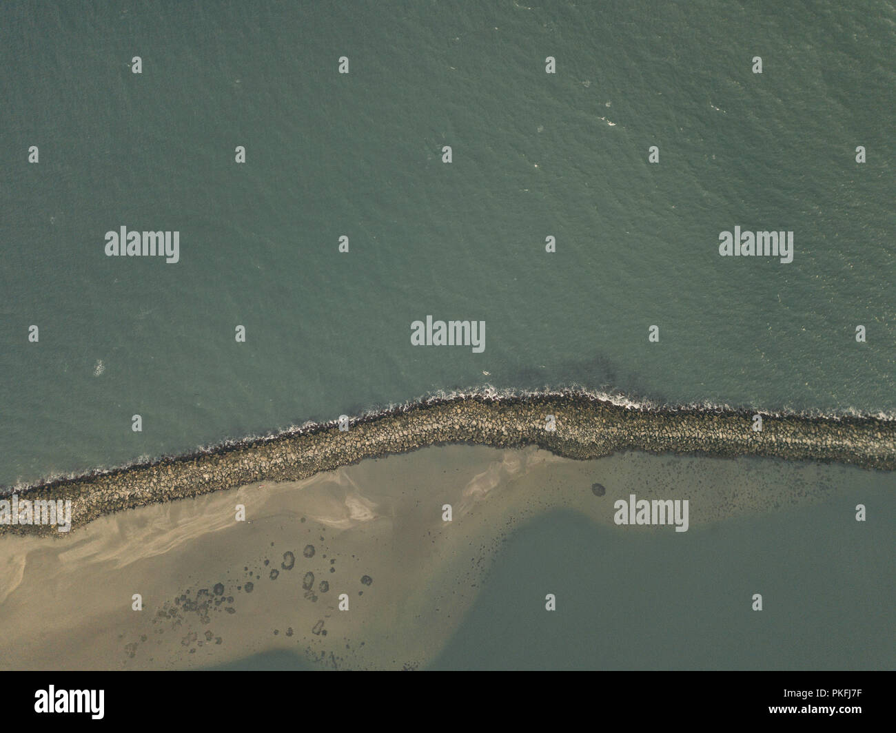 Half Moon Bay California Jetty Boat Docking Aerial Top Down Drone View Stock Photohttps://www.alamy.com/image-license-details/?v=1https://www.alamy.com/half-moon-bay-california-jetty-boat-docking-aerial-top-down-drone-view-image218546483.html
RFPKFJ7F–Half Moon Bay California Jetty Boat Docking Aerial Top Down Drone View
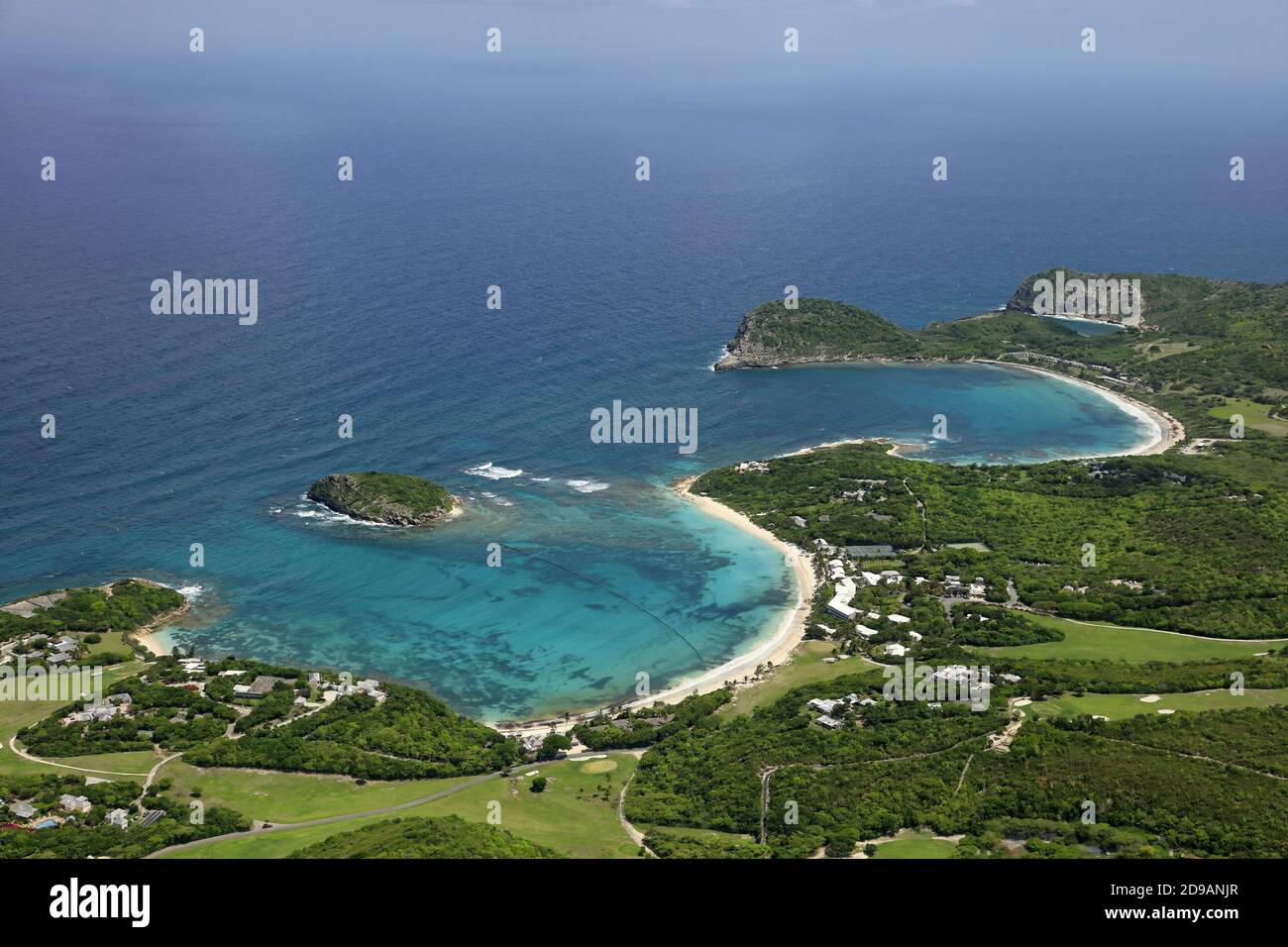 West Indies, Antigua and Barbuda: aerial view of Half Moon Bay on Antigua Island Stock Photohttps://www.alamy.com/image-license-details/?v=1https://www.alamy.com/west-indies-antigua-and-barbuda-aerial-view-of-half-moon-bay-on-antigua-island-image384396511.html
RM2D9ANJR–West Indies, Antigua and Barbuda: aerial view of Half Moon Bay on Antigua Island
 Aerial panoramic by drone of cliffs surrounding Half Moon Bay washed by Caribbean Sea, Antigua, Leeward Islands, West Indies, Caribbean Stock Photohttps://www.alamy.com/image-license-details/?v=1https://www.alamy.com/aerial-panoramic-by-drone-of-cliffs-surrounding-half-moon-bay-washed-by-caribbean-sea-antigua-leeward-islands-west-indies-caribbean-image330711115.html
RF2A615B7–Aerial panoramic by drone of cliffs surrounding Half Moon Bay washed by Caribbean Sea, Antigua, Leeward Islands, West Indies, Caribbean
 The green Pacific Ocean coastline near Half Moon Bay, California Stock Photohttps://www.alamy.com/image-license-details/?v=1https://www.alamy.com/the-green-pacific-ocean-coastline-near-half-moon-bay-california-image232105899.html
RFRDH9CB–The green Pacific Ocean coastline near Half Moon Bay, California
 Aerial landscape panorama of Melbourne coastline near Black Rock suburb at dusk. Melbourne, Victoria, Australia Stock Photohttps://www.alamy.com/image-license-details/?v=1https://www.alamy.com/stock-photo-aerial-landscape-panorama-of-melbourne-coastline-near-black-rock-suburb-129560789.html
RFHEP031–Aerial landscape panorama of Melbourne coastline near Black Rock suburb at dusk. Melbourne, Victoria, Australia
 Pacific Ocean waves crash against the rugged and scenic coastline of California near Santa Cruz. The Pacific Coast Highway runs along this region. Stock Photohttps://www.alamy.com/image-license-details/?v=1https://www.alamy.com/pacific-ocean-waves-crash-against-the-rugged-and-scenic-coastline-of-california-near-santa-cruz-the-pacific-coast-highway-runs-along-this-region-image441122177.html
RM2GHJRRD–Pacific Ocean waves crash against the rugged and scenic coastline of California near Santa Cruz. The Pacific Coast Highway runs along this region.
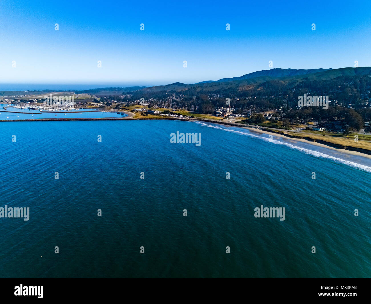 A warm summer day in Half Moon Bay, Ca Stock Photohttps://www.alamy.com/image-license-details/?v=1https://www.alamy.com/a-warm-summer-day-in-half-moon-bay-ca-image188165779.html
RFMX3KAB–A warm summer day in Half Moon Bay, Ca
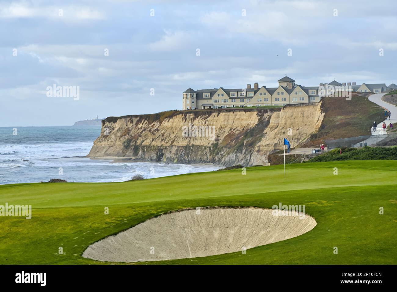 Coastal view with golf course and cliffs. Stock Photohttps://www.alamy.com/image-license-details/?v=1https://www.alamy.com/coastal-view-with-golf-course-and-cliffs-image551358549.html
RF2R10FCN–Coastal view with golf course and cliffs.
 Sunrise over the Half Moon swimming club at the Great South Wall Stock Photohttps://www.alamy.com/image-license-details/?v=1https://www.alamy.com/sunrise-over-the-half-moon-swimming-club-at-the-great-south-wall-image625001191.html
RF2Y8R7B3–Sunrise over the Half Moon swimming club at the Great South Wall
 Beautiful tropical beach at Half Moon Bay Antigua island in Caribbean with white sand, turquoise ocean water and blue sky Stock Photohttps://www.alamy.com/image-license-details/?v=1https://www.alamy.com/beautiful-tropical-beach-at-half-moon-bay-antigua-island-in-caribbean-with-white-sand-turquoise-ocean-water-and-blue-sky-image185524585.html
RFMNRAE1–Beautiful tropical beach at Half Moon Bay Antigua island in Caribbean with white sand, turquoise ocean water and blue sky
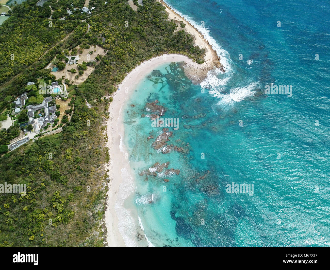 Half Moon Bay Beach, Antigua Stock Photohttps://www.alamy.com/image-license-details/?v=1https://www.alamy.com/stock-photo-half-moon-bay-beach-antigua-175965755.html
RMM67X37–Half Moon Bay Beach, Antigua
 San Mateo-Hayward Bridge and Foggy San Francisco Peninsula, California, USA Stock Photohttps://www.alamy.com/image-license-details/?v=1https://www.alamy.com/stock-photo-san-mateo-hayward-bridge-and-foggy-san-francisco-peninsula-california-124618776.html
RFH6MTEG–San Mateo-Hayward Bridge and Foggy San Francisco Peninsula, California, USA
 Ocean bay in sunset time aerial drone view. Nicaragua travel landscape Stock Photohttps://www.alamy.com/image-license-details/?v=1https://www.alamy.com/stock-photo-ocean-bay-in-sunset-time-aerial-drone-view-nicaragua-travel-landscape-173038029.html
RFM1EFNH–Ocean bay in sunset time aerial drone view. Nicaragua travel landscape
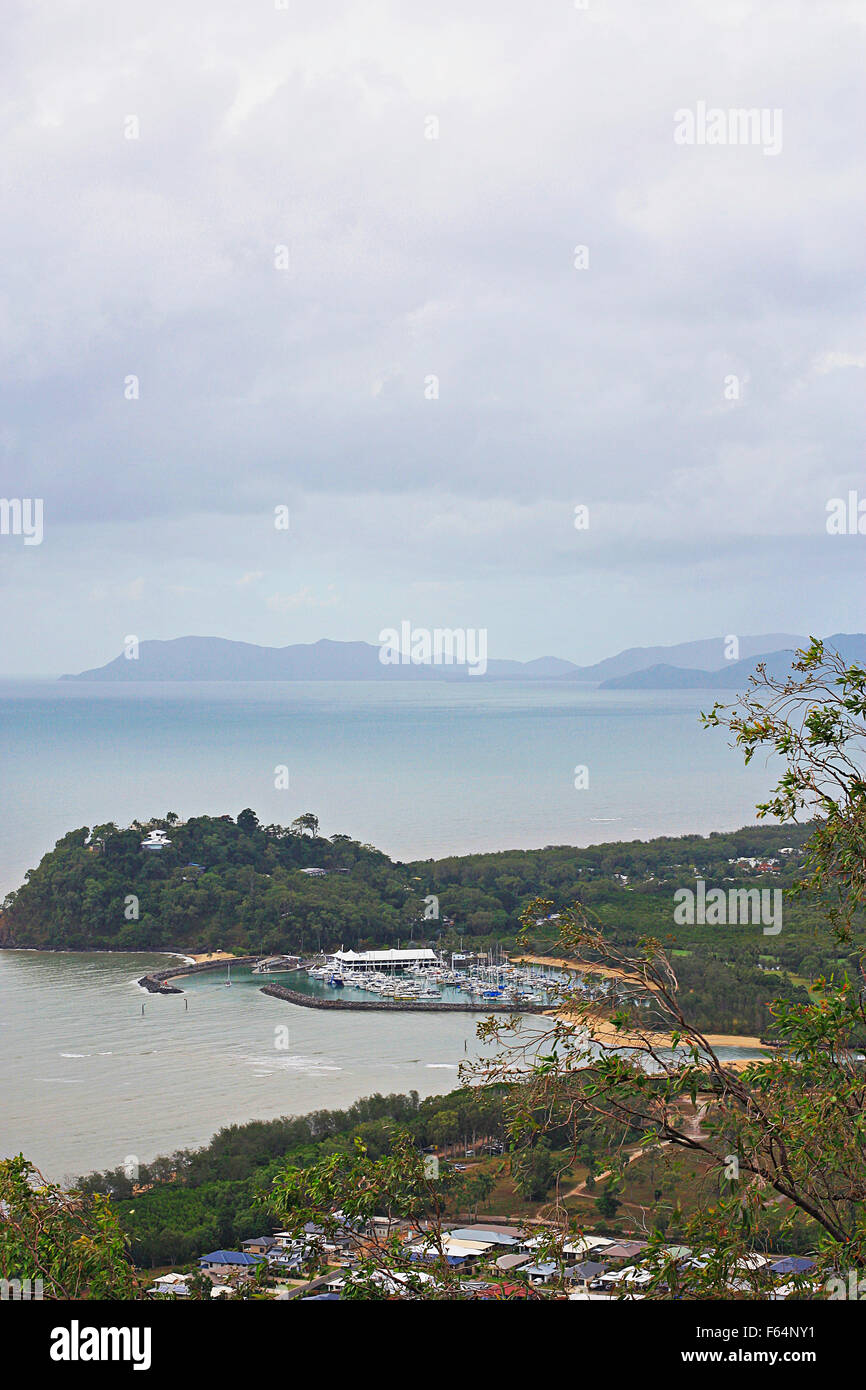 aerial view of Cairns yacht club Stock Photohttps://www.alamy.com/image-license-details/?v=1https://www.alamy.com/stock-photo-aerial-view-of-cairns-yacht-club-89844805.html
RFF64NY1–aerial view of Cairns yacht club
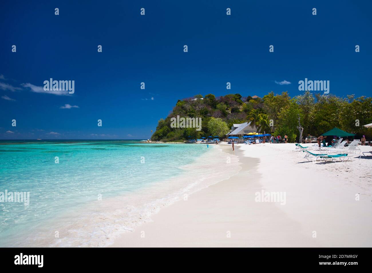 Half moon bay in Antigua. Antigua is an island in the Lesser Antilles. Stock Photohttps://www.alamy.com/image-license-details/?v=1https://www.alamy.com/half-moon-bay-in-antigua-antigua-is-an-island-in-the-lesser-antilles-image383388235.html
RF2D7MRGY–Half moon bay in Antigua. Antigua is an island in the Lesser Antilles.
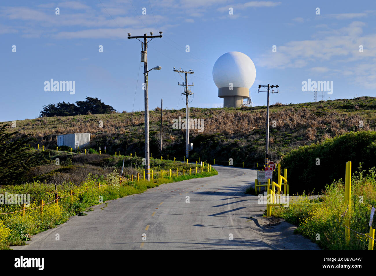 radar dome located near Half Moon Bay, California Stock Photohttps://www.alamy.com/image-license-details/?v=1https://www.alamy.com/stock-photo-radar-dome-located-near-half-moon-bay-california-24522873.html
RMBBW34W–radar dome located near Half Moon Bay, California
 Aerial view of agricultural fields, local airport runway and hills covered in fog, Moss Beach, California Stock Photohttps://www.alamy.com/image-license-details/?v=1https://www.alamy.com/aerial-view-of-agricultural-fields-local-airport-runway-and-hills-covered-in-fog-moss-beach-california-image232212898.html
RFRDP5WP–Aerial view of agricultural fields, local airport runway and hills covered in fog, Moss Beach, California
 Flying Pelican. Half Moon Bay, California. Stock Photohttps://www.alamy.com/image-license-details/?v=1https://www.alamy.com/stock-photo-flying-pelican-half-moon-bay-california-59314267.html
RMDCDYXK–Flying Pelican. Half Moon Bay, California.
 Aerial of photographer's feet and boat wake in Caribbean Sea during parasail activity at Half Moon Resort Rose Hall, near Montego Bay, Saint James, Ja Stock Photohttps://www.alamy.com/image-license-details/?v=1https://www.alamy.com/aerial-of-photographers-feet-and-boat-wake-in-caribbean-sea-during-parasail-activity-at-half-moon-resort-rose-hall-near-montego-bay-saint-james-ja-image551155119.html
RM2R0K7YB–Aerial of photographer's feet and boat wake in Caribbean Sea during parasail activity at Half Moon Resort Rose Hall, near Montego Bay, Saint James, Ja
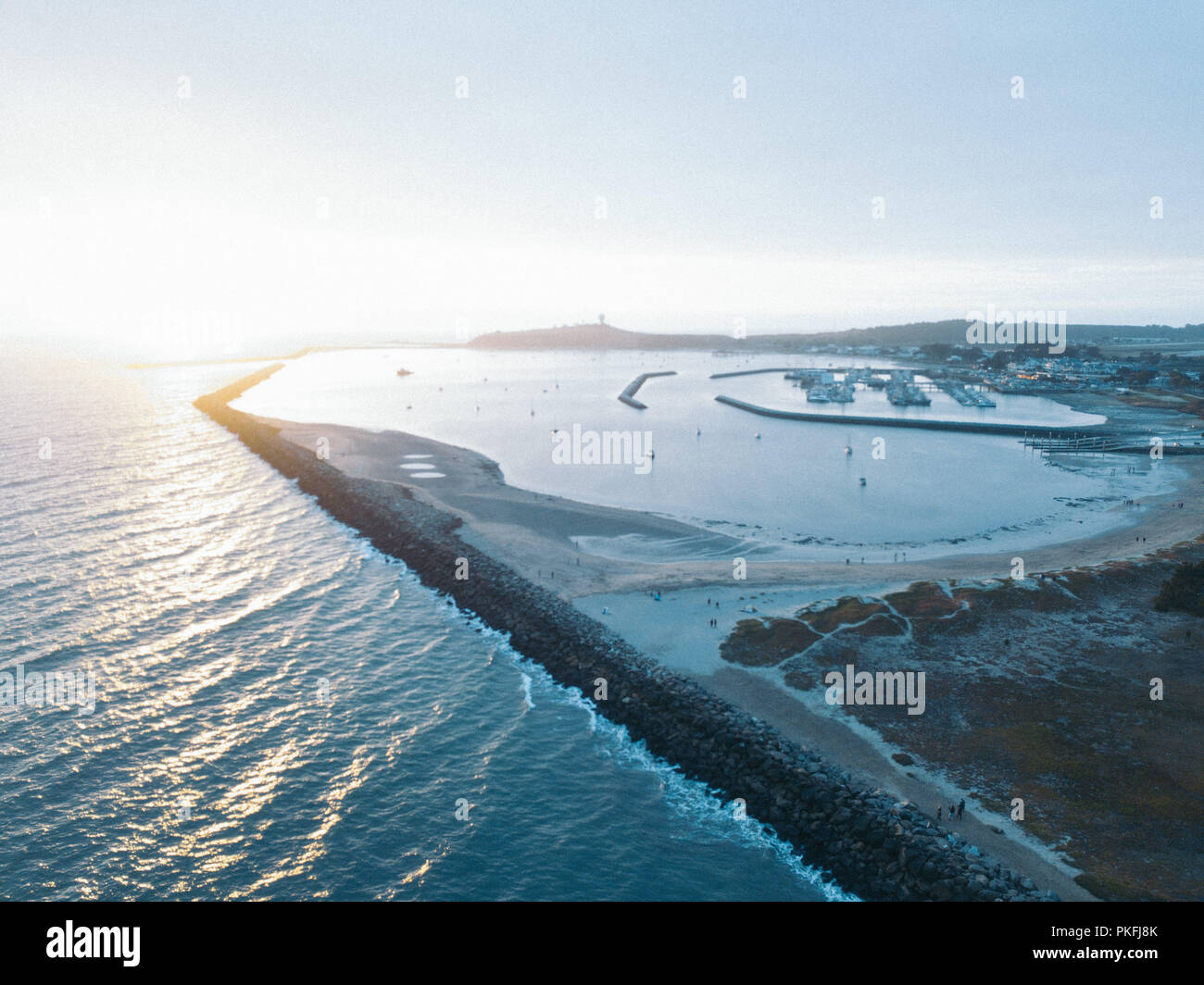 Half Moon Bay California Jetty Boat Docking Aerial Top Down Drone View Stock Photohttps://www.alamy.com/image-license-details/?v=1https://www.alamy.com/half-moon-bay-california-jetty-boat-docking-aerial-top-down-drone-view-image218546515.html
RFPKFJ8K–Half Moon Bay California Jetty Boat Docking Aerial Top Down Drone View
 Beautiful aerial view of a sandy beach on Half Moon Cay island in the Bahamas Stock Photohttps://www.alamy.com/image-license-details/?v=1https://www.alamy.com/beautiful-aerial-view-of-a-sandy-beach-on-half-moon-cay-island-in-the-bahamas-image354780267.html
RF2BH5HRR–Beautiful aerial view of a sandy beach on Half Moon Cay island in the Bahamas
 Aerial view by drone of the fine white sand of Half Moon Bay washed by Caribbean Sea, Antigua, Leeward Islands, West Indies, Caribbean Stock Photohttps://www.alamy.com/image-license-details/?v=1https://www.alamy.com/aerial-view-by-drone-of-the-fine-white-sand-of-half-moon-bay-washed-by-caribbean-sea-antigua-leeward-islands-west-indies-caribbean-image330707402.html
RM2A610JJ–Aerial view by drone of the fine white sand of Half Moon Bay washed by Caribbean Sea, Antigua, Leeward Islands, West Indies, Caribbean
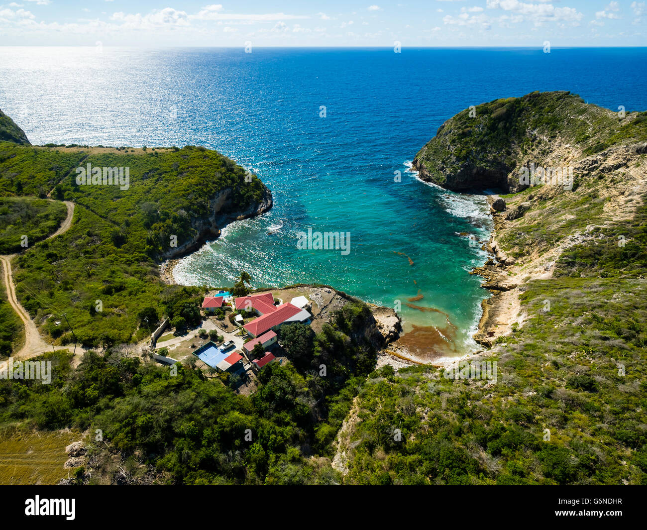 West Indies, Antigua and Barbuda, Antigua, aerial view, Half Moon Bay Stock Photohttps://www.alamy.com/image-license-details/?v=1https://www.alamy.com/stock-photo-west-indies-antigua-and-barbuda-antigua-aerial-view-half-moon-bay-107421827.html
RFG6NDHR–West Indies, Antigua and Barbuda, Antigua, aerial view, Half Moon Bay
 Aerial view of Black Rock pier, yacht club, and historic shipwreck of HMVS cerberus at sunset. Melbourne. Victoria, Australia Stock Photohttps://www.alamy.com/image-license-details/?v=1https://www.alamy.com/stock-photo-aerial-view-of-black-rock-pier-yacht-club-and-historic-shipwreck-of-129560883.html
RFHEP06B–Aerial view of Black Rock pier, yacht club, and historic shipwreck of HMVS cerberus at sunset. Melbourne. Victoria, Australia
 Pacific Ocean waves crash against the rugged and scenic coastline of California near Santa Cruz. The Pacific Coast Highway runs along this region. Stock Photohttps://www.alamy.com/image-license-details/?v=1https://www.alamy.com/pacific-ocean-waves-crash-against-the-rugged-and-scenic-coastline-of-california-near-santa-cruz-the-pacific-coast-highway-runs-along-this-region-image441122439.html
RM2GHJT4R–Pacific Ocean waves crash against the rugged and scenic coastline of California near Santa Cruz. The Pacific Coast Highway runs along this region.
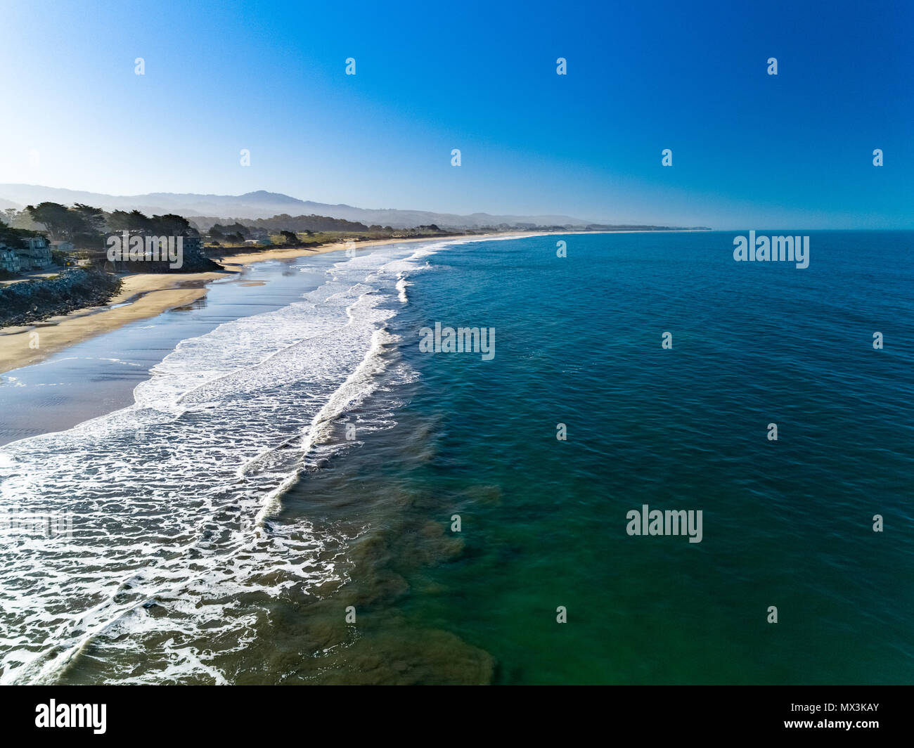 A warm summer day in Half Moon Bay, Ca Stock Photohttps://www.alamy.com/image-license-details/?v=1https://www.alamy.com/a-warm-summer-day-in-half-moon-bay-ca-image188165795.html
RFMX3KAY–A warm summer day in Half Moon Bay, Ca
 Half Moon Cay aerial view. This island is also called Little San Salvador Island located in the Bahamas. Stock Photohttps://www.alamy.com/image-license-details/?v=1https://www.alamy.com/half-moon-cay-aerial-view-this-island-is-also-called-little-san-salvador-island-located-in-the-bahamas-image561351801.html
RF2RH7NXH–Half Moon Cay aerial view. This island is also called Little San Salvador Island located in the Bahamas.
 View towards the Pacific Ocean coastline and Pillar Point Harbor from Santa Cruz mountains, California Stock Photohttps://www.alamy.com/image-license-details/?v=1https://www.alamy.com/view-towards-the-pacific-ocean-coastline-and-pillar-point-harbor-from-santa-cruz-mountains-california-image339510792.html
RF2AMA1DC–View towards the Pacific Ocean coastline and Pillar Point Harbor from Santa Cruz mountains, California
 Beautiful tropical beach at Half Moon Bay Antigua island in Caribbean with white sand, turquoise ocean water and blue sky Stock Photohttps://www.alamy.com/image-license-details/?v=1https://www.alamy.com/beautiful-tropical-beach-at-half-moon-bay-antigua-island-in-caribbean-with-white-sand-turquoise-ocean-water-and-blue-sky-image185524583.html
RFMNRADY–Beautiful tropical beach at Half Moon Bay Antigua island in Caribbean with white sand, turquoise ocean water and blue sky
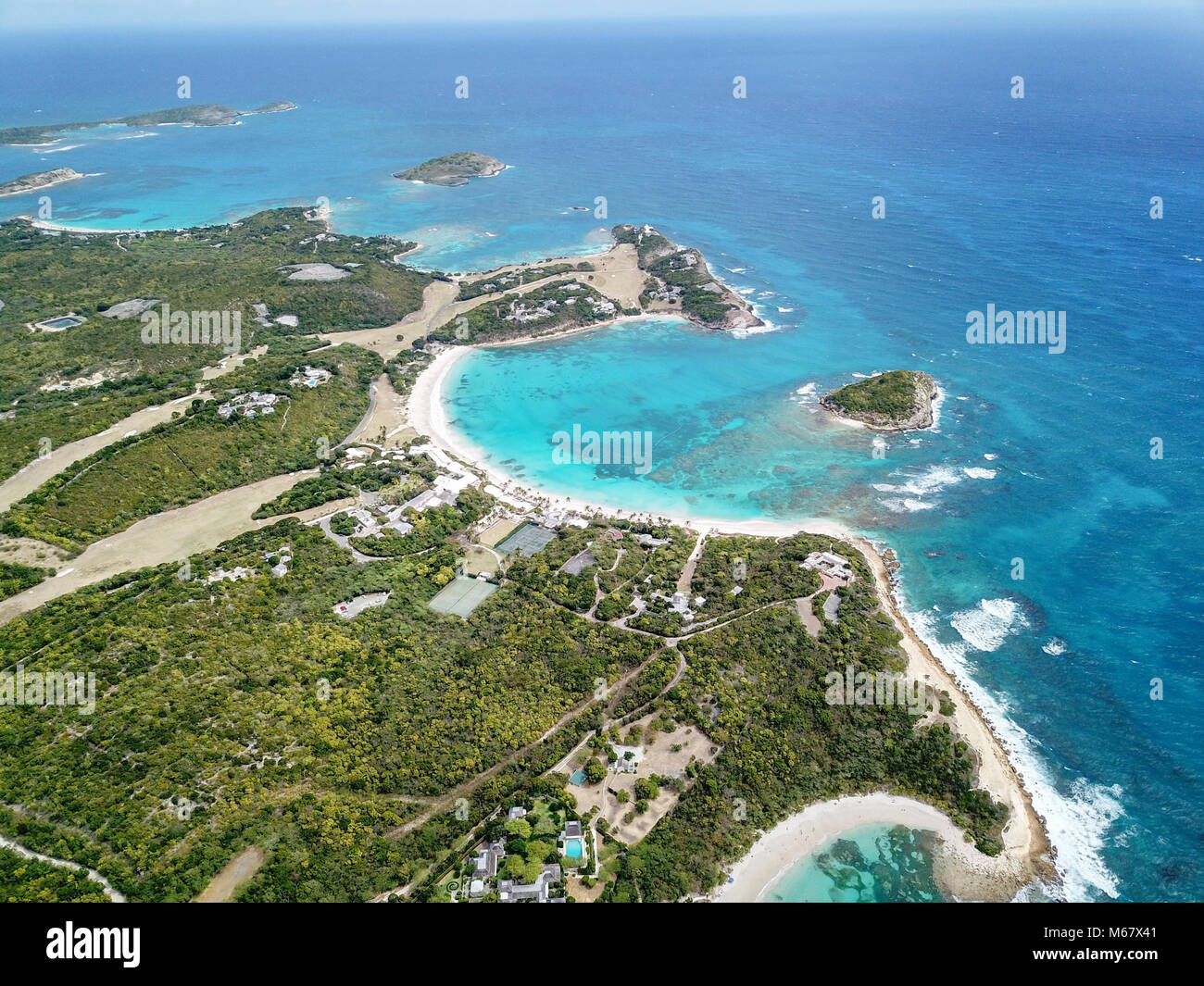 Half Moon Bay Beach, Antigua Stock Photohttps://www.alamy.com/image-license-details/?v=1https://www.alamy.com/stock-photo-half-moon-bay-beach-antigua-175965777.html
RMM67X41–Half Moon Bay Beach, Antigua
 View of Half Moon Over the San Francisco Oakland Bridge at Night Stock Photohttps://www.alamy.com/image-license-details/?v=1https://www.alamy.com/view-of-half-moon-over-the-san-francisco-oakland-bridge-at-night-image338514646.html
RF2AJMJTP–View of Half Moon Over the San Francisco Oakland Bridge at Night
 Big rock in ocean bay aerial done view in Nicaragua Stock Photohttps://www.alamy.com/image-license-details/?v=1https://www.alamy.com/big-rock-in-ocean-bay-aerial-done-view-in-nicaragua-image156512678.html
RFK2HNEE–Big rock in ocean bay aerial done view in Nicaragua
 Cairns Yacht Club aerial view from a distance Stock Photohttps://www.alamy.com/image-license-details/?v=1https://www.alamy.com/stock-photo-cairns-yacht-club-aerial-view-from-a-distance-89844793.html
RFF64NXH–Cairns Yacht Club aerial view from a distance
 Half moon bay in Antigua. Antigua is an island in the Lesser Antilles. Stock Photohttps://www.alamy.com/image-license-details/?v=1https://www.alamy.com/half-moon-bay-in-antigua-antigua-is-an-island-in-the-lesser-antilles-image383388226.html
RF2D7MRGJ–Half moon bay in Antigua. Antigua is an island in the Lesser Antilles.
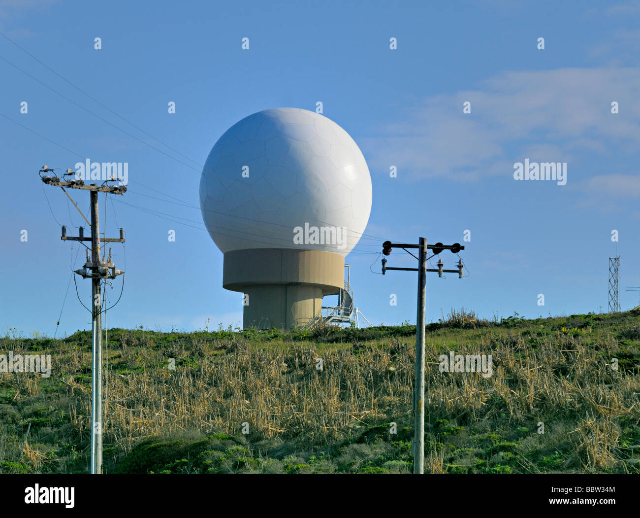 radar dome located near Half Moon Bay, California Stock Photohttps://www.alamy.com/image-license-details/?v=1https://www.alamy.com/stock-photo-radar-dome-located-near-half-moon-bay-california-24522868.html
RMBBW34M–radar dome located near Half Moon Bay, California
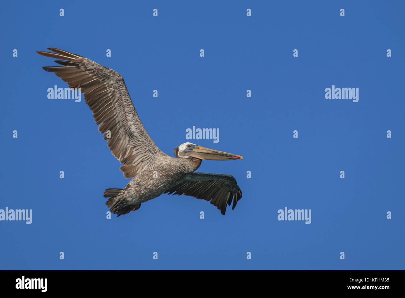 Flying Pelican. Half Moon Bay, California. Stock Photohttps://www.alamy.com/image-license-details/?v=1https://www.alamy.com/stock-image-flying-pelican-half-moon-bay-california-168804697.html
RMKPHM35–Flying Pelican. Half Moon Bay, California.
 Davenport, California, a small coastal town in Northern California Stock Photohttps://www.alamy.com/image-license-details/?v=1https://www.alamy.com/davenport-california-a-small-coastal-town-in-northern-california-image501736900.html
RF2M482F0–Davenport, California, a small coastal town in Northern California
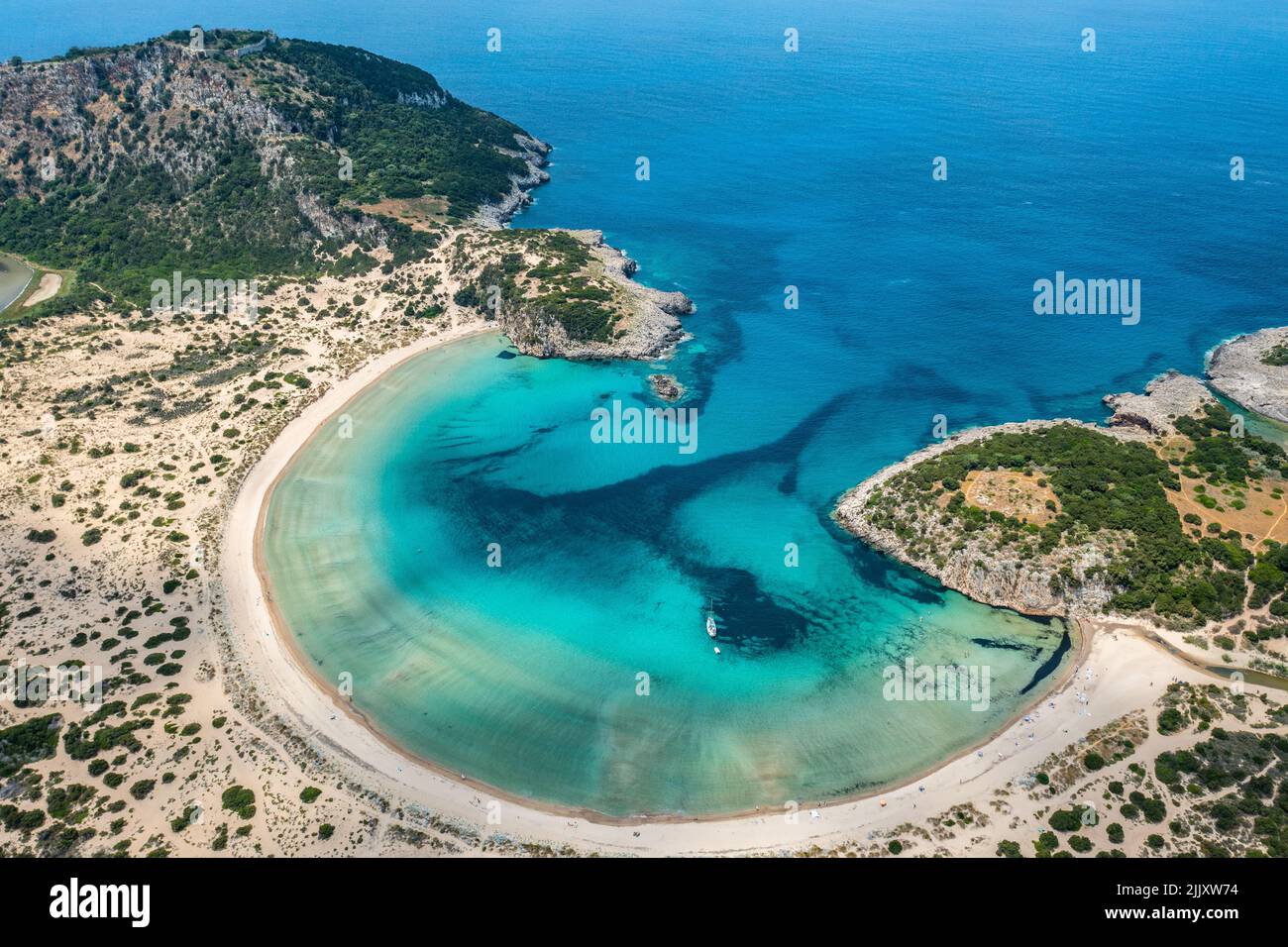 An aerial drone view of the Half moon bay beach with crystal azure water in Greece on a sunny day Stock Photohttps://www.alamy.com/image-license-details/?v=1https://www.alamy.com/an-aerial-drone-view-of-the-half-moon-bay-beach-with-crystal-azure-water-in-greece-on-a-sunny-day-image476334296.html
RF2JJXW74–An aerial drone view of the Half moon bay beach with crystal azure water in Greece on a sunny day
 Half Moon Bay California Jetty Boat Docking Aerial Top Down Drone View Stock Photohttps://www.alamy.com/image-license-details/?v=1https://www.alamy.com/half-moon-bay-california-jetty-boat-docking-aerial-top-down-drone-view-image218546428.html
RFPKFJ5G–Half Moon Bay California Jetty Boat Docking Aerial Top Down Drone View
 Half Moon Bay Marina Yorkeys Knob Cairns North Queensland Australia aerial Stock Photohttps://www.alamy.com/image-license-details/?v=1https://www.alamy.com/stock-photo-half-moon-bay-marina-yorkeys-knob-cairns-north-queensland-australia-15846512.html
RMAPR0WN–Half Moon Bay Marina Yorkeys Knob Cairns North Queensland Australia aerial
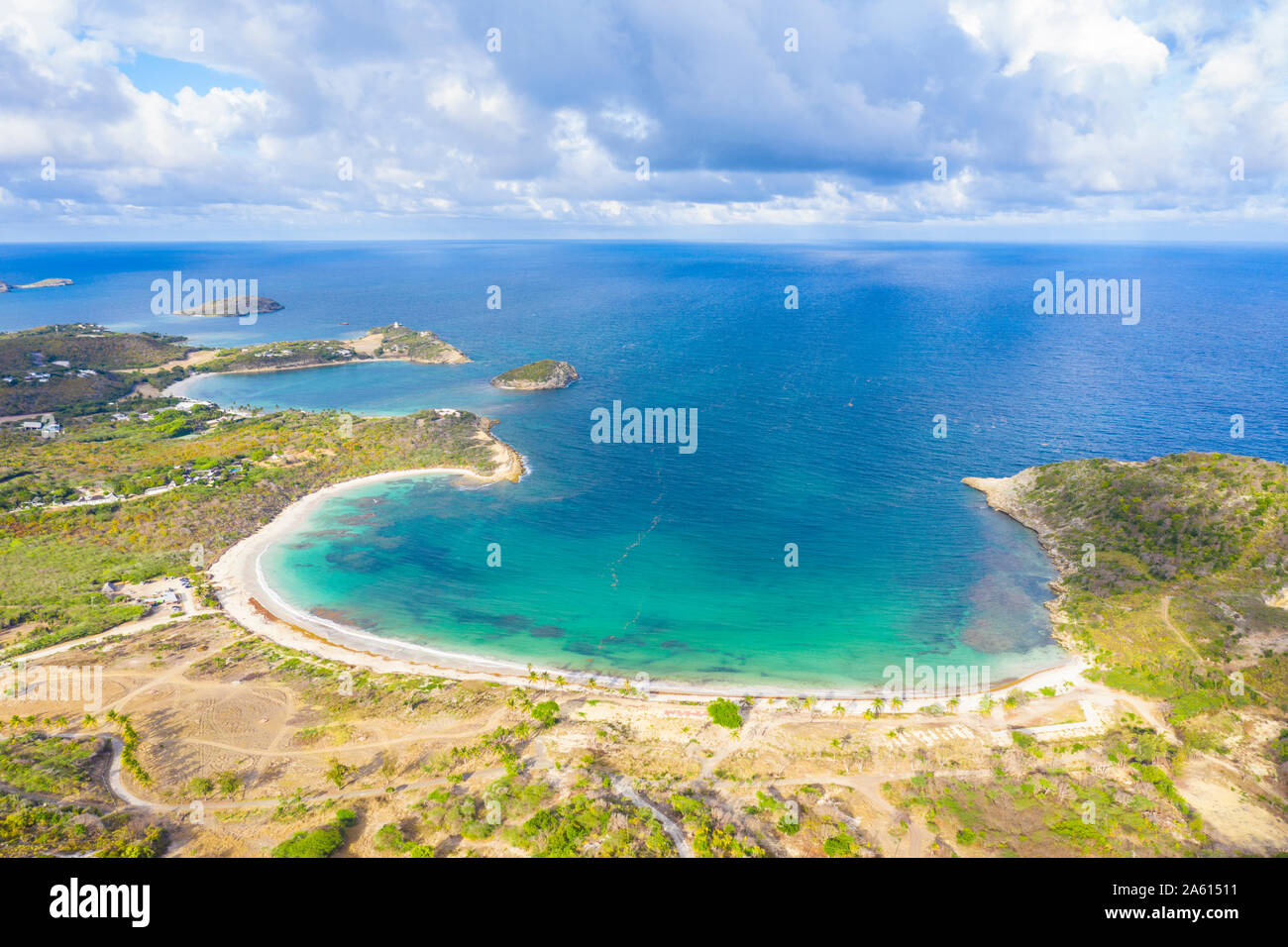 Aerial view by drone of Half Moon Bay washed by Caribbean Sea, Antigua, Leeward Islands, West Indies, Caribbean, Central America Stock Photohttps://www.alamy.com/image-license-details/?v=1https://www.alamy.com/aerial-view-by-drone-of-half-moon-bay-washed-by-caribbean-sea-antigua-leeward-islands-west-indies-caribbean-central-america-image330710829.html
RF2A61511–Aerial view by drone of Half Moon Bay washed by Caribbean Sea, Antigua, Leeward Islands, West Indies, Caribbean, Central America
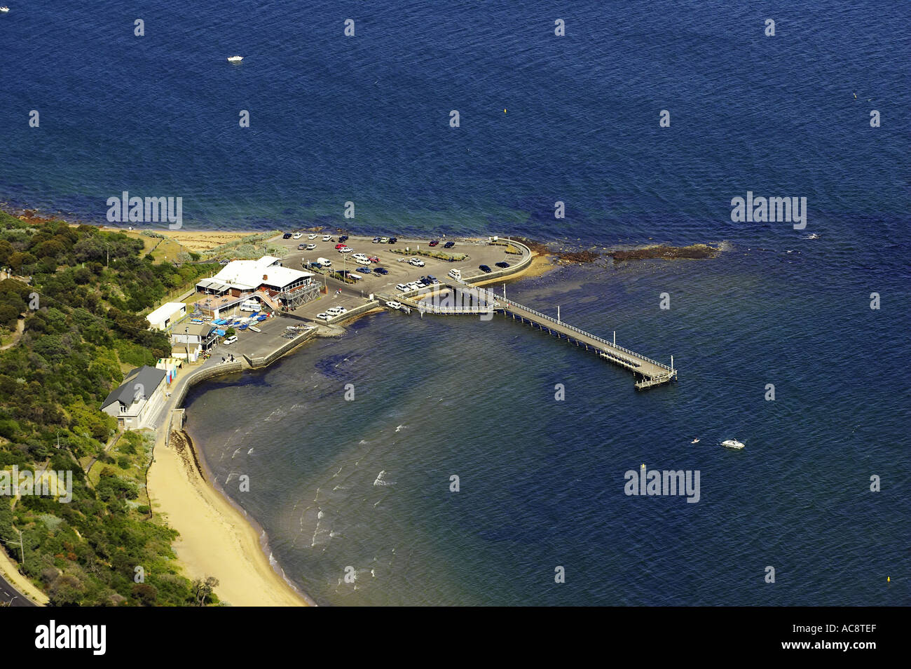 Half Moon Bay Port Phillip Bay Melbourne Victoria Australia aerial Stock Photohttps://www.alamy.com/image-license-details/?v=1https://www.alamy.com/half-moon-bay-port-phillip-bay-melbourne-victoria-australia-aerial-image4270318.html
RMAC8TEF–Half Moon Bay Port Phillip Bay Melbourne Victoria Australia aerial
 United States. 27th May, 2022. Aerial view of Manhattan Beach in Half Moon Bay, California, May 27, 2022. (Photo by Smith Collection/Gado/Sipa USA) Credit: Sipa USA/Alamy Live News Stock Photohttps://www.alamy.com/image-license-details/?v=1https://www.alamy.com/united-states-27th-may-2022-aerial-view-of-manhattan-beach-in-half-moon-bay-california-may-27-2022-photo-by-smith-collectiongadosipa-usa-credit-sipa-usaalamy-live-news-image552172131.html
RM2R29H57–United States. 27th May, 2022. Aerial view of Manhattan Beach in Half Moon Bay, California, May 27, 2022. (Photo by Smith Collection/Gado/Sipa USA) Credit: Sipa USA/Alamy Live News
 Pacific Ocean waves crash against the rugged and scenic coastline of California near Santa Cruz. The Pacific Coast Highway runs along this region. Stock Photohttps://www.alamy.com/image-license-details/?v=1https://www.alamy.com/pacific-ocean-waves-crash-against-the-rugged-and-scenic-coastline-of-california-near-santa-cruz-the-pacific-coast-highway-runs-along-this-region-image441122189.html
RM2GHJRRW–Pacific Ocean waves crash against the rugged and scenic coastline of California near Santa Cruz. The Pacific Coast Highway runs along this region.
 A warm summer day in Half Moon Bay, Ca Stock Photohttps://www.alamy.com/image-license-details/?v=1https://www.alamy.com/a-warm-summer-day-in-half-moon-bay-ca-image188165817.html
RFMX3KBN–A warm summer day in Half Moon Bay, Ca
 Half Moon Cay aerial view. This island is also called Little San Salvador Island located in the Bahamas. Stock Photohttps://www.alamy.com/image-license-details/?v=1https://www.alamy.com/half-moon-cay-aerial-view-this-island-is-also-called-little-san-salvador-island-located-in-the-bahamas-image561351523.html
RF2RH7NGK–Half Moon Cay aerial view. This island is also called Little San Salvador Island located in the Bahamas.
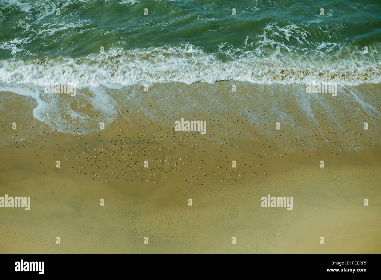 Overhead View of Sandpiper Birds on Sandy Golden Beach, With Waves Rolling in at Half Moon Bay, California USA Stock Photohttps://www.alamy.com/image-license-details/?v=1https://www.alamy.com/overhead-view-of-sandpiper-birds-on-sandy-golden-beach-with-waves-rolling-in-at-half-moon-bay-california-usa-image214226073.html
RFPCERF5–Overhead View of Sandpiper Birds on Sandy Golden Beach, With Waves Rolling in at Half Moon Bay, California USA
 Wellington harbor cityscape at night after sunset Stock Photohttps://www.alamy.com/image-license-details/?v=1https://www.alamy.com/wellington-harbor-cityscape-at-night-after-sunset-image343289973.html
RF2AXE5T5–Wellington harbor cityscape at night after sunset
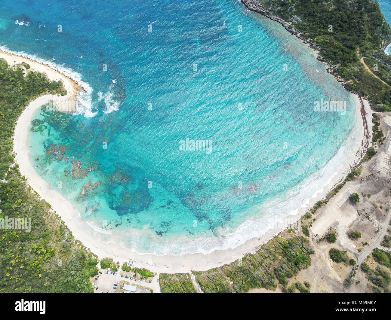 Half Moon Bay Beach, Antigua Stock Photohttps://www.alamy.com/image-license-details/?v=1https://www.alamy.com/stock-photo-half-moon-bay-beach-antigua-176004891.html
RMM69M0Y–Half Moon Bay Beach, Antigua
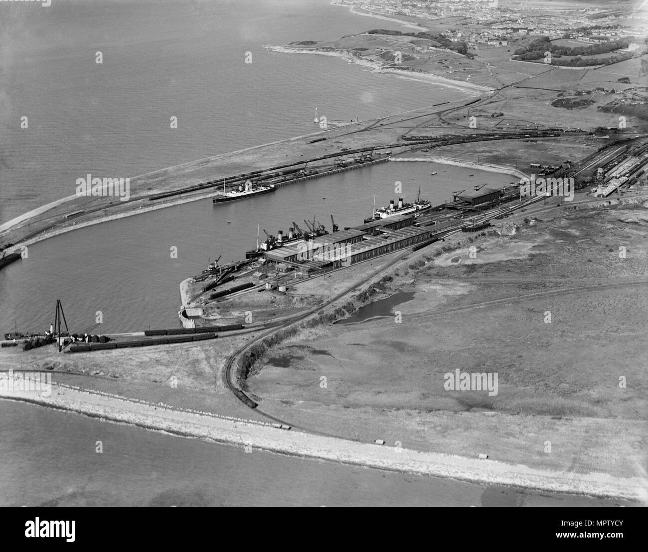 Heysham Harbour and Half Moon Bay, Lancashire, 1934. Artist: Aerofilms. Stock Photohttps://www.alamy.com/image-license-details/?v=1https://www.alamy.com/heysham-harbour-and-half-moon-bay-lancashire-1934-artist-aerofilms-image186174491.html
RMMPTYCY–Heysham Harbour and Half Moon Bay, Lancashire, 1934. Artist: Aerofilms.
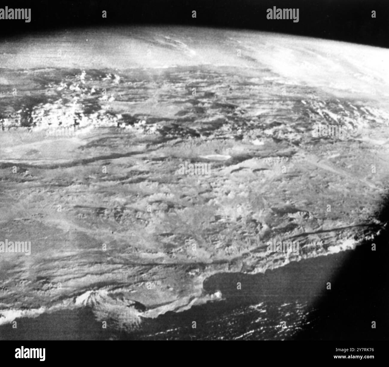 RARE VIEW OF CHILESpace Centre, Houston, Texas, USA : This view of part of the Western coast of South America was made form the Apollo 7 space craft during its 81st revolution of the earth on the 7th day of its space mission. The photo was taken from an altitude of 138 miles. Shown at the lower centre of the photo is a half moon shaped bay. The port city of Autofagasta, Chile, is located on this bay. Below the clouds at upper left are the great plains known as Gran Chaco. 29 OCtober 1968 Stock Photohttps://www.alamy.com/image-license-details/?v=1https://www.alamy.com/rare-view-of-chilespace-centre-houston-texas-usa-this-view-of-part-of-the-western-coast-of-south-america-was-made-form-the-apollo-7-space-craft-during-its-81st-revolution-of-the-earth-on-the-7th-day-of-its-space-mission-the-photo-was-taken-from-an-altitude-of-138-miles-shown-at-the-lower-centre-of-the-photo-is-a-half-moon-shaped-bay-the-port-city-of-autofagasta-chile-is-located-on-this-bay-below-the-clouds-at-upper-left-are-the-great-plains-known-as-gran-chaco-29-october-1968-image624395834.html
RM2Y7RK76–RARE VIEW OF CHILESpace Centre, Houston, Texas, USA : This view of part of the Western coast of South America was made form the Apollo 7 space craft during its 81st revolution of the earth on the 7th day of its space mission. The photo was taken from an altitude of 138 miles. Shown at the lower centre of the photo is a half moon shaped bay. The port city of Autofagasta, Chile, is located on this bay. Below the clouds at upper left are the great plains known as Gran Chaco. 29 OCtober 1968
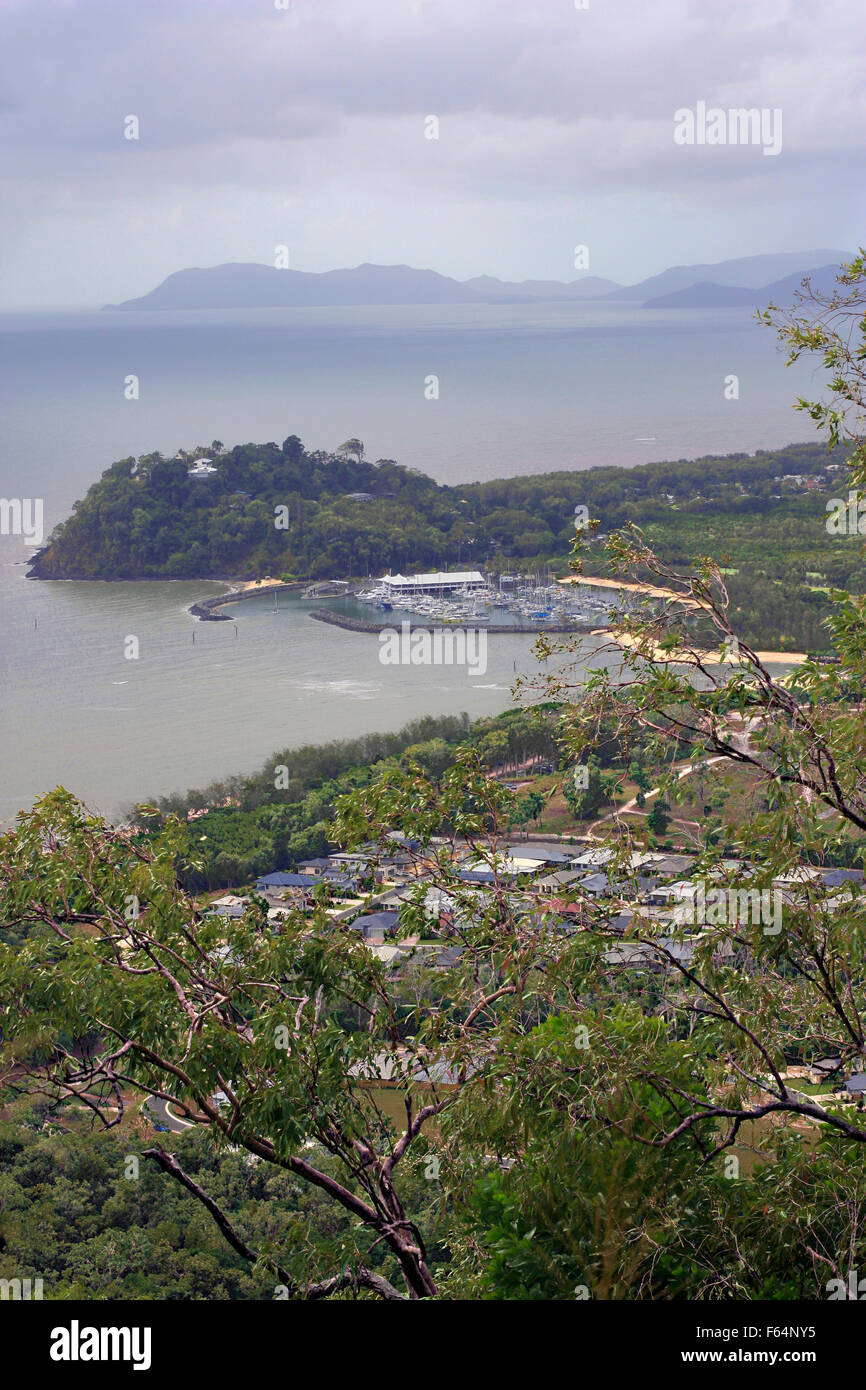 aerial view of Cairns yacht club from a distance Stock Photohttps://www.alamy.com/image-license-details/?v=1https://www.alamy.com/stock-photo-aerial-view-of-cairns-yacht-club-from-a-distance-89844809.html
RFF64NY5–aerial view of Cairns yacht club from a distance
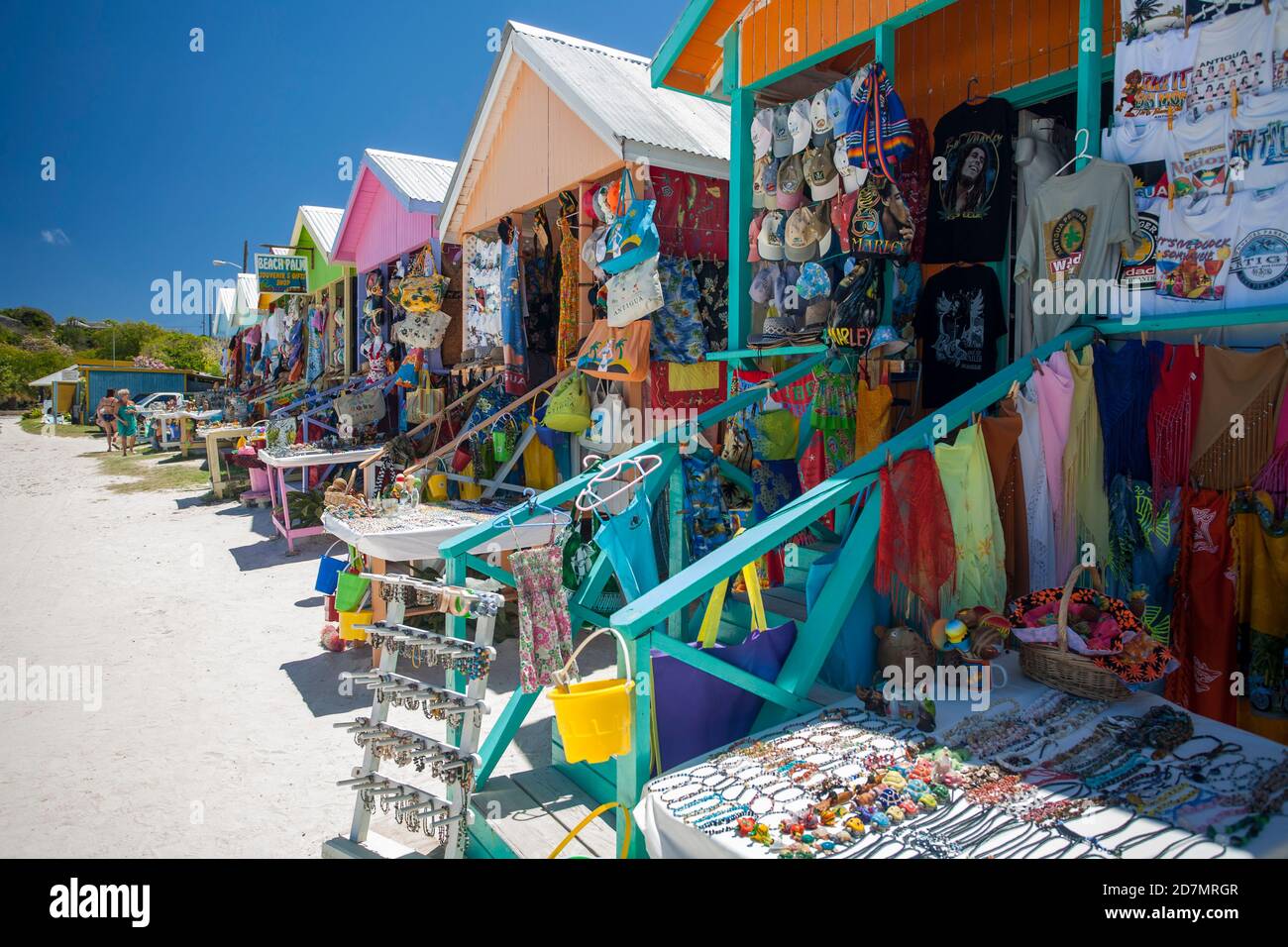 Half moon bay in Antigua. Antigua is an island in the Lesser Antilles. Stock Photohttps://www.alamy.com/image-license-details/?v=1https://www.alamy.com/half-moon-bay-in-antigua-antigua-is-an-island-in-the-lesser-antilles-image383388231.html
RF2D7MRGR–Half moon bay in Antigua. Antigua is an island in the Lesser Antilles.
 BC Canada Stock Photohttps://www.alamy.com/image-license-details/?v=1https://www.alamy.com/bc-canada-image121655.html
RFA1DB37–BC Canada
 Davenport, California, a small coastal town in Northern California Stock Photohttps://www.alamy.com/image-license-details/?v=1https://www.alamy.com/davenport-california-a-small-coastal-town-in-northern-california-image501865253.html
RF2M4DX71–Davenport, California, a small coastal town in Northern California
 Beautiful aerial shot of a lit lighthouse on a green hill with the half-moon in the night sky Stock Photohttps://www.alamy.com/image-license-details/?v=1https://www.alamy.com/beautiful-aerial-shot-of-a-lit-lighthouse-on-a-green-hill-with-the-half-moon-in-the-night-sky-image259921532.html
RFW2TCFT–Beautiful aerial shot of a lit lighthouse on a green hill with the half-moon in the night sky
 Half Moon Bay California Jetty Boat Docking Aerial Top Down Drone View Stock Photohttps://www.alamy.com/image-license-details/?v=1https://www.alamy.com/half-moon-bay-california-jetty-boat-docking-aerial-top-down-drone-view-image218546416.html
RFPKFJ54–Half Moon Bay California Jetty Boat Docking Aerial Top Down Drone View
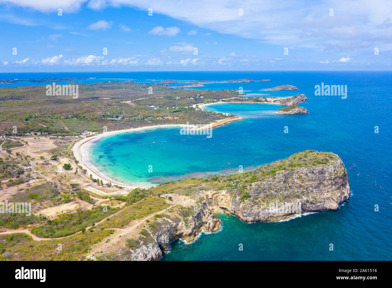 Aerial view by drone of cliffs surrounding Half Moon Bay washed by Caribbean Sea, Antigua, Leeward Islands, West Indies, Caribbean, Central America Stock Photohttps://www.alamy.com/image-license-details/?v=1https://www.alamy.com/aerial-view-by-drone-of-cliffs-surrounding-half-moon-bay-washed-by-caribbean-sea-antigua-leeward-islands-west-indies-caribbean-central-america-image330710836.html
RF2A61518–Aerial view by drone of cliffs surrounding Half Moon Bay washed by Caribbean Sea, Antigua, Leeward Islands, West Indies, Caribbean, Central America
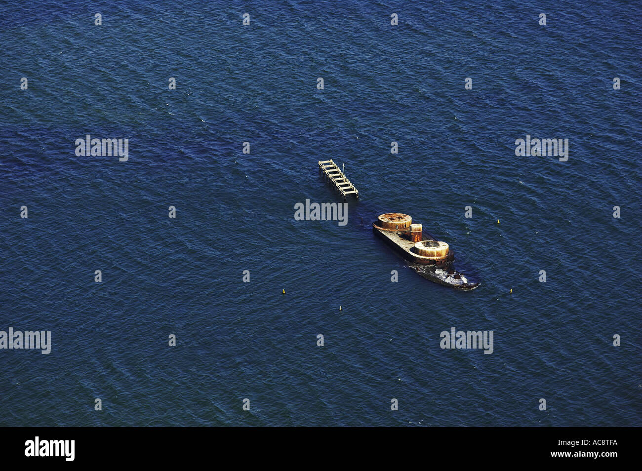 Historic wreck of H M V S Cerberus Half Moon Bay Port Phillip Bay Melbourne Victoria Australia aerial Stock Photohttps://www.alamy.com/image-license-details/?v=1https://www.alamy.com/historic-wreck-of-h-m-v-s-cerberus-half-moon-bay-port-phillip-bay-image4270329.html
RMAC8TFA–Historic wreck of H M V S Cerberus Half Moon Bay Port Phillip Bay Melbourne Victoria Australia aerial
 Pacific Ocean waves crash against the rugged and scenic coastline of California near Santa Cruz. The Pacific Coast Highway runs along this region. Stock Photohttps://www.alamy.com/image-license-details/?v=1https://www.alamy.com/pacific-ocean-waves-crash-against-the-rugged-and-scenic-coastline-of-california-near-santa-cruz-the-pacific-coast-highway-runs-along-this-region-image441122239.html
RM2GHJRWK–Pacific Ocean waves crash against the rugged and scenic coastline of California near Santa Cruz. The Pacific Coast Highway runs along this region.
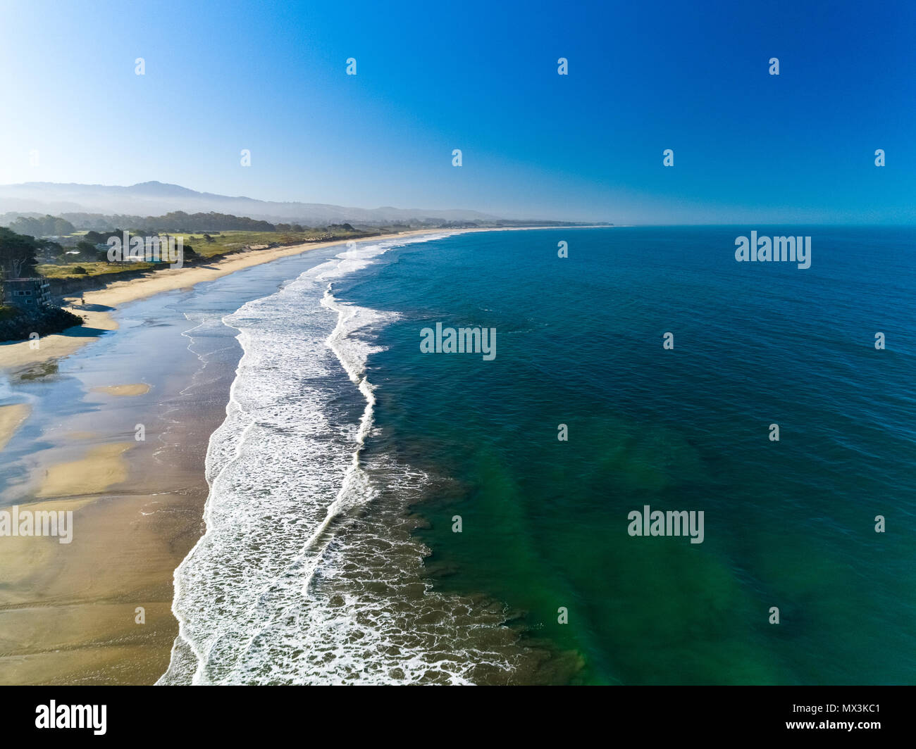 A warm summer day in Half Moon Bay, Ca Stock Photohttps://www.alamy.com/image-license-details/?v=1https://www.alamy.com/a-warm-summer-day-in-half-moon-bay-ca-image188165825.html
RFMX3KC1–A warm summer day in Half Moon Bay, Ca
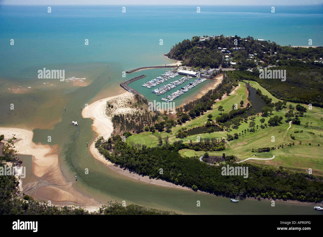 Golf Course and Half Moon Bay Marina Yorkeys Knob Cairns North Queensland Australia aerial Stock Photohttps://www.alamy.com/image-license-details/?v=1https://www.alamy.com/stock-photo-golf-course-and-half-moon-bay-marina-yorkeys-knob-cairns-north-queensland-15846471.html
RMAPR0PG–Golf Course and Half Moon Bay Marina Yorkeys Knob Cairns North Queensland Australia aerial
 Wellington harbor cityscape at night after sunset Stock Photohttps://www.alamy.com/image-license-details/?v=1https://www.alamy.com/wellington-harbor-cityscape-at-night-after-sunset-image343290140.html
RF2AXE624–Wellington harbor cityscape at night after sunset
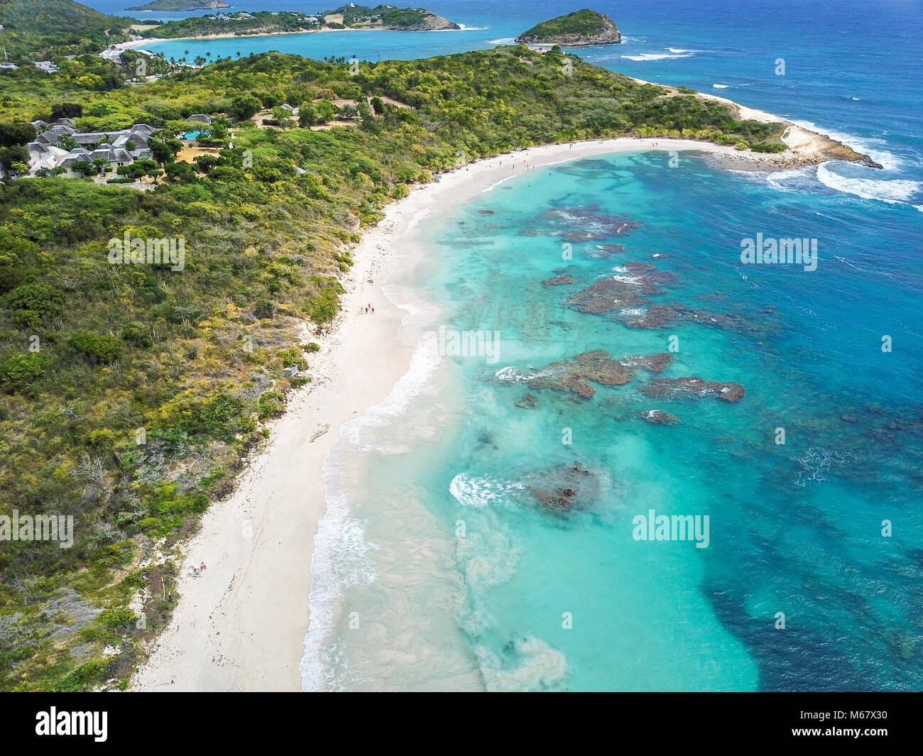 Half Moon Bay Beach, Antigua Stock Photohttps://www.alamy.com/image-license-details/?v=1https://www.alamy.com/stock-photo-half-moon-bay-beach-antigua-175965748.html
RMM67X30–Half Moon Bay Beach, Antigua
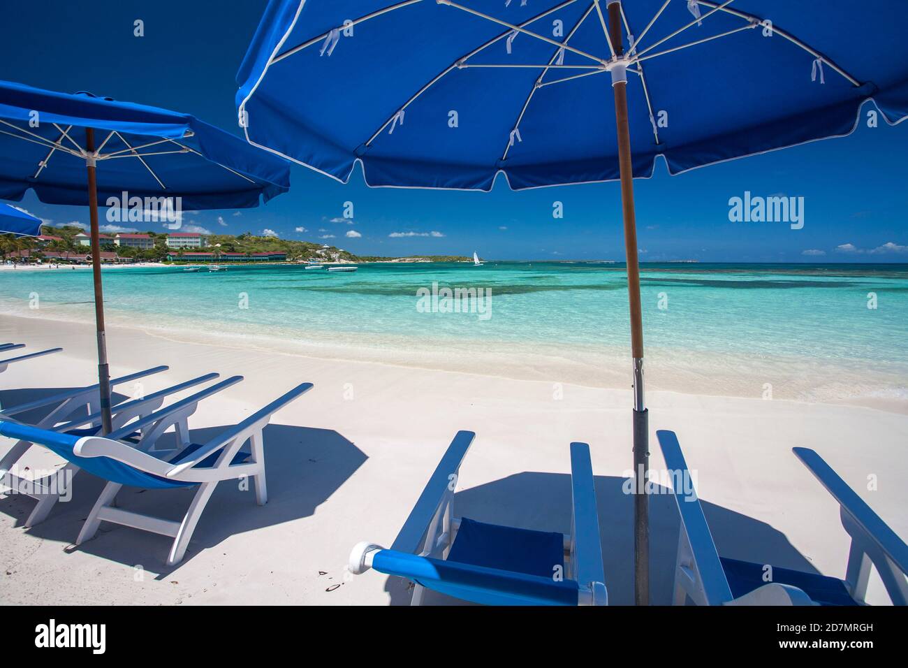 Half moon bay in Antigua. Antigua is an island in the Lesser Antilles. Stock Photohttps://www.alamy.com/image-license-details/?v=1https://www.alamy.com/half-moon-bay-in-antigua-antigua-is-an-island-in-the-lesser-antilles-image383388225.html
RF2D7MRGH–Half moon bay in Antigua. Antigua is an island in the Lesser Antilles.
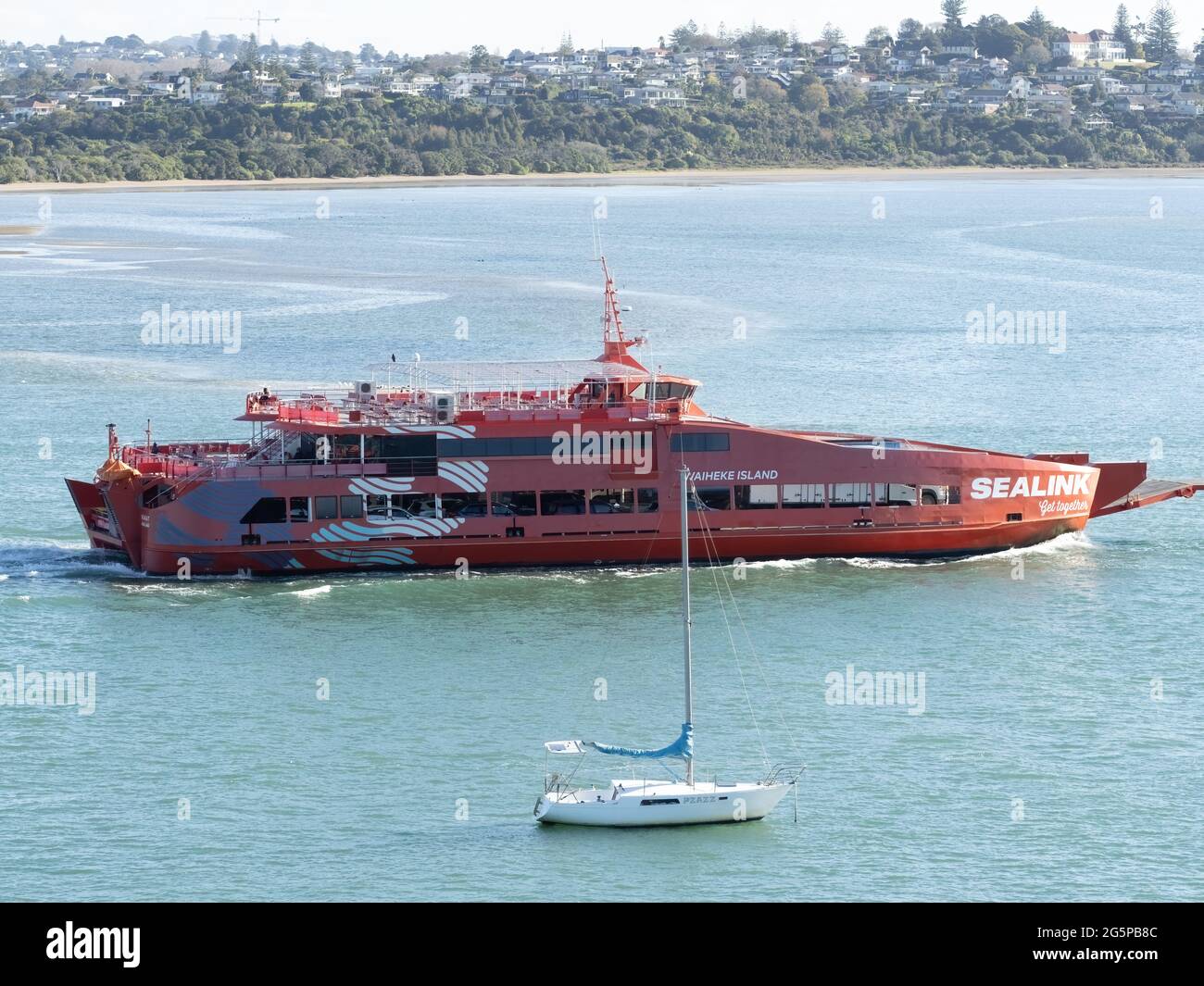 AUCKLAND, NEW ZEALAND - Jun 25, 2021: Aerial view of Sealink passenger car ferry riding to Waiheke island from Half Moon Bay. Auckland, New Zealand - Stock Photohttps://www.alamy.com/image-license-details/?v=1https://www.alamy.com/auckland-new-zealand-jun-25-2021-aerial-view-of-sealink-passenger-car-ferry-riding-to-waiheke-island-from-half-moon-bay-auckland-new-zealand-image433824284.html
RF2G5PB8C–AUCKLAND, NEW ZEALAND - Jun 25, 2021: Aerial view of Sealink passenger car ferry riding to Waiheke island from Half Moon Bay. Auckland, New Zealand -
 Half Moon Bay California Jetty Boat Docking Aerial Top Down Drone View Stock Photohttps://www.alamy.com/image-license-details/?v=1https://www.alamy.com/half-moon-bay-california-jetty-boat-docking-aerial-top-down-drone-view-image218546355.html
RFPKFJ2Y–Half Moon Bay California Jetty Boat Docking Aerial Top Down Drone View
 Pacific Ocean waves crash against the rugged and scenic coastline of California near Santa Cruz. The Pacific Coast Highway runs along this region. Stock Photohttps://www.alamy.com/image-license-details/?v=1https://www.alamy.com/pacific-ocean-waves-crash-against-the-rugged-and-scenic-coastline-of-california-near-santa-cruz-the-pacific-coast-highway-runs-along-this-region-image441122227.html
RM2GHJRW7–Pacific Ocean waves crash against the rugged and scenic coastline of California near Santa Cruz. The Pacific Coast Highway runs along this region.
 A warm summer day in Half Moon Bay, Ca Stock Photohttps://www.alamy.com/image-license-details/?v=1https://www.alamy.com/a-warm-summer-day-in-half-moon-bay-ca-image188165833.html
RFMX3KC9–A warm summer day in Half Moon Bay, Ca

