Hammond montana map Cut Out Stock Images
 Hammond, Carter County, US, United States, Montana, N 45 13' 31'', S 104 55' 4'', map, Cartascapes Map published in 2024. Explore Cartascapes, a map revealing Earth's diverse landscapes, cultures, and ecosystems. Journey through time and space, discovering the interconnectedness of our planet's past, present, and future. Stock Photohttps://www.alamy.com/image-license-details/?v=1https://www.alamy.com/hammond-carter-county-us-united-states-montana-n-45-13-31-s-104-55-4-map-cartascapes-map-published-in-2024-explore-cartascapes-a-map-revealing-earths-diverse-landscapes-cultures-and-ecosystems-journey-through-time-and-space-discovering-the-interconnectedness-of-our-planets-past-present-and-future-image620818433.html
RM2Y20M6W–Hammond, Carter County, US, United States, Montana, N 45 13' 31'', S 104 55' 4'', map, Cartascapes Map published in 2024. Explore Cartascapes, a map revealing Earth's diverse landscapes, cultures, and ecosystems. Journey through time and space, discovering the interconnectedness of our planet's past, present, and future.
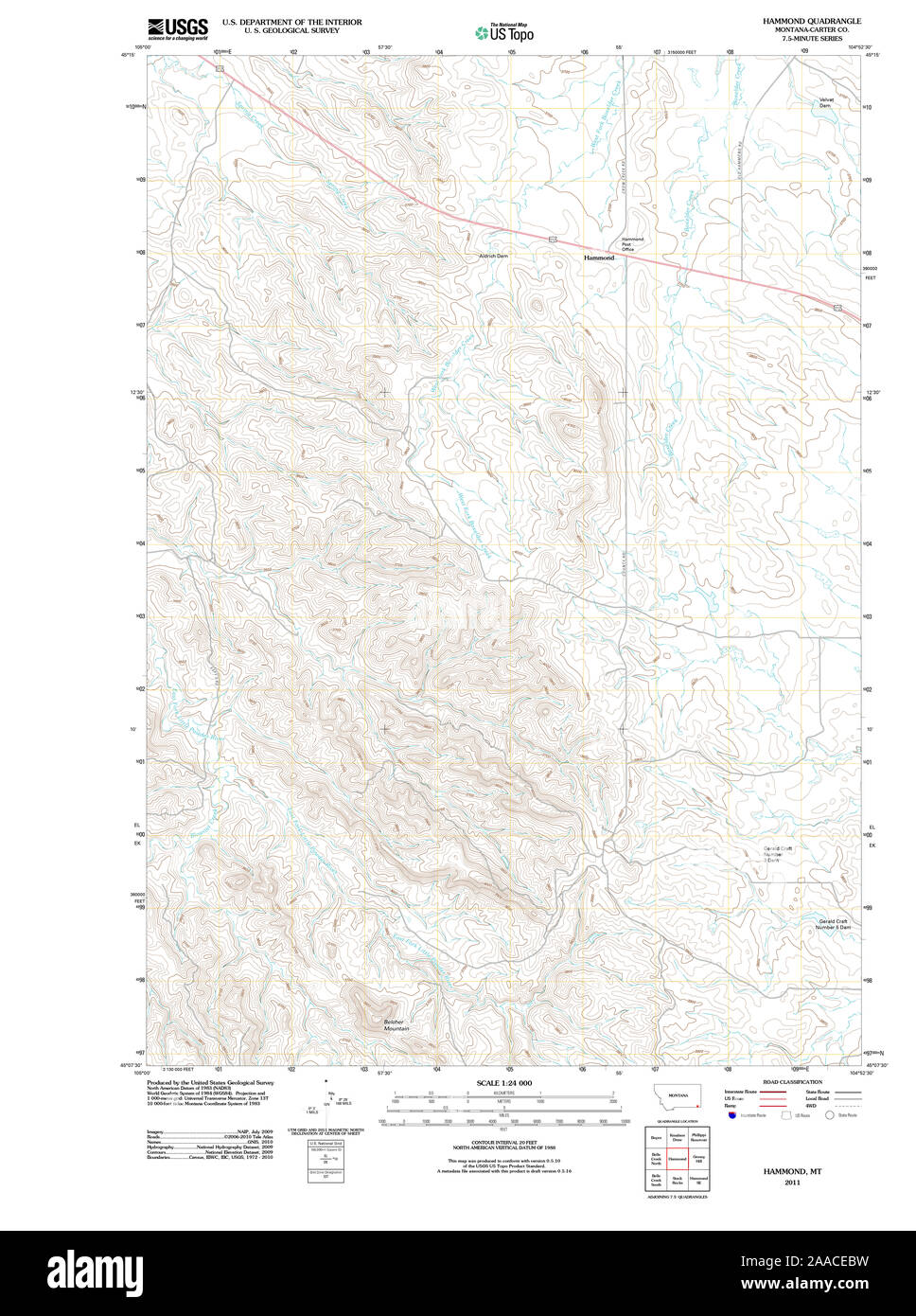 USGS TOPO Map Montana MT Hammond 20110606 TM Restoration Stock Photohttps://www.alamy.com/image-license-details/?v=1https://www.alamy.com/usgs-topo-map-montana-mt-hammond-20110606-tm-restoration-image333418285.html
RM2AACEBW–USGS TOPO Map Montana MT Hammond 20110606 TM Restoration
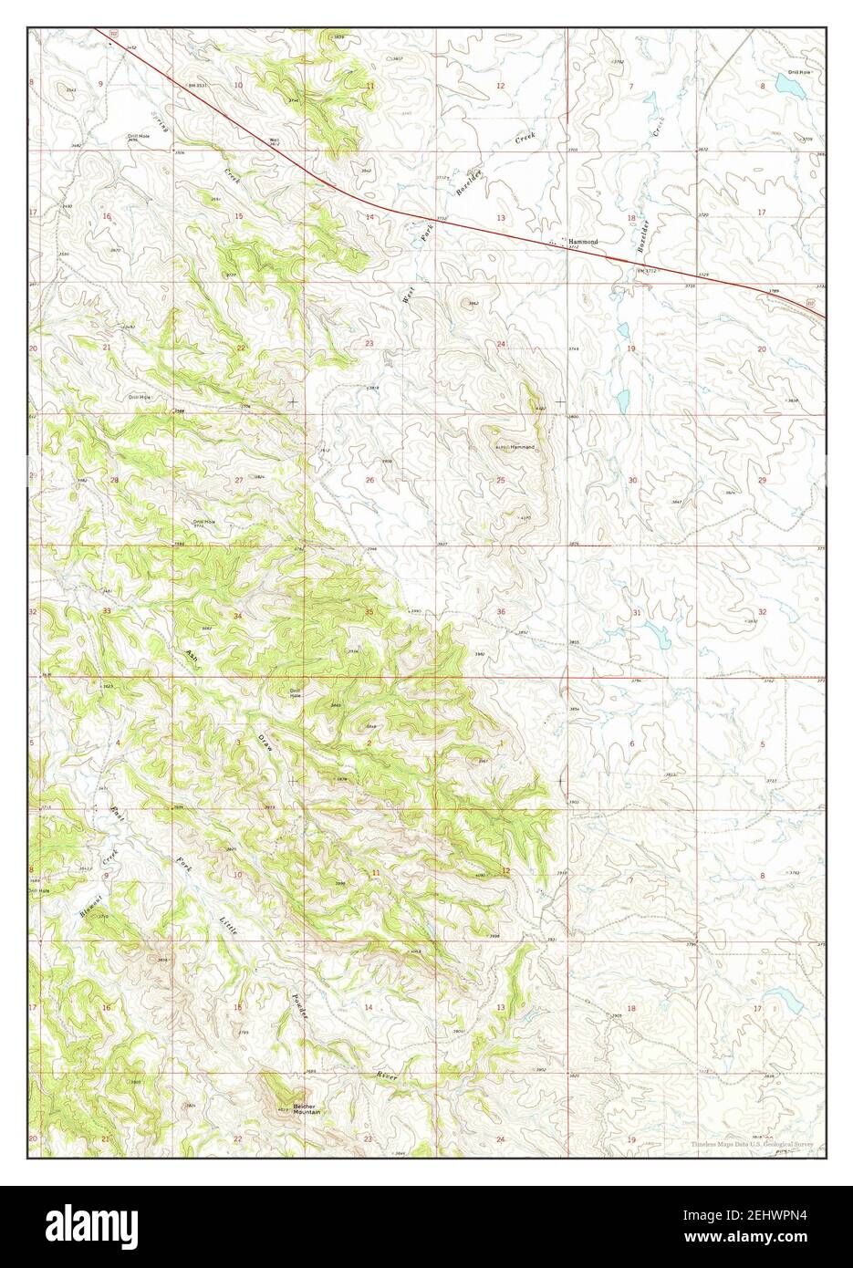 Hammond, Montana, map 1970, 1:24000, United States of America by Timeless Maps, data U.S. Geological Survey Stock Photohttps://www.alamy.com/image-license-details/?v=1https://www.alamy.com/hammond-montana-map-1970-124000-united-states-of-america-by-timeless-maps-data-us-geological-survey-image406854256.html
RM2EHWPN4–Hammond, Montana, map 1970, 1:24000, United States of America by Timeless Maps, data U.S. Geological Survey
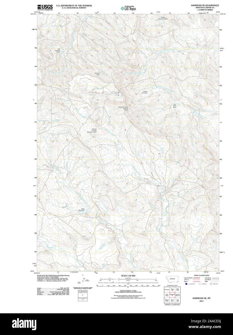 USGS TOPO Map Montana MT Hammond SE 20110525 TM Restoration Stock Photohttps://www.alamy.com/image-license-details/?v=1https://www.alamy.com/usgs-topo-map-montana-mt-hammond-se-20110525-tm-restoration-image333418698.html
RM2AACEXJ–USGS TOPO Map Montana MT Hammond SE 20110525 TM Restoration
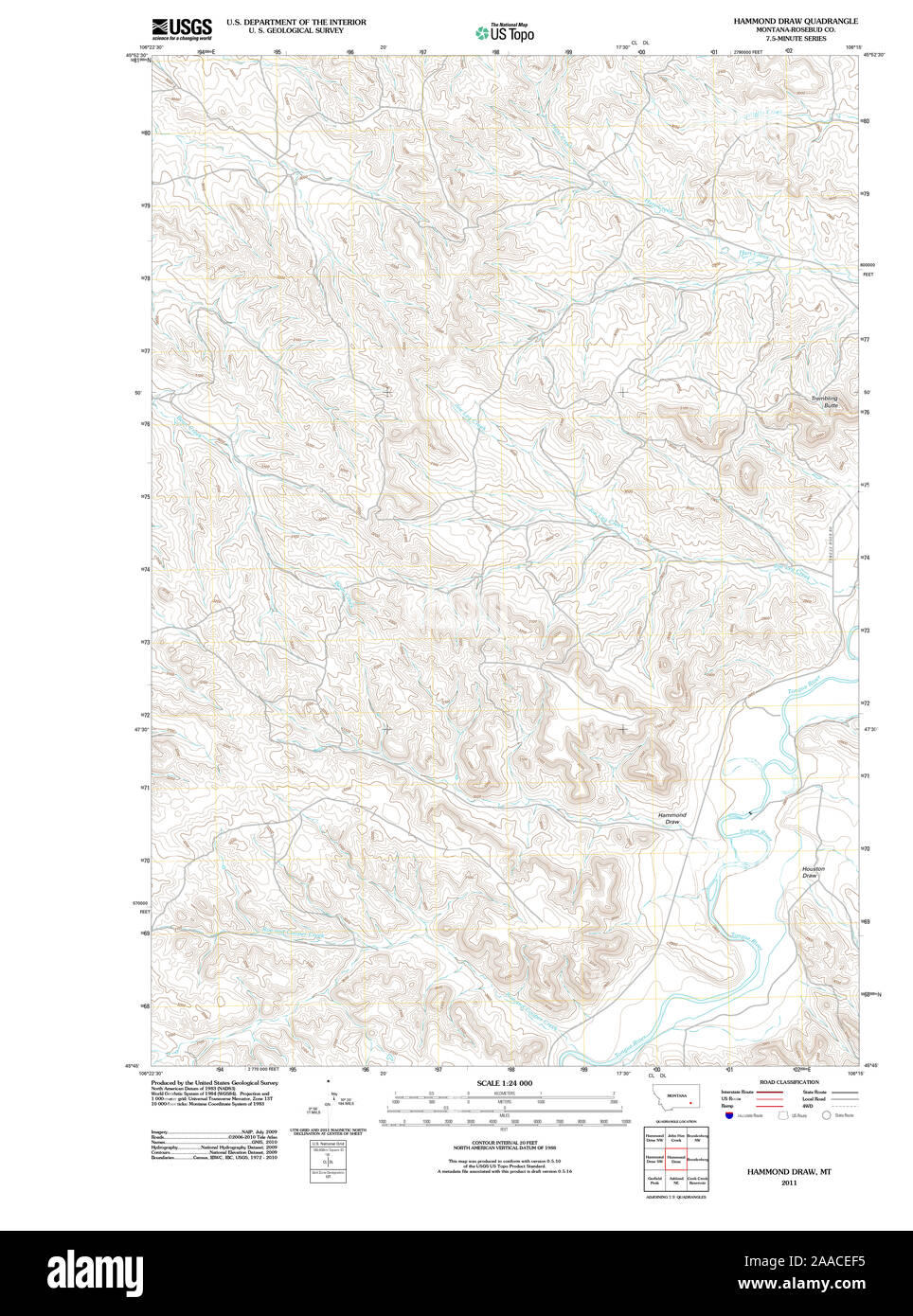 USGS TOPO Map Montana MT Hammond Draw 20110523 TM Restoration Stock Photohttps://www.alamy.com/image-license-details/?v=1https://www.alamy.com/usgs-topo-map-montana-mt-hammond-draw-20110523-tm-restoration-image333418377.html
RM2AACEF5–USGS TOPO Map Montana MT Hammond Draw 20110523 TM Restoration
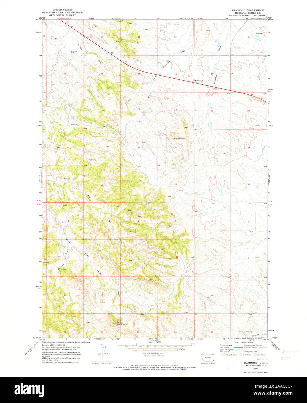 USGS TOPO Map Montana MT Hammond 264233 1970 24000 Restoration Stock Photohttps://www.alamy.com/image-license-details/?v=1https://www.alamy.com/usgs-topo-map-montana-mt-hammond-264233-1970-24000-restoration-image333418295.html
RM2AACEC7–USGS TOPO Map Montana MT Hammond 264233 1970 24000 Restoration
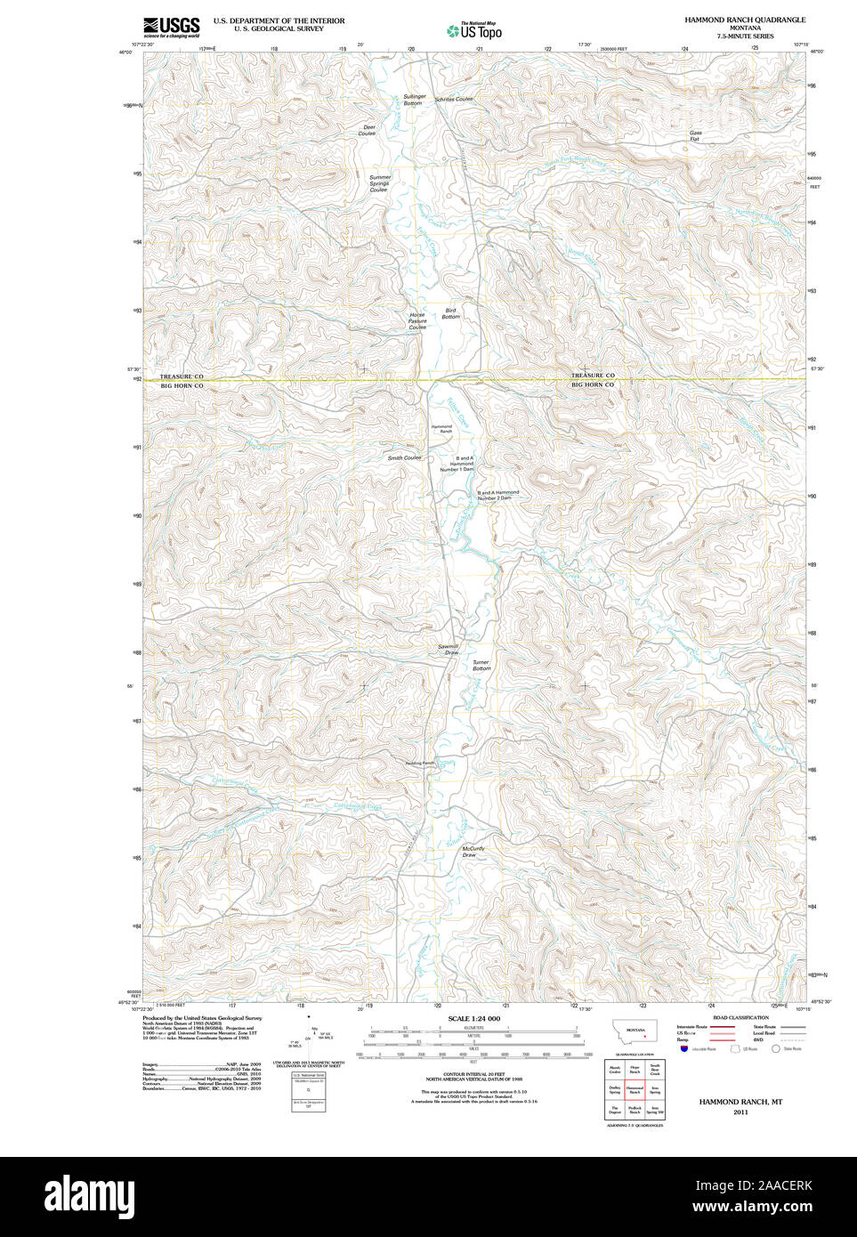 USGS TOPO Map Montana MT Hammond Ranch 20110518 TM Restoration Stock Photohttps://www.alamy.com/image-license-details/?v=1https://www.alamy.com/usgs-topo-map-montana-mt-hammond-ranch-20110518-tm-restoration-image333418615.html
RM2AACERK–USGS TOPO Map Montana MT Hammond Ranch 20110518 TM Restoration
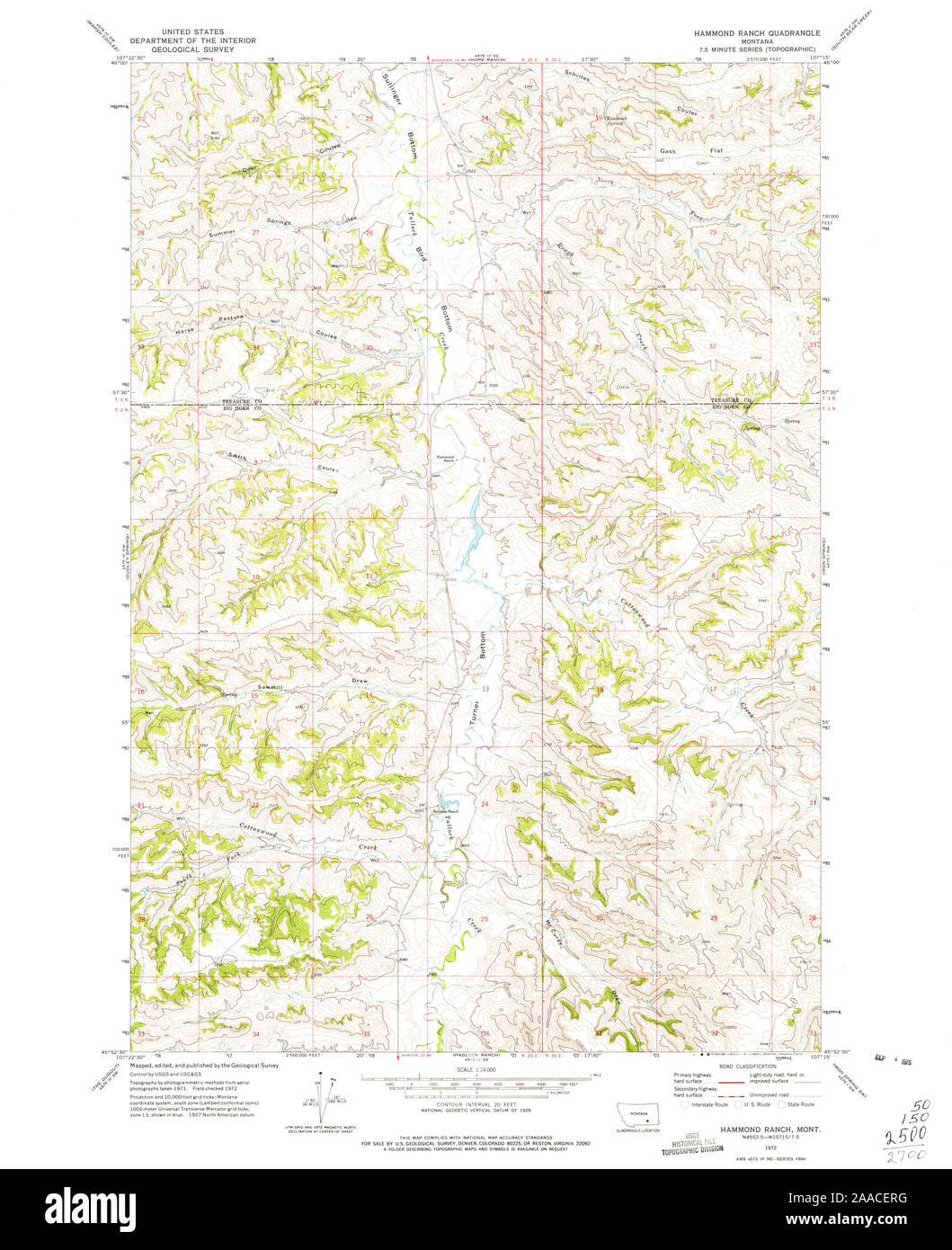 USGS TOPO Map Montana MT Hammond Ranch 264237 1972 24000 Restoration Stock Photohttps://www.alamy.com/image-license-details/?v=1https://www.alamy.com/usgs-topo-map-montana-mt-hammond-ranch-264237-1972-24000-restoration-image333418612.html
RM2AACERG–USGS TOPO Map Montana MT Hammond Ranch 264237 1972 24000 Restoration
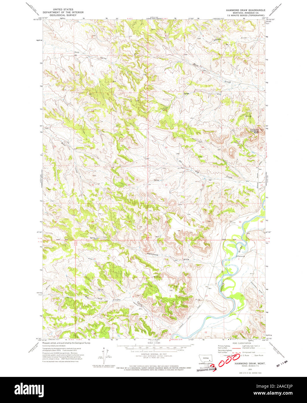 USGS TOPO Map Montana MT Hammond Draw 264234 1971 24000 Restoration Stock Photohttps://www.alamy.com/image-license-details/?v=1https://www.alamy.com/usgs-topo-map-montana-mt-hammond-draw-264234-1971-24000-restoration-image333418478.html
RM2AACEJP–USGS TOPO Map Montana MT Hammond Draw 264234 1971 24000 Restoration
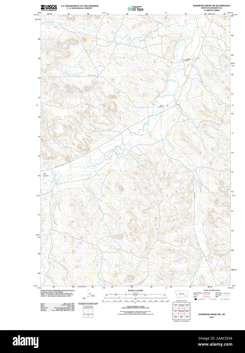 USGS TOPO Map Montana MT Hammond Draw SW 20110523 TM Restoration Stock Photohttps://www.alamy.com/image-license-details/?v=1https://www.alamy.com/usgs-topo-map-montana-mt-hammond-draw-sw-20110523-tm-restoration-image333418550.html
RM2AACENA–USGS TOPO Map Montana MT Hammond Draw SW 20110523 TM Restoration
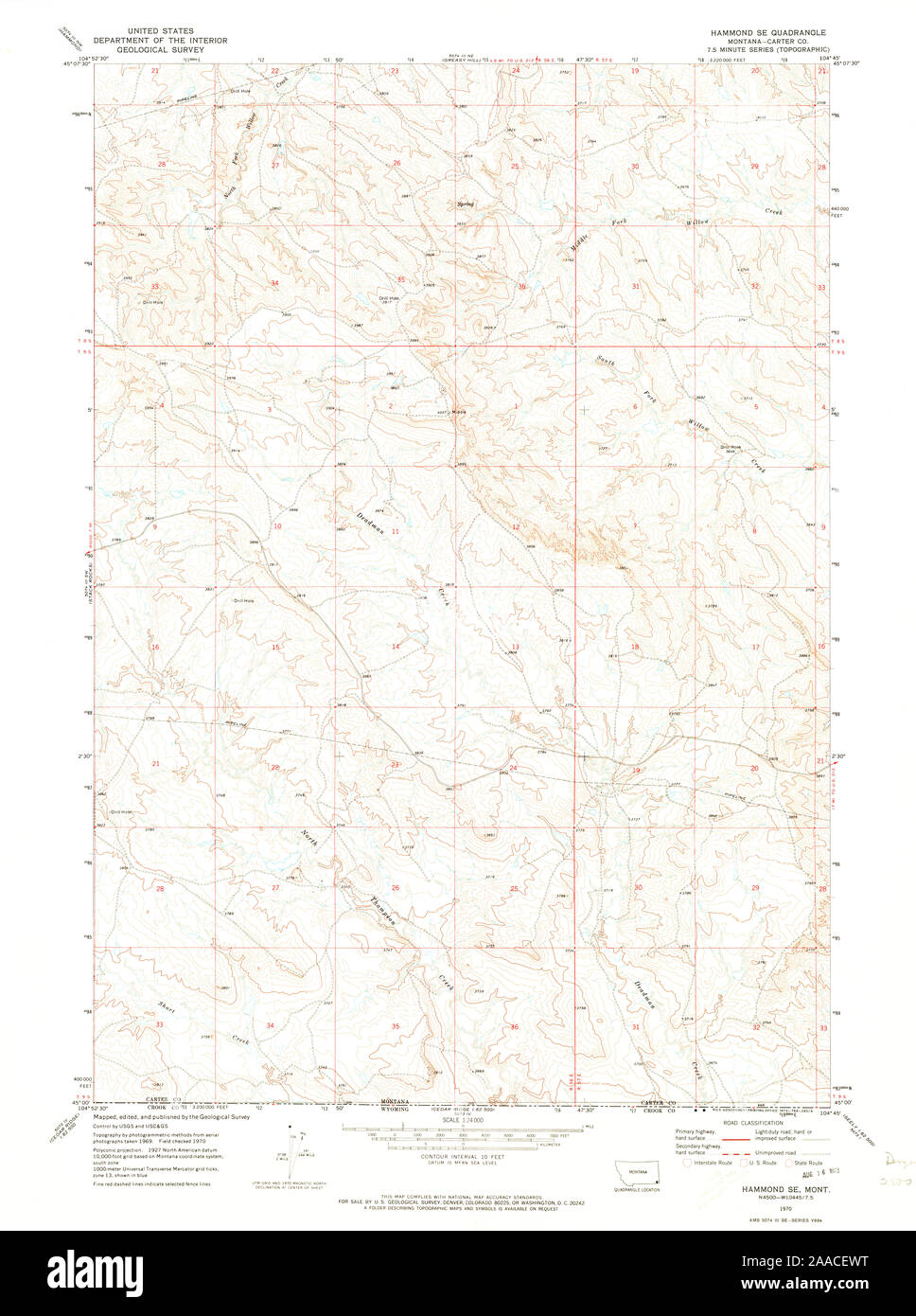 USGS TOPO Map Montana MT Hammond SE 264238 1970 24000 Restoration Stock Photohttps://www.alamy.com/image-license-details/?v=1https://www.alamy.com/usgs-topo-map-montana-mt-hammond-se-264238-1970-24000-restoration-image333418676.html
RM2AACEWT–USGS TOPO Map Montana MT Hammond SE 264238 1970 24000 Restoration
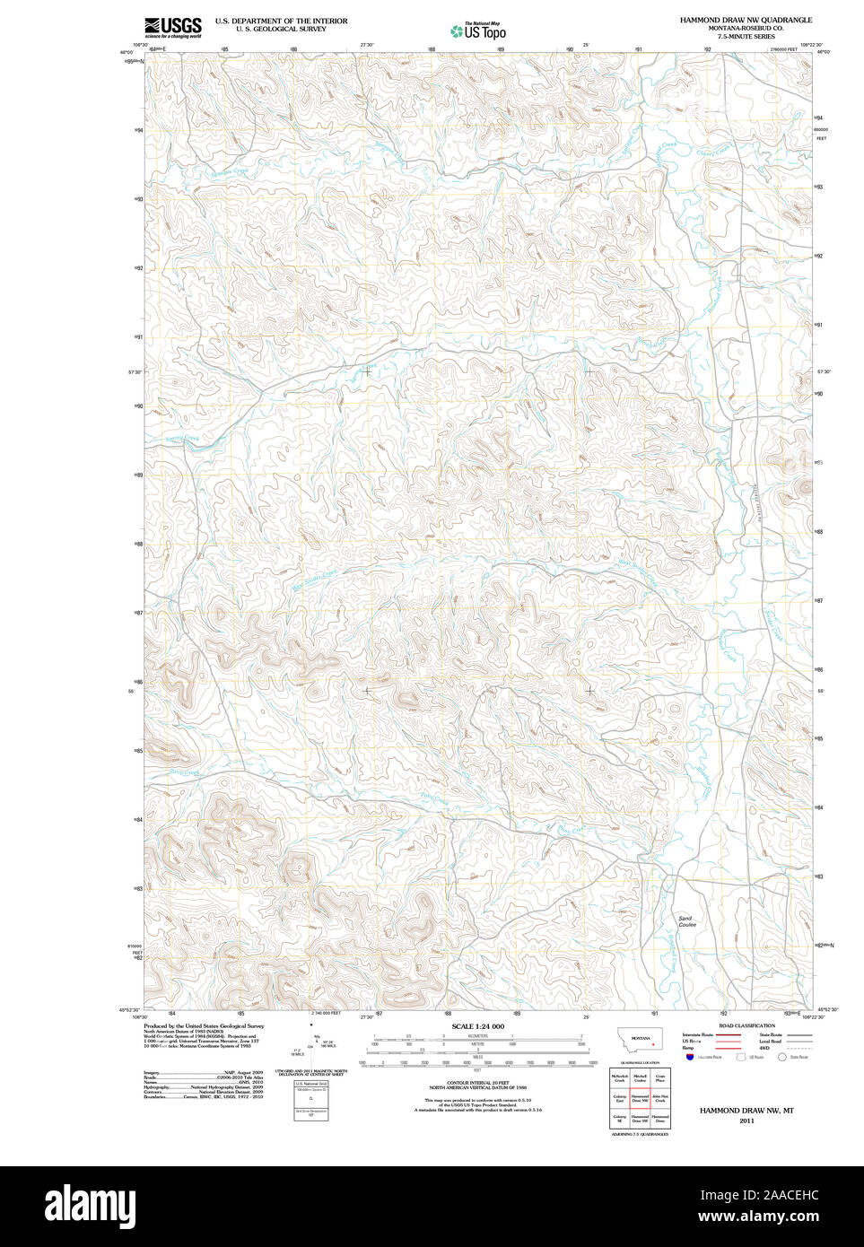 USGS TOPO Map Montana MT Hammond Draw NW 20110523 TM Restoration Stock Photohttps://www.alamy.com/image-license-details/?v=1https://www.alamy.com/usgs-topo-map-montana-mt-hammond-draw-nw-20110523-tm-restoration-image333418440.html
RM2AACEHC–USGS TOPO Map Montana MT Hammond Draw NW 20110523 TM Restoration
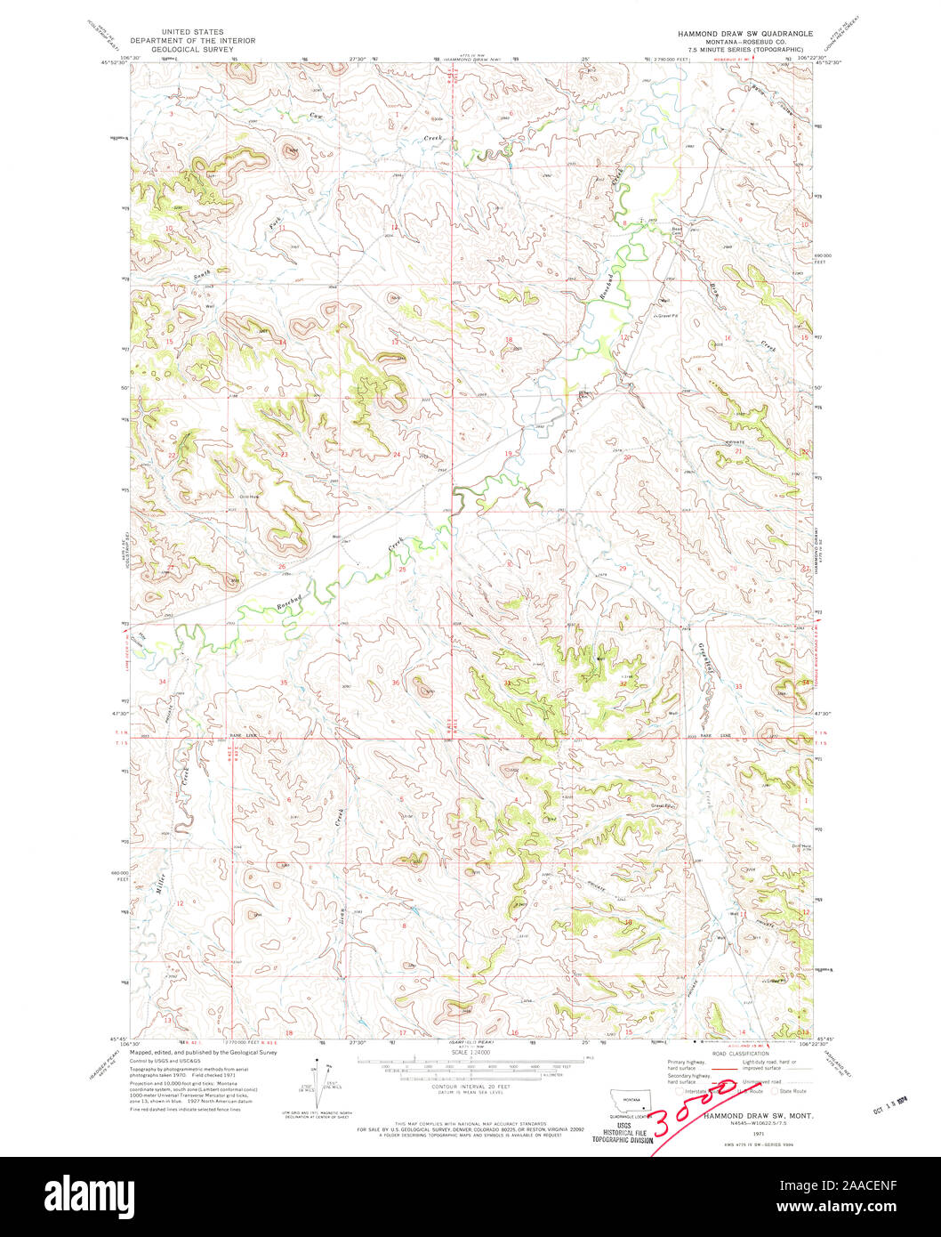 USGS TOPO Map Montana MT Hammond Draw SW 264236 1971 24000 Restoration Stock Photohttps://www.alamy.com/image-license-details/?v=1https://www.alamy.com/usgs-topo-map-montana-mt-hammond-draw-sw-264236-1971-24000-restoration-image333418555.html
RM2AACENF–USGS TOPO Map Montana MT Hammond Draw SW 264236 1971 24000 Restoration
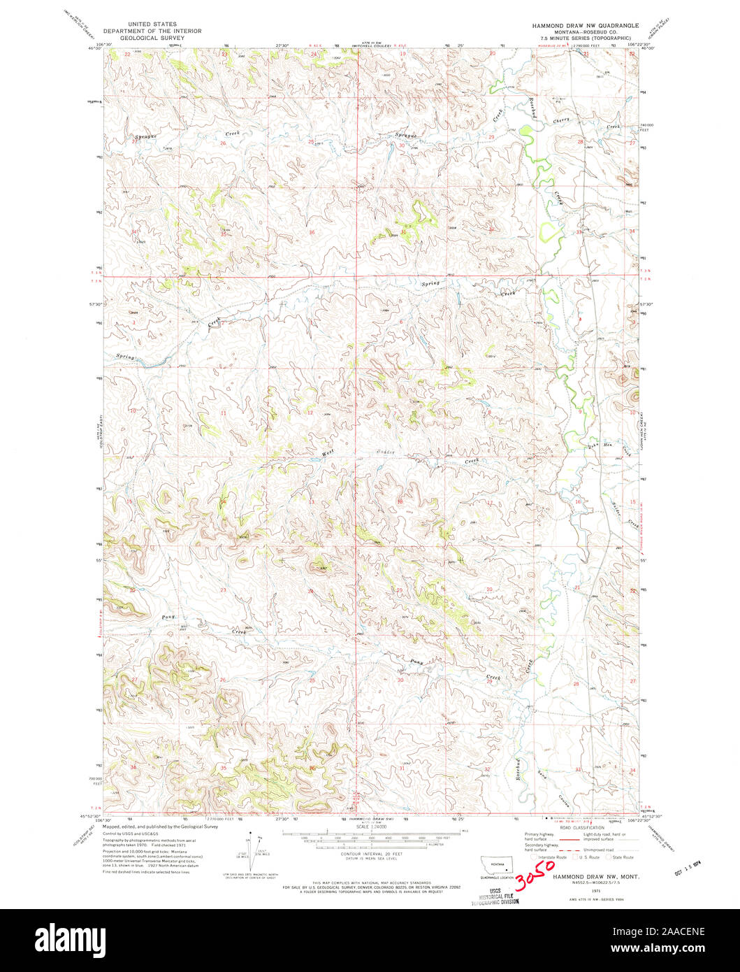 USGS TOPO Map Montana MT Hammond Draw NW 264235 1971 24000 Restoration Stock Photohttps://www.alamy.com/image-license-details/?v=1https://www.alamy.com/usgs-topo-map-montana-mt-hammond-draw-nw-264235-1971-24000-restoration-image333418554.html
RM2AACENE–USGS TOPO Map Montana MT Hammond Draw NW 264235 1971 24000 Restoration