Quick filters:
Hampden maine map Stock Photos and Images
 Hampden Maine USA shown on a Geography map or road map Stock Photohttps://www.alamy.com/image-license-details/?v=1https://www.alamy.com/hampden-maine-usa-shown-on-a-geography-map-or-road-map-image426061223.html
RM2FN4NC7–Hampden Maine USA shown on a Geography map or road map
 Hampden, Penobscot County, US, United States, Maine, N 44 44' 41'', S 68 50' 15'', map, Cartascapes Map published in 2024. Explore Cartascapes, a map revealing Earth's diverse landscapes, cultures, and ecosystems. Journey through time and space, discovering the interconnectedness of our planet's past, present, and future. Stock Photohttps://www.alamy.com/image-license-details/?v=1https://www.alamy.com/hampden-penobscot-county-us-united-states-maine-n-44-44-41-s-68-50-15-map-cartascapes-map-published-in-2024-explore-cartascapes-a-map-revealing-earths-diverse-landscapes-cultures-and-ecosystems-journey-through-time-and-space-discovering-the-interconnectedness-of-our-planets-past-present-and-future-image621142810.html
RM2Y2FDYP–Hampden, Penobscot County, US, United States, Maine, N 44 44' 41'', S 68 50' 15'', map, Cartascapes Map published in 2024. Explore Cartascapes, a map revealing Earth's diverse landscapes, cultures, and ecosystems. Journey through time and space, discovering the interconnectedness of our planet's past, present, and future.
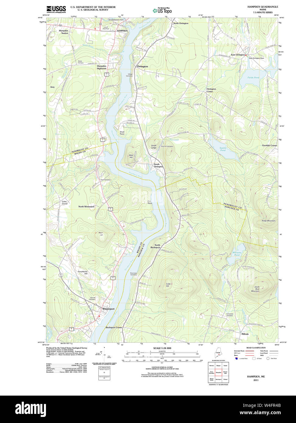 Maine USGS Historical Map Hampden 20110909 TM Restoration Stock Photohttps://www.alamy.com/image-license-details/?v=1https://www.alamy.com/maine-usgs-historical-map-hampden-20110909-tm-restoration-image260961579.html
RMW4FR4B–Maine USGS Historical Map Hampden 20110909 TM Restoration
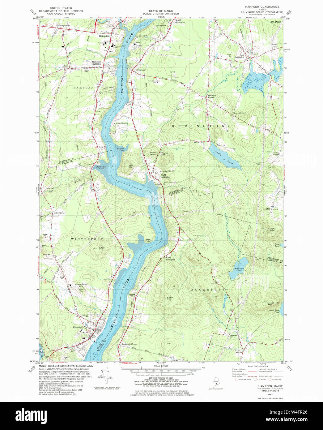 Maine USGS Historical Map Hampden 105186 1982 24000 Restoration Stock Photohttps://www.alamy.com/image-license-details/?v=1https://www.alamy.com/maine-usgs-historical-map-hampden-105186-1982-24000-restoration-image260961518.html
RMW4FR26–Maine USGS Historical Map Hampden 105186 1982 24000 Restoration
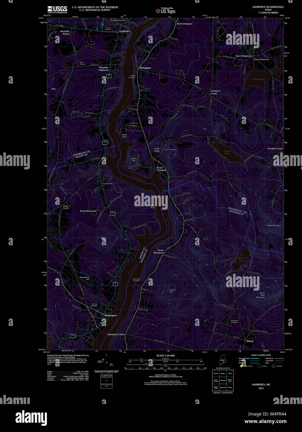 Maine USGS Historical Map Hampden 20110909 TM Inversion Restoration Stock Photohttps://www.alamy.com/image-license-details/?v=1https://www.alamy.com/maine-usgs-historical-map-hampden-20110909-tm-inversion-restoration-image260961572.html
RMW4FR44–Maine USGS Historical Map Hampden 20110909 TM Inversion Restoration
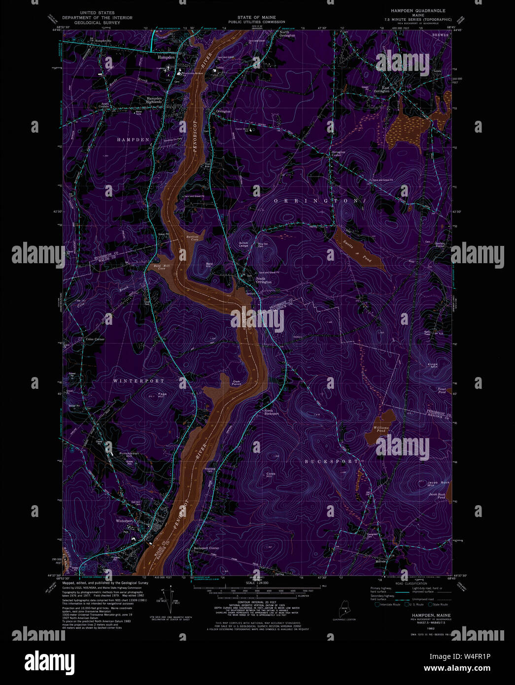 Maine USGS Historical Map Hampden 105186 1982 24000 Inversion Restoration Stock Photohttps://www.alamy.com/image-license-details/?v=1https://www.alamy.com/maine-usgs-historical-map-hampden-105186-1982-24000-inversion-restoration-image260961506.html
RMW4FR1P–Maine USGS Historical Map Hampden 105186 1982 24000 Inversion Restoration
 Hampden Highlands, Penobscot County, US, United States, Maine, N 44 43' 56'', S 68 50' 28'', map, Cartascapes Map published in 2024. Explore Cartascapes, a map revealing Earth's diverse landscapes, cultures, and ecosystems. Journey through time and space, discovering the interconnectedness of our planet's past, present, and future. Stock Photohttps://www.alamy.com/image-license-details/?v=1https://www.alamy.com/hampden-highlands-penobscot-county-us-united-states-maine-n-44-43-56-s-68-50-28-map-cartascapes-map-published-in-2024-explore-cartascapes-a-map-revealing-earths-diverse-landscapes-cultures-and-ecosystems-journey-through-time-and-space-discovering-the-interconnectedness-of-our-planets-past-present-and-future-image621457707.html
RM2Y31RJ3–Hampden Highlands, Penobscot County, US, United States, Maine, N 44 43' 56'', S 68 50' 28'', map, Cartascapes Map published in 2024. Explore Cartascapes, a map revealing Earth's diverse landscapes, cultures, and ecosystems. Journey through time and space, discovering the interconnectedness of our planet's past, present, and future.
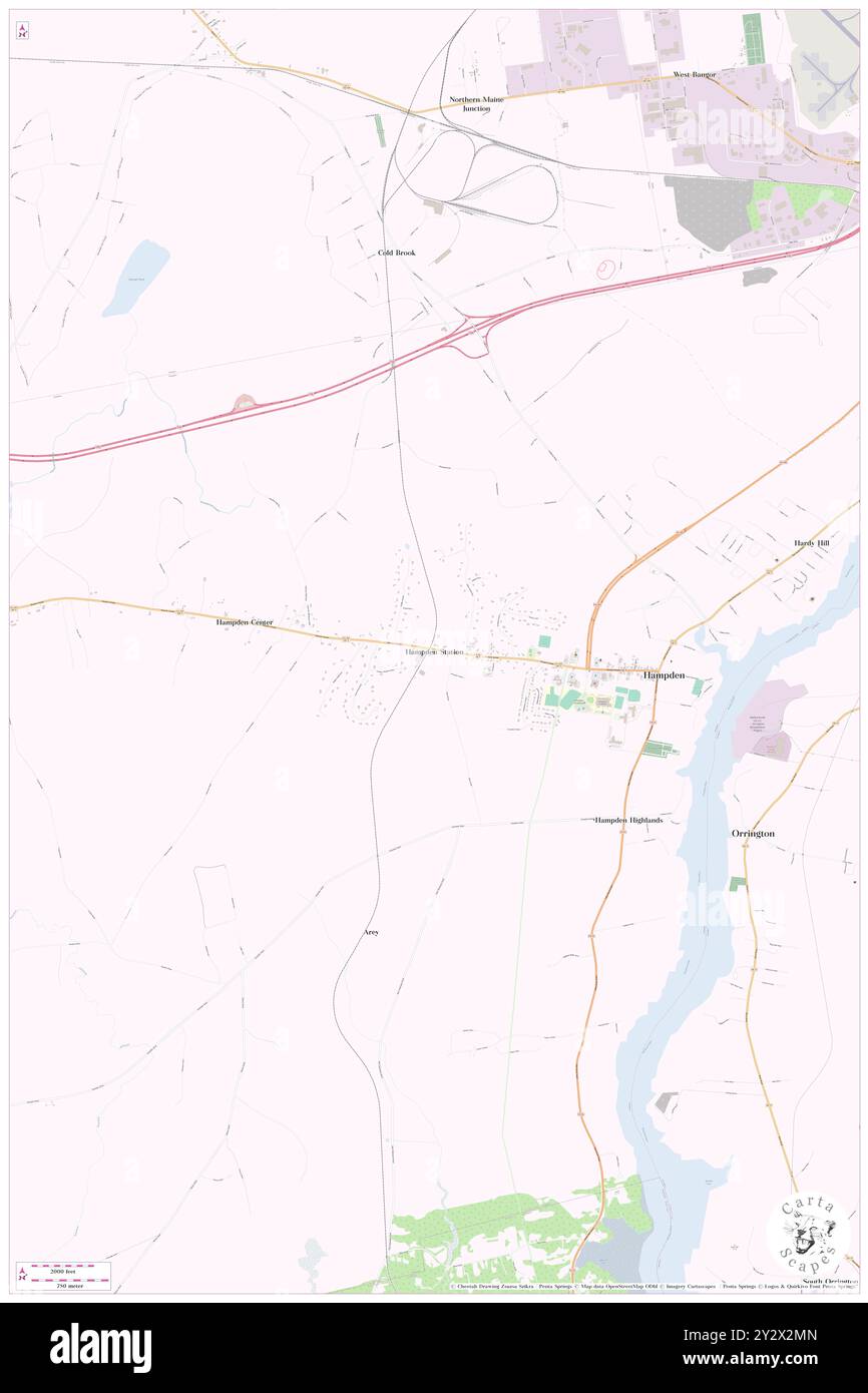 Hampden Station, Penobscot County, US, United States, Maine, N 44 44' 47'', S 68 51' 51'', map, Cartascapes Map published in 2024. Explore Cartascapes, a map revealing Earth's diverse landscapes, cultures, and ecosystems. Journey through time and space, discovering the interconnectedness of our planet's past, present, and future. Stock Photohttps://www.alamy.com/image-license-details/?v=1https://www.alamy.com/hampden-station-penobscot-county-us-united-states-maine-n-44-44-47-s-68-51-51-map-cartascapes-map-published-in-2024-explore-cartascapes-a-map-revealing-earths-diverse-landscapes-cultures-and-ecosystems-journey-through-time-and-space-discovering-the-interconnectedness-of-our-planets-past-present-and-future-image621375461.html
RM2Y2X2MN–Hampden Station, Penobscot County, US, United States, Maine, N 44 44' 47'', S 68 51' 51'', map, Cartascapes Map published in 2024. Explore Cartascapes, a map revealing Earth's diverse landscapes, cultures, and ecosystems. Journey through time and space, discovering the interconnectedness of our planet's past, present, and future.
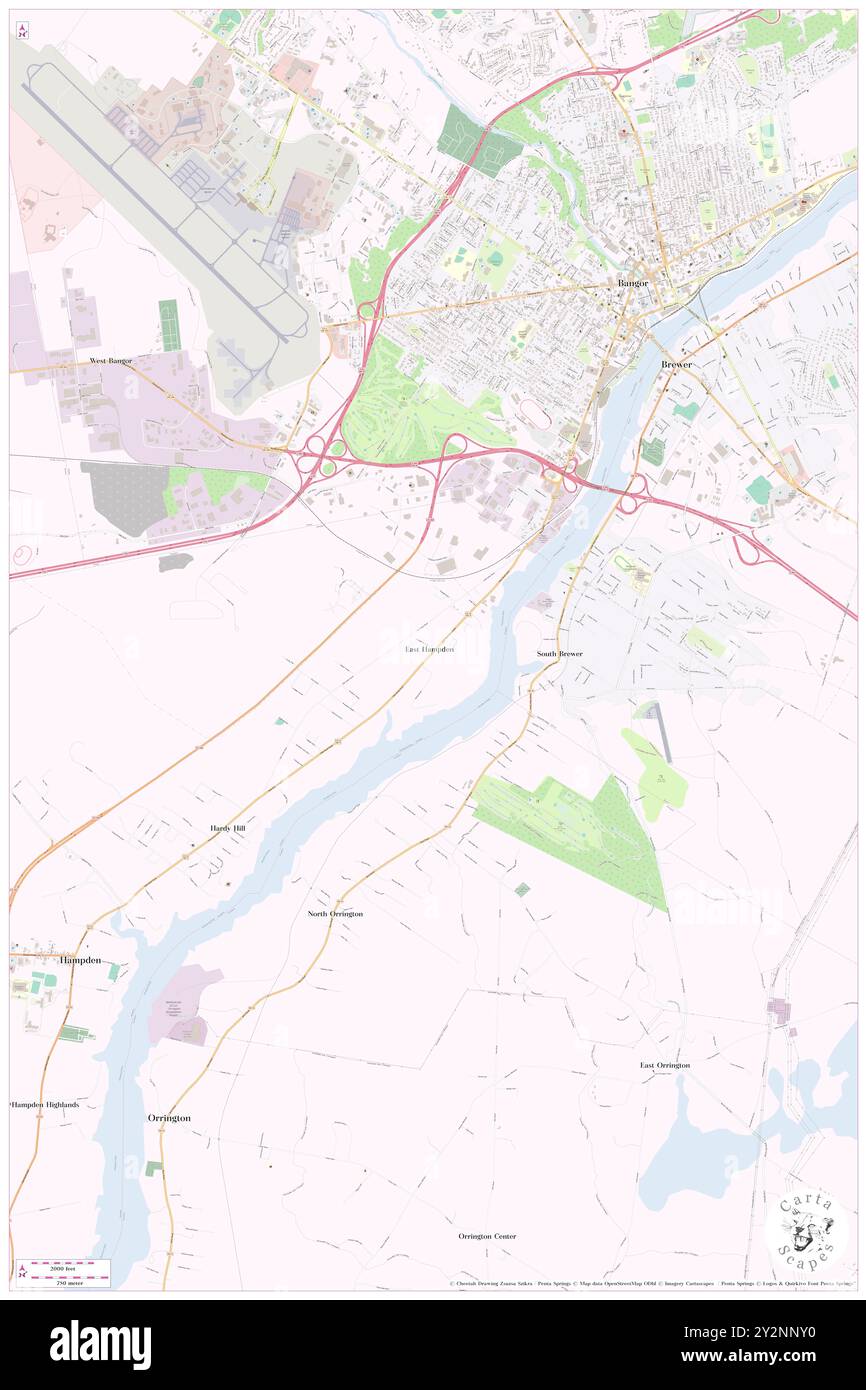 East Hampden, Penobscot County, US, United States, Maine, N 44 46' 14'', S 68 47' 42'', map, Cartascapes Map published in 2024. Explore Cartascapes, a map revealing Earth's diverse landscapes, cultures, and ecosystems. Journey through time and space, discovering the interconnectedness of our planet's past, present, and future. Stock Photohttps://www.alamy.com/image-license-details/?v=1https://www.alamy.com/east-hampden-penobscot-county-us-united-states-maine-n-44-46-14-s-68-47-42-map-cartascapes-map-published-in-2024-explore-cartascapes-a-map-revealing-earths-diverse-landscapes-cultures-and-ecosystems-journey-through-time-and-space-discovering-the-interconnectedness-of-our-planets-past-present-and-future-image621280772.html
RM2Y2NNY0–East Hampden, Penobscot County, US, United States, Maine, N 44 46' 14'', S 68 47' 42'', map, Cartascapes Map published in 2024. Explore Cartascapes, a map revealing Earth's diverse landscapes, cultures, and ecosystems. Journey through time and space, discovering the interconnectedness of our planet's past, present, and future.
 Hampden, Penobscot County, US, United States, Maine, N 44 44' 41'', S 68 50' 15'', map, Cartascapes Map published in 2024. Explore Cartascapes, a map revealing Earth's diverse landscapes, cultures, and ecosystems. Journey through time and space, discovering the interconnectedness of our planet's past, present, and future. Stock Photohttps://www.alamy.com/image-license-details/?v=1https://www.alamy.com/hampden-penobscot-county-us-united-states-maine-n-44-44-41-s-68-50-15-map-cartascapes-map-published-in-2024-explore-cartascapes-a-map-revealing-earths-diverse-landscapes-cultures-and-ecosystems-journey-through-time-and-space-discovering-the-interconnectedness-of-our-planets-past-present-and-future-image620842783.html
RM2Y21R8F–Hampden, Penobscot County, US, United States, Maine, N 44 44' 41'', S 68 50' 15'', map, Cartascapes Map published in 2024. Explore Cartascapes, a map revealing Earth's diverse landscapes, cultures, and ecosystems. Journey through time and space, discovering the interconnectedness of our planet's past, present, and future.
 Town of Hampden, Penobscot County, US, United States, Maine, N 44 44' 6'', S 68 53' 22'', map, Cartascapes Map published in 2024. Explore Cartascapes, a map revealing Earth's diverse landscapes, cultures, and ecosystems. Journey through time and space, discovering the interconnectedness of our planet's past, present, and future. Stock Photohttps://www.alamy.com/image-license-details/?v=1https://www.alamy.com/town-of-hampden-penobscot-county-us-united-states-maine-n-44-44-6-s-68-53-22-map-cartascapes-map-published-in-2024-explore-cartascapes-a-map-revealing-earths-diverse-landscapes-cultures-and-ecosystems-journey-through-time-and-space-discovering-the-interconnectedness-of-our-planets-past-present-and-future-image633786175.html
RM2YR3CMF–Town of Hampden, Penobscot County, US, United States, Maine, N 44 44' 6'', S 68 53' 22'', map, Cartascapes Map published in 2024. Explore Cartascapes, a map revealing Earth's diverse landscapes, cultures, and ecosystems. Journey through time and space, discovering the interconnectedness of our planet's past, present, and future.
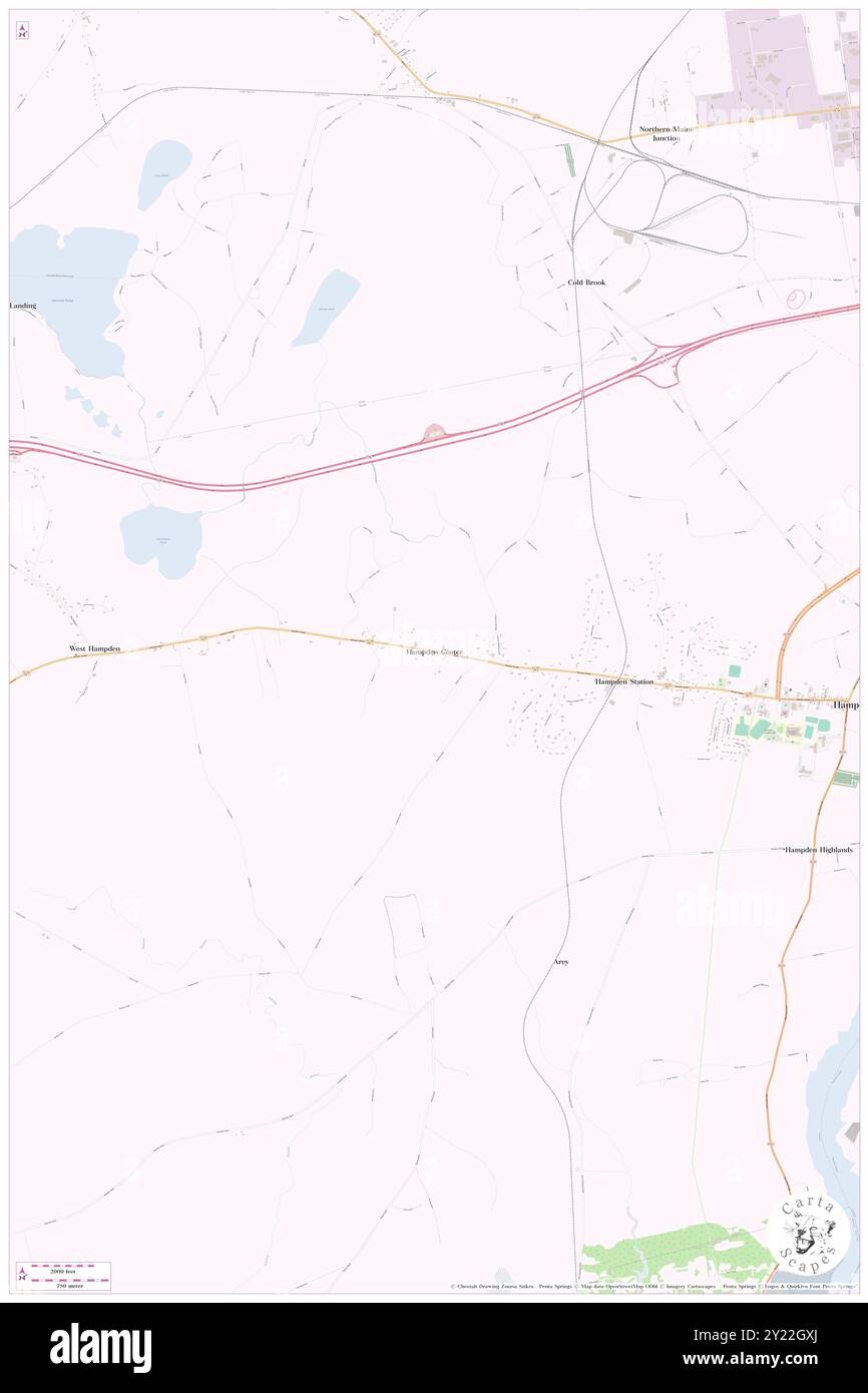 Hampden Center, Penobscot County, US, United States, Maine, N 44 44' 56'', S 68 53' 12'', map, Cartascapes Map published in 2024. Explore Cartascapes, a map revealing Earth's diverse landscapes, cultures, and ecosystems. Journey through time and space, discovering the interconnectedness of our planet's past, present, and future. Stock Photohttps://www.alamy.com/image-license-details/?v=1https://www.alamy.com/hampden-center-penobscot-county-us-united-states-maine-n-44-44-56-s-68-53-12-map-cartascapes-map-published-in-2024-explore-cartascapes-a-map-revealing-earths-diverse-landscapes-cultures-and-ecosystems-journey-through-time-and-space-discovering-the-interconnectedness-of-our-planets-past-present-and-future-image620859754.html
RM2Y22GXJ–Hampden Center, Penobscot County, US, United States, Maine, N 44 44' 56'', S 68 53' 12'', map, Cartascapes Map published in 2024. Explore Cartascapes, a map revealing Earth's diverse landscapes, cultures, and ecosystems. Journey through time and space, discovering the interconnectedness of our planet's past, present, and future.
 West Hampden, Penobscot County, US, United States, Maine, N 44 44' 57'', S 68 55' 37'', map, Cartascapes Map published in 2024. Explore Cartascapes, a map revealing Earth's diverse landscapes, cultures, and ecosystems. Journey through time and space, discovering the interconnectedness of our planet's past, present, and future. Stock Photohttps://www.alamy.com/image-license-details/?v=1https://www.alamy.com/west-hampden-penobscot-county-us-united-states-maine-n-44-44-57-s-68-55-37-map-cartascapes-map-published-in-2024-explore-cartascapes-a-map-revealing-earths-diverse-landscapes-cultures-and-ecosystems-journey-through-time-and-space-discovering-the-interconnectedness-of-our-planets-past-present-and-future-image620841637.html
RM2Y21NRH–West Hampden, Penobscot County, US, United States, Maine, N 44 44' 57'', S 68 55' 37'', map, Cartascapes Map published in 2024. Explore Cartascapes, a map revealing Earth's diverse landscapes, cultures, and ecosystems. Journey through time and space, discovering the interconnectedness of our planet's past, present, and future.
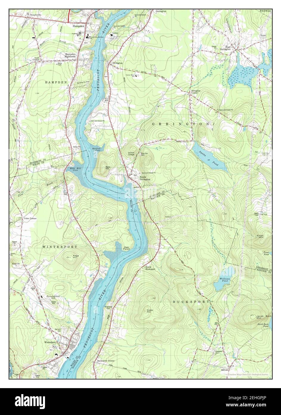 Hampden, Maine, map 1982, 1:24000, United States of America by Timeless Maps, data U.S. Geological Survey Stock Photohttps://www.alamy.com/image-license-details/?v=1https://www.alamy.com/hampden-maine-map-1982-124000-united-states-of-america-by-timeless-maps-data-us-geological-survey-image406656622.html
RM2EHGPJP–Hampden, Maine, map 1982, 1:24000, United States of America by Timeless Maps, data U.S. Geological Survey