Quick filters:
Hangklip Stock Photos and Images
 Cape Hangklip, False Bay, South Africa Stock Photohttps://www.alamy.com/image-license-details/?v=1https://www.alamy.com/stock-photo-cape-hangklip-false-bay-south-africa-17431364.html
RFB0A1TM–Cape Hangklip, False Bay, South Africa
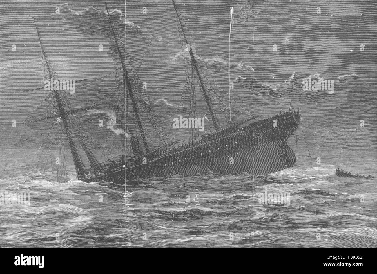 CAPE HANGKLIP Loss of Teuton-sinking ship 1881. The Graphic Stock Photohttps://www.alamy.com/image-license-details/?v=1https://www.alamy.com/stock-photo-cape-hangklip-loss-of-teuton-sinking-ship-1881-the-graphic-122733774.html
RFH3K052–CAPE HANGKLIP Loss of Teuton-sinking ship 1881. The Graphic
 False Bay and Cape Hangklip on the Indian Ocean seaboard of Cape Town in South Africa. Stock Photohttps://www.alamy.com/image-license-details/?v=1https://www.alamy.com/false-bay-and-cape-hangklip-on-the-indian-ocean-seaboard-of-cape-town-image1133466.html
RMAH4B9B–False Bay and Cape Hangklip on the Indian Ocean seaboard of Cape Town in South Africa.
 South part of False Bay & Cape Hangklip, Cape Town. William Westhofen 1910 Stock Photohttps://www.alamy.com/image-license-details/?v=1https://www.alamy.com/south-part-of-false-bay-cape-hangklip-cape-town-william-westhofen-1910-image183053891.html
RFMHPR2Y–South part of False Bay & Cape Hangklip, Cape Town. William Westhofen 1910
 Simonstown and Cape Hangklip in background. Stock Photohttps://www.alamy.com/image-license-details/?v=1https://www.alamy.com/stock-photo-simonstown-and-cape-hangklip-in-background-32263839.html
RMBTDMRY–Simonstown and Cape Hangklip in background.
 Coast along False Bay Cape Hangklip South-West coast South Africa Africa Stock Photohttps://www.alamy.com/image-license-details/?v=1https://www.alamy.com/stock-photo-coast-along-false-bay-cape-hangklip-south-west-coast-south-africa-20831761.html
RMB5TY3D–Coast along False Bay Cape Hangklip South-West coast South Africa Africa
 View of Cape Hangklip Stock Photohttps://www.alamy.com/image-license-details/?v=1https://www.alamy.com/stock-photo-view-of-cape-hangklip-19218271.html
RMB37D2R–View of Cape Hangklip
 Cape Hangklip, South Africa Stock Photohttps://www.alamy.com/image-license-details/?v=1https://www.alamy.com/stock-photo-cape-hangklip-south-africa-53058474.html
RFD290HE–Cape Hangklip, South Africa
 Hangklip Peak, Lockhart River, AU, Australia, Queensland, S 13 18' 31'', N 143 28' 53'', map, Cartascapes Map published in 2024. Explore Cartascapes, a map revealing Earth's diverse landscapes, cultures, and ecosystems. Journey through time and space, discovering the interconnectedness of our planet's past, present, and future. Stock Photohttps://www.alamy.com/image-license-details/?v=1https://www.alamy.com/hangklip-peak-lockhart-river-au-australia-queensland-s-13-18-31-n-143-28-53-map-cartascapes-map-published-in-2024-explore-cartascapes-a-map-revealing-earths-diverse-landscapes-cultures-and-ecosystems-journey-through-time-and-space-discovering-the-interconnectedness-of-our-planets-past-present-and-future-image625659075.html
RM2Y9W6EY–Hangklip Peak, Lockhart River, AU, Australia, Queensland, S 13 18' 31'', N 143 28' 53'', map, Cartascapes Map published in 2024. Explore Cartascapes, a map revealing Earth's diverse landscapes, cultures, and ecosystems. Journey through time and space, discovering the interconnectedness of our planet's past, present, and future.
 the map covers the area consisting of the entire Cape Peninsula, the Vals Bay, and the area bounded by Helderberg in the north, Cape Hangklip in the south and Sandown Bay in the southeast (with guide map, with demarcated areas A to C, within them according to minutes of latitude), Map of False Bay and the Cape Peninsula., draughtsman: Robert Jacob Gordon, Kaapprovincie, 1780, paper, pen, brush, h 580 mm × w 1015 mm Stock Photohttps://www.alamy.com/image-license-details/?v=1https://www.alamy.com/the-map-covers-the-area-consisting-of-the-entire-cape-peninsula-the-vals-bay-and-the-area-bounded-by-helderberg-in-the-north-cape-hangklip-in-the-south-and-sandown-bay-in-the-southeast-with-guide-map-with-demarcated-areas-a-to-c-within-them-according-to-minutes-of-latitude-map-of-false-bay-and-the-cape-peninsula-draughtsman-robert-jacob-gordon-kaapprovincie-1780-paper-pen-brush-h-580-mm-w-1015-mm-image472065006.html
RM2JC0BME–the map covers the area consisting of the entire Cape Peninsula, the Vals Bay, and the area bounded by Helderberg in the north, Cape Hangklip in the south and Sandown Bay in the southeast (with guide map, with demarcated areas A to C, within them according to minutes of latitude), Map of False Bay and the Cape Peninsula., draughtsman: Robert Jacob Gordon, Kaapprovincie, 1780, paper, pen, brush, h 580 mm × w 1015 mm
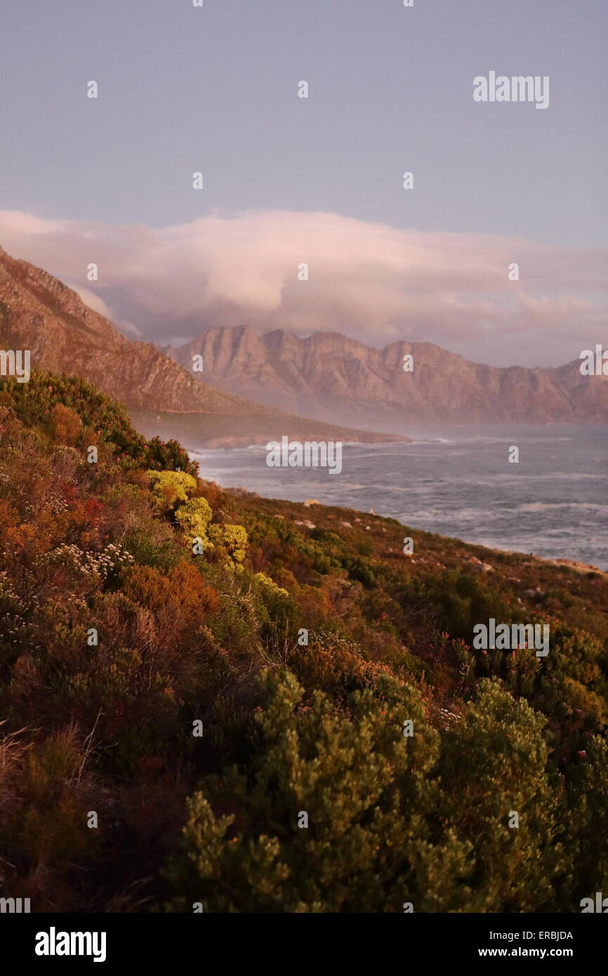 Hangklip at sunset, with coastal fynbos bushes in the foreground Stock Photohttps://www.alamy.com/image-license-details/?v=1https://www.alamy.com/stock-photo-hangklip-at-sunset-with-coastal-fynbos-bushes-in-the-foreground-83234518.html
RMERBJDA–Hangklip at sunset, with coastal fynbos bushes in the foreground
![The Southern Part of False Bay, with Cape Hangklip [Here as Hangclip], Cape Town South Africa From the book ' The Cape peninsula: pen and colour sketches ' described by Réné Juta and painted by William Westhofen. Published by A. & C. Black, London J.C. Juta, Cape Town in 1910 Stock Photo The Southern Part of False Bay, with Cape Hangklip [Here as Hangclip], Cape Town South Africa From the book ' The Cape peninsula: pen and colour sketches ' described by Réné Juta and painted by William Westhofen. Published by A. & C. Black, London J.C. Juta, Cape Town in 1910 Stock Photo](https://c8.alamy.com/comp/2E93Y5E/the-southern-part-of-false-bay-with-cape-hangklip-here-as-hangclip-cape-town-south-africa-from-the-book-the-cape-peninsula-pen-and-colour-sketches-described-by-rn-juta-and-painted-by-william-westhofen-published-by-a-c-black-london-jc-juta-cape-town-in-1910-2E93Y5E.jpg) The Southern Part of False Bay, with Cape Hangklip [Here as Hangclip], Cape Town South Africa From the book ' The Cape peninsula: pen and colour sketches ' described by Réné Juta and painted by William Westhofen. Published by A. & C. Black, London J.C. Juta, Cape Town in 1910 Stock Photohttps://www.alamy.com/image-license-details/?v=1https://www.alamy.com/the-southern-part-of-false-bay-with-cape-hangklip-here-as-hangclip-cape-town-south-africa-from-the-book-the-cape-peninsula-pen-and-colour-sketches-described-by-rn-juta-and-painted-by-william-westhofen-published-by-a-c-black-london-jc-juta-cape-town-in-1910-image401457546.html
The Southern Part of False Bay, with Cape Hangklip [Here as Hangclip], Cape Town South Africa From the book ' The Cape peninsula: pen and colour sketches ' described by Réné Juta and painted by William Westhofen. Published by A. & C. Black, London J.C. Juta, Cape Town in 1910 Stock Photohttps://www.alamy.com/image-license-details/?v=1https://www.alamy.com/the-southern-part-of-false-bay-with-cape-hangklip-here-as-hangclip-cape-town-south-africa-from-the-book-the-cape-peninsula-pen-and-colour-sketches-described-by-rn-juta-and-painted-by-william-westhofen-published-by-a-c-black-london-jc-juta-cape-town-in-1910-image401457546.htmlRF2E93Y5E–The Southern Part of False Bay, with Cape Hangklip [Here as Hangclip], Cape Town South Africa From the book ' The Cape peninsula: pen and colour sketches ' described by Réné Juta and painted by William Westhofen. Published by A. & C. Black, London J.C. Juta, Cape Town in 1910
![African Black Oystercatcher [Haematopus moquini] in flight at Cape Hangklip, South Africa. Stock Photo African Black Oystercatcher [Haematopus moquini] in flight at Cape Hangklip, South Africa. Stock Photo](https://c8.alamy.com/comp/2F98E69/african-black-oystercatcher-haematopus-moquini-in-flight-at-cape-hangklip-south-africa-2F98E69.jpg) African Black Oystercatcher [Haematopus moquini] in flight at Cape Hangklip, South Africa. Stock Photohttps://www.alamy.com/image-license-details/?v=1https://www.alamy.com/african-black-oystercatcher-haematopus-moquini-in-flight-at-cape-hangklip-south-africa-image418767505.html
African Black Oystercatcher [Haematopus moquini] in flight at Cape Hangklip, South Africa. Stock Photohttps://www.alamy.com/image-license-details/?v=1https://www.alamy.com/african-black-oystercatcher-haematopus-moquini-in-flight-at-cape-hangklip-south-africa-image418767505.htmlRM2F98E69–African Black Oystercatcher [Haematopus moquini] in flight at Cape Hangklip, South Africa.
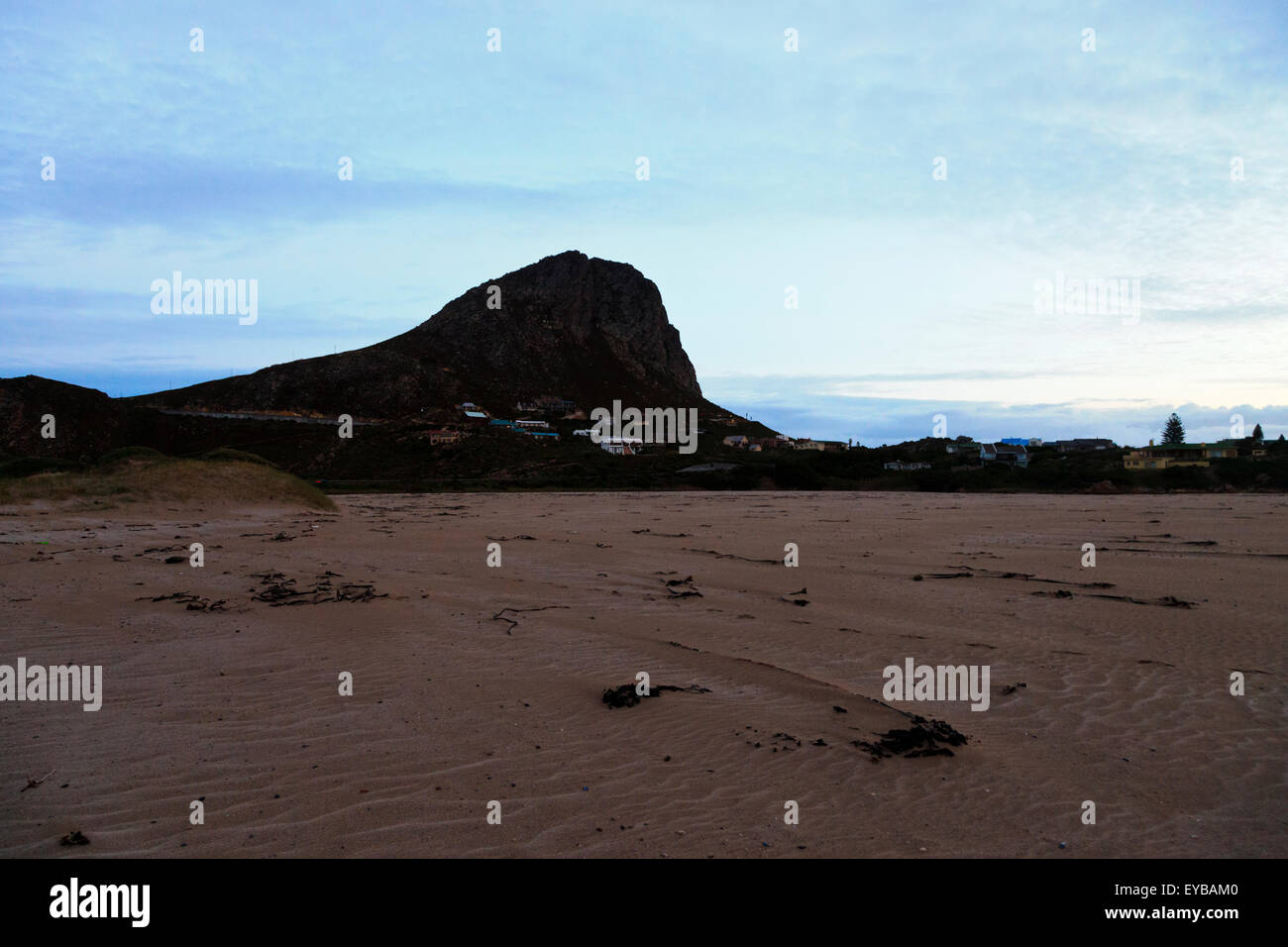 Klein-Hangklip mountain on the eastern edge of False Bay as seen from Rooi-Els, South Africa Stock Photohttps://www.alamy.com/image-license-details/?v=1https://www.alamy.com/stock-photo-klein-hangklip-mountain-on-the-eastern-edge-of-false-bay-as-seen-from-85687056.html
RFEYBAM0–Klein-Hangklip mountain on the eastern edge of False Bay as seen from Rooi-Els, South Africa
 View Towards Cape Hangklip From Cape Point with False Bay in Foreground South Africa Stock Photohttps://www.alamy.com/image-license-details/?v=1https://www.alamy.com/view-towards-cape-hangklip-from-cape-point-with-false-bay-in-foreground-image6774845.html
RMA7JTKE–View Towards Cape Hangklip From Cape Point with False Bay in Foreground South Africa
 Cape Hangklip and Hottentot Mountains view, Cape Point, Cape Town, Western Cape, South Africa Stock Photohttps://www.alamy.com/image-license-details/?v=1https://www.alamy.com/stock-photo-cape-hangklip-and-hottentot-mountains-view-cape-point-cape-town-western-49633554.html
RFCTN02X–Cape Hangklip and Hottentot Mountains view, Cape Point, Cape Town, Western Cape, South Africa
 Landscape sea view onto Hangklip mountain and Hout Bay harbour with numerous moored fishing boats and a Cape seal in the shallow water on the beach on a beautiful Autumn day, Cape Town, South Africa Stock Photohttps://www.alamy.com/image-license-details/?v=1https://www.alamy.com/landscape-sea-view-onto-hangklip-mountain-and-hout-bay-harbour-with-numerous-moored-fishing-boats-and-a-cape-seal-in-the-shallow-water-on-the-beach-on-a-beautiful-autumn-day-cape-town-south-africa-image311174303.html
RMS275YY–Landscape sea view onto Hangklip mountain and Hout Bay harbour with numerous moored fishing boats and a Cape seal in the shallow water on the beach on a beautiful Autumn day, Cape Town, South Africa
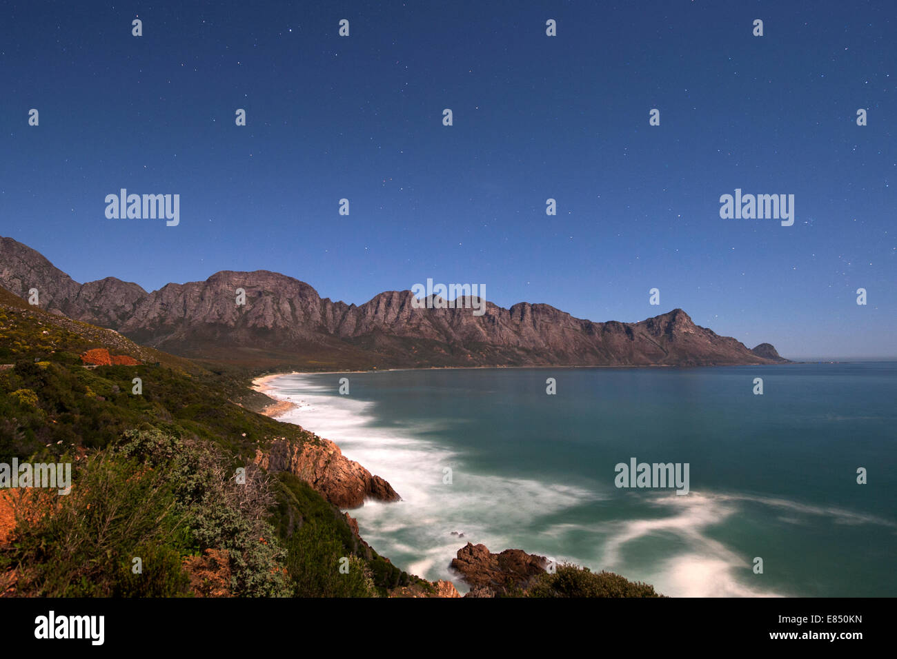 Moonlit view of Kogel Bay near Cape Town in South Africa. Stock Photohttps://www.alamy.com/image-license-details/?v=1https://www.alamy.com/stock-photo-moonlit-view-of-kogel-bay-near-cape-town-in-south-africa-73869033.html
RME850KN–Moonlit view of Kogel Bay near Cape Town in South Africa.
 Cape Town, South Africa - July the 11th 2023: Aerial view of the Cape Flats and False Bay. Stock Photohttps://www.alamy.com/image-license-details/?v=1https://www.alamy.com/cape-town-south-africa-july-the-11th-2023-aerial-view-of-the-cape-flats-and-false-bay-image558353061.html
RM2RCB50N–Cape Town, South Africa - July the 11th 2023: Aerial view of the Cape Flats and False Bay.
 Landscape view Cape Hangklip, False Bay, South Africa Stock Photohttps://www.alamy.com/image-license-details/?v=1https://www.alamy.com/stock-photo-landscape-view-cape-hangklip-false-bay-south-africa-17605274.html
RFB0HYKP–Landscape view Cape Hangklip, False Bay, South Africa
 Klein-Hangklip mountain in Rooi-Els, Western Cape Province, South Africa. Stock Photohttps://www.alamy.com/image-license-details/?v=1https://www.alamy.com/klein-hangklip-mountain-in-rooi-els-western-cape-province-south-africa-image246322853.html
RMT8MY8N–Klein-Hangklip mountain in Rooi-Els, Western Cape Province, South Africa.
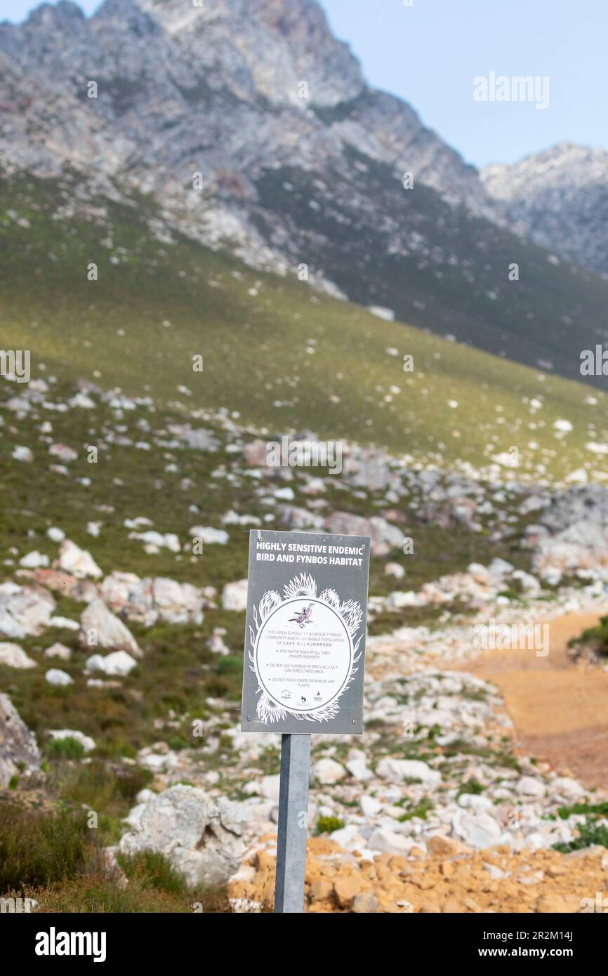 Signs protecting the Cape Rockjumper and its mountain fynbos habitat at Rooi-Els , Western Cape, South Africa, a popular birding spot Stock Photohttps://www.alamy.com/image-license-details/?v=1https://www.alamy.com/signs-protecting-the-cape-rockjumper-and-its-mountain-fynbos-habitat-at-rooi-els-western-cape-south-africa-a-popular-birding-spot-image552401042.html
RM2R2M14J–Signs protecting the Cape Rockjumper and its mountain fynbos habitat at Rooi-Els , Western Cape, South Africa, a popular birding spot
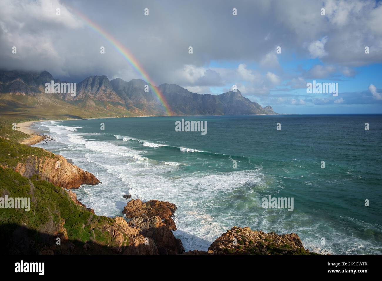 View with rainbow towards Rooi Els and Hanklip from Clarence Drive on the eastern side of False Bay. Cape Town, Western Cape, South Africa. Stock Photohttps://www.alamy.com/image-license-details/?v=1https://www.alamy.com/view-with-rainbow-towards-rooi-els-and-hanklip-from-clarence-drive-on-the-eastern-side-of-false-bay-cape-town-western-cape-south-africa-image487793735.html
RF2K9GWTR–View with rainbow towards Rooi Els and Hanklip from Clarence Drive on the eastern side of False Bay. Cape Town, Western Cape, South Africa.
 Rooiels / Rooi Els / Rooi-Els hiking trail, a birding hotspot with mountain fynbos famous for endemic South African birds, near Cape Town, Western C Stock Photohttps://www.alamy.com/image-license-details/?v=1https://www.alamy.com/rooiels-rooi-els-rooi-els-hiking-trail-a-birding-hotspot-with-mountain-fynbos-famous-for-endemic-south-african-birds-near-cape-town-western-c-image552401037.html
RM2R2M14D–Rooiels / Rooi Els / Rooi-Els hiking trail, a birding hotspot with mountain fynbos famous for endemic South African birds, near Cape Town, Western C
 Coast along False Bay Cape Hangklip South-West coast South Africa Africa Stock Photohttps://www.alamy.com/image-license-details/?v=1https://www.alamy.com/stock-photo-coast-along-false-bay-cape-hangklip-south-west-coast-south-africa-20831764.html
RMB5TY3G–Coast along False Bay Cape Hangklip South-West coast South Africa Africa
 Panorama of the east side of False Bay, from Simonsberg at the left to Cape Hangklip at the right. Draughtsman: Robert Jacob Gordon (attributed to). Draughtsman: Johannes Schumacher (possibly). Dating: Oct-1777 - Mar-1778. Place: Kaapprovincie. Measurements: h mm × w mm; h 271 mm × w 1684 mm; h 195 mm × w 1655 mm. Museum: Rijksmuseum, Amsterdam. Stock Photohttps://www.alamy.com/image-license-details/?v=1https://www.alamy.com/panorama-of-the-east-side-of-false-bay-from-simonsberg-at-the-left-to-cape-hangklip-at-the-right-draughtsman-robert-jacob-gordon-attributed-to-draughtsman-johannes-schumacher-possibly-dating-oct-1777-mar-1778-place-kaapprovincie-measurements-h-mm-w-mm-h-271-mm-w-1684-mm-h-195-mm-w-1655-mm-museum-rijksmuseum-amsterdam-image232963348.html
RMRF0B3G–Panorama of the east side of False Bay, from Simonsberg at the left to Cape Hangklip at the right. Draughtsman: Robert Jacob Gordon (attributed to). Draughtsman: Johannes Schumacher (possibly). Dating: Oct-1777 - Mar-1778. Place: Kaapprovincie. Measurements: h mm × w mm; h 271 mm × w 1684 mm; h 195 mm × w 1655 mm. Museum: Rijksmuseum, Amsterdam.
 Coast along False Bay Cape Hangklip South-West coast South Africa Africa Stock Photohttps://www.alamy.com/image-license-details/?v=1https://www.alamy.com/stock-photo-coast-along-false-bay-cape-hangklip-south-west-coast-south-africa-20831808.html
RMB5TY54–Coast along False Bay Cape Hangklip South-West coast South Africa Africa
 View from Cape of Good Hope / Cape Point, South Africa looking across coast to False Bay towards Cape Hangklip and Danger Point Stock Photohttps://www.alamy.com/image-license-details/?v=1https://www.alamy.com/view-from-cape-of-good-hope-cape-point-south-africa-looking-across-image62085453.html
RFDH06HH–View from Cape of Good Hope / Cape Point, South Africa looking across coast to False Bay towards Cape Hangklip and Danger Point
 Panorama of the east side of Valsbaai, from Simonsberg (left) to Kaap Hangklip (right). Old cart track through Hottentots Holland, Panorama of the east side of False Bay, from Simonsberg at the left to Cape Hangklip at the right., draughtsman: Robert Jacob Gordon, (attributed to), draughtsman: Johannes Schumacher, (possibly), Kaapprovincie, Oct-1777 - Mar-1778, paper, pen, brush, h mm × w mm, h 271 mm × w 1684 mm, h 195 mm × w 1655 mm Stock Photohttps://www.alamy.com/image-license-details/?v=1https://www.alamy.com/panorama-of-the-east-side-of-valsbaai-from-simonsberg-left-to-kaap-hangklip-right-old-cart-track-through-hottentots-holland-panorama-of-the-east-side-of-false-bay-from-simonsberg-at-the-left-to-cape-hangklip-at-the-right-draughtsman-robert-jacob-gordon-attributed-to-draughtsman-johannes-schumacher-possibly-kaapprovincie-oct-1777-mar-1778-paper-pen-brush-h-mm-w-mm-h-271-mm-w-1684-mm-h-195-mm-w-1655-mm-image472065459.html
RM2JC0C8K–Panorama of the east side of Valsbaai, from Simonsberg (left) to Kaap Hangklip (right). Old cart track through Hottentots Holland, Panorama of the east side of False Bay, from Simonsberg at the left to Cape Hangklip at the right., draughtsman: Robert Jacob Gordon, (attributed to), draughtsman: Johannes Schumacher, (possibly), Kaapprovincie, Oct-1777 - Mar-1778, paper, pen, brush, h mm × w mm, h 271 mm × w 1684 mm, h 195 mm × w 1655 mm
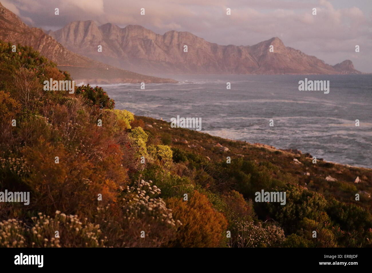 Hangklip at sunset, with coastal fynbos bushes in the foreground Stock Photohttps://www.alamy.com/image-license-details/?v=1https://www.alamy.com/stock-photo-hangklip-at-sunset-with-coastal-fynbos-bushes-in-the-foreground-83234523.html
RMERBJDF–Hangklip at sunset, with coastal fynbos bushes in the foreground
 A scenic view over the vineyards at Klein Constantia looking towards Hangklip and the sea Stock Photohttps://www.alamy.com/image-license-details/?v=1https://www.alamy.com/stock-photo-a-scenic-view-over-the-vineyards-at-klein-constantia-looking-towards-31810331.html
RMBRN2B7–A scenic view over the vineyards at Klein Constantia looking towards Hangklip and the sea
 Rooi Els lagoon with Hangklip mountain in the background Stock Photohttps://www.alamy.com/image-license-details/?v=1https://www.alamy.com/stock-photo-rooi-els-lagoon-with-hangklip-mountain-in-the-background-78116237.html
RMEF2E1H–Rooi Els lagoon with Hangklip mountain in the background
![African Black Oystercatcher [Haematopus moquini] in flight at Cape Hangklip, South Africa. Stock Photo African Black Oystercatcher [Haematopus moquini] in flight at Cape Hangklip, South Africa. Stock Photo](https://c8.alamy.com/comp/2F98E4X/african-black-oystercatcher-haematopus-moquini-in-flight-at-cape-hangklip-south-africa-2F98E4X.jpg) African Black Oystercatcher [Haematopus moquini] in flight at Cape Hangklip, South Africa. Stock Photohttps://www.alamy.com/image-license-details/?v=1https://www.alamy.com/african-black-oystercatcher-haematopus-moquini-in-flight-at-cape-hangklip-south-africa-image418767466.html
African Black Oystercatcher [Haematopus moquini] in flight at Cape Hangklip, South Africa. Stock Photohttps://www.alamy.com/image-license-details/?v=1https://www.alamy.com/african-black-oystercatcher-haematopus-moquini-in-flight-at-cape-hangklip-south-africa-image418767466.htmlRM2F98E4X–African Black Oystercatcher [Haematopus moquini] in flight at Cape Hangklip, South Africa.
 Fynbos and beach on the R44 (Clarence Drive) coast with Hangklip in the distance Stock Photohttps://www.alamy.com/image-license-details/?v=1https://www.alamy.com/stock-photo-fynbos-and-beach-on-the-r44-clarence-drive-coast-with-hangklip-in-117227997.html
RMGPM5E5–Fynbos and beach on the R44 (Clarence Drive) coast with Hangklip in the distance
 False Bay, Simonstown and Cape Hangklip (in the distance) as seen from Red Hill near Cape Town in South Africa. Stock Photohttps://www.alamy.com/image-license-details/?v=1https://www.alamy.com/false-bay-simonstown-and-cape-hangklip-in-the-distance-as-seen-from-image3223400.html
RMA03Y69–False Bay, Simonstown and Cape Hangklip (in the distance) as seen from Red Hill near Cape Town in South Africa.
 Cape Hangklip, via Cape Point, from Cape of Good Hope Stock Photohttps://www.alamy.com/image-license-details/?v=1https://www.alamy.com/cape-hangklip-via-cape-point-from-cape-of-good-hope-image342304992.html
RF2ATW9E8–Cape Hangklip, via Cape Point, from Cape of Good Hope
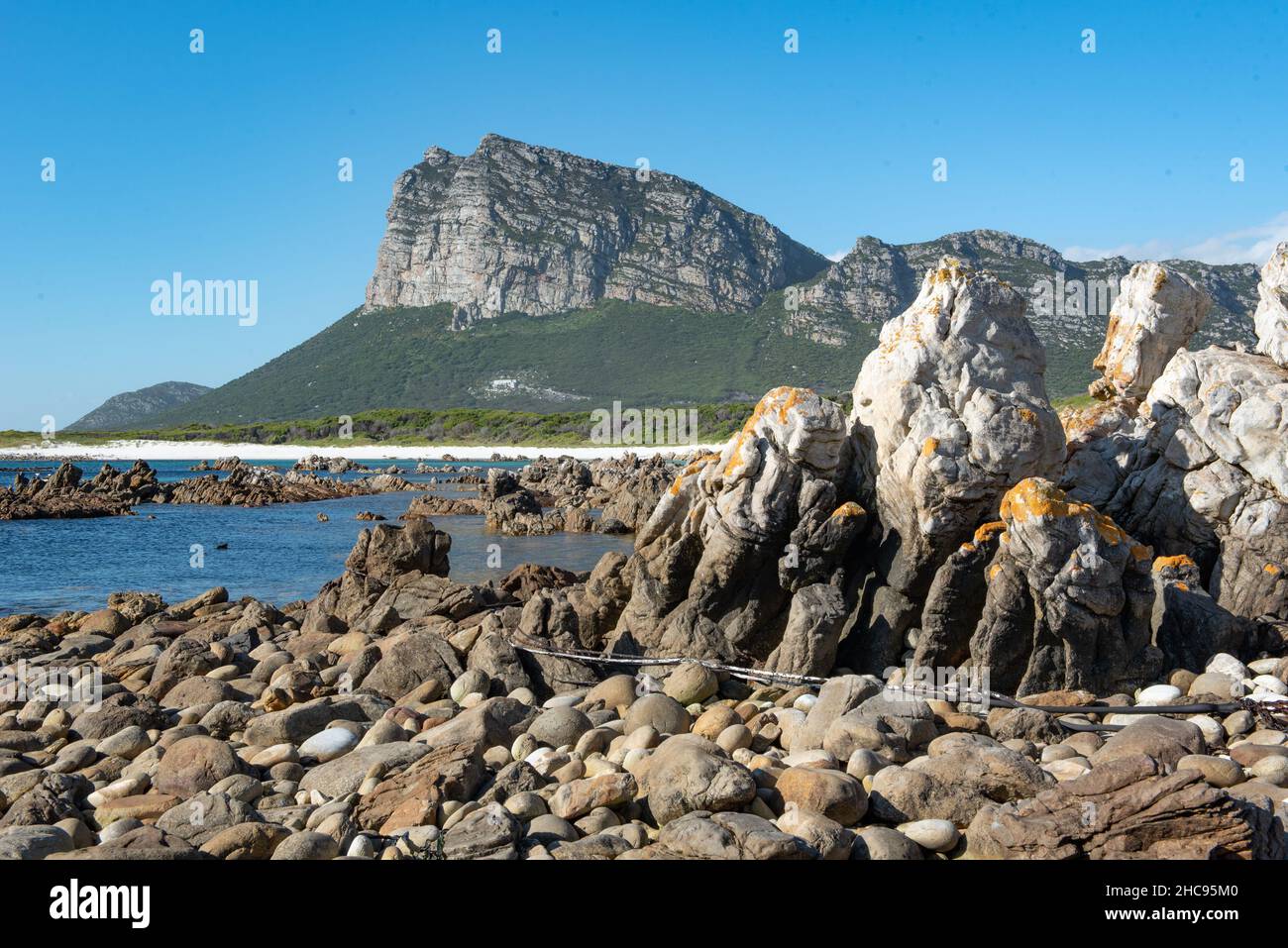 Cape Hangklip, Pringle Bay, Western Cape, South Africa, 25 December 2021. Stock Photohttps://www.alamy.com/image-license-details/?v=1https://www.alamy.com/cape-hangklip-pringle-bay-western-cape-south-africa-25-december-2021-image455047488.html
RM2HC95M0–Cape Hangklip, Pringle Bay, Western Cape, South Africa, 25 December 2021.
 Beautiful panoramic View from Hangklip peak of the turquoise bank of Pringle Bay and the deep blue water of the Atlantic ocean Stock Photohttps://www.alamy.com/image-license-details/?v=1https://www.alamy.com/beautiful-panoramic-view-from-hangklip-peak-of-the-turquoise-bank-of-pringle-bay-and-the-deep-blue-water-of-the-atlantic-ocean-image345244782.html
RF2B1K76P–Beautiful panoramic View from Hangklip peak of the turquoise bank of Pringle Bay and the deep blue water of the Atlantic ocean
 Landscape view of the tiny seaside village of Rooiels in the Western Cape South Africa sitting below Hangklip Rock Stock Photohttps://www.alamy.com/image-license-details/?v=1https://www.alamy.com/stock-photo-landscape-view-of-the-tiny-seaside-village-of-rooiels-in-the-western-28390149.html
RMBJ57WW–Landscape view of the tiny seaside village of Rooiels in the Western Cape South Africa sitting below Hangklip Rock
 Klein-Hangklip mountain in Rooi-Els, Western Cape Province, South Africa. Stock Photohttps://www.alamy.com/image-license-details/?v=1https://www.alamy.com/klein-hangklip-mountain-in-rooi-els-western-cape-province-south-africa-image246322865.html
RMT8MY95–Klein-Hangklip mountain in Rooi-Els, Western Cape Province, South Africa.
 Pringlebaai, South Africa - Sep 20, 2022: The junction between road R44 and the Pringlebaai and Hangklip entrance road. Buildings are visible Stock Photohttps://www.alamy.com/image-license-details/?v=1https://www.alamy.com/pringlebaai-south-africa-sep-20-2022-the-junction-between-road-r44-and-the-pringlebaai-and-hangklip-entrance-road-buildings-are-visible-image493051532.html
RF2KJ4C78–Pringlebaai, South Africa - Sep 20, 2022: The junction between road R44 and the Pringlebaai and Hangklip entrance road. Buildings are visible
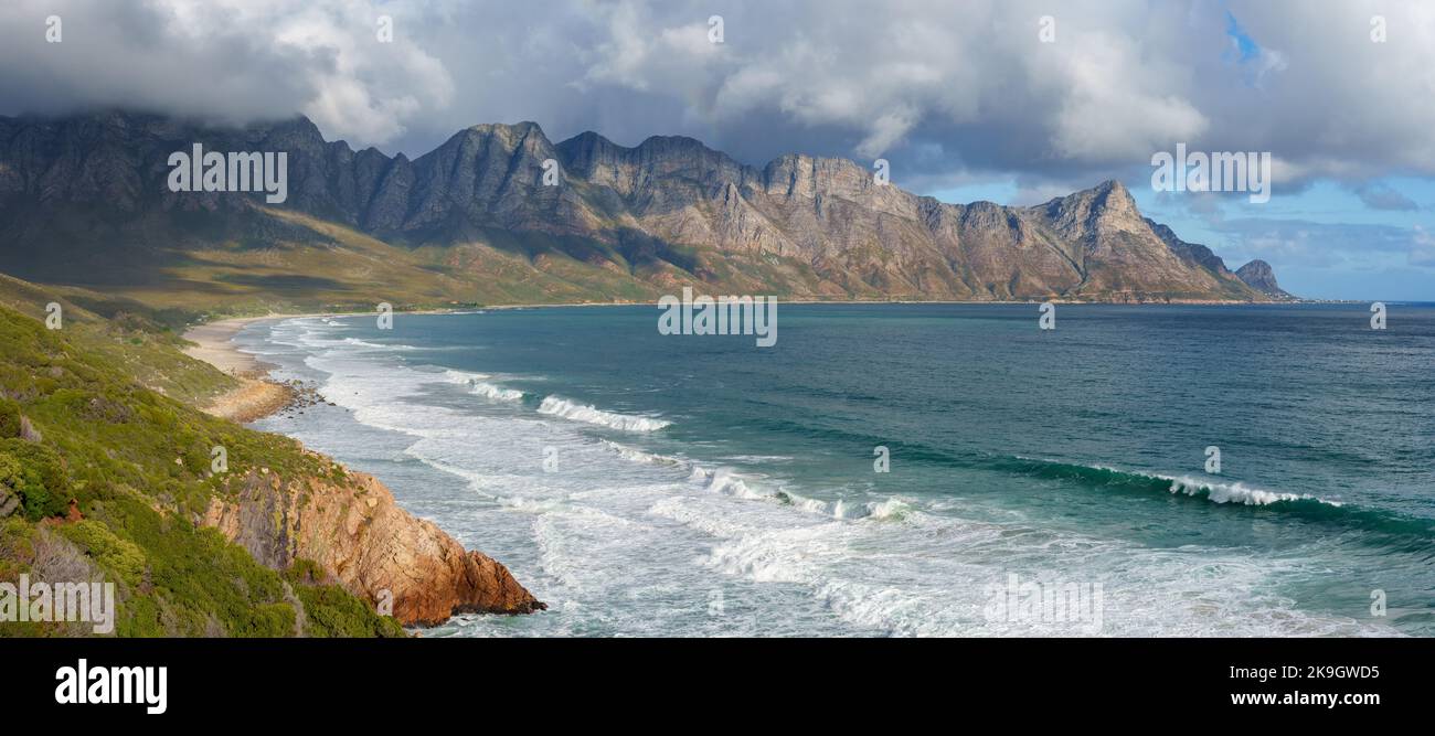 View towards Rooi Els and Hanklip from Clarence Drive on the eastern side of False Bay. Cape Town, Western Cape, South Africa. Stock Photohttps://www.alamy.com/image-license-details/?v=1https://www.alamy.com/view-towards-rooi-els-and-hanklip-from-clarence-drive-on-the-eastern-side-of-false-bay-cape-town-western-cape-south-africa-image487793409.html
RF2K9GWD5–View towards Rooi Els and Hanklip from Clarence Drive on the eastern side of False Bay. Cape Town, Western Cape, South Africa.
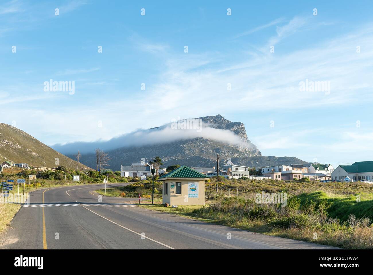 PRINGLE BAY, SOUTH AFRICA - APRIL 12, 2021: Entrance to Pringle Bay in the Western Cape Province. Hangklip Mountain is visible Stock Photohttps://www.alamy.com/image-license-details/?v=1https://www.alamy.com/pringle-bay-south-africa-april-12-2021-entrance-to-pringle-bay-in-the-western-cape-province-hangklip-mountain-is-visible-image433879632.html
RF2G5TWW4–PRINGLE BAY, SOUTH AFRICA - APRIL 12, 2021: Entrance to Pringle Bay in the Western Cape Province. Hangklip Mountain is visible
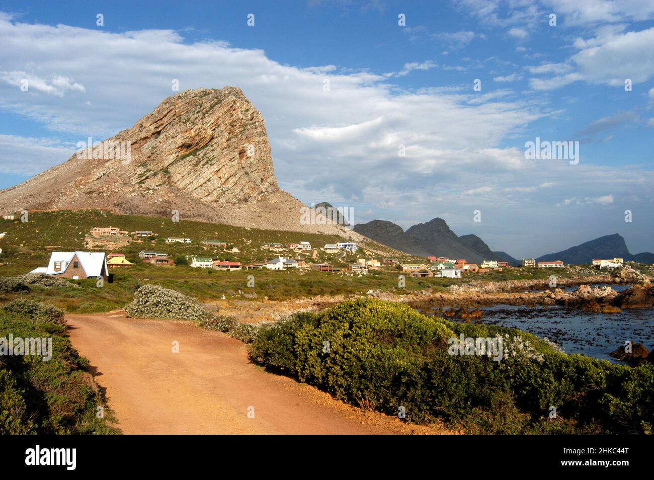 Pringle bay village at the foot of Hangklip, Western Cape, South Africa Stock Photohttps://www.alamy.com/image-license-details/?v=1https://www.alamy.com/pringle-bay-village-at-the-foot-of-hangklip-western-cape-south-africa-image459414728.html
RM2HKC44T–Pringle bay village at the foot of Hangklip, Western Cape, South Africa
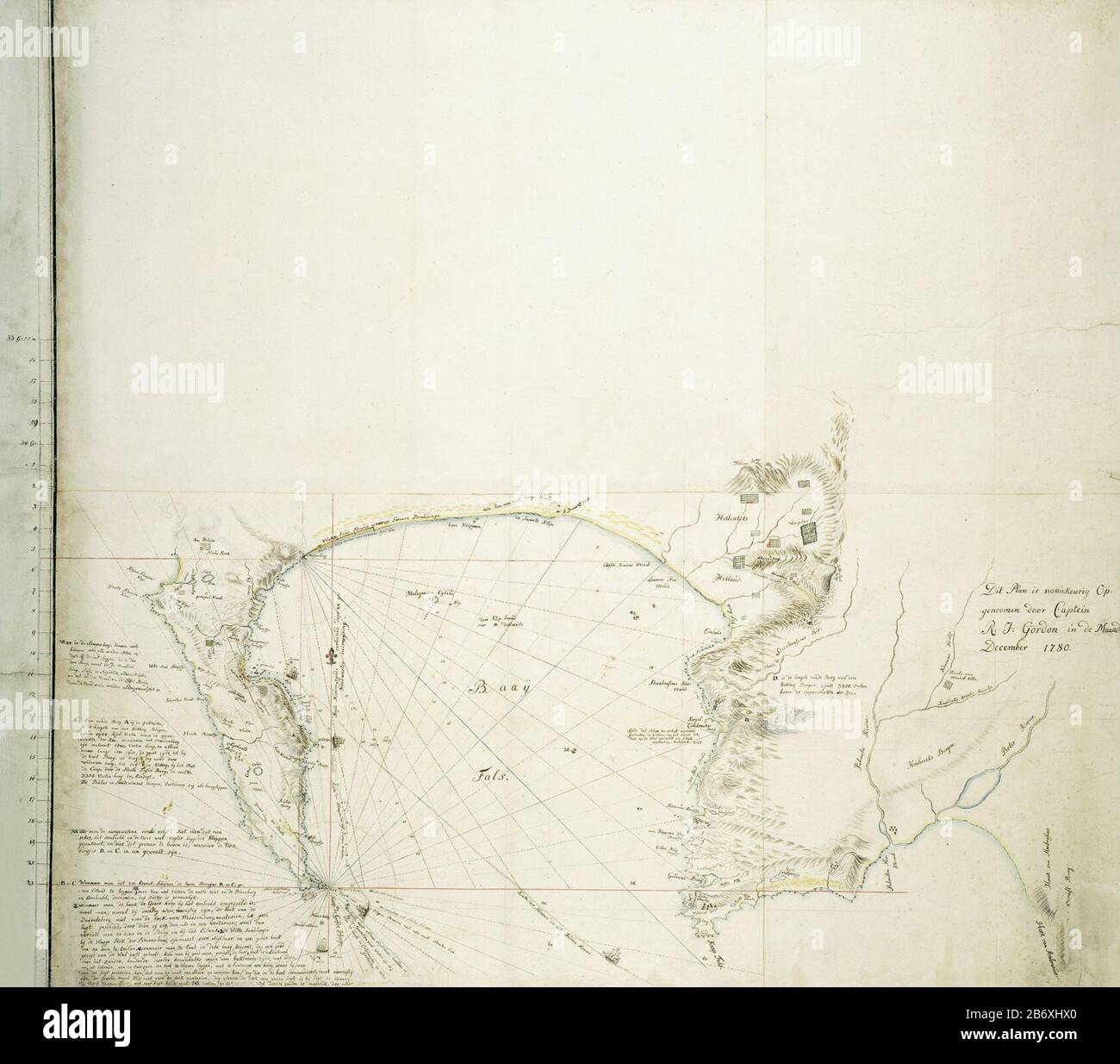 Kaart van Valsbaai en het Kaapse schiereiland Map of False Bay and the Cape Peninsula object type: drawing card topographical drawing Item number: RP-T-1914-17-11 Inscriptions / Brands: annotation, on the map, divided into defined areas and with a compass format: 'See De Jong, three sections A t / m C, within latitudes, starting with 33º 55 'S, ending with 34º 26'ZB (in the Second Secretary handwriting) Description: the map covers the area consisting of the entire Cape peninsula , the False Bay, and the area bounded by Bright Berg in the north, Cape Hangklip in the south and Sandownbaai in the Stock Photohttps://www.alamy.com/image-license-details/?v=1https://www.alamy.com/kaart-van-valsbaai-en-het-kaapse-schiereiland-map-of-false-bay-and-the-cape-peninsula-object-type-drawing-card-topographical-drawing-item-number-rp-t-1914-17-11-inscriptions-brands-annotation-on-the-map-divided-into-defined-areas-and-with-a-compass-format-see-de-jong-three-sections-a-t-m-c-within-latitudes-starting-with-33-55-s-ending-with-34-26zb-in-the-second-secretary-handwriting-description-the-map-covers-the-area-consisting-of-the-entire-cape-peninsula-the-false-bay-and-the-area-bounded-by-bright-berg-in-the-north-cape-hangklip-in-the-south-and-sandownbaai-in-the-image348480104.html
RM2B6XHX0–Kaart van Valsbaai en het Kaapse schiereiland Map of False Bay and the Cape Peninsula object type: drawing card topographical drawing Item number: RP-T-1914-17-11 Inscriptions / Brands: annotation, on the map, divided into defined areas and with a compass format: 'See De Jong, three sections A t / m C, within latitudes, starting with 33º 55 'S, ending with 34º 26'ZB (in the Second Secretary handwriting) Description: the map covers the area consisting of the entire Cape peninsula , the False Bay, and the area bounded by Bright Berg in the north, Cape Hangklip in the south and Sandownbaai in the
 Coast along False Bay Cape Hangklip South-West coast South Africa Africa Stock Photohttps://www.alamy.com/image-license-details/?v=1https://www.alamy.com/stock-photo-coast-along-false-bay-cape-hangklip-south-west-coast-south-africa-20831806.html
RMB5TY52–Coast along False Bay Cape Hangklip South-West coast South Africa Africa
 Panorama of the east side of False Bay, from Simonsberg at the left to Cape Hangklip at the right, 1777 - 1778 drawing Panorama of the east side of Valsbaai, from Simonsberg (left) to Cape Hangklip (right). Old cart track through Hottentots Holland. Cape Province paper. ink. pencil. watercolor (paint) pen / brush Stock Photohttps://www.alamy.com/image-license-details/?v=1https://www.alamy.com/panorama-of-the-east-side-of-false-bay-from-simonsberg-at-the-left-to-cape-hangklip-at-the-right-1777-1778-drawing-panorama-of-the-east-side-of-valsbaai-from-simonsberg-left-to-cape-hangklip-right-old-cart-track-through-hottentots-holland-cape-province-paper-ink-pencil-watercolor-paint-pen-brush-image595523483.html
RM2WGTC7R–Panorama of the east side of False Bay, from Simonsberg at the left to Cape Hangklip at the right, 1777 - 1778 drawing Panorama of the east side of Valsbaai, from Simonsberg (left) to Cape Hangklip (right). Old cart track through Hottentots Holland. Cape Province paper. ink. pencil. watercolor (paint) pen / brush
 South Africa, Western Cape, Sea at Hangklip Stock Photohttps://www.alamy.com/image-license-details/?v=1https://www.alamy.com/stock-photo-south-africa-western-cape-sea-at-hangklip-20597983.html
RFB5E8X7–South Africa, Western Cape, Sea at Hangklip
 Vegetated dunes below hangklip mountain. Hangklip, Western Cape, South Africa. January 2014. Non-ex. Stock Photohttps://www.alamy.com/image-license-details/?v=1https://www.alamy.com/vegetated-dunes-below-hangklip-mountain-hangklip-western-cape-south-africa-january-2014-non-ex-image263040783.html
RMW7XF5K–Vegetated dunes below hangklip mountain. Hangklip, Western Cape, South Africa. January 2014. Non-ex.
 Boulders Bay, Table Mountain National Park, looking east across False Bay to Cape Hangklip area. Western Cape, South Africa. Stock Photohttps://www.alamy.com/image-license-details/?v=1https://www.alamy.com/stock-photo-boulders-bay-table-mountain-national-park-looking-east-across-false-53324785.html
RMD2N48H–Boulders Bay, Table Mountain National Park, looking east across False Bay to Cape Hangklip area. Western Cape, South Africa.
 Lighthouse overlooking a small bay. Hangklip, Western Cape, South Africa. December 2011. Non-ex. Stock Photohttps://www.alamy.com/image-license-details/?v=1https://www.alamy.com/lighthouse-overlooking-a-small-bay-hangklip-western-cape-south-africa-december-2011-non-ex-image263041040.html
RMW7XFET–Lighthouse overlooking a small bay. Hangklip, Western Cape, South Africa. December 2011. Non-ex.
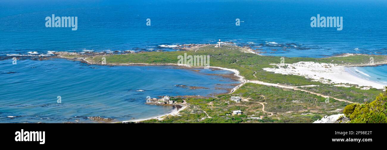 Seascape of Cape Hangklip lighthouse and surrounding vegetation, dunes and bays, near Betty's Bay, South Africa. Stock Photohttps://www.alamy.com/image-license-details/?v=1https://www.alamy.com/seascape-of-cape-hangklip-lighthouse-and-surrounding-vegetation-dunes-and-bays-near-bettys-bay-south-africa-image418767408.html
RM2F98E2T–Seascape of Cape Hangklip lighthouse and surrounding vegetation, dunes and bays, near Betty's Bay, South Africa.
 Fynbos and beach on the R44 (Clarence Drive) coast with Hangklip in the distance Stock Photohttps://www.alamy.com/image-license-details/?v=1https://www.alamy.com/stock-photo-fynbos-and-beach-on-the-r44-clarence-drive-coast-with-hangklip-in-117228006.html
RMGPM5EE–Fynbos and beach on the R44 (Clarence Drive) coast with Hangklip in the distance
 False Bay, Simonstown and Cape Hangklip (in the distance) as seen from Red Hill near Cape Town in South Africa. Stock Photohttps://www.alamy.com/image-license-details/?v=1https://www.alamy.com/false-bay-simonstown-and-cape-hangklip-in-the-distance-as-seen-from-image3223410.html
RMA03Y73–False Bay, Simonstown and Cape Hangklip (in the distance) as seen from Red Hill near Cape Town in South Africa.
 Cape Hangklip, in Western Cape, near Cape Town, South Africa Stock Photohttps://www.alamy.com/image-license-details/?v=1https://www.alamy.com/cape-hangklip-in-western-cape-near-cape-town-south-africa-image624498726.html
RF2Y80ADX–Cape Hangklip, in Western Cape, near Cape Town, South Africa
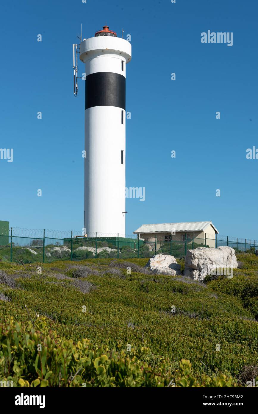 Cape Hangklip Lighthouse at Cape Hangklip, Pringle Bay, Western Cape, South Africa, 25 December 2021. Stock Photohttps://www.alamy.com/image-license-details/?v=1https://www.alamy.com/cape-hangklip-lighthouse-at-cape-hangklip-pringle-bay-western-cape-south-africa-25-december-2021-image455047490.html
RM2HC95M2–Cape Hangklip Lighthouse at Cape Hangklip, Pringle Bay, Western Cape, South Africa, 25 December 2021.
 Beautiful panoramic view from Hangklip peak of the turquoise bank of Pringle Bay and the deep blue water of the Atlantic ocean Stock Photohttps://www.alamy.com/image-license-details/?v=1https://www.alamy.com/beautiful-panoramic-view-from-hangklip-peak-of-the-turquoise-bank-of-pringle-bay-and-the-deep-blue-water-of-the-atlantic-ocean-image344863575.html
RF2B11W07–Beautiful panoramic view from Hangklip peak of the turquoise bank of Pringle Bay and the deep blue water of the Atlantic ocean
 Landscape view of the tiny seaside village of Rooiels in the Western Cape South Africa sitting below Hangklip Rock Stock Photohttps://www.alamy.com/image-license-details/?v=1https://www.alamy.com/stock-photo-landscape-view-of-the-tiny-seaside-village-of-rooiels-in-the-western-28390190.html
RMBJ57YA–Landscape view of the tiny seaside village of Rooiels in the Western Cape South Africa sitting below Hangklip Rock
 Klein-Hangklip mountain in Rooi-Els, Western Cape Province, South Africa. Stock Photohttps://www.alamy.com/image-license-details/?v=1https://www.alamy.com/klein-hangklip-mountain-in-rooi-els-western-cape-province-south-africa-image246323000.html
RMT8MYE0–Klein-Hangklip mountain in Rooi-Els, Western Cape Province, South Africa.
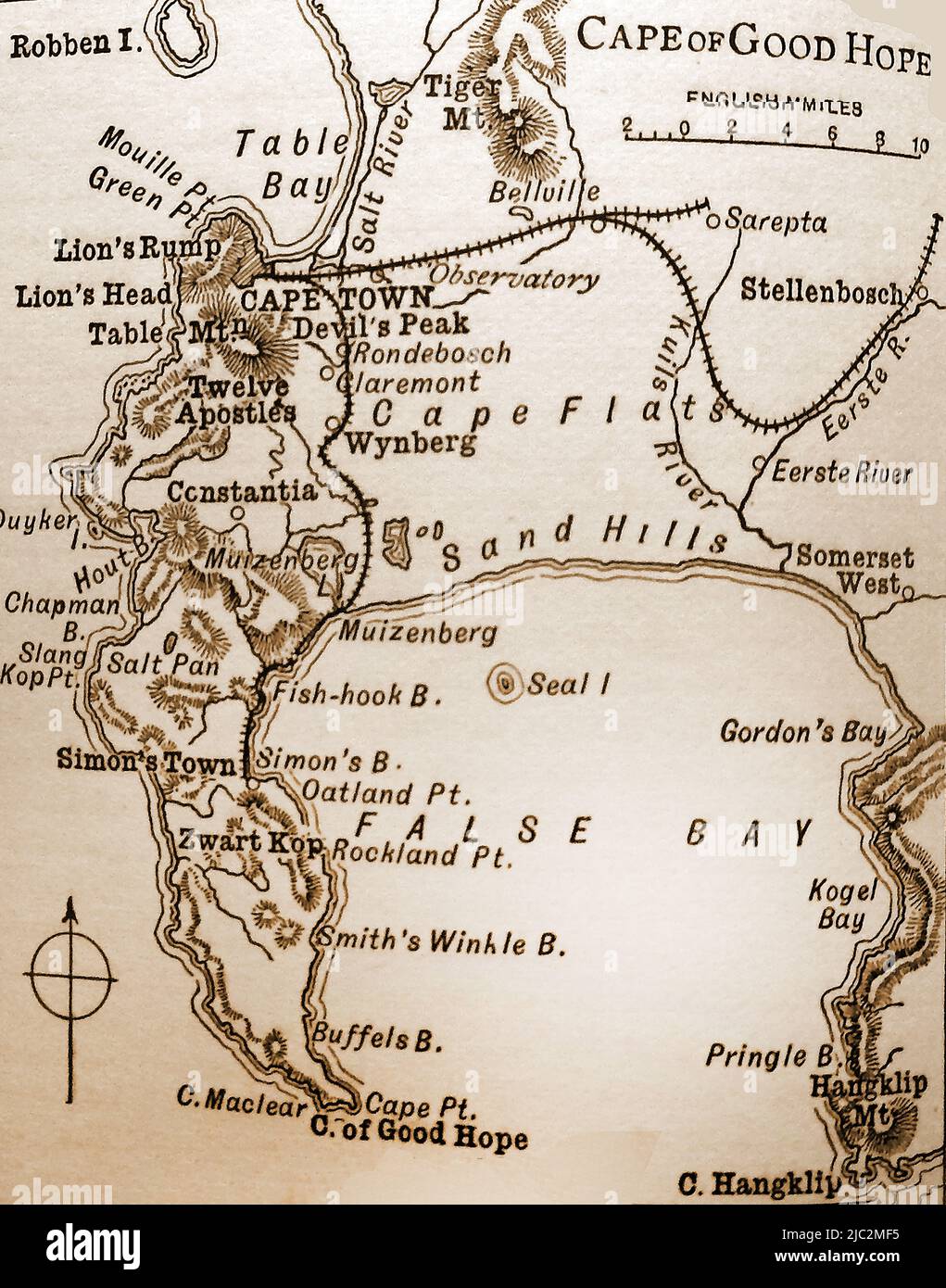 A late 19th century map of the Cape of Good Hope and surrounding areas Stock Photohttps://www.alamy.com/image-license-details/?v=1https://www.alamy.com/a-late-19th-century-map-of-the-cape-of-good-hope-and-surrounding-areas-image472115817.html
RM2JC2MF5–A late 19th century map of the Cape of Good Hope and surrounding areas
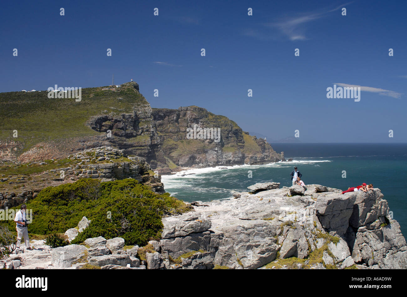 Cape Point and both the new and the old Cape Point lighthouses from the Cape of Good Hope Stock Photohttps://www.alamy.com/image-license-details/?v=1https://www.alamy.com/stock-photo-cape-point-and-both-the-new-and-the-old-cape-point-lighthouses-from-11513604.html
RFA6AD9W–Cape Point and both the new and the old Cape Point lighthouses from the Cape of Good Hope
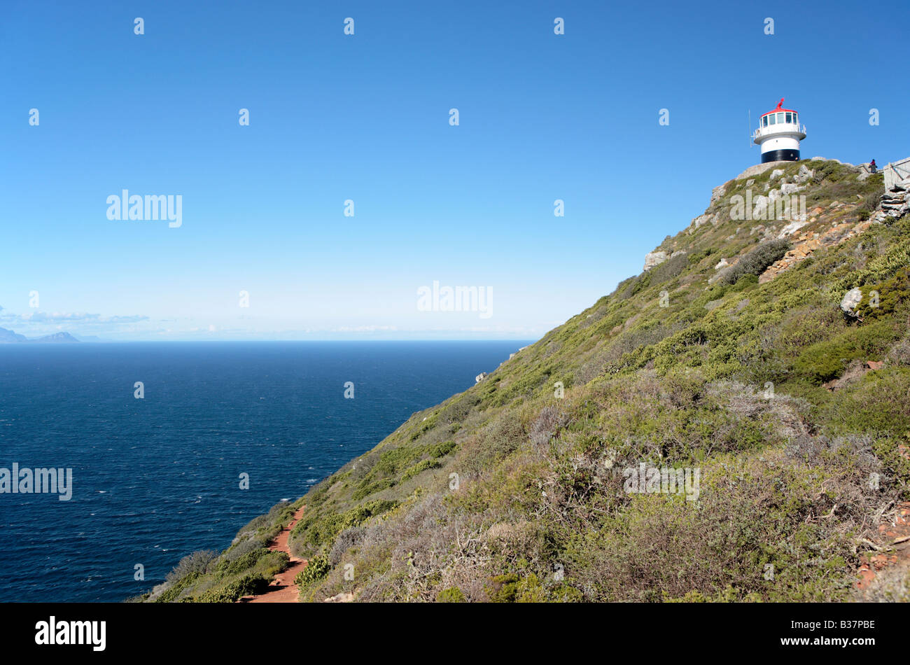 Cape Point Lighthouse, False Bay, South Africa Stock Photohttps://www.alamy.com/image-license-details/?v=1https://www.alamy.com/stock-photo-cape-point-lighthouse-false-bay-south-africa-19225570.html
RMB37PBE–Cape Point Lighthouse, False Bay, South Africa
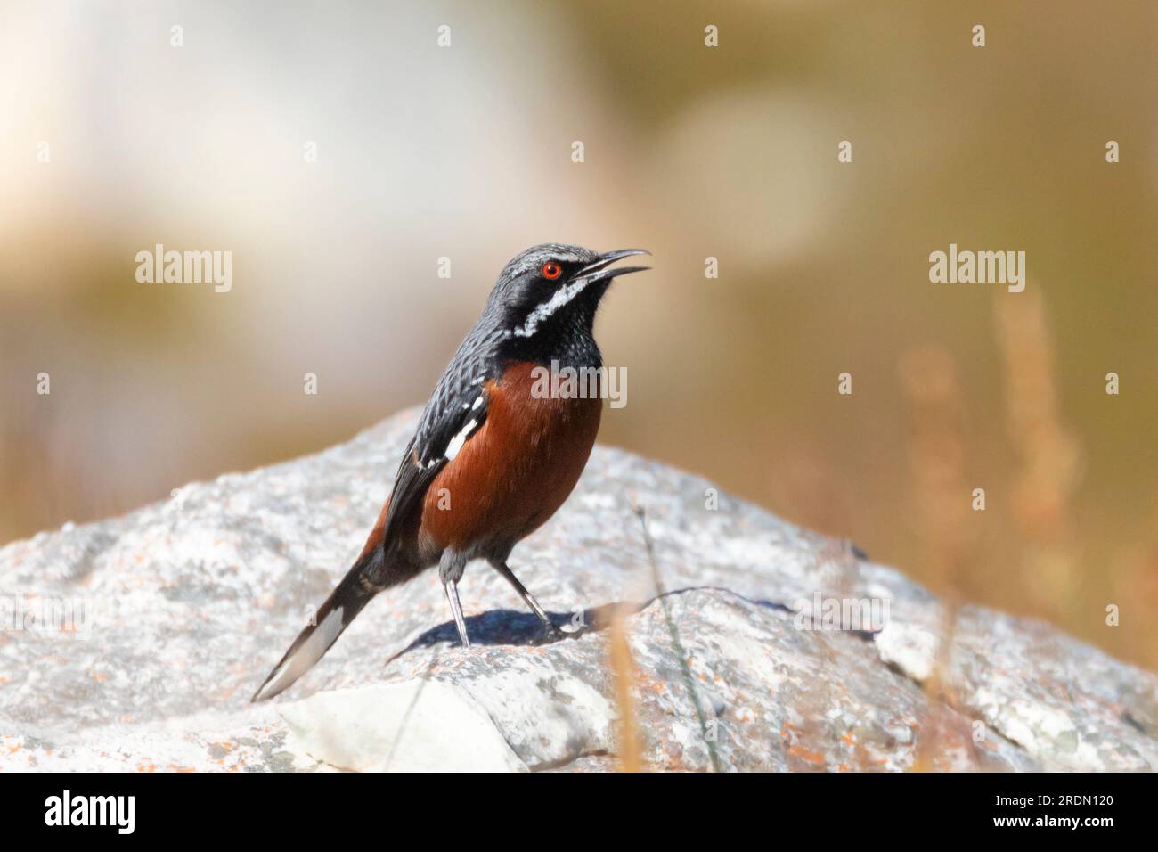 Male Cape Rockjumper (Chaetops frenatus), Rooiels, Rooi Els, Rooi-els, Western Cape South Africa. A Near Threatened endemic Fynbos species Stock Photohttps://www.alamy.com/image-license-details/?v=1https://www.alamy.com/male-cape-rockjumper-chaetops-frenatus-rooiels-rooi-els-rooi-els-western-cape-south-africa-a-near-threatened-endemic-fynbos-species-image559184136.html
RM2RDN120–Male Cape Rockjumper (Chaetops frenatus), Rooiels, Rooi Els, Rooi-els, Western Cape South Africa. A Near Threatened endemic Fynbos species
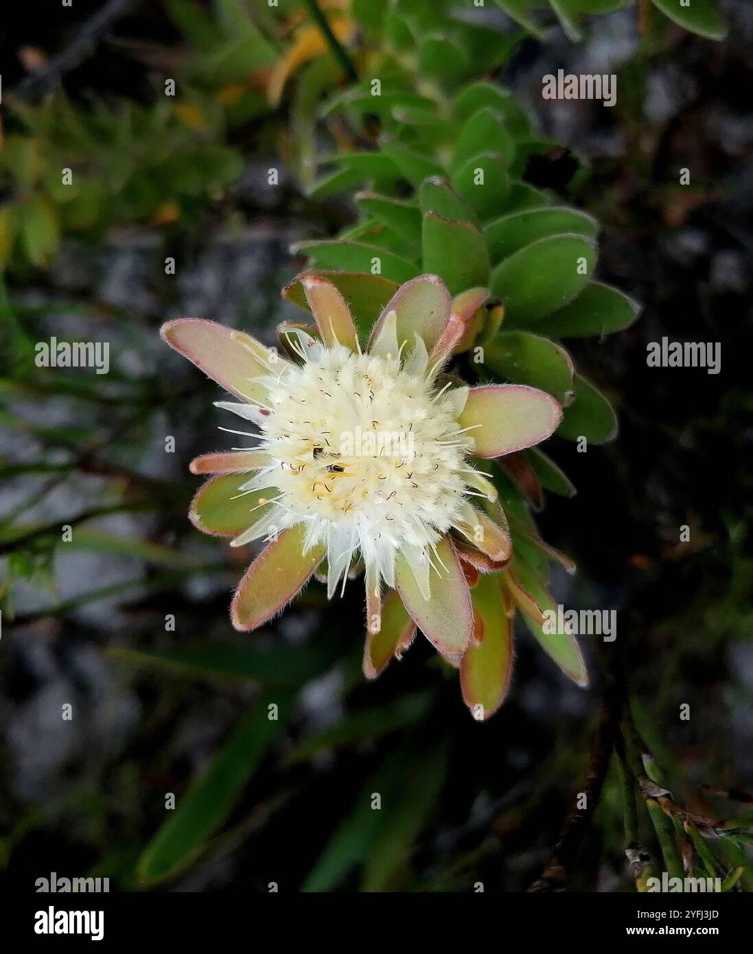 Hangklip Silkypuff (Diastella thymelaeoides meridiana) Stock Photohttps://www.alamy.com/image-license-details/?v=1https://www.alamy.com/hangklip-silkypuff-diastella-thymelaeoides-meridiana-image629191093.html
RM2YFJ3JD–Hangklip Silkypuff (Diastella thymelaeoides meridiana)
 Coast along False Bay Cape Hangklip South-West coast South Africa Africa Stock Photohttps://www.alamy.com/image-license-details/?v=1https://www.alamy.com/stock-photo-coast-along-false-bay-cape-hangklip-south-west-coast-south-africa-20831814.html
RMB5TY5A–Coast along False Bay Cape Hangklip South-West coast South Africa Africa
 Map of False Bay and the Cape Peninsula, 1780 drawing The map covers the area, consisting of the entire Cape peninsula, the Valsbaaai, and the area bordered by Helderberg in the north, Cape Hangklip in the south and sandown bay in the southeast (with guts card, with defined areas A to C, within that according to minutes of width) Cape Province paper. ink. pencil. watercolor (paint) pen / brush Stock Photohttps://www.alamy.com/image-license-details/?v=1https://www.alamy.com/map-of-false-bay-and-the-cape-peninsula-1780-drawing-the-map-covers-the-area-consisting-of-the-entire-cape-peninsula-the-valsbaaai-and-the-area-bordered-by-helderberg-in-the-north-cape-hangklip-in-the-south-and-sandown-bay-in-the-southeast-with-guts-card-with-defined-areas-a-to-c-within-that-according-to-minutes-of-width-cape-province-paper-ink-pencil-watercolor-paint-pen-brush-image595118413.html
RM2WG5YH1–Map of False Bay and the Cape Peninsula, 1780 drawing The map covers the area, consisting of the entire Cape peninsula, the Valsbaaai, and the area bordered by Helderberg in the north, Cape Hangklip in the south and sandown bay in the southeast (with guts card, with defined areas A to C, within that according to minutes of width) Cape Province paper. ink. pencil. watercolor (paint) pen / brush
 South Africa, Western Cape, Sea at Hangklip Stock Photohttps://www.alamy.com/image-license-details/?v=1https://www.alamy.com/stock-photo-south-africa-western-cape-sea-at-hangklip-20597992.html
RFB5E8XG–South Africa, Western Cape, Sea at Hangklip
 Panorama of the east side of False Bay, from Simonsberg at the left to Cape Hangklip at the right.Panorama of the East of False Bay, from Simonsberg (left) to Cape Hangklip (Rechts). Old carrier track by Hottentots Holland. Stock Photohttps://www.alamy.com/image-license-details/?v=1https://www.alamy.com/panorama-of-the-east-side-of-false-bay-from-simonsberg-at-the-left-to-cape-hangklip-at-the-rightpanorama-of-the-east-of-false-bay-from-simonsberg-left-to-cape-hangklip-rechts-old-carrier-track-by-hottentots-holland-image414376444.html
RM2F24DAM–Panorama of the east side of False Bay, from Simonsberg at the left to Cape Hangklip at the right.Panorama of the East of False Bay, from Simonsberg (left) to Cape Hangklip (Rechts). Old carrier track by Hottentots Holland.
 Landscape photo of mountain on a hot summer day with winding brown gravel road through green trees a Stock Photohttps://www.alamy.com/image-license-details/?v=1https://www.alamy.com/landscape-photo-of-mountain-on-a-hot-summer-day-with-winding-brown-gravel-road-through-green-trees-a-image362194476.html
RM2C17AN0–Landscape photo of mountain on a hot summer day with winding brown gravel road through green trees a
 Panorama view looking South from the summit of Table Mountain. Cape Towns Stock Photohttps://www.alamy.com/image-license-details/?v=1https://www.alamy.com/stock-photo-panorama-view-looking-south-from-the-summit-of-table-mountain-cape-56239674.html
RFD7DX7P–Panorama view looking South from the summit of Table Mountain. Cape Towns
 Hartlaub's Gulls, Kelp Gulls and Swift Terns roosting at Hangklip beach near Cape Town, South Africa. Stock Photohttps://www.alamy.com/image-license-details/?v=1https://www.alamy.com/hartlaubs-gulls-kelp-gulls-and-swift-terns-roosting-at-hangklip-beach-near-cape-town-south-africa-image418767622.html
RM2F98EAE–Hartlaub's Gulls, Kelp Gulls and Swift Terns roosting at Hangklip beach near Cape Town, South Africa.
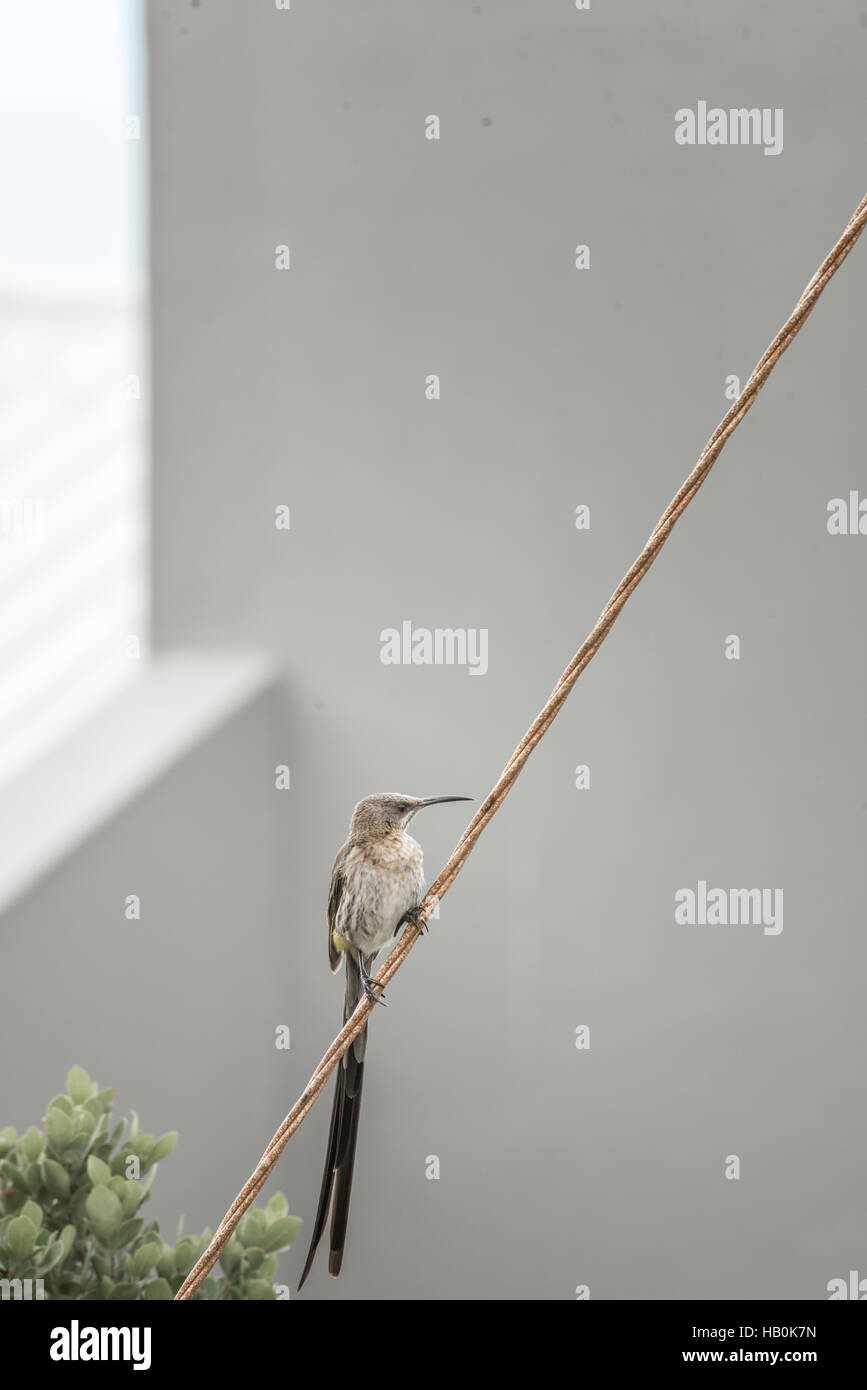 Sugarbird at Holiday Home Stock Photohttps://www.alamy.com/image-license-details/?v=1https://www.alamy.com/stock-photo-sugarbird-at-holiday-home-127248905.html
RMHB0K7N–Sugarbird at Holiday Home
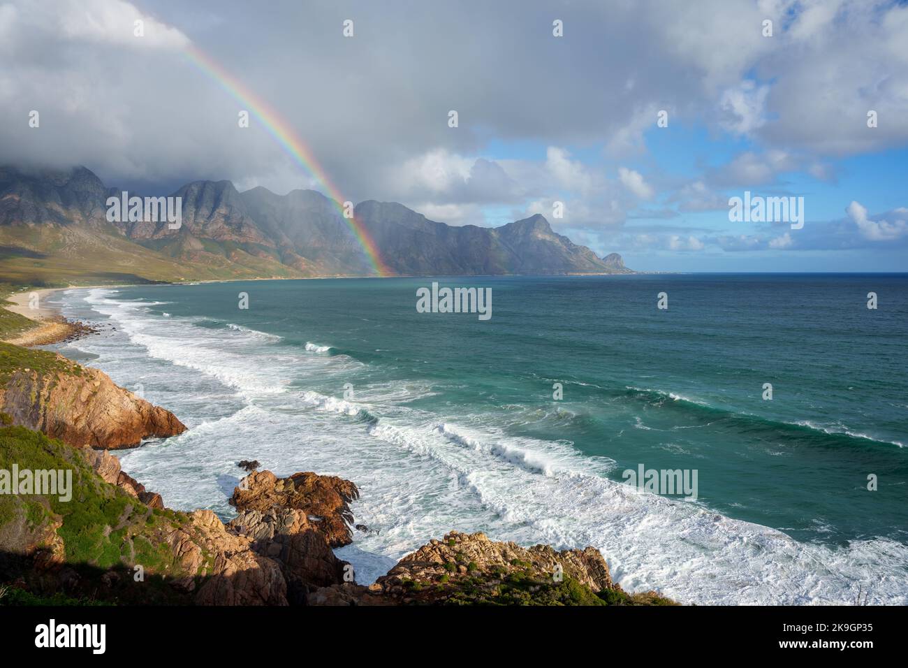 View with rainbow towards Rooi Els and Hanklip from Clarence Drive on the eastern side of False Bay. Cape Town, Western Cape, South Africa. Stock Photohttps://www.alamy.com/image-license-details/?v=1https://www.alamy.com/view-with-rainbow-towards-rooi-els-and-hanklip-from-clarence-drive-on-the-eastern-side-of-false-bay-cape-town-western-cape-south-africa-image487790777.html
RF2K9GP35–View with rainbow towards Rooi Els and Hanklip from Clarence Drive on the eastern side of False Bay. Cape Town, Western Cape, South Africa.
 Cape Hangklip, in Western Cape, near Cape Town, South Africa Stock Photohttps://www.alamy.com/image-license-details/?v=1https://www.alamy.com/cape-hangklip-in-western-cape-near-cape-town-south-africa-image624498723.html
RF2Y80ADR–Cape Hangklip, in Western Cape, near Cape Town, South Africa
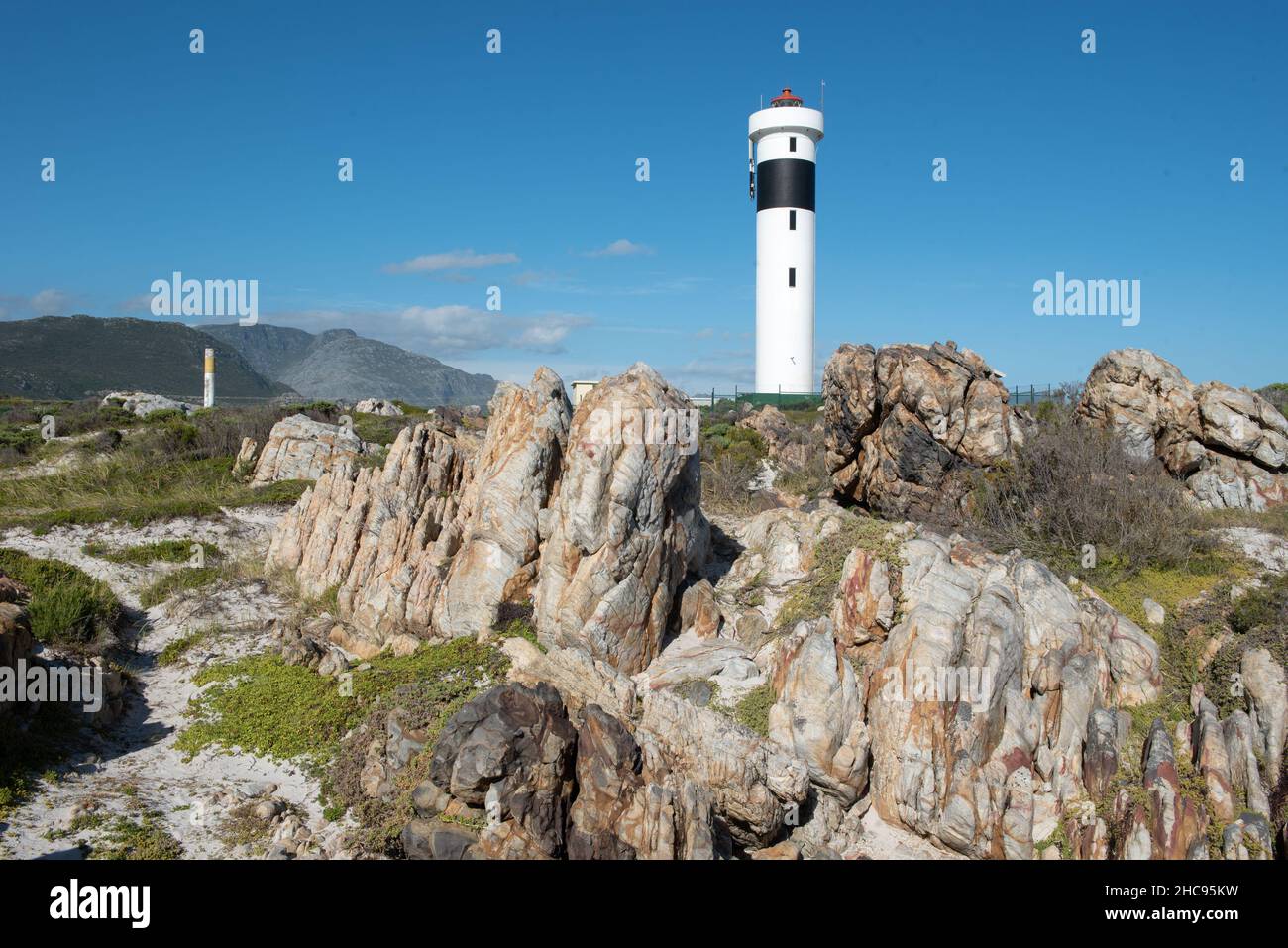 Cape Hangklip Lighthouse at Cape Hangklip, Pringle Bay, Western Cape, South Africa, 25 December 2021. Stock Photohttps://www.alamy.com/image-license-details/?v=1https://www.alamy.com/cape-hangklip-lighthouse-at-cape-hangklip-pringle-bay-western-cape-south-africa-25-december-2021-image455047485.html
RM2HC95KW–Cape Hangklip Lighthouse at Cape Hangklip, Pringle Bay, Western Cape, South Africa, 25 December 2021.
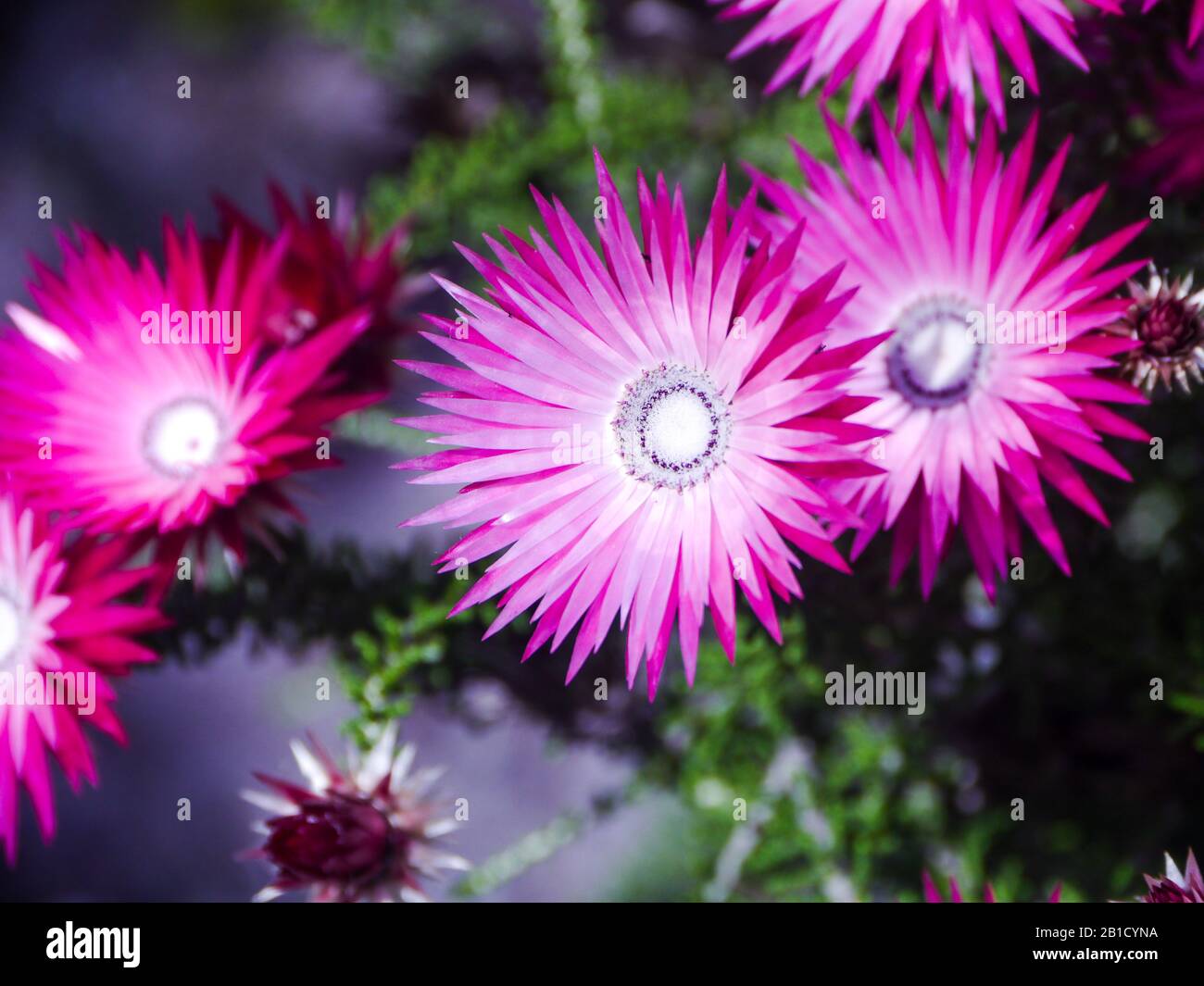 Midday flower (Mesembryanthemum criniflorum) on the hillside of the Hangklip in Pringle Bay Stock Photohttps://www.alamy.com/image-license-details/?v=1https://www.alamy.com/midday-flower-mesembryanthemum-criniflorum-on-the-hillside-of-the-hangklip-in-pringle-bay-image345107206.html
RF2B1CYNA–Midday flower (Mesembryanthemum criniflorum) on the hillside of the Hangklip in Pringle Bay
 Landscape view of the tiny seaside village of Rooiels in the Western Cape South Africa sitting below Hangklip Rock Stock Photohttps://www.alamy.com/image-license-details/?v=1https://www.alamy.com/stock-photo-landscape-view-of-the-tiny-seaside-village-of-rooiels-in-the-western-28389475.html
RMBJ571R–Landscape view of the tiny seaside village of Rooiels in the Western Cape South Africa sitting below Hangklip Rock
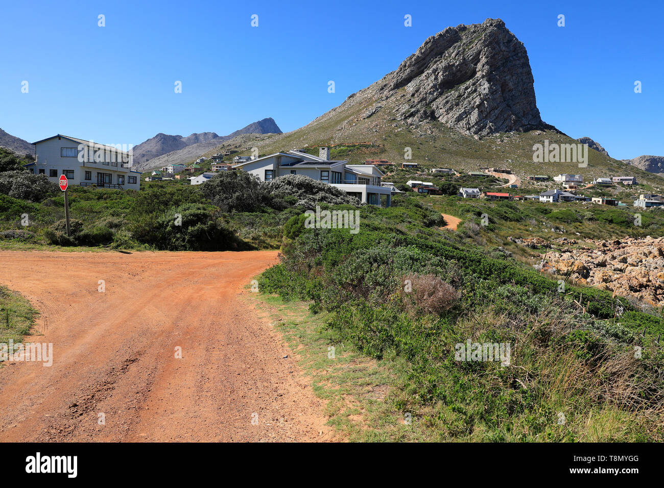 Klein-Hangklip mountain in Rooi-Els, Western Cape Province, South Africa. Stock Photohttps://www.alamy.com/image-license-details/?v=1https://www.alamy.com/klein-hangklip-mountain-in-rooi-els-western-cape-province-south-africa-image246323072.html
RMT8MYGG–Klein-Hangklip mountain in Rooi-Els, Western Cape Province, South Africa.
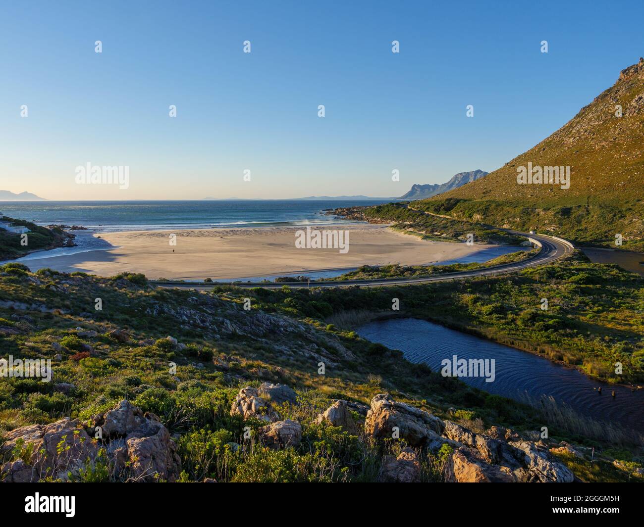 The wonderfully scenic R44 Clarence Drive along the eastern shores of False Bay. Rooi-Else, near Cape Town, Western Cape. South Africa Stock Photohttps://www.alamy.com/image-license-details/?v=1https://www.alamy.com/the-wonderfully-scenic-r44-clarence-drive-along-the-eastern-shores-of-false-bay-rooi-else-near-cape-town-western-cape-south-africa-image440460765.html
RF2GGGM5H–The wonderfully scenic R44 Clarence Drive along the eastern shores of False Bay. Rooi-Else, near Cape Town, Western Cape. South Africa
 The new Cape Point lighthouse on the cliffs at the tip of Cape Point Stock Photohttps://www.alamy.com/image-license-details/?v=1https://www.alamy.com/stock-photo-the-new-cape-point-lighthouse-on-the-cliffs-at-the-tip-of-cape-point-11513603.html
RFA6AD9T–The new Cape Point lighthouse on the cliffs at the tip of Cape Point
 Lighthouse Stock Photohttps://www.alamy.com/image-license-details/?v=1https://www.alamy.com/lighthouse-image412291411.html
RM2EXNDW7–Lighthouse
 Female Cape Rockjumper (Chaetops frenatus), Rooiels, Rooi Els, Rooi-els, Western Cape South Africa. A Near Threatened endemic Fynbos species Stock Photohttps://www.alamy.com/image-license-details/?v=1https://www.alamy.com/female-cape-rockjumper-chaetops-frenatus-rooiels-rooi-els-rooi-els-western-cape-south-africa-a-near-threatened-endemic-fynbos-species-image559184133.html
RM2RDN11W–Female Cape Rockjumper (Chaetops frenatus), Rooiels, Rooi Els, Rooi-els, Western Cape South Africa. A Near Threatened endemic Fynbos species
 Cape oxeye (Dimorphotheca nudicaulis nudicaulis) Cape Hangklip Stock Photohttps://www.alamy.com/image-license-details/?v=1https://www.alamy.com/cape-oxeye-dimorphotheca-nudicaulis-nudicaulis-cape-hangklip-image613082695.html
RM2XHC96F–Cape oxeye (Dimorphotheca nudicaulis nudicaulis) Cape Hangklip
 Coast along False Bay Cape Hangklip South-West coast South Africa Africa Stock Photohttps://www.alamy.com/image-license-details/?v=1https://www.alamy.com/stock-photo-coast-along-false-bay-cape-hangklip-south-west-coast-south-africa-20831813.html
RMB5TY59–Coast along False Bay Cape Hangklip South-West coast South Africa Africa
 Early morning beach scene at Pringle Bay with calm seas. Popular with Cape Town vacationers wanting a quiet seaside village weekend near the sea Stock Photohttps://www.alamy.com/image-license-details/?v=1https://www.alamy.com/early-morning-beach-scene-at-pringle-bay-with-calm-seas-popular-with-cape-town-vacationers-wanting-a-quiet-seaside-village-weekend-near-the-sea-image245744713.html
RFT7PHTW–Early morning beach scene at Pringle Bay with calm seas. Popular with Cape Town vacationers wanting a quiet seaside village weekend near the sea
 South Africa, Western Cape, Hangklip, grass Landscape Stock Photohttps://www.alamy.com/image-license-details/?v=1https://www.alamy.com/stock-photo-south-africa-western-cape-hangklip-grass-landscape-20584916.html
RFB5DM7G–South Africa, Western Cape, Hangklip, grass Landscape
 View of False Bay From Near Millers Point Cape Province Peninsula South Africa Stock Photohttps://www.alamy.com/image-license-details/?v=1https://www.alamy.com/view-of-false-bay-from-near-millers-point-cape-province-peninsula-image6774875.html
RMA7JTNC–View of False Bay From Near Millers Point Cape Province Peninsula South Africa
 Rooiels, South Africa - Sep 20, 2022: A street scene in Rooiels in the Western Cape Overberg Region. A restaurant and vehicles are visible Stock Photohttps://www.alamy.com/image-license-details/?v=1https://www.alamy.com/rooiels-south-africa-sep-20-2022-a-street-scene-in-rooiels-in-the-western-cape-overberg-region-a-restaurant-and-vehicles-are-visible-image491644791.html
RF2KFT9XF–Rooiels, South Africa - Sep 20, 2022: A street scene in Rooiels in the Western Cape Overberg Region. A restaurant and vehicles are visible
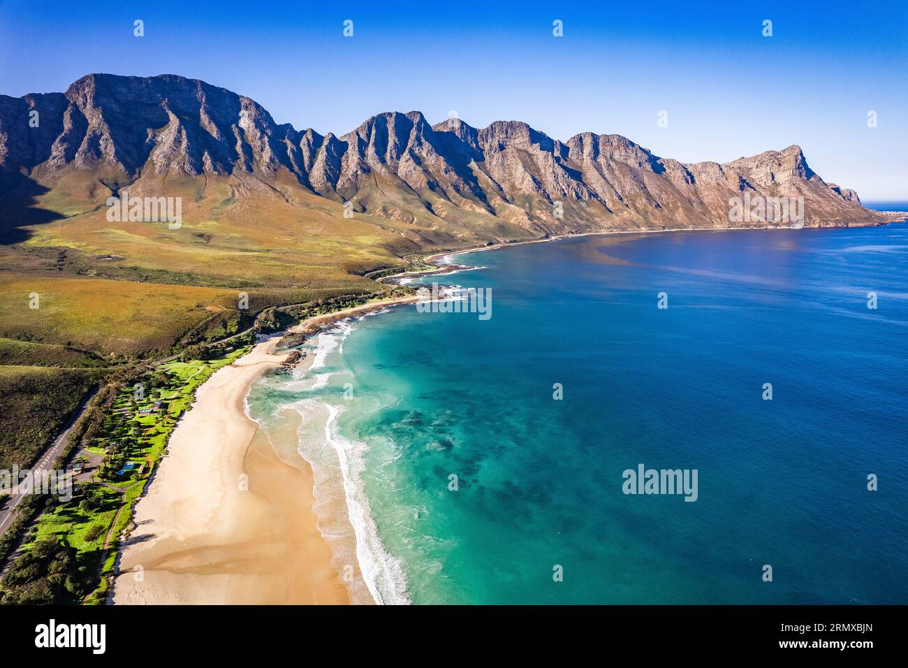 Aerial view of Kogel Bay in Western Cape Province in South Africa Stock Photohttps://www.alamy.com/image-license-details/?v=1https://www.alamy.com/aerial-view-of-kogel-bay-in-western-cape-province-in-south-africa-image563604797.html
RF2RMXBJN–Aerial view of Kogel Bay in Western Cape Province in South Africa
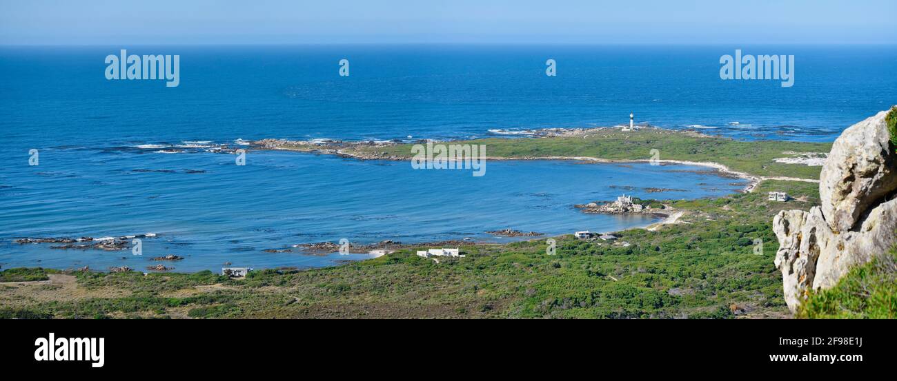 Seascape of Cape Hangklip lighthouse and surrounding, homes, vegetation, dunes an bays, near Betty's Bay, South Africa. Stock Photohttps://www.alamy.com/image-license-details/?v=1https://www.alamy.com/seascape-of-cape-hangklip-lighthouse-and-surrounding-homes-vegetation-dunes-an-bays-near-bettys-bay-south-africa-image418767374.html
RM2F98E1J–Seascape of Cape Hangklip lighthouse and surrounding, homes, vegetation, dunes an bays, near Betty's Bay, South Africa.
 Landscape photo of mountain on a hot summer day with winding brown gravel road through green trees and thorn shrubs Stock Photohttps://www.alamy.com/image-license-details/?v=1https://www.alamy.com/stock-photo-landscape-photo-of-mountain-on-a-hot-summer-day-with-winding-brown-138962146.html
RFJ227HP–Landscape photo of mountain on a hot summer day with winding brown gravel road through green trees and thorn shrubs
 South, Africa, west cape, cape half island, Hangklip, coastal scenery, Stock Photohttps://www.alamy.com/image-license-details/?v=1https://www.alamy.com/stock-photo-south-africa-west-cape-cape-half-island-hangklip-coastal-scenery-123029176.html
RMH44CY4–South, Africa, west cape, cape half island, Hangklip, coastal scenery,
 Cape Hangklip, in Western Cape, near Cape Town, South Africa Stock Photohttps://www.alamy.com/image-license-details/?v=1https://www.alamy.com/cape-hangklip-in-western-cape-near-cape-town-south-africa-image624412819.html
RF2Y7TCWR–Cape Hangklip, in Western Cape, near Cape Town, South Africa
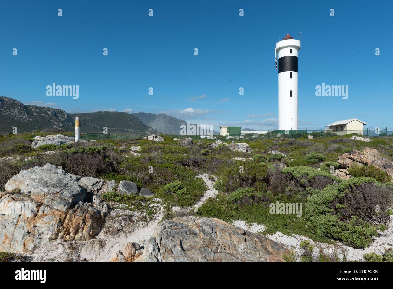 Cape Hangklip Lighthouse at Cape Hangklip, Pringle Bay, Western Cape, South Africa, 25 December 2021. Stock Photohttps://www.alamy.com/image-license-details/?v=1https://www.alamy.com/cape-hangklip-lighthouse-at-cape-hangklip-pringle-bay-western-cape-south-africa-25-december-2021-image455047483.html
RM2HC95KR–Cape Hangklip Lighthouse at Cape Hangklip, Pringle Bay, Western Cape, South Africa, 25 December 2021.
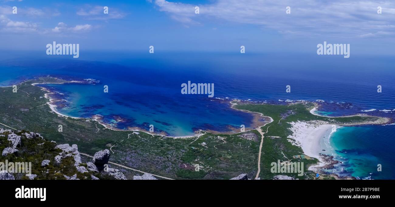 Panoramic view of the wild and sandy coast of Pringle Bay from Hangklip mountain Stock Photohttps://www.alamy.com/image-license-details/?v=1https://www.alamy.com/panoramic-view-of-the-wild-and-sandy-coast-of-pringle-bay-from-hangklip-mountain-image349000274.html
RF2B7P9BE–Panoramic view of the wild and sandy coast of Pringle Bay from Hangklip mountain
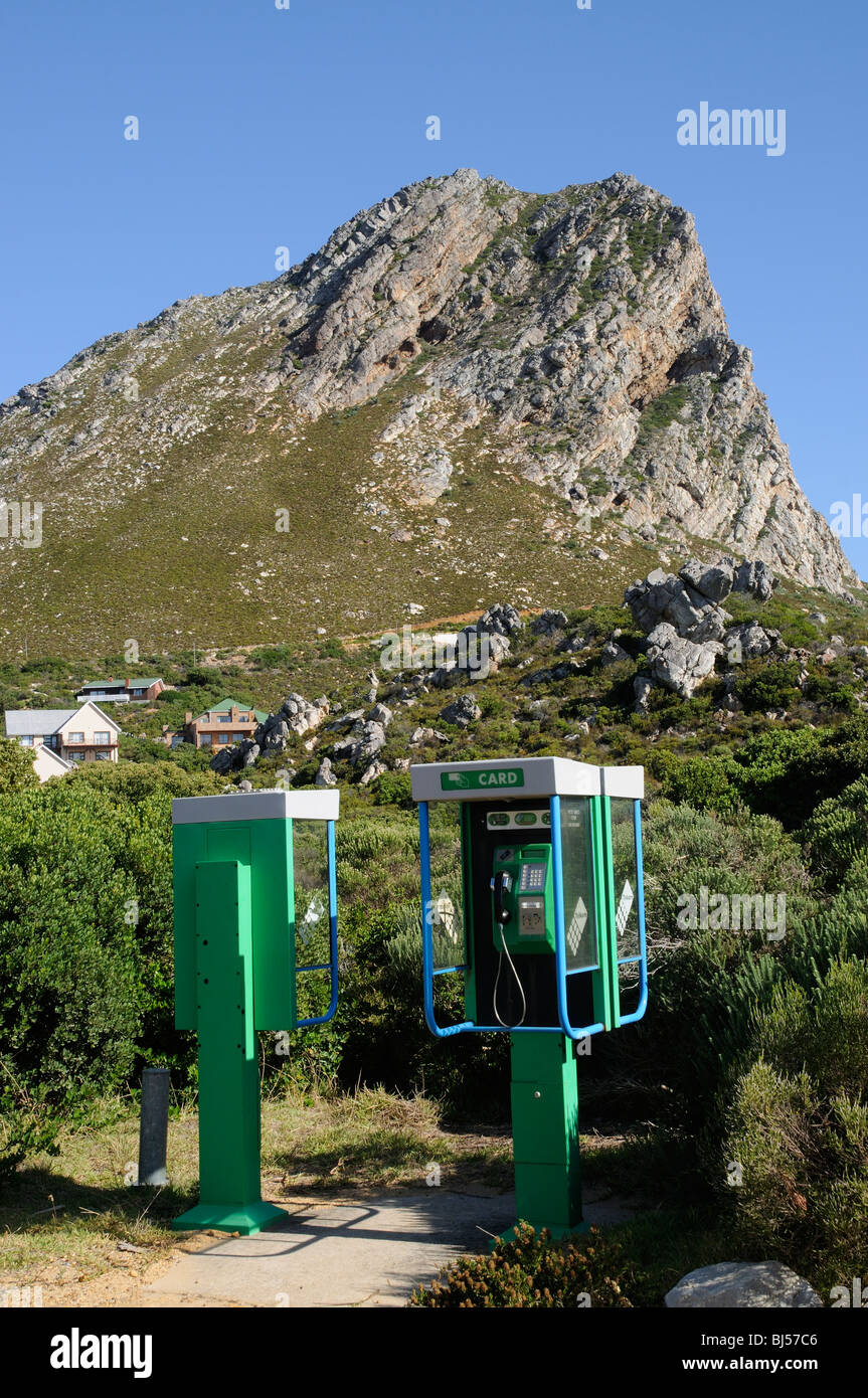 Public telephone boxes in the tiny seaside village of Rooiels in the Western Cape South Africa sitting below Hangklip Rock a fyn Stock Photohttps://www.alamy.com/image-license-details/?v=1https://www.alamy.com/stock-photo-public-telephone-boxes-in-the-tiny-seaside-village-of-rooiels-in-the-28389766.html
RMBJ57C6–Public telephone boxes in the tiny seaside village of Rooiels in the Western Cape South Africa sitting below Hangklip Rock a fyn
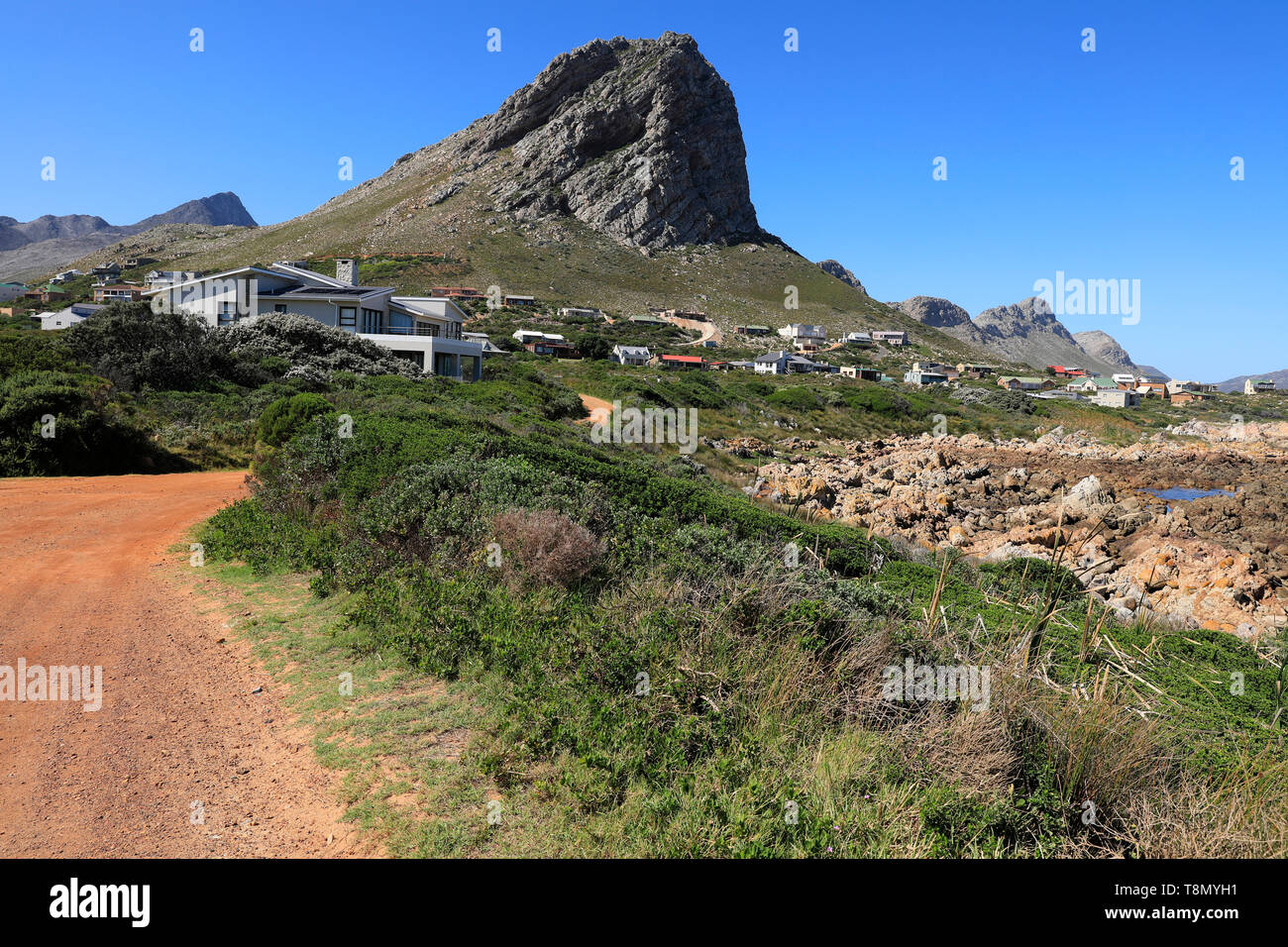 Klein-Hangklip mountain in Rooi-Els, Western Cape Province, South Africa. Stock Photohttps://www.alamy.com/image-license-details/?v=1https://www.alamy.com/klein-hangklip-mountain-in-rooi-els-western-cape-province-south-africa-image246323085.html
RMT8MYH1–Klein-Hangklip mountain in Rooi-Els, Western Cape Province, South Africa.
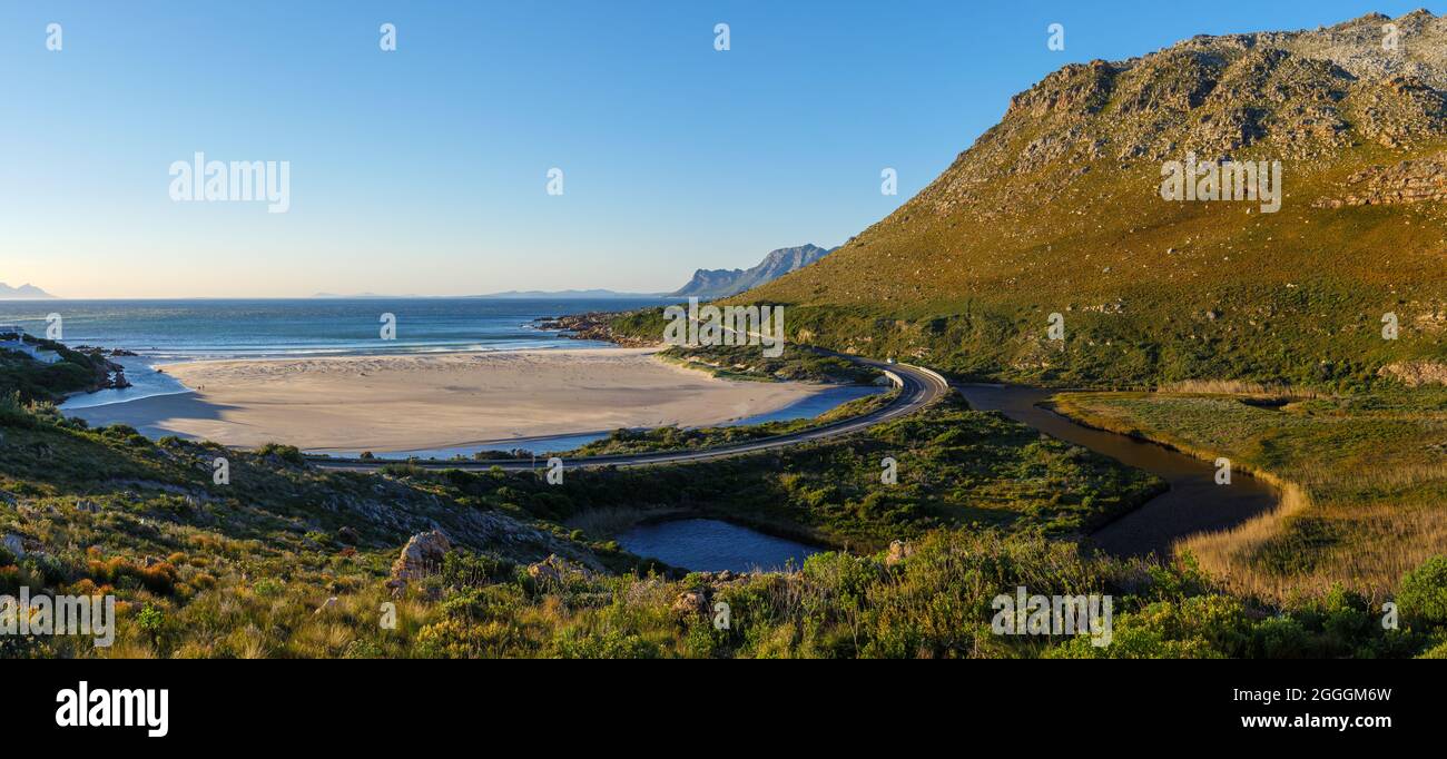 The wonderfully scenic R44 Clarence Drive along the eastern shores of False Bay. Rooi-Else, near Cape Town, Western Cape. South Africa Stock Photohttps://www.alamy.com/image-license-details/?v=1https://www.alamy.com/the-wonderfully-scenic-r44-clarence-drive-along-the-eastern-shores-of-false-bay-rooi-else-near-cape-town-western-cape-south-africa-image440460801.html
RF2GGGM6W–The wonderfully scenic R44 Clarence Drive along the eastern shores of False Bay. Rooi-Else, near Cape Town, Western Cape. South Africa
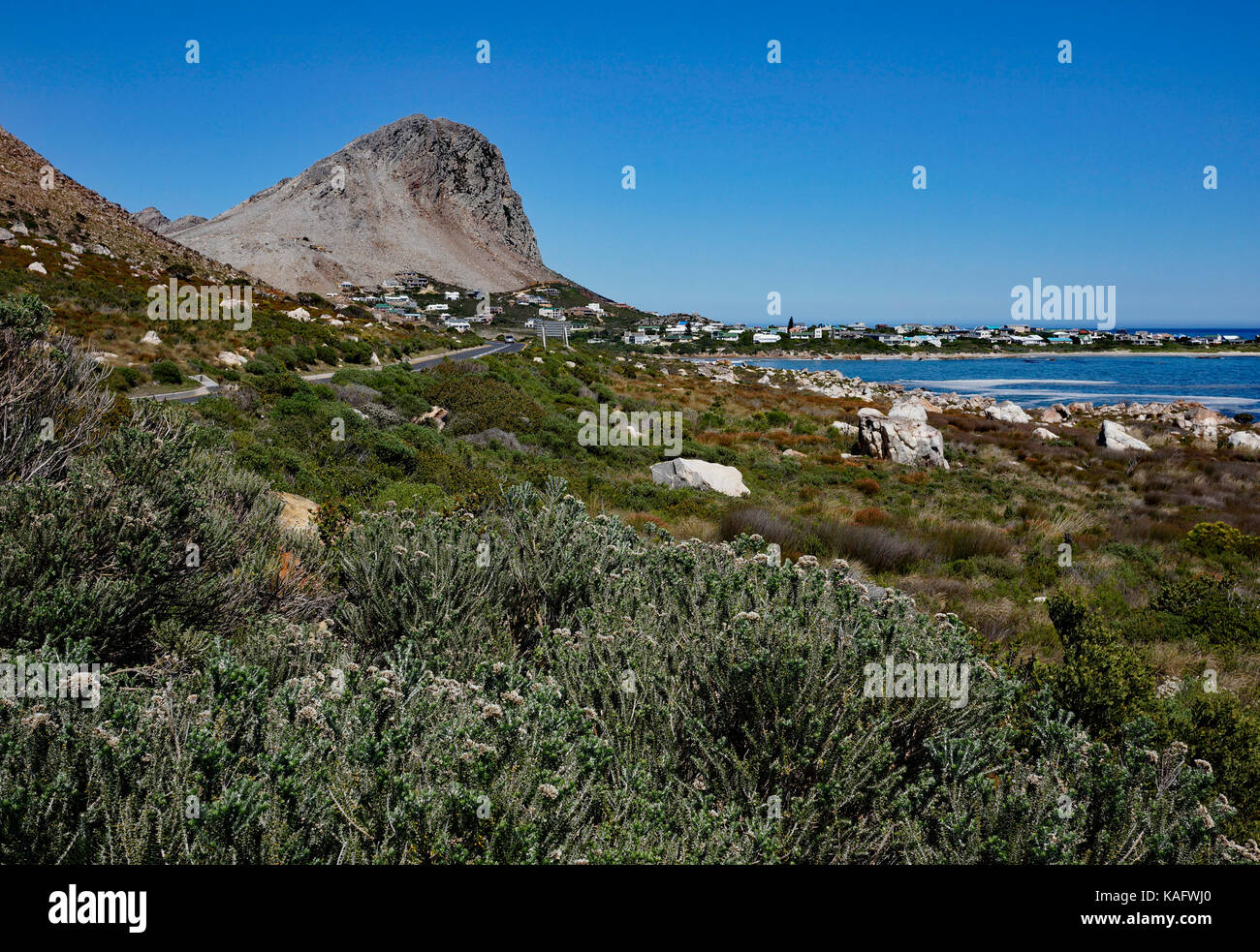 False Bay with Rooi Els in the background, Western Province, South Africa. Stock Photohttps://www.alamy.com/image-license-details/?v=1https://www.alamy.com/stock-image-false-bay-with-rooi-els-in-the-background-western-province-south-africa-161389256.html
RMKAFWJ0–False Bay with Rooi Els in the background, Western Province, South Africa.
 View with rainbow towards Rooi Els and Hanklip from Clarence Drive on the eastern side of False Bay. Cape Town, Western Cape, South Africa. Stock Photohttps://www.alamy.com/image-license-details/?v=1https://www.alamy.com/view-with-rainbow-towards-rooi-els-and-hanklip-from-clarence-drive-on-the-eastern-side-of-false-bay-cape-town-western-cape-south-africa-image487792450.html
RF2K9GT6X–View with rainbow towards Rooi Els and Hanklip from Clarence Drive on the eastern side of False Bay. Cape Town, Western Cape, South Africa.