Quick filters:
Hartford county Stock Photos and Images
 Hartford County Building. Hartford. 1940 Stock Photohttps://www.alamy.com/image-license-details/?v=1https://www.alamy.com/hartford-county-building-hartford-1940-image184459112.html
RMMM2RDC–Hartford County Building. Hartford. 1940
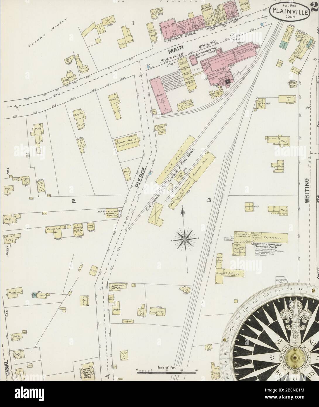 Image 2 of Sanborn Fire Insurance Map from Plainville, Hartford County, Connecticut. Aug 1890. 4 Sheet(s), America, street map with a Nineteenth Century compass Stock Photohttps://www.alamy.com/image-license-details/?v=1https://www.alamy.com/image-2-of-sanborn-fire-insurance-map-from-plainville-hartford-county-connecticut-aug-1890-4-sheets-america-street-map-with-a-nineteenth-century-compass-image344679376.html
RM2B0NE1M–Image 2 of Sanborn Fire Insurance Map from Plainville, Hartford County, Connecticut. Aug 1890. 4 Sheet(s), America, street map with a Nineteenth Century compass
 Hampsted, Hartford County, US, United States, Connecticut, N 41 57' 1'', S 72 53' 43'', map, Cartascapes Map published in 2024. Explore Cartascapes, a map revealing Earth's diverse landscapes, cultures, and ecosystems. Journey through time and space, discovering the interconnectedness of our planet's past, present, and future. Stock Photohttps://www.alamy.com/image-license-details/?v=1https://www.alamy.com/hampsted-hartford-county-us-united-states-connecticut-n-41-57-1-s-72-53-43-map-cartascapes-map-published-in-2024-explore-cartascapes-a-map-revealing-earths-diverse-landscapes-cultures-and-ecosystems-journey-through-time-and-space-discovering-the-interconnectedness-of-our-planets-past-present-and-future-image621366578.html
RM2Y2WKBE–Hampsted, Hartford County, US, United States, Connecticut, N 41 57' 1'', S 72 53' 43'', map, Cartascapes Map published in 2024. Explore Cartascapes, a map revealing Earth's diverse landscapes, cultures, and ecosystems. Journey through time and space, discovering the interconnectedness of our planet's past, present, and future.
 Facade of a government building, Connecticut State Capitol, Capitol Avenue, Bushnell Park, Hartford, Connecticut, USA Stock Photohttps://www.alamy.com/image-license-details/?v=1https://www.alamy.com/facade-of-a-government-building-connecticut-state-capitol-capitol-avenue-bushnell-park-hartford-connecticut-usa-image388705091.html
RM2DGB18K–Facade of a government building, Connecticut State Capitol, Capitol Avenue, Bushnell Park, Hartford, Connecticut, USA
 Hartford County, Connecticut outline map set Stock Vectorhttps://www.alamy.com/image-license-details/?v=1https://www.alamy.com/stock-photo-hartford-county-connecticut-outline-map-set-103784028.html
RFG0RNGC–Hartford County, Connecticut outline map set
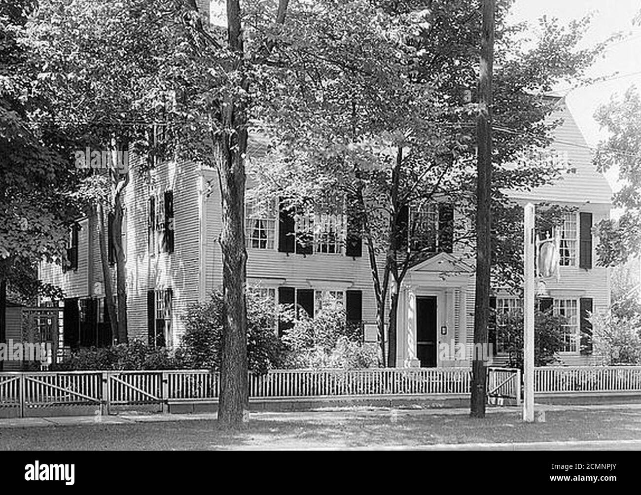 Joseph Webb House Wethersfield (Hartford County Connecticut). Stock Photohttps://www.alamy.com/image-license-details/?v=1https://www.alamy.com/joseph-webb-house-wethersfield-hartford-county-connecticut-image374189619.html
RM2CMNPJY–Joseph Webb House Wethersfield (Hartford County Connecticut).
 Peaches, Peach Sport Variety, Prunus persica, South Glastonbury, Hartford County, Connecticut, USA, Watercolor Illustration by Ellen Isham Schutt, U.S. Department of Agriculture Pomological Watercolor Collection, 1913 Stock Photohttps://www.alamy.com/image-license-details/?v=1https://www.alamy.com/peaches-peach-sport-variety-prunus-persica-south-glastonbury-hartford-county-connecticut-usa-watercolor-illustration-by-ellen-isham-schutt-us-department-of-agriculture-pomological-watercolor-collection-1913-image370246017.html
RM2CEA4G1–Peaches, Peach Sport Variety, Prunus persica, South Glastonbury, Hartford County, Connecticut, USA, Watercolor Illustration by Ellen Isham Schutt, U.S. Department of Agriculture Pomological Watercolor Collection, 1913
 Side chair (one of a pair). Attributed to Chapin School of Cabinetmakers; Hartford County, Connecticut. Date: 1771-1790. Dimensions: 96.7 × 53.3 × 42.5 cm (38 1/2 × 21 × 16 3/4 in.). Mahogany with white and yellow pine. Origin: East Windsor Hill. Museum: The Chicago Art Institute. Stock Photohttps://www.alamy.com/image-license-details/?v=1https://www.alamy.com/side-chair-one-of-a-pair-attributed-to-chapin-school-of-cabinetmakers-hartford-county-connecticut-date-1771-1790-dimensions-967-533-425-cm-38-12-21-16-34-in-mahogany-with-white-and-yellow-pine-origin-east-windsor-hill-museum-the-chicago-art-institute-image240102127.html
RMRXHGKY–Side chair (one of a pair). Attributed to Chapin School of Cabinetmakers; Hartford County, Connecticut. Date: 1771-1790. Dimensions: 96.7 × 53.3 × 42.5 cm (38 1/2 × 21 × 16 3/4 in.). Mahogany with white and yellow pine. Origin: East Windsor Hill. Museum: The Chicago Art Institute.
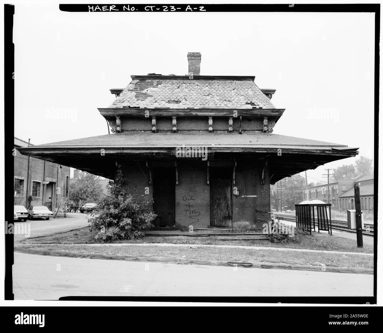 Windsor station in October 1985Original caption: VIEW, LOOKING NORTH, SOUTH SIDE - Hartford & New Haven Railroad, Depot, 35 Central Street, Windsor, Hartford County, CT Stock Photohttps://www.alamy.com/image-license-details/?v=1https://www.alamy.com/windsor-station-in-october-1985original-caption-view-looking-north-south-side-hartford-new-haven-railroad-depot-35-central-street-windsor-hartford-county-ct-image330199646.html
RM2A55W0E–Windsor station in October 1985Original caption: VIEW, LOOKING NORTH, SOUTH SIDE - Hartford & New Haven Railroad, Depot, 35 Central Street, Windsor, Hartford County, CT
 The Hillstead Museum and lawn in Farmington connecticut in hartford county in the summer time. Stock Photohttps://www.alamy.com/image-license-details/?v=1https://www.alamy.com/the-hillstead-museum-and-lawn-in-farmington-connecticut-in-hartford-county-in-the-summer-time-image241748438.html
RFT18GGP–The Hillstead Museum and lawn in Farmington connecticut in hartford county in the summer time.
 Oliver Ellsworth (geboren 29. April 1745 in Windsor, Hartford County, Colony of Connecticut, verstorben 26. November 1807 ebenda) war ein amerikanischer Jurist und Politiker, nach einem Gemälde von Alonzo Chappel (1828-1878), Historisch, digital restaurierte Reproduktion von einer Vorlage aus dem 19. Jahrhundert, Record date not stated Stock Photohttps://www.alamy.com/image-license-details/?v=1https://www.alamy.com/oliver-ellsworth-geboren-29-april-1745-in-windsor-hartford-county-colony-of-connecticut-verstorben-26-november-1807-ebenda-war-ein-amerikanischer-jurist-und-politiker-nach-einem-gemlde-von-alonzo-chappel-1828-1878-historisch-digital-restaurierte-reproduktion-von-einer-vorlage-aus-dem-19-jahrhundert-record-date-not-stated-image592316232.html
RF2WBJ9B4–Oliver Ellsworth (geboren 29. April 1745 in Windsor, Hartford County, Colony of Connecticut, verstorben 26. November 1807 ebenda) war ein amerikanischer Jurist und Politiker, nach einem Gemälde von Alonzo Chappel (1828-1878), Historisch, digital restaurierte Reproduktion von einer Vorlage aus dem 19. Jahrhundert, Record date not stated
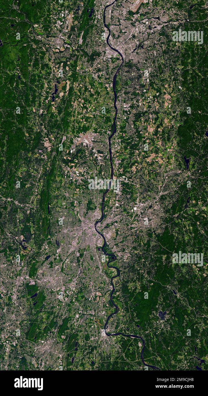 Aerial of Simsbury, CT on the Farmington River, a tributary of the Connecticut River. Stock Photohttps://www.alamy.com/image-license-details/?v=1https://www.alamy.com/aerial-of-simsbury-ct-on-the-farmington-river-a-tributary-of-the-connecticut-river-image504910596.html
RF2M9CJH8–Aerial of Simsbury, CT on the Farmington River, a tributary of the Connecticut River.
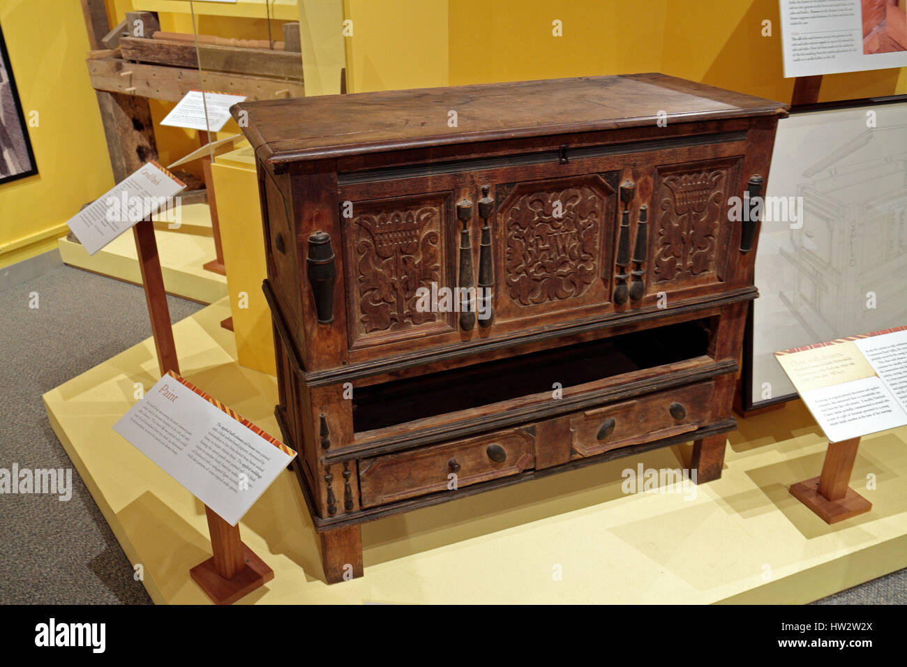 A red oak chest of drawers from Hartford County in the Flynt Center of Early New England Life, Historic Deerfield, Franklin County, Ma, United States. Stock Photohttps://www.alamy.com/image-license-details/?v=1https://www.alamy.com/stock-photo-a-red-oak-chest-of-drawers-from-hartford-county-in-the-flynt-center-135902562.html
RMHW2W2X–A red oak chest of drawers from Hartford County in the Flynt Center of Early New England Life, Historic Deerfield, Franklin County, Ma, United States.
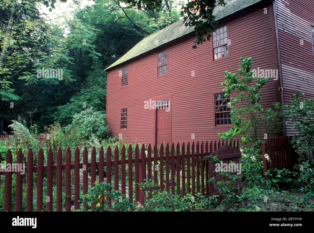 Noah Webster House, West Hartford, Connecticut Stock Photohttps://www.alamy.com/image-license-details/?v=1https://www.alamy.com/noah-webster-house-west-hartford-connecticut-image566098154.html
RF2RTYYY6–Noah Webster House, West Hartford, Connecticut
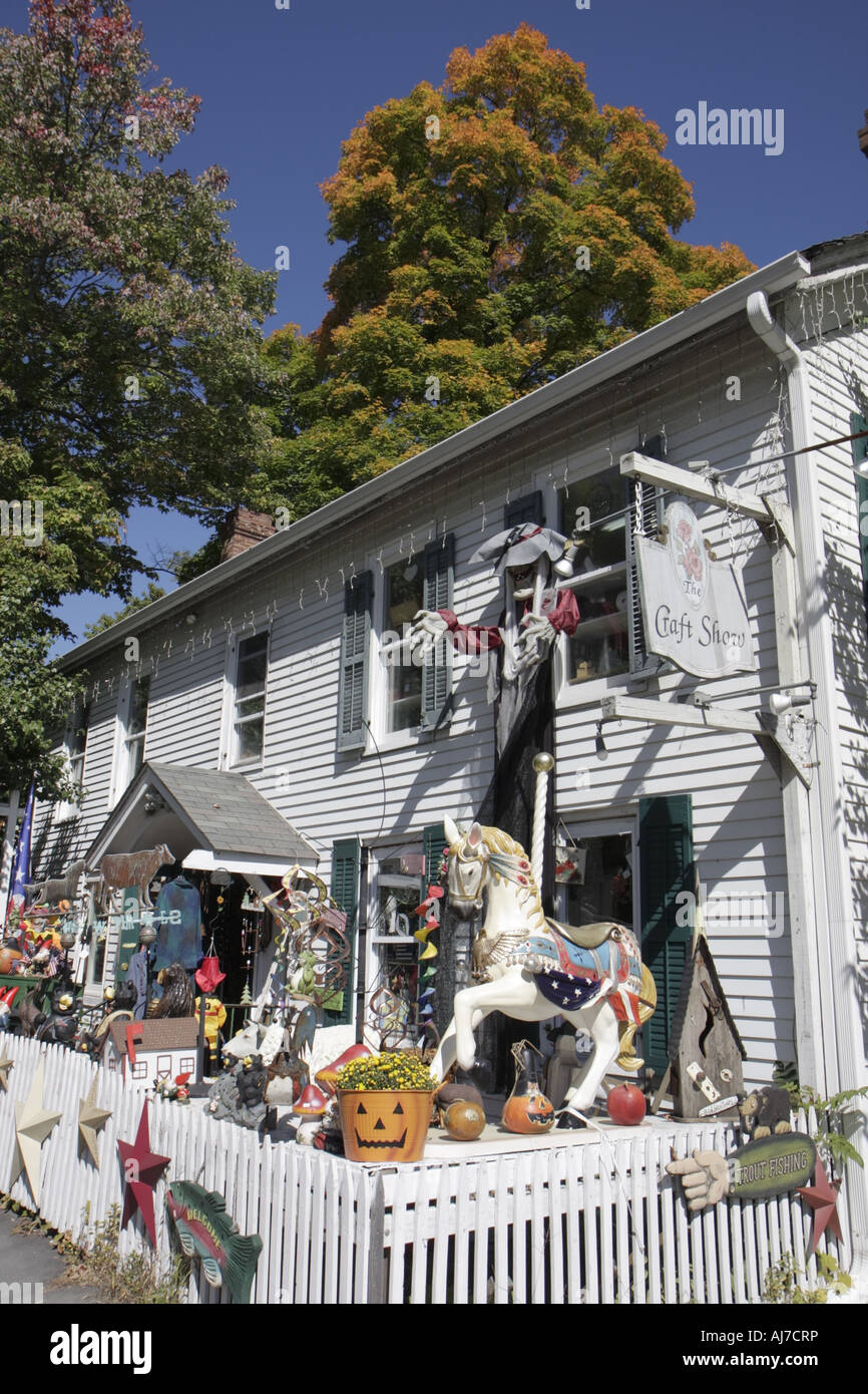 Pocono Poconos Mountains Pennsylvania,Pike County,Milford,East Hartford Street,The Craft Show,American made crafts,PA070924026 Stock Photohttps://www.alamy.com/image-license-details/?v=1https://www.alamy.com/stock-photo-pocono-poconos-mountains-pennsylvaniapike-countymilfordeast-hartford-14646297.html
RMAJ7CRP–Pocono Poconos Mountains Pennsylvania,Pike County,Milford,East Hartford Street,The Craft Show,American made crafts,PA070924026
 Main Street in Hazardville, circa 1906 Stock Photohttps://www.alamy.com/image-license-details/?v=1https://www.alamy.com/main-street-in-hazardville-circa-1906-image526680355.html
RM2NGTA4K–Main Street in Hazardville, circa 1906
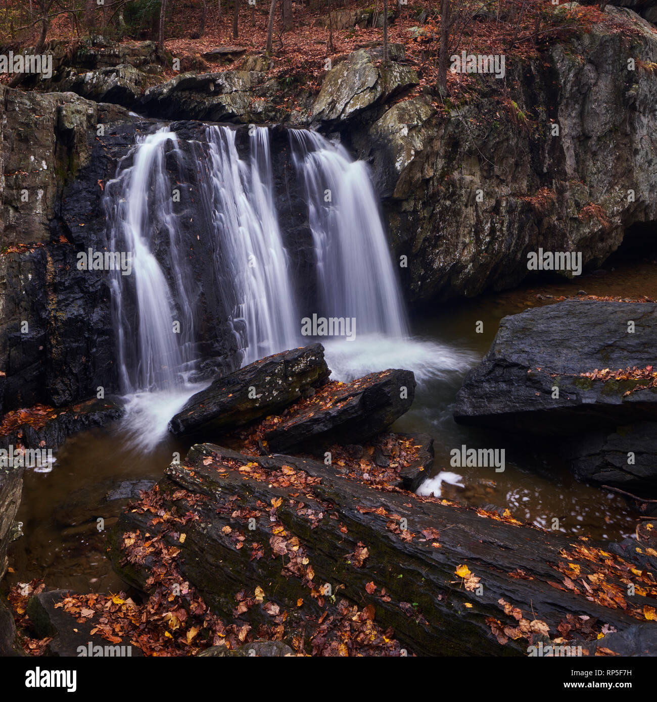 Autumn view of Kilgore Falls in Hartford County, Maryland Stock Photohttps://www.alamy.com/image-license-details/?v=1https://www.alamy.com/autumn-view-of-kilgore-falls-in-hartford-county-maryland-image237378949.html
RFRP5F7H–Autumn view of Kilgore Falls in Hartford County, Maryland
 Bridge Over The Susquehanna River Stock Photohttps://www.alamy.com/image-license-details/?v=1https://www.alamy.com/bridge-over-the-susquehanna-river-image218589391.html
RFPKHGYY–Bridge Over The Susquehanna River
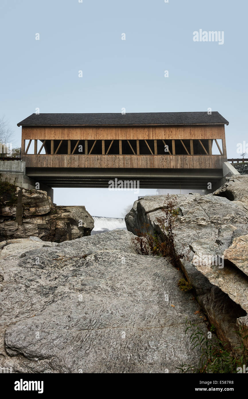 Quechee Covered Bridge, Hartford, Vermont, USA Stock Photohttps://www.alamy.com/image-license-details/?v=1https://www.alamy.com/stock-photo-quechee-covered-bridge-hartford-vermont-usa-72096508.html
RME587R8–Quechee Covered Bridge, Hartford, Vermont, USA
 Hartford County Office Building. Hartford. 1930 Stock Photohttps://www.alamy.com/image-license-details/?v=1https://www.alamy.com/hartford-county-office-building-hartford-1930-image184459172.html
RMMM2RFG–Hartford County Office Building. Hartford. 1930
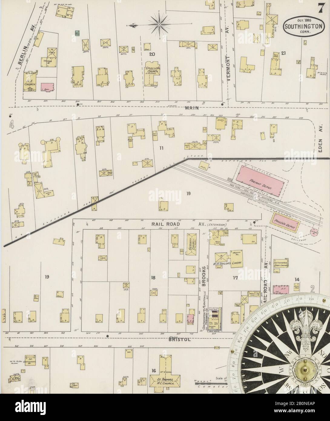 Image 7 of Sanborn Fire Insurance Map from Southington, Hartford County, Connecticut. Oct 1895. 9 Sheet(s), America, street map with a Nineteenth Century compass Stock Photohttps://www.alamy.com/image-license-details/?v=1https://www.alamy.com/image-7-of-sanborn-fire-insurance-map-from-southington-hartford-county-connecticut-oct-1895-9-sheets-america-street-map-with-a-nineteenth-century-compass-image344679630.html
RM2B0NEAP–Image 7 of Sanborn Fire Insurance Map from Southington, Hartford County, Connecticut. Oct 1895. 9 Sheet(s), America, street map with a Nineteenth Century compass
 Tariffville, Hartford County, US, United States, Connecticut, N 41 54' 31'', S 72 45' 36'', map, Cartascapes Map published in 2024. Explore Cartascapes, a map revealing Earth's diverse landscapes, cultures, and ecosystems. Journey through time and space, discovering the interconnectedness of our planet's past, present, and future. Stock Photohttps://www.alamy.com/image-license-details/?v=1https://www.alamy.com/tariffville-hartford-county-us-united-states-connecticut-n-41-54-31-s-72-45-36-map-cartascapes-map-published-in-2024-explore-cartascapes-a-map-revealing-earths-diverse-landscapes-cultures-and-ecosystems-journey-through-time-and-space-discovering-the-interconnectedness-of-our-planets-past-present-and-future-image621159375.html
RM2Y2G73B–Tariffville, Hartford County, US, United States, Connecticut, N 41 54' 31'', S 72 45' 36'', map, Cartascapes Map published in 2024. Explore Cartascapes, a map revealing Earth's diverse landscapes, cultures, and ecosystems. Journey through time and space, discovering the interconnectedness of our planet's past, present, and future.
 Facade of a government building, Connecticut State Capitol, Capitol Avenue, Bushnell Park, Hartford, Connecticut, USA Stock Photohttps://www.alamy.com/image-license-details/?v=1https://www.alamy.com/facade-of-a-government-building-connecticut-state-capitol-capitol-avenue-bushnell-park-hartford-connecticut-usa-image388705090.html
RM2DGB18J–Facade of a government building, Connecticut State Capitol, Capitol Avenue, Bushnell Park, Hartford, Connecticut, USA
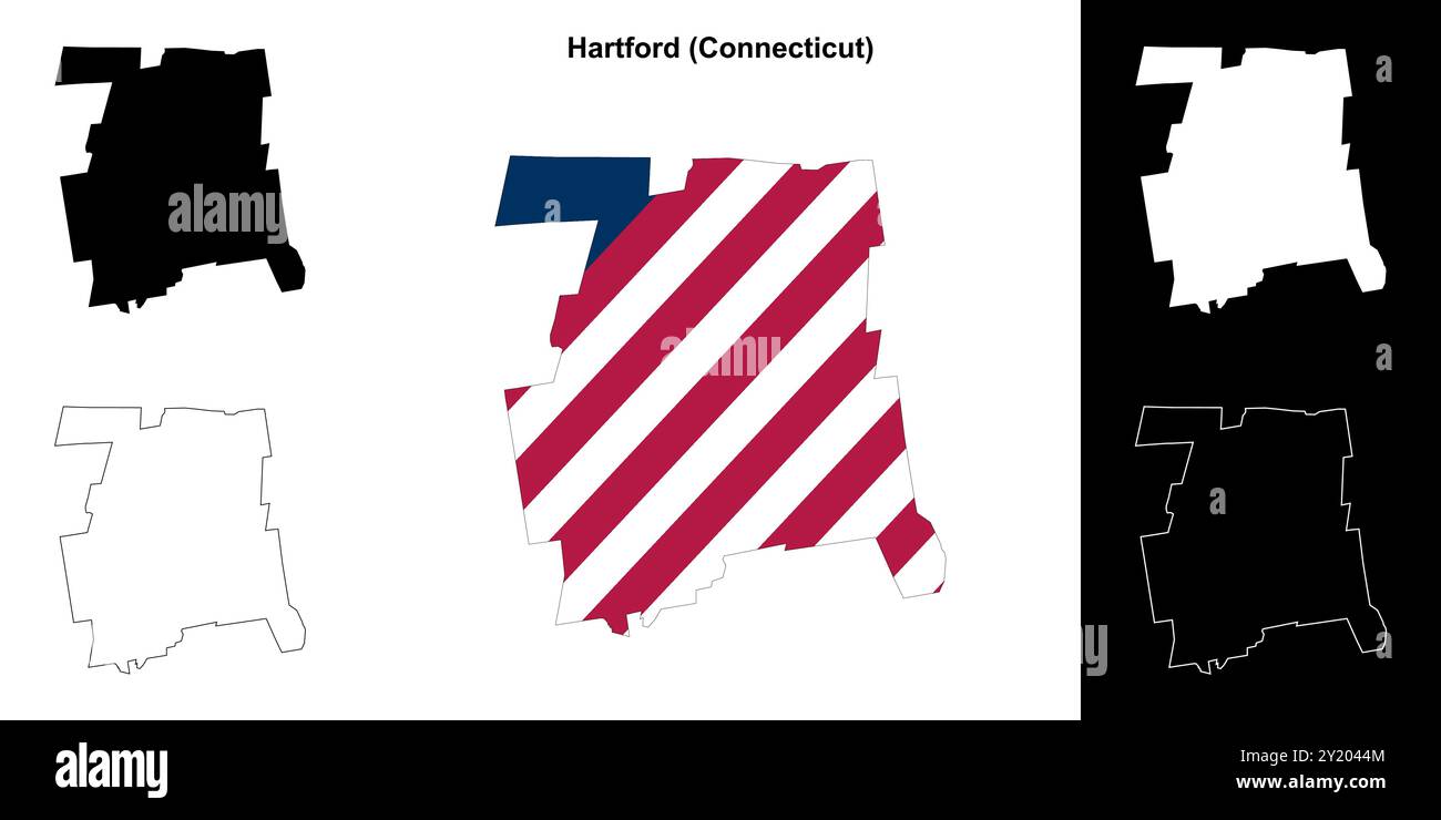 Hartford County (Connecticut) outline map set Stock Vectorhttps://www.alamy.com/image-license-details/?v=1https://www.alamy.com/hartford-county-connecticut-outline-map-set-image620805828.html
RF2Y2044M–Hartford County (Connecticut) outline map set
 Smith's map of Hartford County, Connecticut. Stock Photohttps://www.alamy.com/image-license-details/?v=1https://www.alamy.com/smiths-map-of-hartford-county-connecticut-image458141829.html
RM2HHA4G5–Smith's map of Hartford County, Connecticut.
 The memorial history of Hartford County, Connecticut, 1633-1884; (1886) Stock Photohttps://www.alamy.com/image-license-details/?v=1https://www.alamy.com/stock-photo-the-memorial-history-of-hartford-county-connecticut-1633-1884-1886-98683266.html
RMFMFBEA–The memorial history of Hartford County, Connecticut, 1633-1884; (1886)
 Chalcocite. minerals. North America; USA; Connecticut; Hartford County; Bristol Stock Photohttps://www.alamy.com/image-license-details/?v=1https://www.alamy.com/chalcocite-minerals-north-america-usa-connecticut-hartford-county-bristol-image472959417.html
RM2JDD4FN–Chalcocite. minerals. North America; USA; Connecticut; Hartford County; Bristol
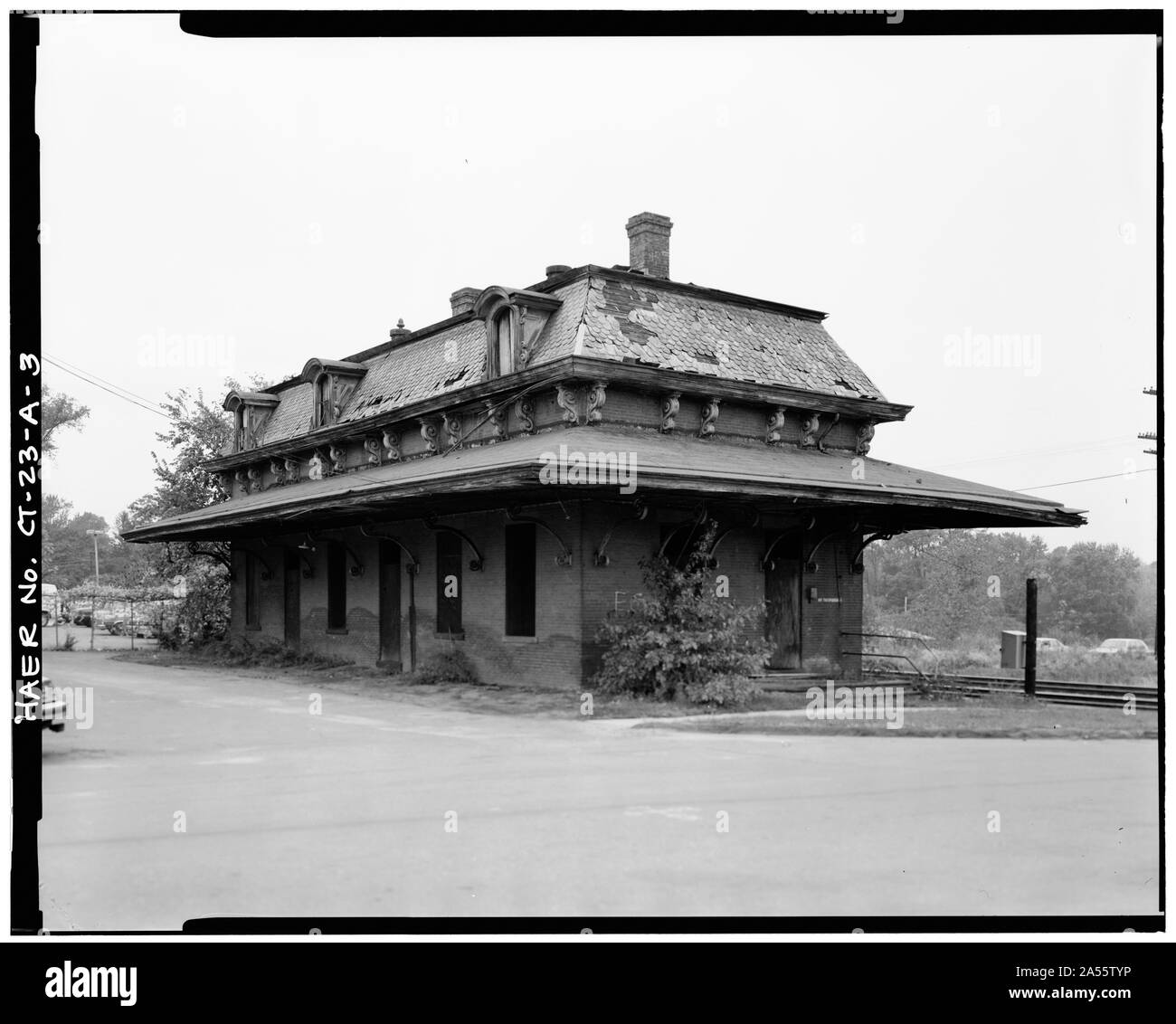 Windsor station in October 1985Original caption: VIEW, LOOKING NORTHEAST, SOUTH AND WEST SIDE - Hartford & New Haven Railroad, Depot, 35 Central Street, Windsor, Hartford County, CT Stock Photohttps://www.alamy.com/image-license-details/?v=1https://www.alamy.com/windsor-station-in-october-1985original-caption-view-looking-northeast-south-and-west-side-hartford-new-haven-railroad-depot-35-central-street-windsor-hartford-county-ct-image330199626.html
RM2A55TYP–Windsor station in October 1985Original caption: VIEW, LOOKING NORTHEAST, SOUTH AND WEST SIDE - Hartford & New Haven Railroad, Depot, 35 Central Street, Windsor, Hartford County, CT
 A small wooden shack on the Hillstead Museum property in Farmington connecticut in hartford county in the summer time. Stock Photohttps://www.alamy.com/image-license-details/?v=1https://www.alamy.com/a-small-wooden-shack-on-the-hillstead-museum-property-in-farmington-connecticut-in-hartford-county-in-the-summer-time-image241067452.html
RFT05FYT–A small wooden shack on the Hillstead Museum property in Farmington connecticut in hartford county in the summer time.
 Fire mark. Hartford County Mutual Fire Insurance Company. 2005.0233.0498. Stock Photohttps://www.alamy.com/image-license-details/?v=1https://www.alamy.com/fire-mark-hartford-county-mutual-fire-insurance-company-200502330498-image566564797.html
RM2RWN751–Fire mark. Hartford County Mutual Fire Insurance Company. 2005.0233.0498.
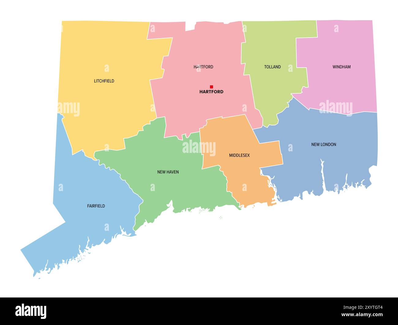 Connecticut, U.S. state, subdivided into 8 counties, multi colored political map with capital Hartford, borders and county names. Stock Photohttps://www.alamy.com/image-license-details/?v=1https://www.alamy.com/connecticut-us-state-subdivided-into-8-counties-multi-colored-political-map-with-capital-hartford-borders-and-county-names-image619498660.html
RF2XYTGT4–Connecticut, U.S. state, subdivided into 8 counties, multi colored political map with capital Hartford, borders and county names.
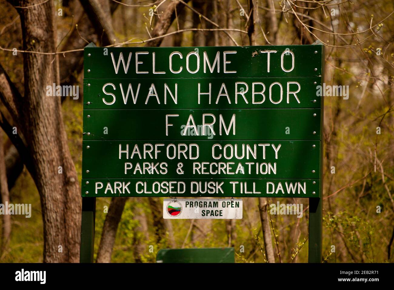 Swan Harbor Farm, Hartford County Department of Parks and Recreation, Havre de Grace, Maryland, USA Stock Photohttps://www.alamy.com/image-license-details/?v=1https://www.alamy.com/swan-harbor-farm-hartford-county-department-of-parks-and-recreation-havre-de-grace-maryland-usa-image402661813.html
RF2EB2R71–Swan Harbor Farm, Hartford County Department of Parks and Recreation, Havre de Grace, Maryland, USA
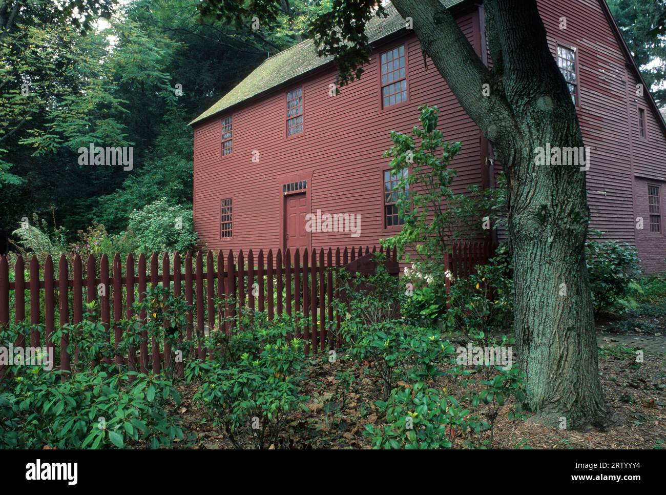 Noah Webster House, West Hartford, Connecticut Stock Photohttps://www.alamy.com/image-license-details/?v=1https://www.alamy.com/noah-webster-house-west-hartford-connecticut-image566098152.html
RF2RTYYY4–Noah Webster House, West Hartford, Connecticut
 Neon diner sign at night near Hartford Connecticut Stock Photohttps://www.alamy.com/image-license-details/?v=1https://www.alamy.com/neon-diner-sign-at-night-near-hartford-connecticut-image8301563.html
RMAHPRYC–Neon diner sign at night near Hartford Connecticut
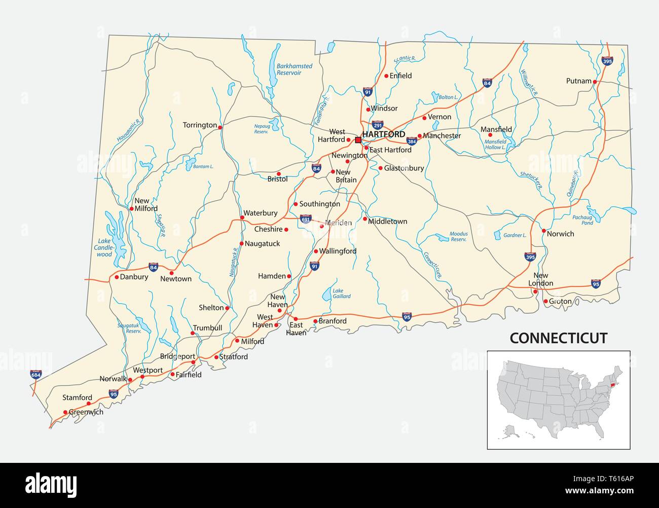 road map of the US American State of Connecticut Stock Vectorhttps://www.alamy.com/image-license-details/?v=1https://www.alamy.com/road-map-of-the-us-american-state-of-connecticut-image244660046.html
RFT616AP–road map of the US American State of Connecticut
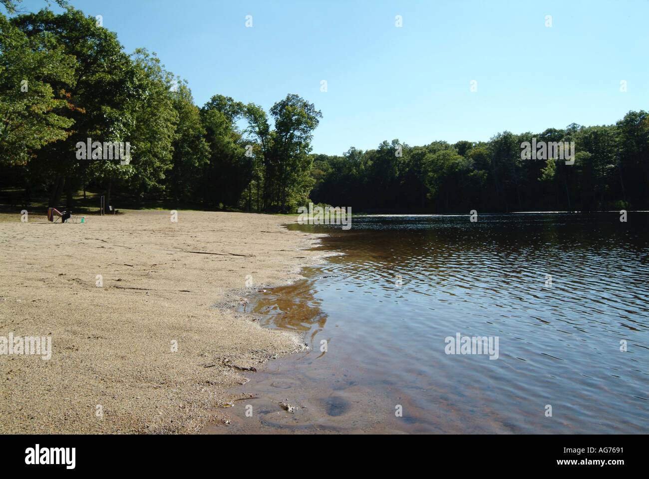 spring water in lake in gay county hartford Connecticut usa us american Stock Photohttps://www.alamy.com/image-license-details/?v=1https://www.alamy.com/spring-water-in-lake-in-gay-county-hartford-connecticut-usa-us-american-image1078928.html
RMAG7691–spring water in lake in gay county hartford Connecticut usa us american
 Commemorative biographical record of Hartford County, Connecticut - containing biographical sketches of prominent and representative citizens, and of many of the early settled families (1901) (14776868434) Stock Photohttps://www.alamy.com/image-license-details/?v=1https://www.alamy.com/stock-photo-commemorative-biographical-record-of-hartford-county-connecticut-containing-177091693.html
RMM83679–Commemorative biographical record of Hartford County, Connecticut - containing biographical sketches of prominent and representative citizens, and of many of the early settled families (1901) (14776868434)
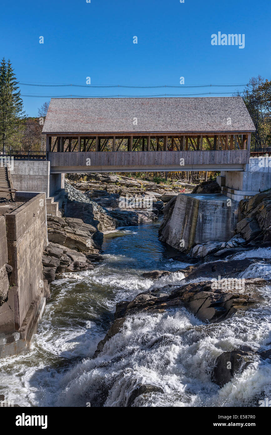 Quechee Covered Bridge, Hartford, Vermont, USA Stock Photohttps://www.alamy.com/image-license-details/?v=1https://www.alamy.com/stock-photo-quechee-covered-bridge-hartford-vermont-usa-72096500.html
RME587R0–Quechee Covered Bridge, Hartford, Vermont, USA
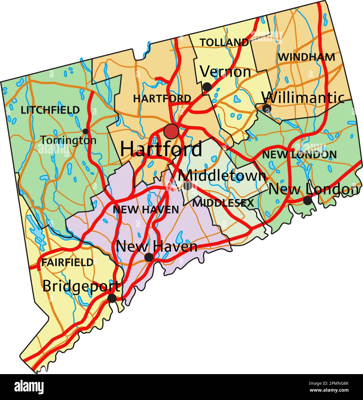 Connecticut - Highly detailed editable political map with labeling. Stock Vectorhttps://www.alamy.com/image-license-details/?v=1https://www.alamy.com/connecticut-highly-detailed-editable-political-map-with-labeling-image546288307.html
RF2PMNG8K–Connecticut - Highly detailed editable political map with labeling.
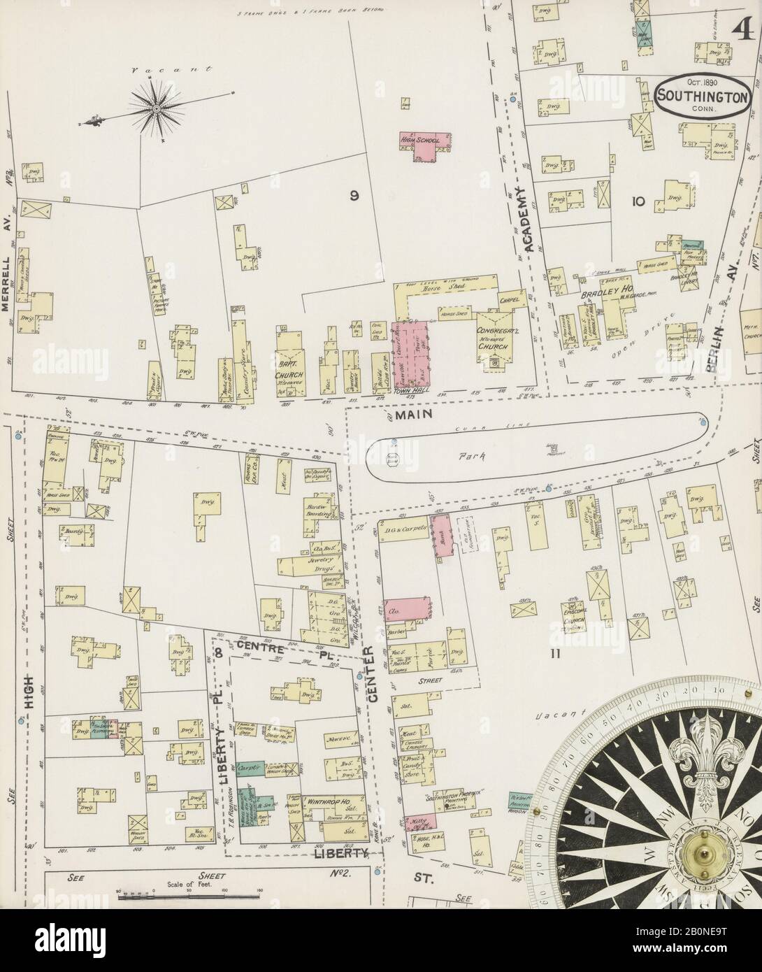 Image 4 of Sanborn Fire Insurance Map from Southington, Hartford County, Connecticut. Oct 1890. 9 Sheet(s), America, street map with a Nineteenth Century compass Stock Photohttps://www.alamy.com/image-license-details/?v=1https://www.alamy.com/image-4-of-sanborn-fire-insurance-map-from-southington-hartford-county-connecticut-oct-1890-9-sheets-america-street-map-with-a-nineteenth-century-compass-image344679604.html
RM2B0NE9T–Image 4 of Sanborn Fire Insurance Map from Southington, Hartford County, Connecticut. Oct 1890. 9 Sheet(s), America, street map with a Nineteenth Century compass
 Thralltown, Hartford County, US, United States, Connecticut, N 41 52' 56'', S 72 39' 17'', map, Cartascapes Map published in 2024. Explore Cartascapes, a map revealing Earth's diverse landscapes, cultures, and ecosystems. Journey through time and space, discovering the interconnectedness of our planet's past, present, and future. Stock Photohttps://www.alamy.com/image-license-details/?v=1https://www.alamy.com/thralltown-hartford-county-us-united-states-connecticut-n-41-52-56-s-72-39-17-map-cartascapes-map-published-in-2024-explore-cartascapes-a-map-revealing-earths-diverse-landscapes-cultures-and-ecosystems-journey-through-time-and-space-discovering-the-interconnectedness-of-our-planets-past-present-and-future-image621421649.html
RM2Y305J9–Thralltown, Hartford County, US, United States, Connecticut, N 41 52' 56'', S 72 39' 17'', map, Cartascapes Map published in 2024. Explore Cartascapes, a map revealing Earth's diverse landscapes, cultures, and ecosystems. Journey through time and space, discovering the interconnectedness of our planet's past, present, and future.
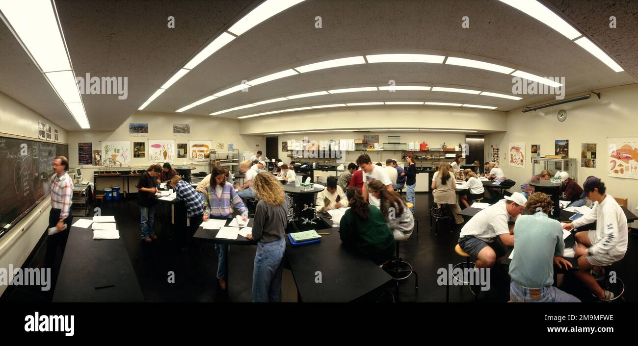 College students in a physics class, Trinity College, Hartford, Hartford County, Connecticut, USA Stock Photohttps://www.alamy.com/image-license-details/?v=1https://www.alamy.com/college-students-in-a-physics-class-trinity-college-hartford-hartford-county-connecticut-usa-image505084090.html
RM2M9MFWE–College students in a physics class, Trinity College, Hartford, Hartford County, Connecticut, USA
 The Hartford Glass Company building in Fort Wayne, Indiana, USA. Stock Photohttps://www.alamy.com/image-license-details/?v=1https://www.alamy.com/the-hartford-glass-company-building-in-fort-wayne-indiana-usa-image614491443.html
RM2XKME2Y–The Hartford Glass Company building in Fort Wayne, Indiana, USA.
 Sanborn Fire Insurance Map from Hartford, Hartford County, Connecticut. Stock Photohttps://www.alamy.com/image-license-details/?v=1https://www.alamy.com/sanborn-fire-insurance-map-from-hartford-hartford-county-connecticut-image456421459.html
RM2HEFP6B–Sanborn Fire Insurance Map from Hartford, Hartford County, Connecticut.
 The memorial history of Hartford County, Connecticut, 1633-1884; (1886) Stock Photohttps://www.alamy.com/image-license-details/?v=1https://www.alamy.com/stock-photo-the-memorial-history-of-hartford-county-connecticut-1633-1884-1886-98683368.html
RMFMFBJ0–The memorial history of Hartford County, Connecticut, 1633-1884; (1886)
 Bornite. minerals. North America; USA; Connecticut; Hartford County; Bristol Stock Photohttps://www.alamy.com/image-license-details/?v=1https://www.alamy.com/bornite-minerals-north-america-usa-connecticut-hartford-county-bristol-image472962269.html
RM2JDD85H–Bornite. minerals. North America; USA; Connecticut; Hartford County; Bristol
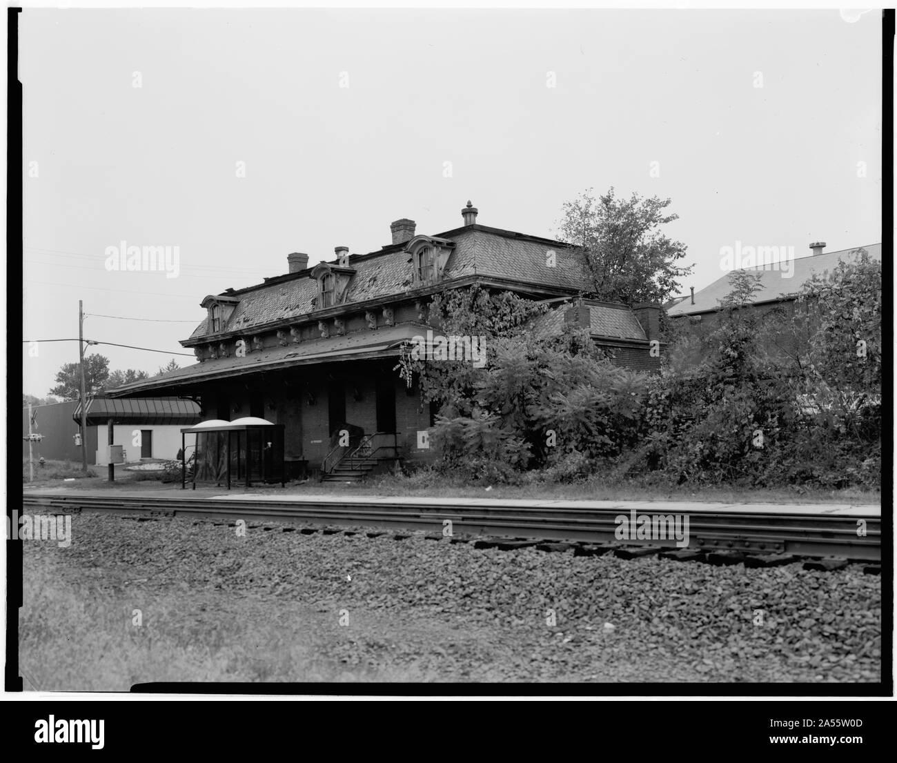 Windsor station in October 1985, three years before being restored. Amtrak passengers used the bus shelter visible next to the station.Original caption: VIEW, LOOKING SOUTHEAST, NORTH AND EAST SIDE - Hartford & New Haven Railroad, Depot, 35 Central Street, Windsor, Hartford County, CT Stock Photohttps://www.alamy.com/image-license-details/?v=1https://www.alamy.com/windsor-station-in-october-1985-three-years-before-being-restored-amtrak-passengers-used-the-bus-shelter-visible-next-to-the-stationoriginal-caption-view-looking-southeast-north-and-east-side-hartford-new-haven-railroad-depot-35-central-street-windsor-hartford-county-ct-image330199645.html
RM2A55W0D–Windsor station in October 1985, three years before being restored. Amtrak passengers used the bus shelter visible next to the station.Original caption: VIEW, LOOKING SOUTHEAST, NORTH AND EAST SIDE - Hartford & New Haven Railroad, Depot, 35 Central Street, Windsor, Hartford County, CT
 Multi-colored lantana camara flowers blooming in a garden on the property of the hillstead museum in farmington connecticut in hartford county. Stock Photohttps://www.alamy.com/image-license-details/?v=1https://www.alamy.com/multi-colored-lantana-camara-flowers-blooming-in-a-garden-on-the-property-of-the-hillstead-museum-in-farmington-connecticut-in-hartford-county-image241748400.html
RFT18GFC–Multi-colored lantana camara flowers blooming in a garden on the property of the hillstead museum in farmington connecticut in hartford county.
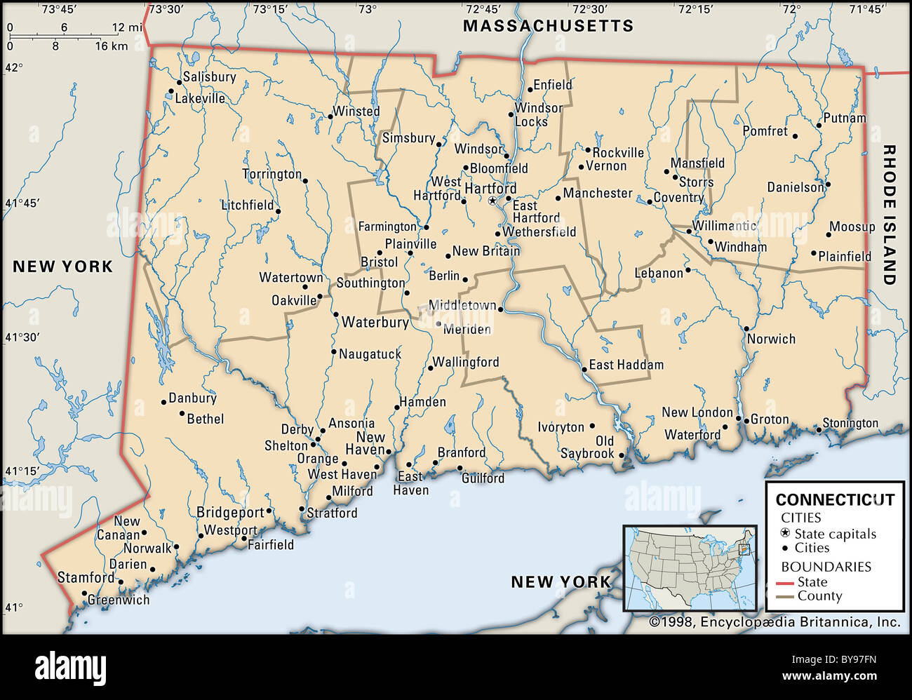 Political map of Connecticut Stock Photohttps://www.alamy.com/image-license-details/?v=1https://www.alamy.com/stock-photo-political-map-of-connecticut-34009577.html
RMBY97FN–Political map of Connecticut
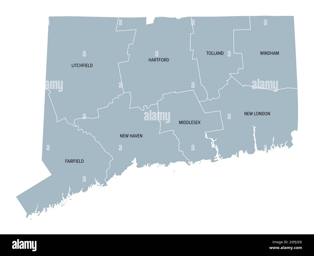 Connecticut, U.S. state, subdivided into 8 counties, gray political map with borders and county names. State in the New England region of the USA. Stock Photohttps://www.alamy.com/image-license-details/?v=1https://www.alamy.com/connecticut-us-state-subdivided-into-8-counties-gray-political-map-with-borders-and-county-names-state-in-the-new-england-region-of-the-usa-image616282416.html
RF2XPJ2E8–Connecticut, U.S. state, subdivided into 8 counties, gray political map with borders and county names. State in the New England region of the USA.
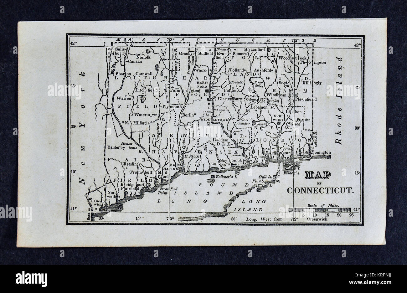 1830 Nathan Hale Map - Connecticut - Hartford New Haven Bridgeport - United States Stock Photohttps://www.alamy.com/image-license-details/?v=1https://www.alamy.com/stock-image-1830-nathan-hale-map-connecticut-hartford-new-haven-bridgeport-united-169530330.html
RFKRPNJJ–1830 Nathan Hale Map - Connecticut - Hartford New Haven Bridgeport - United States
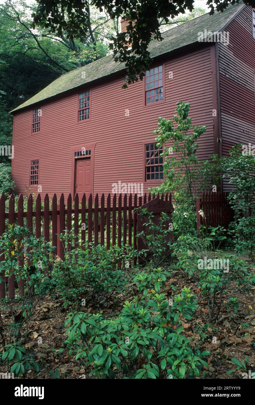 Noah Webster House, West Hartford, Connecticut Stock Photohttps://www.alamy.com/image-license-details/?v=1https://www.alamy.com/noah-webster-house-west-hartford-connecticut-image566098157.html
RF2RTYYY9–Noah Webster House, West Hartford, Connecticut
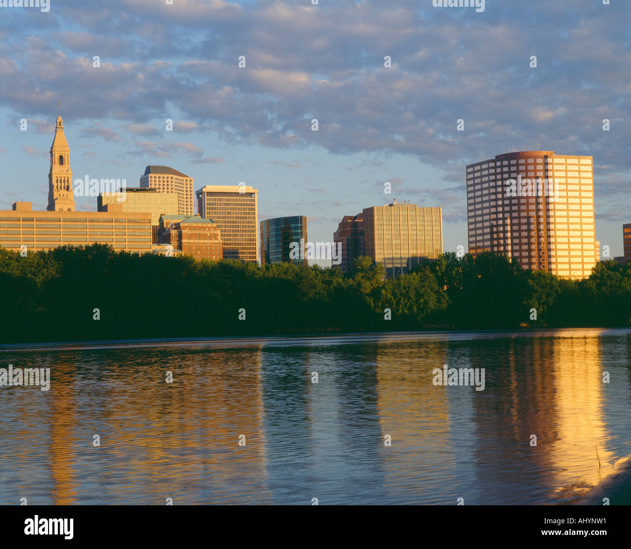 Hartford Skyline Sunrise Connecticut Stock Photohttps://www.alamy.com/image-license-details/?v=1https://www.alamy.com/hartford-skyline-sunrise-connecticut-image8328016.html
RFAHYNW1–Hartford Skyline Sunrise Connecticut
 Rural Landscape of Hartford County Farmland in Northern Maryland Stock Photohttps://www.alamy.com/image-license-details/?v=1https://www.alamy.com/stock-image-rural-landscape-of-hartford-county-farmland-in-northern-maryland-167597027.html
RFKMJKM3–Rural Landscape of Hartford County Farmland in Northern Maryland
 spring water in lake in gay county hartford Connecticut usa us american forest tranquil tree wood beach Stock Photohttps://www.alamy.com/image-license-details/?v=1https://www.alamy.com/spring-water-in-lake-in-gay-county-hartford-connecticut-usa-us-american-image1078927.html
RMAG7690–spring water in lake in gay county hartford Connecticut usa us american forest tranquil tree wood beach
 Commemorative biographical record of Hartford County, Connecticut - containing biographical sketches of prominent and representative citizens, and of many of the early settled families (1901) (14756277176) Stock Photohttps://www.alamy.com/image-license-details/?v=1https://www.alamy.com/stock-photo-commemorative-biographical-record-of-hartford-county-connecticut-containing-177091689.html
RMM83675–Commemorative biographical record of Hartford County, Connecticut - containing biographical sketches of prominent and representative citizens, and of many of the early settled families (1901) (14756277176)
 Hartford Skyline, Sunrise, Connecticut Stock Photohttps://www.alamy.com/image-license-details/?v=1https://www.alamy.com/stock-photo-hartford-skyline-sunrise-connecticut-49896648.html
RFCW4YK4–Hartford Skyline, Sunrise, Connecticut
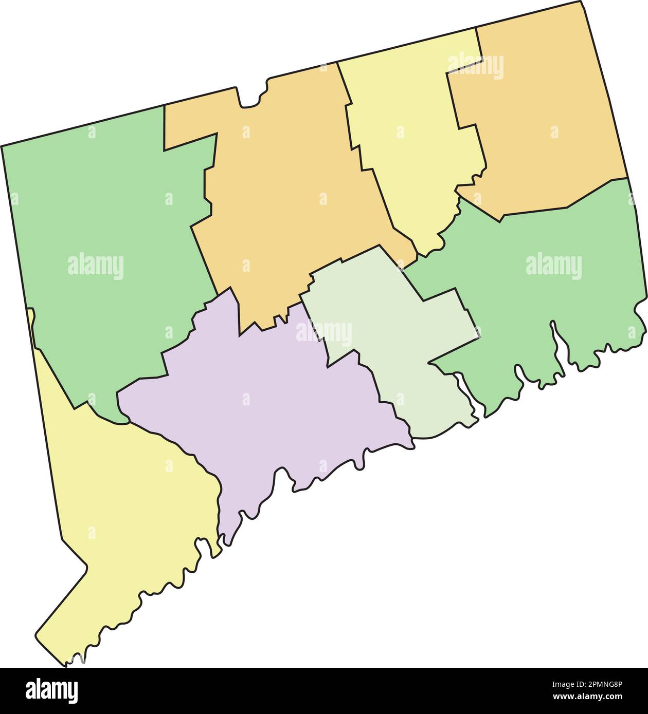 Connecticut - Highly detailed editable political map with labeling. Stock Vectorhttps://www.alamy.com/image-license-details/?v=1https://www.alamy.com/connecticut-highly-detailed-editable-political-map-with-labeling-image546288310.html
RF2PMNG8P–Connecticut - Highly detailed editable political map with labeling.
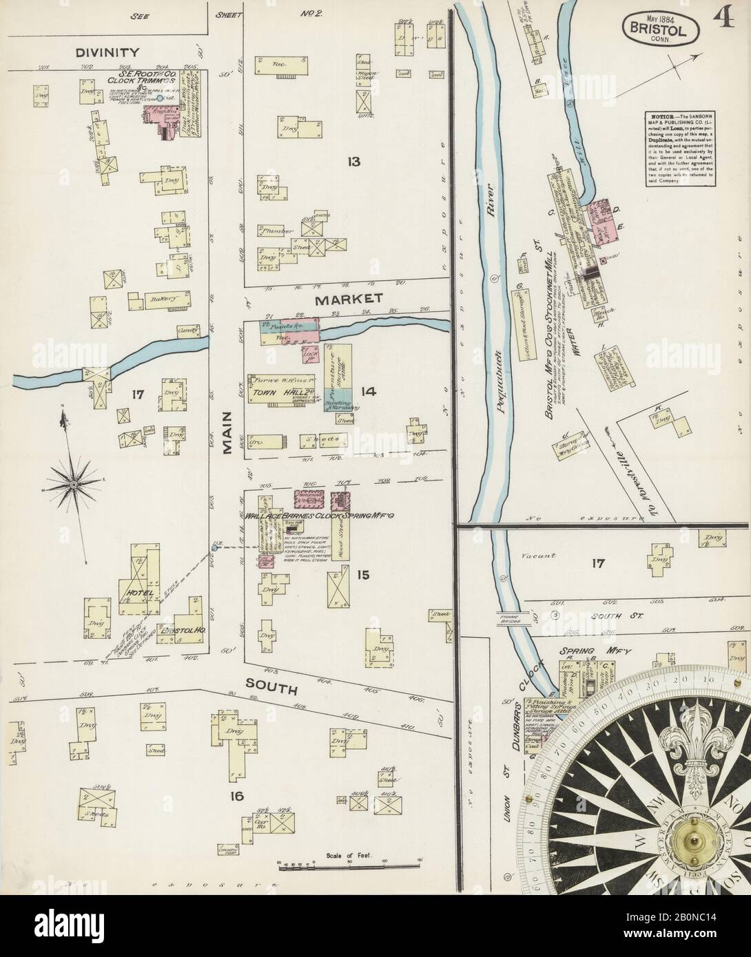 Image 4 of Sanborn Fire Insurance Map from Bristol, Hartford County, Connecticut. May 1884. 5 Sheet(s), America, street map with a Nineteenth Century compass Stock Photohttps://www.alamy.com/image-license-details/?v=1https://www.alamy.com/image-4-of-sanborn-fire-insurance-map-from-bristol-hartford-county-connecticut-may-1884-5-sheets-america-street-map-with-a-nineteenth-century-compass-image344677792.html
RM2B0NC14–Image 4 of Sanborn Fire Insurance Map from Bristol, Hartford County, Connecticut. May 1884. 5 Sheet(s), America, street map with a Nineteenth Century compass
 Terramuggus, Hartford County, US, United States, Connecticut, N 41 38' 6'', S 72 28' 13'', map, Cartascapes Map published in 2024. Explore Cartascapes, a map revealing Earth's diverse landscapes, cultures, and ecosystems. Journey through time and space, discovering the interconnectedness of our planet's past, present, and future. Stock Photohttps://www.alamy.com/image-license-details/?v=1https://www.alamy.com/terramuggus-hartford-county-us-united-states-connecticut-n-41-38-6-s-72-28-13-map-cartascapes-map-published-in-2024-explore-cartascapes-a-map-revealing-earths-diverse-landscapes-cultures-and-ecosystems-journey-through-time-and-space-discovering-the-interconnectedness-of-our-planets-past-present-and-future-image621394872.html
RM2Y2XYE0–Terramuggus, Hartford County, US, United States, Connecticut, N 41 38' 6'', S 72 28' 13'', map, Cartascapes Map published in 2024. Explore Cartascapes, a map revealing Earth's diverse landscapes, cultures, and ecosystems. Journey through time and space, discovering the interconnectedness of our planet's past, present, and future.
 Rendering of a green 3d highway sign for Hartford County Stock Photohttps://www.alamy.com/image-license-details/?v=1https://www.alamy.com/rendering-of-a-green-3d-highway-sign-for-hartford-county-image336494111.html
RF2AFCHJR–Rendering of a green 3d highway sign for Hartford County
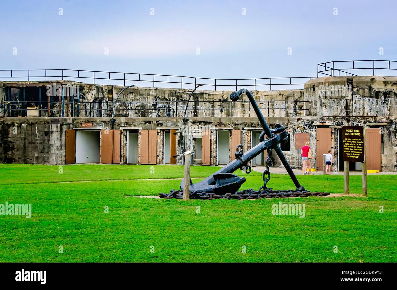 The USS Hartford anchor is pictured in the courtyard near the Battery Stanton powder magazines at The Fort Gaines in Dauphin Island, Alabama. Stock Photohttps://www.alamy.com/image-license-details/?v=1https://www.alamy.com/the-uss-hartford-anchor-is-pictured-in-the-courtyard-near-the-battery-stanton-powder-magazines-at-the-fort-gaines-in-dauphin-island-alabama-image438674631.html
RM2GDK9Y3–The USS Hartford anchor is pictured in the courtyard near the Battery Stanton powder magazines at The Fort Gaines in Dauphin Island, Alabama.
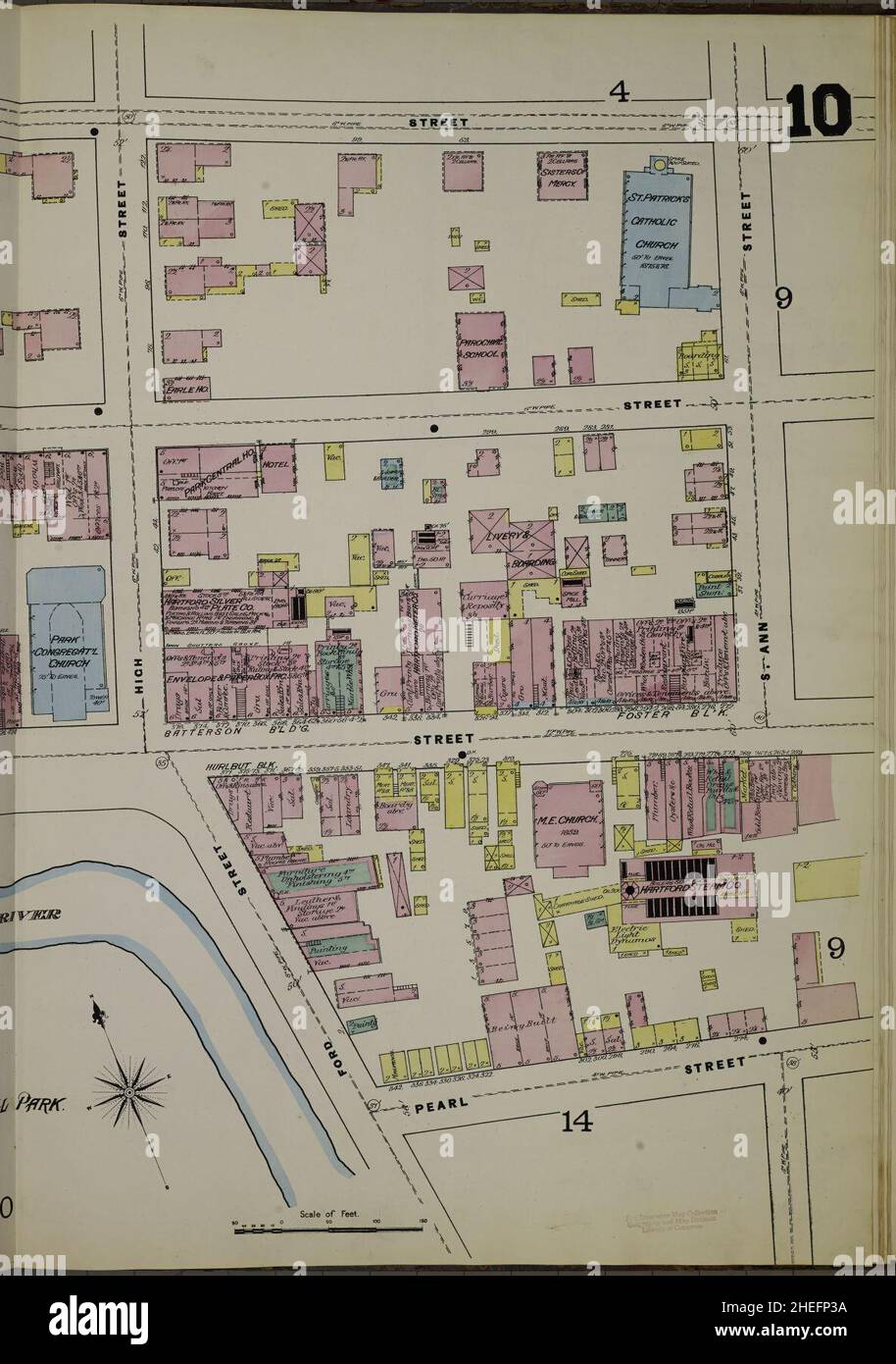 Sanborn Fire Insurance Map from Hartford, Hartford County, Connecticut. Stock Photohttps://www.alamy.com/image-license-details/?v=1https://www.alamy.com/sanborn-fire-insurance-map-from-hartford-hartford-county-connecticut-image456421374.html
RM2HEFP3A–Sanborn Fire Insurance Map from Hartford, Hartford County, Connecticut.
 Commemorative biographical record of Hartford County, Connecticut - containing biographical sketches of prominent and representative citizens, and of many of the early settled families (1901) Stock Photohttps://www.alamy.com/image-license-details/?v=1https://www.alamy.com/stock-photo-commemorative-biographical-record-of-hartford-county-connecticut-containing-98702919.html
RMFMG8G7–Commemorative biographical record of Hartford County, Connecticut - containing biographical sketches of prominent and representative citizens, and of many of the early settled families (1901)
 Chalcocite. minerals. North America; USA; Connecticut; Hartford County; Bristol Stock Photohttps://www.alamy.com/image-license-details/?v=1https://www.alamy.com/chalcocite-minerals-north-america-usa-connecticut-hartford-county-bristol-image472967846.html
RM2JDDF8P–Chalcocite. minerals. North America; USA; Connecticut; Hartford County; Bristol
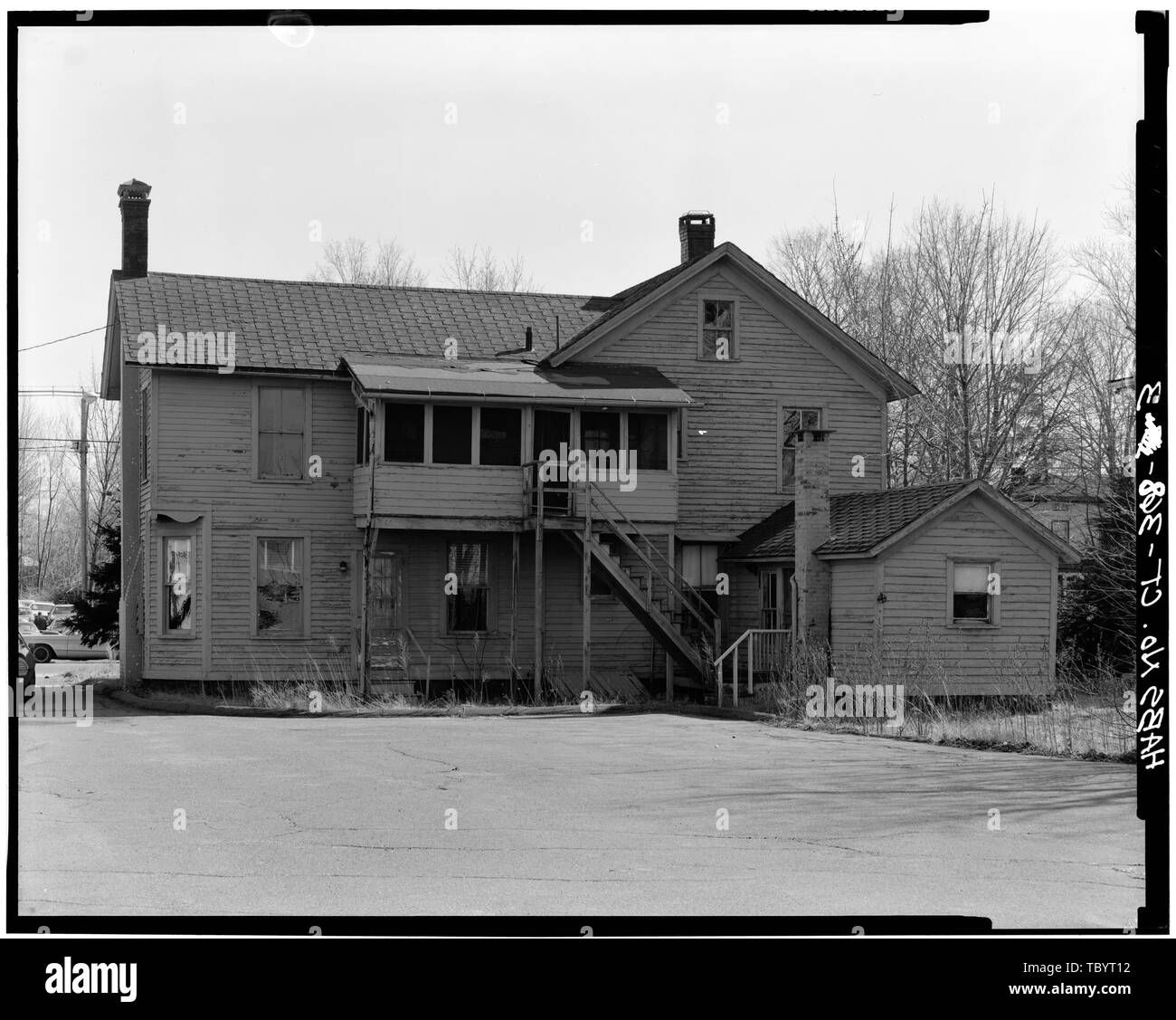 NORTH ELEVATION 85 East Main Street (House), Plainville, Hartford County, CT Stock Photohttps://www.alamy.com/image-license-details/?v=1https://www.alamy.com/north-elevation-85-east-main-street-house-plainville-hartford-county-ct-image248317918.html
RMTBYT12–NORTH ELEVATION 85 East Main Street (House), Plainville, Hartford County, CT
 Multi-colored lantana camara flowers blooming in a garden on the property of the hillstead museum in farmington connecticut in hartford county. Stock Photohttps://www.alamy.com/image-license-details/?v=1https://www.alamy.com/multi-colored-lantana-camara-flowers-blooming-in-a-garden-on-the-property-of-the-hillstead-museum-in-farmington-connecticut-in-hartford-county-image241067457.html
RFT05G01–Multi-colored lantana camara flowers blooming in a garden on the property of the hillstead museum in farmington connecticut in hartford county.
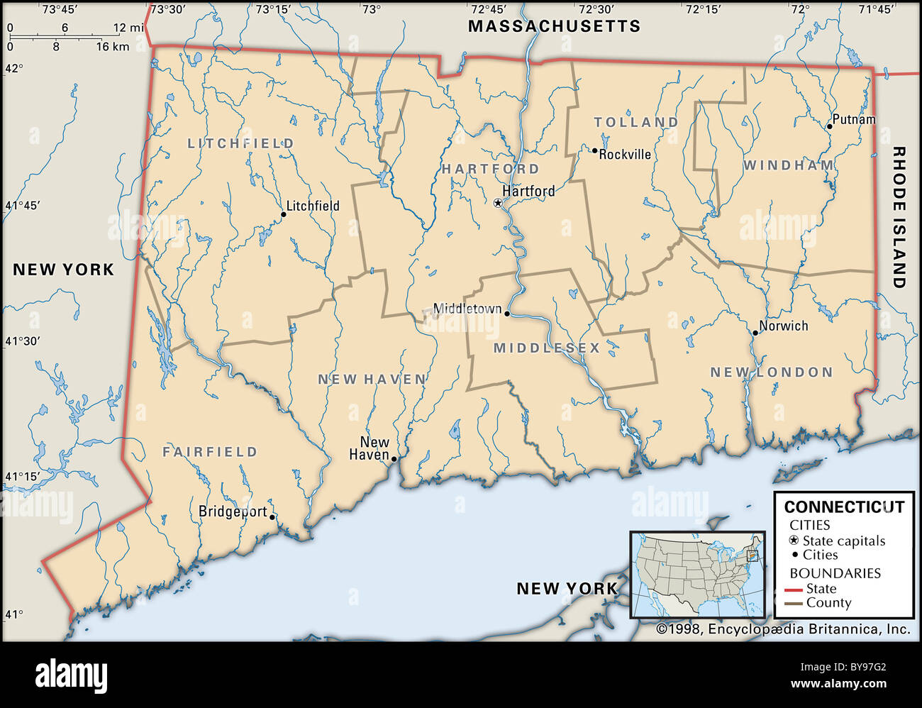 Political map of Connecticut Stock Photohttps://www.alamy.com/image-license-details/?v=1https://www.alamy.com/stock-photo-political-map-of-connecticut-34009586.html
RMBY97G2–Political map of Connecticut
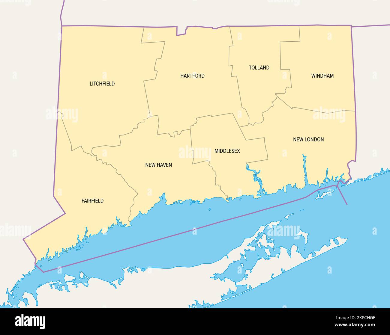 Connecticut, U.S. state, subdivided into 8 counties, political map with borders and county names. State in the New England region of Northeastern USA. Stock Photohttps://www.alamy.com/image-license-details/?v=1https://www.alamy.com/connecticut-us-state-subdivided-into-8-counties-political-map-with-borders-and-county-names-state-in-the-new-england-region-of-northeastern-usa-image616162527.html
RF2XPCHGF–Connecticut, U.S. state, subdivided into 8 counties, political map with borders and county names. State in the New England region of Northeastern USA.
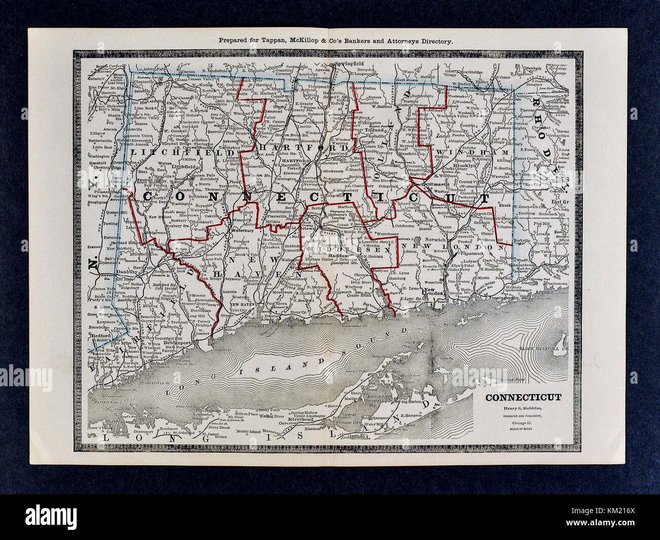 George Cram Antique Map from 1866 Atlas for Attorneys and Bankers: United States - Connecticut - Hartford New Haven Stock Photohttps://www.alamy.com/image-license-details/?v=1https://www.alamy.com/stock-image-george-cram-antique-map-from-1866-atlas-for-attorneys-and-bankers-167231314.html
RFKM216X–George Cram Antique Map from 1866 Atlas for Attorneys and Bankers: United States - Connecticut - Hartford New Haven
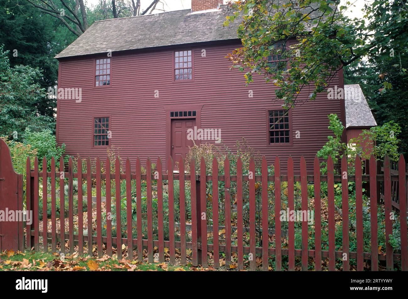 Noah Webster House, West Hartford, Connecticut Stock Photohttps://www.alamy.com/image-license-details/?v=1https://www.alamy.com/noah-webster-house-west-hartford-connecticut-image566098119.html
RF2RTYYWY–Noah Webster House, West Hartford, Connecticut
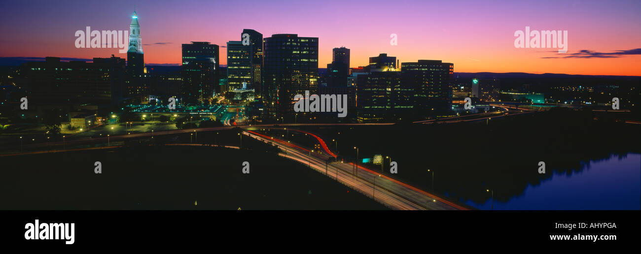 Skyline Hartford Sunset Connecticut Stock Photohttps://www.alamy.com/image-license-details/?v=1https://www.alamy.com/skyline-hartford-sunset-connecticut-image8328073.html
RFAHYPGA–Skyline Hartford Sunset Connecticut
 Rural Landscape of Hartford County Farmland in Northern Maryland Stock Photohttps://www.alamy.com/image-license-details/?v=1https://www.alamy.com/stock-image-rural-landscape-of-hartford-county-farmland-in-northern-maryland-167597169.html
RFKMJKW5–Rural Landscape of Hartford County Farmland in Northern Maryland
 499 Sanborn Fire Insurance Map from Hartford, Van Buren County, Michigan. LOC sanborn04035 004-5 Stock Photohttps://www.alamy.com/image-license-details/?v=1https://www.alamy.com/499-sanborn-fire-insurance-map-from-hartford-van-buren-county-michigan-loc-sanborn04035-004-5-image212122535.html
RMP930CR–499 Sanborn Fire Insurance Map from Hartford, Van Buren County, Michigan. LOC sanborn04035 004-5
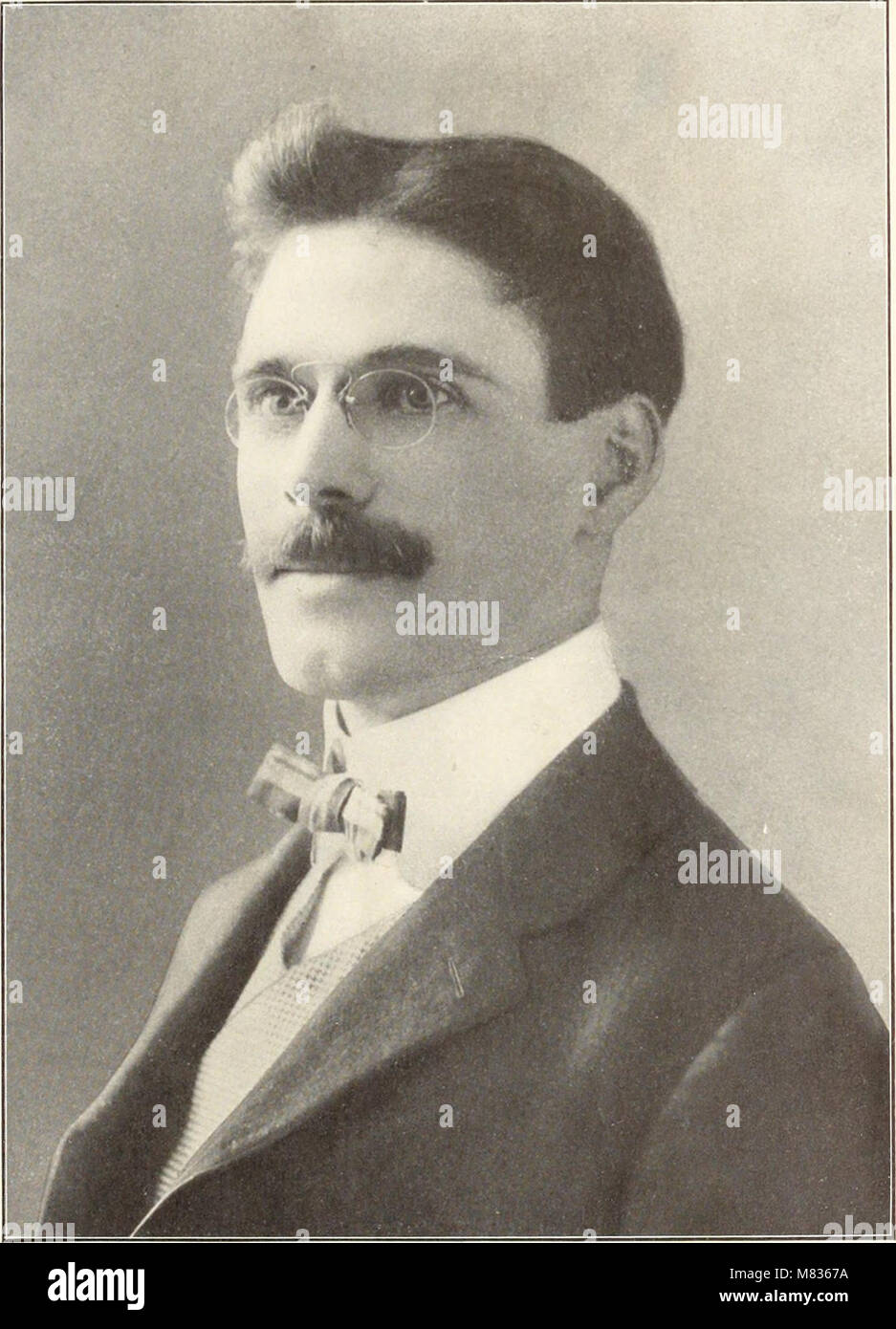 Commemorative biographical record of Hartford County, Connecticut - containing biographical sketches of prominent and representative citizens, and of many of the early settled families (1901) (14779074152) Stock Photohttps://www.alamy.com/image-license-details/?v=1https://www.alamy.com/stock-photo-commemorative-biographical-record-of-hartford-county-connecticut-containing-177091694.html
RMM8367A–Commemorative biographical record of Hartford County, Connecticut - containing biographical sketches of prominent and representative citizens, and of many of the early settled families (1901) (14779074152)
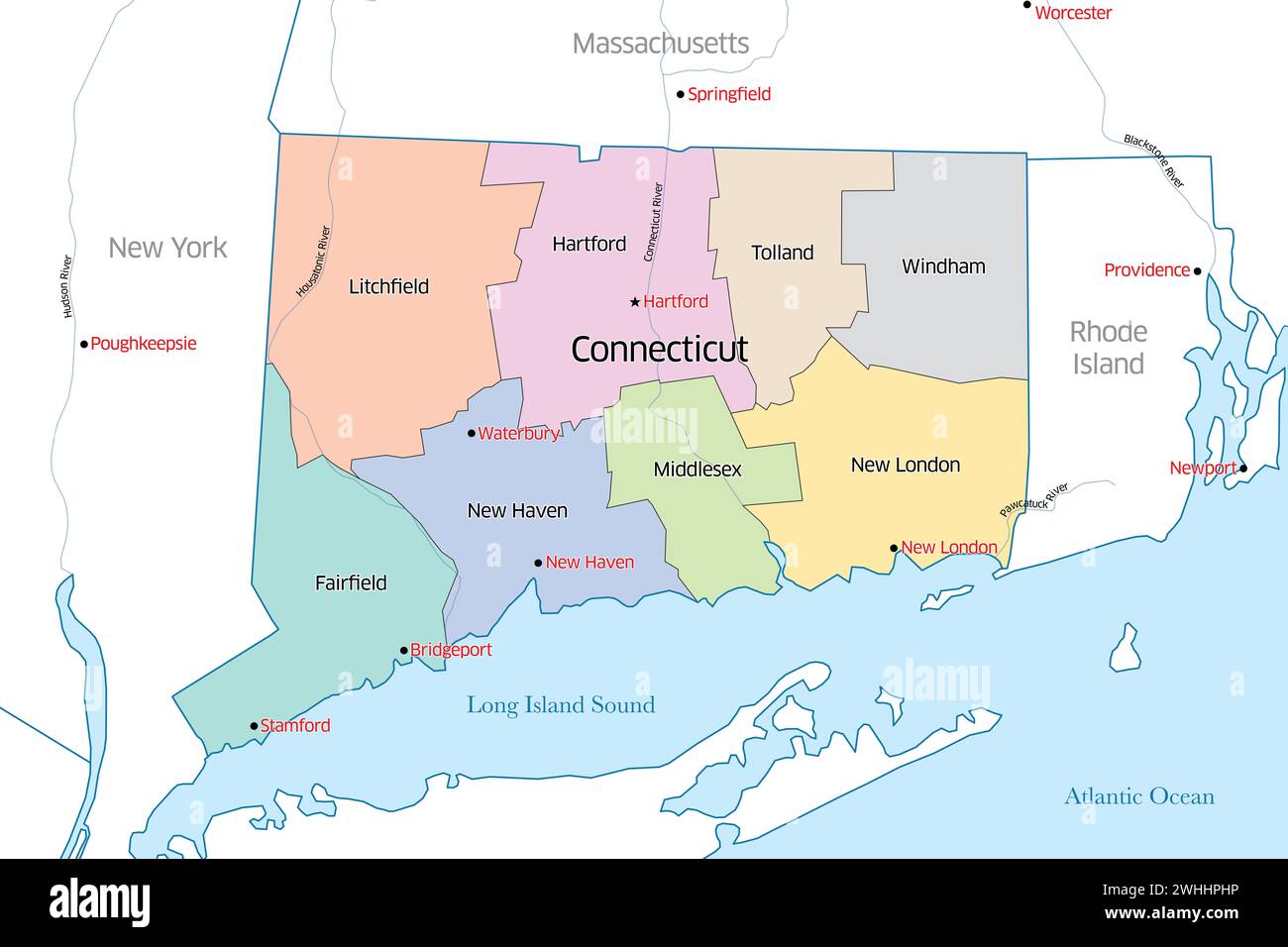 Colorful political map of the state of Connecticut outlining the various counties that make up the region Stock Photohttps://www.alamy.com/image-license-details/?v=1https://www.alamy.com/colorful-political-map-of-the-state-of-connecticut-outlining-the-various-counties-that-make-up-the-region-image595992594.html
RF2WHHPHP–Colorful political map of the state of Connecticut outlining the various counties that make up the region
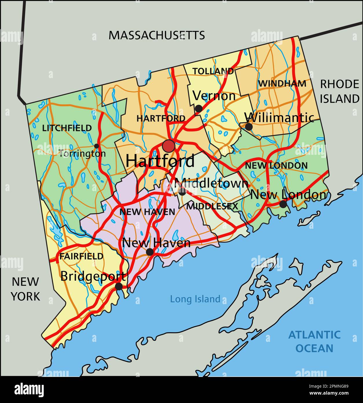 Connecticut - Highly detailed editable political map with labeling. Stock Vectorhttps://www.alamy.com/image-license-details/?v=1https://www.alamy.com/connecticut-highly-detailed-editable-political-map-with-labeling-image546288297.html
RF2PMNG89–Connecticut - Highly detailed editable political map with labeling.
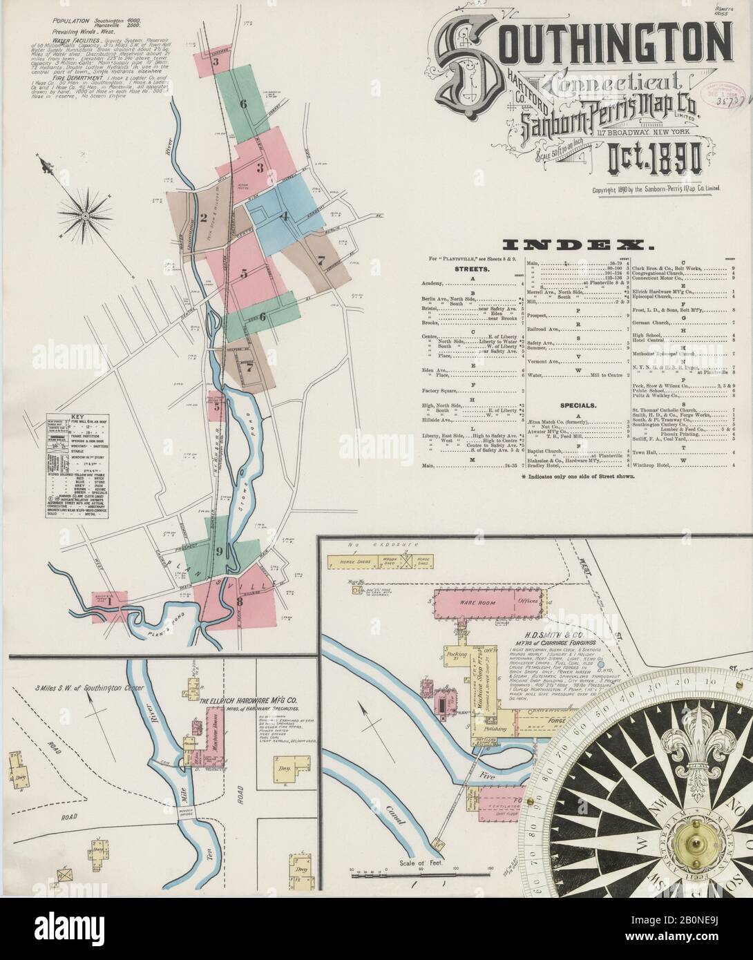 Image 1 of Sanborn Fire Insurance Map from Southington, Hartford County, Connecticut. Oct 1890. 9 Sheet(s), America, street map with a Nineteenth Century compass Stock Photohttps://www.alamy.com/image-license-details/?v=1https://www.alamy.com/image-1-of-sanborn-fire-insurance-map-from-southington-hartford-county-connecticut-oct-1890-9-sheets-america-street-map-with-a-nineteenth-century-compass-image344679598.html
RM2B0NE9J–Image 1 of Sanborn Fire Insurance Map from Southington, Hartford County, Connecticut. Oct 1890. 9 Sheet(s), America, street map with a Nineteenth Century compass
 Hoskins, Hartford County, US, United States, Connecticut, N 41 54' 1'', S 72 47' 9'', map, Cartascapes Map published in 2024. Explore Cartascapes, a map revealing Earth's diverse landscapes, cultures, and ecosystems. Journey through time and space, discovering the interconnectedness of our planet's past, present, and future. Stock Photohttps://www.alamy.com/image-license-details/?v=1https://www.alamy.com/hoskins-hartford-county-us-united-states-connecticut-n-41-54-1-s-72-47-9-map-cartascapes-map-published-in-2024-explore-cartascapes-a-map-revealing-earths-diverse-landscapes-cultures-and-ecosystems-journey-through-time-and-space-discovering-the-interconnectedness-of-our-planets-past-present-and-future-image621398333.html
RM2Y2Y3WH–Hoskins, Hartford County, US, United States, Connecticut, N 41 54' 1'', S 72 47' 9'', map, Cartascapes Map published in 2024. Explore Cartascapes, a map revealing Earth's diverse landscapes, cultures, and ecosystems. Journey through time and space, discovering the interconnectedness of our planet's past, present, and future.
 Rendering of a green 3d highway sign for Hartford County Stock Photohttps://www.alamy.com/image-license-details/?v=1https://www.alamy.com/rendering-of-a-green-3d-highway-sign-for-hartford-county-image336494109.html
RF2AFCHJN–Rendering of a green 3d highway sign for Hartford County
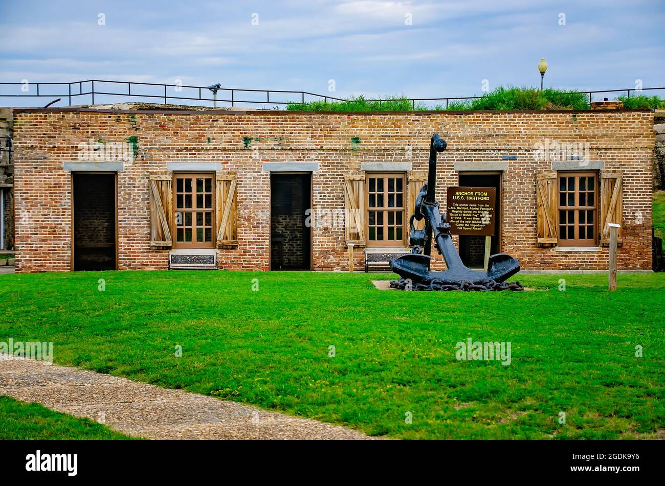 The USS Hartford anchor is pictured in the courtyard in front of the quartermaster’s offices at Fort Gaines, Aug. 12, 2021, in Dauphin Island, Alabama. Stock Photohttps://www.alamy.com/image-license-details/?v=1https://www.alamy.com/the-uss-hartford-anchor-is-pictured-in-the-courtyard-in-front-of-the-quartermasters-offices-at-fort-gaines-aug-12-2021-in-dauphin-island-alabama-image438674634.html
RM2GDK9Y6–The USS Hartford anchor is pictured in the courtyard in front of the quartermaster’s offices at Fort Gaines, Aug. 12, 2021, in Dauphin Island, Alabama.
 Sanborn Fire Insurance Map from Bristol, Hartford County, Connecticut. Stock Photohttps://www.alamy.com/image-license-details/?v=1https://www.alamy.com/sanborn-fire-insurance-map-from-bristol-hartford-county-connecticut-image456310071.html
RM2HEAM47–Sanborn Fire Insurance Map from Bristol, Hartford County, Connecticut.
 Commemorative biographical record of Hartford County, Connecticut - containing biographical sketches of prominent and representative citizens, and of many of the early settled families (1901) Stock Photohttps://www.alamy.com/image-license-details/?v=1https://www.alamy.com/stock-photo-commemorative-biographical-record-of-hartford-county-connecticut-containing-99603209.html
RMFP18WD–Commemorative biographical record of Hartford County, Connecticut - containing biographical sketches of prominent and representative citizens, and of many of the early settled families (1901)
 Chalcocite. minerals. North America; USA; Connecticut; Hartford County; Bristol Stock Photohttps://www.alamy.com/image-license-details/?v=1https://www.alamy.com/chalcocite-minerals-north-america-usa-connecticut-hartford-county-bristol-image472968468.html
RM2JDDG30–Chalcocite. minerals. North America; USA; Connecticut; Hartford County; Bristol
 NORTHWEST BEDROOM, VIEW NORTHWEST - 1013 Farmington Avenue (House), West Hartford, Hartford County, CT Stock Photohttps://www.alamy.com/image-license-details/?v=1https://www.alamy.com/northwest-bedroom-view-northwest-1013-farmington-avenue-house-west-hartford-hartford-county-ct-image249299652.html
RMTDGG70–NORTHWEST BEDROOM, VIEW NORTHWEST - 1013 Farmington Avenue (House), West Hartford, Hartford County, CT
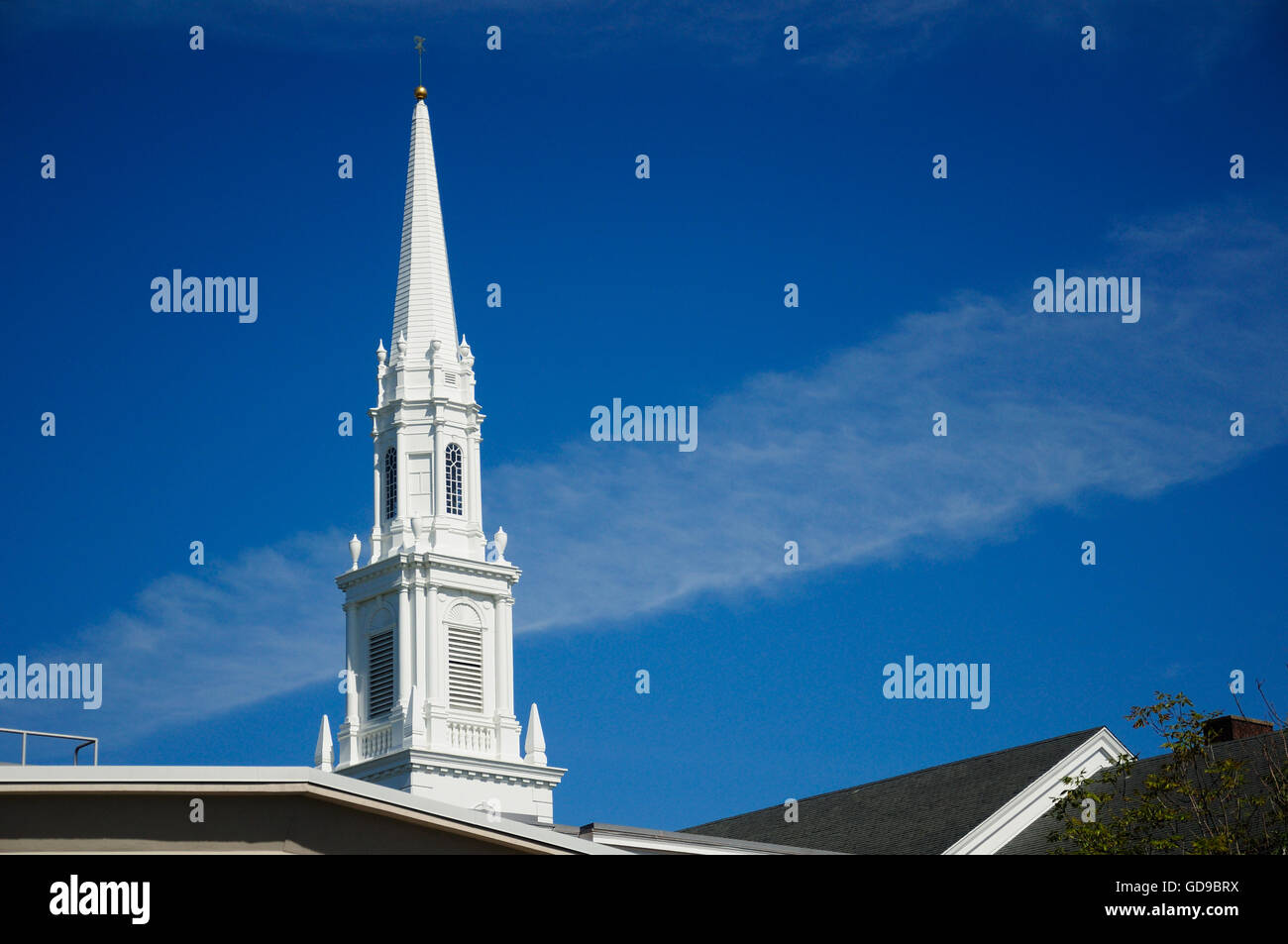 A white church steeple rising above buildings in West Hartford, Connecticut. Stock Photohttps://www.alamy.com/image-license-details/?v=1https://www.alamy.com/stock-photo-a-white-church-steeple-rising-above-buildings-in-west-hartford-connecticut-111459598.html
RFGD9BRX–A white church steeple rising above buildings in West Hartford, Connecticut.
 Pocono Poconos Mountains Pennsylvania,Pike County,Milford,Hartford Street,The Dimmick Inn,and Steakhouse,1828,restaurant restaurants food dining eatin Stock Photohttps://www.alamy.com/image-license-details/?v=1https://www.alamy.com/stock-photo-pocono-poconos-mountains-pennsylvaniapike-countymilfordhartford-streetthe-14646240.html
RMAJ7CJW–Pocono Poconos Mountains Pennsylvania,Pike County,Milford,Hartford Street,The Dimmick Inn,and Steakhouse,1828,restaurant restaurants food dining eatin
 The First Church In Hartland East Hartland, Connecticut, USA Stock Photohttps://www.alamy.com/image-license-details/?v=1https://www.alamy.com/the-first-church-in-hartland-east-hartland-connecticut-usa-image562523891.html
RM2RK54XY–The First Church In Hartland East Hartland, Connecticut, USA
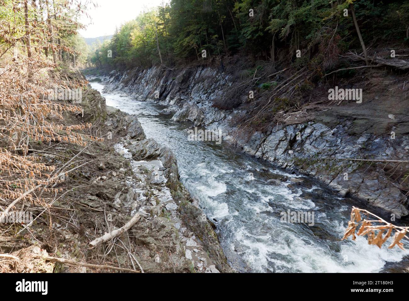 View of the The Ottauquechee River, passing through the Quechee Gorge, Quechee State Park, Vermont Stock Photohttps://www.alamy.com/image-license-details/?v=1https://www.alamy.com/view-of-the-the-ottauquechee-river-passing-through-the-quechee-gorge-quechee-state-park-vermont-image568732895.html
RM2T180H3–View of the The Ottauquechee River, passing through the Quechee Gorge, Quechee State Park, Vermont
 Cottonwood leaf on Connecticut River shore, Great River Park, East Hartford, Connecticut Stock Photohttps://www.alamy.com/image-license-details/?v=1https://www.alamy.com/stock-photo-cottonwood-leaf-on-connecticut-river-shore-great-river-park-east-hartford-146560430.html
RFJECB92–Cottonwood leaf on Connecticut River shore, Great River Park, East Hartford, Connecticut
 Detailed map of Connecticut state,in vector format,with county borders,roads and major cities. Stock Vectorhttps://www.alamy.com/image-license-details/?v=1https://www.alamy.com/detailed-map-of-connecticut-statein-vector-formatwith-county-bordersroads-and-major-cities-image469326041.html
RF2J7FJ49–Detailed map of Connecticut state,in vector format,with county borders,roads and major cities.
 Rural Landscape of Hartford County Farmland in Northern Maryland Stock Photohttps://www.alamy.com/image-license-details/?v=1https://www.alamy.com/stock-image-rural-landscape-of-hartford-county-farmland-in-northern-maryland-167597168.html
RFKMJKW4–Rural Landscape of Hartford County Farmland in Northern Maryland
 499 Sanborn Fire Insurance Map from Hartford, Van Buren County, Michigan. LOC sanborn04035 004-4 Stock Photohttps://www.alamy.com/image-license-details/?v=1https://www.alamy.com/499-sanborn-fire-insurance-map-from-hartford-van-buren-county-michigan-loc-sanborn04035-004-4-image212122534.html
RMP930CP–499 Sanborn Fire Insurance Map from Hartford, Van Buren County, Michigan. LOC sanborn04035 004-4
 Commemorative biographical record of Hartford County, Connecticut - containing biographical sketches of prominent and representative citizens, and of many of the early settled families (1901) (14593165499) Stock Photohttps://www.alamy.com/image-license-details/?v=1https://www.alamy.com/stock-photo-commemorative-biographical-record-of-hartford-county-connecticut-containing-177091688.html
RMM83674–Commemorative biographical record of Hartford County, Connecticut - containing biographical sketches of prominent and representative citizens, and of many of the early settled families (1901) (14593165499)
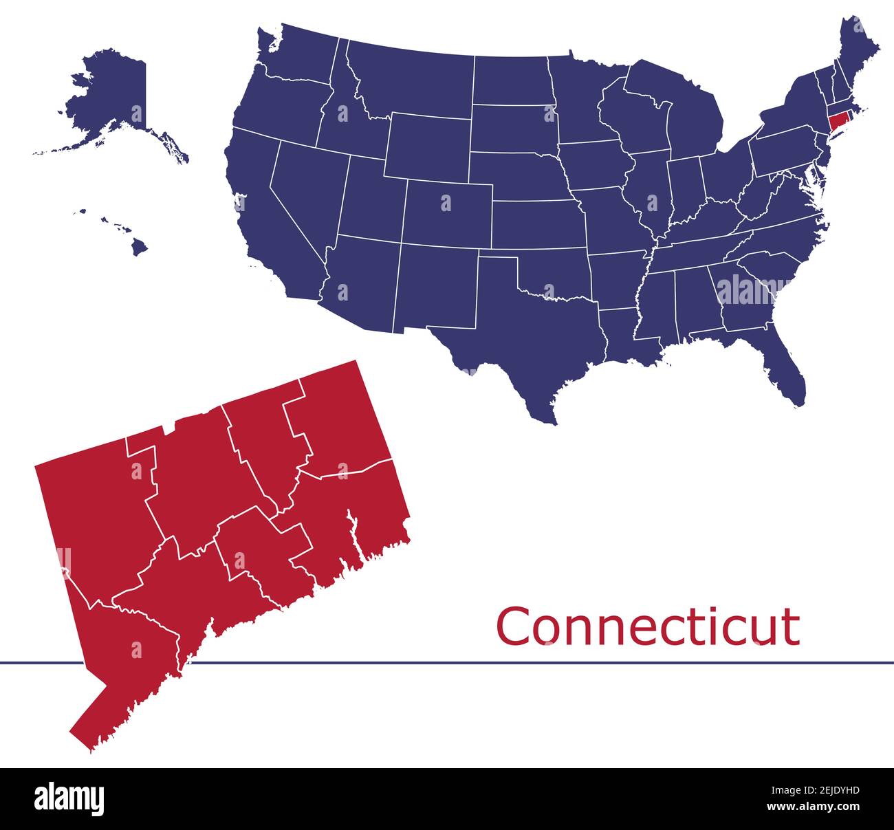 Connecticut counties vector map outline with USA map colors national flag Stock Vectorhttps://www.alamy.com/image-license-details/?v=1https://www.alamy.com/connecticut-counties-vector-map-outline-with-usa-map-colors-national-flag-image407209305.html
RF2EJDYHD–Connecticut counties vector map outline with USA map colors national flag
 Hartford County, Connecticut (U.S. county, United States of America,USA, U.S., US) map vector illustration, scribble sketch Hartford map Stock Vectorhttps://www.alamy.com/image-license-details/?v=1https://www.alamy.com/hartford-county-connecticut-us-county-united-states-of-americausa-us-us-map-vector-illustration-scribble-sketch-hartford-map-image343009191.html
RF2AX1BM7–Hartford County, Connecticut (U.S. county, United States of America,USA, U.S., US) map vector illustration, scribble sketch Hartford map
 Image 5 of Sanborn Fire Insurance Map from Southington, Hartford County, Connecticut. Oct 1890. 9 Sheet(s), America, street map with a Nineteenth Century compass Stock Photohttps://www.alamy.com/image-license-details/?v=1https://www.alamy.com/image-5-of-sanborn-fire-insurance-map-from-southington-hartford-county-connecticut-oct-1890-9-sheets-america-street-map-with-a-nineteenth-century-compass-image344679606.html
RM2B0NE9X–Image 5 of Sanborn Fire Insurance Map from Southington, Hartford County, Connecticut. Oct 1890. 9 Sheet(s), America, street map with a Nineteenth Century compass
 Collinsville, Hartford County, US, United States, Connecticut, N 41 48' 46'', S 72 55' 12'', map, Cartascapes Map published in 2024. Explore Cartascapes, a map revealing Earth's diverse landscapes, cultures, and ecosystems. Journey through time and space, discovering the interconnectedness of our planet's past, present, and future. Stock Photohttps://www.alamy.com/image-license-details/?v=1https://www.alamy.com/collinsville-hartford-county-us-united-states-connecticut-n-41-48-46-s-72-55-12-map-cartascapes-map-published-in-2024-explore-cartascapes-a-map-revealing-earths-diverse-landscapes-cultures-and-ecosystems-journey-through-time-and-space-discovering-the-interconnectedness-of-our-planets-past-present-and-future-image621319335.html
RM2Y2RF47–Collinsville, Hartford County, US, United States, Connecticut, N 41 48' 46'', S 72 55' 12'', map, Cartascapes Map published in 2024. Explore Cartascapes, a map revealing Earth's diverse landscapes, cultures, and ecosystems. Journey through time and space, discovering the interconnectedness of our planet's past, present, and future.
 The memorial history of Hartford County, Connecticut, 1633-1884; . Stock Photohttps://www.alamy.com/image-license-details/?v=1https://www.alamy.com/the-memorial-history-of-hartford-county-connecticut-1633-1884-image340249308.html
RM2ANFKD0–The memorial history of Hartford County, Connecticut, 1633-1884; .
 Mark Twain Jumping Frog colorized caricature, a restored reproduction with story title. Stock Photohttps://www.alamy.com/image-license-details/?v=1https://www.alamy.com/mark-twain-jumping-frog-colorized-caricature-a-restored-reproduction-with-story-title-image467305359.html
RM2J47GN3–Mark Twain Jumping Frog colorized caricature, a restored reproduction with story title.