Quick filters:
Hartselle map Stock Photos and Images
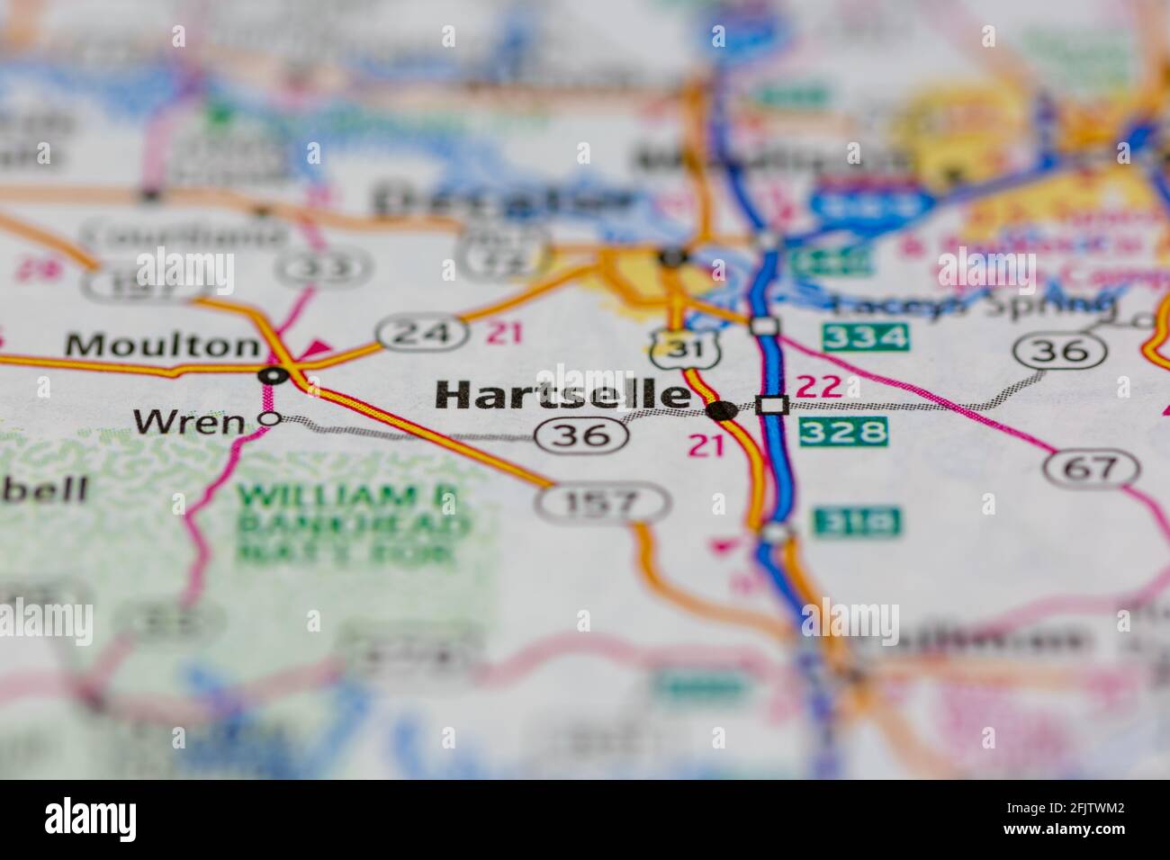 Hartselle Alabama USA shown on a road map or geography map Stock Photohttps://www.alamy.com/image-license-details/?v=1https://www.alamy.com/hartselle-alabama-usa-shown-on-a-road-map-or-geography-map-image424659650.html
RM2FJTWM2–Hartselle Alabama USA shown on a road map or geography map
 Hartselle, Morgan County, US, United States, Alabama, N 34 26' 36'', S 86 56' 7'', map, Cartascapes Map published in 2024. Explore Cartascapes, a map revealing Earth's diverse landscapes, cultures, and ecosystems. Journey through time and space, discovering the interconnectedness of our planet's past, present, and future. Stock Photohttps://www.alamy.com/image-license-details/?v=1https://www.alamy.com/hartselle-morgan-county-us-united-states-alabama-n-34-26-36-s-86-56-7-map-cartascapes-map-published-in-2024-explore-cartascapes-a-map-revealing-earths-diverse-landscapes-cultures-and-ecosystems-journey-through-time-and-space-discovering-the-interconnectedness-of-our-planets-past-present-and-future-image621426052.html
RM2Y30B7G–Hartselle, Morgan County, US, United States, Alabama, N 34 26' 36'', S 86 56' 7'', map, Cartascapes Map published in 2024. Explore Cartascapes, a map revealing Earth's diverse landscapes, cultures, and ecosystems. Journey through time and space, discovering the interconnectedness of our planet's past, present, and future.
 Rct. Robert T. Noya (left), and Rct. Benjamin D. Green, both with Platoon 2013, Golf Company, 2nd Recruit Training Battalion, check their map during a land navigation exercise Feb. 1, 2016, on Parris Island, S.C. Noya, 18, from Queens, N.Y., and Green, 23, from Hartselle, Ala., are scheduled to graduate Feb. 26, 2016. Parris Island has been the site of Marine Corps recruit training since Nov. 1, 1915. Today, approximately 19,000 recruits come to Parris Island annually for the chance to become United States Marines by enduring 13 weeks of rigorous, transformative training. Parris Island is home Stock Photohttps://www.alamy.com/image-license-details/?v=1https://www.alamy.com/rct-robert-t-noya-left-and-rct-benjamin-d-green-both-with-platoon-2013-golf-company-2nd-recruit-training-battalion-check-their-map-during-a-land-navigation-exercise-feb-1-2016-on-parris-island-sc-noya-18-from-queens-ny-and-green-23-from-hartselle-ala-are-scheduled-to-graduate-feb-26-2016-parris-island-has-been-the-site-of-marine-corps-recruit-training-since-nov-1-1915-today-approximately-19000-recruits-come-to-parris-island-annually-for-the-chance-to-become-united-states-marines-by-enduring-13-weeks-of-rigorous-transformative-training-parris-island-is-home-image215696510.html
RMPEWR2P–Rct. Robert T. Noya (left), and Rct. Benjamin D. Green, both with Platoon 2013, Golf Company, 2nd Recruit Training Battalion, check their map during a land navigation exercise Feb. 1, 2016, on Parris Island, S.C. Noya, 18, from Queens, N.Y., and Green, 23, from Hartselle, Ala., are scheduled to graduate Feb. 26, 2016. Parris Island has been the site of Marine Corps recruit training since Nov. 1, 1915. Today, approximately 19,000 recruits come to Parris Island annually for the chance to become United States Marines by enduring 13 weeks of rigorous, transformative training. Parris Island is home
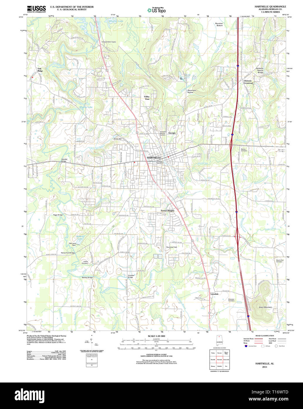 USGS TOPO Map Alabama AL Hartselle 20111018 TM Stock Photohttps://www.alamy.com/image-license-details/?v=1https://www.alamy.com/usgs-topo-map-alabama-al-hartselle-20111018-tm-image241711805.html
RMT16WTD–USGS TOPO Map Alabama AL Hartselle 20111018 TM
 . Economic botany of Alabama. Botany, Economic; Forests and forestry. INTRODUCTION 33. Map 1. Shows the natural regions referred to throughout the text. Those whose names are omitted or abbreviated for lack of space are as fol- lows: IC. Little Mountain (Hartselle sandstone). 2B. Warrior, Cahaba and Coosa coal fields. 6A. Central shortleaf pine belt. 6B. Central long- leaf pme hills. 9. Post-oak flatwoods. 14. Mobile delta. 15. Coast strip. Please note that these images are extracted from scanned page images that may have been digitally enhanced for readability - coloration and appearance of t Stock Photohttps://www.alamy.com/image-license-details/?v=1https://www.alamy.com/economic-botany-of-alabama-botany-economic-forests-and-forestry-introduction-33-map-1-shows-the-natural-regions-referred-to-throughout-the-text-those-whose-names-are-omitted-or-abbreviated-for-lack-of-space-are-as-fol-lows-ic-little-mountain-hartselle-sandstone-2b-warrior-cahaba-and-coosa-coal-fields-6a-central-shortleaf-pine-belt-6b-central-long-leaf-pme-hills-9-post-oak-flatwoods-14-mobile-delta-15-coast-strip-please-note-that-these-images-are-extracted-from-scanned-page-images-that-may-have-been-digitally-enhanced-for-readability-coloration-and-appearance-of-t-image232336304.html
RMRDYR94–. Economic botany of Alabama. Botany, Economic; Forests and forestry. INTRODUCTION 33. Map 1. Shows the natural regions referred to throughout the text. Those whose names are omitted or abbreviated for lack of space are as fol- lows: IC. Little Mountain (Hartselle sandstone). 2B. Warrior, Cahaba and Coosa coal fields. 6A. Central shortleaf pine belt. 6B. Central long- leaf pme hills. 9. Post-oak flatwoods. 14. Mobile delta. 15. Coast strip. Please note that these images are extracted from scanned page images that may have been digitally enhanced for readability - coloration and appearance of t
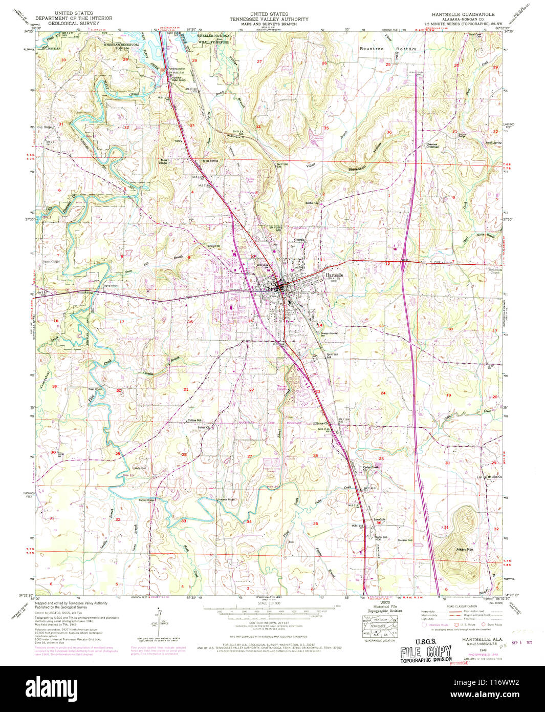 USGS TOPO Map Alabama AL Hartselle 304119 1949 24000 Stock Photohttps://www.alamy.com/image-license-details/?v=1https://www.alamy.com/usgs-topo-map-alabama-al-hartselle-304119-1949-24000-image241711822.html
RMT16WW2–USGS TOPO Map Alabama AL Hartselle 304119 1949 24000
 . Economic botany of Alabama . Map 1. Shows the natural regions referred to throughout the text. Those whose names are omitted or abbreviated for lack of space are as fol- lows: IC. Little Mountain (Hartselle sandstone). 2B. Warrior, Cahaba and Coosa coal fields. 6A. Central shortleaf pine belt. 6B. Central long- leaf pme hills. 9. Post-oak flatwoods. 14. Mobile delta. 15. Coast strip Stock Photohttps://www.alamy.com/image-license-details/?v=1https://www.alamy.com/economic-botany-of-alabama-map-1-shows-the-natural-regions-referred-to-throughout-the-text-those-whose-names-are-omitted-or-abbreviated-for-lack-of-space-are-as-fol-lows-ic-little-mountain-hartselle-sandstone-2b-warrior-cahaba-and-coosa-coal-fields-6a-central-shortleaf-pine-belt-6b-central-long-leaf-pme-hills-9-post-oak-flatwoods-14-mobile-delta-15-coast-strip-image178480128.html
RMMAAD68–. Economic botany of Alabama . Map 1. Shows the natural regions referred to throughout the text. Those whose names are omitted or abbreviated for lack of space are as fol- lows: IC. Little Mountain (Hartselle sandstone). 2B. Warrior, Cahaba and Coosa coal fields. 6A. Central shortleaf pine belt. 6B. Central long- leaf pme hills. 9. Post-oak flatwoods. 14. Mobile delta. 15. Coast strip
 Economic botany of Alabama . economicbotanyof12harp Year: 1913-1928. INTRODUCTION 33 Map 1. Shows the natural regions referred to throughout the text. Those whose names are omitted or abbreviated for lack of space are as fol- lows: IC. Little Mountain (Hartselle sandstone). 2B. Warrior, Cahaba and Coosa coal fields. 6A. Central shortleaf pine belt. 6B. Central long- leaf pme hills. 9. Post-oak flatwoods. 14. Mobile delta. 15. Coast strip Stock Photohttps://www.alamy.com/image-license-details/?v=1https://www.alamy.com/economic-botany-of-alabama-economicbotanyof12harp-year-1913-1928-introduction-33-map-1-shows-the-natural-regions-referred-to-throughout-the-text-those-whose-names-are-omitted-or-abbreviated-for-lack-of-space-are-as-fol-lows-ic-little-mountain-hartselle-sandstone-2b-warrior-cahaba-and-coosa-coal-fields-6a-central-shortleaf-pine-belt-6b-central-long-leaf-pme-hills-9-post-oak-flatwoods-14-mobile-delta-15-coast-strip-image241030849.html
RMT03W8H–Economic botany of Alabama . economicbotanyof12harp Year: 1913-1928. INTRODUCTION 33 Map 1. Shows the natural regions referred to throughout the text. Those whose names are omitted or abbreviated for lack of space are as fol- lows: IC. Little Mountain (Hartselle sandstone). 2B. Warrior, Cahaba and Coosa coal fields. 6A. Central shortleaf pine belt. 6B. Central long- leaf pme hills. 9. Post-oak flatwoods. 14. Mobile delta. 15. Coast strip
 Hartselle, Morgan County, US, United States, Alabama, N 34 26' 36'', S 86 56' 7'', map, Cartascapes Map published in 2024. Explore Cartascapes, a map revealing Earth's diverse landscapes, cultures, and ecosystems. Journey through time and space, discovering the interconnectedness of our planet's past, present, and future. Stock Photohttps://www.alamy.com/image-license-details/?v=1https://www.alamy.com/hartselle-morgan-county-us-united-states-alabama-n-34-26-36-s-86-56-7-map-cartascapes-map-published-in-2024-explore-cartascapes-a-map-revealing-earths-diverse-landscapes-cultures-and-ecosystems-journey-through-time-and-space-discovering-the-interconnectedness-of-our-planets-past-present-and-future-image620849162.html
RM2Y223CA–Hartselle, Morgan County, US, United States, Alabama, N 34 26' 36'', S 86 56' 7'', map, Cartascapes Map published in 2024. Explore Cartascapes, a map revealing Earth's diverse landscapes, cultures, and ecosystems. Journey through time and space, discovering the interconnectedness of our planet's past, present, and future.
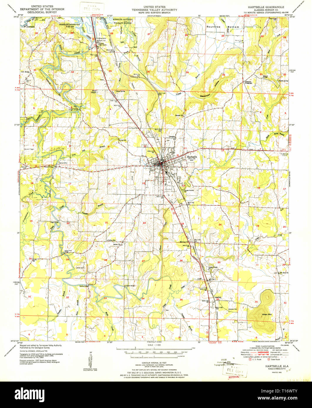 USGS TOPO Map Alabama AL Hartselle 304118 1951 24000 Stock Photohttps://www.alamy.com/image-license-details/?v=1https://www.alamy.com/usgs-topo-map-alabama-al-hartselle-304118-1951-24000-image241711819.html
RMT16WTY–USGS TOPO Map Alabama AL Hartselle 304118 1951 24000
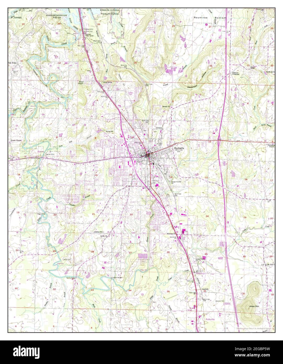 Hartselle, Alabama, map 1949, 1:24000, United States of America by Timeless Maps, data U.S. Geological Survey Stock Photohttps://www.alamy.com/image-license-details/?v=1https://www.alamy.com/hartselle-alabama-map-1949-124000-united-states-of-america-by-timeless-maps-data-us-geological-survey-image405931845.html
RM2EGBP5W–Hartselle, Alabama, map 1949, 1:24000, United States of America by Timeless Maps, data U.S. Geological Survey
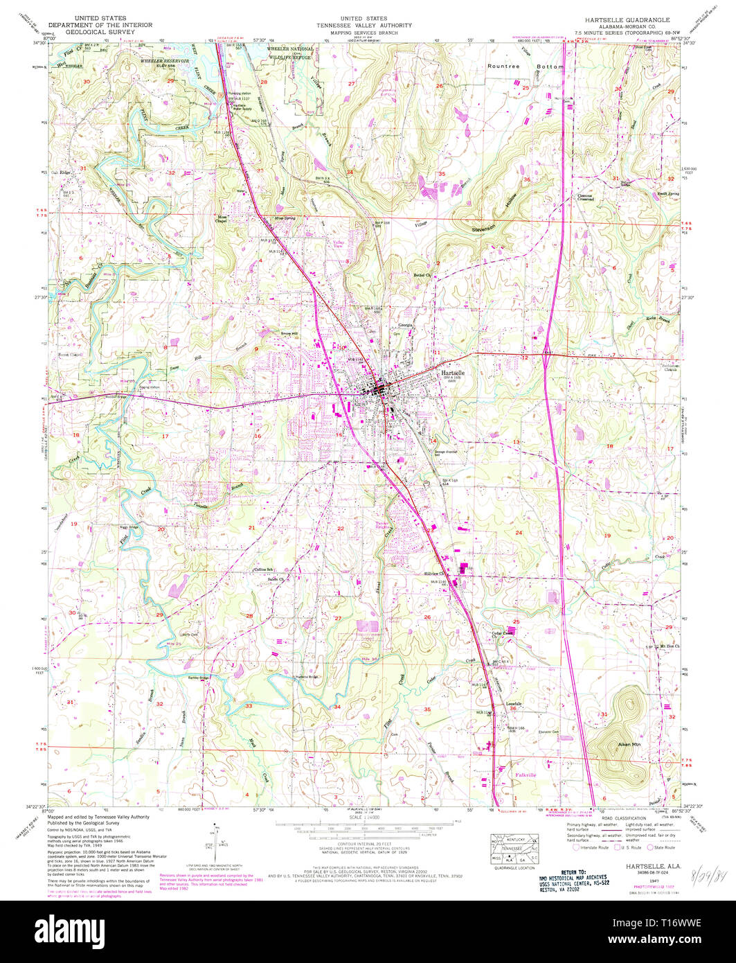 USGS TOPO Map Alabama AL Hartselle 304120 1949 24000 Stock Photohttps://www.alamy.com/image-license-details/?v=1https://www.alamy.com/usgs-topo-map-alabama-al-hartselle-304120-1949-24000-image241711834.html
RMT16WWE–USGS TOPO Map Alabama AL Hartselle 304120 1949 24000
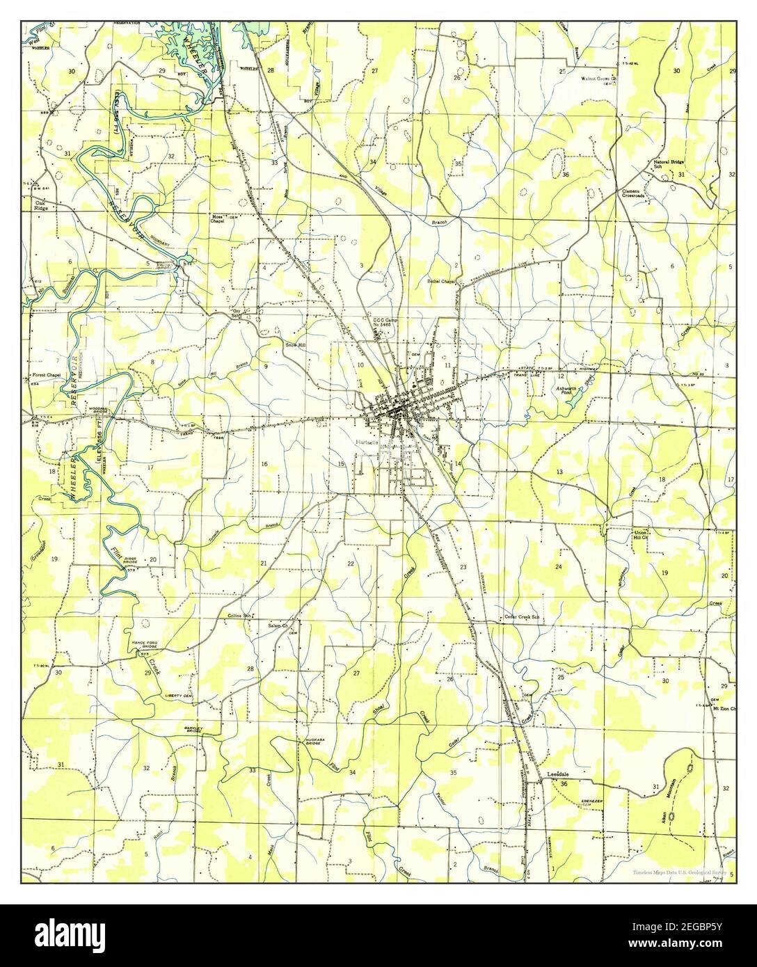 Hartselle, Alabama, map 1936, 1:24000, United States of America by Timeless Maps, data U.S. Geological Survey Stock Photohttps://www.alamy.com/image-license-details/?v=1https://www.alamy.com/hartselle-alabama-map-1936-124000-united-states-of-america-by-timeless-maps-data-us-geological-survey-image405931847.html
RM2EGBP5Y–Hartselle, Alabama, map 1936, 1:24000, United States of America by Timeless Maps, data U.S. Geological Survey
 USGS TOPO Map Alabama AL Hartselle 304117 1936 24000 Stock Photohttps://www.alamy.com/image-license-details/?v=1https://www.alamy.com/usgs-topo-map-alabama-al-hartselle-304117-1936-24000-image241711810.html
RMT16WTJ–USGS TOPO Map Alabama AL Hartselle 304117 1936 24000
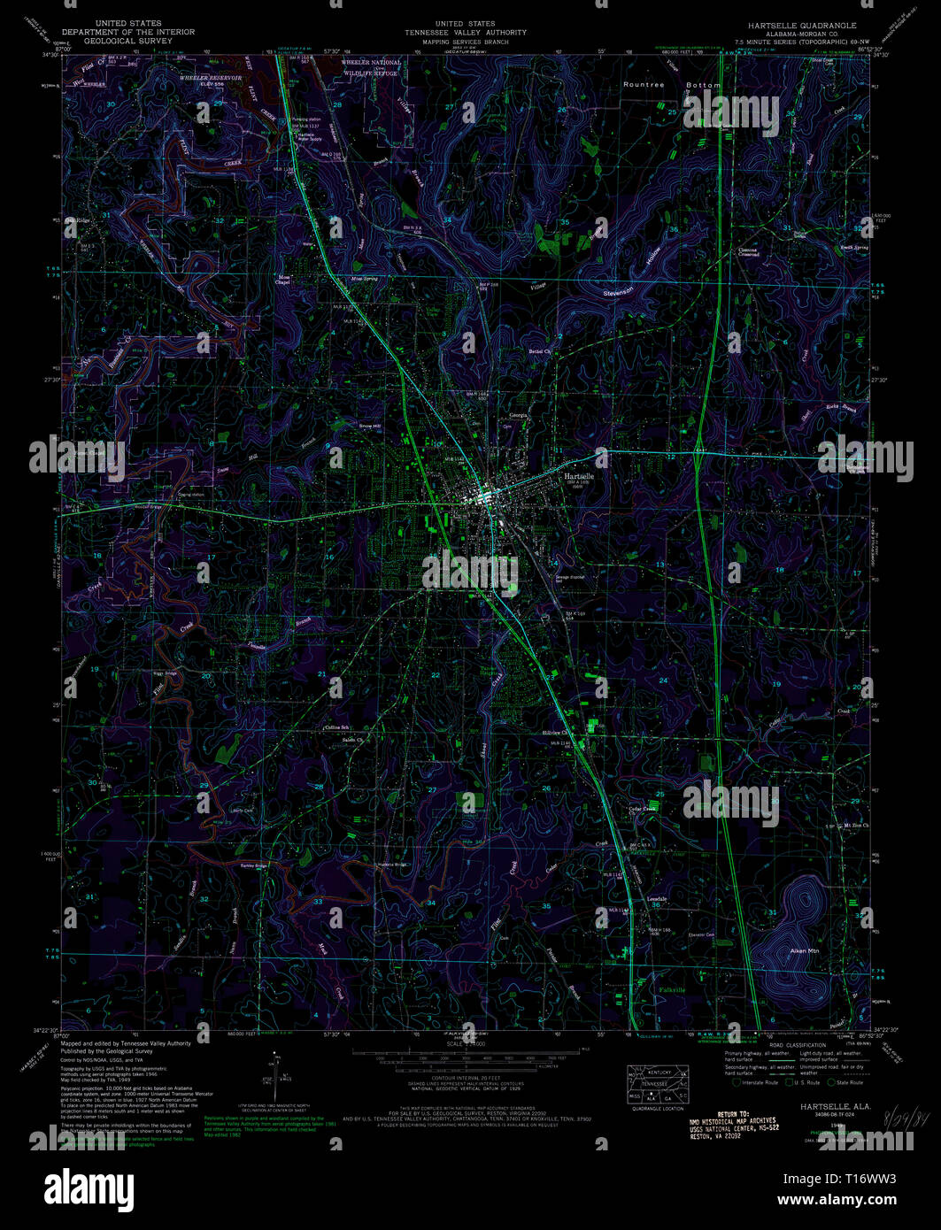
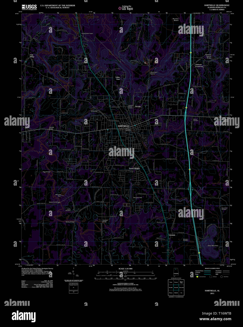 USGS TOPO Map Alabama AL Hartselle 20111018 TM Inverted Stock Photohttps://www.alamy.com/image-license-details/?v=1https://www.alamy.com/usgs-topo-map-alabama-al-hartselle-20111018-tm-inverted-image241711803.html
RMT16WTB–USGS TOPO Map Alabama AL Hartselle 20111018 TM Inverted
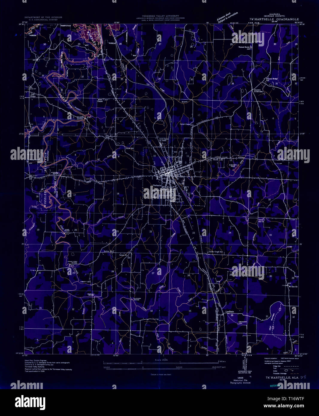 USGS TOPO Map Alabama AL Hartselle 304117 1936 24000 Inverted Stock Photohttps://www.alamy.com/image-license-details/?v=1https://www.alamy.com/usgs-topo-map-alabama-al-hartselle-304117-1936-24000-inverted-image241711807.html
RMT16WTF–USGS TOPO Map Alabama AL Hartselle 304117 1936 24000 Inverted
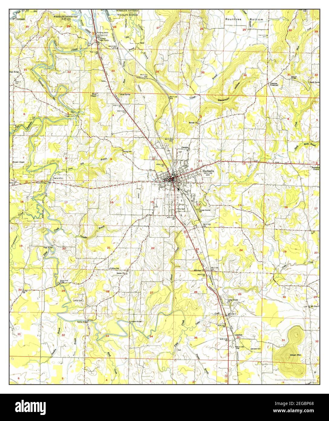 Hartselle, Alabama, map 1951, 1:24000, United States of America by Timeless Maps, data U.S. Geological Survey Stock Photohttps://www.alamy.com/image-license-details/?v=1https://www.alamy.com/hartselle-alabama-map-1951-124000-united-states-of-america-by-timeless-maps-data-us-geological-survey-image405931856.html
RM2EGBP68–Hartselle, Alabama, map 1951, 1:24000, United States of America by Timeless Maps, data U.S. Geological Survey
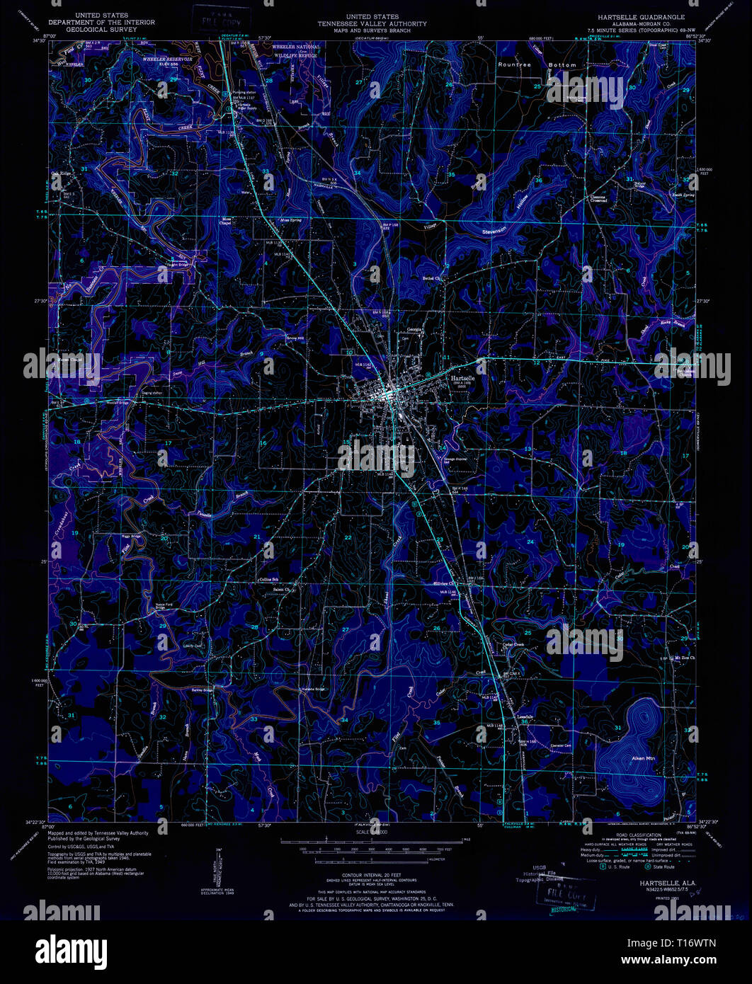 USGS TOPO Map Alabama AL Hartselle 304118 1951 24000 Inverted Stock Photohttps://www.alamy.com/image-license-details/?v=1https://www.alamy.com/usgs-topo-map-alabama-al-hartselle-304118-1951-24000-inverted-image241711813.html
RMT16WTN–USGS TOPO Map Alabama AL Hartselle 304118 1951 24000 Inverted
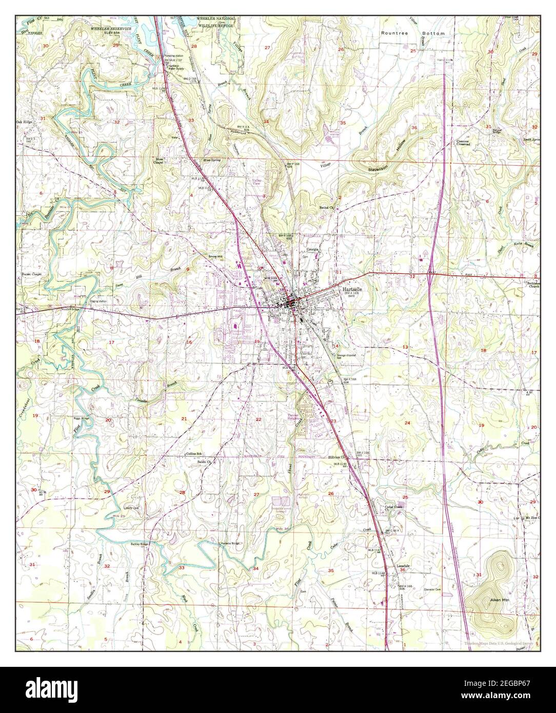 Hartselle, Alabama, map 1949, 1:24000, United States of America by Timeless Maps, data U.S. Geological Survey Stock Photohttps://www.alamy.com/image-license-details/?v=1https://www.alamy.com/hartselle-alabama-map-1949-124000-united-states-of-america-by-timeless-maps-data-us-geological-survey-image405931855.html
RM2EGBP67–Hartselle, Alabama, map 1949, 1:24000, United States of America by Timeless Maps, data U.S. Geological Survey
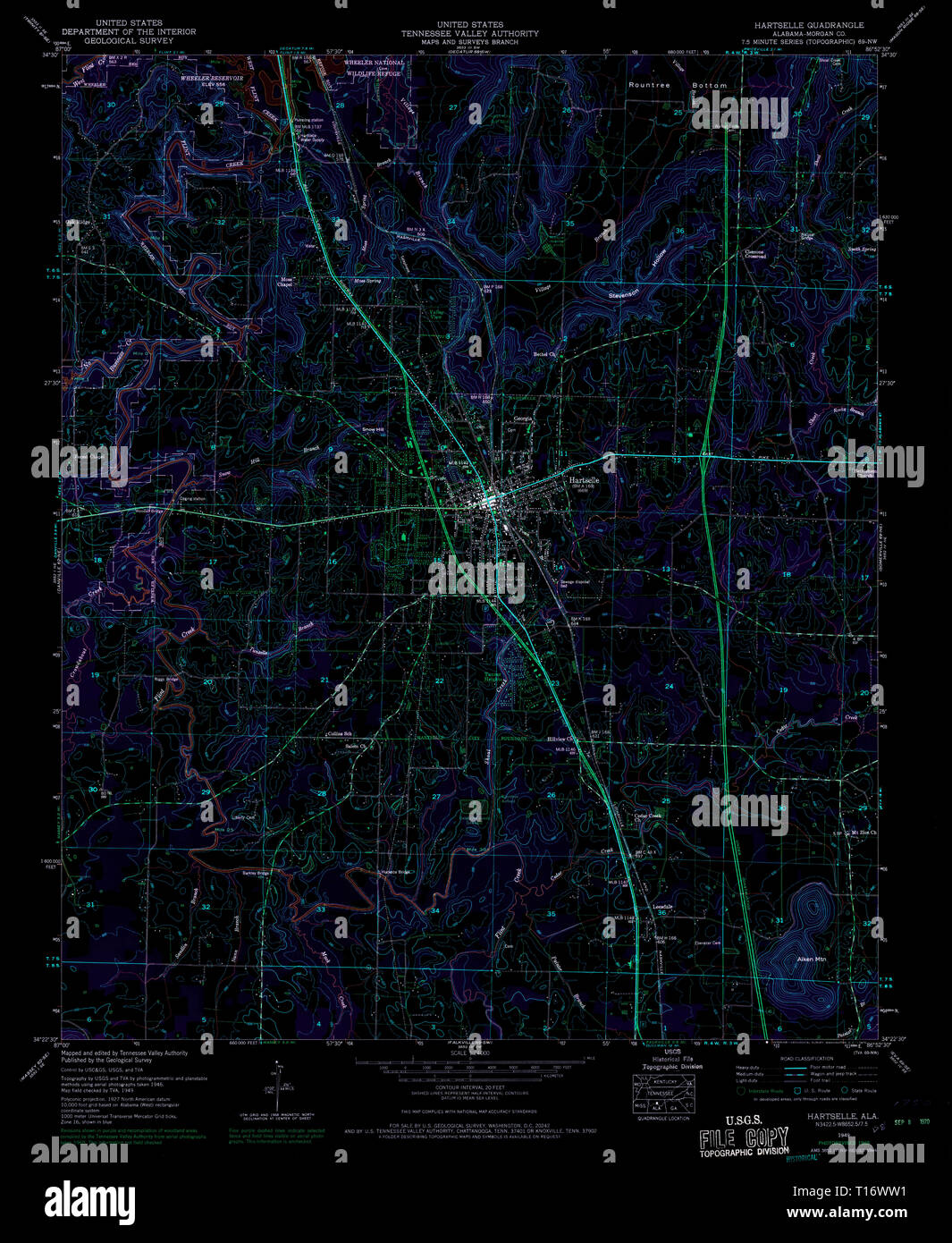 USGS TOPO Map Alabama AL Hartselle 304119 1949 24000 Inverted Stock Photohttps://www.alamy.com/image-license-details/?v=1https://www.alamy.com/usgs-topo-map-alabama-al-hartselle-304119-1949-24000-inverted-image241711821.html
RMT16WW1–USGS TOPO Map Alabama AL Hartselle 304119 1949 24000 Inverted
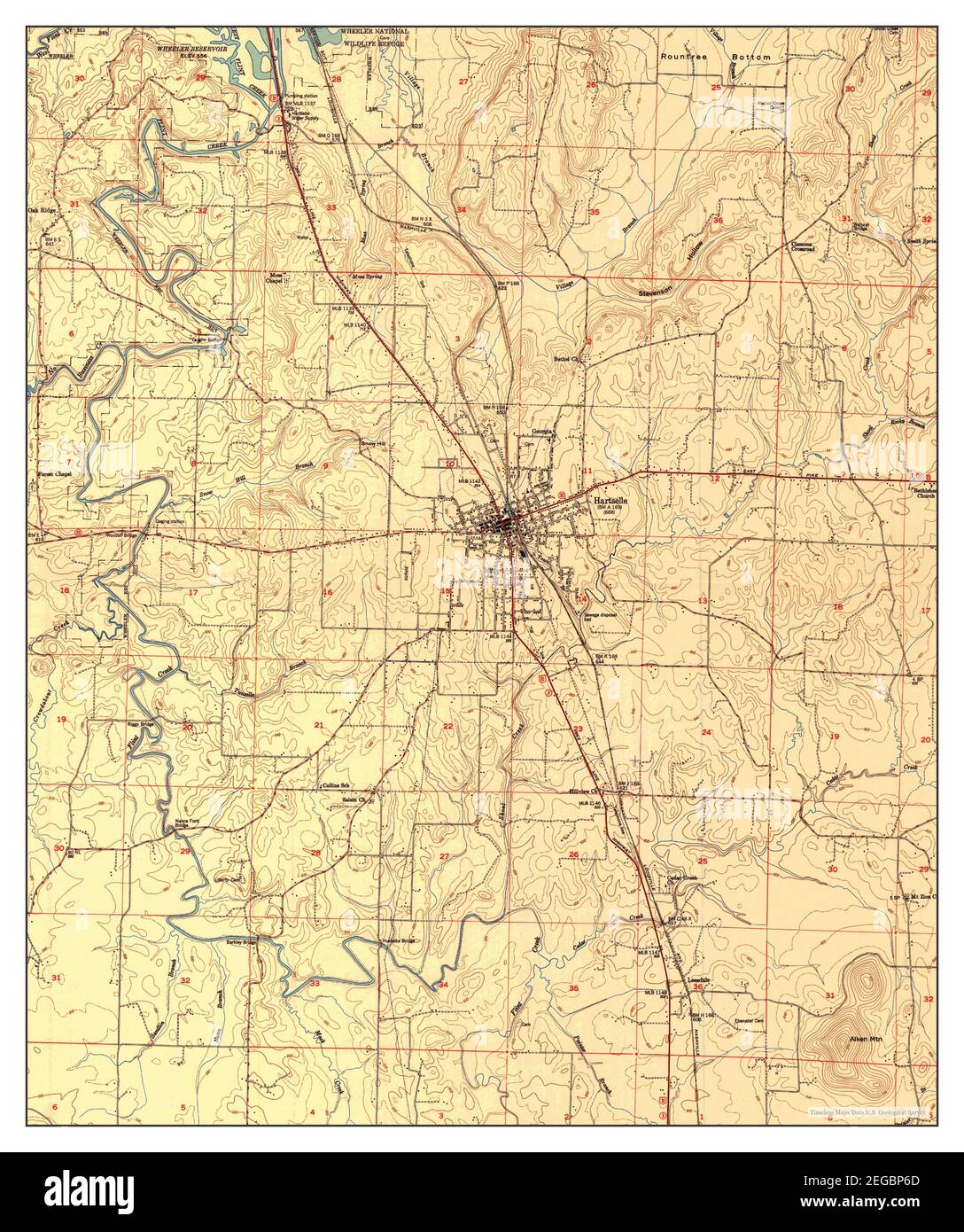 Hartselle, Alabama, map 1951, 1:24000, United States of America by Timeless Maps, data U.S. Geological Survey Stock Photohttps://www.alamy.com/image-license-details/?v=1https://www.alamy.com/hartselle-alabama-map-1951-124000-united-states-of-america-by-timeless-maps-data-us-geological-survey-image405931861.html
RM2EGBP6D–Hartselle, Alabama, map 1951, 1:24000, United States of America by Timeless Maps, data U.S. Geological Survey
