Quick filters:
Havelock map Stock Photos and Images
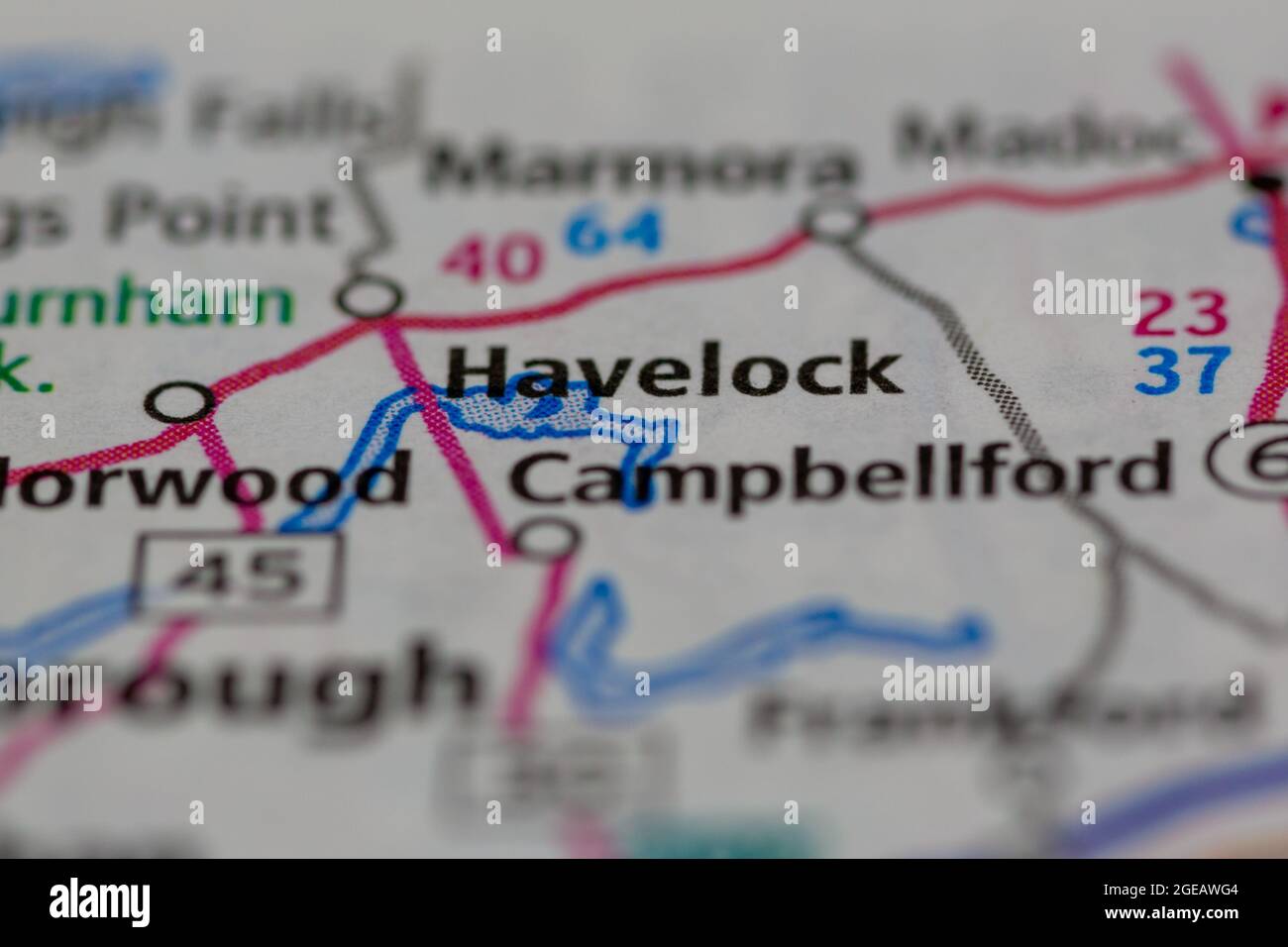 Havelock Ontario Canada shown on a road map or Geography map Stock Photohttps://www.alamy.com/image-license-details/?v=1https://www.alamy.com/havelock-ontario-canada-shown-on-a-road-map-or-geography-map-image439103956.html
RM2GEAWG4–Havelock Ontario Canada shown on a road map or Geography map
 INDIA: Plan of Havelock's March, c1880 antique map Stock Photohttps://www.alamy.com/image-license-details/?v=1https://www.alamy.com/stock-photo-india-plan-of-havelocks-march-c1880-antique-map-103844348.html
RFG0XEEM–INDIA: Plan of Havelock's March, c1880 antique map
 Havelock, Maranoa, AU, Australia, Queensland, S 26 4' 34'', N 147 54' 17'', map, Cartascapes Map published in 2024. Explore Cartascapes, a map revealing Earth's diverse landscapes, cultures, and ecosystems. Journey through time and space, discovering the interconnectedness of our planet's past, present, and future. Stock Photohttps://www.alamy.com/image-license-details/?v=1https://www.alamy.com/havelock-maranoa-au-australia-queensland-s-26-4-34-n-147-54-17-map-cartascapes-map-published-in-2024-explore-cartascapes-a-map-revealing-earths-diverse-landscapes-cultures-and-ecosystems-journey-through-time-and-space-discovering-the-interconnectedness-of-our-planets-past-present-and-future-image625758521.html
RM2YA1NAH–Havelock, Maranoa, AU, Australia, Queensland, S 26 4' 34'', N 147 54' 17'', map, Cartascapes Map published in 2024. Explore Cartascapes, a map revealing Earth's diverse landscapes, cultures, and ecosystems. Journey through time and space, discovering the interconnectedness of our planet's past, present, and future.
 Polygonal map of Havelock Island. Geometric illustration of the island in emerald amethyst colors. Havelock map in low poly style. Technology, interne Stock Vectorhttps://www.alamy.com/image-license-details/?v=1https://www.alamy.com/polygonal-map-of-havelock-island-geometric-illustration-of-the-island-in-emerald-amethyst-colors-havelock-map-in-low-poly-style-technology-interne-image560947716.html
RF2RGHAF0–Polygonal map of Havelock Island. Geometric illustration of the island in emerald amethyst colors. Havelock map in low poly style. Technology, interne
 A 19th century map of Auckland, New Zealand, showing its harbour and approaches, with distances in English miles Stock Photohttps://www.alamy.com/image-license-details/?v=1https://www.alamy.com/a-19th-century-map-of-auckland-new-zealand-showing-its-harbour-and-approaches-with-distances-in-english-miles-image466558928.html
RM2J31GJT–A 19th century map of Auckland, New Zealand, showing its harbour and approaches, with distances in English miles
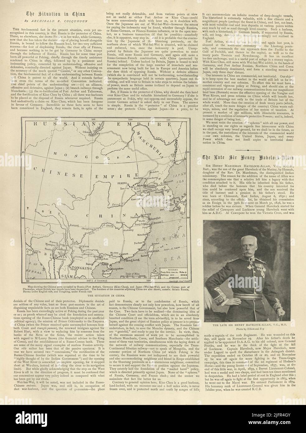 Vintage newspaper page, 1898, Situation in China, Map Chinese Empire, General Sir Henry Havelock-Allen Stock Photohttps://www.alamy.com/image-license-details/?v=1https://www.alamy.com/vintage-newspaper-page-1898-situation-in-china-map-chinese-empire-general-sir-henry-havelock-allen-image474408283.html
RM2JFR4GY–Vintage newspaper page, 1898, Situation in China, Map Chinese Empire, General Sir Henry Havelock-Allen
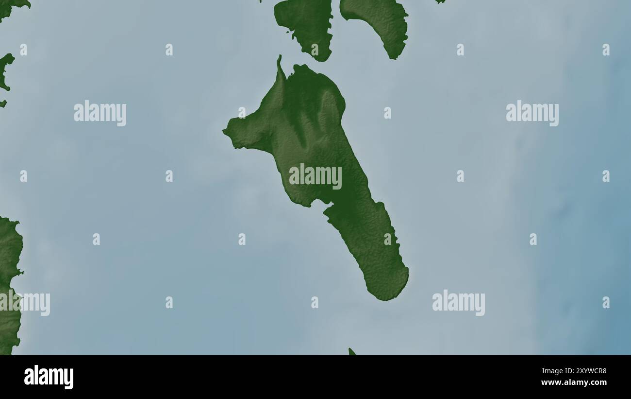 Havelock Island in the Andaman or Burma Sea on a colored elevation map Stock Photohttps://www.alamy.com/image-license-details/?v=1https://www.alamy.com/havelock-island-in-the-andaman-or-burma-sea-on-a-colored-elevation-map-image619517452.html
RF2XYWCR8–Havelock Island in the Andaman or Burma Sea on a colored elevation map
 3d isometric map of Havelock is an island in India, isolated vector illustration Stock Vectorhttps://www.alamy.com/image-license-details/?v=1https://www.alamy.com/3d-isometric-map-of-havelock-is-an-island-in-india-isolated-vector-illustration-image425032269.html
RF2FKDTYW–3d isometric map of Havelock is an island in India, isolated vector illustration
 A man reading a map against a statue of Major General Sir Henry Havelock in Trafalgar Square Stock Photohttps://www.alamy.com/image-license-details/?v=1https://www.alamy.com/stock-photo-a-man-reading-a-map-against-a-statue-of-major-general-sir-henry-havelock-78015014.html
RMEEWTXE–A man reading a map against a statue of Major General Sir Henry Havelock in Trafalgar Square
 Havelock Ellis 1926 Stock Photohttps://www.alamy.com/image-license-details/?v=1https://www.alamy.com/stock-photo-havelock-ellis-1926-139972179.html
RMJ3M7XB–Havelock Ellis 1926
 New Zealand road sign Stock Photohttps://www.alamy.com/image-license-details/?v=1https://www.alamy.com/new-zealand-road-sign-image479039128.html
RM2JRA388–New Zealand road sign
 Edith Lees and Havelock Ellis 31909059920 o Stock Photohttps://www.alamy.com/image-license-details/?v=1https://www.alamy.com/stock-photo-edith-lees-and-havelock-ellis-31909059920-o-147111169.html
RMJF9DP9–Edith Lees and Havelock Ellis 31909059920 o
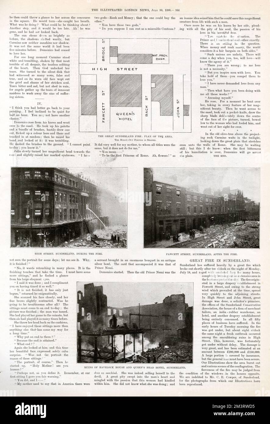 Ruins of the Great Sunderland Fire, 1898 Stock Photohttps://www.alamy.com/image-license-details/?v=1https://www.alamy.com/ruins-of-the-great-sunderland-fire-1898-image501469505.html
RM2M3RWD5–Ruins of the Great Sunderland Fire, 1898
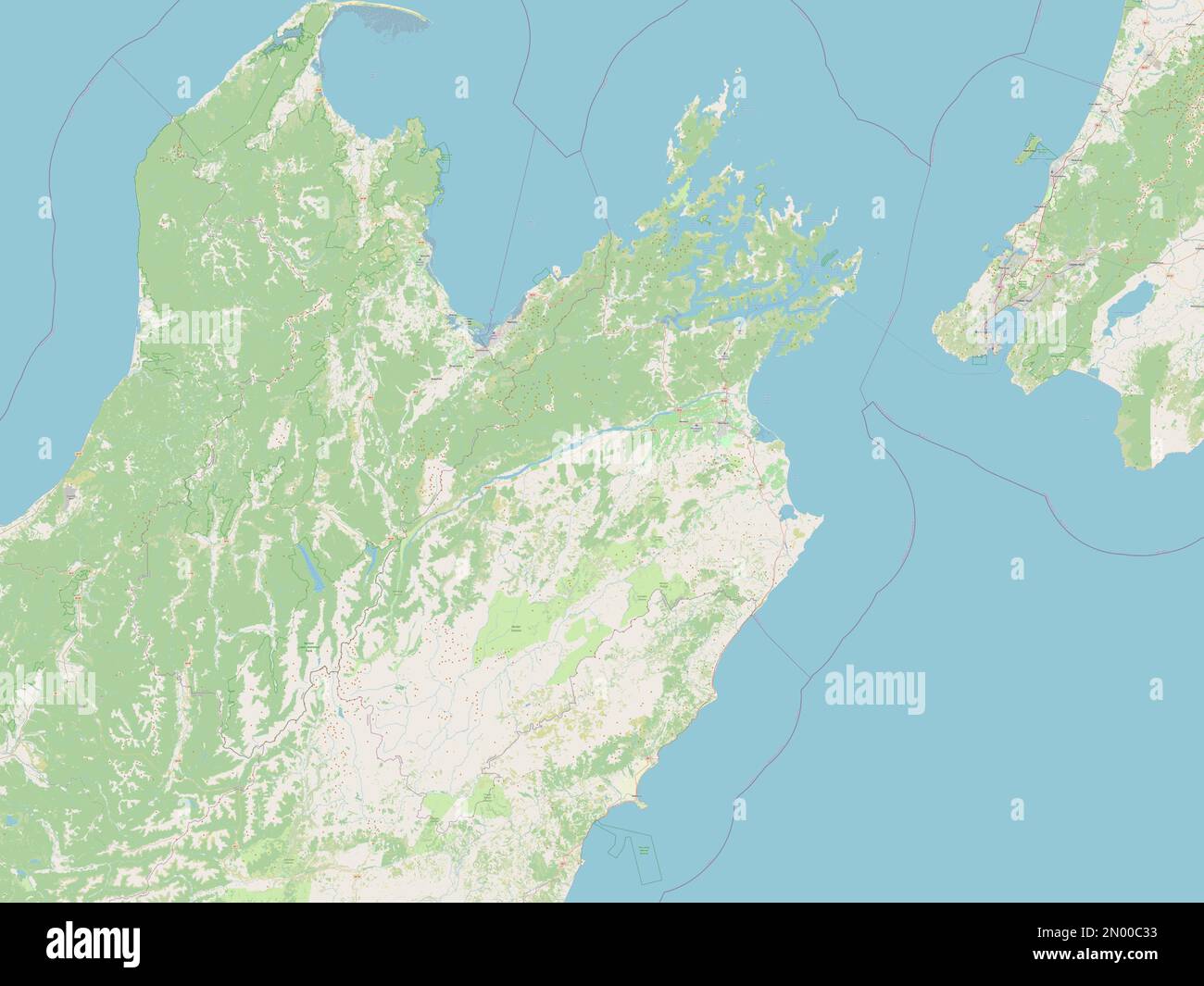 Marlborough, unitary authority of New Zealand. Open Street Map Stock Photohttps://www.alamy.com/image-license-details/?v=1https://www.alamy.com/marlborough-unitary-authority-of-new-zealand-open-street-map-image516320535.html
RF2N00C33–Marlborough, unitary authority of New Zealand. Open Street Map
 Huebinger's map and guide for Omaha-Denver transcontinental route; . 159 HAVELOCK, NEBR. (Suburb of Lincoln)Po. 3,200HOTELS—Commercial Hotel, John sons Hotel.GARAGE—Hill & Land.. 160 -Vm>/ Stock Photohttps://www.alamy.com/image-license-details/?v=1https://www.alamy.com/huebingers-map-and-guide-for-omaha-denver-transcontinental-route-159-havelock-nebr-suburb-of-lincolnpo-3200hotelscommercial-hotel-john-sons-hotelgaragehill-land-160-vmgt-image339972763.html
RM2AN32MB–Huebinger's map and guide for Omaha-Denver transcontinental route; . 159 HAVELOCK, NEBR. (Suburb of Lincoln)Po. 3,200HOTELS—Commercial Hotel, John sons Hotel.GARAGE—Hill & Land.. 160 -Vm>/
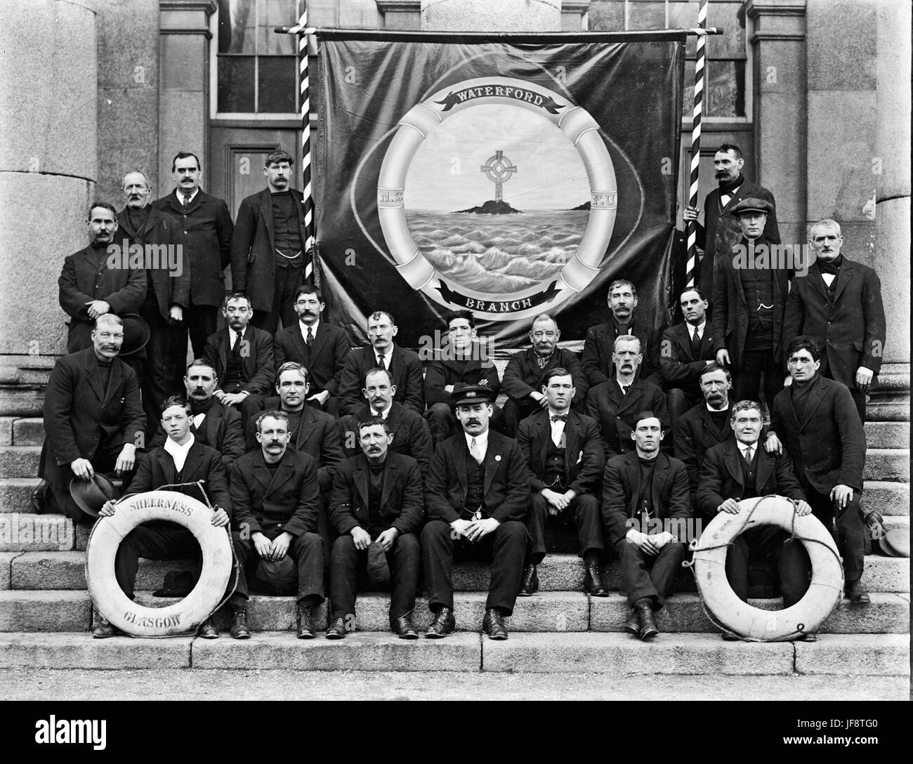 National Seamens and Firemans Union, Waterford 32507954936 o Stock Photohttps://www.alamy.com/image-license-details/?v=1https://www.alamy.com/stock-photo-national-seamens-and-firemans-union-waterford-32507954936-o-147097664.html
RMJF8TG0–National Seamens and Firemans Union, Waterford 32507954936 o
!['Plan of Havelock's March', c1891. From "Cassell's Illustrated History of India Vol. II.", by James Grant. [Cassell Petter & Galpin, London, Paris and New York] Stock Photo 'Plan of Havelock's March', c1891. From "Cassell's Illustrated History of India Vol. II.", by James Grant. [Cassell Petter & Galpin, London, Paris and New York] Stock Photo](https://c8.alamy.com/comp/2J897WR/plan-of-havelocks-march-c1891-from-quotcassells-illustrated-history-of-india-vol-iiquot-by-james-grant-cassell-petter-amp-galpin-london-paris-and-new-york-2J897WR.jpg) 'Plan of Havelock's March', c1891. From "Cassell's Illustrated History of India Vol. II.", by James Grant. [Cassell Petter & Galpin, London, Paris and New York] Stock Photohttps://www.alamy.com/image-license-details/?v=1https://www.alamy.com/plan-of-havelocks-march-c1891-from-quotcassells-illustrated-history-of-india-vol-iiquot-by-james-grant-cassell-petter-amp-galpin-london-paris-and-new-york-image469800963.html
'Plan of Havelock's March', c1891. From "Cassell's Illustrated History of India Vol. II.", by James Grant. [Cassell Petter & Galpin, London, Paris and New York] Stock Photohttps://www.alamy.com/image-license-details/?v=1https://www.alamy.com/plan-of-havelocks-march-c1891-from-quotcassells-illustrated-history-of-india-vol-iiquot-by-james-grant-cassell-petter-amp-galpin-london-paris-and-new-york-image469800963.htmlRM2J897WR–'Plan of Havelock's March', c1891. From "Cassell's Illustrated History of India Vol. II.", by James Grant. [Cassell Petter & Galpin, London, Paris and New York]
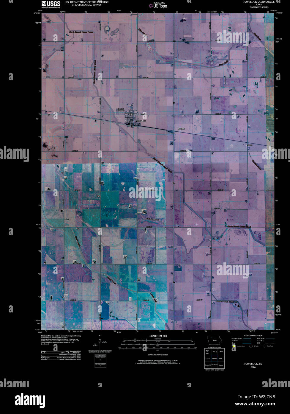 USGS TOPO Map Iowa IA Havelock 20100427 TM Inverted Restoration Stock Photohttps://www.alamy.com/image-license-details/?v=1https://www.alamy.com/usgs-topo-map-iowa-ia-havelock-20100427-tm-inverted-restoration-image259789975.html
RMW2JCNB–USGS TOPO Map Iowa IA Havelock 20100427 TM Inverted Restoration
 The collected papers of Sir Thomas Havelock on hydrodynamics (1965) Stock Photohttps://www.alamy.com/image-license-details/?v=1https://www.alamy.com/stock-photo-the-collected-papers-of-sir-thomas-havelock-on-hydrodynamics-1965-114624652.html
RMGJDGWG–The collected papers of Sir Thomas Havelock on hydrodynamics (1965)
 INDIA: Plan of the Battle of Bithoor, c1880 antique map Stock Photohttps://www.alamy.com/image-license-details/?v=1https://www.alamy.com/stock-photo-india-plan-of-the-battle-of-bithoor-c1880-antique-map-103844353.html
RFG0XEEW–INDIA: Plan of the Battle of Bithoor, c1880 antique map
 Havelock, Central Goldfields, AU, Australia, Victoria, S 36 58' 0'', N 143 46' 59'', map, Cartascapes Map published in 2024. Explore Cartascapes, a map revealing Earth's diverse landscapes, cultures, and ecosystems. Journey through time and space, discovering the interconnectedness of our planet's past, present, and future. Stock Photohttps://www.alamy.com/image-license-details/?v=1https://www.alamy.com/havelock-central-goldfields-au-australia-victoria-s-36-58-0-n-143-46-59-map-cartascapes-map-published-in-2024-explore-cartascapes-a-map-revealing-earths-diverse-landscapes-cultures-and-ecosystems-journey-through-time-and-space-discovering-the-interconnectedness-of-our-planets-past-present-and-future-image625741087.html
RM2YA0Y3Y–Havelock, Central Goldfields, AU, Australia, Victoria, S 36 58' 0'', N 143 46' 59'', map, Cartascapes Map published in 2024. Explore Cartascapes, a map revealing Earth's diverse landscapes, cultures, and ecosystems. Journey through time and space, discovering the interconnectedness of our planet's past, present, and future.
 Corona virus in Havelock Island sign. Round badge with shape of virus and Havelock map. Yellow island epidemy lock down stamp. Vector illustration. Stock Vectorhttps://www.alamy.com/image-license-details/?v=1https://www.alamy.com/corona-virus-in-havelock-island-sign-round-badge-with-shape-of-virus-and-havelock-map-yellow-island-epidemy-lock-down-stamp-vector-illustration-image545730197.html
RF2PKT4C5–Corona virus in Havelock Island sign. Round badge with shape of virus and Havelock map. Yellow island epidemy lock down stamp. Vector illustration.
 Havelock Island in the Andaman or Burma Sea on a topographic, OSM Humanitarian style map Stock Photohttps://www.alamy.com/image-license-details/?v=1https://www.alamy.com/havelock-island-in-the-andaman-or-burma-sea-on-a-topographic-osm-humanitarian-style-map-image619529016.html
RF2XYWYG8–Havelock Island in the Andaman or Burma Sea on a topographic, OSM Humanitarian style map
 Havelock Ellis a Stock Photohttps://www.alamy.com/image-license-details/?v=1https://www.alamy.com/stock-photo-havelock-ellis-a-139972203.html
RMJ3M7Y7–Havelock Ellis a
 Marlborough, unitary authority of New Zealand. Low resolution satellite map Stock Photohttps://www.alamy.com/image-license-details/?v=1https://www.alamy.com/marlborough-unitary-authority-of-new-zealand-low-resolution-satellite-map-image516320536.html
RF2N00C34–Marlborough, unitary authority of New Zealand. Low resolution satellite map
 Huebinger's map and guide for Omaha-Denver transcontinental route; . CHOOl CHURCH--.-W1NDM1LL-rROLLEY---RAILROAD WOODEN BRID6L ?? STEEL BRIDGE 8|-B CONCRETE BRIDGE ?« CULVERT ?? CEMETERY ^^. TREE 1-i ij^ M A1L B 0 X(FisuresdenijleNijmttriif BiBes)i2 SIGN IE 49 1 NDEX Aurora 63 Havelock 160 Arapahoe Ill Haxtun 79 Ashland 165 Heartwell Holbrook 127 110 Atwood 71 HOLDREGE 119 Atlanta 117 Hillrose 67 Axtell 123 Holyoke 83 Hartley 107 Imperial 90 Bennett 56 Indianola 105 Beverly 97 Juniata 129 Brush 66 Lamar 87 Cambridge 109 LINCOLN 157 Comanche 58 McCOOK 100 Culbertson DENVER 98 166 70 51 Merino D Stock Photohttps://www.alamy.com/image-license-details/?v=1https://www.alamy.com/huebingers-map-and-guide-for-omaha-denver-transcontinental-route-chool-church-w1ndm1ll-rrolley-railroad-wooden-brid6l-steel-bridge-8-b-concrete-bridge-culvert-cemetery-tree-1-i-ij-m-a1l-b-0-xfisuresdenijlenijmttriif-bibesi2-sign-ie-49-1-ndex-aurora-63-havelock-160-arapahoe-ill-haxtun-79-ashland-165-heartwell-holbrook-127-110-atwood-71-holdrege-119-atlanta-117-hillrose-67-axtell-123-holyoke-83-hartley-107-imperial-90-bennett-56-indianola-105-beverly-97-juniata-129-brush-66-lamar-87-cambridge-109-lincoln-157-comanche-58-mccook-100-culbertson-denver-98-166-70-51-merino-d-image340007790.html
RM2AN4KBA–Huebinger's map and guide for Omaha-Denver transcontinental route; . CHOOl CHURCH--.-W1NDM1LL-rROLLEY---RAILROAD WOODEN BRID6L ?? STEEL BRIDGE 8|-B CONCRETE BRIDGE ?« CULVERT ?? CEMETERY ^^. TREE 1-i ij^ M A1L B 0 X(FisuresdenijleNijmttriif BiBes)i2 SIGN IE 49 1 NDEX Aurora 63 Havelock 160 Arapahoe Ill Haxtun 79 Ashland 165 Heartwell Holbrook 127 110 Atwood 71 HOLDREGE 119 Atlanta 117 Hillrose 67 Axtell 123 Holyoke 83 Hartley 107 Imperial 90 Bennett 56 Indianola 105 Beverly 97 Juniata 129 Brush 66 Lamar 87 Cambridge 109 LINCOLN 157 Comanche 58 McCOOK 100 Culbertson DENVER 98 166 70 51 Merino D
 USGS TOPO Map Iowa IA Havelock 20130415 TM Inverted Restoration Stock Photohttps://www.alamy.com/image-license-details/?v=1https://www.alamy.com/usgs-topo-map-iowa-ia-havelock-20130415-tm-inverted-restoration-image259789960.html
RMW2JCMT–USGS TOPO Map Iowa IA Havelock 20130415 TM Inverted Restoration
 The collected papers of Sir Thomas Havelock on hydrodynamics (1965) Stock Photohttps://www.alamy.com/image-license-details/?v=1https://www.alamy.com/stock-photo-the-collected-papers-of-sir-thomas-havelock-on-hydrodynamics-1965-114624658.html
RMGJDGWP–The collected papers of Sir Thomas Havelock on hydrodynamics (1965)
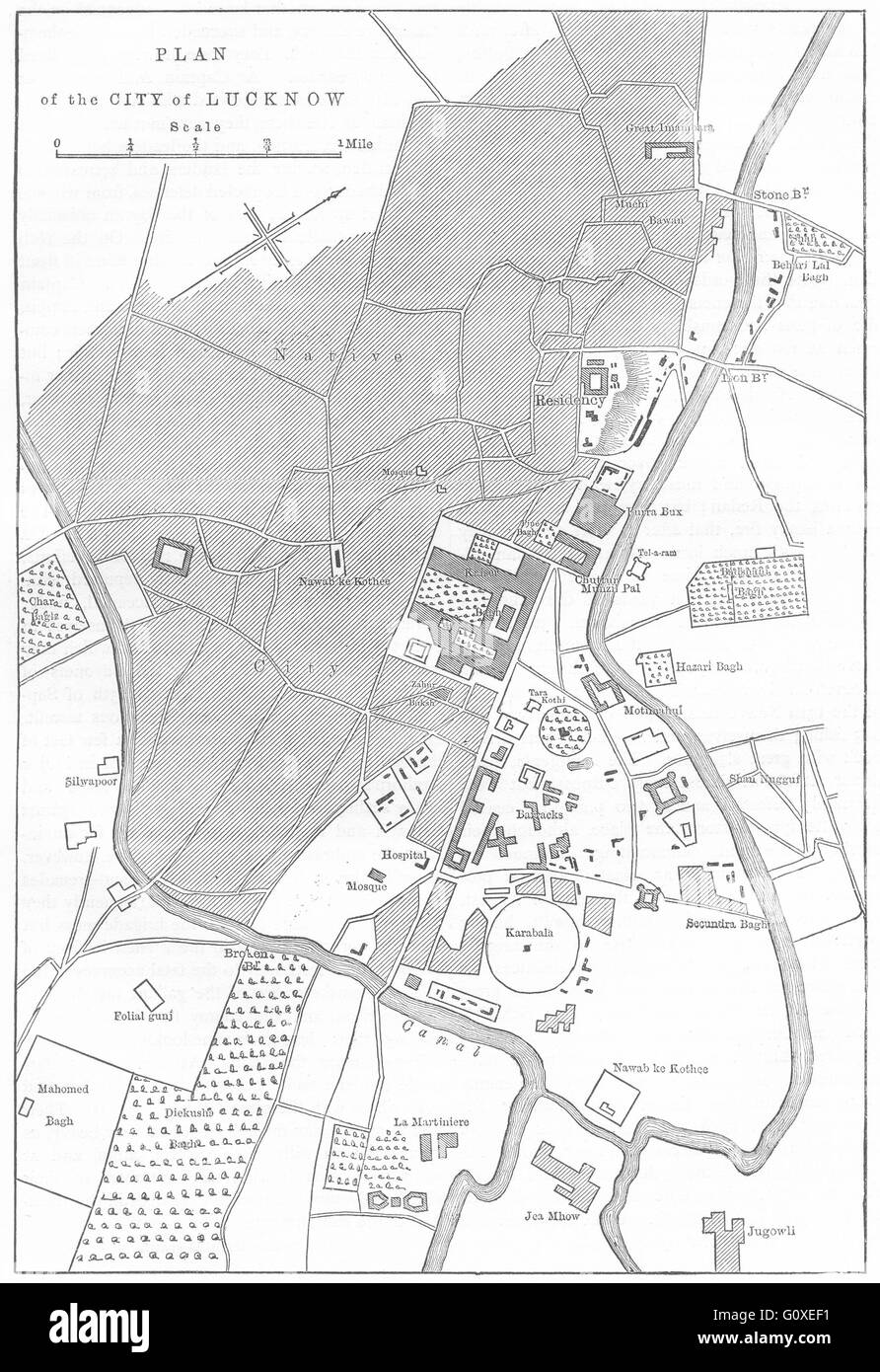 INDIA: Plan of Lucknow, c1880 antique map Stock Photohttps://www.alamy.com/image-license-details/?v=1https://www.alamy.com/stock-photo-india-plan-of-lucknow-c1880-antique-map-103844357.html
RFG0XEF1–INDIA: Plan of Lucknow, c1880 antique map
 Havelock, Goomalling, AU, Australia, Western Australia, S 31 19' 57'', N 116 43' 54'', map, Cartascapes Map published in 2024. Explore Cartascapes, a map revealing Earth's diverse landscapes, cultures, and ecosystems. Journey through time and space, discovering the interconnectedness of our planet's past, present, and future. Stock Photohttps://www.alamy.com/image-license-details/?v=1https://www.alamy.com/havelock-goomalling-au-australia-western-australia-s-31-19-57-n-116-43-54-map-cartascapes-map-published-in-2024-explore-cartascapes-a-map-revealing-earths-diverse-landscapes-cultures-and-ecosystems-journey-through-time-and-space-discovering-the-interconnectedness-of-our-planets-past-present-and-future-image625546947.html
RM2Y9M3EB–Havelock, Goomalling, AU, Australia, Western Australia, S 31 19' 57'', N 116 43' 54'', map, Cartascapes Map published in 2024. Explore Cartascapes, a map revealing Earth's diverse landscapes, cultures, and ecosystems. Journey through time and space, discovering the interconnectedness of our planet's past, present, and future.
 Havelock Island sunburst. Low poly striped rays and map of the island. Authentic vector illustration. Stock Vectorhttps://www.alamy.com/image-license-details/?v=1https://www.alamy.com/havelock-island-sunburst-low-poly-striped-rays-and-map-of-the-island-authentic-vector-illustration-image553156381.html
RF2R3XCH1–Havelock Island sunburst. Low poly striped rays and map of the island. Authentic vector illustration.
 Havelock Island in the Andaman or Burma Sea, belonging to India, cropped to square on a bilevel elevation map Stock Photohttps://www.alamy.com/image-license-details/?v=1https://www.alamy.com/havelock-island-in-the-andaman-or-burma-sea-belonging-to-india-cropped-to-square-on-a-bilevel-elevation-map-image620365324.html
RF2Y1828C–Havelock Island in the Andaman or Burma Sea, belonging to India, cropped to square on a bilevel elevation map
 Havelock Ellis 30yo Stock Photohttps://www.alamy.com/image-license-details/?v=1https://www.alamy.com/stock-photo-havelock-ellis-30yo-139972192.html
RMJ3M7XT–Havelock Ellis 30yo
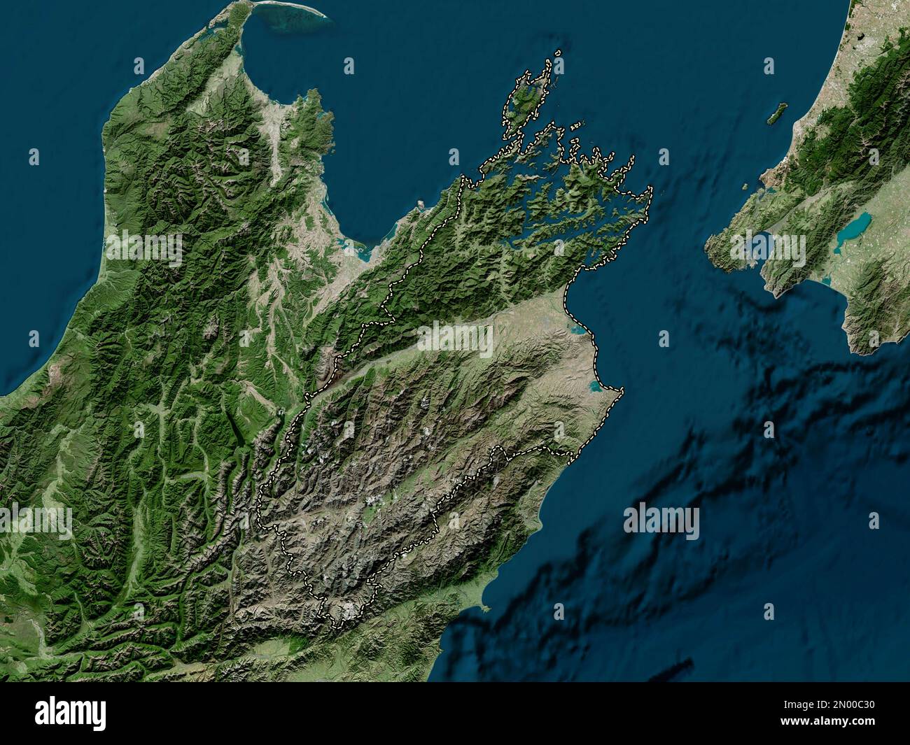 Marlborough, unitary authority of New Zealand. High resolution satellite map Stock Photohttps://www.alamy.com/image-license-details/?v=1https://www.alamy.com/marlborough-unitary-authority-of-new-zealand-high-resolution-satellite-map-image516320532.html
RF2N00C30–Marlborough, unitary authority of New Zealand. High resolution satellite map
 . Transactions of the Royal Society of New Zealand . e pre-sumably equally good. E, found by the same method fromHavelock, Otaki, Foxton, Feilding, Wanganui, Opunake, withan assumed surface-velocity of 8 miles per minute, gives farmore satisfactory results. Method of Equations.—Taking Opunake as the origin ofco-ordinates, and the line Opunake-Havelock as the axis of x(Milnes Earthquakes, p. 206), using all the data containedin (a), and forming the normal equations, we get— * A shock taking place at 4.28J at an origin below some point in thesmaller circle shown on the map, propagated with a vel Stock Photohttps://www.alamy.com/image-license-details/?v=1https://www.alamy.com/transactions-of-the-royal-society-of-new-zealand-e-pre-sumably-equally-good-e-found-by-the-same-method-fromhavelock-otaki-foxton-feilding-wanganui-opunake-withan-assumed-surface-velocity-of-8-miles-per-minute-gives-farmore-satisfactory-results-method-of-equationstaking-opunake-as-the-origin-ofco-ordinates-and-the-line-opunake-havelock-as-the-axis-of-xmilnes-earthquakes-p-206-using-all-the-data-containedin-a-and-forming-the-normal-equations-we-get-a-shock-taking-place-at-428j-at-an-origin-below-some-point-in-thesmaller-circle-shown-on-the-map-propagated-with-a-vel-image369685179.html
RM2CDCH63–. Transactions of the Royal Society of New Zealand . e pre-sumably equally good. E, found by the same method fromHavelock, Otaki, Foxton, Feilding, Wanganui, Opunake, withan assumed surface-velocity of 8 miles per minute, gives farmore satisfactory results. Method of Equations.—Taking Opunake as the origin ofco-ordinates, and the line Opunake-Havelock as the axis of x(Milnes Earthquakes, p. 206), using all the data containedin (a), and forming the normal equations, we get— * A shock taking place at 4.28J at an origin below some point in thesmaller circle shown on the map, propagated with a vel
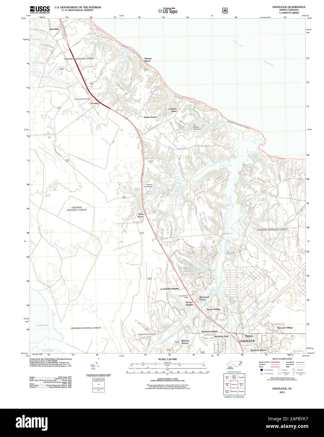 USGS TOPO Map North Carolina NC Havelock 20110608 TM Restoration Stock Photohttps://www.alamy.com/image-license-details/?v=1https://www.alamy.com/usgs-topo-map-north-carolina-nc-havelock-20110608-tm-restoration-image336480011.html
RM2AFBYK7–USGS TOPO Map North Carolina NC Havelock 20110608 TM Restoration
 The collected papers of Sir Thomas Havelock on hydrodynamics (1965) Stock Photohttps://www.alamy.com/image-license-details/?v=1https://www.alamy.com/stock-photo-the-collected-papers-of-sir-thomas-havelock-on-hydrodynamics-1965-114624661.html
RMGJDGWW–The collected papers of Sir Thomas Havelock on hydrodynamics (1965)
 INDIA: Plan of the battle of Fatehpur, c1880 antique map Stock Photohttps://www.alamy.com/image-license-details/?v=1https://www.alamy.com/stock-photo-india-plan-of-the-battle-of-fatehpur-c1880-antique-map-103844346.html
RFG0XEEJ–INDIA: Plan of the battle of Fatehpur, c1880 antique map
 Mount Havelock, , AU, Australia, South Australia, S 31 40' 7'', N 138 44' 3'', map, Cartascapes Map published in 2024. Explore Cartascapes, a map revealing Earth's diverse landscapes, cultures, and ecosystems. Journey through time and space, discovering the interconnectedness of our planet's past, present, and future. Stock Photohttps://www.alamy.com/image-license-details/?v=1https://www.alamy.com/mount-havelock-au-australia-south-australia-s-31-40-7-n-138-44-3-map-cartascapes-map-published-in-2024-explore-cartascapes-a-map-revealing-earths-diverse-landscapes-cultures-and-ecosystems-journey-through-time-and-space-discovering-the-interconnectedness-of-our-planets-past-present-and-future-image625550124.html
RM2Y9M7FT–Mount Havelock, , AU, Australia, South Australia, S 31 40' 7'', N 138 44' 3'', map, Cartascapes Map published in 2024. Explore Cartascapes, a map revealing Earth's diverse landscapes, cultures, and ecosystems. Journey through time and space, discovering the interconnectedness of our planet's past, present, and future.
 Havelock Island map. Collection of map of Havelock Island in dotted style. Vector illustration. Stock Vectorhttps://www.alamy.com/image-license-details/?v=1https://www.alamy.com/havelock-island-map-collection-of-map-of-havelock-island-in-dotted-style-vector-illustration-image555815050.html
RF2R87FNE–Havelock Island map. Collection of map of Havelock Island in dotted style. Vector illustration.
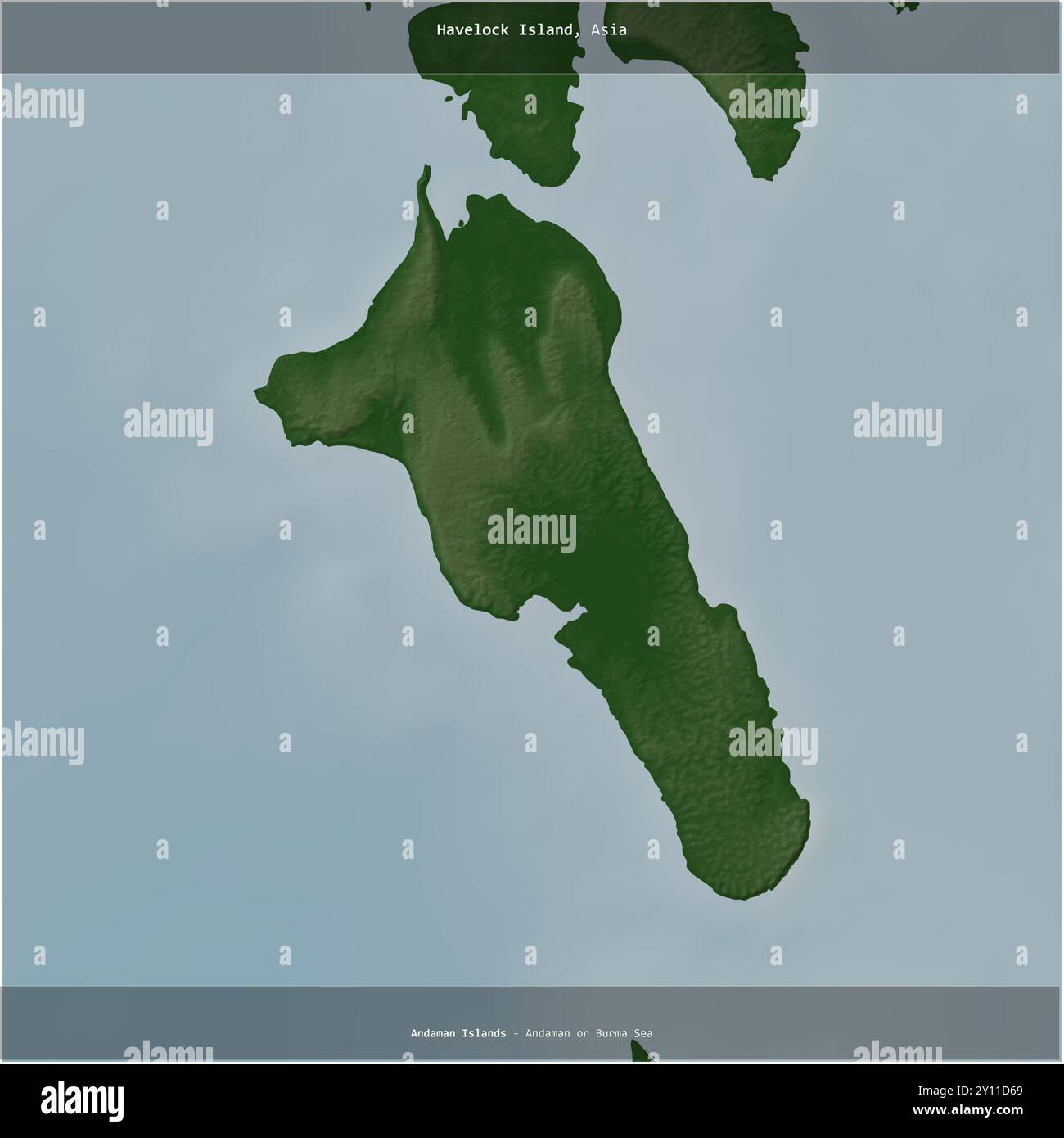 Havelock Island in the Andaman or Burma Sea, belonging to India, cropped to square on a colored elevation map Stock Photohttps://www.alamy.com/image-license-details/?v=1https://www.alamy.com/havelock-island-in-the-andaman-or-burma-sea-belonging-to-india-cropped-to-square-on-a-colored-elevation-map-image620220225.html
RF2Y11D69–Havelock Island in the Andaman or Burma Sea, belonging to India, cropped to square on a colored elevation map
 Havelock Ellis August 1927 Stock Photohttps://www.alamy.com/image-license-details/?v=1https://www.alamy.com/stock-photo-havelock-ellis-august-1927-139972214.html
RMJ3M7YJ–Havelock Ellis August 1927
 Havelock Ellis cph.3b08675 Stock Photohttps://www.alamy.com/image-license-details/?v=1https://www.alamy.com/stock-image-havelock-ellis-cph3b08675-162749621.html
RMKCNTPD–Havelock Ellis cph.3b08675
 Tomb of Sir Henry Havelock Stock Photohttps://www.alamy.com/image-license-details/?v=1https://www.alamy.com/stock-image-tomb-of-sir-henry-havelock-161594598.html
RMKAW7FJ–Tomb of Sir Henry Havelock
 Marlborough, unitary authority of New Zealand. Bilevel elevation map with lakes and rivers Stock Photohttps://www.alamy.com/image-license-details/?v=1https://www.alamy.com/marlborough-unitary-authority-of-new-zealand-bilevel-elevation-map-with-lakes-and-rivers-image516320499.html
RF2N00C1R–Marlborough, unitary authority of New Zealand. Bilevel elevation map with lakes and rivers
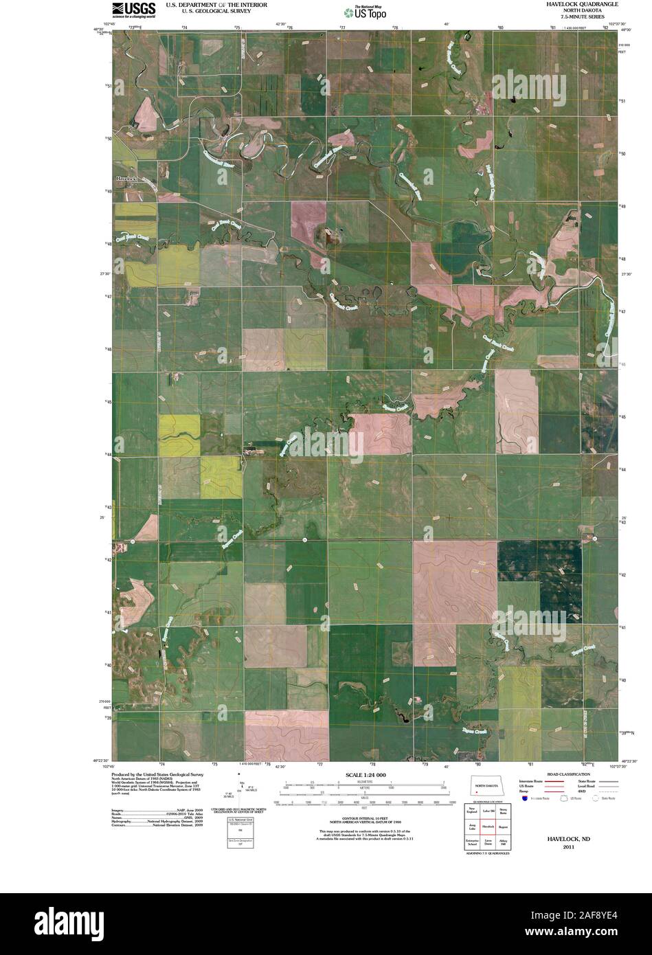 USGS TOPO Map North Dakota ND Havelock 20110321 TM Restoration Stock Photohttps://www.alamy.com/image-license-details/?v=1https://www.alamy.com/usgs-topo-map-north-dakota-nd-havelock-20110321-tm-restoration-image336414012.html
RM2AF8YE4–USGS TOPO Map North Dakota ND Havelock 20110321 TM Restoration
 The collected papers of Sir Thomas Havelock on hydrodynamics (1965) Stock Photohttps://www.alamy.com/image-license-details/?v=1https://www.alamy.com/stock-photo-the-collected-papers-of-sir-thomas-havelock-on-hydrodynamics-1965-114624654.html
RMGJDGWJ–The collected papers of Sir Thomas Havelock on hydrodynamics (1965)
 INDIA: Plan of the affair at Pandoo Nuddee, c1880 antique map Stock Photohttps://www.alamy.com/image-license-details/?v=1https://www.alamy.com/stock-photo-india-plan-of-the-affair-at-pandoo-nuddee-c1880-antique-map-103844347.html
RFG0XEEK–INDIA: Plan of the affair at Pandoo Nuddee, c1880 antique map
 Havelock, Tatiara, AU, Australia, South Australia, S 36 7' 4'', N 140 36' 44'', map, Cartascapes Map published in 2024. Explore Cartascapes, a map revealing Earth's diverse landscapes, cultures, and ecosystems. Journey through time and space, discovering the interconnectedness of our planet's past, present, and future. Stock Photohttps://www.alamy.com/image-license-details/?v=1https://www.alamy.com/havelock-tatiara-au-australia-south-australia-s-36-7-4-n-140-36-44-map-cartascapes-map-published-in-2024-explore-cartascapes-a-map-revealing-earths-diverse-landscapes-cultures-and-ecosystems-journey-through-time-and-space-discovering-the-interconnectedness-of-our-planets-past-present-and-future-image625791272.html
RM2YA3748–Havelock, Tatiara, AU, Australia, South Australia, S 36 7' 4'', N 140 36' 44'', map, Cartascapes Map published in 2024. Explore Cartascapes, a map revealing Earth's diverse landscapes, cultures, and ecosystems. Journey through time and space, discovering the interconnectedness of our planet's past, present, and future.
 Havelock Island vintage map. Grunge map with distressed texture. Havelock Island poster. Vector illustration. Stock Vectorhttps://www.alamy.com/image-license-details/?v=1https://www.alamy.com/havelock-island-vintage-map-grunge-map-with-distressed-texture-havelock-island-poster-vector-illustration-image558239922.html
RF2RC60M2–Havelock Island vintage map. Grunge map with distressed texture. Havelock Island poster. Vector illustration.
 Havelock Island in the Andaman or Burma Sea, belonging to India, isolated on a bilevel elevation map, with distance scale Stock Photohttps://www.alamy.com/image-license-details/?v=1https://www.alamy.com/havelock-island-in-the-andaman-or-burma-sea-belonging-to-india-isolated-on-a-bilevel-elevation-map-with-distance-scale-image619539175.html
RF2XYXCF3–Havelock Island in the Andaman or Burma Sea, belonging to India, isolated on a bilevel elevation map, with distance scale
 Felice Beato (British, born Italy - (The Mine in the Chattar Manzil Exploded by the Enemy at the First Attack of General Henry Havelock) - Stock Photohttps://www.alamy.com/image-license-details/?v=1https://www.alamy.com/stock-photo-felice-beato-british-born-italy-the-mine-in-the-chattar-manzil-exploded-148389854.html
RMJHBMNJ–Felice Beato (British, born Italy - (The Mine in the Chattar Manzil Exploded by the Enemy at the First Attack of General Henry Havelock) -
 Marlborough, unitary authority of New Zealand. Grayscale elevation map with lakes and rivers Stock Photohttps://www.alamy.com/image-license-details/?v=1https://www.alamy.com/marlborough-unitary-authority-of-new-zealand-grayscale-elevation-map-with-lakes-and-rivers-image516320523.html
RF2N00C2K–Marlborough, unitary authority of New Zealand. Grayscale elevation map with lakes and rivers
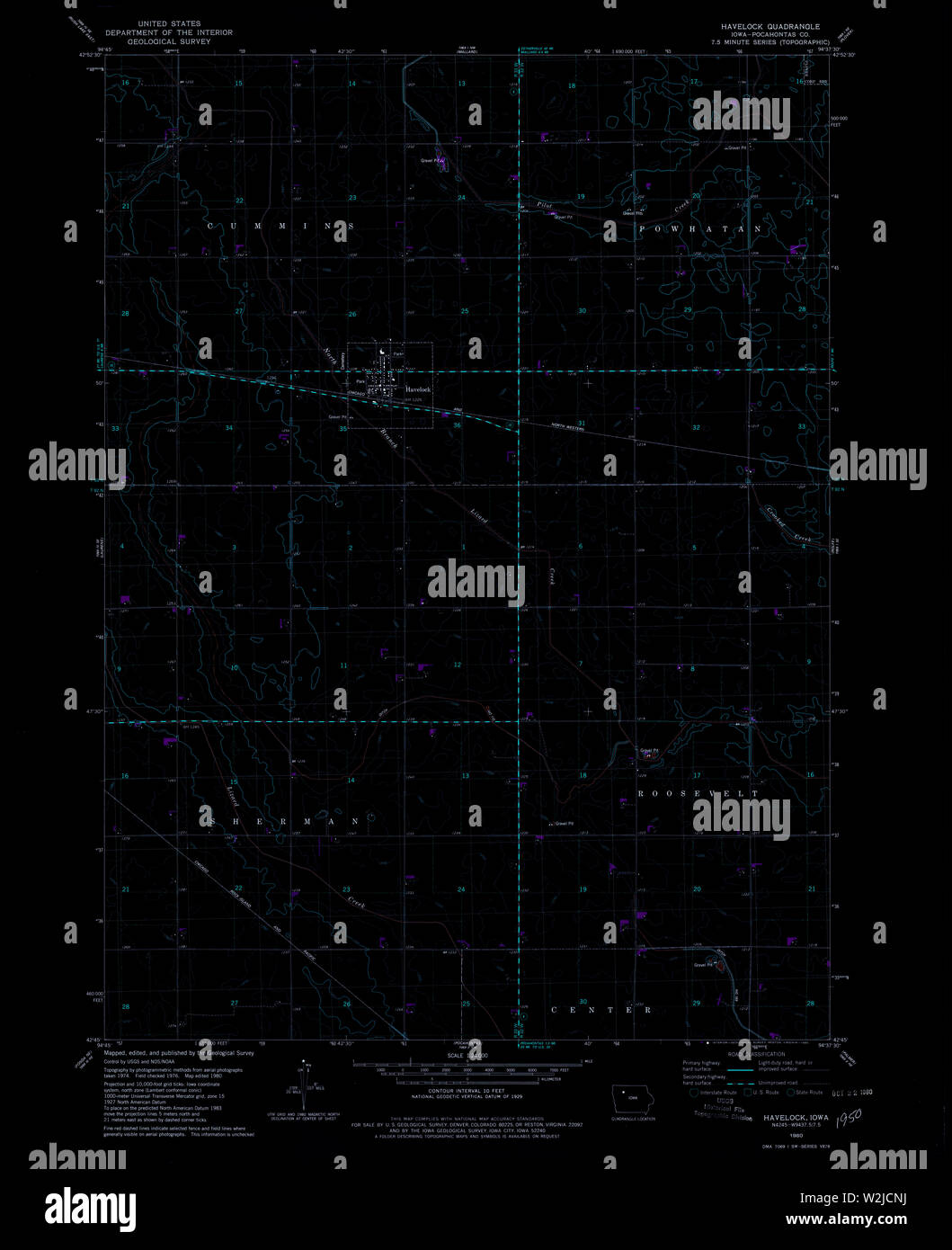 USGS TOPO Map Iowa IA Havelock 174804 1980 24000 Inverted Restoration Stock Photohttps://www.alamy.com/image-license-details/?v=1https://www.alamy.com/usgs-topo-map-iowa-ia-havelock-174804-1980-24000-inverted-restoration-image259789982.html
RMW2JCNJ–USGS TOPO Map Iowa IA Havelock 174804 1980 24000 Inverted Restoration
 The collected papers of Sir Thomas Havelock on hydrodynamics (1965) Stock Photohttps://www.alamy.com/image-license-details/?v=1https://www.alamy.com/stock-photo-the-collected-papers-of-sir-thomas-havelock-on-hydrodynamics-1965-114624666.html
RMGJDGX2–The collected papers of Sir Thomas Havelock on hydrodynamics (1965)
 Havelock, Central Goldfields, AU, Australia, Victoria, S 36 58' 0'', N 143 46' 59'', map, Cartascapes Map published in 2024. Explore Cartascapes, a map revealing Earth's diverse landscapes, cultures, and ecosystems. Journey through time and space, discovering the interconnectedness of our planet's past, present, and future. Stock Photohttps://www.alamy.com/image-license-details/?v=1https://www.alamy.com/havelock-central-goldfields-au-australia-victoria-s-36-58-0-n-143-46-59-map-cartascapes-map-published-in-2024-explore-cartascapes-a-map-revealing-earths-diverse-landscapes-cultures-and-ecosystems-journey-through-time-and-space-discovering-the-interconnectedness-of-our-planets-past-present-and-future-image625523373.html
RM2Y9K1CD–Havelock, Central Goldfields, AU, Australia, Victoria, S 36 58' 0'', N 143 46' 59'', map, Cartascapes Map published in 2024. Explore Cartascapes, a map revealing Earth's diverse landscapes, cultures, and ecosystems. Journey through time and space, discovering the interconnectedness of our planet's past, present, and future.
 Map of Havelock Island. Low poly illustration of the island. Purple geometric design. Polygonal vector illustration. Stock Vectorhttps://www.alamy.com/image-license-details/?v=1https://www.alamy.com/map-of-havelock-island-low-poly-illustration-of-the-island-purple-geometric-design-polygonal-vector-illustration-image551244581.html
RF2R0RA2D–Map of Havelock Island. Low poly illustration of the island. Purple geometric design. Polygonal vector illustration.
 Havelock Island in the Andaman or Burma Sea, belonging to India, cropped to square on a topographic, OSM Humanitarian style map Stock Photohttps://www.alamy.com/image-license-details/?v=1https://www.alamy.com/havelock-island-in-the-andaman-or-burma-sea-belonging-to-india-cropped-to-square-on-a-topographic-osm-humanitarian-style-map-image620383150.html
RF2Y18W12–Havelock Island in the Andaman or Burma Sea, belonging to India, cropped to square on a topographic, OSM Humanitarian style map
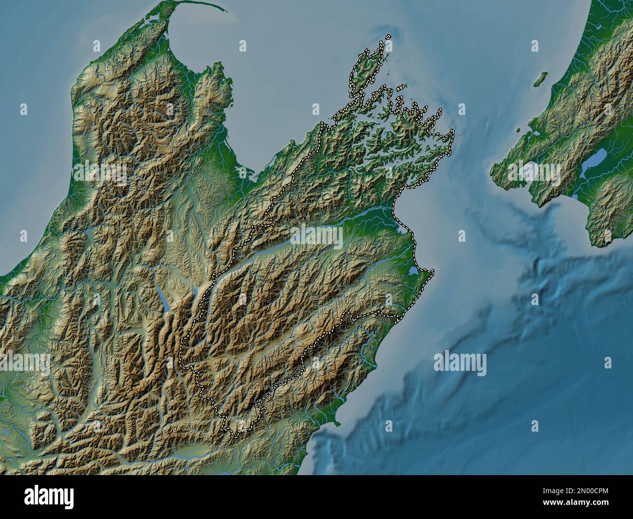 Marlborough, unitary authority of New Zealand. Colored elevation map with lakes and rivers Stock Photohttps://www.alamy.com/image-license-details/?v=1https://www.alamy.com/marlborough-unitary-authority-of-new-zealand-colored-elevation-map-with-lakes-and-rivers-image516321084.html
RF2N00CPM–Marlborough, unitary authority of New Zealand. Colored elevation map with lakes and rivers
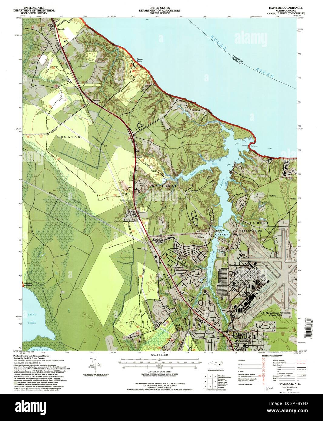 USGS TOPO Map North Carolina NC Havelock 162145 1994 24000 Restoration Stock Photohttps://www.alamy.com/image-license-details/?v=1https://www.alamy.com/usgs-topo-map-north-carolina-nc-havelock-162145-1994-24000-restoration-image336479905.html
RM2AFBYFD–USGS TOPO Map North Carolina NC Havelock 162145 1994 24000 Restoration
 The collected papers of Sir Thomas Havelock on hydrodynamics (1965) Stock Photohttps://www.alamy.com/image-license-details/?v=1https://www.alamy.com/stock-photo-the-collected-papers-of-sir-thomas-havelock-on-hydrodynamics-1965-114623217.html
RMGJDF29–The collected papers of Sir Thomas Havelock on hydrodynamics (1965)
 Havelock Falls, , AU, Australia, Northern Territory, S 12 40' 28'', N 133 51' 19'', map, Cartascapes Map published in 2024. Explore Cartascapes, a map revealing Earth's diverse landscapes, cultures, and ecosystems. Journey through time and space, discovering the interconnectedness of our planet's past, present, and future. Stock Photohttps://www.alamy.com/image-license-details/?v=1https://www.alamy.com/havelock-falls-au-australia-northern-territory-s-12-40-28-n-133-51-19-map-cartascapes-map-published-in-2024-explore-cartascapes-a-map-revealing-earths-diverse-landscapes-cultures-and-ecosystems-journey-through-time-and-space-discovering-the-interconnectedness-of-our-planets-past-present-and-future-image625408333.html
RM2Y9DPKW–Havelock Falls, , AU, Australia, Northern Territory, S 12 40' 28'', N 133 51' 19'', map, Cartascapes Map published in 2024. Explore Cartascapes, a map revealing Earth's diverse landscapes, cultures, and ecosystems. Journey through time and space, discovering the interconnectedness of our planet's past, present, and future.
RF2R8JGAE–Havelock Island icon. Map on dark background. Stylish Havelock Island map with name. Vector illustration.
 Havelock Island in the Andaman or Burma Sea, belonging to India, described and highlighted on a topographic, OSM Humanitarian style map Stock Photohttps://www.alamy.com/image-license-details/?v=1https://www.alamy.com/havelock-island-in-the-andaman-or-burma-sea-belonging-to-india-described-and-highlighted-on-a-topographic-osm-humanitarian-style-map-image620209915.html
RF2Y11023–Havelock Island in the Andaman or Burma Sea, belonging to India, described and highlighted on a topographic, OSM Humanitarian style map
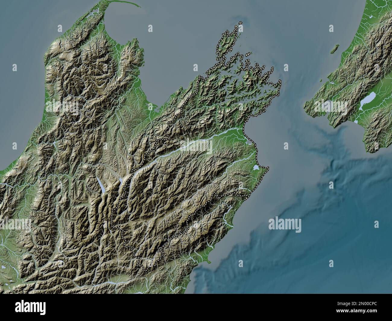 Marlborough, unitary authority of New Zealand. Elevation map colored in wiki style with lakes and rivers Stock Photohttps://www.alamy.com/image-license-details/?v=1https://www.alamy.com/marlborough-unitary-authority-of-new-zealand-elevation-map-colored-in-wiki-style-with-lakes-and-rivers-image516321076.html
RF2N00CPC–Marlborough, unitary authority of New Zealand. Elevation map colored in wiki style with lakes and rivers
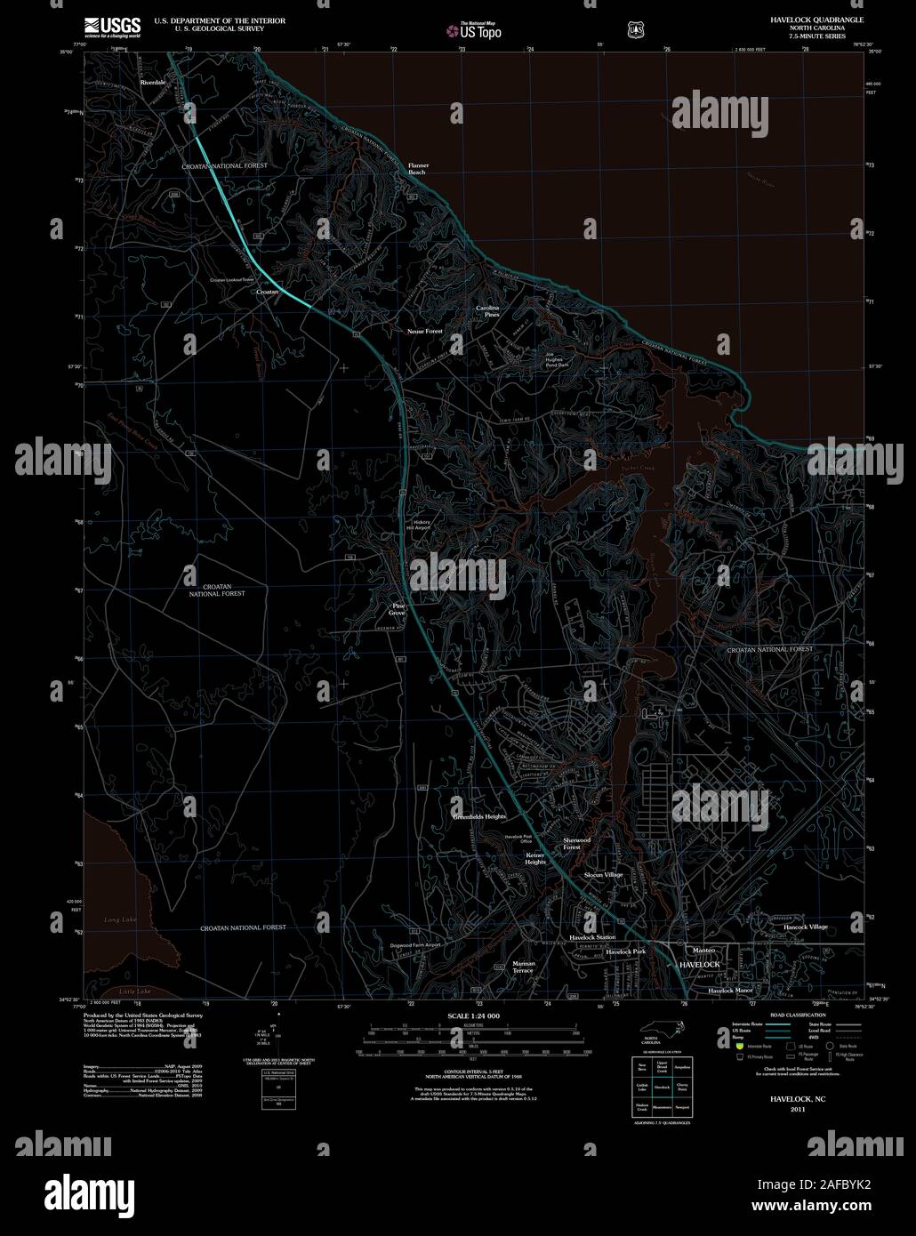 USGS TOPO Map North Carolina NC Havelock 20110608 TM Inverted Restoration Stock Photohttps://www.alamy.com/image-license-details/?v=1https://www.alamy.com/usgs-topo-map-north-carolina-nc-havelock-20110608-tm-inverted-restoration-image336480006.html
RM2AFBYK2–USGS TOPO Map North Carolina NC Havelock 20110608 TM Inverted Restoration
![Image taken from page 35 of '[Pictorial tour round India; with remarks on India past and present, alleged and true causes of Indian poverty, supposed or real, twelve means available for promoting the wealth of the country, etc.]' Image taken from page 35 of '[Pictorial tour round India; Stock Photo Image taken from page 35 of '[Pictorial tour round India; with remarks on India past and present, alleged and true causes of Indian poverty, supposed or real, twelve means available for promoting the wealth of the country, etc.]' Image taken from page 35 of '[Pictorial tour round India; Stock Photo](https://c8.alamy.com/comp/HBN2W3/image-taken-from-page-35-of-pictorial-tour-round-india-with-remarks-HBN2W3.jpg) Image taken from page 35 of '[Pictorial tour round India; with remarks on India past and present, alleged and true causes of Indian poverty, supposed or real, twelve means available for promoting the wealth of the country, etc.]' Image taken from page 35 of '[Pictorial tour round India; Stock Photohttps://www.alamy.com/image-license-details/?v=1https://www.alamy.com/stock-photo-image-taken-from-page-35-of-pictorial-tour-round-india-with-remarks-127697055.html
Image taken from page 35 of '[Pictorial tour round India; with remarks on India past and present, alleged and true causes of Indian poverty, supposed or real, twelve means available for promoting the wealth of the country, etc.]' Image taken from page 35 of '[Pictorial tour round India; Stock Photohttps://www.alamy.com/image-license-details/?v=1https://www.alamy.com/stock-photo-image-taken-from-page-35-of-pictorial-tour-round-india-with-remarks-127697055.htmlRMHBN2W3–Image taken from page 35 of '[Pictorial tour round India; with remarks on India past and present, alleged and true causes of Indian poverty, supposed or real, twelve means available for promoting the wealth of the country, etc.]' Image taken from page 35 of '[Pictorial tour round India;
 Mount Havelock, , AU, Australia, South Australia, S 31 40' 7'', N 138 44' 3'', map, Cartascapes Map published in 2024. Explore Cartascapes, a map revealing Earth's diverse landscapes, cultures, and ecosystems. Journey through time and space, discovering the interconnectedness of our planet's past, present, and future. Stock Photohttps://www.alamy.com/image-license-details/?v=1https://www.alamy.com/mount-havelock-au-australia-south-australia-s-31-40-7-n-138-44-3-map-cartascapes-map-published-in-2024-explore-cartascapes-a-map-revealing-earths-diverse-landscapes-cultures-and-ecosystems-journey-through-time-and-space-discovering-the-interconnectedness-of-our-planets-past-present-and-future-image625659194.html
RM2Y9W6K6–Mount Havelock, , AU, Australia, South Australia, S 31 40' 7'', N 138 44' 3'', map, Cartascapes Map published in 2024. Explore Cartascapes, a map revealing Earth's diverse landscapes, cultures, and ecosystems. Journey through time and space, discovering the interconnectedness of our planet's past, present, and future.
RF2MWHG52–Havelock Island icon. Round logo with map and title. Stylish Havelock Island badge with map. Vector illustration.
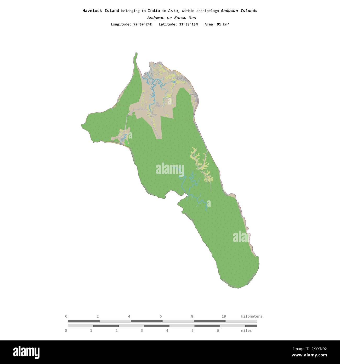 Havelock Island in the Andaman or Burma Sea, belonging to India, isolated on a topographic, OSM standard style map, with distance scale Stock Photohttps://www.alamy.com/image-license-details/?v=1https://www.alamy.com/havelock-island-in-the-andaman-or-burma-sea-belonging-to-india-isolated-on-a-topographic-osm-standard-style-map-with-distance-scale-image619568014.html
RF2XYYN92–Havelock Island in the Andaman or Burma Sea, belonging to India, isolated on a topographic, OSM standard style map, with distance scale
 Shape of Havelock Island in the Andaman or Burma Sea, belonging to India Stock Photohttps://www.alamy.com/image-license-details/?v=1https://www.alamy.com/shape-of-havelock-island-in-the-andaman-or-burma-sea-belonging-to-india-image620350330.html
RF2Y17B4X–Shape of Havelock Island in the Andaman or Burma Sea, belonging to India
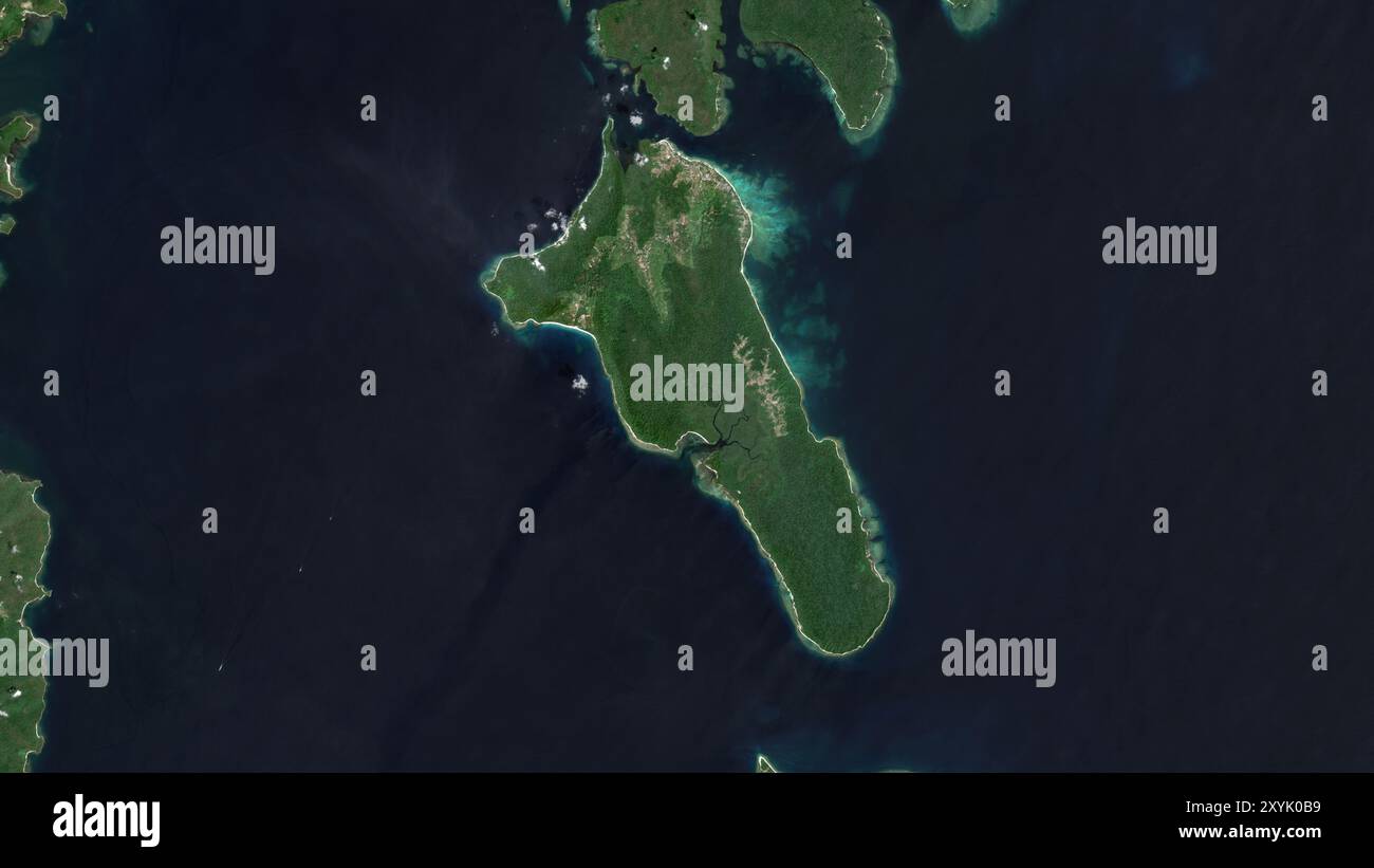 Havelock Island in the Andaman or Burma Sea on a satellite image taken in March 2, 2019 Stock Photohttps://www.alamy.com/image-license-details/?v=1https://www.alamy.com/havelock-island-in-the-andaman-or-burma-sea-on-a-satellite-image-taken-in-march-2-2019-image619375997.html
RF2XYK0B9–Havelock Island in the Andaman or Burma Sea on a satellite image taken in March 2, 2019
 Havelock Island in the Andaman or Burma Sea - belonging to India. Described location diagram with yellow shape of the island and sample maps of its su Stock Photohttps://www.alamy.com/image-license-details/?v=1https://www.alamy.com/havelock-island-in-the-andaman-or-burma-sea-belonging-to-india-described-location-diagram-with-yellow-shape-of-the-island-and-sample-maps-of-its-su-image617415915.html
RF2XTDM8B–Havelock Island in the Andaman or Burma Sea - belonging to India. Described location diagram with yellow shape of the island and sample maps of its su
 Havelock Island in the Andaman or Burma Sea, belonging to India, cropped to square on a satellite image taken in April 15, 2023 Stock Photohttps://www.alamy.com/image-license-details/?v=1https://www.alamy.com/havelock-island-in-the-andaman-or-burma-sea-belonging-to-india-cropped-to-square-on-a-satellite-image-taken-in-april-15-2023-image620229281.html
RF2Y11TNN–Havelock Island in the Andaman or Burma Sea, belonging to India, cropped to square on a satellite image taken in April 15, 2023
 Marlborough, unitary authority of New Zealand. Elevation map colored in sepia tones with lakes and rivers Stock Photohttps://www.alamy.com/image-license-details/?v=1https://www.alamy.com/marlborough-unitary-authority-of-new-zealand-elevation-map-colored-in-sepia-tones-with-lakes-and-rivers-image516320574.html
RF2N00C4E–Marlborough, unitary authority of New Zealand. Elevation map colored in sepia tones with lakes and rivers
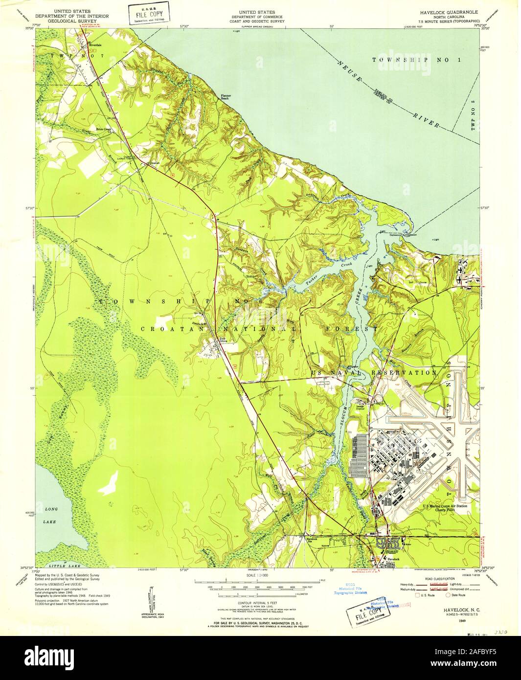 USGS TOPO Map North Carolina NC Havelock 162599 1949 24000 Restoration Stock Photohttps://www.alamy.com/image-license-details/?v=1https://www.alamy.com/usgs-topo-map-north-carolina-nc-havelock-162599-1949-24000-restoration-image336479897.html
RM2AFBYF5–USGS TOPO Map North Carolina NC Havelock 162599 1949 24000 Restoration
 Havelock, Moora, AU, Australia, Western Australia, S 30 41' 54'', N 115 59' 28'', map, Cartascapes Map published in 2024. Explore Cartascapes, a map revealing Earth's diverse landscapes, cultures, and ecosystems. Journey through time and space, discovering the interconnectedness of our planet's past, present, and future. Stock Photohttps://www.alamy.com/image-license-details/?v=1https://www.alamy.com/havelock-moora-au-australia-western-australia-s-30-41-54-n-115-59-28-map-cartascapes-map-published-in-2024-explore-cartascapes-a-map-revealing-earths-diverse-landscapes-cultures-and-ecosystems-journey-through-time-and-space-discovering-the-interconnectedness-of-our-planets-past-present-and-future-image625370671.html
RM2Y9C2JR–Havelock, Moora, AU, Australia, Western Australia, S 30 41' 54'', N 115 59' 28'', map, Cartascapes Map published in 2024. Explore Cartascapes, a map revealing Earth's diverse landscapes, cultures, and ecosystems. Journey through time and space, discovering the interconnectedness of our planet's past, present, and future.
 Havelock Island map design. Shape of the island with beautiful geometric waves and grunge texture. Charming vector illustration. Stock Vectorhttps://www.alamy.com/image-license-details/?v=1https://www.alamy.com/havelock-island-map-design-shape-of-the-island-with-beautiful-geometric-waves-and-grunge-texture-charming-vector-illustration-image561345016.html
RF2RH7D88–Havelock Island map design. Shape of the island with beautiful geometric waves and grunge texture. Charming vector illustration.
 Havelock Island in the Andaman or Burma Sea, belonging to India, isolated on a satellite image taken in April 15, 2023, with distance scale Stock Photohttps://www.alamy.com/image-license-details/?v=1https://www.alamy.com/havelock-island-in-the-andaman-or-burma-sea-belonging-to-india-isolated-on-a-satellite-image-taken-in-april-15-2023-with-distance-scale-image619546523.html
RF2XYXNWF–Havelock Island in the Andaman or Burma Sea, belonging to India, isolated on a satellite image taken in April 15, 2023, with distance scale
 Marlborough, unitary authority of New Zealand. Bilevel elevation map with lakes and rivers. Locations and names of major cities of the region. Corner Stock Photohttps://www.alamy.com/image-license-details/?v=1https://www.alamy.com/marlborough-unitary-authority-of-new-zealand-bilevel-elevation-map-with-lakes-and-rivers-locations-and-names-of-major-cities-of-the-region-corner-image516320505.html
RF2N00C21–Marlborough, unitary authority of New Zealand. Bilevel elevation map with lakes and rivers. Locations and names of major cities of the region. Corner
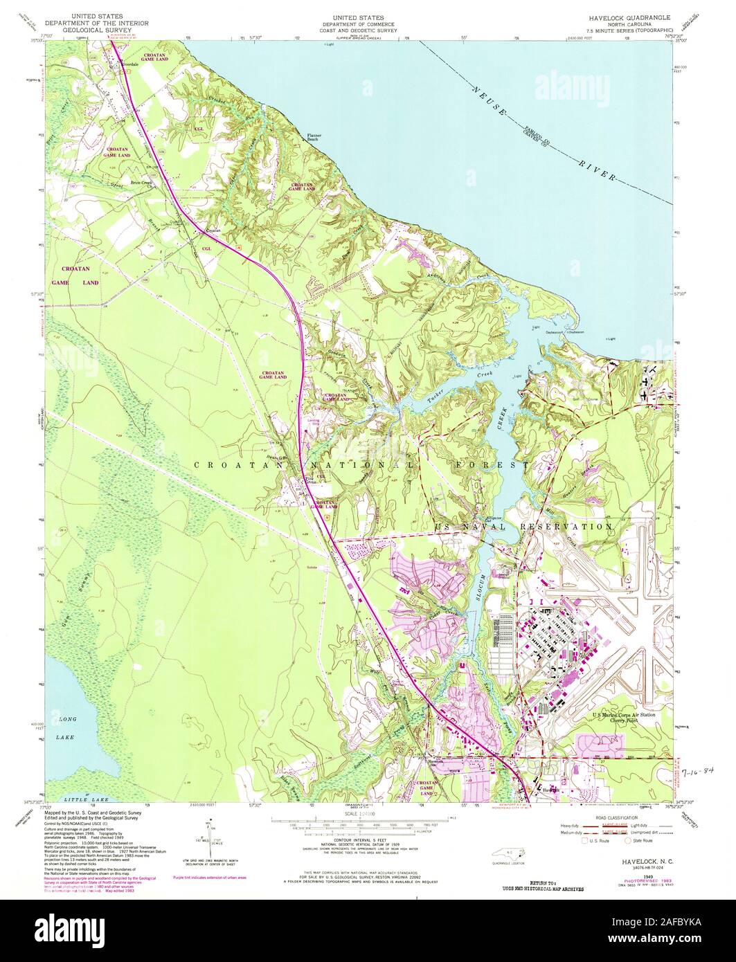 USGS TOPO Map North Carolina NC Havelock 162602 1949 24000 Restoration Stock Photohttps://www.alamy.com/image-license-details/?v=1https://www.alamy.com/usgs-topo-map-north-carolina-nc-havelock-162602-1949-24000-restoration-image336480014.html
RM2AFBYKA–USGS TOPO Map North Carolina NC Havelock 162602 1949 24000 Restoration
 Havelock, Richmond County, US, United States, Virginia, N 38 1' 14'', S 76 50' 18'', map, Cartascapes Map published in 2024. Explore Cartascapes, a map revealing Earth's diverse landscapes, cultures, and ecosystems. Journey through time and space, discovering the interconnectedness of our planet's past, present, and future. Stock Photohttps://www.alamy.com/image-license-details/?v=1https://www.alamy.com/havelock-richmond-county-us-united-states-virginia-n-38-1-14-s-76-50-18-map-cartascapes-map-published-in-2024-explore-cartascapes-a-map-revealing-earths-diverse-landscapes-cultures-and-ecosystems-journey-through-time-and-space-discovering-the-interconnectedness-of-our-planets-past-present-and-future-image621170382.html
RM2Y2GN4E–Havelock, Richmond County, US, United States, Virginia, N 38 1' 14'', S 76 50' 18'', map, Cartascapes Map published in 2024. Explore Cartascapes, a map revealing Earth's diverse landscapes, cultures, and ecosystems. Journey through time and space, discovering the interconnectedness of our planet's past, present, and future.
 Havelock Island map filled with concentric circles. Sketch style circles in shape of the island. Vector Illustration. Stock Vectorhttps://www.alamy.com/image-license-details/?v=1https://www.alamy.com/havelock-island-map-filled-with-concentric-circles-sketch-style-circles-in-shape-of-the-island-vector-illustration-image556488283.html
RF2R9A6DF–Havelock Island map filled with concentric circles. Sketch style circles in shape of the island. Vector Illustration.
 Marlborough, unitary authority of New Zealand. Colored elevation map with lakes and rivers. Locations and names of major cities of the region. Corner Stock Photohttps://www.alamy.com/image-license-details/?v=1https://www.alamy.com/marlborough-unitary-authority-of-new-zealand-colored-elevation-map-with-lakes-and-rivers-locations-and-names-of-major-cities-of-the-region-corner-image516320554.html
RF2N00C3P–Marlborough, unitary authority of New Zealand. Colored elevation map with lakes and rivers. Locations and names of major cities of the region. Corner
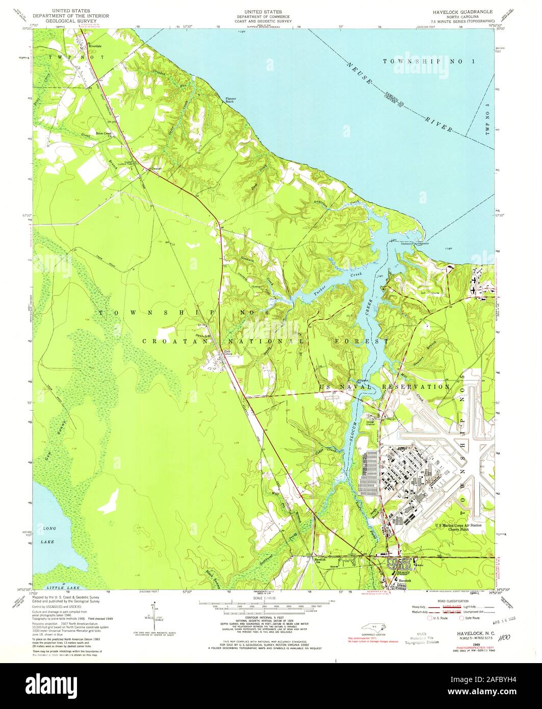 USGS TOPO Map North Carolina NC Havelock 162601 1949 24000 Restoration Stock Photohttps://www.alamy.com/image-license-details/?v=1https://www.alamy.com/usgs-topo-map-north-carolina-nc-havelock-162601-1949-24000-restoration-image336479952.html
RM2AFBYH4–USGS TOPO Map North Carolina NC Havelock 162601 1949 24000 Restoration
 Havelock, Lancaster County, US, United States, Nebraska, N 40 51' 1'', S 96 38' 3'', map, Cartascapes Map published in 2024. Explore Cartascapes, a map revealing Earth's diverse landscapes, cultures, and ecosystems. Journey through time and space, discovering the interconnectedness of our planet's past, present, and future. Stock Photohttps://www.alamy.com/image-license-details/?v=1https://www.alamy.com/havelock-lancaster-county-us-united-states-nebraska-n-40-51-1-s-96-38-3-map-cartascapes-map-published-in-2024-explore-cartascapes-a-map-revealing-earths-diverse-landscapes-cultures-and-ecosystems-journey-through-time-and-space-discovering-the-interconnectedness-of-our-planets-past-present-and-future-image621348532.html
RM2Y2TTB0–Havelock, Lancaster County, US, United States, Nebraska, N 40 51' 1'', S 96 38' 3'', map, Cartascapes Map published in 2024. Explore Cartascapes, a map revealing Earth's diverse landscapes, cultures, and ecosystems. Journey through time and space, discovering the interconnectedness of our planet's past, present, and future.
 Havelock Island geometric map. Stencil shape of Havelock in low poly style. Charming island vector illustration. Stock Vectorhttps://www.alamy.com/image-license-details/?v=1https://www.alamy.com/havelock-island-geometric-map-stencil-shape-of-havelock-in-low-poly-style-charming-island-vector-illustration-image552013593.html
RF2R22AY5–Havelock Island geometric map. Stencil shape of Havelock in low poly style. Charming island vector illustration.
 Marlborough, unitary authority of New Zealand. Colored elevation map with lakes and rivers. Locations of major cities of the region. Corner auxiliary Stock Photohttps://www.alamy.com/image-license-details/?v=1https://www.alamy.com/marlborough-unitary-authority-of-new-zealand-colored-elevation-map-with-lakes-and-rivers-locations-of-major-cities-of-the-region-corner-auxiliary-image516321189.html
RF2N00CXD–Marlborough, unitary authority of New Zealand. Colored elevation map with lakes and rivers. Locations of major cities of the region. Corner auxiliary
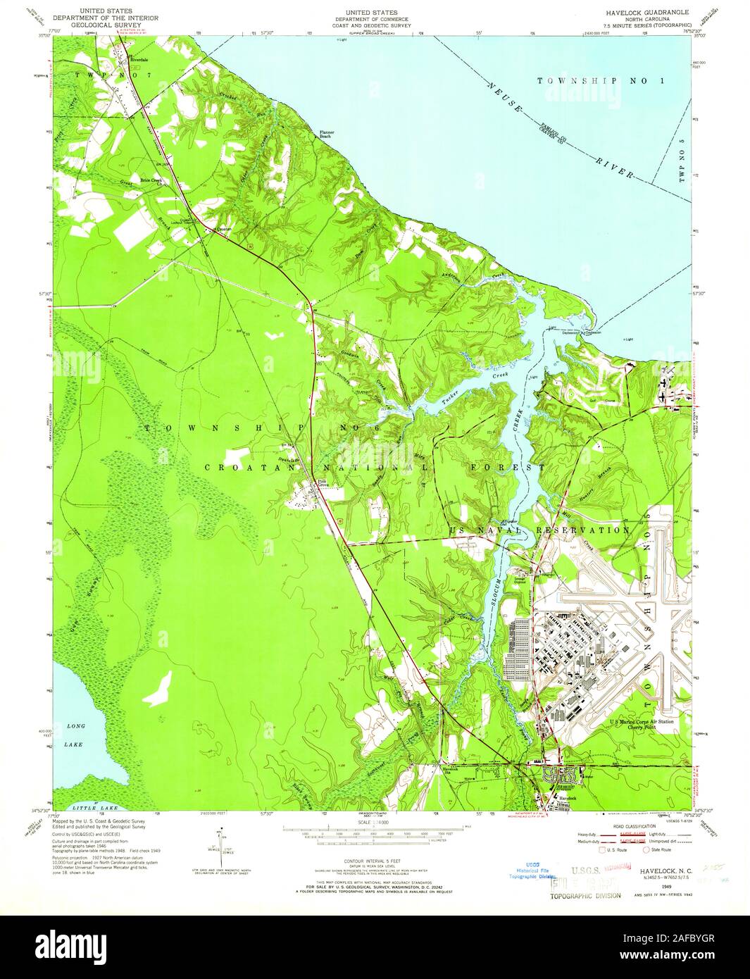 USGS TOPO Map North Carolina NC Havelock 162600 1949 24000 Restoration Stock Photohttps://www.alamy.com/image-license-details/?v=1https://www.alamy.com/usgs-topo-map-north-carolina-nc-havelock-162600-1949-24000-restoration-image336479943.html
RM2AFBYGR–USGS TOPO Map North Carolina NC Havelock 162600 1949 24000 Restoration
 Havelock, Pocahontas County, US, United States, Iowa, N 42 50' 9'', S 94 42' 1'', map, Cartascapes Map published in 2024. Explore Cartascapes, a map revealing Earth's diverse landscapes, cultures, and ecosystems. Journey through time and space, discovering the interconnectedness of our planet's past, present, and future. Stock Photohttps://www.alamy.com/image-license-details/?v=1https://www.alamy.com/havelock-pocahontas-county-us-united-states-iowa-n-42-50-9-s-94-42-1-map-cartascapes-map-published-in-2024-explore-cartascapes-a-map-revealing-earths-diverse-landscapes-cultures-and-ecosystems-journey-through-time-and-space-discovering-the-interconnectedness-of-our-planets-past-present-and-future-image621476547.html
RM2Y32KJY–Havelock, Pocahontas County, US, United States, Iowa, N 42 50' 9'', S 94 42' 1'', map, Cartascapes Map published in 2024. Explore Cartascapes, a map revealing Earth's diverse landscapes, cultures, and ecosystems. Journey through time and space, discovering the interconnectedness of our planet's past, present, and future.
RF2RBB7TG–Havelock Island icons collection. Bright colourful trendy map icons. Modern Havelock Island badge. Vector illustration.
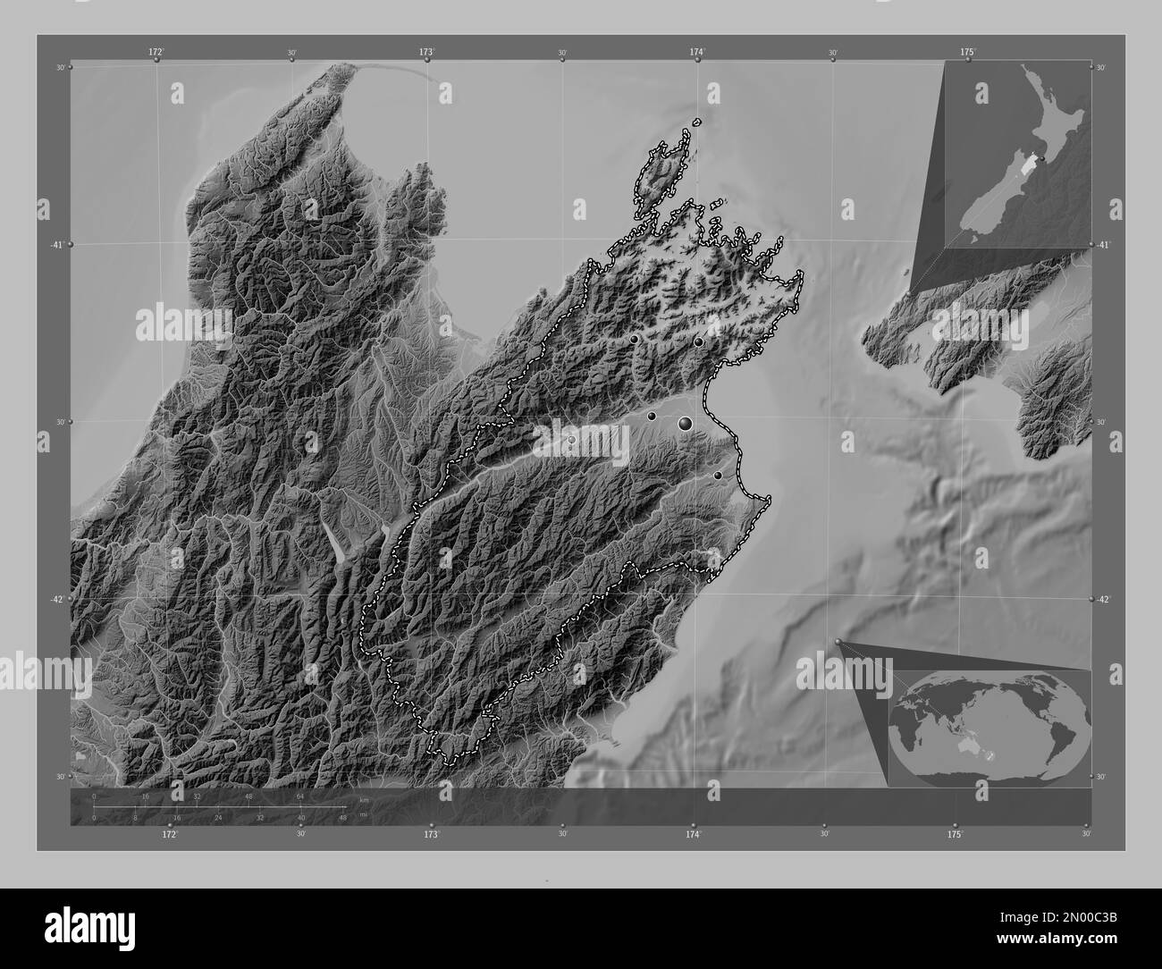 Marlborough, unitary authority of New Zealand. Grayscale elevation map with lakes and rivers. Locations of major cities of the region. Corner auxiliar Stock Photohttps://www.alamy.com/image-license-details/?v=1https://www.alamy.com/marlborough-unitary-authority-of-new-zealand-grayscale-elevation-map-with-lakes-and-rivers-locations-of-major-cities-of-the-region-corner-auxiliar-image516320543.html
RF2N00C3B–Marlborough, unitary authority of New Zealand. Grayscale elevation map with lakes and rivers. Locations of major cities of the region. Corner auxiliar
 USGS TOPO Map North Dakota ND Havelock 20110321 TM Inverted Restoration Stock Photohttps://www.alamy.com/image-license-details/?v=1https://www.alamy.com/usgs-topo-map-north-dakota-nd-havelock-20110321-tm-inverted-restoration-image336414024.html
RM2AF8YEG–USGS TOPO Map North Dakota ND Havelock 20110321 TM Inverted Restoration
 Havelock, Lancaster County, US, United States, Nebraska, N 40 51' 1'', S 96 38' 3'', map, Cartascapes Map published in 2024. Explore Cartascapes, a map revealing Earth's diverse landscapes, cultures, and ecosystems. Journey through time and space, discovering the interconnectedness of our planet's past, present, and future. Stock Photohttps://www.alamy.com/image-license-details/?v=1https://www.alamy.com/havelock-lancaster-county-us-united-states-nebraska-n-40-51-1-s-96-38-3-map-cartascapes-map-published-in-2024-explore-cartascapes-a-map-revealing-earths-diverse-landscapes-cultures-and-ecosystems-journey-through-time-and-space-discovering-the-interconnectedness-of-our-planets-past-present-and-future-image621495835.html
RM2Y33G7R–Havelock, Lancaster County, US, United States, Nebraska, N 40 51' 1'', S 96 38' 3'', map, Cartascapes Map published in 2024. Explore Cartascapes, a map revealing Earth's diverse landscapes, cultures, and ecosystems. Journey through time and space, discovering the interconnectedness of our planet's past, present, and future.
 Network map of Havelock Island. Island digital connections map. Technology, internet, network, telecommunication concept. Vector illustration. Stock Vectorhttps://www.alamy.com/image-license-details/?v=1https://www.alamy.com/network-map-of-havelock-island-island-digital-connections-map-technology-internet-network-telecommunication-concept-vector-illustration-image549454038.html
RF2PWWP6E–Network map of Havelock Island. Island digital connections map. Technology, internet, network, telecommunication concept. Vector illustration.
 Marlborough, unitary authority of New Zealand. Grayscale elevation map with lakes and rivers. Locations and names of major cities of the region. Corne Stock Photohttps://www.alamy.com/image-license-details/?v=1https://www.alamy.com/marlborough-unitary-authority-of-new-zealand-grayscale-elevation-map-with-lakes-and-rivers-locations-and-names-of-major-cities-of-the-region-corne-image516320526.html
RF2N00C2P–Marlborough, unitary authority of New Zealand. Grayscale elevation map with lakes and rivers. Locations and names of major cities of the region. Corne
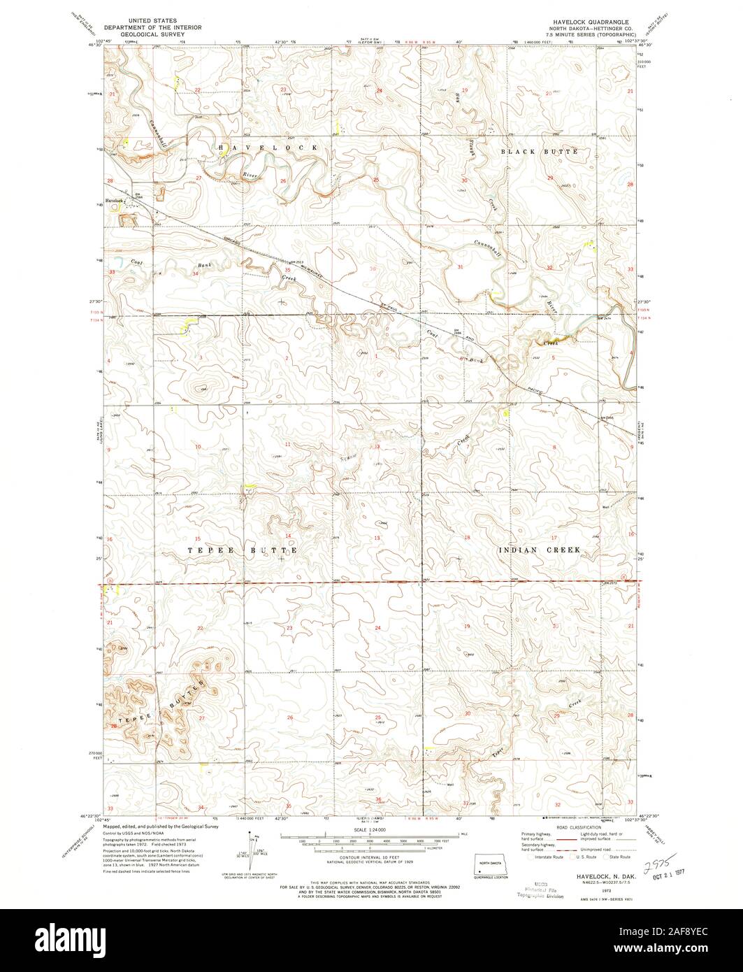 USGS TOPO Map North Dakota ND Havelock 284174 1973 24000 Restoration Stock Photohttps://www.alamy.com/image-license-details/?v=1https://www.alamy.com/usgs-topo-map-north-dakota-nd-havelock-284174-1973-24000-restoration-image336414020.html
RM2AF8YEC–USGS TOPO Map North Dakota ND Havelock 284174 1973 24000 Restoration
 Havelock Bore, Meekatharra, AU, Australia, Western Australia, S 24 56' 39'', N 118 6' 30'', map, Cartascapes Map published in 2024. Explore Cartascapes, a map revealing Earth's diverse landscapes, cultures, and ecosystems. Journey through time and space, discovering the interconnectedness of our planet's past, present, and future. Stock Photohttps://www.alamy.com/image-license-details/?v=1https://www.alamy.com/havelock-bore-meekatharra-au-australia-western-australia-s-24-56-39-n-118-6-30-map-cartascapes-map-published-in-2024-explore-cartascapes-a-map-revealing-earths-diverse-landscapes-cultures-and-ecosystems-journey-through-time-and-space-discovering-the-interconnectedness-of-our-planets-past-present-and-future-image625645912.html
RM2Y9THMT–Havelock Bore, Meekatharra, AU, Australia, Western Australia, S 24 56' 39'', N 118 6' 30'', map, Cartascapes Map published in 2024. Explore Cartascapes, a map revealing Earth's diverse landscapes, cultures, and ecosystems. Journey through time and space, discovering the interconnectedness of our planet's past, present, and future.
 Low poly map of Havelock Island. Havelock Island polygonal map. Technology, internet, network concept. Vector illustration. Stock Vectorhttps://www.alamy.com/image-license-details/?v=1https://www.alamy.com/low-poly-map-of-havelock-island-havelock-island-polygonal-map-technology-internet-network-concept-vector-illustration-image561013671.html
RF2RGMAJF–Low poly map of Havelock Island. Havelock Island polygonal map. Technology, internet, network concept. Vector illustration.
 Marlborough, unitary authority of New Zealand. Bilevel elevation map with lakes and rivers. Locations of major cities of the region. Corner auxiliary Stock Photohttps://www.alamy.com/image-license-details/?v=1https://www.alamy.com/marlborough-unitary-authority-of-new-zealand-bilevel-elevation-map-with-lakes-and-rivers-locations-of-major-cities-of-the-region-corner-auxiliary-image516320503.html
RF2N00C1Y–Marlborough, unitary authority of New Zealand. Bilevel elevation map with lakes and rivers. Locations of major cities of the region. Corner auxiliary