Quick filters:
Hawaiian archipelago Stock Photos and Images
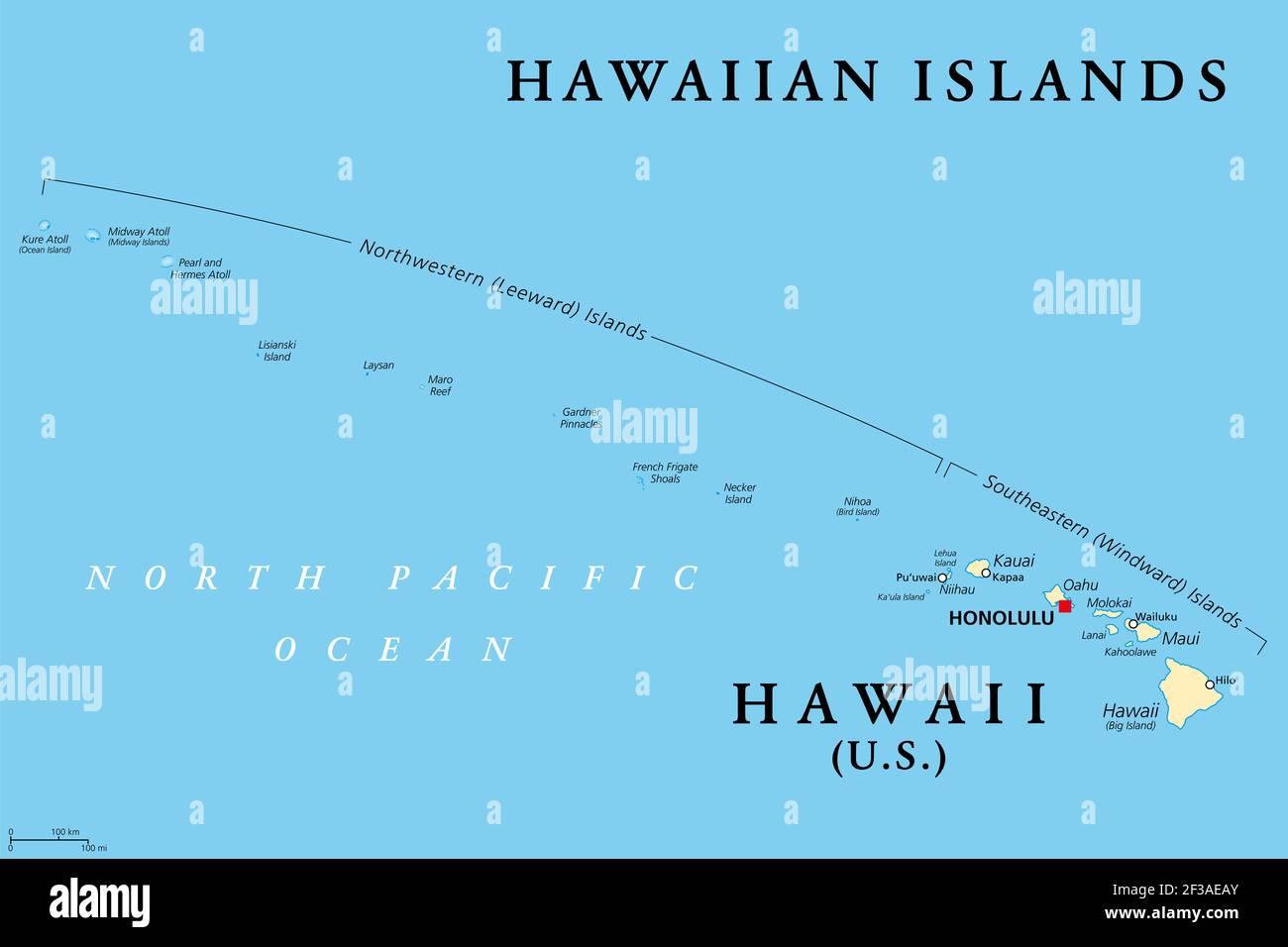 Hawaiian Islands, political map. U.S. state of Hawaii with capital Honolulu and the unincorporated territory Midway Island. Archipelago in the Pacific Stock Photohttps://www.alamy.com/image-license-details/?v=1https://www.alamy.com/hawaiian-islands-political-map-us-state-of-hawaii-with-capital-honolulu-and-the-unincorporated-territory-midway-island-archipelago-in-the-pacific-image415123603.html
RF2F3AEAY–Hawaiian Islands, political map. U.S. state of Hawaii with capital Honolulu and the unincorporated territory Midway Island. Archipelago in the Pacific
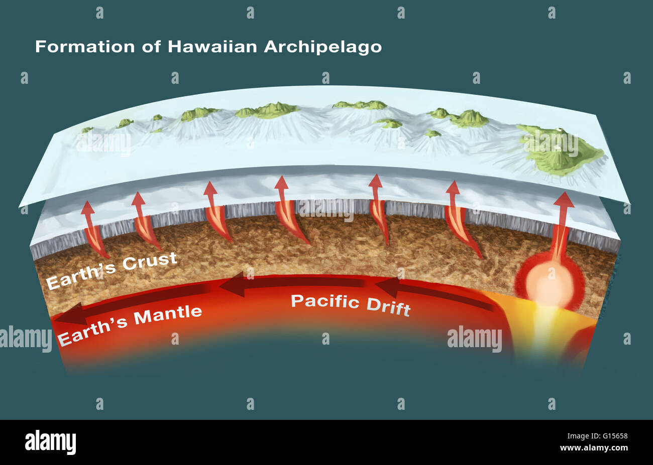 The geology of the Hawaiian Islands. This illustration shows the archipelago and underwater topography of the Hawaiian Islands. These volcanic islands, located in the northern Pacific Ocean, have formed as volcanoes rising from a mantle hot spot under the Stock Photohttps://www.alamy.com/image-license-details/?v=1https://www.alamy.com/stock-photo-the-geology-of-the-hawaiian-islands-this-illustration-shows-the-archipelago-103991476.html
RMG15658–The geology of the Hawaiian Islands. This illustration shows the archipelago and underwater topography of the Hawaiian Islands. These volcanic islands, located in the northern Pacific Ocean, have formed as volcanoes rising from a mantle hot spot under the
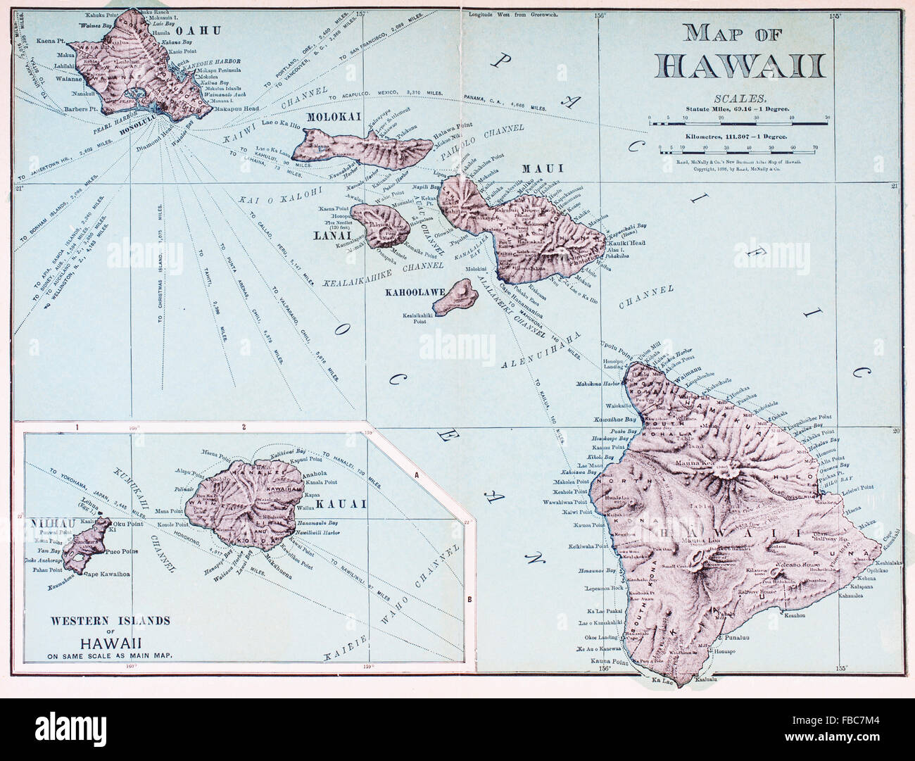 A map of Hawaii c. 1898. The eight major islands of the Hawaiian archipelago. Stock Photohttps://www.alamy.com/image-license-details/?v=1https://www.alamy.com/stock-photo-a-map-of-hawaii-c-1898-the-eight-major-islands-of-the-hawaiian-archipelago-93082532.html
RMFBC7M4–A map of Hawaii c. 1898. The eight major islands of the Hawaiian archipelago.
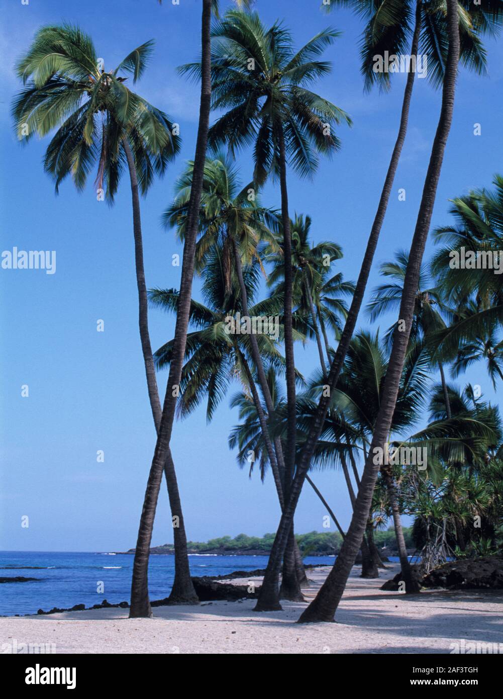 Hawaii, Hawaiian, Pacific Ocean, islands, Hawaiian archipelago, volcanic, archipelago, Polynesian, Oceania, Hawaiʻi, Big Island, Hawaiʻi Island, Stock Photohttps://www.alamy.com/image-license-details/?v=1https://www.alamy.com/hawaii-hawaiian-pacific-ocean-islands-hawaiian-archipelago-volcanic-archipelago-polynesian-oceania-hawaii-big-island-hawaii-island-image336301969.html
RF2AF3TGH–Hawaii, Hawaiian, Pacific Ocean, islands, Hawaiian archipelago, volcanic, archipelago, Polynesian, Oceania, Hawaiʻi, Big Island, Hawaiʻi Island,
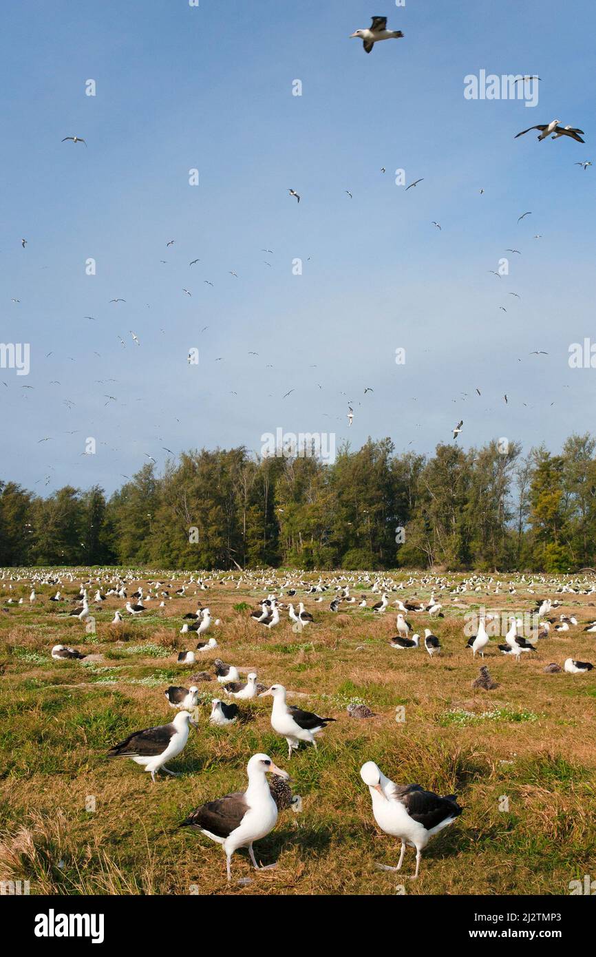 Laysan Albatross colony with many birds on Midway Island in the Hawaiian Archipelago. Phoebastria immutabilis Stock Photohttps://www.alamy.com/image-license-details/?v=1https://www.alamy.com/laysan-albatross-colony-with-many-birds-on-midway-island-in-the-hawaiian-archipelago-phoebastria-immutabilis-image466452395.html
RM2J2TMP3–Laysan Albatross colony with many birds on Midway Island in the Hawaiian Archipelago. Phoebastria immutabilis
 Laysan albatross, Phoebastria immutabilis, billing during courtship dance at sunrise, Sand Island, Midway Atoll National Wildlife Refuge, Hawaii, USA Stock Photohttps://www.alamy.com/image-license-details/?v=1https://www.alamy.com/laysan-albatross-phoebastria-immutabilis-billing-during-courtship-dance-at-sunrise-sand-island-midway-atoll-national-wildlife-refuge-hawaii-usa-image366480475.html
RM2C86HGB–Laysan albatross, Phoebastria immutabilis, billing during courtship dance at sunrise, Sand Island, Midway Atoll National Wildlife Refuge, Hawaii, USA
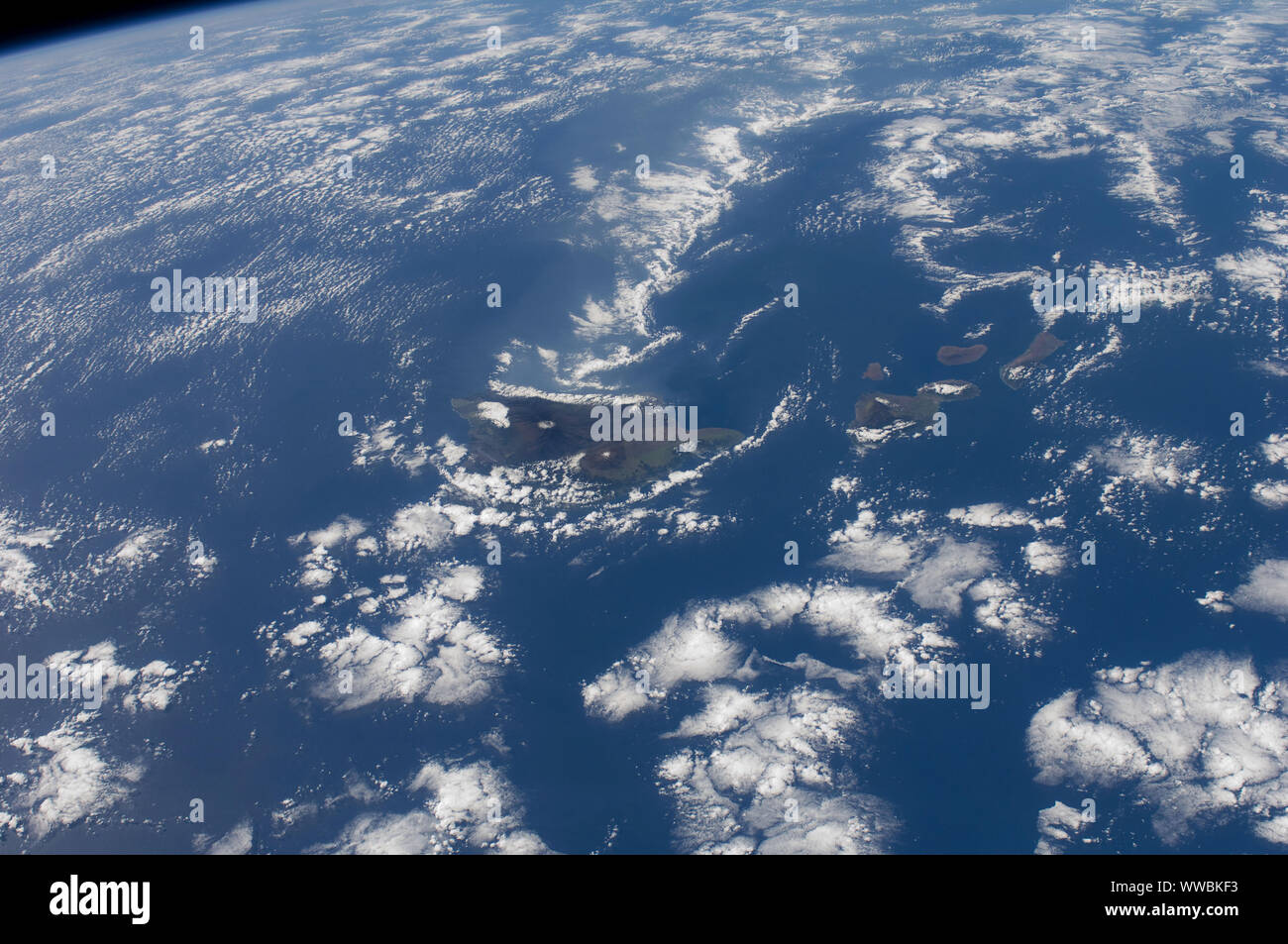 Hawaiian Island chain on Dec. 29, 2011. The Big Island of Hawaii, center, by NASA/DPA Stock Photohttps://www.alamy.com/image-license-details/?v=1https://www.alamy.com/hawaiian-island-chain-on-dec-29-2011-the-big-island-of-hawaii-center-by-nasadpa-image273778711.html
RFWWBKF3–Hawaiian Island chain on Dec. 29, 2011. The Big Island of Hawaii, center, by NASA/DPA
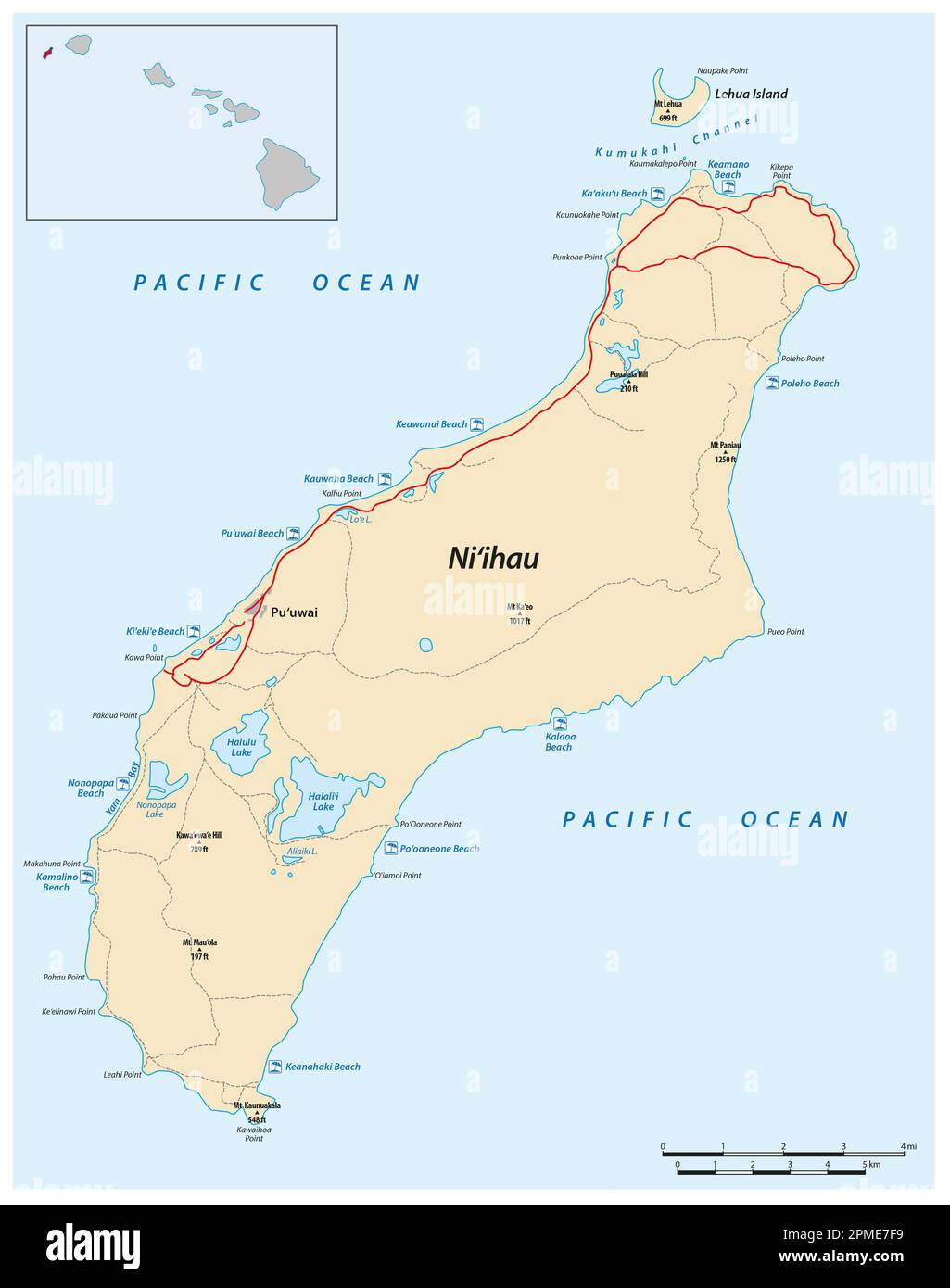 Map of the Forbidden Island of Niihau in the Hawaiian Archipelago Stock Photohttps://www.alamy.com/image-license-details/?v=1https://www.alamy.com/map-of-the-forbidden-island-of-niihau-in-the-hawaiian-archipelago-image546127773.html
RF2PME7F9–Map of the Forbidden Island of Niihau in the Hawaiian Archipelago
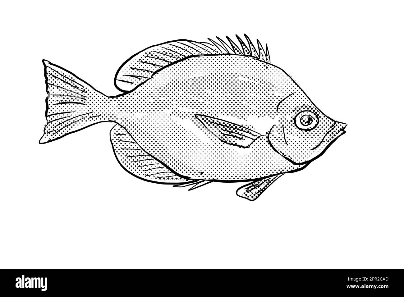 Cartoon style line drawing of a Hemitaurichthys thompson Thompson's butterflyfish a fish endemic to Hawaii and Hawaiian archipelago with halftone dot Stock Photohttps://www.alamy.com/image-license-details/?v=1https://www.alamy.com/cartoon-style-line-drawing-of-a-hemitaurichthys-thompson-thompsons-butterflyfish-a-fish-endemic-to-hawaii-and-hawaiian-archipelago-with-halftone-dot-image547712101.html
RF2PR2CAD–Cartoon style line drawing of a Hemitaurichthys thompson Thompson's butterflyfish a fish endemic to Hawaii and Hawaiian archipelago with halftone dot
 Maui Sunset in Hawaii. Stock Photohttps://www.alamy.com/image-license-details/?v=1https://www.alamy.com/stock-photo-maui-sunset-in-hawaii-58840923.html
RFDBMC5F–Maui Sunset in Hawaii.
 View west from the west end of Molokai, Hawaii. Palm trees and indigenous plants, sunset and surf. Stock Photohttps://www.alamy.com/image-license-details/?v=1https://www.alamy.com/view-west-from-the-west-end-of-molokai-hawaii-palm-trees-and-indigenous-plants-sunset-and-surf-image594798384.html
RF2WFKBBC–View west from the west end of Molokai, Hawaii. Palm trees and indigenous plants, sunset and surf.
 Lanai island in the Hawaiian archipelago on a sunny winter day with clouds attached to its mountains Stock Photohttps://www.alamy.com/image-license-details/?v=1https://www.alamy.com/lanai-island-in-the-hawaiian-archipelago-on-a-sunny-winter-day-with-clouds-attached-to-its-mountains-image469990492.html
RF2J8HWJM–Lanai island in the Hawaiian archipelago on a sunny winter day with clouds attached to its mountains
 Monk seals are found in the Hawaiian archipelago, certain areas in the Mediterranean Sea and formerly in the tropical areas of the west Atlantic Ocean Stock Photohttps://www.alamy.com/image-license-details/?v=1https://www.alamy.com/monk-seals-are-found-in-the-hawaiian-archipelago-certain-areas-in-the-mediterranean-sea-and-formerly-in-the-tropical-areas-of-the-west-atlantic-ocean-image231130837.html
RFRC0WMN–Monk seals are found in the Hawaiian archipelago, certain areas in the Mediterranean Sea and formerly in the tropical areas of the west Atlantic Ocean
 Great frigatebirds occur throughout the tropical seas. The Hawaiian Archipelago is the northernmost extent of this bird's range in the Pacific. Subjects: Birds; Islands; Marine birds; Islands; Wildlife refuges. Location: Pacific Islands. Fish and Wildlife Service Site: MIDWAY ATOLL NATIONAL WILDLIFE REFUGE. Stock Photohttps://www.alamy.com/image-license-details/?v=1https://www.alamy.com/great-frigatebirds-occur-throughout-the-tropical-seas-the-hawaiian-archipelago-is-the-northernmost-extent-of-this-birds-range-in-the-pacific-subjects-birds-islands-marine-birds-islands-wildlife-refuges-location-pacific-islands-fish-and-wildlife-service-site-midway-atoll-national-wildlife-refuge-image569228532.html
RM2T22GPC–Great frigatebirds occur throughout the tropical seas. The Hawaiian Archipelago is the northernmost extent of this bird's range in the Pacific. Subjects: Birds; Islands; Marine birds; Islands; Wildlife refuges. Location: Pacific Islands. Fish and Wildlife Service Site: MIDWAY ATOLL NATIONAL WILDLIFE REFUGE.
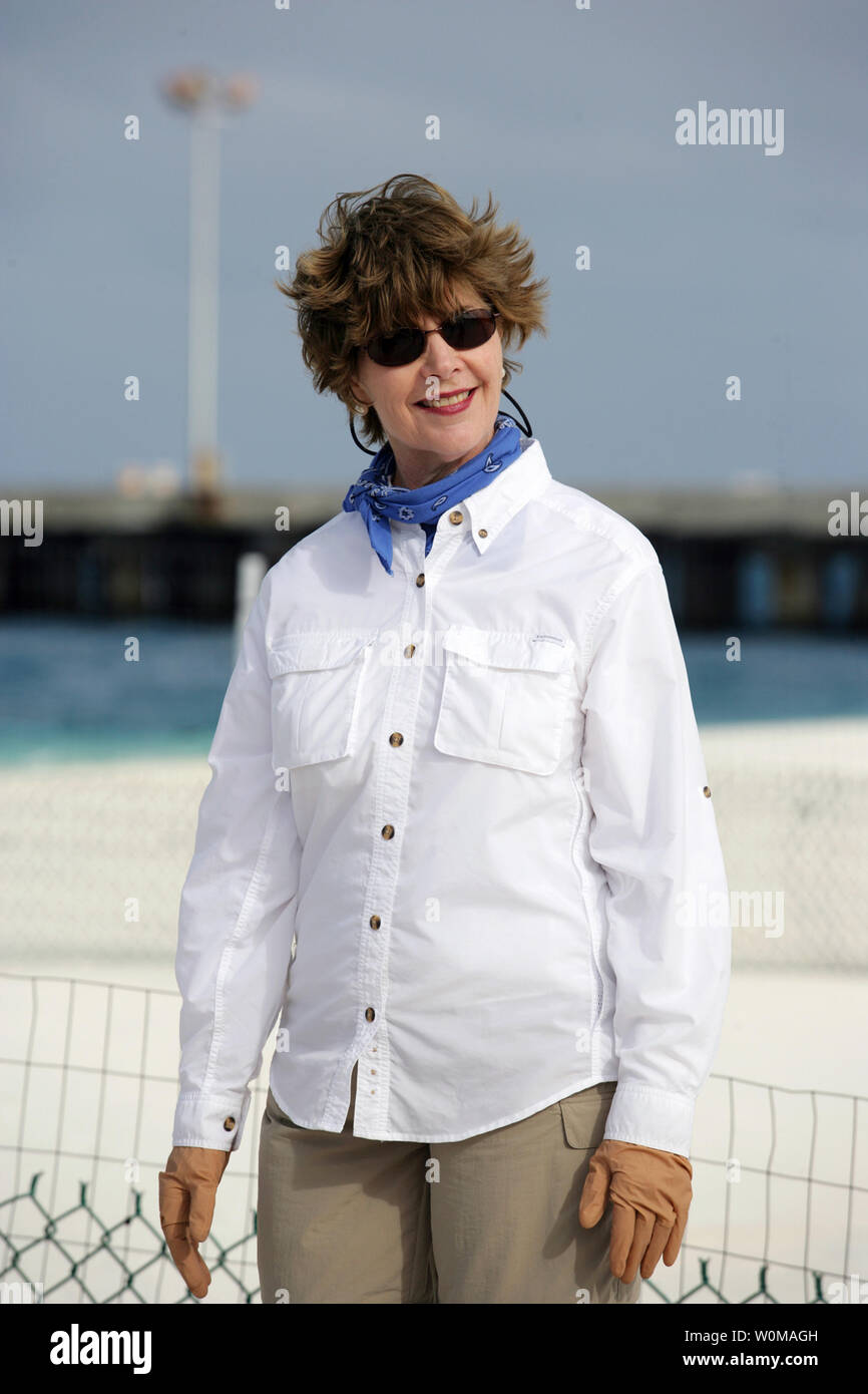 First Lady Laura Bush visits Midway Atoll, part of the Hawaiian archipelago on March 1, 2007. Around the islands and atolls are more than 4,500 square miles of coral reef which are home to 7,000 marine species, a quarter of which are found nowhere else in the world. U.S. President Bush designated the islands as a national monument on June 15, 2006 making it the single largest conservation area created in U.S. history and the largest protected marine area in the world. (UPI Photo/Shealah Craighead/White House Press Office) Stock Photohttps://www.alamy.com/image-license-details/?v=1https://www.alamy.com/first-lady-laura-bush-visits-midway-atoll-part-of-the-hawaiian-archipelago-on-march-1-2007-around-the-islands-and-atolls-are-more-than-4500-square-miles-of-coral-reef-which-are-home-to-7000-marine-species-a-quarter-of-which-are-found-nowhere-else-in-the-world-us-president-bush-designated-the-islands-as-a-national-monument-on-june-15-2006-making-it-the-single-largest-conservation-area-created-in-us-history-and-the-largest-protected-marine-area-in-the-world-upi-photoshealah-craigheadwhite-house-press-office-image258602865.html
RMW0MAGH–First Lady Laura Bush visits Midway Atoll, part of the Hawaiian archipelago on March 1, 2007. Around the islands and atolls are more than 4,500 square miles of coral reef which are home to 7,000 marine species, a quarter of which are found nowhere else in the world. U.S. President Bush designated the islands as a national monument on June 15, 2006 making it the single largest conservation area created in U.S. history and the largest protected marine area in the world. (UPI Photo/Shealah Craighead/White House Press Office)
 vintage illustration of Sandwich Islands (Hawaiian Islands) woman. 1822, by Louis Choris. The Hawaiian Islands (Sandwich Islands) are an archipelago Stock Photohttps://www.alamy.com/image-license-details/?v=1https://www.alamy.com/vintage-illustration-of-sandwich-islands-hawaiian-islands-woman-1822-by-louis-choris-the-hawaiian-islands-sandwich-islands-are-an-archipelago-image460460407.html
RM2HN3NXF–vintage illustration of Sandwich Islands (Hawaiian Islands) woman. 1822, by Louis Choris. The Hawaiian Islands (Sandwich Islands) are an archipelago
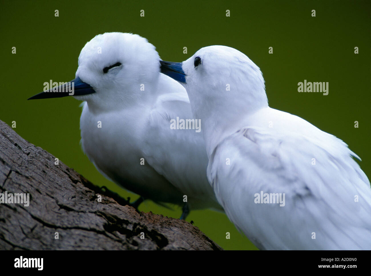 Fairy Tern Sterna nereis Two Midway Atoll Hawaiian archipelago Northern Pacific Ocean Stock Photohttps://www.alamy.com/image-license-details/?v=1https://www.alamy.com/fairy-tern-sterna-nereis-two-midway-atoll-hawaiian-archipelago-northern-image5990735.html
RMA2D0N0–Fairy Tern Sterna nereis Two Midway Atoll Hawaiian archipelago Northern Pacific Ocean
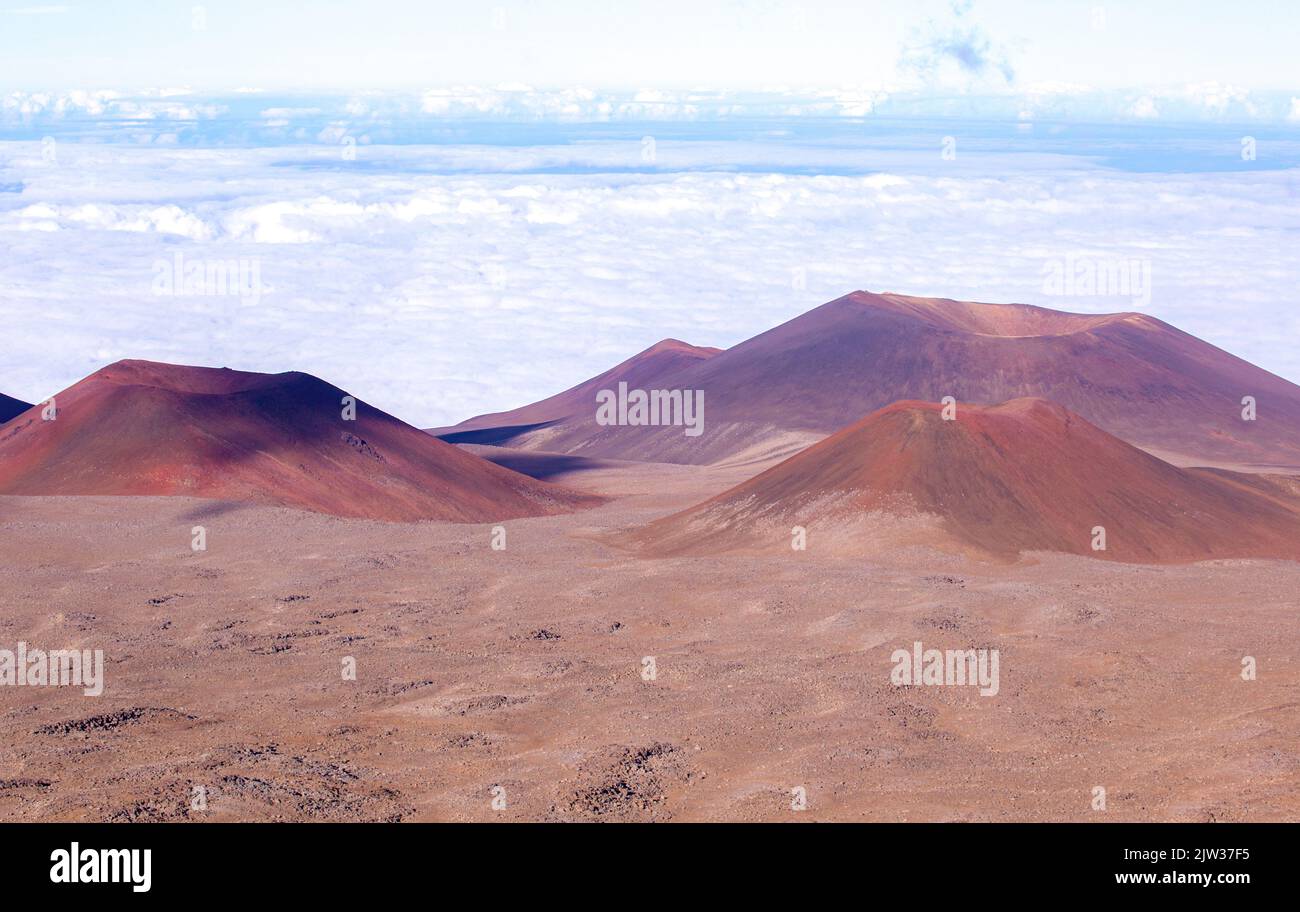 At over 4200 meters, Mauna Kea is the highest peak in the Hawaiian archipelago. The mountain is sacred to Hawaiians. Stock Photohttps://www.alamy.com/image-license-details/?v=1https://www.alamy.com/at-over-4200-meters-mauna-kea-is-the-highest-peak-in-the-hawaiian-archipelago-the-mountain-is-sacred-to-hawaiians-image480118105.html
RF2JW37F5–At over 4200 meters, Mauna Kea is the highest peak in the Hawaiian archipelago. The mountain is sacred to Hawaiians.
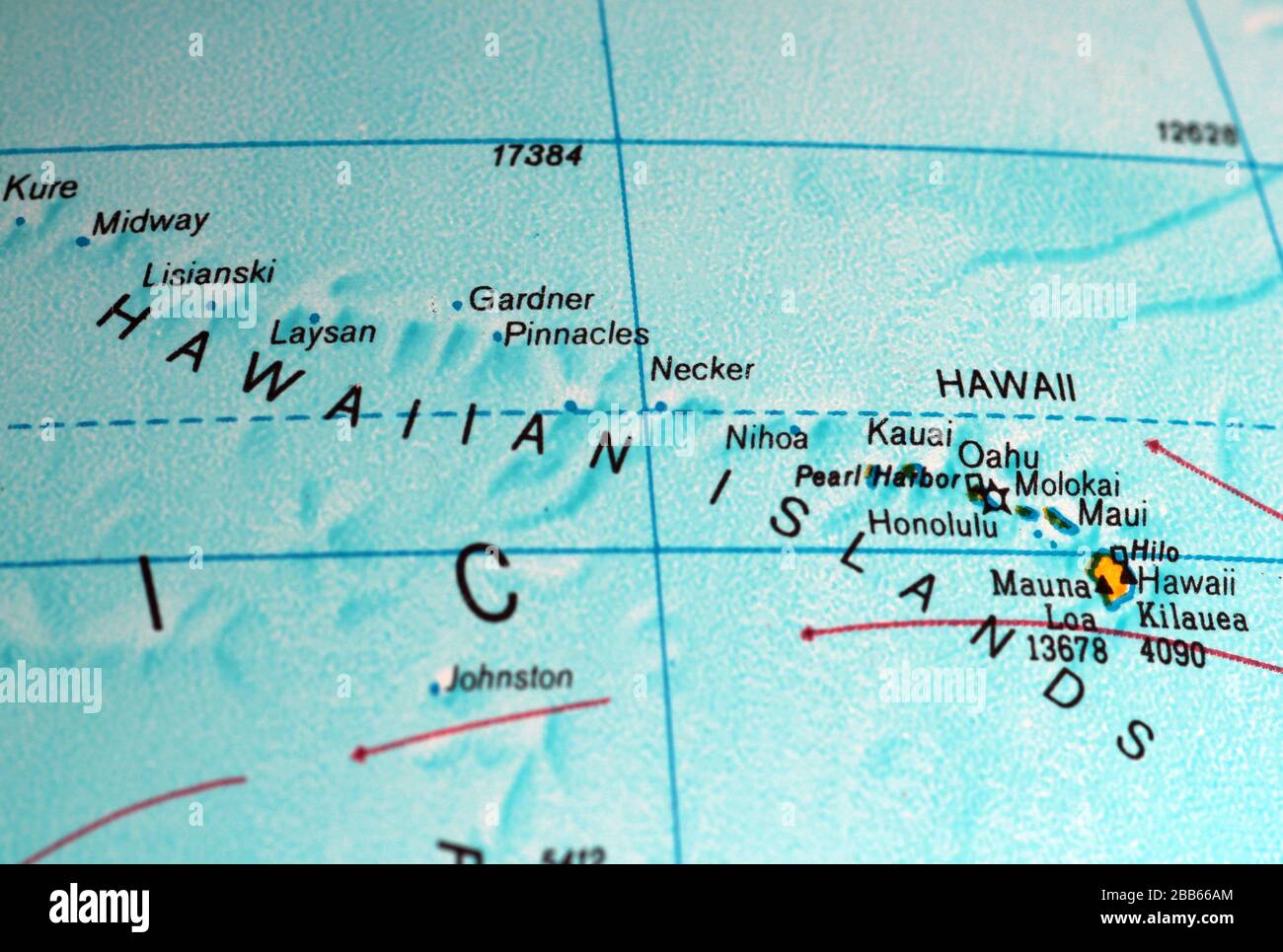 Hawaiian Islands map on old atlas Stock Photohttps://www.alamy.com/image-license-details/?v=1https://www.alamy.com/hawaiian-islands-map-on-old-atlas-image351105292.html
RF2BB66AM–Hawaiian Islands map on old atlas
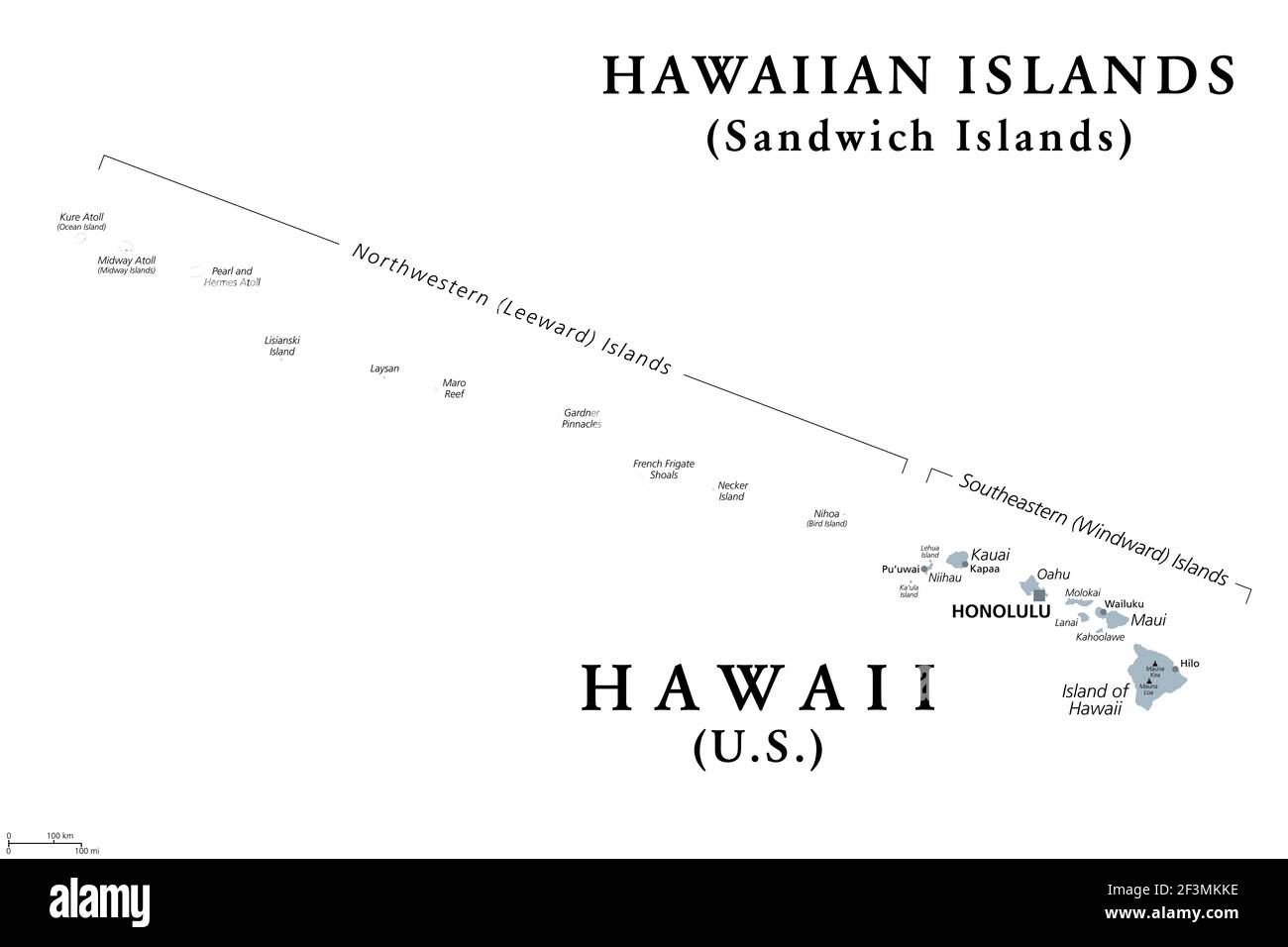 Hawaiian Islands, Sandwich Islands, gray political map. U.S. state of Hawaii with capital Honolulu, and unincorporated territory Midway Atoll. Stock Photohttps://www.alamy.com/image-license-details/?v=1https://www.alamy.com/hawaiian-islands-sandwich-islands-gray-political-map-us-state-of-hawaii-with-capital-honolulu-and-unincorporated-territory-midway-atoll-image415347282.html
RF2F3MKKE–Hawaiian Islands, Sandwich Islands, gray political map. U.S. state of Hawaii with capital Honolulu, and unincorporated territory Midway Atoll.
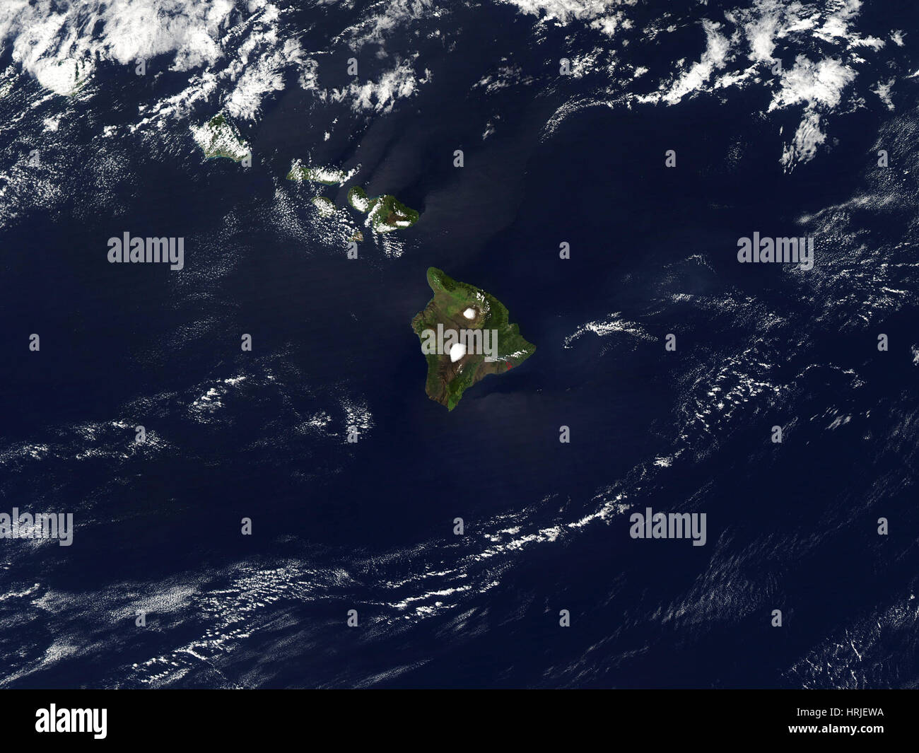 Hawaiian Islands Stock Photohttps://www.alamy.com/image-license-details/?v=1https://www.alamy.com/stock-photo-hawaiian-islands-135016486.html
RMHRJEWA–Hawaiian Islands
 Kauai, Hawaii, USA. 21st Dec, 2015. Quiet beach overlooks the Anini Channel at sunrise Princeville, Kauai. Kauai is the fourth largest of the main islands in the Hawaiian archipelago, and the 21st largest island in the United States. Known also as the 'Garden Isle', Kauai lies 105 miles (169 km) across the Kauai Channel, northwest of Oahu. Kauai islands origins are volcanic, having been formed by the passage of the Pacific Plate over the Hawaii hotspot. At approximately six million years old, it is the oldest of the main islands. © Ruaridh Stewart/ZUMA Wire/ZUMAPRESS.com/Alamy Live News Stock Photohttps://www.alamy.com/image-license-details/?v=1https://www.alamy.com/stock-photo-kauai-hawaii-usa-21st-dec-2015-quiet-beach-overlooks-the-anini-channel-100545345.html
RMFRG6H5–Kauai, Hawaii, USA. 21st Dec, 2015. Quiet beach overlooks the Anini Channel at sunrise Princeville, Kauai. Kauai is the fourth largest of the main islands in the Hawaiian archipelago, and the 21st largest island in the United States. Known also as the 'Garden Isle', Kauai lies 105 miles (169 km) across the Kauai Channel, northwest of Oahu. Kauai islands origins are volcanic, having been formed by the passage of the Pacific Plate over the Hawaii hotspot. At approximately six million years old, it is the oldest of the main islands. © Ruaridh Stewart/ZUMA Wire/ZUMAPRESS.com/Alamy Live News
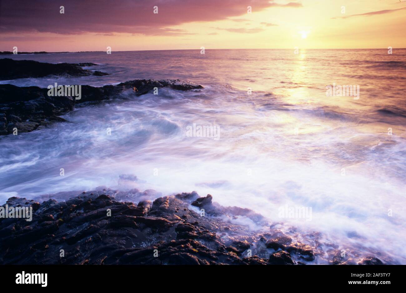 Hawaii, Hawaiian, Pacific Ocean, islands, Hawaiian archipelago, volcanic, archipelago, Polynesian, Oceania, Hawaiʻi, Big Island, Hawaiʻi Island, Stock Photohttps://www.alamy.com/image-license-details/?v=1https://www.alamy.com/hawaii-hawaiian-pacific-ocean-islands-hawaiian-archipelago-volcanic-archipelago-polynesian-oceania-hawaii-big-island-hawaii-island-image336302267.html
RF2AF3TY7–Hawaii, Hawaiian, Pacific Ocean, islands, Hawaiian archipelago, volcanic, archipelago, Polynesian, Oceania, Hawaiʻi, Big Island, Hawaiʻi Island,
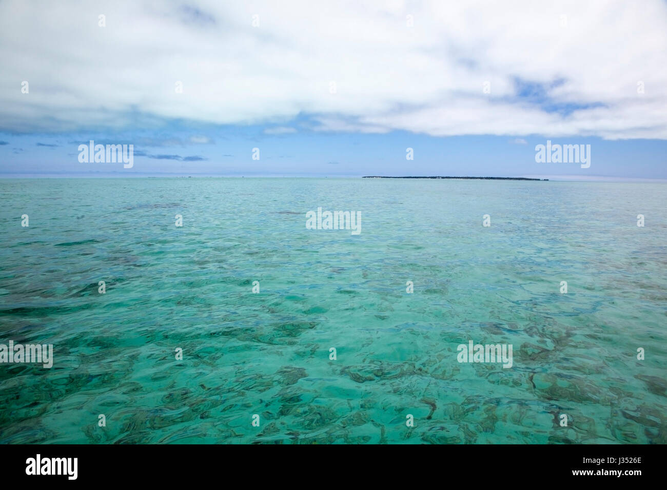 Remote Pacific island in the calm aquamarine water of Midway Atoll lagoon, Papahanaumokuakea Marine National Monument Stock Photohttps://www.alamy.com/image-license-details/?v=1https://www.alamy.com/stock-photo-remote-pacific-island-in-the-calm-aquamarine-water-of-midway-atoll-139638422.html
RMJ3526E–Remote Pacific island in the calm aquamarine water of Midway Atoll lagoon, Papahanaumokuakea Marine National Monument
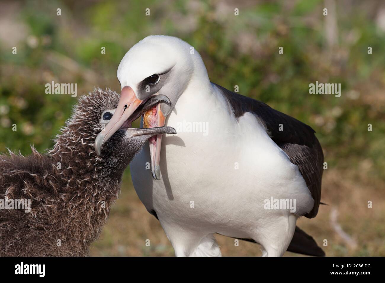 Laysan albatross, Phoebastria immutabilis, feeding chick by regurgitation, Sand Island, Midway Atoll National Wildlife Refuge, Papahanaumokuakea MNM Stock Photohttps://www.alamy.com/image-license-details/?v=1https://www.alamy.com/laysan-albatross-phoebastria-immutabilis-feeding-chick-by-regurgitation-sand-island-midway-atoll-national-wildlife-refuge-papahanaumokuakea-mnm-image366481176.html
RM2C86JDC–Laysan albatross, Phoebastria immutabilis, feeding chick by regurgitation, Sand Island, Midway Atoll National Wildlife Refuge, Papahanaumokuakea MNM
 Haleakala, Island of Maui. View from the top of Haleakala, volcano on east of Maui, Hawaiian archipelago. Stock Photohttps://www.alamy.com/image-license-details/?v=1https://www.alamy.com/stock-photo-haleakala-island-of-maui-view-from-the-top-of-haleakala-volcano-on-135682355.html
RFHTMT6B–Haleakala, Island of Maui. View from the top of Haleakala, volcano on east of Maui, Hawaiian archipelago.
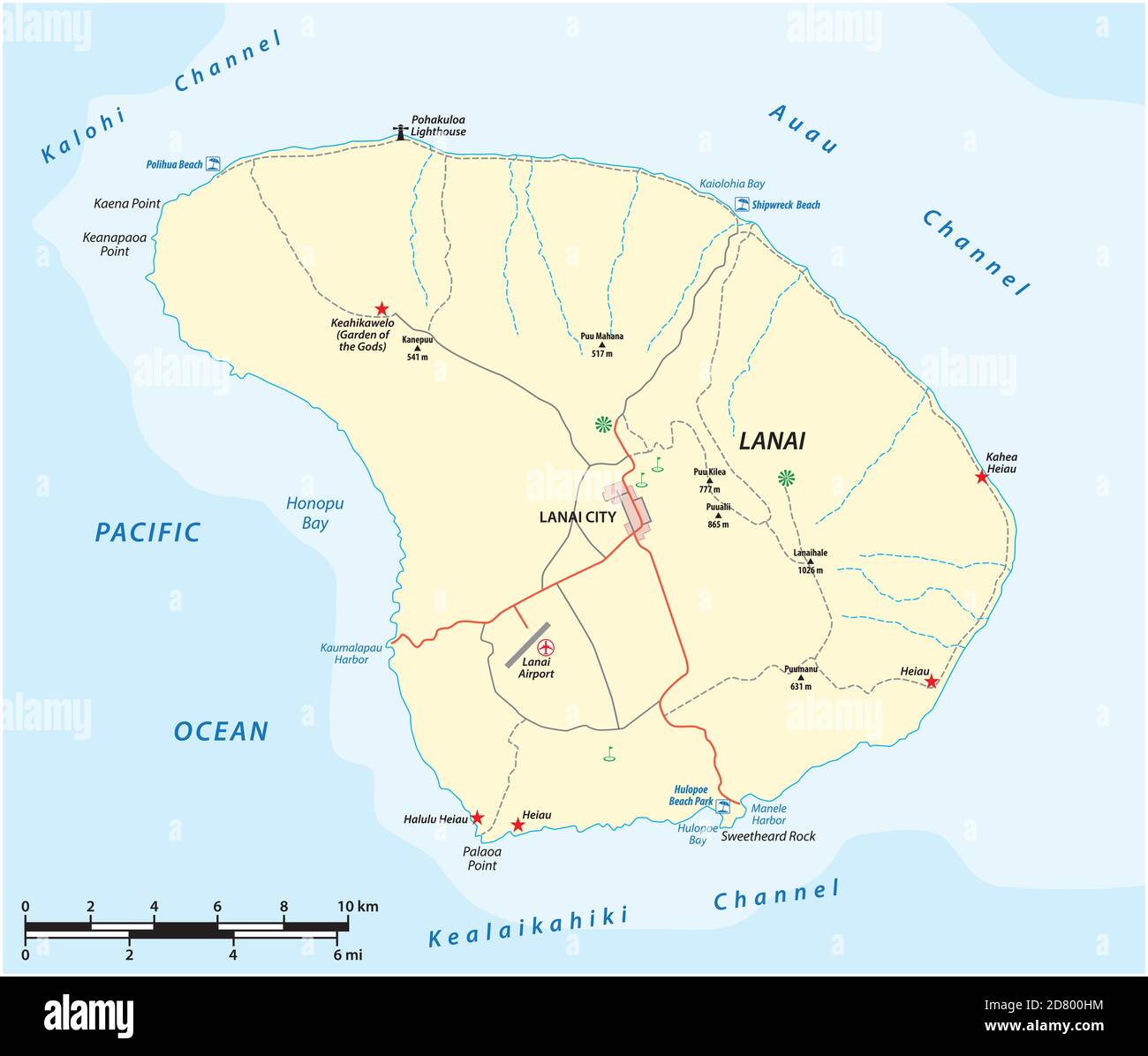 vector map of Lanai Island in the Hawaiian Archipelago, Hawaii, USA Stock Vectorhttps://www.alamy.com/image-license-details/?v=1https://www.alamy.com/vector-map-of-lanai-island-in-the-hawaiian-archipelago-hawaii-usa-image383545840.html
RF2D800HM–vector map of Lanai Island in the Hawaiian Archipelago, Hawaii, USA
 Cartoon style line drawing of an Apogon erythrinus or Hawaiian ruby cardinalfish a fish endemic to Hawaii and Hawaiian archipelago with halftone dots Stock Photohttps://www.alamy.com/image-license-details/?v=1https://www.alamy.com/cartoon-style-line-drawing-of-an-apogon-erythrinus-or-hawaiian-ruby-cardinalfish-a-fish-endemic-to-hawaii-and-hawaiian-archipelago-with-halftone-dots-image547712054.html
RF2PR2C8P–Cartoon style line drawing of an Apogon erythrinus or Hawaiian ruby cardinalfish a fish endemic to Hawaii and Hawaiian archipelago with halftone dots
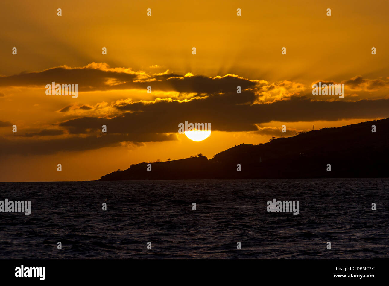 Maui Sunset in Hawaii. Stock Photohttps://www.alamy.com/image-license-details/?v=1https://www.alamy.com/stock-photo-maui-sunset-in-hawaii-58840983.html
RFDBMC7K–Maui Sunset in Hawaii.
 New Zealand Sandwich Galapagos Islands. Papuan Archipelago. Melanesia 1860 map Stock Photohttps://www.alamy.com/image-license-details/?v=1https://www.alamy.com/new-zealand-sandwich-galapagos-islands-papuan-archipelago-melanesia-1860-map-image599848166.html
RF2WRWCCP–New Zealand Sandwich Galapagos Islands. Papuan Archipelago. Melanesia 1860 map
 Catamaran sailboat in the Pacific Ocean between Maui and Lanai islands on the Hawaiian archipelago - Tranquil cruise for whale watching in winter in P Stock Photohttps://www.alamy.com/image-license-details/?v=1https://www.alamy.com/catamaran-sailboat-in-the-pacific-ocean-between-maui-and-lanai-islands-on-the-hawaiian-archipelago-tranquil-cruise-for-whale-watching-in-winter-in-p-image469990341.html
RF2J8HWD9–Catamaran sailboat in the Pacific Ocean between Maui and Lanai islands on the Hawaiian archipelago - Tranquil cruise for whale watching in winter in P
 Monk seals are found in the Hawaiian archipelago, certain areas in the Mediterranean Sea and formerly in the tropical areas of the west Atlantic Ocean Stock Photohttps://www.alamy.com/image-license-details/?v=1https://www.alamy.com/monk-seals-are-found-in-the-hawaiian-archipelago-certain-areas-in-the-mediterranean-sea-and-formerly-in-the-tropical-areas-of-the-west-atlantic-ocean-image231130834.html
RFRC0WMJ–Monk seals are found in the Hawaiian archipelago, certain areas in the Mediterranean Sea and formerly in the tropical areas of the west Atlantic Ocean
 The atoll boast the highest rate of reef fish that are unique to the Hawaiian Archipelago, with 62% of fish species out of a total 174 species. Subjects: Aerial photography; Islands; Wildlife refuges; Tropical environments; Marine environments. Location: Hawaii. Fish and Wildlife Service Site: HAWAIIAN ISLANDS NATIONAL WILDLIFE REFUGE. Stock Photohttps://www.alamy.com/image-license-details/?v=1https://www.alamy.com/the-atoll-boast-the-highest-rate-of-reef-fish-that-are-unique-to-the-hawaiian-archipelago-with-62-of-fish-species-out-of-a-total-174-species-subjects-aerial-photography-islands-wildlife-refuges-tropical-environments-marine-environments-location-hawaii-fish-and-wildlife-service-site-hawaiian-islands-national-wildlife-refuge-image569228656.html
RM2T22GXT–The atoll boast the highest rate of reef fish that are unique to the Hawaiian Archipelago, with 62% of fish species out of a total 174 species. Subjects: Aerial photography; Islands; Wildlife refuges; Tropical environments; Marine environments. Location: Hawaii. Fish and Wildlife Service Site: HAWAIIAN ISLANDS NATIONAL WILDLIFE REFUGE.
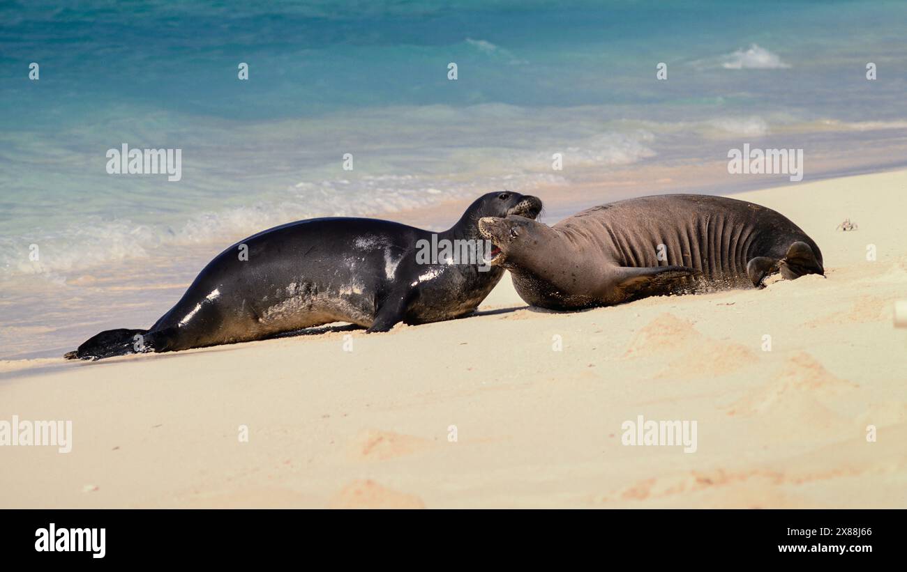 Hawaiian Monk Seals (Neomonachus schauinslandi) on Tern Island in the Hawaiian Islands National Wildlife Refuge. Stock Photohttps://www.alamy.com/image-license-details/?v=1https://www.alamy.com/hawaiian-monk-seals-neomonachus-schauinslandi-on-tern-island-in-the-hawaiian-islands-national-wildlife-refuge-image607470030.html
RF2X88J66–Hawaiian Monk Seals (Neomonachus schauinslandi) on Tern Island in the Hawaiian Islands National Wildlife Refuge.
 Maui, United States. 08th Aug, 2023. Wildfires glowing orange across the Hawaiian island of Maui as seen at night from the Operational Land Imager on the Landsat 8 satellite, August 8, 2023 on Maui, Hawaii, USA. The historic town of Lahaina shown to the left was devastated by the fires killing at least 56 people. The fires are considered the worst disaster to have struck Hawaii. Credit: Wanmei Liang/NASA/Alamy Live News Stock Photohttps://www.alamy.com/image-license-details/?v=1https://www.alamy.com/maui-united-states-08th-aug-2023-wildfires-glowing-orange-across-the-hawaiian-island-of-maui-as-seen-at-night-from-the-operational-land-imager-on-the-landsat-8-satellite-august-8-2023-on-maui-hawaii-usa-the-historic-town-of-lahaina-shown-to-the-left-was-devastated-by-the-fires-killing-at-least-56-people-the-fires-are-considered-the-worst-disaster-to-have-struck-hawaii-credit-wanmei-liangnasaalamy-live-news-image561100082.html
RM2RGT8TJ–Maui, United States. 08th Aug, 2023. Wildfires glowing orange across the Hawaiian island of Maui as seen at night from the Operational Land Imager on the Landsat 8 satellite, August 8, 2023 on Maui, Hawaii, USA. The historic town of Lahaina shown to the left was devastated by the fires killing at least 56 people. The fires are considered the worst disaster to have struck Hawaii. Credit: Wanmei Liang/NASA/Alamy Live News
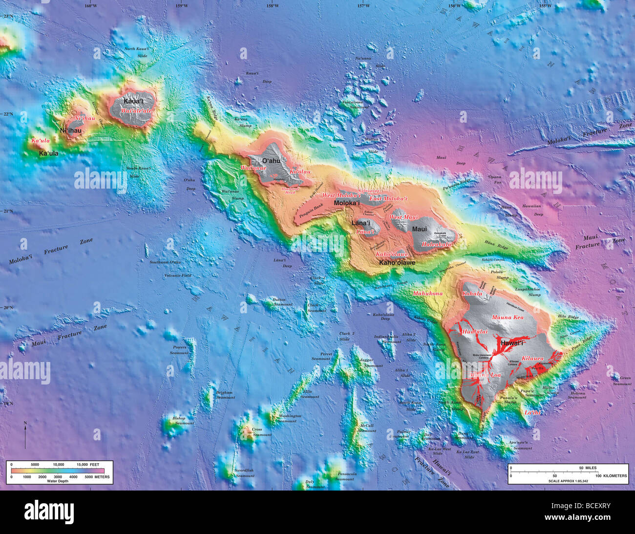 Bathymetry Map of the Hawaiian Islands Stock Photohttps://www.alamy.com/image-license-details/?v=1https://www.alamy.com/stock-photo-bathymetry-map-of-the-hawaiian-islands-24914623.html
RMBCEXRY–Bathymetry Map of the Hawaiian Islands
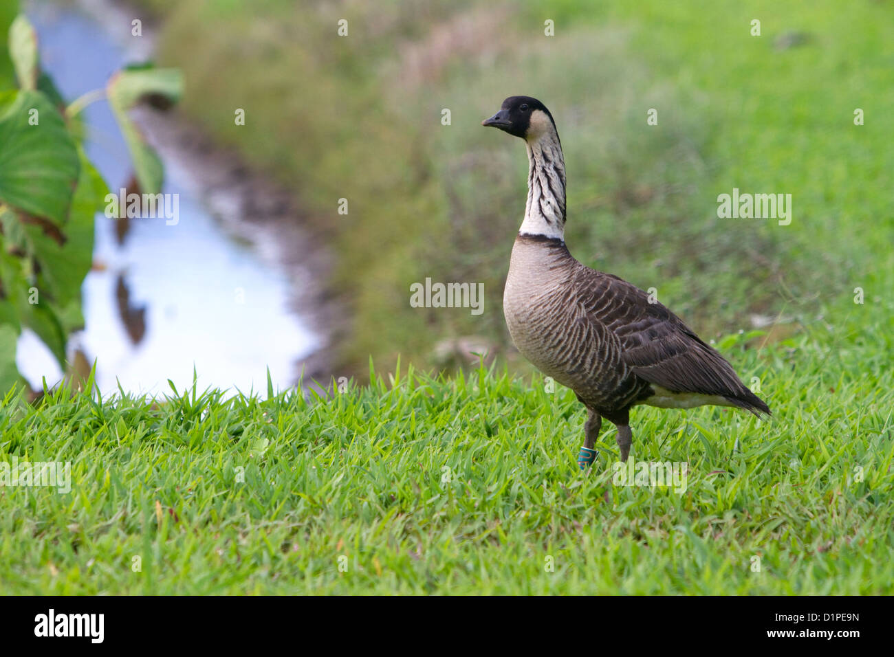 Nene Hawaiian Goose on the island of Kauai, Hawaii, USA. Stock Photohttps://www.alamy.com/image-license-details/?v=1https://www.alamy.com/stock-photo-nene-hawaiian-goose-on-the-island-of-kauai-hawaii-usa-52739953.html
RMD1PE9N–Nene Hawaiian Goose on the island of Kauai, Hawaii, USA.
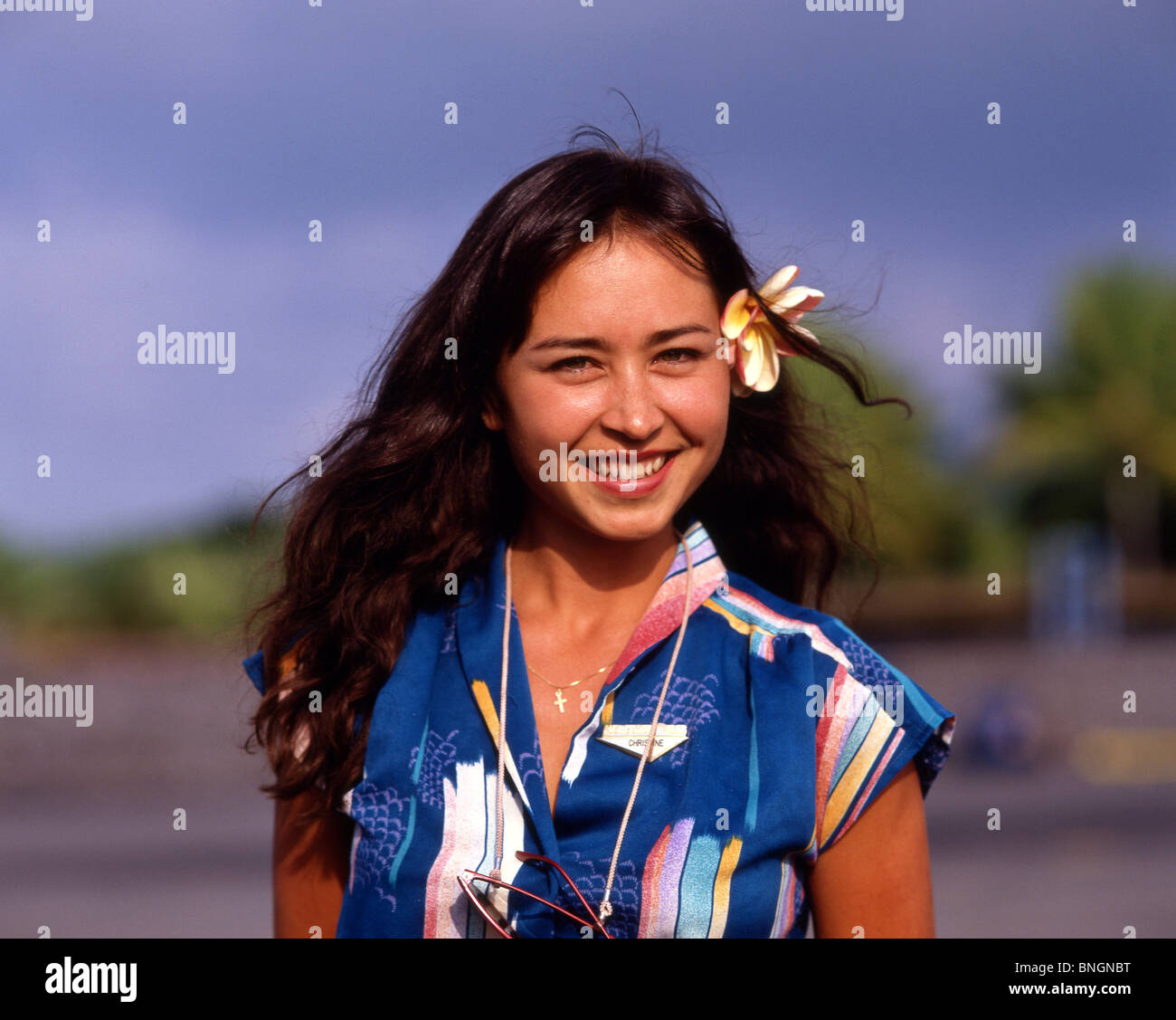 Young Hawaiian woman, Oahu, Hawaii, United States Of America Stock Photohttps://www.alamy.com/image-license-details/?v=1https://www.alamy.com/stock-photo-young-hawaiian-woman-oahu-hawaii-united-states-of-america-30486172.html
RMBNGNBT–Young Hawaiian woman, Oahu, Hawaii, United States Of America
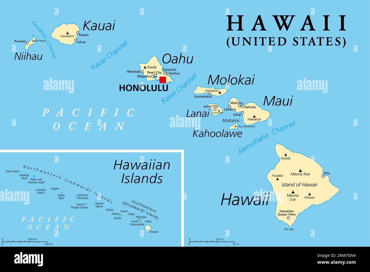 Hawaiian Islands, political map. Archipelago of eight major volcanic islands, several atolls and numerous smaller islets in the North Pacific Ocean. Stock Photohttps://www.alamy.com/image-license-details/?v=1https://www.alamy.com/hawaiian-islands-political-map-archipelago-of-eight-major-volcanic-islands-several-atolls-and-numerous-smaller-islets-in-the-north-pacific-ocean-image563179152.html
RF2RM70N4–Hawaiian Islands, political map. Archipelago of eight major volcanic islands, several atolls and numerous smaller islets in the North Pacific Ocean.
 Geology of Hawaiian Islands Stock Photohttps://www.alamy.com/image-license-details/?v=1https://www.alamy.com/geology-of-hawaiian-islands-image353183808.html
RM2BEGWFC–Geology of Hawaiian Islands
 Kauai, Hawaii, USA. 21st Dec, 2015. Quiet beach overlooks the Anini Channel at sunrise Princeville, Kauai. Kauai is the fourth largest of the main islands in the Hawaiian archipelago, and the 21st largest island in the United States. Known also as the 'Garden Isle', Kauai lies 105 miles (169 km) across the Kauai Channel, northwest of Oahu. Kauai islands origins are volcanic, having been formed by the passage of the Pacific Plate over the Hawaii hotspot. At approximately six million years old, it is the oldest of the main islands. © Ruaridh Stewart/ZUMA Wire/ZUMAPRESS.com/Alamy Live News Stock Photohttps://www.alamy.com/image-license-details/?v=1https://www.alamy.com/stock-photo-kauai-hawaii-usa-21st-dec-2015-quiet-beach-overlooks-the-anini-channel-100545352.html
RMFRG6HC–Kauai, Hawaii, USA. 21st Dec, 2015. Quiet beach overlooks the Anini Channel at sunrise Princeville, Kauai. Kauai is the fourth largest of the main islands in the Hawaiian archipelago, and the 21st largest island in the United States. Known also as the 'Garden Isle', Kauai lies 105 miles (169 km) across the Kauai Channel, northwest of Oahu. Kauai islands origins are volcanic, having been formed by the passage of the Pacific Plate over the Hawaii hotspot. At approximately six million years old, it is the oldest of the main islands. © Ruaridh Stewart/ZUMA Wire/ZUMAPRESS.com/Alamy Live News
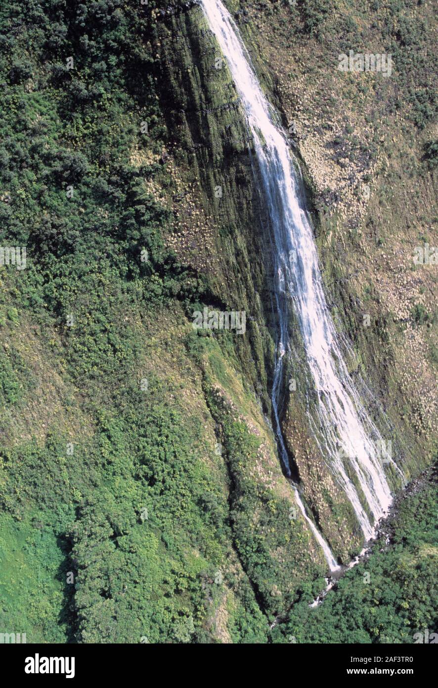 Hawaii, Hawaiian, Pacific Ocean, islands, Hawaiian archipelago, volcanic, archipelago, Polynesian, Oceania, Hawaiʻi, Big Island, Hawaiʻi Island, Stock Photohttps://www.alamy.com/image-license-details/?v=1https://www.alamy.com/hawaii-hawaiian-pacific-ocean-islands-hawaiian-archipelago-volcanic-archipelago-polynesian-oceania-hawaii-big-island-hawaii-island-image336302148.html
RF2AF3TR0–Hawaii, Hawaiian, Pacific Ocean, islands, Hawaiian archipelago, volcanic, archipelago, Polynesian, Oceania, Hawaiʻi, Big Island, Hawaiʻi Island,
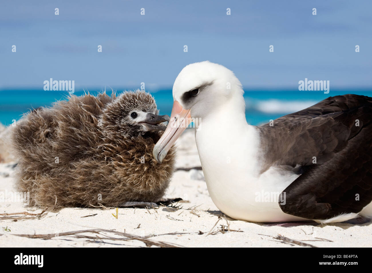 Laysan Albatross chick begging to be fed by parent on Midway Atoll in the northwestern Hawaiian archipelago Stock Photohttps://www.alamy.com/image-license-details/?v=1https://www.alamy.com/stock-photo-laysan-albatross-chick-begging-to-be-fed-by-parent-on-midway-atoll-25921290.html
RMBE4PTA–Laysan Albatross chick begging to be fed by parent on Midway Atoll in the northwestern Hawaiian archipelago
 Laysan albatross, Phoebastria immutabilis, chick taps parent's beak to beg for a feeding, Sand Island, Midway Atoll, Midway National Wildlife Refuge, Stock Photohttps://www.alamy.com/image-license-details/?v=1https://www.alamy.com/laysan-albatross-phoebastria-immutabilis-chick-taps-parents-beak-to-beg-for-a-feeding-sand-island-midway-atoll-midway-national-wildlife-refuge-image366481167.html
RM2C86JD3–Laysan albatross, Phoebastria immutabilis, chick taps parent's beak to beg for a feeding, Sand Island, Midway Atoll, Midway National Wildlife Refuge,
 Kauai Landscape. Taken from the north of Kauai, in the Hawaiian archipelago, looking towards Mount Wai'ale'ale, the islands highest point Stock Photohttps://www.alamy.com/image-license-details/?v=1https://www.alamy.com/stock-photo-kauai-landscape-taken-from-the-north-of-kauai-in-the-hawaiian-archipelago-135682348.html
RFHTMT64–Kauai Landscape. Taken from the north of Kauai, in the Hawaiian archipelago, looking towards Mount Wai'ale'ale, the islands highest point
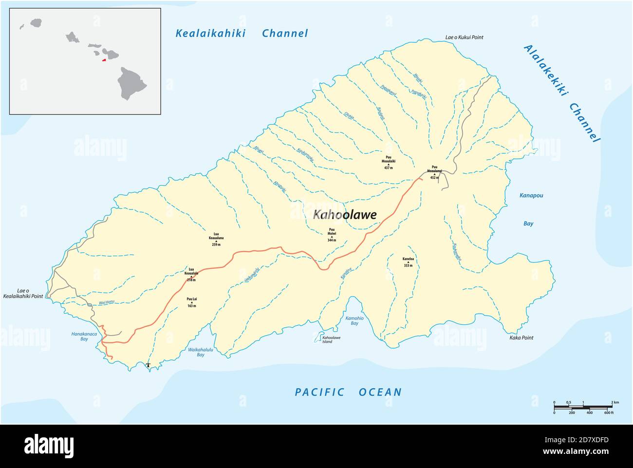 vector map of the smallest island in the Hawaiian Archipelago, Kahoolawe, Hawaii Stock Vectorhttps://www.alamy.com/image-license-details/?v=1https://www.alamy.com/vector-map-of-the-smallest-island-in-the-hawaiian-archipelago-kahoolawe-hawaii-image383512065.html
RF2D7XDFD–vector map of the smallest island in the Hawaiian Archipelago, Kahoolawe, Hawaii
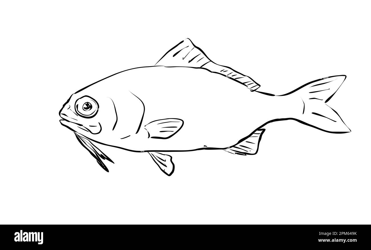 Cartoon style line drawing of a beardfish, a fish endemic to Hawaii and Hawaiian archipelago on isolated background in black and white. Stock Photohttps://www.alamy.com/image-license-details/?v=1https://www.alamy.com/cartoon-style-line-drawing-of-a-beardfish-a-fish-endemic-to-hawaii-and-hawaiian-archipelago-on-isolated-background-in-black-and-white-image545949647.html
RF2PM649K–Cartoon style line drawing of a beardfish, a fish endemic to Hawaii and Hawaiian archipelago on isolated background in black and white.
 First stop on Road to Hana tour, Ho`okipa Beach Park on the island of Maui in Hawaii. Stock Photohttps://www.alamy.com/image-license-details/?v=1https://www.alamy.com/stock-photo-first-stop-on-road-to-hana-tour-ho`okipa-beach-park-on-the-island-58844387.html
RFDBMGH7–First stop on Road to Hana tour, Ho`okipa Beach Park on the island of Maui in Hawaii.
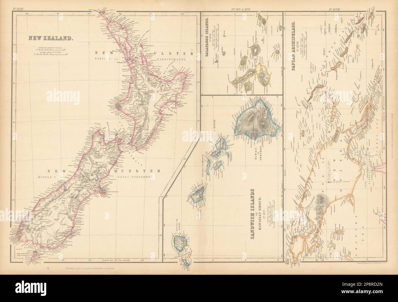 New Zealand Sandwich Galapagos Islands. Papuan Archipelago. Melanesia 1859 map Stock Photohttps://www.alamy.com/image-license-details/?v=1https://www.alamy.com/new-zealand-sandwich-galapagos-islands-papuan-archipelago-melanesia-1859-map-image538953821.html
RF2P8RD2N–New Zealand Sandwich Galapagos Islands. Papuan Archipelago. Melanesia 1859 map
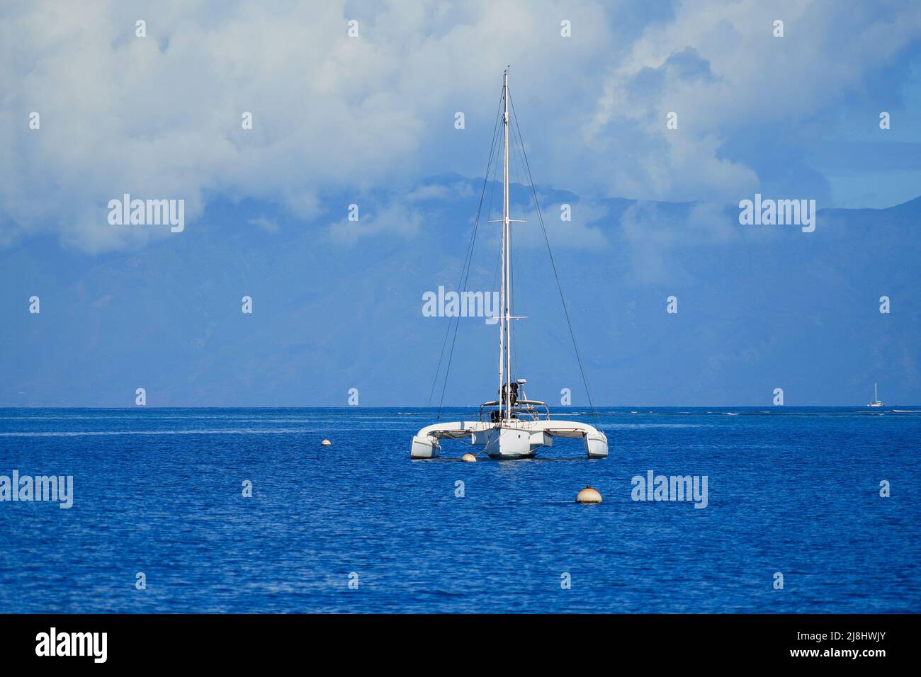 Catamaran sailboat in the Pacific Ocean between Maui and Lanai islands on the Hawaiian archipelago - Tranquil cruise for whale watching in winter in P Stock Photohttps://www.alamy.com/image-license-details/?v=1https://www.alamy.com/catamaran-sailboat-in-the-pacific-ocean-between-maui-and-lanai-islands-on-the-hawaiian-archipelago-tranquil-cruise-for-whale-watching-in-winter-in-p-image469990499.html
RF2J8HWJY–Catamaran sailboat in the Pacific Ocean between Maui and Lanai islands on the Hawaiian archipelago - Tranquil cruise for whale watching in winter in P
 Monk seals are found in the Hawaiian archipelago, certain areas in the Mediterranean Sea and formerly in the tropical areas of the west Atlantic Ocean Stock Photohttps://www.alamy.com/image-license-details/?v=1https://www.alamy.com/monk-seals-are-found-in-the-hawaiian-archipelago-certain-areas-in-the-mediterranean-sea-and-formerly-in-the-tropical-areas-of-the-west-atlantic-ocean-image231130825.html
RFRC0WM9–Monk seals are found in the Hawaiian archipelago, certain areas in the Mediterranean Sea and formerly in the tropical areas of the west Atlantic Ocean
 Laysan's ring of sandy dunes surrounds a 100-acre hypersaline interior lake, a feature unique to the Hawaiian Archipelago, and rare in the Pacific as a whole. Subjects: Aerial photography; Islands; Wildlife refuges; Tropical environments; Marine environments. Location: Hawaii. Fish and Wildlife Service Site: HAWAIIAN ISLANDS NATIONAL WILDLIFE REFUGE. Stock Photohttps://www.alamy.com/image-license-details/?v=1https://www.alamy.com/laysans-ring-of-sandy-dunes-surrounds-a-100-acre-hypersaline-interior-lake-a-feature-unique-to-the-hawaiian-archipelago-and-rare-in-the-pacific-as-a-whole-subjects-aerial-photography-islands-wildlife-refuges-tropical-environments-marine-environments-location-hawaii-fish-and-wildlife-service-site-hawaiian-islands-national-wildlife-refuge-image569228645.html
RM2T22GXD–Laysan's ring of sandy dunes surrounds a 100-acre hypersaline interior lake, a feature unique to the Hawaiian Archipelago, and rare in the Pacific as a whole. Subjects: Aerial photography; Islands; Wildlife refuges; Tropical environments; Marine environments. Location: Hawaii. Fish and Wildlife Service Site: HAWAIIAN ISLANDS NATIONAL WILDLIFE REFUGE.
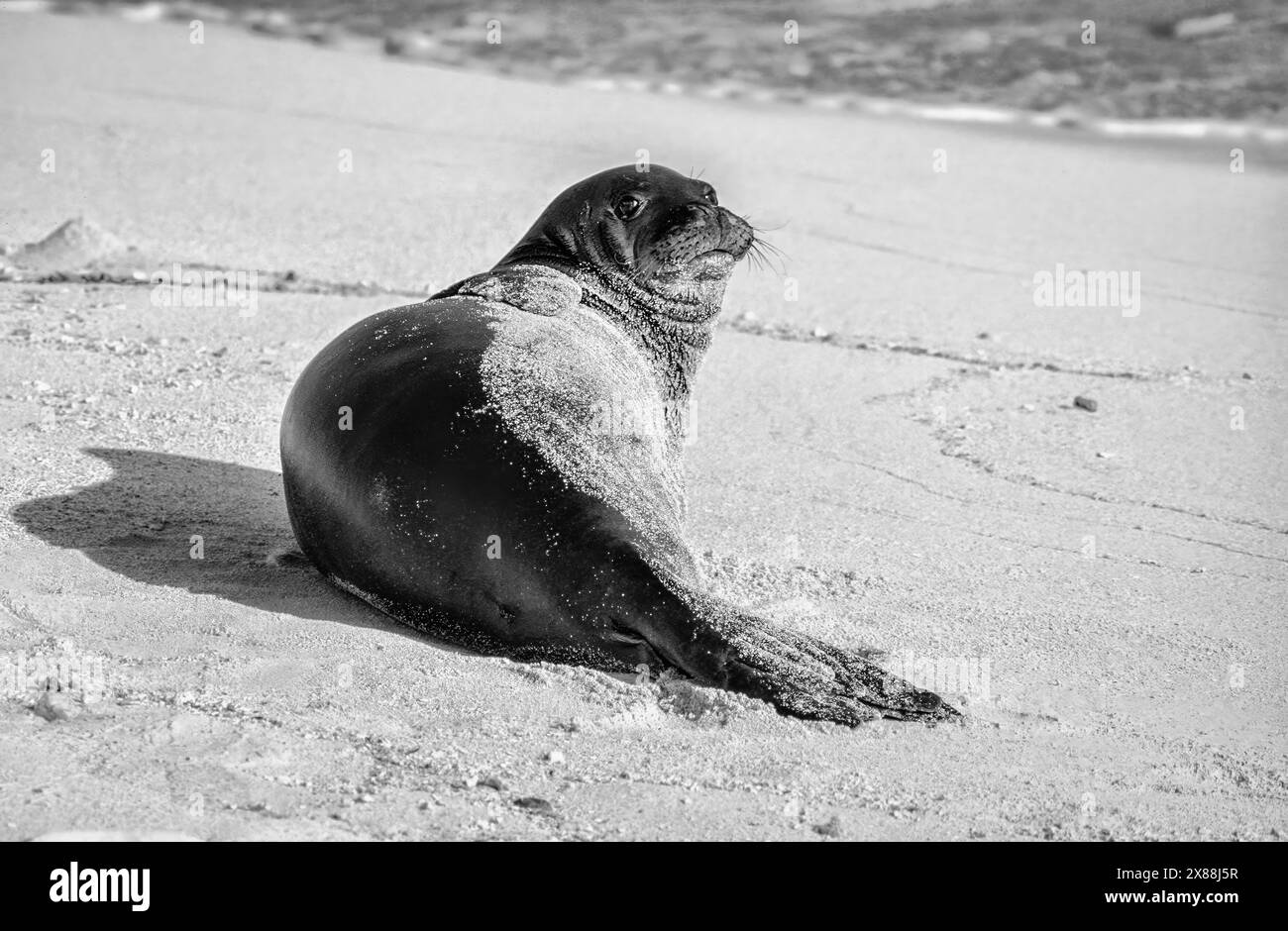 Hawaiian Monk Seal (Neomonachus schauinslandi) on Tern Island in the Hawaiian Islands National Wildlife Refuge. Stock Photohttps://www.alamy.com/image-license-details/?v=1https://www.alamy.com/hawaiian-monk-seal-neomonachus-schauinslandi-on-tern-island-in-the-hawaiian-islands-national-wildlife-refuge-image607470019.html
RF2X88J5R–Hawaiian Monk Seal (Neomonachus schauinslandi) on Tern Island in the Hawaiian Islands National Wildlife Refuge.
 The Hawaiian Islands as seen from the International Space Station. Stock Photohttps://www.alamy.com/image-license-details/?v=1https://www.alamy.com/stock-photo-the-hawaiian-islands-as-seen-from-the-international-space-station-57549991.html
RFD9HHGR–The Hawaiian Islands as seen from the International Space Station.
 Hawaii statehood on vintage american stamp Stock Photohttps://www.alamy.com/image-license-details/?v=1https://www.alamy.com/hawaii-statehood-on-vintage-american-stamp-image605443529.html
RF2X509B5–Hawaii statehood on vintage american stamp
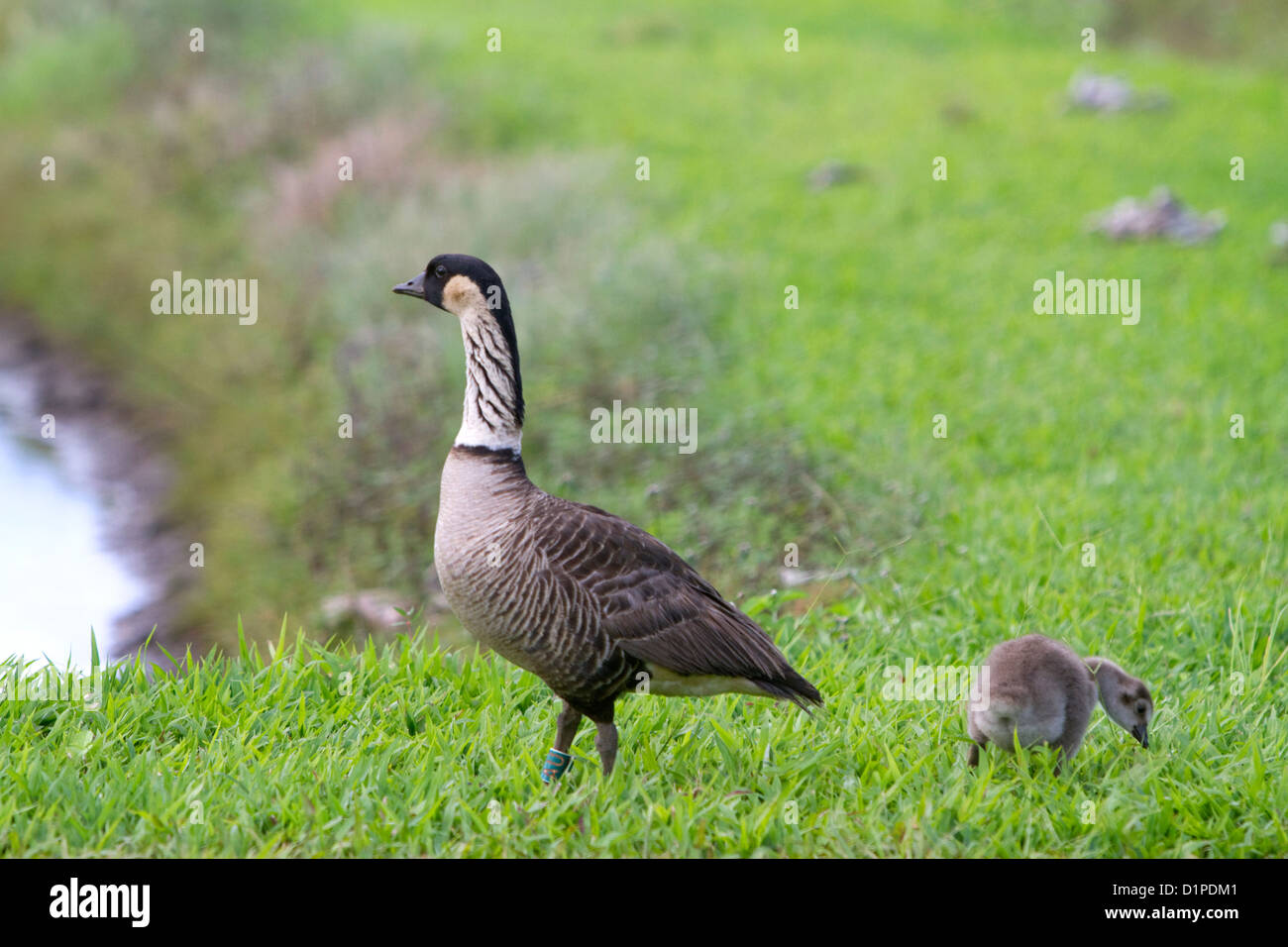 Nene Hawaiian Goose on the island of Kauai, Hawaii, USA. Stock Photohttps://www.alamy.com/image-license-details/?v=1https://www.alamy.com/stock-photo-nene-hawaiian-goose-on-the-island-of-kauai-hawaii-usa-52739457.html
RMD1PDM1–Nene Hawaiian Goose on the island of Kauai, Hawaii, USA.
 Lifeguard rescue surfboard and the pacific ocean in the horizon on a Hawaii beach Stock Photohttps://www.alamy.com/image-license-details/?v=1https://www.alamy.com/stock-photo-lifeguard-rescue-surfboard-and-the-pacific-ocean-in-the-horizon-on-131030594.html
RFHH4XT2–Lifeguard rescue surfboard and the pacific ocean in the horizon on a Hawaii beach
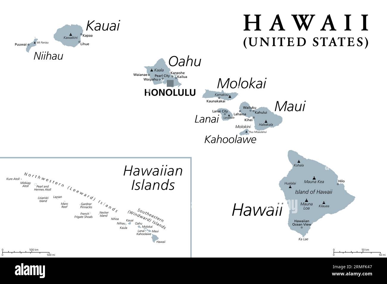 Hawaiian Islands, gray political map. Archipelago of 8 major volcanic islands, several atolls and numerous smaller islets in the North Pacific Ocean. Stock Photohttps://www.alamy.com/image-license-details/?v=1https://www.alamy.com/hawaiian-islands-gray-political-map-archipelago-of-8-major-volcanic-islands-several-atolls-and-numerous-smaller-islets-in-the-north-pacific-ocean-image563369191.html
RF2RMFK47–Hawaiian Islands, gray political map. Archipelago of 8 major volcanic islands, several atolls and numerous smaller islets in the North Pacific Ocean.
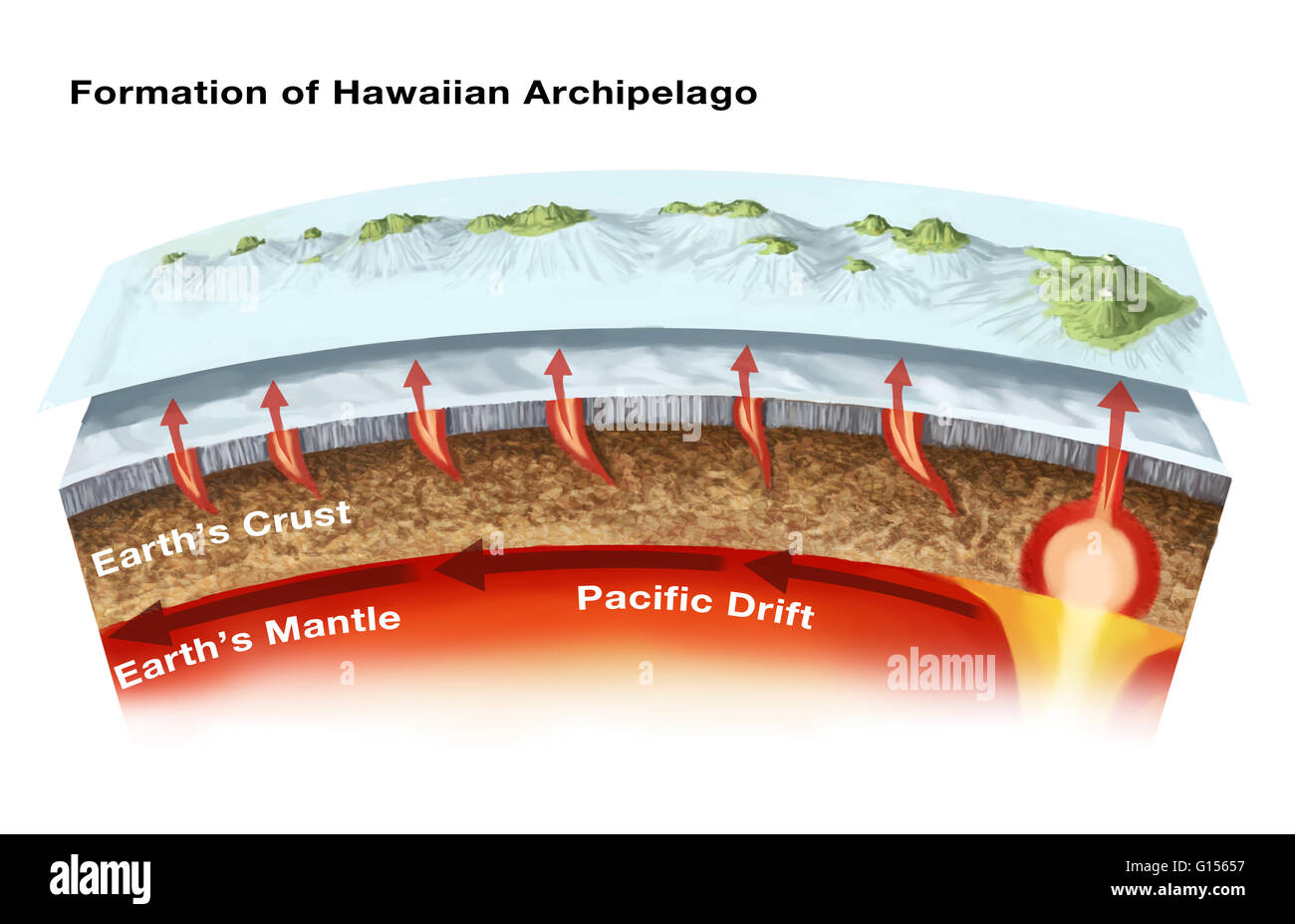 The geology of the Hawaiian Islands. This illustration shows the archipelago and underwater topography of the Hawaiian Islands. These volcanic islands, located in the northern Pacific Ocean, have formed as volcanoes rising from a mantle hot spot under the Stock Photohttps://www.alamy.com/image-license-details/?v=1https://www.alamy.com/stock-photo-the-geology-of-the-hawaiian-islands-this-illustration-shows-the-archipelago-103991475.html
RMG15657–The geology of the Hawaiian Islands. This illustration shows the archipelago and underwater topography of the Hawaiian Islands. These volcanic islands, located in the northern Pacific Ocean, have formed as volcanoes rising from a mantle hot spot under the
 Kauai, Hawaii, USA. 21st Dec, 2015. View of the ocean and the secluded beach at The St. Regis Princeville Resort overlooking Hanalei Bay on the north shore. Kauai is the fourth largest of the main islands in the Hawaiian archipelago, and the 21st largest island in the United States. Known also as the 'Garden Isle', Kauai lies 105 miles (169 km) across the Kauai Channel, northwest of Oahu. Kauai islands origins are volcanic, having been formed by the passage of the Pacific Plate over the Hawaii hotspot. At approximately six million years old, it is the oldest of the main islands. (Credit Image Stock Photohttps://www.alamy.com/image-license-details/?v=1https://www.alamy.com/stock-photo-kauai-hawaii-usa-21st-dec-2015-view-of-the-ocean-and-the-secluded-100545364.html
RMFRG6HT–Kauai, Hawaii, USA. 21st Dec, 2015. View of the ocean and the secluded beach at The St. Regis Princeville Resort overlooking Hanalei Bay on the north shore. Kauai is the fourth largest of the main islands in the Hawaiian archipelago, and the 21st largest island in the United States. Known also as the 'Garden Isle', Kauai lies 105 miles (169 km) across the Kauai Channel, northwest of Oahu. Kauai islands origins are volcanic, having been formed by the passage of the Pacific Plate over the Hawaii hotspot. At approximately six million years old, it is the oldest of the main islands. (Credit Image
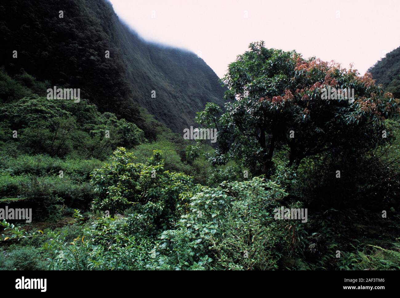 Hawaii, Hawaiian, Pacific Ocean, islands, Hawaiian archipelago, volcanic, archipelago, Polynesian, Oceania, Hawaiʻi, Big Island, Hawaiʻi Island, Stock Photohttps://www.alamy.com/image-license-details/?v=1https://www.alamy.com/hawaii-hawaiian-pacific-ocean-islands-hawaiian-archipelago-volcanic-archipelago-polynesian-oceania-hawaii-big-island-hawaii-island-image336302070.html
RF2AF3TM6–Hawaii, Hawaiian, Pacific Ocean, islands, Hawaiian archipelago, volcanic, archipelago, Polynesian, Oceania, Hawaiʻi, Big Island, Hawaiʻi Island,
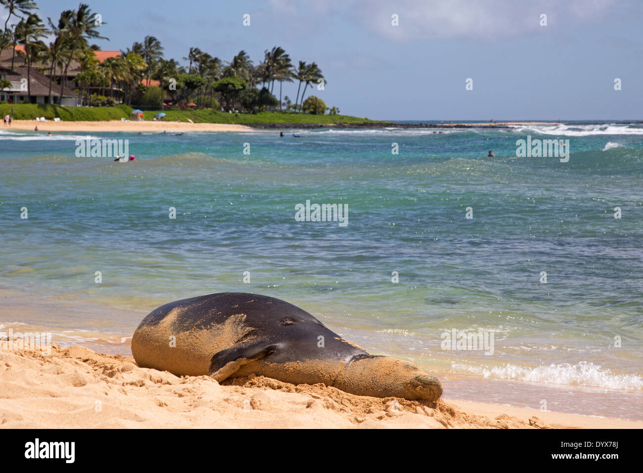 Pregnant female Hawaiian Monk Seal resting on Poipu Beach in Kauai, Hawaii (Neomonachus schauinslandi) Stock Photohttps://www.alamy.com/image-license-details/?v=1https://www.alamy.com/pregnant-female-hawaiian-monk-seal-resting-on-poipu-beach-in-kauai-image68803298.html
RMDYX78J–Pregnant female Hawaiian Monk Seal resting on Poipu Beach in Kauai, Hawaii (Neomonachus schauinslandi)
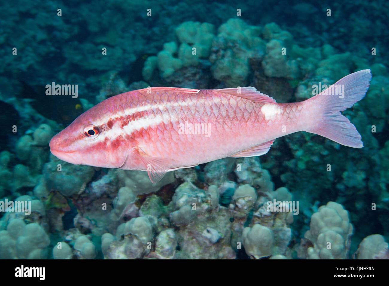 whitesaddle goatfish, whitestriped goatfish, or kumu, Parupeneus porphyreus ( Endemic to Hawaiian Archipelago ), Puako, South Kohala, Kona Coast, Hawa Stock Photohttps://www.alamy.com/image-license-details/?v=1https://www.alamy.com/whitesaddle-goatfish-whitestriped-goatfish-or-kumu-parupeneus-porphyreus-endemic-to-hawaiian-archipelago-puako-south-kohala-kona-coast-hawa-image477981934.html
RM2JNHXRA–whitesaddle goatfish, whitestriped goatfish, or kumu, Parupeneus porphyreus ( Endemic to Hawaiian Archipelago ), Puako, South Kohala, Kona Coast, Hawa
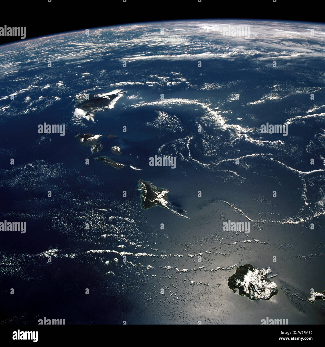 (29 Sept. - 3 Oct. 1988) --- This 70mm northerly oriented frame over the Pacific Ocean features the Hawaiian Islands chain (Hawaiian Island Archipelago) Stock Photohttps://www.alamy.com/image-license-details/?v=1https://www.alamy.com/29-sept-3-oct-1988-this-70mm-northerly-oriented-frame-over-the-pacific-ocean-features-the-hawaiian-islands-chain-hawaiian-island-archipelago-image259730190.html
RMW2FME6–(29 Sept. - 3 Oct. 1988) --- This 70mm northerly oriented frame over the Pacific Ocean features the Hawaiian Islands chain (Hawaiian Island Archipelago)
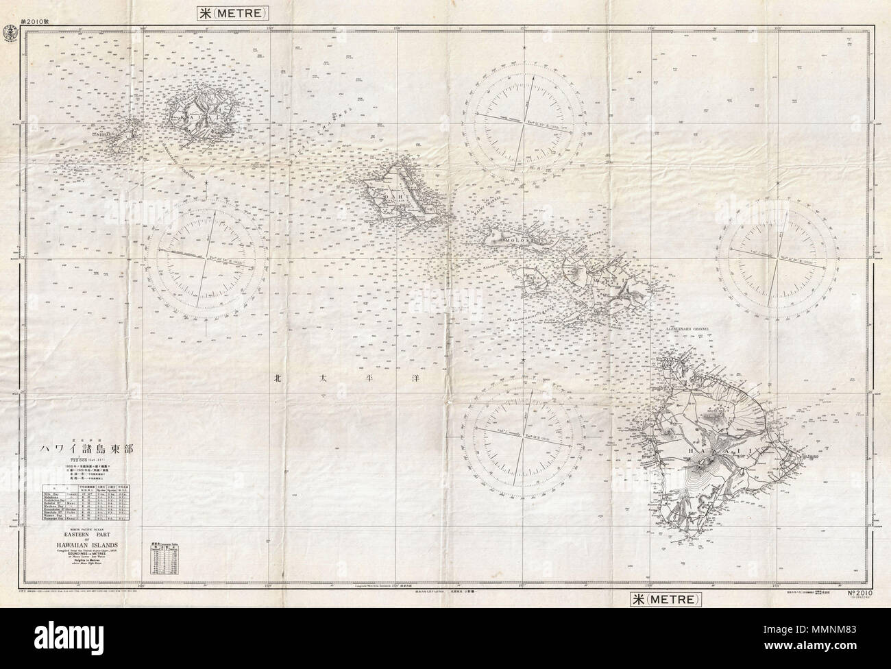 . English: This is a rare and important World War II 1939 Imperial Japanese Navy nautical and aeronautical map / chart of the Hawaiian Islands. The map covers the entire archipelago and the surrounding seas featuring countless depth soundings, four compass tables, and some topographical detail. Like most Japanese nautical charts used during World War II, this map is an amalgam of American and British hydrographic efforts. In this case, the map is cartographically derived from a 1933 United States Naval Chart; however, other dates on the map suggest that it was updated by the Japanese to 1939 Stock Photohttps://www.alamy.com/image-license-details/?v=1https://www.alamy.com/english-this-is-a-rare-and-important-world-war-ii-1939-imperial-japanese-navy-nautical-and-aeronautical-map-chart-of-the-hawaiian-islands-the-map-covers-the-entire-archipelago-and-the-surrounding-seas-featuring-countless-depth-soundings-four-compass-tables-and-some-topographical-detail-like-most-japanese-nautical-charts-used-during-world-war-ii-this-map-is-an-amalgam-of-american-and-british-hydrographic-efforts-in-this-case-the-map-is-cartographically-derived-from-a-1933-united-states-naval-chart-however-other-dates-on-the-map-suggest-that-it-was-updated-by-the-japanese-to-1939-image184873699.html
RMMMNM83–. English: This is a rare and important World War II 1939 Imperial Japanese Navy nautical and aeronautical map / chart of the Hawaiian Islands. The map covers the entire archipelago and the surrounding seas featuring countless depth soundings, four compass tables, and some topographical detail. Like most Japanese nautical charts used during World War II, this map is an amalgam of American and British hydrographic efforts. In this case, the map is cartographically derived from a 1933 United States Naval Chart; however, other dates on the map suggest that it was updated by the Japanese to 1939
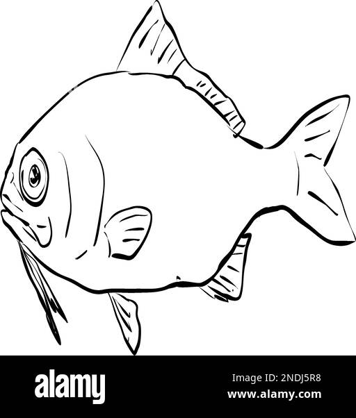 Cartoon style line drawing of a beardfish, a fish endemic to Hawaii and Hawaiian archipelago on isolated background in black and white. Stock Vectorhttps://www.alamy.com/image-license-details/?v=1https://www.alamy.com/cartoon-style-line-drawing-of-a-beardfish-a-fish-endemic-to-hawaii-and-hawaiian-archipelago-on-isolated-background-in-black-and-white-image524701276.html
RF2NDJ5R8–Cartoon style line drawing of a beardfish, a fish endemic to Hawaii and Hawaiian archipelago on isolated background in black and white.
 Panorama of view of beach from the Road to Hana on the island of Maui in Hawaii. Stock Photohttps://www.alamy.com/image-license-details/?v=1https://www.alamy.com/stock-photo-panorama-of-view-of-beach-from-the-road-to-hana-on-the-island-of-maui-58840860.html
RMDBMC38–Panorama of view of beach from the Road to Hana on the island of Maui in Hawaii.
 Hawaii hand drawn cartoon doodle illustration. Stock Vectorhttps://www.alamy.com/image-license-details/?v=1https://www.alamy.com/hawaii-hand-drawn-cartoon-doodle-illustration-image499569313.html
RF2M0N9N5–Hawaii hand drawn cartoon doodle illustration.
 Catamaran sailboat in the Pacific Ocean between Maui and Lanai islands on the Hawaiian archipelago - Tranquil cruise for whale watching in winter in P Stock Photohttps://www.alamy.com/image-license-details/?v=1https://www.alamy.com/catamaran-sailboat-in-the-pacific-ocean-between-maui-and-lanai-islands-on-the-hawaiian-archipelago-tranquil-cruise-for-whale-watching-in-winter-in-p-image469990493.html
RF2J8HWJN–Catamaran sailboat in the Pacific Ocean between Maui and Lanai islands on the Hawaiian archipelago - Tranquil cruise for whale watching in winter in P
 Monk seals are found in the Hawaiian archipelago, certain areas in the Mediterranean Sea and formerly in the tropical areas of the west Atlantic Ocean Stock Photohttps://www.alamy.com/image-license-details/?v=1https://www.alamy.com/monk-seals-are-found-in-the-hawaiian-archipelago-certain-areas-in-the-mediterranean-sea-and-formerly-in-the-tropical-areas-of-the-west-atlantic-ocean-image231130824.html
RFRC0WM8–Monk seals are found in the Hawaiian archipelago, certain areas in the Mediterranean Sea and formerly in the tropical areas of the west Atlantic Ocean
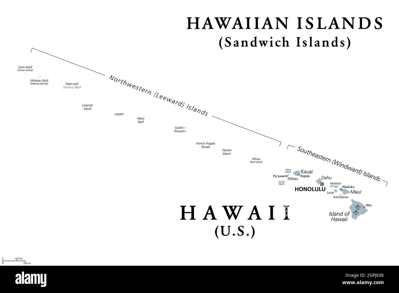 Hawaiian Islands, Sandwich Islands, gray political map Stock Vectorhttps://www.alamy.com/image-license-details/?v=1https://www.alamy.com/hawaiian-islands-sandwich-islands-gray-political-map-image444187752.html
RF2GPJE08–Hawaiian Islands, Sandwich Islands, gray political map
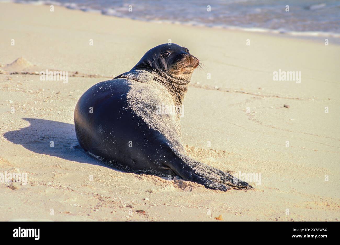 Hawaiian Monk Seal (Neomonachus schauinslandi) on Tern Island in the Hawaiian Islands National Wildlife Refuge. Stock Photohttps://www.alamy.com/image-license-details/?v=1https://www.alamy.com/hawaiian-monk-seal-neomonachus-schauinslandi-on-tern-island-in-the-hawaiian-islands-national-wildlife-refuge-image606860854.html
RF2X78W5X–Hawaiian Monk Seal (Neomonachus schauinslandi) on Tern Island in the Hawaiian Islands National Wildlife Refuge.
 The Sandwich Islands , later known as the Hawaiian Islands , an archipelago in the United States of America .Seen here a native of the Sandwich Islands . 4 February 1843 Stock Photohttps://www.alamy.com/image-license-details/?v=1https://www.alamy.com/the-sandwich-islands-later-known-as-the-hawaiian-islands-an-archipelago-in-the-united-states-of-america-seen-here-a-native-of-the-sandwich-islands-4-february-1843-image623893961.html
RM2Y70R35–The Sandwich Islands , later known as the Hawaiian Islands , an archipelago in the United States of America .Seen here a native of the Sandwich Islands . 4 February 1843
 Nene, Hawaiian Goose (Branta sandvicensis), in the rain, Mauna Ulu, Hawaii Volcanoes National Park, Big Island, USA Stock Photohttps://www.alamy.com/image-license-details/?v=1https://www.alamy.com/nene-hawaiian-goose-branta-sandvicensis-in-the-rain-mauna-ulu-hawaii-image62100642.html
RMDH0X02–Nene, Hawaiian Goose (Branta sandvicensis), in the rain, Mauna Ulu, Hawaii Volcanoes National Park, Big Island, USA
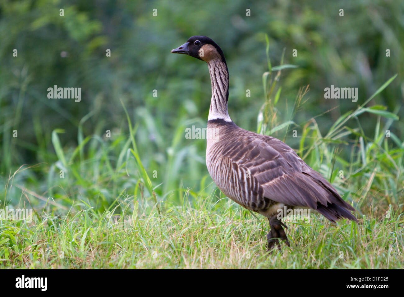 Nene Hawaiian Goose on the island of Kauai, Hawaii, USA. Stock Photohttps://www.alamy.com/image-license-details/?v=1https://www.alamy.com/stock-photo-nene-hawaiian-goose-on-the-island-of-kauai-hawaii-usa-52738957.html
RMD1PD25–Nene Hawaiian Goose on the island of Kauai, Hawaii, USA.
 Hawaiian Tropical Rainforests, Maui, Hawaii Stock Photohttps://www.alamy.com/image-license-details/?v=1https://www.alamy.com/hawaiian-tropical-rainforests-maui-hawaii-image452095613.html
RF2H7EMFW–Hawaiian Tropical Rainforests, Maui, Hawaii
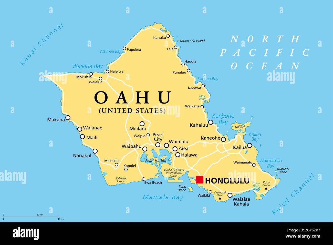 Oahu, Hawaii, political map with capital Honolulu. Part of the Hawaiian Islands and Hawaii, a state of the United States in the North Pacific Ocean. Stock Photohttps://www.alamy.com/image-license-details/?v=1https://www.alamy.com/oahu-hawaii-political-map-with-capital-honolulu-part-of-the-hawaiian-islands-and-hawaii-a-state-of-the-united-states-in-the-north-pacific-ocean-image446988843.html
RF2GY62R7–Oahu, Hawaii, political map with capital Honolulu. Part of the Hawaiian Islands and Hawaii, a state of the United States in the North Pacific Ocean.
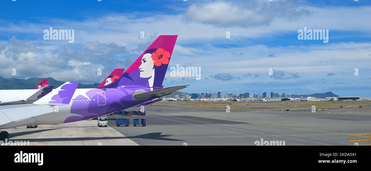 Honolulu airport is the home base of Hawaiian Airlines, Oahu HI Stock Photohttps://www.alamy.com/image-license-details/?v=1https://www.alamy.com/honolulu-airport-is-the-home-base-of-hawaiian-airlines-oahu-hi-image490104385.html
RM2KDA541–Honolulu airport is the home base of Hawaiian Airlines, Oahu HI
 Kauai, Hawaii, USA. 21st Dec, 2015. View of the ocean and the secluded beach at The St. Regis Princeville Resort overlooking Hanalei Bay on the north shore. Kauai is the fourth largest of the main islands in the Hawaiian archipelago, and the 21st largest island in the United States. Known also as the 'Garden Isle', Kauai lies 105 miles (169 km) across the Kauai Channel, northwest of Oahu. Kauai islands origins are volcanic, having been formed by the passage of the Pacific Plate over the Hawaii hotspot. At approximately six million years old, it is the oldest of the main islands. (Credit Image Stock Photohttps://www.alamy.com/image-license-details/?v=1https://www.alamy.com/stock-photo-kauai-hawaii-usa-21st-dec-2015-view-of-the-ocean-and-the-secluded-100545327.html
RMFRG6GF–Kauai, Hawaii, USA. 21st Dec, 2015. View of the ocean and the secluded beach at The St. Regis Princeville Resort overlooking Hanalei Bay on the north shore. Kauai is the fourth largest of the main islands in the Hawaiian archipelago, and the 21st largest island in the United States. Known also as the 'Garden Isle', Kauai lies 105 miles (169 km) across the Kauai Channel, northwest of Oahu. Kauai islands origins are volcanic, having been formed by the passage of the Pacific Plate over the Hawaii hotspot. At approximately six million years old, it is the oldest of the main islands. (Credit Image
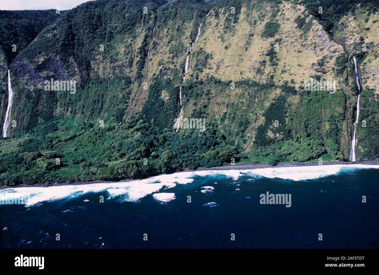 Hawaii, Hawaiian, Pacific Ocean, islands, Hawaiian archipelago, volcanic, archipelago, Polynesian, Oceania, Hawaiʻi, Big Island, Hawaiʻi Island, Stock Photohttps://www.alamy.com/image-license-details/?v=1https://www.alamy.com/hawaii-hawaiian-pacific-ocean-islands-hawaiian-archipelago-volcanic-archipelago-polynesian-oceania-hawaii-big-island-hawaii-island-image336301892.html
RF2AF3TDT–Hawaii, Hawaiian, Pacific Ocean, islands, Hawaiian archipelago, volcanic, archipelago, Polynesian, Oceania, Hawaiʻi, Big Island, Hawaiʻi Island,
 Niihau island view from west coast of Kauai at sunset Stock Photohttps://www.alamy.com/image-license-details/?v=1https://www.alamy.com/niihau-island-view-from-west-coast-of-kauai-at-sunset-image68289967.html
RMDY2TFB–Niihau island view from west coast of Kauai at sunset
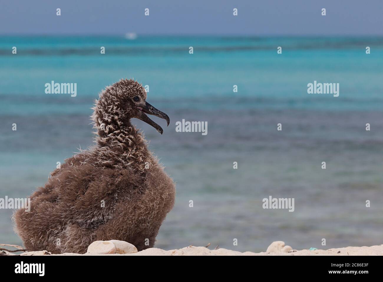 black-footed albatross chick, Phoebastria nigripes (formerly Diomedea nigripes), on the beach at Sand Island, Midway National Wildlife Refuge Stock Photohttps://www.alamy.com/image-license-details/?v=1https://www.alamy.com/black-footed-albatross-chick-phoebastria-nigripes-formerly-diomedea-nigripes-on-the-beach-at-sand-island-midway-national-wildlife-refuge-image366477763.html
RM2C86E3F–black-footed albatross chick, Phoebastria nigripes (formerly Diomedea nigripes), on the beach at Sand Island, Midway National Wildlife Refuge
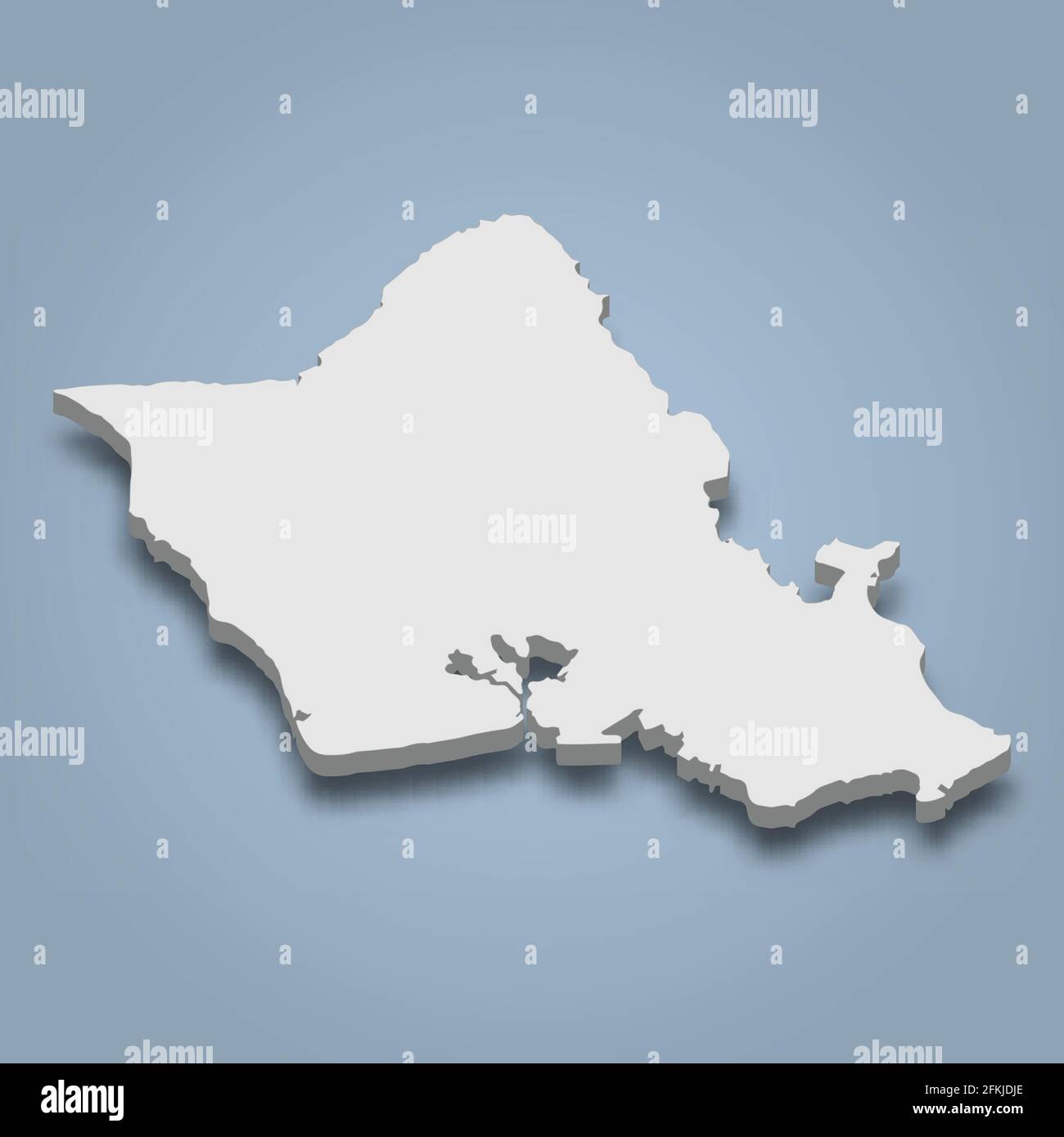 3d isometric map of Oahu is an island in Hawaiian Islands, isolaated vector illustration Stock Vectorhttps://www.alamy.com/image-license-details/?v=1https://www.alamy.com/3d-isometric-map-of-oahu-is-an-island-in-hawaiian-islands-isolaated-vector-illustration-image425133142.html
RF2FKJDJE–3d isometric map of Oahu is an island in Hawaiian Islands, isolaated vector illustration
 Senior Airman Missy Sterling, a photojournalist with the 442d Fighter Wing public affairs office, lines up a photo of Staff Sgt. Austin Brown, a defender with the 442d Security Forces Squadron, Feb. 25, 2019, on the flightline at Marine Corps Base Hawaii. Sterling documented the 442d Fighter Wing's training across multiple islands in the Hawaiian archipelago. Stock Photohttps://www.alamy.com/image-license-details/?v=1https://www.alamy.com/senior-airman-missy-sterling-a-photojournalist-with-the-442d-fighter-wing-public-affairs-office-lines-up-a-photo-of-staff-sgt-austin-brown-a-defender-with-the-442d-security-forces-squadron-feb-25-2019-on-the-flightline-at-marine-corps-base-hawaii-sterling-documented-the-442d-fighter-wings-training-across-multiple-islands-in-the-hawaiian-archipelago-image243513449.html
RMT44YTW–Senior Airman Missy Sterling, a photojournalist with the 442d Fighter Wing public affairs office, lines up a photo of Staff Sgt. Austin Brown, a defender with the 442d Security Forces Squadron, Feb. 25, 2019, on the flightline at Marine Corps Base Hawaii. Sterling documented the 442d Fighter Wing's training across multiple islands in the Hawaiian archipelago.
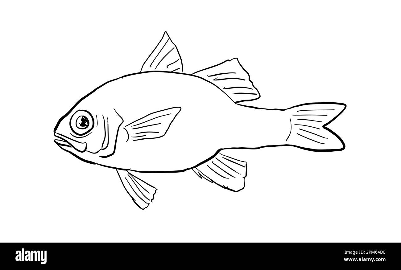 Cartoon style line drawing of an Apogon erythrinus or Hawaiian ruby cardinalfish a fish endemic to Hawaii and Hawaiian archipelago with on isolated ba Stock Photohttps://www.alamy.com/image-license-details/?v=1https://www.alamy.com/cartoon-style-line-drawing-of-an-apogon-erythrinus-or-hawaiian-ruby-cardinalfish-a-fish-endemic-to-hawaii-and-hawaiian-archipelago-with-on-isolated-ba-image545949754.html
RF2PM64DE–Cartoon style line drawing of an Apogon erythrinus or Hawaiian ruby cardinalfish a fish endemic to Hawaii and Hawaiian archipelago with on isolated ba
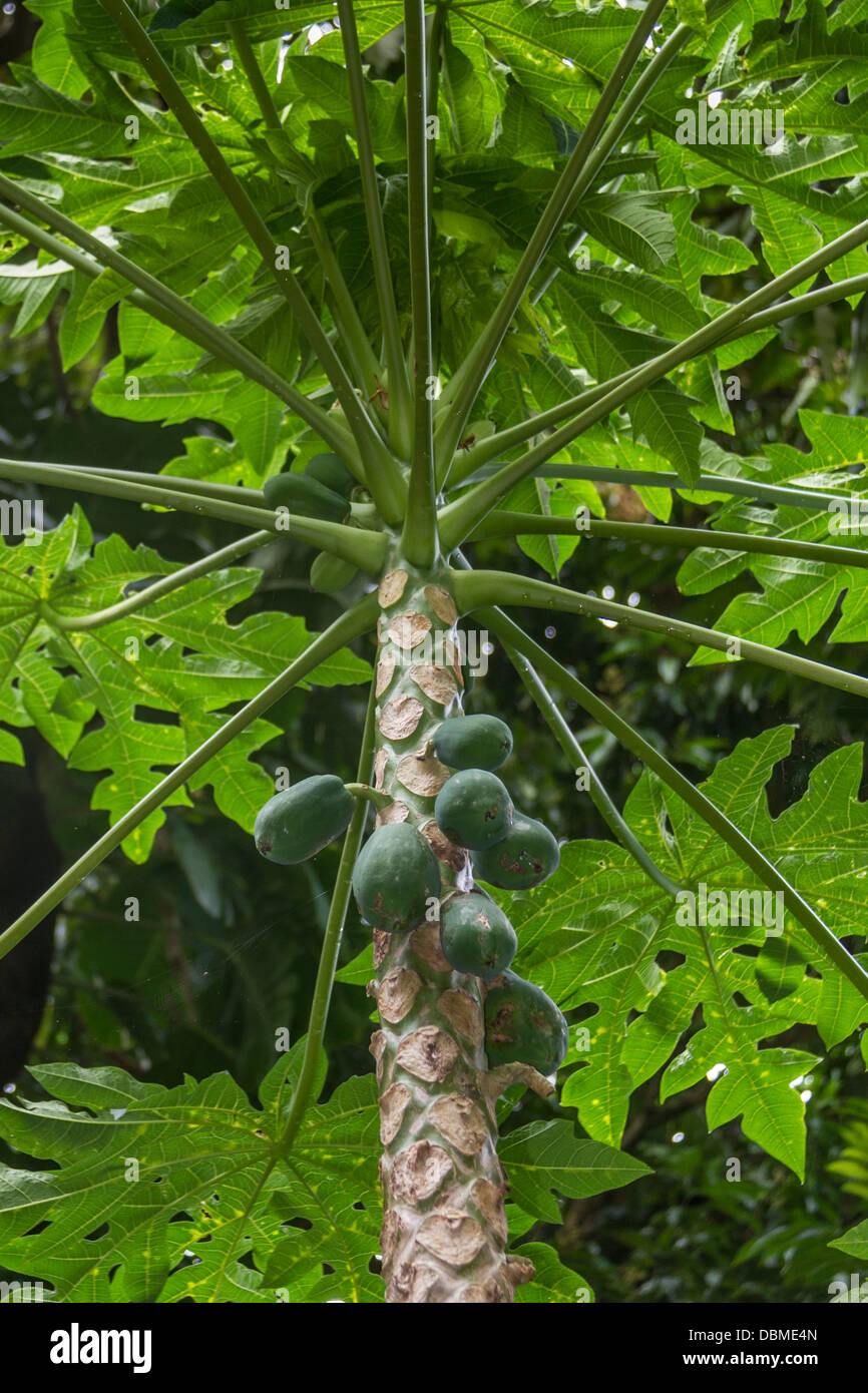 Papaya Tree on the island of Maui in Hawaii. Stock Photohttps://www.alamy.com/image-license-details/?v=1https://www.alamy.com/stock-photo-papaya-tree-on-the-island-of-maui-in-hawaii-58842469.html
RFDBME4N–Papaya Tree on the island of Maui in Hawaii.
 Hawaii hand drawn cartoon doodle illustration. Funny Hawaiian design. Creative art vector background. Exotic island elements and objects. Chalkboard c Stock Vectorhttps://www.alamy.com/image-license-details/?v=1https://www.alamy.com/hawaii-hand-drawn-cartoon-doodle-illustration-funny-hawaiian-design-creative-art-vector-background-exotic-island-elements-and-objects-chalkboard-c-image500979163.html
RF2M31G0Y–Hawaii hand drawn cartoon doodle illustration. Funny Hawaiian design. Creative art vector background. Exotic island elements and objects. Chalkboard c
 Deck of a Catamaran in the Pacific Ocean between Maui and Lanai islands on the Hawaiian archipelago - Tranquil cruise for whale watching in winter in Stock Photohttps://www.alamy.com/image-license-details/?v=1https://www.alamy.com/deck-of-a-catamaran-in-the-pacific-ocean-between-maui-and-lanai-islands-on-the-hawaiian-archipelago-tranquil-cruise-for-whale-watching-in-winter-in-image469990328.html
RF2J8HWCT–Deck of a Catamaran in the Pacific Ocean between Maui and Lanai islands on the Hawaiian archipelago - Tranquil cruise for whale watching in winter in
 Monk seals are found in the Hawaiian archipelago, certain areas in the Mediterranean Sea and formerly in the tropical areas of the west Atlantic Ocean Stock Photohttps://www.alamy.com/image-license-details/?v=1https://www.alamy.com/monk-seals-are-found-in-the-hawaiian-archipelago-certain-areas-in-the-mediterranean-sea-and-formerly-in-the-tropical-areas-of-the-west-atlantic-ocean-image231130831.html
RFRC0WMF–Monk seals are found in the Hawaiian archipelago, certain areas in the Mediterranean Sea and formerly in the tropical areas of the west Atlantic Ocean
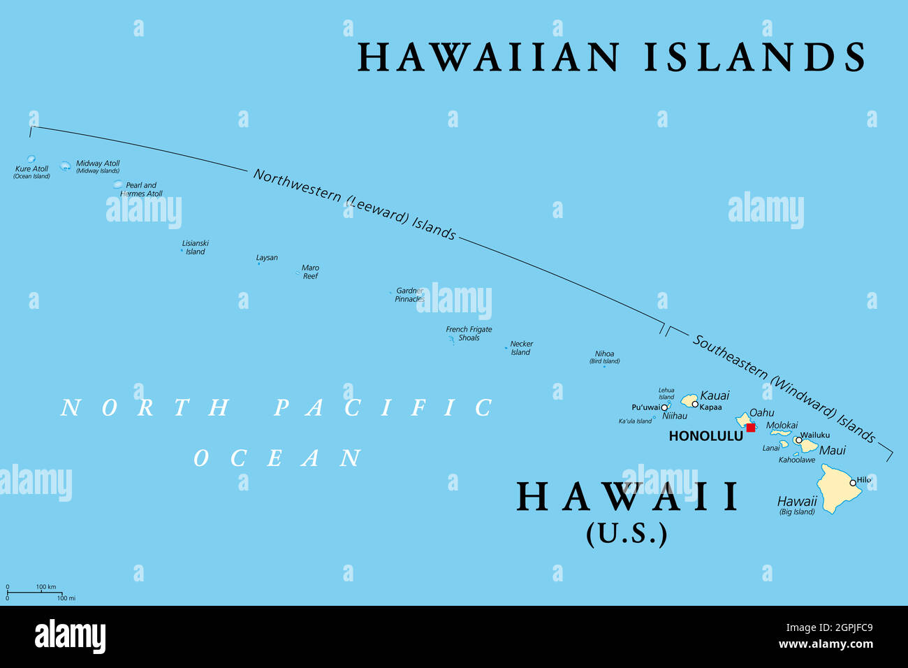 Hawaiian Islands, political map, the state of Hawaii and Midway Island Stock Vectorhttps://www.alamy.com/image-license-details/?v=1https://www.alamy.com/hawaiian-islands-political-map-the-state-of-hawaii-and-midway-island-image444188873.html
RF2GPJFC9–Hawaiian Islands, political map, the state of Hawaii and Midway Island
 General guide to the exhibition halls of the American Museum of Natural History . Hawaiian island ofKauai, with slopes and gorges descendingabout 4000 feet from the high plateau ofthe island toward low banks above thebeach. The opposite or windward side ofKauai is extremely rainy and, on theright, fragments of storm clouds areshown whisking out over the valleywhich, however, is not very humid be-cause most of the rainfall is precipitatedfarther to windward. The Hawaiian archipelago, like that ofthe Galapagos, has been isolated fromother land areas throughout many ages,and some of the native bi Stock Photohttps://www.alamy.com/image-license-details/?v=1https://www.alamy.com/general-guide-to-the-exhibition-halls-of-the-american-museum-of-natural-history-hawaiian-island-ofkauai-with-slopes-and-gorges-descendingabout-4000-feet-from-the-high-plateau-ofthe-island-toward-low-banks-above-thebeach-the-opposite-or-windward-side-ofkauai-is-extremely-rainy-and-on-theright-fragments-of-storm-clouds-areshown-whisking-out-over-the-valleywhich-however-is-not-very-humid-be-cause-most-of-the-rainfall-is-precipitatedfarther-to-windward-the-hawaiian-archipelago-like-that-ofthe-galapagos-has-been-isolated-fromother-land-areas-throughout-many-agesand-some-of-the-native-bi-image339973834.html
RM2AN342J–General guide to the exhibition halls of the American Museum of Natural History . Hawaiian island ofKauai, with slopes and gorges descendingabout 4000 feet from the high plateau ofthe island toward low banks above thebeach. The opposite or windward side ofKauai is extremely rainy and, on theright, fragments of storm clouds areshown whisking out over the valleywhich, however, is not very humid be-cause most of the rainfall is precipitatedfarther to windward. The Hawaiian archipelago, like that ofthe Galapagos, has been isolated fromother land areas throughout many ages,and some of the native bi
 The Sandwich Islands , later known as the Hawaiian Islands , an archipelago in the United States of America .Seen here King of the Sandwich Islands , Kalakaua I . 16 July 1881 Stock Photohttps://www.alamy.com/image-license-details/?v=1https://www.alamy.com/the-sandwich-islands-later-known-as-the-hawaiian-islands-an-archipelago-in-the-united-states-of-america-seen-here-king-of-the-sandwich-islands-kalakaua-i-16-july-1881-image623893965.html
RM2Y70R39–The Sandwich Islands , later known as the Hawaiian Islands , an archipelago in the United States of America .Seen here King of the Sandwich Islands , Kalakaua I . 16 July 1881
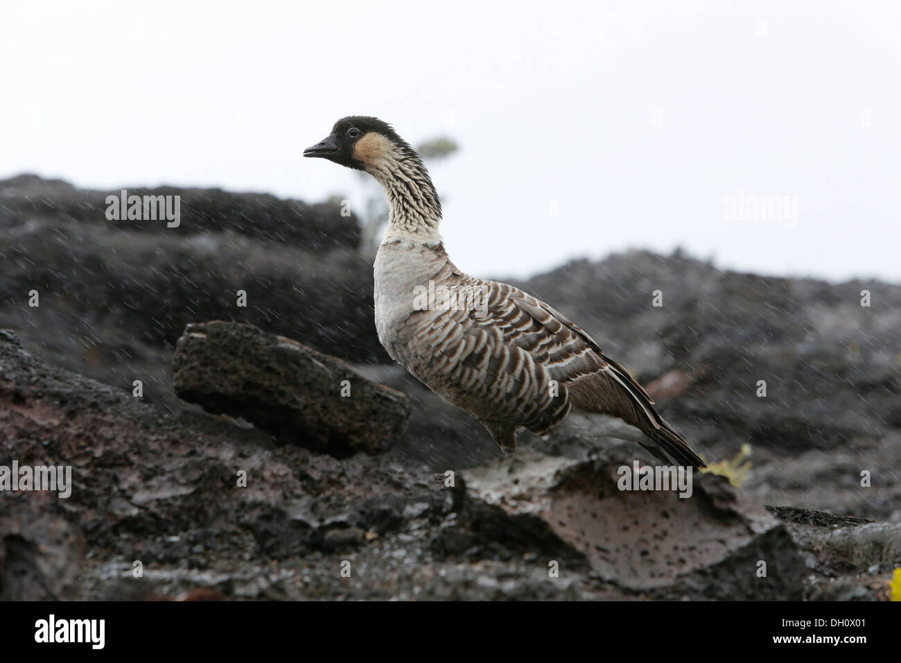 Nene, Hawaiian Goose (Branta sandvicensis), in the rain, Mauna Ulu, Hawaii Volcanoes National Park, Big Island, USA Stock Photohttps://www.alamy.com/image-license-details/?v=1https://www.alamy.com/nene-hawaiian-goose-branta-sandvicensis-in-the-rain-mauna-ulu-hawaii-image62100641.html
RMDH0X01–Nene, Hawaiian Goose (Branta sandvicensis), in the rain, Mauna Ulu, Hawaii Volcanoes National Park, Big Island, USA
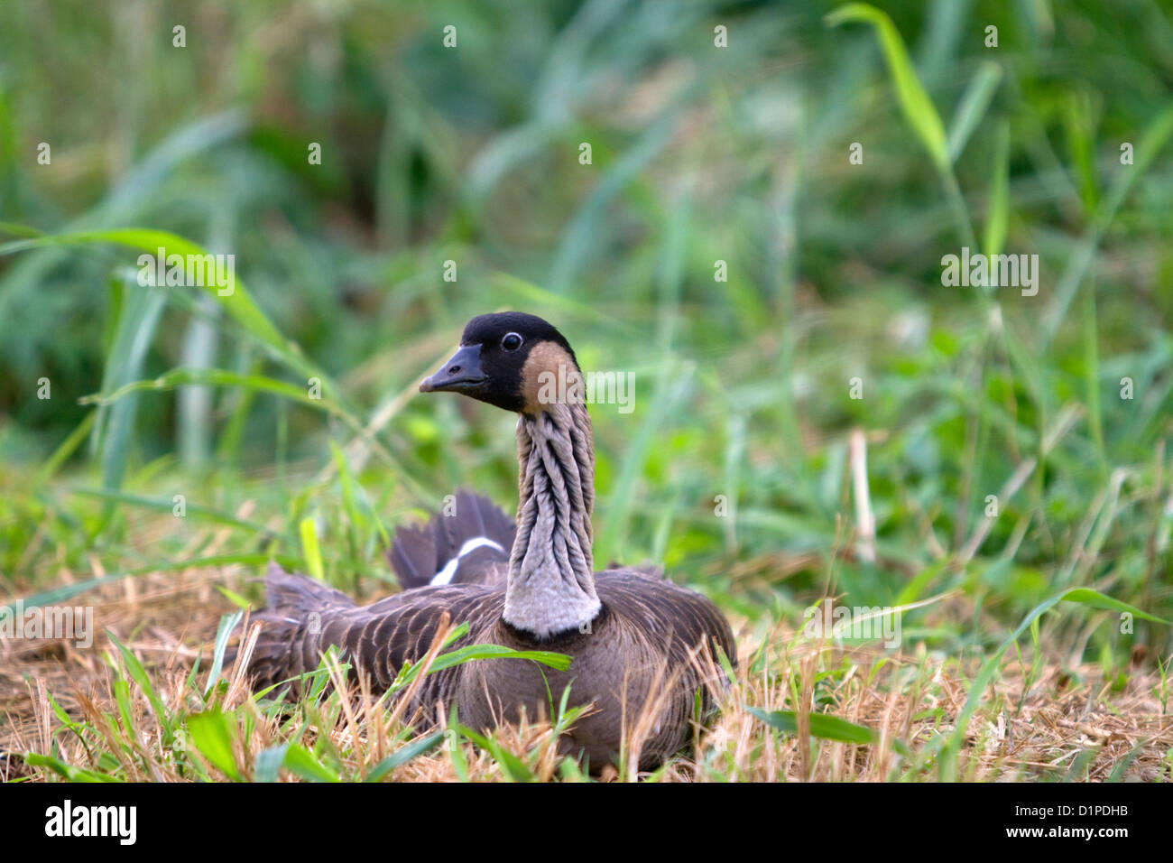 Nene Hawaiian Goose on the island of Kauai, Hawaii, USA. Stock Photohttps://www.alamy.com/image-license-details/?v=1https://www.alamy.com/stock-photo-nene-hawaiian-goose-on-the-island-of-kauai-hawaii-usa-52739383.html
RMD1PDHB–Nene Hawaiian Goose on the island of Kauai, Hawaii, USA.
 Sunrise over Haleakala Crater, Haleakala National Park, Maui, Hawaii Stock Photohttps://www.alamy.com/image-license-details/?v=1https://www.alamy.com/sunrise-over-haleakala-crater-haleakala-national-park-maui-hawaii-image452096080.html
RF2H7EN4G–Sunrise over Haleakala Crater, Haleakala National Park, Maui, Hawaii
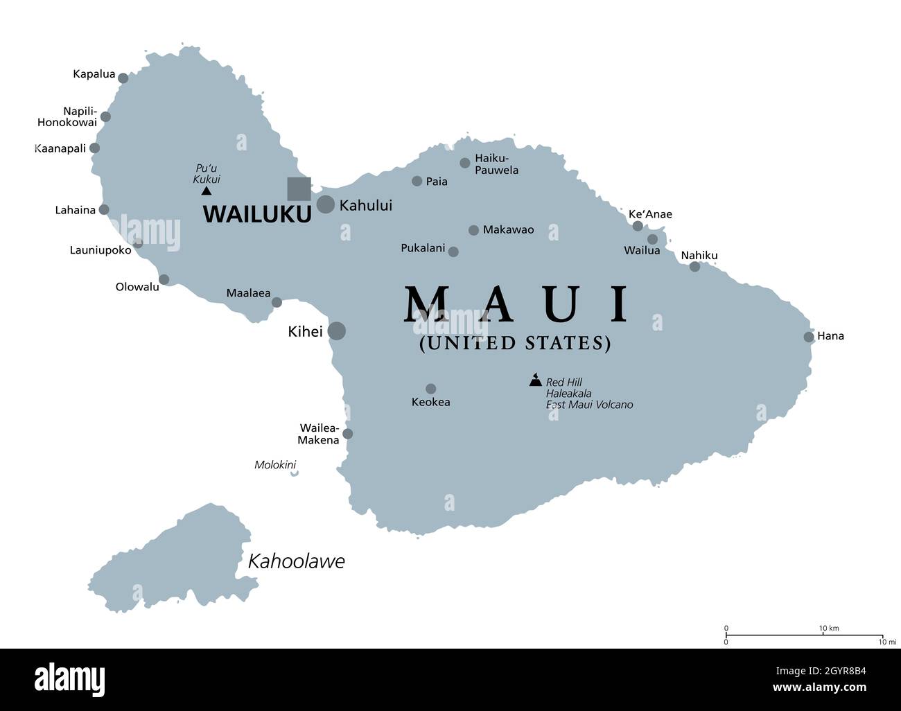 Maui, Hawaii, gray political map with capital Wailuku. Part of Hawaiian Islands and Hawaii, a state of the United States in North Pacific Ocean. Stock Photohttps://www.alamy.com/image-license-details/?v=1https://www.alamy.com/maui-hawaii-gray-political-map-with-capital-wailuku-part-of-hawaiian-islands-and-hawaii-a-state-of-the-united-states-in-north-pacific-ocean-image447366392.html
RF2GYR8B4–Maui, Hawaii, gray political map with capital Wailuku. Part of Hawaiian Islands and Hawaii, a state of the United States in North Pacific Ocean.
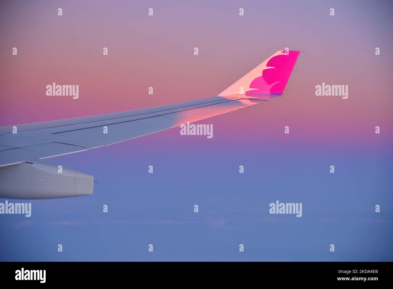 Honolulu airport is the home base of Hawaiian Airlines, Oahu HI Stock Photohttps://www.alamy.com/image-license-details/?v=1https://www.alamy.com/honolulu-airport-is-the-home-base-of-hawaiian-airlines-oahu-hi-image490103891.html
RM2KDA4EB–Honolulu airport is the home base of Hawaiian Airlines, Oahu HI
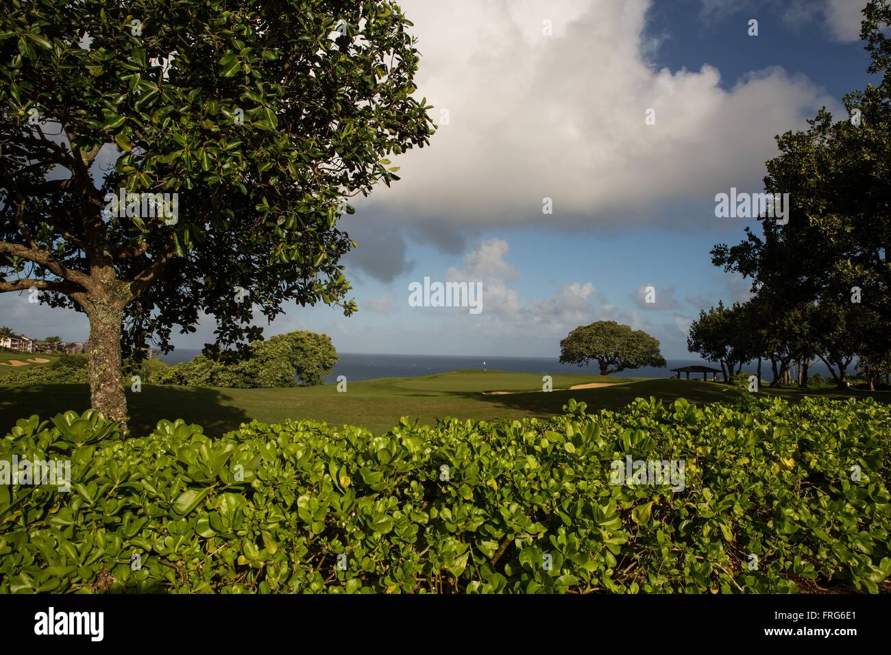 Kauai, Hawaii, USA. 21st Dec, 2015. View of the ocean and the golf course at the Westin Princeville Ocean Resort on the north shore. Kauai is the fourth largest of the main islands in the Hawaiian archipelago, and the 21st largest island in the United States. Known also as the 'Garden Isle', Kauai lies 105 miles (169 km) across the Kauai Channel, northwest of Oahu. Kauai islands origins are volcanic, having been formed by the passage of the Pacific Plate over the Hawaii hotspot. At approximately six million years old, it is the oldest of the main islands. (Credit Image: © Ruaridh Stewart/ZUMA Stock Photohttps://www.alamy.com/image-license-details/?v=1https://www.alamy.com/stock-photo-kauai-hawaii-usa-21st-dec-2015-view-of-the-ocean-and-the-golf-course-100545257.html
RMFRG6E1–Kauai, Hawaii, USA. 21st Dec, 2015. View of the ocean and the golf course at the Westin Princeville Ocean Resort on the north shore. Kauai is the fourth largest of the main islands in the Hawaiian archipelago, and the 21st largest island in the United States. Known also as the 'Garden Isle', Kauai lies 105 miles (169 km) across the Kauai Channel, northwest of Oahu. Kauai islands origins are volcanic, having been formed by the passage of the Pacific Plate over the Hawaii hotspot. At approximately six million years old, it is the oldest of the main islands. (Credit Image: © Ruaridh Stewart/ZUMA
 The US state flag of Hawaii waving in the wind on a clear day. Hawaii is a state in the Western United States, located in the Pacific Ocean. Democracy Stock Photohttps://www.alamy.com/image-license-details/?v=1https://www.alamy.com/the-us-state-flag-of-hawaii-waving-in-the-wind-on-a-clear-day-hawaii-is-a-state-in-the-western-united-states-located-in-the-pacific-ocean-democracy-image475929037.html
RF2JJ8C9H–The US state flag of Hawaii waving in the wind on a clear day. Hawaii is a state in the Western United States, located in the Pacific Ocean. Democracy
 Niihau island in the Pacific Ocean viewed from Kauai's west coast at sunset Stock Photohttps://www.alamy.com/image-license-details/?v=1https://www.alamy.com/stock-photo-niihau-island-in-the-pacific-ocean-viewed-from-kauais-west-coast-at-89987792.html
RMF6B89M–Niihau island in the Pacific Ocean viewed from Kauai's west coast at sunset