Quick filters:
Haynesville east Stock Photos and Images
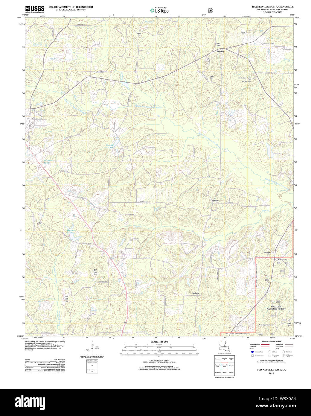 USGS TOPO Map Louisiana LA Haynesville East 20120409 TM Restoration Stock Photohttps://www.alamy.com/image-license-details/?v=1https://www.alamy.com/usgs-topo-map-louisiana-la-haynesville-east-20120409-tm-restoration-image260570524.html
RMW3X0A4–USGS TOPO Map Louisiana LA Haynesville East 20120409 TM Restoration
 EAST CHINA SEA (Feb. 2, 2019) Yeoman 2nd Class Walter Jackson, from Haynesville, Ala., left, acts as the torch during an in-port emergency training drill aboard the Arleigh Burke-class guided-missile destroyer USS McCampbell (DDG 85). McCampbell is forward-deployed to the U.S. 7th Fleet area of operations in support of security and stability in the Indo-Pacific region. Stock Photohttps://www.alamy.com/image-license-details/?v=1https://www.alamy.com/east-china-sea-feb-2-2019-yeoman-2nd-class-walter-jackson-from-haynesville-ala-left-acts-as-the-torch-during-an-in-port-emergency-training-drill-aboard-the-arleigh-burke-class-guided-missile-destroyer-uss-mccampbell-ddg-85-mccampbell-is-forward-deployed-to-the-us-7th-fleet-area-of-operations-in-support-of-security-and-stability-in-the-indo-pacific-region-image238736627.html
RMRTBB03–EAST CHINA SEA (Feb. 2, 2019) Yeoman 2nd Class Walter Jackson, from Haynesville, Ala., left, acts as the torch during an in-port emergency training drill aboard the Arleigh Burke-class guided-missile destroyer USS McCampbell (DDG 85). McCampbell is forward-deployed to the U.S. 7th Fleet area of operations in support of security and stability in the Indo-Pacific region.
![. Geology and agriculture. be found. Hay7iesville.—Around Haynesville the topographic relief isnot so great as farther east. Gray sands and clays occur in theroad cuts, and gravel crops out on the hillsides. Homer.—Six miles northwest of Homer on the Honier-Haynesville road the light gray sands of the Gordon region arereplaced by red lands. These red lands occur with scarcely aninterruption to Homer. At Homer the railroad cut shows 18feet of light yellow to white strongly cross-bedded sands with. 11] General Geology : Jackson Eocene 89 horizontal layers of. white cla}- pebbles, and near the to Stock Photo . Geology and agriculture. be found. Hay7iesville.—Around Haynesville the topographic relief isnot so great as farther east. Gray sands and clays occur in theroad cuts, and gravel crops out on the hillsides. Homer.—Six miles northwest of Homer on the Honier-Haynesville road the light gray sands of the Gordon region arereplaced by red lands. These red lands occur with scarcely aninterruption to Homer. At Homer the railroad cut shows 18feet of light yellow to white strongly cross-bedded sands with. 11] General Geology : Jackson Eocene 89 horizontal layers of. white cla}- pebbles, and near the to Stock Photo](https://c8.alamy.com/comp/2CF0064/geology-and-agriculture-be-found-hay7iesvillearound-haynesville-the-topographic-relief-isnot-so-great-as-farther-east-gray-sands-and-clays-occur-in-theroad-cuts-and-gravel-crops-out-on-the-hillsides-homersix-miles-northwest-of-homer-on-the-honier-haynesville-road-the-light-gray-sands-of-the-gordon-region-arereplaced-by-red-lands-these-red-lands-occur-with-scarcely-aninterruption-to-homer-at-homer-the-railroad-cut-shows-18feet-of-light-yellow-to-white-strongly-cross-bedded-sands-with-11-general-geology-jackson-eocene-89-horizontal-layers-of-white-cla-pebbles-and-near-the-to-2CF0064.jpg) . Geology and agriculture. be found. Hay7iesville.—Around Haynesville the topographic relief isnot so great as farther east. Gray sands and clays occur in theroad cuts, and gravel crops out on the hillsides. Homer.—Six miles northwest of Homer on the Honier-Haynesville road the light gray sands of the Gordon region arereplaced by red lands. These red lands occur with scarcely aninterruption to Homer. At Homer the railroad cut shows 18feet of light yellow to white strongly cross-bedded sands with. 11] General Geology : Jackson Eocene 89 horizontal layers of. white cla}- pebbles, and near the to Stock Photohttps://www.alamy.com/image-license-details/?v=1https://www.alamy.com/geology-and-agriculture-be-found-hay7iesvillearound-haynesville-the-topographic-relief-isnot-so-great-as-farther-east-gray-sands-and-clays-occur-in-theroad-cuts-and-gravel-crops-out-on-the-hillsides-homersix-miles-northwest-of-homer-on-the-honier-haynesville-road-the-light-gray-sands-of-the-gordon-region-arereplaced-by-red-lands-these-red-lands-occur-with-scarcely-aninterruption-to-homer-at-homer-the-railroad-cut-shows-18feet-of-light-yellow-to-white-strongly-cross-bedded-sands-with-11-general-geology-jackson-eocene-89-horizontal-layers-of-white-cla-pebbles-and-near-the-to-image370637740.html
. Geology and agriculture. be found. Hay7iesville.—Around Haynesville the topographic relief isnot so great as farther east. Gray sands and clays occur in theroad cuts, and gravel crops out on the hillsides. Homer.—Six miles northwest of Homer on the Honier-Haynesville road the light gray sands of the Gordon region arereplaced by red lands. These red lands occur with scarcely aninterruption to Homer. At Homer the railroad cut shows 18feet of light yellow to white strongly cross-bedded sands with. 11] General Geology : Jackson Eocene 89 horizontal layers of. white cla}- pebbles, and near the to Stock Photohttps://www.alamy.com/image-license-details/?v=1https://www.alamy.com/geology-and-agriculture-be-found-hay7iesvillearound-haynesville-the-topographic-relief-isnot-so-great-as-farther-east-gray-sands-and-clays-occur-in-theroad-cuts-and-gravel-crops-out-on-the-hillsides-homersix-miles-northwest-of-homer-on-the-honier-haynesville-road-the-light-gray-sands-of-the-gordon-region-arereplaced-by-red-lands-these-red-lands-occur-with-scarcely-aninterruption-to-homer-at-homer-the-railroad-cut-shows-18feet-of-light-yellow-to-white-strongly-cross-bedded-sands-with-11-general-geology-jackson-eocene-89-horizontal-layers-of-white-cla-pebbles-and-near-the-to-image370637740.htmlRM2CF0064–. Geology and agriculture. be found. Hay7iesville.—Around Haynesville the topographic relief isnot so great as farther east. Gray sands and clays occur in theroad cuts, and gravel crops out on the hillsides. Homer.—Six miles northwest of Homer on the Honier-Haynesville road the light gray sands of the Gordon region arereplaced by red lands. These red lands occur with scarcely aninterruption to Homer. At Homer the railroad cut shows 18feet of light yellow to white strongly cross-bedded sands with. 11] General Geology : Jackson Eocene 89 horizontal layers of. white cla}- pebbles, and near the to
 Haynesville East, Louisiana, map 2003, 1:24000, United States of America by Timeless Maps, data U.S. Geological Survey Stock Photohttps://www.alamy.com/image-license-details/?v=1https://www.alamy.com/haynesville-east-louisiana-map-2003-124000-united-states-of-america-by-timeless-maps-data-us-geological-survey-image406572944.html
RM2EHCYX8–Haynesville East, Louisiana, map 2003, 1:24000, United States of America by Timeless Maps, data U.S. Geological Survey
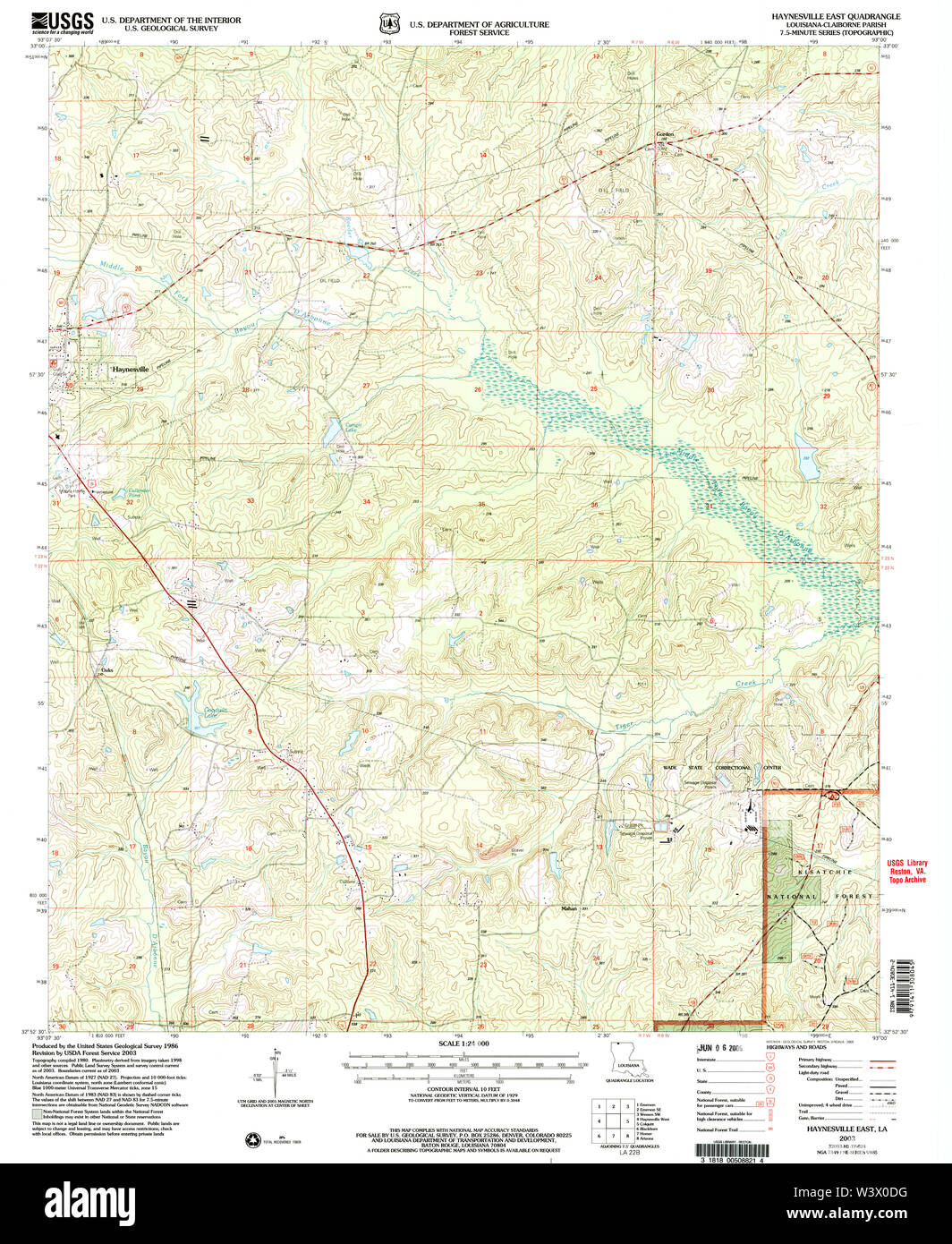 USGS TOPO Map Louisiana LA Haynesville East 332220 2003 24000 Restoration Stock Photohttps://www.alamy.com/image-license-details/?v=1https://www.alamy.com/usgs-topo-map-louisiana-la-haynesville-east-332220-2003-24000-restoration-image260570620.html
RMW3X0DG–USGS TOPO Map Louisiana LA Haynesville East 332220 2003 24000 Restoration
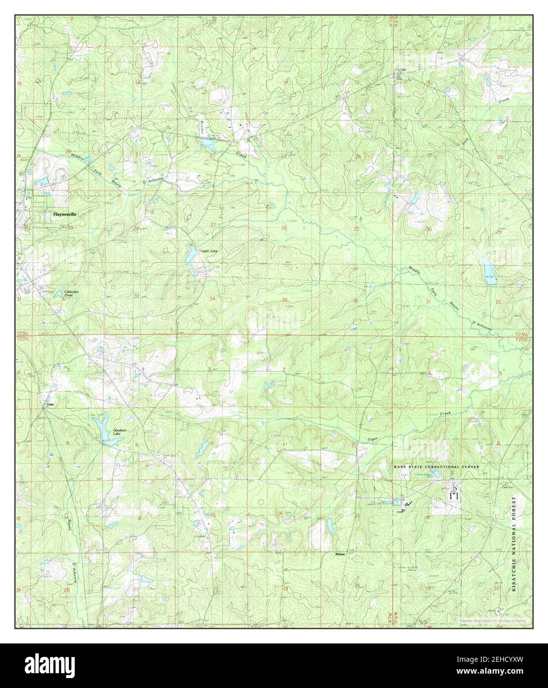 Haynesville East, Louisiana, map 1986, 1:24000, United States of America by Timeless Maps, data U.S. Geological Survey Stock Photohttps://www.alamy.com/image-license-details/?v=1https://www.alamy.com/haynesville-east-louisiana-map-1986-124000-united-states-of-america-by-timeless-maps-data-us-geological-survey-image406572961.html
RM2EHCYXW–Haynesville East, Louisiana, map 1986, 1:24000, United States of America by Timeless Maps, data U.S. Geological Survey
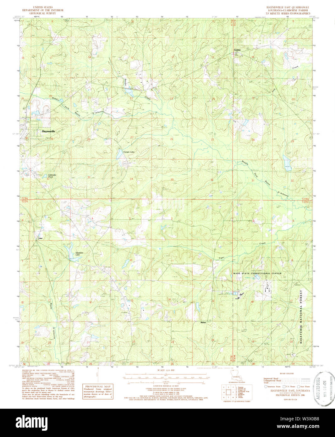 USGS TOPO Map Louisiana LA Haynesville East 332219 1986 24000 Restoration Stock Photohttps://www.alamy.com/image-license-details/?v=1https://www.alamy.com/usgs-topo-map-louisiana-la-haynesville-east-332219-1986-24000-restoration-image260570556.html
RMW3X0B8–USGS TOPO Map Louisiana LA Haynesville East 332219 1986 24000 Restoration
 USGS TOPO Map Louisiana LA Haynesville East 20120409 TM Inverted Restoration Stock Photohttps://www.alamy.com/image-license-details/?v=1https://www.alamy.com/usgs-topo-map-louisiana-la-haynesville-east-20120409-tm-inverted-restoration-image260570470.html
RMW3X086–USGS TOPO Map Louisiana LA Haynesville East 20120409 TM Inverted Restoration
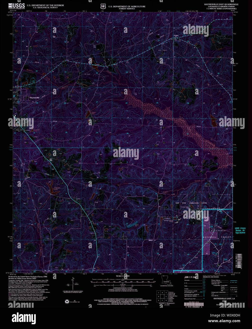 USGS TOPO Map Louisiana LA Haynesville East 332220 2003 24000 Inverted Restoration Stock Photohttps://www.alamy.com/image-license-details/?v=1https://www.alamy.com/usgs-topo-map-louisiana-la-haynesville-east-332220-2003-24000-inverted-restoration-image260570621.html
RMW3X0DH–USGS TOPO Map Louisiana LA Haynesville East 332220 2003 24000 Inverted Restoration
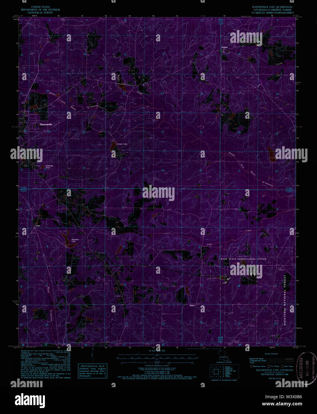 USGS TOPO Map Louisiana LA Haynesville East 332219 1986 24000 Inverted Restoration Stock Photohttps://www.alamy.com/image-license-details/?v=1https://www.alamy.com/usgs-topo-map-louisiana-la-haynesville-east-332219-1986-24000-inverted-restoration-image260570554.html
RMW3X0B6–USGS TOPO Map Louisiana LA Haynesville East 332219 1986 24000 Inverted Restoration