High plateau aerial view Stock Photos and Images
(3,409)See high plateau aerial view stock video clipsQuick filters:
High plateau aerial view Stock Photos and Images
 Moon Plateau stone desert heights aerial panoramic view, view of Baska, Senj, Vela and Mala Luka on Krk island Stock Photohttps://www.alamy.com/image-license-details/?v=1https://www.alamy.com/moon-plateau-stone-desert-heights-aerial-panoramic-view-view-of-baska-senj-vela-and-mala-luka-on-krk-island-image627645314.html
RF2YD3M02–Moon Plateau stone desert heights aerial panoramic view, view of Baska, Senj, Vela and Mala Luka on Krk island
 Aerial view, people going for a walk on the high plateau of Mount Kahler Asten in winter Stock Photohttps://www.alamy.com/image-license-details/?v=1https://www.alamy.com/aerial-view-people-going-for-a-walk-on-the-high-plateau-of-mount-kahler-image60258949.html
RMDE10W9–Aerial view, people going for a walk on the high plateau of Mount Kahler Asten in winter
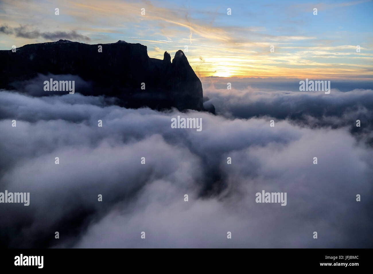 Aerial view of the high peaks at sunset, Sciliar Natural Park, Plateau of Siusi Alp, Dolomites Trentino Alto Adige, Italy Europe Stock Photohttps://www.alamy.com/image-license-details/?v=1https://www.alamy.com/stock-photo-aerial-view-of-the-high-peaks-at-sunset-sciliar-natural-park-plateau-147307116.html
RMJFJBMC–Aerial view of the high peaks at sunset, Sciliar Natural Park, Plateau of Siusi Alp, Dolomites Trentino Alto Adige, Italy Europe
 Aerial view on the 'Roof of the world': Tibet. Captured on a flight from Shanghai to Lhasa. Located on the Tibetan Plateau, the world's highest region Stock Photohttps://www.alamy.com/image-license-details/?v=1https://www.alamy.com/aerial-view-on-the-roof-of-the-world-tibet-captured-on-a-flight-from-shanghai-to-lhasa-located-on-the-tibetan-plateau-the-worlds-highest-region-image342798938.html
RF2AWKRF6–Aerial view on the 'Roof of the world': Tibet. Captured on a flight from Shanghai to Lhasa. Located on the Tibetan Plateau, the world's highest region
 Effelsberg winter sports area, Hochheideturm, high plateau, Stryck, Willingen (Upland), Sauerland, Hesse, Germany, DEU, Europe, aerial view, birds-eye Stock Photohttps://www.alamy.com/image-license-details/?v=1https://www.alamy.com/effelsberg-winter-sports-area-hochheideturm-high-plateau-stryck-willingen-upland-sauerland-hesse-germany-deu-europe-aerial-view-birds-eye-image223901989.html
RMR07H7H–Effelsberg winter sports area, Hochheideturm, high plateau, Stryck, Willingen (Upland), Sauerland, Hesse, Germany, DEU, Europe, aerial view, birds-eye
 Aerial view of the Alpe di Siusi mountain plateau in Italy Stock Photohttps://www.alamy.com/image-license-details/?v=1https://www.alamy.com/aerial-view-of-the-alpe-di-siusi-mountain-plateau-in-italy-image344981953.html
RF2B17801–Aerial view of the Alpe di Siusi mountain plateau in Italy
 Aerial view of Kavrun plateau which is a village in the Kackar mountains. Stock Photohttps://www.alamy.com/image-license-details/?v=1https://www.alamy.com/stock-photo-aerial-view-of-kavrun-plateau-which-is-a-village-in-the-kackar-mountains-123826401.html
RFH5CNRD–Aerial view of Kavrun plateau which is a village in the Kackar mountains.
 Aerial view over the Goksu river on the Taseli plateau, Turkey. Stock Photohttps://www.alamy.com/image-license-details/?v=1https://www.alamy.com/aerial-view-over-the-goksu-river-on-the-taseli-plateau-turkey-image469747441.html
RF2J86RJ9–Aerial view over the Goksu river on the Taseli plateau, Turkey.
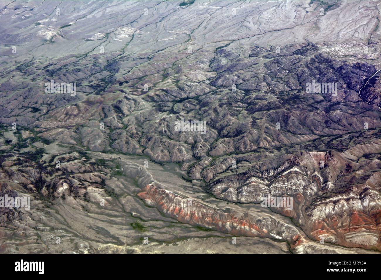 Aerial view of the Bennett Mountains in the semi-arid high desert of Carbon County, southern Wyoming, United States. Stock Photohttps://www.alamy.com/image-license-details/?v=1https://www.alamy.com/aerial-view-of-the-bennett-mountains-in-the-semi-arid-high-desert-of-carbon-county-southern-wyoming-united-states-image477499214.html
RF2JMRY3A–Aerial view of the Bennett Mountains in the semi-arid high desert of Carbon County, southern Wyoming, United States.
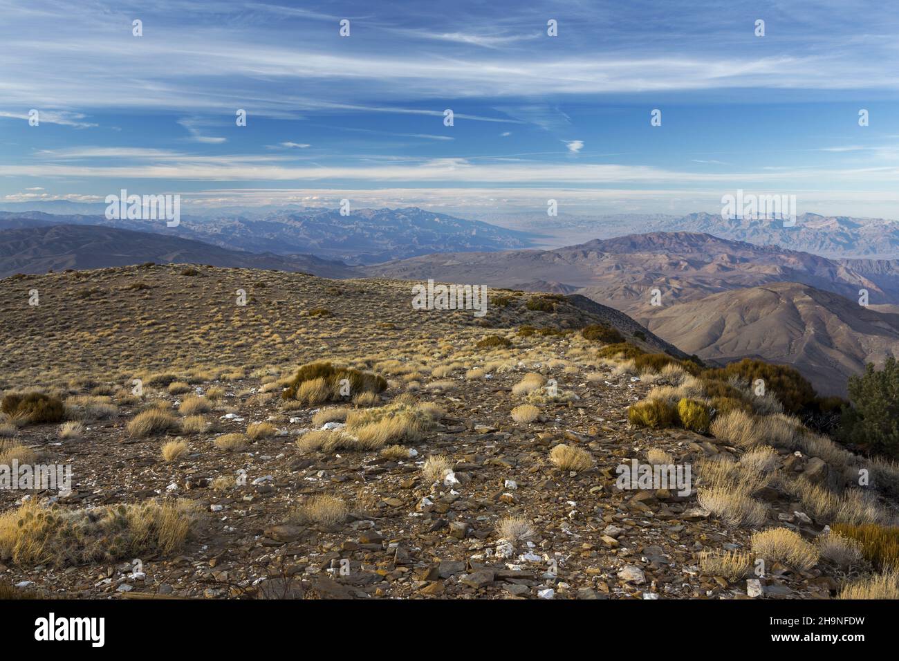 Distant Aerial Landscape View from Wildrose Mountain Peak across Death Valley National Park in California with Distant Sierra Nevada Mountains Skyline Stock Photohttps://www.alamy.com/image-license-details/?v=1https://www.alamy.com/distant-aerial-landscape-view-from-wildrose-mountain-peak-across-death-valley-national-park-in-california-with-distant-sierra-nevada-mountains-skyline-image453474613.html
RF2H9NFDW–Distant Aerial Landscape View from Wildrose Mountain Peak across Death Valley National Park in California with Distant Sierra Nevada Mountains Skyline
 chairlift ride in spring overlooking the mountains, forests, plateau Stock Photohttps://www.alamy.com/image-license-details/?v=1https://www.alamy.com/chairlift-ride-in-spring-overlooking-the-mountains-forests-plateau-image349287146.html
RF2B87B8X–chairlift ride in spring overlooking the mountains, forests, plateau
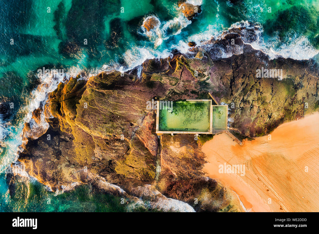 Rectangular swimming rock pool on Mona Vale beach sandstone plateau on a surf line of Pacific ocean waves in aerial top down view in soft morning ligh Stock Photohttps://www.alamy.com/image-license-details/?v=1https://www.alamy.com/rectangular-swimming-rock-pool-on-mona-vale-beach-sandstone-plateau-on-a-surf-line-of-pacific-ocean-waves-in-aerial-top-down-view-in-soft-morning-ligh-image266815177.html
RFWE2DDD–Rectangular swimming rock pool on Mona Vale beach sandstone plateau on a surf line of Pacific ocean waves in aerial top down view in soft morning ligh
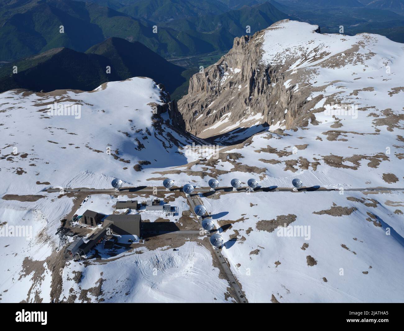 AERIAL VIEW. The Interferometer of the Bure Plateau wint the snow of May. Hautes-Alpes, France. Stock Photohttps://www.alamy.com/image-license-details/?v=1https://www.alamy.com/aerial-view-the-interferometer-of-the-bure-plateau-wint-the-snow-of-may-hautes-alpes-france-image471366957.html
RM2JATHA5–AERIAL VIEW. The Interferometer of the Bure Plateau wint the snow of May. Hautes-Alpes, France.
 High angle plateau view, spring time. Renovation of nature and high angle grassland view. Stock Photohttps://www.alamy.com/image-license-details/?v=1https://www.alamy.com/high-angle-plateau-view-spring-time-renovation-of-nature-and-high-angle-grassland-view-image469164266.html
RF2J787PJ–High angle plateau view, spring time. Renovation of nature and high angle grassland view.
 black and white view of tourist destinations in the Dieng Plateau, Central Java. see rural scenery at the foot of the Sikuning mountains and Mount Sin Stock Photohttps://www.alamy.com/image-license-details/?v=1https://www.alamy.com/black-and-white-view-of-tourist-destinations-in-the-dieng-plateau-central-java-see-rural-scenery-at-the-foot-of-the-sikuning-mountains-and-mount-sin-image384273863.html
RF2D9556F–black and white view of tourist destinations in the Dieng Plateau, Central Java. see rural scenery at the foot of the Sikuning mountains and Mount Sin
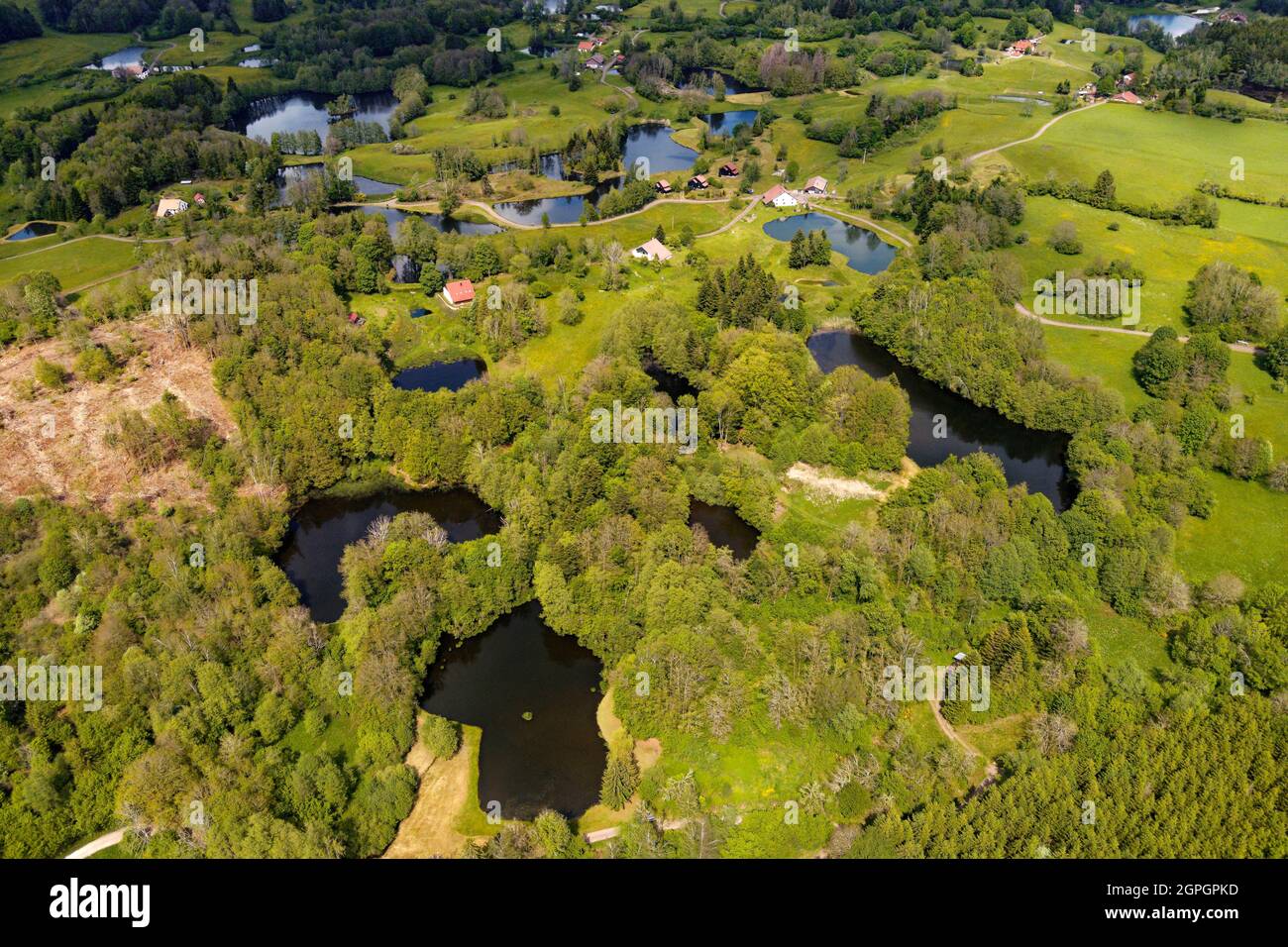 France, Haute Saone, Thousand Ponds Plateau (Plateau des Mille étangs), Les Grilloux Plateau (aerial view) Stock Photohttps://www.alamy.com/image-license-details/?v=1https://www.alamy.com/france-haute-saone-thousand-ponds-plateau-plateau-des-mille-tangs-les-grilloux-plateau-aerial-view-image444150657.html
RM2GPGPKD–France, Haute Saone, Thousand Ponds Plateau (Plateau des Mille étangs), Les Grilloux Plateau (aerial view)
 Dolomites Alps - Italy Mountains Under Clouds. View from Airplane. Stock Photohttps://www.alamy.com/image-license-details/?v=1https://www.alamy.com/dolomites-alps-italy-mountains-under-clouds-view-from-airplane-image178321901.html
RFMA37B9–Dolomites Alps - Italy Mountains Under Clouds. View from Airplane.
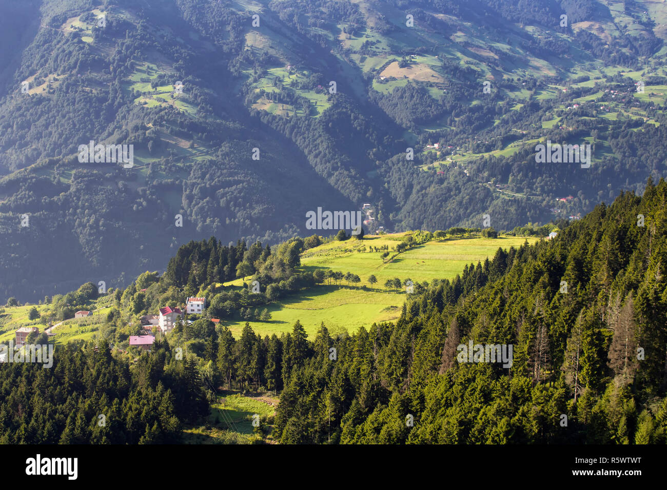 View of high plateau village, mountains, valleys and forest creating beautiful nature scene. The image is captured in Trabzon/Rize area of Black Sea r Stock Photohttps://www.alamy.com/image-license-details/?v=1https://www.alamy.com/view-of-high-plateau-village-mountains-valleys-and-forest-creating-beautiful-nature-scene-the-image-is-captured-in-trabzonrize-area-of-black-sea-r-image227376404.html
RFR5WTWT–View of high plateau village, mountains, valleys and forest creating beautiful nature scene. The image is captured in Trabzon/Rize area of Black Sea r
 View of Elbrus through the clouds of the Bermamyt plateau. Karachay-Cherkessia. Russia. Stock Photohttps://www.alamy.com/image-license-details/?v=1https://www.alamy.com/view-of-elbrus-through-the-clouds-of-the-bermamyt-plateau-karachay-cherkessia-russia-image214068623.html
RFPC7JKY–View of Elbrus through the clouds of the Bermamyt plateau. Karachay-Cherkessia. Russia.
 Moon Plateau stone desert heights aerial panoramic view, view of Baska, Senj, Vela and Mala Luka on Krk island Stock Photohttps://www.alamy.com/image-license-details/?v=1https://www.alamy.com/moon-plateau-stone-desert-heights-aerial-panoramic-view-view-of-baska-senj-vela-and-mala-luka-on-krk-island-image627645315.html
RF2YD3M03–Moon Plateau stone desert heights aerial panoramic view, view of Baska, Senj, Vela and Mala Luka on Krk island
 Aerial view, top-down view, small lake on the high plateau of the Gurgler Seenplatte, near Obergurgl, Oetztal Alps, Tyrol, Austria Stock Photohttps://www.alamy.com/image-license-details/?v=1https://www.alamy.com/aerial-view-top-down-view-small-lake-on-the-high-plateau-of-the-gurgler-seenplatte-near-obergurgl-oetztal-alps-tyrol-austria-image608436617.html
RF2X9TK35–Aerial view, top-down view, small lake on the high plateau of the Gurgler Seenplatte, near Obergurgl, Oetztal Alps, Tyrol, Austria
 Paraglider about Sella group, dolomites, aerial picture, high mountains, South Tirol, Trentino, Italy Stock Photohttps://www.alamy.com/image-license-details/?v=1https://www.alamy.com/stock-photo-paraglider-about-sella-group-dolomites-aerial-picture-high-mountains-147272625.html
RFJFGRMH–Paraglider about Sella group, dolomites, aerial picture, high mountains, South Tirol, Trentino, Italy
 High mountain view at Crimea Bakhchysarai Chufut-Kale canyon Stock Photohttps://www.alamy.com/image-license-details/?v=1https://www.alamy.com/high-mountain-view-at-crimea-bakhchysarai-chufut-kale-canyon-image368746090.html
RF2CBWRB6–High mountain view at Crimea Bakhchysarai Chufut-Kale canyon
 Aerial view, High Fens Eifel Nature Park, plateau near Mützenich landscape conservation area, Fens plateau meadows and fields moorland heath complex, Stock Photohttps://www.alamy.com/image-license-details/?v=1https://www.alamy.com/aerial-view-high-fens-eifel-nature-park-plateau-near-mtzenich-landscape-conservation-area-fens-plateau-meadows-and-fields-moorland-heath-complex-image611697284.html
RM2XF563G–Aerial view, High Fens Eifel Nature Park, plateau near Mützenich landscape conservation area, Fens plateau meadows and fields moorland heath complex,
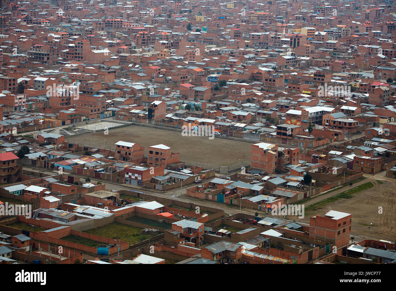 Brick buildings of El Alto (4150m/13,615ft), La Paz, Bolivia, South America - aerial Stock Photohttps://www.alamy.com/image-license-details/?v=1https://www.alamy.com/brick-buildings-of-el-alto-4150m13615ft-la-paz-bolivia-south-america-image153330219.html
RMJWCP77–Brick buildings of El Alto (4150m/13,615ft), La Paz, Bolivia, South America - aerial
 Drone photography of mountain road during summer day Stock Photohttps://www.alamy.com/image-license-details/?v=1https://www.alamy.com/drone-photography-of-mountain-road-during-summer-day-image526972283.html
RF2NH9JEK–Drone photography of mountain road during summer day
 Night view of the station of Aix en Provence, built on the Arbois plateau and located in the countryside, 15 km southwest of the city. Lights and crow Stock Photohttps://www.alamy.com/image-license-details/?v=1https://www.alamy.com/night-view-of-the-station-of-aix-en-provence-built-on-the-arbois-plateau-and-located-in-the-countryside-15-km-southwest-of-the-city-lights-and-crow-image559613406.html
RM2RECGH2–Night view of the station of Aix en Provence, built on the Arbois plateau and located in the countryside, 15 km southwest of the city. Lights and crow
 A view from Samistal plateau, a high plateau in Turkey Stock Photohttps://www.alamy.com/image-license-details/?v=1https://www.alamy.com/a-view-from-samistal-plateau-a-high-plateau-in-turkey-image566954625.html
RF2RXB0BD–A view from Samistal plateau, a high plateau in Turkey
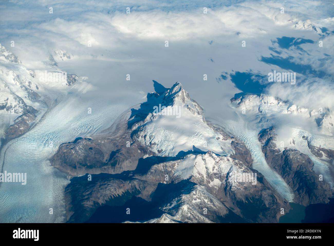 Glaciated Mountain Peaks Aerial Landscape View from Airplane window Flying High over San Rafael National Park, Chilean Patagonia Stock Photohttps://www.alamy.com/image-license-details/?v=1https://www.alamy.com/glaciated-mountain-peaks-aerial-landscape-view-from-airplane-window-flying-high-over-san-rafael-national-park-chilean-patagonia-image558742737.html
RF2RD0X1N–Glaciated Mountain Peaks Aerial Landscape View from Airplane window Flying High over San Rafael National Park, Chilean Patagonia
 Panorama of overhead view of Yakeyama forest and meadows, sunrise and sea of clouds at Utsukushigahara Plateau Stock Photohttps://www.alamy.com/image-license-details/?v=1https://www.alamy.com/panorama-of-overhead-view-of-yakeyama-forest-and-meadows-sunrise-and-sea-of-clouds-at-utsukushigahara-plateau-image566647359.html
RF2RWW0DK–Panorama of overhead view of Yakeyama forest and meadows, sunrise and sea of clouds at Utsukushigahara Plateau
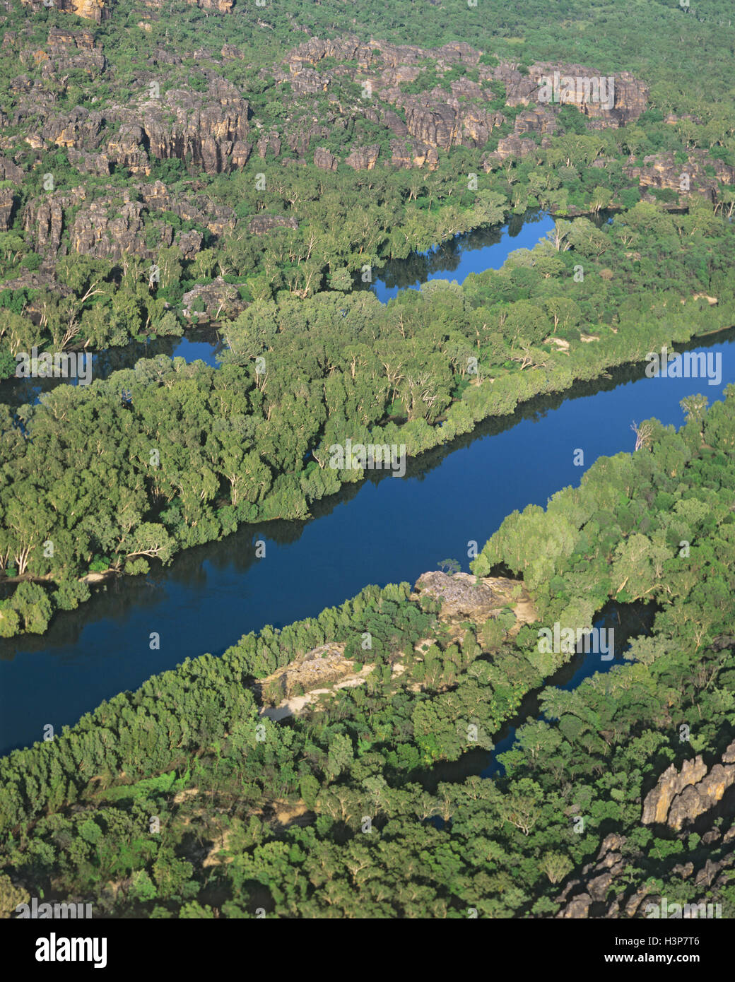 East Alligator River cutting through sandstone of the Arnhem Land Plateau, Stock Photohttps://www.alamy.com/image-license-details/?v=1https://www.alamy.com/stock-photo-east-alligator-river-cutting-through-sandstone-of-the-arnhem-land-122805654.html
RMH3P7T6–East Alligator River cutting through sandstone of the Arnhem Land Plateau,
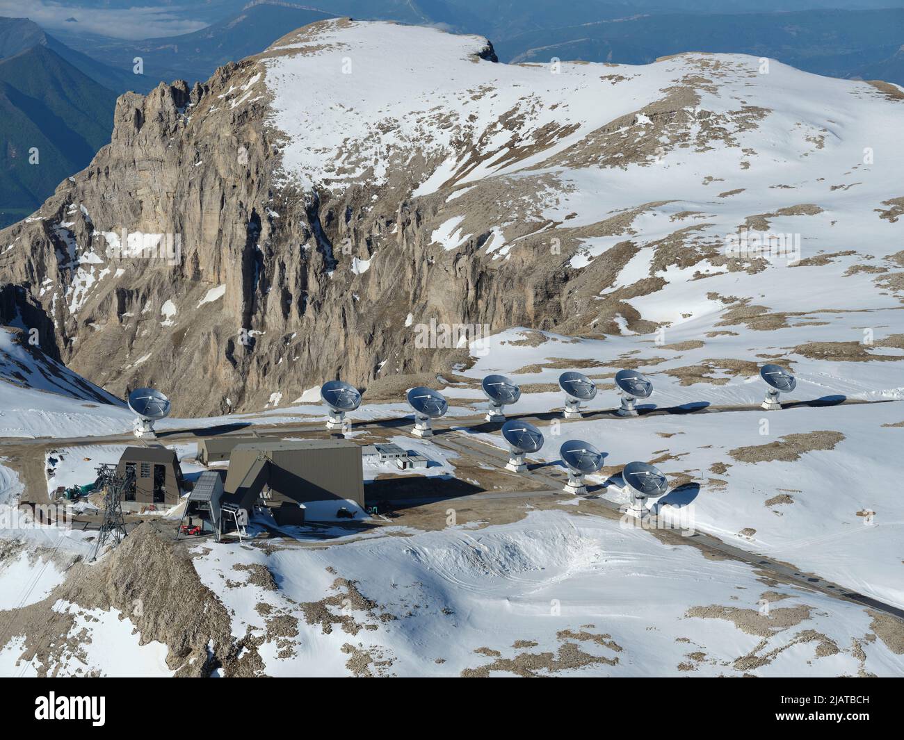 AERIAL VIEW. The Interferometer of the Bure Plateau wint the snow of May. Hautes-Alpes, France. Stock Photohttps://www.alamy.com/image-license-details/?v=1https://www.alamy.com/aerial-view-the-interferometer-of-the-bure-plateau-wint-the-snow-of-may-hautes-alpes-france-image471362321.html
RM2JATBCH–AERIAL VIEW. The Interferometer of the Bure Plateau wint the snow of May. Hautes-Alpes, France.
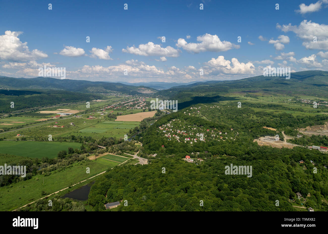 A village in the mountains. Stock Photohttps://www.alamy.com/image-license-details/?v=1https://www.alamy.com/a-village-in-the-mountains-image246936706.html
RFT9MX82–A village in the mountains.
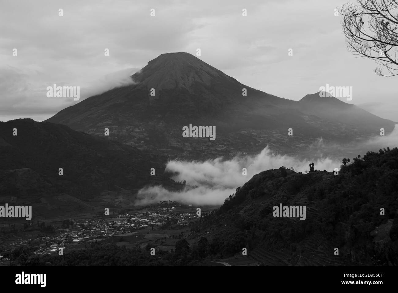 black and white view of tourist destinations in the Dieng Plateau, Central Java. see rural scenery at the foot of the Sikunir mountains and Mount Sind Stock Photohttps://www.alamy.com/image-license-details/?v=1https://www.alamy.com/black-and-white-view-of-tourist-destinations-in-the-dieng-plateau-central-java-see-rural-scenery-at-the-foot-of-the-sikunir-mountains-and-mount-sind-image384273695.html
RF2D9550F–black and white view of tourist destinations in the Dieng Plateau, Central Java. see rural scenery at the foot of the Sikunir mountains and Mount Sind
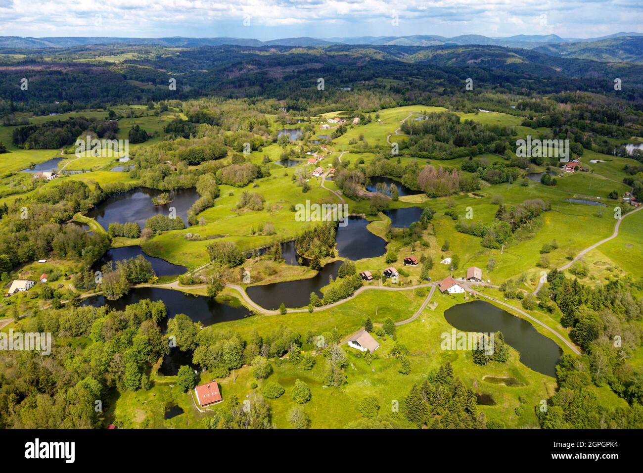 France, Haute Saone, Thousand Ponds Plateau (Plateau des Mille étangs), Les Grilloux Plateau (aerial view) Stock Photohttps://www.alamy.com/image-license-details/?v=1https://www.alamy.com/france-haute-saone-thousand-ponds-plateau-plateau-des-mille-tangs-les-grilloux-plateau-aerial-view-image444150648.html
RM2GPGPK4–France, Haute Saone, Thousand Ponds Plateau (Plateau des Mille étangs), Les Grilloux Plateau (aerial view)
 Dolomites Alps - Italy Mountains Under Clouds. View from Airplane. Stock Photohttps://www.alamy.com/image-license-details/?v=1https://www.alamy.com/dolomites-alps-italy-mountains-under-clouds-view-from-airplane-image178321895.html
RFMA37B3–Dolomites Alps - Italy Mountains Under Clouds. View from Airplane.
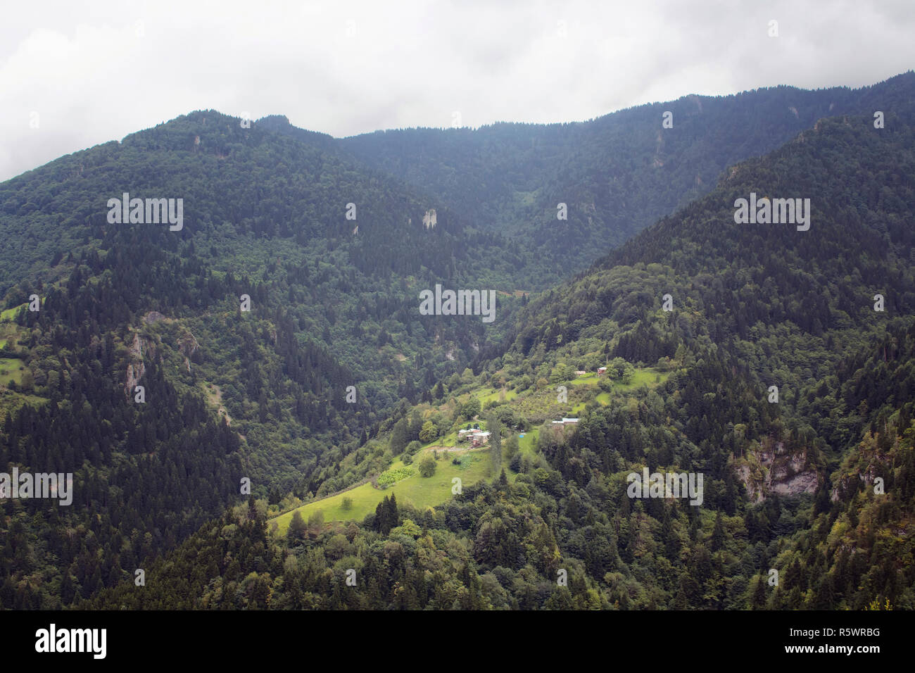 View of high plateau houses, mountains, valleys and forest in fog creating beautiful nature scene. The image is captured in Trabzon/Rize area of Black Stock Photohttps://www.alamy.com/image-license-details/?v=1https://www.alamy.com/view-of-high-plateau-houses-mountains-valleys-and-forest-in-fog-creating-beautiful-nature-scene-the-image-is-captured-in-trabzonrize-area-of-black-image227375220.html
RFR5WRBG–View of high plateau houses, mountains, valleys and forest in fog creating beautiful nature scene. The image is captured in Trabzon/Rize area of Black
 Aerial view of Valensole plateau lavender field at winter, at sunset, in National park of Verdon, in France, in Provence, in Europe. Stock Photohttps://www.alamy.com/image-license-details/?v=1https://www.alamy.com/aerial-view-of-valensole-plateau-lavender-field-at-winter-at-sunset-in-national-park-of-verdon-in-france-in-provence-in-europe-image492456816.html
RM2KH59KC–Aerial view of Valensole plateau lavender field at winter, at sunset, in National park of Verdon, in France, in Provence, in Europe.
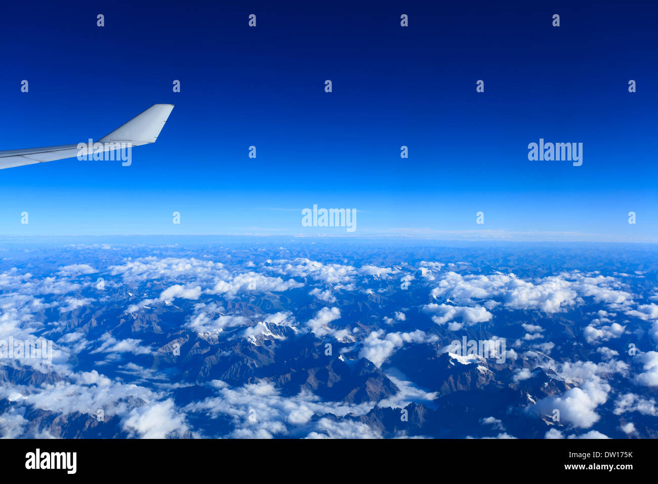 bird's eye view of tibet plateau Stock Photohttps://www.alamy.com/image-license-details/?v=1https://www.alamy.com/birds-eye-view-of-tibet-plateau-image67025103.html
RFDW175K–bird's eye view of tibet plateau
 Aerial view, top-down view, small lake on the high plateau of the Gurgler Seenplatte, near Obergurgl, Oetztal Alps, Tyrol, Austria Stock Photohttps://www.alamy.com/image-license-details/?v=1https://www.alamy.com/aerial-view-top-down-view-small-lake-on-the-high-plateau-of-the-gurgler-seenplatte-near-obergurgl-oetztal-alps-tyrol-austria-image608436615.html
RF2X9TK33–Aerial view, top-down view, small lake on the high plateau of the Gurgler Seenplatte, near Obergurgl, Oetztal Alps, Tyrol, Austria
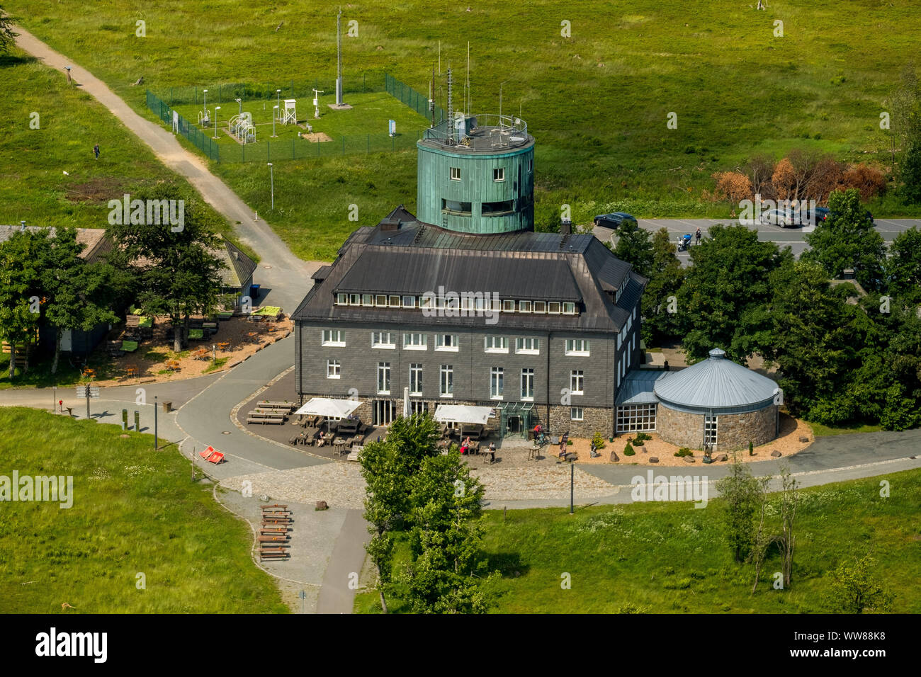 Aerial view, Kahler Asten Berghotel & Restaurants, weather station, plateau, Deutscher Wetterdienst Kahler Asten, Rothaarsteig, Winterberg, Sauerland, North Rhine-Westphalia, Germany Stock Photohttps://www.alamy.com/image-license-details/?v=1https://www.alamy.com/aerial-view-kahler-asten-berghotel-restaurants-weather-station-plateau-deutscher-wetterdienst-kahler-asten-rothaarsteig-winterberg-sauerland-north-rhine-westphalia-germany-image273704348.html
RMWW88K8–Aerial view, Kahler Asten Berghotel & Restaurants, weather station, plateau, Deutscher Wetterdienst Kahler Asten, Rothaarsteig, Winterberg, Sauerland, North Rhine-Westphalia, Germany
 High mountain view at Crimea Bakhchysarai Chufut-Kale canyon Stock Photohttps://www.alamy.com/image-license-details/?v=1https://www.alamy.com/high-mountain-view-at-crimea-bakhchysarai-chufut-kale-canyon-image468904165.html
RF2J6TC19–High mountain view at Crimea Bakhchysarai Chufut-Kale canyon
 Aerial view, High Fens Eifel Nature Park, plateau near Mützenich landscape conservation area, Fens plateau meadows and fields moorland heath complex, Stock Photohttps://www.alamy.com/image-license-details/?v=1https://www.alamy.com/aerial-view-high-fens-eifel-nature-park-plateau-near-mtzenich-landscape-conservation-area-fens-plateau-meadows-and-fields-moorland-heath-complex-image611697280.html
RM2XF563C–Aerial view, High Fens Eifel Nature Park, plateau near Mützenich landscape conservation area, Fens plateau meadows and fields moorland heath complex,
 Brick buildings of El Alto (4150m/13,615ft), La Paz, Bolivia, South America - aerial Stock Photohttps://www.alamy.com/image-license-details/?v=1https://www.alamy.com/brick-buildings-of-el-alto-4150m13615ft-la-paz-bolivia-south-america-image153330104.html
RMJWCP34–Brick buildings of El Alto (4150m/13,615ft), La Paz, Bolivia, South America - aerial
 Drone photography of mountain peak during cloudy day Stock Photohttps://www.alamy.com/image-license-details/?v=1https://www.alamy.com/drone-photography-of-mountain-peak-during-cloudy-day-image526972290.html
RF2NH9JEX–Drone photography of mountain peak during cloudy day
 Aerial view of a road on the high plateau in the interior of flores island, azores archipelago, Portugal Stock Photohttps://www.alamy.com/image-license-details/?v=1https://www.alamy.com/aerial-view-of-a-road-on-the-high-plateau-in-the-interior-of-flores-island-azores-archipelago-portugal-image490622856.html
RM2KE5PCT–Aerial view of a road on the high plateau in the interior of flores island, azores archipelago, Portugal
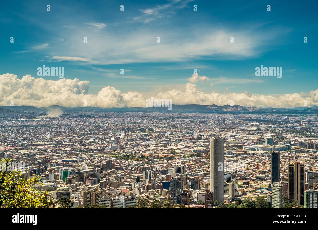 Bird's eye view of the city of Bogota, Colombia. Stock Photohttps://www.alamy.com/image-license-details/?v=1https://www.alamy.com/birds-eye-view-of-the-city-of-bogota-colombia-image232221987.html
RFRDPHEB–Bird's eye view of the city of Bogota, Colombia.
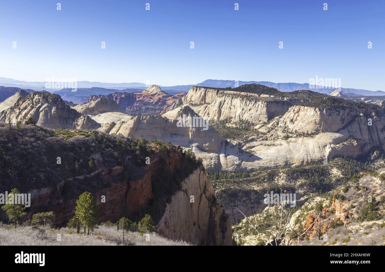 Scenic Aerial Landscape View of Red Rock Canyon Cliffs on West Rim Hiking Trail on Horse Pasture Plateau in Zion National Park, Utah USA Stock Photohttps://www.alamy.com/image-license-details/?v=1https://www.alamy.com/scenic-aerial-landscape-view-of-red-rock-canyon-cliffs-on-west-rim-hiking-trail-on-horse-pasture-plateau-in-zion-national-park-utah-usa-image463683665.html
RF2HXAH6W–Scenic Aerial Landscape View of Red Rock Canyon Cliffs on West Rim Hiking Trail on Horse Pasture Plateau in Zion National Park, Utah USA
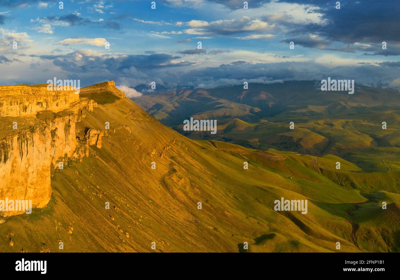 Plateau Bermamyt and hills at sunset Stock Photohttps://www.alamy.com/image-license-details/?v=1https://www.alamy.com/plateau-bermamyt-and-hills-at-sunset-image426440645.html
RF2FNP1B1–Plateau Bermamyt and hills at sunset
 East Alligator River cutting through sandstone of the Arnhem Land Plateau, Stock Photohttps://www.alamy.com/image-license-details/?v=1https://www.alamy.com/stock-photo-east-alligator-river-cutting-through-sandstone-of-the-arnhem-land-122805677.html
RMH3P7W1–East Alligator River cutting through sandstone of the Arnhem Land Plateau,
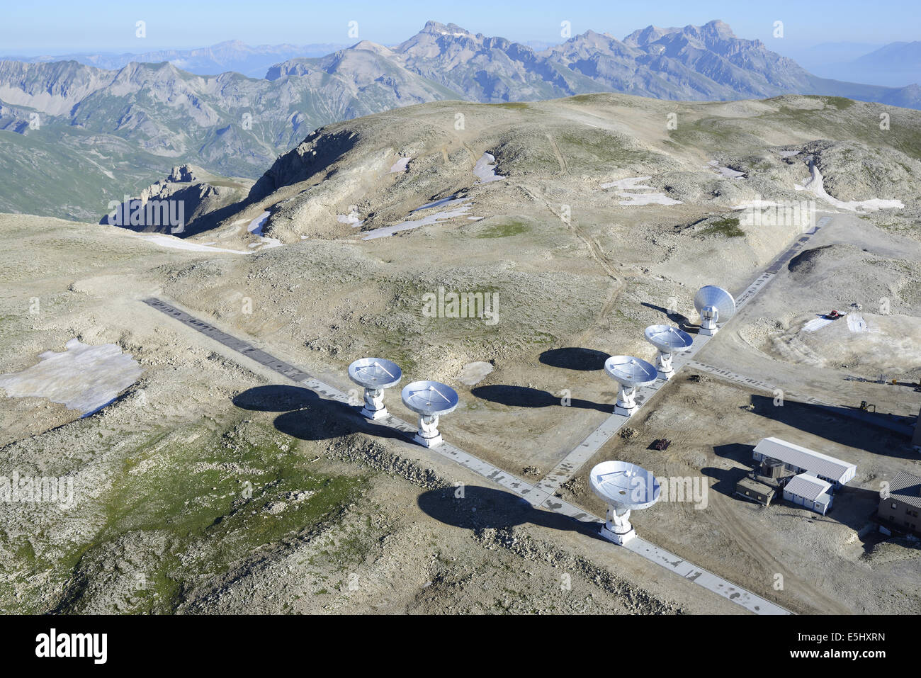 AERIAL VIEW. Plateau de Bure Observatory and Interferometer (elevation: 2565 meters). Le Dévoluy, Hautes-Alpes, France. Stock Photohttps://www.alamy.com/image-license-details/?v=1https://www.alamy.com/stock-photo-aerial-view-plateau-de-bure-observatory-and-interferometer-elevation-72308985.html
RME5HXRN–AERIAL VIEW. Plateau de Bure Observatory and Interferometer (elevation: 2565 meters). Le Dévoluy, Hautes-Alpes, France.
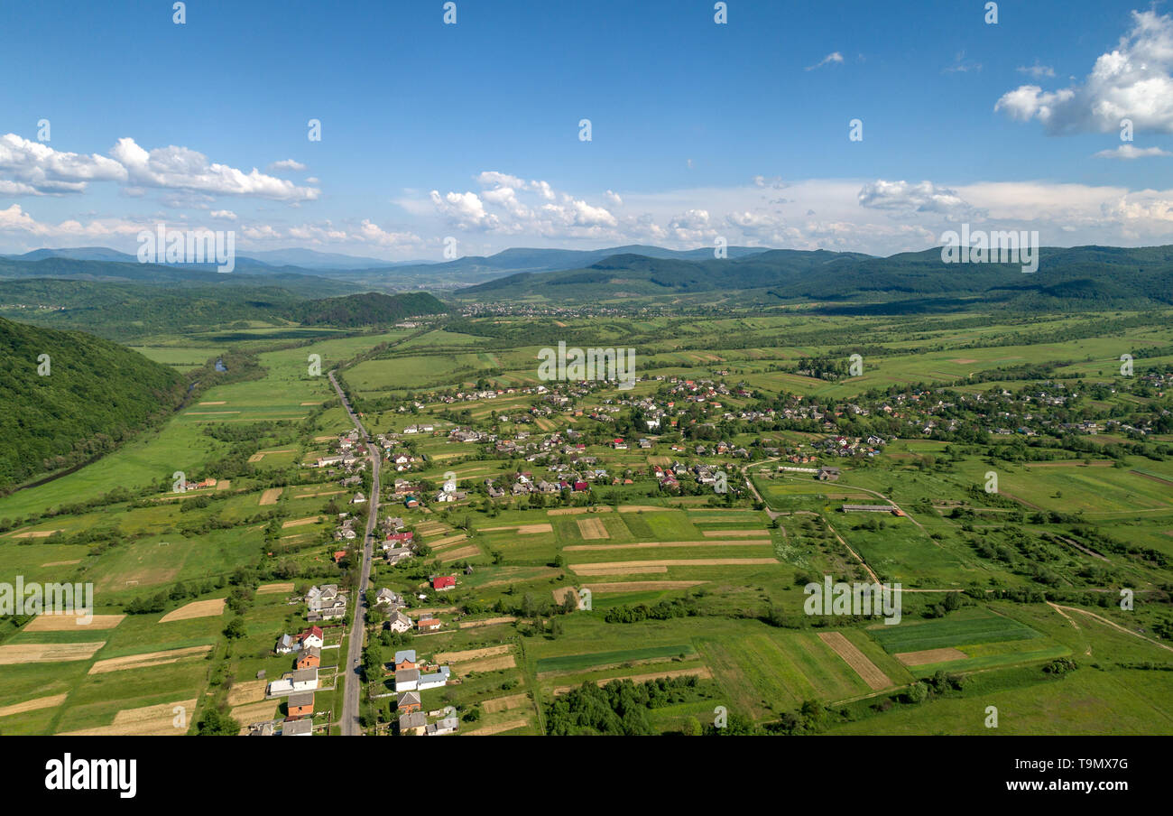 A village in the mountains. Stock Photohttps://www.alamy.com/image-license-details/?v=1https://www.alamy.com/a-village-in-the-mountains-image246936692.html
RFT9MX7G–A village in the mountains.
 Aerial view of a village in the Dieng Plateau, Indonesia. morning view of the countryside among the mountains Stock Photohttps://www.alamy.com/image-license-details/?v=1https://www.alamy.com/aerial-view-of-a-village-in-the-dieng-plateau-indonesia-morning-view-of-the-countryside-among-the-mountains-image387947184.html
RF2DF4EGG–Aerial view of a village in the Dieng Plateau, Indonesia. morning view of the countryside among the mountains
 France, Haute Saone, Thousand Ponds Plateau (Plateau des Mille étangs), Les Grilloux Plateau (aerial view) Stock Photohttps://www.alamy.com/image-license-details/?v=1https://www.alamy.com/france-haute-saone-thousand-ponds-plateau-plateau-des-mille-tangs-les-grilloux-plateau-aerial-view-image444150644.html
RM2GPGPK0–France, Haute Saone, Thousand Ponds Plateau (Plateau des Mille étangs), Les Grilloux Plateau (aerial view)
 Dolomites Alps - Italy Mountains Under Clouds. View from Airplane. Stock Photohttps://www.alamy.com/image-license-details/?v=1https://www.alamy.com/dolomites-alps-italy-mountains-under-clouds-view-from-airplane-image178321908.html
RFMA37BG–Dolomites Alps - Italy Mountains Under Clouds. View from Airplane.
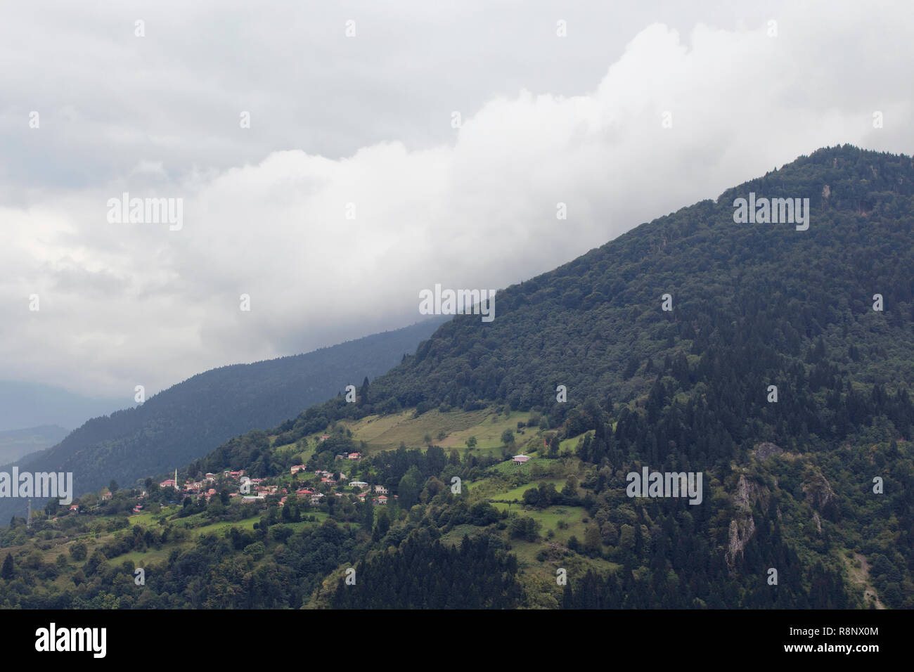 View of high plateau village, mountains, valleys and forest in fog creating beautiful nature scene. The image is captured in Trabzon/Rize area of Blac Stock Photohttps://www.alamy.com/image-license-details/?v=1https://www.alamy.com/view-of-high-plateau-village-mountains-valleys-and-forest-in-fog-creating-beautiful-nature-scene-the-image-is-captured-in-trabzonrize-area-of-blac-image229133428.html
RFR8NX0M–View of high plateau village, mountains, valleys and forest in fog creating beautiful nature scene. The image is captured in Trabzon/Rize area of Blac
 Aerial view of Valensole plateau lavender field at winter, at sunset, in National park of Verdon, in France, in Provence, in Europe. Stock Photohttps://www.alamy.com/image-license-details/?v=1https://www.alamy.com/aerial-view-of-valensole-plateau-lavender-field-at-winter-at-sunset-in-national-park-of-verdon-in-france-in-provence-in-europe-image492456821.html
RM2KH59KH–Aerial view of Valensole plateau lavender field at winter, at sunset, in National park of Verdon, in France, in Provence, in Europe.
 Aerial view of the snow mountain background Stock Photohttps://www.alamy.com/image-license-details/?v=1https://www.alamy.com/aerial-view-of-the-snow-mountain-background-image449841552.html
RF2H3T1DM–Aerial view of the snow mountain background
 Aerial view, top-down view, small lake on the high plateau of the Gurgler Seenplatte, near Obergurgl, Oetztal Alps, Tyrol, Austria Stock Photohttps://www.alamy.com/image-license-details/?v=1https://www.alamy.com/aerial-view-top-down-view-small-lake-on-the-high-plateau-of-the-gurgler-seenplatte-near-obergurgl-oetztal-alps-tyrol-austria-image608436627.html
RF2X9TK3F–Aerial view, top-down view, small lake on the high plateau of the Gurgler Seenplatte, near Obergurgl, Oetztal Alps, Tyrol, Austria
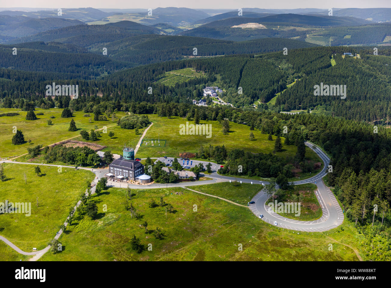 Aerial view, Kahler Asten Berghotel & Restaurants, weather station, plateau, Deutscher Wetterdienst Kahler Asten, Rothaarsteig, Winterberg, Sauerland, North Rhine-Westphalia, Germany Stock Photohttps://www.alamy.com/image-license-details/?v=1https://www.alamy.com/aerial-view-kahler-asten-berghotel-restaurants-weather-station-plateau-deutscher-wetterdienst-kahler-asten-rothaarsteig-winterberg-sauerland-north-rhine-westphalia-germany-image273704364.html
RMWW88KT–Aerial view, Kahler Asten Berghotel & Restaurants, weather station, plateau, Deutscher Wetterdienst Kahler Asten, Rothaarsteig, Winterberg, Sauerland, North Rhine-Westphalia, Germany
 High mountain view at Crimea Bakhchysarai Chufut-Kale canyon Stock Photohttps://www.alamy.com/image-license-details/?v=1https://www.alamy.com/high-mountain-view-at-crimea-bakhchysarai-chufut-kale-canyon-image468904132.html
RF2J6TC04–High mountain view at Crimea Bakhchysarai Chufut-Kale canyon
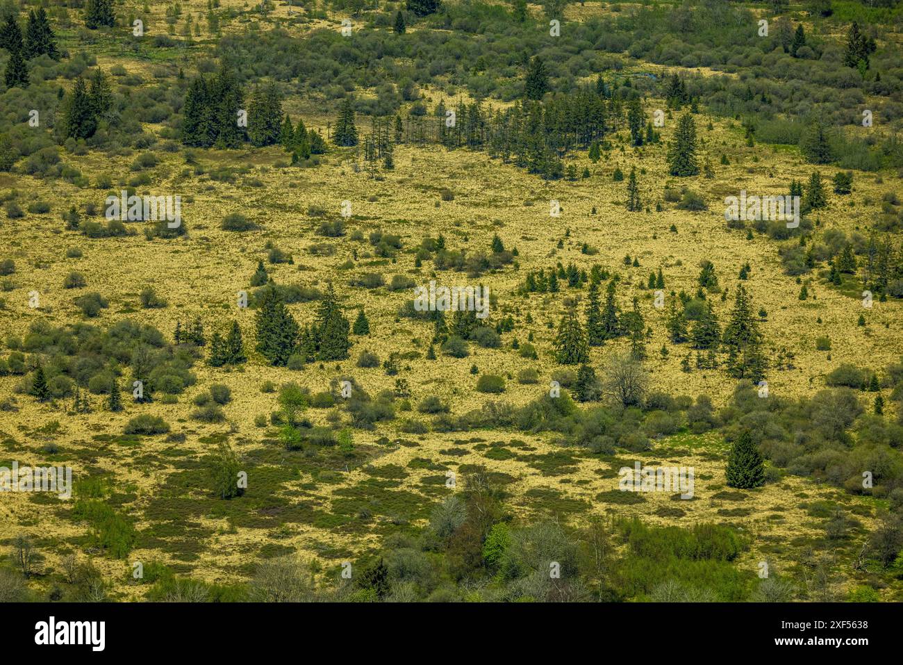 Aerial view, High Fens Eifel Nature Park, plateau near Mützenich landscape conservation area, Fens plateau meadows and fields moor heath complex, bord Stock Photohttps://www.alamy.com/image-license-details/?v=1https://www.alamy.com/aerial-view-high-fens-eifel-nature-park-plateau-near-mtzenich-landscape-conservation-area-fens-plateau-meadows-and-fields-moor-heath-complex-bord-image611697276.html
RM2XF5638–Aerial view, High Fens Eifel Nature Park, plateau near Mützenich landscape conservation area, Fens plateau meadows and fields moor heath complex, bord
 Aerial view of the cracked land of Fosso dei Mergani in the Pian Grande plateau, Castelluccio di Norcia, Umbria, Italy Stock Photohttps://www.alamy.com/image-license-details/?v=1https://www.alamy.com/aerial-view-of-the-cracked-land-of-fosso-dei-mergani-in-the-pian-grande-plateau-castelluccio-di-norcia-umbria-italy-image432237706.html
RF2G363GX–Aerial view of the cracked land of Fosso dei Mergani in the Pian Grande plateau, Castelluccio di Norcia, Umbria, Italy
 Drone photography of mountain peak during cloudy day Stock Photohttps://www.alamy.com/image-license-details/?v=1https://www.alamy.com/drone-photography-of-mountain-peak-during-cloudy-day-image526972261.html
RF2NH9JDW–Drone photography of mountain peak during cloudy day
 Aerial view of a road from Lukavica plateau to Kapetanovo lake at the sunset in the middle of the mountains high above Niksic, Montenegro, Stock Photohttps://www.alamy.com/image-license-details/?v=1https://www.alamy.com/aerial-view-of-a-road-from-lukavica-plateau-to-kapetanovo-lake-at-the-sunset-in-the-middle-of-the-mountains-high-above-niksic-montenegro-image443053182.html
RM2GMPPRX–Aerial view of a road from Lukavica plateau to Kapetanovo lake at the sunset in the middle of the mountains high above Niksic, Montenegro,
 Aerial View of a mountain village in the highlands of Chuquisaca, Bolivia Stock Photohttps://www.alamy.com/image-license-details/?v=1https://www.alamy.com/aerial-view-of-a-mountain-village-in-the-highlands-of-chuquisaca-bolivia-image551205471.html
RF2R0NG5K–Aerial View of a mountain village in the highlands of Chuquisaca, Bolivia
 Moon Plateau stone desert heights aerial panoramic view, view of Baska, Senj, Vela and Mala Luka on Krk island, Adriatic, Croatia Stock Photohttps://www.alamy.com/image-license-details/?v=1https://www.alamy.com/moon-plateau-stone-desert-heights-aerial-panoramic-view-view-of-baska-senj-vela-and-mala-luka-on-krk-island-adriatic-croatia-image440047772.html
RF2GFWWBT–Moon Plateau stone desert heights aerial panoramic view, view of Baska, Senj, Vela and Mala Luka on Krk island, Adriatic, Croatia
 Plateau Bermamyt and hills at sunset Stock Photohttps://www.alamy.com/image-license-details/?v=1https://www.alamy.com/plateau-bermamyt-and-hills-at-sunset-image426440961.html
RF2FNP1P9–Plateau Bermamyt and hills at sunset
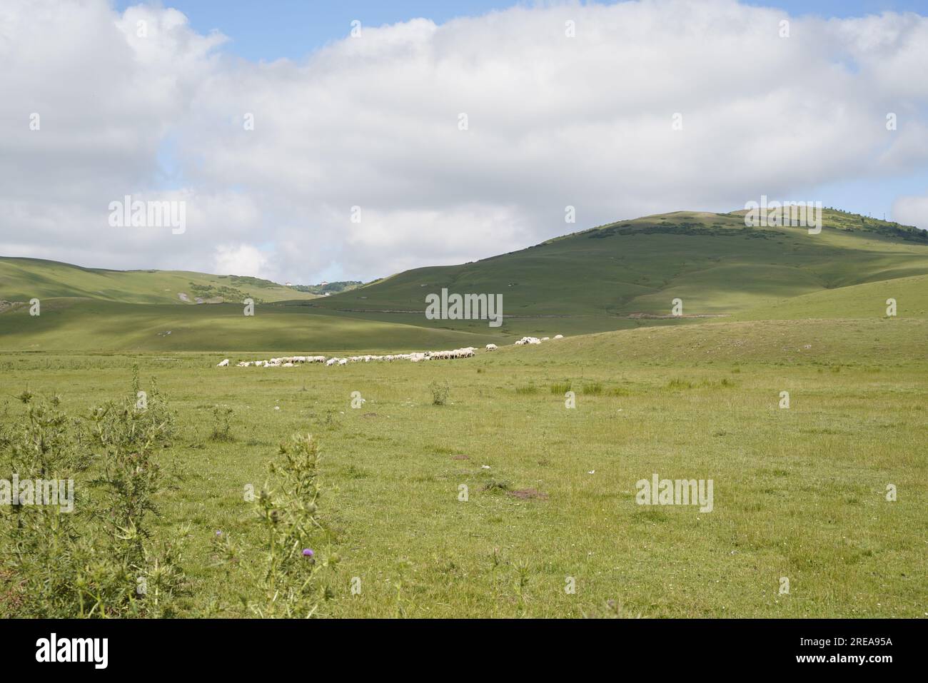 sheeps in plateau nature landscape Stock Photohttps://www.alamy.com/image-license-details/?v=1https://www.alamy.com/sheeps-in-plateau-nature-landscape-image559563686.html
RF2REA95A–sheeps in plateau nature landscape
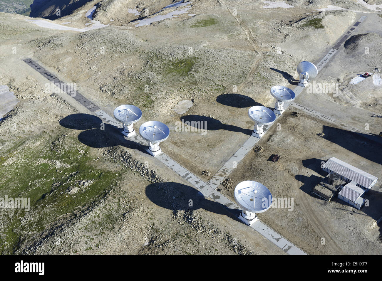 AERIAL VIEW. Plateau de Bure Observatory and Interferometer (elevation: 2565 meters). Le Dévoluy, Hautes-Alpes, France. Stock Photohttps://www.alamy.com/image-license-details/?v=1https://www.alamy.com/stock-photo-aerial-view-plateau-de-bure-observatory-and-interferometer-elevation-72308999.html
RME5HXT7–AERIAL VIEW. Plateau de Bure Observatory and Interferometer (elevation: 2565 meters). Le Dévoluy, Hautes-Alpes, France.
 A village in the mountains. Stock Photohttps://www.alamy.com/image-license-details/?v=1https://www.alamy.com/a-village-in-the-mountains-image246936698.html
RFT9MX7P–A village in the mountains.
 Aerial view of a village in the Dieng Plateau, Indonesia. morning view of the countryside among the mountains Stock Photohttps://www.alamy.com/image-license-details/?v=1https://www.alamy.com/aerial-view-of-a-village-in-the-dieng-plateau-indonesia-morning-view-of-the-countryside-among-the-mountains-image387947152.html
RF2DF4EFC–Aerial view of a village in the Dieng Plateau, Indonesia. morning view of the countryside among the mountains
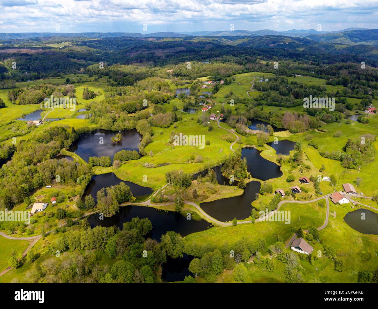 France, Haute Saone, Thousand Ponds Plateau (Plateau des Mille étangs), Les Grilloux Plateau (aerial view) Stock Photohttps://www.alamy.com/image-license-details/?v=1https://www.alamy.com/france-haute-saone-thousand-ponds-plateau-plateau-des-mille-tangs-les-grilloux-plateau-aerial-view-image444150655.html
RM2GPGPKB–France, Haute Saone, Thousand Ponds Plateau (Plateau des Mille étangs), Les Grilloux Plateau (aerial view)
 Dolomites Alps - Italy Mountains Under Clouds. View from Airplane. Stock Photohttps://www.alamy.com/image-license-details/?v=1https://www.alamy.com/dolomites-alps-italy-mountains-under-clouds-view-from-airplane-image178321896.html
RFMA37B4–Dolomites Alps - Italy Mountains Under Clouds. View from Airplane.
 Close-up drone picture of some inca ruins part of The Archeological site of Pisac in the Sacred Valley of Peru. Stock Photohttps://www.alamy.com/image-license-details/?v=1https://www.alamy.com/close-up-drone-picture-of-some-inca-ruins-part-of-the-archeological-site-of-pisac-in-the-sacred-valley-of-peru-image351337025.html
RF2BBGNXW–Close-up drone picture of some inca ruins part of The Archeological site of Pisac in the Sacred Valley of Peru.
 Aerial view of Valensole plateau lavender field at winter, at sunset, in National park of Verdon, in France, in Provence, in Europe. Stock Photohttps://www.alamy.com/image-license-details/?v=1https://www.alamy.com/aerial-view-of-valensole-plateau-lavender-field-at-winter-at-sunset-in-national-park-of-verdon-in-france-in-provence-in-europe-image492457972.html
RM2KH5B4M–Aerial view of Valensole plateau lavender field at winter, at sunset, in National park of Verdon, in France, in Provence, in Europe.
 Aerial view of the winding nujiang river in tibet Stock Photohttps://www.alamy.com/image-license-details/?v=1https://www.alamy.com/aerial-view-of-the-winding-nujiang-river-in-tibet-image449841498.html
RF2H3T1BP–Aerial view of the winding nujiang river in tibet
 High fog in the midlands with a view of Tiefmatt, aerial view, Egerkingen, Solothurn, Switzerland Stock Photohttps://www.alamy.com/image-license-details/?v=1https://www.alamy.com/high-fog-in-the-midlands-with-a-view-of-tiefmatt-aerial-view-egerkingen-solothurn-switzerland-image452849884.html
RM2H8N2J4–High fog in the midlands with a view of Tiefmatt, aerial view, Egerkingen, Solothurn, Switzerland
 Aerial view, Kahler Asten Berghotel & Restaurants, weather station, plateau, Deutscher Wetterdienst Kahler Asten, ski jump Winterberg, Rothaarsteig, Winterberg, Sauerland, North Rhine-Westphalia, Germany Stock Photohttps://www.alamy.com/image-license-details/?v=1https://www.alamy.com/aerial-view-kahler-asten-berghotel-restaurants-weather-station-plateau-deutscher-wetterdienst-kahler-asten-ski-jump-winterberg-rothaarsteig-winterberg-sauerland-north-rhine-westphalia-germany-image273704349.html
RMWW88K9–Aerial view, Kahler Asten Berghotel & Restaurants, weather station, plateau, Deutscher Wetterdienst Kahler Asten, ski jump Winterberg, Rothaarsteig, Winterberg, Sauerland, North Rhine-Westphalia, Germany
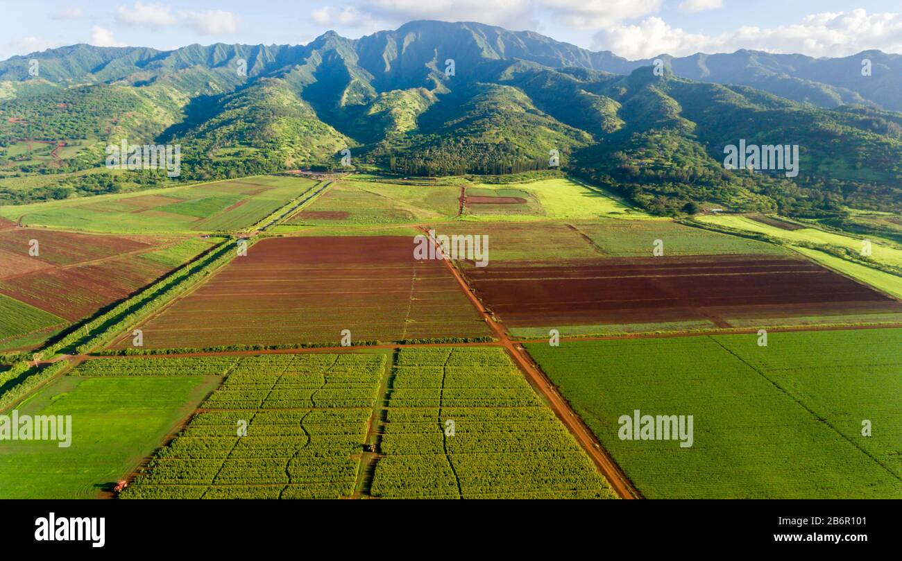 Aerial Farm view, Oahu Hawaii Stock Photohttps://www.alamy.com/image-license-details/?v=1https://www.alamy.com/aerial-farm-view-oahu-hawaii-image348400977.html
RF2B6R101–Aerial Farm view, Oahu Hawaii
 Aerial view, High Fens Eifel Nature Park, plateau near Mützenich landscape conservation area, Fens plateau meadows and fields moor heath complex, bord Stock Photohttps://www.alamy.com/image-license-details/?v=1https://www.alamy.com/aerial-view-high-fens-eifel-nature-park-plateau-near-mtzenich-landscape-conservation-area-fens-plateau-meadows-and-fields-moor-heath-complex-bord-image611697277.html
RM2XF5639–Aerial view, High Fens Eifel Nature Park, plateau near Mützenich landscape conservation area, Fens plateau meadows and fields moor heath complex, bord
 Sunset in Salzburg watched from the Goasnalm high above Salzburg, Austria Stock Photohttps://www.alamy.com/image-license-details/?v=1https://www.alamy.com/sunset-in-salzburg-watched-from-the-goasnalm-high-above-salzburg-austria-image553514560.html
RF2R4END4–Sunset in Salzburg watched from the Goasnalm high above Salzburg, Austria
 Burkina Faso, Aerial view of the Plateau of Niansongoni Stock Photohttps://www.alamy.com/image-license-details/?v=1https://www.alamy.com/burkina-faso-aerial-view-of-the-plateau-of-niansongoni-image340957756.html
RF2APKY2M–Burkina Faso, Aerial view of the Plateau of Niansongoni
 Aerial view of a windy road through beautiful landscape to lukavica plateau and lake Kapetanovo high above Niksic town, Montenegro Stock Photohttps://www.alamy.com/image-license-details/?v=1https://www.alamy.com/aerial-view-of-a-windy-road-through-beautiful-landscape-to-lukavica-plateau-and-lake-kapetanovo-high-above-niksic-town-montenegro-image443052866.html
RM2GMPPCJ–Aerial view of a windy road through beautiful landscape to lukavica plateau and lake Kapetanovo high above Niksic town, Montenegro
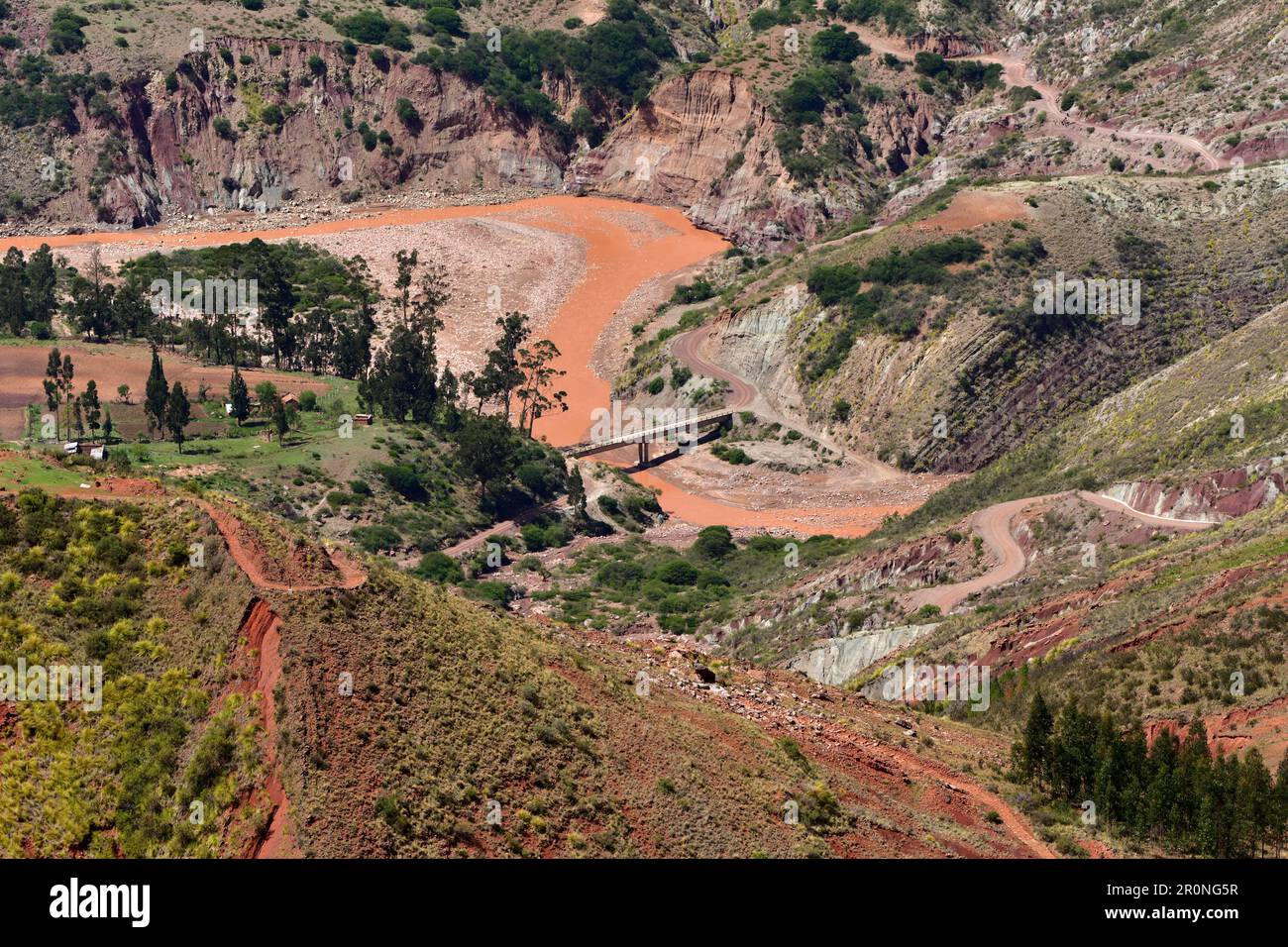 Aerial View of a bridge over a river in the highlands of Chuquisaca, Bolivia Stock Photohttps://www.alamy.com/image-license-details/?v=1https://www.alamy.com/aerial-view-of-a-bridge-over-a-river-in-the-highlands-of-chuquisaca-bolivia-image551205475.html
RF2R0NG5R–Aerial View of a bridge over a river in the highlands of Chuquisaca, Bolivia
 Moon Plateau stone desert heights aerial panoramic view, view of Baska, Senj, Vela and Mala Luka on Krk island, Adriatic, Croatia Stock Photohttps://www.alamy.com/image-license-details/?v=1https://www.alamy.com/moon-plateau-stone-desert-heights-aerial-panoramic-view-view-of-baska-senj-vela-and-mala-luka-on-krk-island-adriatic-croatia-image440048555.html
RM2GFWXBR–Moon Plateau stone desert heights aerial panoramic view, view of Baska, Senj, Vela and Mala Luka on Krk island, Adriatic, Croatia
 Plateau Bermamyt and hills at sunset Stock Photohttps://www.alamy.com/image-license-details/?v=1https://www.alamy.com/plateau-bermamyt-and-hills-at-sunset-image417496933.html
RF2F76HGN–Plateau Bermamyt and hills at sunset
 sheeps in plateau nature landscape Stock Photohttps://www.alamy.com/image-license-details/?v=1https://www.alamy.com/sheeps-in-plateau-nature-landscape-image559563065.html
RF2REA8B5–sheeps in plateau nature landscape
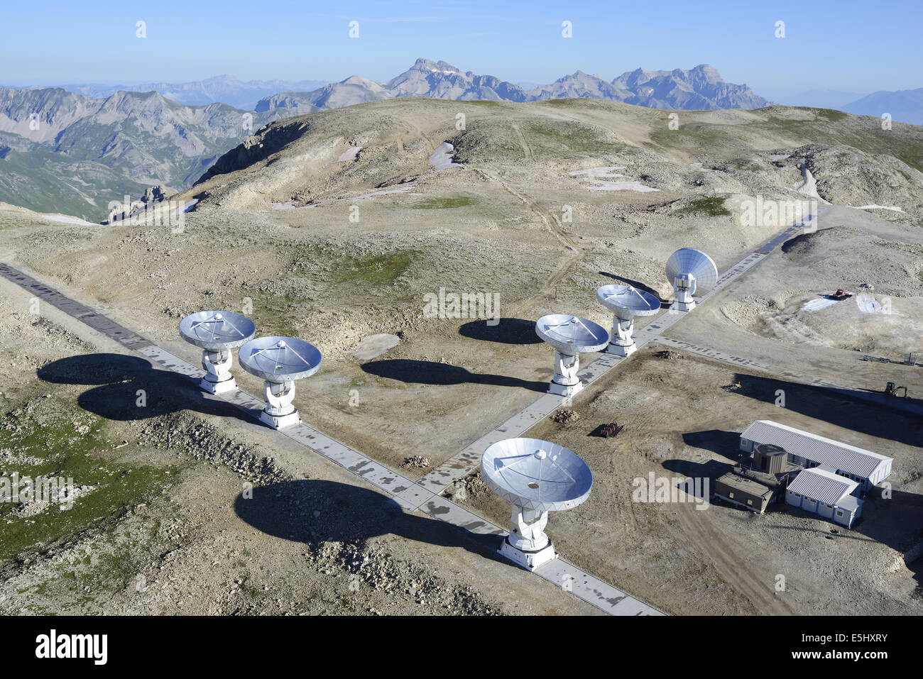 AERIAL VIEW. Plateau de Bure Observatory and Interferometer (elevation: 2565 meters). Le Dévoluy, Hautes-Alpes, France. Stock Photohttps://www.alamy.com/image-license-details/?v=1https://www.alamy.com/stock-photo-aerial-view-plateau-de-bure-observatory-and-interferometer-elevation-72308991.html
RME5HXRY–AERIAL VIEW. Plateau de Bure Observatory and Interferometer (elevation: 2565 meters). Le Dévoluy, Hautes-Alpes, France.
 A village in the mountains. Stock Photohttps://www.alamy.com/image-license-details/?v=1https://www.alamy.com/a-village-in-the-mountains-image248927130.html
RFTCYH2J–A village in the mountains.
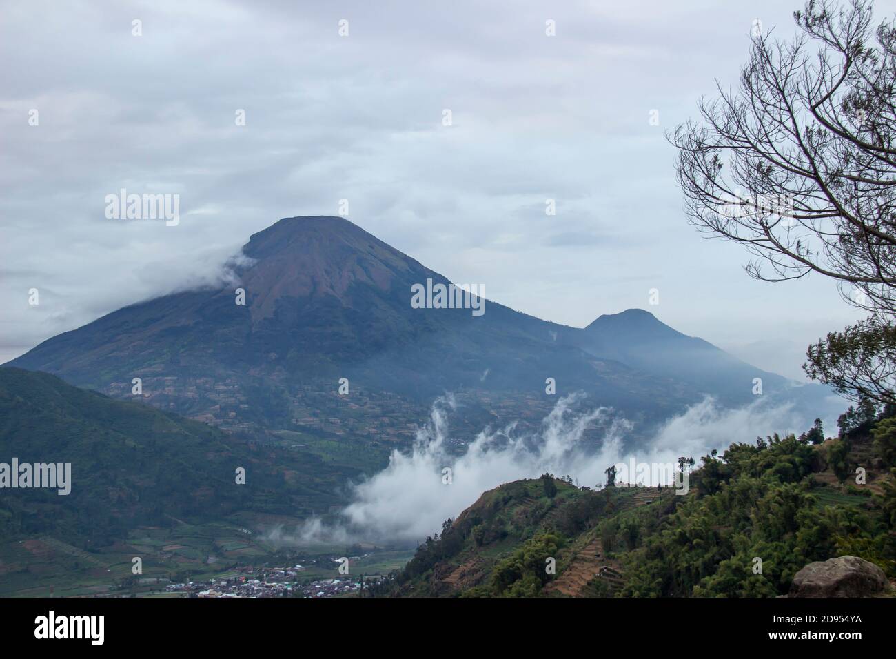 tourist destinations in the Dieng Plateau, Central Java. see rural scenery at the foot of the Sikunir mountains and Mount Sindoro and the hills decora Stock Photohttps://www.alamy.com/image-license-details/?v=1https://www.alamy.com/tourist-destinations-in-the-dieng-plateau-central-java-see-rural-scenery-at-the-foot-of-the-sikunir-mountains-and-mount-sindoro-and-the-hills-decora-image384273662.html
RF2D954YA–tourist destinations in the Dieng Plateau, Central Java. see rural scenery at the foot of the Sikunir mountains and Mount Sindoro and the hills decora
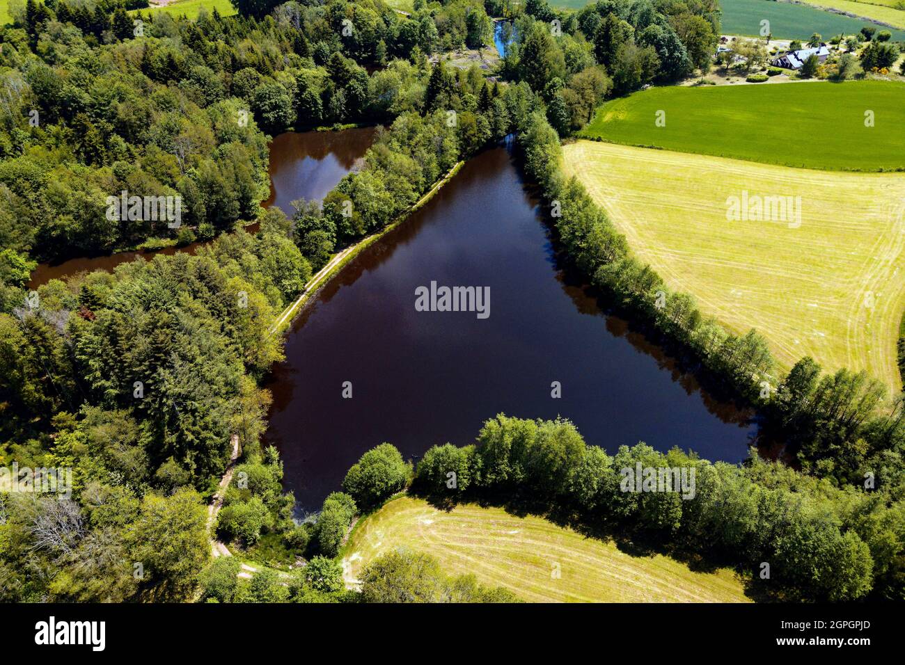 France, Haute Saone, Thousand Ponds Plateau (Plateau des Mille étangs), Ecromagny (aerial view) Stock Photohttps://www.alamy.com/image-license-details/?v=1https://www.alamy.com/france-haute-saone-thousand-ponds-plateau-plateau-des-mille-tangs-ecromagny-aerial-view-image444150629.html
RM2GPGPJD–France, Haute Saone, Thousand Ponds Plateau (Plateau des Mille étangs), Ecromagny (aerial view)
 Dolomites Alps - Italy Mountains Under Clouds. View from Airplane. Stock Photohttps://www.alamy.com/image-license-details/?v=1https://www.alamy.com/dolomites-alps-italy-mountains-under-clouds-view-from-airplane-image178321886.html
RFMA37AP–Dolomites Alps - Italy Mountains Under Clouds. View from Airplane.
 Aerial view of Salgó Castle, located on the 625-meter high volcanic peak of the Medves Plateau, on an autumn morning with the lights of the sunrise Stock Photohttps://www.alamy.com/image-license-details/?v=1https://www.alamy.com/aerial-view-of-salg-castle-located-on-the-625-meter-high-volcanic-peak-of-the-medves-plateau-on-an-autumn-morning-with-the-lights-of-the-sunrise-image519860379.html
RF2N5NK63–Aerial view of Salgó Castle, located on the 625-meter high volcanic peak of the Medves Plateau, on an autumn morning with the lights of the sunrise
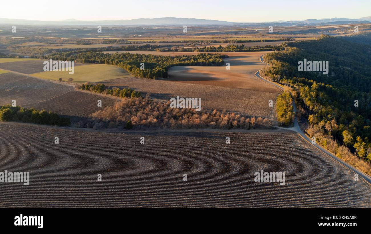 Aerial view of Valensole plateau lavender field at winter, at sunset, in National park of Verdon, in France, in Provence, in Europe. Stock Photohttps://www.alamy.com/image-license-details/?v=1https://www.alamy.com/aerial-view-of-valensole-plateau-lavender-field-at-winter-at-sunset-in-national-park-of-verdon-in-france-in-provence-in-europe-image492457303.html
RM2KH5A8R–Aerial view of Valensole plateau lavender field at winter, at sunset, in National park of Verdon, in France, in Provence, in Europe.
 aerial view of terraced fields with clouds fog Stock Photohttps://www.alamy.com/image-license-details/?v=1https://www.alamy.com/aerial-view-of-terraced-fields-with-clouds-fog-image274323713.html
RMWX8EKD–aerial view of terraced fields with clouds fog
 Panorama into the Central Plateau, in the middle Goesgen nuclear power plant, aerial view, Schafmatt, Solothurn, Switzerland Stock Photohttps://www.alamy.com/image-license-details/?v=1https://www.alamy.com/panorama-into-the-central-plateau-in-the-middle-goesgen-nuclear-power-plant-aerial-view-schafmatt-solothurn-switzerland-image520386378.html
RM2N6HJ3P–Panorama into the Central Plateau, in the middle Goesgen nuclear power plant, aerial view, Schafmatt, Solothurn, Switzerland
 Germany, Thuringia, Großbreitenbach, Wildenspring, village, landscape, plateau, fields, aerial view Stock Photohttps://www.alamy.com/image-license-details/?v=1https://www.alamy.com/germany-thuringia-grobreitenbach-wildenspring-village-landscape-plateau-fields-aerial-view-image456859932.html
RM2HF7NE4–Germany, Thuringia, Großbreitenbach, Wildenspring, village, landscape, plateau, fields, aerial view
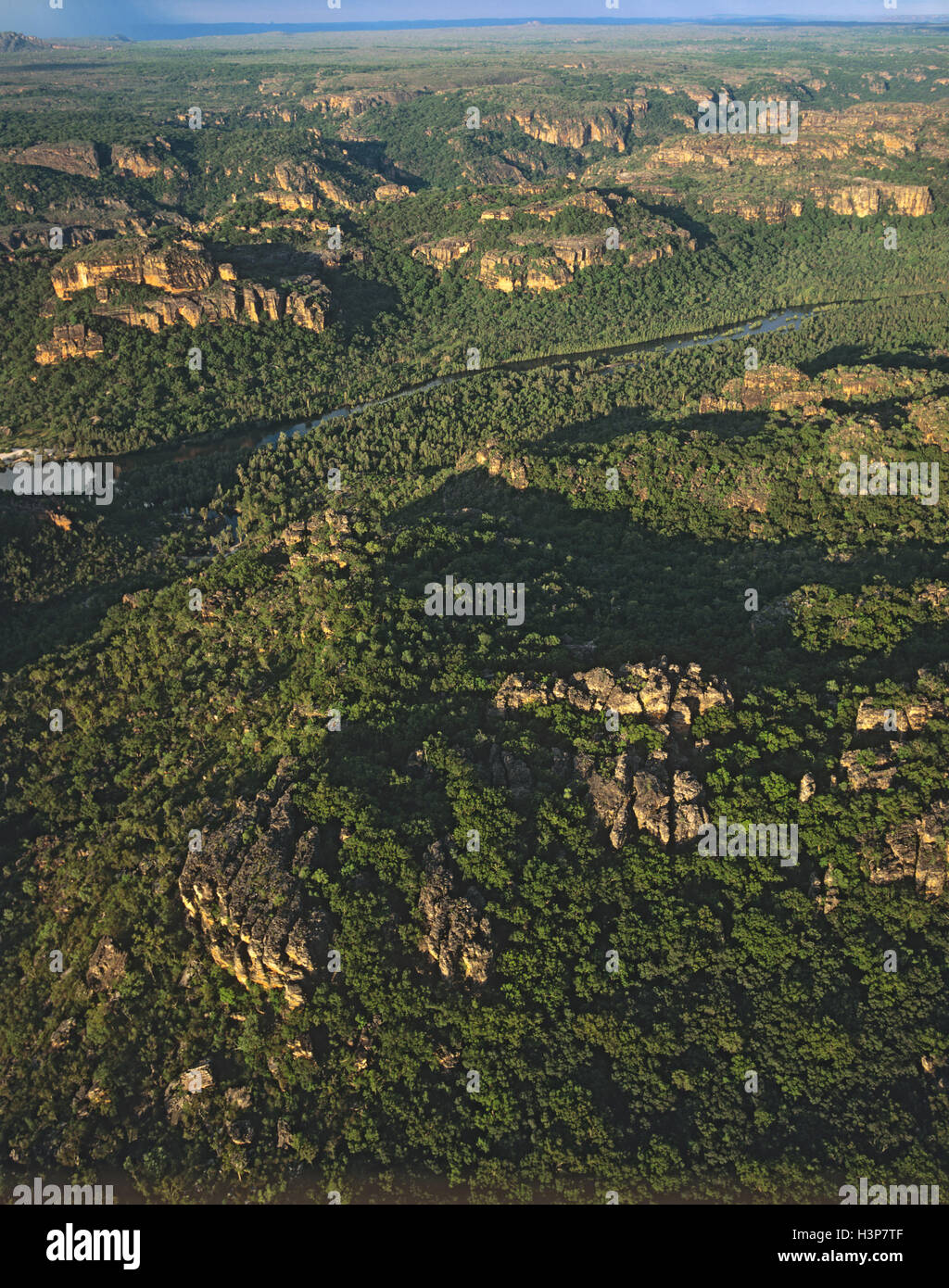 East Alligator River cutting through sandstone of the Arnhem Land Plateau, Stock Photohttps://www.alamy.com/image-license-details/?v=1https://www.alamy.com/stock-photo-east-alligator-river-cutting-through-sandstone-of-the-arnhem-land-122805663.html
RMH3P7TF–East Alligator River cutting through sandstone of the Arnhem Land Plateau,
 Aerial view, High Fens Eifel Nature Park, plateau near Mützenich landscape conservation area, Fens plateau meadows and fields moor heath complex, bord Stock Photohttps://www.alamy.com/image-license-details/?v=1https://www.alamy.com/aerial-view-high-fens-eifel-nature-park-plateau-near-mtzenich-landscape-conservation-area-fens-plateau-meadows-and-fields-moor-heath-complex-bord-image611697267.html
RM2XF562Y–Aerial view, High Fens Eifel Nature Park, plateau near Mützenich landscape conservation area, Fens plateau meadows and fields moor heath complex, bord