High resolution europe map Stock Photos and Images
(8,093)See high resolution europe map stock video clipsQuick filters:
High resolution europe map Stock Photos and Images
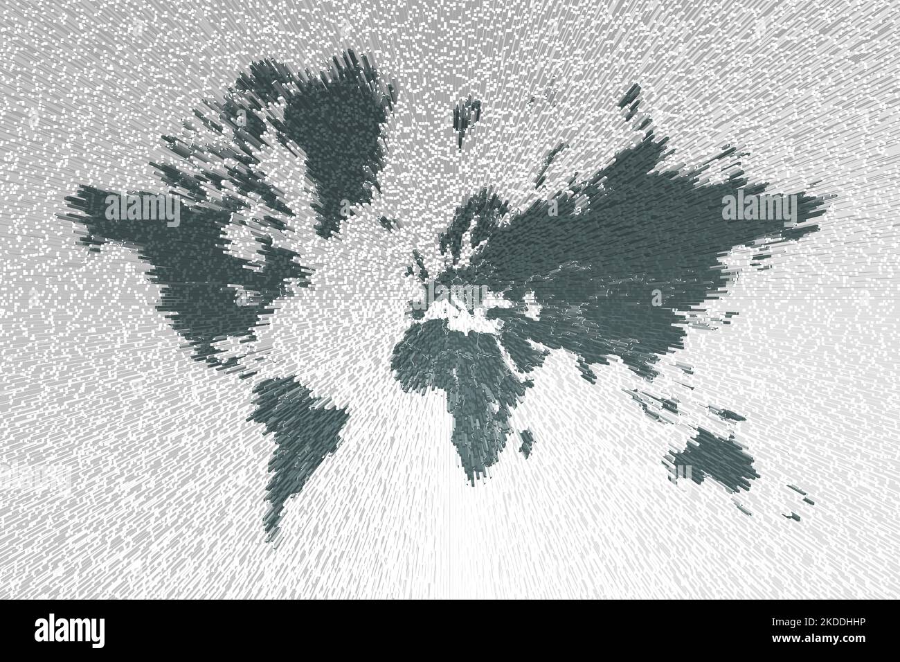 High resolution grey map of the world split into individual countries. High detail world map Stock Photohttps://www.alamy.com/image-license-details/?v=1https://www.alamy.com/high-resolution-grey-map-of-the-world-split-into-individual-countries-high-detail-world-map-image490180034.html
RF2KDDHHP–High resolution grey map of the world split into individual countries. High detail world map
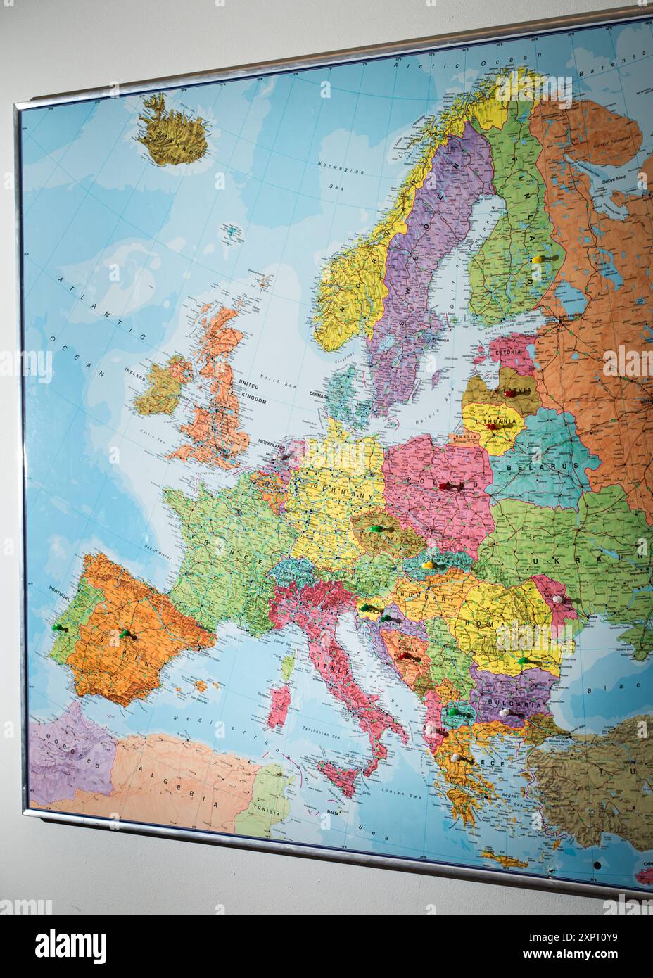 A high-resolution map of Europe displayed on a wall inside the office of the European Union agency FRONTEX in Warsaw. The map showcases the countries, borders, and major geographical features of Europe. Stock Photohttps://www.alamy.com/image-license-details/?v=1https://www.alamy.com/a-high-resolution-map-of-europe-displayed-on-a-wall-inside-the-office-of-the-european-union-agency-frontex-in-warsaw-the-map-showcases-the-countries-borders-and-major-geographical-features-of-europe-image616412925.html
RF2XPT0Y9–A high-resolution map of Europe displayed on a wall inside the office of the European Union agency FRONTEX in Warsaw. The map showcases the countries, borders, and major geographical features of Europe.
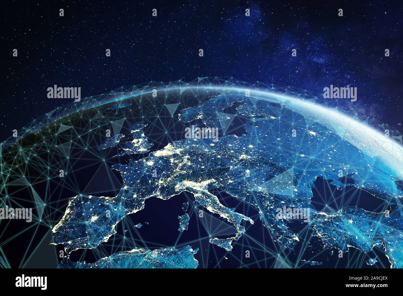 Telecommunication network above Europe viewed from space with connected system for European 5g LTE mobile web, global WiFi connection, Internet of Thi Stock Photohttps://www.alamy.com/image-license-details/?v=1https://www.alamy.com/telecommunication-network-above-europe-viewed-from-space-with-connected-system-for-european-5g-lte-mobile-web-global-wifi-connection-internet-of-thi-image332806850.html
RF2A9CJEX–Telecommunication network above Europe viewed from space with connected system for European 5g LTE mobile web, global WiFi connection, Internet of Thi
 Painted map of the world. High resolution abstract multi-colored background. Stock Photohttps://www.alamy.com/image-license-details/?v=1https://www.alamy.com/painted-map-of-the-world-high-resolution-abstract-multi-colored-background-image564889688.html
RF2RR0XFM–Painted map of the world. High resolution abstract multi-colored background.
 person pointing south america map . Resolution and high quality beautiful photo Stock Photohttps://www.alamy.com/image-license-details/?v=1https://www.alamy.com/person-pointing-south-america-map-resolution-and-high-quality-beautiful-photo-image520366368.html
RF2N6GMH4–person pointing south america map . Resolution and high quality beautiful photo
 Old vintage map background. Vintage Ukraine map stylization. Folded vintage old map. High resolution. Old parchment map Stock Photohttps://www.alamy.com/image-license-details/?v=1https://www.alamy.com/old-vintage-map-background-vintage-ukraine-map-stylization-folded-vintage-old-map-high-resolution-old-parchment-map-image473146062.html
RF2JDNJHJ–Old vintage map background. Vintage Ukraine map stylization. Folded vintage old map. High resolution. Old parchment map
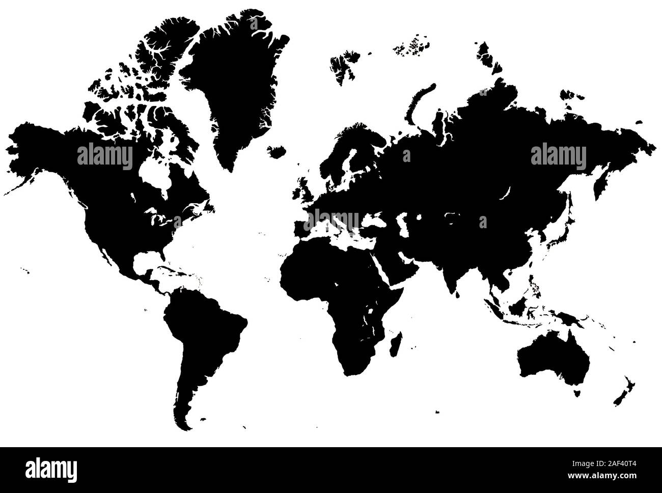 World Map Stock Photohttps://www.alamy.com/image-license-details/?v=1https://www.alamy.com/world-map-image336305316.html
RF2AF40T4–World Map
 This unique photo shows the magnificent German landscape with villages and fields. The picture also shows the cloud cover as it was taken out of plane Stock Photohttps://www.alamy.com/image-license-details/?v=1https://www.alamy.com/this-unique-photo-shows-the-magnificent-german-landscape-with-villages-and-fields-the-picture-also-shows-the-cloud-cover-as-it-was-taken-out-of-plane-image243444023.html
RFT41R9B–This unique photo shows the magnificent German landscape with villages and fields. The picture also shows the cloud cover as it was taken out of plane
 Normal map, mapping texture Brick wall texture. Very high resolution Stock Photohttps://www.alamy.com/image-license-details/?v=1https://www.alamy.com/normal-map-mapping-texture-brick-wall-texture-very-high-resolution-image455166079.html
RF2HCEGYB–Normal map, mapping texture Brick wall texture. Very high resolution
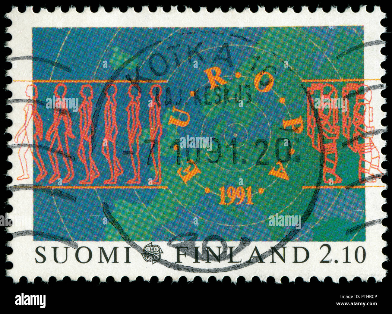 Postmarked stamp from Finland in the Europa (C.E.P.T.) 1991 - Europe in Space series issued in 1991 Stock Photohttps://www.alamy.com/image-license-details/?v=1https://www.alamy.com/postmarked-stamp-from-finland-in-the-europa-cept-1991-europe-in-space-series-issued-in-1991-image221658326.html
RMPTHBCP–Postmarked stamp from Finland in the Europa (C.E.P.T.) 1991 - Europe in Space series issued in 1991
 macro photography of a two euro coin. A sharp detailed capture in high resolution of a 2 euro coin of the ecb. The coin from the front side, a greek Stock Photohttps://www.alamy.com/image-license-details/?v=1https://www.alamy.com/macro-photography-of-a-two-euro-coin-a-sharp-detailed-capture-in-high-resolution-of-a-2-euro-coin-of-the-ecb-the-coin-from-the-front-side-a-greek-image438152312.html
RF2GCRFMT–macro photography of a two euro coin. A sharp detailed capture in high resolution of a 2 euro coin of the ecb. The coin from the front side, a greek
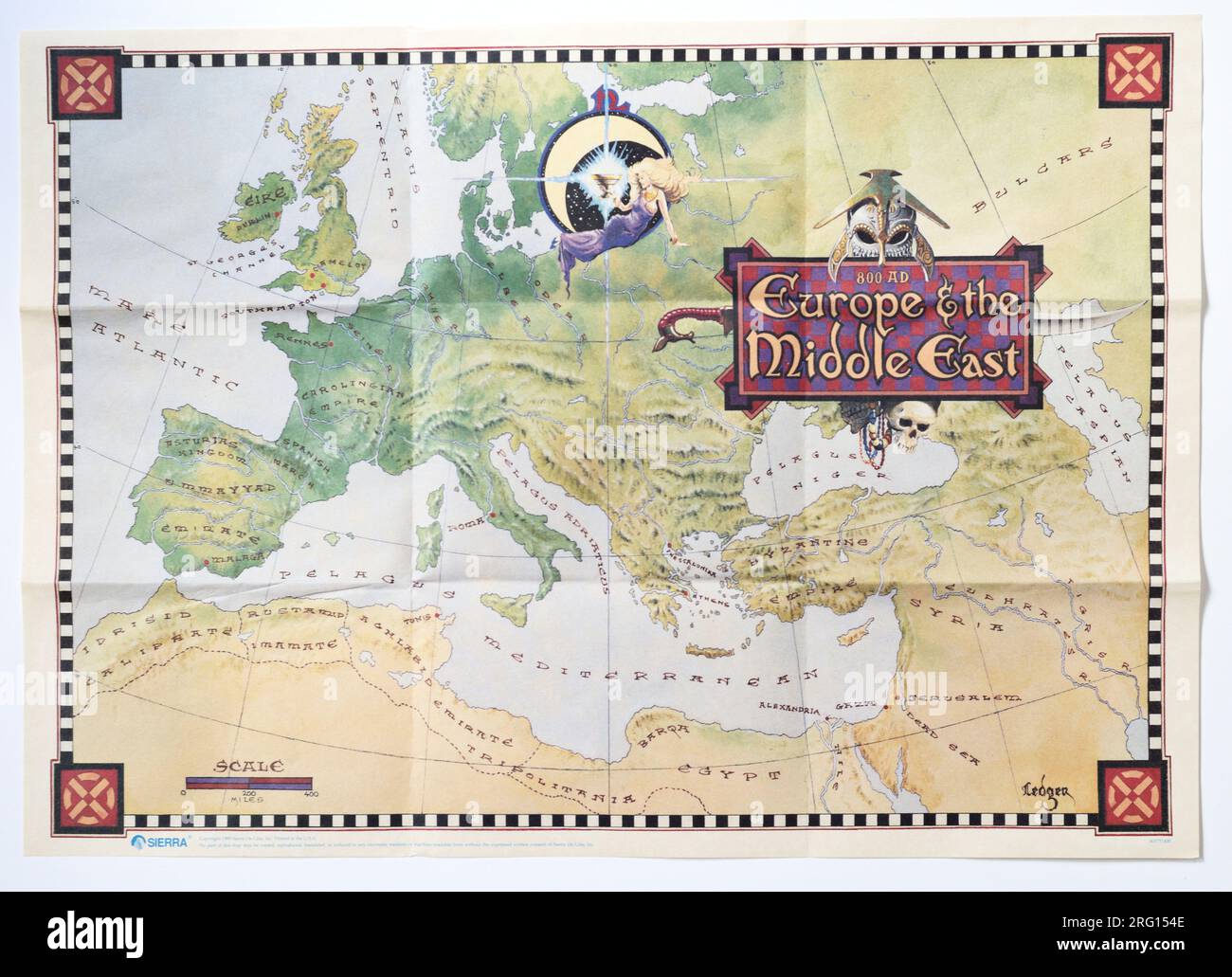 Game Map poster from Conquests of Camelot: The Search for the Grail, a Sierra graphic adventure game from 1990 Stock Photohttps://www.alamy.com/image-license-details/?v=1https://www.alamy.com/game-map-poster-from-conquests-of-camelot-the-search-for-the-grail-a-sierra-graphic-adventure-game-from-1990-image560592270.html
RM2RG154E–Game Map poster from Conquests of Camelot: The Search for the Grail, a Sierra graphic adventure game from 1990
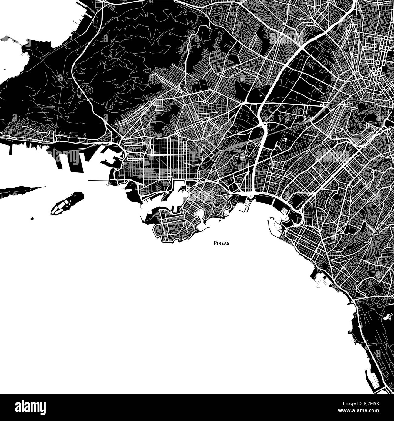 Area map of Pireas, Greece. Dark background version for infographic and marketing projects. Stock Photohttps://www.alamy.com/image-license-details/?v=1https://www.alamy.com/area-map-of-pireas-greece-dark-background-version-for-infographic-and-marketing-projects-image217757846.html
RFPJ7M9X–Area map of Pireas, Greece. Dark background version for infographic and marketing projects.
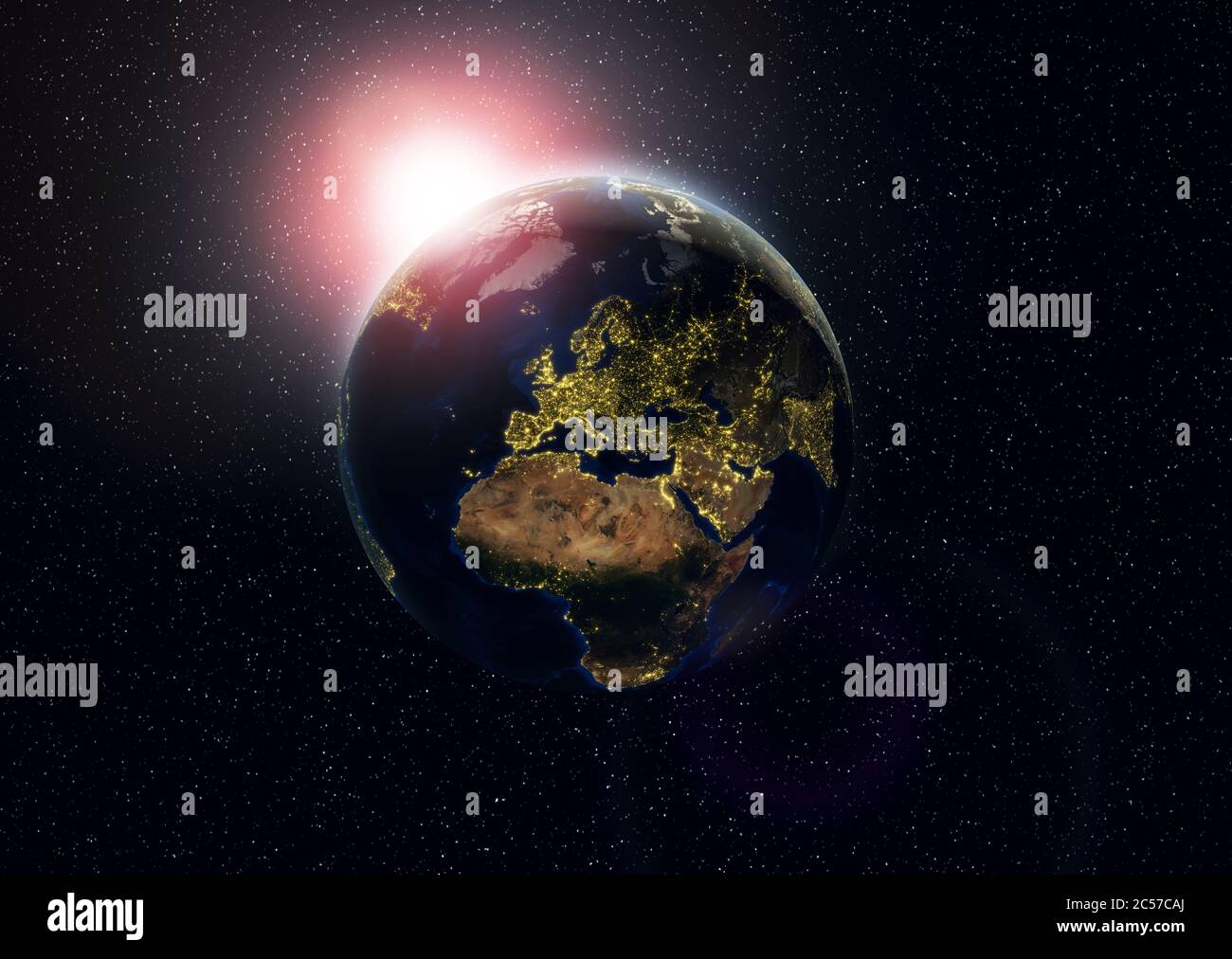 Earth with city lights in high resolution. Globe with lights highly detailed Stock Photohttps://www.alamy.com/image-license-details/?v=1https://www.alamy.com/earth-with-city-lights-in-high-resolution-globe-with-lights-highly-detailed-image364654378.html
RF2C57CAJ–Earth with city lights in high resolution. Globe with lights highly detailed
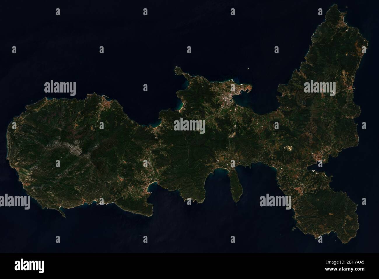 High resolution satellite image of Elba, Italy in the Mediterranean Sea - contains modified Copernicus Sentinel Data (2020) Stock Photohttps://www.alamy.com/image-license-details/?v=1https://www.alamy.com/high-resolution-satellite-image-of-elba-italy-in-the-mediterranean-sea-contains-modified-copernicus-sentinel-data-2020-image355257341.html
RF2BHYAA5–High resolution satellite image of Elba, Italy in the Mediterranean Sea - contains modified Copernicus Sentinel Data (2020)
 Earth Globes collection Stock Photohttps://www.alamy.com/image-license-details/?v=1https://www.alamy.com/earth-globes-collection-image65411757.html
RFDPBNA5–Earth Globes collection
 Close-up of green Map lichen (Rhizocarpon geographicum) on a red granite rock. Abstract high resolution full frame textured natural background. Stock Photohttps://www.alamy.com/image-license-details/?v=1https://www.alamy.com/close-up-of-green-map-lichen-rhizocarpon-geographicum-on-a-red-granite-rock-abstract-high-resolution-full-frame-textured-natural-background-image470835633.html
RF2JA0BJ9–Close-up of green Map lichen (Rhizocarpon geographicum) on a red granite rock. Abstract high resolution full frame textured natural background.
 corporation of london crest insignia crisp sharp high resolution full frame Stock Photohttps://www.alamy.com/image-license-details/?v=1https://www.alamy.com/stock-photo-corporation-of-london-crest-insignia-crisp-sharp-high-resolution-full-11261592.html
RMA5BK8W–corporation of london crest insignia crisp sharp high resolution full frame
 Moselle loop near the city of Bremm Stock Photohttps://www.alamy.com/image-license-details/?v=1https://www.alamy.com/moselle-loop-near-the-city-of-bremm-image466247762.html
RF2J2FBNP–Moselle loop near the city of Bremm
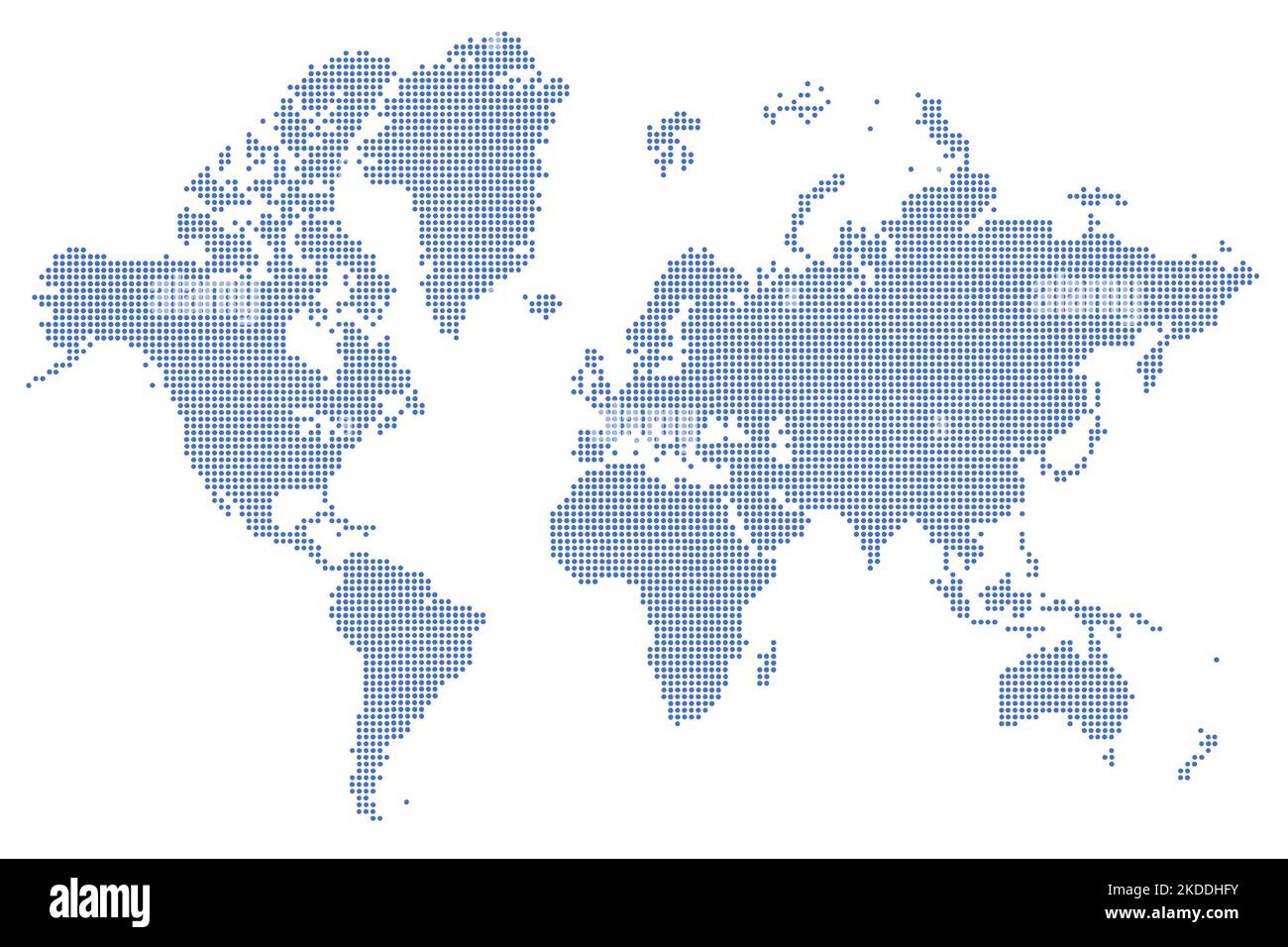 High-resolution map of the world split into individual countries. High-detail world map using dots digital economy infographic Stock Photohttps://www.alamy.com/image-license-details/?v=1https://www.alamy.com/high-resolution-map-of-the-world-split-into-individual-countries-high-detail-world-map-using-dots-digital-economy-infographic-image490179983.html
RF2KDDHFY–High-resolution map of the world split into individual countries. High-detail world map using dots digital economy infographic
 Four Earth Globes with clouds, high resolution pictures Stock Photohttps://www.alamy.com/image-license-details/?v=1https://www.alamy.com/stock-photo-four-earth-globes-with-clouds-high-resolution-pictures-144513130.html
RFJB33Y6–Four Earth Globes with clouds, high resolution pictures
 Graphics design in high resolution and best quality Stock Photohttps://www.alamy.com/image-license-details/?v=1https://www.alamy.com/stock-photo-graphics-design-in-high-resolution-and-best-quality-144808829.html
RFJBGH3W–Graphics design in high resolution and best quality
 Painted map of the world. High resolution abstract multi-colored background. Stock Photohttps://www.alamy.com/image-license-details/?v=1https://www.alamy.com/painted-map-of-the-world-high-resolution-abstract-multi-colored-background-image566625978.html
RF2RWT162–Painted map of the world. High resolution abstract multi-colored background.
 vintage cameras arrangement. High resolution photo Stock Photohttps://www.alamy.com/image-license-details/?v=1https://www.alamy.com/vintage-cameras-arrangement-high-resolution-photo-image510938066.html
RF2MK76M2–vintage cameras arrangement. High resolution photo
 Old vintage map background. Vintage world map stylization. Folded vintage old map. High resolution. Old parchment map Stock Photohttps://www.alamy.com/image-license-details/?v=1https://www.alamy.com/old-vintage-map-background-vintage-world-map-stylization-folded-vintage-old-map-high-resolution-old-parchment-map-image473146006.html
RF2JDNJFJ–Old vintage map background. Vintage world map stylization. Folded vintage old map. High resolution. Old parchment map
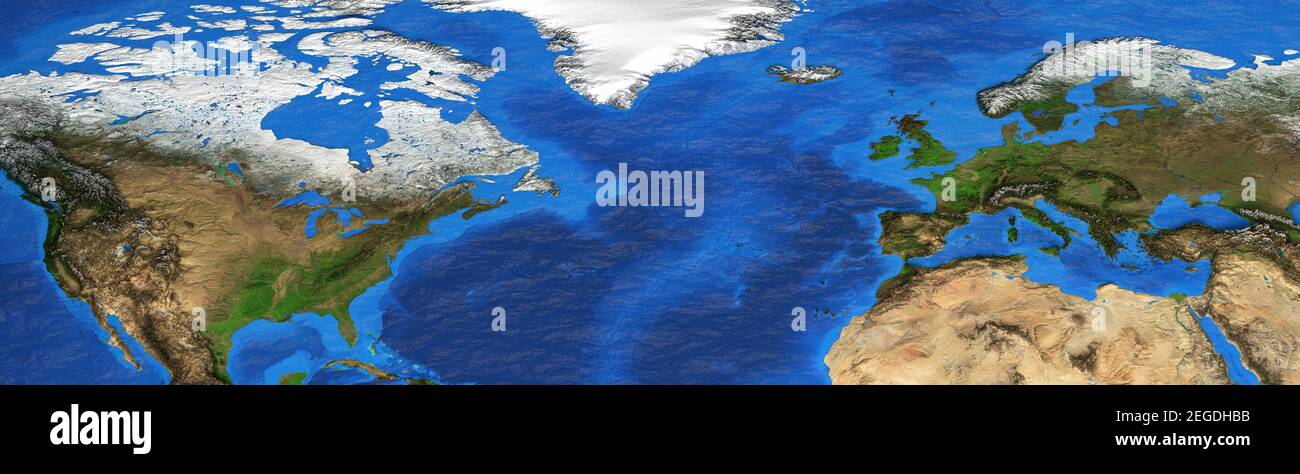 Physical map of North America, Western Europe and North Africa. Detailed flat view of the Planet Earth. 3D illustration - Elements furnished by NASA Stock Photohttps://www.alamy.com/image-license-details/?v=1https://www.alamy.com/physical-map-of-north-america-western-europe-and-north-africa-detailed-flat-view-of-the-planet-earth-3d-illustration-elements-furnished-by-nasa-image405971983.html
RF2EGDHBB–Physical map of North America, Western Europe and North Africa. Detailed flat view of the Planet Earth. 3D illustration - Elements furnished by NASA
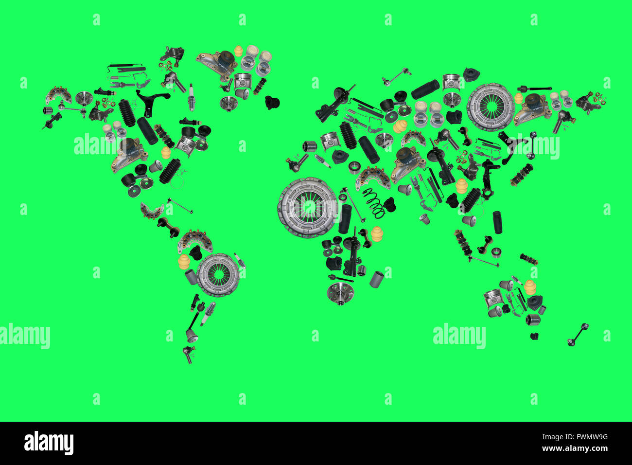 world map from lot of car spare parts isolated on green background Stock Photohttps://www.alamy.com/image-license-details/?v=1https://www.alamy.com/stock-photo-world-map-from-lot-of-car-spare-parts-isolated-on-green-background-101877148.html
RFFWMW9G–world map from lot of car spare parts isolated on green background
 Normal map, mapping texture Brick wall texture. Very high resolution Stock Photohttps://www.alamy.com/image-license-details/?v=1https://www.alamy.com/normal-map-mapping-texture-brick-wall-texture-very-high-resolution-image455166080.html
RF2HCEGYC–Normal map, mapping texture Brick wall texture. Very high resolution
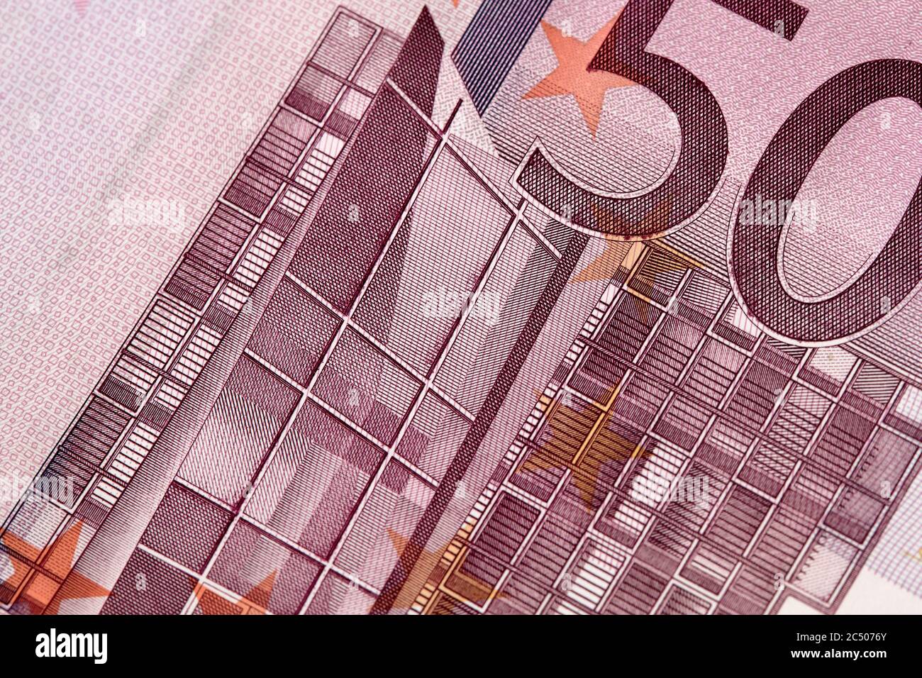 Five houndreds euro banknotes. 500 Euro paper cash. European Union Currency. macro fragment banknote. High resolution photo. Stock Photohttps://www.alamy.com/image-license-details/?v=1https://www.alamy.com/five-houndreds-euro-banknotes-500-euro-paper-cash-european-union-currency-macro-fragment-banknote-high-resolution-photo-image364496691.html
RF2C5076Y–Five houndreds euro banknotes. 500 Euro paper cash. European Union Currency. macro fragment banknote. High resolution photo.
 macro photography of a two euro coin. A sharp detailed capture in high resolution of a 2 euro coin of the ecb. The coin from the front side, a greek Stock Photohttps://www.alamy.com/image-license-details/?v=1https://www.alamy.com/macro-photography-of-a-two-euro-coin-a-sharp-detailed-capture-in-high-resolution-of-a-2-euro-coin-of-the-ecb-the-coin-from-the-front-side-a-greek-image438152266.html
RF2GCRFK6–macro photography of a two euro coin. A sharp detailed capture in high resolution of a 2 euro coin of the ecb. The coin from the front side, a greek
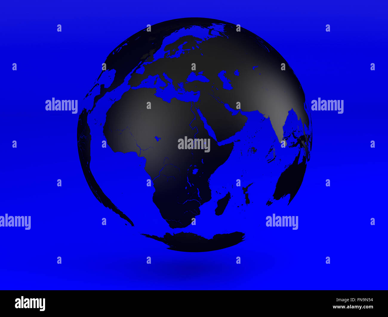 Black the transparent globe on a dark blue background. High resolution image. Stock Photohttps://www.alamy.com/image-license-details/?v=1https://www.alamy.com/stock-photo-black-the-transparent-globe-on-a-dark-blue-background-high-resolution-99173792.html
RFFN9N54–Black the transparent globe on a dark blue background. High resolution image.
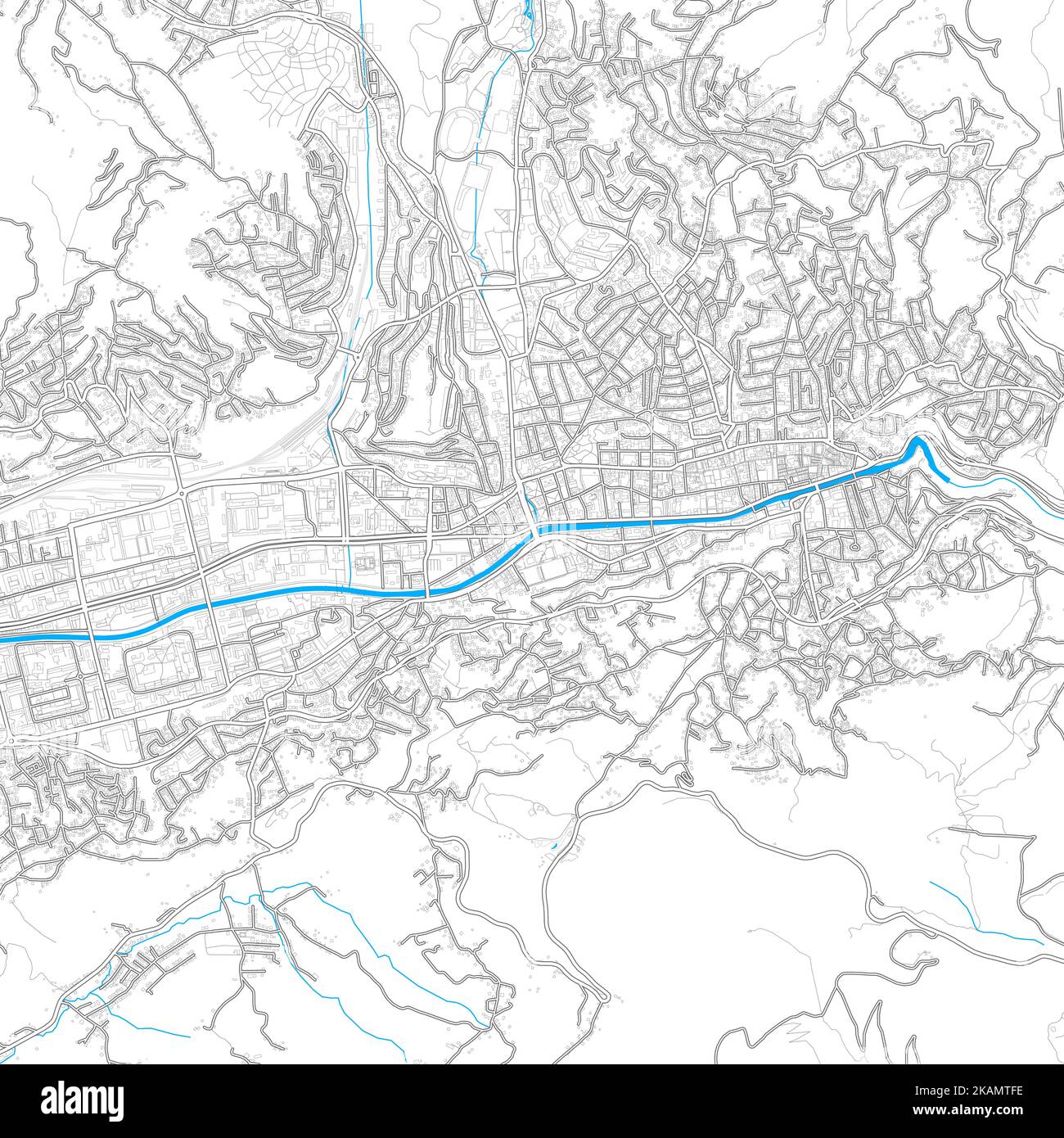 Sarajevo, Sarajevo Canton, BosniaandHerzegovina high resolution vector map with editable paths. Bright outlines for main roads. Use it for any printed Stock Vectorhttps://www.alamy.com/image-license-details/?v=1https://www.alamy.com/sarajevo-sarajevo-canton-bosniaandherzegovina-high-resolution-vector-map-with-editable-paths-bright-outlines-for-main-roads-use-it-for-any-printed-image488495154.html
RF2KAMTFE–Sarajevo, Sarajevo Canton, BosniaandHerzegovina high resolution vector map with editable paths. Bright outlines for main roads. Use it for any printed
 Person pointing south america map . High quality and resolution beautiful photo concept Stock Photohttps://www.alamy.com/image-license-details/?v=1https://www.alamy.com/person-pointing-south-america-map-high-quality-and-resolution-beautiful-photo-concept-image465155054.html
RF2J0NJ0E–Person pointing south america map . High quality and resolution beautiful photo concept
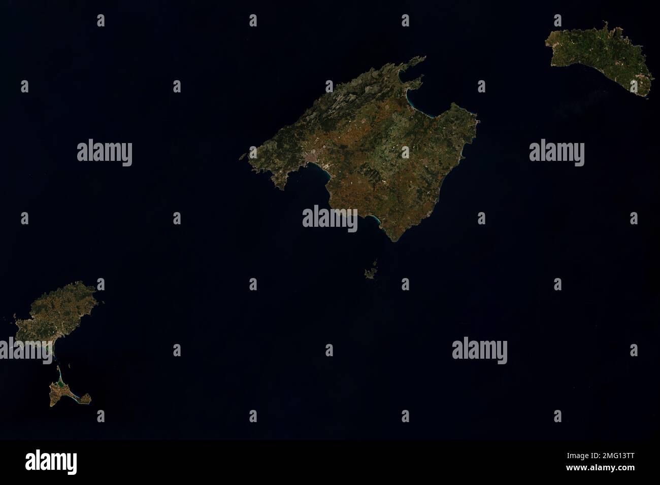 High resolution satellite image of Balearic Islands in Spain - contains modified Copernicus Sentinel Data (2022) Stock Photohttps://www.alamy.com/image-license-details/?v=1https://www.alamy.com/high-resolution-satellite-image-of-balearic-islands-in-spain-contains-modified-copernicus-sentinel-data-2022-image508960168.html
RF2MG13TT–High resolution satellite image of Balearic Islands in Spain - contains modified Copernicus Sentinel Data (2022)
 Earth with city lights in high resolution. Globe with lights highly detailed Europe. 3d rendering Stock Photohttps://www.alamy.com/image-license-details/?v=1https://www.alamy.com/earth-with-city-lights-in-high-resolution-globe-with-lights-highly-detailed-europe-3d-rendering-image364654388.html
RF2C57CB0–Earth with city lights in high resolution. Globe with lights highly detailed Europe. 3d rendering
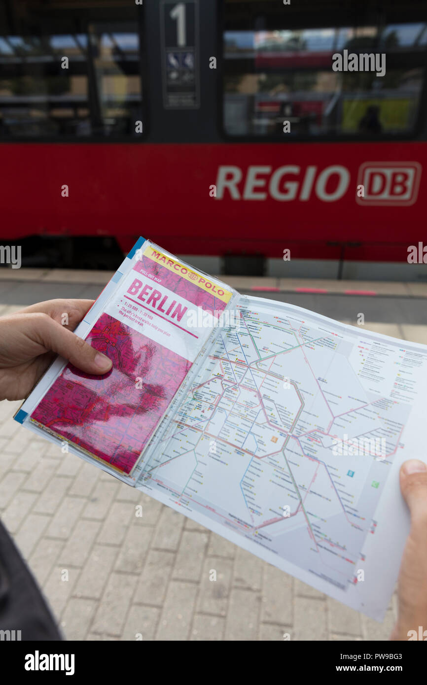 Potsdam, Berlin, Germany: 18th August 2018: Tourist looking at Marco Polo Guide and Public transport map Stock Photohttps://www.alamy.com/image-license-details/?v=1https://www.alamy.com/potsdam-berlin-germany-18th-august-2018-tourist-looking-at-marco-polo-guide-and-public-transport-map-image222097459.html
RMPW9BG3–Potsdam, Berlin, Germany: 18th August 2018: Tourist looking at Marco Polo Guide and Public transport map
 Vintage Detailed Colorful Political Map of Europe Printable Download Travel Poster Stock Photohttps://www.alamy.com/image-license-details/?v=1https://www.alamy.com/vintage-detailed-colorful-political-map-of-europe-printable-download-travel-poster-image626586713.html
RF2YBBDMW–Vintage Detailed Colorful Political Map of Europe Printable Download Travel Poster
 Landscape with wind mill farm and agriculture land, Austria Stock Photohttps://www.alamy.com/image-license-details/?v=1https://www.alamy.com/landscape-with-wind-mill-farm-and-agriculture-land-austria-image429299089.html
RF2FXC7A9–Landscape with wind mill farm and agriculture land, Austria
 Internet network 5g in the hands of a successful businessman Modern technology concepts in the world of the future. Stock Photohttps://www.alamy.com/image-license-details/?v=1https://www.alamy.com/internet-network-5g-in-the-hands-of-a-successful-businessman-modern-technology-concepts-in-the-world-of-the-future-image460138200.html
RF2HMH2Y4–Internet network 5g in the hands of a successful businessman Modern technology concepts in the world of the future.
 Postmarked stamp from Finland in the Punkaharju Nature Reserve series issued in 1969 Stock Photohttps://www.alamy.com/image-license-details/?v=1https://www.alamy.com/postmarked-stamp-from-finland-in-the-punkaharju-nature-reserve-series-issued-in-1969-image221714871.html
RMPTKYG7–Postmarked stamp from Finland in the Punkaharju Nature Reserve series issued in 1969
 Earth Globes collection Stock Photohttps://www.alamy.com/image-license-details/?v=1https://www.alamy.com/earth-globes-collection-image65398229.html
RFDPB431–Earth Globes collection
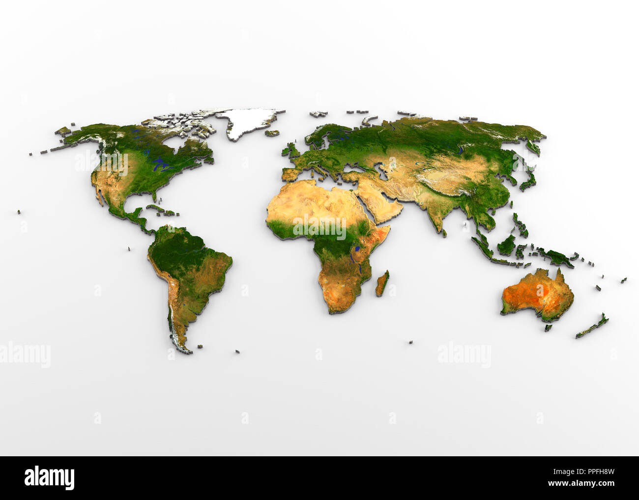 3D rendering of extruded high-resolution physical map (with relief) of the World, isolated on white background. Stock Photohttps://www.alamy.com/image-license-details/?v=1https://www.alamy.com/3d-rendering-of-extruded-high-resolution-physical-map-with-relief-of-the-world-isolated-on-white-background-image220389705.html
RFPPFH8W–3D rendering of extruded high-resolution physical map (with relief) of the World, isolated on white background.
 abstract 3d illustration of Earth showing continental view Africa and Europe.High Resolution detailed isolated 3d rendered Earth. Stock Photohttps://www.alamy.com/image-license-details/?v=1https://www.alamy.com/abstract-3d-illustration-of-earth-showing-continental-view-africa-and-europehigh-resolution-detailed-isolated-3d-rendered-earth-image210750542.html
RFP6TED2–abstract 3d illustration of Earth showing continental view Africa and Europe.High Resolution detailed isolated 3d rendered Earth.
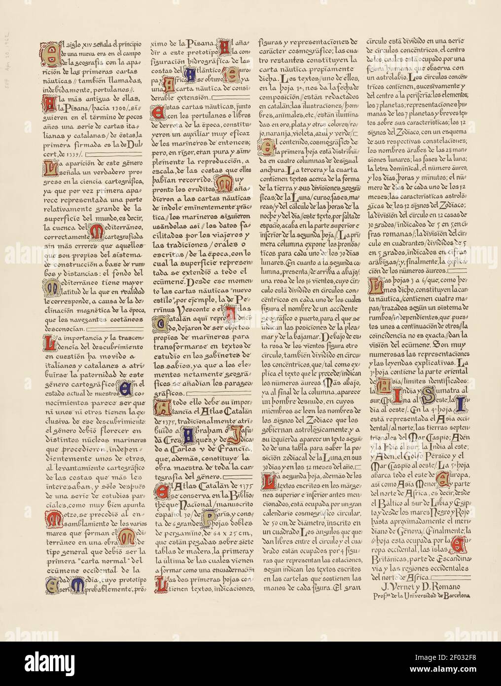 Taken from an ancient Spanish Atlas. Very high resolution. Stock Photohttps://www.alamy.com/image-license-details/?v=1https://www.alamy.com/taken-from-an-ancient-spanish-atlas-very-high-resolution-image413116684.html
RM2F032F8–Taken from an ancient Spanish Atlas. Very high resolution.
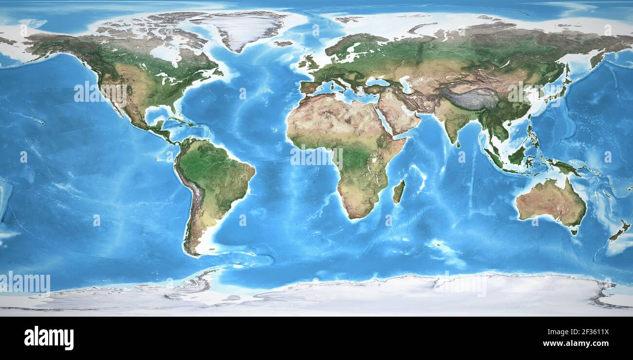 Physical map of the World, with high resolution details. Flattened satellite view of Planet Earth, its geography and topography. NASA elements. Stock Photohttps://www.alamy.com/image-license-details/?v=1https://www.alamy.com/physical-map-of-the-world-with-high-resolution-details-flattened-satellite-view-of-planet-earth-its-geography-and-topography-nasa-elements-image415025350.html
RF2F3611X–Physical map of the World, with high resolution details. Flattened satellite view of Planet Earth, its geography and topography. NASA elements.
 Metal World Map High resolution 3d render Stock Photohttps://www.alamy.com/image-license-details/?v=1https://www.alamy.com/metal-world-map-high-resolution-3d-render-image401950209.html
RF2E9XBGH–Metal World Map High resolution 3d render
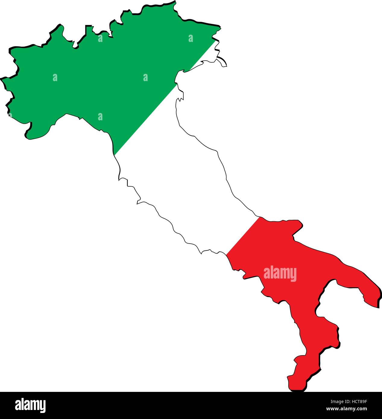 High resolution Italy map with country flag. Flag of the Italy overlaid on detailed outline map isolated on white background Stock Vectorhttps://www.alamy.com/image-license-details/?v=1https://www.alamy.com/stock-photo-high-resolution-italy-map-with-country-flag-flag-of-the-italy-overlaid-128381835.html
RFHCT89F–High resolution Italy map with country flag. Flag of the Italy overlaid on detailed outline map isolated on white background
 Five houndreds euro banknotes. 500 Euro paper cash. European Union Currency. macro fragment banknote. High resolution photo. Stock Photohttps://www.alamy.com/image-license-details/?v=1https://www.alamy.com/five-houndreds-euro-banknotes-500-euro-paper-cash-european-union-currency-macro-fragment-banknote-high-resolution-photo-image364496270.html
RF2C506KX–Five houndreds euro banknotes. 500 Euro paper cash. European Union Currency. macro fragment banknote. High resolution photo.
 macro photography of a two euro coin. A sharp detailed capture in high resolution of a 2 euro coin of the ecb. The coin from the front side, a greek Stock Photohttps://www.alamy.com/image-license-details/?v=1https://www.alamy.com/macro-photography-of-a-two-euro-coin-a-sharp-detailed-capture-in-high-resolution-of-a-2-euro-coin-of-the-ecb-the-coin-from-the-front-side-a-greek-image438148244.html
RF2GCRAFG–macro photography of a two euro coin. A sharp detailed capture in high resolution of a 2 euro coin of the ecb. The coin from the front side, a greek
 High resolution image gold map Stock Photohttps://www.alamy.com/image-license-details/?v=1https://www.alamy.com/high-resolution-image-gold-map-image234172381.html
RFRGYD79–High resolution image gold map
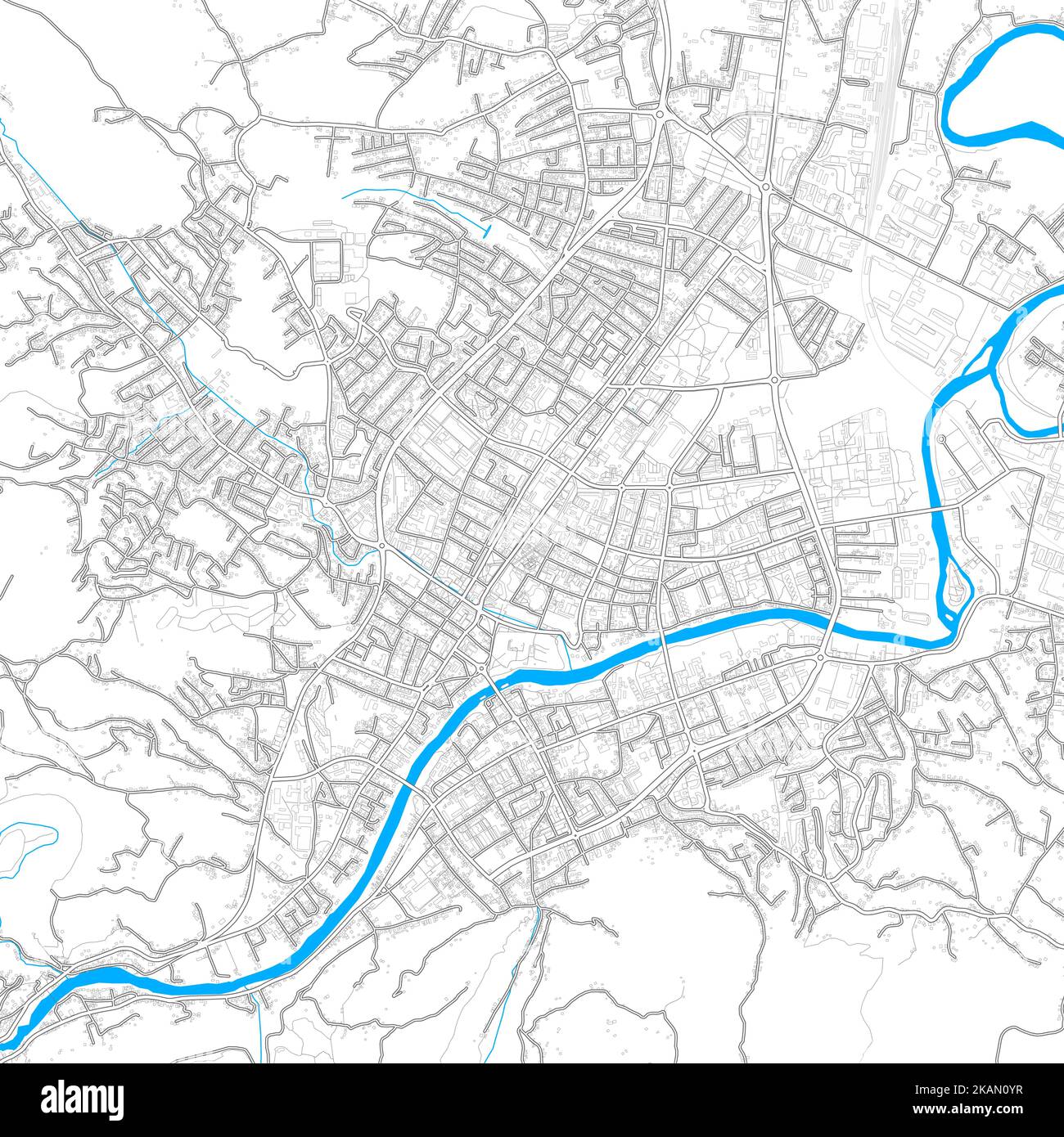 BanjaLuka, Republika Srpska, BosniaandHerzegovina high resolution vector map with editable paths. Bright outlines for main roads. Use it for any print Stock Vectorhttps://www.alamy.com/image-license-details/?v=1https://www.alamy.com/banjaluka-republika-srpska-bosniaandherzegovina-high-resolution-vector-map-with-editable-paths-bright-outlines-for-main-roads-use-it-for-any-print-image488498635.html
RF2KAN0YR–BanjaLuka, Republika Srpska, BosniaandHerzegovina high resolution vector map with editable paths. Bright outlines for main roads. Use it for any print
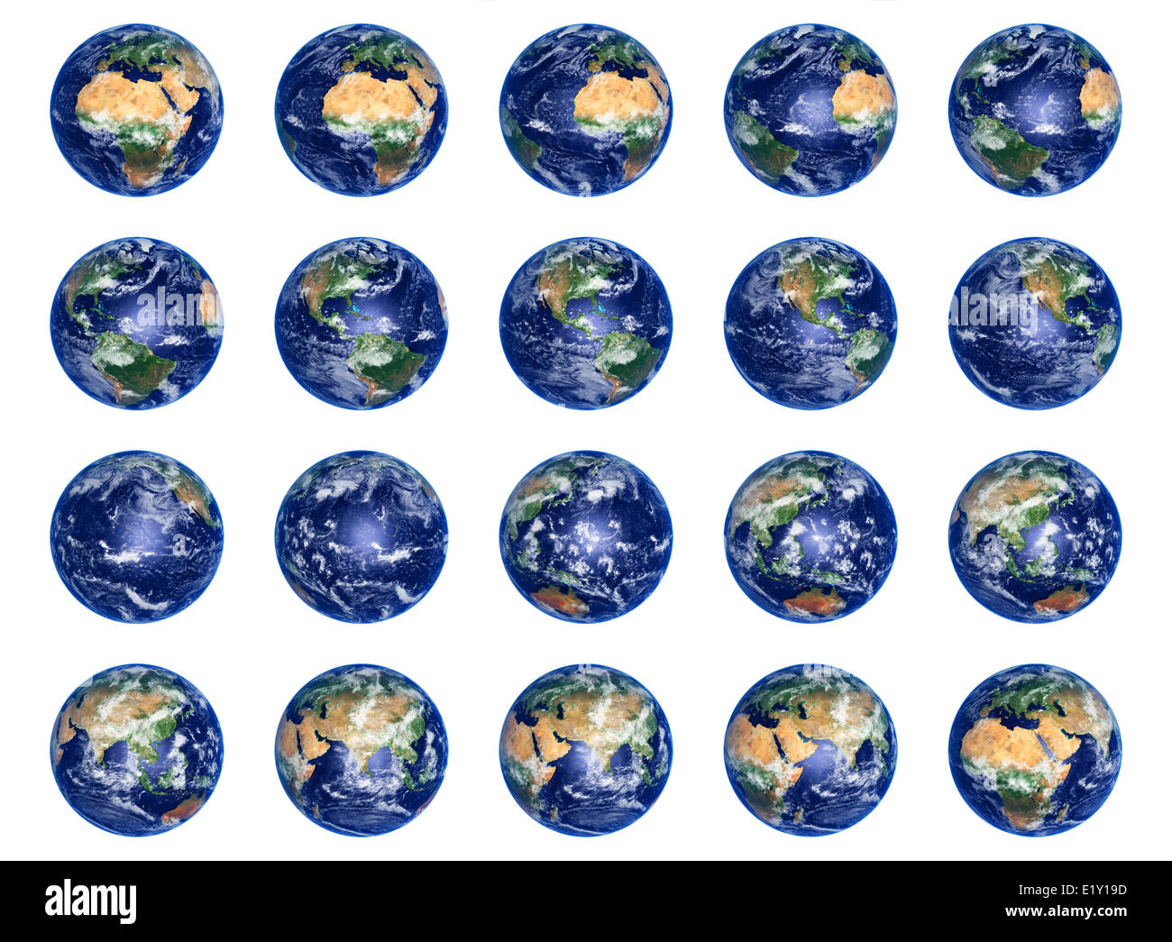 Earth Globes collection Stock Photohttps://www.alamy.com/image-license-details/?v=1https://www.alamy.com/stock-photo-earth-globes-collection-70049881.html
RFE1Y19D–Earth Globes collection
 Person pointing south america map, Resolution and high quality beautiful photo Stock Photohttps://www.alamy.com/image-license-details/?v=1https://www.alamy.com/person-pointing-south-america-map-resolution-and-high-quality-beautiful-photo-image501457993.html
RF2M3RAP1–Person pointing south america map, Resolution and high quality beautiful photo
 Moldova Map Vector Illustration - Silhouette, Outline, Moldova Travel and Tourism Map Stock Vectorhttps://www.alamy.com/image-license-details/?v=1https://www.alamy.com/moldova-map-vector-illustration-silhouette-outline-moldova-travel-and-tourism-map-image611781952.html
RF2XF923C–Moldova Map Vector Illustration - Silhouette, Outline, Moldova Travel and Tourism Map
 Potsdam, Berlin, Germany: 18th August 2018: Tourist looking at Marco Polo Guide and Public transport map Stock Photohttps://www.alamy.com/image-license-details/?v=1https://www.alamy.com/potsdam-berlin-germany-18th-august-2018-tourist-looking-at-marco-polo-guide-and-public-transport-map-image222097455.html
RMPW9BFY–Potsdam, Berlin, Germany: 18th August 2018: Tourist looking at Marco Polo Guide and Public transport map
 Vintage Detailed Colorful Political Map of Europe Printable Download Travel Poster Stock Photohttps://www.alamy.com/image-license-details/?v=1https://www.alamy.com/vintage-detailed-colorful-political-map-of-europe-printable-download-travel-poster-image626586723.html
RF2YBBDN7–Vintage Detailed Colorful Political Map of Europe Printable Download Travel Poster
 Landscape with wind mill farm and agriculture land, Austria Stock Photohttps://www.alamy.com/image-license-details/?v=1https://www.alamy.com/landscape-with-wind-mill-farm-and-agriculture-land-austria-image429299255.html
RF2FXC7G7–Landscape with wind mill farm and agriculture land, Austria
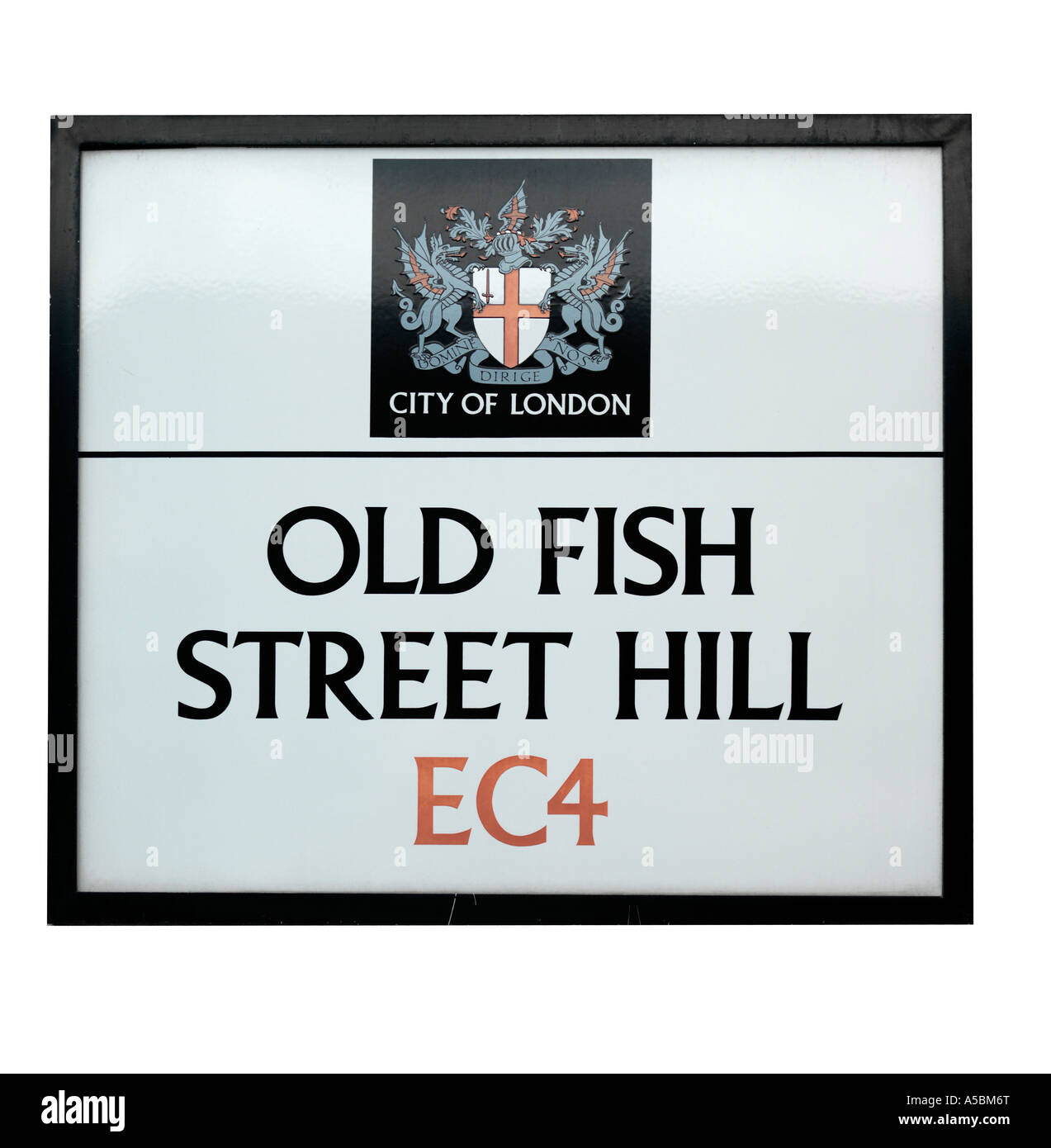 City of London street sign old fish street hill EC4 Stock Photohttps://www.alamy.com/image-license-details/?v=1https://www.alamy.com/stock-photo-city-of-london-street-sign-old-fish-street-hill-ec4-11261903.html
RMA5BM6T–City of London street sign old fish street hill EC4
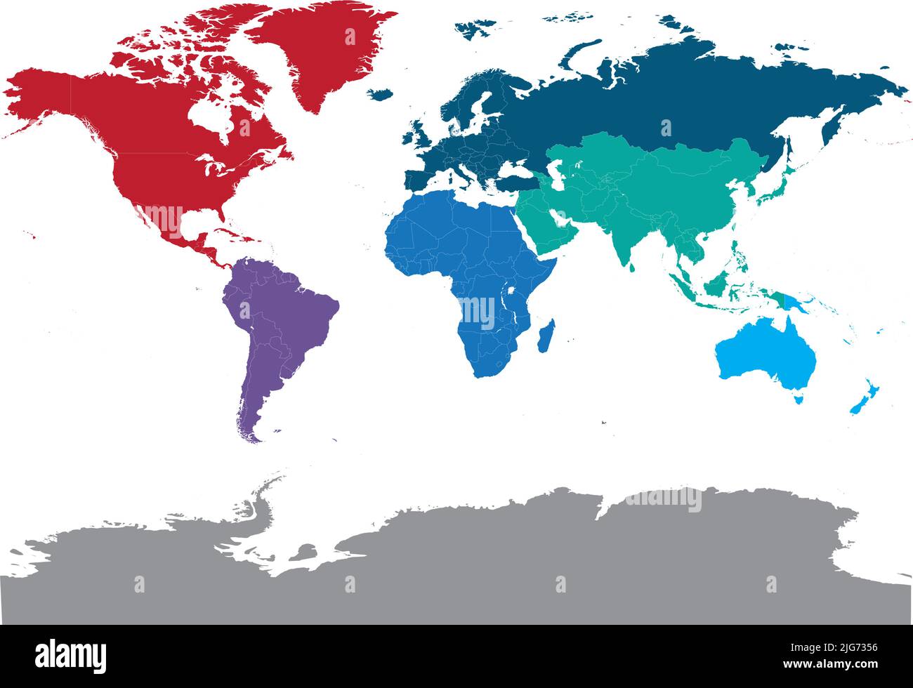 all countries of the world on a high-resolution map Stock Vectorhttps://www.alamy.com/image-license-details/?v=1https://www.alamy.com/all-countries-of-the-world-on-a-high-resolution-map-image474670594.html
RF2JG7356–all countries of the world on a high-resolution map
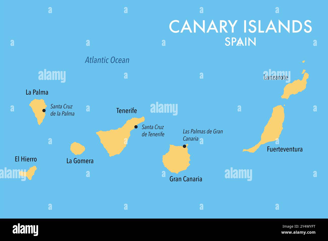 Map of the Canary Islands of Spain Stock Photohttps://www.alamy.com/image-license-details/?v=1https://www.alamy.com/map-of-the-canary-islands-of-spain-image622602284.html
RF2Y4WYFT–Map of the Canary Islands of Spain
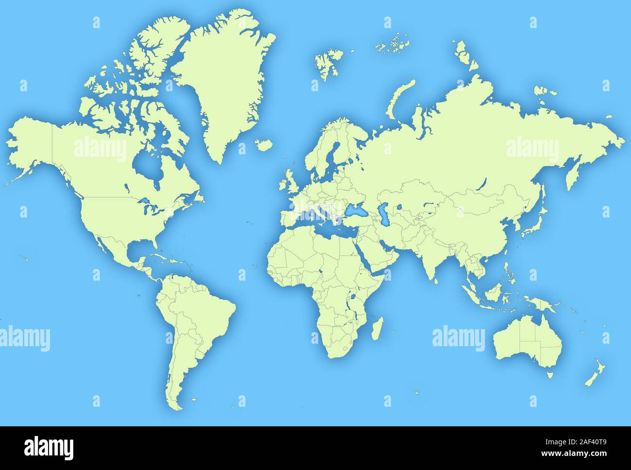 World Map Stock Photohttps://www.alamy.com/image-license-details/?v=1https://www.alamy.com/world-map-image336305321.html
RF2AF40T9–World Map
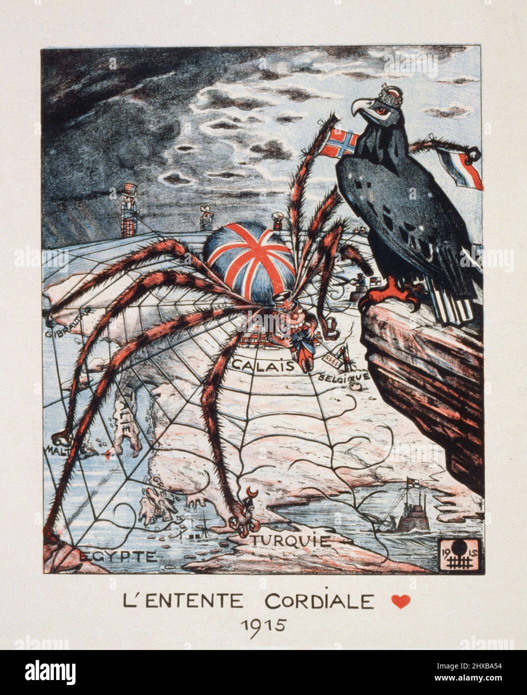 L'Entente Cordiale 1915 . Depiction of Britain as a spider, German eagle sitting overhead, Uncle Sam and two others tied up in web in background. Stock Photohttps://www.alamy.com/image-license-details/?v=1https://www.alamy.com/lentente-cordiale-1915-depiction-of-britain-as-a-spider-german-eagle-sitting-overhead-uncle-sam-and-two-others-tied-up-in-web-in-background-image463700080.html
RF2HXBA54–L'Entente Cordiale 1915 . Depiction of Britain as a spider, German eagle sitting overhead, Uncle Sam and two others tied up in web in background.
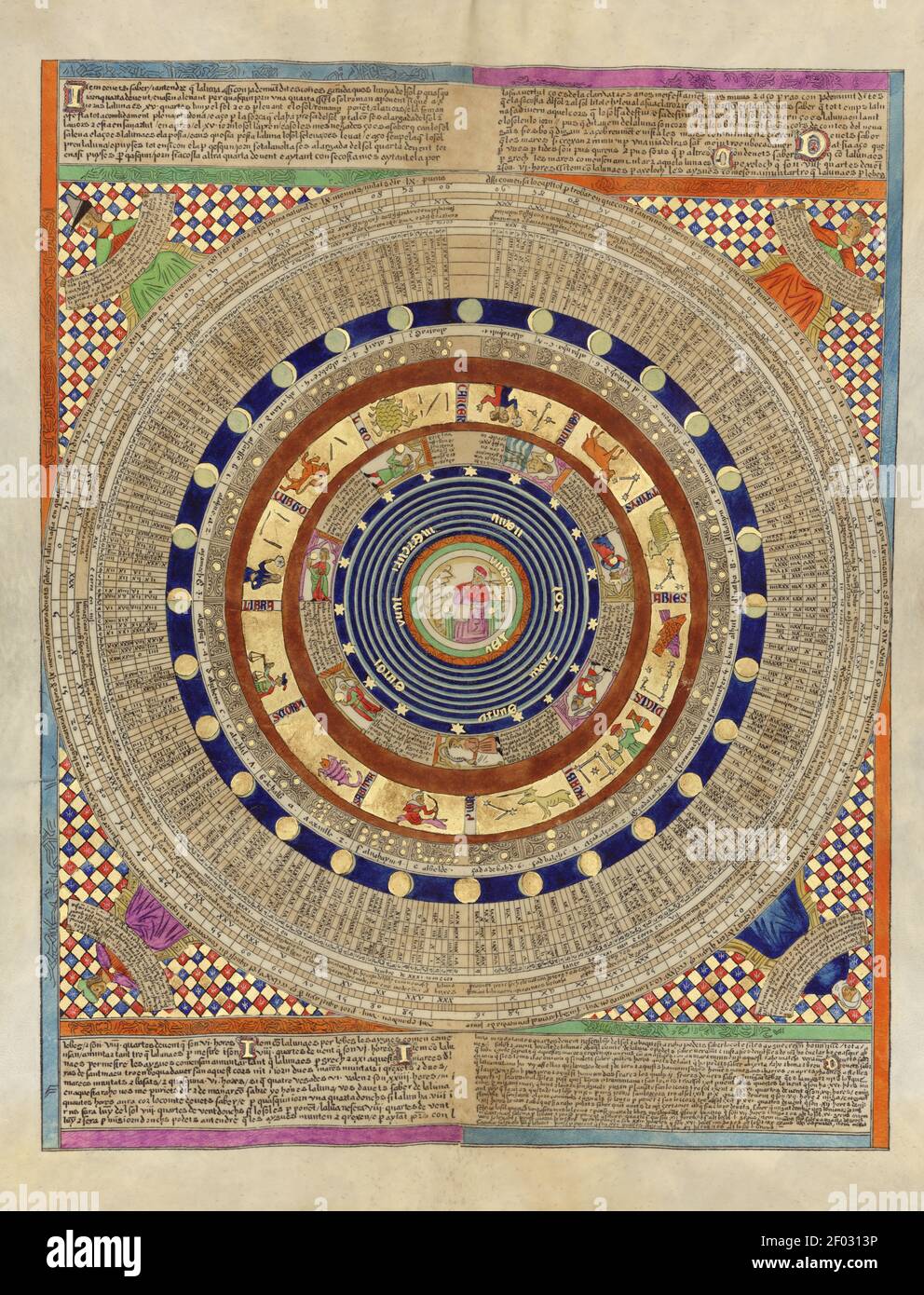 Taken from an ancient Spanish Atlas. Full of details. Very high resolution. Stock Photohttps://www.alamy.com/image-license-details/?v=1https://www.alamy.com/taken-from-an-ancient-spanish-atlas-full-of-details-very-high-resolution-image413115578.html
RM2F0313P–Taken from an ancient Spanish Atlas. Full of details. Very high resolution.
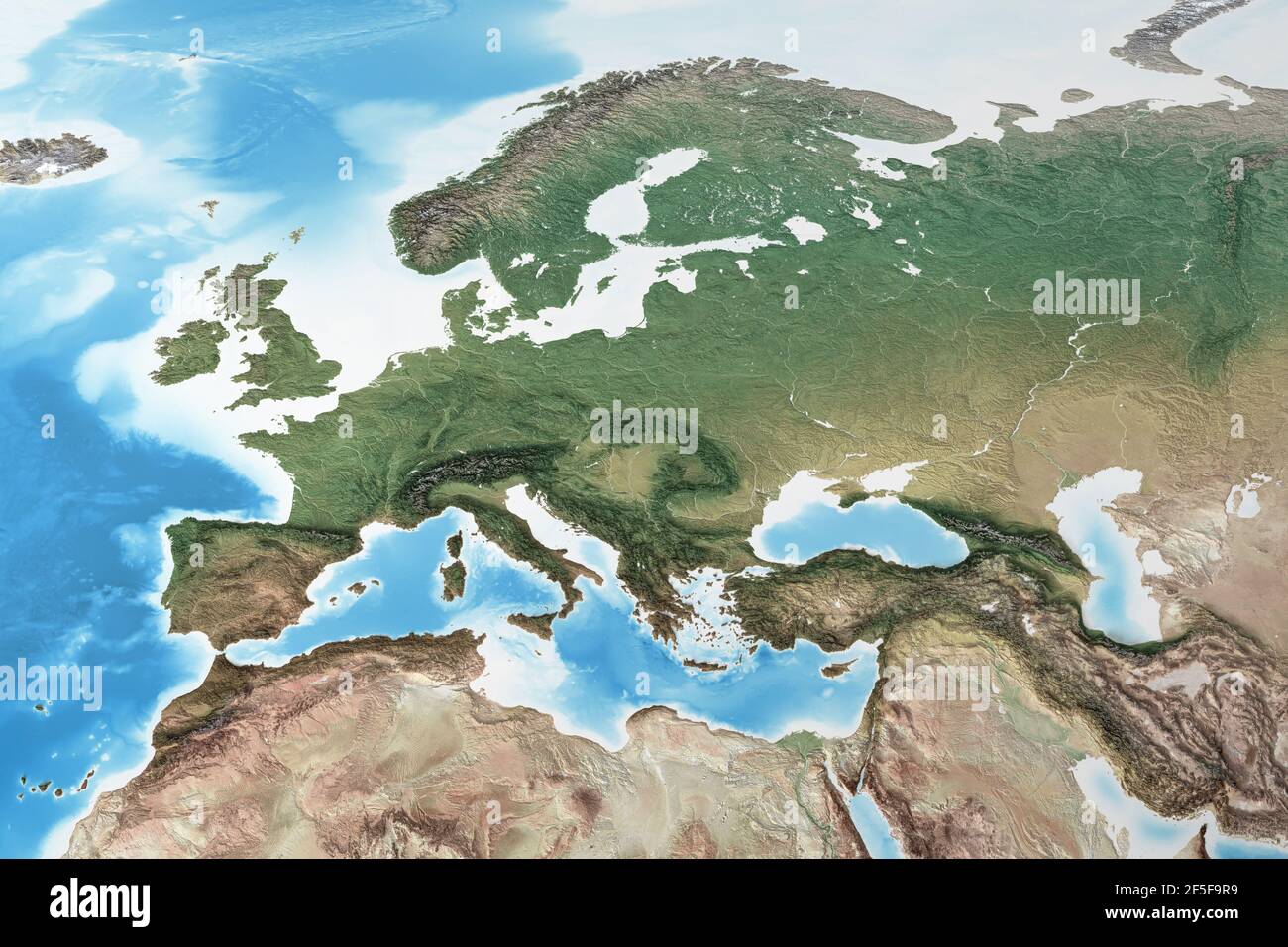 Physical map of Western Europe, with high resolution details. Flattened satellite view of Planet Earth and its geography - Elements furnished by NASA Stock Photohttps://www.alamy.com/image-license-details/?v=1https://www.alamy.com/physical-map-of-western-europe-with-high-resolution-details-flattened-satellite-view-of-planet-earth-and-its-geography-elements-furnished-by-nasa-image416459101.html
RF2F5F9R9–Physical map of Western Europe, with high resolution details. Flattened satellite view of Planet Earth and its geography - Elements furnished by NASA
 World map 3D with shadow. on light blue background. High resolution Stock Photohttps://www.alamy.com/image-license-details/?v=1https://www.alamy.com/world-map-3d-with-shadow-on-light-blue-background-high-resolution-image464832135.html
RF2J06X3K–World map 3D with shadow. on light blue background. High resolution
 Postmarked stamp from Iceland issued in 1972 Stock Photohttps://www.alamy.com/image-license-details/?v=1https://www.alamy.com/postmarked-stamp-from-iceland-issued-in-1972-image222166839.html
RMPWCG1Y–Postmarked stamp from Iceland issued in 1972
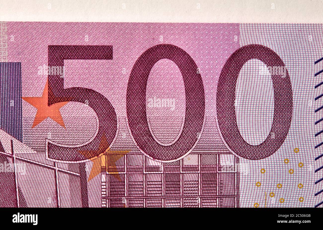 Five houndreds euro banknotes. 500 Euro paper cash. European Union Currency. macro fragment banknote. High resolution photo. Stock Photohttps://www.alamy.com/image-license-details/?v=1https://www.alamy.com/five-houndreds-euro-banknotes-500-euro-paper-cash-european-union-currency-macro-fragment-banknote-high-resolution-photo-image364496171.html
RF2C506GB–Five houndreds euro banknotes. 500 Euro paper cash. European Union Currency. macro fragment banknote. High resolution photo.
 macro photography of a two euro coin. A sharp detailed capture in high resolution of a 2 euro coin of the ecb. The coin from the front side, a greek Stock Photohttps://www.alamy.com/image-license-details/?v=1https://www.alamy.com/macro-photography-of-a-two-euro-coin-a-sharp-detailed-capture-in-high-resolution-of-a-2-euro-coin-of-the-ecb-the-coin-from-the-front-side-a-greek-image438148243.html
RF2GCRAFF–macro photography of a two euro coin. A sharp detailed capture in high resolution of a 2 euro coin of the ecb. The coin from the front side, a greek
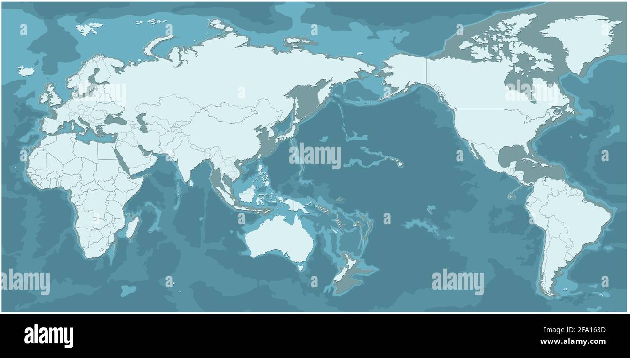 world map. modern topography world map vector. Stock Photohttps://www.alamy.com/image-license-details/?v=1https://www.alamy.com/world-map-modern-topography-world-map-vector-image419222145.html
RF2FA163D–world map. modern topography world map vector.
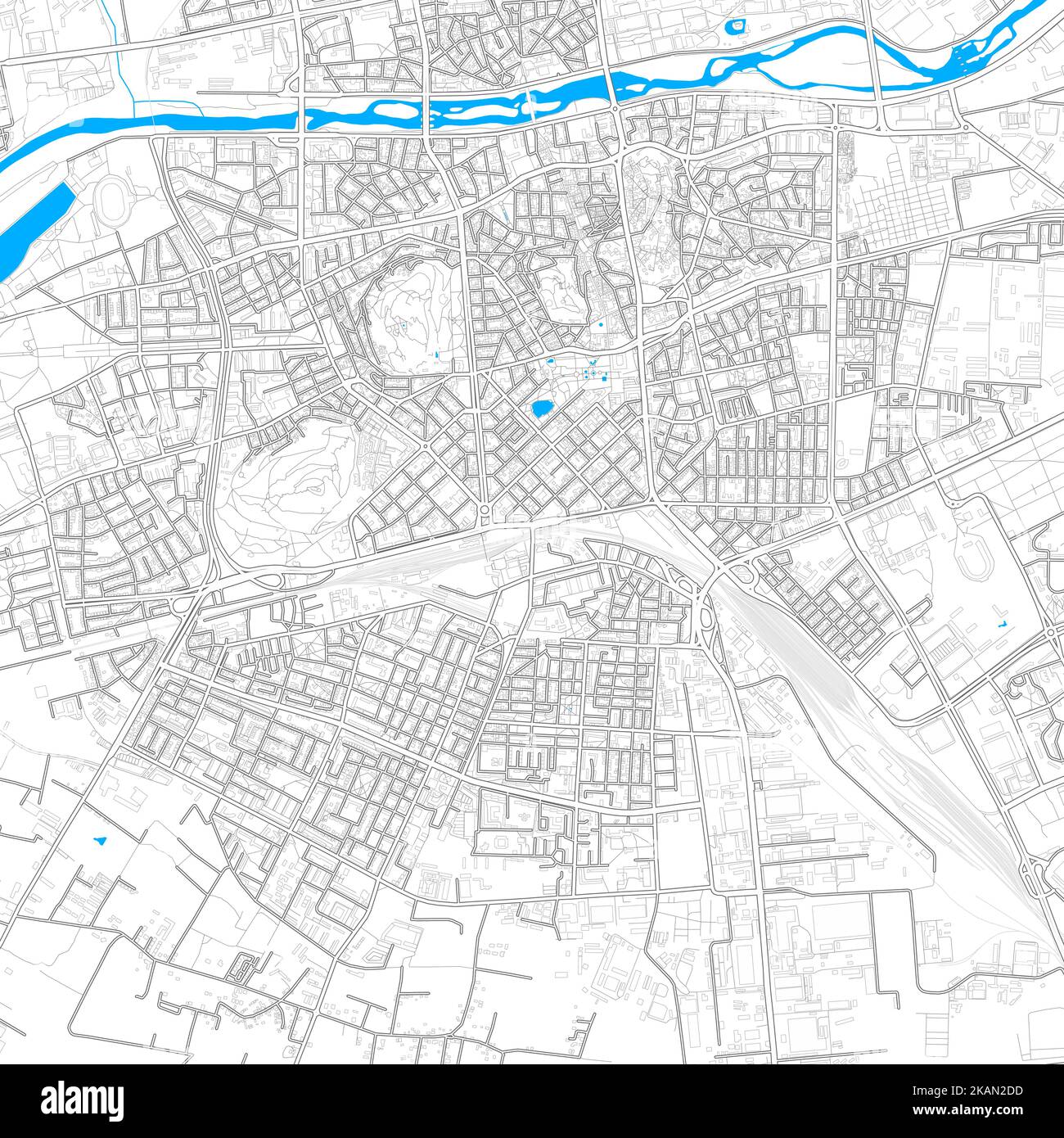 Plovdiv, Bulgaria high resolution vector map with editable paths. Bright outlines for main roads. Use it for any printed and digital background. Blue Stock Vectorhttps://www.alamy.com/image-license-details/?v=1https://www.alamy.com/plovdiv-bulgaria-high-resolution-vector-map-with-editable-paths-bright-outlines-for-main-roads-use-it-for-any-printed-and-digital-background-blue-image488499801.html
RF2KAN2DD–Plovdiv, Bulgaria high resolution vector map with editable paths. Bright outlines for main roads. Use it for any printed and digital background. Blue
 Earth Globes collection Stock Photohttps://www.alamy.com/image-license-details/?v=1https://www.alamy.com/stock-photo-earth-globes-collection-70050981.html
RFE1Y2MN–Earth Globes collection
 Travel concept with world map. Resolution and high quality beautiful photo Stock Photohttps://www.alamy.com/image-license-details/?v=1https://www.alamy.com/travel-concept-with-world-map-resolution-and-high-quality-beautiful-photo-image501461205.html
RF2M3RETN–Travel concept with world map. Resolution and high quality beautiful photo
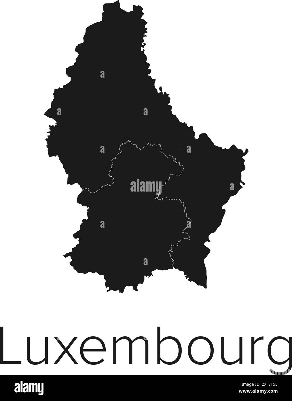 Luxembourg Map Vector Illustration - Silhouette, Outline, Luxembourg Travel and Tourism Map Stock Vectorhttps://www.alamy.com/image-license-details/?v=1https://www.alamy.com/luxembourg-map-vector-illustration-silhouette-outline-luxembourg-travel-and-tourism-map-image611777306.html
RF2XF8T5E–Luxembourg Map Vector Illustration - Silhouette, Outline, Luxembourg Travel and Tourism Map
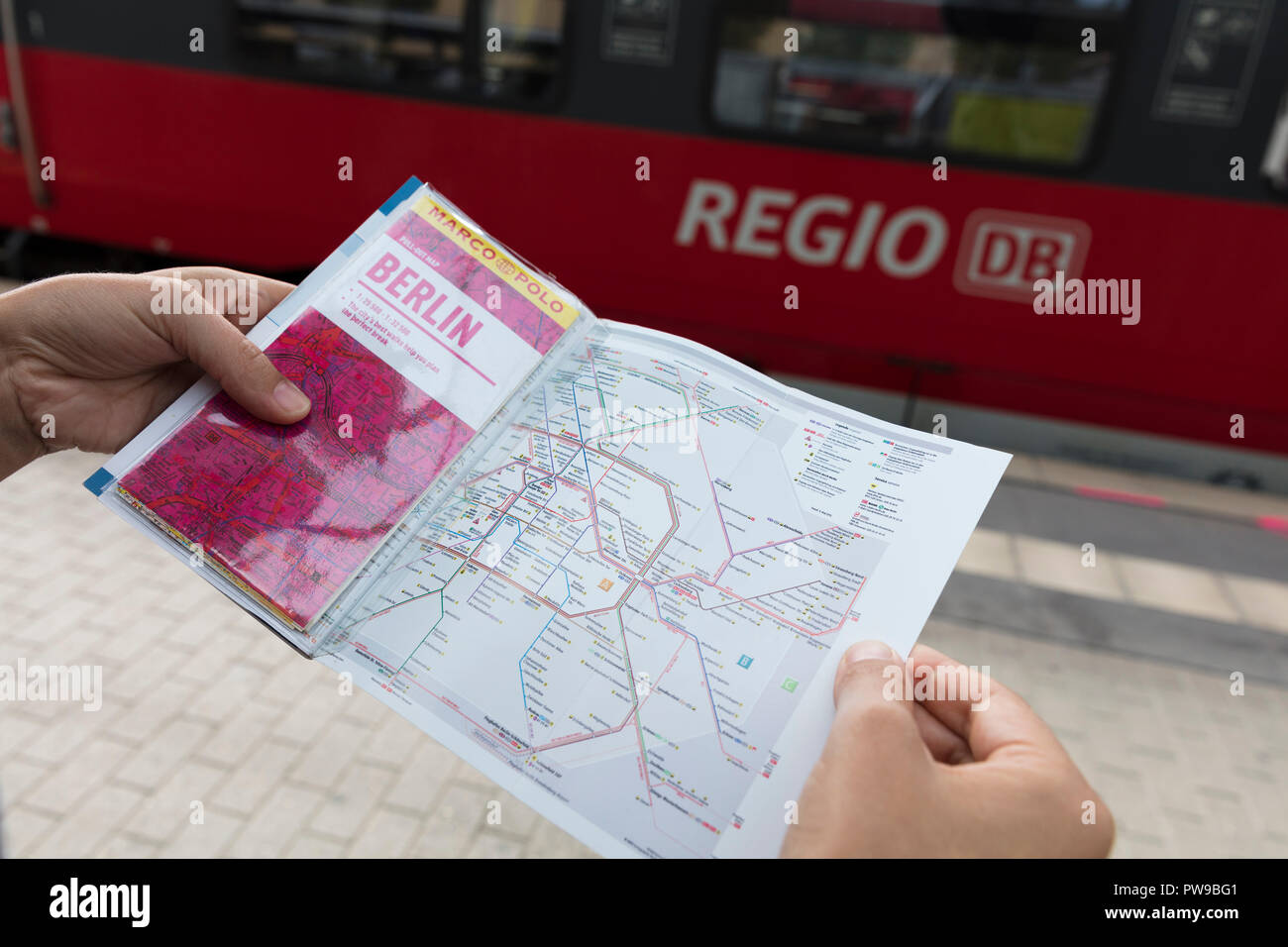 Potsdam, Berlin, Germany: 18th August 2018: Tourist looking at Marco Polo Guide and Public transport map Stock Photohttps://www.alamy.com/image-license-details/?v=1https://www.alamy.com/potsdam-berlin-germany-18th-august-2018-tourist-looking-at-marco-polo-guide-and-public-transport-map-image222097457.html
RMPW9BG1–Potsdam, Berlin, Germany: 18th August 2018: Tourist looking at Marco Polo Guide and Public transport map
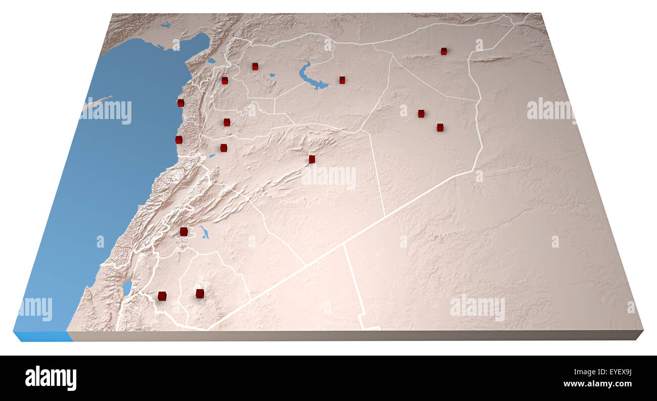 Middle East as seen from space. Syria map and cities Stock Photohttps://www.alamy.com/image-license-details/?v=1https://www.alamy.com/stock-photo-middle-east-as-seen-from-space-syria-map-and-cities-85765166.html
RFEYEX9J–Middle East as seen from space. Syria map and cities
 Landscape with wind mill farm and agriculture land, Austria Stock Photohttps://www.alamy.com/image-license-details/?v=1https://www.alamy.com/landscape-with-wind-mill-farm-and-agriculture-land-austria-image429299265.html
RF2FXC7GH–Landscape with wind mill farm and agriculture land, Austria
 Sky reflects in modern office windows Stock Photohttps://www.alamy.com/image-license-details/?v=1https://www.alamy.com/sky-reflects-in-modern-office-windows-image9276778.html
RFAT87JB–Sky reflects in modern office windows
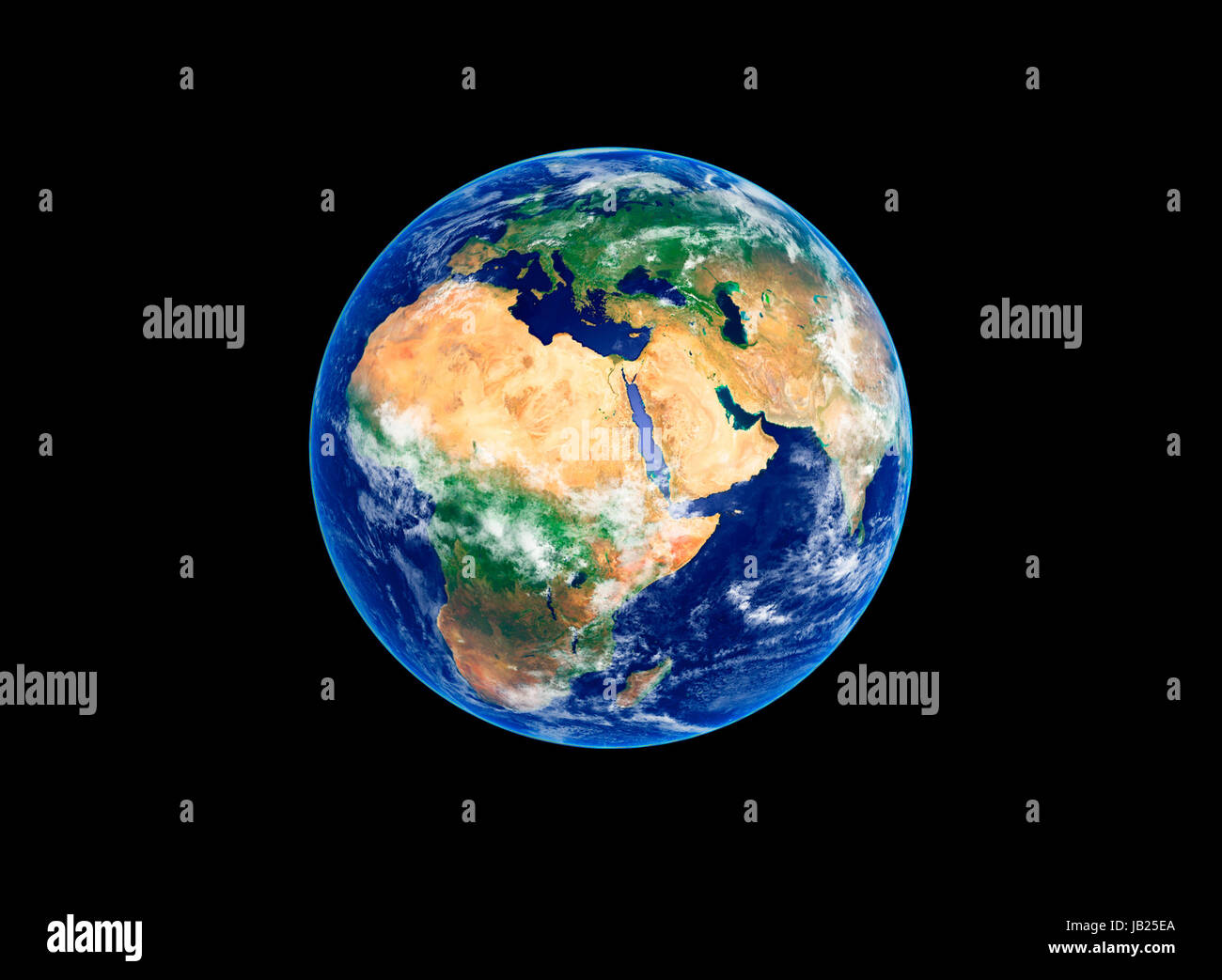 Earth Globe, Africa and Europe, high resolution image Stock Photohttps://www.alamy.com/image-license-details/?v=1https://www.alamy.com/stock-photo-earth-globe-africa-and-europe-high-resolution-image-144492386.html
RFJB25EA–Earth Globe, Africa and Europe, high resolution image
 Ecological map of the world in green grass isolated on white background. Realistic high-resolution 3d illustration. Stock Photohttps://www.alamy.com/image-license-details/?v=1https://www.alamy.com/ecological-map-of-the-world-in-green-grass-isolated-on-white-background-realistic-high-resolution-3d-illustration-image236890382.html
RFRNB82P–Ecological map of the world in green grass isolated on white background. Realistic high-resolution 3d illustration.
 World Map Stock Photohttps://www.alamy.com/image-license-details/?v=1https://www.alamy.com/world-map-image336305319.html
RF2AF40T7–World Map
 Normal map, mapping texture Brick wall texture. Very high resolution Stock Photohttps://www.alamy.com/image-license-details/?v=1https://www.alamy.com/normal-map-mapping-texture-brick-wall-texture-very-high-resolution-image455165958.html
RF2HCEGR2–Normal map, mapping texture Brick wall texture. Very high resolution
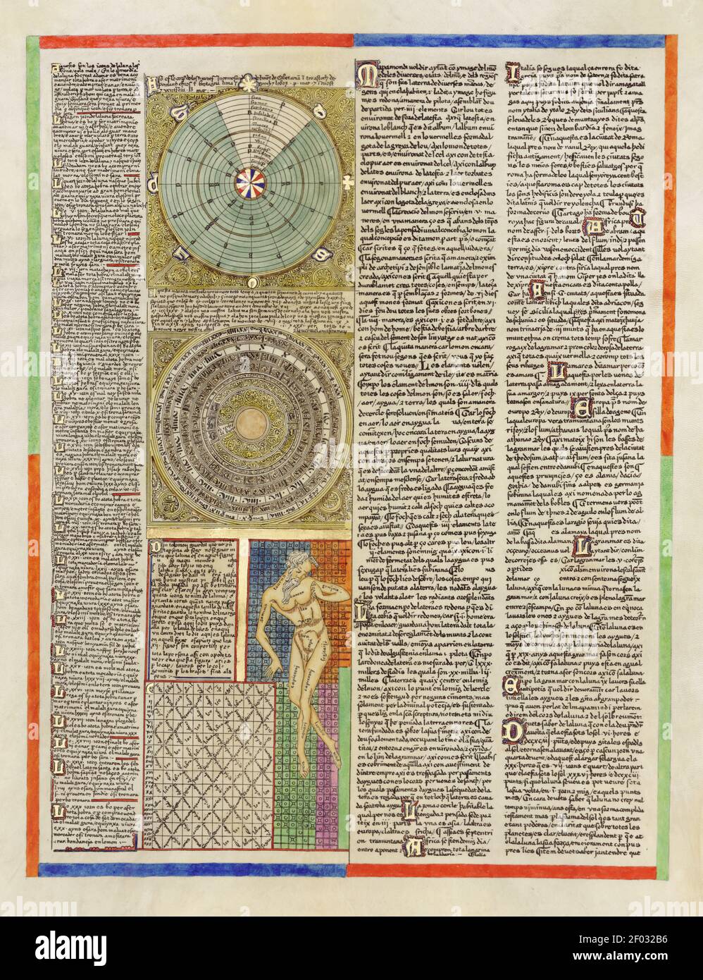 Taken from an ancient Spanish Atlas. Illustrations and charts. Very high resolution. Stock Photohttps://www.alamy.com/image-license-details/?v=1https://www.alamy.com/taken-from-an-ancient-spanish-atlas-illustrations-and-charts-very-high-resolution-image413116570.html
RM2F032B6–Taken from an ancient Spanish Atlas. Illustrations and charts. Very high resolution.
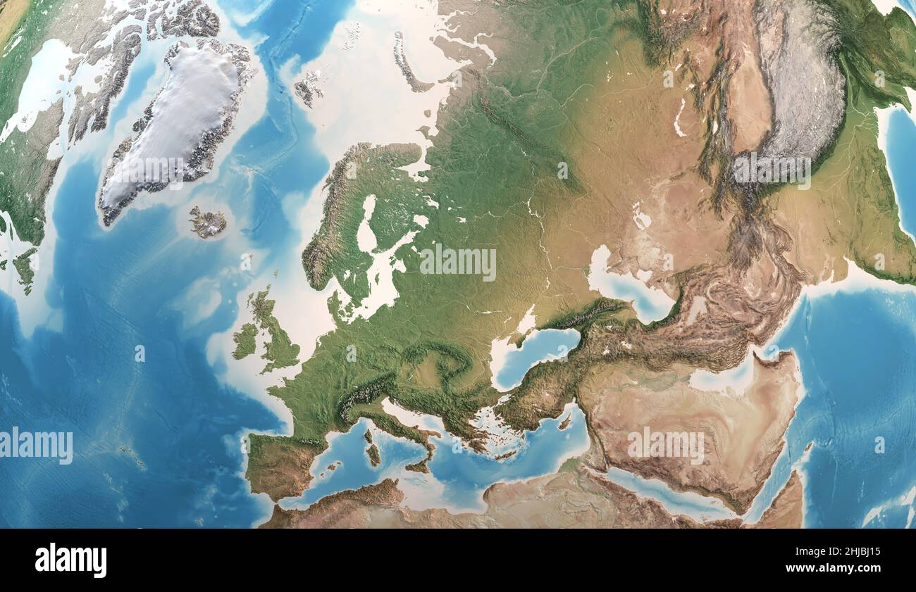 Physical map of Europe, Greenland, Middle East and Asia, with high resolution details. Satellite view of Planet Earth. Elements furnished by NASA Stock Photohttps://www.alamy.com/image-license-details/?v=1https://www.alamy.com/physical-map-of-europe-greenland-middle-east-and-asia-with-high-resolution-details-satellite-view-of-planet-earth-elements-furnished-by-nasa-image458788993.html
RF2HJBJ15–Physical map of Europe, Greenland, Middle East and Asia, with high resolution details. Satellite view of Planet Earth. Elements furnished by NASA
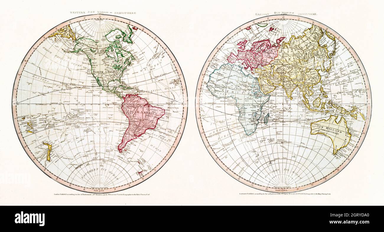 New World, or, Western Hemisphere; Old World, or Eastern Hemisphere (1790) by William Faden. Map of the World. Stock Photohttps://www.alamy.com/image-license-details/?v=1https://www.alamy.com/new-world-or-western-hemisphere-old-world-or-eastern-hemisphere-1790-by-william-faden-map-of-the-world-image444999464.html
RM2GRYDA0–New World, or, Western Hemisphere; Old World, or Eastern Hemisphere (1790) by William Faden. Map of the World.
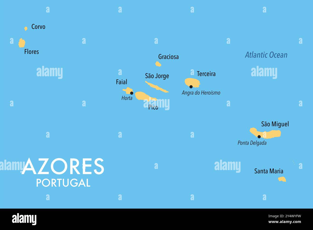 Map of Azores islands of Portugal Stock Photohttps://www.alamy.com/image-license-details/?v=1https://www.alamy.com/map-of-azores-islands-of-portugal-image622602285.html
RF2Y4WYFW–Map of Azores islands of Portugal
 Five houndreds euro banknotes. 500 Euro paper cash. European Union Currency. macro fragment banknote. High resolution photo. Stock Photohttps://www.alamy.com/image-license-details/?v=1https://www.alamy.com/five-houndreds-euro-banknotes-500-euro-paper-cash-european-union-currency-macro-fragment-banknote-high-resolution-photo-image364496160.html
RF2C506G0–Five houndreds euro banknotes. 500 Euro paper cash. European Union Currency. macro fragment banknote. High resolution photo.
 macro photography of a two euro coin. A sharp detailed capture in high resolution of a 2 euro coin of the ecb. The coin from the front side, a greek Stock Photohttps://www.alamy.com/image-license-details/?v=1https://www.alamy.com/macro-photography-of-a-two-euro-coin-a-sharp-detailed-capture-in-high-resolution-of-a-2-euro-coin-of-the-ecb-the-coin-from-the-front-side-a-greek-image438150059.html
RF2GCRCTB–macro photography of a two euro coin. A sharp detailed capture in high resolution of a 2 euro coin of the ecb. The coin from the front side, a greek
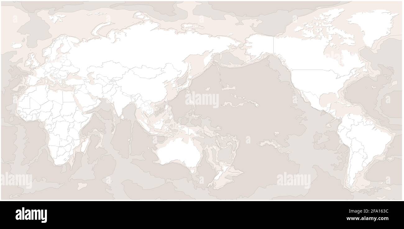 world map. modern topography world map vector. Stock Photohttps://www.alamy.com/image-license-details/?v=1https://www.alamy.com/world-map-modern-topography-world-map-vector-image419222144.html
RF2FA163C–world map. modern topography world map vector.
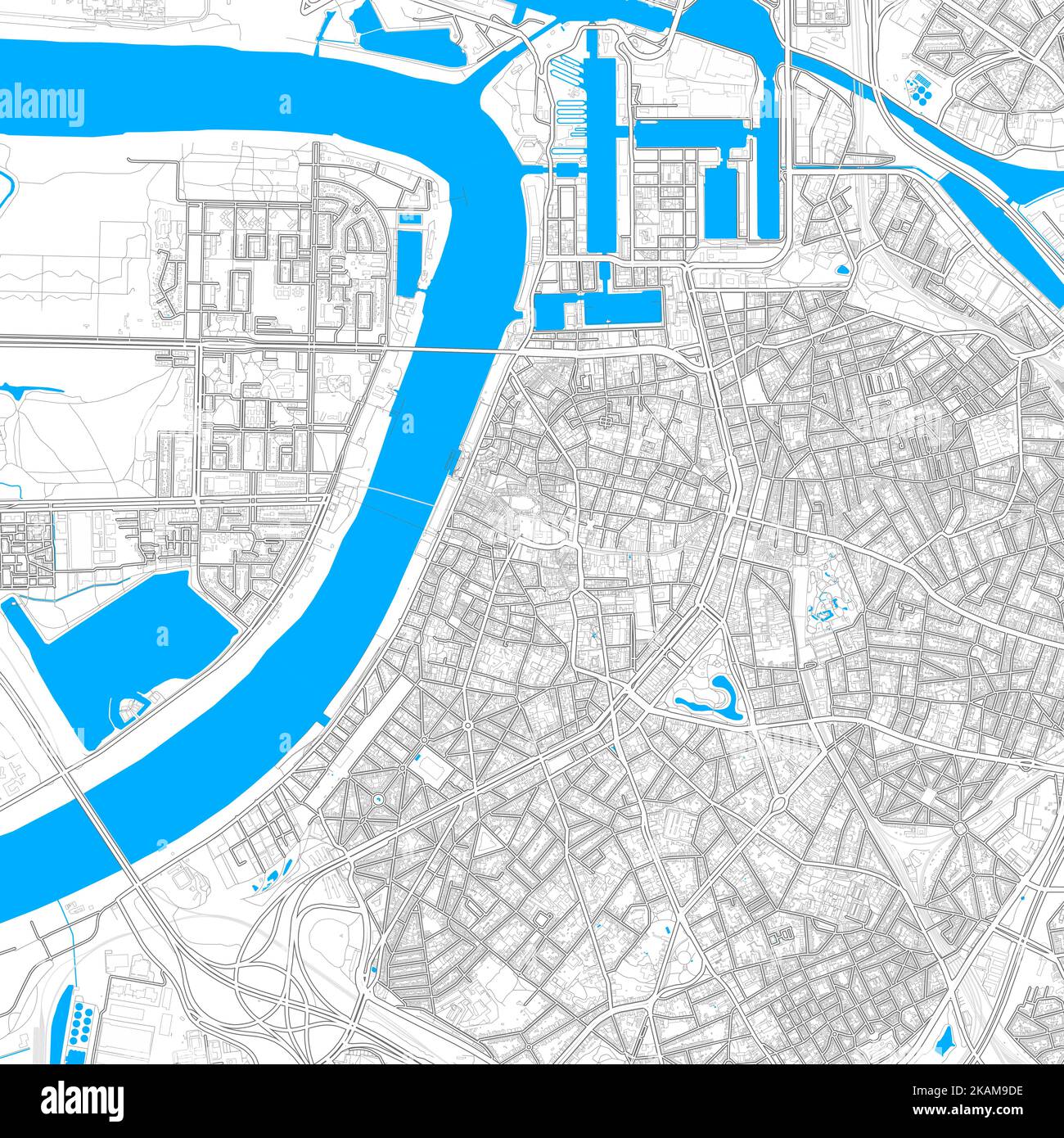 Antwerp, Antwerp, Belgium high resolution vector map with editable paths. Bright outlines for main roads. Use it for any printed and digital backgroun Stock Vectorhttps://www.alamy.com/image-license-details/?v=1https://www.alamy.com/antwerp-antwerp-belgium-high-resolution-vector-map-with-editable-paths-bright-outlines-for-main-roads-use-it-for-any-printed-and-digital-backgroun-image488483338.html
RF2KAM9DE–Antwerp, Antwerp, Belgium high resolution vector map with editable paths. Bright outlines for main roads. Use it for any printed and digital backgroun
 World map Stock Photohttps://www.alamy.com/image-license-details/?v=1https://www.alamy.com/stock-photo-world-map-93361513.html
RMFBTYFN–World map
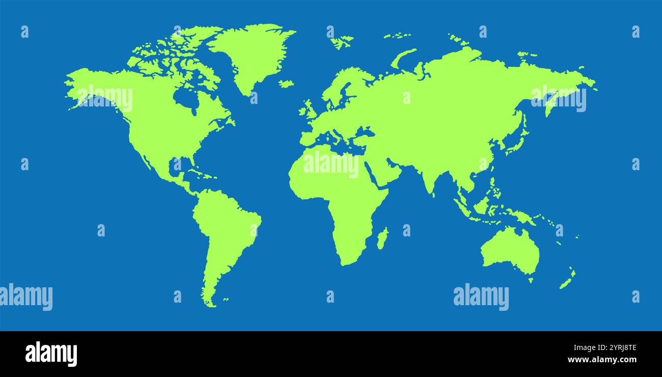 High-resolution world map featuring countries, borders, oceans, and continents. Perfect for educational, business, or travel use. Detailed, vibrant. Stock Photohttps://www.alamy.com/image-license-details/?v=1https://www.alamy.com/high-resolution-world-map-featuring-countries-borders-oceans-and-continents-perfect-for-educational-business-or-travel-use-detailed-vibrant-image634112430.html
RF2YRJ8TE–High-resolution world map featuring countries, borders, oceans, and continents. Perfect for educational, business, or travel use. Detailed, vibrant.
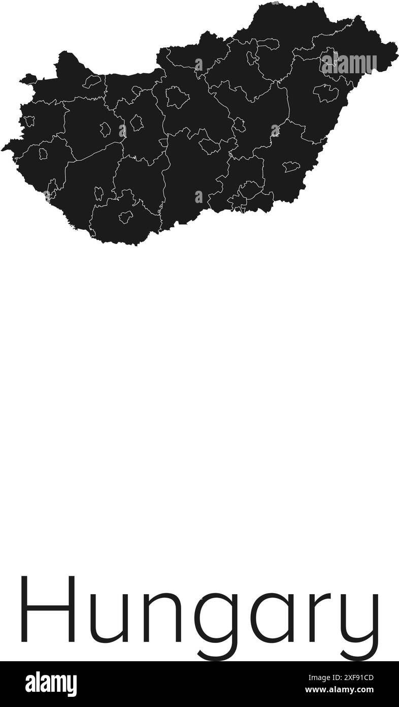 Hungary Map Vector Illustration - Silhouette, Outline, Hungary Travel and Tourism Map Stock Vectorhttps://www.alamy.com/image-license-details/?v=1https://www.alamy.com/hungary-map-vector-illustration-silhouette-outline-hungary-travel-and-tourism-map-image611781421.html
RF2XF91CD–Hungary Map Vector Illustration - Silhouette, Outline, Hungary Travel and Tourism Map
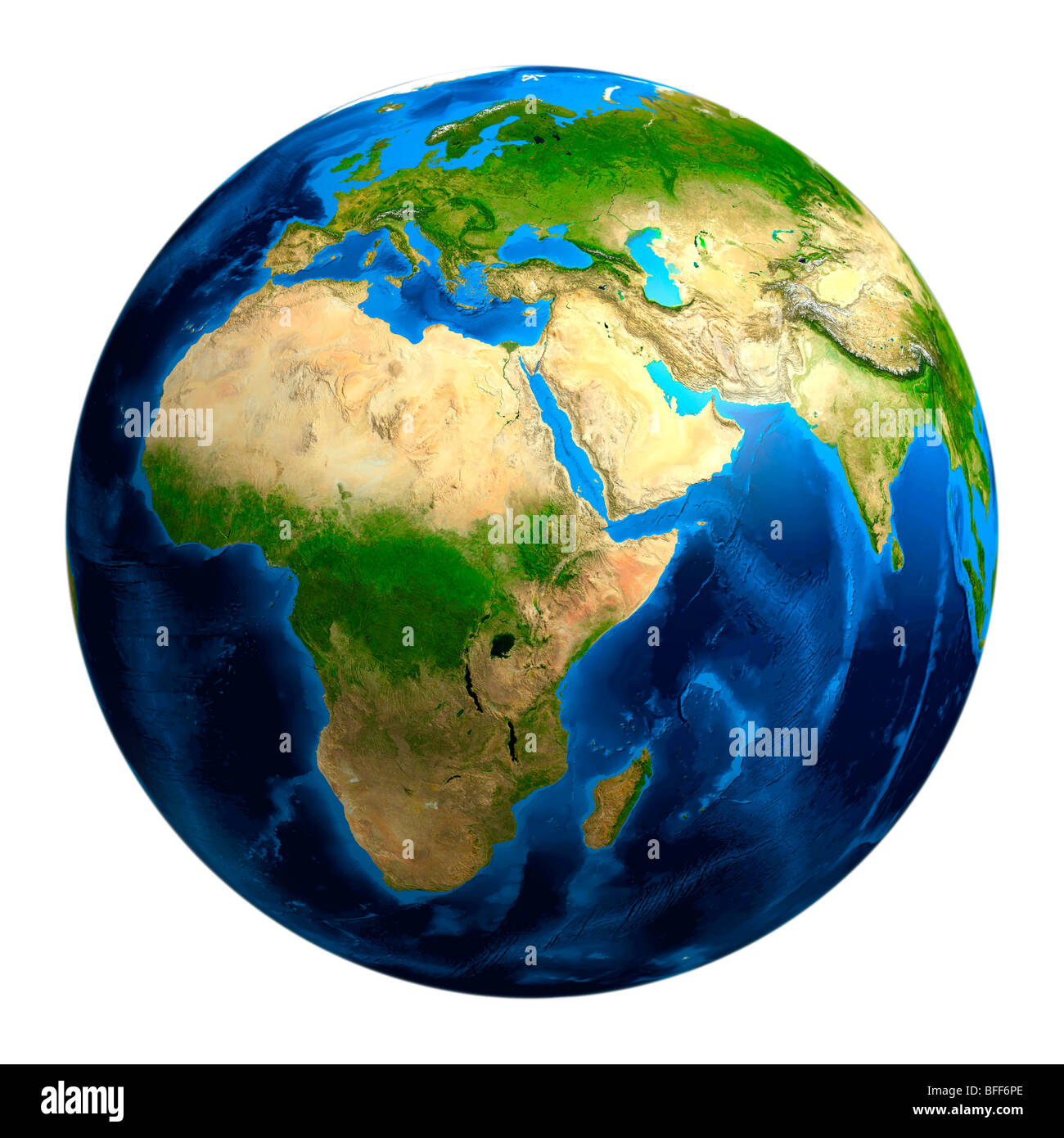 View of the Earth globe from space showing African, European and Asian continents Stock Photohttps://www.alamy.com/image-license-details/?v=1https://www.alamy.com/stock-photo-view-of-the-earth-globe-from-space-showing-african-european-and-asian-26764822.html
RFBFF6PE–View of the Earth globe from space showing African, European and Asian continents
 High resolution Austria map with country flag. Flag of the Austria overlaid on detailed outline map isolated on white background Stock Vectorhttps://www.alamy.com/image-license-details/?v=1https://www.alamy.com/stock-photo-high-resolution-austria-map-with-country-flag-flag-of-the-austria-138986668.html
RFJ23AWG–High resolution Austria map with country flag. Flag of the Austria overlaid on detailed outline map isolated on white background
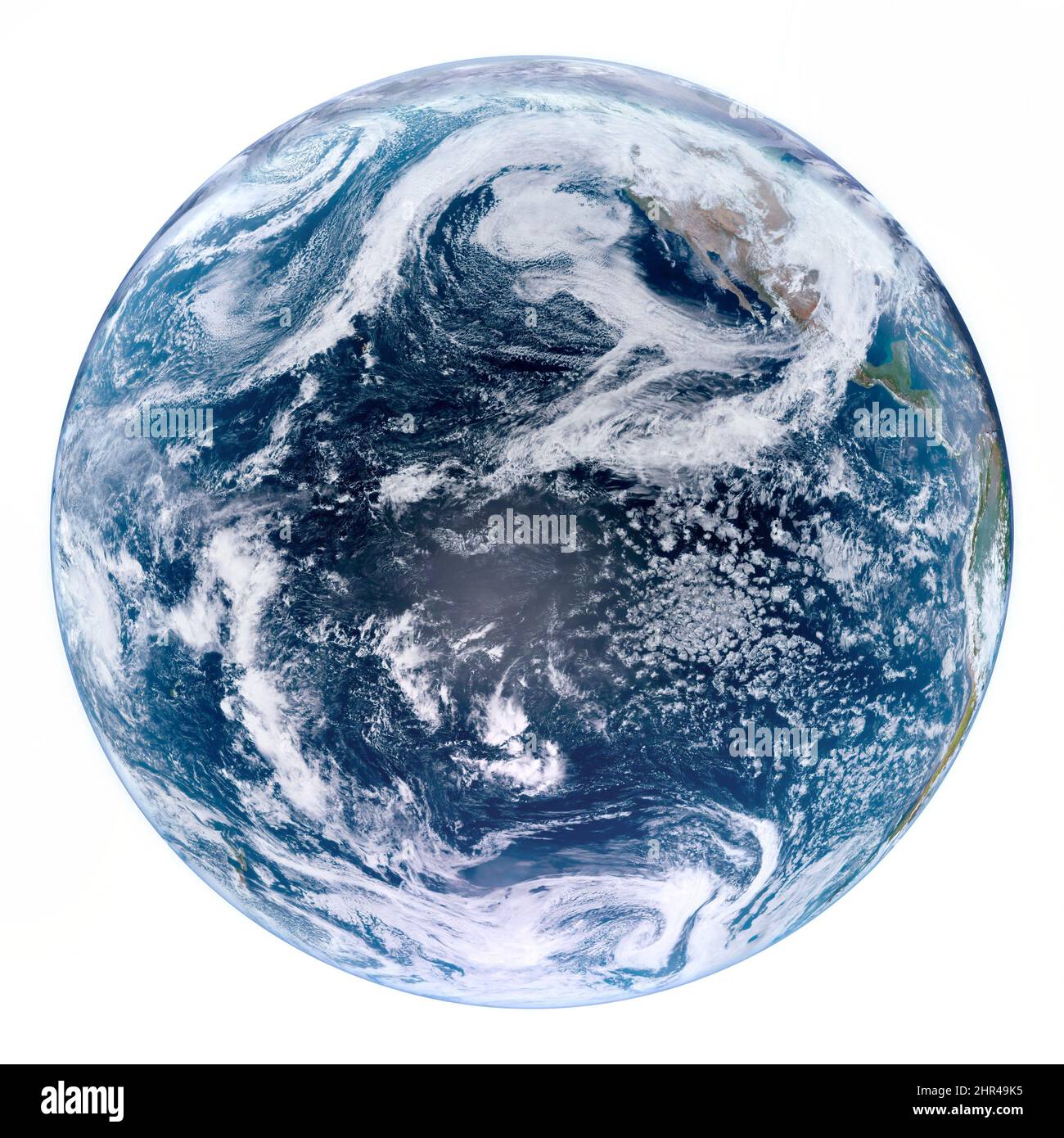 Isolated Planet Earth in a white background, cloudy world photo, outer space, high resolution close up image. Elements of this image furnished by NASA Stock Photohttps://www.alamy.com/image-license-details/?v=1https://www.alamy.com/isolated-planet-earth-in-a-white-background-cloudy-world-photo-outer-space-high-resolution-close-up-image-elements-of-this-image-furnished-by-nasa-image461702057.html
RF2HR49K5–Isolated Planet Earth in a white background, cloudy world photo, outer space, high resolution close up image. Elements of this image furnished by NASA
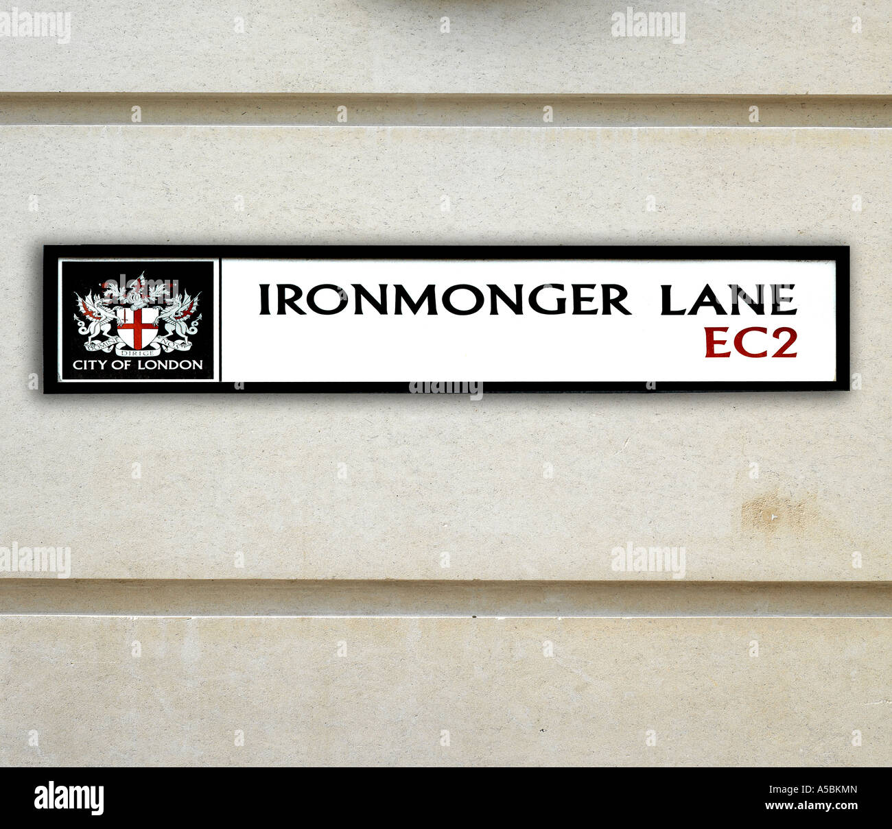 Ironmonger Lane road sign city of London Stock Photohttps://www.alamy.com/image-license-details/?v=1https://www.alamy.com/stock-photo-ironmonger-lane-road-sign-city-of-london-11261732.html
RMA5BKMN–Ironmonger Lane road sign city of London
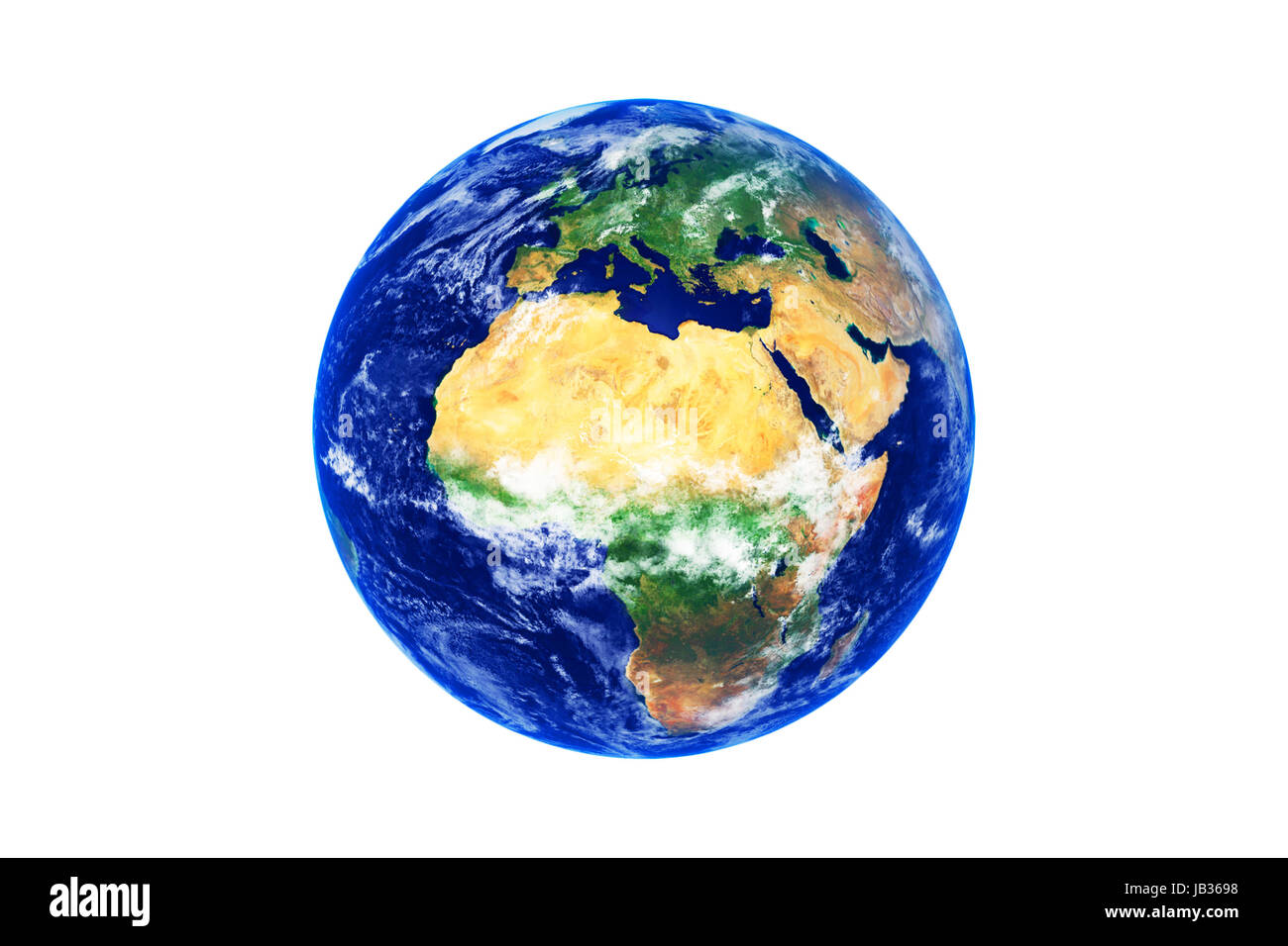 Earth Globe, Africa and Europe, high resolution image Stock Photohttps://www.alamy.com/image-license-details/?v=1https://www.alamy.com/stock-photo-earth-globe-africa-and-europe-high-resolution-image-144514980.html
RFJB3698–Earth Globe, Africa and Europe, high resolution image
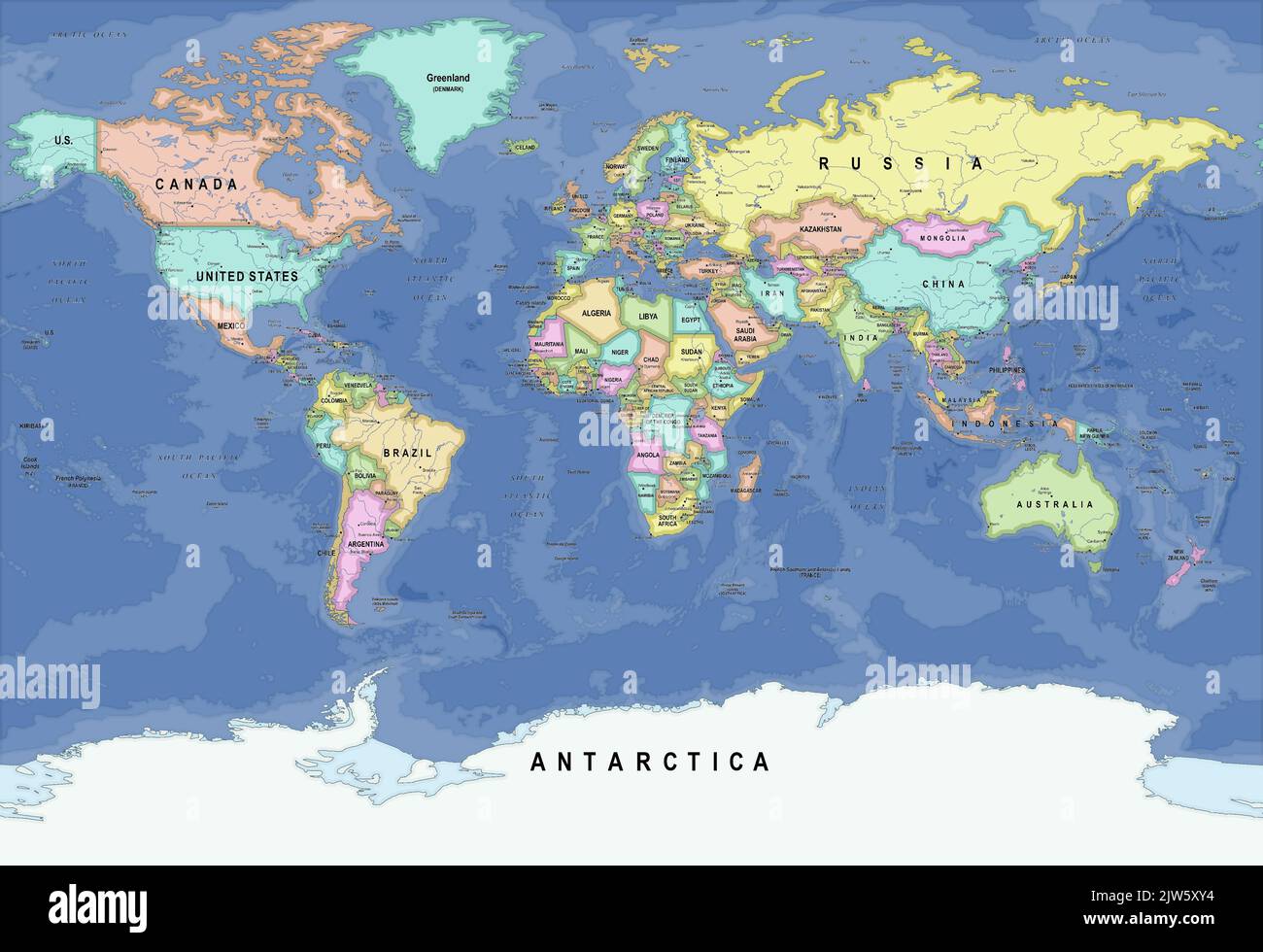 Colorful vector political high details world map Stock Vectorhttps://www.alamy.com/image-license-details/?v=1https://www.alamy.com/colorful-vector-political-high-details-world-map-image480177240.html
RF2JW5XY4–Colorful vector political high details world map
 World Map on a Wooden Background Stock Photohttps://www.alamy.com/image-license-details/?v=1https://www.alamy.com/world-map-on-a-wooden-background-image336167950.html
RF2AEWNJ6–World Map on a Wooden Background
 Middle East as seen from space. Attack against Syria, military movements Stock Photohttps://www.alamy.com/image-license-details/?v=1https://www.alamy.com/stock-photo-middle-east-as-seen-from-space-attack-against-syria-military-movements-85765171.html
RFEYEX9R–Middle East as seen from space. Attack against Syria, military movements