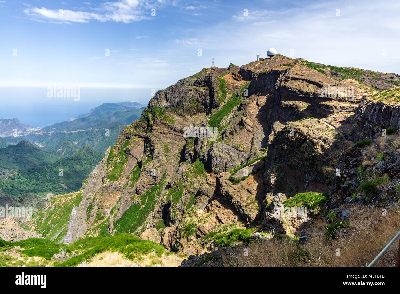
Quick filters:
Himalayas satellite Stock Photos and Images
 Satellite a view of the Himalayas, looking south from the Tibetan Plateau to the Ganges Basin of India in the background. Credit: NASA. Mountain Rock Ice Geology Asia Stock Photohttps://www.alamy.com/image-license-details/?v=1https://www.alamy.com/stock-photo-satellite-a-view-of-the-himalayas-looking-south-from-the-tibetan-plateau-57362297.html
RMD9925D–Satellite a view of the Himalayas, looking south from the Tibetan Plateau to the Ganges Basin of India in the background. Credit: NASA. Mountain Rock Ice Geology Asia
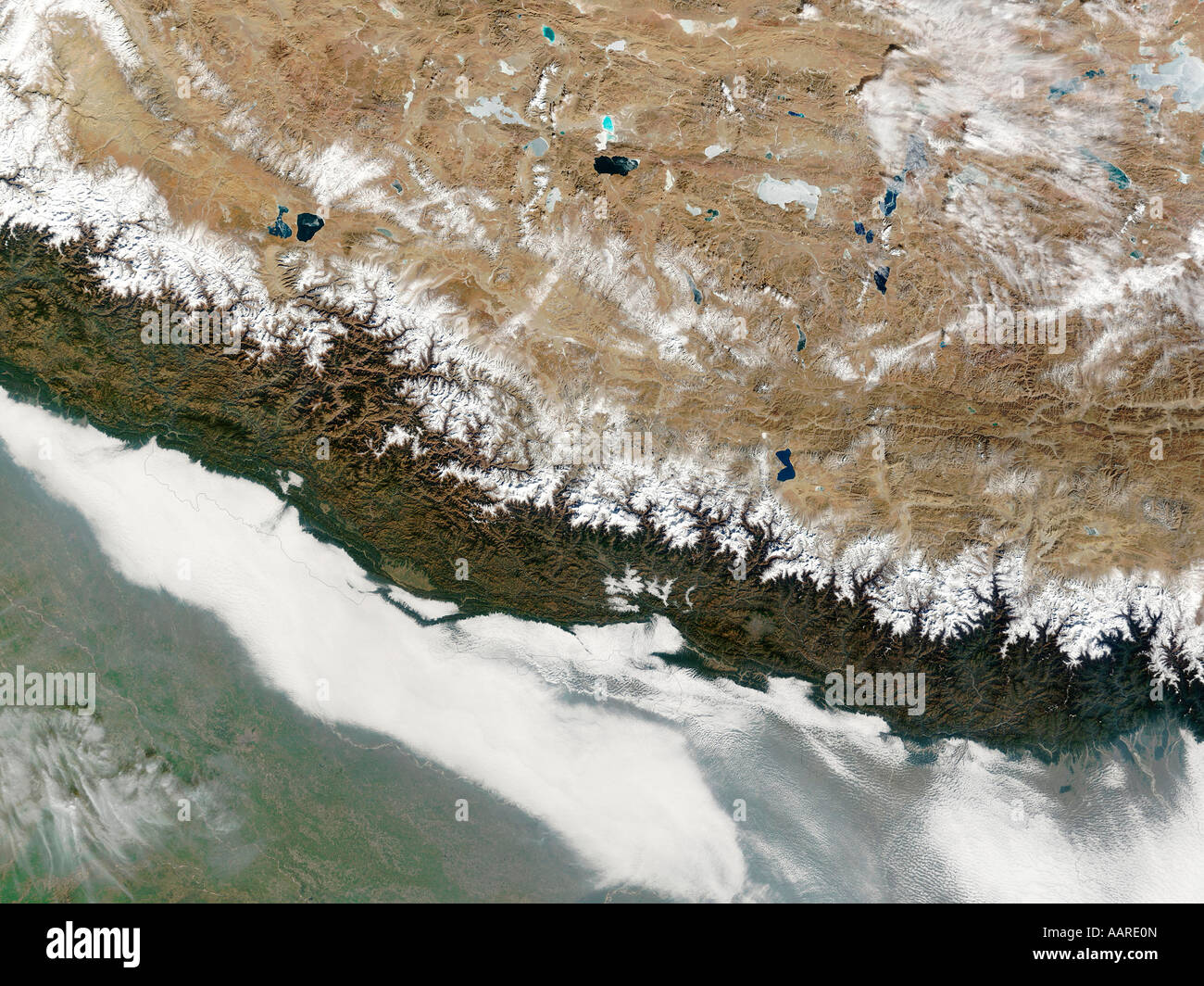 Satellite Image of Nepal The Himalayas Stock Photohttps://www.alamy.com/image-license-details/?v=1https://www.alamy.com/stock-photo-satellite-image-of-nepal-the-himalayas-12689828.html
RMAARE0N–Satellite Image of Nepal The Himalayas
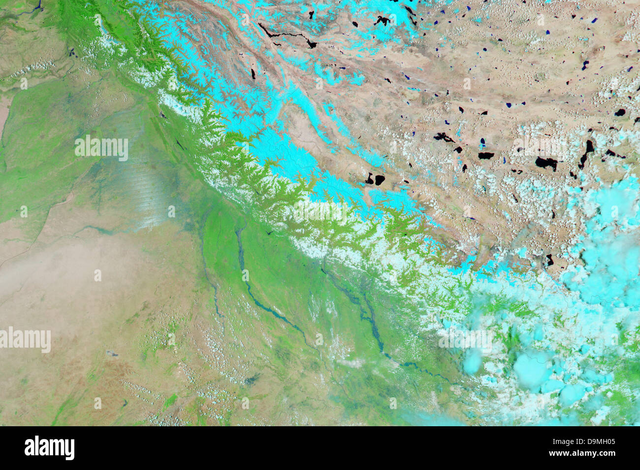 21 June 2013. Satellite view of northern India and Nepal showing flooding caused by unusually severe monsoon rain June 21, 2013. At least 600 people have been killed and tens of thousands stranded or missing in rugged, inaccessible terrain on the edge of the Himalayas. Credit: Planetpix/Alamy Live News Stock Photohttps://www.alamy.com/image-license-details/?v=1https://www.alamy.com/stock-photo-21-june-2013-satellite-view-of-northern-india-and-nepal-showing-flooding-57615381.html
RMD9MH05–21 June 2013. Satellite view of northern India and Nepal showing flooding caused by unusually severe monsoon rain June 21, 2013. At least 600 people have been killed and tens of thousands stranded or missing in rugged, inaccessible terrain on the edge of the Himalayas. Credit: Planetpix/Alamy Live News
 Himalayan peaks, glaciers and lakes, Himalayas, Asia Stock Photohttps://www.alamy.com/image-license-details/?v=1https://www.alamy.com/stock-photo-himalayan-peaks-glaciers-and-lakes-himalayas-asia-52437462.html
RMD18MEE–Himalayan peaks, glaciers and lakes, Himalayas, Asia
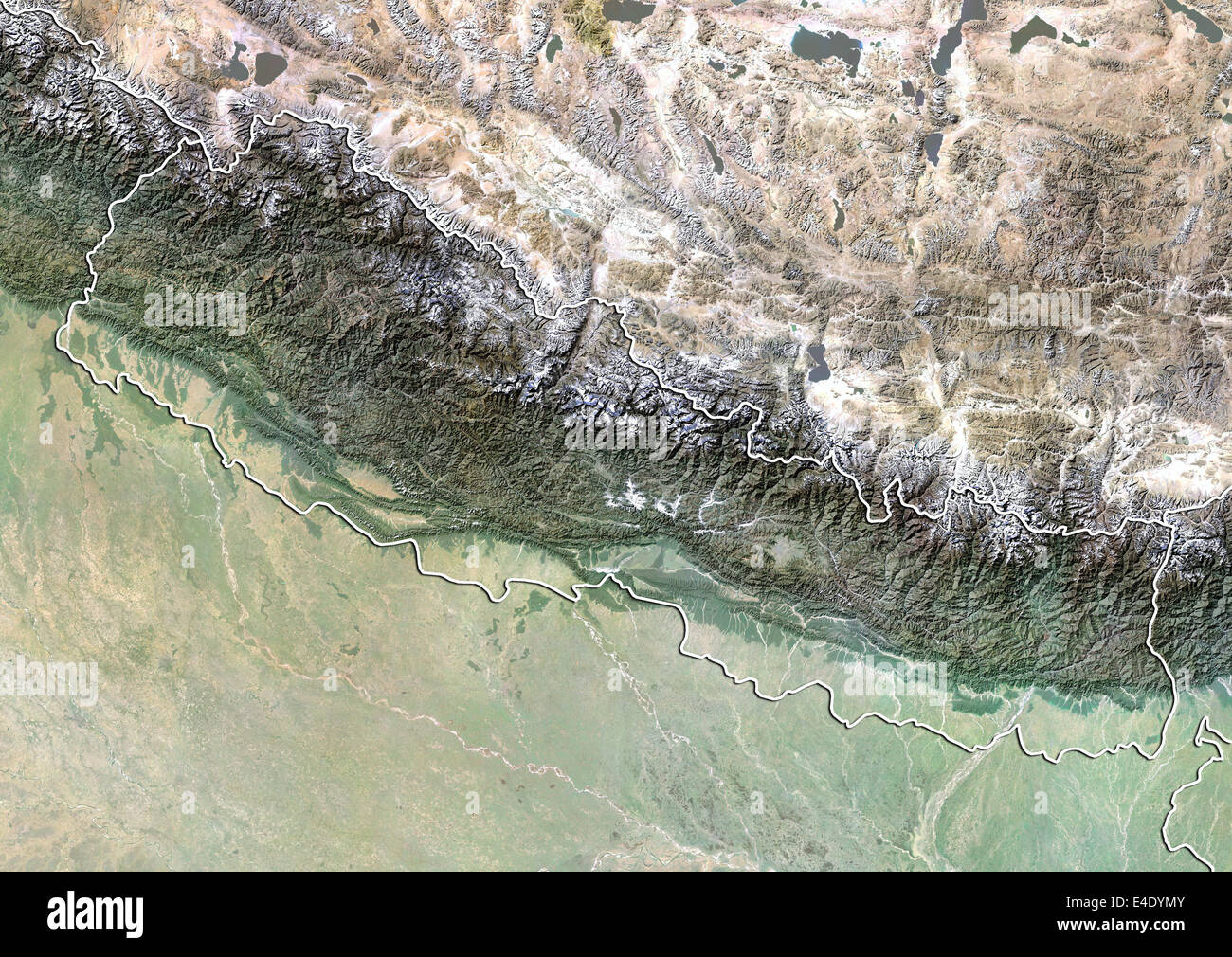 Nepal, Satellite Image With Bump Effect, With Border Stock Photohttps://www.alamy.com/image-license-details/?v=1https://www.alamy.com/stock-photo-nepal-satellite-image-with-bump-effect-with-border-71607227.html
RME4DYMY–Nepal, Satellite Image With Bump Effect, With Border
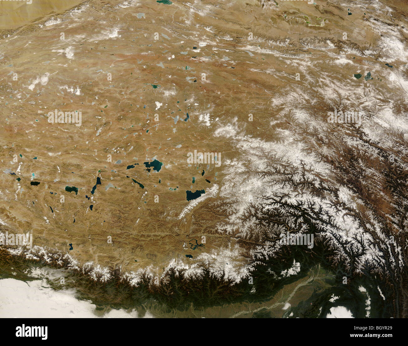 Tibet from space, satellite image credit NASA Stock Photohttps://www.alamy.com/image-license-details/?v=1https://www.alamy.com/stock-photo-tibet-from-space-satellite-image-credit-nasa-27655665.html
RFBGYR29–Tibet from space, satellite image credit NASA
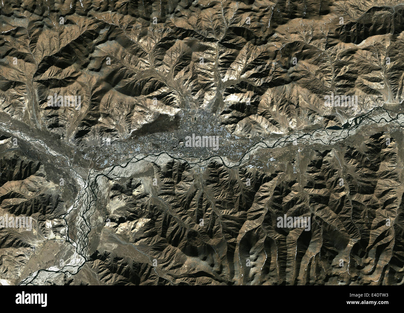 Lhassa, Tibet, China, True Colour Satellite Image. Lhasa, Tibet, People's Republic of China. True colour satellite image of the Stock Photohttps://www.alamy.com/image-license-details/?v=1https://www.alamy.com/stock-photo-lhassa-tibet-china-true-colour-satellite-image-lhasa-tibet-peoples-71604991.html
RME4DTW3–Lhassa, Tibet, China, True Colour Satellite Image. Lhasa, Tibet, People's Republic of China. True colour satellite image of the
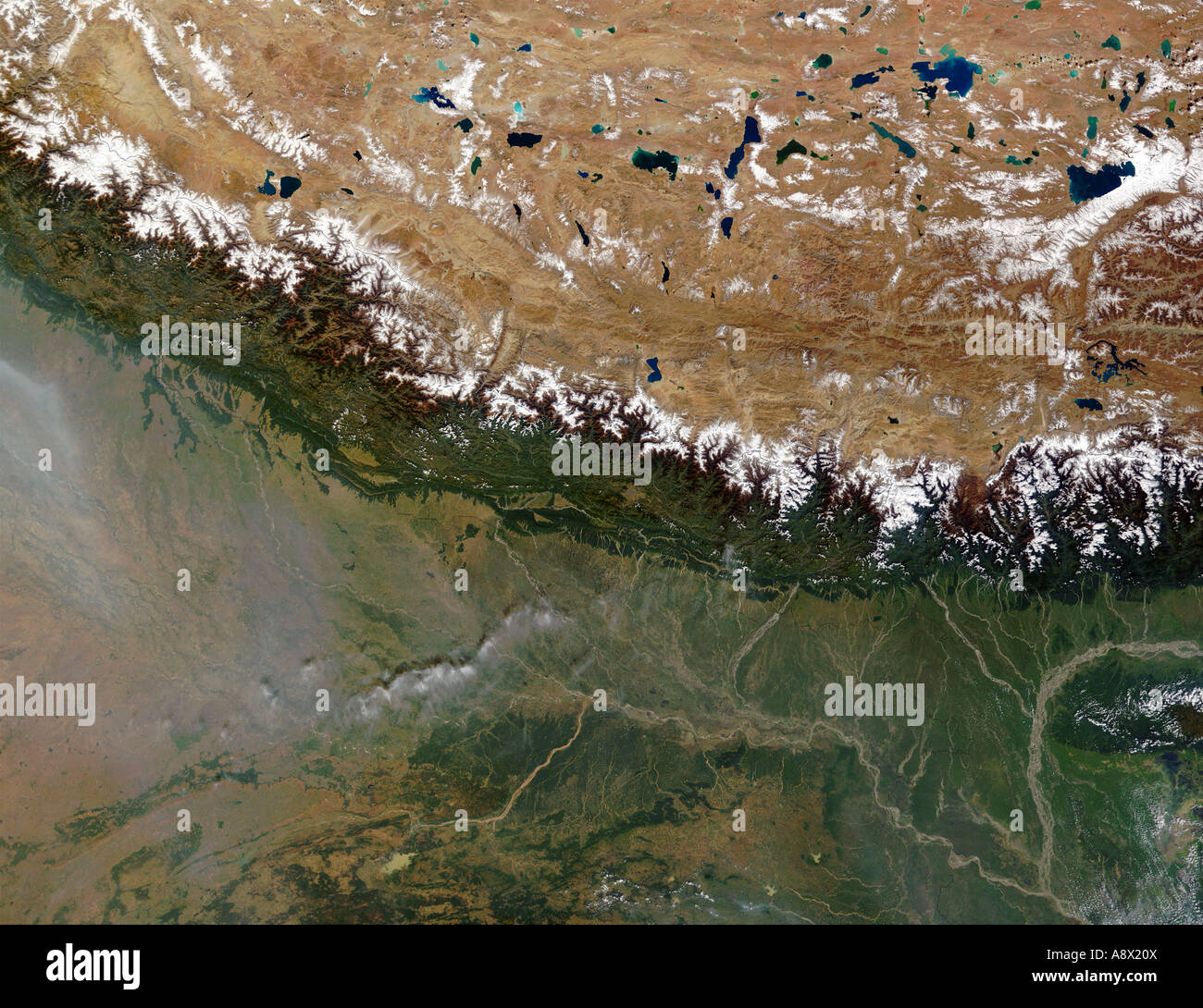 The Himalayas viewed from space Stock Photohttps://www.alamy.com/image-license-details/?v=1https://www.alamy.com/stock-photo-the-himalayas-viewed-from-space-12187177.html
RMA8X20X–The Himalayas viewed from space
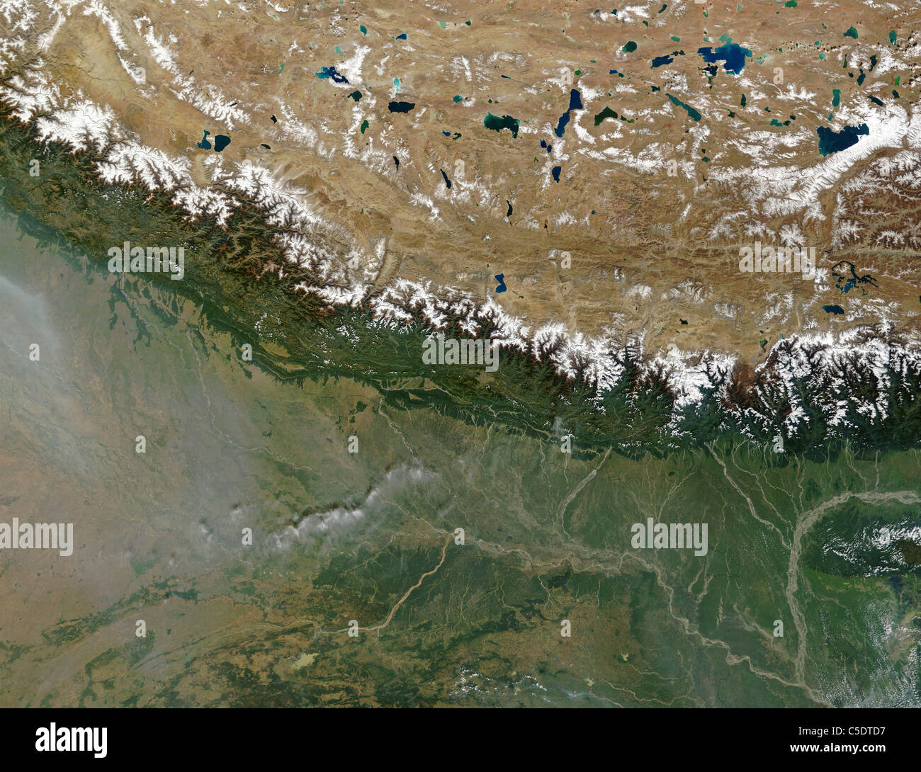 The Himalayas Stock Photohttps://www.alamy.com/image-license-details/?v=1https://www.alamy.com/stock-photo-the-himalayas-37798579.html
RMC5DTD7–The Himalayas
 Eastern Himalayas, satellite image. North is at top. Snow is white, vegetation is red, barrenareas are light blue. Stock Photohttps://www.alamy.com/image-license-details/?v=1https://www.alamy.com/stock-photo-eastern-himalayas-satellite-image-north-is-at-top-snow-is-white-vegetation-21202270.html
RFB6DRKX–Eastern Himalayas, satellite image. North is at top. Snow is white, vegetation is red, barrenareas are light blue.
 The Himalayas, As Seen From The Space Shuttle. Stock Photohttps://www.alamy.com/image-license-details/?v=1https://www.alamy.com/stock-photo-the-himalayas-as-seen-from-the-space-shuttle-53084151.html
RMD2A5AF–The Himalayas, As Seen From The Space Shuttle.
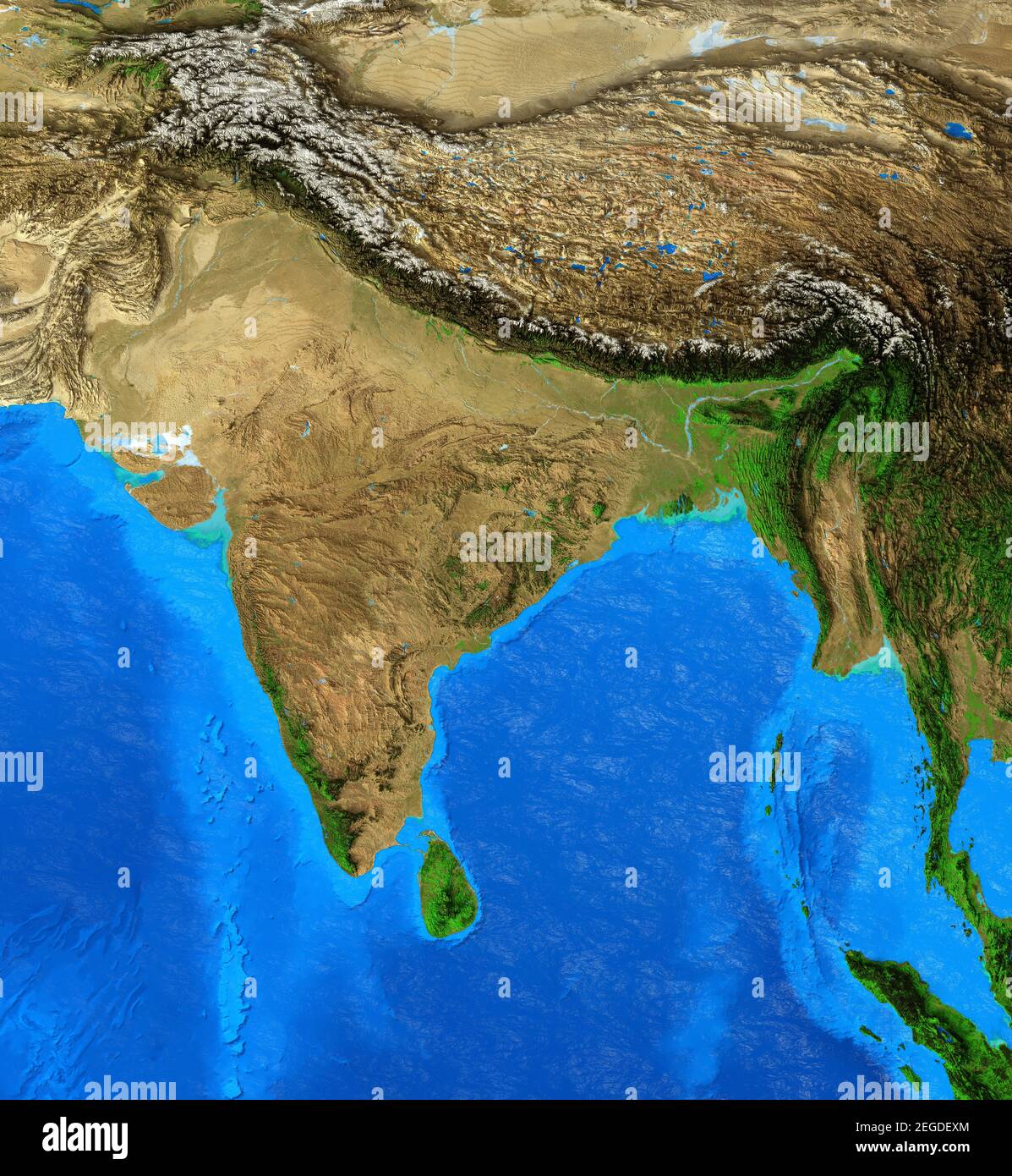 Physical map of India and Himalayas. Detailed flat view of the Planet Earth. 3D illustration - Elements of this image furnished by NASA Stock Photohttps://www.alamy.com/image-license-details/?v=1https://www.alamy.com/physical-map-of-india-and-himalayas-detailed-flat-view-of-the-planet-earth-3d-illustration-elements-of-this-image-furnished-by-nasa-image405970060.html
RF2EGDEXM–Physical map of India and Himalayas. Detailed flat view of the Planet Earth. 3D illustration - Elements of this image furnished by NASA
 India and the State of Uttarakhand, True Colour Satellite Image Stock Photohttps://www.alamy.com/image-license-details/?v=1https://www.alamy.com/stock-photo-india-and-the-state-of-uttarakhand-true-colour-satellite-image-71607874.html
RME4E0G2–India and the State of Uttarakhand, True Colour Satellite Image
 SOUTH ASIA - 07 August 2015 - NASA astronaut Scott Kelly, on board the International Space Station, took this interesting picture of the Himalayas dur Stock Photohttps://www.alamy.com/image-license-details/?v=1https://www.alamy.com/south-asia-07-august-2015-nasa-astronaut-scott-kelly-on-board-the-international-space-station-took-this-interesting-picture-of-the-himalayas-dur-image387936005.html
RM2DF4099–SOUTH ASIA - 07 August 2015 - NASA astronaut Scott Kelly, on board the International Space Station, took this interesting picture of the Himalayas dur
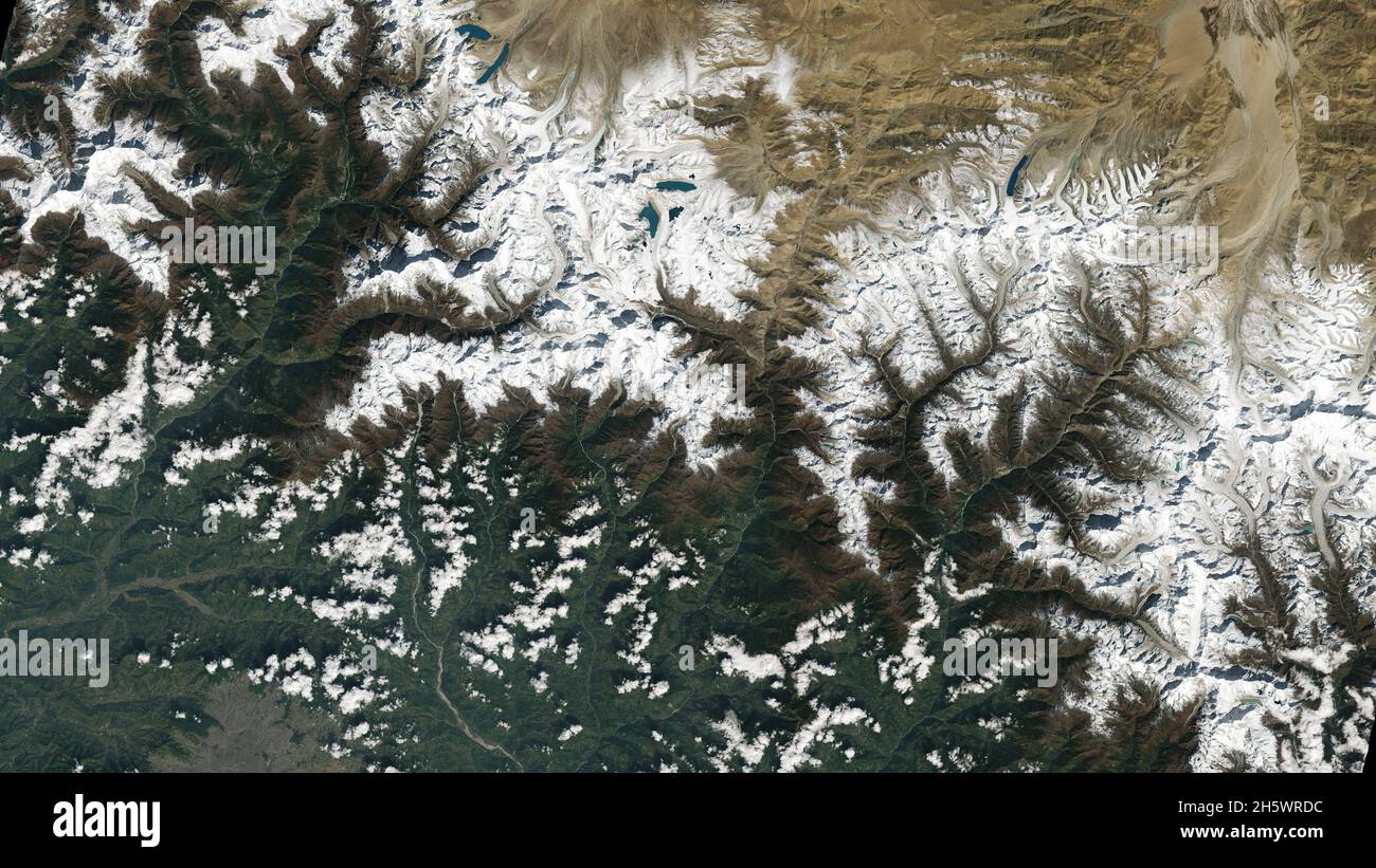 Kathmandu, Nepal, bottom left. The city lies in a valley south of the Himalayas between Nepal and China. Glaciers, and the lakes formed by glacial meltwater, are visible in the top middle of this image. Many communities rely on meltwater from glaciers Ð and Landsat can help track how those glaciers are changing in a warming climate. Earlier imagery has documented the shrinkage of glaciers, and changing lake levels on the adjacent Tibetan plateau. Oct 31 2021, the first day of data collection for Landsat 9. An enhanced version of original Landsat 9 imagery. Credit NASA/USGS Stock Photohttps://www.alamy.com/image-license-details/?v=1https://www.alamy.com/kathmandu-nepal-bottom-left-the-city-lies-in-a-valley-south-of-the-himalayas-between-nepal-and-china-glaciers-and-the-lakes-formed-by-glacial-meltwater-are-visible-in-the-top-middle-of-this-image-many-communities-rely-on-meltwater-from-glaciers-and-landsat-can-help-track-how-those-glaciers-are-changing-in-a-warming-climate-earlier-imagery-has-documented-the-shrinkage-of-glaciers-and-changing-lake-levels-on-the-adjacent-tibetan-plateau-oct-31-2021-the-first-day-of-data-collection-for-landsat-9-an-enhanced-version-of-original-landsat-9-imagery-credit-nasausgs-image451110056.html
RM2H5WRDC–Kathmandu, Nepal, bottom left. The city lies in a valley south of the Himalayas between Nepal and China. Glaciers, and the lakes formed by glacial meltwater, are visible in the top middle of this image. Many communities rely on meltwater from glaciers Ð and Landsat can help track how those glaciers are changing in a warming climate. Earlier imagery has documented the shrinkage of glaciers, and changing lake levels on the adjacent Tibetan plateau. Oct 31 2021, the first day of data collection for Landsat 9. An enhanced version of original Landsat 9 imagery. Credit NASA/USGS
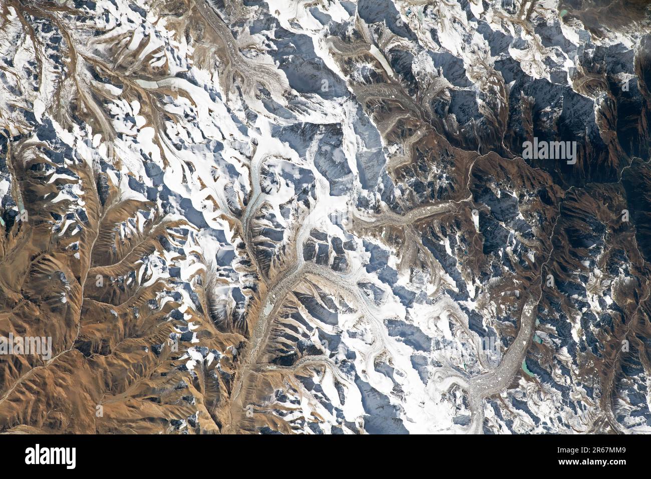 Mount Everest, Himalayas, China Stock Photohttps://www.alamy.com/image-license-details/?v=1https://www.alamy.com/mount-everest-himalayas-china-image554589625.html
RM2R67MM9–Mount Everest, Himalayas, China
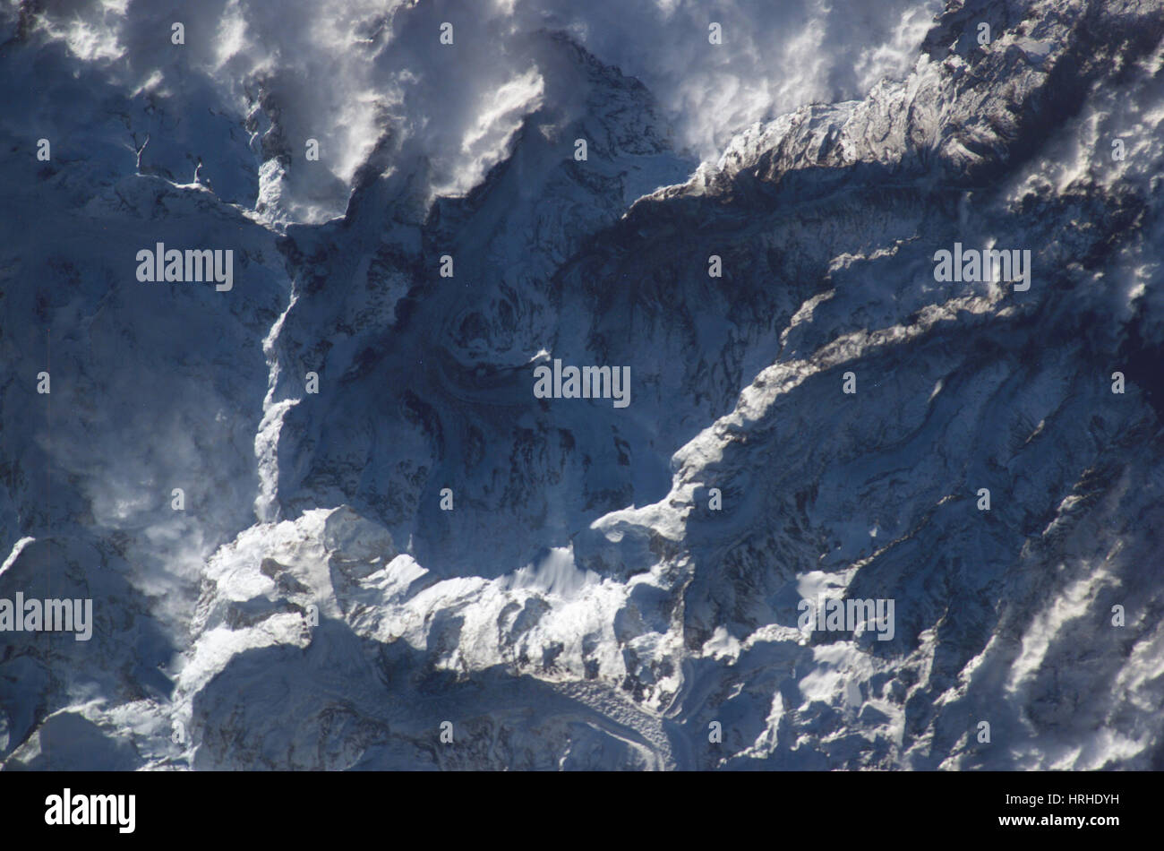 Himalayas Stock Photohttps://www.alamy.com/image-license-details/?v=1https://www.alamy.com/stock-photo-himalayas-134993813.html
RMHRHDYH–Himalayas
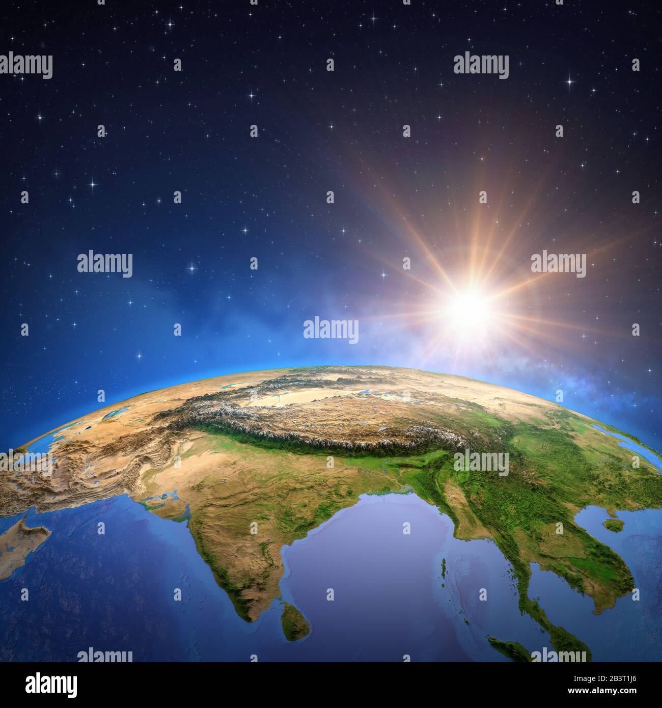 Surface of the Planet Earth viewed from a satellite, focused on East Asia, sun rising on the horizon. Physical map of Himalayas mountains, India and C Stock Photohttps://www.alamy.com/image-license-details/?v=1https://www.alamy.com/surface-of-the-planet-earth-viewed-from-a-satellite-focused-on-east-asia-sun-rising-on-the-horizon-physical-map-of-himalayas-mountains-india-and-c-image346579470.html
RF2B3T1J6–Surface of the Planet Earth viewed from a satellite, focused on East Asia, sun rising on the horizon. Physical map of Himalayas mountains, India and C
 Glaciers carving their way through the Karakoram mountain range north of the Himalayas. Stock Photohttps://www.alamy.com/image-license-details/?v=1https://www.alamy.com/glaciers-carving-their-way-through-the-karakoram-mountain-range-north-of-the-himalayas-image631407309.html
RM2YK72D1–Glaciers carving their way through the Karakoram mountain range north of the Himalayas.
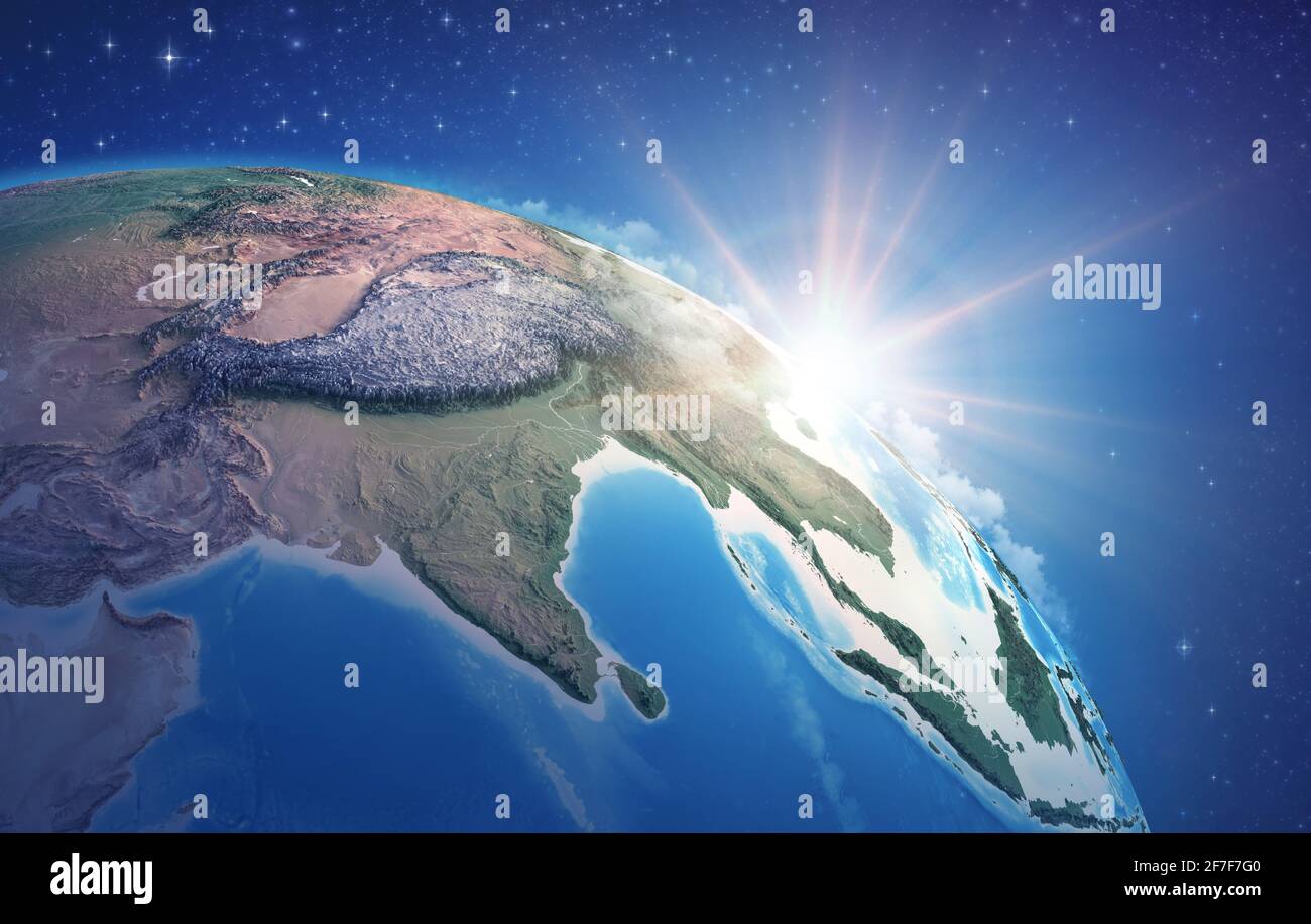 Sunrise through clouds, upon a high detailed satellite view of Planet Earth, focused on East Asia, Himalayas and India - Elements furnished by NASA Stock Photohttps://www.alamy.com/image-license-details/?v=1https://www.alamy.com/sunrise-through-clouds-upon-a-high-detailed-satellite-view-of-planet-earth-focused-on-east-asia-himalayas-and-india-elements-furnished-by-nasa-image417686640.html
RF2F7F7G0–Sunrise through clouds, upon a high detailed satellite view of Planet Earth, focused on East Asia, Himalayas and India - Elements furnished by NASA
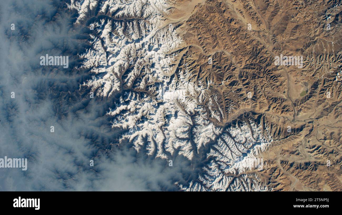 NEPAL / TIBET - 13 April 2023 - Clouds gather on Nepal's sub-tropical side of the Himalayas with Mount Everest at the center of this photograph taken Stock Photohttps://www.alamy.com/image-license-details/?v=1https://www.alamy.com/nepal-tibet-13-april-2023-clouds-gather-on-nepals-sub-tropical-side-of-the-himalayas-with-mount-everest-at-the-center-of-this-photograph-taken-image571493822.html
RM2T5NP5J–NEPAL / TIBET - 13 April 2023 - Clouds gather on Nepal's sub-tropical side of the Himalayas with Mount Everest at the center of this photograph taken
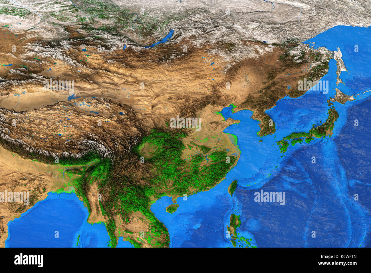 Physical map of East Asia. Detailed satellite view of the Earth and its landforms. Elements of this image furnished by NASA Stock Photohttps://www.alamy.com/image-license-details/?v=1https://www.alamy.com/physical-map-of-east-asia-detailed-satellite-view-of-the-earth-and-image159142501.html
RFK6WFTN–Physical map of East Asia. Detailed satellite view of the Earth and its landforms. Elements of this image furnished by NASA
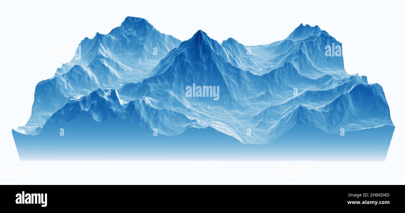 Satellite view of K2, relief mountains of the Himalayas. Rugged peak at 8,611m in the Karakorum range, the second highest in the world Stock Photohttps://www.alamy.com/image-license-details/?v=1https://www.alamy.com/satellite-view-of-k2-relief-mountains-of-the-himalayas-rugged-peak-at-8611m-in-the-karakorum-range-the-second-highest-in-the-world-image451299533.html
RF2H66D4D–Satellite view of K2, relief mountains of the Himalayas. Rugged peak at 8,611m in the Karakorum range, the second highest in the world
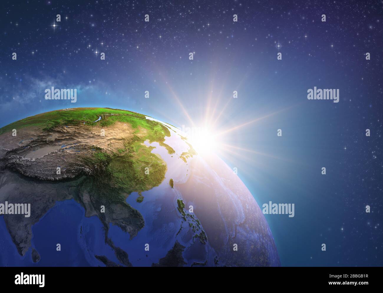 Surface of the Planet Earth viewed from a satellite, focused on East Asia, sun rising on the horizon. Physical map of China and Mongolia. 3D illustrat Stock Photohttps://www.alamy.com/image-license-details/?v=1https://www.alamy.com/surface-of-the-planet-earth-viewed-from-a-satellite-focused-on-east-asia-sun-rising-on-the-horizon-physical-map-of-china-and-mongolia-3d-illustrat-image351328483.html
RF2BBGB1R–Surface of the Planet Earth viewed from a satellite, focused on East Asia, sun rising on the horizon. Physical map of China and Mongolia. 3D illustrat
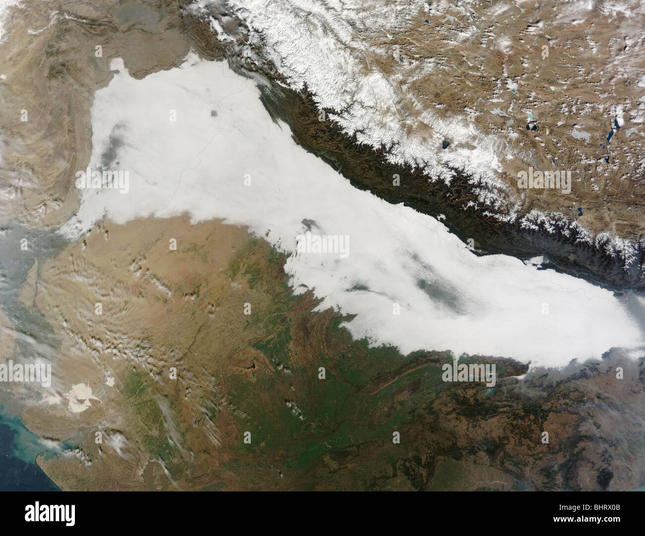 A thick bank of low clouds covers the foothills of the Himalayan mountains with some haze visible. Stock Photohttps://www.alamy.com/image-license-details/?v=1https://www.alamy.com/stock-photo-a-thick-bank-of-low-clouds-covers-the-foothills-of-the-himalayan-mountains-28184811.html
RFBHRX0B–A thick bank of low clouds covers the foothills of the Himalayan mountains with some haze visible.
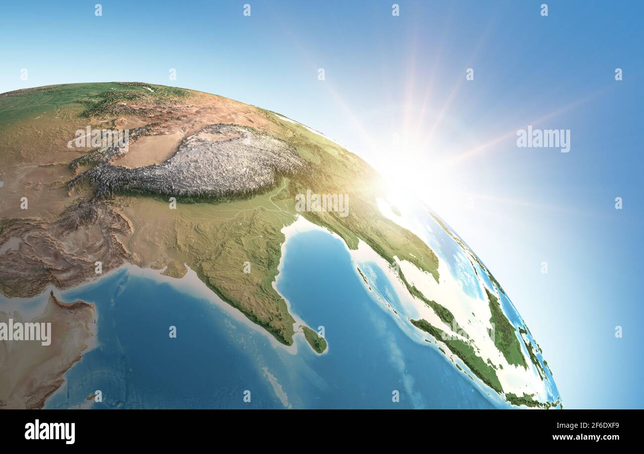 Sun shining over a high detailed view of Planet Earth, focused on Asia, India, Himalayas and Tibet - Elements furnished by NASA Stock Photohttps://www.alamy.com/image-license-details/?v=1https://www.alamy.com/sun-shining-over-a-high-detailed-view-of-planet-earth-focused-on-asia-india-himalayas-and-tibet-elements-furnished-by-nasa-image417042957.html
RF2F6DXF9–Sun shining over a high detailed view of Planet Earth, focused on Asia, India, Himalayas and Tibet - Elements furnished by NASA
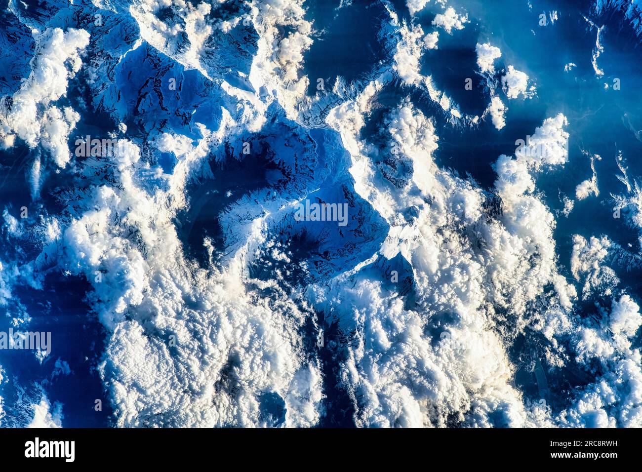 Clouds and snowcapped mountains of the Himalayas mountain range. Image by NASA. Media usage guidelines: https://www.nasa.gov/multimedia/guidelines/ind Stock Photohttps://www.alamy.com/image-license-details/?v=1https://www.alamy.com/clouds-and-snowcapped-mountains-of-the-himalayas-mountain-range-image-by-nasa-media-usage-guidelines-httpswwwnasagovmultimediaguidelinesind-image558302013.html
RM2RC8RWH–Clouds and snowcapped mountains of the Himalayas mountain range. Image by NASA. Media usage guidelines: https://www.nasa.gov/multimedia/guidelines/ind
 Stok Palace with satellite antennas of Ladakh's radio station, Northern India, the Himalayas, Asia Stock Photohttps://www.alamy.com/image-license-details/?v=1https://www.alamy.com/stock-photo-stok-palace-with-satellite-antennas-of-ladakhs-radio-station-northern-25919452.html
RMBE4MEM–Stok Palace with satellite antennas of Ladakh's radio station, Northern India, the Himalayas, Asia
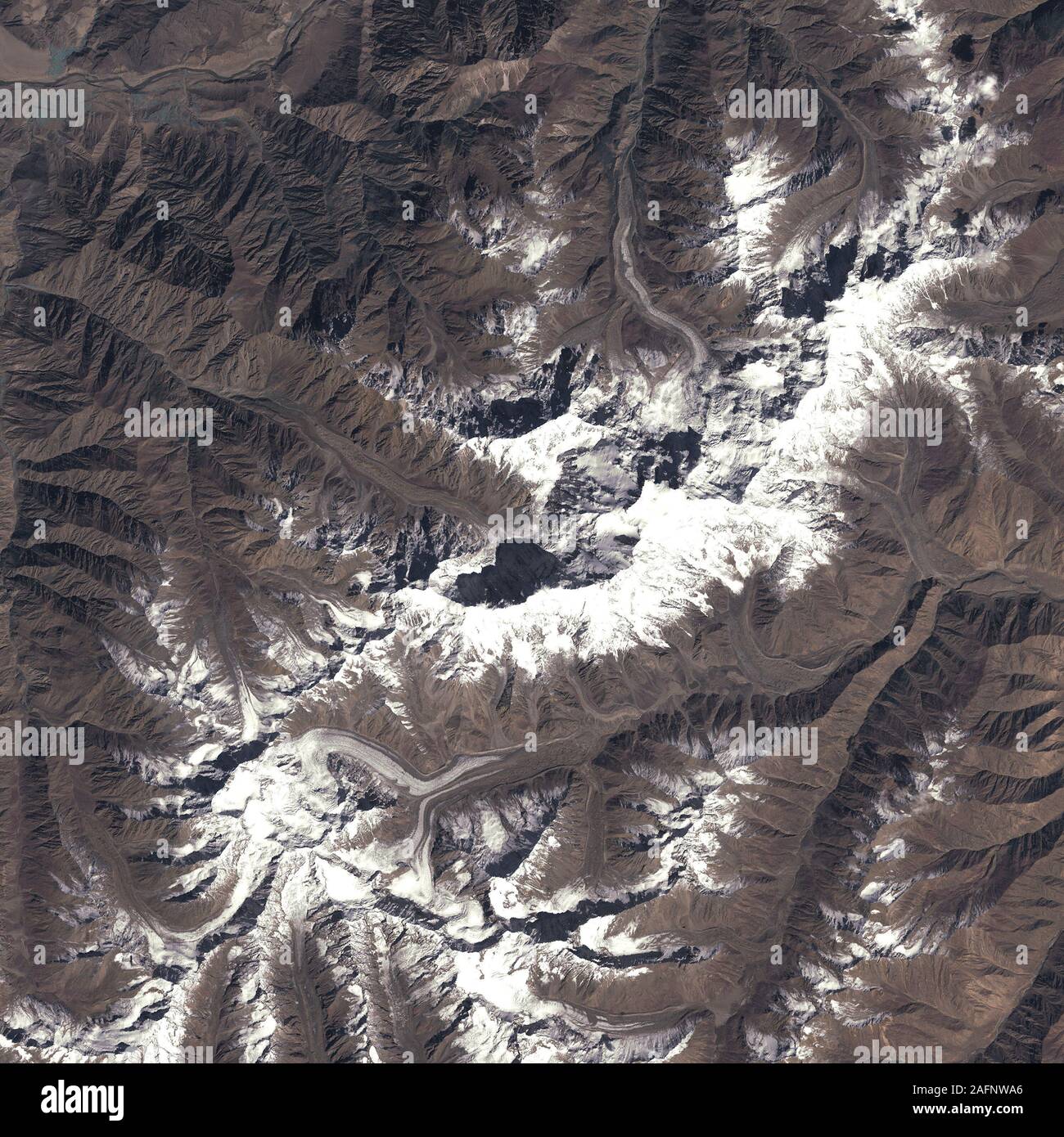 Nanga Parbat mountain in the Himalaya range, Pakistan Stock Photohttps://www.alamy.com/image-license-details/?v=1https://www.alamy.com/nanga-parbat-mountain-in-the-himalaya-range-pakistan-image336697710.html
RM2AFNWA6–Nanga Parbat mountain in the Himalaya range, Pakistan
 Aerial view of the Himalayas, or Himalaya mountain range in Asia, separating the plains of India from the Tibetan Plateau. Mount Everest Stock Photohttps://www.alamy.com/image-license-details/?v=1https://www.alamy.com/aerial-view-of-the-himalayas-or-himalaya-mountain-range-in-asia-separating-the-plains-of-india-from-the-tibetan-plateau-mount-everest-image619122131.html
RF2XY7CGK–Aerial view of the Himalayas, or Himalaya mountain range in Asia, separating the plains of India from the Tibetan Plateau. Mount Everest
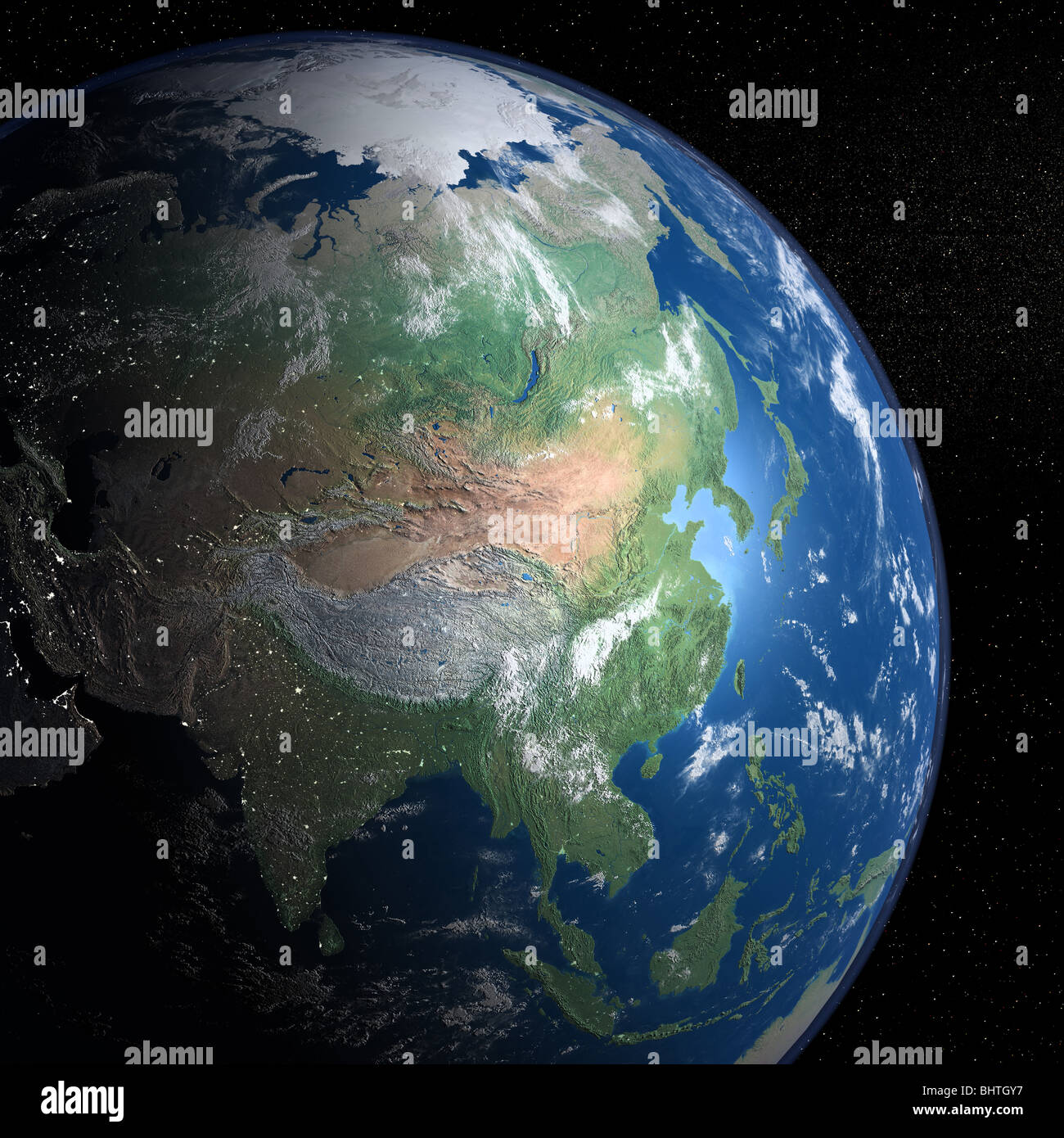 An exceptional quality photo-realistic rendered image of the Earth as seen from space on a background of stars Stock Photohttps://www.alamy.com/image-license-details/?v=1https://www.alamy.com/stock-photo-an-exceptional-quality-photo-realistic-rendered-image-of-the-earth-28199675.html
RMBHTGY7–An exceptional quality photo-realistic rendered image of the Earth as seen from space on a background of stars
 India and the State of Sikkim, True Colour Satellite Image Stock Photohttps://www.alamy.com/image-license-details/?v=1https://www.alamy.com/stock-photo-india-and-the-state-of-sikkim-true-colour-satellite-image-71607867.html
RME4E0FR–India and the State of Sikkim, True Colour Satellite Image
 Satellite a view of the Himalayas, looking south from the Tibetan Plateau to the Ganges Basin of India Credit NASA Stock Photohttps://www.alamy.com/image-license-details/?v=1https://www.alamy.com/satellite-a-view-of-the-himalayas-looking-south-from-the-tibetan-plateau-to-the-ganges-basin-of-india-credit-nasa-image257285085.html
RMTXG9N1–Satellite a view of the Himalayas, looking south from the Tibetan Plateau to the Ganges Basin of India Credit NASA
 China and the Region of Tibet, True Colour Satellite Image Stock Photohttps://www.alamy.com/image-license-details/?v=1https://www.alamy.com/stock-photo-china-and-the-region-of-tibet-true-colour-satellite-image-71607393.html
RME4DYXW–China and the Region of Tibet, True Colour Satellite Image
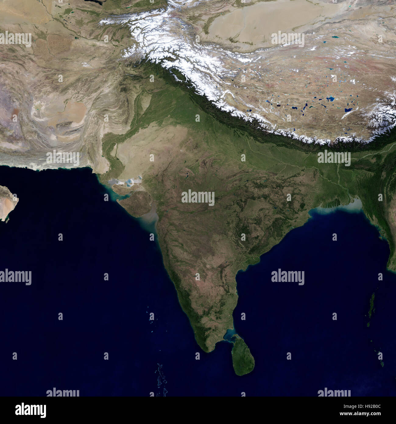 India and the surrounding region. View from space. Stock Photohttps://www.alamy.com/image-license-details/?v=1https://www.alamy.com/stock-photo-india-and-the-surrounding-region-view-from-space-126057020.html
RFH92B0C–India and the surrounding region. View from space.
 India and the State of Jammu and Kashmir, True Colour Satellite Image Stock Photohttps://www.alamy.com/image-license-details/?v=1https://www.alamy.com/stock-photo-india-and-the-state-of-jammu-and-kashmir-true-colour-satellite-image-71607737.html
RME4E0B5–India and the State of Jammu and Kashmir, True Colour Satellite Image
 Haze Along the Himalaya Stock Photohttps://www.alamy.com/image-license-details/?v=1https://www.alamy.com/stock-photo-haze-along-the-himalaya-134991355.html
RMHRHARR–Haze Along the Himalaya
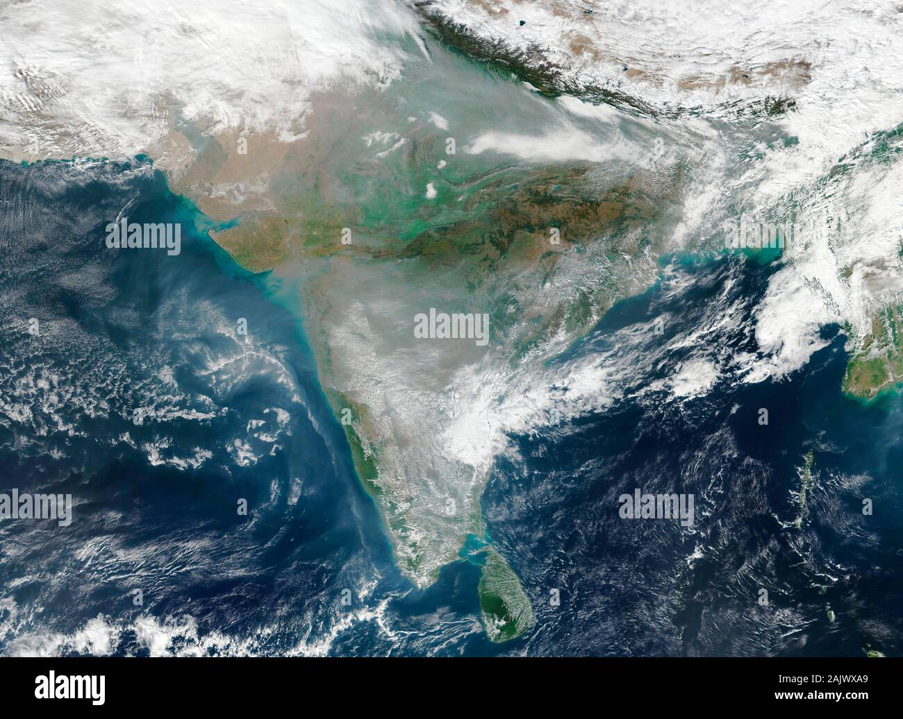 Widespread air pollution over the Indian sub continent on 6 January 2020 as seen from space Stock Photohttps://www.alamy.com/image-license-details/?v=1https://www.alamy.com/widespread-air-pollution-over-the-indian-sub-continent-on-6-january-2020-as-seen-from-space-image338630273.html
RM2AJWXA9–Widespread air pollution over the Indian sub continent on 6 January 2020 as seen from space
 Soaring, snow-capped peaks and ridges of the eastern Himalaya Mountains create an irregular white-on-red patchwork Stock Photohttps://www.alamy.com/image-license-details/?v=1https://www.alamy.com/stock-photo-soaring-snow-capped-peaks-and-ridges-of-the-eastern-himalaya-mountains-34545989.html
RMC05KN9–Soaring, snow-capped peaks and ridges of the eastern Himalaya Mountains create an irregular white-on-red patchwork
 Nepal Malemchigaun Sherpa village, Langtang. Stock Photohttps://www.alamy.com/image-license-details/?v=1https://www.alamy.com/nepal-malemchigaun-sherpa-village-langtang-image62117710.html
RFDH1KNJ–Nepal Malemchigaun Sherpa village, Langtang.
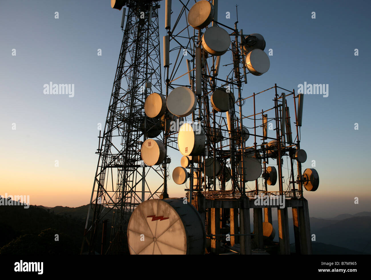 Satellite dishes and transmitters in the himalayas. Stock Photohttps://www.alamy.com/image-license-details/?v=1https://www.alamy.com/stock-photo-satellite-dishes-and-transmitters-in-the-himalayas-21959229.html
RFB7M965–Satellite dishes and transmitters in the himalayas.
 Telecommunications tower, forest and Mt Fishtail Machapuchare Himalayas, Annapurna Circuit Trek.(Nepal). Stock Photohttps://www.alamy.com/image-license-details/?v=1https://www.alamy.com/telecommunications-tower-forest-and-mt-fishtail-machapuchare-himalayas-annapurna-circuit-treknepal-image516336611.html
RF2N014H7–Telecommunications tower, forest and Mt Fishtail Machapuchare Himalayas, Annapurna Circuit Trek.(Nepal).
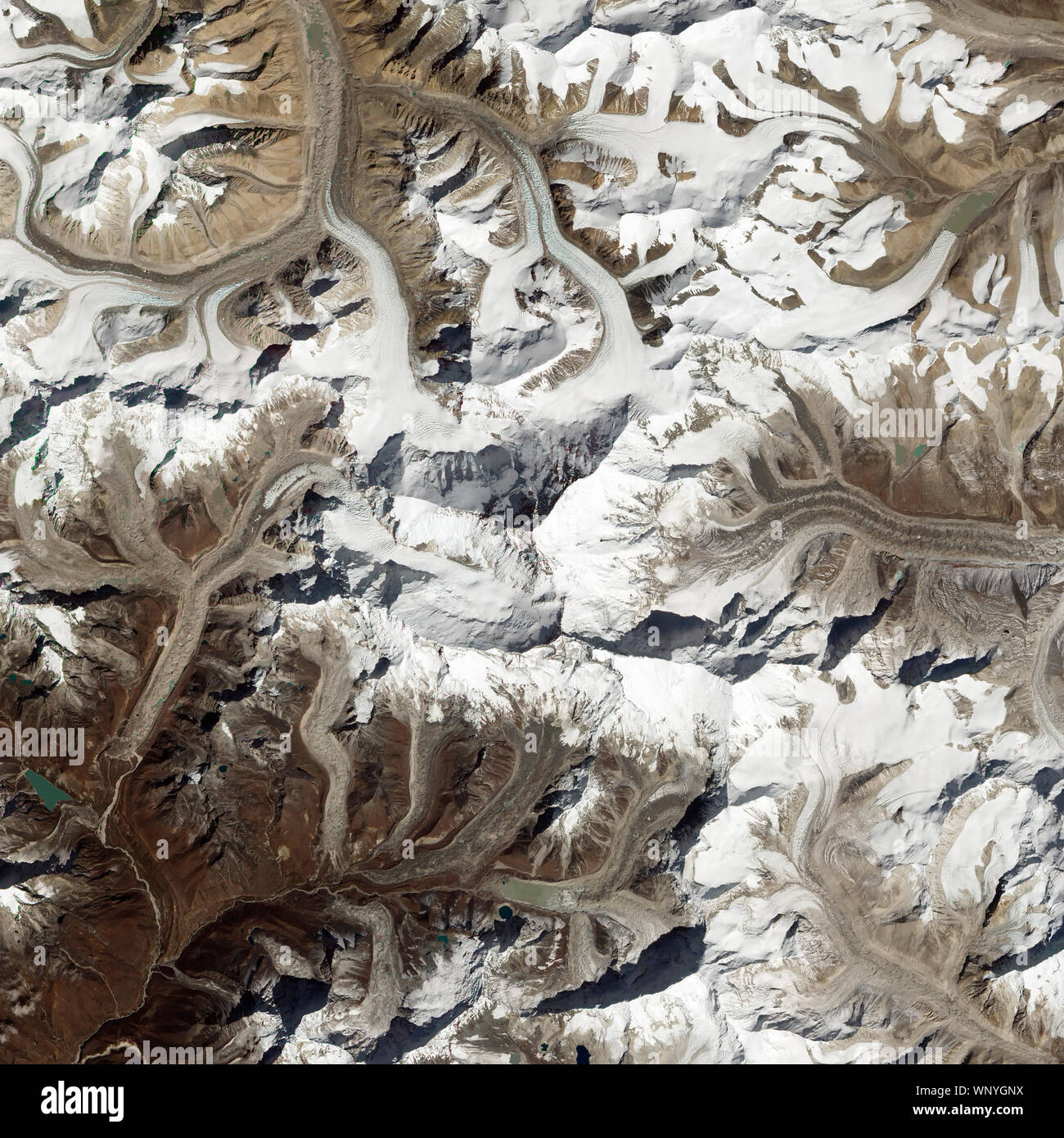 Himalayan Mountains, with Mount Everest, August 7, 2017, Nepal and China, by NASA/Jesse Allen & Robert Simmon/DPA Stock Photohttps://www.alamy.com/image-license-details/?v=1https://www.alamy.com/himalayan-mountains-with-mount-everest-august-7-2017-nepal-and-china-by-nasajesse-allen-robert-simmondpa-image271669158.html
RFWNYGNX–Himalayan Mountains, with Mount Everest, August 7, 2017, Nepal and China, by NASA/Jesse Allen & Robert Simmon/DPA
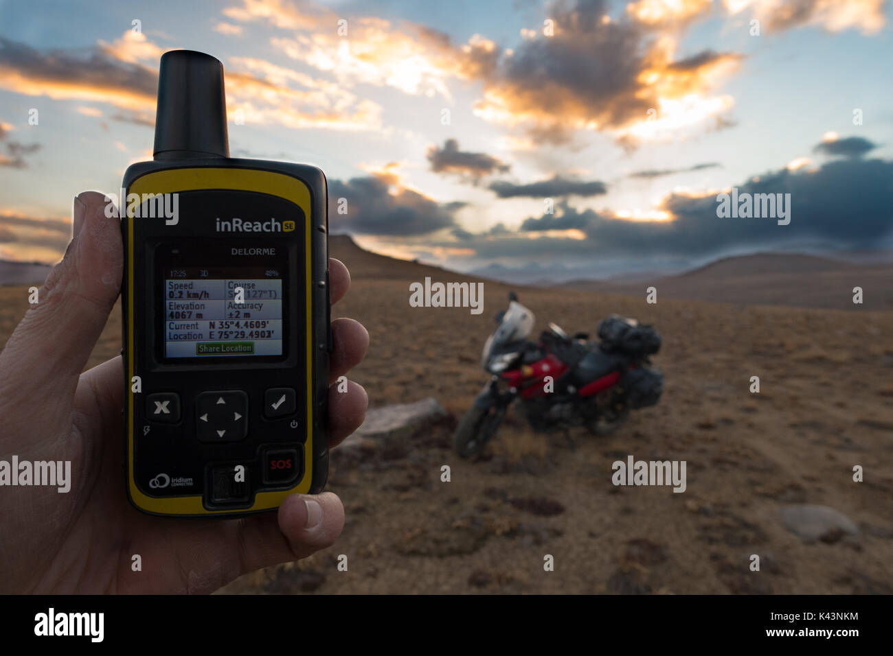 Checking my location Stock Photohttps://www.alamy.com/image-license-details/?v=1https://www.alamy.com/checking-my-location-image157434808.html
RFK43NKM–Checking my location
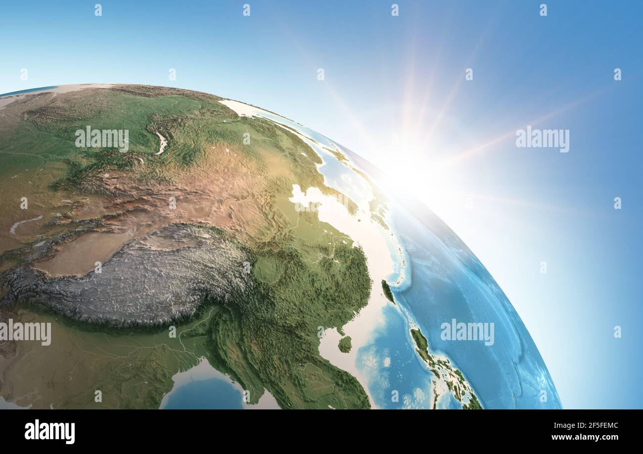 Sun shining over a high detailed view of Planet Earth, focused on East Asia, China, Himalayas and Tibet - Elements furnished by NASA Stock Photohttps://www.alamy.com/image-license-details/?v=1https://www.alamy.com/sun-shining-over-a-high-detailed-view-of-planet-earth-focused-on-east-asia-china-himalayas-and-tibet-elements-furnished-by-nasa-image416462940.html
RF2F5FEMC–Sun shining over a high detailed view of Planet Earth, focused on East Asia, China, Himalayas and Tibet - Elements furnished by NASA
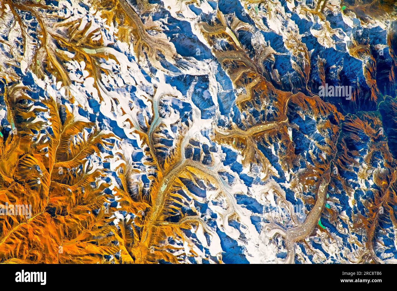 Mount Everest, snowcapped mountain in the Himalayas, border of Nepal and India. Image by NASA. Media usage guidelines: https://www.nasa.gov/multimedia Stock Photohttps://www.alamy.com/image-license-details/?v=1https://www.alamy.com/mount-everest-snowcapped-mountain-in-the-himalayas-border-of-nepal-and-india-image-by-nasa-media-usage-guidelines-httpswwwnasagovmultimedia-image558302394.html
RM2RC8TB6–Mount Everest, snowcapped mountain in the Himalayas, border of Nepal and India. Image by NASA. Media usage guidelines: https://www.nasa.gov/multimedia
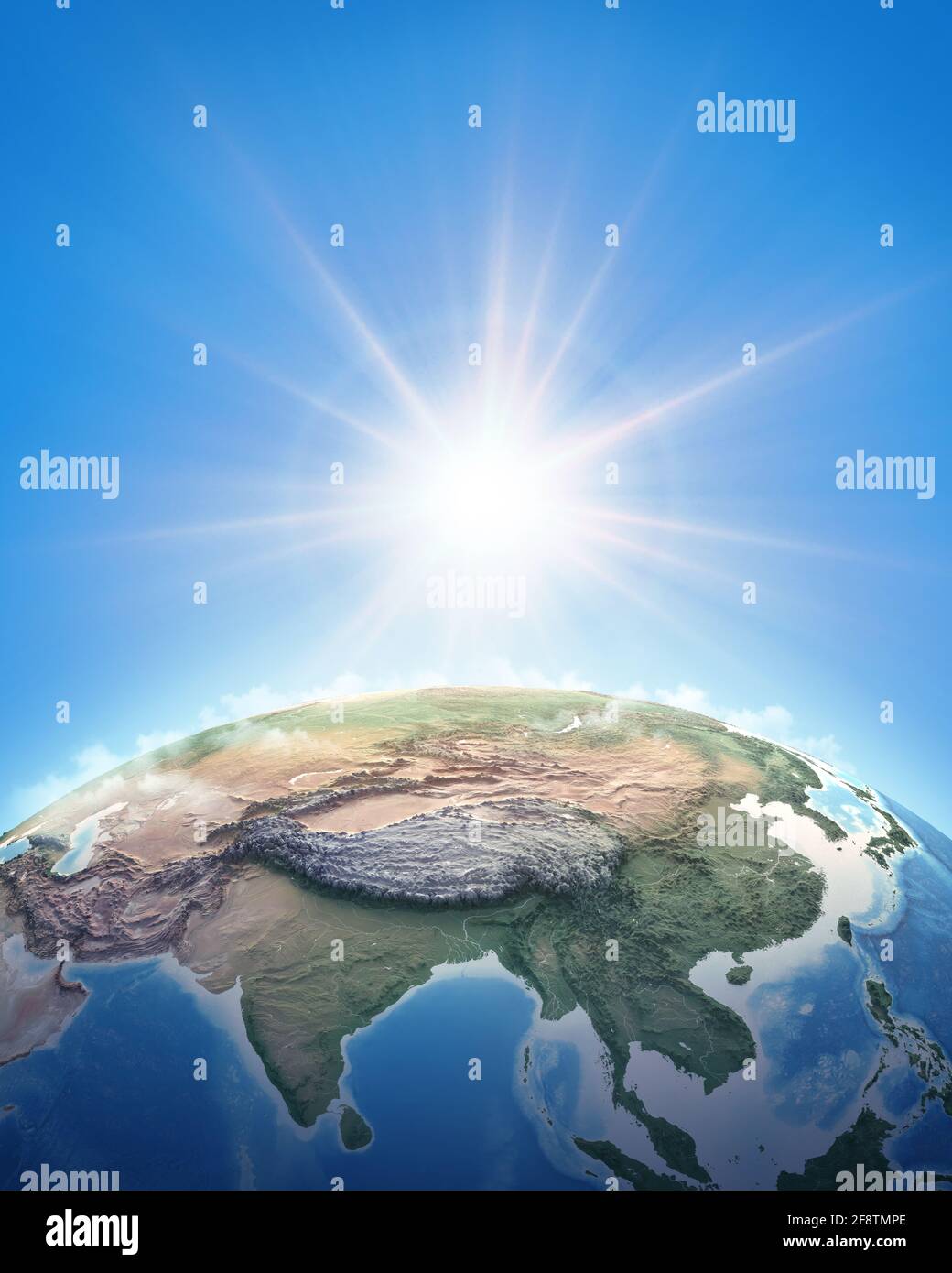 Sun shining over a high detailed view of Planet Earth, focused on East Asia, China and Himalayas. 3D illustration - Elements furnished by NASA Stock Photohttps://www.alamy.com/image-license-details/?v=1https://www.alamy.com/sun-shining-over-a-high-detailed-view-of-planet-earth-focused-on-east-asia-china-and-himalayas-3d-illustration-elements-furnished-by-nasa-image418509238.html
RF2F8TMPE–Sun shining over a high detailed view of Planet Earth, focused on East Asia, China and Himalayas. 3D illustration - Elements furnished by NASA
 Stok Palace with satellite antennas of Ladakh's radio station, Northern India, the Himalayas, Asia Stock Photohttps://www.alamy.com/image-license-details/?v=1https://www.alamy.com/stock-photo-stok-palace-with-satellite-antennas-of-ladakhs-radio-station-northern-25919437.html
RMBE4ME5–Stok Palace with satellite antennas of Ladakh's radio station, Northern India, the Himalayas, Asia
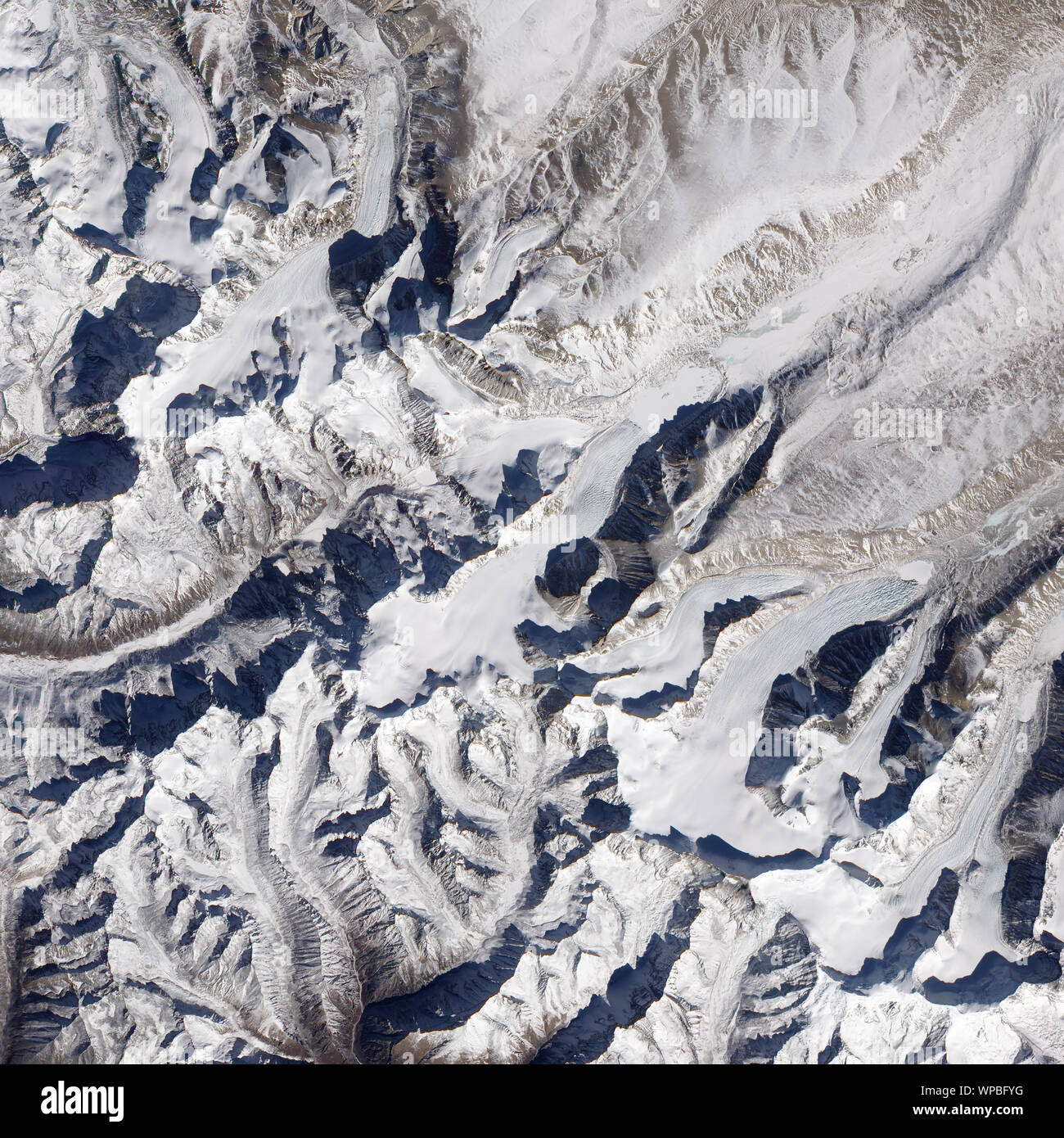 Himalayan glaciers, Himalayan mountain range, Southern China, December 25, 2009, by NASA/Jesse Allen/DPA Stock Photohttps://www.alamy.com/image-license-details/?v=1https://www.alamy.com/himalayan-glaciers-himalayan-mountain-range-southern-china-december-25-2009-by-nasajesse-allendpa-image271931956.html
RFWPBFYG–Himalayan glaciers, Himalayan mountain range, Southern China, December 25, 2009, by NASA/Jesse Allen/DPA
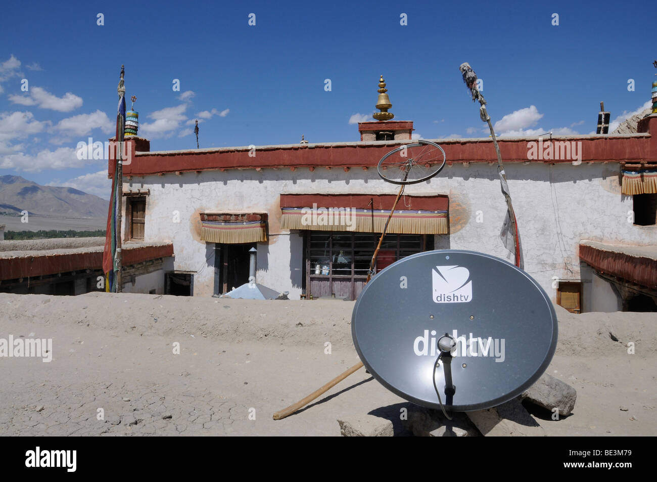 Shey monastery with satellite antenna and a bike wheel as a radio antenna, Ladakh, India, Himalayas, Asia Stock Photohttps://www.alamy.com/image-license-details/?v=1https://www.alamy.com/stock-photo-shey-monastery-with-satellite-antenna-and-a-bike-wheel-as-a-radio-25897293.html
RMBE3M79–Shey monastery with satellite antenna and a bike wheel as a radio antenna, Ladakh, India, Himalayas, Asia
 May 23, 2012 - View from space of the Himalayas, the Tibetan Plateau, and the Indo-Gangetic plain. Stock Photohttps://www.alamy.com/image-license-details/?v=1https://www.alamy.com/may-23-2012-view-from-space-of-the-himalayas-the-tibetan-plateau-and-the-indo-gangetic-plain-image574923676.html
RF2TBA10C–May 23, 2012 - View from space of the Himalayas, the Tibetan Plateau, and the Indo-Gangetic plain.
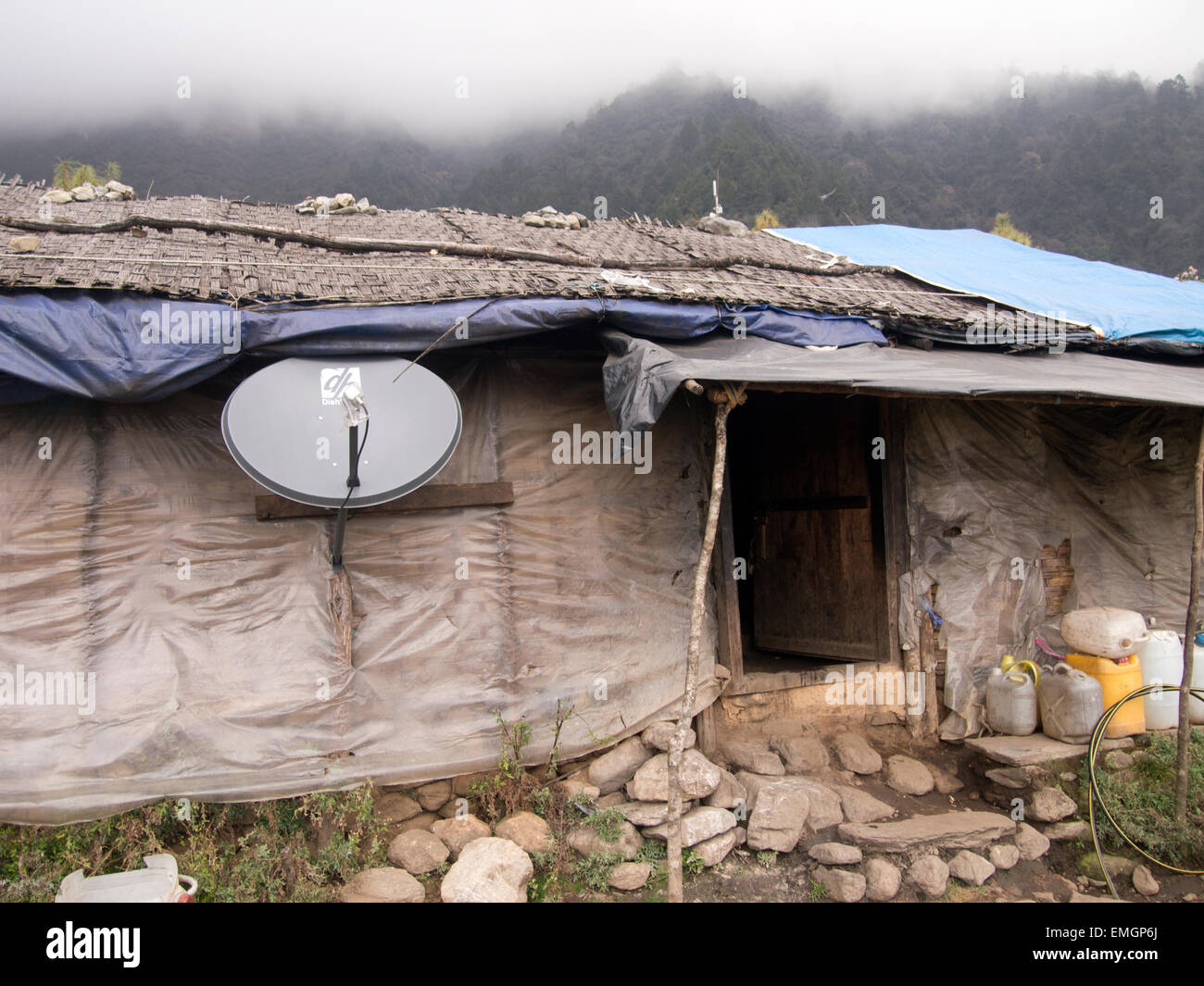 Traditional Mountain hut house with satellite dish Himalayas Lukla Nepal Asia Stock Photohttps://www.alamy.com/image-license-details/?v=1https://www.alamy.com/stock-photo-traditional-mountain-hut-house-with-satellite-dish-himalayas-lukla-81503258.html
RMEMGP6J–Traditional Mountain hut house with satellite dish Himalayas Lukla Nepal Asia
 Satellite view of Mount Everest, Lhotse I, Nuptse, mountains of the Himalayas. Section, HUD, terrain hologram and morphology. Holographic and digital Stock Photohttps://www.alamy.com/image-license-details/?v=1https://www.alamy.com/satellite-view-of-mount-everest-lhotse-i-nuptse-mountains-of-the-himalayas-section-hud-terrain-hologram-and-morphology-holographic-and-digital-image451402549.html
RF2H6B4FH–Satellite view of Mount Everest, Lhotse I, Nuptse, mountains of the Himalayas. Section, HUD, terrain hologram and morphology. Holographic and digital
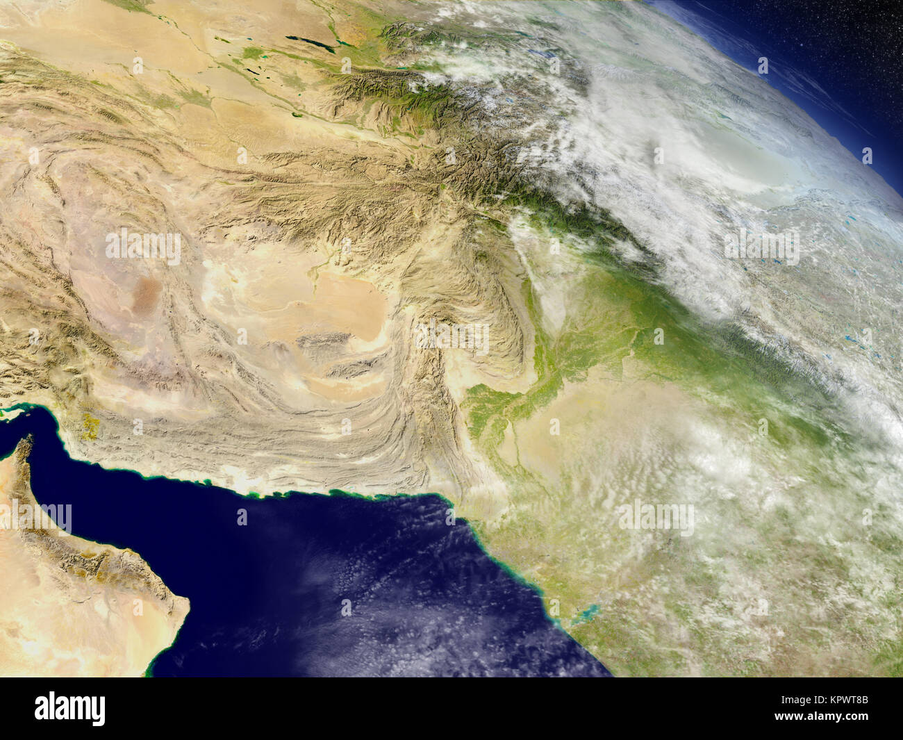 Afghanistan and Pakistan from space Stock Photohttps://www.alamy.com/image-license-details/?v=1https://www.alamy.com/stock-image-afghanistan-and-pakistan-from-space-168983595.html
RFKPWT8B–Afghanistan and Pakistan from space
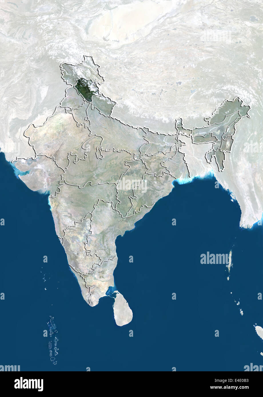 India and the State of Himachal Pradesh, True Colour Satellite Image Stock Photohttps://www.alamy.com/image-license-details/?v=1https://www.alamy.com/stock-photo-india-and-the-state-of-himachal-pradesh-true-colour-satellite-image-71607735.html
RME4E0B3–India and the State of Himachal Pradesh, True Colour Satellite Image
 Nepal and Bhutan region from Earth's orbit in space during sunrise. 3D illustration with highly detailed realistic planet surfac Stock Photohttps://www.alamy.com/image-license-details/?v=1https://www.alamy.com/stock-photo-nepal-and-bhutan-region-from-earths-orbit-in-space-during-sunrise-110944616.html
RFGCDXYM–Nepal and Bhutan region from Earth's orbit in space during sunrise. 3D illustration with highly detailed realistic planet surfac
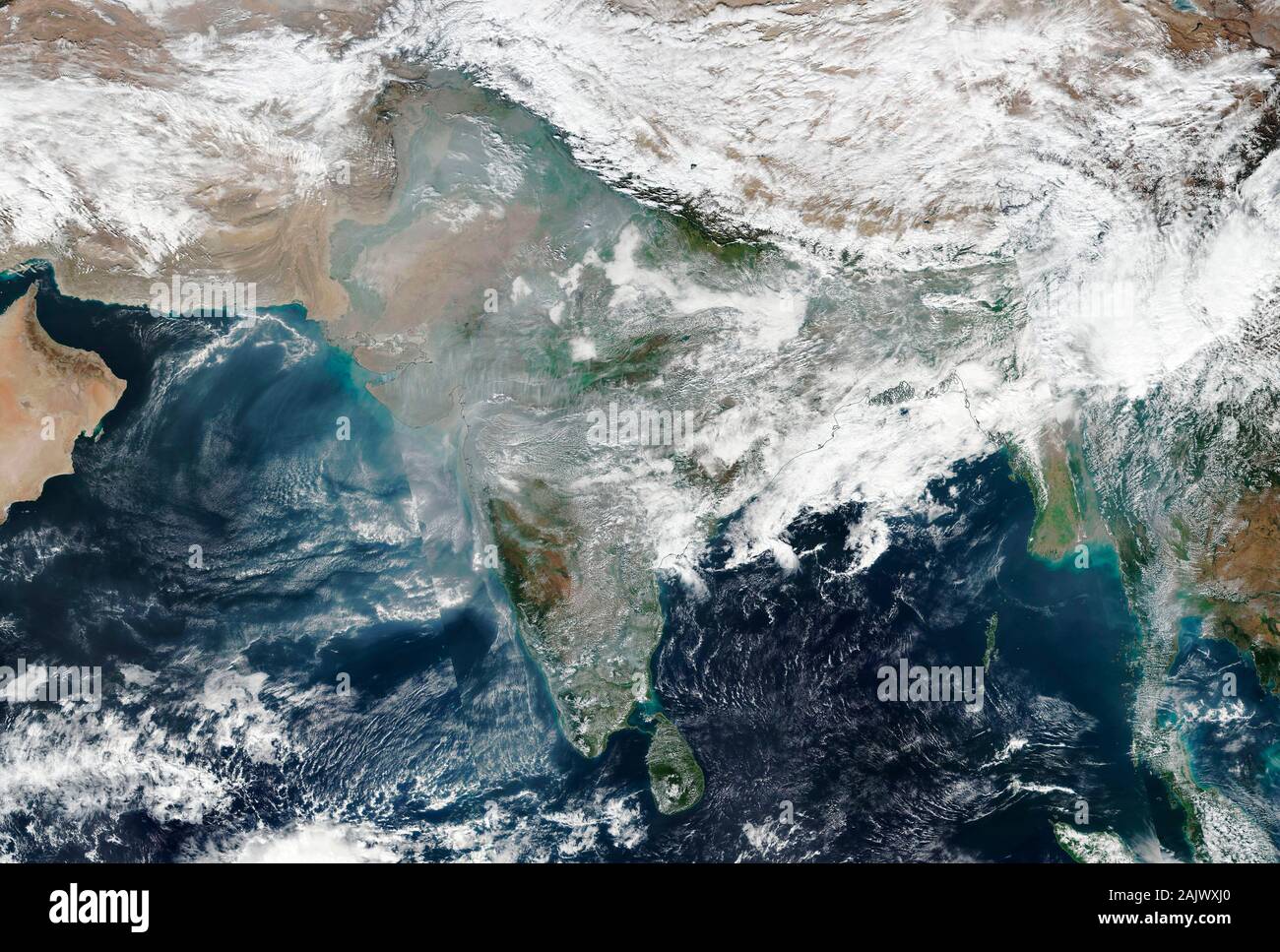 Widespread air pollution over the India and Pakistan on 4 January 2020 as seen from space Stock Photohttps://www.alamy.com/image-license-details/?v=1https://www.alamy.com/widespread-air-pollution-over-the-india-and-pakistan-on-4-january-2020-as-seen-from-space-image338630488.html
RM2AJWXJ0–Widespread air pollution over the India and Pakistan on 4 January 2020 as seen from space
 Satellite dish aerial for telephone service above Manang village in Marsyangdi Valley Annapurna circuit Himalayas Nepal Stock Photohttps://www.alamy.com/image-license-details/?v=1https://www.alamy.com/stock-photo-satellite-dish-aerial-for-telephone-service-above-manang-village-in-52985394.html
RMD25KBE–Satellite dish aerial for telephone service above Manang village in Marsyangdi Valley Annapurna circuit Himalayas Nepal
 Sun shining over Planet Earth. Physical map of South East Asia, China, Mongolia and Himalayas. Elements of this image furnished by NASA Stock Photohttps://www.alamy.com/image-license-details/?v=1https://www.alamy.com/sun-shining-over-planet-earth-physical-map-of-south-east-asia-china-mongolia-and-himalayas-elements-of-this-image-furnished-by-nasa-image442664143.html
RF2GM52HK–Sun shining over Planet Earth. Physical map of South East Asia, China, Mongolia and Himalayas. Elements of this image furnished by NASA
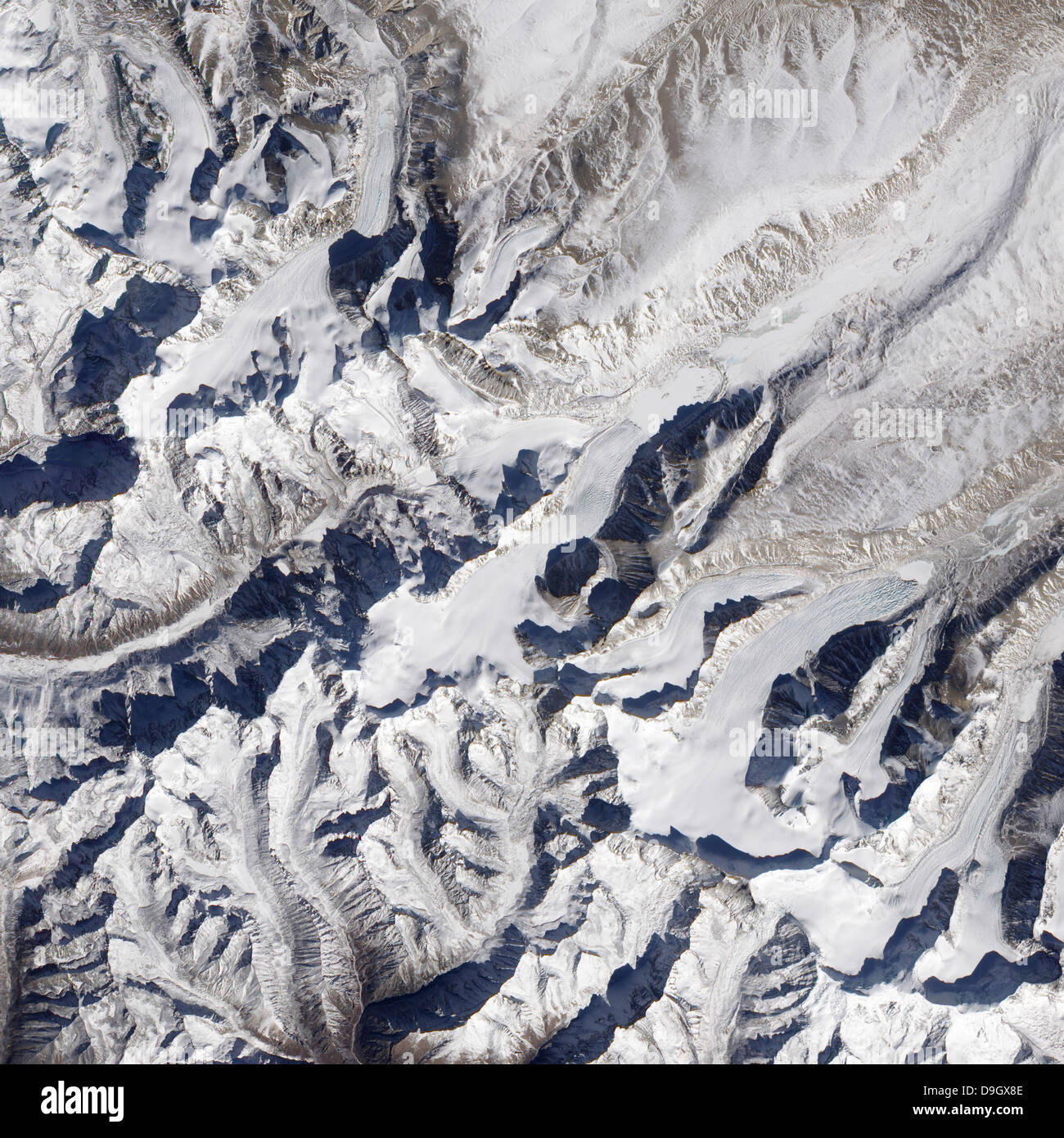 Satellite view of a Himalayan glacier surrounded by mountains. Stock Photohttps://www.alamy.com/image-license-details/?v=1https://www.alamy.com/stock-photo-satellite-view-of-a-himalayan-glacier-surrounded-by-mountains-57534862.html
RFD9GX8E–Satellite view of a Himalayan glacier surrounded by mountains.
 Vertical view of Telecommunications tower, forest and Mt Fishtail Machapuchare Himalayas, Annapurna Circuit Trek.(Nepal). Stock Photohttps://www.alamy.com/image-license-details/?v=1https://www.alamy.com/vertical-view-of-telecommunications-tower-forest-and-mt-fishtail-machapuchare-himalayas-annapurna-circuit-treknepal-image516336642.html
RF2N014JA–Vertical view of Telecommunications tower, forest and Mt Fishtail Machapuchare Himalayas, Annapurna Circuit Trek.(Nepal).
 Nunthala, Nepal - March 7, 2018: Single house in Nunthala Stock Photohttps://www.alamy.com/image-license-details/?v=1https://www.alamy.com/nunthala-nepal-march-7-2018-single-house-in-nunthala-image181925709.html
RFMFYC2N–Nunthala, Nepal - March 7, 2018: Single house in Nunthala
 Himalayas Stock Photohttps://www.alamy.com/image-license-details/?v=1https://www.alamy.com/stock-photo-himalayas-54328574.html
RMD4ATJ6–Himalayas
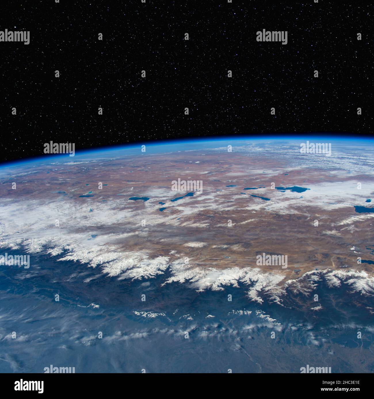 Nepal and Tibet with the Himalayas from space. Elements of this image furnished by NASA. Stock Photohttps://www.alamy.com/image-license-details/?v=1https://www.alamy.com/nepal-and-tibet-with-the-himalayas-from-space-elements-of-this-image-furnished-by-nasa-image454922314.html
RF2HC3E1E–Nepal and Tibet with the Himalayas from space. Elements of this image furnished by NASA.
 View from the summit placed over 'Kala Patthar', altitude measurement by electronic device, GPS , Himalayas, Nepal Stock Photohttps://www.alamy.com/image-license-details/?v=1https://www.alamy.com/stock-photo-view-from-the-summit-placed-over-kala-patthar-altitude-measurement-50458857.html
RFCX2GP1–View from the summit placed over 'Kala Patthar', altitude measurement by electronic device, GPS , Himalayas, Nepal
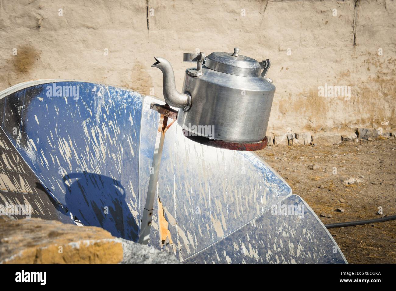 Sun energy used to heat up water of pot in high alpine Himalayas mountains. EBC trek guesthouses and accommodation in winter Stock Photohttps://www.alamy.com/image-license-details/?v=1https://www.alamy.com/sun-energy-used-to-heat-up-water-of-pot-in-high-alpine-himalayas-mountains-ebc-trek-guesthouses-and-accommodation-in-winter-image611244574.html
RF2XECGKA–Sun energy used to heat up water of pot in high alpine Himalayas mountains. EBC trek guesthouses and accommodation in winter
 TRADITIONAL HOUSE WITH SATELLITE TV DISH IN THE ANNAPURNA MOUNTAIN RANGE IN THE HIMALAYAS. NEPAL Stock Photohttps://www.alamy.com/image-license-details/?v=1https://www.alamy.com/traditional-house-with-satellite-tv-dish-in-the-annapurna-mountain-range-in-the-himalayas-nepal-image624228160.html
RM2Y7G1AT–TRADITIONAL HOUSE WITH SATELLITE TV DISH IN THE ANNAPURNA MOUNTAIN RANGE IN THE HIMALAYAS. NEPAL
 Beautiful lunar landscape with mountain ranges and blue skies in the Himalayas, Nepal. Stock Photohttps://www.alamy.com/image-license-details/?v=1https://www.alamy.com/beautiful-lunar-landscape-with-mountain-ranges-and-blue-skies-in-the-himalayas-nepal-image215636616.html
RFPER2KM–Beautiful lunar landscape with mountain ranges and blue skies in the Himalayas, Nepal.
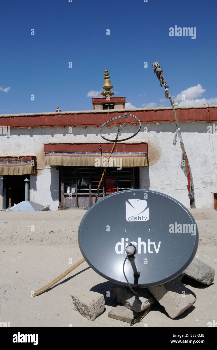 Shey monastery with satellite antenna and a bike wheel as a radio antenna, Ladakh, India, Himalayas, Asia Stock Photohttps://www.alamy.com/image-license-details/?v=1https://www.alamy.com/stock-photo-shey-monastery-with-satellite-antenna-and-a-bike-wheel-as-a-radio-25896875.html
RMBE3KMB–Shey monastery with satellite antenna and a bike wheel as a radio antenna, Ladakh, India, Himalayas, Asia
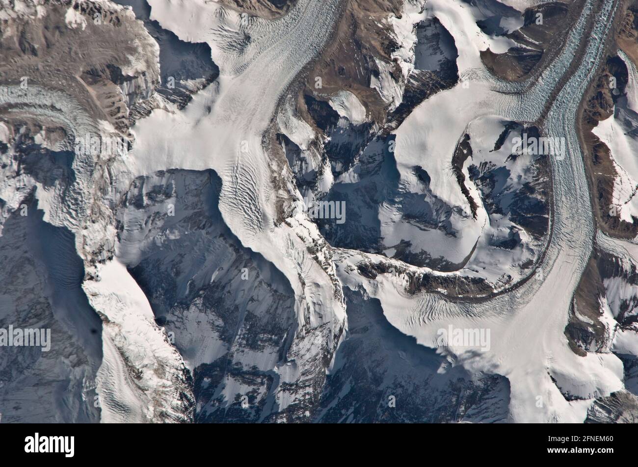 NEPAL / TIBET - 06 Jan 2011 - This image taken from the International Space Station shows the glaciers around the north western side of Mount Everest Stock Photohttps://www.alamy.com/image-license-details/?v=1https://www.alamy.com/nepal-tibet-06-jan-2011-this-image-taken-from-the-international-space-station-shows-the-glaciers-around-the-north-western-side-of-mount-everest-image426279784.html
RF2FNEM60–NEPAL / TIBET - 06 Jan 2011 - This image taken from the International Space Station shows the glaciers around the north western side of Mount Everest
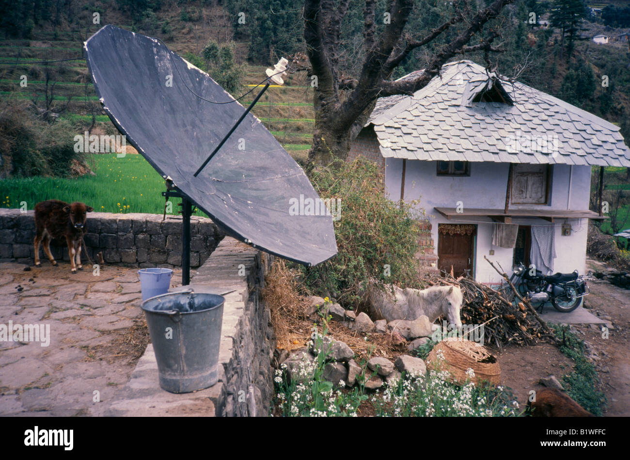 INDIA South Asia Dharamsala Communications Satellite Dish in bucket on wall of remote country house in Himalaya region Stock Photohttps://www.alamy.com/image-license-details/?v=1https://www.alamy.com/stock-photo-india-south-asia-dharamsala-communications-satellite-dish-in-bucket-18386016.html
RMB1WFFC–INDIA South Asia Dharamsala Communications Satellite Dish in bucket on wall of remote country house in Himalaya region
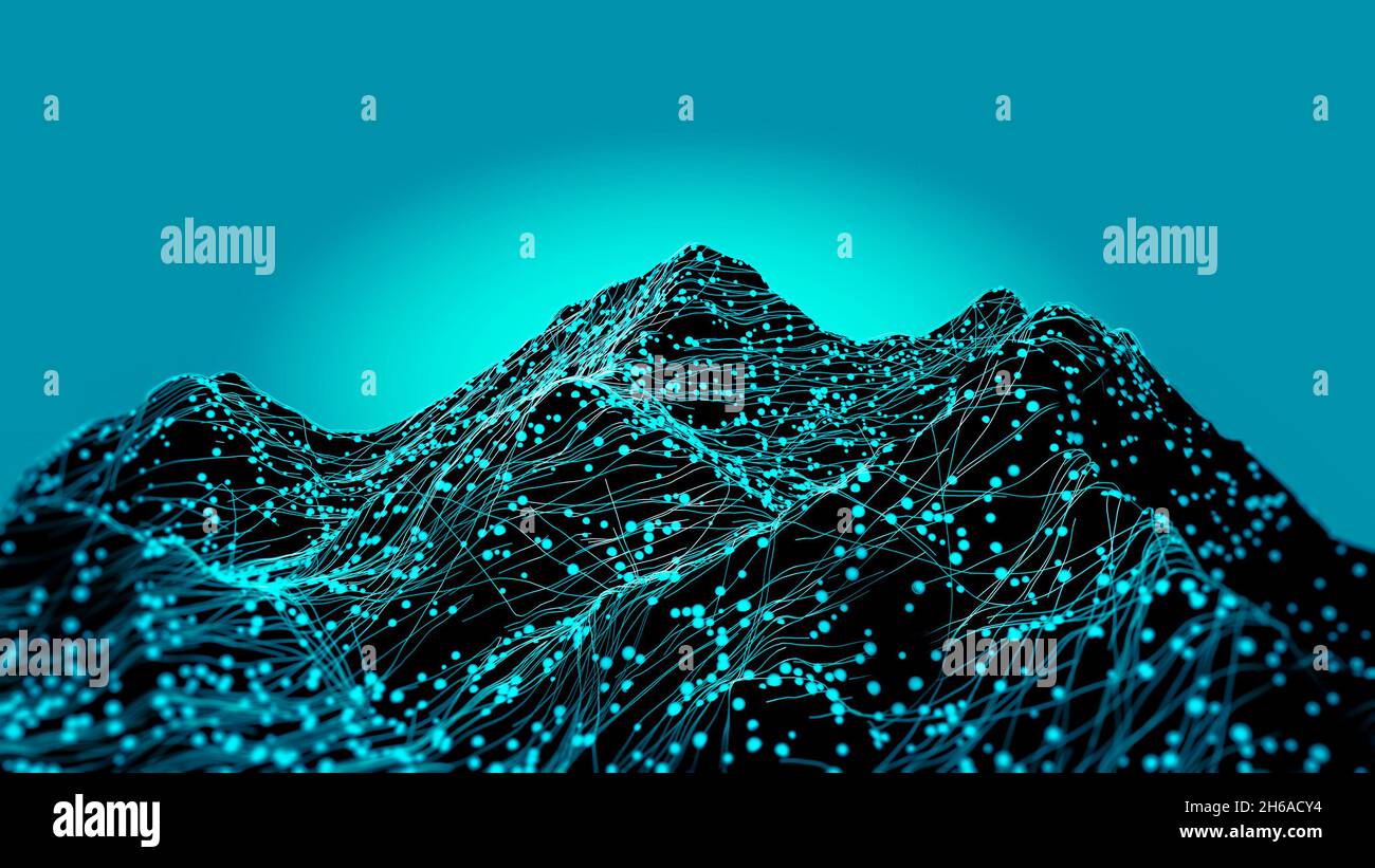 Satellite view of Mount Everest, Lhotse I, Nuptse, mountains of the Himalayas. Section, HUD, terrain hologram and morphology. Holographic and digital Stock Photohttps://www.alamy.com/image-license-details/?v=1https://www.alamy.com/satellite-view-of-mount-everest-lhotse-i-nuptse-mountains-of-the-himalayas-section-hud-terrain-hologram-and-morphology-holographic-and-digital-image451387192.html
RF2H6ACY4–Satellite view of Mount Everest, Lhotse I, Nuptse, mountains of the Himalayas. Section, HUD, terrain hologram and morphology. Holographic and digital
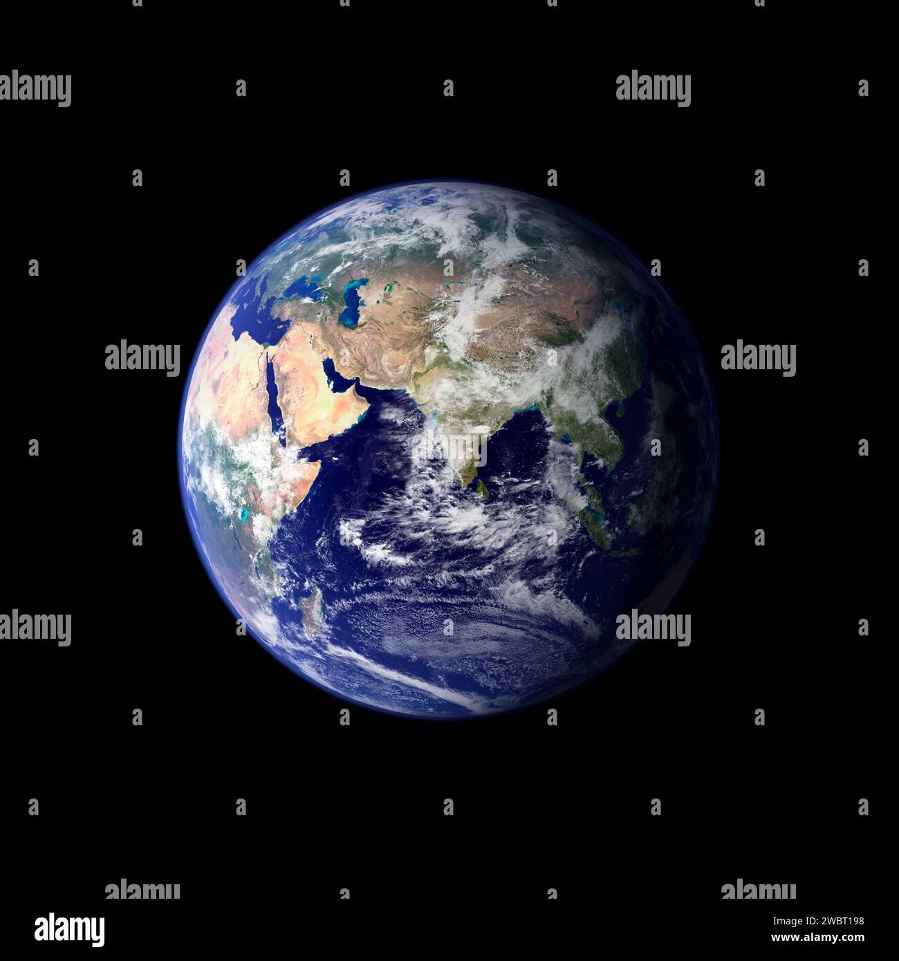 EARTH, SOL SYSTEM - Jun - Sep 2001 - This spectacular image is the most detailed true-color image of the entire Earth to date. Using a collection of s Stock Photohttps://www.alamy.com/image-license-details/?v=1https://www.alamy.com/earth-sol-system-jun-sep-2001-this-spectacular-image-is-the-most-detailed-true-color-image-of-the-entire-earth-to-date-using-a-collection-of-s-image592441620.html
RM2WBT198–EARTH, SOL SYSTEM - Jun - Sep 2001 - This spectacular image is the most detailed true-color image of the entire Earth to date. Using a collection of s
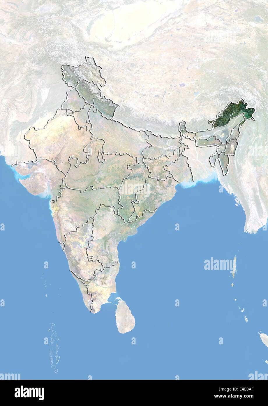 India and the State of Arunachal Pradesh, Satellite Image With Bump Effect Stock Photohttps://www.alamy.com/image-license-details/?v=1https://www.alamy.com/stock-photo-india-and-the-state-of-arunachal-pradesh-satellite-image-with-bump-71607719.html
RME4E0AF–India and the State of Arunachal Pradesh, Satellite Image With Bump Effect
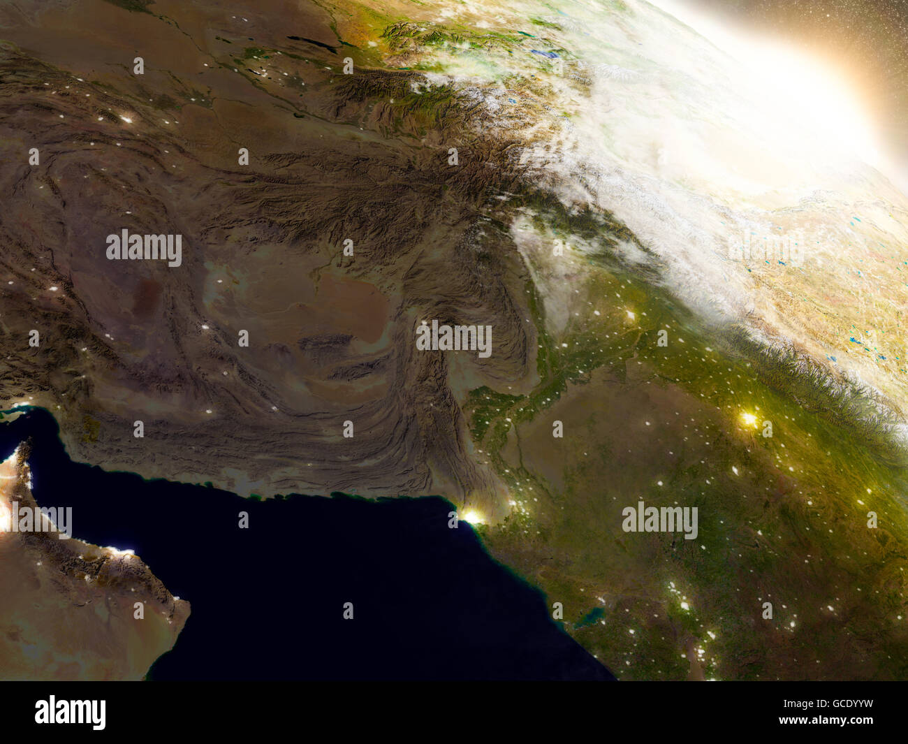 Afghanistan and Pakistan region from Earth's orbit in space during sunrise. 3D illustration with highly detailed realistic plane Stock Photohttps://www.alamy.com/image-license-details/?v=1https://www.alamy.com/stock-photo-afghanistan-and-pakistan-region-from-earths-orbit-in-space-during-110945405.html
RFGCDYYW–Afghanistan and Pakistan region from Earth's orbit in space during sunrise. 3D illustration with highly detailed realistic plane
 India, Arunachal Pradesh, Along, Paya village, dishTV satellite television dish outside house Stock Photohttps://www.alamy.com/image-license-details/?v=1https://www.alamy.com/stock-photo-india-arunachal-pradesh-along-paya-village-dishtv-satellite-television-41791023.html
RMCBYMTF–India, Arunachal Pradesh, Along, Paya village, dishTV satellite television dish outside house
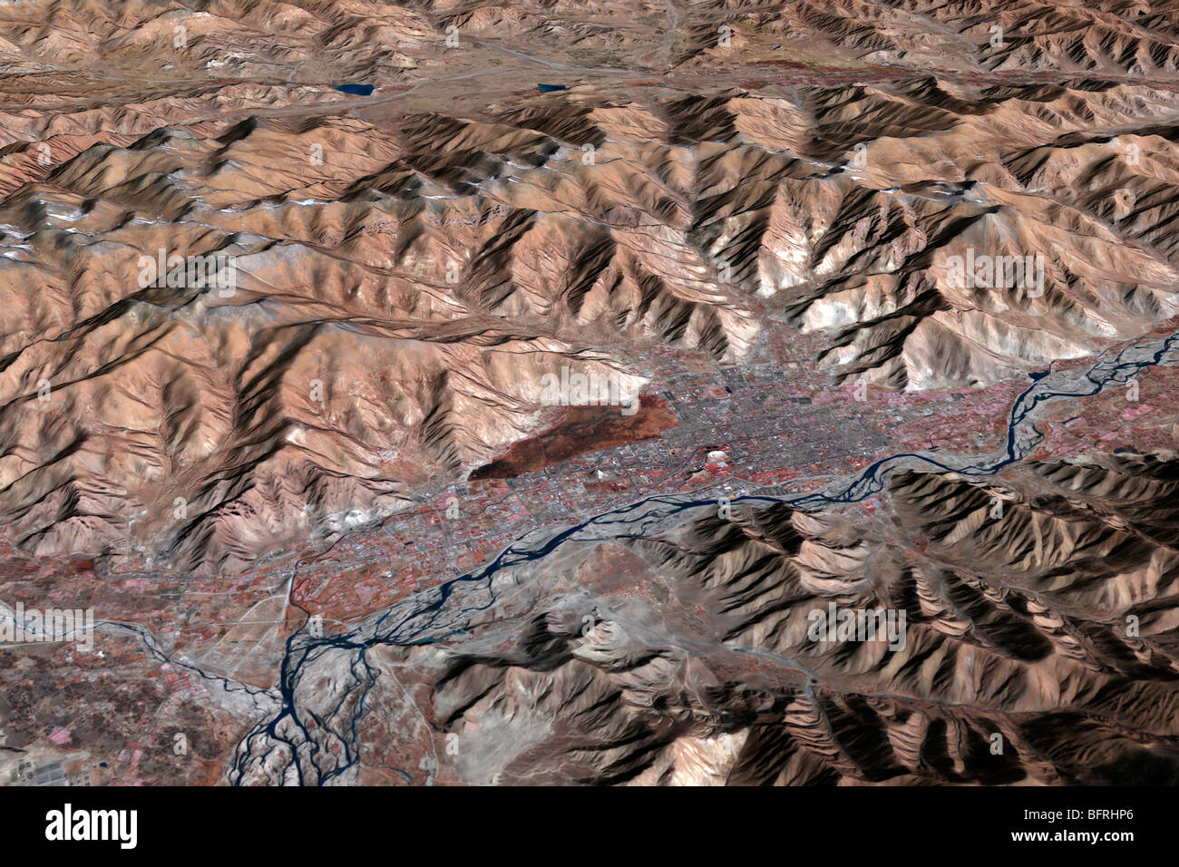 Three-dimensional view of the landscape of Lhasa, Tibet. Stock Photohttps://www.alamy.com/image-license-details/?v=1https://www.alamy.com/stock-photo-three-dimensional-view-of-the-landscape-of-lhasa-tibet-26949054.html
RFBFRHP6–Three-dimensional view of the landscape of Lhasa, Tibet.
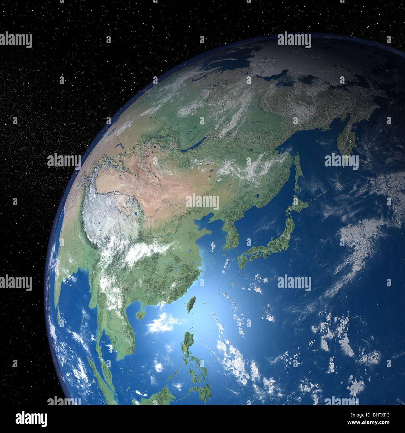 An exceptional quality photo-realistic rendered image of the Earth as seen from space on a background of stars Stock Photohttps://www.alamy.com/image-license-details/?v=1https://www.alamy.com/stock-photo-an-exceptional-quality-photo-realistic-rendered-image-of-the-earth-28207384.html
RMBHTXPG–An exceptional quality photo-realistic rendered image of the Earth as seen from space on a background of stars
 Peaks and ridges of the eastern Himalaya Mountains Stock Photohttps://www.alamy.com/image-license-details/?v=1https://www.alamy.com/peaks-and-ridges-of-the-eastern-himalaya-mountains-image61888465.html
RFDGK7A9–Peaks and ridges of the eastern Himalaya Mountains
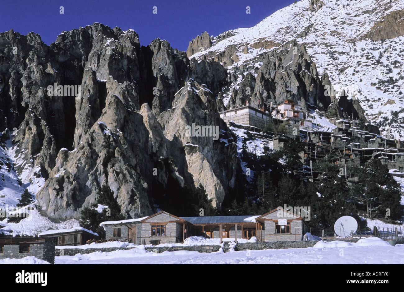 Braga Gompa Buddhist Monastery in Annapurna Conservation Area Nepal Stock Photohttps://www.alamy.com/image-license-details/?v=1https://www.alamy.com/braga-gompa-buddhist-monastery-in-annapurna-conservation-area-nepal-image7703279.html
RMADRFY0–Braga Gompa Buddhist Monastery in Annapurna Conservation Area Nepal
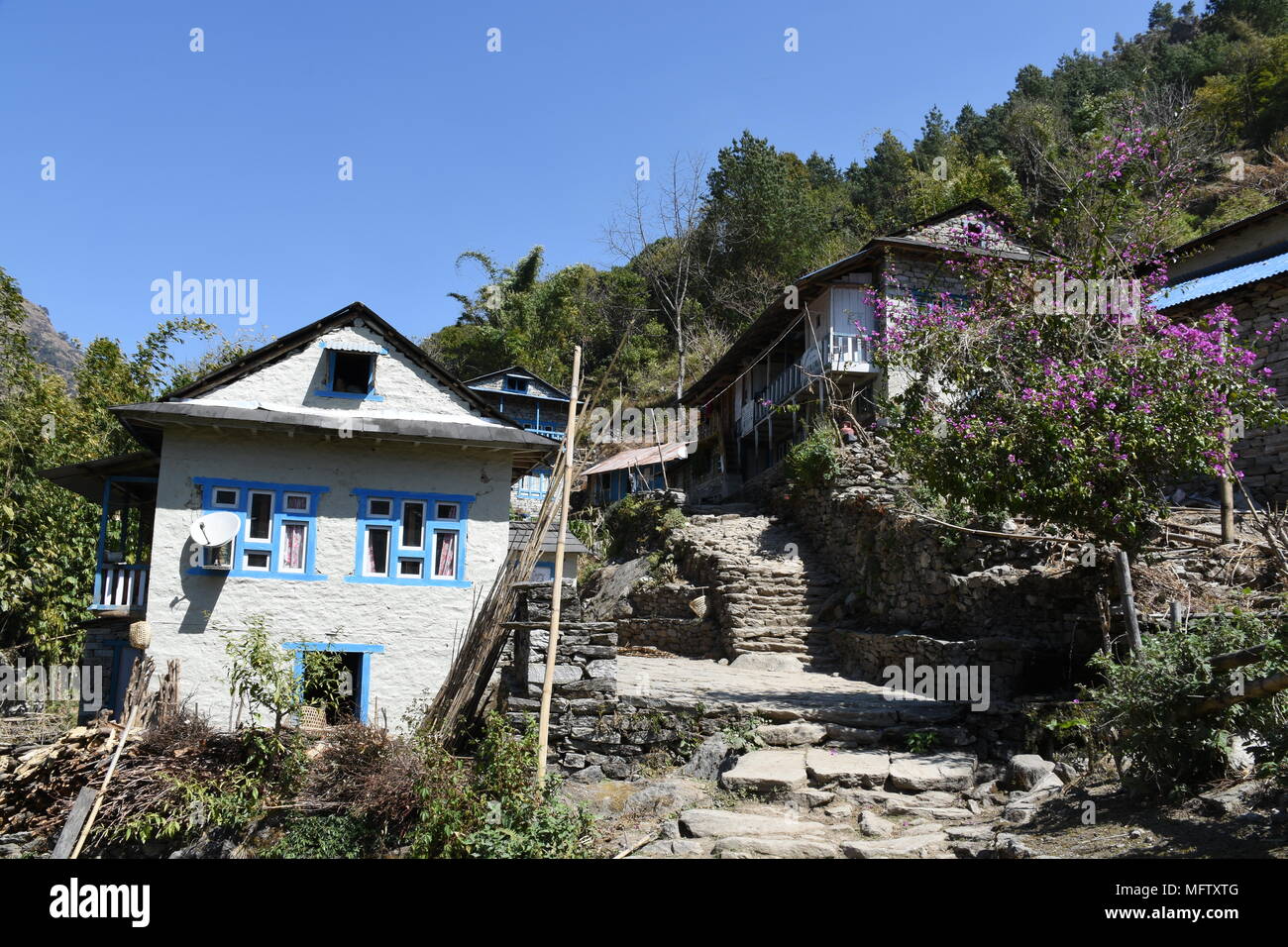 Jubing, Nepal - March 7, 2018: Trek through Jubing Village Stock Photohttps://www.alamy.com/image-license-details/?v=1https://www.alamy.com/jubing-nepal-march-7-2018-trek-through-jubing-village-image181871440.html
RFMFTXTG–Jubing, Nepal - March 7, 2018: Trek through Jubing Village
 Tourists watching sunrise next to communications tower at Sarangkot, Nepal Stock Photohttps://www.alamy.com/image-license-details/?v=1https://www.alamy.com/stock-photo-tourists-watching-sunrise-next-to-communications-tower-at-sarangkot-171981270.html
RMKYPBT6–Tourists watching sunrise next to communications tower at Sarangkot, Nepal
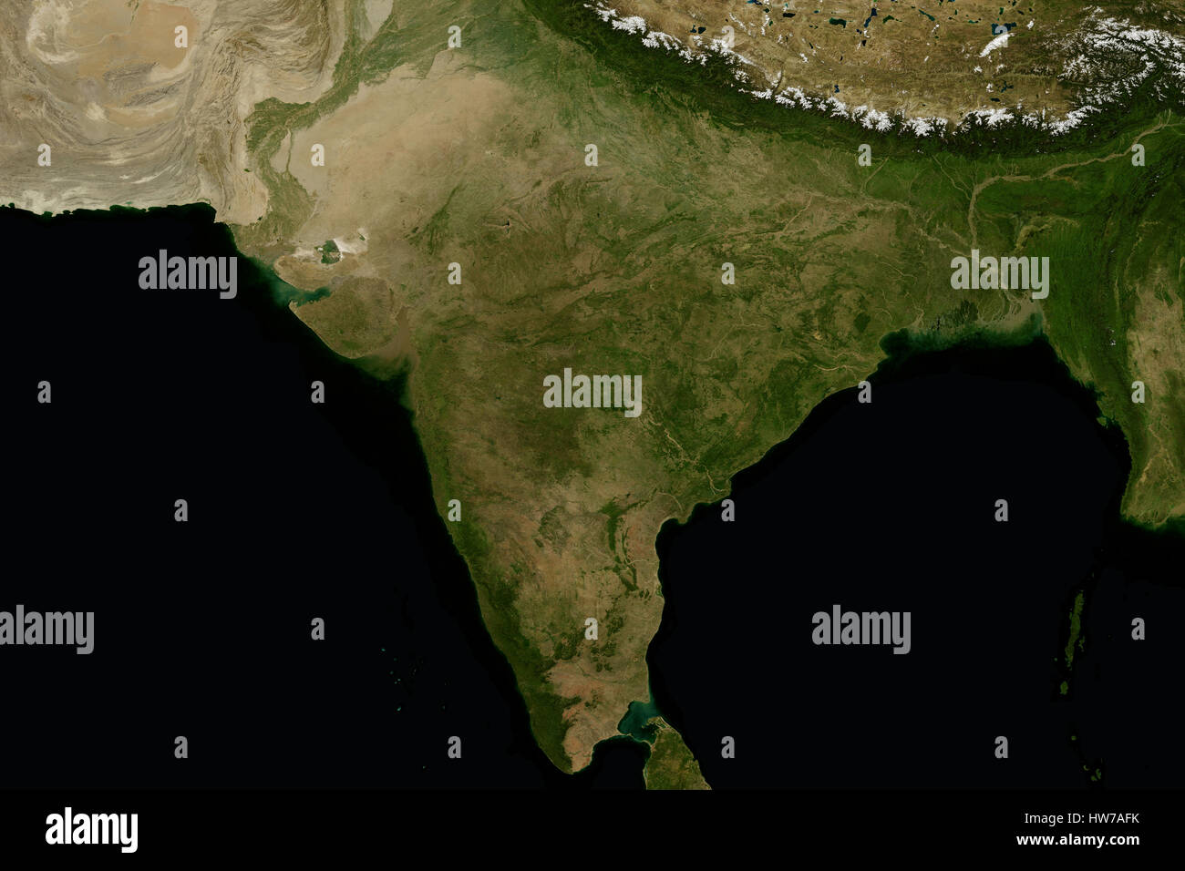 India and the surrounding region. View from space. Stock Photohttps://www.alamy.com/image-license-details/?v=1https://www.alamy.com/stock-photo-india-and-the-surrounding-region-view-from-space-136000919.html
RFHW7AFK–India and the surrounding region. View from space.
 Nepal from space. Elements of this image furnished by NASA. Stock Photohttps://www.alamy.com/image-license-details/?v=1https://www.alamy.com/nepal-from-space-elements-of-this-image-furnished-by-nasa-image454922347.html
RF2HC3E2K–Nepal from space. Elements of this image furnished by NASA.
 Sun energy used to heat up water of pot in high alpine Himalayas mountains. EBC trek guesthouses and accommodation in winter Stock Photohttps://www.alamy.com/image-license-details/?v=1https://www.alamy.com/sun-energy-used-to-heat-up-water-of-pot-in-high-alpine-himalayas-mountains-ebc-trek-guesthouses-and-accommodation-in-winter-image612475212.html
RF2XGCJAM–Sun energy used to heat up water of pot in high alpine Himalayas mountains. EBC trek guesthouses and accommodation in winter
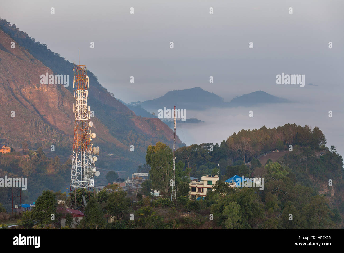 Communications towers in the Himalayan foothills at Bandipur Bazaar, Nepal Stock Photohttps://www.alamy.com/image-license-details/?v=1https://www.alamy.com/stock-photo-communications-towers-in-the-himalayan-foothills-at-bandipur-bazaar-134103205.html
RMHP4X05–Communications towers in the Himalayan foothills at Bandipur Bazaar, Nepal
 Beautiful lunar landscape with mountain ranges and blue skies in the Himalayas, Nepal. Stock Photohttps://www.alamy.com/image-license-details/?v=1https://www.alamy.com/beautiful-lunar-landscape-with-mountain-ranges-and-blue-skies-in-the-himalayas-nepal-image215636612.html
RFPER2KG–Beautiful lunar landscape with mountain ranges and blue skies in the Himalayas, Nepal.
 Shey monastery with a satellite antenna and a bike wheel as a radio antenna and solar cell, Ladakh, India, Himalayas, Asia Stock Photohttps://www.alamy.com/image-license-details/?v=1https://www.alamy.com/stock-photo-shey-monastery-with-a-satellite-antenna-and-a-bike-wheel-as-a-radio-25897305.html
RMBE3M7N–Shey monastery with a satellite antenna and a bike wheel as a radio antenna and solar cell, Ladakh, India, Himalayas, Asia
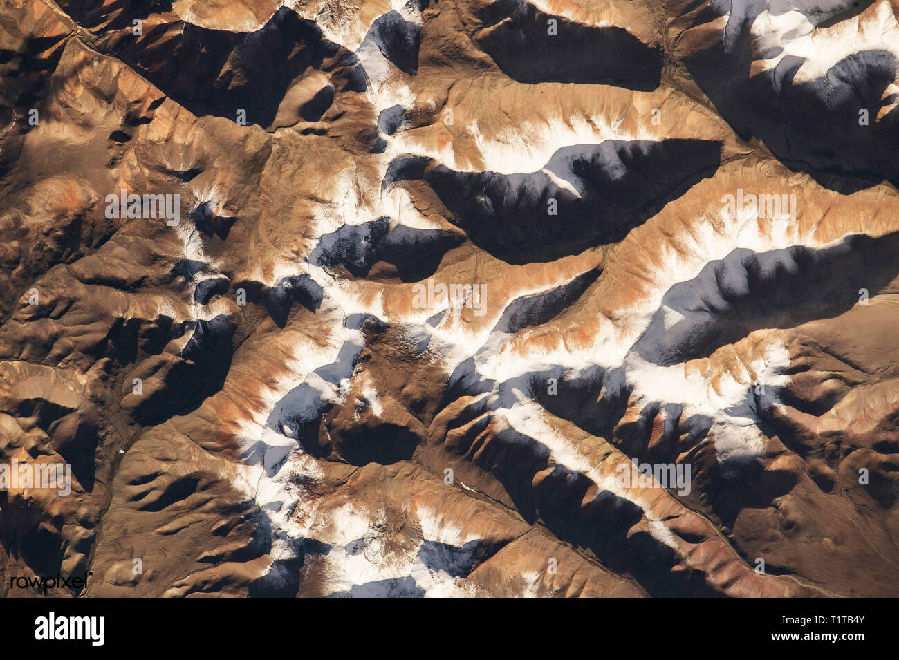 August 7, 2015 - ISS, Low Earth Orbit - NASA astronaut Scott Kelly, on board the International Space Station, took this interesting picture of the Him Stock Photohttps://www.alamy.com/image-license-details/?v=1https://www.alamy.com/august-7-2015-iss-low-earth-orbit-nasa-astronaut-scott-kelly-on-board-the-international-space-station-took-this-interesting-picture-of-the-him-image242095419.html
RMT1TB4Y–August 7, 2015 - ISS, Low Earth Orbit - NASA astronaut Scott Kelly, on board the International Space Station, took this interesting picture of the Him
 Buddhist chorten, sacred Tibetan architecture, in Stok, with satellite antennas of Ladakh's radio station, Northern India, the Stock Photohttps://www.alamy.com/image-license-details/?v=1https://www.alamy.com/stock-photo-buddhist-chorten-sacred-tibetan-architecture-in-stok-with-satellite-25919504.html
RMBE4MGG–Buddhist chorten, sacred Tibetan architecture, in Stok, with satellite antennas of Ladakh's radio station, Northern India, the
 Satellite view of Mount Everest, Lhotse I, Nuptse, base camps for the ascent to the mountains of the Himalayas, on the border between Nepal and China Stock Photohttps://www.alamy.com/image-license-details/?v=1https://www.alamy.com/satellite-view-of-mount-everest-lhotse-i-nuptse-base-camps-for-the-ascent-to-the-mountains-of-the-himalayas-on-the-border-between-nepal-and-china-image451414449.html
RF2H6BKMH–Satellite view of Mount Everest, Lhotse I, Nuptse, base camps for the ascent to the mountains of the Himalayas, on the border between Nepal and China
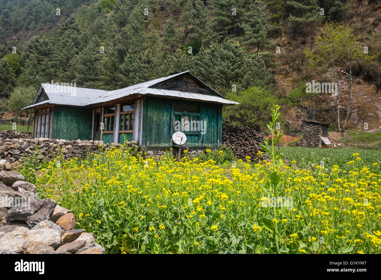 Himalayan village on the track to the Everest base camp Stock Photohttps://www.alamy.com/image-license-details/?v=1https://www.alamy.com/stock-photo-himalayan-village-on-the-track-to-the-everest-base-camp-104315827.html
RMG1KYW7–Himalayan village on the track to the Everest base camp
 India and the State of Arunachal Pradesh, True Colour Satellite Image Stock Photohttps://www.alamy.com/image-license-details/?v=1https://www.alamy.com/stock-photo-india-and-the-state-of-arunachal-pradesh-true-colour-satellite-image-71607720.html
RME4E0AG–India and the State of Arunachal Pradesh, True Colour Satellite Image
 Satellite view of Mount Everest, Lhotse I, Nuptse, base camps for the ascent to the mountains of the Himalayas, on the border between Nepal and China. Stock Photohttps://www.alamy.com/image-license-details/?v=1https://www.alamy.com/satellite-view-of-mount-everest-lhotse-i-nuptse-base-camps-for-the-ascent-to-the-mountains-of-the-himalayas-on-the-border-between-nepal-and-china-image451185777.html
RF2H6181N–Satellite view of Mount Everest, Lhotse I, Nuptse, base camps for the ascent to the mountains of the Himalayas, on the border between Nepal and China.
 Color satellite image of Bhutan in the Eastern Himalayas, with mask. Stock Photohttps://www.alamy.com/image-license-details/?v=1https://www.alamy.com/color-satellite-image-of-bhutan-in-the-eastern-himalayas-with-mask-image597464313.html
RM2WM0RR5–Color satellite image of Bhutan in the Eastern Himalayas, with mask.
 Nepal and Bhutan with surrounding region as seen from Earth's orbit in space. 3D illustration with highly detailed realistic pla Stock Photohttps://www.alamy.com/image-license-details/?v=1https://www.alamy.com/stock-photo-nepal-and-bhutan-with-surrounding-region-as-seen-from-earths-orbit-104758375.html
RFG2C4AF–Nepal and Bhutan with surrounding region as seen from Earth's orbit in space. 3D illustration with highly detailed realistic pla
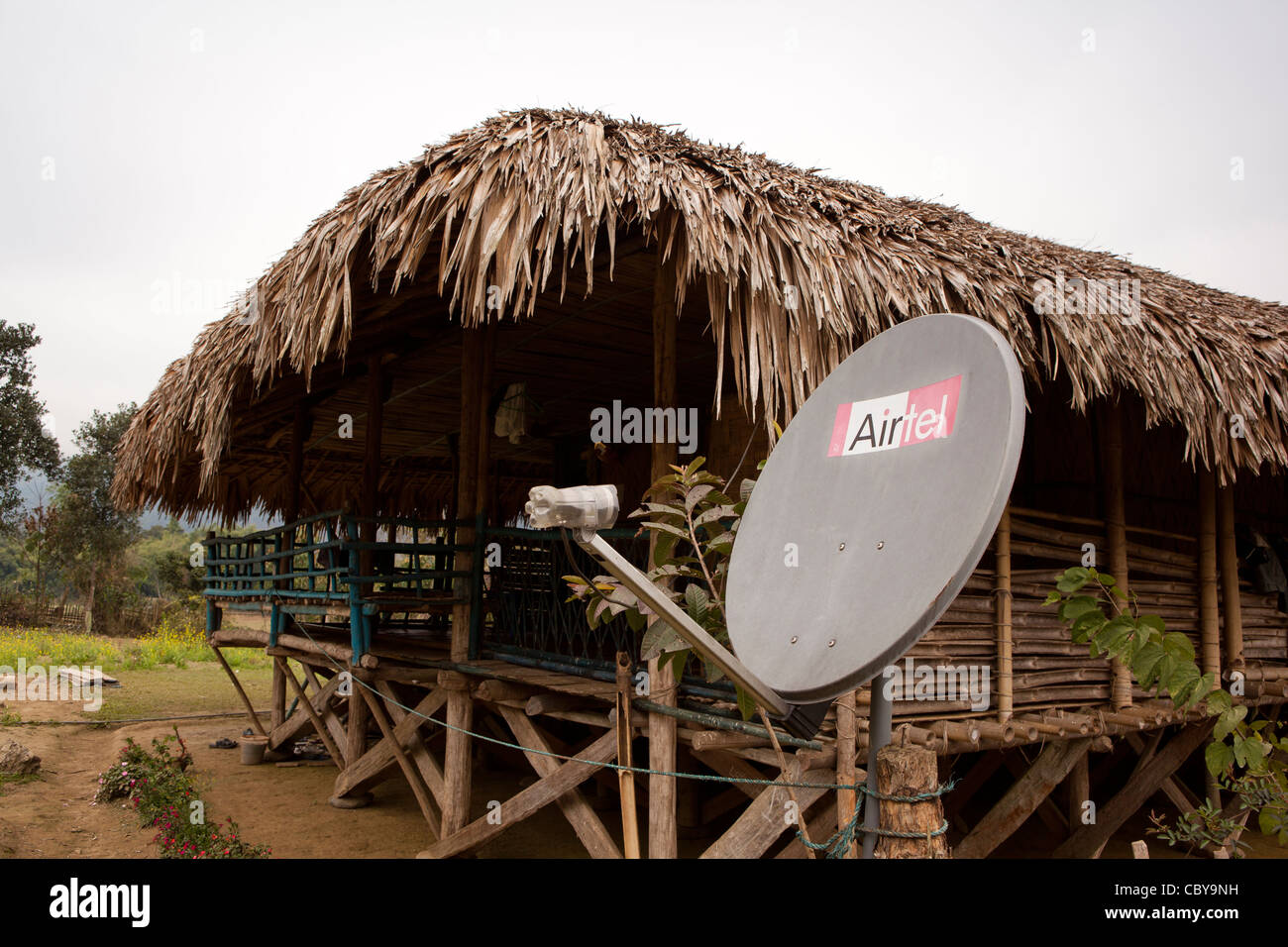 India, Arunachal Pradesh, Along, Podbi village, Airtel satellite TV dish outside house made from natural materials Stock Photohttps://www.alamy.com/image-license-details/?v=1https://www.alamy.com/stock-photo-india-arunachal-pradesh-along-podbi-village-airtel-satellite-tv-dish-41782317.html
RMCBY9NH–India, Arunachal Pradesh, Along, Podbi village, Airtel satellite TV dish outside house made from natural materials
 An exceptional quality photo-realistic rendered image of the Earth as seen from space on a background of stars Stock Photohttps://www.alamy.com/image-license-details/?v=1https://www.alamy.com/stock-photo-an-exceptional-quality-photo-realistic-rendered-image-of-the-earth-28199907.html
RMBHTH7F–An exceptional quality photo-realistic rendered image of the Earth as seen from space on a background of stars
