Quick filters:
Historical europe map Stock Photos and Images
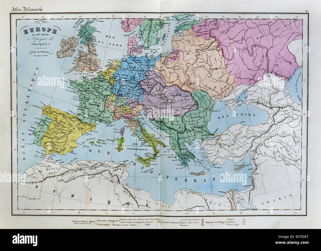 1858 Delamarche Historical Map of Renaissance Europe in the 16th Century under Francois I Stock Photohttps://www.alamy.com/image-license-details/?v=1https://www.alamy.com/stock-photo-1858-delamarche-historical-map-of-renaissance-europe-in-the-16th-century-176714016.html
RFM7E0ET–1858 Delamarche Historical Map of Renaissance Europe in the 16th Century under Francois I
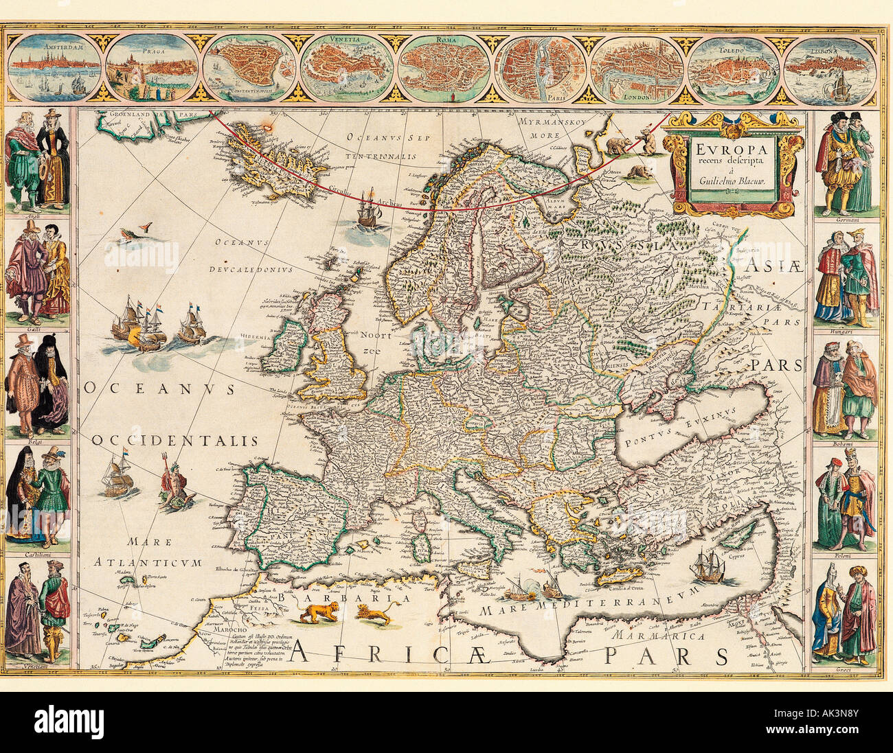 Historical map of Europe. Stock Photohttps://www.alamy.com/image-license-details/?v=1https://www.alamy.com/stock-photo-historical-map-of-europe-14874938.html
RMAK3N8Y–Historical map of Europe.
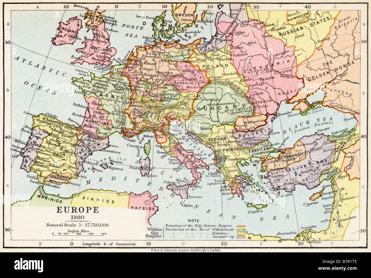 Map of Europe in 1360 Stock Photohttps://www.alamy.com/image-license-details/?v=1https://www.alamy.com/stock-photo-map-of-europe-in-1360-22019317.html
RMB7R1T5–Map of Europe in 1360
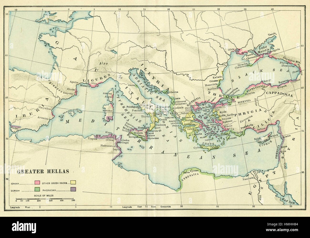 map of europe Stock Photohttps://www.alamy.com/image-license-details/?v=1https://www.alamy.com/stock-photo-map-of-europe-133152436.html
RFHMHH84–map of europe
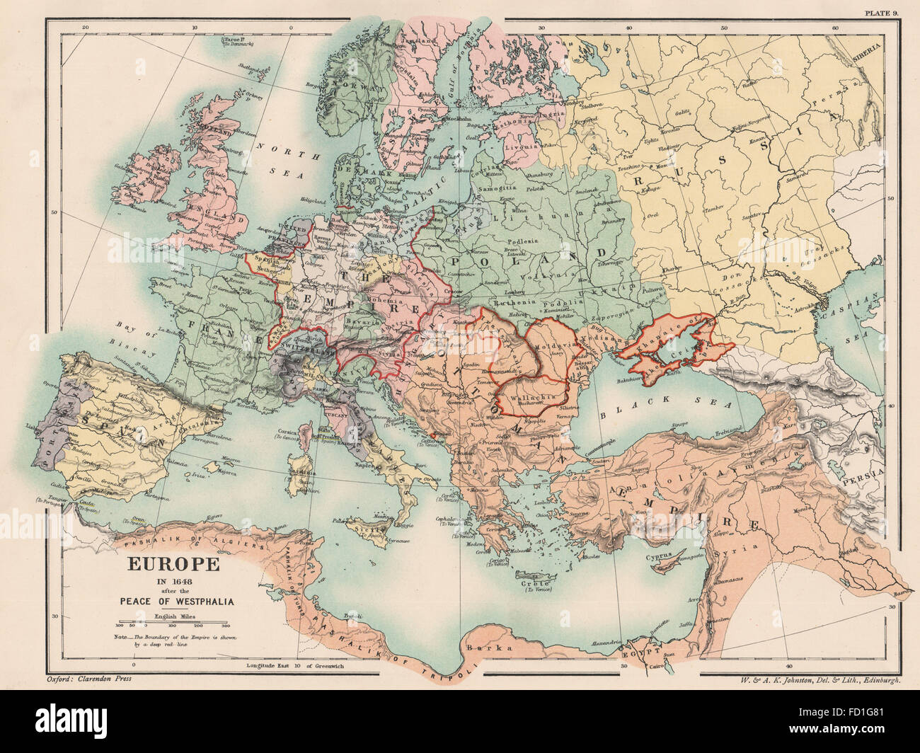 EUROPE IN 1648: After the Peace of Westphalia. Holy Roman Empire, 1902 old map Stock Photohttps://www.alamy.com/image-license-details/?v=1https://www.alamy.com/stock-photo-europe-in-1648-after-the-peace-of-westphalia-holy-roman-empire-1902-94077089.html
RFFD1G81–EUROPE IN 1648: After the Peace of Westphalia. Holy Roman Empire, 1902 old map
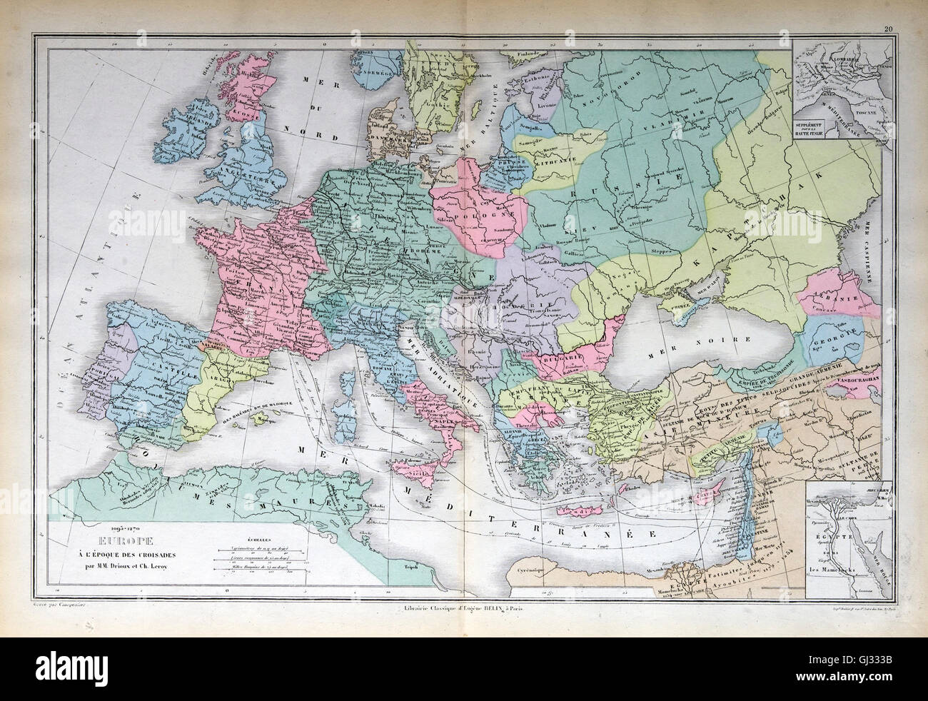 Old map of 1883, Europe Stock Photohttps://www.alamy.com/image-license-details/?v=1https://www.alamy.com/stock-photo-old-map-of-1883-europe-114394319.html
RFGJ333B–Old map of 1883, Europe
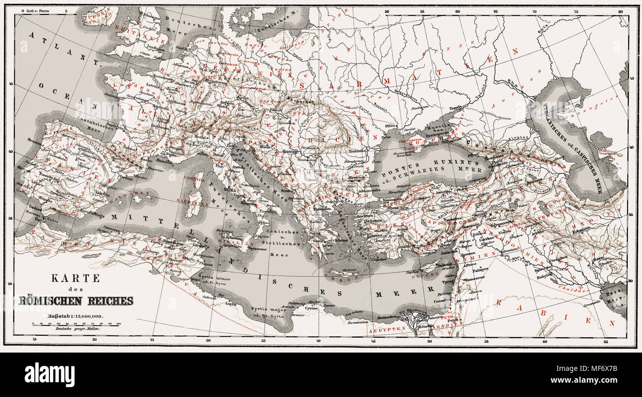 Historical map of the Roman Empire, Stock Photohttps://www.alamy.com/image-license-details/?v=1https://www.alamy.com/historical-map-of-the-roman-empire-image181475823.html
RMMF6X7B–Historical map of the Roman Empire,
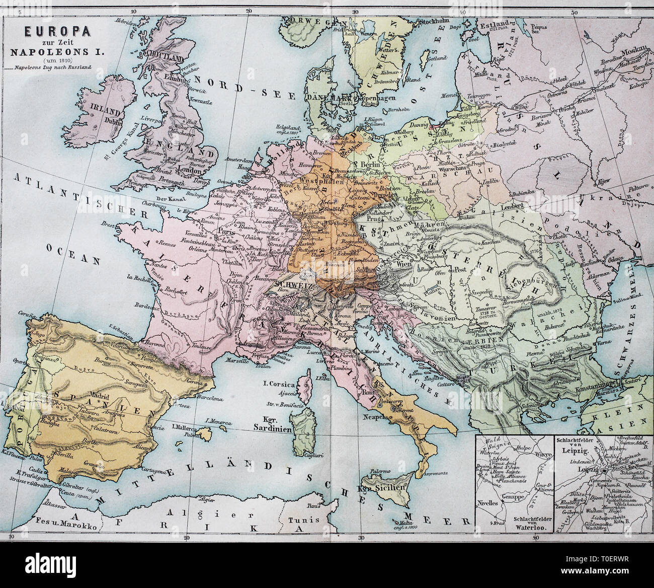 Historical map of Europe from the time of Napoleon I. / Historische Landkarte von Europa zur Zeit von Napoleon I. Stock Photohttps://www.alamy.com/image-license-details/?v=1https://www.alamy.com/historical-map-of-europe-from-the-time-of-napoleon-i-historische-landkarte-von-europa-zur-zeit-von-napoleon-i-image241271235.html
RFT0ERWR–Historical map of Europe from the time of Napoleon I. / Historische Landkarte von Europa zur Zeit von Napoleon I.
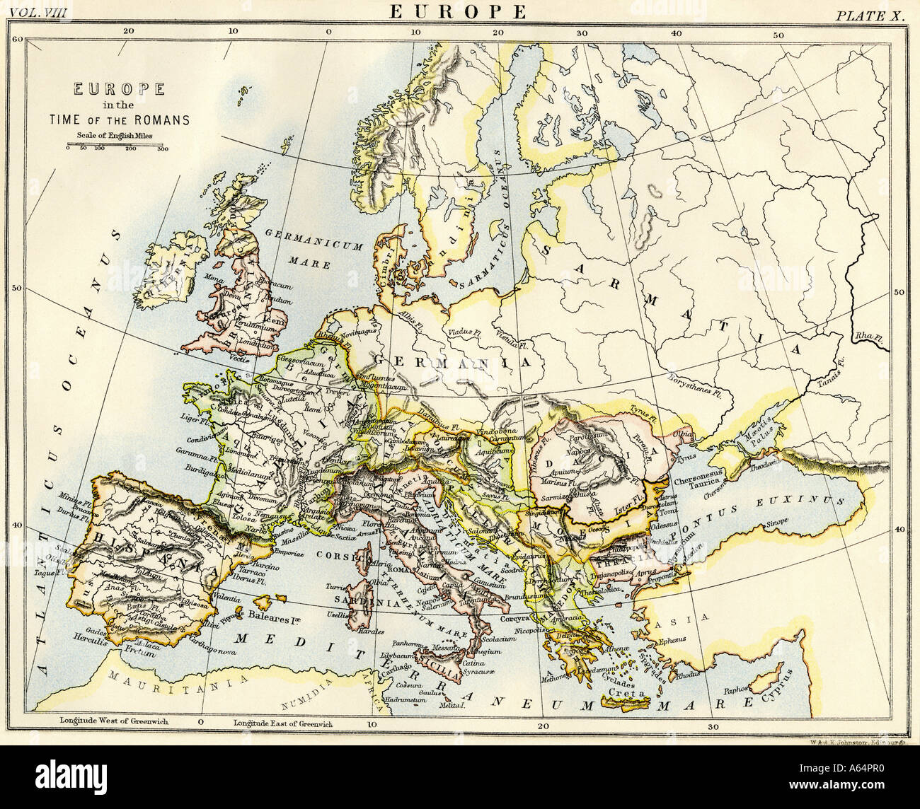 Map of Europe in the time of the Roman Empire. Color lithograph Stock Photohttps://www.alamy.com/image-license-details/?v=1https://www.alamy.com/map-of-europe-in-the-time-of-the-roman-empire-color-lithograph-image6548719.html
RMA64PR0–Map of Europe in the time of the Roman Empire. Color lithograph
 South (Top) view of a navigational map of Europe and the Middle East by Jacopo Russo 1528, Messina. Sicily. Showing Switzerland, Italy ;Balkans and Hungary Stock Photohttps://www.alamy.com/image-license-details/?v=1https://www.alamy.com/stock-photo-south-top-view-of-a-navigational-map-of-europe-and-the-middle-east-57438172.html
RMD9CEY8–South (Top) view of a navigational map of Europe and the Middle East by Jacopo Russo 1528, Messina. Sicily. Showing Switzerland, Italy ;Balkans and Hungary
 cartography, maps, Ittendorf map, Markdorf-Ittendorf, 17th century, historic, historical, Europe, Germany, Baden-Wuerttemberg, Baden Wuerttemberg, painting, fine arts, Upper Swabia, Markdorf, Stock Photohttps://www.alamy.com/image-license-details/?v=1https://www.alamy.com/stock-photo-cartography-maps-ittendorf-map-markdorf-ittendorf-17th-century-historic-10875064.html
RMA3XGXH–cartography, maps, Ittendorf map, Markdorf-Ittendorf, 17th century, historic, historical, Europe, Germany, Baden-Wuerttemberg, Baden Wuerttemberg, painting, fine arts, Upper Swabia, Markdorf,
 Tourists are considering a map and guide to attractions. Stock Photohttps://www.alamy.com/image-license-details/?v=1https://www.alamy.com/tourists-are-considering-a-map-and-guide-to-attractions-image231003406.html
RFRBR35J–Tourists are considering a map and guide to attractions.
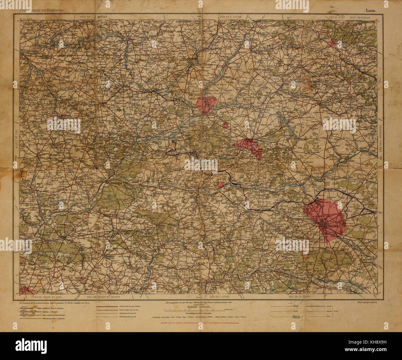 Ubersichtskarte von Mitteleuropa, Overview map of Central Europe, but Mainly showing Northeast France, 1912 Stock Photohttps://www.alamy.com/image-license-details/?v=1https://www.alamy.com/stock-image-ubersichtskarte-von-mitteleuropa-overview-map-of-central-europe-but-165538733.html
RMKH8X9H–Ubersichtskarte von Mitteleuropa, Overview map of Central Europe, but Mainly showing Northeast France, 1912
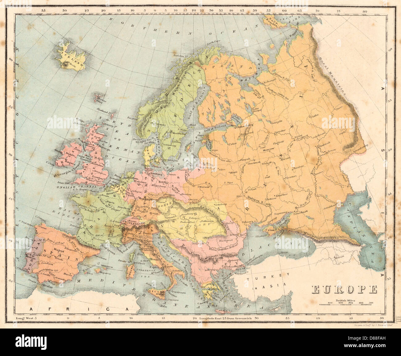 Map Europe C1840 Stock Photohttps://www.alamy.com/image-license-details/?v=1https://www.alamy.com/stock-photo-map-europe-c1840-56736025.html
RMD88FAH–Map Europe C1840
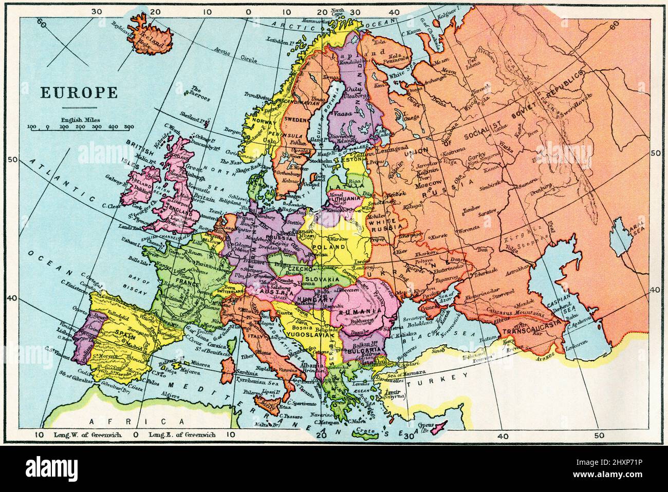 Map of Europe in the 1930's. From The Wonderland of Knowledge, published c.1930 Stock Photohttps://www.alamy.com/image-license-details/?v=1https://www.alamy.com/map-of-europe-in-the-1930s-from-the-wonderland-of-knowledge-published-c1930-image463939106.html
RM2HXP71P–Map of Europe in the 1930's. From The Wonderland of Knowledge, published c.1930
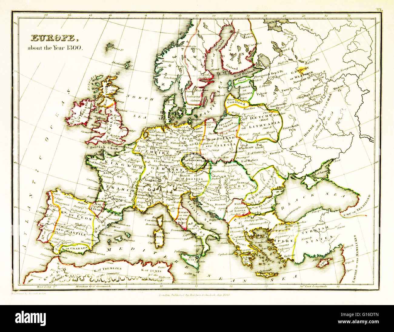 A map of Europe, showing territorial borders existing in the 14th century, specifically 1300. Map published in 1831. Stock Photohttps://www.alamy.com/image-license-details/?v=1https://www.alamy.com/stock-photo-a-map-of-europe-showing-territorial-borders-existing-in-the-14th-century-104019461.html
RMG16DTN–A map of Europe, showing territorial borders existing in the 14th century, specifically 1300. Map published in 1831.
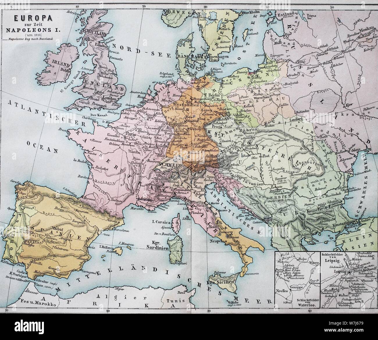 Historical map of Europe at the time of Napoleon I, 1820, historical illustration, Italy Stock Photohttps://www.alamy.com/image-license-details/?v=1https://www.alamy.com/historical-map-of-europe-at-the-time-of-napoleon-i-1820-historical-illustration-italy-image262858157.html
RMW7J679–Historical map of Europe at the time of Napoleon I, 1820, historical illustration, Italy
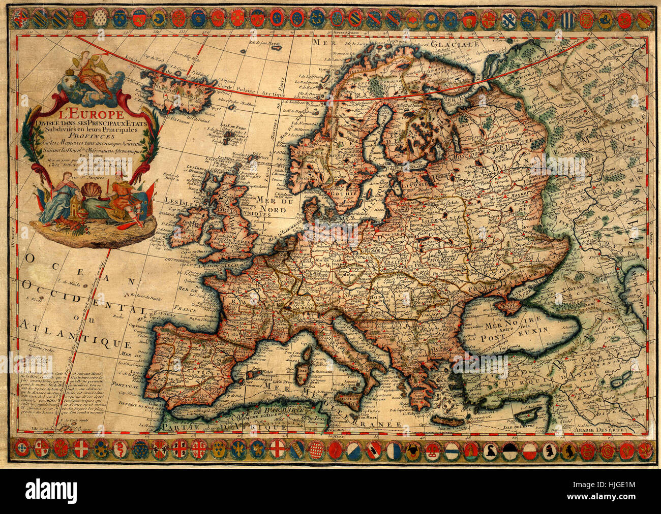 Map Of Europe 1700 Stock Photohttps://www.alamy.com/image-license-details/?v=1https://www.alamy.com/stock-photo-map-of-europe-1700-131898640.html
RFHJGE1M–Map Of Europe 1700
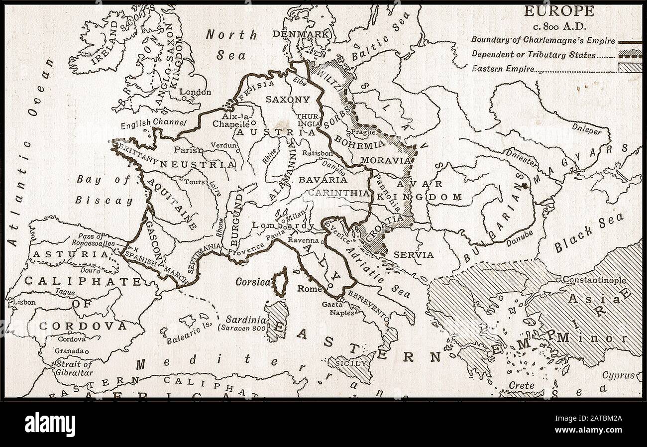 A British 1910 school book map showing Europe around 800 AD Stock Photohttps://www.alamy.com/image-license-details/?v=1https://www.alamy.com/a-british-1910-school-book-map-showing-europe-around-800-ad-image342005954.html
RM2ATBM2A–A British 1910 school book map showing Europe around 800 AD
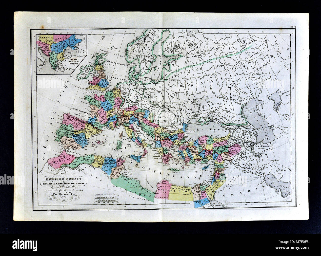 1858 Delamarche Historical Map of Europe showing the Roman Empire in the 4th Century prior to the Barbarian Invasion Stock Photohttps://www.alamy.com/image-license-details/?v=1https://www.alamy.com/stock-photo-1858-delamarche-historical-map-of-europe-showing-the-roman-empire-176714028.html
RFM7E0F8–1858 Delamarche Historical Map of Europe showing the Roman Empire in the 4th Century prior to the Barbarian Invasion
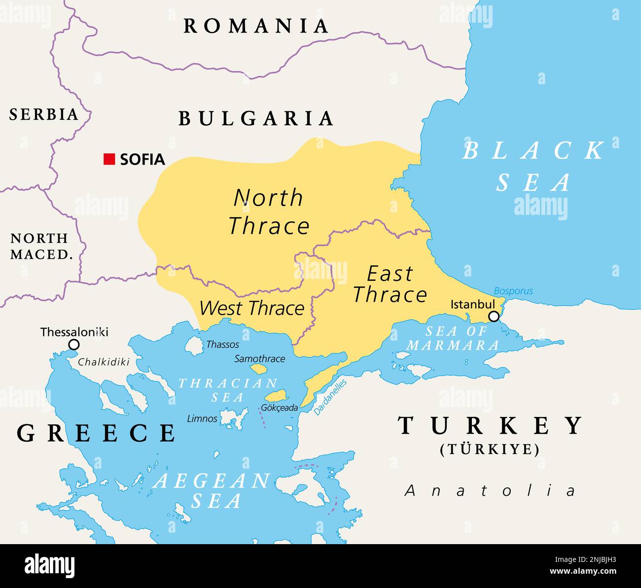 Thrace, geographical and historical region in Southeast Europe, political map. Modern boundaries of Thrace, split among Bulgaria, Greece and Turkey. Stock Photohttps://www.alamy.com/image-license-details/?v=1https://www.alamy.com/thrace-geographical-and-historical-region-in-southeast-europe-political-map-modern-boundaries-of-thrace-split-among-bulgaria-greece-and-turkey-image527630911.html
RF2NJBJH3–Thrace, geographical and historical region in Southeast Europe, political map. Modern boundaries of Thrace, split among Bulgaria, Greece and Turkey.
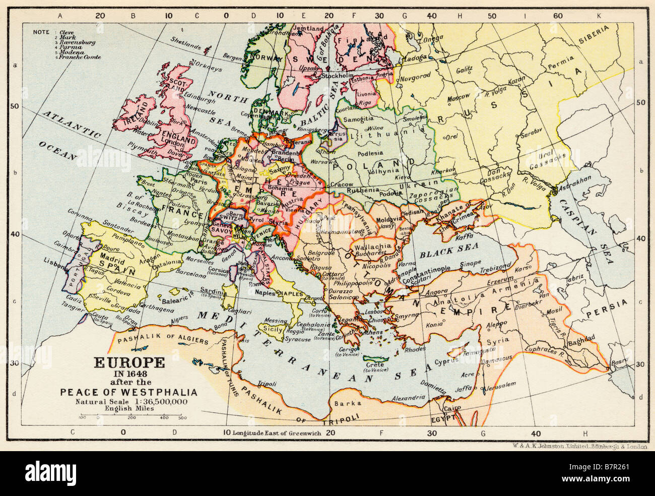 Map of Europe in 1648 after the Peace of Westphalia Stock Photohttps://www.alamy.com/image-license-details/?v=1https://www.alamy.com/stock-photo-map-of-europe-in-1648-after-the-peace-of-westphalia-22019593.html
RMB7R261–Map of Europe in 1648 after the Peace of Westphalia
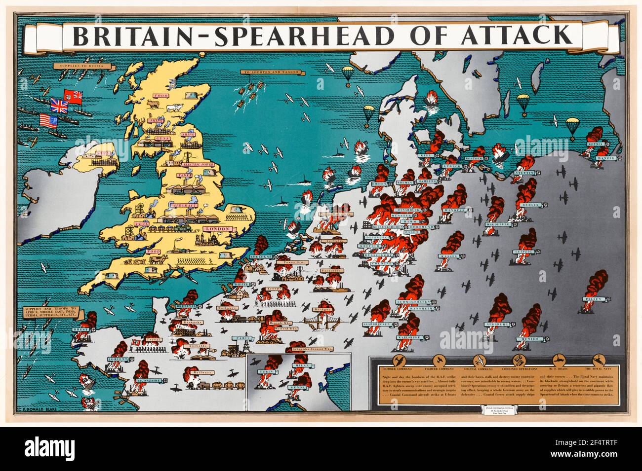 British, WW2, Britain: Spearhead of Attack, Poster Map showing how wartime manufacture helped military action liberate occupied Europe, 1942-1945 Stock Photohttps://www.alamy.com/image-license-details/?v=1https://www.alamy.com/british-ww2-britain-spearhead-of-attack-poster-map-showing-how-wartime-manufacture-helped-military-action-liberate-occupied-europe-1942-1945-image416053023.html
RM2F4TRTF–British, WW2, Britain: Spearhead of Attack, Poster Map showing how wartime manufacture helped military action liberate occupied Europe, 1942-1945
 HOLY ROMAN EMPIRE 1519: Europe upon Accession of Emperor Charles V, 1902 map Stock Photohttps://www.alamy.com/image-license-details/?v=1https://www.alamy.com/stock-photo-holy-roman-empire-1519-europe-upon-accession-of-emperor-charles-v-94077080.html
RFFD1G7M–HOLY ROMAN EMPIRE 1519: Europe upon Accession of Emperor Charles V, 1902 map
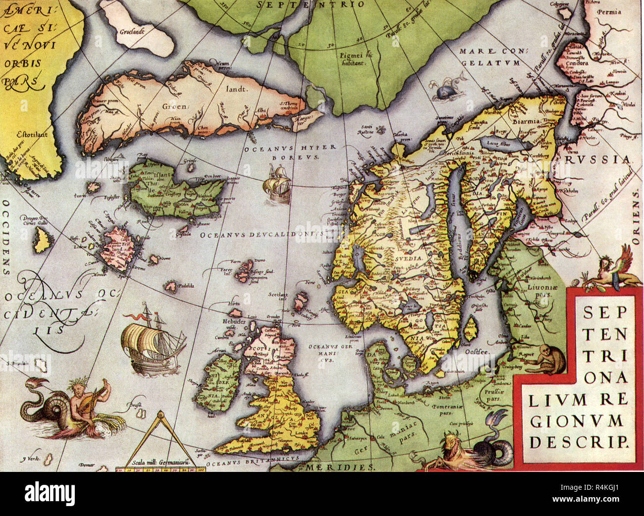 Map of Northern Europe 1570, Ortelius. Stock Photohttps://www.alamy.com/image-license-details/?v=1https://www.alamy.com/map-of-northern-europe-1570-ortelius-image226623545.html
RMR4KGJ1–Map of Northern Europe 1570, Ortelius.
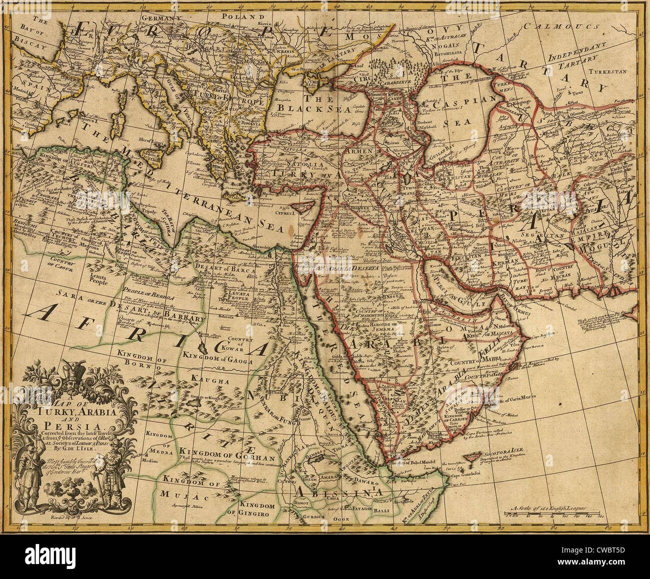 1721 map of Turkey, Arabia, and Persia and environs including Northeast Africa, Southern Europe, and Southwest Asia. Stock Photohttps://www.alamy.com/image-license-details/?v=1https://www.alamy.com/stock-photo-1721-map-of-turkey-arabia-and-persia-and-environs-including-northeast-50047577.html
RMCWBT5D–1721 map of Turkey, Arabia, and Persia and environs including Northeast Africa, Southern Europe, and Southwest Asia.
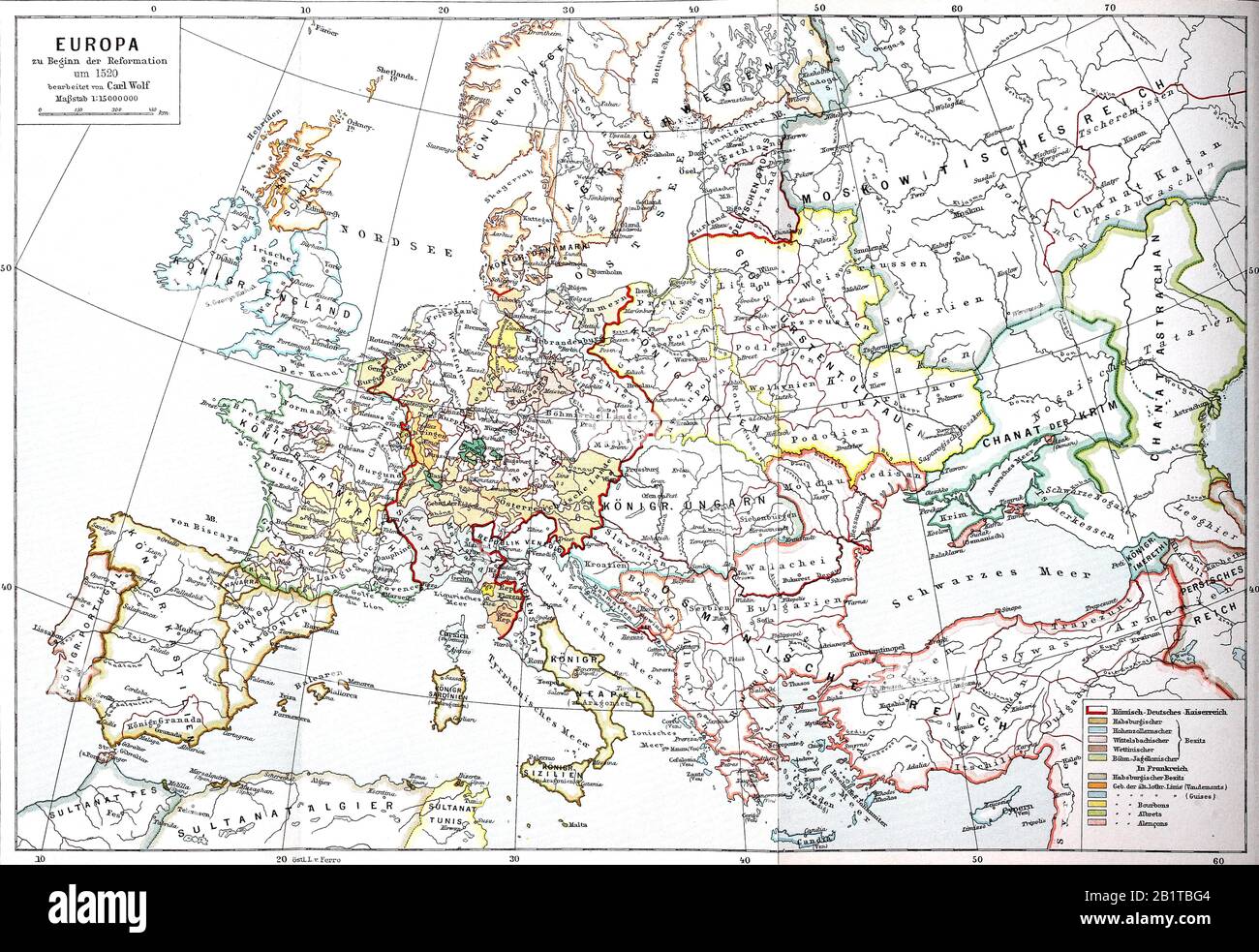 Map of Europe at the beginning of the Reformation around 1520 / Landkarte von Europa zu Beginn der Reformation um 1520, Historisch, digital improved reproduction of an original from the 19th century / digitale Reproduktion einer Originalvorlage aus dem 19. Jahrhundert Stock Photohttps://www.alamy.com/image-license-details/?v=1https://www.alamy.com/map-of-europe-at-the-beginning-of-the-reformation-around-1520-landkarte-von-europa-zu-beginn-der-reformation-um-1520-historisch-digital-improved-reproduction-of-an-original-from-the-19th-century-digitale-reproduktion-einer-originalvorlage-aus-dem-19-jahrhundert-image345357940.html
RF2B1TBG4–Map of Europe at the beginning of the Reformation around 1520 / Landkarte von Europa zu Beginn der Reformation um 1520, Historisch, digital improved reproduction of an original from the 19th century / digitale Reproduktion einer Originalvorlage aus dem 19. Jahrhundert
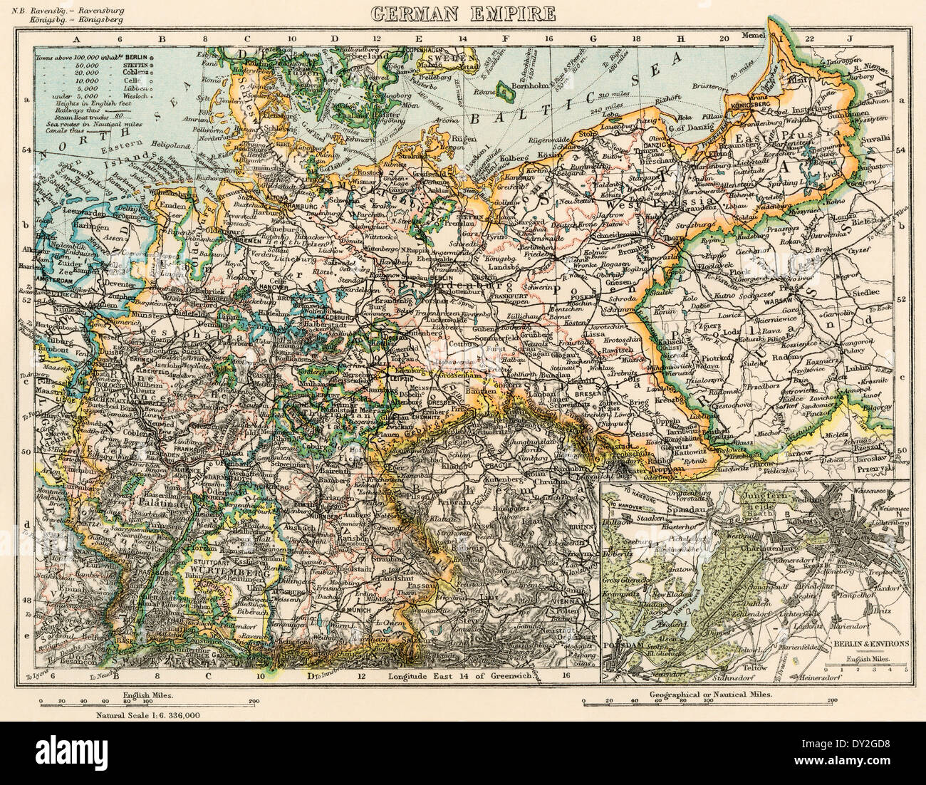 Map of the German Empire, late 1800s. Printed color lithograph Stock Photohttps://www.alamy.com/image-license-details/?v=1https://www.alamy.com/map-of-the-german-empire-late-1800s-printed-color-lithograph-image68283636.html
RMDY2GD8–Map of the German Empire, late 1800s. Printed color lithograph
 North (Top) view of a navigational map of Europe and the Middle East by Jacopo Russo 1528, Messina. Sicily. Showing Switzerland, Italy ;Balkans and Hungary Stock Photohttps://www.alamy.com/image-license-details/?v=1https://www.alamy.com/stock-photo-north-top-view-of-a-navigational-map-of-europe-and-the-middle-east-57438152.html
RMD9CEXG–North (Top) view of a navigational map of Europe and the Middle East by Jacopo Russo 1528, Messina. Sicily. Showing Switzerland, Italy ;Balkans and Hungary
 1960s, historical, inside a room, a gentleman in three-piece suit, the US Ambassdor to NATO standing by a framed picture on the wall showing a map of Europe. Stock Photohttps://www.alamy.com/image-license-details/?v=1https://www.alamy.com/1960s-historical-inside-a-room-a-gentleman-in-three-piece-suit-the-us-ambassdor-to-nato-standing-by-a-framed-picture-on-the-wall-showing-a-map-of-europe-image458708693.html
RM2HJ7YH9–1960s, historical, inside a room, a gentleman in three-piece suit, the US Ambassdor to NATO standing by a framed picture on the wall showing a map of Europe.
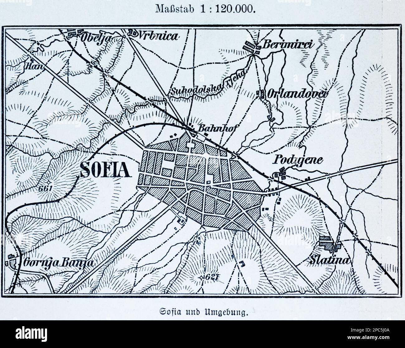 City map of Sofia, capital of Bulgaria, and its surroundings, BulgariaEastern Europe, illustration 1896 Stock Photohttps://www.alamy.com/image-license-details/?v=1https://www.alamy.com/city-map-of-sofia-capital-of-bulgaria-and-its-surroundings-bulgariaeastern-europe-illustration-1896-image541021162.html
RM2PC5J0A–City map of Sofia, capital of Bulgaria, and its surroundings, BulgariaEastern Europe, illustration 1896
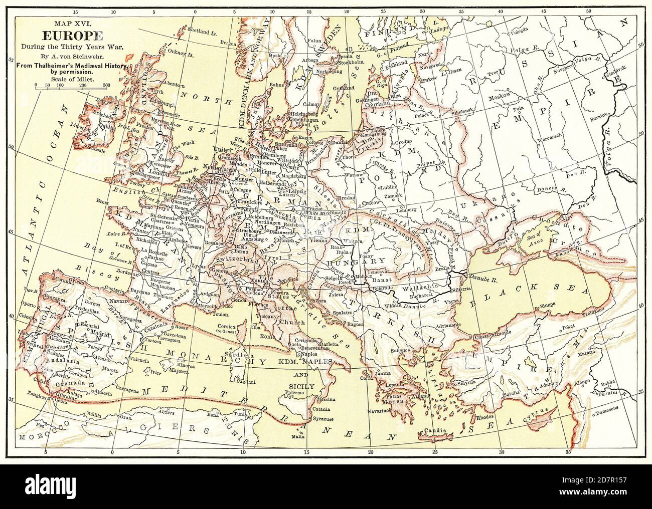 Map XVI, Europe, during the Thirty Years War, by A. von Steinwehr, from Thalheimer's Medieval History by Permission, Illustration, Ridpath's History of the World, Volume III, by John Clark Ridpath, LL. D., Merrill & Baker Publishers, New York, 1897 Stock Photohttps://www.alamy.com/image-license-details/?v=1https://www.alamy.com/map-xvi-europe-during-the-thirty-years-war-by-a-von-steinwehr-from-thalheimers-medieval-history-by-permission-illustration-ridpaths-history-of-the-world-volume-iii-by-john-clark-ridpath-ll-d-merrill-baker-publishers-new-york-1897-image383436515.html
RM2D7R157–Map XVI, Europe, during the Thirty Years War, by A. von Steinwehr, from Thalheimer's Medieval History by Permission, Illustration, Ridpath's History of the World, Volume III, by John Clark Ridpath, LL. D., Merrill & Baker Publishers, New York, 1897
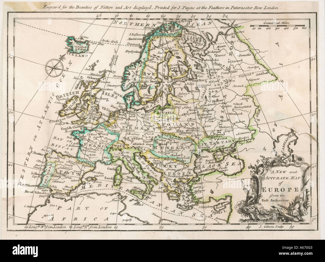 Map Europe 1763 Stock Photohttps://www.alamy.com/image-license-details/?v=1https://www.alamy.com/map-europe-1763-image6560514.html
RMA670G3–Map Europe 1763
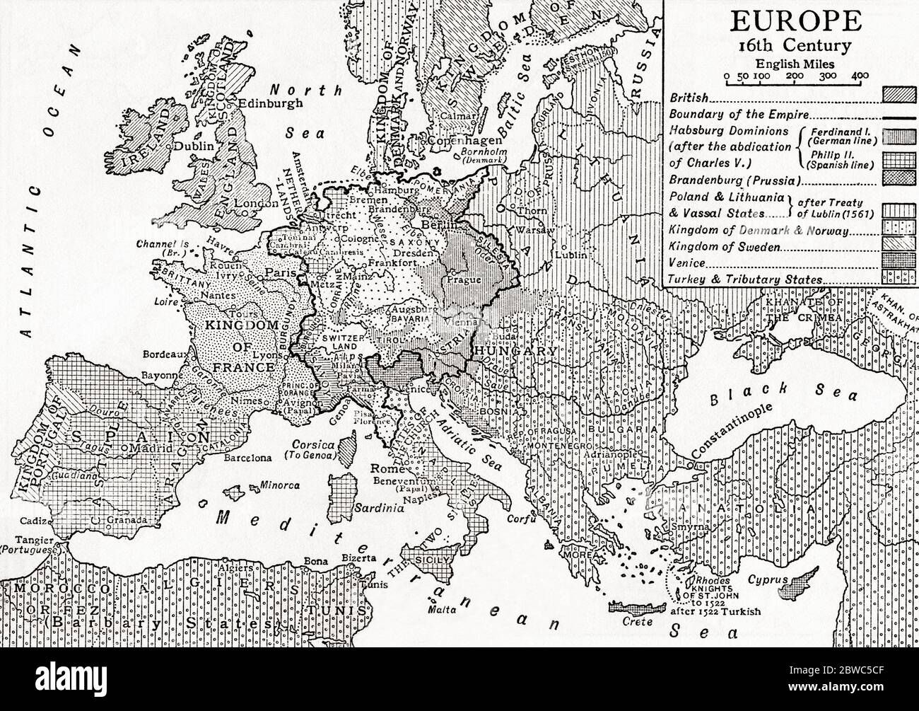 Map of Europe in the 16th century. From Britain and Her Neighbours, 1485 - 1688, published 1923. Stock Photohttps://www.alamy.com/image-license-details/?v=1https://www.alamy.com/map-of-europe-in-the-16th-century-from-britain-and-her-neighbours-1485-1688-published-1923-image359841455.html
RM2BWC5CF–Map of Europe in the 16th century. From Britain and Her Neighbours, 1485 - 1688, published 1923.
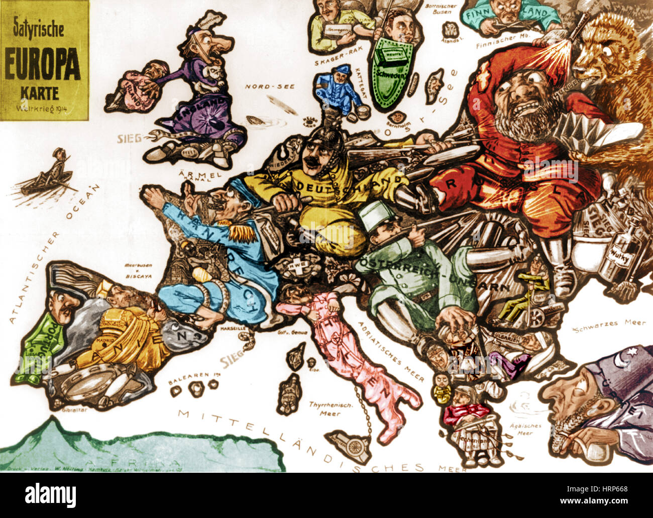 WWI, Satirical War Map of Europe, 1914 Stock Photohttps://www.alamy.com/image-license-details/?v=1https://www.alamy.com/stock-photo-wwi-satirical-war-map-of-europe-1914-135097488.html
RMHRP668–WWI, Satirical War Map of Europe, 1914
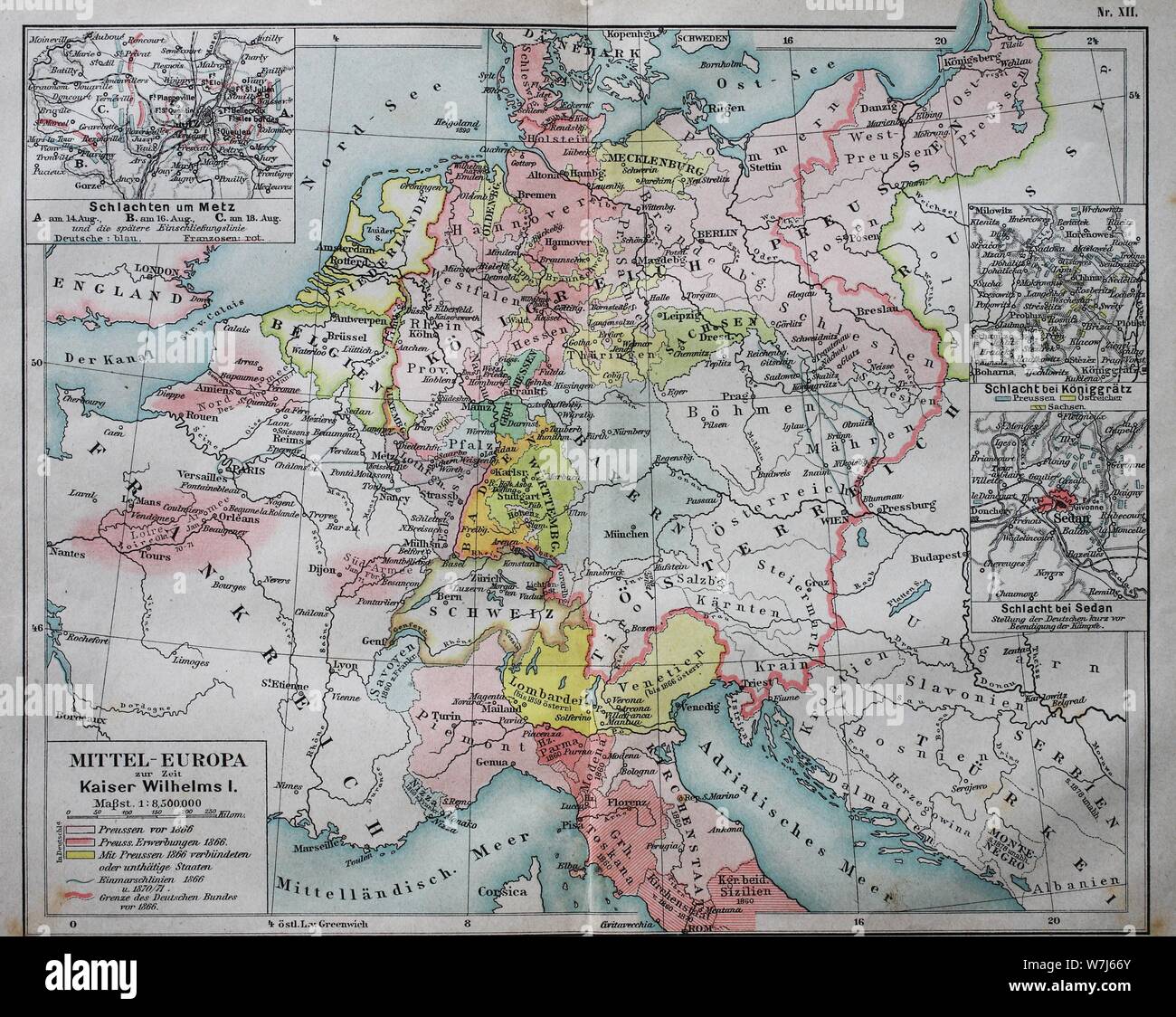 Map of Central Europe at the time of Kaiser Wilhelm I, 1880, historical illustration, Italy Stock Photohttps://www.alamy.com/image-license-details/?v=1https://www.alamy.com/map-of-central-europe-at-the-time-of-kaiser-wilhelm-i-1880-historical-illustration-italy-image262858147.html
RMW7J66Y–Map of Central Europe at the time of Kaiser Wilhelm I, 1880, historical illustration, Italy
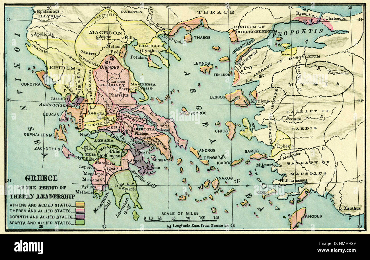 map of europe Stock Photohttps://www.alamy.com/image-license-details/?v=1https://www.alamy.com/stock-photo-map-of-europe-133152441.html
RFHMHH89–map of europe
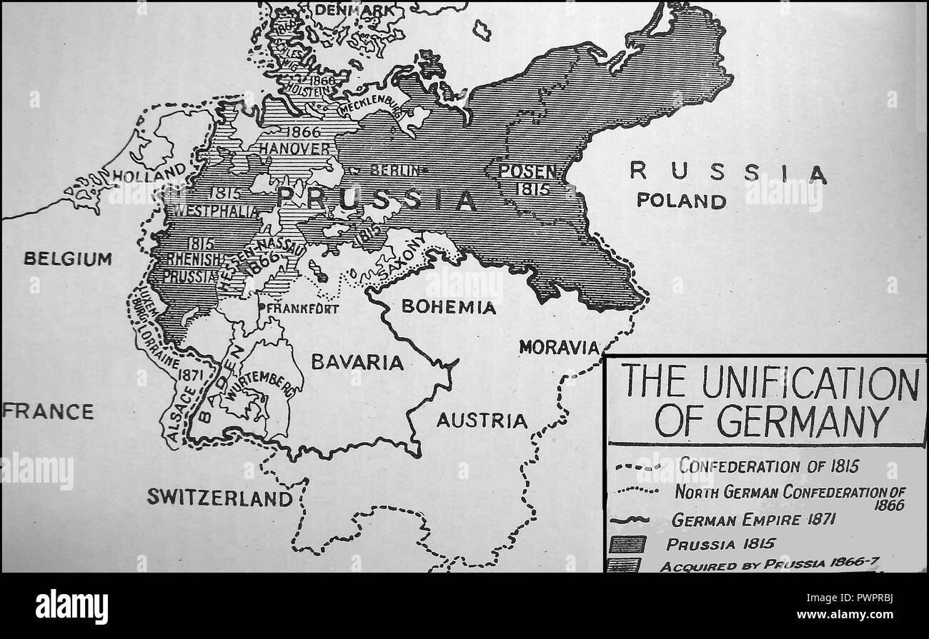 An early printed map showing the unification of Germany Stock Photohttps://www.alamy.com/image-license-details/?v=1https://www.alamy.com/an-early-printed-map-showing-the-unification-of-germany-image222392118.html
RMPWPRBJ–An early printed map showing the unification of Germany
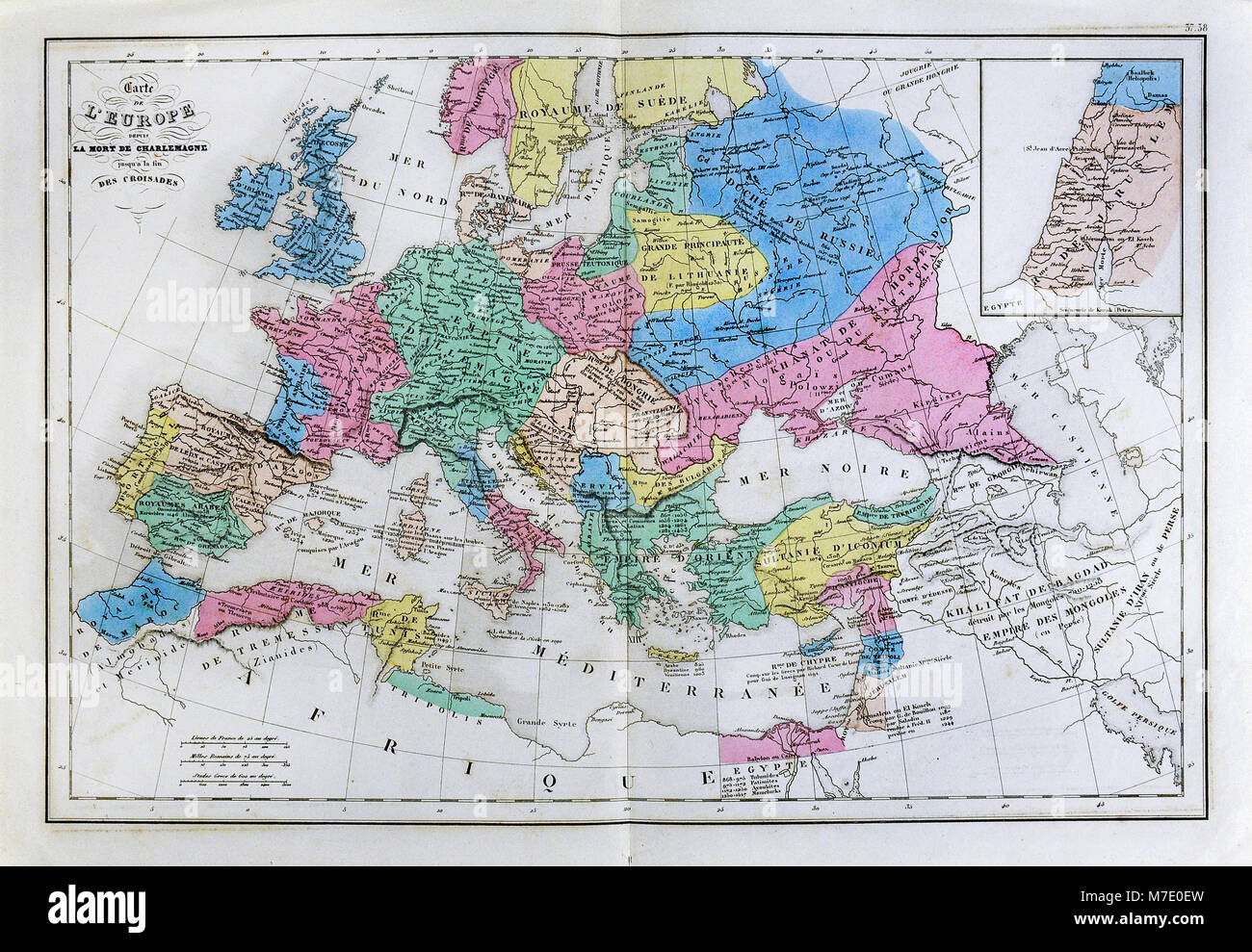 1858 Delamarche Historical Map of Europe after the Death of Charlemagne upto the End of the Crusades Stock Photohttps://www.alamy.com/image-license-details/?v=1https://www.alamy.com/stock-photo-1858-delamarche-historical-map-of-europe-after-the-death-of-charlemagne-176714017.html
RFM7E0EW–1858 Delamarche Historical Map of Europe after the Death of Charlemagne upto the End of the Crusades
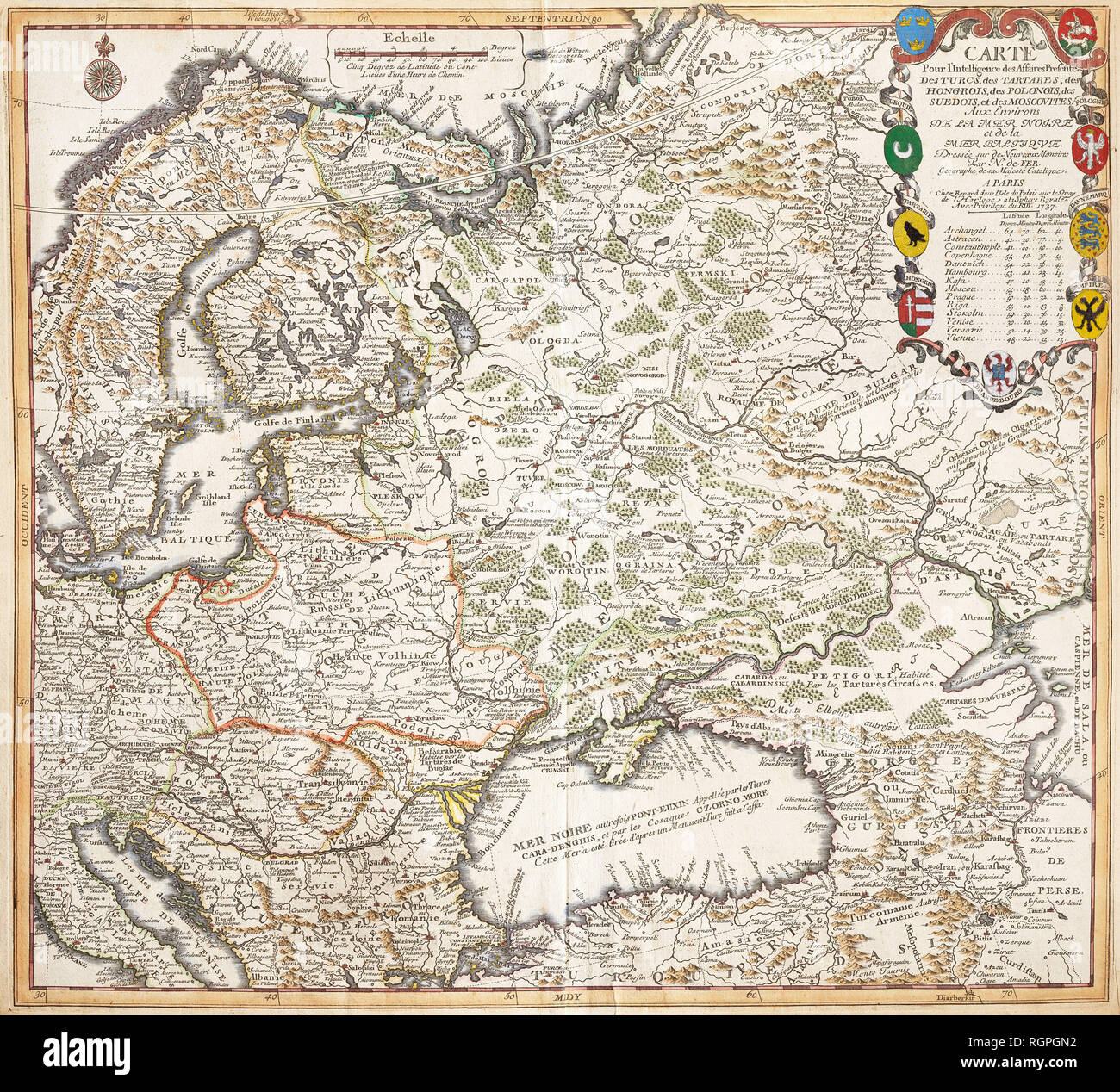 Map For Intelligence Affairs Presents The Turks, Tartars, Hungarians, Poles, the Swedes and Muscovites In Surroundings Of The Black Sea and Baltic Sea. Nicolas De Fer (Paris, 1737) Stock Photohttps://www.alamy.com/image-license-details/?v=1https://www.alamy.com/map-for-intelligence-affairs-presents-the-turks-tartars-hungarians-poles-the-swedes-and-muscovites-in-surroundings-of-the-black-sea-and-baltic-sea-nicolas-de-fer-paris-1737-image234065358.html
RMRGPGN2–Map For Intelligence Affairs Presents The Turks, Tartars, Hungarians, Poles, the Swedes and Muscovites In Surroundings Of The Black Sea and Baltic Sea. Nicolas De Fer (Paris, 1737)
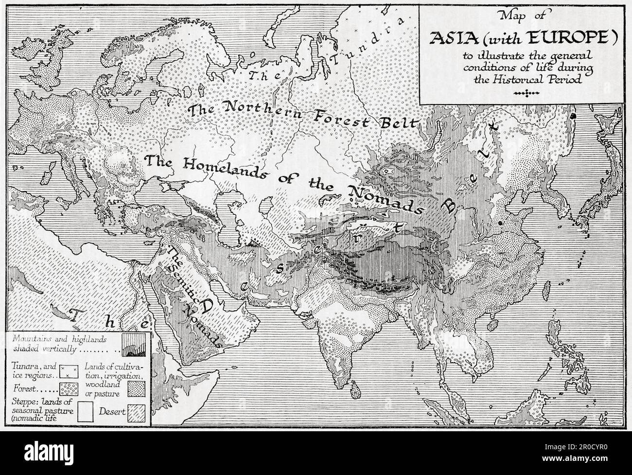 Map of Asia with Europe to illustrate the general conditions of life during the historical period. From the book Outline of History by H.G. Wells, published 1920. Stock Photohttps://www.alamy.com/image-license-details/?v=1https://www.alamy.com/map-of-asia-with-europe-to-illustrate-the-general-conditions-of-life-during-the-historical-period-from-the-book-outline-of-history-by-hg-wells-published-1920-image551017012.html
RM2R0CYR0–Map of Asia with Europe to illustrate the general conditions of life during the historical period. From the book Outline of History by H.G. Wells, published 1920.
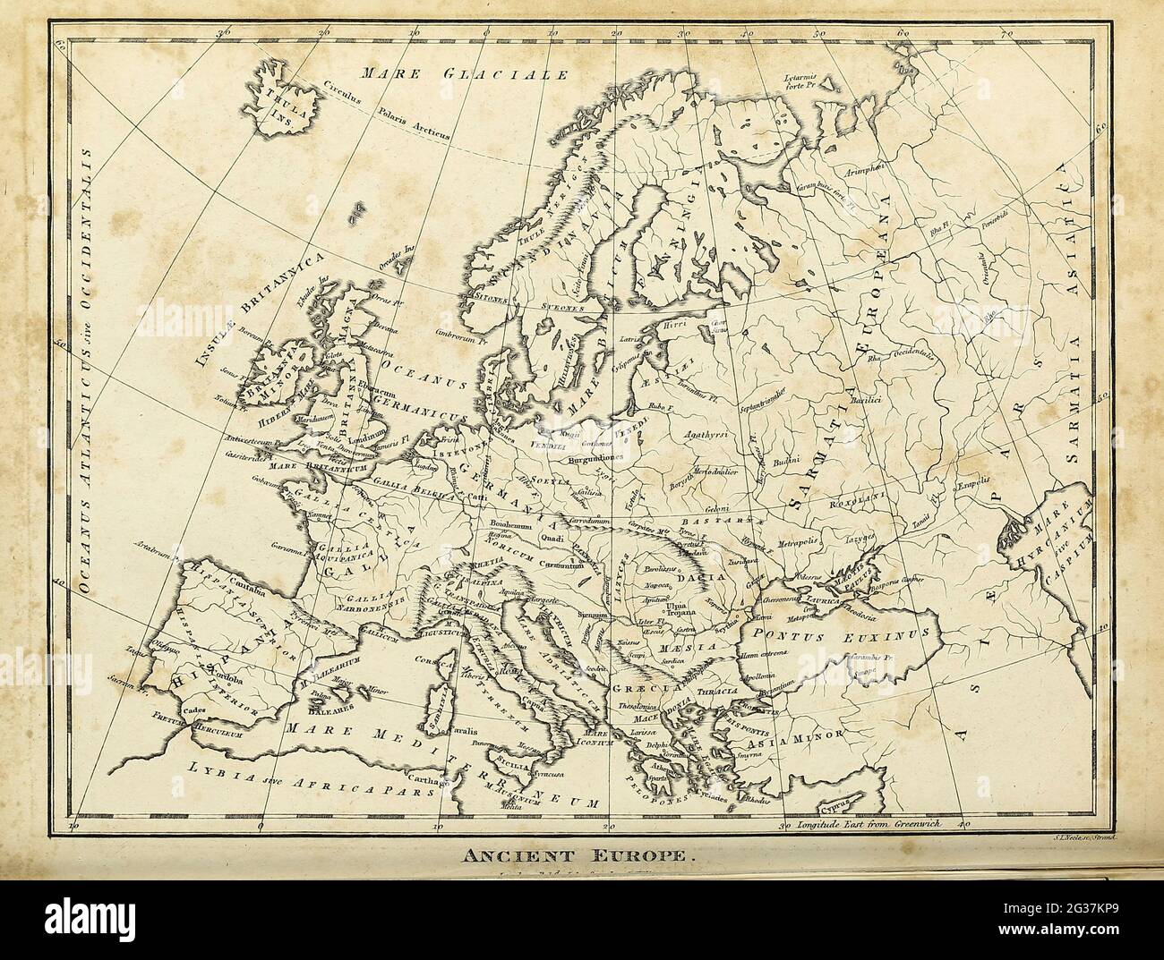 Map of Ancient Europe Copperplate engraving From the Encyclopaedia Londinensis or, Universal dictionary of arts, sciences, and literature; Volume VII; Edited by Wilkes, John. Published in London in 1810 Stock Photohttps://www.alamy.com/image-license-details/?v=1https://www.alamy.com/map-of-ancient-europe-copperplate-engraving-from-the-encyclopaedia-londinensis-or-universal-dictionary-of-arts-sciences-and-literature-volume-vii-edited-by-wilkes-john-published-in-london-in-1810-image432272353.html
RM2G37KP9–Map of Ancient Europe Copperplate engraving From the Encyclopaedia Londinensis or, Universal dictionary of arts, sciences, and literature; Volume VII; Edited by Wilkes, John. Published in London in 1810
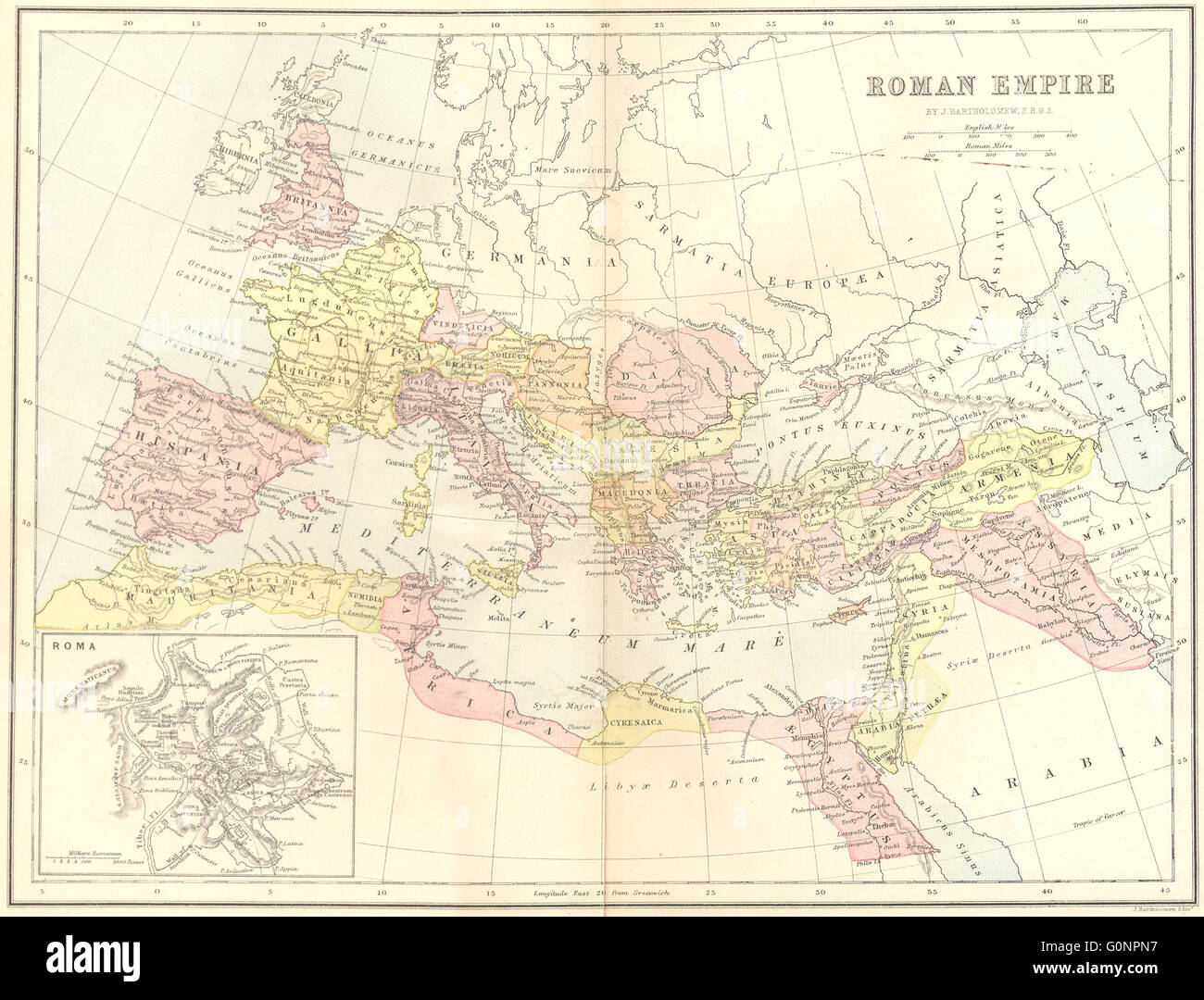 EUROPE: Ancient Roman Empire, 1870 antique map Stock Photohttps://www.alamy.com/image-license-details/?v=1https://www.alamy.com/stock-photo-europe-ancient-roman-empire-1870-antique-map-103741043.html
RFG0NPN7–EUROPE: Ancient Roman Empire, 1870 antique map
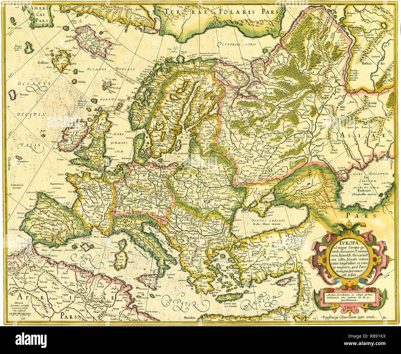 Map of Europe 1623 Stock Photohttps://www.alamy.com/image-license-details/?v=1https://www.alamy.com/map-of-europe-1623-image230694910.html
RMRB91KX–Map of Europe 1623
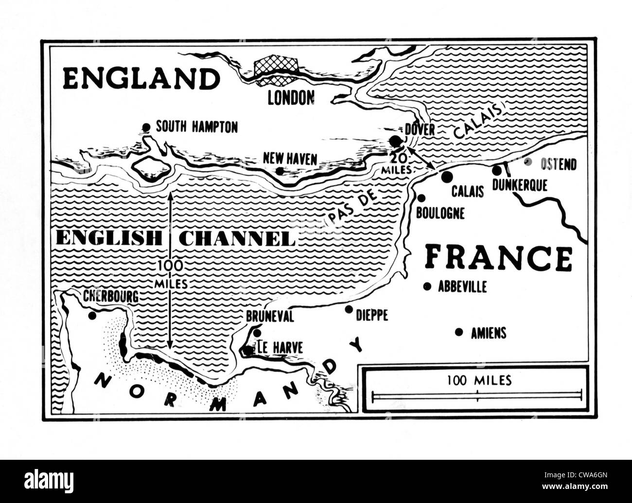 D-Day, map detailing Allies invasion, 1944. Courtesy: CSU Archives / Everett Collection Stock Photohttps://www.alamy.com/image-license-details/?v=1https://www.alamy.com/stock-photo-d-day-map-detailing-allies-invasion-1944-courtesy-csu-archives-everett-50011829.html
RMCWA6GN–D-Day, map detailing Allies invasion, 1944. Courtesy: CSU Archives / Everett Collection
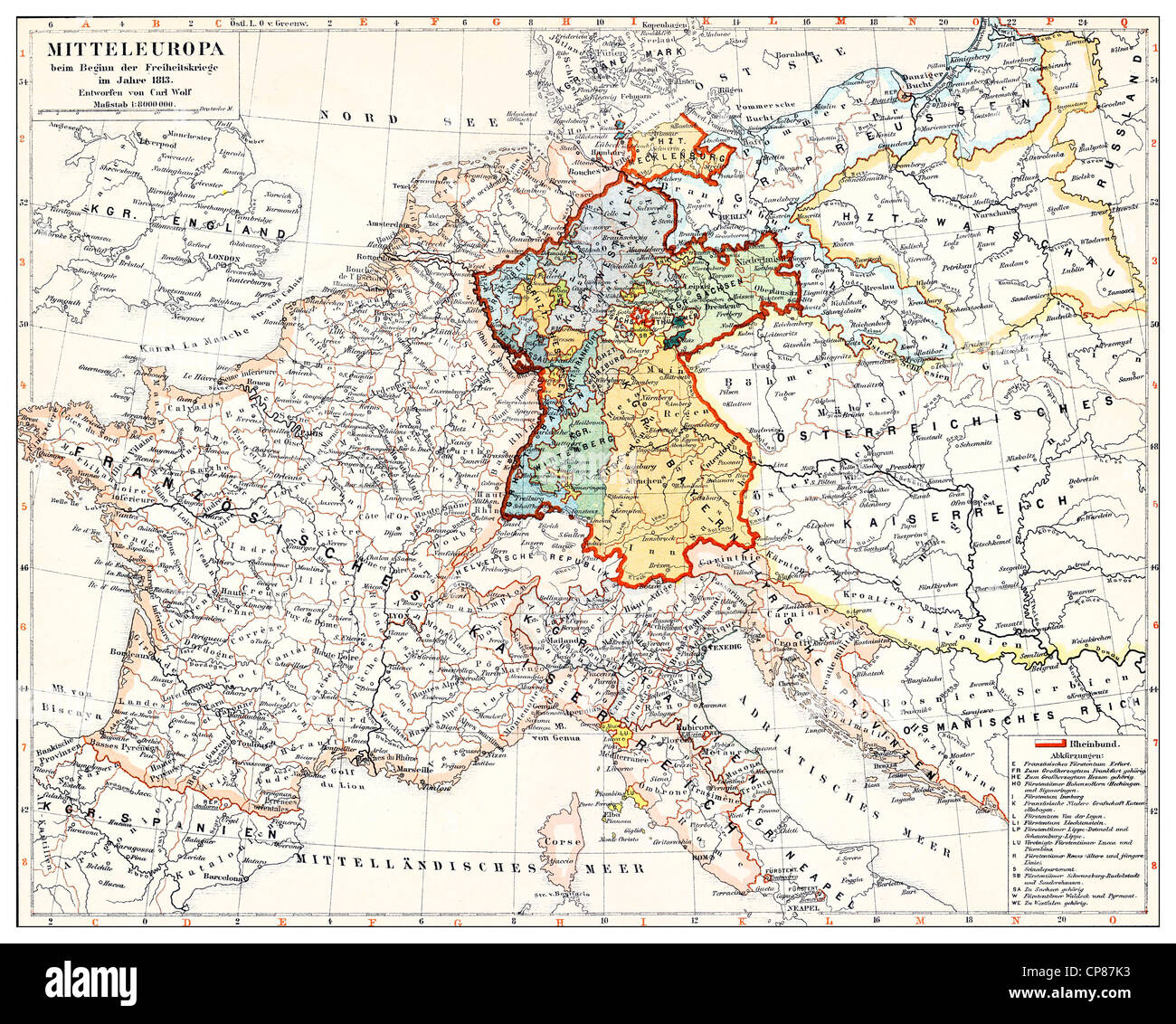 Historical map of Germany and Central Europe at the beginning of the revolutionary battles, 1813, Historische, zeichnerische Dar Stock Photohttps://www.alamy.com/image-license-details/?v=1https://www.alamy.com/stock-photo-historical-map-of-germany-and-central-europe-at-the-beginning-of-the-48124807.html
RMCP87K3–Historical map of Germany and Central Europe at the beginning of the revolutionary battles, 1813, Historische, zeichnerische Dar
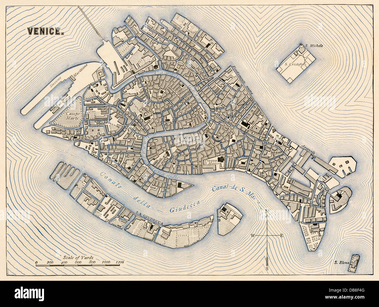 Map of Venice, 1800s. Color lithograph Stock Photohttps://www.alamy.com/image-license-details/?v=1https://www.alamy.com/stock-photo-map-of-venice-1800s-color-lithograph-58579824.html
RMDB8F4G–Map of Venice, 1800s. Color lithograph
 The Gough Map or Bodleian Map, a Late Medieval map of the island of Great Britain. Its precise dates of production and authorship are unknown. scholarship suggested a date of c. 1300 Stock Photohttps://www.alamy.com/image-license-details/?v=1https://www.alamy.com/the-gough-map-or-bodleian-map-a-late-medieval-map-of-the-island-of-great-britain-its-precise-dates-of-production-and-authorship-are-unknown-scholarship-suggested-a-date-of-c-1300-image634317450.html
RM2YRYJAJ–The Gough Map or Bodleian Map, a Late Medieval map of the island of Great Britain. Its precise dates of production and authorship are unknown. scholarship suggested a date of c. 1300
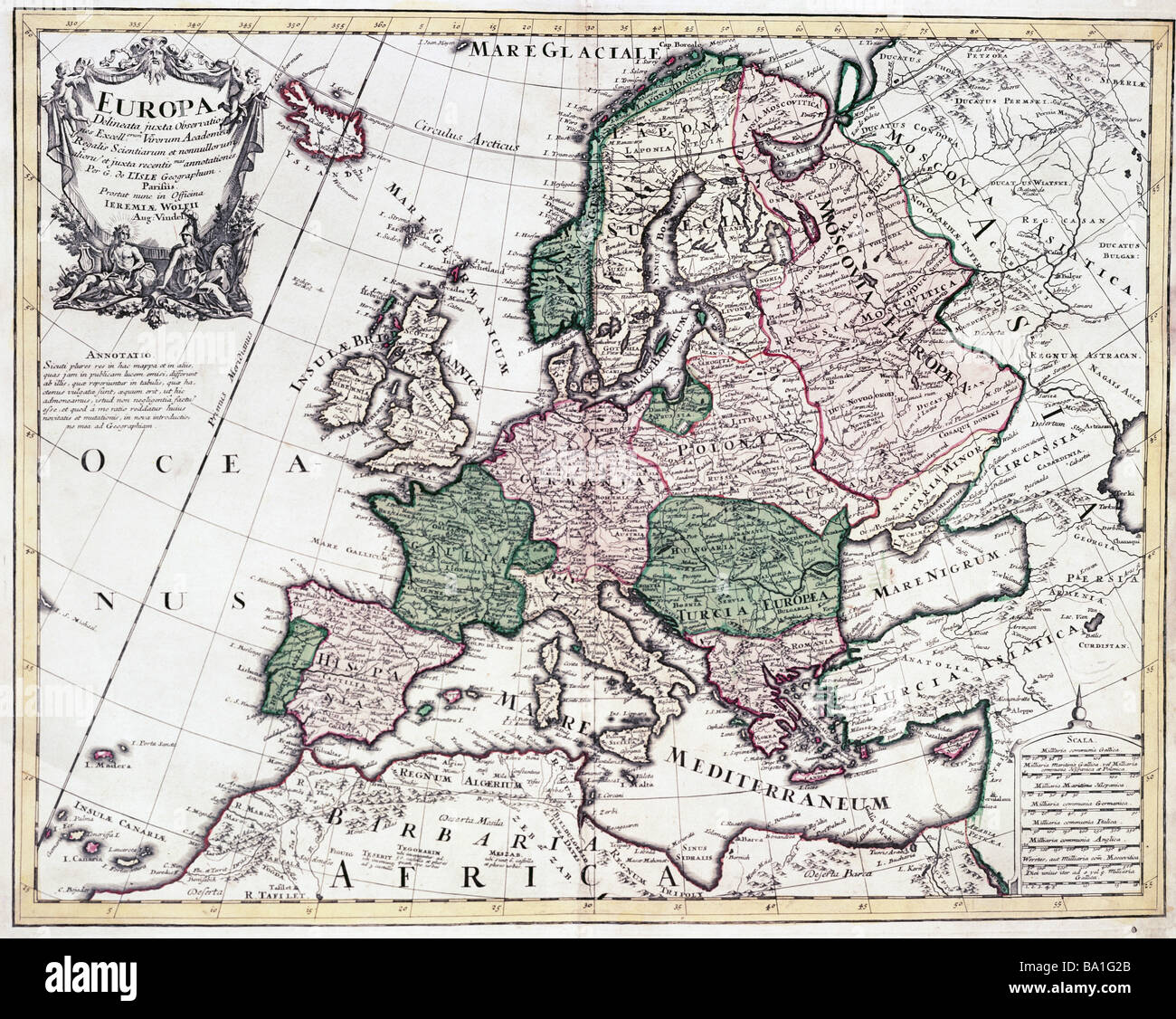 cartography, maps, Europe, map by Guillaume de l'Isle (1675 - 1726), copper engraving, coloured, by Jeremias Wolff, Augsburg, Germany, circa 1710, Artist's Copyright has not to be cleared Stock Photohttps://www.alamy.com/image-license-details/?v=1https://www.alamy.com/stock-photo-cartography-maps-europe-map-by-guillaume-de-lisle-1675-1726-copper-23391491.html
RMBA1G2B–cartography, maps, Europe, map by Guillaume de l'Isle (1675 - 1726), copper engraving, coloured, by Jeremias Wolff, Augsburg, Germany, circa 1710, Artist's Copyright has not to be cleared
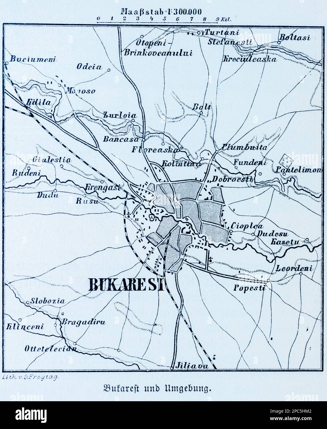 City map of Bucharest and its surroundings, Bucharest, Rumania, Eastern Europe, illustration 1896 Stock Photohttps://www.alamy.com/image-license-details/?v=1https://www.alamy.com/city-map-of-bucharest-and-its-surroundings-bucharest-rumania-eastern-europe-illustration-1896-image541020930.html
RM2PC5HM2–City map of Bucharest and its surroundings, Bucharest, Rumania, Eastern Europe, illustration 1896
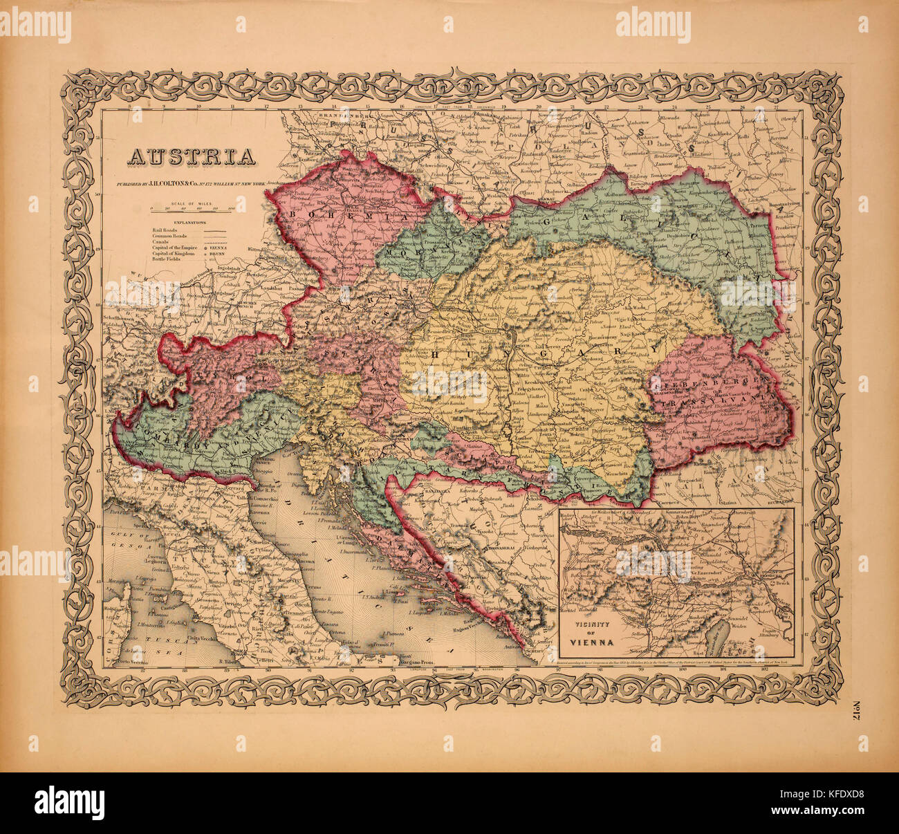 Map of Austria, 1855 Stock Photohttps://www.alamy.com/image-license-details/?v=1https://www.alamy.com/stock-image-map-of-austria-1855-164419284.html
RMKFDXD8–Map of Austria, 1855
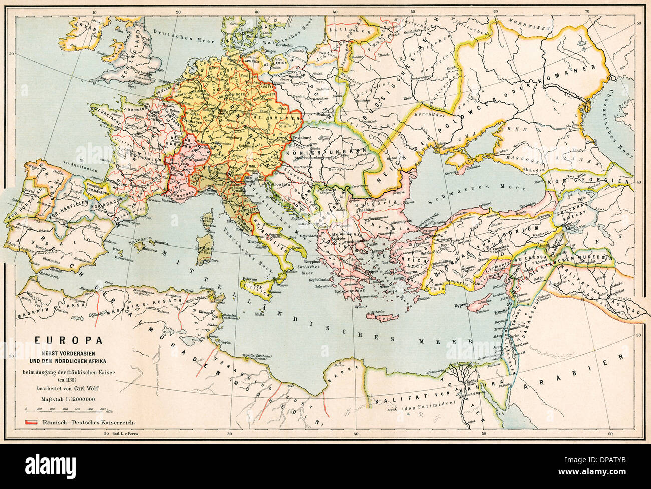 MAP/EUROPE C1130 Stock Photohttps://www.alamy.com/image-license-details/?v=1https://www.alamy.com/mapeurope-c1130-image65392639.html
RMDPATYB–MAP/EUROPE C1130
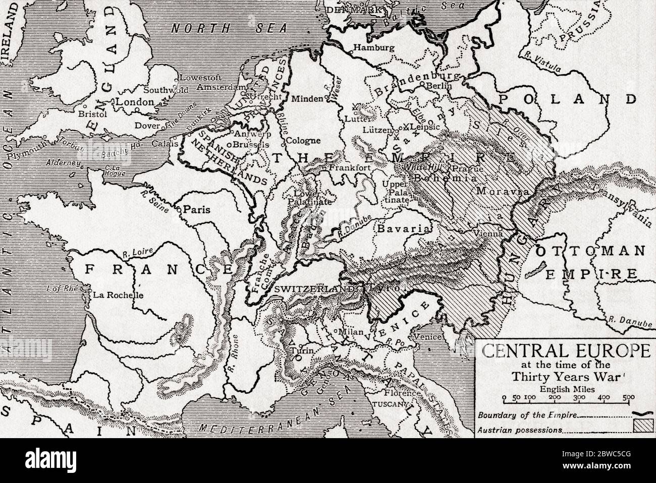 Map of central Europe at the time of the Thirty Years War. From Britain and Her Neighbours, 1485 - 1688, published 1923. Stock Photohttps://www.alamy.com/image-license-details/?v=1https://www.alamy.com/map-of-central-europe-at-the-time-of-the-thirty-years-war-from-britain-and-her-neighbours-1485-1688-published-1923-image359841456.html
RM2BWC5CG–Map of central Europe at the time of the Thirty Years War. From Britain and Her Neighbours, 1485 - 1688, published 1923.
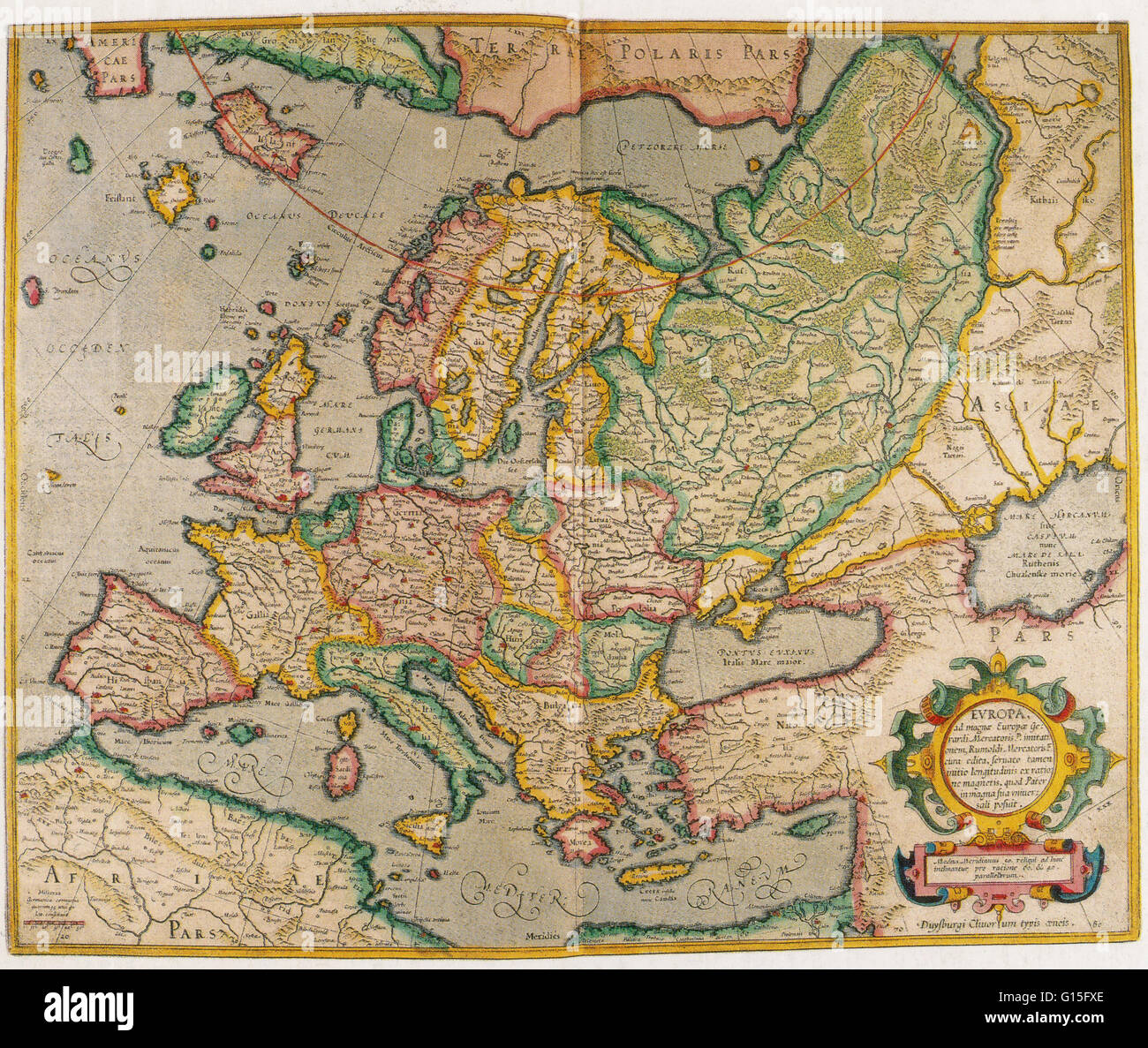 Mercator's map of Europe shows a clear water passage to the north of the landmass: the northeast sea passage that many explorers hoped would lead them to the East. They did not yet appreciate the icy conditions that prevail for most of the year nor the va Stock Photohttps://www.alamy.com/image-license-details/?v=1https://www.alamy.com/stock-photo-mercators-map-of-europe-shows-a-clear-water-passage-to-the-north-of-103999126.html
RMG15FXE–Mercator's map of Europe shows a clear water passage to the north of the landmass: the northeast sea passage that many explorers hoped would lead them to the East. They did not yet appreciate the icy conditions that prevail for most of the year nor the va
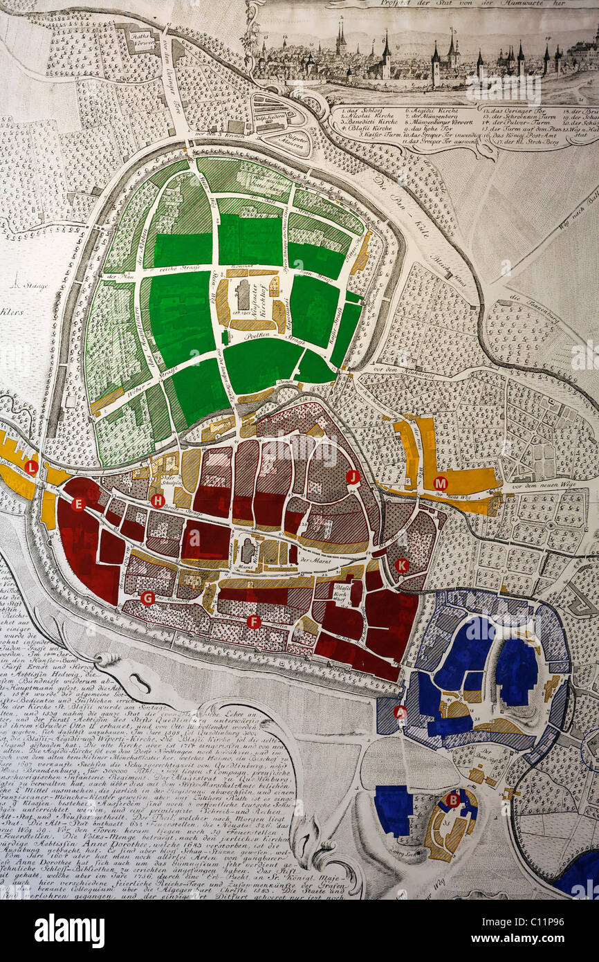 Historical map of Quedlinburg, 18th century, castle museum, Harz, Saxony-Anhalt, Germany, Europe Stock Photohttps://www.alamy.com/image-license-details/?v=1https://www.alamy.com/stock-photo-historical-map-of-quedlinburg-18th-century-castle-museum-harz-saxony-35074850.html
RMC11P96–Historical map of Quedlinburg, 18th century, castle museum, Harz, Saxony-Anhalt, Germany, Europe
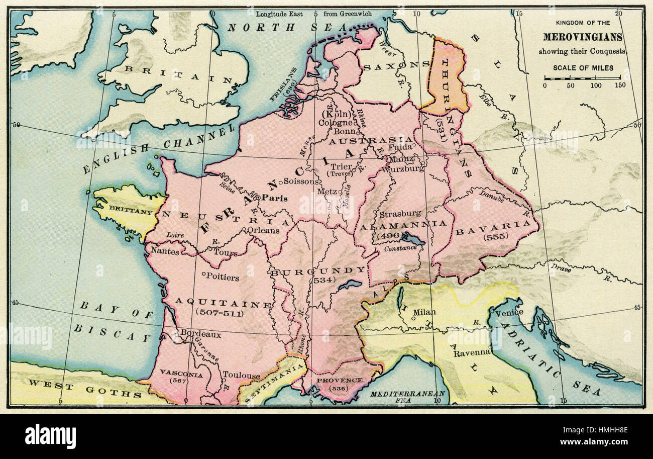 map of europe Stock Photohttps://www.alamy.com/image-license-details/?v=1https://www.alamy.com/stock-photo-map-of-europe-133152446.html
RFHMHH8E–map of europe
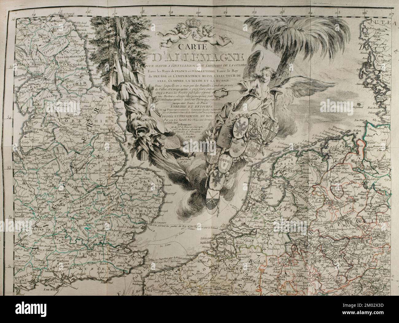 Map of Germany. War from 1755 to 1763. Published in 1765 by the cartographer Jean de Beaurain (1696-1771) as an illustration of his Great Map of Germany, with the events that took place during the War of the Seven Years. Allied army in red and the French army in blue. French edition, 1765. Military Historical Library of Barcelona (Biblioteca Histórico Militar de Barcelona). Catalonia. Spain. Stock Photohttps://www.alamy.com/image-license-details/?v=1https://www.alamy.com/map-of-germany-war-from-1755-to-1763-published-in-1765-by-the-cartographer-jean-de-beaurain-1696-1771-as-an-illustration-of-his-great-map-of-germany-with-the-events-that-took-place-during-the-war-of-the-seven-years-allied-army-in-red-and-the-french-army-in-blue-french-edition-1765-military-historical-library-of-barcelona-biblioteca-histrico-militar-de-barcelona-catalonia-spain-image499165057.html
RM2M02X3D–Map of Germany. War from 1755 to 1763. Published in 1765 by the cartographer Jean de Beaurain (1696-1771) as an illustration of his Great Map of Germany, with the events that took place during the War of the Seven Years. Allied army in red and the French army in blue. French edition, 1765. Military Historical Library of Barcelona (Biblioteca Histórico Militar de Barcelona). Catalonia. Spain.
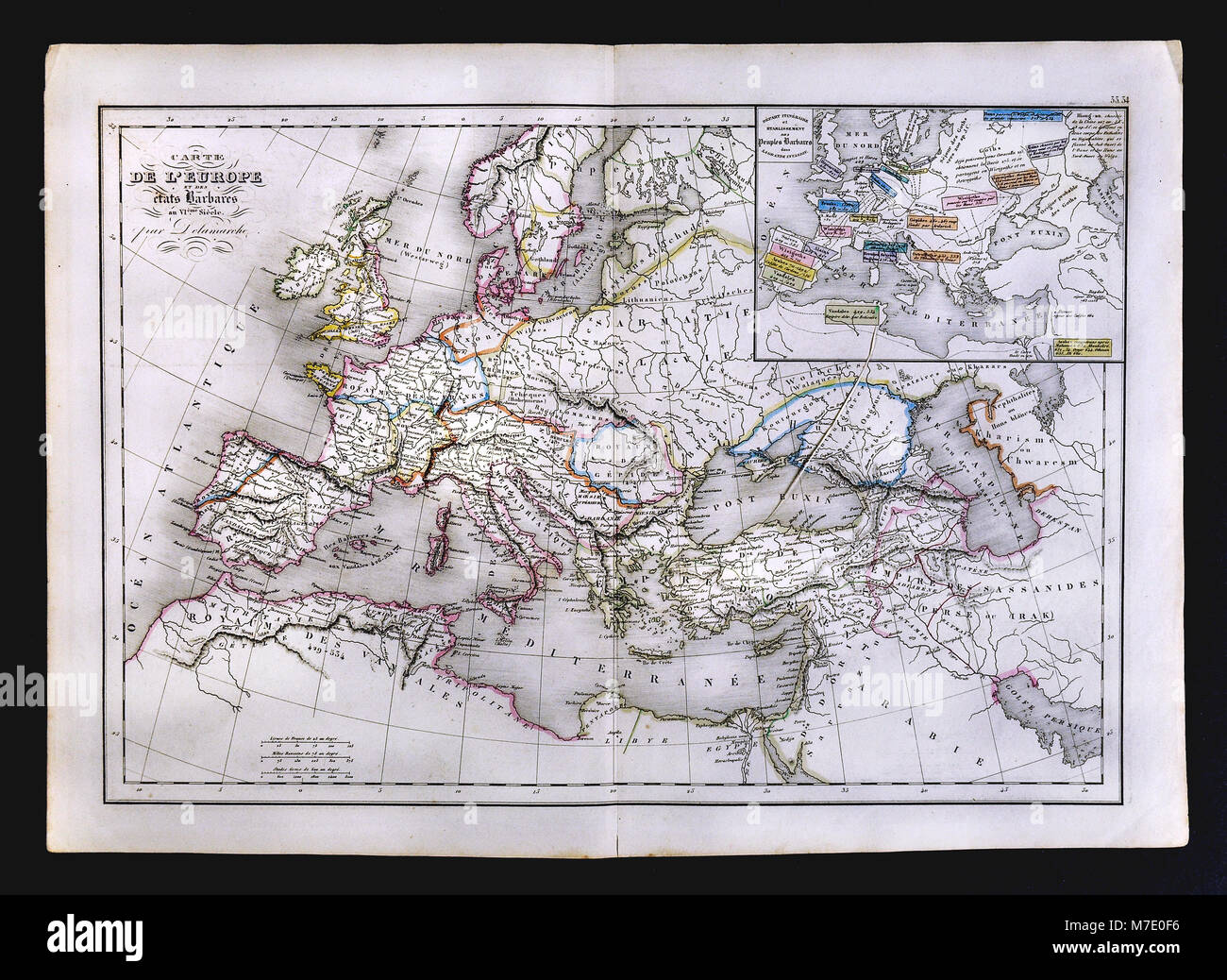 1858 Delamarche Historical Map of Europe showing the Barbarian States in the 6th Century Stock Photohttps://www.alamy.com/image-license-details/?v=1https://www.alamy.com/stock-photo-1858-delamarche-historical-map-of-europe-showing-the-barbarian-states-176714026.html
RFM7E0F6–1858 Delamarche Historical Map of Europe showing the Barbarian States in the 6th Century
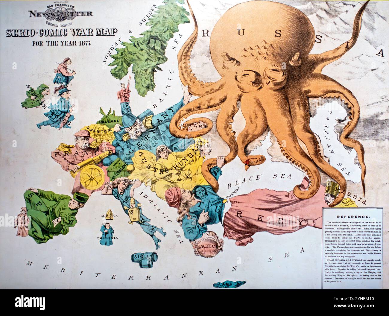 Serio-Comic War Map by Fred W. Rose, vintage cartoon map showing the political situation in Europe in 1877 Stock Photohttps://www.alamy.com/image-license-details/?v=1https://www.alamy.com/serio-comic-war-map-by-fred-w-rose-vintage-cartoon-map-showing-the-political-situation-in-europe-in-1877-image630345436.html
RM2YHEM10–Serio-Comic War Map by Fred W. Rose, vintage cartoon map showing the political situation in Europe in 1877
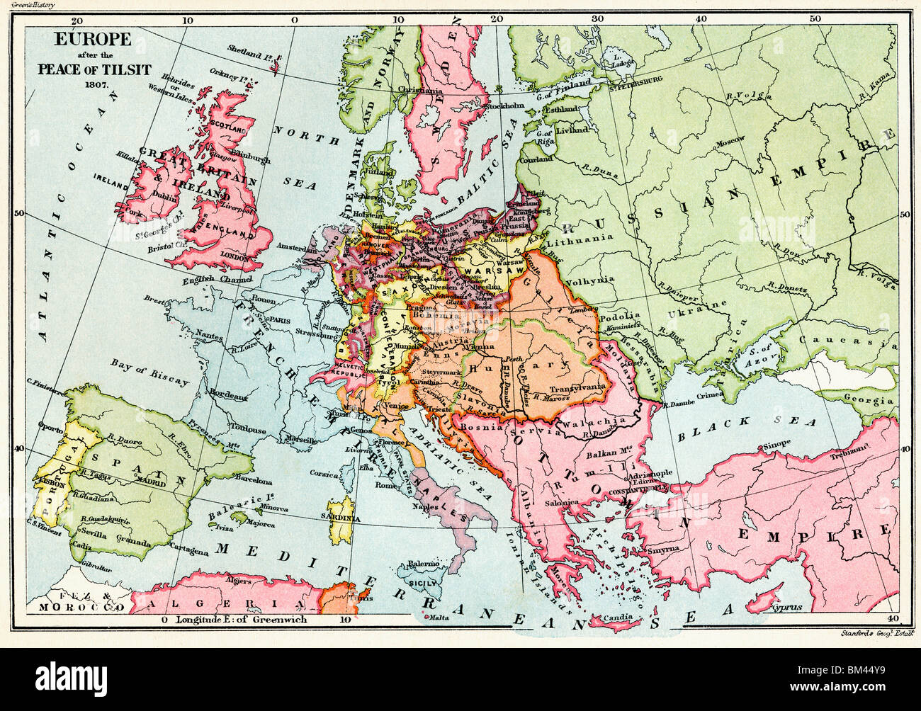 Map of Europe after the Peace of Tilsit in 1807. Stock Photohttps://www.alamy.com/image-license-details/?v=1https://www.alamy.com/stock-photo-map-of-europe-after-the-peace-of-tilsit-in-1807-29595197.html
RMBM44Y9–Map of Europe after the Peace of Tilsit in 1807.
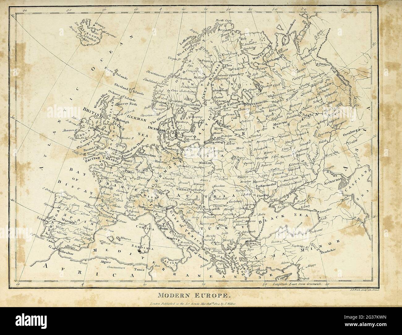 Map of Modern (1810) Europe Copperplate engraving From the Encyclopaedia Londinensis or, Universal dictionary of arts, sciences, and literature; Volume VII; Edited by Wilkes, John. Published in London in 1810 Stock Photohttps://www.alamy.com/image-license-details/?v=1https://www.alamy.com/map-of-modern-1810-europe-copperplate-engraving-from-the-encyclopaedia-londinensis-or-universal-dictionary-of-arts-sciences-and-literature-volume-vii-edited-by-wilkes-john-published-in-london-in-1810-image432272449.html
RM2G37KWN–Map of Modern (1810) Europe Copperplate engraving From the Encyclopaedia Londinensis or, Universal dictionary of arts, sciences, and literature; Volume VII; Edited by Wilkes, John. Published in London in 1810
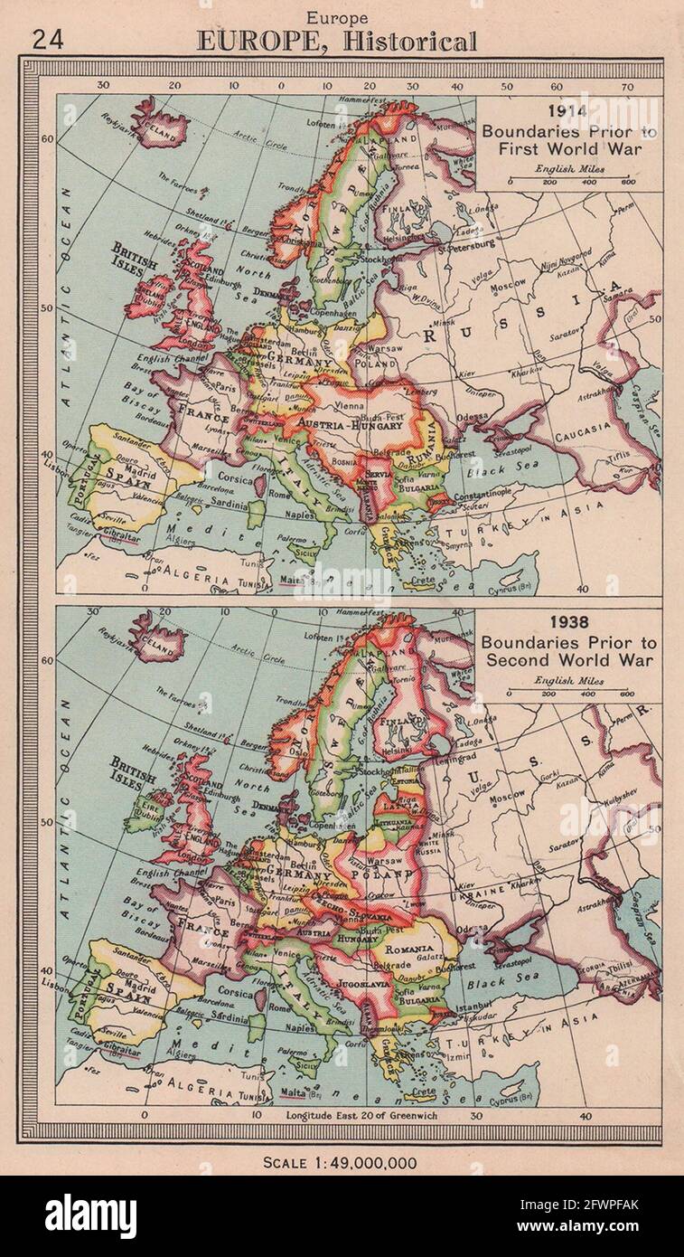 Europe borders in 1914 and 1938. BARTHOLOMEW 1949 old vintage map plan chart Stock Photohttps://www.alamy.com/image-license-details/?v=1https://www.alamy.com/europe-borders-in-1914-and-1938-bartholomew-1949-old-vintage-map-plan-chart-image428910235.html
RF2FWPFAK–Europe borders in 1914 and 1938. BARTHOLOMEW 1949 old vintage map plan chart
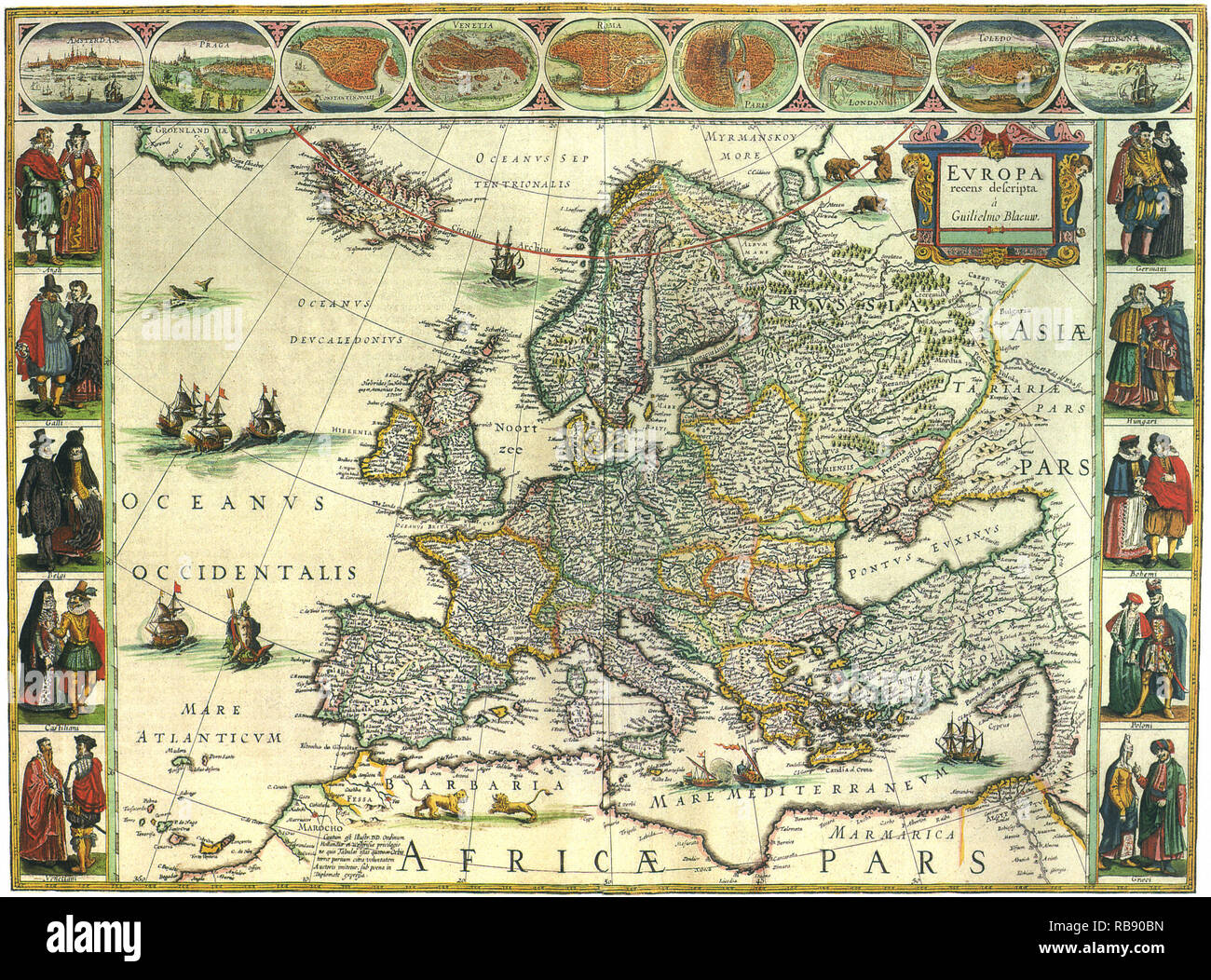 Map of Europe 1617 Stock Photohttps://www.alamy.com/image-license-details/?v=1https://www.alamy.com/map-of-europe-1617-image230693897.html
RMRB90BN–Map of Europe 1617
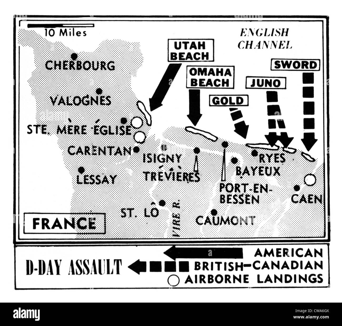 D-Day, Map detailing Allies invasion of Normandy, France, 1944. Courtesy: CSU Archives / Everett Collection Stock Photohttps://www.alamy.com/image-license-details/?v=1https://www.alamy.com/stock-photo-d-day-map-detailing-allies-invasion-of-normandy-france-1944-courtesy-50011834.html
RMCWA6GX–D-Day, Map detailing Allies invasion of Normandy, France, 1944. Courtesy: CSU Archives / Everett Collection
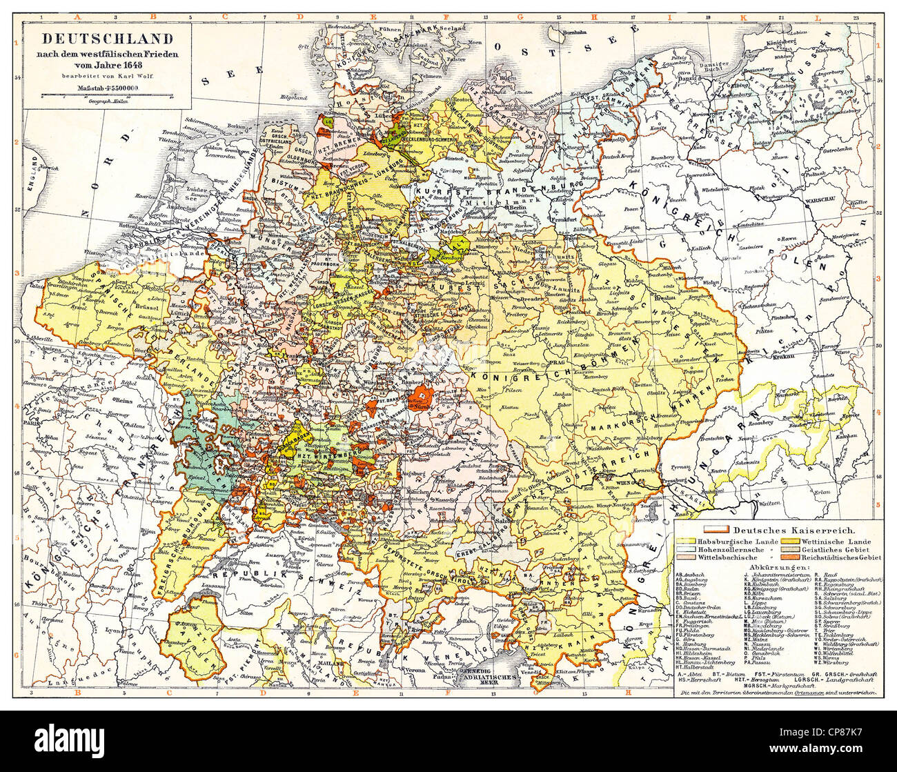 Historical map of Germany and Europe after the Peace of Westphalia, 1648, 17th Century, Historische, zeichnerische Darstellung, Stock Photohttps://www.alamy.com/image-license-details/?v=1https://www.alamy.com/stock-photo-historical-map-of-germany-and-europe-after-the-peace-of-westphalia-48124811.html
RMCP87K7–Historical map of Germany and Europe after the Peace of Westphalia, 1648, 17th Century, Historische, zeichnerische Darstellung,
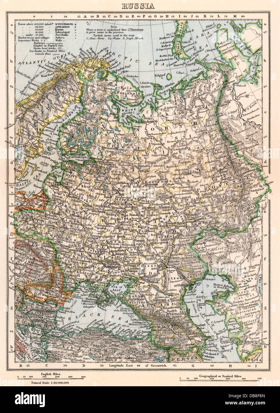 Map of Russia, late 1800s. Color lithograph Stock Photohttps://www.alamy.com/image-license-details/?v=1https://www.alamy.com/stock-photo-map-of-russia-late-1800s-color-lithograph-58579941.html
RMDB8F8N–Map of Russia, late 1800s. Color lithograph
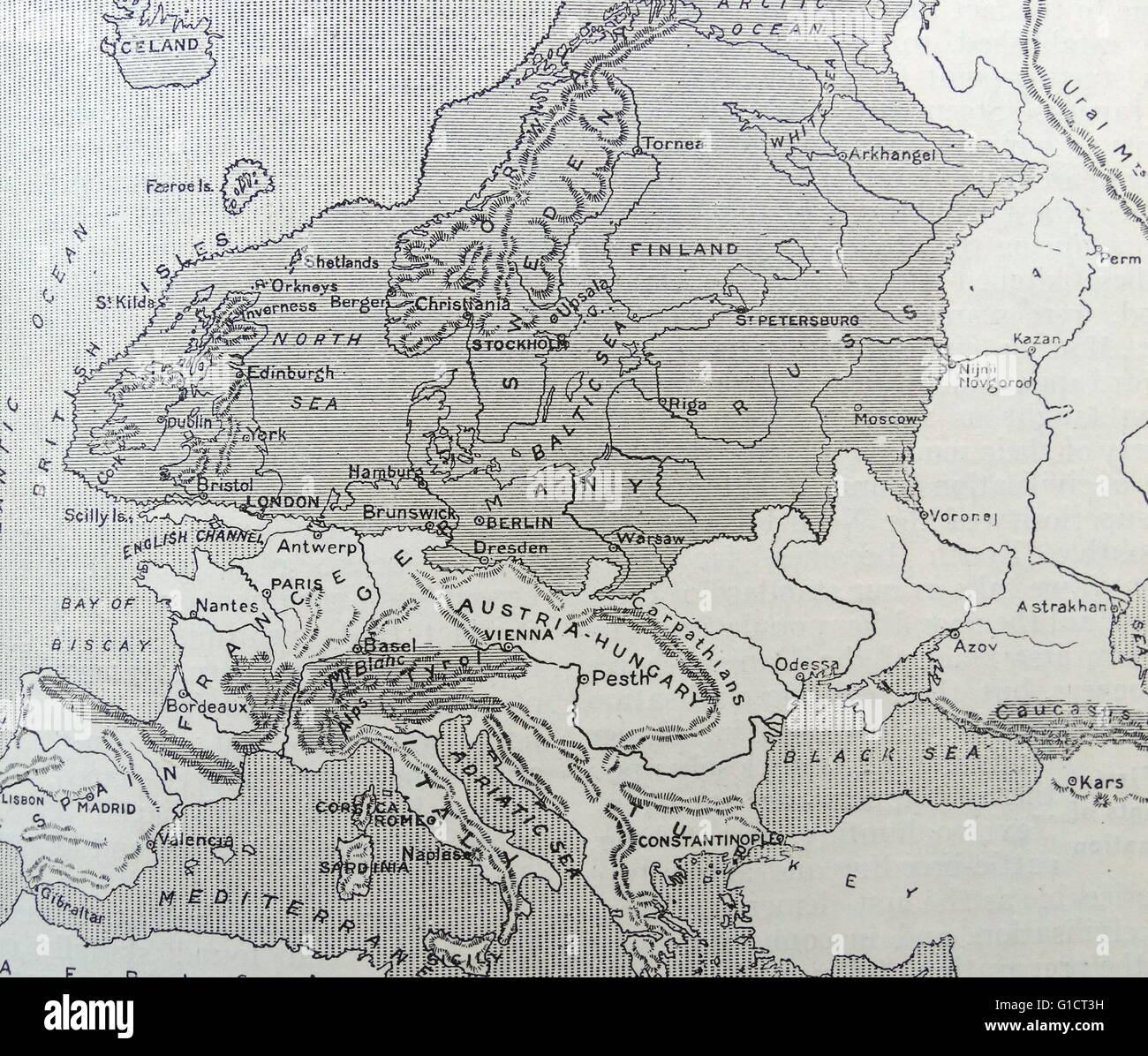 Map of Europe during the Ice Age. Stock Photohttps://www.alamy.com/image-license-details/?v=1https://www.alamy.com/stock-photo-map-of-europe-during-the-ice-age-104159205.html
RMG1CT3H–Map of Europe during the Ice Age.
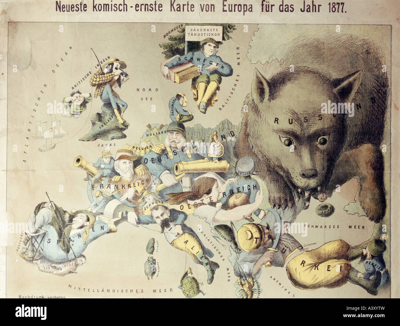 politics, caricatures, comical map of Europe in 1877, colour lithograph, A. Manz Publishing, Augsburg, circa 1877, private collection, Switzerland, Stock Photohttps://www.alamy.com/image-license-details/?v=1https://www.alamy.com/stock-photo-politics-caricatures-comical-map-of-europe-in-1877-colour-lithograph-10878744.html
RMA3XYTW–politics, caricatures, comical map of Europe in 1877, colour lithograph, A. Manz Publishing, Augsburg, circa 1877, private collection, Switzerland,
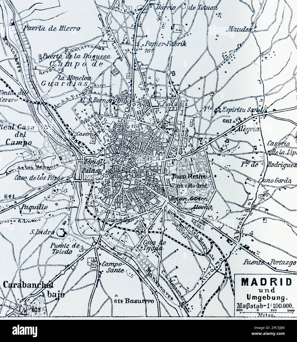 City map of Madrid and its surroundings, Madrid, Spain, Southern Europe, illustration 1896 Stock Photohttps://www.alamy.com/image-license-details/?v=1https://www.alamy.com/city-map-of-madrid-and-its-surroundings-madrid-spain-southern-europe-illustration-1896-image541021464.html
RM2PC5JB4–City map of Madrid and its surroundings, Madrid, Spain, Southern Europe, illustration 1896
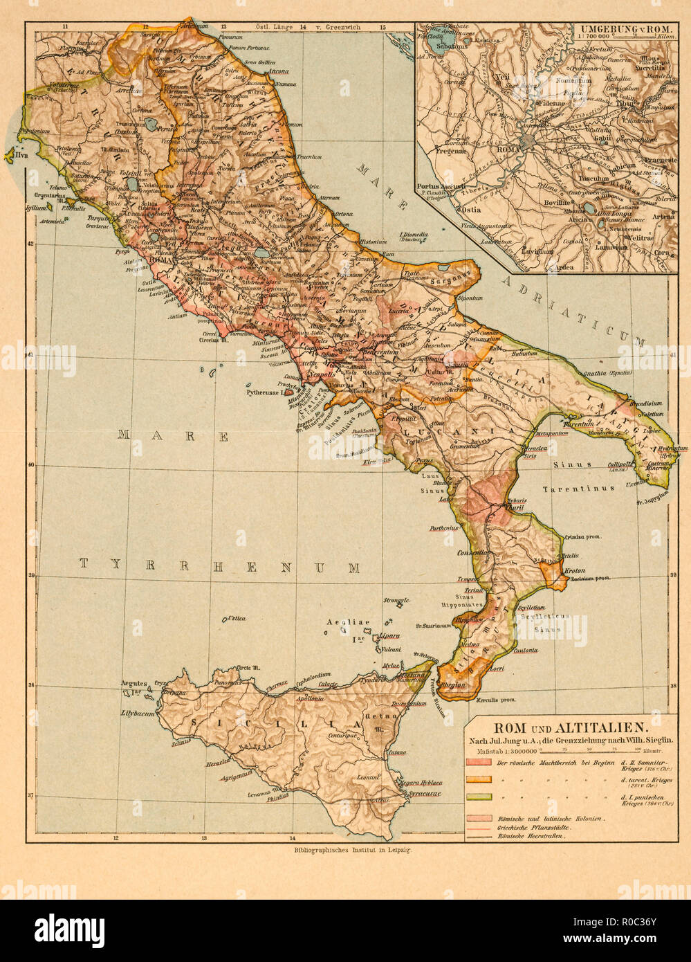 Map of Rome and Old Italy Stock Photohttps://www.alamy.com/image-license-details/?v=1https://www.alamy.com/map-of-rome-and-old-italy-image224000755.html
RMR0C36Y–Map of Rome and Old Italy
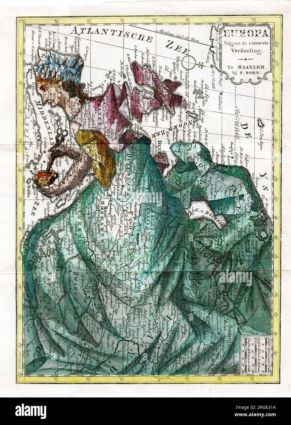 Cartoon Map of Europe Stock Photohttps://www.alamy.com/image-license-details/?v=1https://www.alamy.com/cartoon-map-of-europe-image560875990.html
RM2RGE31A–Cartoon Map of Europe
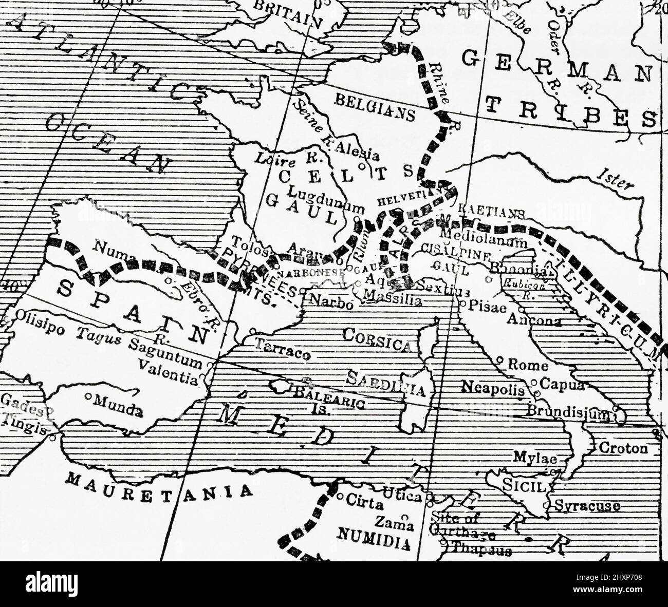 Map of western Europe showing how the different races from whom the modern French are descended were distributed in 100BC, before the days of the Roman Empire. From The Wonderland of Knowledge, published c.1930 Stock Photohttps://www.alamy.com/image-license-details/?v=1https://www.alamy.com/map-of-western-europe-showing-how-the-different-races-from-whom-the-modern-french-are-descended-were-distributed-in-100bc-before-the-days-of-the-roman-empire-from-the-wonderland-of-knowledge-published-c1930-image463939064.html
RM2HXP708–Map of western Europe showing how the different races from whom the modern French are descended were distributed in 100BC, before the days of the Roman Empire. From The Wonderland of Knowledge, published c.1930
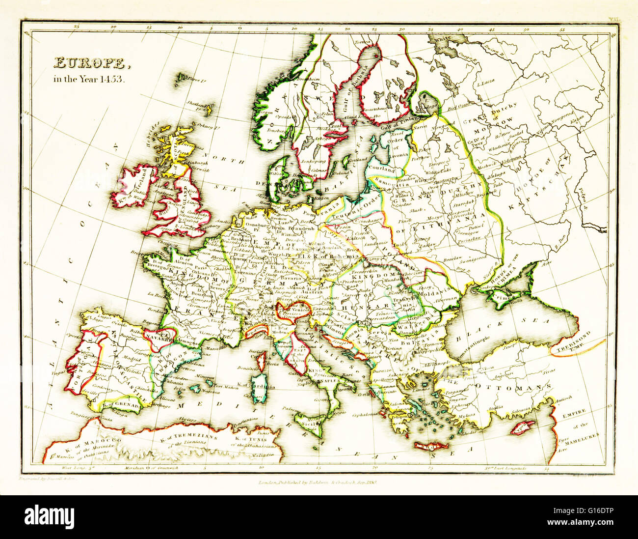 A map of Europe, showing territorial borders existing in the 15th century, specifically 1453. The Fall of Constantinople, capital of the Byzantine Empire, to the invading army of the Ottoman Empire occurred on 29 May, 1453. Map published in 1831. Stock Photohttps://www.alamy.com/image-license-details/?v=1https://www.alamy.com/stock-photo-a-map-of-europe-showing-territorial-borders-existing-in-the-15th-century-104019462.html
RMG16DTP–A map of Europe, showing territorial borders existing in the 15th century, specifically 1453. The Fall of Constantinople, capital of the Byzantine Empire, to the invading army of the Ottoman Empire occurred on 29 May, 1453. Map published in 1831.
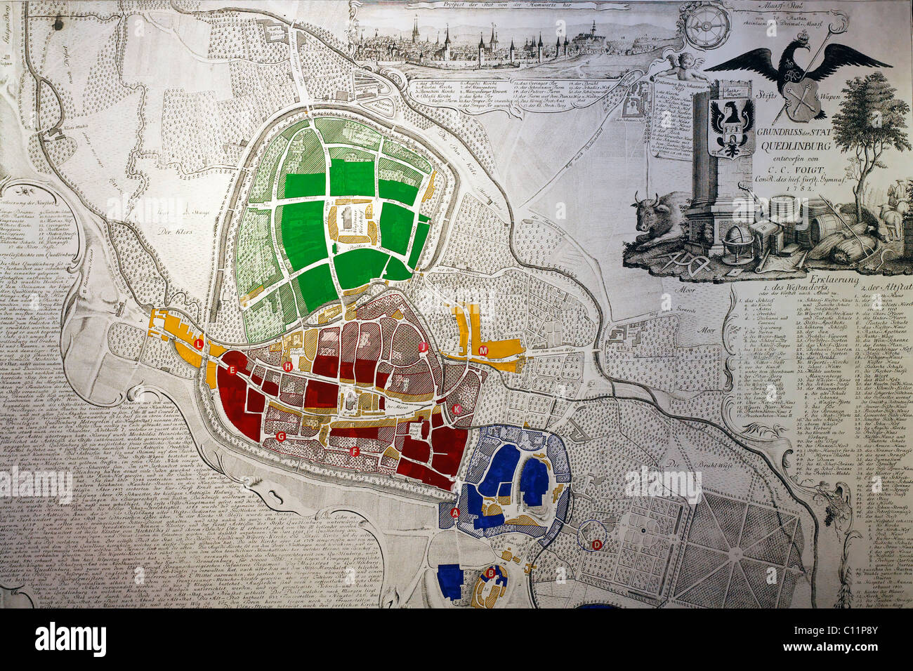 Historical map of Quedlinburg, 18th century, castle museum, Harz, Saxony-Anhalt, Germany, Europe Stock Photohttps://www.alamy.com/image-license-details/?v=1https://www.alamy.com/stock-photo-historical-map-of-quedlinburg-18th-century-castle-museum-harz-saxony-35074843.html
RMC11P8Y–Historical map of Quedlinburg, 18th century, castle museum, Harz, Saxony-Anhalt, Germany, Europe
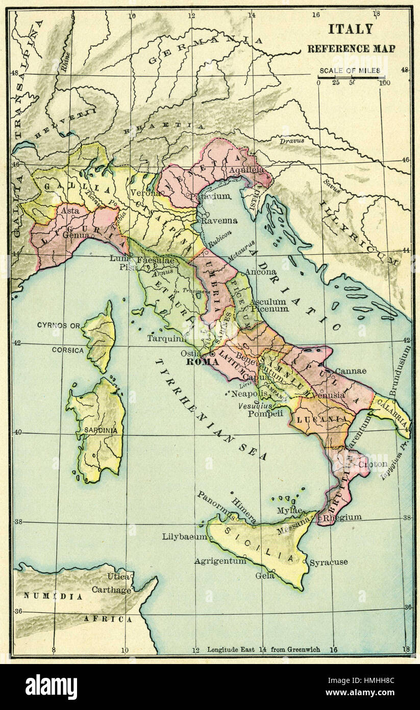 map of europe Stock Photohttps://www.alamy.com/image-license-details/?v=1https://www.alamy.com/stock-photo-map-of-europe-133152444.html
RFHMHH8C–map of europe
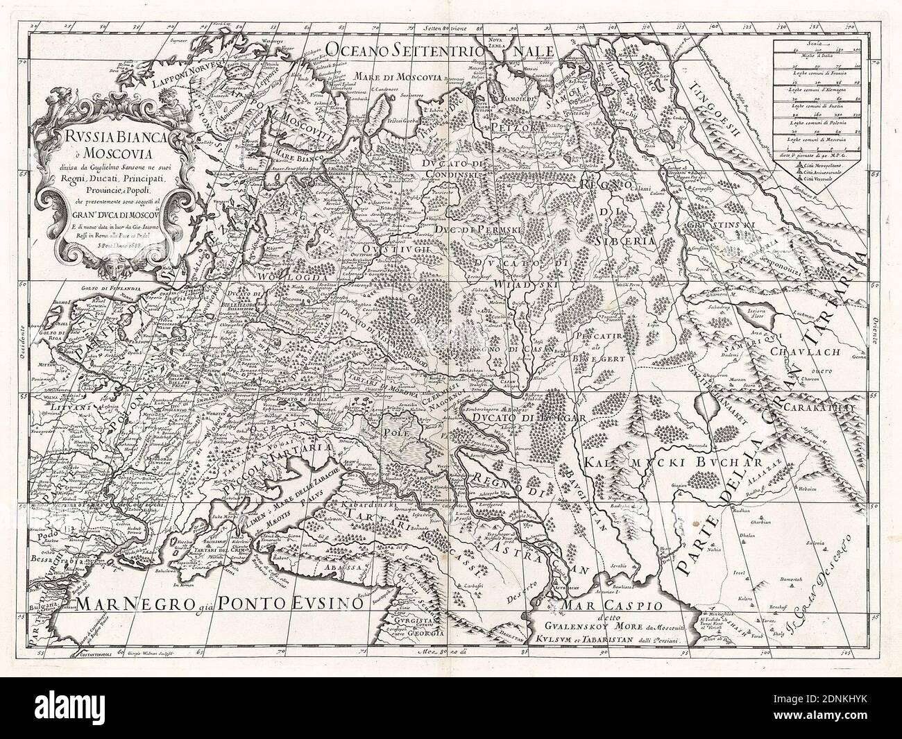 Map of Russia in the 17th century - 'Russia Bianca o Moscovia'. Map of the eastern part of Europe (Ukraine, Crimea, Caucasus, Russia, Lithuania, Poland). Map of 1688. Stock Photohttps://www.alamy.com/image-license-details/?v=1https://www.alamy.com/map-of-russia-in-the-17th-century-russia-bianca-o-moscovia-map-of-the-eastern-part-of-europe-ukraine-crimea-caucasus-russia-lithuania-poland-map-of-1688-image391967063.html
RM2DNKHYK–Map of Russia in the 17th century - 'Russia Bianca o Moscovia'. Map of the eastern part of Europe (Ukraine, Crimea, Caucasus, Russia, Lithuania, Poland). Map of 1688.
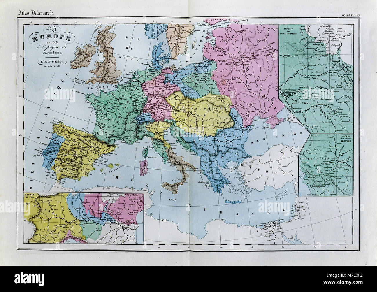 1858 Delamarche Historical Map of Europe in 1813 during the Reign of Napoleon I of France Stock Photohttps://www.alamy.com/image-license-details/?v=1https://www.alamy.com/stock-photo-1858-delamarche-historical-map-of-europe-in-1813-during-the-reign-176714022.html
RFM7E0F2–1858 Delamarche Historical Map of Europe in 1813 during the Reign of Napoleon I of France
 Medieval vintage europe map on old paper Stock Vectorhttps://www.alamy.com/image-license-details/?v=1https://www.alamy.com/medieval-vintage-europe-map-on-old-paper-image356935703.html
RF2BMKR3K–Medieval vintage europe map on old paper
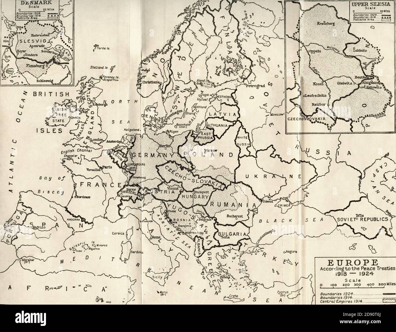 Map of Europe in 1815. From The Evolution of Modern Europe, 1453 - 1932, published 1933. Stock Photohttps://www.alamy.com/image-license-details/?v=1https://www.alamy.com/map-of-europe-in-1815-from-the-evolution-of-modern-europe-1453-1932-published-1933-image384179002.html
RM2D90T6J–Map of Europe in 1815. From The Evolution of Modern Europe, 1453 - 1932, published 1933.
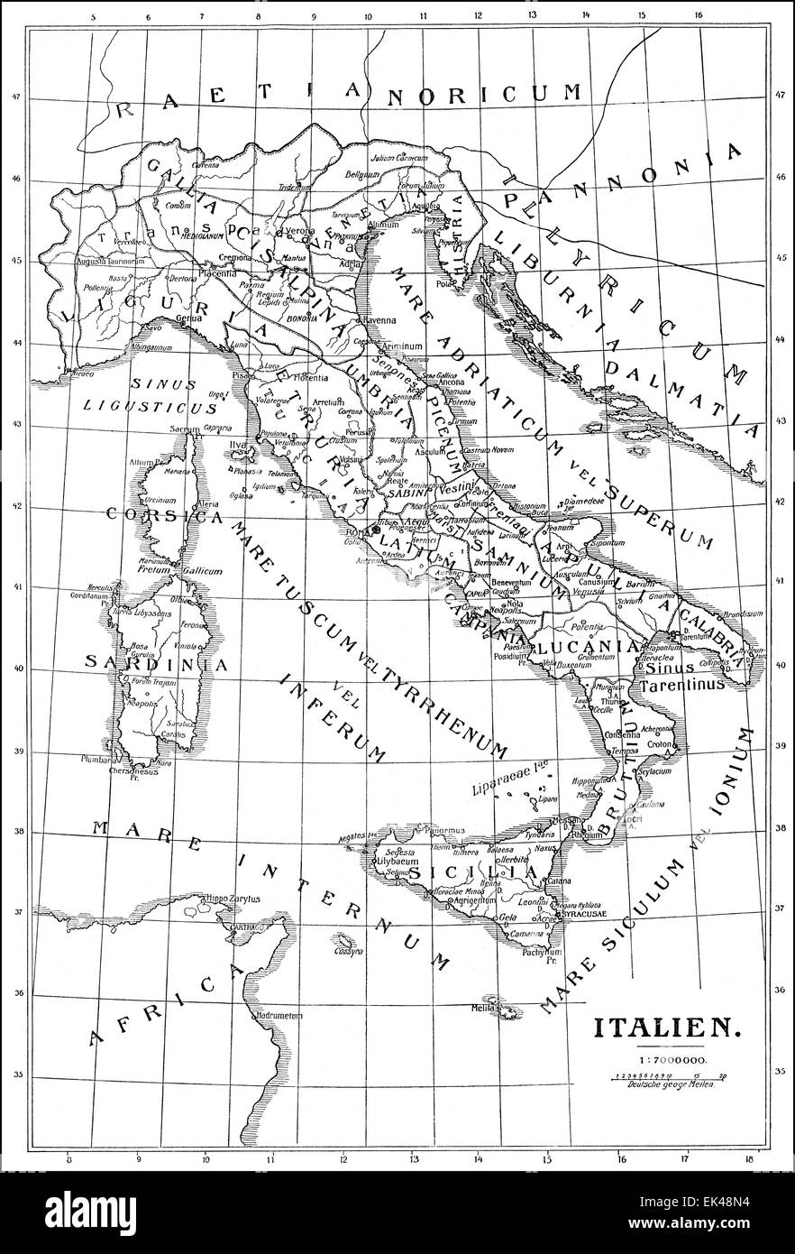 Historical map of Italy, Stock Photohttps://www.alamy.com/image-license-details/?v=1https://www.alamy.com/stock-photo-historical-map-of-italy-80614608.html
RMEK48N4–Historical map of Italy,
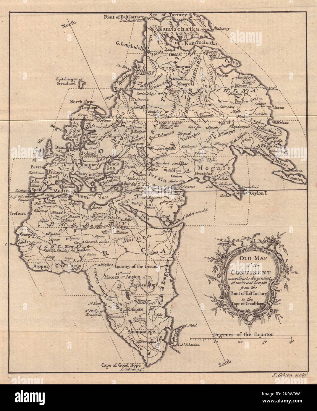 Old Map of the Continent… Europe Africa Asia Eastern Hemisphere. GIBSON 1758 Stock Photohttps://www.alamy.com/image-license-details/?v=1https://www.alamy.com/old-map-of-the-continent-europe-africa-asia-eastern-hemisphere-gibson-1758-image487971709.html
RF2K9W0W1–Old Map of the Continent… Europe Africa Asia Eastern Hemisphere. GIBSON 1758
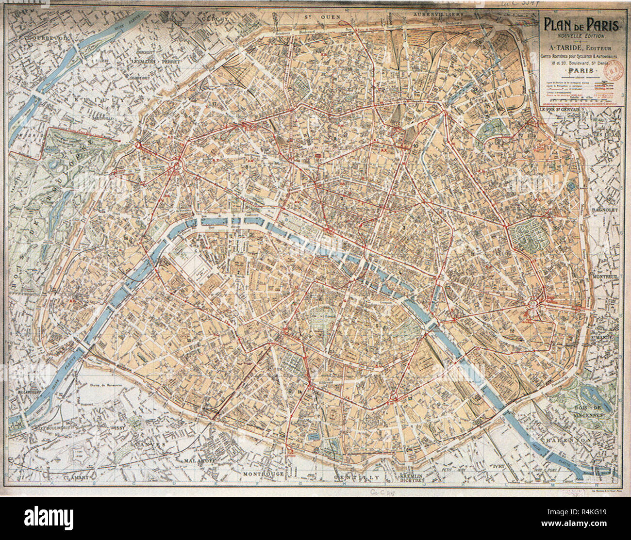 Map of Paris. 1906. Stock Photohttps://www.alamy.com/image-license-details/?v=1https://www.alamy.com/map-of-paris-1906-image226623077.html
RMR4KG19–Map of Paris. 1906.
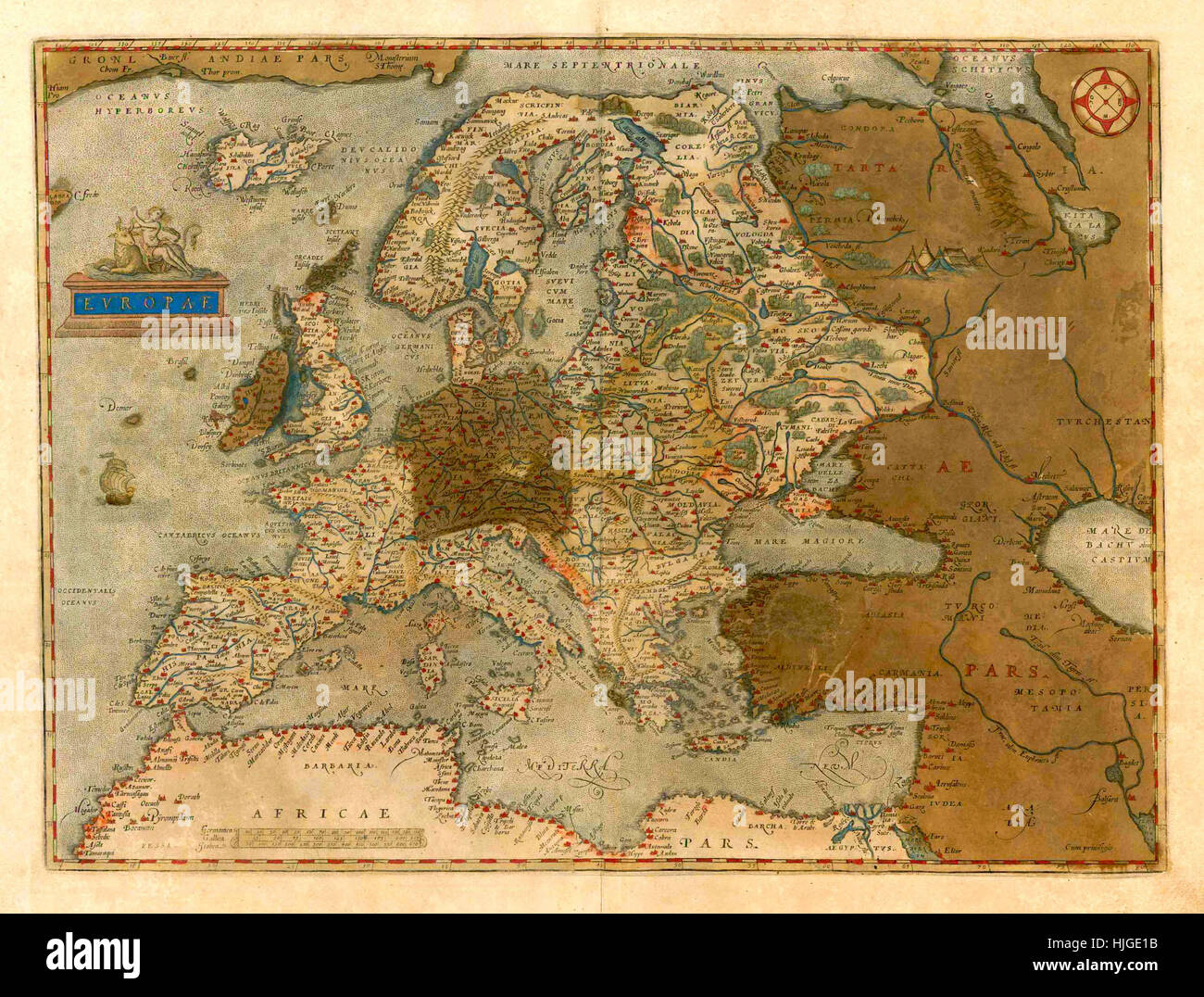 Map Of Europe 1579 Stock Photohttps://www.alamy.com/image-license-details/?v=1https://www.alamy.com/stock-photo-map-of-europe-1579-131898631.html
RFHJGE1B–Map Of Europe 1579
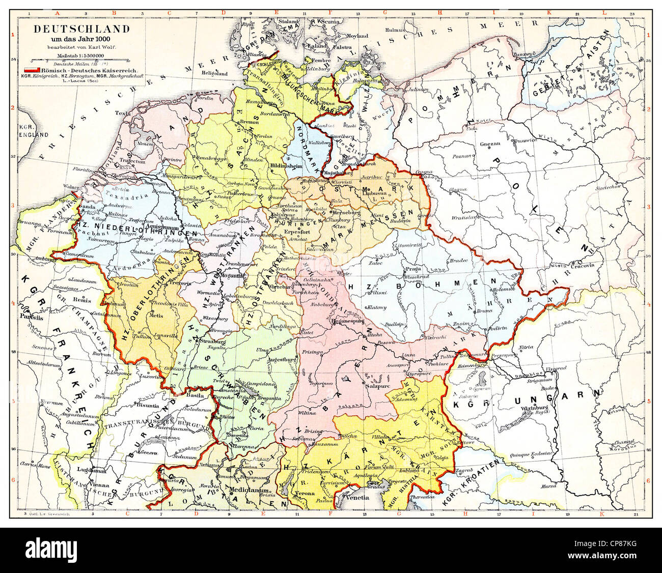 Historical map of Germany and Europe, Roman-German Empire in the 10th Century, Historische, zeichnerische Darstellung, Landkarte Stock Photohttps://www.alamy.com/image-license-details/?v=1https://www.alamy.com/stock-photo-historical-map-of-germany-and-europe-roman-german-empire-in-the-10th-48124820.html
RMCP87KG–Historical map of Germany and Europe, Roman-German Empire in the 10th Century, Historische, zeichnerische Darstellung, Landkarte
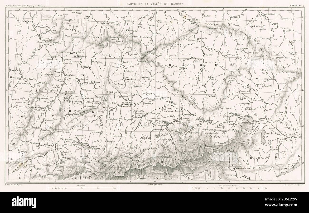 Antique 1859 engraved French map, Carte de la Vallée du Danube, centered on the Danube River in Europe between France (on the left) and Hungary (on the right). SOURCE: ORIGINAL ENGRAVING Stock Photohttps://www.alamy.com/image-license-details/?v=1https://www.alamy.com/antique-1859-engraved-french-map-carte-de-la-valle-du-danube-centered-on-the-danube-river-in-europe-between-france-on-the-left-and-hungary-on-the-right-source-original-engraving-image382633633.html
RM2D6ED2W–Antique 1859 engraved French map, Carte de la Vallée du Danube, centered on the Danube River in Europe between France (on the left) and Hungary (on the right). SOURCE: ORIGINAL ENGRAVING
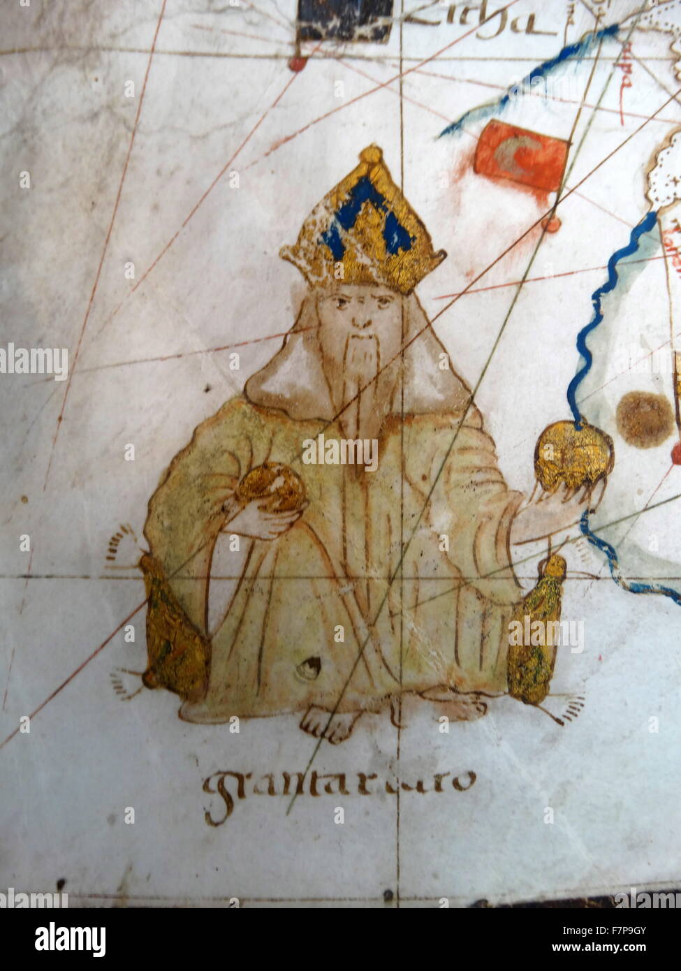 Renaissance map of Europe, Jacopo Russo, 1528, Stock Photohttps://www.alamy.com/image-license-details/?v=1https://www.alamy.com/stock-photo-renaissance-map-of-europe-jacopo-russo-1528-90844907.html
RMF7P9GY–Renaissance map of Europe, Jacopo Russo, 1528,
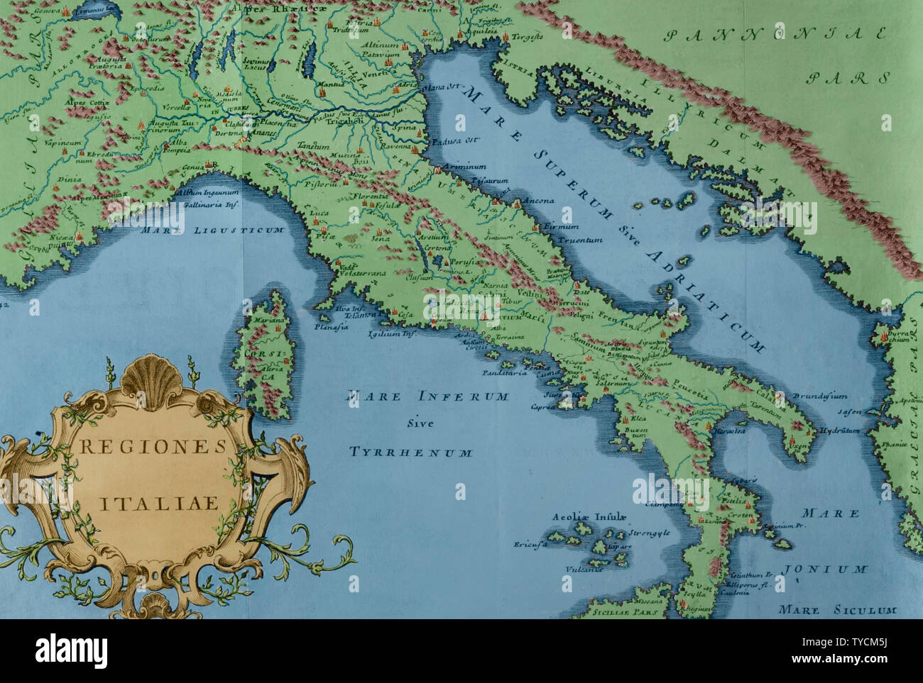 History by Polybius. Volume IV. French edition translated from Greek by Dom Vincent Thuillier. Comments of Military Science enriched with critical and historical notes by M. De Folard. Paris, chez Pierre Gandouin, Julien-Michel Gandouin, Pierre-Francois Giffart and Nicolas-Pierre Armand, 1728. Map of Italy. Later colouration. Stock Photohttps://www.alamy.com/image-license-details/?v=1https://www.alamy.com/history-by-polybius-volume-iv-french-edition-translated-from-greek-by-dom-vincent-thuillier-comments-of-military-science-enriched-with-critical-and-historical-notes-by-m-de-folard-paris-chez-pierre-gandouin-julien-michel-gandouin-pierre-francois-giffart-and-nicolas-pierre-armand-1728-map-of-italy-later-colouration-image257820126.html
RMTYCM5J–History by Polybius. Volume IV. French edition translated from Greek by Dom Vincent Thuillier. Comments of Military Science enriched with critical and historical notes by M. De Folard. Paris, chez Pierre Gandouin, Julien-Michel Gandouin, Pierre-Francois Giffart and Nicolas-Pierre Armand, 1728. Map of Italy. Later colouration.
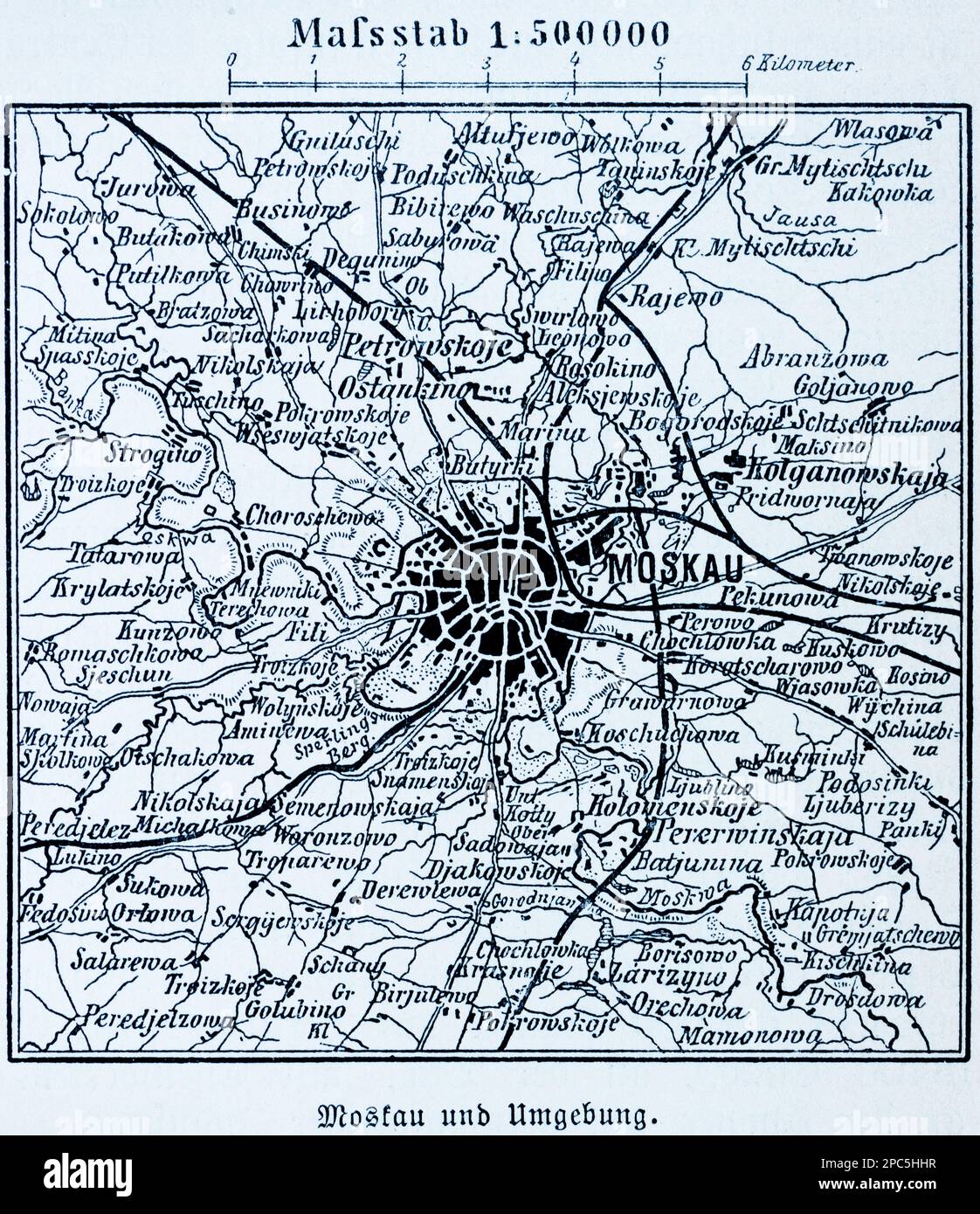 City map of Moscow and its surroundings, Moscow, capital of Russia, Eastern Europe, illustration 1896 Stock Photohttps://www.alamy.com/image-license-details/?v=1https://www.alamy.com/city-map-of-moscow-and-its-surroundings-moscow-capital-of-russia-eastern-europe-illustration-1896-image541020867.html
RM2PC5HHR–City map of Moscow and its surroundings, Moscow, capital of Russia, Eastern Europe, illustration 1896
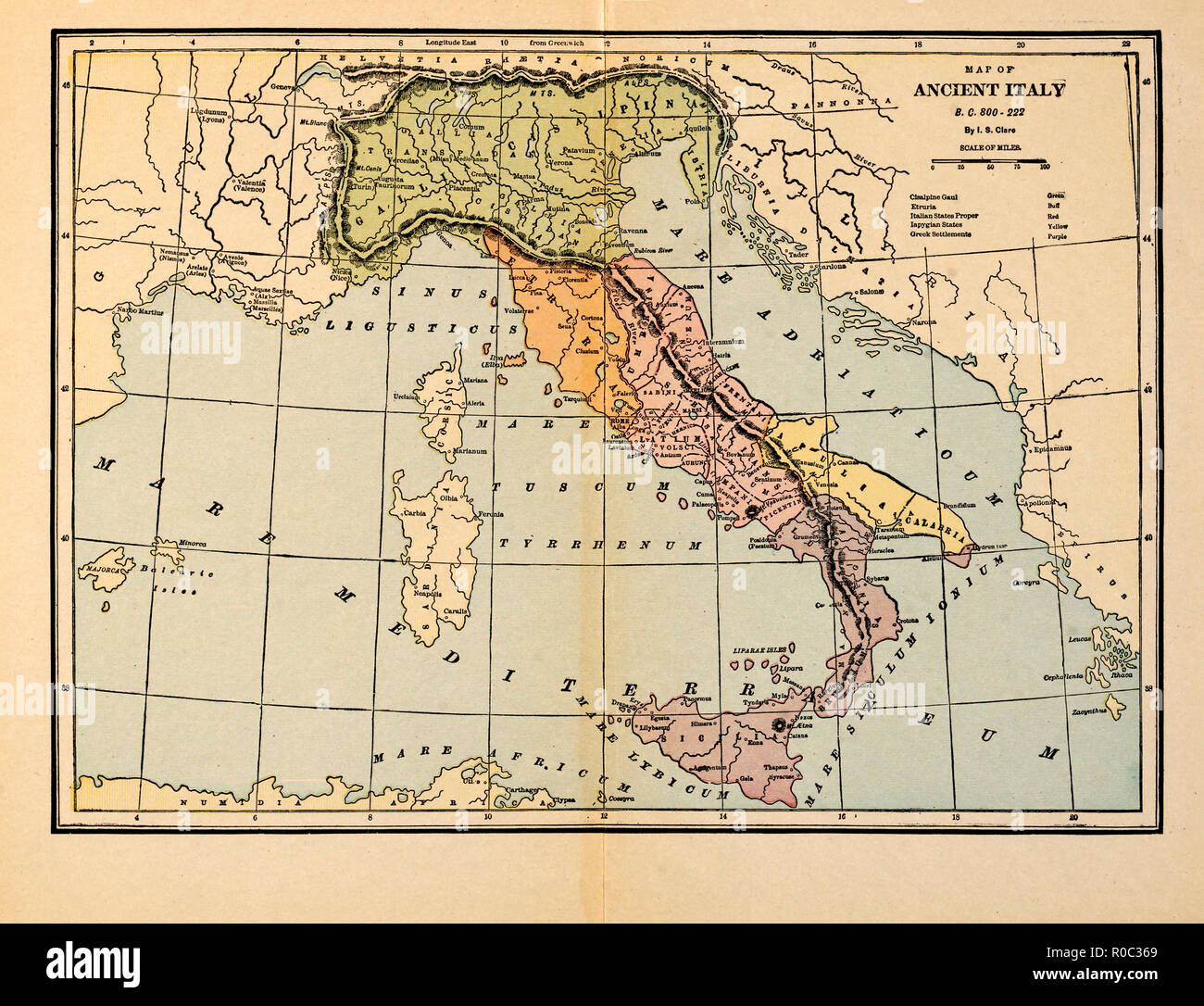 Map of Ancient Italy, B.C. 800-222 Stock Photohttps://www.alamy.com/image-license-details/?v=1https://www.alamy.com/map-of-ancient-italy-bc-800-222-image224000737.html
RMR0C369–Map of Ancient Italy, B.C. 800-222
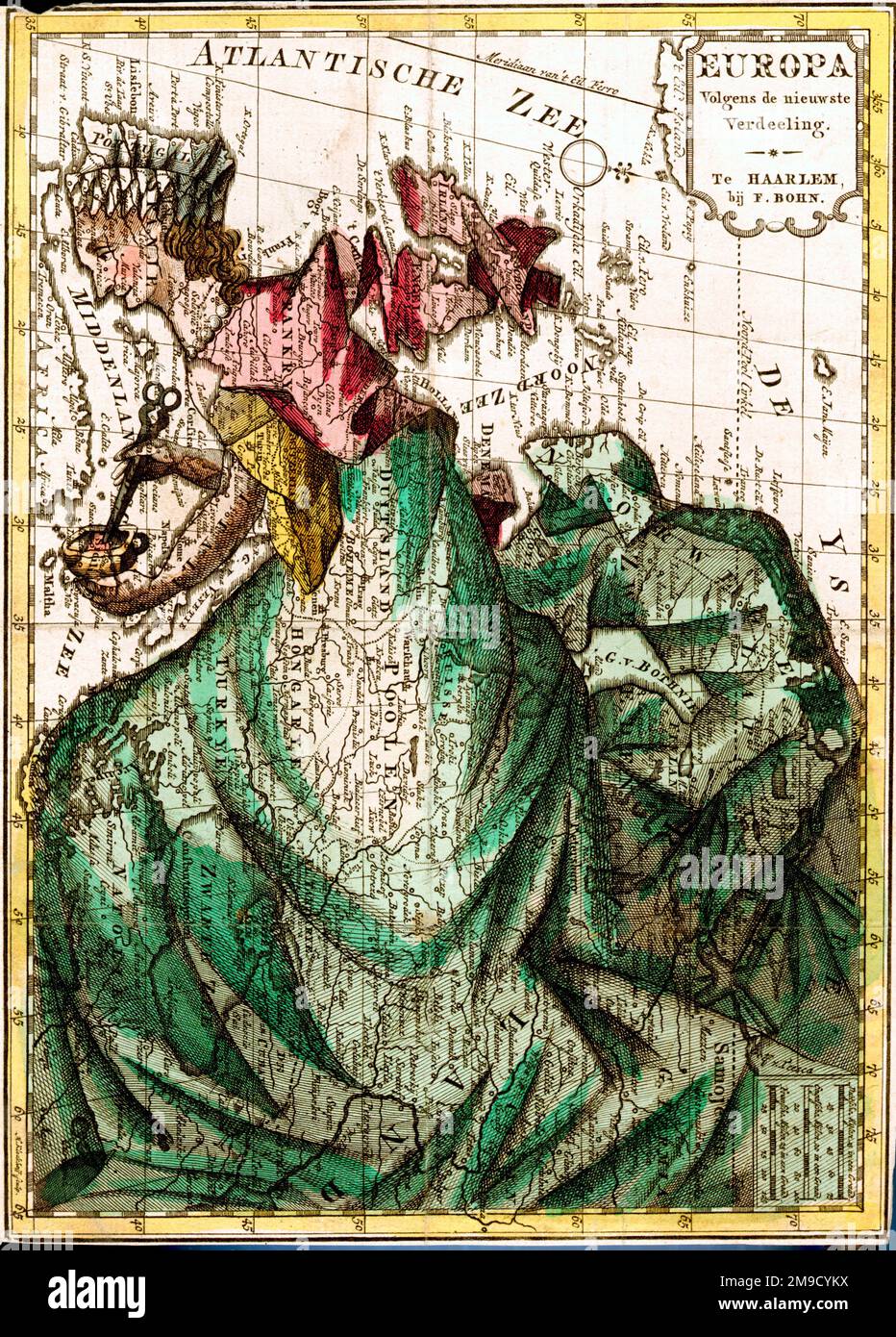 Cartoon Map Of Europe Stock Photohttps://www.alamy.com/image-license-details/?v=1https://www.alamy.com/cartoon-map-of-europe-image504917726.html
RM2M9CYKX–Cartoon Map Of Europe
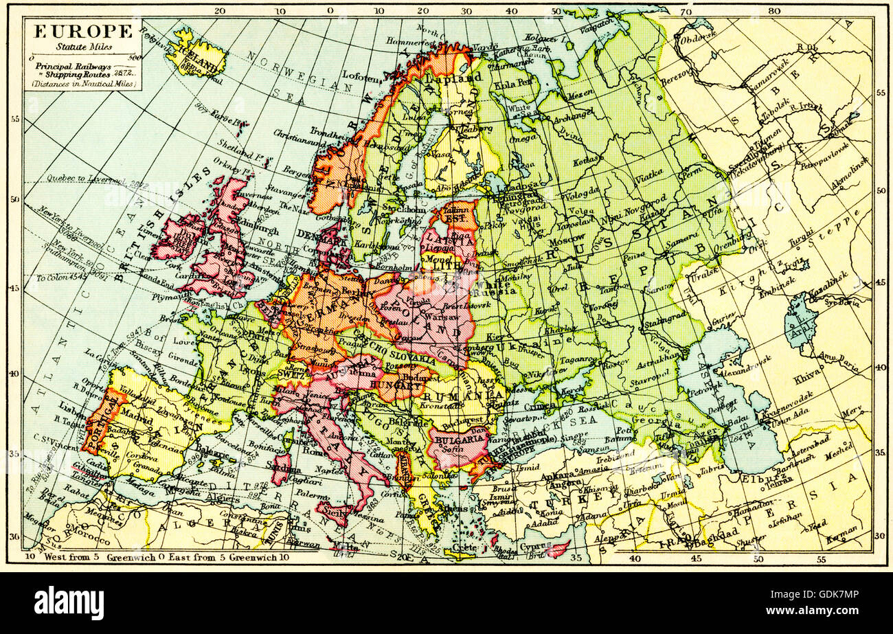 A 1930's map of Europe. Stock Photohttps://www.alamy.com/image-license-details/?v=1https://www.alamy.com/stock-photo-a-1930s-map-of-europe-111675894.html
RMGDK7MP–A 1930's map of Europe.
 16th century map of Europe. Published in Sienna in 1600, this Italian map shows the latest knowledge of the geography of Europe. The writing is in Italian, and a dedication is given at upper left in a cartouche, along with the name of the cartographer, Ar Stock Photohttps://www.alamy.com/image-license-details/?v=1https://www.alamy.com/stock-photo-16th-century-map-of-europe-published-in-sienna-in-1600-this-italian-103985509.html
RMG14XG5–16th century map of Europe. Published in Sienna in 1600, this Italian map shows the latest knowledge of the geography of Europe. The writing is in Italian, and a dedication is given at upper left in a cartouche, along with the name of the cartographer, Ar
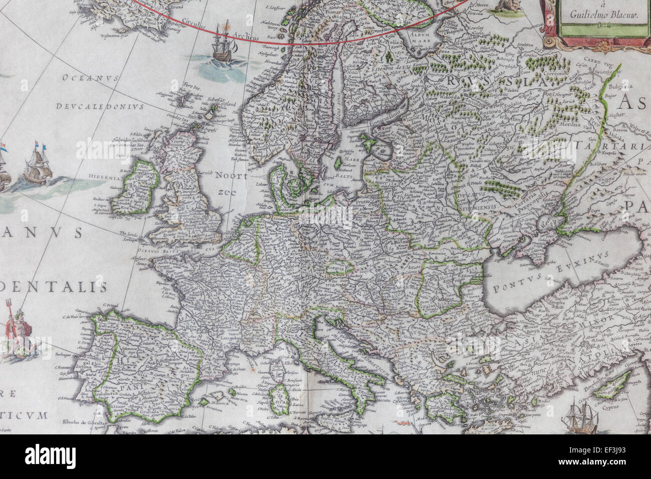 17th century Map of Europe by Blaeuw Stock Photohttps://www.alamy.com/image-license-details/?v=1https://www.alamy.com/stock-photo-17th-century-map-of-europe-by-blaeuw-78141535.html
RMEF3J93–17th century Map of Europe by Blaeuw
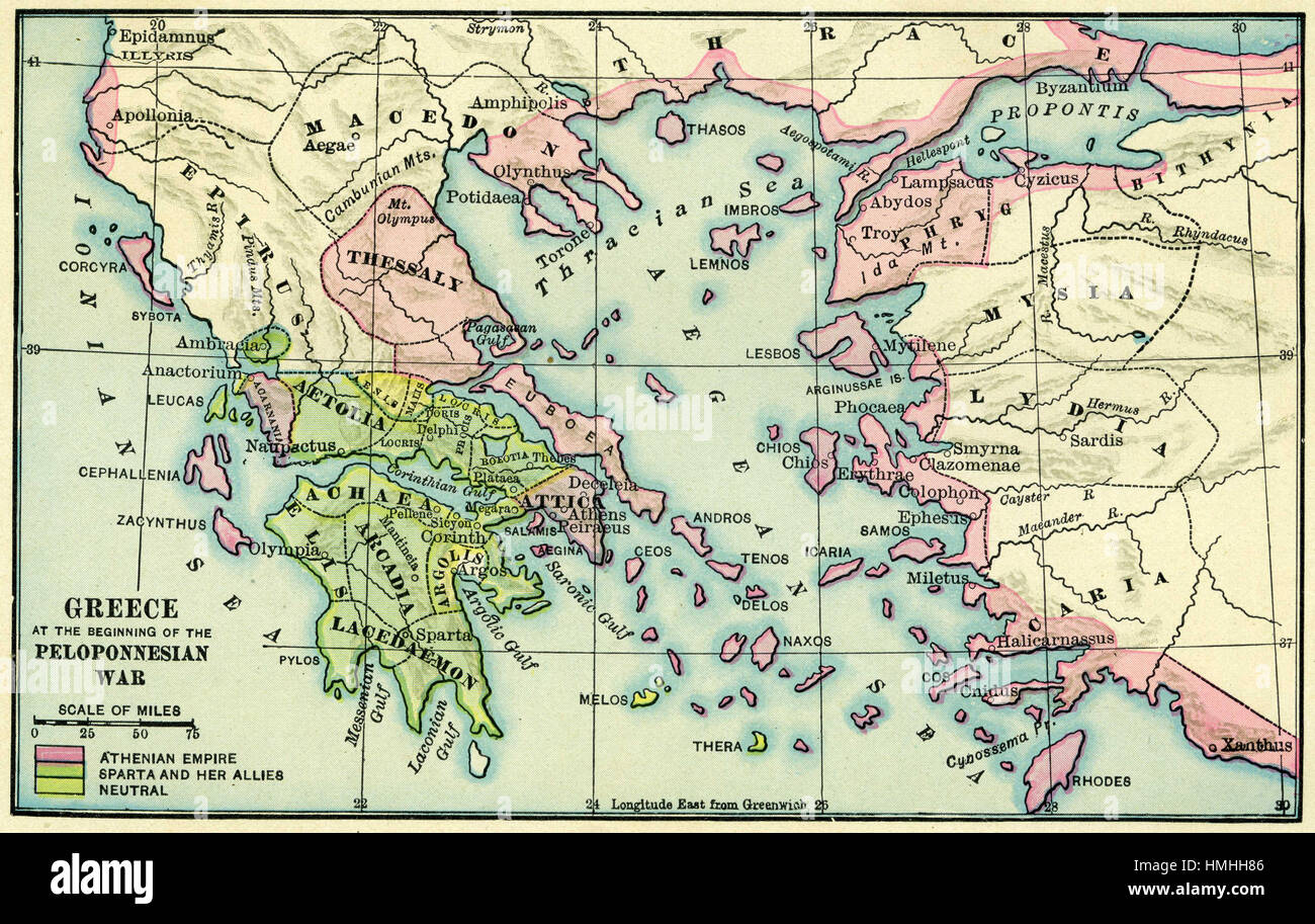 map of europe Stock Photohttps://www.alamy.com/image-license-details/?v=1https://www.alamy.com/stock-photo-map-of-europe-133152438.html
RFHMHH86–map of europe
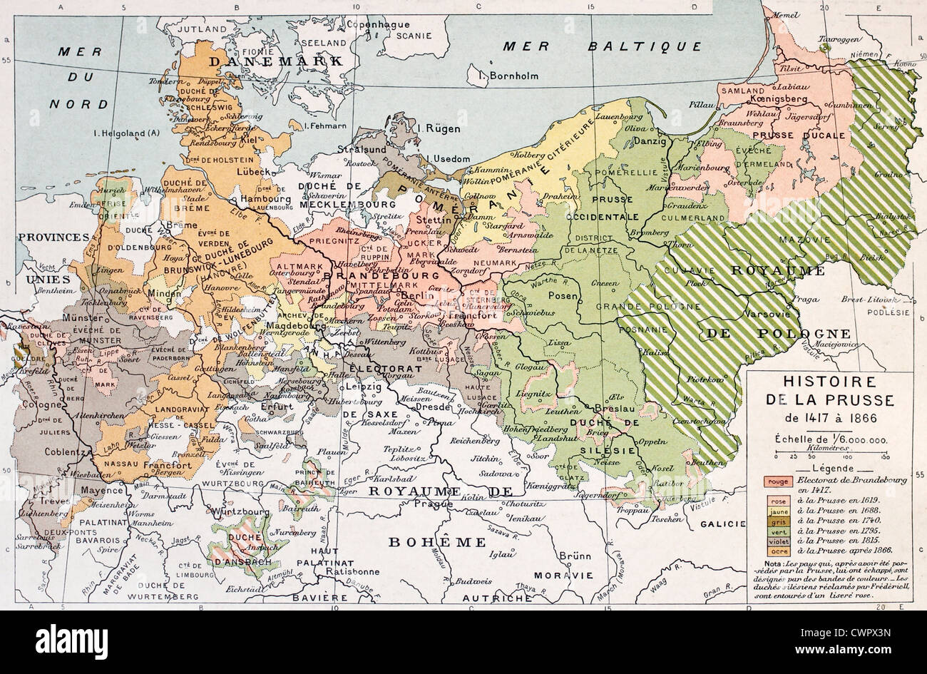 Prussia historical development map Stock Photohttps://www.alamy.com/image-license-details/?v=1https://www.alamy.com/stock-photo-prussia-historical-development-map-50290569.html
RFCWPX3N–Prussia historical development map
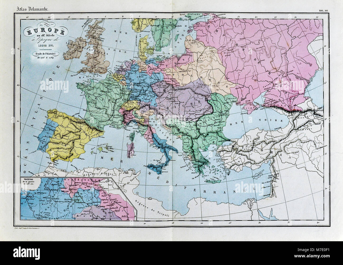 1858 Delamarche Historical Map of Europe in the 18th Century during the Era of Louis XVI of France Stock Photohttps://www.alamy.com/image-license-details/?v=1https://www.alamy.com/stock-photo-1858-delamarche-historical-map-of-europe-in-the-18th-century-during-176714021.html
RFM7E0F1–1858 Delamarche Historical Map of Europe in the 18th Century during the Era of Louis XVI of France
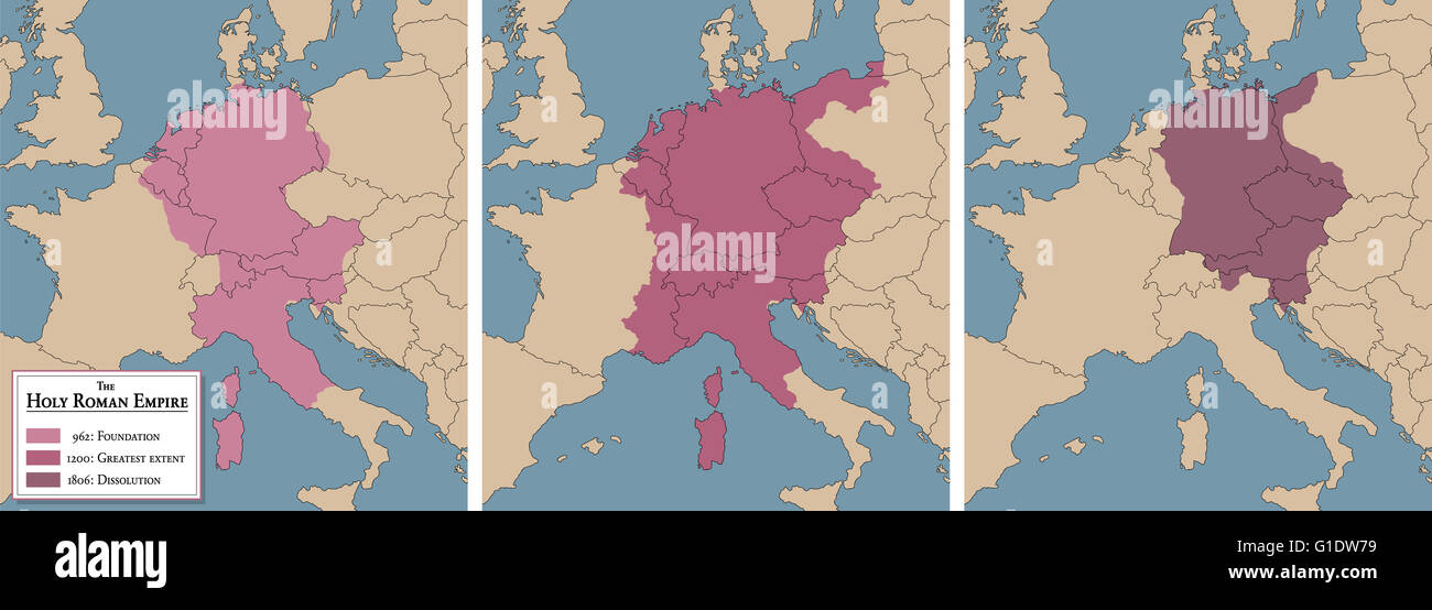 Holy Roman Empire, medieval europe - three historical maps with foundation of the empire 962 AD, greatest extent 1200 AD and dis Stock Photohttps://www.alamy.com/image-license-details/?v=1https://www.alamy.com/stock-photo-holy-roman-empire-medieval-europe-three-historical-maps-with-foundation-104182045.html
RFG1DW79–Holy Roman Empire, medieval europe - three historical maps with foundation of the empire 962 AD, greatest extent 1200 AD and dis
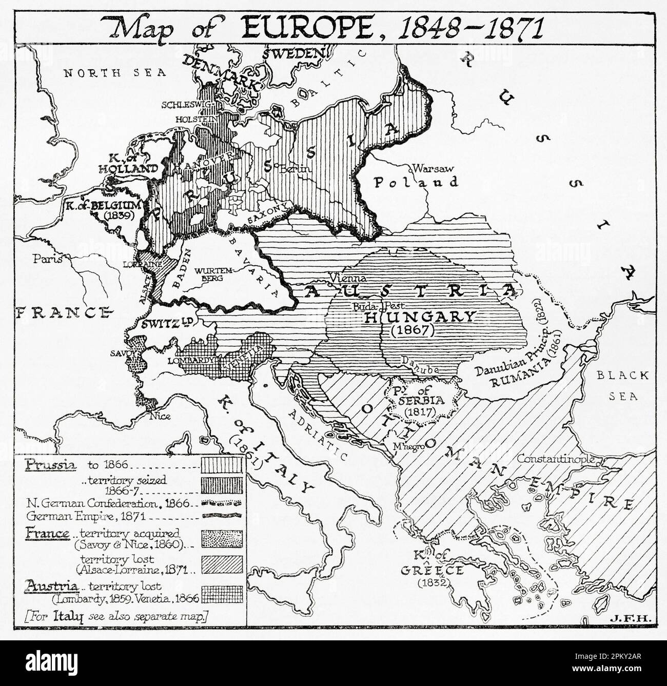 Map of Europe, 1848 - 1871. From the book Outline of History by H.G. Wells, published 1920. Stock Photohttps://www.alamy.com/image-license-details/?v=1https://www.alamy.com/map-of-europe-1848-1871-from-the-book-outline-of-history-by-hg-wells-published-1920-image545794447.html
RM2PKY2AR–Map of Europe, 1848 - 1871. From the book Outline of History by H.G. Wells, published 1920.
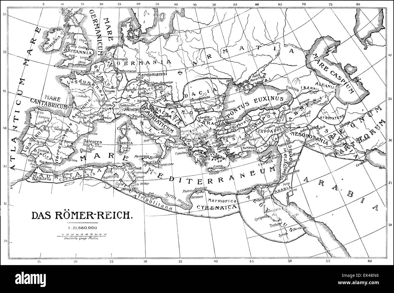 Historical map of the Roman Empire, Stock Photohttps://www.alamy.com/image-license-details/?v=1https://www.alamy.com/stock-photo-historical-map-of-the-roman-empire-80614610.html
RMEK48N6–Historical map of the Roman Empire,
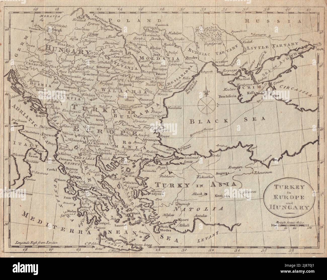 Turkey in Europe and Hungary. Balkans Greece Ukraine. GUTHRIE 1787 old map Stock Photohttps://www.alamy.com/image-license-details/?v=1https://www.alamy.com/turkey-in-europe-and-hungary-balkans-greece-ukraine-guthrie-1787-old-map-image469751353.html
RF2J870J1–Turkey in Europe and Hungary. Balkans Greece Ukraine. GUTHRIE 1787 old map