Quick filters:
Holdenville oklahoma map Stock Photos and Images
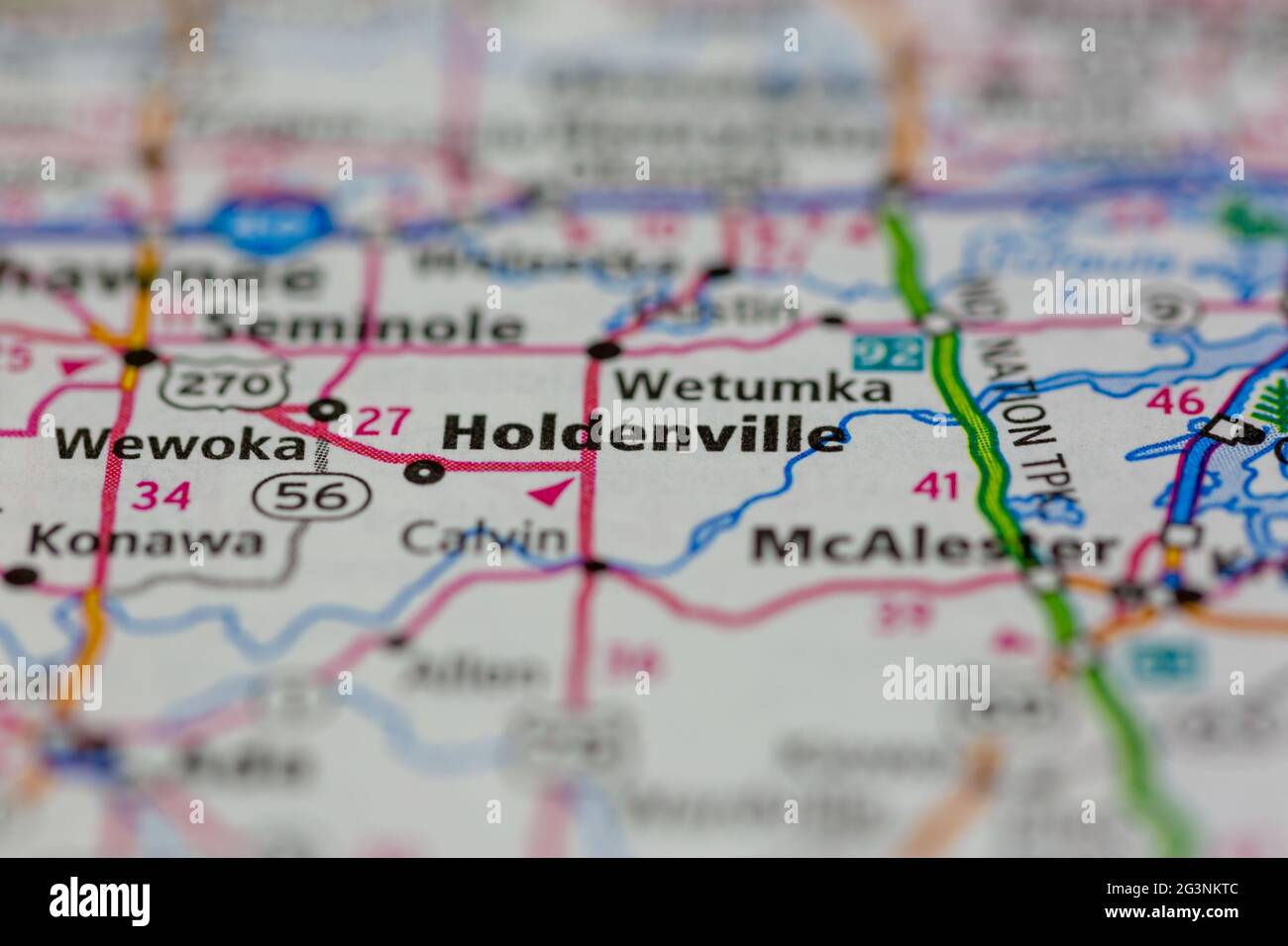 Holdenville Oklahoma USA shown on a Geography map or road map Stock Photohttps://www.alamy.com/image-license-details/?v=1https://www.alamy.com/holdenville-oklahoma-usa-shown-on-a-geography-map-or-road-map-image432579740.html
RM2G3NKTC–Holdenville Oklahoma USA shown on a Geography map or road map
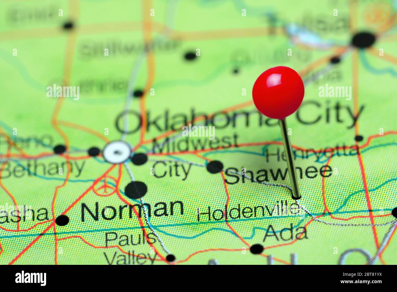 Holdenville pinned on a map of Oklahoma, USA Stock Photohttps://www.alamy.com/image-license-details/?v=1https://www.alamy.com/holdenville-pinned-on-a-map-of-oklahoma-usa-image359136286.html
RF2BT81YX–Holdenville pinned on a map of Oklahoma, USA
 Top view of retro flag of Holdenville, Oklahoma, untied states of America with grunge texture. USA patriot and travel concept. no flagpole. Plane desi Stock Photohttps://www.alamy.com/image-license-details/?v=1https://www.alamy.com/top-view-of-retro-flag-of-holdenville-oklahoma-untied-states-of-america-with-grunge-texture-usa-patriot-and-travel-concept-no-flagpole-plane-desi-image468297865.html
RF2J5TPKN–Top view of retro flag of Holdenville, Oklahoma, untied states of America with grunge texture. USA patriot and travel concept. no flagpole. Plane desi
 Holdenville, Hughes County, US, United States, Oklahoma, N 35 4' 49'', S 96 23' 57'', map, Cartascapes Map published in 2024. Explore Cartascapes, a map revealing Earth's diverse landscapes, cultures, and ecosystems. Journey through time and space, discovering the interconnectedness of our planet's past, present, and future. Stock Photohttps://www.alamy.com/image-license-details/?v=1https://www.alamy.com/holdenville-hughes-county-us-united-states-oklahoma-n-35-4-49-s-96-23-57-map-cartascapes-map-published-in-2024-explore-cartascapes-a-map-revealing-earths-diverse-landscapes-cultures-and-ecosystems-journey-through-time-and-space-discovering-the-interconnectedness-of-our-planets-past-present-and-future-image621159649.html
RM2Y2G7D5–Holdenville, Hughes County, US, United States, Oklahoma, N 35 4' 49'', S 96 23' 57'', map, Cartascapes Map published in 2024. Explore Cartascapes, a map revealing Earth's diverse landscapes, cultures, and ecosystems. Journey through time and space, discovering the interconnectedness of our planet's past, present, and future.
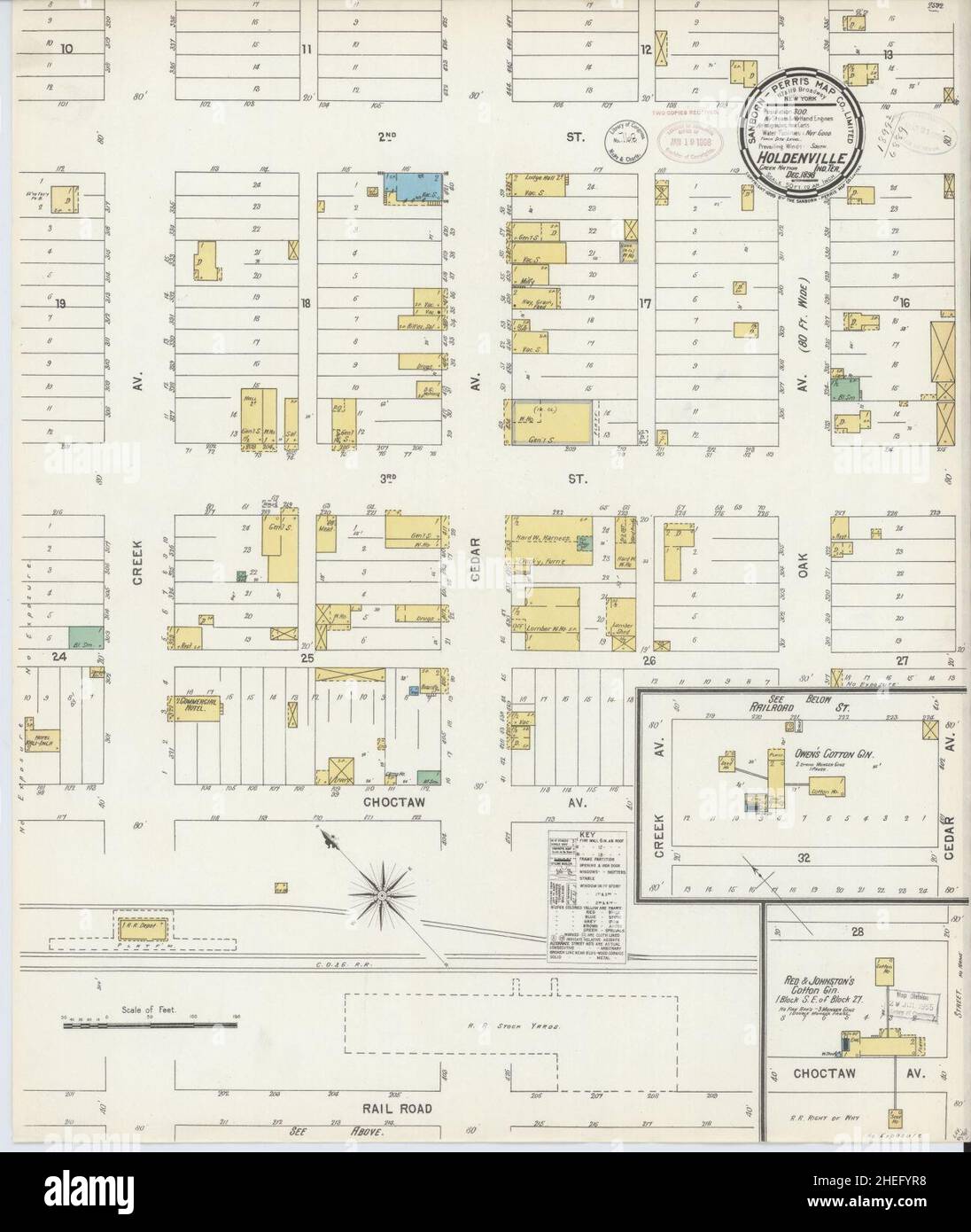 Sanborn Fire Insurance Map from Holdenville, Hughes County, Oklahoma. Stock Photohttps://www.alamy.com/image-license-details/?v=1https://www.alamy.com/sanborn-fire-insurance-map-from-holdenville-hughes-county-oklahoma-image456425852.html
RM2HEFYR8–Sanborn Fire Insurance Map from Holdenville, Hughes County, Oklahoma.
 official flag of Holdenville, Oklahoma untied states of America at cloudy sky background on sunset, panoramic view. USA travel and patriot concept. co Stock Photohttps://www.alamy.com/image-license-details/?v=1https://www.alamy.com/official-flag-of-holdenville-oklahoma-untied-states-of-america-at-cloudy-sky-background-on-sunset-panoramic-view-usa-travel-and-patriot-concept-co-image490430635.html
RF2KDW17R–official flag of Holdenville, Oklahoma untied states of America at cloudy sky background on sunset, panoramic view. USA travel and patriot concept. co
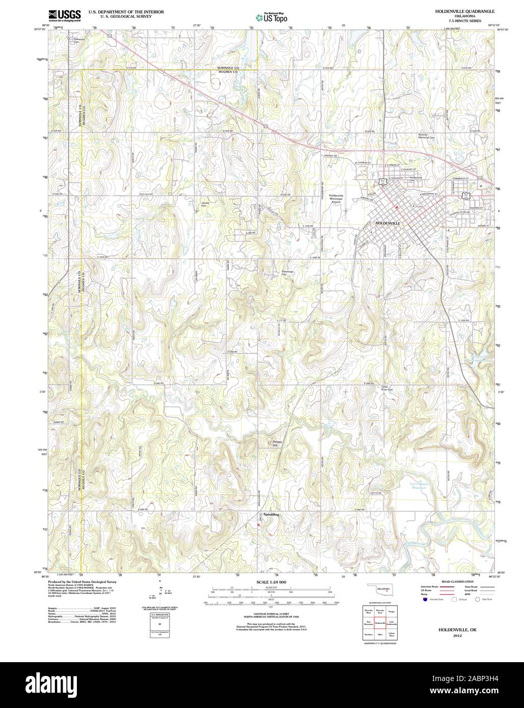 USGS TOPO Map Oklahoma OK Holdenville 20121127 TM Restoration Stock Photohttps://www.alamy.com/image-license-details/?v=1https://www.alamy.com/usgs-topo-map-oklahoma-ok-holdenville-20121127-tm-restoration-image334243984.html
RM2ABP3H4–USGS TOPO Map Oklahoma OK Holdenville 20121127 TM Restoration
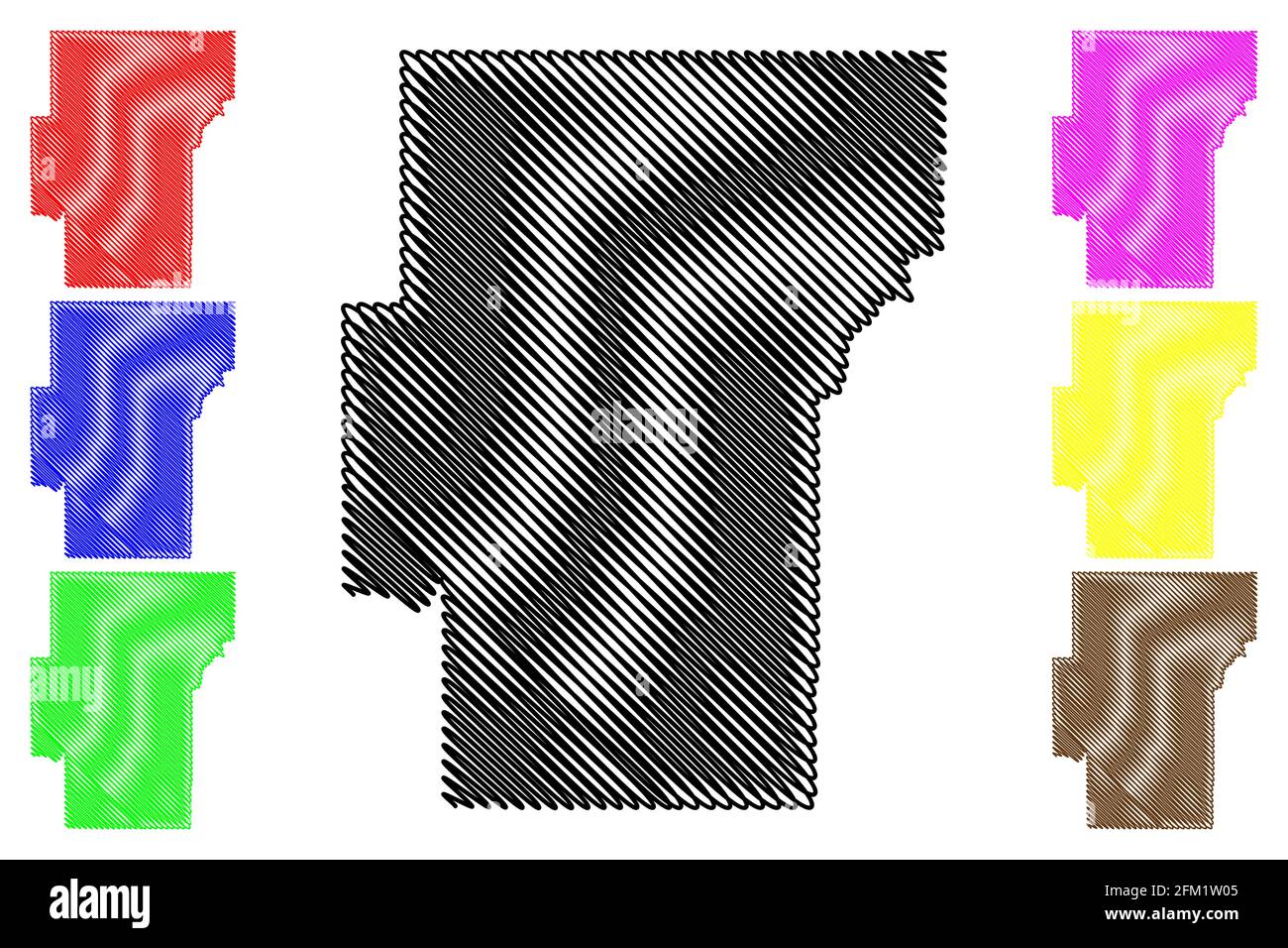 Hughes County, Oklahoma State (U.S. county, United States of America, USA, U.S., US) map vector illustration, scribble sketch Hughes map Stock Vectorhttps://www.alamy.com/image-license-details/?v=1https://www.alamy.com/hughes-county-oklahoma-state-us-county-united-states-of-america-usa-us-us-map-vector-illustration-scribble-sketch-hughes-map-image425383509.html
RF2FM1W05–Hughes County, Oklahoma State (U.S. county, United States of America, USA, U.S., US) map vector illustration, scribble sketch Hughes map
 Holdenville, Hughes County, US, United States, Oklahoma, N 35 4' 49'', S 96 23' 57'', map, Cartascapes Map published in 2024. Explore Cartascapes, a map revealing Earth's diverse landscapes, cultures, and ecosystems. Journey through time and space, discovering the interconnectedness of our planet's past, present, and future. Stock Photohttps://www.alamy.com/image-license-details/?v=1https://www.alamy.com/holdenville-hughes-county-us-united-states-oklahoma-n-35-4-49-s-96-23-57-map-cartascapes-map-published-in-2024-explore-cartascapes-a-map-revealing-earths-diverse-landscapes-cultures-and-ecosystems-journey-through-time-and-space-discovering-the-interconnectedness-of-our-planets-past-present-and-future-image621380622.html
RM2Y2X992–Holdenville, Hughes County, US, United States, Oklahoma, N 35 4' 49'', S 96 23' 57'', map, Cartascapes Map published in 2024. Explore Cartascapes, a map revealing Earth's diverse landscapes, cultures, and ecosystems. Journey through time and space, discovering the interconnectedness of our planet's past, present, and future.
 Top view of flag Holdenville, Oklahoma, untied states of America. USA patriot and travel concept. no flagpole. Plane design, layout. Flag background Stock Photohttps://www.alamy.com/image-license-details/?v=1https://www.alamy.com/top-view-of-flag-holdenville-oklahoma-untied-states-of-america-usa-patriot-and-travel-concept-no-flagpole-plane-design-layout-flag-background-image459660083.html
RF2HKR93F–Top view of flag Holdenville, Oklahoma, untied states of America. USA patriot and travel concept. no flagpole. Plane design, layout. Flag background
 USGS TOPO Map Oklahoma OK Holdenville 20100128 TM Restoration Stock Photohttps://www.alamy.com/image-license-details/?v=1https://www.alamy.com/usgs-topo-map-oklahoma-ok-holdenville-20100128-tm-restoration-image334243989.html
RM2ABP3H9–USGS TOPO Map Oklahoma OK Holdenville 20100128 TM Restoration
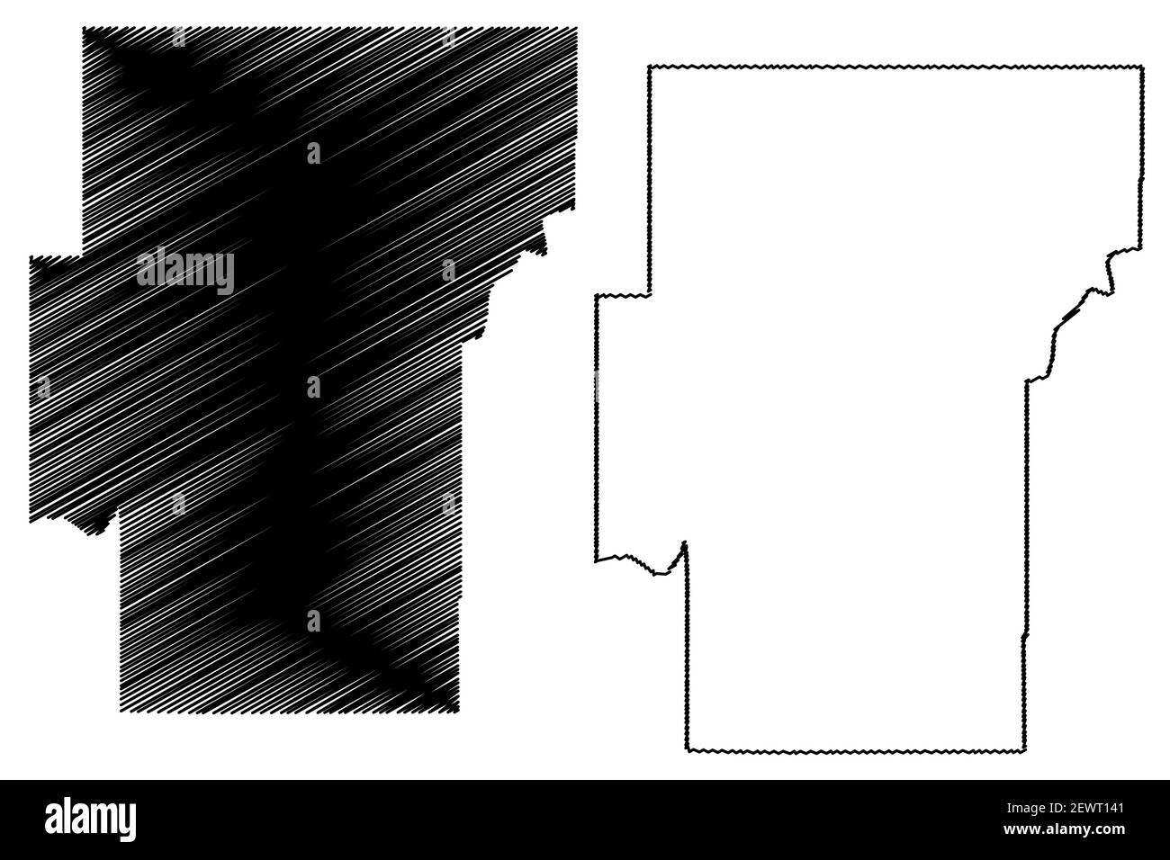 Hughes County, Oklahoma State (U.S. county, United States of America, USA, U.S., US) map vector illustration, scribble sketch Hughes map Stock Vectorhttps://www.alamy.com/image-license-details/?v=1https://www.alamy.com/hughes-county-oklahoma-state-us-county-united-states-of-america-usa-us-us-map-vector-illustration-scribble-sketch-hughes-map-image411732609.html
RF2EWT141–Hughes County, Oklahoma State (U.S. county, United States of America, USA, U.S., US) map vector illustration, scribble sketch Hughes map
 City of Holdenville, Hughes County, US, United States, Oklahoma, N 35 5' 1'', S 96 24' 1'', map, Cartascapes Map published in 2024. Explore Cartascapes, a map revealing Earth's diverse landscapes, cultures, and ecosystems. Journey through time and space, discovering the interconnectedness of our planet's past, present, and future. Stock Photohttps://www.alamy.com/image-license-details/?v=1https://www.alamy.com/city-of-holdenville-hughes-county-us-united-states-oklahoma-n-35-5-1-s-96-24-1-map-cartascapes-map-published-in-2024-explore-cartascapes-a-map-revealing-earths-diverse-landscapes-cultures-and-ecosystems-journey-through-time-and-space-discovering-the-interconnectedness-of-our-planets-past-present-and-future-image633812514.html
RM2YR4J96–City of Holdenville, Hughes County, US, United States, Oklahoma, N 35 5' 1'', S 96 24' 1'', map, Cartascapes Map published in 2024. Explore Cartascapes, a map revealing Earth's diverse landscapes, cultures, and ecosystems. Journey through time and space, discovering the interconnectedness of our planet's past, present, and future.
 official flag of Holdenville, Oklahoma untied states of America at cloudy sky background on sunset, panoramic view. USA travel and patriot concept. co Stock Photohttps://www.alamy.com/image-license-details/?v=1https://www.alamy.com/official-flag-of-holdenville-oklahoma-untied-states-of-america-at-cloudy-sky-background-on-sunset-panoramic-view-usa-travel-and-patriot-concept-co-image483855582.html
RF2K35EME–official flag of Holdenville, Oklahoma untied states of America at cloudy sky background on sunset, panoramic view. USA travel and patriot concept. co
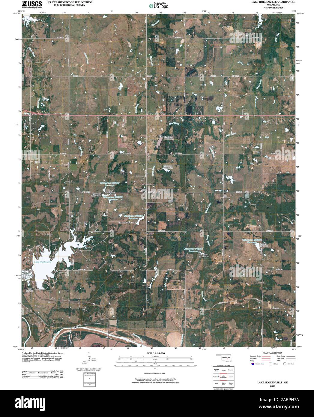 USGS TOPO Map Oklahoma OK Lake Holdenville 20100128 TM Restoration Stock Photohttps://www.alamy.com/image-license-details/?v=1https://www.alamy.com/usgs-topo-map-oklahoma-ok-lake-holdenville-20100128-tm-restoration-image334254686.html
RM2ABPH7A–USGS TOPO Map Oklahoma OK Lake Holdenville 20100128 TM Restoration
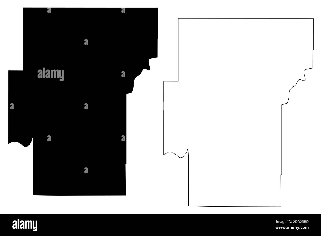 Hughes County, Oklahoma State (U.S. county, United States of America, USA, U.S., US) map vector illustration, scribble sketch Hughes map Stock Vectorhttps://www.alamy.com/image-license-details/?v=1https://www.alamy.com/hughes-county-oklahoma-state-us-county-united-states-of-america-usa-us-us-map-vector-illustration-scribble-sketch-hughes-map-image386666769.html
RF2DD25BD–Hughes County, Oklahoma State (U.S. county, United States of America, USA, U.S., US) map vector illustration, scribble sketch Hughes map
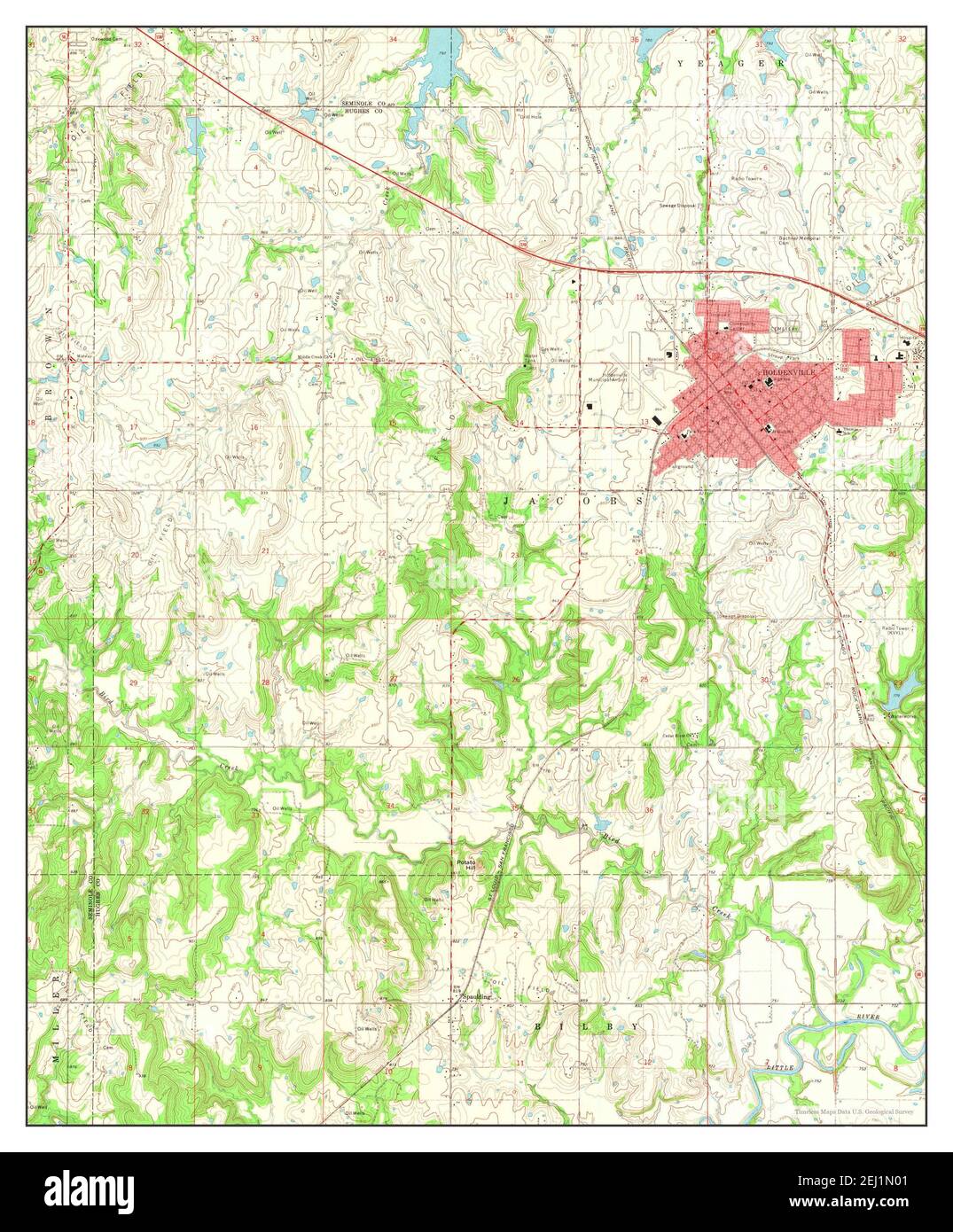 Holdenville, Oklahoma, map 1972, 1:24000, United States of America by Timeless Maps, data U.S. Geological Survey Stock Photohttps://www.alamy.com/image-license-details/?v=1https://www.alamy.com/holdenville-oklahoma-map-1972-124000-united-states-of-america-by-timeless-maps-data-us-geological-survey-image406940689.html
RM2EJ1N01–Holdenville, Oklahoma, map 1972, 1:24000, United States of America by Timeless Maps, data U.S. Geological Survey
 USGS TOPO Map Oklahoma OK Holdenville 20121127 TM Inverted Restoration Stock Photohttps://www.alamy.com/image-license-details/?v=1https://www.alamy.com/usgs-topo-map-oklahoma-ok-holdenville-20121127-tm-inverted-restoration-image334243988.html
RM2ABP3H8–USGS TOPO Map Oklahoma OK Holdenville 20121127 TM Inverted Restoration
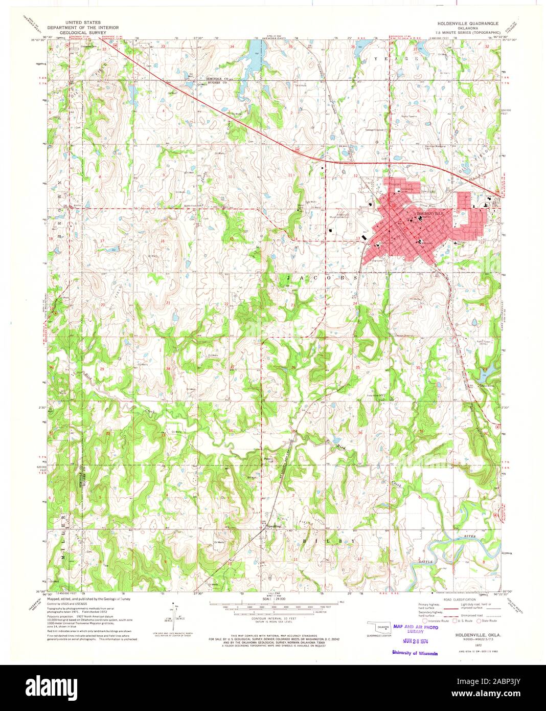 USGS TOPO Map Oklahoma OK Holdenville 706058 1972 24000 Restoration Stock Photohttps://www.alamy.com/image-license-details/?v=1https://www.alamy.com/usgs-topo-map-oklahoma-ok-holdenville-706058-1972-24000-restoration-image334244035.html
RM2ABP3JY–USGS TOPO Map Oklahoma OK Holdenville 706058 1972 24000 Restoration
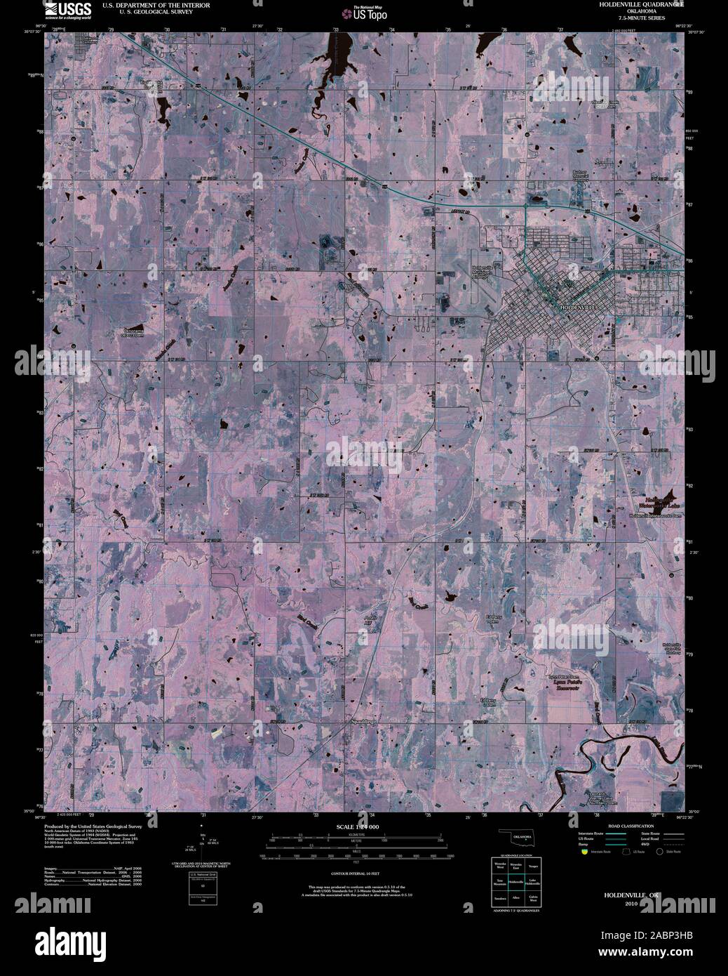 USGS TOPO Map Oklahoma OK Holdenville 20100128 TM Inverted Restoration Stock Photohttps://www.alamy.com/image-license-details/?v=1https://www.alamy.com/usgs-topo-map-oklahoma-ok-holdenville-20100128-tm-inverted-restoration-image334243991.html
RM2ABP3HB–USGS TOPO Map Oklahoma OK Holdenville 20100128 TM Inverted Restoration
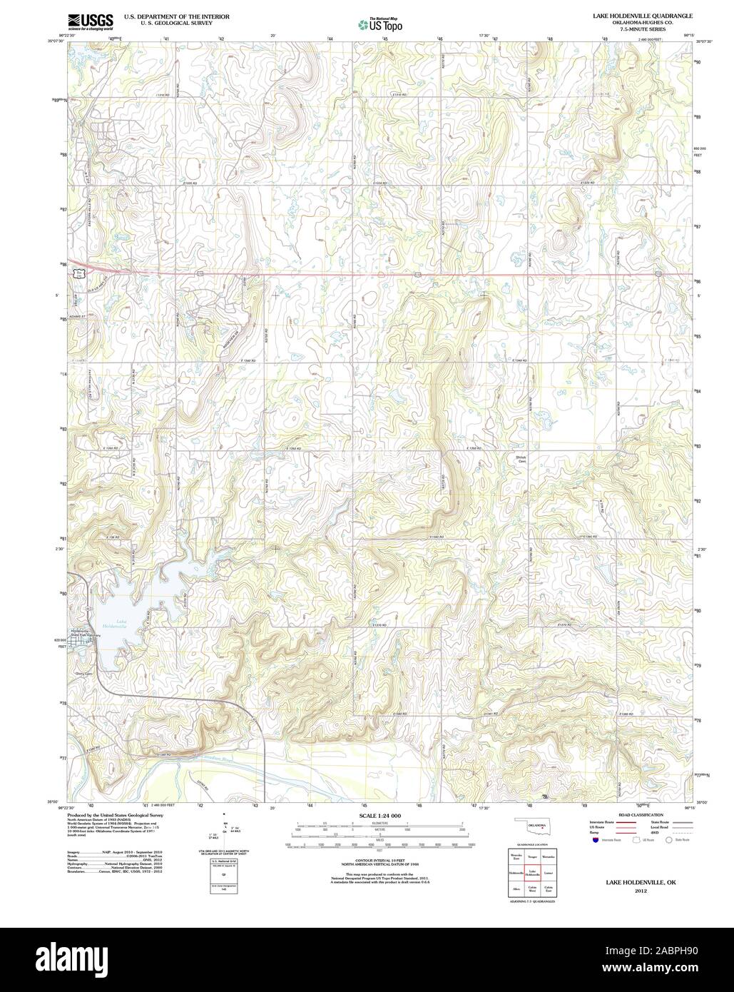 USGS TOPO Map Oklahoma OK Lake Holdenville 20121106 TM Restoration Stock Photohttps://www.alamy.com/image-license-details/?v=1https://www.alamy.com/usgs-topo-map-oklahoma-ok-lake-holdenville-20121106-tm-restoration-image334254732.html
RM2ABPH90–USGS TOPO Map Oklahoma OK Lake Holdenville 20121106 TM Restoration
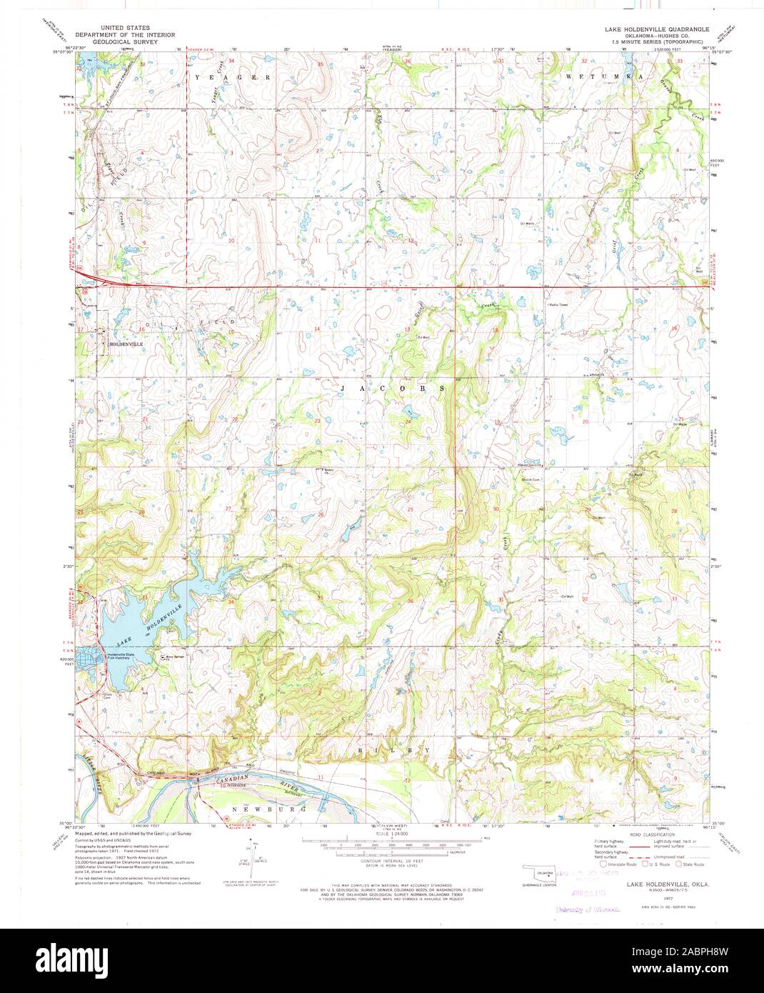 USGS TOPO Map Oklahoma OK Lake Holdenville 706195 1972 24000 Restoration Stock Photohttps://www.alamy.com/image-license-details/?v=1https://www.alamy.com/usgs-topo-map-oklahoma-ok-lake-holdenville-706195-1972-24000-restoration-image334254729.html
RM2ABPH8W–USGS TOPO Map Oklahoma OK Lake Holdenville 706195 1972 24000 Restoration
 USGS TOPO Map Oklahoma OK Lake Holdenville 706194 1972 24000 Restoration Stock Photohttps://www.alamy.com/image-license-details/?v=1https://www.alamy.com/usgs-topo-map-oklahoma-ok-lake-holdenville-706194-1972-24000-restoration-image334254738.html
RM2ABPH96–USGS TOPO Map Oklahoma OK Lake Holdenville 706194 1972 24000 Restoration
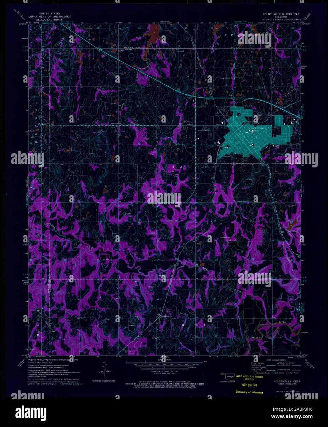 USGS TOPO Map Oklahoma OK Holdenville 706058 1972 24000 Inverted Restoration Stock Photohttps://www.alamy.com/image-license-details/?v=1https://www.alamy.com/usgs-topo-map-oklahoma-ok-holdenville-706058-1972-24000-inverted-restoration-image334243986.html
RM2ABP3H6–USGS TOPO Map Oklahoma OK Holdenville 706058 1972 24000 Inverted Restoration
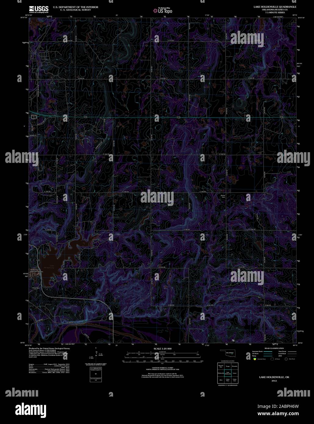 USGS TOPO Map Oklahoma OK Lake Holdenville 20121106 TM Inverted Restoration Stock Photohttps://www.alamy.com/image-license-details/?v=1https://www.alamy.com/usgs-topo-map-oklahoma-ok-lake-holdenville-20121106-tm-inverted-restoration-image334254673.html
RM2ABPH6W–USGS TOPO Map Oklahoma OK Lake Holdenville 20121106 TM Inverted Restoration
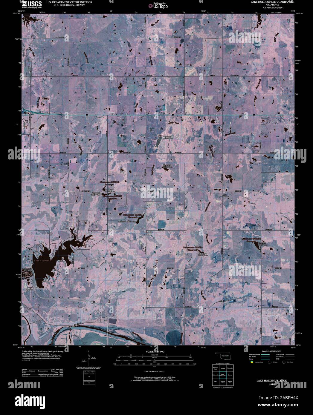 USGS TOPO Map Oklahoma OK Lake Holdenville 20100128 TM Inverted Restoration Stock Photohttps://www.alamy.com/image-license-details/?v=1https://www.alamy.com/usgs-topo-map-oklahoma-ok-lake-holdenville-20100128-tm-inverted-restoration-image334254618.html
RM2ABPH4X–USGS TOPO Map Oklahoma OK Lake Holdenville 20100128 TM Inverted Restoration
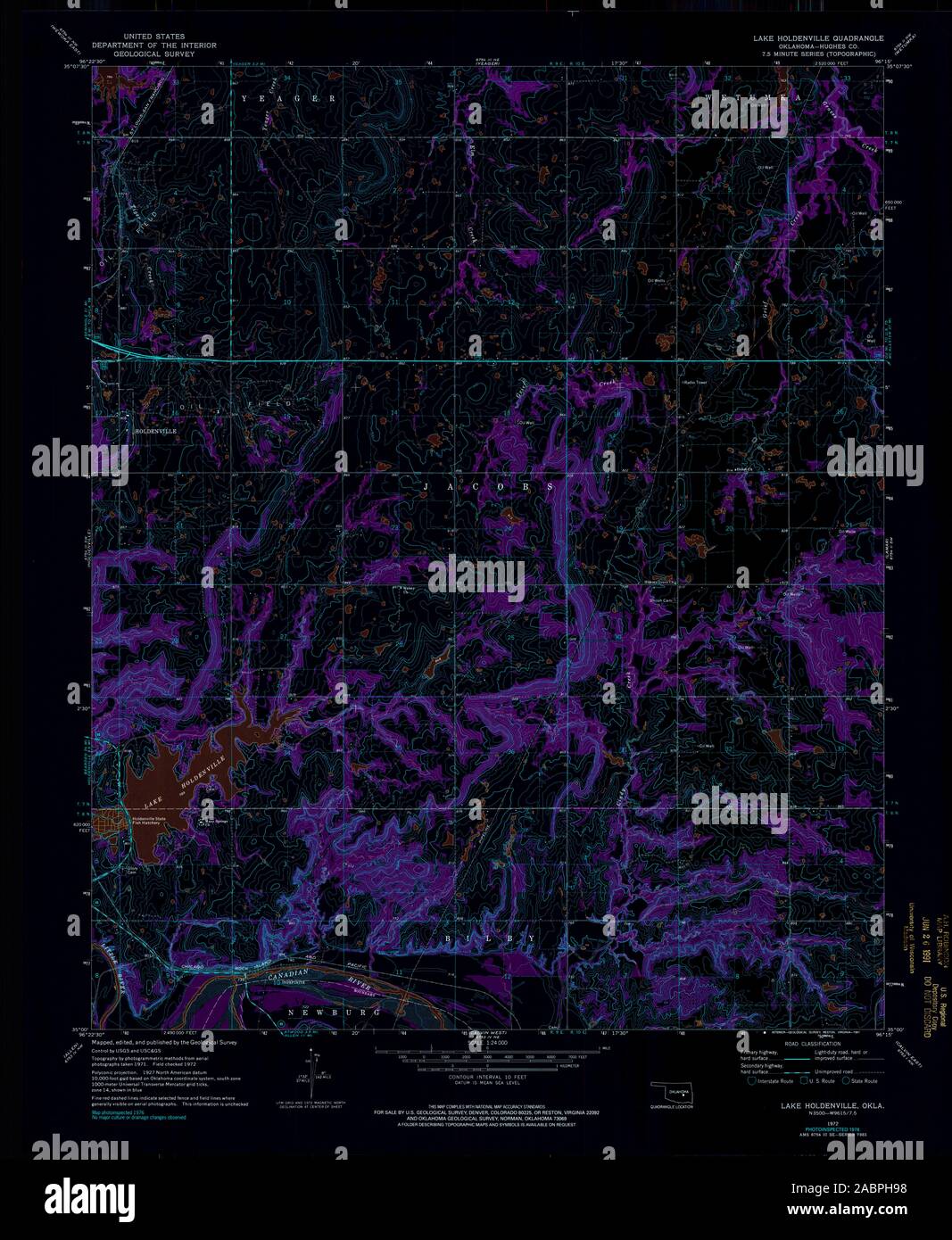 USGS TOPO Map Oklahoma OK Lake Holdenville 706194 1972 24000 Inverted Restoration Stock Photohttps://www.alamy.com/image-license-details/?v=1https://www.alamy.com/usgs-topo-map-oklahoma-ok-lake-holdenville-706194-1972-24000-inverted-restoration-image334254740.html
RM2ABPH98–USGS TOPO Map Oklahoma OK Lake Holdenville 706194 1972 24000 Inverted Restoration
 USGS TOPO Map Oklahoma OK Lake Holdenville 706195 1972 24000 Inverted Restoration Stock Photohttps://www.alamy.com/image-license-details/?v=1https://www.alamy.com/usgs-topo-map-oklahoma-ok-lake-holdenville-706195-1972-24000-inverted-restoration-image334254731.html
RM2ABPH8Y–USGS TOPO Map Oklahoma OK Lake Holdenville 706195 1972 24000 Inverted Restoration