Quick filters:
Honduras map Stock Photos and Images
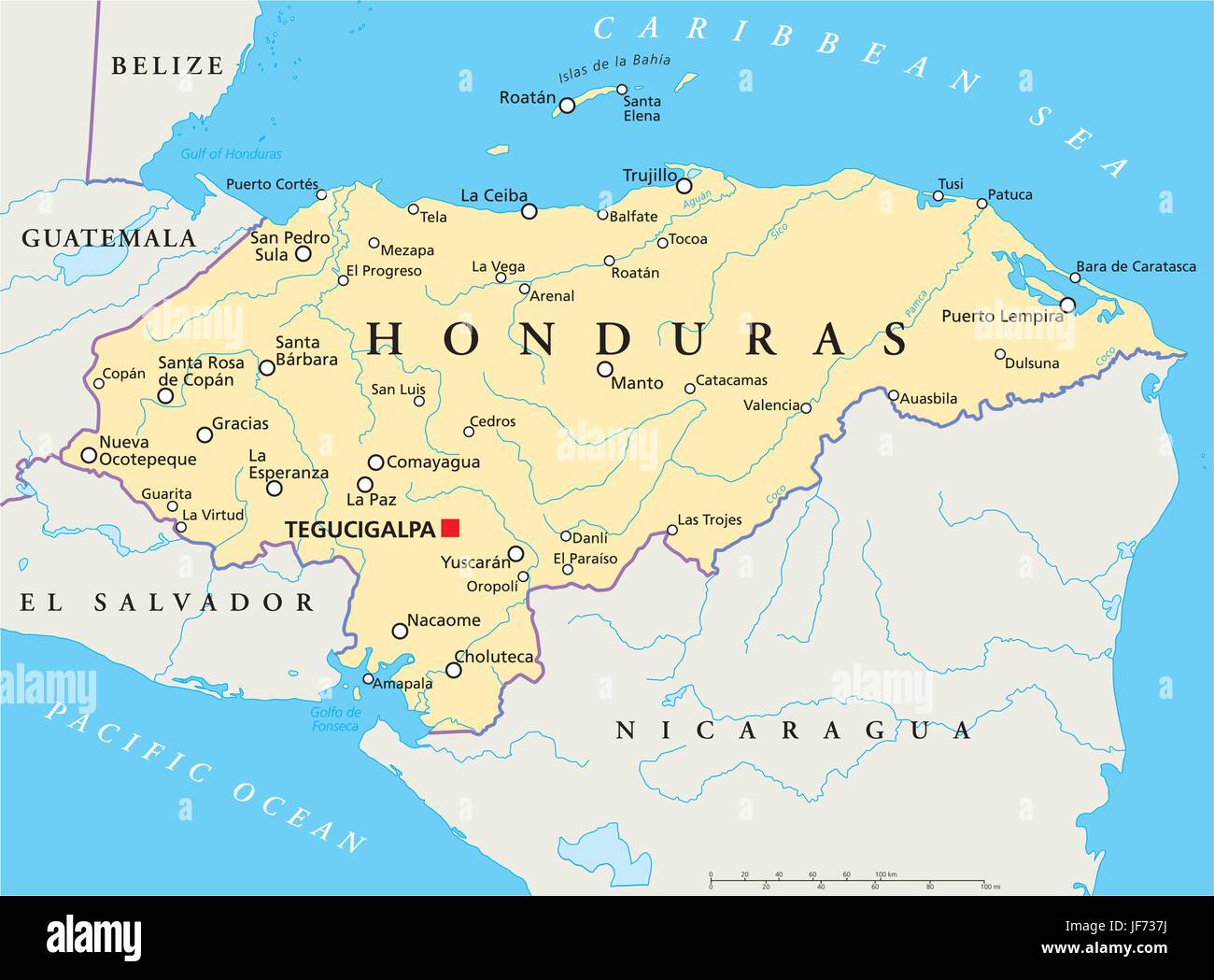 travel, honduras, map, atlas, map of the world, travel, america, central Stock Vectorhttps://www.alamy.com/image-license-details/?v=1https://www.alamy.com/stock-photo-travel-honduras-map-atlas-map-of-the-world-travel-america-central-147059014.html
RFJF737J–travel, honduras, map, atlas, map of the world, travel, america, central
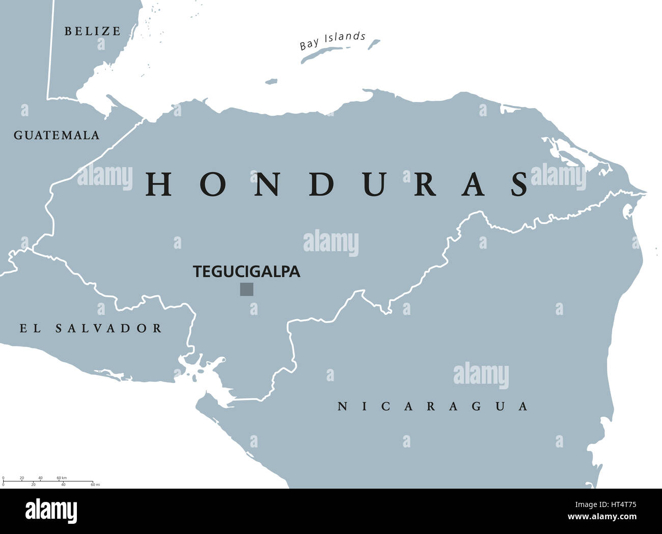 Honduras political map with capital Tegucigalpa, national borders and neighbors. Republic and country in Central America. Spanish Honduras. Gray illus Stock Photohttps://www.alamy.com/image-license-details/?v=1https://www.alamy.com/stock-photo-honduras-political-map-with-capital-tegucigalpa-national-borders-and-135331145.html
RFHT4T75–Honduras political map with capital Tegucigalpa, national borders and neighbors. Republic and country in Central America. Spanish Honduras. Gray illus
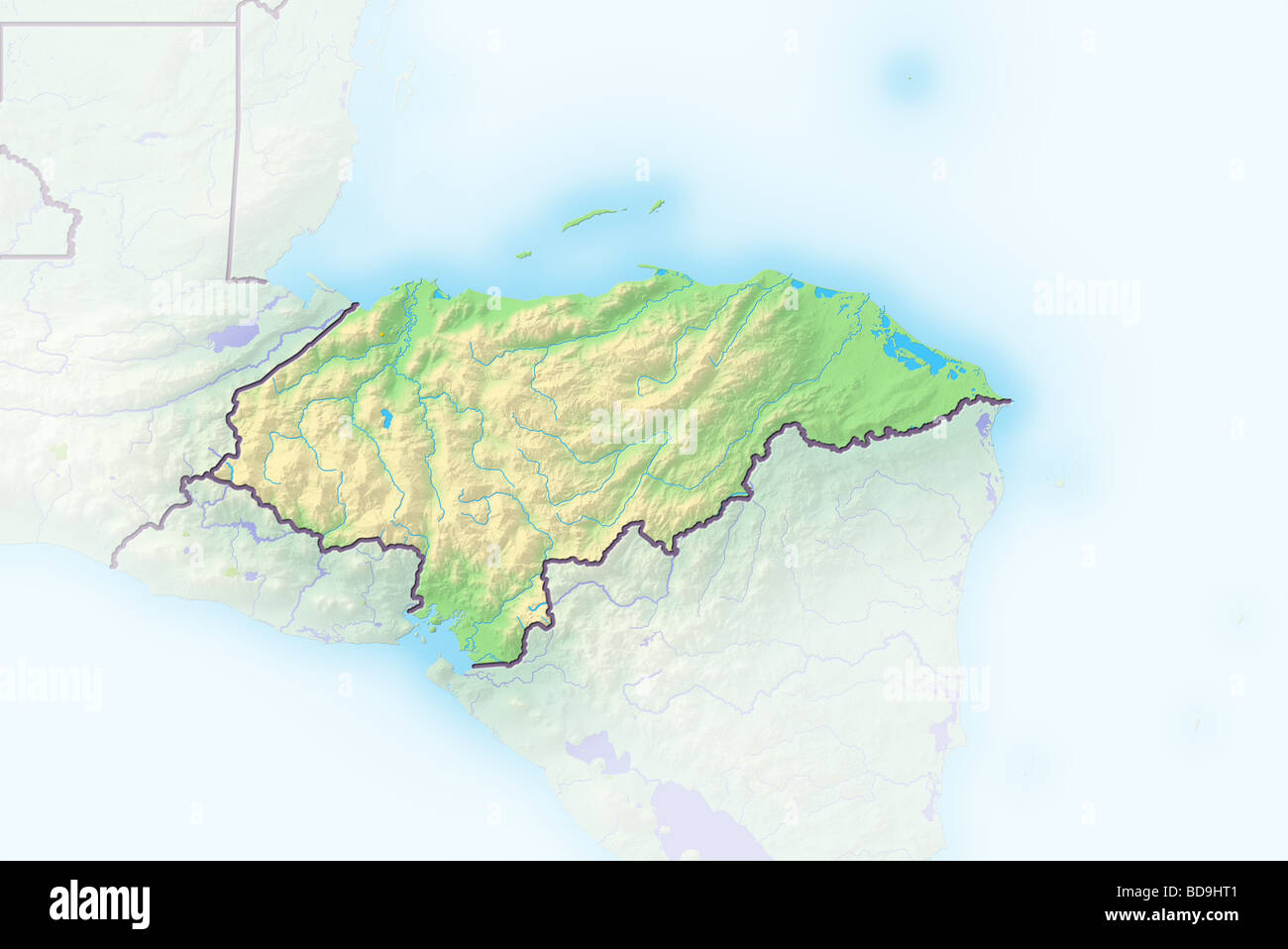 Honduras, shaded relief map. Stock Photohttps://www.alamy.com/image-license-details/?v=1https://www.alamy.com/stock-photo-honduras-shaded-relief-map-25412465.html
RFBD9HT1–Honduras, shaded relief map.
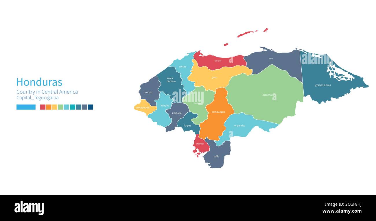 Honduras map. Colorful detailed vector map of the Central america, Caribbean country. Stock Vectorhttps://www.alamy.com/image-license-details/?v=1https://www.alamy.com/honduras-map-colorful-detailed-vector-map-of-the-central-america-caribbean-country-image371588270.html
RF2CGF8HJ–Honduras map. Colorful detailed vector map of the Central america, Caribbean country.
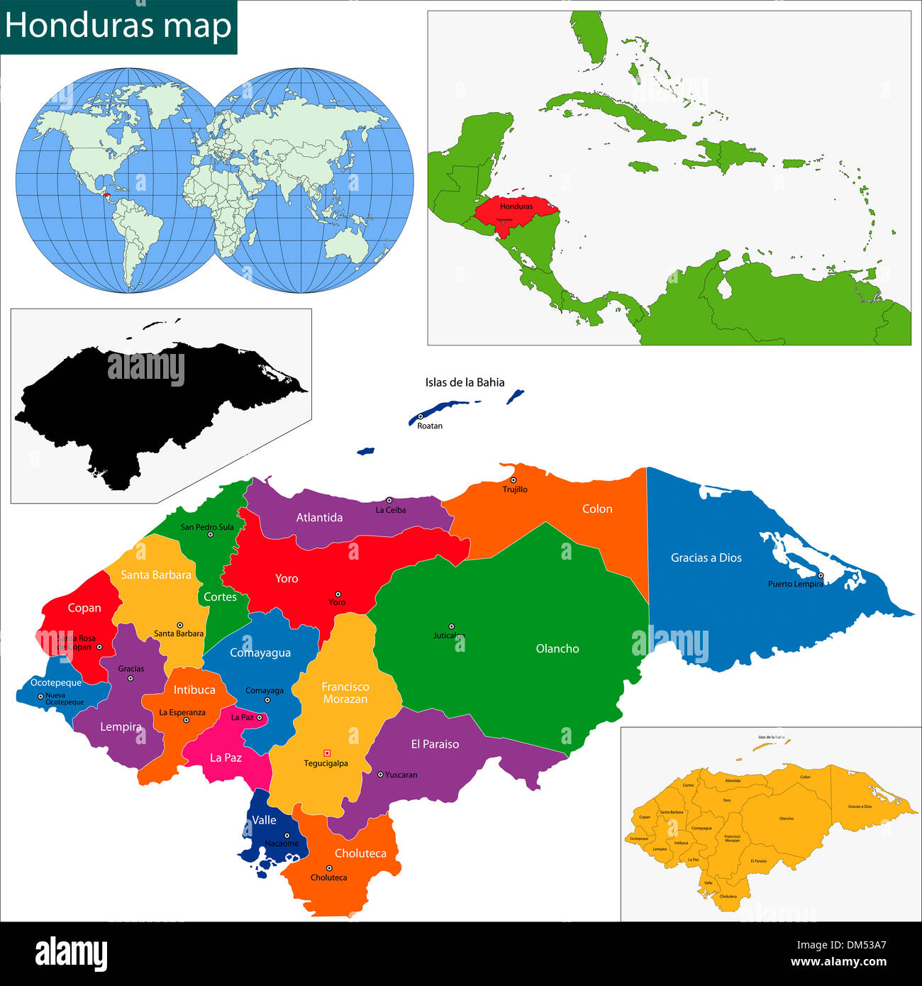 Honduras map Stock Photohttps://www.alamy.com/image-license-details/?v=1https://www.alamy.com/honduras-map-image64036623.html
RFDM53A7–Honduras map
 Red arrow pointing Honduras on the map of south America continent Stock Photohttps://www.alamy.com/image-license-details/?v=1https://www.alamy.com/stock-photo-red-arrow-pointing-honduras-on-the-map-of-south-america-continent-129379402.html
RMHEDMMX–Red arrow pointing Honduras on the map of south America continent
 Honduras map flag on red hex code burst illustration Stock Photohttps://www.alamy.com/image-license-details/?v=1https://www.alamy.com/stock-photo-honduras-map-flag-on-red-hex-code-burst-illustration-135195484.html
RFHRXK64–Honduras map flag on red hex code burst illustration
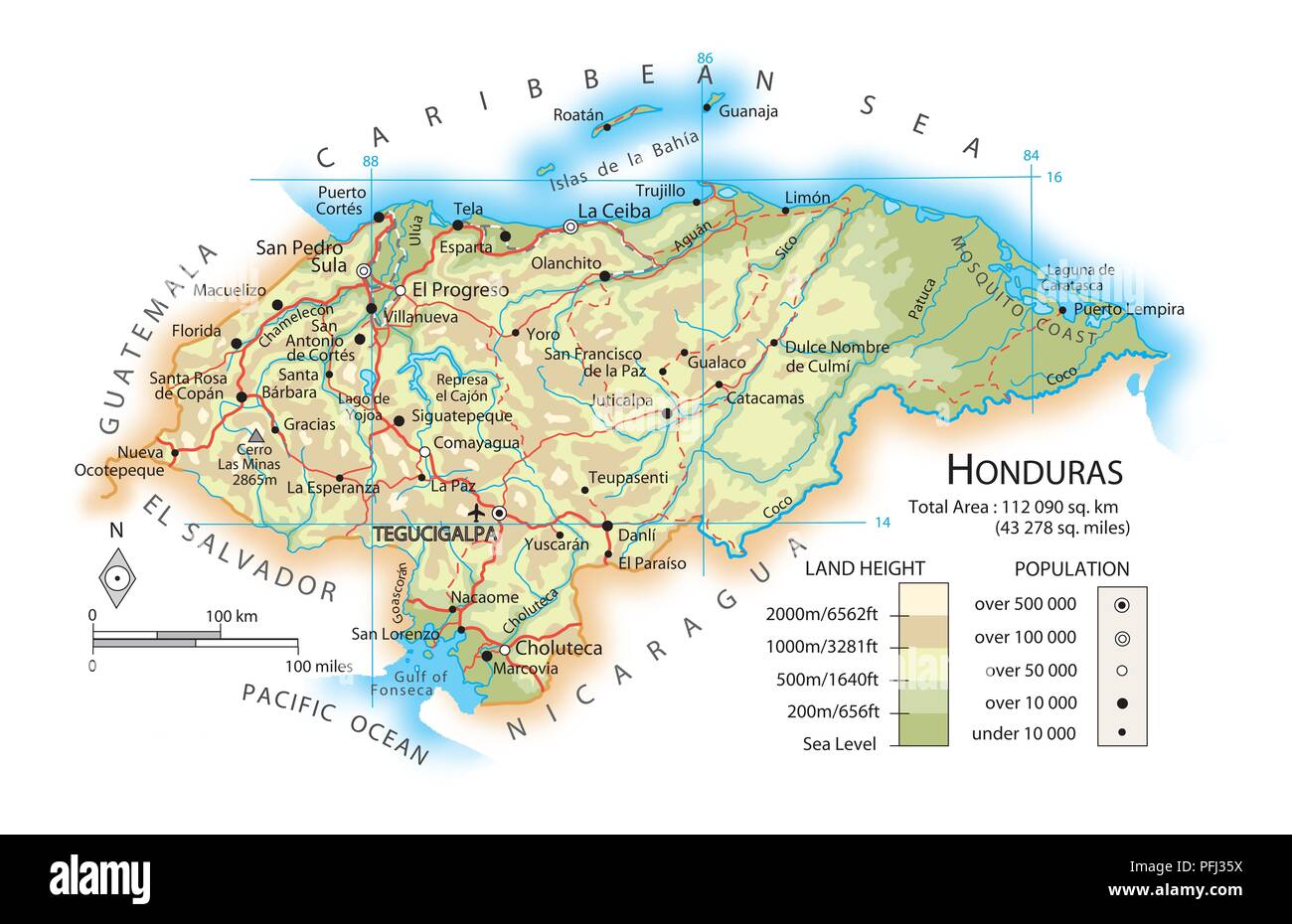 Map of Honduras Stock Photohttps://www.alamy.com/image-license-details/?v=1https://www.alamy.com/map-of-honduras-image216141910.html
RMPFJ35X–Map of Honduras
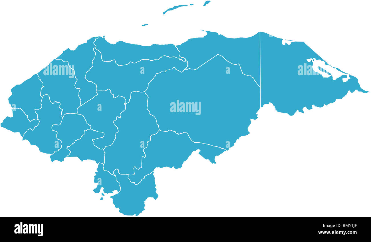 There is a map of Honduras country Stock Photohttps://www.alamy.com/image-license-details/?v=1https://www.alamy.com/stock-photo-there-is-a-map-of-honduras-country-30115527.html
RFBMYTJF–There is a map of Honduras country
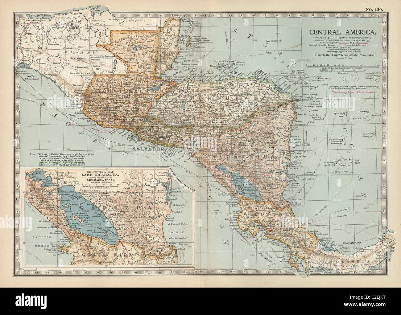 Map of Central America Stock Photohttps://www.alamy.com/image-license-details/?v=1https://www.alamy.com/stock-photo-map-of-central-america-35972044.html
RMC2EJKT–Map of Central America
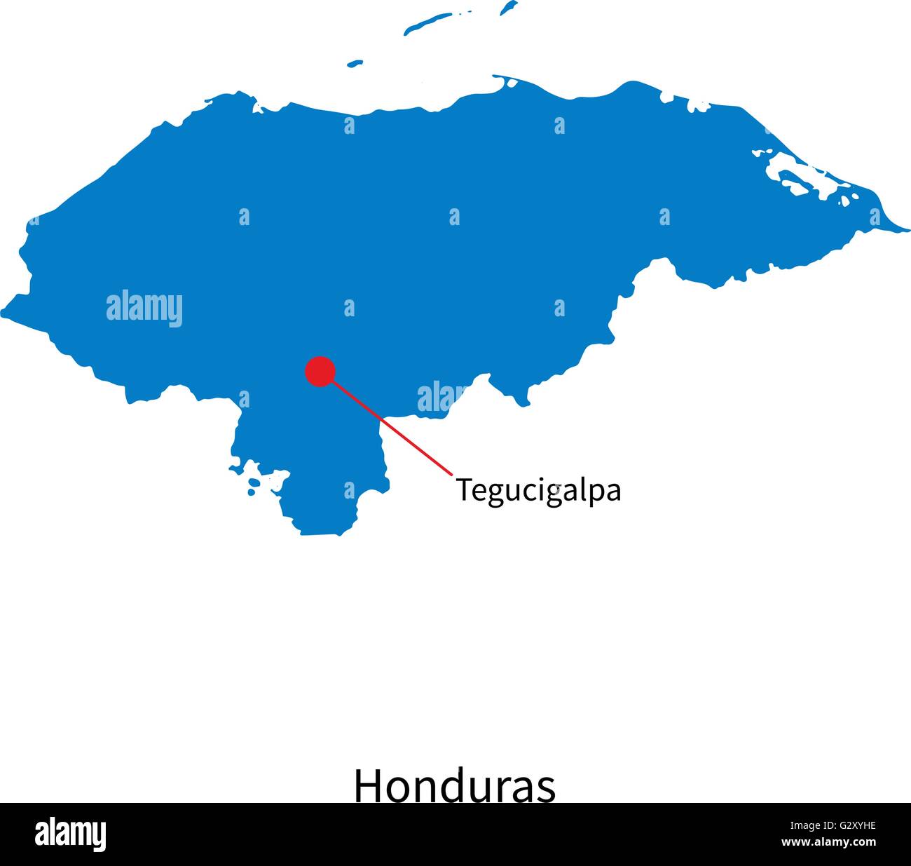 Detailed vector map of Honduras and capital city Tegucigalpa Stock Vectorhttps://www.alamy.com/image-license-details/?v=1https://www.alamy.com/stock-photo-detailed-vector-map-of-honduras-and-capital-city-tegucigalpa-105083930.html
RFG2XYHE–Detailed vector map of Honduras and capital city Tegucigalpa
 Photo of a map of Honduras and the capital Tegucigalpa . Stock Photohttps://www.alamy.com/image-license-details/?v=1https://www.alamy.com/stock-photo-photo-of-a-map-of-honduras-and-the-capital-tegucigalpa-101043149.html
RFFTAWFW–Photo of a map of Honduras and the capital Tegucigalpa .
 Honduras map dotted on white background vector isolated. Illustration for technology design or infographics. Isolated on white background. Stock Vectorhttps://www.alamy.com/image-license-details/?v=1https://www.alamy.com/honduras-map-dotted-on-white-background-vector-isolated-illustration-for-technology-design-or-infographics-isolated-on-white-background-image352677404.html
RF2BDNRHG–Honduras map dotted on white background vector isolated. Illustration for technology design or infographics. Isolated on white background.
 Honduras map button in responsive flat web design map button isolated with clipping path. Stock Photohttps://www.alamy.com/image-license-details/?v=1https://www.alamy.com/honduras-map-button-in-responsive-flat-web-design-map-button-isolated-image68147488.html
RMDXTAPT–Honduras map button in responsive flat web design map button isolated with clipping path.
 Honduras Map Flag. Map of the Republic of Honduras with the Honduran country banner. Vector Illustration. Stock Vectorhttps://www.alamy.com/image-license-details/?v=1https://www.alamy.com/honduras-map-flag-map-of-the-republic-of-honduras-with-the-honduran-country-banner-vector-illustration-image465272413.html
RF2J0XYKW–Honduras Map Flag. Map of the Republic of Honduras with the Honduran country banner. Vector Illustration.
 Honduras map shape with waving flag background. Alpha channel outline of country. Stock Photohttps://www.alamy.com/image-license-details/?v=1https://www.alamy.com/honduras-map-shape-with-waving-flag-background-alpha-channel-outline-of-country-image484767675.html
RF2K4K237–Honduras map shape with waving flag background. Alpha channel outline of country.
 Honduras Map Stock Photohttps://www.alamy.com/image-license-details/?v=1https://www.alamy.com/stock-photo-honduras-map-103278432.html
RMG00MKC–Honduras Map
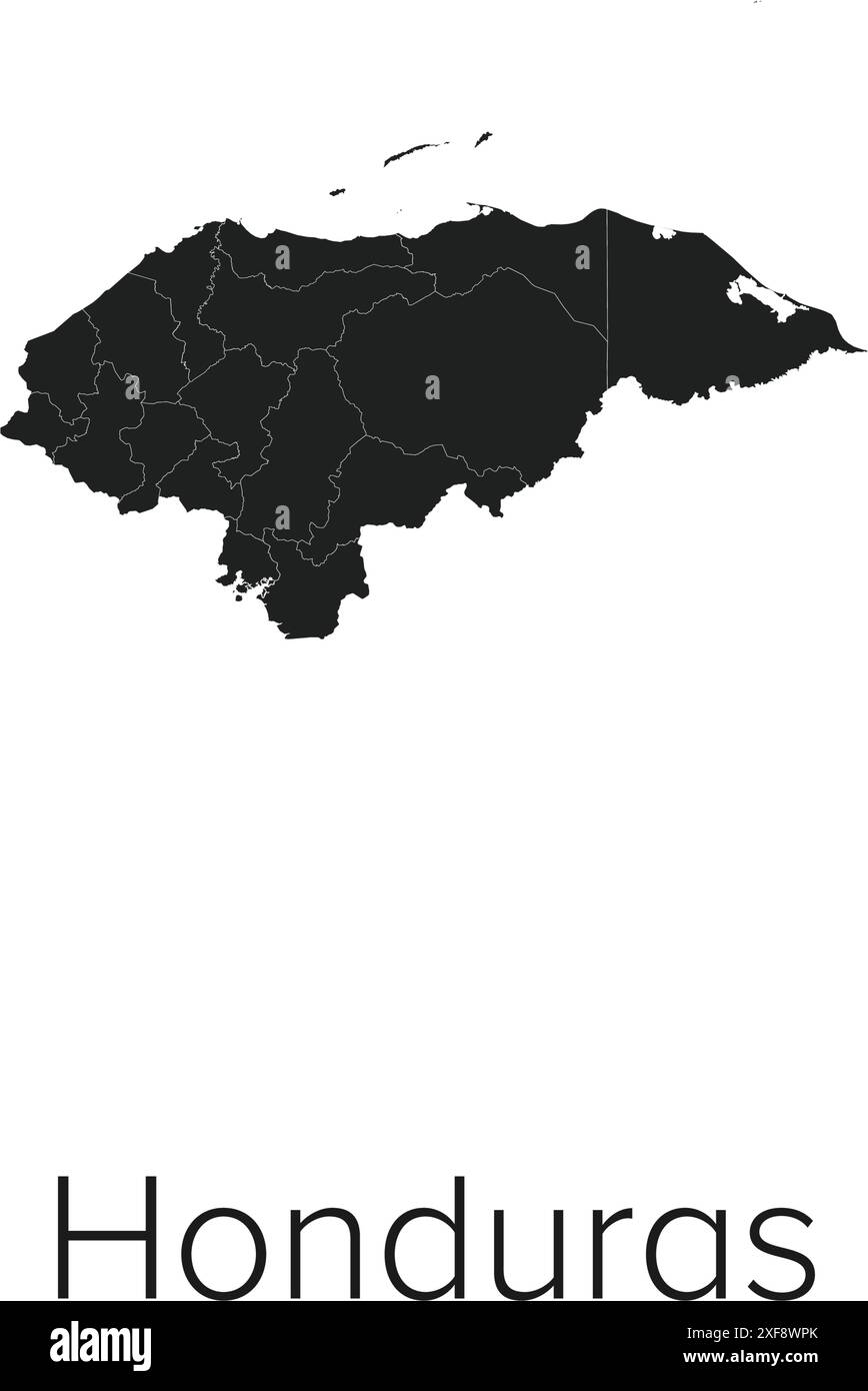 Honduras Map Vector Illustration - Silhouette, Outline, Honduras Travel and Tourism Map Stock Vectorhttps://www.alamy.com/image-license-details/?v=1https://www.alamy.com/honduras-map-vector-illustration-silhouette-outline-honduras-travel-and-tourism-map-image611778571.html
RF2XF8WPK–Honduras Map Vector Illustration - Silhouette, Outline, Honduras Travel and Tourism Map
 Honduras map with clipping path to remove shadow 3d illustration Stock Photohttps://www.alamy.com/image-license-details/?v=1https://www.alamy.com/honduras-map-with-clipping-path-to-remove-shadow-3d-illustration-image501673567.html
RF2M455N3–Honduras map with clipping path to remove shadow 3d illustration
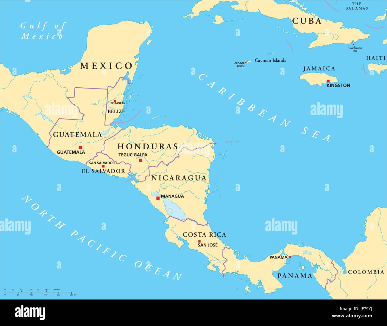 america, central america, guatemala, central, honduras, map, nicaragua, atlas, Stock Vectorhttps://www.alamy.com/image-license-details/?v=1https://www.alamy.com/stock-photo-america-central-america-guatemala-central-honduras-map-nicaragua-atlas-147064278.html
RFJF79YJ–america, central america, guatemala, central, honduras, map, nicaragua, atlas,
 Honduras Political Map with capital Tegucigalpa, national borders, most important cities, rivers and lakes. English labeling. Stock Photohttps://www.alamy.com/image-license-details/?v=1https://www.alamy.com/stock-photo-honduras-political-map-with-capital-tegucigalpa-national-borders-most-72633370.html
RFE64MGX–Honduras Political Map with capital Tegucigalpa, national borders, most important cities, rivers and lakes. English labeling.
 Honduras Flag in Map, Honduras Map with Flag, Country Map, Honduras Map with Flag, Nation Flag Honduras Stock Vectorhttps://www.alamy.com/image-license-details/?v=1https://www.alamy.com/honduras-flag-in-map-honduras-map-with-flag-country-map-honduras-map-with-flag-nation-flag-honduras-image619310664.html
RF2XYG120–Honduras Flag in Map, Honduras Map with Flag, Country Map, Honduras Map with Flag, Nation Flag Honduras
 Honduras Map. 3d rendering maps of countries. Stock Photohttps://www.alamy.com/image-license-details/?v=1https://www.alamy.com/honduras-map-3d-rendering-maps-of-countries-image397341480.html
RF2E2CD34–Honduras Map. 3d rendering maps of countries.
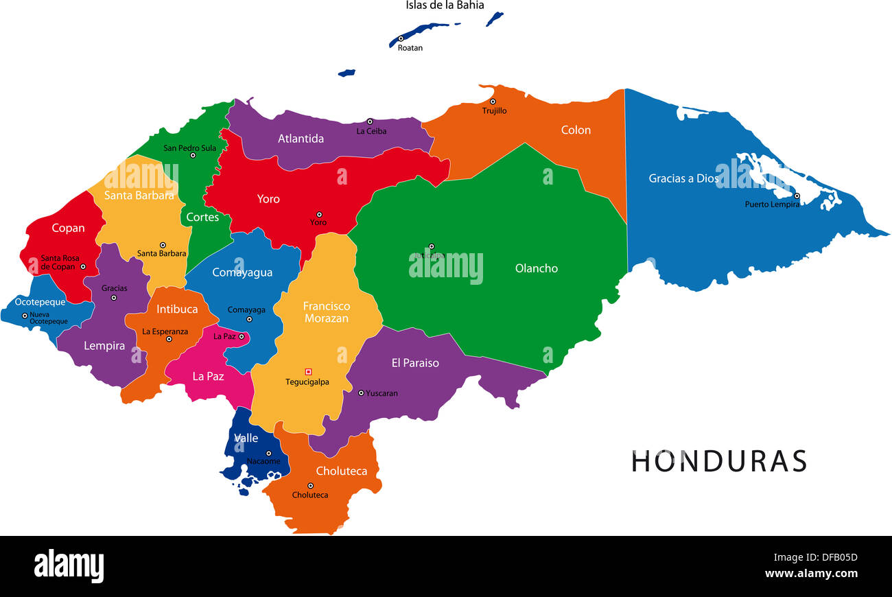 Honduras map Stock Photohttps://www.alamy.com/image-license-details/?v=1https://www.alamy.com/honduras-map-image61092569.html
RFDFB05D–Honduras map
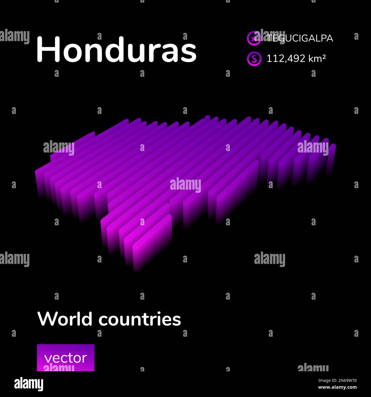 Honduras 3D map. Striped isometric neon vector Honduras map in violet colors. Geographic infographic map, poster, banner, template. Stock Vectorhttps://www.alamy.com/image-license-details/?v=1https://www.alamy.com/honduras-3d-map-striped-isometric-neon-vector-honduras-map-in-violet-colors-geographic-infographic-map-poster-banner-template-image520216340.html
RF2N69W70–Honduras 3D map. Striped isometric neon vector Honduras map in violet colors. Geographic infographic map, poster, banner, template.
 Honduras map flag in abstract ocean illustration Stock Photohttps://www.alamy.com/image-license-details/?v=1https://www.alamy.com/stock-photo-honduras-map-flag-in-abstract-ocean-illustration-54664259.html
RFD4X4PY–Honduras map flag in abstract ocean illustration
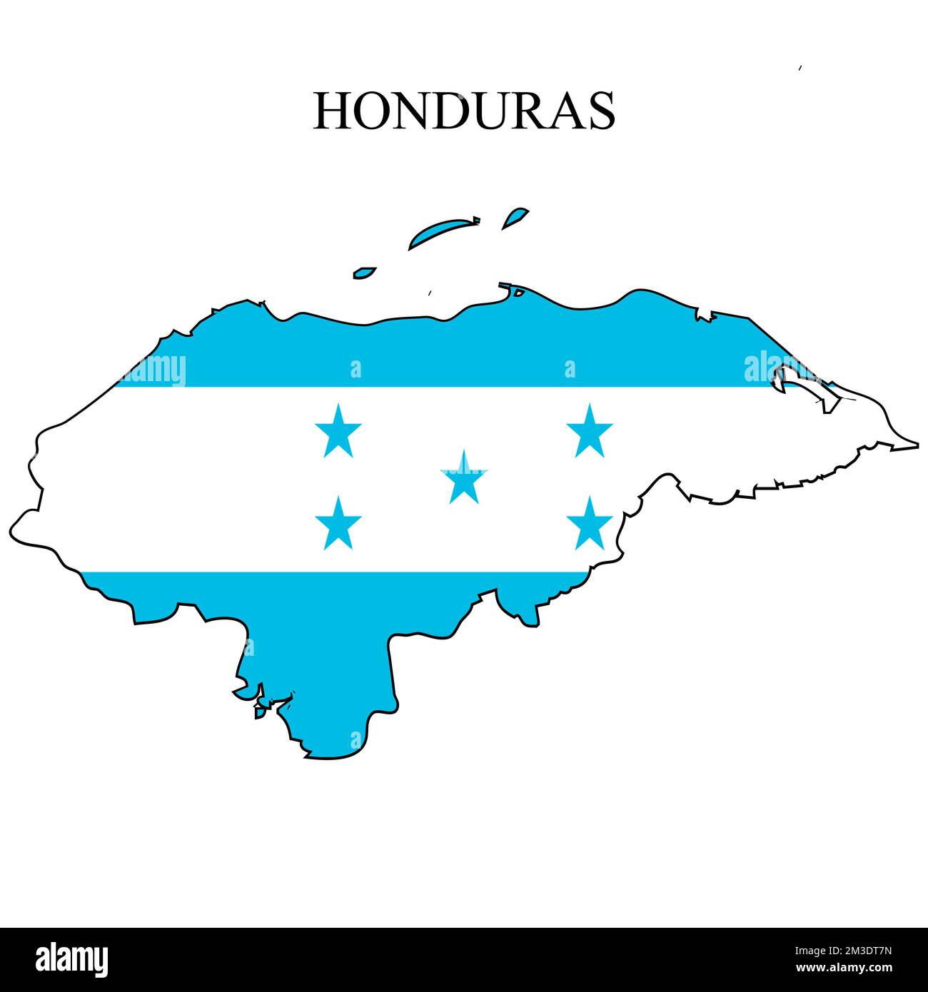 Honduras map vector illustration. Global economy. Famous country. Central America. America. Stock Vectorhttps://www.alamy.com/image-license-details/?v=1https://www.alamy.com/honduras-map-vector-illustration-global-economy-famous-country-central-america-america-image501249049.html
RF2M3DT7N–Honduras map vector illustration. Global economy. Famous country. Central America. America.
 Honduras map Stock Photohttps://www.alamy.com/image-license-details/?v=1https://www.alamy.com/stock-photo-honduras-map-16527873.html
RFAWBCNP–Honduras map
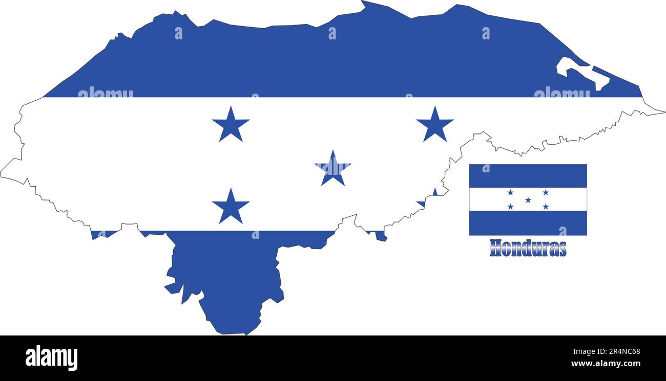 Honduras Map and Flag Stock Vectorhttps://www.alamy.com/image-license-details/?v=1https://www.alamy.com/honduras-map-and-flag-image553660976.html
RF2R4NC68–Honduras Map and Flag
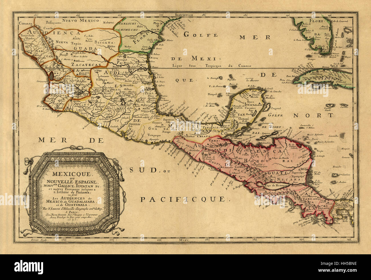 Map Of Central America 1656 Stock Photohttps://www.alamy.com/image-license-details/?v=1https://www.alamy.com/stock-photo-map-of-central-america-1656-131040714.html
RFHH5BNE–Map Of Central America 1656
 Honduras 3d silver map Stock Photohttps://www.alamy.com/image-license-details/?v=1https://www.alamy.com/stock-photo-honduras-3d-silver-map-26053667.html
RFBEARM3–Honduras 3d silver map
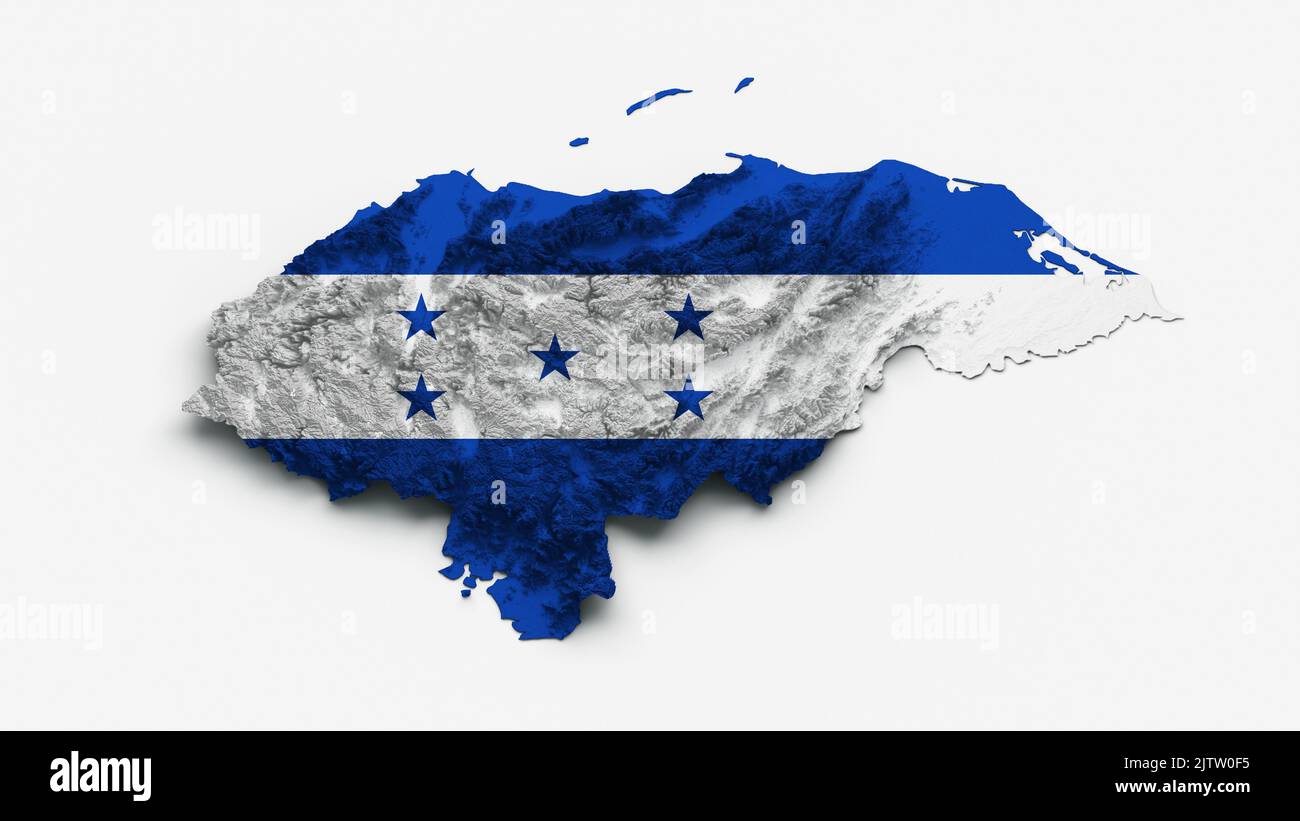 A 3d illustration of the Honduras Map and the flag with shaded relief on white background Stock Photohttps://www.alamy.com/image-license-details/?v=1https://www.alamy.com/a-3d-illustration-of-the-honduras-map-and-the-flag-with-shaded-relief-on-white-background-image479980905.html
RF2JTW0F5–A 3d illustration of the Honduras Map and the flag with shaded relief on white background
 Textured map of Honduras map with brown rock or stone texture, isolated on white background with clipping path. Stock Photohttps://www.alamy.com/image-license-details/?v=1https://www.alamy.com/stock-photo-textured-map-of-honduras-map-with-brown-rock-or-stone-texture-isolated-49745381.html
RMCTX2MN–Textured map of Honduras map with brown rock or stone texture, isolated on white background with clipping path.
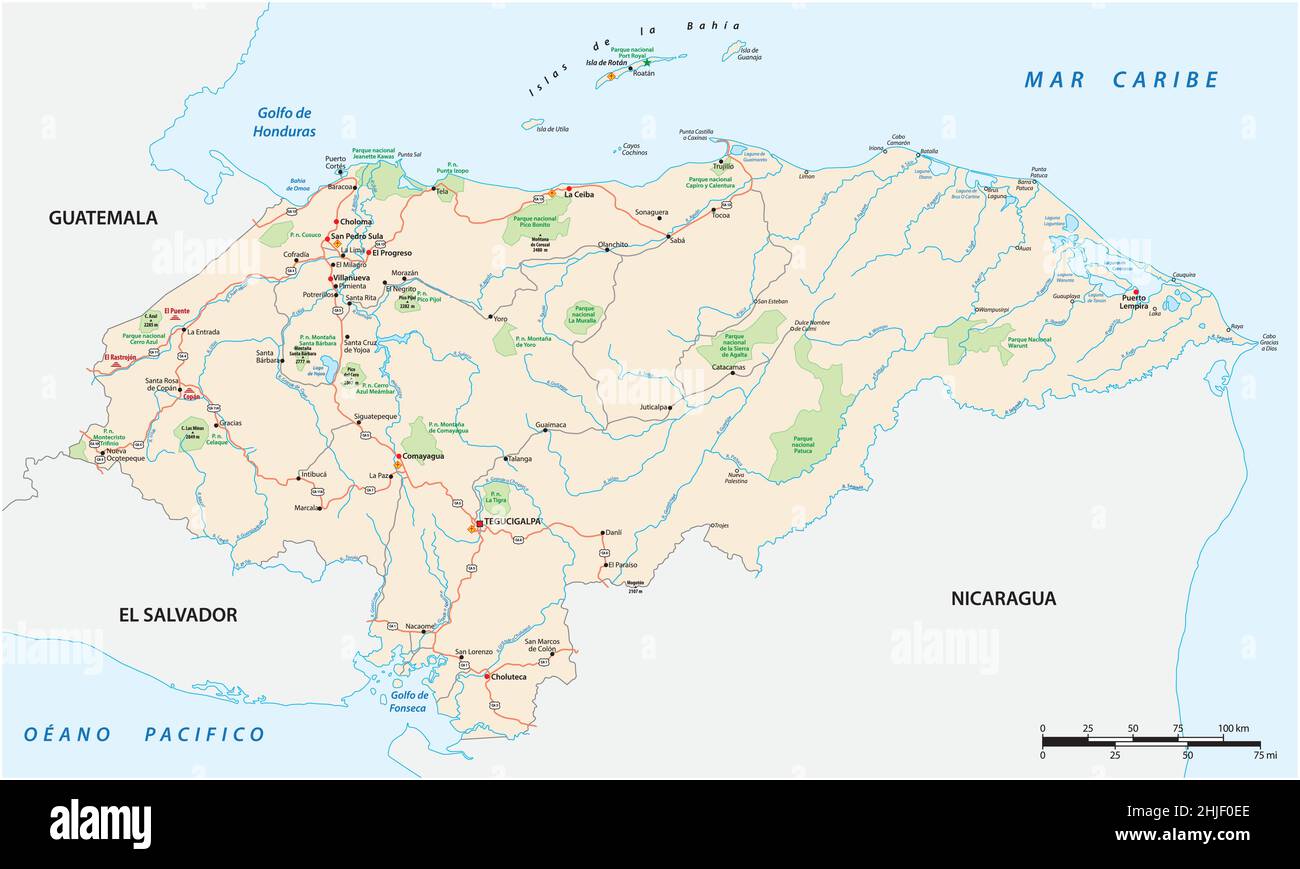 Road and National Park Map of the Central American State of Honduras Stock Vectorhttps://www.alamy.com/image-license-details/?v=1https://www.alamy.com/road-and-national-park-map-of-the-central-american-state-of-honduras-image458863062.html
RF2HJF0EE–Road and National Park Map of the Central American State of Honduras
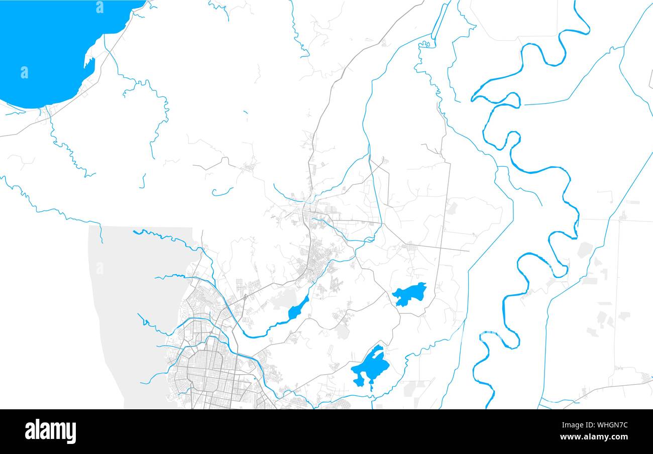 Rich detailed vector area map of Choloma, Cortés, Honduras. Map template for home decor. Stock Vectorhttps://www.alamy.com/image-license-details/?v=1https://www.alamy.com/rich-detailed-vector-area-map-of-choloma-corts-honduras-map-template-for-home-decor-image268972576.html
RFWHGN7C–Rich detailed vector area map of Choloma, Cortés, Honduras. Map template for home decor.
 Roasted brown coffee beans background with the shape of the word Honduras and the country geographical map outline. Image isolat Stock Photohttps://www.alamy.com/image-license-details/?v=1https://www.alamy.com/stock-photo-roasted-brown-coffee-beans-background-with-the-shape-of-the-word-honduras-90668315.html
RFF7E8A3–Roasted brown coffee beans background with the shape of the word Honduras and the country geographical map outline. Image isolat
 Map Honduras Stock Photohttps://www.alamy.com/image-license-details/?v=1https://www.alamy.com/stock-photo-map-honduras-88532409.html
RFF40YYN–Map Honduras
RF2YG1GR5–honduras map icon illustration design
 america flag south honduras map atlas map of the world travel graphic black Stock Photohttps://www.alamy.com/image-license-details/?v=1https://www.alamy.com/stock-photo-america-flag-south-honduras-map-atlas-map-of-the-world-travel-graphic-141589063.html
RFJ69X87–america flag south honduras map atlas map of the world travel graphic black
 Honduras Map Drawing Unfolding Old Paper Scroll 3D Stock Photohttps://www.alamy.com/image-license-details/?v=1https://www.alamy.com/stock-photo-honduras-map-drawing-unfolding-old-paper-scroll-3d-93915710.html
RFFCP6CE–Honduras Map Drawing Unfolding Old Paper Scroll 3D
 Honduras MAP in Blue, Country Border, Honduras Map, Border line of Honduras, Geographic Map Stock Vectorhttps://www.alamy.com/image-license-details/?v=1https://www.alamy.com/honduras-map-in-blue-country-border-honduras-map-border-line-of-honduras-geographic-map-image633376530.html
RF2YPCP6A–Honduras MAP in Blue, Country Border, Honduras Map, Border line of Honduras, Geographic Map
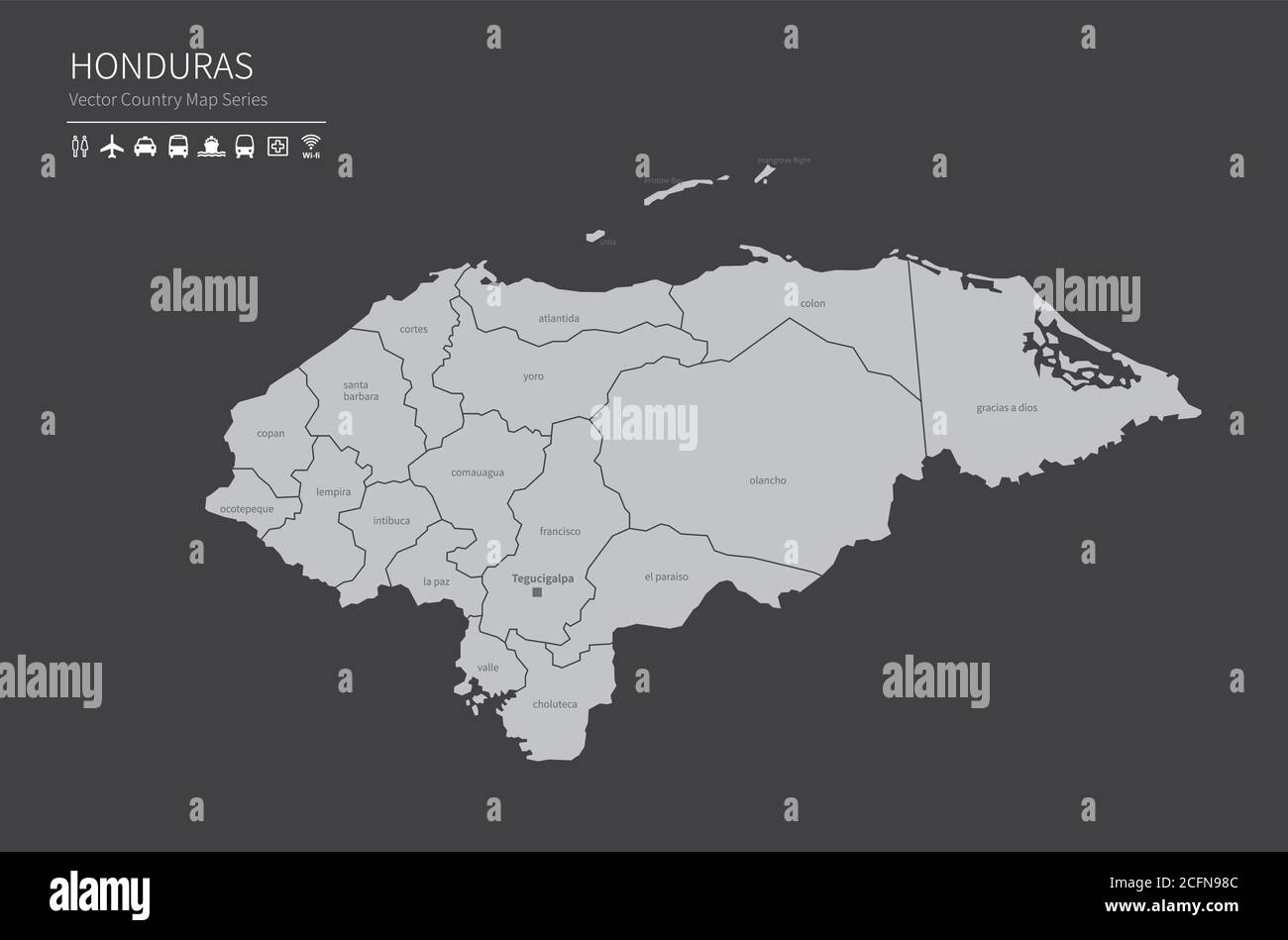 Honduras map. National map of the world. Gray colored countries map series. Stock Vectorhttps://www.alamy.com/image-license-details/?v=1https://www.alamy.com/honduras-map-national-map-of-the-world-gray-colored-countries-map-series-image371105852.html
RF2CFN98C–Honduras map. National map of the world. Gray colored countries map series.
 Honduras map with drawn lines and blue watercolor illustration Stock Photohttps://www.alamy.com/image-license-details/?v=1https://www.alamy.com/honduras-map-with-drawn-lines-and-blue-watercolor-illustration-image424625828.html
RF2FJRAG4–Honduras map with drawn lines and blue watercolor illustration
 Trujillo pinned on a map of Honduras Stock Photohttps://www.alamy.com/image-license-details/?v=1https://www.alamy.com/stock-photo-trujillo-pinned-on-a-map-of-honduras-121868903.html
RFH27H0R–Trujillo pinned on a map of Honduras
 Business people shaking hands on Honduras map flag illustration Stock Photohttps://www.alamy.com/image-license-details/?v=1https://www.alamy.com/stock-photo-business-people-shaking-hands-on-honduras-map-flag-illustration-33054335.html
RFBWNN3Y–Business people shaking hands on Honduras map flag illustration
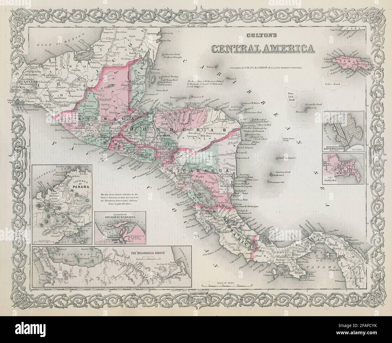 Colton's Central America. Decorative antique map. Honduras Guatemala 1869 Stock Photohttps://www.alamy.com/image-license-details/?v=1https://www.alamy.com/coltons-central-america-decorative-antique-map-honduras-guatemala-1869-image419534855.html
RF2FAFCYK–Colton's Central America. Decorative antique map. Honduras Guatemala 1869
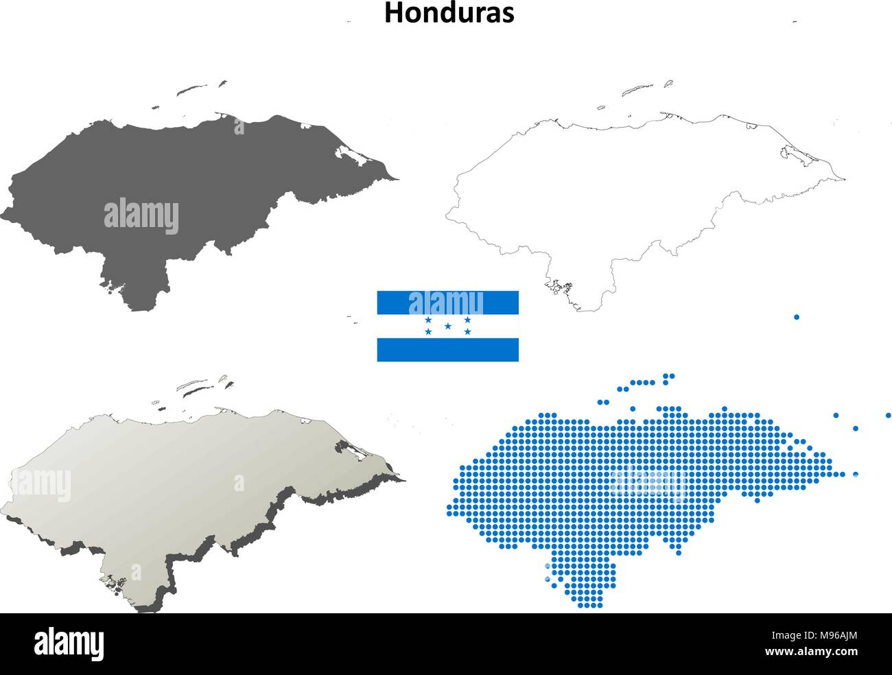 Honduras outline map set Stock Vectorhttps://www.alamy.com/image-license-details/?v=1https://www.alamy.com/honduras-outline-map-set-image177775660.html
RFM96AJM–Honduras outline map set
 Honduras map on a brick wall Stock Vectorhttps://www.alamy.com/image-license-details/?v=1https://www.alamy.com/stock-photo-honduras-map-on-a-brick-wall-116291590.html
RFGN5F32–Honduras map on a brick wall
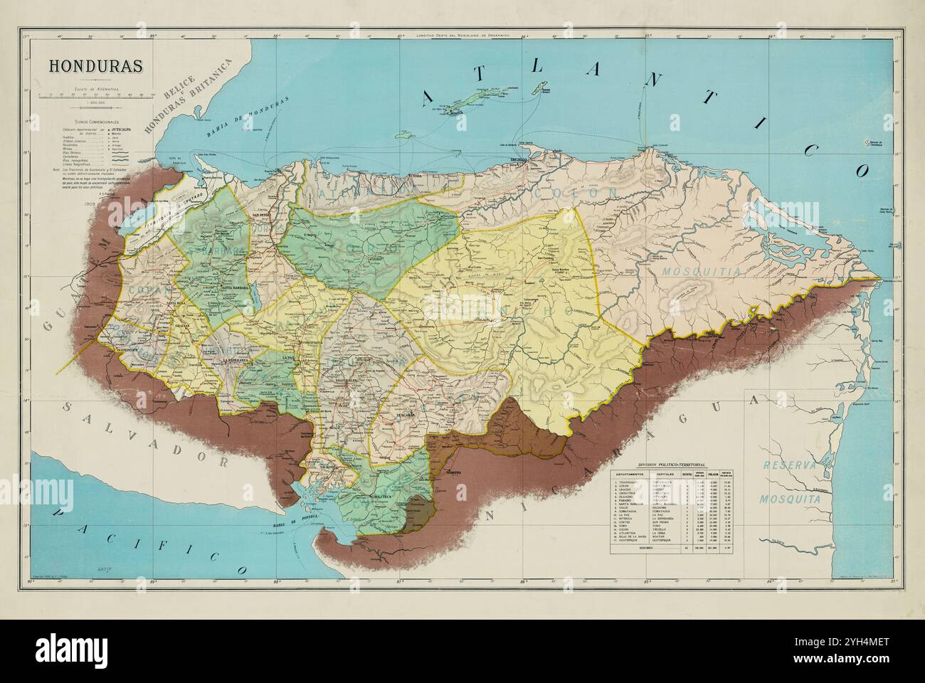 Vintage Archive map of Honduras, 1909 Stock Photohttps://www.alamy.com/image-license-details/?v=1https://www.alamy.com/vintage-archive-map-of-honduras-1909-image630126304.html
RM2YH4MET–Vintage Archive map of Honduras, 1909
 Honduras 3d golden map Stock Photohttps://www.alamy.com/image-license-details/?v=1https://www.alamy.com/stock-photo-honduras-3d-golden-map-26658774.html
RFBFABF2–Honduras 3d golden map
 A 3d illustration of the Honduras map with soil land geology cross section with green grass Stock Photohttps://www.alamy.com/image-license-details/?v=1https://www.alamy.com/a-3d-illustration-of-the-honduras-map-with-soil-land-geology-cross-section-with-green-grass-image475775097.html
RF2JJ1BYN–A 3d illustration of the Honduras map with soil land geology cross section with green grass
 Textured map of Honduras map with brown rock or stone texture, isolated on white background with clipping path. Stock Photohttps://www.alamy.com/image-license-details/?v=1https://www.alamy.com/stock-photo-textured-map-of-honduras-map-with-brown-rock-or-stone-texture-isolated-49473120.html
RMCTDKD4–Textured map of Honduras map with brown rock or stone texture, isolated on white background with clipping path.
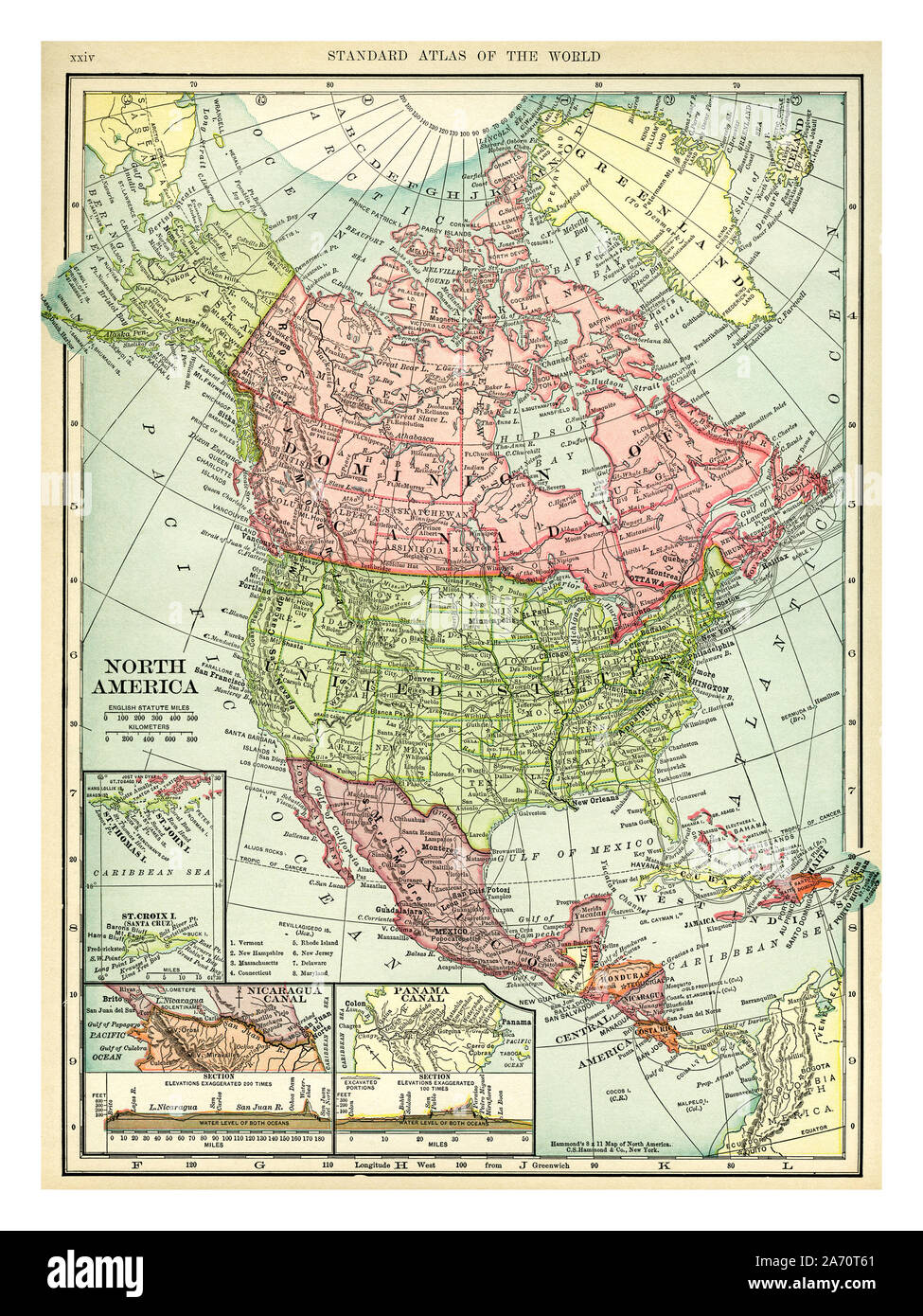 Vintage 1906 map of North America. Countries included on this map are: Canada, Greenland, United States, Mexico, Guatemala, Honduras, Nicaragua, Costa Rica, Cuba and Haiti. C. S. Hammond map printed and published 1906. Stock Photohttps://www.alamy.com/image-license-details/?v=1https://www.alamy.com/vintage-1906-map-of-north-america-countries-included-on-this-map-are-canada-greenland-united-states-mexico-guatemala-honduras-nicaragua-costa-rica-cuba-and-haiti-c-s-hammond-map-printed-and-published-1906-image331318569.html
RM2A70T61–Vintage 1906 map of North America. Countries included on this map are: Canada, Greenland, United States, Mexico, Guatemala, Honduras, Nicaragua, Costa Rica, Cuba and Haiti. C. S. Hammond map printed and published 1906.
 Honduras red map button isolated on white background. Stock Photohttps://www.alamy.com/image-license-details/?v=1https://www.alamy.com/stock-photo-honduras-red-map-button-isolated-on-white-background-34443294.html
RMC010NJ–Honduras red map button isolated on white background.
![Manuscript Map of the Gulf of Honduras . Map information: Title: [Manuscript Map of the Gulf of Honduras]. 122.104. Place of publication: [Place of production not identified] Publisher: [producer not identified] Date of publication: [about 1750.] Item type: 1 map Medium: manuscript pen and ink with watercolour Dimensions: 40 x 76 cm Former owner: George III, King of Great Britain, 1738-1820 Stock Photo Manuscript Map of the Gulf of Honduras . Map information: Title: [Manuscript Map of the Gulf of Honduras]. 122.104. Place of publication: [Place of production not identified] Publisher: [producer not identified] Date of publication: [about 1750.] Item type: 1 map Medium: manuscript pen and ink with watercolour Dimensions: 40 x 76 cm Former owner: George III, King of Great Britain, 1738-1820 Stock Photo](https://c8.alamy.com/comp/2E9GM1C/manuscript-map-of-the-gulf-of-honduras-map-information-title-manuscript-map-of-the-gulf-of-honduras-122104-place-of-publication-place-of-production-not-identified-publisher-producer-not-identified-date-of-publication-about-1750-item-type-1-map-medium-manuscript-pen-and-ink-with-watercolour-dimensions-40-x-76-cm-former-owner-george-iii-king-of-great-britain-1738-1820-2E9GM1C.jpg) Manuscript Map of the Gulf of Honduras . Map information: Title: [Manuscript Map of the Gulf of Honduras]. 122.104. Place of publication: [Place of production not identified] Publisher: [producer not identified] Date of publication: [about 1750.] Item type: 1 map Medium: manuscript pen and ink with watercolour Dimensions: 40 x 76 cm Former owner: George III, King of Great Britain, 1738-1820 Stock Photohttps://www.alamy.com/image-license-details/?v=1https://www.alamy.com/manuscript-map-of-the-gulf-of-honduras-map-information-title-manuscript-map-of-the-gulf-of-honduras-122104-place-of-publication-place-of-production-not-identified-publisher-producer-not-identified-date-of-publication-about-1750-item-type-1-map-medium-manuscript-pen-and-ink-with-watercolour-dimensions-40-x-76-cm-former-owner-george-iii-king-of-great-britain-1738-1820-image401737320.html
Manuscript Map of the Gulf of Honduras . Map information: Title: [Manuscript Map of the Gulf of Honduras]. 122.104. Place of publication: [Place of production not identified] Publisher: [producer not identified] Date of publication: [about 1750.] Item type: 1 map Medium: manuscript pen and ink with watercolour Dimensions: 40 x 76 cm Former owner: George III, King of Great Britain, 1738-1820 Stock Photohttps://www.alamy.com/image-license-details/?v=1https://www.alamy.com/manuscript-map-of-the-gulf-of-honduras-map-information-title-manuscript-map-of-the-gulf-of-honduras-122104-place-of-publication-place-of-production-not-identified-publisher-producer-not-identified-date-of-publication-about-1750-item-type-1-map-medium-manuscript-pen-and-ink-with-watercolour-dimensions-40-x-76-cm-former-owner-george-iii-king-of-great-britain-1738-1820-image401737320.htmlRM2E9GM1C–Manuscript Map of the Gulf of Honduras . Map information: Title: [Manuscript Map of the Gulf of Honduras]. 122.104. Place of publication: [Place of production not identified] Publisher: [producer not identified] Date of publication: [about 1750.] Item type: 1 map Medium: manuscript pen and ink with watercolour Dimensions: 40 x 76 cm Former owner: George III, King of Great Britain, 1738-1820
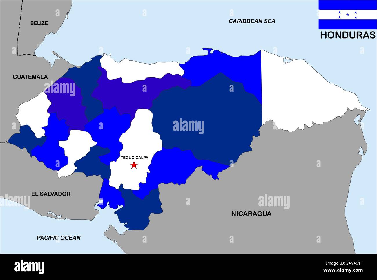 honduras map Stock Photohttps://www.alamy.com/image-license-details/?v=1https://www.alamy.com/honduras-map-image343685259.html
RM2AY461F–honduras map
RF2YG1GYT–honduras map icon illustration design
 america flag central honduras map atlas map of the world travel graphic black Stock Photohttps://www.alamy.com/image-license-details/?v=1https://www.alamy.com/stock-photo-america-flag-central-honduras-map-atlas-map-of-the-world-travel-graphic-141587327.html
RFJ69T27–america flag central honduras map atlas map of the world travel graphic black
 Honduras Map Painting Unfolding Old Paper Scroll 3D Stock Photohttps://www.alamy.com/image-license-details/?v=1https://www.alamy.com/stock-photo-honduras-map-painting-unfolding-old-paper-scroll-3d-93915712.html
RFFCP6CG–Honduras Map Painting Unfolding Old Paper Scroll 3D
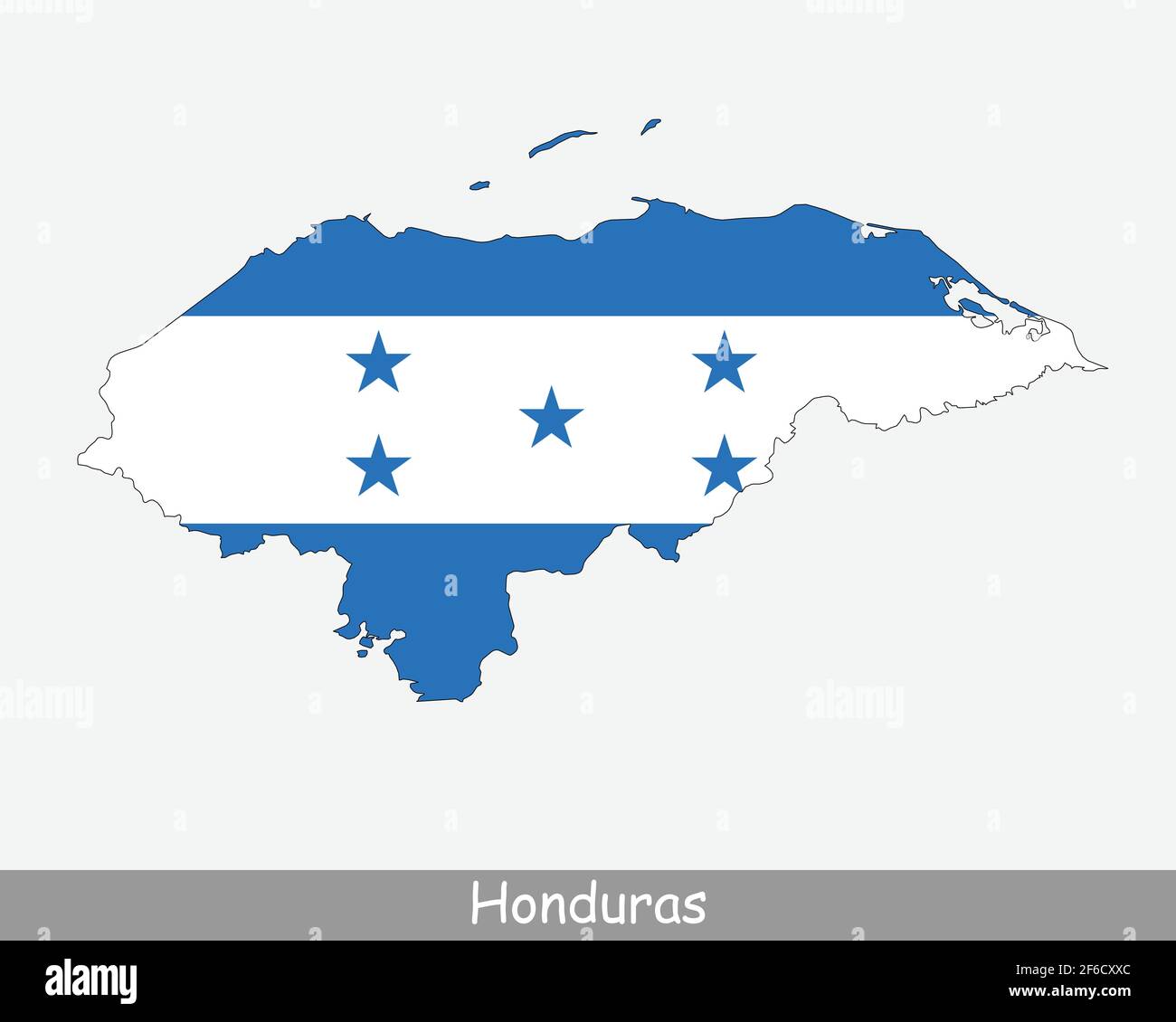 Honduras Map Flag. Map of the Republic of Honduras with the Honduran national flag isolated on white background. Vector Illustration. Stock Vectorhttps://www.alamy.com/image-license-details/?v=1https://www.alamy.com/honduras-map-flag-map-of-the-republic-of-honduras-with-the-honduran-national-flag-isolated-on-white-background-vector-illustration-image417021316.html
RF2F6CXXC–Honduras Map Flag. Map of the Republic of Honduras with the Honduran national flag isolated on white background. Vector Illustration.
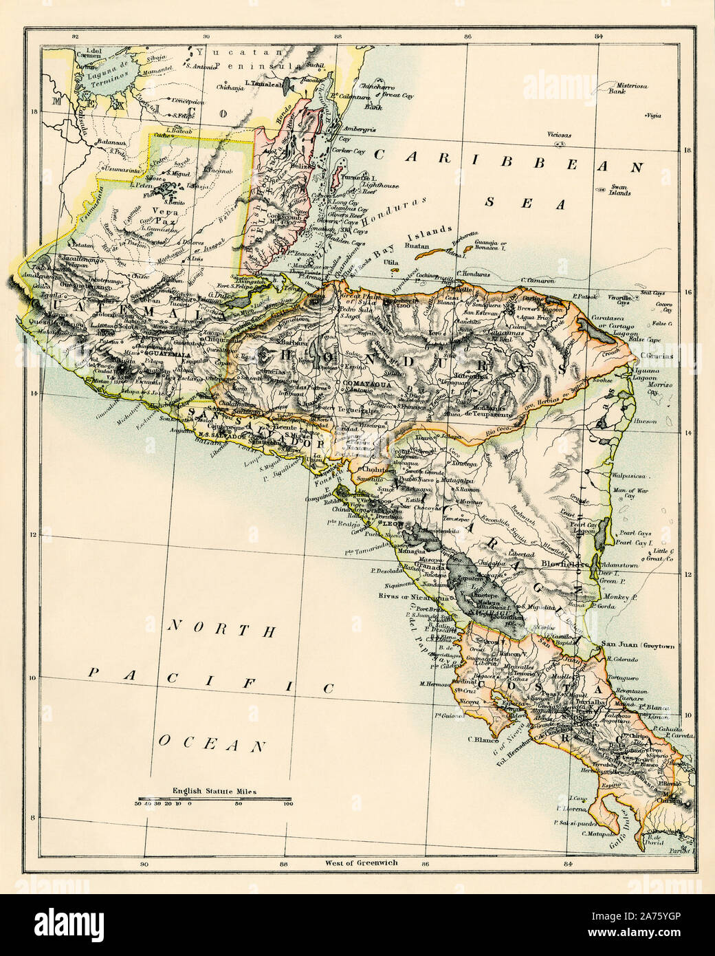 Map of Belize, Guatemala, Honduras, El Salvador, Nicaragua, and Costa Rica, 1870s. Color lithograph Stock Photohttps://www.alamy.com/image-license-details/?v=1https://www.alamy.com/map-of-belize-guatemala-honduras-el-salvador-nicaragua-and-costa-rica-1870s-color-lithograph-image331430982.html
RM2A75YGP–Map of Belize, Guatemala, Honduras, El Salvador, Nicaragua, and Costa Rica, 1870s. Color lithograph
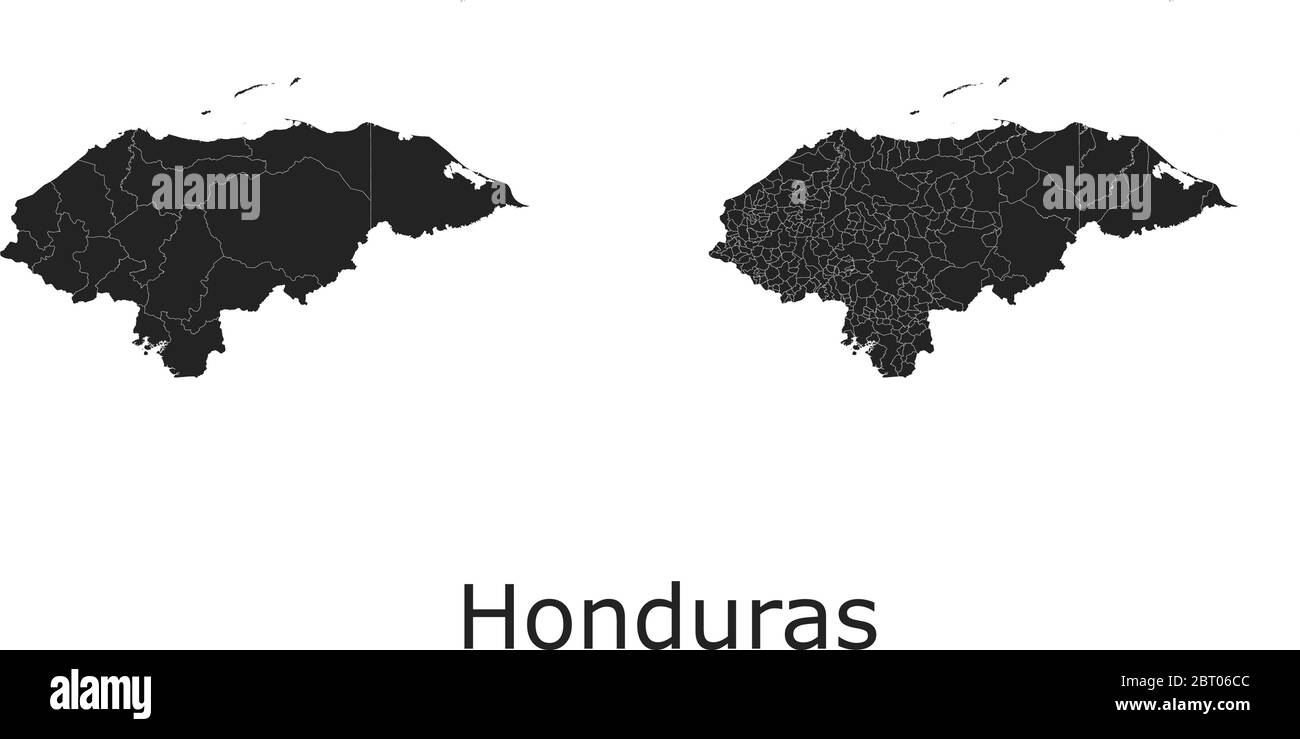 Honduras vector maps with administrative regions, municipalities, departments, borders Stock Vectorhttps://www.alamy.com/image-license-details/?v=1https://www.alamy.com/honduras-vector-maps-with-administrative-regions-municipalities-departments-borders-image358964156.html
RF2BT06CC–Honduras vector maps with administrative regions, municipalities, departments, borders
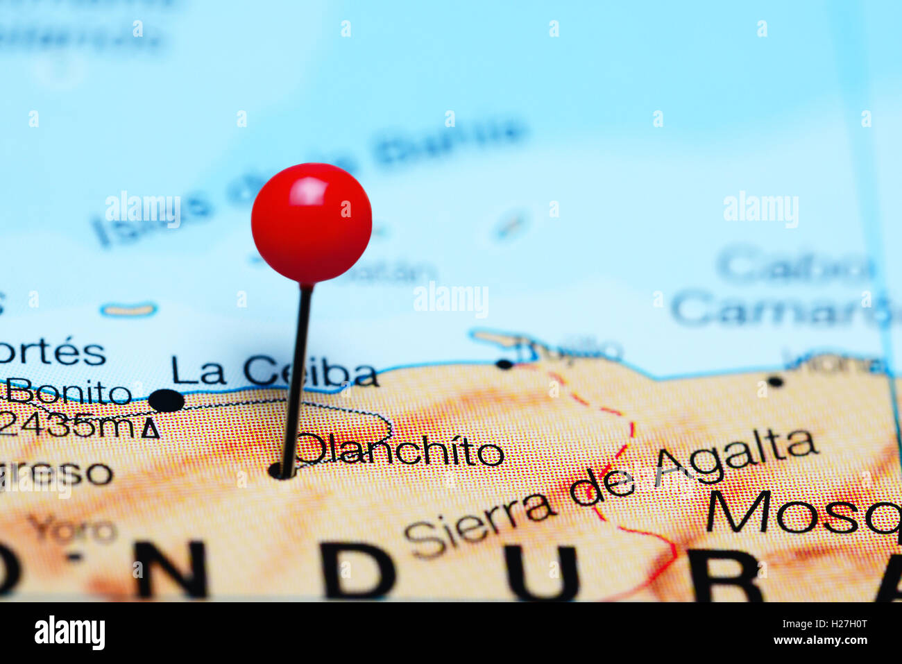 Olanchito pinned on a map of Honduras Stock Photohttps://www.alamy.com/image-license-details/?v=1https://www.alamy.com/stock-photo-olanchito-pinned-on-a-map-of-honduras-121868904.html
RFH27H0T–Olanchito pinned on a map of Honduras
 Honduras map flag with reflection illustration Stock Photohttps://www.alamy.com/image-license-details/?v=1https://www.alamy.com/stock-photo-honduras-map-flag-with-reflection-illustration-96726647.html
RFFHA7R3–Honduras map flag with reflection illustration
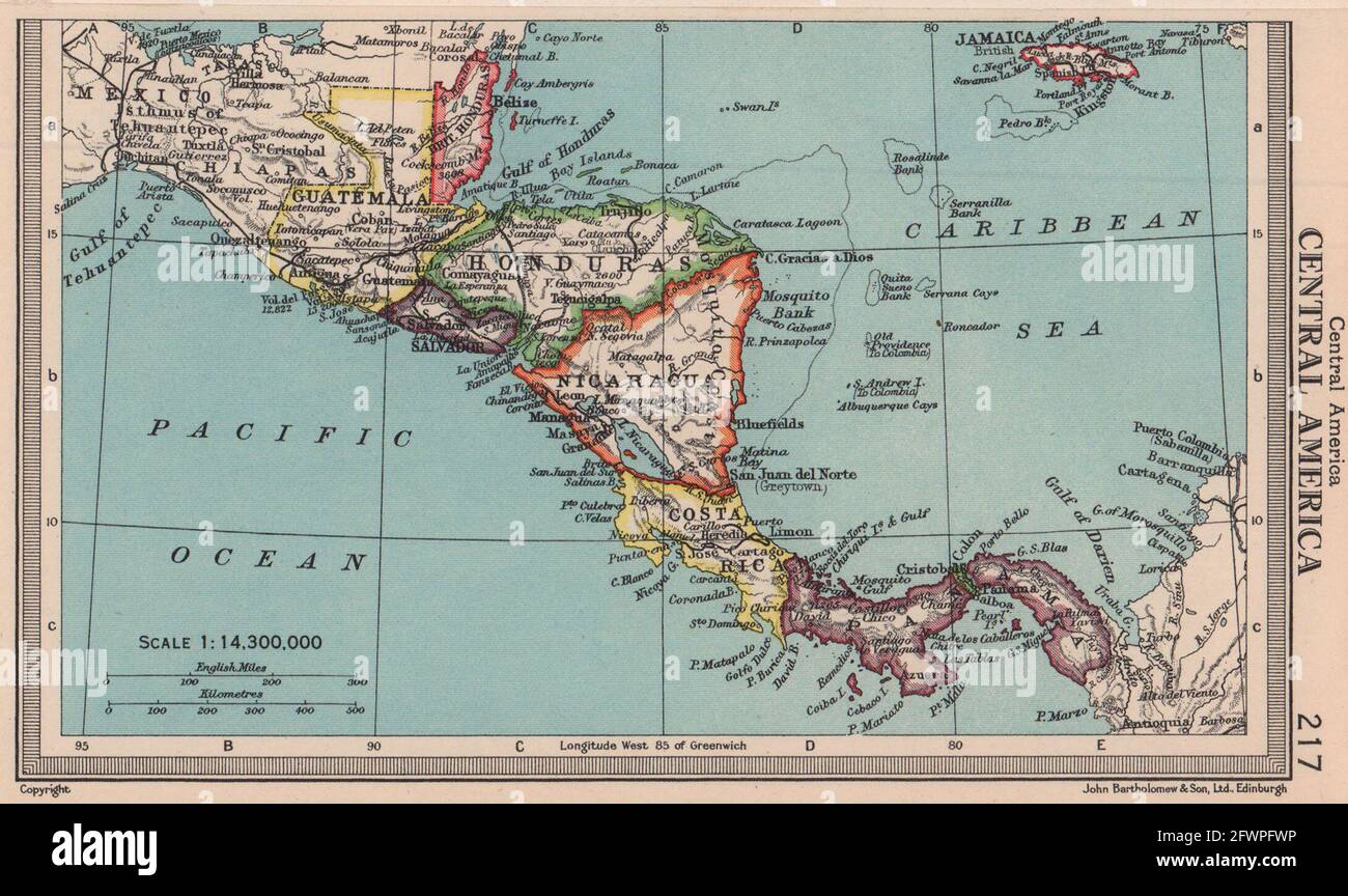 Central America. Honduras Panama Costa Rica Nicaragua. BARTHOLOMEW 1949 map Stock Photohttps://www.alamy.com/image-license-details/?v=1https://www.alamy.com/central-america-honduras-panama-costa-rica-nicaragua-bartholomew-1949-map-image428910658.html
RF2FWPFWP–Central America. Honduras Panama Costa Rica Nicaragua. BARTHOLOMEW 1949 map
 Striped isometric neon vector Honduras 3D map in trend colors. Geography infographic card, poster, banner, template. Stock Vectorhttps://www.alamy.com/image-license-details/?v=1https://www.alamy.com/striped-isometric-neon-vector-honduras-3d-map-in-trend-colors-geography-infographic-card-poster-banner-template-image503653492.html
RF2M7BB4M–Striped isometric neon vector Honduras 3D map in trend colors. Geography infographic card, poster, banner, template.
 Honduras map on a brick wall Stock Vectorhttps://www.alamy.com/image-license-details/?v=1https://www.alamy.com/stock-photo-honduras-map-on-a-brick-wall-116265328.html
RFGN49H4–Honduras map on a brick wall
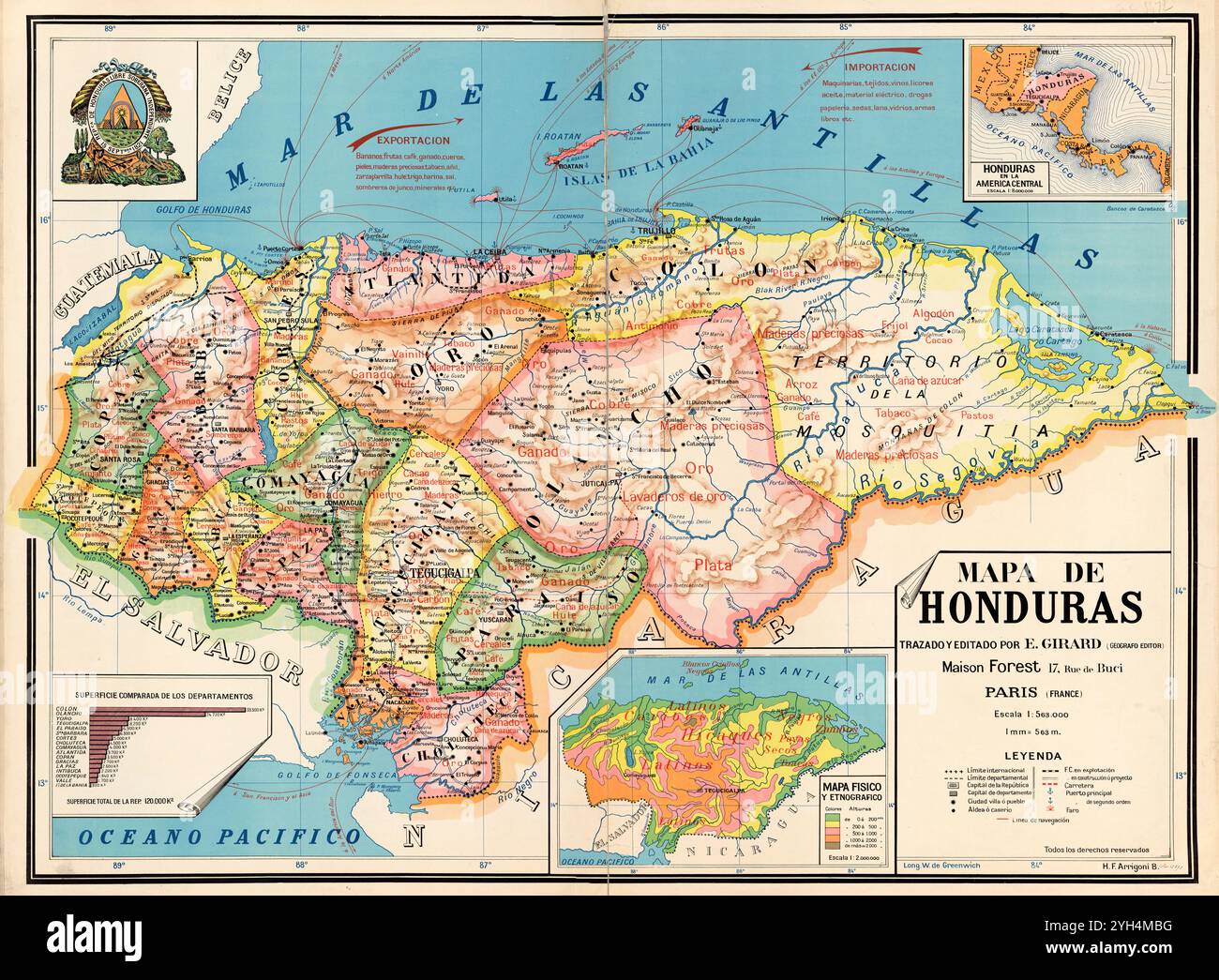 Vintage Archive map of Honduras, showing the various departments in colour. 1929 Stock Photohttps://www.alamy.com/image-license-details/?v=1https://www.alamy.com/vintage-archive-map-of-honduras-showing-the-various-departments-in-colour-1929-image630126212.html
RM2YH4MBG–Vintage Archive map of Honduras, showing the various departments in colour. 1929
 Honduras 3d map with national color Stock Photohttps://www.alamy.com/image-license-details/?v=1https://www.alamy.com/stock-photo-honduras-3d-map-with-national-color-26528197.html
RFBF4CYH–Honduras 3d map with national color
 A 3D illustration of Honduras map of green grass on background of blue sunny sky Stock Photohttps://www.alamy.com/image-license-details/?v=1https://www.alamy.com/a-3d-illustration-of-honduras-map-of-green-grass-on-background-of-blue-sunny-sky-image562311735.html
RF2RJRE9Y–A 3D illustration of Honduras map of green grass on background of blue sunny sky
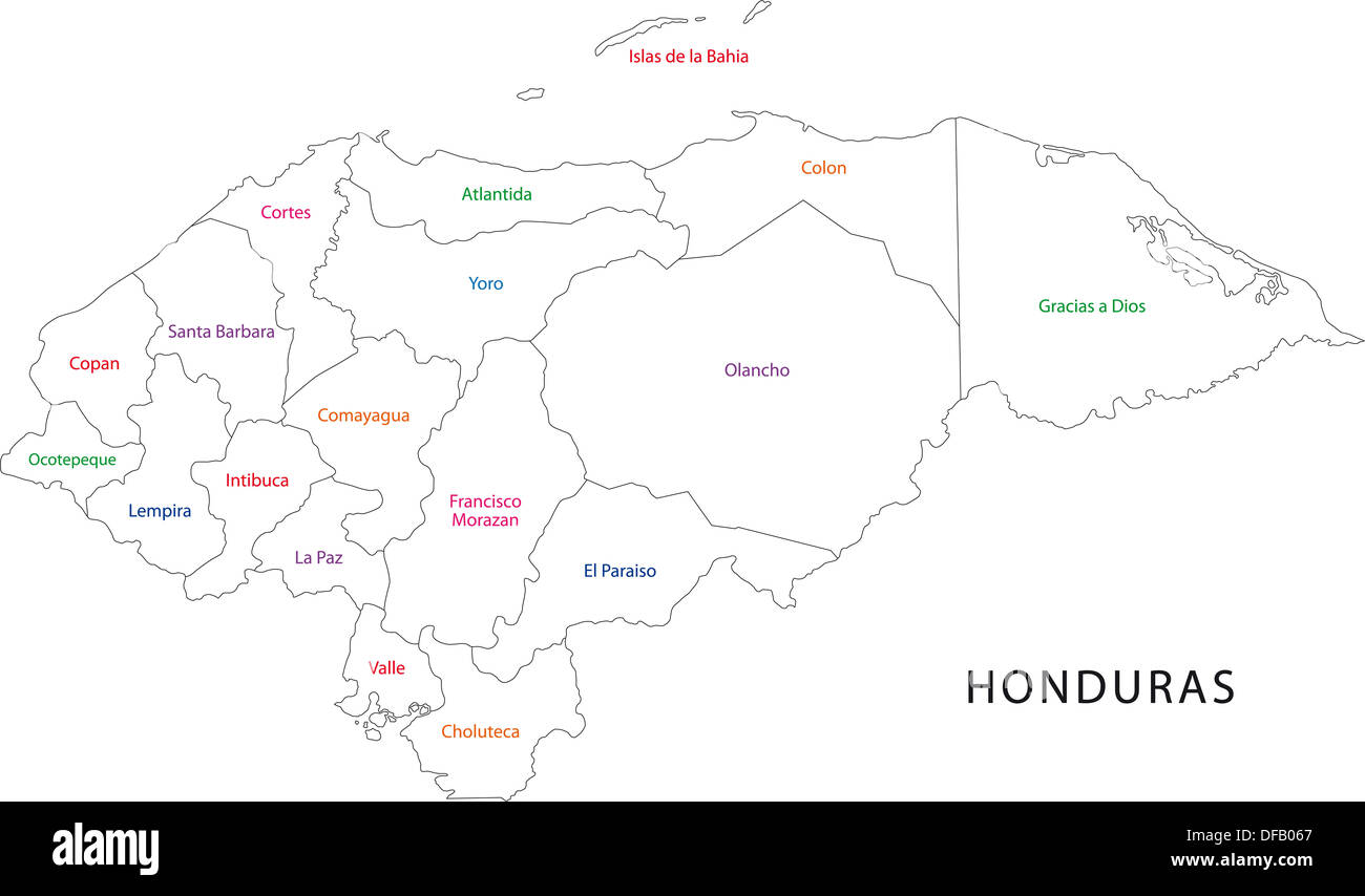 Outline Honduras map Stock Photohttps://www.alamy.com/image-license-details/?v=1https://www.alamy.com/outline-honduras-map-image61092591.html
RFDFB067–Outline Honduras map
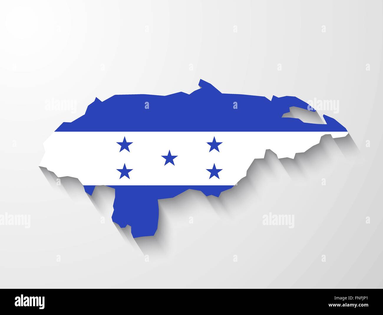 Honduras country map with flag and shadow effect presentation Stock Vectorhttps://www.alamy.com/image-license-details/?v=1https://www.alamy.com/stock-photo-honduras-country-map-with-flag-and-shadow-effect-presentation-99303625.html
RFFNFJP1–Honduras country map with flag and shadow effect presentation
 Honduras shopping bar code isolated on white background. Stock Photohttps://www.alamy.com/image-license-details/?v=1https://www.alamy.com/honduras-shopping-bar-code-isolated-on-white-background-image62486516.html
RMDHJE58–Honduras shopping bar code isolated on white background.
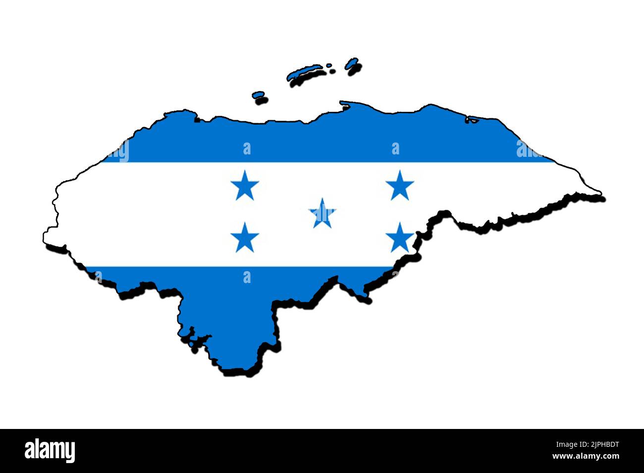 Silhouette of the map of Honduras with its flag Stock Photohttps://www.alamy.com/image-license-details/?v=1https://www.alamy.com/silhouette-of-the-map-of-honduras-with-its-flag-image478584564.html
RF2JPHBDT–Silhouette of the map of Honduras with its flag
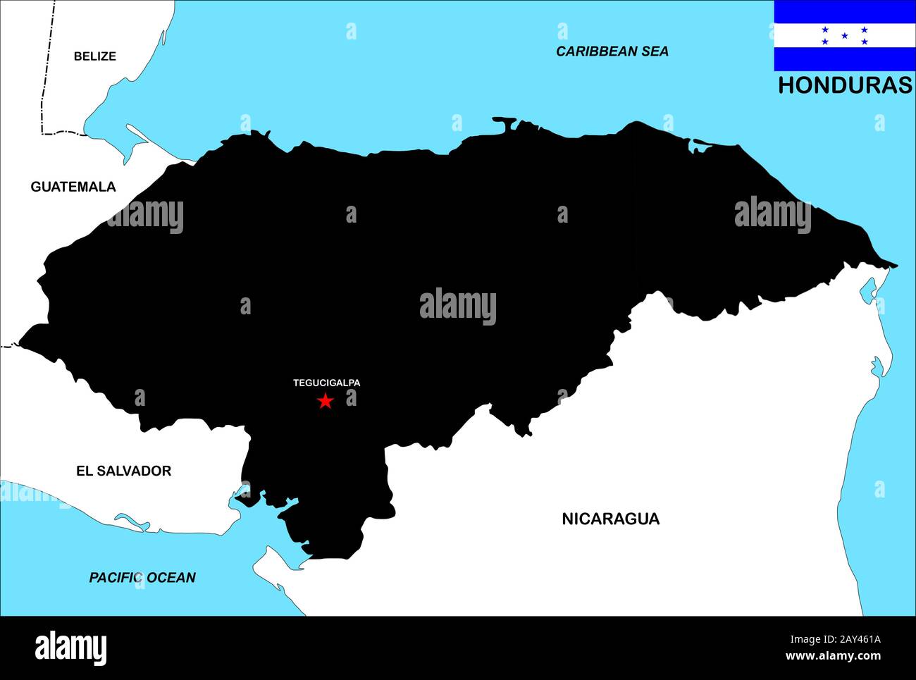 honduras map Stock Photohttps://www.alamy.com/image-license-details/?v=1https://www.alamy.com/honduras-map-image343685254.html
RM2AY461A–honduras map
RF2YG1GRG–honduras map icon illustration design
 Map and flag of Honduras on weathered concrete Stock Photohttps://www.alamy.com/image-license-details/?v=1https://www.alamy.com/map-and-flag-of-honduras-on-weathered-concrete-image402405444.html
RF2EAK470–Map and flag of Honduras on weathered concrete
 Outline map of Honduras marked with red line. Stock Vectorhttps://www.alamy.com/image-license-details/?v=1https://www.alamy.com/outline-map-of-honduras-marked-with-red-line-image562626721.html
RF2RK9T3D–Outline map of Honduras marked with red line.
 Honduras Map. Honduran Country Map. Black and White National Nation Outline Geography Border Boundary Shape Territory Vector Illustration EPS Clipart Stock Vectorhttps://www.alamy.com/image-license-details/?v=1https://www.alamy.com/honduras-map-honduran-country-map-black-and-white-national-nation-outline-geography-border-boundary-shape-territory-vector-illustration-eps-clipart-image477282099.html
RF2JME257–Honduras Map. Honduran Country Map. Black and White National Nation Outline Geography Border Boundary Shape Territory Vector Illustration EPS Clipart
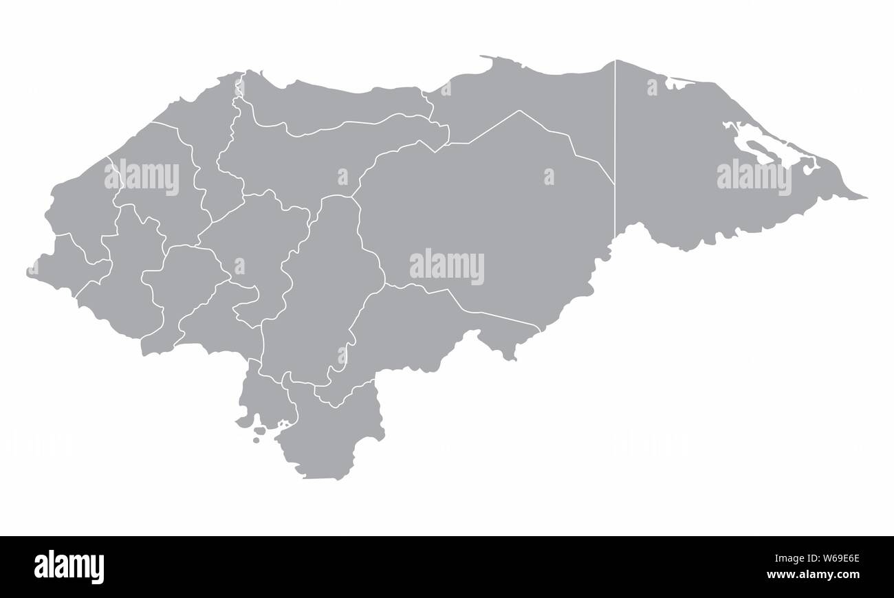 Honduras regions map isolated on white background Stock Vectorhttps://www.alamy.com/image-license-details/?v=1https://www.alamy.com/honduras-regions-map-isolated-on-white-background-image262052182.html
RFW69E6E–Honduras regions map isolated on white background
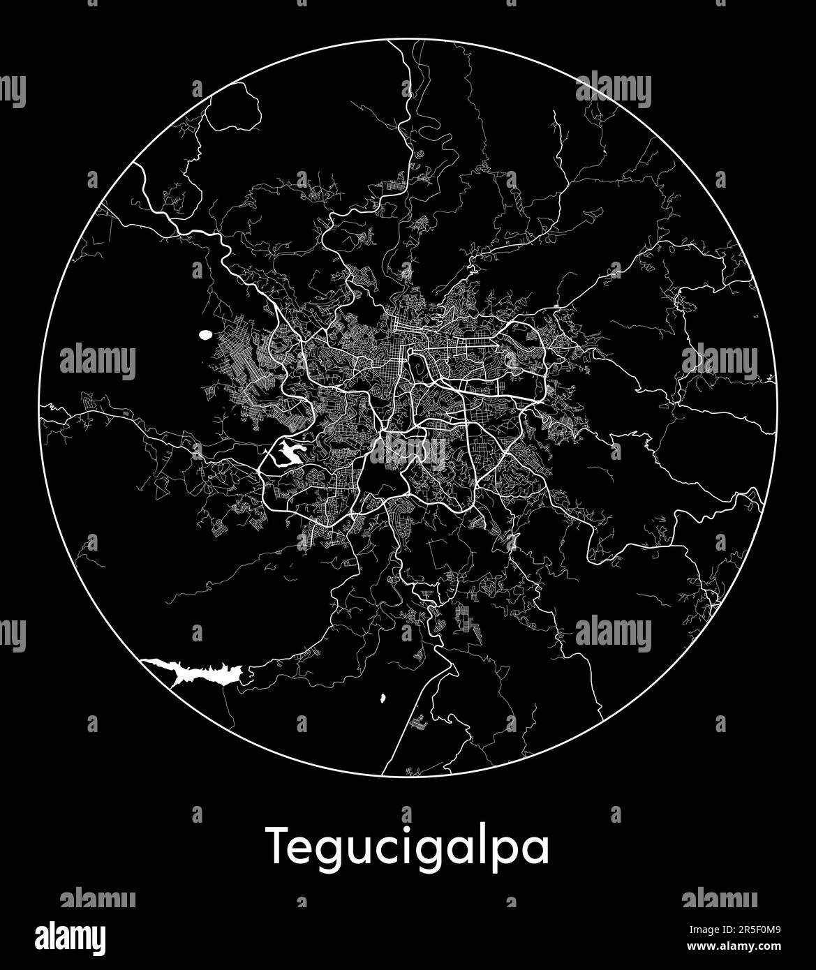 City Map Tegucigalpa Honduras North America vector illustration Stock Vectorhttps://www.alamy.com/image-license-details/?v=1https://www.alamy.com/city-map-tegucigalpa-honduras-north-america-vector-illustration-image554134905.html
RF2R5F0M9–City Map Tegucigalpa Honduras North America vector illustration
 Iriona pinned on a map of Honduras Stock Photohttps://www.alamy.com/image-license-details/?v=1https://www.alamy.com/stock-photo-iriona-pinned-on-a-map-of-honduras-121868906.html
RFH27H0X–Iriona pinned on a map of Honduras
 Honduras map flag with containers illustration Stock Photohttps://www.alamy.com/image-license-details/?v=1https://www.alamy.com/stock-photo-honduras-map-flag-with-containers-illustration-73612677.html
RFE7N9M5–Honduras map flag with containers illustration
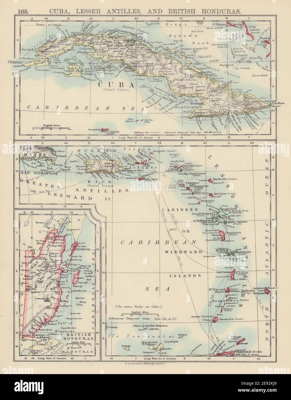 CARIBBEAN ISLANDS. Cuba British Honduras Caribbee/Windward. JOHNSTON 1901 map Stock Photohttps://www.alamy.com/image-license-details/?v=1https://www.alamy.com/caribbean-islands-cuba-british-honduras-caribbeewindward-johnston-1901-map-image401429681.html
RF2E92KJ9–CARIBBEAN ISLANDS. Cuba British Honduras Caribbee/Windward. JOHNSTON 1901 map
 Vector creative digital neon flat line art abstract simple map of Honduras with green, mint, turquoise striped texture on dark blue background. Educat Stock Vectorhttps://www.alamy.com/image-license-details/?v=1https://www.alamy.com/vector-creative-digital-neon-flat-line-art-abstract-simple-map-of-honduras-with-green-mint-turquoise-striped-texture-on-dark-blue-background-educat-image502204221.html
RF2M51AH1–Vector creative digital neon flat line art abstract simple map of Honduras with green, mint, turquoise striped texture on dark blue background. Educat
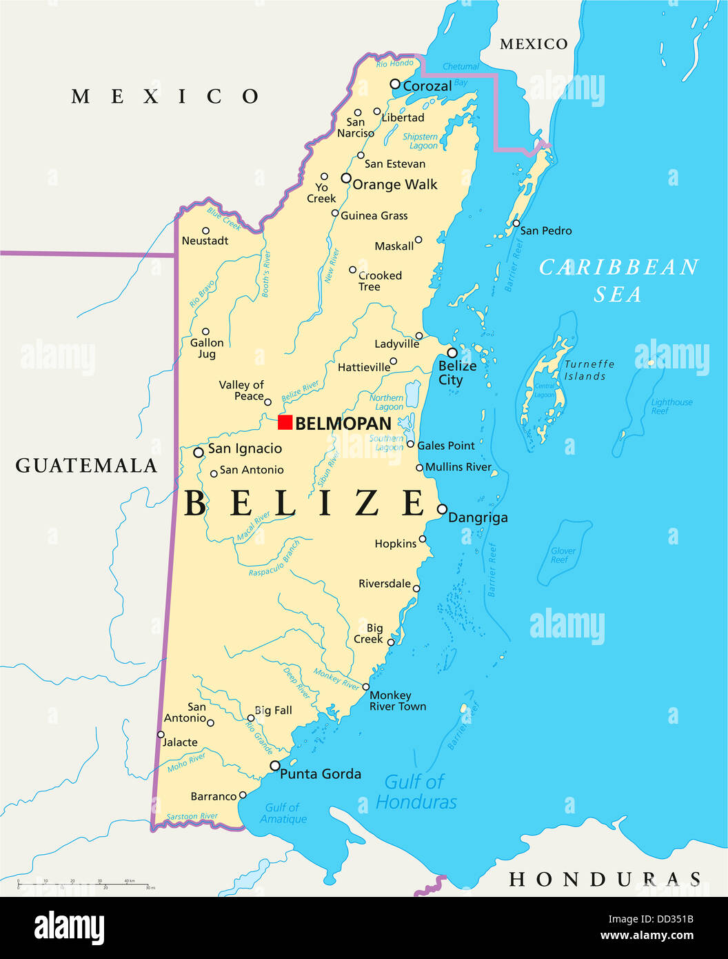 Political map of Belize with capital Belmopan, national borders, important cities, rivers, lakes. English labeling and scale. Stock Photohttps://www.alamy.com/image-license-details/?v=1https://www.alamy.com/stock-photo-political-map-of-belize-with-capital-belmopan-national-borders-important-59691447.html
RFDD351B–Political map of Belize with capital Belmopan, national borders, important cities, rivers, lakes. English labeling and scale.
RF2DF5A4A–honduras map icon vector symbol
 Honduras 3d golden map isolated in white Stock Photohttps://www.alamy.com/image-license-details/?v=1https://www.alamy.com/stock-photo-honduras-3d-golden-map-isolated-in-white-23254535.html
RFB9R9B3–Honduras 3d golden map isolated in white
 A 3D illustration of the Honduras Map stock photos Stock Photohttps://www.alamy.com/image-license-details/?v=1https://www.alamy.com/a-3d-illustration-of-the-honduras-map-stock-photos-image482280164.html
RF2K0HN7G–A 3D illustration of the Honduras Map stock photos
 Black Honduras map Stock Photohttps://www.alamy.com/image-license-details/?v=1https://www.alamy.com/black-honduras-map-image61092588.html
RFDFB064–Black Honduras map
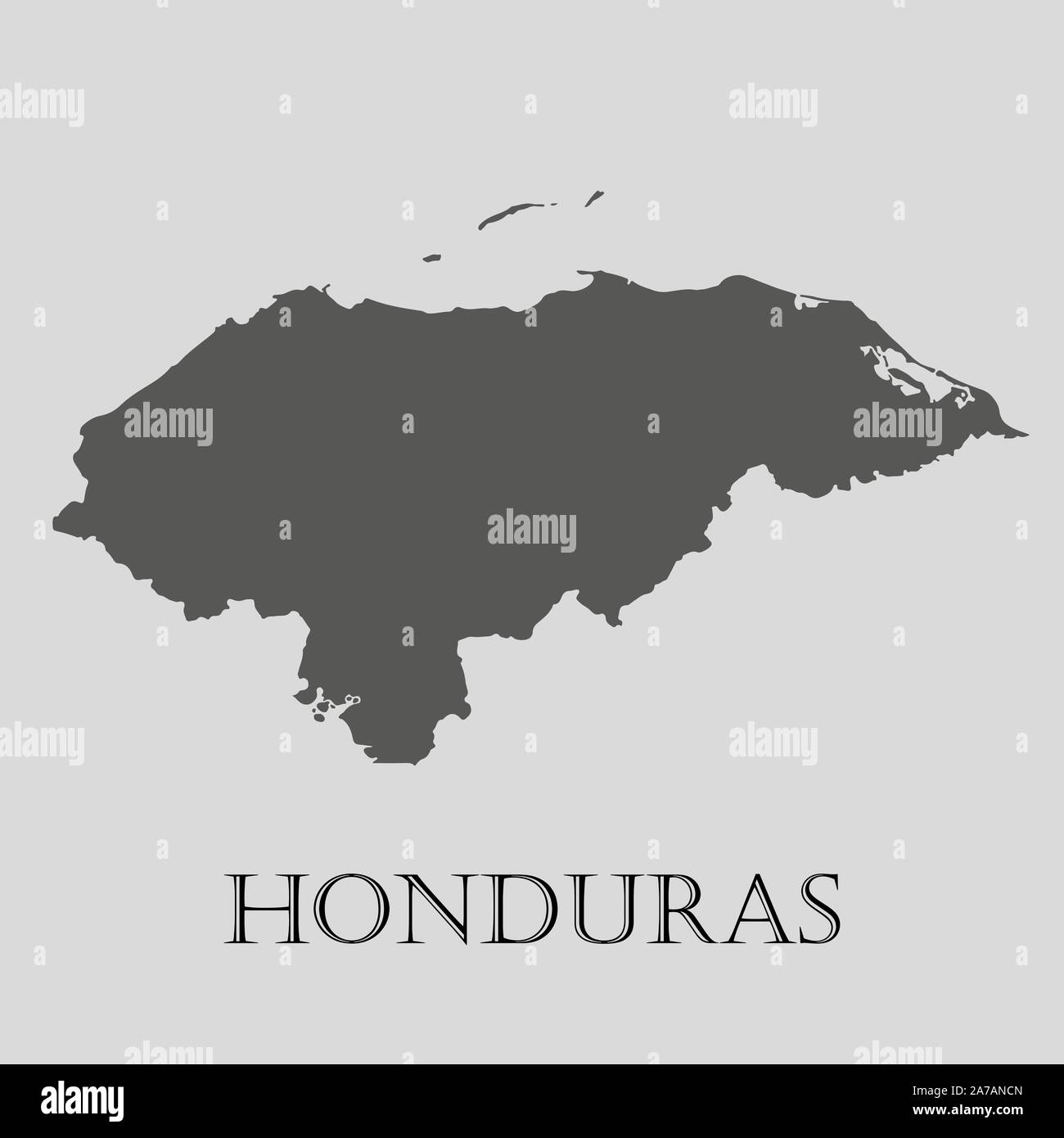 Gray Honduras map on light grey background. Gray Honduras map - vector illustration. Stock Vectorhttps://www.alamy.com/image-license-details/?v=1https://www.alamy.com/gray-honduras-map-on-light-grey-background-gray-honduras-map-vector-illustration-image331535925.html
RF2A7ANCN–Gray Honduras map on light grey background. Gray Honduras map - vector illustration.
 Dark silhouetted and textured map of Honduras isolated on white background. Stock Photohttps://www.alamy.com/image-license-details/?v=1https://www.alamy.com/stock-photo-dark-silhouetted-and-textured-map-of-honduras-isolated-on-white-background-53600883.html
RMD35MD7–Dark silhouetted and textured map of Honduras isolated on white background.
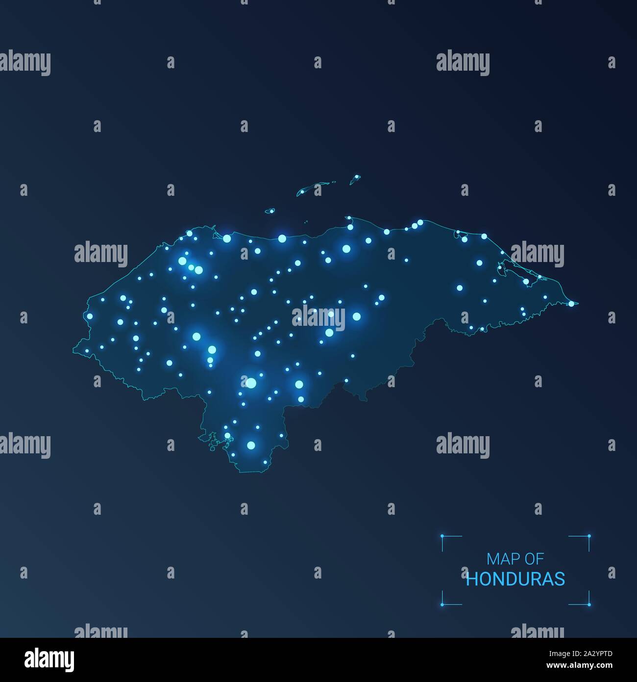 Honduras map with cities. Luminous dots - neon lights on dark background. Vector illustration. Stock Vectorhttps://www.alamy.com/image-license-details/?v=1https://www.alamy.com/honduras-map-with-cities-luminous-dots-neon-lights-on-dark-background-vector-illustration-image328836941.html
RF2A2YPTD–Honduras map with cities. Luminous dots - neon lights on dark background. Vector illustration.
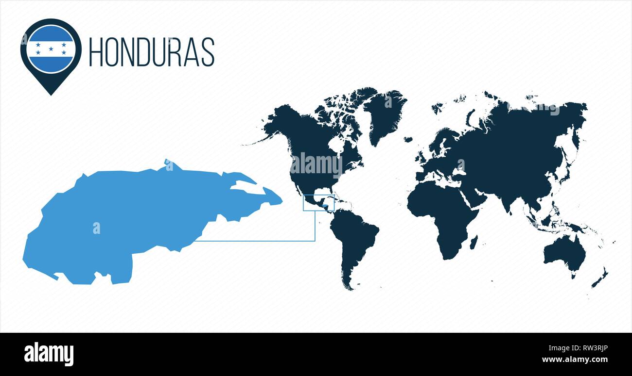 Honduras map located on a world map with flag and map pointer or pin. Infographic map. Vector illustration isolated on white Stock Vectorhttps://www.alamy.com/image-license-details/?v=1https://www.alamy.com/honduras-map-located-on-a-world-map-with-flag-and-map-pointer-or-pin-infographic-map-vector-illustration-isolated-on-white-image239185598.html
RFRW3RJP–Honduras map located on a world map with flag and map pointer or pin. Infographic map. Vector illustration isolated on white
RF2YG1GRP–honduras map icon illustration design
 Honduras Map grey Stock Photohttps://www.alamy.com/image-license-details/?v=1https://www.alamy.com/stock-image-honduras-map-grey-169140524.html
RFKR50D0–Honduras Map grey
 Honduras on an ocher retro map of Central America on old vintage paper. Stock Photohttps://www.alamy.com/image-license-details/?v=1https://www.alamy.com/honduras-on-an-ocher-retro-map-of-central-america-on-old-vintage-paper-image610837818.html
RF2XDP1TA–Honduras on an ocher retro map of Central America on old vintage paper.
 Tegucigalpa, Honduras. 7th Aug, 2014. Corn grains and beans form the outline of the Honduras' map, during the forum 'Honduras Without Hunger' in Tegucigalpa, Honduras, on Aug. 7, 2014. Farmer organizations asked for an agrarian reform that provides them with land to fight against hunger, and technical and credit assistance to produce food in the country, during the forum conducted by Honduran President, Juan Orlando Hernandez, according to the local press. © Rafael Ochoa/Xinhua/Alamy Live News Stock Photohttps://www.alamy.com/image-license-details/?v=1https://www.alamy.com/stock-photo-tegucigalpa-honduras-7th-aug-2014-corn-grains-and-beans-form-the-outline-72503484.html
RME5XPX4–Tegucigalpa, Honduras. 7th Aug, 2014. Corn grains and beans form the outline of the Honduras' map, during the forum 'Honduras Without Hunger' in Tegucigalpa, Honduras, on Aug. 7, 2014. Farmer organizations asked for an agrarian reform that provides them with land to fight against hunger, and technical and credit assistance to produce food in the country, during the forum conducted by Honduran President, Juan Orlando Hernandez, according to the local press. © Rafael Ochoa/Xinhua/Alamy Live News
 Pencil pointing on a Map Tegucigalpa Honduras Stock Photohttps://www.alamy.com/image-license-details/?v=1https://www.alamy.com/pencil-pointing-on-a-map-tegucigalpa-honduras-image311224957.html
RFS29EH1–Pencil pointing on a Map Tegucigalpa Honduras
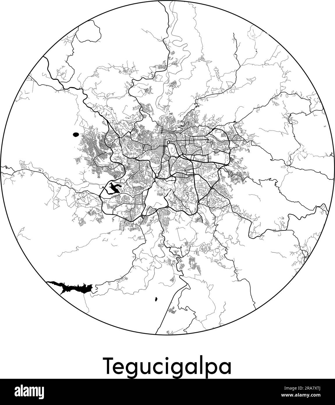 City Map Tegucigalpa Honduras North America vector illustration black white Stock Vectorhttps://www.alamy.com/image-license-details/?v=1https://www.alamy.com/city-map-tegucigalpa-honduras-north-america-vector-illustration-black-white-image557053074.html
RF2RA7XTJ–City Map Tegucigalpa Honduras North America vector illustration black white