Quick filters:
Hyeres map Stock Photos and Images
 Hyeres, France pin on map Stock Photohttps://www.alamy.com/image-license-details/?v=1https://www.alamy.com/hyeres-france-pin-on-map-image627302996.html
RF2YCG3AC–Hyeres, France pin on map
 Hyères-1921-Carte-30 Stock Photohttps://www.alamy.com/image-license-details/?v=1https://www.alamy.com/stock-photo-hyres-1921-carte-30-147562127.html
RMJG20YY–Hyères-1921-Carte-30
 Îles d'Hyères, French island group, political map. Îles d'Or, group of 4 Mediterranean islands off Hyères in the Var department of Southeastern France. Stock Photohttps://www.alamy.com/image-license-details/?v=1https://www.alamy.com/les-dhyres-french-island-group-political-map-les-dor-group-of-4-mediterranean-islands-off-hyres-in-the-var-department-of-southeastern-france-image612923849.html
RF2XH52HD–Îles d'Hyères, French island group, political map. Îles d'Or, group of 4 Mediterranean islands off Hyères in the Var department of Southeastern France.
 Hyeres pinned on a map of France Stock Photohttps://www.alamy.com/image-license-details/?v=1https://www.alamy.com/stock-photo-hyeres-pinned-on-a-map-of-france-125412299.html
RFH810JK–Hyeres pinned on a map of France
 Hyeres, Var, FR, France, Provence-Alpes-Côte d'Azur, N 43 7' 8'', N 6 7' 42'', map, Cartascapes Map published in 2024. Explore Cartascapes, a map revealing Earth's diverse landscapes, cultures, and ecosystems. Journey through time and space, discovering the interconnectedness of our planet's past, present, and future. Stock Photohttps://www.alamy.com/image-license-details/?v=1https://www.alamy.com/hyeres-var-fr-france-provence-alpes-cte-dazur-n-43-7-8-n-6-7-42-map-cartascapes-map-published-in-2024-explore-cartascapes-a-map-revealing-earths-diverse-landscapes-cultures-and-ecosystems-journey-through-time-and-space-discovering-the-interconnectedness-of-our-planets-past-present-and-future-image614335542.html
RM2XKDB72–Hyeres, Var, FR, France, Provence-Alpes-Côte d'Azur, N 43 7' 8'', N 6 7' 42'', map, Cartascapes Map published in 2024. Explore Cartascapes, a map revealing Earth's diverse landscapes, cultures, and ecosystems. Journey through time and space, discovering the interconnectedness of our planet's past, present, and future.
 Printable map of Hyeres, France with main and secondary roads and larger railways. This map is carefully designed for routing and placing individual d Stock Vectorhttps://www.alamy.com/image-license-details/?v=1https://www.alamy.com/printable-map-of-hyeres-france-with-main-and-secondary-roads-and-larger-railways-this-map-is-carefully-designed-for-routing-and-placing-individual-d-image243753331.html
RFT4FWT3–Printable map of Hyeres, France with main and secondary roads and larger railways. This map is carefully designed for routing and placing individual d
 Road map of the city of Hyeres in France on a white background. Stock Photohttps://www.alamy.com/image-license-details/?v=1https://www.alamy.com/road-map-of-the-city-of-hyeres-in-france-on-a-white-background-image554317355.html
RF2R5R9CB–Road map of the city of Hyeres in France on a white background.
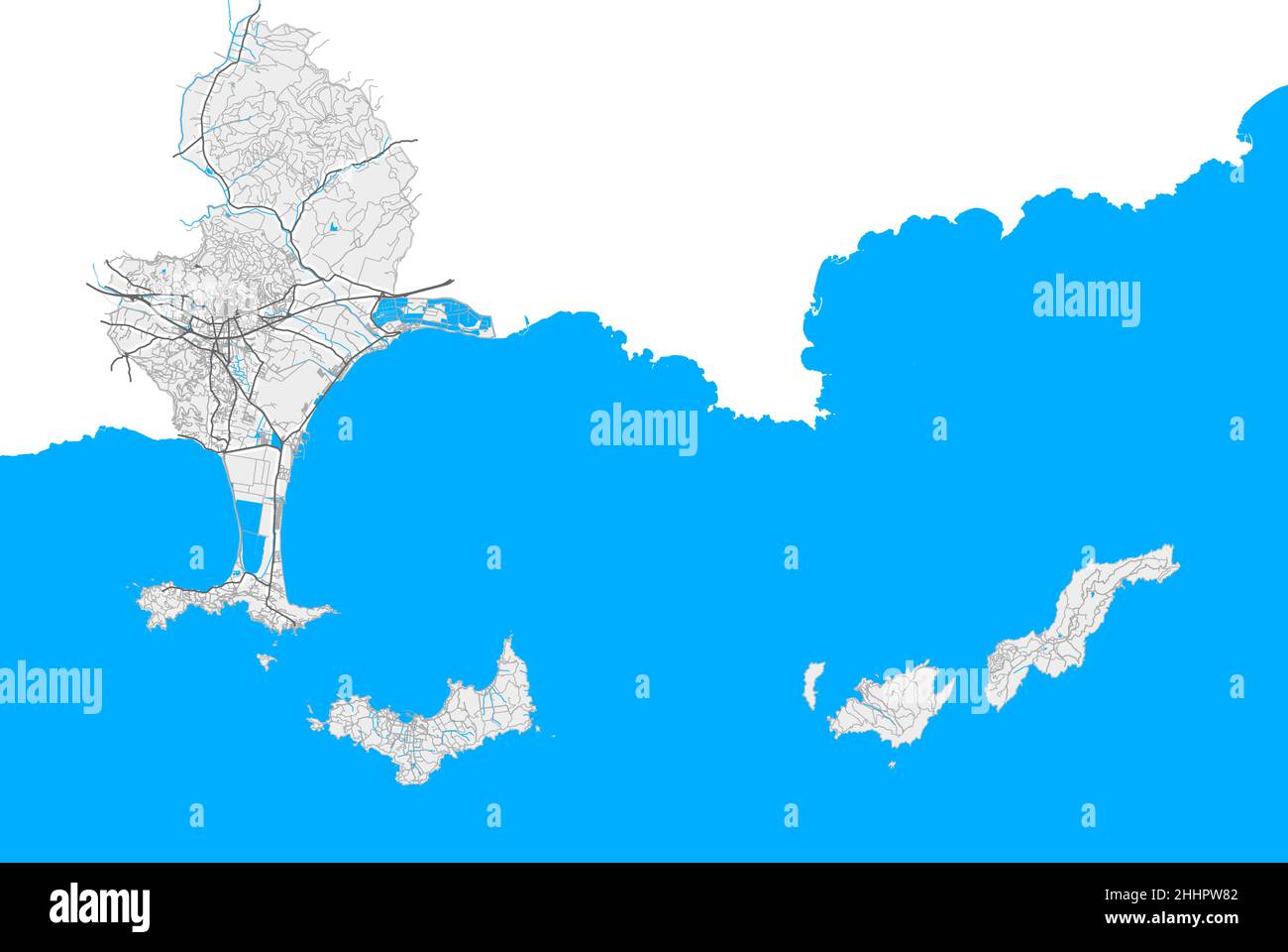 Hyeres, Var, France high resolution vector map with city boundaries and editable paths. White outlines for main roads. Many detailed paths. Blue shape Stock Vectorhttps://www.alamy.com/image-license-details/?v=1https://www.alamy.com/hyeres-var-france-high-resolution-vector-map-with-city-boundaries-and-editable-paths-white-outlines-for-main-roads-many-detailed-paths-blue-shape-image458421490.html
RF2HHPW82–Hyeres, Var, France high resolution vector map with city boundaries and editable paths. White outlines for main roads. Many detailed paths. Blue shape
 Vintage travel poster - Frederic Hugo d'Alési (1849-1906) HYÈRES, GOLF CLUB, French Riviera Stock Photohttps://www.alamy.com/image-license-details/?v=1https://www.alamy.com/vintage-travel-poster-frederic-hugo-dalsi-1849-1906-hyres-golf-club-french-riviera-image465617648.html
RF2J1EM1M–Vintage travel poster - Frederic Hugo d'Alési (1849-1906) HYÈRES, GOLF CLUB, French Riviera
 Chemins de fer du Sud de la France. Lignes de Meyrargues à Grasse by Eugène Grasset (1845-1917). Poster published in 1891 in France. Stock Photohttps://www.alamy.com/image-license-details/?v=1https://www.alamy.com/chemins-de-fer-du-sud-de-la-france-lignes-de-meyrargues-grasse-by-eugne-grasset-1845-1917-poster-published-in-1891-in-france-image570973947.html
RM2T4X32K–Chemins de fer du Sud de la France. Lignes de Meyrargues à Grasse by Eugène Grasset (1845-1917). Poster published in 1891 in France.
 Piste cyclable du Littoral : Carqueiranne (Var) Stock Photohttps://www.alamy.com/image-license-details/?v=1https://www.alamy.com/piste-cyclable-du-littoral-carqueiranne-var-image440887552.html
RM2GH84G0–Piste cyclable du Littoral : Carqueiranne (Var)
 VAR: Hyères, 1913 antique map Stock Photohttps://www.alamy.com/image-license-details/?v=1https://www.alamy.com/stock-photo-var-hyres-1913-antique-map-103743080.html
RFG0NWA0–VAR: Hyères, 1913 antique map
 Panorama of Hyeres, France Stock Photohttps://www.alamy.com/image-license-details/?v=1https://www.alamy.com/panorama-of-hyeres-france-image384882034.html
RF2DA4TXX–Panorama of Hyeres, France
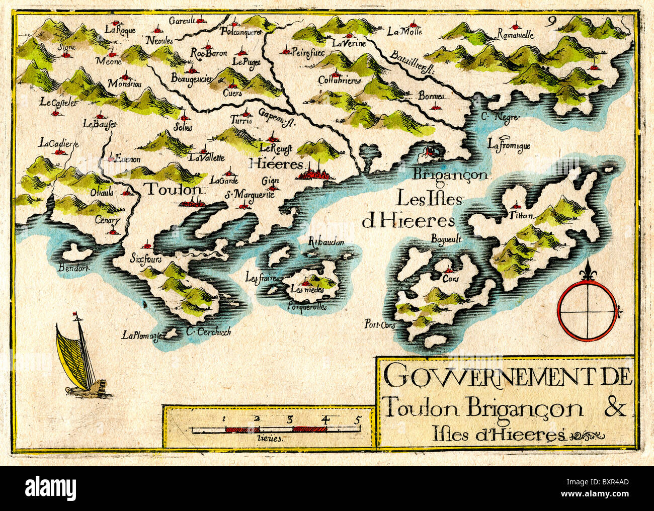 Îles d'Hyères, Islands of Port-Cros, Levant and Porquerolles, Provence, France (Old or Vintage Map by Nicolas Tassin, 1636) Stock Photohttps://www.alamy.com/image-license-details/?v=1https://www.alamy.com/stock-photo-les-dhyres-islands-of-port-cros-levant-and-porquerolles-provence-france-33699749.html
RMBXR4AD–Îles d'Hyères, Islands of Port-Cros, Levant and Porquerolles, Provence, France (Old or Vintage Map by Nicolas Tassin, 1636)
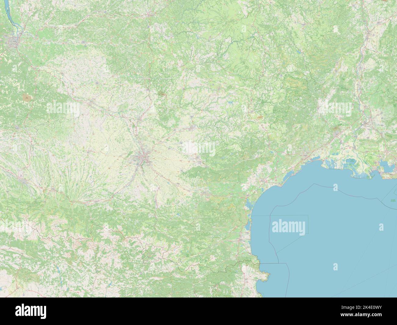 Occitanie, region of France. Open Street Map Stock Photohttps://www.alamy.com/image-license-details/?v=1https://www.alamy.com/occitanie-region-of-france-open-street-map-image484656983.html
RF2K4E0WY–Occitanie, region of France. Open Street Map
 Vintage or Old Advert or Publicity for the Côte d'Azur or French Riviera (Flee the Rain Come to the Sun) c1930 Stock Photohttps://www.alamy.com/image-license-details/?v=1https://www.alamy.com/stock-photo-vintage-or-old-advert-or-publicity-for-the-cte-dazur-or-french-riviera-50898057.html
RMCXPGYN–Vintage or Old Advert or Publicity for the Côte d'Azur or French Riviera (Flee the Rain Come to the Sun) c1930
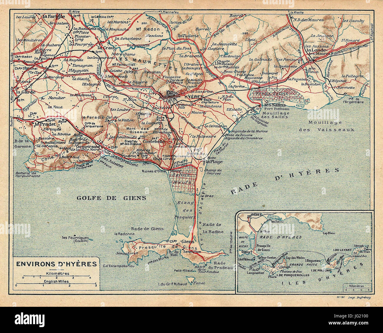 Hyères-environs-1921-carte-29 Stock Photohttps://www.alamy.com/image-license-details/?v=1https://www.alamy.com/stock-photo-hyres-environs-1921-carte-29-147562128.html
RMJG2100–Hyères-environs-1921-carte-29
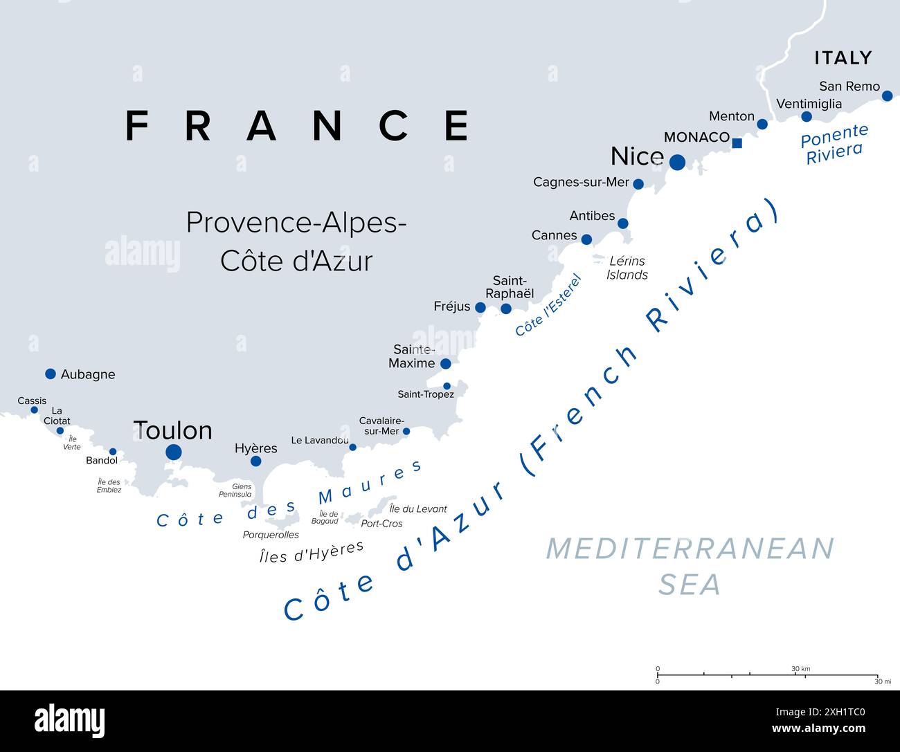 French Riviera coasts, political map. Mediterranean coastline of the southeast corner of France, also Cote dAzur or Azure Coast. Stock Photohttps://www.alamy.com/image-license-details/?v=1https://www.alamy.com/french-riviera-coasts-political-map-mediterranean-coastline-of-the-southeast-corner-of-france-also-cote-dazur-or-azure-coast-image612853136.html
RF2XH1TC0–French Riviera coasts, political map. Mediterranean coastline of the southeast corner of France, also Cote dAzur or Azure Coast.
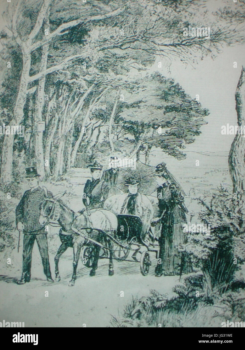 La Reine Victoria arrivant au Plantier chez ses amis les Bouëxic de Guichen, Hyères, 1892 Stock Photohttps://www.alamy.com/image-license-details/?v=1https://www.alamy.com/stock-photo-la-reine-victoria-arrivant-au-plantier-chez-ses-amis-les-bouxic-de-147584794.html
RMJG31WE–La Reine Victoria arrivant au Plantier chez ses amis les Bouëxic de Guichen, Hyères, 1892
 Hyères, Var, France, Provence-Alpes-Côte d'Azur, N 43 7' 13'', E 6 7' 42'', map, Timeless Map published in 2021. Travelers, explorers and adventurers like Florence Nightingale, David Livingstone, Ernest Shackleton, Lewis and Clark and Sherlock Holmes relied on maps to plan travels to the world's most remote corners, Timeless Maps is mapping most locations on the globe, showing the achievement of great dreams Stock Photohttps://www.alamy.com/image-license-details/?v=1https://www.alamy.com/hyres-var-france-provence-alpes-cte-dazur-n-43-7-13-e-6-7-42-map-timeless-map-published-in-2021-travelers-explorers-and-adventurers-like-florence-nightingale-david-livingstone-ernest-shackleton-lewis-and-clark-and-sherlock-holmes-relied-on-maps-to-plan-travels-to-the-worlds-most-remote-corners-timeless-maps-is-mapping-most-locations-on-the-globe-showing-the-achievement-of-great-dreams-image445171671.html
RM2GT7907–Hyères, Var, France, Provence-Alpes-Côte d'Azur, N 43 7' 13'', E 6 7' 42'', map, Timeless Map published in 2021. Travelers, explorers and adventurers like Florence Nightingale, David Livingstone, Ernest Shackleton, Lewis and Clark and Sherlock Holmes relied on maps to plan travels to the world's most remote corners, Timeless Maps is mapping most locations on the globe, showing the achievement of great dreams
 Norman Garstin Artichokes Hyeres 1883 Stock Photohttps://www.alamy.com/image-license-details/?v=1https://www.alamy.com/stock-image-norman-garstin-artichokes-hyeres-1883-162203185.html
RMKBTYPW–Norman Garstin Artichokes Hyeres 1883
 Piste cyclable du Littoral : Carqueiranne (Var) Stock Photohttps://www.alamy.com/image-license-details/?v=1https://www.alamy.com/piste-cyclable-du-littoral-carqueiranne-var-image440887554.html
RM2GH84G2–Piste cyclable du Littoral : Carqueiranne (Var)
 VAR: Toulon: Area of & Hyères, 1913 antique map Stock Photohttps://www.alamy.com/image-license-details/?v=1https://www.alamy.com/stock-photo-var-toulon-area-of-hyres-1913-antique-map-103743079.html
RFG0NW9Y–VAR: Toulon: Area of & Hyères, 1913 antique map
 ENVIRONS OF TOULON & HYÈRES. Var, 1890 antique map Stock Photohttps://www.alamy.com/image-license-details/?v=1https://www.alamy.com/stock-photo-environs-of-toulon-hyres-var-1890-antique-map-115085674.html
RFGK6GXJ–ENVIRONS OF TOULON & HYÈRES. Var, 1890 antique map
 Bretagne, region of France. Open Street Map Stock Photohttps://www.alamy.com/image-license-details/?v=1https://www.alamy.com/bretagne-region-of-france-open-street-map-image484656118.html
RF2K4DYR2–Bretagne, region of France. Open Street Map
 VAR: Environs of Toulon & Hyères, 1888 antique map Stock Photohttps://www.alamy.com/image-license-details/?v=1https://www.alamy.com/stock-photo-var-environs-of-toulon-hyres-1888-antique-map-106122010.html
RFG4J7KP–VAR: Environs of Toulon & Hyères, 1888 antique map
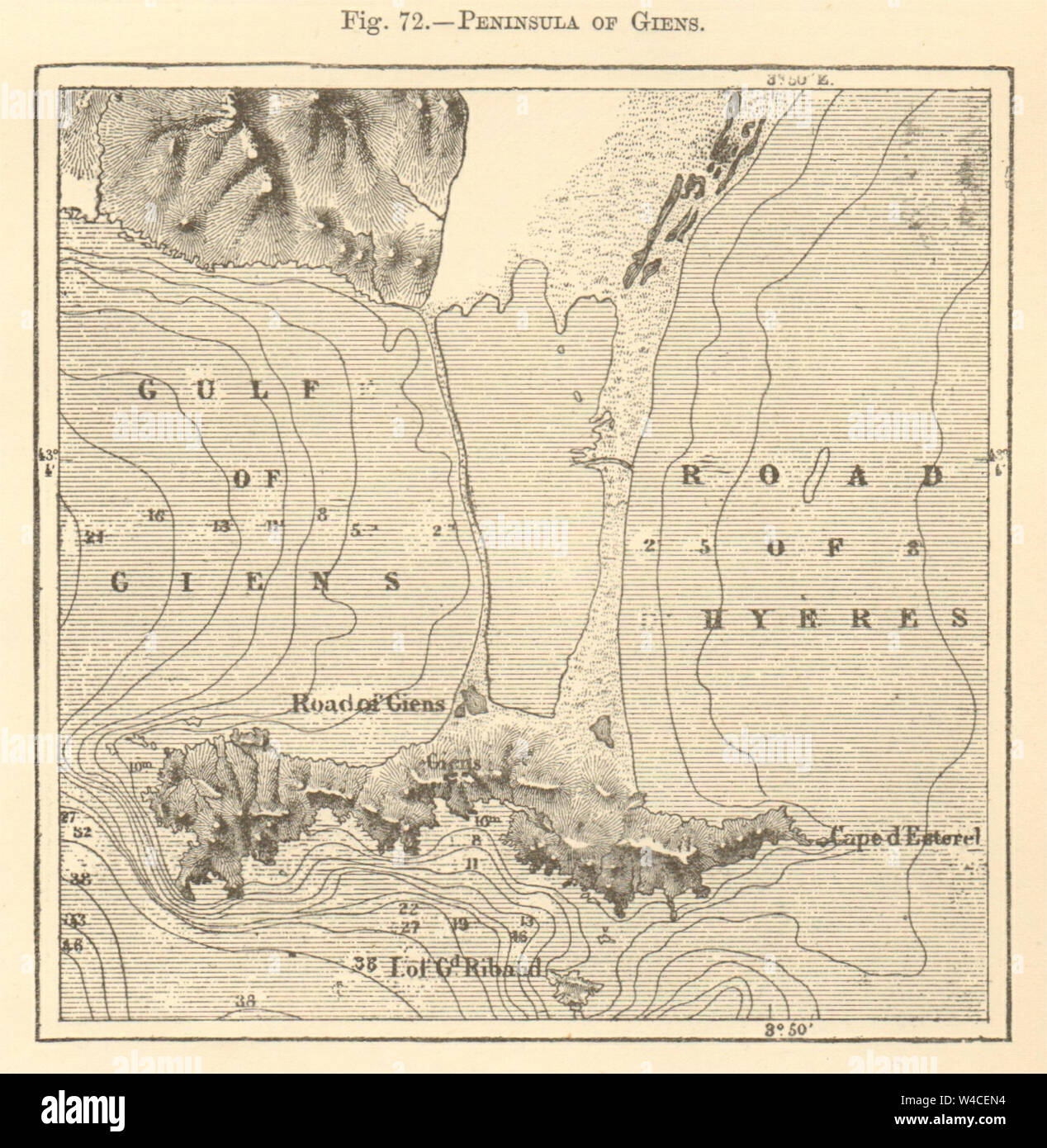 Peninsula of Giens. Var. Hyères. Sketch map 1886 old antique plan chart Stock Photohttps://www.alamy.com/image-license-details/?v=1https://www.alamy.com/peninsula-of-giens-var-hyres-sketch-map-1886-old-antique-plan-chart-image260889136.html
RFW4CEN4–Peninsula of Giens. Var. Hyères. Sketch map 1886 old antique plan chart
 HYÈRES vintage town city plan de la ville. Var, 1930 vintage map Stock Photohttps://www.alamy.com/image-license-details/?v=1https://www.alamy.com/stock-photo-hyres-vintage-town-city-plan-de-la-ville-var-1930-vintage-map-115031161.html
RFGK43BN–HYÈRES vintage town city plan de la ville. Var, 1930 vintage map
 HYÈRES vintage town city plan de la ville. Var, 1925 vintage map Stock Photohttps://www.alamy.com/image-license-details/?v=1https://www.alamy.com/stock-photo-hyres-vintage-town-city-plan-de-la-ville-var-1925-vintage-map-115034785.html
RFGK4815–HYÈRES vintage town city plan de la ville. Var, 1925 vintage map
 HYÈRES antique town city plan de la ville. Var, 1890 antique map Stock Photohttps://www.alamy.com/image-license-details/?v=1https://www.alamy.com/stock-photo-hyres-antique-town-city-plan-de-la-ville-var-1890-antique-map-115085716.html
RFGK6H04–HYÈRES antique town city plan de la ville. Var, 1890 antique map
 Hyères 1830 Stock Photohttps://www.alamy.com/image-license-details/?v=1https://www.alamy.com/stock-photo-hyres-1830-147562125.html
RMJG20YW–Hyères 1830
 FRANCE: Hyeres, 1926 vintage map Stock Photohttps://www.alamy.com/image-license-details/?v=1https://www.alamy.com/stock-photo-france-hyeres-1926-vintage-map-102483018.html
RFFXME3P–FRANCE: Hyeres, 1926 vintage map
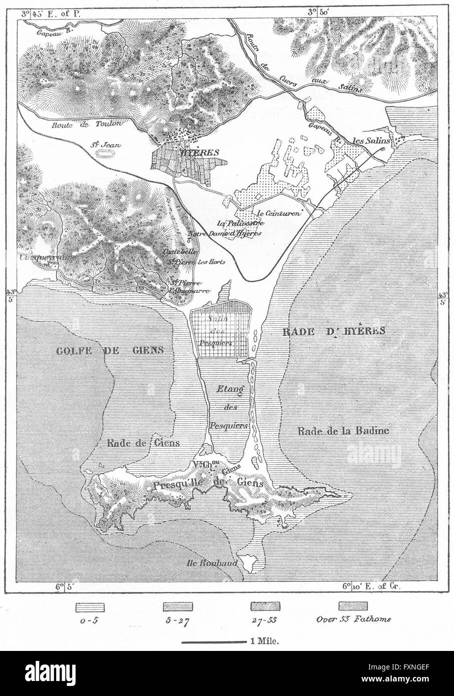 FRANCE: Hyeres, sketch map, c1885 Stock Photohttps://www.alamy.com/image-license-details/?v=1https://www.alamy.com/stock-photo-france-hyeres-sketch-map-c1885-102506839.html
RFFXNGEF–FRANCE: Hyeres, sketch map, c1885
 Piste cyclable du Littoral : Carqueiranne (Var) Stock Photohttps://www.alamy.com/image-license-details/?v=1https://www.alamy.com/piste-cyclable-du-littoral-carqueiranne-var-image440887561.html
RM2GH84G9–Piste cyclable du Littoral : Carqueiranne (Var)
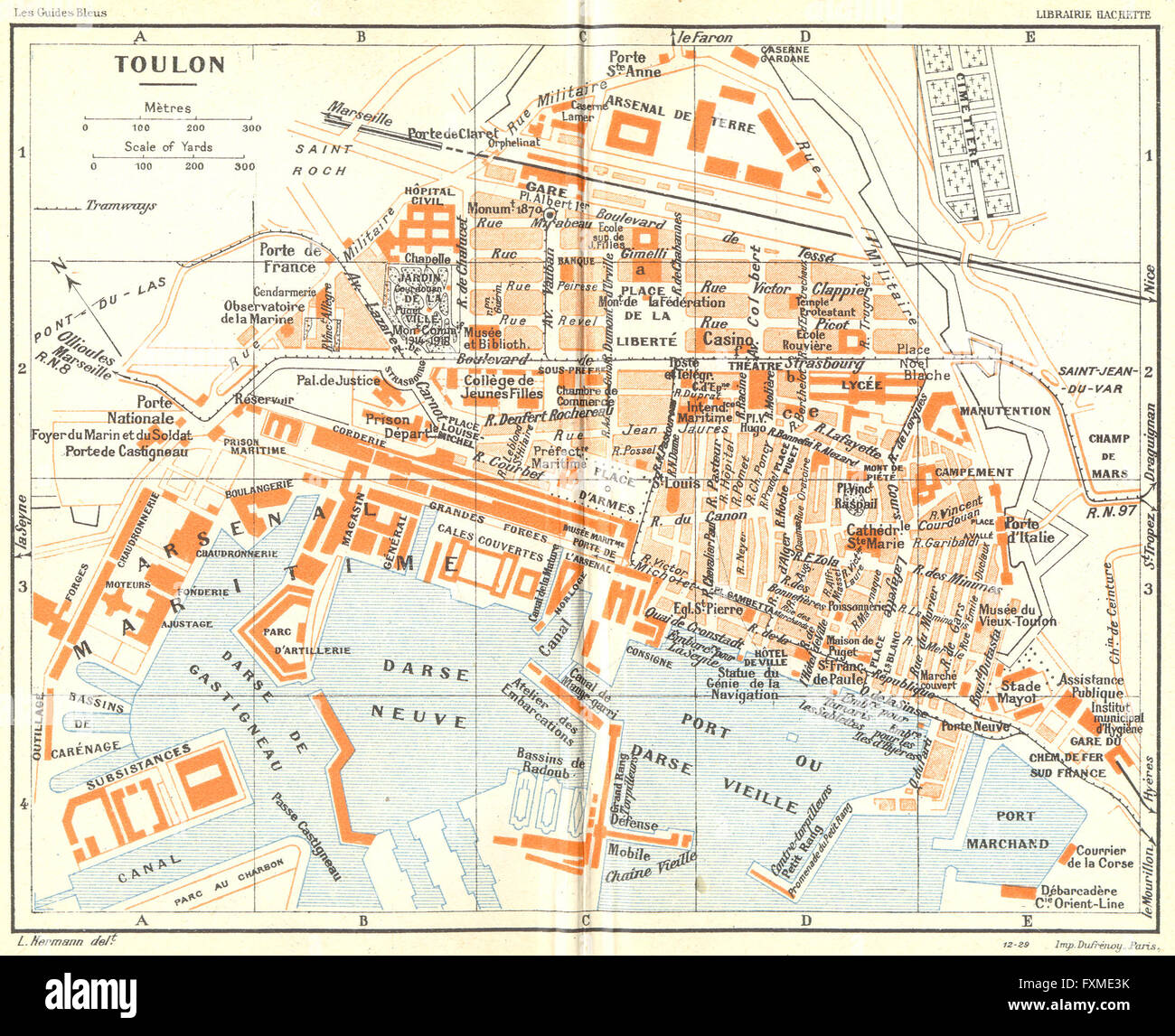 FRANCE: Toulon, 1926 vintage map Stock Photohttps://www.alamy.com/image-license-details/?v=1https://www.alamy.com/stock-photo-france-toulon-1926-vintage-map-102483015.html
RFFXME3K–FRANCE: Toulon, 1926 vintage map
 Normandie, region of France. Open Street Map Stock Photohttps://www.alamy.com/image-license-details/?v=1https://www.alamy.com/normandie-region-of-france-open-street-map-image484656735.html
RF2K4E0H3–Normandie, region of France. Open Street Map
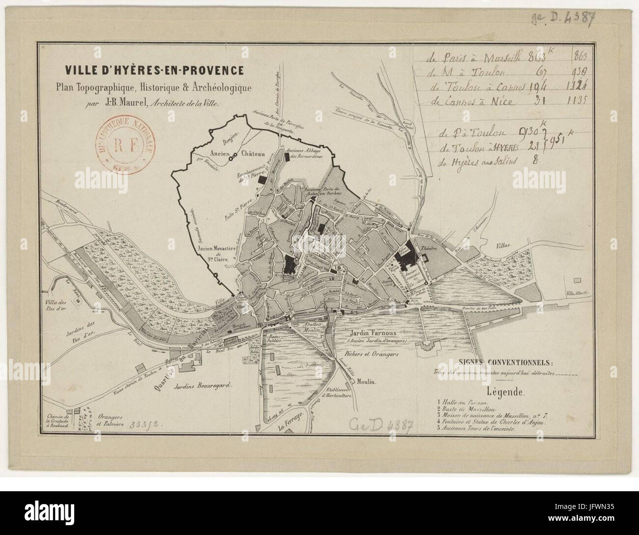 Carte hyères Stock Photohttps://www.alamy.com/image-license-details/?v=1https://www.alamy.com/stock-photo-carte-hyres-147468137.html
RMJFWN35–Carte hyères
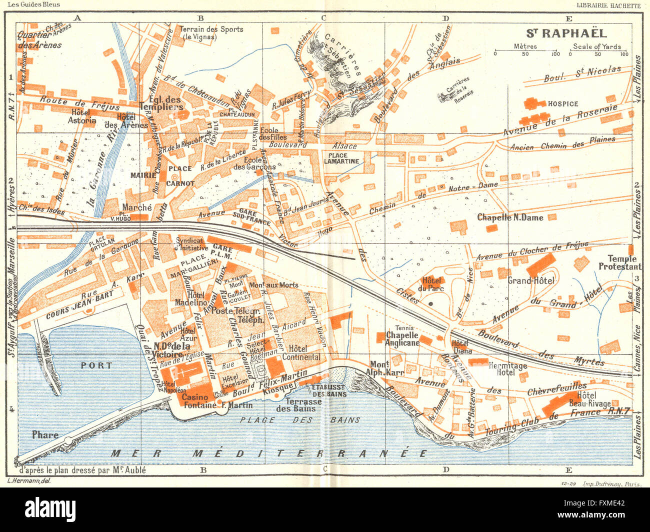 COTE D'AZUR: St Raphael, 1926 vintage map Stock Photohttps://www.alamy.com/image-license-details/?v=1https://www.alamy.com/stock-photo-cote-dazur-st-raphael-1926-vintage-map-102483026.html
RFFXME42–COTE D'AZUR: St Raphael, 1926 vintage map
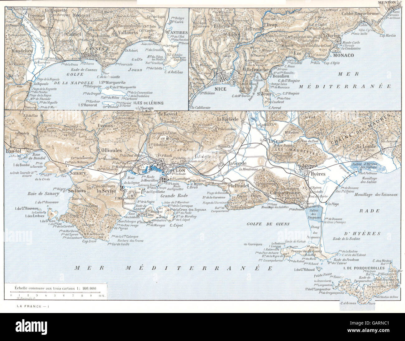 VAR: Toulon- Cannes- Nice. Hyères Porquerolles, 1900 antique map Stock Photohttps://www.alamy.com/image-license-details/?v=1https://www.alamy.com/stock-photo-var-toulon-cannes-nice-hyres-porquerolles-1900-antique-map-109930465.html
RFGARNC1–VAR: Toulon- Cannes- Nice. Hyères Porquerolles, 1900 antique map
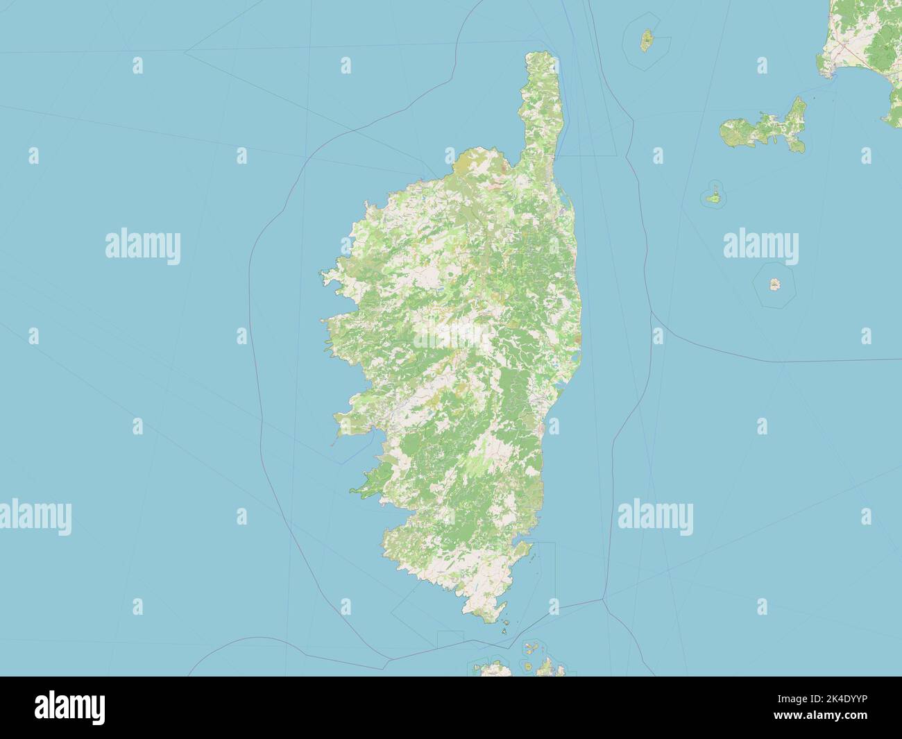 Corse, region of France. Open Street Map Stock Photohttps://www.alamy.com/image-license-details/?v=1https://www.alamy.com/corse-region-of-france-open-street-map-image484656250.html
RF2K4DYYP–Corse, region of France. Open Street Map
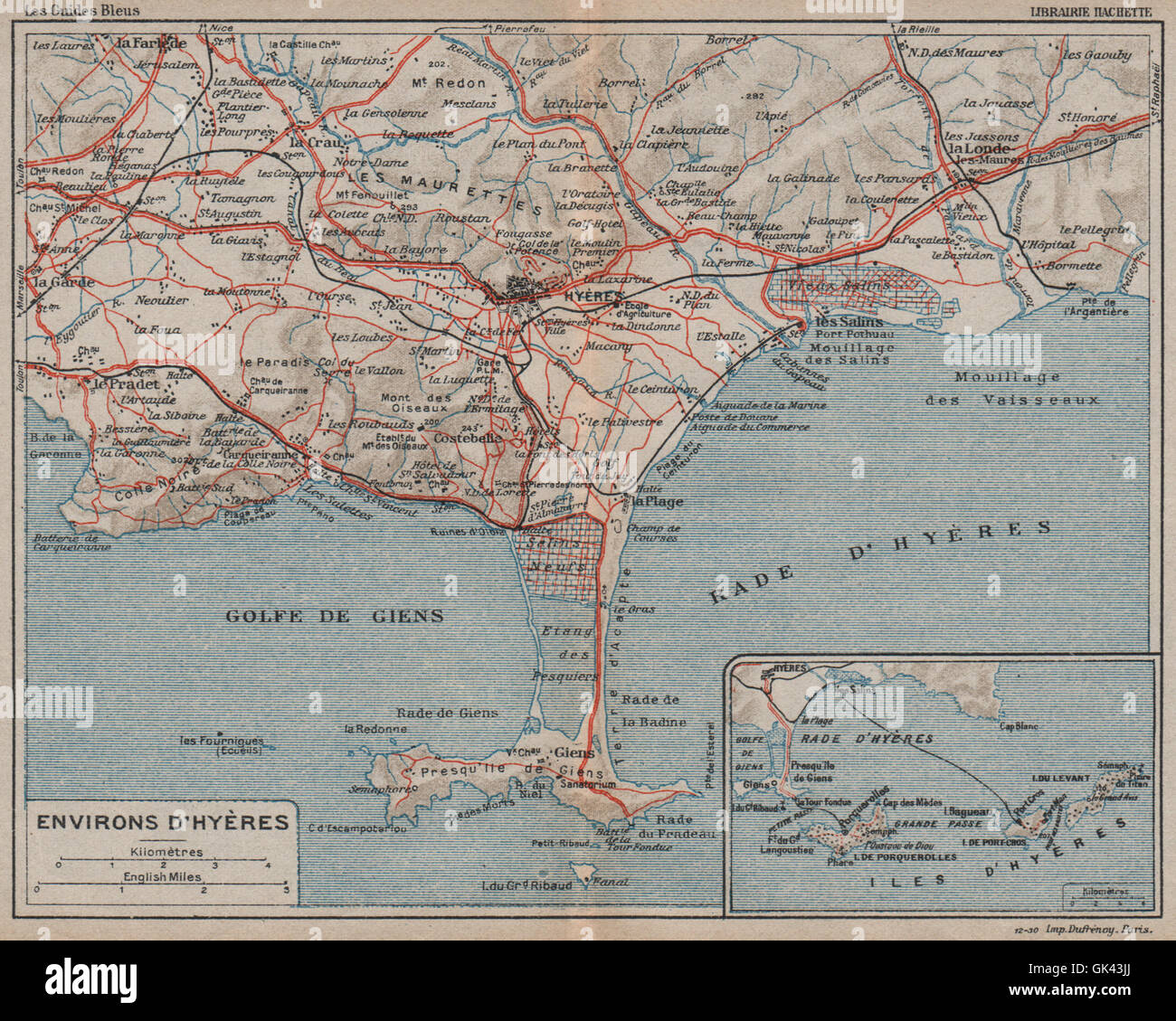 HYÈRES environs. Porquerolles. Presque'ile de Giens. Var, 1930 vintage map Stock Photohttps://www.alamy.com/image-license-details/?v=1https://www.alamy.com/stock-photo-hyres-environs-porquerolles-presqueile-de-giens-var-1930-vintage-map-115031354.html
RFGK43JJ–HYÈRES environs. Porquerolles. Presque'ile de Giens. Var, 1930 vintage map
 HYÈRES environs. Porquerolles. Presque'ile de Giens. Var, 1925 vintage map Stock Photohttps://www.alamy.com/image-license-details/?v=1https://www.alamy.com/stock-photo-hyres-environs-porquerolles-presqueile-de-giens-var-1925-vintage-map-115034853.html
RFGK483H–HYÈRES environs. Porquerolles. Presque'ile de Giens. Var, 1925 vintage map
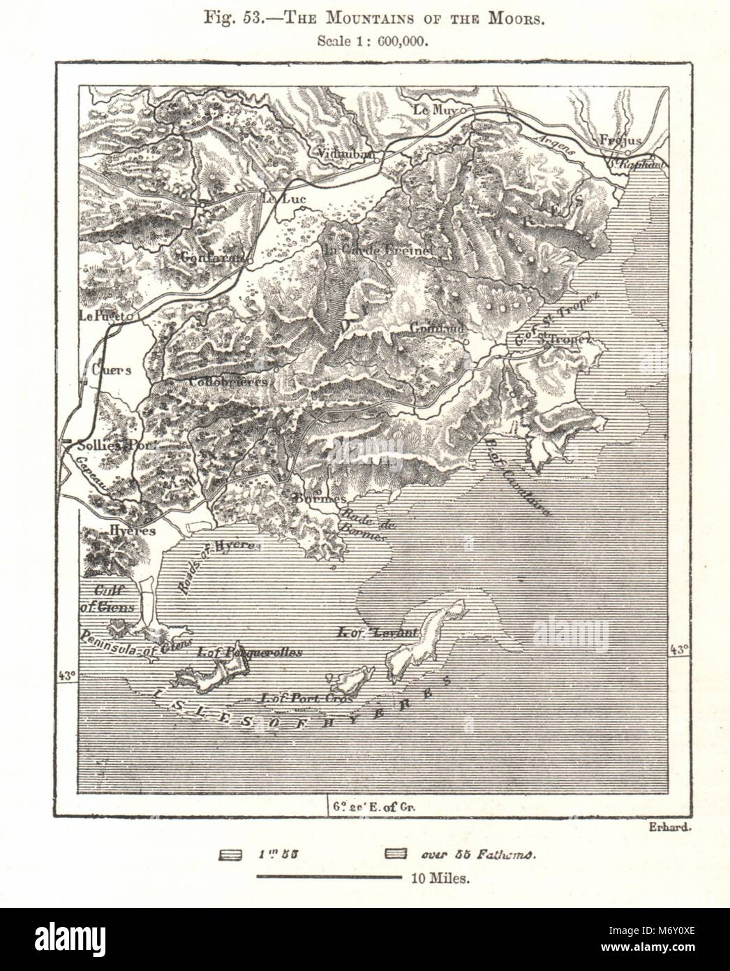 Massif des Maures. Porquerolles St Tropez Hyères. Var. Sketch map 1885 old Stock Photohttps://www.alamy.com/image-license-details/?v=1https://www.alamy.com/stock-photo-massif-des-maures-porquerolles-st-tropez-hyres-var-sketch-map-1885-176385062.html
RFM6Y0XE–Massif des Maures. Porquerolles St Tropez Hyères. Var. Sketch map 1885 old
 LES MAURES. Golfe de St Tropez. Ste Maxime. Hyères. Var, 1930 vintage map Stock Photohttps://www.alamy.com/image-license-details/?v=1https://www.alamy.com/stock-photo-les-maures-golfe-de-st-tropez-ste-maxime-hyres-var-1930-vintage-map-115031445.html
RFGK43NW–LES MAURES. Golfe de St Tropez. Ste Maxime. Hyères. Var, 1930 vintage map
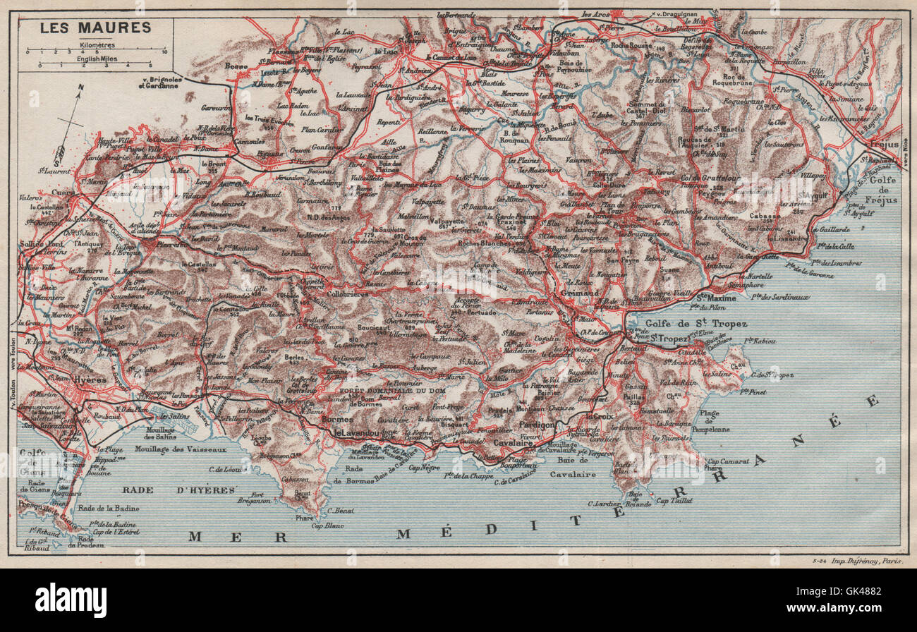 LES MAURES. Golfe de St Tropez. Ste Maxime. Hyères. Var, 1925 vintage map Stock Photohttps://www.alamy.com/image-license-details/?v=1https://www.alamy.com/stock-photo-les-maures-golfe-de-st-tropez-ste-maxime-hyres-var-1925-vintage-map-115034978.html
RFGK4882–LES MAURES. Golfe de St Tropez. Ste Maxime. Hyères. Var, 1925 vintage map
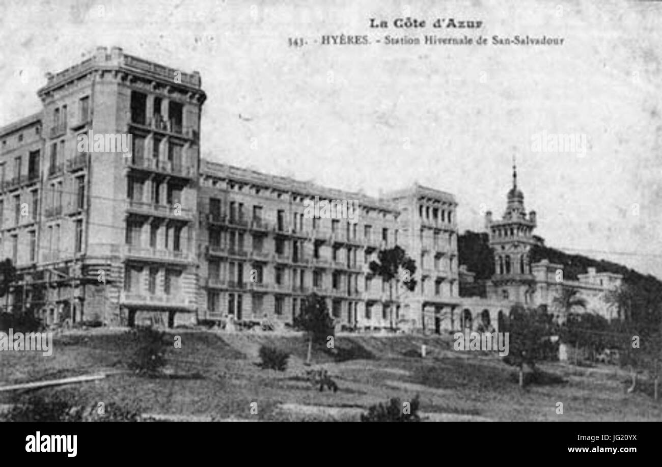 Hyères SSalvadour Stock Photohttps://www.alamy.com/image-license-details/?v=1https://www.alamy.com/stock-photo-hyres-ssalvadour-147562126.html
RMJG20YX–Hyères SSalvadour
 Rade d'Engien. Giens peninsula, Hyères. Plage de l'Almanarre. Var. ROUX 1804 map Stock Photohttps://www.alamy.com/image-license-details/?v=1https://www.alamy.com/rade-dengien-giens-peninsula-hyres-plage-de-lalmanarre-var-roux-1804-map-image385037338.html
RF2DABY1E–Rade d'Engien. Giens peninsula, Hyères. Plage de l'Almanarre. Var. ROUX 1804 map
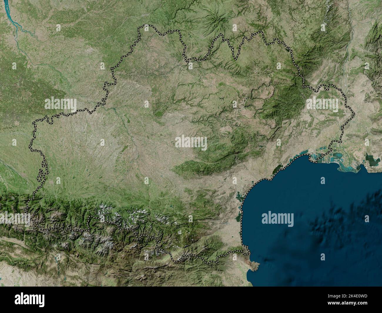 Occitanie, region of France. High resolution satellite map Stock Photohttps://www.alamy.com/image-license-details/?v=1https://www.alamy.com/occitanie-region-of-france-high-resolution-satellite-map-image484656969.html
RF2K4E0WD–Occitanie, region of France. High resolution satellite map
 4 mariage Huber 1847 Hyères Stock Photohttps://www.alamy.com/image-license-details/?v=1https://www.alamy.com/stock-photo-4-mariage-huber-1847-hyres-147439559.html
RMJFTCJF–4 mariage Huber 1847 Hyères
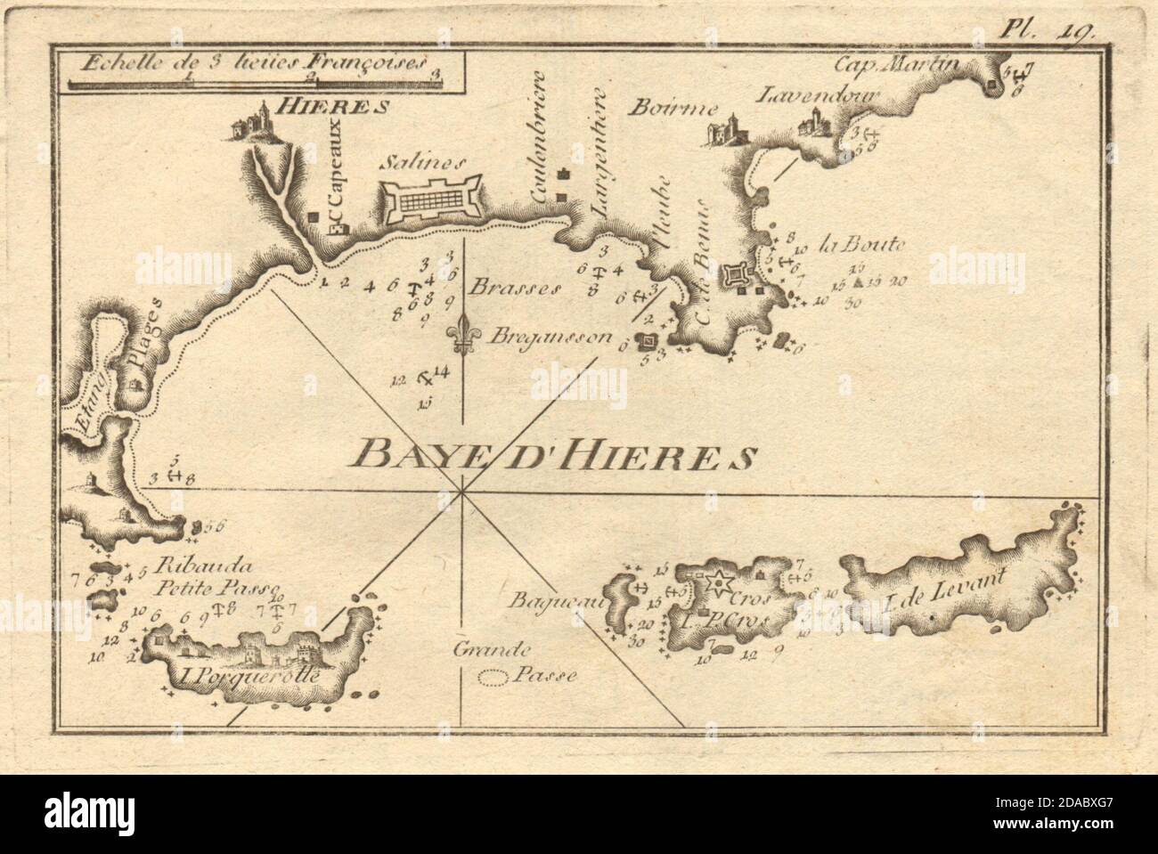 Baye d'Hieres. Hyères, Iles Porquerolles, Port-Cros & Levant. Var. ROUX 1804 map Stock Photohttps://www.alamy.com/image-license-details/?v=1https://www.alamy.com/baye-dhieres-hyres-iles-porquerolles-port-cros-levant-var-roux-1804-map-image385036967.html
RF2DABXG7–Baye d'Hieres. Hyères, Iles Porquerolles, Port-Cros & Levant. Var. ROUX 1804 map
 VAR. Marseilles Hyeres Cannes Antibes Porquerolles Bouches-du-Rhône, 1890 map Stock Photohttps://www.alamy.com/image-license-details/?v=1https://www.alamy.com/stock-photo-var-marseilles-hyeres-cannes-antibes-porquerolles-bouches-du-rhne-115085570.html
RFGK6GPX–VAR. Marseilles Hyeres Cannes Antibes Porquerolles Bouches-du-Rhône, 1890 map
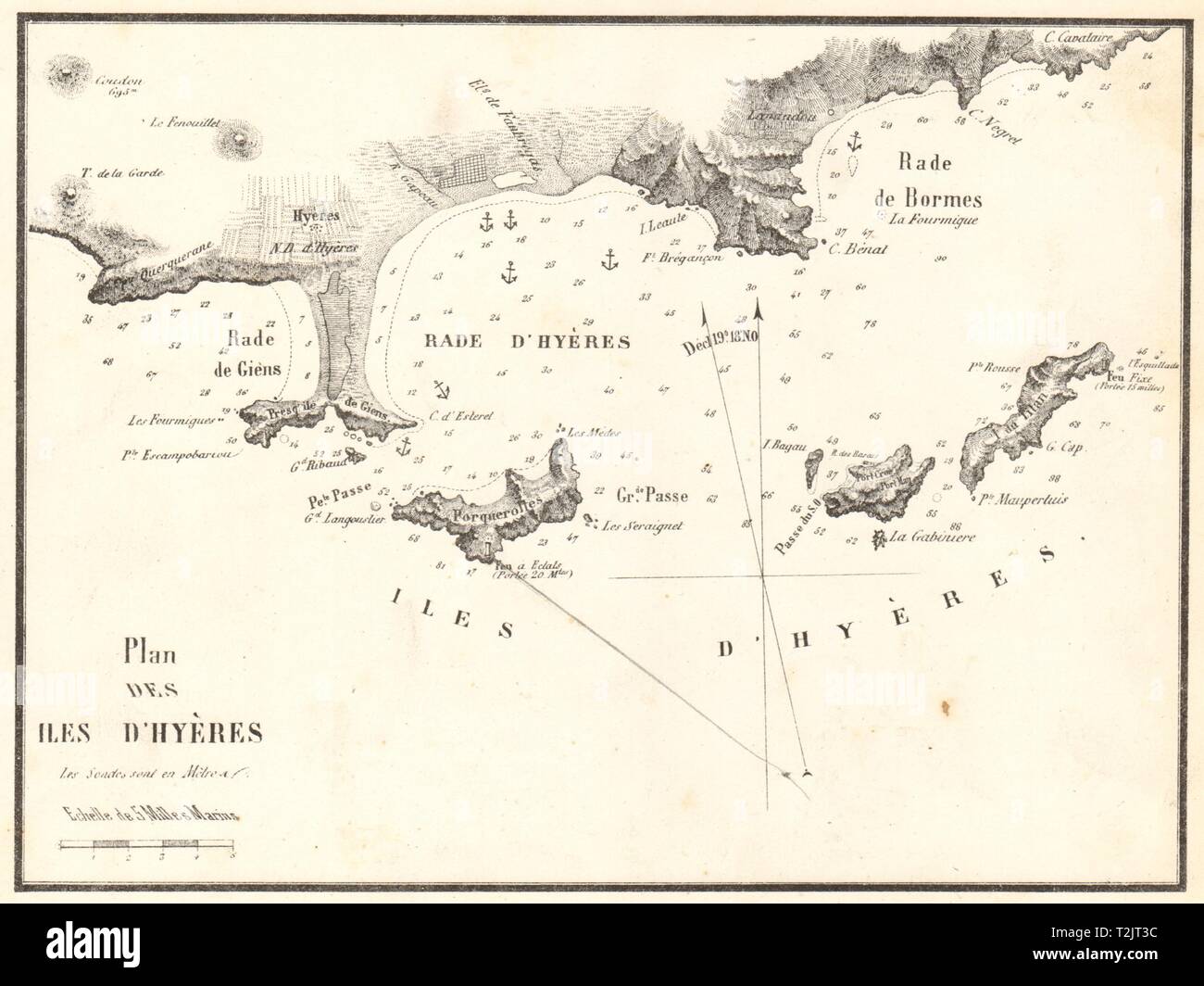 Îles d'Hyères. 'Plan des Iles Hyeres'. Var. GAUTTIER 1851 old antique map Stock Photohttps://www.alamy.com/image-license-details/?v=1https://www.alamy.com/les-dhyres-plan-des-iles-hyeres-var-gauttier-1851-old-antique-map-image242588512.html
RFT2JT3C–Îles d'Hyères. 'Plan des Iles Hyeres'. Var. GAUTTIER 1851 old antique map
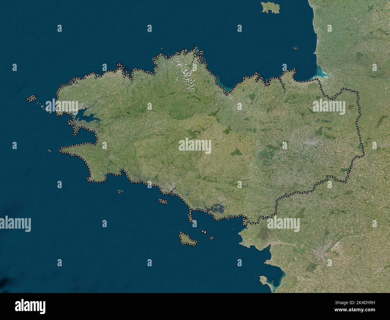 Bretagne, region of France. Low resolution satellite map Stock Photohttps://www.alamy.com/image-license-details/?v=1https://www.alamy.com/bretagne-region-of-france-low-resolution-satellite-map-image484656133.html
RF2K4DYRH–Bretagne, region of France. Low resolution satellite map
 Guide pittoresque 111 Château d Hyères cropped Stock Photohttps://www.alamy.com/image-license-details/?v=1https://www.alamy.com/stock-photo-guide-pittoresque-111-chteau-d-hyres-cropped-147585139.html
RMJG329R–Guide pittoresque 111 Château d Hyères cropped
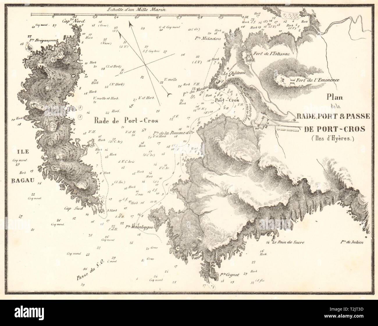 La Rade, Port & Passe de Port-Cros, Îles d'Hyères. Var. GAUTTIER 1851 old map Stock Photohttps://www.alamy.com/image-license-details/?v=1https://www.alamy.com/la-rade-port-passe-de-port-cros-les-dhyres-var-gauttier-1851-old-map-image242588513.html
RFT2JT3D–La Rade, Port & Passe de Port-Cros, Îles d'Hyères. Var. GAUTTIER 1851 old map
 Coast of Provence. Îles d'Hyères. Porquerolles. St Tropez. MOUNT & PAGE 1747 map Stock Photohttps://www.alamy.com/image-license-details/?v=1https://www.alamy.com/coast-of-provence-les-dhyres-porquerolles-st-tropez-mount-page-1747-map-image242573232.html
RFT2J4HM–Coast of Provence. Îles d'Hyères. Porquerolles. St Tropez. MOUNT & PAGE 1747 map
 Plan de Port-Man (Iles d'Hyeres). Îles d'Hyères, Var. GAUTTIER 1851 old map Stock Photohttps://www.alamy.com/image-license-details/?v=1https://www.alamy.com/plan-de-port-man-iles-dhyeres-les-dhyres-var-gauttier-1851-old-map-image242588514.html
RFT2JT3E–Plan de Port-Man (Iles d'Hyeres). Îles d'Hyères, Var. GAUTTIER 1851 old map
 Corse, region of France. High resolution satellite map Stock Photohttps://www.alamy.com/image-license-details/?v=1https://www.alamy.com/corse-region-of-france-high-resolution-satellite-map-image484656204.html
RF2K4DYX4–Corse, region of France. High resolution satellite map
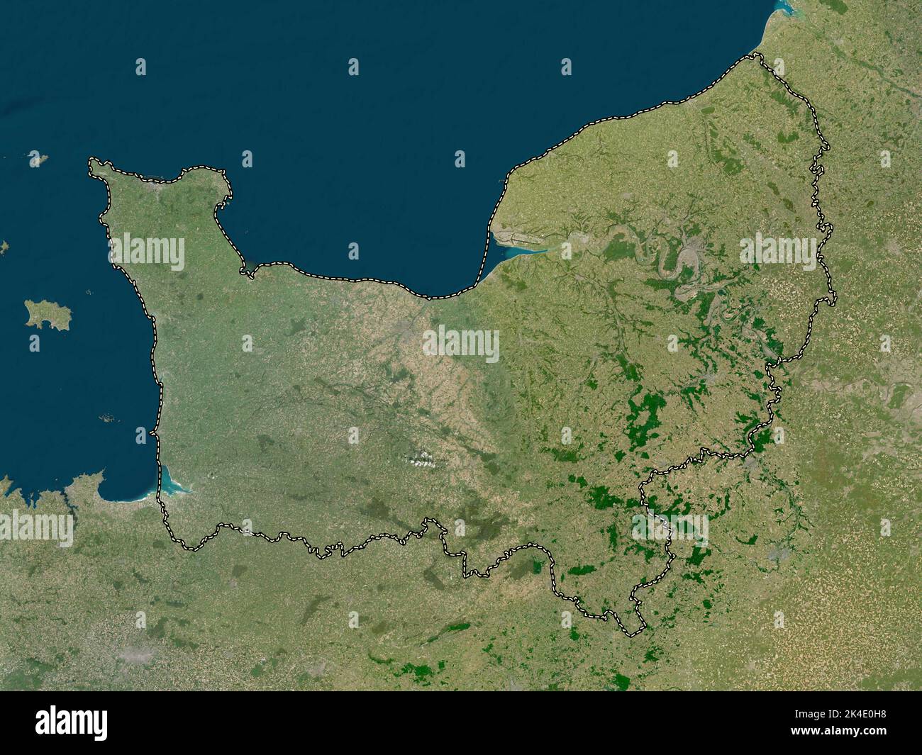 Normandie, region of France. Low resolution satellite map Stock Photohttps://www.alamy.com/image-license-details/?v=1https://www.alamy.com/normandie-region-of-france-low-resolution-satellite-map-image484656740.html
RF2K4E0H8–Normandie, region of France. Low resolution satellite map
 Corse, region of France. Low resolution satellite map Stock Photohttps://www.alamy.com/image-license-details/?v=1https://www.alamy.com/corse-region-of-france-low-resolution-satellite-map-image484656266.html
RF2K4E00A–Corse, region of France. Low resolution satellite map
 Bretagne, region of France. High resolution satellite map Stock Photohttps://www.alamy.com/image-license-details/?v=1https://www.alamy.com/bretagne-region-of-france-high-resolution-satellite-map-image484656129.html
RF2K4DYRD–Bretagne, region of France. High resolution satellite map
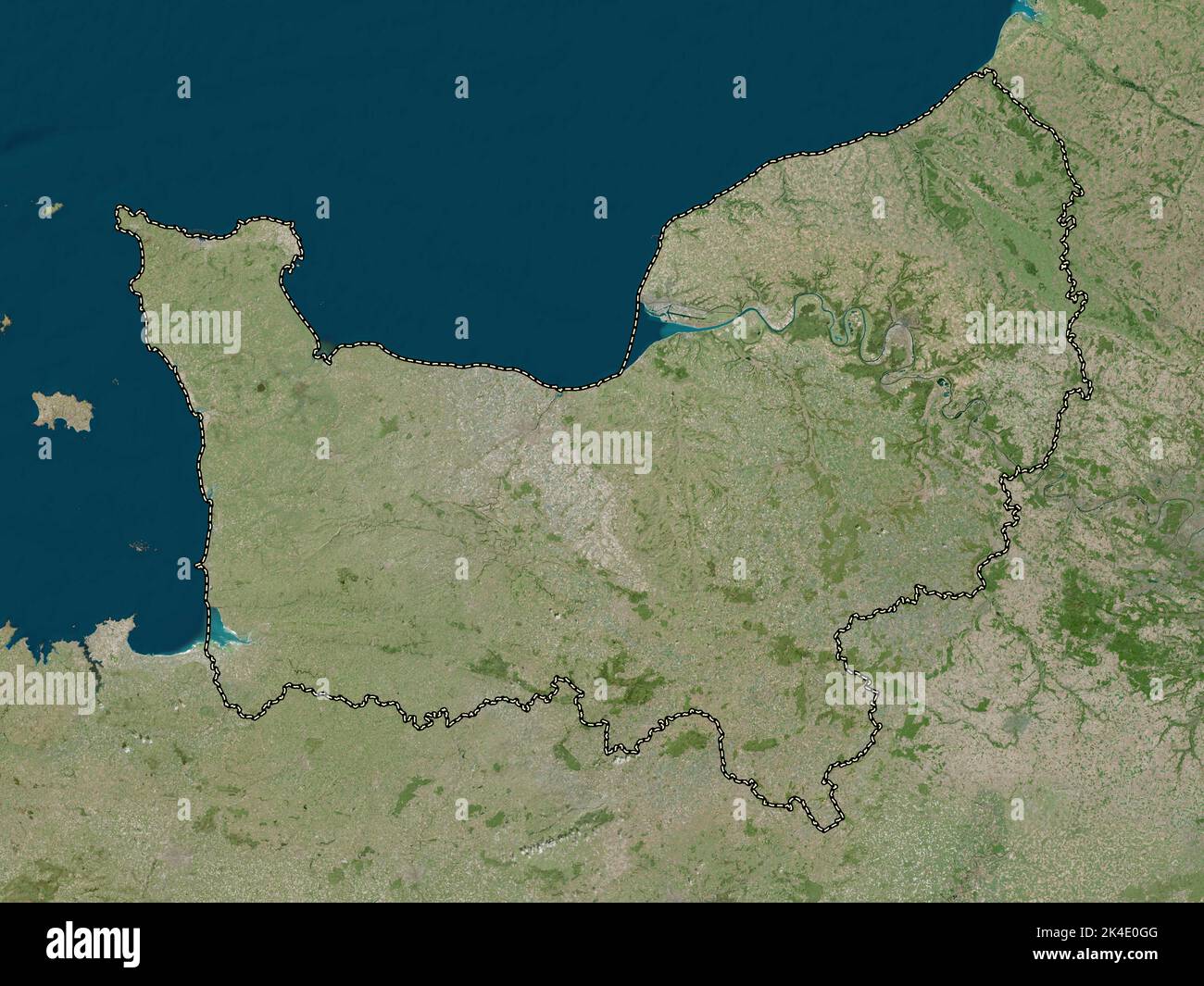 Normandie, region of France. High resolution satellite map Stock Photohttps://www.alamy.com/image-license-details/?v=1https://www.alamy.com/normandie-region-of-france-high-resolution-satellite-map-image484656720.html
RF2K4E0GG–Normandie, region of France. High resolution satellite map
 Occitanie, region of France. Low resolution satellite map Stock Photohttps://www.alamy.com/image-license-details/?v=1https://www.alamy.com/occitanie-region-of-france-low-resolution-satellite-map-image484656965.html
RF2K4E0W9–Occitanie, region of France. Low resolution satellite map
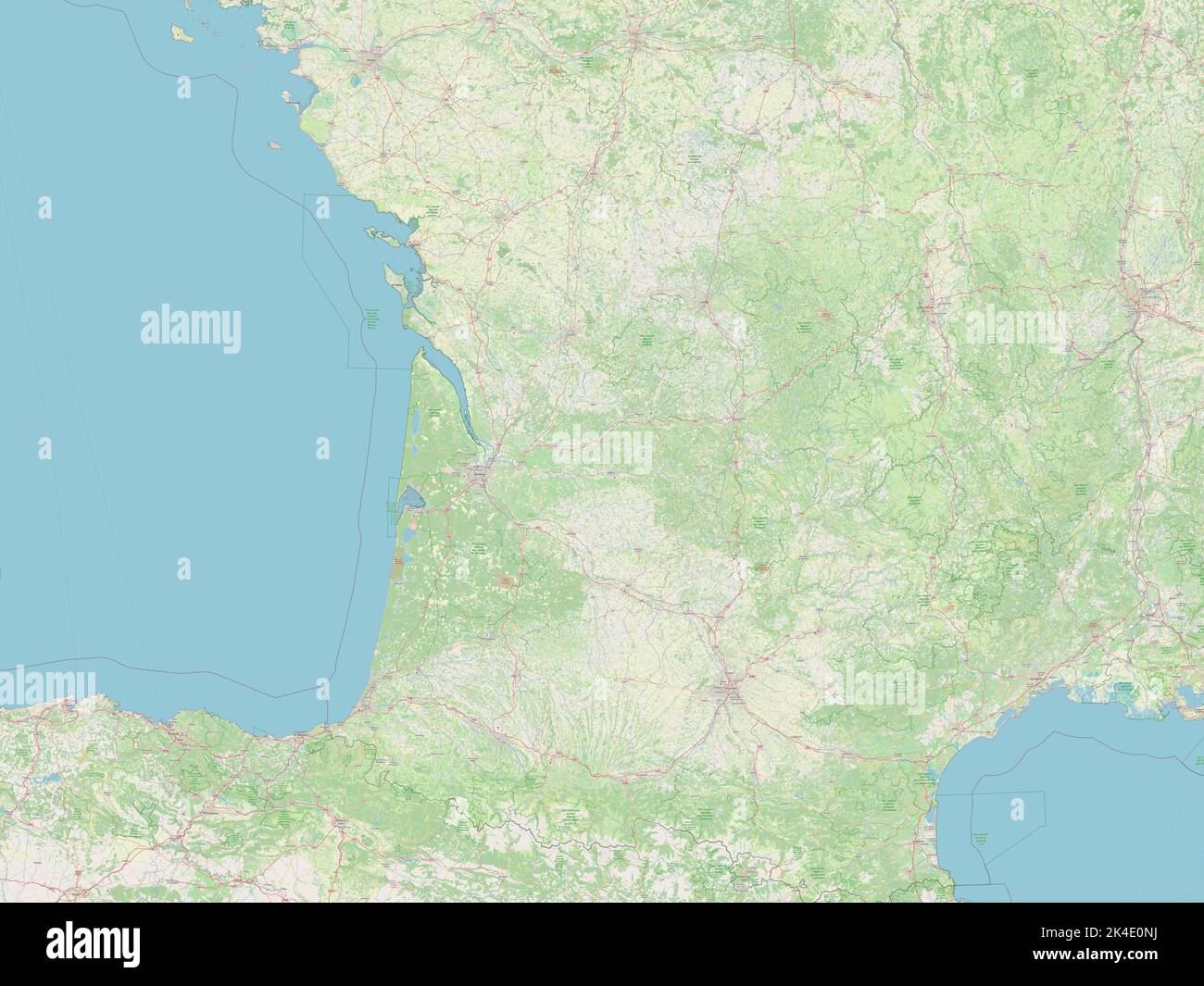 Nouvelle-Aquitaine, region of France. Open Street Map Stock Photohttps://www.alamy.com/image-license-details/?v=1https://www.alamy.com/nouvelle-aquitaine-region-of-france-open-street-map-image484656862.html
RF2K4E0NJ–Nouvelle-Aquitaine, region of France. Open Street Map
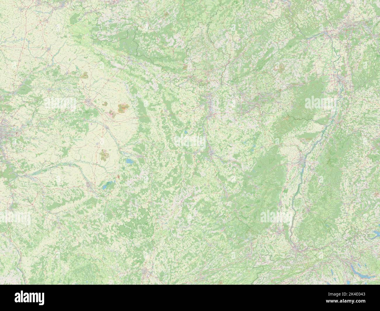 Grand Est, region of France. Open Street Map Stock Photohttps://www.alamy.com/image-license-details/?v=1https://www.alamy.com/grand-est-region-of-france-open-street-map-image484656371.html
RF2K4E043–Grand Est, region of France. Open Street Map
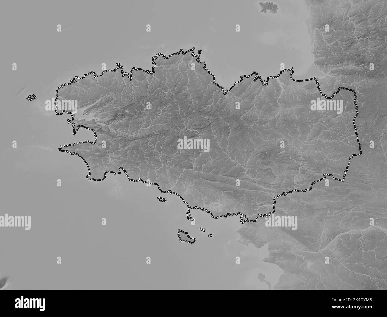 Bretagne, region of France. Grayscale elevation map with lakes and rivers Stock Photohttps://www.alamy.com/image-license-details/?v=1https://www.alamy.com/bretagne-region-of-france-grayscale-elevation-map-with-lakes-and-rivers-image484656040.html
RF2K4DYM8–Bretagne, region of France. Grayscale elevation map with lakes and rivers
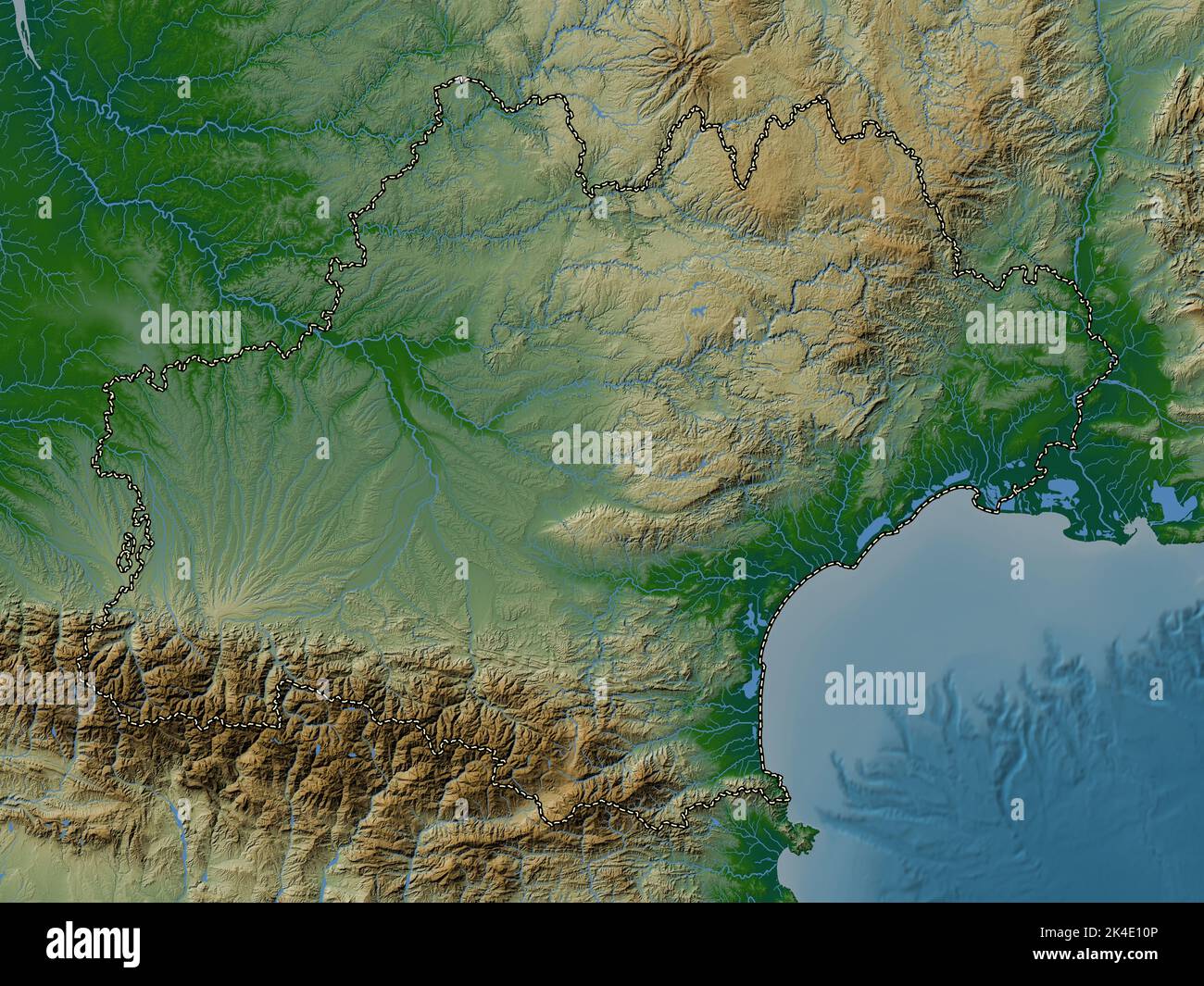 Occitanie, region of France. Colored elevation map with lakes and rivers Stock Photohttps://www.alamy.com/image-license-details/?v=1https://www.alamy.com/occitanie-region-of-france-colored-elevation-map-with-lakes-and-rivers-image484657062.html
RF2K4E10P–Occitanie, region of France. Colored elevation map with lakes and rivers
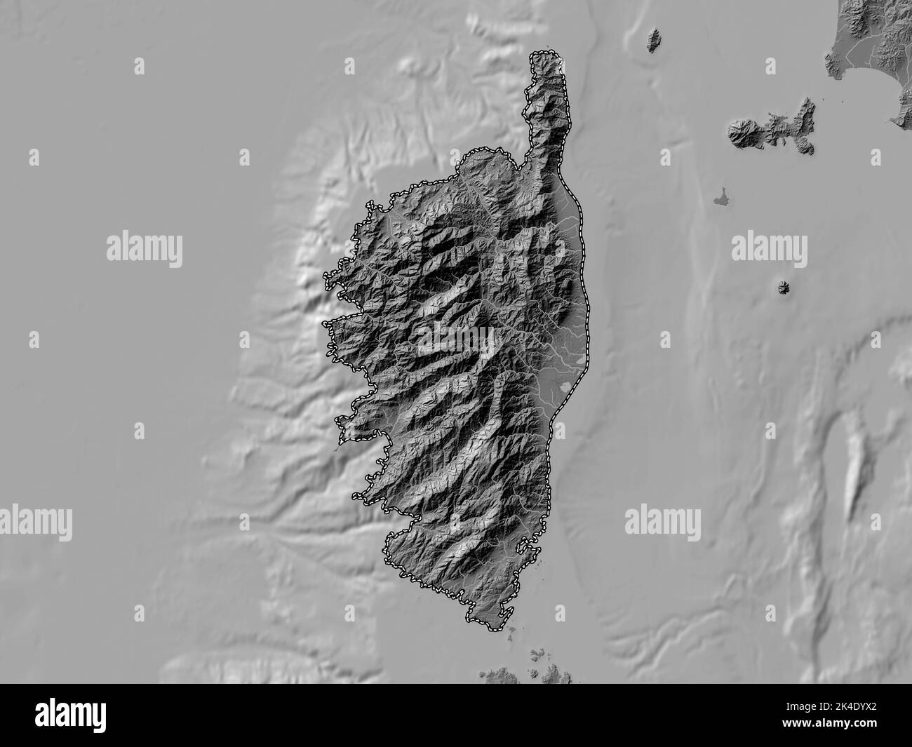 Corse, region of France. Bilevel elevation map with lakes and rivers Stock Photohttps://www.alamy.com/image-license-details/?v=1https://www.alamy.com/corse-region-of-france-bilevel-elevation-map-with-lakes-and-rivers-image484656202.html
RF2K4DYX2–Corse, region of France. Bilevel elevation map with lakes and rivers
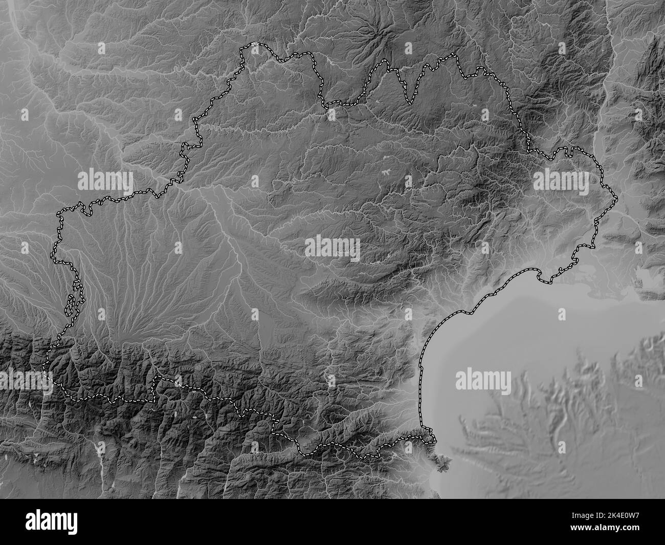 Occitanie, region of France. Grayscale elevation map with lakes and rivers Stock Photohttps://www.alamy.com/image-license-details/?v=1https://www.alamy.com/occitanie-region-of-france-grayscale-elevation-map-with-lakes-and-rivers-image484656963.html
RF2K4E0W7–Occitanie, region of France. Grayscale elevation map with lakes and rivers
 Corse, region of France. Colored elevation map with lakes and rivers Stock Photohttps://www.alamy.com/image-license-details/?v=1https://www.alamy.com/corse-region-of-france-colored-elevation-map-with-lakes-and-rivers-image484656277.html
RF2K4E00N–Corse, region of France. Colored elevation map with lakes and rivers
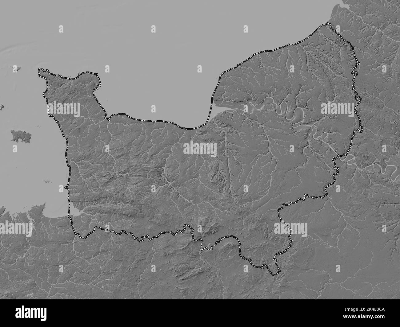 Normandie, region of France. Bilevel elevation map with lakes and rivers Stock Photohttps://www.alamy.com/image-license-details/?v=1https://www.alamy.com/normandie-region-of-france-bilevel-elevation-map-with-lakes-and-rivers-image484656602.html
RF2K4E0CA–Normandie, region of France. Bilevel elevation map with lakes and rivers
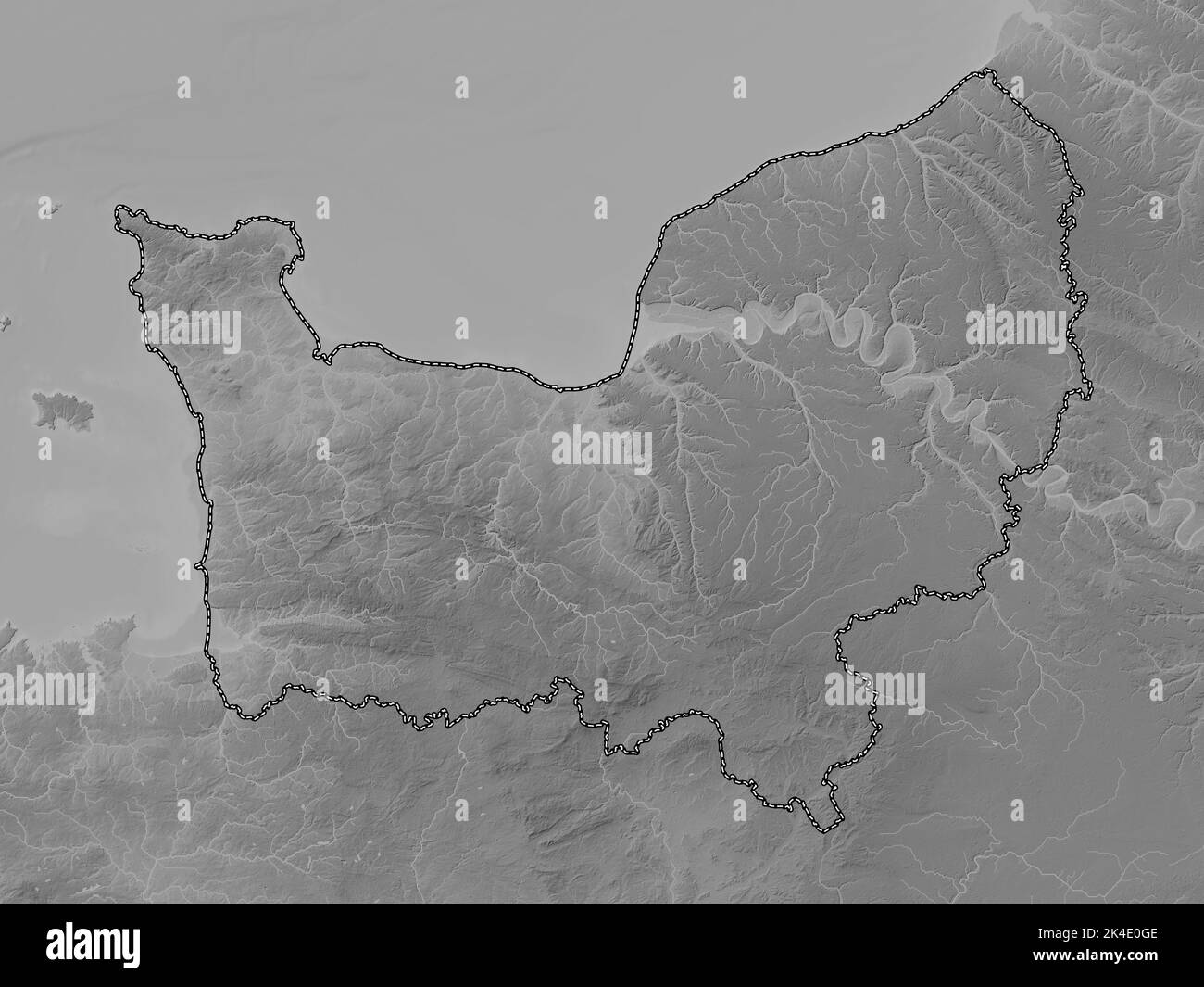 Normandie, region of France. Grayscale elevation map with lakes and rivers Stock Photohttps://www.alamy.com/image-license-details/?v=1https://www.alamy.com/normandie-region-of-france-grayscale-elevation-map-with-lakes-and-rivers-image484656718.html
RF2K4E0GE–Normandie, region of France. Grayscale elevation map with lakes and rivers
 Corse, region of France. Grayscale elevation map with lakes and rivers Stock Photohttps://www.alamy.com/image-license-details/?v=1https://www.alamy.com/corse-region-of-france-grayscale-elevation-map-with-lakes-and-rivers-image484656216.html
RF2K4DYXG–Corse, region of France. Grayscale elevation map with lakes and rivers
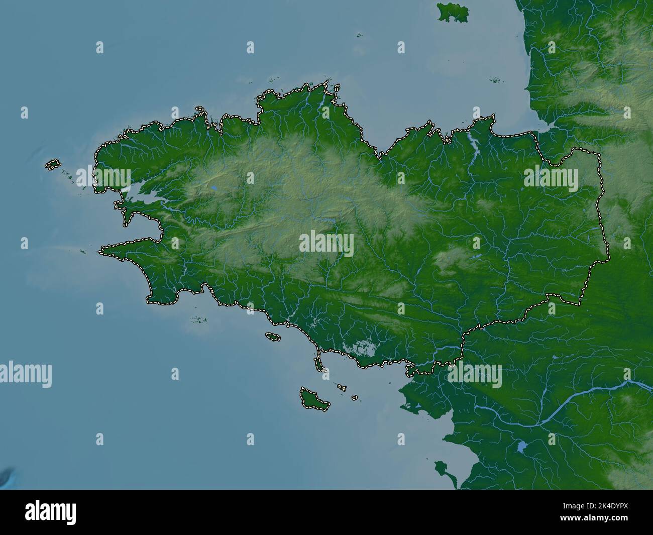 Bretagne, region of France. Colored elevation map with lakes and rivers Stock Photohttps://www.alamy.com/image-license-details/?v=1https://www.alamy.com/bretagne-region-of-france-colored-elevation-map-with-lakes-and-rivers-image484656114.html
RF2K4DYPX–Bretagne, region of France. Colored elevation map with lakes and rivers
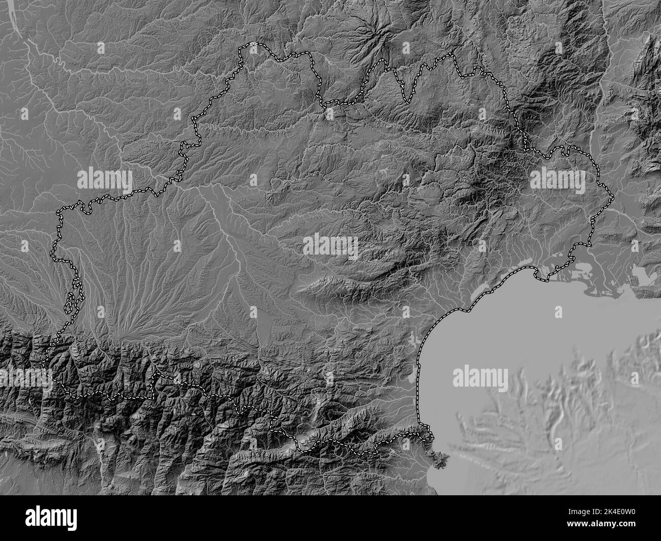 Occitanie, region of France. Bilevel elevation map with lakes and rivers Stock Photohttps://www.alamy.com/image-license-details/?v=1https://www.alamy.com/occitanie-region-of-france-bilevel-elevation-map-with-lakes-and-rivers-image484656956.html
RF2K4E0W0–Occitanie, region of France. Bilevel elevation map with lakes and rivers
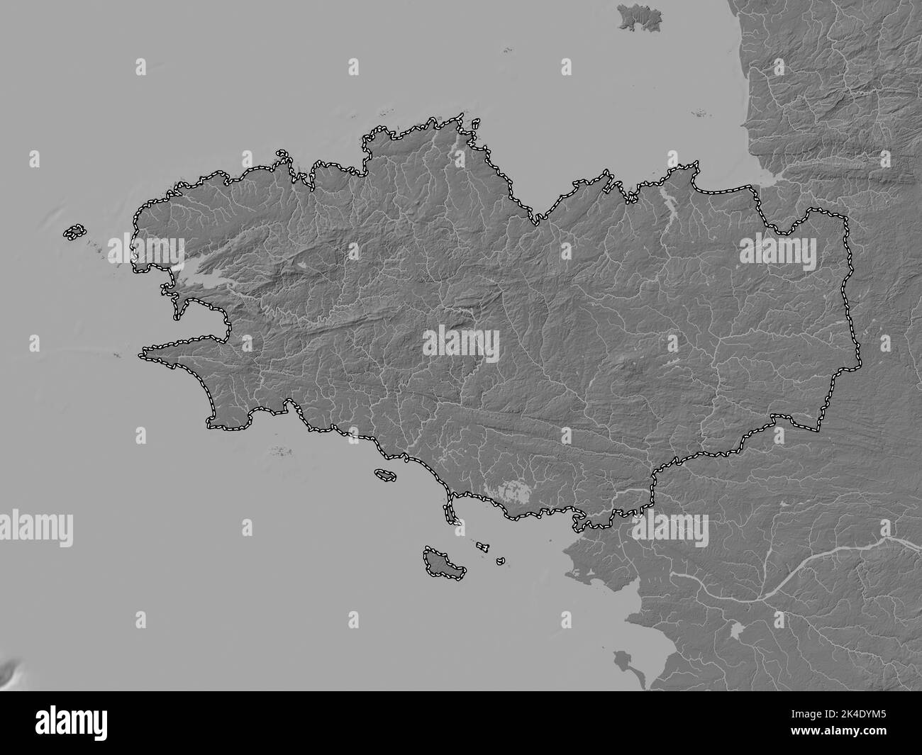 Bretagne, region of France. Bilevel elevation map with lakes and rivers Stock Photohttps://www.alamy.com/image-license-details/?v=1https://www.alamy.com/bretagne-region-of-france-bilevel-elevation-map-with-lakes-and-rivers-image484656037.html
RF2K4DYM5–Bretagne, region of France. Bilevel elevation map with lakes and rivers
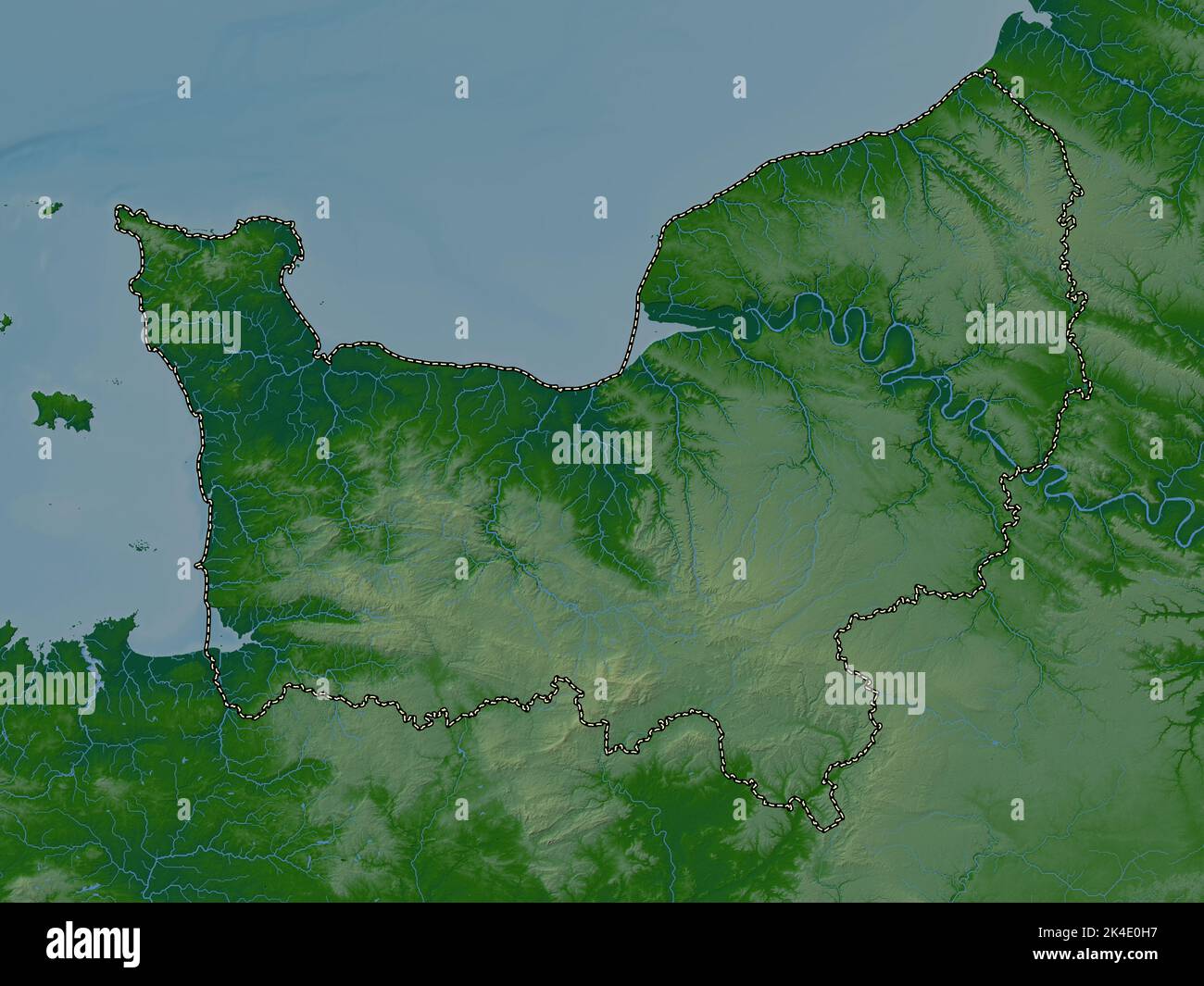 Normandie, region of France. Colored elevation map with lakes and rivers Stock Photohttps://www.alamy.com/image-license-details/?v=1https://www.alamy.com/normandie-region-of-france-colored-elevation-map-with-lakes-and-rivers-image484656739.html
RF2K4E0H7–Normandie, region of France. Colored elevation map with lakes and rivers
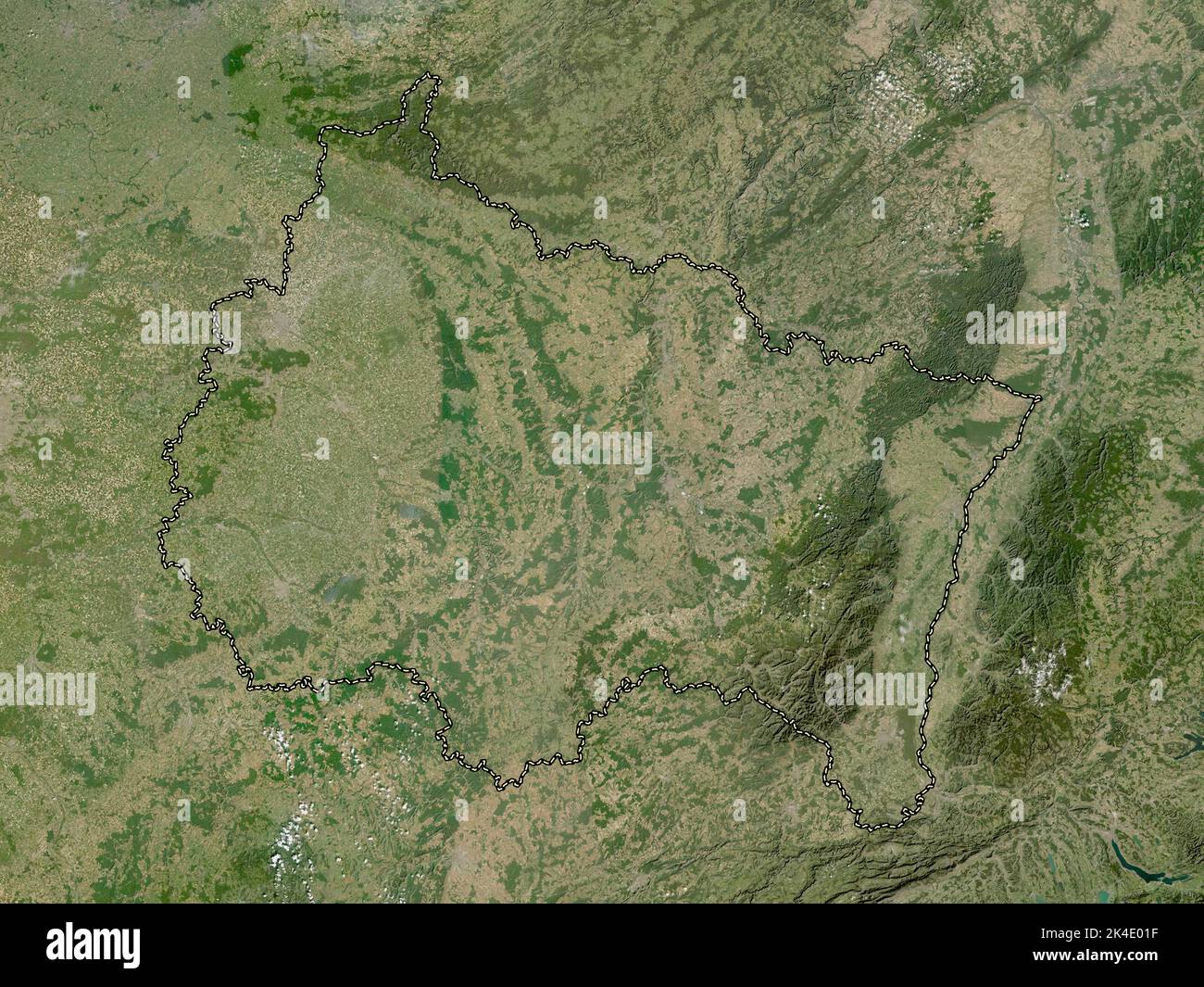 Grand Est, region of France. Low resolution satellite map Stock Photohttps://www.alamy.com/image-license-details/?v=1https://www.alamy.com/grand-est-region-of-france-low-resolution-satellite-map-image484656299.html
RF2K4E01F–Grand Est, region of France. Low resolution satellite map
 Hauts-de-France, region of France. Open Street Map Stock Photohttps://www.alamy.com/image-license-details/?v=1https://www.alamy.com/hauts-de-france-region-of-france-open-street-map-image484656482.html
RF2K4E082–Hauts-de-France, region of France. Open Street Map
 Ile-de-France, region of France. Open Street Map Stock Photohttps://www.alamy.com/image-license-details/?v=1https://www.alamy.com/ile-de-france-region-of-france-open-street-map-image484656595.html
RF2K4E0C3–Ile-de-France, region of France. Open Street Map
 Grand Est, region of France. High resolution satellite map Stock Photohttps://www.alamy.com/image-license-details/?v=1https://www.alamy.com/grand-est-region-of-france-high-resolution-satellite-map-image484656304.html
RF2K4E01M–Grand Est, region of France. High resolution satellite map
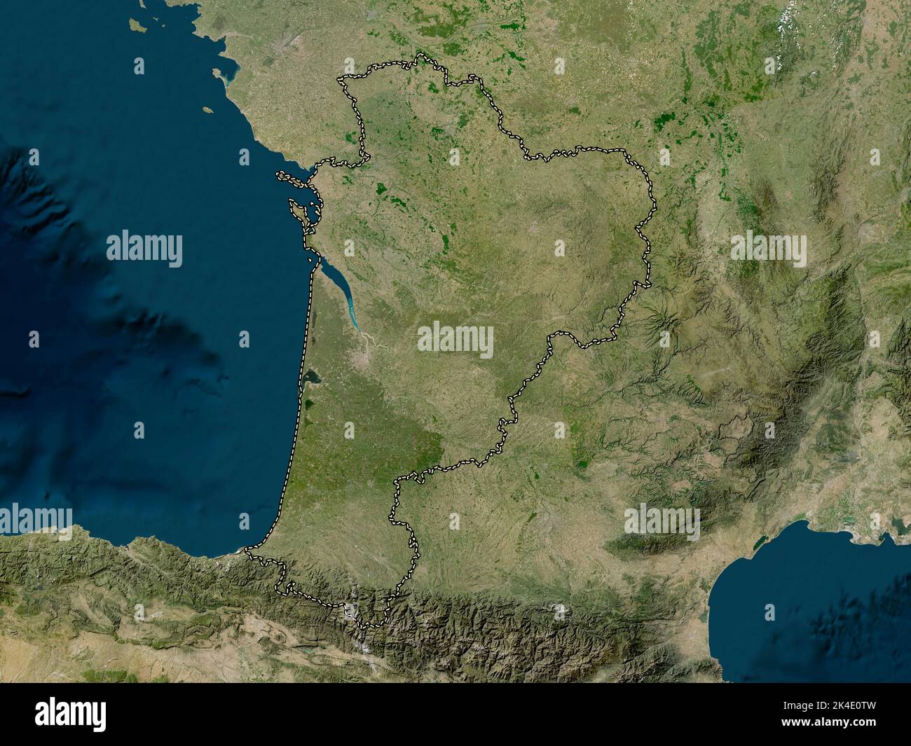 Nouvelle-Aquitaine, region of France. Low resolution satellite map Stock Photohttps://www.alamy.com/image-license-details/?v=1https://www.alamy.com/nouvelle-aquitaine-region-of-france-low-resolution-satellite-map-image484656953.html
RF2K4E0TW–Nouvelle-Aquitaine, region of France. Low resolution satellite map
 Nouvelle-Aquitaine, region of France. High resolution satellite map Stock Photohttps://www.alamy.com/image-license-details/?v=1https://www.alamy.com/nouvelle-aquitaine-region-of-france-high-resolution-satellite-map-image484656852.html
RF2K4E0N8–Nouvelle-Aquitaine, region of France. High resolution satellite map
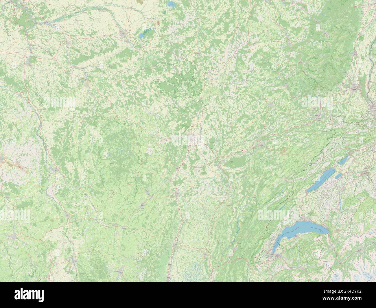 Bourgogne-Franche-Comte, region of France. Open Street Map Stock Photohttps://www.alamy.com/image-license-details/?v=1https://www.alamy.com/bourgogne-franche-comte-region-of-france-open-street-map-image484656006.html
RF2K4DYK2–Bourgogne-Franche-Comte, region of France. Open Street Map
 Auvergne-Rhone-Alpes, region of France. Open Street Map Stock Photohttps://www.alamy.com/image-license-details/?v=1https://www.alamy.com/auvergne-rhone-alpes-region-of-france-open-street-map-image484655850.html
RF2K4DYDE–Auvergne-Rhone-Alpes, region of France. Open Street Map
 Ile-de-France, region of France. Low resolution satellite map Stock Photohttps://www.alamy.com/image-license-details/?v=1https://www.alamy.com/ile-de-france-region-of-france-low-resolution-satellite-map-image484656588.html
RF2K4E0BT–Ile-de-France, region of France. Low resolution satellite map
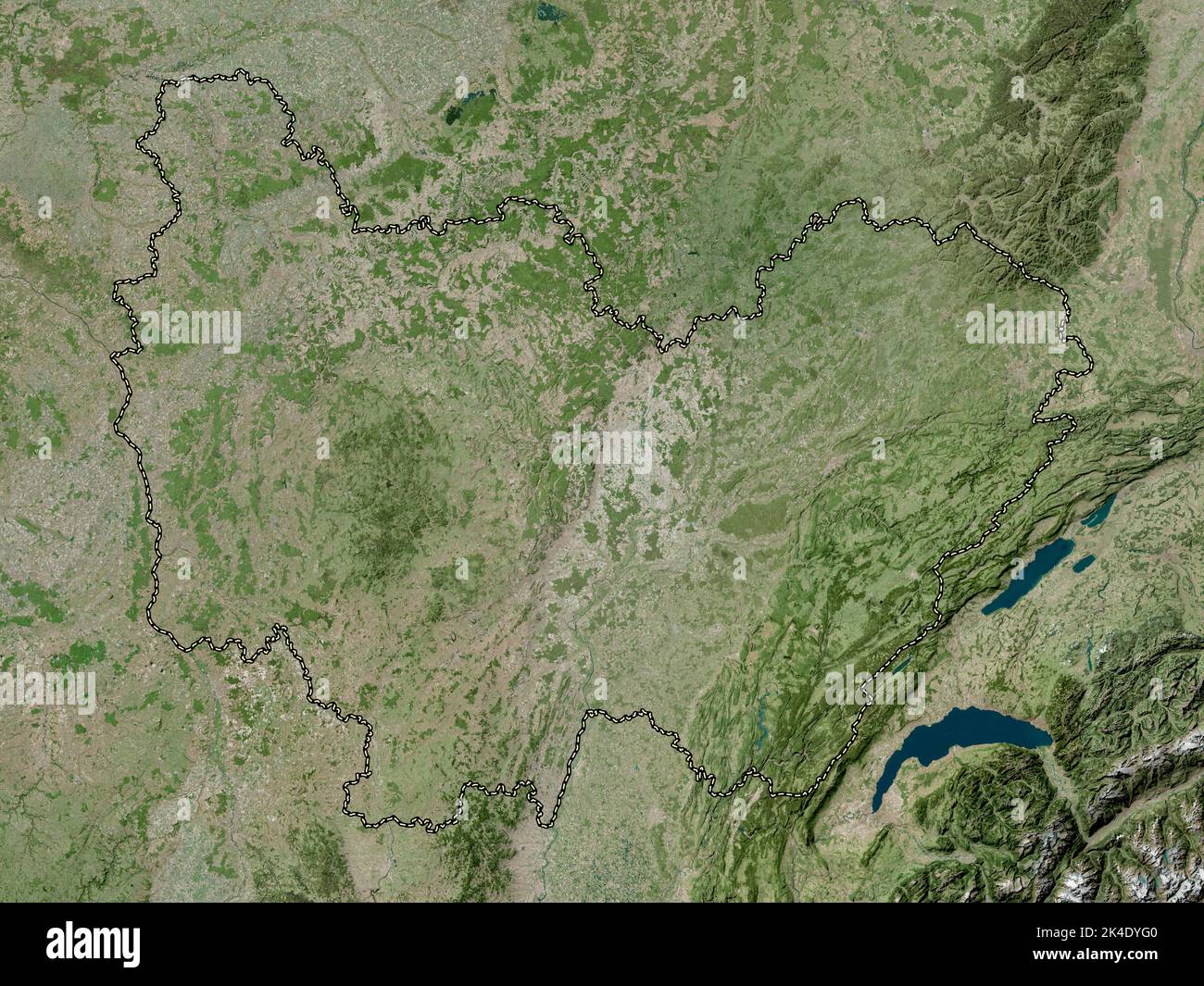 Bourgogne-Franche-Comte, region of France. High resolution satellite map Stock Photohttps://www.alamy.com/image-license-details/?v=1https://www.alamy.com/bourgogne-franche-comte-region-of-france-high-resolution-satellite-map-image484655920.html
RF2K4DYG0–Bourgogne-Franche-Comte, region of France. High resolution satellite map
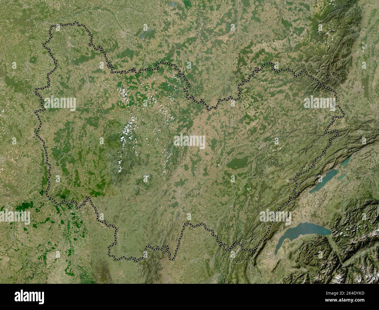 Bourgogne-Franche-Comte, region of France. Low resolution satellite map Stock Photohttps://www.alamy.com/image-license-details/?v=1https://www.alamy.com/bourgogne-franche-comte-region-of-france-low-resolution-satellite-map-image484656017.html
RF2K4DYKD–Bourgogne-Franche-Comte, region of France. Low resolution satellite map
 Auvergne-Rhone-Alpes, region of France. Low resolution satellite map Stock Photohttps://www.alamy.com/image-license-details/?v=1https://www.alamy.com/auvergne-rhone-alpes-region-of-france-low-resolution-satellite-map-image484655849.html
RF2K4DYDD–Auvergne-Rhone-Alpes, region of France. Low resolution satellite map
 Hauts-de-France, region of France. Low resolution satellite map Stock Photohttps://www.alamy.com/image-license-details/?v=1https://www.alamy.com/hauts-de-france-region-of-france-low-resolution-satellite-map-image484656470.html
RF2K4E07J–Hauts-de-France, region of France. Low resolution satellite map
 Nouvelle-Aquitaine, region of France. Grayscale elevation map with lakes and rivers Stock Photohttps://www.alamy.com/image-license-details/?v=1https://www.alamy.com/nouvelle-aquitaine-region-of-france-grayscale-elevation-map-with-lakes-and-rivers-image484656866.html
RF2K4E0NP–Nouvelle-Aquitaine, region of France. Grayscale elevation map with lakes and rivers
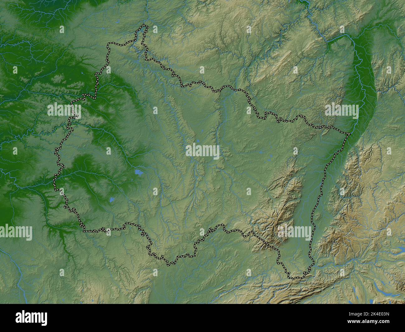 Grand Est, region of France. Colored elevation map with lakes and rivers Stock Photohttps://www.alamy.com/image-license-details/?v=1https://www.alamy.com/grand-est-region-of-france-colored-elevation-map-with-lakes-and-rivers-image484656361.html
RF2K4E03N–Grand Est, region of France. Colored elevation map with lakes and rivers
 Hauts-de-France, region of France. High resolution satellite map Stock Photohttps://www.alamy.com/image-license-details/?v=1https://www.alamy.com/hauts-de-france-region-of-france-high-resolution-satellite-map-image484656460.html
RF2K4E078–Hauts-de-France, region of France. High resolution satellite map
 Grand Est, region of France. Bilevel elevation map with lakes and rivers Stock Photohttps://www.alamy.com/image-license-details/?v=1https://www.alamy.com/grand-est-region-of-france-bilevel-elevation-map-with-lakes-and-rivers-image484656290.html
RF2K4E016–Grand Est, region of France. Bilevel elevation map with lakes and rivers
 Grand Est, region of France. Grayscale elevation map with lakes and rivers Stock Photohttps://www.alamy.com/image-license-details/?v=1https://www.alamy.com/grand-est-region-of-france-grayscale-elevation-map-with-lakes-and-rivers-image484656294.html
RF2K4E01A–Grand Est, region of France. Grayscale elevation map with lakes and rivers
 Ile-de-France, region of France. High resolution satellite map Stock Photohttps://www.alamy.com/image-license-details/?v=1https://www.alamy.com/ile-de-france-region-of-france-high-resolution-satellite-map-image484656592.html
RF2K4E0C0–Ile-de-France, region of France. High resolution satellite map
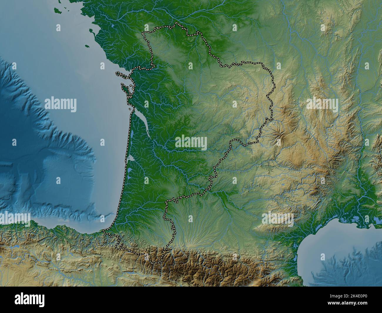 Nouvelle-Aquitaine, region of France. Colored elevation map with lakes and rivers Stock Photohttps://www.alamy.com/image-license-details/?v=1https://www.alamy.com/nouvelle-aquitaine-region-of-france-colored-elevation-map-with-lakes-and-rivers-image484656872.html
RF2K4E0P0–Nouvelle-Aquitaine, region of France. Colored elevation map with lakes and rivers
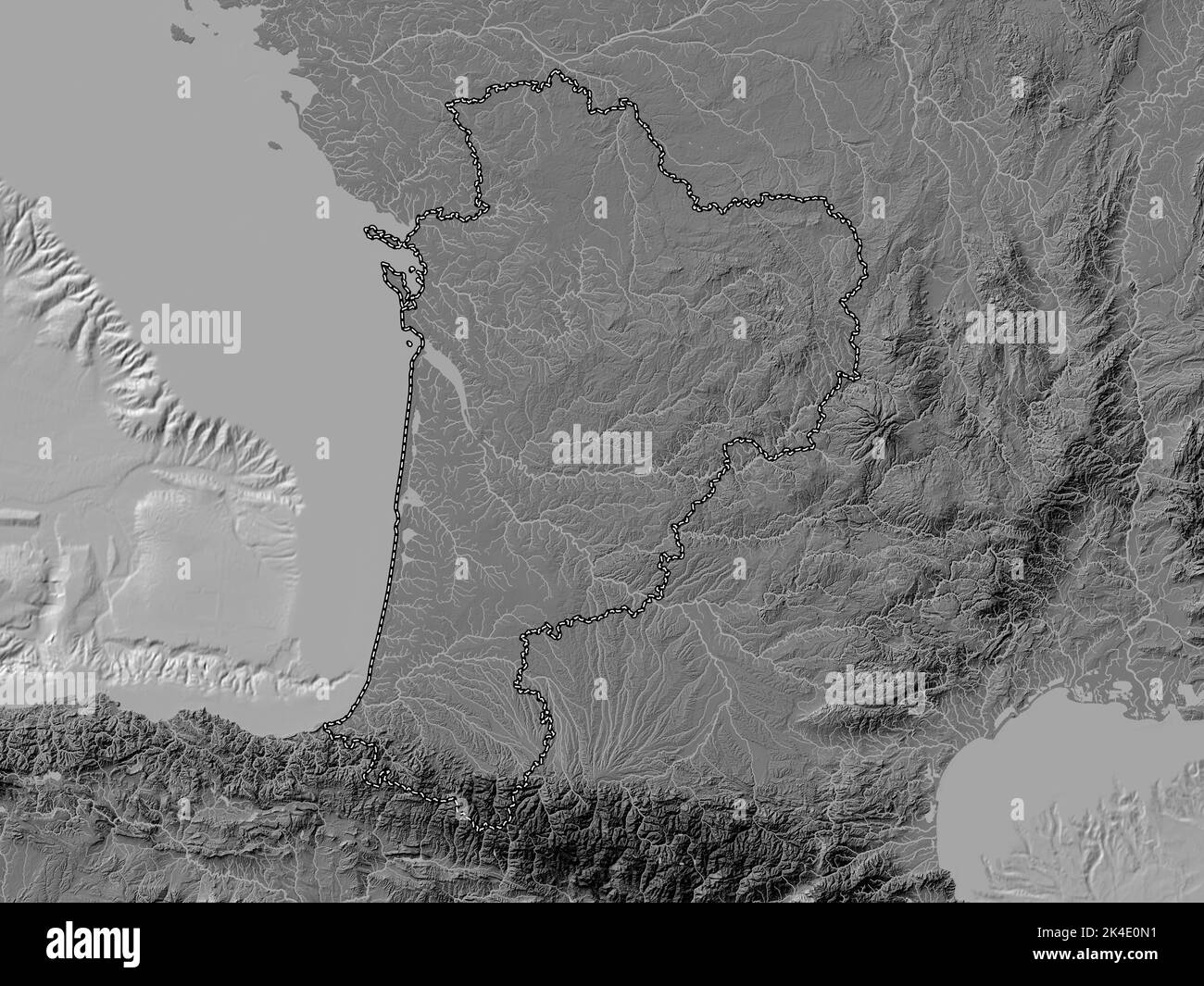 Nouvelle-Aquitaine, region of France. Bilevel elevation map with lakes and rivers Stock Photohttps://www.alamy.com/image-license-details/?v=1https://www.alamy.com/nouvelle-aquitaine-region-of-france-bilevel-elevation-map-with-lakes-and-rivers-image484656845.html
RF2K4E0N1–Nouvelle-Aquitaine, region of France. Bilevel elevation map with lakes and rivers
 Auvergne-Rhone-Alpes, region of France. High resolution satellite map Stock Photohttps://www.alamy.com/image-license-details/?v=1https://www.alamy.com/auvergne-rhone-alpes-region-of-france-high-resolution-satellite-map-image484655836.html
RF2K4DYD0–Auvergne-Rhone-Alpes, region of France. High resolution satellite map
