Quick filters:
Iganga Stock Photos and Images
 Highway in Africa. Typical street life in Uganda. A landscape photo of Uganda's city, Iganga 4 June 2016 Stock Photohttps://www.alamy.com/image-license-details/?v=1https://www.alamy.com/highway-in-africa-typical-street-life-in-uganda-a-landscape-photo-of-ugandas-city-iganga-4-june-2016-image364458353.html
RF2C4XE9N–Highway in Africa. Typical street life in Uganda. A landscape photo of Uganda's city, Iganga 4 June 2016
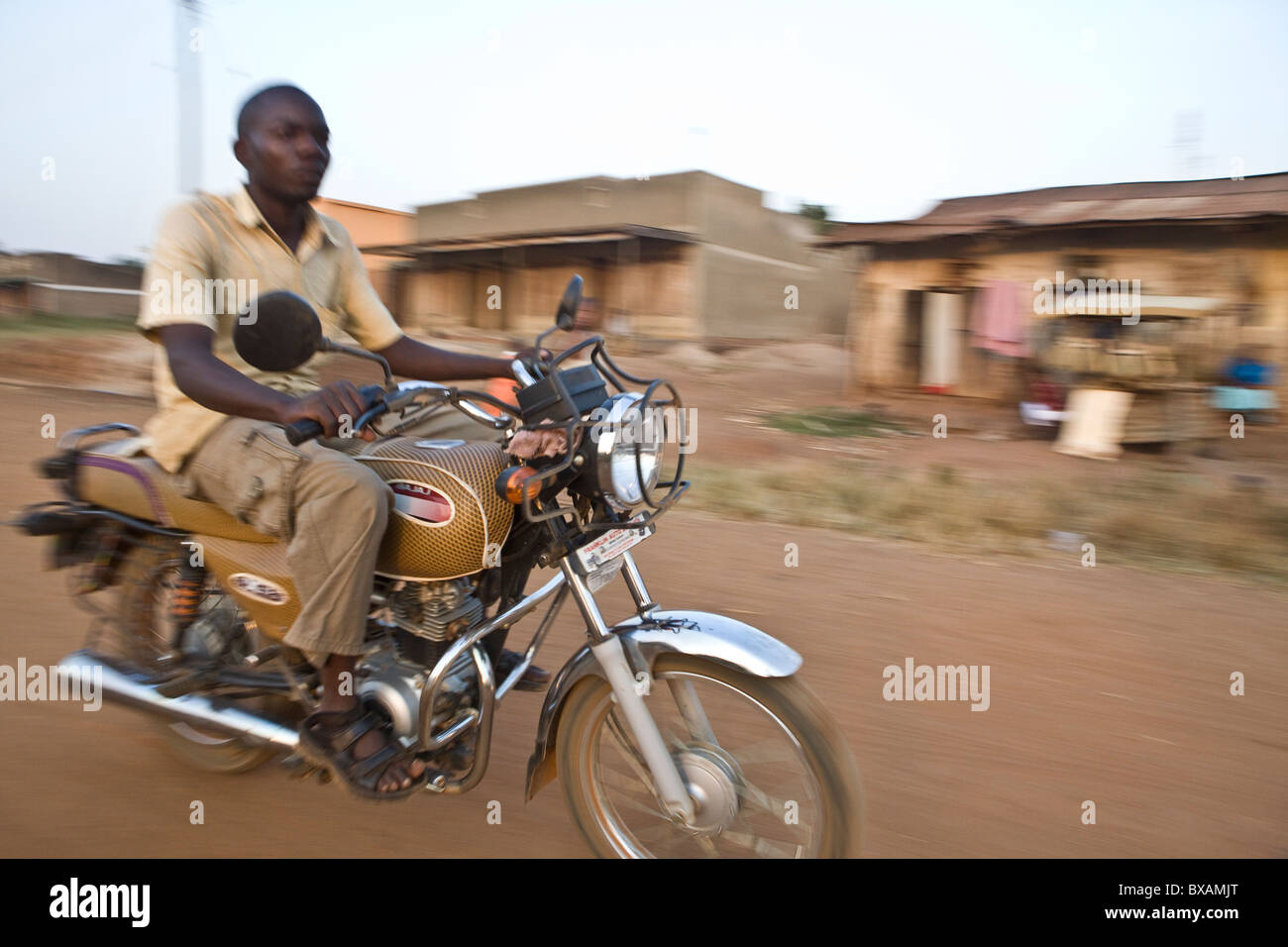 A motorcyclist speeds through Iganga, Uganda, East Africa. Stock Photohttps://www.alamy.com/image-license-details/?v=1https://www.alamy.com/stock-photo-a-motorcyclist-speeds-through-iganga-uganda-east-africa-33427152.html
RMBXAMJT–A motorcyclist speeds through Iganga, Uganda, East Africa.
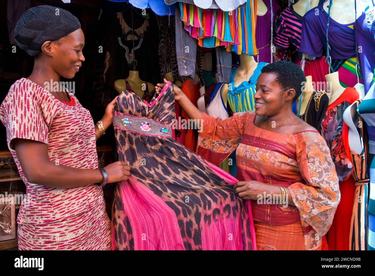 Iganga, Uganda. A woman sells a dress from her shop in the market street of Iganga. Editorial use only. Stock Photohttps://www.alamy.com/image-license-details/?v=1https://www.alamy.com/iganga-uganda-a-woman-sells-a-dress-from-her-shop-in-the-market-street-of-iganga-editorial-use-only-image592999831.html
RF2WCND9B–Iganga, Uganda. A woman sells a dress from her shop in the market street of Iganga. Editorial use only.
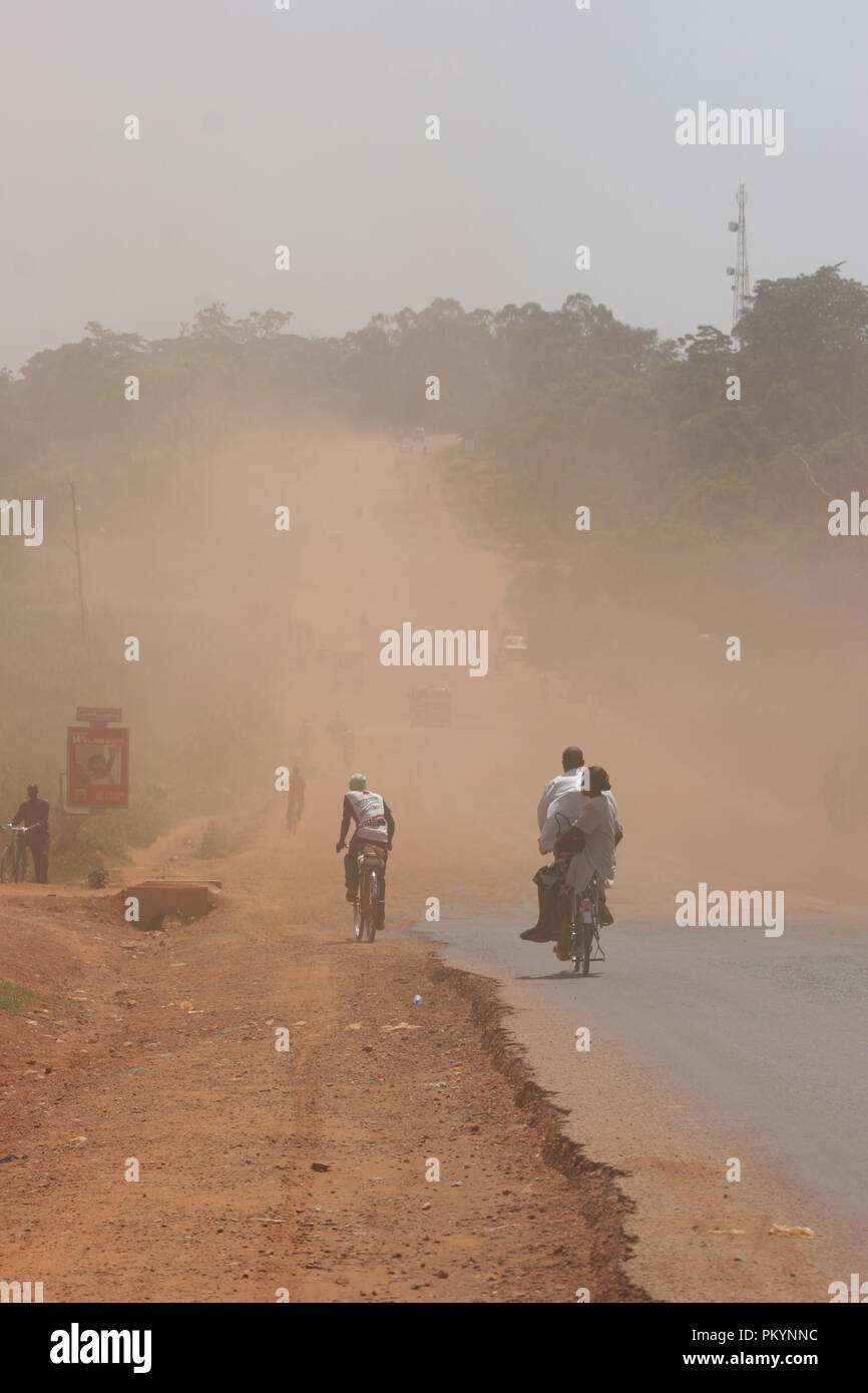 Dust created by roadworks along the main highway in Iganga district results in hazardous and difficult conditions. Stock Photohttps://www.alamy.com/image-license-details/?v=1https://www.alamy.com/dust-created-by-roadworks-along-the-main-highway-in-iganga-district-results-in-hazardous-and-difficult-conditions-image218812648.html
RFPKYNNC–Dust created by roadworks along the main highway in Iganga district results in hazardous and difficult conditions.
 Iganga, Uganda. A woman sells a dress from her shop in the market street of Iganga. Editorial use only. Stock Photohttps://www.alamy.com/image-license-details/?v=1https://www.alamy.com/iganga-uganda-a-woman-sells-a-dress-from-her-shop-in-the-market-street-of-iganga-editorial-use-only-image592999817.html
RF2WCND8W–Iganga, Uganda. A woman sells a dress from her shop in the market street of Iganga. Editorial use only.
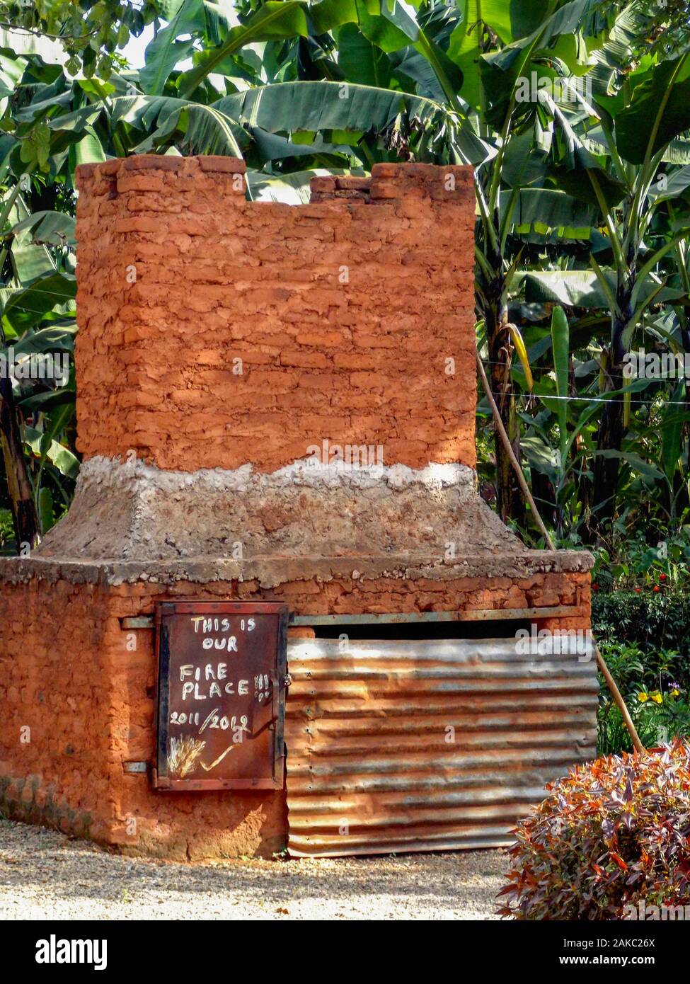 Traditional outdoor oven in a village near Iganga, Uganda Stock Photohttps://www.alamy.com/image-license-details/?v=1https://www.alamy.com/traditional-outdoor-oven-in-a-village-near-iganga-uganda-image338940642.html
RF2AKC26X–Traditional outdoor oven in a village near Iganga, Uganda
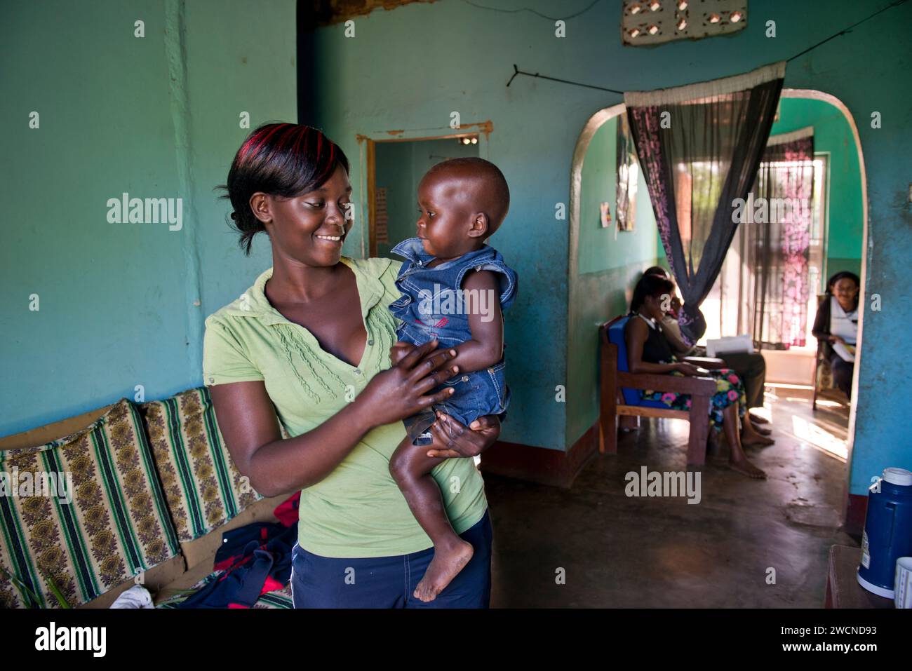 Iganga, Uganda. A woman and her baby in their home where she runs a fruit drying business. Editorial use only. Stock Photohttps://www.alamy.com/image-license-details/?v=1https://www.alamy.com/iganga-uganda-a-woman-and-her-baby-in-their-home-where-she-runs-a-fruit-drying-business-editorial-use-only-image592999823.html
RF2WCND93–Iganga, Uganda. A woman and her baby in their home where she runs a fruit drying business. Editorial use only.
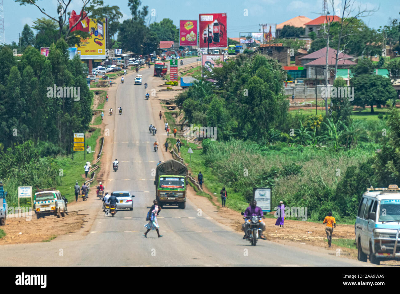 The road to Iganga, Jinja, Eastern Region of Uganda Stock Photohttps://www.alamy.com/image-license-details/?v=1https://www.alamy.com/the-road-to-iganga-jinja-eastern-region-of-uganda-image333361009.html
RF2AA9WA9–The road to Iganga, Jinja, Eastern Region of Uganda
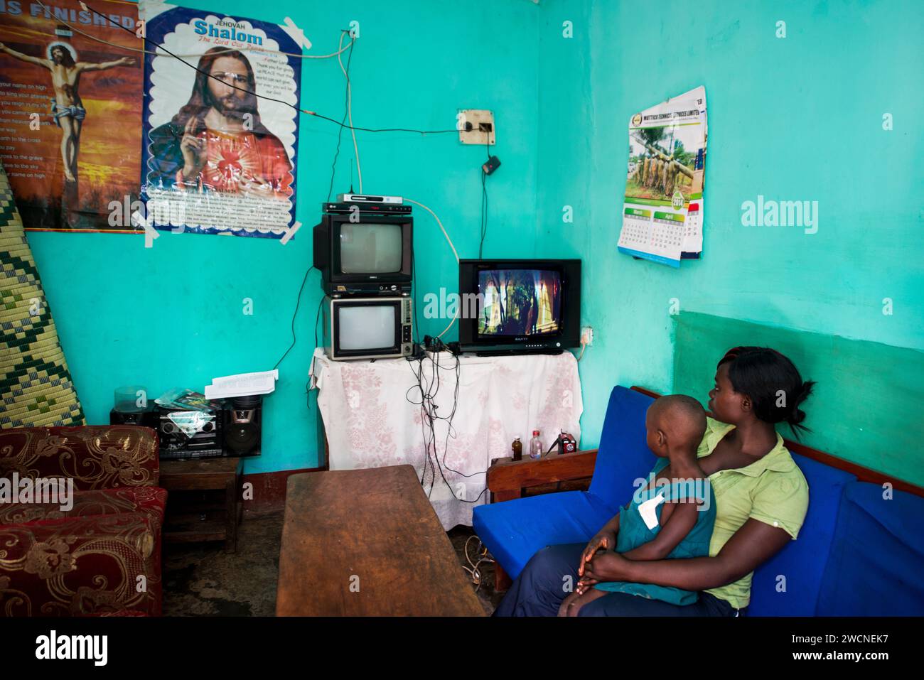 Iganga, Uganda. A woman and her baby in their home where she runs a fruit drying business. Editorial use only. Stock Photohttps://www.alamy.com/image-license-details/?v=1https://www.alamy.com/iganga-uganda-a-woman-and-her-baby-in-their-home-where-she-runs-a-fruit-drying-business-editorial-use-only-image593000891.html
RF2WCNEK7–Iganga, Uganda. A woman and her baby in their home where she runs a fruit drying business. Editorial use only.
 The woman MP for Iganga, Uganda, Mrs. Beatrice Zirabamuzaale Magoola holding her speech at her daughter's wedding Stock Photohttps://www.alamy.com/image-license-details/?v=1https://www.alamy.com/stock-photo-the-woman-mp-for-iganga-uganda-mrs-beatrice-zirabamuzaale-magoola-31757330.html
RMBRJJPA–The woman MP for Iganga, Uganda, Mrs. Beatrice Zirabamuzaale Magoola holding her speech at her daughter's wedding
 Bukongo Seventh Bay Adventist Church in Iganga, the location of the community outreach event done in response to the recent measles outbreak. The outreach event included immunization, MUAC measurement, height and weight measurement, etc ca. 5 March 2018 Stock Photohttps://www.alamy.com/image-license-details/?v=1https://www.alamy.com/bukongo-seventh-bay-adventist-church-in-iganga-the-location-of-the-community-outreach-event-done-in-response-to-the-recent-measles-outbreak-the-outreach-event-included-immunization-muac-measurement-height-and-weight-measurement-etc-ca-5-march-2018-image438312198.html
RM2GD2RK2–Bukongo Seventh Bay Adventist Church in Iganga, the location of the community outreach event done in response to the recent measles outbreak. The outreach event included immunization, MUAC measurement, height and weight measurement, etc ca. 5 March 2018
 Modern Map - Eastern Uganda UG Stock Vectorhttps://www.alamy.com/image-license-details/?v=1https://www.alamy.com/stock-photo-modern-map-eastern-uganda-ug-137507463.html
RFHYM04R–Modern Map - Eastern Uganda UG
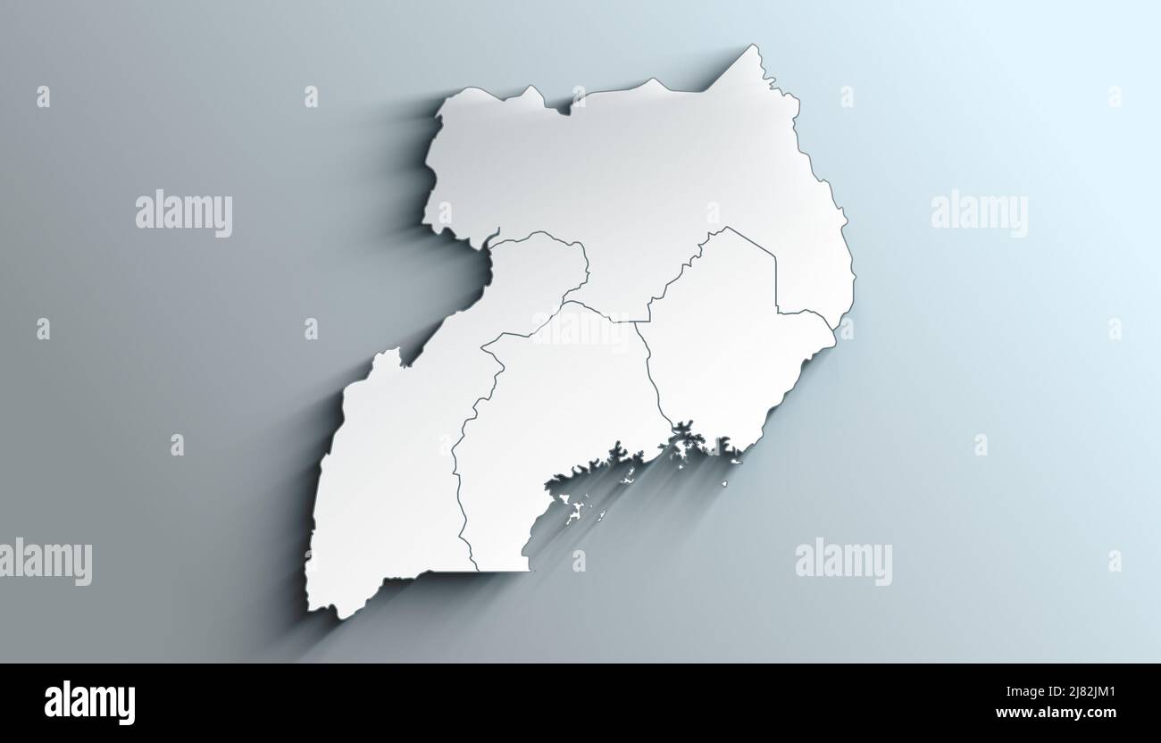 Country Political Geographical Map of Uganda with Regions with Shadows Stock Photohttps://www.alamy.com/image-license-details/?v=1https://www.alamy.com/country-political-geographical-map-of-uganda-with-regions-with-shadows-image469655761.html
RF2J82JM1–Country Political Geographical Map of Uganda with Regions with Shadows
 Mar. 31, 2012 - Arabian Knight; Sir Frederick Crawford, the British Governor of Uganda, was a recent visitor to an Arab-owned hide-drying plant at Iganga, a town in Uganda's Eastern Province. Photo Shows The knight in the Arabian hand-dress with which he was presented at the hide-drying plant. Stock Photohttps://www.alamy.com/image-license-details/?v=1https://www.alamy.com/mar-31-2012-arabian-knight-sir-frederick-crawford-the-british-governor-image69545939.html
RME142FF–Mar. 31, 2012 - Arabian Knight; Sir Frederick Crawford, the British Governor of Uganda, was a recent visitor to an Arab-owned hide-drying plant at Iganga, a town in Uganda's Eastern Province. Photo Shows The knight in the Arabian hand-dress with which he was presented at the hide-drying plant.
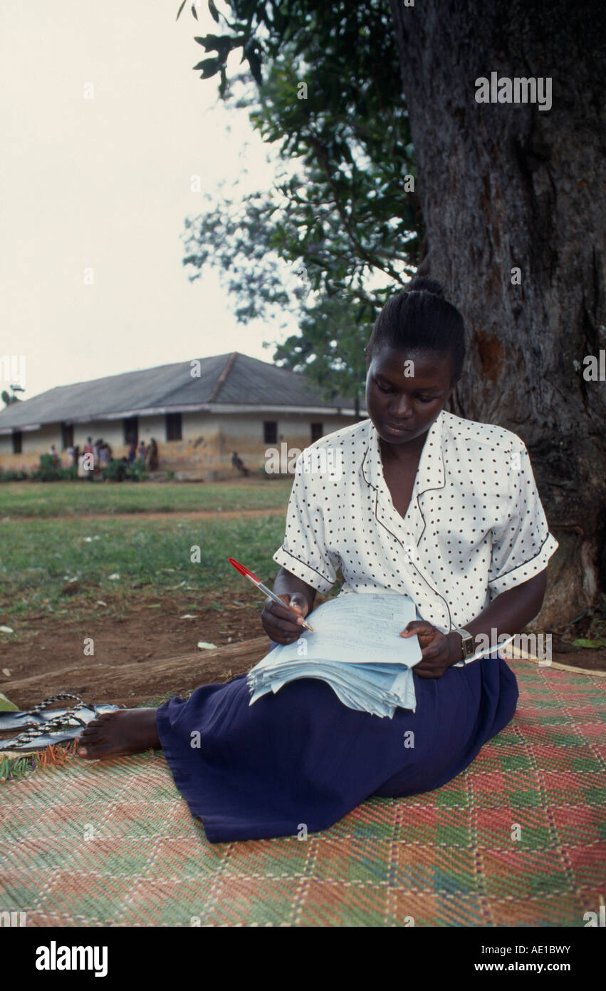 UGANDA East Africa Iganga Education Young female teacher marking exam papers outside school buildings. Stock Photohttps://www.alamy.com/image-license-details/?v=1https://www.alamy.com/stock-photo-uganda-east-africa-iganga-education-young-female-teacher-marking-exam-13535846.html
RMAE1BWY–UGANDA East Africa Iganga Education Young female teacher marking exam papers outside school buildings.
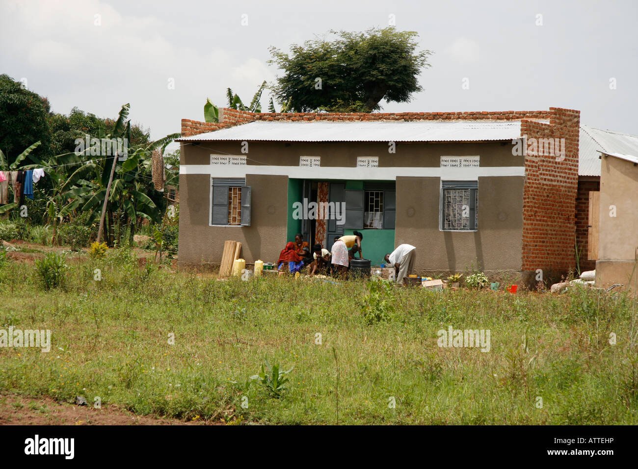 Typical rural housing in Iganga, Eastern Uganda Stock Photohttps://www.alamy.com/image-license-details/?v=1https://www.alamy.com/stock-photo-typical-rural-housing-in-iganga-eastern-uganda-16387377.html
RMATTEHP–Typical rural housing in Iganga, Eastern Uganda
 Kakira police arrive at the scene an accident off of Iganga-Jinja highway in Wairaka, a town in eastern Uganda. Stock Photohttps://www.alamy.com/image-license-details/?v=1https://www.alamy.com/kakira-police-arrive-at-the-scene-an-accident-off-of-iganga-jinja-highway-in-wairaka-a-town-in-eastern-uganda-image385387103.html
RM2DAYW53–Kakira police arrive at the scene an accident off of Iganga-Jinja highway in Wairaka, a town in eastern Uganda.
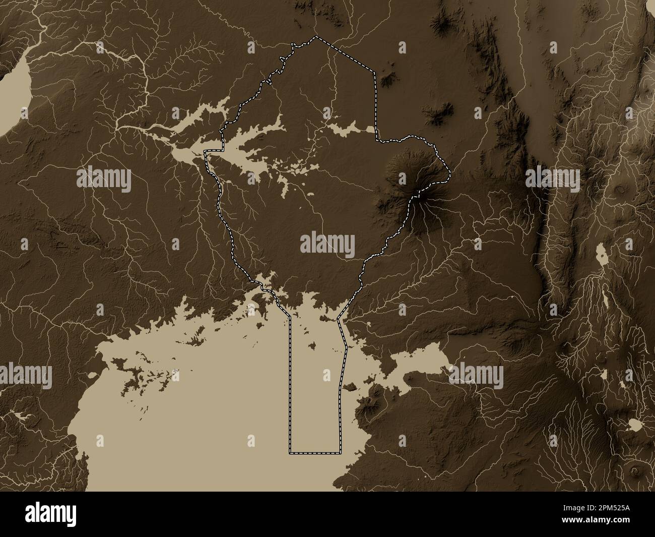 Eastern, region of Uganda. Elevation map colored in sepia tones with lakes and rivers Stock Photohttps://www.alamy.com/image-license-details/?v=1https://www.alamy.com/eastern-region-of-uganda-elevation-map-colored-in-sepia-tones-with-lakes-and-rivers-image545926006.html
RF2PM525A–Eastern, region of Uganda. Elevation map colored in sepia tones with lakes and rivers
 1968 - Arabian Knight; Sir Frederick Crawford, the British Governor of Uganda, was a recent visitor to an Arab-owned hide-drying plant at Iganga, a town in Uganda's Eastern Province. Photo Shows The knight in the Arabian hand-dress with which he was presented at the hide-drying plant. © Keystone Pictures USA/ZUMAPRESS.com/Alamy Live News Stock Photohttps://www.alamy.com/image-license-details/?v=1https://www.alamy.com/stock-photo-1968-arabian-knight-sir-frederick-crawford-the-british-governor-of-94071938.html
RMFD19M2–1968 - Arabian Knight; Sir Frederick Crawford, the British Governor of Uganda, was a recent visitor to an Arab-owned hide-drying plant at Iganga, a town in Uganda's Eastern Province. Photo Shows The knight in the Arabian hand-dress with which he was presented at the hide-drying plant. © Keystone Pictures USA/ZUMAPRESS.com/Alamy Live News
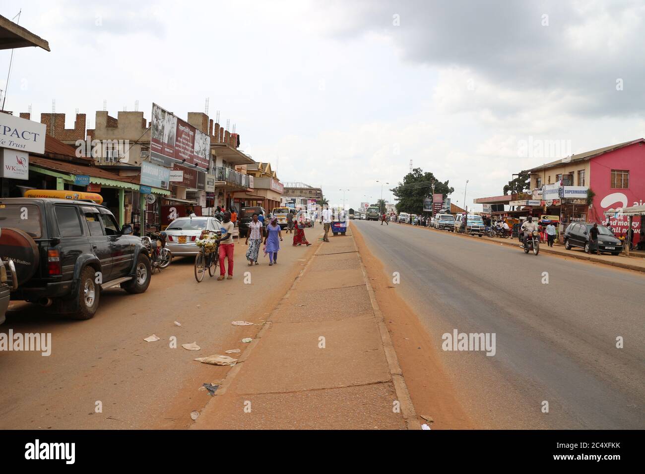 Highway in Africa. Typical street life in Uganda. A landscape photo of Uganda's city, Iganga 4 June 2016 Stock Photohttps://www.alamy.com/image-license-details/?v=1https://www.alamy.com/highway-in-africa-typical-street-life-in-uganda-a-landscape-photo-of-ugandas-city-iganga-4-june-2016-image364459415.html
RF2C4XFKK–Highway in Africa. Typical street life in Uganda. A landscape photo of Uganda's city, Iganga 4 June 2016
 Pigeon peas are for sale in Iganga's central market - Iganga, Uganda, East Africa. Stock Photohttps://www.alamy.com/image-license-details/?v=1https://www.alamy.com/stock-photo-pigeon-peas-are-for-sale-in-igangas-central-market-iganga-uganda-east-33426844.html
RFBXAM7T–Pigeon peas are for sale in Iganga's central market - Iganga, Uganda, East Africa.
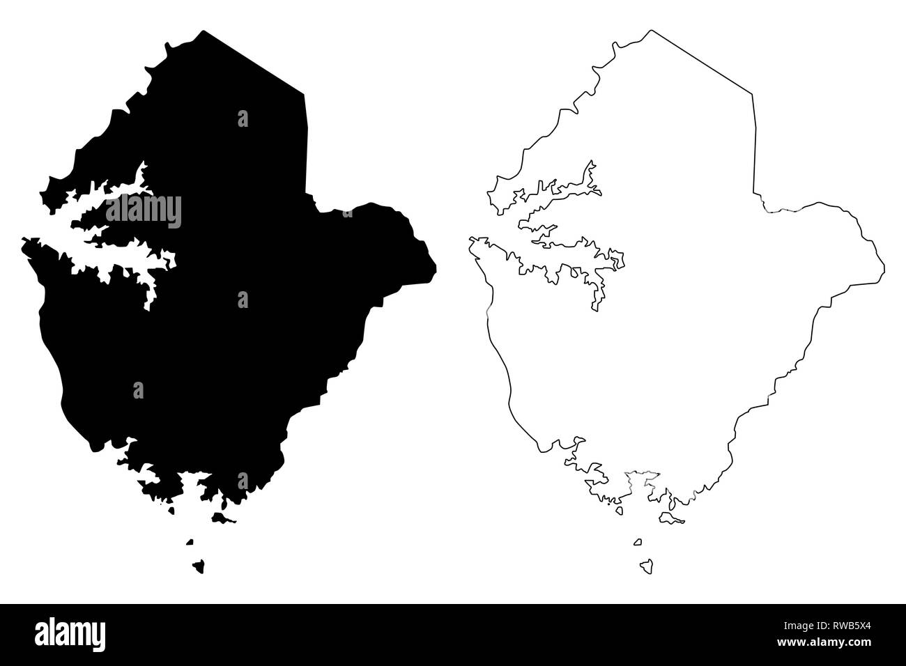 Eastern Region (Regions of Uganda, Republic of Uganda, Administrative divisions) map vector illustration, scribble sketch Eastern map Stock Vectorhttps://www.alamy.com/image-license-details/?v=1https://www.alamy.com/eastern-region-regions-of-uganda-republic-of-uganda-administrative-divisions-map-vector-illustration-scribble-sketch-eastern-map-image239347308.html
RFRWB5X4–Eastern Region (Regions of Uganda, Republic of Uganda, Administrative divisions) map vector illustration, scribble sketch Eastern map
 Dust created by roadworks along the main highway in Iganga district results in hazardous and difficult driving conditions. Stock Photohttps://www.alamy.com/image-license-details/?v=1https://www.alamy.com/dust-created-by-roadworks-along-the-main-highway-in-iganga-district-results-in-hazardous-and-difficult-driving-conditions-image218812658.html
RFPKYNNP–Dust created by roadworks along the main highway in Iganga district results in hazardous and difficult driving conditions.
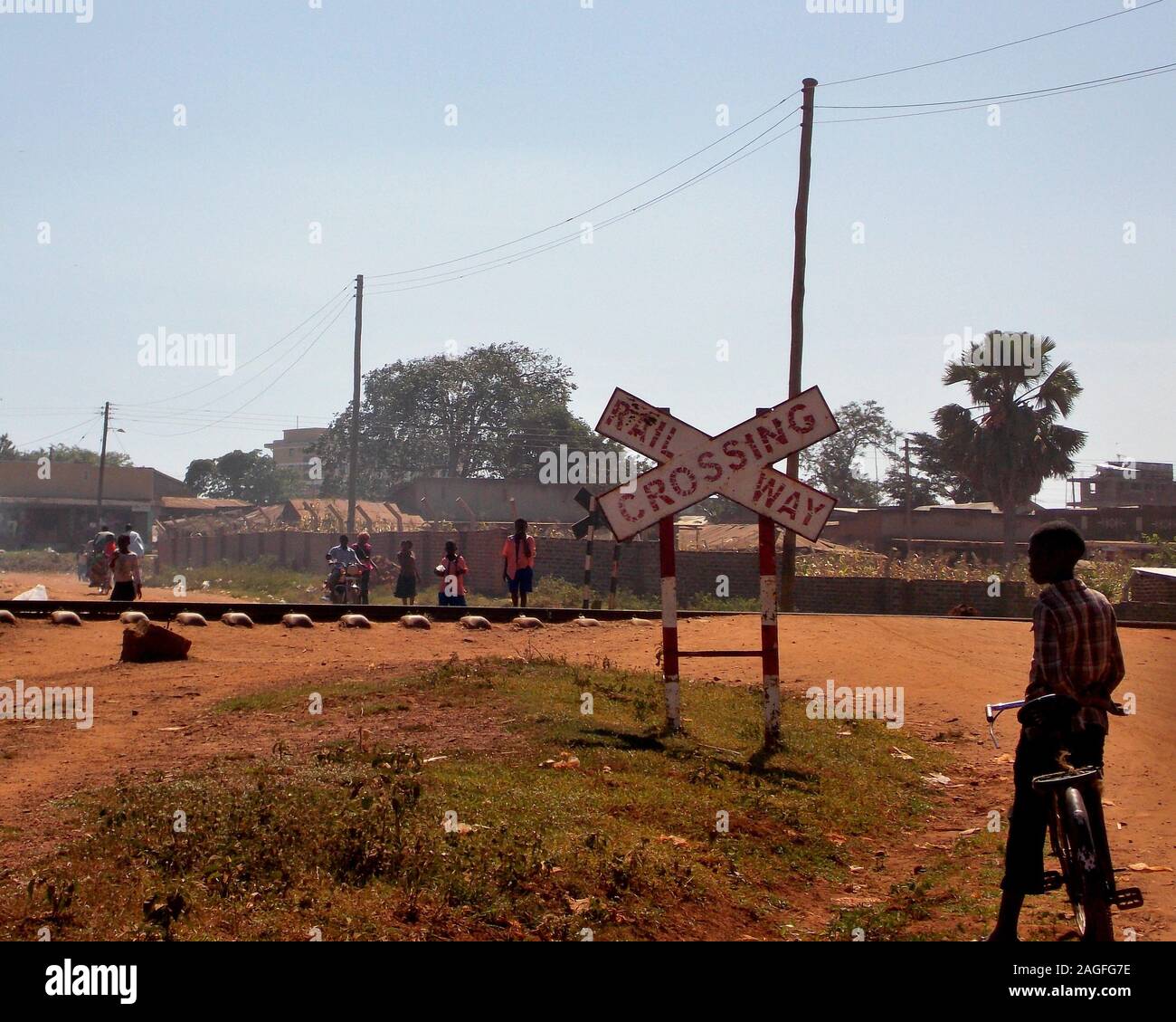 Railway Crossing in Iganga, Eastern Uganda Stock Photohttps://www.alamy.com/image-license-details/?v=1https://www.alamy.com/railway-crossing-in-iganga-eastern-uganda-image337173522.html
RM2AGFG7E–Railway Crossing in Iganga, Eastern Uganda
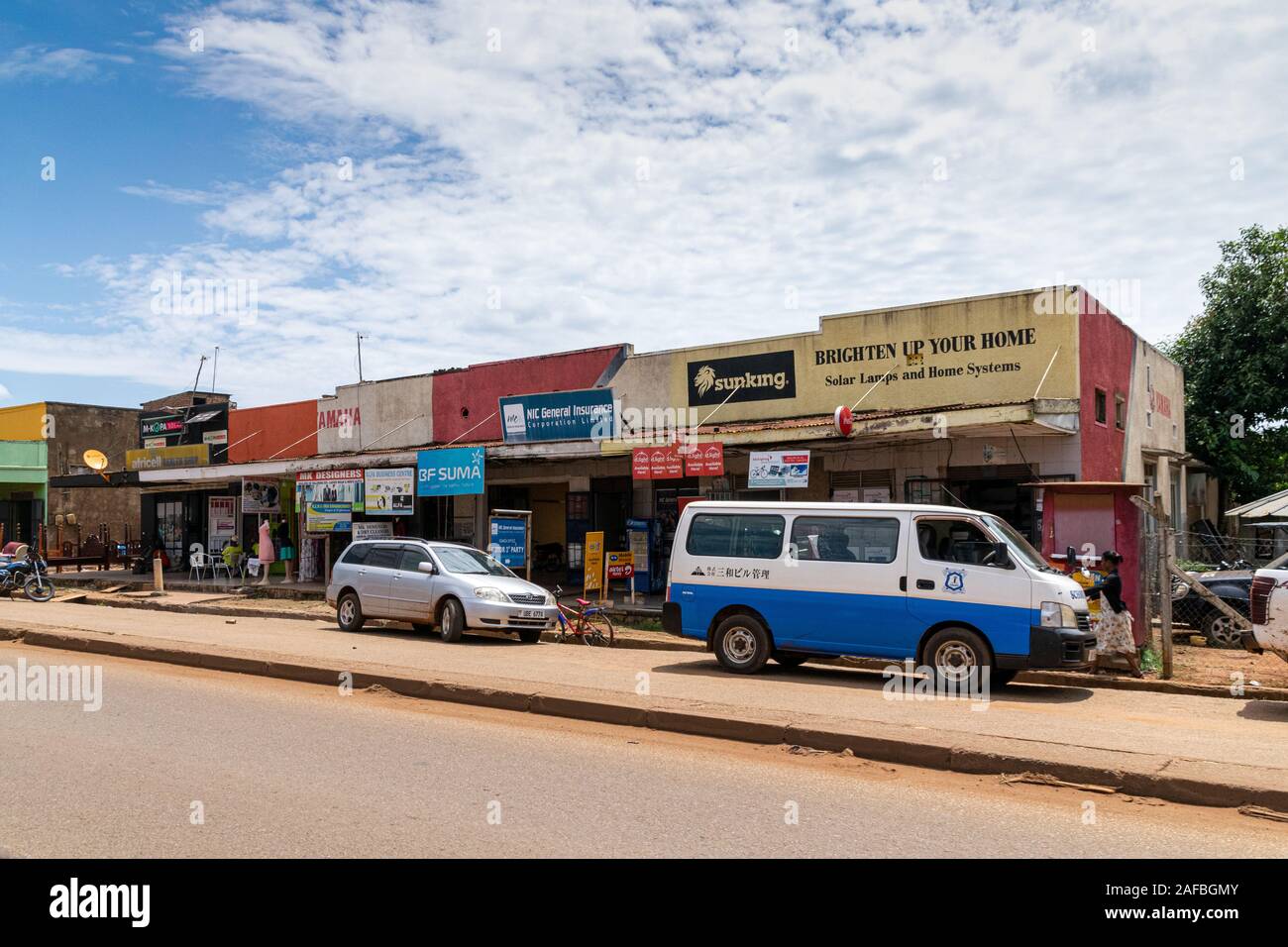 Shops and business premises on the outskirts of Iganga, Uganda November 2019 Stock Photohttps://www.alamy.com/image-license-details/?v=1https://www.alamy.com/shops-and-business-premises-on-the-outskirts-of-iganga-uganda-november-2019-image336471435.html
RF2AFBGMY–Shops and business premises on the outskirts of Iganga, Uganda November 2019
 UGANDA East Africa Iganga Teacher and pupils in integrated education school project for the visually impaired in classroom Stock Photohttps://www.alamy.com/image-license-details/?v=1https://www.alamy.com/stock-photo-uganda-east-africa-iganga-teacher-and-pupils-in-integrated-education-13535845.html
RMAE1BWX–UGANDA East Africa Iganga Teacher and pupils in integrated education school project for the visually impaired in classroom
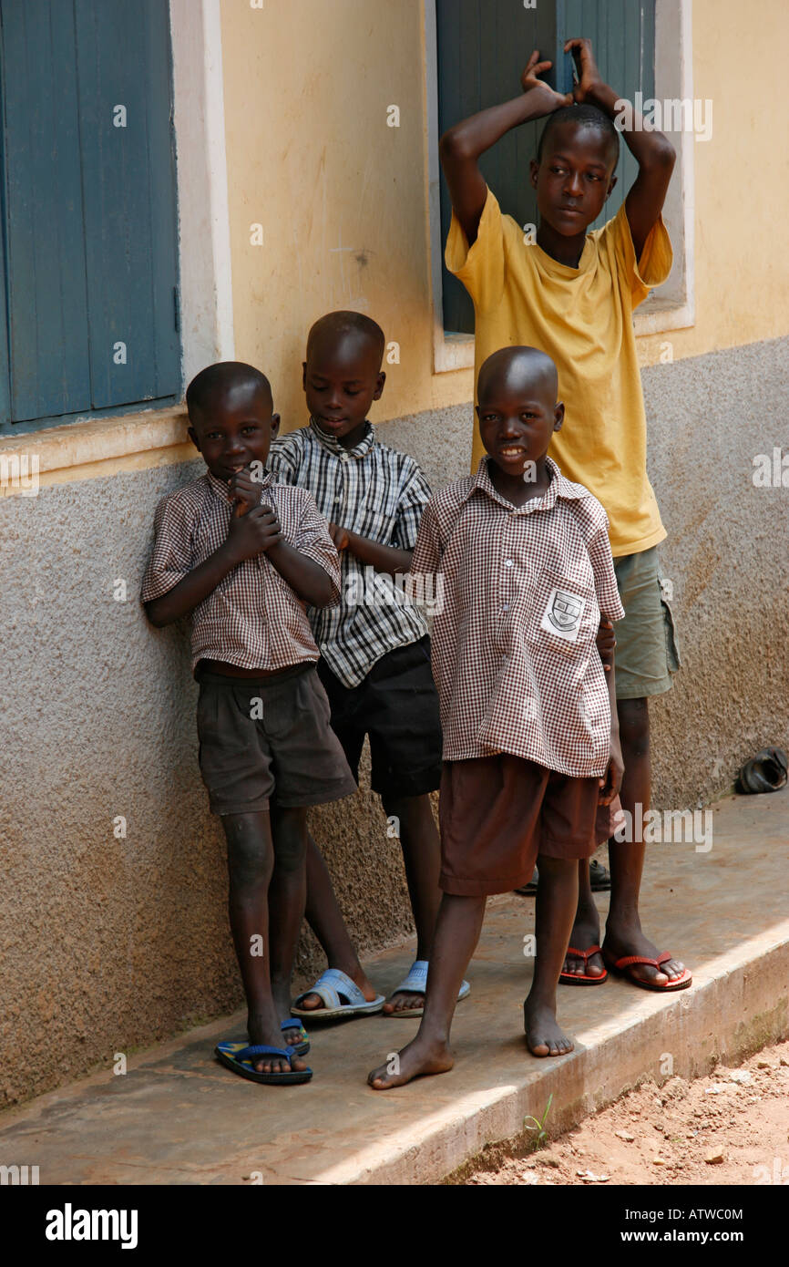 School children at a rural school in Iganga, Eastern Uganda Stock Photohttps://www.alamy.com/image-license-details/?v=1https://www.alamy.com/stock-photo-school-children-at-a-rural-school-in-iganga-eastern-uganda-16395907.html
RMATWC0M–School children at a rural school in Iganga, Eastern Uganda
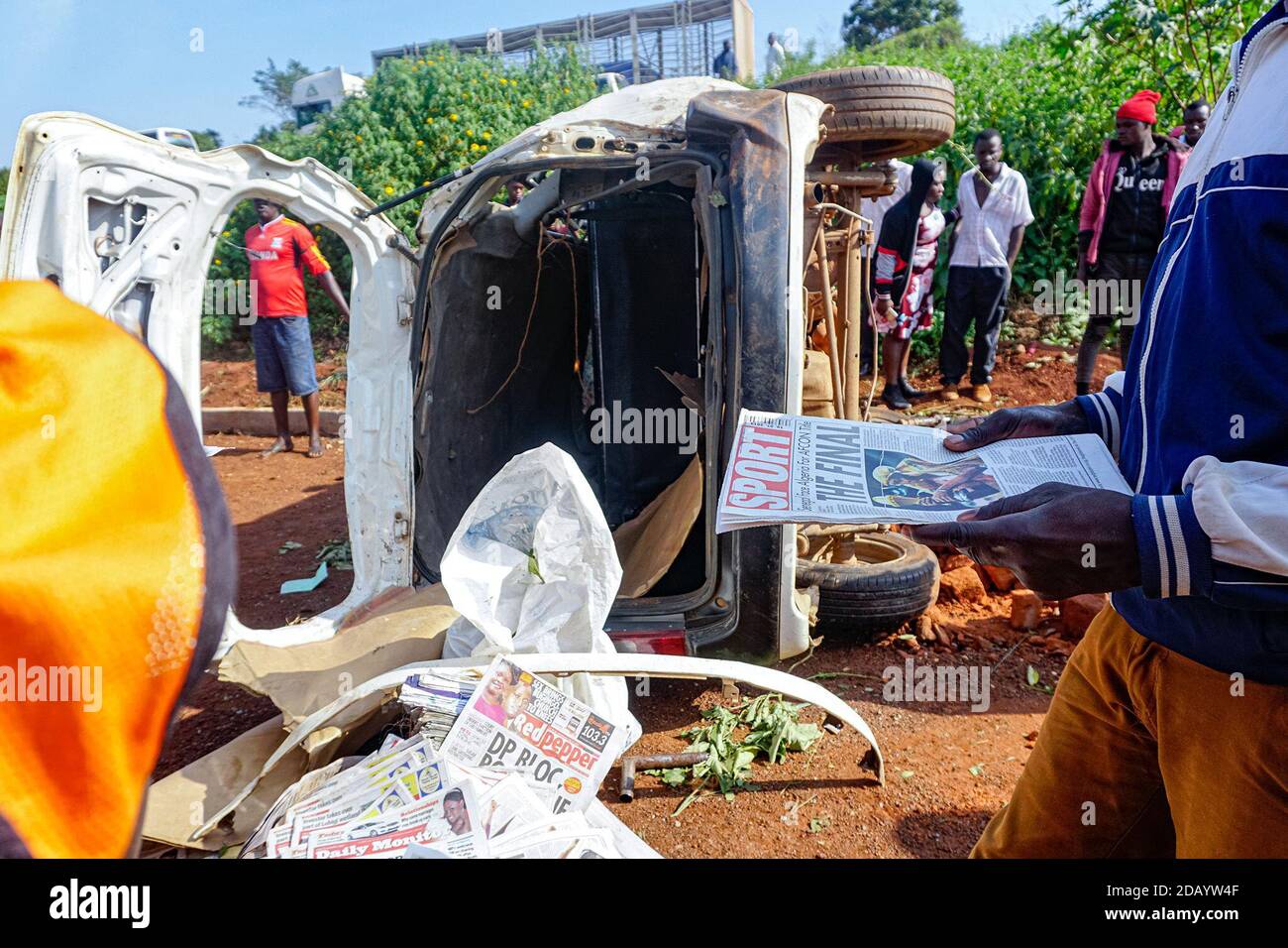 People gather at the site of a car accident off of Iganga-Jinja highway in Wairaka, a town in eastern Uganda. Stock Photohttps://www.alamy.com/image-license-details/?v=1https://www.alamy.com/people-gather-at-the-site-of-a-car-accident-off-of-iganga-jinja-highway-in-wairaka-a-town-in-eastern-uganda-image385387087.html
RM2DAYW4F–People gather at the site of a car accident off of Iganga-Jinja highway in Wairaka, a town in eastern Uganda.
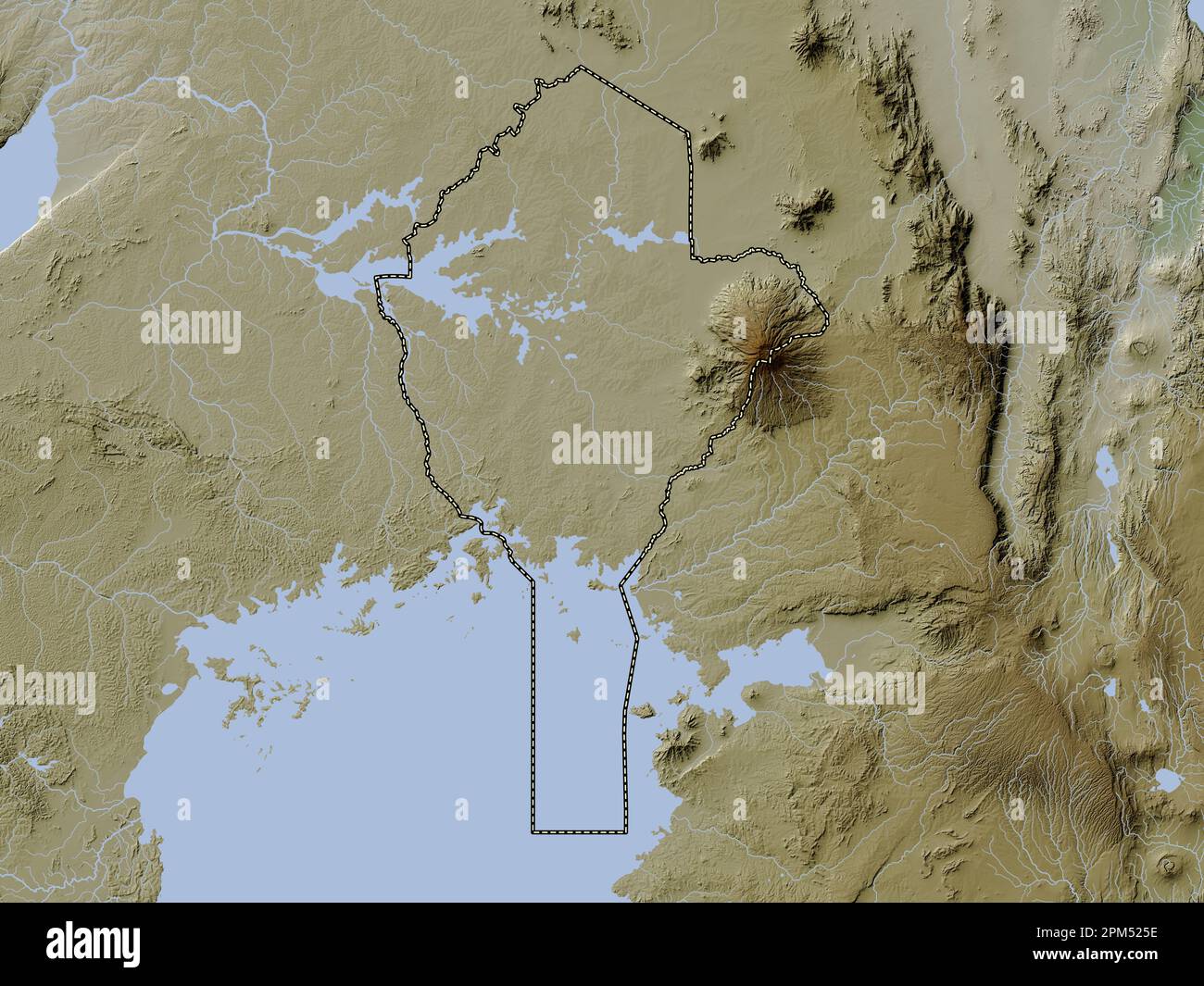 Eastern, region of Uganda. Elevation map colored in wiki style with lakes and rivers Stock Photohttps://www.alamy.com/image-license-details/?v=1https://www.alamy.com/eastern-region-of-uganda-elevation-map-colored-in-wiki-style-with-lakes-and-rivers-image545926010.html
RF2PM525E–Eastern, region of Uganda. Elevation map colored in wiki style with lakes and rivers
 Iganga region of Uganda: July 4, 2016. Unidentified children posing for photography. Stock Photohttps://www.alamy.com/image-license-details/?v=1https://www.alamy.com/iganga-region-of-uganda-july-4-2016-unidentified-children-posing-for-photography-image464046264.html
RF2HXY3MT–Iganga region of Uganda: July 4, 2016. Unidentified children posing for photography.
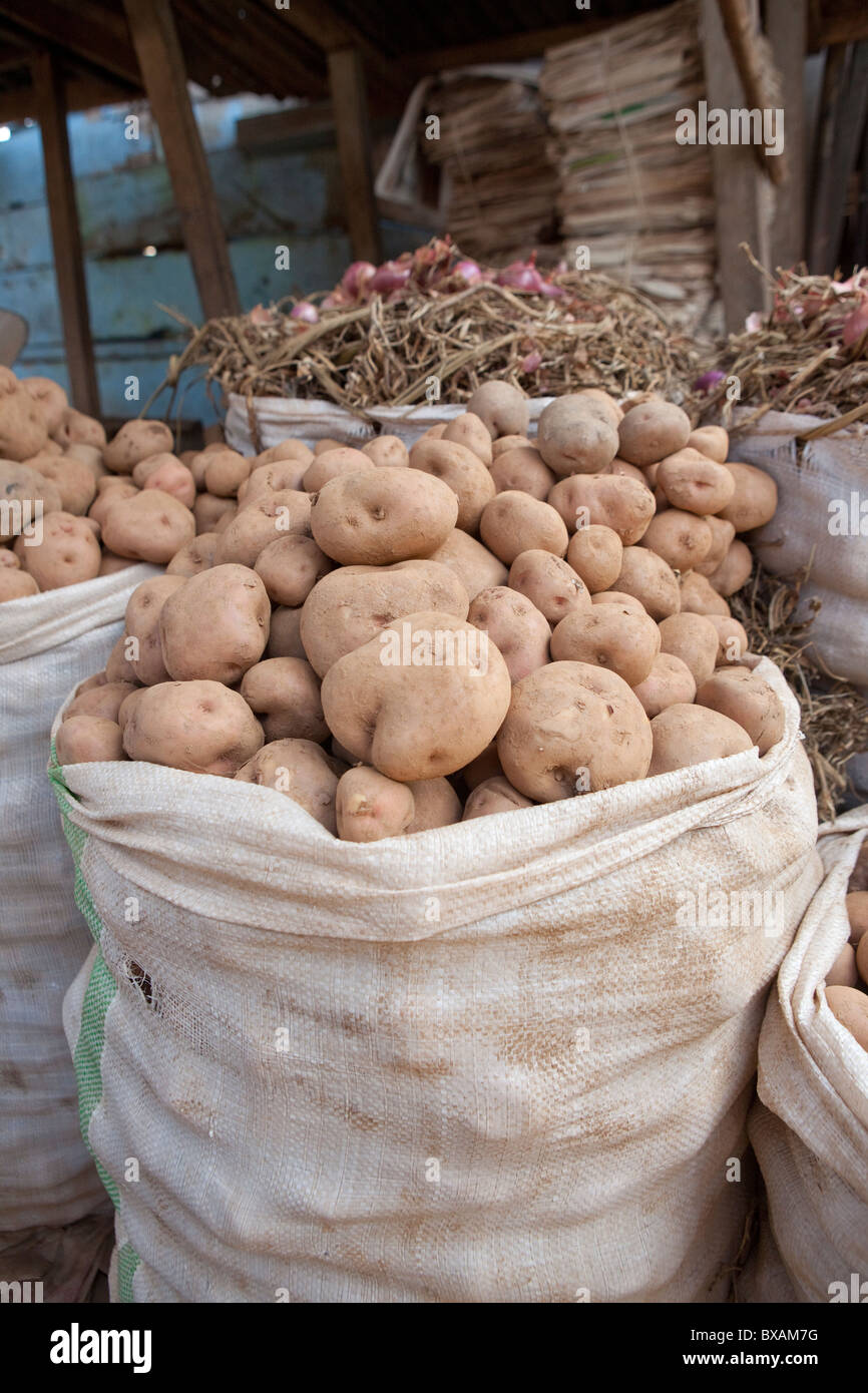 Potatoes are for sale in Iganga's central market - Iganga, Uganda, East Africa. Stock Photohttps://www.alamy.com/image-license-details/?v=1https://www.alamy.com/stock-photo-potatoes-are-for-sale-in-igangas-central-market-iganga-uganda-east-33426836.html
RFBXAM7G–Potatoes are for sale in Iganga's central market - Iganga, Uganda, East Africa.
 Eastern Region (Regions of Uganda, Republic of Uganda, Administrative divisions) map vector illustration, scribble sketch Eastern map Stock Vectorhttps://www.alamy.com/image-license-details/?v=1https://www.alamy.com/eastern-region-regions-of-uganda-republic-of-uganda-administrative-divisions-map-vector-illustration-scribble-sketch-eastern-map-image242738624.html
RFT2WKGG–Eastern Region (Regions of Uganda, Republic of Uganda, Administrative divisions) map vector illustration, scribble sketch Eastern map
 Dust created by roadworks along the main highway in Iganga district results in hazardous and difficult driving conditions. Stock Photohttps://www.alamy.com/image-license-details/?v=1https://www.alamy.com/dust-created-by-roadworks-along-the-main-highway-in-iganga-district-results-in-hazardous-and-difficult-driving-conditions-image218812654.html
RFPKYNNJ–Dust created by roadworks along the main highway in Iganga district results in hazardous and difficult driving conditions.
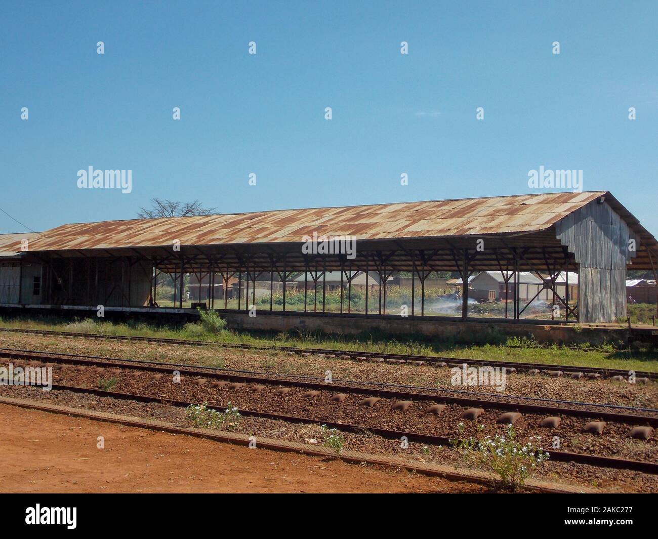 Disused Train Shed along the old East Africa Railway line through Iganga, Eastern Uganda Stock Photohttps://www.alamy.com/image-license-details/?v=1https://www.alamy.com/disused-train-shed-along-the-old-east-africa-railway-line-through-iganga-eastern-uganda-image338940651.html
RF2AKC277–Disused Train Shed along the old East Africa Railway line through Iganga, Eastern Uganda
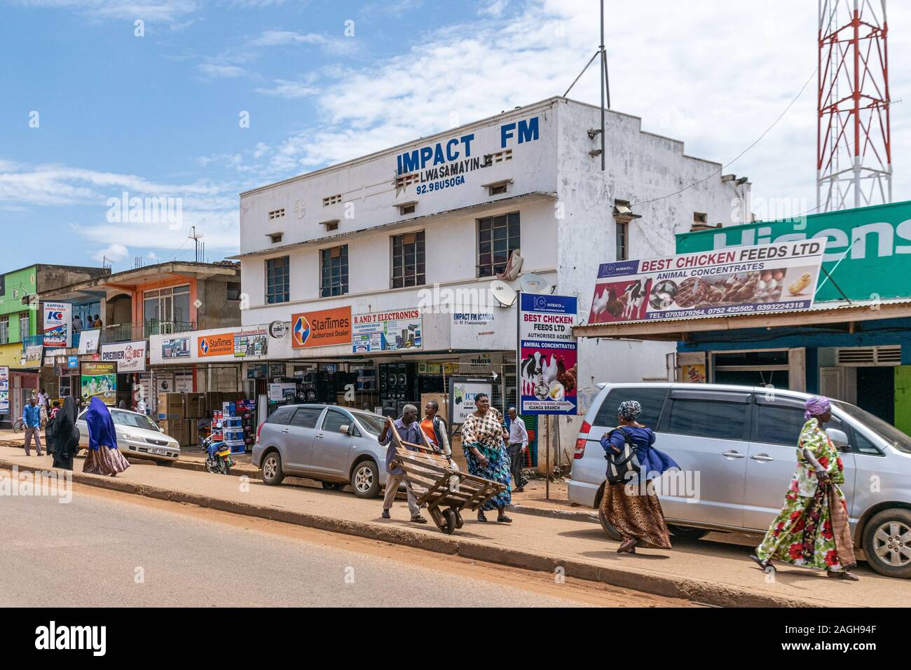 Shops and business premises on the outskirts of Iganga, Uganda November 2019 Stock Photohttps://www.alamy.com/image-license-details/?v=1https://www.alamy.com/shops-and-business-premises-on-the-outskirts-of-iganga-uganda-november-2019-image337211855.html
RF2AGH94F–Shops and business premises on the outskirts of Iganga, Uganda November 2019
 Staff quarters at a rural school in Iganga, Eastern Uganda Stock Photohttps://www.alamy.com/image-license-details/?v=1https://www.alamy.com/stock-photo-staff-quarters-at-a-rural-school-in-iganga-eastern-uganda-16393681.html
RMATW5AX–Staff quarters at a rural school in Iganga, Eastern Uganda
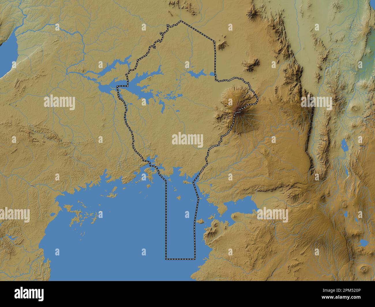 Eastern, region of Uganda. Colored elevation map with lakes and rivers Stock Photohttps://www.alamy.com/image-license-details/?v=1https://www.alamy.com/eastern-region-of-uganda-colored-elevation-map-with-lakes-and-rivers-image545925878.html
RF2PM520P–Eastern, region of Uganda. Colored elevation map with lakes and rivers
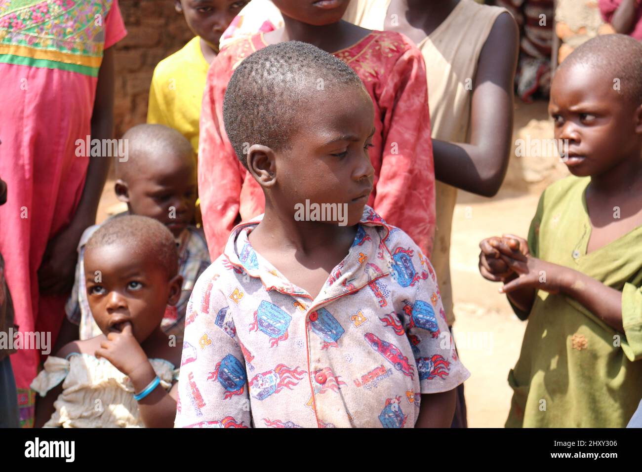 Iganga region of Uganda: July 4, 2016. Unidentified children posing for photography. Stock Photohttps://www.alamy.com/image-license-details/?v=1https://www.alamy.com/iganga-region-of-uganda-july-4-2016-unidentified-children-posing-for-photography-image464045686.html
RF2HXY306–Iganga region of Uganda: July 4, 2016. Unidentified children posing for photography.
 Carrots are for sale in Iganga's central market - Iganga, Uganda, East Africa. Stock Photohttps://www.alamy.com/image-license-details/?v=1https://www.alamy.com/stock-photo-carrots-are-for-sale-in-igangas-central-market-iganga-uganda-east-33426822.html
RMBXAM72–Carrots are for sale in Iganga's central market - Iganga, Uganda, East Africa.
 Eastern Region (Regions of Uganda, Republic of Uganda, Administrative divisions) map vector illustration, scribble sketch Eastern map Stock Vectorhttps://www.alamy.com/image-license-details/?v=1https://www.alamy.com/eastern-region-regions-of-uganda-republic-of-uganda-administrative-divisions-map-vector-illustration-scribble-sketch-eastern-map-image244578453.html
RFT5WE8N–Eastern Region (Regions of Uganda, Republic of Uganda, Administrative divisions) map vector illustration, scribble sketch Eastern map
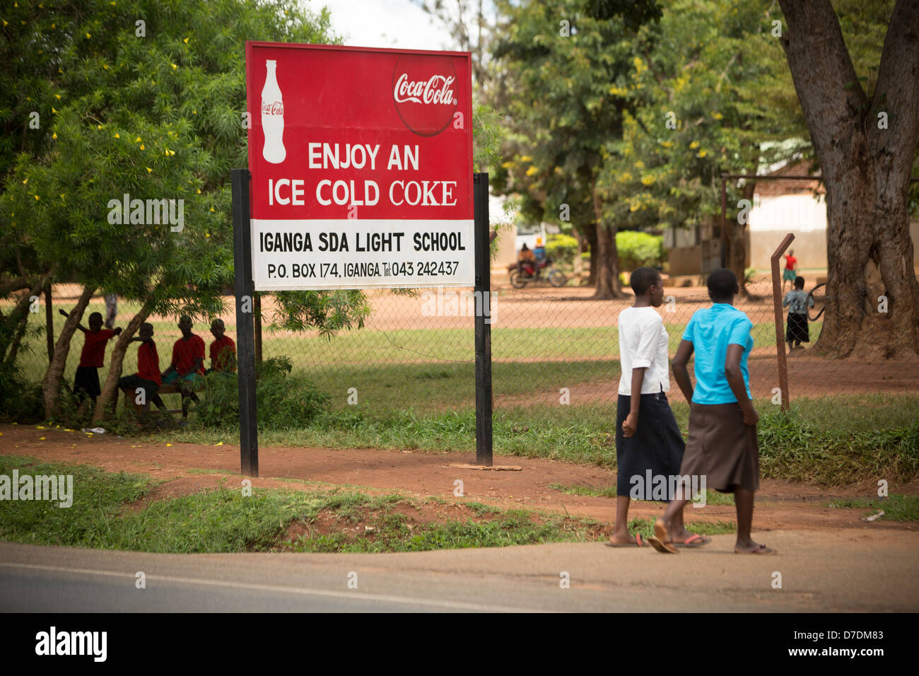 Coca-Cola sponsored school sign in Iganga, Uganda, East Africa. Stock Photohttps://www.alamy.com/image-license-details/?v=1https://www.alamy.com/stock-photo-coca-cola-sponsored-school-sign-in-iganga-uganda-east-africa-56234979.html
RMD7DM83–Coca-Cola sponsored school sign in Iganga, Uganda, East Africa.
 Dust created by roadworks along the main highway in Iganga district results in hazardous and difficult driving conditions. Stock Photohttps://www.alamy.com/image-license-details/?v=1https://www.alamy.com/dust-created-by-roadworks-along-the-main-highway-in-iganga-district-results-in-hazardous-and-difficult-driving-conditions-image218812650.html
RFPKYNNE–Dust created by roadworks along the main highway in Iganga district results in hazardous and difficult driving conditions.
 A boy washes his hands in Iganga, Eastern Uganda, East Africa. Stock Photohttps://www.alamy.com/image-license-details/?v=1https://www.alamy.com/stock-photo-a-boy-washes-his-hands-in-iganga-eastern-uganda-east-africa-33426604.html
RMBXAKY8–A boy washes his hands in Iganga, Eastern Uganda, East Africa.
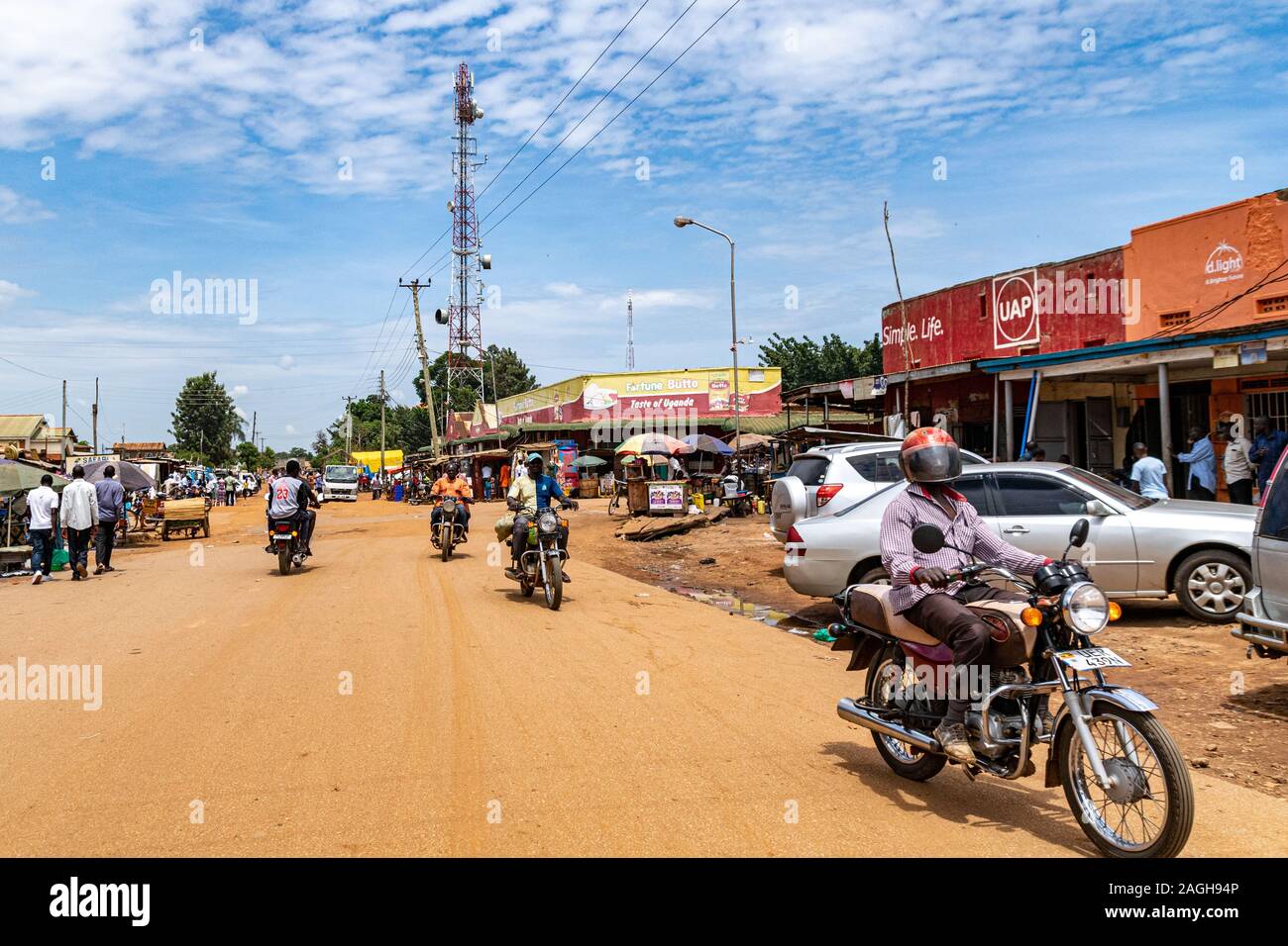 Shops and business premises on the outskirts of Iganga, Uganda November 2019 Stock Photohttps://www.alamy.com/image-license-details/?v=1https://www.alamy.com/shops-and-business-premises-on-the-outskirts-of-iganga-uganda-november-2019-image337211862.html
RF2AGH94P–Shops and business premises on the outskirts of Iganga, Uganda November 2019
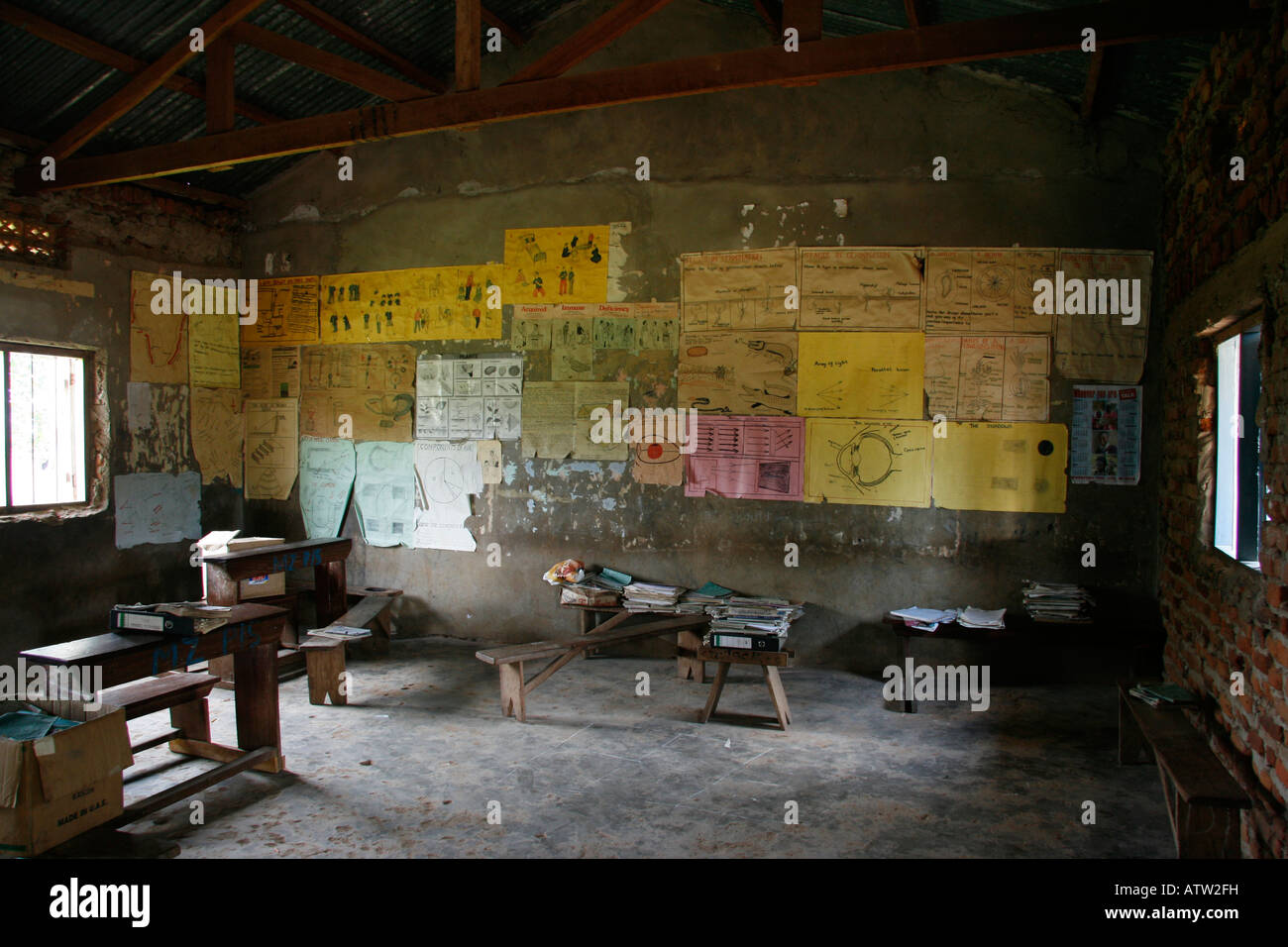 A classroom in a rural school in Iganga, Eastern Uganda Stock Photohttps://www.alamy.com/image-license-details/?v=1https://www.alamy.com/stock-photo-a-classroom-in-a-rural-school-in-iganga-eastern-uganda-16392724.html
RMATW2FH–A classroom in a rural school in Iganga, Eastern Uganda
 Eastern, region of Uganda. Bilevel elevation map with lakes and rivers. Locations of major cities of the region. Corner auxiliary location maps Stock Photohttps://www.alamy.com/image-license-details/?v=1https://www.alamy.com/eastern-region-of-uganda-bilevel-elevation-map-with-lakes-and-rivers-locations-of-major-cities-of-the-region-corner-auxiliary-location-maps-image545925467.html
RF2PM51E3–Eastern, region of Uganda. Bilevel elevation map with lakes and rivers. Locations of major cities of the region. Corner auxiliary location maps
 Iganga region of Uganda: July 4, 2016. Unidentified children posing for photography. Stock Photohttps://www.alamy.com/image-license-details/?v=1https://www.alamy.com/iganga-region-of-uganda-july-4-2016-unidentified-children-posing-for-photography-image464044994.html
RF2HXY23E–Iganga region of Uganda: July 4, 2016. Unidentified children posing for photography.
 Eastern Region (Regions of Uganda, Republic of Uganda, Administrative divisions) map is designed cannabis leaf green and black, Eastern map made of ma Stock Vectorhttps://www.alamy.com/image-license-details/?v=1https://www.alamy.com/eastern-region-regions-of-uganda-republic-of-uganda-administrative-divisions-map-is-designed-cannabis-leaf-green-and-black-eastern-map-made-of-ma-image335011769.html
RF2AD12X1–Eastern Region (Regions of Uganda, Republic of Uganda, Administrative divisions) map is designed cannabis leaf green and black, Eastern map made of ma
 Dust created by roadworks along the main highway in Iganga district results in hazardous and difficult driving conditions. Stock Photohttps://www.alamy.com/image-license-details/?v=1https://www.alamy.com/dust-created-by-roadworks-along-the-main-highway-in-iganga-district-results-in-hazardous-and-difficult-driving-conditions-image218812655.html
RFPKYNNK–Dust created by roadworks along the main highway in Iganga district results in hazardous and difficult driving conditions.
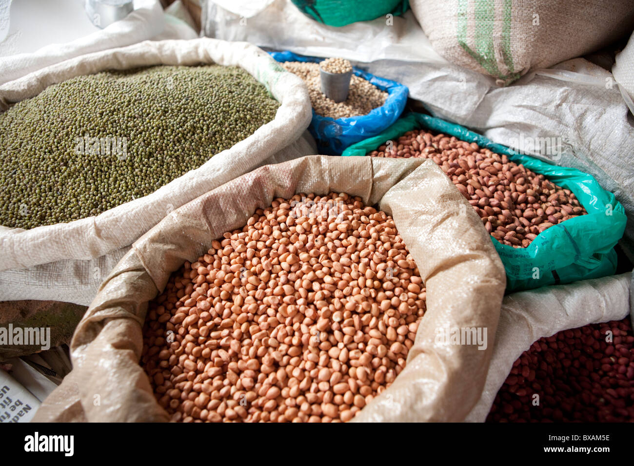 Nuts, legumes and peas are for sale in Iganga's central market - Iganga, Uganda, East Africa. Stock Photohttps://www.alamy.com/image-license-details/?v=1https://www.alamy.com/stock-photo-nuts-legumes-and-peas-are-for-sale-in-igangas-central-market-iganga-33426778.html
RMBXAM5E–Nuts, legumes and peas are for sale in Iganga's central market - Iganga, Uganda, East Africa.
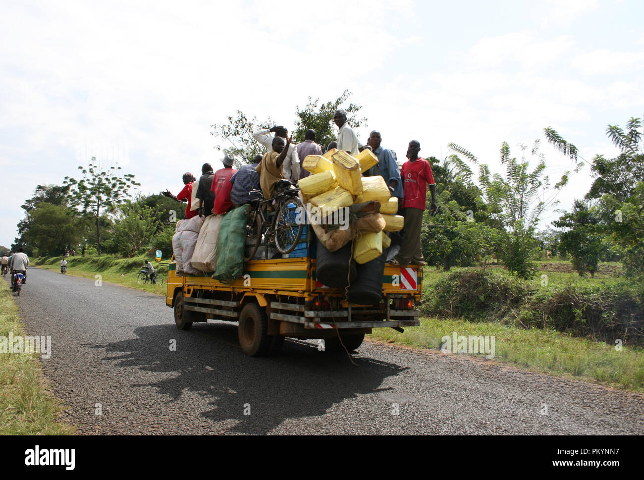 a heavily overloaded truck, carrying people and goods, travelling along the Iganga-Kaliro road, Uganda. Stock Photohttps://www.alamy.com/image-license-details/?v=1https://www.alamy.com/a-heavily-overloaded-truck-carrying-people-and-goods-travelling-along-the-iganga-kaliro-road-uganda-image218812643.html
RFPKYNN7–a heavily overloaded truck, carrying people and goods, travelling along the Iganga-Kaliro road, Uganda.
 Shops along the highway between Jinja and Iganga, Uganda November 2019 Stock Photohttps://www.alamy.com/image-license-details/?v=1https://www.alamy.com/shops-along-the-highway-between-jinja-and-iganga-uganda-november-2019-image335640191.html
RF2AE1MDK–Shops along the highway between Jinja and Iganga, Uganda November 2019
 School children and a classroom building in a rural school in Iganga, Eastern Uganda Stock Photohttps://www.alamy.com/image-license-details/?v=1https://www.alamy.com/stock-photo-school-children-and-a-classroom-building-in-a-rural-school-in-iganga-16389672.html
RMATTNCW–School children and a classroom building in a rural school in Iganga, Eastern Uganda
 Eastern, region of Uganda. Solid color shape. Locations and names of major cities of the region. Corner auxiliary location maps Stock Photohttps://www.alamy.com/image-license-details/?v=1https://www.alamy.com/eastern-region-of-uganda-solid-color-shape-locations-and-names-of-major-cities-of-the-region-corner-auxiliary-location-maps-image545925793.html
RF2PM51WN–Eastern, region of Uganda. Solid color shape. Locations and names of major cities of the region. Corner auxiliary location maps
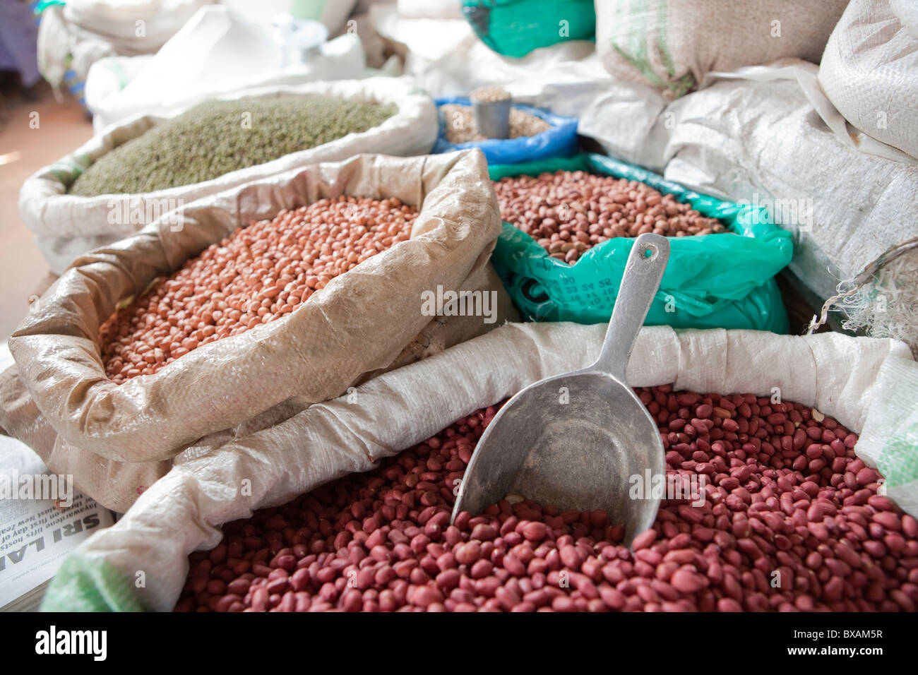 Nuts, legumes and peas are for sale in Iganga's central market - Iganga, Uganda, East Africa. Stock Photohttps://www.alamy.com/image-license-details/?v=1https://www.alamy.com/stock-photo-nuts-legumes-and-peas-are-for-sale-in-igangas-central-market-iganga-33426787.html
RMBXAM5R–Nuts, legumes and peas are for sale in Iganga's central market - Iganga, Uganda, East Africa.
 Clothes drying on front lawn in residential area of Iganga, Uganda, East Africa November 2019 Stock Photohttps://www.alamy.com/image-license-details/?v=1https://www.alamy.com/clothes-drying-on-front-lawn-in-residential-area-of-iganga-uganda-east-africa-november-2019-image337211811.html
RF2AGH92Y–Clothes drying on front lawn in residential area of Iganga, Uganda, East Africa November 2019
 Eastern, region of Uganda. Solid color shape Stock Photohttps://www.alamy.com/image-license-details/?v=1https://www.alamy.com/eastern-region-of-uganda-solid-color-shape-image545925797.html
RF2PM51WW–Eastern, region of Uganda. Solid color shape
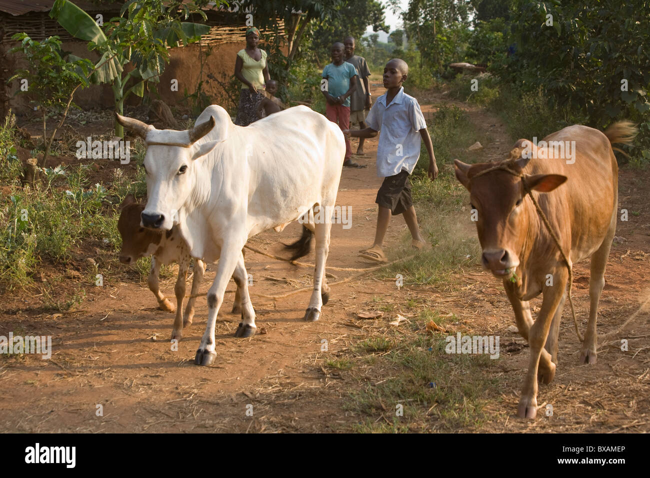 A boy herds cattle in Igamba village, Iganga District, Eastern Uganda, East Africa. Stock Photohttps://www.alamy.com/image-license-details/?v=1https://www.alamy.com/stock-photo-a-boy-herds-cattle-in-igamba-village-iganga-district-eastern-uganda-33427038.html
RMBXAMEP–A boy herds cattle in Igamba village, Iganga District, Eastern Uganda, East Africa.
 Petrol station along the Kampala Jinja Highway, Uganda, East Africa November 2019 Stock Photohttps://www.alamy.com/image-license-details/?v=1https://www.alamy.com/petrol-station-along-the-kampala-jinja-highway-uganda-east-africa-november-2019-image336471570.html
RF2AFBGWP–Petrol station along the Kampala Jinja Highway, Uganda, East Africa November 2019
 Eastern, region of Uganda. Elevation map colored in sepia tones with lakes and rivers. Locations and names of major cities of the region. Corner auxil Stock Photohttps://www.alamy.com/image-license-details/?v=1https://www.alamy.com/eastern-region-of-uganda-elevation-map-colored-in-sepia-tones-with-lakes-and-rivers-locations-and-names-of-major-cities-of-the-region-corner-auxil-image545925898.html
RF2PM521E–Eastern, region of Uganda. Elevation map colored in sepia tones with lakes and rivers. Locations and names of major cities of the region. Corner auxil
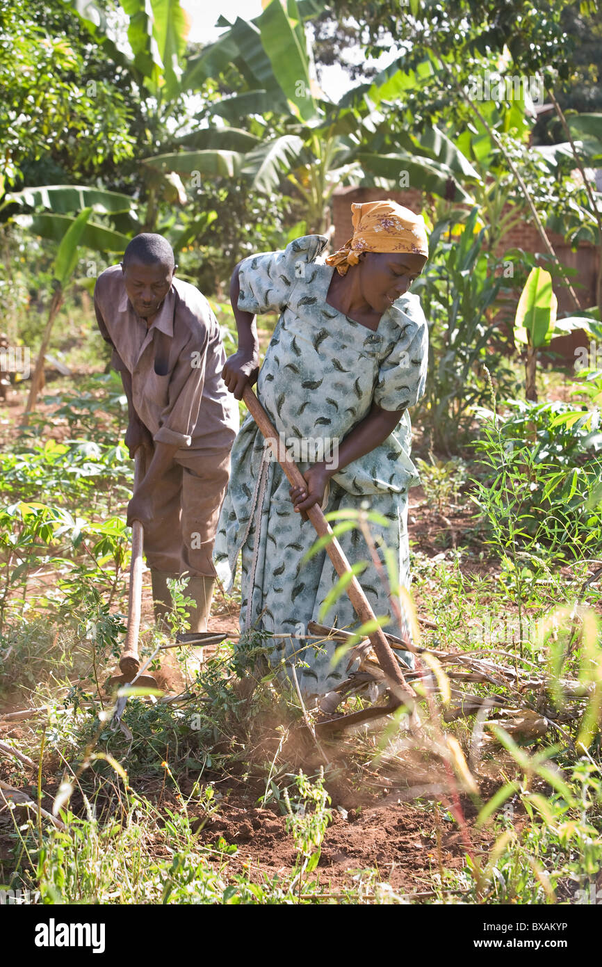 A couple farms in their garden in Iganga, Uganda, East Africa. Stock Photohttps://www.alamy.com/image-license-details/?v=1https://www.alamy.com/stock-photo-a-couple-farms-in-their-garden-in-iganga-uganda-east-africa-33426618.html
RMBXAKYP–A couple farms in their garden in Iganga, Uganda, East Africa.
 Restuarant and shops along the Kampala Jinja Highway, Uganda, East Africa, November 2019 Stock Photohttps://www.alamy.com/image-license-details/?v=1https://www.alamy.com/restuarant-and-shops-along-the-kampala-jinja-highway-uganda-east-africa-november-2019-image336471576.html
RF2AFBGX0–Restuarant and shops along the Kampala Jinja Highway, Uganda, East Africa, November 2019
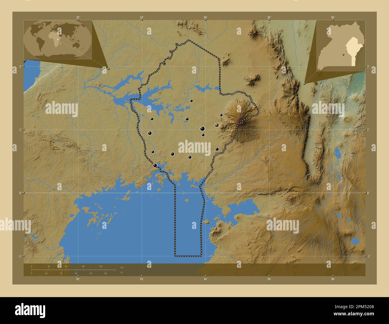 Eastern, region of Uganda. Colored elevation map with lakes and rivers. Locations of major cities of the region. Corner auxiliary location maps Stock Photohttps://www.alamy.com/image-license-details/?v=1https://www.alamy.com/eastern-region-of-uganda-colored-elevation-map-with-lakes-and-rivers-locations-of-major-cities-of-the-region-corner-auxiliary-location-maps-image545925864.html
RF2PM5208–Eastern, region of Uganda. Colored elevation map with lakes and rivers. Locations of major cities of the region. Corner auxiliary location maps
 Mrs. Zula Lubonga at her stationary store in Iganga, Eastern Uganda, East Africa. Stock Photohttps://www.alamy.com/image-license-details/?v=1https://www.alamy.com/stock-photo-mrs-zula-lubonga-at-her-stationary-store-in-iganga-eastern-uganda-33426901.html
RMBXAM9W–Mrs. Zula Lubonga at her stationary store in Iganga, Eastern Uganda, East Africa.
 Shops and business premises on the outskirts of Jinja, Uganda November 2019 Stock Photohttps://www.alamy.com/image-license-details/?v=1https://www.alamy.com/shops-and-business-premises-on-the-outskirts-of-jinja-uganda-november-2019-image336109530.html
RF2AER33P–Shops and business premises on the outskirts of Jinja, Uganda November 2019
 Eastern, region of Uganda. Grayscale elevation map with lakes and rivers. Locations and names of major cities of the region. Corner auxiliary location Stock Photohttps://www.alamy.com/image-license-details/?v=1https://www.alamy.com/eastern-region-of-uganda-grayscale-elevation-map-with-lakes-and-rivers-locations-and-names-of-major-cities-of-the-region-corner-auxiliary-location-image545925592.html
RF2PM51JG–Eastern, region of Uganda. Grayscale elevation map with lakes and rivers. Locations and names of major cities of the region. Corner auxiliary location
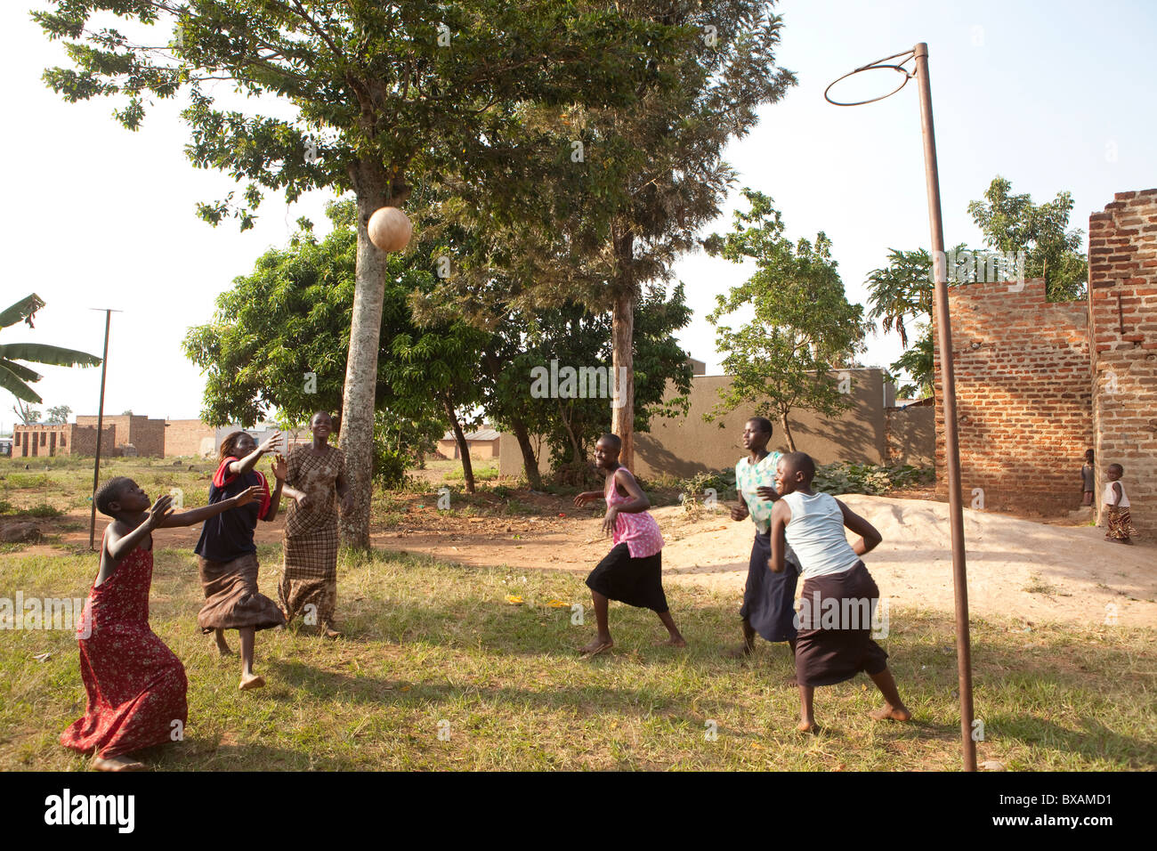 Teenage girls play netball in Igamba village, Iganga District, Eastern Uganda, East Africa. Stock Photohttps://www.alamy.com/image-license-details/?v=1https://www.alamy.com/stock-photo-teenage-girls-play-netball-in-igamba-village-iganga-district-eastern-33426989.html
RMBXAMD1–Teenage girls play netball in Igamba village, Iganga District, Eastern Uganda, East Africa.
 Cab lorry getting fixed by mechanics, Jinja, Uganda, East Africa November 2019 Stock Photohttps://www.alamy.com/image-license-details/?v=1https://www.alamy.com/cab-lorry-getting-fixed-by-mechanics-jinja-uganda-east-africa-november-2019-image336649858.html
RF2AFKM96–Cab lorry getting fixed by mechanics, Jinja, Uganda, East Africa November 2019
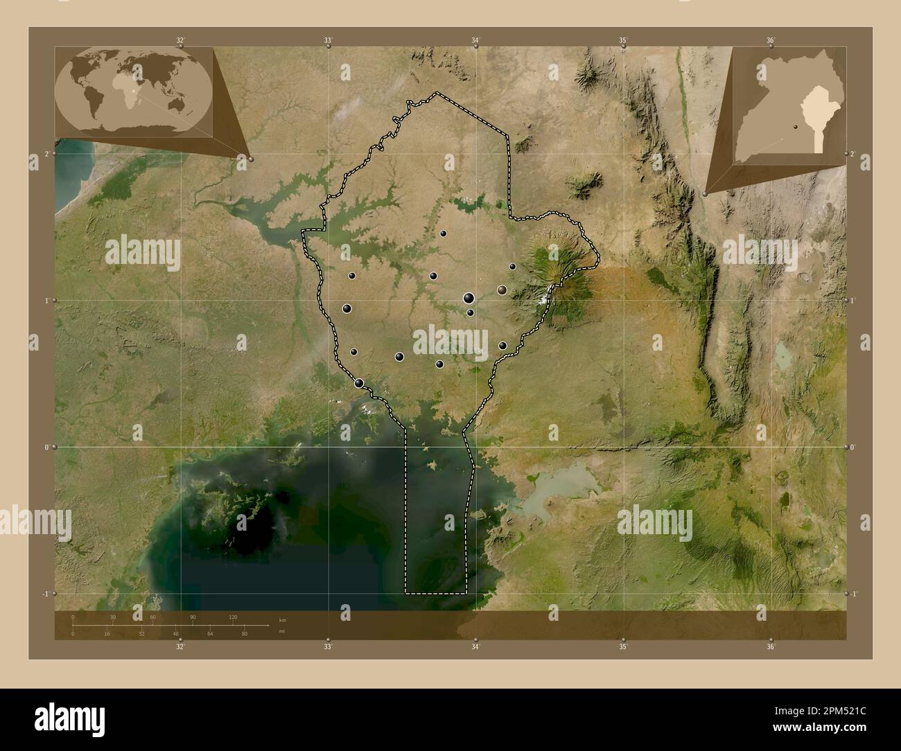 Eastern, region of Uganda. Low resolution satellite map. Locations of major cities of the region. Corner auxiliary location maps Stock Photohttps://www.alamy.com/image-license-details/?v=1https://www.alamy.com/eastern-region-of-uganda-low-resolution-satellite-map-locations-of-major-cities-of-the-region-corner-auxiliary-location-maps-image545925896.html
RF2PM521C–Eastern, region of Uganda. Low resolution satellite map. Locations of major cities of the region. Corner auxiliary location maps
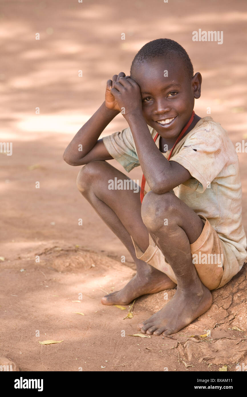 A young barefoot boy smiles in Bulowooza Village, Iganga District, Eastern Uganda, East Africa. Stock Photohttps://www.alamy.com/image-license-details/?v=1https://www.alamy.com/stock-photo-a-young-barefoot-boy-smiles-in-bulowooza-village-iganga-district-eastern-33426653.html
RMBXAM11–A young barefoot boy smiles in Bulowooza Village, Iganga District, Eastern Uganda, East Africa.
 Shop and education signs along the highway near Kabubu, north of Kampala, Uganda November 2019 Stock Photohttps://www.alamy.com/image-license-details/?v=1https://www.alamy.com/shop-and-education-signs-along-the-highway-near-kabubu-north-of-kampala-uganda-november-2019-image335640196.html
RF2AE1MDT–Shop and education signs along the highway near Kabubu, north of Kampala, Uganda November 2019
 Eastern, region of Uganda. High resolution satellite map Stock Photohttps://www.alamy.com/image-license-details/?v=1https://www.alamy.com/eastern-region-of-uganda-high-resolution-satellite-map-image545925685.html
RF2PM51NW–Eastern, region of Uganda. High resolution satellite map
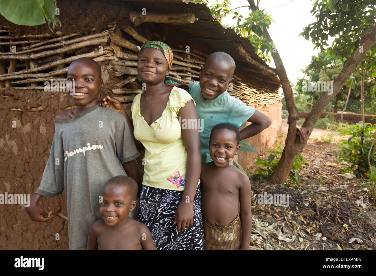 Smiling children stand outside a house in Igamba village, Iganga District, Eastern Uganda, East Africa. Stock Photohttps://www.alamy.com/image-license-details/?v=1https://www.alamy.com/stock-photo-smiling-children-stand-outside-a-house-in-igamba-village-iganga-district-33427052.html
RMBXAMF8–Smiling children stand outside a house in Igamba village, Iganga District, Eastern Uganda, East Africa.
 Tyre being changed by the roadside, Uganda, East Africa November 2019 Stock Photohttps://www.alamy.com/image-license-details/?v=1https://www.alamy.com/tyre-being-changed-by-the-roadside-uganda-east-africa-november-2019-image336649961.html
RF2AFKMCW–Tyre being changed by the roadside, Uganda, East Africa November 2019
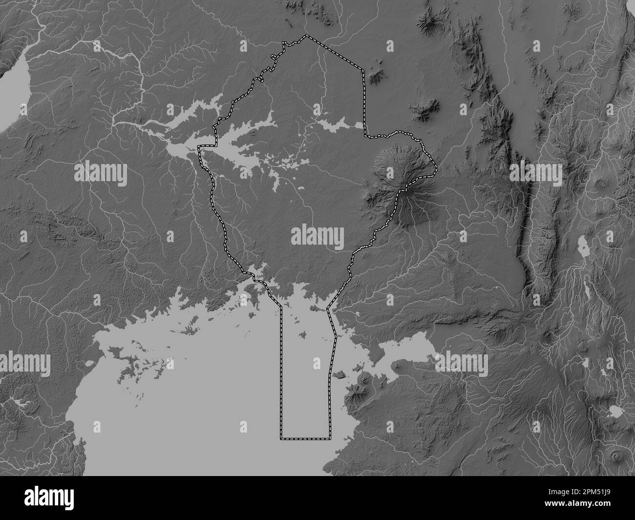 Eastern, region of Uganda. Grayscale elevation map with lakes and rivers Stock Photohttps://www.alamy.com/image-license-details/?v=1https://www.alamy.com/eastern-region-of-uganda-grayscale-elevation-map-with-lakes-and-rivers-image545925585.html
RF2PM51J9–Eastern, region of Uganda. Grayscale elevation map with lakes and rivers
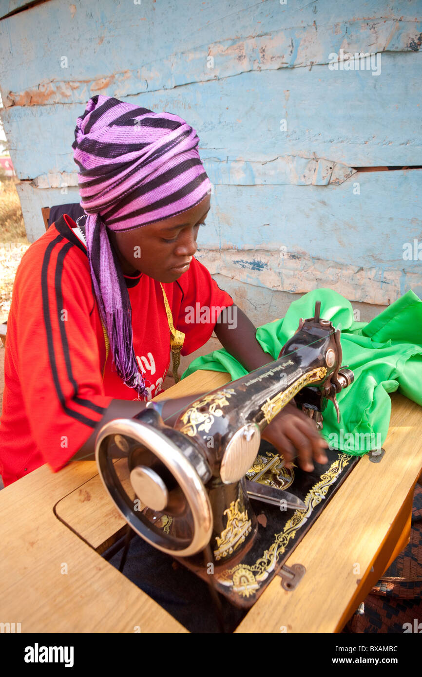 A tailor (Amina Mbawaire) at her sewing machine in Iganga, Eastern Uganda, East Africa. Stock Photohttps://www.alamy.com/image-license-details/?v=1https://www.alamy.com/stock-photo-a-tailor-amina-mbawaire-at-her-sewing-machine-in-iganga-eastern-uganda-33426944.html
RMBXAMBC–A tailor (Amina Mbawaire) at her sewing machine in Iganga, Eastern Uganda, East Africa.
 Shops and business premises on the outskirts of Mukono, East of Kampala, Uganda November 2019 Stock Photohttps://www.alamy.com/image-license-details/?v=1https://www.alamy.com/shops-and-business-premises-on-the-outskirts-of-mukono-east-of-kampala-uganda-november-2019-image337211872.html
RF2AGH954–Shops and business premises on the outskirts of Mukono, East of Kampala, Uganda November 2019
 Eastern, region of Uganda. Colored elevation map with lakes and rivers. Locations and names of major cities of the region. Corner auxiliary location m Stock Photohttps://www.alamy.com/image-license-details/?v=1https://www.alamy.com/eastern-region-of-uganda-colored-elevation-map-with-lakes-and-rivers-locations-and-names-of-major-cities-of-the-region-corner-auxiliary-location-m-image545926001.html
RF2PM5255–Eastern, region of Uganda. Colored elevation map with lakes and rivers. Locations and names of major cities of the region. Corner auxiliary location m
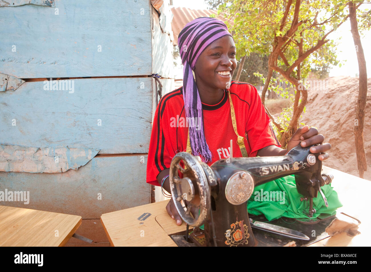 A tailor (Amina Mbawaire) at her sewing machine in Iganga, Eastern Uganda, East Africa. Stock Photohttps://www.alamy.com/image-license-details/?v=1https://www.alamy.com/stock-photo-a-tailor-amina-mbawaire-at-her-sewing-machine-in-iganga-eastern-uganda-33426974.html
RMBXAMCE–A tailor (Amina Mbawaire) at her sewing machine in Iganga, Eastern Uganda, East Africa.
 Eastern, region of Uganda. Elevation map colored in sepia tones with lakes and rivers. Locations of major cities of the region. Corner auxiliary locat Stock Photohttps://www.alamy.com/image-license-details/?v=1https://www.alamy.com/eastern-region-of-uganda-elevation-map-colored-in-sepia-tones-with-lakes-and-rivers-locations-of-major-cities-of-the-region-corner-auxiliary-locat-image545926009.html
RF2PM525D–Eastern, region of Uganda. Elevation map colored in sepia tones with lakes and rivers. Locations of major cities of the region. Corner auxiliary locat
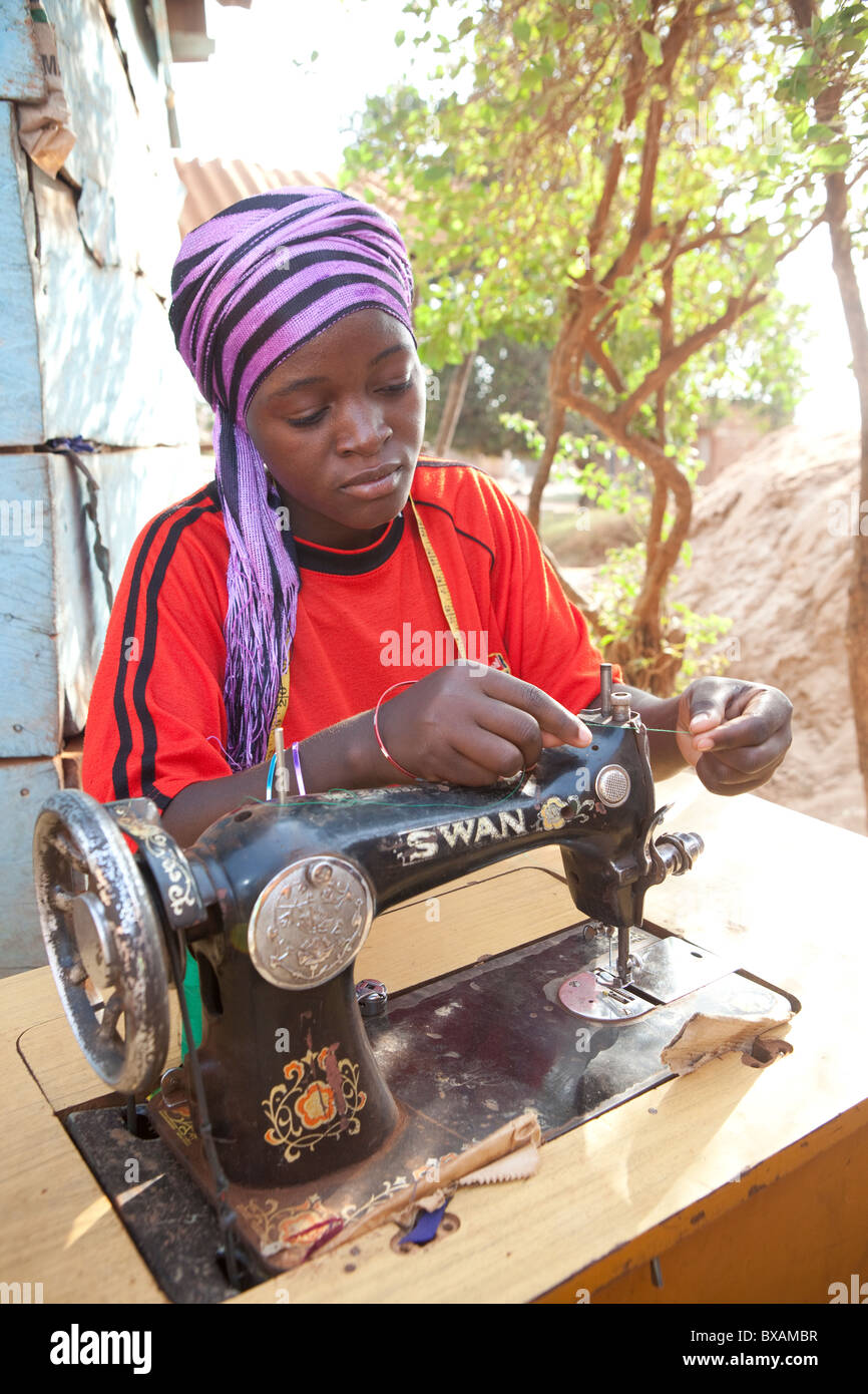 A tailor (Amina Mbawaire) at her sewing machine in Iganga, Eastern Uganda, East Africa. Stock Photohttps://www.alamy.com/image-license-details/?v=1https://www.alamy.com/stock-photo-a-tailor-amina-mbawaire-at-her-sewing-machine-in-iganga-eastern-uganda-33426955.html
RMBXAMBR–A tailor (Amina Mbawaire) at her sewing machine in Iganga, Eastern Uganda, East Africa.
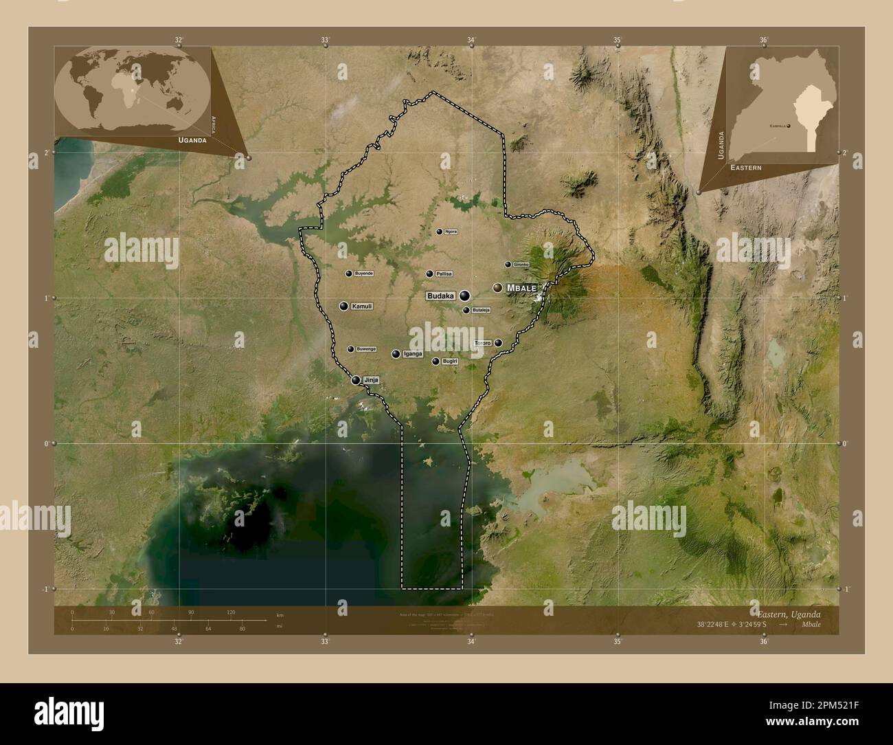 Eastern, region of Uganda. Low resolution satellite map. Locations and names of major cities of the region. Corner auxiliary location maps Stock Photohttps://www.alamy.com/image-license-details/?v=1https://www.alamy.com/eastern-region-of-uganda-low-resolution-satellite-map-locations-and-names-of-major-cities-of-the-region-corner-auxiliary-location-maps-image545925899.html
RF2PM521F–Eastern, region of Uganda. Low resolution satellite map. Locations and names of major cities of the region. Corner auxiliary location maps
 A tailor (Amina Mbawaire) at her sewing machine in Iganga, Eastern Uganda, East Africa. Stock Photohttps://www.alamy.com/image-license-details/?v=1https://www.alamy.com/stock-photo-a-tailor-amina-mbawaire-at-her-sewing-machine-in-iganga-eastern-uganda-33426963.html
RMBXAMC3–A tailor (Amina Mbawaire) at her sewing machine in Iganga, Eastern Uganda, East Africa.
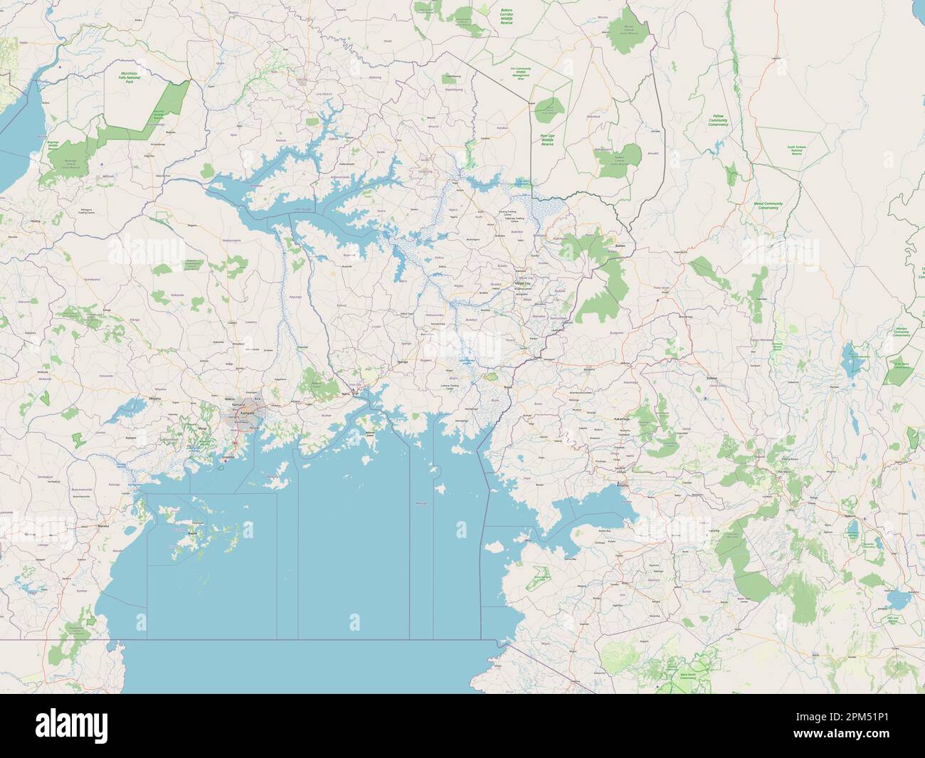 Eastern, region of Uganda. Open Street Map Stock Photohttps://www.alamy.com/image-license-details/?v=1https://www.alamy.com/eastern-region-of-uganda-open-street-map-image545925689.html
RF2PM51P1–Eastern, region of Uganda. Open Street Map
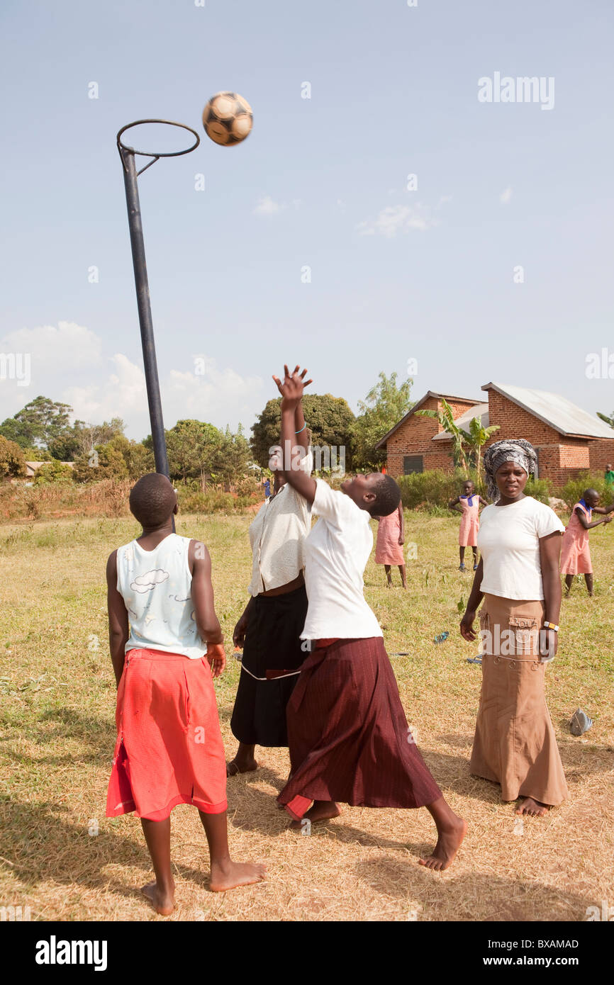 Teenage girls play netball in Bugabwe village, Iganga district, Eastern Uganda, East Africa. Stock Photohttps://www.alamy.com/image-license-details/?v=1https://www.alamy.com/stock-photo-teenage-girls-play-netball-in-bugabwe-village-iganga-district-eastern-33426917.html
RMBXAMAD–Teenage girls play netball in Bugabwe village, Iganga district, Eastern Uganda, East Africa.
 Eastern, region of Uganda. Elevation map colored in wiki style with lakes and rivers. Locations of major cities of the region. Corner auxiliary locati Stock Photohttps://www.alamy.com/image-license-details/?v=1https://www.alamy.com/eastern-region-of-uganda-elevation-map-colored-in-wiki-style-with-lakes-and-rivers-locations-of-major-cities-of-the-region-corner-auxiliary-locati-image545926007.html
RF2PM525B–Eastern, region of Uganda. Elevation map colored in wiki style with lakes and rivers. Locations of major cities of the region. Corner auxiliary locati
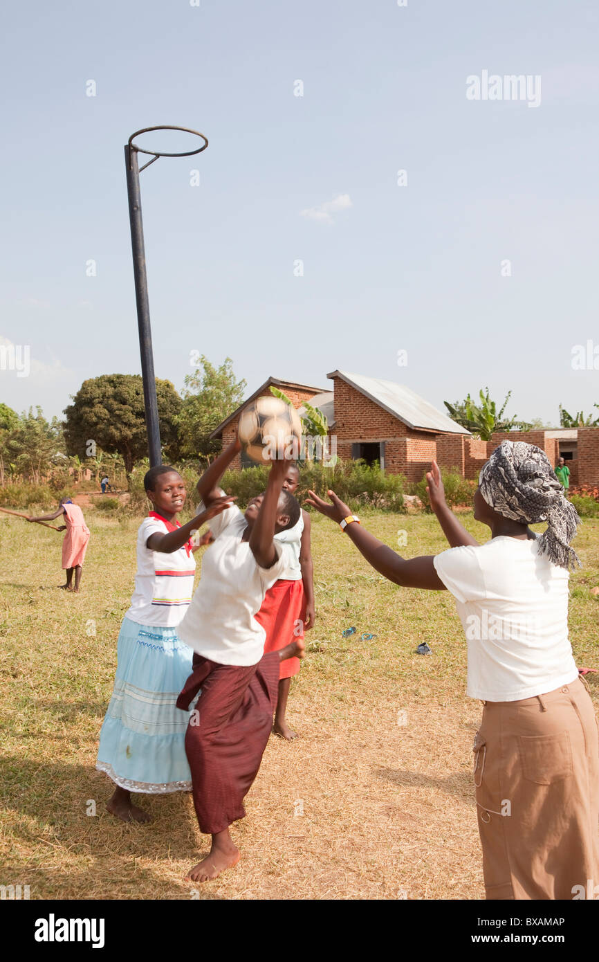 Teenage girls play netball in Bugabwe village, Iganga district, Eastern Uganda, East Africa. Stock Photohttps://www.alamy.com/image-license-details/?v=1https://www.alamy.com/stock-photo-teenage-girls-play-netball-in-bugabwe-village-iganga-district-eastern-33426926.html
RMBXAMAP–Teenage girls play netball in Bugabwe village, Iganga district, Eastern Uganda, East Africa.
 Eastern, region of Uganda. Elevation map colored in wiki style with lakes and rivers. Locations and names of major cities of the region. Corner auxili Stock Photohttps://www.alamy.com/image-license-details/?v=1https://www.alamy.com/eastern-region-of-uganda-elevation-map-colored-in-wiki-style-with-lakes-and-rivers-locations-and-names-of-major-cities-of-the-region-corner-auxili-image545926130.html
RF2PM529P–Eastern, region of Uganda. Elevation map colored in wiki style with lakes and rivers. Locations and names of major cities of the region. Corner auxili
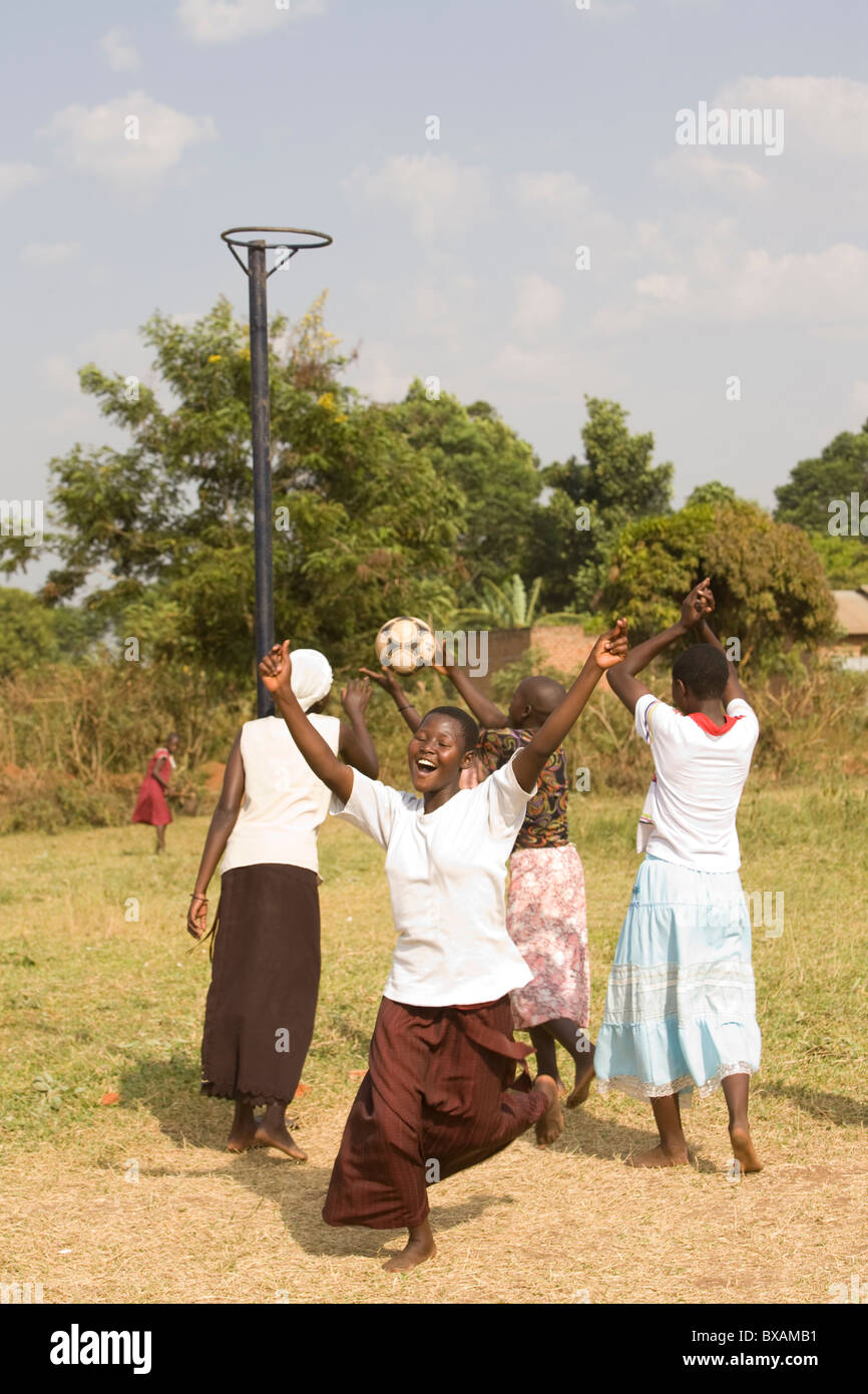 Teenage girls play netball in Bugabwe village, Iganga district, Eastern Uganda, East Africa. Stock Photohttps://www.alamy.com/image-license-details/?v=1https://www.alamy.com/stock-photo-teenage-girls-play-netball-in-bugabwe-village-iganga-district-eastern-33426933.html
RMBXAMB1–Teenage girls play netball in Bugabwe village, Iganga district, Eastern Uganda, East Africa.
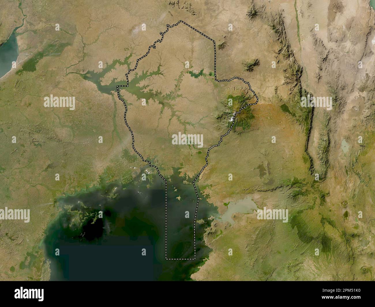 Eastern, region of Uganda. Low resolution satellite map Stock Photohttps://www.alamy.com/image-license-details/?v=1https://www.alamy.com/eastern-region-of-uganda-low-resolution-satellite-map-image545925604.html
RF2PM51K0–Eastern, region of Uganda. Low resolution satellite map
 A woman holds a handful of maize (corn) kernels in Iganga, Uganda, East Africa Stock Photohttps://www.alamy.com/image-license-details/?v=1https://www.alamy.com/stock-photo-a-woman-holds-a-handful-of-maize-corn-kernels-in-iganga-uganda-east-33426643.html
RMBXAM0K–A woman holds a handful of maize (corn) kernels in Iganga, Uganda, East Africa
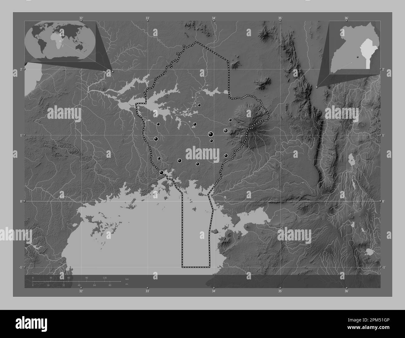 Eastern, region of Uganda. Grayscale elevation map with lakes and rivers. Locations of major cities of the region. Corner auxiliary location maps Stock Photohttps://www.alamy.com/image-license-details/?v=1https://www.alamy.com/eastern-region-of-uganda-grayscale-elevation-map-with-lakes-and-rivers-locations-of-major-cities-of-the-region-corner-auxiliary-location-maps-image545925542.html
RF2PM51GP–Eastern, region of Uganda. Grayscale elevation map with lakes and rivers. Locations of major cities of the region. Corner auxiliary location maps
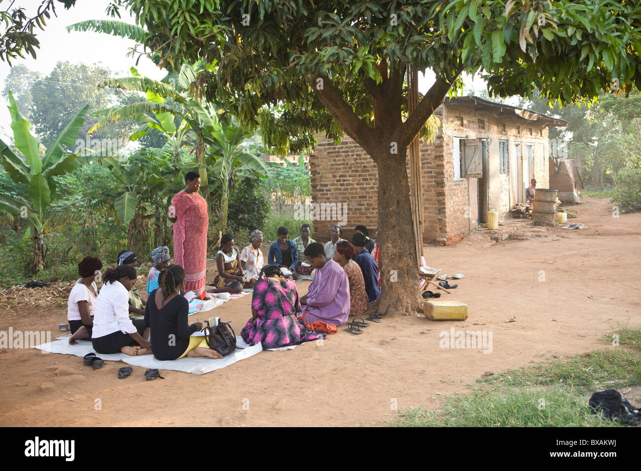 Women attend a community meeting in Nkono Village, a village outside Iganga town, Eastern Uganda, East Africa. Stock Photohttps://www.alamy.com/image-license-details/?v=1https://www.alamy.com/stock-photo-women-attend-a-community-meeting-in-nkono-village-a-village-outside-33426558.html
RMBXAKWJ–Women attend a community meeting in Nkono Village, a village outside Iganga town, Eastern Uganda, East Africa.
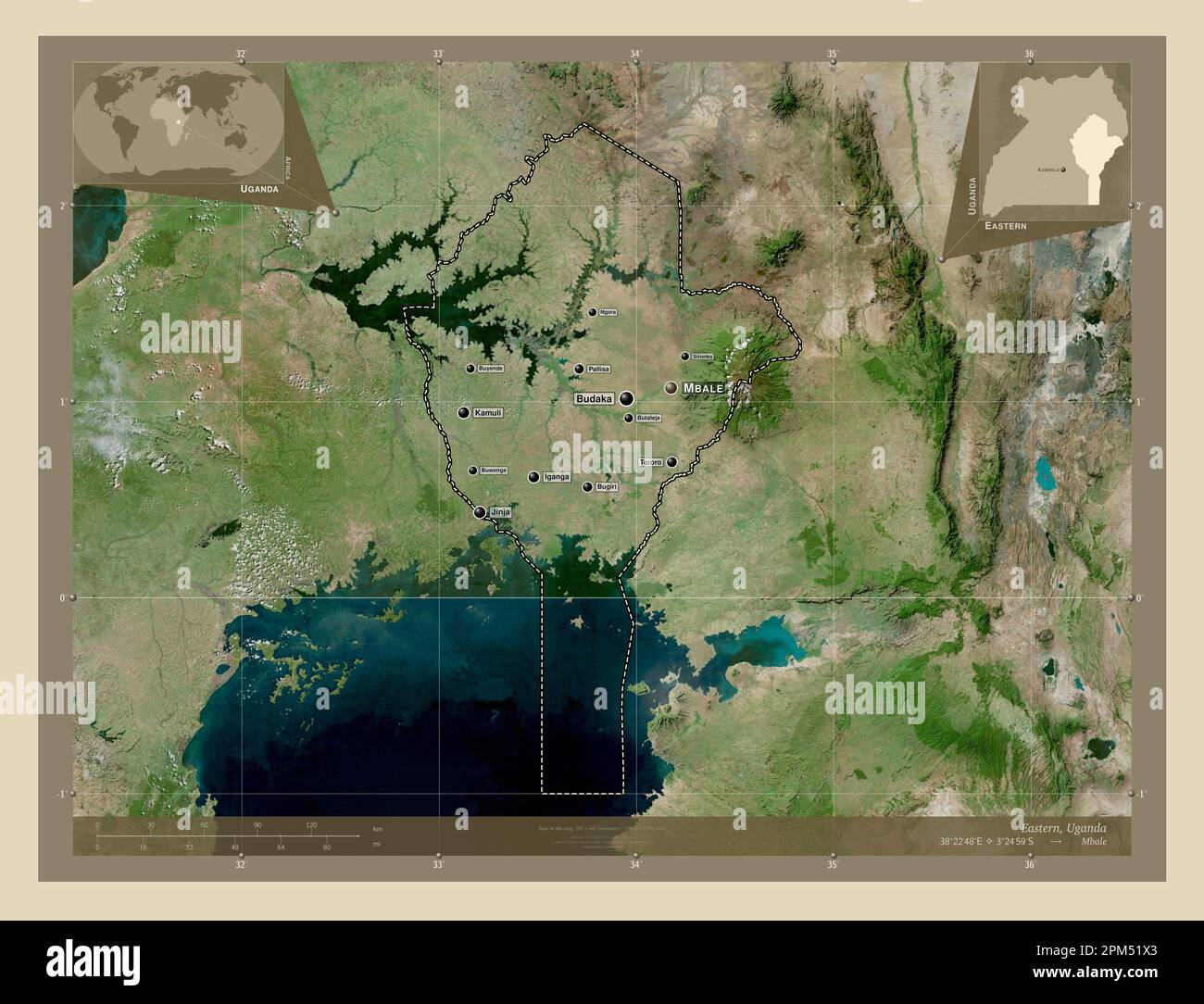 Eastern, region of Uganda. High resolution satellite map. Locations and names of major cities of the region. Corner auxiliary location maps Stock Photohttps://www.alamy.com/image-license-details/?v=1https://www.alamy.com/eastern-region-of-uganda-high-resolution-satellite-map-locations-and-names-of-major-cities-of-the-region-corner-auxiliary-location-maps-image545925803.html
RF2PM51X3–Eastern, region of Uganda. High resolution satellite map. Locations and names of major cities of the region. Corner auxiliary location maps
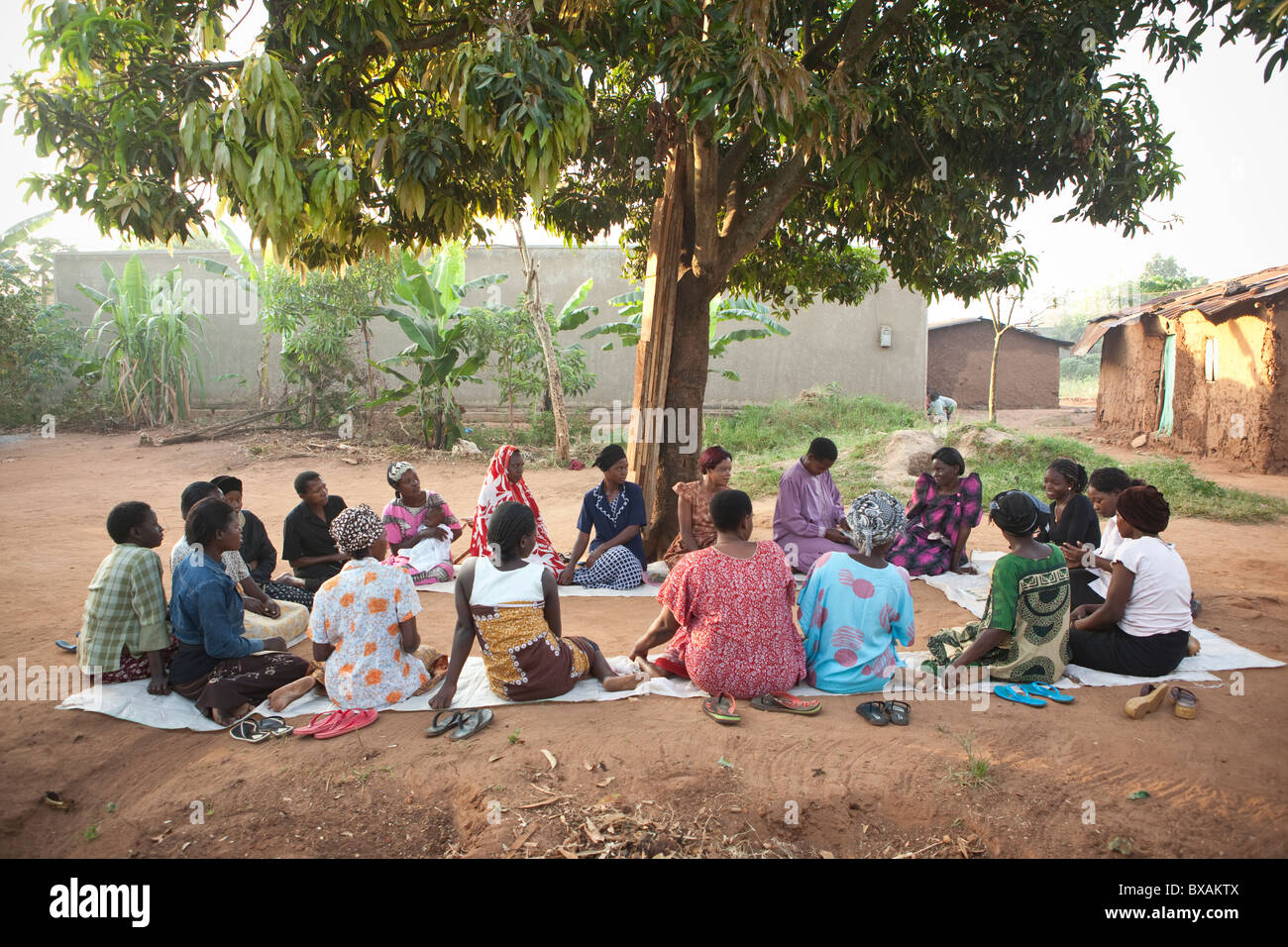 Women attend a community meeting in Nkono Village, a village outside Iganga town, Eastern Uganda, East Africa. Stock Photohttps://www.alamy.com/image-license-details/?v=1https://www.alamy.com/stock-photo-women-attend-a-community-meeting-in-nkono-village-a-village-outside-33426538.html
RMBXAKTX–Women attend a community meeting in Nkono Village, a village outside Iganga town, Eastern Uganda, East Africa.
 Eastern, region of Uganda. Open Street Map. Locations and names of major cities of the region. Corner auxiliary location maps Stock Photohttps://www.alamy.com/image-license-details/?v=1https://www.alamy.com/eastern-region-of-uganda-open-street-map-locations-and-names-of-major-cities-of-the-region-corner-auxiliary-location-maps-image545925684.html
RF2PM51NT–Eastern, region of Uganda. Open Street Map. Locations and names of major cities of the region. Corner auxiliary location maps
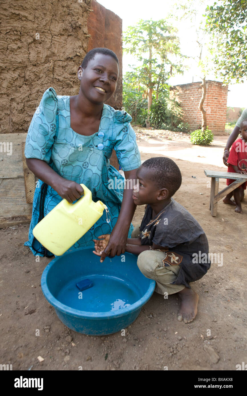 Ms. Rose Takuwa (left) teaches her son Godwin (5) hand washing in Iganga, Eastern Uganda. Stock Photohttps://www.alamy.com/image-license-details/?v=1https://www.alamy.com/stock-photo-ms-rose-takuwa-left-teaches-her-son-godwin-5-hand-washing-in-iganga-33426576.html
RMBXAKX8–Ms. Rose Takuwa (left) teaches her son Godwin (5) hand washing in Iganga, Eastern Uganda.
 Eastern, region of Uganda. Bilevel elevation map with lakes and rivers. Locations and names of major cities of the region. Corner auxiliary location m Stock Photohttps://www.alamy.com/image-license-details/?v=1https://www.alamy.com/eastern-region-of-uganda-bilevel-elevation-map-with-lakes-and-rivers-locations-and-names-of-major-cities-of-the-region-corner-auxiliary-location-m-image545925544.html
RF2PM51GT–Eastern, region of Uganda. Bilevel elevation map with lakes and rivers. Locations and names of major cities of the region. Corner auxiliary location m
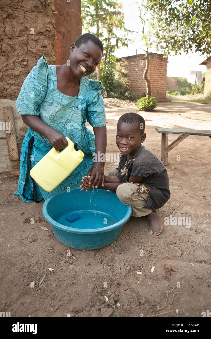 Ms. Rose Takuwa (left) teaches her son Godwin (5) hand washing in Iganga, Eastern Uganda. Stock Photohttps://www.alamy.com/image-license-details/?v=1https://www.alamy.com/stock-photo-ms-rose-takuwa-left-teaches-her-son-godwin-5-hand-washing-in-iganga-33426590.html
RMBXAKXP–Ms. Rose Takuwa (left) teaches her son Godwin (5) hand washing in Iganga, Eastern Uganda.
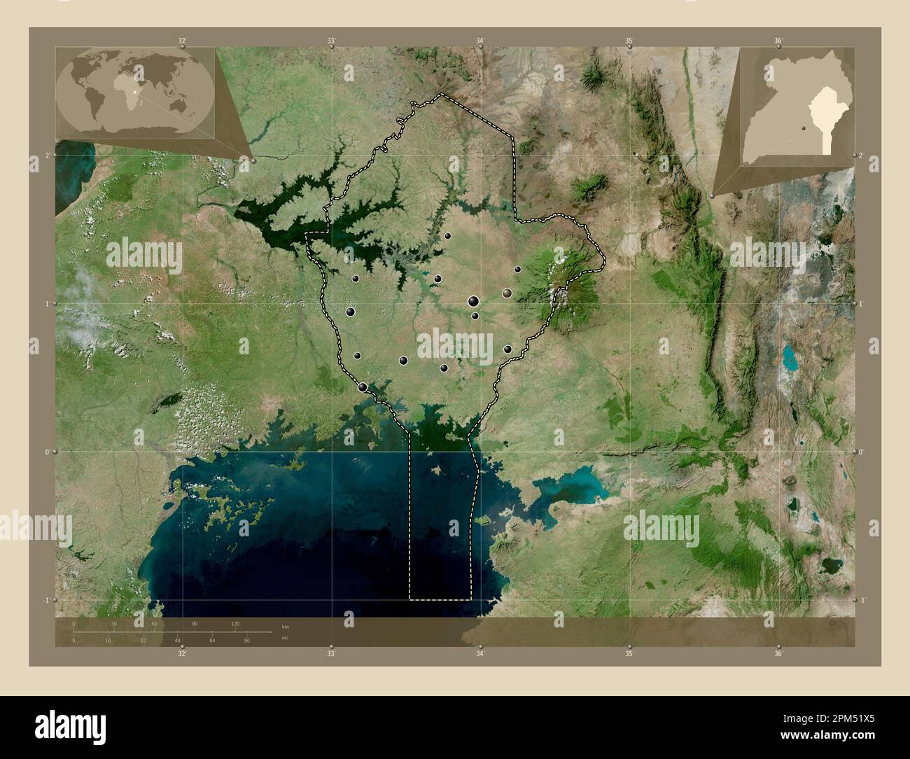 Eastern, region of Uganda. High resolution satellite map. Locations of major cities of the region. Corner auxiliary location maps Stock Photohttps://www.alamy.com/image-license-details/?v=1https://www.alamy.com/eastern-region-of-uganda-high-resolution-satellite-map-locations-of-major-cities-of-the-region-corner-auxiliary-location-maps-image545925805.html
RF2PM51X5–Eastern, region of Uganda. High resolution satellite map. Locations of major cities of the region. Corner auxiliary location maps