Quick filters:
India map outline Stock Photos and Images
 India Map, on white background. Vector illustration. Outline. Stock Vectorhttps://www.alamy.com/image-license-details/?v=1https://www.alamy.com/india-map-on-white-background-vector-illustration-outline-image334275055.html
RF2ABRF6R–India Map, on white background. Vector illustration. Outline.
 India Map Flag Stock Vectorhttps://www.alamy.com/image-license-details/?v=1https://www.alamy.com/stock-photo-india-map-flag-81455633.html
RFEMEHDN–India Map Flag
 vectorflag map of india, outline drawing with shadow Stock Vectorhttps://www.alamy.com/image-license-details/?v=1https://www.alamy.com/stock-image-vectorflag-map-of-india-outline-drawing-with-shadow-169644400.html
RFKRYY4G–vectorflag map of india, outline drawing with shadow
 Simplified map of India outline, with slightly bent flag under it. Stock Vectorhttps://www.alamy.com/image-license-details/?v=1https://www.alamy.com/simplified-map-of-india-outline-with-slightly-bent-flag-under-it-image239085409.html
RFRTY7TH–Simplified map of India outline, with slightly bent flag under it.
 Map of India - outline. Silhouette of India map illustration Stock Photohttps://www.alamy.com/image-license-details/?v=1https://www.alamy.com/map-of-india-outline-silhouette-of-india-map-illustration-image233959478.html
RFRGHNKJ–Map of India - outline. Silhouette of India map illustration
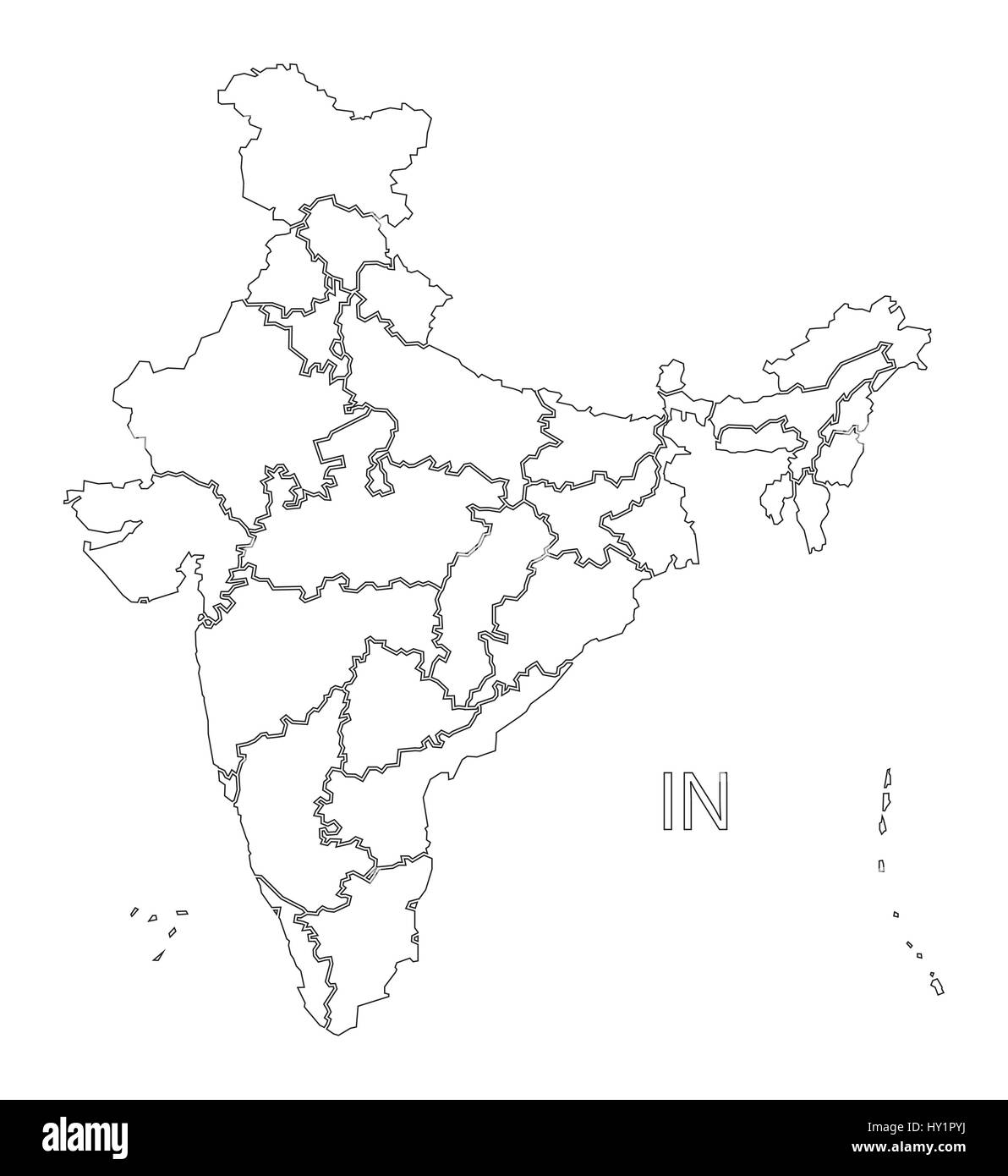 India outline silhouette map illustration with states Stock Vectorhttps://www.alamy.com/image-license-details/?v=1https://www.alamy.com/stock-photo-india-outline-silhouette-map-illustration-with-states-137108262.html
RFHY1PYJ–India outline silhouette map illustration with states
 India map outline Stock Photohttps://www.alamy.com/image-license-details/?v=1https://www.alamy.com/india-map-outline-image332572630.html
RF2A91YNX–India map outline
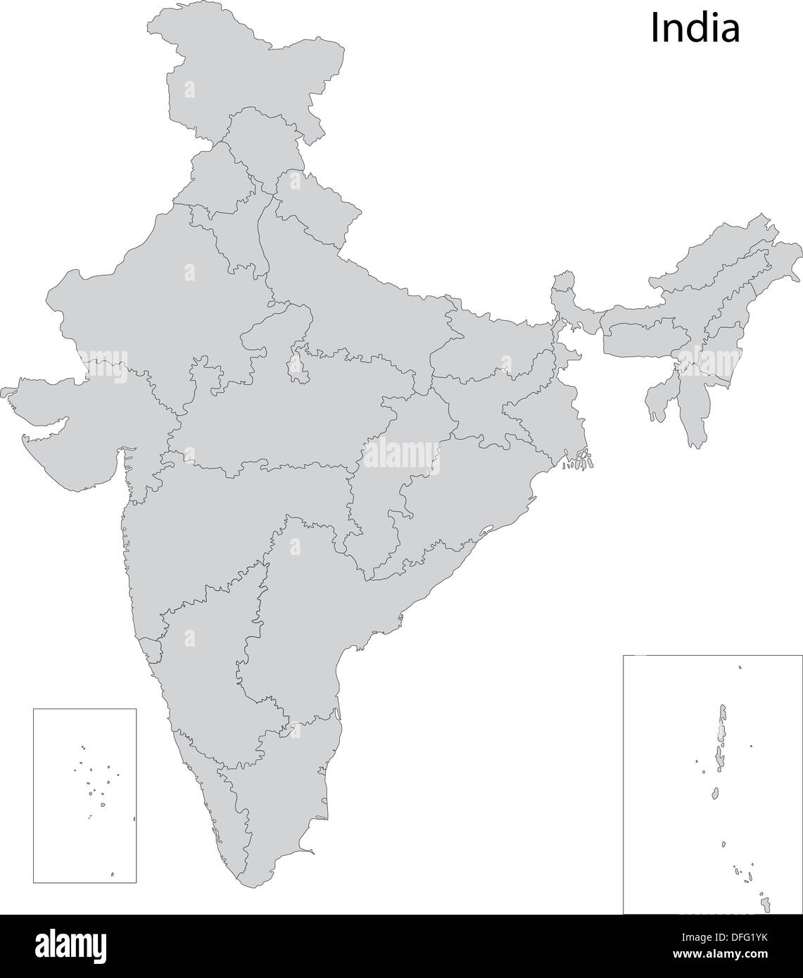 Grey India map Stock Photohttps://www.alamy.com/image-license-details/?v=1https://www.alamy.com/grey-india-map-image61203735.html
RFDFG1YK–Grey India map
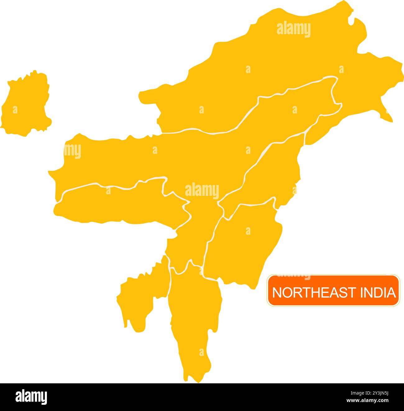 Northeast States Map of India Stock Vectorhttps://www.alamy.com/image-license-details/?v=1https://www.alamy.com/northeast-states-map-of-india-image621828974.html
RF2Y3JN5J–Northeast States Map of India
 India map shape with waving flag background. Alpha channel outline of country. Stock Photohttps://www.alamy.com/image-license-details/?v=1https://www.alamy.com/india-map-shape-with-waving-flag-background-alpha-channel-outline-of-country-image484767677.html
RF2K4K239–India map shape with waving flag background. Alpha channel outline of country.
 India outline map brand on wooden board Stock Photohttps://www.alamy.com/image-license-details/?v=1https://www.alamy.com/stock-photo-india-outline-map-brand-on-wooden-board-86477244.html
RFF0KAH0–India outline map brand on wooden board
 Roasted brown coffee beans background with the shape of the word India and the country geographical map outline. Image isolated Stock Photohttps://www.alamy.com/image-license-details/?v=1https://www.alamy.com/stock-photo-roasted-brown-coffee-beans-background-with-the-shape-of-the-word-india-90347706.html
RFF6YKBP–Roasted brown coffee beans background with the shape of the word India and the country geographical map outline. Image isolated
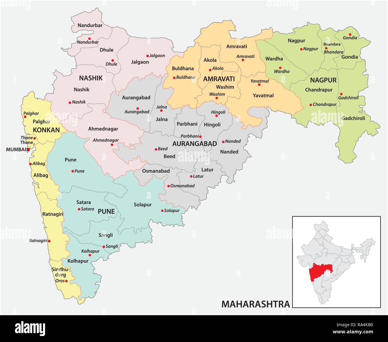 administrative and political map of indian state of Maharashtra, india Stock Vectorhttps://www.alamy.com/image-license-details/?v=1https://www.alamy.com/administrative-and-political-map-of-indian-state-of-maharashtra-india-image229984356.html
RFRA4KB0–administrative and political map of indian state of Maharashtra, india
 Chennai India City Map in Retro Style in Golden Color. Outline Map. Vector Illustration. Stock Vectorhttps://www.alamy.com/image-license-details/?v=1https://www.alamy.com/chennai-india-city-map-in-retro-style-in-golden-color-outline-map-vector-illustration-image382895588.html
RF2D6XB6C–Chennai India City Map in Retro Style in Golden Color. Outline Map. Vector Illustration.
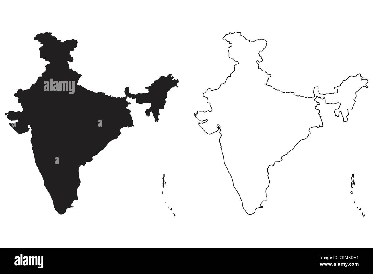 India Country Map. Black silhouette and outline isolated on white background. EPS Vector Stock Vectorhttps://www.alamy.com/image-license-details/?v=1https://www.alamy.com/india-country-map-black-silhouette-and-outline-isolated-on-white-background-eps-vector-image356928041.html
RF2BMKDA1–India Country Map. Black silhouette and outline isolated on white background. EPS Vector
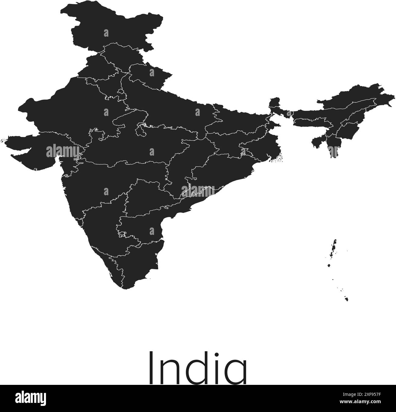 India Map Vector Illustration - Silhouette, Outline, India Travel and Tourism Map Stock Vectorhttps://www.alamy.com/image-license-details/?v=1https://www.alamy.com/india-map-vector-illustration-silhouette-outline-india-travel-and-tourism-map-image611784419.html
RF2XF957F–India Map Vector Illustration - Silhouette, Outline, India Travel and Tourism Map
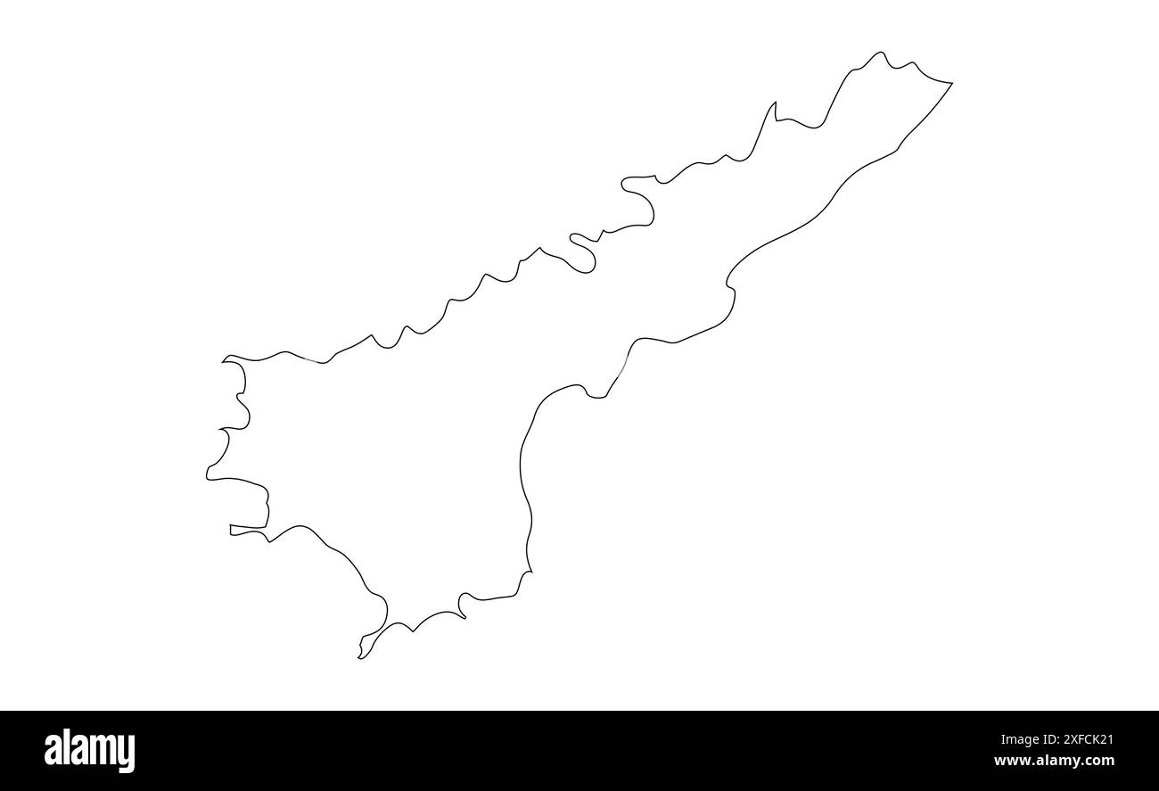 Andhra Pradesh Outline map1, State of India, Republic of India, government, Political map, modern map, Indian flag, vector illustration Stock Vectorhttps://www.alamy.com/image-license-details/?v=1https://www.alamy.com/andhra-pradesh-outline-map1-state-of-india-republic-of-india-government-political-map-modern-map-indian-flag-vector-illustration-image611861097.html
RF2XFCK21–Andhra Pradesh Outline map1, State of India, Republic of India, government, Political map, modern map, Indian flag, vector illustration
 India map blue circular button isolated on white background. Stock Photohttps://www.alamy.com/image-license-details/?v=1https://www.alamy.com/stock-photo-india-map-blue-circular-button-isolated-on-white-background-33978863.html
RMBY7TAR–India map blue circular button isolated on white background.
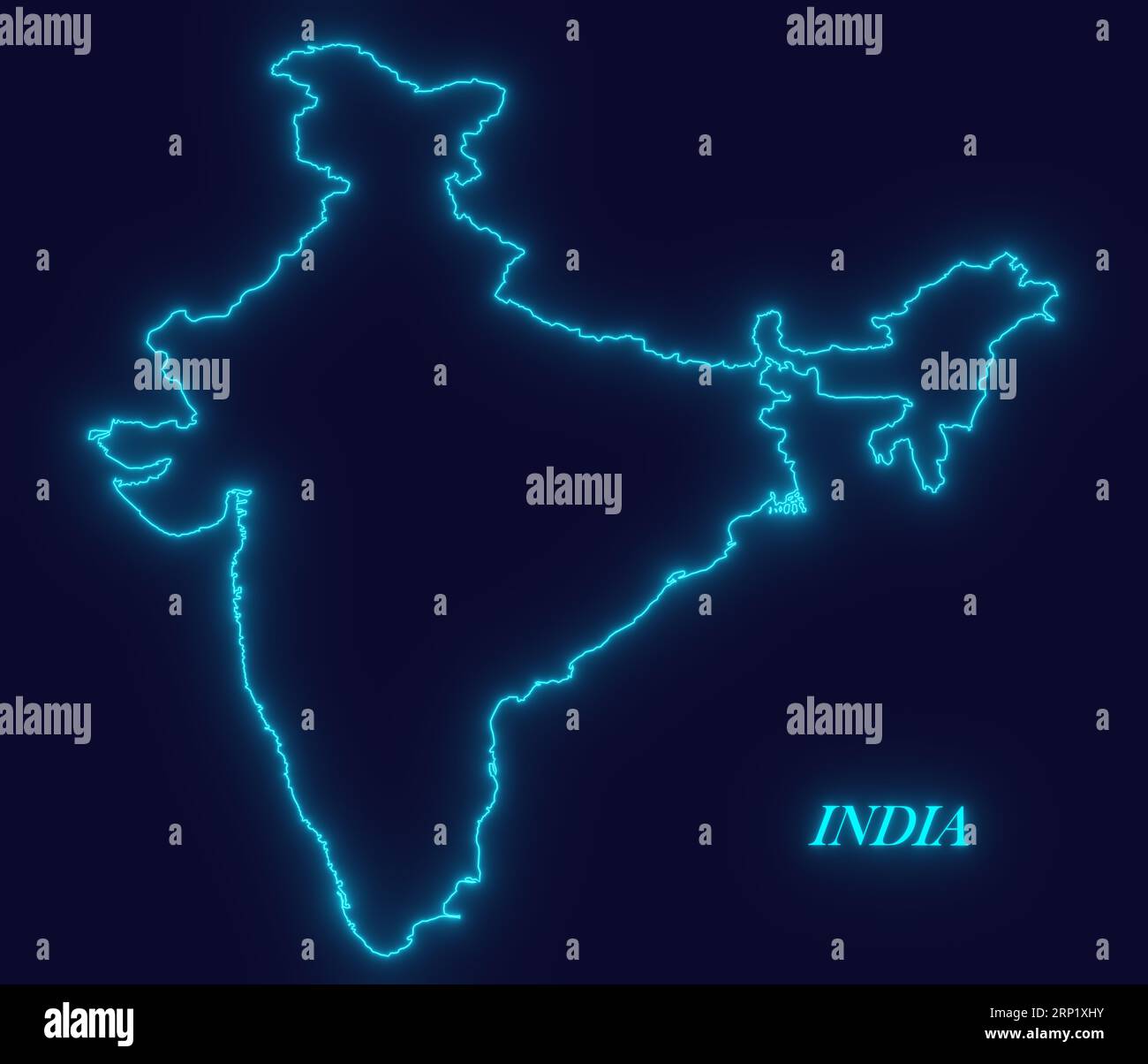 INDIA outline map with neon glowing lines on dark background, Futuristic concept, INDIA neon map, neon blue map outline, modern digital concept INDIA Stock Photohttps://www.alamy.com/image-license-details/?v=1https://www.alamy.com/india-outline-map-with-neon-glowing-lines-on-dark-background-futuristic-concept-india-neon-map-neon-blue-map-outline-modern-digital-concept-india-image564297047.html
RF2RP1XHY–INDIA outline map with neon glowing lines on dark background, Futuristic concept, INDIA neon map, neon blue map outline, modern digital concept INDIA
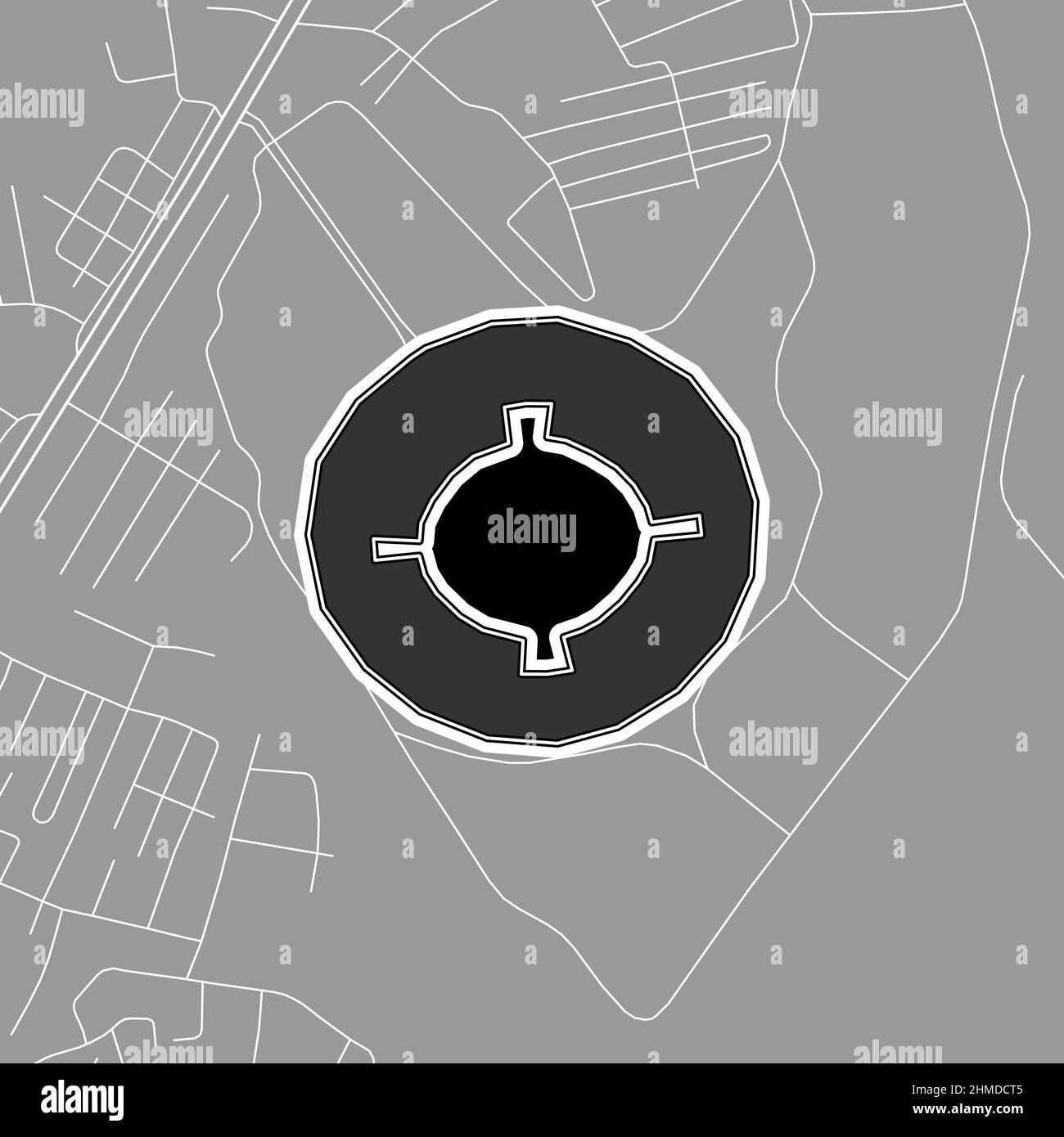 Ahmedabad, Baseball MLB Stadium, outline vector map. The baseball statium map was drawn with white areas and lines for main roads, side roads. Stock Vectorhttps://www.alamy.com/image-license-details/?v=1https://www.alamy.com/ahmedabad-baseball-mlb-stadium-outline-vector-map-the-baseball-statium-map-was-drawn-with-white-areas-and-lines-for-main-roads-side-roads-image460058149.html
RF2HMDCT5–Ahmedabad, Baseball MLB Stadium, outline vector map. The baseball statium map was drawn with white areas and lines for main roads, side roads.
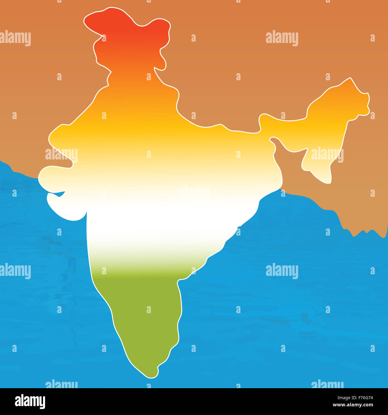 outline map of india in tri colors Stock Photohttps://www.alamy.com/image-license-details/?v=1https://www.alamy.com/stock-photo-outline-map-of-india-in-tri-colors-90498888.html
RFF76G74–outline map of india in tri colors
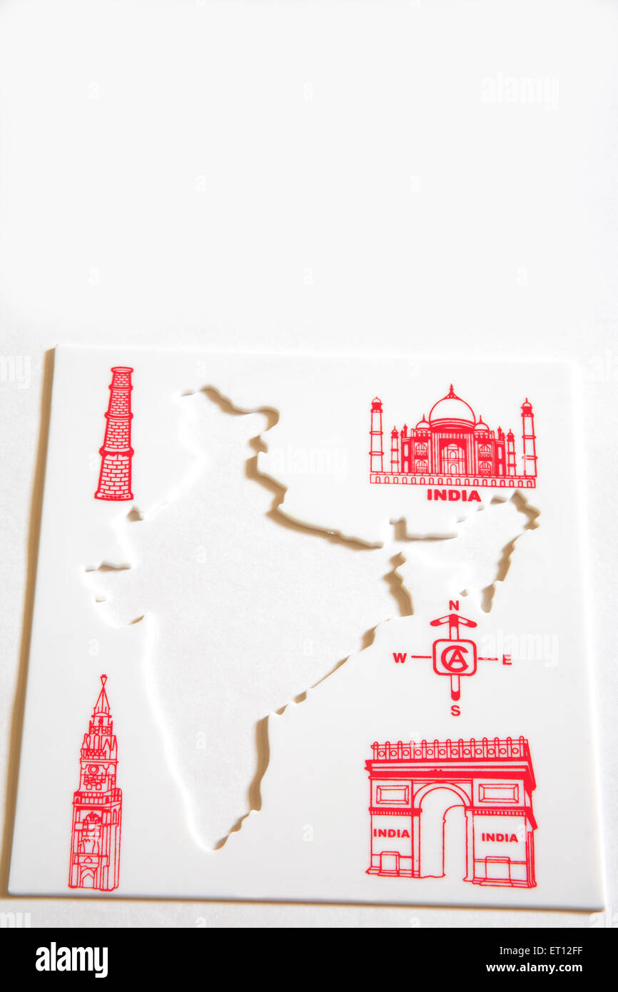 Map of India , Indian Map , cut out , India Stock Photohttps://www.alamy.com/image-license-details/?v=1https://www.alamy.com/stock-photo-map-of-india-indian-map-cut-out-india-83617171.html
RMET12FF–Map of India , Indian Map , cut out , India
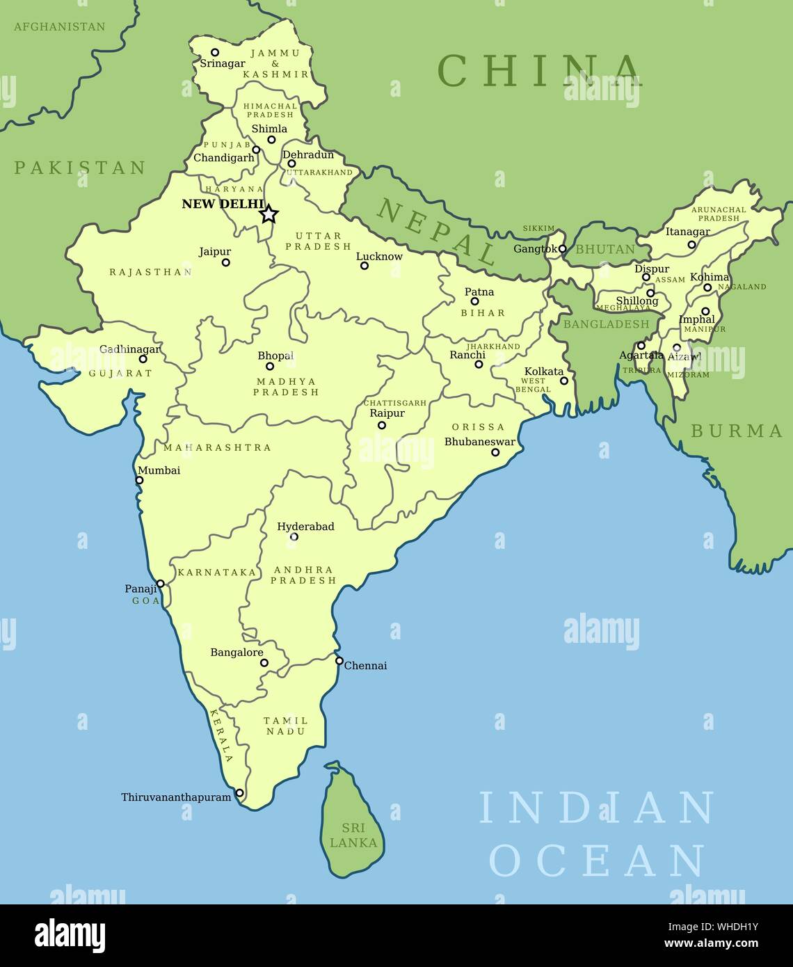 India map. Outline illustration country map with state names and their capital cities. Stock Vectorhttps://www.alamy.com/image-license-details/?v=1https://www.alamy.com/india-map-outline-illustration-country-map-with-state-names-and-their-capital-cities-image268903431.html
RFWHDH1Y–India map. Outline illustration country map with state names and their capital cities.
 Map of India - outline. Silhouette of India map vector illustration Stock Vectorhttps://www.alamy.com/image-license-details/?v=1https://www.alamy.com/map-of-india-outline-silhouette-of-india-map-vector-illustration-image233862191.html
RFRGD9H3–Map of India - outline. Silhouette of India map vector illustration
 Infographics India map outline, flat design, color blue orange blank Stock Photohttps://www.alamy.com/image-license-details/?v=1https://www.alamy.com/infographics-india-map-outline-flat-design-color-blue-orange-blank-image414213779.html
RF2F1W1W7–Infographics India map outline, flat design, color blue orange blank
 India simple 3D map being hit by coronavirus. 3D Rendering Stock Photohttps://www.alamy.com/image-license-details/?v=1https://www.alamy.com/india-simple-3d-map-being-hit-by-coronavirus-3d-rendering-image357206806.html
RF2BN44WX–India simple 3D map being hit by coronavirus. 3D Rendering
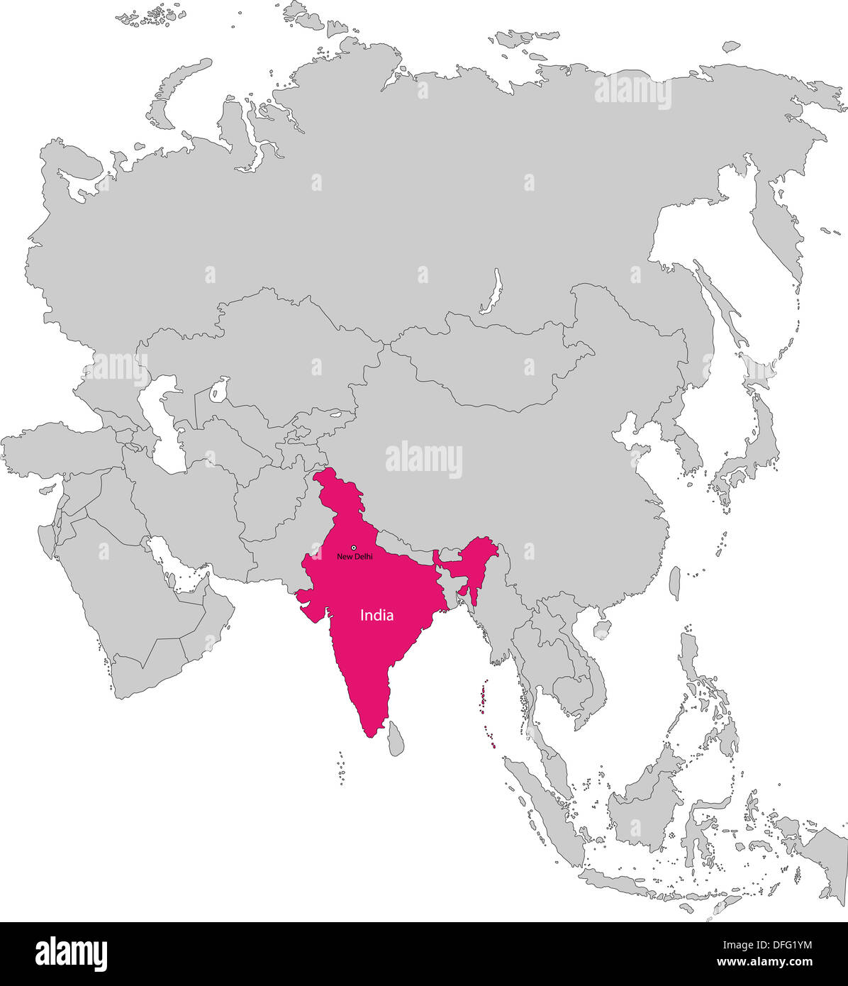 India map Stock Photohttps://www.alamy.com/image-license-details/?v=1https://www.alamy.com/india-map-image61203736.html
RFDFG1YM–India map
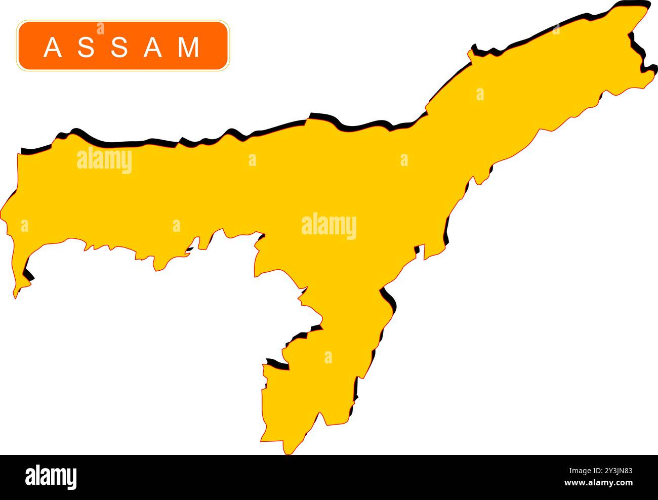 State Map of India with name on it Stock Vectorhttps://www.alamy.com/image-license-details/?v=1https://www.alamy.com/state-map-of-india-with-name-on-it-image621829043.html
RF2Y3JN83–State Map of India with name on it
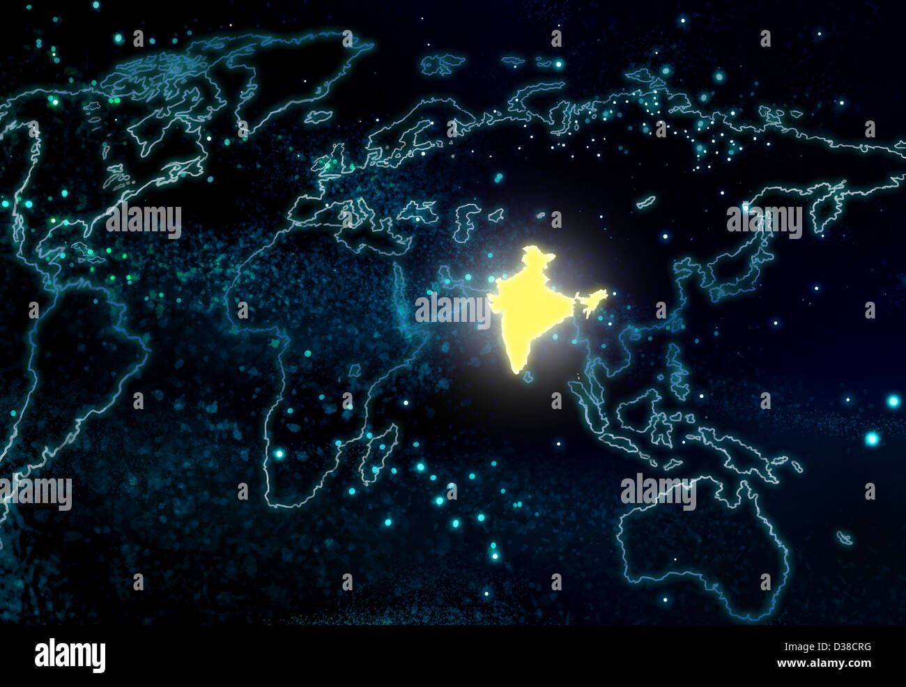 Illustrative image of world map with India highlighted Stock Photohttps://www.alamy.com/image-license-details/?v=1https://www.alamy.com/stock-photo-illustrative-image-of-world-map-with-india-highlighted-53660756.html
RFD38CRG–Illustrative image of world map with India highlighted
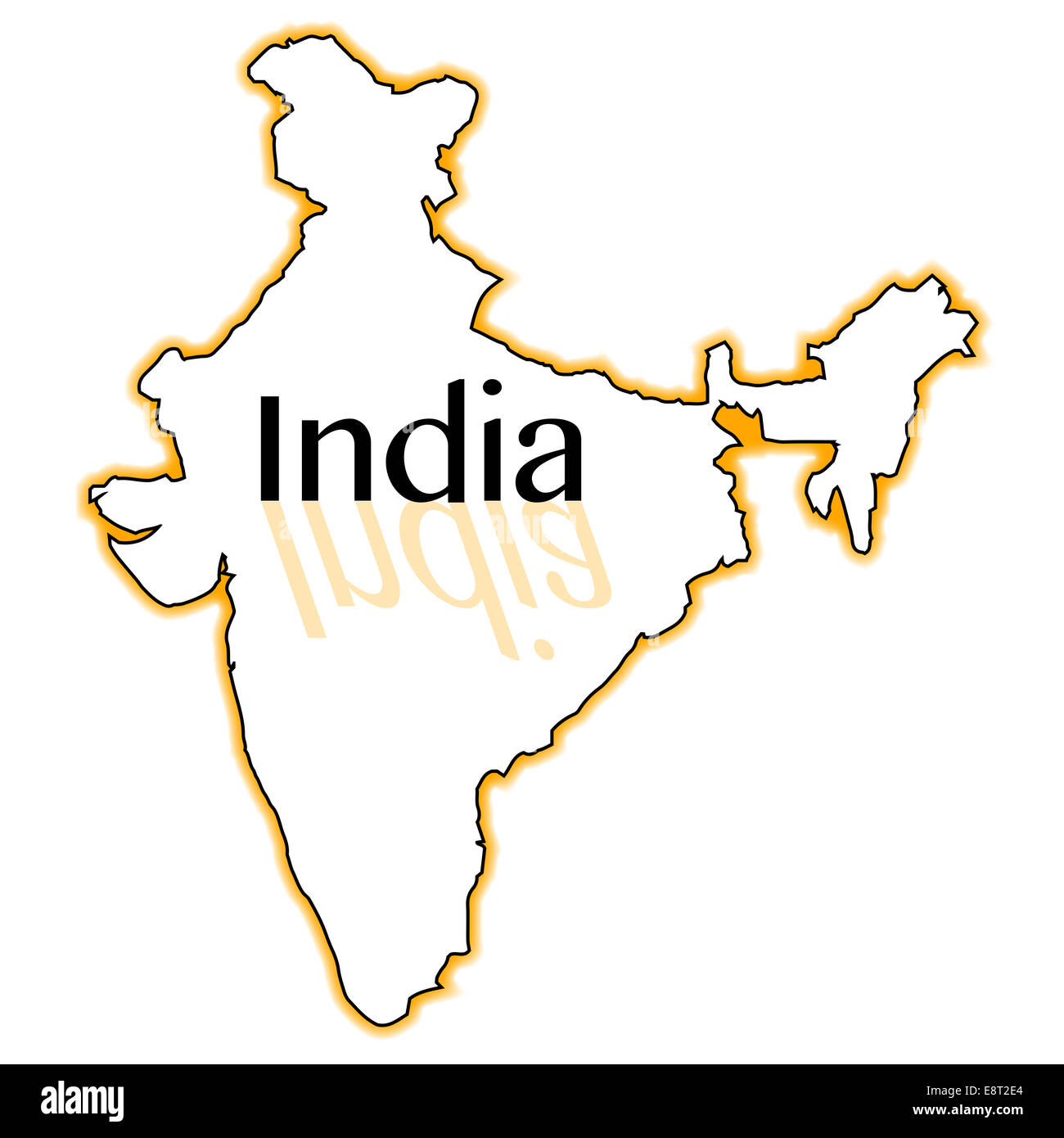 Outline map of India over a white background Stock Photohttps://www.alamy.com/image-license-details/?v=1https://www.alamy.com/stock-photo-outline-map-of-india-over-a-white-background-74287532.html
RFE8T2E4–Outline map of India over a white background
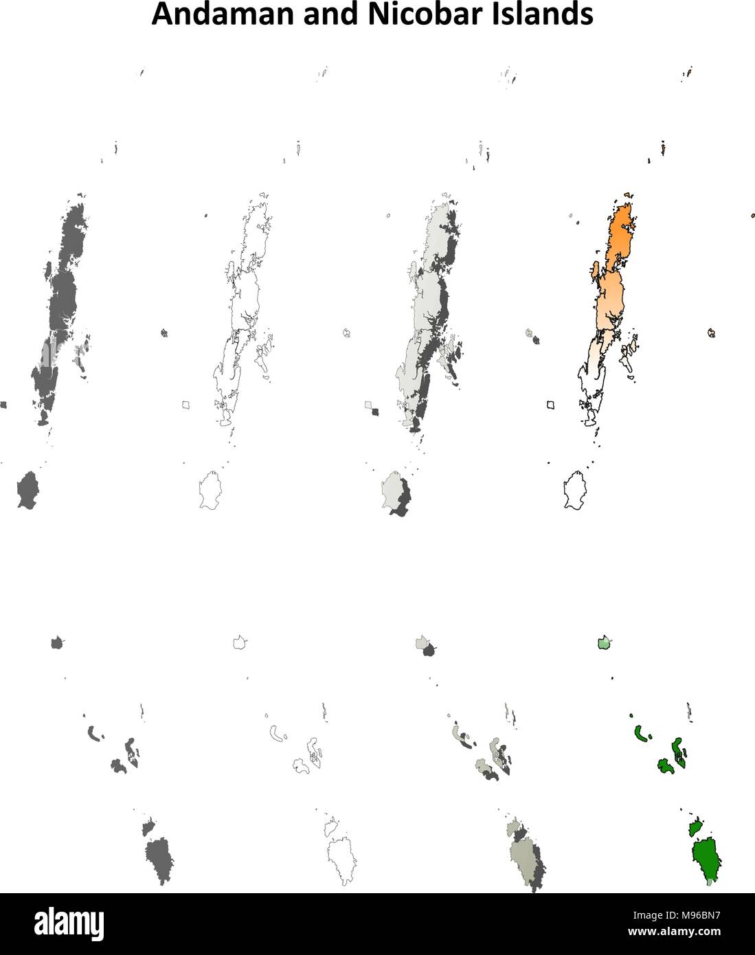 Andaman and Nicobar Islands blank outline map set Stock Vectorhttps://www.alamy.com/image-license-details/?v=1https://www.alamy.com/andaman-and-nicobar-islands-blank-outline-map-set-image177776515.html
RFM96BN7–Andaman and Nicobar Islands blank outline map set
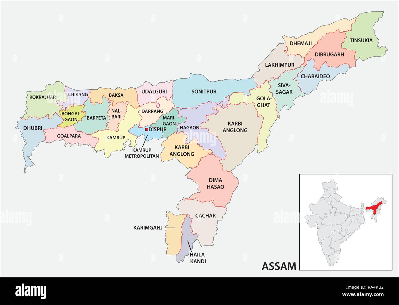 administrative and political map of indian state of Assam, india Stock Vectorhttps://www.alamy.com/image-license-details/?v=1https://www.alamy.com/administrative-and-political-map-of-indian-state-of-assam-india-image229984358.html
RFRA4KB2–administrative and political map of indian state of Assam, india
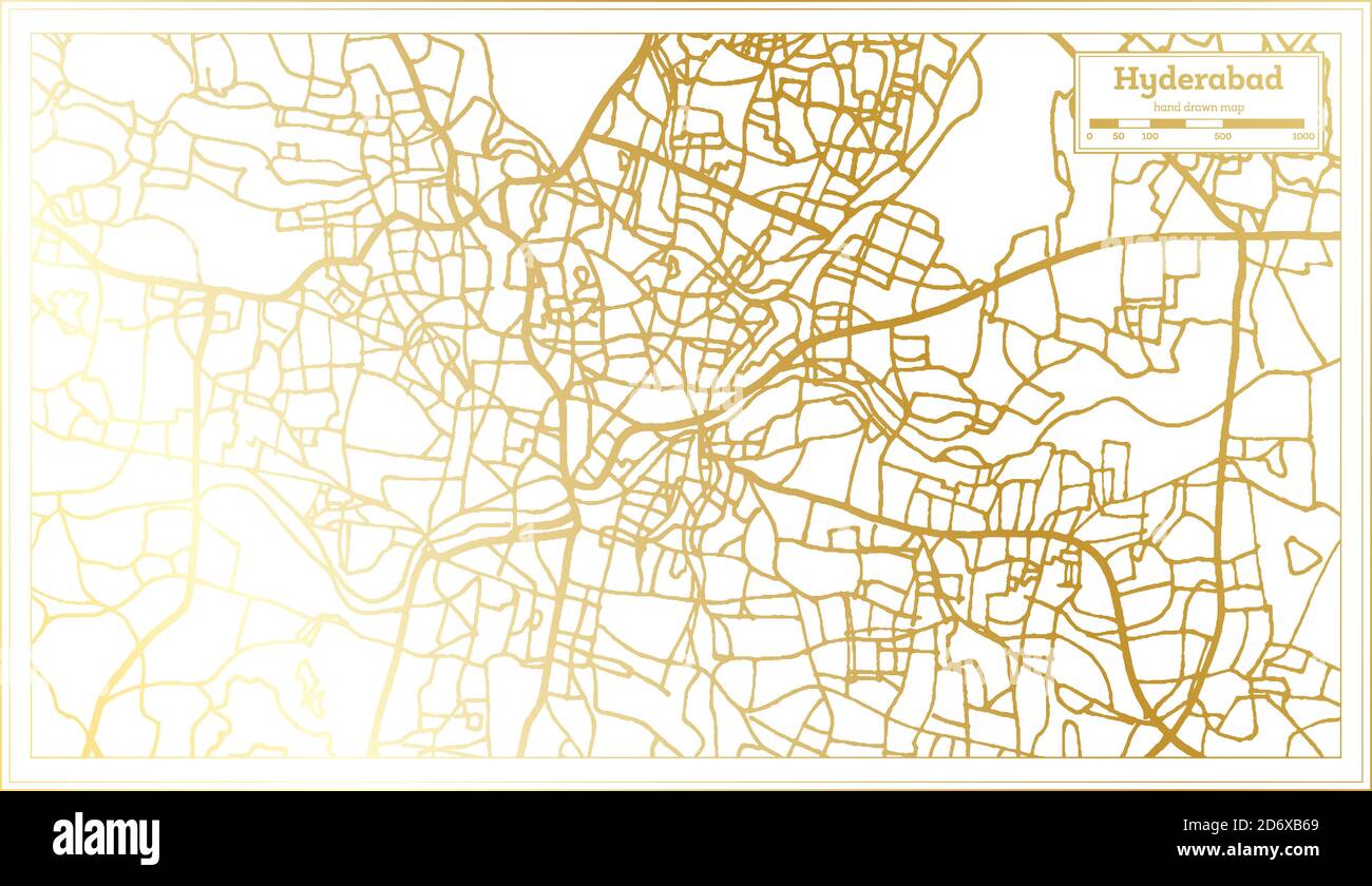 Hyderabad India City Map in Retro Style in Golden Color. Outline Map. Vector Illustration. Stock Vectorhttps://www.alamy.com/image-license-details/?v=1https://www.alamy.com/hyderabad-india-city-map-in-retro-style-in-golden-color-outline-map-vector-illustration-image382895585.html
RF2D6XB69–Hyderabad India City Map in Retro Style in Golden Color. Outline Map. Vector Illustration.
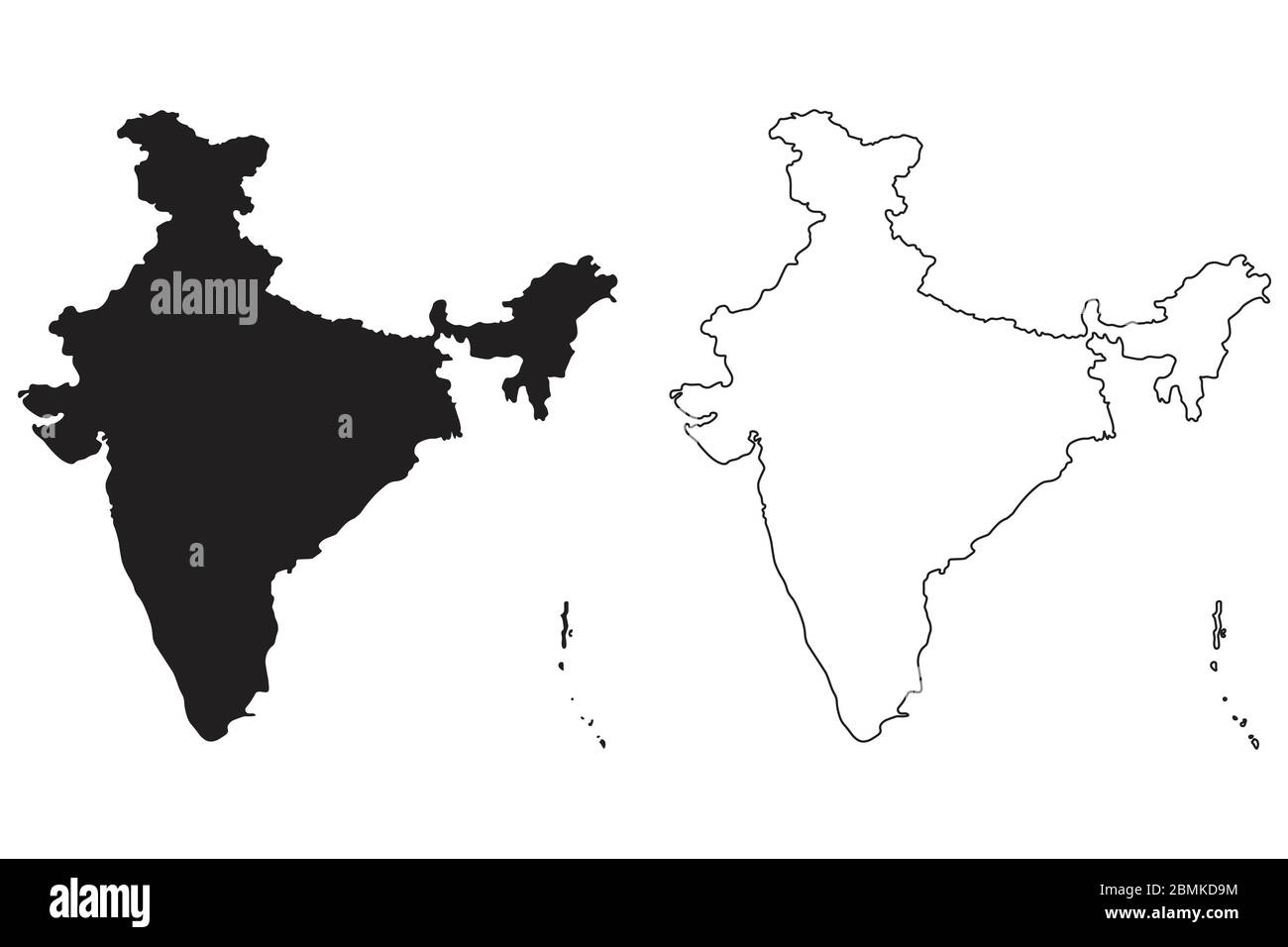 India Country Map. Black silhouette and outline isolated on white background. EPS Vector Stock Vectorhttps://www.alamy.com/image-license-details/?v=1https://www.alamy.com/india-country-map-black-silhouette-and-outline-isolated-on-white-background-eps-vector-image356928032.html
RF2BMKD9M–India Country Map. Black silhouette and outline isolated on white background. EPS Vector
 The shape of the country of India in the colours of its national flag recessed into an isolated white surface Stock Photohttps://www.alamy.com/image-license-details/?v=1https://www.alamy.com/stock-photo-the-shape-of-the-country-of-india-in-the-colours-of-its-national-flag-80829960.html
RFEKE3C8–The shape of the country of India in the colours of its national flag recessed into an isolated white surface
RF2RRPPD8–india map icon vector illustration design
 India map on white background. Vector illustration. Stock Vectorhttps://www.alamy.com/image-license-details/?v=1https://www.alamy.com/india-map-on-white-background-vector-illustration-image334055710.html
RF2ABDFD2–India map on white background. Vector illustration.
 INDIA outline map with neon glowing lines on dark background, Futuristic concept, INDIA neon map, neon pink map outline, modern digital concept INDIA Stock Photohttps://www.alamy.com/image-license-details/?v=1https://www.alamy.com/india-outline-map-with-neon-glowing-lines-on-dark-background-futuristic-concept-india-neon-map-neon-pink-map-outline-modern-digital-concept-india-image567060489.html
RF2RXFRC9–INDIA outline map with neon glowing lines on dark background, Futuristic concept, INDIA neon map, neon pink map outline, modern digital concept INDIA
 Delhi, Baseball MLB Stadium, outline vector map. The baseball statium map was drawn with white areas and lines for main roads, side roads. Stock Vectorhttps://www.alamy.com/image-license-details/?v=1https://www.alamy.com/delhi-baseball-mlb-stadium-outline-vector-map-the-baseball-statium-map-was-drawn-with-white-areas-and-lines-for-main-roads-side-roads-image460058428.html
RF2HMDD64–Delhi, Baseball MLB Stadium, outline vector map. The baseball statium map was drawn with white areas and lines for main roads, side roads.
 map of india in tri colours, green, white, orange Stock Photohttps://www.alamy.com/image-license-details/?v=1https://www.alamy.com/stock-photo-map-of-india-in-tri-colours-green-white-orange-90498928.html
RFF76G8G–map of india in tri colours, green, white, orange
 Map of India , Indian Map , cut out , India Stock Photohttps://www.alamy.com/image-license-details/?v=1https://www.alamy.com/stock-photo-map-of-india-indian-map-cut-out-india-83617170.html
RMET12FE–Map of India , Indian Map , cut out , India
 Map India Stock Photohttps://www.alamy.com/image-license-details/?v=1https://www.alamy.com/stock-photo-map-india-80163259.html
RFEJBN1F–Map India
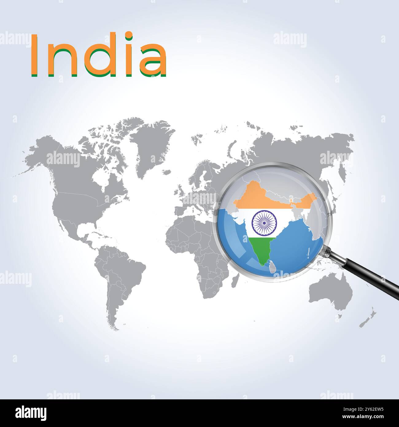 India Magnified Map and Flag, India Enlargement Maps, Vector Art Stock Vectorhttps://www.alamy.com/image-license-details/?v=1https://www.alamy.com/india-magnified-map-and-flag-india-enlargement-maps-vector-art-image623316769.html
RF2Y62EW5–India Magnified Map and Flag, India Enlargement Maps, Vector Art
 Infographics India map outline, flat design, color blue orange vector Stock Vectorhttps://www.alamy.com/image-license-details/?v=1https://www.alamy.com/infographics-india-map-outline-flat-design-color-blue-orange-vector-image414215023.html
RF2F1W3DK–Infographics India map outline, flat design, color blue orange vector
 India simple 3D map with covid-19 red label 3D Rendering. Stock Photohttps://www.alamy.com/image-license-details/?v=1https://www.alamy.com/india-simple-3d-map-with-covid-19-red-label-3d-rendering-image361952700.html
RF2C0TAA4–India simple 3D map with covid-19 red label 3D Rendering.
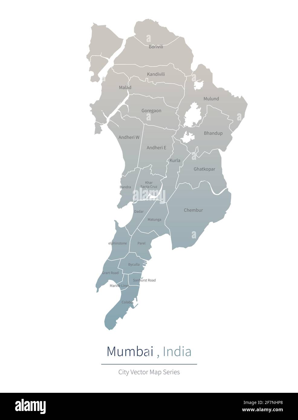 Mumbai Map. vector map of major city in the india. Stock Vectorhttps://www.alamy.com/image-license-details/?v=1https://www.alamy.com/mumbai-map-vector-map-of-major-city-in-the-india-image417826368.html
RF2F7NHP8–Mumbai Map. vector map of major city in the india.
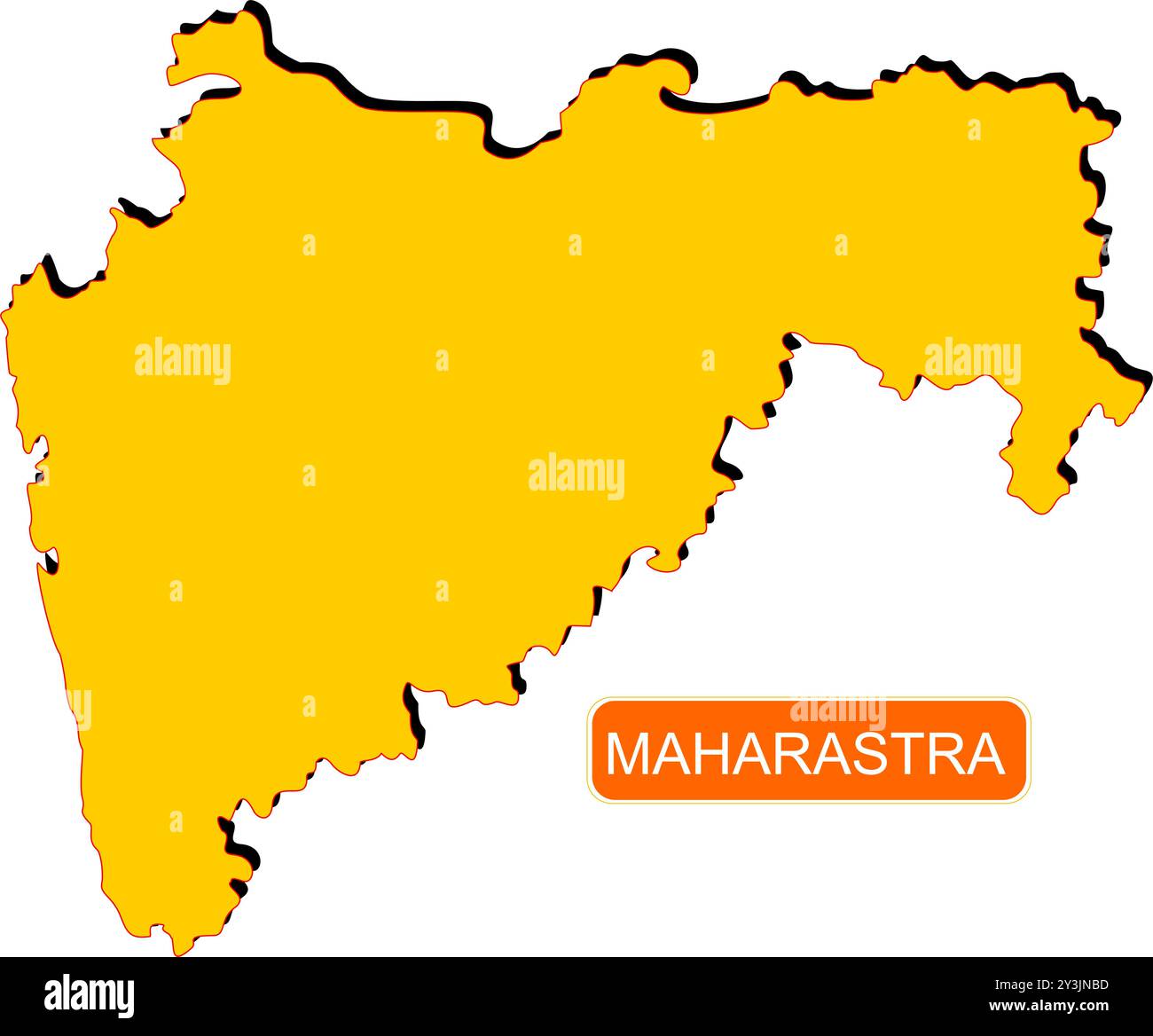 Maharastra State Map of India with name on it Stock Vectorhttps://www.alamy.com/image-license-details/?v=1https://www.alamy.com/maharastra-state-map-of-india-with-name-on-it-image621829137.html
RF2Y3JNBD–Maharastra State Map of India with name on it
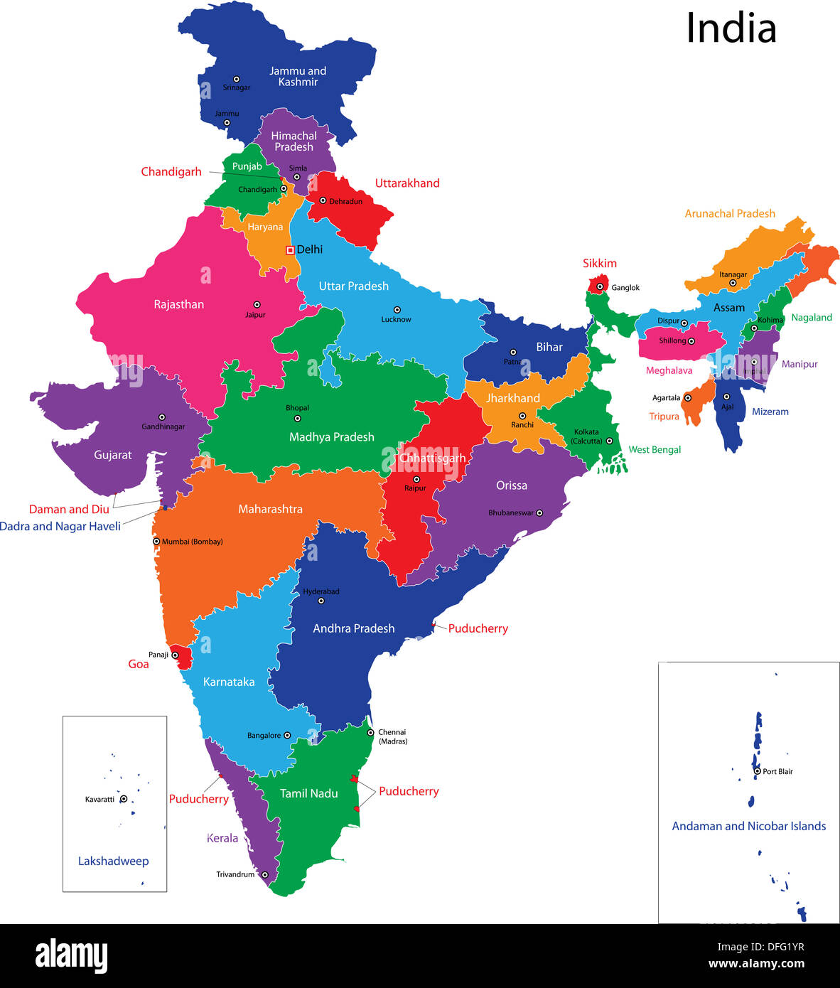 India map Stock Photohttps://www.alamy.com/image-license-details/?v=1https://www.alamy.com/india-map-image61203739.html
RFDFG1YR–India map
 Outline map of India over a map and white background Stock Photohttps://www.alamy.com/image-license-details/?v=1https://www.alamy.com/stock-photo-outline-map-of-india-over-a-map-and-white-background-74287557.html
RFE8T2F1–Outline map of India over a map and white background
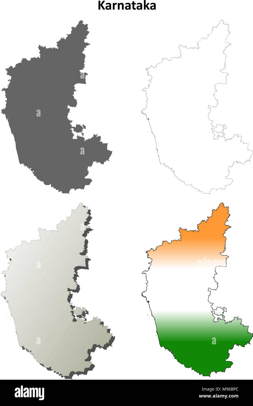 Karnataka blank detailed outline map set Stock Vectorhttps://www.alamy.com/image-license-details/?v=1https://www.alamy.com/karnataka-blank-detailed-outline-map-set-image177776548.html
RFM96BPC–Karnataka blank detailed outline map set
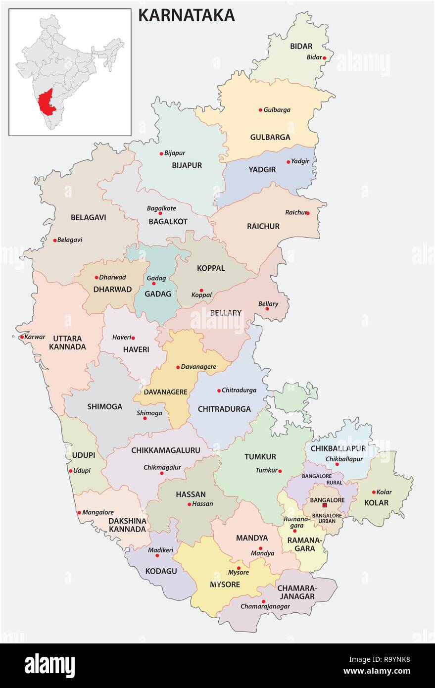 administrative and political map of indian state of Karnataka, india Stock Vectorhttps://www.alamy.com/image-license-details/?v=1https://www.alamy.com/administrative-and-political-map-of-indian-state-of-karnataka-india-image229876396.html
RFR9YNK8–administrative and political map of indian state of Karnataka, india
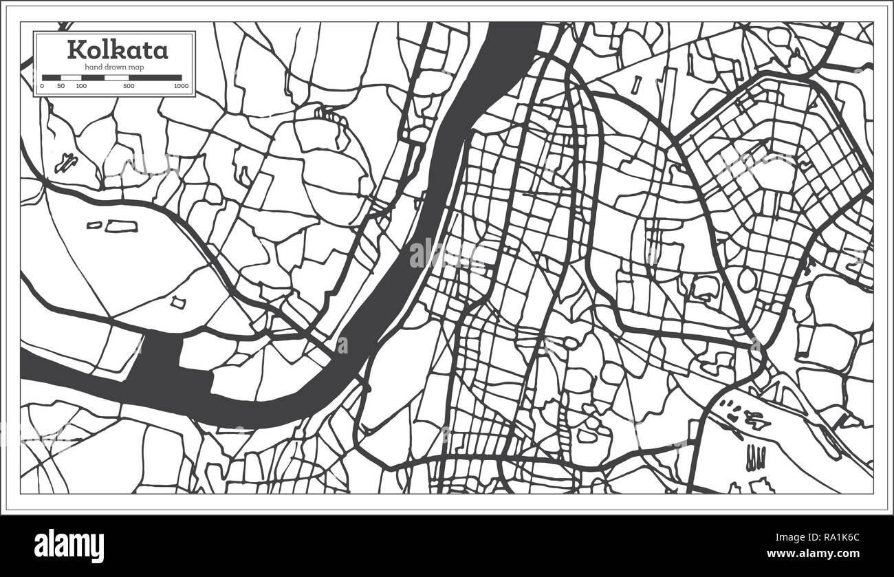 Kolkata India City Map in Retro Style. Outline Map. Vector Illustration. Stock Vectorhttps://www.alamy.com/image-license-details/?v=1https://www.alamy.com/kolkata-india-city-map-in-retro-style-outline-map-vector-illustration-image229918372.html
RFRA1K6C–Kolkata India City Map in Retro Style. Outline Map. Vector Illustration.
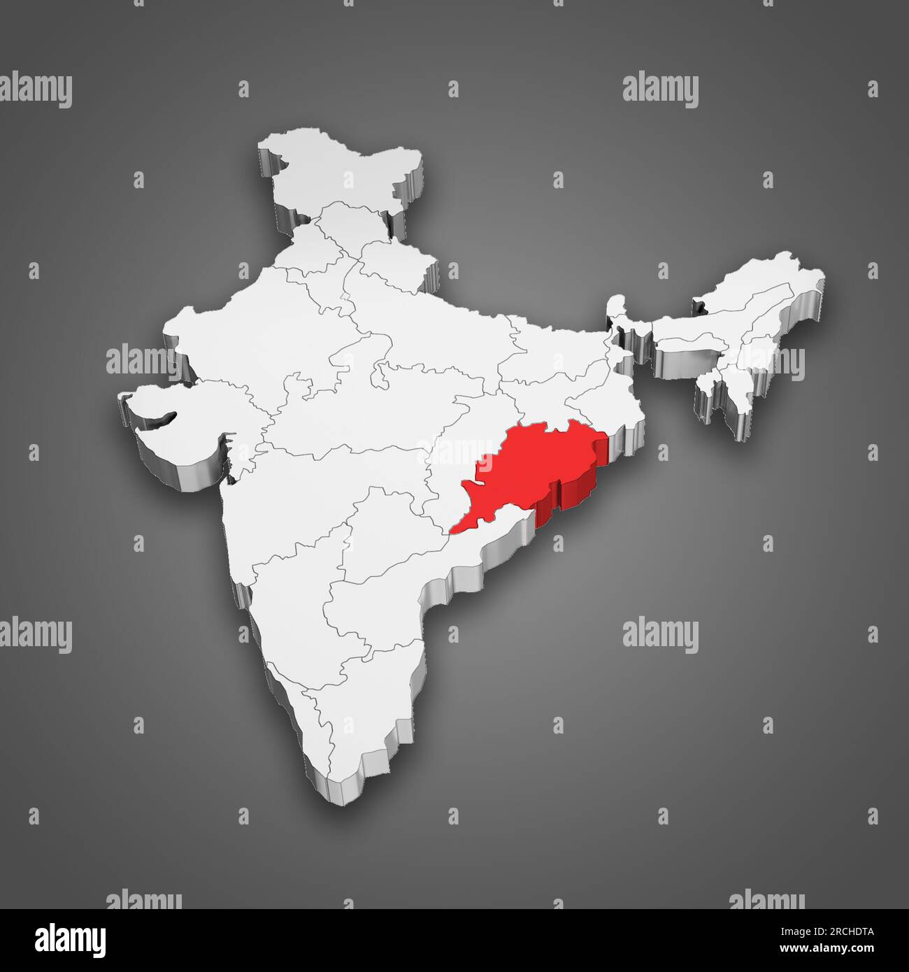 Odisha state location within India map. 3D Illustration Stock Photohttps://www.alamy.com/image-license-details/?v=1https://www.alamy.com/odisha-state-location-within-india-map-3d-illustration-image558491706.html
RF2RCHDTA–Odisha state location within India map. 3D Illustration
 The shape of the country of India in the colours of its national flag recessed into an isolated white surface Stock Photohttps://www.alamy.com/image-license-details/?v=1https://www.alamy.com/stock-photo-the-shape-of-the-country-of-india-in-the-colours-of-its-national-flag-80829980.html
RFEKE3D0–The shape of the country of India in the colours of its national flag recessed into an isolated white surface
RF2RRPPDE–india map icon vector illustration design
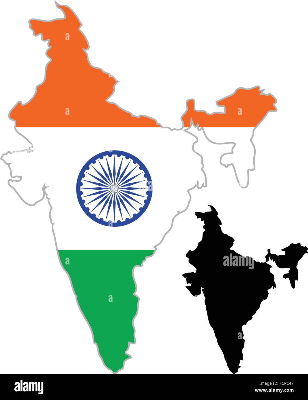 India map flag on a white background. Vector illustrator. Stock Vectorhttps://www.alamy.com/image-license-details/?v=1https://www.alamy.com/stock-photo-india-map-flag-on-a-white-background-vector-illustrator-93920183.html
RFFCPC47–India map flag on a white background. Vector illustrator.
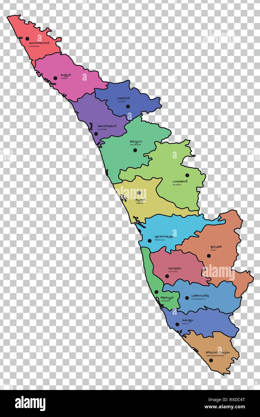 Kerala map with districts highlighted Stock Vectorhttps://www.alamy.com/image-license-details/?v=1https://www.alamy.com/kerala-map-with-districts-highlighted-image240010760.html
RFRXDC4T–Kerala map with districts highlighted
 Kolkata, Baseball MLB Stadium, outline vector map. The baseball statium map was drawn with white areas and lines for main roads, side roads. Stock Vectorhttps://www.alamy.com/image-license-details/?v=1https://www.alamy.com/kolkata-baseball-mlb-stadium-outline-vector-map-the-baseball-statium-map-was-drawn-with-white-areas-and-lines-for-main-roads-side-roads-image460058131.html
RF2HMDCRF–Kolkata, Baseball MLB Stadium, outline vector map. The baseball statium map was drawn with white areas and lines for main roads, side roads.
 India Map Silhouette Stock Vectorhttps://www.alamy.com/image-license-details/?v=1https://www.alamy.com/stock-photo-india-map-silhouette-81462892.html
RFEMEXN0–India Map Silhouette
 Indian map in flag of India colors, Asansol, Paschim Bardhaman district, West Bengal, India, Asia Stock Photohttps://www.alamy.com/image-license-details/?v=1https://www.alamy.com/stock-photo-indian-map-in-flag-of-india-colors-asansol-paschim-bardhaman-district-83638970.html
RMET22A2–Indian map in flag of India colors, Asansol, Paschim Bardhaman district, West Bengal, India, Asia
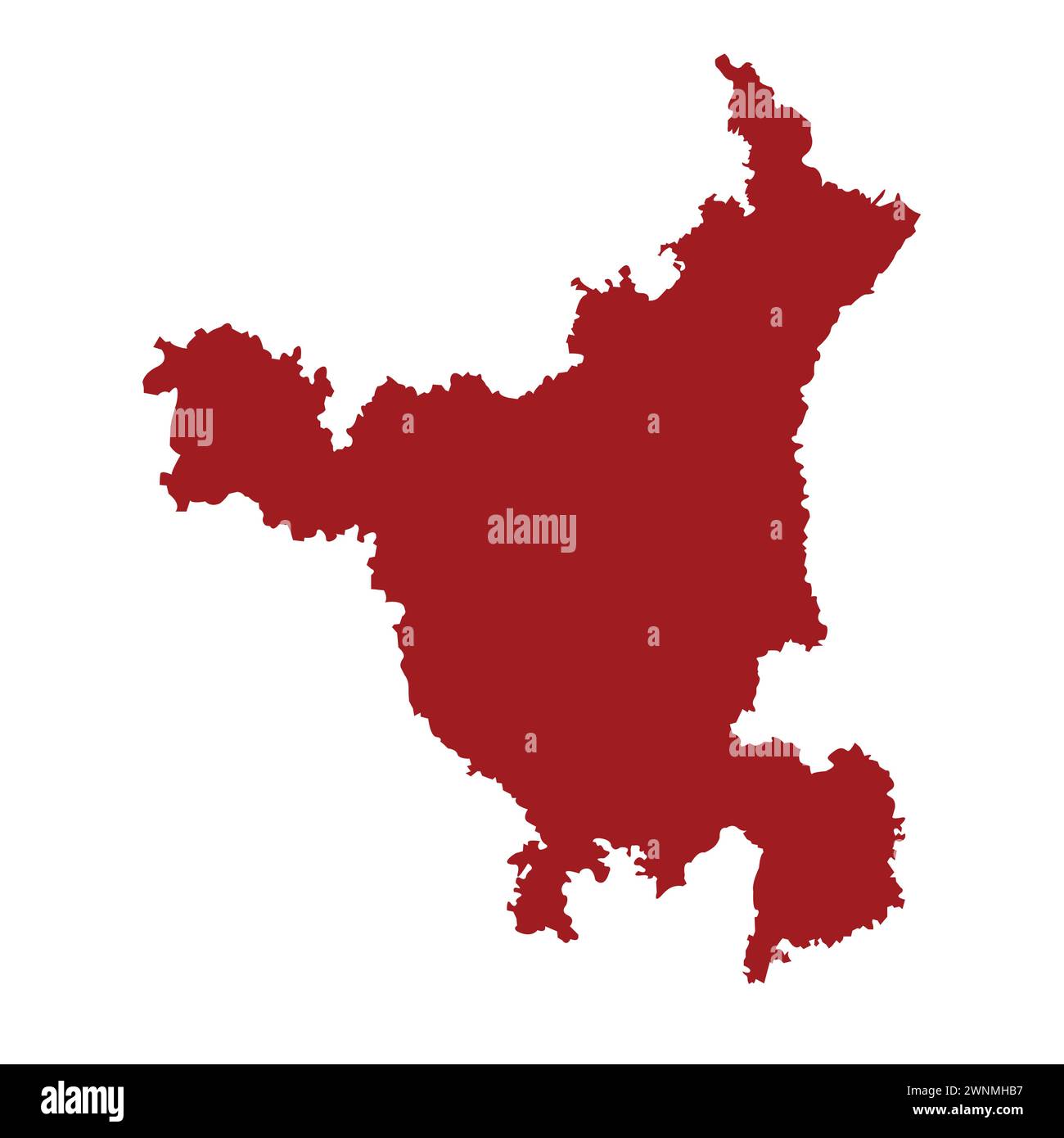 Indian state haryana map vector illustration Stock Vectorhttps://www.alamy.com/image-license-details/?v=1https://www.alamy.com/indian-state-haryana-map-vector-illustration-image598512971.html
RF2WNMHB7–Indian state haryana map vector illustration
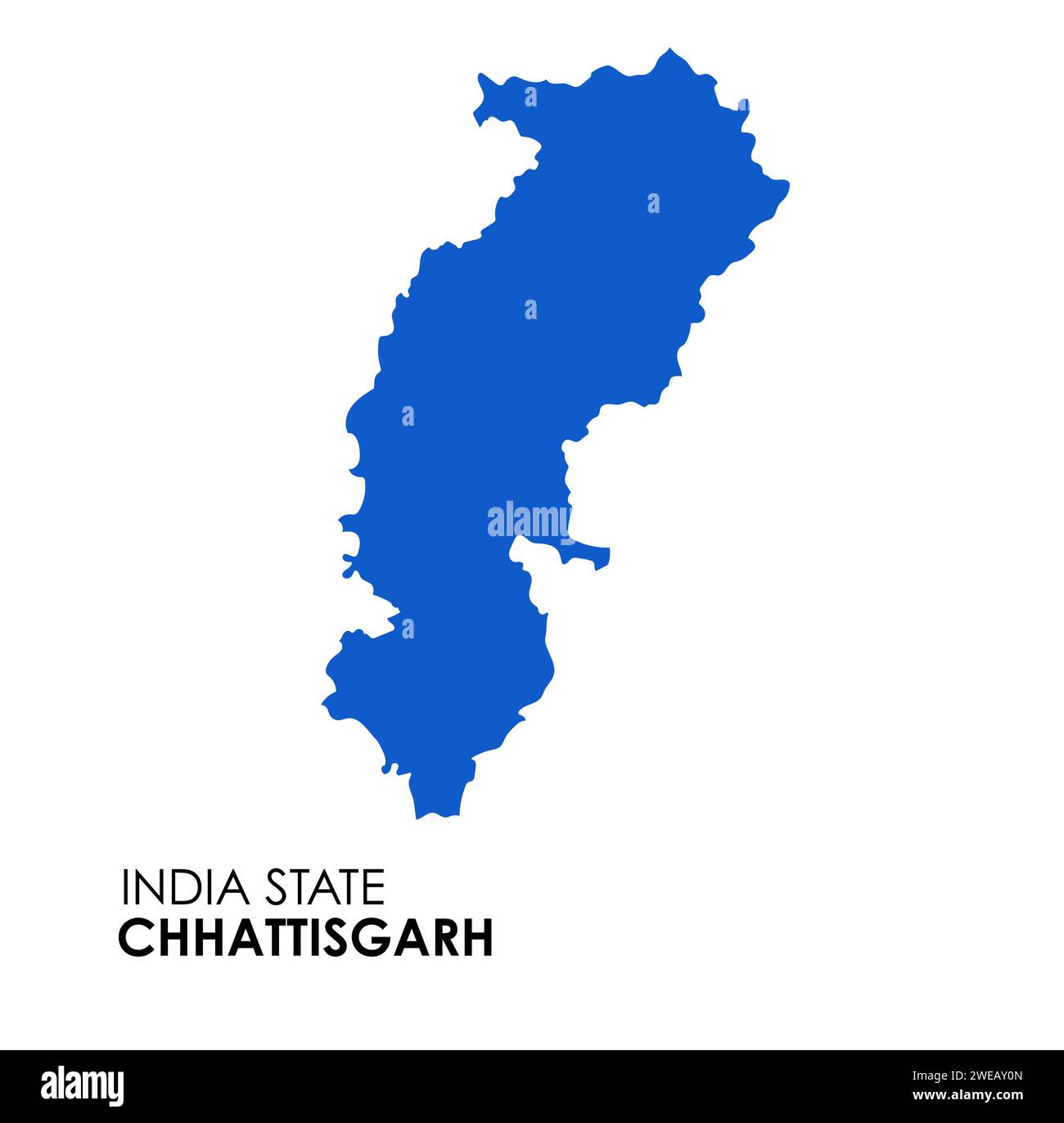 Chhattisgarh map of Indian state. Chhattisgarh map illustration. White Background. Stock Photohttps://www.alamy.com/image-license-details/?v=1https://www.alamy.com/chhattisgarh-map-of-indian-state-chhattisgarh-map-illustration-white-background-image593998405.html
RF2WEAY0N–Chhattisgarh map of Indian state. Chhattisgarh map illustration. White Background.
RF2Y32YMY–Vector isolated simplified illustration icon with black line silhouette of India map. White background
 Line map of India vector stock illustration design template. Editable stroke. Vector eps 10. Stock Vectorhttps://www.alamy.com/image-license-details/?v=1https://www.alamy.com/line-map-of-india-vector-stock-illustration-design-template-editable-stroke-vector-eps-10-image442895614.html
RF2GMFHTE–Line map of India vector stock illustration design template. Editable stroke. Vector eps 10.
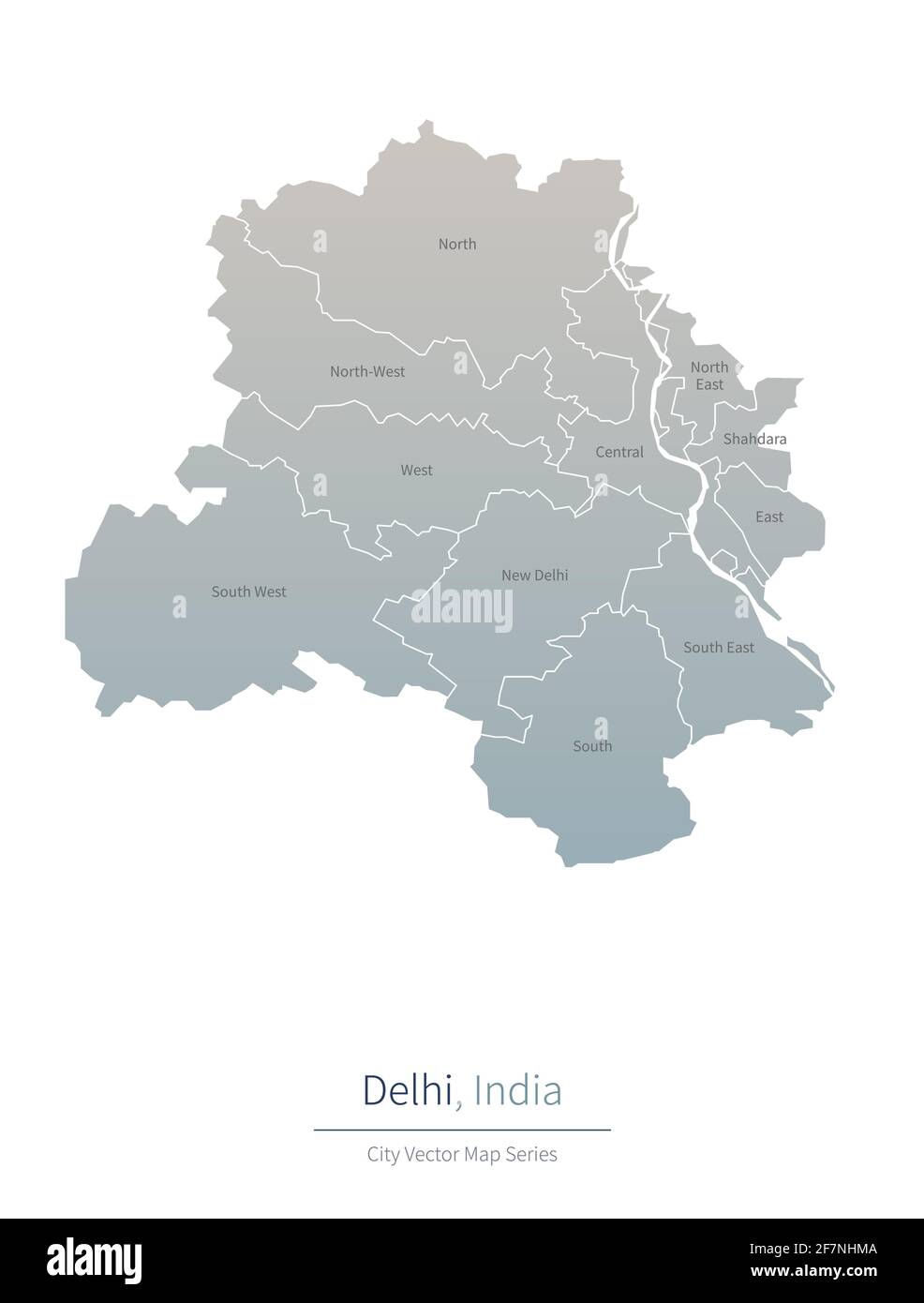 Delhi Map. vector map of major city in the India Stock Vectorhttps://www.alamy.com/image-license-details/?v=1https://www.alamy.com/delhi-map-vector-map-of-major-city-in-the-india-image417826314.html
RF2F7NHMA–Delhi Map. vector map of major city in the India
 Meghalaya State Map of India with name on it Stock Vectorhttps://www.alamy.com/image-license-details/?v=1https://www.alamy.com/meghalaya-state-map-of-india-with-name-on-it-image621828911.html
RF2Y3JN3B–Meghalaya State Map of India with name on it
 Black India map Stock Photohttps://www.alamy.com/image-license-details/?v=1https://www.alamy.com/black-india-map-image61203746.html
RFDFG202–Black India map
 Outline map of India in silhouette on a white background Stock Photohttps://www.alamy.com/image-license-details/?v=1https://www.alamy.com/stock-photo-outline-map-of-india-in-silhouette-on-a-white-background-78540534.html
RFEFNR72–Outline map of India in silhouette on a white background
 Goa blank detailed outline map set Stock Vectorhttps://www.alamy.com/image-license-details/?v=1https://www.alamy.com/goa-blank-detailed-outline-map-set-image177776534.html
RFM96BNX–Goa blank detailed outline map set
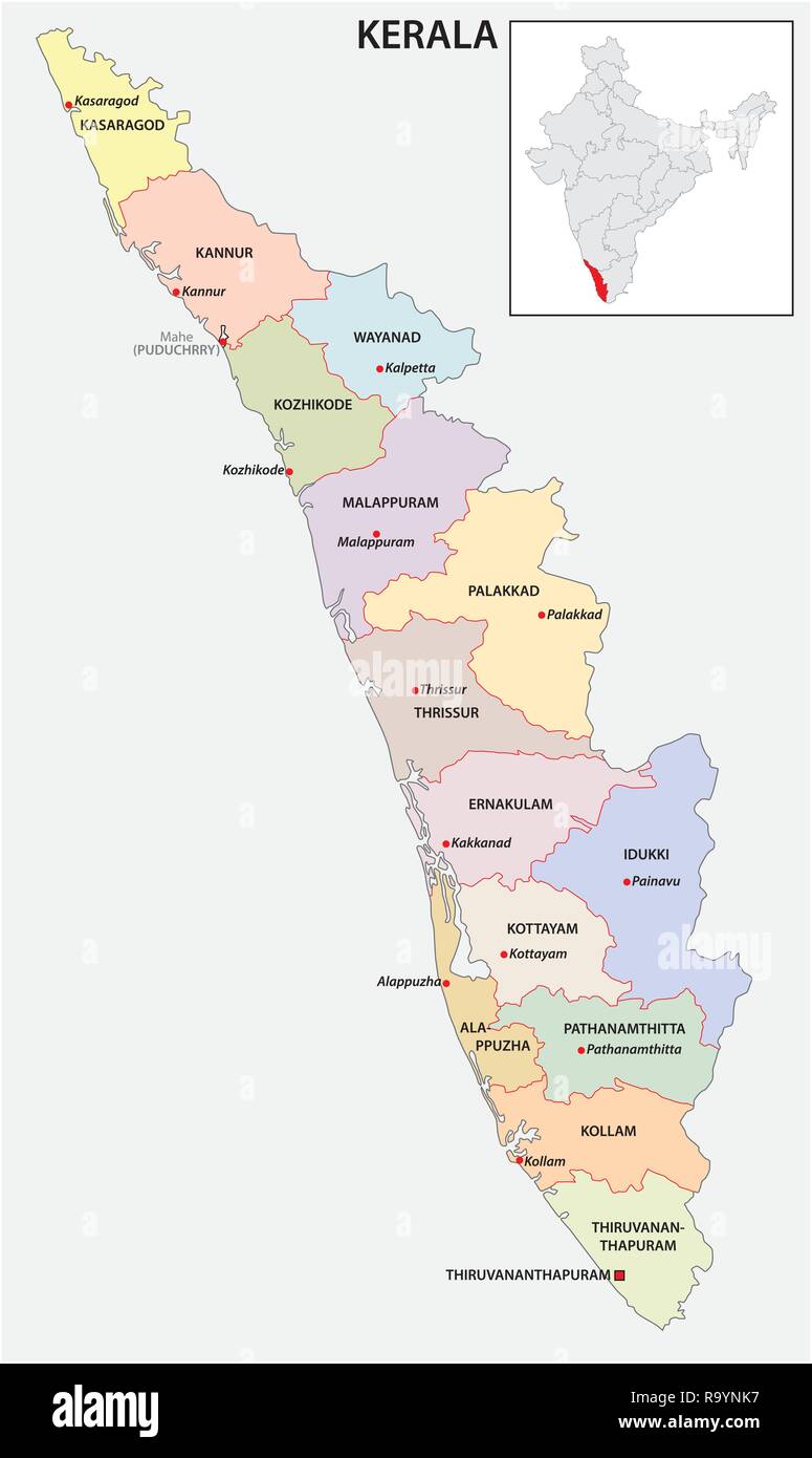 administrative and political map of indian state of kerala, india Stock Vectorhttps://www.alamy.com/image-license-details/?v=1https://www.alamy.com/administrative-and-political-map-of-indian-state-of-kerala-india-image229876395.html
RFR9YNK7–administrative and political map of indian state of kerala, india
 Chennai India City Map in Retro Style. Outline Map. Vector Illustration. Stock Vectorhttps://www.alamy.com/image-license-details/?v=1https://www.alamy.com/chennai-india-city-map-in-retro-style-outline-map-vector-illustration-image228175009.html
RFR767FD–Chennai India City Map in Retro Style. Outline Map. Vector Illustration.
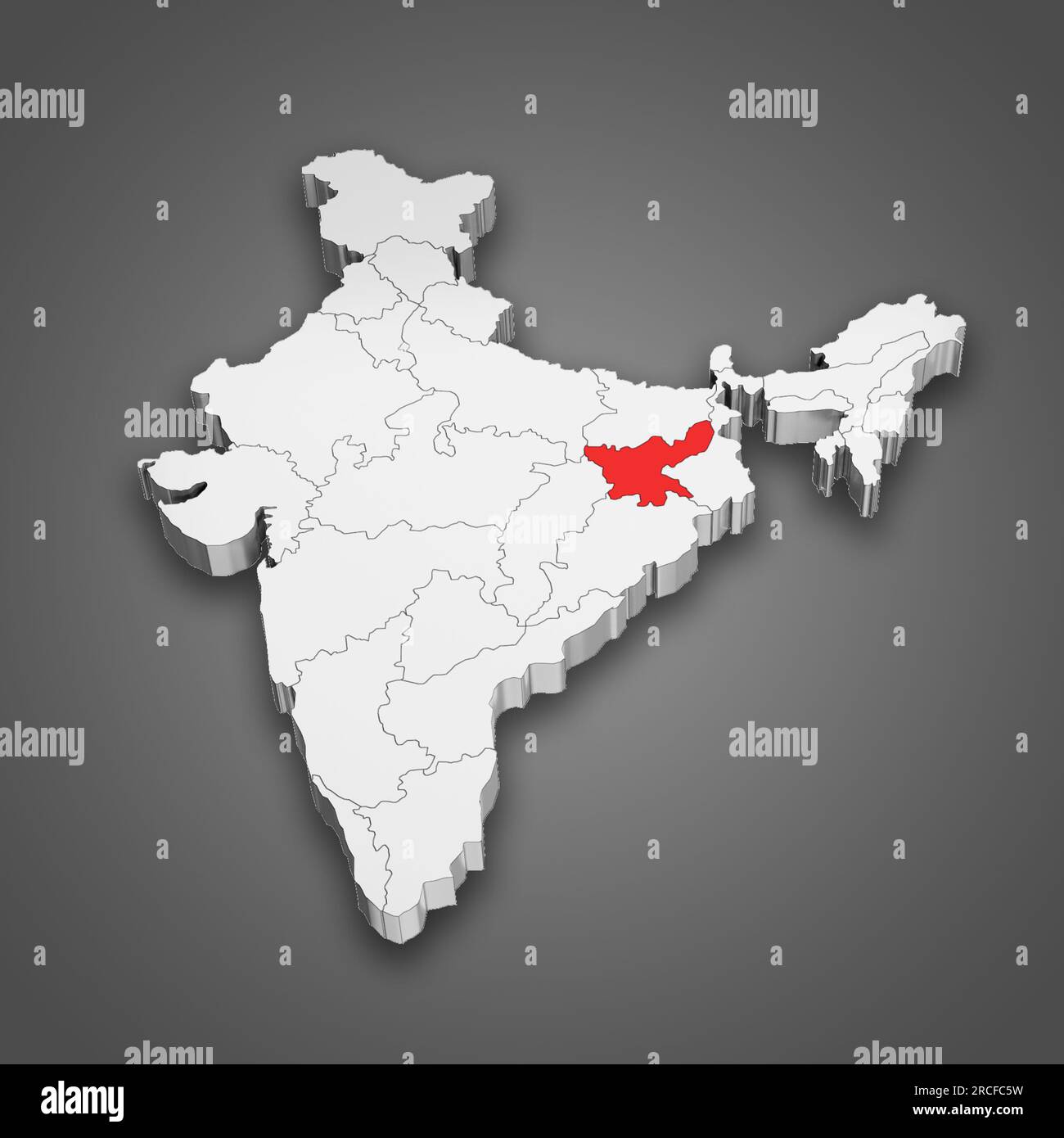 Jharkhand state location within India map. 3D Illustration Stock Photohttps://www.alamy.com/image-license-details/?v=1https://www.alamy.com/jharkhand-state-location-within-india-map-3d-illustration-image558446501.html
RF2RCFC5W–Jharkhand state location within India map. 3D Illustration
 The shape of the country of India in the colours of its national flag recessed into an isolated white surface Stock Photohttps://www.alamy.com/image-license-details/?v=1https://www.alamy.com/stock-photo-the-shape-of-the-country-of-india-in-the-colours-of-its-national-flag-80830315.html
RFEKE3TY–The shape of the country of India in the colours of its national flag recessed into an isolated white surface
RF2RRPXY2–india map icon vector illustration design
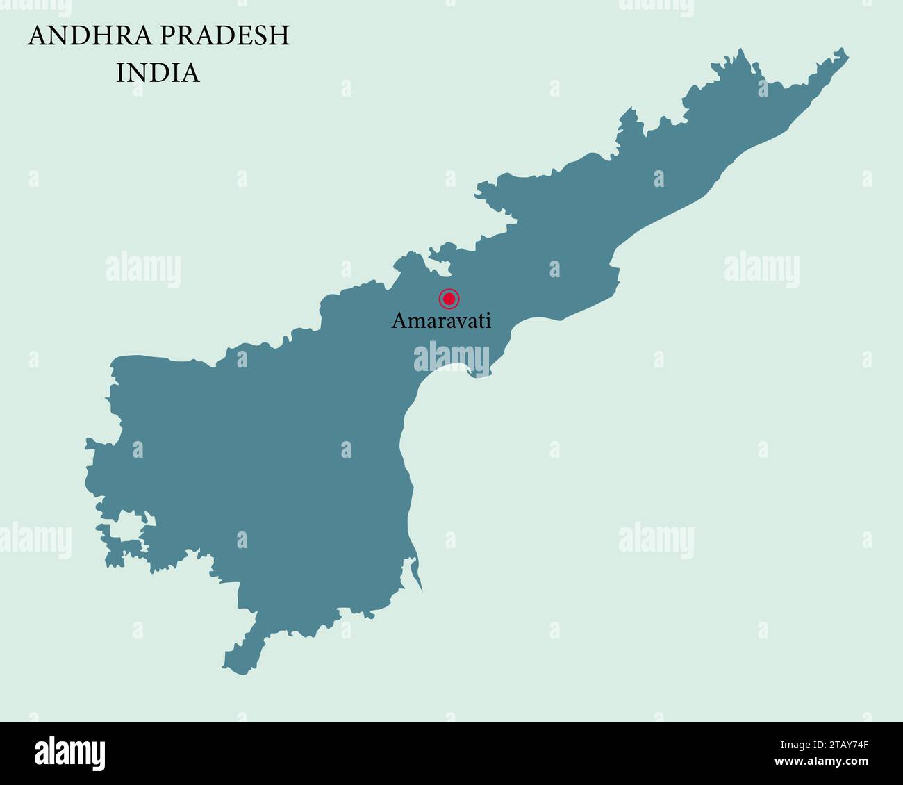 Andhra Pradesh capital city Amaravati Pinned on the Andhra Pradesh Map Stock Vectorhttps://www.alamy.com/image-license-details/?v=1https://www.alamy.com/andhra-pradesh-capital-city-amaravati-pinned-on-the-andhra-pradesh-map-image574687023.html
RF2TAY74F–Andhra Pradesh capital city Amaravati Pinned on the Andhra Pradesh Map
 India Map. Indian Country Map. Black and White National Nation Outline Geography Border Boundary Shape Territory Vector Illustration EPS Clipart Stock Vectorhttps://www.alamy.com/image-license-details/?v=1https://www.alamy.com/india-map-indian-country-map-black-and-white-national-nation-outline-geography-border-boundary-shape-territory-vector-illustration-eps-clipart-image477281995.html
RF2JME21F–India Map. Indian Country Map. Black and White National Nation Outline Geography Border Boundary Shape Territory Vector Illustration EPS Clipart
 Kolkata, Baseball MLB Stadium, outline vector map. The baseball statium map was drawn with white areas and lines for main roads, side roads. Stock Vectorhttps://www.alamy.com/image-license-details/?v=1https://www.alamy.com/kolkata-baseball-mlb-stadium-outline-vector-map-the-baseball-statium-map-was-drawn-with-white-areas-and-lines-for-main-roads-side-roads-image460058098.html
RF2HMDCPA–Kolkata, Baseball MLB Stadium, outline vector map. The baseball statium map was drawn with white areas and lines for main roads, side roads.
 India Map Brand Stock Vectorhttps://www.alamy.com/image-license-details/?v=1https://www.alamy.com/stock-photo-india-map-brand-115639973.html
RFGM3RY1–India Map Brand
 India map on white background with clipping path Stock Photohttps://www.alamy.com/image-license-details/?v=1https://www.alamy.com/india-map-on-white-background-with-clipping-path-image353249035.html
RF2BEKTMY–India map on white background with clipping path
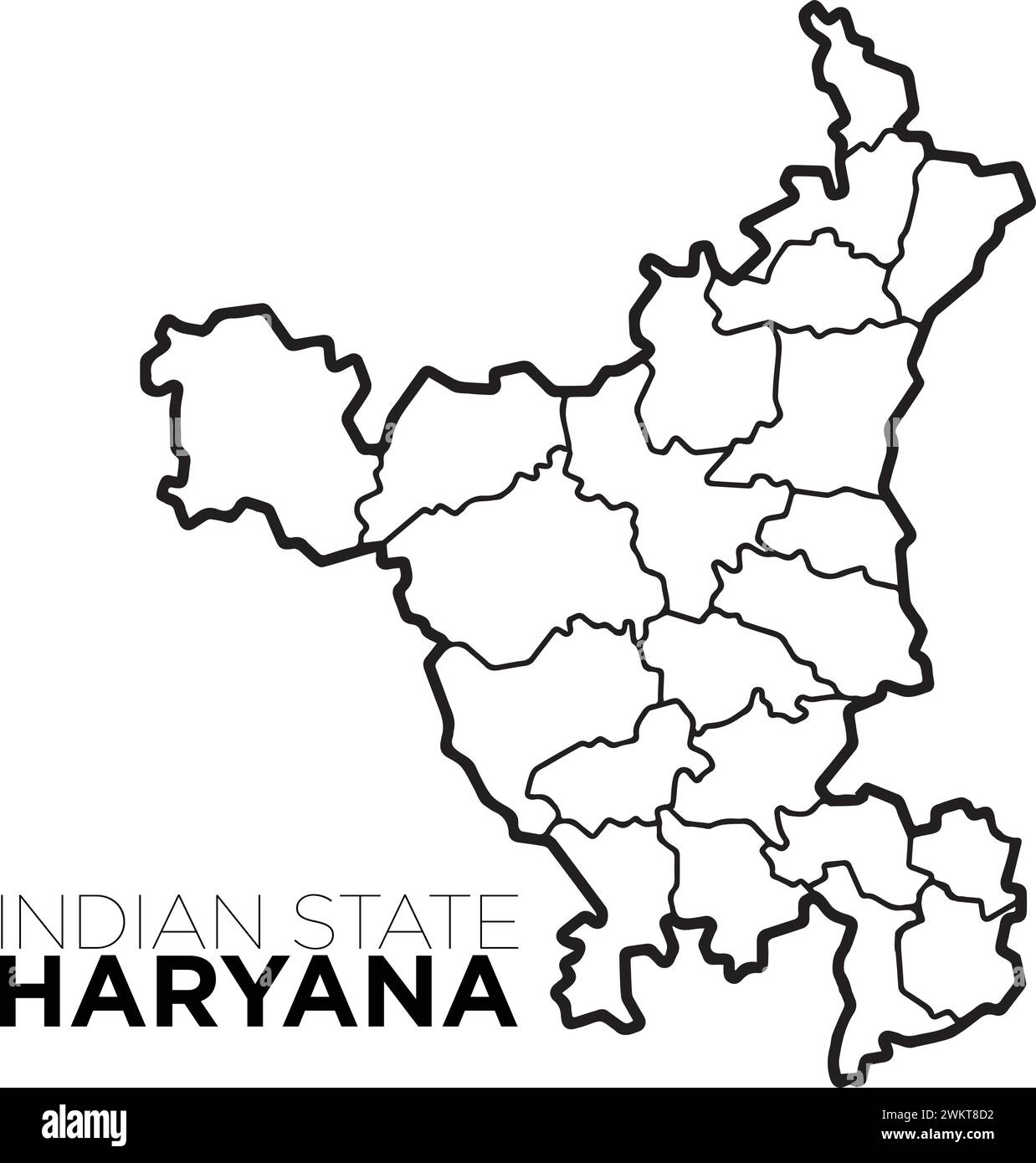 Indian map haryana map with district illustration vecor, distrtict map Stock Vectorhttps://www.alamy.com/image-license-details/?v=1https://www.alamy.com/indian-map-haryana-map-with-district-illustration-vecor-distrtict-map-image597364462.html
RF2WKT8D2–Indian map haryana map with district illustration vecor, distrtict map
 Arunachal Pradesh map of Indian state. Arunachal Pradesh map illustration Stock Photohttps://www.alamy.com/image-license-details/?v=1https://www.alamy.com/arunachal-pradesh-map-of-indian-state-arunachal-pradesh-map-illustration-image593998394.html
RF2WEAY0A–Arunachal Pradesh map of Indian state. Arunachal Pradesh map illustration
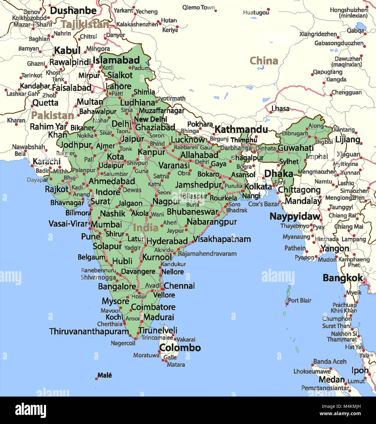 Map of India. Shows country borders, urban areas, place names and roads. Labels in English where possible. Projection: Mercator. Stock Vectorhttps://www.alamy.com/image-license-details/?v=1https://www.alamy.com/stock-photo-map-of-india-shows-country-borders-urban-areas-place-names-and-roads-174995593.html
RFM4KMJH–Map of India. Shows country borders, urban areas, place names and roads. Labels in English where possible. Projection: Mercator.
 India art vector map with heart. String art, yarn and pins on wooden board texture. Love unites us. Message of love. India art map Stock Vectorhttps://www.alamy.com/image-license-details/?v=1https://www.alamy.com/india-art-vector-map-with-heart-string-art-yarn-and-pins-on-wooden-board-texture-love-unites-us-message-of-love-india-art-map-image366346077.html
RF2C80E4D–India art vector map with heart. String art, yarn and pins on wooden board texture. Love unites us. Message of love. India art map
 India map. gray country map and flag 3d illustration vector. Stock Vectorhttps://www.alamy.com/image-license-details/?v=1https://www.alamy.com/india-map-gray-country-map-and-flag-3d-illustration-vector-image417821738.html
RF2F7NBTX–India map. gray country map and flag 3d illustration vector.
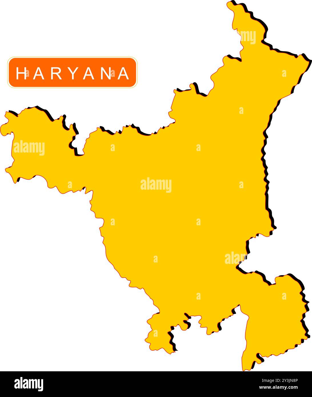 Haryana State Map of India with name on it Stock Vectorhttps://www.alamy.com/image-license-details/?v=1https://www.alamy.com/haryana-state-map-of-india-with-name-on-it-image621829062.html
RF2Y3JN8P–Haryana State Map of India with name on it
 India Country Regions Outline Vector Map Stock Vectorhttps://www.alamy.com/image-license-details/?v=1https://www.alamy.com/india-country-regions-outline-vector-map-image462829722.html
RF2HTYM0X–India Country Regions Outline Vector Map
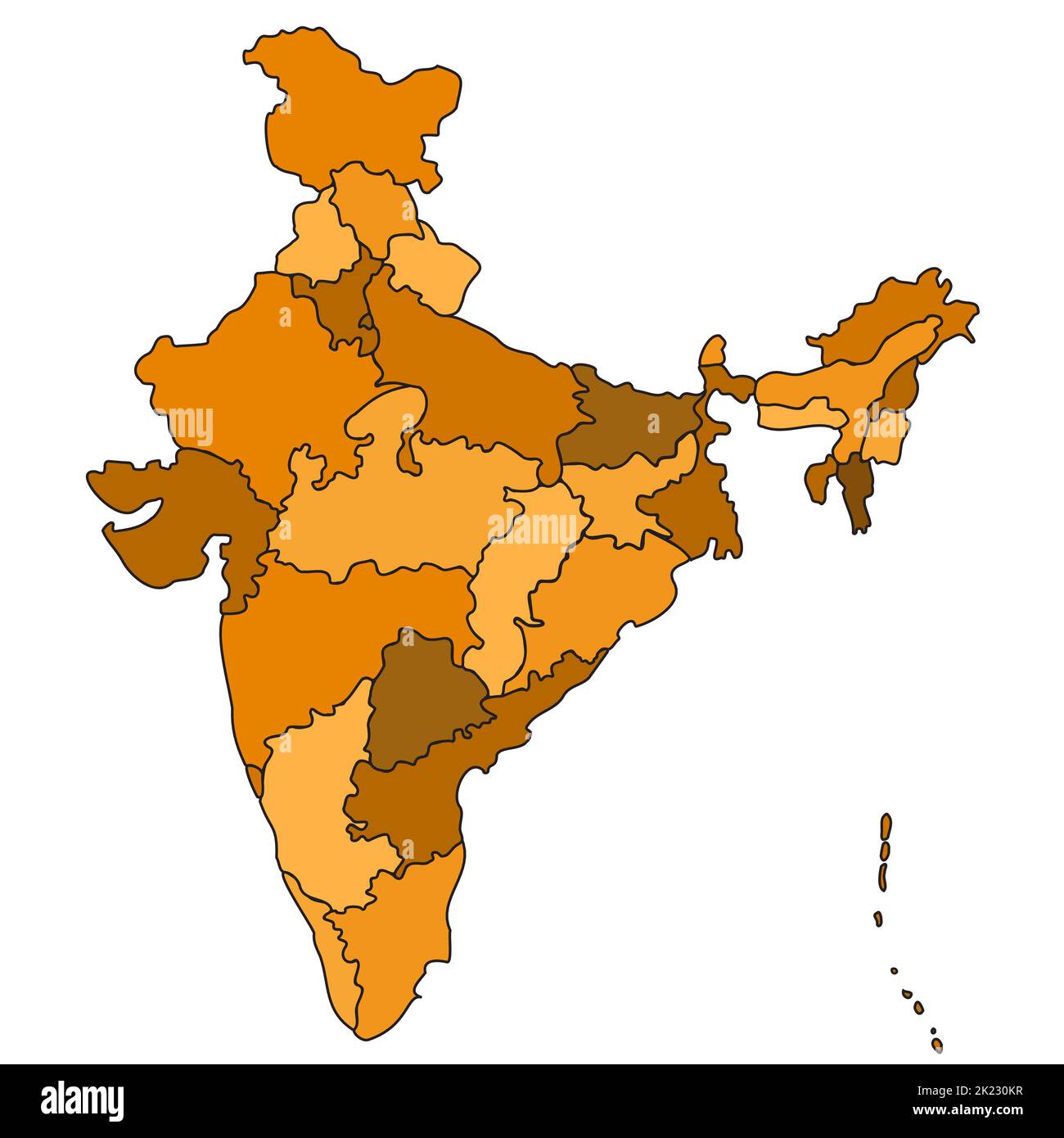 India Country States Outline Map Isolated Illustration Travel Culture Geography Background Stock Vectorhttps://www.alamy.com/image-license-details/?v=1https://www.alamy.com/india-country-states-outline-map-isolated-illustration-travel-culture-geography-background-image483186027.html
RF2K230KR–India Country States Outline Map Isolated Illustration Travel Culture Geography Background
 Haryana blank detailed outline map set Stock Vectorhttps://www.alamy.com/image-license-details/?v=1https://www.alamy.com/haryana-blank-detailed-outline-map-set-image177776536.html
RFM96BP0–Haryana blank detailed outline map set
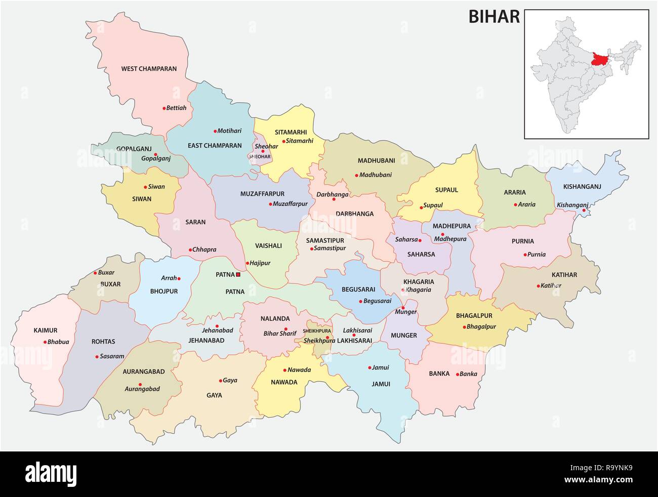 administrative and political map of indian state of bihar, india Stock Vectorhttps://www.alamy.com/image-license-details/?v=1https://www.alamy.com/administrative-and-political-map-of-indian-state-of-bihar-india-image229876397.html
RFR9YNK9–administrative and political map of indian state of bihar, india
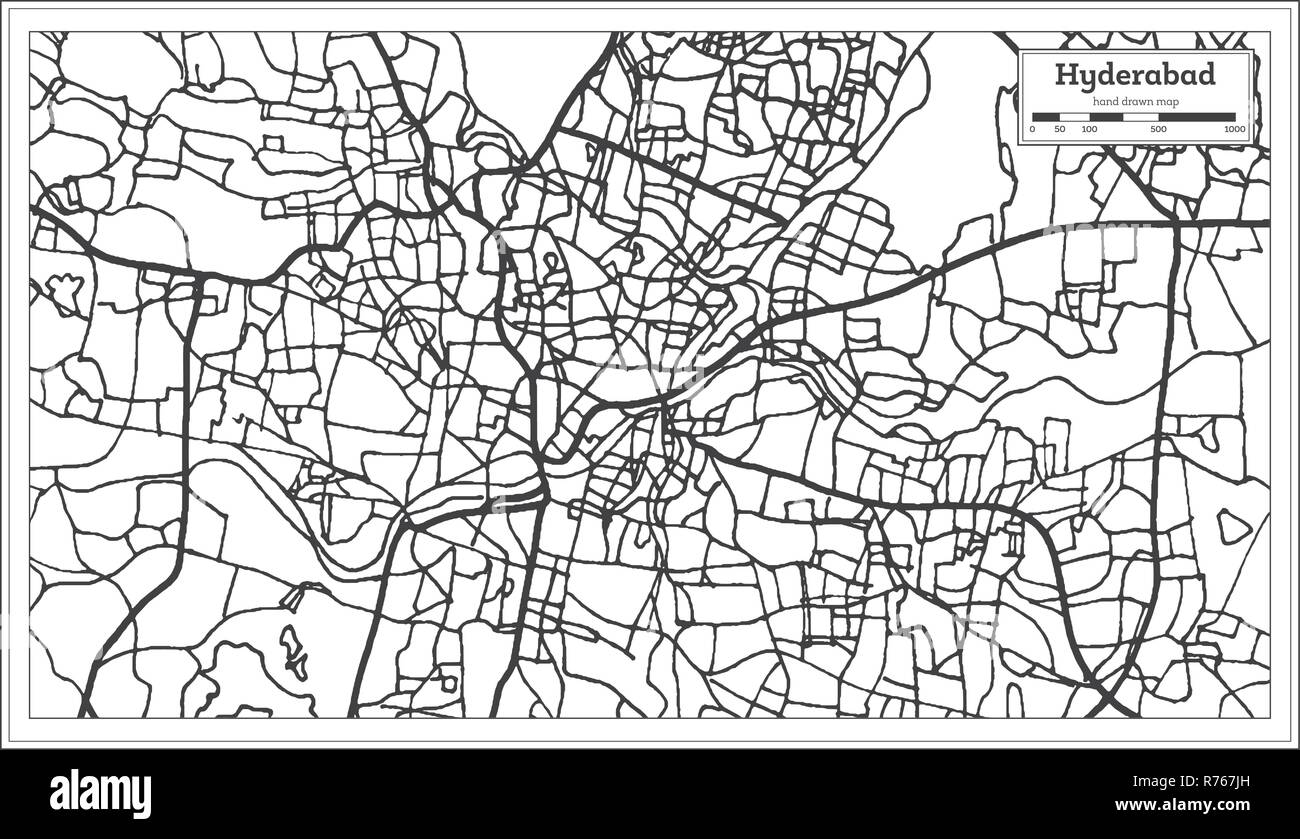 Hyderabad India City Map in Retro Style. Outline Map. Vector Illustration. Stock Vectorhttps://www.alamy.com/image-license-details/?v=1https://www.alamy.com/hyderabad-india-city-map-in-retro-style-outline-map-vector-illustration-image228175097.html
RFR767JH–Hyderabad India City Map in Retro Style. Outline Map. Vector Illustration.
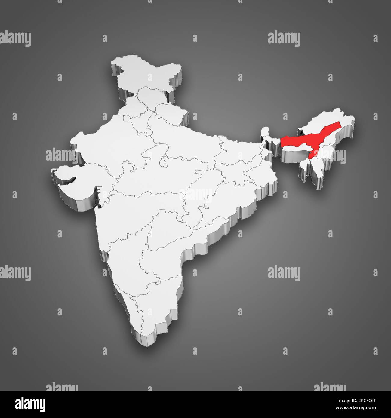 Assam state location within India map. 3D Illustration Stock Photohttps://www.alamy.com/image-license-details/?v=1https://www.alamy.com/assam-state-location-within-india-map-3d-illustration-image558446528.html
RF2RCFC6T–Assam state location within India map. 3D Illustration
 The shape of the country of India in the colours of its national rupee currency recessed into an isolated white surface Stock Photohttps://www.alamy.com/image-license-details/?v=1https://www.alamy.com/stock-photo-the-shape-of-the-country-of-india-in-the-colours-of-its-national-rupee-80830584.html
RFEKE46G–The shape of the country of India in the colours of its national rupee currency recessed into an isolated white surface
RF2RRPPE1–india map icon vector illustration design
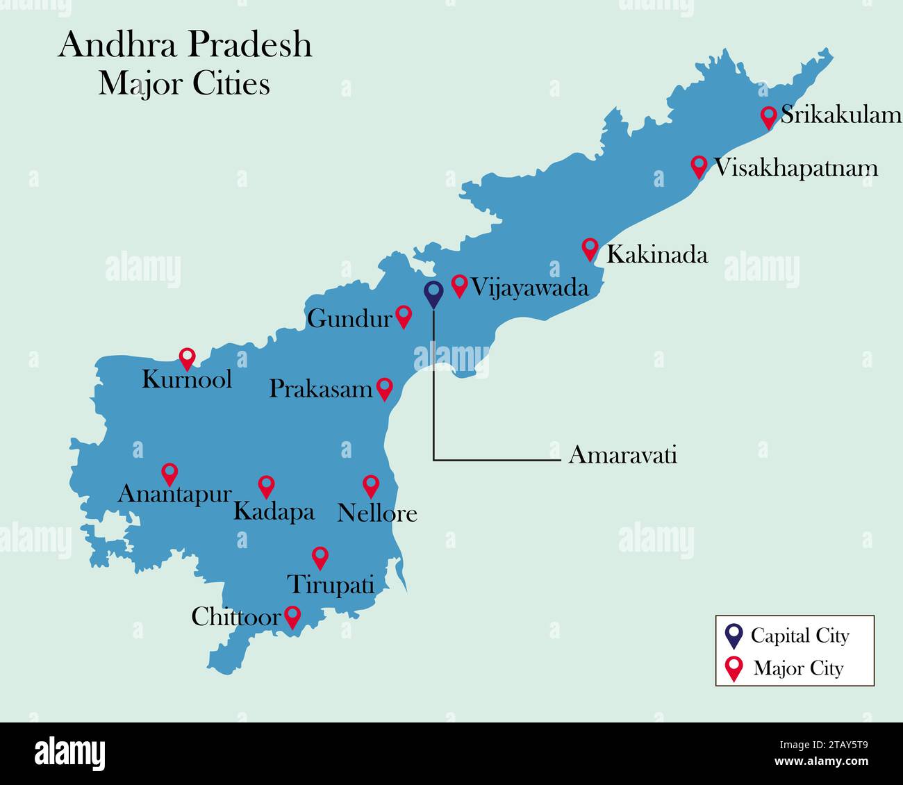 Indian State Andhra Pradesh major cities pinned on Andhra Pradesh Map Stock Vectorhttps://www.alamy.com/image-license-details/?v=1https://www.alamy.com/indian-state-andhra-pradesh-major-cities-pinned-on-andhra-pradesh-map-image574686009.html
RF2TAY5T9–Indian State Andhra Pradesh major cities pinned on Andhra Pradesh Map
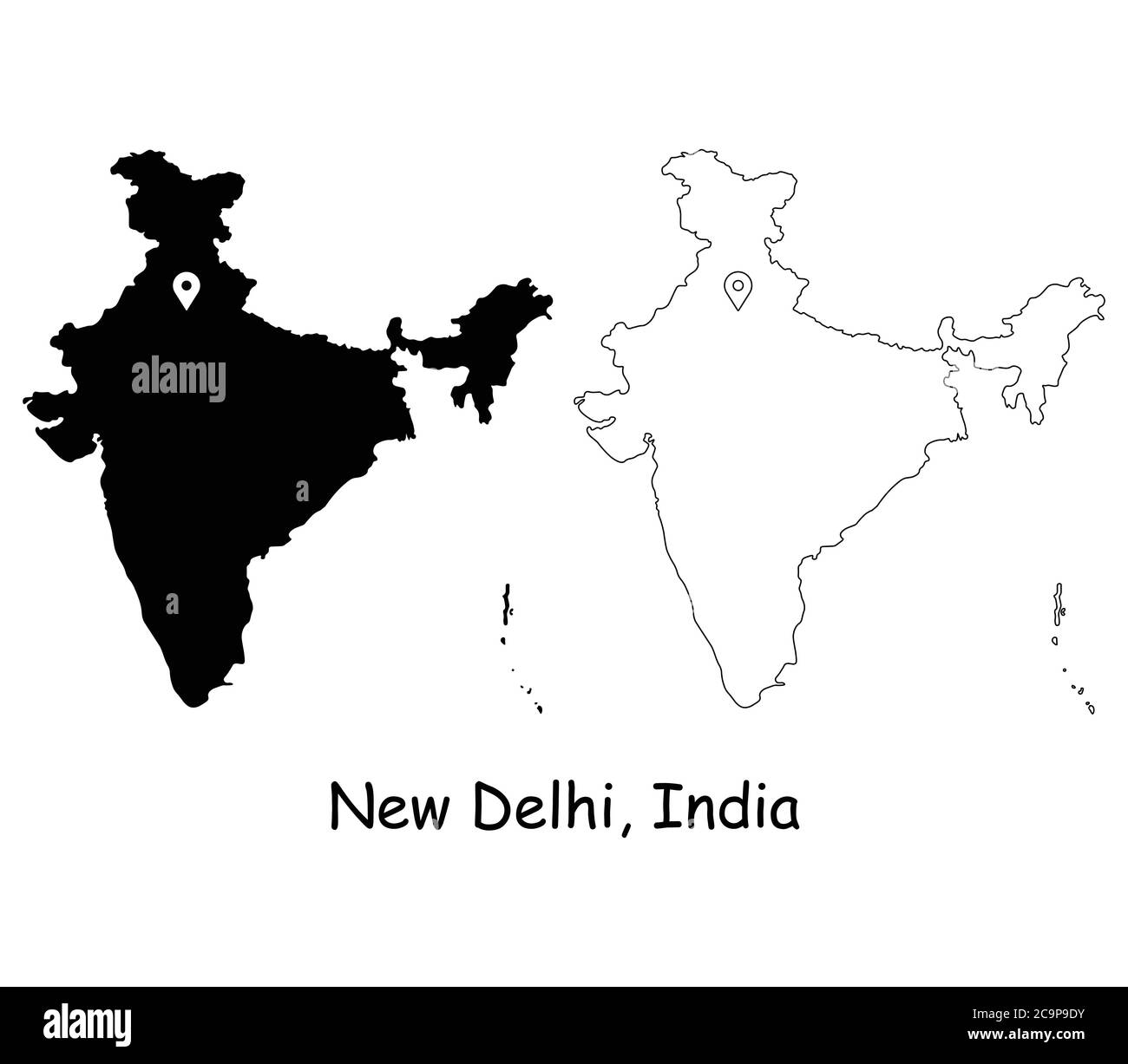 New Delhi India. Detailed Country Map with Location Pin on Capital City. Black silhouette and outline maps isolated on white background. EPS Vector Stock Vectorhttps://www.alamy.com/image-license-details/?v=1https://www.alamy.com/new-delhi-india-detailed-country-map-with-location-pin-on-capital-city-black-silhouette-and-outline-maps-isolated-on-white-background-eps-vector-image367440023.html
RF2C9P9DY–New Delhi India. Detailed Country Map with Location Pin on Capital City. Black silhouette and outline maps isolated on white background. EPS Vector
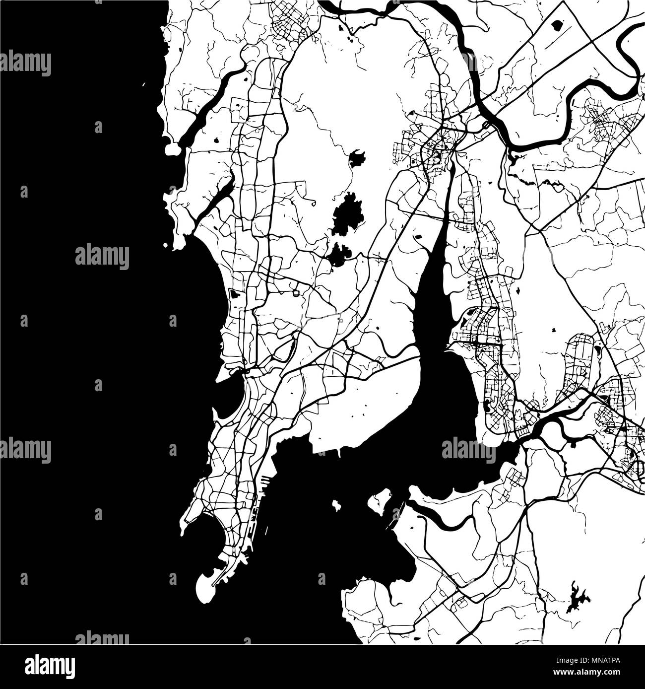 Mumbai, India, Monochrome Map Artprint, Vector Outline Version, ready for color change, Separated On White Stock Vectorhttps://www.alamy.com/image-license-details/?v=1https://www.alamy.com/mumbai-india-monochrome-map-artprint-vector-outline-version-ready-for-color-change-separated-on-white-image185232386.html
RFMNA1PA–Mumbai, India, Monochrome Map Artprint, Vector Outline Version, ready for color change, Separated On White
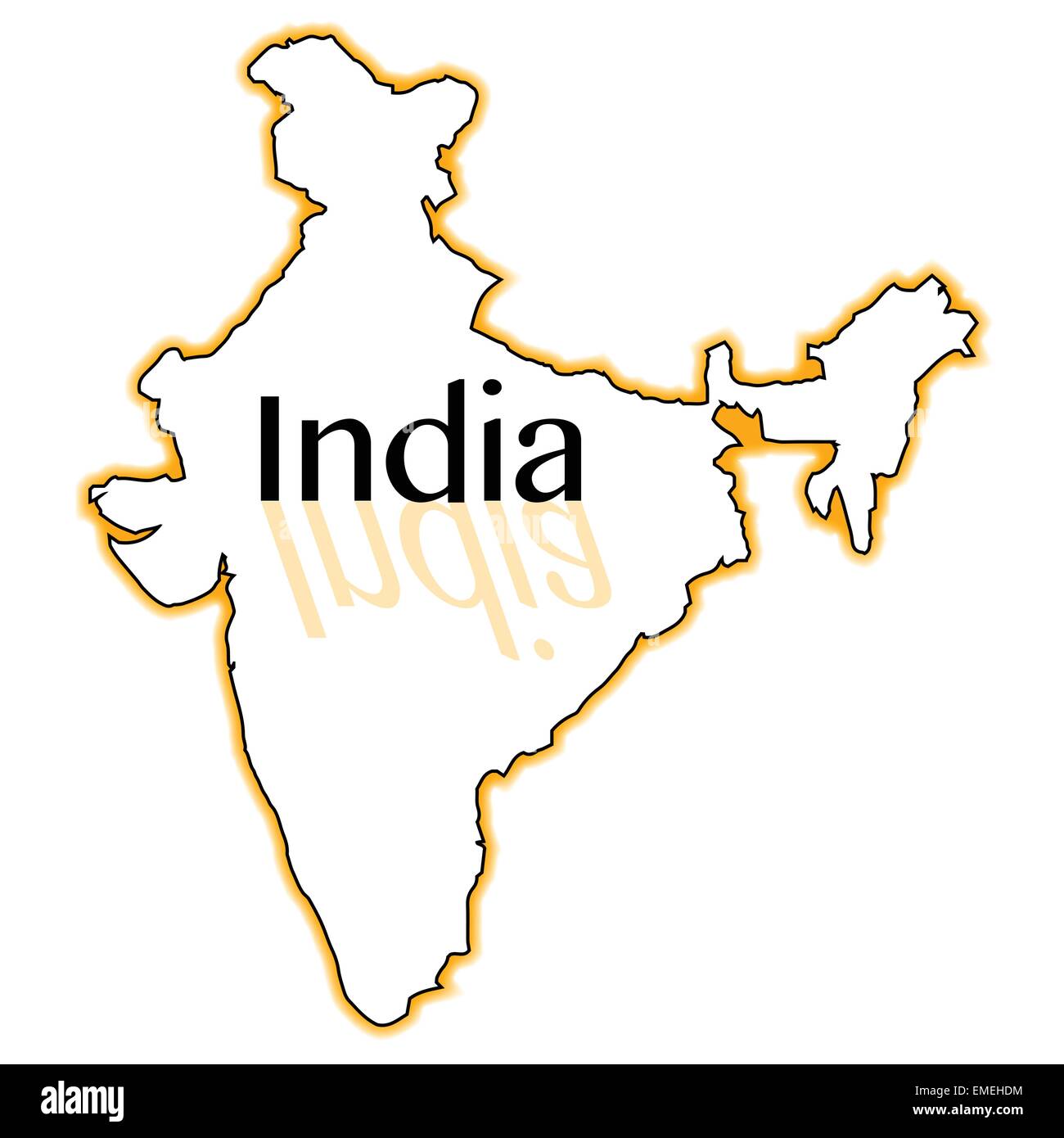 India Stock Vectorhttps://www.alamy.com/image-license-details/?v=1https://www.alamy.com/stock-photo-india-81455632.html
RFEMEHDM–India
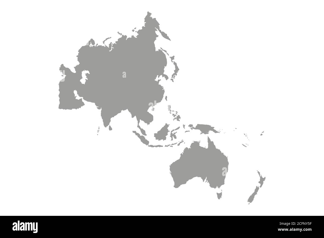 Map of Asia Pacific. Vector Stock Vectorhttps://www.alamy.com/image-license-details/?v=1https://www.alamy.com/map-of-asia-pacific-vector-image371119883.html
RF2CFNY5F–Map of Asia Pacific. Vector
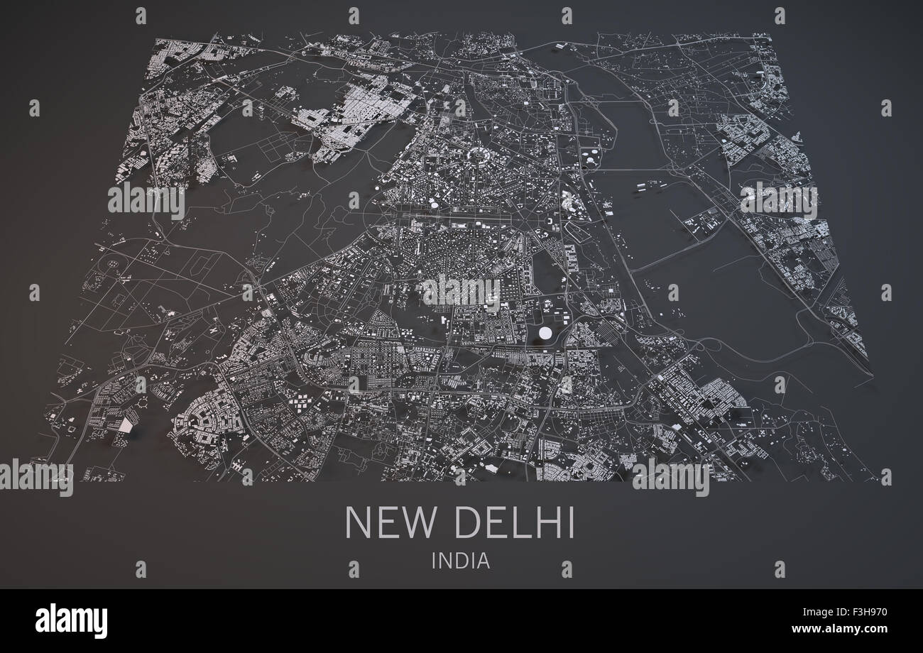 Map of New Delhi, India, satellite view map in 3d . Black and white Stock Photohttps://www.alamy.com/image-license-details/?v=1https://www.alamy.com/stock-photo-map-of-new-delhi-india-satellite-view-map-in-3d-black-and-white-88276244.html
RFF3H970–Map of New Delhi, India, satellite view map in 3d . Black and white
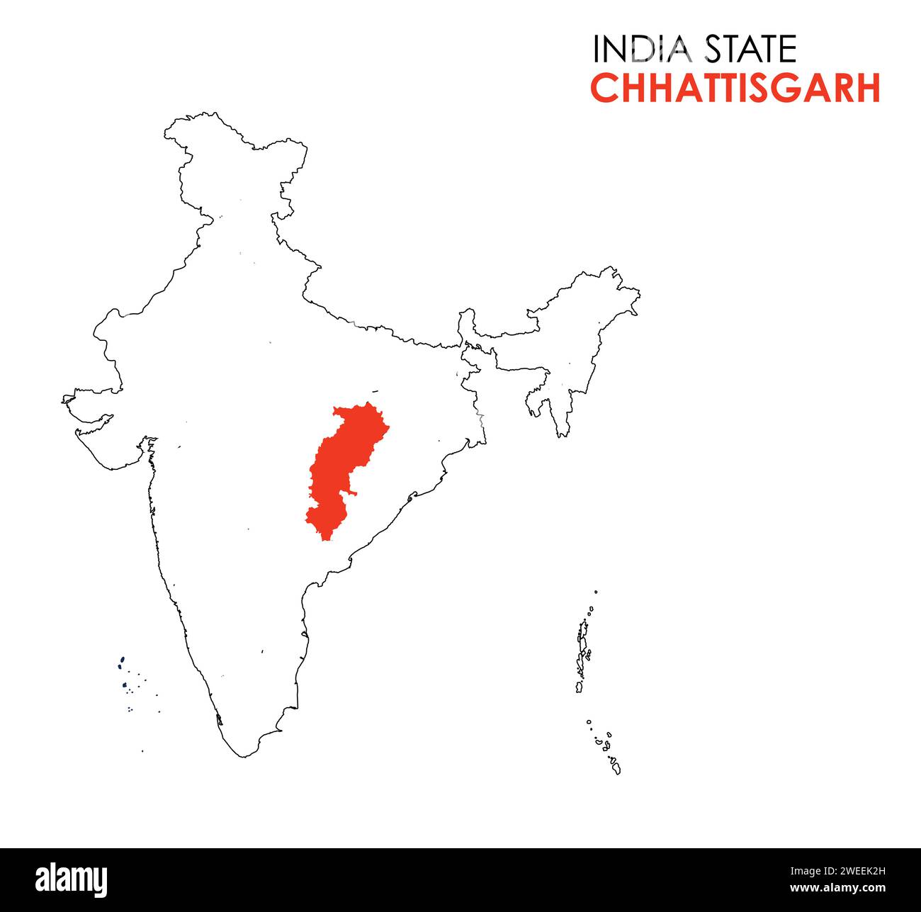 Chhattisgarh map of Indian state. Chhattisgarh map illustration. White Background. Stock Vectorhttps://www.alamy.com/image-license-details/?v=1https://www.alamy.com/chhattisgarh-map-of-indian-state-chhattisgarh-map-illustration-white-background-image594079993.html
RF2WEEK2H–Chhattisgarh map of Indian state. Chhattisgarh map illustration. White Background.