India map Black & White Stock Photos
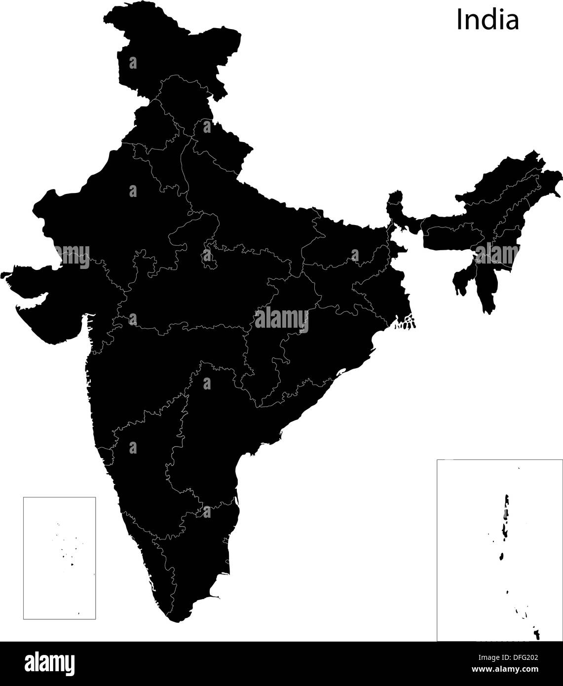 Black India map Stock Photohttps://www.alamy.com/image-license-details/?v=1https://www.alamy.com/black-india-map-image61203746.html
RFDFG202–Black India map
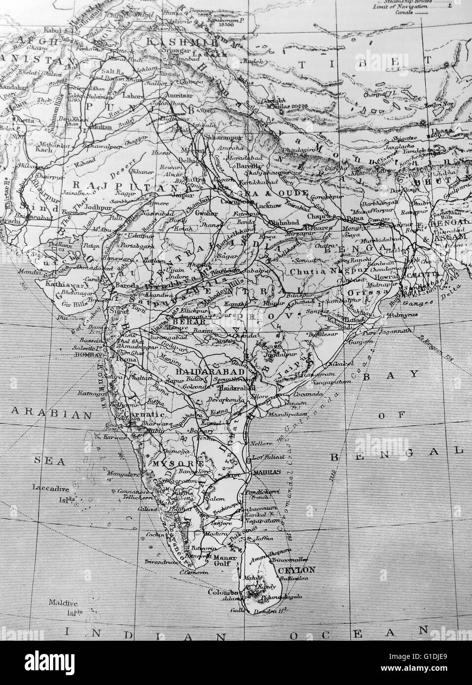 Map of India Stock Photohttps://www.alamy.com/image-license-details/?v=1https://www.alamy.com/stock-photo-map-of-india-104176753.html
RMG1DJE9–Map of India
 Map India out line Stock Vectorhttps://www.alamy.com/image-license-details/?v=1https://www.alamy.com/stock-photo-map-india-out-line-126399272.html
RFH9HYFM–Map India out line
 Map of India - outline. Silhouette of India map illustration Stock Photohttps://www.alamy.com/image-license-details/?v=1https://www.alamy.com/map-of-india-outline-silhouette-of-india-map-illustration-image233959478.html
RFRGHNKJ–Map of India - outline. Silhouette of India map illustration
 INDIA: Map of the Presidency of Chennai, c1880 Stock Photohttps://www.alamy.com/image-license-details/?v=1https://www.alamy.com/stock-photo-india-map-of-the-presidency-of-chennai-c1880-103843797.html
RFG0XDR1–INDIA: Map of the Presidency of Chennai, c1880
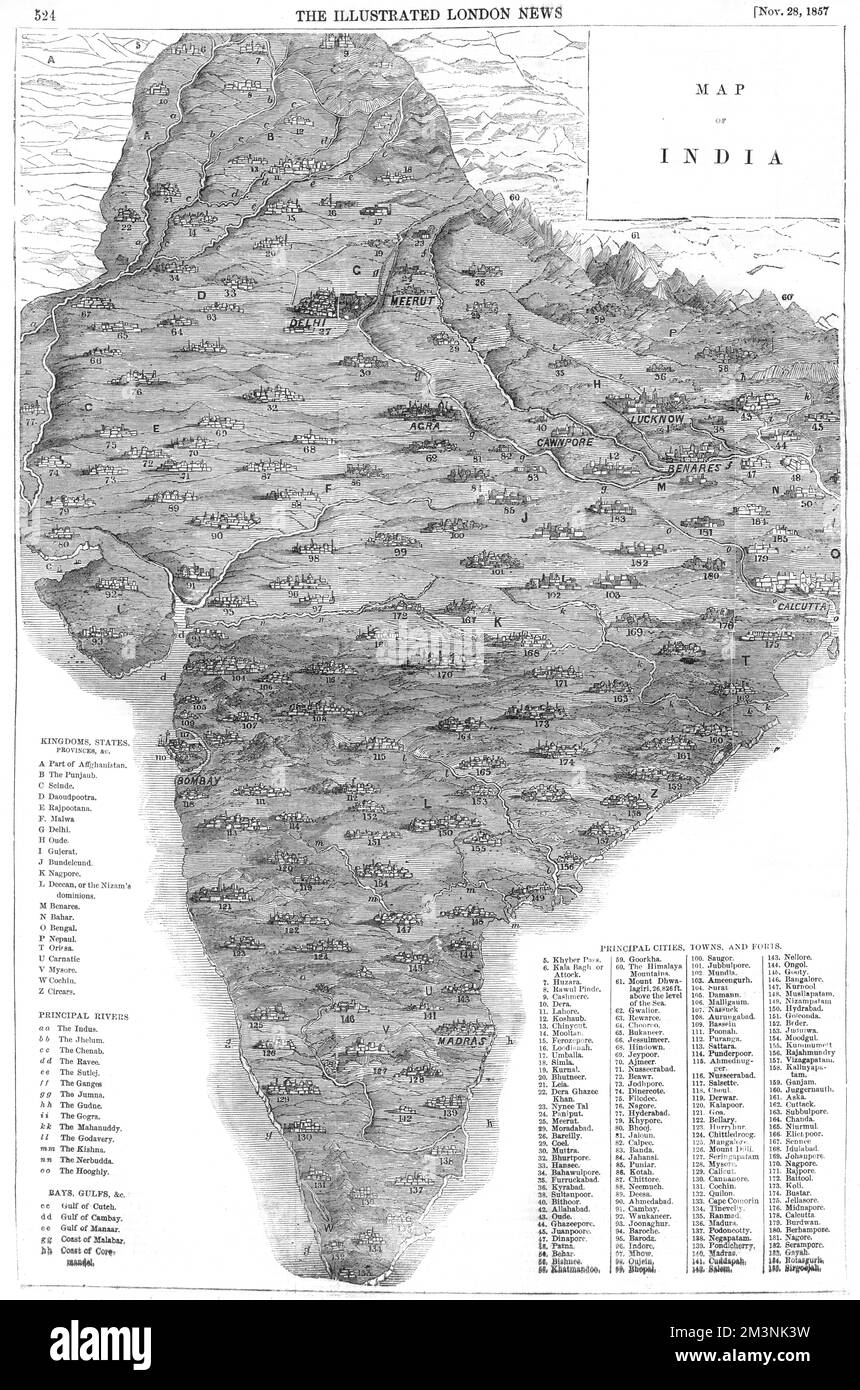 Map of India Stock Photohttps://www.alamy.com/image-license-details/?v=1https://www.alamy.com/map-of-india-image501420637.html
RM2M3NK3W–Map of India
 Kerala India Map grey Stock Photohttps://www.alamy.com/image-license-details/?v=1https://www.alamy.com/stock-image-kerala-india-map-grey-169136629.html
RFKR4RDW–Kerala India Map grey
 India map black calligraphy text and doodle elements Indian culture vector illustration design. Happy republic Day India independence celebrations Stock Vectorhttps://www.alamy.com/image-license-details/?v=1https://www.alamy.com/india-map-black-calligraphy-text-and-doodle-elements-indian-culture-vector-illustration-design-happy-republic-day-india-independence-celebrations-image491330034.html
RF2KFA0D6–India map black calligraphy text and doodle elements Indian culture vector illustration design. Happy republic Day India independence celebrations
 India Map Vector Illustration - Silhouette, Outline, India Travel and Tourism Map Stock Vectorhttps://www.alamy.com/image-license-details/?v=1https://www.alamy.com/india-map-vector-illustration-silhouette-outline-india-travel-and-tourism-map-image611784419.html
RF2XF957F–India Map Vector Illustration - Silhouette, Outline, India Travel and Tourism Map
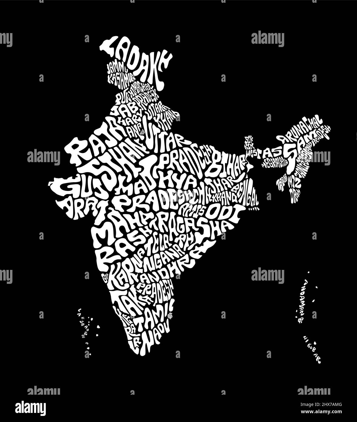 India map with all india states typography names art. India map art texture in english. Black and white india typography map illustration. Stock Vectorhttps://www.alamy.com/image-license-details/?v=1https://www.alamy.com/india-map-with-all-india-states-typography-names-art-india-map-art-texture-in-english-black-and-white-india-typography-map-illustration-image463612704.html
RF2HX7AMG–India map with all india states typography names art. India map art texture in english. Black and white india typography map illustration.
 India Map, states border map. Vector illustration. Stock Vectorhttps://www.alamy.com/image-license-details/?v=1https://www.alamy.com/india-map-states-border-map-vector-illustration-image334166442.html
RF2ABJGKP–India Map, states border map. Vector illustration.
 India map graphic, Official Indian Flag color, nation country Indian atlas region, 26 January flag, 15 august flag, patriotic slogan of India, Tiranga Stock Vectorhttps://www.alamy.com/image-license-details/?v=1https://www.alamy.com/india-map-graphic-official-indian-flag-color-nation-country-indian-atlas-region-26-january-flag-15-august-flag-patriotic-slogan-of-india-tiranga-image612062655.html
RF2XFNT4F–India map graphic, Official Indian Flag color, nation country Indian atlas region, 26 January flag, 15 august flag, patriotic slogan of India, Tiranga
 India shopping bar code isolated on white background. Stock Photohttps://www.alamy.com/image-license-details/?v=1https://www.alamy.com/india-shopping-bar-code-isolated-on-white-background-image62486774.html
RMDHJEEE–India shopping bar code isolated on white background.
 India map silhouette vector illustration Stock Vectorhttps://www.alamy.com/image-license-details/?v=1https://www.alamy.com/india-map-silhouette-vector-illustration-image607214385.html
RF2X7W041–India map silhouette vector illustration
 India map silhouette. Black and white concept. vector illustration. Stock Vectorhttps://www.alamy.com/image-license-details/?v=1https://www.alamy.com/india-map-silhouette-black-and-white-concept-vector-illustration-image628802610.html
RF2YF0C42–India map silhouette. Black and white concept. vector illustration.
 India Map Silhouette Stock Vectorhttps://www.alamy.com/image-license-details/?v=1https://www.alamy.com/stock-photo-india-map-silhouette-81462892.html
RFEMEXN0–India Map Silhouette
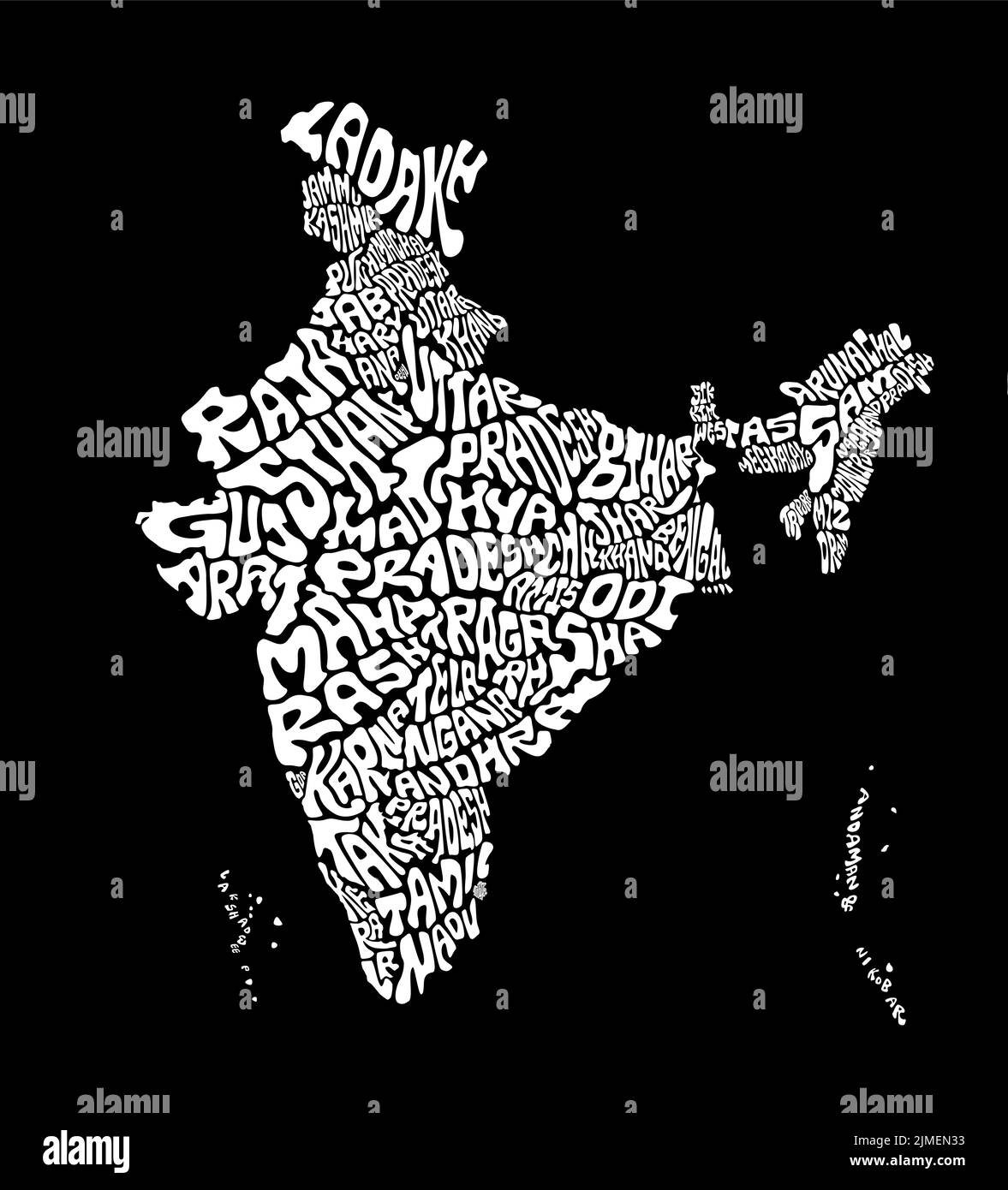 India map with all india states typography names art. India map art texture in english. Black and white india typography map illustration. Stock Vectorhttps://www.alamy.com/image-license-details/?v=1https://www.alamy.com/india-map-with-all-india-states-typography-names-art-india-map-art-texture-in-english-black-and-white-india-typography-map-illustration-image477296935.html
RF2JMEN33–India map with all india states typography names art. India map art texture in english. Black and white india typography map illustration.
 Black silhouette drawing of China and India. Map illustration of Asian countries. Stock Photohttps://www.alamy.com/image-license-details/?v=1https://www.alamy.com/black-silhouette-drawing-of-china-and-india-map-illustration-of-asian-countries-image606417619.html
RF2X6GKT3–Black silhouette drawing of China and India. Map illustration of Asian countries.
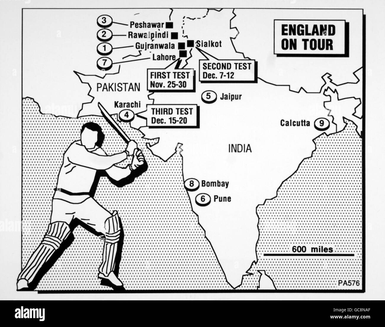 Cricket - England World Cup Tour 1987. Map of venues for the 1987 Cricket World Cup held in Pakistan and India Stock Photohttps://www.alamy.com/image-license-details/?v=1https://www.alamy.com/stock-photo-cricket-england-world-cup-tour-1987-map-of-venues-for-the-1987-cricket-110830455.html
RMGC8NAF–Cricket - England World Cup Tour 1987. Map of venues for the 1987 Cricket World Cup held in Pakistan and India
RF2RRPPDE–india map icon vector illustration design
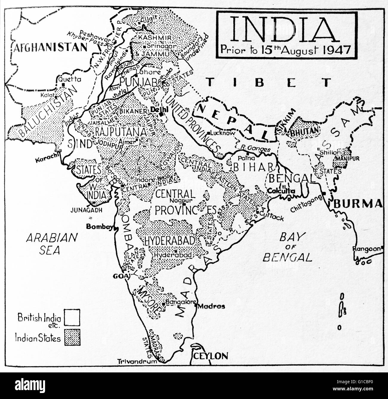 Map depicting India prior to August 15th 1947 highlighting which areas were British India and Indian States Stock Photohttps://www.alamy.com/image-license-details/?v=1https://www.alamy.com/stock-photo-map-depicting-india-prior-to-august-15th-1947-highlighting-which-areas-104149332.html
RMG1CBF0–Map depicting India prior to August 15th 1947 highlighting which areas were British India and Indian States
 Map of India made with grey dots and shadow Stock Photohttps://www.alamy.com/image-license-details/?v=1https://www.alamy.com/map-of-india-made-with-grey-dots-and-shadow-image402449428.html
RF2EAN49T–Map of India made with grey dots and shadow
 Map of India - outline. Silhouette of India map vector illustration Stock Vectorhttps://www.alamy.com/image-license-details/?v=1https://www.alamy.com/map-of-india-outline-silhouette-of-india-map-vector-illustration-image233862191.html
RFRGD9H3–Map of India - outline. Silhouette of India map vector illustration
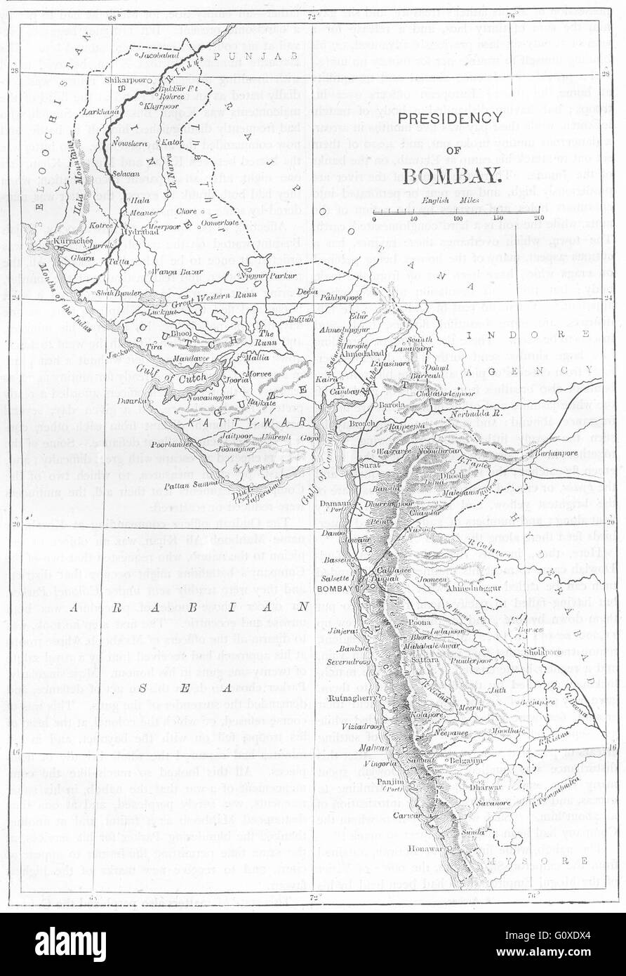 INDIA: Map of The Presidency of Mumbai, c1880 Stock Photohttps://www.alamy.com/image-license-details/?v=1https://www.alamy.com/stock-photo-india-map-of-the-presidency-of-mumbai-c1880-103843884.html
RFG0XDX4–INDIA: Map of The Presidency of Mumbai, c1880
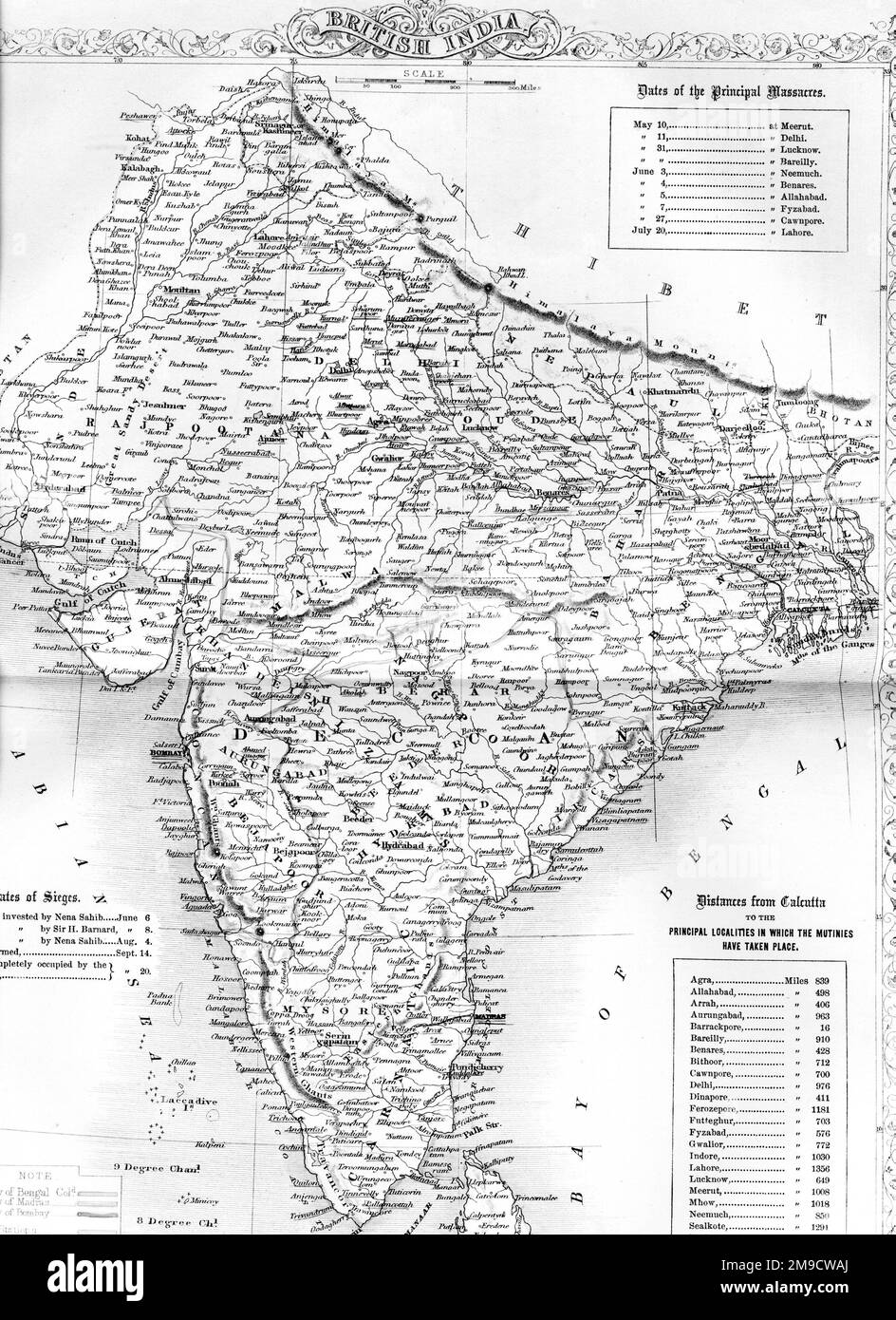 Map of India showing the Indian Rebellion of 1857 Stock Photohttps://www.alamy.com/image-license-details/?v=1https://www.alamy.com/map-of-india-showing-the-indian-rebellion-of-1857-image504915898.html
RM2M9CWAJ–Map of India showing the Indian Rebellion of 1857
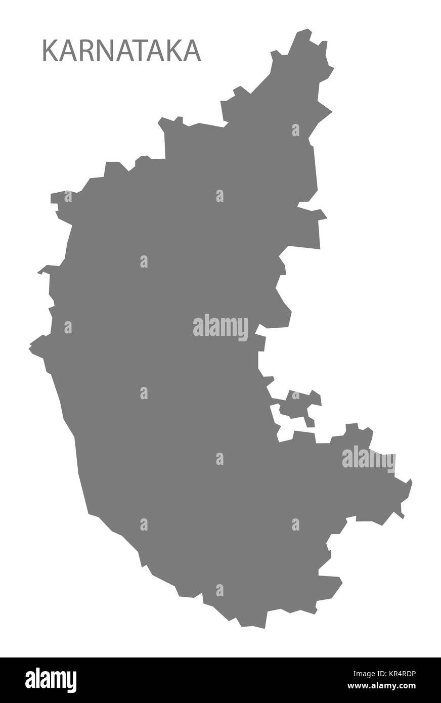 Karnataka India Map grey Stock Photohttps://www.alamy.com/image-license-details/?v=1https://www.alamy.com/stock-image-karnataka-india-map-grey-169136626.html
RFKR4RDP–Karnataka India Map grey
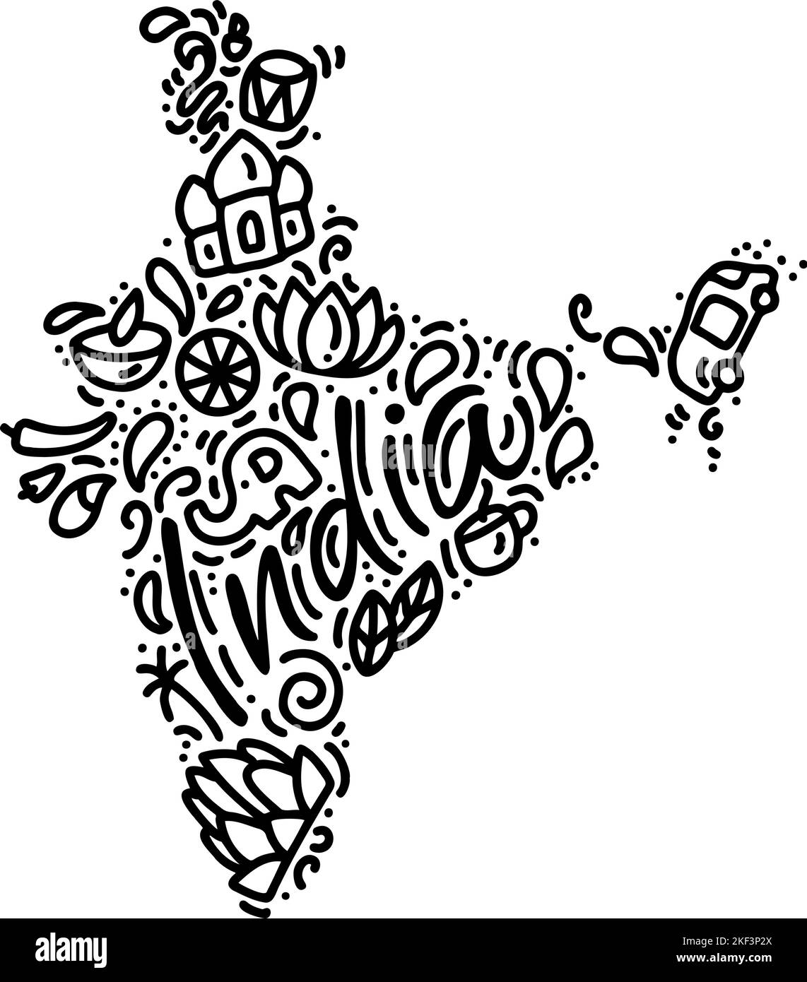 Indian map black calligraphy text and doodle elements vector illustration design. Happy republic Day India independence celebrations with 26th January Stock Vectorhttps://www.alamy.com/image-license-details/?v=1https://www.alamy.com/indian-map-black-calligraphy-text-and-doodle-elements-vector-illustration-design-happy-republic-day-india-independence-celebrations-with-26th-january-image491193330.html
RF2KF3P2X–Indian map black calligraphy text and doodle elements vector illustration design. Happy republic Day India independence celebrations with 26th January
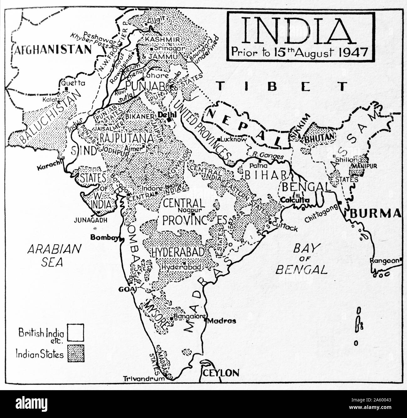 Map depicting India prior to August 15th 1947 highlighting which areas were British India and Indian States Stock Photohttps://www.alamy.com/image-license-details/?v=1https://www.alamy.com/map-depicting-india-prior-to-august-15th-1947-highlighting-which-areas-were-british-india-and-indian-states-image330685043.html
RM2A60043–Map depicting India prior to August 15th 1947 highlighting which areas were British India and Indian States
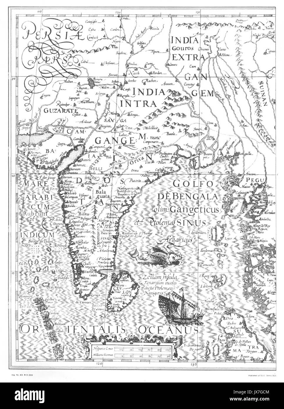 India map 1500 Stock Photohttps://www.alamy.com/image-license-details/?v=1https://www.alamy.com/india-map-1500-image153830564.html
RMJX7GCM–India map 1500
 Children on Whitby Sands making a sand map of India, Victorian period Stock Photohttps://www.alamy.com/image-license-details/?v=1https://www.alamy.com/children-on-whitby-sands-making-a-sand-map-of-india-victorian-period-image350769457.html
RF2BAJX0H–Children on Whitby Sands making a sand map of India, Victorian period
 India map graphic, Official Indian Flag color, nation country Indian atlas region, 26 January flag, 15 august flag, patriotic slogan of India, Tiranga Stock Vectorhttps://www.alamy.com/image-license-details/?v=1https://www.alamy.com/india-map-graphic-official-indian-flag-color-nation-country-indian-atlas-region-26-january-flag-15-august-flag-patriotic-slogan-of-india-tiranga-image612062513.html
RF2XFNRYD–India map graphic, Official Indian Flag color, nation country Indian atlas region, 26 January flag, 15 august flag, patriotic slogan of India, Tiranga
 India Map. Indian Country Map. Black and White National Nation Outline Geography Border Boundary Shape Territory Vector Illustration EPS Clipart Stock Vectorhttps://www.alamy.com/image-license-details/?v=1https://www.alamy.com/india-map-indian-country-map-black-and-white-national-nation-outline-geography-border-boundary-shape-territory-vector-illustration-eps-clipart-image477281995.html
RF2JME21F–India Map. Indian Country Map. Black and White National Nation Outline Geography Border Boundary Shape Territory Vector Illustration EPS Clipart
 India map silhouette Dotted pattern vector illustration Stock Vectorhttps://www.alamy.com/image-license-details/?v=1https://www.alamy.com/india-map-silhouette-dotted-pattern-vector-illustration-image607203233.html
RF2X7TDWN–India map silhouette Dotted pattern vector illustration
 India map outline silhouette. Black and white concept. vector illustration. Stock Vectorhttps://www.alamy.com/image-license-details/?v=1https://www.alamy.com/india-map-outline-silhouette-black-and-white-concept-vector-illustration-image628800990.html
RF2YF0A26–India map outline silhouette. Black and white concept. vector illustration.
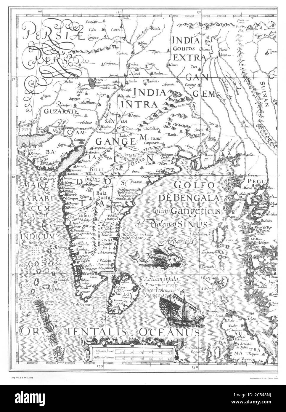 India map 1500. Stock Photohttps://www.alamy.com/image-license-details/?v=1https://www.alamy.com/india-map-1500-image364585694.html
RM2C548NJ–India map 1500.
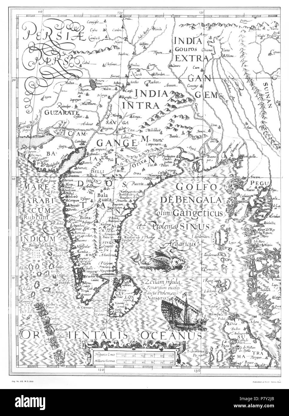 Map of India (possibly based on Mercator) . before 1600 203 India map 1500 Stock Photohttps://www.alamy.com/image-license-details/?v=1https://www.alamy.com/map-of-india-possibly-based-on-mercator-before-1600-203-india-map-1500-image211421795.html
RMP7Y2JB–Map of India (possibly based on Mercator) . before 1600 203 India map 1500
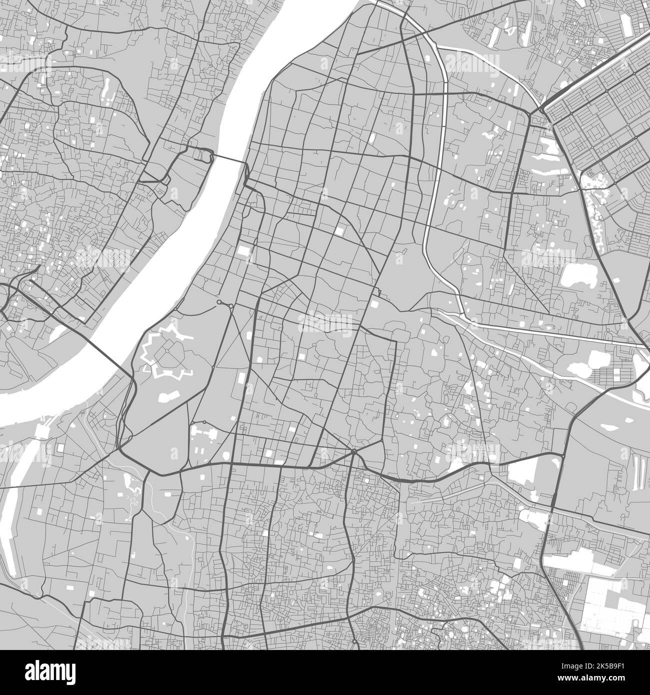 Map of Kolkata city. Urban black and white poster. Road map image with metropolitan city area view. Stock Vectorhttps://www.alamy.com/image-license-details/?v=1https://www.alamy.com/map-of-kolkata-city-urban-black-and-white-poster-road-map-image-with-metropolitan-city-area-view-image485212533.html
RF2K5B9F1–Map of Kolkata city. Urban black and white poster. Road map image with metropolitan city area view.
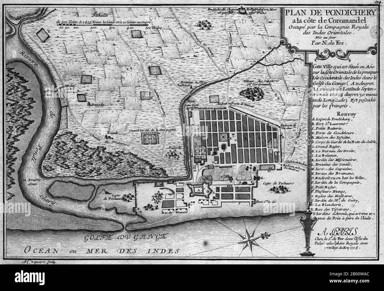 India: A map of the French colony of Pondicherry, by Nicolas de Fer (1646-1720), 1705. Pondicherry, or Puducherry, is a former French colony in India, also called The French Riviera of the East (La Côte d'Azur de l'Est) for its rich French culture and architecture. The use of French language can be still seen in Pondicherry to this day. The city still has a large number of Tamil and a small number of non-Tamil residents with French passports who are descendants of those who chose to remain French when the then ruling French Establishment presented the people of Pondicherry with an option to e Stock Photohttps://www.alamy.com/image-license-details/?v=1https://www.alamy.com/india-a-map-of-the-french-colony-of-pondicherry-by-nicolas-de-fer-1646-1720-1705-pondicherry-or-puducherry-is-a-former-french-colony-in-india-also-called-the-french-riviera-of-the-east-la-cte-dazur-de-lest-for-its-rich-french-culture-and-architecture-the-use-of-french-language-can-be-still-seen-in-pondicherry-to-this-day-the-city-still-has-a-large-number-of-tamil-and-a-small-number-of-non-tamil-residents-with-french-passports-who-are-descendants-of-those-who-chose-to-remain-french-when-the-then-ruling-french-establishment-presented-the-people-of-pondicherry-with-an-option-to-e-image344227252.html
RM2B00WAC–India: A map of the French colony of Pondicherry, by Nicolas de Fer (1646-1720), 1705. Pondicherry, or Puducherry, is a former French colony in India, also called The French Riviera of the East (La Côte d'Azur de l'Est) for its rich French culture and architecture. The use of French language can be still seen in Pondicherry to this day. The city still has a large number of Tamil and a small number of non-Tamil residents with French passports who are descendants of those who chose to remain French when the then ruling French Establishment presented the people of Pondicherry with an option to e
RF2RRPXY2–india map icon vector illustration design
 India, country, dotted map on white background. Vector illustration. Stock Vectorhttps://www.alamy.com/image-license-details/?v=1https://www.alamy.com/india-country-dotted-map-on-white-background-vector-illustration-image377471853.html
RF2CX395H–India, country, dotted map on white background. Vector illustration.
RF2Y330HH–Vector isolated simplified illustration icon with black silhouette of India map. White background
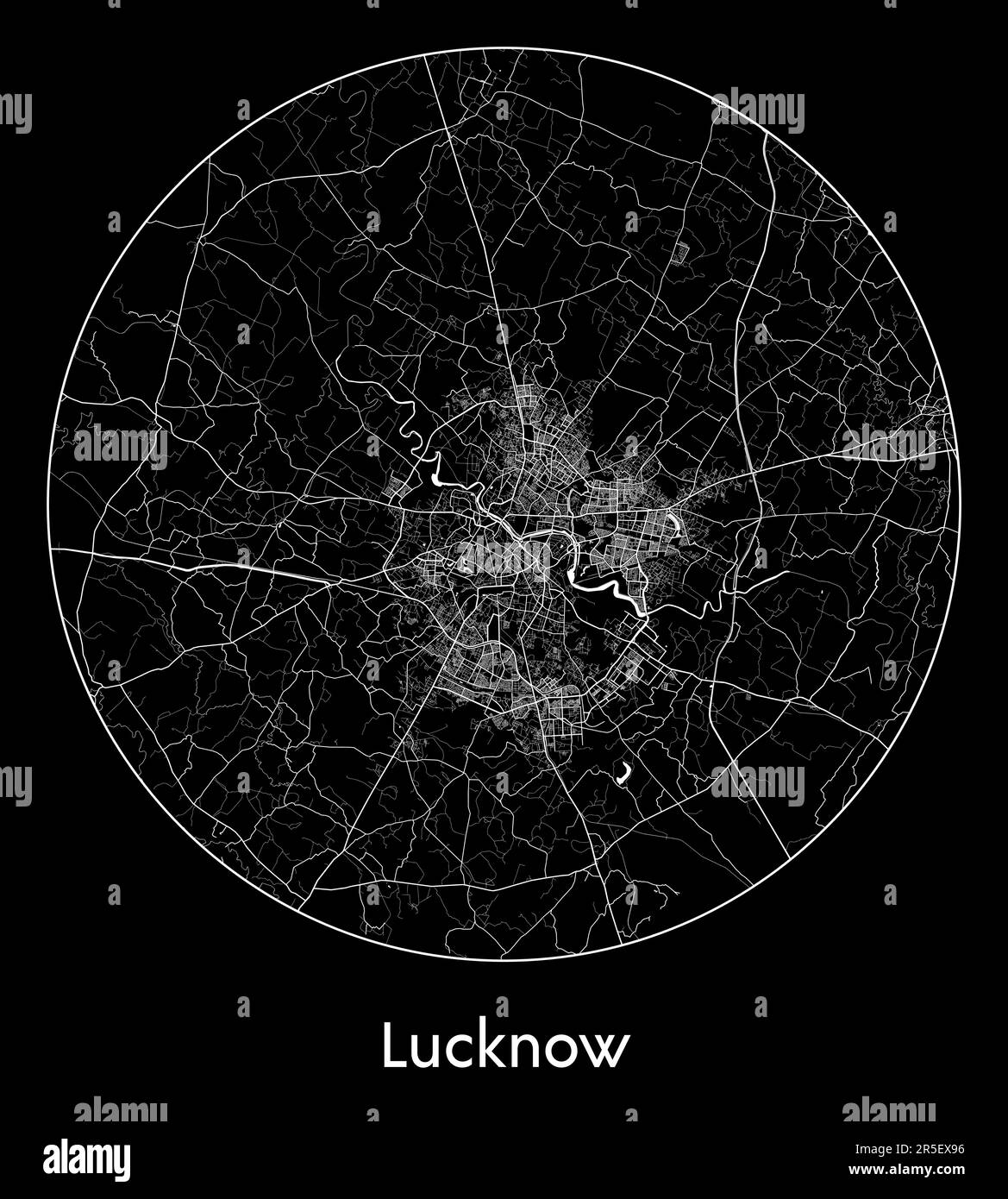 City Map Lucknow India Asia vector illustration Stock Vectorhttps://www.alamy.com/image-license-details/?v=1https://www.alamy.com/city-map-lucknow-india-asia-vector-illustration-image554133026.html
RF2R5EX96–City Map Lucknow India Asia vector illustration
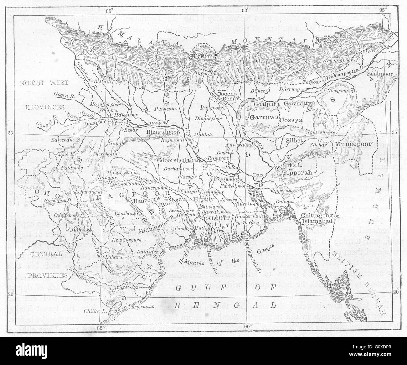 INDIA: Map of Bengal, Bihar, and Orissa, c1880 Stock Photohttps://www.alamy.com/image-license-details/?v=1https://www.alamy.com/stock-photo-india-map-of-bengal-bihar-and-orissa-c1880-103843791.html
RFG0XDPR–INDIA: Map of Bengal, Bihar, and Orissa, c1880
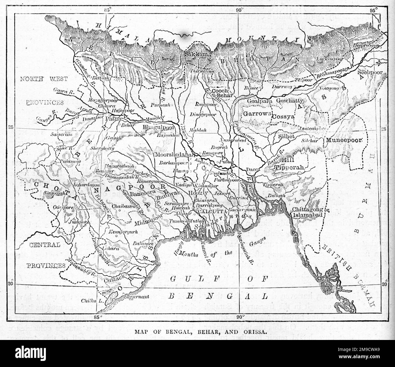 19th century Map of Bengal, Behar and Orissa in India Stock Photohttps://www.alamy.com/image-license-details/?v=1https://www.alamy.com/19th-century-map-of-bengal-behar-and-orissa-in-india-image504915889.html
RM2M9CWA9–19th century Map of Bengal, Behar and Orissa in India
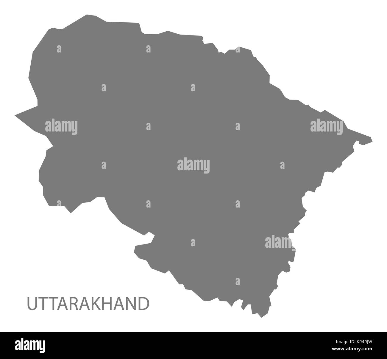 Uttarakhand India Map grey Stock Photohttps://www.alamy.com/image-license-details/?v=1https://www.alamy.com/stock-image-uttarakhand-india-map-grey-169136769.html
RFKR4RJW–Uttarakhand India Map grey
 India map mosaic of circles in various sizes. Black dotted vector map on white background. Stock Vectorhttps://www.alamy.com/image-license-details/?v=1https://www.alamy.com/india-map-mosaic-of-circles-in-various-sizes-black-dotted-vector-map-on-white-background-image364539157.html
RF2C525BH–India map mosaic of circles in various sizes. Black dotted vector map on white background.
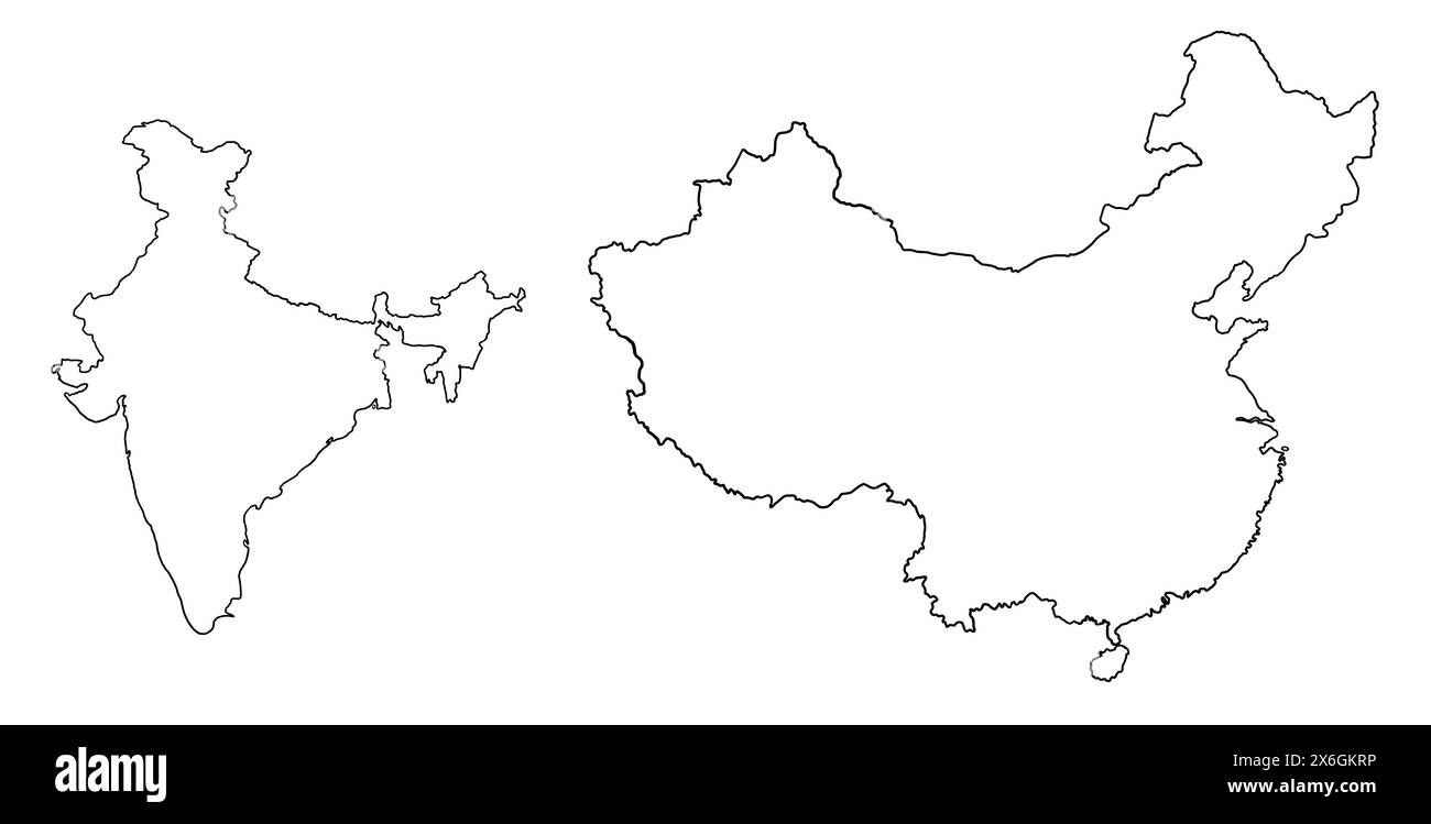 Contour drawing of China and India. Map illustration of Asian countries. Stock Photohttps://www.alamy.com/image-license-details/?v=1https://www.alamy.com/contour-drawing-of-china-and-india-map-illustration-of-asian-countries-image606417610.html
RF2X6GKRP–Contour drawing of China and India. Map illustration of Asian countries.
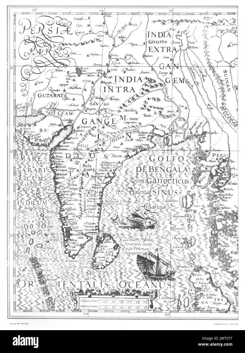 India map 1500 Stock Photohttps://www.alamy.com/image-license-details/?v=1https://www.alamy.com/india-map-1500-image153212843.html
RMJW7CF7–India map 1500
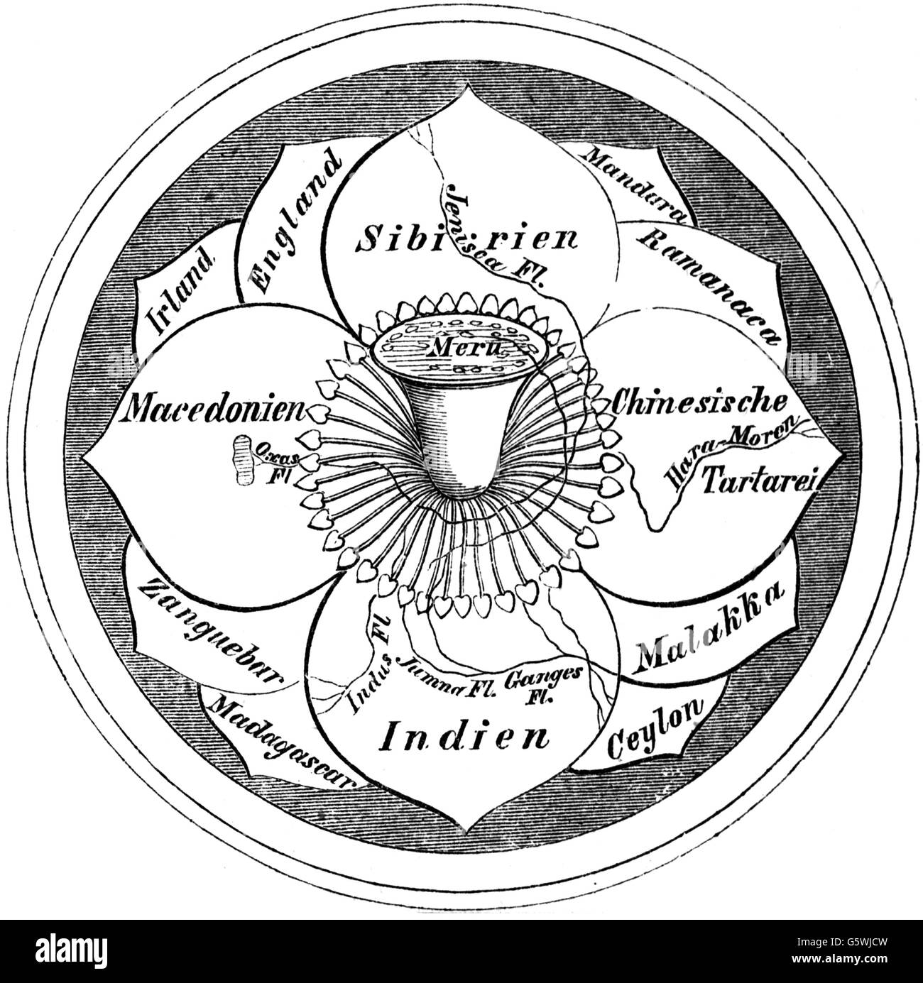 cartography, world map, Hindo world map, the world as a blossom with the mount Meru in the centre, wood engraving, 19th century, India, Siberia, China, Tartar, Macedonia, England, Ireland, Malacca, Ceylon, Sri Lanka, Madagascar, Manduria, Ramanaca, Zanzibar, world picture, world view, world pictures, Asia, cartography, map printing, world map, map of the world, world, worlds, blossom, flower, blossoms, flowers, mount, mountain, peak, peaks, centre, center, centres, centers, historic, historical, Additional-Rights-Clearences-Not Available Stock Photohttps://www.alamy.com/image-license-details/?v=1https://www.alamy.com/stock-photo-cartography-world-map-hindo-world-map-the-world-as-a-blossom-with-106898761.html
RMG5WJCW–cartography, world map, Hindo world map, the world as a blossom with the mount Meru in the centre, wood engraving, 19th century, India, Siberia, China, Tartar, Macedonia, England, Ireland, Malacca, Ceylon, Sri Lanka, Madagascar, Manduria, Ramanaca, Zanzibar, world picture, world view, world pictures, Asia, cartography, map printing, world map, map of the world, world, worlds, blossom, flower, blossoms, flowers, mount, mountain, peak, peaks, centre, center, centres, centers, historic, historical, Additional-Rights-Clearences-Not Available
 India map graphic, Official Indian Flag color, nation country Indian atlas region, 26 January flag, 15 august flag, patriotic slogan of India, Tiranga Stock Vectorhttps://www.alamy.com/image-license-details/?v=1https://www.alamy.com/india-map-graphic-official-indian-flag-color-nation-country-indian-atlas-region-26-january-flag-15-august-flag-patriotic-slogan-of-india-tiranga-image612062660.html
RF2XFNT4M–India map graphic, Official Indian Flag color, nation country Indian atlas region, 26 January flag, 15 august flag, patriotic slogan of India, Tiranga
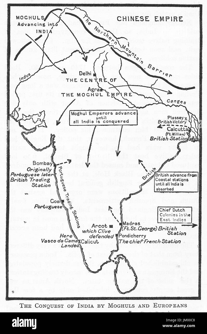 1925 line map showing the conquest of India by the Moghules (Mugal empire & the Europeans. Stock Photohttps://www.alamy.com/image-license-details/?v=1https://www.alamy.com/stock-photo-1925-line-map-showing-the-conquest-of-india-by-the-moghules-mugal-149976408.html
RMJM00C8–1925 line map showing the conquest of India by the Moghules (Mugal empire & the Europeans.
 India map silhouette Striped pattern map vector illustration Stock Vectorhttps://www.alamy.com/image-license-details/?v=1https://www.alamy.com/india-map-silhouette-striped-pattern-map-vector-illustration-image607203333.html
RF2X7TE19–India map silhouette Striped pattern map vector illustration
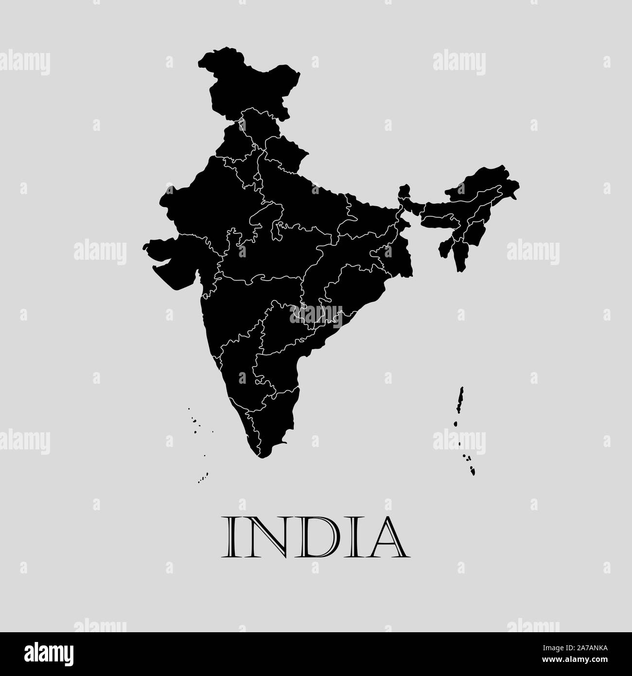 Black India map on light grey background. Black India map - vector illustration. Stock Vectorhttps://www.alamy.com/image-license-details/?v=1https://www.alamy.com/black-india-map-on-light-grey-background-black-india-map-vector-illustration-image331536110.html
RF2A7ANKA–Black India map on light grey background. Black India map - vector illustration.
 Vector halftone Dotted map of India country for your design, Travel Illustration concept. Stock Vectorhttps://www.alamy.com/image-license-details/?v=1https://www.alamy.com/vector-halftone-dotted-map-of-india-country-for-your-design-travel-illustration-concept-image434103535.html
RF2G673DK–Vector halftone Dotted map of India country for your design, Travel Illustration concept.
RF2H62NC1–Map of India in black contour. Vector icon for web or mobile app.
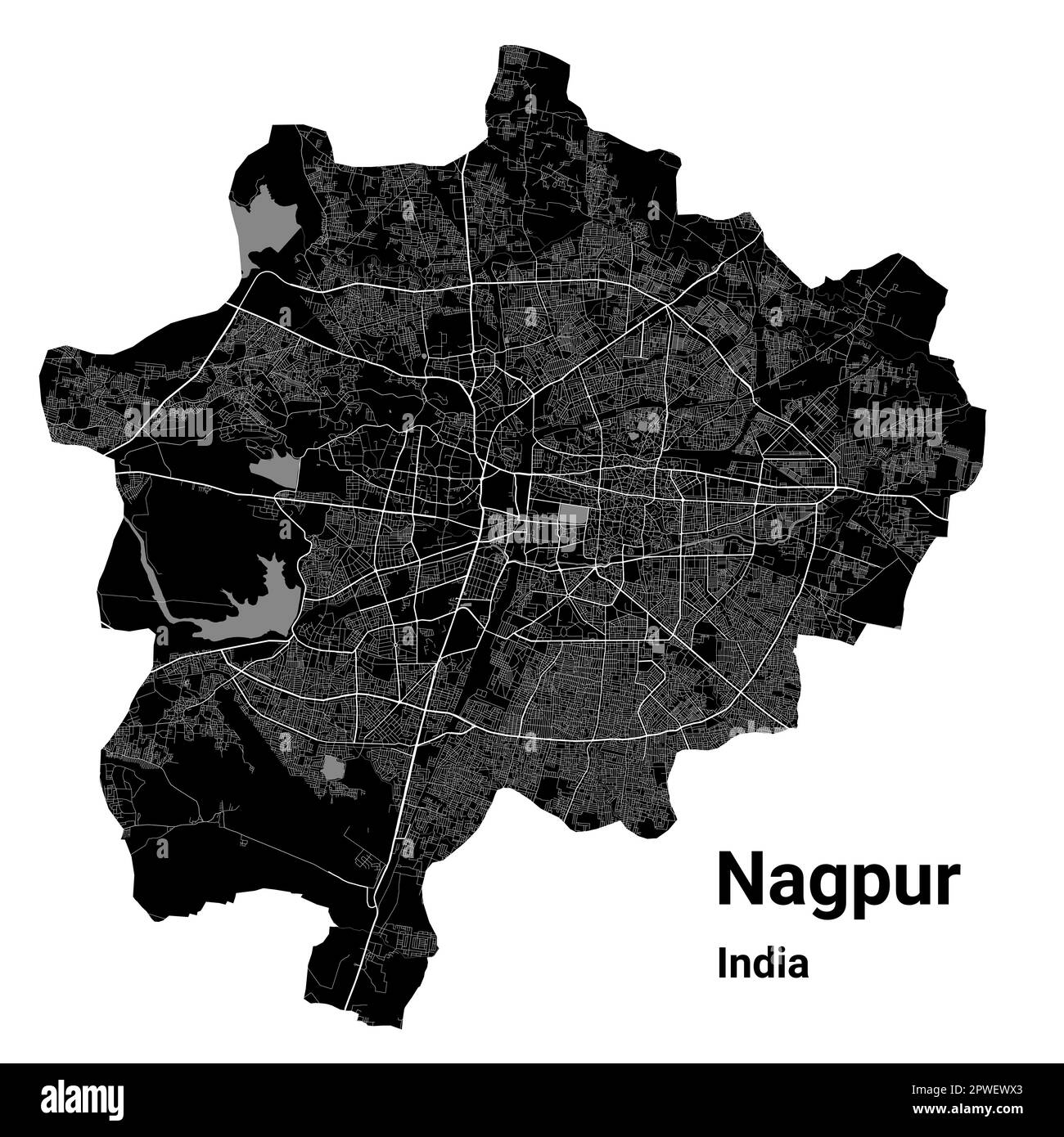 Nagpur map. Detailed vector map of Nagpur city administrative area. Cityscape poster metropolitan aria view. Black land with white roads and avenues. Stock Vectorhttps://www.alamy.com/image-license-details/?v=1https://www.alamy.com/nagpur-map-detailed-vector-map-of-nagpur-city-administrative-area-cityscape-poster-metropolitan-aria-view-black-land-with-white-roads-and-avenues-image549215467.html
RF2PWEWX3–Nagpur map. Detailed vector map of Nagpur city administrative area. Cityscape poster metropolitan aria view. Black land with white roads and avenues.
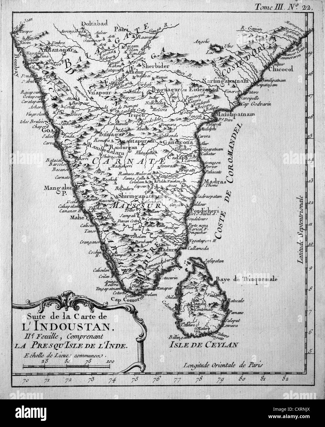 Historical engraving, map of Ceylon and South India, Jacques Nicolas Bellin, Suite de la Carte de l'Industan, circa 1763 Stock Photohttps://www.alamy.com/image-license-details/?v=1https://www.alamy.com/stock-photo-historical-engraving-map-of-ceylon-and-south-india-jacques-nicolas-50923682.html
RMCXRNJX–Historical engraving, map of Ceylon and South India, Jacques Nicolas Bellin, Suite de la Carte de l'Industan, circa 1763
RF2RRPPE1–india map icon vector illustration design
 India, country, dotted map on white background. Vector illustration. Stock Vectorhttps://www.alamy.com/image-license-details/?v=1https://www.alamy.com/india-country-dotted-map-on-white-background-vector-illustration-image377471460.html
RF2CX38KG–India, country, dotted map on white background. Vector illustration.
RF2Y32YMY–Vector isolated simplified illustration icon with black line silhouette of India map. White background
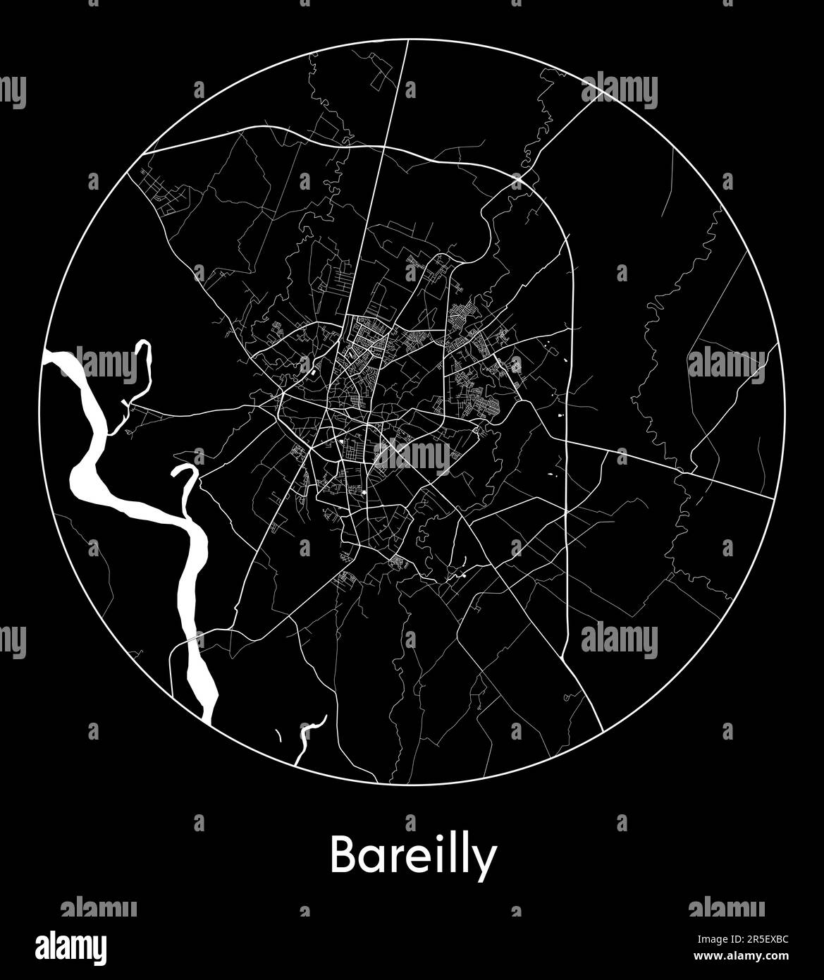 City Map Bareilly India Asia vector illustration Stock Vectorhttps://www.alamy.com/image-license-details/?v=1https://www.alamy.com/city-map-bareilly-india-asia-vector-illustration-image554133088.html
RF2R5EXBC–City Map Bareilly India Asia vector illustration
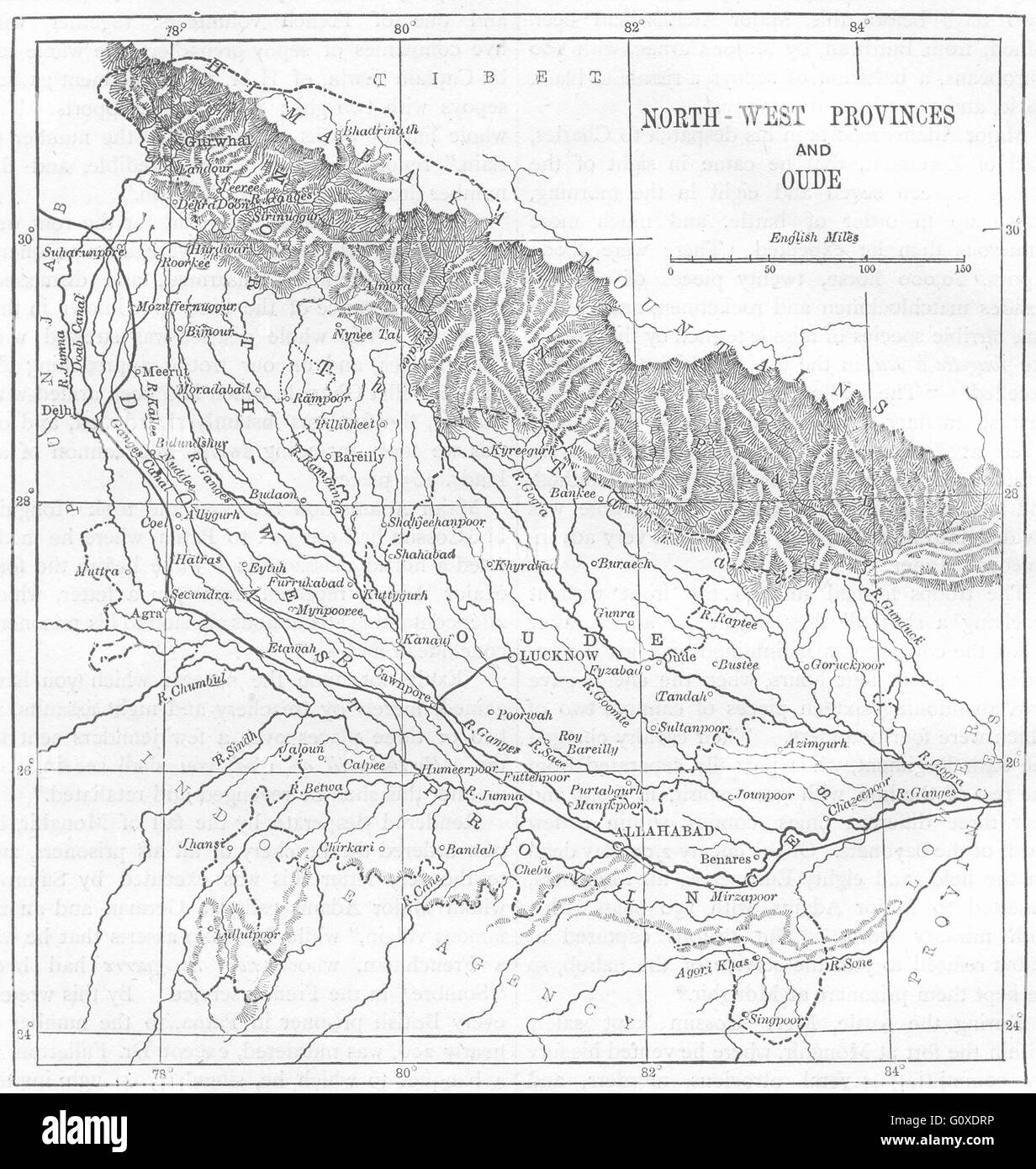 INDIA: Map of Awadh and the North-West Provinces, c1880 Stock Photohttps://www.alamy.com/image-license-details/?v=1https://www.alamy.com/stock-photo-india-map-of-awadh-and-the-north-west-provinces-c1880-103843818.html
RFG0XDRP–INDIA: Map of Awadh and the North-West Provinces, c1880
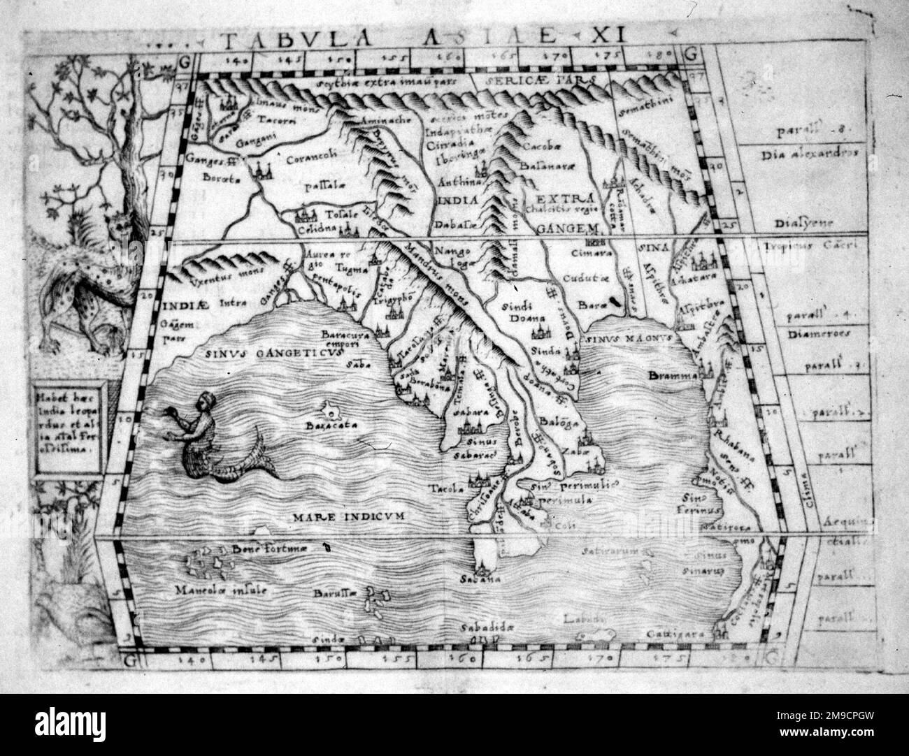 16th century Map of Bengal, India and South East Asia Stock Photohttps://www.alamy.com/image-license-details/?v=1https://www.alamy.com/16th-century-map-of-bengal-india-and-south-east-asia-image504913721.html
RM2M9CPGW–16th century Map of Bengal, India and South East Asia
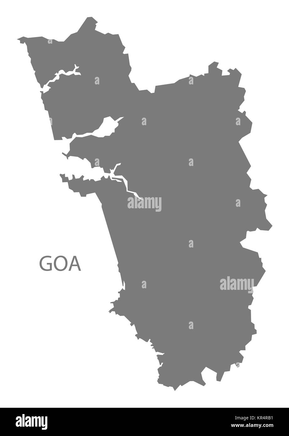 Goa India Map grey Stock Photohttps://www.alamy.com/image-license-details/?v=1https://www.alamy.com/stock-image-goa-india-map-grey-169136549.html
RFKR4RB1–Goa India Map grey
 Cube Smart Data Technology, India map symbol Stock Photohttps://www.alamy.com/image-license-details/?v=1https://www.alamy.com/cube-smart-data-technology-india-map-symbol-image361787925.html
RF2C0GT59–Cube Smart Data Technology, India map symbol
 India map silhouette mosaic of cogs and gears. Grey vector illustration on gray background. Stock Vectorhttps://www.alamy.com/image-license-details/?v=1https://www.alamy.com/india-map-silhouette-mosaic-of-cogs-and-gears-grey-vector-illustration-on-gray-background-image523194309.html
RF2NB5FK1–India map silhouette mosaic of cogs and gears. Grey vector illustration on gray background.
 South India map 1782 Stock Photohttps://www.alamy.com/image-license-details/?v=1https://www.alamy.com/stock-photo-south-india-map-1782-143397647.html
RMJ9894F–South India map 1782
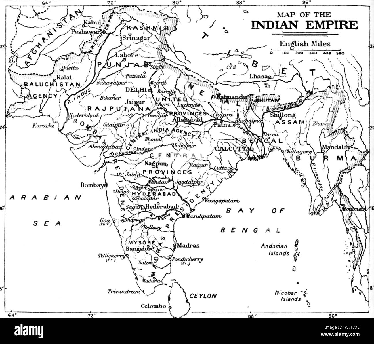 'Map of the Indian Empire', c1912. Artist: Unknown. Stock Photohttps://www.alamy.com/image-license-details/?v=1https://www.alamy.com/map-of-the-indian-empire-c1912-artist-unknown-image262793622.html
RMW7F7XE–'Map of the Indian Empire', c1912. Artist: Unknown.
 India map graphic, Official Indian Flag color, nation country Indian atlas region, 26 January flag, 15 august flag, patriotic slogan of India, Tiranga Stock Vectorhttps://www.alamy.com/image-license-details/?v=1https://www.alamy.com/india-map-graphic-official-indian-flag-color-nation-country-indian-atlas-region-26-january-flag-15-august-flag-patriotic-slogan-of-india-tiranga-image612062642.html
RF2XFNT42–India map graphic, Official Indian Flag color, nation country Indian atlas region, 26 January flag, 15 august flag, patriotic slogan of India, Tiranga
 Outline map of India in silhouette on a white background Stock Photohttps://www.alamy.com/image-license-details/?v=1https://www.alamy.com/stock-photo-outline-map-of-india-in-silhouette-on-a-white-background-78540534.html
RFEFNR72–Outline map of India in silhouette on a white background
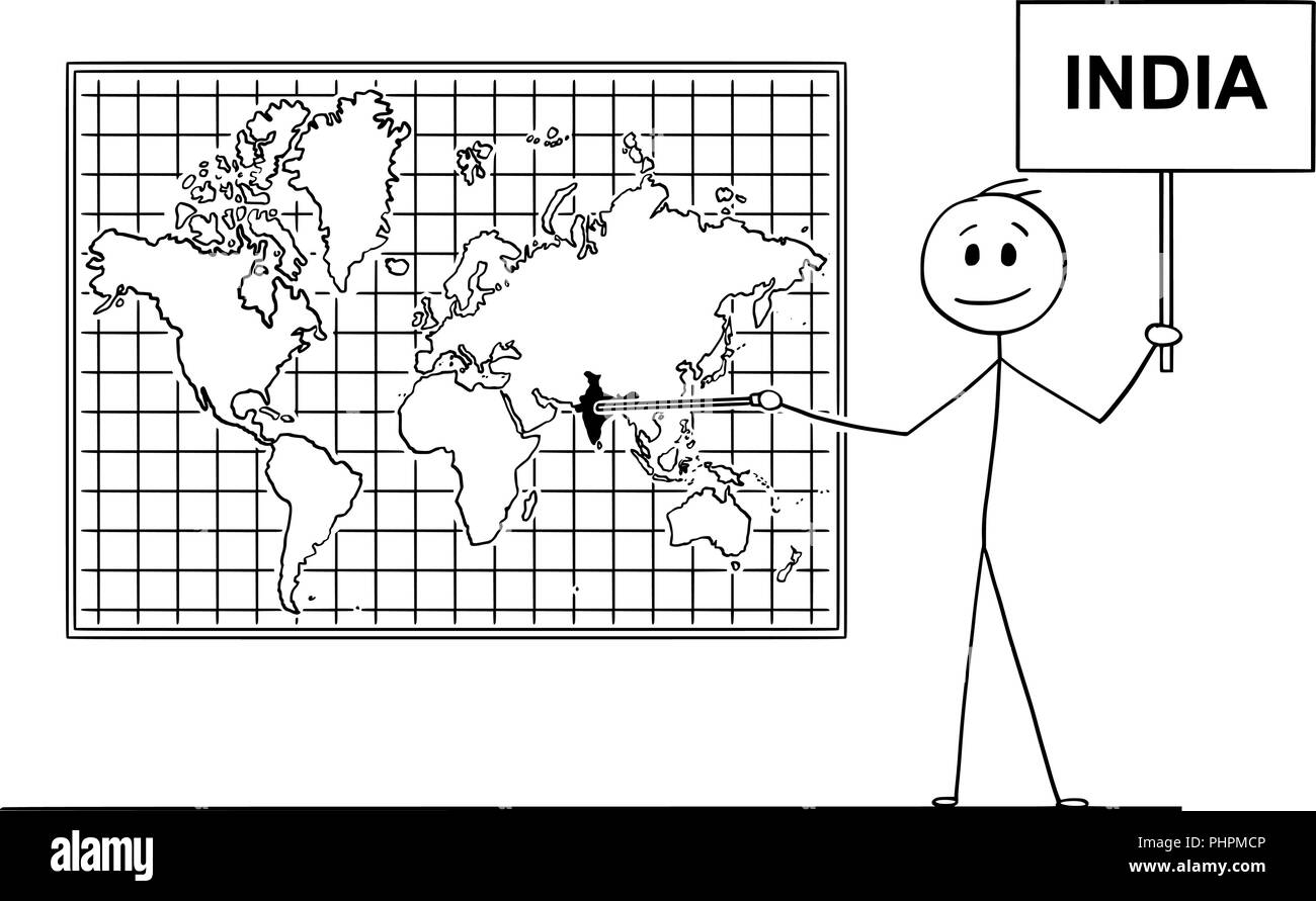 Cartoon of Man Pointing at Republic of India on Wall World Map Stock Vectorhttps://www.alamy.com/image-license-details/?v=1https://www.alamy.com/cartoon-of-man-pointing-at-republic-of-india-on-wall-world-map-image217472550.html
RFPHPMCP–Cartoon of Man Pointing at Republic of India on Wall World Map
 Vector India map isoalted on white back Stock Vectorhttps://www.alamy.com/image-license-details/?v=1https://www.alamy.com/vector-india-map-isoalted-on-white-back-image259866412.html
RFW2NX78–Vector India map isoalted on white back
 India country Map illustration black. Stock Photohttps://www.alamy.com/image-license-details/?v=1https://www.alamy.com/stock-photo-india-country-map-illustration-black-174885379.html
RFM4EM2B–India country Map illustration black.
 Netherlands/Holland: Map of the Indian Ocean in antiquity based on the Periplus of the Erythrean Sea. Published by Jan Jansson (1588-1664), Amsterdam, 1658. The Periplus of the Erythraean Sea or Periplus of the Red Sea is a Greco-Roman periplus, written in Greek, describing navigation and trading opportunities from Roman Egyptian ports like Berenice along the coast of the Red Sea, and others along Northeast Africa and the Indian subcontinent. The text has been ascribed to different dates between the 1st and 3rd centuries CE, but a mid-1st century date is now the most commonly accepted. Stock Photohttps://www.alamy.com/image-license-details/?v=1https://www.alamy.com/netherlandsholland-map-of-the-indian-ocean-in-antiquity-based-on-the-periplus-of-the-erythrean-sea-published-by-jan-jansson-1588-1664-amsterdam-1658-the-periplus-of-the-erythraean-sea-or-periplus-of-the-red-sea-is-a-greco-roman-periplus-written-in-greek-describing-navigation-and-trading-opportunities-from-roman-egyptian-ports-like-berenice-along-the-coast-of-the-red-sea-and-others-along-northeast-africa-and-the-indian-subcontinent-the-text-has-been-ascribed-to-different-dates-between-the-1st-and-3rd-centuries-ce-but-a-mid-1st-century-date-is-now-the-most-commonly-accepted-image344249927.html
RM2B01X87–Netherlands/Holland: Map of the Indian Ocean in antiquity based on the Periplus of the Erythrean Sea. Published by Jan Jansson (1588-1664), Amsterdam, 1658. The Periplus of the Erythraean Sea or Periplus of the Red Sea is a Greco-Roman periplus, written in Greek, describing navigation and trading opportunities from Roman Egyptian ports like Berenice along the coast of the Red Sea, and others along Northeast Africa and the Indian subcontinent. The text has been ascribed to different dates between the 1st and 3rd centuries CE, but a mid-1st century date is now the most commonly accepted.
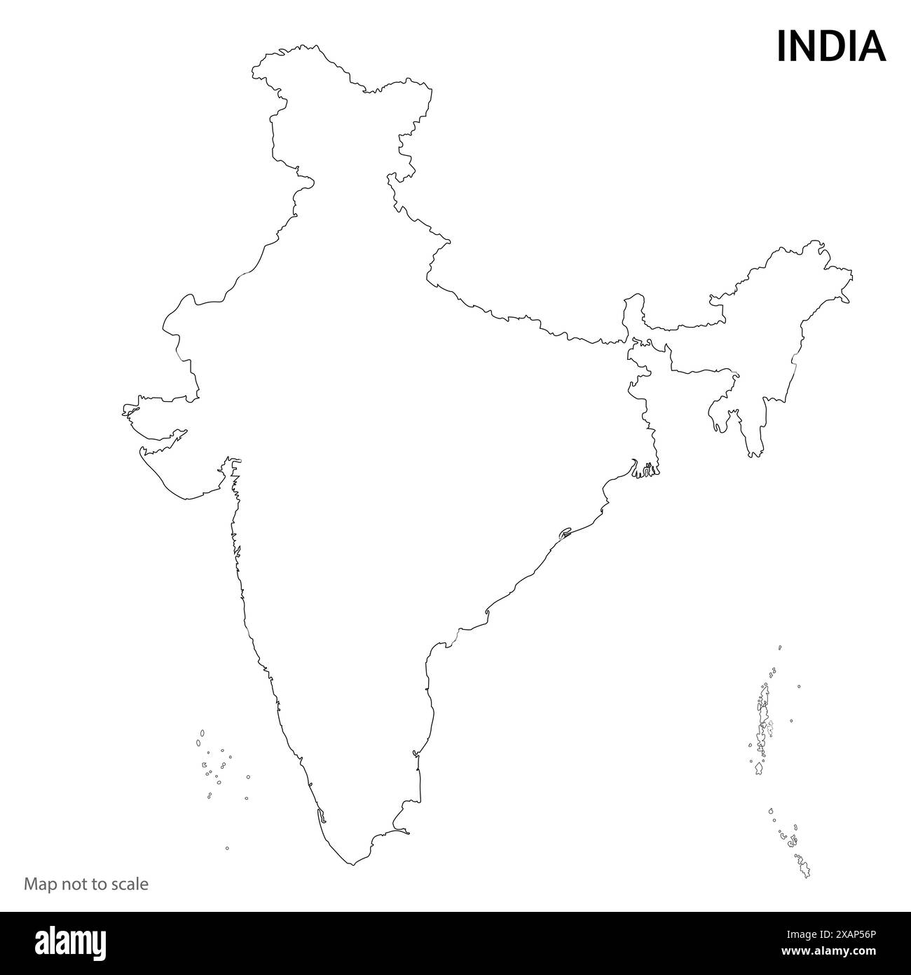 Indian Map outline vector illustration Stock Vectorhttps://www.alamy.com/image-license-details/?v=1https://www.alamy.com/indian-map-outline-vector-illustration-image608996494.html
RF2XAP56P–Indian Map outline vector illustration
 Ahmedabad city province vector map poster. India municipality square linear road map, administrative municipal area, white lines on black background, Stock Vectorhttps://www.alamy.com/image-license-details/?v=1https://www.alamy.com/ahmedabad-city-province-vector-map-poster-india-municipality-square-linear-road-map-administrative-municipal-area-white-lines-on-black-background-image460119788.html
RF2HMG7DG–Ahmedabad city province vector map poster. India municipality square linear road map, administrative municipal area, white lines on black background,
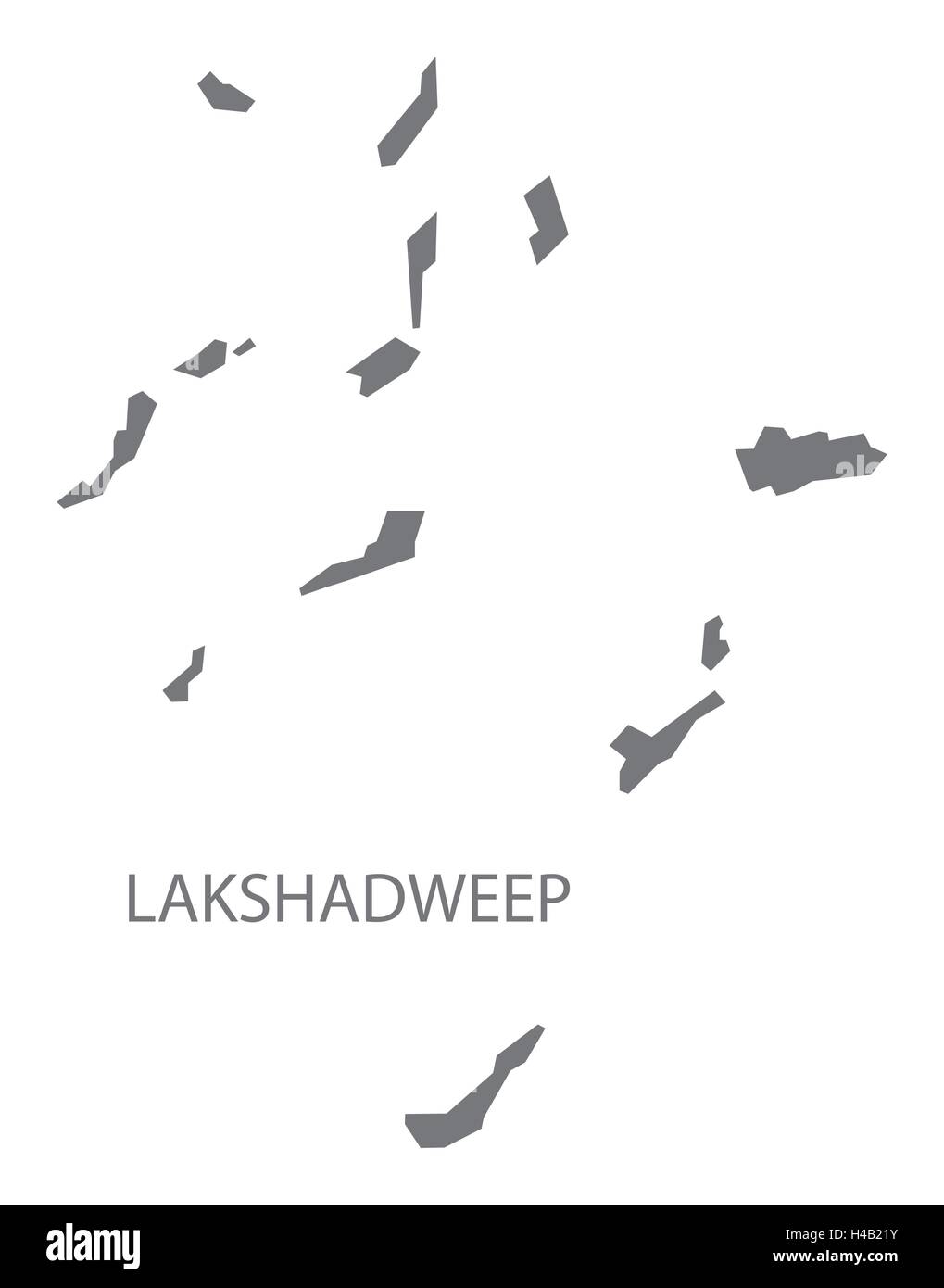 Lakshadweep india grey map illustration Stock Vectorhttps://www.alamy.com/image-license-details/?v=1https://www.alamy.com/stock-photo-lakshadweep-india-grey-map-illustration-123174295.html
RFH4B21Y–Lakshadweep india grey map illustration
 An outlined map of India. All isolated on white background. Stock Photohttps://www.alamy.com/image-license-details/?v=1https://www.alamy.com/stock-photo-an-outlined-map-of-india-all-isolated-on-white-background-31638266.html
RFBRD6X2–An outlined map of India. All isolated on white background.
RF2Y3308W–Vector isolated simplified illustration icon with black silhouette of India map with marked some disputed area on the north. White background
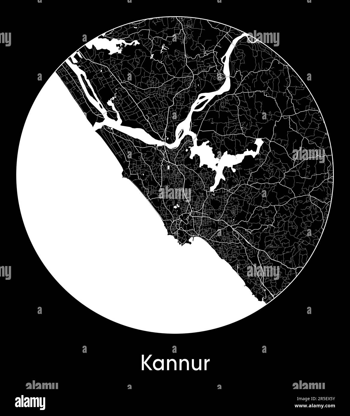 City Map Kannur India Asia vector illustration Stock Vectorhttps://www.alamy.com/image-license-details/?v=1https://www.alamy.com/city-map-kannur-india-asia-vector-illustration-image554132935.html
RF2R5EX5Y–City Map Kannur India Asia vector illustration
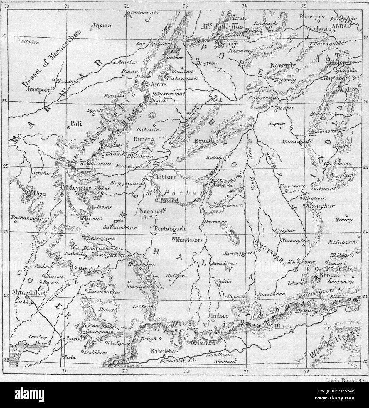 INDIA. Map of Rajasthan, antique engraving 1878 Stock Photohttps://www.alamy.com/image-license-details/?v=1https://www.alamy.com/stock-photo-india-map-of-rajasthan-antique-engraving-1878-175292331.html
RFM5574B–INDIA. Map of Rajasthan, antique engraving 1878
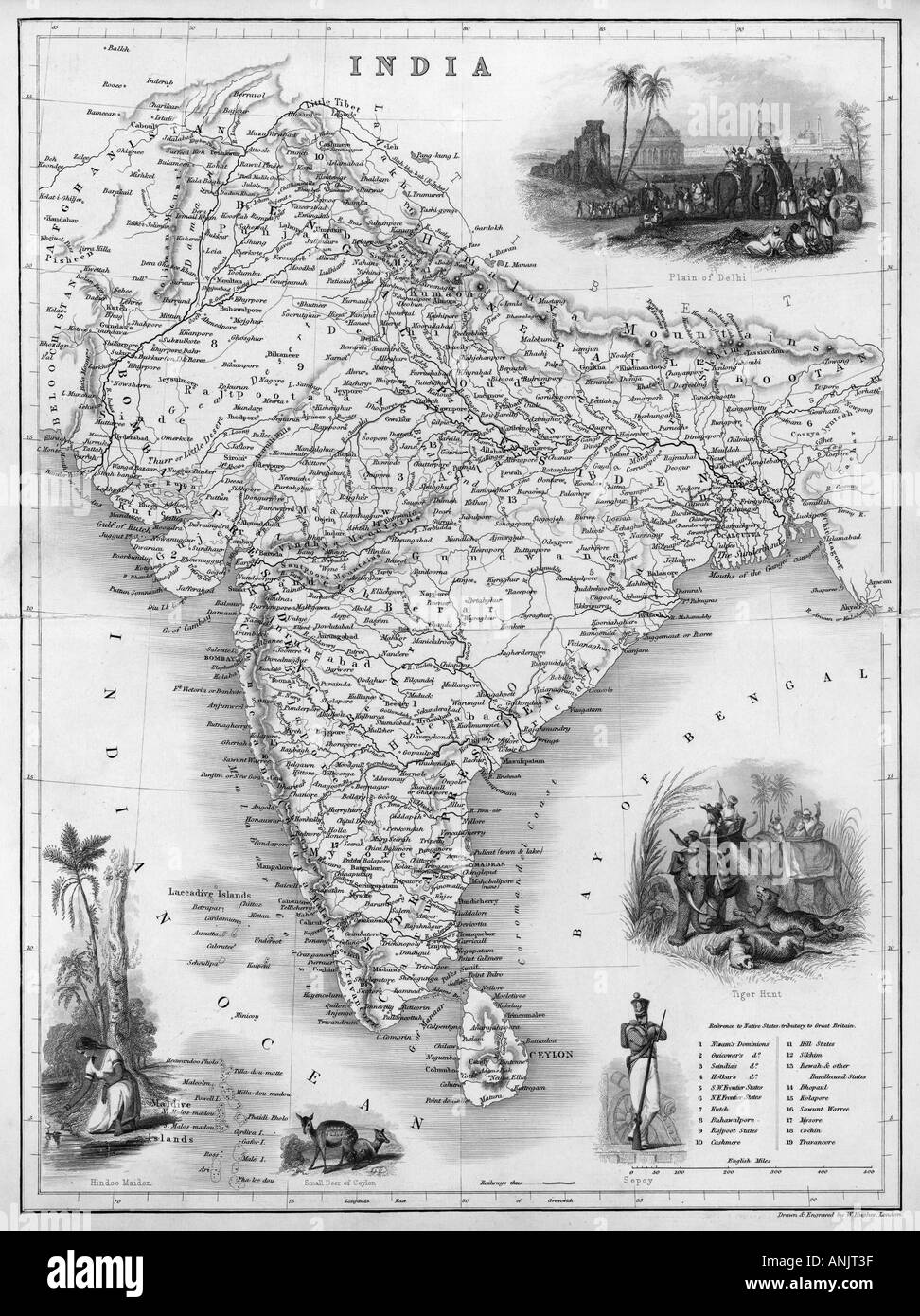 Map Asia India C1850 Stock Photohttps://www.alamy.com/image-license-details/?v=1https://www.alamy.com/map-asia-india-c1850-image5075006.html
RMANJT3F–Map Asia India C1850
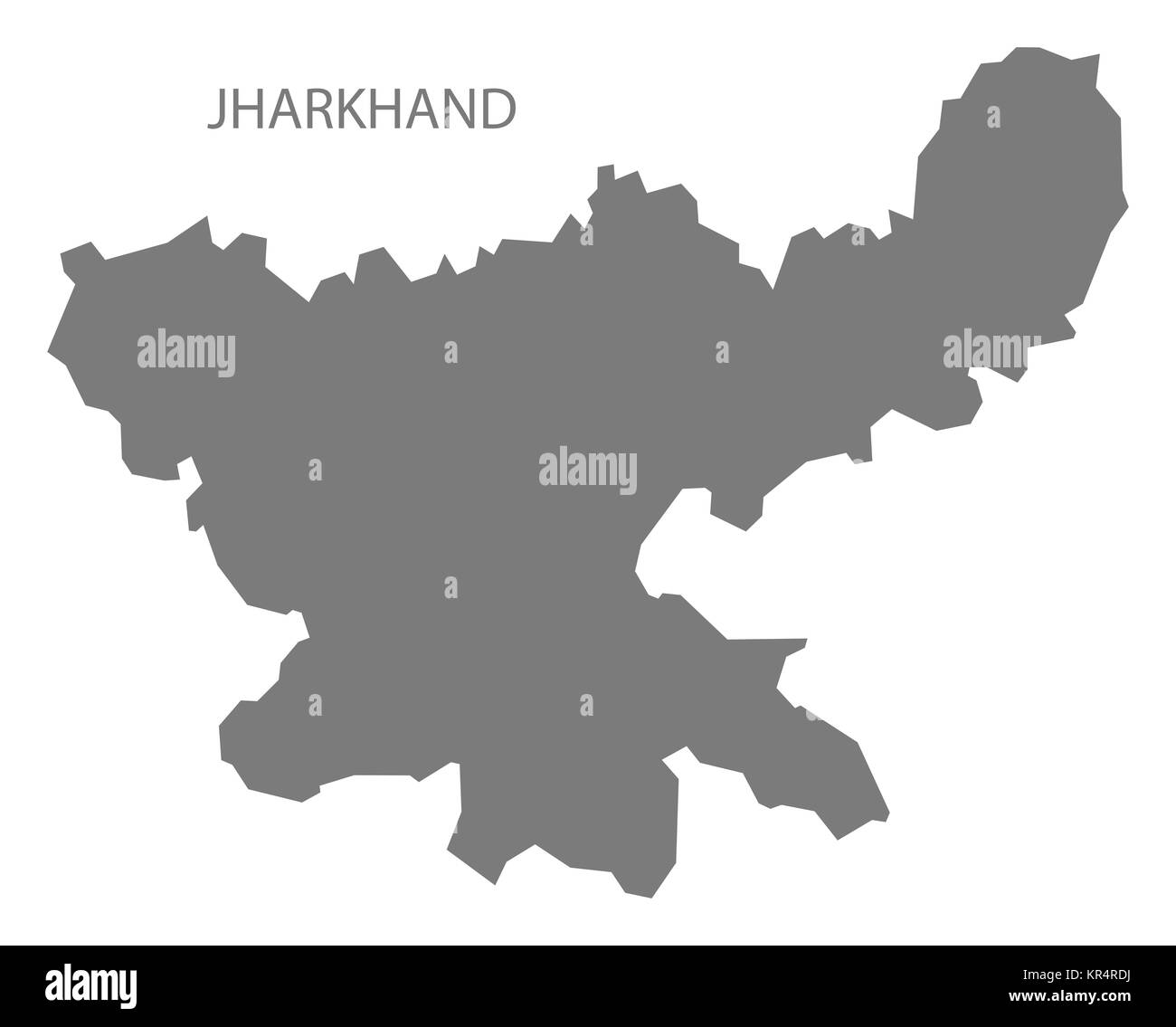 Jharkhand India Map grey Stock Photohttps://www.alamy.com/image-license-details/?v=1https://www.alamy.com/stock-image-jharkhand-india-map-grey-169136622.html
RFKR4RDJ–Jharkhand India Map grey
 Cube Smart Data Technology, India map symbol Stock Photohttps://www.alamy.com/image-license-details/?v=1https://www.alamy.com/cube-smart-data-technology-india-map-symbol-image361787869.html
RF2C0GT39–Cube Smart Data Technology, India map symbol
 India map silhouette mosaic of cogs and gears. Black vector illustration on white background. Stock Vectorhttps://www.alamy.com/image-license-details/?v=1https://www.alamy.com/india-map-silhouette-mosaic-of-cogs-and-gears-black-vector-illustration-on-white-background-image364538573.html
RF2C524JN–India map silhouette mosaic of cogs and gears. Black vector illustration on white background.
 South India Map 1652 Stock Photohttps://www.alamy.com/image-license-details/?v=1https://www.alamy.com/stock-photo-south-india-map-1652-143397645.html
RMJ9894D–South India Map 1652
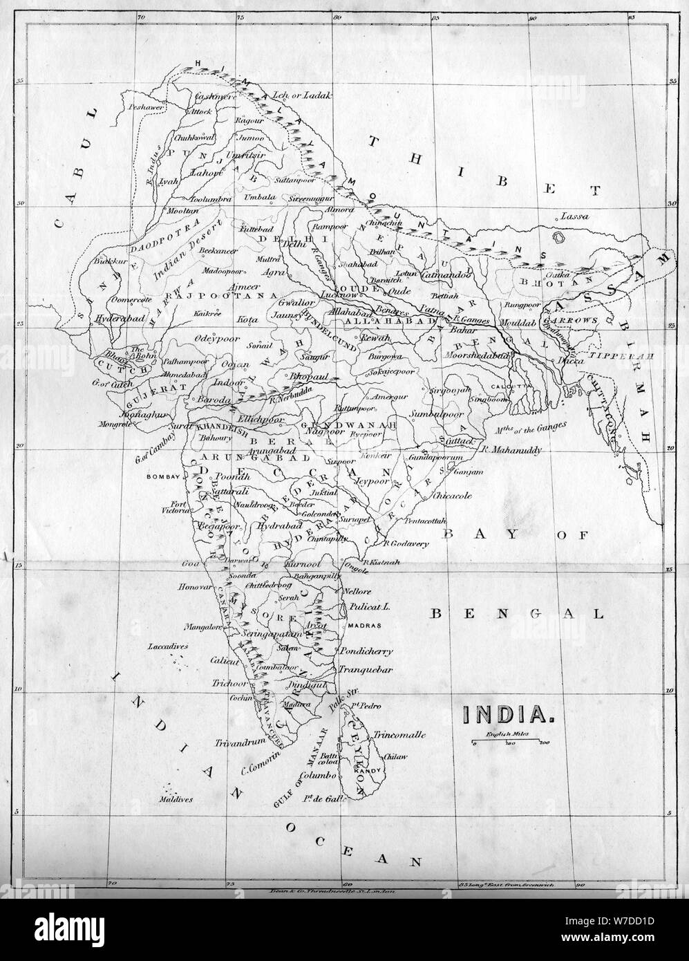 Map of India, 1847. Artist: Unknown Stock Photohttps://www.alamy.com/image-license-details/?v=1https://www.alamy.com/map-of-india-1847-artist-unknown-image262753721.html
RMW7DD1D–Map of India, 1847. Artist: Unknown
 India map graphic, Official Indian Flag color, nation country Indian atlas region, 26 January flag, 15 august flag, patriotic slogan of India, Tiranga Stock Vectorhttps://www.alamy.com/image-license-details/?v=1https://www.alamy.com/india-map-graphic-official-indian-flag-color-nation-country-indian-atlas-region-26-january-flag-15-august-flag-patriotic-slogan-of-india-tiranga-image612062777.html
RF2XFNT8W–India map graphic, Official Indian Flag color, nation country Indian atlas region, 26 January flag, 15 august flag, patriotic slogan of India, Tiranga
RF2YE54WJ–India map silhouette icon. Editable vector.
RF2MA69B3–India map icon vector illustration symbol design
 Black Halftone Dotted India Map Illustration - Vector Stock Vectorhttps://www.alamy.com/image-license-details/?v=1https://www.alamy.com/black-halftone-dotted-india-map-illustration-vector-image624177200.html
RF2Y7DMAT–Black Halftone Dotted India Map Illustration - Vector
RF2TAGJ2M–India map silhouette from black square pixels. Vector illustration.
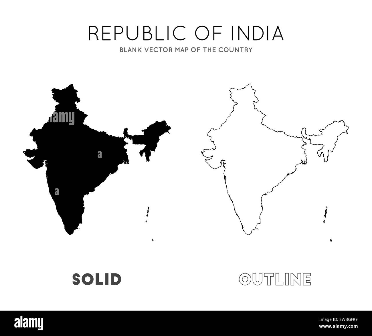 India map. Blank vector map of the Country. Borders of India for your infographic. Vector illustration. Stock Vectorhttps://www.alamy.com/image-license-details/?v=1https://www.alamy.com/india-map-blank-vector-map-of-the-country-borders-of-india-for-your-infographic-vector-illustration-image592277373.html
RF2WBGFR9–India map. Blank vector map of the Country. Borders of India for your infographic. Vector illustration.
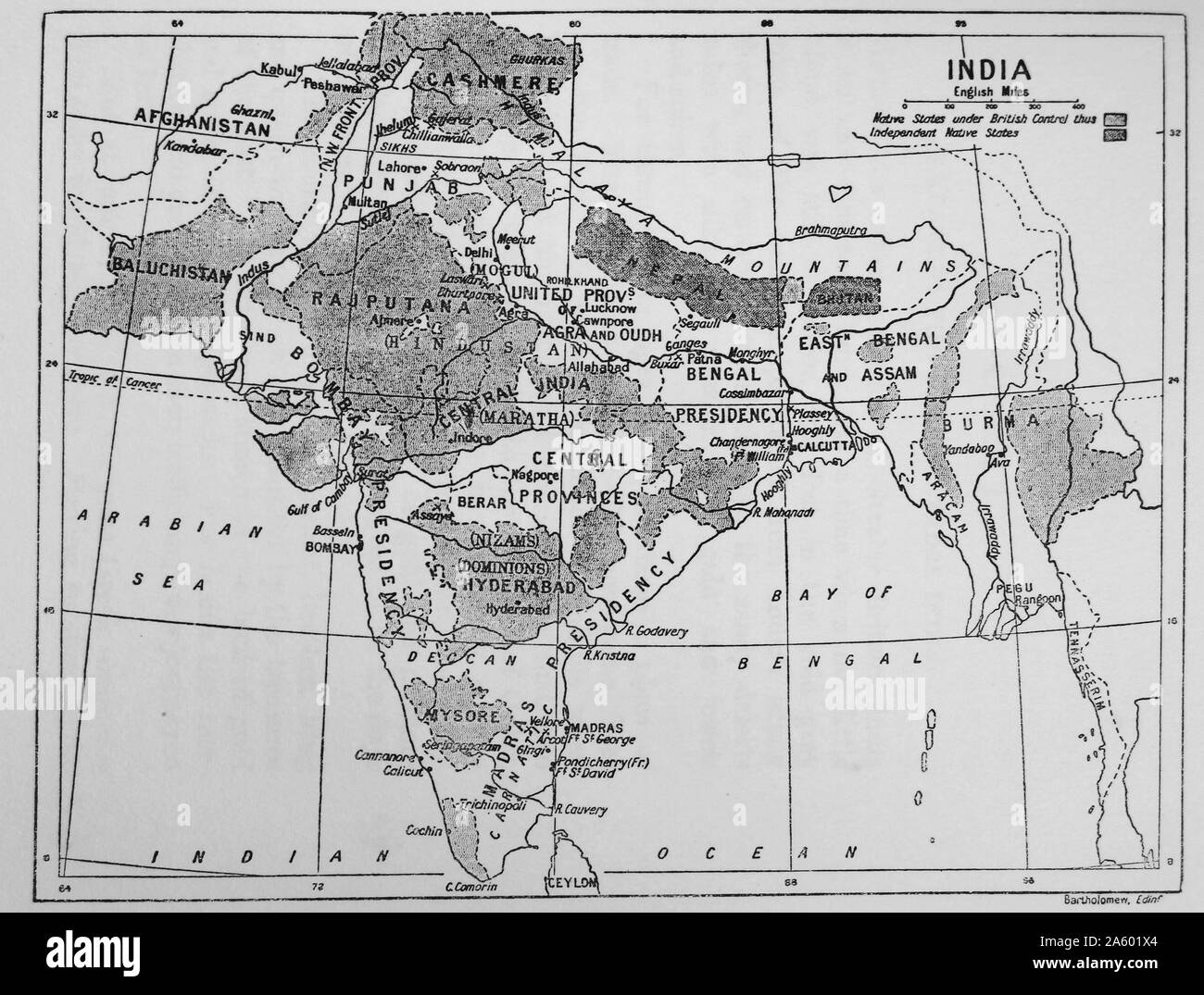 Map showing the British Control over India. Dated 19th Century Stock Photohttps://www.alamy.com/image-license-details/?v=1https://www.alamy.com/map-showing-the-british-control-over-india-dated-19th-century-image330686444.html
RM2A601X4–Map showing the British Control over India. Dated 19th Century
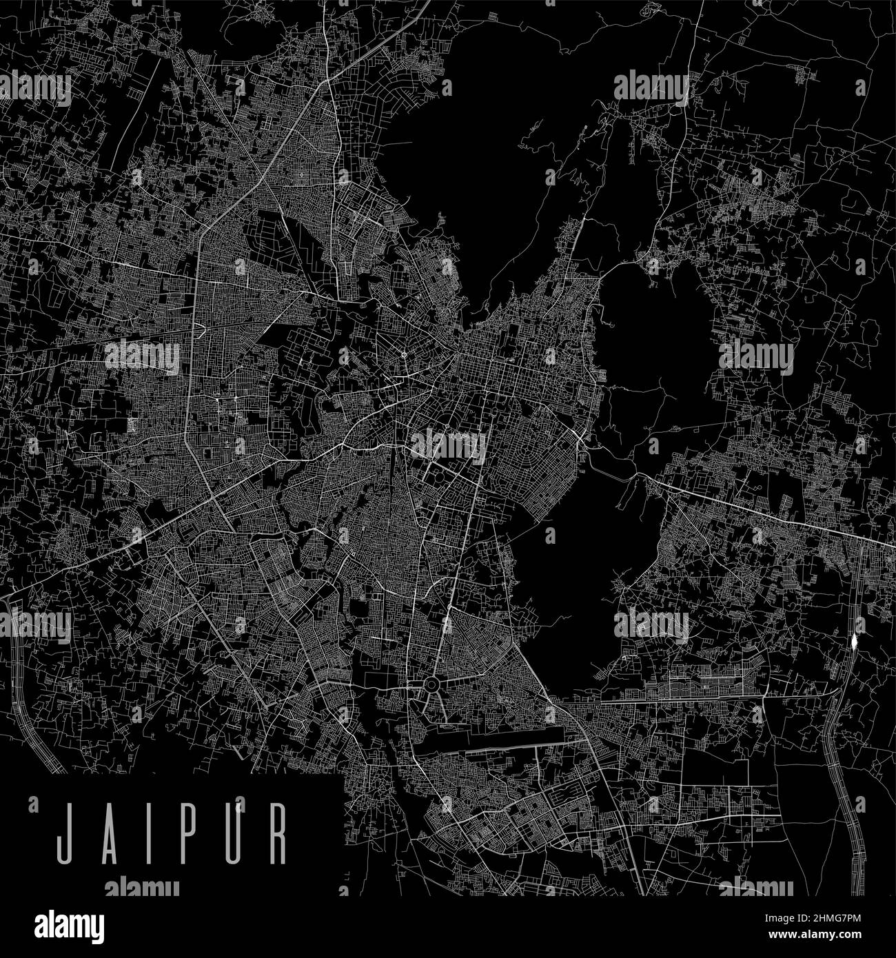 Jaipur city province vector map poster. India municipality square linear road map, administrative municipal area, white lines on black background, wit Stock Vectorhttps://www.alamy.com/image-license-details/?v=1https://www.alamy.com/jaipur-city-province-vector-map-poster-india-municipality-square-linear-road-map-administrative-municipal-area-white-lines-on-black-background-wit-image460120044.html
RF2HMG7PM–Jaipur city province vector map poster. India municipality square linear road map, administrative municipal area, white lines on black background, wit
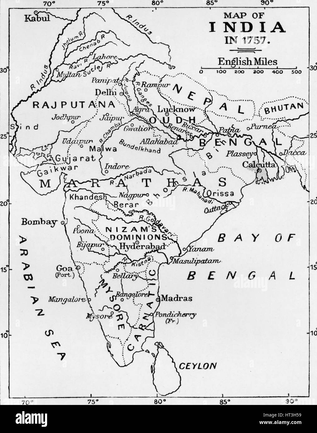 'Map of India in 1757', (c1912). Artist: Unknown. Stock Photohttps://www.alamy.com/image-license-details/?v=1https://www.alamy.com/stock-photo-map-of-india-in-1757-c1912-artist-unknown-135303653.html
RMHT3H59–'Map of India in 1757', (c1912). Artist: Unknown.
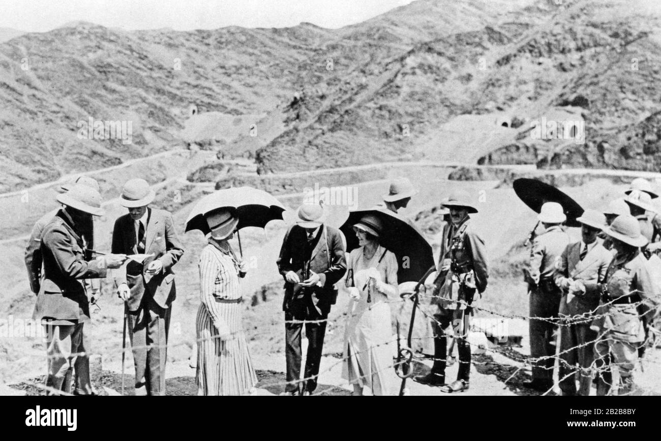 The viceroy of India, Lord Wellington, studying a map in front of the Khyber Pass. The hinterland of the border crossing in the northwest of India could never really be pacified by the English. Here applied the authority of the respective tribal leaders. Today the pass separates Pakistan from Afghanistan. Stock Photohttps://www.alamy.com/image-license-details/?v=1https://www.alamy.com/the-viceroy-of-india-lord-wellington-studying-a-map-in-front-of-the-khyber-pass-the-hinterland-of-the-border-crossing-in-the-northwest-of-india-could-never-really-be-pacified-by-the-english-here-applied-the-authority-of-the-respective-tribal-leaders-today-the-pass-separates-pakistan-from-afghanistan-image345684751.html
RM2B2B8BY–The viceroy of India, Lord Wellington, studying a map in front of the Khyber Pass. The hinterland of the border crossing in the northwest of India could never really be pacified by the English. Here applied the authority of the respective tribal leaders. Today the pass separates Pakistan from Afghanistan.
 India map with shadow - Vector illustration Stock Vectorhttps://www.alamy.com/image-license-details/?v=1https://www.alamy.com/india-map-with-shadow-vector-illustration-image263699645.html
RFW90FGD–India map with shadow - Vector illustration
