Quick filters:
India meghalaya map Stock Photos and Images
 State of Meghalaya, India, Relief Map Stock Photohttps://www.alamy.com/image-license-details/?v=1https://www.alamy.com/stock-photo-state-of-meghalaya-india-relief-map-71603225.html
RME4DPJ1–State of Meghalaya, India, Relief Map
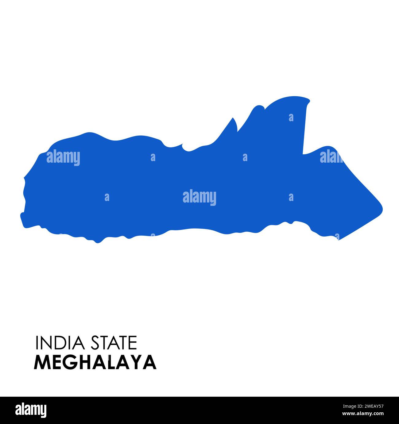 Meghalaya map of Indian state. Meghalaya map vector illustration. Meghalaya map on white background. Stock Photohttps://www.alamy.com/image-license-details/?v=1https://www.alamy.com/meghalaya-map-of-indian-state-meghalaya-map-vector-illustration-meghalaya-map-on-white-background-image593998531.html
RF2WEAY57–Meghalaya map of Indian state. Meghalaya map vector illustration. Meghalaya map on white background.
 India and the State of Meghalaya, Relief Map Stock Photohttps://www.alamy.com/image-license-details/?v=1https://www.alamy.com/stock-photo-india-and-the-state-of-meghalaya-relief-map-71607852.html
RME4E0F8–India and the State of Meghalaya, Relief Map
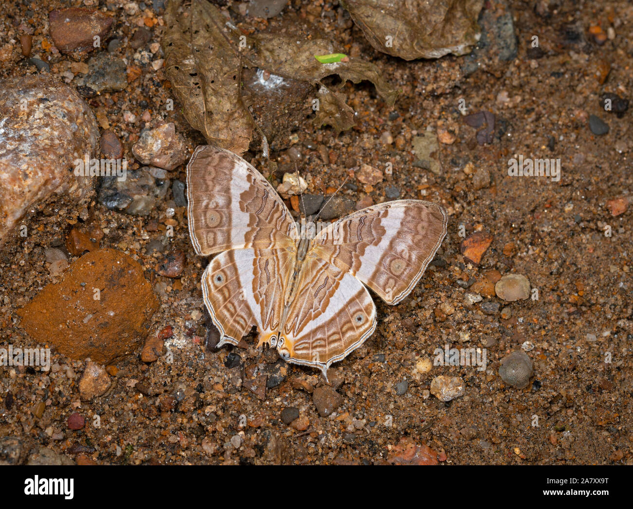 Marbeled Map Open Wing, Cyrestis cocles , Butterfly, Garo Hills, Meghalaya, India Stock Photohttps://www.alamy.com/image-license-details/?v=1https://www.alamy.com/marbeled-map-open-wing-cyrestis-cocles-butterfly-garo-hills-meghalaya-india-image331890996.html
RF2A7XX9T–Marbeled Map Open Wing, Cyrestis cocles , Butterfly, Garo Hills, Meghalaya, India
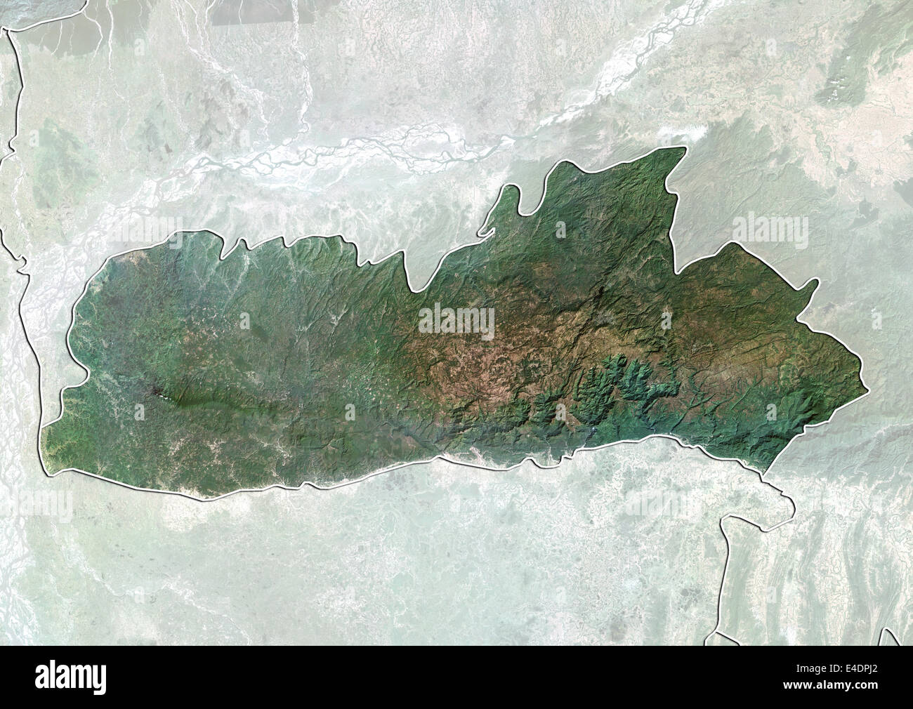 State of Meghalaya, India, True Colour Satellite Image Stock Photohttps://www.alamy.com/image-license-details/?v=1https://www.alamy.com/stock-photo-state-of-meghalaya-india-true-colour-satellite-image-71603226.html
RME4DPJ2–State of Meghalaya, India, True Colour Satellite Image
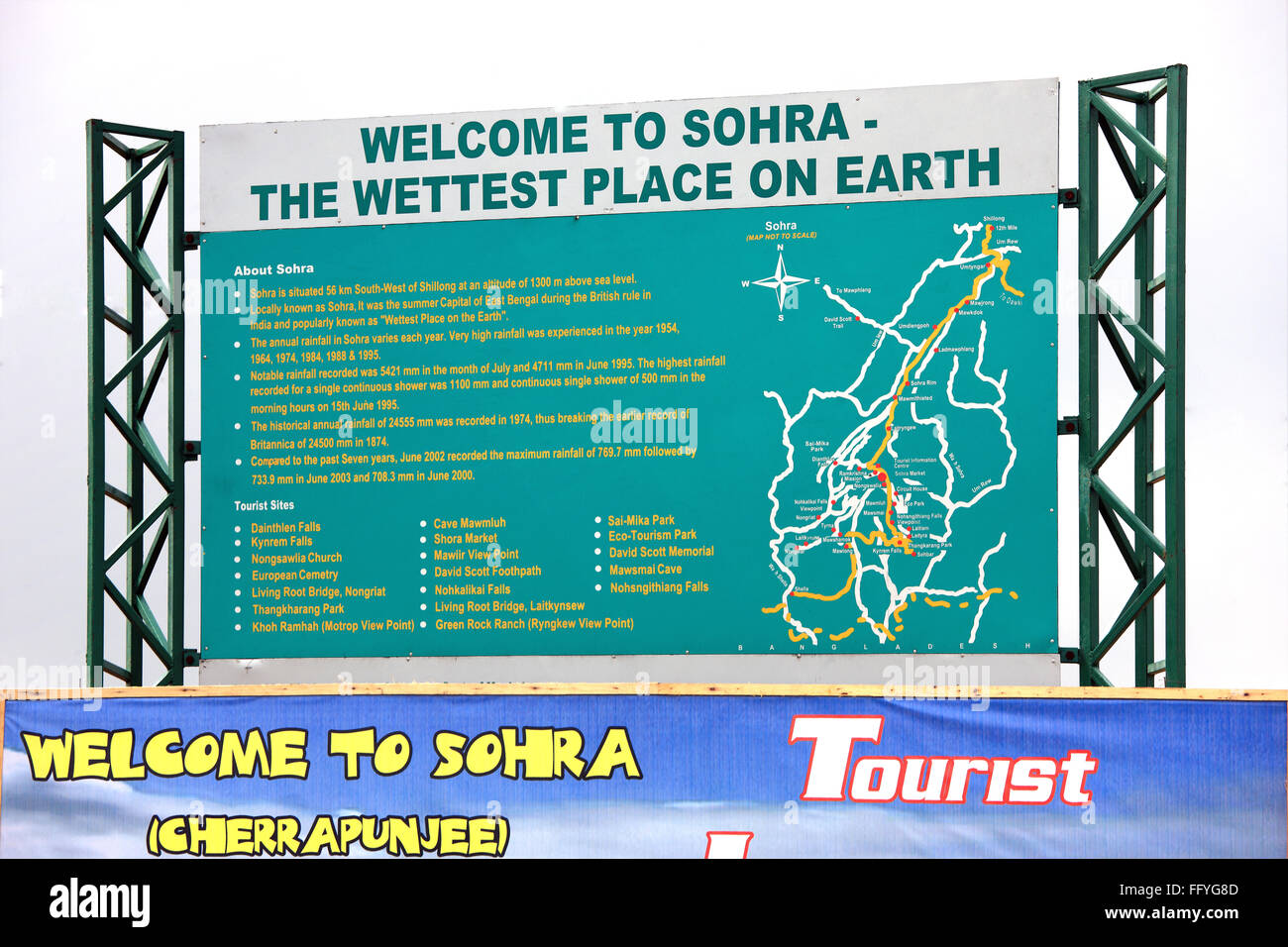 Hoarding showing tourist locations ; Cherrapunji ; Sohra ; Meghalaya ; India Stock Photohttps://www.alamy.com/image-license-details/?v=1https://www.alamy.com/stock-photo-hoarding-showing-tourist-locations-cherrapunji-sohra-meghalaya-india-95877165.html
RFFFYG8D–Hoarding showing tourist locations ; Cherrapunji ; Sohra ; Meghalaya ; India
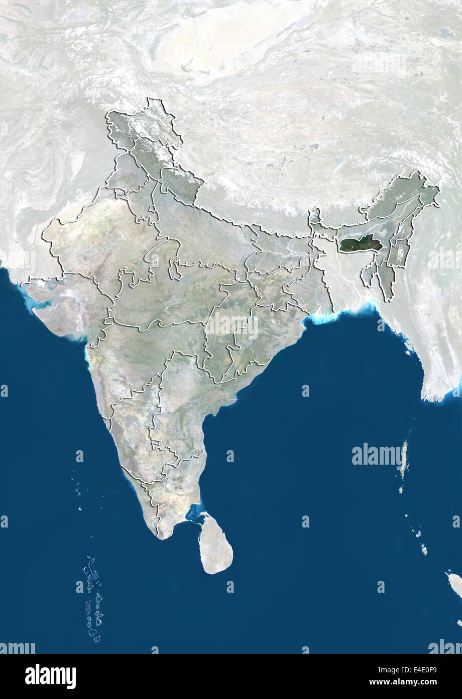 India and the State of Meghalaya, True Colour Satellite Image Stock Photohttps://www.alamy.com/image-license-details/?v=1https://www.alamy.com/stock-photo-india-and-the-state-of-meghalaya-true-colour-satellite-image-71607853.html
RME4E0F9–India and the State of Meghalaya, True Colour Satellite Image
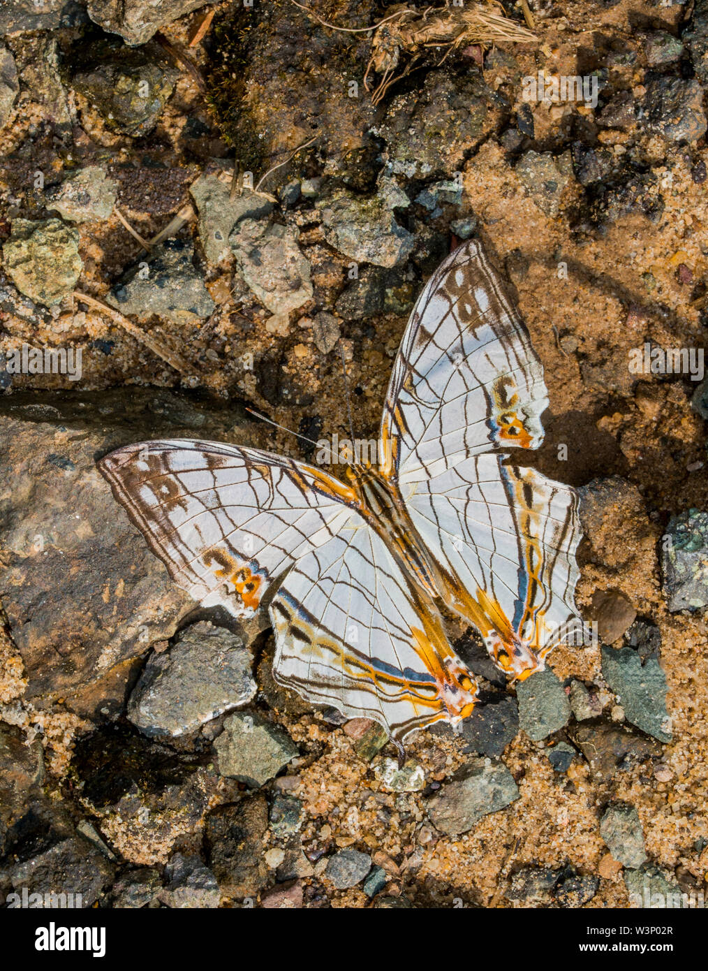 Common Map Butterfly at Garo Hills,Meghalaya,India Stock Photohttps://www.alamy.com/image-license-details/?v=1https://www.alamy.com/common-map-butterfly-at-garo-hillsmeghalayaindia-image260482511.html
RFW3P02R–Common Map Butterfly at Garo Hills,Meghalaya,India
 Illustration, meghalaya location map, india, asia Stock Photohttps://www.alamy.com/image-license-details/?v=1https://www.alamy.com/stock-photo-illustration-meghalaya-location-map-india-asia-90369592.html
RMF70K9C–Illustration, meghalaya location map, india, asia
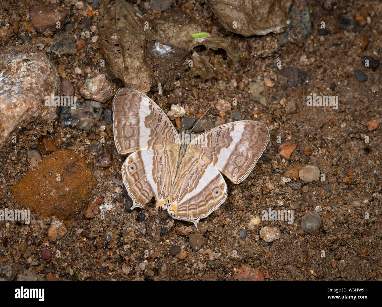 Marbled map Butterfly at Garo Hills,Meghalaya,India Stock Photohttps://www.alamy.com/image-license-details/?v=1https://www.alamy.com/marbled-map-butterfly-at-garo-hillsmeghalayaindia-image260480349.html
RFW3NW9H–Marbled map Butterfly at Garo Hills,Meghalaya,India
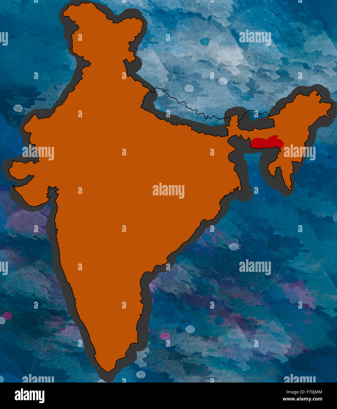 Illustration, meghalaya location map, india, asia Stock Photohttps://www.alamy.com/image-license-details/?v=1https://www.alamy.com/stock-photo-illustration-meghalaya-location-map-india-asia-90369124.html
RMF70JMM–Illustration, meghalaya location map, india, asia
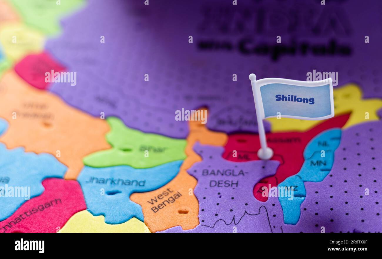 Selective focus on Shillong - the capital city of Meghalaya on an Indian map Stock Photohttps://www.alamy.com/image-license-details/?v=1https://www.alamy.com/selective-focus-on-shillong-the-capital-city-of-meghalaya-on-an-indian-map-image554966959.html
RF2R6TX0F–Selective focus on Shillong - the capital city of Meghalaya on an Indian map
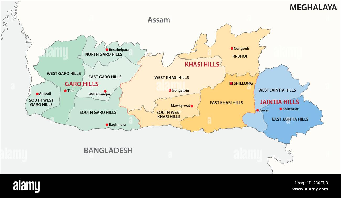 Meghalaya administrative and political vector map, India Stock Vectorhttps://www.alamy.com/image-license-details/?v=1https://www.alamy.com/meghalaya-administrative-and-political-vector-map-india-image378954755.html
RF2D0ETJB–Meghalaya administrative and political vector map, India
 Meghalaya india grey map illustration Stock Vectorhttps://www.alamy.com/image-license-details/?v=1https://www.alamy.com/stock-photo-meghalaya-india-grey-map-illustration-123174299.html
RFH4B223–Meghalaya india grey map illustration
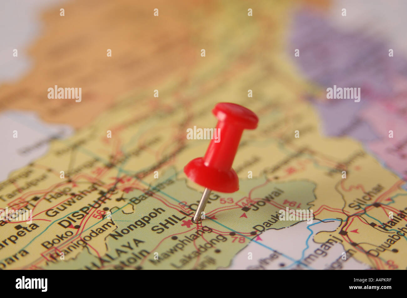 ANG77835 Map of India spotted Shillong Capital Meghalaya by Red colored Board Pin Stock Photohttps://www.alamy.com/image-license-details/?v=1https://www.alamy.com/ang77835-map-of-india-spotted-shillong-capital-meghalaya-by-red-colored-image6343870.html
RFA4PKRF–ANG77835 Map of India spotted Shillong Capital Meghalaya by Red colored Board Pin
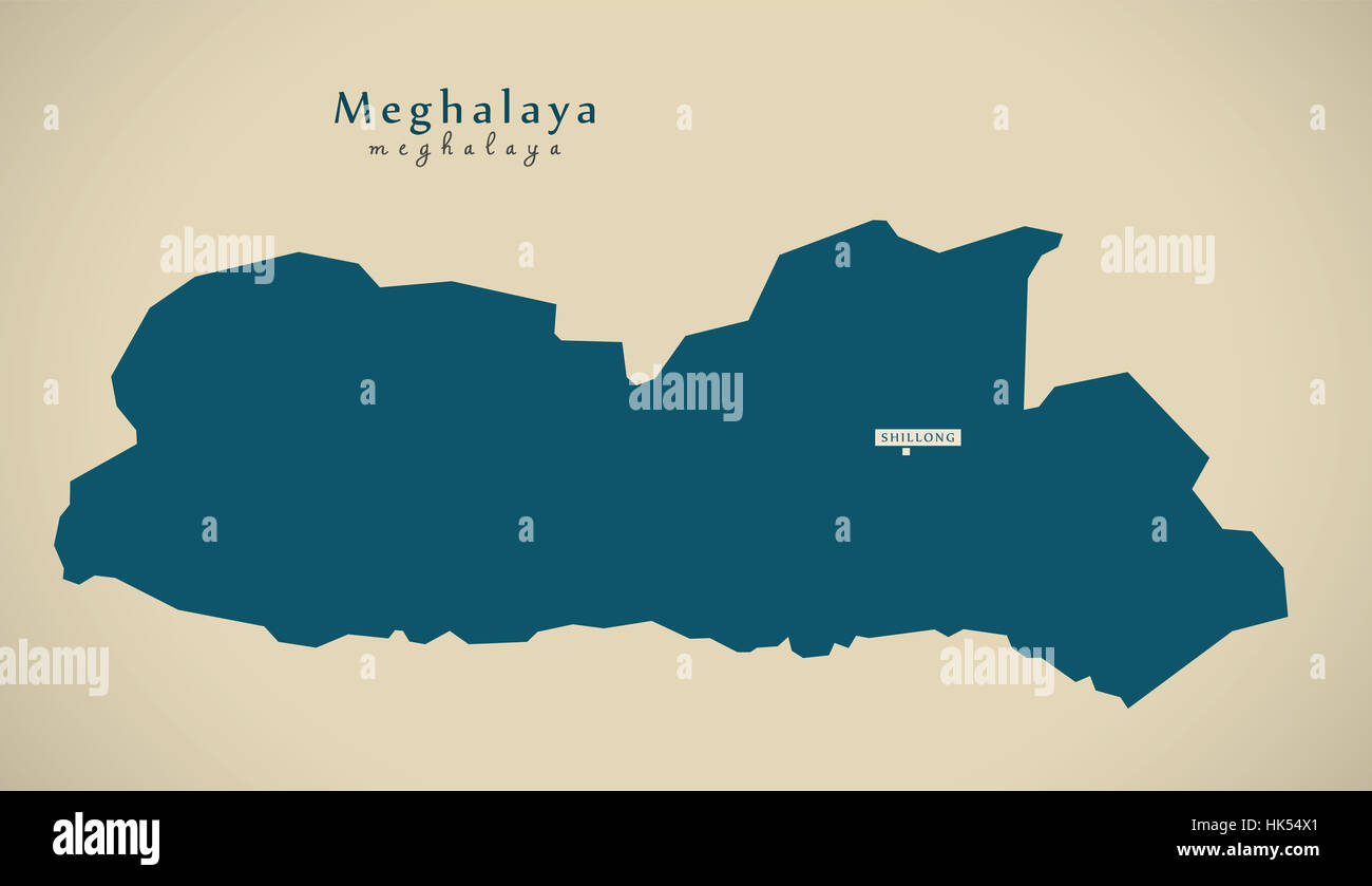 Modern Map - Meghalaya IN India federal state illustration silhouette Stock Photohttps://www.alamy.com/image-license-details/?v=1https://www.alamy.com/stock-photo-modern-map-meghalaya-in-india-federal-state-illustration-silhouette-132264665.html
RFHK54X1–Modern Map - Meghalaya IN India federal state illustration silhouette
 Meghalaya India Map grey Stock Photohttps://www.alamy.com/image-license-details/?v=1https://www.alamy.com/stock-image-meghalaya-india-map-grey-169136648.html
RFKR4REG–Meghalaya India Map grey
 Meghalaya federal state watercolor map of India in front of a white background Stock Photohttps://www.alamy.com/image-license-details/?v=1https://www.alamy.com/meghalaya-federal-state-watercolor-map-of-india-in-front-of-a-white-background-image219661008.html
RFPNABT0–Meghalaya federal state watercolor map of India in front of a white background
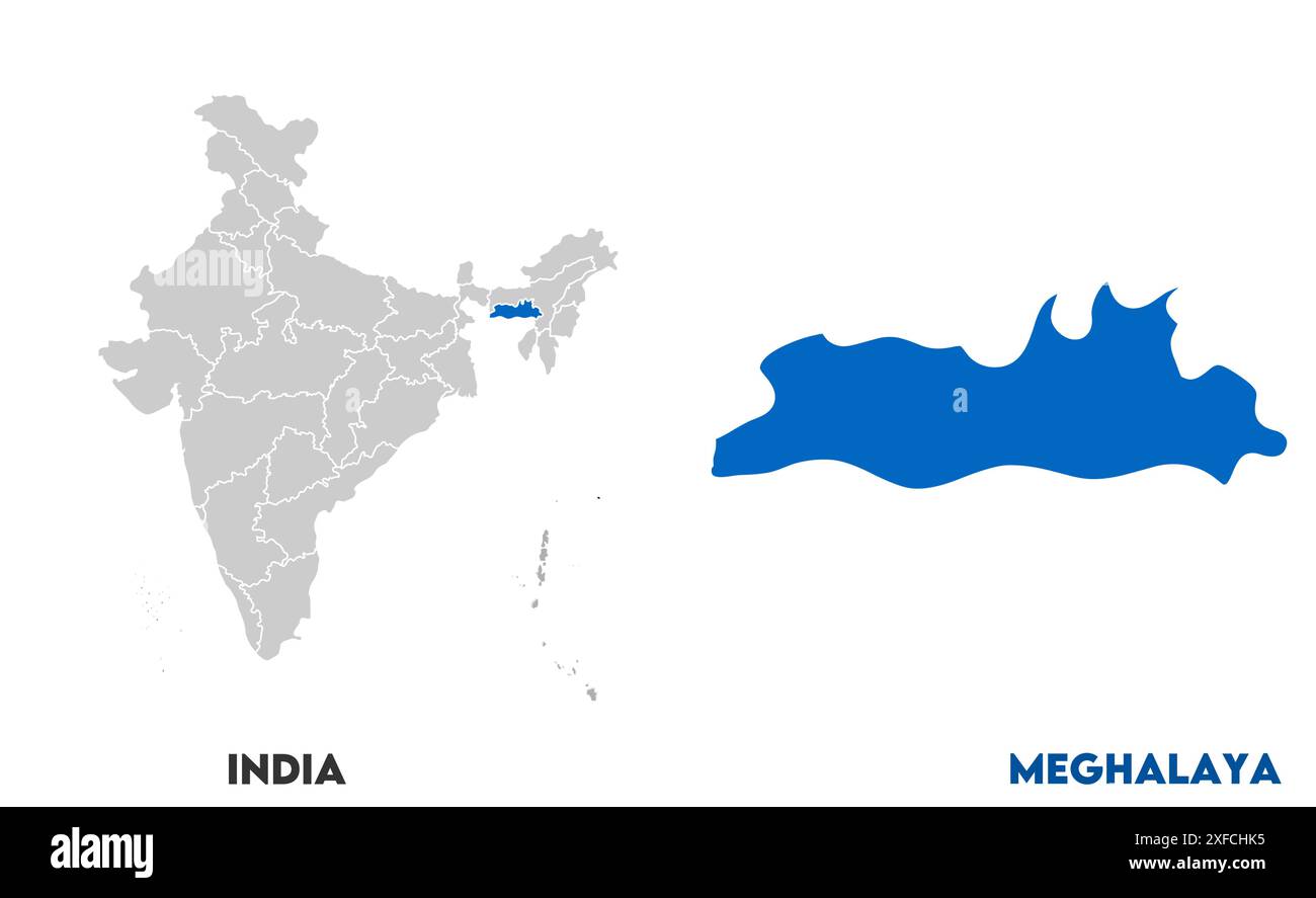 Meghalaya Map1, State of India, Republic of India, government, Political map, modern map, Indian flag, vector illustration Stock Vectorhttps://www.alamy.com/image-license-details/?v=1https://www.alamy.com/meghalaya-map1-state-of-india-republic-of-india-government-political-map-modern-map-indian-flag-vector-illustration-image611860009.html
RF2XFCHK5–Meghalaya Map1, State of India, Republic of India, government, Political map, modern map, Indian flag, vector illustration
 Meghalaya State Map of India with name on it Stock Vectorhttps://www.alamy.com/image-license-details/?v=1https://www.alamy.com/meghalaya-state-map-of-india-with-name-on-it-image621828911.html
RF2Y3JN3B–Meghalaya State Map of India with name on it
 Meghalaya state location within India map. 3D Illustration Stock Photohttps://www.alamy.com/image-license-details/?v=1https://www.alamy.com/meghalaya-state-location-within-india-map-3d-illustration-image558491697.html
RF2RCHDT1–Meghalaya state location within India map. 3D Illustration
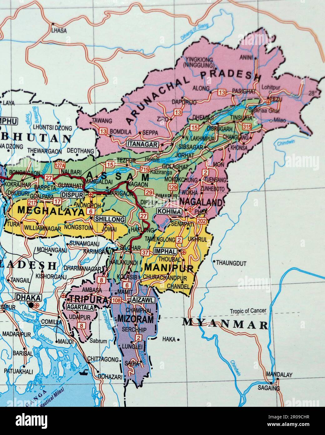 close up of an indian map with north east states manipur assam in focus Stock Photohttps://www.alamy.com/image-license-details/?v=1https://www.alamy.com/close-up-of-an-indian-map-with-north-east-states-manipur-assam-in-focus-image550939251.html
RF2R09CHR–close up of an indian map with north east states manipur assam in focus
 Marbeled Map closed Wing, Cyrestis cocles , Butterfly, Garo Hills, Meghalaya, India Stock Photohttps://www.alamy.com/image-license-details/?v=1https://www.alamy.com/marbeled-map-closed-wing-cyrestis-cocles-butterfly-garo-hills-meghalaya-india-image331890993.html
RF2A7XX9N–Marbeled Map closed Wing, Cyrestis cocles , Butterfly, Garo Hills, Meghalaya, India
 Meghalaya map of Indian state. Meghalaya map vector illustration. Meghalaya map on white background. Stock Vectorhttps://www.alamy.com/image-license-details/?v=1https://www.alamy.com/meghalaya-map-of-indian-state-meghalaya-map-vector-illustration-meghalaya-map-on-white-background-image594079542.html
RF2WEEJEE–Meghalaya map of Indian state. Meghalaya map vector illustration. Meghalaya map on white background.
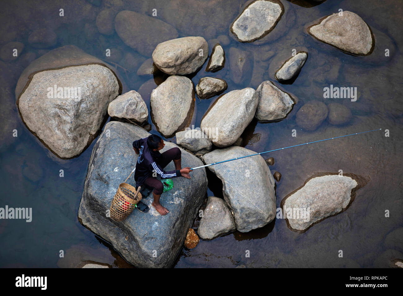 MEGHALAYA, INDIA, September 2018, Fisherman fishing at Umngot River, Dawki Stock Photohttps://www.alamy.com/image-license-details/?v=1https://www.alamy.com/meghalaya-india-september-2018-fisherman-fishing-at-umngot-river-dawki-image237682772.html
RMRPKAPC–MEGHALAYA, INDIA, September 2018, Fisherman fishing at Umngot River, Dawki
 Meghalaya blank detailed outline map set Stock Vectorhttps://www.alamy.com/image-license-details/?v=1https://www.alamy.com/meghalaya-blank-detailed-outline-map-set-image177776561.html
RFM96BPW–Meghalaya blank detailed outline map set
 Meghalaya India Map black inverted Stock Photohttps://www.alamy.com/image-license-details/?v=1https://www.alamy.com/stock-image-meghalaya-india-map-black-inverted-169688933.html
RFKT1YY1–Meghalaya India Map black inverted
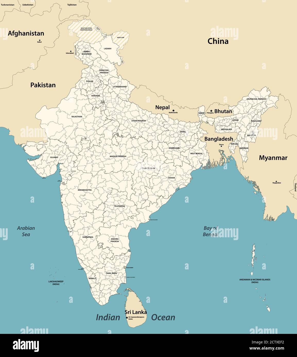 India administrative divisions vector map with neighbouring coutries Stock Vectorhttps://www.alamy.com/image-license-details/?v=1https://www.alamy.com/india-administrative-divisions-vector-map-with-neighbouring-coutries-image376751622.html
RF2CTXEF2–India administrative divisions vector map with neighbouring coutries
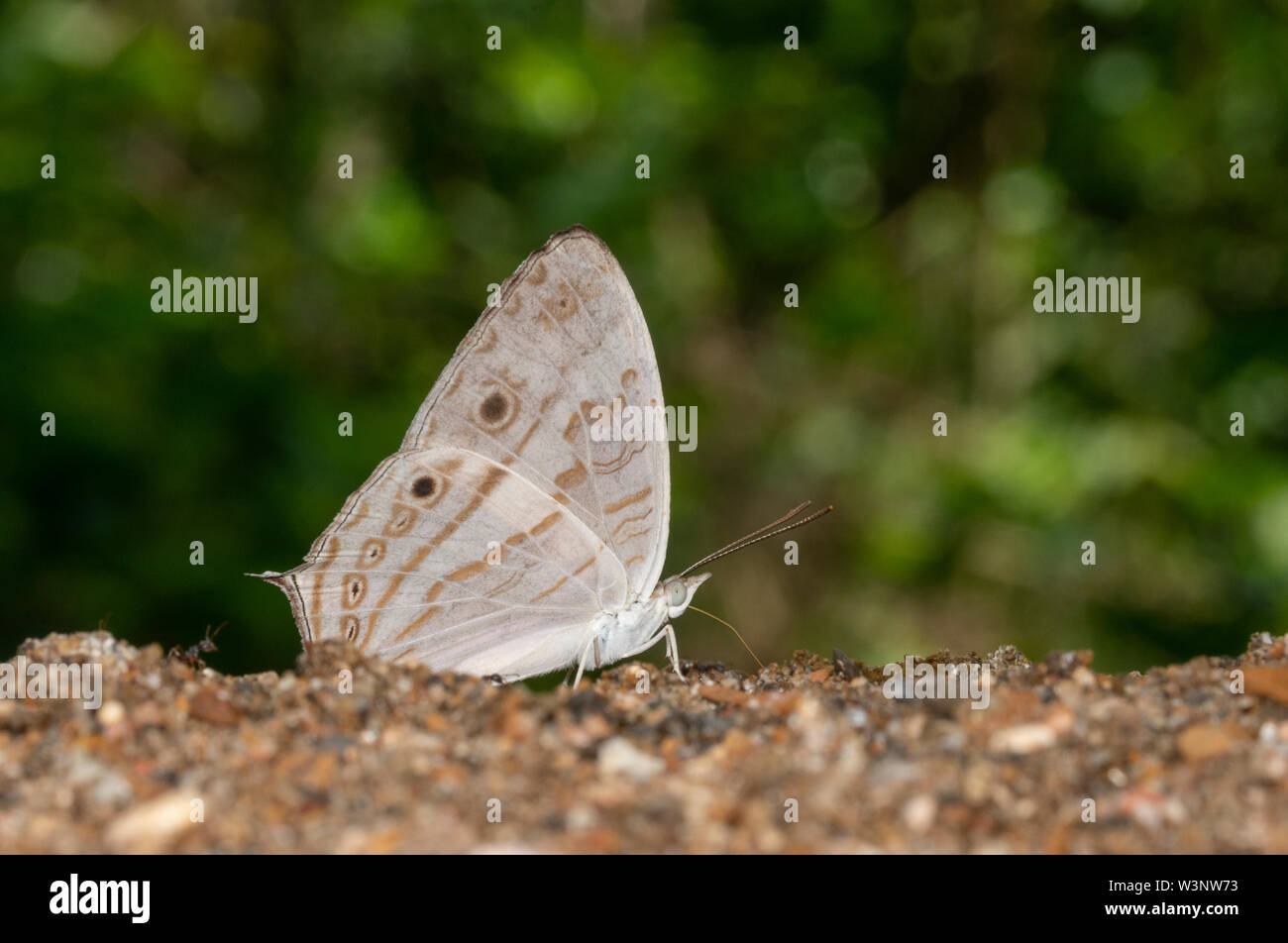 Marbeled map Butterfly closed wing at Garo Hills,Meghalaya,India Stock Photohttps://www.alamy.com/image-license-details/?v=1https://www.alamy.com/marbeled-map-butterfly-closed-wing-at-garo-hillsmeghalayaindia-image260480279.html
RFW3NW73–Marbeled map Butterfly closed wing at Garo Hills,Meghalaya,India
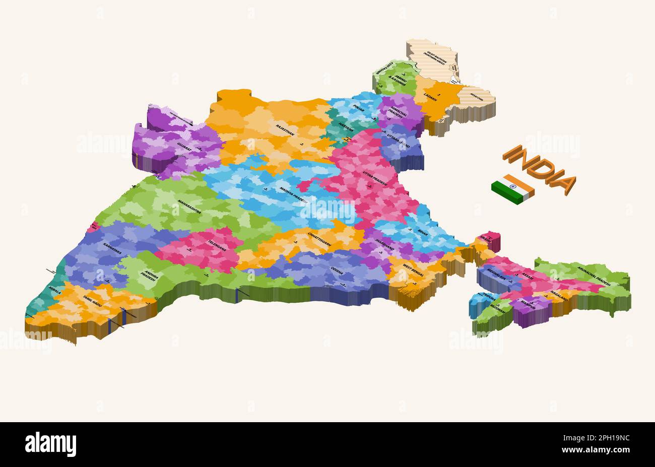 States of India 3d (isometric) colorful vector map with capital cities and flag of India Stock Vectorhttps://www.alamy.com/image-license-details/?v=1https://www.alamy.com/states-of-india-3d-isometric-colorful-vector-map-with-capital-cities-and-flag-of-india-image544000168.html
RF2PH19NC–States of India 3d (isometric) colorful vector map with capital cities and flag of India
 India states - map of Meghalaya. Hand made. Rivers and lakes are shown. Please look at my other images of cartographic series - they are all very deta Stock Vectorhttps://www.alamy.com/image-license-details/?v=1https://www.alamy.com/india-states-map-of-meghalaya-hand-made-rivers-and-lakes-are-shown-please-look-at-my-other-images-of-cartographic-series-they-are-all-very-deta-image375413797.html
RF2CPNG3H–India states - map of Meghalaya. Hand made. Rivers and lakes are shown. Please look at my other images of cartographic series - they are all very deta
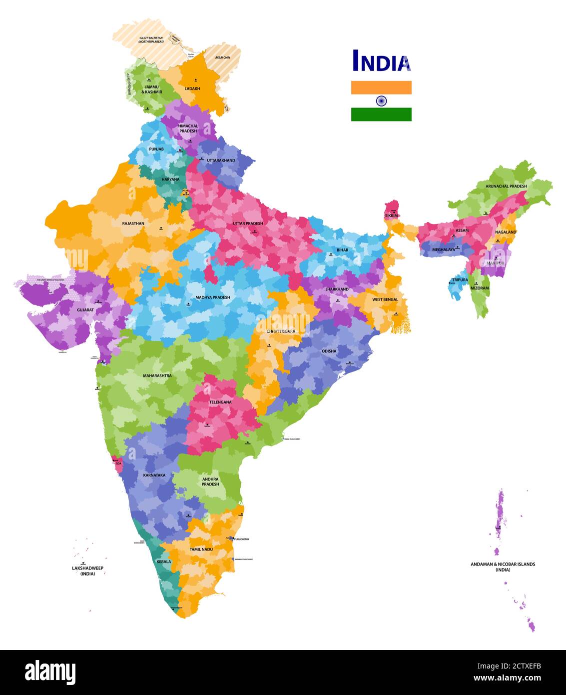 India high detailed vector map showing states and districts boundaries with states' names and capitals. Flag of India Stock Vectorhttps://www.alamy.com/image-license-details/?v=1https://www.alamy.com/india-high-detailed-vector-map-showing-states-and-districts-boundaries-with-states-names-and-capitals-flag-of-india-image376751631.html
RF2CTXEFB–India high detailed vector map showing states and districts boundaries with states' names and capitals. Flag of India
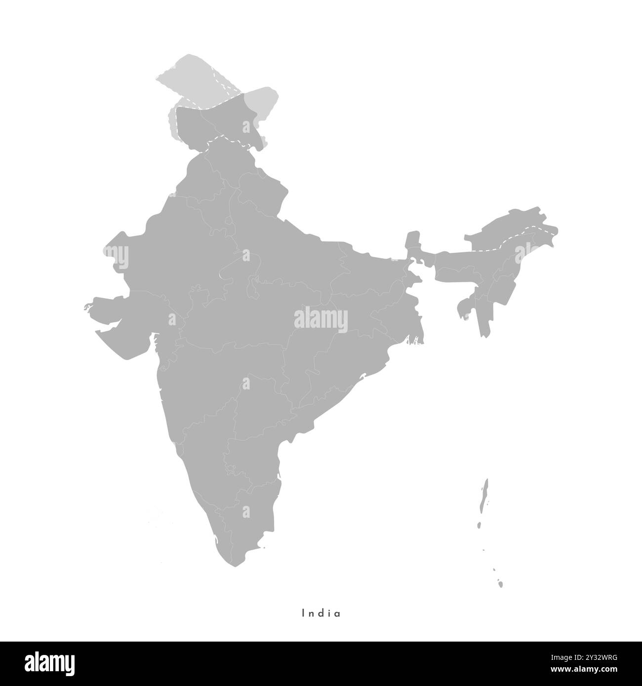 Vector modern isolated illustration. Simplified administrative map of India in grey color with regions borders. White background. Stock Vectorhttps://www.alamy.com/image-license-details/?v=1https://www.alamy.com/vector-modern-isolated-illustration-simplified-administrative-map-of-india-in-grey-color-with-regions-borders-white-background-image621481380.html
RF2Y32WRG–Vector modern isolated illustration. Simplified administrative map of India in grey color with regions borders. White background.
 Symbol Map of the State Meghalaya (India). Abstract map showing the state/province with a pattern of overlapping colorful squares like candies Stock Vectorhttps://www.alamy.com/image-license-details/?v=1https://www.alamy.com/symbol-map-of-the-state-meghalaya-india-abstract-map-showing-the-stateprovince-with-a-pattern-of-overlapping-colorful-squares-like-candies-image611831776.html
RF2XFB9JT–Symbol Map of the State Meghalaya (India). Abstract map showing the state/province with a pattern of overlapping colorful squares like candies
 Meghalaya India Map black inverted silhouette Stock Vectorhttps://www.alamy.com/image-license-details/?v=1https://www.alamy.com/stock-photo-meghalaya-india-map-black-inverted-silhouette-133358759.html
RFHMY0CR–Meghalaya India Map black inverted silhouette
 Meghalaya map with Indian national flag illustration Stock Photohttps://www.alamy.com/image-license-details/?v=1https://www.alamy.com/meghalaya-map-with-indian-national-flag-illustration-image227084325.html
RFR5CGAD–Meghalaya map with Indian national flag illustration
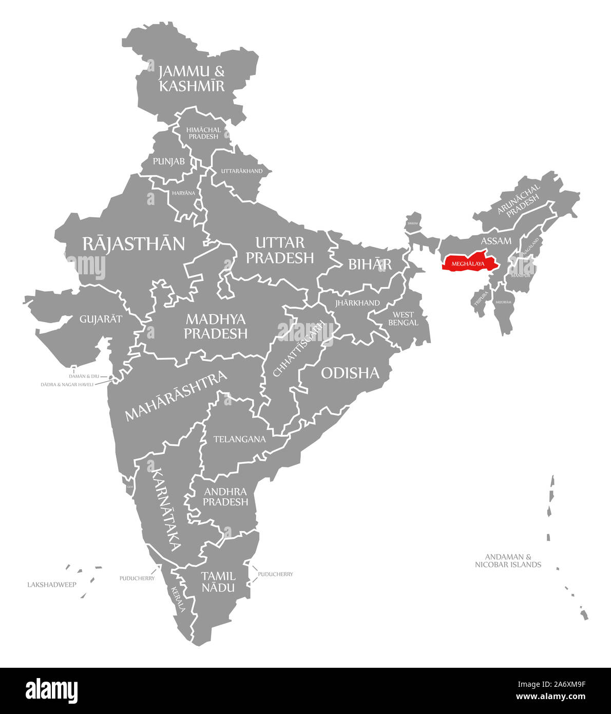 Meghalaya red highlighted in map of India Stock Photohttps://www.alamy.com/image-license-details/?v=1https://www.alamy.com/meghalaya-red-highlighted-in-map-of-india-image331271627.html
RF2A6XM9F–Meghalaya red highlighted in map of India
 Meghalaya Map design1, State of India, Republic of India, government, Political map, modern map, Indian flag, vector illustration Stock Vectorhttps://www.alamy.com/image-license-details/?v=1https://www.alamy.com/meghalaya-map-design1-state-of-india-republic-of-india-government-political-map-modern-map-indian-flag-vector-illustration-image611860264.html
RF2XFCJ08–Meghalaya Map design1, State of India, Republic of India, government, Political map, modern map, Indian flag, vector illustration
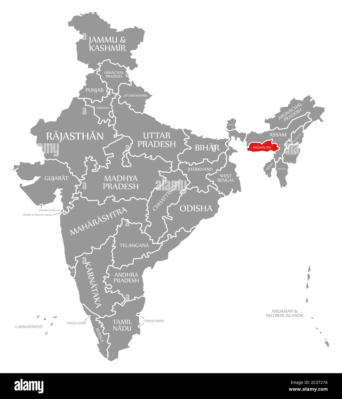 Meghalaya red highlighted in map of India Stock Photohttps://www.alamy.com/image-license-details/?v=1https://www.alamy.com/meghalaya-red-highlighted-in-map-of-india-image363417134.html
RF2C3727A–Meghalaya red highlighted in map of India
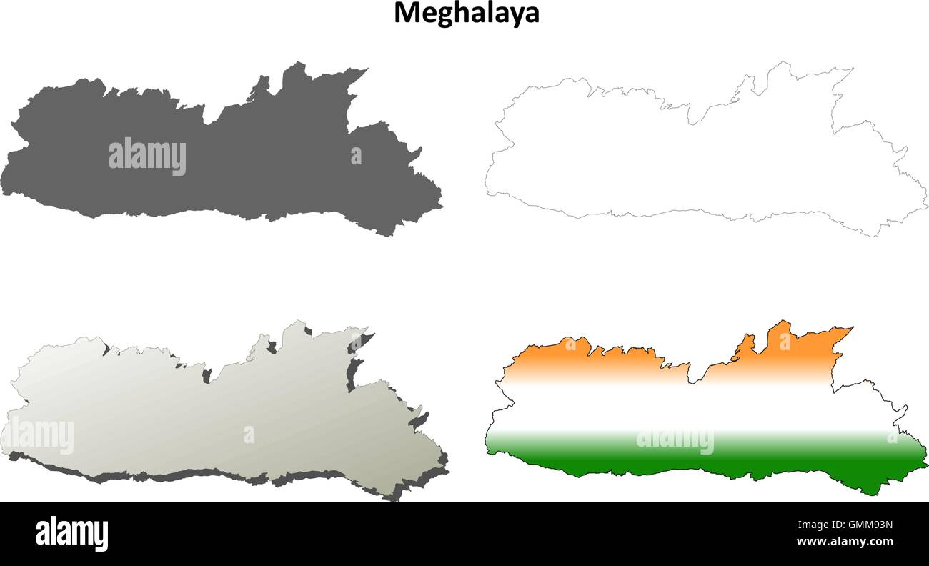 Meghalaya blank detailed outline map set Stock Vectorhttps://www.alamy.com/image-license-details/?v=1https://www.alamy.com/stock-photo-meghalaya-blank-detailed-outline-map-set-116001529.html
RFGMM93N–Meghalaya blank detailed outline map set
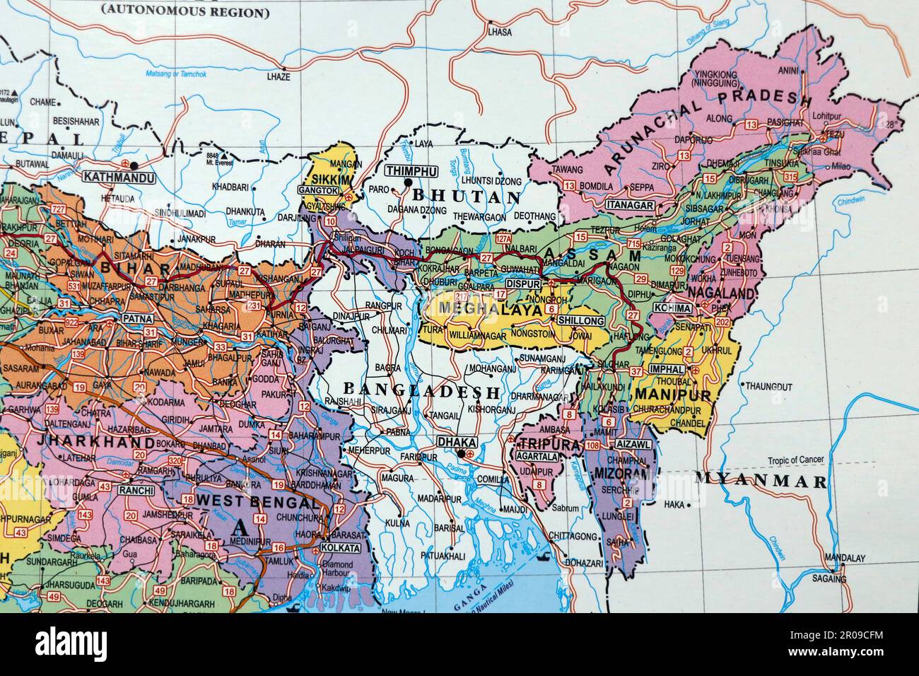 close up of an indian map with north east states manipur assam in focus Stock Photohttps://www.alamy.com/image-license-details/?v=1https://www.alamy.com/close-up-of-an-indian-map-with-north-east-states-manipur-assam-in-focus-image550939192.html
RF2R09CFM–close up of an indian map with north east states manipur assam in focus
 Modern Map - Meghalaya IN Stock Vectorhttps://www.alamy.com/image-license-details/?v=1https://www.alamy.com/stock-photo-modern-map-meghalaya-in-136348156.html
RFHWR5D0–Modern Map - Meghalaya IN
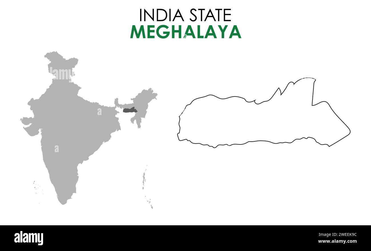 Meghalaya map of Indian state. Meghalaya map vector illustration. Meghalaya map on white background. Stock Vectorhttps://www.alamy.com/image-license-details/?v=1https://www.alamy.com/meghalaya-map-of-indian-state-meghalaya-map-vector-illustration-meghalaya-map-on-white-background-image594080184.html
RF2WEEK9C–Meghalaya map of Indian state. Meghalaya map vector illustration. Meghalaya map on white background.
 MEGHALAYA, INDIA, September 2018, Boatman rows his boat at Umngot River, Dawki Stock Photohttps://www.alamy.com/image-license-details/?v=1https://www.alamy.com/meghalaya-india-september-2018-boatman-rows-his-boat-at-umngot-river-dawki-image237682957.html
RFRPKB11–MEGHALAYA, INDIA, September 2018, Boatman rows his boat at Umngot River, Dawki
 Meghalaya map with Indian national flag illustration Stock Vectorhttps://www.alamy.com/image-license-details/?v=1https://www.alamy.com/stock-photo-meghalaya-map-with-indian-national-flag-illustration-142614916.html
RFJ80JNT–Meghalaya map with Indian national flag illustration
 Indian State Map Goa Vector illustration Stock Vectorhttps://www.alamy.com/image-license-details/?v=1https://www.alamy.com/indian-state-map-goa-vector-illustration-image598509262.html
RF2WNMCJP–Indian State Map Goa Vector illustration
 Assam - Meghalaya - Nagaland - Tripura Map Illustration of Indian states Stock Vectorhttps://www.alamy.com/image-license-details/?v=1https://www.alamy.com/stock-photo-assam-meghalaya-nagaland-tripura-map-illustration-of-indian-states-145236471.html
RFJC82GR–Assam - Meghalaya - Nagaland - Tripura Map Illustration of Indian states
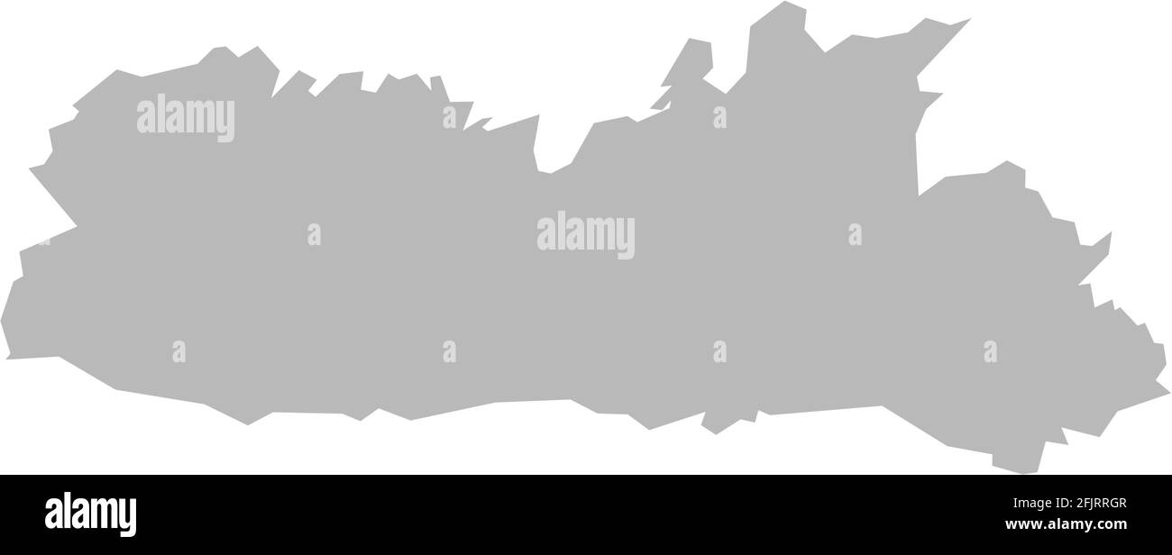 Meghalaya indian state map. Light gray background. Business concepts graphics design. Stock Vectorhttps://www.alamy.com/image-license-details/?v=1https://www.alamy.com/meghalaya-indian-state-map-light-gray-background-business-concepts-graphics-design-image424636039.html
RF2FJRRGR–Meghalaya indian state map. Light gray background. Business concepts graphics design.
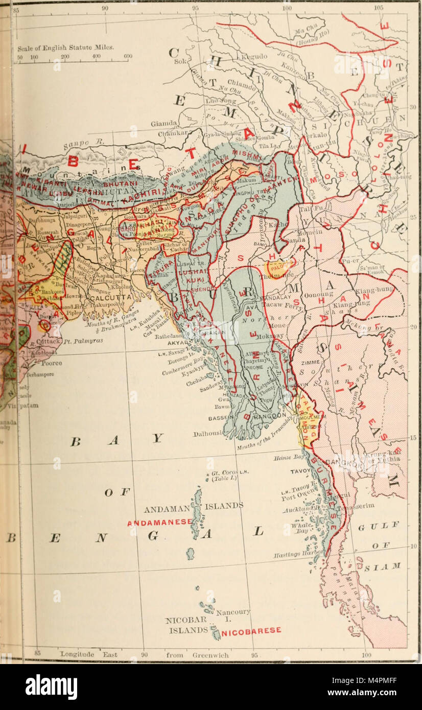 British India map of Northeast India and Myanmar, Bengal Assam Meghalaya Arunachal Pradesh Nagaland Manipur Mizoram Tripura regions 1891 Stock Photohttps://www.alamy.com/image-license-details/?v=1https://www.alamy.com/stock-photo-british-india-map-of-northeast-india-and-myanmar-bengal-assam-meghalaya-175061363.html
RMM4PMFF–British India map of Northeast India and Myanmar, Bengal Assam Meghalaya Arunachal Pradesh Nagaland Manipur Mizoram Tripura regions 1891
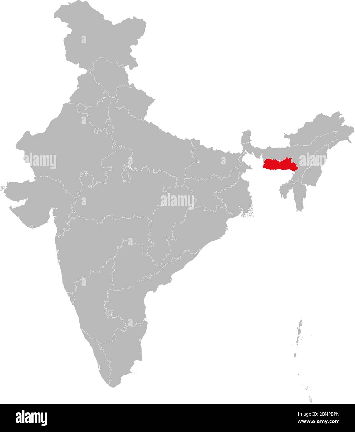 Meghalaya map state map highlighted on indian map. Light gray background. Perfect for business concepts, backdrop, backgrounds, label, sticker, chart Stock Vectorhttps://www.alamy.com/image-license-details/?v=1https://www.alamy.com/meghalaya-map-state-map-highlighted-on-indian-map-light-gray-background-perfect-for-business-concepts-backdrop-backgrounds-label-sticker-chart-image357607341.html
RF2BNPBPN–Meghalaya map state map highlighted on indian map. Light gray background. Perfect for business concepts, backdrop, backgrounds, label, sticker, chart
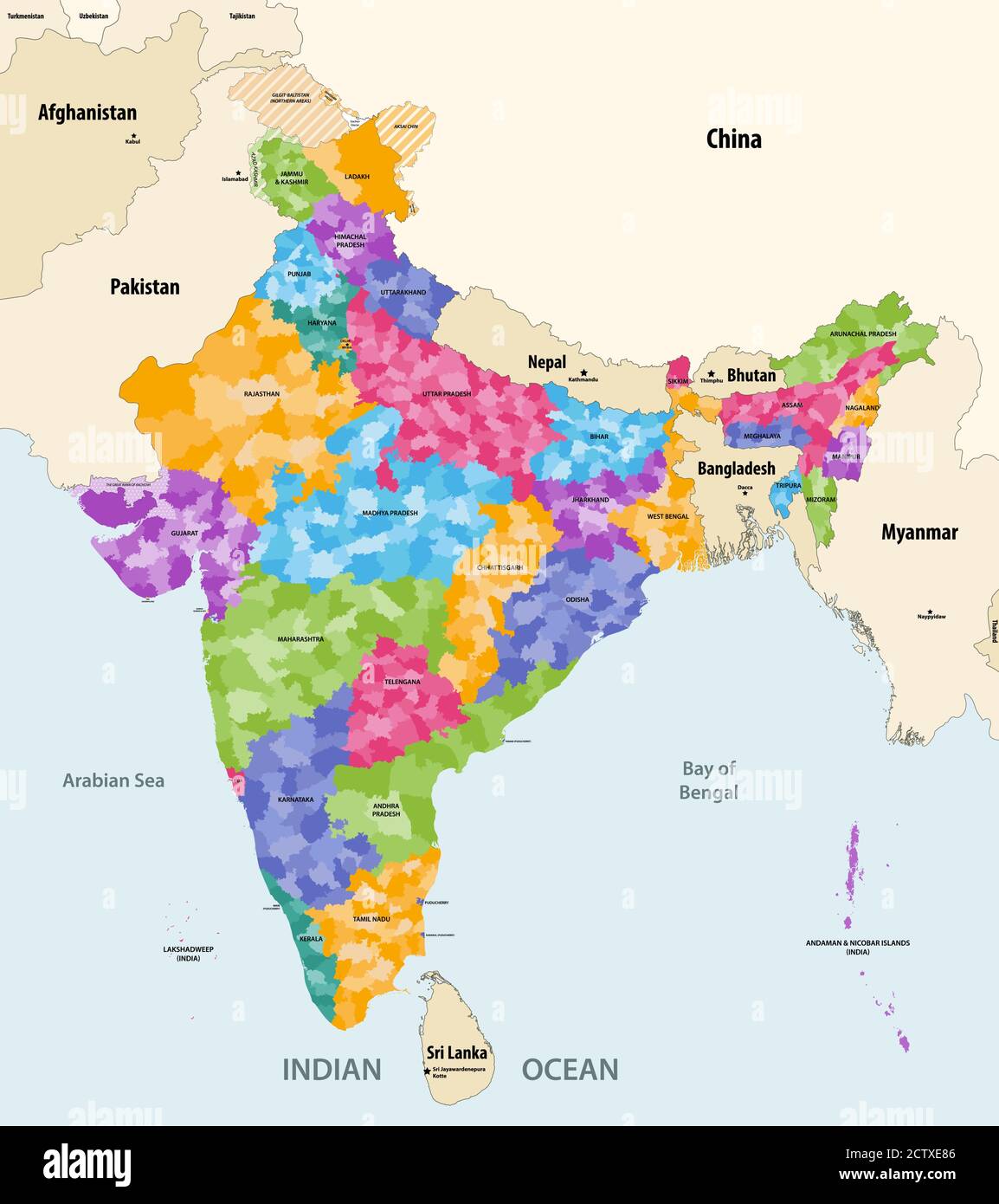 Map of India with neighbouring countries and territories. Indian map colored by states and showing districts boundaries inside each state. Vector Stock Vectorhttps://www.alamy.com/image-license-details/?v=1https://www.alamy.com/map-of-india-with-neighbouring-countries-and-territories-indian-map-colored-by-states-and-showing-districts-boundaries-inside-each-state-vector-image376751430.html
RF2CTXE86–Map of India with neighbouring countries and territories. Indian map colored by states and showing districts boundaries inside each state. Vector
 States of India. Handwritten stock lettering set ink typography. Stock Vectorhttps://www.alamy.com/image-license-details/?v=1https://www.alamy.com/states-of-india-handwritten-stock-lettering-set-ink-typography-image383367883.html
RF2D7KWJ3–States of India. Handwritten stock lettering set ink typography.
 Symbol Map of the State Meghalaya (India) showing the state/province with a pattern of black circles Stock Vectorhttps://www.alamy.com/image-license-details/?v=1https://www.alamy.com/symbol-map-of-the-state-meghalaya-india-showing-the-stateprovince-with-a-pattern-of-black-circles-image612956085.html
RF2XH6FMN–Symbol Map of the State Meghalaya (India) showing the state/province with a pattern of black circles
 SURVEY OF INDIA 83 C/SE Assam Meghalaya Harangajao Saipung Forest 1923 map Stock Photohttps://www.alamy.com/image-license-details/?v=1https://www.alamy.com/survey-of-india-83-cse-assam-meghalaya-harangajao-saipung-forest-1923-map-image242580559.html
RFT2JDYB–SURVEY OF INDIA 83 C/SE Assam Meghalaya Harangajao Saipung Forest 1923 map
 Meghalaya (States and union territories of India, Federated states, Republic of India) map vector illustration, scribble sketch Meghalaya state map Stock Vectorhttps://www.alamy.com/image-license-details/?v=1https://www.alamy.com/meghalaya-states-and-union-territories-of-india-federated-states-republic-of-india-map-vector-illustration-scribble-sketch-meghalaya-state-map-image224431050.html
RFR13M2J–Meghalaya (States and union territories of India, Federated states, Republic of India) map vector illustration, scribble sketch Meghalaya state map
 SURVEY OF INDIA 83 C/SW Bangladesh Meghalaya Sylhet Jowai Jaintiapur 1922 map Stock Photohttps://www.alamy.com/image-license-details/?v=1https://www.alamy.com/survey-of-india-83-csw-bangladesh-meghalaya-sylhet-jowai-jaintiapur-1922-map-image242580576.html
RFT2JE00–SURVEY OF INDIA 83 C/SW Bangladesh Meghalaya Sylhet Jowai Jaintiapur 1922 map
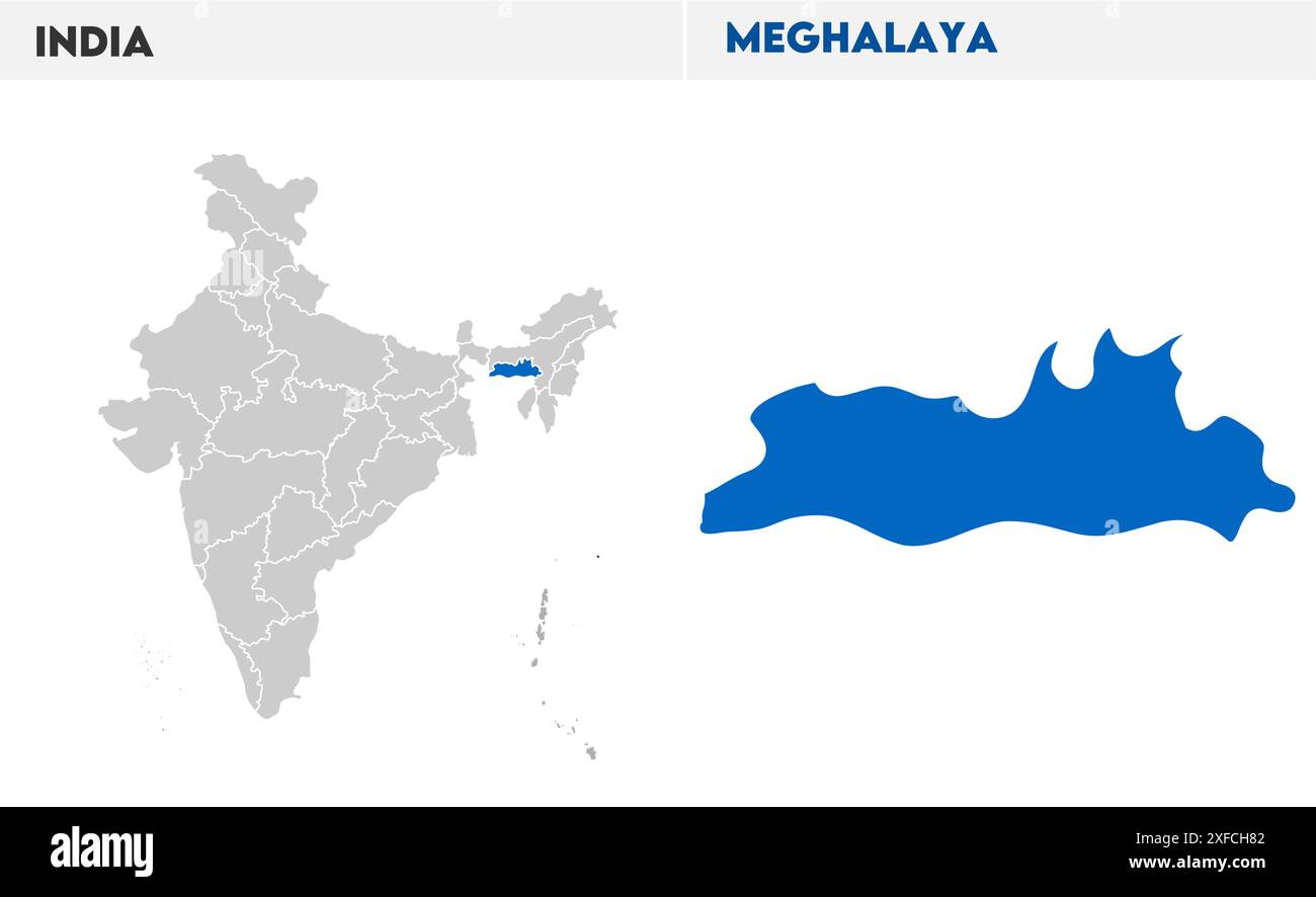 Meghalaya map illustration1, State of India, Republic of India, government, Political map, modern map, Indian flag, vector illustration Stock Vectorhttps://www.alamy.com/image-license-details/?v=1https://www.alamy.com/meghalaya-map-illustration1-state-of-india-republic-of-india-government-political-map-modern-map-indian-flag-vector-illustration-image611859698.html
RF2XFCH82–Meghalaya map illustration1, State of India, Republic of India, government, Political map, modern map, Indian flag, vector illustration
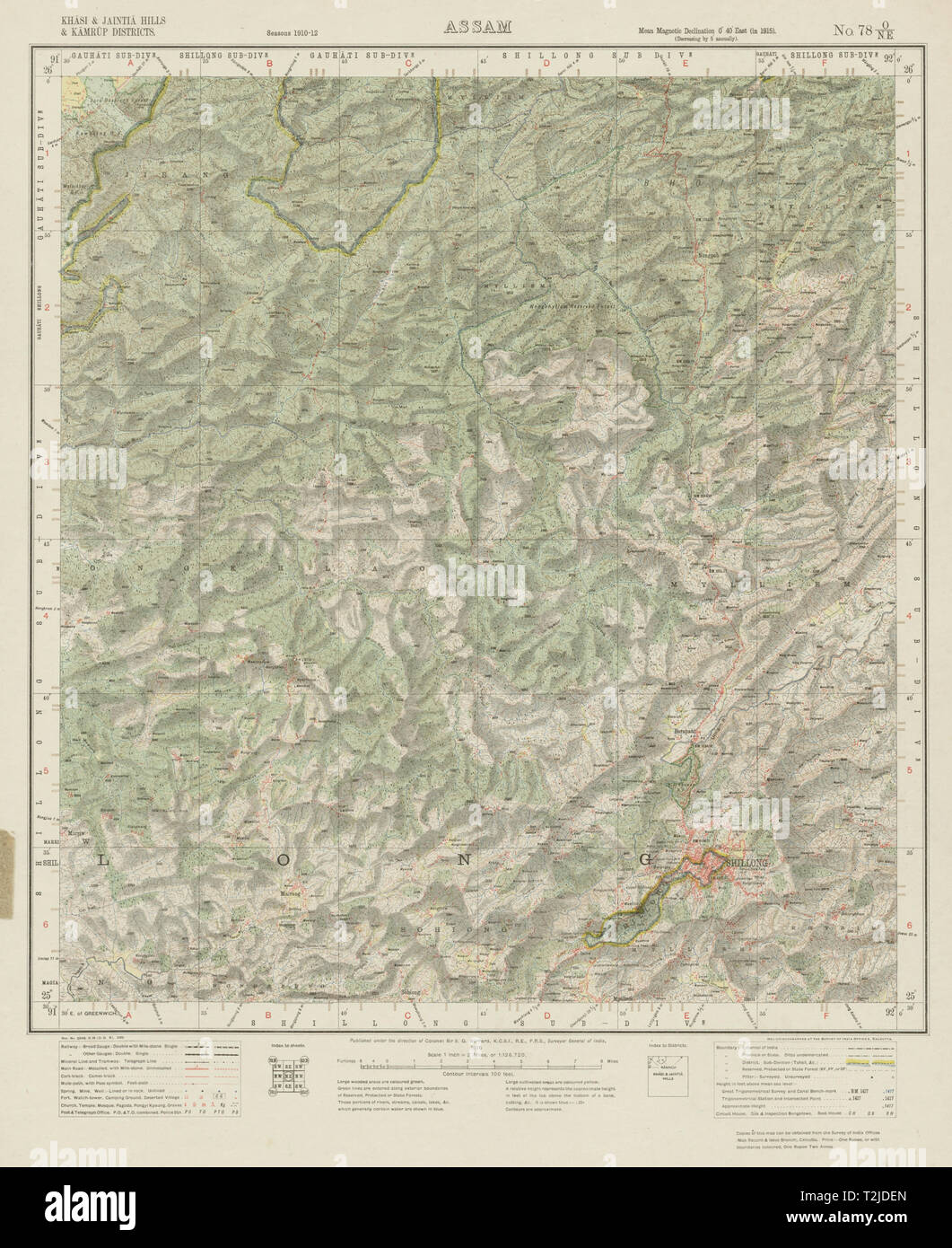 SURVEY OF INDIA 78 O/NE Meghalaya Shillong Nongkhyllem Wildlife Reserve 1916 map Stock Photohttps://www.alamy.com/image-license-details/?v=1https://www.alamy.com/survey-of-india-78-one-meghalaya-shillong-nongkhyllem-wildlife-reserve-1916-map-image242580205.html
RFT2JDEN–SURVEY OF INDIA 78 O/NE Meghalaya Shillong Nongkhyllem Wildlife Reserve 1916 map
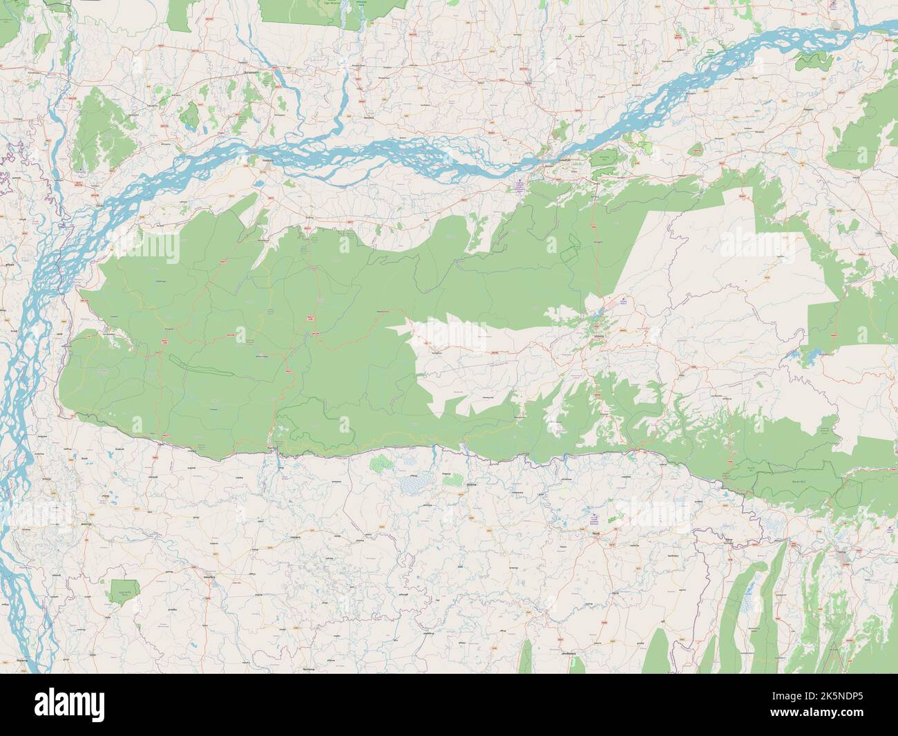 Meghalaya, state of India. Open Street Map Stock Photohttps://www.alamy.com/image-license-details/?v=1https://www.alamy.com/meghalaya-state-of-india-open-street-map-image485435389.html
RF2K5NDP5–Meghalaya, state of India. Open Street Map
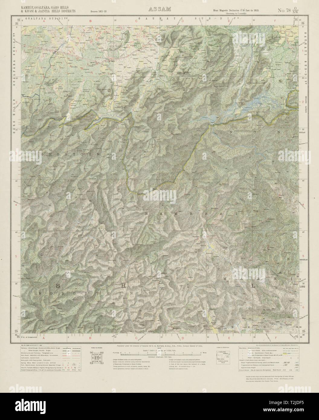 SURVEY OF INDIA 78 O/NW West Khasi Hills Meghalaya Nongstoin Rambrai 1917 map Stock Photohttps://www.alamy.com/image-license-details/?v=1https://www.alamy.com/survey-of-india-78-onw-west-khasi-hills-meghalaya-nongstoin-rambrai-1917-map-image242580217.html
RFT2JDF5–SURVEY OF INDIA 78 O/NW West Khasi Hills Meghalaya Nongstoin Rambrai 1917 map
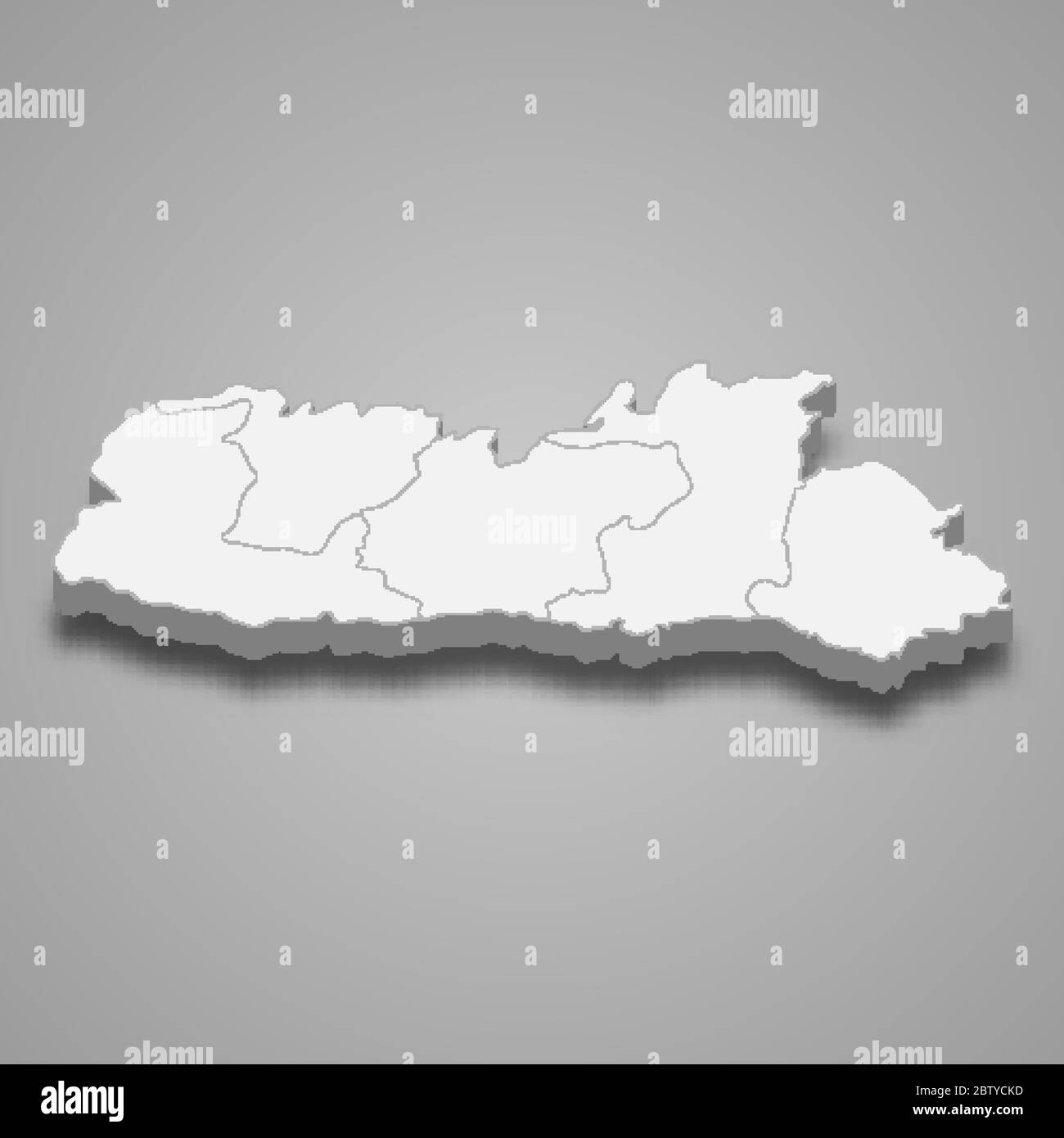 3d map of Meghalaya is a state of India Stock Vectorhttps://www.alamy.com/image-license-details/?v=1https://www.alamy.com/3d-map-of-meghalaya-is-a-state-of-india-image359561761.html
RF2BTYCKD–3d map of Meghalaya is a state of India
 Meghalaya map of Indian state. Meghalaya map vector illustration. Meghalaya map on white background. Stock Vectorhttps://www.alamy.com/image-license-details/?v=1https://www.alamy.com/meghalaya-map-of-indian-state-meghalaya-map-vector-illustration-meghalaya-map-on-white-background-image594078144.html
RF2WEEGMG–Meghalaya map of Indian state. Meghalaya map vector illustration. Meghalaya map on white background.
 MEGHALAYA, INDIA, September 2018, Boatman rows his boat at Umngot River, Dawki Stock Photohttps://www.alamy.com/image-license-details/?v=1https://www.alamy.com/meghalaya-india-september-2018-boatman-rows-his-boat-at-umngot-river-dawki-image237682917.html
RFRPKAYH–MEGHALAYA, INDIA, September 2018, Boatman rows his boat at Umngot River, Dawki
 Political map of India with the several states where Meghalaya is highlighted. Stock Photohttps://www.alamy.com/image-license-details/?v=1https://www.alamy.com/stock-photo-political-map-of-india-with-the-several-states-where-meghalaya-is-48874688.html
RFCREC4G–Political map of India with the several states where Meghalaya is highlighted.
 The state of Meghalaya Stock Vectorhttps://www.alamy.com/image-license-details/?v=1https://www.alamy.com/stock-photo-the-state-of-meghalaya-149530466.html
RFJK7KHP–The state of Meghalaya
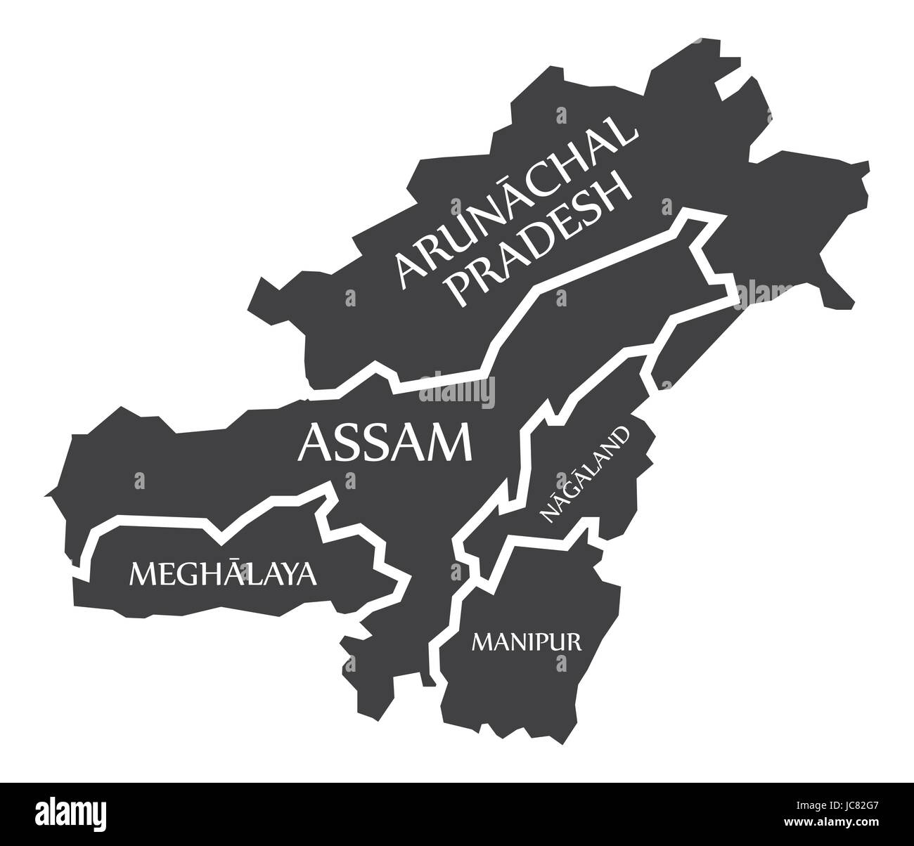 Arunachal Pradesh - Assam - Nagaland - Meghalaya - Manipur Map Illustration of Indian states Stock Vectorhttps://www.alamy.com/image-license-details/?v=1https://www.alamy.com/stock-photo-arunachal-pradesh-assam-nagaland-meghalaya-manipur-map-illustration-145236455.html
RFJC82G7–Arunachal Pradesh - Assam - Nagaland - Meghalaya - Manipur Map Illustration of Indian states
 BENGAL BANGLADESH. Chittagong Chotogram Sikkim Bhutan Meghalaya. SDUK 1844 map Stock Photohttps://www.alamy.com/image-license-details/?v=1https://www.alamy.com/bengal-bangladesh-chittagong-chotogram-sikkim-bhutan-meghalaya-sduk-1844-map-image242595288.html
RFT2K4NC–BENGAL BANGLADESH. Chittagong Chotogram Sikkim Bhutan Meghalaya. SDUK 1844 map
 Meghalaya map with Social Distancing stayathome tag Stock Vectorhttps://www.alamy.com/image-license-details/?v=1https://www.alamy.com/meghalaya-map-with-social-distancing-stayathome-tag-image353222618.html
RF2BEJK1E–Meghalaya map with Social Distancing stayathome tag
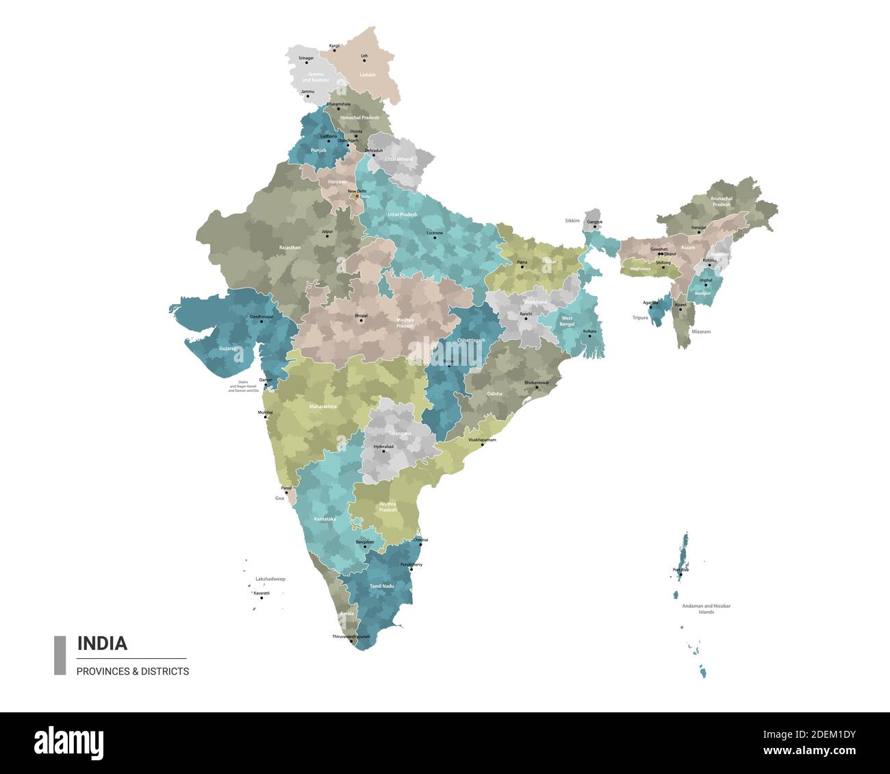 India higt detailed map with subdivisions. Administrative map of India with districts and cities name, colored by states and administrative districts. Stock Vectorhttps://www.alamy.com/image-license-details/?v=1https://www.alamy.com/india-higt-detailed-map-with-subdivisions-administrative-map-of-india-with-districts-and-cities-name-colored-by-states-and-administrative-districts-image387673495.html
RF2DEM1DY–India higt detailed map with subdivisions. Administrative map of India with districts and cities name, colored by states and administrative districts.
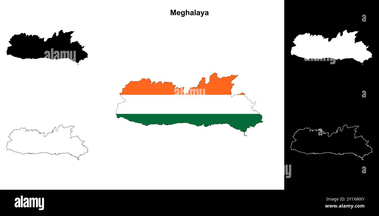 Meghalaya state outline map set Stock Vectorhttps://www.alamy.com/image-license-details/?v=1https://www.alamy.com/meghalaya-state-outline-map-set-image620779011.html
RF2Y1XWXY–Meghalaya state outline map set
 BENGAL BANGLADESH. Chittagong Brahmaputra Sikkim Bhutan Meghalaya. SDUK 1874 Stock Photohttps://www.alamy.com/image-license-details/?v=1https://www.alamy.com/bengal-bangladesh-chittagong-brahmaputra-sikkim-bhutan-meghalaya-sduk-1874-image248876748.html
RFTCW8R8–BENGAL BANGLADESH. Chittagong Brahmaputra Sikkim Bhutan Meghalaya. SDUK 1874
RF2JW92R9–India map graphic, travel geography icon, indian region MEGHALAYA, vector illustration .
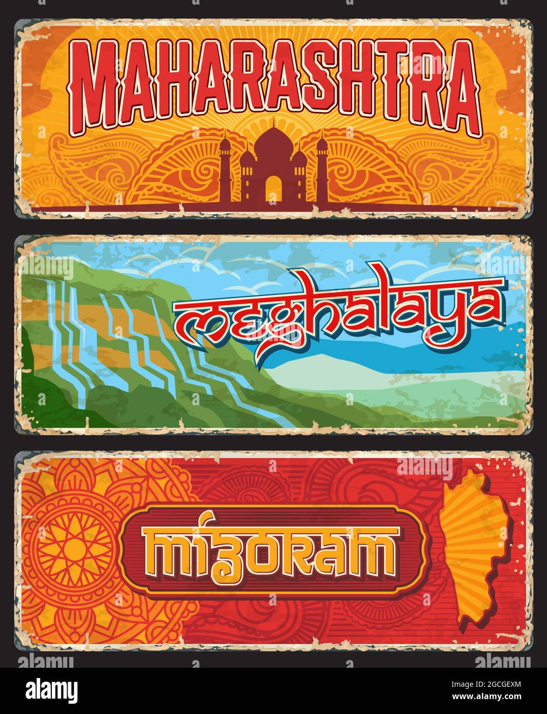 Maharashtra, Meghalaya and Mizoram Indian states vintage plates or banners. Vector travel destination aged signs, India landmarks. Retro grunge boards Stock Vectorhttps://www.alamy.com/image-license-details/?v=1https://www.alamy.com/maharashtra-meghalaya-and-mizoram-indian-states-vintage-plates-or-banners-vector-travel-destination-aged-signs-india-landmarks-retro-grunge-boards-image437998028.html
RF2GCGEXM–Maharashtra, Meghalaya and Mizoram Indian states vintage plates or banners. Vector travel destination aged signs, India landmarks. Retro grunge boards
 Meghalaya (States and union territories of India, Federated states, Republic of India) map vector illustration, scribble sketch Meghalaya state map Stock Vectorhttps://www.alamy.com/image-license-details/?v=1https://www.alamy.com/meghalaya-states-and-union-territories-of-india-federated-states-republic-of-india-map-vector-illustration-scribble-sketch-meghalaya-state-map-image223293388.html
RFPY7TYT–Meghalaya (States and union territories of India, Federated states, Republic of India) map vector illustration, scribble sketch Meghalaya state map
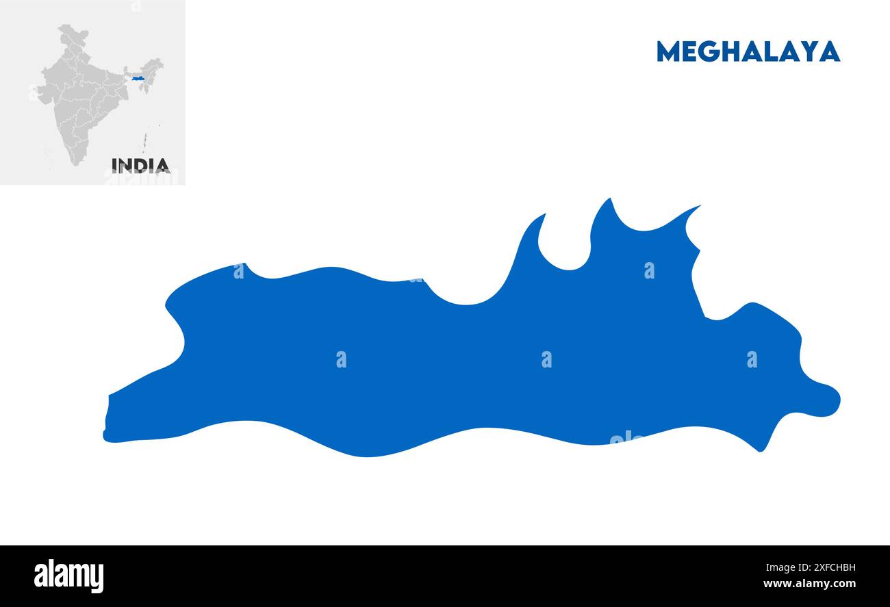 Meghalaya administrative map1, State of India, Republic of India, government, Political map, modern map, Indian flag, vector illustration Stock Vectorhttps://www.alamy.com/image-license-details/?v=1https://www.alamy.com/meghalaya-administrative-map1-state-of-india-republic-of-india-government-political-map-modern-map-indian-flag-vector-illustration-image611859797.html
RF2XFCHBH–Meghalaya administrative map1, State of India, Republic of India, government, Political map, modern map, Indian flag, vector illustration
 Meghalaya, state of India. Low resolution satellite map Stock Photohttps://www.alamy.com/image-license-details/?v=1https://www.alamy.com/meghalaya-state-of-india-low-resolution-satellite-map-image485435394.html
RF2K5NDPA–Meghalaya, state of India. Low resolution satellite map
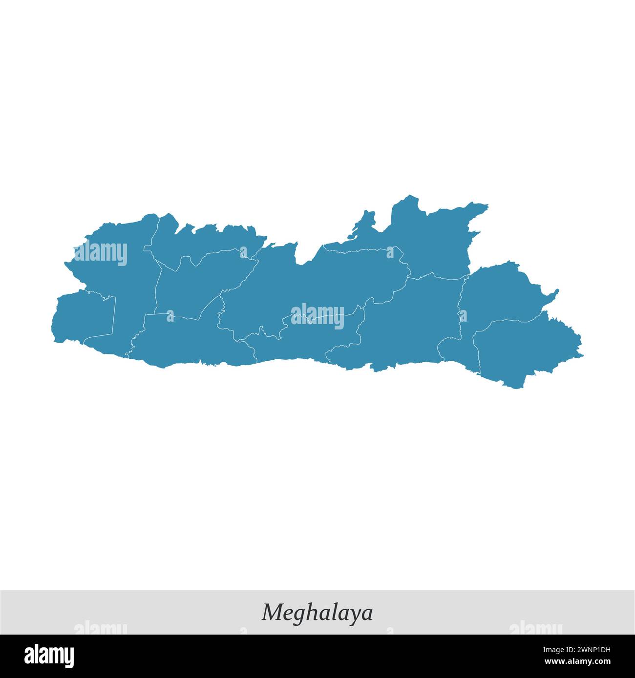 map of Meghalaya is a state of India with borders districts Stock Vectorhttps://www.alamy.com/image-license-details/?v=1https://www.alamy.com/map-of-meghalaya-is-a-state-of-india-with-borders-districts-image598544397.html
RF2WNP1DH–map of Meghalaya is a state of India with borders districts
 Meghalaya map of Indian state. Meghalaya map vector illustration. Meghalaya map on white background. Stock Vectorhttps://www.alamy.com/image-license-details/?v=1https://www.alamy.com/meghalaya-map-of-indian-state-meghalaya-map-vector-illustration-meghalaya-map-on-white-background-image594079537.html
RF2WEEJE9–Meghalaya map of Indian state. Meghalaya map vector illustration. Meghalaya map on white background.
 MEGHALAYA, INDIA, September 2018, Boatman rows his boat at Umngot River, Dawki Stock Photohttps://www.alamy.com/image-license-details/?v=1https://www.alamy.com/meghalaya-india-september-2018-boatman-rows-his-boat-at-umngot-river-dawki-image237682940.html
RFRPKB0C–MEGHALAYA, INDIA, September 2018, Boatman rows his boat at Umngot River, Dawki
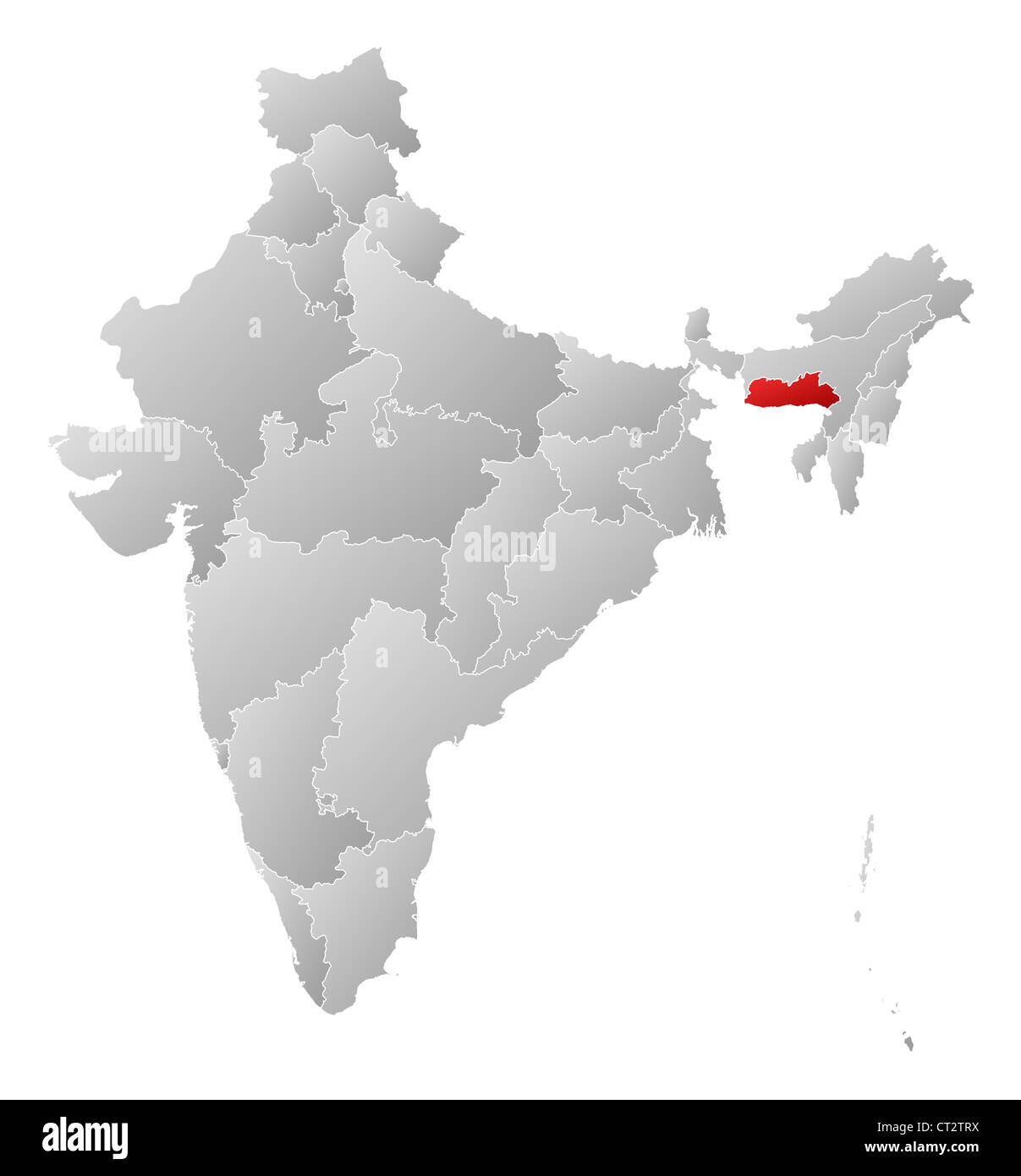 Political map of India with the several states where Meghalaya is highlighted. Stock Photohttps://www.alamy.com/image-license-details/?v=1https://www.alamy.com/stock-photo-political-map-of-india-with-the-several-states-where-meghalaya-is-49235870.html
RFCT2TRX–Political map of India with the several states where Meghalaya is highlighted.
 The state of Mizoram Stock Vectorhttps://www.alamy.com/image-license-details/?v=1https://www.alamy.com/stock-photo-the-state-of-mizoram-149530449.html
RFJK7KH5–The state of Mizoram
 Meghalaya (States and union territories of India, Federated states, Republic of India) map vector illustration, scribble sketch Meghalaya state map Stock Vectorhttps://www.alamy.com/image-license-details/?v=1https://www.alamy.com/meghalaya-states-and-union-territories-of-india-federated-states-republic-of-india-map-vector-illustration-scribble-sketch-meghalaya-state-map-image223986965.html
RFR0BDJD–Meghalaya (States and union territories of India, Federated states, Republic of India) map vector illustration, scribble sketch Meghalaya state map
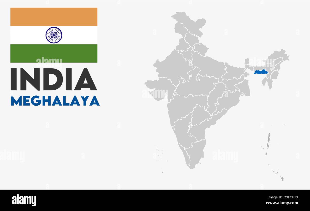 Meghalaya Map image1, State of India, Republic of India, government, Political map, modern map, Indian flag, vector illustration Stock Vectorhttps://www.alamy.com/image-license-details/?v=1https://www.alamy.com/meghalaya-map-image1-state-of-india-republic-of-india-government-political-map-modern-map-indian-flag-vector-illustration-image611860170.html
RF2XFCHTX–Meghalaya Map image1, State of India, Republic of India, government, Political map, modern map, Indian flag, vector illustration
 Meghalaya (territories of India, Federated states, Republic of India) map is designed cannabis leaf green and black, Meghalaya state ap made of mariju Stock Vectorhttps://www.alamy.com/image-license-details/?v=1https://www.alamy.com/meghalaya-territories-of-india-federated-states-republic-of-india-map-is-designed-cannabis-leaf-green-and-black-meghalaya-state-ap-made-of-mariju-image258848908.html
RFW13GBT–Meghalaya (territories of India, Federated states, Republic of India) map is designed cannabis leaf green and black, Meghalaya state ap made of mariju
 Meghalaya, state of India. High resolution satellite map Stock Photohttps://www.alamy.com/image-license-details/?v=1https://www.alamy.com/meghalaya-state-of-india-high-resolution-satellite-map-image485435386.html
RF2K5NDP2–Meghalaya, state of India. High resolution satellite map
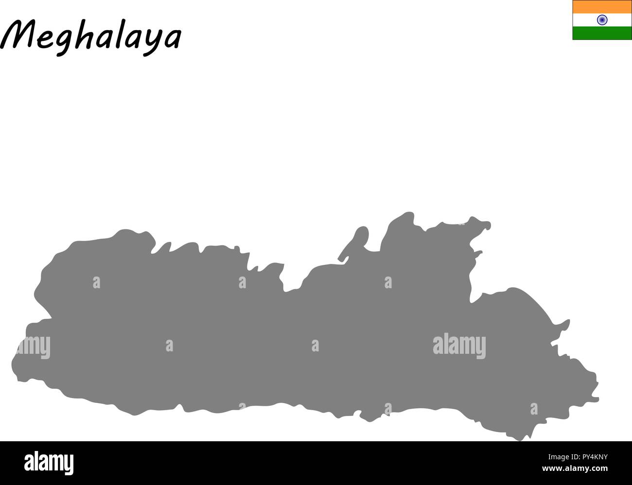 High Quality map of Meghalaya is a state of India Stock Vectorhttps://www.alamy.com/image-license-details/?v=1https://www.alamy.com/high-quality-map-of-meghalaya-is-a-state-of-india-image223223447.html
RFPY4KNY–High Quality map of Meghalaya is a state of India
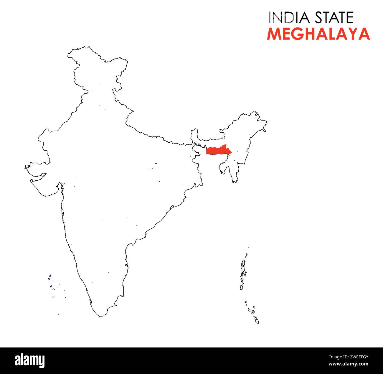 Meghalaya map of Indian state. Meghalaya map vector illustration. Meghalaya map on white background. Stock Vectorhttps://www.alamy.com/image-license-details/?v=1https://www.alamy.com/meghalaya-map-of-indian-state-meghalaya-map-vector-illustration-meghalaya-map-on-white-background-image594077259.html
RF2WEEFGY–Meghalaya map of Indian state. Meghalaya map vector illustration. Meghalaya map on white background.
 MEGHALAYA, INDIA, September 2018, Boatman rows his boat at Umngot River, Dawki Stock Photohttps://www.alamy.com/image-license-details/?v=1https://www.alamy.com/meghalaya-india-september-2018-boatman-rows-his-boat-at-umngot-river-dawki-image237682924.html
RFRPKAYT–MEGHALAYA, INDIA, September 2018, Boatman rows his boat at Umngot River, Dawki
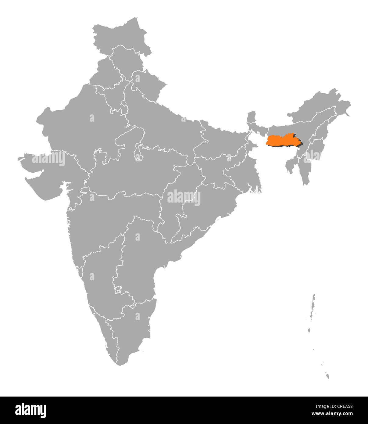 Political map of India with the several states where Meghalaya is highlighted. Stock Photohttps://www.alamy.com/image-license-details/?v=1https://www.alamy.com/stock-photo-political-map-of-india-with-the-several-states-where-meghalaya-is-48873140.html
RFCREA58–Political map of India with the several states where Meghalaya is highlighted.
 View of Shillong hill station. Meghalaya, India Stock Photohttps://www.alamy.com/image-license-details/?v=1https://www.alamy.com/stock-photo-view-of-shillong-hill-station-meghalaya-india-138470977.html
RFJ17W41–View of Shillong hill station. Meghalaya, India
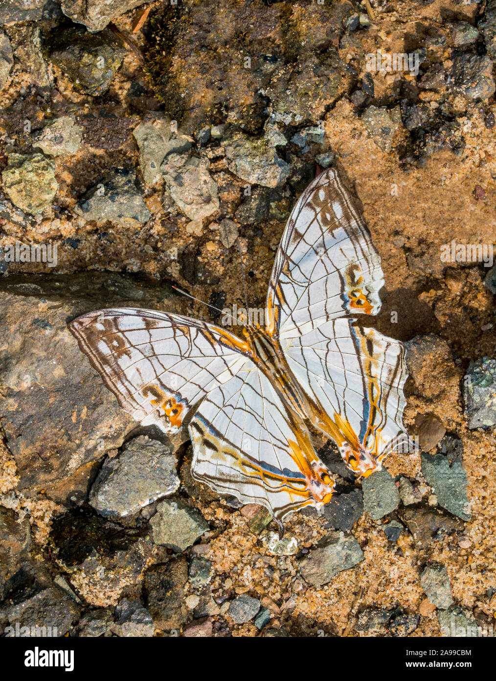 Common Map butterfly, Cyrestis thyodamas, Garo Hills, Meghalaya, India Stock Photohttps://www.alamy.com/image-license-details/?v=1https://www.alamy.com/common-map-butterfly-cyrestis-thyodamas-garo-hills-meghalaya-india-image332736200.html
RF2A99CBM–Common Map butterfly, Cyrestis thyodamas, Garo Hills, Meghalaya, India
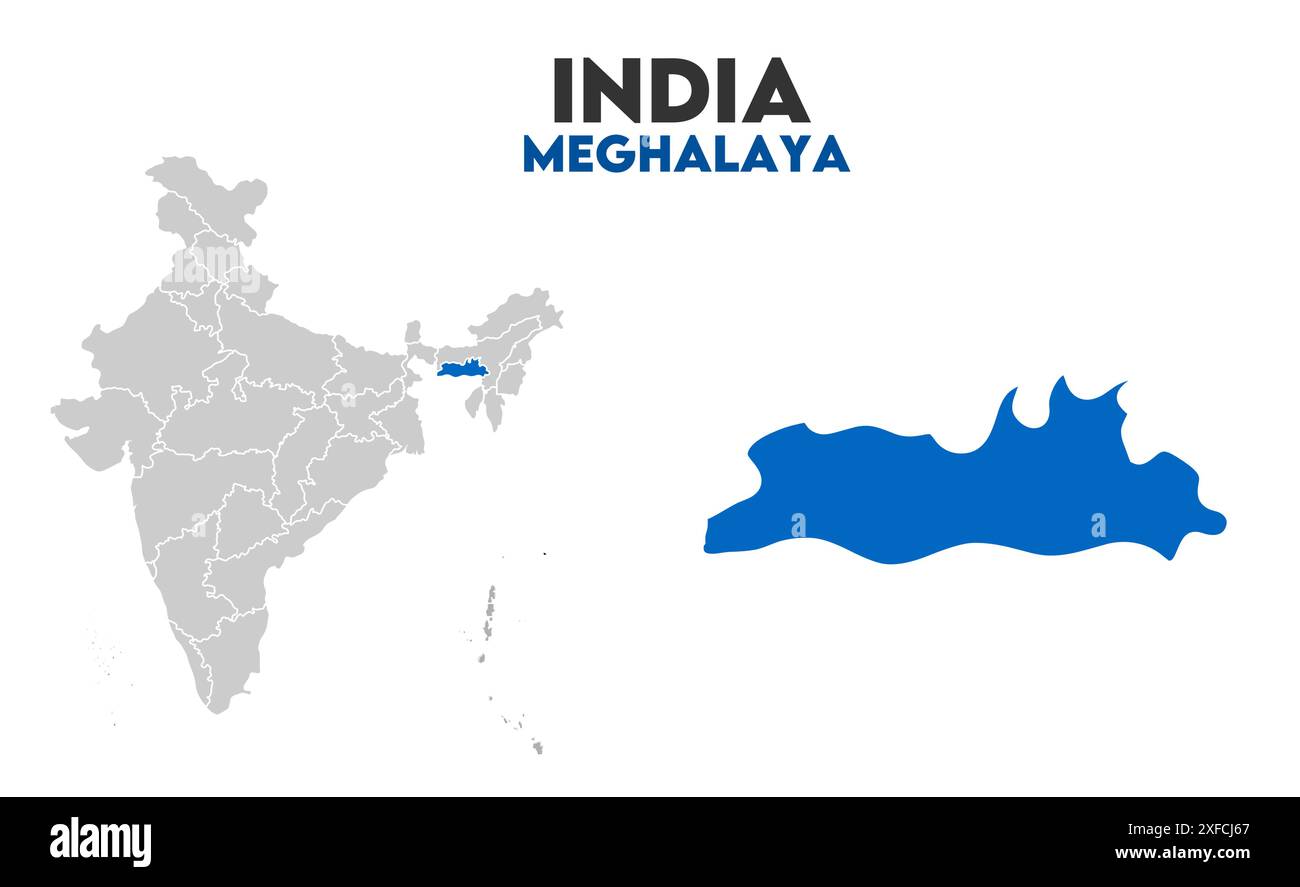 Meghalaya Map graphic1, State of India, Republic of India, government, Political map, modern map, Indian flag, vector illustration Stock Vectorhttps://www.alamy.com/image-license-details/?v=1https://www.alamy.com/meghalaya-map-graphic1-state-of-india-republic-of-india-government-political-map-modern-map-indian-flag-vector-illustration-image611860431.html
RF2XFCJ67–Meghalaya Map graphic1, State of India, Republic of India, government, Political map, modern map, Indian flag, vector illustration
 Ri-Bhoi district (Meghalaya State, Republic of India) map vector illustration, scribble sketch Ri Bhoi map Stock Vectorhttps://www.alamy.com/image-license-details/?v=1https://www.alamy.com/ri-bhoi-district-meghalaya-state-republic-of-india-map-vector-illustration-scribble-sketch-ri-bhoi-map-image455310116.html
RF2HCN4KG–Ri-Bhoi district (Meghalaya State, Republic of India) map vector illustration, scribble sketch Ri Bhoi map
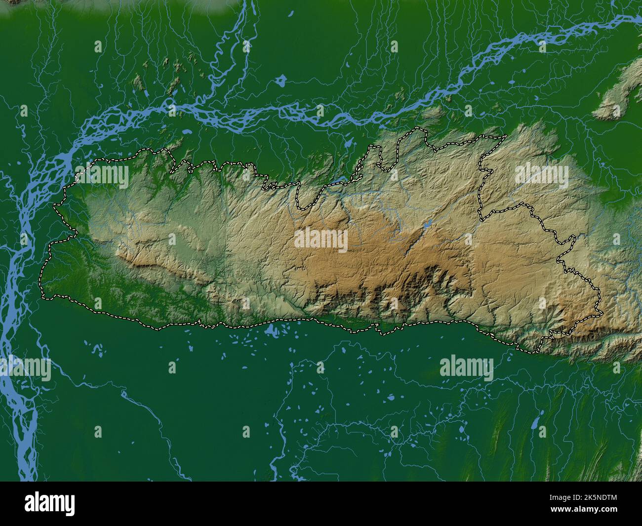 Meghalaya, state of India. Colored elevation map with lakes and rivers Stock Photohttps://www.alamy.com/image-license-details/?v=1https://www.alamy.com/meghalaya-state-of-india-colored-elevation-map-with-lakes-and-rivers-image485435460.html
RF2K5NDTM–Meghalaya, state of India. Colored elevation map with lakes and rivers
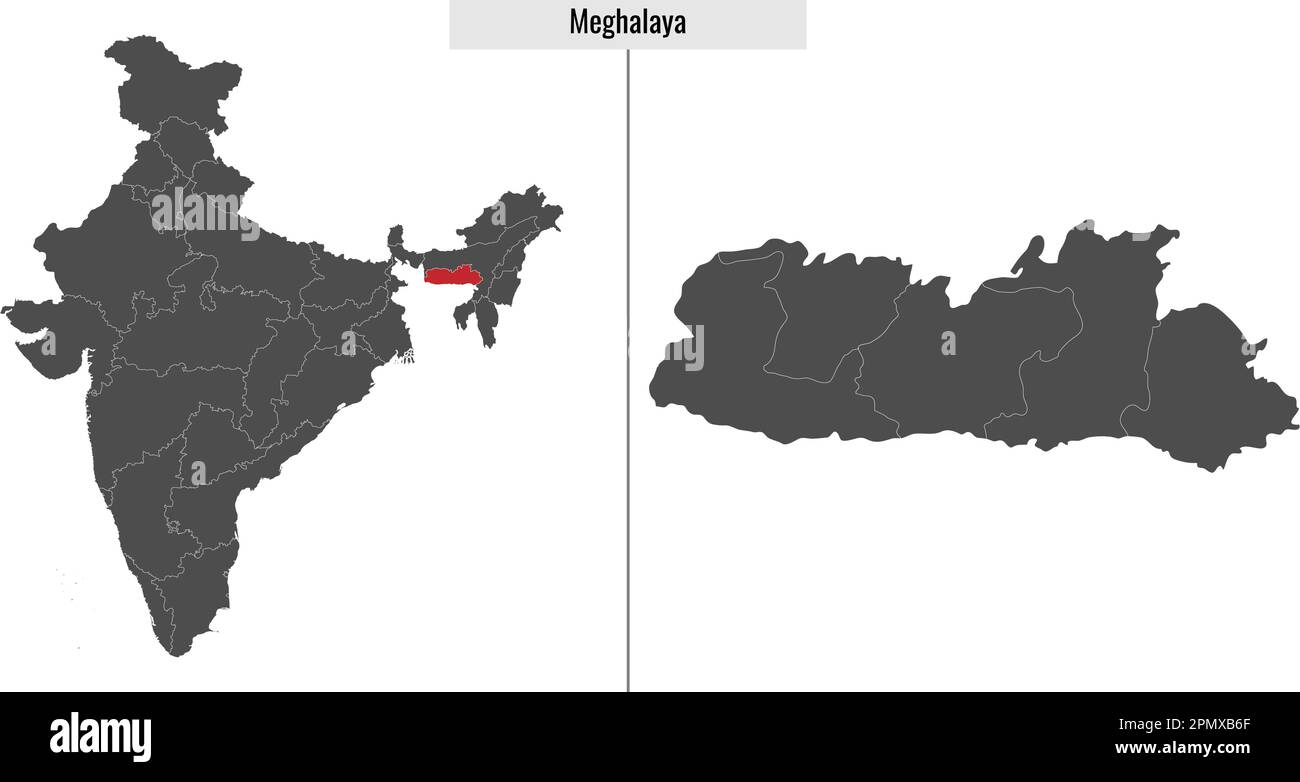 map of Meghalaya state of India and location on Indian map Stock Vectorhttps://www.alamy.com/image-license-details/?v=1https://www.alamy.com/map-of-meghalaya-state-of-india-and-location-on-indian-map-image546394087.html
RF2PMXB6F–map of Meghalaya state of India and location on Indian map
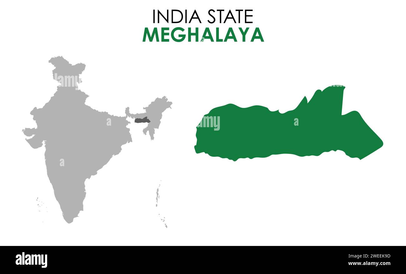 Meghalaya map of Indian state. Meghalaya map vector illustration. Meghalaya map on white background. Stock Vectorhttps://www.alamy.com/image-license-details/?v=1https://www.alamy.com/meghalaya-map-of-indian-state-meghalaya-map-vector-illustration-meghalaya-map-on-white-background-image594080185.html
RF2WEEK9D–Meghalaya map of Indian state. Meghalaya map vector illustration. Meghalaya map on white background.
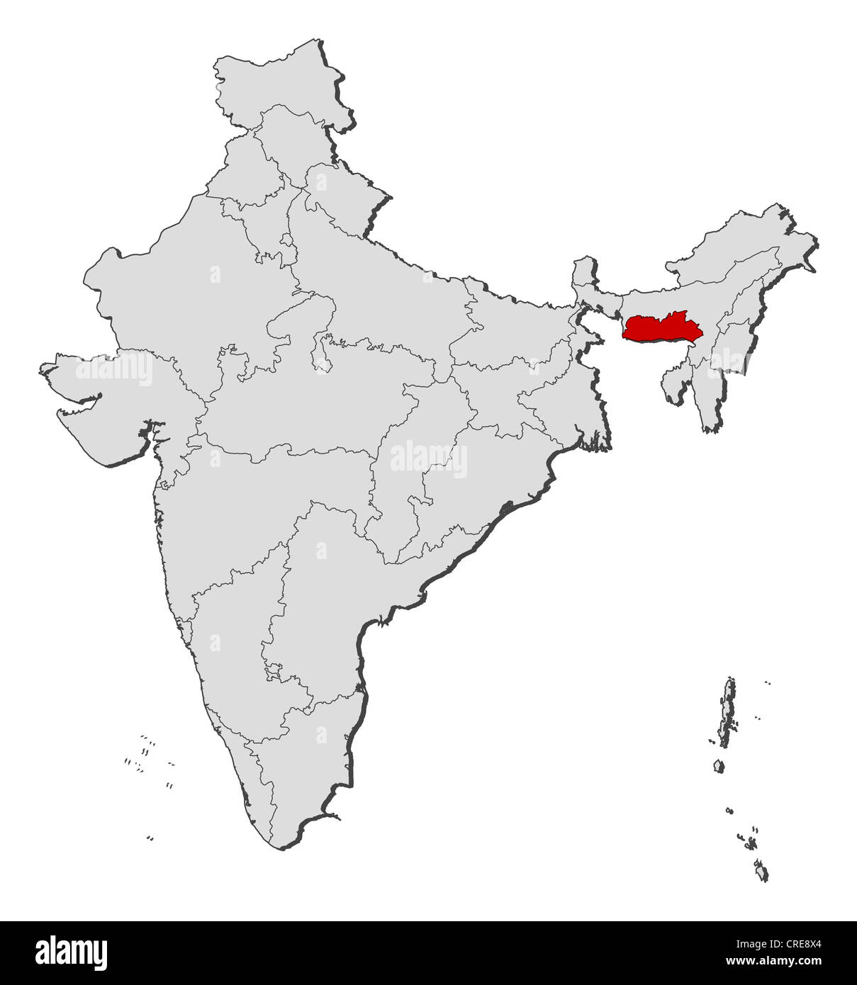 Political map of India with the several states where Meghalaya is highlighted. Stock Photohttps://www.alamy.com/image-license-details/?v=1https://www.alamy.com/stock-photo-political-map-of-india-with-the-several-states-where-meghalaya-is-48872156.html
RFCRE8X4–Political map of India with the several states where Meghalaya is highlighted.
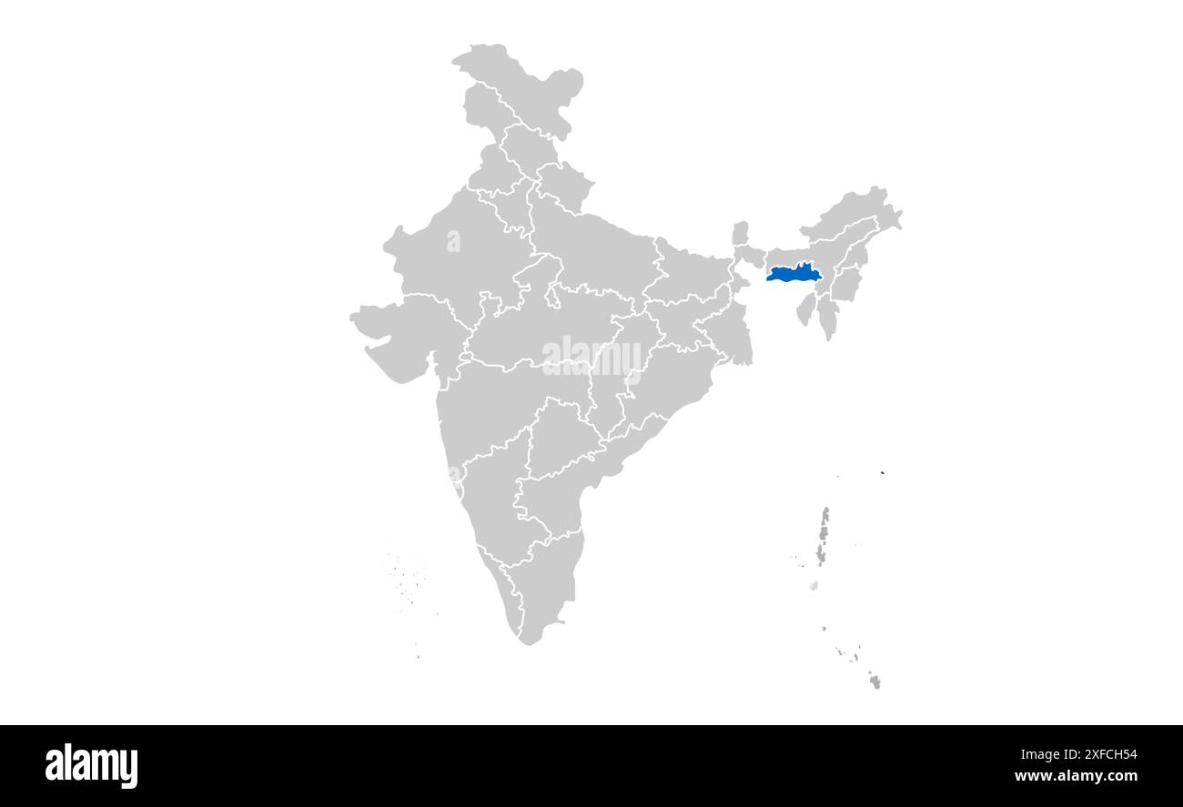 Meghalaya political map1, State of India, Republic of India, government, Political map, modern map, Indian flag, vector illustration Stock Vectorhttps://www.alamy.com/image-license-details/?v=1https://www.alamy.com/meghalaya-political-map1-state-of-india-republic-of-india-government-political-map-modern-map-indian-flag-vector-illustration-image611859616.html
RF2XFCH54–Meghalaya political map1, State of India, Republic of India, government, Political map, modern map, Indian flag, vector illustration
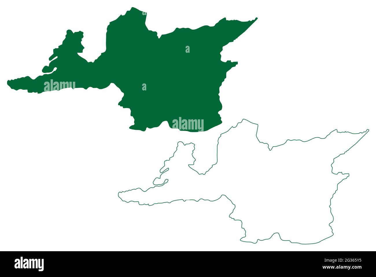 Ri-Bhoi district (Meghalaya State, Republic of India) map vector illustration, scribble sketch Ri Bhoi map Stock Vectorhttps://www.alamy.com/image-license-details/?v=1https://www.alamy.com/ri-bhoi-district-meghalaya-state-republic-of-india-map-vector-illustration-scribble-sketch-ri-bhoi-map-image432239561.html
RF2G365Y5–Ri-Bhoi district (Meghalaya State, Republic of India) map vector illustration, scribble sketch Ri Bhoi map
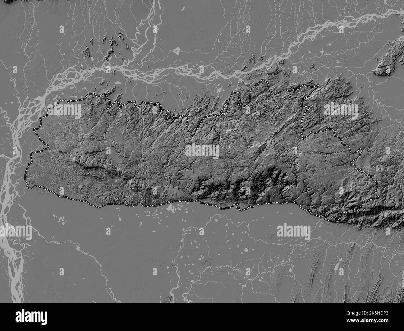 Meghalaya, state of India. Bilevel elevation map with lakes and rivers Stock Photohttps://www.alamy.com/image-license-details/?v=1https://www.alamy.com/meghalaya-state-of-india-bilevel-elevation-map-with-lakes-and-rivers-image485435387.html
RF2K5NDP3–Meghalaya, state of India. Bilevel elevation map with lakes and rivers