India pakistan map 1947 Stock Photos and Images
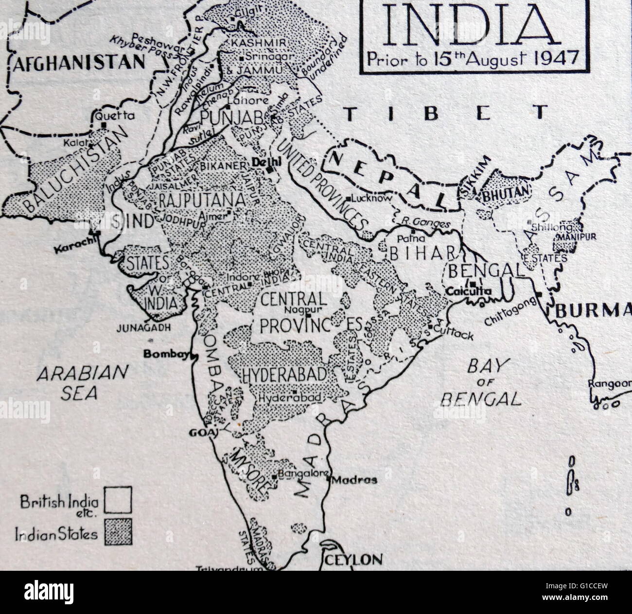 Map of India before the Partition of the British Indian Empire that led to the creation of India and Pakistan 1947 Stock Photohttps://www.alamy.com/image-license-details/?v=1https://www.alamy.com/stock-photo-map-of-india-before-the-partition-of-the-british-indian-empire-that-104150113.html
RMG1CCEW–Map of India before the Partition of the British Indian Empire that led to the creation of India and Pakistan 1947
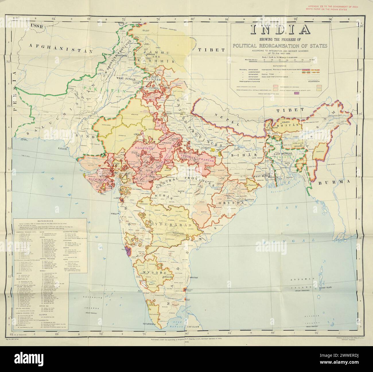 Map of the partition of British India Document: India's plan for uniting and merging Indian States, 1948. Catalogue Ref: DO 142/484 (1) Description: This map illustrates the new borders that resulted from the partition of British India. The partition of British India happened in August 1947 when the British government withdrew after almost two hundred years of British rule. It is called 'partition' because this withdrawal resulted in two new independent nations: India and Pakistan. The borders of these new countries were based on religious majorities and went straight through existing province Stock Photohttps://www.alamy.com/image-license-details/?v=1https://www.alamy.com/map-of-the-partition-of-british-india-document-indias-plan-for-uniting-and-merging-indian-states-1948-catalogue-ref-do-142484-1-description-this-map-illustrates-the-new-borders-that-resulted-from-the-partition-of-british-india-the-partition-of-british-india-happened-in-august-1947-when-the-british-government-withdrew-after-almost-two-hundred-years-of-british-rule-it-is-called-partition-because-this-withdrawal-resulted-in-two-new-independent-nations-india-and-pakistan-the-borders-of-these-new-countries-were-based-on-religious-majorities-and-went-straight-through-existing-province-image600844654.html
RM2WWERDJ–Map of the partition of British India Document: India's plan for uniting and merging Indian States, 1948. Catalogue Ref: DO 142/484 (1) Description: This map illustrates the new borders that resulted from the partition of British India. The partition of British India happened in August 1947 when the British government withdrew after almost two hundred years of British rule. It is called 'partition' because this withdrawal resulted in two new independent nations: India and Pakistan. The borders of these new countries were based on religious majorities and went straight through existing province
 PAKISTAN NORTH. Showing unresolved border with independent Kashmir 1952 map Stock Photohttps://www.alamy.com/image-license-details/?v=1https://www.alamy.com/pakistan-north-showing-unresolved-border-with-independent-kashmir-1952-map-image546845437.html
RF2PNJXX5–PAKISTAN NORTH. Showing unresolved border with independent Kashmir 1952 map
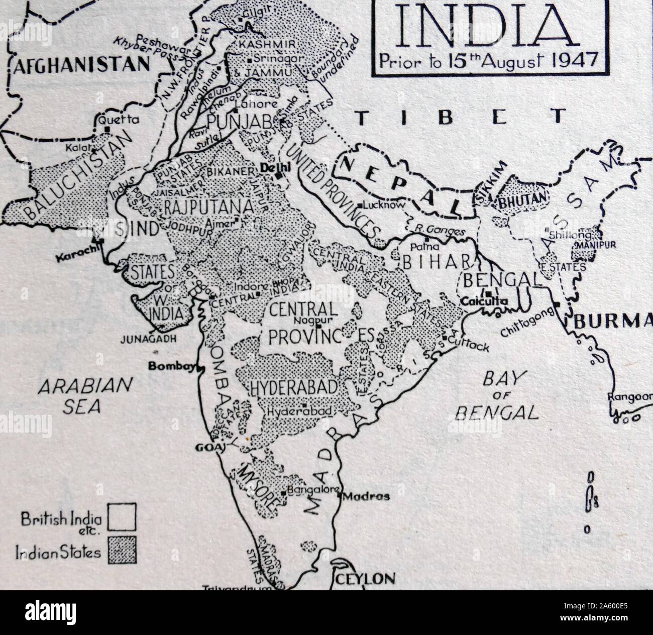 Map of India before the Partition of the British Indian Empire that led to the creation of India and Pakistan 1947 Stock Photohttps://www.alamy.com/image-license-details/?v=1https://www.alamy.com/map-of-india-before-the-partition-of-the-british-indian-empire-that-led-to-the-creation-of-india-and-pakistan-1947-image330685325.html
RM2A600E5–Map of India before the Partition of the British Indian Empire that led to the creation of India and Pakistan 1947
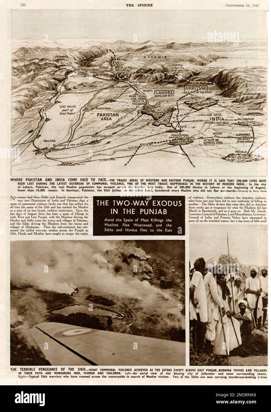 Partition in India - Two Way exodus in the Punjab Stock Photohttps://www.alamy.com/image-license-details/?v=1https://www.alamy.com/partition-in-india-two-way-exodus-in-the-punjab-image501466538.html
RM2M3RNK6–Partition in India - Two Way exodus in the Punjab
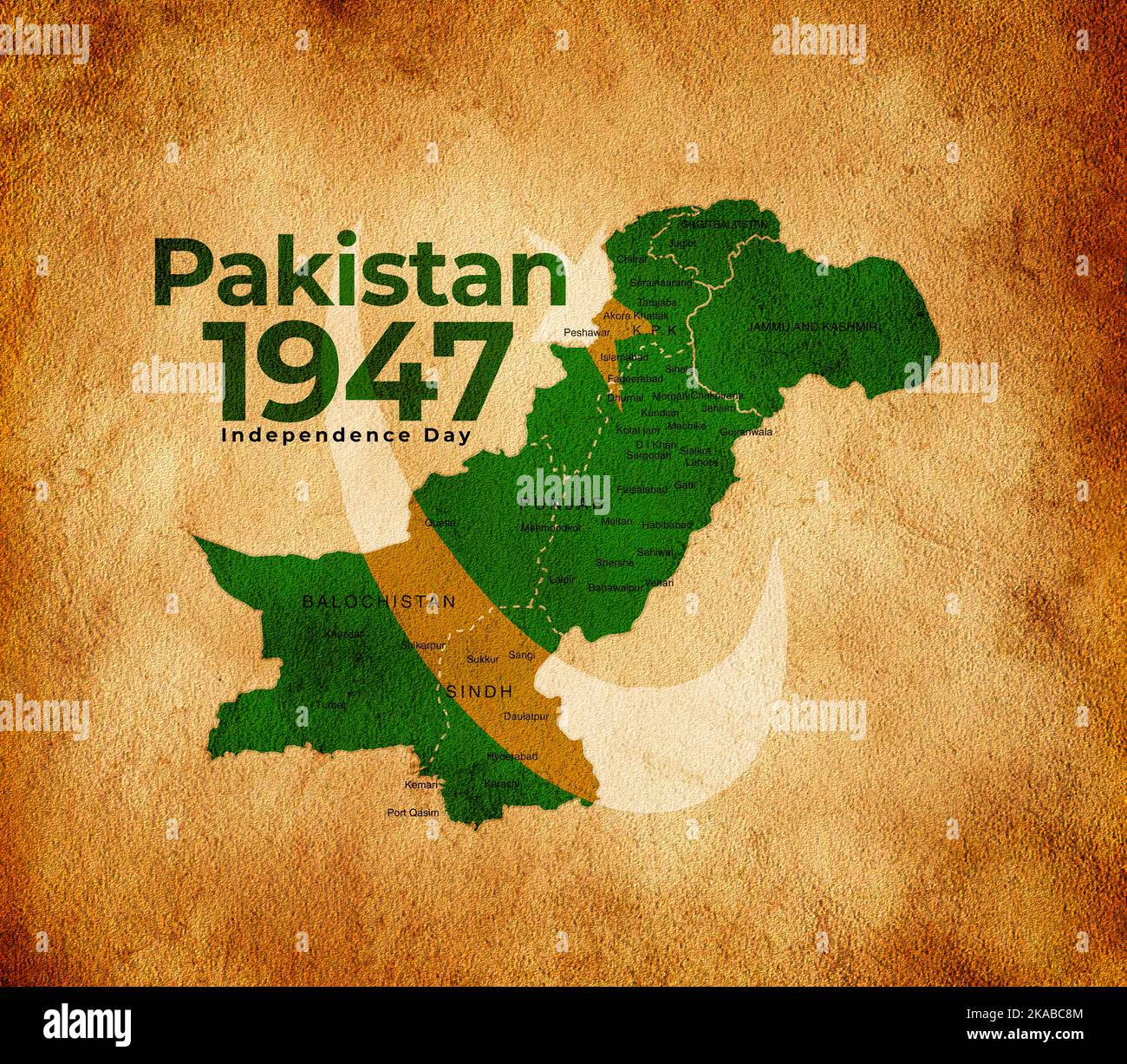 Kraft paper map for pakistan 1947 green color 3d rendering illustration. Stock Photohttps://www.alamy.com/image-license-details/?v=1https://www.alamy.com/kraft-paper-map-for-pakistan-1947-green-color-3d-rendering-illustration-image488287988.html
RF2KABC8M–Kraft paper map for pakistan 1947 green color 3d rendering illustration.
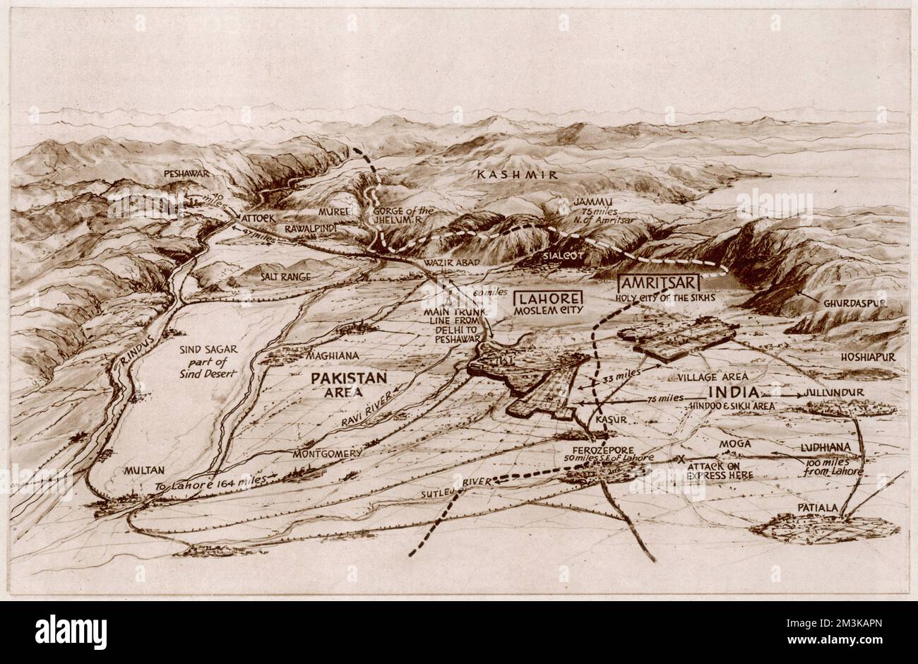 Partition. Map of East and West Punjab Stock Photohttps://www.alamy.com/image-license-details/?v=1https://www.alamy.com/partition-map-of-east-and-west-punjab-image501370205.html
RM2M3KAPN–Partition. Map of East and West Punjab
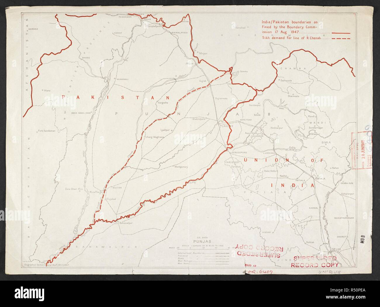 Map showing India and Pakistan boundaries, dated 1947. India / Pakistan boundaries as fixed by the Boundary Commission 17 Aug 1947, OR 6409. London : War Office, 1947. 1 map : col.; Scale 1:2 000 000. Source: Maps MOD OR 6409. Stock Photohttps://www.alamy.com/image-license-details/?v=1https://www.alamy.com/map-showing-india-and-pakistan-boundaries-dated-1947-india-pakistan-boundaries-as-fixed-by-the-boundary-commission-17-aug-1947-or-6409-london-war-office-1947-1-map-col-scale-12-000-000-source-maps-mod-or-6409-image226825714.html
RMR50PEA–Map showing India and Pakistan boundaries, dated 1947. India / Pakistan boundaries as fixed by the Boundary Commission 17 Aug 1947, OR 6409. London : War Office, 1947. 1 map : col.; Scale 1:2 000 000. Source: Maps MOD OR 6409.
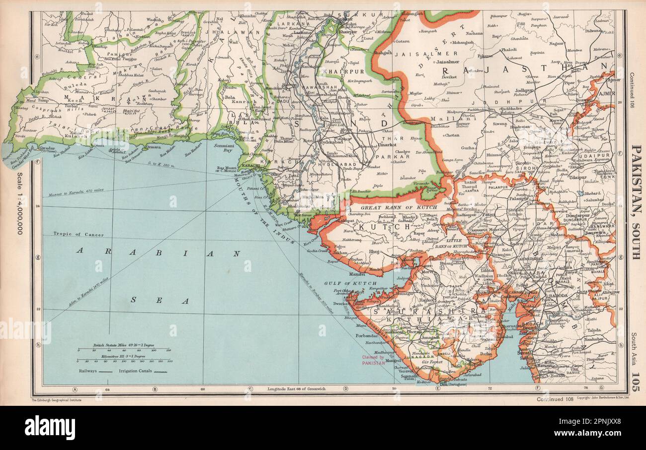 SOUTH ASIA. Shows Pakistan claim on Junagadh & Portuguese Diu. Gujarat 1952 map Stock Photohttps://www.alamy.com/image-license-details/?v=1https://www.alamy.com/south-asia-shows-pakistan-claim-on-junagadh-portuguese-diu-gujarat-1952-map-image546845440.html
RF2PNJXX8–SOUTH ASIA. Shows Pakistan claim on Junagadh & Portuguese Diu. Gujarat 1952 map
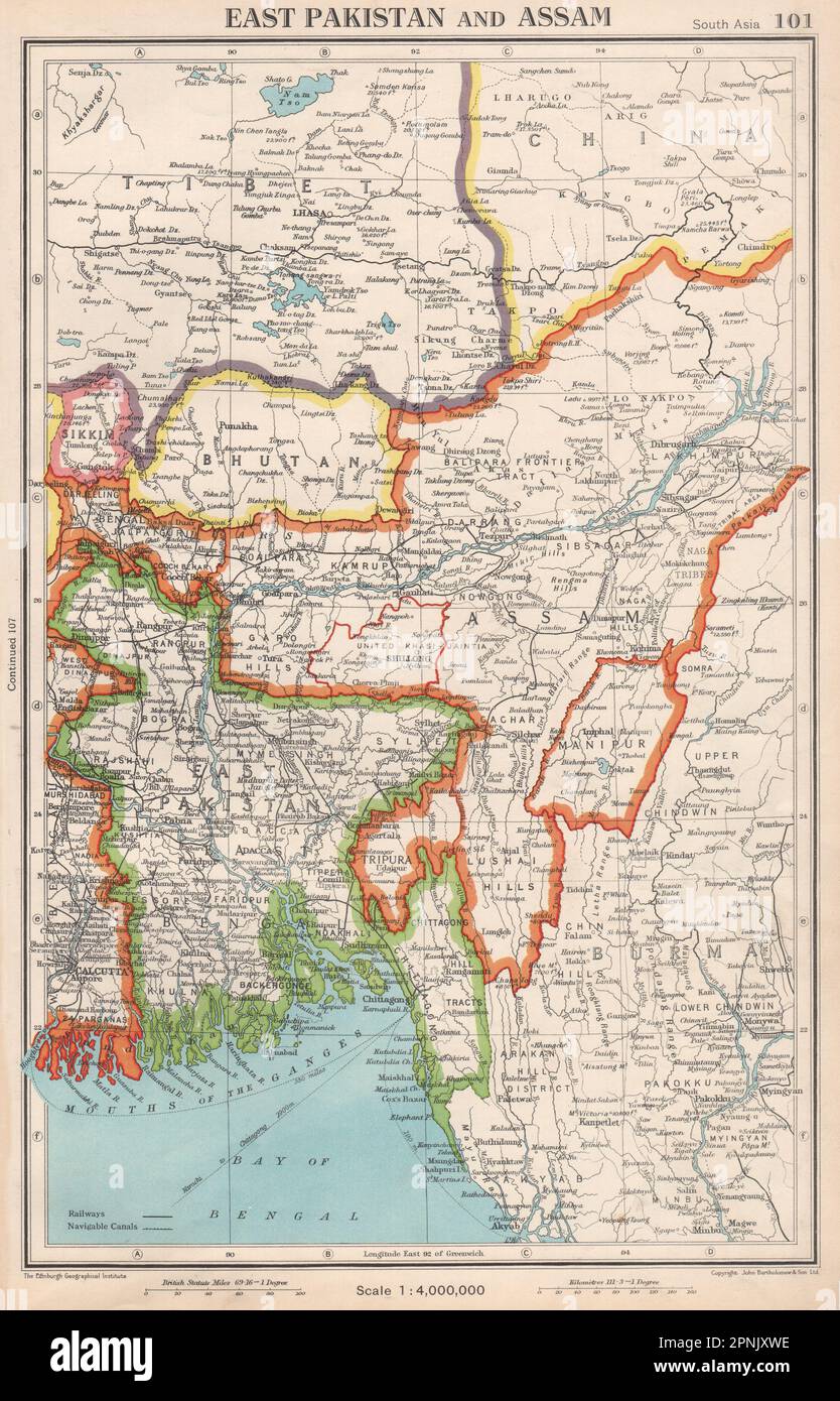 SOUTH ASIA. East Pakistan, Assam, Bhutan & independent Sikkim & Tibet 1952 map Stock Photohttps://www.alamy.com/image-license-details/?v=1https://www.alamy.com/south-asia-east-pakistan-assam-bhutan-independent-sikkim-tibet-1952-map-image546845418.html
RF2PNJXWE–SOUTH ASIA. East Pakistan, Assam, Bhutan & independent Sikkim & Tibet 1952 map