Indian reservations map 20th century Stock Photos and Images
(15)See indian reservations map 20th century stock video clipsIndian reservations map 20th century Stock Photos and Images
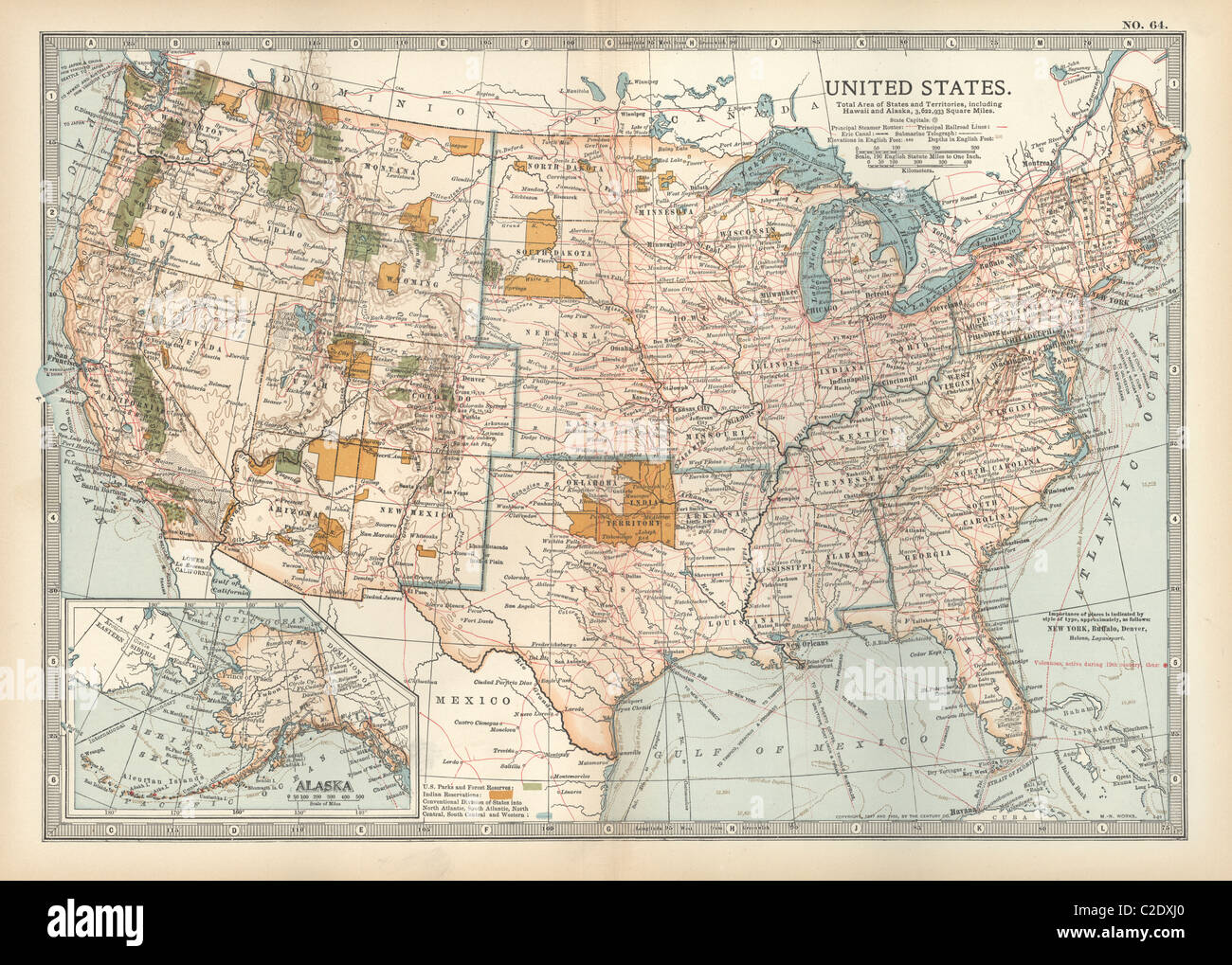 Map of the United States with inset of Alaska Stock Photohttps://www.alamy.com/image-license-details/?v=1https://www.alamy.com/stock-photo-map-of-the-united-states-with-inset-of-alaska-35956312.html
RMC2DXJ0–Map of the United States with inset of Alaska
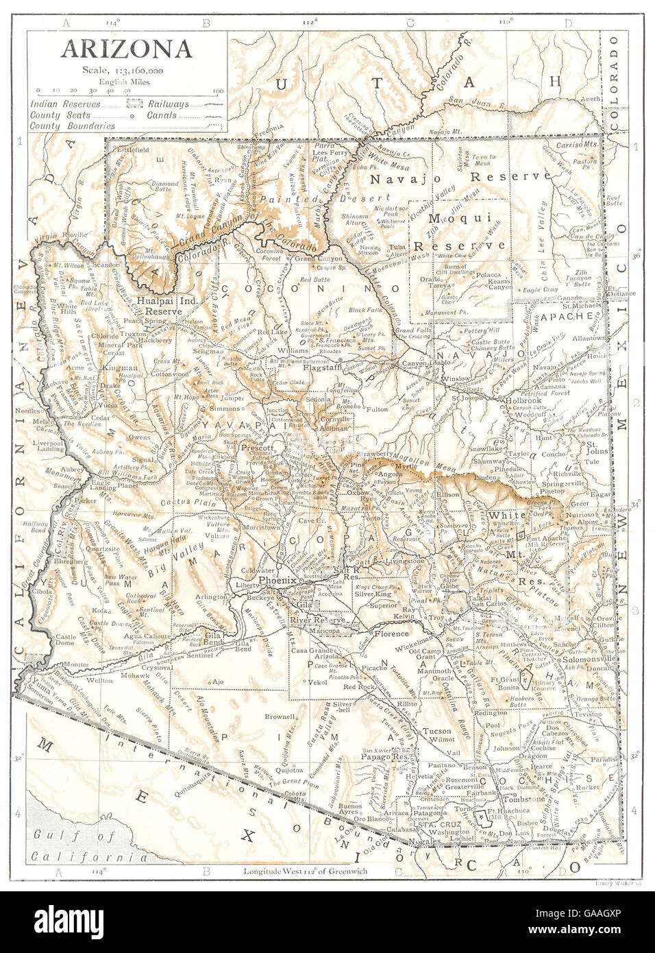 ARIZONA: state map showing counties, Indian reservations, 1910 Stock Photohttps://www.alamy.com/image-license-details/?v=1https://www.alamy.com/stock-photo-arizona-state-map-showing-counties-indian-reservations-1910-109641582.html
RFGAAGXP–ARIZONA: state map showing counties, Indian reservations, 1910
 Indian Reservations west of the Mississippi River, 1923. This map, created by the Office of Indian Affairs in 1923, shows the location of Indian reservations west of the Mississippi River. The names of the tribes are given and important geographic features such as state boundaries and rivers and railways are shown. Reservation schools and hospitals are also marked. In 1924, Congress passed the Indian Citizenship Act, which granted citizenship rights to Native Americans. Stock Photohttps://www.alamy.com/image-license-details/?v=1https://www.alamy.com/indian-reservations-west-of-the-mississippi-river-1923-this-map-created-by-the-office-of-indian-affairs-in-1923-shows-the-location-of-indian-reservations-west-of-the-mississippi-river-the-names-of-the-tribes-are-given-and-important-geographic-features-such-as-state-boundaries-and-rivers-and-railways-are-shown-reservation-schools-and-hospitals-are-also-marked-in-1924-congress-passed-the-indian-citizenship-act-which-granted-citizenship-rights-to-native-americans-image595002992.html
RM2WG0MAT–Indian Reservations west of the Mississippi River, 1923. This map, created by the Office of Indian Affairs in 1923, shows the location of Indian reservations west of the Mississippi River. The names of the tribes are given and important geographic features such as state boundaries and rivers and railways are shown. Reservation schools and hospitals are also marked. In 1924, Congress passed the Indian Citizenship Act, which granted citizenship rights to Native Americans.
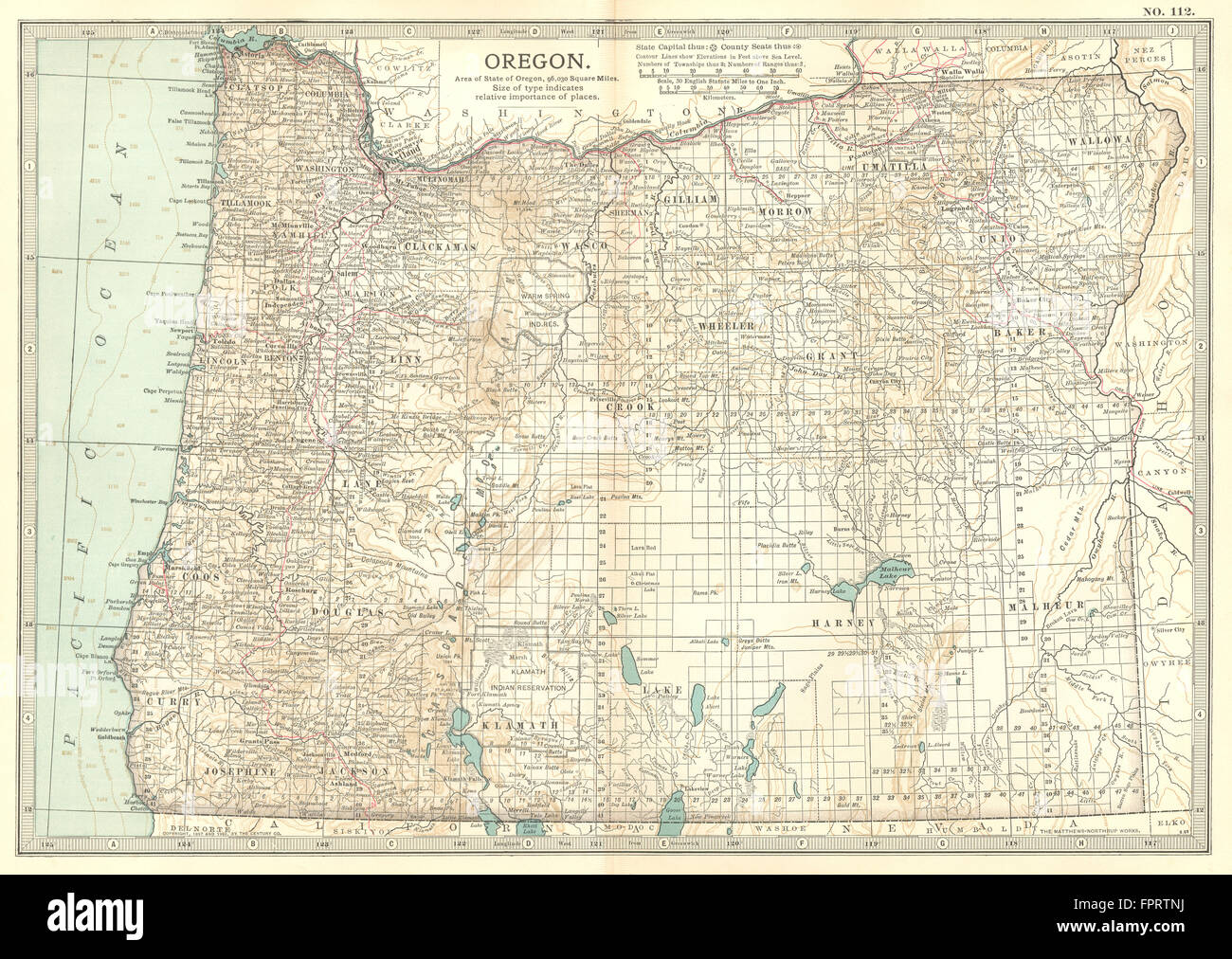 OREGON: State map showing counties & Indian reservations. Britannica, 1903 Stock Photohttps://www.alamy.com/image-license-details/?v=1https://www.alamy.com/stock-photo-oregon-state-map-showing-counties-indian-reservations-britannica-1903-100098590.html
RFFPRTNJ–OREGON: State map showing counties & Indian reservations. Britannica, 1903
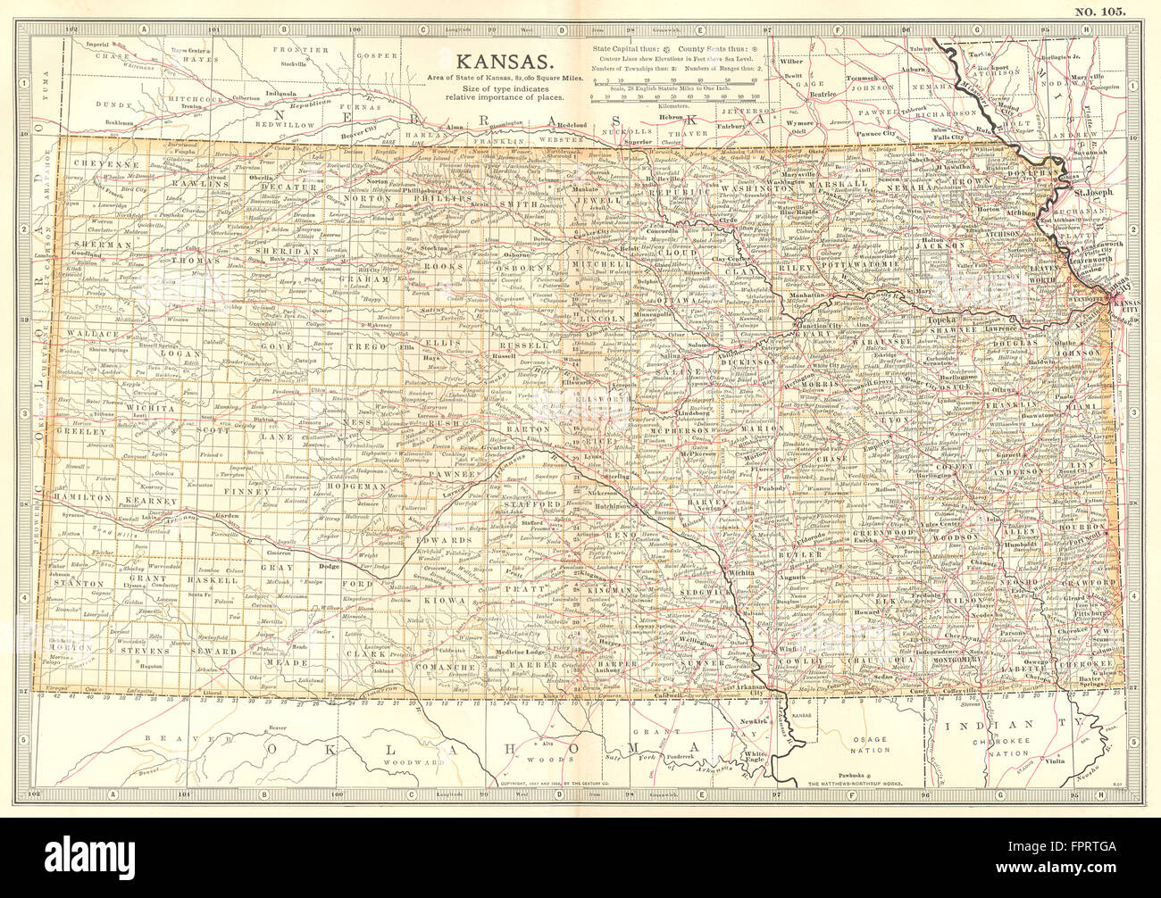 KANSAS: State map showing counties & Indian reservations. Britannica, 1903 Stock Photohttps://www.alamy.com/image-license-details/?v=1https://www.alamy.com/stock-photo-kansas-state-map-showing-counties-indian-reservations-britannica-1903-100098442.html
RFFPRTGA–KANSAS: State map showing counties & Indian reservations. Britannica, 1903
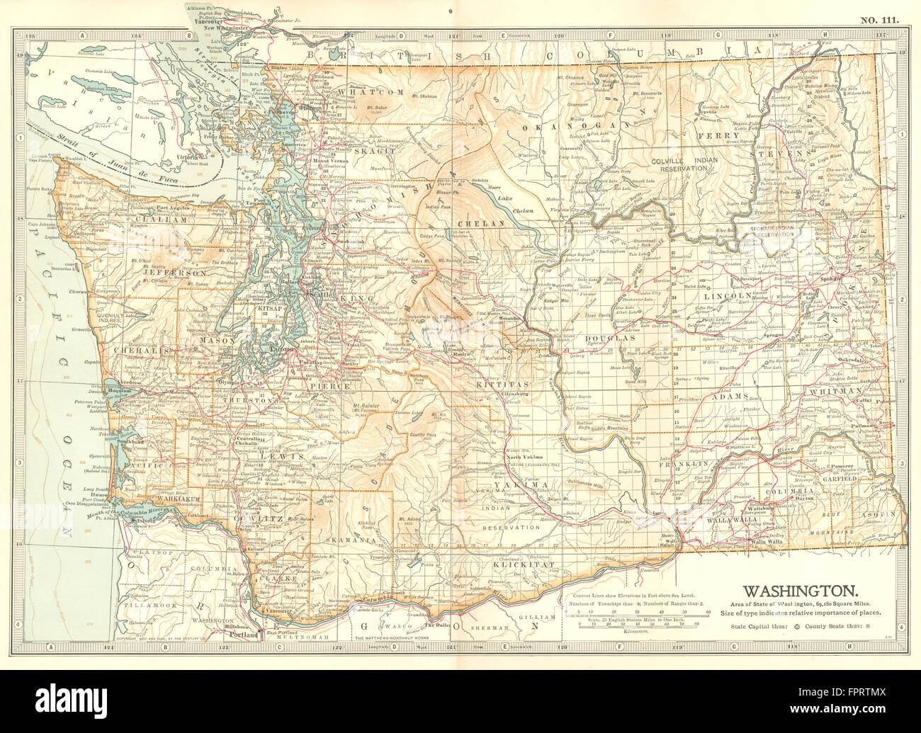 WASHINGTON STATE: Showing counties & Indian reservations. Britannica, 1903 map Stock Photohttps://www.alamy.com/image-license-details/?v=1https://www.alamy.com/stock-photo-washington-state-showing-counties-indian-reservations-britannica-1903-100098570.html
RFFPRTMX–WASHINGTON STATE: Showing counties & Indian reservations. Britannica, 1903 map
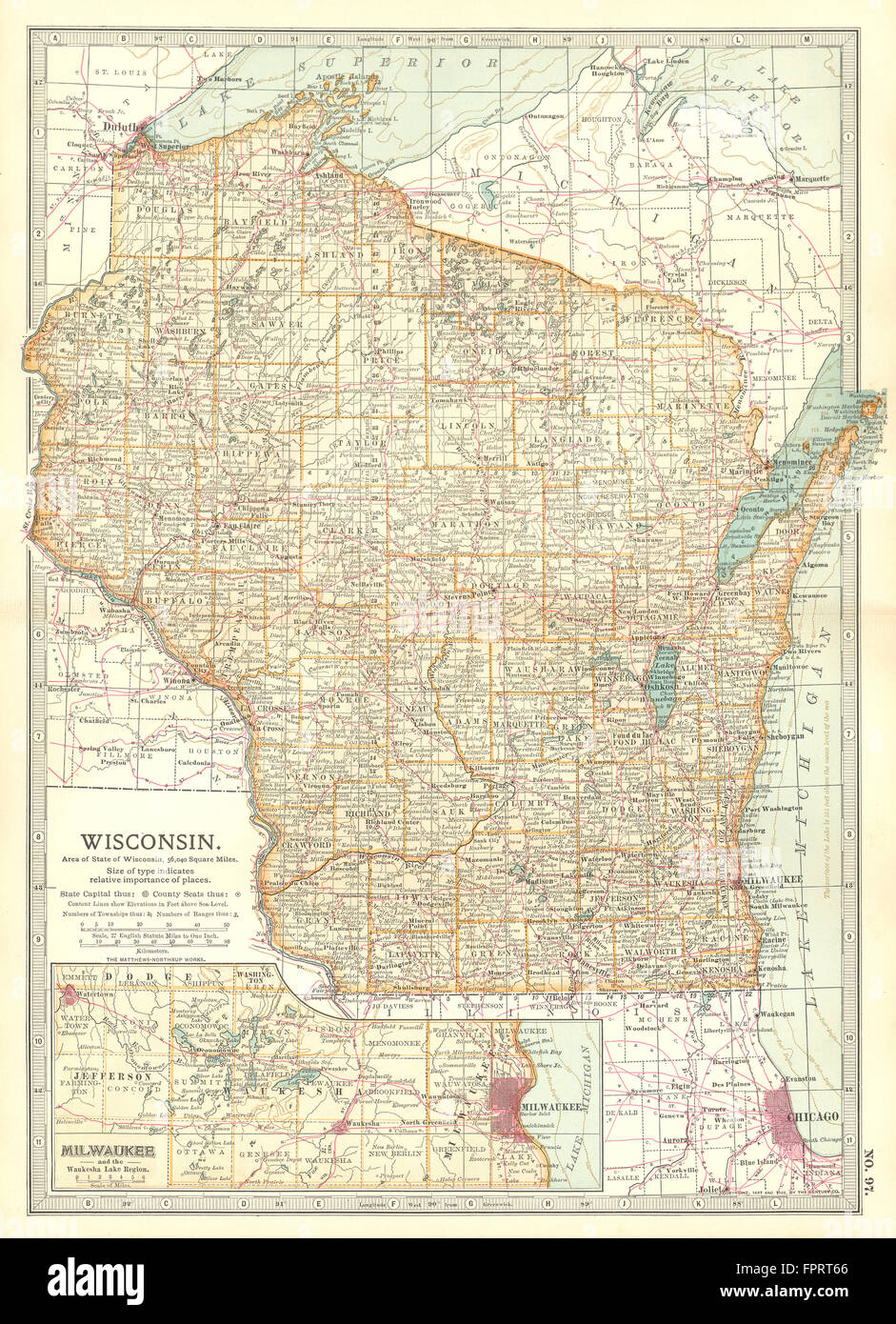 WISCONSIN: Counties. Indian reservations. Milwaukee & Waukesha Lakes, 1903 map Stock Photohttps://www.alamy.com/image-license-details/?v=1https://www.alamy.com/stock-photo-wisconsin-counties-indian-reservations-milwaukee-waukesha-lakes-1903-100098158.html
RFFPRT66–WISCONSIN: Counties. Indian reservations. Milwaukee & Waukesha Lakes, 1903 map
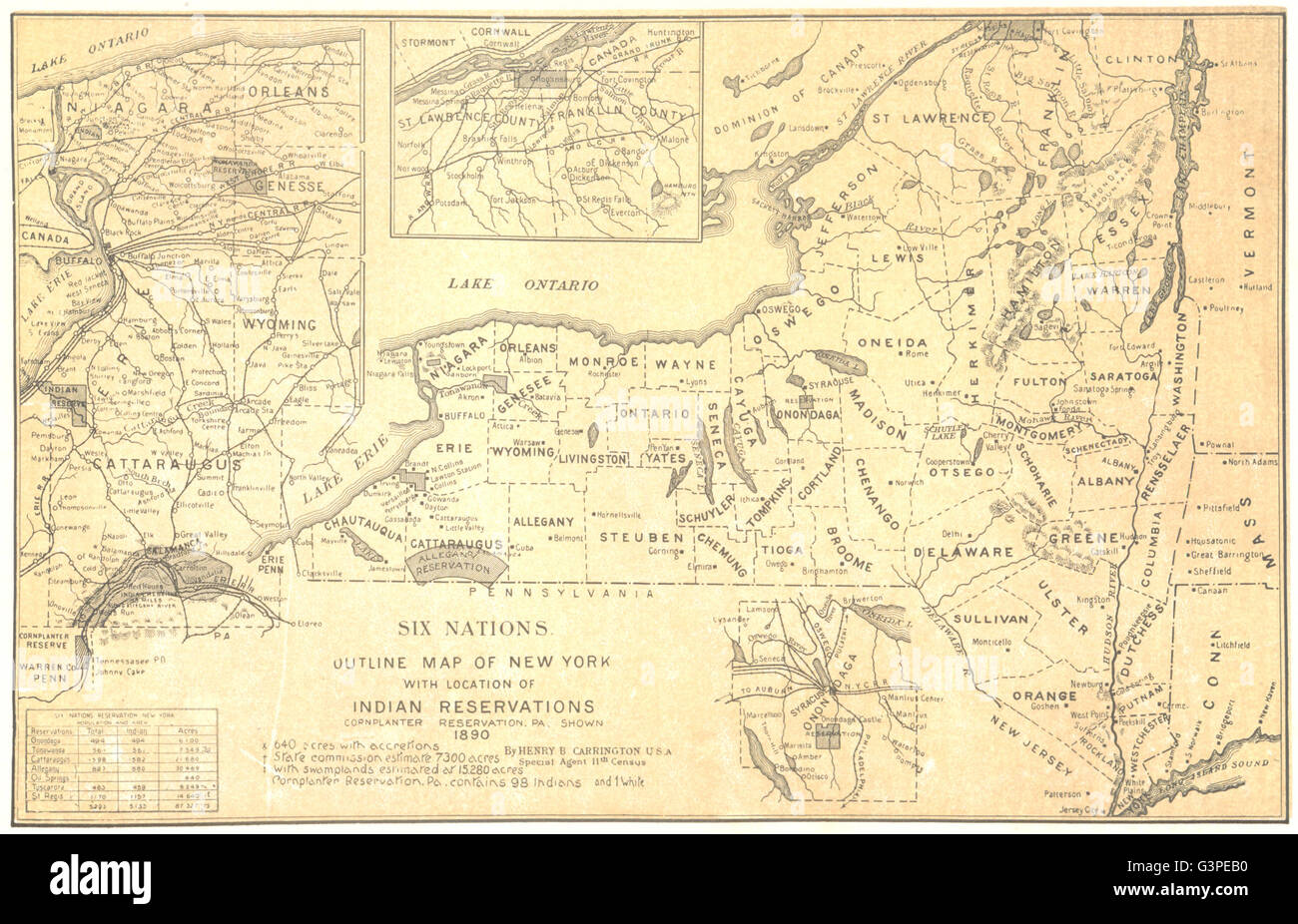 Six Nations outline map of New York showing Indian reservations, 1907 Stock Photohttps://www.alamy.com/image-license-details/?v=1https://www.alamy.com/stock-photo-six-nations-outline-map-of-new-york-showing-indian-reservations-1907-105600404.html
RFG3PEB0–Six Nations outline map of New York showing Indian reservations, 1907
 NORTH DAKOTA: State map.Shows counties & Indian reservations.Britannica 1903 Stock Photohttps://www.alamy.com/image-license-details/?v=1https://www.alamy.com/stock-photo-north-dakota-state-mapshows-counties-indian-reservationsbritannica-100098175.html
RFFPRT6R–NORTH DAKOTA: State map.Shows counties & Indian reservations.Britannica 1903
 United States showing railways, forts & Indian Reservations. THE TIMES 1900 map Stock Photohttps://www.alamy.com/image-license-details/?v=1https://www.alamy.com/united-states-showing-railways-forts-indian-reservations-the-times-1900-map-image242582285.html
RFT2JG51–United States showing railways, forts & Indian Reservations. THE TIMES 1900 map
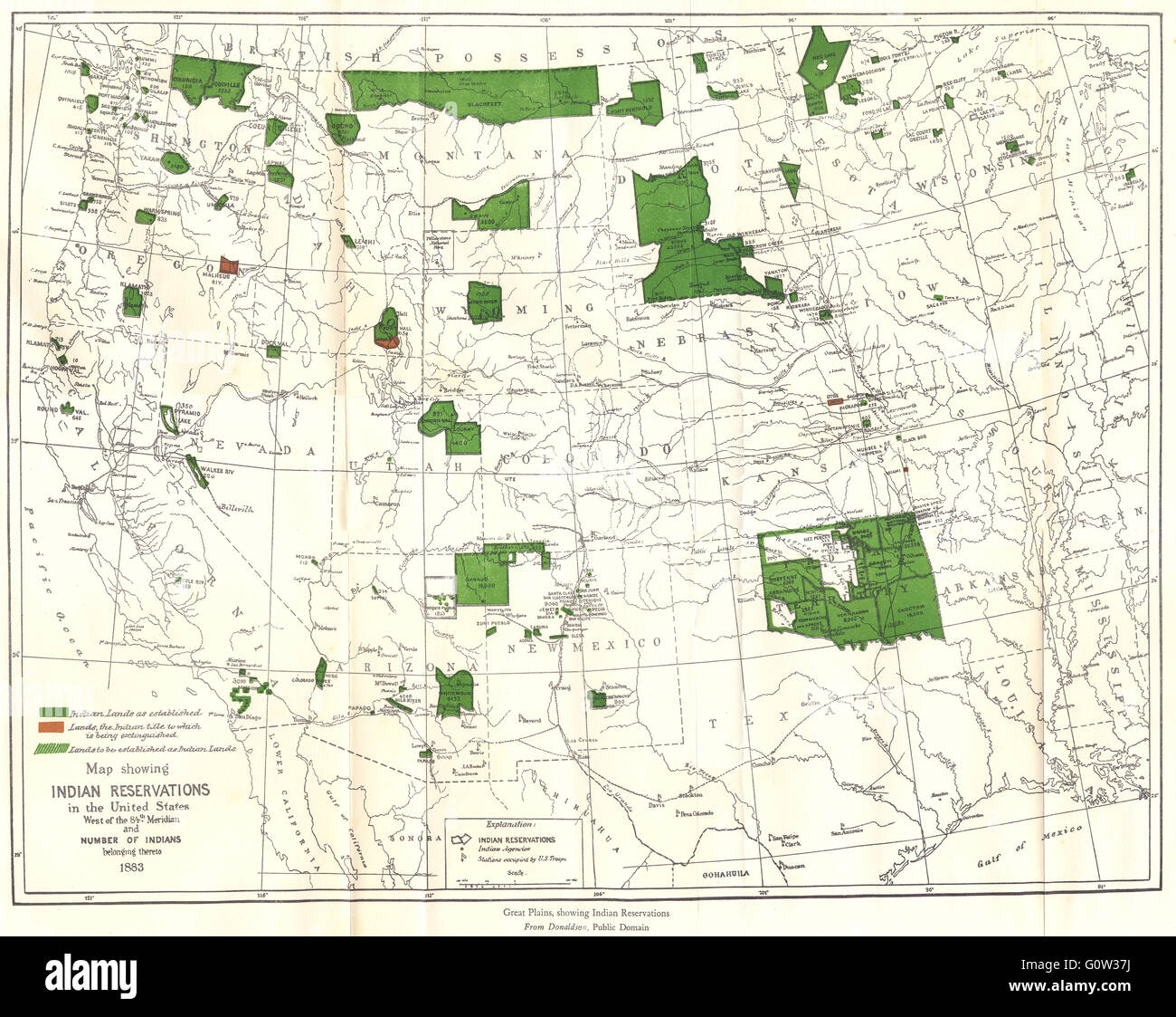 USA WEST: Indian reservations & population 1883, 1942 vintage map Stock Photohttps://www.alamy.com/image-license-details/?v=1https://www.alamy.com/stock-photo-usa-west-indian-reservations-population-1883-1942-vintage-map-103813574.html
RFG0W37J–USA WEST: Indian reservations & population 1883, 1942 vintage map
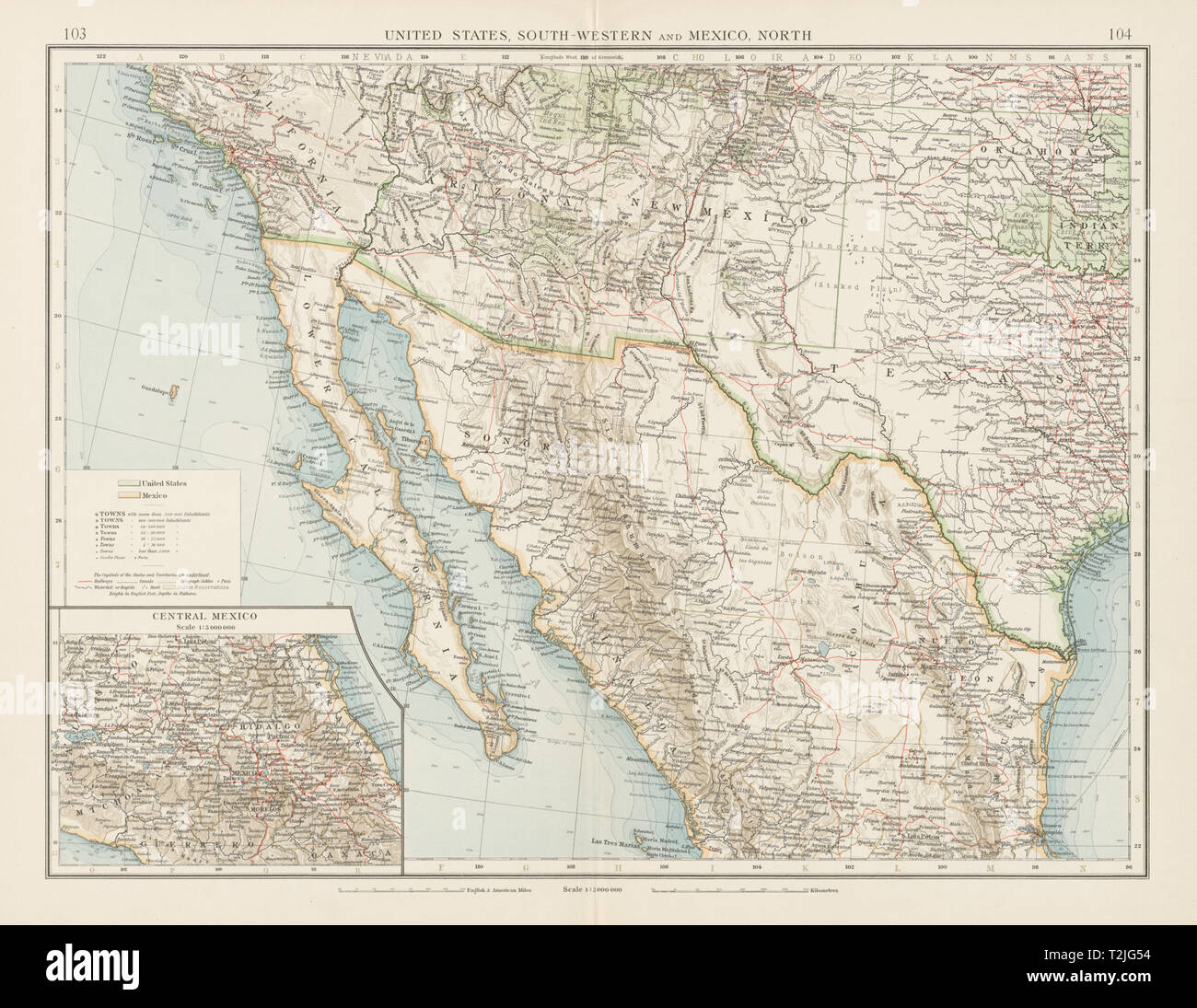 United States South-West. Mexico North. Indian Reservations. TIMES 1900 map Stock Photohttps://www.alamy.com/image-license-details/?v=1https://www.alamy.com/united-states-south-west-mexico-north-indian-reservations-times-1900-map-image242582288.html
RFT2JG54–United States South-West. Mexico North. Indian Reservations. TIMES 1900 map
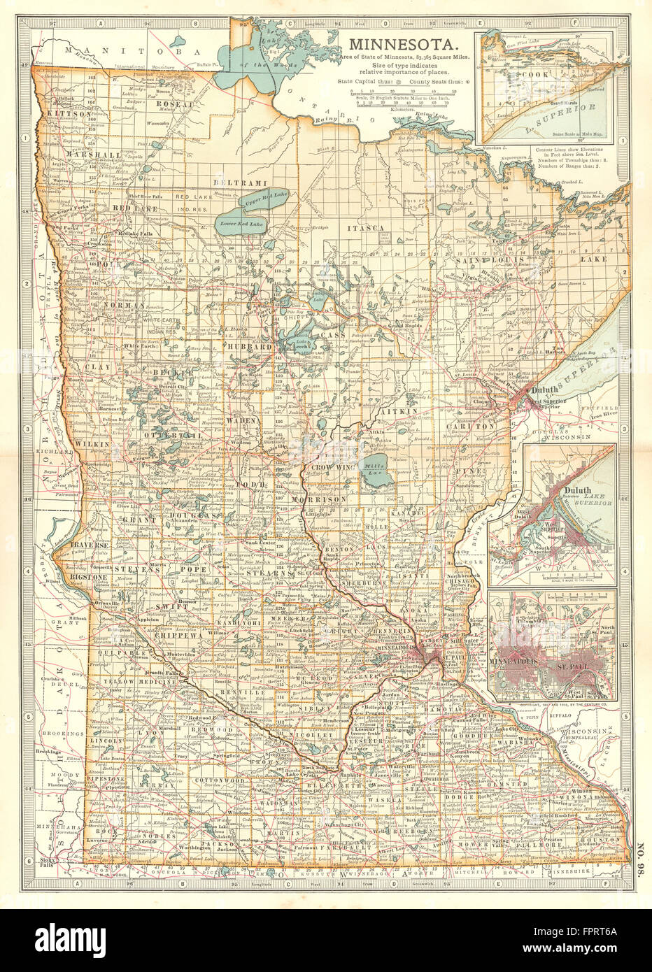 MINNESOTA:Inset Duluth Minneapolis St Paul.Indian reservations, 1903 old map Stock Photohttps://www.alamy.com/image-license-details/?v=1https://www.alamy.com/stock-photo-minnesotainset-duluth-minneapolis-st-paulindian-reservations-1903-100098162.html
RFFPRT6A–MINNESOTA:Inset Duluth Minneapolis St Paul.Indian reservations, 1903 old map
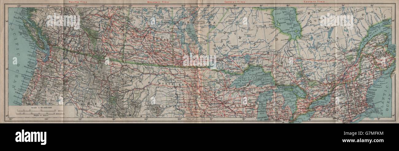 Canada/United States transcontinental railroads. Indian reservations, 1922 map Stock Photohttps://www.alamy.com/image-license-details/?v=1https://www.alamy.com/stock-photo-canadaunited-states-transcontinental-railroads-indian-reservations-108016152.html
RFG7MFKM–Canada/United States transcontinental railroads. Indian reservations, 1922 map
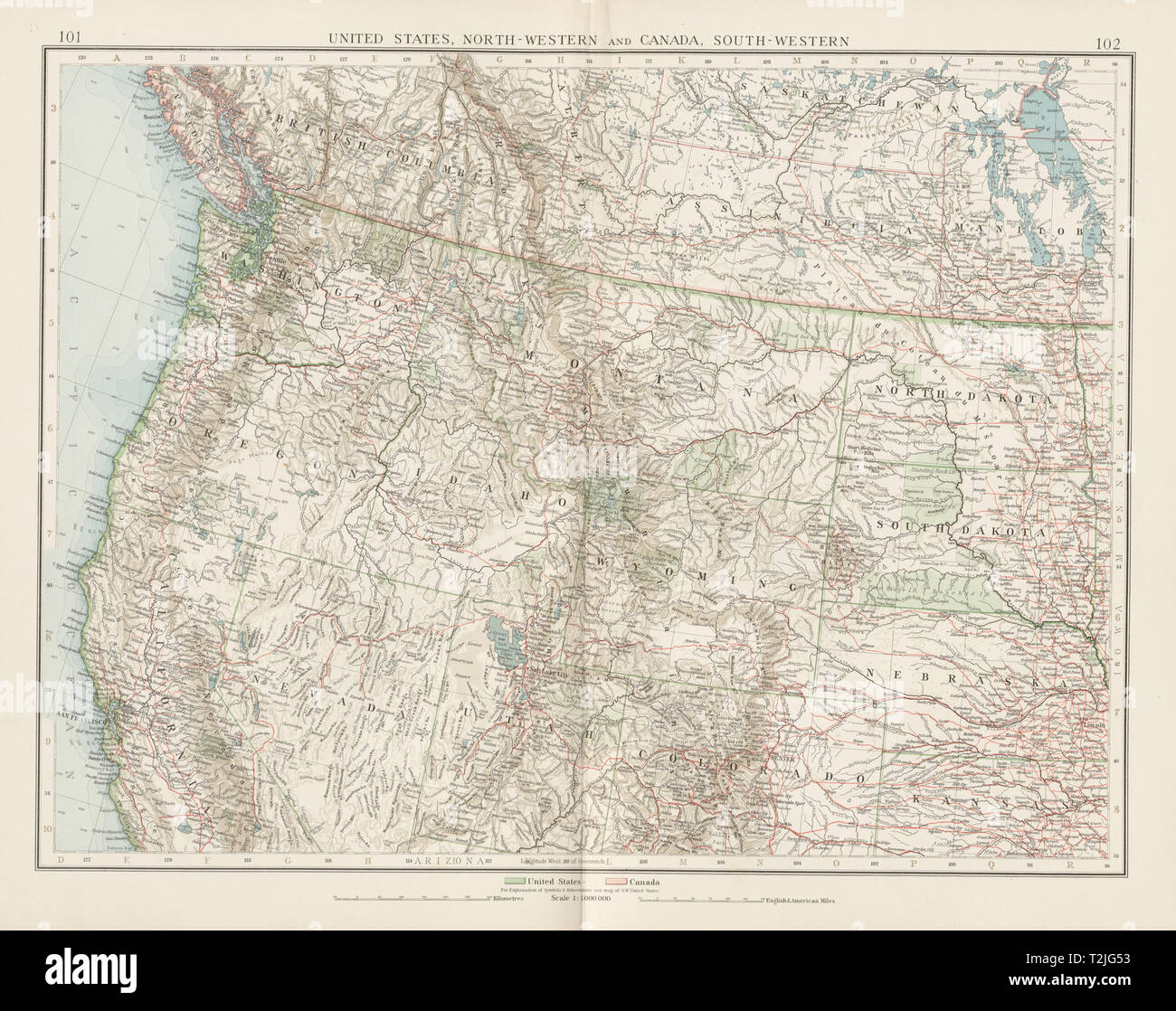 United States North-West. Canada SW. Railways Indian Reservations TIMES 1900 map Stock Photohttps://www.alamy.com/image-license-details/?v=1https://www.alamy.com/united-states-north-west-canada-sw-railways-indian-reservations-times-1900-map-image242582287.html
RFT2JG53–United States North-West. Canada SW. Railways Indian Reservations TIMES 1900 map