Quick filters:
Indian state map Stock Photos and Images
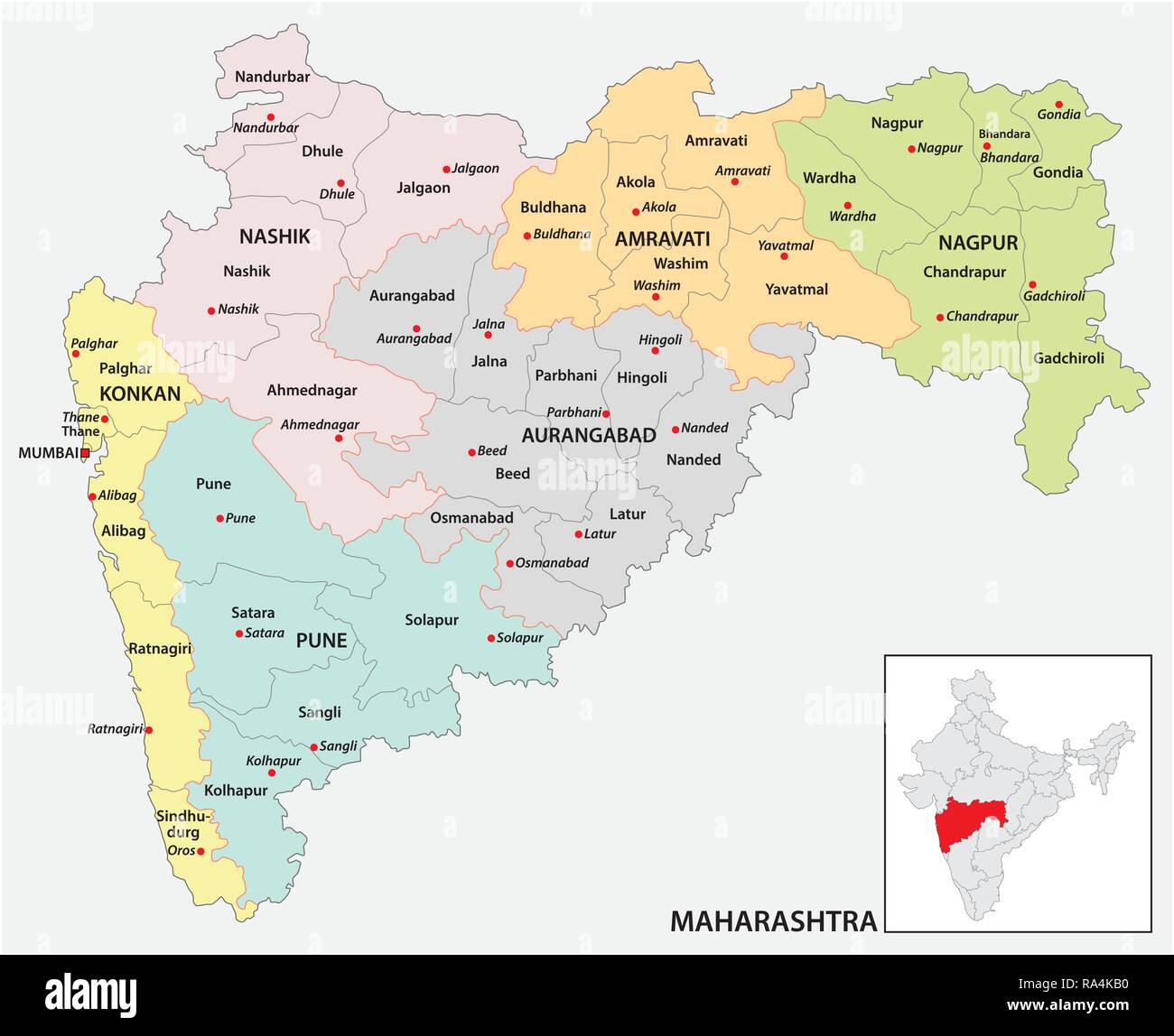 administrative and political map of indian state of Maharashtra, india Stock Vectorhttps://www.alamy.com/image-license-details/?v=1https://www.alamy.com/administrative-and-political-map-of-indian-state-of-maharashtra-india-image229984356.html
RFRA4KB0–administrative and political map of indian state of Maharashtra, india
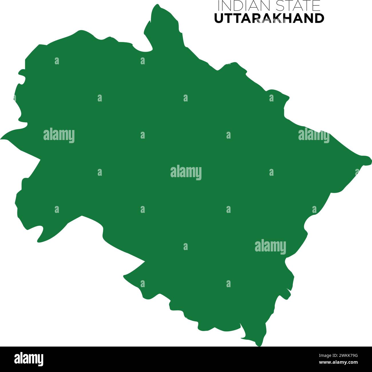 indian state uttarakhand map, dev bhoomi uttarakhand map, indian state map, vector Stock Vectorhttps://www.alamy.com/image-license-details/?v=1https://www.alamy.com/indian-state-uttarakhand-map-dev-bhoomi-uttarakhand-map-indian-state-map-vector-image597253820.html
RF2WKK79G–indian state uttarakhand map, dev bhoomi uttarakhand map, indian state map, vector
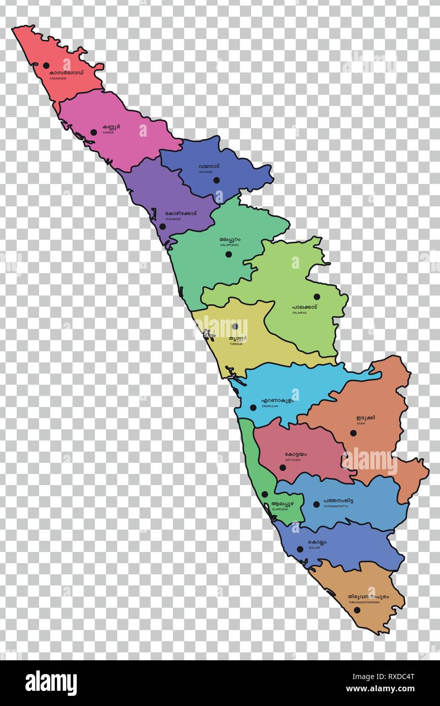 Kerala map with districts highlighted Stock Vectorhttps://www.alamy.com/image-license-details/?v=1https://www.alamy.com/kerala-map-with-districts-highlighted-image240010760.html
RFRXDC4T–Kerala map with districts highlighted
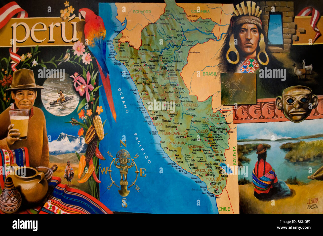 Peru Peruvian South America Indian Painting Map Stock Photohttps://www.alamy.com/image-license-details/?v=1https://www.alamy.com/stock-photo-peru-peruvian-south-america-indian-painting-map-29318884.html
RMBKKGF0–Peru Peruvian South America Indian Painting Map
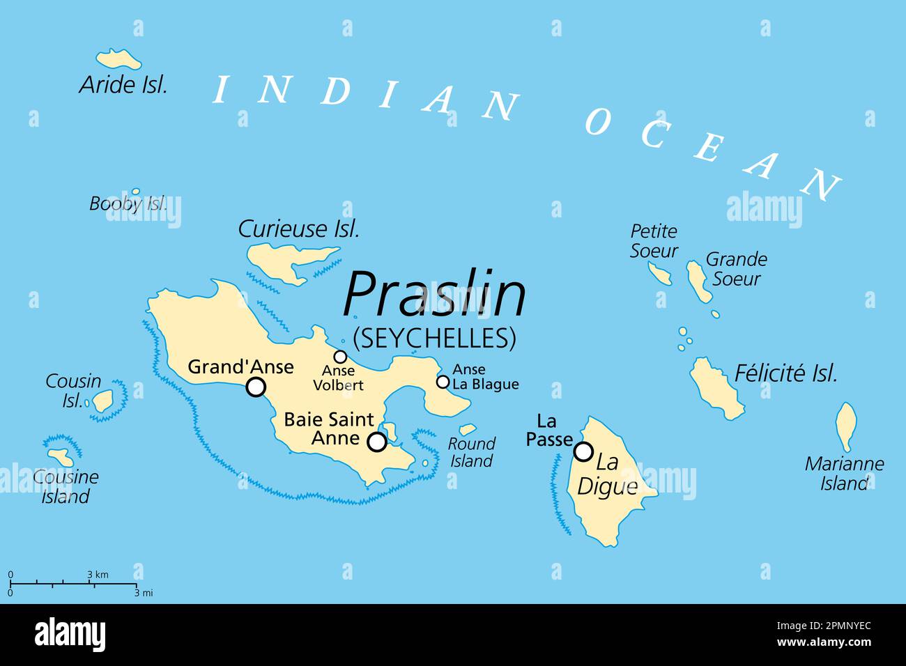 Praslin and nearby islands, political map. Second largest islands of the Seychelles, a Republic and archipelagic state in the Indian Ocean. Stock Photohttps://www.alamy.com/image-license-details/?v=1https://www.alamy.com/praslin-and-nearby-islands-political-map-second-largest-islands-of-the-seychelles-a-republic-and-archipelagic-state-in-the-indian-ocean-image546297092.html
RF2PMNYEC–Praslin and nearby islands, political map. Second largest islands of the Seychelles, a Republic and archipelagic state in the Indian Ocean.
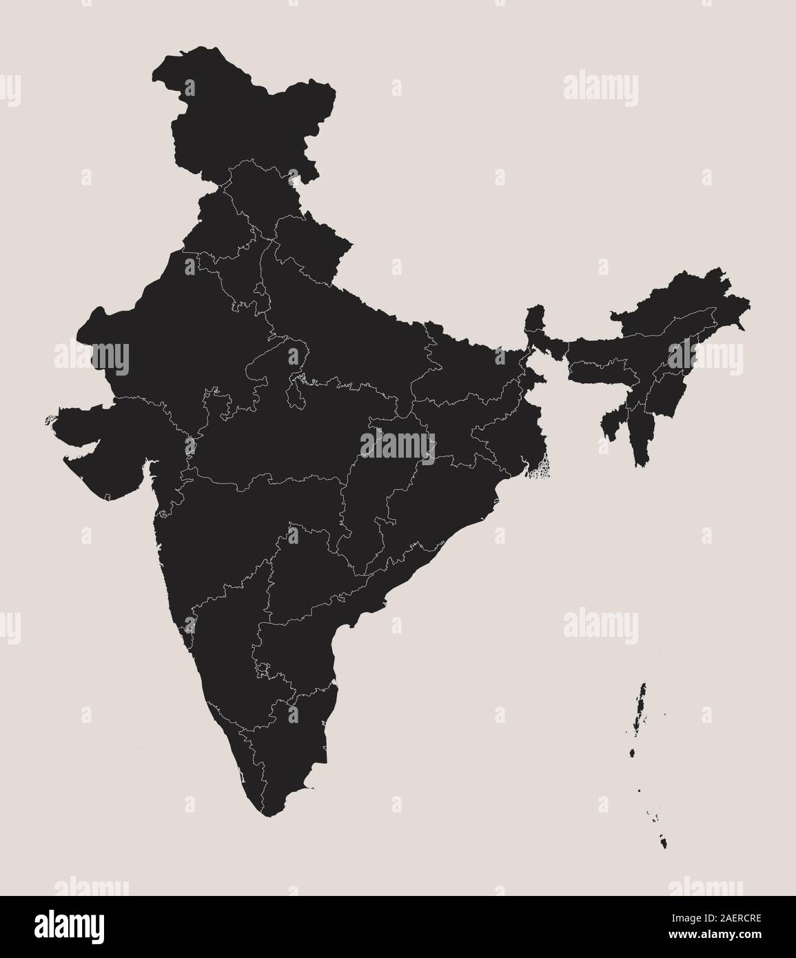 Indian map with regional states vector illustration background. Black, coffee white. Perfect for wallpapers, backdrop, poster, sticker, banner, label Stock Vectorhttps://www.alamy.com/image-license-details/?v=1https://www.alamy.com/indian-map-with-regional-states-vector-illustration-background-black-coffee-white-perfect-for-wallpapers-backdrop-poster-sticker-banner-label-image336117138.html
RF2AERCRE–Indian map with regional states vector illustration background. Black, coffee white. Perfect for wallpapers, backdrop, poster, sticker, banner, label
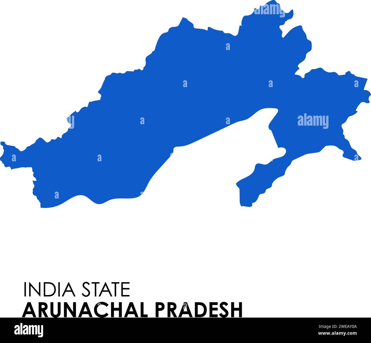 Arunachal Pradesh map of Indian state. Arunachal Pradesh map illustration Stock Photohttps://www.alamy.com/image-license-details/?v=1https://www.alamy.com/arunachal-pradesh-map-of-indian-state-arunachal-pradesh-map-illustration-image593998394.html
RF2WEAY0A–Arunachal Pradesh map of Indian state. Arunachal Pradesh map illustration
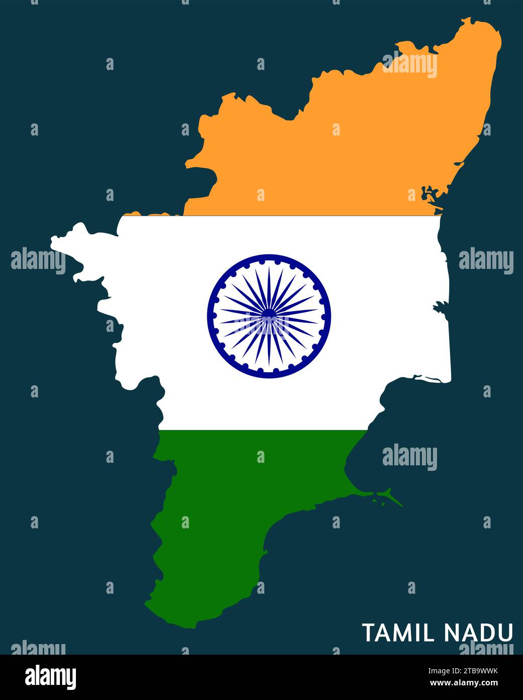 Indian State Tamil Nadu map with Indian flag vector illustration Stock Vectorhttps://www.alamy.com/image-license-details/?v=1https://www.alamy.com/indian-state-tamil-nadu-map-with-indian-flag-vector-illustration-image574921247.html
RF2TB9WWK–Indian State Tamil Nadu map with Indian flag vector illustration
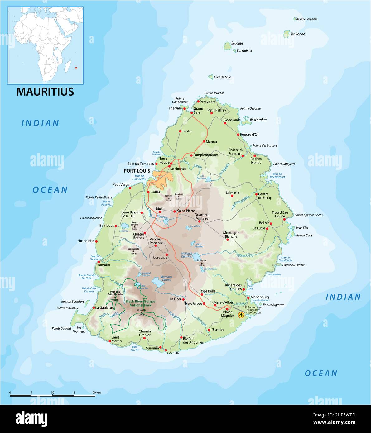 vektor road map of the island state of Mauritius in the Indian Ocean Stock Vectorhttps://www.alamy.com/image-license-details/?v=1https://www.alamy.com/vektor-road-map-of-the-island-state-of-mauritius-in-the-indian-ocean-image461121765.html
RF2HP5WED–vektor road map of the island state of Mauritius in the Indian Ocean
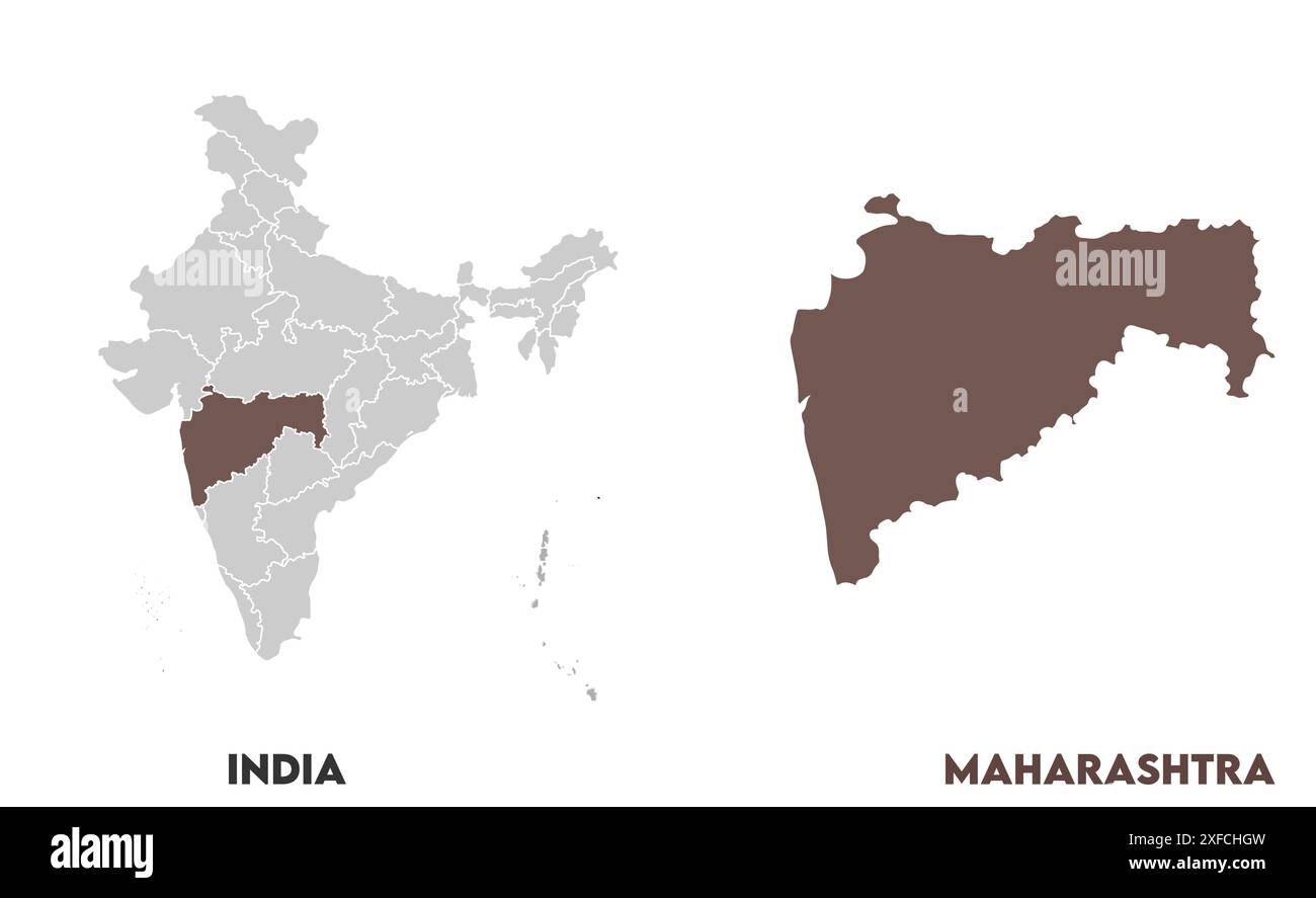 Maharashtra Map1, State of India, Republic of India, government, Political map, modern map, Indian flag, vector illustration Stock Vectorhttps://www.alamy.com/image-license-details/?v=1https://www.alamy.com/maharashtra-map1-state-of-india-republic-of-india-government-political-map-modern-map-indian-flag-vector-illustration-image611859945.html
RF2XFCHGW–Maharashtra Map1, State of India, Republic of India, government, Political map, modern map, Indian flag, vector illustration
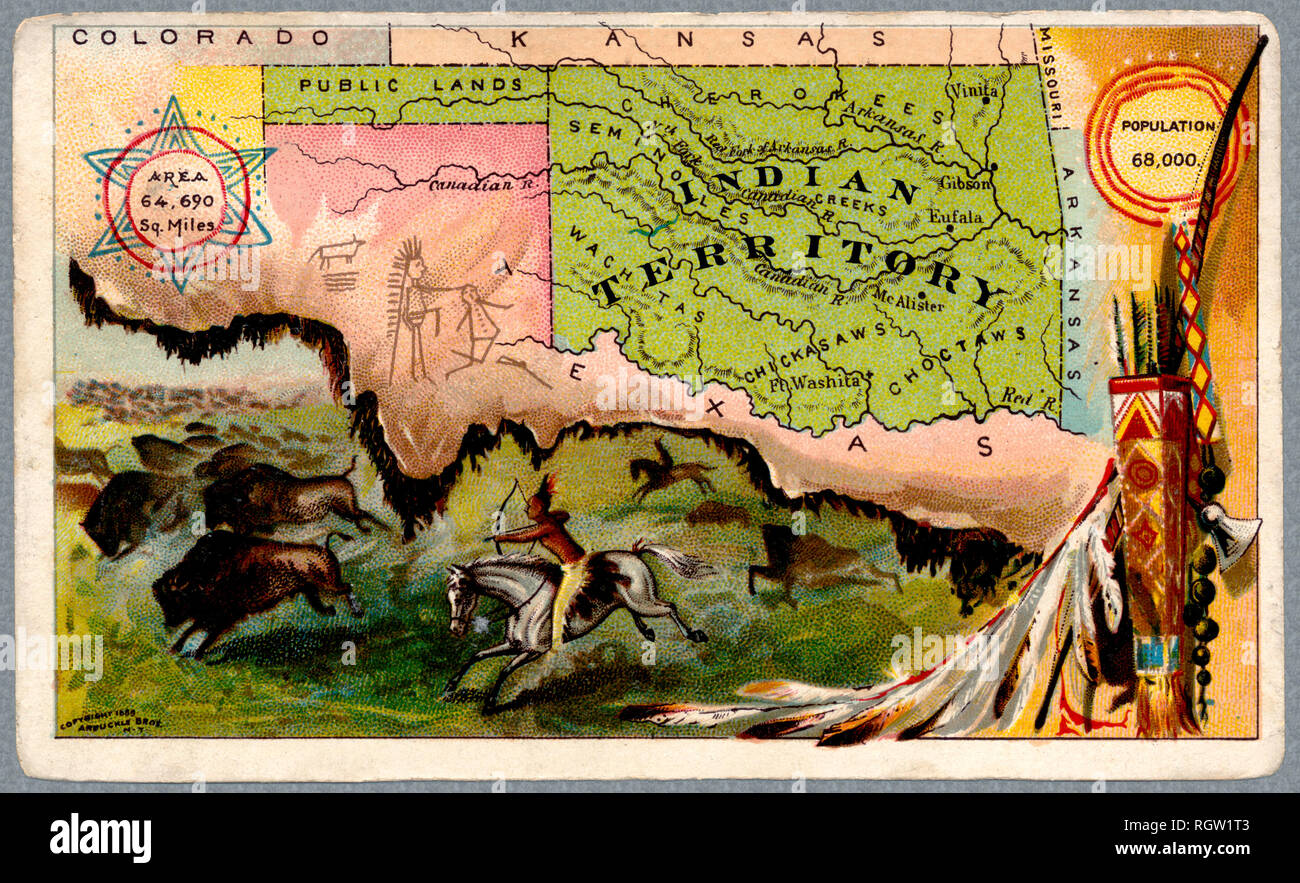 'indian Territory' map and illustration. The areas is now the state of Oklahoma. Old map was issued in 1889 Stock Photohttps://www.alamy.com/image-license-details/?v=1https://www.alamy.com/indian-territory-map-and-illustration-the-areas-is-now-the-state-of-oklahoma-old-map-was-issued-in-1889-image234119539.html
RFRGW1T3–'indian Territory' map and illustration. The areas is now the state of Oklahoma. Old map was issued in 1889
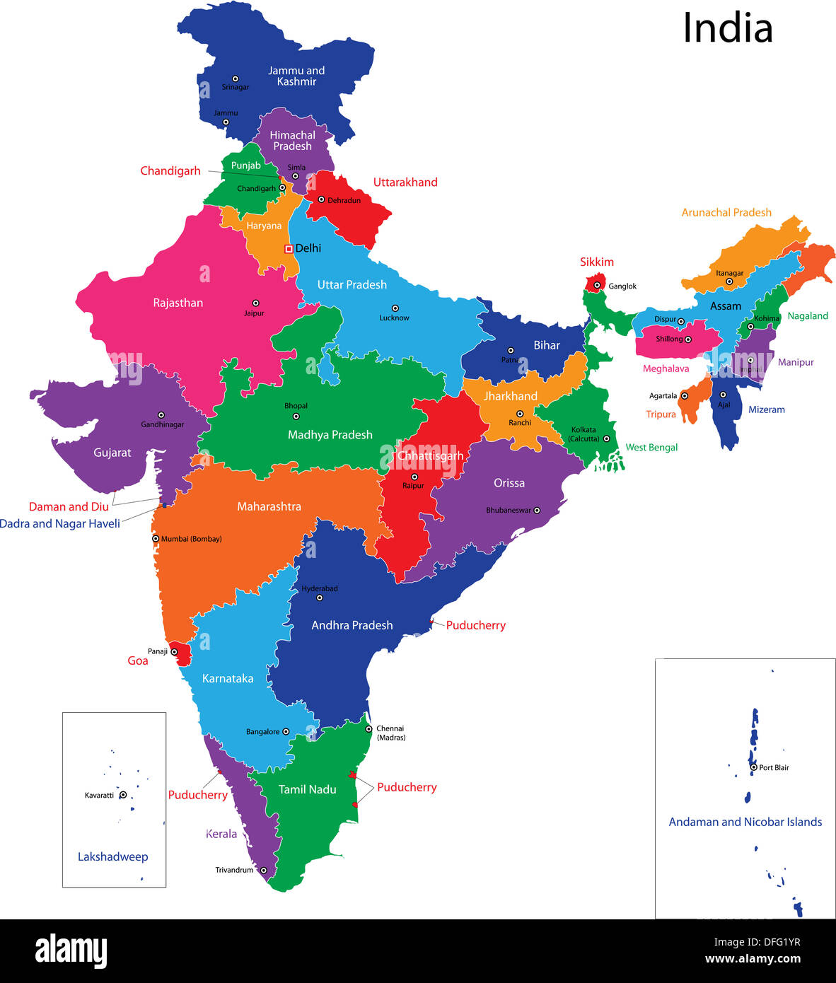 India map Stock Photohttps://www.alamy.com/image-license-details/?v=1https://www.alamy.com/india-map-image61203739.html
RFDFG1YR–India map
RF2XGTT4R–Odisha State Map Vector Icon. India Odisha Province State icon. Odisha Map
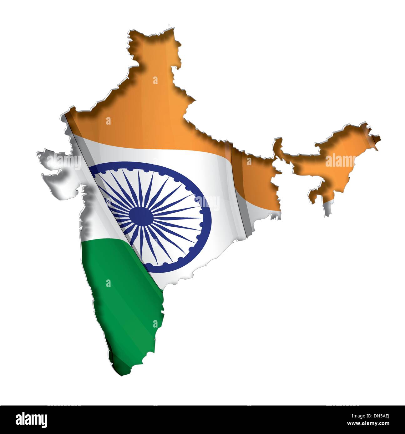 Indian Map-Flag Stock Vectorhttps://www.alamy.com/image-license-details/?v=1https://www.alamy.com/indian-map-flag-image64656890.html
RFDN5AEJ–Indian Map-Flag
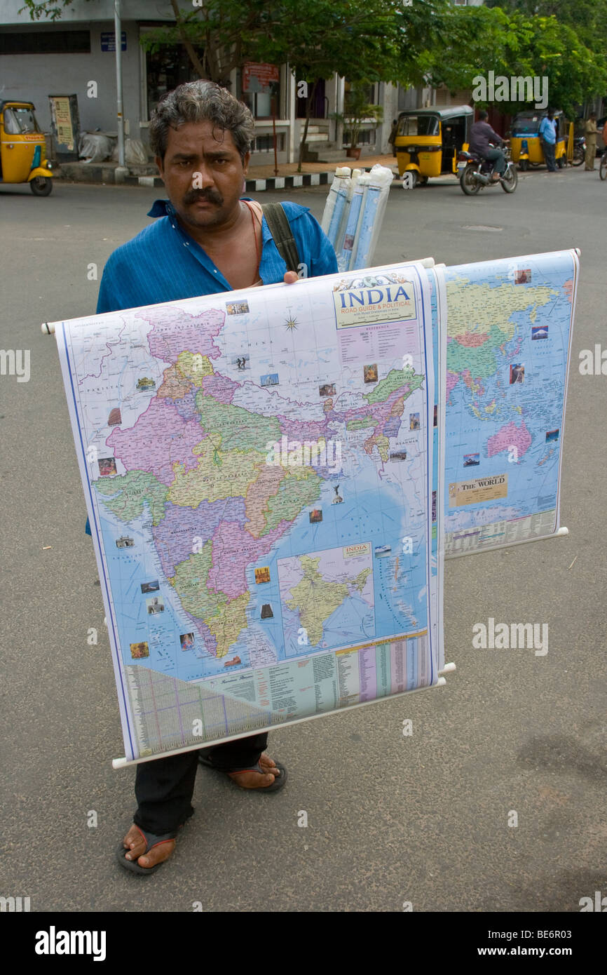 Man selling a map in the street in Pondicherry India Stock Photohttps://www.alamy.com/image-license-details/?v=1https://www.alamy.com/stock-photo-man-selling-a-map-in-the-street-in-pondicherry-india-25965299.html
RMBE6R03–Man selling a map in the street in Pondicherry India
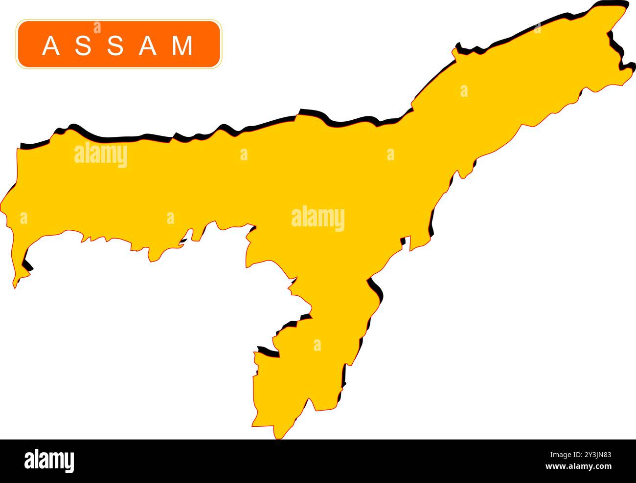 State Map of India with name on it Stock Vectorhttps://www.alamy.com/image-license-details/?v=1https://www.alamy.com/state-map-of-india-with-name-on-it-image621829043.html
RF2Y3JN83–State Map of India with name on it
 Haryana Day Indian State Background Stock Vectorhttps://www.alamy.com/image-license-details/?v=1https://www.alamy.com/haryana-day-indian-state-background-image444185864.html
RF2GPJBGT–Haryana Day Indian State Background
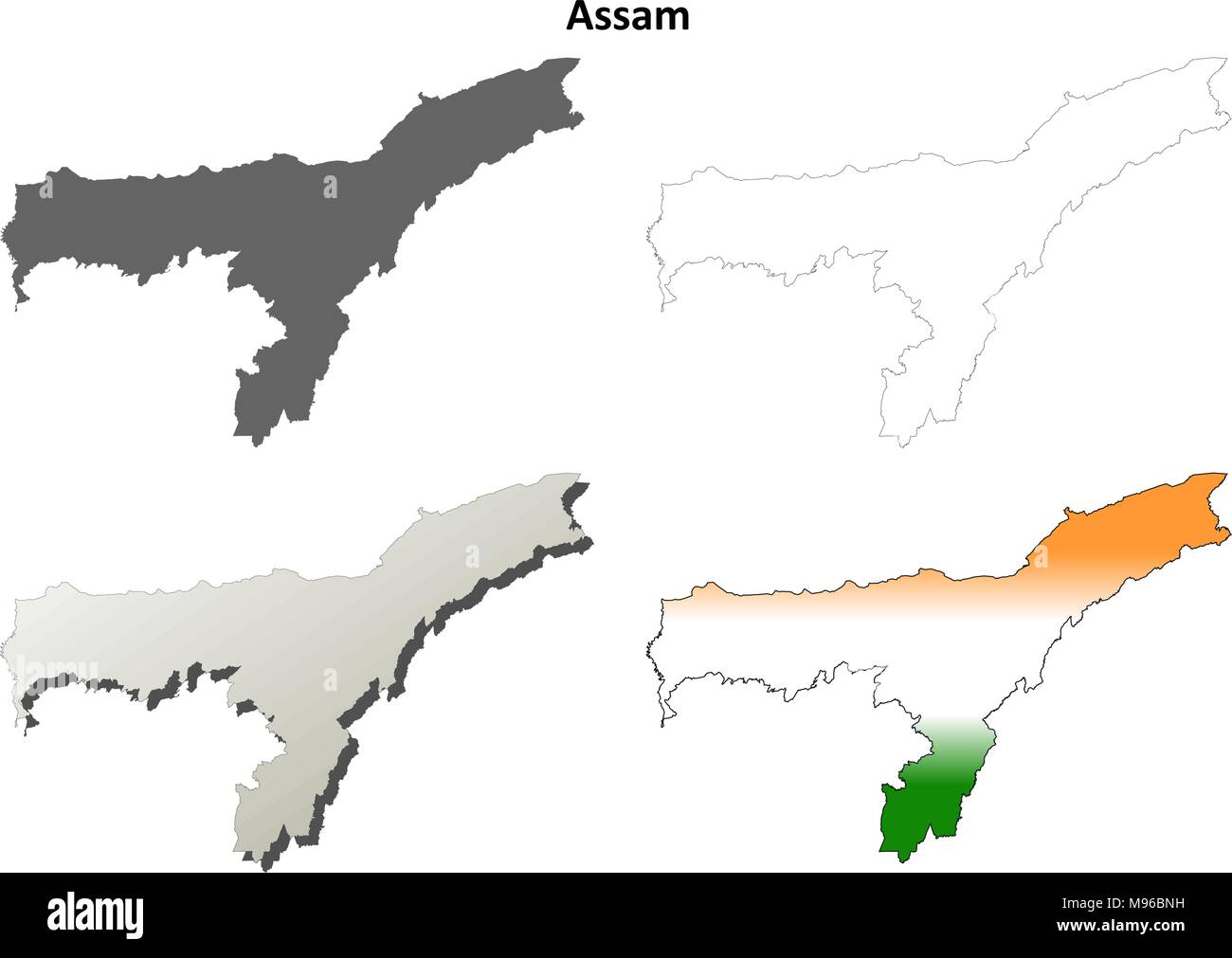 Assam blank detailed outline map set Stock Vectorhttps://www.alamy.com/image-license-details/?v=1https://www.alamy.com/assam-blank-detailed-outline-map-set-image177776525.html
RFM96BNH–Assam blank detailed outline map set
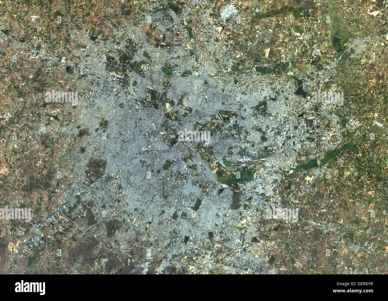 Satellite view of Bangalore, India. It is the capital of the Indian state of Karnataka. This image was compiled from data acquired in 2014 by Landsat 8 satellite. Stock Photohttps://www.alamy.com/image-license-details/?v=1https://www.alamy.com/stock-photo-satellite-view-of-bangalore-india-it-is-the-capital-of-the-indian-112373067.html
RMGER0YR–Satellite view of Bangalore, India. It is the capital of the Indian state of Karnataka. This image was compiled from data acquired in 2014 by Landsat 8 satellite.
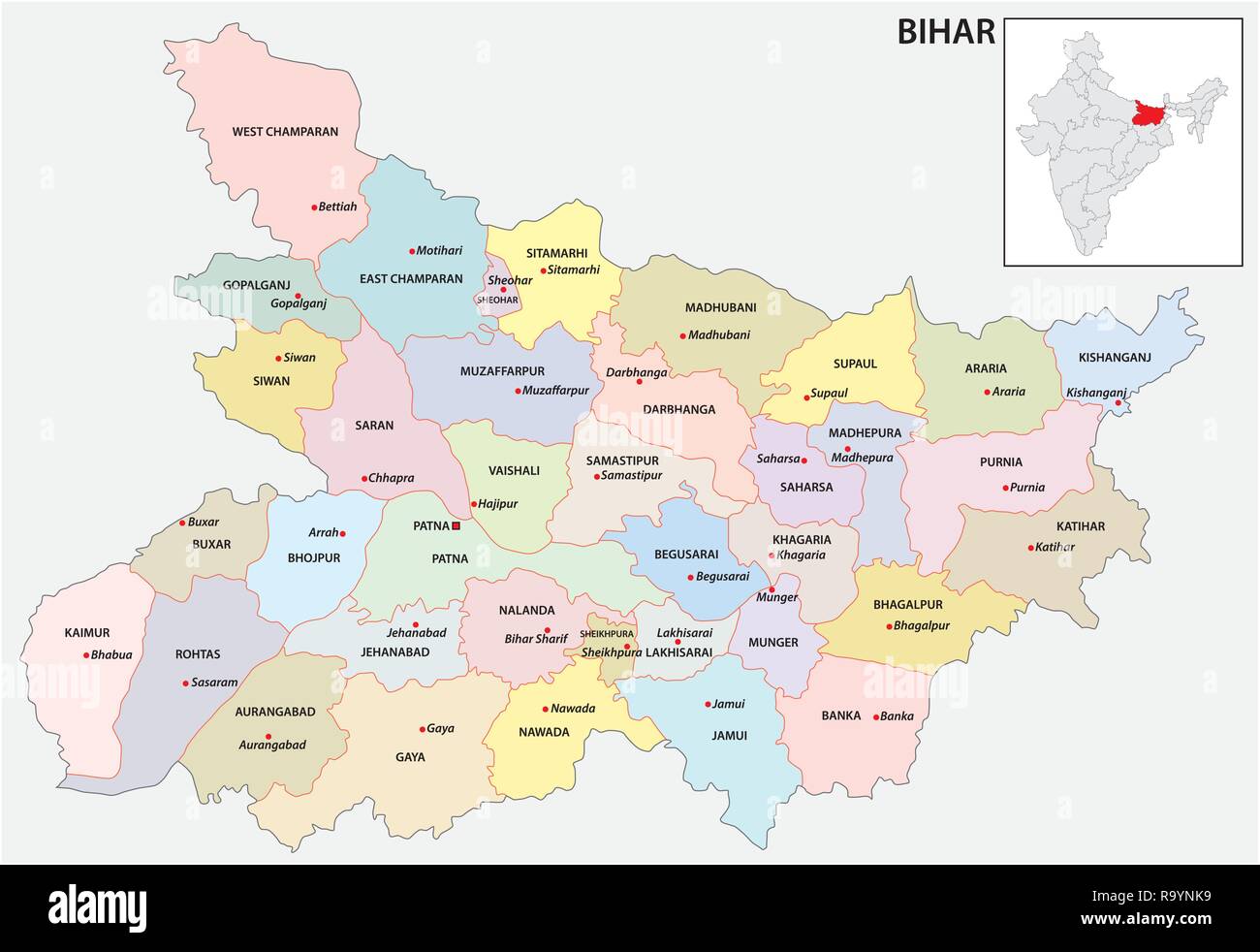 administrative and political map of indian state of bihar, india Stock Vectorhttps://www.alamy.com/image-license-details/?v=1https://www.alamy.com/administrative-and-political-map-of-indian-state-of-bihar-india-image229876397.html
RFR9YNK9–administrative and political map of indian state of bihar, india
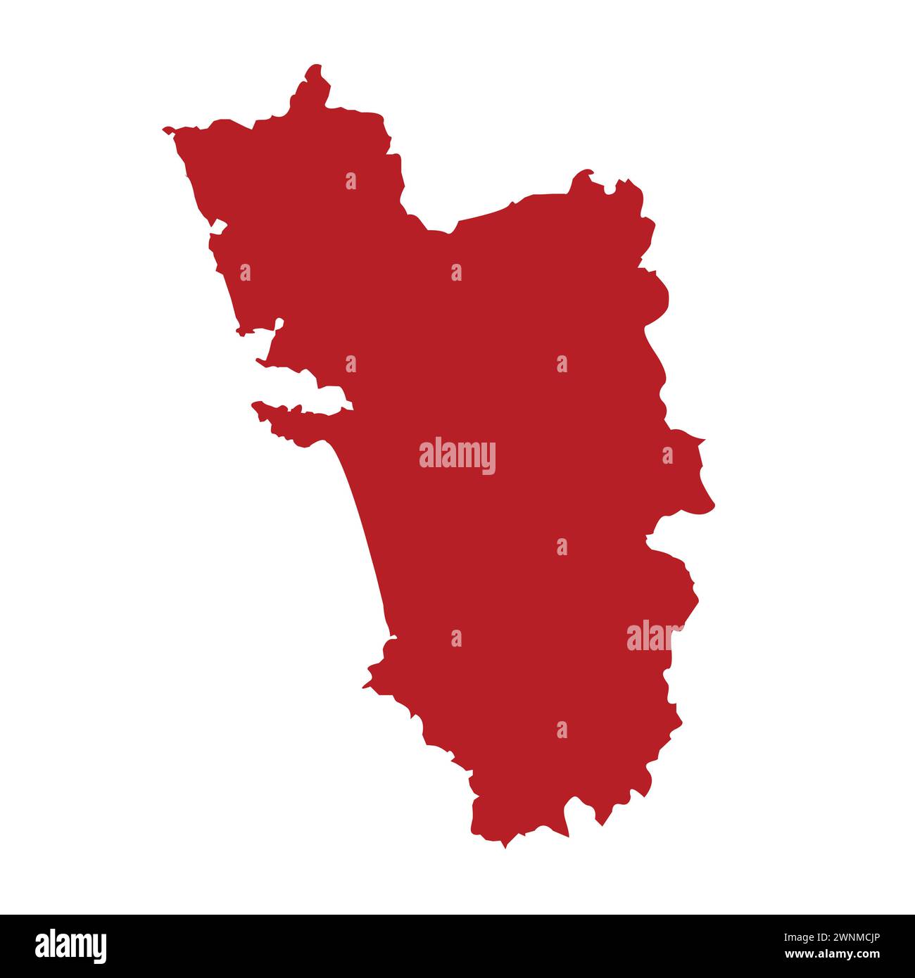 Indian State Map Goa Vector illustration Stock Vectorhttps://www.alamy.com/image-license-details/?v=1https://www.alamy.com/indian-state-map-goa-vector-illustration-image598509262.html
RF2WNMCJP–Indian State Map Goa Vector illustration
 India flag badge kept on a brown background in shadow of Indian map Stock Photohttps://www.alamy.com/image-license-details/?v=1https://www.alamy.com/india-flag-badge-kept-on-a-brown-background-in-shadow-of-indian-map-image237021700.html
RFRNH7GM–India flag badge kept on a brown background in shadow of Indian map
RF2G27F44–India map tech networking icon logo design illustration vector template
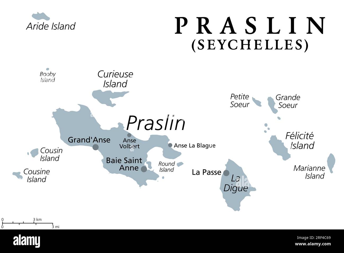 Praslin and nearby islands, gray political map. Second largest islands of the Seychelles, a Republic and archipelagic state in the Indian Ocean. Stock Photohttps://www.alamy.com/image-license-details/?v=1https://www.alamy.com/praslin-and-nearby-islands-gray-political-map-second-largest-islands-of-the-seychelles-a-republic-and-archipelagic-state-in-the-indian-ocean-image560049009.html
RF2RF4C69–Praslin and nearby islands, gray political map. Second largest islands of the Seychelles, a Republic and archipelagic state in the Indian Ocean.
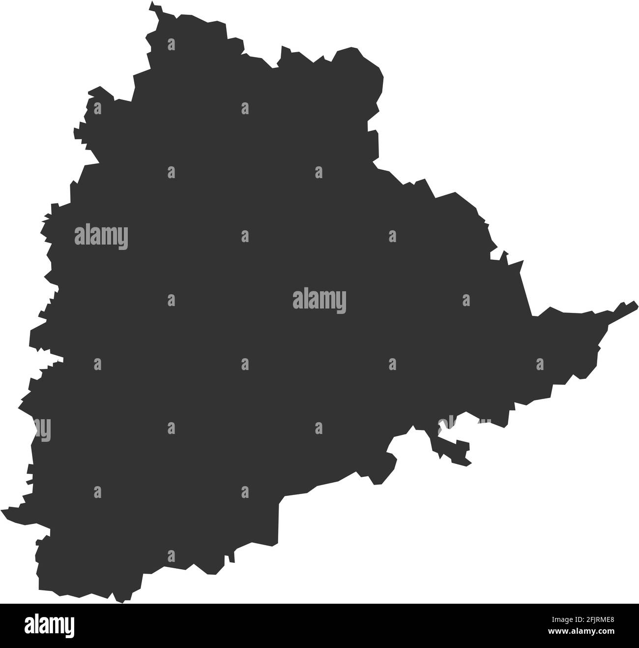 Telangana indian state map. Dark gray background. Business concepts and geographical backgrounds. Stock Vectorhttps://www.alamy.com/image-license-details/?v=1https://www.alamy.com/telangana-indian-state-map-dark-gray-background-business-concepts-and-geographical-backgrounds-image424633616.html
RF2FJRME8–Telangana indian state map. Dark gray background. Business concepts and geographical backgrounds.
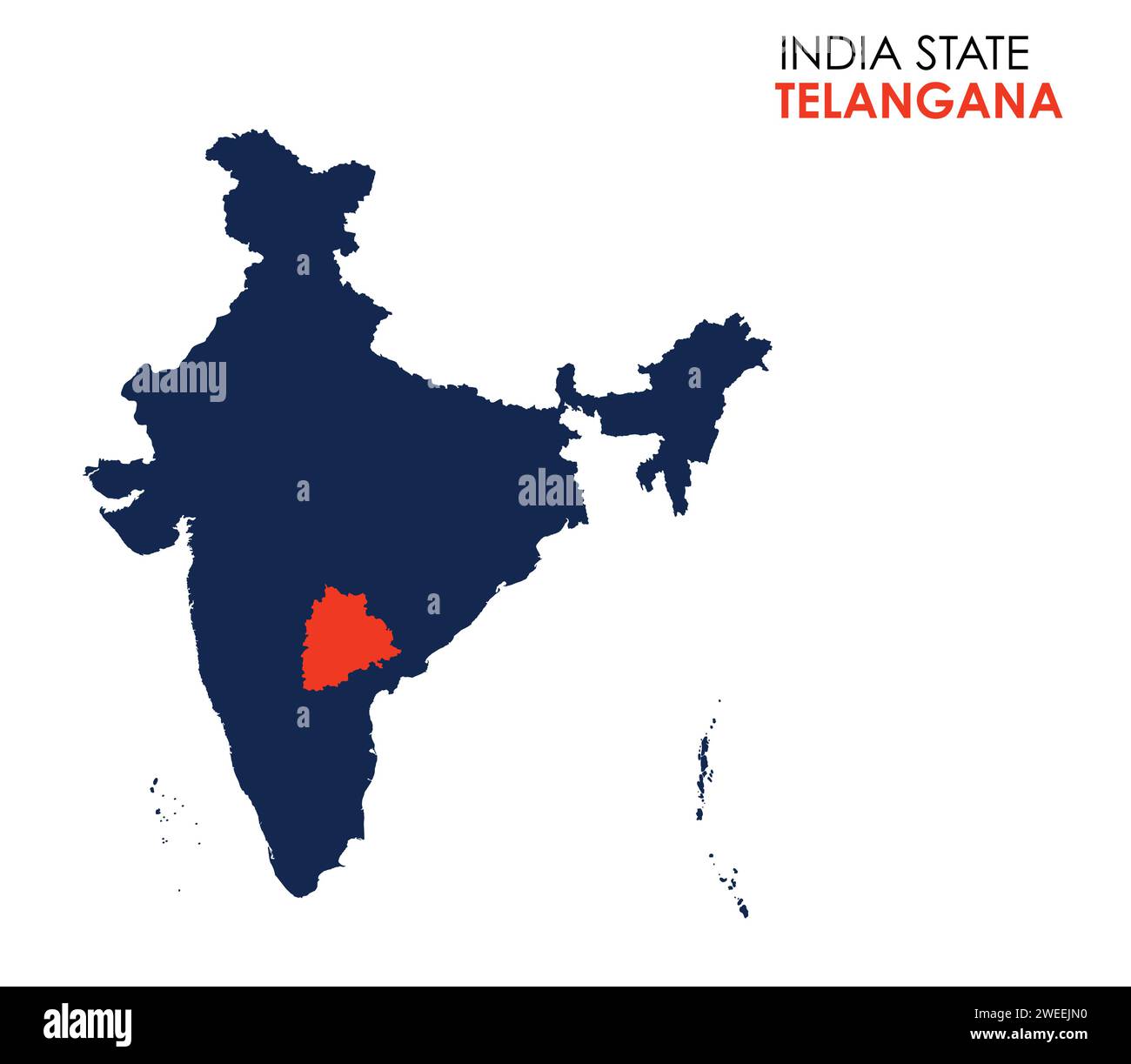 Telangana map of Indian state. Telangana map vector illustration. Telangana map on white background. Stock Vectorhttps://www.alamy.com/image-license-details/?v=1https://www.alamy.com/telangana-map-of-indian-state-telangana-map-vector-illustration-telangana-map-on-white-background-image594079724.html
RF2WEEJN0–Telangana map of Indian state. Telangana map vector illustration. Telangana map on white background.
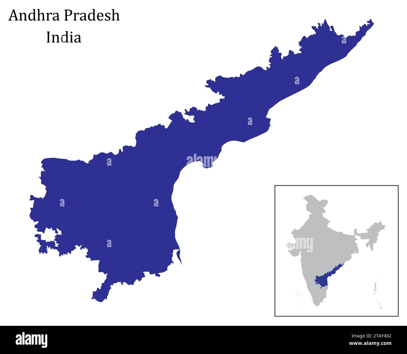 Indian state Andhra Pradesh map vector , Andhra Pradesh map Stock Vectorhttps://www.alamy.com/image-license-details/?v=1https://www.alamy.com/indian-state-andhra-pradesh-map-vector-andhra-pradesh-map-image574684546.html
RF2TAY402–Indian state Andhra Pradesh map vector , Andhra Pradesh map
 Samrat Prithviraj Chauhan Samrajya map ; Prithviraj Chauhan ; Prithviraja III ; Rai Pithora ; Ajmer ; Rajasthan ; India Stock Photohttps://www.alamy.com/image-license-details/?v=1https://www.alamy.com/stock-photo-samrat-prithviraj-chauhan-samrajya-map-prithviraj-chauhan-prithviraja-83623991.html
RMET1B73–Samrat Prithviraj Chauhan Samrajya map ; Prithviraj Chauhan ; Prithviraja III ; Rai Pithora ; Ajmer ; Rajasthan ; India
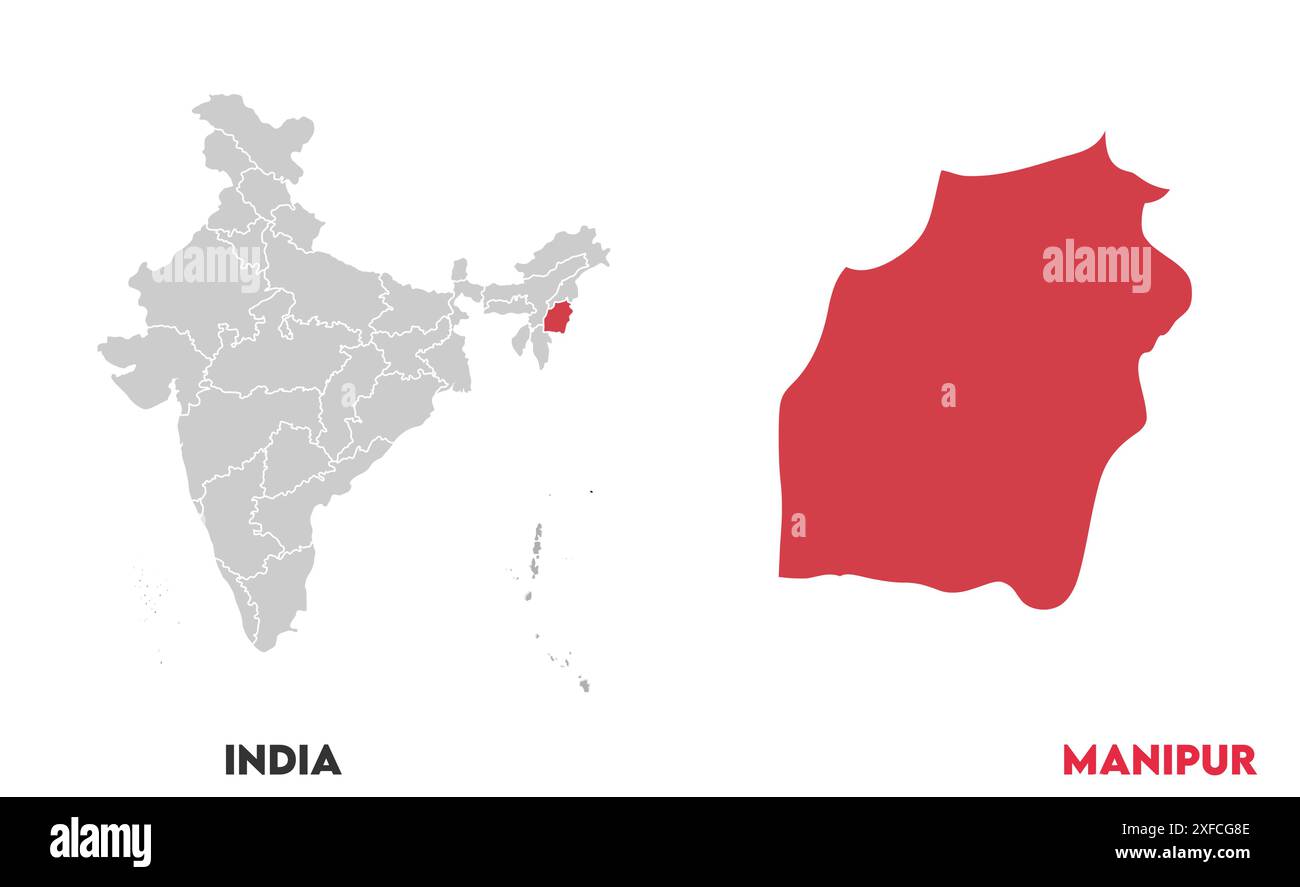 Manipur Map1, State of India, Republic of India, government, Political map, modern map, Indian flag, vector illustration Stock Vectorhttps://www.alamy.com/image-license-details/?v=1https://www.alamy.com/manipur-map1-state-of-india-republic-of-india-government-political-map-modern-map-indian-flag-vector-illustration-image611858926.html
RF2XFCG8E–Manipur Map1, State of India, Republic of India, government, Political map, modern map, Indian flag, vector illustration
 Map of Aqua Canyon Palm Springs Agua Caliente Indian Canyon Palm Springs oasis, California. Stock Photohttps://www.alamy.com/image-license-details/?v=1https://www.alamy.com/stock-photo-map-of-aqua-canyon-palm-springs-agua-caliente-indian-canyon-palm-springs-26031543.html
RFBE9RDY–Map of Aqua Canyon Palm Springs Agua Caliente Indian Canyon Palm Springs oasis, California.
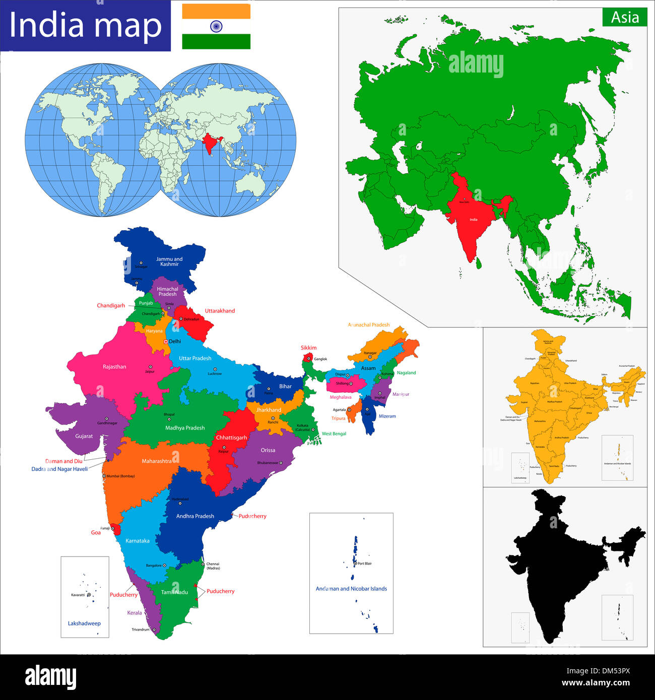 Western Asia map Stock Photohttps://www.alamy.com/image-license-details/?v=1https://www.alamy.com/western-asia-map-image64036978.html
RFDM53PX–Western Asia map
RF2XGTRBF–Haryana State Map Vector Icon. India Haryana Province State icon. Haryana Map
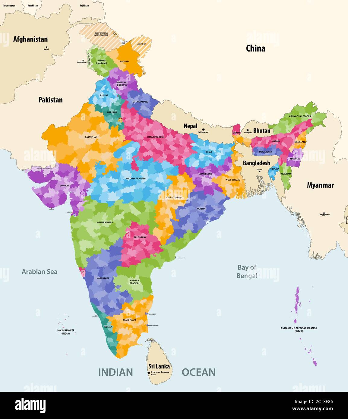 Map of India with neighbouring countries and territories. Indian map colored by states and showing districts boundaries inside each state. Vector Stock Vectorhttps://www.alamy.com/image-license-details/?v=1https://www.alamy.com/map-of-india-with-neighbouring-countries-and-territories-indian-map-colored-by-states-and-showing-districts-boundaries-inside-each-state-vector-image376751430.html
RF2CTXE86–Map of India with neighbouring countries and territories. Indian map colored by states and showing districts boundaries inside each state. Vector
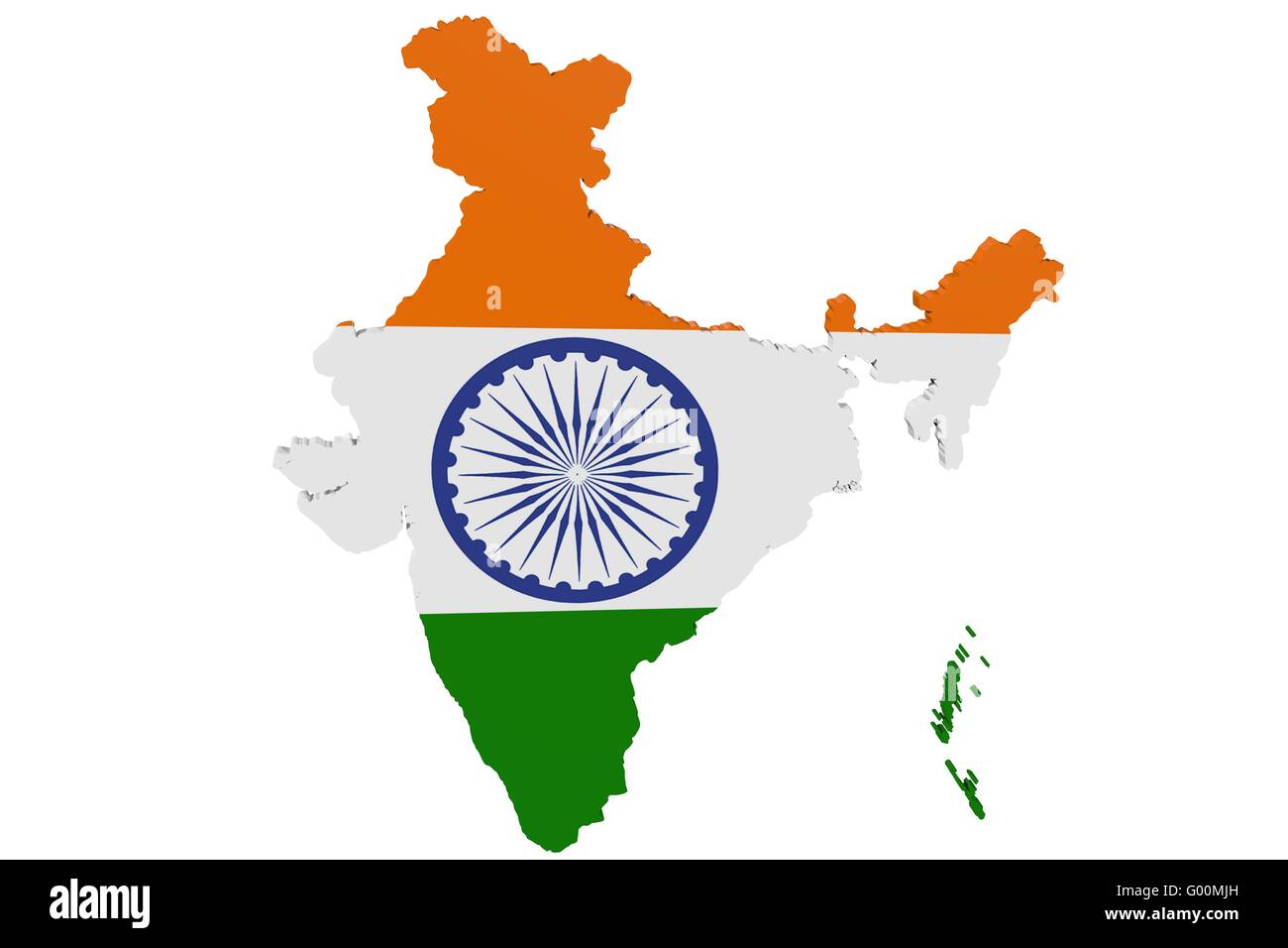 Indian Flag Map Stock Photohttps://www.alamy.com/image-license-details/?v=1https://www.alamy.com/stock-photo-indian-flag-map-103278409.html
RMG00MJH–Indian Flag Map
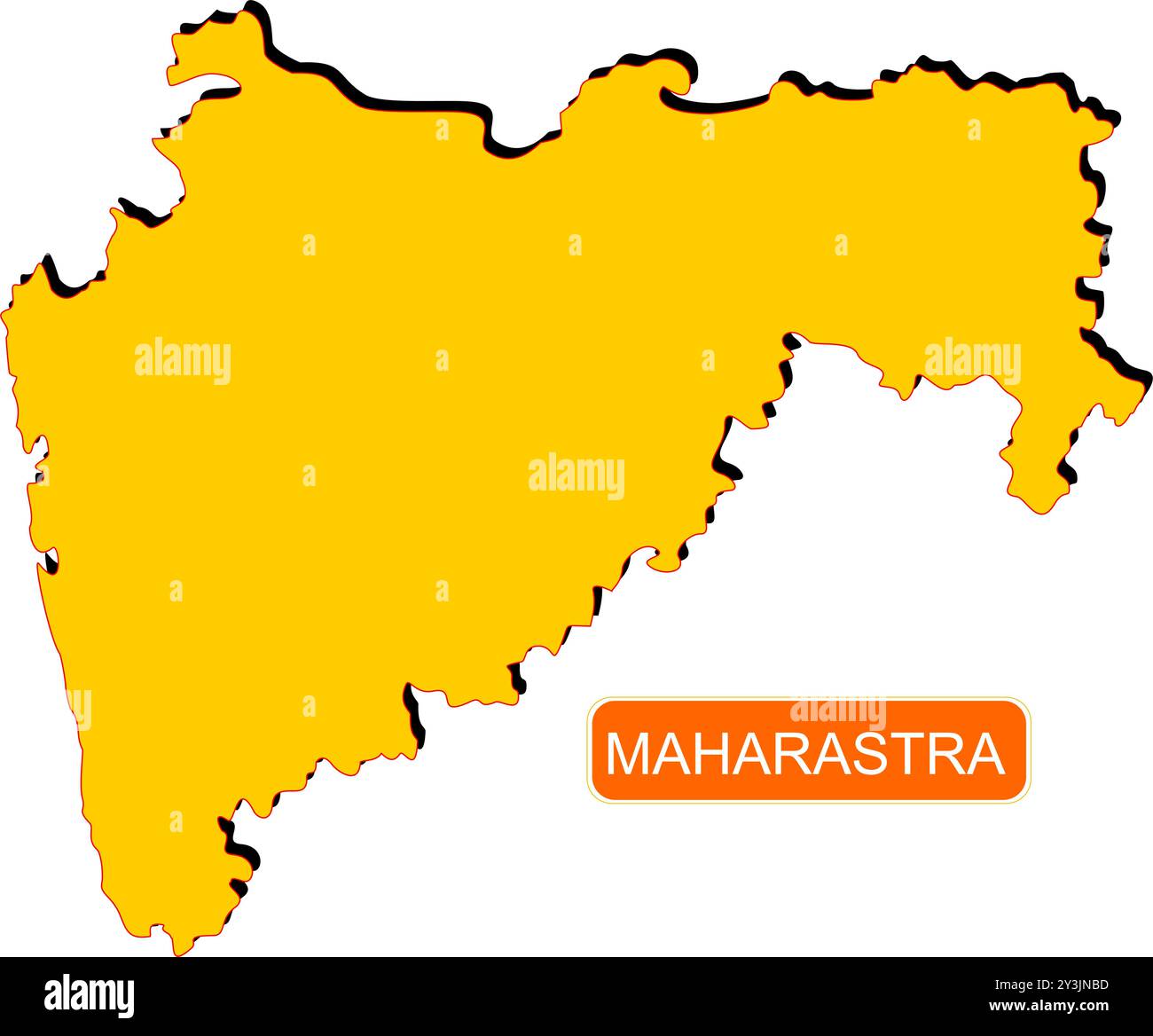 Maharastra State Map of India with name on it Stock Vectorhttps://www.alamy.com/image-license-details/?v=1https://www.alamy.com/maharastra-state-map-of-india-with-name-on-it-image621829137.html
RF2Y3JNBD–Maharastra State Map of India with name on it
 Haryana Day Indian State Background Stock Vectorhttps://www.alamy.com/image-license-details/?v=1https://www.alamy.com/haryana-day-indian-state-background-image444185756.html
RF2GPJBD0–Haryana Day Indian State Background
RF2P9X9E0–INDIA or KERALA state map icon.vector illustration symbol design
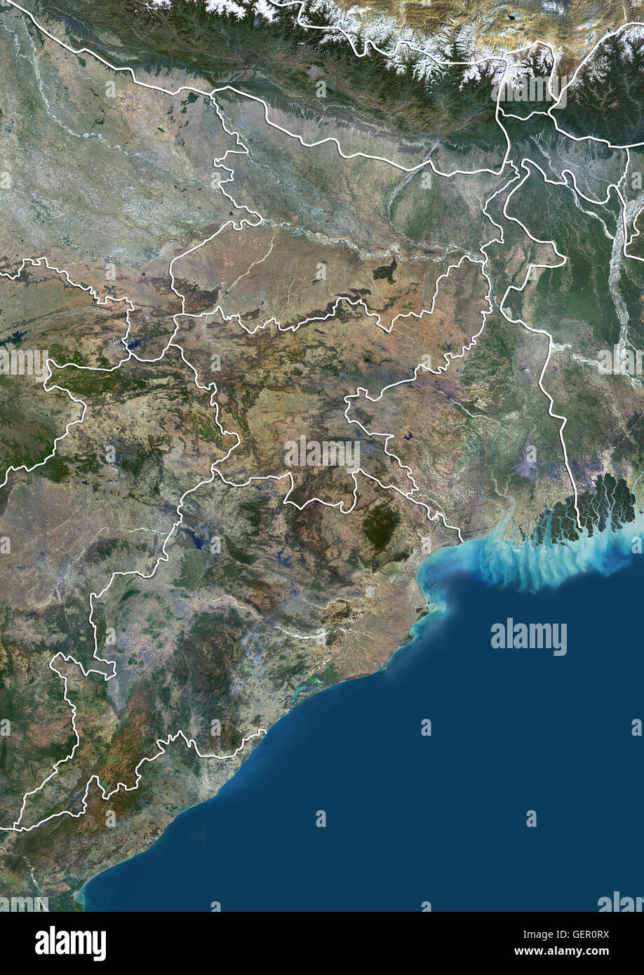 Satellite view of East India (with state boundaries). It covers the Indian states of Bihar, Jharkhand, Odisha and West Bengal. This image was compiled from data acquired by Landsat 8 satellite in 2014. Stock Photohttps://www.alamy.com/image-license-details/?v=1https://www.alamy.com/stock-photo-satellite-view-of-east-india-with-state-boundaries-it-covers-the-indian-112372958.html
RMGER0RX–Satellite view of East India (with state boundaries). It covers the Indian states of Bihar, Jharkhand, Odisha and West Bengal. This image was compiled from data acquired by Landsat 8 satellite in 2014.
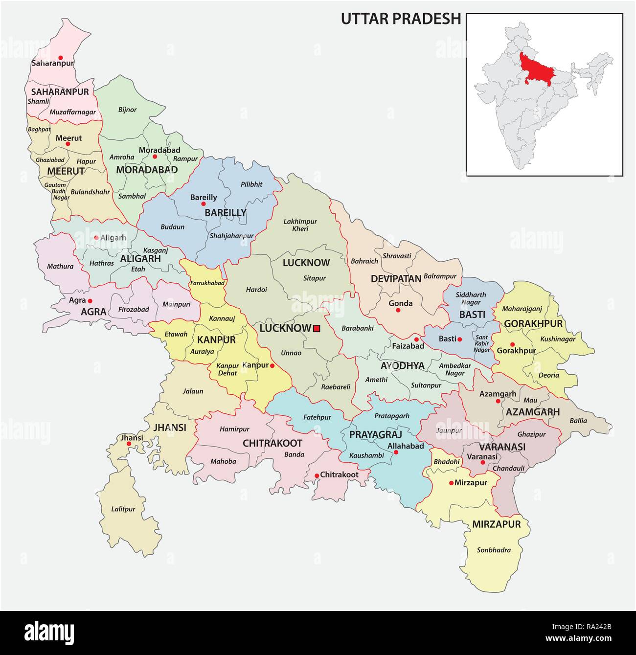 administrative and political map of indian state of Uttar Pradesh, india Stock Vectorhttps://www.alamy.com/image-license-details/?v=1https://www.alamy.com/administrative-and-political-map-of-indian-state-of-uttar-pradesh-india-image229928451.html
RFRA242B–administrative and political map of indian state of Uttar Pradesh, india
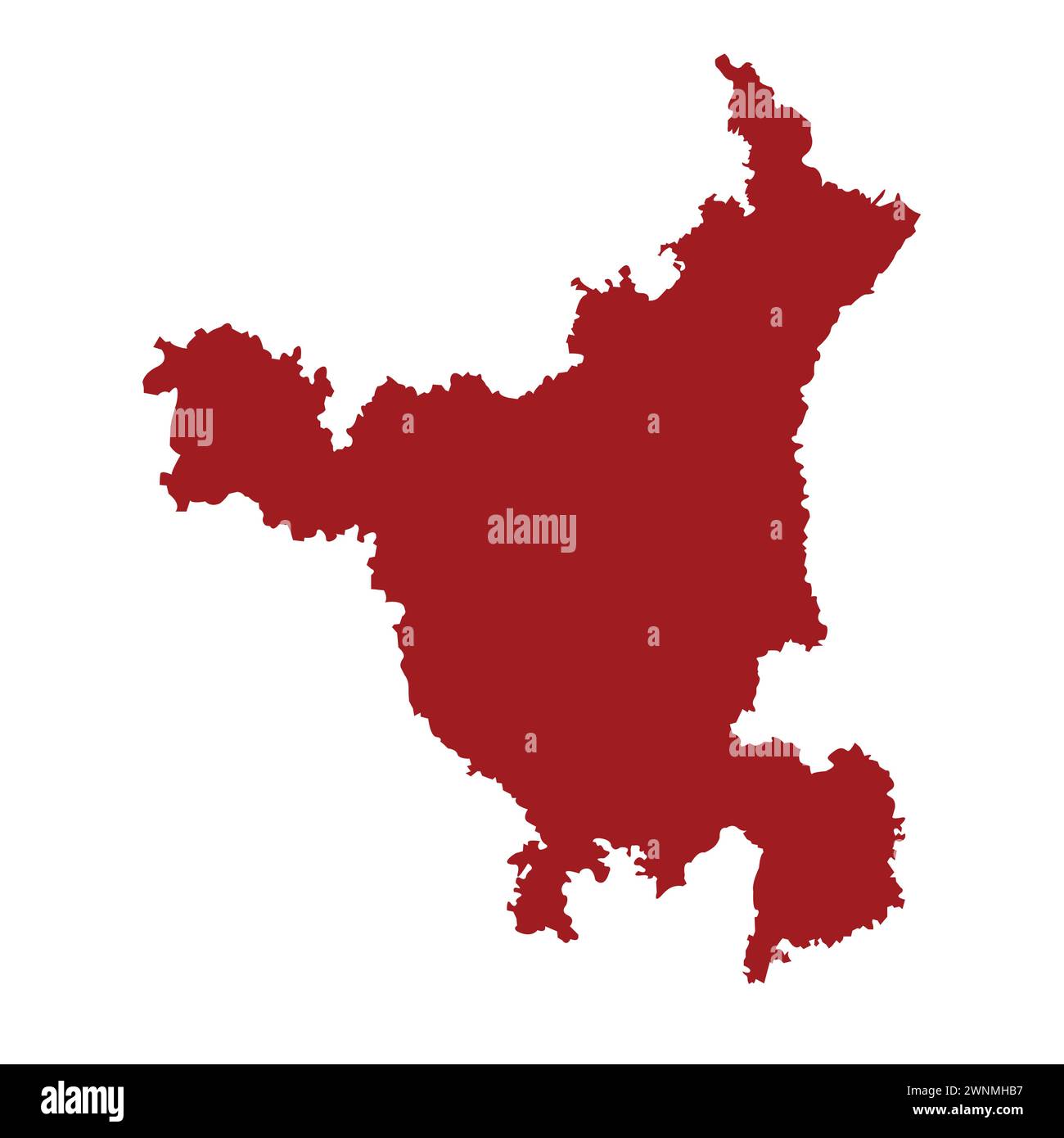 Indian state haryana map vector illustration Stock Vectorhttps://www.alamy.com/image-license-details/?v=1https://www.alamy.com/indian-state-haryana-map-vector-illustration-image598512971.html
RF2WNMHB7–Indian state haryana map vector illustration
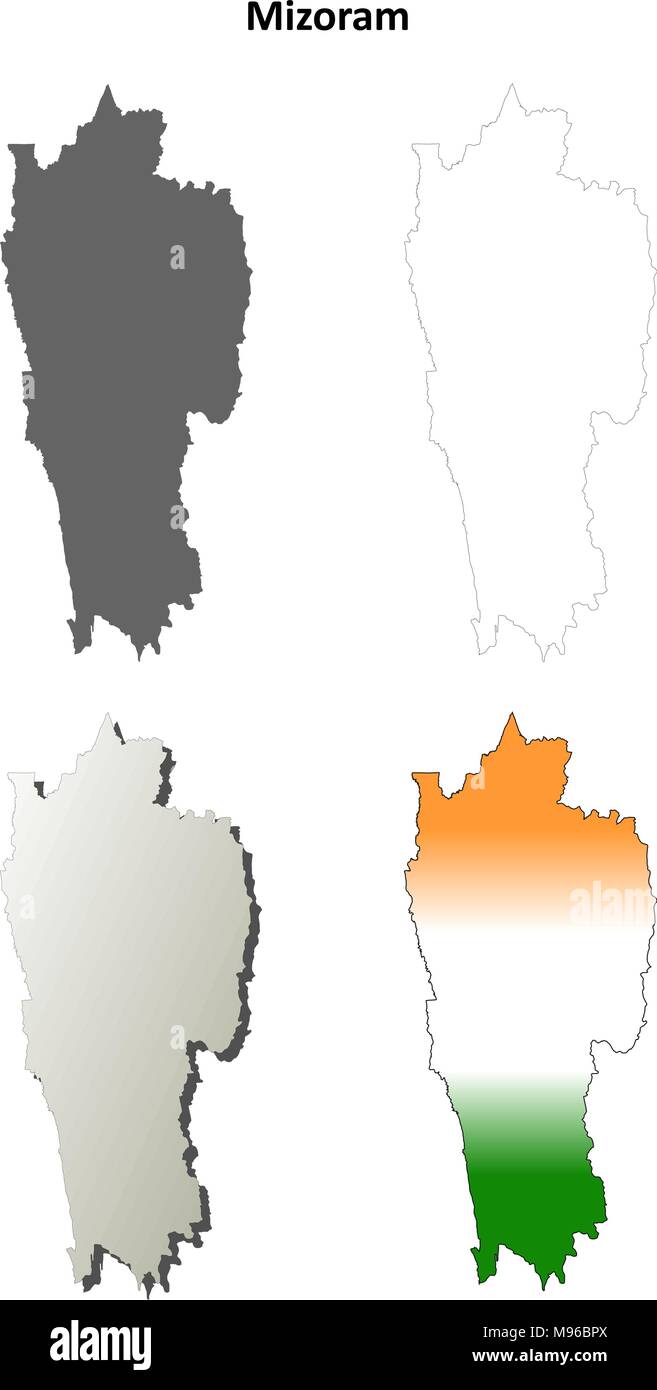 Mizoram blank detailed outline map set Stock Vectorhttps://www.alamy.com/image-license-details/?v=1https://www.alamy.com/mizoram-blank-detailed-outline-map-set-image177776562.html
RFM96BPX–Mizoram blank detailed outline map set
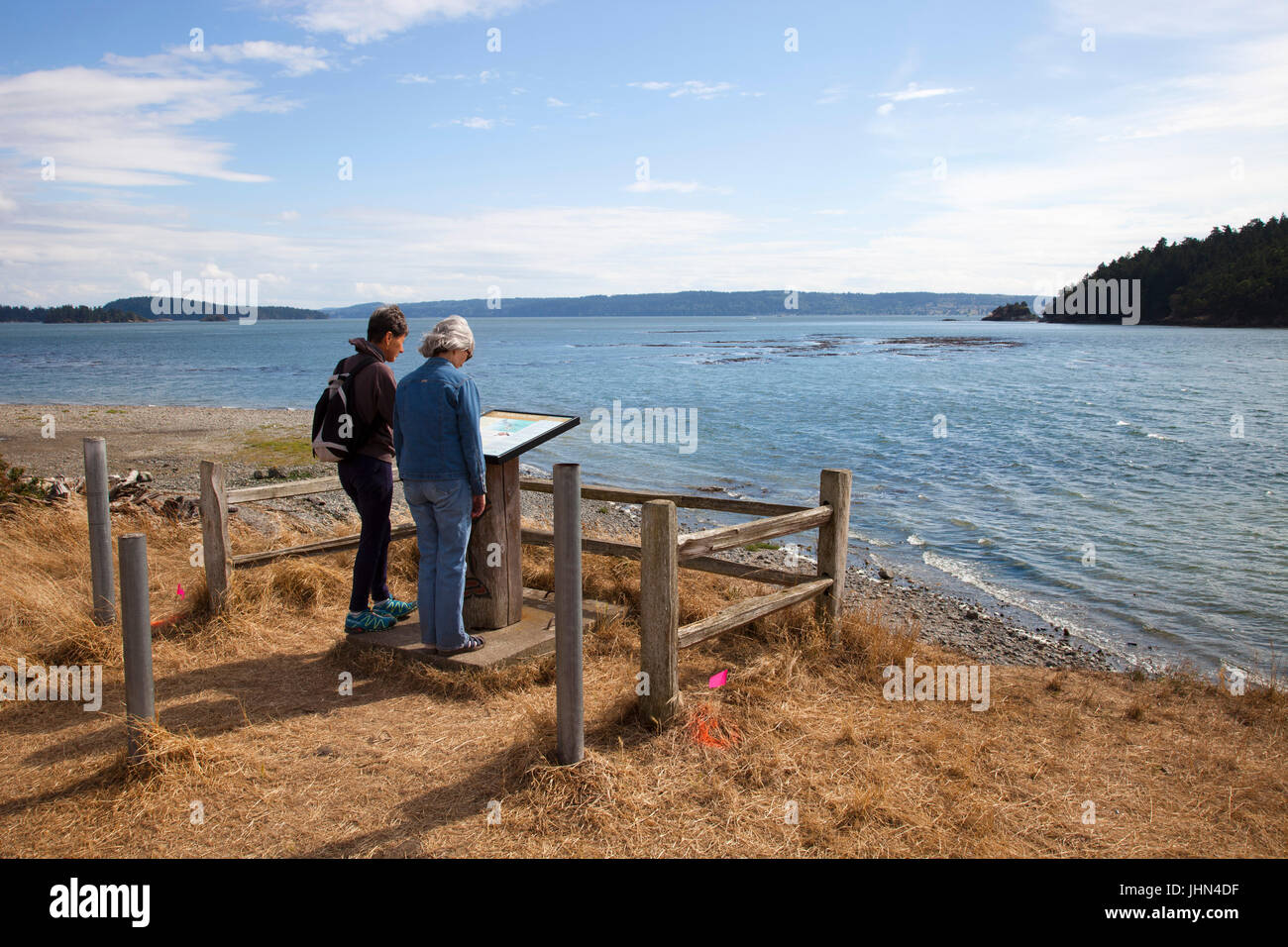 La Conner Campground, Swinomish Indian Reservation, Skagit Bay, Fidalgo Island, La Conner, State of Washington, USA, America Stock Photohttps://www.alamy.com/image-license-details/?v=1https://www.alamy.com/stock-photo-la-conner-campground-swinomish-indian-reservation-skagit-bay-fidalgo-148596603.html
RMJHN4DF–La Conner Campground, Swinomish Indian Reservation, Skagit Bay, Fidalgo Island, La Conner, State of Washington, USA, America
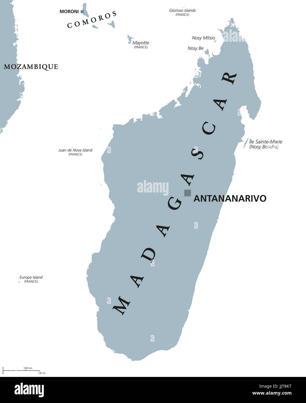 Madagascar political map with capital Antananarivo. Republic and island country in the Indian Ocean. Former Malagasy Republic. Gray illustration. Stock Photohttps://www.alamy.com/image-license-details/?v=1https://www.alamy.com/stock-photo-madagascar-political-map-with-capital-antananarivo-republic-and-island-149280428.html
RFJJT8KT–Madagascar political map with capital Antananarivo. Republic and island country in the Indian Ocean. Former Malagasy Republic. Gray illustration.
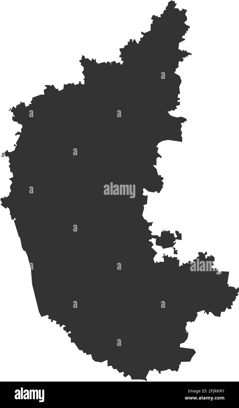 Karnataka indian state map. Dark gray background. Business concepts and geographical backgrounds. Stock Vectorhttps://www.alamy.com/image-license-details/?v=1https://www.alamy.com/karnataka-indian-state-map-dark-gray-background-business-concepts-and-geographical-backgrounds-image424633103.html
RF2FJRKRY–Karnataka indian state map. Dark gray background. Business concepts and geographical backgrounds.
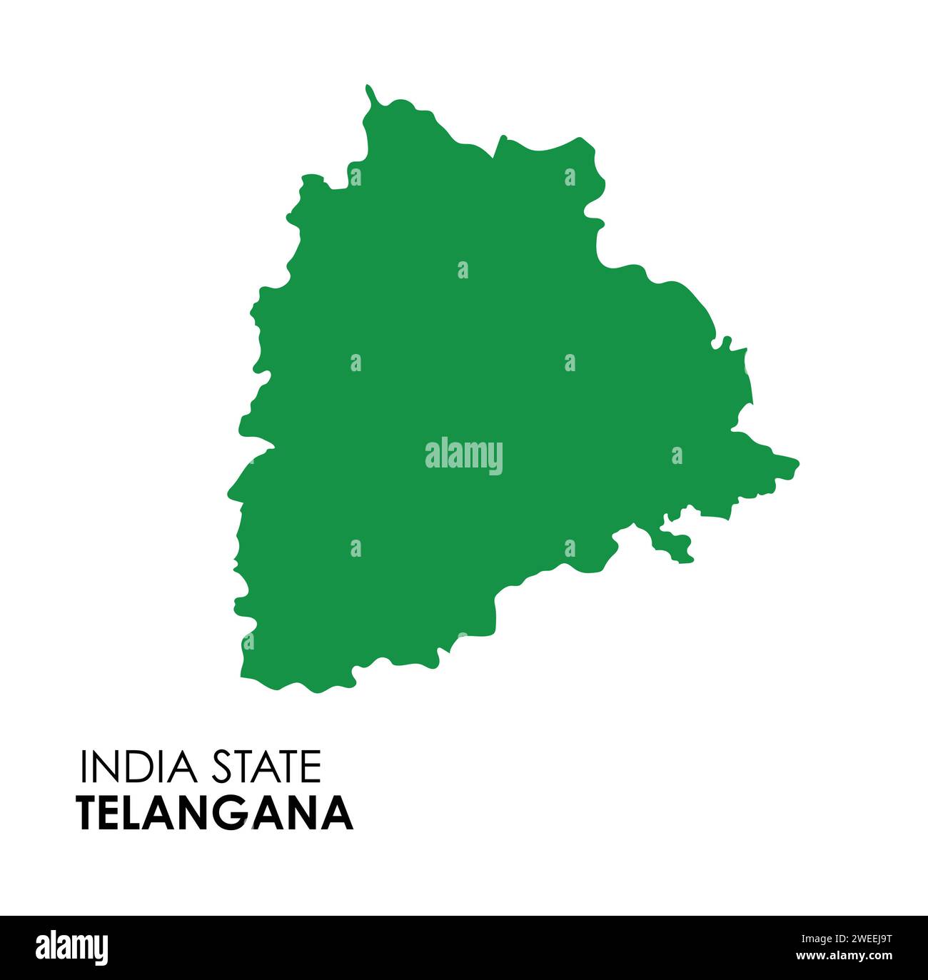 Telangana map of Indian state. Telangana map vector illustration. Telangana map on white background. Stock Vectorhttps://www.alamy.com/image-license-details/?v=1https://www.alamy.com/telangana-map-of-indian-state-telangana-map-vector-illustration-telangana-map-on-white-background-image594079412.html
RF2WEEJ9T–Telangana map of Indian state. Telangana map vector illustration. Telangana map on white background.
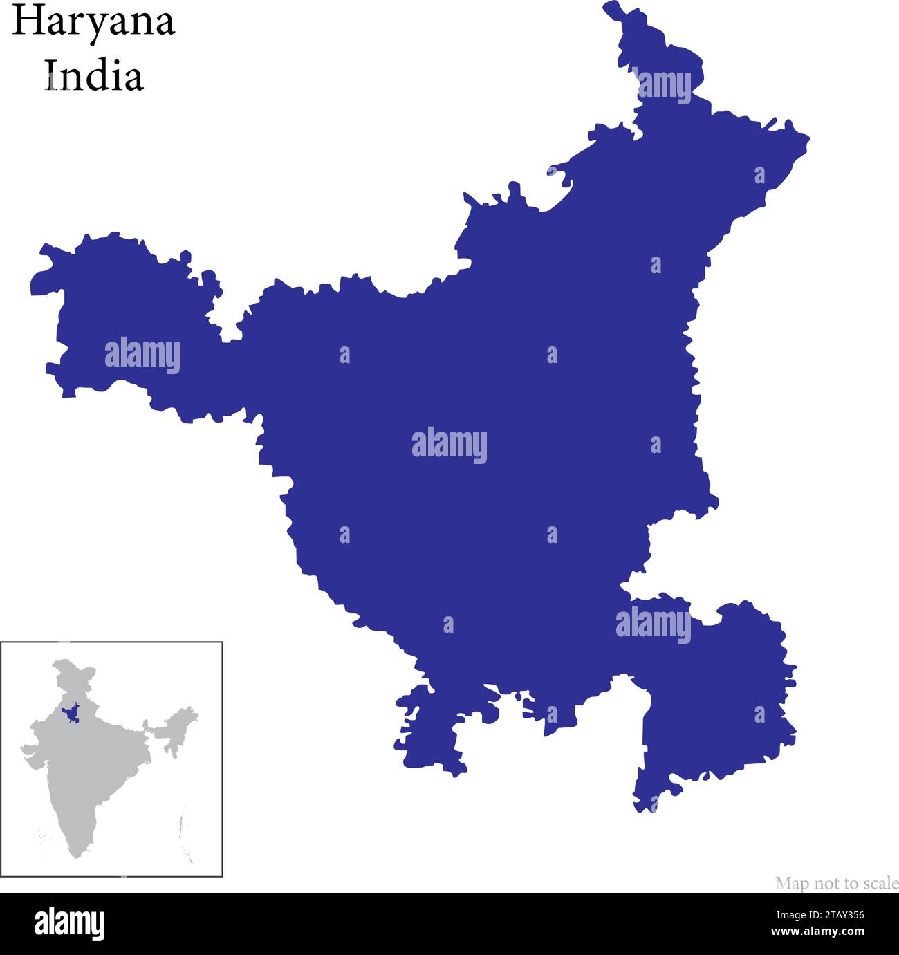 Indian state Andhra Pradesh map vector , Andhra Pradesh map Stock Vectorhttps://www.alamy.com/image-license-details/?v=1https://www.alamy.com/indian-state-andhra-pradesh-map-vector-andhra-pradesh-map-image574683906.html
RF2TAY356–Indian state Andhra Pradesh map vector , Andhra Pradesh map
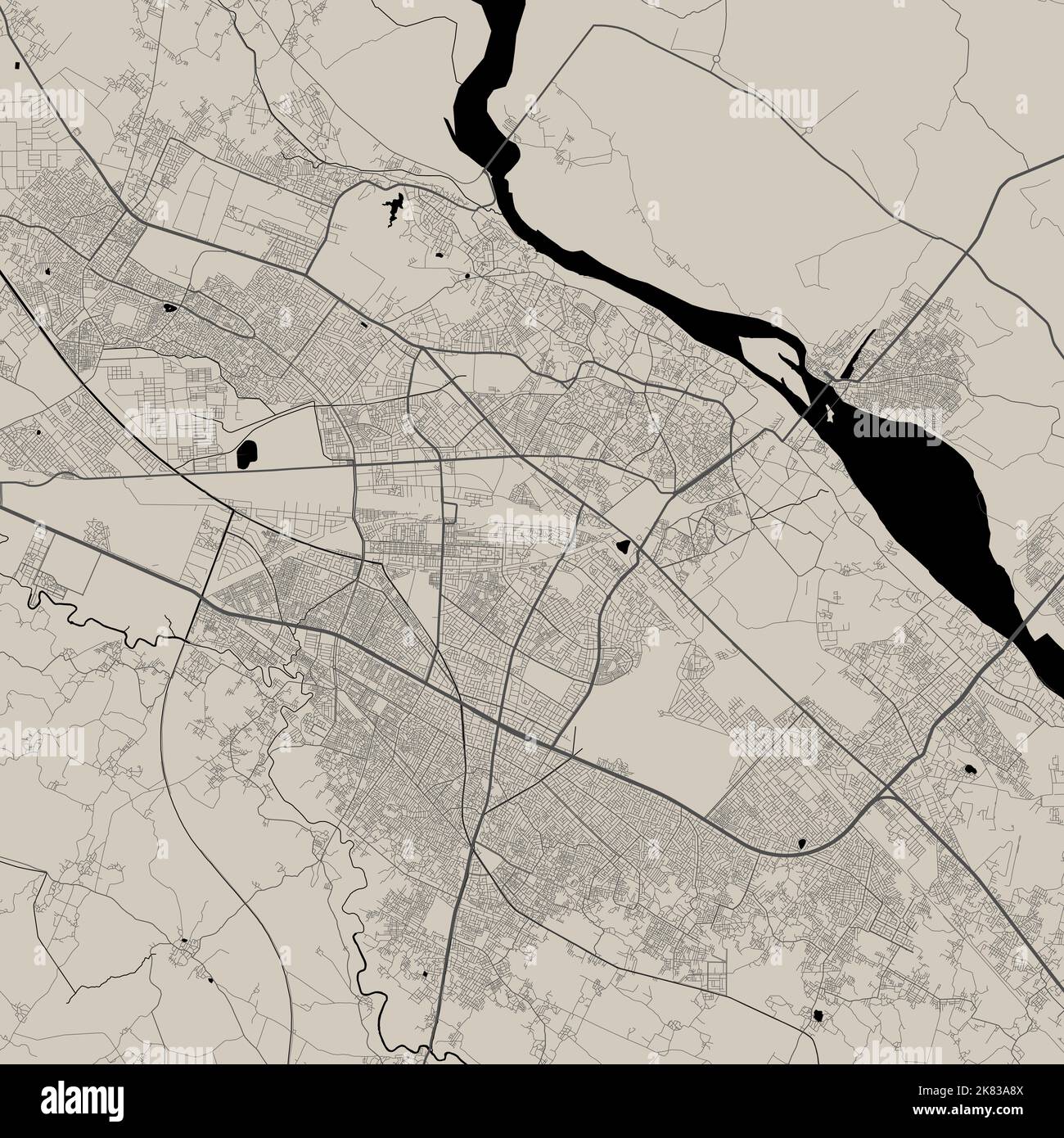 Vector map of Kanpur, India. Urban city road map poster illustration. Kanpur map art. Stock Vectorhttps://www.alamy.com/image-license-details/?v=1https://www.alamy.com/vector-map-of-kanpur-india-urban-city-road-map-poster-illustration-kanpur-map-art-image486881498.html
RF2K83A8X–Vector map of Kanpur, India. Urban city road map poster illustration. Kanpur map art.
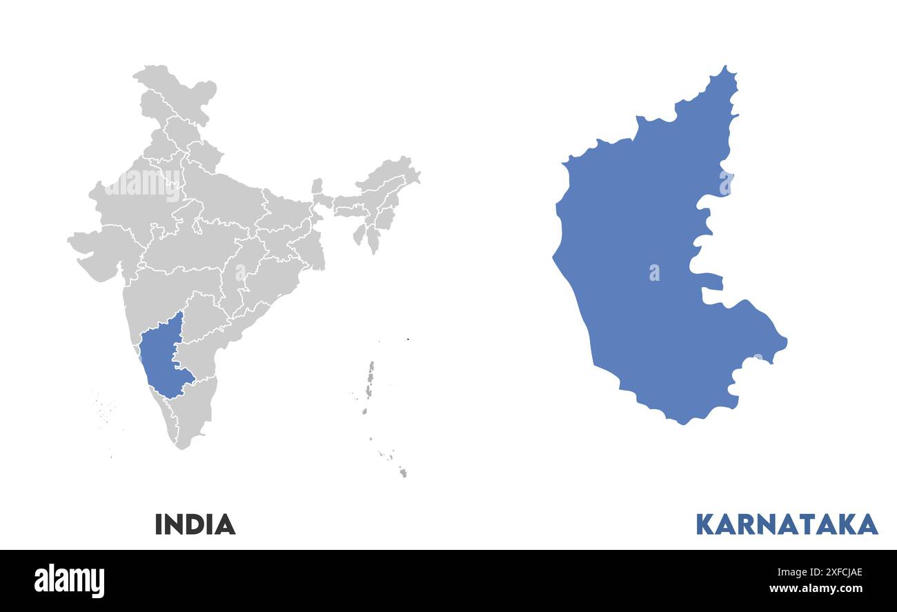 Karnataka Map1, State of India, Republic of India, government, Political map, modern map, Indian flag, vector illustration Stock Vectorhttps://www.alamy.com/image-license-details/?v=1https://www.alamy.com/karnataka-map1-state-of-india-republic-of-india-government-political-map-modern-map-indian-flag-vector-illustration-image611860550.html
RF2XFCJAE–Karnataka Map1, State of India, Republic of India, government, Political map, modern map, Indian flag, vector illustration
 Round flag of British Indian Ocean Territory Stock Photohttps://www.alamy.com/image-license-details/?v=1https://www.alamy.com/round-flag-of-british-indian-ocean-territory-image425629865.html
RF2FMD36H–Round flag of British Indian Ocean Territory
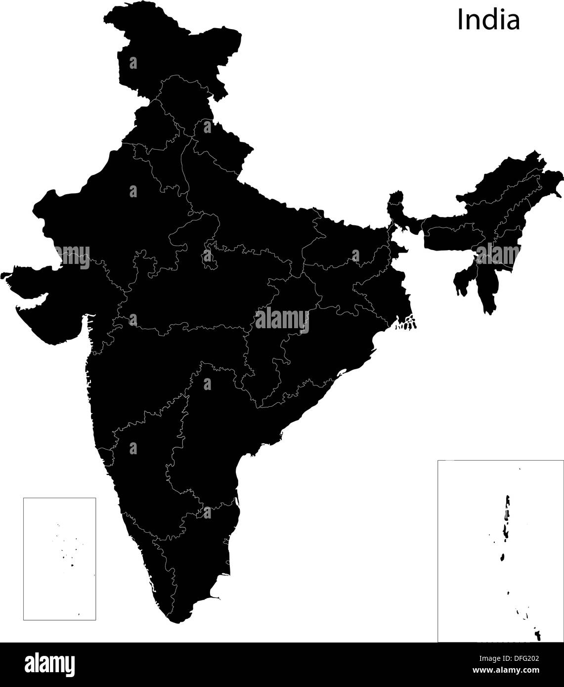 Black India map Stock Photohttps://www.alamy.com/image-license-details/?v=1https://www.alamy.com/black-india-map-image61203746.html
RFDFG202–Black India map
RF2XGTR2E–Gujarat State Map Vector Icon. India Gujarat Province State icon. Gujarat Map
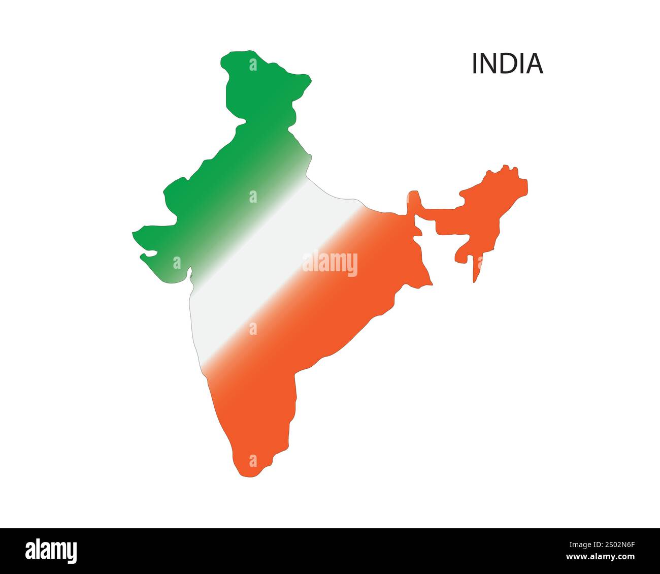 India map vector illustration, scribble sketch Republic India map, Indian map silhouette, Indian country, India national color, orange green and white Stock Vectorhttps://www.alamy.com/image-license-details/?v=1https://www.alamy.com/india-map-vector-illustration-scribble-sketch-republic-india-map-indian-map-silhouette-indian-country-india-national-color-orange-green-and-white-image636844167.html
RF2S02N6F–India map vector illustration, scribble sketch Republic India map, Indian map silhouette, Indian country, India national color, orange green and white
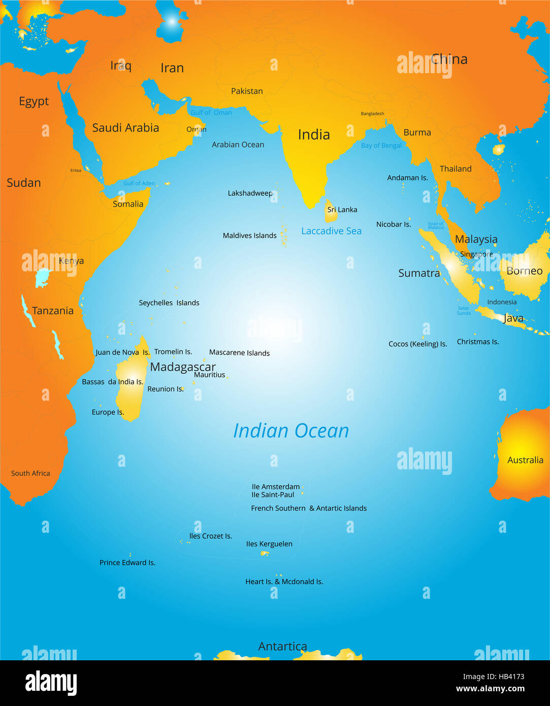 map of Indian ocean region Stock Photohttps://www.alamy.com/image-license-details/?v=1https://www.alamy.com/stock-photo-map-of-indian-ocean-region-127322583.html
RMHB4173–map of Indian ocean region
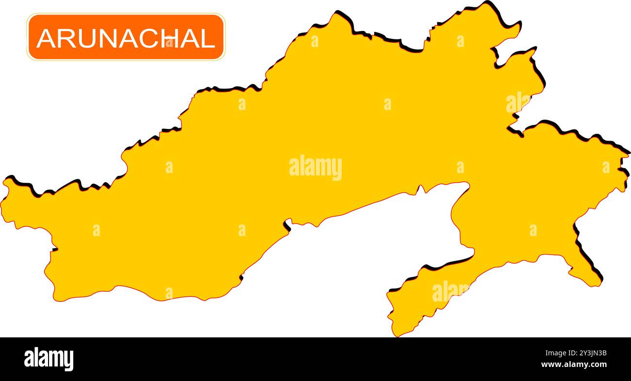 Meghalaya State Map of India with name on it Stock Vectorhttps://www.alamy.com/image-license-details/?v=1https://www.alamy.com/meghalaya-state-map-of-india-with-name-on-it-image621828911.html
RF2Y3JN3B–Meghalaya State Map of India with name on it
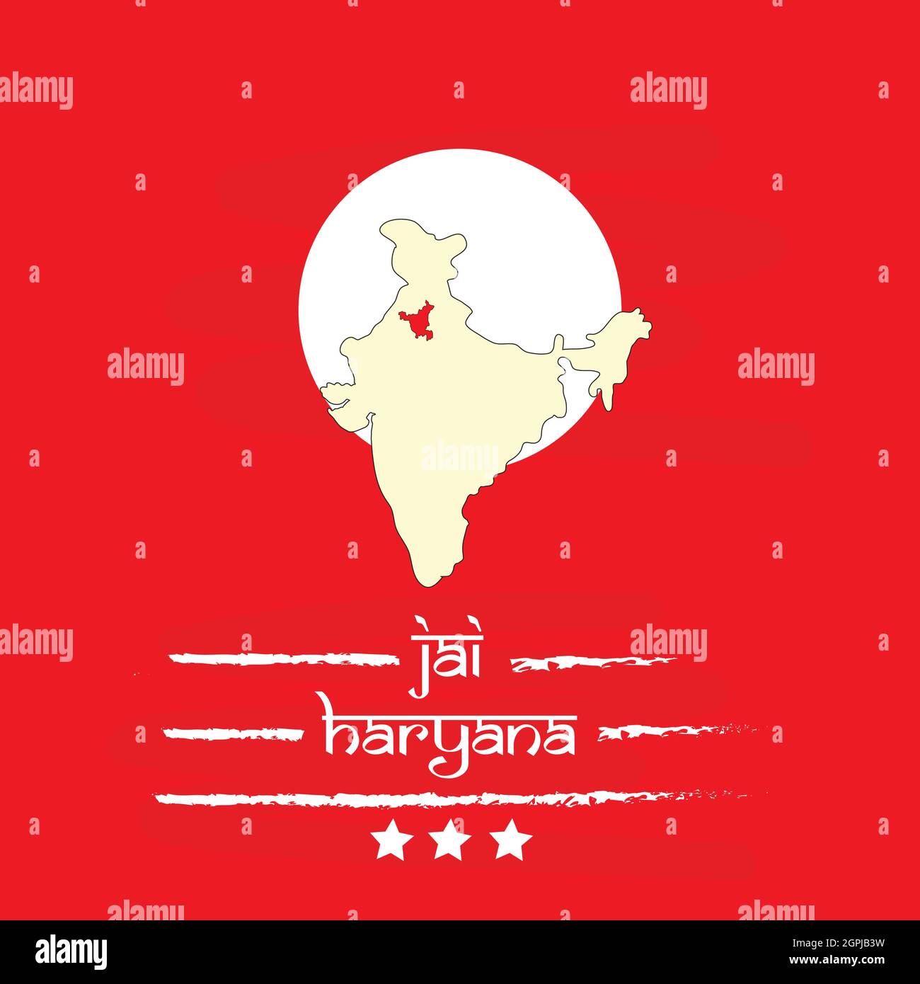 Haryana Day Indian State Background Stock Vectorhttps://www.alamy.com/image-license-details/?v=1https://www.alamy.com/haryana-day-indian-state-background-image444185501.html
RF2GPJB3W–Haryana Day Indian State Background
RF2P9XC8F–INDIA or KERALA state map icon.vector illustration symbol design
RFH2938C–Republic of India isolated map and official flag icons. vector Indian political maps illustration. South Asia country geographic
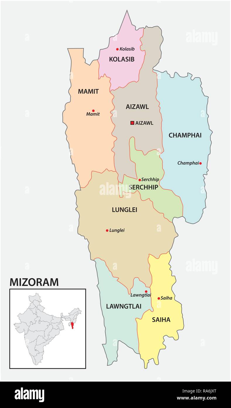 administrative and political map of indian state of Mizoram, india Stock Vectorhttps://www.alamy.com/image-license-details/?v=1https://www.alamy.com/administrative-and-political-map-of-indian-state-of-mizoram-india-image230027920.html
RFRA6JXT–administrative and political map of indian state of Mizoram, india
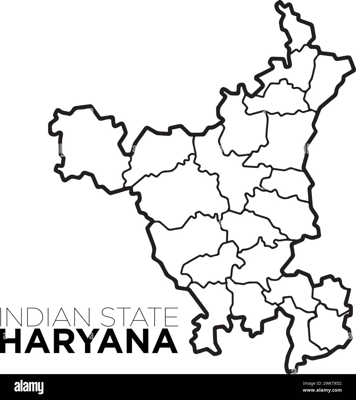 Indian map haryana map with district illustration vecor, distrtict map Stock Vectorhttps://www.alamy.com/image-license-details/?v=1https://www.alamy.com/indian-map-haryana-map-with-district-illustration-vecor-distrtict-map-image597364462.html
RF2WKT8D2–Indian map haryana map with district illustration vecor, distrtict map
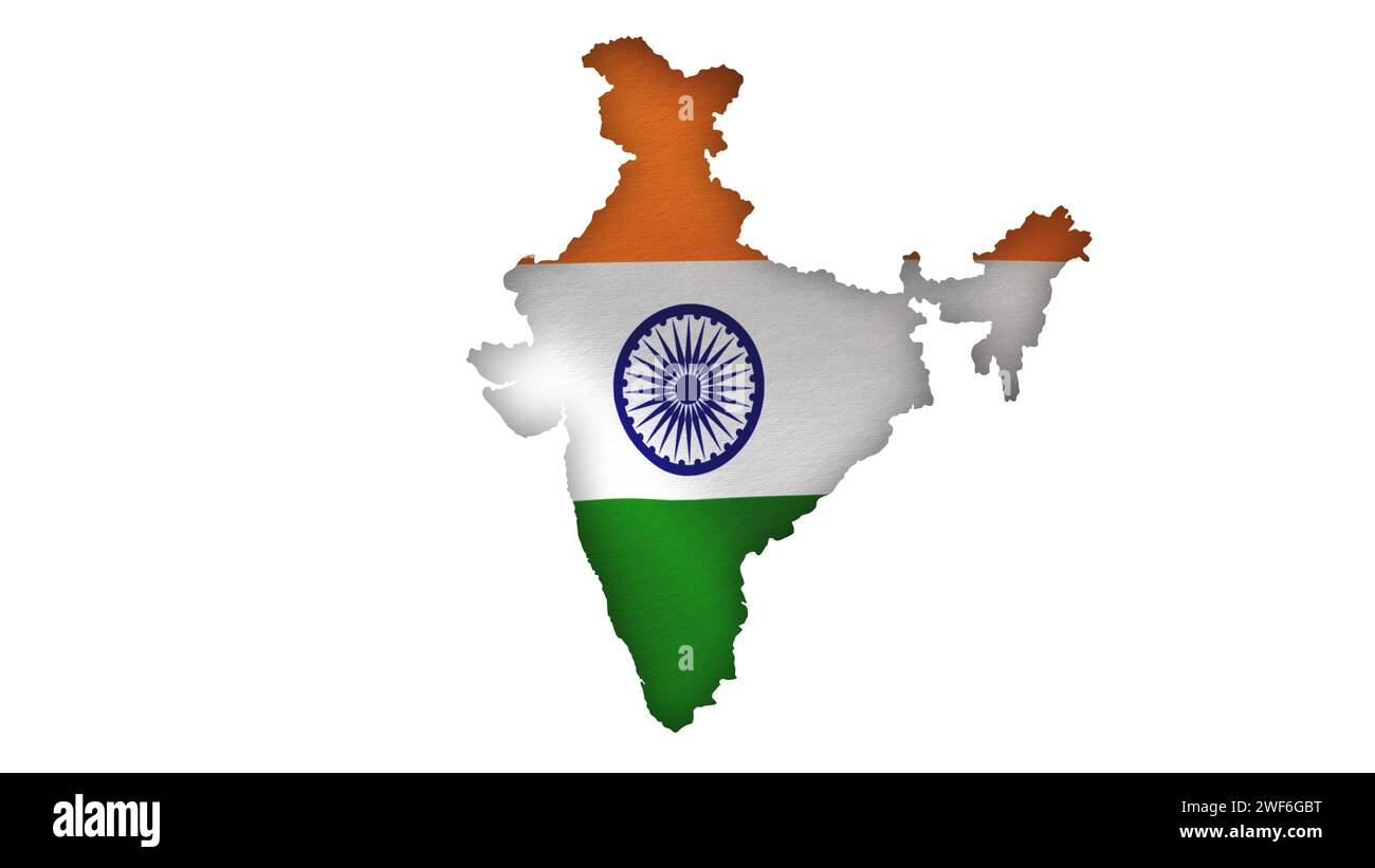 Indian Flag with India Map Stock Photohttps://www.alamy.com/image-license-details/?v=1https://www.alamy.com/indian-flag-with-india-map-image594516940.html
RF2WF6GBT–Indian Flag with India Map
 Sikkim Handwritten stock lettering typography. States of India. Stock Vectorhttps://www.alamy.com/image-license-details/?v=1https://www.alamy.com/sikkim-handwritten-stock-lettering-typography-states-of-india-image382088000.html
RF2D5HH40–Sikkim Handwritten stock lettering typography. States of India.
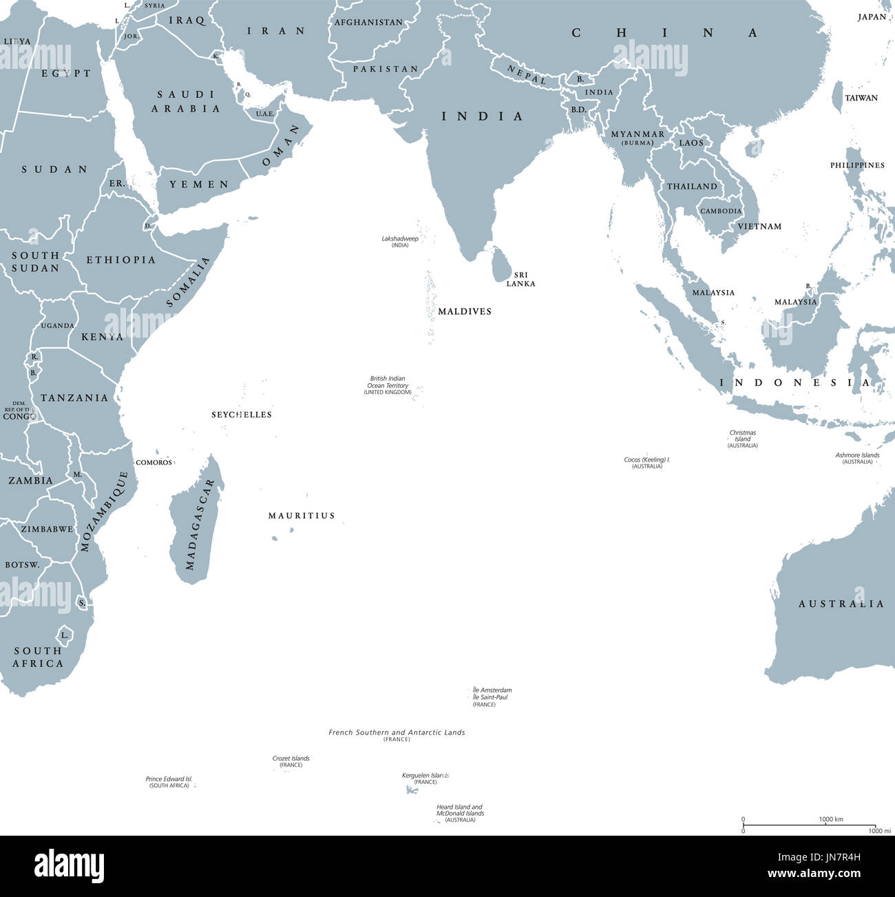 Indian Ocean political map with countries and borders. English labeling. Bounded by Asia, Africa, Australia and Antarctica. Illustration. Stock Photohttps://www.alamy.com/image-license-details/?v=1https://www.alamy.com/indian-ocean-political-map-with-countries-and-borders-english-labeling-image150762545.html
RFJN7R4H–Indian Ocean political map with countries and borders. English labeling. Bounded by Asia, Africa, Australia and Antarctica. Illustration.
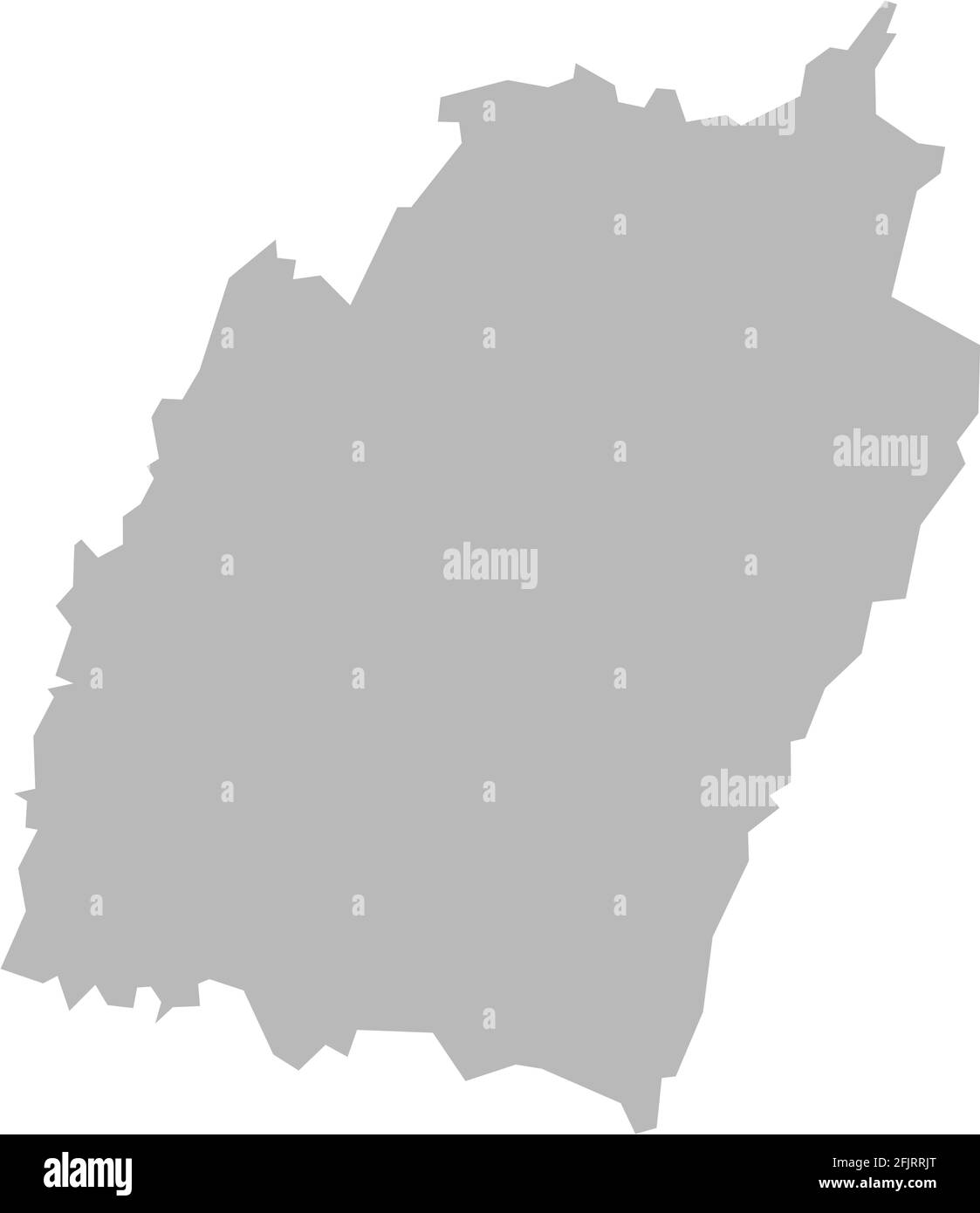 Mizoram indian state map. Light gray background. Business concepts graphics design. Stock Vectorhttps://www.alamy.com/image-license-details/?v=1https://www.alamy.com/mizoram-indian-state-map-light-gray-background-business-concepts-graphics-design-image424636096.html
RF2FJRRJT–Mizoram indian state map. Light gray background. Business concepts graphics design.
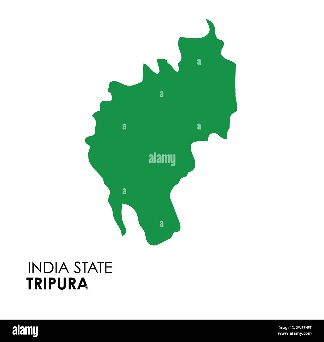 Tripura map of Indian state. Tripura map vector illustration. Tripura map on white background. Stock Vectorhttps://www.alamy.com/image-license-details/?v=1https://www.alamy.com/tripura-map-of-indian-state-tripura-map-vector-illustration-tripura-map-on-white-background-image594078796.html
RF2WEEHFT–Tripura map of Indian state. Tripura map vector illustration. Tripura map on white background.
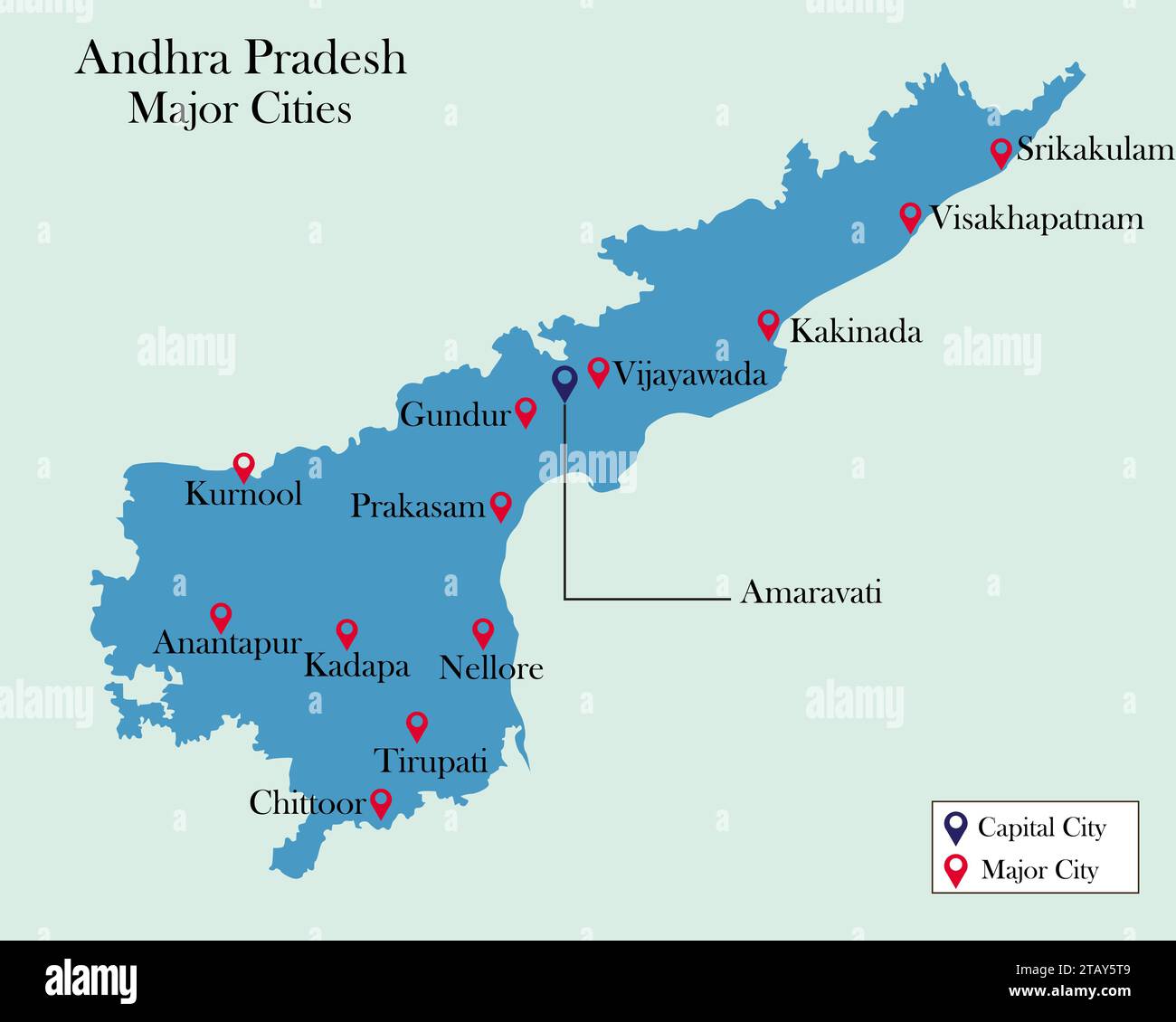 Indian State Andhra Pradesh major cities pinned on Andhra Pradesh Map Stock Vectorhttps://www.alamy.com/image-license-details/?v=1https://www.alamy.com/indian-state-andhra-pradesh-major-cities-pinned-on-andhra-pradesh-map-image574686009.html
RF2TAY5T9–Indian State Andhra Pradesh major cities pinned on Andhra Pradesh Map
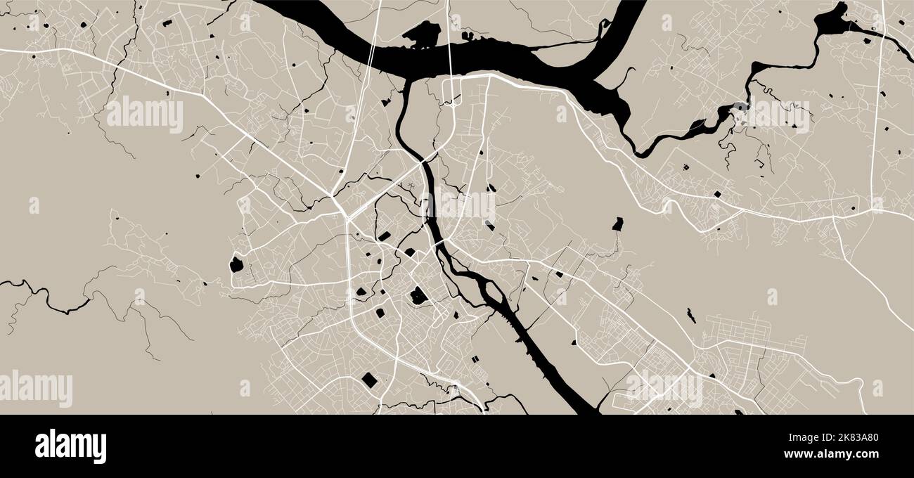 Vector map of Thane, India. Urban city road map poster illustration. Thane map art. Stock Vectorhttps://www.alamy.com/image-license-details/?v=1https://www.alamy.com/vector-map-of-thane-india-urban-city-road-map-poster-illustration-thane-map-art-image486881472.html
RF2K83A80–Vector map of Thane, India. Urban city road map poster illustration. Thane map art.
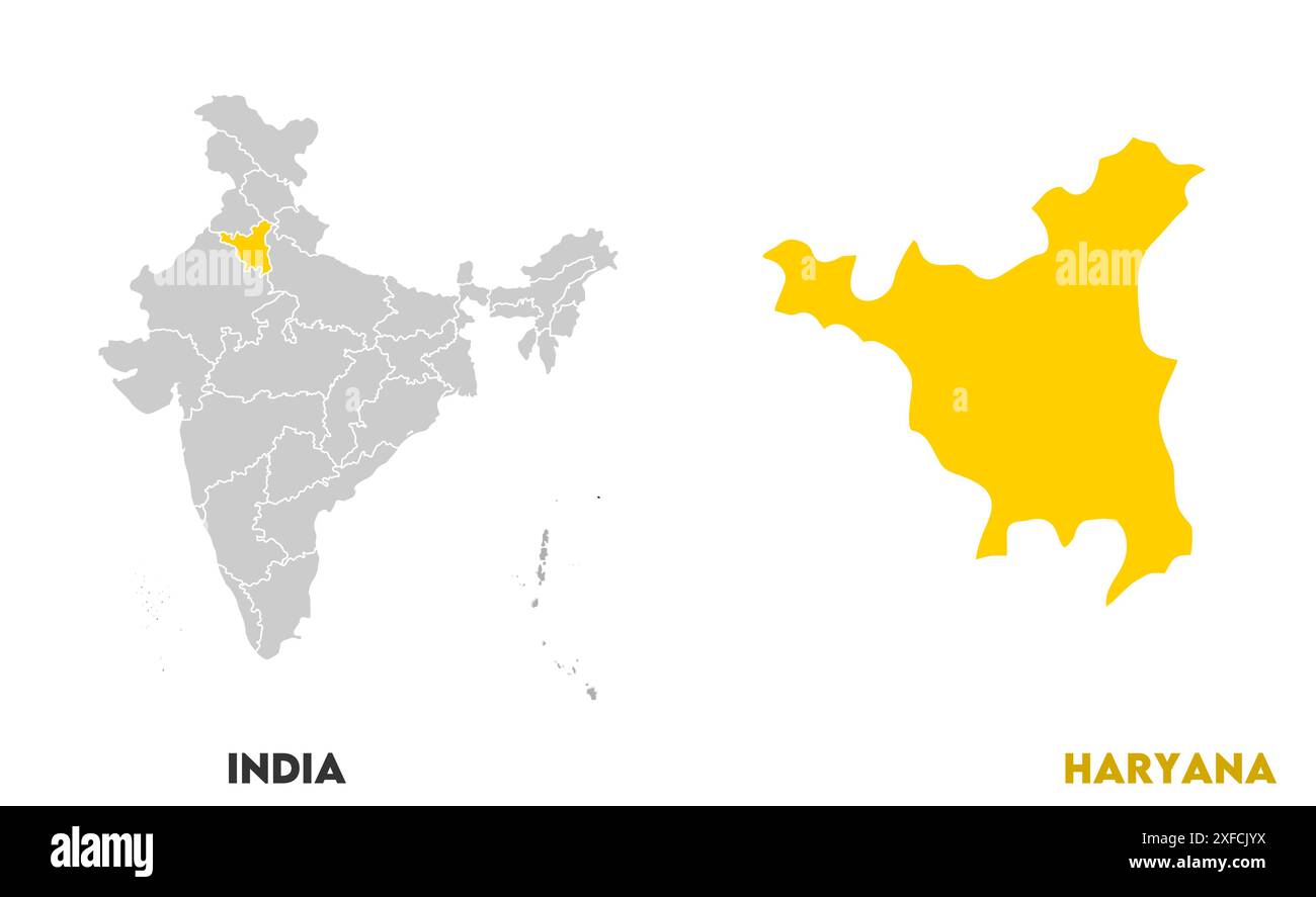 Haryana Map1, State of India, Republic of India, government, Political map, modern map, Indian flag, vector illustration Stock Vectorhttps://www.alamy.com/image-license-details/?v=1https://www.alamy.com/haryana-map1-state-of-india-republic-of-india-government-political-map-modern-map-indian-flag-vector-illustration-image611861038.html
RF2XFCJYX–Haryana Map1, State of India, Republic of India, government, Political map, modern map, Indian flag, vector illustration
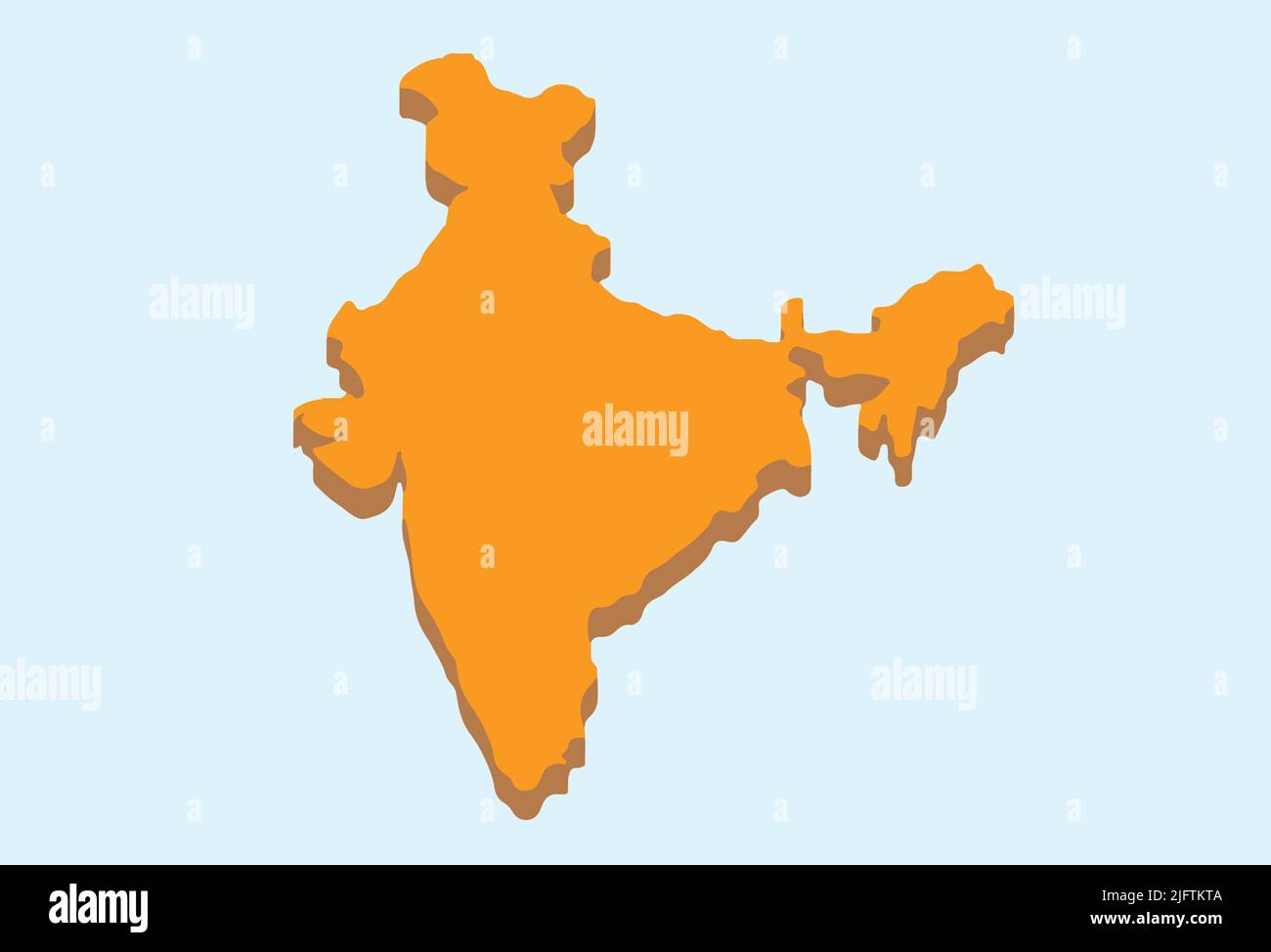 India 3D Minimal Illustration Map Geography Asia Nation Indian World Stock Vectorhttps://www.alamy.com/image-license-details/?v=1https://www.alamy.com/india-3d-minimal-illustration-map-geography-asia-nation-indian-world-image474442202.html
RF2JFTKTA–India 3D Minimal Illustration Map Geography Asia Nation Indian World
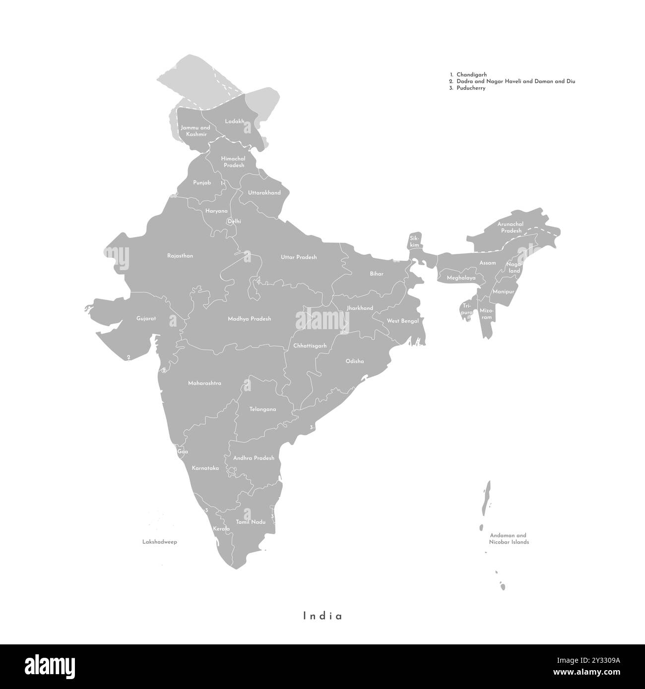 Vector modern isolated illustration. Simplified administrative grey map of India. White background. Names of indian states, borders of regions Stock Vectorhttps://www.alamy.com/image-license-details/?v=1https://www.alamy.com/vector-modern-isolated-illustration-simplified-administrative-grey-map-of-india-white-background-names-of-indian-states-borders-of-regions-image621483334.html
RF2Y3309A–Vector modern isolated illustration. Simplified administrative grey map of India. White background. Names of indian states, borders of regions
RF2XGTWKB–Maharashtra State Map Vector Icon. India Maharashtra Province State icon. Maharashtra Map
 India map vector illustration, scribble sketch Republic India map, Indian map silhouette, Indian country Stock Vectorhttps://www.alamy.com/image-license-details/?v=1https://www.alamy.com/india-map-vector-illustration-scribble-sketch-republic-india-map-indian-map-silhouette-indian-country-image636844269.html
RF2S02NA5–India map vector illustration, scribble sketch Republic India map, Indian map silhouette, Indian country
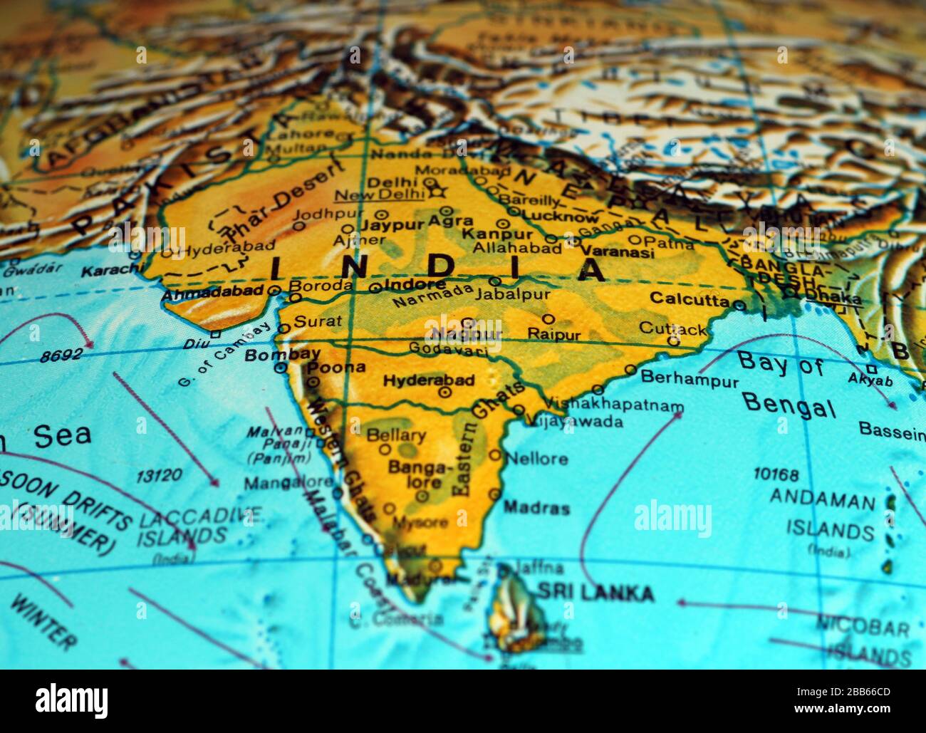 India map on old atlas Stock Photohttps://www.alamy.com/image-license-details/?v=1https://www.alamy.com/india-map-on-old-atlas-image351105341.html
RF2BB66CD–India map on old atlas
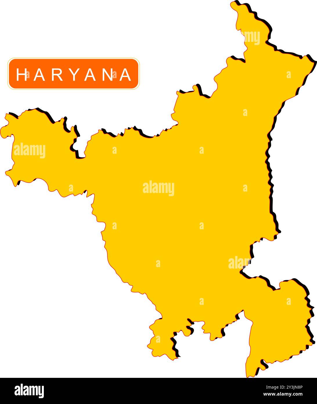 Haryana State Map of India with name on it Stock Vectorhttps://www.alamy.com/image-license-details/?v=1https://www.alamy.com/haryana-state-map-of-india-with-name-on-it-image621829062.html
RF2Y3JN8P–Haryana State Map of India with name on it
 Haryana Day Indian State Background Stock Vectorhttps://www.alamy.com/image-license-details/?v=1https://www.alamy.com/haryana-day-indian-state-background-image444185516.html
RF2GPJB4C–Haryana Day Indian State Background
RF2P9X61B–INDIA or KERALA state map icon.vector illustration symbol design
RFG2X39H–Republic of India isolated map and official flag icons. vector Indian political map 3d illustration. South Asia country geograph
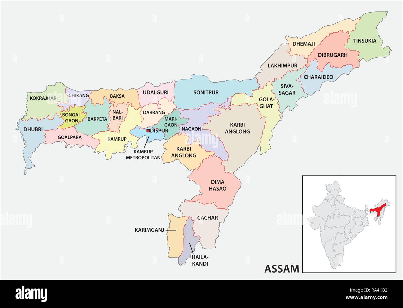 administrative and political map of indian state of Assam, india Stock Vectorhttps://www.alamy.com/image-license-details/?v=1https://www.alamy.com/administrative-and-political-map-of-indian-state-of-assam-india-image229984358.html
RFRA4KB2–administrative and political map of indian state of Assam, india
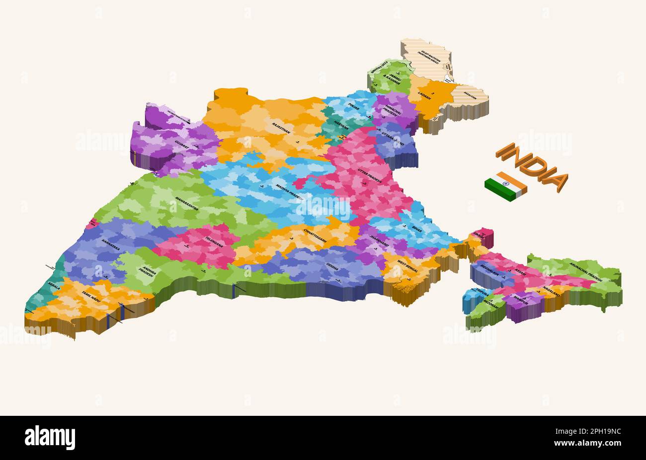 States of India 3d (isometric) colorful vector map with capital cities and flag of India Stock Vectorhttps://www.alamy.com/image-license-details/?v=1https://www.alamy.com/states-of-india-3d-isometric-colorful-vector-map-with-capital-cities-and-flag-of-india-image544000168.html
RF2PH19NC–States of India 3d (isometric) colorful vector map with capital cities and flag of India
 India map isolated Indian flag colors painted with a brush stroke 3d illustration Stock Photohttps://www.alamy.com/image-license-details/?v=1https://www.alamy.com/india-map-isolated-indian-flag-colors-painted-with-a-brush-stroke-3d-illustration-image510011177.html
RF2MHN0CW–India map isolated Indian flag colors painted with a brush stroke 3d illustration
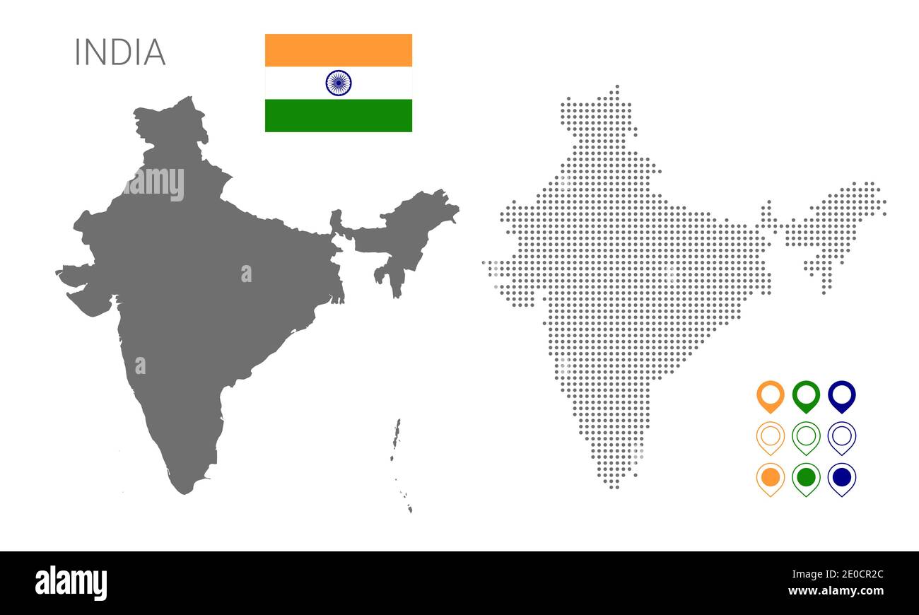 Map of India silhouette, India map dotted, Flag of India. Vector illustration flat Stock Vectorhttps://www.alamy.com/image-license-details/?v=1https://www.alamy.com/map-of-india-silhouette-india-map-dotted-flag-of-india-vector-illustration-flat-image396119988.html
RF2E0CR2C–Map of India silhouette, India map dotted, Flag of India. Vector illustration flat
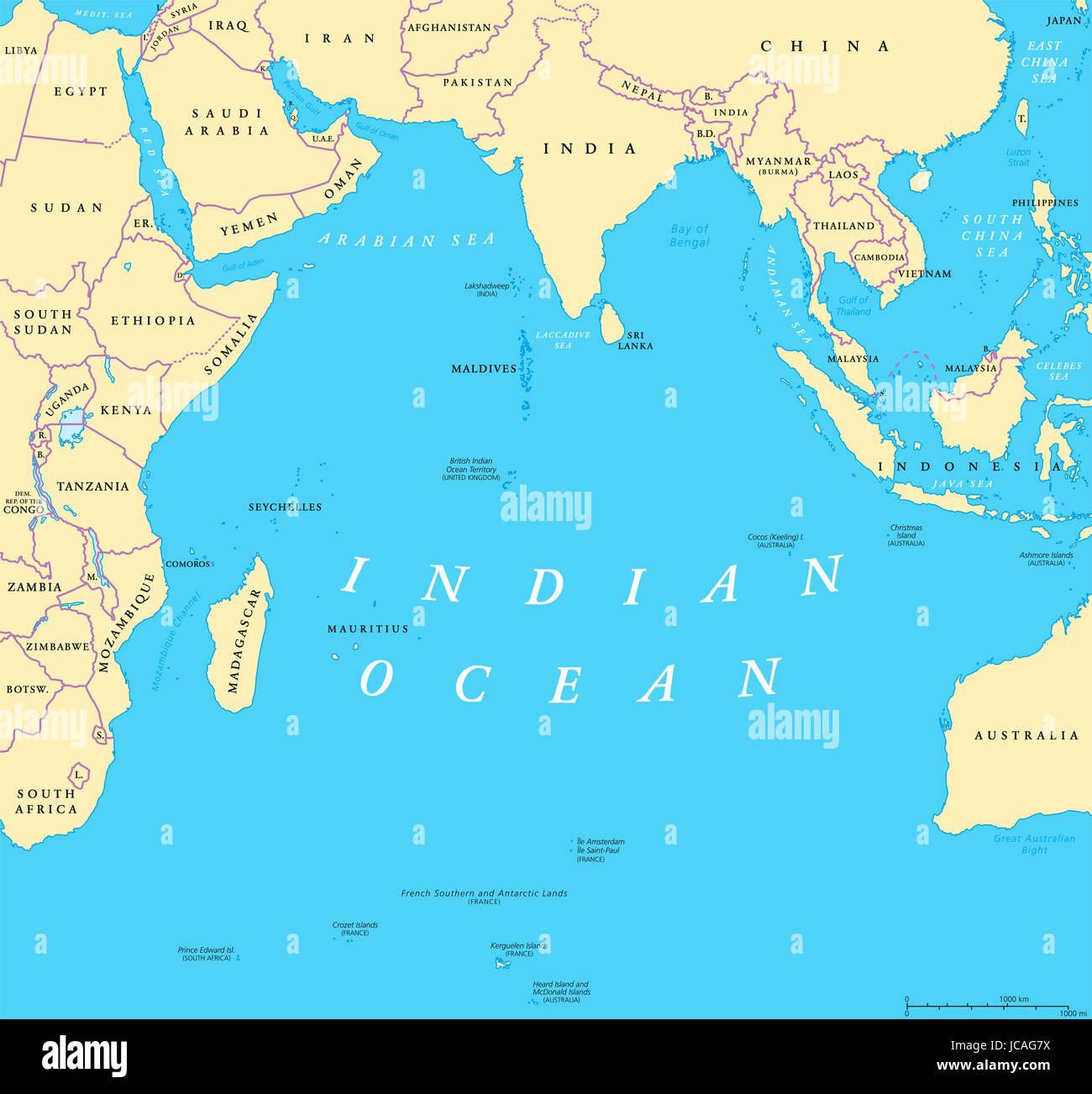 Indian Ocean political map. Countries and borders. World's third largest ocean division, bounded by Africa, Asia, Antarctica and Australia. Stock Photohttps://www.alamy.com/image-license-details/?v=1https://www.alamy.com/stock-photo-indian-ocean-political-map-countries-and-borders-worlds-third-largest-145291102.html
RFJCAG7X–Indian Ocean political map. Countries and borders. World's third largest ocean division, bounded by Africa, Asia, Antarctica and Australia.
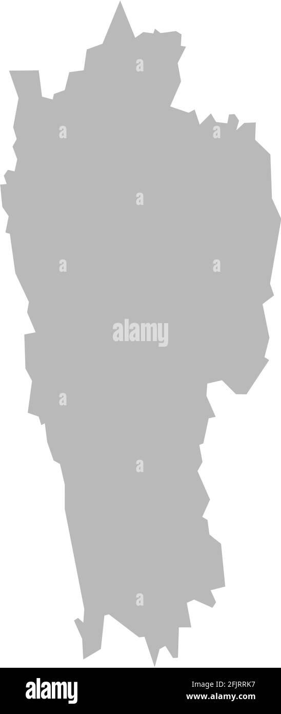 Mizoram indian state map. Light gray background. Business concepts graphics design. Stock Vectorhttps://www.alamy.com/image-license-details/?v=1https://www.alamy.com/mizoram-indian-state-map-light-gray-background-business-concepts-graphics-design-image424636107.html
RF2FJRRK7–Mizoram indian state map. Light gray background. Business concepts graphics design.
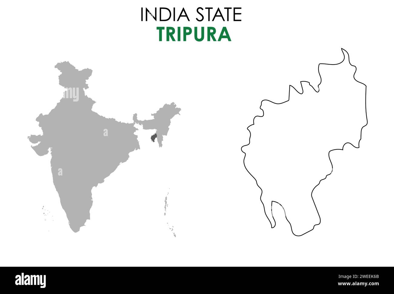 Tripura map of Indian state. Tripura map vector illustration. Tripura map on white background. Stock Vectorhttps://www.alamy.com/image-license-details/?v=1https://www.alamy.com/tripura-map-of-indian-state-tripura-map-vector-illustration-tripura-map-on-white-background-image594080099.html
RF2WEEK6B–Tripura map of Indian state. Tripura map vector illustration. Tripura map on white background.
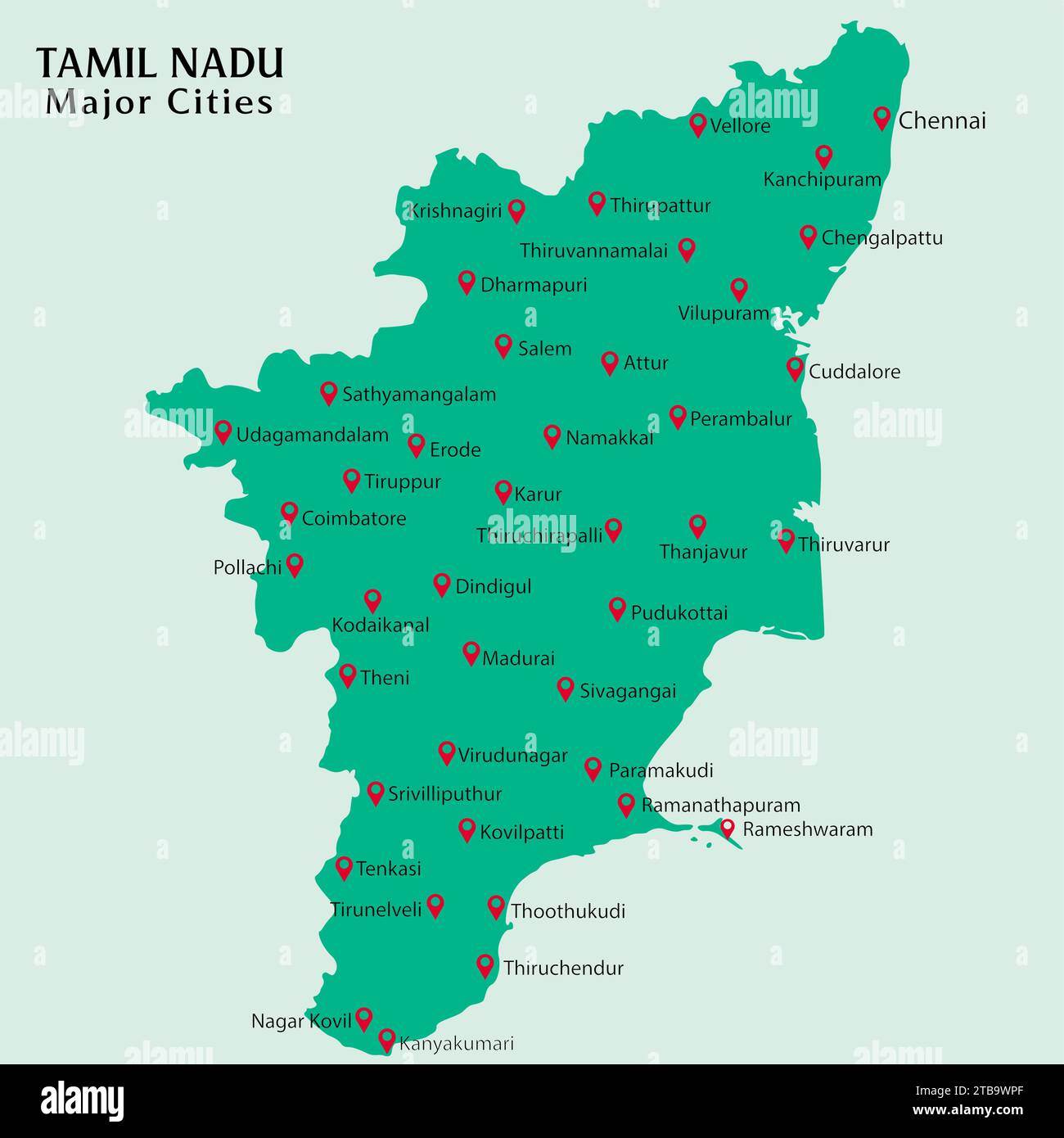 Major Cities in Indian State Tamil Nadu Pinned in the Tamil Nadu Map Vector illustration Stock Vectorhttps://www.alamy.com/image-license-details/?v=1https://www.alamy.com/major-cities-in-indian-state-tamil-nadu-pinned-in-the-tamil-nadu-map-vector-illustration-image574921159.html
RF2TB9WPF–Major Cities in Indian State Tamil Nadu Pinned in the Tamil Nadu Map Vector illustration
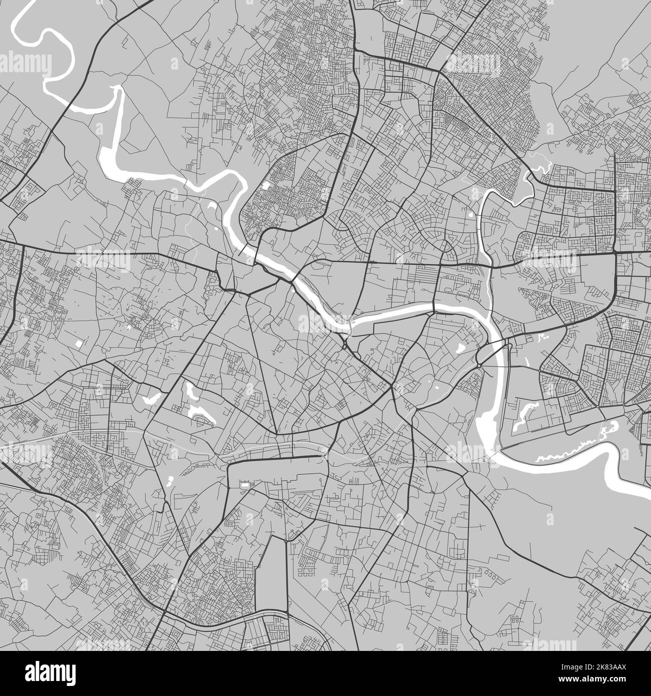 Map of Lucknow city. Urban black and white poster. Road map image with metropolitan city area view. Stock Vectorhttps://www.alamy.com/image-license-details/?v=1https://www.alamy.com/map-of-lucknow-city-urban-black-and-white-poster-road-map-image-with-metropolitan-city-area-view-image486881554.html
RF2K83AAX–Map of Lucknow city. Urban black and white poster. Road map image with metropolitan city area view.
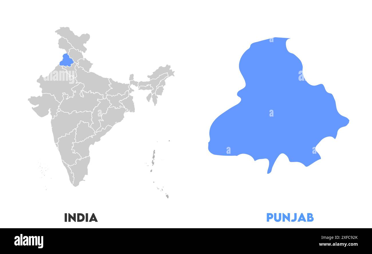 Punjab Map1, State of India, Republic of India, government, Political map, modern map, Indian flag, vector illustration Stock Vectorhttps://www.alamy.com/image-license-details/?v=1https://www.alamy.com/punjab-map1-state-of-india-republic-of-india-government-political-map-modern-map-indian-flag-vector-illustration-image611853275.html
RF2XFC92K–Punjab Map1, State of India, Republic of India, government, Political map, modern map, Indian flag, vector illustration
 India simple 3D map with covid-19 red label 3D Rendering. Stock Photohttps://www.alamy.com/image-license-details/?v=1https://www.alamy.com/india-simple-3d-map-with-covid-19-red-label-3d-rendering-image361952700.html
RF2C0TAA4–India simple 3D map with covid-19 red label 3D Rendering.
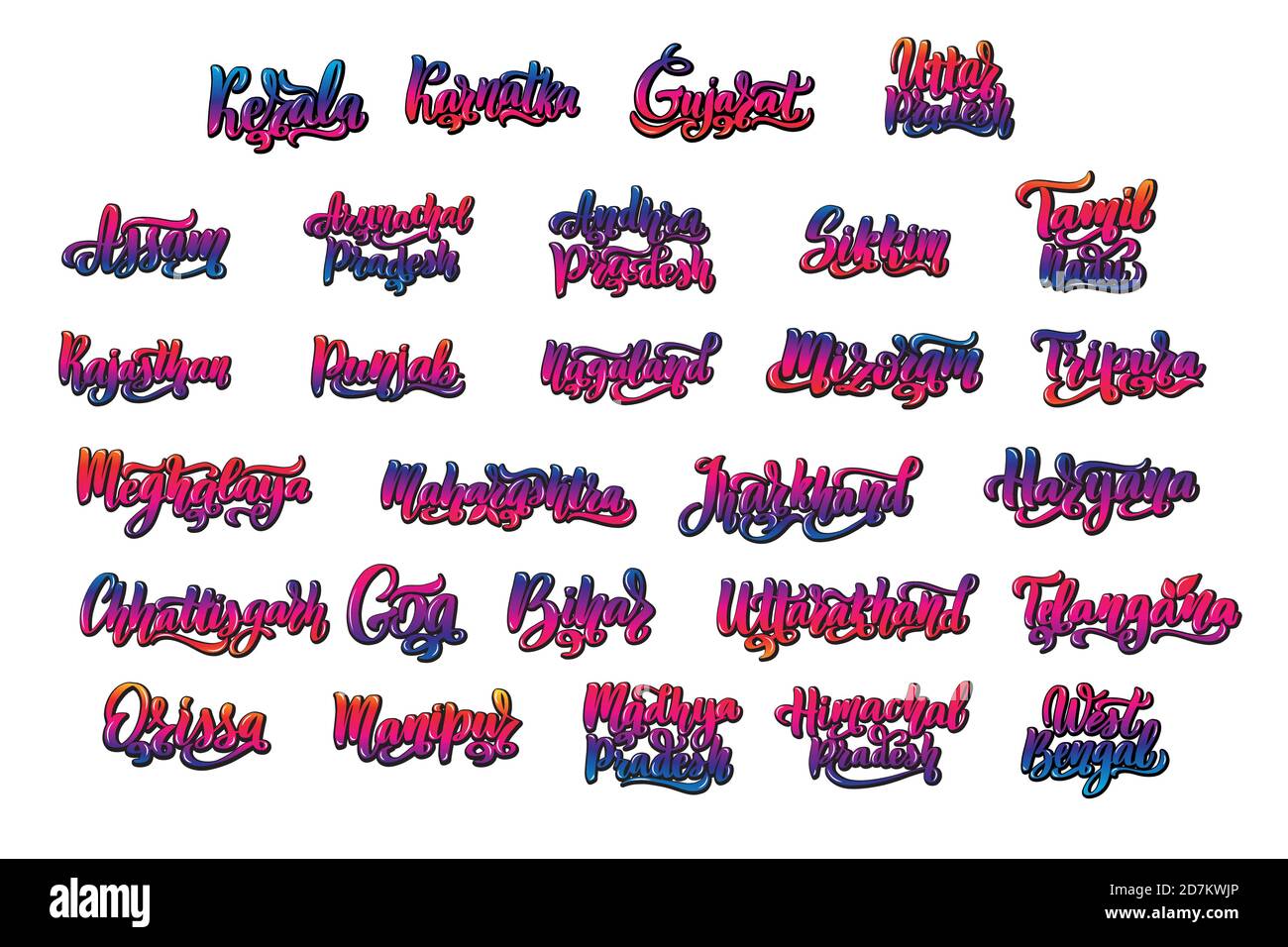 States of India. Handwritten stock lettering set multicolored bright Stock Vectorhttps://www.alamy.com/image-license-details/?v=1https://www.alamy.com/states-of-india-handwritten-stock-lettering-set-multicolored-bright-image383367902.html
RF2D7KWJP–States of India. Handwritten stock lettering set multicolored bright
RF2XGTR3N–Telangana State Map Vector Icon. India Telangana Province State icon. Telangana Map
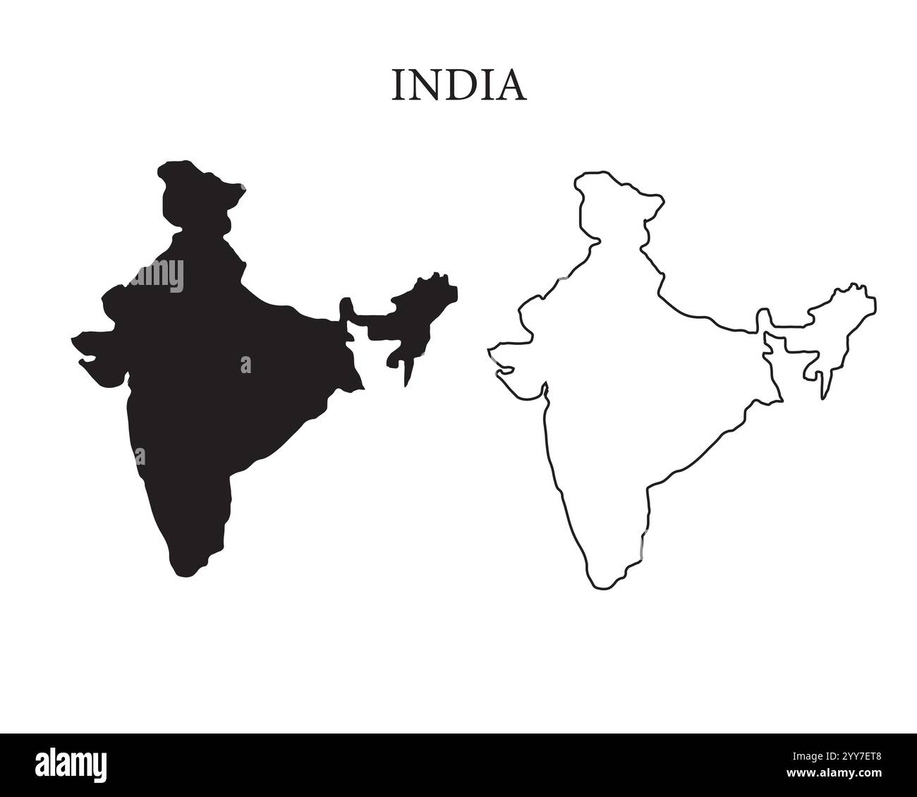 India map vector illustration, scribble sketch Republic India map, Indian map silhouette, Indian country Stock Vectorhttps://www.alamy.com/image-license-details/?v=1https://www.alamy.com/india-map-vector-illustration-scribble-sketch-republic-india-map-indian-map-silhouette-indian-country-image636334280.html
RF2YY7ET8–India map vector illustration, scribble sketch Republic India map, Indian map silhouette, Indian country
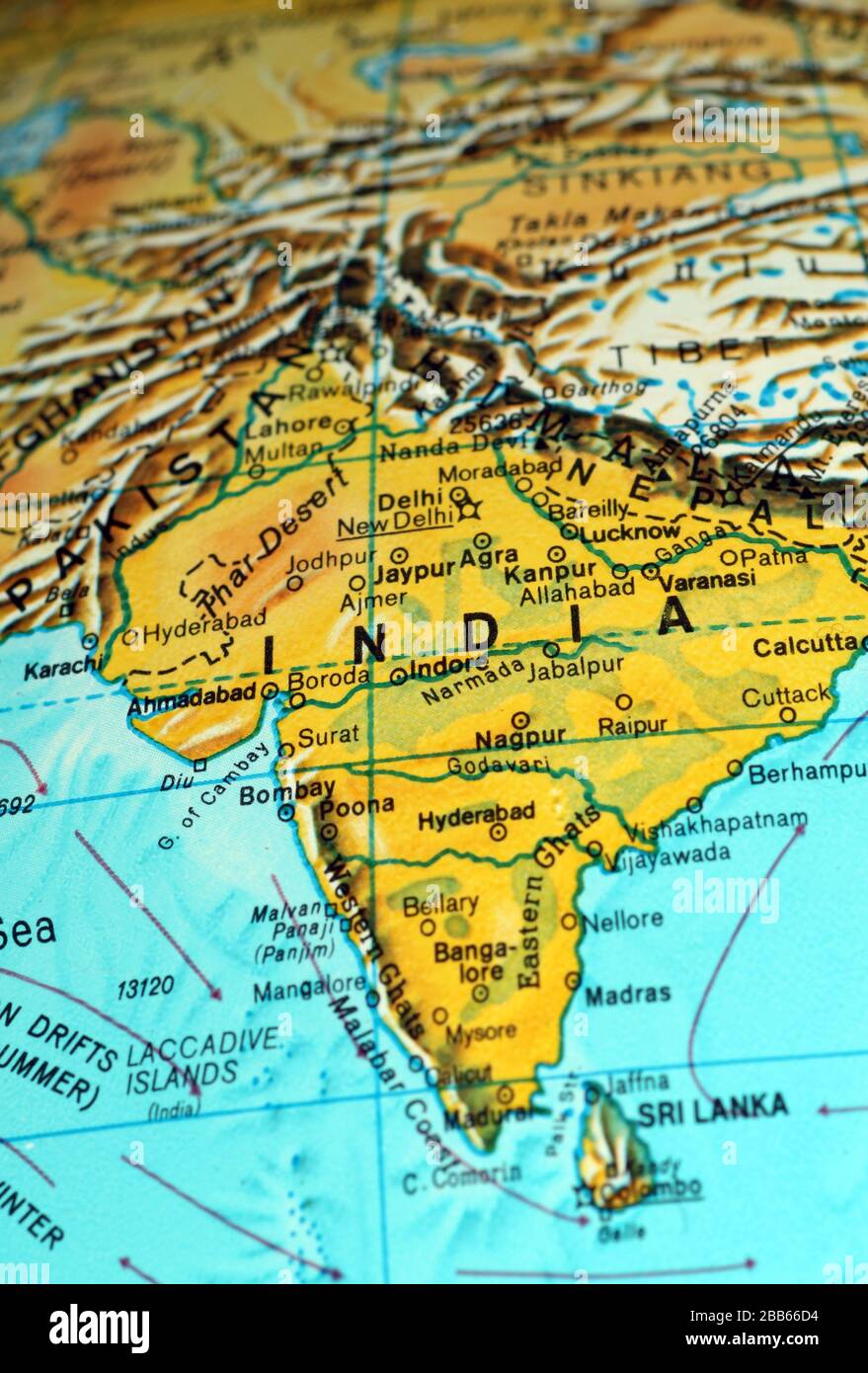 India map on old atlas Stock Photohttps://www.alamy.com/image-license-details/?v=1https://www.alamy.com/india-map-on-old-atlas-image351105360.html
RF2BB66D4–India map on old atlas
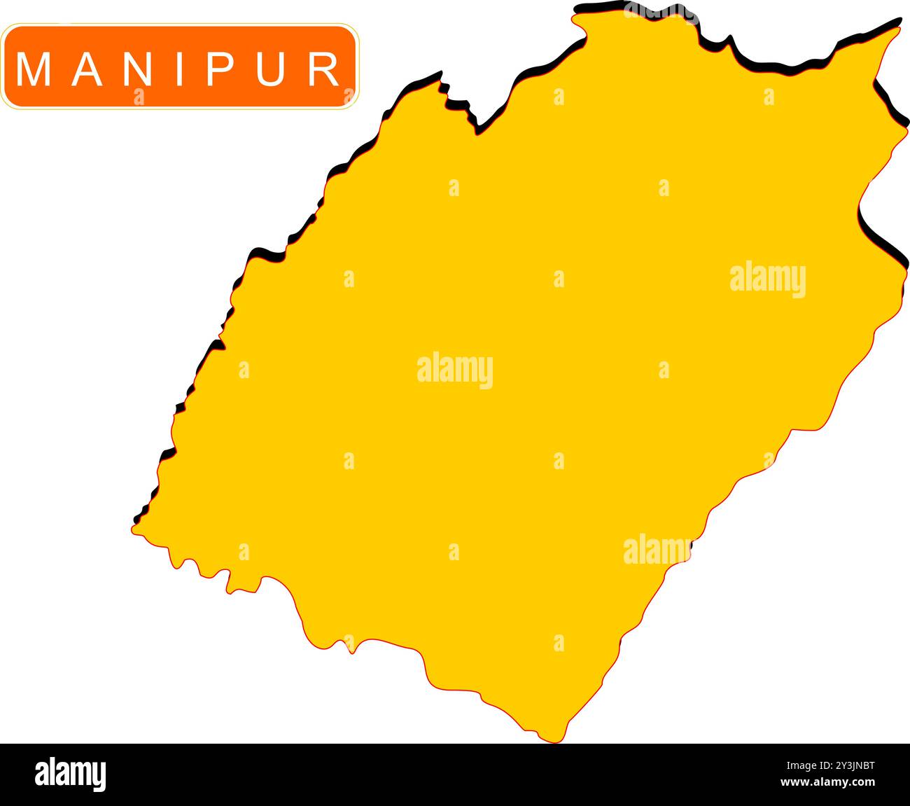 Manipur State Map of India with name on it Stock Vectorhttps://www.alamy.com/image-license-details/?v=1https://www.alamy.com/manipur-state-map-of-india-with-name-on-it-image621829148.html
RF2Y3JNBT–Manipur State Map of India with name on it
 Haryana Day Indian State Background Stock Vectorhttps://www.alamy.com/image-license-details/?v=1https://www.alamy.com/haryana-day-indian-state-background-image444185309.html
RF2GPJAW1–Haryana Day Indian State Background
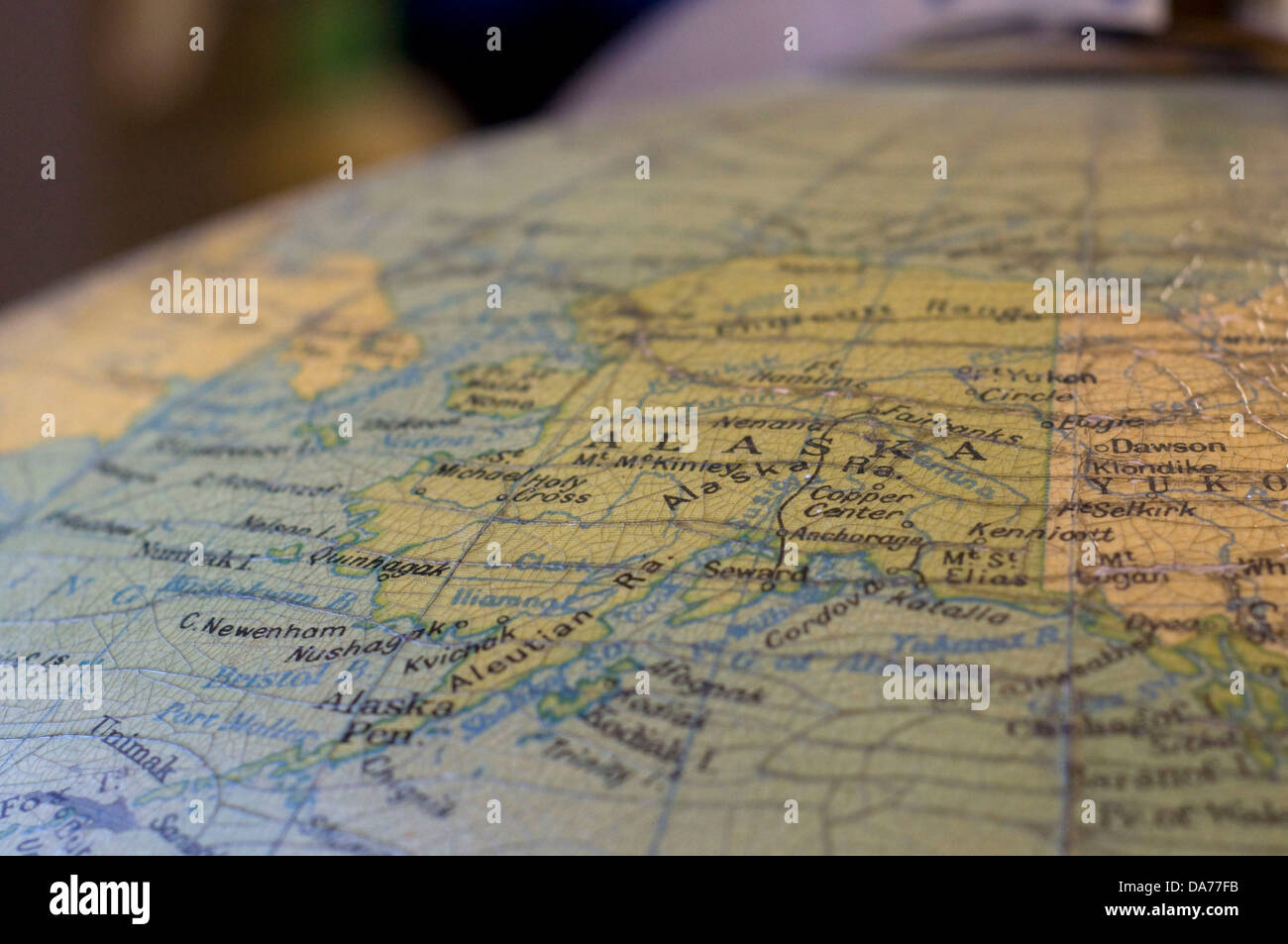 A map of Alaska, USA, as featured on an antique globe. Stock Photohttps://www.alamy.com/image-license-details/?v=1https://www.alamy.com/stock-photo-a-map-of-alaska-usa-as-featured-on-an-antique-globe-57937247.html
RFDA77FB–A map of Alaska, USA, as featured on an antique globe.
RFG2X39F–Republic of India isolated maps and official flag icon. vector Indian political map icons with general information. South Asia c
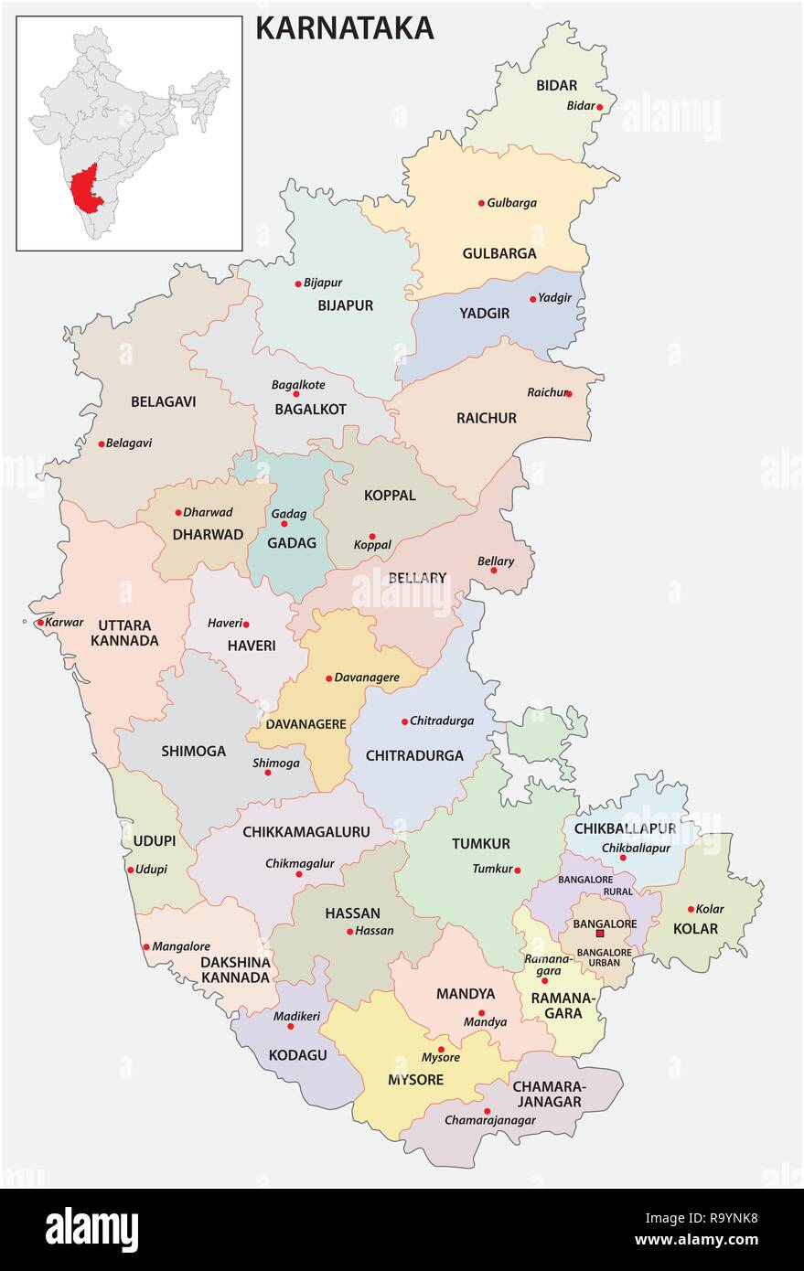 administrative and political map of indian state of Karnataka, india Stock Vectorhttps://www.alamy.com/image-license-details/?v=1https://www.alamy.com/administrative-and-political-map-of-indian-state-of-karnataka-india-image229876396.html
RFR9YNK8–administrative and political map of indian state of Karnataka, india
 Indian State HImachal Pradesh Map vector illustration Stock Vectorhttps://www.alamy.com/image-license-details/?v=1https://www.alamy.com/indian-state-himachal-pradesh-map-vector-illustration-image598509213.html
RF2WNMCH1–Indian State HImachal Pradesh Map vector illustration
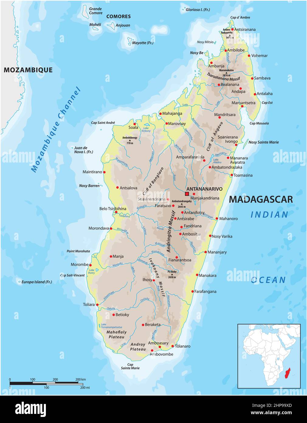 vector map of the East African island nation of Madagasca Stock Vectorhttps://www.alamy.com/image-license-details/?v=1https://www.alamy.com/vector-map-of-the-east-african-island-nation-of-madagasca-image461197365.html
RF2HP99XD–vector map of the East African island nation of Madagasca
 Andaman and Nicobar Islands blank outline map set Stock Vectorhttps://www.alamy.com/image-license-details/?v=1https://www.alamy.com/andaman-and-nicobar-islands-blank-outline-map-set-image177776515.html
RFM96BN7–Andaman and Nicobar Islands blank outline map set
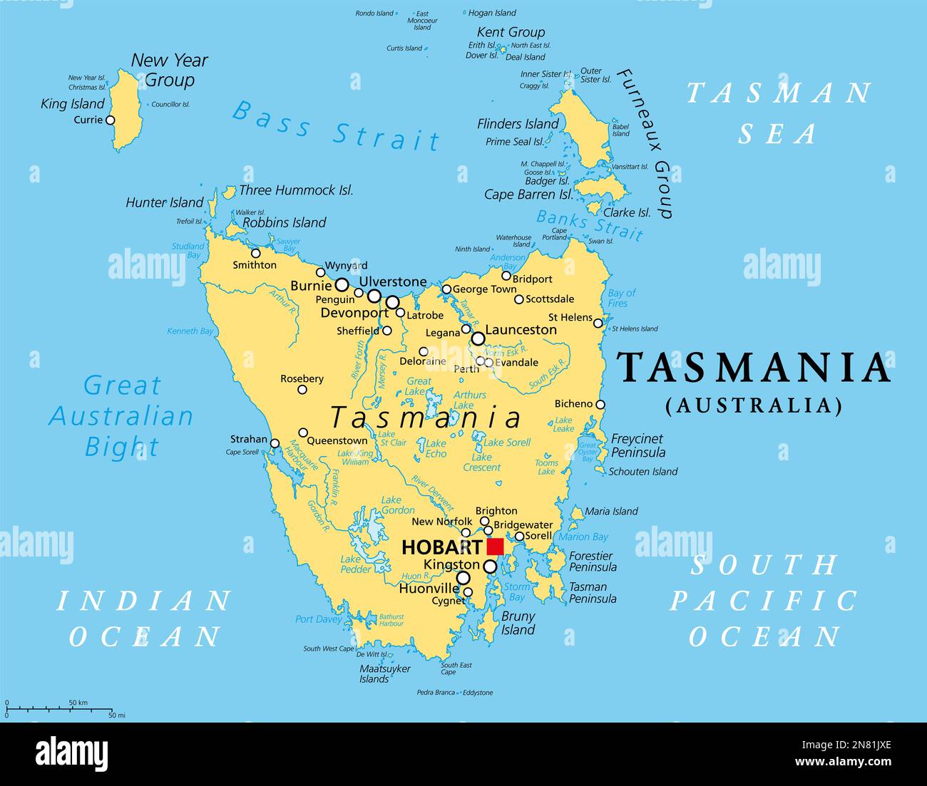 Tasmania, island state of Australia, political map. Located south of the Australian mainland, separated from it by Bass Strait. Stock Photohttps://www.alamy.com/image-license-details/?v=1https://www.alamy.com/tasmania-island-state-of-australia-political-map-located-south-of-the-australian-mainland-separated-from-it-by-bass-strait-image521265094.html
RF2N81JXE–Tasmania, island state of Australia, political map. Located south of the Australian mainland, separated from it by Bass Strait.