Quick filters:
Indian territory map Stock Photos and Images
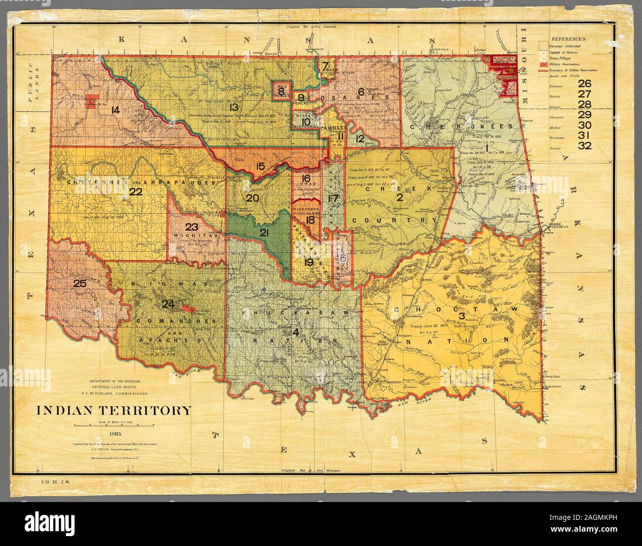 Map of Indian Territory (Oklahoma), 1885. Map produced by the Department of the Interior, General Land Office. Land designated as Indian Territory. Map shows distribution of land designated for Native Americans before general settlement of the area. Stock Photohttps://www.alamy.com/image-license-details/?v=1https://www.alamy.com/map-of-indian-territory-oklahoma-1885-map-produced-by-the-department-of-the-interior-general-land-office-land-designated-as-indian-territory-map-shows-distribution-of-land-designated-for-native-americans-before-general-settlement-of-the-area-image337286057.html
RF2AGMKPH–Map of Indian Territory (Oklahoma), 1885. Map produced by the Department of the Interior, General Land Office. Land designated as Indian Territory. Map shows distribution of land designated for Native Americans before general settlement of the area.
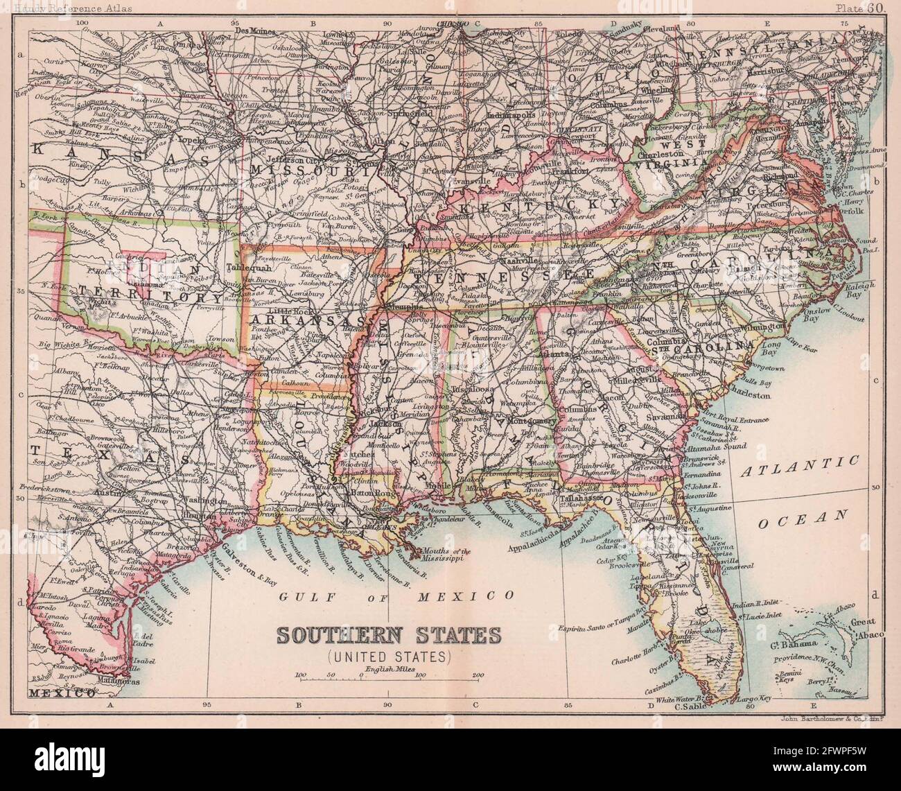 Southeastern USA. Indian Territory. ARTHOLOMEW 1893 old antique map plan chart Stock Photohttps://www.alamy.com/image-license-details/?v=1https://www.alamy.com/southeastern-usa-indian-territory-artholomew-1893-old-antique-map-plan-chart-image428910101.html
RF2FWPF5W–Southeastern USA. Indian Territory. ARTHOLOMEW 1893 old antique map plan chart
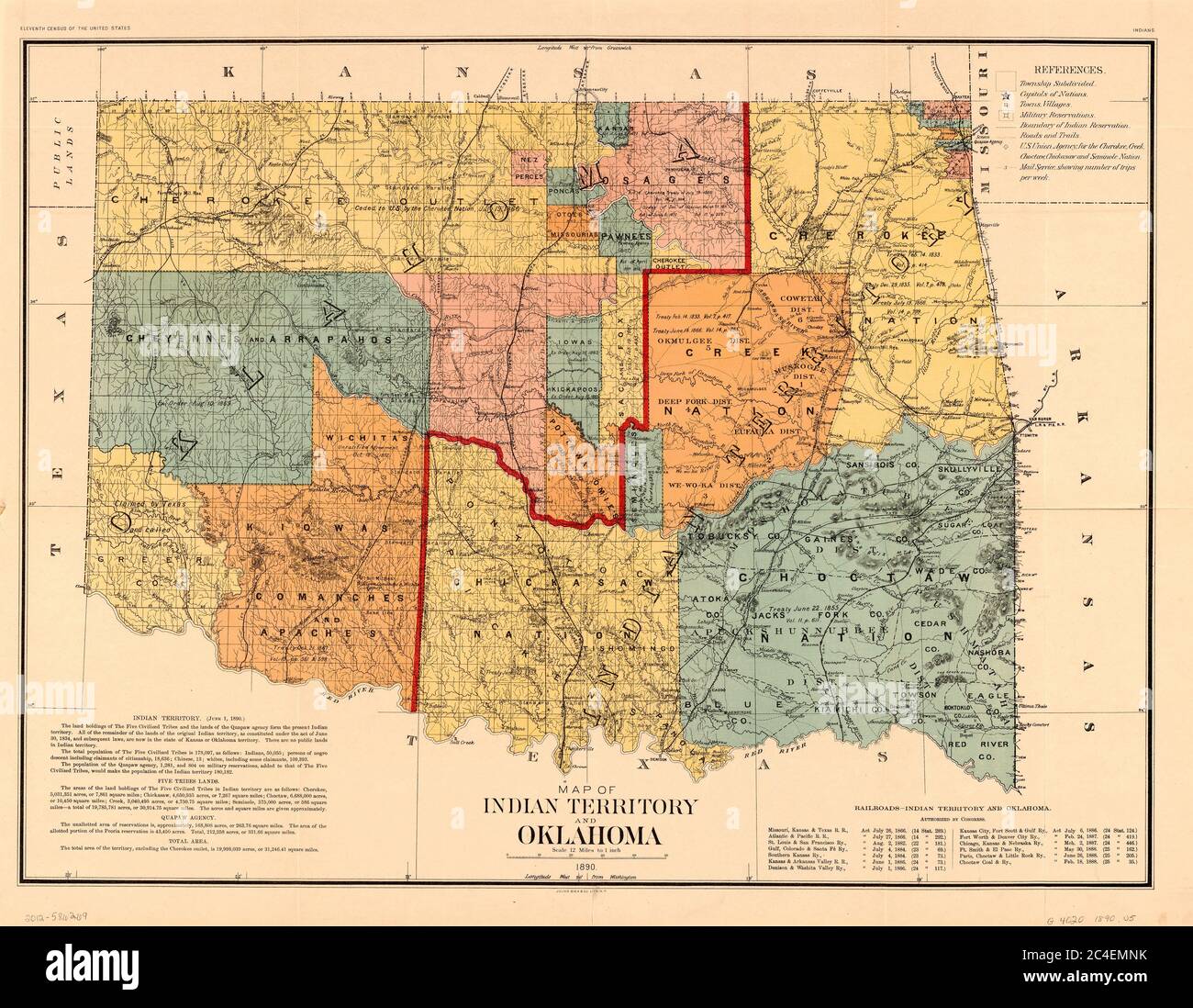 Map of Indian Territory and Oklahoma, U.S. Bureau of the Census, 1890 Stock Photohttps://www.alamy.com/image-license-details/?v=1https://www.alamy.com/map-of-indian-territory-and-oklahoma-us-bureau-of-the-census-1890-image364199967.html
RM2C4EMNK–Map of Indian Territory and Oklahoma, U.S. Bureau of the Census, 1890
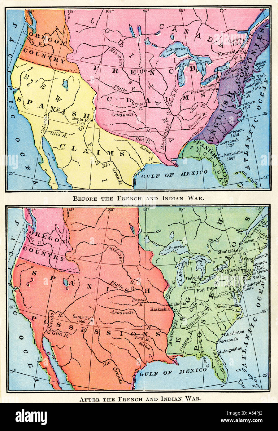 Maps of North American British Spanish and French colonies before and after the French and Indian War 1700s. Color lithograph Stock Photohttps://www.alamy.com/image-license-details/?v=1https://www.alamy.com/maps-of-north-american-british-spanish-and-french-colonies-before-image6548641.html
RMA64PJ2–Maps of North American British Spanish and French colonies before and after the French and Indian War 1700s. Color lithograph
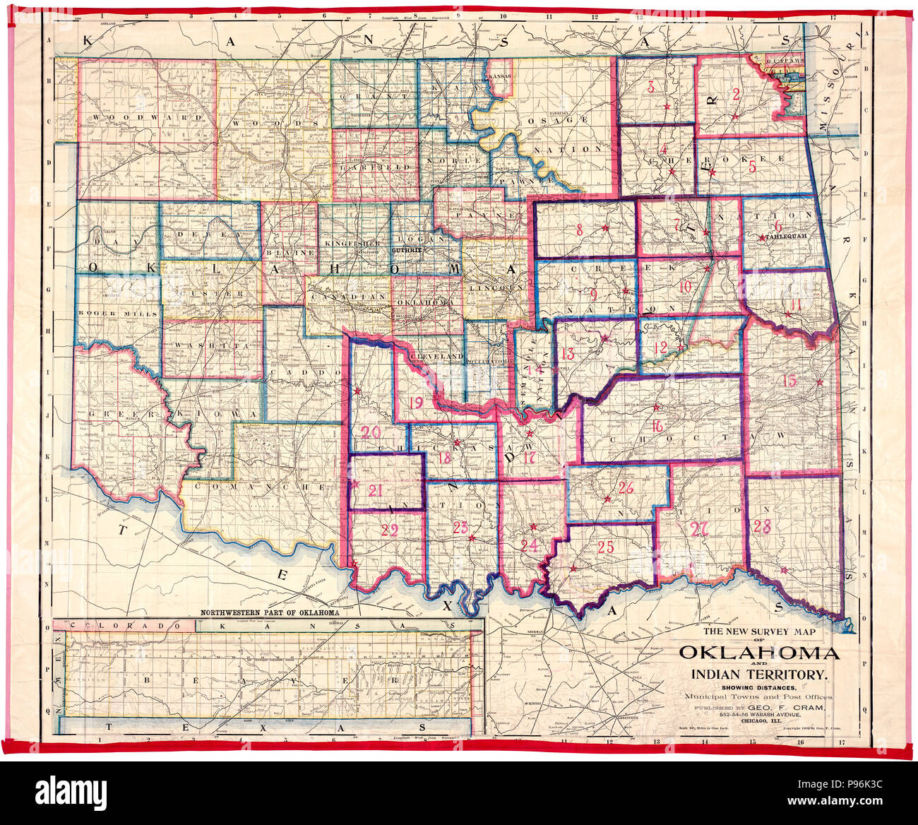 Survey Map of the Oklahoma and Indian Territory showing Distances, Municipal Towns and Post Offices, published by George Cram -1902 Stock Photohttps://www.alamy.com/image-license-details/?v=1https://www.alamy.com/survey-map-of-the-oklahoma-and-indian-territory-showing-distances-municipal-towns-and-post-offices-published-by-george-cram-1902-image212203024.html
RMP96K3C–Survey Map of the Oklahoma and Indian Territory showing Distances, Municipal Towns and Post Offices, published by George Cram -1902
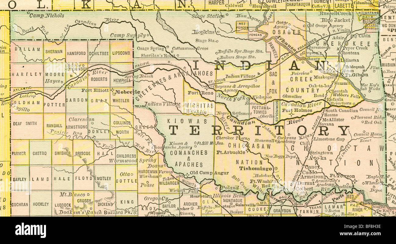 Original old map of Oklahoma Indian Territory from 1884 geography textbook Stock Photohttps://www.alamy.com/image-license-details/?v=1https://www.alamy.com/stock-photo-original-old-map-of-oklahoma-indian-territory-from-1884-geography-26619250.html
RMBF8H3E–Original old map of Oklahoma Indian Territory from 1884 geography textbook
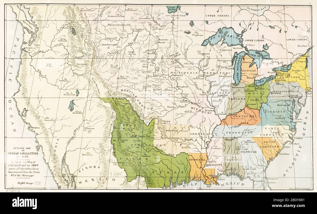 North American Indian Tribes, 1833 Stock Photohttps://www.alamy.com/image-license-details/?v=1https://www.alamy.com/north-american-indian-tribes-1833-image352797089.html
RM2BDY881–North American Indian Tribes, 1833
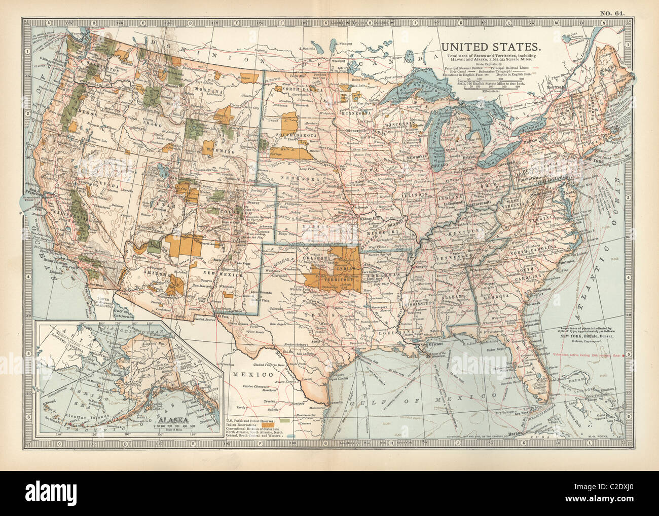 Map of the United States with inset of Alaska Stock Photohttps://www.alamy.com/image-license-details/?v=1https://www.alamy.com/stock-photo-map-of-the-united-states-with-inset-of-alaska-35956312.html
RMC2DXJ0–Map of the United States with inset of Alaska
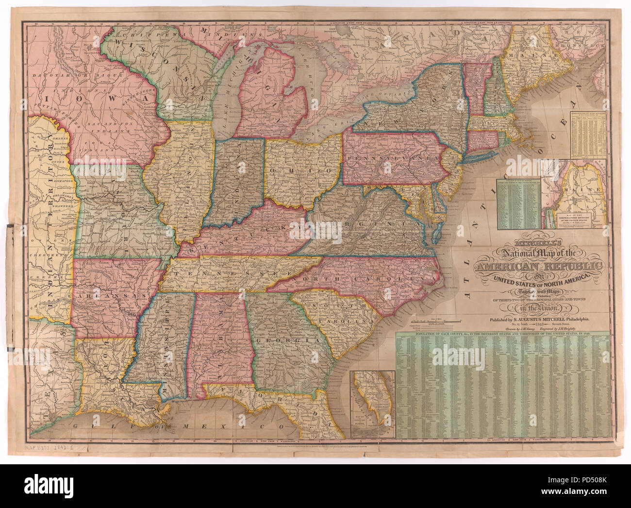 National Map of the American Republic, 1843 Stock Photohttps://www.alamy.com/image-license-details/?v=1https://www.alamy.com/national-map-of-the-american-republic-1843-image214624947.html
RMPD508K–National Map of the American Republic, 1843
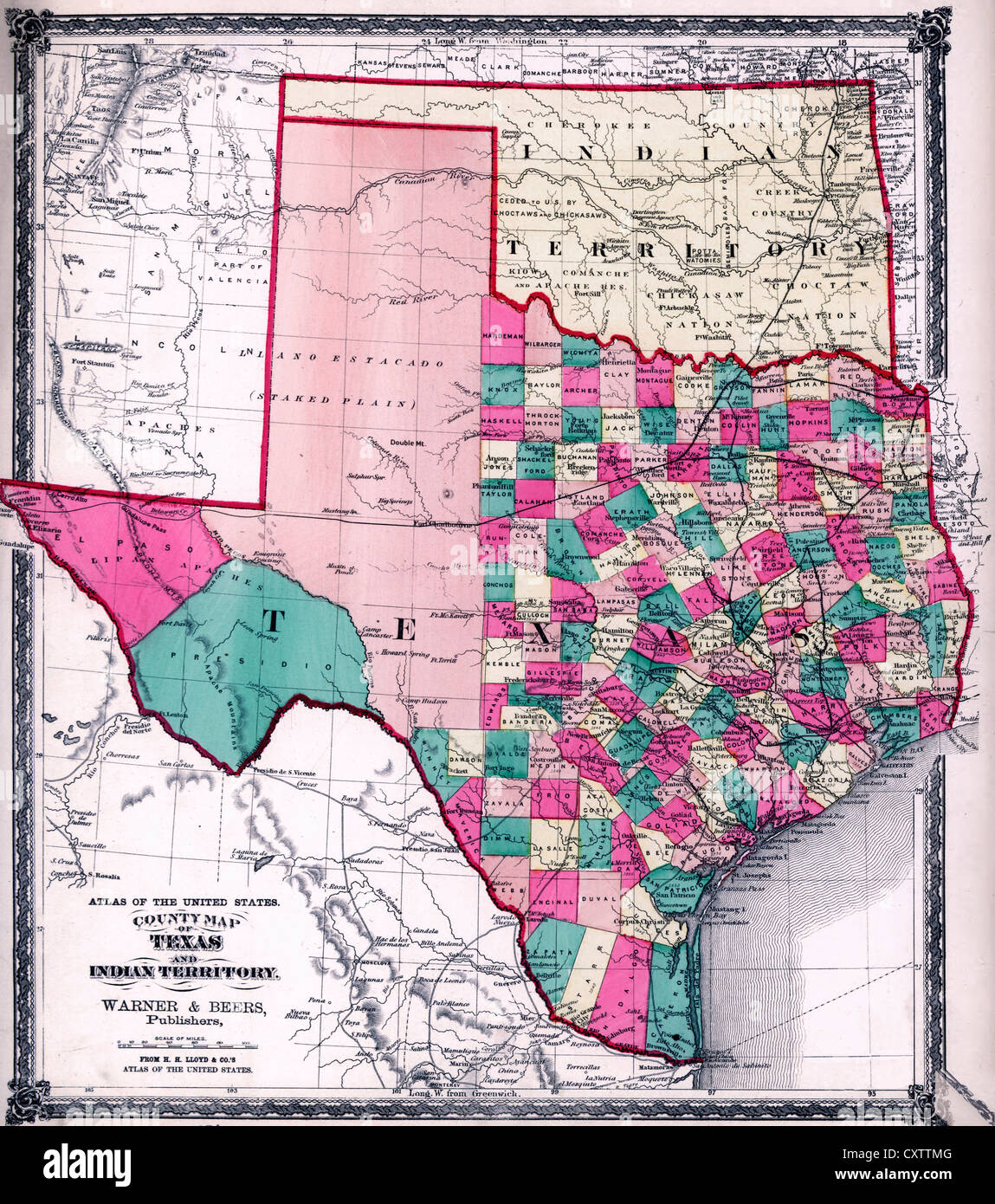 County map of Texas, and Indian Territory., 1875 Stock Photohttps://www.alamy.com/image-license-details/?v=1https://www.alamy.com/stock-photo-county-map-of-texas-and-indian-territory-1875-50948032.html
RMCXTTMG–County map of Texas, and Indian Territory., 1875
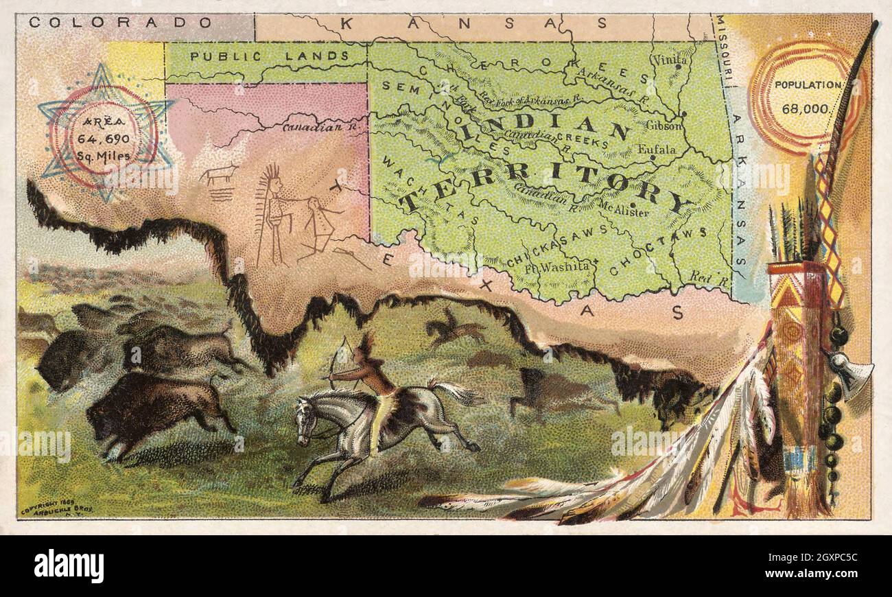 Indian Territory Stock Photohttps://www.alamy.com/image-license-details/?v=1https://www.alamy.com/indian-territory-image446732760.html
RM2GXPC5C–Indian Territory
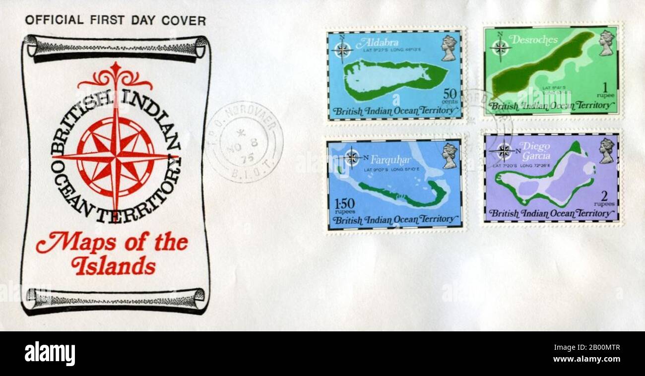 BIOT (British Indian Ocean Territory): BIOT First Day Cover. The British Indian Ocean Territory (BIOT) or Chagos Islands (formerly the Oil Islands) is an overseas territory of the United Kingdom situated in the Indian Ocean, halfway between Africa and Indonesia. The territory comprises a group of seven atolls comprising more than 60 individual islands, situated some 500 kilometers (310 mi) due south of the Maldives archipelago. The largest island is Diego Garcia (area 44 km squared), the site of a joint military facility of the United Kingdom and the United States. Stock Photohttps://www.alamy.com/image-license-details/?v=1https://www.alamy.com/biot-british-indian-ocean-territory-biot-first-day-cover-the-british-indian-ocean-territory-biot-or-chagos-islands-formerly-the-oil-islands-is-an-overseas-territory-of-the-united-kingdom-situated-in-the-indian-ocean-halfway-between-africa-and-indonesia-the-territory-comprises-a-group-of-seven-atolls-comprising-more-than-60-individual-islands-situated-some-500-kilometers-310-mi-due-south-of-the-maldives-archipelago-the-largest-island-is-diego-garcia-area-44-km-squared-the-site-of-a-joint-military-facility-of-the-united-kingdom-and-the-united-states-image344223735.html
RM2B00MTR–BIOT (British Indian Ocean Territory): BIOT First Day Cover. The British Indian Ocean Territory (BIOT) or Chagos Islands (formerly the Oil Islands) is an overseas territory of the United Kingdom situated in the Indian Ocean, halfway between Africa and Indonesia. The territory comprises a group of seven atolls comprising more than 60 individual islands, situated some 500 kilometers (310 mi) due south of the Maldives archipelago. The largest island is Diego Garcia (area 44 km squared), the site of a joint military facility of the United Kingdom and the United States.
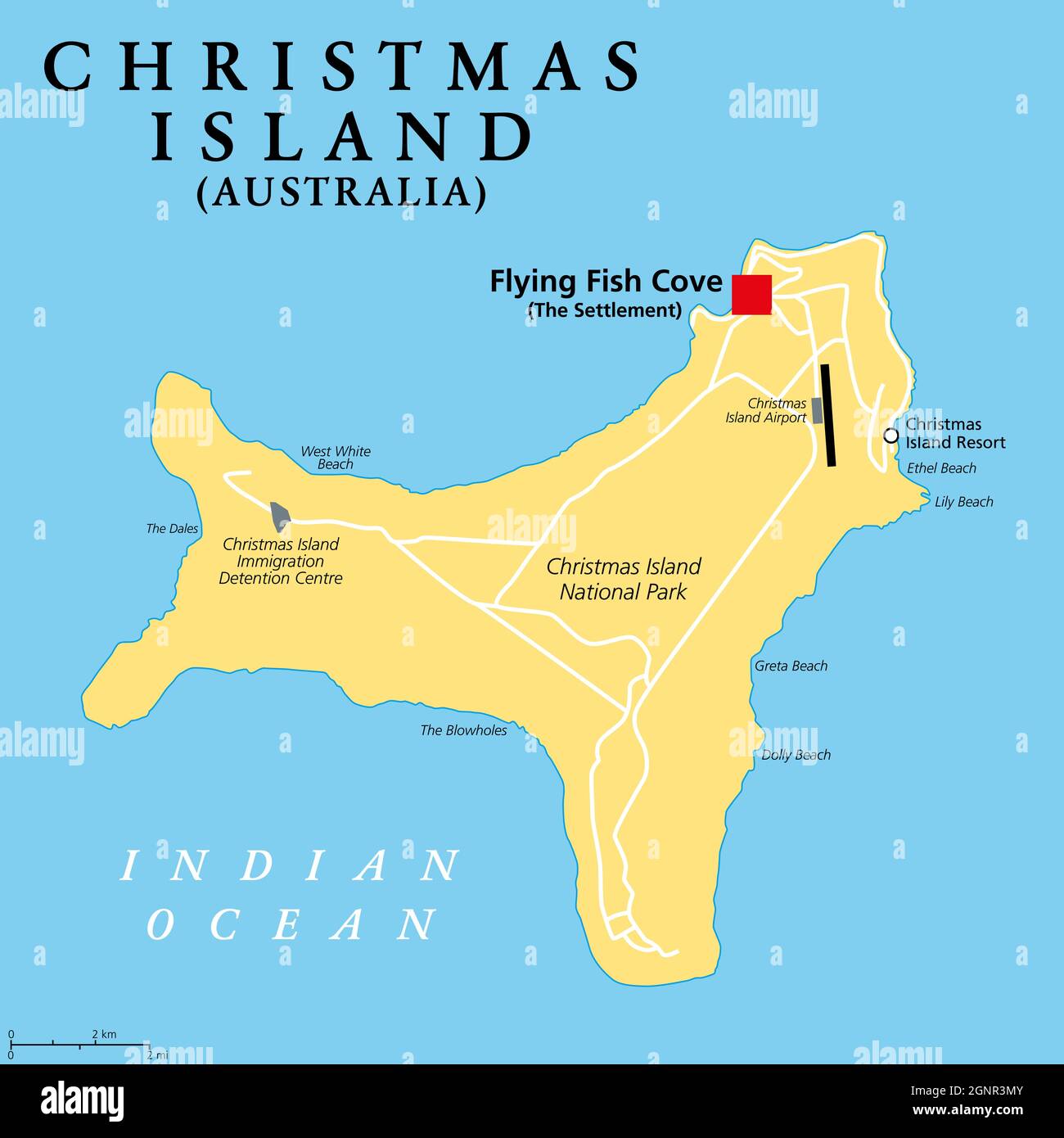 Christmas Island, Australia, political map, with main settlement Flying Fish Cove. Australian external territory, comprising the island of same name. Stock Photohttps://www.alamy.com/image-license-details/?v=1https://www.alamy.com/christmas-island-australia-political-map-with-main-settlement-flying-fish-cove-australian-external-territory-comprising-the-island-of-same-name-image443674811.html
RF2GNR3MY–Christmas Island, Australia, political map, with main settlement Flying Fish Cove. Australian external territory, comprising the island of same name.
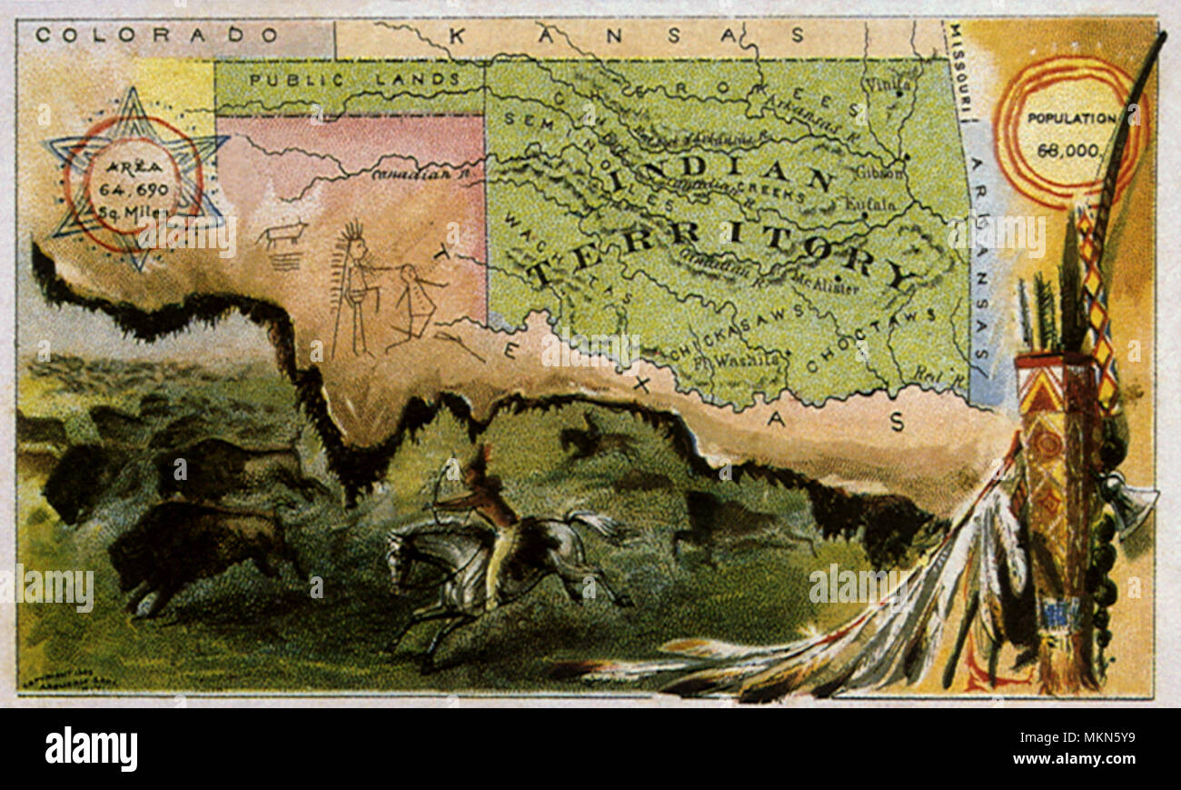 Indian Territory Stock Photohttps://www.alamy.com/image-license-details/?v=1https://www.alamy.com/indian-territory-image184247821.html
RMMKN5Y9–Indian Territory
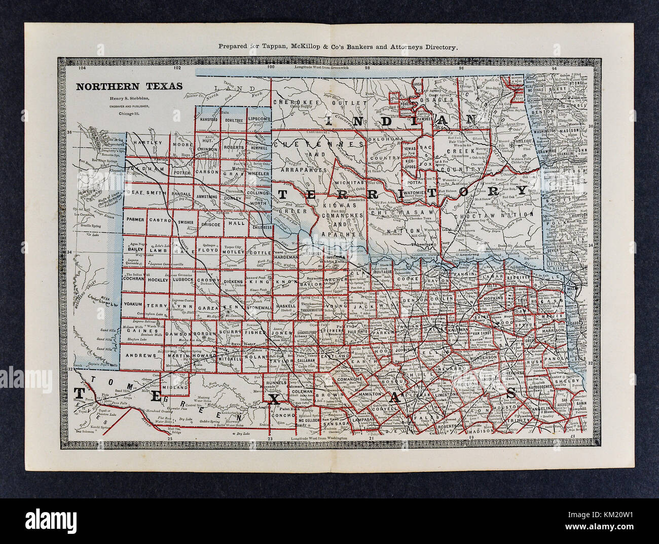 George Cram Antique Map from 1866 Atlas for Attorneys and Bankers: United States - North Texas & Indian Territory Oklahoma - Dallas Fort Worth Denton Tulsa Stock Photohttps://www.alamy.com/image-license-details/?v=1https://www.alamy.com/stock-image-george-cram-antique-map-from-1866-atlas-for-attorneys-and-bankers-167231037.html
RFKM20W1–George Cram Antique Map from 1866 Atlas for Attorneys and Bankers: United States - North Texas & Indian Territory Oklahoma - Dallas Fort Worth Denton Tulsa
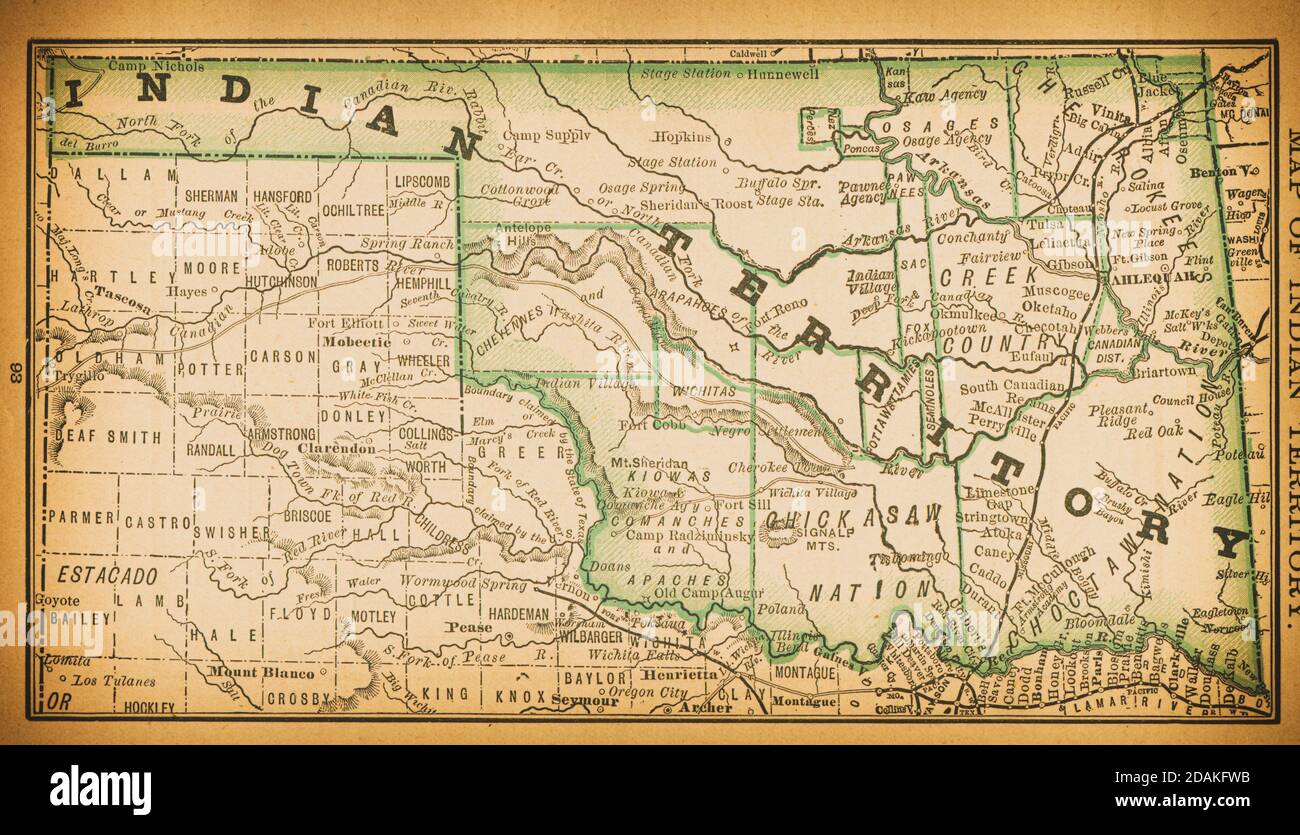 19th century map of Indian Territory. Published in New Dollar Atlas of the United States and Dominion of Canada. (Rand McNally & Co's, Chicago, 1884). Stock Photohttps://www.alamy.com/image-license-details/?v=1https://www.alamy.com/19th-century-map-of-indian-territory-published-in-new-dollar-atlas-of-the-united-states-and-dominion-of-canada-rand-mcnally-cos-chicago-1884-image385204215.html
RF2DAKFWB–19th century map of Indian Territory. Published in New Dollar Atlas of the United States and Dominion of Canada. (Rand McNally & Co's, Chicago, 1884).
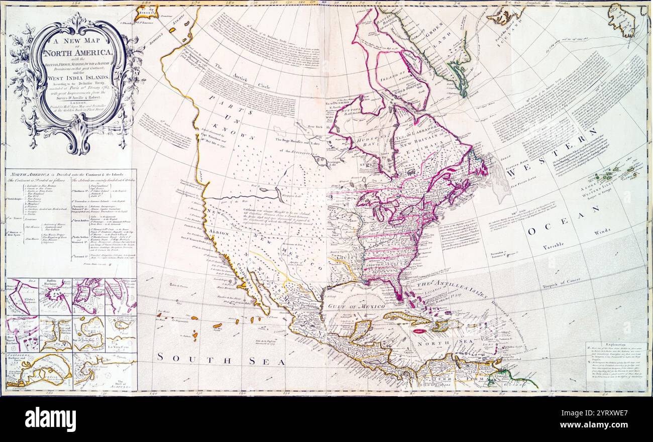 Map of North America after the Treaty of Paris, 1763. The Treaty was signed by Great Britain, France and Spain, with Portugal in agreement, following Great Britain and Prussia's victory over France and Spain during the Seven Years' War. The signing of the treaty formally ended the conflict between France and Great Britain over control of North America (the Seven Years' War, known as the French and Indian War in the United States and marked the beginning of an era of British dominance outside Europe. Stock Photohttps://www.alamy.com/image-license-details/?v=1https://www.alamy.com/map-of-north-america-after-the-treaty-of-paris-1763-the-treaty-was-signed-by-great-britain-france-and-spain-with-portugal-in-agreement-following-great-britain-and-prussias-victory-over-france-and-spain-during-the-seven-years-war-the-signing-of-the-treaty-formally-ended-the-conflict-between-france-and-great-britain-over-control-of-north-america-the-seven-years-war-known-as-the-french-and-indian-war-in-the-united-states-and-marked-the-beginning-of-an-era-of-british-dominance-outside-europe-image634301087.html
RM2YRXWE7–Map of North America after the Treaty of Paris, 1763. The Treaty was signed by Great Britain, France and Spain, with Portugal in agreement, following Great Britain and Prussia's victory over France and Spain during the Seven Years' War. The signing of the treaty formally ended the conflict between France and Great Britain over control of North America (the Seven Years' War, known as the French and Indian War in the United States and marked the beginning of an era of British dominance outside Europe.
 Indian Hill, Victoria Daly, AU, Australia, Northern Territory, S 15 10' 0'', N 129 39' 0'', map, Cartascapes Map published in 2024. Explore Cartascapes, a map revealing Earth's diverse landscapes, cultures, and ecosystems. Journey through time and space, discovering the interconnectedness of our planet's past, present, and future. Stock Photohttps://www.alamy.com/image-license-details/?v=1https://www.alamy.com/indian-hill-victoria-daly-au-australia-northern-territory-s-15-10-0-n-129-39-0-map-cartascapes-map-published-in-2024-explore-cartascapes-a-map-revealing-earths-diverse-landscapes-cultures-and-ecosystems-journey-through-time-and-space-discovering-the-interconnectedness-of-our-planets-past-present-and-future-image625382137.html
RM2Y9CH89–Indian Hill, Victoria Daly, AU, Australia, Northern Territory, S 15 10' 0'', N 129 39' 0'', map, Cartascapes Map published in 2024. Explore Cartascapes, a map revealing Earth's diverse landscapes, cultures, and ecosystems. Journey through time and space, discovering the interconnectedness of our planet's past, present, and future.
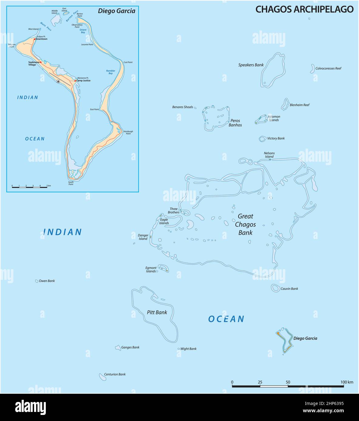 vector map of the Chagos Archipelago, British Indian Ocean Territory, United Kingdom Stock Vectorhttps://www.alamy.com/image-license-details/?v=1https://www.alamy.com/vector-map-of-the-chagos-archipelago-british-indian-ocean-territory-united-kingdom-image461126321.html
RF2HP6395–vector map of the Chagos Archipelago, British Indian Ocean Territory, United Kingdom
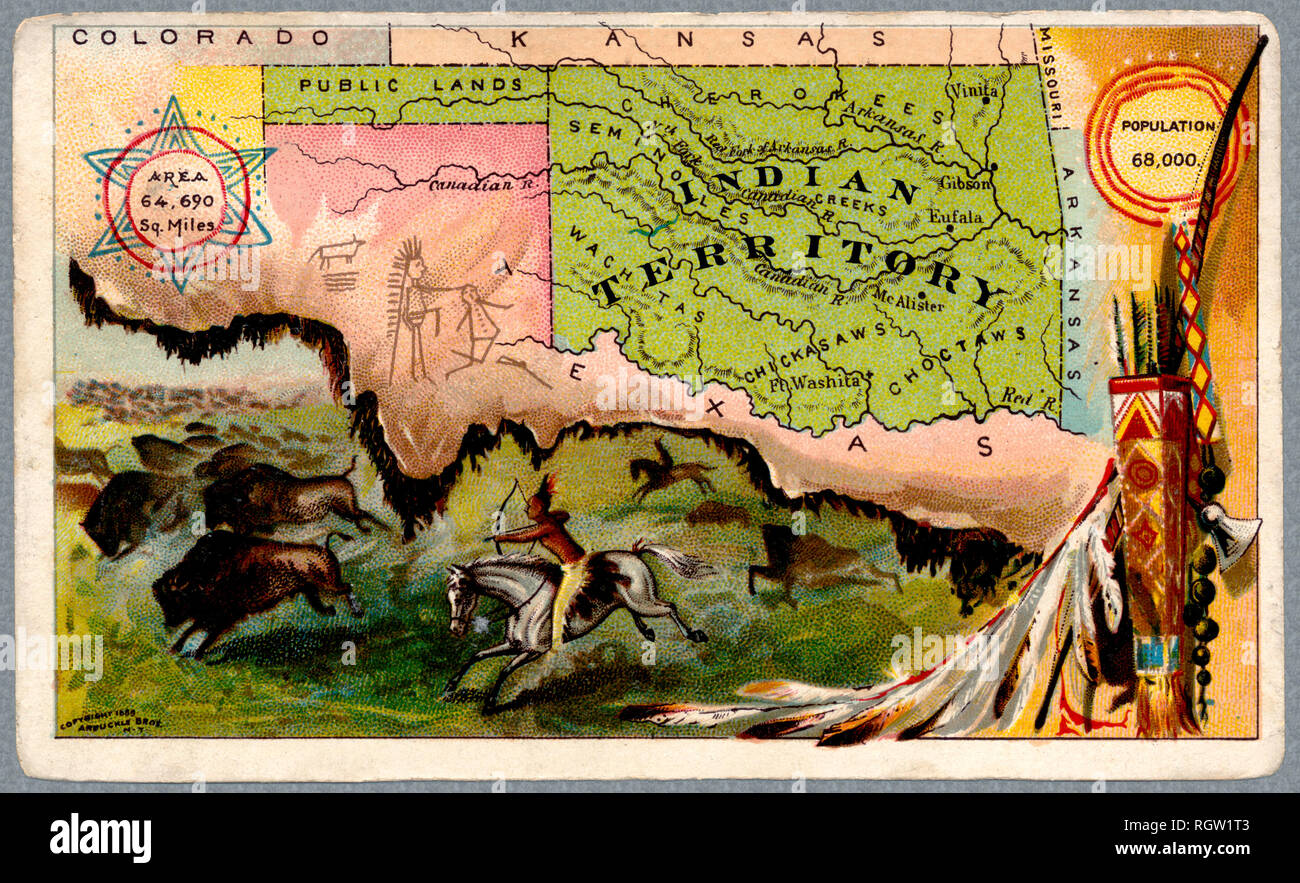 'indian Territory' map and illustration. The areas is now the state of Oklahoma. Old map was issued in 1889 Stock Photohttps://www.alamy.com/image-license-details/?v=1https://www.alamy.com/indian-territory-map-and-illustration-the-areas-is-now-the-state-of-oklahoma-old-map-was-issued-in-1889-image234119539.html
RFRGW1T3–'indian Territory' map and illustration. The areas is now the state of Oklahoma. Old map was issued in 1889
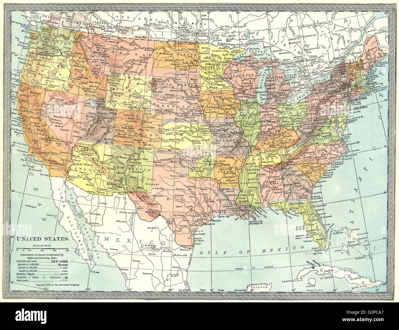 United States. Indian Territory, 1907 antique map Stock Photohttps://www.alamy.com/image-license-details/?v=1https://www.alamy.com/stock-photo-united-states-indian-territory-1907-antique-map-105598815.html
RFG3PCA7–United States. Indian Territory, 1907 antique map
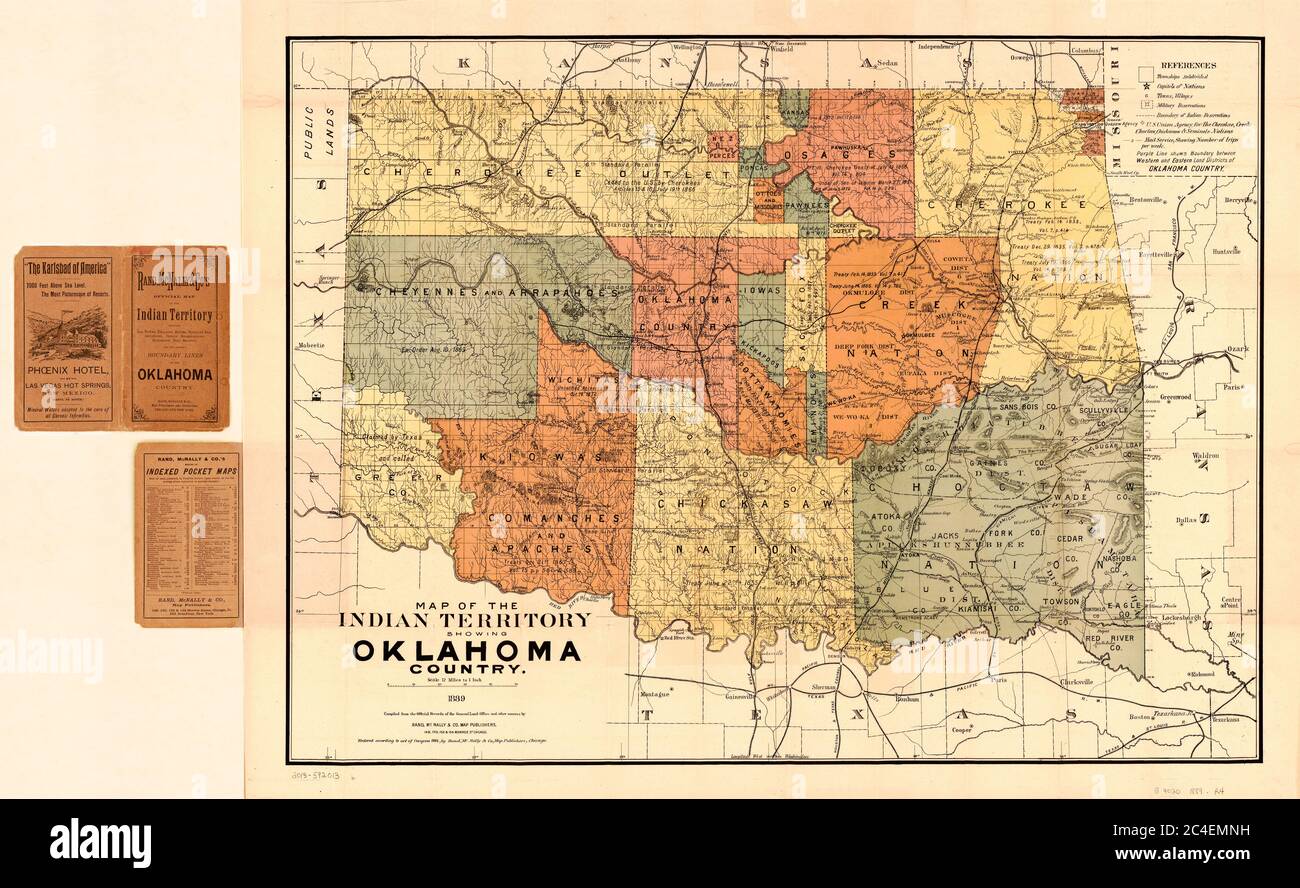 Map of the Indian Territory showing Oklahoma Country, Rand, McNally & Co's., 1889 Stock Photohttps://www.alamy.com/image-license-details/?v=1https://www.alamy.com/map-of-the-indian-territory-showing-oklahoma-country-rand-mcnally-cos-1889-image364199965.html
RM2C4EMNH–Map of the Indian Territory showing Oklahoma Country, Rand, McNally & Co's., 1889
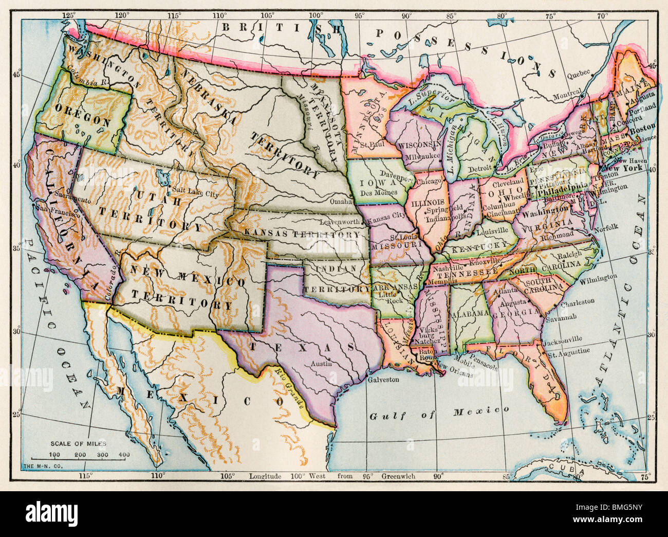 United States and territories at the beginning of the Civil War. Color lithograph Stock Photohttps://www.alamy.com/image-license-details/?v=1https://www.alamy.com/stock-photo-united-states-and-territories-at-the-beginning-of-the-civil-war-color-29859255.html
RMBMG5NY–United States and territories at the beginning of the Civil War. Color lithograph
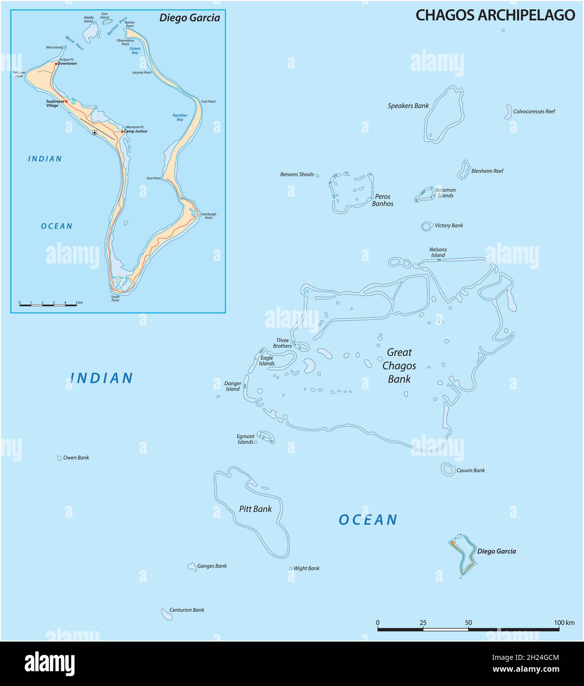 vector map of the Chagos Archipelago, British Indian Ocean Territory, United Kingdom Stock Vectorhttps://www.alamy.com/image-license-details/?v=1https://www.alamy.com/vector-map-of-the-chagos-archipelago-british-indian-ocean-territory-united-kingdom-image448799588.html
RF2H24GCM–vector map of the Chagos Archipelago, British Indian Ocean Territory, United Kingdom
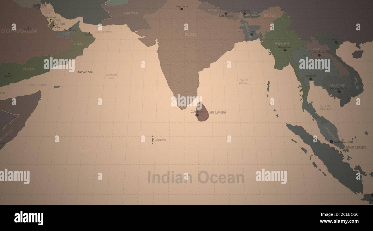 Indian Ocean Map. Detailed Continental Map of the World on Vintage Paper. Stock Photohttps://www.alamy.com/image-license-details/?v=1https://www.alamy.com/indian-ocean-map-detailed-continental-map-of-the-world-on-vintage-paper-image370274252.html
RF2CEBCGC–Indian Ocean Map. Detailed Continental Map of the World on Vintage Paper.
 Nepalese wave flags during an anti-India protest.Hundreds of Nepalese including students, gathered to protest against new India political map released which includes the Nepals land Kalapani and Lipulek as part of the Indian Territory. Stock Photohttps://www.alamy.com/image-license-details/?v=1https://www.alamy.com/nepalese-wave-flags-during-an-anti-india-protesthundreds-of-nepalese-including-students-gathered-to-protest-against-new-india-political-map-released-which-includes-the-nepals-land-kalapani-and-lipulek-as-part-of-the-indian-territory-image332403583.html
RM2A8P84F–Nepalese wave flags during an anti-India protest.Hundreds of Nepalese including students, gathered to protest against new India political map released which includes the Nepals land Kalapani and Lipulek as part of the Indian Territory.
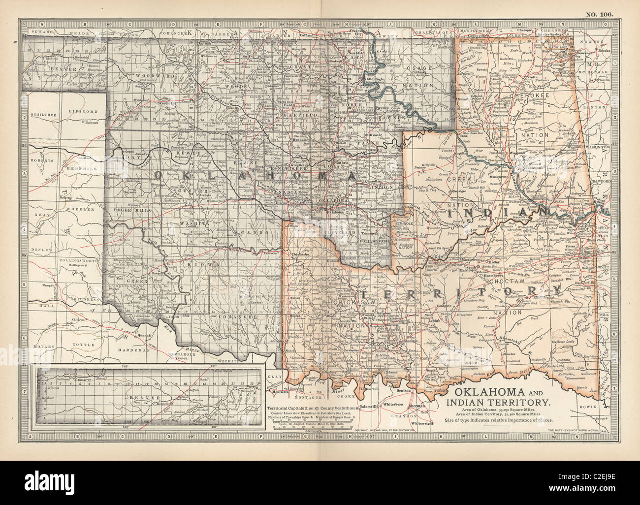 Map of Oklahoma and the Indian Territory Stock Photohttps://www.alamy.com/image-license-details/?v=1https://www.alamy.com/stock-photo-map-of-oklahoma-and-the-indian-territory-35971754.html
RMC2EJ9E–Map of Oklahoma and the Indian Territory
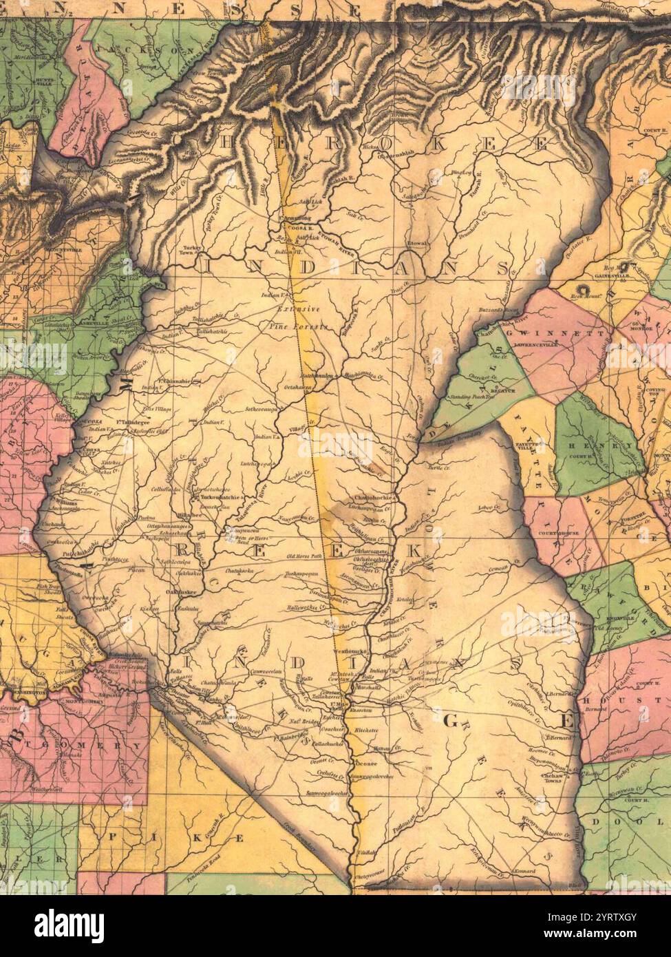 Cherokee Indian and Creek (Muscogee) Indian territory map within the 1823 Map of Alabama and Georgia counties (cropped). Stock Photohttps://www.alamy.com/image-license-details/?v=1https://www.alamy.com/cherokee-indian-and-creek-muscogee-indian-territory-map-within-the-1823-map-of-alabama-and-georgia-counties-cropped-image634258043.html
RM2YRTXGY–Cherokee Indian and Creek (Muscogee) Indian territory map within the 1823 Map of Alabama and Georgia counties (cropped).
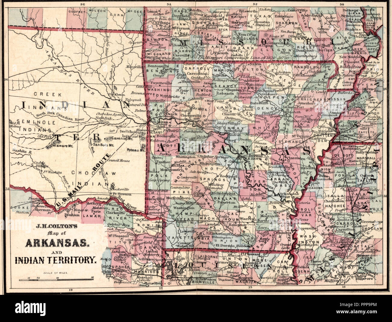 J H Colton's Map of Arkansas and Indian Territory, circa 1863 Stock Photohttps://www.alamy.com/image-license-details/?v=1https://www.alamy.com/j-h-coltons-map-of-arkansas-and-indian-territory-circa-1863-image220537484.html
RMPPP9PM–J H Colton's Map of Arkansas and Indian Territory, circa 1863
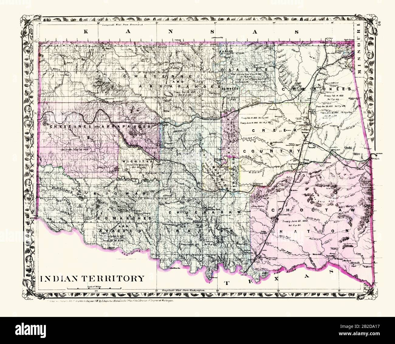 Indian Territory 1883 Stock Photohttps://www.alamy.com/image-license-details/?v=1https://www.alamy.com/indian-territory-1883-image345729923.html
RM2B2DA17–Indian Territory 1883
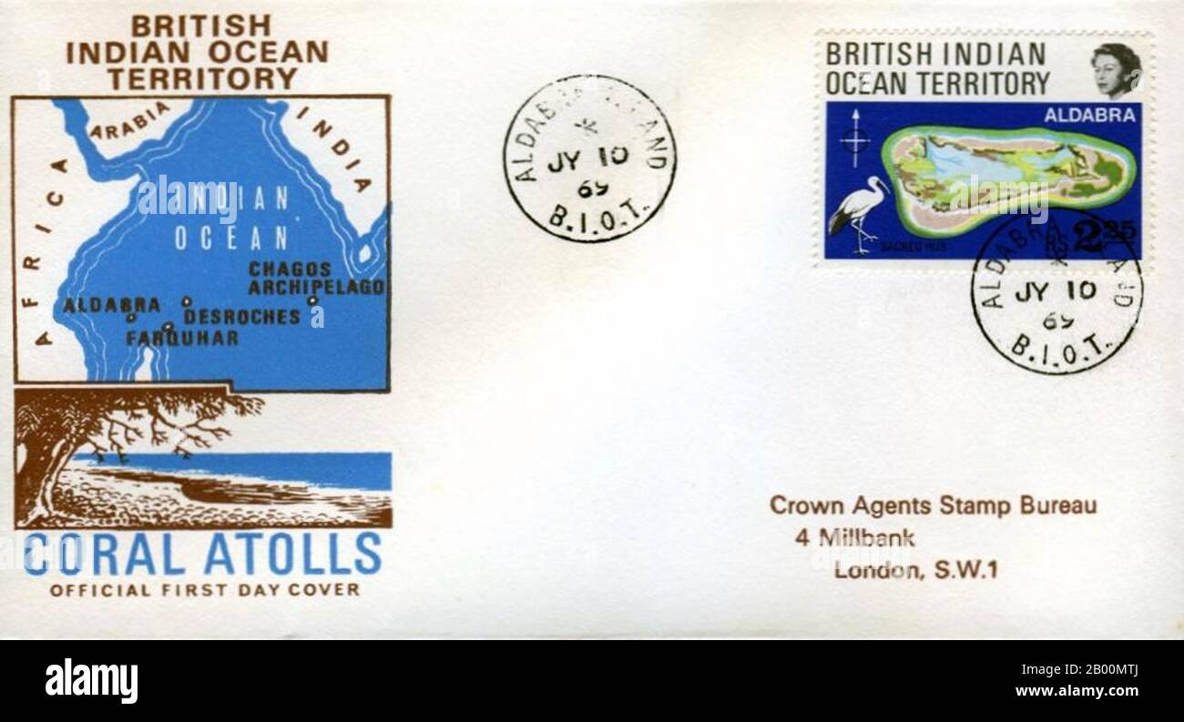 BIOT (British Indian Ocean Territory): BIOT First Day Cover. The British Indian Ocean Territory (BIOT) or Chagos Islands (formerly the Oil Islands) is an overseas territory of the United Kingdom situated in the Indian Ocean, halfway between Africa and Indonesia. The territory comprises a group of seven atolls comprising more than 60 individual islands, situated some 500 kilometres (310 mi) due south of the Maldives archipelago. The largest island is Diego Garcia (area 44 km squared), the site of a joint military facility of the United Kingdom and the United States. Stock Photohttps://www.alamy.com/image-license-details/?v=1https://www.alamy.com/biot-british-indian-ocean-territory-biot-first-day-cover-the-british-indian-ocean-territory-biot-or-chagos-islands-formerly-the-oil-islands-is-an-overseas-territory-of-the-united-kingdom-situated-in-the-indian-ocean-halfway-between-africa-and-indonesia-the-territory-comprises-a-group-of-seven-atolls-comprising-more-than-60-individual-islands-situated-some-500-kilometres-310-mi-due-south-of-the-maldives-archipelago-the-largest-island-is-diego-garcia-area-44-km-squared-the-site-of-a-joint-military-facility-of-the-united-kingdom-and-the-united-states-image344223730.html
RM2B00MTJ–BIOT (British Indian Ocean Territory): BIOT First Day Cover. The British Indian Ocean Territory (BIOT) or Chagos Islands (formerly the Oil Islands) is an overseas territory of the United Kingdom situated in the Indian Ocean, halfway between Africa and Indonesia. The territory comprises a group of seven atolls comprising more than 60 individual islands, situated some 500 kilometres (310 mi) due south of the Maldives archipelago. The largest island is Diego Garcia (area 44 km squared), the site of a joint military facility of the United Kingdom and the United States.
 Early 20th century British map shows red coated soldiers looking into the Indus Valley and Afghanistan from Indian territory. Stock Photohttps://www.alamy.com/image-license-details/?v=1https://www.alamy.com/stock-photo-early-20th-century-british-map-shows-red-coated-soldiers-looking-into-50010976.html
RMCWA5E8–Early 20th century British map shows red coated soldiers looking into the Indus Valley and Afghanistan from Indian territory.
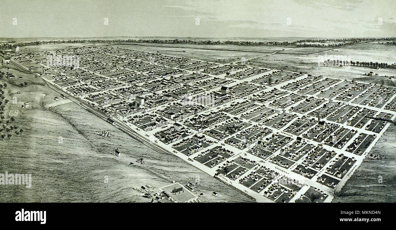 Oklahoma City, Indian Territory 1890 Stock Photohttps://www.alamy.com/image-license-details/?v=1https://www.alamy.com/oklahoma-city-indian-territory-1890-image184253461.html
RMMKND4N–Oklahoma City, Indian Territory 1890
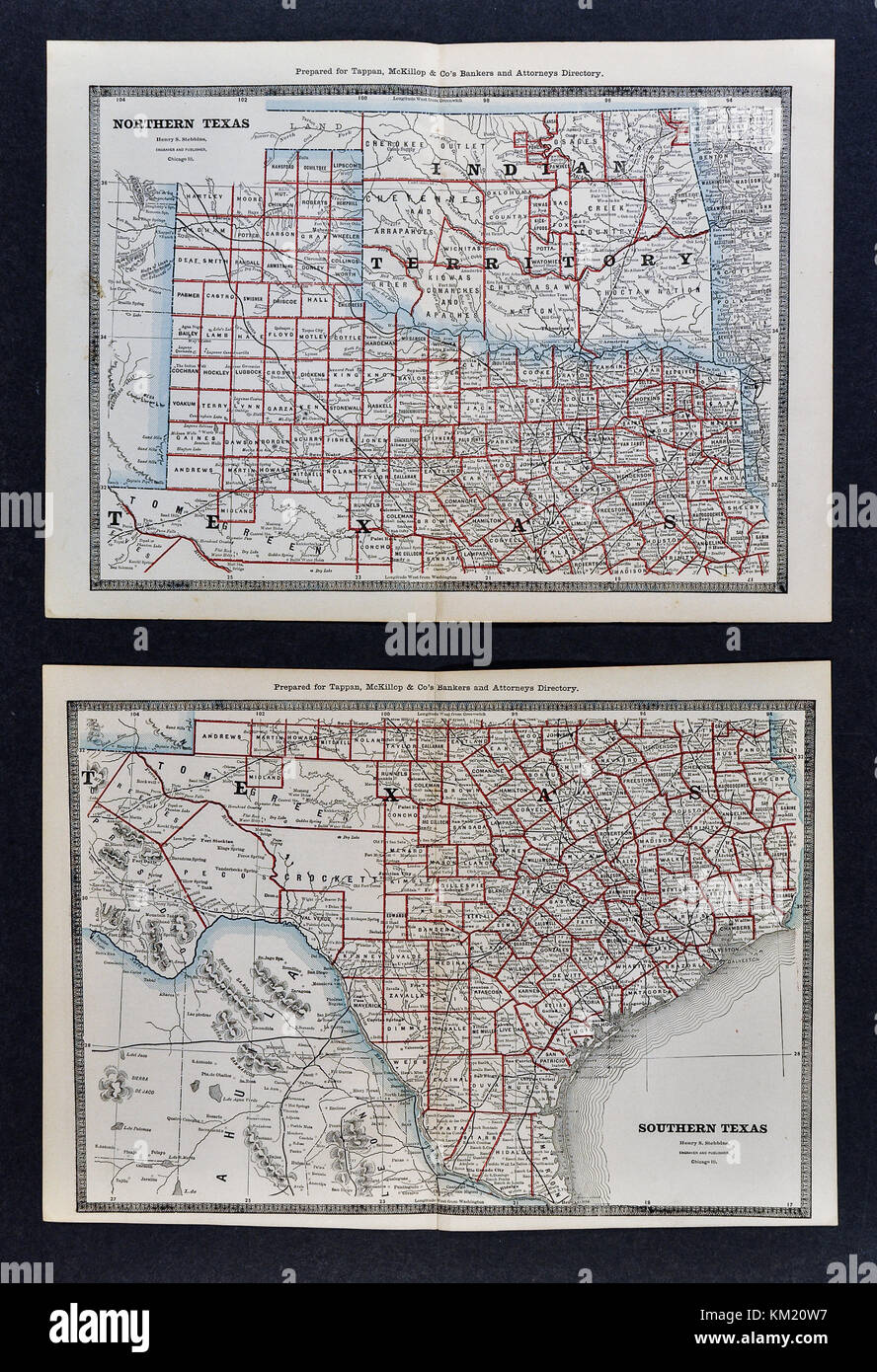 George Cram Antique Map from 1866 Atlas for Attorneys and Bankers: United States - Texas - Austin San Antonio Houston Dallas Fort Worth Galveston Stock Photohttps://www.alamy.com/image-license-details/?v=1https://www.alamy.com/stock-image-george-cram-antique-map-from-1866-atlas-for-attorneys-and-bankers-167231043.html
RFKM20W7–George Cram Antique Map from 1866 Atlas for Attorneys and Bankers: United States - Texas - Austin San Antonio Houston Dallas Fort Worth Galveston
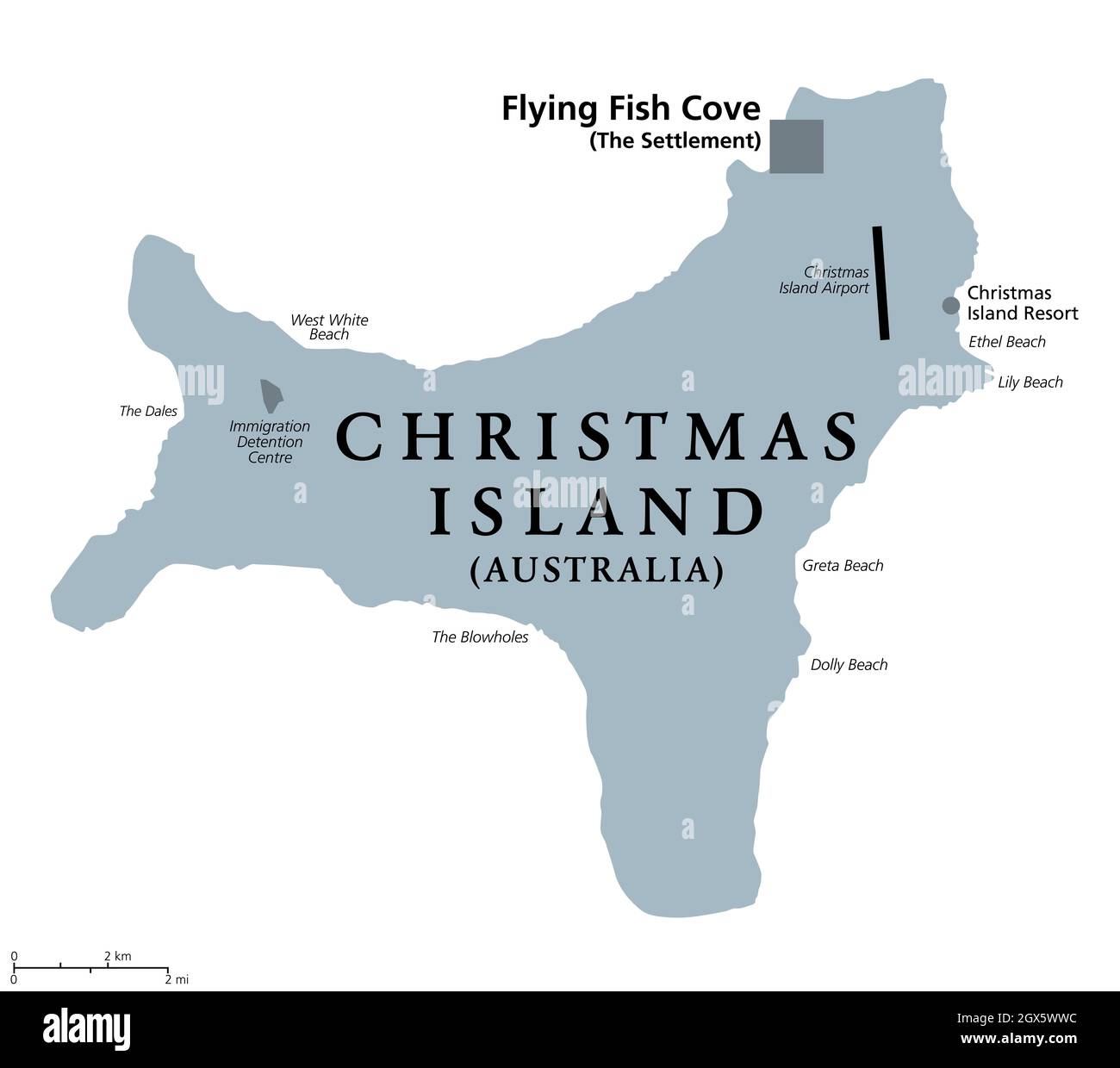 Christmas Island, Australia, gray political map, with main settlement Flying Fish Cove. Australian external territory, located in the Indian Ocean. Stock Photohttps://www.alamy.com/image-license-details/?v=1https://www.alamy.com/christmas-island-australia-gray-political-map-with-main-settlement-flying-fish-cove-australian-external-territory-located-in-the-indian-ocean-image446370328.html
RF2GX5WWC–Christmas Island, Australia, gray political map, with main settlement Flying Fish Cove. Australian external territory, located in the Indian Ocean.
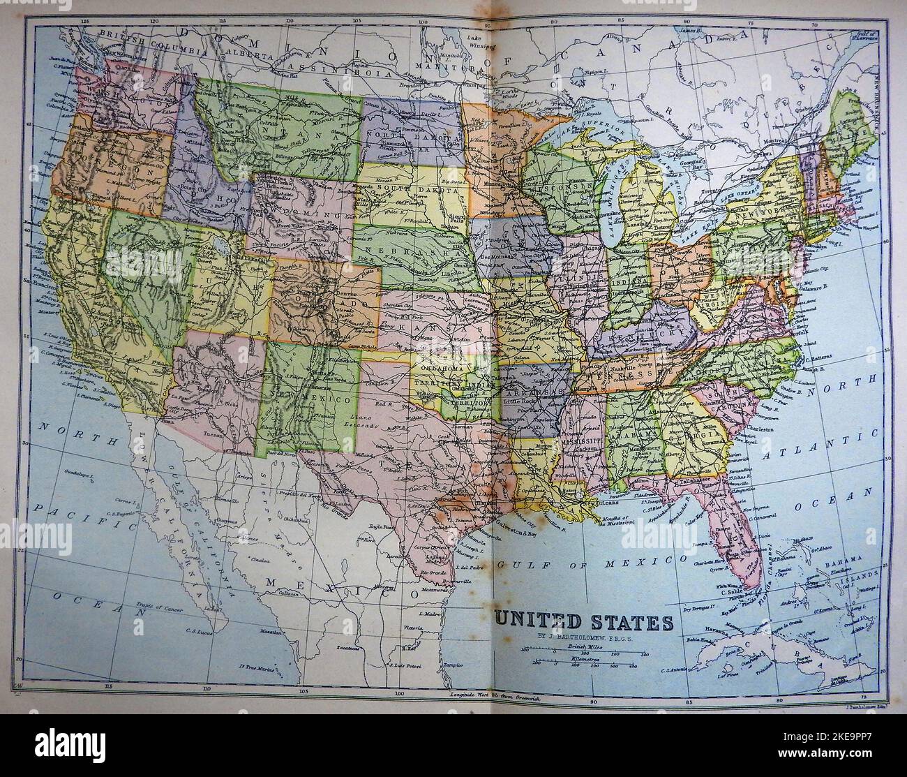 An 1890's map of the United States of America showing old place names including Indian Territory - Oklahoma, lower California , Dominium of Canada , Assiniboia etc. Stock Photohttps://www.alamy.com/image-license-details/?v=1https://www.alamy.com/an-1890s-map-of-the-united-states-of-america-showing-old-place-names-including-indian-territory-oklahoma-lower-california-dominium-of-canada-assiniboia-etc-image490710927.html
RM2KE9PP7–An 1890's map of the United States of America showing old place names including Indian Territory - Oklahoma, lower California , Dominium of Canada , Assiniboia etc.
 Old map of Indian Territory from original geography textbook, 1884 Stock Photohttps://www.alamy.com/image-license-details/?v=1https://www.alamy.com/stock-photo-old-map-of-indian-territory-from-original-geography-textbook-1884-35160160.html
RMC15K40–Old map of Indian Territory from original geography textbook, 1884
 Maharashtra Map1, State of India, Republic of India, government, Political map, modern map, Indian flag, vector illustration Stock Vectorhttps://www.alamy.com/image-license-details/?v=1https://www.alamy.com/maharashtra-map1-state-of-india-republic-of-india-government-political-map-modern-map-indian-flag-vector-illustration-image611859945.html
RF2XFCHGW–Maharashtra Map1, State of India, Republic of India, government, Political map, modern map, Indian flag, vector illustration
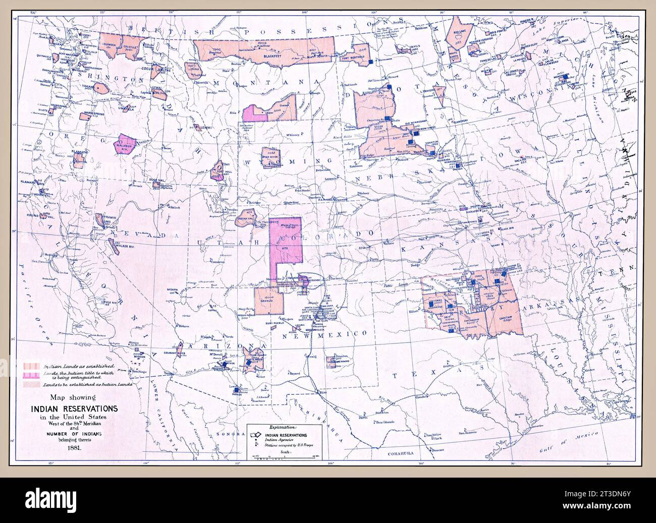 Original map title: 'Map showing Indian reservations in the United States west of the 84th meridian and number of Indians belonging thereto1881.' Published 1882. This is an enhanced, restored reproduction of an old map showing Indian Reservations as of 1881 located in Western United States. Also shows locations of other important landmarks related to the reservation system. The key in the lower left marks Indian lands as established, as those whose titles are to be extinguished, and lands to be established as Indian lands. Stock Photohttps://www.alamy.com/image-license-details/?v=1https://www.alamy.com/original-map-title-map-showing-indian-reservations-in-the-united-states-west-of-the-84th-meridian-and-number-of-indians-belonging-thereto1881-published-1882-this-is-an-enhanced-restored-reproduction-of-an-old-map-showing-indian-reservations-as-of-1881-located-in-western-united-states-also-shows-locations-of-other-important-landmarks-related-to-the-reservation-system-the-key-in-the-lower-left-marks-indian-lands-as-established-as-those-whose-titles-are-to-be-extinguished-and-lands-to-be-established-as-indian-lands-image570088147.html
RM2T3DN6Y–Original map title: 'Map showing Indian reservations in the United States west of the 84th meridian and number of Indians belonging thereto1881.' Published 1882. This is an enhanced, restored reproduction of an old map showing Indian Reservations as of 1881 located in Western United States. Also shows locations of other important landmarks related to the reservation system. The key in the lower left marks Indian lands as established, as those whose titles are to be extinguished, and lands to be established as Indian lands.
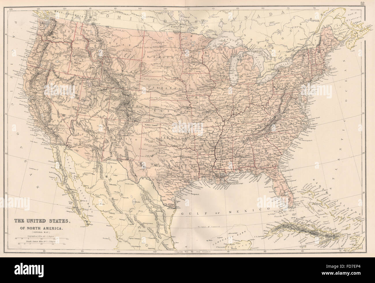 USA: Shows Oklahoma as 'Indian Territory'. Dakotas as a single state, 1882 map Stock Photohttps://www.alamy.com/image-license-details/?v=1https://www.alamy.com/stock-photo-usa-shows-oklahoma-as-indian-territory-dakotas-as-a-single-state-1882-94207628.html
RFFD7EP4–USA: Shows Oklahoma as 'Indian Territory'. Dakotas as a single state, 1882 map
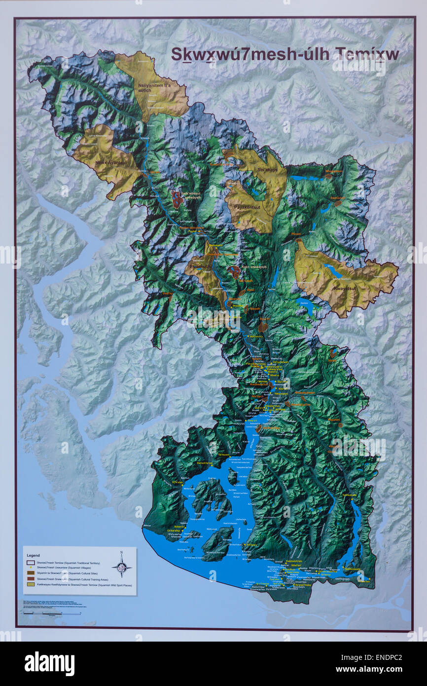 Relief map of the Squamish Indian first nation territory north of Vancouver and Howe Sound, Canada Stock Photohttps://www.alamy.com/image-license-details/?v=1https://www.alamy.com/stock-photo-relief-map-of-the-squamish-indian-first-nation-territory-north-of-82052210.html
RMENDPC2–Relief map of the Squamish Indian first nation territory north of Vancouver and Howe Sound, Canada
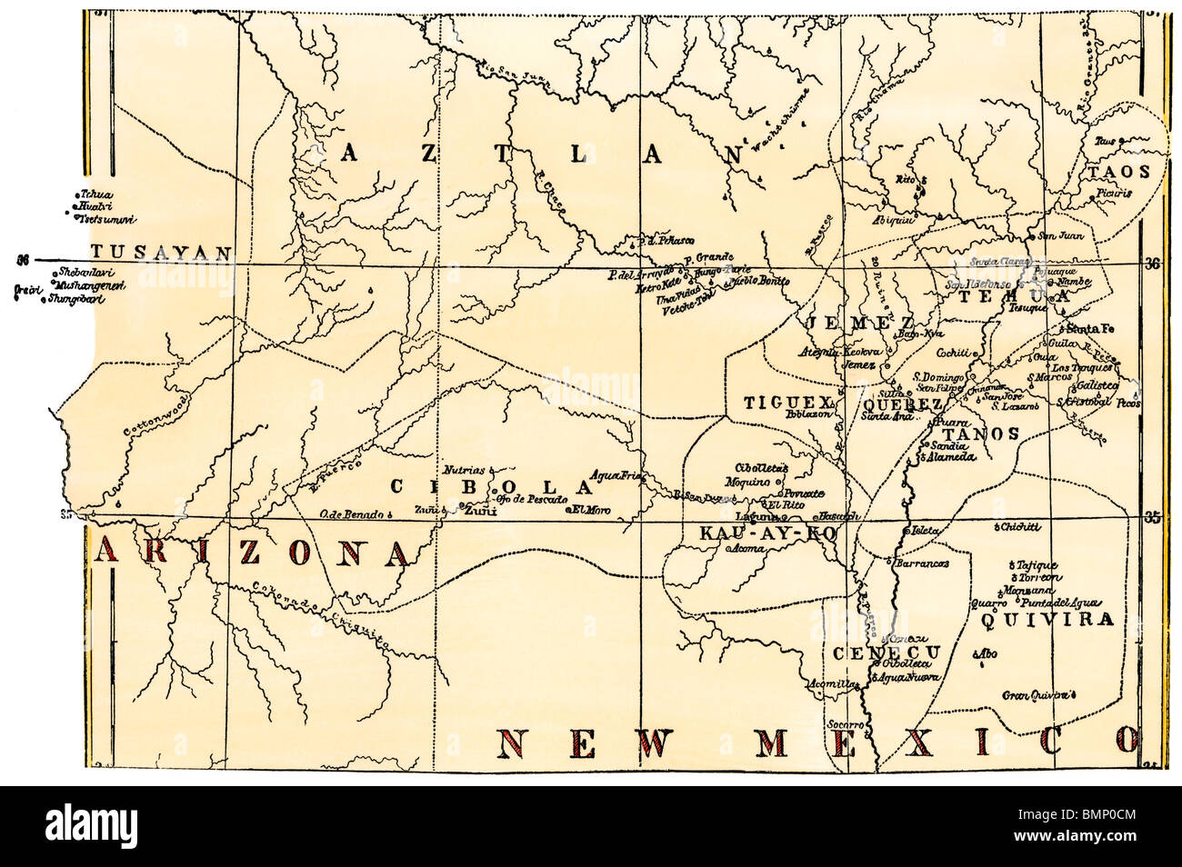 Map of the Pueblo region, showing inhabited pueblos and ruins, 1800s. Hand-colored woodcut Stock Photohttps://www.alamy.com/image-license-details/?v=1https://www.alamy.com/stock-photo-map-of-the-pueblo-region-showing-inhabited-pueblos-and-ruins-1800s-29986788.html
RMBMP0CM–Map of the Pueblo region, showing inhabited pueblos and ruins, 1800s. Hand-colored woodcut
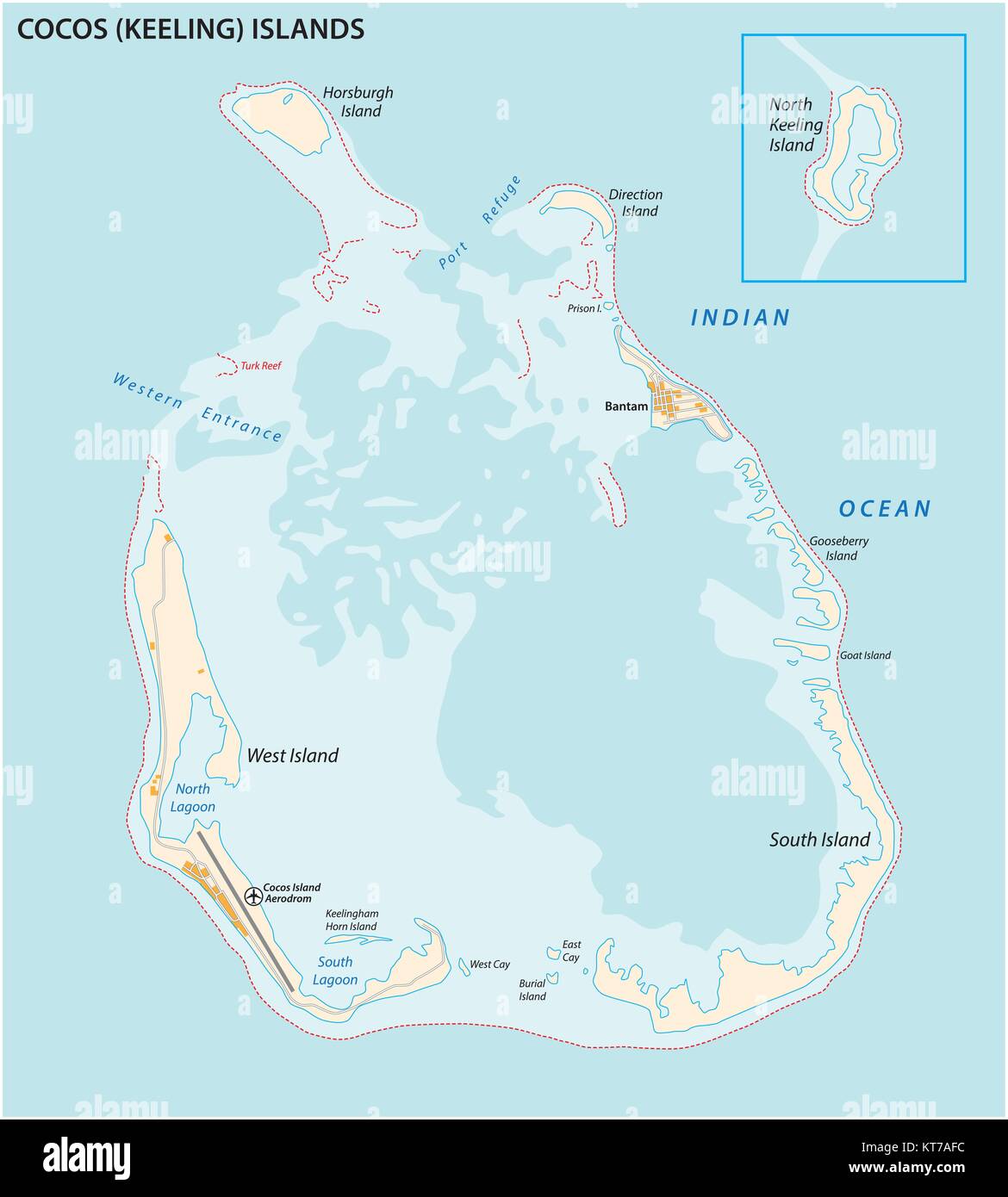 Cocos (Keeling) islands vector map Stock Vectorhttps://www.alamy.com/image-license-details/?v=1https://www.alamy.com/stock-image-cocos-keeling-islands-vector-map-169806992.html
RFKT7AFC–Cocos (Keeling) islands vector map
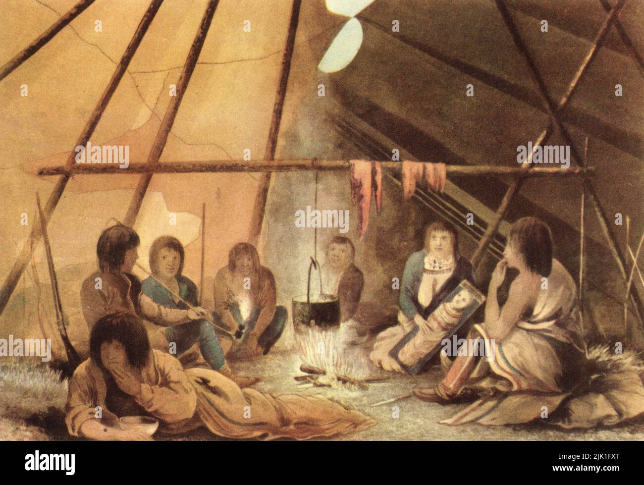 Inside of a Cree Indian Tent, 1823. By Edward Francis Finden (1791-1857), after Robert Hood (c1797-1821). The Coppermine Expedition of 1819–22 was an exploration of the northern coast of Canada, headed by Sir John Franklin (1786-1847). His aim was to discover and map unchartered territory in the Northwest Passage, by way of the Coppermine River. Franklin chronicled the journey in a 'Narrative of a Journey to the Shores of the Polar Sea', 1823. Stock Photohttps://www.alamy.com/image-license-details/?v=1https://www.alamy.com/inside-of-a-cree-indian-tent-1823-by-edward-francis-finden-1791-1857-after-robert-hood-c1797-1821-the-coppermine-expedition-of-181922-was-an-exploration-of-the-northern-coast-of-canada-headed-by-sir-john-franklin-1786-1847-his-aim-was-to-discover-and-map-unchartered-territory-in-the-northwest-passage-by-way-of-the-coppermine-river-franklin-chronicled-the-journey-in-a-narrative-of-a-journey-to-the-shores-of-the-polar-sea-1823-image476392864.html
RM2JK1FXT–Inside of a Cree Indian Tent, 1823. By Edward Francis Finden (1791-1857), after Robert Hood (c1797-1821). The Coppermine Expedition of 1819–22 was an exploration of the northern coast of Canada, headed by Sir John Franklin (1786-1847). His aim was to discover and map unchartered territory in the Northwest Passage, by way of the Coppermine River. Franklin chronicled the journey in a 'Narrative of a Journey to the Shores of the Polar Sea', 1823.
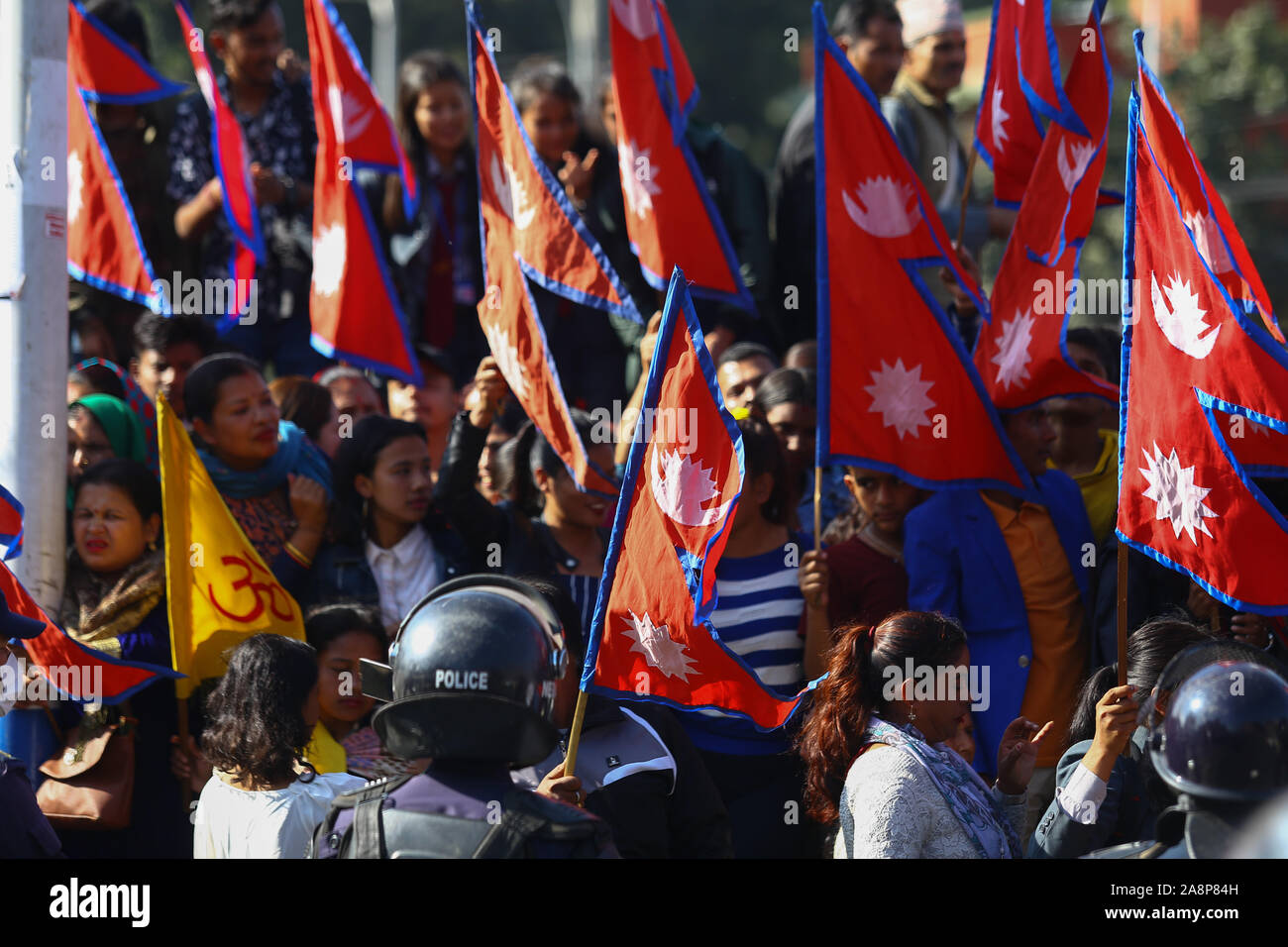 Nepalese wave flags during an anti-India protest.Hundreds of Nepalese including students, gathered to protest against new India political map released which includes the Nepals land Kalapani and Lipulek as part of the Indian Territory. Stock Photohttps://www.alamy.com/image-license-details/?v=1https://www.alamy.com/nepalese-wave-flags-during-an-anti-india-protesthundreds-of-nepalese-including-students-gathered-to-protest-against-new-india-political-map-released-which-includes-the-nepals-land-kalapani-and-lipulek-as-part-of-the-indian-territory-image332403585.html
RM2A8P84H–Nepalese wave flags during an anti-India protest.Hundreds of Nepalese including students, gathered to protest against new India political map released which includes the Nepals land Kalapani and Lipulek as part of the Indian Territory.
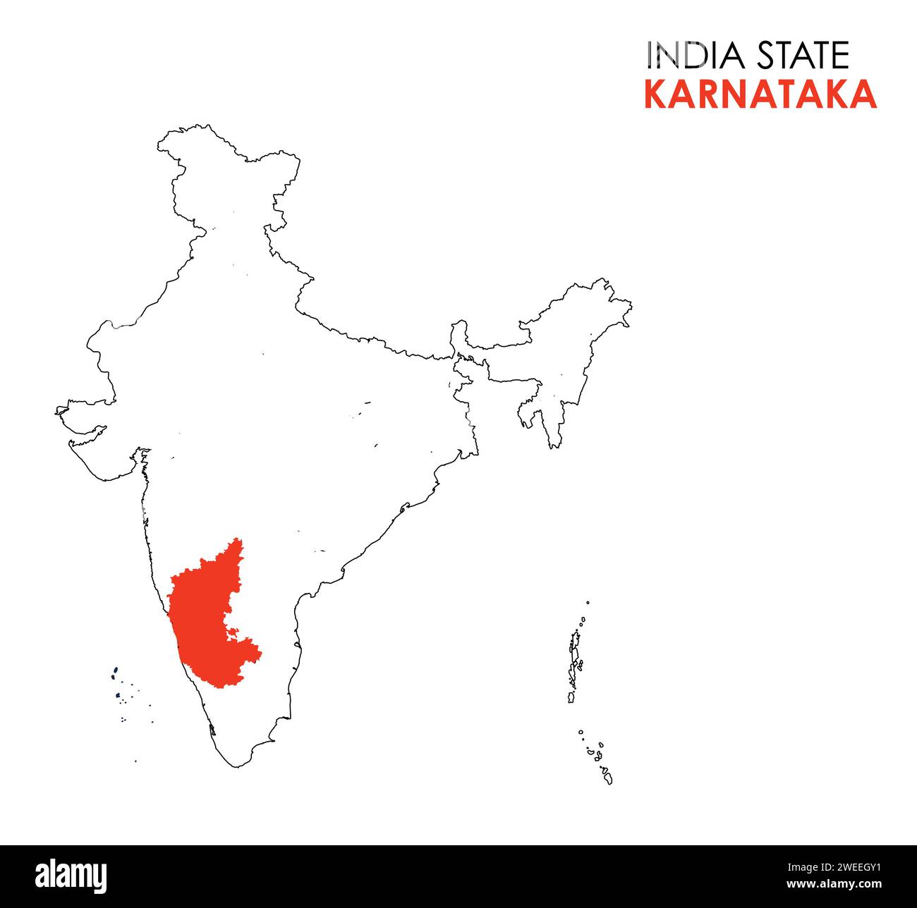 Karnataka map of Indian state. Karnataka map vector illustration. Karnataka map on white background. Stock Vectorhttps://www.alamy.com/image-license-details/?v=1https://www.alamy.com/karnataka-map-of-indian-state-karnataka-map-vector-illustration-karnataka-map-on-white-background-image594078325.html
RF2WEEGY1–Karnataka map of Indian state. Karnataka map vector illustration. Karnataka map on white background.
 Indian Island, , AU, Australia, Northern Territory, S 12 37' 51'', N 130 30' 7'', map, Cartascapes Map published in 2024. Explore Cartascapes, a map revealing Earth's diverse landscapes, cultures, and ecosystems. Journey through time and space, discovering the interconnectedness of our planet's past, present, and future. Stock Photohttps://www.alamy.com/image-license-details/?v=1https://www.alamy.com/indian-island-au-australia-northern-territory-s-12-37-51-n-130-30-7-map-cartascapes-map-published-in-2024-explore-cartascapes-a-map-revealing-earths-diverse-landscapes-cultures-and-ecosystems-journey-through-time-and-space-discovering-the-interconnectedness-of-our-planets-past-present-and-future-image625804243.html
RM2YA3RKF–Indian Island, , AU, Australia, Northern Territory, S 12 37' 51'', N 130 30' 7'', map, Cartascapes Map published in 2024. Explore Cartascapes, a map revealing Earth's diverse landscapes, cultures, and ecosystems. Journey through time and space, discovering the interconnectedness of our planet's past, present, and future.
 Detailed map poster of Chennai city administrative area. Blue skyline panorama. Decorative graphic tourist map of Chennai territory. Royalty free vect Stock Vectorhttps://www.alamy.com/image-license-details/?v=1https://www.alamy.com/detailed-map-poster-of-chennai-city-administrative-area-blue-skyline-panorama-decorative-graphic-tourist-map-of-chennai-territory-royalty-free-vect-image485220151.html
RF2K5BK73–Detailed map poster of Chennai city administrative area. Blue skyline panorama. Decorative graphic tourist map of Chennai territory. Royalty free vect
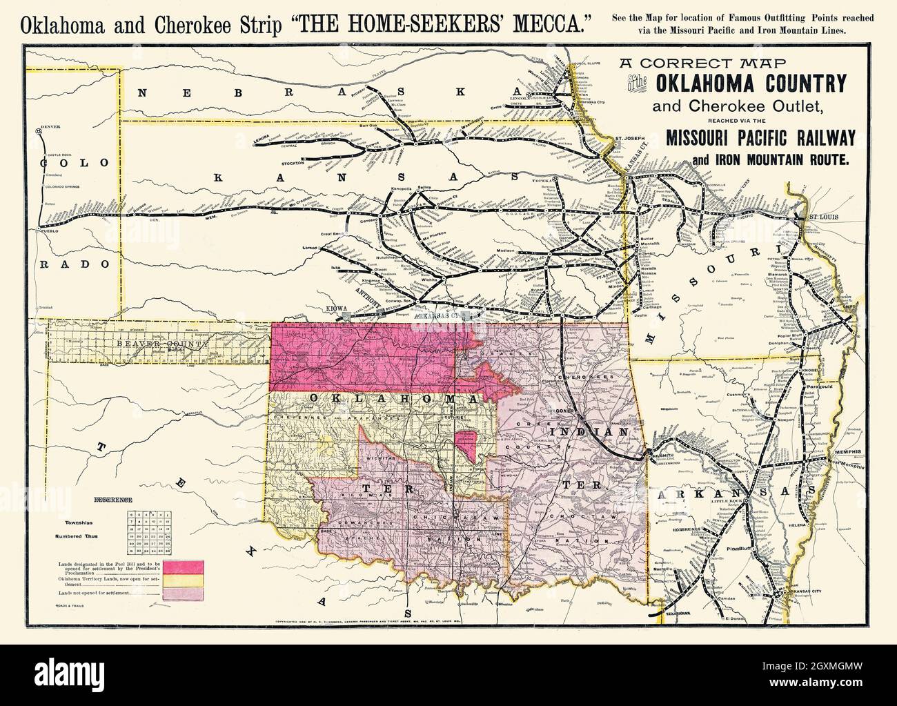 A correct map of the Oklahoma Stock Photohttps://www.alamy.com/image-license-details/?v=1https://www.alamy.com/a-correct-map-of-the-oklahoma-image446692425.html
RM2GXMGMW–A correct map of the Oklahoma
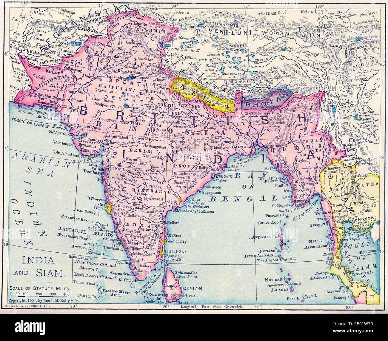 India: Map of the British Raj, including present-day India, Pakistan, Bangladesh, Burma and Sri Lanka, 1904. This map was produced at the height of British Imperial power and shows direct British rule extending all the way from Iran (Persia) to Thailand (Siam). Most of the contiguous Indian Ocean littoral, from South Africa to Singapore and Australia, was also under British administration or de facto control. It is relevant to note that the map shows Sikkim extending north into the present-day territory of China's Tibetan Autonomous Region. Similarly Darjeeling is shown in eastern Nepal. Stock Photohttps://www.alamy.com/image-license-details/?v=1https://www.alamy.com/india-map-of-the-british-raj-including-present-day-india-pakistan-bangladesh-burma-and-sri-lanka-1904-this-map-was-produced-at-the-height-of-british-imperial-power-and-shows-direct-british-rule-extending-all-the-way-from-iran-persia-to-thailand-siam-most-of-the-contiguous-indian-ocean-littoral-from-south-africa-to-singapore-and-australia-was-also-under-british-administration-or-de-facto-control-it-is-relevant-to-note-that-the-map-shows-sikkim-extending-north-into-the-present-day-territory-of-chinas-tibetan-autonomous-region-similarly-darjeeling-is-shown-in-eastern-nepal-image344249131.html
RM2B01W7R–India: Map of the British Raj, including present-day India, Pakistan, Bangladesh, Burma and Sri Lanka, 1904. This map was produced at the height of British Imperial power and shows direct British rule extending all the way from Iran (Persia) to Thailand (Siam). Most of the contiguous Indian Ocean littoral, from South Africa to Singapore and Australia, was also under British administration or de facto control. It is relevant to note that the map shows Sikkim extending north into the present-day territory of China's Tibetan Autonomous Region. Similarly Darjeeling is shown in eastern Nepal.
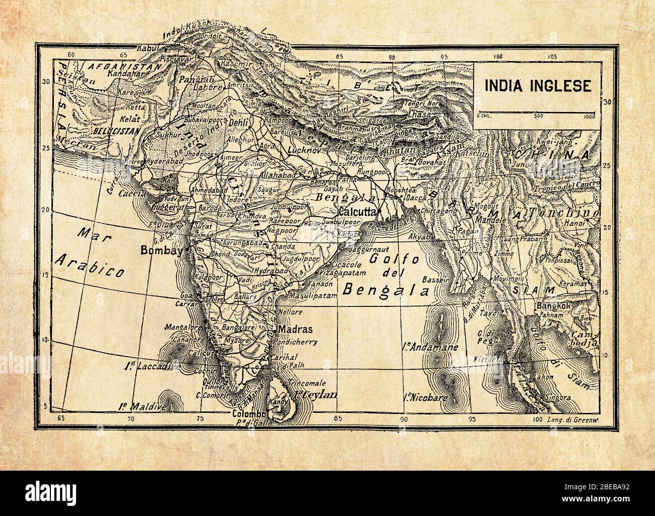 Ancient map of British Empire in India or British Raj on the Indian subcontinent, formed by India, Pakistan, and Bangladesh with geographical Italian names and descriptions Stock Photohttps://www.alamy.com/image-license-details/?v=1https://www.alamy.com/ancient-map-of-british-empire-in-india-or-british-raj-on-the-indian-subcontinent-formed-by-india-pakistan-and-bangladesh-with-geographical-italian-names-and-descriptions-image353062110.html
RF2BEBA92–Ancient map of British Empire in India or British Raj on the Indian subcontinent, formed by India, Pakistan, and Bangladesh with geographical Italian names and descriptions
 Round flag of British Indian Ocean Territory Stock Photohttps://www.alamy.com/image-license-details/?v=1https://www.alamy.com/round-flag-of-british-indian-ocean-territory-image425629865.html
RF2FMD36H–Round flag of British Indian Ocean Territory
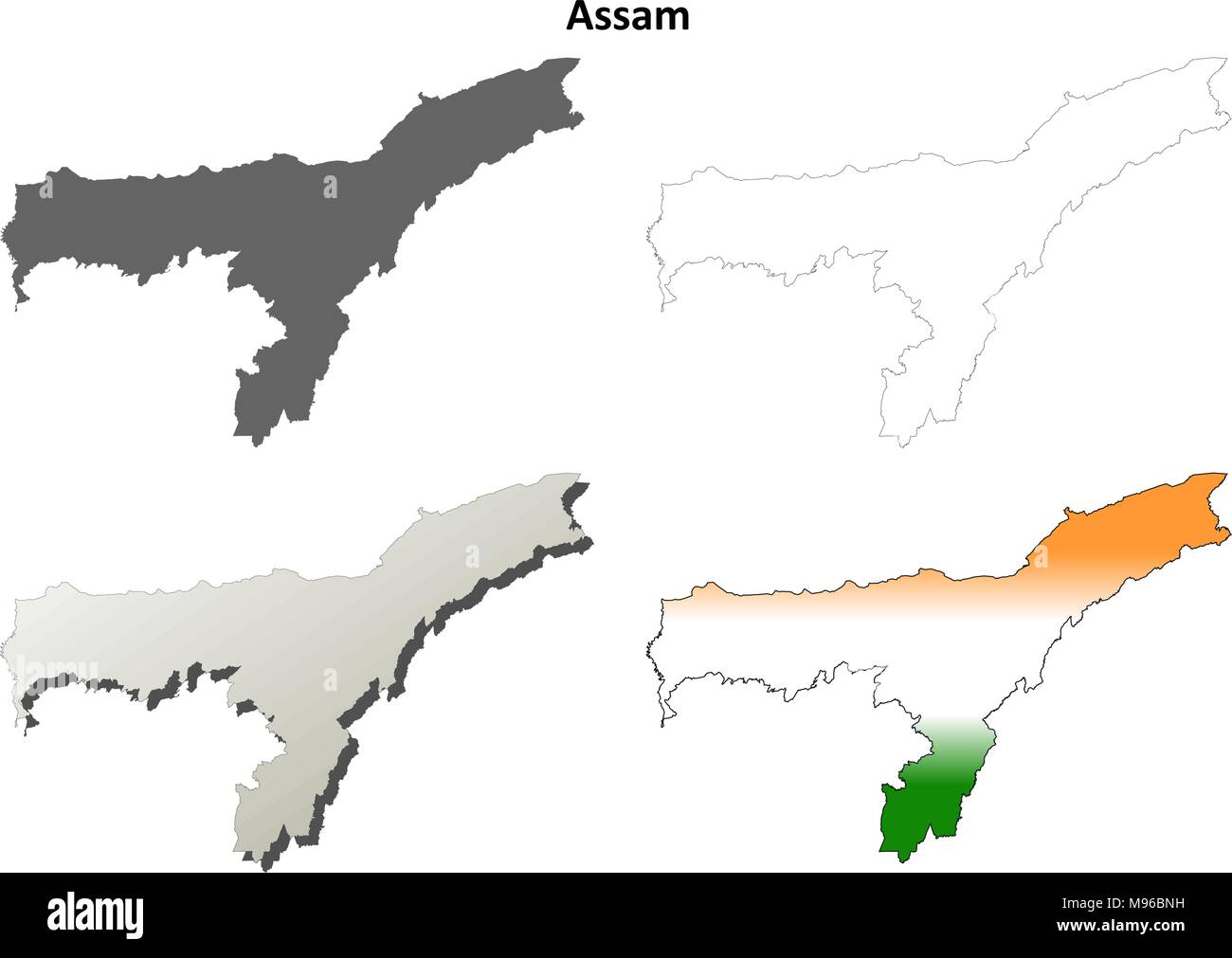 Assam blank detailed outline map set Stock Vectorhttps://www.alamy.com/image-license-details/?v=1https://www.alamy.com/assam-blank-detailed-outline-map-set-image177776525.html
RFM96BNH–Assam blank detailed outline map set
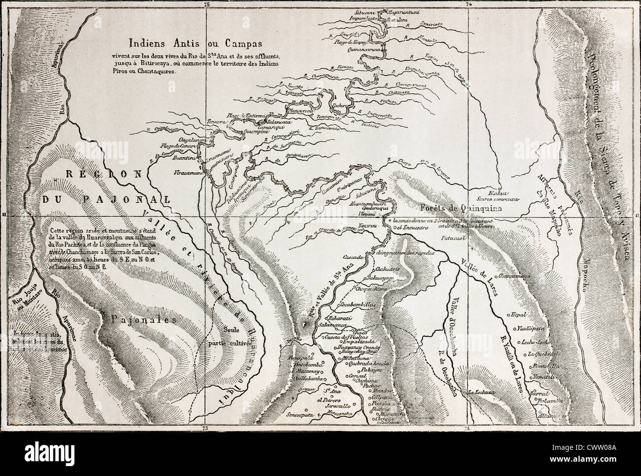 Old map of Campa Indians (Ashaninka) territory, Peru Stock Photohttps://www.alamy.com/image-license-details/?v=1https://www.alamy.com/stock-photo-old-map-of-campa-indians-ashaninka-territory-peru-50336170.html
RFCWW08A–Old map of Campa Indians (Ashaninka) territory, Peru
 Small Flag of Territory of Christmas Island on a Map Background with Selective Focus. Stock Photohttps://www.alamy.com/image-license-details/?v=1https://www.alamy.com/small-flag-of-territory-of-christmas-island-on-a-map-background-with-image68858220.html
RFE00NA4–Small Flag of Territory of Christmas Island on a Map Background with Selective Focus.
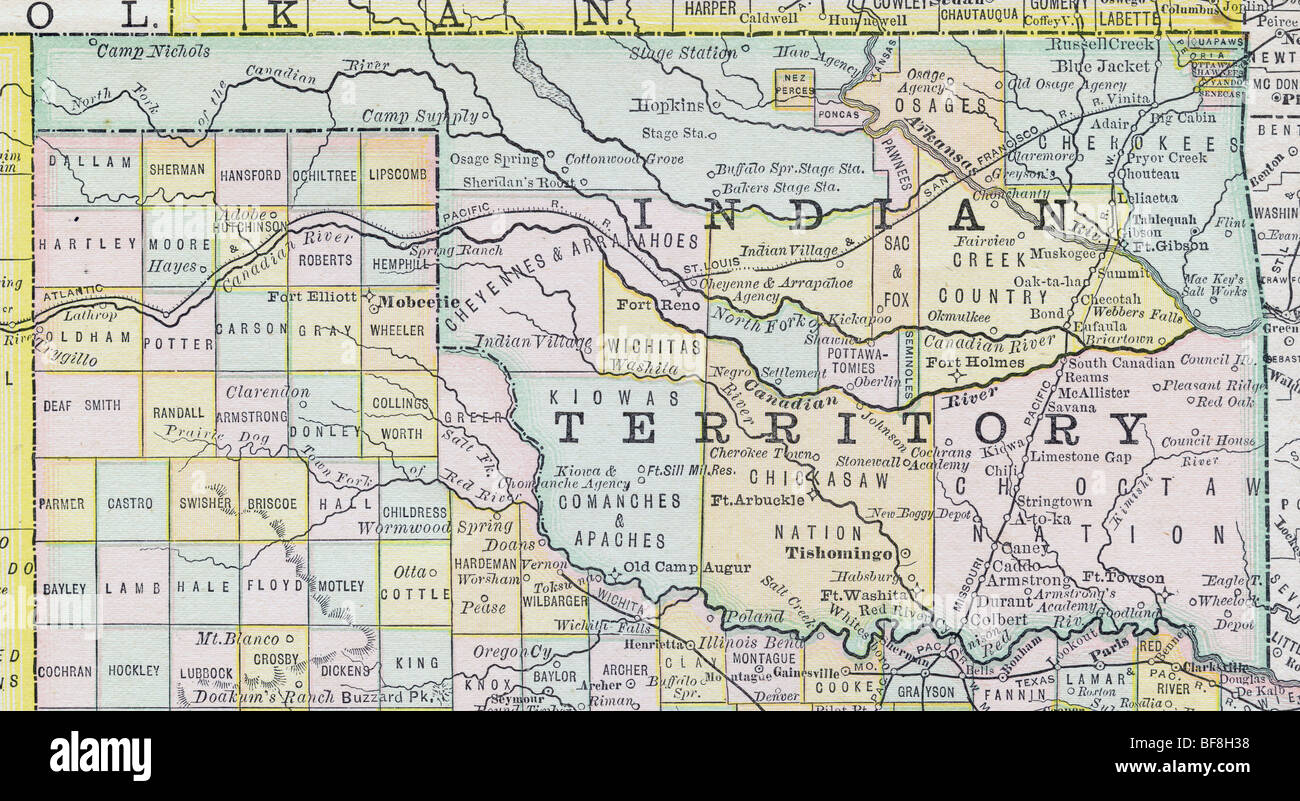 Original old map of Oklahoma Indian Territory from 1884 geography textbook Stock Photohttps://www.alamy.com/image-license-details/?v=1https://www.alamy.com/stock-photo-original-old-map-of-oklahoma-indian-territory-from-1884-geography-26619244.html
RMBF8H38–Original old map of Oklahoma Indian Territory from 1884 geography textbook
 Manipur Map1, State of India, Republic of India, government, Political map, modern map, Indian flag, vector illustration Stock Vectorhttps://www.alamy.com/image-license-details/?v=1https://www.alamy.com/manipur-map1-state-of-india-republic-of-india-government-political-map-modern-map-indian-flag-vector-illustration-image611858926.html
RF2XFCG8E–Manipur Map1, State of India, Republic of India, government, Political map, modern map, Indian flag, vector illustration
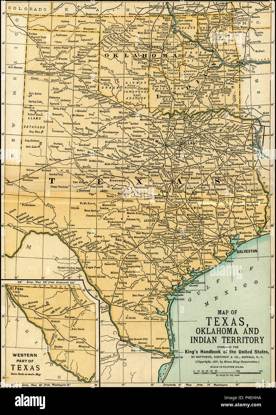 Texas Oklahoma Indian Territory Antique Map 1891: Map of Oklahoma and Texas from an 1891 guidebook: 'King's Hand-Book of the United States.' Date of Publishing: 1891. Moses King (1853 1909) was an American editor and publisher of travel books. Original spanned two pages., and these were combined into a single map for this reproduction. Stock Photohttps://www.alamy.com/image-license-details/?v=1https://www.alamy.com/texas-oklahoma-indian-territory-antique-map-1891-map-of-oklahoma-and-texas-from-an-1891-guidebook-kings-hand-book-of-the-united-states-date-of-publishing-1891-moses-king-1853-1909-was-an-american-editor-and-publisher-of-travel-books-original-spanned-two-pages-and-these-were-combined-into-a-single-map-for-this-reproduction-image209304182.html
RFP4EHHA–Texas Oklahoma Indian Territory Antique Map 1891: Map of Oklahoma and Texas from an 1891 guidebook: 'King's Hand-Book of the United States.' Date of Publishing: 1891. Moses King (1853 1909) was an American editor and publisher of travel books. Original spanned two pages., and these were combined into a single map for this reproduction.
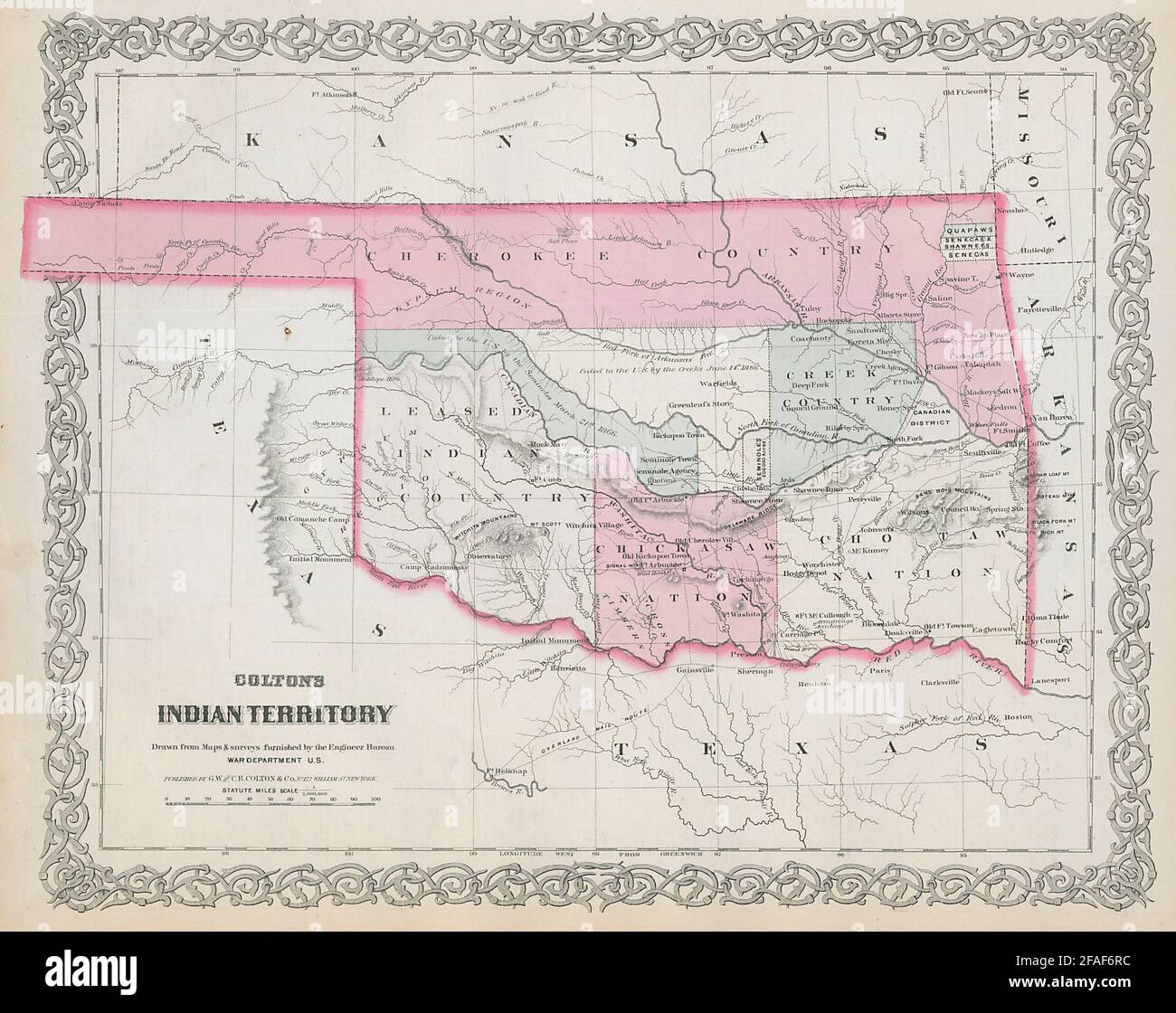 Colton's Indian Territory. Oklahoma. Cherokee Chickasaw Creek Nations 1869 map Stock Photohttps://www.alamy.com/image-license-details/?v=1https://www.alamy.com/coltons-indian-territory-oklahoma-cherokee-chickasaw-creek-nations-1869-map-image419530032.html
RF2FAF6RC–Colton's Indian Territory. Oklahoma. Cherokee Chickasaw Creek Nations 1869 map
 Texas - Arbuckel Bros. Stock Photohttps://www.alamy.com/image-license-details/?v=1https://www.alamy.com/texas-arbuckel-bros-image469575270.html
RM2J7Y01A–Texas - Arbuckel Bros.
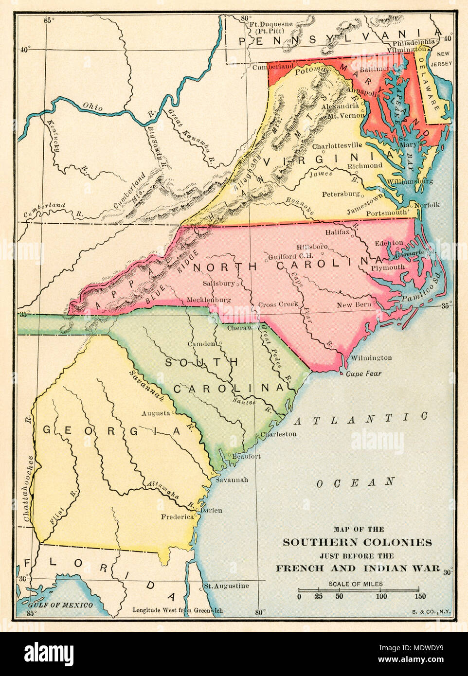 Southern colonies just before the French and Indian War. Printed color lithograph Stock Photohttps://www.alamy.com/image-license-details/?v=1https://www.alamy.com/southern-colonies-just-before-the-french-and-indian-war-printed-color-lithograph-image180653965.html
RMMDWDY9–Southern colonies just before the French and Indian War. Printed color lithograph
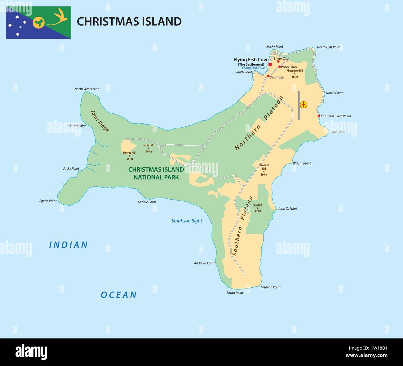 Vector map of the territory of Christmas Island with flag Stock Vectorhttps://www.alamy.com/image-license-details/?v=1https://www.alamy.com/stock-photo-vector-map-of-the-territory-of-christmas-island-with-flag-170288245.html
RFKW18B1–Vector map of the territory of Christmas Island with flag
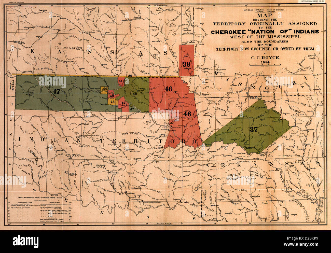 Map of the former territorial limits of the Cherokee 'Nation of' Indians ; Map showing the territory originally assigned Cherokee 'Nation of' Indians, circa 1884 Stock Photohttps://www.alamy.com/image-license-details/?v=1https://www.alamy.com/stock-photo-map-of-the-former-territorial-limits-of-the-cherokee-nation-of-indians-53117325.html
RMD2BKK9–Map of the former territorial limits of the Cherokee 'Nation of' Indians ; Map showing the territory originally assigned Cherokee 'Nation of' Indians, circa 1884
 Nepalese students chant slogans while holding placards during an anti-India protest.Hundreds of Nepalese including students, gathered to protest against new India political map released which includes the Nepals land Kalapani and Lipulek as part of the Indian Territory. Stock Photohttps://www.alamy.com/image-license-details/?v=1https://www.alamy.com/nepalese-students-chant-slogans-while-holding-placards-during-an-anti-india-protesthundreds-of-nepalese-including-students-gathered-to-protest-against-new-india-political-map-released-which-includes-the-nepals-land-kalapani-and-lipulek-as-part-of-the-indian-territory-image332403587.html
RM2A8P84K–Nepalese students chant slogans while holding placards during an anti-India protest.Hundreds of Nepalese including students, gathered to protest against new India political map released which includes the Nepals land Kalapani and Lipulek as part of the Indian Territory.
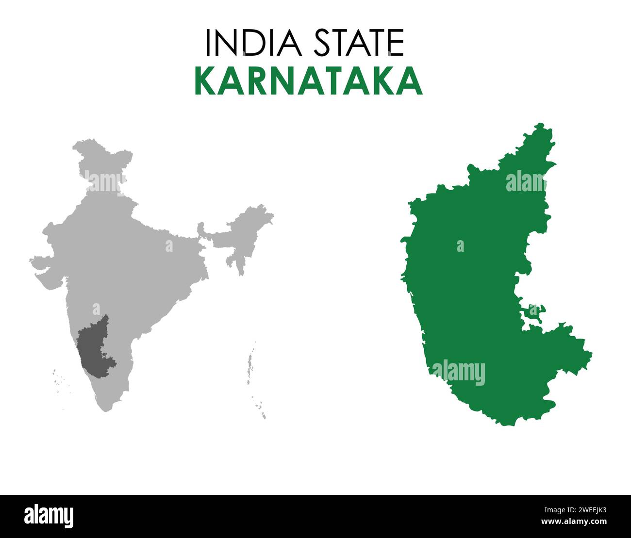 Karnataka map of Indian state. Karnataka map vector illustration. Karnataka map on white background. Stock Vectorhttps://www.alamy.com/image-license-details/?v=1https://www.alamy.com/karnataka-map-of-indian-state-karnataka-map-vector-illustration-karnataka-map-on-white-background-image594079671.html
RF2WEEJK3–Karnataka map of Indian state. Karnataka map vector illustration. Karnataka map on white background.
 Southeast Indian Ridge, , AU, Australia, Australian Capital Territory, S 50 0' 0'', N 110 0' 0'', map, Cartascapes Map published in 2024. Explore Cartascapes, a map revealing Earth's diverse landscapes, cultures, and ecosystems. Journey through time and space, discovering the interconnectedness of our planet's past, present, and future. Stock Photohttps://www.alamy.com/image-license-details/?v=1https://www.alamy.com/southeast-indian-ridge-au-australia-australian-capital-territory-s-50-0-0-n-110-0-0-map-cartascapes-map-published-in-2024-explore-cartascapes-a-map-revealing-earths-diverse-landscapes-cultures-and-ecosystems-journey-through-time-and-space-discovering-the-interconnectedness-of-our-planets-past-present-and-future-image625517608.html
RM2Y9JP2G–Southeast Indian Ridge, , AU, Australia, Australian Capital Territory, S 50 0' 0'', N 110 0' 0'', map, Cartascapes Map published in 2024. Explore Cartascapes, a map revealing Earth's diverse landscapes, cultures, and ecosystems. Journey through time and space, discovering the interconnectedness of our planet's past, present, and future.
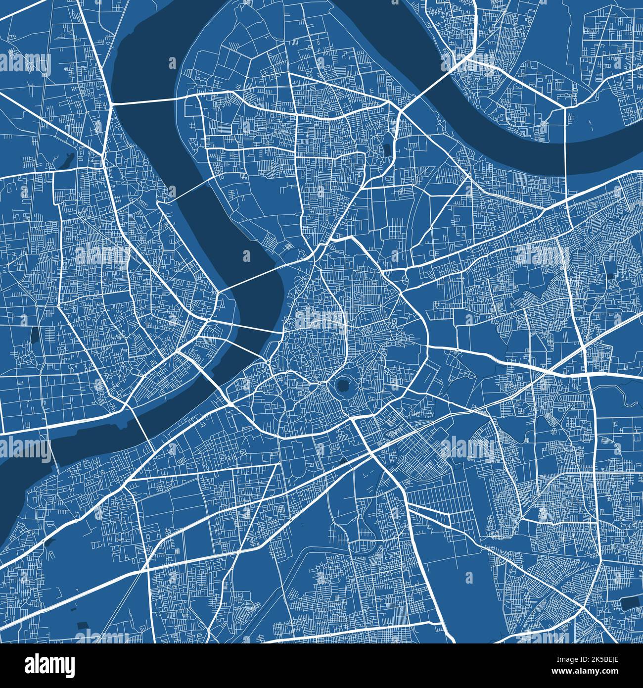 Detailed map poster of Surat city administrative area. Blue skyline panorama. Decorative graphic tourist map of Surat territory. Royalty free vector i Stock Vectorhttps://www.alamy.com/image-license-details/?v=1https://www.alamy.com/detailed-map-poster-of-surat-city-administrative-area-blue-skyline-panorama-decorative-graphic-tourist-map-of-surat-territory-royalty-free-vector-i-image485216550.html
RF2K5BEJE–Detailed map poster of Surat city administrative area. Blue skyline panorama. Decorative graphic tourist map of Surat territory. Royalty free vector i
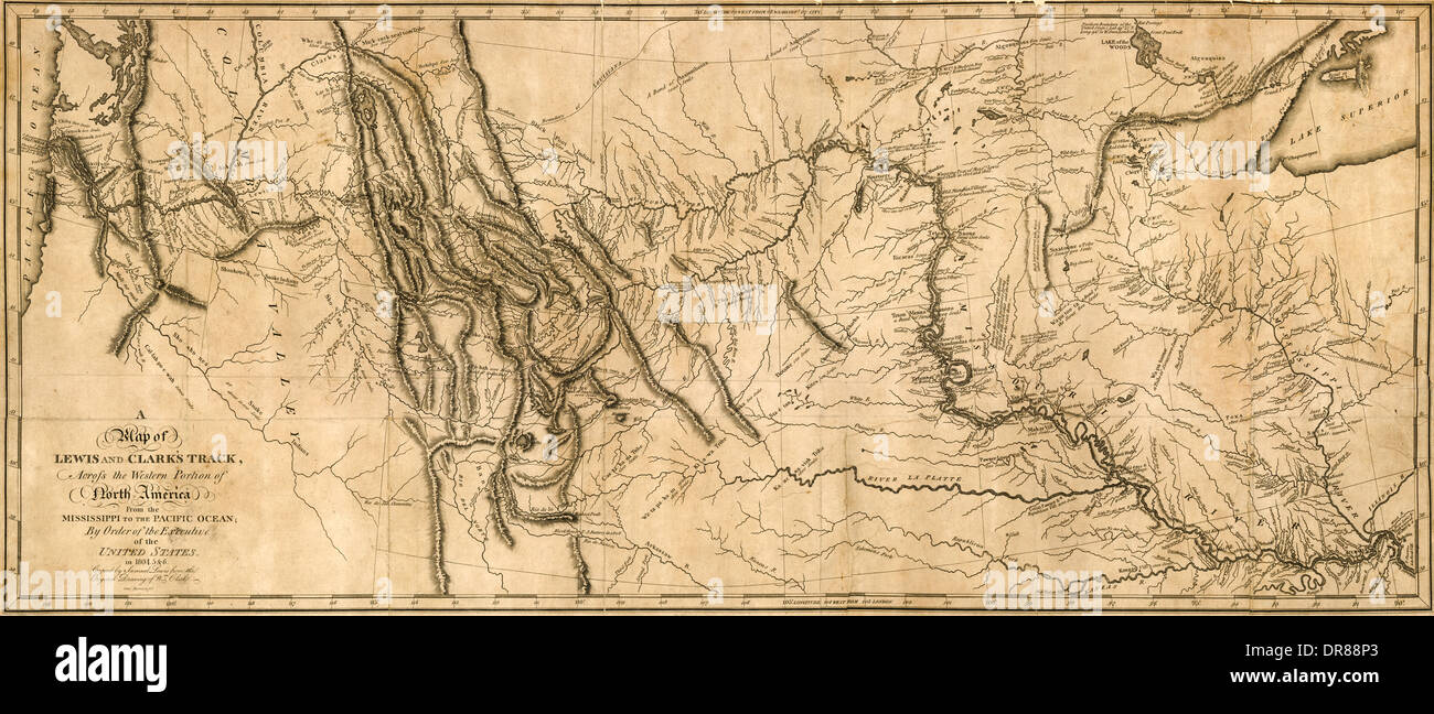 'A map of Lewis and Clark's Track across the Western portion of North America from the Mississippi to the Pacific Ocean by order of the Executive of the United States in 1804.5&6. Copied by Samuel Lewis from the original drawing of Wm (William Clark (1770-1838)).' The map shows the historic expedition under the Command of Captains Lewis and Clark to find the sources of the Missouri river, across the Rocky Mountains and down the River Columbia to the Pacific Ocean conducted during the years 1804 to 1806-6. Engraved by Samuel Harrison and first published in 1814. Stock Photohttps://www.alamy.com/image-license-details/?v=1https://www.alamy.com/a-map-of-lewis-and-clarks-track-across-the-western-portion-of-north-image65950699.html
RMDR88P3–'A map of Lewis and Clark's Track across the Western portion of North America from the Mississippi to the Pacific Ocean by order of the Executive of the United States in 1804.5&6. Copied by Samuel Lewis from the original drawing of Wm (William Clark (1770-1838)).' The map shows the historic expedition under the Command of Captains Lewis and Clark to find the sources of the Missouri river, across the Rocky Mountains and down the River Columbia to the Pacific Ocean conducted during the years 1804 to 1806-6. Engraved by Samuel Harrison and first published in 1814.
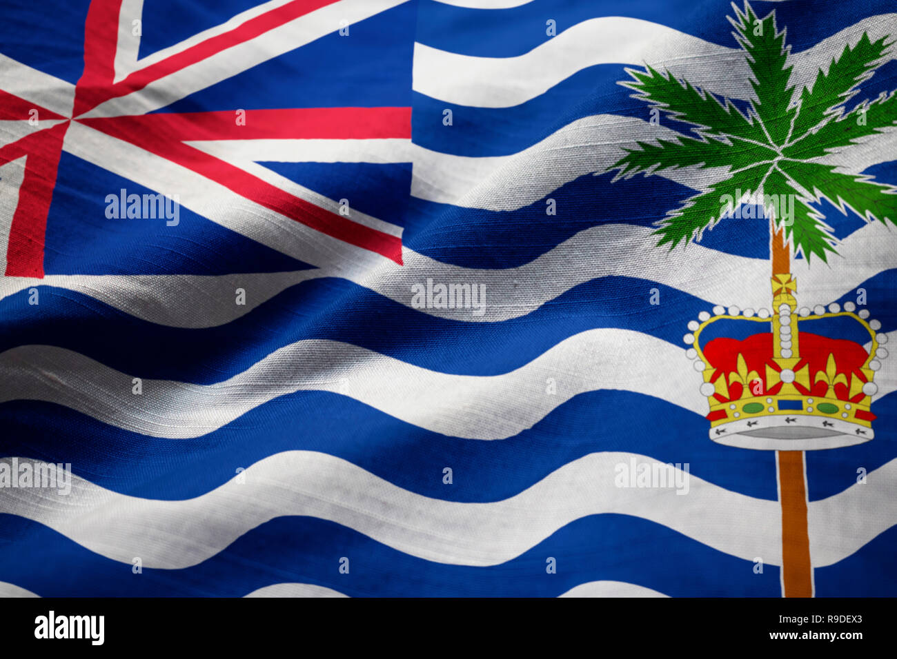 Closeup of Ruffled British Indian Ocean Territory Flag, British Indian Ocean Territory Flag Blowing in Wind Stock Photohttps://www.alamy.com/image-license-details/?v=1https://www.alamy.com/closeup-of-ruffled-british-indian-ocean-territory-flag-british-indian-ocean-territory-flag-blowing-in-wind-image229563771.html
RFR9DEX3–Closeup of Ruffled British Indian Ocean Territory Flag, British Indian Ocean Territory Flag Blowing in Wind
 India Map. Indian Country Map. Black and White National Nation Outline Geography Border Boundary Shape Territory Vector Illustration EPS Clipart Stock Vectorhttps://www.alamy.com/image-license-details/?v=1https://www.alamy.com/india-map-indian-country-map-black-and-white-national-nation-outline-geography-border-boundary-shape-territory-vector-illustration-eps-clipart-image477281995.html
RF2JME21F–India Map. Indian Country Map. Black and White National Nation Outline Geography Border Boundary Shape Territory Vector Illustration EPS Clipart
 India 3d silver map Stock Photohttps://www.alamy.com/image-license-details/?v=1https://www.alamy.com/stock-photo-india-3d-silver-map-26048109.html
RFBEAGHH–India 3d silver map
 Map of India floating island isolated on the white background Stock Photohttps://www.alamy.com/image-license-details/?v=1https://www.alamy.com/map-of-india-floating-island-isolated-on-the-white-background-image353404062.html
RF2BEXXDJ–Map of India floating island isolated on the white background
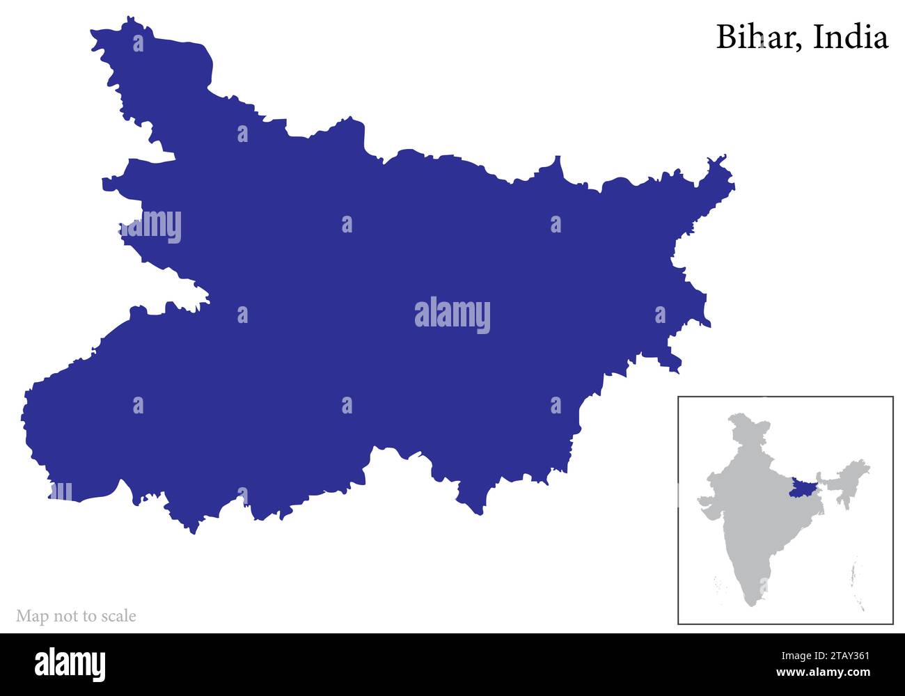 Indian state Bihar map vector , Bihar map Stock Vectorhttps://www.alamy.com/image-license-details/?v=1https://www.alamy.com/indian-state-bihar-map-vector-bihar-map-image574683929.html
RF2TAY361–Indian state Bihar map vector , Bihar map
 Flag British Indian Ocean Territory button Stock Vectorhttps://www.alamy.com/image-license-details/?v=1https://www.alamy.com/flag-british-indian-ocean-territory-button-image630501545.html
RF2YHNR49–Flag British Indian Ocean Territory button
 Map of India with indian national flag inside. Vector illustration. Stock Vectorhttps://www.alamy.com/image-license-details/?v=1https://www.alamy.com/map-of-india-with-indian-national-flag-inside-vector-illustration-image242349056.html
RFT27XKC–Map of India with indian national flag inside. Vector illustration.
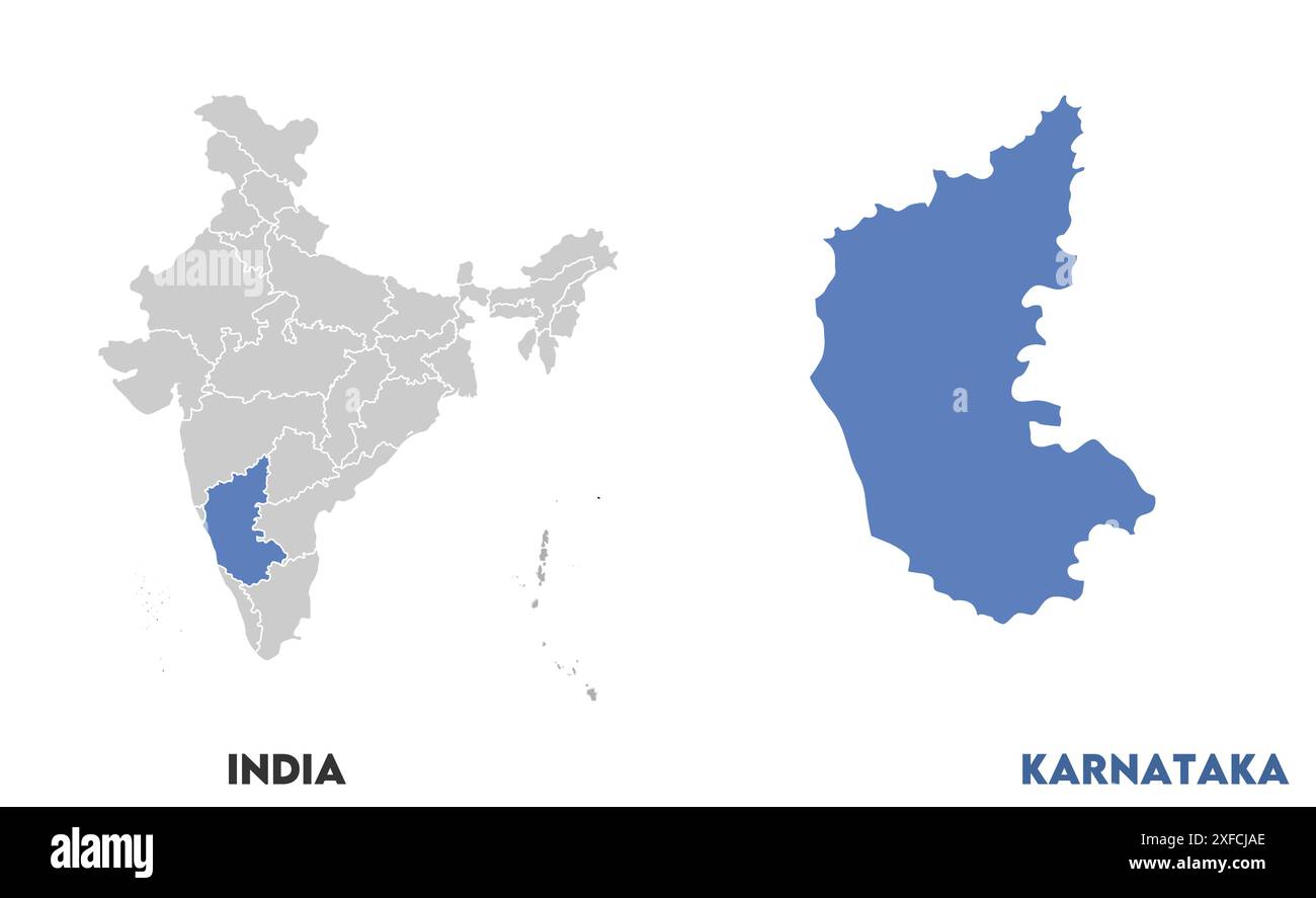 Karnataka Map1, State of India, Republic of India, government, Political map, modern map, Indian flag, vector illustration Stock Vectorhttps://www.alamy.com/image-license-details/?v=1https://www.alamy.com/karnataka-map1-state-of-india-republic-of-india-government-political-map-modern-map-indian-flag-vector-illustration-image611860550.html
RF2XFCJAE–Karnataka Map1, State of India, Republic of India, government, Political map, modern map, Indian flag, vector illustration
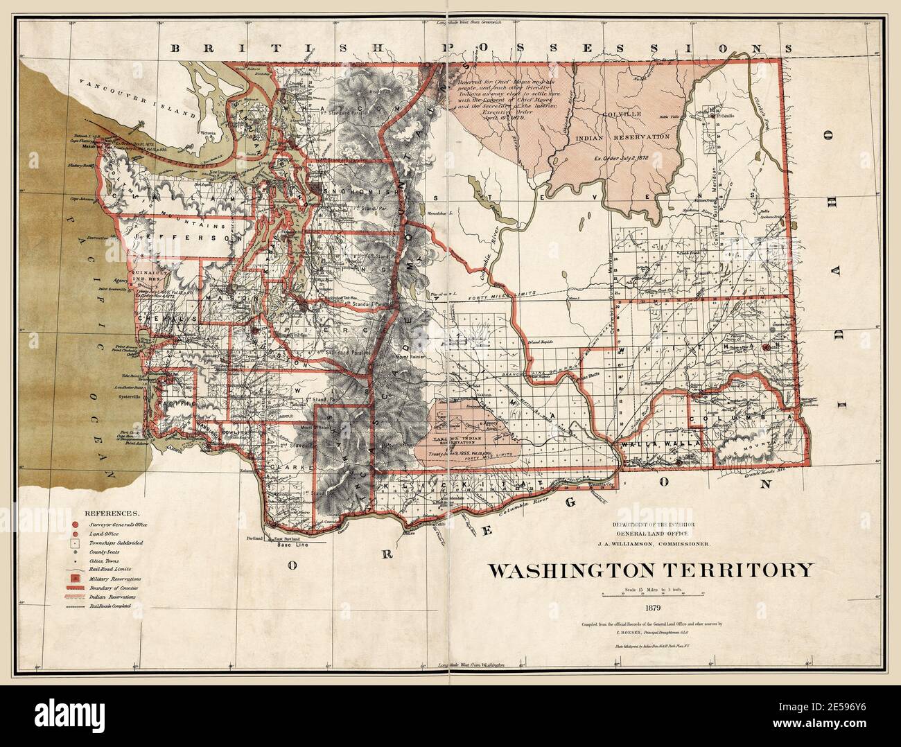 Washington Territory Map 1879. Original title: 'Washington Territory.' Shows Indian Reservations and railroads. This is an enhanced, restored reproduction of an old map dated 1879. Shows the counties of the Washington Territory, and the Quinault, Yakima, and Colville Indian Reservations. A note on one reservation states: 'Reserved for Chief Moses and his people, and such other friendly Indians as may elect to settle here with the Consent of Chief Moses and the Secretary of the Interior. Executive Order April 19 1879.' Stock Photohttps://www.alamy.com/image-license-details/?v=1https://www.alamy.com/washington-territory-map-1879-original-title-washington-territory-shows-indian-reservations-and-railroads-this-is-an-enhanced-restored-reproduction-of-an-old-map-dated-1879-shows-the-counties-of-the-washington-territory-and-the-quinault-yakima-and-colville-indian-reservations-a-note-on-one-reservation-states-reserved-for-chief-moses-and-his-people-and-such-other-friendly-indians-as-may-elect-to-settle-here-with-the-consent-of-chief-moses-and-the-secretary-of-the-interior-executive-order-april-19-1879-image399114778.html
RF2E596Y6–Washington Territory Map 1879. Original title: 'Washington Territory.' Shows Indian Reservations and railroads. This is an enhanced, restored reproduction of an old map dated 1879. Shows the counties of the Washington Territory, and the Quinault, Yakima, and Colville Indian Reservations. A note on one reservation states: 'Reserved for Chief Moses and his people, and such other friendly Indians as may elect to settle here with the Consent of Chief Moses and the Secretary of the Interior. Executive Order April 19 1879.'
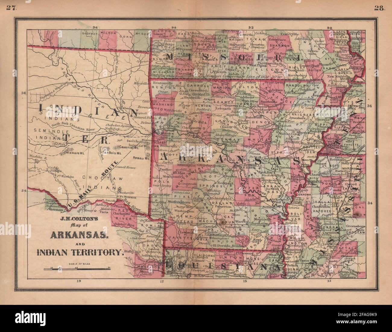 J. H. Colton's map of Arkansas and Indian Territory. Oklahoma 1864 old Stock Photohttps://www.alamy.com/image-license-details/?v=1https://www.alamy.com/j-h-coltons-map-of-arkansas-and-indian-territory-oklahoma-1864-old-image419554221.html
RF2FAG9K9–J. H. Colton's map of Arkansas and Indian Territory. Oklahoma 1864 old
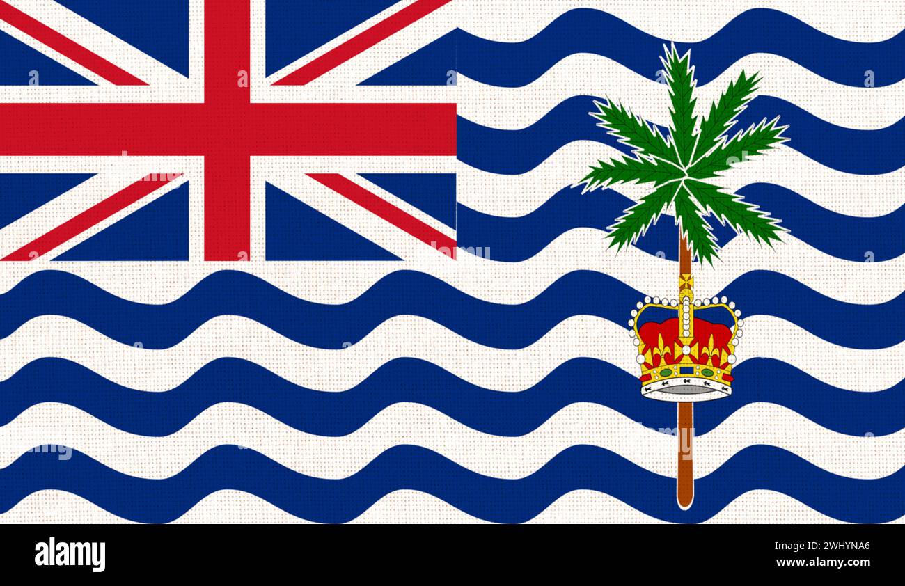 Flag of British Indian Ocean Territory. BIOT. flag of island country on fabric surface. Island count Stock Photohttps://www.alamy.com/image-license-details/?v=1https://www.alamy.com/flag-of-british-indian-ocean-territory-biot-flag-of-island-country-on-fabric-surface-island-count-image596211118.html
RF2WHYNA6–Flag of British Indian Ocean Territory. BIOT. flag of island country on fabric surface. Island count
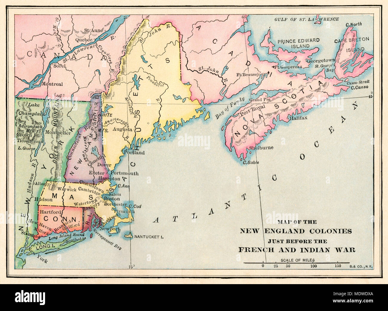 New England colonies just before the French and Indian War. Printed color lithograph Stock Photohttps://www.alamy.com/image-license-details/?v=1https://www.alamy.com/new-england-colonies-just-before-the-french-and-indian-war-printed-color-lithograph-image180653938.html
RMMDWDXA–New England colonies just before the French and Indian War. Printed color lithograph
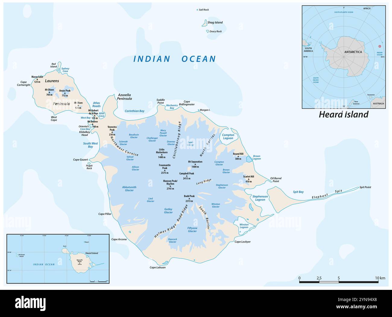 Map of Heard Island and McDonald Islands in the Australian external territory Stock Photohttps://www.alamy.com/image-license-details/?v=1https://www.alamy.com/map-of-heard-island-and-mcdonald-islands-in-the-australian-external-territory-image632682464.html
RF2YN94X8–Map of Heard Island and McDonald Islands in the Australian external territory
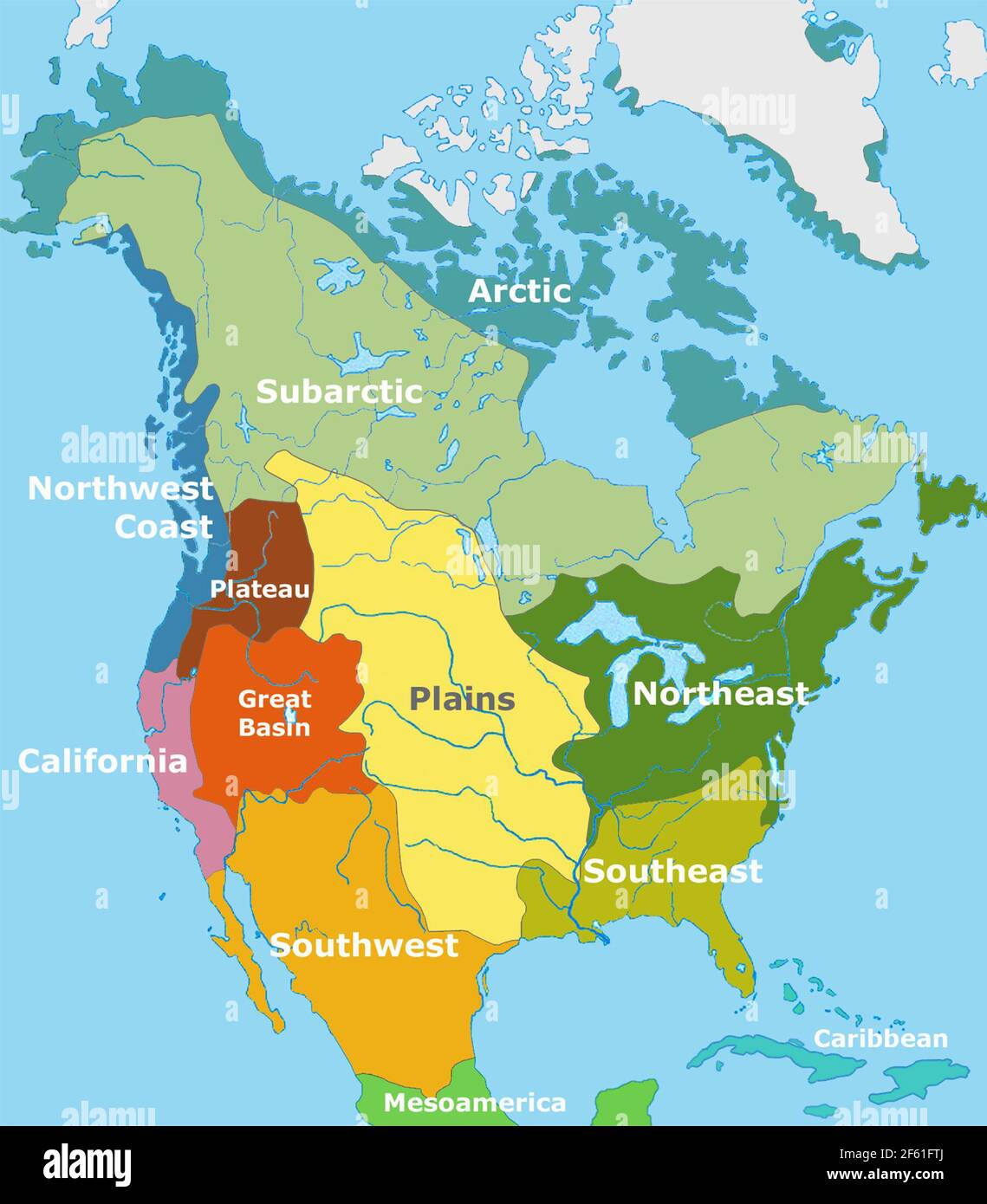 Indigenous People, Regional Map, Alfred Kroeber Stock Photohttps://www.alamy.com/image-license-details/?v=1https://www.alamy.com/indigenous-people-regional-map-alfred-kroeber-image416771170.html
RM2F61FTJ–Indigenous People, Regional Map, Alfred Kroeber
 Nepalese students chant slogans while holding placards during an anti-India protest.Hundreds of Nepalese including students, gathered to protest against new India political map released which includes the Nepals land Kalapani and Lipulek as part of the Indian Territory. Stock Photohttps://www.alamy.com/image-license-details/?v=1https://www.alamy.com/nepalese-students-chant-slogans-while-holding-placards-during-an-anti-india-protesthundreds-of-nepalese-including-students-gathered-to-protest-against-new-india-political-map-released-which-includes-the-nepals-land-kalapani-and-lipulek-as-part-of-the-indian-territory-image332403533.html
RM2A8P82N–Nepalese students chant slogans while holding placards during an anti-India protest.Hundreds of Nepalese including students, gathered to protest against new India political map released which includes the Nepals land Kalapani and Lipulek as part of the Indian Territory.
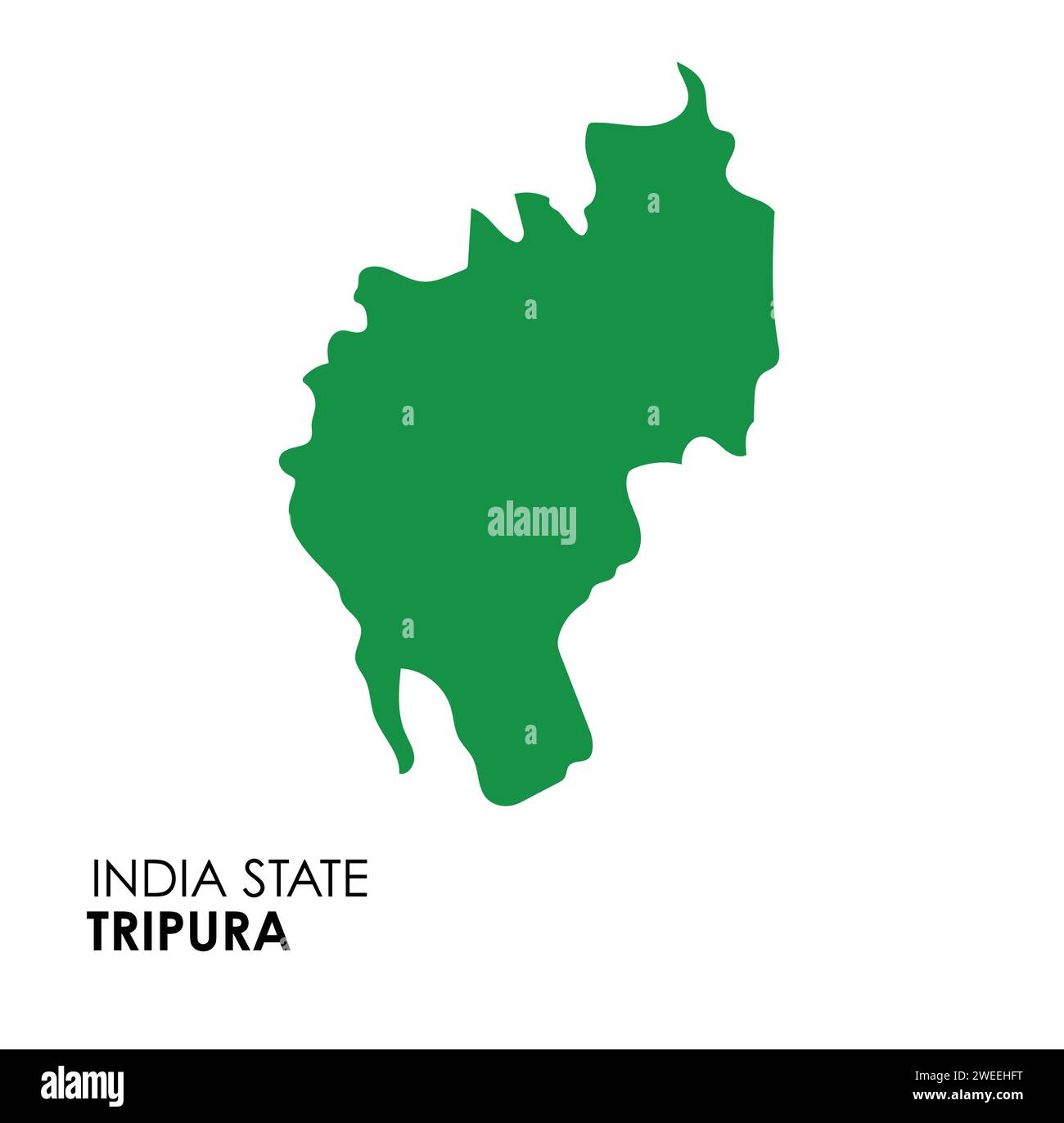 Tripura map of Indian state. Tripura map vector illustration. Tripura map on white background. Stock Vectorhttps://www.alamy.com/image-license-details/?v=1https://www.alamy.com/tripura-map-of-indian-state-tripura-map-vector-illustration-tripura-map-on-white-background-image594078796.html
RF2WEEHFT–Tripura map of Indian state. Tripura map vector illustration. Tripura map on white background.
![Map of the state of Texas [and Indian Territory] 1876 by Woodward, Tiernan, and Hale Stock Photo Map of the state of Texas [and Indian Territory] 1876 by Woodward, Tiernan, and Hale Stock Photo](https://c8.alamy.com/comp/2YPEYGW/map-of-the-state-of-texas-and-indian-territory-1876-by-woodward-tiernan-and-hale-2YPEYGW.jpg) Map of the state of Texas [and Indian Territory] 1876 by Woodward, Tiernan, and Hale Stock Photohttps://www.alamy.com/image-license-details/?v=1https://www.alamy.com/map-of-the-state-of-texas-and-indian-territory-1876-by-woodward-tiernan-and-hale-image633424649.html
Map of the state of Texas [and Indian Territory] 1876 by Woodward, Tiernan, and Hale Stock Photohttps://www.alamy.com/image-license-details/?v=1https://www.alamy.com/map-of-the-state-of-texas-and-indian-territory-1876-by-woodward-tiernan-and-hale-image633424649.htmlRM2YPEYGW–Map of the state of Texas [and Indian Territory] 1876 by Woodward, Tiernan, and Hale
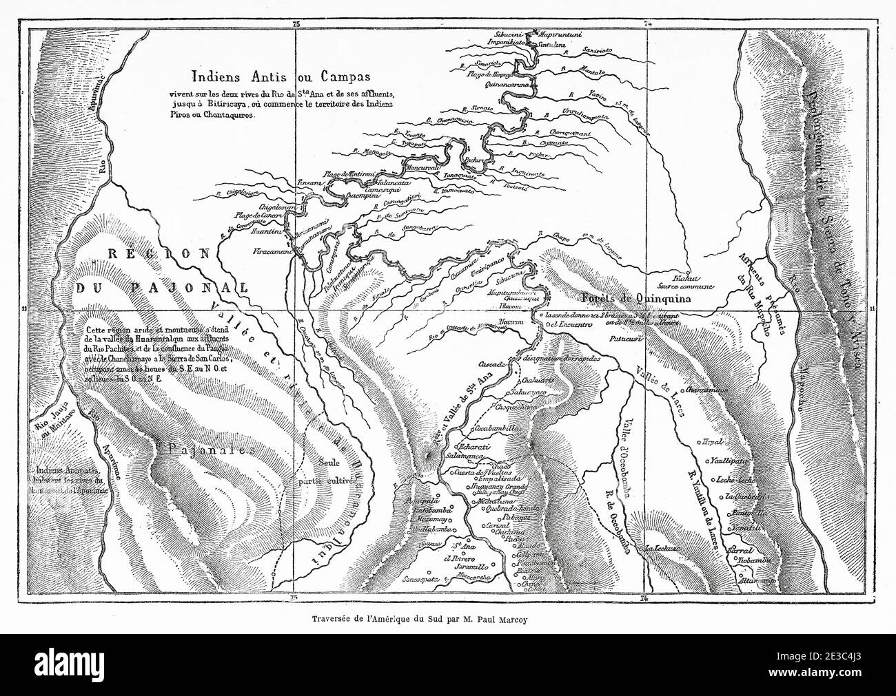 Old map of Campa Indians, Ashaninka territory, Peru, South America. Old XIX century engraved from Le Tour du Monde 1864 Stock Photohttps://www.alamy.com/image-license-details/?v=1https://www.alamy.com/old-map-of-campa-indians-ashaninka-territory-peru-south-america-old-xix-century-engraved-from-le-tour-du-monde-1864-image397949499.html
RM2E3C4J3–Old map of Campa Indians, Ashaninka territory, Peru, South America. Old XIX century engraved from Le Tour du Monde 1864
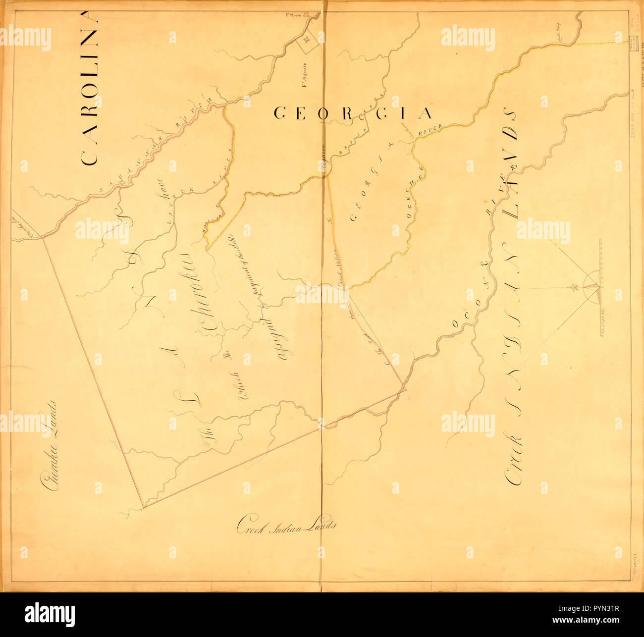 Vintage Maps / Antique Maps - Map showing Indian land &c. 1772 Stock Photohttps://www.alamy.com/image-license-details/?v=1https://www.alamy.com/vintage-maps-antique-maps-map-showing-indian-land-c-1772-image223583523.html
RMPYN31R–Vintage Maps / Antique Maps - Map showing Indian land &c. 1772
 Closeup of Ruffled British Indian Ocean Territory Flag, British Indian Ocean Territory Flag Blowing in Wind Stock Photohttps://www.alamy.com/image-license-details/?v=1https://www.alamy.com/closeup-of-ruffled-british-indian-ocean-territory-flag-british-indian-ocean-territory-flag-blowing-in-wind-image229565720.html
RFR9DHBM–Closeup of Ruffled British Indian Ocean Territory Flag, British Indian Ocean Territory Flag Blowing in Wind
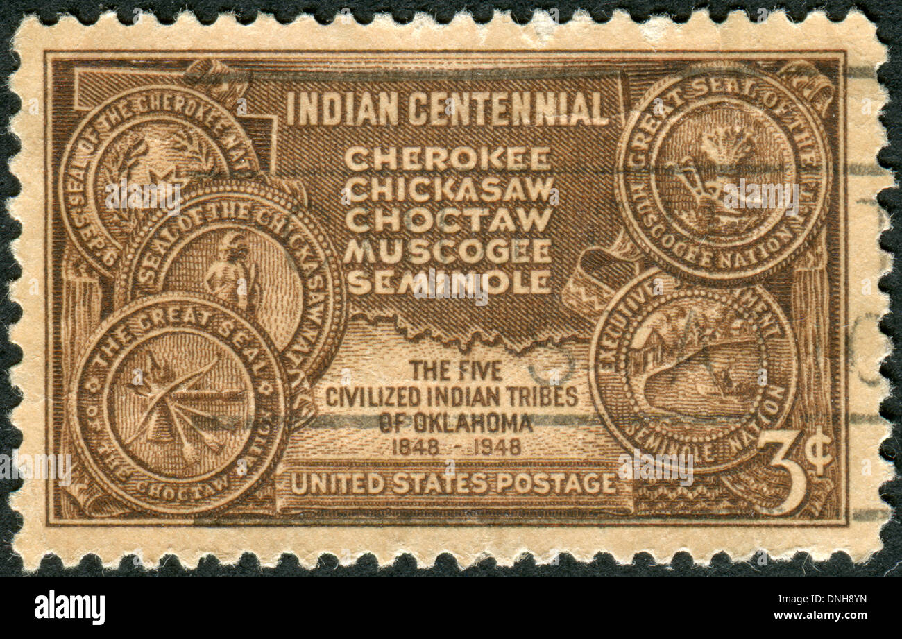 Shows Map of Indian Territory and Seals of Five Tribes Stock Photohttps://www.alamy.com/image-license-details/?v=1https://www.alamy.com/shows-map-of-indian-territory-and-seals-of-five-tribes-image64919113.html
RMDNH8YN–Shows Map of Indian Territory and Seals of Five Tribes
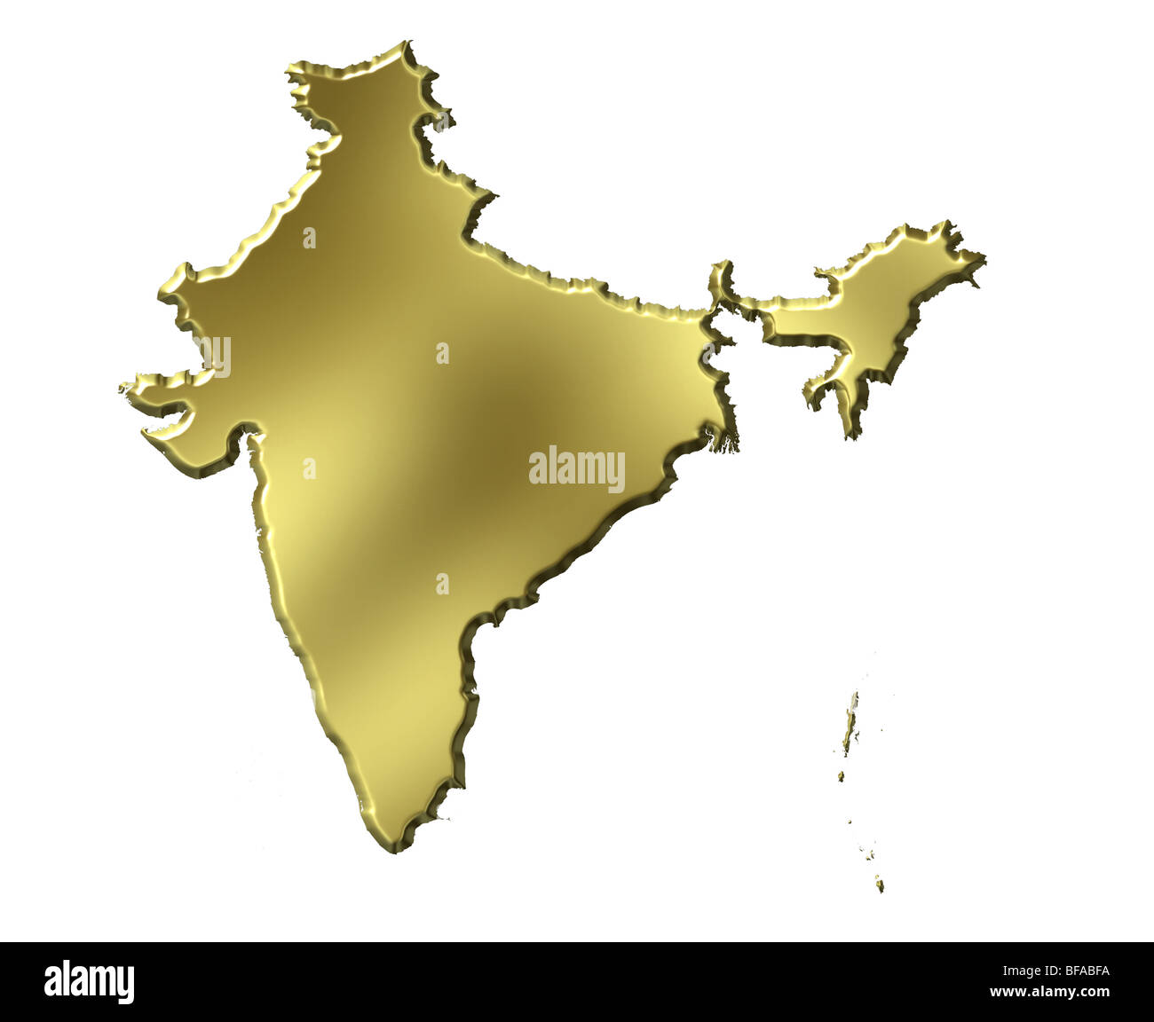 India 3d golden map Stock Photohttps://www.alamy.com/image-license-details/?v=1https://www.alamy.com/stock-photo-india-3d-golden-map-26658782.html
RFBFABFA–India 3d golden map
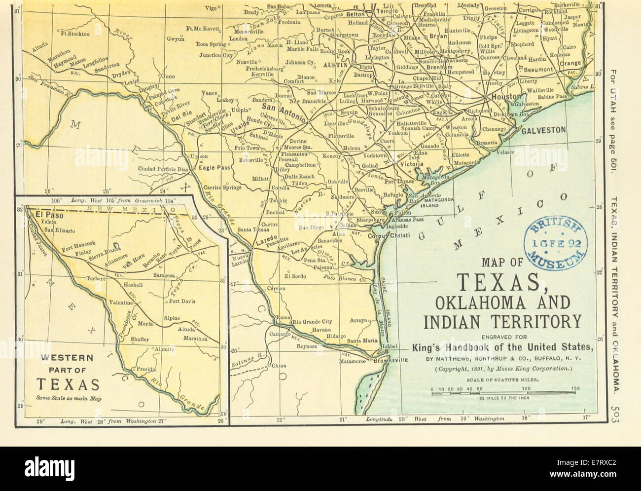 US-MAPS(1891) p505 - MAP OF TEXAS, OKLAHOMA AND INDIAN TERRITORY (r) Stock Photohttps://www.alamy.com/image-license-details/?v=1https://www.alamy.com/stock-photo-us-maps1891-p505-map-of-texas-oklahoma-and-indian-territory-r-73669682.html
RME7RXC2–US-MAPS(1891) p505 - MAP OF TEXAS, OKLAHOMA AND INDIAN TERRITORY (r)
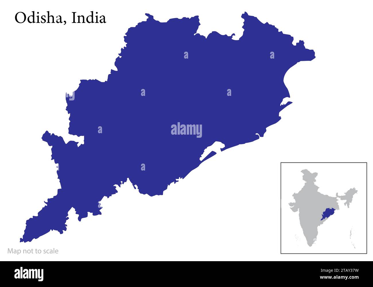 Indian state Odisha map vector , Odisha map Stock Vectorhttps://www.alamy.com/image-license-details/?v=1https://www.alamy.com/indian-state-odisha-map-vector-odisha-map-image574683981.html
RF2TAY37W–Indian state Odisha map vector , Odisha map
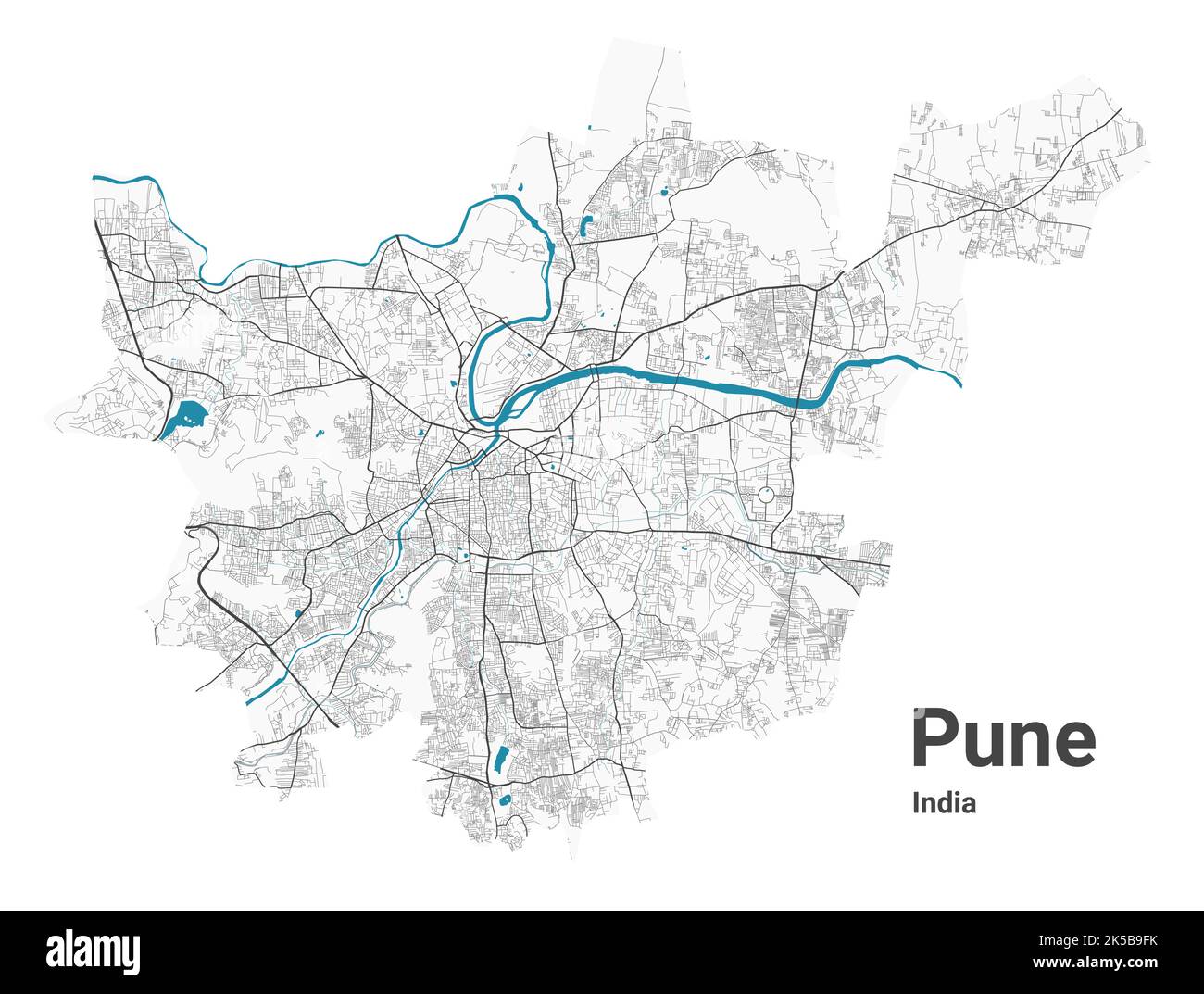 Pune map. Detailed map of Pune city administrative area. Cityscape panorama. Royalty free vector illustration. Road map with highways, rivers. Stock Vectorhttps://www.alamy.com/image-license-details/?v=1https://www.alamy.com/pune-map-detailed-map-of-pune-city-administrative-area-cityscape-panorama-royalty-free-vector-illustration-road-map-with-highways-rivers-image485212551.html
RF2K5B9FK–Pune map. Detailed map of Pune city administrative area. Cityscape panorama. Royalty free vector illustration. Road map with highways, rivers.
 Map of India in different style: colored with indian national flag inside, black silhouette and contour. Vector illustration. Stock Vectorhttps://www.alamy.com/image-license-details/?v=1https://www.alamy.com/map-of-india-in-different-style-colored-with-indian-national-flag-inside-black-silhouette-and-contour-vector-illustration-image242471808.html
RFT2DF7C–Map of India in different style: colored with indian national flag inside, black silhouette and contour. Vector illustration.
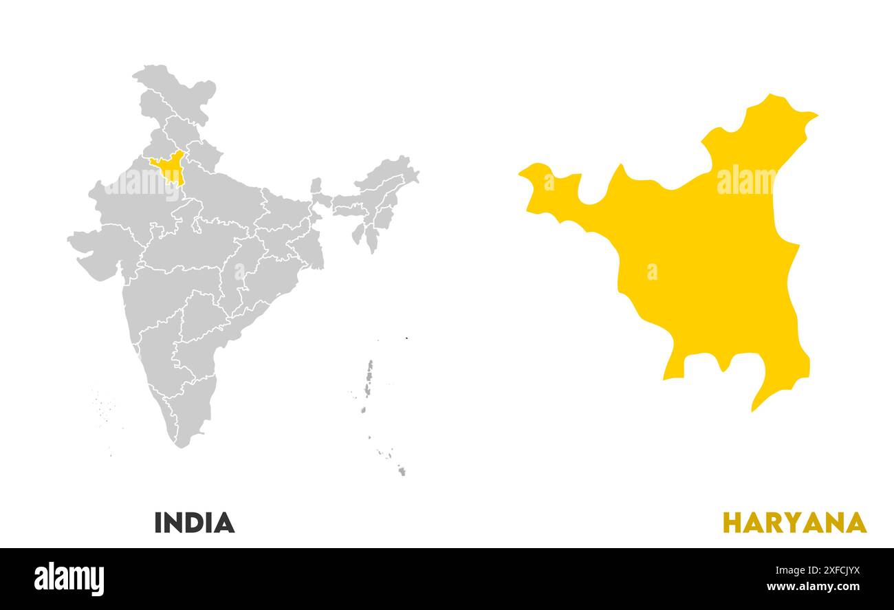 Haryana Map1, State of India, Republic of India, government, Political map, modern map, Indian flag, vector illustration Stock Vectorhttps://www.alamy.com/image-license-details/?v=1https://www.alamy.com/haryana-map1-state-of-india-republic-of-india-government-political-map-modern-map-indian-flag-vector-illustration-image611861038.html
RF2XFCJYX–Haryana Map1, State of India, Republic of India, government, Political map, modern map, Indian flag, vector illustration
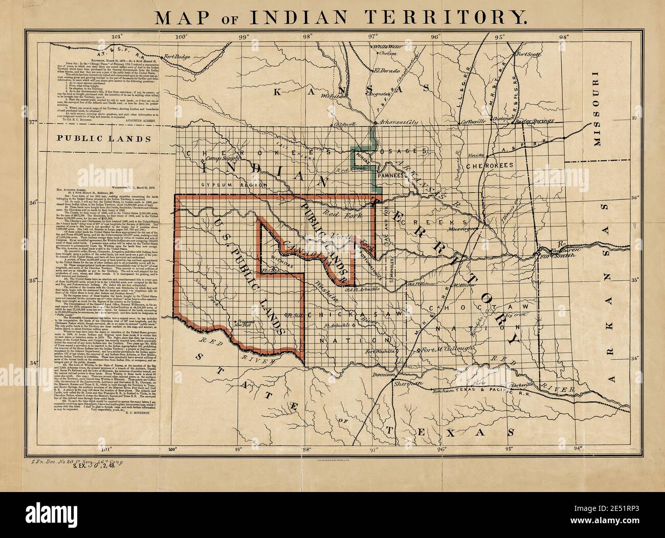 Indian Territory and Public Land Map 1879 with Historic Letters. Original title: 'Map of Indian Territory.' Shows Indian Reservations. This is an enhanced, restored reproduction of an old map showing Indian Reservations and Public Land as of 1876. Note the two letters on the side that discuss the disposition of land in the area that would eventually become Oklahoma. The first letter is from Congressman Augustus Albert with inquiries. The second is a reply from Col. E.C. Boudinot. He describes historical events about the acquisition of the land. He wrote he wanted to 'set the records straight.' Stock Photohttps://www.alamy.com/image-license-details/?v=1https://www.alamy.com/indian-territory-and-public-land-map-1879-with-historic-letters-original-title-map-of-indian-territory-shows-indian-reservations-this-is-an-enhanced-restored-reproduction-of-an-old-map-showing-indian-reservations-and-public-land-as-of-1876-note-the-two-letters-on-the-side-that-discuss-the-disposition-of-land-in-the-area-that-would-eventually-become-oklahoma-the-first-letter-is-from-congressman-augustus-albert-with-inquiries-the-second-is-a-reply-from-col-ec-boudinot-he-describes-historical-events-about-the-acquisition-of-the-land-he-wrote-he-wanted-to-set-the-records-straight-image398952347.html
RM2E51RP3–Indian Territory and Public Land Map 1879 with Historic Letters. Original title: 'Map of Indian Territory.' Shows Indian Reservations. This is an enhanced, restored reproduction of an old map showing Indian Reservations and Public Land as of 1876. Note the two letters on the side that discuss the disposition of land in the area that would eventually become Oklahoma. The first letter is from Congressman Augustus Albert with inquiries. The second is a reply from Col. E.C. Boudinot. He describes historical events about the acquisition of the land. He wrote he wanted to 'set the records straight.'
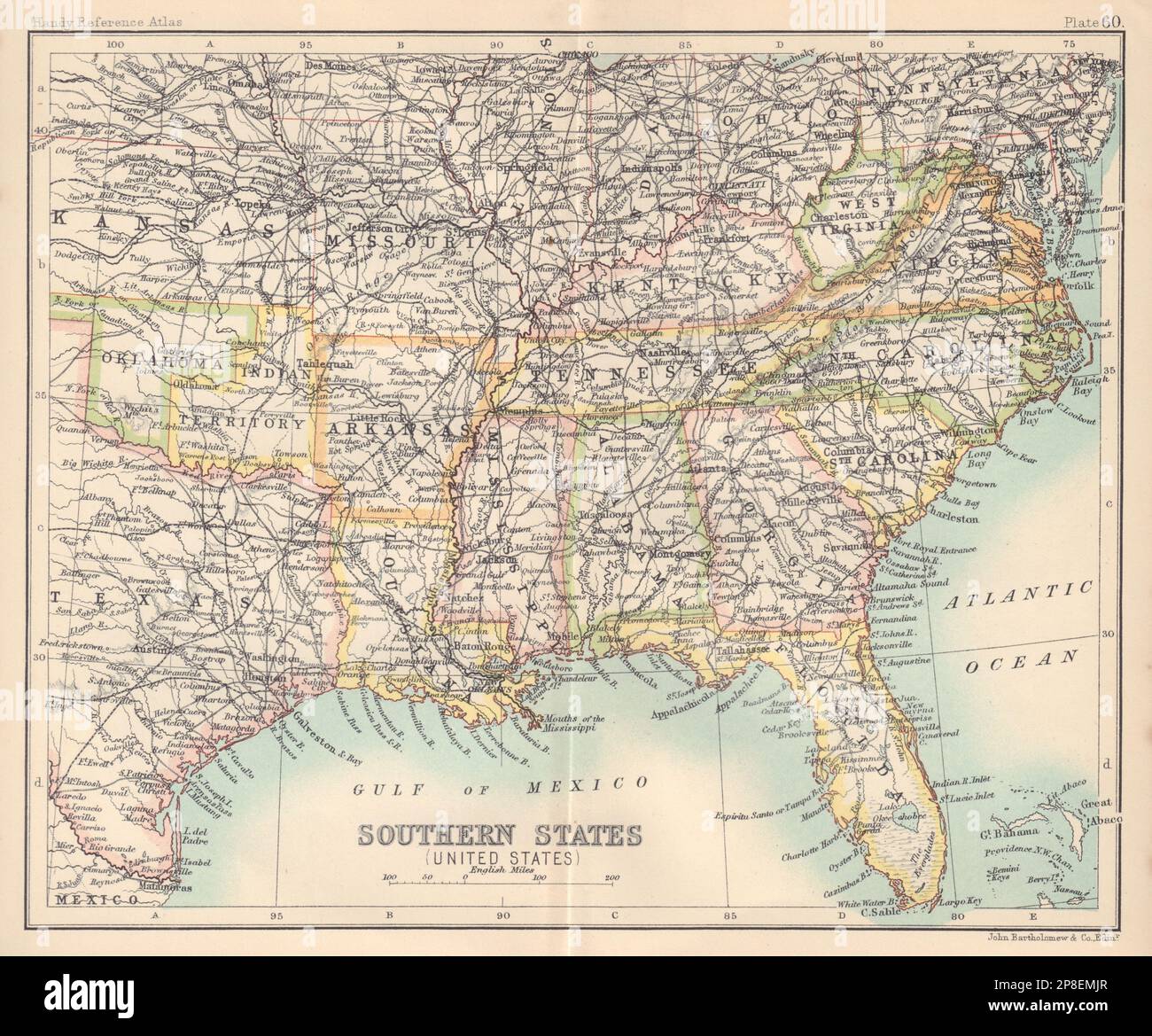 Southern States (United States). Deep South. Indian Territory. USA 1898 map Stock Photohttps://www.alamy.com/image-license-details/?v=1https://www.alamy.com/southern-states-united-states-deep-south-indian-territory-usa-1898-map-image538762191.html
RF2P8EMJR–Southern States (United States). Deep South. Indian Territory. USA 1898 map
 Flag of British Indian Ocean Territory. BIOT. flag of island country on fabric surface. Island count Stock Photohttps://www.alamy.com/image-license-details/?v=1https://www.alamy.com/flag-of-british-indian-ocean-territory-biot-flag-of-island-country-on-fabric-surface-island-count-image503289332.html
RF2M6PPK0–Flag of British Indian Ocean Territory. BIOT. flag of island country on fabric surface. Island count
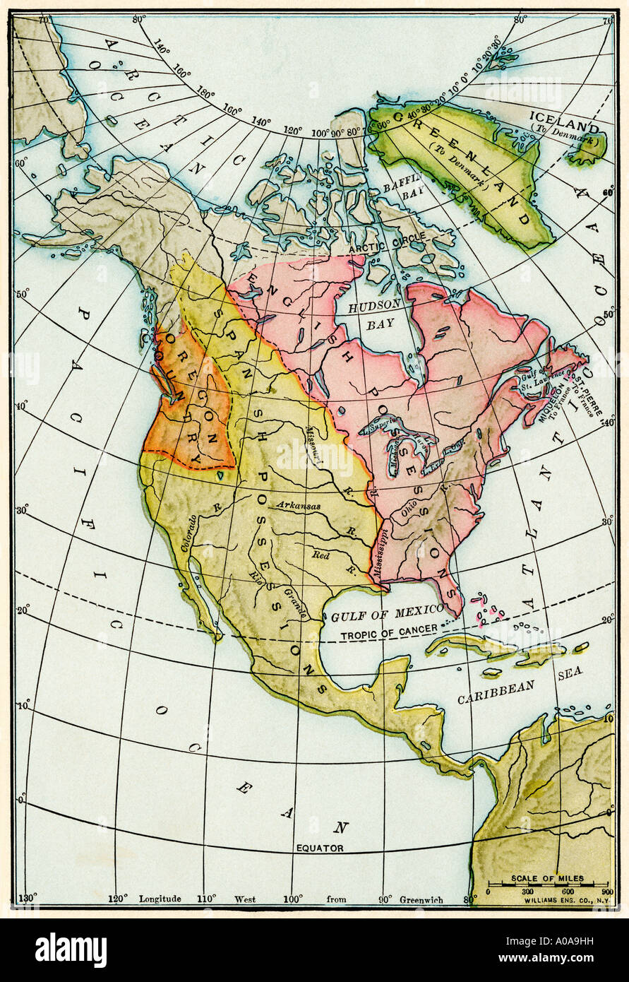 North American colonies at the close of the French and Indian War 1760s. Color lithograph Stock Photohttps://www.alamy.com/image-license-details/?v=1https://www.alamy.com/north-american-colonies-at-the-close-of-the-french-and-indian-war-image9931804.html
RMA0A9HH–North American colonies at the close of the French and Indian War 1760s. Color lithograph
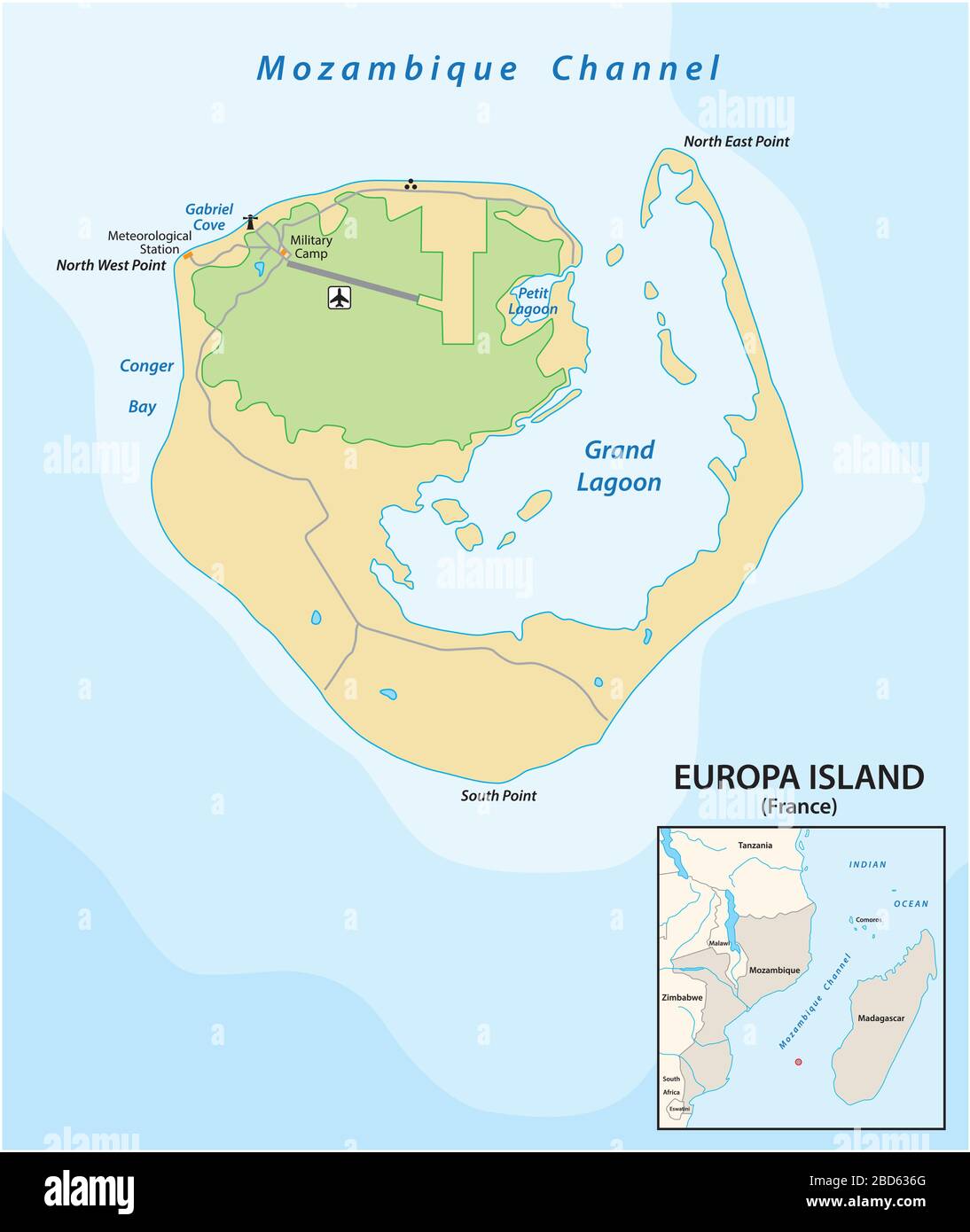 Map of the French oversea territory of Europe Iseland between Mozambique and Madagascar Stock Vectorhttps://www.alamy.com/image-license-details/?v=1https://www.alamy.com/map-of-the-french-oversea-territory-of-europe-iseland-between-mozambique-and-madagascar-image352332136.html
RF2BD636G–Map of the French oversea territory of Europe Iseland between Mozambique and Madagascar