Indo australian plate Stock Photos and Images
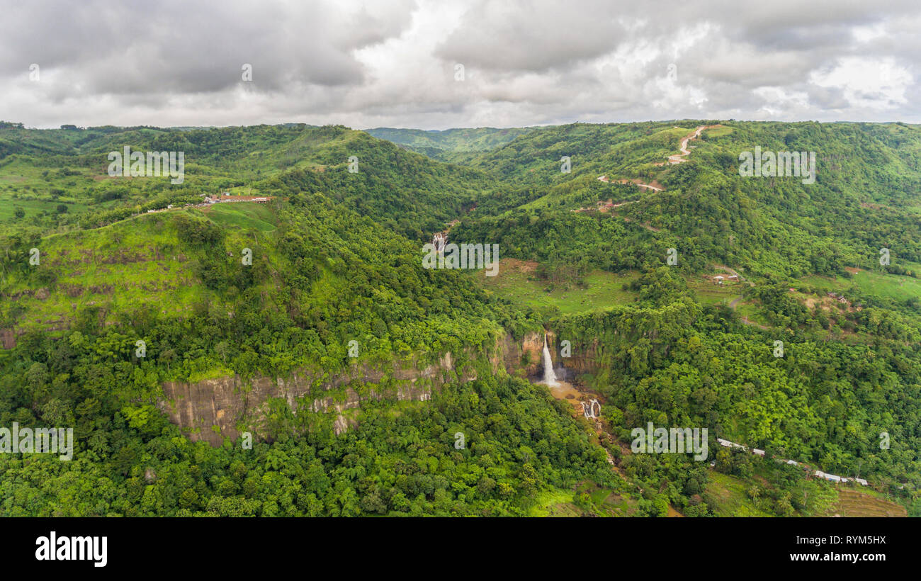 Evident of geological fault in Ciletuh - Palabuhanratu Geopark, a UNESCO Global Geopark. The biggest horse shoe-shaped natural amphitheater morphology Stock Photohttps://www.alamy.com/image-license-details/?v=1https://www.alamy.com/evident-of-geological-fault-in-ciletuh-palabuhanratu-geopark-a-unesco-global-geopark-the-biggest-horse-shoe-shaped-natural-amphitheater-morphology-image240773958.html
RMRYM5HX–Evident of geological fault in Ciletuh - Palabuhanratu Geopark, a UNESCO Global Geopark. The biggest horse shoe-shaped natural amphitheater morphology
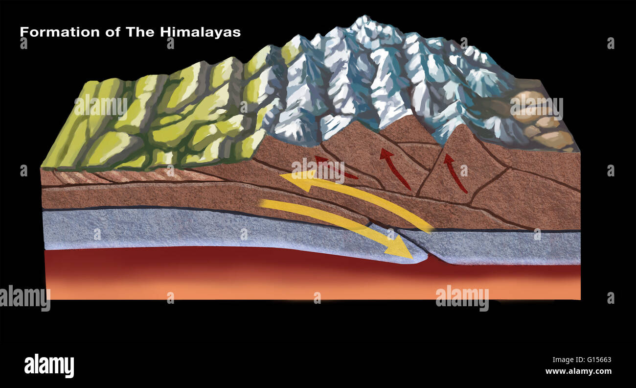 The Himalayas started forming about 70 million years ago as a result of tectonic plate activity: the north-moving Indo-Australian Plate collided with the Eurasian Plate. In this diagram, the leading edge of the Indian plate subducts beneath the Eurasian. Stock Photohttps://www.alamy.com/image-license-details/?v=1https://www.alamy.com/stock-photo-the-himalayas-started-forming-about-70-million-years-ago-as-a-result-103991499.html
RMG15663–The Himalayas started forming about 70 million years ago as a result of tectonic plate activity: the north-moving Indo-Australian Plate collided with the Eurasian Plate. In this diagram, the leading edge of the Indian plate subducts beneath the Eurasian.
 Geological fault & Panenjoan amphitheater. The biggest horse shoe-shaped natural amphitheater morphology in Indonesia. Stock Photohttps://www.alamy.com/image-license-details/?v=1https://www.alamy.com/geological-fault-panenjoan-amphitheater-the-biggest-horse-shoe-shaped-natural-amphitheater-morphology-in-indonesia-image240926795.html
RMRYY4GB–Geological fault & Panenjoan amphitheater. The biggest horse shoe-shaped natural amphitheater morphology in Indonesia.
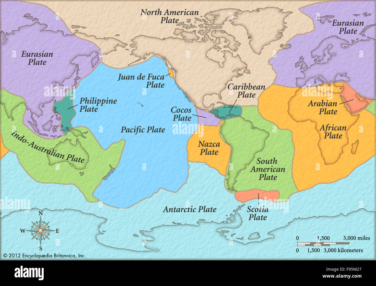 Plate tectonics Stock Photohttps://www.alamy.com/image-license-details/?v=1https://www.alamy.com/stock-photo-plate-tectonics-91709247.html
RMF95M27–Plate tectonics
 Geological fault, a valley and waterfall, creating biggest horse shoe-shaped natural amphitheater in Indonesia. Ciletuh - Palabuhanratu Geopark. Stock Photohttps://www.alamy.com/image-license-details/?v=1https://www.alamy.com/geological-fault-a-valley-and-waterfall-creating-biggest-horse-shoe-shaped-natural-amphitheater-in-indonesia-ciletuh-palabuhanratu-geopark-image240773875.html
RMRYM5EY–Geological fault, a valley and waterfall, creating biggest horse shoe-shaped natural amphitheater in Indonesia. Ciletuh - Palabuhanratu Geopark.
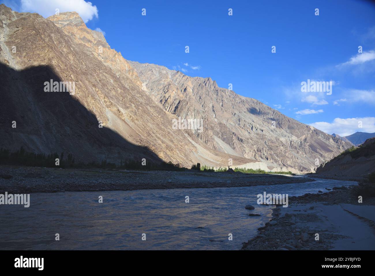
 The great Himalaya range, Ladakh mountains India Stock Photohttps://www.alamy.com/image-license-details/?v=1https://www.alamy.com/the-great-himalaya-range-ladakh-mountains-india-image626741881.html
RM2YBJFJH–The great Himalaya range, Ladakh mountains India
 Indonesia, Sumatra, Java, Anak Krakatau. Smoke escaping from active volcano Anak Krakatau. Stock Photohttps://www.alamy.com/image-license-details/?v=1https://www.alamy.com/stock-photo-indonesia-sumatra-java-anak-krakatau-smoke-escaping-from-active-volcano-49269368.html
RMCT4BG8–Indonesia, Sumatra, Java, Anak Krakatau. Smoke escaping from active volcano Anak Krakatau.
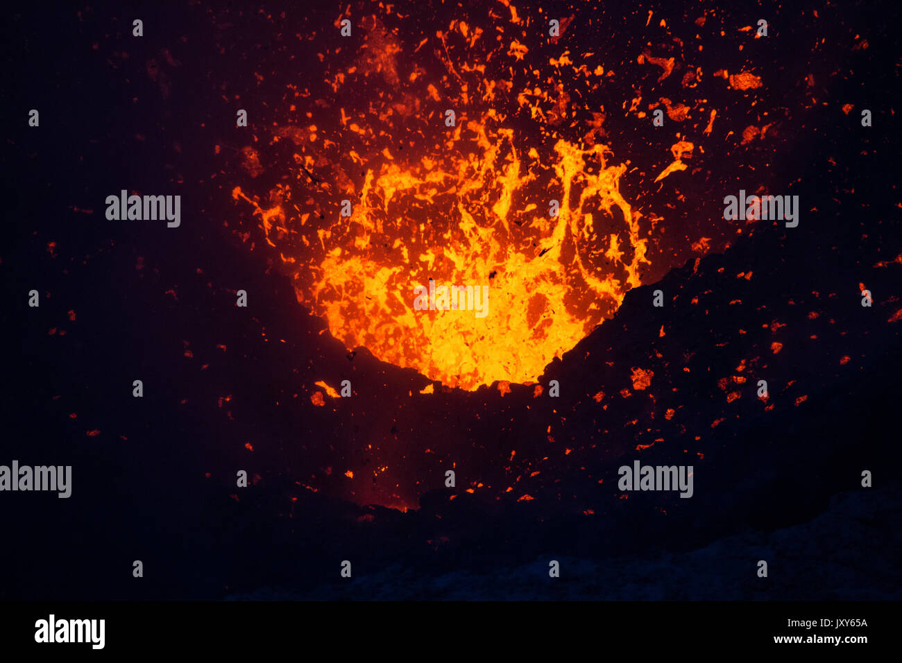 The eruption of the volcano Yasur on Tanna Island, Vanuatu Stock Photohttps://www.alamy.com/image-license-details/?v=1https://www.alamy.com/the-eruption-of-the-volcano-yasur-on-tanna-island-vanuatu-image154261558.html
RFJXY65A–The eruption of the volcano Yasur on Tanna Island, Vanuatu
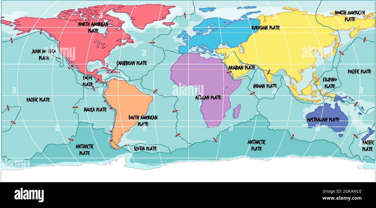
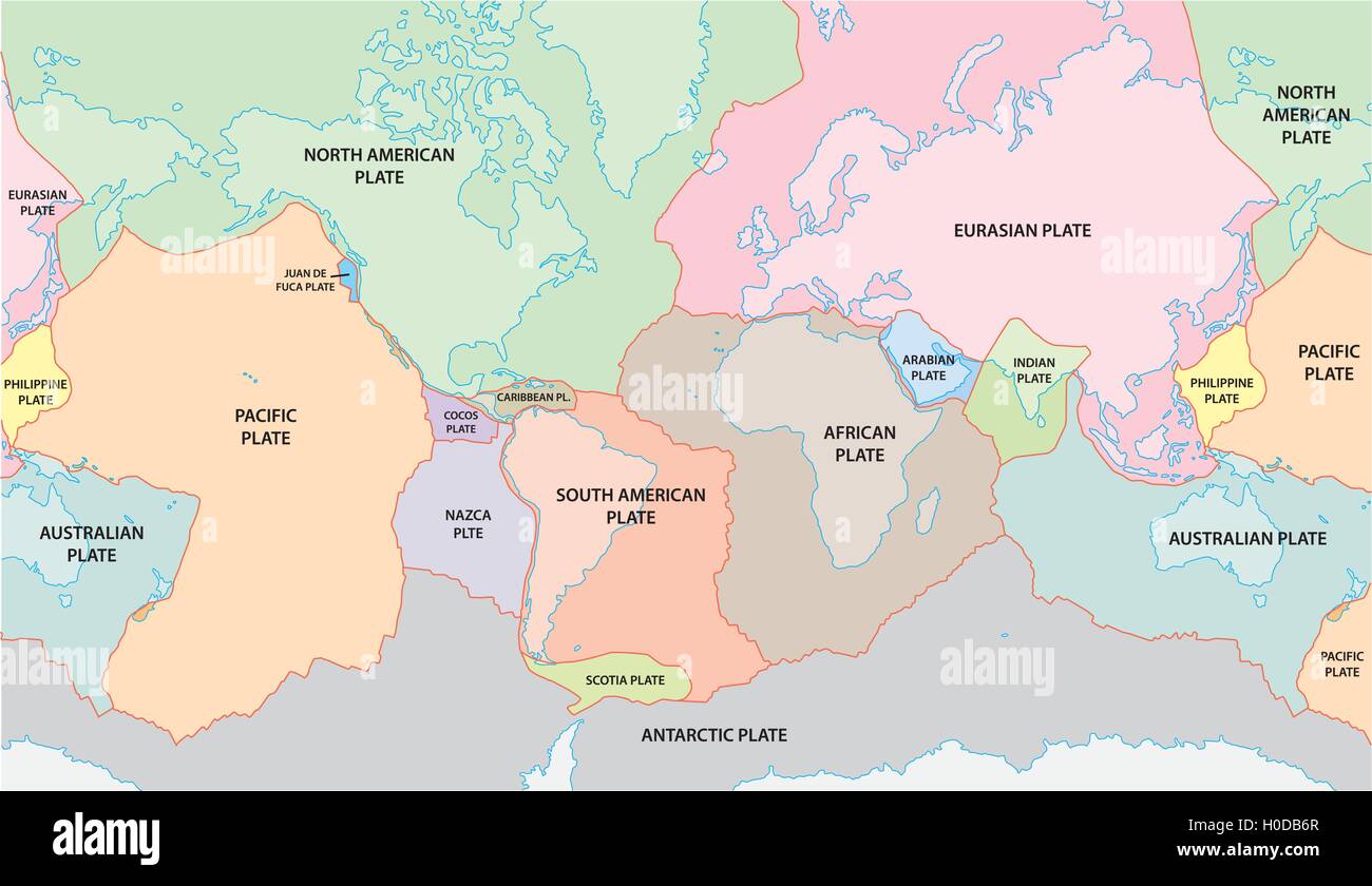 world plate tectonics map Stock Vectorhttps://www.alamy.com/image-license-details/?v=1https://www.alamy.com/stock-photo-world-plate-tectonics-map-120766767.html
RFH0DB6R–world plate tectonics map
 Plate tectonics word cloud concept. Collage made of words about plate tectonics. Vector illustration Stock Vectorhttps://www.alamy.com/image-license-details/?v=1https://www.alamy.com/plate-tectonics-word-cloud-concept-collage-made-of-words-about-plate-tectonics-vector-illustration-image332982505.html
RF2A9MJG9–Plate tectonics word cloud concept. Collage made of words about plate tectonics. Vector illustration
 An M16A4 service rifle and ballistic plate carrier sit staged before small arms and machine gun marksmanship training during Exercise Talisman Saber 17 on Townshend Island, Shoalwater Bay Training Area, Queensland, Australia, July 16, 2017. The 31st Marine Expeditionary Unit is taking part in Talisman Saber 17 while deployed on a regularly-scheduled patrol of the Indo-Asia-Pacific region. Talisman Saber is a biennial exercise designed to improve the interoperability between Australian and U.S. forces. (U.S. Marine Corps photo by Lance Cpl. Stormy Mendez/Released) Stock Photohttps://www.alamy.com/image-license-details/?v=1https://www.alamy.com/an-m16a4-service-rifle-and-ballistic-plate-carrier-sit-staged-before-small-arms-and-machine-gun-marksmanship-training-during-exercise-talisman-saber-17-on-townshend-island-shoalwater-bay-training-area-queensland-australia-july-16-2017-the-31st-marine-expeditionary-unit-is-taking-part-in-talisman-saber-17-while-deployed-on-a-regularly-scheduled-patrol-of-the-indo-asia-pacific-region-talisman-saber-is-a-biennial-exercise-designed-to-improve-the-interoperability-between-australian-and-us-forces-us-marine-corps-photo-by-lance-cpl-stormy-mendezreleased-image186844689.html
RMMRYE8H–An M16A4 service rifle and ballistic plate carrier sit staged before small arms and machine gun marksmanship training during Exercise Talisman Saber 17 on Townshend Island, Shoalwater Bay Training Area, Queensland, Australia, July 16, 2017. The 31st Marine Expeditionary Unit is taking part in Talisman Saber 17 while deployed on a regularly-scheduled patrol of the Indo-Asia-Pacific region. Talisman Saber is a biennial exercise designed to improve the interoperability between Australian and U.S. forces. (U.S. Marine Corps photo by Lance Cpl. Stormy Mendez/Released)
 Snow blowing on the top of Mount Ruapahu, Tongariro National Park, North Island, New Zealand Stock Photohttps://www.alamy.com/image-license-details/?v=1https://www.alamy.com/stock-photo-snow-blowing-on-the-top-of-mount-ruapahu-tongariro-national-park-north-15584332.html
RMANR4HH–Snow blowing on the top of Mount Ruapahu, Tongariro National Park, North Island, New Zealand
 Aoraki continues to rise by an average of 7 millimetres (0.28 in) each year, due to the collision of the Pacific and Indo-Australian Plates. Stock Photohttps://www.alamy.com/image-license-details/?v=1https://www.alamy.com/aoraki-continues-to-rise-by-an-average-of-7-millimetres-028-in-each-year-due-to-the-collision-of-the-pacific-and-indo-australian-plates-image345388783.html
RF2B1WPWK–Aoraki continues to rise by an average of 7 millimetres (0.28 in) each year, due to the collision of the Pacific and Indo-Australian Plates.
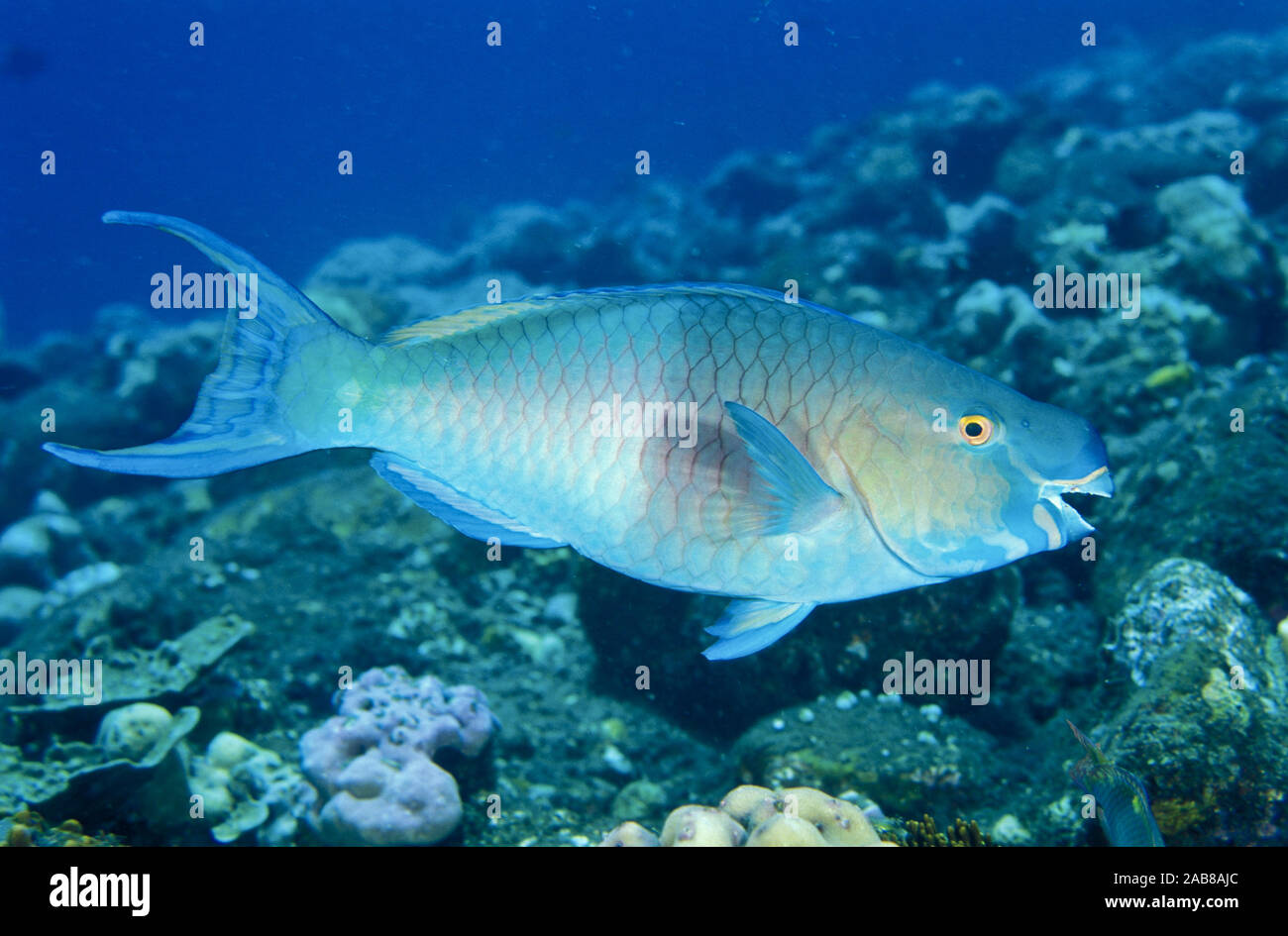 Ember parrotfish (Scarus rubroviolaceus), has beak-like fused teeth to scrape algae from dead coral or rocks. Solomon Islands Stock Photohttps://www.alamy.com/image-license-details/?v=1https://www.alamy.com/ember-parrotfish-scarus-rubroviolaceus-has-beak-like-fused-teeth-to-scrape-algae-from-dead-coral-or-rocks-solomon-islands-image333942180.html
RM2AB8AJC–Ember parrotfish (Scarus rubroviolaceus), has beak-like fused teeth to scrape algae from dead coral or rocks. Solomon Islands
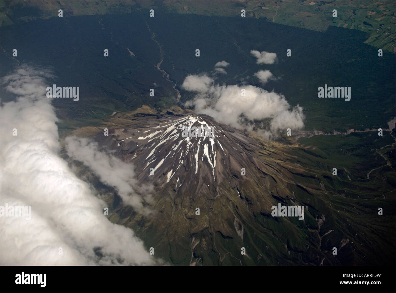 Aerial view of Mt Taranaki (Mt Egmont), New Zealand Stock Photohttps://www.alamy.com/image-license-details/?v=1https://www.alamy.com/stock-photo-aerial-view-of-mt-taranaki-mt-egmont-new-zealand-16114740.html
RFARRF5W–Aerial view of Mt Taranaki (Mt Egmont), New Zealand
 Snow-capped Southern Alps near Glenorchy in South Island, New Zealand Stock Photohttps://www.alamy.com/image-license-details/?v=1https://www.alamy.com/snow-capped-southern-alps-near-glenorchy-in-south-island-new-zealand-image330154164.html
RF2A53R04–Snow-capped Southern Alps near Glenorchy in South Island, New Zealand
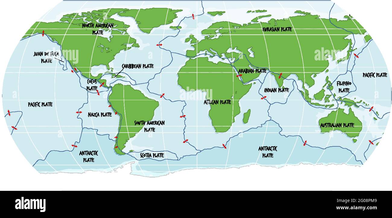 World Map Showing Tectonic Plates Boundaries illustration Stock Vectorhttps://www.alamy.com/image-license-details/?v=1https://www.alamy.com/world-map-showing-tectonic-plates-boundaries-illustration-image430452633.html
RF2G08PM9–World Map Showing Tectonic Plates Boundaries illustration
 An M16A4 service rifle and ballistic plate carrier sit staged before small arms and machine gun marksmanship training during Exercise Talisman Saber 17 on Townshend Island, Shoalwater Bay Training Area, Queensland, Australia, July 16, 2017. The 31st Marine Expeditionary Unit is taking part in Talisman Saber 17 while deployed on a regularly-scheduled patrol of the Indo-Asia-Pacific region. Talisman Saber is a biennial exercise designed to improve the interoperability between Australian and U.S. forces. Stock Photohttps://www.alamy.com/image-license-details/?v=1https://www.alamy.com/an-m16a4-service-rifle-and-ballistic-plate-carrier-sit-staged-before-small-arms-and-machine-gun-marksmanship-training-during-exercise-talisman-saber-17-on-townshend-island-shoalwater-bay-training-area-queensland-australia-july-16-2017-the-31st-marine-expeditionary-unit-is-taking-part-in-talisman-saber-17-while-deployed-on-a-regularly-scheduled-patrol-of-the-indo-asia-pacific-region-talisman-saber-is-a-biennial-exercise-designed-to-improve-the-interoperability-between-australian-and-us-forces-image221589036.html
RMPTE724–An M16A4 service rifle and ballistic plate carrier sit staged before small arms and machine gun marksmanship training during Exercise Talisman Saber 17 on Townshend Island, Shoalwater Bay Training Area, Queensland, Australia, July 16, 2017. The 31st Marine Expeditionary Unit is taking part in Talisman Saber 17 while deployed on a regularly-scheduled patrol of the Indo-Asia-Pacific region. Talisman Saber is a biennial exercise designed to improve the interoperability between Australian and U.S. forces.
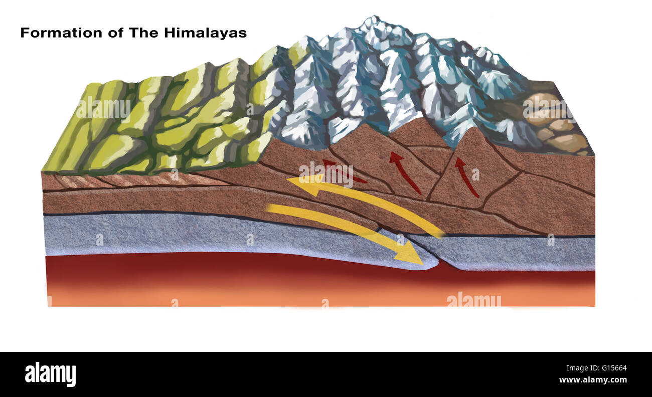 The Himalayas started forming about 70 million years ago as a result of tectonic plate activity: the north-moving Indo-Australian Plate collided with the Eurasian Plate. In this diagram, the leading edge of the Indian plate subducts beneath the Eurasian. Stock Photohttps://www.alamy.com/image-license-details/?v=1https://www.alamy.com/stock-photo-the-himalayas-started-forming-about-70-million-years-ago-as-a-result-103991500.html
RMG15664–The Himalayas started forming about 70 million years ago as a result of tectonic plate activity: the north-moving Indo-Australian Plate collided with the Eurasian Plate. In this diagram, the leading edge of the Indian plate subducts beneath the Eurasian.
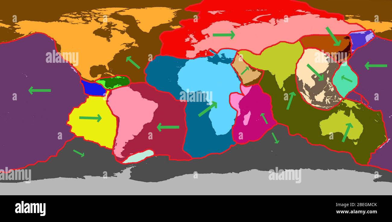 Earth's Tectonic Plates Stock Photohttps://www.alamy.com/image-license-details/?v=1https://www.alamy.com/earths-tectonic-plates-image353179811.html
RM2BEGMCK–Earth's Tectonic Plates
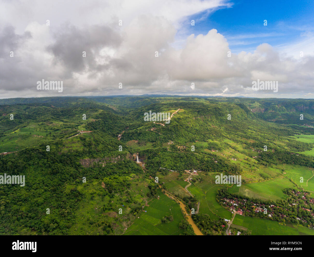 Geological fault, a valley and waterfall, creating biggest horse shoe-shaped natural amphitheater in Indonesia. Ciletuh - Palabuhanratu Geopark. Stock Photohttps://www.alamy.com/image-license-details/?v=1https://www.alamy.com/geological-fault-a-valley-and-waterfall-creating-biggest-horse-shoe-shaped-natural-amphitheater-in-indonesia-ciletuh-palabuhanratu-geopark-image240773813.html
RMRYM5CN–Geological fault, a valley and waterfall, creating biggest horse shoe-shaped natural amphitheater in Indonesia. Ciletuh - Palabuhanratu Geopark.
 The great Himalaya range, Ladakh mountains India Stock Photohttps://www.alamy.com/image-license-details/?v=1https://www.alamy.com/the-great-himalaya-range-ladakh-mountains-india-image626741692.html
RM2YBJFBT–The great Himalaya range, Ladakh mountains India
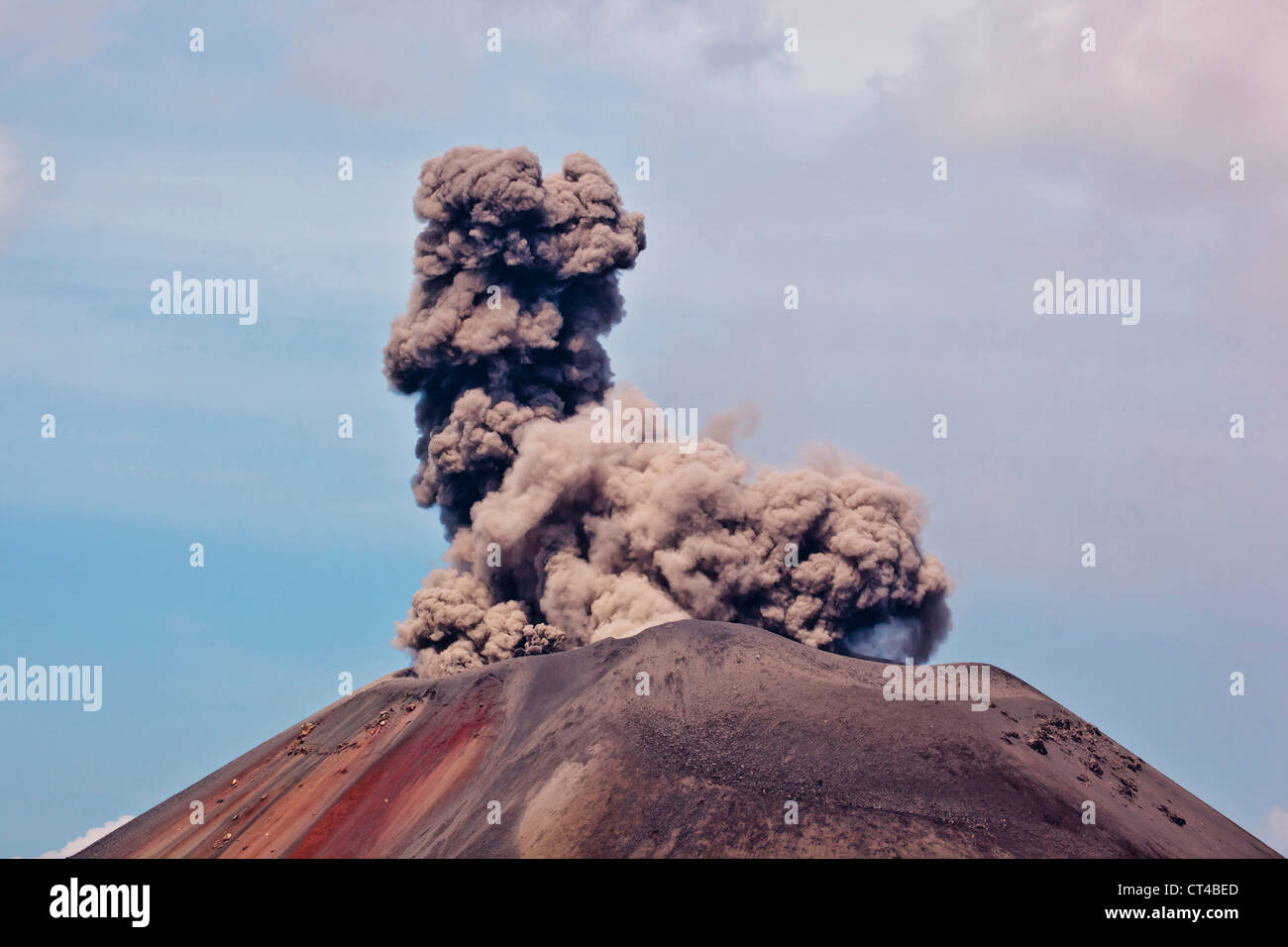 Indonesia, Sumatra, Java, Anak Krakatau. Smoke escaping from active volcano Anak Krakatau. Stock Photohttps://www.alamy.com/image-license-details/?v=1https://www.alamy.com/stock-photo-indonesia-sumatra-java-anak-krakatau-smoke-escaping-from-active-volcano-49269317.html
RMCT4BED–Indonesia, Sumatra, Java, Anak Krakatau. Smoke escaping from active volcano Anak Krakatau.
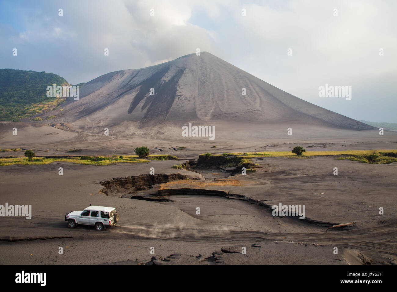 The eruption of the volcano Yasur on Tanna Island, Vanuatu Stock Photohttps://www.alamy.com/image-license-details/?v=1https://www.alamy.com/the-eruption-of-the-volcano-yasur-on-tanna-island-vanuatu-image154261507.html
RFJXY63F–The eruption of the volcano Yasur on Tanna Island, Vanuatu
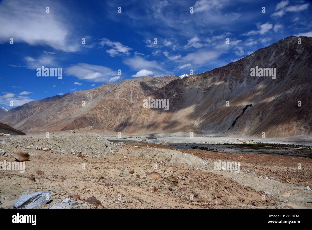 The Great Himalaya range, Ladakh mountains, India Stock Photohttps://www.alamy.com/image-license-details/?v=1https://www.alamy.com/the-great-himalaya-range-ladakh-mountains-india-image631270820.html
RM2YK0TAC–The Great Himalaya range, Ladakh mountains, India
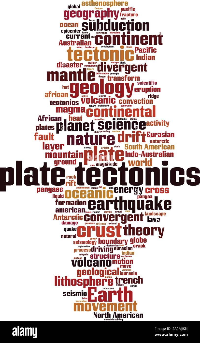 Plate tectonics word cloud concept. Collage made of words about plate tectonics. Vector illustration Stock Vectorhttps://www.alamy.com/image-license-details/?v=1https://www.alamy.com/plate-tectonics-word-cloud-concept-collage-made-of-words-about-plate-tectonics-vector-illustration-image332982601.html
RF2A9MJKN–Plate tectonics word cloud concept. Collage made of words about plate tectonics. Vector illustration
 Snow covered Mount Ruapehu, Tongariro National Park, North Island, New Zealand Stock Photohttps://www.alamy.com/image-license-details/?v=1https://www.alamy.com/stock-photo-snow-covered-mount-ruapehu-tongariro-national-park-north-island-new-15584319.html
RMANR4GG–Snow covered Mount Ruapehu, Tongariro National Park, North Island, New Zealand
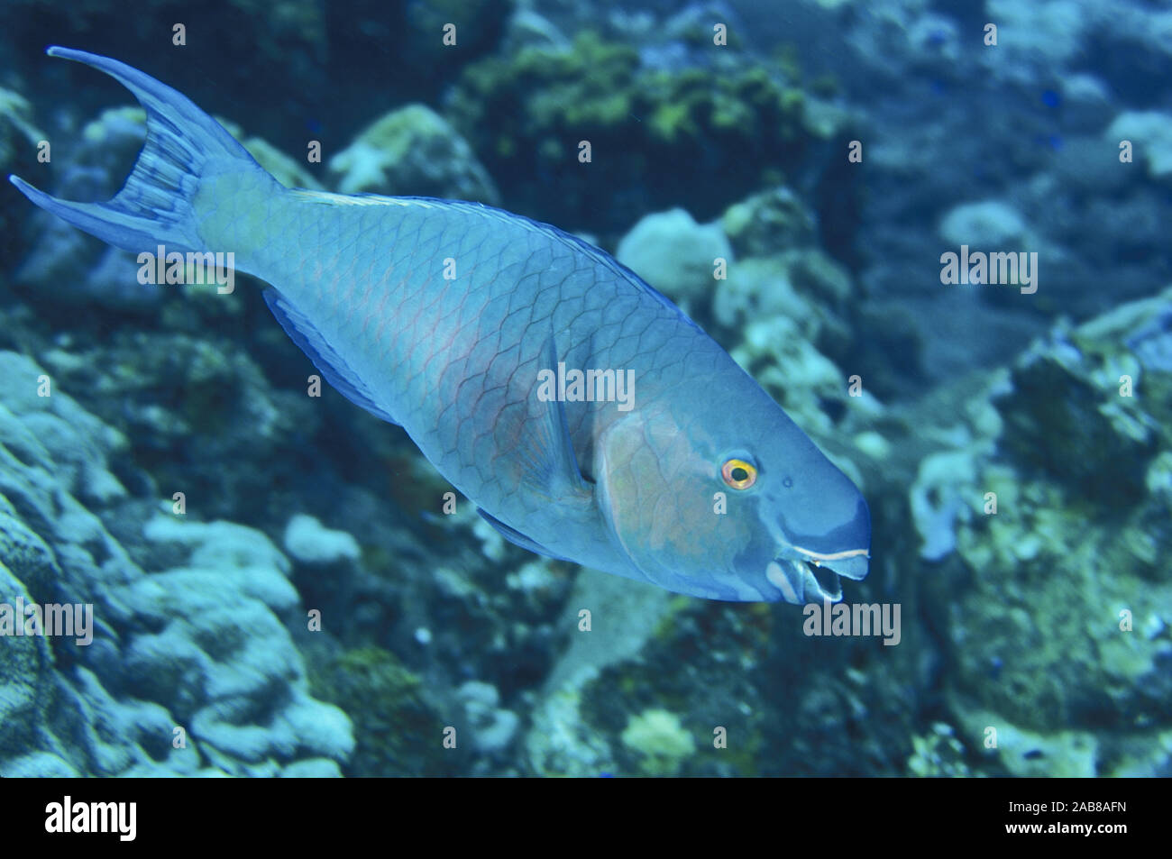 Ember parrotfish (Scarus rubroviolaceus), has beak-like fused teeth to scrape algae from dead coral or rocks. Solomon Islands Stock Photohttps://www.alamy.com/image-license-details/?v=1https://www.alamy.com/ember-parrotfish-scarus-rubroviolaceus-has-beak-like-fused-teeth-to-scrape-algae-from-dead-coral-or-rocks-solomon-islands-image333942105.html
RM2AB8AFN–Ember parrotfish (Scarus rubroviolaceus), has beak-like fused teeth to scrape algae from dead coral or rocks. Solomon Islands
 Snow-capped Southern Alps near Glenorchy in South Island, New Zealand Stock Photohttps://www.alamy.com/image-license-details/?v=1https://www.alamy.com/snow-capped-southern-alps-near-glenorchy-in-south-island-new-zealand-image330153983.html
RF2A53PNK–Snow-capped Southern Alps near Glenorchy in South Island, New Zealand
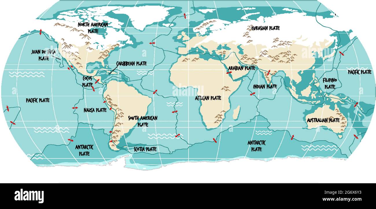 World Map Showing Tectonic Plates Boundaries illustration Stock Vectorhttps://www.alamy.com/image-license-details/?v=1https://www.alamy.com/world-map-showing-tectonic-plates-boundaries-illustration-image434523351.html
RF2G6X6Y3–World Map Showing Tectonic Plates Boundaries illustration
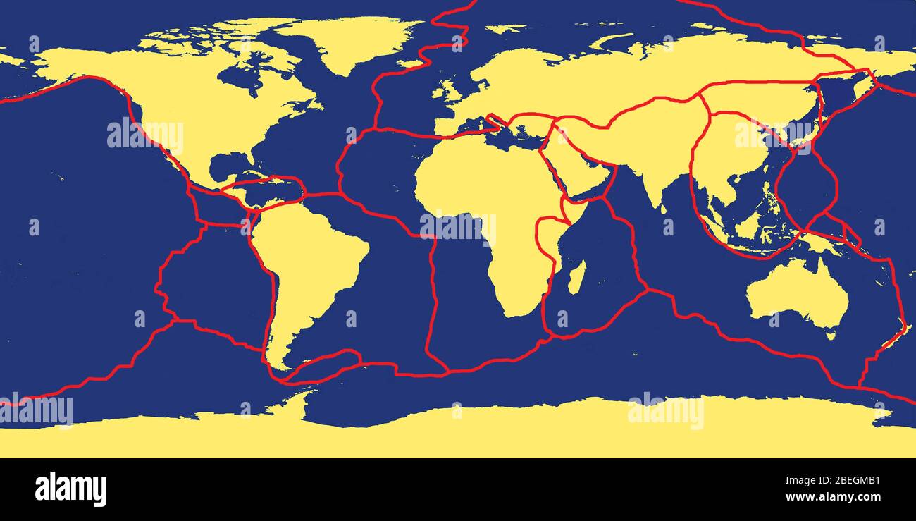 Earth's Tectonic Plates Stock Photohttps://www.alamy.com/image-license-details/?v=1https://www.alamy.com/earths-tectonic-plates-image353179765.html
RM2BEGMB1–Earth's Tectonic Plates
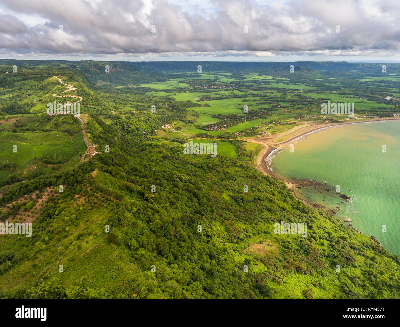 Geological fault, a valley and waterfall, creating biggest horse shoe-shaped natural amphitheater in Indonesia. Ciletuh - Palabuhanratu Geopark. Stock Photohttps://www.alamy.com/image-license-details/?v=1https://www.alamy.com/geological-fault-a-valley-and-waterfall-creating-biggest-horse-shoe-shaped-natural-amphitheater-in-indonesia-ciletuh-palabuhanratu-geopark-image240773676.html
RMRYM57T–Geological fault, a valley and waterfall, creating biggest horse shoe-shaped natural amphitheater in Indonesia. Ciletuh - Palabuhanratu Geopark.
 Indonesia, Sumatra, Java, Anak Krakatau. Landscape shot of active volcano Anak Krakatau. Stock Photohttps://www.alamy.com/image-license-details/?v=1https://www.alamy.com/stock-photo-indonesia-sumatra-java-anak-krakatau-landscape-shot-of-active-volcano-49269063.html
RMCT4B5B–Indonesia, Sumatra, Java, Anak Krakatau. Landscape shot of active volcano Anak Krakatau.
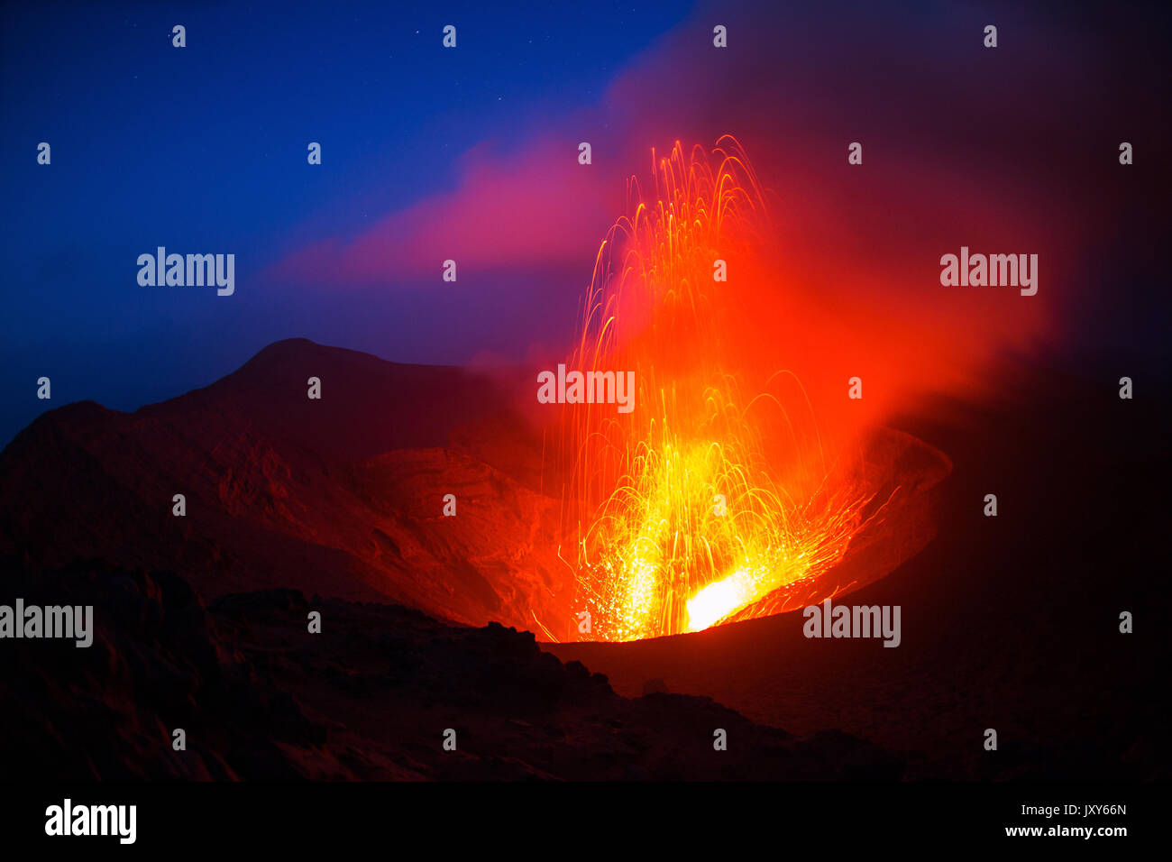 The eruption of the volcano Yasur on Tanna Island, Vanuatu Stock Photohttps://www.alamy.com/image-license-details/?v=1https://www.alamy.com/the-eruption-of-the-volcano-yasur-on-tanna-island-vanuatu-image154261597.html
RFJXY66N–The eruption of the volcano Yasur on Tanna Island, Vanuatu
 The Great Himalaya range, Ladakh mountains, India Stock Photohttps://www.alamy.com/image-license-details/?v=1https://www.alamy.com/the-great-himalaya-range-ladakh-mountains-india-image631270230.html
RM2YK0RHA–The Great Himalaya range, Ladakh mountains, India
 Plate tectonics word cloud concept. Collage made of words about plate tectonics. Vector illustration Stock Vectorhttps://www.alamy.com/image-license-details/?v=1https://www.alamy.com/plate-tectonics-word-cloud-concept-collage-made-of-words-about-plate-tectonics-vector-illustration-image332982647.html
RF2A9MJNB–Plate tectonics word cloud concept. Collage made of words about plate tectonics. Vector illustration
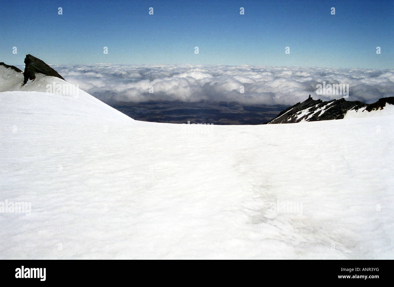 Cloud level, Mount Ruapehu, Tongariro National Park, North Island, New Zealand Stock Photohttps://www.alamy.com/image-license-details/?v=1https://www.alamy.com/stock-photo-cloud-level-mount-ruapehu-tongariro-national-park-north-island-new-15584115.html
RMANR3YG–Cloud level, Mount Ruapehu, Tongariro National Park, North Island, New Zealand
 Snow-capped Southern Alps near Glenorchy in South Island, New Zealand Stock Photohttps://www.alamy.com/image-license-details/?v=1https://www.alamy.com/snow-capped-southern-alps-near-glenorchy-in-south-island-new-zealand-image330154067.html
RF2A53PTK–Snow-capped Southern Alps near Glenorchy in South Island, New Zealand
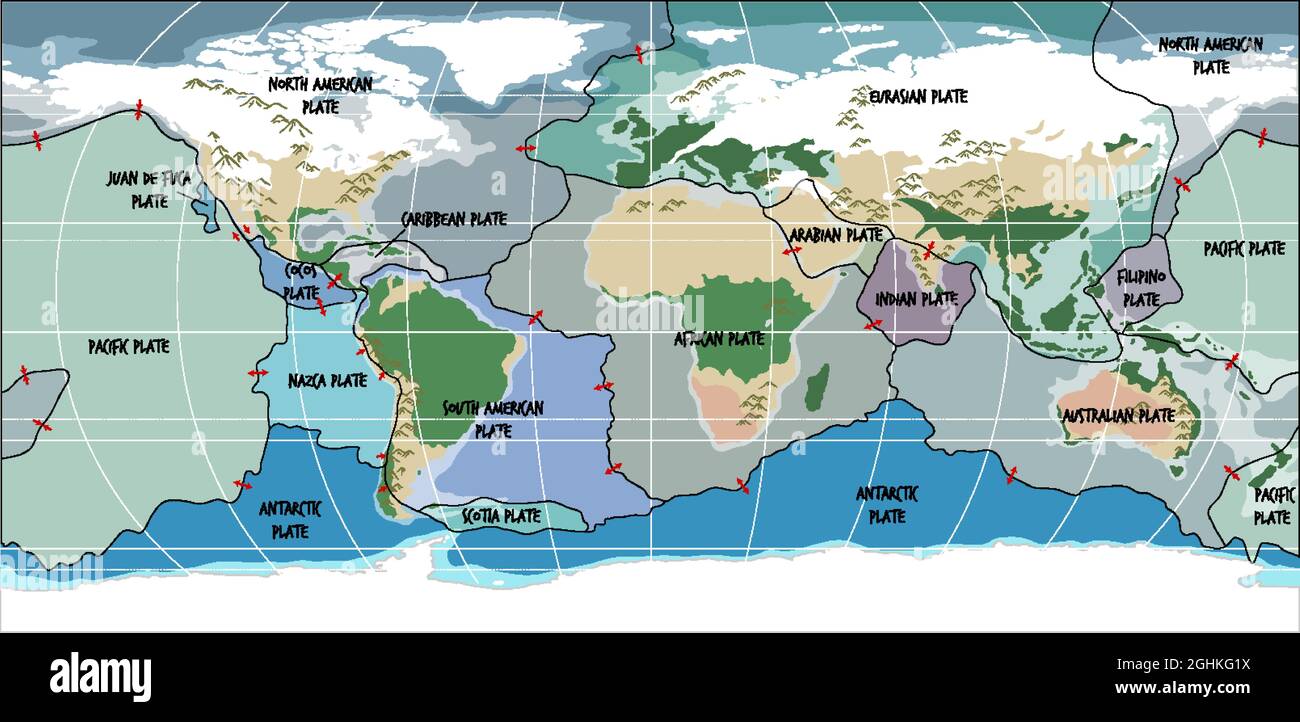 World Map Showing Tectonic Plates Boundaries illustration Stock Vectorhttps://www.alamy.com/image-license-details/?v=1https://www.alamy.com/world-map-showing-tectonic-plates-boundaries-illustration-image441138038.html
RF2GHKG1X–World Map Showing Tectonic Plates Boundaries illustration
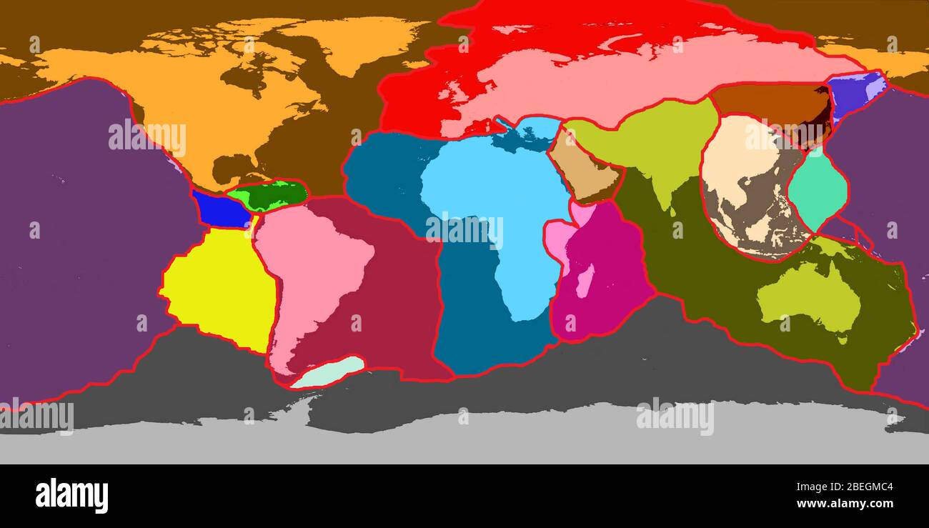 Earth's Tectonic Plates Stock Photohttps://www.alamy.com/image-license-details/?v=1https://www.alamy.com/earths-tectonic-plates-image353179796.html
RM2BEGMC4–Earth's Tectonic Plates
 Vast, wide and extensive agriculture (rice fields) in the valley of Ciletuh in the heart of Ciletuh - Palabuhanratu Geopark. So lush and green. Stock Photohttps://www.alamy.com/image-license-details/?v=1https://www.alamy.com/vast-wide-and-extensive-agriculture-rice-fields-in-the-valley-of-ciletuh-in-the-heart-of-ciletuh-palabuhanratu-geopark-so-lush-and-green-image240773912.html
RMRYM5G8–Vast, wide and extensive agriculture (rice fields) in the valley of Ciletuh in the heart of Ciletuh - Palabuhanratu Geopark. So lush and green.
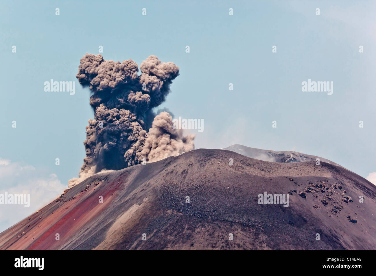 Indonesia, Sumatra, Java, Anak Krakatau. Smoke escaping from active volcano Anak Krakatau. Stock Photohttps://www.alamy.com/image-license-details/?v=1https://www.alamy.com/stock-photo-indonesia-sumatra-java-anak-krakatau-smoke-escaping-from-active-volcano-49269200.html
RMCT4BA8–Indonesia, Sumatra, Java, Anak Krakatau. Smoke escaping from active volcano Anak Krakatau.
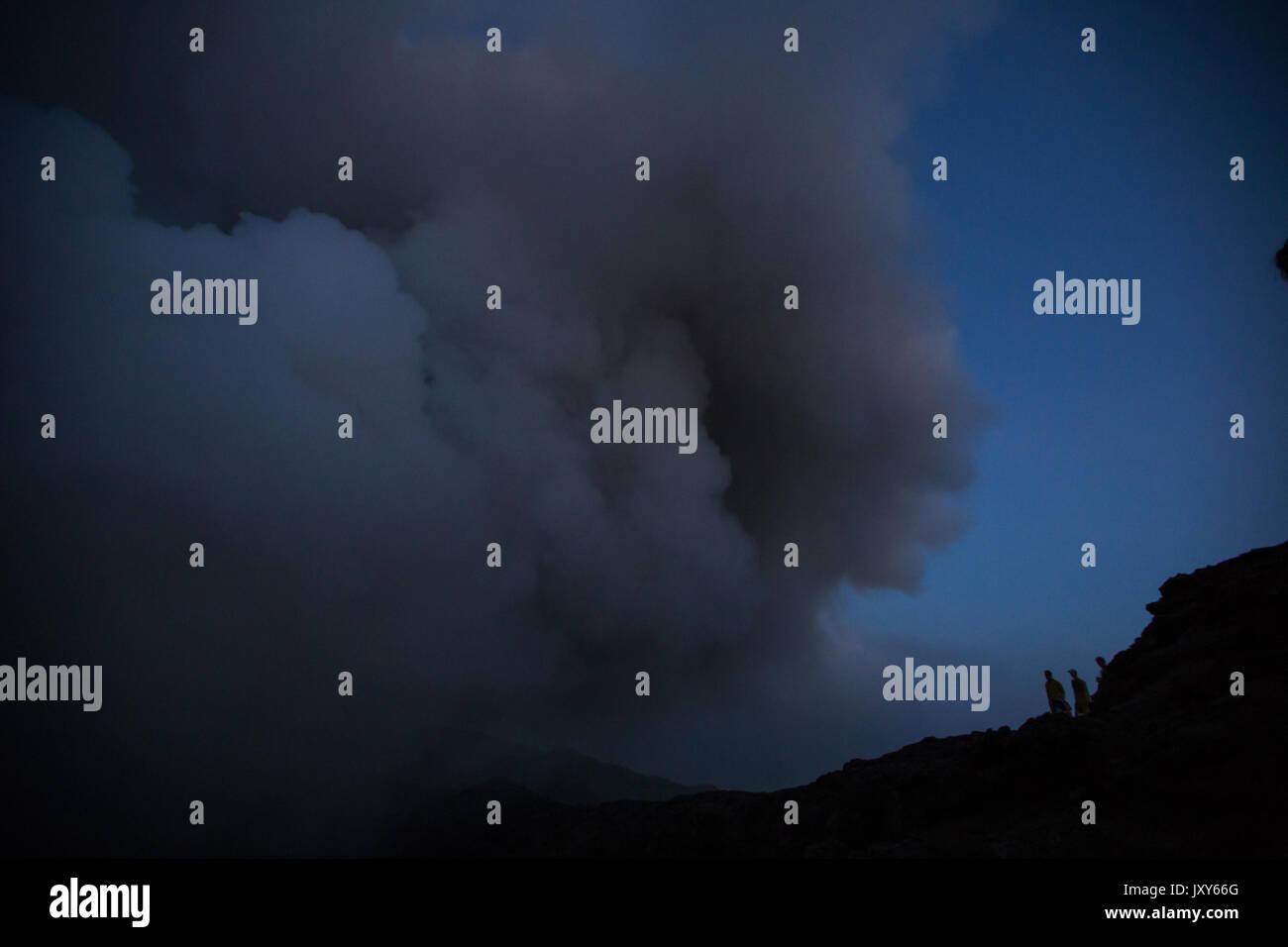 The eruption of the volcano Yasur on Tanna Island, Vanuatu Stock Photohttps://www.alamy.com/image-license-details/?v=1https://www.alamy.com/the-eruption-of-the-volcano-yasur-on-tanna-island-vanuatu-image154261592.html
RFJXY66G–The eruption of the volcano Yasur on Tanna Island, Vanuatu
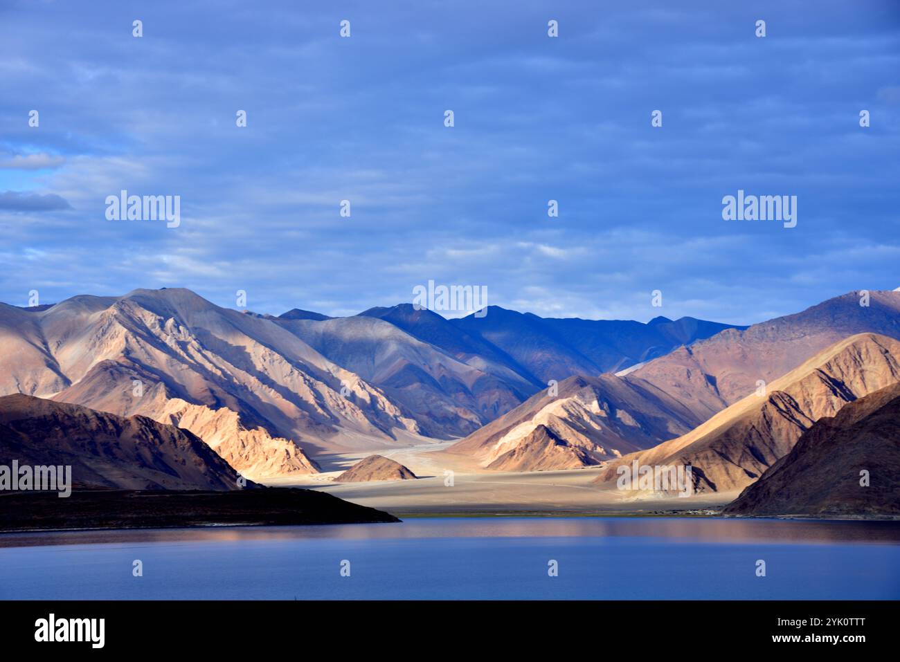 The Great Himalaya range, Ladakh mountains, India Stock Photohttps://www.alamy.com/image-license-details/?v=1https://www.alamy.com/the-great-himalaya-range-ladakh-mountains-india-image631271224.html
RM2YK0TTT–The Great Himalaya range, Ladakh mountains, India
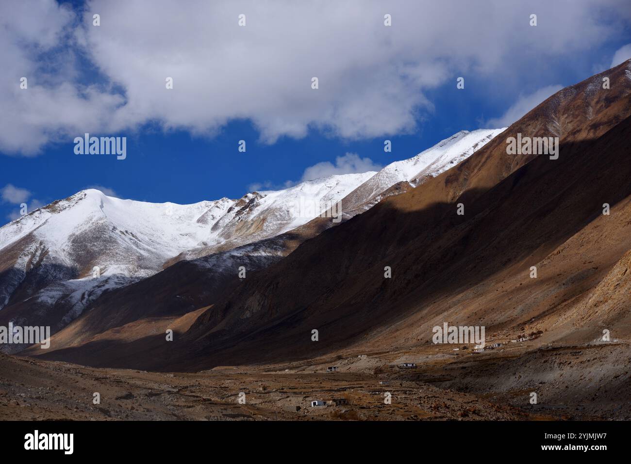 The Great Himalaya range, Ladakh mountains, India Stock Photohttps://www.alamy.com/image-license-details/?v=1https://www.alamy.com/the-great-himalaya-range-ladakh-mountains-india-image631090915.html
RM2YJMJW7–The Great Himalaya range, Ladakh mountains, India
 Two hikers in the snow, Mount Ruapehu, Tongariro National Park, North Island, New Zealand Stock Photohttps://www.alamy.com/image-license-details/?v=1https://www.alamy.com/stock-photo-two-hikers-in-the-snow-mount-ruapehu-tongariro-national-park-north-15584208.html
RMANR46W–Two hikers in the snow, Mount Ruapehu, Tongariro National Park, North Island, New Zealand
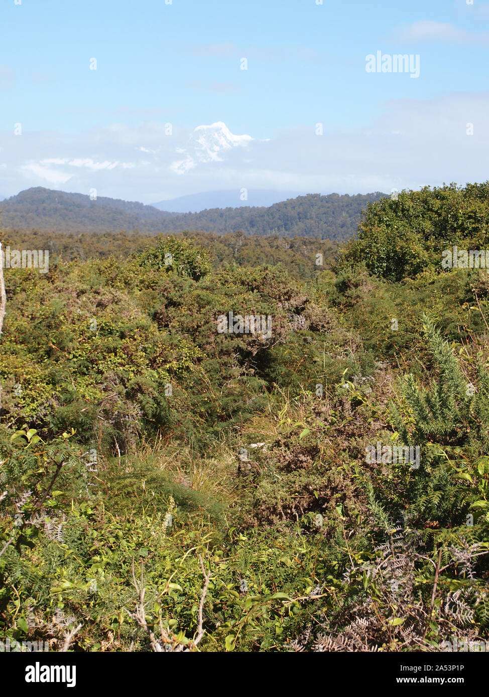 Snow-capped Southern Alps over a beach in South Island West Coast, New Zealand Stock Photohttps://www.alamy.com/image-license-details/?v=1https://www.alamy.com/snow-capped-southern-alps-over-a-beach-in-south-island-west-coast-new-zealand-image330153426.html
RF2A53P1P–Snow-capped Southern Alps over a beach in South Island West Coast, New Zealand
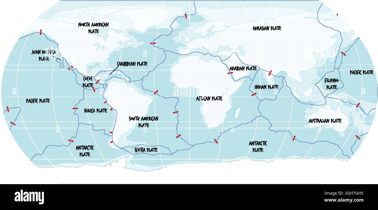 World Map Showing Tectonic Plates Boundaries illustration Stock Vectorhttps://www.alamy.com/image-license-details/?v=1https://www.alamy.com/world-map-showing-tectonic-plates-boundaries-illustration-image440875041.html
RF2GH7GH5–World Map Showing Tectonic Plates Boundaries illustration
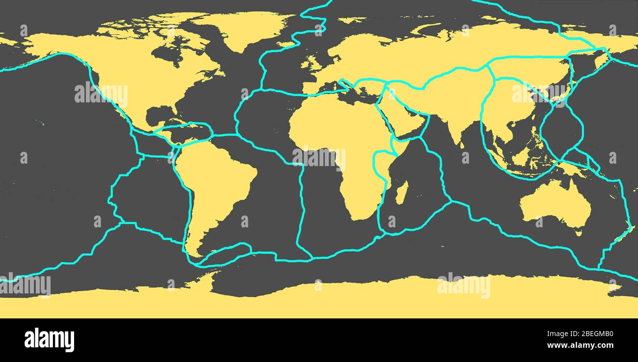 Earth's Tectonic Plates Stock Photohttps://www.alamy.com/image-license-details/?v=1https://www.alamy.com/earths-tectonic-plates-image353179764.html
RM2BEGMB0–Earth's Tectonic Plates
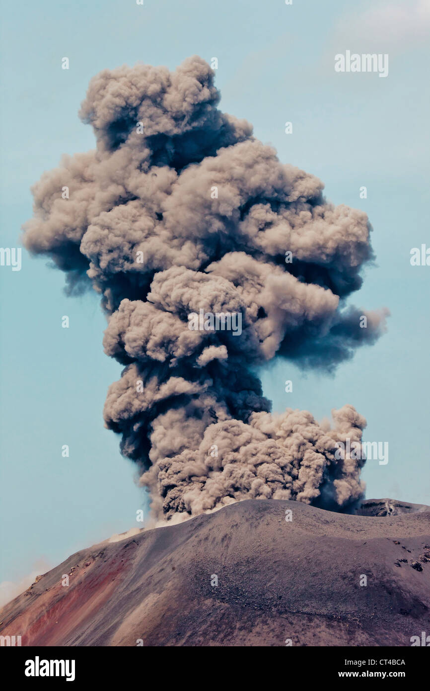 Indonesia, Sumatra, Java, Anak Krakatau. Smoke escaping from active volcano Anak Krakatau. Stock Photohttps://www.alamy.com/image-license-details/?v=1https://www.alamy.com/stock-photo-indonesia-sumatra-java-anak-krakatau-smoke-escaping-from-active-volcano-49269258.html
RMCT4BCA–Indonesia, Sumatra, Java, Anak Krakatau. Smoke escaping from active volcano Anak Krakatau.
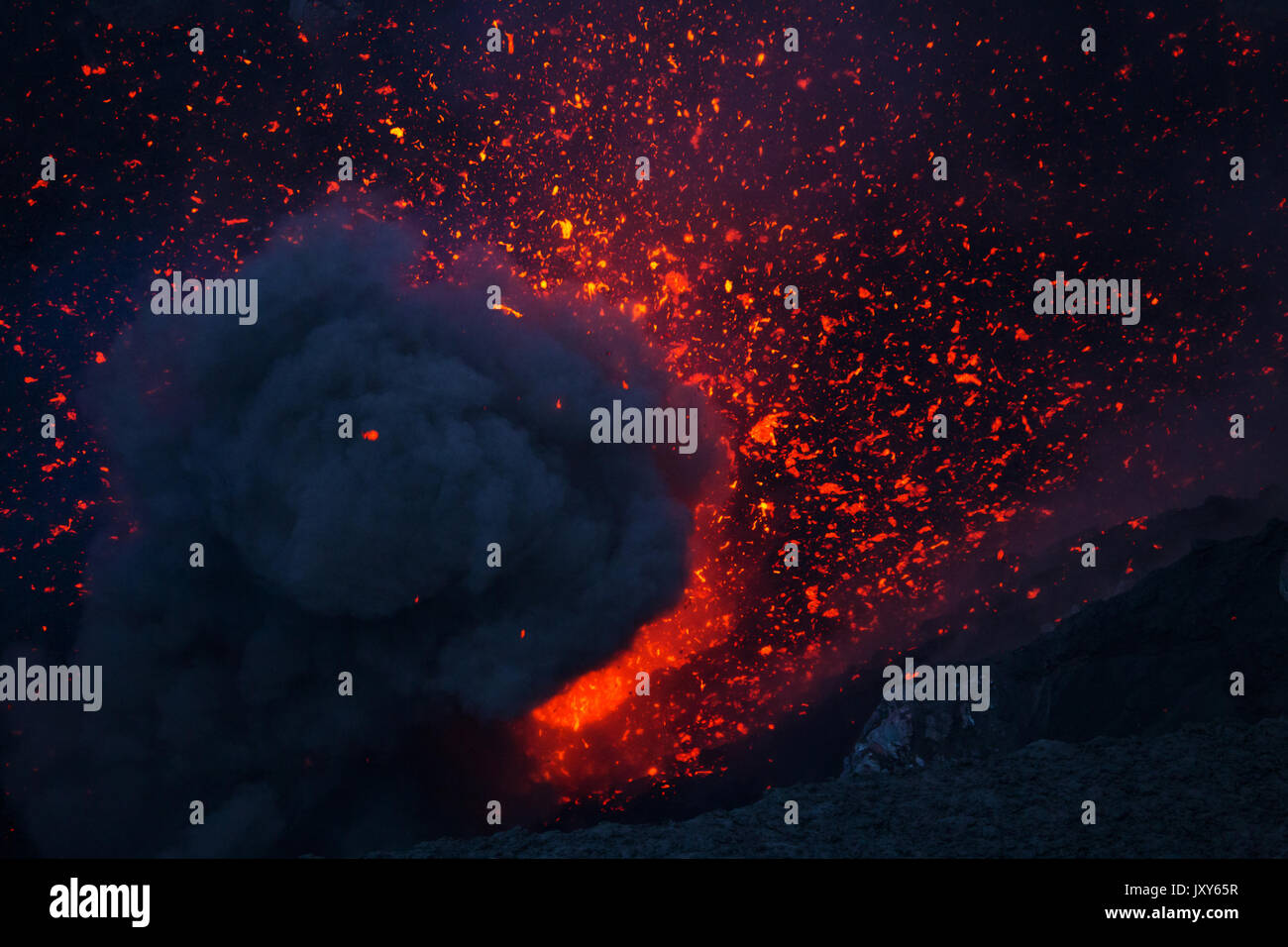 The eruption of the volcano Yasur on Tanna Island, Vanuatu Stock Photohttps://www.alamy.com/image-license-details/?v=1https://www.alamy.com/the-eruption-of-the-volcano-yasur-on-tanna-island-vanuatu-image154261571.html
RFJXY65R–The eruption of the volcano Yasur on Tanna Island, Vanuatu
 The Great Himalaya range, Ladakh mountains, India Stock Photohttps://www.alamy.com/image-license-details/?v=1https://www.alamy.com/the-great-himalaya-range-ladakh-mountains-india-image631091576.html
RM2YJMKMT–The Great Himalaya range, Ladakh mountains, India
 Cone of Mount Ngauruhoe, Tongariro National Park, North Island, New Zealand Stock Photohttps://www.alamy.com/image-license-details/?v=1https://www.alamy.com/stock-photo-cone-of-mount-ngauruhoe-tongariro-national-park-north-island-new-zealand-15582957.html
RMANR0EP–Cone of Mount Ngauruhoe, Tongariro National Park, North Island, New Zealand
 Snow-capped Southern Alps over a beach in South Island West Coast, New Zealand Stock Photohttps://www.alamy.com/image-license-details/?v=1https://www.alamy.com/snow-capped-southern-alps-over-a-beach-in-south-island-west-coast-new-zealand-image330153181.html
RF2A53NN1–Snow-capped Southern Alps over a beach in South Island West Coast, New Zealand
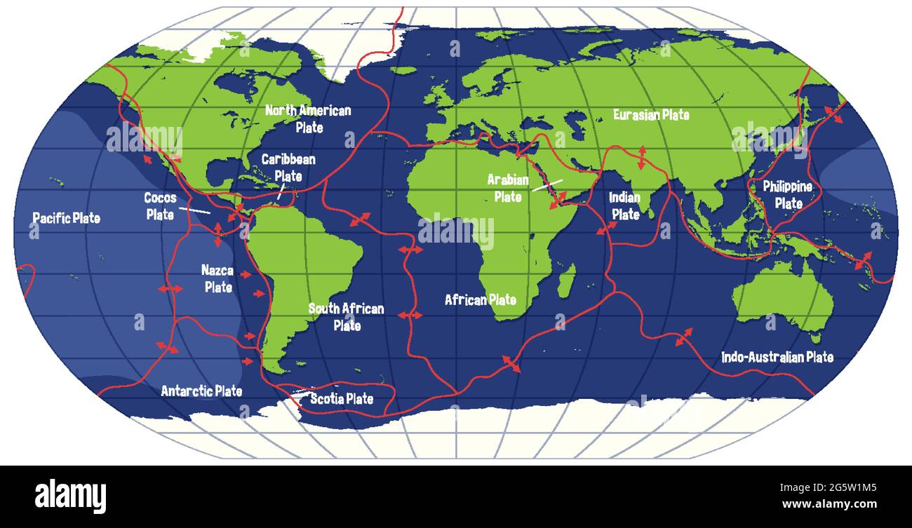 World Map Showing Tectonic Plates Boundaries illustration Stock Vectorhttps://www.alamy.com/image-license-details/?v=1https://www.alamy.com/world-map-showing-tectonic-plates-boundaries-illustration-image433882629.html
RF2G5W1M5–World Map Showing Tectonic Plates Boundaries illustration
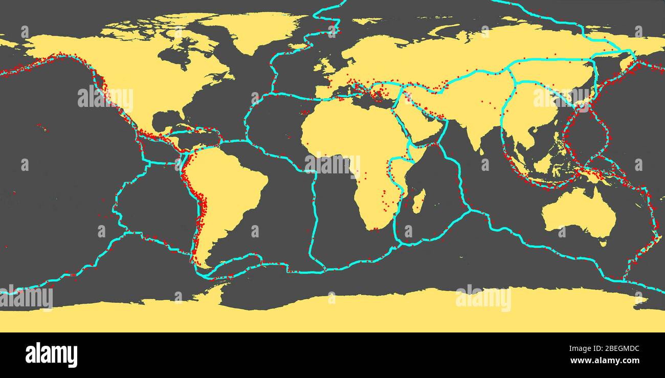 Earth's Tectonic Plates With Areas of Most Earthquakes Stock Photohttps://www.alamy.com/image-license-details/?v=1https://www.alamy.com/earths-tectonic-plates-with-areas-of-most-earthquakes-image353179832.html
RM2BEGMDC–Earth's Tectonic Plates With Areas of Most Earthquakes
 Indonesia, Sumatra, Java, Anak Krakatau. Smoke escaping from active volcano Anak Krakatau. Stock Photohttps://www.alamy.com/image-license-details/?v=1https://www.alamy.com/stock-photo-indonesia-sumatra-java-anak-krakatau-smoke-escaping-from-active-volcano-49269281.html
RMCT4BD5–Indonesia, Sumatra, Java, Anak Krakatau. Smoke escaping from active volcano Anak Krakatau.
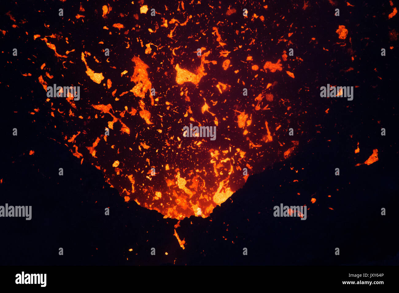 The eruption of the volcano Yasur on Tanna Island, Vanuatu Stock Photohttps://www.alamy.com/image-license-details/?v=1https://www.alamy.com/the-eruption-of-the-volcano-yasur-on-tanna-island-vanuatu-image154261542.html
RFJXY64P–The eruption of the volcano Yasur on Tanna Island, Vanuatu
 The Great Himalaya range, Ladakh mountains, India Stock Photohttps://www.alamy.com/image-license-details/?v=1https://www.alamy.com/the-great-himalaya-range-ladakh-mountains-india-image631091440.html
RM2YJMKG0–The Great Himalaya range, Ladakh mountains, India
 Tongariro National Park, North Island, New Zealand Stock Photohttps://www.alamy.com/image-license-details/?v=1https://www.alamy.com/stock-photo-tongariro-national-park-north-island-new-zealand-15571400.html
RMANNP3N–Tongariro National Park, North Island, New Zealand
 Snow-capped Southern Alps over a beach in South Island West Coast, New Zealand Stock Photohttps://www.alamy.com/image-license-details/?v=1https://www.alamy.com/snow-capped-southern-alps-over-a-beach-in-south-island-west-coast-new-zealand-image330153494.html
RF2A53P46–Snow-capped Southern Alps over a beach in South Island West Coast, New Zealand
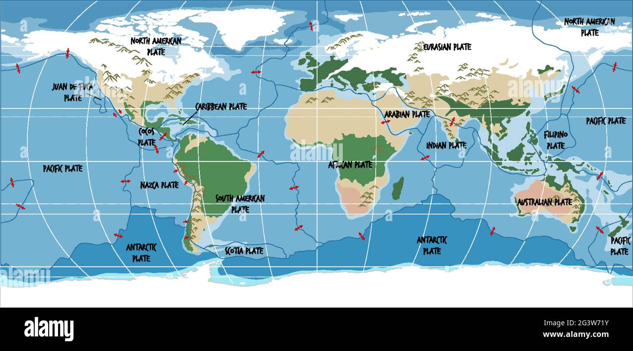 World Map Showing Tectonic Plates Boundaries illustration Stock Vectorhttps://www.alamy.com/image-license-details/?v=1https://www.alamy.com/world-map-showing-tectonic-plates-boundaries-illustration-image432657511.html
RF2G3W71Y–World Map Showing Tectonic Plates Boundaries illustration
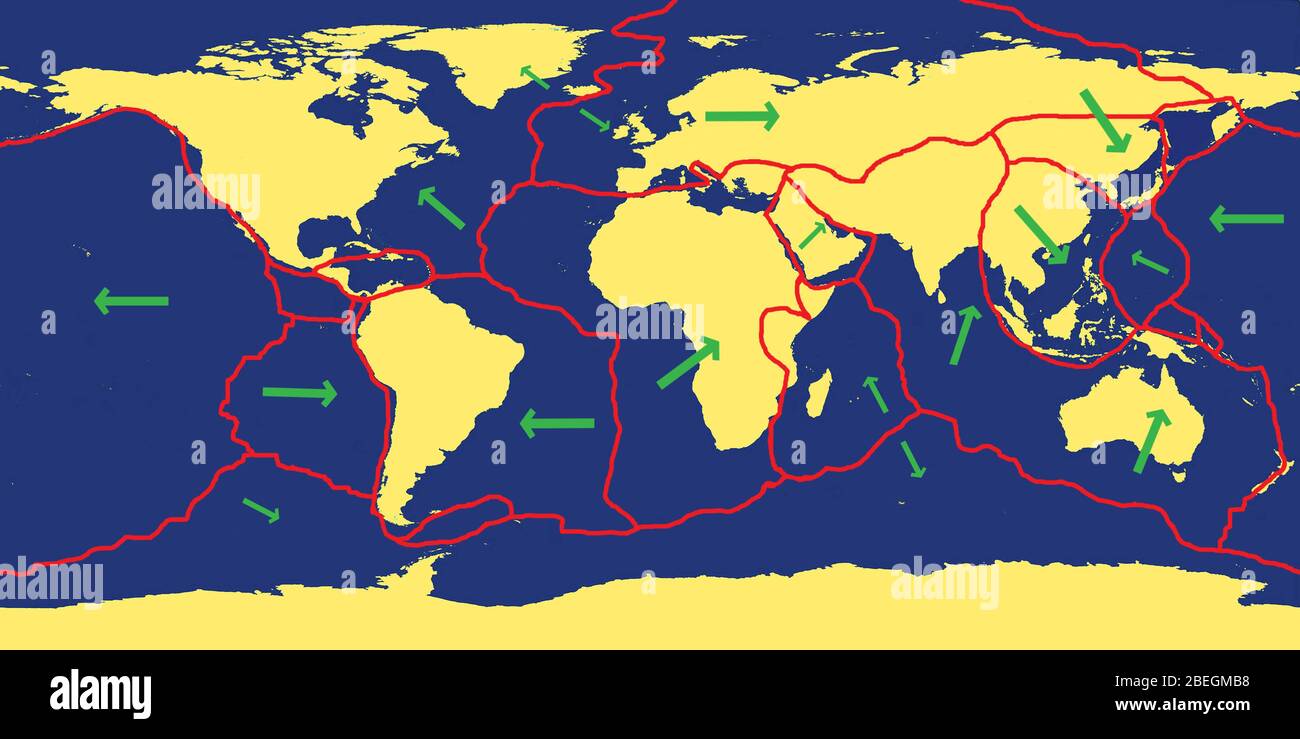 Earth's Tectonic Plates Stock Photohttps://www.alamy.com/image-license-details/?v=1https://www.alamy.com/earths-tectonic-plates-image353179772.html
RM2BEGMB8–Earth's Tectonic Plates
 Indonesia, Sumatra, Java, Anak Krakatau. Landscape shot of active volcano Anak Krakatau. Stock Photohttps://www.alamy.com/image-license-details/?v=1https://www.alamy.com/stock-photo-indonesia-sumatra-java-anak-krakatau-landscape-shot-of-active-volcano-49269027.html
RMCT4B43–Indonesia, Sumatra, Java, Anak Krakatau. Landscape shot of active volcano Anak Krakatau.
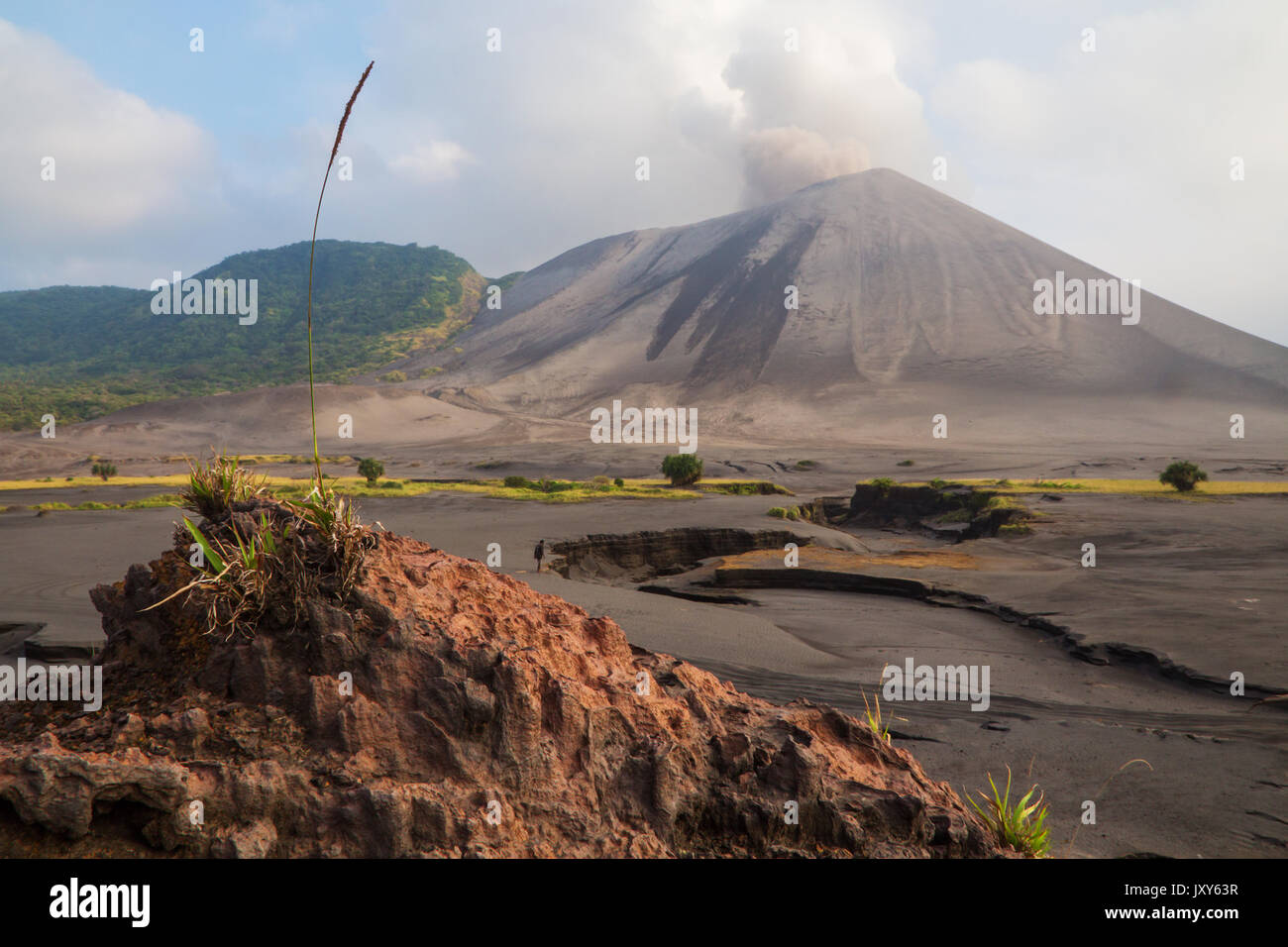 The eruption of the volcano Yasur on Tanna Island, Vanuatu Stock Photohttps://www.alamy.com/image-license-details/?v=1https://www.alamy.com/the-eruption-of-the-volcano-yasur-on-tanna-island-vanuatu-image154261515.html
RFJXY63R–The eruption of the volcano Yasur on Tanna Island, Vanuatu
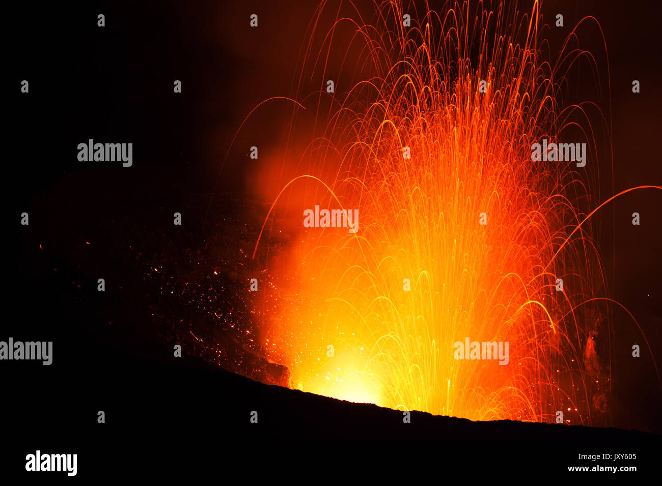 The eruption of the volcano Yasur on Tanna Island, Vanuatu Stock Photohttps://www.alamy.com/image-license-details/?v=1https://www.alamy.com/the-eruption-of-the-volcano-yasur-on-tanna-island-vanuatu-image154261413.html
RFJXY605–The eruption of the volcano Yasur on Tanna Island, Vanuatu
 The Great Himalaya range, Ladakh mountains, India Stock Photohttps://www.alamy.com/image-license-details/?v=1https://www.alamy.com/the-great-himalaya-range-ladakh-mountains-india-image631091452.html
RM2YJMKGC–The Great Himalaya range, Ladakh mountains, India
 Mount Ngauruhoe, Tongariro National Park, North Island, New Zealand Stock Photohttps://www.alamy.com/image-license-details/?v=1https://www.alamy.com/stock-photo-mount-ngauruhoe-tongariro-national-park-north-island-new-zealand-15571481.html
RMANNPAJ–Mount Ngauruhoe, Tongariro National Park, North Island, New Zealand
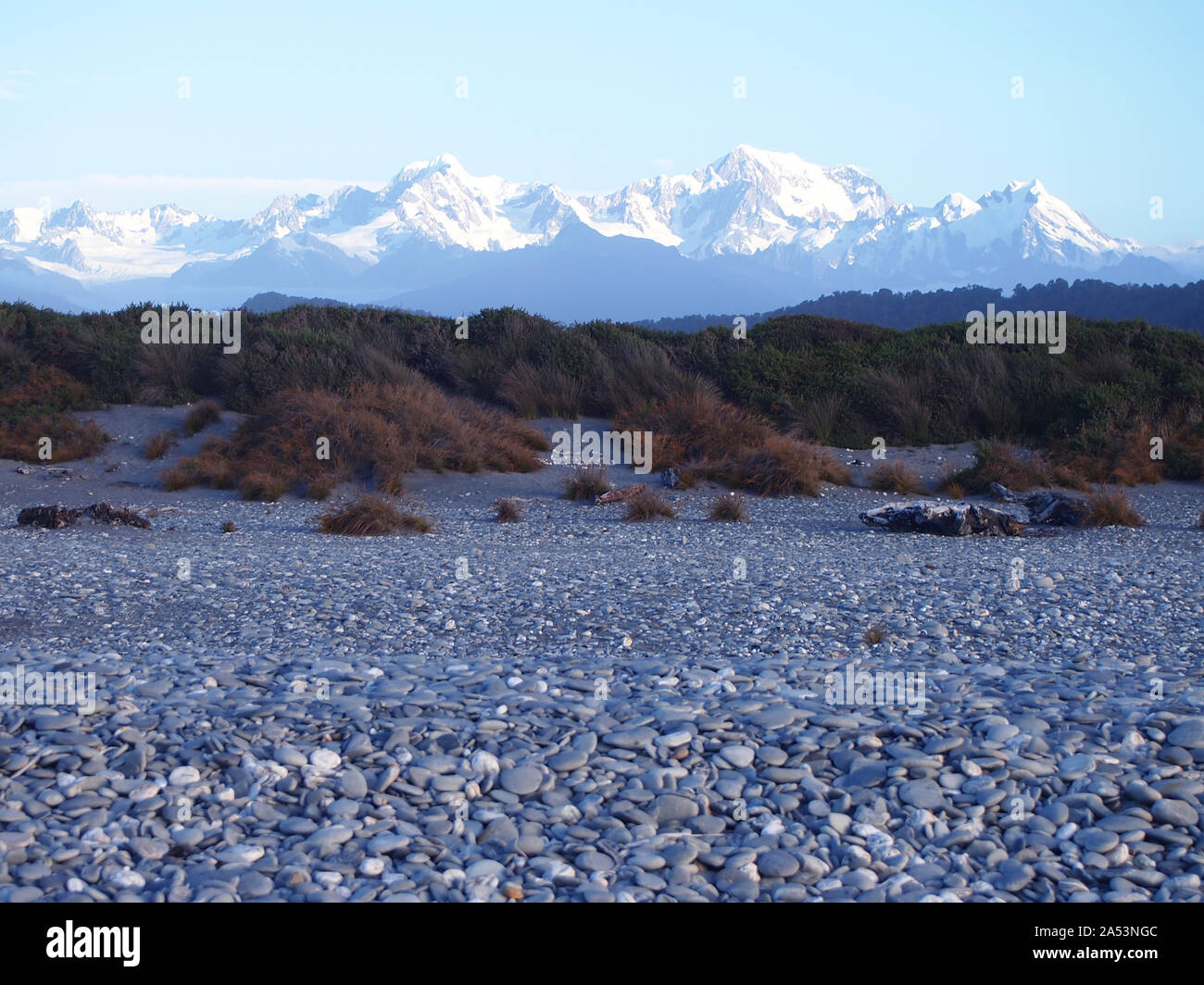 Snow-capped Southern Alps over a beach in South Island West Coast, New Zealand Stock Photohttps://www.alamy.com/image-license-details/?v=1https://www.alamy.com/snow-capped-southern-alps-over-a-beach-in-south-island-west-coast-new-zealand-image330153052.html
RF2A53NGC–Snow-capped Southern Alps over a beach in South Island West Coast, New Zealand
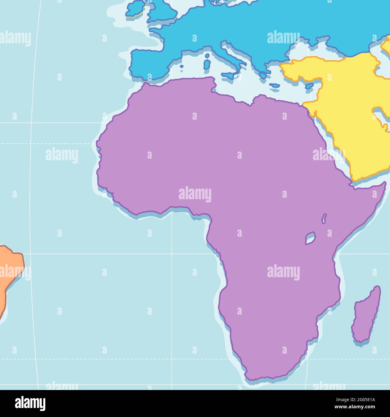 Close up view of Blank African Plates Boundaries Map illustration Stock Vectorhttps://www.alamy.com/image-license-details/?v=1https://www.alamy.com/close-up-view-of-blank-african-plates-boundaries-map-illustration-image430379974.html
RF2G05E1A–Close up view of Blank African Plates Boundaries Map illustration
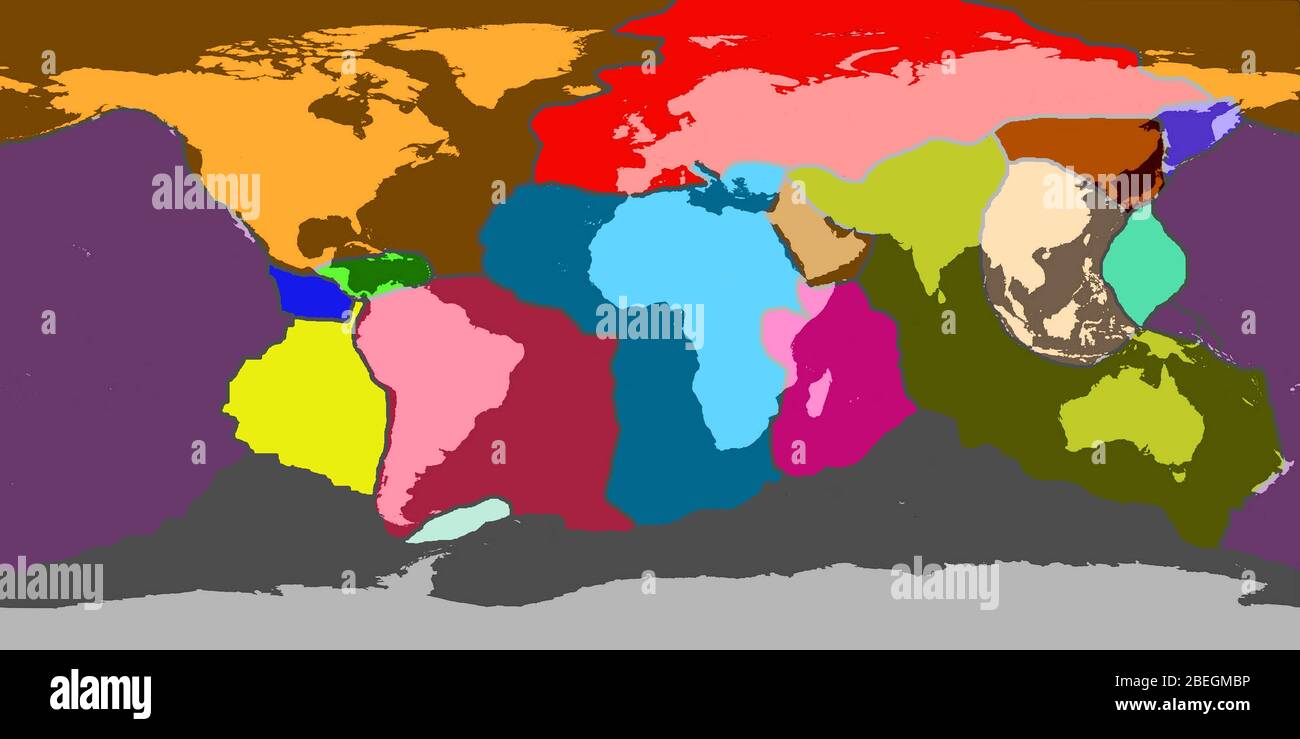 Earth's Tectonic Plates Stock Photohttps://www.alamy.com/image-license-details/?v=1https://www.alamy.com/earths-tectonic-plates-image353179786.html
RM2BEGMBP–Earth's Tectonic Plates
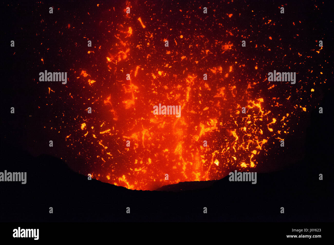 The eruption of the volcano Yasur on Tanna Island, Vanuatu Stock Photohttps://www.alamy.com/image-license-details/?v=1https://www.alamy.com/the-eruption-of-the-volcano-yasur-on-tanna-island-vanuatu-image154261467.html
RFJXY623–The eruption of the volcano Yasur on Tanna Island, Vanuatu
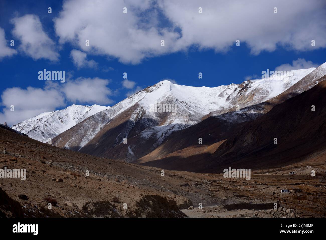 The Great Himalaya range, Ladakh mountains, India Stock Photohttps://www.alamy.com/image-license-details/?v=1https://www.alamy.com/the-great-himalaya-range-ladakh-mountains-india-image631090791.html
RM2YJMJMR–The Great Himalaya range, Ladakh mountains, India
 The cone of Mount Ngauruhoe, Tongariro National Park, North Island, New Zealand Stock Photohttps://www.alamy.com/image-license-details/?v=1https://www.alamy.com/stock-photo-the-cone-of-mount-ngauruhoe-tongariro-national-park-north-island-new-15584162.html
RMANR42Y–The cone of Mount Ngauruhoe, Tongariro National Park, North Island, New Zealand
 Snow-capped Southern Alps over a beach in South Island West Coast, New Zealand Stock Photohttps://www.alamy.com/image-license-details/?v=1https://www.alamy.com/snow-capped-southern-alps-over-a-beach-in-south-island-west-coast-new-zealand-image330153310.html
RF2A53NWJ–Snow-capped Southern Alps over a beach in South Island West Coast, New Zealand
 World Map Showing Tectonic Plates Boundaries illustration Stock Vectorhttps://www.alamy.com/image-license-details/?v=1https://www.alamy.com/world-map-showing-tectonic-plates-boundaries-illustration-image452830894.html
RF2H8M6BX–World Map Showing Tectonic Plates Boundaries illustration
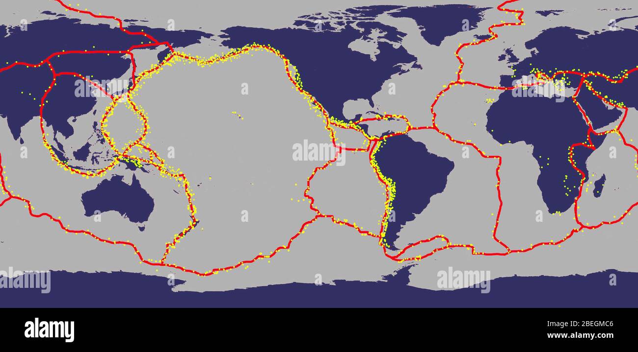 Earth's Tectonic Plates With Areas of Most Earthquakes Stock Photohttps://www.alamy.com/image-license-details/?v=1https://www.alamy.com/earths-tectonic-plates-with-areas-of-most-earthquakes-image353179798.html
RM2BEGMC6–Earth's Tectonic Plates With Areas of Most Earthquakes
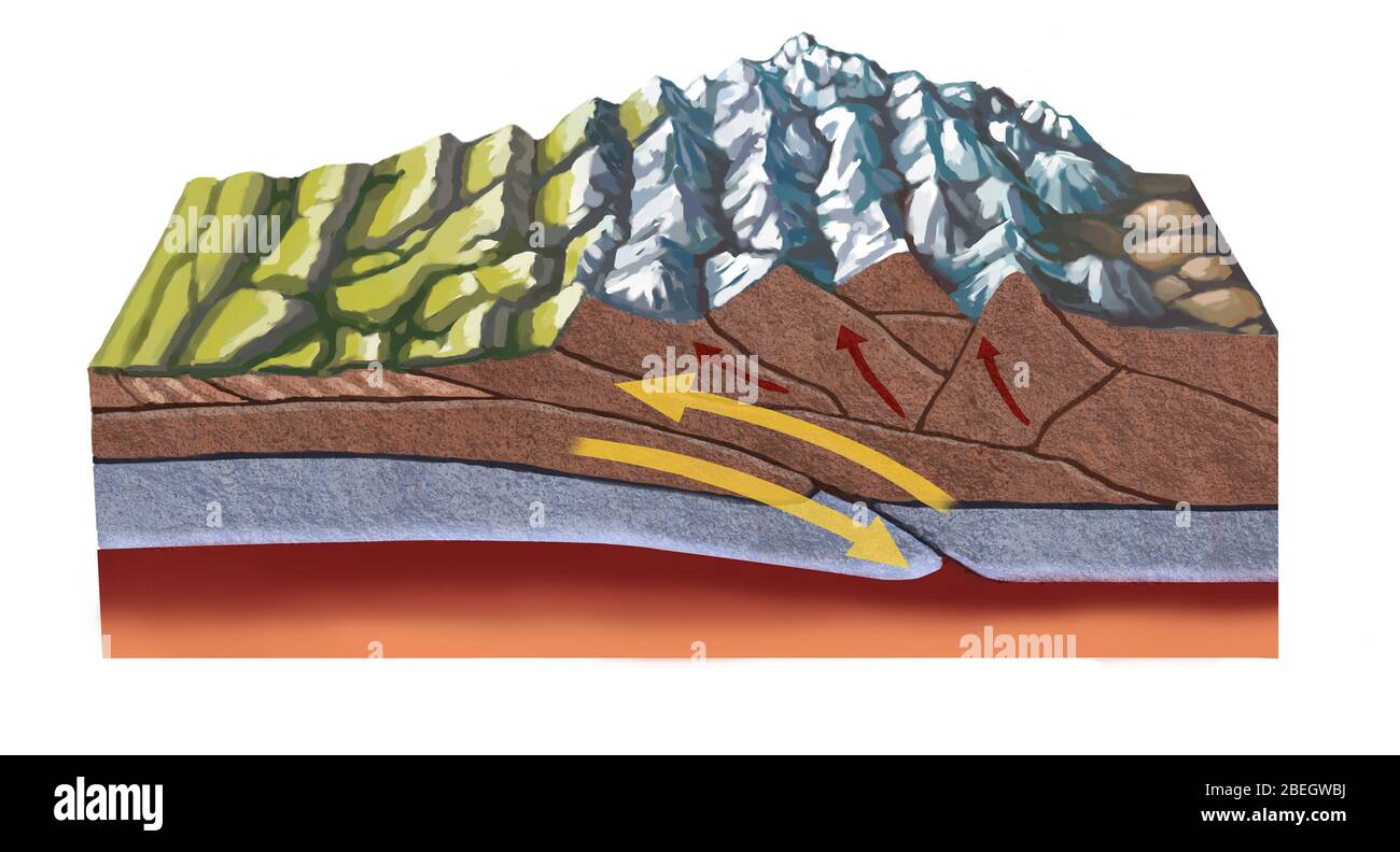 Formation of the Himalayas Stock Photohttps://www.alamy.com/image-license-details/?v=1https://www.alamy.com/formation-of-the-himalayas-image353183702.html
RM2BEGWBJ–Formation of the Himalayas
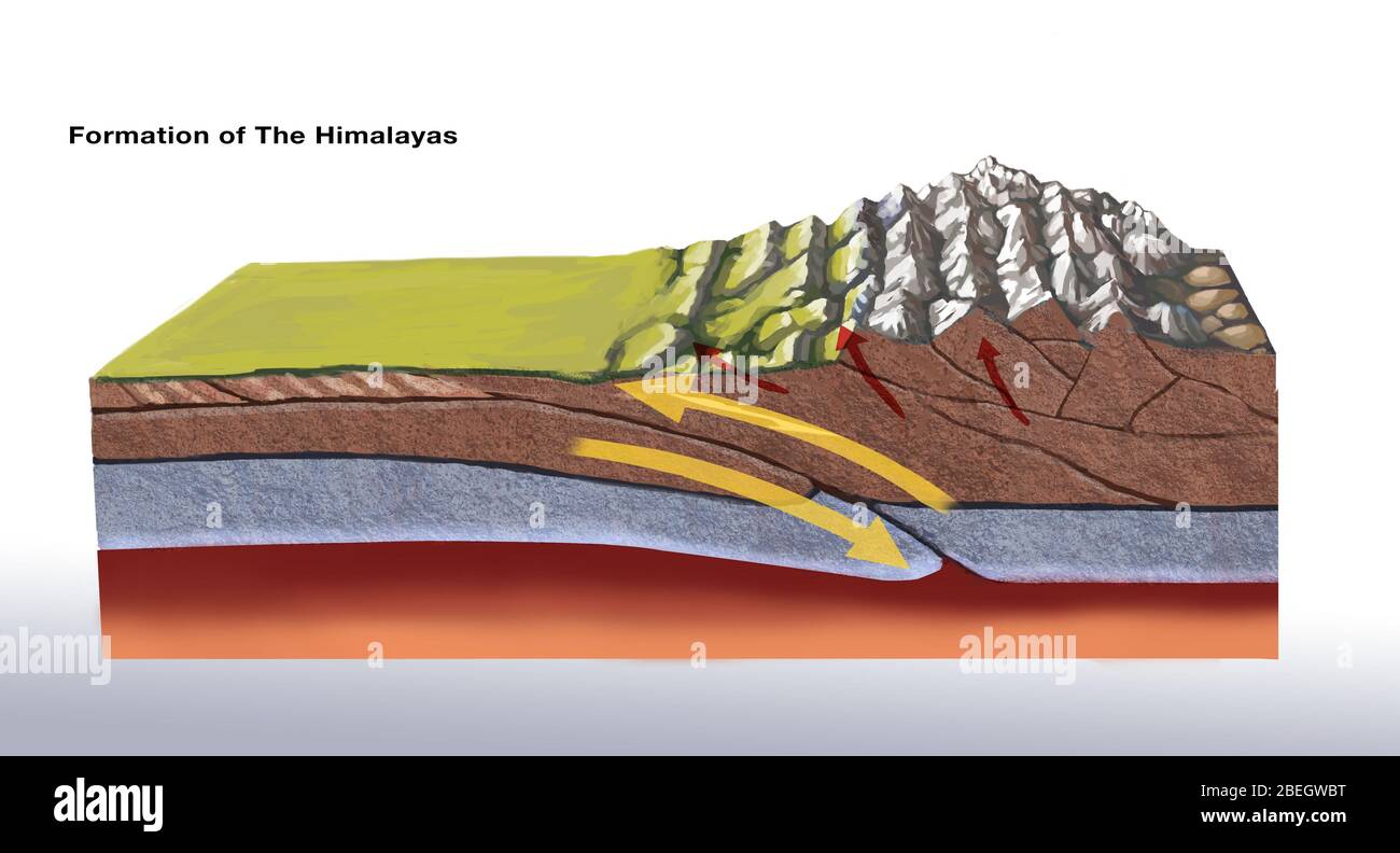 Formation of the Himalayas Stock Photohttps://www.alamy.com/image-license-details/?v=1https://www.alamy.com/formation-of-the-himalayas-image353183708.html
RM2BEGWBT–Formation of the Himalayas
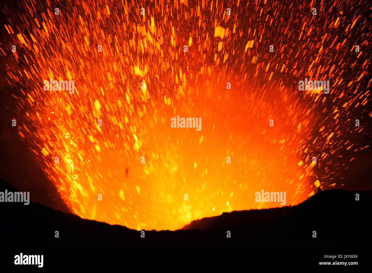 The eruption of the volcano Yasur on Tanna Island, Vanuatu Stock Photohttps://www.alamy.com/image-license-details/?v=1https://www.alamy.com/the-eruption-of-the-volcano-yasur-on-tanna-island-vanuatu-image154261429.html
RFJXY60N–The eruption of the volcano Yasur on Tanna Island, Vanuatu
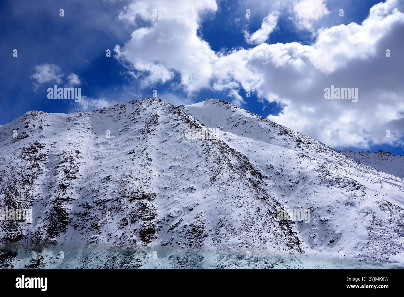 The Great Himalaya range, Ladakh mountains, India Stock Photohttps://www.alamy.com/image-license-details/?v=1https://www.alamy.com/the-great-himalaya-range-ladakh-mountains-india-image631091241.html
RM2YJMK8W–The Great Himalaya range, Ladakh mountains, India
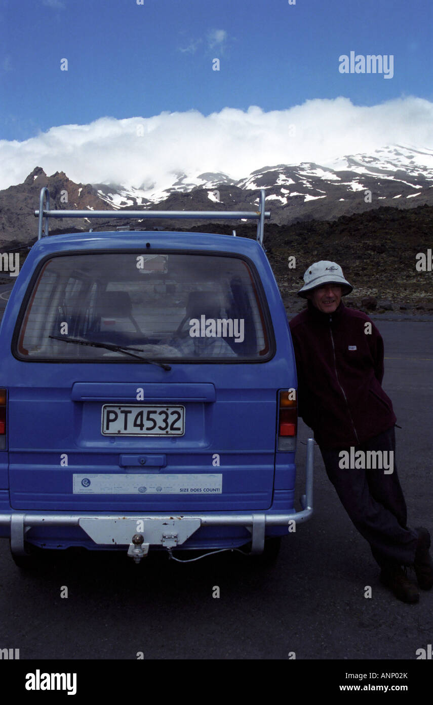 Man and camper van, Mount Ruapehu, Tongariro National Park, North Island, New Zealand Stock Photohttps://www.alamy.com/image-license-details/?v=1https://www.alamy.com/stock-photo-man-and-camper-van-mount-ruapehu-tongariro-national-park-north-island-15573402.html
RMANP02K–Man and camper van, Mount Ruapehu, Tongariro National Park, North Island, New Zealand
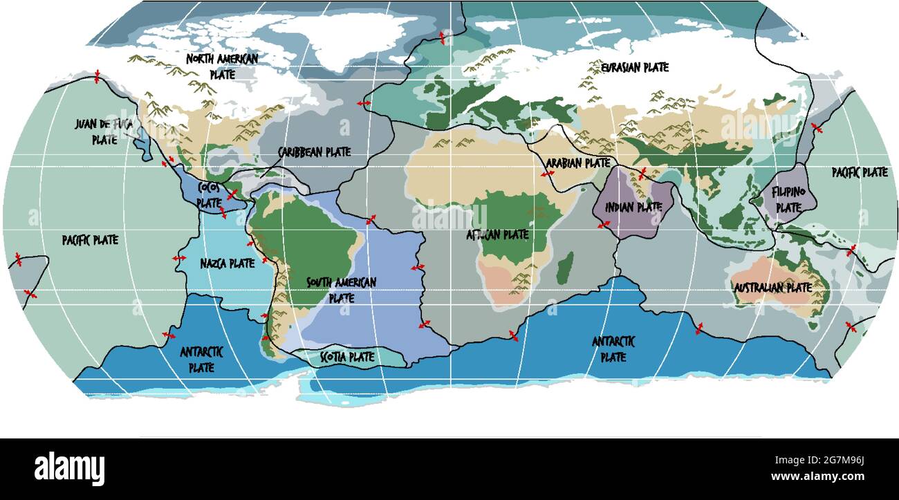 World Map Showing Tectonic Plates Boundaries illustration Stock Vectorhttps://www.alamy.com/image-license-details/?v=1https://www.alamy.com/world-map-showing-tectonic-plates-boundaries-illustration-image435008074.html
RF2G7M96J–World Map Showing Tectonic Plates Boundaries illustration
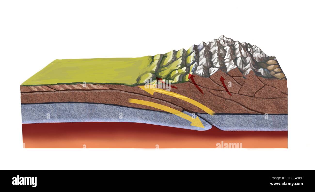 Formation of the Himalayas Stock Photohttps://www.alamy.com/image-license-details/?v=1https://www.alamy.com/formation-of-the-himalayas-image353183699.html
RM2BEGWBF–Formation of the Himalayas
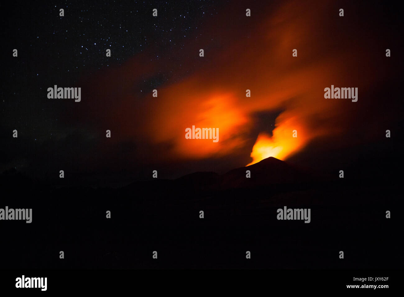 The eruption of the volcano Yasur on Tanna Island, Vanuatu Stock Photohttps://www.alamy.com/image-license-details/?v=1https://www.alamy.com/the-eruption-of-the-volcano-yasur-on-tanna-island-vanuatu-image154261479.html
RFJXY62F–The eruption of the volcano Yasur on Tanna Island, Vanuatu
 The Great Himalaya range, Ladakh mountains, India Stock Photohttps://www.alamy.com/image-license-details/?v=1https://www.alamy.com/the-great-himalaya-range-ladakh-mountains-india-image631090513.html
RM2YJMJAW–The Great Himalaya range, Ladakh mountains, India
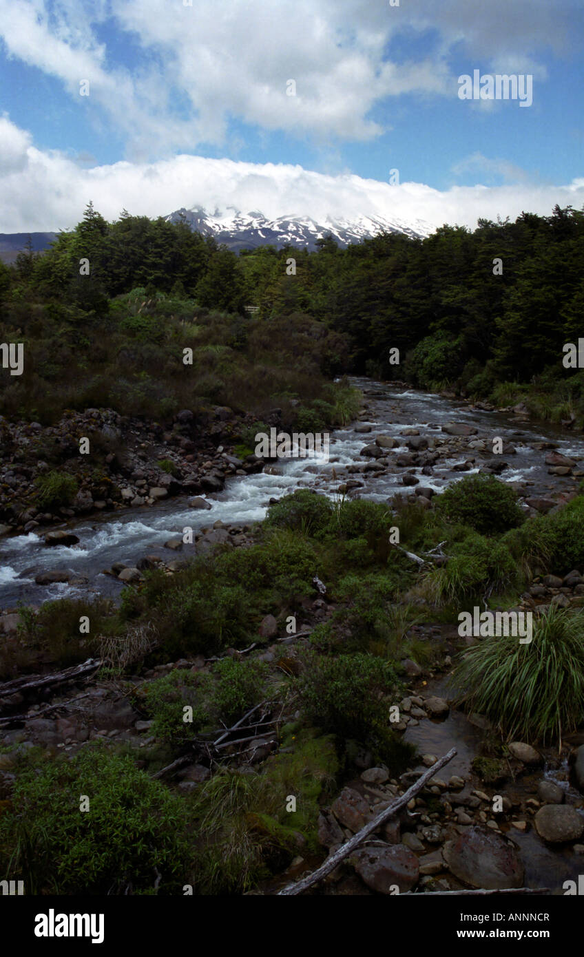 Mountain stream, Mount Ruapehu, Tongariro National Park, North Island, New Zealand Stock Photohttps://www.alamy.com/image-license-details/?v=1https://www.alamy.com/stock-photo-mountain-stream-mount-ruapehu-tongariro-national-park-north-island-15571174.html
RMANNNCR–Mountain stream, Mount Ruapehu, Tongariro National Park, North Island, New Zealand
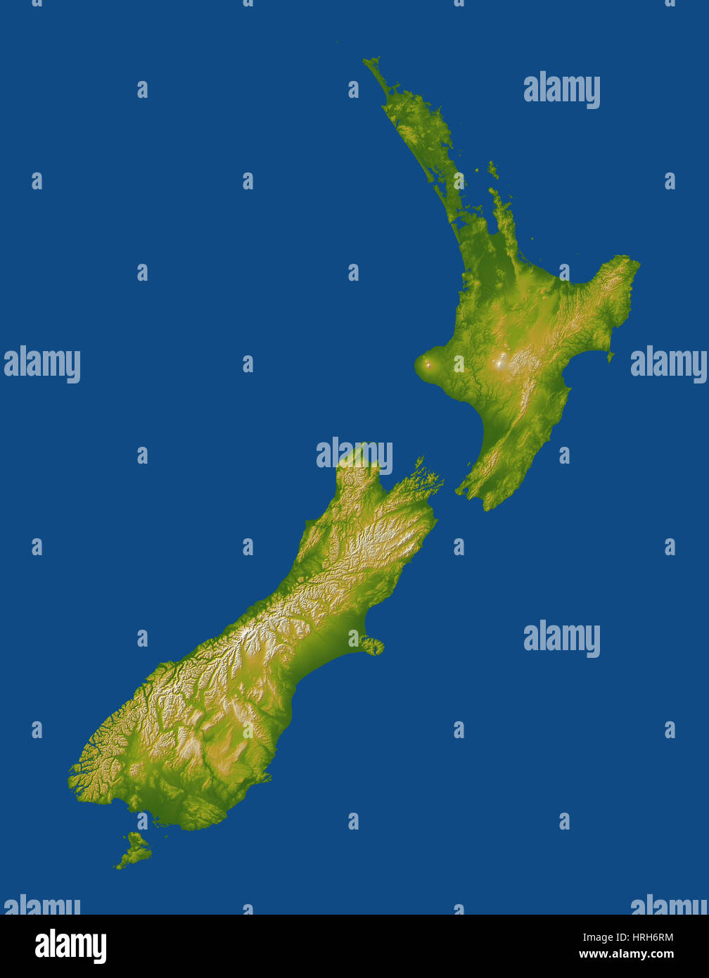 New Zealand Stock Photohttps://www.alamy.com/image-license-details/?v=1https://www.alamy.com/stock-photo-new-zealand-134988216.html
RMHRH6RM–New Zealand
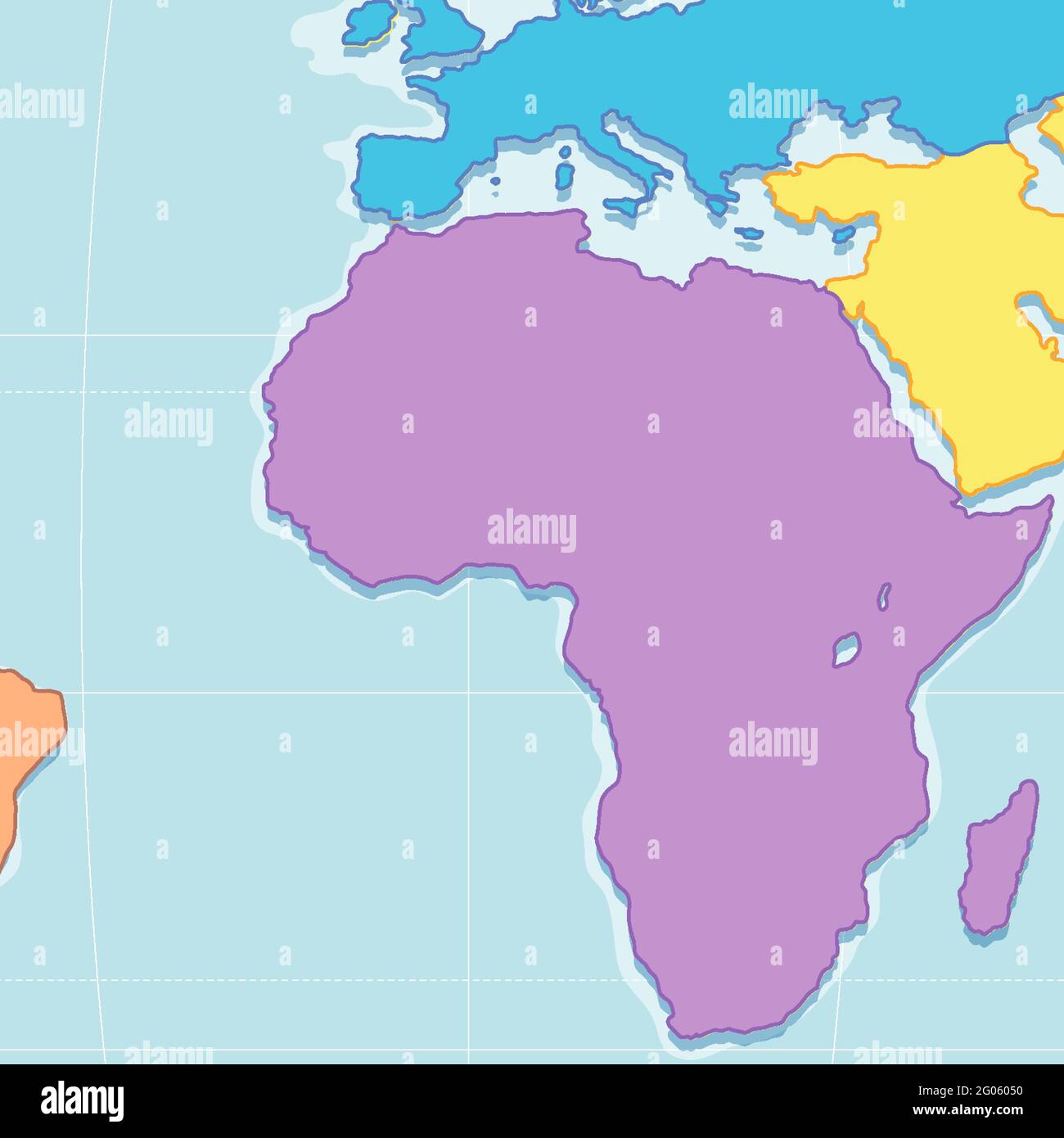 Close up view of Blank African Plates Boundaries Map illustration Stock Vectorhttps://www.alamy.com/image-license-details/?v=1https://www.alamy.com/close-up-view-of-blank-african-plates-boundaries-map-illustration-image430391052.html
RF2G06050–Close up view of Blank African Plates Boundaries Map illustration
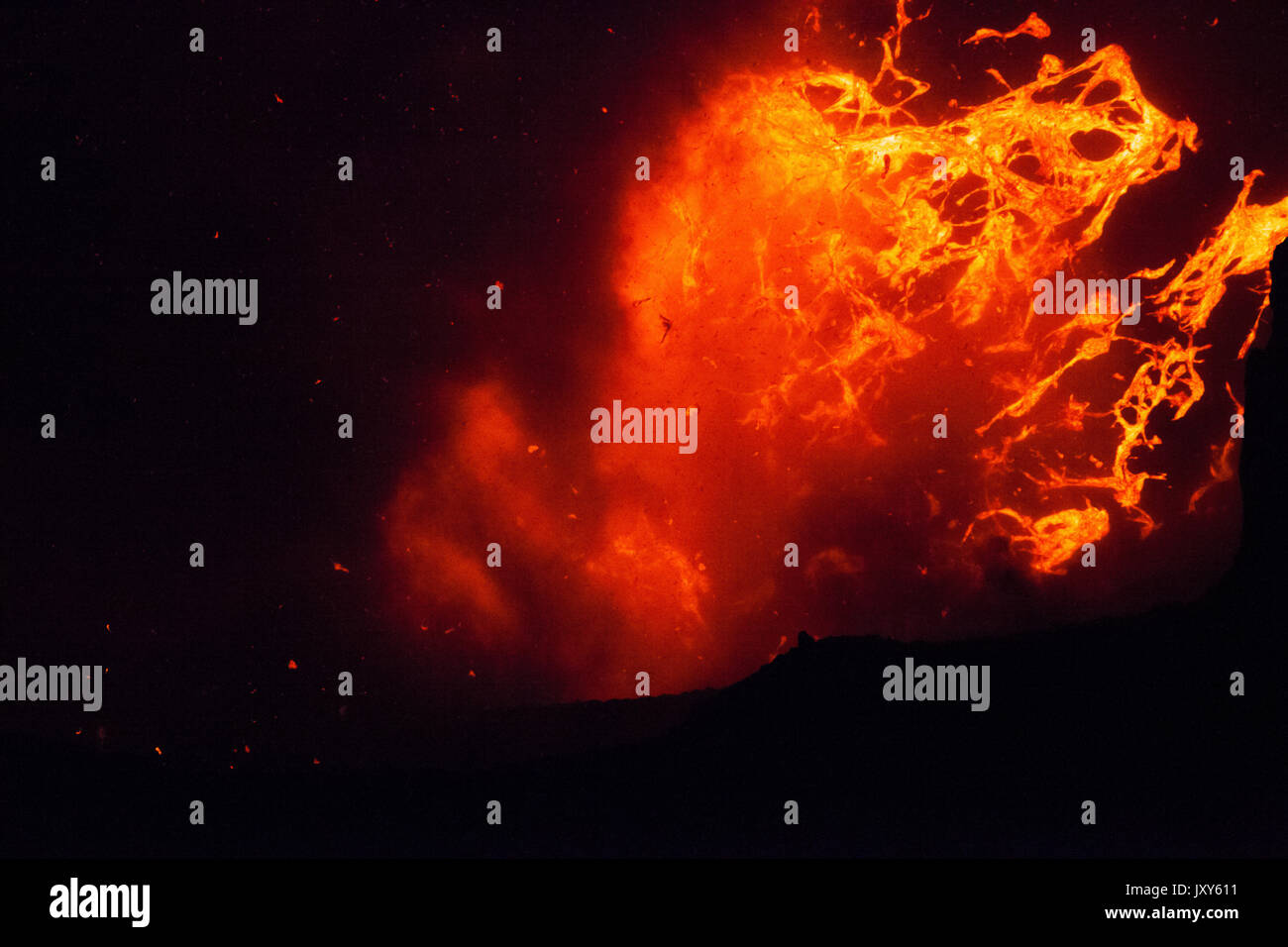 The eruption of the volcano Yasur on Tanna Island, Vanuatu Stock Photohttps://www.alamy.com/image-license-details/?v=1https://www.alamy.com/the-eruption-of-the-volcano-yasur-on-tanna-island-vanuatu-image154261437.html
RFJXY611–The eruption of the volcano Yasur on Tanna Island, Vanuatu
 The Great Himalaya range, Ladakh mountains, India Stock Photohttps://www.alamy.com/image-license-details/?v=1https://www.alamy.com/the-great-himalaya-range-ladakh-mountains-india-image631091749.html
RM2YJMKY1–The Great Himalaya range, Ladakh mountains, India
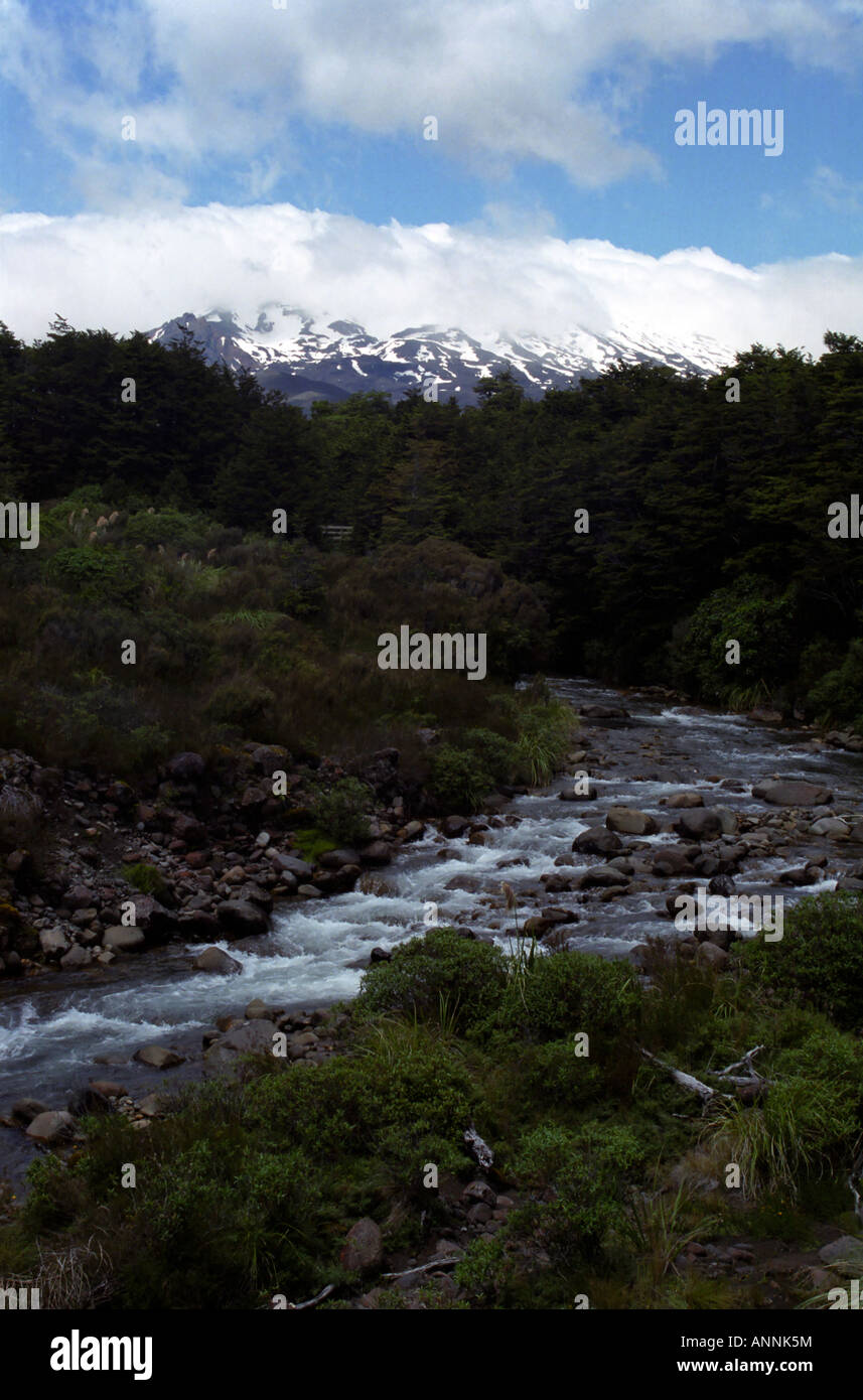 Mountain stream, Mount Ruapehu, Tongariro National Park, North Island, New Zealand Stock Photohttps://www.alamy.com/image-license-details/?v=1https://www.alamy.com/stock-photo-mountain-stream-mount-ruapehu-tongariro-national-park-north-island-15570415.html
RMANNK5M–Mountain stream, Mount Ruapehu, Tongariro National Park, North Island, New Zealand
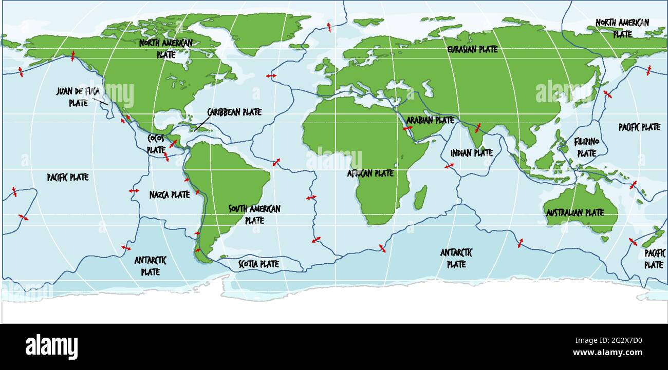 World Map Showing Tectonic Plates Boundaries illustration Stock Vectorhttps://www.alamy.com/image-license-details/?v=1https://www.alamy.com/world-map-showing-tectonic-plates-boundaries-illustration-image432065116.html
RF2G2X7D0–World Map Showing Tectonic Plates Boundaries illustration
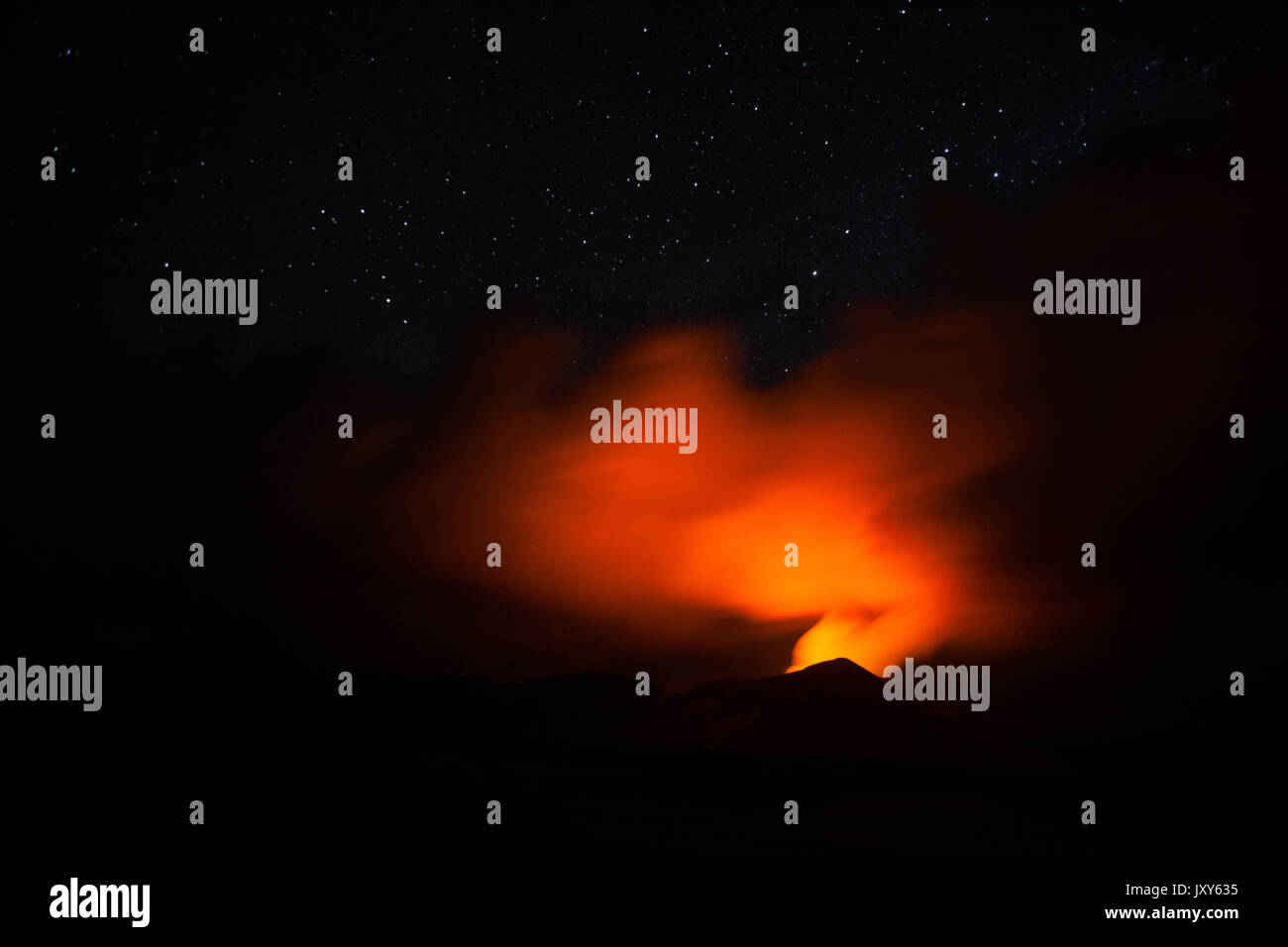 The eruption of the volcano Yasur on Tanna Island, Vanuatu Stock Photohttps://www.alamy.com/image-license-details/?v=1https://www.alamy.com/the-eruption-of-the-volcano-yasur-on-tanna-island-vanuatu-image154261497.html
RFJXY635–The eruption of the volcano Yasur on Tanna Island, Vanuatu
 The Great Himalaya range, Ladakh mountains, India Stock Photohttps://www.alamy.com/image-license-details/?v=1https://www.alamy.com/the-great-himalaya-range-ladakh-mountains-india-image631091130.html
RM2YJMK4X–The Great Himalaya range, Ladakh mountains, India
 Crater lake, Mount Ruapehu, Tongariro National Park, North Island, New Zealand Stock Photohttps://www.alamy.com/image-license-details/?v=1https://www.alamy.com/stock-photo-crater-lake-mount-ruapehu-tongariro-national-park-north-island-new-15583037.html
RMANR0NJ–Crater lake, Mount Ruapehu, Tongariro National Park, North Island, New Zealand
 The Great Himalaya range, Ladakh mountains, India Stock Photohttps://www.alamy.com/image-license-details/?v=1https://www.alamy.com/the-great-himalaya-range-ladakh-mountains-india-image631094240.html
RM2YJMR40–The Great Himalaya range, Ladakh mountains, India
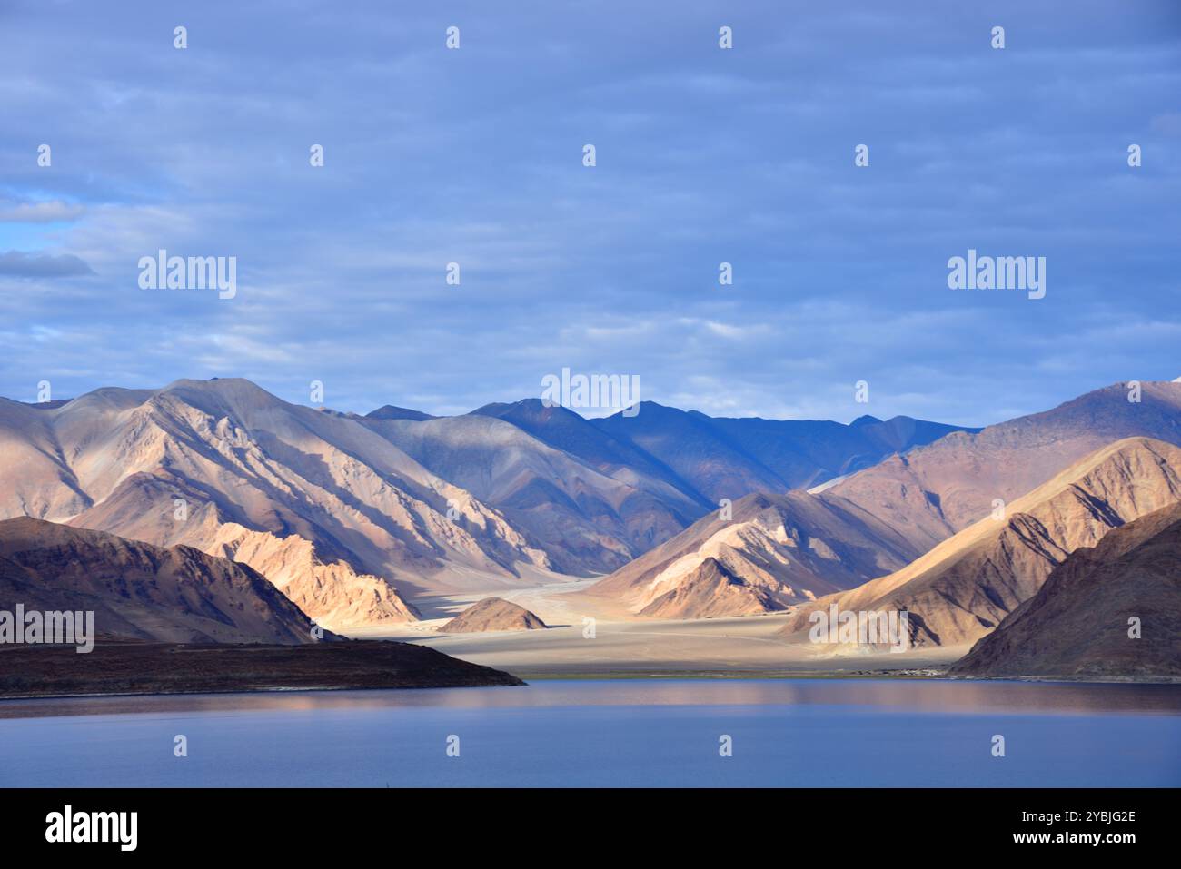 The great Himalaya range, Ladakh mountains India Stock Photohttps://www.alamy.com/image-license-details/?v=1https://www.alamy.com/the-great-himalaya-range-ladakh-mountains-india-image626742214.html
RM2YBJG2E–The great Himalaya range, Ladakh mountains India
