Quick filters:
Infographic maps Stock Photos and Images
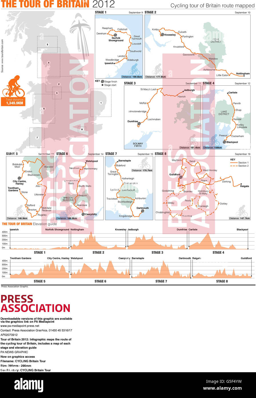 Tour of Britain 2012: Infographic maps the route of the cycling tour of Britain, includes a map of each stage and elevation guide Stock Photohttps://www.alamy.com/image-license-details/?v=1https://www.alamy.com/stock-photo-tour-of-britain-2012-infographic-maps-the-route-of-the-cycling-tour-106668685.html
RMG5F4YW–Tour of Britain 2012: Infographic maps the route of the cycling tour of Britain, includes a map of each stage and elevation guide
 Infographics elements equality, retribution and domestic spending. Stock Photohttps://www.alamy.com/image-license-details/?v=1https://www.alamy.com/infographics-elements-equality-retribution-and-domestic-spending-image65194477.html
RFDP1T65–Infographics elements equality, retribution and domestic spending.
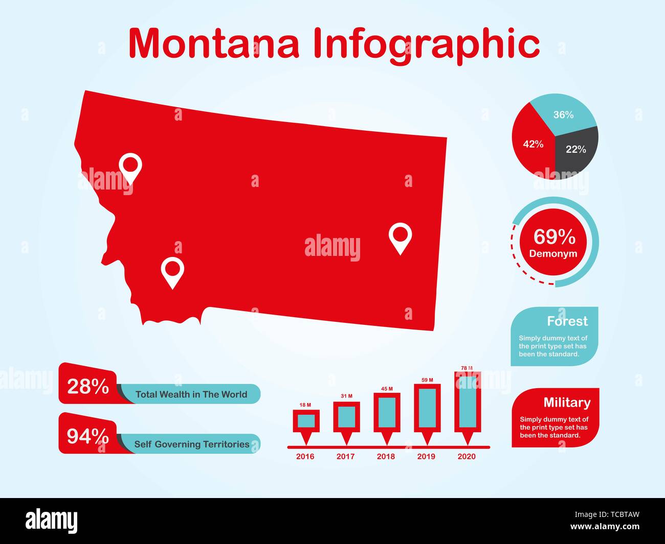 Montana State (USA) Map with Set of Infographic Elements in Red Color in Light Background Stock Vectorhttps://www.alamy.com/image-license-details/?v=1https://www.alamy.com/montana-state-usa-map-with-set-of-infographic-elements-in-red-color-in-light-background-image248581617.html
RFTCBTAW–Montana State (USA) Map with Set of Infographic Elements in Red Color in Light Background
 Peru map dotted vector background. Illustration for technology design or infographics. Isolated on white background. Travel vector illustration Stock Vectorhttps://www.alamy.com/image-license-details/?v=1https://www.alamy.com/peru-map-dotted-vector-background-illustration-for-technology-design-or-infographics-isolated-on-white-background-travel-vector-illustration-image350693218.html
RF2BAFCNP–Peru map dotted vector background. Illustration for technology design or infographics. Isolated on white background. Travel vector illustration
RFK1MAFX–3D illustration Infographic. Lope, pin, maps icon
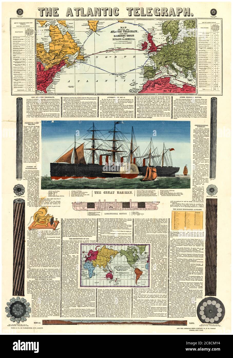 Bacon's vintage infographic chart and map of the Transatlantic Telegraph route across the Atlantic Ocean, 1865 Stock Photohttps://www.alamy.com/image-license-details/?v=1https://www.alamy.com/bacons-vintage-infographic-chart-and-map-of-the-transatlantic-telegraph-route-across-the-atlantic-ocean-1865-image366614840.html
RM2C8CMY4–Bacon's vintage infographic chart and map of the Transatlantic Telegraph route across the Atlantic Ocean, 1865
![Infographic on the process of making maps using the aerial photography method. [Adobe Illustrator (.ai); 4960x3248]. Stock Photo Infographic on the process of making maps using the aerial photography method. [Adobe Illustrator (.ai); 4960x3248]. Stock Photo](https://c8.alamy.com/comp/2NEBK52/infographic-on-the-process-of-making-maps-using-the-aerial-photography-method-adobe-illustrator-ai-4960x3248-2NEBK52.jpg) Infographic on the process of making maps using the aerial photography method. [Adobe Illustrator (.ai); 4960x3248]. Stock Photohttps://www.alamy.com/image-license-details/?v=1https://www.alamy.com/infographic-on-the-process-of-making-maps-using-the-aerial-photography-method-adobe-illustrator-ai-4960x3248-image525172734.html
Infographic on the process of making maps using the aerial photography method. [Adobe Illustrator (.ai); 4960x3248]. Stock Photohttps://www.alamy.com/image-license-details/?v=1https://www.alamy.com/infographic-on-the-process-of-making-maps-using-the-aerial-photography-method-adobe-illustrator-ai-4960x3248-image525172734.htmlRM2NEBK52–Infographic on the process of making maps using the aerial photography method. [Adobe Illustrator (.ai); 4960x3248].
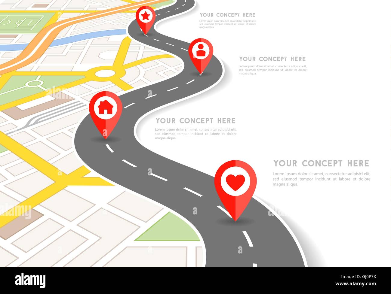 Vector Infographic with a tortuous road separating blank space from a Perspective city map with red markers and rounded icons. Stock Vectorhttps://www.alamy.com/image-license-details/?v=1https://www.alamy.com/stock-photo-vector-infographic-with-a-tortuous-road-separating-blank-space-from-114343486.html
RFGJ0P7X–Vector Infographic with a tortuous road separating blank space from a Perspective city map with red markers and rounded icons.
RF2H5BCYG–Railway road. Business infographic with railroad maps station points city navigation tracking maze concept garish vector picture template
 An open A to Z road map laid on a wooden table, a journey planning concept Stock Photohttps://www.alamy.com/image-license-details/?v=1https://www.alamy.com/an-open-a-to-z-road-map-laid-on-a-wooden-table-a-journey-planning-concept-image408225214.html
RM2EM47BX–An open A to Z road map laid on a wooden table, a journey planning concept
 Collage of original business infographic designs with maps Stock Vectorhttps://www.alamy.com/image-license-details/?v=1https://www.alamy.com/collage-of-original-business-infographic-designs-with-maps-image554170429.html
RF2R5GJ11–Collage of original business infographic designs with maps
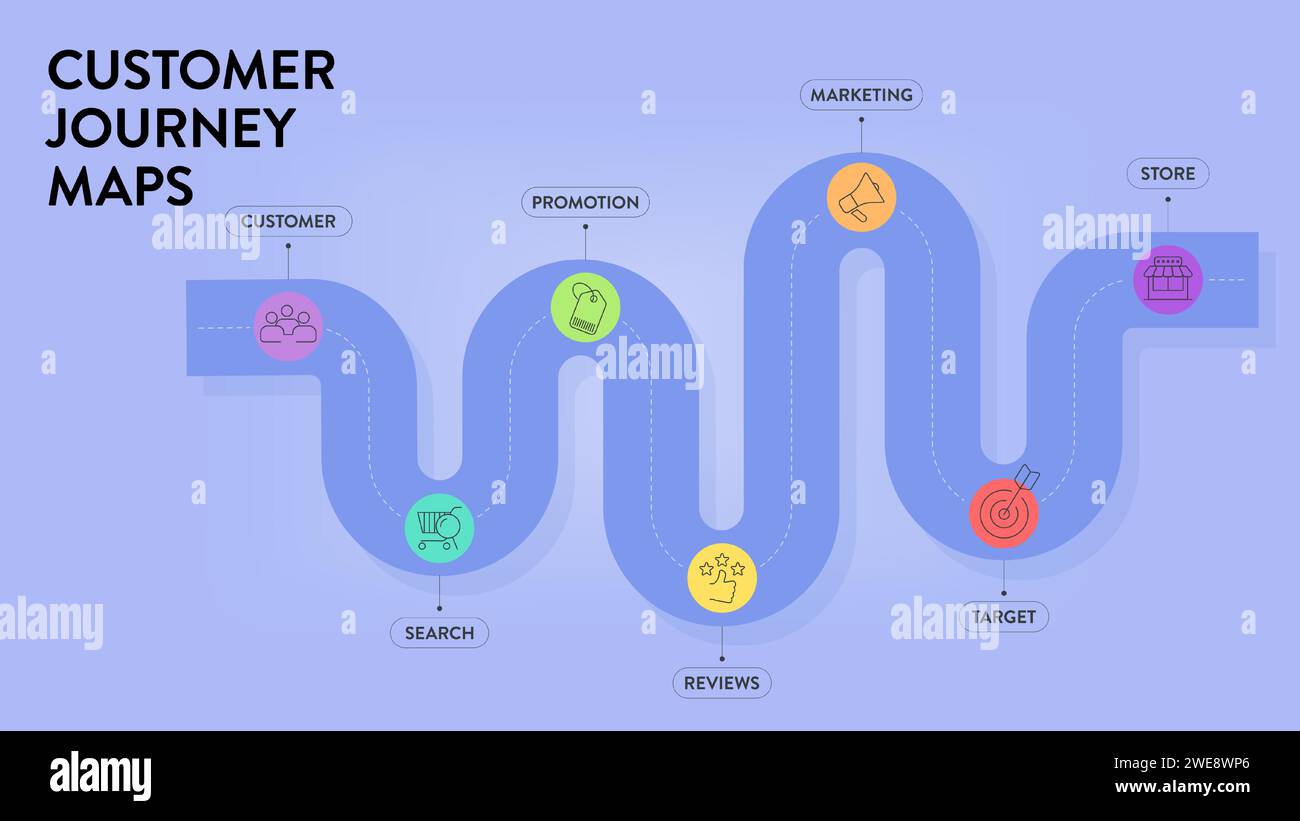 Customer Journey Maps infographic has 6 steps to analyze such as awareness, evaluation, purchase, usage, repurchase and advocacy. Business infographic Stock Vectorhttps://www.alamy.com/image-license-details/?v=1https://www.alamy.com/customer-journey-maps-infographic-has-6-steps-to-analyze-such-as-awareness-evaluation-purchase-usage-repurchase-and-advocacy-business-infographic-image593953534.html
RF2WE8WP6–Customer Journey Maps infographic has 6 steps to analyze such as awareness, evaluation, purchase, usage, repurchase and advocacy. Business infographic
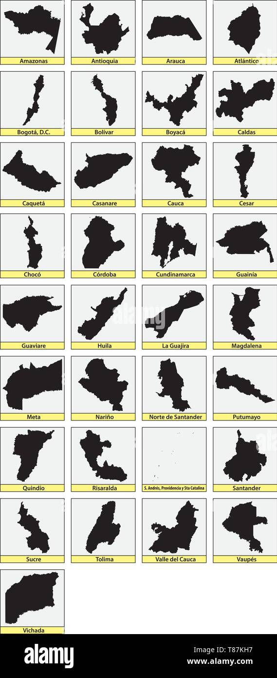 Thirtythree black maps of the Departments of Colombia Stock Vectorhttps://www.alamy.com/image-license-details/?v=1https://www.alamy.com/thirtythree-black-maps-of-the-departments-of-colombia-image246031443.html
RFT87KH7–Thirtythree black maps of the Departments of Colombia
RF2YY4JTD–Kinds of website visitor tracking rectangle infographic vector
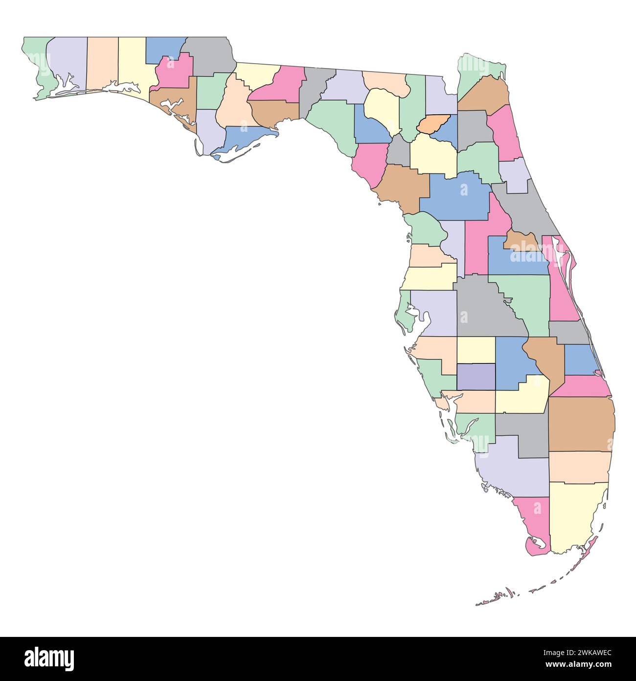 Editable vector file of the state of Florida with counties included. Stock Vectorhttps://www.alamy.com/image-license-details/?v=1https://www.alamy.com/editable-vector-file-of-the-state-of-florida-with-counties-included-image597070500.html
RF2WKAWEC–Editable vector file of the state of Florida with counties included.
 Infographic Elements. Stock Photohttps://www.alamy.com/image-license-details/?v=1https://www.alamy.com/infographic-elements-image244786629.html
RMT66YRH–Infographic Elements.
 Infographic Elements. Stock Vectorhttps://www.alamy.com/image-license-details/?v=1https://www.alamy.com/stock-photo-infographic-elements-81438656.html
RFEMDRRC–Infographic Elements.
 Mongolia Magnified Map and Flag, Mongolia Enlargement Maps Stock Vectorhttps://www.alamy.com/image-license-details/?v=1https://www.alamy.com/mongolia-magnified-map-and-flag-mongolia-enlargement-maps-image623316247.html
RF2Y62E6F–Mongolia Magnified Map and Flag, Mongolia Enlargement Maps
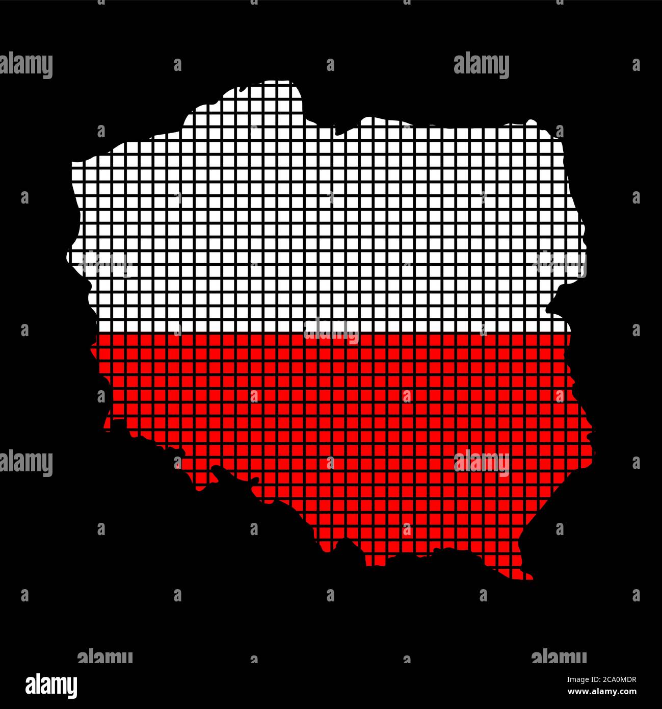 Polish flag on map made from squares, infographic isolated on black. Red and white patriotic colours of Poland. Halftone effect vector file. illustrat Stock Vectorhttps://www.alamy.com/image-license-details/?v=1https://www.alamy.com/polish-flag-on-map-made-from-squares-infographic-isolated-on-black-red-and-white-patriotic-colours-of-poland-halftone-effect-vector-file-illustrat-image367580355.html
RF2CA0MDR–Polish flag on map made from squares, infographic isolated on black. Red and white patriotic colours of Poland. Halftone effect vector file. illustrat
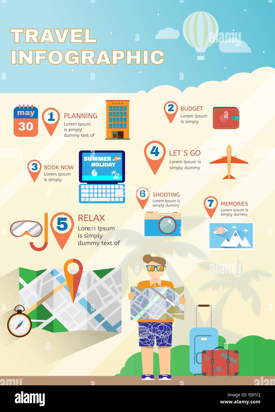 Vacation planner flat summer infographics. Travel digital vector background illustration. Map guide. Stock Vectorhttps://www.alamy.com/image-license-details/?v=1https://www.alamy.com/stock-photo-vacation-planner-flat-summer-infographics-travel-digital-vector-background-97134818.html
RFFJ0TCJ–Vacation planner flat summer infographics. Travel digital vector background illustration. Map guide.
RFG3G6KX–Republic of Latvia isolated maps and official flag icon. vector Latvian political map icons and general information. European co
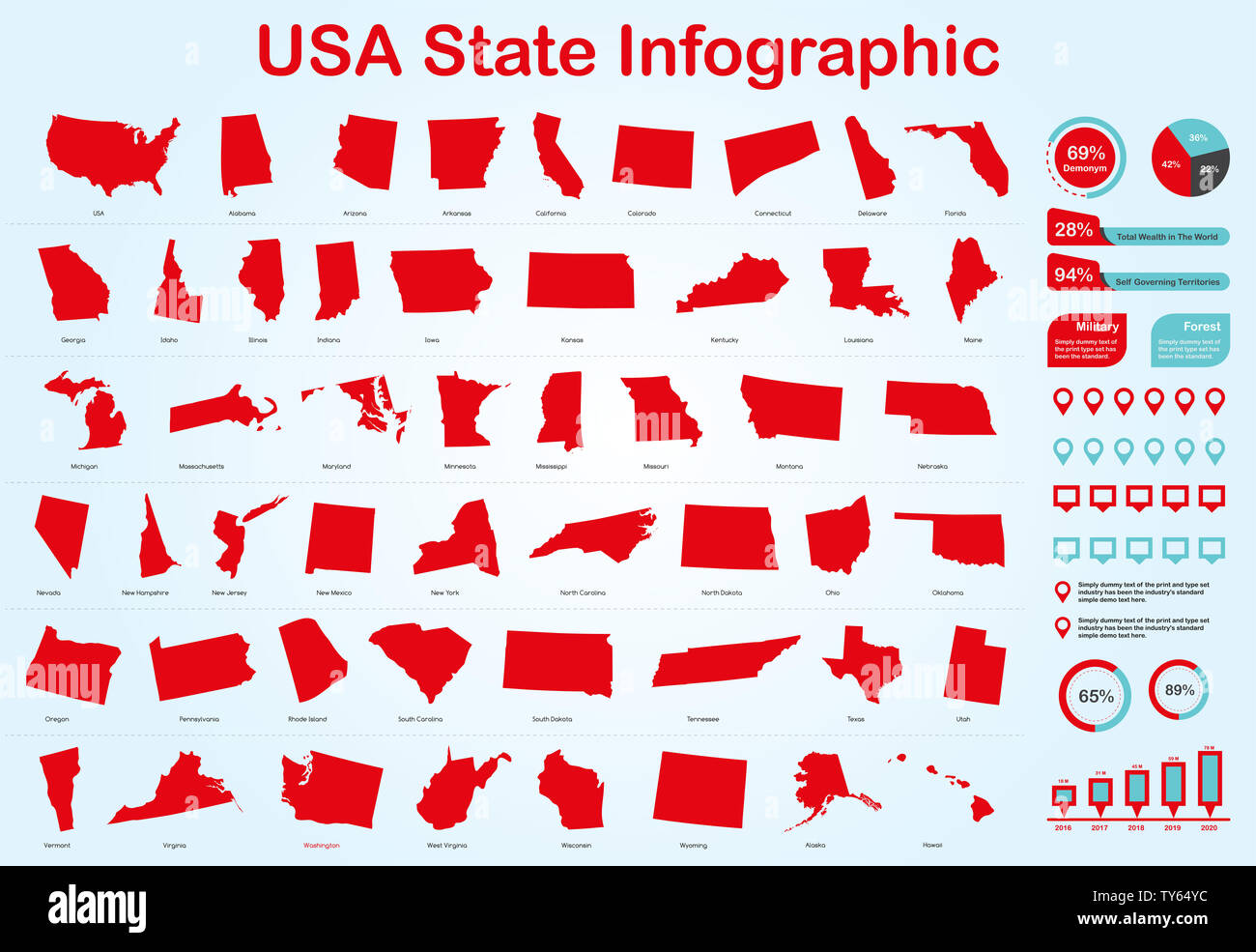 USA All State Map with Set of Infographic Elements in Red Color in Light Background. Modern Information Graphics Element for your design. Stock Photohttps://www.alamy.com/image-license-details/?v=1https://www.alamy.com/usa-all-state-map-with-set-of-infographic-elements-in-red-color-in-light-background-modern-information-graphics-element-for-your-design-image257676480.html
RFTY64YC–USA All State Map with Set of Infographic Elements in Red Color in Light Background. Modern Information Graphics Element for your design.
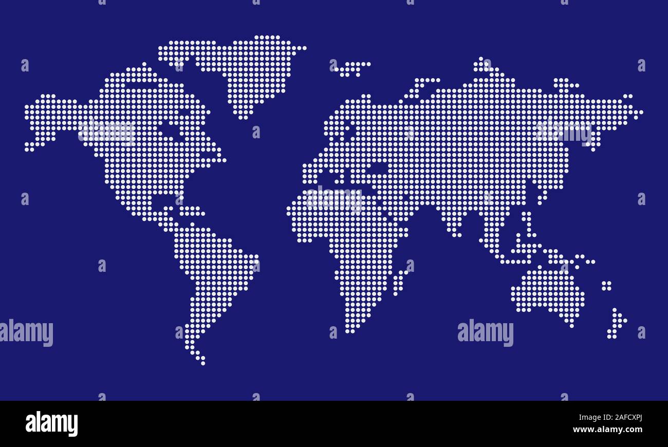 Dotted World map vector, isolated background. Flat Earth, blue map template for web site pattern, annual report, infographic. Travel worldwide maps. Stock Vectorhttps://www.alamy.com/image-license-details/?v=1https://www.alamy.com/dotted-world-map-vector-isolated-background-flat-earth-blue-map-template-for-web-site-pattern-annual-report-infographic-travel-worldwide-maps-image336501274.html
RF2AFCXPJ–Dotted World map vector, isolated background. Flat Earth, blue map template for web site pattern, annual report, infographic. Travel worldwide maps.
RFP3RTXN–Business paper infographic. Maps icon.
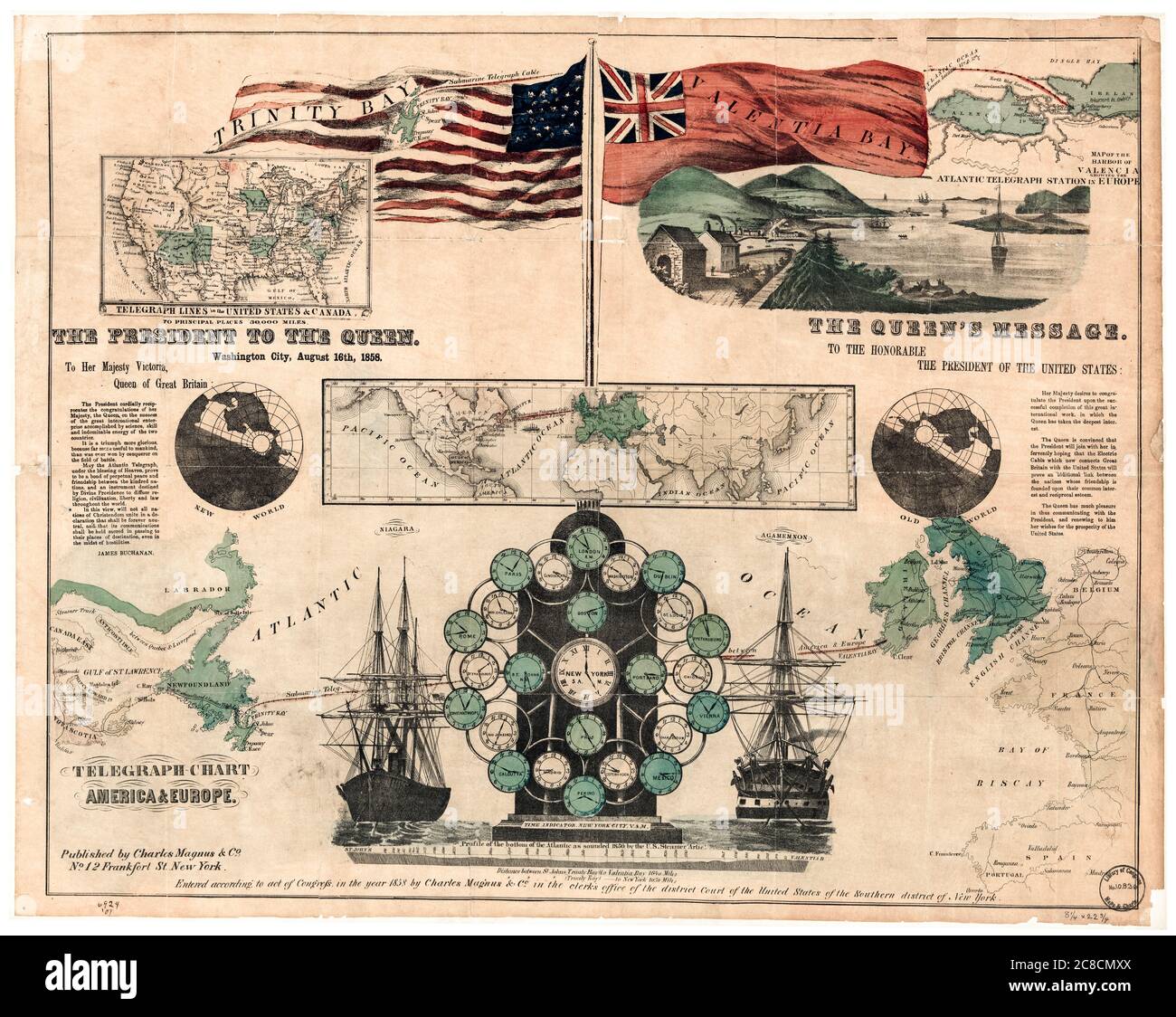 Vintage infographic showing the route of the first undersea Transatlantic Telegraph Cable across the Atlantic Ocean, by Charles Magnus & Co, August 16th 1858 Stock Photohttps://www.alamy.com/image-license-details/?v=1https://www.alamy.com/vintage-infographic-showing-the-route-of-the-first-undersea-transatlantic-telegraph-cable-across-the-atlantic-ocean-by-charles-magnus-co-august-16th-1858-image366614834.html
RM2C8CMXX–Vintage infographic showing the route of the first undersea Transatlantic Telegraph Cable across the Atlantic Ocean, by Charles Magnus & Co, August 16th 1858
![Infographic of soil types of Africa. [Adobe Illustrator (.ai); 3661x5669]. Stock Photo Infographic of soil types of Africa. [Adobe Illustrator (.ai); 3661x5669]. Stock Photo](https://c8.alamy.com/comp/2NEBP09/infographic-of-soil-types-of-africa-adobe-illustrator-ai-3661x5669-2NEBP09.jpg) Infographic of soil types of Africa. [Adobe Illustrator (.ai); 3661x5669]. Stock Photohttps://www.alamy.com/image-license-details/?v=1https://www.alamy.com/infographic-of-soil-types-of-africa-adobe-illustrator-ai-3661x5669-image525174953.html
Infographic of soil types of Africa. [Adobe Illustrator (.ai); 3661x5669]. Stock Photohttps://www.alamy.com/image-license-details/?v=1https://www.alamy.com/infographic-of-soil-types-of-africa-adobe-illustrator-ai-3661x5669-image525174953.htmlRM2NEBP09–Infographic of soil types of Africa. [Adobe Illustrator (.ai); 3661x5669].
 Isometric political map of South America. Colorful blank maps on white background. 3D vector illustration Stock Vectorhttps://www.alamy.com/image-license-details/?v=1https://www.alamy.com/isometric-political-map-of-south-america-colorful-blank-maps-on-white-background-3d-vector-illustration-image597181273.html
RF2WKFXPH–Isometric political map of South America. Colorful blank maps on white background. 3D vector illustration
 Infographic on world maps communication. Stock Vectorhttps://www.alamy.com/image-license-details/?v=1https://www.alamy.com/infographic-on-world-maps-communication-image236228882.html
RFRM949P–Infographic on world maps communication.
 Flat 3d isometric mobile GPS navigation maps infographic concept vector. Tablet with digital satellite map Stock Vectorhttps://www.alamy.com/image-license-details/?v=1https://www.alamy.com/stock-image-flat-3d-isometric-mobile-gps-navigation-maps-infographic-concept-vector-169533970.html
RFKRPX8J–Flat 3d isometric mobile GPS navigation maps infographic concept vector. Tablet with digital satellite map
 Collage of original business infographic charts with maps Stock Vectorhttps://www.alamy.com/image-license-details/?v=1https://www.alamy.com/collage-of-original-business-infographic-charts-with-maps-image554176146.html
RF2R5GW96–Collage of original business infographic charts with maps
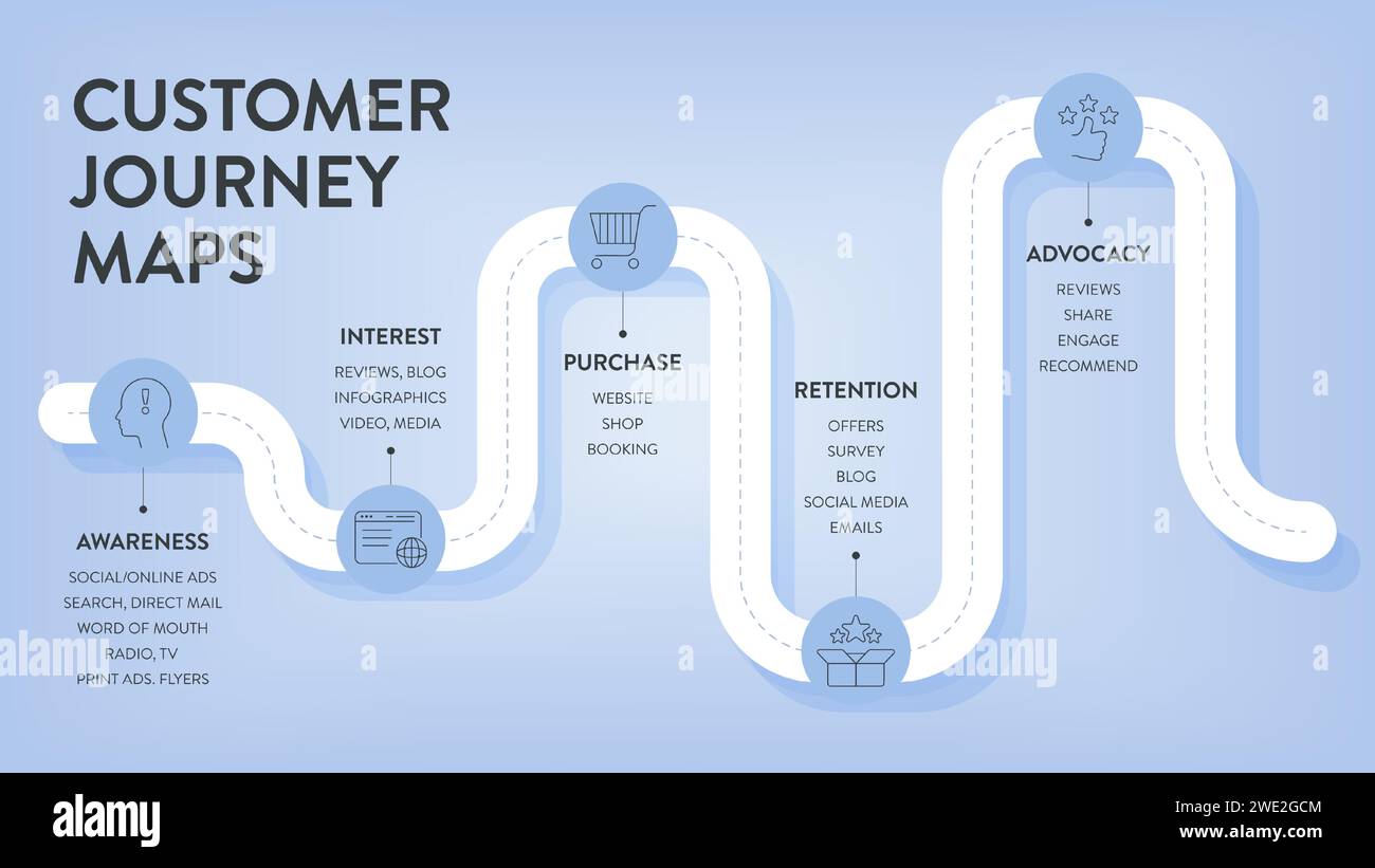 Customer Journey Maps infographic has 6 steps to analyze such as awareness, evaluation, purchase, usage, repurchase and advocacy. Business infographic Stock Vectorhttps://www.alamy.com/image-license-details/?v=1https://www.alamy.com/customer-journey-maps-infographic-has-6-steps-to-analyze-such-as-awareness-evaluation-purchase-usage-repurchase-and-advocacy-business-infographic-image593814500.html
RF2WE2GCM–Customer Journey Maps infographic has 6 steps to analyze such as awareness, evaluation, purchase, usage, repurchase and advocacy. Business infographic
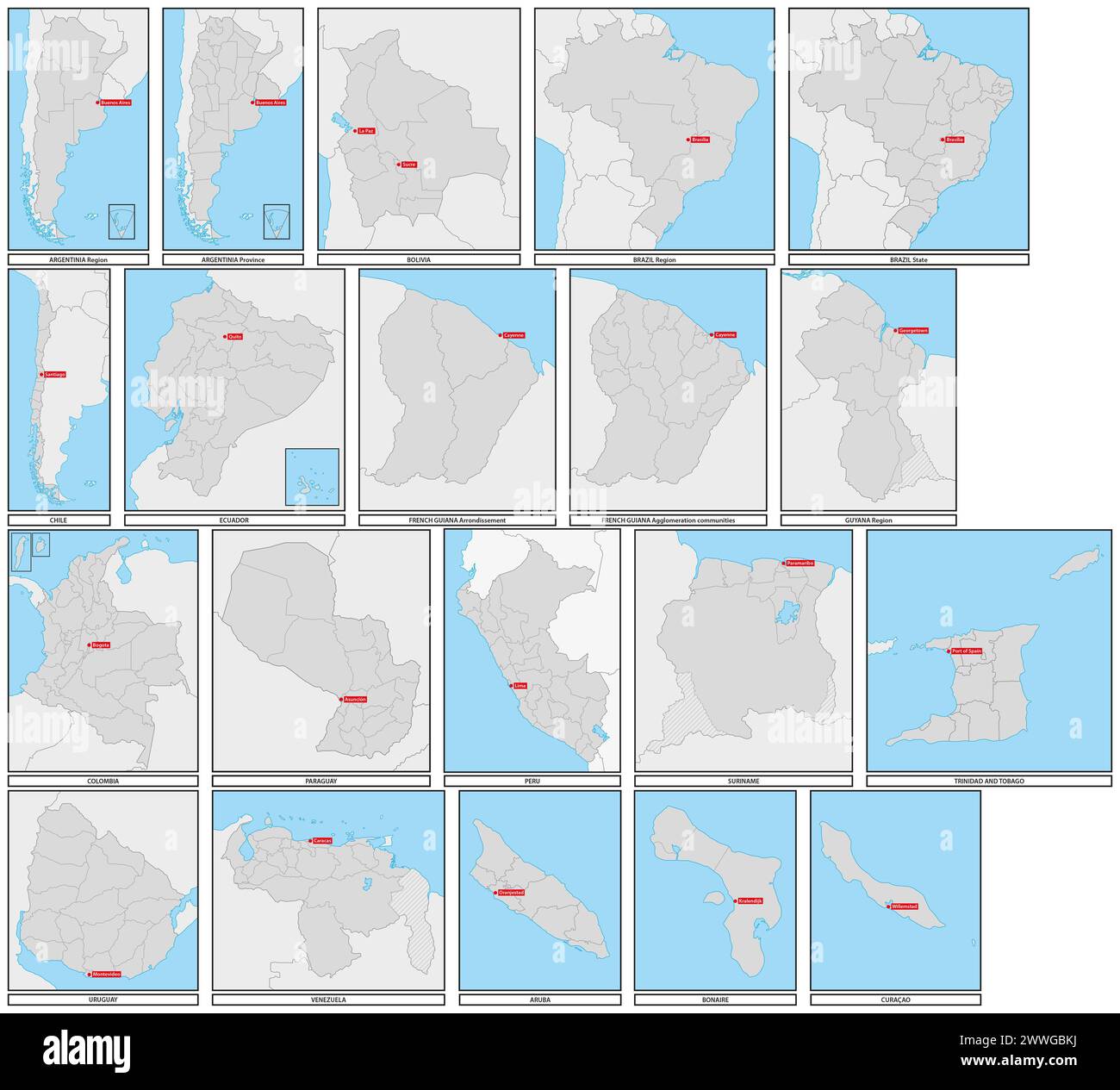 Administrative vector maps of the states of South America Stock Photohttps://www.alamy.com/image-license-details/?v=1https://www.alamy.com/administrative-vector-maps-of-the-states-of-south-america-image600879318.html
RF2WWGBKJ–Administrative vector maps of the states of South America
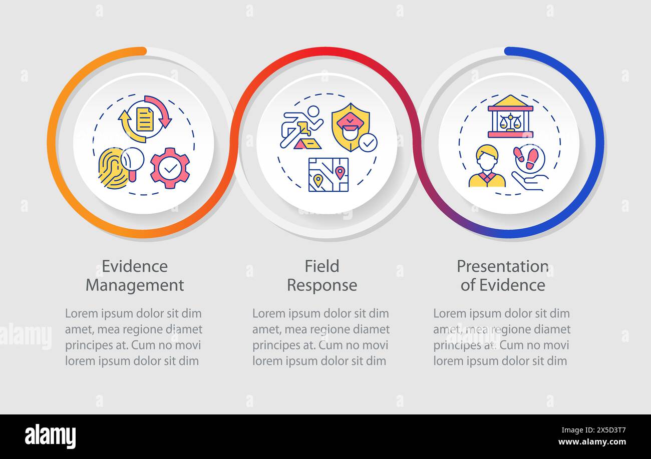 Evidence processing loop infographic template Stock Vectorhttps://www.alamy.com/image-license-details/?v=1https://www.alamy.com/evidence-processing-loop-infographic-template-image605724567.html
RF2X5D3T7–Evidence processing loop infographic template
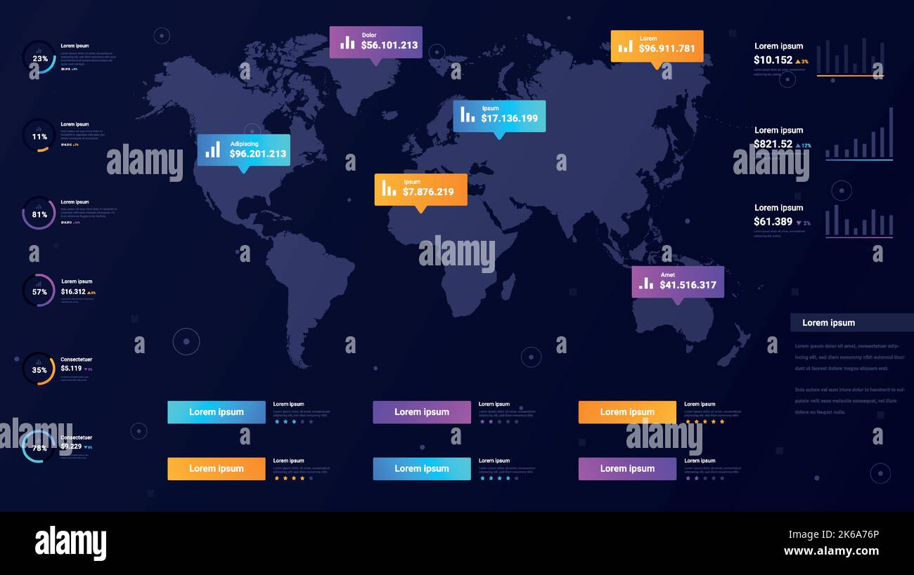 Maps infographics concept Stock Vectorhttps://www.alamy.com/image-license-details/?v=1https://www.alamy.com/maps-infographics-concept-image485803438.html
RF2K6A76P–Maps infographics concept
 flat PinPlane location place maps logo design Stock Vectorhttps://www.alamy.com/image-license-details/?v=1https://www.alamy.com/flat-pinplane-location-place-maps-logo-design-image453343336.html
RF2H9FG1C–flat PinPlane location place maps logo design
 Infographic Elements. Stock Vectorhttps://www.alamy.com/image-license-details/?v=1https://www.alamy.com/stock-photo-infographic-elements-81438659.html
RFEMDRRF–Infographic Elements.
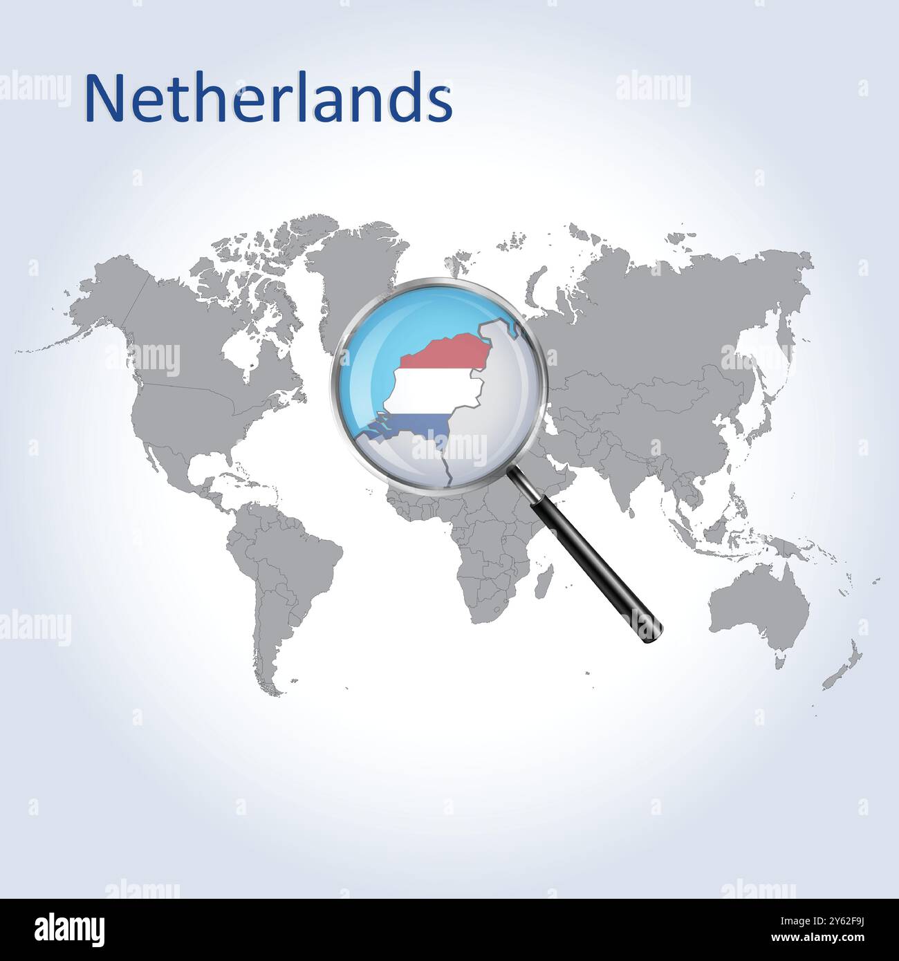 Netherlands Magnified Map and Flag, Netherlands Enlargement Maps Stock Vectorhttps://www.alamy.com/image-license-details/?v=1https://www.alamy.com/netherlands-magnified-map-and-flag-netherlands-enlargement-maps-image623317118.html
RF2Y62F9J–Netherlands Magnified Map and Flag, Netherlands Enlargement Maps
 Set of modern isometric buildings. Isometric City Maps. Vector illustration. Eps 10. Stock Vectorhttps://www.alamy.com/image-license-details/?v=1https://www.alamy.com/set-of-modern-isometric-buildings-isometric-city-maps-vector-illustration-eps-10-image618005166.html
RF2XWCFW2–Set of modern isometric buildings. Isometric City Maps. Vector illustration. Eps 10.
 USA Washington. Maps of Countries. Hexagon Glowing Series. United States of America glowing map Stock Photohttps://www.alamy.com/image-license-details/?v=1https://www.alamy.com/usa-washington-maps-of-countries-hexagon-glowing-series-united-states-of-america-glowing-map-image566523584.html
RF2RWKAH4–USA Washington. Maps of Countries. Hexagon Glowing Series. United States of America glowing map
RFG31569–Slovak Republic isolated maps and official flag icon. vector Slovak political map icons with general information. European count
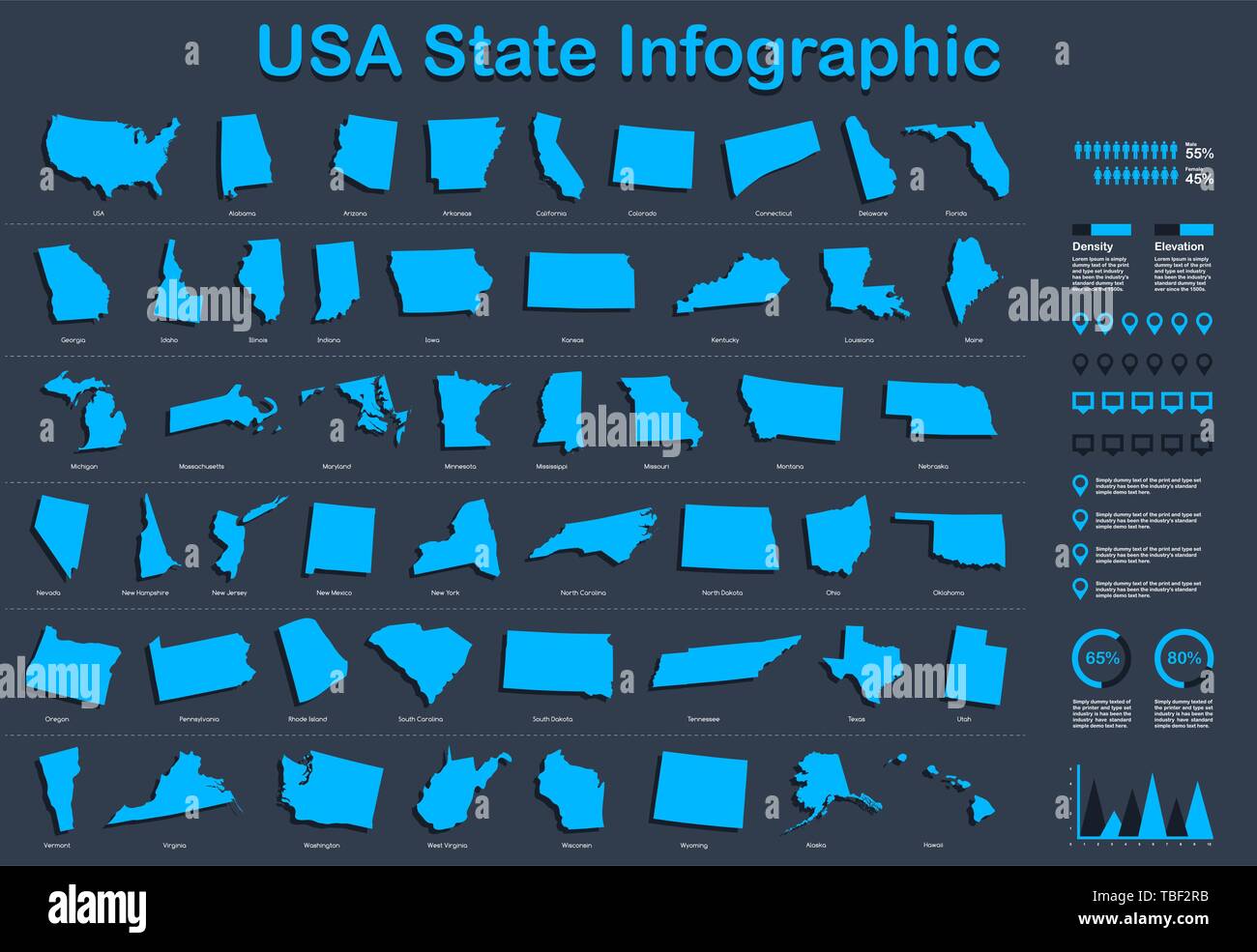 USA All State Map with Set of Infographic Elements in Blue Color in Dark Background. Modern Information Graphics Element for your design. Stock Vectorhttps://www.alamy.com/image-license-details/?v=1https://www.alamy.com/usa-all-state-map-with-set-of-infographic-elements-in-blue-color-in-dark-background-modern-information-graphics-element-for-your-design-image248037871.html
RFTBF2RB–USA All State Map with Set of Infographic Elements in Blue Color in Dark Background. Modern Information Graphics Element for your design.
 World map vector, isolated on blu background. Flat Earth, bleu map template for web site pattern, annual report, infographic. Travel worldwide maps Stock Vectorhttps://www.alamy.com/image-license-details/?v=1https://www.alamy.com/world-map-vector-isolated-on-blu-background-flat-earth-bleu-map-template-for-web-site-pattern-annual-report-infographic-travel-worldwide-maps-image336502283.html
RF2AFD02K–World map vector, isolated on blu background. Flat Earth, bleu map template for web site pattern, annual report, infographic. Travel worldwide maps
 Business paper infographic. Maps and world. Stock Vectorhttps://www.alamy.com/image-license-details/?v=1https://www.alamy.com/stock-photo-business-paper-infographic-maps-and-world-177491078.html
RFM8NBK2–Business paper infographic. Maps and world.
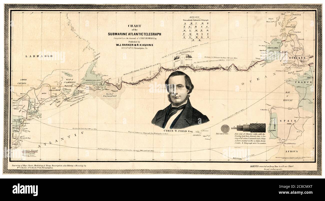 Map and vintage infographic showing the route of the first submarine Transatlantic Telegraph Cable across the Atlantic Ocean and a portrait of Cyrus West Field (1819-1892) of the Atlantic Telegraph Company, map by William J Barker, 1858 Stock Photohttps://www.alamy.com/image-license-details/?v=1https://www.alamy.com/map-and-vintage-infographic-showing-the-route-of-the-first-submarine-transatlantic-telegraph-cable-across-the-atlantic-ocean-and-a-portrait-of-cyrus-west-field-1819-1892-of-the-atlantic-telegraph-company-map-by-william-j-barker-1858-image366614832.html
RM2C8CMXT–Map and vintage infographic showing the route of the first submarine Transatlantic Telegraph Cable across the Atlantic Ocean and a portrait of Cyrus West Field (1819-1892) of the Atlantic Telegraph Company, map by William J Barker, 1858
![Physical and political maps of Bangladesh. [Adobe Illustrator (.ai); 3507x2480]. Stock Photo Physical and political maps of Bangladesh. [Adobe Illustrator (.ai); 3507x2480]. Stock Photo](https://c8.alamy.com/comp/2NEC4JK/physical-and-political-maps-of-bangladesh-adobe-illustrator-ai-3507x2480-2NEC4JK.jpg) Physical and political maps of Bangladesh. [Adobe Illustrator (.ai); 3507x2480]. Stock Photohttps://www.alamy.com/image-license-details/?v=1https://www.alamy.com/physical-and-political-maps-of-bangladesh-adobe-illustrator-ai-3507x2480-image525183307.html
Physical and political maps of Bangladesh. [Adobe Illustrator (.ai); 3507x2480]. Stock Photohttps://www.alamy.com/image-license-details/?v=1https://www.alamy.com/physical-and-political-maps-of-bangladesh-adobe-illustrator-ai-3507x2480-image525183307.htmlRM2NEC4JK–Physical and political maps of Bangladesh. [Adobe Illustrator (.ai); 3507x2480].
RFWJCD8J–Isometric smartphone with various applications flying out the screen. Mobile apps icons for social media, messages and calls, maps, weather and smart
 Infographic on world maps communication. Stock Vectorhttps://www.alamy.com/image-license-details/?v=1https://www.alamy.com/infographic-on-world-maps-communication-image236228809.html
RFRM9475–Infographic on world maps communication.
 Flat 3d isometric mobile GPS navigation maps infographic concept vector. Tablet with digital satellite map, magnifier and north-south Stock Vectorhttps://www.alamy.com/image-license-details/?v=1https://www.alamy.com/stock-image-flat-3d-isometric-mobile-gps-navigation-maps-infographic-concept-vector-169533966.html
RFKRPX8E–Flat 3d isometric mobile GPS navigation maps infographic concept vector. Tablet with digital satellite map, magnifier and north-south
 Set of original business infographic charts with maps Stock Vectorhttps://www.alamy.com/image-license-details/?v=1https://www.alamy.com/set-of-original-business-infographic-charts-with-maps-image554175228.html
RF2R5GT4C–Set of original business infographic charts with maps
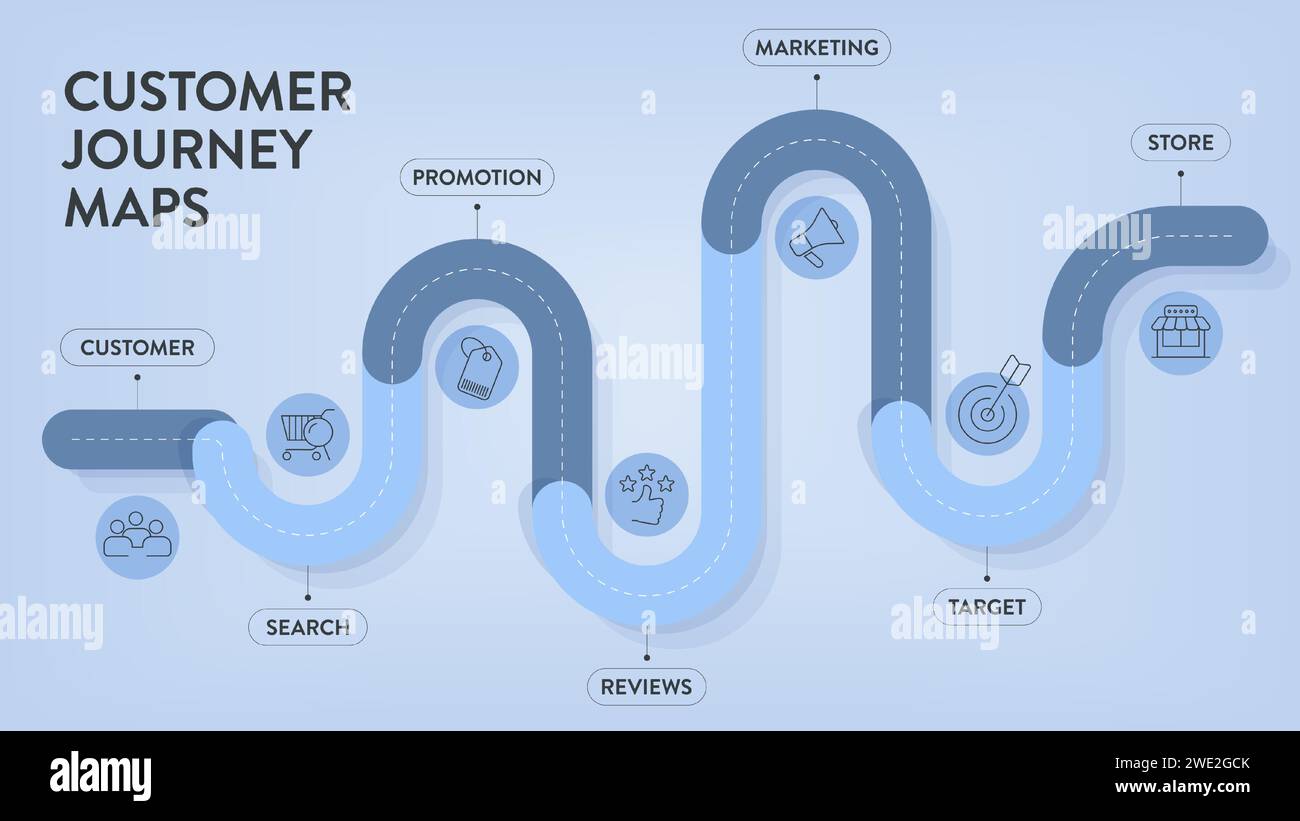 Customer Journey Maps infographic has 6 steps to analyze such as customer, search, promotion, review, marketing, target and store. Business infographi Stock Vectorhttps://www.alamy.com/image-license-details/?v=1https://www.alamy.com/customer-journey-maps-infographic-has-6-steps-to-analyze-such-as-customer-search-promotion-review-marketing-target-and-store-business-infographi-image593814499.html
RF2WE2GCK–Customer Journey Maps infographic has 6 steps to analyze such as customer, search, promotion, review, marketing, target and store. Business infographi
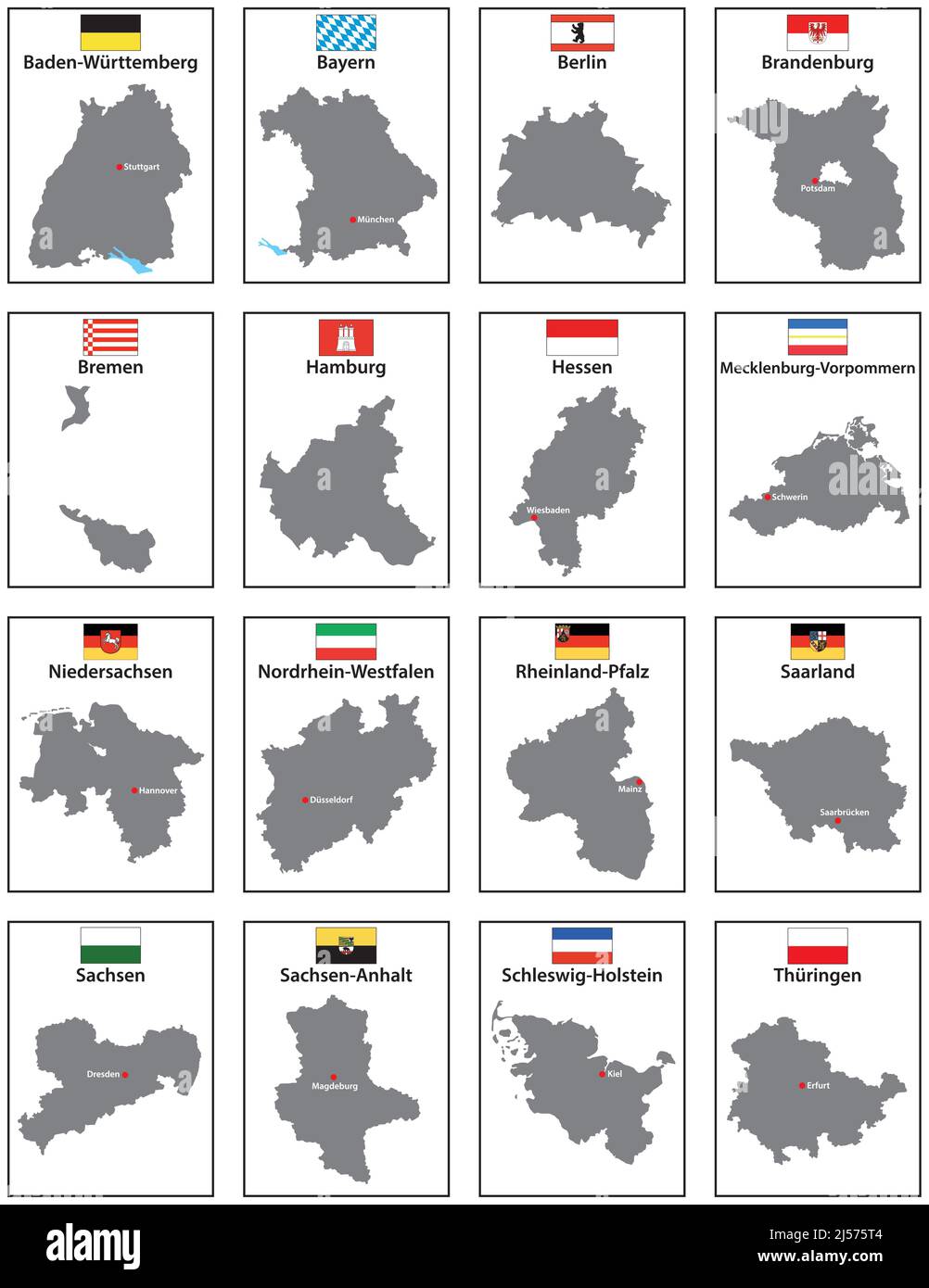 Vector maps with flags of the 16 states of Germany Stock Vectorhttps://www.alamy.com/image-license-details/?v=1https://www.alamy.com/vector-maps-with-flags-of-the-16-states-of-germany-image467911476.html
RF2J575T4–Vector maps with flags of the 16 states of Germany
RF2YY0084–Kinds of website visitor tracking rectangular infographics
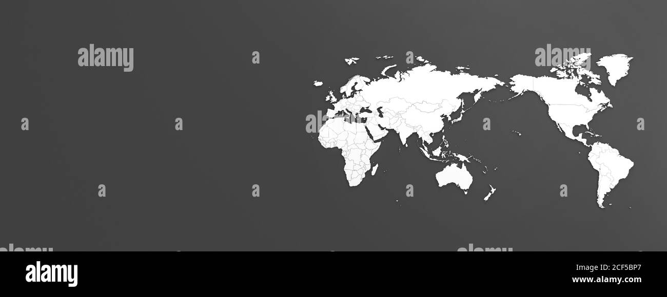 a horizontal map of the world with a dark gray background. Stock Photohttps://www.alamy.com/image-license-details/?v=1https://www.alamy.com/a-horizontal-map-of-the-world-with-a-dark-gray-background-image370756575.html
RF2CF5BP7–a horizontal map of the world with a dark gray background.
 Vector design showing hands holding a multifunctional smartphone with applications. Stock Vectorhttps://www.alamy.com/image-license-details/?v=1https://www.alamy.com/vector-design-showing-hands-holding-a-multifunctional-smartphone-with-applications-image354432277.html
RF2BGHNYH–Vector design showing hands holding a multifunctional smartphone with applications.
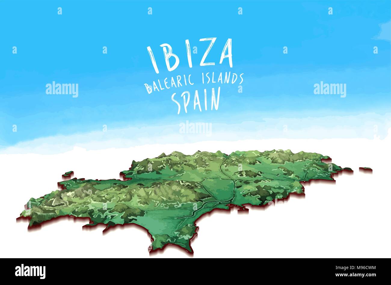 Modern Island Map of Ibiza, Spain. Detailed vector illustration. Isolated concept for infographic and marketing. Stock Vectorhttps://www.alamy.com/image-license-details/?v=1https://www.alamy.com/modern-island-map-of-ibiza-spain-detailed-vector-illustration-isolated-concept-for-infographic-and-marketing-image177777424.html
RFM96CWM–Modern Island Map of Ibiza, Spain. Detailed vector illustration. Isolated concept for infographic and marketing.
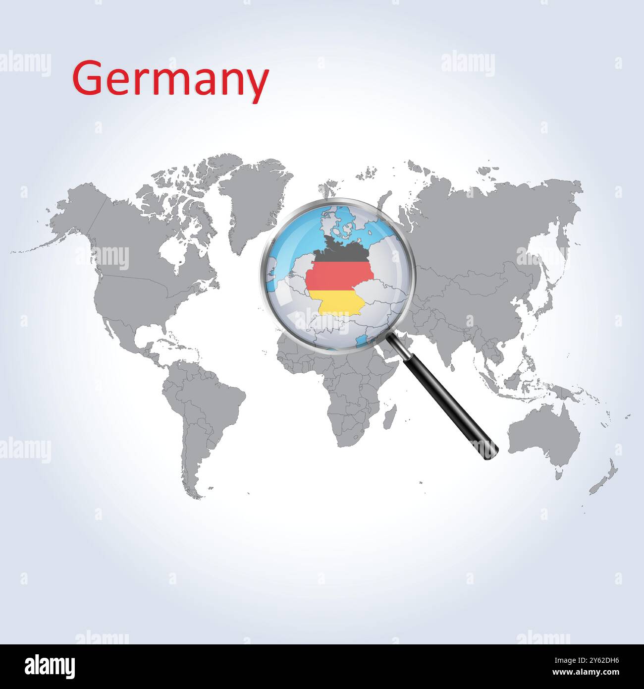 Germany Magnified Map and Flag, Germany Enlargement Maps Stock Vectorhttps://www.alamy.com/image-license-details/?v=1https://www.alamy.com/germany-magnified-map-and-flag-germany-enlargement-maps-image623315762.html
RF2Y62DH6–Germany Magnified Map and Flag, Germany Enlargement Maps
 An A to Z road map laid on a wooden table, a journey planning concept Stock Photohttps://www.alamy.com/image-license-details/?v=1https://www.alamy.com/an-a-to-z-road-map-laid-on-a-wooden-table-a-journey-planning-concept-image408225260.html
RM2EM47DG–An A to Z road map laid on a wooden table, a journey planning concept
 Creative map of Cuwait. Political map. Capital of Cuwait. World Countries maps with borders. Glass isometric Series. Set Stock Photohttps://www.alamy.com/image-license-details/?v=1https://www.alamy.com/creative-map-of-cuwait-political-map-capital-of-cuwait-world-countries-maps-with-borders-glass-isometric-series-set-image566523730.html
RF2RWKAPA–Creative map of Cuwait. Political map. Capital of Cuwait. World Countries maps with borders. Glass isometric Series. Set
RFG2GNT3–Italian Republic isolated maps and official flag icon. vector Italy political map icons with general information. Mediterranean,
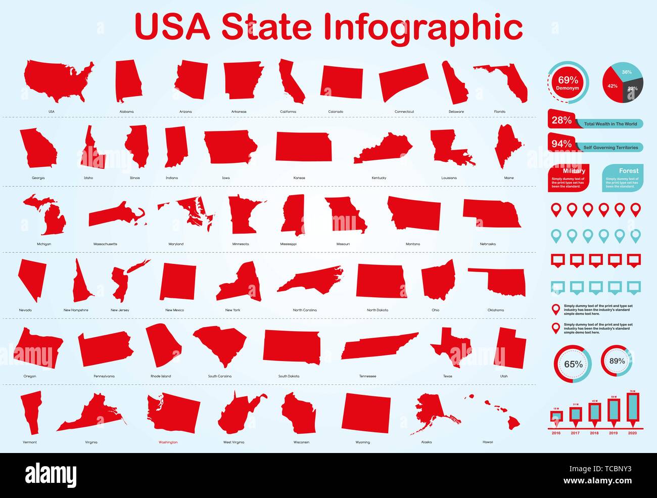 USA All State Map with Set of Infographic Elements in Red Color in Light Background. Modern Information Graphics Element for your design. Stock Vectorhttps://www.alamy.com/image-license-details/?v=1https://www.alamy.com/usa-all-state-map-with-set-of-infographic-elements-in-red-color-in-light-background-modern-information-graphics-element-for-your-design-image248579719.html
RFTCBNY3–USA All State Map with Set of Infographic Elements in Red Color in Light Background. Modern Information Graphics Element for your design.
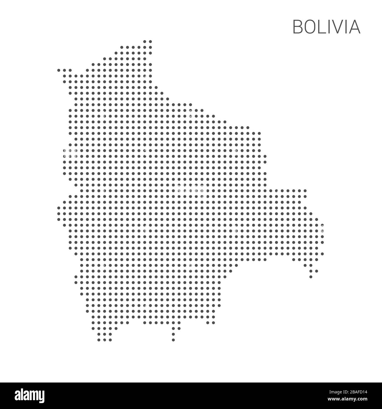 Bolivia map dotted on white background vector isolated. Illustration for technology design or infographics. Isolated on white background. Travel vecto Stock Vectorhttps://www.alamy.com/image-license-details/?v=1https://www.alamy.com/bolivia-map-dotted-on-white-background-vector-isolated-illustration-for-technology-design-or-infographics-isolated-on-white-background-travel-vecto-image350693424.html
RF2BAFD14–Bolivia map dotted on white background vector isolated. Illustration for technology design or infographics. Isolated on white background. Travel vecto
RFJWRN8J–Road infographic design template and pin, maps icons.
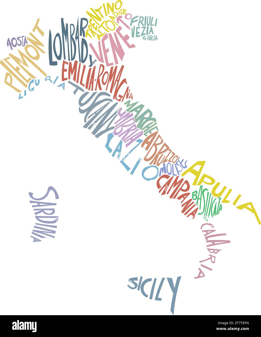 Italy map with states. Poster map of Italy with state names. vector illustration Stock Vectorhttps://www.alamy.com/image-license-details/?v=1https://www.alamy.com/italy-map-with-states-poster-map-of-italy-with-state-names-vector-illustration-image572783001.html
RF2T7TEFN–Italy map with states. Poster map of Italy with state names. vector illustration
![Infographic of the geological characteristics of South America. [Adobe Illustrator (.ai); 3661x5669]. Stock Photo Infographic of the geological characteristics of South America. [Adobe Illustrator (.ai); 3661x5669]. Stock Photo](https://c8.alamy.com/comp/2NEC3W4/infographic-of-the-geological-characteristics-of-south-america-adobe-illustrator-ai-3661x5669-2NEC3W4.jpg) Infographic of the geological characteristics of South America. [Adobe Illustrator (.ai); 3661x5669]. Stock Photohttps://www.alamy.com/image-license-details/?v=1https://www.alamy.com/infographic-of-the-geological-characteristics-of-south-america-adobe-illustrator-ai-3661x5669-image525182704.html
Infographic of the geological characteristics of South America. [Adobe Illustrator (.ai); 3661x5669]. Stock Photohttps://www.alamy.com/image-license-details/?v=1https://www.alamy.com/infographic-of-the-geological-characteristics-of-south-america-adobe-illustrator-ai-3661x5669-image525182704.htmlRM2NEC3W4–Infographic of the geological characteristics of South America. [Adobe Illustrator (.ai); 3661x5669].
RF2A16658–Isometric smartphone with various applications on the screen. Mobile apps icons for social media, messages and calls, maps, weather and smart home. Gr
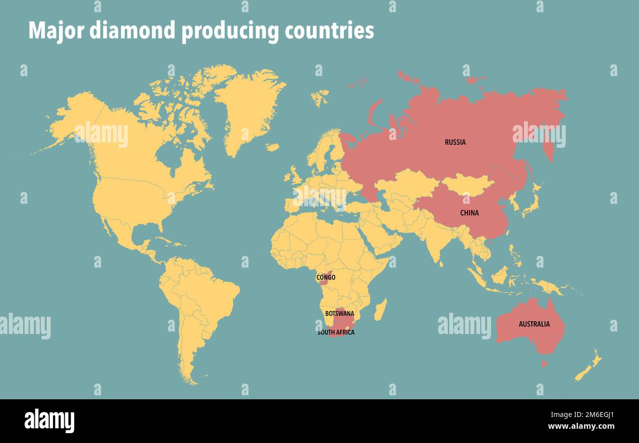 World map of major diamond producing countries Stock Photohttps://www.alamy.com/image-license-details/?v=1https://www.alamy.com/world-map-of-major-diamond-producing-countries-image503108985.html
RF2M6EGJ1–World map of major diamond producing countries
 Text in maps pin infographic business data presentation template Stock Vectorhttps://www.alamy.com/image-license-details/?v=1https://www.alamy.com/text-in-maps-pin-infographic-business-data-presentation-template-image544891975.html
RF2PJDY7K–Text in maps pin infographic business data presentation template
 Set of original business infographic diagrams with maps Stock Vectorhttps://www.alamy.com/image-license-details/?v=1https://www.alamy.com/set-of-original-business-infographic-diagrams-with-maps-image554175855.html
RF2R5GTXR–Set of original business infographic diagrams with maps
 Business project timelines diagrams layout template for slide presentation. Customer journey maps infographic. Creative company timeline processes wit Stock Vectorhttps://www.alamy.com/image-license-details/?v=1https://www.alamy.com/business-project-timelines-diagrams-layout-template-for-slide-presentation-customer-journey-maps-infographic-creative-company-timeline-processes-wit-image501893410.html
RF2M4F64J–Business project timelines diagrams layout template for slide presentation. Customer journey maps infographic. Creative company timeline processes wit
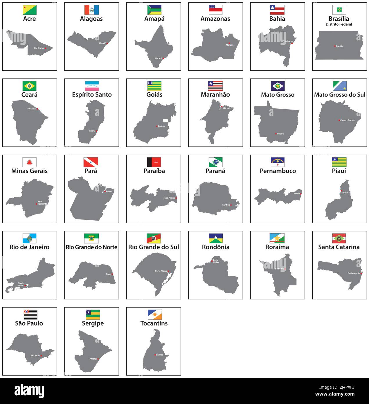 Vector maps with flags of the 27 states of Brazil Stock Vectorhttps://www.alamy.com/image-license-details/?v=1https://www.alamy.com/vector-maps-with-flags-of-the-27-states-of-brazil-image467642311.html
RF2J4PXF3–Vector maps with flags of the 27 states of Brazil
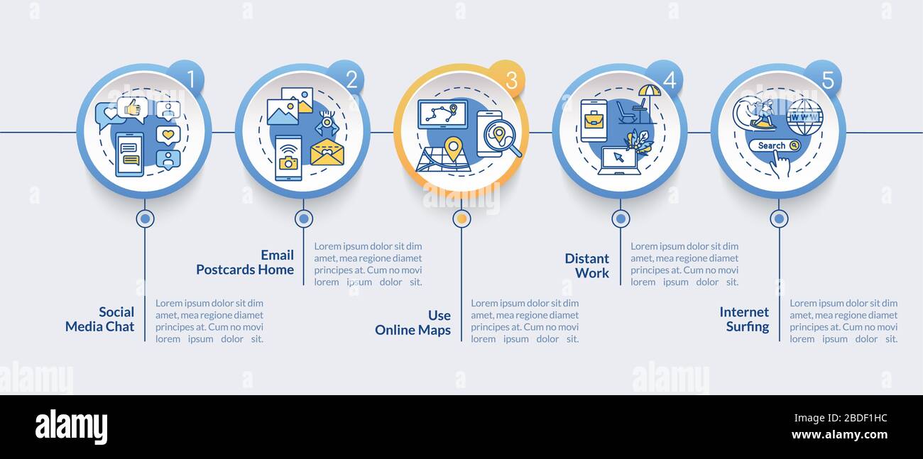 Mail and chats vector infographic template. Internet surfing, maps and work presentation design elements. Data visualization with 5 steps. Process Stock Vectorhttps://www.alamy.com/image-license-details/?v=1https://www.alamy.com/mail-and-chats-vector-infographic-template-internet-surfing-maps-and-work-presentation-design-elements-data-visualization-with-5-steps-process-image352528440.html
RF2BDF1HC–Mail and chats vector infographic template. Internet surfing, maps and work presentation design elements. Data visualization with 5 steps. Process
 a horizontal map of the world with a green background. Stock Photohttps://www.alamy.com/image-license-details/?v=1https://www.alamy.com/a-horizontal-map-of-the-world-with-a-green-background-image370756578.html
RF2CF5BPA–a horizontal map of the world with a green background.
 Set of vector polygonal maps of Naxos. Bright gradient map of island in low poly style. Multicolored Naxos map in geometric style for your infographic Stock Vectorhttps://www.alamy.com/image-license-details/?v=1https://www.alamy.com/set-of-vector-polygonal-maps-of-naxos-bright-gradient-map-of-island-in-low-poly-style-multicolored-naxos-map-in-geometric-style-for-your-infographic-image553790477.html
RF2R4Y9B9–Set of vector polygonal maps of Naxos. Bright gradient map of island in low poly style. Multicolored Naxos map in geometric style for your infographic
RF2H5BCMK–GPS ui dark theme. Gps city tracking maps route line with pin markers geography modern infographic for travellers garish vector template
 Guadeloupe Magnified Map and Flag, Guadeloupe Enlargement Maps Stock Vectorhttps://www.alamy.com/image-license-details/?v=1https://www.alamy.com/guadeloupe-magnified-map-and-flag-guadeloupe-enlargement-maps-image623315585.html
RF2Y62DAW–Guadeloupe Magnified Map and Flag, Guadeloupe Enlargement Maps
RF2B12CE4–Route dashboard. City street map navigation, town running routes and gps tracking maps app flat vector illustration
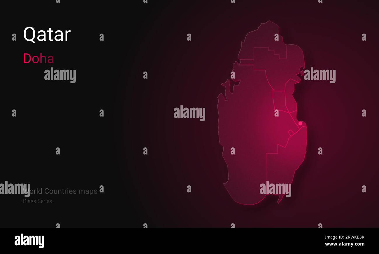 Creative map of Qatar. Political map. Doha. Capital of Qatar. World Countries maps with borders. Glass Series. Arabian Peninsula. Stock Photohttps://www.alamy.com/image-license-details/?v=1https://www.alamy.com/creative-map-of-qatar-political-map-doha-capital-of-qatar-world-countries-maps-with-borders-glass-series-arabian-peninsula-image566523991.html
RF2RWKB3K–Creative map of Qatar. Political map. Doha. Capital of Qatar. World Countries maps with borders. Glass Series. Arabian Peninsula.
 set of infographic elements isolated on white background. vector timeline and option graph symbol. pyramid info graphic icons. f Stock Vectorhttps://www.alamy.com/image-license-details/?v=1https://www.alamy.com/stock-photo-set-of-infographic-elements-isolated-on-white-background-vector-timeline-107672250.html
RFG74W1E–set of infographic elements isolated on white background. vector timeline and option graph symbol. pyramid info graphic icons. f
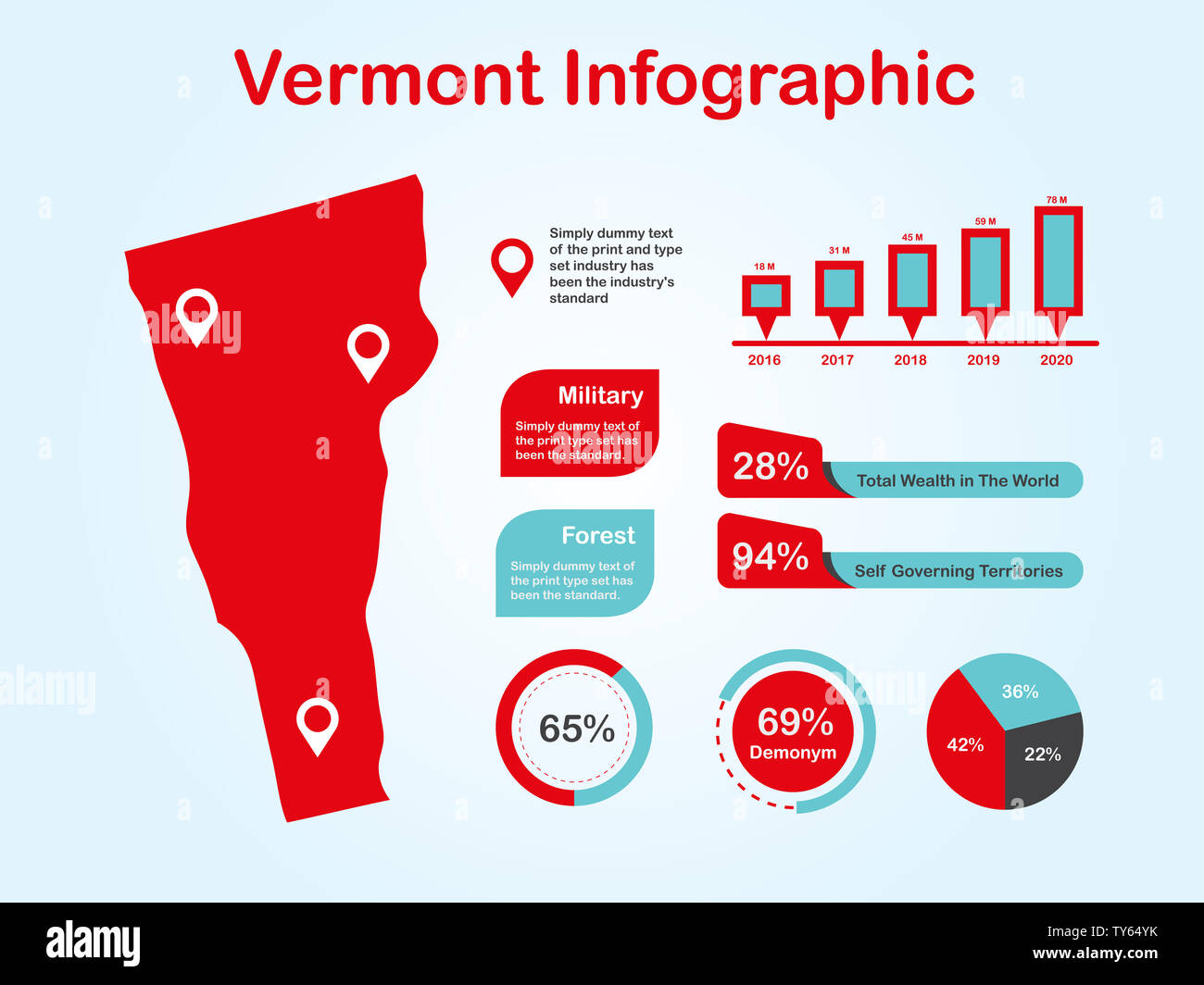 Vermont State (USA) Map with Set of Infographic Elements in Red Color in Light Background. Modern Information Graphics Element for your design. Stock Photohttps://www.alamy.com/image-license-details/?v=1https://www.alamy.com/vermont-state-usa-map-with-set-of-infographic-elements-in-red-color-in-light-background-modern-information-graphics-element-for-your-design-image257676487.html
RFTY64YK–Vermont State (USA) Map with Set of Infographic Elements in Red Color in Light Background. Modern Information Graphics Element for your design.
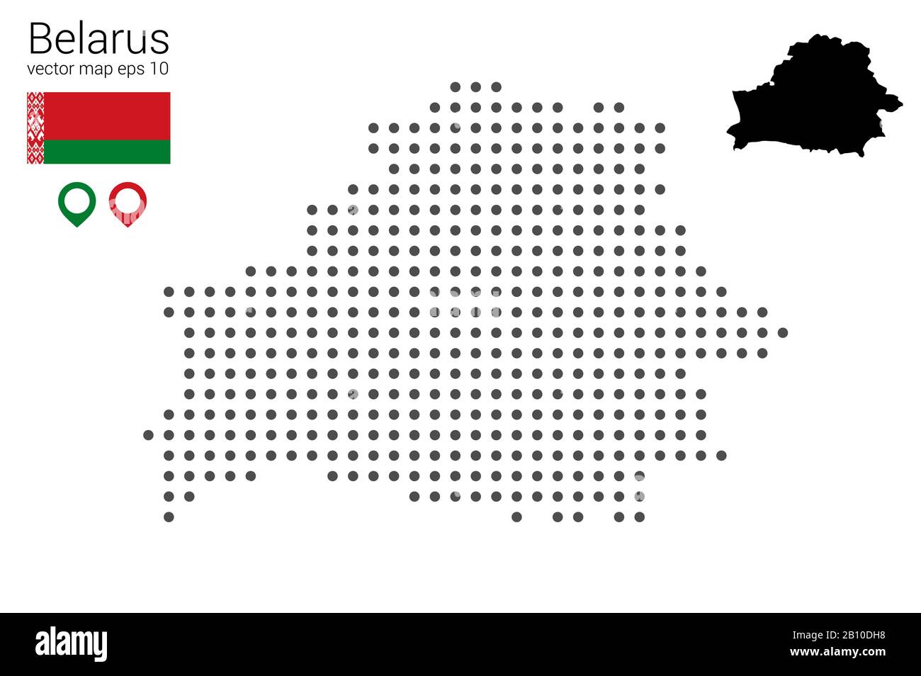 Map of Belarus, vector drawing, dotted with flag and map marker. Illustration for design, web, infografrica, print, isolated on a removable white back Stock Vectorhttps://www.alamy.com/image-license-details/?v=1https://www.alamy.com/map-of-belarus-vector-drawing-dotted-with-flag-and-map-marker-illustration-for-design-web-infografrica-print-isolated-on-a-removable-white-back-image344832692.html
RF2B10DH8–Map of Belarus, vector drawing, dotted with flag and map marker. Illustration for design, web, infografrica, print, isolated on a removable white back
RFJT8138–Road infographic design template and marketing icons. Maps icon.
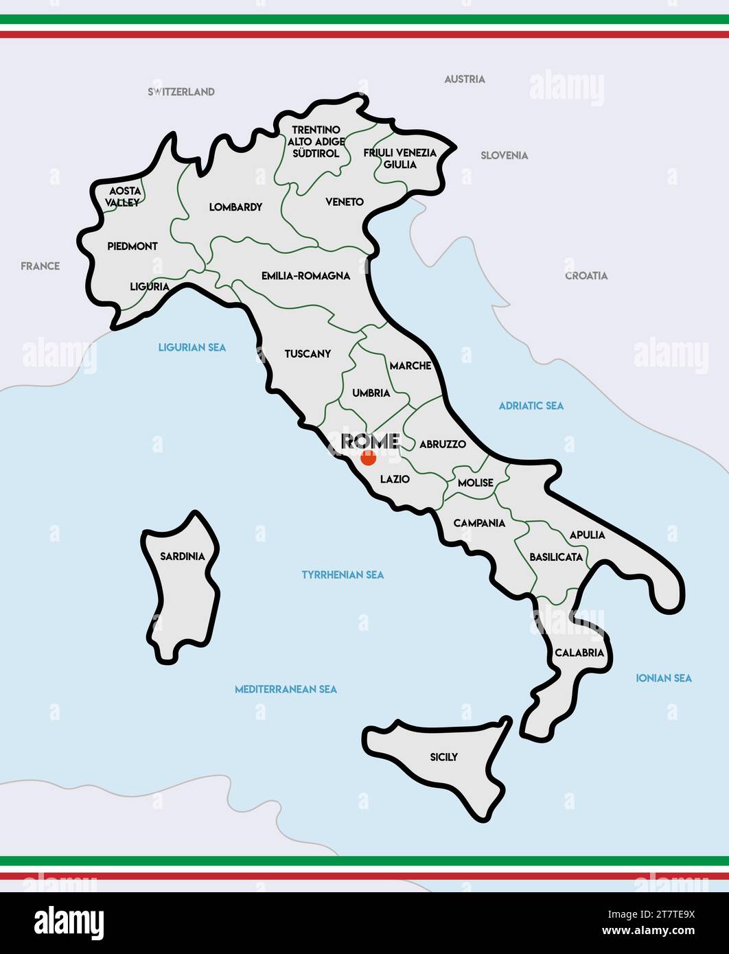 Administrative color map of Italy. vector illustration Stock Vectorhttps://www.alamy.com/image-license-details/?v=1https://www.alamy.com/administrative-color-map-of-italy-vector-illustration-image572782838.html
RF2T7TE9X–Administrative color map of Italy. vector illustration
![Infographic on mining resources of South America. [Adobe Illustrator (.ai); 3661x5669]. Stock Photo Infographic on mining resources of South America. [Adobe Illustrator (.ai); 3661x5669]. Stock Photo](https://c8.alamy.com/comp/2NE9Y0X/infographic-on-mining-resources-of-south-america-adobe-illustrator-ai-3661x5669-2NE9Y0X.jpg) Infographic on mining resources of South America. [Adobe Illustrator (.ai); 3661x5669]. Stock Photohttps://www.alamy.com/image-license-details/?v=1https://www.alamy.com/infographic-on-mining-resources-of-south-america-adobe-illustrator-ai-3661x5669-image525134986.html
Infographic on mining resources of South America. [Adobe Illustrator (.ai); 3661x5669]. Stock Photohttps://www.alamy.com/image-license-details/?v=1https://www.alamy.com/infographic-on-mining-resources-of-south-america-adobe-illustrator-ai-3661x5669-image525134986.htmlRM2NE9Y0X–Infographic on mining resources of South America. [Adobe Illustrator (.ai); 3661x5669].
 Vector Infographic with a tortuous road separating blank space from a Perspective city map with red markers and rounded icons. Stock Vectorhttps://www.alamy.com/image-license-details/?v=1https://www.alamy.com/stock-image-vector-infographic-with-a-tortuous-road-separating-blank-space-from-163841611.html
RFKEFHJ3–Vector Infographic with a tortuous road separating blank space from a Perspective city map with red markers and rounded icons.
 Connected car and internet of things infographic concept. Driverless cars connected to the world wide web. Stock Vectorhttps://www.alamy.com/image-license-details/?v=1https://www.alamy.com/stock-photo-connected-car-and-internet-of-things-infographic-concept-driverless-100199955.html
RFFR0E1R–Connected car and internet of things infographic concept. Driverless cars connected to the world wide web.
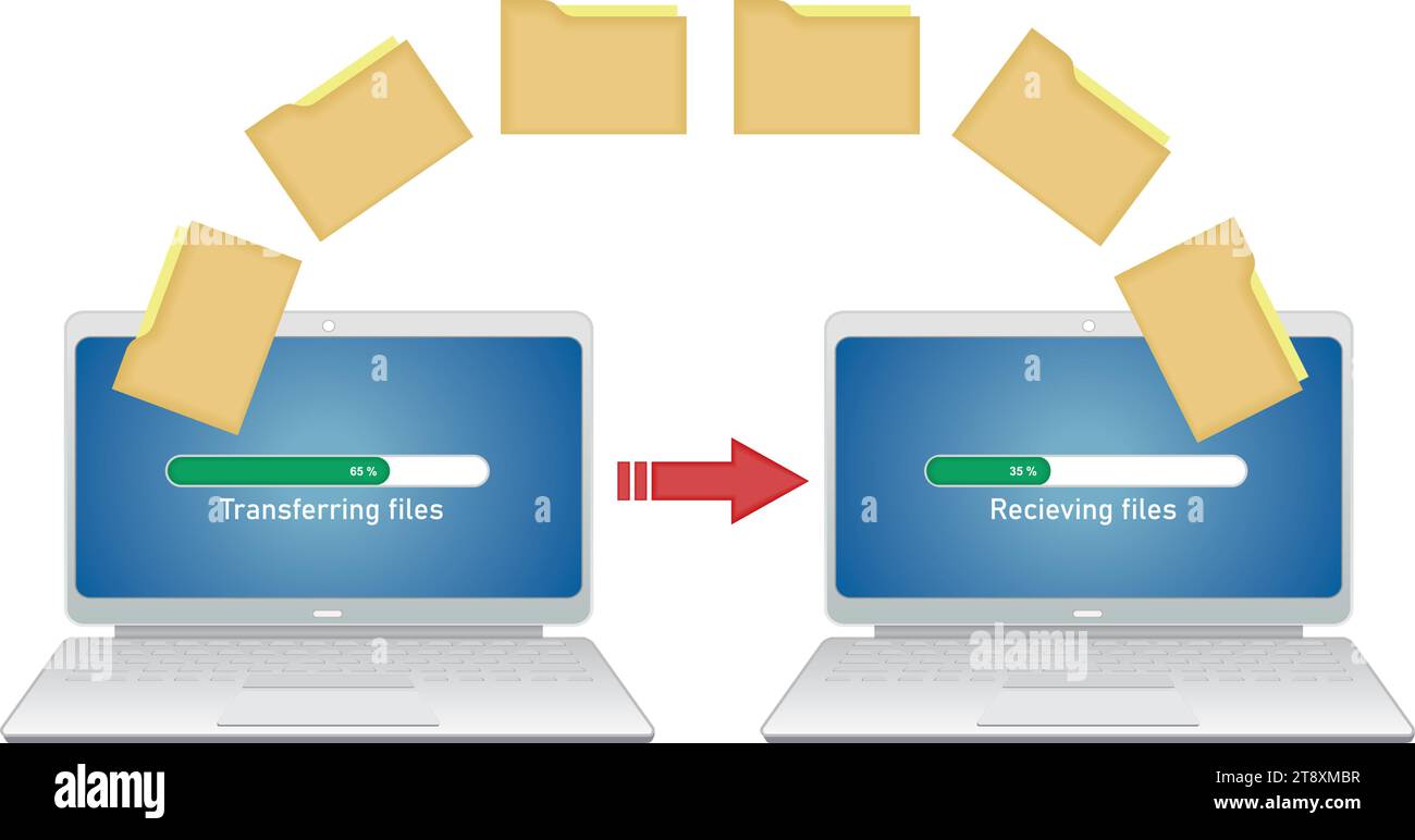 Transferring files between computers. Isolated. Vector illustration. Stock Vectorhttps://www.alamy.com/image-license-details/?v=1https://www.alamy.com/transferring-files-between-computers-isolated-vector-illustration-image573446155.html
RF2T8XMBR–Transferring files between computers. Isolated. Vector illustration.
 Set of creative business infographic diagrams with maps Stock Vectorhttps://www.alamy.com/image-license-details/?v=1https://www.alamy.com/set-of-creative-business-infographic-diagrams-with-maps-image554179757.html
RF2R5H1X5–Set of creative business infographic diagrams with maps
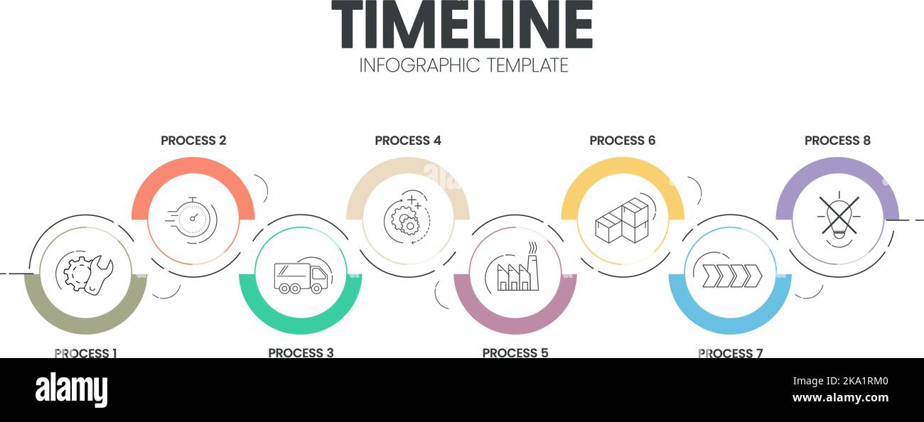 Business project timelines diagrams layout template for slide presentation. Customer journey maps infographic. Creative company timeline processes wit Stock Vectorhttps://www.alamy.com/image-license-details/?v=1https://www.alamy.com/business-project-timelines-diagrams-layout-template-for-slide-presentation-customer-journey-maps-infographic-creative-company-timeline-processes-wit-image488077408.html
RF2KA1RM0–Business project timelines diagrams layout template for slide presentation. Customer journey maps infographic. Creative company timeline processes wit
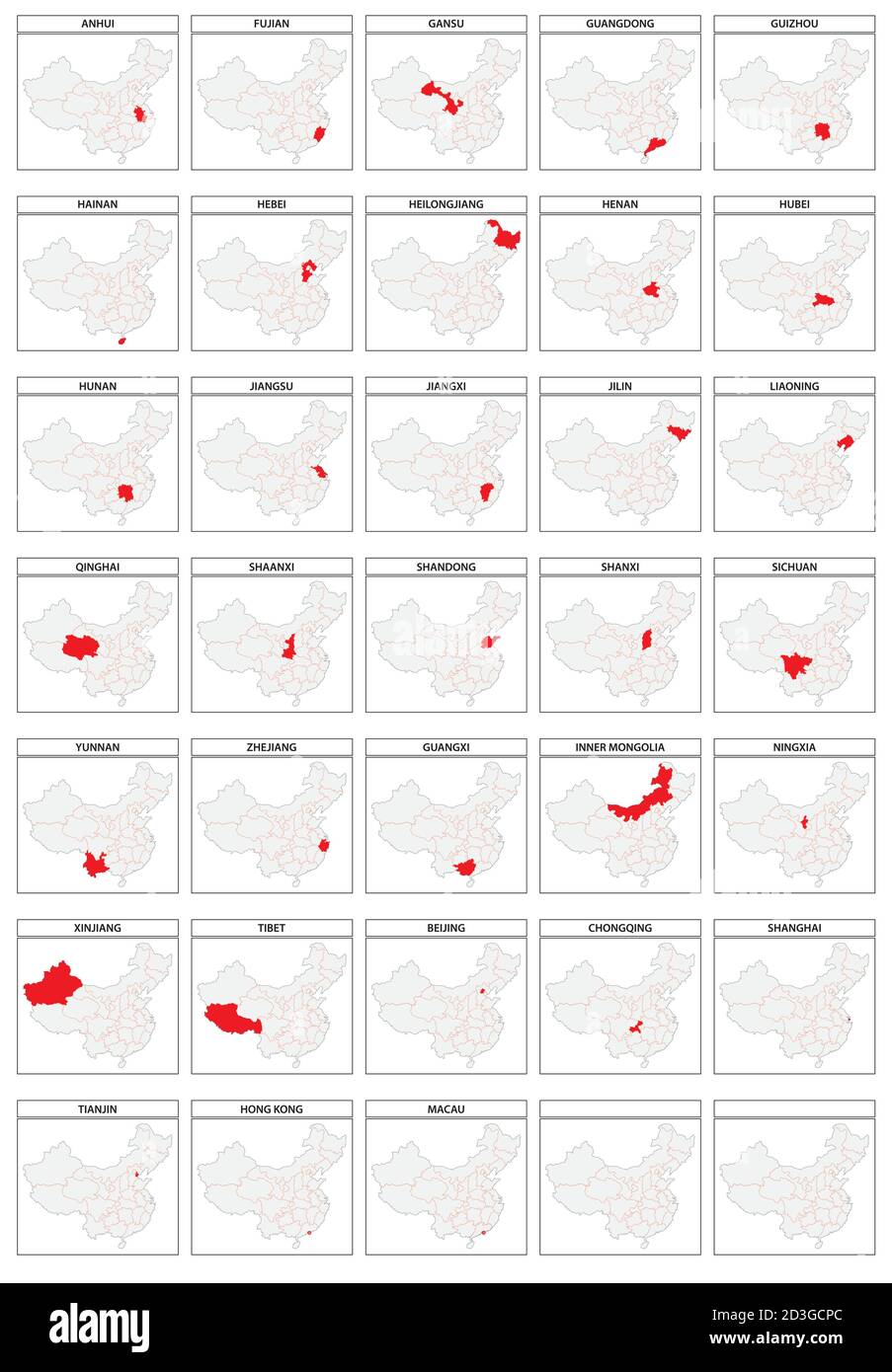 33 vector maps of the administrative divisions of China Stock Vectorhttps://www.alamy.com/image-license-details/?v=1https://www.alamy.com/33-vector-maps-of-the-administrative-divisions-of-china-image380833332.html
RF2D3GCPC–33 vector maps of the administrative divisions of China
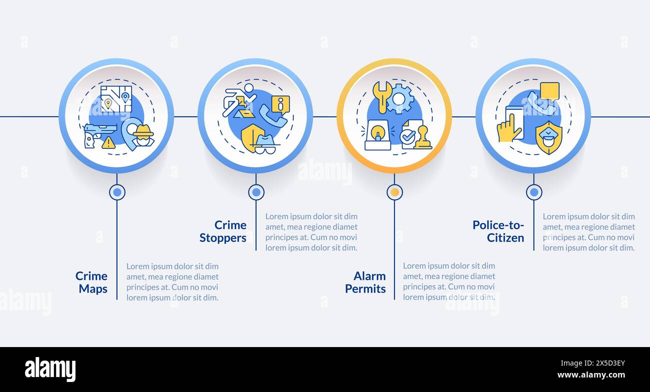 Public security circle infographic template Stock Vectorhttps://www.alamy.com/image-license-details/?v=1https://www.alamy.com/public-security-circle-infographic-template-image605724307.html
RF2X5D3EY–Public security circle infographic template
 a horizontal map of the world with a red background. Stock Photohttps://www.alamy.com/image-license-details/?v=1https://www.alamy.com/a-horizontal-map-of-the-world-with-a-red-background-image370756642.html
RF2CF5BTJ–a horizontal map of the world with a red background.
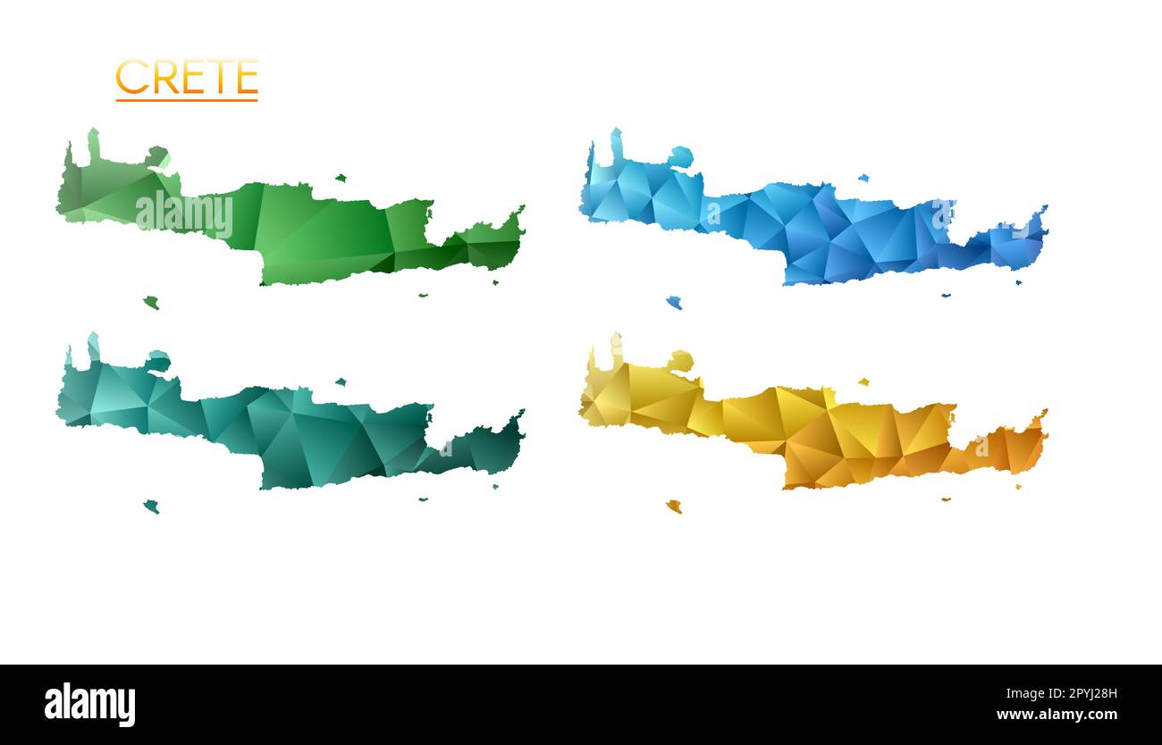 Set of vector polygonal maps of Crete. Bright gradient map of island in low poly style. Multicolored Crete map in geometric style for your infographic Stock Vectorhttps://www.alamy.com/image-license-details/?v=1https://www.alamy.com/set-of-vector-polygonal-maps-of-crete-bright-gradient-map-of-island-in-low-poly-style-multicolored-crete-map-in-geometric-style-for-your-infographic-image550514065.html
RF2PYJ28H–Set of vector polygonal maps of Crete. Bright gradient map of island in low poly style. Multicolored Crete map in geometric style for your infographic
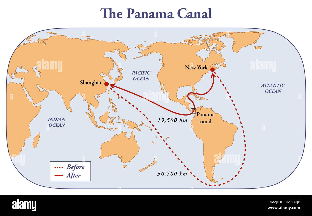 The Panama Canal and the distance benefits to the shipping routes Stock Photohttps://www.alamy.com/image-license-details/?v=1https://www.alamy.com/the-panama-canal-and-the-distance-benefits-to-the-shipping-routes-image502473182.html
RF2M5DHJP–The Panama Canal and the distance benefits to the shipping routes
 Fiji Magnified Map and Flag, Fiji Enlargement Maps Stock Vectorhttps://www.alamy.com/image-license-details/?v=1https://www.alamy.com/fiji-magnified-map-and-flag-fiji-enlargement-maps-image623316561.html
RF2Y62EHN–Fiji Magnified Map and Flag, Fiji Enlargement Maps
RF2YD3EXY–An amazing vector design of compass in modern style, navigation tool icon
 Creative glowing map of South Korea. Seoul Capital of Republic of Korea. World Countries maps with borders. Glass isometric Series. Stock Photohttps://www.alamy.com/image-license-details/?v=1https://www.alamy.com/creative-glowing-map-of-south-korea-seoul-capital-of-republic-of-korea-world-countries-maps-with-borders-glass-isometric-series-image566306043.html
RM2RW9D3R–Creative glowing map of South Korea. Seoul Capital of Republic of Korea. World Countries maps with borders. Glass isometric Series.
RFG2GNRW–Republic of Poland isolated maps and official flag icon. vector Polish political map icons with general information. European co
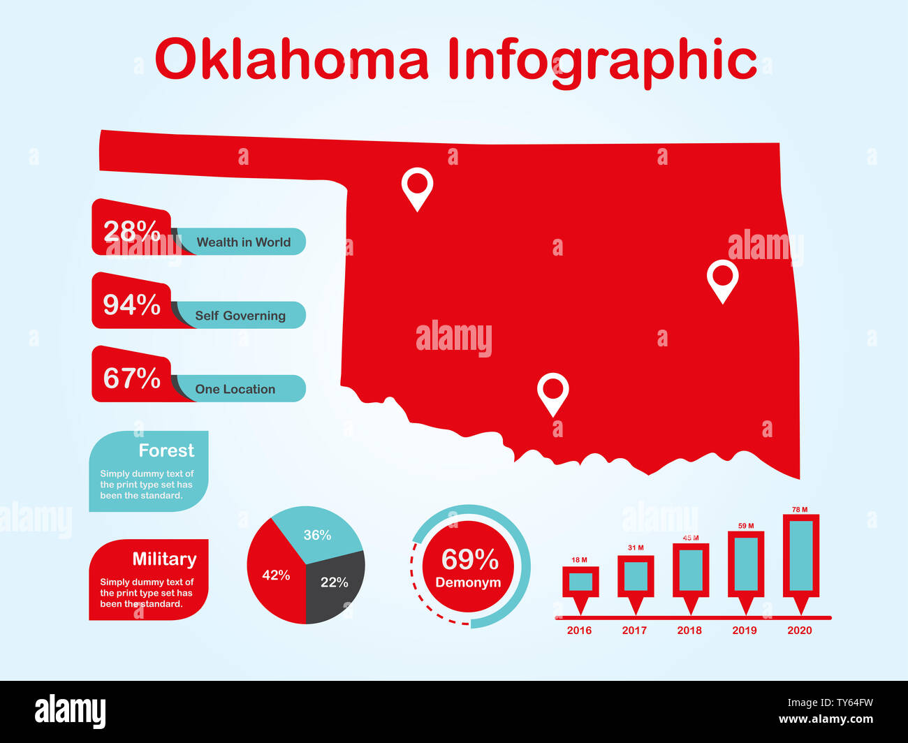 Oklahoma State (USA) Map with Set of Infographic Elements in Red Color in Light Background. Modern Information Graphics Element for your design. Stock Photohttps://www.alamy.com/image-license-details/?v=1https://www.alamy.com/oklahoma-state-usa-map-with-set-of-infographic-elements-in-red-color-in-light-background-modern-information-graphics-element-for-your-design-image257676157.html
RFTY64FW–Oklahoma State (USA) Map with Set of Infographic Elements in Red Color in Light Background. Modern Information Graphics Element for your design.
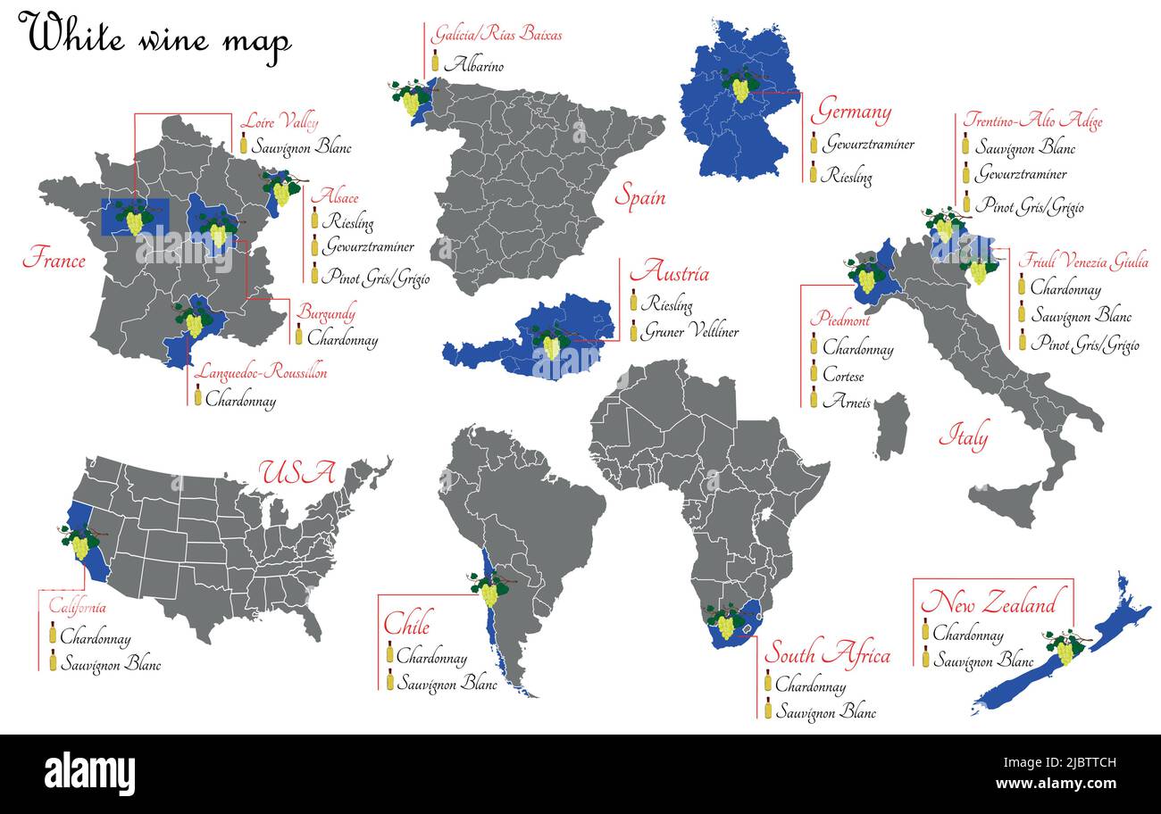 White wine map. Wine production map showing grape varieties. Regions of grape growing for wine production. Stock Vectorhttps://www.alamy.com/image-license-details/?v=1https://www.alamy.com/white-wine-map-wine-production-map-showing-grape-varieties-regions-of-grape-growing-for-wine-production-image471987169.html
RF2JBTTCH–White wine map. Wine production map showing grape varieties. Regions of grape growing for wine production.
