Quick filters:
Intermontane Stock Photos and Images
 Clouds gathering over cliffs, mountains and dry woodlands as seen from Bryce Canyon National Park in Utah. Stock Photohttps://www.alamy.com/image-license-details/?v=1https://www.alamy.com/clouds-gathering-over-cliffs-mountains-and-dry-woodlands-as-seen-from-bryce-canyon-national-park-in-utah-image570922208.html
RF2T4RN2T–Clouds gathering over cliffs, mountains and dry woodlands as seen from Bryce Canyon National Park in Utah.
 The Little Karoo is an intermontane plateau basin in the Western Cape province of South Africa, The picture was taken near the town of Oudtshoorn. Stock Photohttps://www.alamy.com/image-license-details/?v=1https://www.alamy.com/the-little-karoo-is-an-intermontane-plateau-basin-in-the-western-cape-province-of-south-africa-the-picture-was-taken-near-the-town-of-oudtshoorn-image460061831.html
RF2HMDHFK–The Little Karoo is an intermontane plateau basin in the Western Cape province of South Africa, The picture was taken near the town of Oudtshoorn.
 View over the Moab Valley in Utah, USA, as seen from the senic drive on the La Sal Mountains on a clear autumn day with brush oak in the fore ground, Stock Photohttps://www.alamy.com/image-license-details/?v=1https://www.alamy.com/view-over-the-moab-valley-in-utah-usa-as-seen-from-the-senic-drive-on-the-la-sal-mountains-on-a-clear-autumn-day-with-brush-oak-in-the-fore-ground-image380070634.html
RF2D29KY6–View over the Moab Valley in Utah, USA, as seen from the senic drive on the La Sal Mountains on a clear autumn day with brush oak in the fore ground,
 Panorama sunrise winter view west towards South Park (a high intermontane grassland basin) from Kenosha Pass, central Colorado Stock Photohttps://www.alamy.com/image-license-details/?v=1https://www.alamy.com/stock-photo-panorama-sunrise-winter-view-west-towards-south-park-a-high-intermontane-53242246.html
RMD2HB0P–Panorama sunrise winter view west towards South Park (a high intermontane grassland basin) from Kenosha Pass, central Colorado
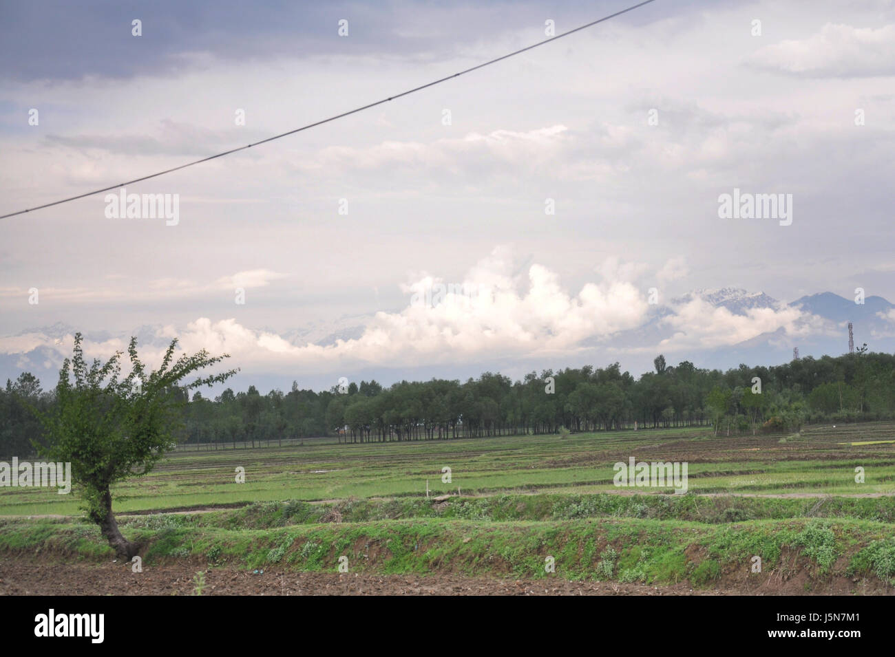 Kashmir Kashmir Valley, also known as the Vale of Kashmir, is an intermontane valley in the portion of the Kashmir (Photo Copyright © by Saji Maramon) Stock Photohttps://www.alamy.com/image-license-details/?v=1https://www.alamy.com/stock-photo-kashmir-kashmir-valley-also-known-as-the-vale-of-kashmir-is-an-intermontane-141223265.html
RMJ5N7M1–Kashmir Kashmir Valley, also known as the Vale of Kashmir, is an intermontane valley in the portion of the Kashmir (Photo Copyright © by Saji Maramon)
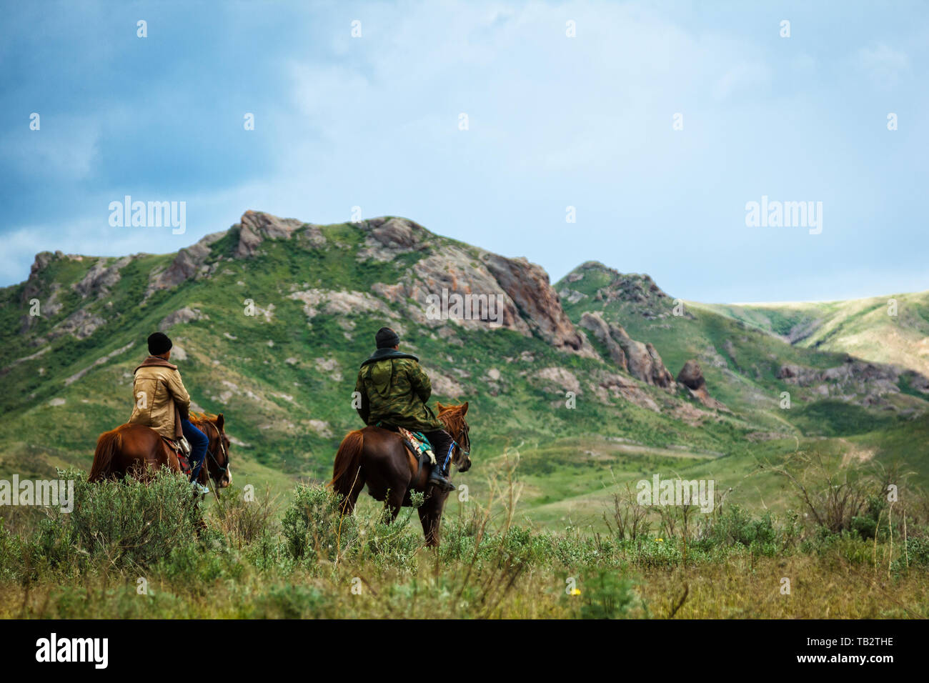 Two men riding horses. Summer pastures in an intermontane valley. Kazakhstan Stock Photohttps://www.alamy.com/image-license-details/?v=1https://www.alamy.com/two-men-riding-horses-summer-pastures-in-an-intermontane-valley-kazakhstan-image247769578.html
RFTB2THE–Two men riding horses. Summer pastures in an intermontane valley. Kazakhstan
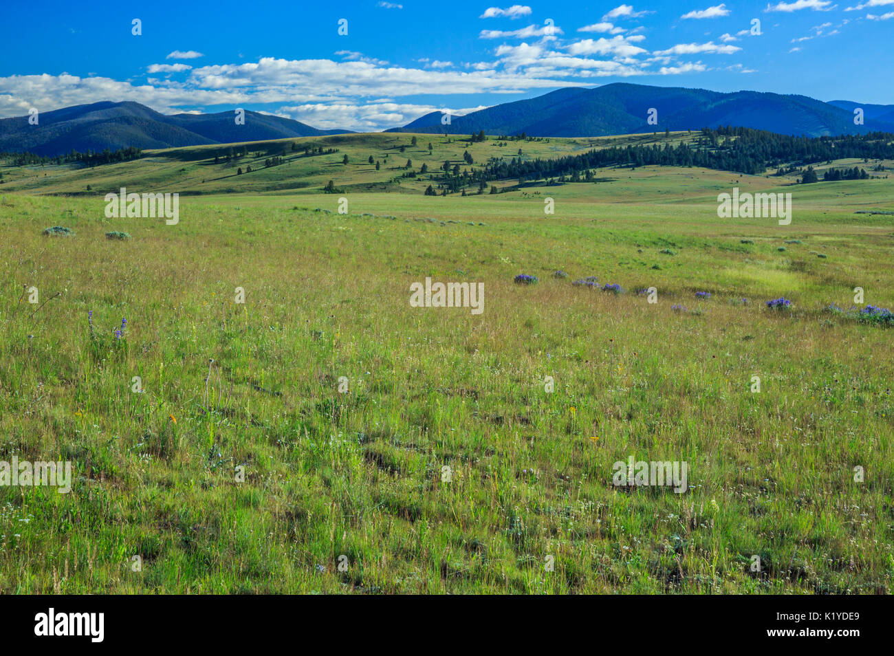 meadows in the nevada creek basin below the continental divide near avon, montana Stock Photohttps://www.alamy.com/image-license-details/?v=1https://www.alamy.com/meadows-in-the-nevada-creek-basin-below-the-continental-divide-near-image156111265.html
RMK1YDE9–meadows in the nevada creek basin below the continental divide near avon, montana
 Panoramic shot of the Kashmir Valley in Asia Stock Photohttps://www.alamy.com/image-license-details/?v=1https://www.alamy.com/panoramic-shot-of-the-kashmir-valley-in-asia-image451548467.html
RF2H6HPJY–Panoramic shot of the Kashmir Valley in Asia
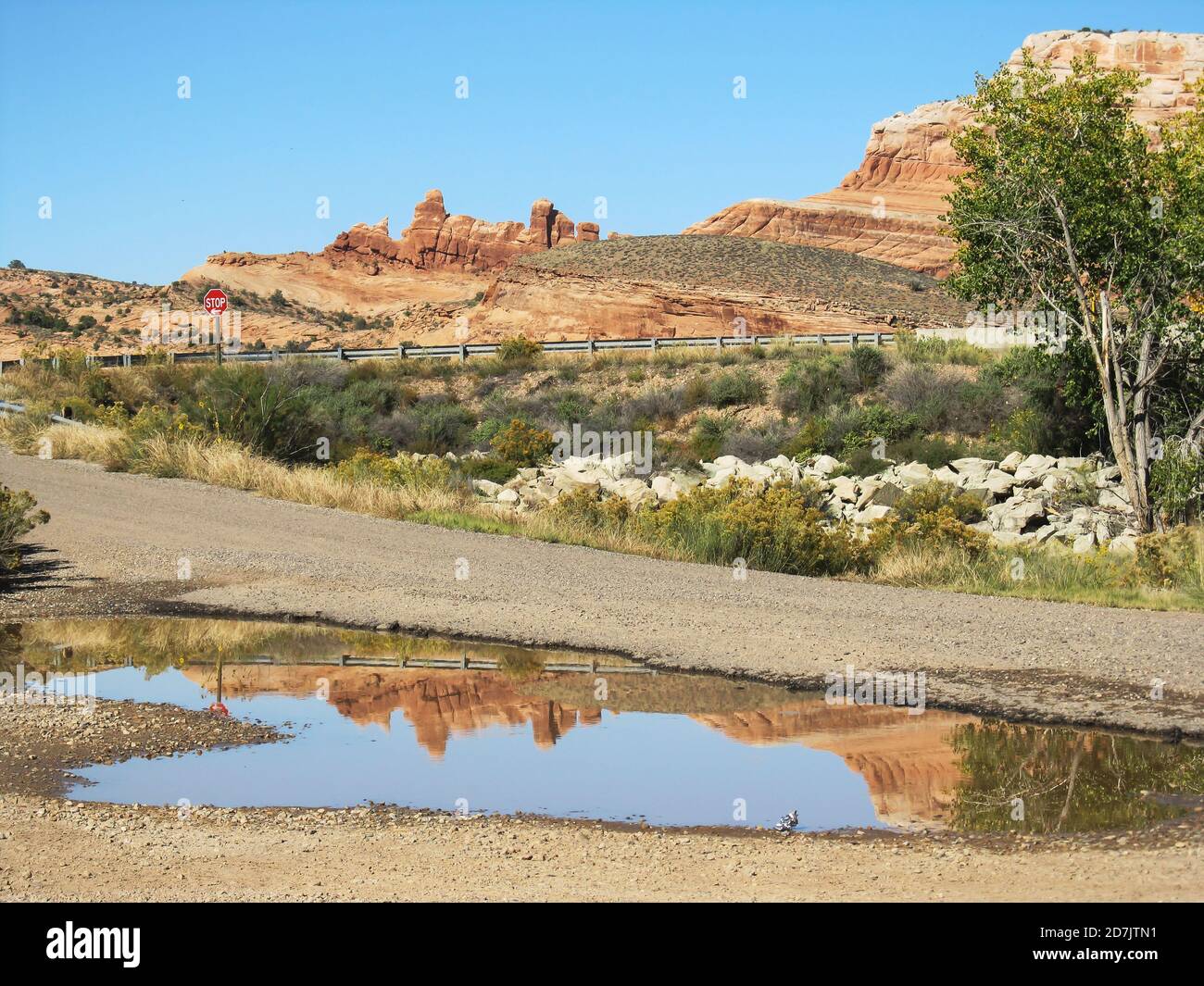 A rain pool from the previous night’s downpour, reflecting the sandstone Rock formations in Castle Valley, in Utah, USA Stock Photohttps://www.alamy.com/image-license-details/?v=1https://www.alamy.com/a-rain-pool-from-the-previous-nights-downpour-reflecting-the-sandstone-rock-formations-in-castle-valley-in-utah-usa-image383345229.html
RF2D7JTN1–A rain pool from the previous night’s downpour, reflecting the sandstone Rock formations in Castle Valley, in Utah, USA
![(popularly and traditionally known as the Mackenzie Country) is an elliptical intermontane basin located in the Mackenzie and Waitaki Districts, near the centre of the South Island of New Zealand. It is the largest such basin in New Zealand.[1] Historically famous mainly for sheep farming, the sparsely populated area is now also a popular tourism destination. Stock Photo (popularly and traditionally known as the Mackenzie Country) is an elliptical intermontane basin located in the Mackenzie and Waitaki Districts, near the centre of the South Island of New Zealand. It is the largest such basin in New Zealand.[1] Historically famous mainly for sheep farming, the sparsely populated area is now also a popular tourism destination. Stock Photo](https://c8.alamy.com/comp/HEWPXD/popularly-and-traditionally-known-as-the-mackenzie-country-is-an-elliptical-HEWPXD.jpg) (popularly and traditionally known as the Mackenzie Country) is an elliptical intermontane basin located in the Mackenzie and Waitaki Districts, near the centre of the South Island of New Zealand. It is the largest such basin in New Zealand.[1] Historically famous mainly for sheep farming, the sparsely populated area is now also a popular tourism destination. Stock Photohttps://www.alamy.com/image-license-details/?v=1https://www.alamy.com/stock-photo-popularly-and-traditionally-known-as-the-mackenzie-country-is-an-elliptical-129644549.html
(popularly and traditionally known as the Mackenzie Country) is an elliptical intermontane basin located in the Mackenzie and Waitaki Districts, near the centre of the South Island of New Zealand. It is the largest such basin in New Zealand.[1] Historically famous mainly for sheep farming, the sparsely populated area is now also a popular tourism destination. Stock Photohttps://www.alamy.com/image-license-details/?v=1https://www.alamy.com/stock-photo-popularly-and-traditionally-known-as-the-mackenzie-country-is-an-elliptical-129644549.htmlRMHEWPXD–(popularly and traditionally known as the Mackenzie Country) is an elliptical intermontane basin located in the Mackenzie and Waitaki Districts, near the centre of the South Island of New Zealand. It is the largest such basin in New Zealand.[1] Historically famous mainly for sheep farming, the sparsely populated area is now also a popular tourism destination.
 The Shan Hills, also known as the Shan Highland, is a vast mountainous zone that extends through Yunnan to Burma and Thailand. The whole region is made up of numerous mountain ranges separated mostly by narrow valleys as well as a few broader intermontane basins. The ranges in the area are aligned in such a way that they link to the foothills of the Himalayas further to the northwest. Stock Photohttps://www.alamy.com/image-license-details/?v=1https://www.alamy.com/the-shan-hills-also-known-as-the-shan-highland-is-a-vast-mountainous-zone-that-extends-through-yunnan-to-burma-and-thailand-the-whole-region-is-made-up-of-numerous-mountain-ranges-separated-mostly-by-narrow-valleys-as-well-as-a-few-broader-intermontane-basins-the-ranges-in-the-area-are-aligned-in-such-a-way-that-they-link-to-the-foothills-of-the-himalayas-further-to-the-northwest-image344274896.html
RM2B03240–The Shan Hills, also known as the Shan Highland, is a vast mountainous zone that extends through Yunnan to Burma and Thailand. The whole region is made up of numerous mountain ranges separated mostly by narrow valleys as well as a few broader intermontane basins. The ranges in the area are aligned in such a way that they link to the foothills of the Himalayas further to the northwest.
 Lower part of intermontane valley of Ohau River showing terraced valley plain ..., 02 March 1960, North Island, by Leslie Adkin. Gift of Adkin Family, 1997. Stock Photohttps://www.alamy.com/image-license-details/?v=1https://www.alamy.com/lower-part-of-intermontane-valley-of-ohau-river-showing-terraced-valley-plain-02-march-1960-north-island-by-leslie-adkin-gift-of-adkin-family-1997-image479334927.html
RM2JRRGGF–Lower part of intermontane valley of Ohau River showing terraced valley plain ..., 02 March 1960, North Island, by Leslie Adkin. Gift of Adkin Family, 1997.
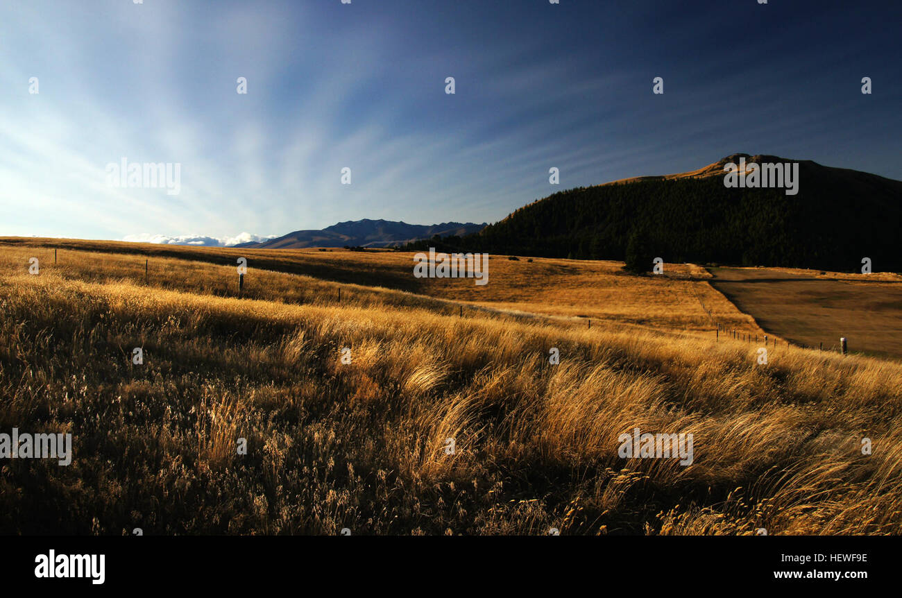 The Mackenzie Basin (popularly and traditionally known as the Mackenzie Country), is an elliptical intermontane basin, located in the Mackenzie and Waitaki Districts, near the centre of the South Island of New Zealand. It is the largest such basin in New Zealand Historically famous mainly for sheep farming, the sparsely populated area is now also a popular tourism destination. Stock Photohttps://www.alamy.com/image-license-details/?v=1https://www.alamy.com/stock-photo-the-mackenzie-basin-popularly-and-traditionally-known-as-the-mackenzie-129638586.html
RMHEWF9E–The Mackenzie Basin (popularly and traditionally known as the Mackenzie Country), is an elliptical intermontane basin, located in the Mackenzie and Waitaki Districts, near the centre of the South Island of New Zealand. It is the largest such basin in New Zealand Historically famous mainly for sheep farming, the sparsely populated area is now also a popular tourism destination.
 The intermontane valley of the Ohau River with peaks and ridges from Mount Tauririkohukohu to Oriwa trg. stn. -- compass bearings from south east corner of Section 47 on top of Arapaepae Ridge near trig. station No1, 24 July 1927, Tararua Range, by Leslie Adkin. Stock Photohttps://www.alamy.com/image-license-details/?v=1https://www.alamy.com/the-intermontane-valley-of-the-ohau-river-with-peaks-and-ridges-from-mount-tauririkohukohu-to-oriwa-trg-stn-compass-bearings-from-south-east-corner-of-section-47-on-top-of-arapaepae-ridge-near-trig-station-no1-24-july-1927-tararua-range-by-leslie-adkin-image479109363.html
RM2JRD8TK–The intermontane valley of the Ohau River with peaks and ridges from Mount Tauririkohukohu to Oriwa trg. stn. -- compass bearings from south east corner of Section 47 on top of Arapaepae Ridge near trig. station No1, 24 July 1927, Tararua Range, by Leslie Adkin.
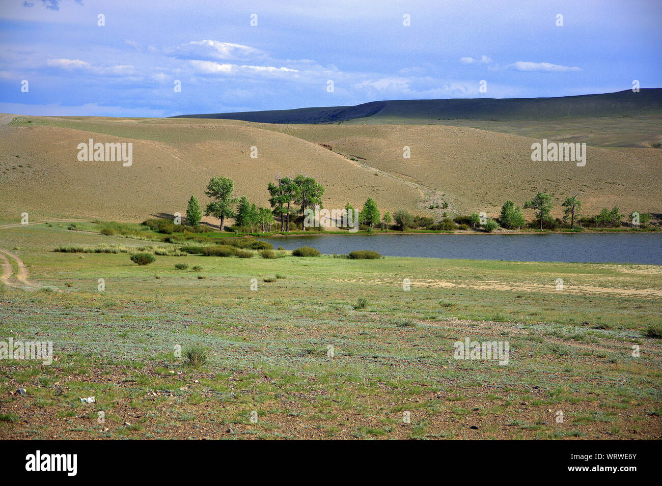 A fragment of a lake in the intermontane hollow in the steppe. Altai, Siberia, Russia. Stock Photohttps://www.alamy.com/image-license-details/?v=1https://www.alamy.com/a-fragment-of-a-lake-in-the-intermontane-hollow-in-the-steppe-altai-siberia-russia-image272852579.html
RFWRWE6Y–A fragment of a lake in the intermontane hollow in the steppe. Altai, Siberia, Russia.
 Panorama (left hand part) of flight of terraces on left bank of Ohau River in the intermontane part of its valley 2 mile above the fan apex, circa 1960, Wellington, by Leslie Adkin. Gift of G. L. Adkin family estate, 1964. Stock Photohttps://www.alamy.com/image-license-details/?v=1https://www.alamy.com/panorama-left-hand-part-of-flight-of-terraces-on-left-bank-of-ohau-river-in-the-intermontane-part-of-its-valley-2-mile-above-the-fan-apex-circa-1960-wellington-by-leslie-adkin-gift-of-g-l-adkin-family-estate-1964-image479352673.html
RM2JRTB69–Panorama (left hand part) of flight of terraces on left bank of Ohau River in the intermontane part of its valley 2 mile above the fan apex, circa 1960, Wellington, by Leslie Adkin. Gift of G. L. Adkin family estate, 1964.
 A narrow intermontane valley with yellowed larches and evergreen pines. Altai, Siberia, Russia. Stock Photohttps://www.alamy.com/image-license-details/?v=1https://www.alamy.com/a-narrow-intermontane-valley-with-yellowed-larches-and-evergreen-pines-altai-siberia-russia-image418287235.html
RF2F8EHHR–A narrow intermontane valley with yellowed larches and evergreen pines. Altai, Siberia, Russia.
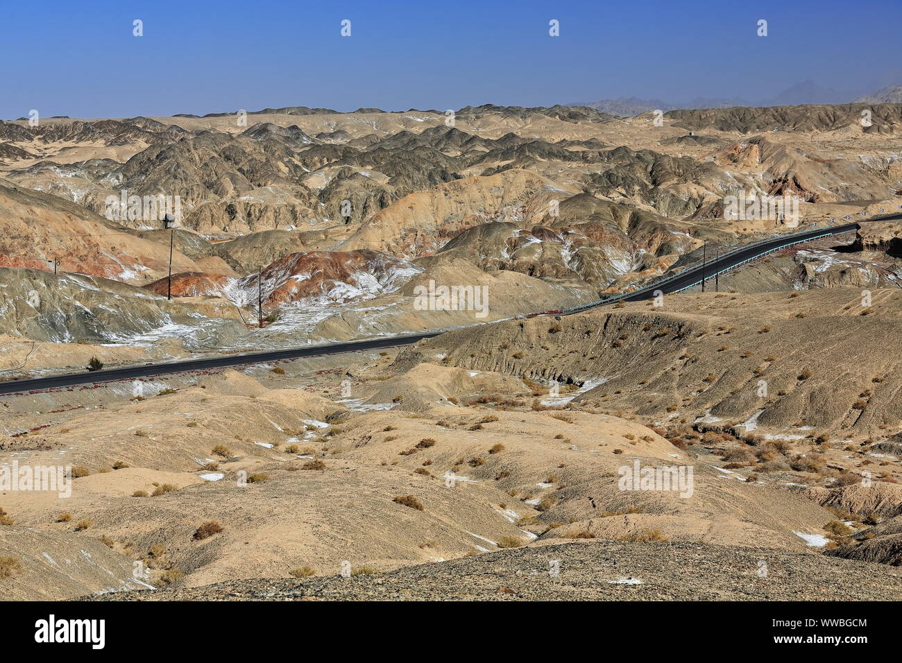 Nnal.Highway G315 cutting through the Altyn Tagh-mountains. Ruoqiang county-Xinjiang-China-0489 Stock Photohttps://www.alamy.com/image-license-details/?v=1https://www.alamy.com/nnalhighway-g315-cutting-through-the-altyn-tagh-mountains-ruoqiang-county-xinjiang-china-0489-image273776292.html
RFWWBGCM–Nnal.Highway G315 cutting through the Altyn Tagh-mountains. Ruoqiang county-Xinjiang-China-0489
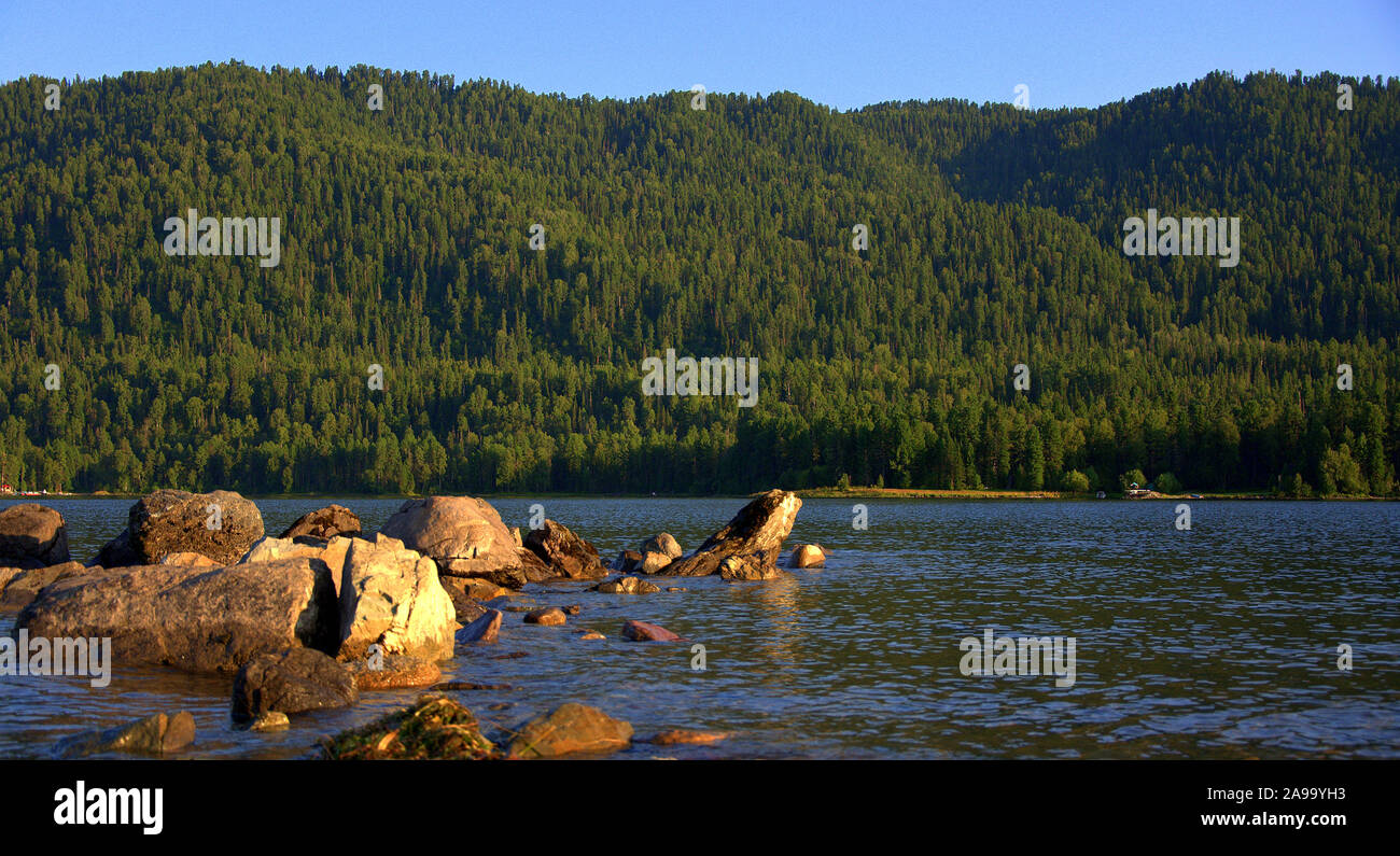 A stone ridge overlooking the lake, lying in the intermontane basin. Teletskoye Lake, Altai, Siberia, Russia. Stock Photohttps://www.alamy.com/image-license-details/?v=1https://www.alamy.com/a-stone-ridge-overlooking-the-lake-lying-in-the-intermontane-basin-teletskoye-lake-altai-siberia-russia-image332748111.html
RF2A99YH3–A stone ridge overlooking the lake, lying in the intermontane basin. Teletskoye Lake, Altai, Siberia, Russia.
 Snowcapped Eastern Qimantag range-Kunlun mts.-Youshashan oilfield near Huatugou town. Haixi-Qinghai-China-0519 Stock Photohttps://www.alamy.com/image-license-details/?v=1https://www.alamy.com/snowcapped-eastern-qimantag-range-kunlun-mts-youshashan-oilfield-near-huatugou-town-haixi-qinghai-china-0519-image328309993.html
RF2A23PMW–Snowcapped Eastern Qimantag range-Kunlun mts.-Youshashan oilfield near Huatugou town. Haixi-Qinghai-China-0519
 The Little Karoo is an intermontane plateau basin in the Western Cape province of South Africa, The picture was taken near the town of Oudtshoorn. Stock Photohttps://www.alamy.com/image-license-details/?v=1https://www.alamy.com/the-little-karoo-is-an-intermontane-plateau-basin-in-the-western-cape-province-of-south-africa-the-picture-was-taken-near-the-town-of-oudtshoorn-image460061840.html
RF2HMDHG0–The Little Karoo is an intermontane plateau basin in the Western Cape province of South Africa, The picture was taken near the town of Oudtshoorn.
 Top view of a stream flowing in the intermontane basin, enveloping stones and dumped trees. The third river, Altai, Siberia, Russia. Stock Photohttps://www.alamy.com/image-license-details/?v=1https://www.alamy.com/top-view-of-a-stream-flowing-in-the-intermontane-basin-enveloping-stones-and-dumped-trees-the-third-river-altai-siberia-russia-image350512937.html
RF2BA76R5–Top view of a stream flowing in the intermontane basin, enveloping stones and dumped trees. The third river, Altai, Siberia, Russia.
 Panorama sunrise winter view west towards South Park (a high intermontane grassland basin, 10,000 ft) central Colorado Rocky Mnt Stock Photohttps://www.alamy.com/image-license-details/?v=1https://www.alamy.com/panorama-sunrise-winter-view-west-towards-south-park-a-high-intermontane-image66961165.html
RMDTX9J5–Panorama sunrise winter view west towards South Park (a high intermontane grassland basin, 10,000 ft) central Colorado Rocky Mnt
 Panoramic shot of an intermontane basin with several blue lakes in the lowlands and snow cover on the slopes. Ivanovskie lakes, Khakassia, South Siber Stock Photohttps://www.alamy.com/image-license-details/?v=1https://www.alamy.com/panoramic-shot-of-an-intermontane-basin-with-several-blue-lakes-in-the-lowlands-and-snow-cover-on-the-slopes-ivanovskie-lakes-khakassia-south-siber-image368562285.html
RF2CBHCXN–Panoramic shot of an intermontane basin with several blue lakes in the lowlands and snow cover on the slopes. Ivanovskie lakes, Khakassia, South Siber
 Two men riding horses. Summer pastures in an intermontane valley. Kazakhstan Stock Photohttps://www.alamy.com/image-license-details/?v=1https://www.alamy.com/two-men-riding-horses-summer-pastures-in-an-intermontane-valley-kazakhstan-image247769572.html
RFTB2TH8–Two men riding horses. Summer pastures in an intermontane valley. Kazakhstan
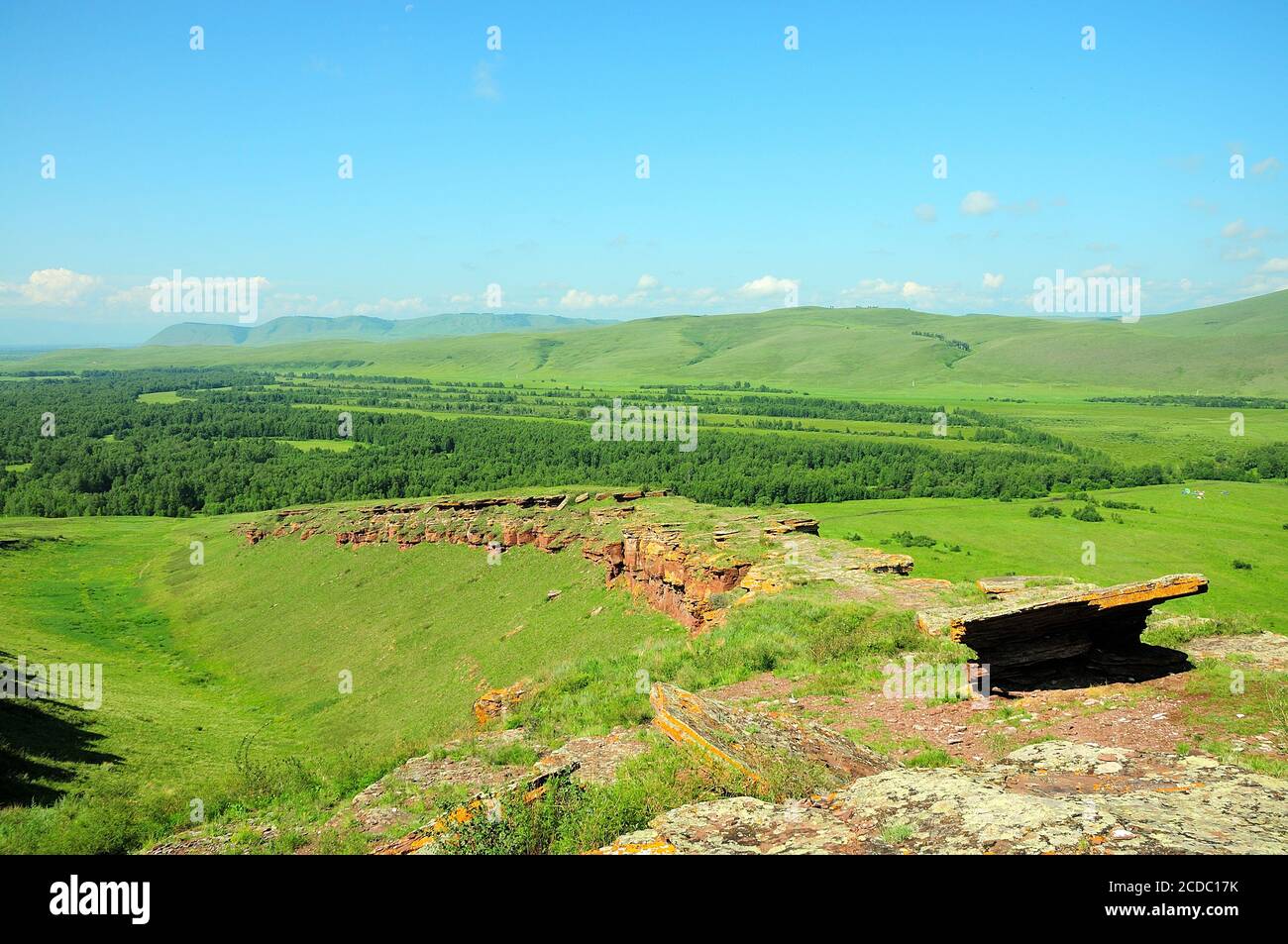 View of a picturesque valley with mountains and a hollow in an intermontane depression with rocky edges. Mountain ridge Chests, Khakassia, South Siber Stock Photohttps://www.alamy.com/image-license-details/?v=1https://www.alamy.com/view-of-a-picturesque-valley-with-mountains-and-a-hollow-in-an-intermontane-depression-with-rocky-edges-mountain-ridge-chests-khakassia-south-siber-image369672679.html
RF2CDC17K–View of a picturesque valley with mountains and a hollow in an intermontane depression with rocky edges. Mountain ridge Chests, Khakassia, South Siber
 Snowcapped Eastern Qimantag range-Kunlun mts.from Nnal.Highway G315 near Huatugou. Haixi-Qinghai-China-0516 Stock Photohttps://www.alamy.com/image-license-details/?v=1https://www.alamy.com/snowcapped-eastern-qimantag-range-kunlun-mtsfrom-nnalhighway-g315-near-huatugou-haixi-qinghai-china-0516-image328309984.html
RF2A23PMG–Snowcapped Eastern Qimantag range-Kunlun mts.from Nnal.Highway G315 near Huatugou. Haixi-Qinghai-China-0516
 Weathered sandstone needles, in the cliffs of Castle Valley, Utah, USA Stock Photohttps://www.alamy.com/image-license-details/?v=1https://www.alamy.com/weathered-sandstone-needles-in-the-cliffs-of-castle-valley-utah-usa-image383345649.html
RF2D7JW81–Weathered sandstone needles, in the cliffs of Castle Valley, Utah, USA
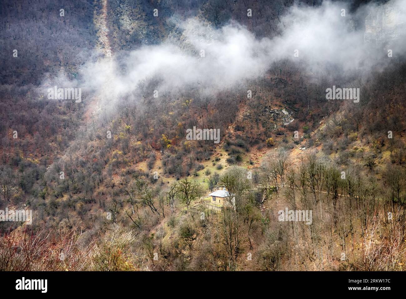 Gilân, Iran. Spurs of the Elburz mountains and mountain winter forest Stock Photohttps://www.alamy.com/image-license-details/?v=1https://www.alamy.com/giln-iran-spurs-of-the-elburz-mountains-and-mountain-winter-forest-image562960032.html
RM2RKW17C–Gilân, Iran. Spurs of the Elburz mountains and mountain winter forest
 Morning view over the wide hollow reservoir, Escalante, Utah, USA, with Fremont’s Cottonwood in fall foliage, on the opposite bank Stock Photohttps://www.alamy.com/image-license-details/?v=1https://www.alamy.com/morning-view-over-the-wide-hollow-reservoir-escalante-utah-usa-with-fremonts-cottonwood-in-fall-foliage-on-the-opposite-bank-image438387422.html
RF2GD67HJ–Morning view over the wide hollow reservoir, Escalante, Utah, USA, with Fremont’s Cottonwood in fall foliage, on the opposite bank
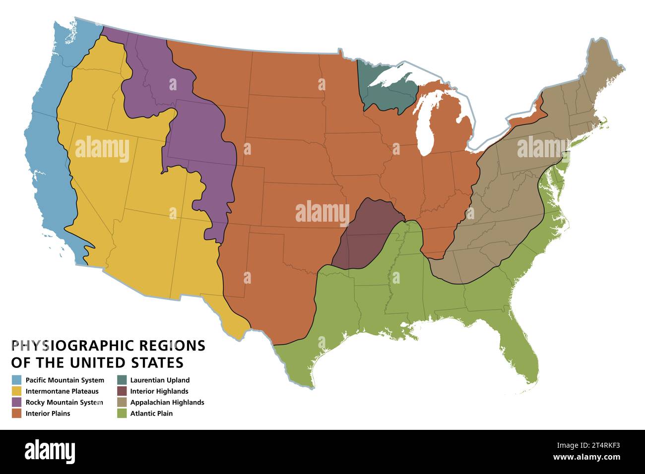 Physiographic regions of the United States, political map. The physiographic divisions of the contiguous United States comprise eight divisions. Stock Photohttps://www.alamy.com/image-license-details/?v=1https://www.alamy.com/physiographic-regions-of-the-united-states-political-map-the-physiographic-divisions-of-the-contiguous-united-states-comprise-eight-divisions-image570920983.html
RF2T4RKF3–Physiographic regions of the United States, political map. The physiographic divisions of the contiguous United States comprise eight divisions.
 View down Copper mill Canyon, Moab, Utah, USA, with the Monitor and Merrimac Buttes in the background on a cloudy day Stock Photohttps://www.alamy.com/image-license-details/?v=1https://www.alamy.com/view-down-copper-mill-canyon-moab-utah-usa-with-the-monitor-and-merrimac-buttes-in-the-background-on-a-cloudy-day-image384352712.html
RF2D98NPG–View down Copper mill Canyon, Moab, Utah, USA, with the Monitor and Merrimac Buttes in the background on a cloudy day
 Onavas, Mpo. Yecora, Sonora, Mexico ......(Photo by Luis Gutierrez / Norte Photo).. Aerial view of the Mexican town Onavas in the state of Sonora. The Ónavas Valley is in the middle part of the Yaqui River, an intermontane valley made up of hills. Vista aereadel pueblo mexicano Onavas en el estado de Sonora. El valle de Ónavas está en la parte media del río Yaqui, valle intermontano compuesto por lomeríos. Stock Photohttps://www.alamy.com/image-license-details/?v=1https://www.alamy.com/onavas-mpo-yecora-sonora-mexico-photo-by-luis-gutierrez-norte-photo-aerial-view-of-the-mexican-town-onavas-in-the-state-of-sonora-the-navas-valley-is-in-the-middle-part-of-the-yaqui-river-an-intermontane-valley-made-up-of-hills-vista-aereadel-pueblo-mexicano-onavas-en-el-estado-de-sonora-el-valle-de-navas-est-en-la-parte-media-del-ro-yaqui-valle-intermontano-compuesto-por-lomeros-image416645436.html
RM2F5RRE4–Onavas, Mpo. Yecora, Sonora, Mexico ......(Photo by Luis Gutierrez / Norte Photo).. Aerial view of the Mexican town Onavas in the state of Sonora. The Ónavas Valley is in the middle part of the Yaqui River, an intermontane valley made up of hills. Vista aereadel pueblo mexicano Onavas en el estado de Sonora. El valle de Ónavas está en la parte media del río Yaqui, valle intermontano compuesto por lomeríos.
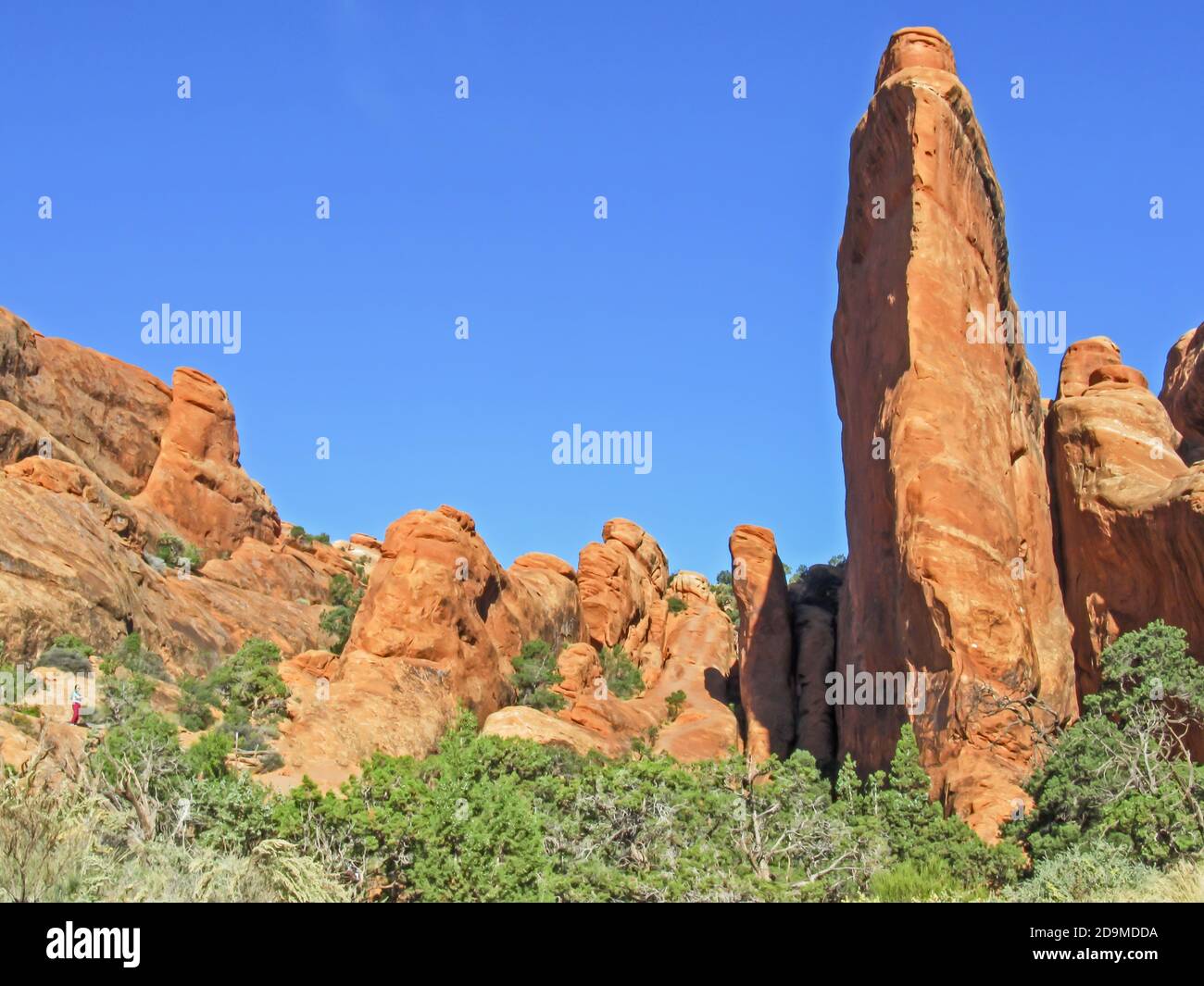 Large weathered Sandstone Fins in Devils Garden section of Archers National Park, Utah Stock Photohttps://www.alamy.com/image-license-details/?v=1https://www.alamy.com/large-weathered-sandstone-fins-in-devils-garden-section-of-archers-national-park-utah-image384609606.html
RF2D9MDDA–Large weathered Sandstone Fins in Devils Garden section of Archers National Park, Utah
 SWAMPY GROUND NEAR MILE 648 IS TYPICAL OF MARSHY AREAS IN THIS INTERMONTANE PLATEAU 550617 Stock Photohttps://www.alamy.com/image-license-details/?v=1https://www.alamy.com/swampy-ground-near-mile-648-is-typical-of-marshy-areas-in-this-intermontane-image61515937.html
RMDG285N–SWAMPY GROUND NEAR MILE 648 IS TYPICAL OF MARSHY AREAS IN THIS INTERMONTANE PLATEAU 550617
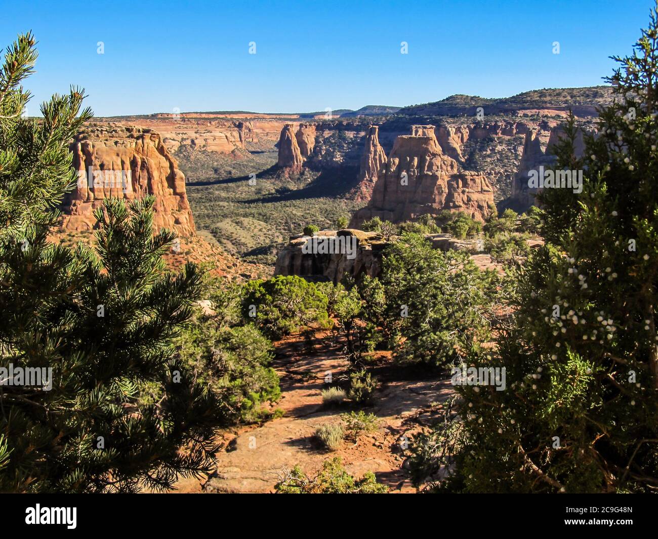 View over the sandstone towers of the Colorado National Monument, USA, on a sunny morning Stock Photohttps://www.alamy.com/image-license-details/?v=1https://www.alamy.com/view-over-the-sandstone-towers-of-the-colorado-national-monument-usa-on-a-sunny-morning-image367304245.html
RF2C9G48N–View over the sandstone towers of the Colorado National Monument, USA, on a sunny morning
 Africa, Morocco, Berber country market in Atlas Mountains near village of Ait Pagella Stock Photohttps://www.alamy.com/image-license-details/?v=1https://www.alamy.com/stock-photo-africa-morocco-berber-country-market-in-atlas-mountains-near-village-29943819.html
RMBMM1J3–Africa, Morocco, Berber country market in Atlas Mountains near village of Ait Pagella
 Colorful sandstone hoodoos, in the Devil’s Garden, Escalante, Utah, USA, with the shadow of another hoodoo in the foreground Stock Photohttps://www.alamy.com/image-license-details/?v=1https://www.alamy.com/colorful-sandstone-hoodoos-in-the-devils-garden-escalante-utah-usa-with-the-shadow-of-another-hoodoo-in-the-foreground-image432722458.html
RF2G405WE–Colorful sandstone hoodoos, in the Devil’s Garden, Escalante, Utah, USA, with the shadow of another hoodoo in the foreground
 Foothills Of the greater Caucasus range Stock Photohttps://www.alamy.com/image-license-details/?v=1https://www.alamy.com/foothills-of-the-greater-caucasus-range-image335192354.html
RM2AD997E–Foothills Of the greater Caucasus range
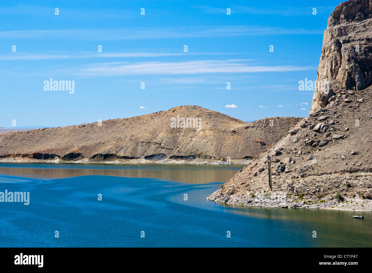 Boysen Reservoir on the Wind River in Wyoming within the boundaries of the Wind River Indian Reservation. Stock Photohttps://www.alamy.com/image-license-details/?v=1https://www.alamy.com/stock-photo-boysen-reservoir-on-the-wind-river-in-wyoming-within-the-boundaries-38757159.html
RFC71F47–Boysen Reservoir on the Wind River in Wyoming within the boundaries of the Wind River Indian Reservation.
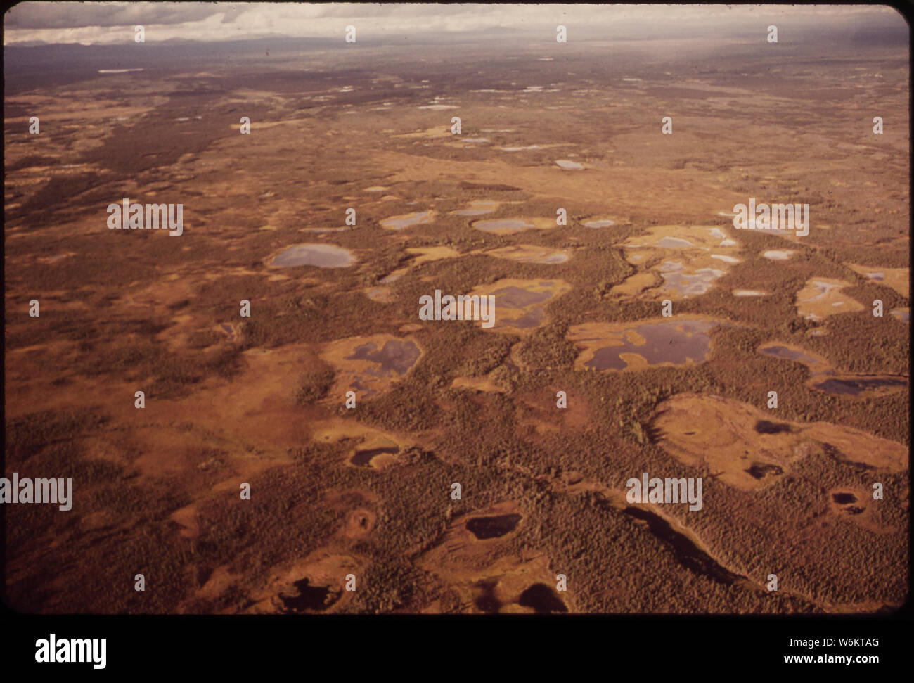 SWAMPY GROUND NEAR MILE 648 IS TYPICAL OF MARSHY AREAS IN THIS INTERMONTANE PLATEAU Stock Photohttps://www.alamy.com/image-license-details/?v=1https://www.alamy.com/swampy-ground-near-mile-648-is-typical-of-marshy-areas-in-this-intermontane-plateau-image262279656.html
RMW6KTAG–SWAMPY GROUND NEAR MILE 648 IS TYPICAL OF MARSHY AREAS IN THIS INTERMONTANE PLATEAU
 View of earth featuring waves of clouds along the Andes Mountain range. Intermontane Salt Basins are visible in the background. Stock Photohttps://www.alamy.com/image-license-details/?v=1https://www.alamy.com/stock-photo-view-of-earth-featuring-waves-of-clouds-along-the-andes-mountain-range-42129342.html
RMCCF4BA–View of earth featuring waves of clouds along the Andes Mountain range. Intermontane Salt Basins are visible in the background.
 Africa Morocco Berber country market in Atlas Mountains near village of Ait Pagella Stock Photohttps://www.alamy.com/image-license-details/?v=1https://www.alamy.com/africa-morocco-berber-country-market-in-atlas-mountains-near-village-image9002381.html
RMAPD6GE–Africa Morocco Berber country market in Atlas Mountains near village of Ait Pagella
 Geology . tile deposits. Ofthe major examples of Pliocene deposits of this class, those formedin the intermontane basins, abundantly exemplified in the Great basin,are the most obvious and unquestioned, though largely misinterpretedas lacustrine deposits. Lacustrine deposits are, however, presentand extensive in this region. 1 In its broadest sense, all sedimentary formations on land or tinder water areaggradational, but deposits under seas and lakes have their own distinctive terms,marine and lacustrine, and deposits made in the channels or on the flood plains ofrivers have their designations Stock Photohttps://www.alamy.com/image-license-details/?v=1https://www.alamy.com/geology-tile-deposits-ofthe-major-examples-of-pliocene-deposits-of-this-class-those-formedin-the-intermontane-basins-abundantly-exemplified-in-the-great-basinare-the-most-obvious-and-unquestioned-though-largely-misinterpretedas-lacustrine-deposits-lacustrine-deposits-are-however-presentand-extensive-in-this-region-1-in-its-broadest-sense-all-sedimentary-formations-on-land-or-tinder-water-areaggradational-but-deposits-under-seas-and-lakes-have-their-own-distinctive-termsmarine-and-lacustrine-and-deposits-made-in-the-channels-or-on-the-flood-plains-ofrivers-have-their-designations-image343344033.html
RM2AXGJPW–Geology . tile deposits. Ofthe major examples of Pliocene deposits of this class, those formedin the intermontane basins, abundantly exemplified in the Great basin,are the most obvious and unquestioned, though largely misinterpretedas lacustrine deposits. Lacustrine deposits are, however, presentand extensive in this region. 1 In its broadest sense, all sedimentary formations on land or tinder water areaggradational, but deposits under seas and lakes have their own distinctive terms,marine and lacustrine, and deposits made in the channels or on the flood plains ofrivers have their designations
 Small thickets of reeds in the water near the shore of a beautiful lake lying in an intermontane basin at sunset. Lake Matarak, Khakassia, South Siber Stock Photohttps://www.alamy.com/image-license-details/?v=1https://www.alamy.com/small-thickets-of-reeds-in-the-water-near-the-shore-of-a-beautiful-lake-lying-in-an-intermontane-basin-at-sunset-lake-matarak-khakassia-south-siber-image371198744.html
RF2CFWFP0–Small thickets of reeds in the water near the shore of a beautiful lake lying in an intermontane basin at sunset. Lake Matarak, Khakassia, South Siber
 Central Altyn tagh-mountains seen from Nnal.Highway G315-North Xorkol basin. Xinjiang-China-0512 Stock Photohttps://www.alamy.com/image-license-details/?v=1https://www.alamy.com/central-altyn-tagh-mountains-seen-from-nnalhighway-g315-north-xorkol-basin-xinjiang-china-0512-image328309979.html
RF2A23PMB–Central Altyn tagh-mountains seen from Nnal.Highway G315-North Xorkol basin. Xinjiang-China-0512
 Rocky cliff on the background of mountain ranges. Altai, Siberia, Russia. Stock Photohttps://www.alamy.com/image-license-details/?v=1https://www.alamy.com/rocky-cliff-on-the-background-of-mountain-ranges-altai-siberia-russia-image353292894.html
RF2BENTKA–Rocky cliff on the background of mountain ranges. Altai, Siberia, Russia.
 Gilân, Iran. Spurs of the Elburz mountains and mountain winter forest. Telecommunications tower Stock Photohttps://www.alamy.com/image-license-details/?v=1https://www.alamy.com/giln-iran-spurs-of-the-elburz-mountains-and-mountain-winter-forest-telecommunications-tower-image560035897.html
RM2RF3RE1–Gilân, Iran. Spurs of the Elburz mountains and mountain winter forest. Telecommunications tower
 An Ecological land classification framework An Ecological land classification framework for the United States ecologicallandcl1439dris Year: 1984 Bolson (Intermontane Basin) Mountain upland lower Piedmont slope middle deposition dominant >- Basin floor ' ephemeral or playa lake plain relict lake plain alluvial flats and plains Piedmont slope / rock pediments and erosion surfaces on older basin fill alluvial fans and cadlescent-alluvial-fan piedmont (BAJADA) I piedmont angle erosion dominant on upper part deposition dominant on middle and lower parts tectonic deformation locally affects Stock Photohttps://www.alamy.com/image-license-details/?v=1https://www.alamy.com/an-ecological-land-classification-framework-an-ecological-land-classification-framework-for-the-united-states-ecologicallandcl1439dris-year-1984-bolson-intermontane-basin-mountain-upland-lower-piedmont-slope-middle-deposition-dominant-gt-basin-floor-ephemeral-or-playa-lake-plain-relict-lake-plain-alluvial-flats-and-plains-piedmont-slope-rock-pediments-and-erosion-surfaces-on-older-basin-fill-alluvial-fans-and-cadlescent-alluvial-fan-piedmont-bajada-i-piedmont-angle-erosion-dominant-on-upper-part-deposition-dominant-on-middle-and-lower-parts-tectonic-deformation-locally-affects-image239848195.html
RMRX60PY–An Ecological land classification framework An Ecological land classification framework for the United States ecologicallandcl1439dris Year: 1984 Bolson (Intermontane Basin) Mountain upland lower Piedmont slope middle deposition dominant >- Basin floor ' ephemeral or playa lake plain relict lake plain alluvial flats and plains Piedmont slope / rock pediments and erosion surfaces on older basin fill alluvial fans and cadlescent-alluvial-fan piedmont (BAJADA) I piedmont angle erosion dominant on upper part deposition dominant on middle and lower parts tectonic deformation locally affects
 Gate to the Caucasus mountain valley (glen) in wintertime. Settlements, woods, fields, rock walls Stock Photohttps://www.alamy.com/image-license-details/?v=1https://www.alamy.com/gate-to-the-caucasus-mountain-valley-glen-in-wintertime-settlements-woods-fields-rock-walls-image247071195.html
RFT9Y1R7–Gate to the Caucasus mountain valley (glen) in wintertime. Settlements, woods, fields, rock walls
 . The Earth beneath the sea : History . 100 nautical miles H H Velocities in km/sec Fig. 14. A profile across the Mid-Atlantic Ridge based on seismic-refraction and reflection measurements. The unconsolidated sediments of the intermontane basins and abyssal plains rest on the rugged 5.0 km/sec layer. The 8.1 and 6.7 km/sec layers are standard upper mantle and "oceanic" crustal layers. The 7.3-7.5 km/sec is characteristic of mid-oceanic ridges throughout the world. Ewing, Ewing and Talwani have con- cluded that the 5.0 km/sec layer is "primitive" igneous, largely because of Stock Photohttps://www.alamy.com/image-license-details/?v=1https://www.alamy.com/the-earth-beneath-the-sea-history-100-nautical-miles-h-h-velocities-in-kmsec-fig-14-a-profile-across-the-mid-atlantic-ridge-based-on-seismic-refraction-and-reflection-measurements-the-unconsolidated-sediments-of-the-intermontane-basins-and-abyssal-plains-rest-on-the-rugged-50-kmsec-layer-the-81-and-67-kmsec-layers-are-standard-upper-mantle-and-quotoceanicquot-crustal-layers-the-73-75-kmsec-is-characteristic-of-mid-oceanic-ridges-throughout-the-world-ewing-ewing-and-talwani-have-con-cluded-that-the-50-kmsec-layer-is-quotprimitivequot-igneous-largely-because-of-image178488462.html
RMMAARRX–. The Earth beneath the sea : History . 100 nautical miles H H Velocities in km/sec Fig. 14. A profile across the Mid-Atlantic Ridge based on seismic-refraction and reflection measurements. The unconsolidated sediments of the intermontane basins and abyssal plains rest on the rugged 5.0 km/sec layer. The 8.1 and 6.7 km/sec layers are standard upper mantle and "oceanic" crustal layers. The 7.3-7.5 km/sec is characteristic of mid-oceanic ridges throughout the world. Ewing, Ewing and Talwani have con- cluded that the 5.0 km/sec layer is "primitive" igneous, largely because of
 Onavas, Mpo. Yecora, Sonora, Mexico ......(Photo by Luis Gutierrez / Norte Photo).. Aerial view of the Mexican town Onavas in the state of Sonora. The Ónavas Valley is in the middle part of the Yaqui River, an intermontane valley made up of hills. Vista aereadel pueblo mexicano Onavas en el estado de Sonora. El valle de Ónavas está en la parte media del río Yaqui, valle intermontano compuesto por lomeríos. Stock Photohttps://www.alamy.com/image-license-details/?v=1https://www.alamy.com/onavas-mpo-yecora-sonora-mexico-photo-by-luis-gutierrez-norte-photo-aerial-view-of-the-mexican-town-onavas-in-the-state-of-sonora-the-navas-valley-is-in-the-middle-part-of-the-yaqui-river-an-intermontane-valley-made-up-of-hills-vista-aereadel-pueblo-mexicano-onavas-en-el-estado-de-sonora-el-valle-de-navas-est-en-la-parte-media-del-ro-yaqui-valle-intermontano-compuesto-por-lomeros-image416645435.html
RM2F5RRE3–Onavas, Mpo. Yecora, Sonora, Mexico ......(Photo by Luis Gutierrez / Norte Photo).. Aerial view of the Mexican town Onavas in the state of Sonora. The Ónavas Valley is in the middle part of the Yaqui River, an intermontane valley made up of hills. Vista aereadel pueblo mexicano Onavas en el estado de Sonora. El valle de Ónavas está en la parte media del río Yaqui, valle intermontano compuesto por lomeríos.
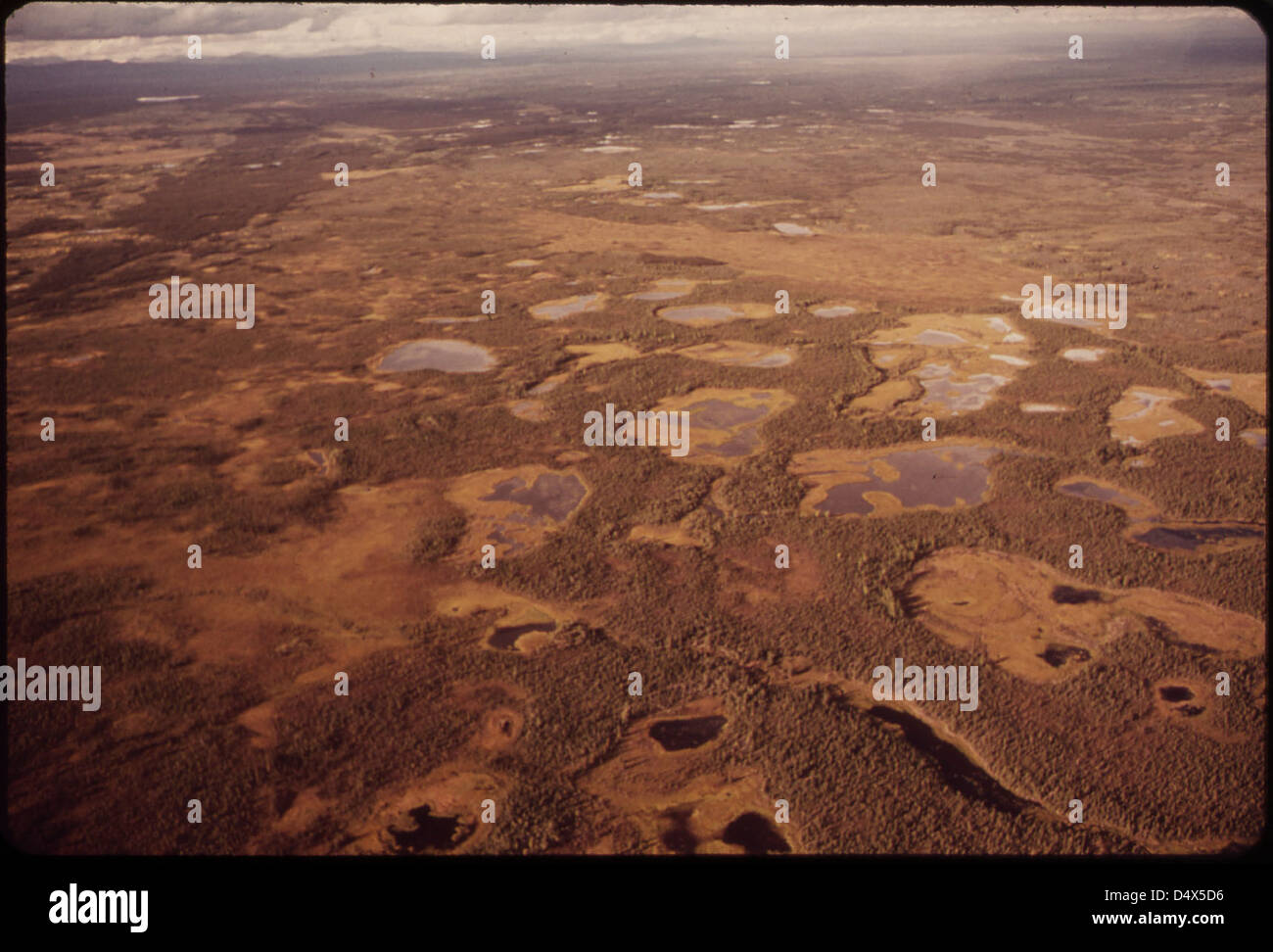 Swampy Ground near Mile 648 Is Typical of Marshy Areas in This Intermontane Plateau 08/1973 Stock Photohttps://www.alamy.com/image-license-details/?v=1https://www.alamy.com/stock-photo-swampy-ground-near-mile-648-is-typical-of-marshy-areas-in-this-intermontane-54664770.html
RMD4X5D6–Swampy Ground near Mile 648 Is Typical of Marshy Areas in This Intermontane Plateau 08/1973
 Waves of clouds along the east flanks of the Andes Mountains cast off an orange glow by the low angle of the sun in the West. The dark area to the left is the Earth's terminator. This view was photographed by astronaut Frank Borman and James A. Lovell during the Gemini VII mission, looking South from Northern Bolivia across the Andes. The Intermontane Salt Basins are visible in the background. Image # : S65-63780 December 5, 1965 Stock Photohttps://www.alamy.com/image-license-details/?v=1https://www.alamy.com/stock-photo-waves-of-clouds-along-the-east-flanks-of-the-andes-mountains-cast-111966907.html
RMGE4EX3–Waves of clouds along the east flanks of the Andes Mountains cast off an orange glow by the low angle of the sun in the West. The dark area to the left is the Earth's terminator. This view was photographed by astronaut Frank Borman and James A. Lovell during the Gemini VII mission, looking South from Northern Bolivia across the Andes. The Intermontane Salt Basins are visible in the background. Image # : S65-63780 December 5, 1965
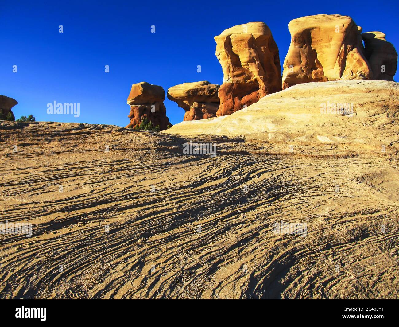 Low angle view of the hoodoos in the Devil’s Garden, Escalante, Utah, USA, with the exfoliating Navajo Sandstone in the foreground Stock Photohttps://www.alamy.com/image-license-details/?v=1https://www.alamy.com/low-angle-view-of-the-hoodoos-in-the-devils-garden-escalante-utah-usa-with-the-exfoliating-navajo-sandstone-in-the-foreground-image432722524.html
RF2G405YT–Low angle view of the hoodoos in the Devil’s Garden, Escalante, Utah, USA, with the exfoliating Navajo Sandstone in the foreground
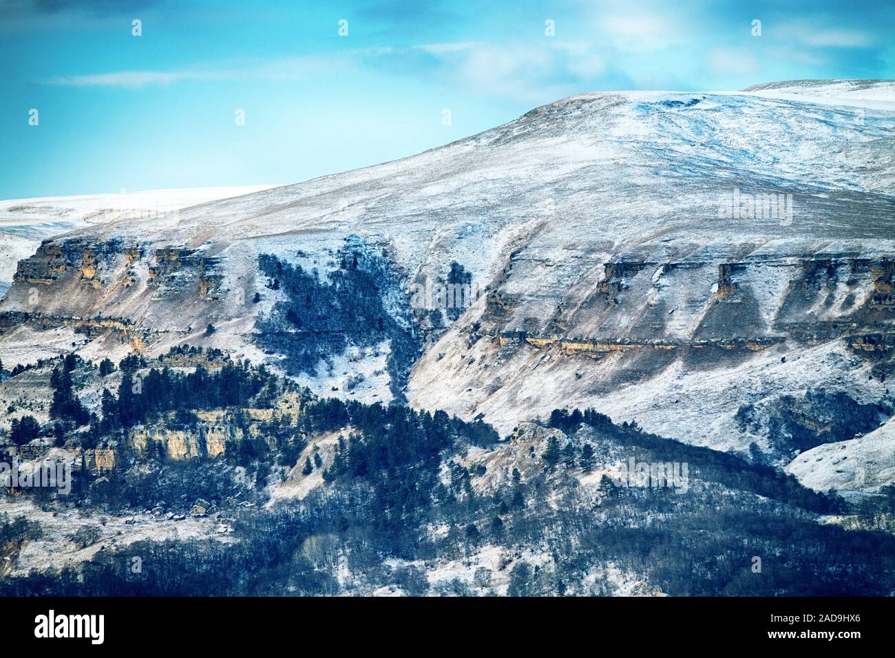 Foothills Of the greater Caucasus range Stock Photohttps://www.alamy.com/image-license-details/?v=1https://www.alamy.com/foothills-of-the-greater-caucasus-range-image335199150.html
RM2AD9HX6–Foothills Of the greater Caucasus range
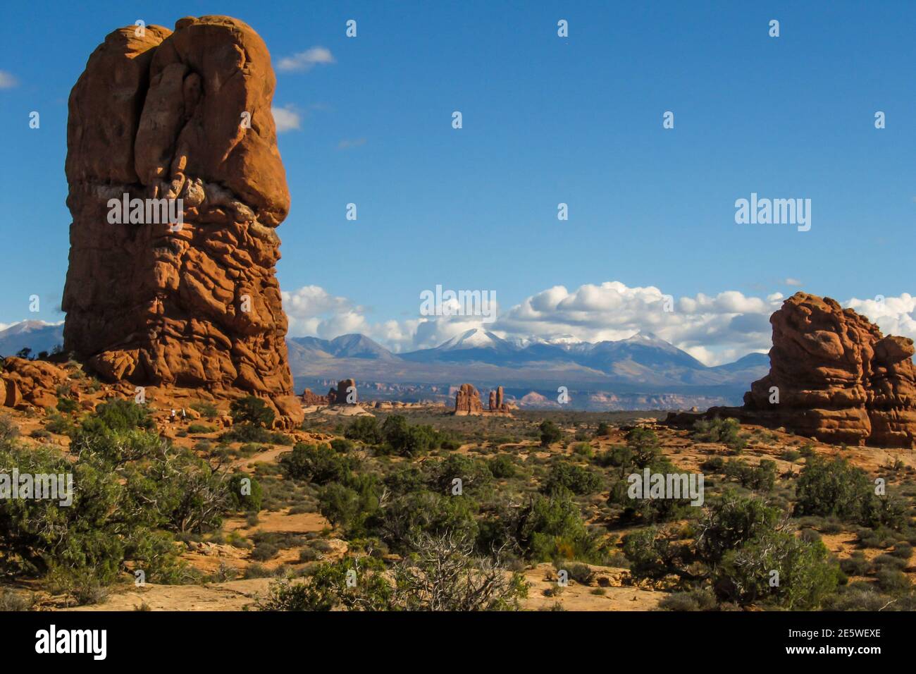 Strange towering weathered stone columns in the arid landscape of Archers National Park, Utah, with the snow-capped mountains in the background Stock Photohttps://www.alamy.com/image-license-details/?v=1https://www.alamy.com/strange-towering-weathered-stone-columns-in-the-arid-landscape-of-archers-national-park-utah-with-the-snow-capped-mountains-in-the-background-image399472262.html
RF2E5WEXE–Strange towering weathered stone columns in the arid landscape of Archers National Park, Utah, with the snow-capped mountains in the background
 Foothills Of the greater Caucasus range Stock Photohttps://www.alamy.com/image-license-details/?v=1https://www.alamy.com/foothills-of-the-greater-caucasus-range-image335204812.html
RM2AD9W4C–Foothills Of the greater Caucasus range
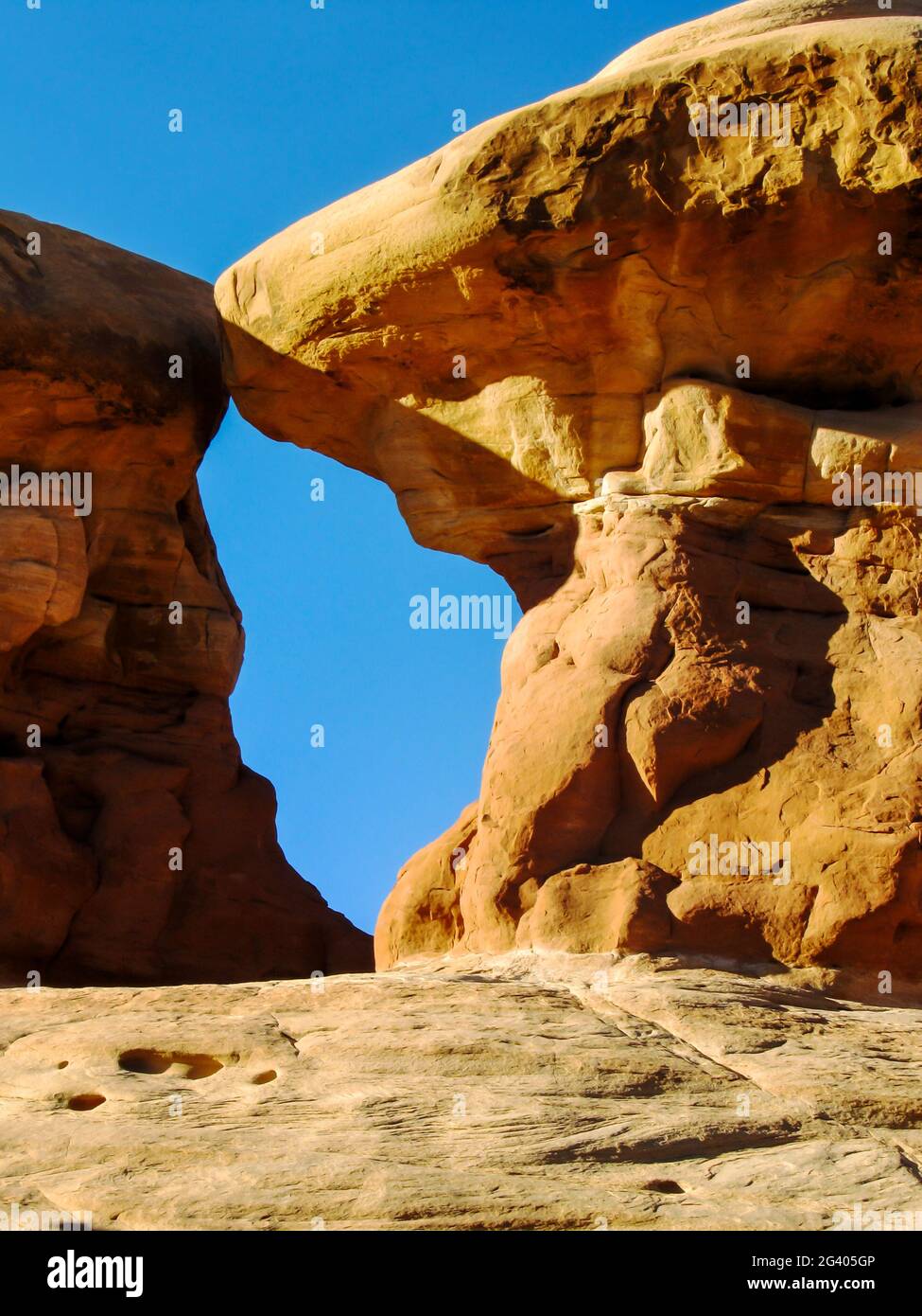 A gap between two sandstone Hoodoos, forming a small window to the blue sky, in the Devil’s Garden, Escalante, Utah, USA Stock Photohttps://www.alamy.com/image-license-details/?v=1https://www.alamy.com/a-gap-between-two-sandstone-hoodoos-forming-a-small-window-to-the-blue-sky-in-the-devils-garden-escalante-utah-usa-image432722214.html
RF2G405GP–A gap between two sandstone Hoodoos, forming a small window to the blue sky, in the Devil’s Garden, Escalante, Utah, USA
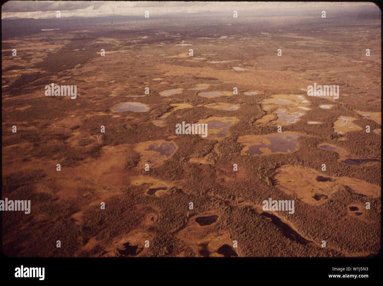 SWAMPY GROUND NEAR MILE 648 IS TYPICAL OF MARSHY AREAS IN THIS INTERMONTANE PLATEAU Stock Photohttps://www.alamy.com/image-license-details/?v=1https://www.alamy.com/swampy-ground-near-mile-648-is-typical-of-marshy-areas-in-this-intermontane-plateau-image259169823.html
RMW1J5N3–SWAMPY GROUND NEAR MILE 648 IS TYPICAL OF MARSHY AREAS IN THIS INTERMONTANE PLATEAU
 Double Arch, the highest arch in arches national park, Utah, on a clear sunny afternoon Stock Photohttps://www.alamy.com/image-license-details/?v=1https://www.alamy.com/double-arch-the-highest-arch-in-arches-national-park-utah-on-a-clear-sunny-afternoon-image385190072.html
RF2DAJWT8–Double Arch, the highest arch in arches national park, Utah, on a clear sunny afternoon
 Morocco Youth sits atop donkey while riding through coastal hills north of El Jadida Stock Photohttps://www.alamy.com/image-license-details/?v=1https://www.alamy.com/morocco-youth-sits-atop-donkey-while-riding-through-coastal-hills-image9002379.html
RMAPD6GC–Morocco Youth sits atop donkey while riding through coastal hills north of El Jadida
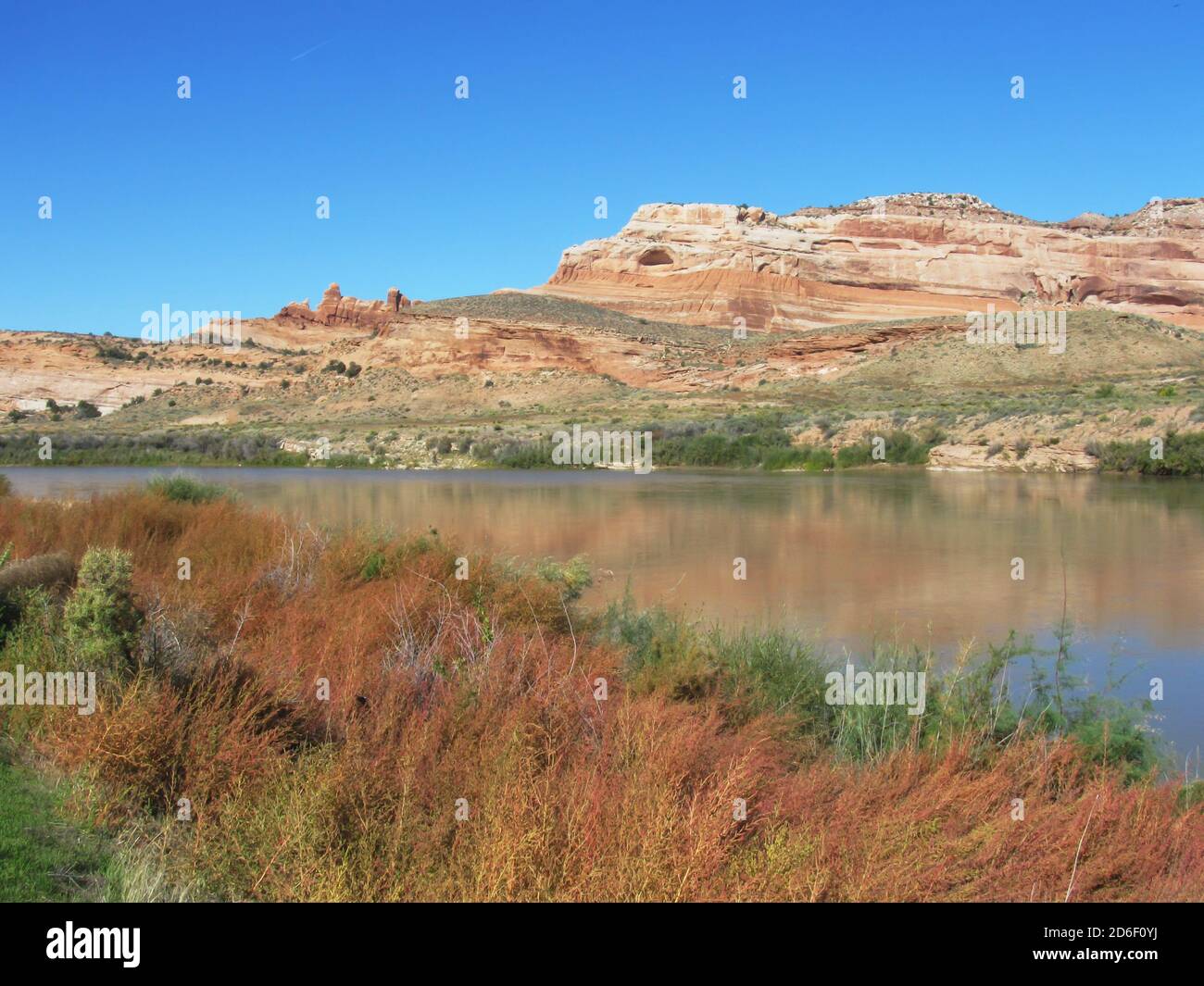 Colorado River, as seen from a viewpoint on the Scenic Byway, State Route 18, Utah Stock Photohttps://www.alamy.com/image-license-details/?v=1https://www.alamy.com/colorado-river-as-seen-from-a-viewpoint-on-the-scenic-byway-state-route-18-utah-image382646086.html
RF2D6F0YJ–Colorado River, as seen from a viewpoint on the Scenic Byway, State Route 18, Utah
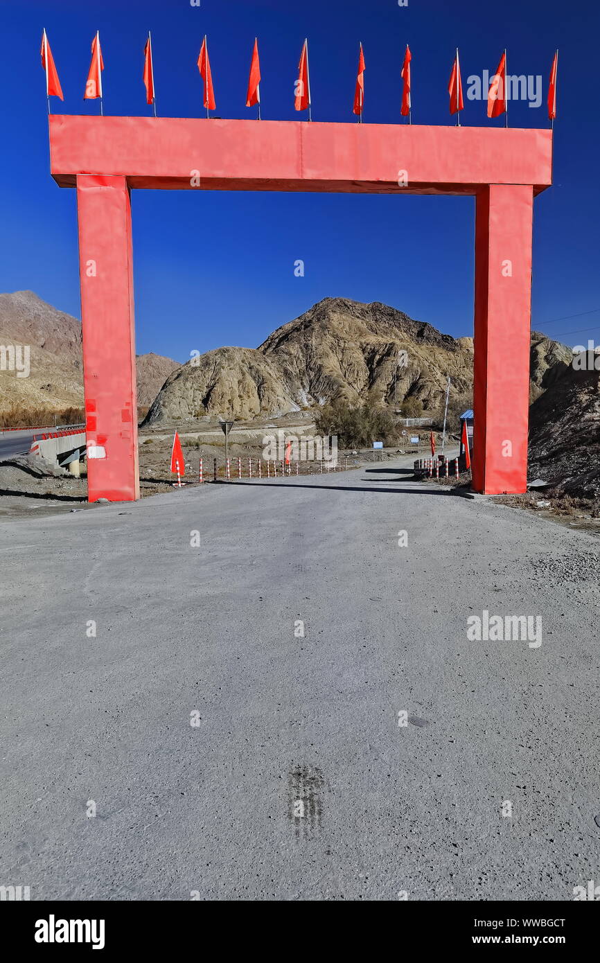 Red arch-entrance of road maintenance facility-Nnal.Highway G315. Ruoqiang county-Xinjiang-China-0497 Stock Photohttps://www.alamy.com/image-license-details/?v=1https://www.alamy.com/red-arch-entrance-of-road-maintenance-facility-nnalhighway-g315-ruoqiang-county-xinjiang-china-0497-image273776296.html
RFWWBGCT–Red arch-entrance of road maintenance facility-Nnal.Highway G315. Ruoqiang county-Xinjiang-China-0497
 The bright Yellow flower head of a Desert Marigold, Baileya multiradiata, in full sunlight, against a shadowed brick background. Stock Photohttps://www.alamy.com/image-license-details/?v=1https://www.alamy.com/the-bright-yellow-flower-head-of-a-desert-marigold-baileya-multiradiata-in-full-sunlight-against-a-shadowed-brick-background-image594306287.html
RF2WETYMF–The bright Yellow flower head of a Desert Marigold, Baileya multiradiata, in full sunlight, against a shadowed brick background.
 . Elementary physical geography;. t their languageand customs have been changed but little. A similareffect is noticeable in settlements of the Southern Ap-palachians. The rugged surface has shut them from thegreat lines of traffic; the people have not materially changedtheir customs in a century of time. Intermontane valleys are usually productive. Theirfertility cannot be easily impaired, because fresh soil isbrought to them with every flood. As a rule, therefore,they are densely peopled. Passes have even greater importance than valleys. Amountain-range is an obstacle to communication, and t Stock Photohttps://www.alamy.com/image-license-details/?v=1https://www.alamy.com/elementary-physical-geography-t-their-languageand-customs-have-been-changed-but-little-a-similareffect-is-noticeable-in-settlements-of-the-southern-ap-palachians-the-rugged-surface-has-shut-them-from-thegreat-lines-of-traffic-the-people-have-not-materially-changedtheir-customs-in-a-century-of-time-intermontane-valleys-are-usually-productive-theirfertility-cannot-be-easily-impaired-because-fresh-soil-isbrought-to-them-with-every-flood-as-a-rule-thereforethey-are-densely-peopled-passes-have-even-greater-importance-than-valleys-amountain-range-is-an-obstacle-to-communication-and-t-image336875799.html
RM2AG20EF–. Elementary physical geography;. t their languageand customs have been changed but little. A similareffect is noticeable in settlements of the Southern Ap-palachians. The rugged surface has shut them from thegreat lines of traffic; the people have not materially changedtheir customs in a century of time. Intermontane valleys are usually productive. Theirfertility cannot be easily impaired, because fresh soil isbrought to them with every flood. As a rule, therefore,they are densely peopled. Passes have even greater importance than valleys. Amountain-range is an obstacle to communication, and t
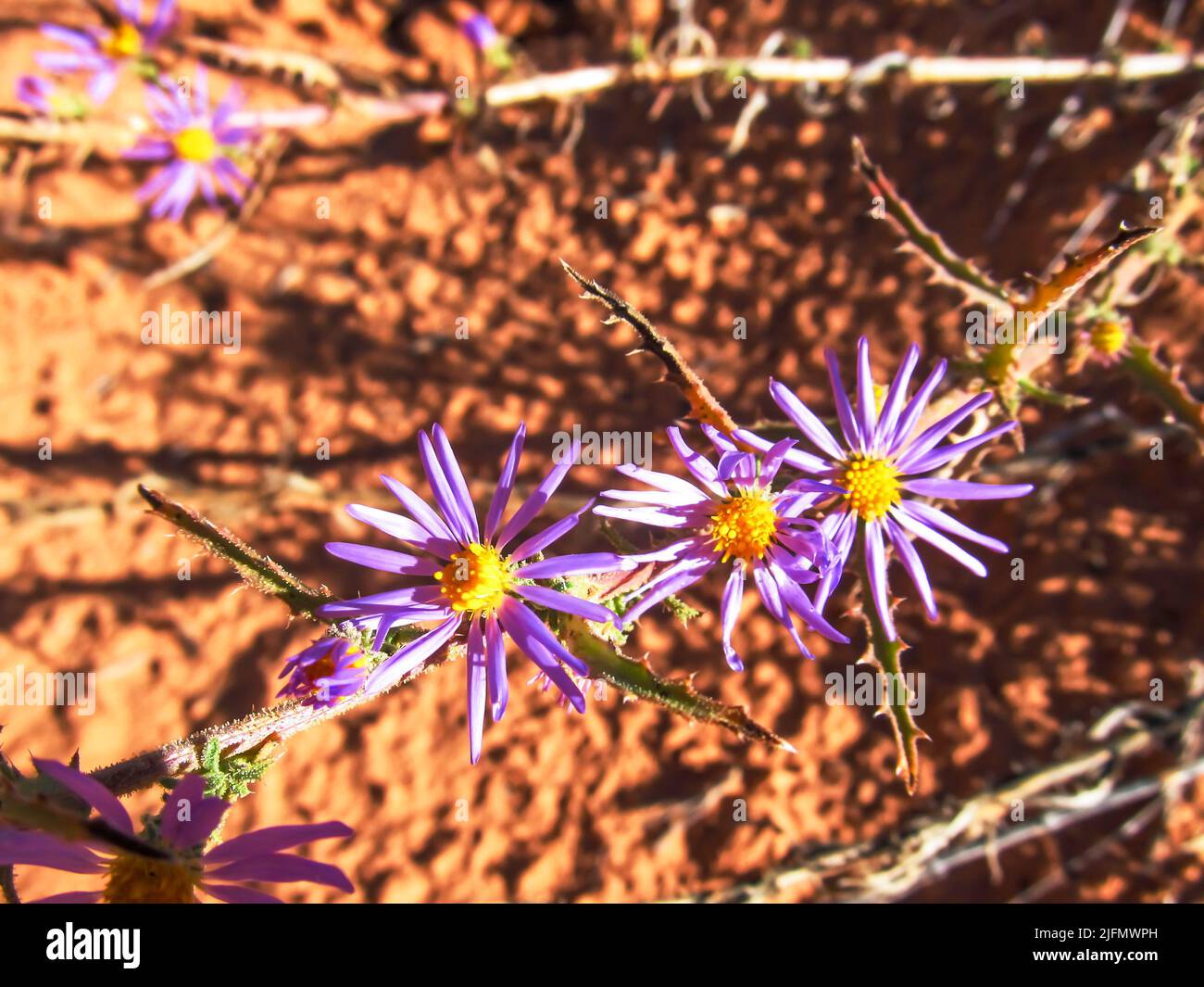 Small purple daisy-like wildflowers of the Aster Family in the dry Moab Scrubland, Utah, USA Stock Photohttps://www.alamy.com/image-license-details/?v=1https://www.alamy.com/small-purple-daisy-like-wildflowers-of-the-aster-family-in-the-dry-moab-scrubland-utah-usa-image474359049.html
RF2JFMWPH–Small purple daisy-like wildflowers of the Aster Family in the dry Moab Scrubland, Utah, USA
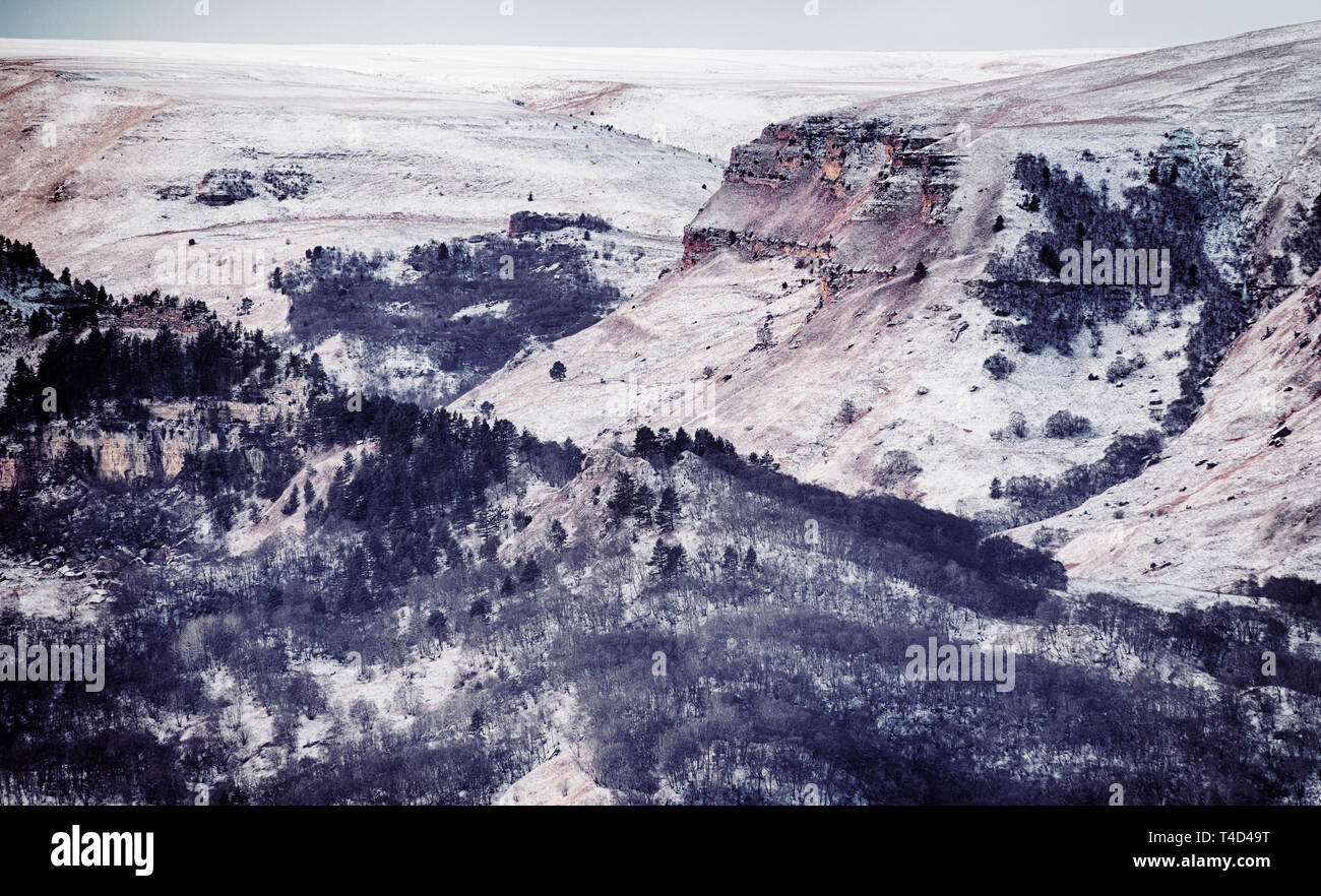 Foothills (foreland, submontane belt) Of the Greater Caucasus range. Series of hills with forest on the tops, huge ravine in winter Stock Photohttps://www.alamy.com/image-license-details/?v=1https://www.alamy.com/foothills-foreland-submontane-belt-of-the-greater-caucasus-range-series-of-hills-with-forest-on-the-tops-huge-ravine-in-winter-image243692564.html
RFT4D49T–Foothills (foreland, submontane belt) Of the Greater Caucasus range. Series of hills with forest on the tops, huge ravine in winter
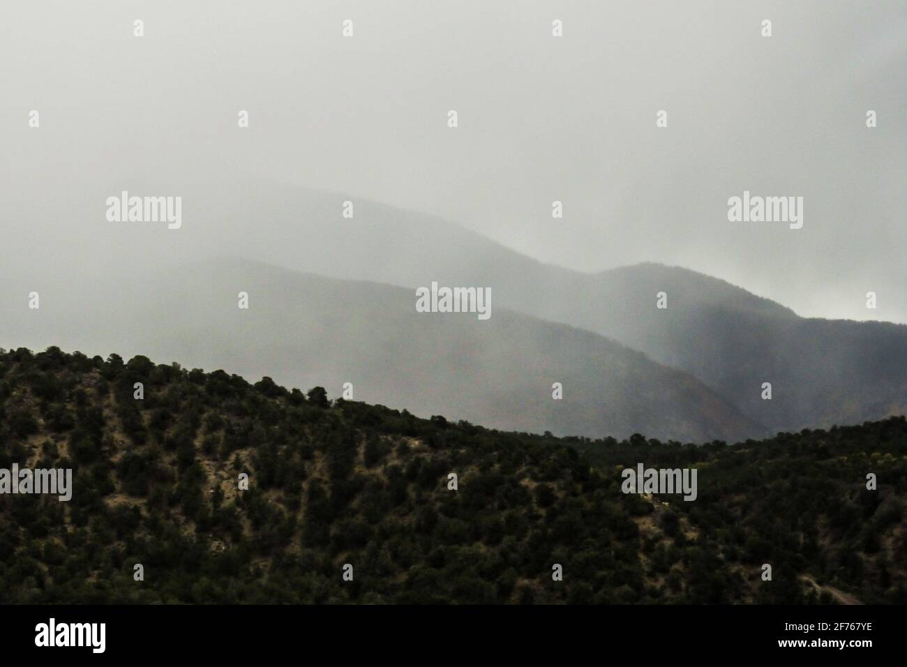 Slopes of the La Sal Mountains, in Utah, USA, shrouded in clouds during a snowstorm Stock Photohttps://www.alamy.com/image-license-details/?v=1https://www.alamy.com/slopes-of-the-la-sal-mountains-in-utah-usa-shrouded-in-clouds-during-a-snowstorm-image417489394.html
RF2F767YE–Slopes of the La Sal Mountains, in Utah, USA, shrouded in clouds during a snowstorm
 Onavas, Mpo. Yecora, Sonora, Mexico ......(Photo by Luis Gutierrez / Norte Photo).. Aerial view of the Mexican town Onavas in the state of Sonora. The Ónavas Valley is in the middle part of the Yaqui River, an intermontane valley made up of hills. Vista aereadel pueblo mexicano Onavas en el estado de Sonora. El valle de Ónavas está en la parte media del río Yaqui, valle intermontano compuesto por lomeríos. Stock Photohttps://www.alamy.com/image-license-details/?v=1https://www.alamy.com/onavas-mpo-yecora-sonora-mexico-photo-by-luis-gutierrez-norte-photo-aerial-view-of-the-mexican-town-onavas-in-the-state-of-sonora-the-navas-valley-is-in-the-middle-part-of-the-yaqui-river-an-intermontane-valley-made-up-of-hills-vista-aereadel-pueblo-mexicano-onavas-en-el-estado-de-sonora-el-valle-de-navas-est-en-la-parte-media-del-ro-yaqui-valle-intermontano-compuesto-por-lomeros-image416645440.html
RM2F5RRE8–Onavas, Mpo. Yecora, Sonora, Mexico ......(Photo by Luis Gutierrez / Norte Photo).. Aerial view of the Mexican town Onavas in the state of Sonora. The Ónavas Valley is in the middle part of the Yaqui River, an intermontane valley made up of hills. Vista aereadel pueblo mexicano Onavas en el estado de Sonora. El valle de Ónavas está en la parte media del río Yaqui, valle intermontano compuesto por lomeríos.
 A Fremonts Cottonwood, Populus fremontii, with yellow fall foliage, standing alone in the arid Moab environment of Utah, USA. Stock Photohttps://www.alamy.com/image-license-details/?v=1https://www.alamy.com/a-fremonts-cottonwood-populus-fremontii-with-yellow-fall-foliage-standing-alone-in-the-arid-moab-environment-of-utah-usa-image474359124.html
RF2JFMWW8–A Fremonts Cottonwood, Populus fremontii, with yellow fall foliage, standing alone in the arid Moab environment of Utah, USA.
 Africa Morocco Dense mob of traders greet fishing boats arriving at docks at sunrise in Casablancas Port du Peche Stock Photohttps://www.alamy.com/image-license-details/?v=1https://www.alamy.com/africa-morocco-dense-mob-of-traders-greet-fishing-boats-arriving-at-image9002260.html
RMAPD5N5–Africa Morocco Dense mob of traders greet fishing boats arriving at docks at sunrise in Casablancas Port du Peche
 Central Altyn tagh-mountains seen from Nnal.Highway G315-North Xorkol basin. Xinjiang-China-0511 Stock Photohttps://www.alamy.com/image-license-details/?v=1https://www.alamy.com/central-altyn-tagh-mountains-seen-from-nnalhighway-g315-north-xorkol-basin-xinjiang-china-0511-image328309978.html
RF2A23PMA–Central Altyn tagh-mountains seen from Nnal.Highway G315-North Xorkol basin. Xinjiang-China-0511
 Forest physiography; physiography of the United States and principles of soils in relation to forestry . Fig. 85. — Mountain systems and ranges and intermontane trenches, northern Rockies.(Ransome, U. S. Geol. Surv.). Fig. 86. — Location map of a part of the Northern Rockies. 300 FOREST PHYSIOGRAPHY In naming and describing the different mountain ranges of the north-ern Rockies that cross the international boundary line it has been pro-posed that a double and purely topographic principle be employed, theprinciple of the continuity of crest lines and the positions of, the majoierosion valleys.^ Stock Photohttps://www.alamy.com/image-license-details/?v=1https://www.alamy.com/forest-physiography-physiography-of-the-united-states-and-principles-of-soils-in-relation-to-forestry-fig-85-mountain-systems-and-ranges-and-intermontane-trenches-northern-rockiesransome-u-s-geol-surv-fig-86-location-map-of-a-part-of-the-northern-rockies-300-forest-physiography-in-naming-and-describing-the-different-mountain-ranges-of-the-north-ern-rockies-that-cross-the-international-boundary-line-it-has-been-pro-posed-that-a-double-and-purely-topographic-principle-be-employed-theprinciple-of-the-continuity-of-crest-lines-and-the-positions-of-the-majoierosion-valleys-image343263761.html
RM2AXD0C1–Forest physiography; physiography of the United States and principles of soils in relation to forestry . Fig. 85. — Mountain systems and ranges and intermontane trenches, northern Rockies.(Ransome, U. S. Geol. Surv.). Fig. 86. — Location map of a part of the Northern Rockies. 300 FOREST PHYSIOGRAPHY In naming and describing the different mountain ranges of the north-ern Rockies that cross the international boundary line it has been pro-posed that a double and purely topographic principle be employed, theprinciple of the continuity of crest lines and the positions of, the majoierosion valleys.^
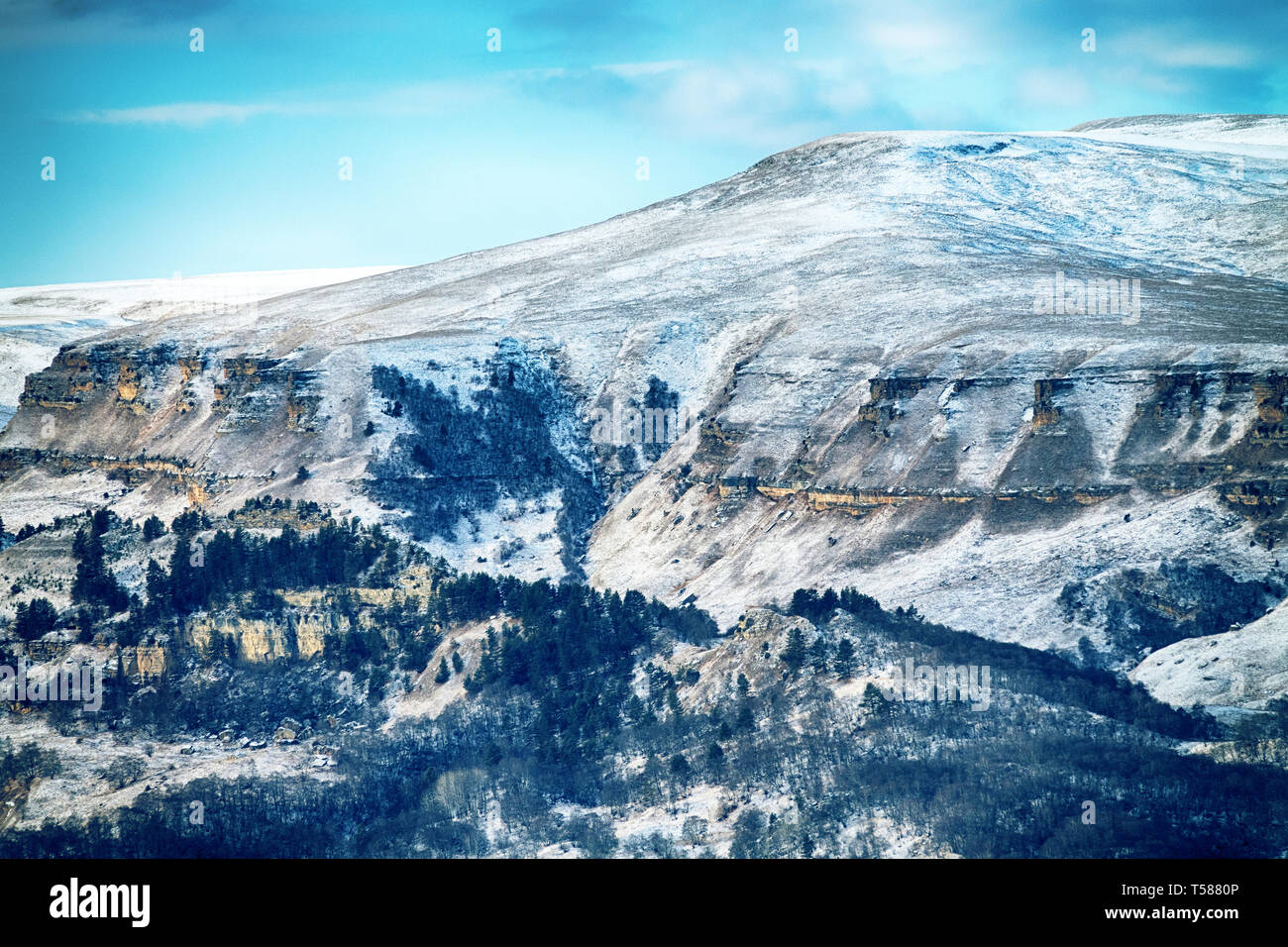 Foothills (foreland, submontane belt) Of the Greater Caucasus range. Series of hills with forest on the tops, huge ravine in winter Stock Photohttps://www.alamy.com/image-license-details/?v=1https://www.alamy.com/foothills-foreland-submontane-belt-of-the-greater-caucasus-range-series-of-hills-with-forest-on-the-tops-huge-ravine-in-winter-image244200342.html
RFT5880P–Foothills (foreland, submontane belt) Of the Greater Caucasus range. Series of hills with forest on the tops, huge ravine in winter
 Onavas, Mpo. Yecora, Sonora, Mexico ......(Photo by Luis Gutierrez / Norte Photo).. Aerial view of the Mexican town Onavas in the state of Sonora. The Ónavas Valley is in the middle part of the Yaqui River, an intermontane valley made up of hills. Vista aereadel pueblo mexicano Onavas en el estado de Sonora. El valle de Ónavas está en la parte media del río Yaqui, valle intermontano compuesto por lomeríos. Stock Photohttps://www.alamy.com/image-license-details/?v=1https://www.alamy.com/onavas-mpo-yecora-sonora-mexico-photo-by-luis-gutierrez-norte-photo-aerial-view-of-the-mexican-town-onavas-in-the-state-of-sonora-the-navas-valley-is-in-the-middle-part-of-the-yaqui-river-an-intermontane-valley-made-up-of-hills-vista-aereadel-pueblo-mexicano-onavas-en-el-estado-de-sonora-el-valle-de-navas-est-en-la-parte-media-del-ro-yaqui-valle-intermontano-compuesto-por-lomeros-image416645186.html
RM2F5RR56–Onavas, Mpo. Yecora, Sonora, Mexico ......(Photo by Luis Gutierrez / Norte Photo).. Aerial view of the Mexican town Onavas in the state of Sonora. The Ónavas Valley is in the middle part of the Yaqui River, an intermontane valley made up of hills. Vista aereadel pueblo mexicano Onavas en el estado de Sonora. El valle de Ónavas está en la parte media del río Yaqui, valle intermontano compuesto por lomeríos.
 A small Pancake Prickly Pear, Opuntia Chloritca, growing in the arid Shrubland of Arches national Park, Utah, USA. Stock Photohttps://www.alamy.com/image-license-details/?v=1https://www.alamy.com/a-small-pancake-prickly-pear-opuntia-chloritca-growing-in-the-arid-shrubland-of-arches-national-park-utah-usa-image474359053.html
RF2JFMWPN–A small Pancake Prickly Pear, Opuntia Chloritca, growing in the arid Shrubland of Arches national Park, Utah, USA.
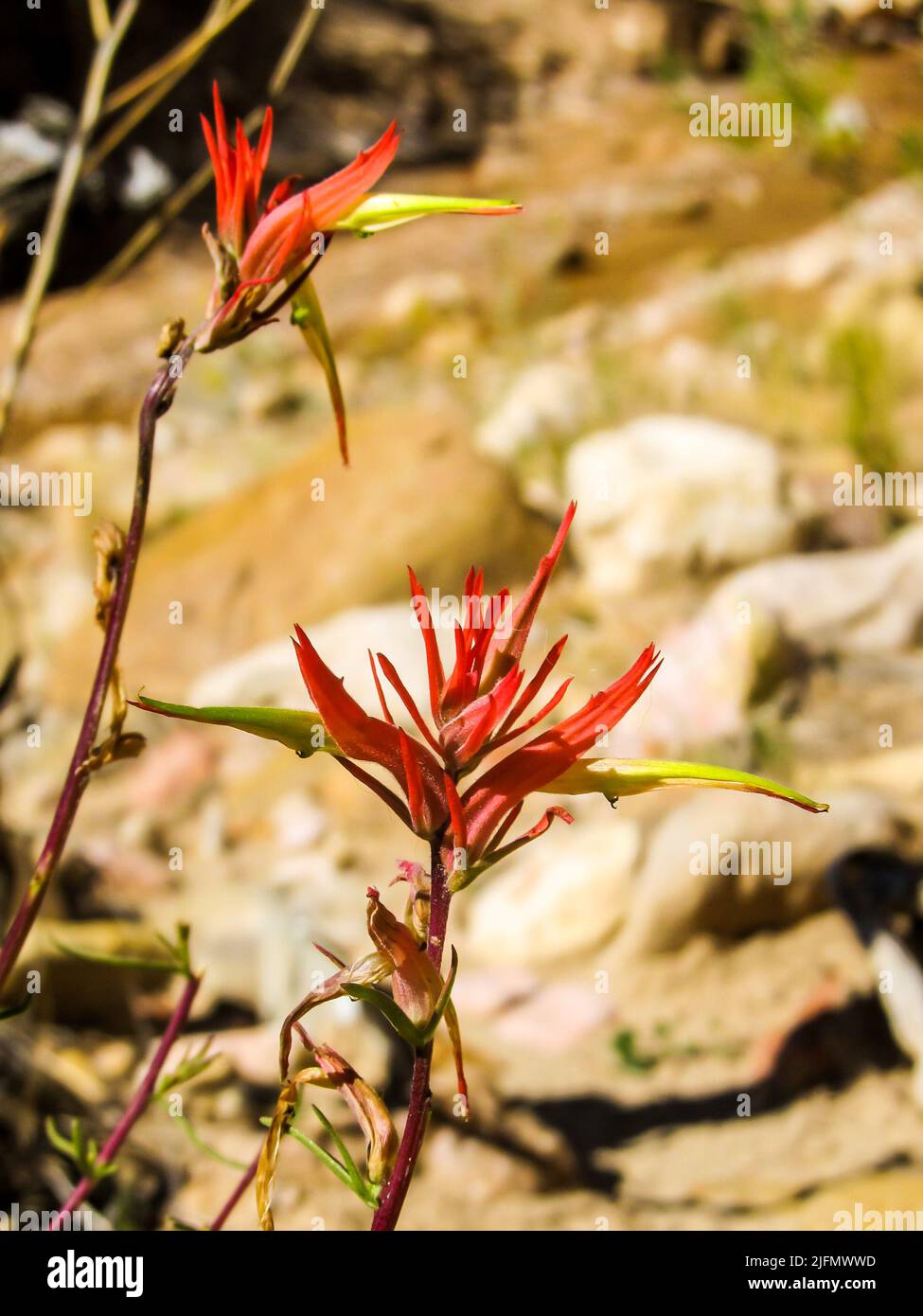 A late flowering Wyoming Indian Paint Brush, Castilleja Linariifolia Stock Photohttps://www.alamy.com/image-license-details/?v=1https://www.alamy.com/a-late-flowering-wyoming-indian-paint-brush-castilleja-linariifolia-image474359129.html
RF2JFMWWD–A late flowering Wyoming Indian Paint Brush, Castilleja Linariifolia
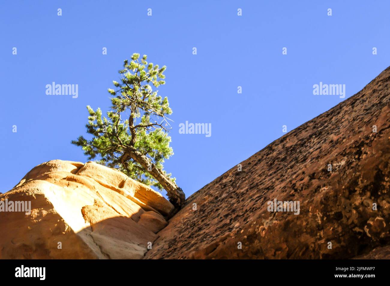 Looking up at a small Utah Juniper, Juniperus Osteosperma, growing on the edge of a sandstone cliff, against a bright blue sky, in Arches Stock Photohttps://www.alamy.com/image-license-details/?v=1https://www.alamy.com/looking-up-at-a-small-utah-juniper-juniperus-osteosperma-growing-on-the-edge-of-a-sandstone-cliff-against-a-bright-blue-sky-in-arches-image474359039.html
RF2JFMWP7–Looking up at a small Utah Juniper, Juniperus Osteosperma, growing on the edge of a sandstone cliff, against a bright blue sky, in Arches
 Morocco Youth stands beside donkey while riding through coastal hills north of El Jadida Stock Photohttps://www.alamy.com/image-license-details/?v=1https://www.alamy.com/morocco-youth-stands-beside-donkey-while-riding-through-coastal-hills-image9002380.html
RMAPD6GD–Morocco Youth stands beside donkey while riding through coastal hills north of El Jadida
 Green tents-temporary campsite-Central Altyn tagh mountains from Nnal.Highway G315-N.Xorkol basin. Xinjiang-China-0505 Stock Photohttps://www.alamy.com/image-license-details/?v=1https://www.alamy.com/green-tents-temporary-campsite-central-altyn-tagh-mountains-from-nnalhighway-g315-nxorkol-basin-xinjiang-china-0505-image328309966.html
RF2A23PKX–Green tents-temporary campsite-Central Altyn tagh mountains from Nnal.Highway G315-N.Xorkol basin. Xinjiang-China-0505
 Forest physiography; physiography of the United States and principles of soils in relation to forestry . -d to. TRANS-PECOS HIGHLANDS 395 at the south in a great escarpment over 1000 feet in height that over-looks the continuation of a broad intermontane plain toward the south. The mesa and cuesta types of mountains are capped in some in-stances with old igneous material in places 500 feet thick. The volcaniccaps are remnants of former sheets of similar material that have beenall but removed by denudation. Elephant Cuesta and Nine PointMesa are illustrations of this kind of mountain. Besides t Stock Photohttps://www.alamy.com/image-license-details/?v=1https://www.alamy.com/forest-physiography-physiography-of-the-united-states-and-principles-of-soils-in-relation-to-forestry-d-to-trans-pecos-highlands-395-at-the-south-in-a-great-escarpment-over-1000-feet-in-height-that-over-looks-the-continuation-of-a-broad-intermontane-plain-toward-the-south-the-mesa-and-cuesta-types-of-mountains-are-capped-in-some-in-stances-with-old-igneous-material-in-places-500-feet-thick-the-volcaniccaps-are-remnants-of-former-sheets-of-similar-material-that-have-beenall-but-removed-by-denudation-elephant-cuesta-and-nine-pointmesa-are-illustrations-of-this-kind-of-mountain-besides-t-image343252721.html
RM2AXCE9N–Forest physiography; physiography of the United States and principles of soils in relation to forestry . -d to. TRANS-PECOS HIGHLANDS 395 at the south in a great escarpment over 1000 feet in height that over-looks the continuation of a broad intermontane plain toward the south. The mesa and cuesta types of mountains are capped in some in-stances with old igneous material in places 500 feet thick. The volcaniccaps are remnants of former sheets of similar material that have beenall but removed by denudation. Elephant Cuesta and Nine PointMesa are illustrations of this kind of mountain. Besides t
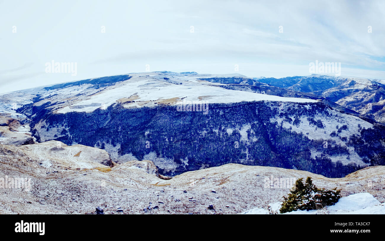 Foothills (foreland, submontane belt) Of the Greater Caucasus range. Series of hills with forest on the tops, huge ravine in winter Stock Photohttps://www.alamy.com/image-license-details/?v=1https://www.alamy.com/foothills-foreland-submontane-belt-of-the-greater-caucasus-range-series-of-hills-with-forest-on-the-tops-huge-ravine-in-winter-image247167711.html
RFTA3CX7–Foothills (foreland, submontane belt) Of the Greater Caucasus range. Series of hills with forest on the tops, huge ravine in winter
 Onavas, Mpo. Yecora, Sonora, Mexico ......(Photo by Luis Gutierrez / Norte Photo).. Aerial view of the Mexican town Onavas in the state of Sonora. The Ónavas Valley is in the middle part of the Yaqui River, an intermontane valley made up of hills. Vista aereadel pueblo mexicano Onavas en el estado de Sonora. El valle de Ónavas está en la parte media del río Yaqui, valle intermontano compuesto por lomeríos. Stock Photohttps://www.alamy.com/image-license-details/?v=1https://www.alamy.com/onavas-mpo-yecora-sonora-mexico-photo-by-luis-gutierrez-norte-photo-aerial-view-of-the-mexican-town-onavas-in-the-state-of-sonora-the-navas-valley-is-in-the-middle-part-of-the-yaqui-river-an-intermontane-valley-made-up-of-hills-vista-aereadel-pueblo-mexicano-onavas-en-el-estado-de-sonora-el-valle-de-navas-est-en-la-parte-media-del-ro-yaqui-valle-intermontano-compuesto-por-lomeros-image416645409.html
RM2F5RRD5–Onavas, Mpo. Yecora, Sonora, Mexico ......(Photo by Luis Gutierrez / Norte Photo).. Aerial view of the Mexican town Onavas in the state of Sonora. The Ónavas Valley is in the middle part of the Yaqui River, an intermontane valley made up of hills. Vista aereadel pueblo mexicano Onavas en el estado de Sonora. El valle de Ónavas está en la parte media del río Yaqui, valle intermontano compuesto por lomeríos.
 Silhouette of the needles of Pinyon pine against the golden sandstone cliff in the background in Arches National Park, Utah, USA Stock Photohttps://www.alamy.com/image-license-details/?v=1https://www.alamy.com/silhouette-of-the-needles-of-pinyon-pine-against-the-golden-sandstone-cliff-in-the-background-in-arches-national-park-utah-usa-image474066680.html
RF2JF7GTT–Silhouette of the needles of Pinyon pine against the golden sandstone cliff in the background in Arches National Park, Utah, USA
 Grey dry twigs, with the green needles of a Pinyon Pine in the Backgroud, Photographed just outside Moab, Utah, USA Stock Photohttps://www.alamy.com/image-license-details/?v=1https://www.alamy.com/grey-dry-twigs-with-the-green-needles-of-a-pinyon-pine-in-the-backgroud-photographed-just-outside-moab-utah-usa-image380941833.html
RF2D3NB5D–Grey dry twigs, with the green needles of a Pinyon Pine in the Backgroud, Photographed just outside Moab, Utah, USA
 View over the town of Moab in Utah, USA, situated between sandstone ridges, as seen from the La Sal Mountains Stock Photohttps://www.alamy.com/image-license-details/?v=1https://www.alamy.com/view-over-the-town-of-moab-in-utah-usa-situated-between-sandstone-ridges-as-seen-from-the-la-sal-mountains-image417489450.html
RF2F7681E–View over the town of Moab in Utah, USA, situated between sandstone ridges, as seen from the La Sal Mountains
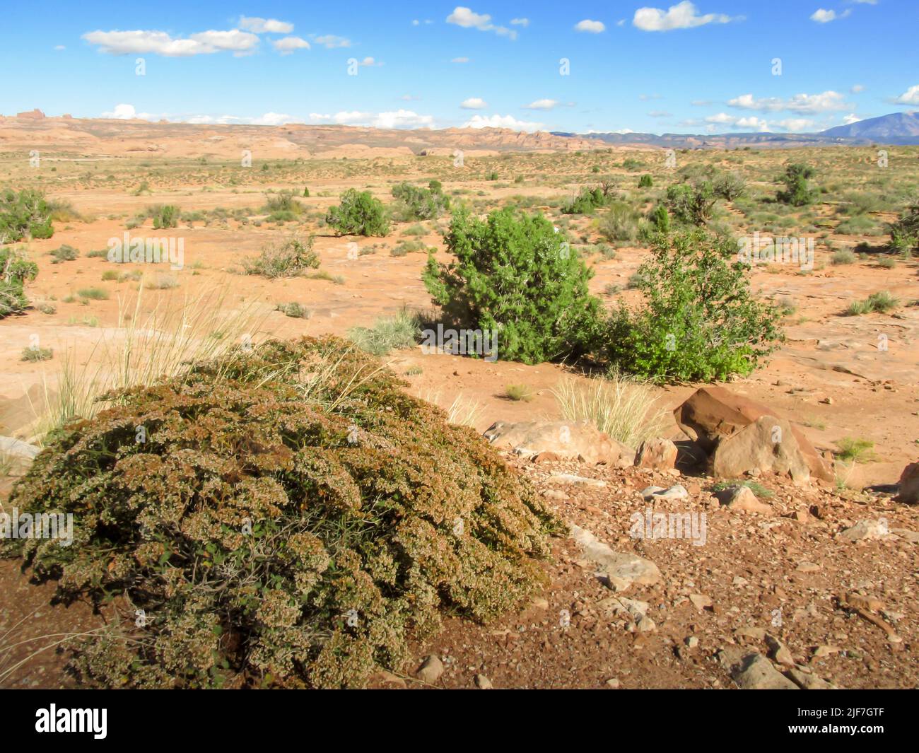 View over the Arid Shrubland of Arches National Park, Utah, USA Stock Photohttps://www.alamy.com/image-license-details/?v=1https://www.alamy.com/view-over-the-arid-shrubland-of-arches-national-park-utah-usa-image474066671.html
RF2JF7GTF–View over the Arid Shrubland of Arches National Park, Utah, USA
 Africa Morocco Dense mob of traders greet fishing boats arriving at docks at sunrise in Casablancas Port du Peche Stock Photohttps://www.alamy.com/image-license-details/?v=1https://www.alamy.com/africa-morocco-dense-mob-of-traders-greet-fishing-boats-arriving-at-image9002261.html
RMAPD5N6–Africa Morocco Dense mob of traders greet fishing boats arriving at docks at sunrise in Casablancas Port du Peche
 Storm clouds gathering over the La Sal Mountains in the eastern Utah, USA, as seen from the I-70 Stock Photohttps://www.alamy.com/image-license-details/?v=1https://www.alamy.com/storm-clouds-gathering-over-the-la-sal-mountains-in-the-eastern-utah-usa-as-seen-from-the-i-70-image367304552.html
RF2C9G4KM–Storm clouds gathering over the La Sal Mountains in the eastern Utah, USA, as seen from the I-70
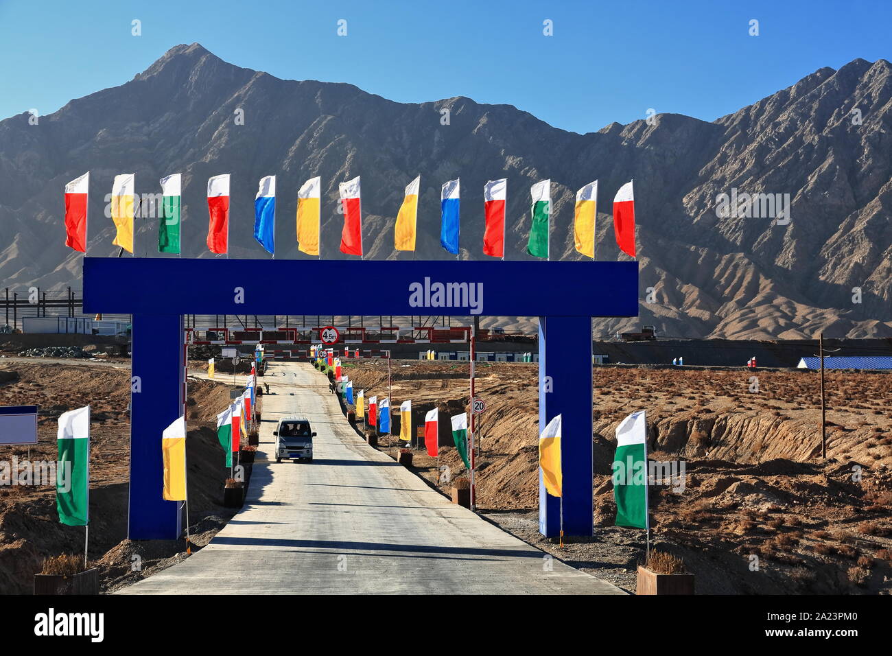 Blue arch with flags-entrance to mining facility-Nnal.Highway G315. Ruoqiang county-Xinjiang-China-0506 Stock Photohttps://www.alamy.com/image-license-details/?v=1https://www.alamy.com/blue-arch-with-flags-entrance-to-mining-facility-nnalhighway-g315-ruoqiang-county-xinjiang-china-0506-image328309968.html
RF2A23PM0–Blue arch with flags-entrance to mining facility-Nnal.Highway G315. Ruoqiang county-Xinjiang-China-0506
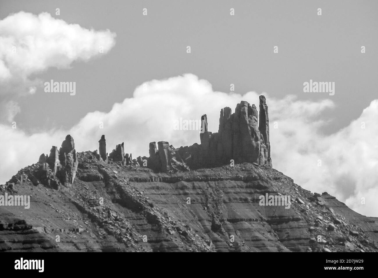 View towards the Little Castle, a Sandstone formation in Castle Valley, on State Route 128 in Utah, USA, in Monochrome Stock Photohttps://www.alamy.com/image-license-details/?v=1https://www.alamy.com/view-towards-the-little-castle-a-sandstone-formation-in-castle-valley-on-state-route-128-in-utah-usa-in-monochrome-image383345489.html
RF2D7JW29–View towards the Little Castle, a Sandstone formation in Castle Valley, on State Route 128 in Utah, USA, in Monochrome
 . Annual Reports of the Department of the Interior for the Fiscal Year Ended June 30, 1900--Twenty-First Annual Report of the United States Geological Society. om the cliff ofEast Hill and its con- jtinuation to the south-ward, from the long cliff of gneiss which extends along the westernborder of the basin for a distance of nearly a mile in about the lati-tude of Pomperaug village (9j), or from the intermontane valley ofOrenaug Hill, where one may walk a full mile along cliffs that areinterrupted for but short intervals (see map, PI. X). The N. ± 31^^ ^Y. series.—A very good opportunity to me Stock Photohttps://www.alamy.com/image-license-details/?v=1https://www.alamy.com/annual-reports-of-the-department-of-the-interior-for-the-fiscal-year-ended-june-30-1900-twenty-first-annual-report-of-the-united-states-geological-society-om-the-cliff-ofeast-hill-and-its-con-jtinuation-to-the-south-ward-from-the-long-cliff-of-gneiss-which-extends-along-the-westernborder-of-the-basin-for-a-distance-of-nearly-a-mile-in-about-the-lati-tude-of-pomperaug-village-9j-or-from-the-intermontane-valley-oforenaug-hill-where-one-may-walk-a-full-mile-along-cliffs-that-areinterrupted-for-but-short-intervals-see-map-pi-x-the-n-31-y-seriesa-very-good-opportunity-to-me-image336878627.html
RM2AG243F–. Annual Reports of the Department of the Interior for the Fiscal Year Ended June 30, 1900--Twenty-First Annual Report of the United States Geological Society. om the cliff ofEast Hill and its con- jtinuation to the south-ward, from the long cliff of gneiss which extends along the westernborder of the basin for a distance of nearly a mile in about the lati-tude of Pomperaug village (9j), or from the intermontane valley ofOrenaug Hill, where one may walk a full mile along cliffs that areinterrupted for but short intervals (see map, PI. X). The N. ± 31^^ ^Y. series.—A very good opportunity to me
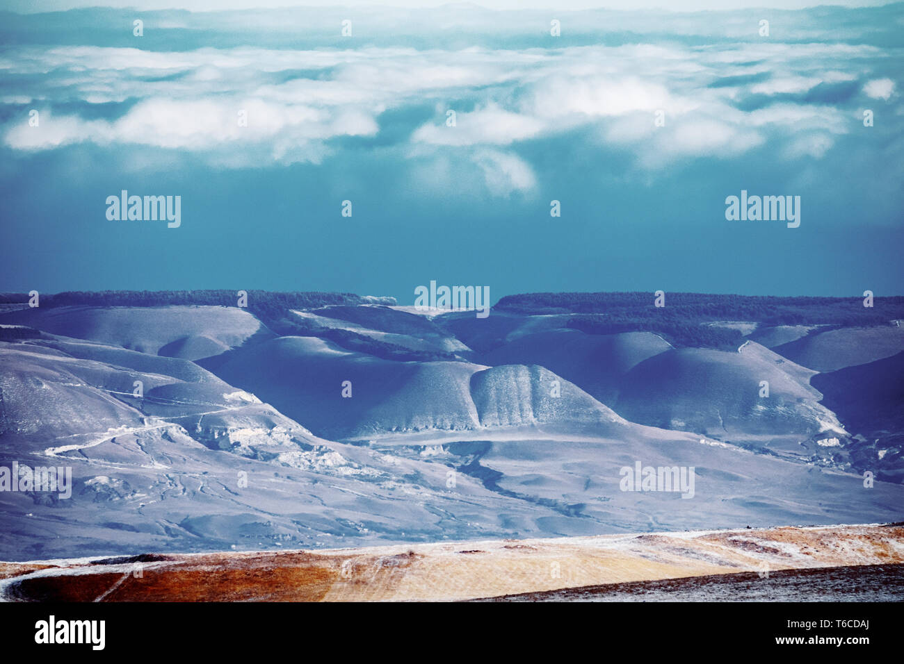 Foothills (foreland, submontane belt) Of the Greater Caucasus range. Series of hills with forest on the tops, in winter. Low clouds lie on the mountai Stock Photohttps://www.alamy.com/image-license-details/?v=1https://www.alamy.com/foothills-foreland-submontane-belt-of-the-greater-caucasus-range-series-of-hills-with-forest-on-the-tops-in-winter-low-clouds-lie-on-the-mountai-image244907002.html
RFT6CDAJ–Foothills (foreland, submontane belt) Of the Greater Caucasus range. Series of hills with forest on the tops, in winter. Low clouds lie on the mountai
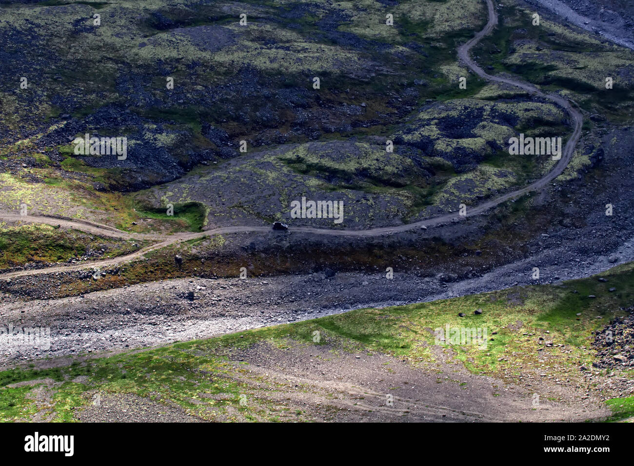 Road on the bottom of a mountain gorge Stock Photohttps://www.alamy.com/image-license-details/?v=1https://www.alamy.com/road-on-the-bottom-of-a-mountain-gorge-image328528118.html
RF2A2DMY2–Road on the bottom of a mountain gorge
 Onavas, Mpo. Yecora, Sonora, Mexico ......(Photo by Luis Gutierrez / Norte Photo).. Aerial view of the Mexican town Onavas in the state of Sonora. The Ónavas Valley is in the middle part of the Yaqui River, an intermontane valley made up of hills. Vista aereadel pueblo mexicano Onavas en el estado de Sonora. El valle de Ónavas está en la parte media del río Yaqui, valle intermontano compuesto por lomeríos. Stock Photohttps://www.alamy.com/image-license-details/?v=1https://www.alamy.com/onavas-mpo-yecora-sonora-mexico-photo-by-luis-gutierrez-norte-photo-aerial-view-of-the-mexican-town-onavas-in-the-state-of-sonora-the-navas-valley-is-in-the-middle-part-of-the-yaqui-river-an-intermontane-valley-made-up-of-hills-vista-aereadel-pueblo-mexicano-onavas-en-el-estado-de-sonora-el-valle-de-navas-est-en-la-parte-media-del-ro-yaqui-valle-intermontano-compuesto-por-lomeros-image416645404.html
RM2F5RRD0–Onavas, Mpo. Yecora, Sonora, Mexico ......(Photo by Luis Gutierrez / Norte Photo).. Aerial view of the Mexican town Onavas in the state of Sonora. The Ónavas Valley is in the middle part of the Yaqui River, an intermontane valley made up of hills. Vista aereadel pueblo mexicano Onavas en el estado de Sonora. El valle de Ónavas está en la parte media del río Yaqui, valle intermontano compuesto por lomeríos.
 Canyon of mountain river and clachan (village) on steep slopes, misty canyon, flashy river. Foothills Of Himalayas. India Stock Photohttps://www.alamy.com/image-license-details/?v=1https://www.alamy.com/canyon-of-mountain-river-and-clachan-village-on-steep-slopes-misty-canyon-flashy-river-foothills-of-himalayas-india-image240632694.html
RFRYDNCP–Canyon of mountain river and clachan (village) on steep slopes, misty canyon, flashy river. Foothills Of Himalayas. India
 Masule is an olde-worlde village in the north-west of Iran, in the province of Gilan, founded in the 10th century by Talysh people. Houses climb the s Stock Photohttps://www.alamy.com/image-license-details/?v=1https://www.alamy.com/masule-is-an-olde-worlde-village-in-the-north-west-of-iran-in-the-province-of-gilan-founded-in-the-10th-century-by-talysh-people-houses-climb-the-s-image601837008.html
RM2WY416T–Masule is an olde-worlde village in the north-west of Iran, in the province of Gilan, founded in the 10th century by Talysh people. Houses climb the s
 Masuleh, Iran - December 15, 2022: The village was founded in the 10th century and is inhabited mainly by Talysh people, Mahometan women yashmak cloth Stock Photohttps://www.alamy.com/image-license-details/?v=1https://www.alamy.com/masuleh-iran-december-15-2022-the-village-was-founded-in-the-10th-century-and-is-inhabited-mainly-by-talysh-people-mahometan-women-yashmak-cloth-image556584857.html
RM2R9EHJH–Masuleh, Iran - December 15, 2022: The village was founded in the 10th century and is inhabited mainly by Talysh people, Mahometan women yashmak cloth
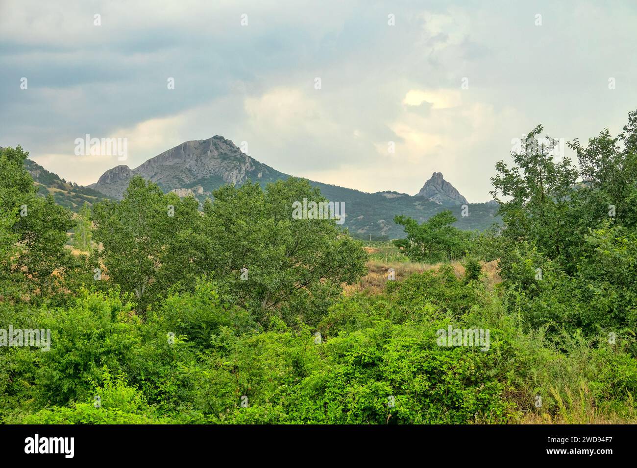 Crimean mountains. Foot of main ridge. Glen, stream. Subtropics. Deciduous trees (poplars form urema), bush, meadow. Orogenic movements belong to type Stock Photohttps://www.alamy.com/image-license-details/?v=1https://www.alamy.com/crimean-mountains-foot-of-main-ridge-glen-stream-subtropics-deciduous-trees-poplars-form-urema-bush-meadow-orogenic-movements-belong-to-type-image593344171.html
RF2WD94F7–Crimean mountains. Foot of main ridge. Glen, stream. Subtropics. Deciduous trees (poplars form urema), bush, meadow. Orogenic movements belong to type