Quick filters:
Island map greece Stock Photos and Images
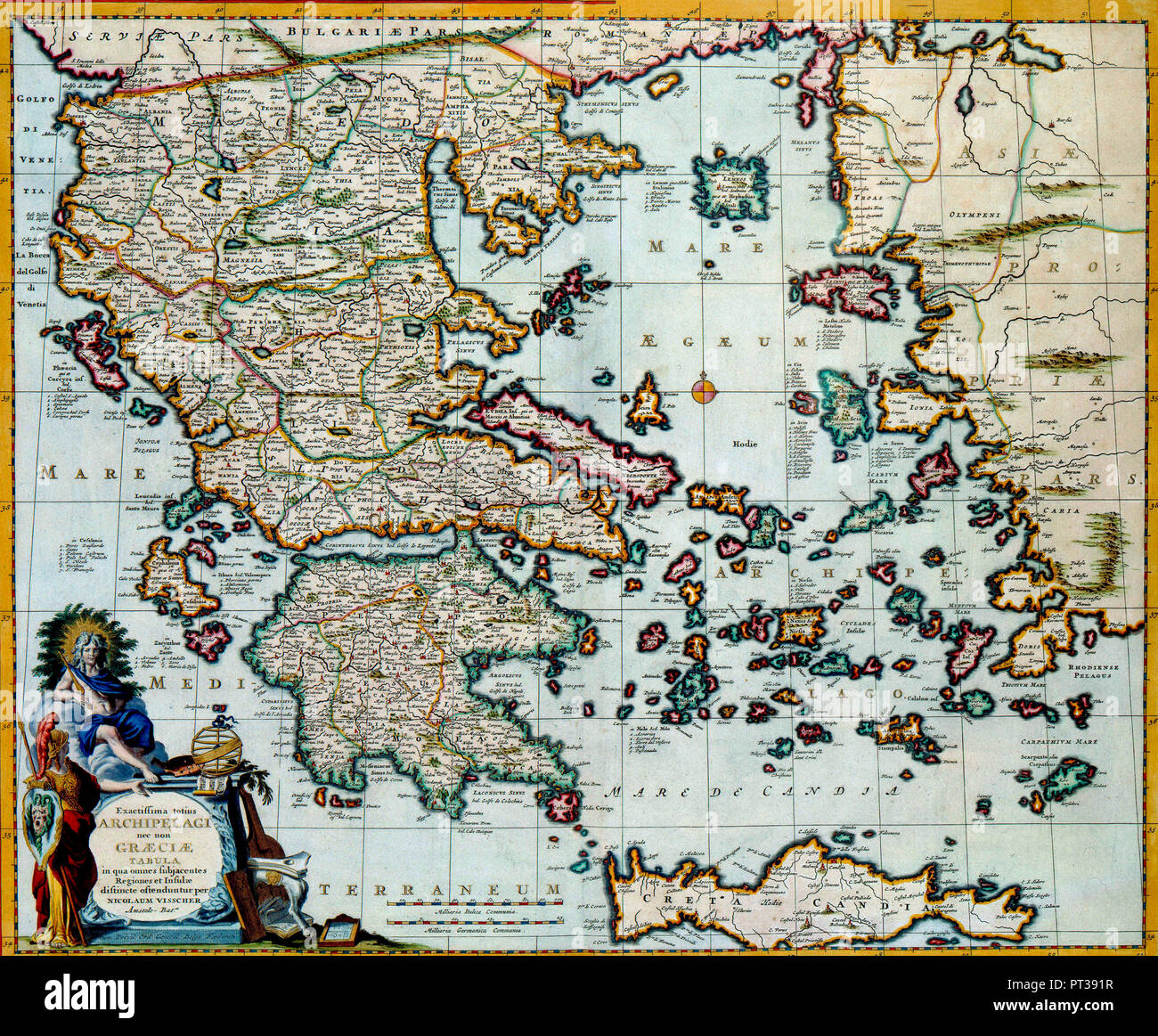 This map of the island Crete before the coast of Greece was published after 1681 by Nicolaes Visscher II (1649-1702). Visscher based this map on a map by the Danish cartographer Johann Lauremberg (1590-1658) Stock Photohttps://www.alamy.com/image-license-details/?v=1https://www.alamy.com/this-map-of-the-island-crete-before-the-coast-of-greece-was-published-after-1681-by-nicolaes-visscher-ii-1649-1702-visscher-based-this-map-on-a-map-by-the-danish-cartographer-johann-lauremberg-1590-1658-image221349123.html
RMPT391R–This map of the island Crete before the coast of Greece was published after 1681 by Nicolaes Visscher II (1649-1702). Visscher based this map on a map by the Danish cartographer Johann Lauremberg (1590-1658)
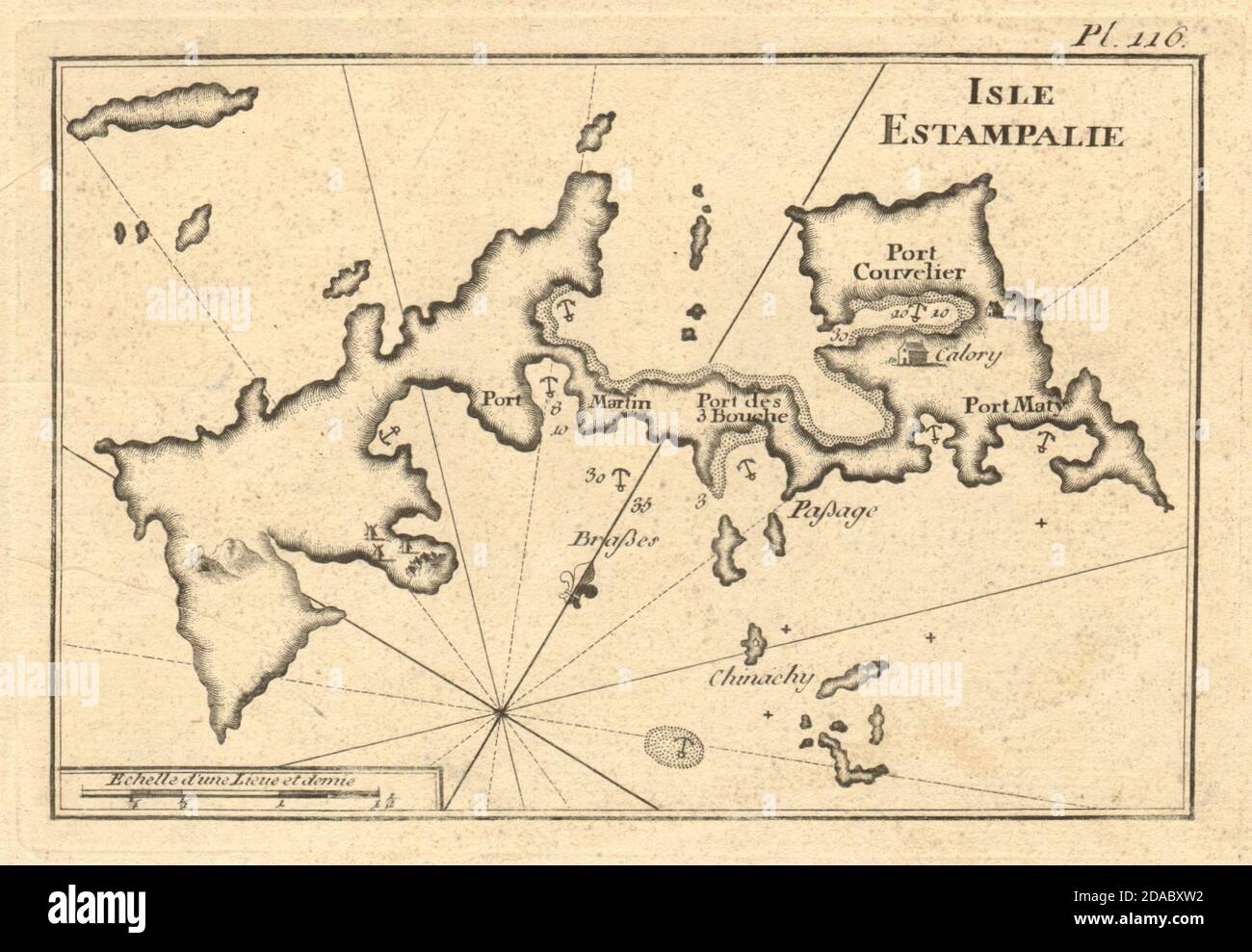 Isle Estampalie. The island of Astypalaia, Dodecanese. Greece. ROUX 1804 map Stock Photohttps://www.alamy.com/image-license-details/?v=1https://www.alamy.com/isle-estampalie-the-island-of-astypalaia-dodecanese-greece-roux-1804-map-image385037214.html
RF2DABXW2–Isle Estampalie. The island of Astypalaia, Dodecanese. Greece. ROUX 1804 map
 Map of the Western Coast of Greece From the Island of Levcas Going North as Far as Paxi Island Stock Photohttps://www.alamy.com/image-license-details/?v=1https://www.alamy.com/stock-photo-map-of-the-western-coast-of-greece-from-the-island-of-levcas-going-48990269.html
RMCRKKGD–Map of the Western Coast of Greece From the Island of Levcas Going North as Far as Paxi Island
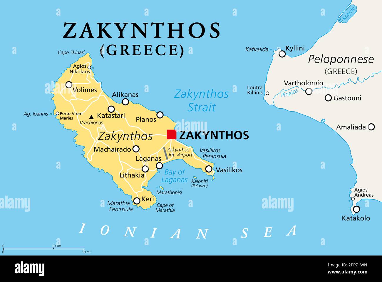 Zakynthos, Greek island, political map. Also known as Zakinthos or Zante, part of the Ionian Islands in Greece, and separate regional unit. Stock Photohttps://www.alamy.com/image-license-details/?v=1https://www.alamy.com/zakynthos-greek-island-political-map-also-known-as-zakinthos-or-zante-part-of-the-ionian-islands-in-greece-and-separate-regional-unit-image547199009.html
RF2PP71WN–Zakynthos, Greek island, political map. Also known as Zakinthos or Zante, part of the Ionian Islands in Greece, and separate regional unit.
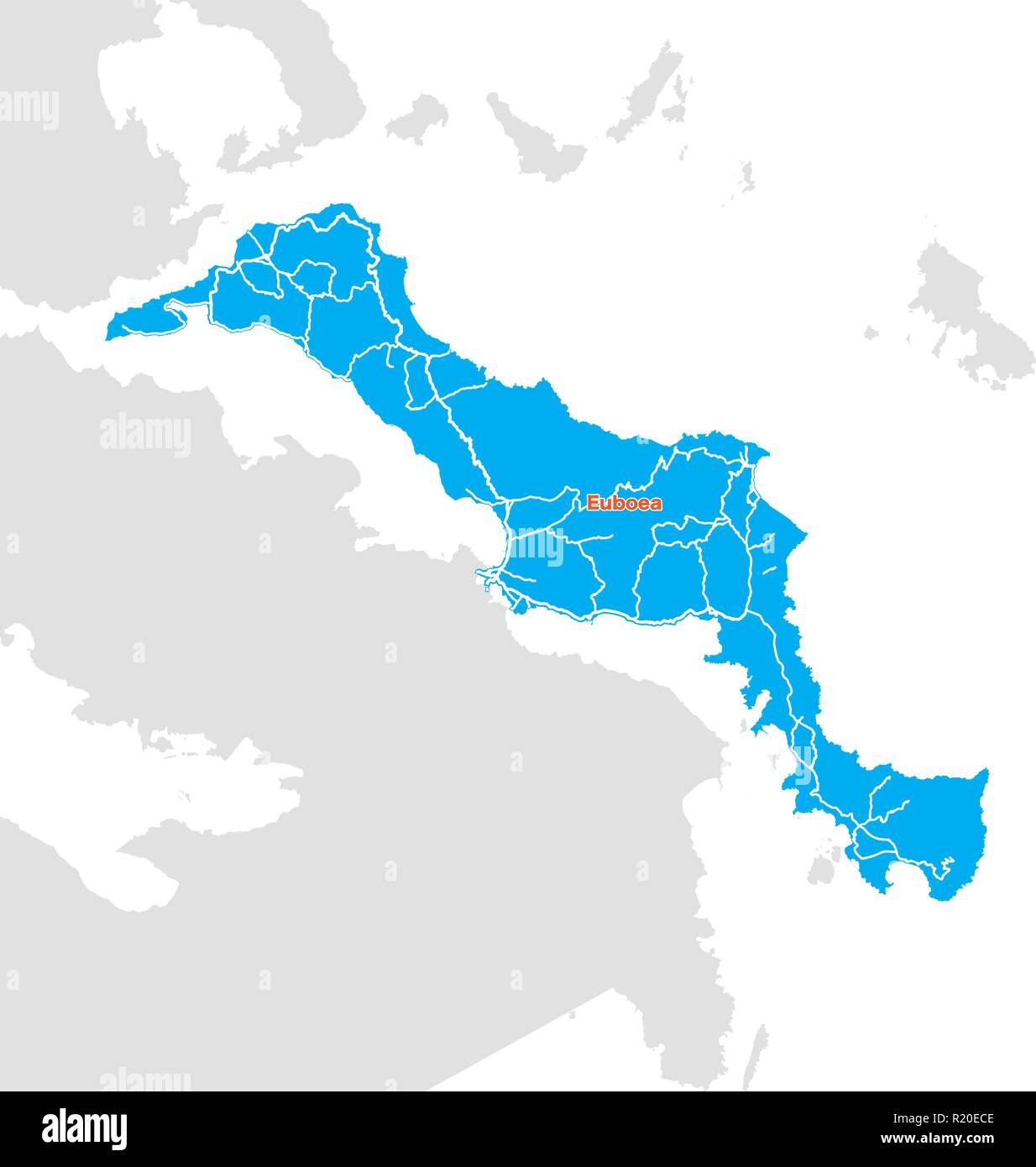 Island map of Euboea, Greece. Vector illustration template for wall art and marketing in square format. Stock Vectorhttps://www.alamy.com/image-license-details/?v=1https://www.alamy.com/island-map-of-euboea-greece-vector-illustration-template-for-wall-art-and-marketing-in-square-format-image224975422.html
RFR20ECE–Island map of Euboea, Greece. Vector illustration template for wall art and marketing in square format.
 Map of Greek island of Corfu. Ionian Sea. Italian map. 1537. Stock Photohttps://www.alamy.com/image-license-details/?v=1https://www.alamy.com/stock-photo-map-of-greek-island-of-corfu-ionian-sea-italian-map-1537-82415488.html
RMEP29P8–Map of Greek island of Corfu. Ionian Sea. Italian map. 1537.
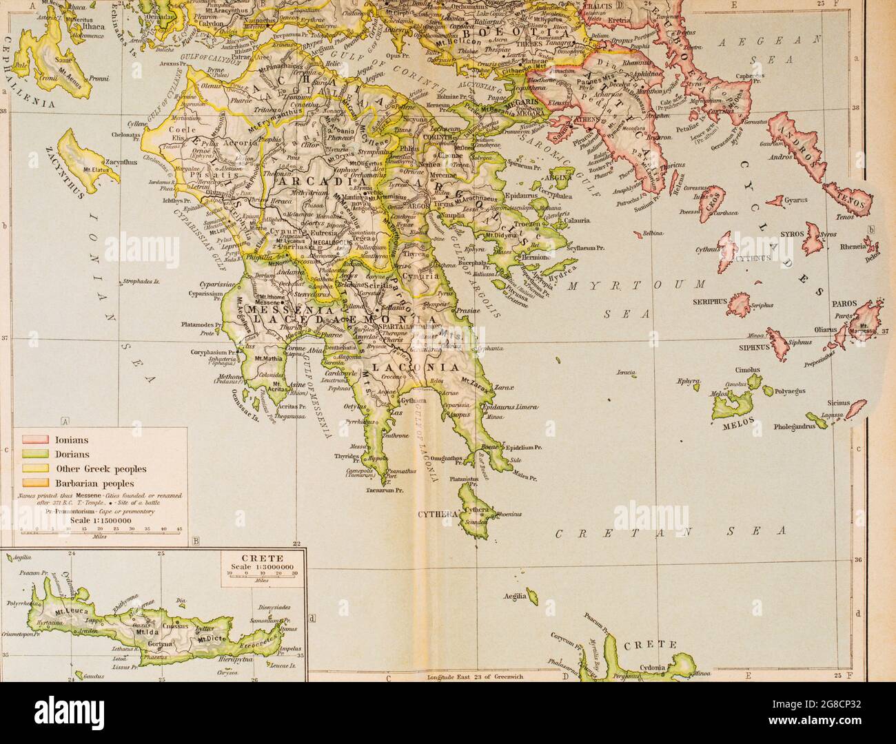 Map of Ancient Greece, southern part. From Historical Atlas, published 1923. Stock Photohttps://www.alamy.com/image-license-details/?v=1https://www.alamy.com/map-of-ancient-greece-southern-part-from-historical-atlas-published-1923-image435457206.html
RM2G8CP32–Map of Ancient Greece, southern part. From Historical Atlas, published 1923.
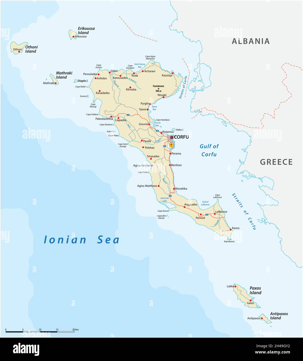 Vector road map of the Ionian island Corfu, Greece Stock Vectorhttps://www.alamy.com/image-license-details/?v=1https://www.alamy.com/vector-road-map-of-the-ionian-island-corfu-greece-image450139062.html
RF2H49GY2–Vector road map of the Ionian island Corfu, Greece
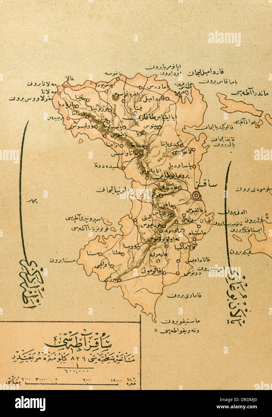 A Map of the Island of Chios Stock Photohttps://www.alamy.com/image-license-details/?v=1https://www.alamy.com/a-map-of-the-island-of-chios-image66069752.html
RMDRDMJ0–A Map of the Island of Chios
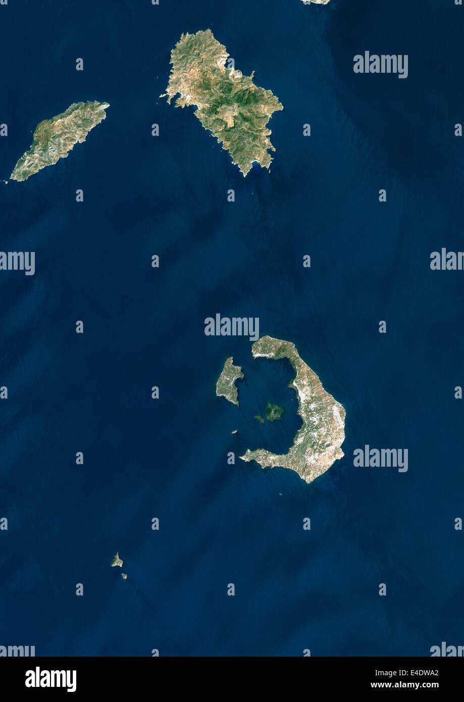 Santorini Island, Greece, True Colour Satellite Image. Santorini island, Greece, true colour satellite image. Santorini island i Stock Photohttps://www.alamy.com/image-license-details/?v=1https://www.alamy.com/stock-photo-santorini-island-greece-true-colour-satellite-image-santorini-island-71605354.html
RME4DWA2–Santorini Island, Greece, True Colour Satellite Image. Santorini island, Greece, true colour satellite image. Santorini island i
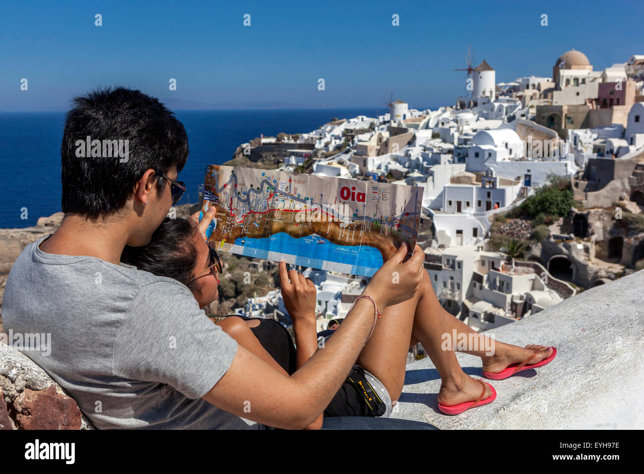 Young Asian people with a village map Oia Santorini Tourist couple lovers, Greek Island, Greece travel Europe tourists Stock Photohttps://www.alamy.com/image-license-details/?v=1https://www.alamy.com/stock-photo-young-asian-people-with-a-village-map-oia-santorini-tourist-couple-85817634.html
RMEYH97E–Young Asian people with a village map Oia Santorini Tourist couple lovers, Greek Island, Greece travel Europe tourists
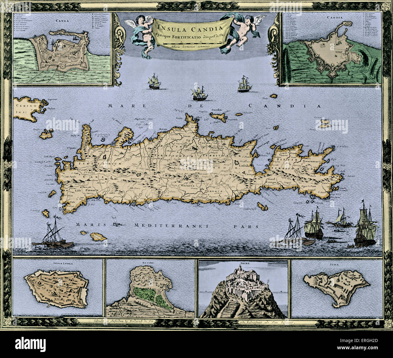 Map of the Island of Candia (Crete) - published in F. de Wit 's Atlas, c. 1688. Frederick de Wit, Dutch Amsterdam - based art, Stock Photohttps://www.alamy.com/image-license-details/?v=1https://www.alamy.com/stock-photo-map-of-the-island-of-candia-crete-published-in-f-de-wit-s-atlas-c-83343189.html
RMERGH2D–Map of the Island of Candia (Crete) - published in F. de Wit 's Atlas, c. 1688. Frederick de Wit, Dutch Amsterdam - based art,
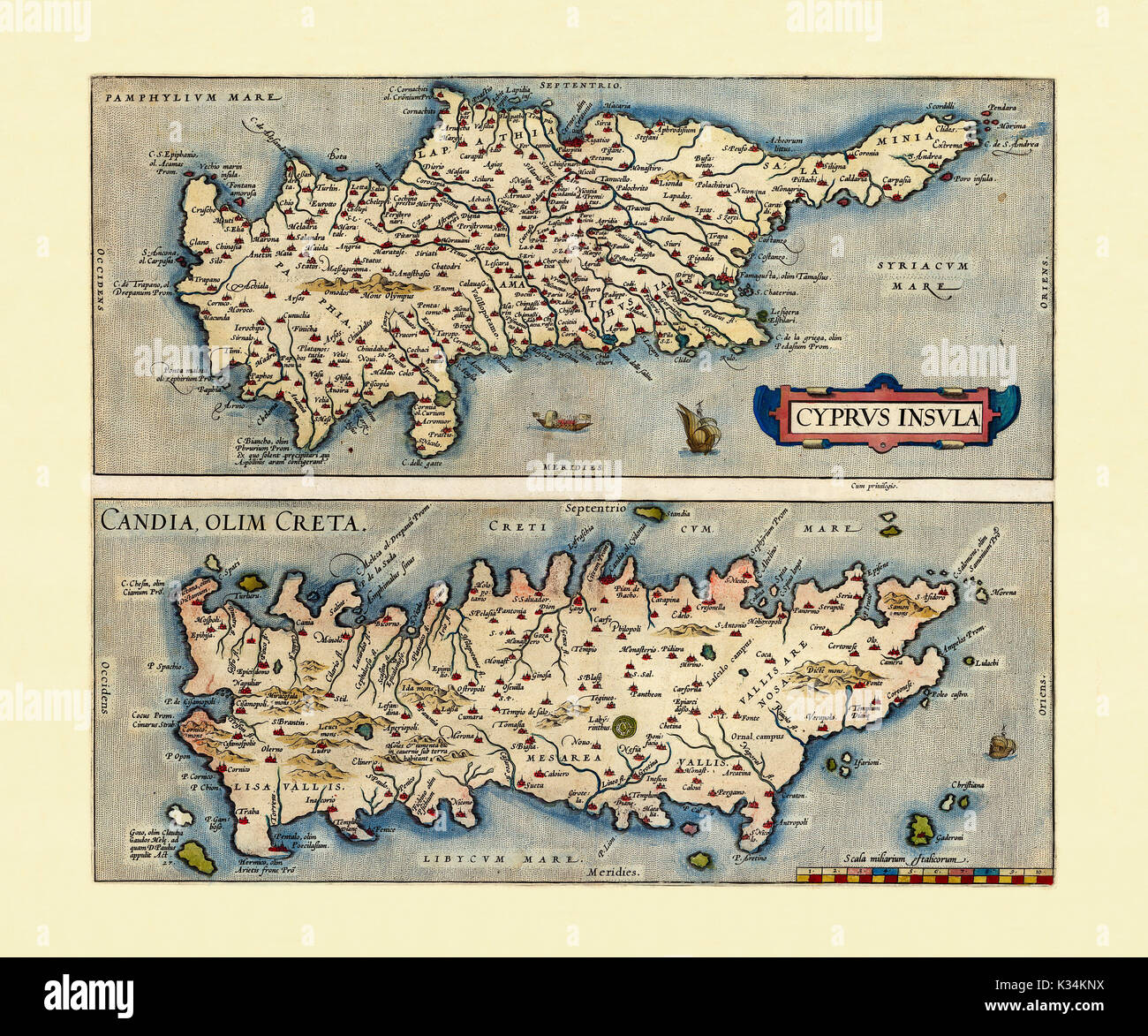 Old Maps of Cyprus and Crete. Two frames arranged side by side vertically each one with a Island inside. By Ortelius, Theatrum Orbis Terrarum, Antwerp, 1570 Stock Photohttps://www.alamy.com/image-license-details/?v=1https://www.alamy.com/old-maps-of-cyprus-and-crete-two-frames-arranged-side-by-side-vertically-image156840598.html
RFK34KNX–Old Maps of Cyprus and Crete. Two frames arranged side by side vertically each one with a Island inside. By Ortelius, Theatrum Orbis Terrarum, Antwerp, 1570
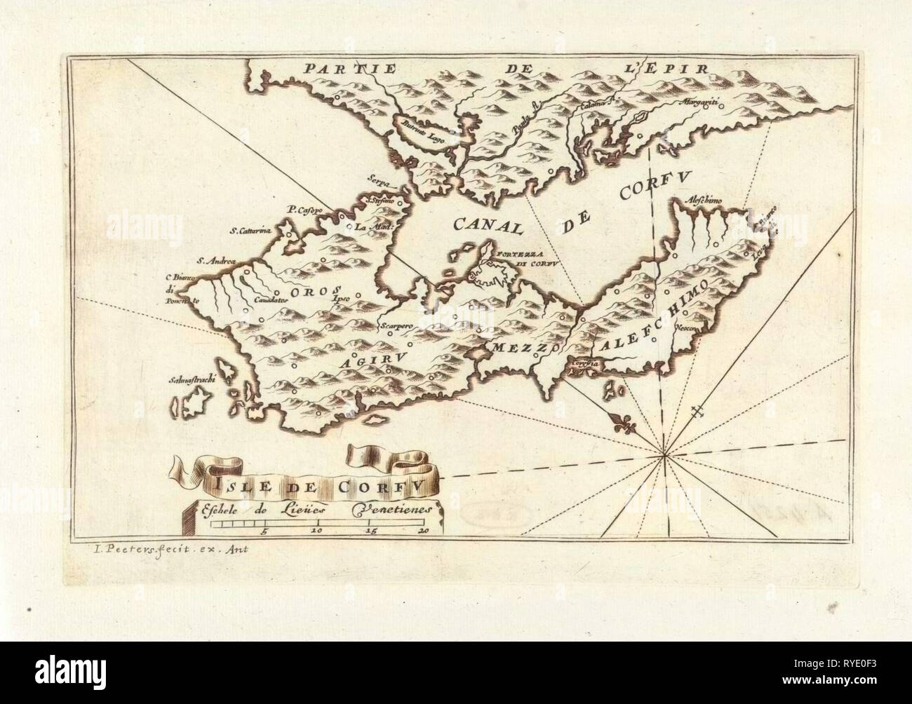 Map of the island of Corfu Greece, Jacob Peeters, 1690 Stock Photohttps://www.alamy.com/image-license-details/?v=1https://www.alamy.com/map-of-the-island-of-corfu-greece-jacob-peeters-1690-image240638247.html
RMRYE0F3–Map of the island of Corfu Greece, Jacob Peeters, 1690
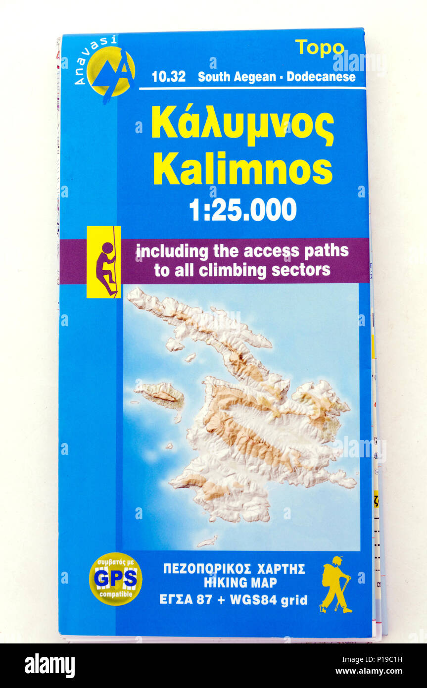 Topo Islands map of the Greek Island of Kalymnos. Stock Photohttps://www.alamy.com/image-license-details/?v=1https://www.alamy.com/topo-islands-map-of-the-greek-island-of-kalymnos-image207346093.html
RMP19C1H–Topo Islands map of the Greek Island of Kalymnos.
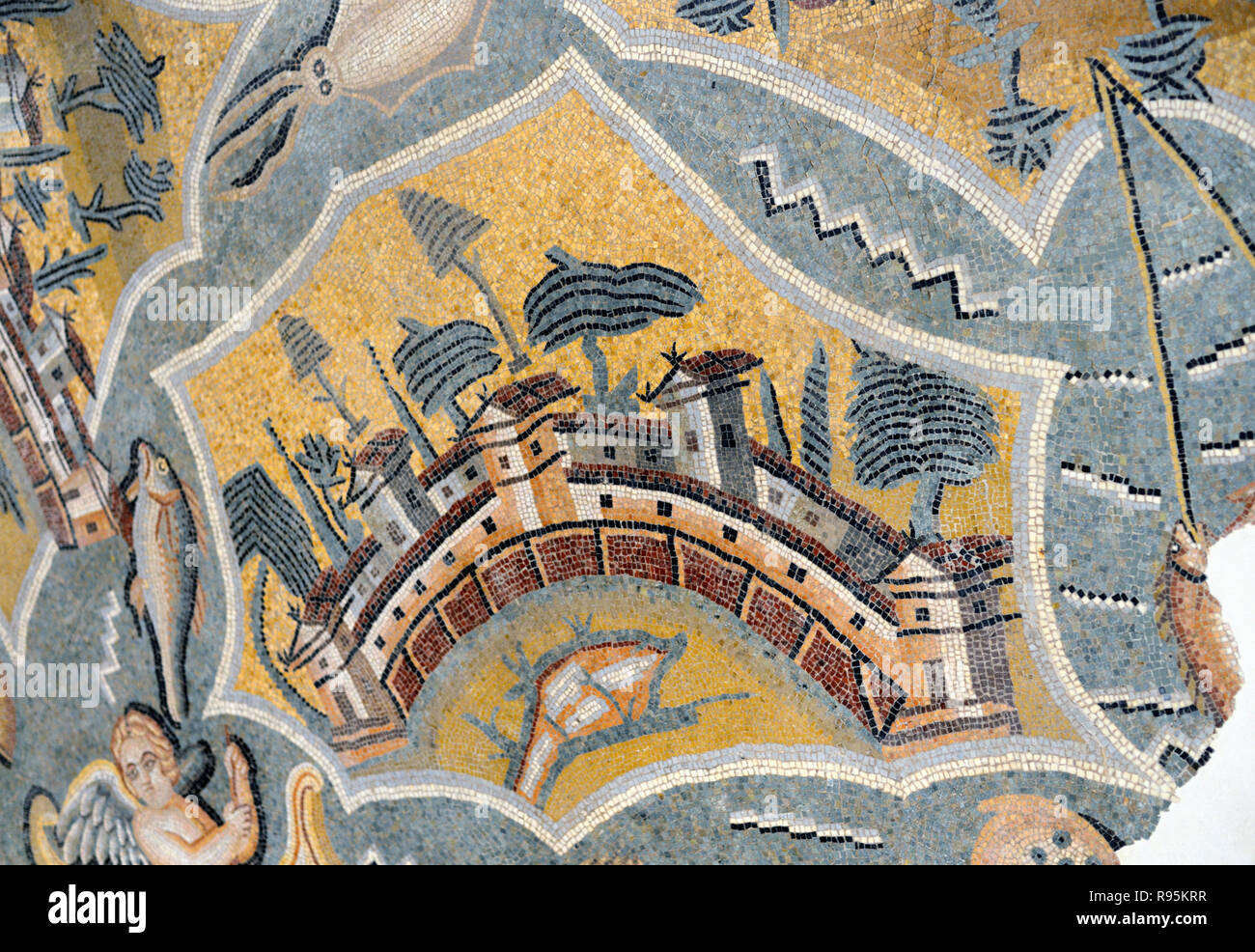 Roman Floor Mosaic (c3rd-c4th) of Naxos Island in the Aegean Sea Greece from the Ancient Roman City of Ammaedara Haidra Tunisia Stock Photohttps://www.alamy.com/image-license-details/?v=1https://www.alamy.com/roman-floor-mosaic-c3rd-c4th-of-naxos-island-in-the-aegean-sea-greece-from-the-ancient-roman-city-of-ammaedara-haidra-tunisia-image229392011.html
RMR95KRR–Roman Floor Mosaic (c3rd-c4th) of Naxos Island in the Aegean Sea Greece from the Ancient Roman City of Ammaedara Haidra Tunisia
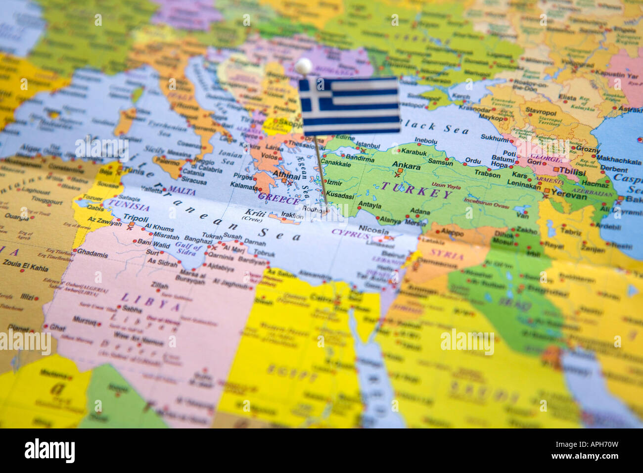 Flag Pin Placed on World Map in Rhodes Island Greece Stock Photohttps://www.alamy.com/image-license-details/?v=1https://www.alamy.com/stock-photo-flag-pin-placed-on-world-map-in-rhodes-island-greece-15792120.html
RMAPH70W–Flag Pin Placed on World Map in Rhodes Island Greece
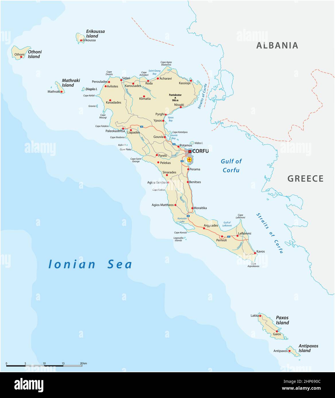 Vector road map of the Ionian island Corfu, Greece Stock Vectorhttps://www.alamy.com/image-license-details/?v=1https://www.alamy.com/vector-road-map-of-the-ionian-island-corfu-greece-image461130780.html
RF2HP690C–Vector road map of the Ionian island Corfu, Greece
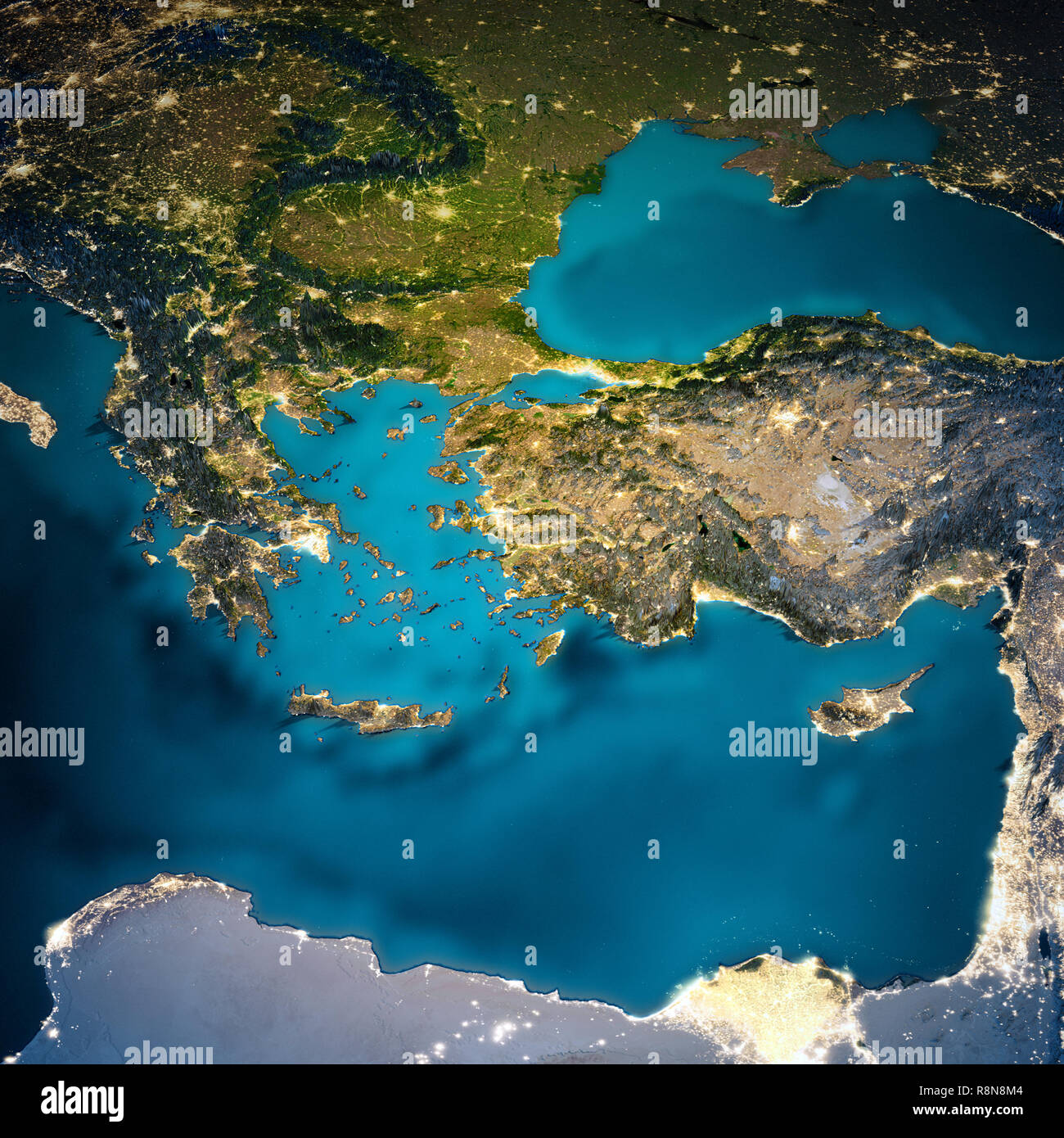 Turkey and Greece map Stock Photohttps://www.alamy.com/image-license-details/?v=1https://www.alamy.com/turkey-and-greece-map-image229119860.html
RFR8N8M4–Turkey and Greece map
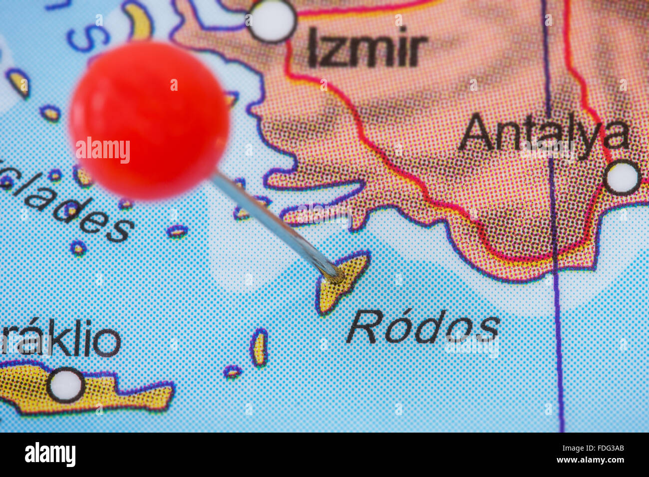 Close-up of a red pushpin in a map of island of Rodos (Rhodes), Greece. Stock Photohttps://www.alamy.com/image-license-details/?v=1https://www.alamy.com/stock-photo-close-up-of-a-red-pushpin-in-a-map-of-island-of-rodos-rhodes-greece-94396243.html
RFFDG3AB–Close-up of a red pushpin in a map of island of Rodos (Rhodes), Greece.
 Chii Ins. / Scio by Bertius / Langenes. The island of Chios, Greece 1603 map Stock Photohttps://www.alamy.com/image-license-details/?v=1https://www.alamy.com/chii-ins-scio-by-bertius-langenes-the-island-of-chios-greece-1603-map-image610573259.html
RF2XDA0BR–Chii Ins. / Scio by Bertius / Langenes. The island of Chios, Greece 1603 map
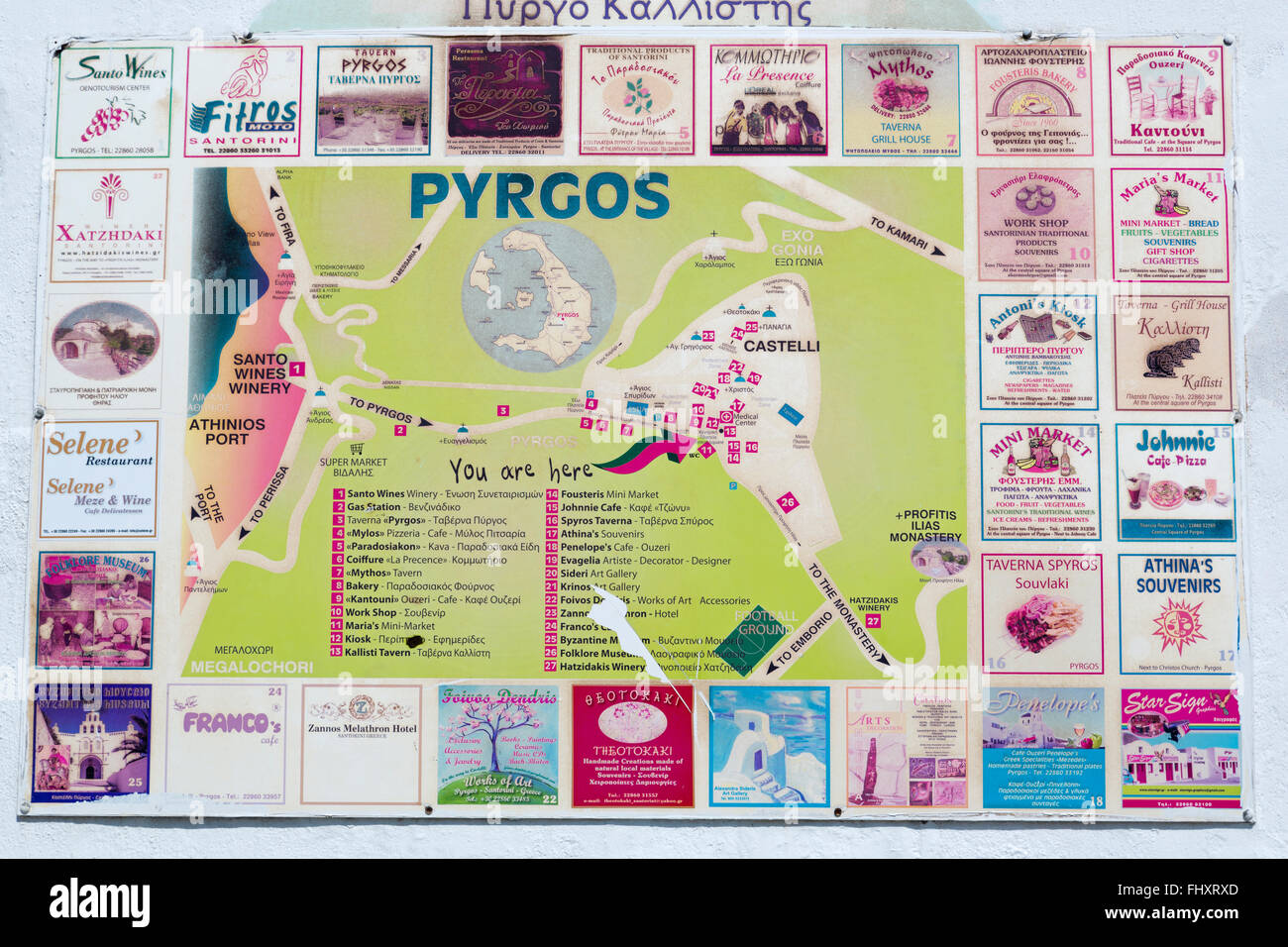 Map of Pyrgos Village, Santorini Island, Greece, Europe Stock Photohttps://www.alamy.com/image-license-details/?v=1https://www.alamy.com/stock-photo-map-of-pyrgos-village-santorini-island-greece-europe-97090517.html
RMFHXRXD–Map of Pyrgos Village, Santorini Island, Greece, Europe
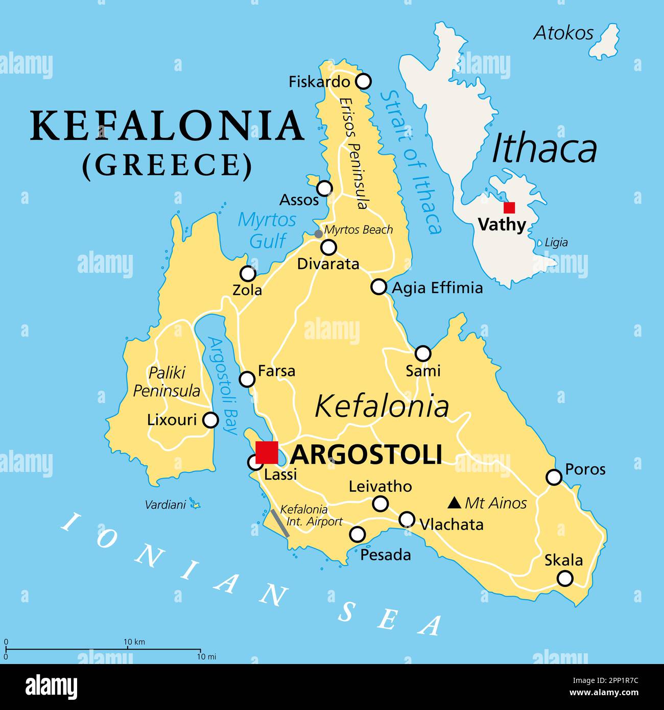 Kefalonia, Greek island, political map. Also known as Cephalonia, Kefallinia or Kephallenia, the largest Ionian Island, located in western Greece. Stock Photohttps://www.alamy.com/image-license-details/?v=1https://www.alamy.com/kefalonia-greek-island-political-map-also-known-as-cephalonia-kefallinia-or-kephallenia-the-largest-ionian-island-located-in-western-greece-image547084032.html
RF2PP1R7C–Kefalonia, Greek island, political map. Also known as Cephalonia, Kefallinia or Kephallenia, the largest Ionian Island, located in western Greece.
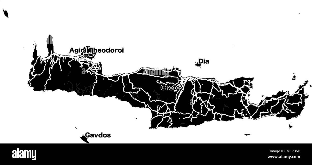 Crete Island Vector Map, black and white Silhouette Outline map for travel marketing and education. Stock Vectorhttps://www.alamy.com/image-license-details/?v=1https://www.alamy.com/stock-photo-crete-island-vector-map-black-and-white-silhouette-outline-map-for-177514251.html
RFM8PD6K–Crete Island Vector Map, black and white Silhouette Outline map for travel marketing and education.
 An isometric map of Santorini is an island in the Dodecanese archipelago, Greece Stock Vectorhttps://www.alamy.com/image-license-details/?v=1https://www.alamy.com/an-isometric-map-of-santorini-is-an-island-in-the-dodecanese-archipelago-greece-image482651059.html
RF2K16J9R–An isometric map of Santorini is an island in the Dodecanese archipelago, Greece
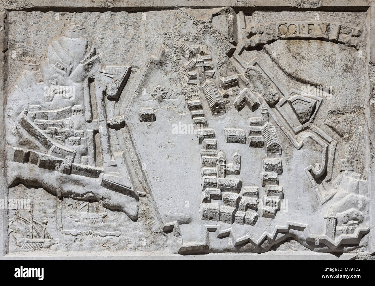 Ancient map of the walled city of Corfu in the Ionian Island (Greece), an old venetian fortress on Adriatic Sea, from a stone relief on Santa Maria de Stock Photohttps://www.alamy.com/image-license-details/?v=1https://www.alamy.com/stock-photo-ancient-map-of-the-walled-city-of-corfu-in-the-ionian-island-greece-176623022.html
RFM79TD2–Ancient map of the walled city of Corfu in the Ionian Island (Greece), an old venetian fortress on Adriatic Sea, from a stone relief on Santa Maria de
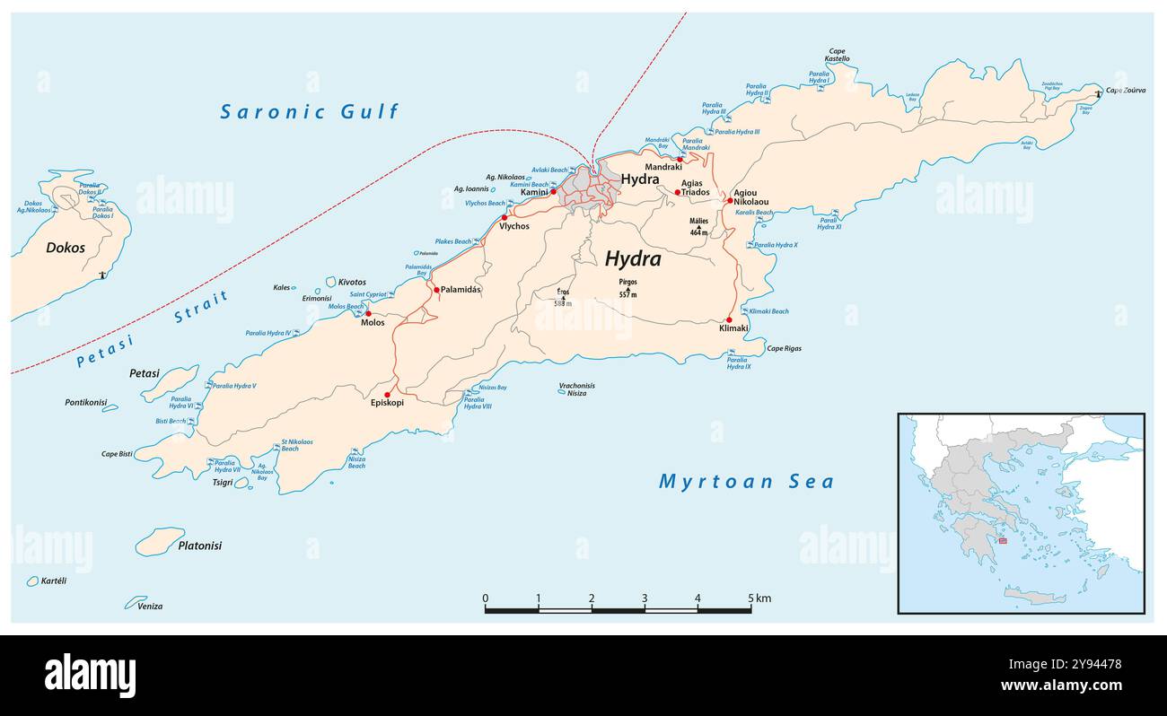 Road map of the Greek island of Hydra Stock Photohttps://www.alamy.com/image-license-details/?v=1https://www.alamy.com/road-map-of-the-greek-island-of-hydra-image625196300.html
RF2Y94478–Road map of the Greek island of Hydra
 Port St Ange, South of The Island of Simi, Greece Stock Photohttps://www.alamy.com/image-license-details/?v=1https://www.alamy.com/port-st-ange-south-of-the-island-of-simi-greece-image560875418.html
RM2RGE28X–Port St Ange, South of The Island of Simi, Greece
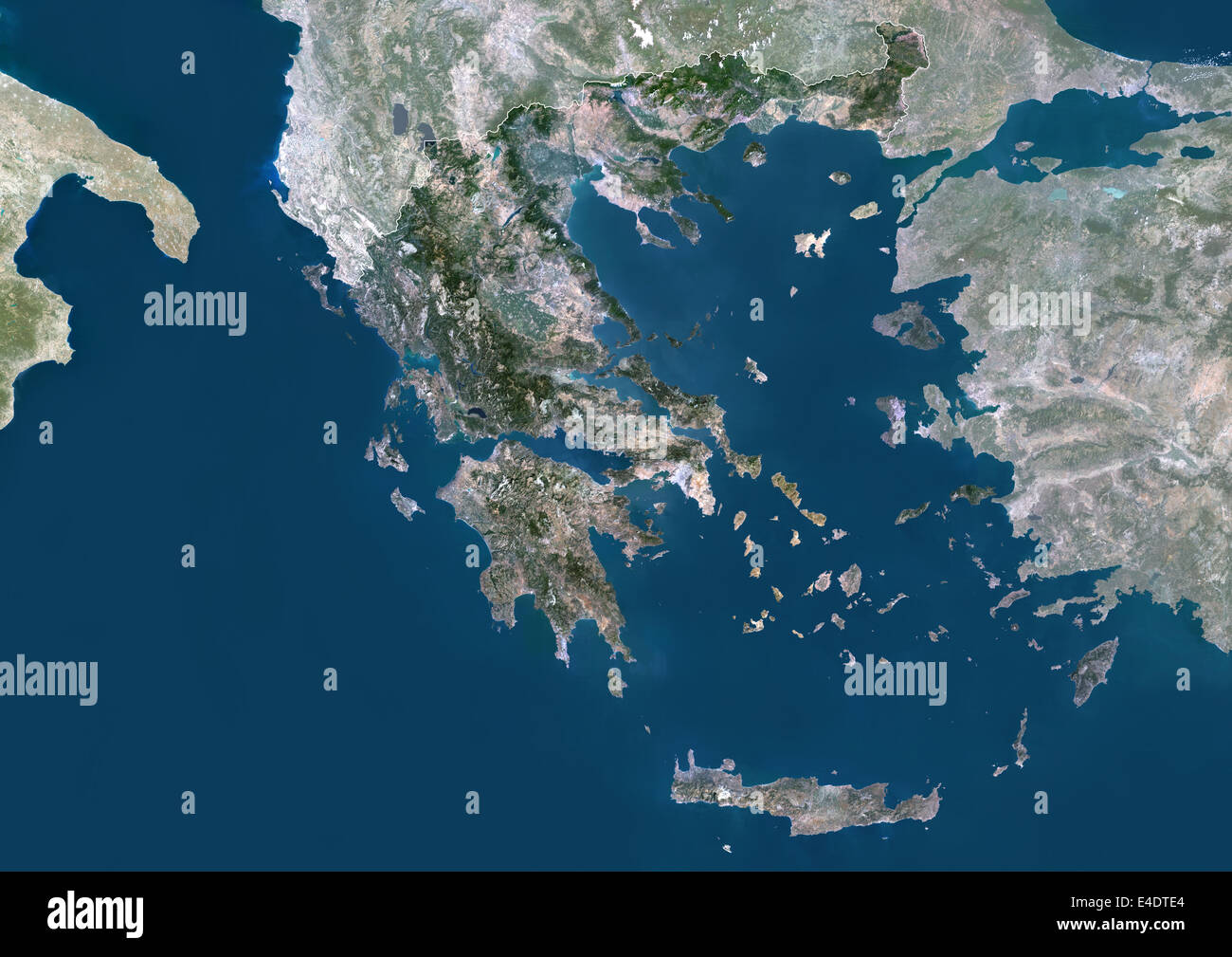 Greece, Europe, True Colour Satellite Image With Border And Mask. Satellite view of Greece (with border and mask). This image wa Stock Photohttps://www.alamy.com/image-license-details/?v=1https://www.alamy.com/stock-photo-greece-europe-true-colour-satellite-image-with-border-and-mask-satellite-71604684.html
RME4DTE4–Greece, Europe, True Colour Satellite Image With Border And Mask. Satellite view of Greece (with border and mask). This image wa
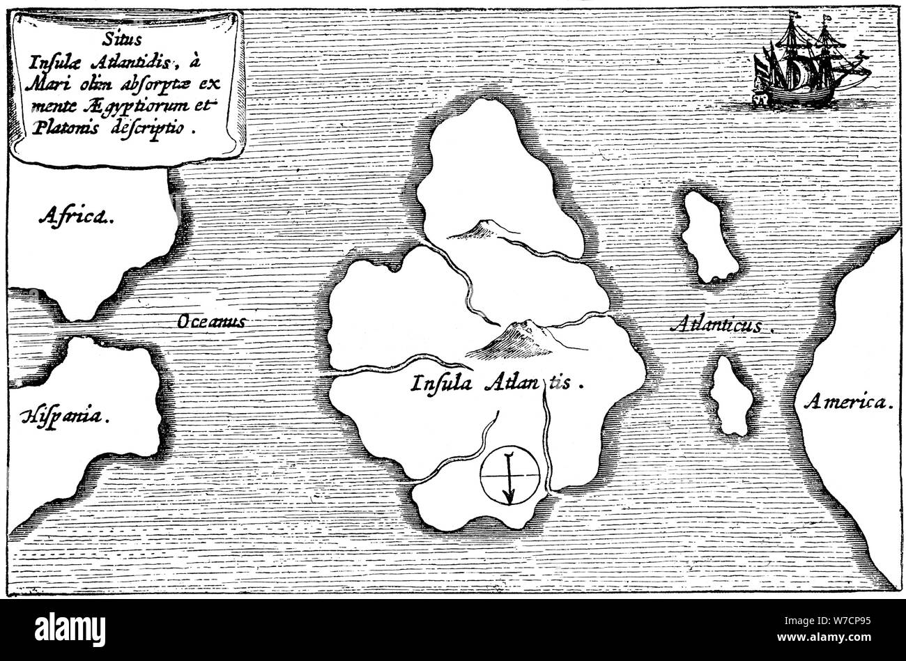 Legendary island of Atlantis. Artist: Unknown Stock Photohttps://www.alamy.com/image-license-details/?v=1https://www.alamy.com/legendary-island-of-atlantis-artist-unknown-image262739041.html
RMW7CP95–Legendary island of Atlantis. Artist: Unknown
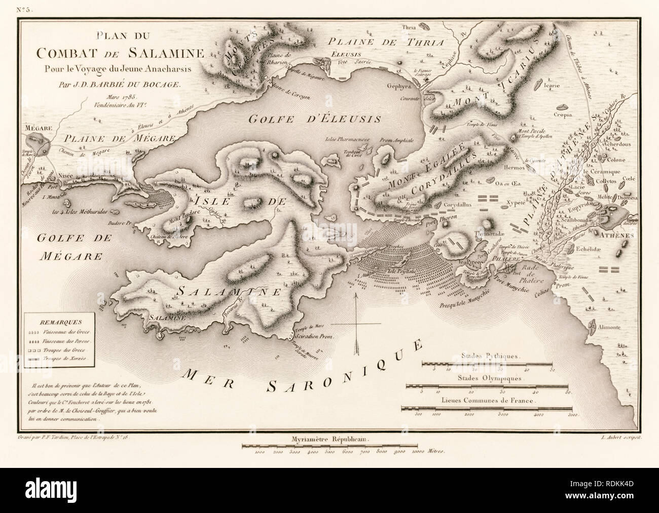 ‘Plan du Combat de Salamine Pour le Voyage du Jeune Anacharsis’ Plan of the Battle of Salamis 480 BC by Jean Denis Barbie du Bocage (1760-1825) from ‘Voyage du jeune Anacharsis en Grèce’ (Travels of Anacharsis the younger in Greece) by Jean Jacques Barthélemy (1716-1795). Stock Photohttps://www.alamy.com/image-license-details/?v=1https://www.alamy.com/plan-du-combat-de-salamine-pour-le-voyage-du-jeune-anacharsis-plan-of-the-battle-of-salamis-480-bc-by-jean-denis-barbie-du-bocage-1760-1825-from-voyage-du-jeune-anacharsis-en-grce-travels-of-anacharsis-the-younger-in-greece-by-jean-jacques-barthlemy-1716-1795-image232157421.html
RMRDKK4D–‘Plan du Combat de Salamine Pour le Voyage du Jeune Anacharsis’ Plan of the Battle of Salamis 480 BC by Jean Denis Barbie du Bocage (1760-1825) from ‘Voyage du jeune Anacharsis en Grèce’ (Travels of Anacharsis the younger in Greece) by Jean Jacques Barthélemy (1716-1795).
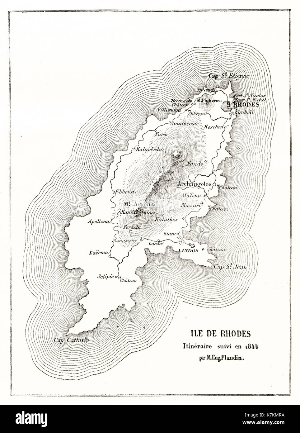 Old map of Rhodes island. By Flandin, publ. on Le Tour du Monde, Paris, 1862 Stock Photohttps://www.alamy.com/image-license-details/?v=1https://www.alamy.com/old-map-of-rhodes-island-by-flandin-publ-on-le-tour-du-monde-paris-image159629326.html
RFK7KMRA–Old map of Rhodes island. By Flandin, publ. on Le Tour du Monde, Paris, 1862
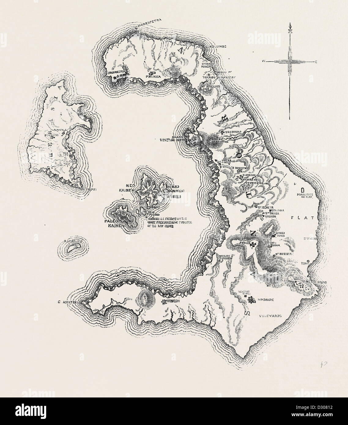 MAP OF THE ISLAND AND BAY OF SANTORIN IN THE GREEK ARCHIPELAGO 1866 Stock Photohttps://www.alamy.com/image-license-details/?v=1https://www.alamy.com/stock-photo-map-of-the-island-and-bay-of-santorin-in-the-greek-archipelago-1866-53481374.html
RMD30812–MAP OF THE ISLAND AND BAY OF SANTORIN IN THE GREEK ARCHIPELAGO 1866
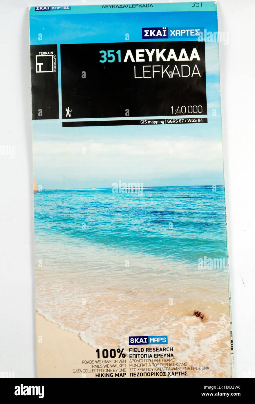 Terrain Editions walking map of Lefkada Island, Greece. Stock Photohttps://www.alamy.com/image-license-details/?v=1https://www.alamy.com/stock-photo-terrain-editions-walking-map-of-lefkada-island-greece-126292130.html
RMH9D2W6–Terrain Editions walking map of Lefkada Island, Greece.
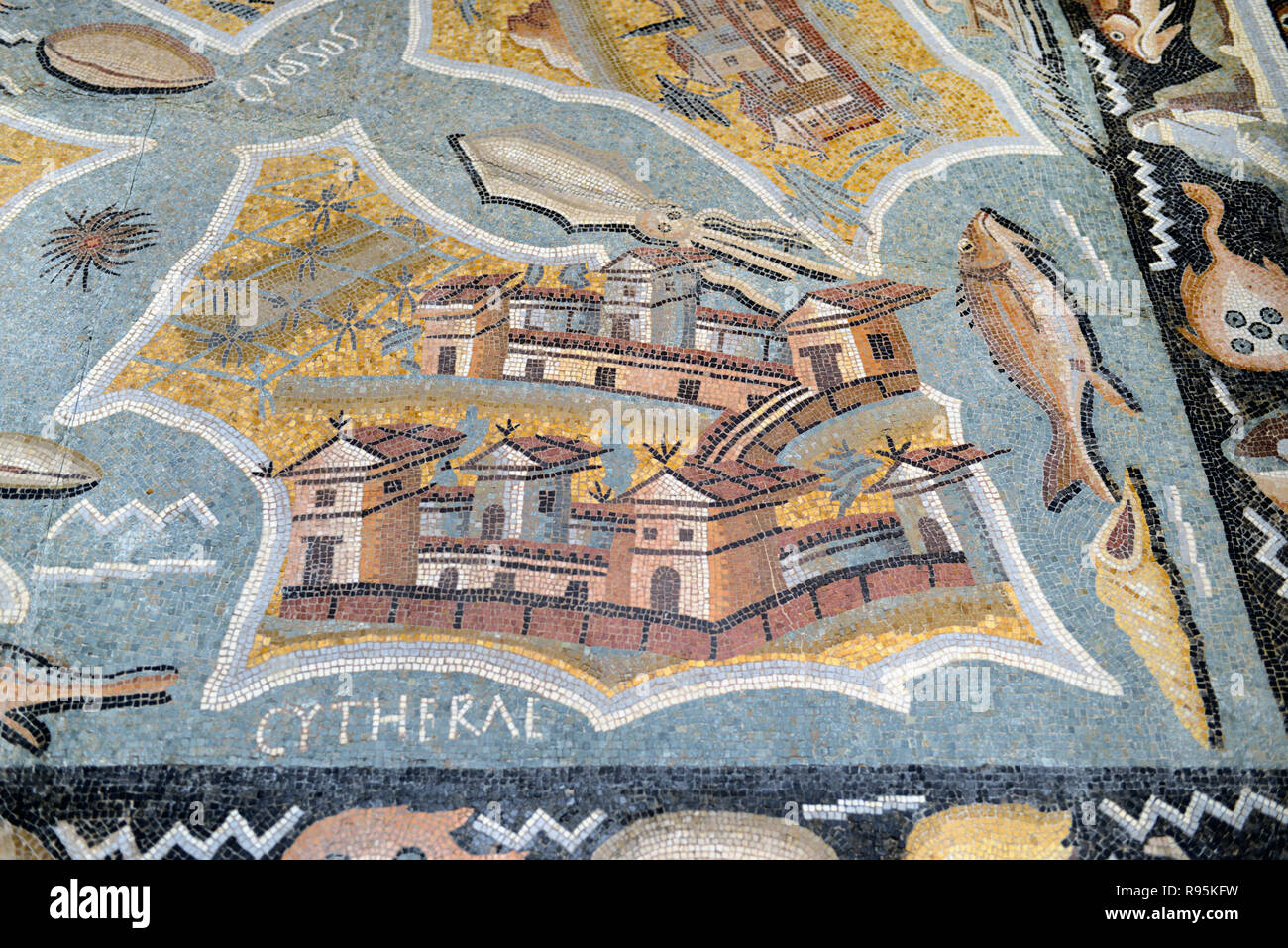 Roman Floor Mosaic (c3rd-c4th) Plan or Map of Kythira (aka Cythera or Kythera) Island, Greece, from the Ancient Roman City of Ammaedara Haidra Tunisia Stock Photohttps://www.alamy.com/image-license-details/?v=1https://www.alamy.com/roman-floor-mosaic-c3rd-c4th-plan-or-map-of-kythira-aka-cythera-or-kythera-island-greece-from-the-ancient-roman-city-of-ammaedara-haidra-tunisia-image229391789.html
RMR95KFW–Roman Floor Mosaic (c3rd-c4th) Plan or Map of Kythira (aka Cythera or Kythera) Island, Greece, from the Ancient Roman City of Ammaedara Haidra Tunisia
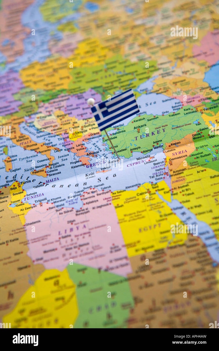 Flag Pin Placed on World Map in Rhodes Island Greece Stock Photohttps://www.alamy.com/image-license-details/?v=1https://www.alamy.com/stock-photo-flag-pin-placed-on-world-map-in-rhodes-island-greece-15791232.html
RMAPH4AW–Flag Pin Placed on World Map in Rhodes Island Greece
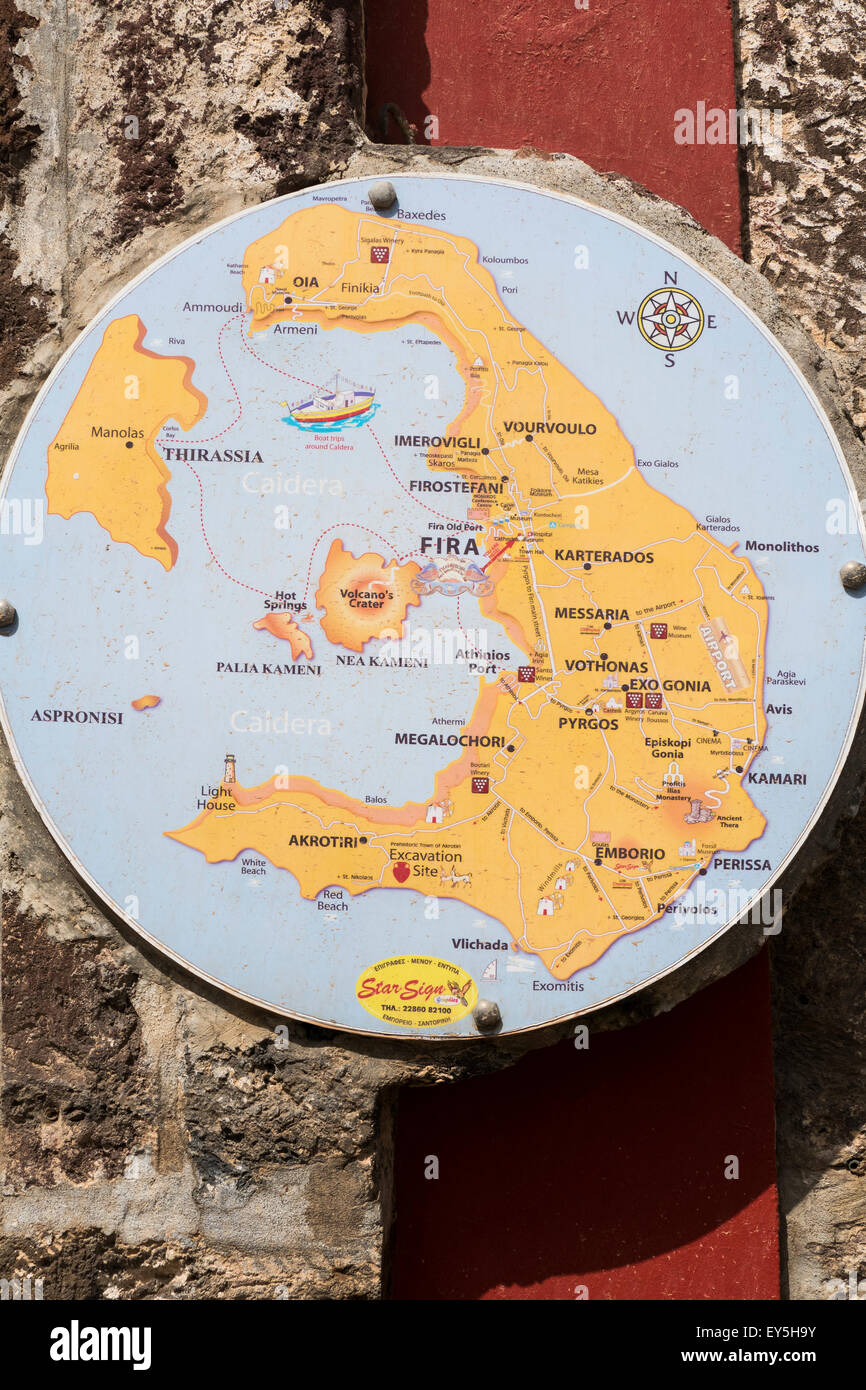 Greece, Cyclades, Santorini, Fira, Map of Island on wall Stock Photohttps://www.alamy.com/image-license-details/?v=1https://www.alamy.com/stock-photo-greece-cyclades-santorini-fira-map-of-island-on-wall-85560551.html
RMEY5H9Y–Greece, Cyclades, Santorini, Fira, Map of Island on wall
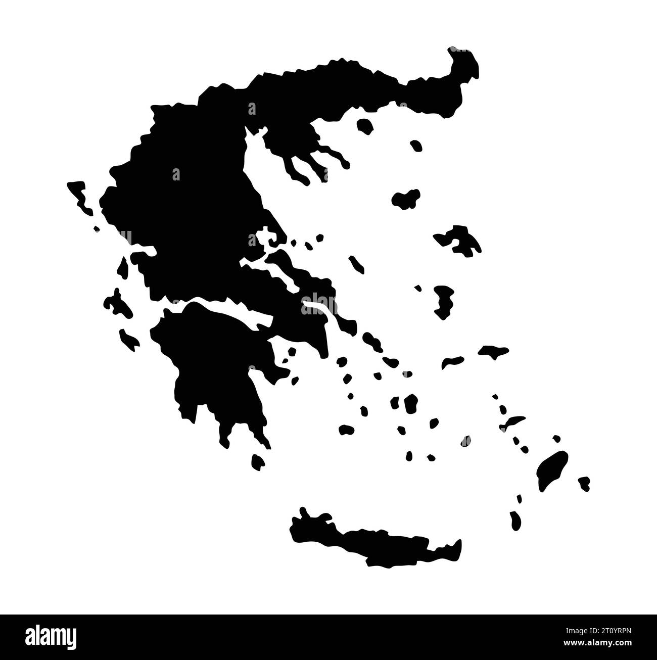 Greek greece island map silhouette region territory, black shape style illustration Stock Vectorhttps://www.alamy.com/image-license-details/?v=1https://www.alamy.com/greek-greece-island-map-silhouette-region-territory-black-shape-style-illustration-image568553517.html
RF2T0YRPN–Greek greece island map silhouette region territory, black shape style illustration
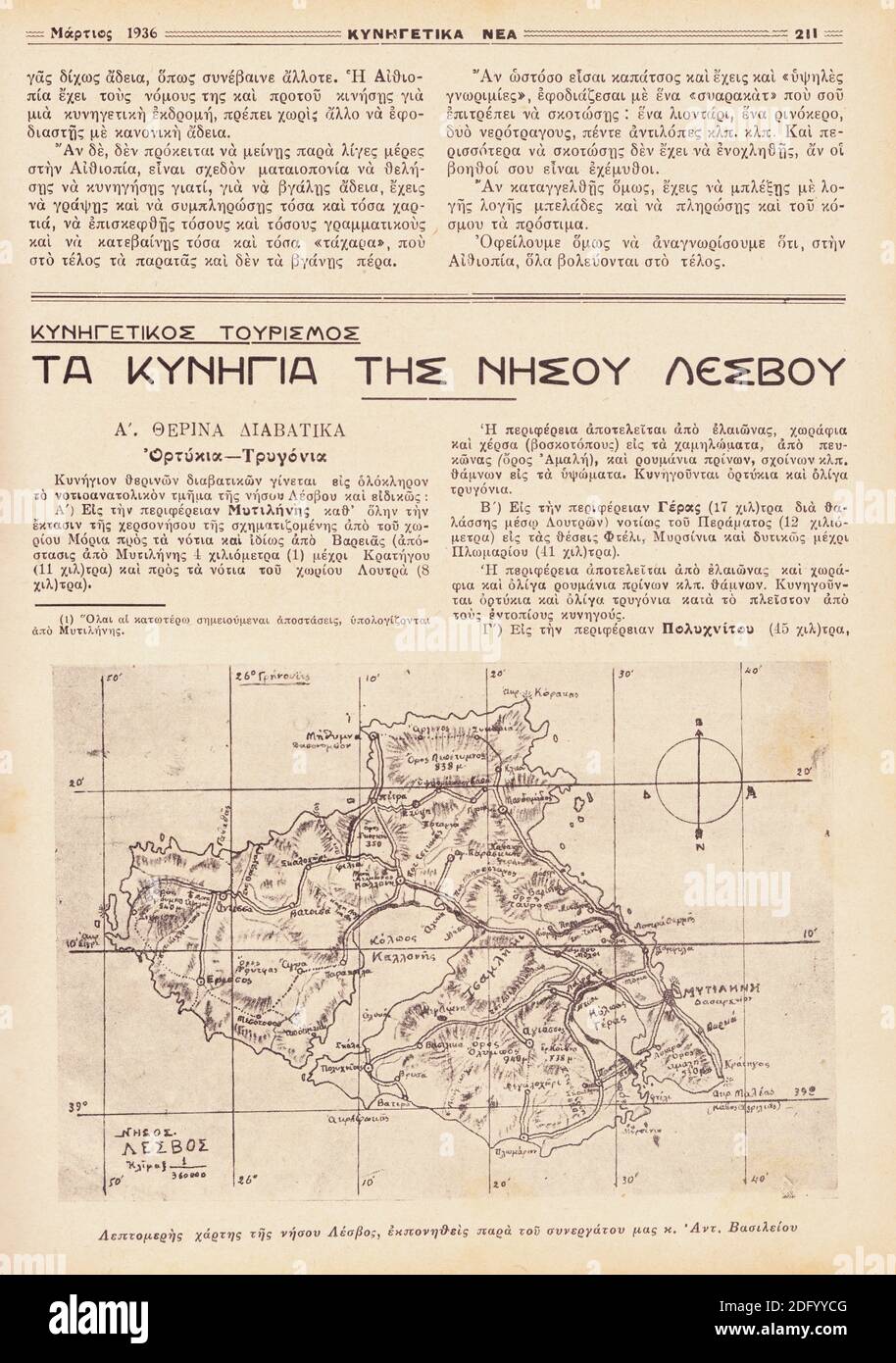 Hunting Map of Lesvos Island, Greece from vintage Greek hunting magazine,1936 Stock Photohttps://www.alamy.com/image-license-details/?v=1https://www.alamy.com/hunting-map-of-lesvos-island-greece-from-vintage-greek-hunting-magazine1936-image388462160.html
RF2DFYYCG–Hunting Map of Lesvos Island, Greece from vintage Greek hunting magazine,1936
 Rhodi by Bertius / Langenes. The island of Rhodes, Greece 1603 old antique map Stock Photohttps://www.alamy.com/image-license-details/?v=1https://www.alamy.com/rhodi-by-bertius-langenes-the-island-of-rhodes-greece-1603-old-antique-map-image610573238.html
RF2XDA0B2–Rhodi by Bertius / Langenes. The island of Rhodes, Greece 1603 old antique map
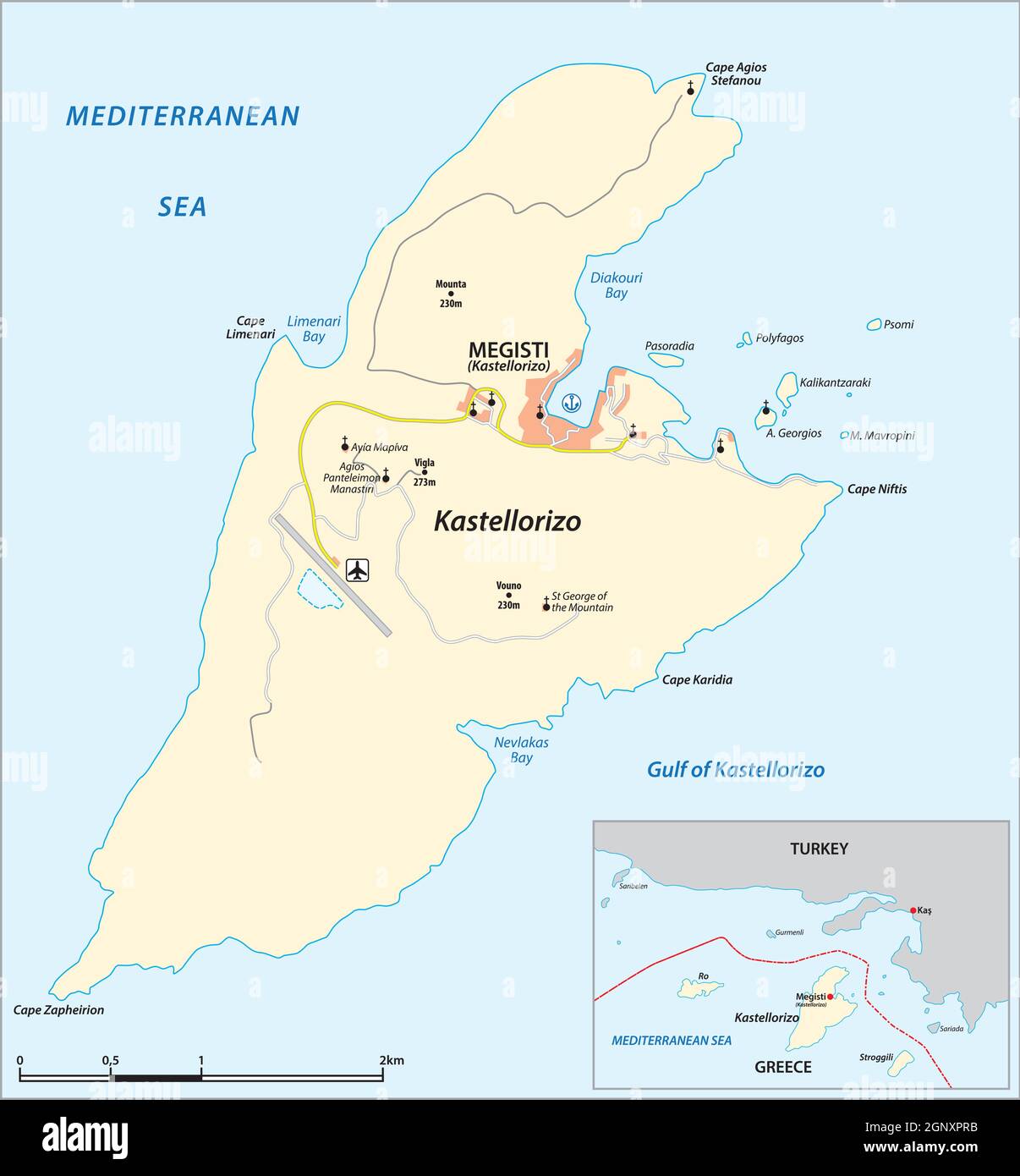 vector map of the greek mediterranean island of Kastellorizo Stock Vectorhttps://www.alamy.com/image-license-details/?v=1https://www.alamy.com/vector-map-of-the-greek-mediterranean-island-of-kastellorizo-image443755631.html
RF2GNXPRB–vector map of the greek mediterranean island of Kastellorizo
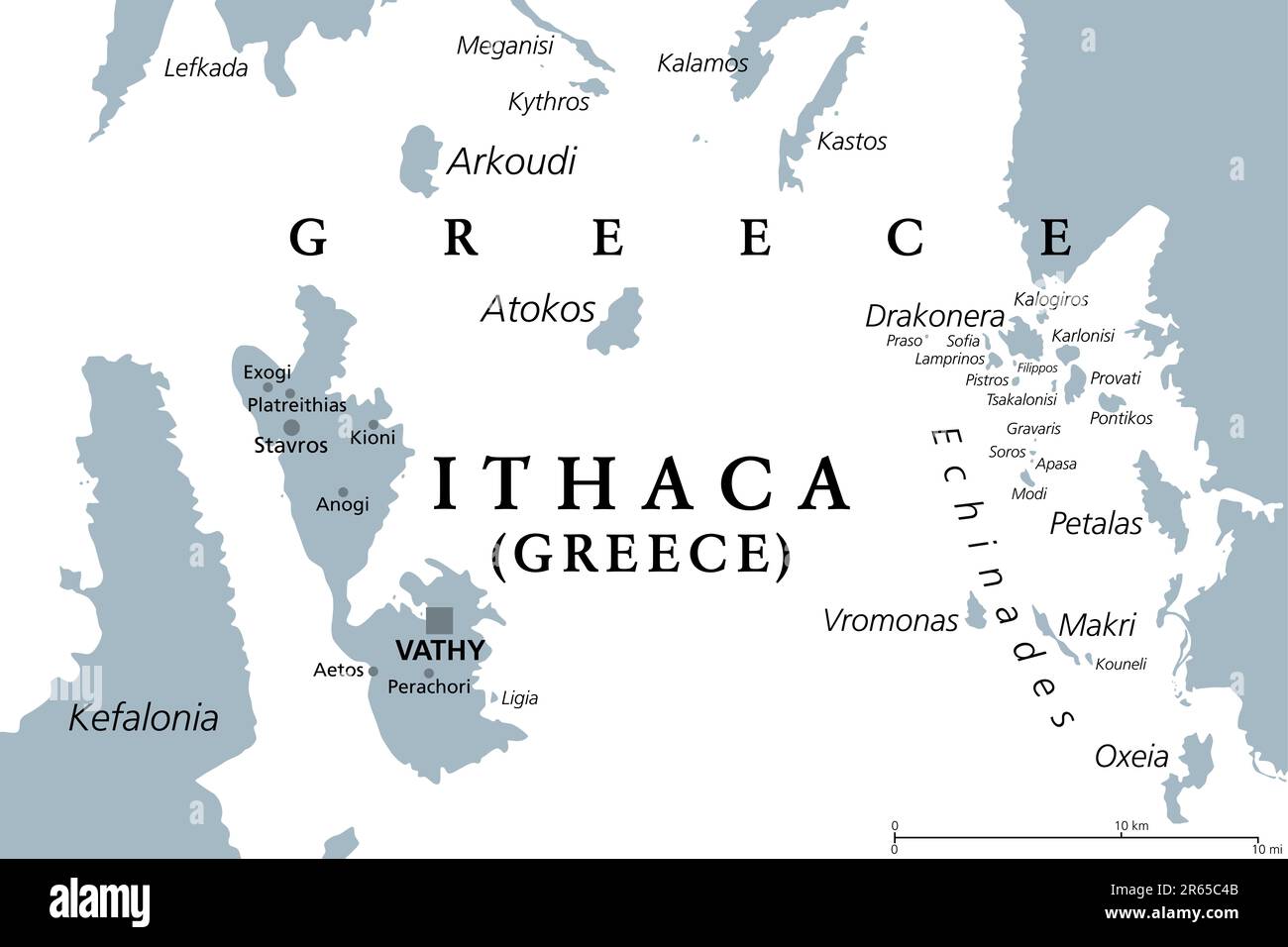 Ithaca, island and regional unit in Greece, gray political map. Part of the Ionian Islands. Ithaca, Arkoudi, Atokos, and some Echinades islands. Stock Photohttps://www.alamy.com/image-license-details/?v=1https://www.alamy.com/ithaca-island-and-regional-unit-in-greece-gray-political-map-part-of-the-ionian-islands-ithaca-arkoudi-atokos-and-some-echinades-islands-image554539003.html
RF2R65C4B–Ithaca, island and regional unit in Greece, gray political map. Part of the Ionian Islands. Ithaca, Arkoudi, Atokos, and some Echinades islands.
 Euboea Island, Greece, Vector Map. Main White Highways on Black Background. Stock Vectorhttps://www.alamy.com/image-license-details/?v=1https://www.alamy.com/stock-photo-euboea-island-greece-vector-map-main-white-highways-on-black-background-177514250.html
RFM8PD6J–Euboea Island, Greece, Vector Map. Main White Highways on Black Background.
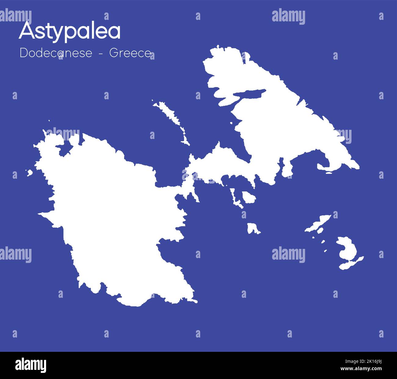 An isometric map of Astypalea is an island in the Dodecanese archipelago, Greece Stock Vectorhttps://www.alamy.com/image-license-details/?v=1https://www.alamy.com/an-isometric-map-of-astypalea-is-an-island-in-the-dodecanese-archipelago-greece-image482651054.html
RF2K16J9J–An isometric map of Astypalea is an island in the Dodecanese archipelago, Greece
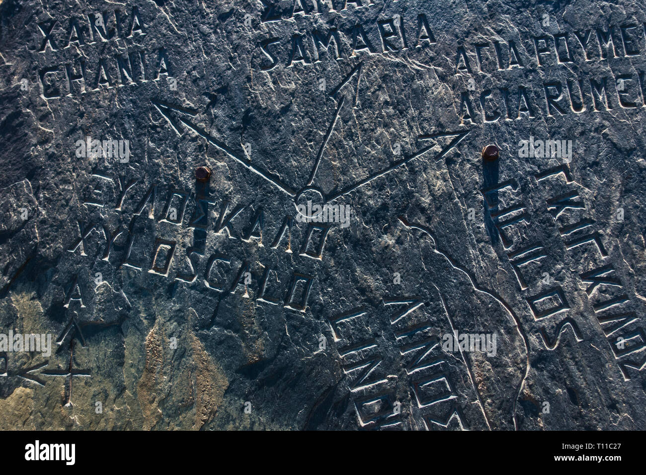 Stone with engraved map at the entrance to Samaria gorge, south west part of Crete island, Greece Stock Photohttps://www.alamy.com/image-license-details/?v=1https://www.alamy.com/stone-with-engraved-map-at-the-entrance-to-samaria-gorge-south-west-part-of-crete-island-greece-image241591231.html
RFT11C27–Stone with engraved map at the entrance to Samaria gorge, south west part of Crete island, Greece
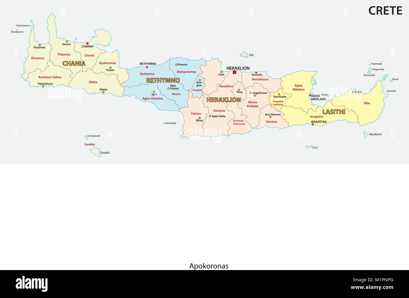 administrative and political vector map of greek mediterranean island crete Stock Vectorhttps://www.alamy.com/image-license-details/?v=1https://www.alamy.com/stock-photo-administrative-and-political-vector-map-of-greek-mediterranean-island-173218376.html
RFM1PNPG–administrative and political vector map of greek mediterranean island crete
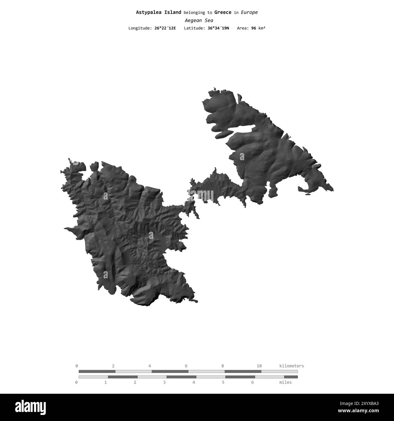 Astypalea Island in the Aegean Sea, belonging to Greece, isolated on a bilevel elevation map, with distance scale Stock Photohttps://www.alamy.com/image-license-details/?v=1https://www.alamy.com/astypalea-island-in-the-aegean-sea-belonging-to-greece-isolated-on-a-bilevel-elevation-map-with-distance-scale-image619538251.html
RF2XYXBA3–Astypalea Island in the Aegean Sea, belonging to Greece, isolated on a bilevel elevation map, with distance scale
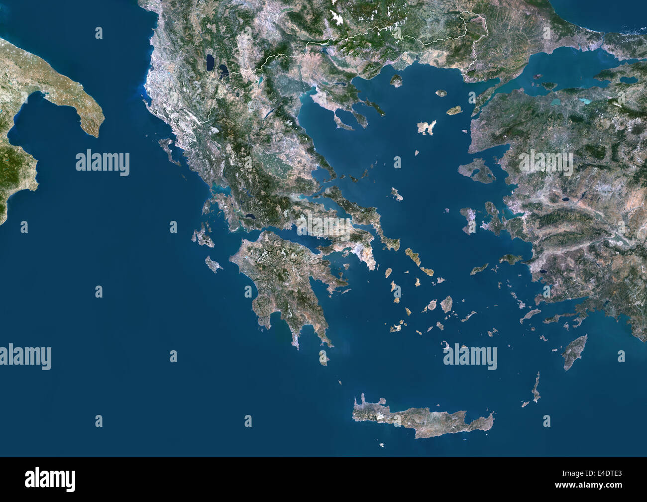 Greece, Europe, True Colour Satellite Image With Border. Satellite view of Greece (with border). This image was compiled from da Stock Photohttps://www.alamy.com/image-license-details/?v=1https://www.alamy.com/stock-photo-greece-europe-true-colour-satellite-image-with-border-satellite-view-71604683.html
RME4DTE3–Greece, Europe, True Colour Satellite Image With Border. Satellite view of Greece (with border). This image was compiled from da
 Sunny Greece Map with Flowers and Blue Sky White Background Stock Photohttps://www.alamy.com/image-license-details/?v=1https://www.alamy.com/sunny-greece-map-with-flowers-and-blue-sky-white-background-image223003258.html
RFPXPJX2–Sunny Greece Map with Flowers and Blue Sky White Background
 Greece map with flag Stock Photohttps://www.alamy.com/image-license-details/?v=1https://www.alamy.com/stock-photo-greece-map-with-flag-130702284.html
RFHGJ02M–Greece map with flag
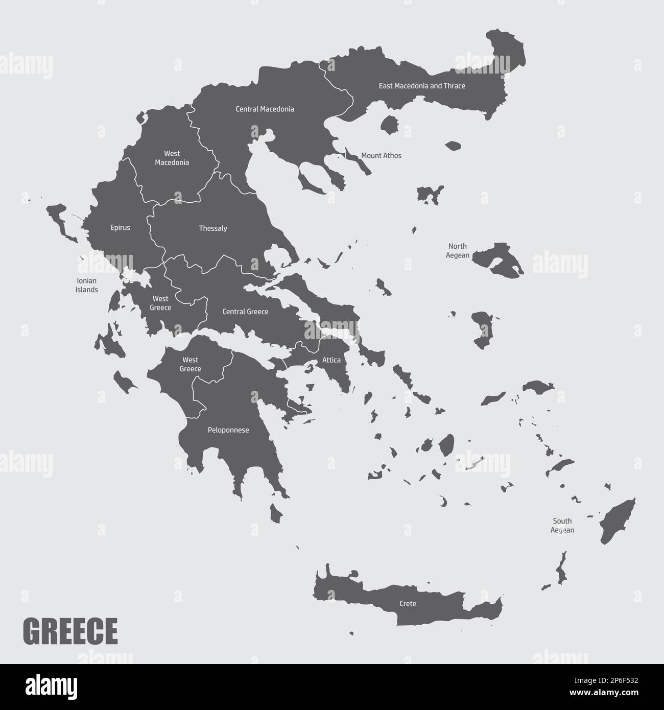 The Greece administrative map with labels, Europe Stock Vectorhttps://www.alamy.com/image-license-details/?v=1https://www.alamy.com/the-greece-administrative-map-with-labels-europe-image537542630.html
RF2P6F532–The Greece administrative map with labels, Europe
 Map of the coasts of the Adriatic Sea, Pas-Map of the Western Sea coasts of Italy, Dalmatia and Greece In the Gulf of Venice (title on object), Map of the coasts of the Adriatic Sea, three inset maps; bottom left one of Corfu and top right one of the mouth of the river Po and one of the Ionian Island of Paxoi. With five compass roses, North is up. Top center two putti with a nautical chart near the title and the address of the publisher. Top right and bottom left the scale, shown in German, Spanish and English or French miles., print maker : anonymous Stock Photohttps://www.alamy.com/image-license-details/?v=1https://www.alamy.com/map-of-the-coasts-of-the-adriatic-sea-pas-map-of-the-western-sea-coasts-of-italy-dalmatia-and-greece-in-the-gulf-of-venice-title-on-object-map-of-the-coasts-of-the-adriatic-sea-three-inset-maps-bottom-left-one-of-corfu-and-top-right-one-of-the-mouth-of-the-river-po-and-one-of-the-ionian-island-of-paxoi-with-five-compass-roses-north-is-up-top-center-two-putti-with-a-nautical-chart-near-the-title-and-the-address-of-the-publisher-top-right-and-bottom-left-the-scale-shown-in-german-spanish-and-english-or-french-miles-print-maker-anonymous-image599445830.html
RM2WR737J–Map of the coasts of the Adriatic Sea, Pas-Map of the Western Sea coasts of Italy, Dalmatia and Greece In the Gulf of Venice (title on object), Map of the coasts of the Adriatic Sea, three inset maps; bottom left one of Corfu and top right one of the mouth of the river Po and one of the Ionian Island of Paxoi. With five compass roses, North is up. Top center two putti with a nautical chart near the title and the address of the publisher. Top right and bottom left the scale, shown in German, Spanish and English or French miles., print maker : anonymous
 Terrain Editions walking map of Kos Island, Greece. Stock Photohttps://www.alamy.com/image-license-details/?v=1https://www.alamy.com/terrain-editions-walking-map-of-kos-island-greece-image69864136.html
RME1JGBM–Terrain Editions walking map of Kos Island, Greece.
 Roman Floor Mosaic (c3rd-c4th) of Lemnos Island in the Aegean Sea Greece from the Ancient Roman City of Ammaedara Haidra Tunisia Stock Photohttps://www.alamy.com/image-license-details/?v=1https://www.alamy.com/roman-floor-mosaic-c3rd-c4th-of-lemnos-island-in-the-aegean-sea-greece-from-the-ancient-roman-city-of-ammaedara-haidra-tunisia-image229391852.html
RMR95KJ4–Roman Floor Mosaic (c3rd-c4th) of Lemnos Island in the Aegean Sea Greece from the Ancient Roman City of Ammaedara Haidra Tunisia
 Santorini Island, Greece - July 19, 2012: Tourist woman with shoulder with hat with map of Santorini island. Every year, millions of visitors choose t Stock Photohttps://www.alamy.com/image-license-details/?v=1https://www.alamy.com/stock-image-santorini-island-greece-july-19-2012-tourist-woman-with-shoulder-with-164233459.html
RFKF5DCK–Santorini Island, Greece - July 19, 2012: Tourist woman with shoulder with hat with map of Santorini island. Every year, millions of visitors choose t
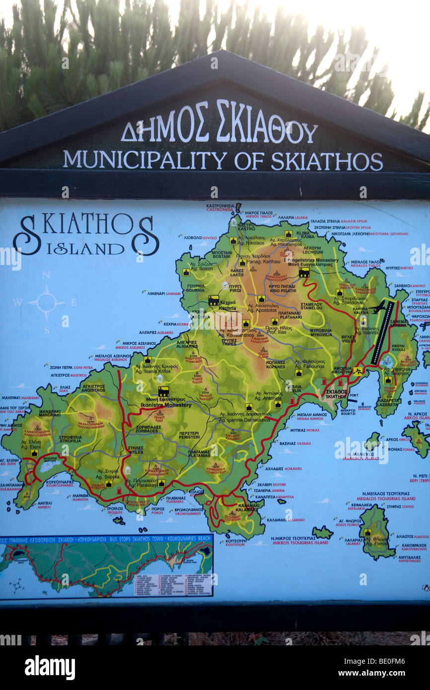 information board with map of Skiathos island,Greece Stock Photohttps://www.alamy.com/image-license-details/?v=1https://www.alamy.com/stock-photo-information-board-with-map-of-skiathos-islandgreece-25827878.html
RMBE0FM6–information board with map of Skiathos island,Greece
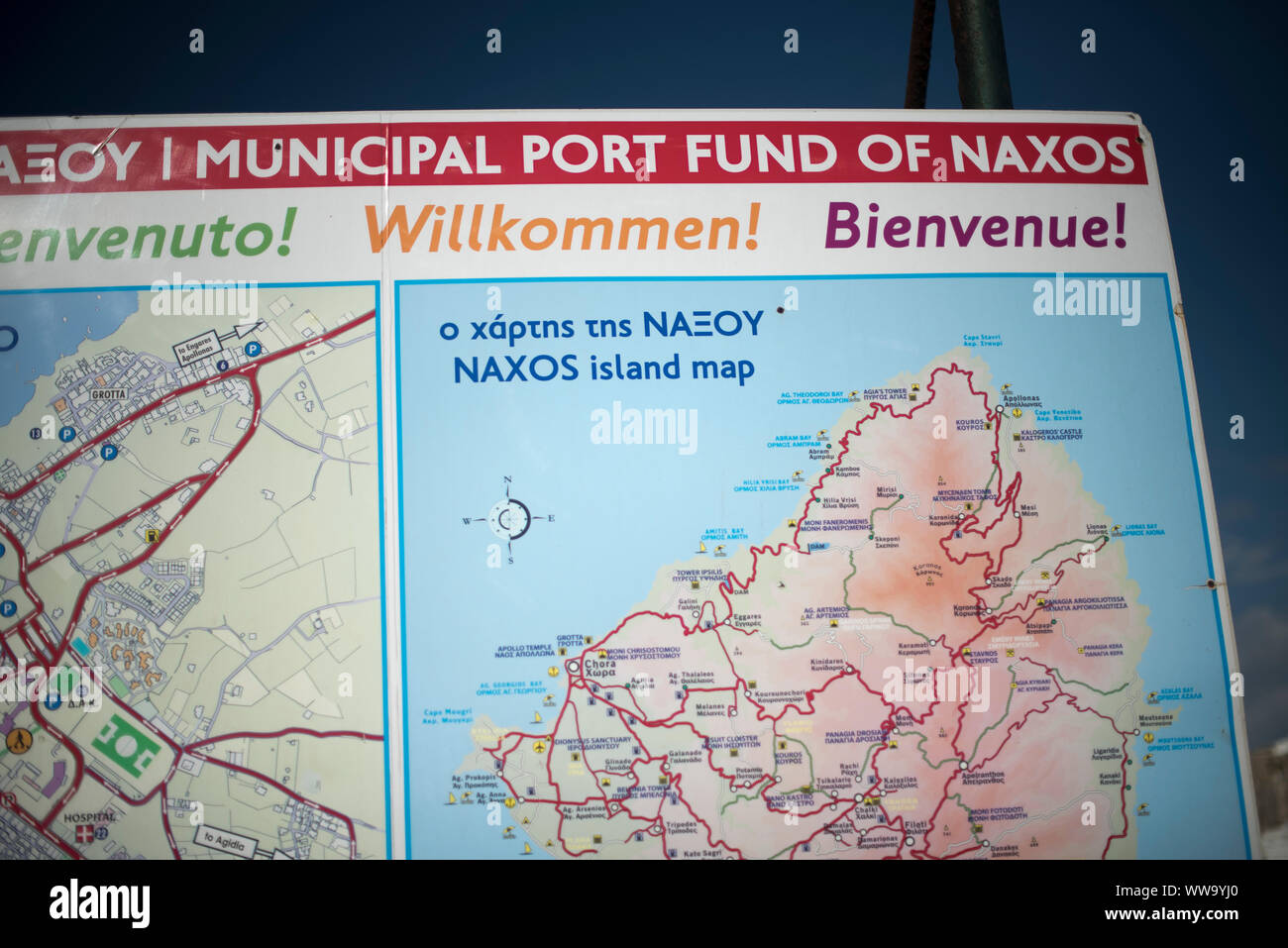 Naxos, Greece - June 26, 2018: A sign with a map at the Port of Naxos welcomes visitors to the Greek island in several languages. Stock Photohttps://www.alamy.com/image-license-details/?v=1https://www.alamy.com/naxos-greece-june-26-2018-a-sign-with-a-map-at-the-port-of-naxos-welcomes-visitors-to-the-greek-island-in-several-languages-image273741160.html
RFWW9YJ0–Naxos, Greece - June 26, 2018: A sign with a map at the Port of Naxos welcomes visitors to the Greek island in several languages.
 Stone mosaic along the waterfront of Livadia,Tilos Island, Greece Stock Photohttps://www.alamy.com/image-license-details/?v=1https://www.alamy.com/stock-photo-stone-mosaic-along-the-waterfront-of-livadiatilos-island-greece-43191310.html
RMCE7EXP–Stone mosaic along the waterfront of Livadia,Tilos Island, Greece
 Cefalunia. Cephalonia (Kefalonia) Island & port and Ithaki. Greece ROUX 1804 map Stock Photohttps://www.alamy.com/image-license-details/?v=1https://www.alamy.com/cefalunia-cephalonia-kefalonia-island-port-and-ithaki-greece-roux-1804-map-image385037066.html
RF2DABXKP–Cefalunia. Cephalonia (Kefalonia) Island & port and Ithaki. Greece ROUX 1804 map
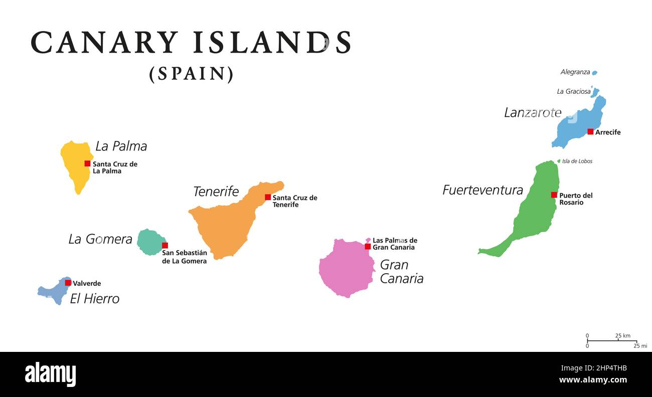 Crete, Greek island, gray political map, with capital Heraklion Stock Vectorhttps://www.alamy.com/image-license-details/?v=1https://www.alamy.com/crete-greek-island-gray-political-map-with-capital-heraklion-image461099111.html
RF2HP4THB–Crete, Greek island, gray political map, with capital Heraklion
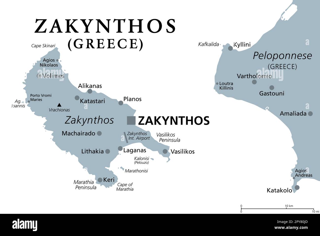 Zakynthos, Greek island, gray political map. Also Zakinthos or Zante, a part of the Ionian Islands of Greece, and a separate regional unit. Stock Photohttps://www.alamy.com/image-license-details/?v=1https://www.alamy.com/zakynthos-greek-island-gray-political-map-also-zakinthos-or-zante-a-part-of-the-ionian-islands-of-greece-and-a-separate-regional-unit-image550293253.html
RF2PY80JD–Zakynthos, Greek island, gray political map. Also Zakinthos or Zante, a part of the Ionian Islands of Greece, and a separate regional unit.
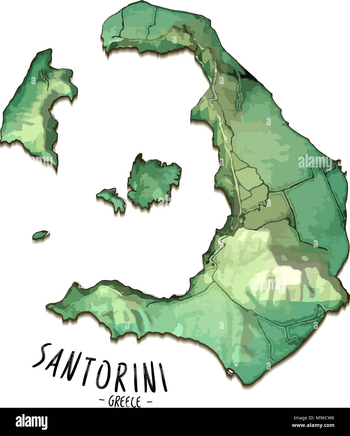 3D Island Map of Santorini, Greece. Detailed vector illustration. Isolated concept for infographic and marketing. Stock Vectorhttps://www.alamy.com/image-license-details/?v=1https://www.alamy.com/3d-island-map-of-santorini-greece-detailed-vector-illustration-isolated-concept-for-infographic-and-marketing-image177777410.html
RFM96CW6–3D Island Map of Santorini, Greece. Detailed vector illustration. Isolated concept for infographic and marketing.
 An isometric map of Serifos is an island in the Dodecanese archipelago, Greece Stock Vectorhttps://www.alamy.com/image-license-details/?v=1https://www.alamy.com/an-isometric-map-of-serifos-is-an-island-in-the-dodecanese-archipelago-greece-image482651051.html
RF2K16J9F–An isometric map of Serifos is an island in the Dodecanese archipelago, Greece
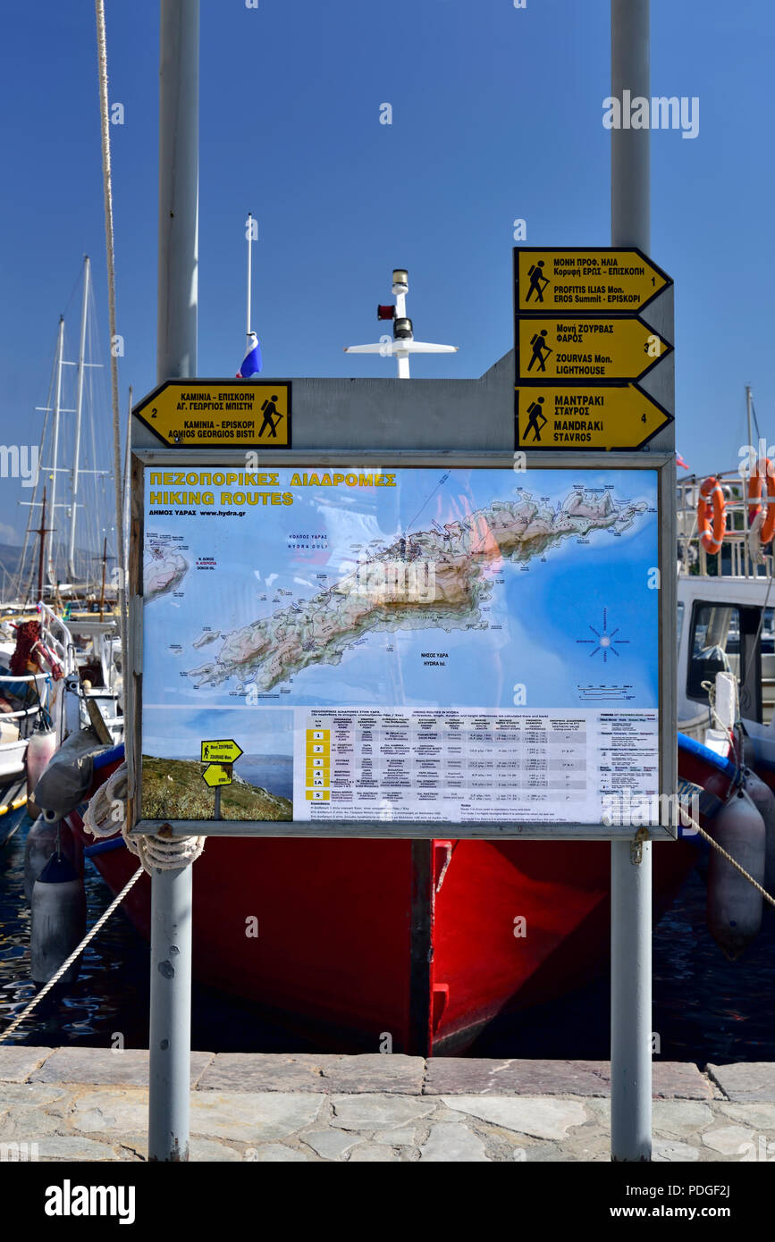 Map of hiking trails in Hydra island, Greece Stock Photohttps://www.alamy.com/image-license-details/?v=1https://www.alamy.com/map-of-hiking-trails-in-hydra-island-greece-image214878010.html
RMPDGF2J–Map of hiking trails in Hydra island, Greece
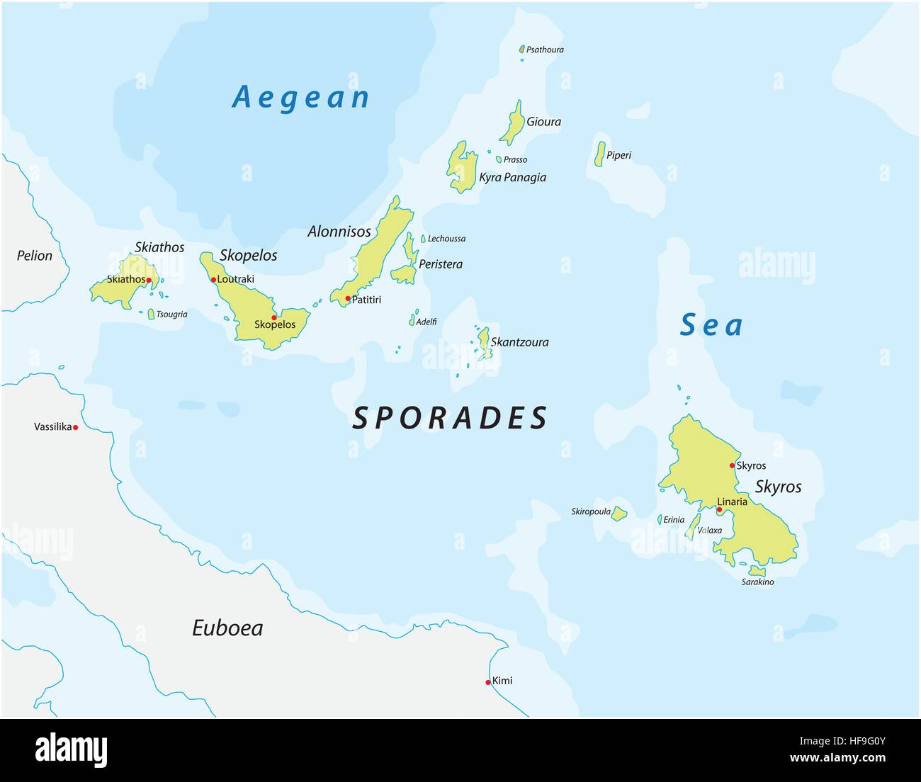 map of the greece Iceland group sporades Stock Vectorhttps://www.alamy.com/image-license-details/?v=1https://www.alamy.com/stock-photo-map-of-the-greece-iceland-group-sporades-129902555.html
RFHF9G0Y–map of the greece Iceland group sporades
 Anafi Island in the Aegean Sea, belonging to Greece, isolated on a bilevel elevation map, with distance scale Stock Photohttps://www.alamy.com/image-license-details/?v=1https://www.alamy.com/anafi-island-in-the-aegean-sea-belonging-to-greece-isolated-on-a-bilevel-elevation-map-with-distance-scale-image619538265.html
RF2XYXBAH–Anafi Island in the Aegean Sea, belonging to Greece, isolated on a bilevel elevation map, with distance scale
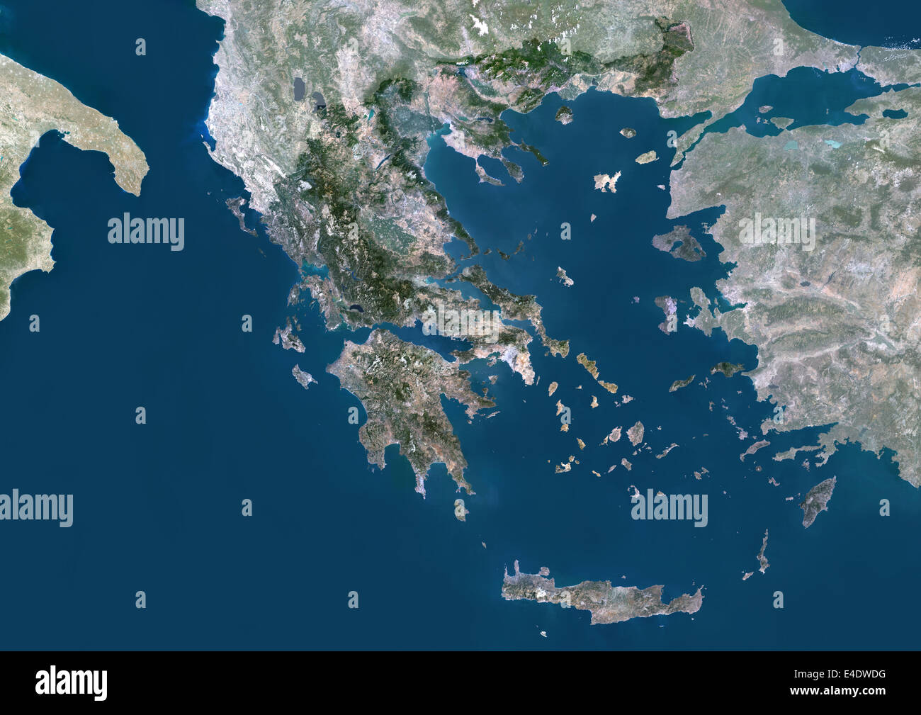 Greece, Europe, True Colour Satellite Image With Mask. Satellite view of Greece (with mask). This image was compiled from data a Stock Photohttps://www.alamy.com/image-license-details/?v=1https://www.alamy.com/stock-photo-greece-europe-true-colour-satellite-image-with-mask-satellite-view-71605452.html
RME4DWDG–Greece, Europe, True Colour Satellite Image With Mask. Satellite view of Greece (with mask). This image was compiled from data a
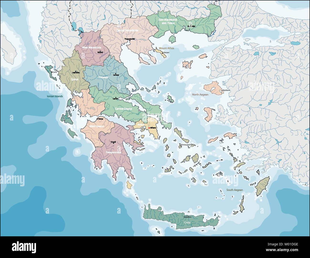 Map of Greece Stock Vectorhttps://www.alamy.com/image-license-details/?v=1https://www.alamy.com/stock-photo-map-of-greece-172136286.html
RFM01DGE–Map of Greece
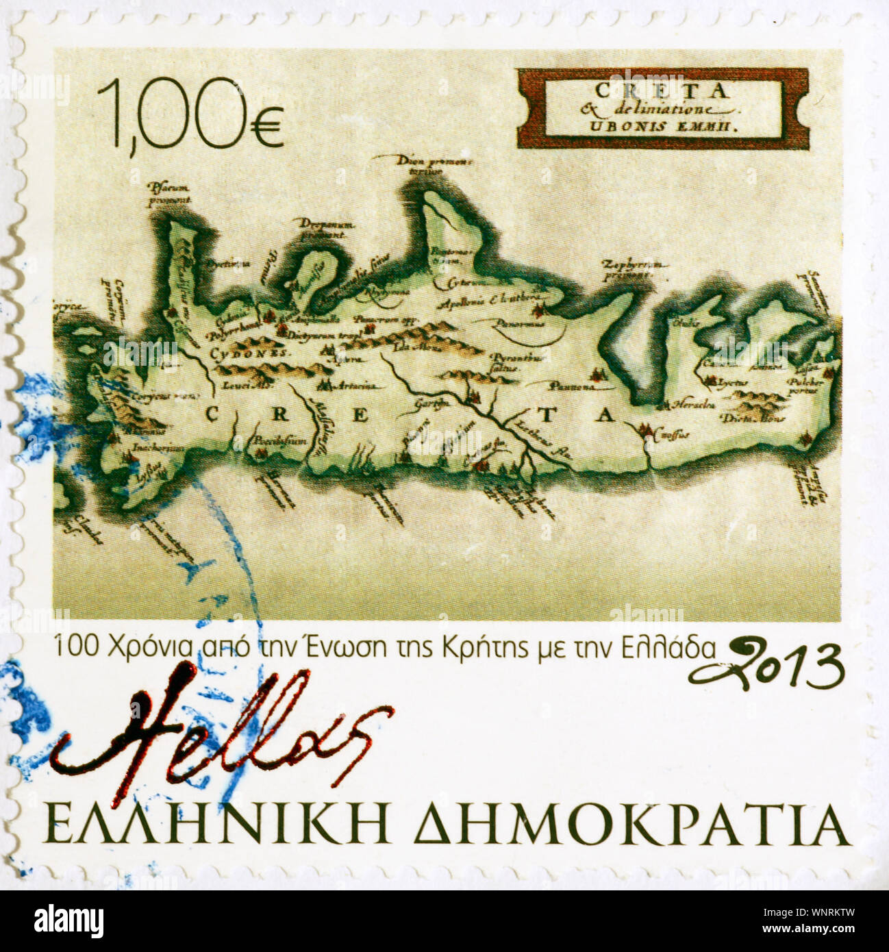 Old map of Crete on greek postage stamp Stock Photohttps://www.alamy.com/image-license-details/?v=1https://www.alamy.com/old-map-of-crete-on-greek-postage-stamp-image271583785.html
RFWNRKTW–Old map of Crete on greek postage stamp
 Greece, Mykonos, Delos, tourist looking at map at archaeological site Stock Photohttps://www.alamy.com/image-license-details/?v=1https://www.alamy.com/stock-photo-greece-mykonos-delos-tourist-looking-at-map-at-archaeological-site-136476230.html
RFHX10R2–Greece, Mykonos, Delos, tourist looking at map at archaeological site
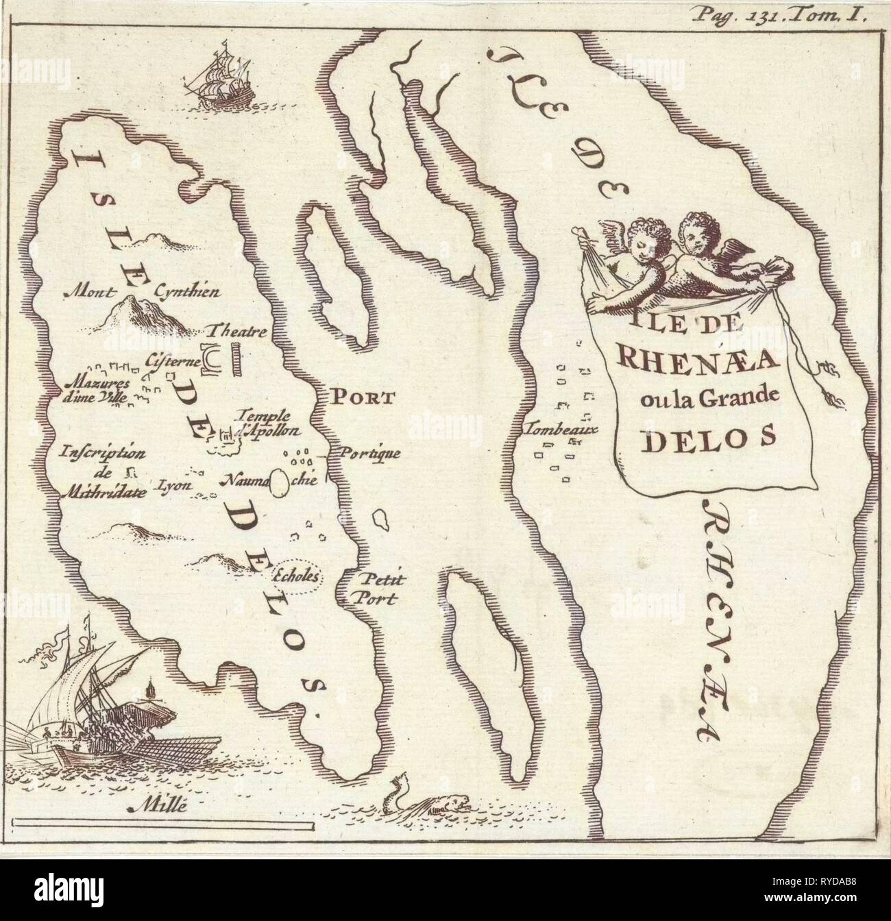 Map of the Cycladic islands of Delos and Rhenia, Greece, Jan Luyken, Hendrick and Dirk Boom, 1679 Stock Photohttps://www.alamy.com/image-license-details/?v=1https://www.alamy.com/map-of-the-cycladic-islands-of-delos-and-rhenia-greece-jan-luyken-hendrick-and-dirk-boom-1679-image240624028.html
RMRYDAB8–Map of the Cycladic islands of Delos and Rhenia, Greece, Jan Luyken, Hendrick and Dirk Boom, 1679
 Topo Islands map of the Greek Island of Chalki. Stock Photohttps://www.alamy.com/image-license-details/?v=1https://www.alamy.com/stock-photo-topo-islands-map-of-the-greek-island-of-chalki-126291948.html
RMH9D2JM–Topo Islands map of the Greek Island of Chalki.
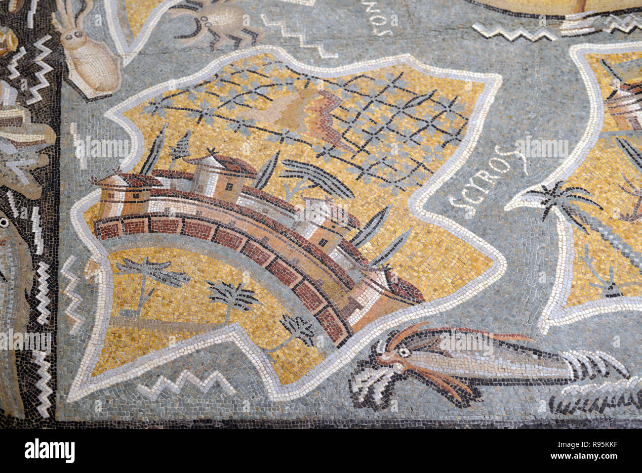 Roman Floor Mosaic (c3rd-c4th), Plan or Map of the Greek Island of Skyros, or Island of Magnetes, from Ancient Roman City of Ammaedara Haidra Tunisia Stock Photohttps://www.alamy.com/image-license-details/?v=1https://www.alamy.com/roman-floor-mosaic-c3rd-c4th-plan-or-map-of-the-greek-island-of-skyros-or-island-of-magnetes-from-ancient-roman-city-of-ammaedara-haidra-tunisia-image229391891.html
RMR95KKF–Roman Floor Mosaic (c3rd-c4th), Plan or Map of the Greek Island of Skyros, or Island of Magnetes, from Ancient Roman City of Ammaedara Haidra Tunisia
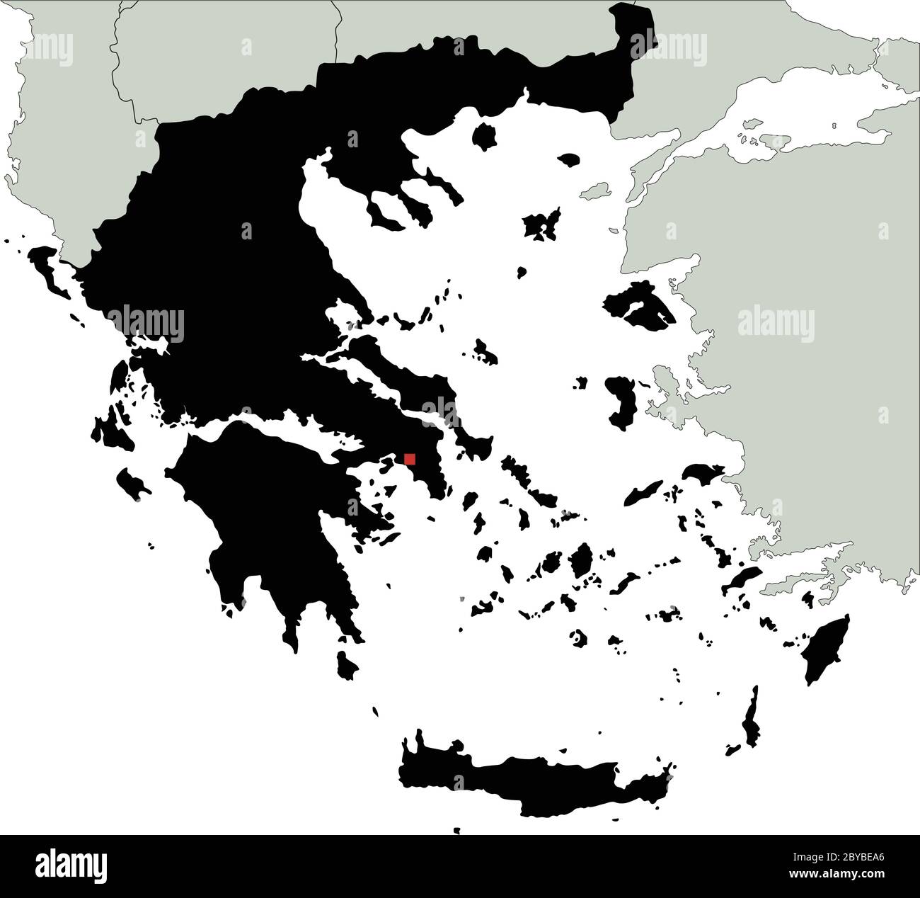 Highly Detailed Greece Silhouette map. Stock Vectorhttps://www.alamy.com/image-license-details/?v=1https://www.alamy.com/highly-detailed-greece-silhouette-map-image361055806.html
RF2BYBEA6–Highly Detailed Greece Silhouette map.
 Greece map. Colorful detailed vector map of the European country. Stock Vectorhttps://www.alamy.com/image-license-details/?v=1https://www.alamy.com/greece-map-colorful-detailed-vector-map-of-the-european-country-image376292198.html
RF2CT5GF2–Greece map. Colorful detailed vector map of the European country.
 Vector map of Greece provinces colored by regions with neighbouring countries and territories Stock Vectorhttps://www.alamy.com/image-license-details/?v=1https://www.alamy.com/vector-map-of-greece-provinces-colored-by-regions-with-neighbouring-countries-and-territories-image388255289.html
RF2DFJFG9–Vector map of Greece provinces colored by regions with neighbouring countries and territories
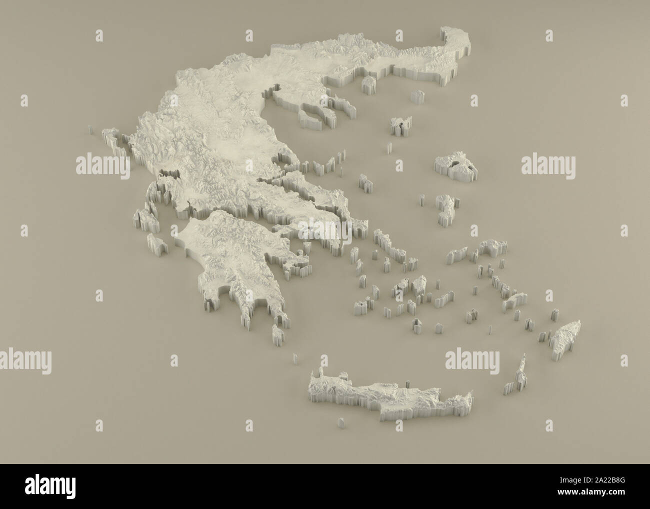 Extruded 3D political Map of Greece with relief as marble sculpture on a light beige background Stock Photohttps://www.alamy.com/image-license-details/?v=1https://www.alamy.com/extruded-3d-political-map-of-greece-with-relief-as-marble-sculpture-on-a-light-beige-background-image328279072.html
RF2A22B8G–Extruded 3D political Map of Greece with relief as marble sculpture on a light beige background
 Zante. Zakynthos island & adjacent Peloponnese coast. Greece. ROUX 1804 map Stock Photohttps://www.alamy.com/image-license-details/?v=1https://www.alamy.com/zante-zakynthos-island-adjacent-peloponnese-coast-greece-roux-1804-map-image385037052.html
RF2DABXK8–Zante. Zakynthos island & adjacent Peloponnese coast. Greece. ROUX 1804 map
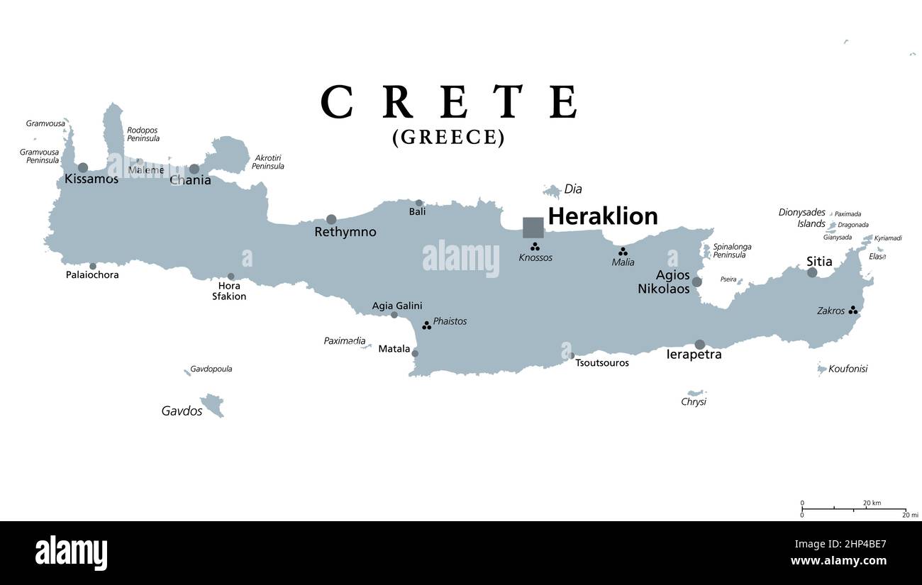 Crete, Greek island, gray political map, with capital Heraklion Stock Vectorhttps://www.alamy.com/image-license-details/?v=1https://www.alamy.com/crete-greek-island-gray-political-map-with-capital-heraklion-image461088831.html
RF2HP4BE7–Crete, Greek island, gray political map, with capital Heraklion
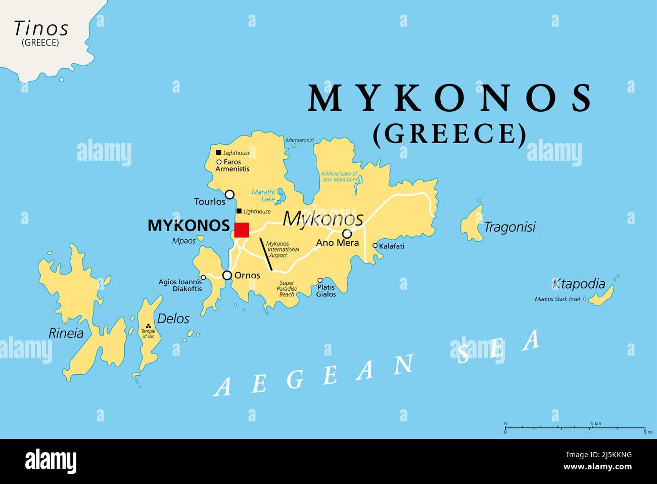 Mykonos, an island of Greece, political map. Greek island in the Aegean Sea, and part of the Cyclades. Nicknamed The Island of the Winds. Stock Photohttps://www.alamy.com/image-license-details/?v=1https://www.alamy.com/mykonos-an-island-of-greece-political-map-greek-island-in-the-aegean-sea-and-part-of-the-cyclades-nicknamed-the-island-of-the-winds-image468185804.html
RF2J5KKNG–Mykonos, an island of Greece, political map. Greek island in the Aegean Sea, and part of the Cyclades. Nicknamed The Island of the Winds.
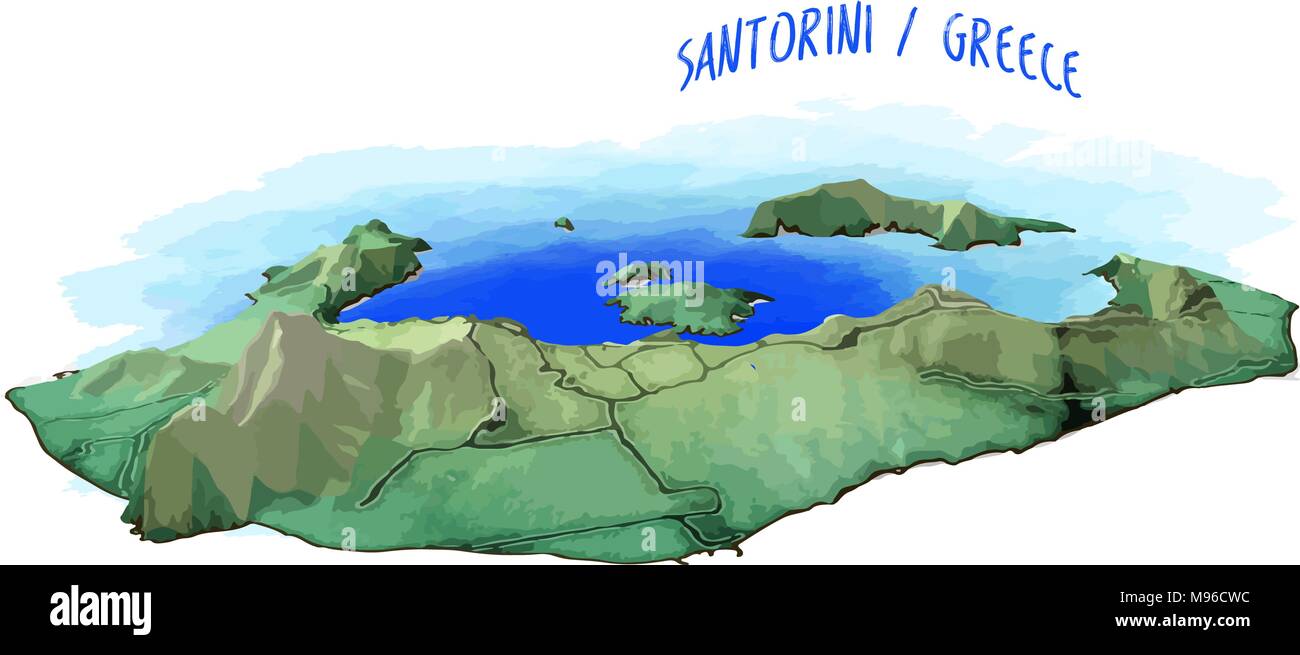 3D Island Map of Santorini. Detailed vector illustration with blue water background. Isolated concept for infographic and marketing. Stock Vectorhttps://www.alamy.com/image-license-details/?v=1https://www.alamy.com/3d-island-map-of-santorini-detailed-vector-illustration-with-blue-water-background-isolated-concept-for-infographic-and-marketing-image177777416.html
RFM96CWC–3D Island Map of Santorini. Detailed vector illustration with blue water background. Isolated concept for infographic and marketing.
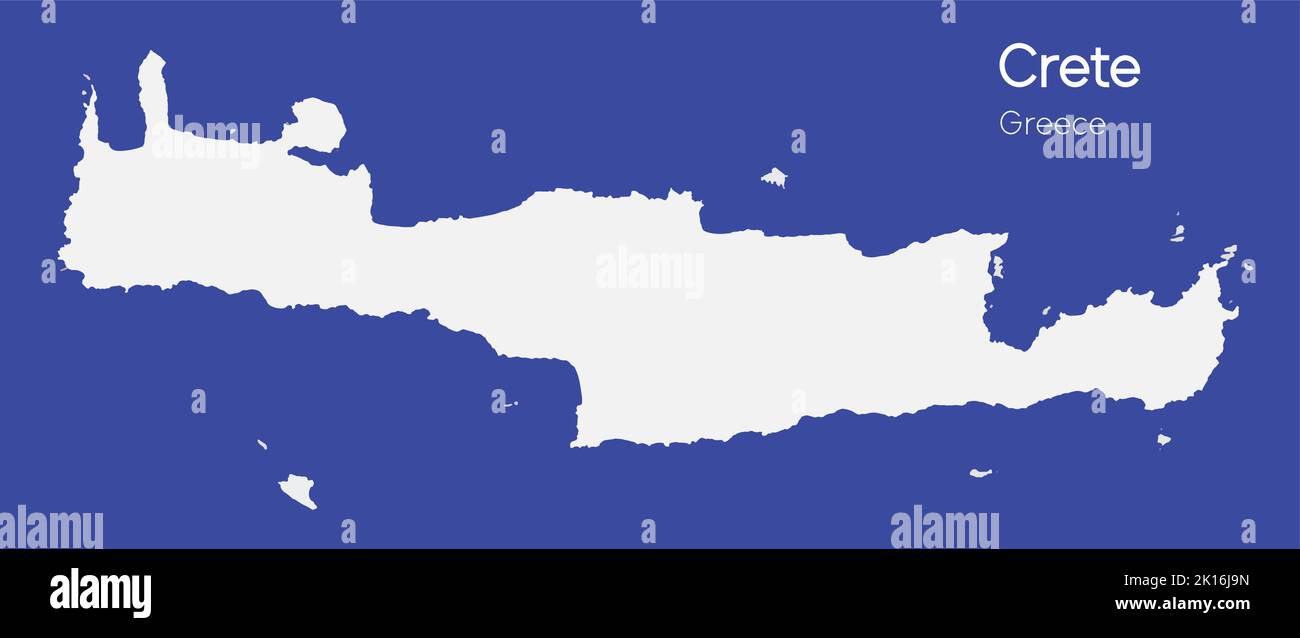 An isometric map of Crete is an island in the Dodecanese archipelago, Greece Stock Vectorhttps://www.alamy.com/image-license-details/?v=1https://www.alamy.com/an-isometric-map-of-crete-is-an-island-in-the-dodecanese-archipelago-greece-image482651057.html
RF2K16J9N–An isometric map of Crete is an island in the Dodecanese archipelago, Greece
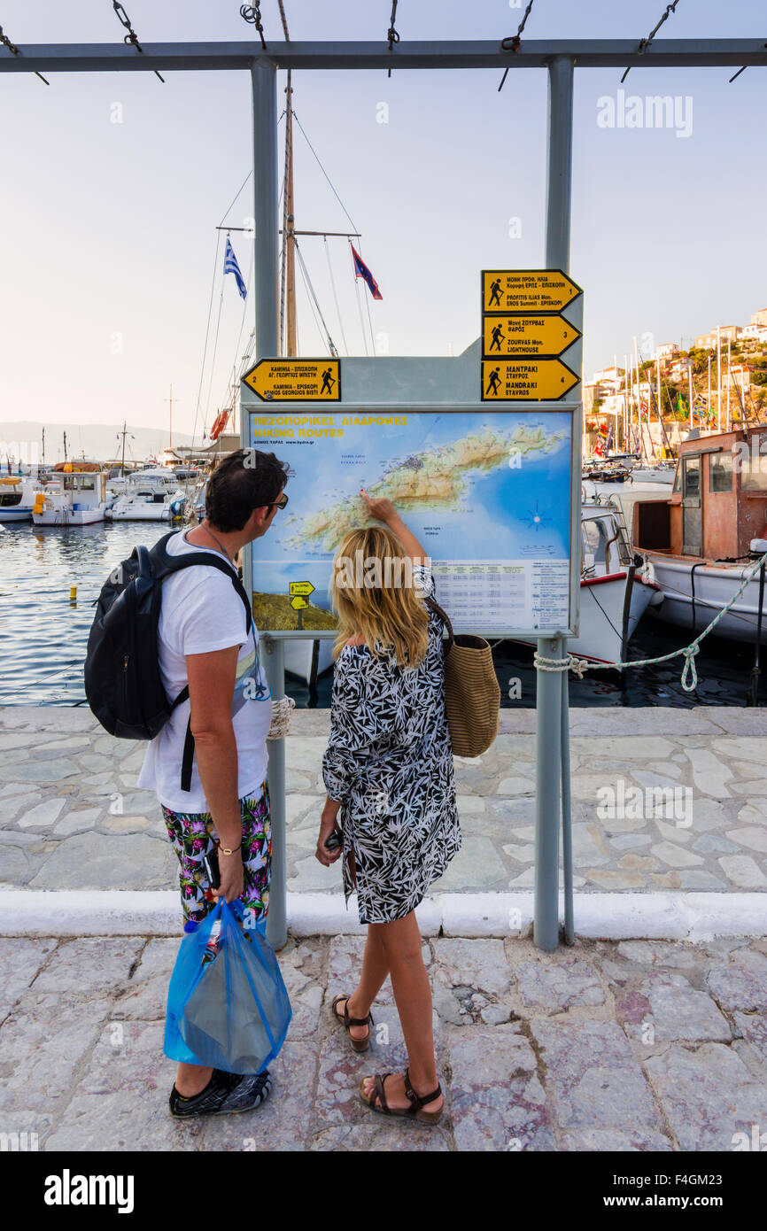 A couple look at an information board map on the waterfront of Hydra Town, Hydra Island, Greece Stock Photohttps://www.alamy.com/image-license-details/?v=1https://www.alamy.com/stock-photo-a-couple-look-at-an-information-board-map-on-the-waterfront-of-hydra-88877435.html
RMF4GM23–A couple look at an information board map on the waterfront of Hydra Town, Hydra Island, Greece
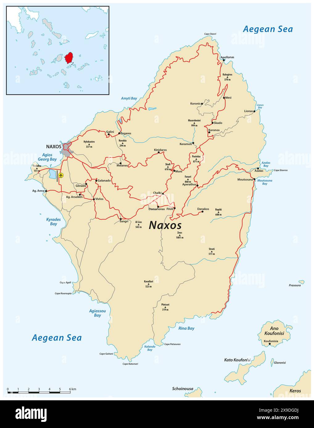 Map of the Greek Cycladic island of Naxos Stock Photohttps://www.alamy.com/image-license-details/?v=1https://www.alamy.com/map-of-the-greek-cycladic-island-of-naxos-image608193086.html
RF2X9DGDJ–Map of the Greek Cycladic island of Naxos
 Aegina Island in the Aegean Sea, belonging to Greece, isolated on a bilevel elevation map, with distance scale Stock Photohttps://www.alamy.com/image-license-details/?v=1https://www.alamy.com/aegina-island-in-the-aegean-sea-belonging-to-greece-isolated-on-a-bilevel-elevation-map-with-distance-scale-image619537920.html
RF2XYXAX8–Aegina Island in the Aegean Sea, belonging to Greece, isolated on a bilevel elevation map, with distance scale
 Map of the Island of Sicily 1903 From the catalogue ' Coins of ancient Sicily ' by Sir George Francis Hill, Published 1903 Westminster, A. Constable & co., ltd. Stock Photohttps://www.alamy.com/image-license-details/?v=1https://www.alamy.com/map-of-the-island-of-sicily-1903-from-the-catalogue-coins-of-ancient-sicily-by-sir-george-francis-hill-published-1903-westminster-a-constable-co-ltd-image465856554.html
RF2J1WGP2–Map of the Island of Sicily 1903 From the catalogue ' Coins of ancient Sicily ' by Sir George Francis Hill, Published 1903 Westminster, A. Constable & co., ltd.
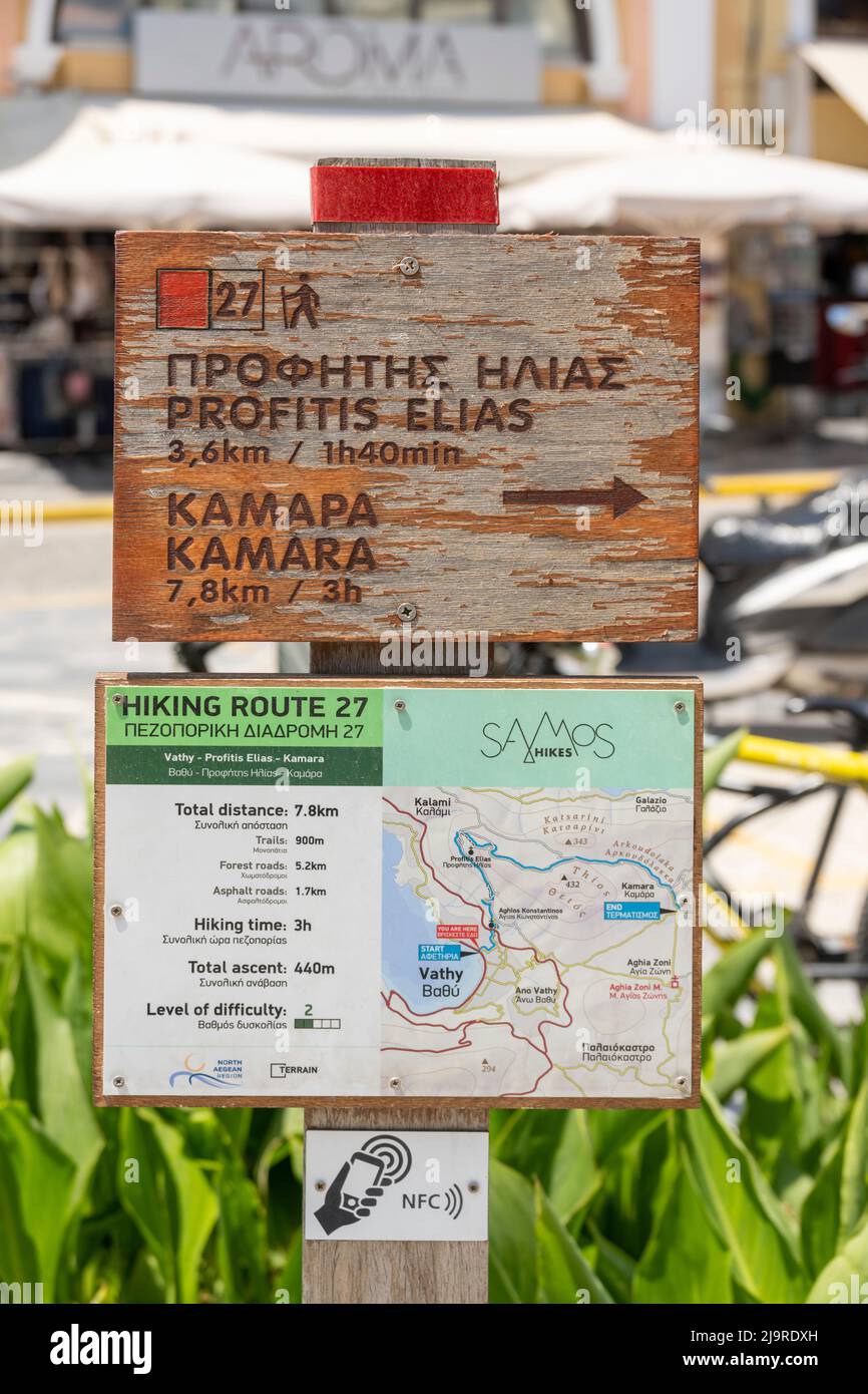 Griechenland, Insel Samos, Inselhauptort Samos (auch Vathy), Pythagoras central square, Wanderkarte Stock Photohttps://www.alamy.com/image-license-details/?v=1https://www.alamy.com/griechenland-insel-samos-inselhauptort-samos-auch-vathy-pythagoras-central-square-wanderkarte-image470727673.html
RM2J9RDXH–Griechenland, Insel Samos, Inselhauptort Samos (auch Vathy), Pythagoras central square, Wanderkarte
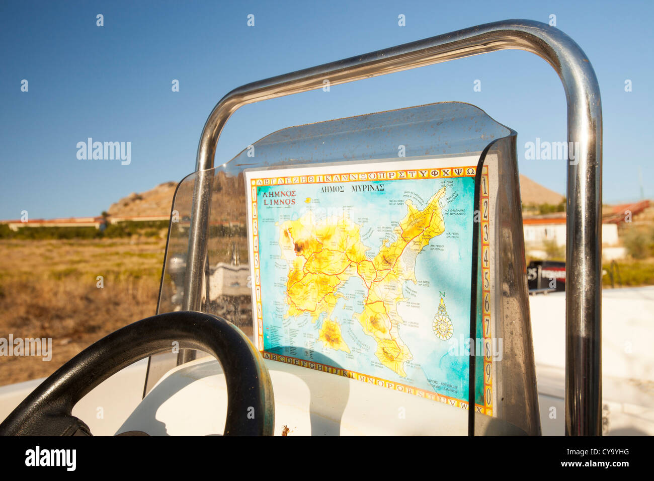 a boat with a map of the isle of Lemnos in Greece. Stock Photohttps://www.alamy.com/image-license-details/?v=1https://www.alamy.com/stock-photo-a-boat-with-a-map-of-the-isle-of-lemnos-in-greece-51235676.html
RMCY9YHG–a boat with a map of the isle of Lemnos in Greece.
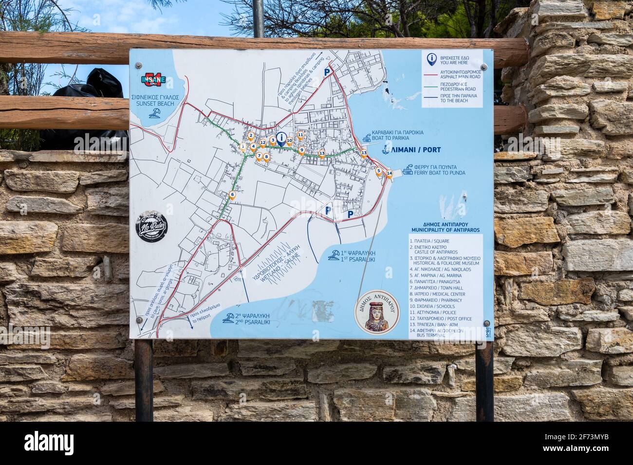 Antiparos, Greece - September 28, 2020: Antiparos island city map on the street.Cyclades, Greece Stock Photohttps://www.alamy.com/image-license-details/?v=1https://www.alamy.com/antiparos-greece-september-28-2020-antiparos-island-city-map-on-the-streetcyclades-greece-image417433727.html
RF2F73MYB–Antiparos, Greece - September 28, 2020: Antiparos island city map on the street.Cyclades, Greece
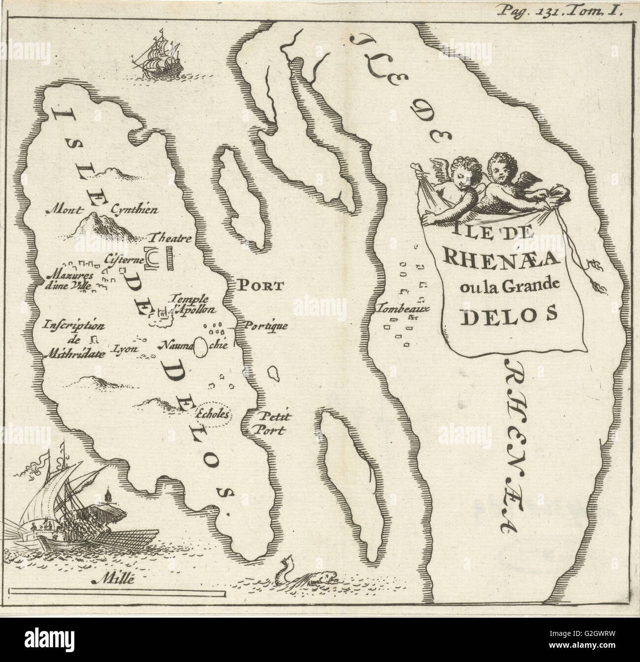 Map of the Cycladic islands of Delos and Rhenia, Greece, Jan Luyken, Hendrick and Dirk Boom, 1679 Stock Photohttps://www.alamy.com/image-license-details/?v=1https://www.alamy.com/stock-photo-map-of-the-cycladic-islands-of-delos-and-rhenia-greece-jan-luyken-104863021.html
RMG2GWRW–Map of the Cycladic islands of Delos and Rhenia, Greece, Jan Luyken, Hendrick and Dirk Boom, 1679
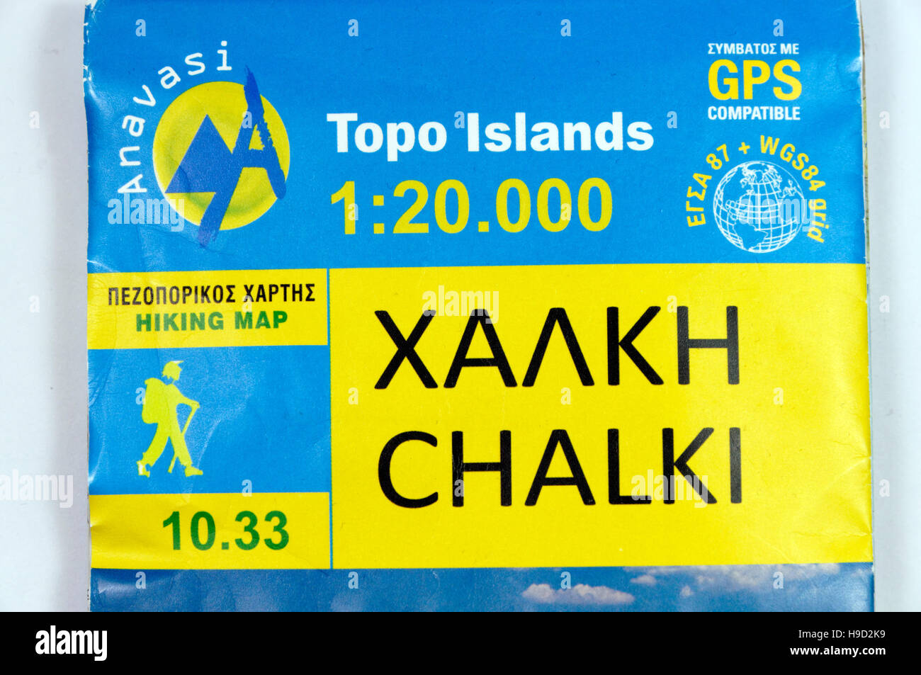 Topo Islands map of the Greek Island of Chalki. Stock Photohttps://www.alamy.com/image-license-details/?v=1https://www.alamy.com/stock-photo-topo-islands-map-of-the-greek-island-of-chalki-126291965.html
RMH9D2K9–Topo Islands map of the Greek Island of Chalki.
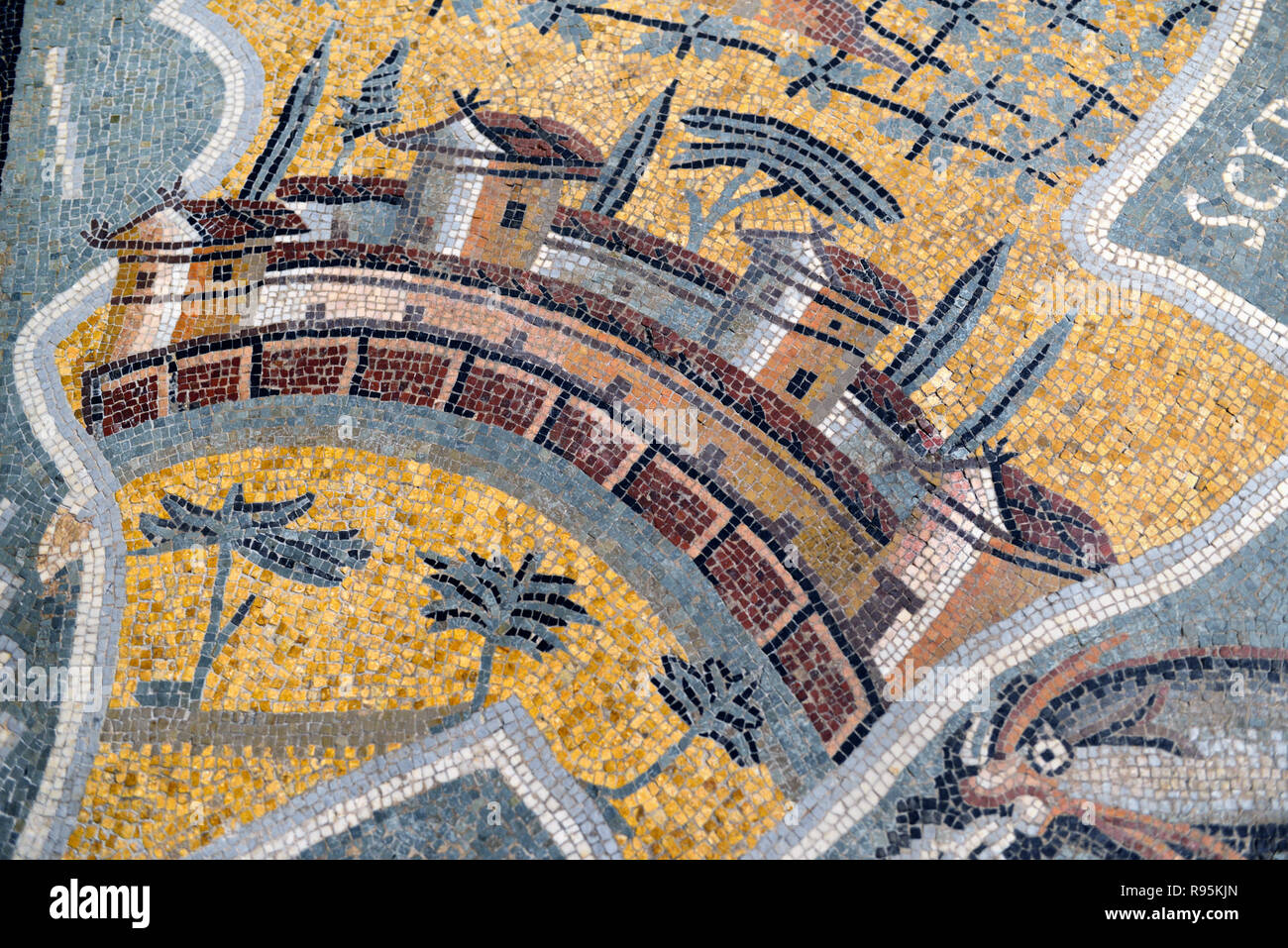 Roman Floor Mosaic (c3rd-c4th), Plan or Map of the Greek Island of Skyros, or Island of Magnetes, from Ancient Roman City of Ammaedara Haidra Tunisia Stock Photohttps://www.alamy.com/image-license-details/?v=1https://www.alamy.com/roman-floor-mosaic-c3rd-c4th-plan-or-map-of-the-greek-island-of-skyros-or-island-of-magnetes-from-ancient-roman-city-of-ammaedara-haidra-tunisia-image229391869.html
RMR95KJN–Roman Floor Mosaic (c3rd-c4th), Plan or Map of the Greek Island of Skyros, or Island of Magnetes, from Ancient Roman City of Ammaedara Haidra Tunisia
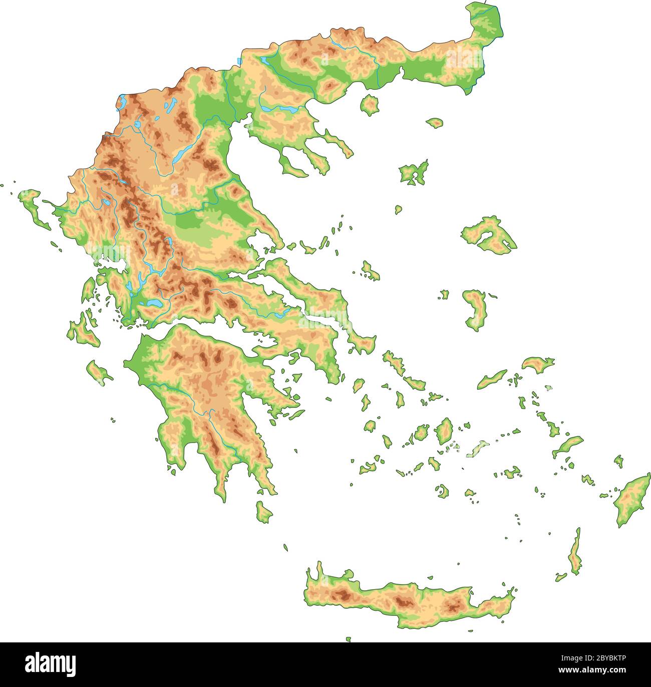 High detailed Greece physical map. Stock Vectorhttps://www.alamy.com/image-license-details/?v=1https://www.alamy.com/high-detailed-greece-physical-map-image361060134.html
RF2BYBKTP–High detailed Greece physical map.
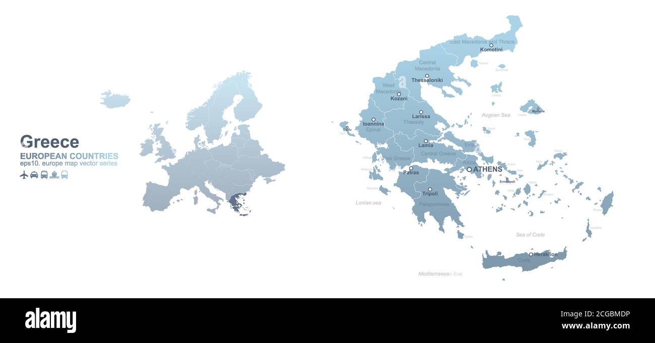 Greece map. blue gradient vector map of European countries. Stock Vectorhttps://www.alamy.com/image-license-details/?v=1https://www.alamy.com/greece-map-blue-gradient-vector-map-of-european-countries-image371509762.html
RF2CGBMDP–Greece map. blue gradient vector map of European countries.
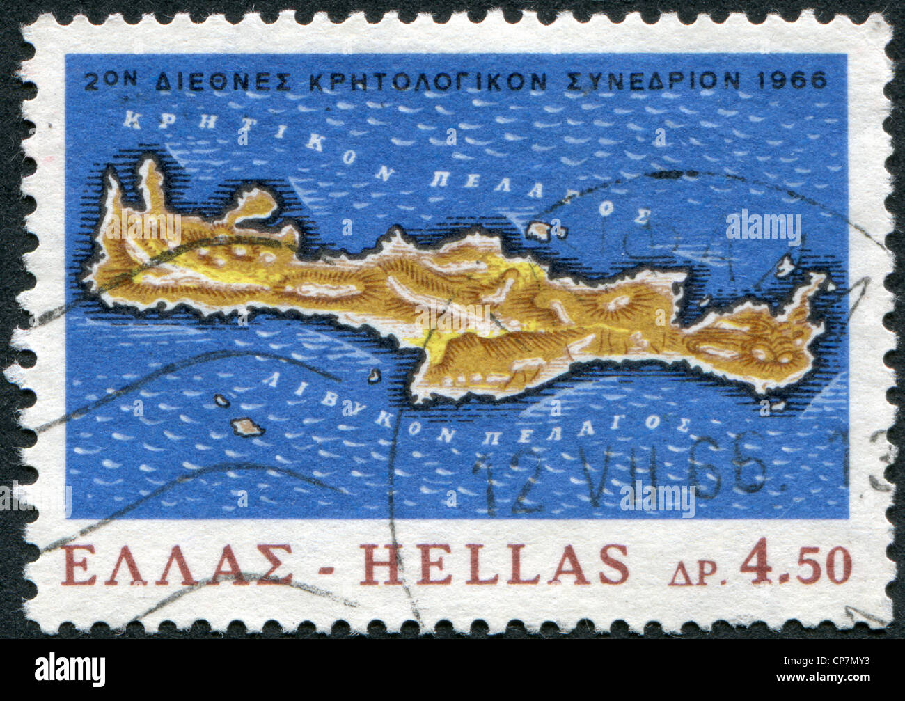 Dedicated to the 100th anniversary of the revolt in Crete against Turkey, shows map of the island of Crete, circa 1966 Stock Photohttps://www.alamy.com/image-license-details/?v=1https://www.alamy.com/stock-photo-dedicated-to-the-100th-anniversary-of-the-revolt-in-crete-against-48113271.html
RFCP7MY3–Dedicated to the 100th anniversary of the revolt in Crete against Turkey, shows map of the island of Crete, circa 1966
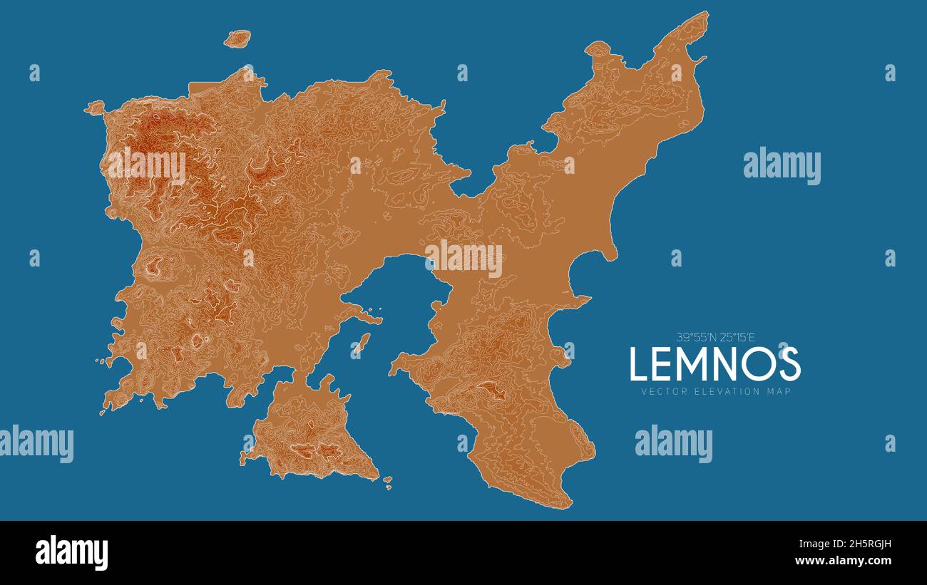 Topographic map of Lemnos, Greece. Vector detailed elevation map of island. Geographic elegant landscape outline poster. Stock Vectorhttps://www.alamy.com/image-license-details/?v=1https://www.alamy.com/topographic-map-of-lemnos-greece-vector-detailed-elevation-map-of-island-geographic-elegant-landscape-outline-poster-image451060809.html
RF2H5RGJH–Topographic map of Lemnos, Greece. Vector detailed elevation map of island. Geographic elegant landscape outline poster.
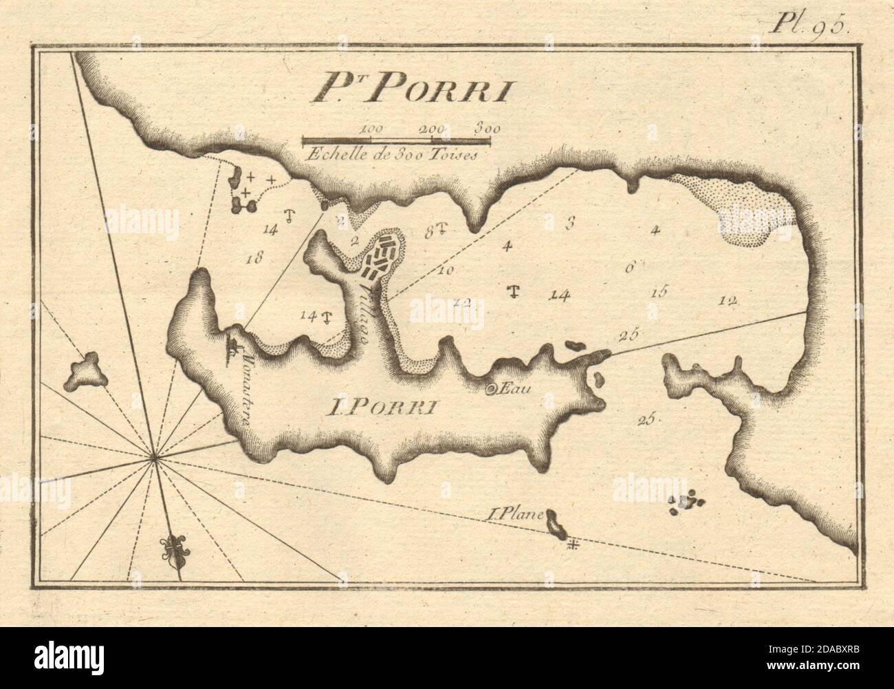 Pt. Porri - I. Porri. The island of Poros, Saronic. Greece. ROUX 1804 old map Stock Photohttps://www.alamy.com/image-license-details/?v=1https://www.alamy.com/pt-porri-i-porri-the-island-of-poros-saronic-greece-roux-1804-old-map-image385037167.html
RF2DABXRB–Pt. Porri - I. Porri. The island of Poros, Saronic. Greece. ROUX 1804 old map
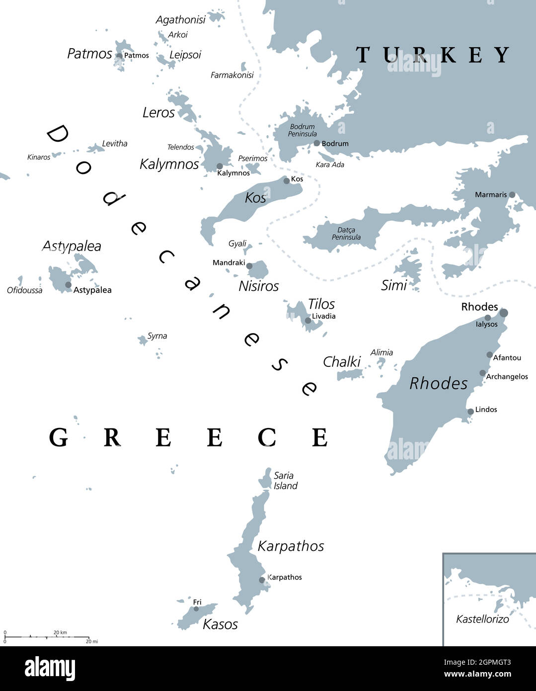 Dodecanese islands, Greek island group, gray political map Stock Vectorhttps://www.alamy.com/image-license-details/?v=1https://www.alamy.com/dodecanese-islands-greek-island-group-gray-political-map-image444233891.html
RF2GPMGT3–Dodecanese islands, Greek island group, gray political map
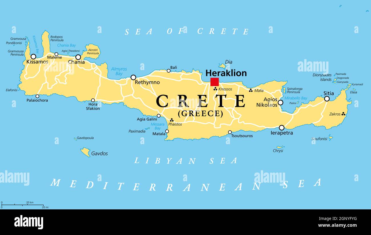 Crete, Greek island, political map, with capital Heraklion. Largest island of Greece and fifth largest in the Mediterranean Sea. Stock Photohttps://www.alamy.com/image-license-details/?v=1https://www.alamy.com/crete-greek-island-political-map-with-capital-heraklion-largest-island-of-greece-and-fifth-largest-in-the-mediterranean-sea-image443772212.html
RF2GNYFYG–Crete, Greek island, political map, with capital Heraklion. Largest island of Greece and fifth largest in the Mediterranean Sea.
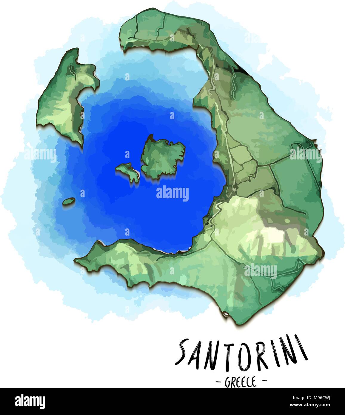 3D map of Santorini. Detailed vector illustration with blue lagoon water. Isolated concept for infographic and marketing. Stock Vectorhttps://www.alamy.com/image-license-details/?v=1https://www.alamy.com/3d-map-of-santorini-detailed-vector-illustration-with-blue-lagoon-water-isolated-concept-for-infographic-and-marketing-image177777422.html
RFM96CWJ–3D map of Santorini. Detailed vector illustration with blue lagoon water. Isolated concept for infographic and marketing.