Quick filters:
Israel map vector Stock Photos and Images
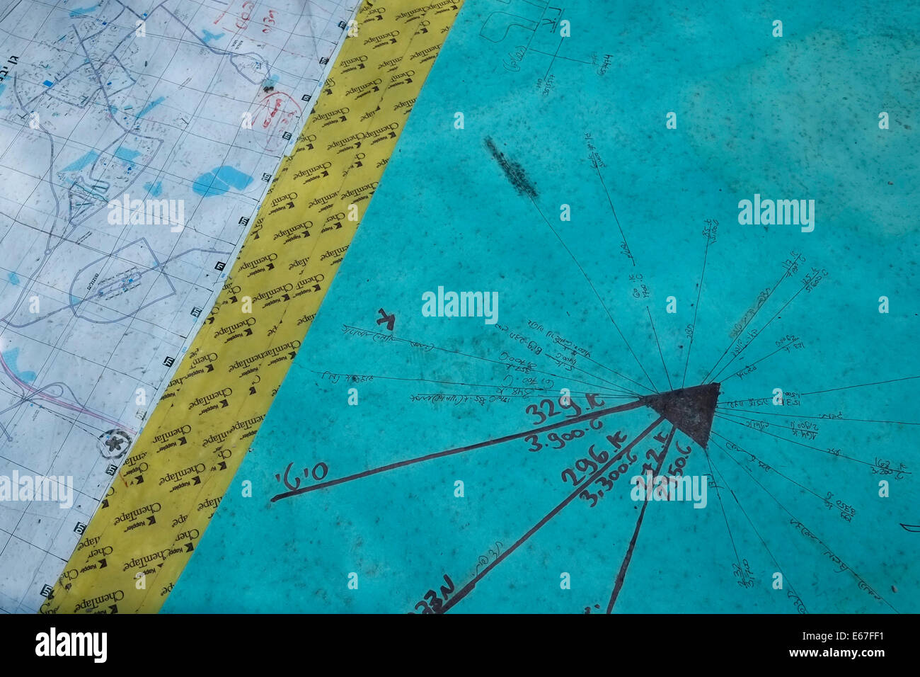 A military vector chart with map at the Israeli military observation post near the city of Ashdod Israel Stock Photohttps://www.alamy.com/image-license-details/?v=1https://www.alamy.com/stock-photo-a-military-vector-chart-with-map-at-the-israeli-military-observation-72695253.html
RME67FF1–A military vector chart with map at the Israeli military observation post near the city of Ashdod Israel
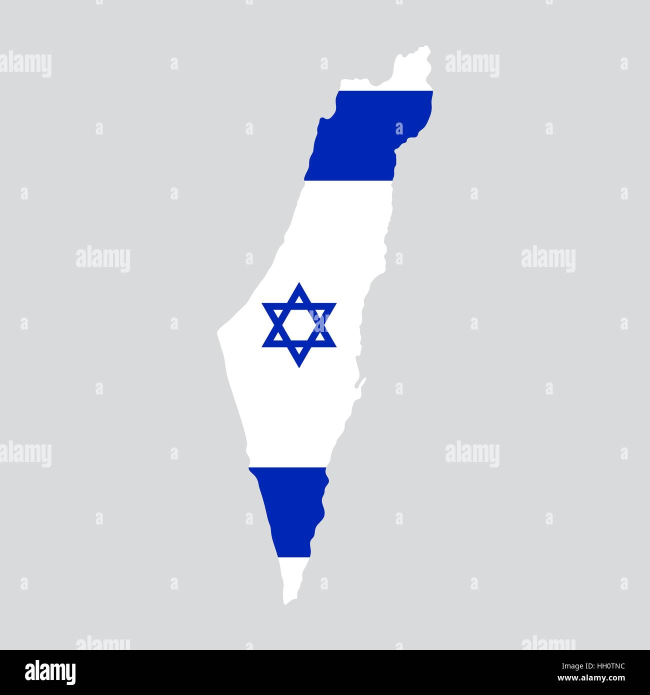 Israel map painted in the color of the flag Stock Vectorhttps://www.alamy.com/image-license-details/?v=1https://www.alamy.com/stock-photo-israel-map-painted-in-the-color-of-the-flag-130941144.html
RFHH0TNC–Israel map painted in the color of the flag
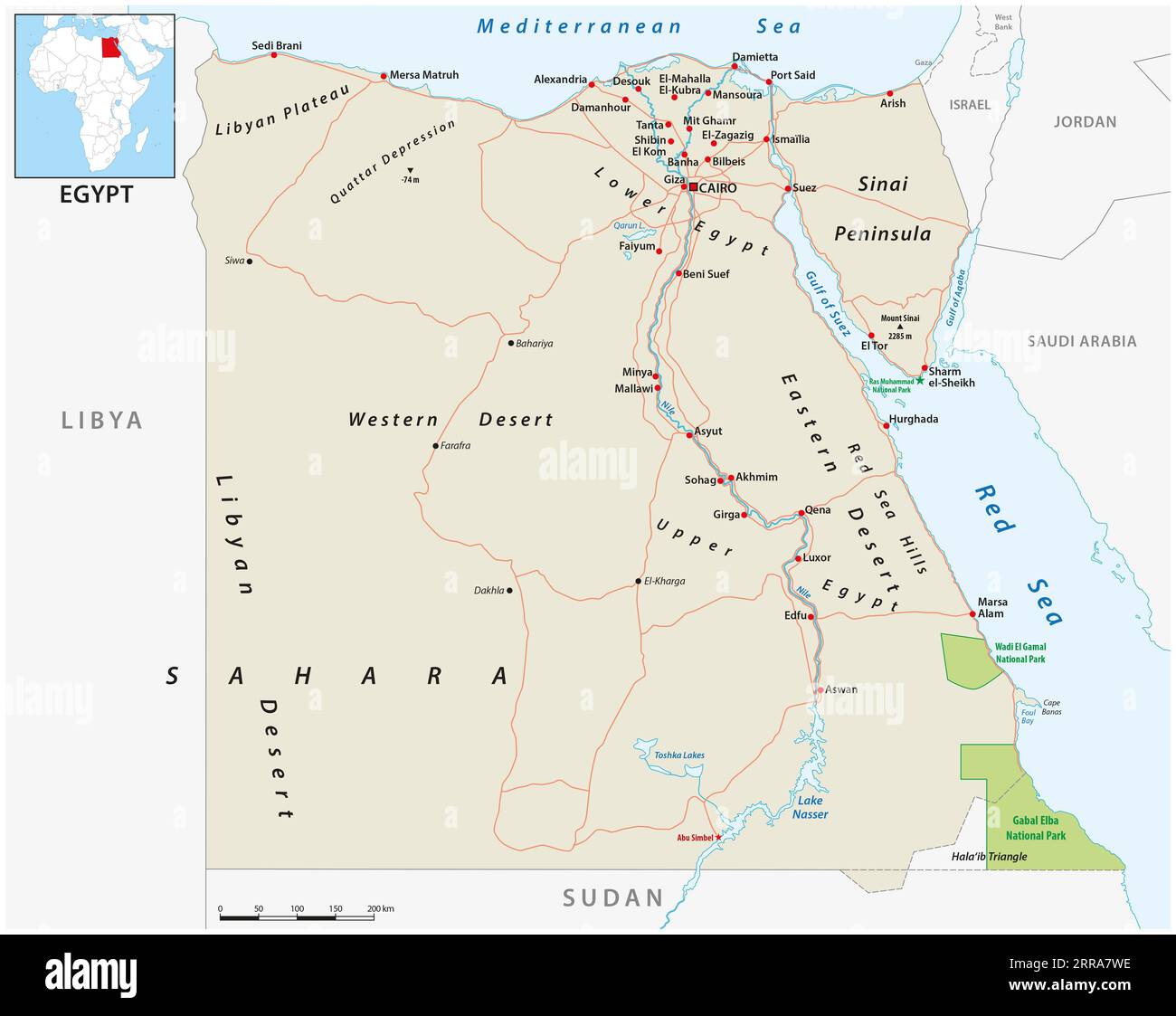 Vector road map of the Arab Republic of Egypt Stock Photohttps://www.alamy.com/image-license-details/?v=1https://www.alamy.com/vector-road-map-of-the-arab-republic-of-egypt-image565094586.html
RF2RRA7WE–Vector road map of the Arab Republic of Egypt
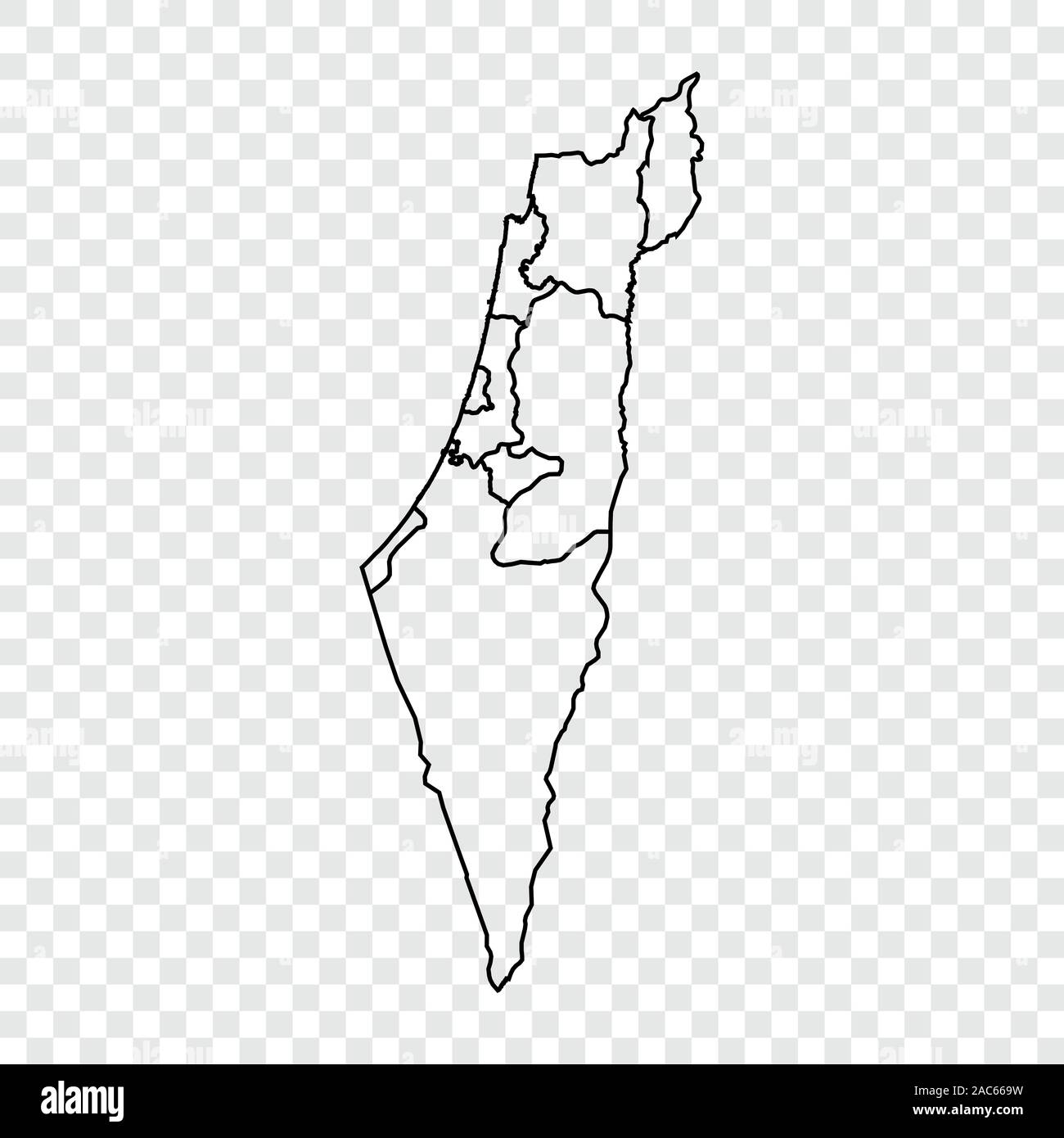 Israel map on transparent background. Outline. Vector illustration. Stock Vectorhttps://www.alamy.com/image-license-details/?v=1https://www.alamy.com/israel-map-on-transparent-background-outline-vector-illustration-image334509557.html
RF2AC669W–Israel map on transparent background. Outline. Vector illustration.
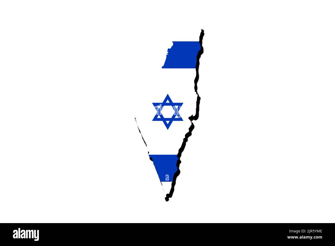 Silhouette of the map of Israel with its flag Stock Photohttps://www.alamy.com/image-license-details/?v=1https://www.alamy.com/silhouette-of-the-map-of-israel-with-its-flag-image478948526.html
RF2JR5YME–Silhouette of the map of Israel with its flag
 Round flag of Israel Stock Photohttps://www.alamy.com/image-license-details/?v=1https://www.alamy.com/round-flag-of-israel-image425905912.html
RF2FMWK9C–Round flag of Israel
 The Middle East Map in Turkish Stock Photohttps://www.alamy.com/image-license-details/?v=1https://www.alamy.com/the-middle-east-map-in-turkish-image470176960.html
RF2J8XBE8–The Middle East Map in Turkish
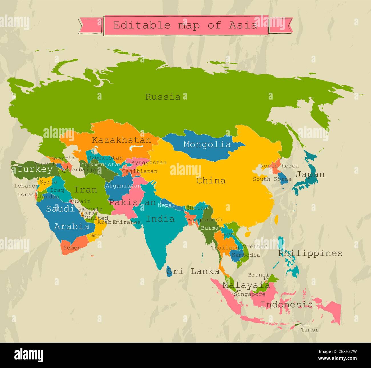 Editable Asia map with all countries. Stock Photohttps://www.alamy.com/image-license-details/?v=1https://www.alamy.com/editable-asia-map-with-all-countries-image412195277.html
RF2EXH37W–Editable Asia map with all countries.
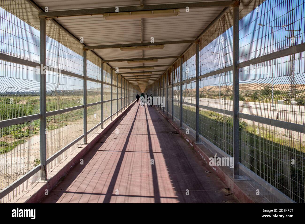 The wall between Israel and Palestine and the security installations Stock Photohttps://www.alamy.com/image-license-details/?v=1https://www.alamy.com/the-wall-between-israel-and-palestine-and-the-security-installations-image384595312.html
RM2D9KR6T–The wall between Israel and Palestine and the security installations
 Gray Israel map on light grey background. Gray Israel map - vector illustration. Stock Vectorhttps://www.alamy.com/image-license-details/?v=1https://www.alamy.com/gray-israel-map-on-light-grey-background-gray-israel-map-vector-illustration-image331535928.html
RF2A7ANCT–Gray Israel map on light grey background. Gray Israel map - vector illustration.
 11 May 2022 Nusaybin Sirnak Turkey. Border between Turkey and Syria in Nusaybin Turkey Stock Photohttps://www.alamy.com/image-license-details/?v=1https://www.alamy.com/11-may-2022-nusaybin-sirnak-turkey-border-between-turkey-and-syria-in-nusaybin-turkey-image471487910.html
RF2JB23HX–11 May 2022 Nusaybin Sirnak Turkey. Border between Turkey and Syria in Nusaybin Turkey
RF2TC9788–Detailed Map of Palestine Country Illustration Icon Vector Palestine map
 Israel Country Map. Black silhouette and outline isolated on white background. EPS Vector Stock Vectorhttps://www.alamy.com/image-license-details/?v=1https://www.alamy.com/israel-country-map-black-silhouette-and-outline-isolated-on-white-background-eps-vector-image356928072.html
RF2BMKDB4–Israel Country Map. Black silhouette and outline isolated on white background. EPS Vector
 Israel map. gray country map and flag 3d illustration vector. Stock Vectorhttps://www.alamy.com/image-license-details/?v=1https://www.alamy.com/israel-map-gray-country-map-and-flag-3d-illustration-vector-image417822026.html
RF2F7NC76–Israel map. gray country map and flag 3d illustration vector.
 Light grey and white Jerusalem city area vector background map, streets and water cartography illustration. Widescreen proportion, digital flat design Stock Vectorhttps://www.alamy.com/image-license-details/?v=1https://www.alamy.com/light-grey-and-white-jerusalem-city-area-vector-background-map-streets-and-water-cartography-illustration-widescreen-proportion-digital-flat-design-image425932727.html
RF2FMXWF3–Light grey and white Jerusalem city area vector background map, streets and water cartography illustration. Widescreen proportion, digital flat design
 Map of Israel - outline. Silhouette of Israel map vector illustration Stock Vectorhttps://www.alamy.com/image-license-details/?v=1https://www.alamy.com/map-of-israel-outline-silhouette-of-israel-map-vector-illustration-image233862205.html
RFRGD9HH–Map of Israel - outline. Silhouette of Israel map vector illustration
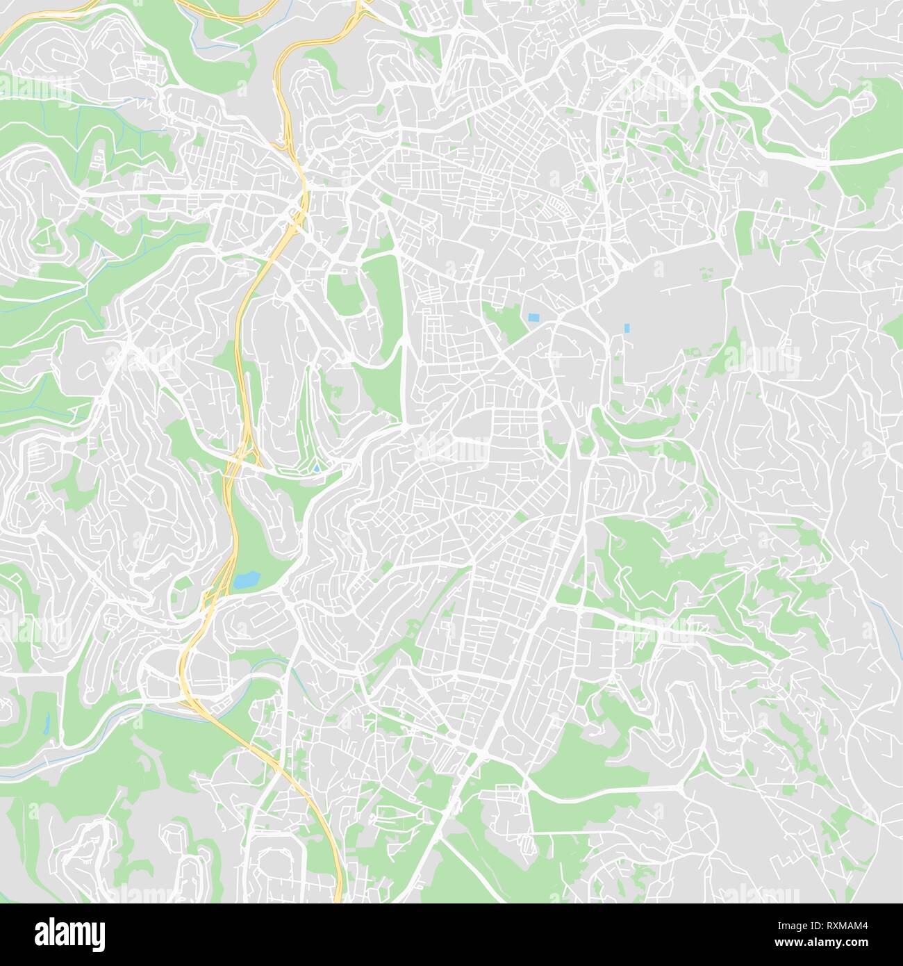 Downtown vector map of Jerusalem, Israel. This printable map of Jerusalem contains lines and classic colored shapes for land mass, parks, water, major Stock Vectorhttps://www.alamy.com/image-license-details/?v=1https://www.alamy.com/downtown-vector-map-of-jerusalem-israel-this-printable-map-of-jerusalem-contains-lines-and-classic-colored-shapes-for-land-mass-parks-water-major-image240163284.html
RFRXMAM4–Downtown vector map of Jerusalem, Israel. This printable map of Jerusalem contains lines and classic colored shapes for land mass, parks, water, major
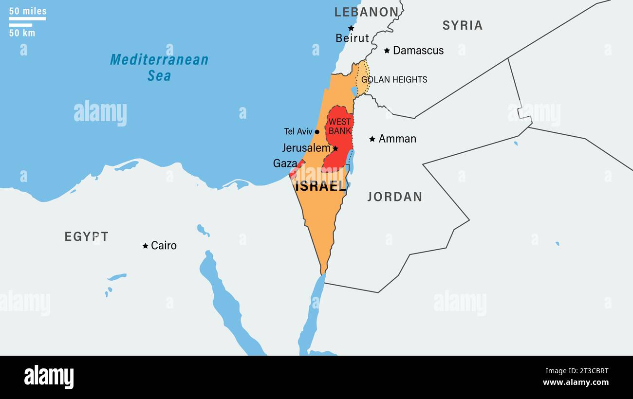 Map middle east region with Israel border. The borders of Israel after the Six-Day War of 1967. Vector illustration Stock Vectorhttps://www.alamy.com/image-license-details/?v=1https://www.alamy.com/map-middle-east-region-with-israel-border-the-borders-of-israel-after-the-six-day-war-of-1967-vector-illustration-image570058828.html
RF2T3CBRT–Map middle east region with Israel border. The borders of Israel after the Six-Day War of 1967. Vector illustration
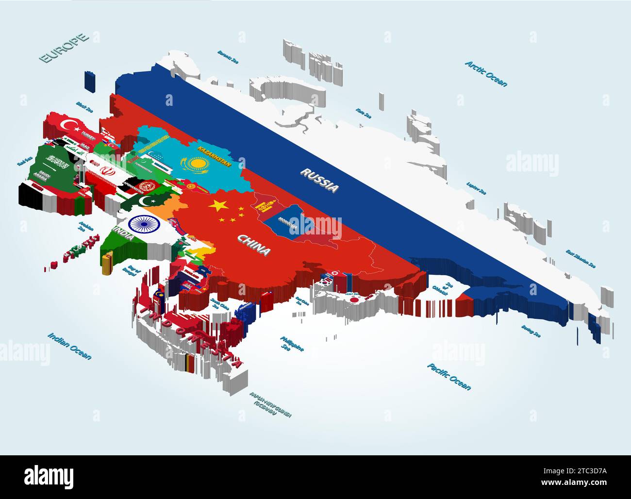 Asia vector isometric map combined with national flags Stock Vectorhttps://www.alamy.com/image-license-details/?v=1https://www.alamy.com/asia-vector-isometric-map-combined-with-national-flags-image575394270.html
RF2TC3D7A–Asia vector isometric map combined with national flags
 Map of Jerusalem in Israel in blue style. Contains layered vector with roads water, parks, etc. Stock Vectorhttps://www.alamy.com/image-license-details/?v=1https://www.alamy.com/map-of-jerusalem-in-israel-in-blue-style-contains-layered-vector-with-roads-water-parks-etc-image612504838.html
RF2XGE04P–Map of Jerusalem in Israel in blue style. Contains layered vector with roads water, parks, etc.
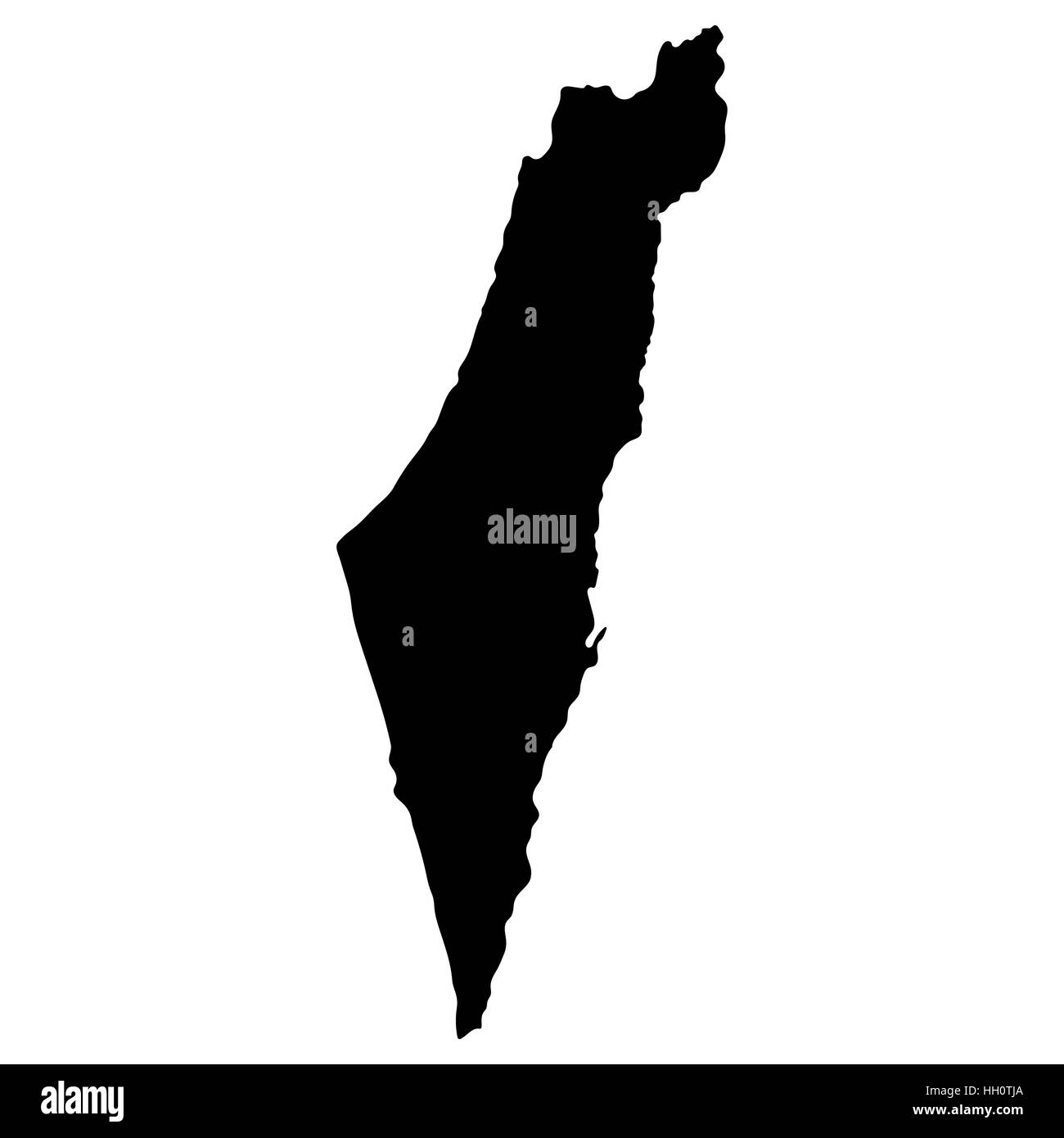 Map of Israel, vector illustration Stock Vectorhttps://www.alamy.com/image-license-details/?v=1https://www.alamy.com/stock-photo-map-of-israel-vector-illustration-130941058.html
RFHH0TJA–Map of Israel, vector illustration
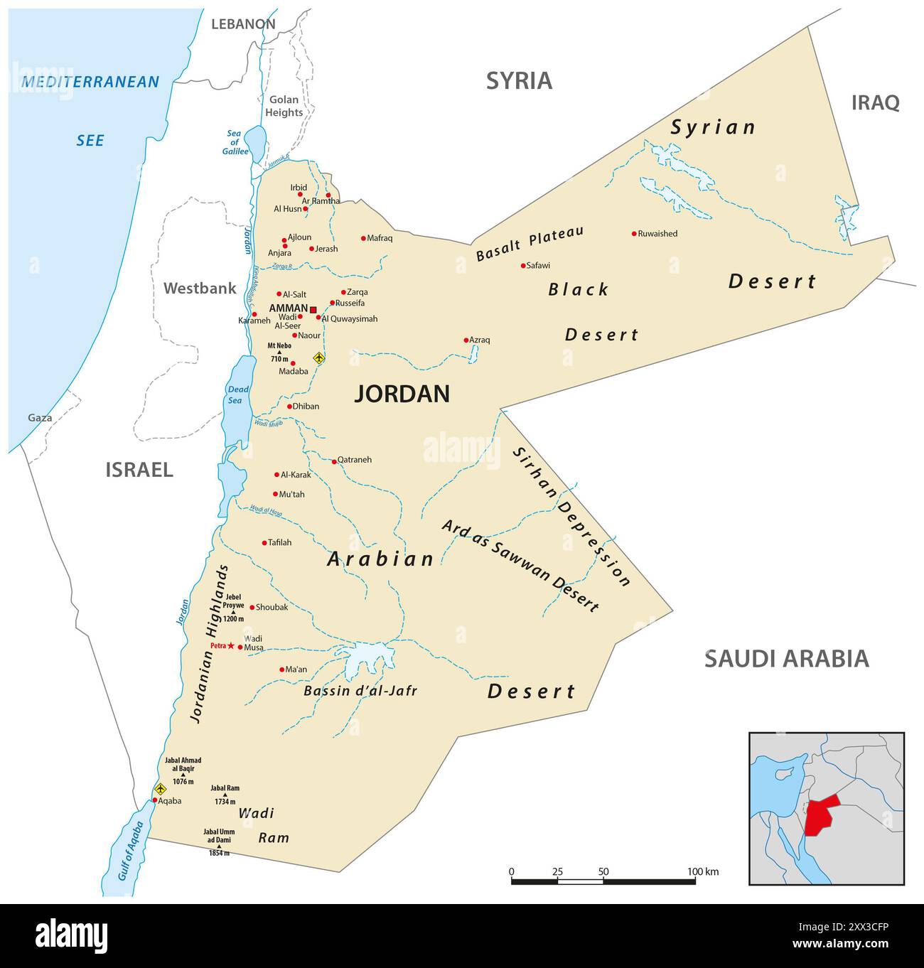 Kingdom of Jordan vector map Stock Photohttps://www.alamy.com/image-license-details/?v=1https://www.alamy.com/kingdom-of-jordan-vector-map-image618419642.html
RF2XX3CFP–Kingdom of Jordan vector map
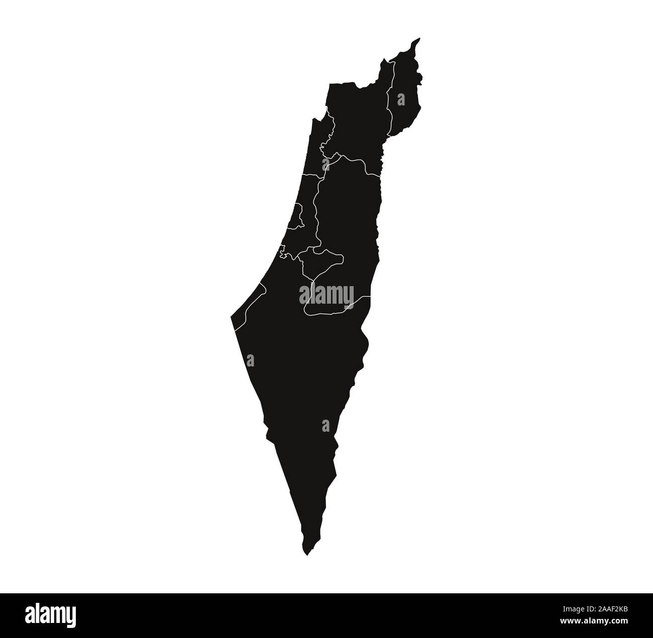 Israel map, states border map. Vector illustration. Stock Vectorhttps://www.alamy.com/image-license-details/?v=1https://www.alamy.com/israel-map-states-border-map-vector-illustration-image333474943.html
RF2AAF2KB–Israel map, states border map. Vector illustration.
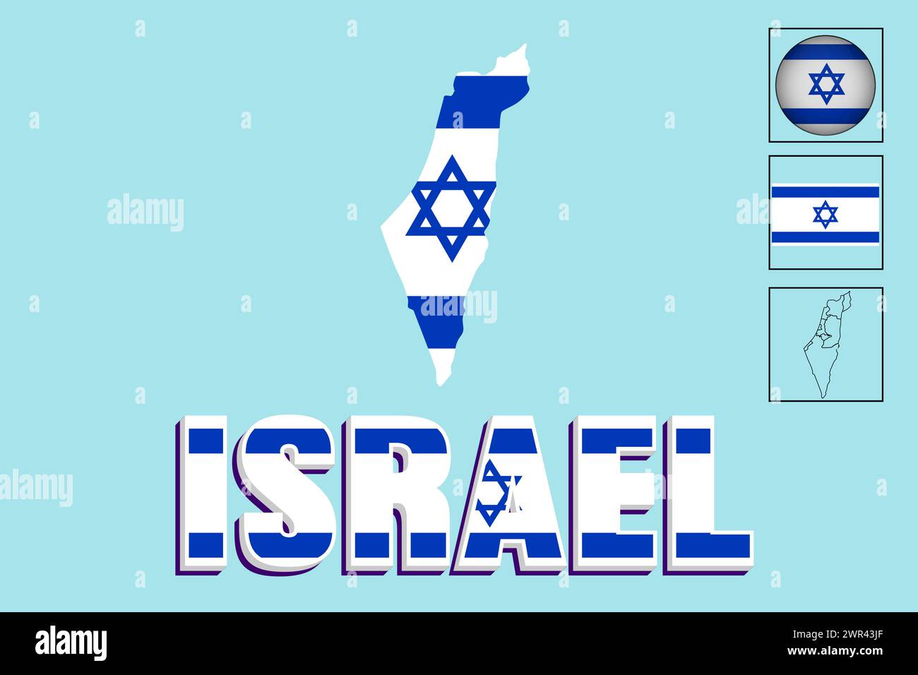 Israel flag and map in vector illustration Stock Vectorhttps://www.alamy.com/image-license-details/?v=1https://www.alamy.com/israel-flag-and-map-in-vector-illustration-image599380279.html
RF2WR43JF–Israel flag and map in vector illustration
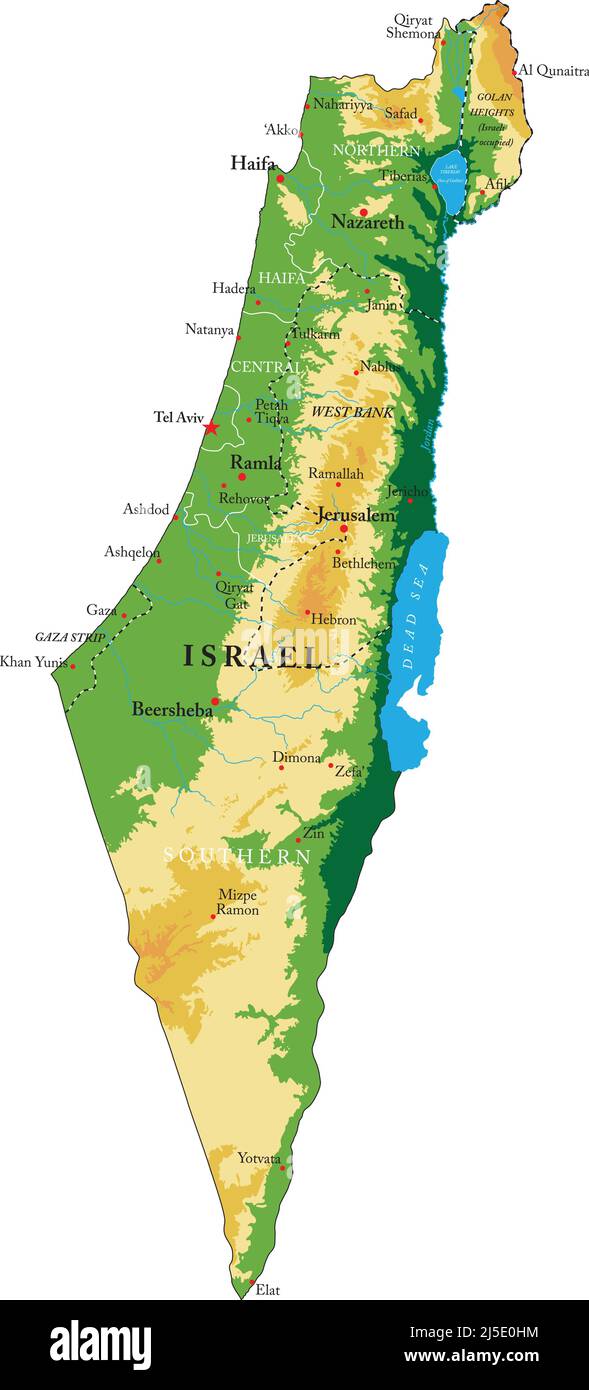 Israel- highly detailed physical map, in vector format, with all the relief forms, regions and big cities. Stock Vectorhttps://www.alamy.com/image-license-details/?v=1https://www.alamy.com/israel-highly-detailed-physical-map-in-vector-format-with-all-the-relief-forms-regions-and-big-cities-image468061040.html
RF2J5E0HM–Israel- highly detailed physical map, in vector format, with all the relief forms, regions and big cities.
 The Middle East Map in Turkish Stock Photohttps://www.alamy.com/image-license-details/?v=1https://www.alamy.com/the-middle-east-map-in-turkish-image470177312.html
RF2J8XBXT–The Middle East Map in Turkish
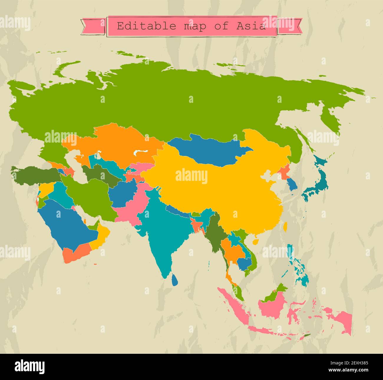 Editable Asia map with all countries. Stock Photohttps://www.alamy.com/image-license-details/?v=1https://www.alamy.com/editable-asia-map-with-all-countries-image412195285.html
RF2EXH385–Editable Asia map with all countries.
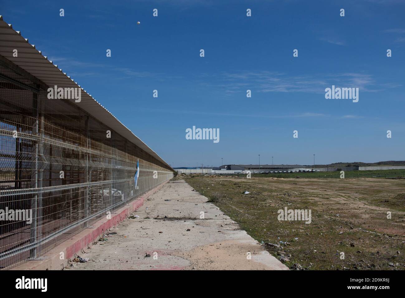 The wall between Israel and Palestine and the security installations Stock Photohttps://www.alamy.com/image-license-details/?v=1https://www.alamy.com/the-wall-between-israel-and-palestine-and-the-security-installations-image384595306.html
RM2D9KR6J–The wall between Israel and Palestine and the security installations
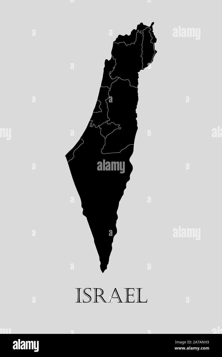 Black Israel map on light grey background. Black Israel map - vector illustration. Stock Vectorhttps://www.alamy.com/image-license-details/?v=1https://www.alamy.com/black-israel-map-on-light-grey-background-black-israel-map-vector-illustration-image331536047.html
RF2A7ANH3–Black Israel map on light grey background. Black Israel map - vector illustration.
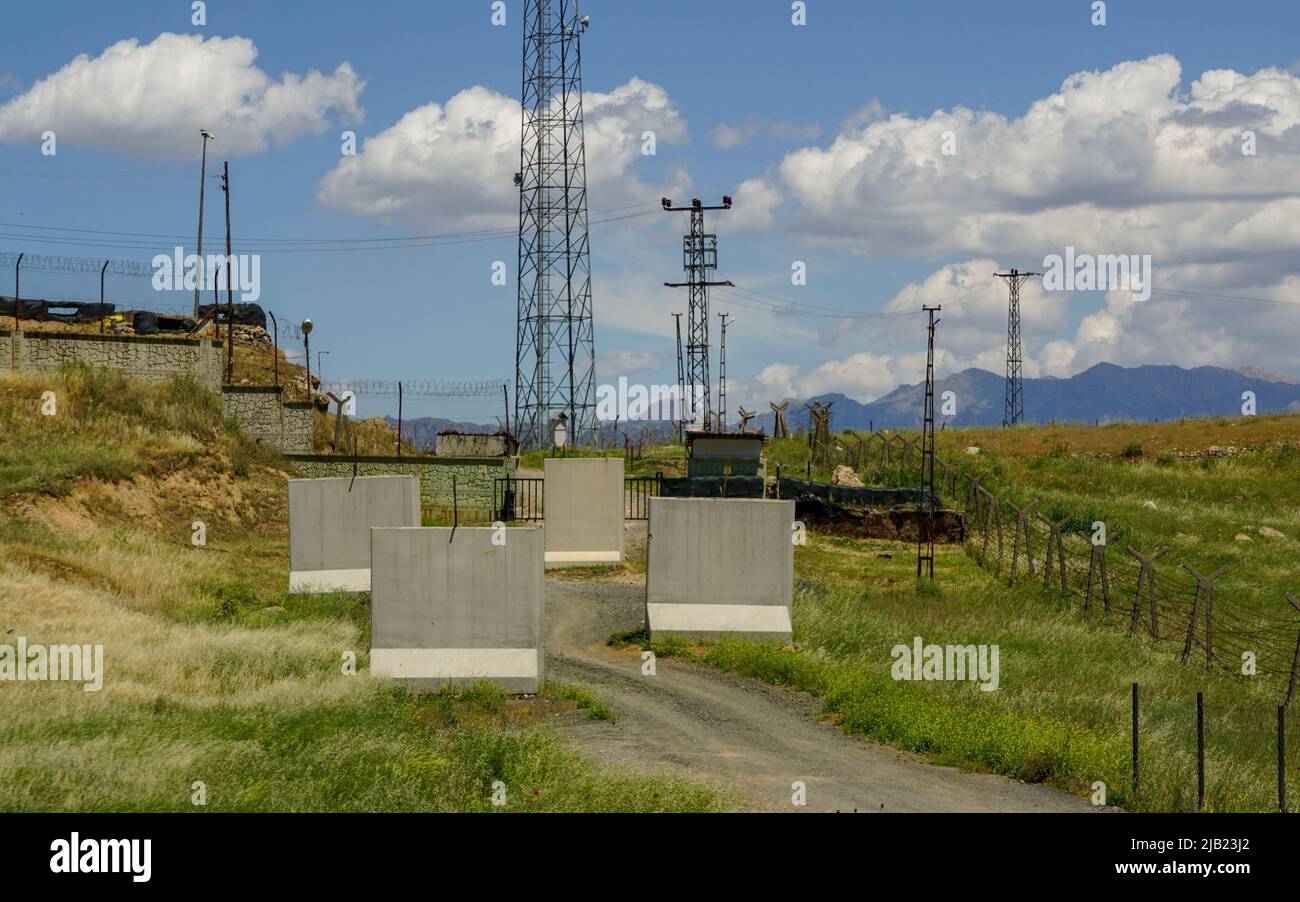 11 May 2022 Nusaybin Sirnak Turkey. Border between Turkey and Syria in Nusaybin Turkey Stock Photohttps://www.alamy.com/image-license-details/?v=1https://www.alamy.com/11-may-2022-nusaybin-sirnak-turkey-border-between-turkey-and-syria-in-nusaybin-turkey-image471487914.html
RF2JB23J2–11 May 2022 Nusaybin Sirnak Turkey. Border between Turkey and Syria in Nusaybin Turkey
RF2TC97GX–Flat Map of Palestine Country Illustration Icon Vector Palestine map
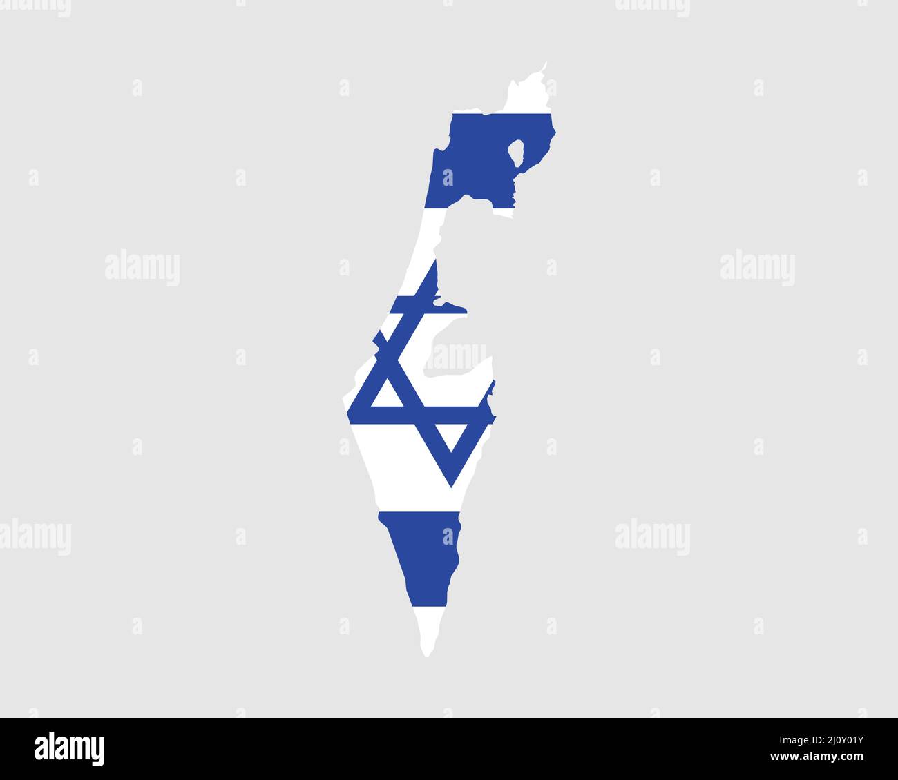 Israel Map Flag. Map of the State of Israel with the Israeli country banner. Vector Illustration. Stock Vectorhttps://www.alamy.com/image-license-details/?v=1https://www.alamy.com/israel-map-flag-map-of-the-state-of-israel-with-the-israeli-country-banner-vector-illustration-image465272695.html
RF2J0Y01Y–Israel Map Flag. Map of the State of Israel with the Israeli country banner. Vector Illustration.
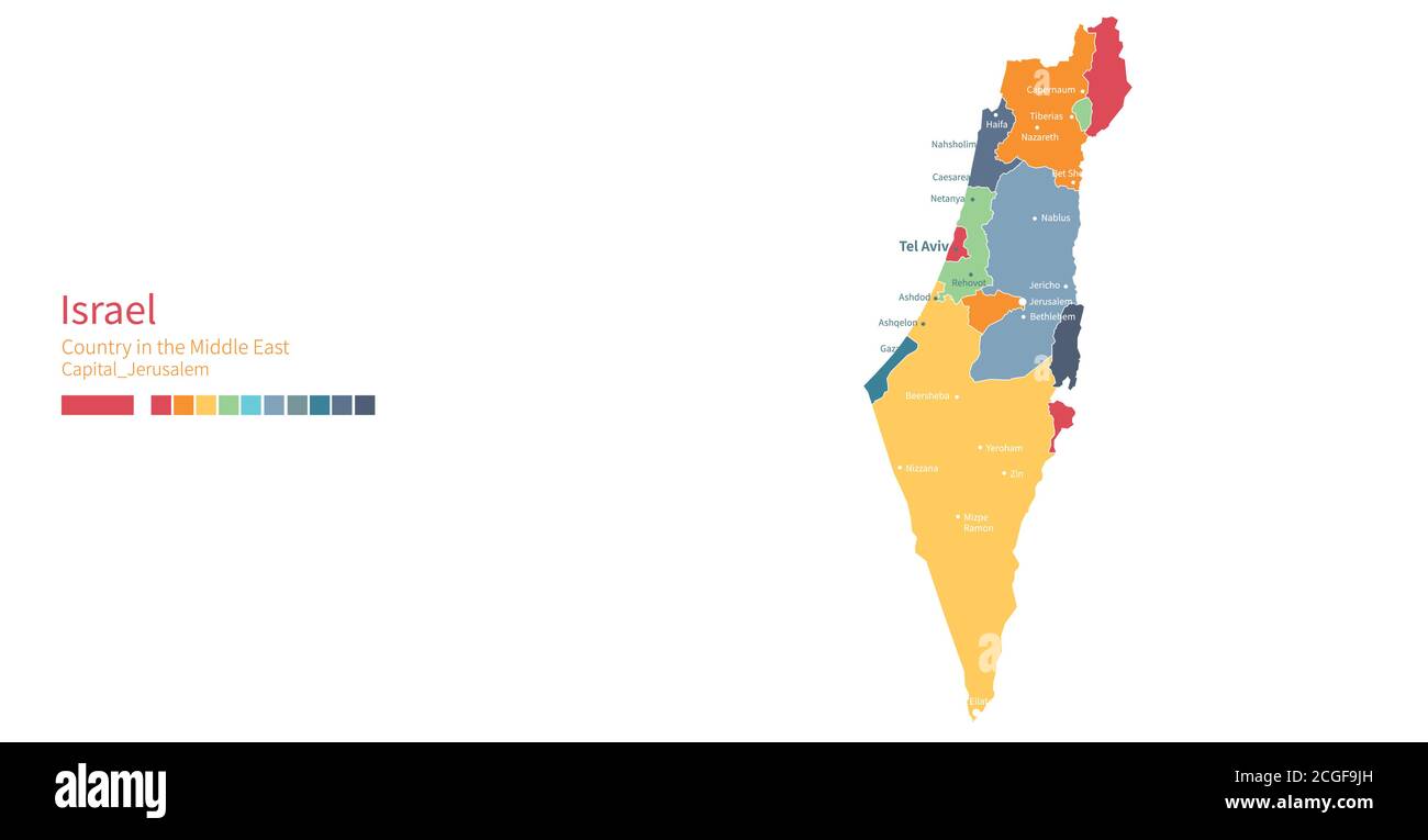 Israel map. Colorful detailed vector map of the Middle East country. Stock Vectorhttps://www.alamy.com/image-license-details/?v=1https://www.alamy.com/israel-map-colorful-detailed-vector-map-of-the-middle-east-country-image371589081.html
RF2CGF9JH–Israel map. Colorful detailed vector map of the Middle East country.
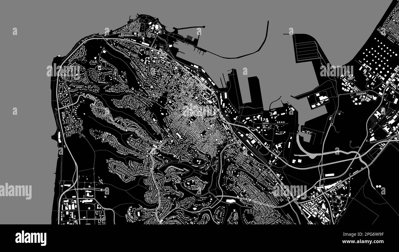 Black grey Haifa City area vector background map, Haifa roads and water cartography illustration. Widescreen proportion, digital flat design roadmap. Stock Vectorhttps://www.alamy.com/image-license-details/?v=1https://www.alamy.com/black-grey-haifa-city-area-vector-background-map-haifa-roads-and-water-cartography-illustration-widescreen-proportion-digital-flat-design-roadmap-image543507483.html
RF2PG6W9F–Black grey Haifa City area vector background map, Haifa roads and water cartography illustration. Widescreen proportion, digital flat design roadmap.
 Map of Israel with flag inside. Israel map vector illustration Stock Vectorhttps://www.alamy.com/image-license-details/?v=1https://www.alamy.com/map-of-israel-with-flag-inside-israel-map-vector-illustration-image234047491.html
RFRGNNXY–Map of Israel with flag inside. Israel map vector illustration
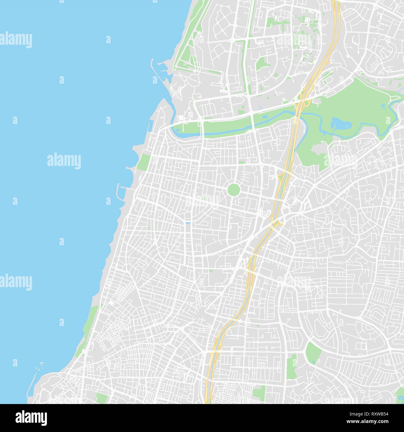 Downtown vector map of Tel Aviv, Israel. This printable map of Tel Aviv contains lines and classic colored shapes for land mass, parks, water, major a Stock Vectorhttps://www.alamy.com/image-license-details/?v=1https://www.alamy.com/downtown-vector-map-of-tel-aviv-israel-this-printable-map-of-tel-aviv-contains-lines-and-classic-colored-shapes-for-land-mass-parks-water-major-a-image240273408.html
RFRXWB54–Downtown vector map of Tel Aviv, Israel. This printable map of Tel Aviv contains lines and classic colored shapes for land mass, parks, water, major a
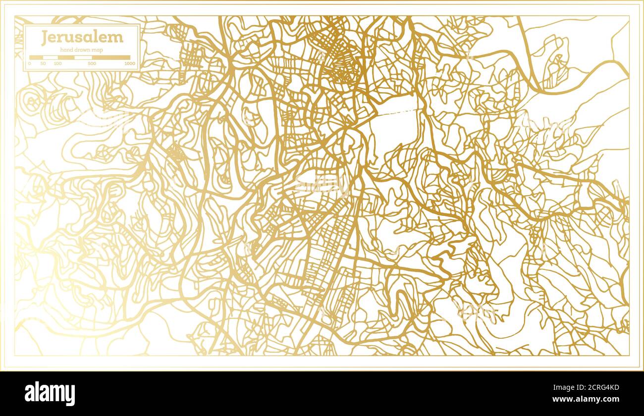 Jerusalem Israel City Map in Retro Style in Golden Color. Outline Map. Vector Illustration. Stock Vectorhttps://www.alamy.com/image-license-details/?v=1https://www.alamy.com/jerusalem-israel-city-map-in-retro-style-in-golden-color-outline-map-vector-illustration-image375909729.html
RF2CRG4KD–Jerusalem Israel City Map in Retro Style in Golden Color. Outline Map. Vector Illustration.
RFT2BRJ8–Vector illustration of abstract halftone map of Israel made of square pixels with Israeli national flag colors for your design
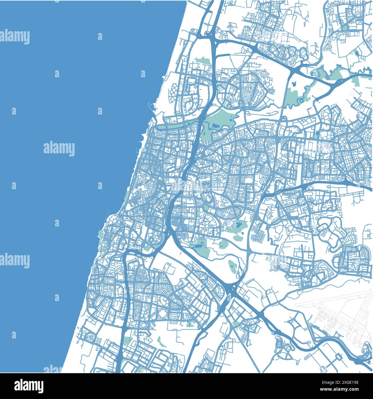 Map of Tel Aviv in Israel in blue style. Contains layered vector with roads water, parks, etc. Stock Vectorhttps://www.alamy.com/image-license-details/?v=1https://www.alamy.com/map-of-tel-aviv-in-israel-in-blue-style-contains-layered-vector-with-roads-water-parks-etc-image612505754.html
RF2XGE19E–Map of Tel Aviv in Israel in blue style. Contains layered vector with roads water, parks, etc.
 Map of Israel Stock Vectorhttps://www.alamy.com/image-license-details/?v=1https://www.alamy.com/stock-photo-map-of-israel-132640294.html
RFHKP81A–Map of Israel
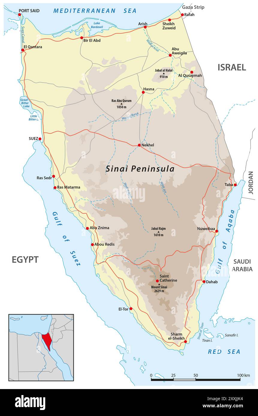 Road map of the Egyptian Sinai Peninsula Stock Photohttps://www.alamy.com/image-license-details/?v=1https://www.alamy.com/road-map-of-the-egyptian-sinai-peninsula-image618753720.html
RF2XXJJK4–Road map of the Egyptian Sinai Peninsula
 Israel map, flag. Vector illustration, flat design. Stock Vectorhttps://www.alamy.com/image-license-details/?v=1https://www.alamy.com/israel-map-flag-vector-illustration-flat-design-image344121027.html
RF2AYT1TK–Israel map, flag. Vector illustration, flat design.
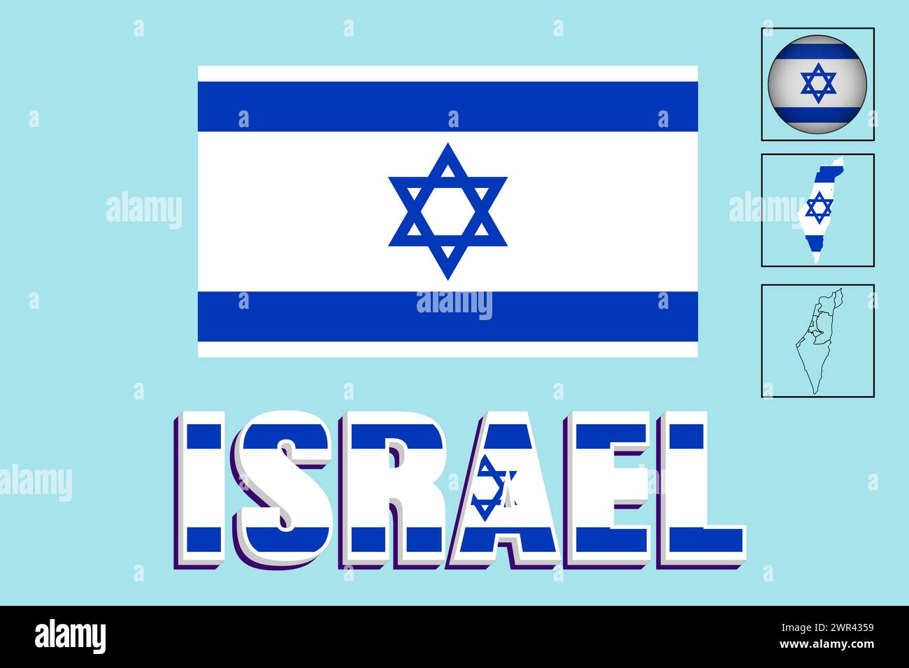 Israel flag and map in vector illustration Stock Vectorhttps://www.alamy.com/image-license-details/?v=1https://www.alamy.com/israel-flag-and-map-in-vector-illustration-image599379909.html
RF2WR4359–Israel flag and map in vector illustration
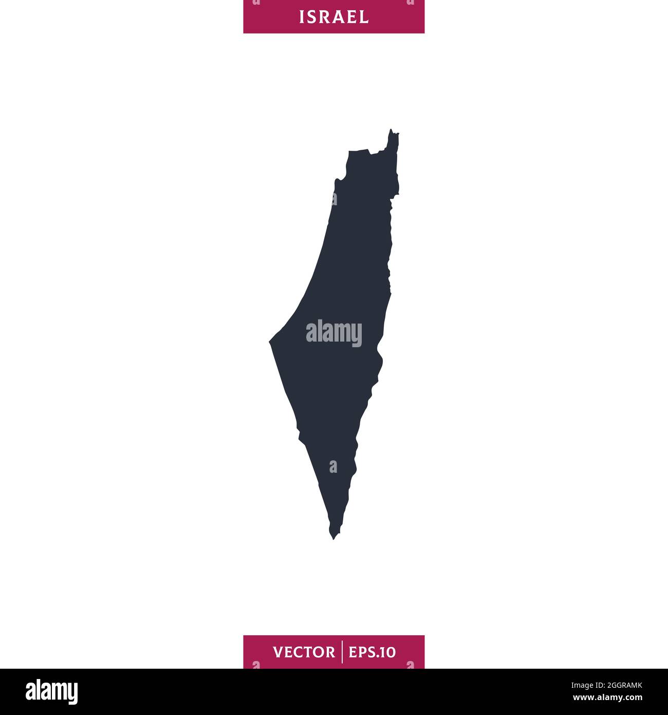 Detailed map of Israel vector stock illustration design template. Vector eps 10. Stock Vectorhttps://www.alamy.com/image-license-details/?v=1https://www.alamy.com/detailed-map-of-israel-vector-stock-illustration-design-template-vector-eps-10-image440607011.html
RF2GGRAMK–Detailed map of Israel vector stock illustration design template. Vector eps 10.
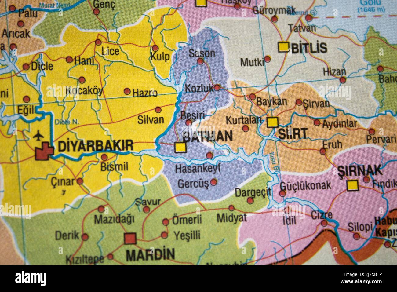 Close-up photo of Batman City in Turkey on the map Stock Photohttps://www.alamy.com/image-license-details/?v=1https://www.alamy.com/close-up-photo-of-batman-city-in-turkey-on-the-map-image470177254.html
RF2J8XBTP–Close-up photo of Batman City in Turkey on the map
 egypt country on map Stock Photohttps://www.alamy.com/image-license-details/?v=1https://www.alamy.com/stock-photo-egypt-country-on-map-80129276.html
RMEJA5KT–egypt country on map
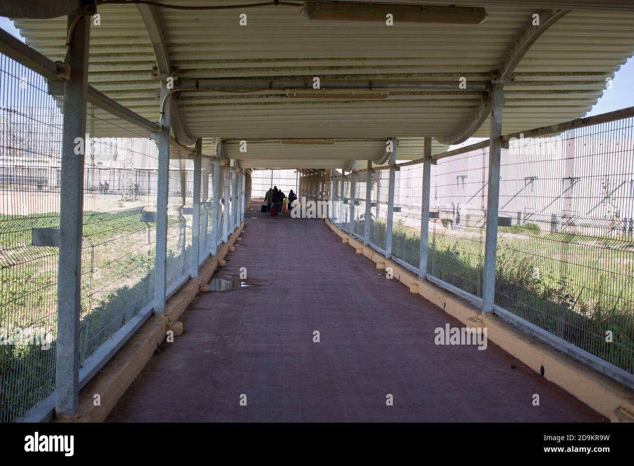 The wall between Israel and Palestine and the security installations Stock Photohttps://www.alamy.com/image-license-details/?v=1https://www.alamy.com/the-wall-between-israel-and-palestine-and-the-security-installations-image384595397.html
RM2D9KR9W–The wall between Israel and Palestine and the security installations
 Vector Illustration for Israel, Round Button. Stock Photohttps://www.alamy.com/image-license-details/?v=1https://www.alamy.com/stock-photo-vector-illustration-for-israel-round-button-112657079.html
RFGF7Y73–Vector Illustration for Israel, Round Button.
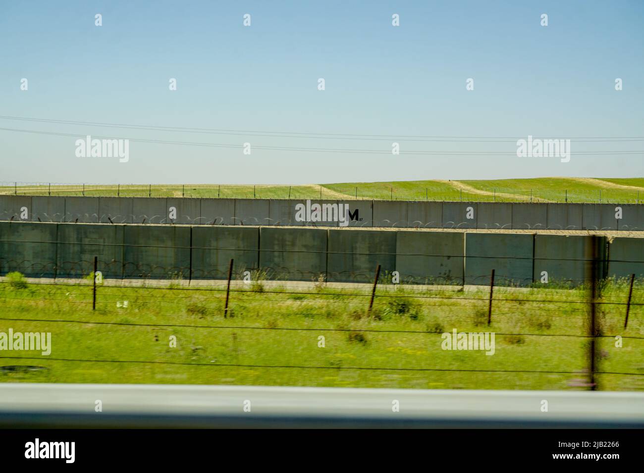 11 May 2022 Nusaybin Sirnak Turkey. Border between Turkey and Syria in Nusaybin Turkey Stock Photohttps://www.alamy.com/image-license-details/?v=1https://www.alamy.com/11-may-2022-nusaybin-sirnak-turkey-border-between-turkey-and-syria-in-nusaybin-turkey-image471486798.html
RF2JB2266–11 May 2022 Nusaybin Sirnak Turkey. Border between Turkey and Syria in Nusaybin Turkey
RF2TC97GW–Line Map of Palestine Country Illustration Icon Vector Palestine map
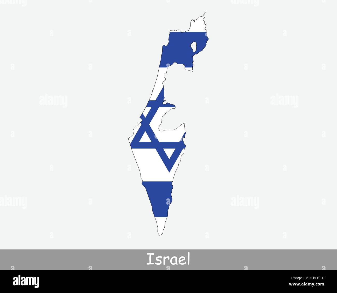 Israel Map Flag. Map of the State of Israel with the Israeli national flag isolated on white background. Vector Illustration. Stock Vectorhttps://www.alamy.com/image-license-details/?v=1https://www.alamy.com/israel-map-flag-map-of-the-state-of-israel-with-the-israeli-national-flag-isolated-on-white-background-vector-illustration-image417023614.html
RF2F6D1TE–Israel Map Flag. Map of the State of Israel with the Israeli national flag isolated on white background. Vector Illustration.
RF2G27F0N–Israel networking map tech icon logo design illustration symbol
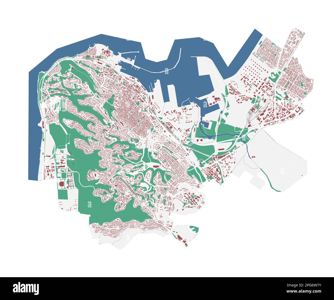 Haifa vector map. Detailed map of Haifa city administrative area. Cityscape panorama. Royalty free vector illustration. Outline map with buildings, wa Stock Vectorhttps://www.alamy.com/image-license-details/?v=1https://www.alamy.com/haifa-vector-map-detailed-map-of-haifa-city-administrative-area-cityscape-panorama-royalty-free-vector-illustration-outline-map-with-buildings-wa-image543507439.html
RF2PG6W7Y–Haifa vector map. Detailed map of Haifa city administrative area. Cityscape panorama. Royalty free vector illustration. Outline map with buildings, wa
 Map of Israel - outline. Silhouette of Israel map vector illustration Stock Vectorhttps://www.alamy.com/image-license-details/?v=1https://www.alamy.com/map-of-israel-outline-silhouette-of-israel-map-vector-illustration-image233862206.html
RFRGD9HJ–Map of Israel - outline. Silhouette of Israel map vector illustration
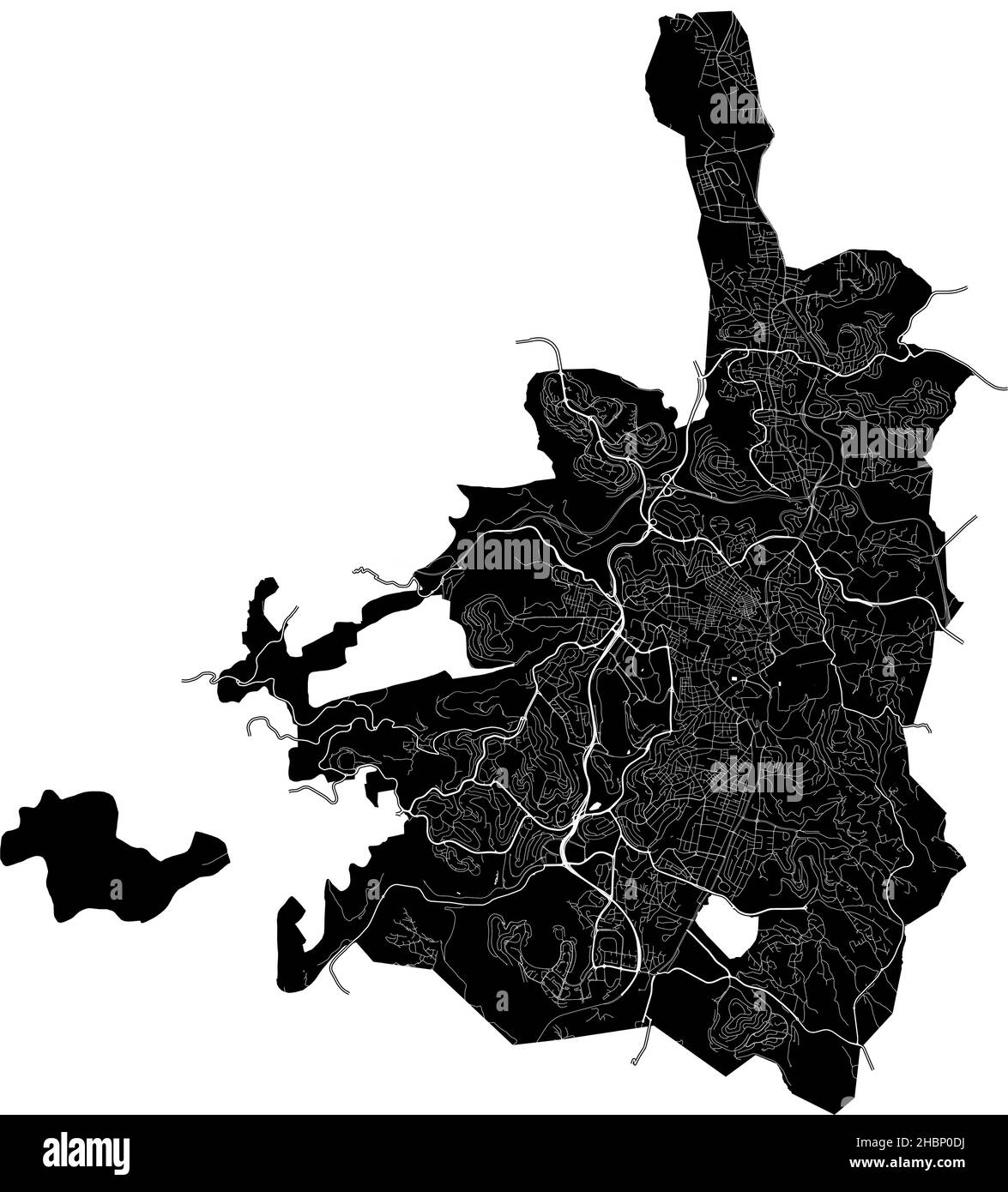 Jerusalem, Israel, high resolution vector map with city boundaries, and editable paths. The city map was drawn with white areas and lines for main roa Stock Vectorhttps://www.alamy.com/image-license-details/?v=1https://www.alamy.com/jerusalem-israel-high-resolution-vector-map-with-city-boundaries-and-editable-paths-the-city-map-was-drawn-with-white-areas-and-lines-for-main-roa-image454714110.html
RF2HBP0DJ–Jerusalem, Israel, high resolution vector map with city boundaries, and editable paths. The city map was drawn with white areas and lines for main roa
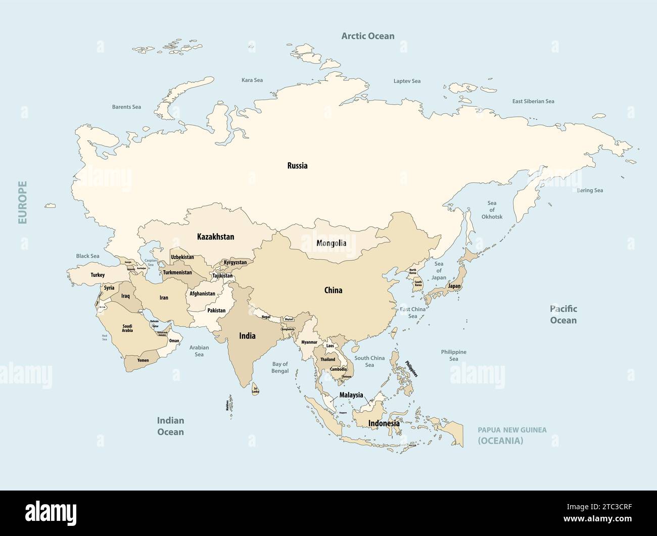 Asia political detailed vector map Stock Vectorhttps://www.alamy.com/image-license-details/?v=1https://www.alamy.com/asia-political-detailed-vector-map-image575393939.html
RF2TC3CRF–Asia political detailed vector map
 Vector illustration of abstract radial dotted halftone map of Israel and wavy ribbon with Israeli national flag colors for your design Stock Vectorhttps://www.alamy.com/image-license-details/?v=1https://www.alamy.com/vector-illustration-of-abstract-radial-dotted-halftone-map-of-israel-and-wavy-ribbon-with-israeli-national-flag-colors-for-your-design-image242434455.html
RFT2BRHB–Vector illustration of abstract radial dotted halftone map of Israel and wavy ribbon with Israeli national flag colors for your design
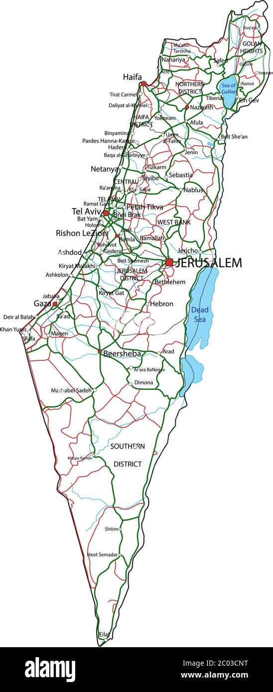 Israel road and highway map. Vector illustration. Stock Vectorhttps://www.alamy.com/image-license-details/?v=1https://www.alamy.com/israel-road-and-highway-map-vector-illustration-image361493604.html
RF2C03CNT–Israel road and highway map. Vector illustration.
 Map of Israel Stock Vectorhttps://www.alamy.com/image-license-details/?v=1https://www.alamy.com/stock-photo-map-of-israel-130941054.html
RFHH0TJ6–Map of Israel
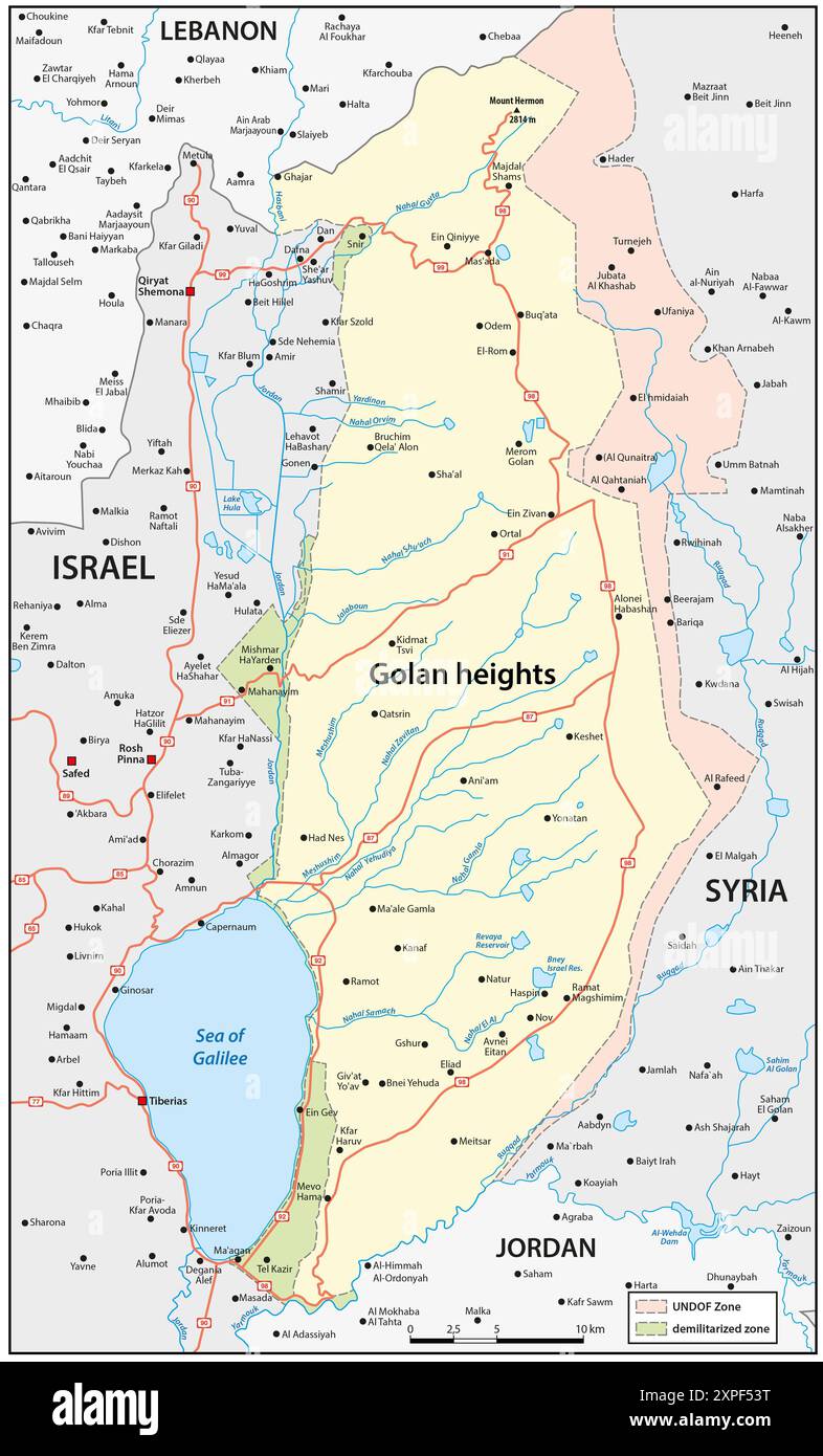 Map of the Israeli-occupied Golan Heights Stock Photohttps://www.alamy.com/image-license-details/?v=1https://www.alamy.com/map-of-the-israeli-occupied-golan-heights-image616218620.html
RF2XPF53T–Map of the Israeli-occupied Golan Heights
 Cartoon of Man Pointing at State of Israel on Wall World Map Stock Vectorhttps://www.alamy.com/image-license-details/?v=1https://www.alamy.com/cartoon-of-man-pointing-at-state-of-israel-on-wall-world-map-image217472733.html
RFPHPMK9–Cartoon of Man Pointing at State of Israel on Wall World Map
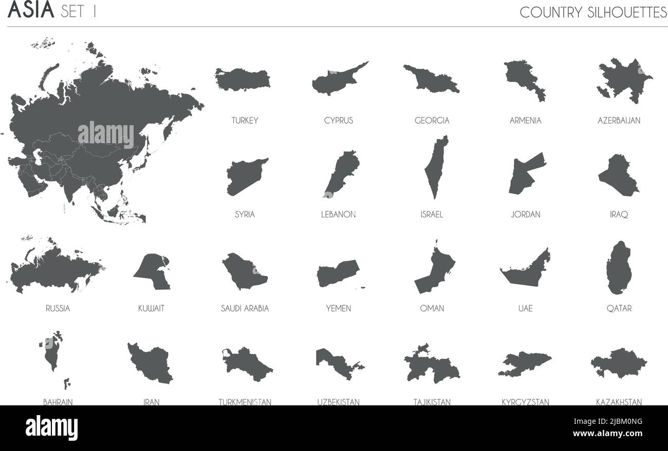 Set of 24 high detailed silhouette maps of Asian Countries and territories, and map of Asia vector illustration. Stock Vectorhttps://www.alamy.com/image-license-details/?v=1https://www.alamy.com/set-of-24-high-detailed-silhouette-maps-of-asian-countries-and-territories-and-map-of-asia-vector-illustration-image471880796.html
RF2JBM0NG–Set of 24 high detailed silhouette maps of Asian Countries and territories, and map of Asia vector illustration.
 Line map of Israel vector stock illustration design template. Editable stroke. Vector eps 10. Stock Vectorhttps://www.alamy.com/image-license-details/?v=1https://www.alamy.com/line-map-of-israel-vector-stock-illustration-design-template-editable-stroke-vector-eps-10-image442895587.html
RF2GMFHRF–Line map of Israel vector stock illustration design template. Editable stroke. Vector eps 10.
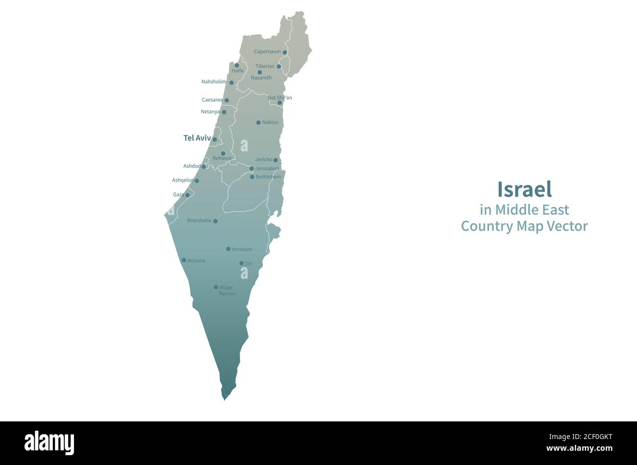 Israel vector map. Middle East Country Map Green Series. Stock Vectorhttps://www.alamy.com/image-license-details/?v=1https://www.alamy.com/israel-vector-map-middle-east-country-map-green-series-image370650668.html
RF2CF0GKT–Israel vector map. Middle East Country Map Green Series.
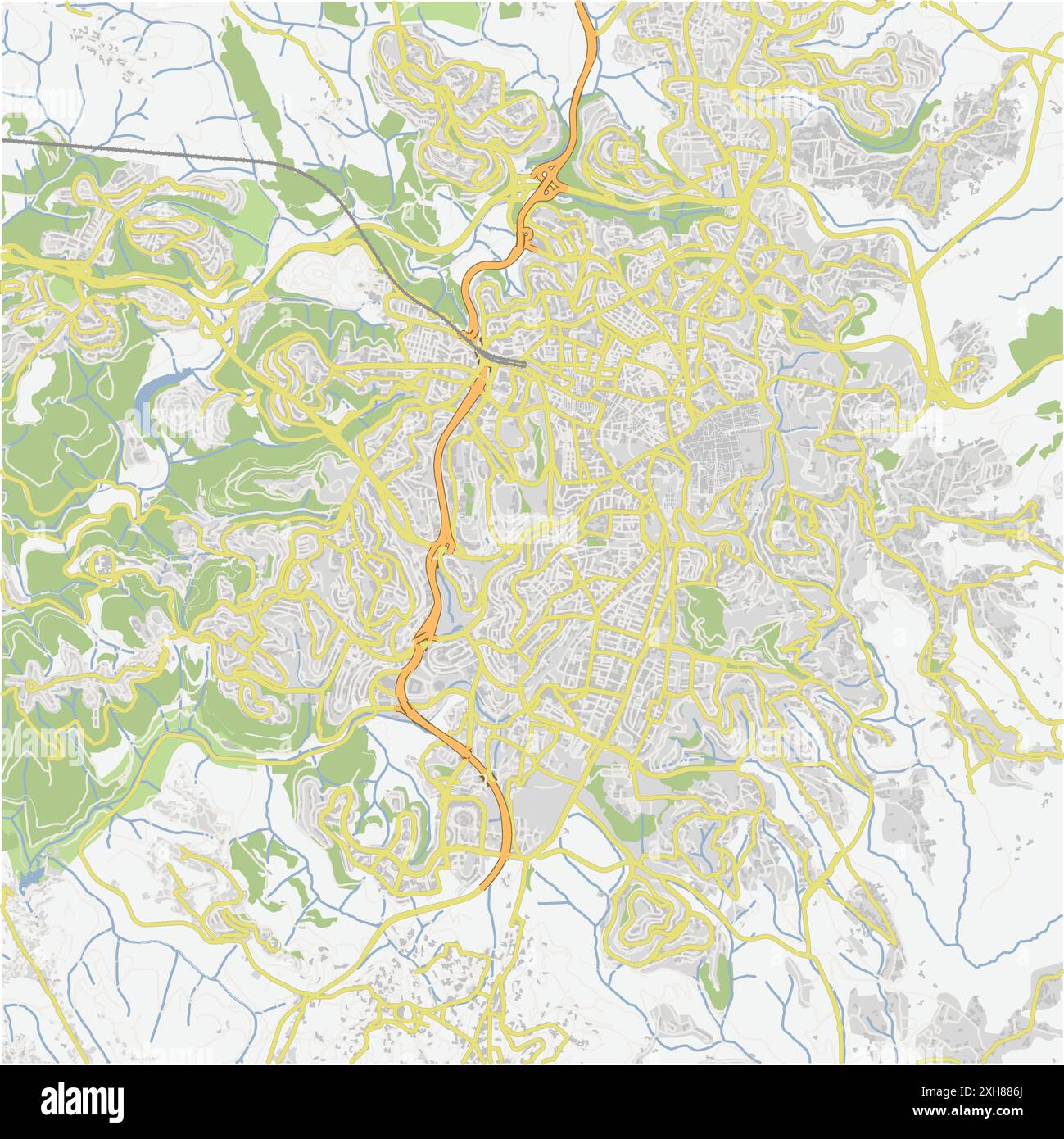 Road map of Jerusalem in Israel. Contains layered vector with roads water, parks, etc. Stock Vectorhttps://www.alamy.com/image-license-details/?v=1https://www.alamy.com/road-map-of-jerusalem-in-israel-contains-layered-vector-with-roads-water-parks-etc-image612994106.html
RF2XH886J–Road map of Jerusalem in Israel. Contains layered vector with roads water, parks, etc.
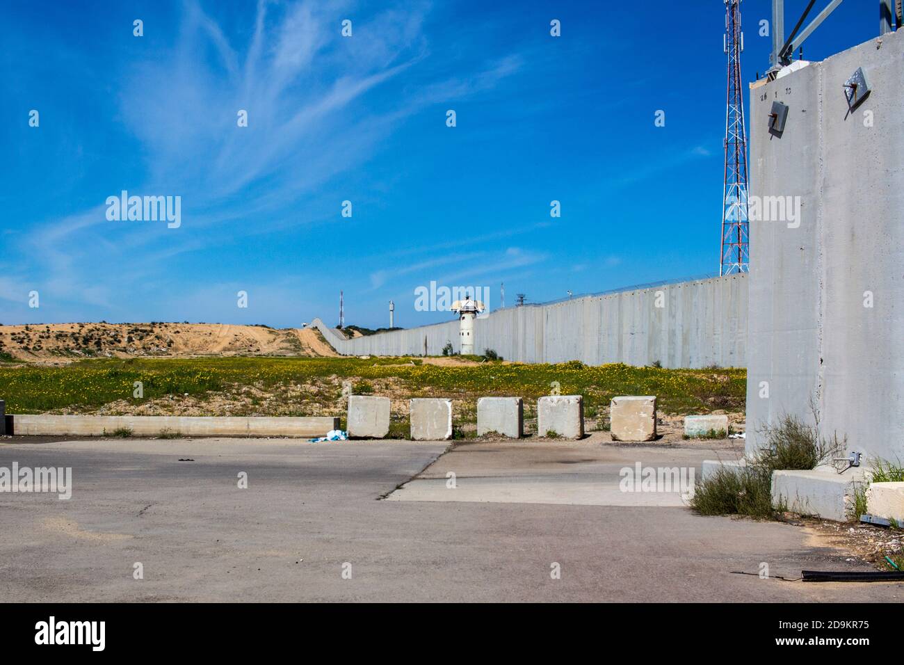 The wall between Israel and Palestine and the security installations Stock Photohttps://www.alamy.com/image-license-details/?v=1https://www.alamy.com/the-wall-between-israel-and-palestine-and-the-security-installations-image384595321.html
RM2D9KR75–The wall between Israel and Palestine and the security installations
 A contour map of Israel. Vector graphic illustration on a transparent background with black country's borders Stock Vectorhttps://www.alamy.com/image-license-details/?v=1https://www.alamy.com/a-contour-map-of-israel-vector-graphic-illustration-on-a-transparent-background-with-black-countrys-borders-image631457352.html
RF2YK9A88–A contour map of Israel. Vector graphic illustration on a transparent background with black country's borders
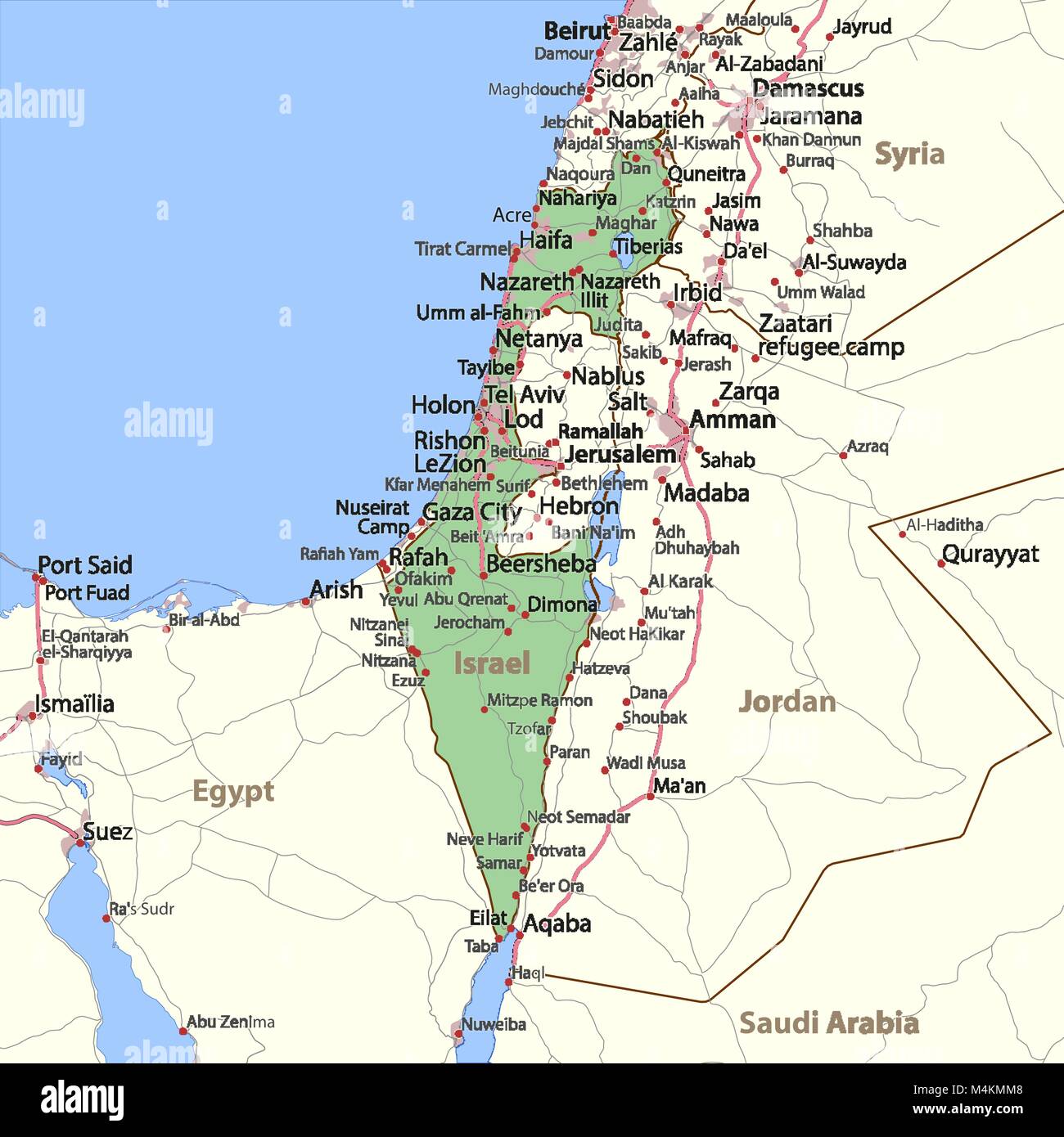 Map of Israel. Shows country borders, urban areas, place names and roads. Labels in English where possible. Projection: Mercator. Stock Vectorhttps://www.alamy.com/image-license-details/?v=1https://www.alamy.com/stock-photo-map-of-israel-shows-country-borders-urban-areas-place-names-and-roads-174995640.html
RFM4KMM8–Map of Israel. Shows country borders, urban areas, place names and roads. Labels in English where possible. Projection: Mercator.
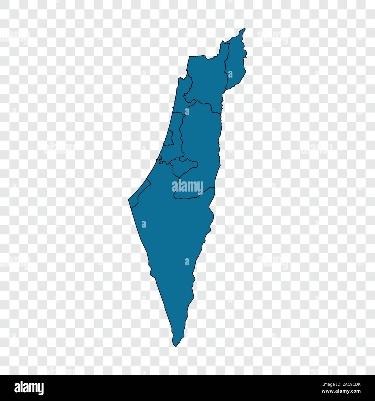 Israel map on transparent background. Vector illustration. Stock Vectorhttps://www.alamy.com/image-license-details/?v=1https://www.alamy.com/israel-map-on-transparent-background-vector-illustration-image334580223.html
RF2AC9CDK–Israel map on transparent background. Vector illustration.
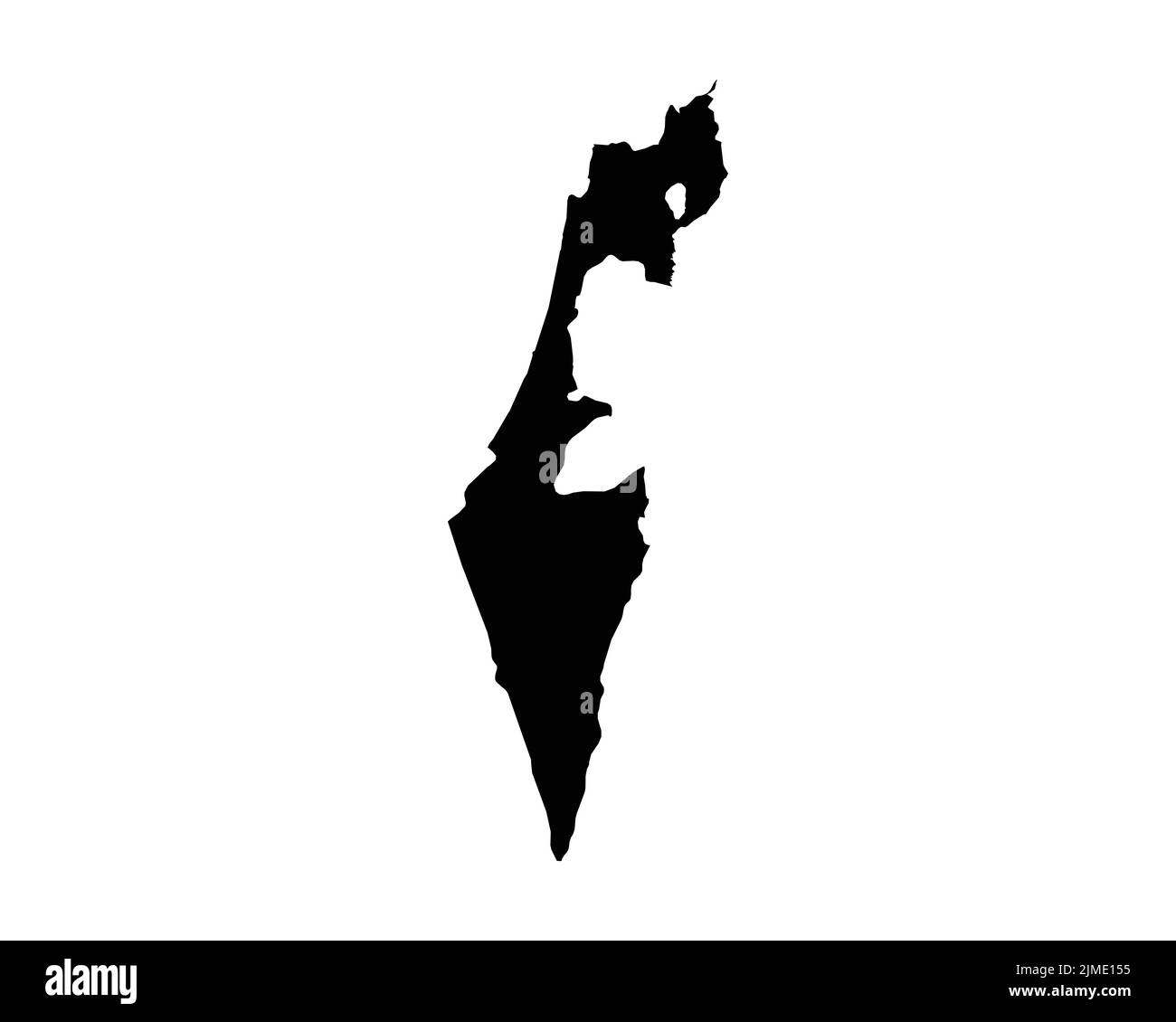 Israel Map. Israeli Country Map. Black and White National Nation Outline Geography Border Boundary Shape Territory Vector Illustration EPS Clipart Stock Vectorhttps://www.alamy.com/image-license-details/?v=1https://www.alamy.com/israel-map-israeli-country-map-black-and-white-national-nation-outline-geography-border-boundary-shape-territory-vector-illustration-eps-clipart-image477281313.html
RF2JME155–Israel Map. Israeli Country Map. Black and White National Nation Outline Geography Border Boundary Shape Territory Vector Illustration EPS Clipart
RF2BXRC0F–Africa, Middle East, Arabia and India. Vector Map Icon of the World Globe, Earth. All elements are on individual layers in the vector file.
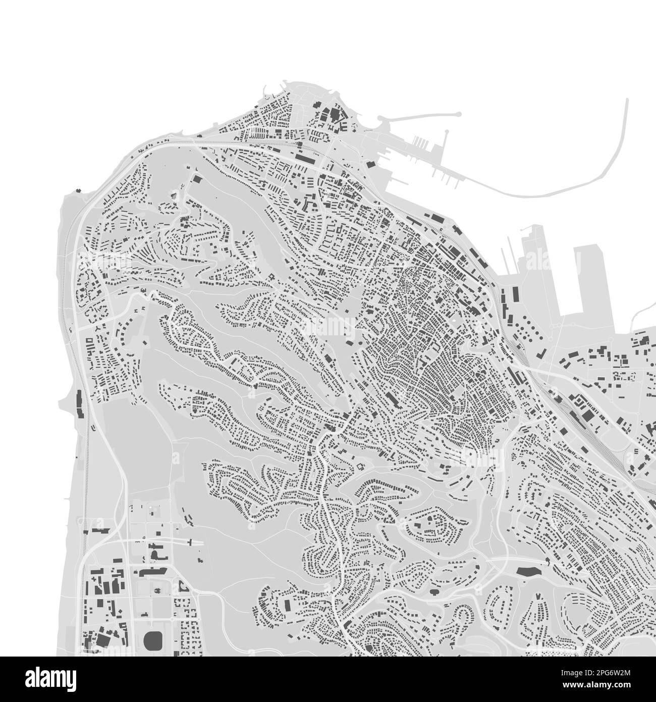 Urban city vector map of Haifa. Vector illustration, Haifa map grayscale black and white art poster. road map image with roads, metropolitan city area Stock Vectorhttps://www.alamy.com/image-license-details/?v=1https://www.alamy.com/urban-city-vector-map-of-haifa-vector-illustration-haifa-map-grayscale-black-and-white-art-poster-road-map-image-with-roads-metropolitan-city-area-image543507292.html
RF2PG6W2M–Urban city vector map of Haifa. Vector illustration, Haifa map grayscale black and white art poster. road map image with roads, metropolitan city area
 HaMerkaz Israel Map grey Stock Vectorhttps://www.alamy.com/image-license-details/?v=1https://www.alamy.com/stock-photo-hamerkaz-israel-map-grey-123361434.html
RFH4KGNE–HaMerkaz Israel Map grey
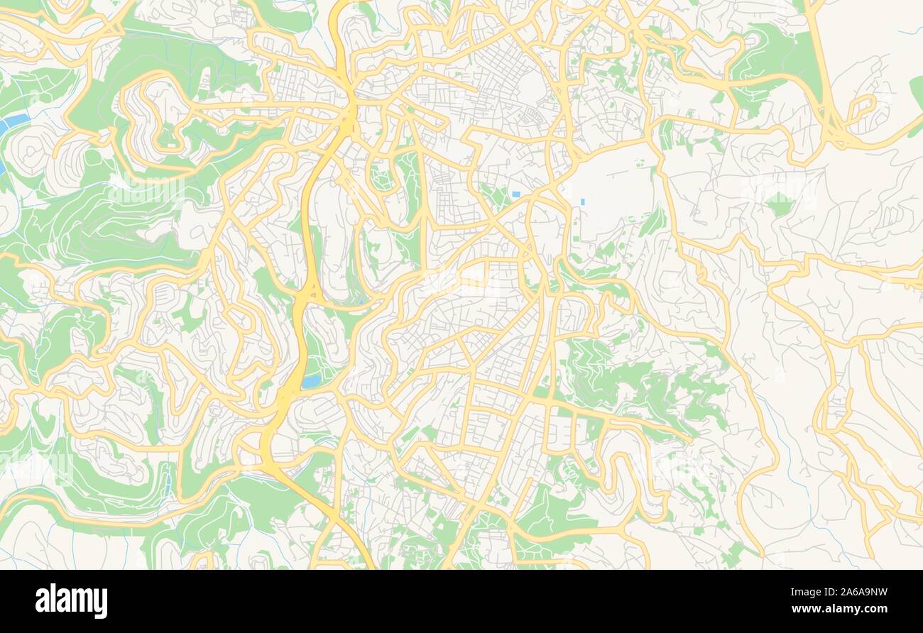 Printable street map of Jerusalem, District Jerusalem, Israel. Map template for business use. Stock Vectorhttps://www.alamy.com/image-license-details/?v=1https://www.alamy.com/printable-street-map-of-jerusalem-district-jerusalem-israel-map-template-for-business-use-image330912117.html
RF2A6A9NW–Printable street map of Jerusalem, District Jerusalem, Israel. Map template for business use.
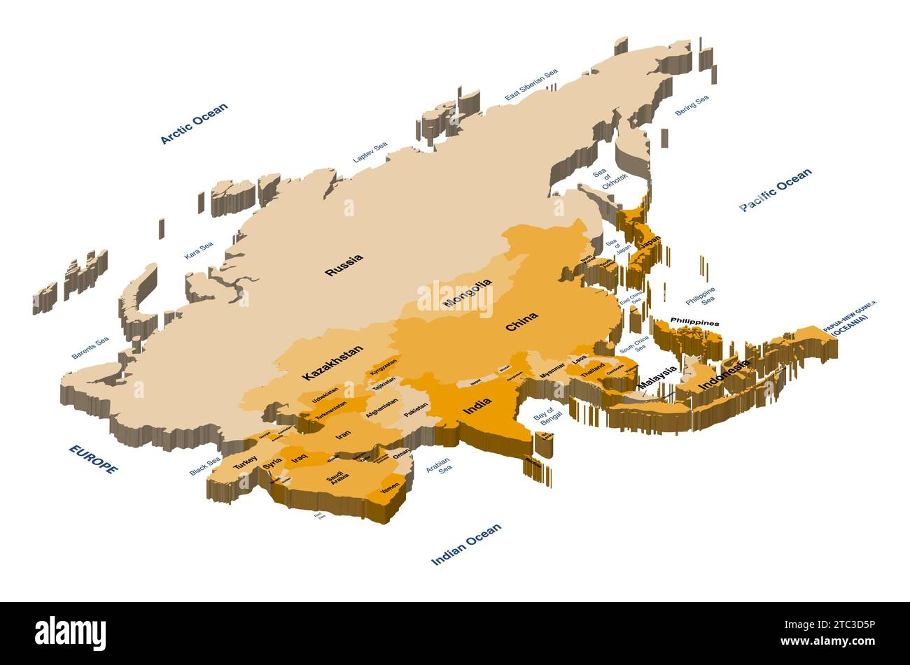 Asia political detailed isometric vector map Stock Vectorhttps://www.alamy.com/image-license-details/?v=1https://www.alamy.com/asia-political-detailed-isometric-vector-map-image575394226.html
RF2TC3D5P–Asia political detailed isometric vector map
 Israel Map on retro poster with long shadow. Vintage sign easy to edit, manipulate, resize or colourise. Stock Vectorhttps://www.alamy.com/image-license-details/?v=1https://www.alamy.com/israel-map-on-retro-poster-with-long-shadow-vintage-sign-easy-to-edit-manipulate-resize-or-colourise-image474001092.html
RF2JF4H6C–Israel Map on retro poster with long shadow. Vintage sign easy to edit, manipulate, resize or colourise.
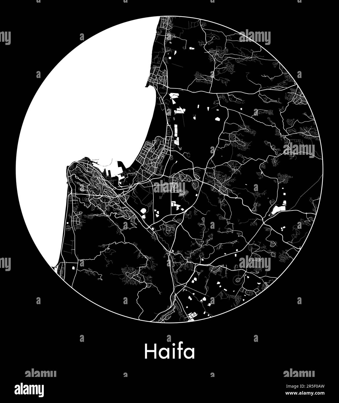 City Map Haifa Israel Asia vector illustration Stock Vectorhttps://www.alamy.com/image-license-details/?v=1https://www.alamy.com/city-map-haifa-israel-asia-vector-illustration-image554134641.html
RF2R5F0AW–City Map Haifa Israel Asia vector illustration
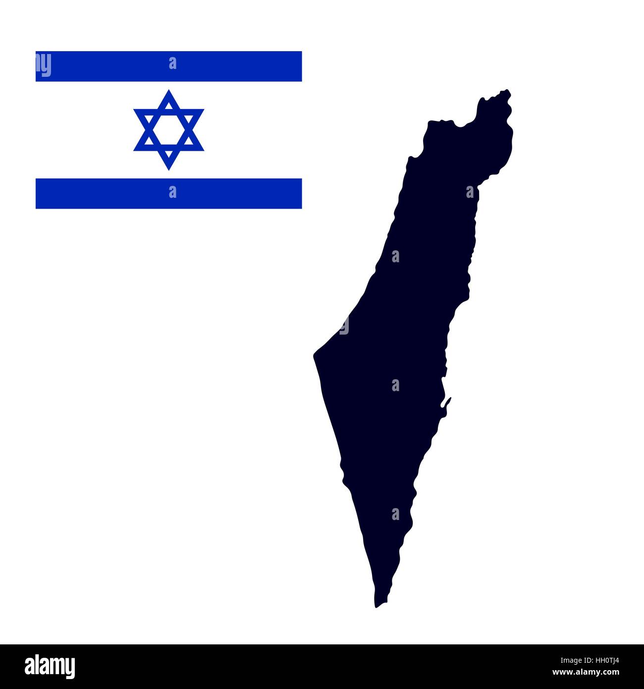 Israel map painted in the color of the flag Stock Vectorhttps://www.alamy.com/image-license-details/?v=1https://www.alamy.com/stock-photo-israel-map-painted-in-the-color-of-the-flag-130941052.html
RFHH0TJ4–Israel map painted in the color of the flag
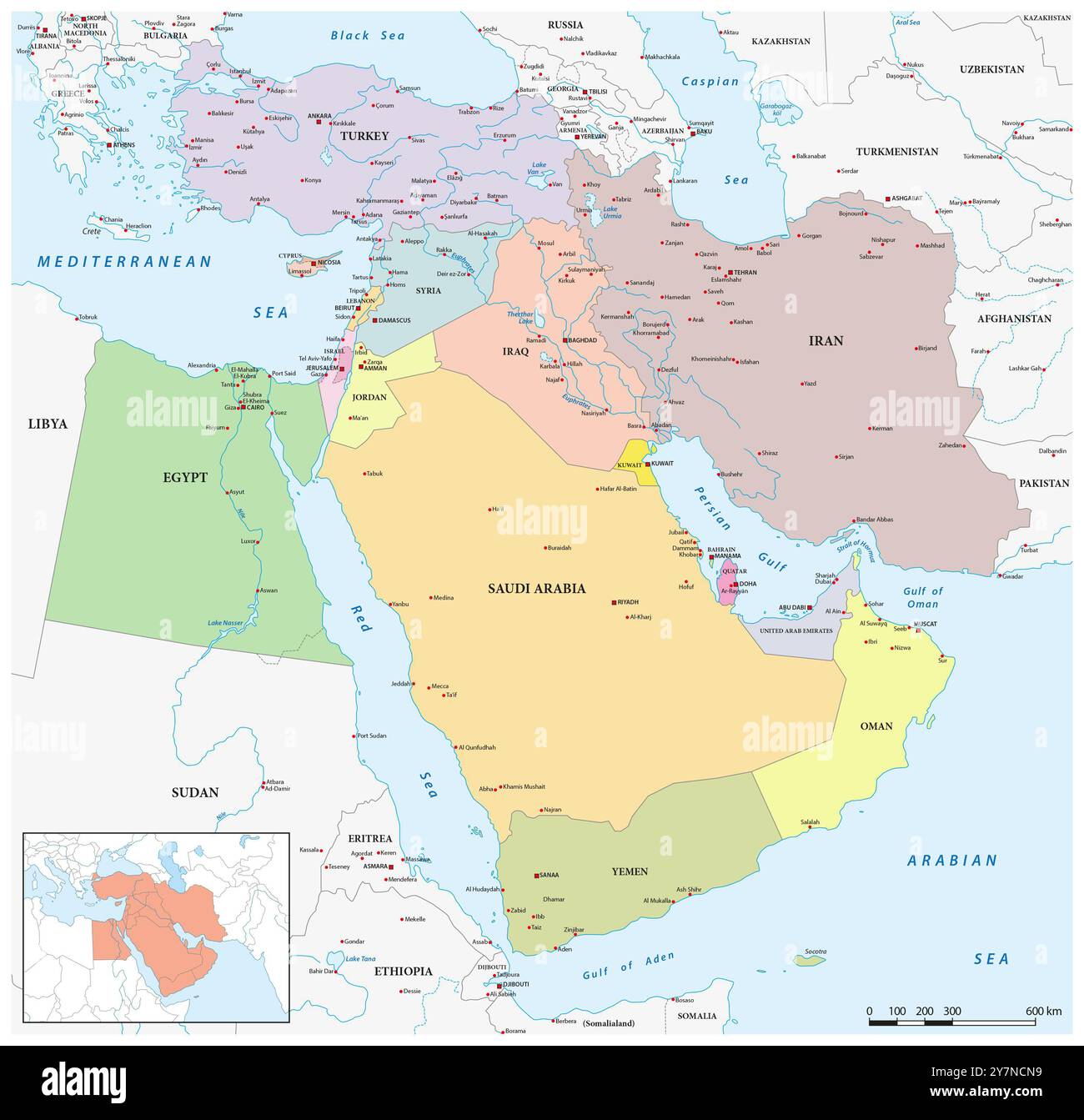 Map of the geopolitical region of the Middle East Stock Photohttps://www.alamy.com/image-license-details/?v=1https://www.alamy.com/map-of-the-geopolitical-region-of-the-middle-east-image624346837.html
RF2Y7NCN9–Map of the geopolitical region of the Middle East
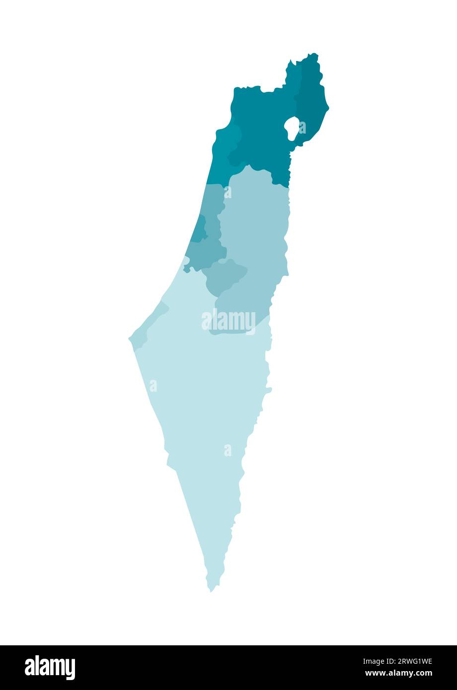 Vector isolated illustration of simplified administrative map of Israel. Borders of the districts (regions). Colorful blue khaki silhouettes. Stock Vectorhttps://www.alamy.com/image-license-details/?v=1https://www.alamy.com/vector-isolated-illustration-of-simplified-administrative-map-of-israel-borders-of-the-districts-regions-colorful-blue-khaki-silhouettes-image566450906.html
RF2RWG1WE–Vector isolated illustration of simplified administrative map of Israel. Borders of the districts (regions). Colorful blue khaki silhouettes.
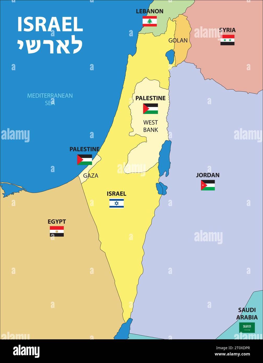 Israel and Palestine map, middle east, vector illustration Stock Vectorhttps://www.alamy.com/image-license-details/?v=1https://www.alamy.com/israel-and-palestine-map-middle-east-vector-illustration-image568523727.html
RF2T0XDPR–Israel and Palestine map, middle east, vector illustration
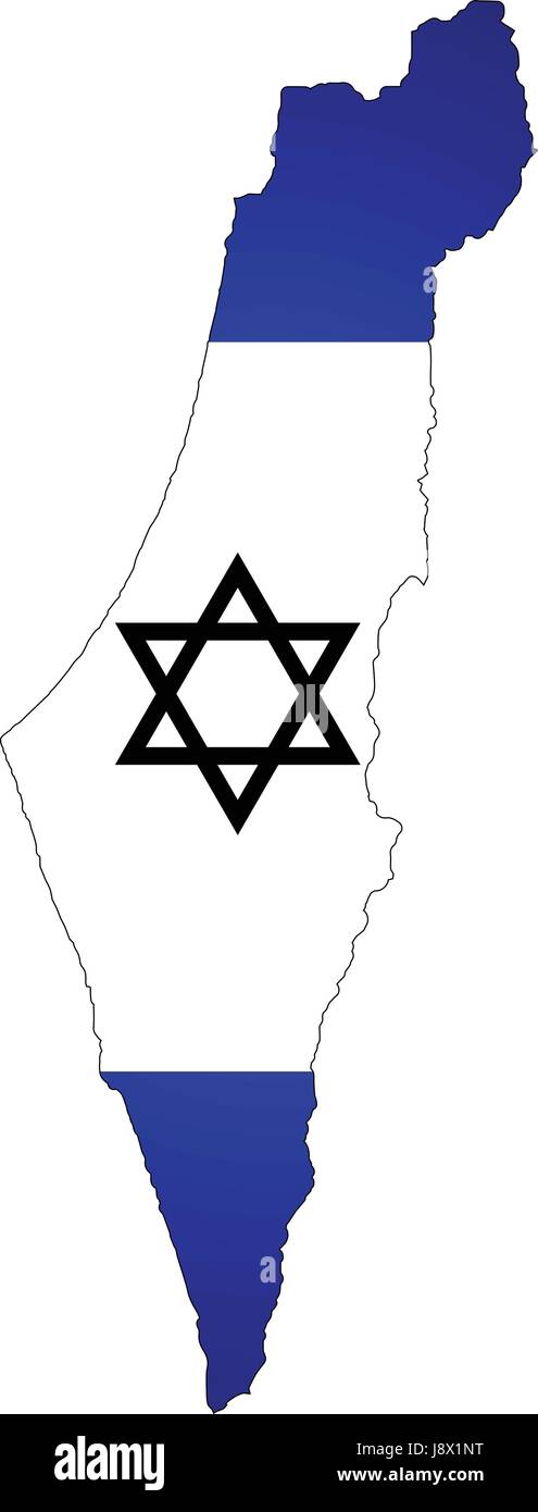 Map of Israel with the flag of the country Stock Vectorhttps://www.alamy.com/image-license-details/?v=1https://www.alamy.com/stock-photo-map-of-israel-with-the-flag-of-the-country-143172340.html
RFJ8X1NT–Map of Israel with the flag of the country
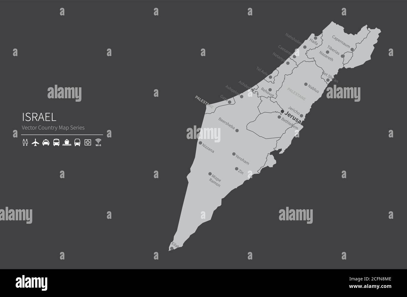 Israel map. National map of the world. Gray colored countries map series. Stock Vectorhttps://www.alamy.com/image-license-details/?v=1https://www.alamy.com/israel-map-national-map-of-the-world-gray-colored-countries-map-series-image371105406.html
RF2CFN8ME–Israel map. National map of the world. Gray colored countries map series.
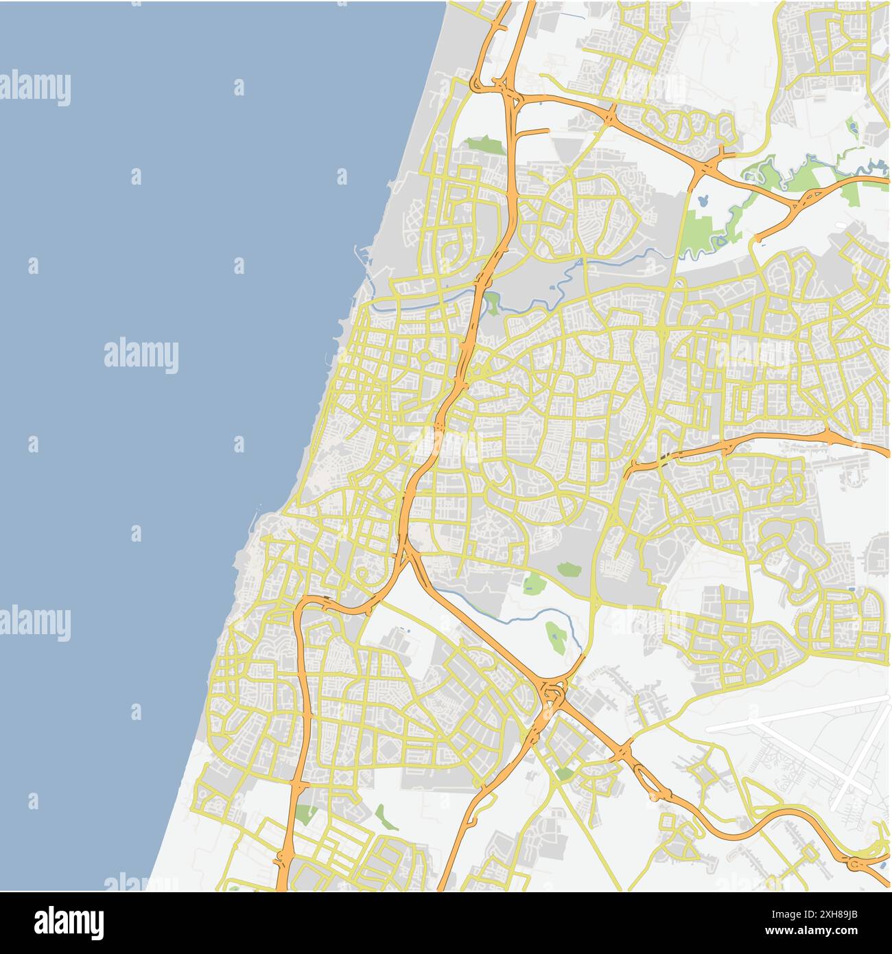 Road map of Tel Aviv in Israel. Contains layered vector with roads water, parks, etc. Stock Vectorhttps://www.alamy.com/image-license-details/?v=1https://www.alamy.com/road-map-of-tel-aviv-in-israel-contains-layered-vector-with-roads-water-parks-etc-image612995219.html
RF2XH89JB–Road map of Tel Aviv in Israel. Contains layered vector with roads water, parks, etc.
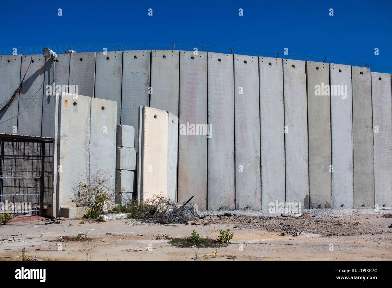 The wall between Israel and Palestine and the security installations Stock Photohttps://www.alamy.com/image-license-details/?v=1https://www.alamy.com/the-wall-between-israel-and-palestine-and-the-security-installations-image384595328.html
RM2D9KR7C–The wall between Israel and Palestine and the security installations
RFM5R54E–Israel vector map. Black icon on white background.
 Israel flag map, official color with proportion, fully Editable illustration, vector, flag, government, National flag, patriotism Stock Vectorhttps://www.alamy.com/image-license-details/?v=1https://www.alamy.com/israel-flag-map-official-color-with-proportion-fully-editable-illustration-vector-flag-government-national-flag-patriotism-image611363948.html
RF2XEJ0XM–Israel flag map, official color with proportion, fully Editable illustration, vector, flag, government, National flag, patriotism
 Israel map on white background. Vector illustration. Stock Vectorhttps://www.alamy.com/image-license-details/?v=1https://www.alamy.com/israel-map-on-white-background-vector-illustration-image333090387.html
RF2A9WG57–Israel map on white background. Vector illustration.
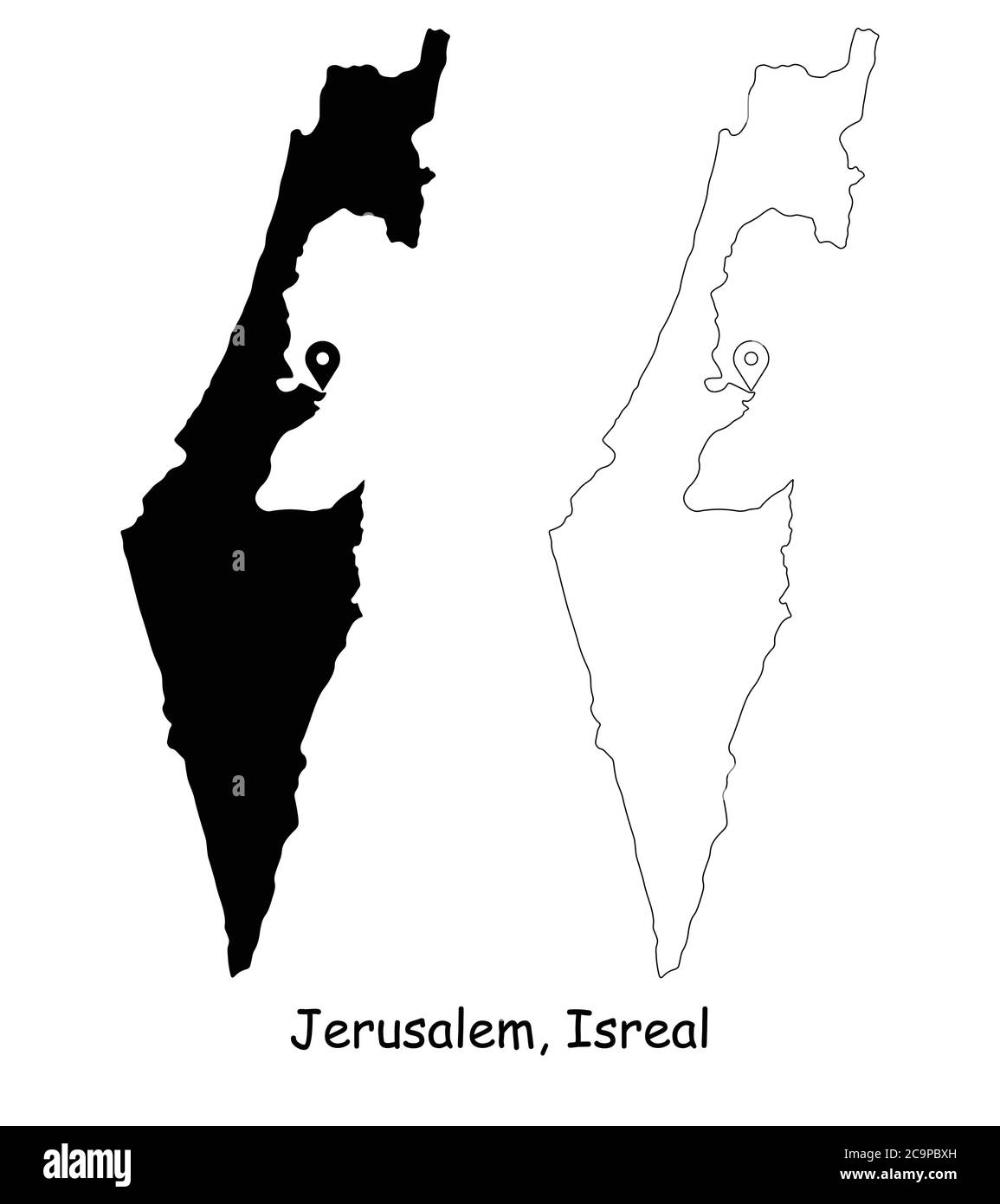 Jerusalem Israel. Detailed Country Map with Location Pin on Capital City. Black silhouette and outline maps isolated on white background. EPS Vector Stock Vectorhttps://www.alamy.com/image-license-details/?v=1https://www.alamy.com/jerusalem-israel-detailed-country-map-with-location-pin-on-capital-city-black-silhouette-and-outline-maps-isolated-on-white-background-eps-vector-image367441945.html
RF2C9PBXH–Jerusalem Israel. Detailed Country Map with Location Pin on Capital City. Black silhouette and outline maps isolated on white background. EPS Vector
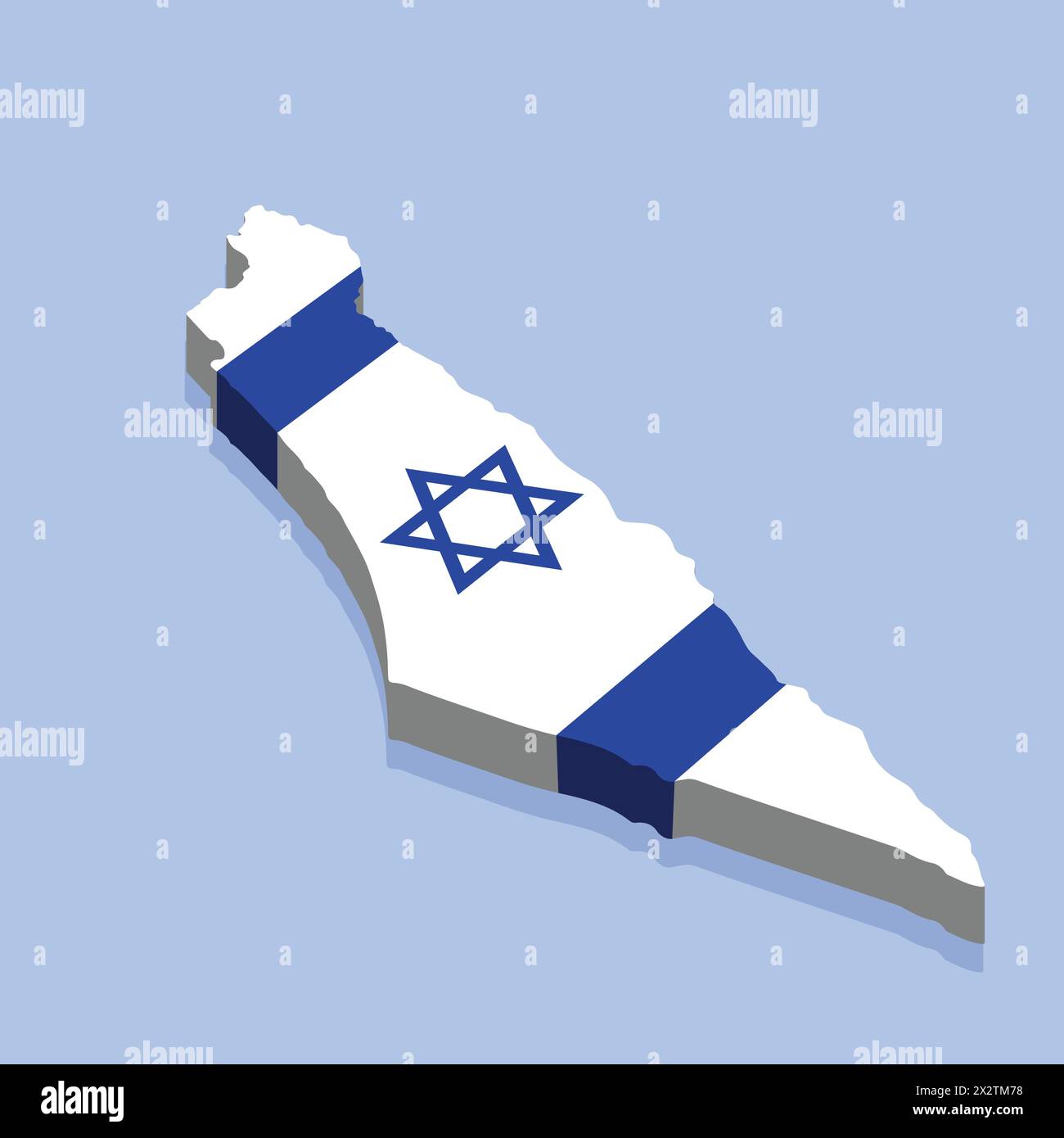 Isolated Israel map 3d vector illustration. Israel map white on blue background with isolated 3D isometric concept vector illustration. Stock Vectorhttps://www.alamy.com/image-license-details/?v=1https://www.alamy.com/isolated-israel-map-3d-vector-illustration-israel-map-white-on-blue-background-with-isolated-3d-isometric-concept-vector-illustration-image604134924.html
RF2X2TM78–Isolated Israel map 3d vector illustration. Israel map white on blue background with isolated 3D isometric concept vector illustration.
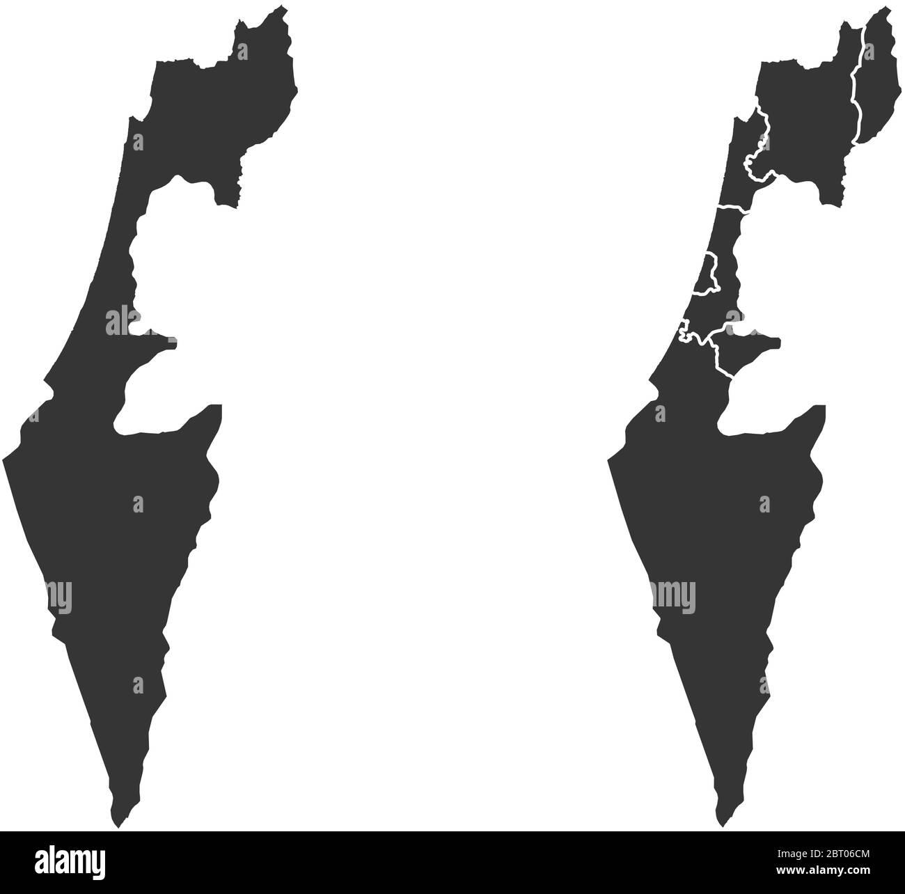 Israel vector maps with administrative regions, municipalities, departments, borders Stock Vectorhttps://www.alamy.com/image-license-details/?v=1https://www.alamy.com/israel-vector-maps-with-administrative-regions-municipalities-departments-borders-image358964164.html
RF2BT06CM–Israel vector maps with administrative regions, municipalities, departments, borders
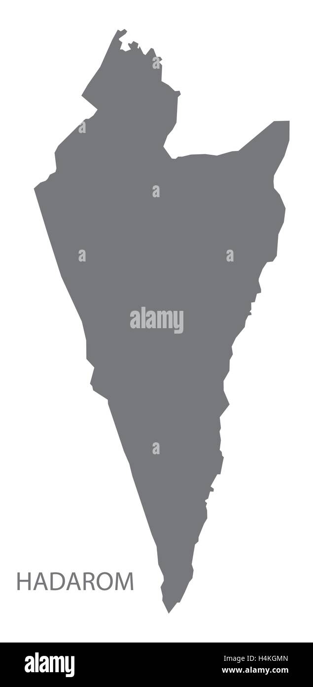 HaDarom Israel Map grey Stock Vectorhttps://www.alamy.com/image-license-details/?v=1https://www.alamy.com/stock-photo-hadarom-israel-map-grey-123361413.html
RFH4KGMN–HaDarom Israel Map grey
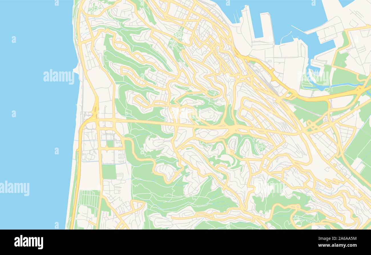 Printable street map of Haifa, District Haifa, Israel. Map template for business use. Stock Vectorhttps://www.alamy.com/image-license-details/?v=1https://www.alamy.com/printable-street-map-of-haifa-district-haifa-israel-map-template-for-business-use-image330912448.html
RF2A6AA5M–Printable street map of Haifa, District Haifa, Israel. Map template for business use.
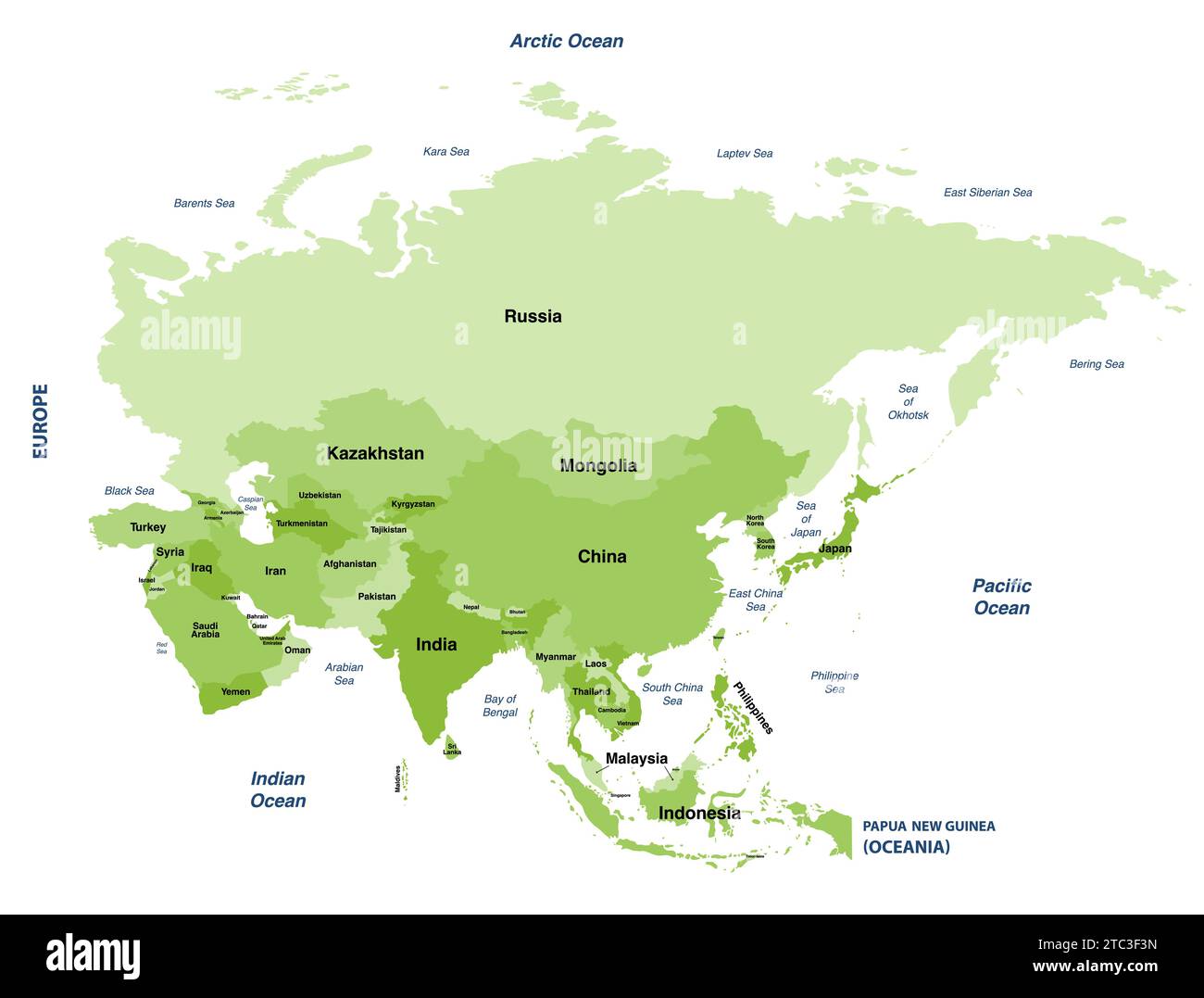 Asia political detailed vector map Stock Vectorhttps://www.alamy.com/image-license-details/?v=1https://www.alamy.com/asia-political-detailed-vector-map-image575395737.html
RF2TC3F3N–Asia political detailed vector map
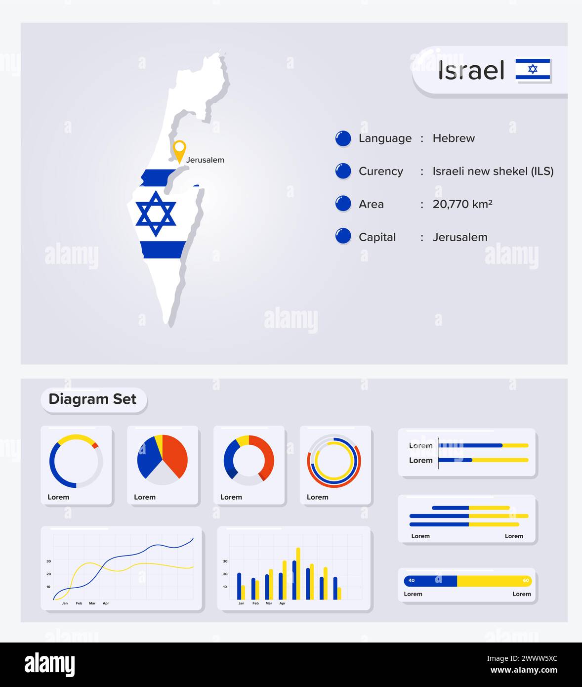 Israel Infographic Vector Illustration, Israel Statistical Data Element, Information Board With Flag Map, Israel Map Flag With Diagram Set Flat Design Stock Vectorhttps://www.alamy.com/image-license-details/?v=1https://www.alamy.com/israel-infographic-vector-illustration-israel-statistical-data-element-information-board-with-flag-map-israel-map-flag-with-diagram-set-flat-design-image601072372.html
RF2WWW5XC–Israel Infographic Vector Illustration, Israel Statistical Data Element, Information Board With Flag Map, Israel Map Flag With Diagram Set Flat Design
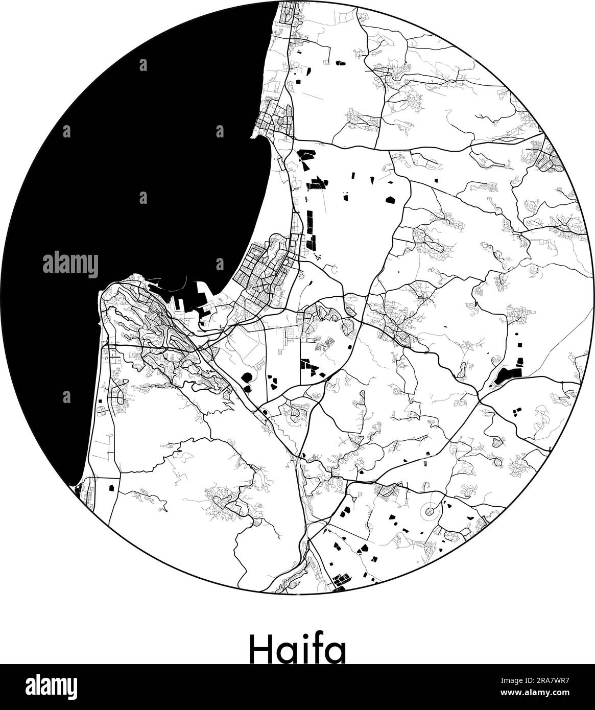 City Map Haifa Israel Asia vector illustration black white Stock Vectorhttps://www.alamy.com/image-license-details/?v=1https://www.alamy.com/city-map-haifa-israel-asia-vector-illustration-black-white-image557052251.html
RF2RA7WR7–City Map Haifa Israel Asia vector illustration black white
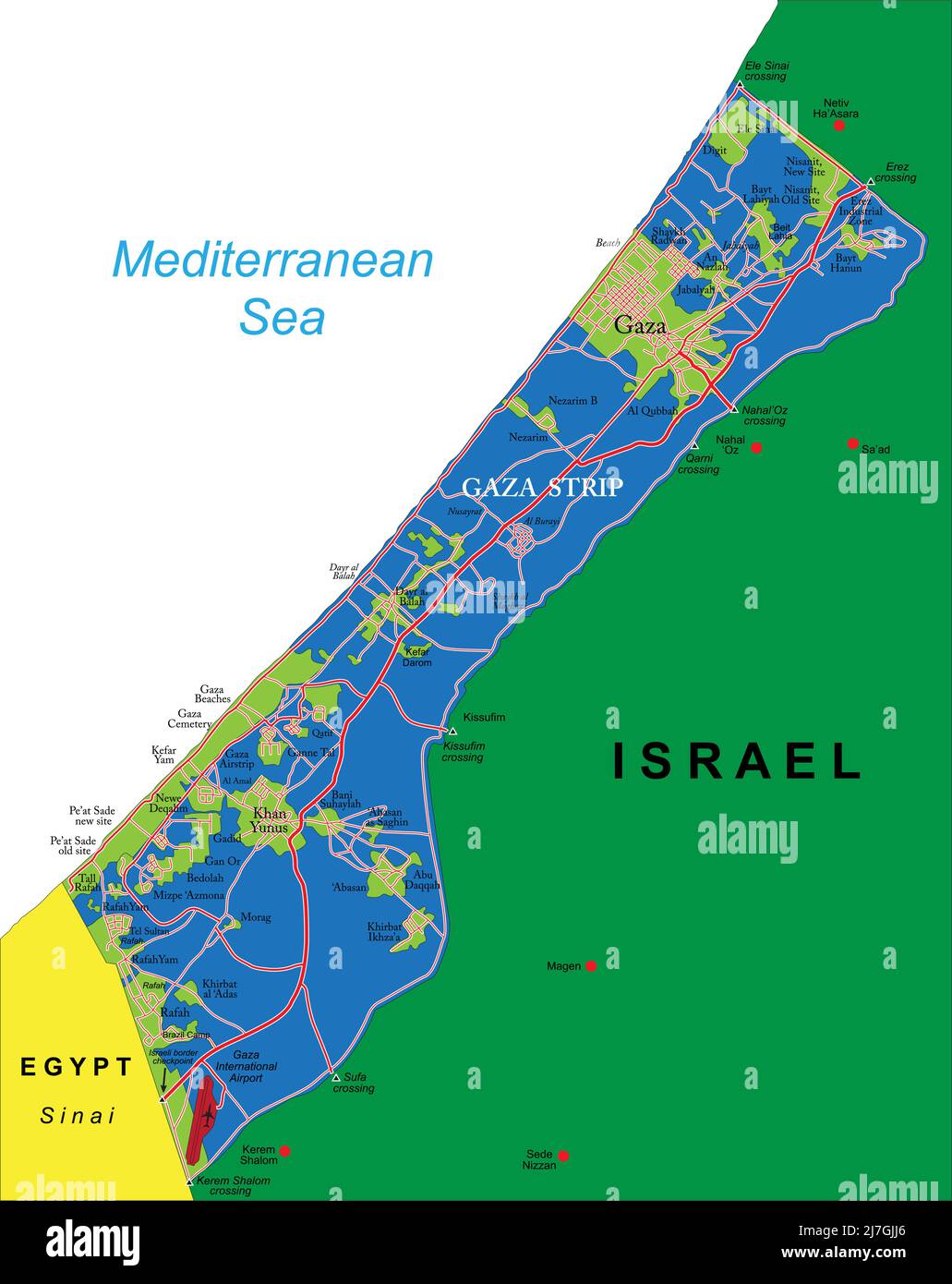 Highly detailed vector map of Gaza Strip with administrative regions, main cities and roads. Stock Vectorhttps://www.alamy.com/image-license-details/?v=1https://www.alamy.com/highly-detailed-vector-map-of-gaza-strip-with-administrative-regions-main-cities-and-roads-image469348382.html
RF2J7GJJ6–Highly detailed vector map of Gaza Strip with administrative regions, main cities and roads.
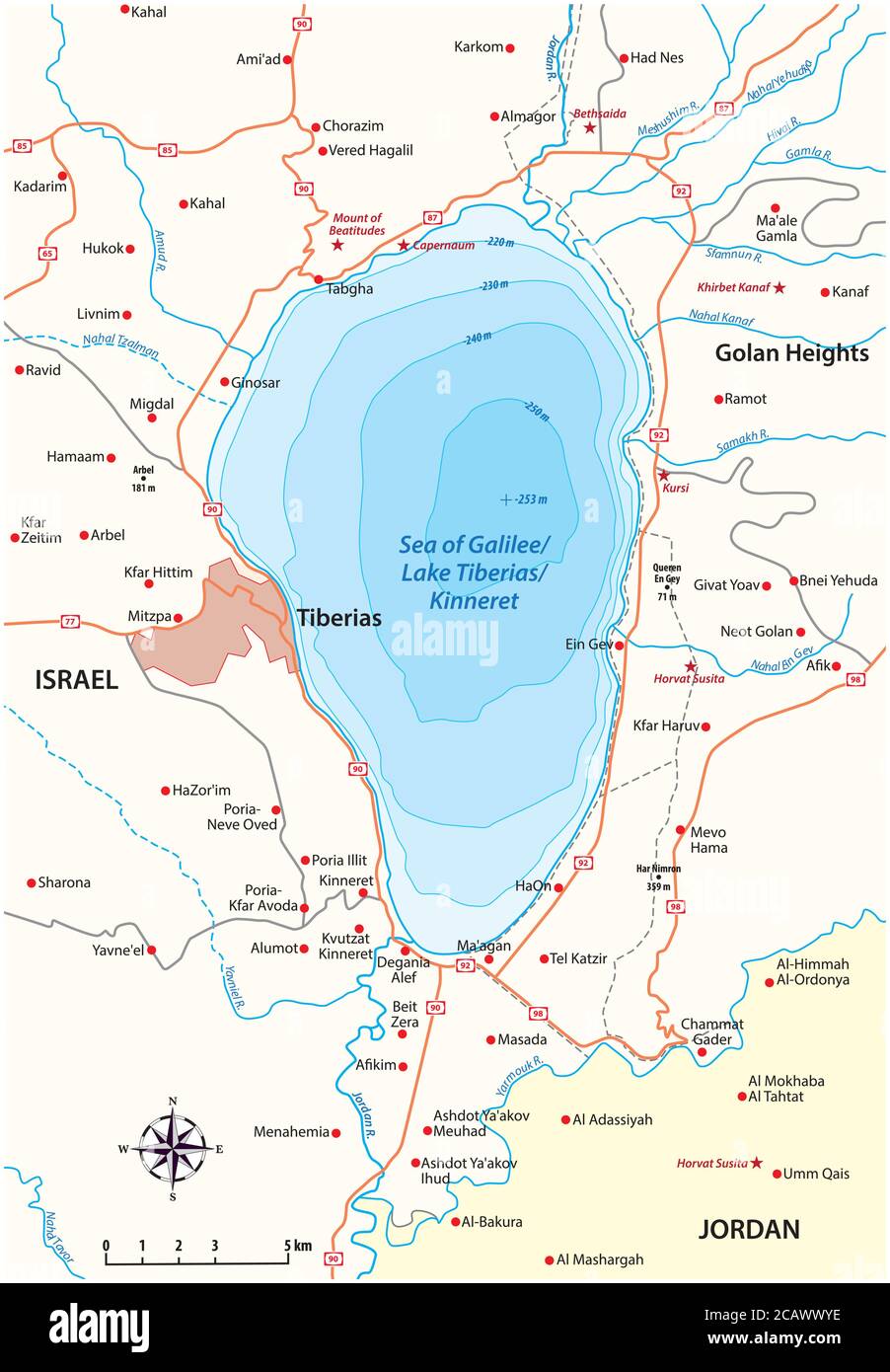 Vector map of the Israeli Sea of Galilee Stock Vectorhttps://www.alamy.com/image-license-details/?v=1https://www.alamy.com/vector-map-of-the-israeli-sea-of-galilee-image368133458.html
RF2CAWWYE–Vector map of the Israeli Sea of Galilee
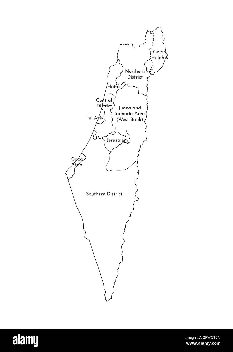 Vector isolated illustration of simplified administrative map of Israel. Borders and names of the districts (regions). Black line silhouettes. Stock Vectorhttps://www.alamy.com/image-license-details/?v=1https://www.alamy.com/vector-isolated-illustration-of-simplified-administrative-map-of-israel-borders-and-names-of-the-districts-regions-black-line-silhouettes-image566450549.html
RF2RWG1CN–Vector isolated illustration of simplified administrative map of Israel. Borders and names of the districts (regions). Black line silhouettes.
 Map of Jerusalem, Israel, satellite view, map in 3d. Black and white Stock Photohttps://www.alamy.com/image-license-details/?v=1https://www.alamy.com/stock-photo-map-of-jerusalem-israel-satellite-view-map-in-3d-black-and-white-86605351.html
RFF0W607–Map of Jerusalem, Israel, satellite view, map in 3d. Black and white