Quick filters:
Jezreel valley aerial Stock Photos and Images
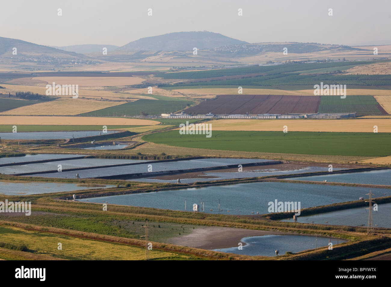 Aerial photograph of the fishponds of the Jezreel valley Stock Photohttps://www.alamy.com/image-license-details/?v=1https://www.alamy.com/stock-photo-aerial-photograph-of-the-fishponds-of-the-jezreel-valley-31345802.html
RMBPYWTX–Aerial photograph of the fishponds of the Jezreel valley
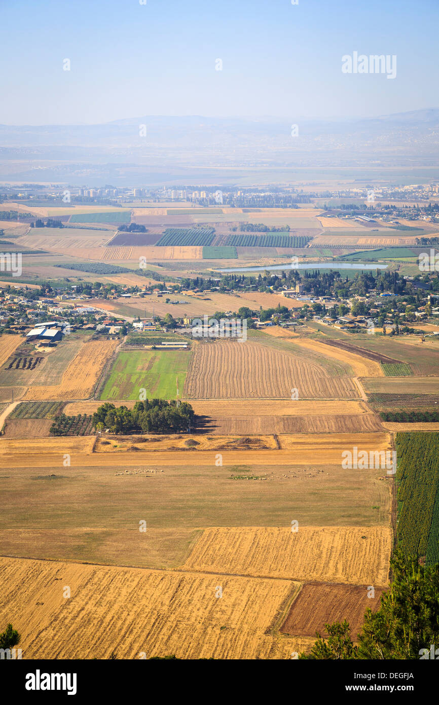 A view over Jezreel Valley from Mount Precipice, Nazareth, Galilee region, Israel, Middle East Stock Photohttps://www.alamy.com/image-license-details/?v=1https://www.alamy.com/a-view-over-jezreel-valley-from-mount-precipice-nazareth-galilee-region-image60599794.html
RMDEGFJA–A view over Jezreel Valley from Mount Precipice, Nazareth, Galilee region, Israel, Middle East
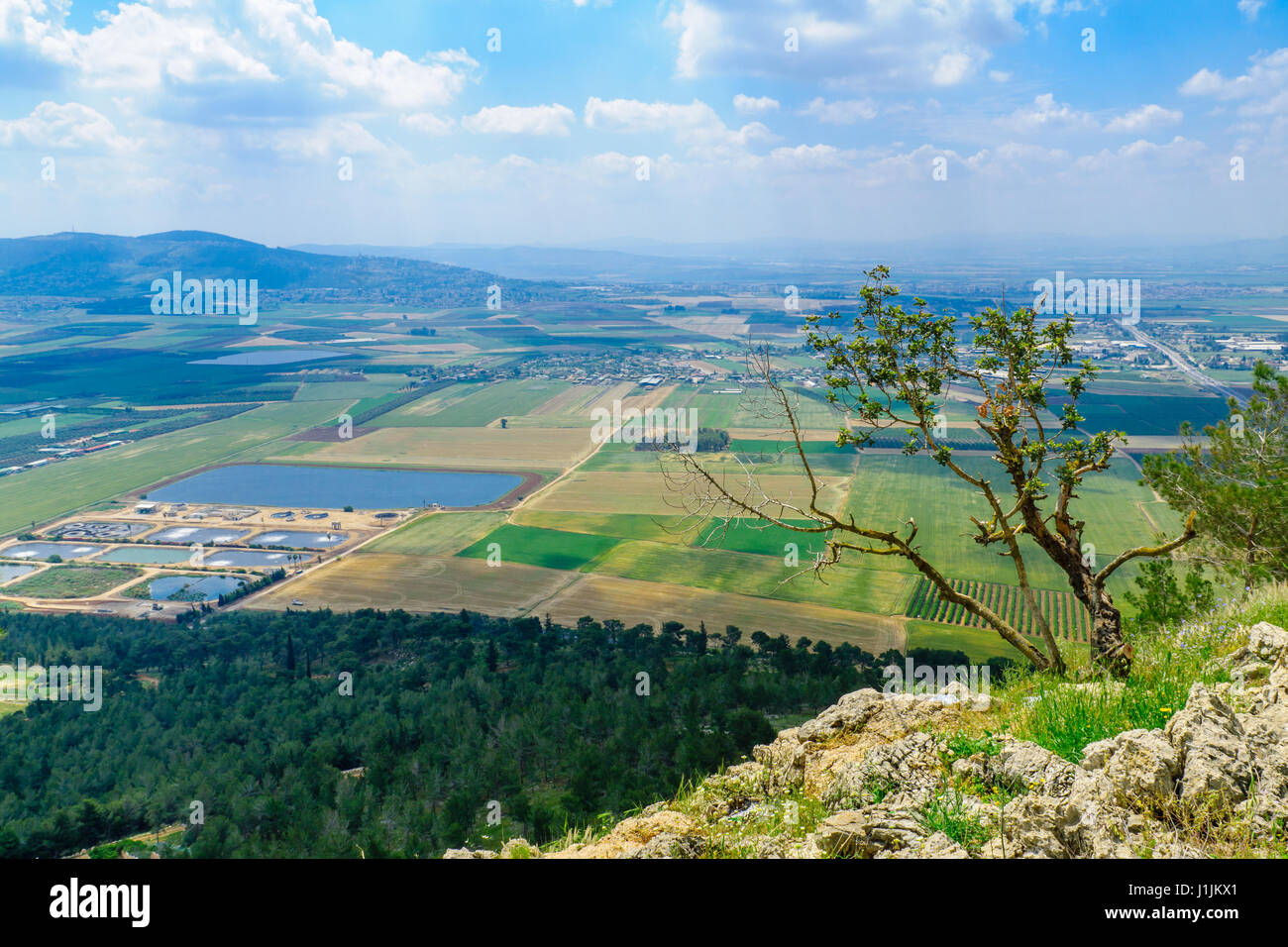 The Jezreel Valley landscape, viewed from Mount Precipice. Northern Israel Stock Photohttps://www.alamy.com/image-license-details/?v=1https://www.alamy.com/stock-photo-the-jezreel-valley-landscape-viewed-from-mount-precipice-northern-138708361.html
RFJ1JKX1–The Jezreel Valley landscape, viewed from Mount Precipice. Northern Israel
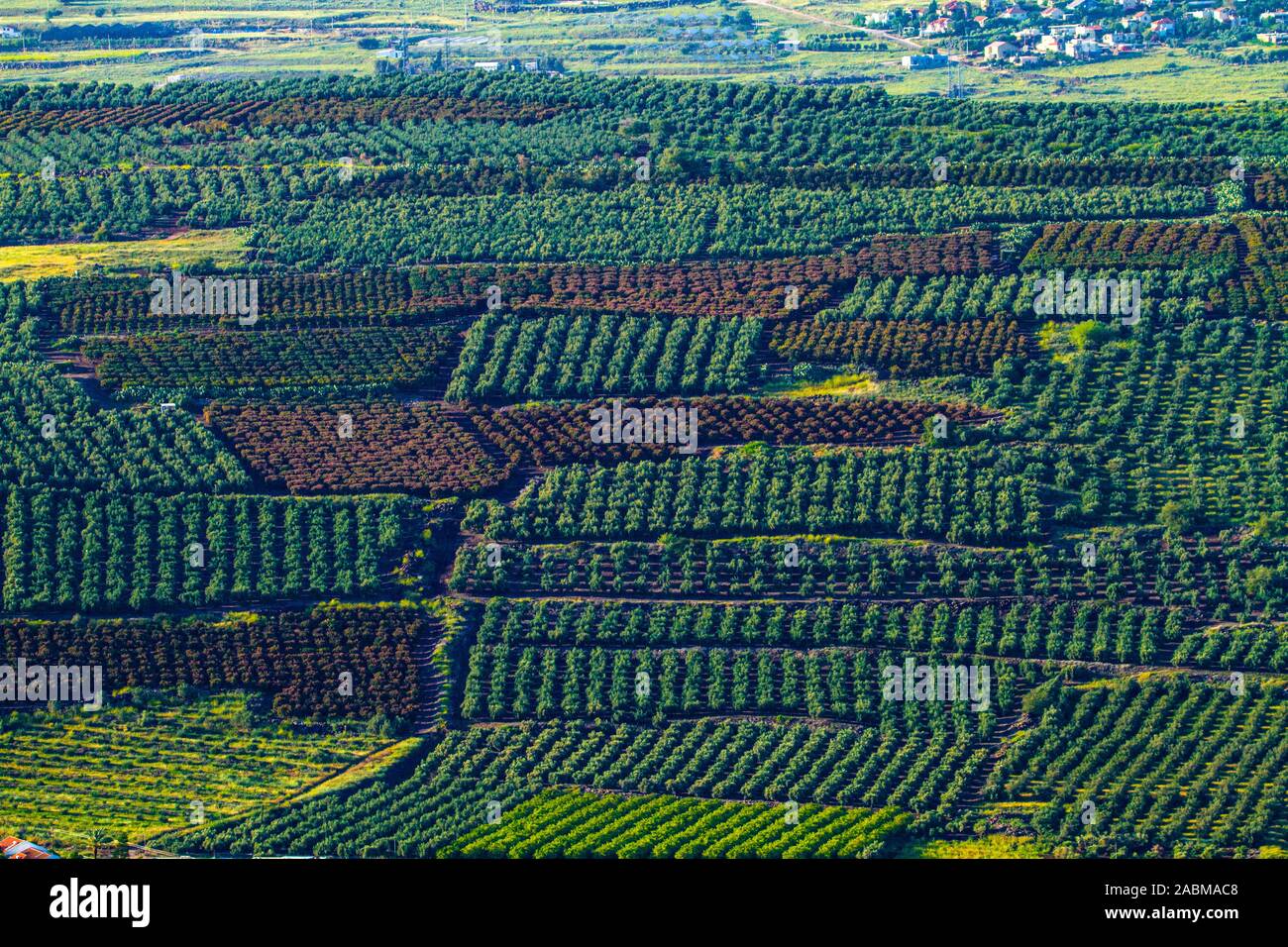 Orchards in the Jezreel Valley Aerial photography Stock Photohttps://www.alamy.com/image-license-details/?v=1https://www.alamy.com/orchards-in-the-jezreel-valley-aerial-photography-image334205432.html
RF2ABMAC8–Orchards in the Jezreel Valley Aerial photography
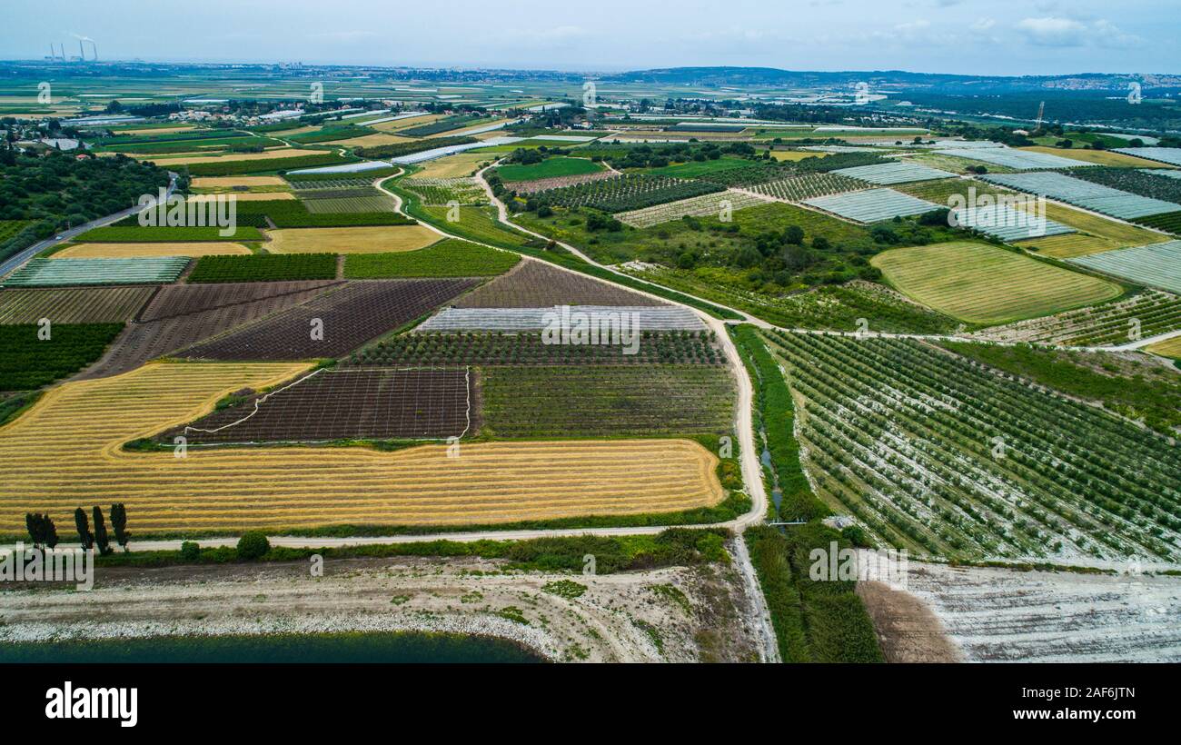 Aerial photography. Elevated view of agricultural fields in Jezreel Valley, Israel Stock Photohttps://www.alamy.com/image-license-details/?v=1https://www.alamy.com/aerial-photography-elevated-view-of-agricultural-fields-in-jezreel-valley-israel-image336363349.html
RM2AF6JTN–Aerial photography. Elevated view of agricultural fields in Jezreel Valley, Israel
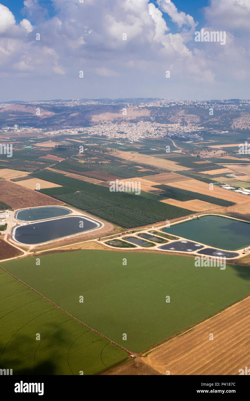 Agricultural landscape with fish breeding ponds in Jezreel Valley, northern Israel, aerial view Stock Photohttps://www.alamy.com/image-license-details/?v=1https://www.alamy.com/agricultural-landscape-with-fish-breeding-ponds-in-jezreel-valley-northern-israel-aerial-view-image209011472.html
RFP4187C–Agricultural landscape with fish breeding ponds in Jezreel Valley, northern Israel, aerial view
 Aerial photography. Elevated view of agricultural fields in Jezreel Valley, Israel Stock Photohttps://www.alamy.com/image-license-details/?v=1https://www.alamy.com/aerial-photography-elevated-view-of-agricultural-fields-in-jezreel-valley-israel-image336363514.html
RM2AF6K2J–Aerial photography. Elevated view of agricultural fields in Jezreel Valley, Israel
 Arab City in Jezreel Valley Stock Photohttps://www.alamy.com/image-license-details/?v=1https://www.alamy.com/arab-city-in-jezreel-valley-image362051292.html
RM2C10T38–Arab City in Jezreel Valley
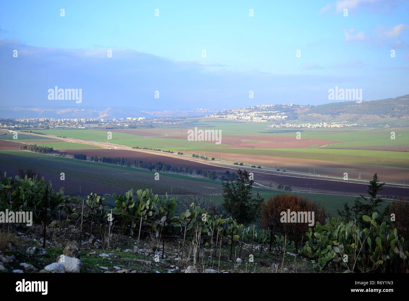 Jezreel Valley. fertile plain and inland valley south of the Lower Galilee region in Israel. Landscape Stock Photohttps://www.alamy.com/image-license-details/?v=1https://www.alamy.com/jezreel-valley-fertile-plain-and-inland-valley-south-of-the-lower-galilee-region-in-israel-landscape-image228016799.html
RFR6Y1N3–Jezreel Valley. fertile plain and inland valley south of the Lower Galilee region in Israel. Landscape
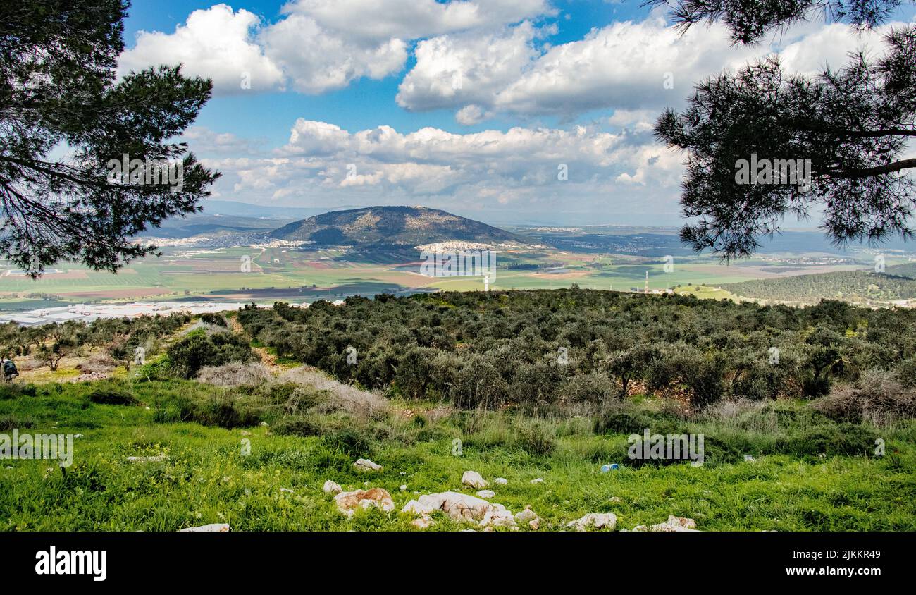 An aerial view of a sunny day over Jezreel Valley in Israel Stock Photohttps://www.alamy.com/image-license-details/?v=1https://www.alamy.com/an-aerial-view-of-a-sunny-day-over-jezreel-valley-in-israel-image476793641.html
RF2JKKR49–An aerial view of a sunny day over Jezreel Valley in Israel
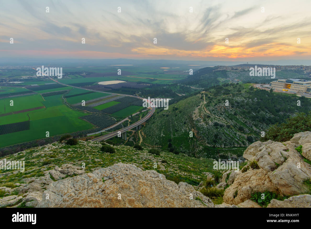 Sunset view of the Jezreel Valley, from Mount Precipice. Israel Stock Photohttps://www.alamy.com/image-license-details/?v=1https://www.alamy.com/sunset-view-of-the-jezreel-valley-from-mount-precipice-israel-image237073756.html
RFRNKHYT–Sunset view of the Jezreel Valley, from Mount Precipice. Israel
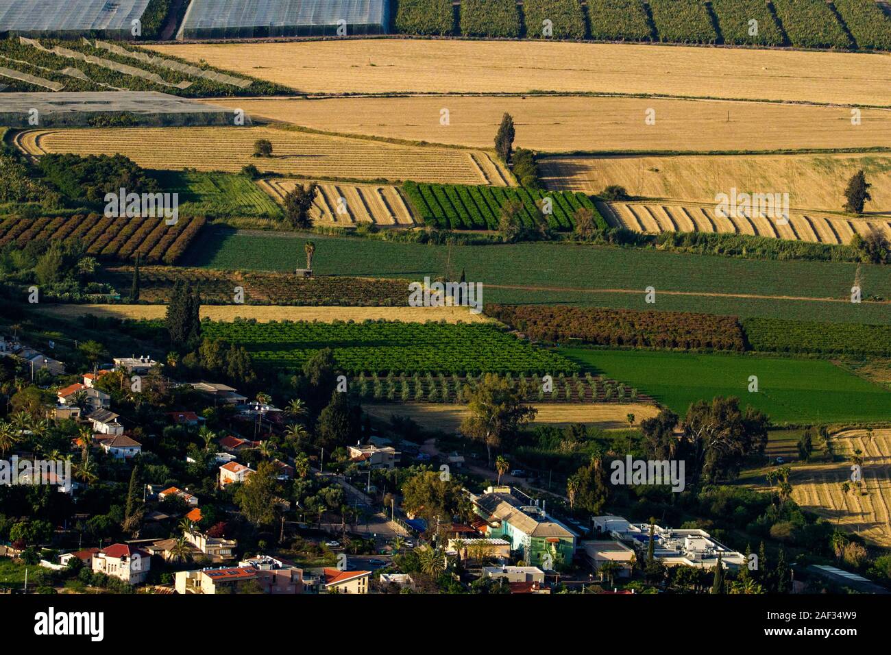 Aerial photography. Elevated view of agricultural fields in Jezreel Valley, Israel Stock Photohttps://www.alamy.com/image-license-details/?v=1https://www.alamy.com/aerial-photography-elevated-view-of-agricultural-fields-in-jezreel-valley-israel-image336286533.html
RM2AF34W9–Aerial photography. Elevated view of agricultural fields in Jezreel Valley, Israel
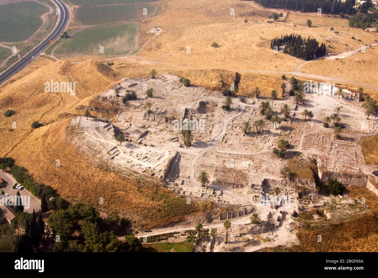 Aerial view of ancient Tel Megiddo Israel, Jezreel (Armageddon) Valley, Stock Photohttps://www.alamy.com/image-license-details/?v=1https://www.alamy.com/aerial-view-of-ancient-tel-megiddo-israel-jezreel-armageddon-valley-image354376018.html
RF2BGF66A–Aerial view of ancient Tel Megiddo Israel, Jezreel (Armageddon) Valley,
 Aerial drone photography of the Peace Valley with Yokneam (Yokneam Illit) in the background Yokneam Illit is a city in northern Israel. It is located Stock Photohttps://www.alamy.com/image-license-details/?v=1https://www.alamy.com/aerial-drone-photography-of-the-peace-valley-with-yokneam-yokneam-illit-in-the-background-yokneam-illit-is-a-city-in-northern-israel-it-is-located-image432061490.html
RF2G2X2RE–Aerial drone photography of the Peace Valley with Yokneam (Yokneam Illit) in the background Yokneam Illit is a city in northern Israel. It is located
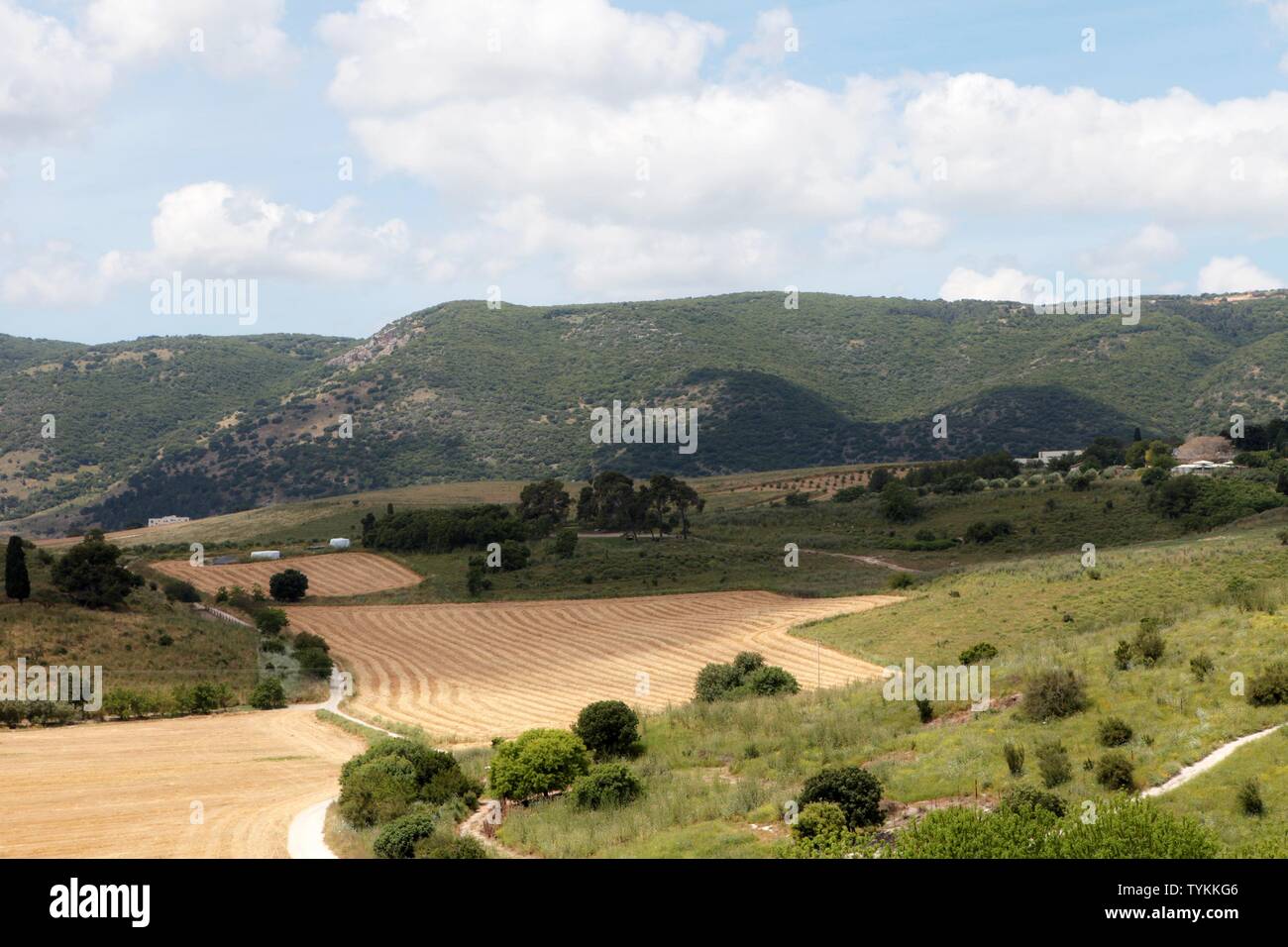 Panorama of the Jezreel Valley landscape, viewed from Mount Precipice. Northern Israel Stock Photohttps://www.alamy.com/image-license-details/?v=1https://www.alamy.com/panorama-of-the-jezreel-valley-landscape-viewed-from-mount-precipice-northern-israel-image257973302.html
RFTYKKG6–Panorama of the Jezreel Valley landscape, viewed from Mount Precipice. Northern Israel
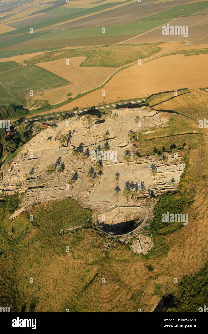 Israel, Jezreel valley, an aerial view of Tel Megiddo Stock Photohttps://www.alamy.com/image-license-details/?v=1https://www.alamy.com/stock-photo-israel-jezreel-valley-an-aerial-view-of-tel-megiddo-29442917.html
RMBKW6MN–Israel, Jezreel valley, an aerial view of Tel Megiddo
 Mount Precipice and a view of Jezreel Valley Stock Photohttps://www.alamy.com/image-license-details/?v=1https://www.alamy.com/mount-precipice-and-a-view-of-jezreel-valley-image241709017.html
RFT16P8W–Mount Precipice and a view of Jezreel Valley
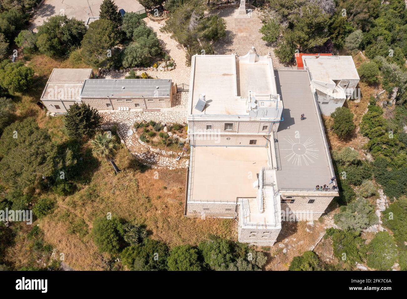 Muhraka monastery of the Carmelite On the south-eastern peak of Mount Carmel, Aerial view. Stock Photohttps://www.alamy.com/image-license-details/?v=1https://www.alamy.com/muhraka-monastery-of-the-carmelite-on-the-south-eastern-peak-of-mount-carmel-aerial-view-image424890546.html
RF2FK7C6A–Muhraka monastery of the Carmelite On the south-eastern peak of Mount Carmel, Aerial view.
 Agriculture in Jezreel valley, Israel Stock Photohttps://www.alamy.com/image-license-details/?v=1https://www.alamy.com/stock-photo-agriculture-in-jezreel-valley-israel-176463179.html
RMM72GGB–Agriculture in Jezreel valley, Israel
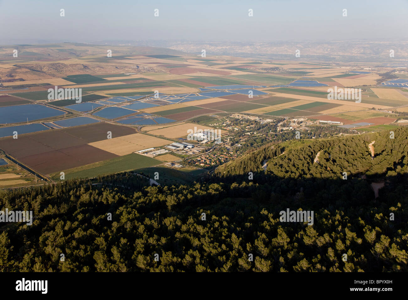 Aerial photograph of the agriculture fields of the Jezreel valley Stock Photohttps://www.alamy.com/image-license-details/?v=1https://www.alamy.com/stock-photo-aerial-photograph-of-the-agriculture-fields-of-the-jezreel-valley-31345905.html
RMBPYX0H–Aerial photograph of the agriculture fields of the Jezreel valley
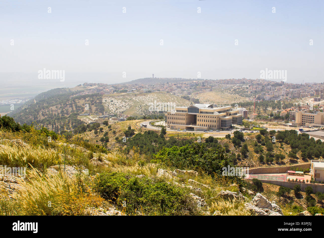 5 May 2018 A view of modern Nazareth in Israel from the mount Precipice. Tradition has this as the place where men would have killed Jesus Christ Stock Photohttps://www.alamy.com/image-license-details/?v=1https://www.alamy.com/5-may-2018-a-view-of-modern-nazareth-in-israel-from-the-mount-precipice-tradition-has-this-as-the-place-where-men-would-have-killed-jesus-christ-image226075966.html
RFR3PJ5J–5 May 2018 A view of modern Nazareth in Israel from the mount Precipice. Tradition has this as the place where men would have killed Jesus Christ
 Aerial view of a gully landform in the Jezreel Valley a large fertile plain and inland valley south of the Lower Galilee region in northern Israel Stock Photohttps://www.alamy.com/image-license-details/?v=1https://www.alamy.com/stock-photo-aerial-view-of-a-gully-landform-in-the-jezreel-valley-a-large-fertile-126101600.html
RMH94BTG–Aerial view of a gully landform in the Jezreel Valley a large fertile plain and inland valley south of the Lower Galilee region in northern Israel
 Orchards in the Jezreel Valley Aerial photography Stock Photohttps://www.alamy.com/image-license-details/?v=1https://www.alamy.com/orchards-in-the-jezreel-valley-aerial-photography-image334205102.html
RF2ABMA0E–Orchards in the Jezreel Valley Aerial photography
 Kibbutz Megiddo, Jezreel valley, Israel Stock Photohttps://www.alamy.com/image-license-details/?v=1https://www.alamy.com/kibbutz-megiddo-jezreel-valley-israel-image771228.html
RMABC49C–Kibbutz Megiddo, Jezreel valley, Israel
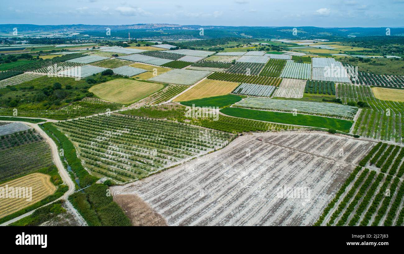 Aerial photograph of the Jezreel Valley Stock Photohttps://www.alamy.com/image-license-details/?v=1https://www.alamy.com/aerial-photograph-of-the-jezreel-valley-image466077251.html
RF2J27J83–Aerial photograph of the Jezreel Valley
 Haemek Hospital1948 Stock Photohttps://www.alamy.com/image-license-details/?v=1https://www.alamy.com/stock-image-haemek-hospital1948-166534389.html
RMKJX88N–Haemek Hospital1948
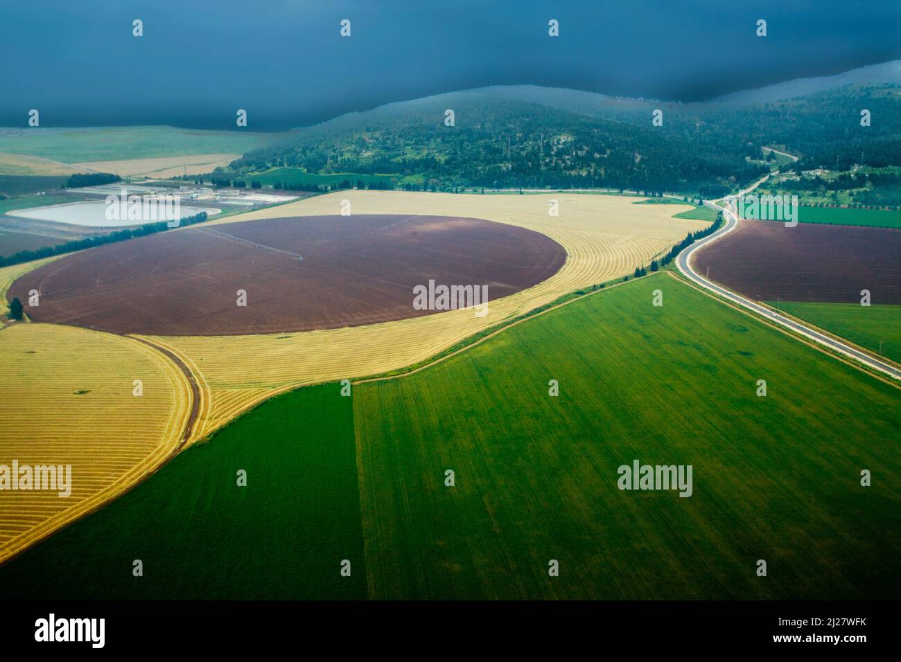 Aerial photograph of the Jezreel Valley Stock Photohttps://www.alamy.com/image-license-details/?v=1https://www.alamy.com/aerial-photograph-of-the-jezreel-valley-image466082951.html
RF2J27WFK–Aerial photograph of the Jezreel Valley
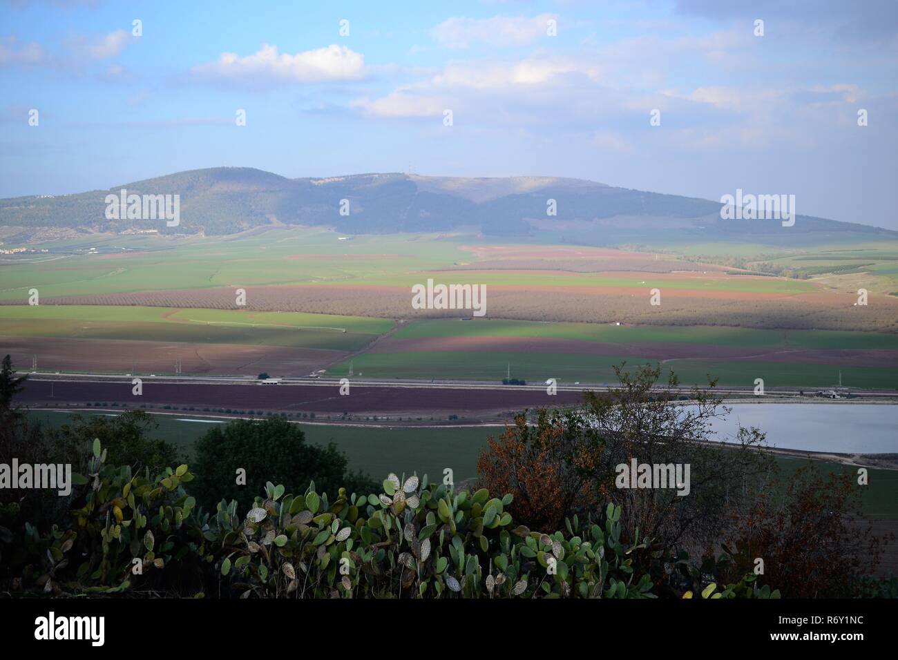 Jezreel Valley. fertile plain and inland valley south of the Lower Galilee region in Israel. Landscape Stock Photohttps://www.alamy.com/image-license-details/?v=1https://www.alamy.com/jezreel-valley-fertile-plain-and-inland-valley-south-of-the-lower-galilee-region-in-israel-landscape-image228016808.html
RFR6Y1NC–Jezreel Valley. fertile plain and inland valley south of the Lower Galilee region in Israel. Landscape
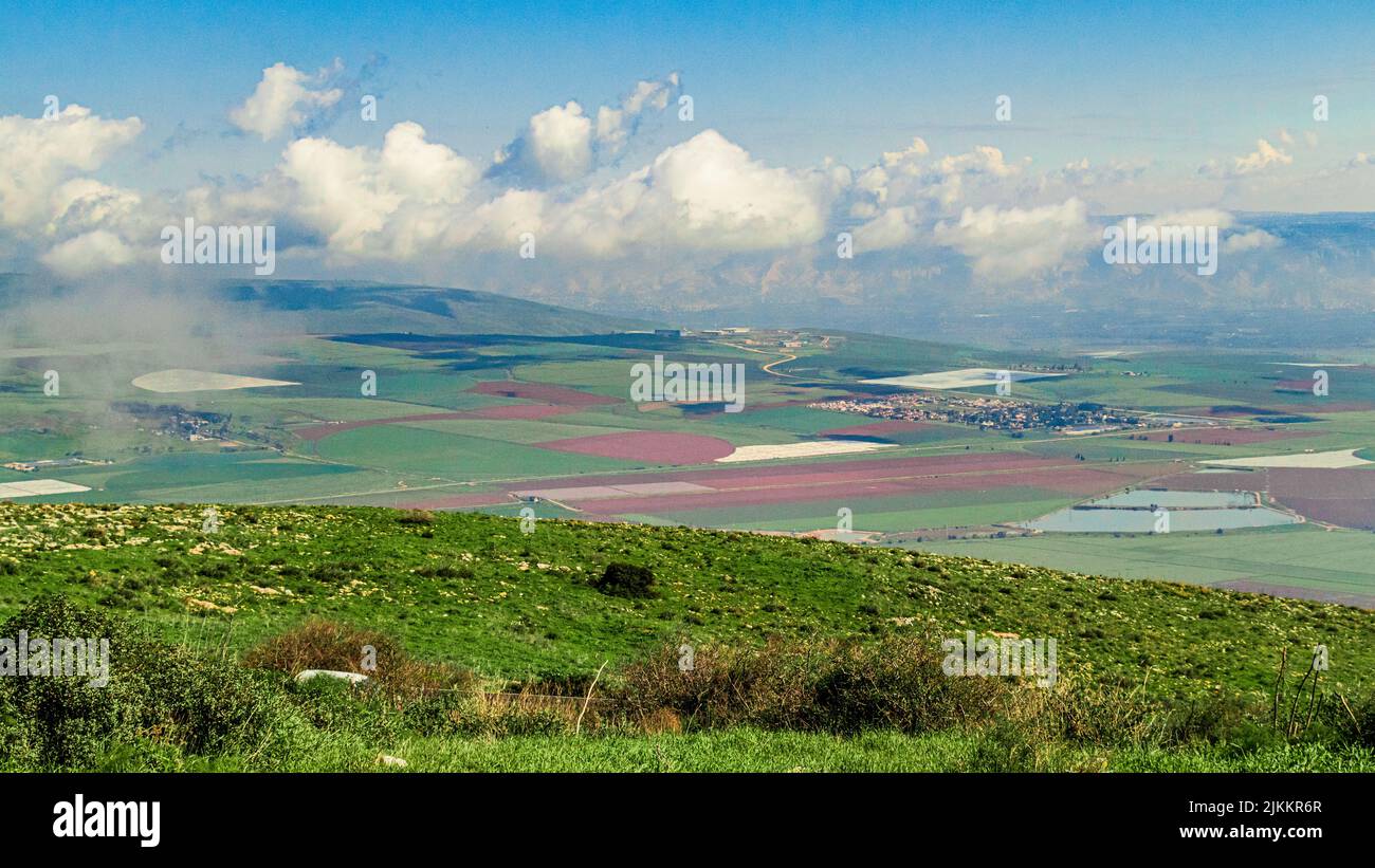 An aerial view of a sunny day over Jezreel Valley in Israel Stock Photohttps://www.alamy.com/image-license-details/?v=1https://www.alamy.com/an-aerial-view-of-a-sunny-day-over-jezreel-valley-in-israel-image476793711.html
RF2JKKR6R–An aerial view of a sunny day over Jezreel Valley in Israel
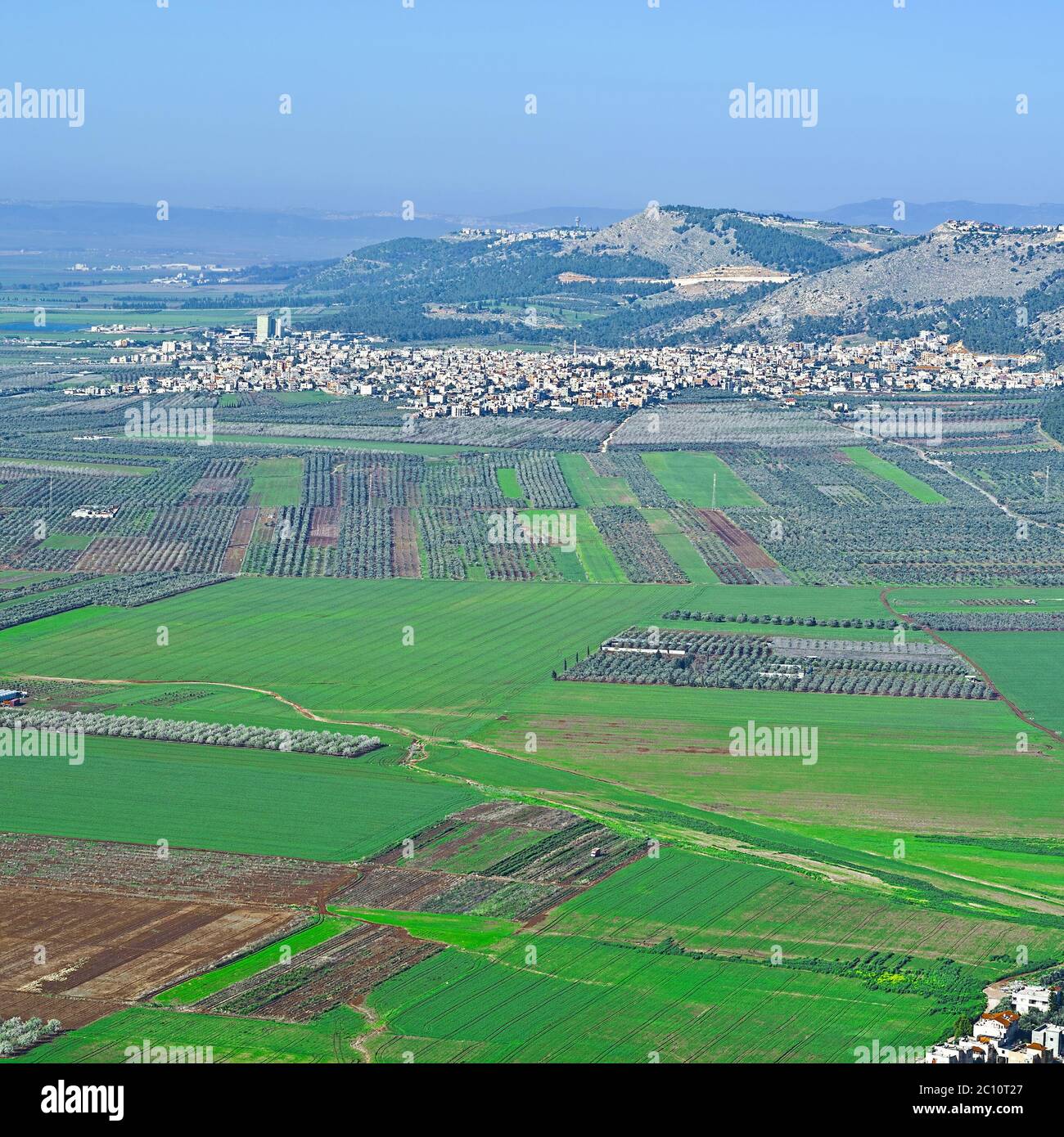 Jezreel Valley in Israel Stock Photohttps://www.alamy.com/image-license-details/?v=1https://www.alamy.com/jezreel-valley-in-israel-image362051263.html
RM2C10T27–Jezreel Valley in Israel
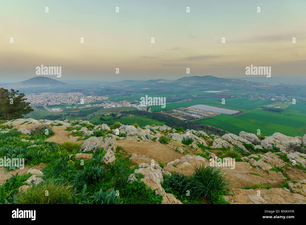 Sunset view of the Jezreel Valley and Mont Tabor, from Mount Precipice. Israel Stock Photohttps://www.alamy.com/image-license-details/?v=1https://www.alamy.com/sunset-view-of-the-jezreel-valley-and-mont-tabor-from-mount-precipice-israel-image237073755.html
RFRNKHYR–Sunset view of the Jezreel Valley and Mont Tabor, from Mount Precipice. Israel
 An aerial view of Jezreel Valley seen from Mount of Precipice in Nazareth, Israel Stock Photohttps://www.alamy.com/image-license-details/?v=1https://www.alamy.com/an-aerial-view-of-jezreel-valley-seen-from-mount-of-precipice-in-nazareth-israel-image595820918.html
RF2WH9YJE–An aerial view of Jezreel Valley seen from Mount of Precipice in Nazareth, Israel
 Aerial drone photography of the Peace Valley with Yokneam (Yokneam Illit) in the background Yokneam Illit is a city in northern Israel. It is located Stock Photohttps://www.alamy.com/image-license-details/?v=1https://www.alamy.com/aerial-drone-photography-of-the-peace-valley-with-yokneam-yokneam-illit-in-the-background-yokneam-illit-is-a-city-in-northern-israel-it-is-located-image432061514.html
RF2G2X2TA–Aerial drone photography of the Peace Valley with Yokneam (Yokneam Illit) in the background Yokneam Illit is a city in northern Israel. It is located
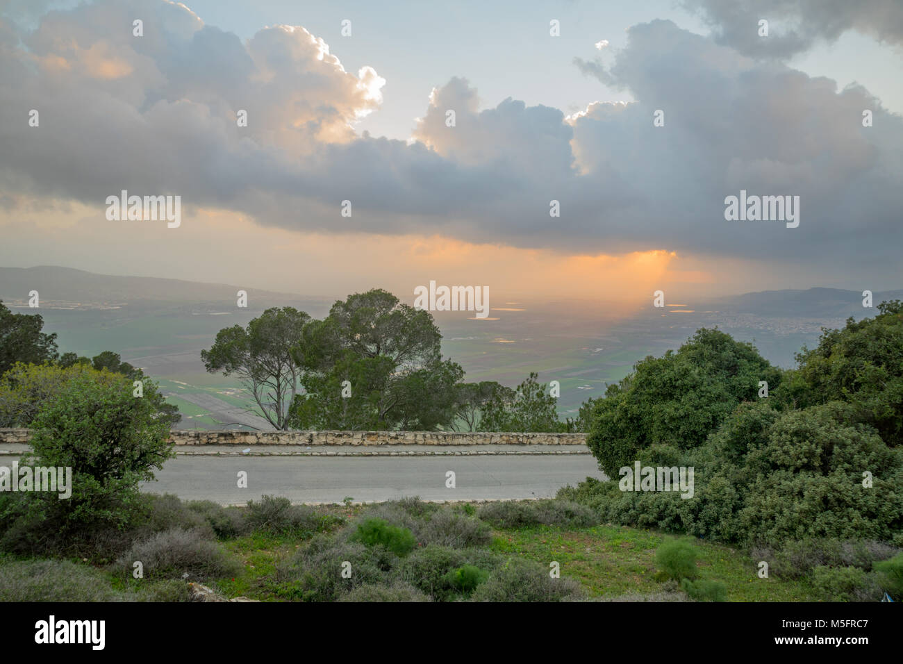 Sunset view of the Jezreel Valley from Mount Tabor. Northern Israel Stock Photohttps://www.alamy.com/image-license-details/?v=1https://www.alamy.com/stock-photo-sunset-view-of-the-jezreel-valley-from-mount-tabor-northern-israel-175524615.html
RFM5FRC7–Sunset view of the Jezreel Valley from Mount Tabor. Northern Israel
 Israel, Jezreel valley, an aerial view of Tel Megiddo Stock Photohttps://www.alamy.com/image-license-details/?v=1https://www.alamy.com/stock-photo-israel-jezreel-valley-an-aerial-view-of-tel-megiddo-29441409.html
RMBKW4PW–Israel, Jezreel valley, an aerial view of Tel Megiddo
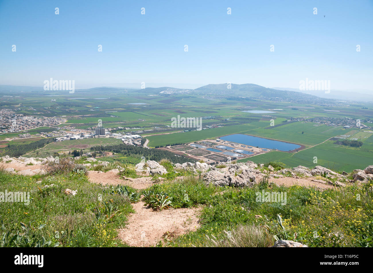 Mount Precipice and a view of Jezreel Valley Stock Photohttps://www.alamy.com/image-license-details/?v=1https://www.alamy.com/mount-precipice-and-a-view-of-jezreel-valley-image241708920.html
RFT16P5C–Mount Precipice and a view of Jezreel Valley
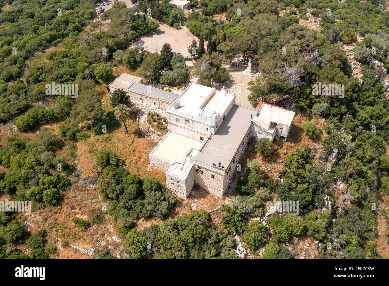 Muhraka monastery of the Carmelite On the south-eastern peak of Mount Carmel, Aerial view. Stock Photohttps://www.alamy.com/image-license-details/?v=1https://www.alamy.com/muhraka-monastery-of-the-carmelite-on-the-south-eastern-peak-of-mount-carmel-aerial-view-image424890477.html
RF2FK7C3W–Muhraka monastery of the Carmelite On the south-eastern peak of Mount Carmel, Aerial view.
 An areal view of lush Jezreel Valley in Israel Stock Photohttps://www.alamy.com/image-license-details/?v=1https://www.alamy.com/an-areal-view-of-lush-jezreel-valley-in-israel-image595752008.html
RF2WH6RNC–An areal view of lush Jezreel Valley in Israel
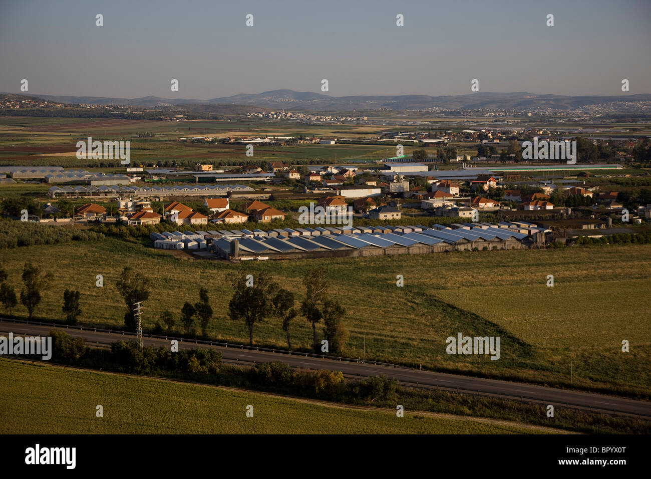 Aerial photograph of the agriculture fields of the Jezreel valley Stock Photohttps://www.alamy.com/image-license-details/?v=1https://www.alamy.com/stock-photo-aerial-photograph-of-the-agriculture-fields-of-the-jezreel-valley-31345912.html
RMBPYX0T–Aerial photograph of the agriculture fields of the Jezreel valley
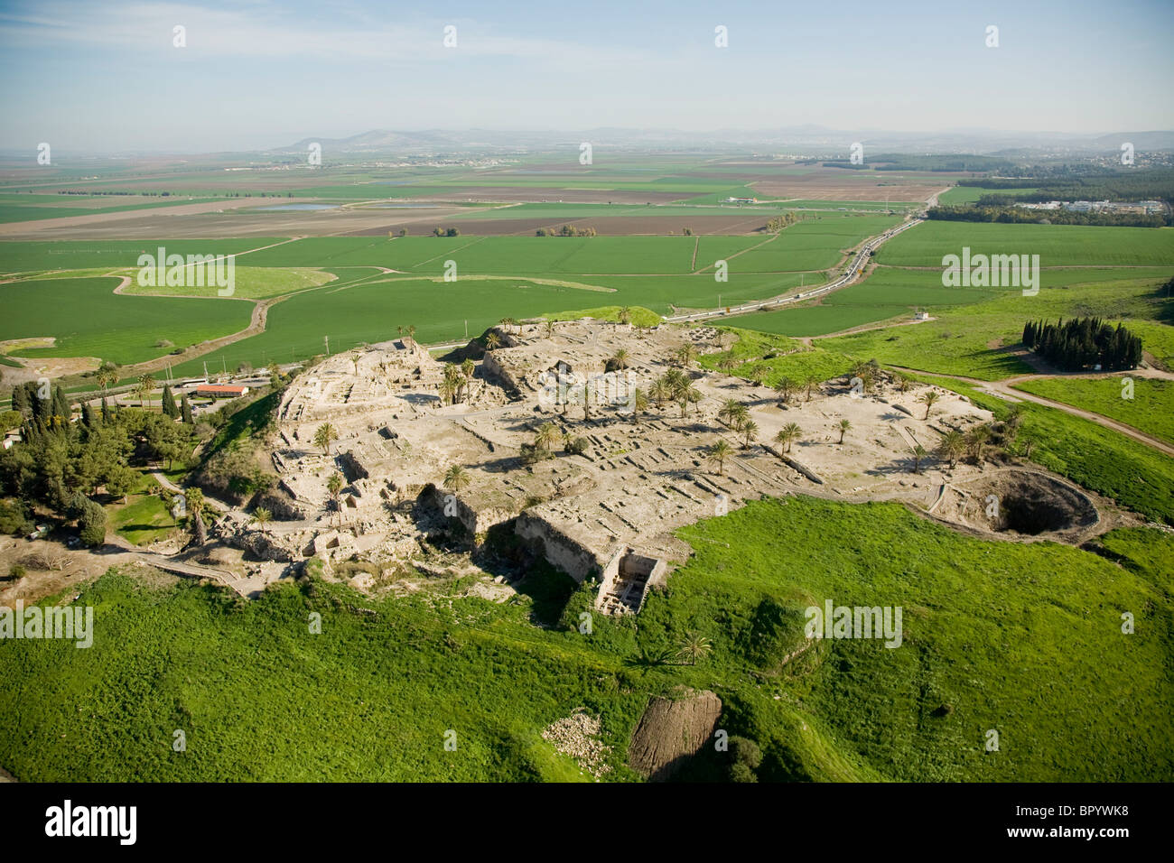 Aerial photograph of the Megido mound in the Jezreel valley Stock Photohttps://www.alamy.com/image-license-details/?v=1https://www.alamy.com/stock-photo-aerial-photograph-of-the-megido-mound-in-the-jezreel-valley-31345644.html
RMBPYWK8–Aerial photograph of the Megido mound in the Jezreel valley
 Aerial view of Kibbutz Merhavia and the city of Afula often known as the 'Capital of the Valley' due to its strategic location in the Jezreel Valley a large fertile plain and inland valley south of the Lower Galilee region in northern Israel Stock Photohttps://www.alamy.com/image-license-details/?v=1https://www.alamy.com/stock-photo-aerial-view-of-kibbutz-merhavia-and-the-city-of-afula-often-known-126101534.html
RMH94BP6–Aerial view of Kibbutz Merhavia and the city of Afula often known as the 'Capital of the Valley' due to its strategic location in the Jezreel Valley a large fertile plain and inland valley south of the Lower Galilee region in northern Israel
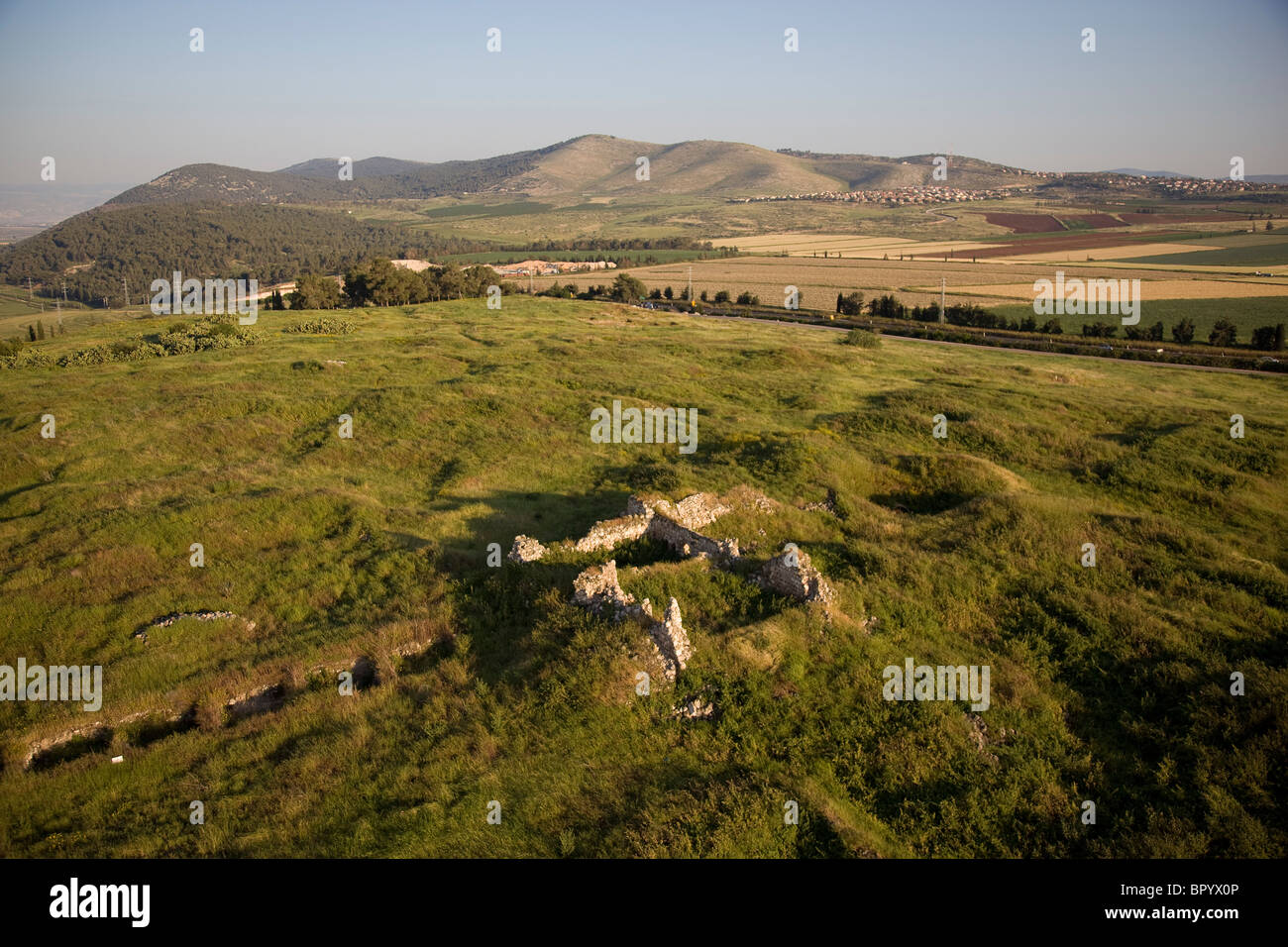 Aerial photograph of the ruins of the mound of Jezreel in the Jezreel valley Stock Photohttps://www.alamy.com/image-license-details/?v=1https://www.alamy.com/stock-photo-aerial-photograph-of-the-ruins-of-the-mound-of-jezreel-in-the-jezreel-31345910.html
RMBPYX0P–Aerial photograph of the ruins of the mound of Jezreel in the Jezreel valley
 Tel Megiddo, Jezreel Valley, Israel Stock Photohttps://www.alamy.com/image-license-details/?v=1https://www.alamy.com/tel-megiddo-jezreel-valley-israel-image771185.html
RMABC471–Tel Megiddo, Jezreel Valley, Israel
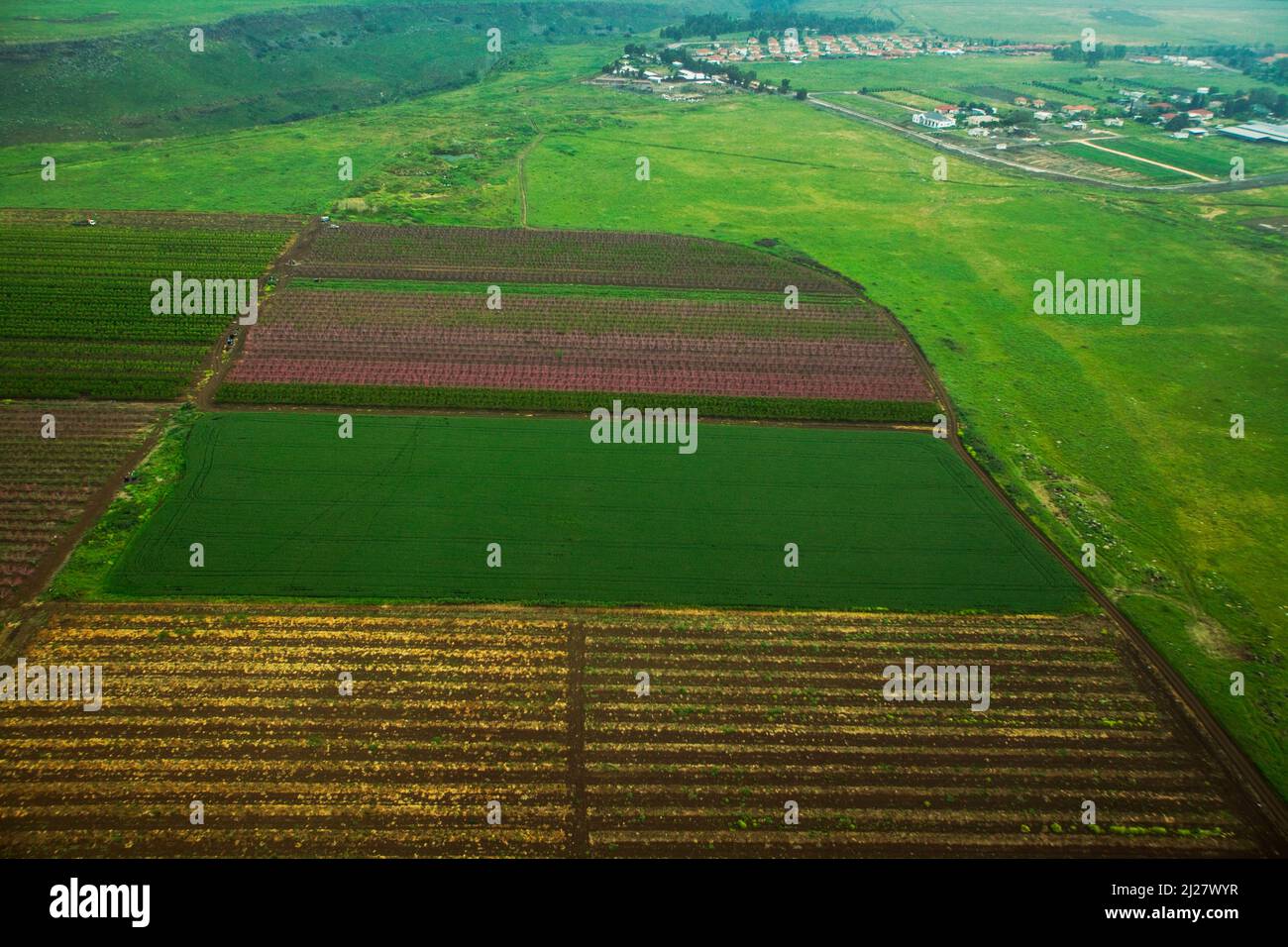 Aerial photograph of the Jezreel Valley Stock Photohttps://www.alamy.com/image-license-details/?v=1https://www.alamy.com/aerial-photograph-of-the-jezreel-valley-image466083291.html
RF2J27WYR–Aerial photograph of the Jezreel Valley
 Israel jezreel valley galilee fruitful valley Stock Photohttps://www.alamy.com/image-license-details/?v=1https://www.alamy.com/israel-jezreel-valley-galilee-fruitful-valley-image228094788.html
RFR72H6C–Israel jezreel valley galilee fruitful valley
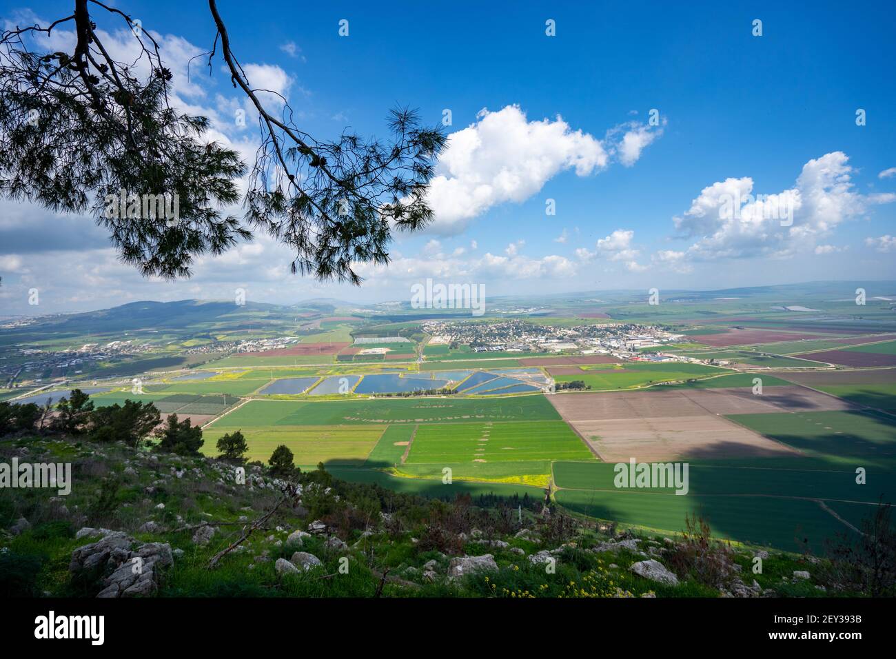 Mount Gilboa In the spring overlooking the Jezreel Valley in Israel Stock Photohttps://www.alamy.com/image-license-details/?v=1https://www.alamy.com/mount-gilboa-in-the-spring-overlooking-the-jezreel-valley-in-israel-image412507183.html
RF2EY393B–Mount Gilboa In the spring overlooking the Jezreel Valley in Israel
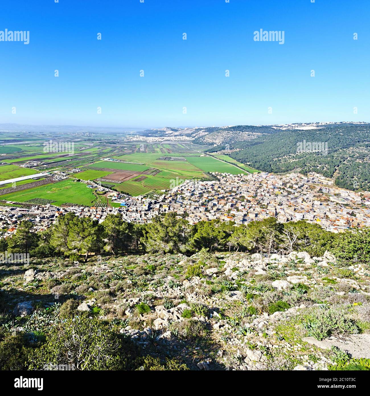 Jezreel Valley in Israel Stock Photohttps://www.alamy.com/image-license-details/?v=1https://www.alamy.com/jezreel-valley-in-israel-image362051296.html
RM2C10T3C–Jezreel Valley in Israel
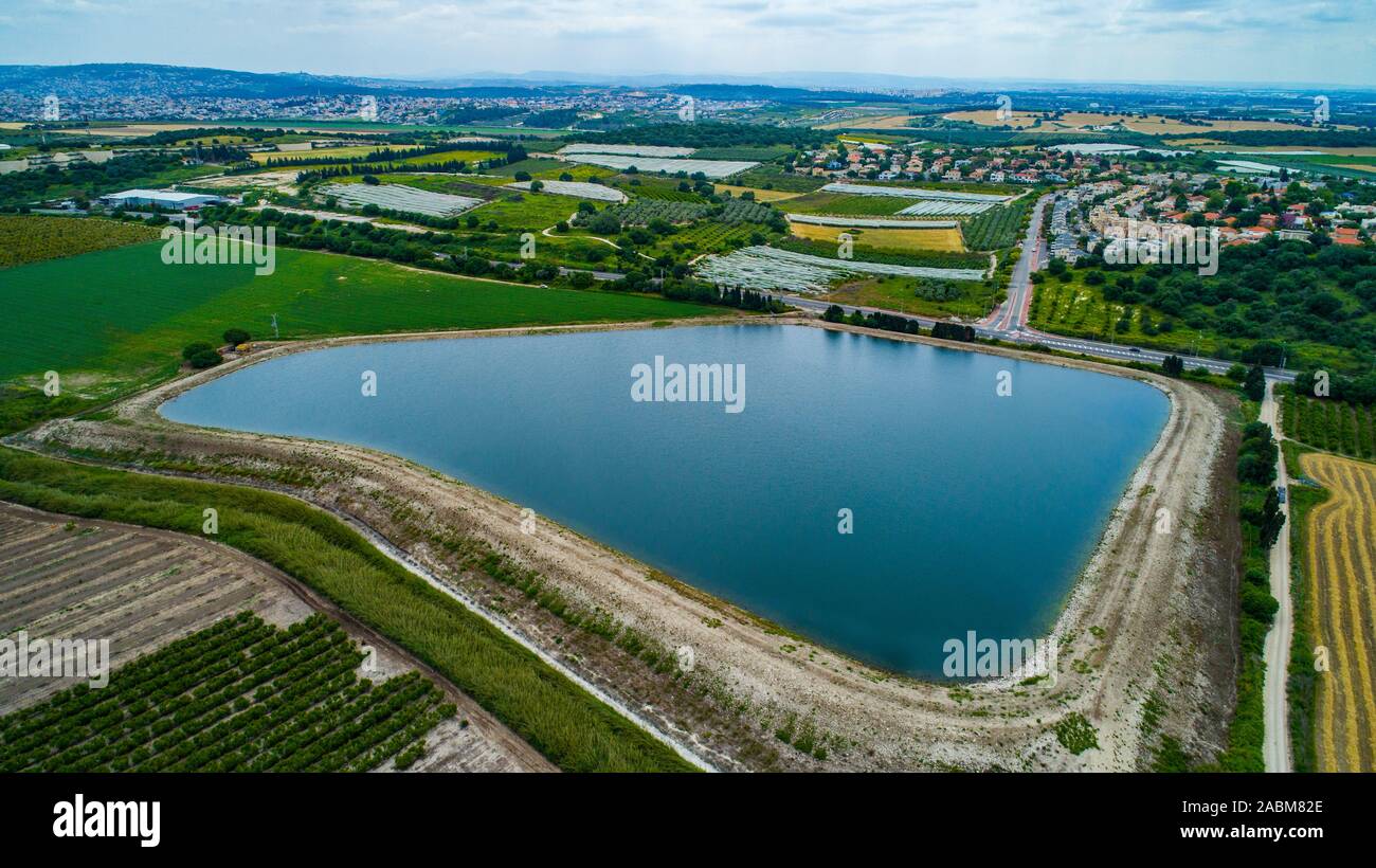 Water reservoirs for purification and water treatment facilities Stock Photohttps://www.alamy.com/image-license-details/?v=1https://www.alamy.com/water-reservoirs-for-purification-and-water-treatment-facilities-image334203590.html
RF2ABM82E–Water reservoirs for purification and water treatment facilities
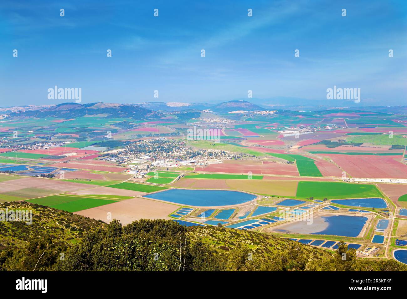 Jezreel Valley in the Lower Galilee Stock Photohttps://www.alamy.com/image-license-details/?v=1https://www.alamy.com/jezreel-valley-in-the-lower-galilee-image553010627.html
RF2R3KPKF–Jezreel Valley in the Lower Galilee
 Aerial drone photography of the Peace Valley with Yokneam (Yokneam Illit) in the background Yokneam Illit is a city in northern Israel. It is located Stock Photohttps://www.alamy.com/image-license-details/?v=1https://www.alamy.com/aerial-drone-photography-of-the-peace-valley-with-yokneam-yokneam-illit-in-the-background-yokneam-illit-is-a-city-in-northern-israel-it-is-located-image432061548.html
RF2G2X2WG–Aerial drone photography of the Peace Valley with Yokneam (Yokneam Illit) in the background Yokneam Illit is a city in northern Israel. It is located
 Jezreel Valley in Israel Stock Photohttps://www.alamy.com/image-license-details/?v=1https://www.alamy.com/stock-photo-jezreel-valley-in-israel-175219111.html
RMM51WNB–Jezreel Valley in Israel
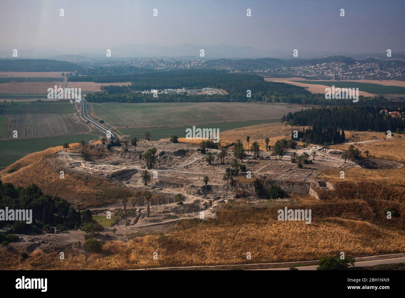 Aerial view of ancient Tel Megiddo Israel, Jezreel (Armageddon) Valley, Stock Photohttps://www.alamy.com/image-license-details/?v=1https://www.alamy.com/aerial-view-of-ancient-tel-megiddo-israel-jezreel-armageddon-valley-image354695525.html
RF2BH1NN9–Aerial view of ancient Tel Megiddo Israel, Jezreel (Armageddon) Valley,
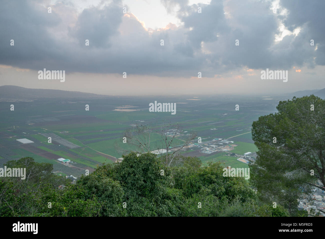 Sunset view of the Jezreel Valley from Mount Tabor. Northern Israel Stock Photohttps://www.alamy.com/image-license-details/?v=1https://www.alamy.com/stock-photo-sunset-view-of-the-jezreel-valley-from-mount-tabor-northern-israel-175524639.html
RFM5FRD3–Sunset view of the Jezreel Valley from Mount Tabor. Northern Israel
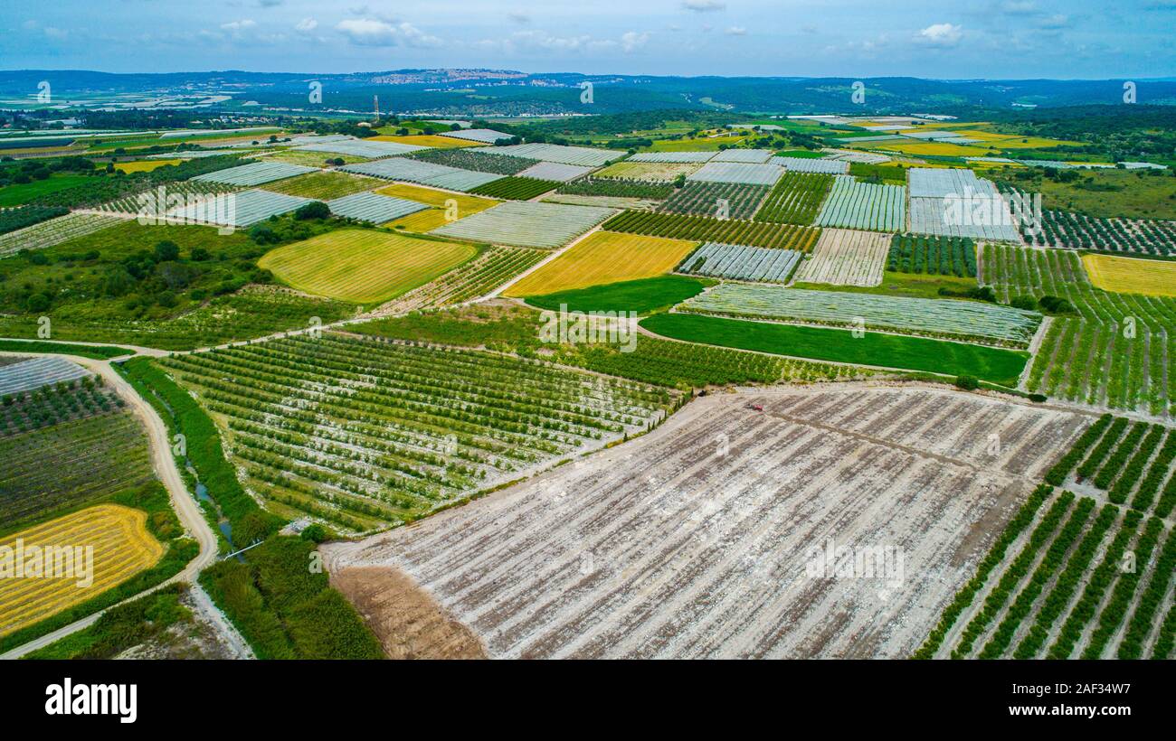 Aerial photography. Elevated view of agricultural fields in Jezreel Valley, Israel Stock Photohttps://www.alamy.com/image-license-details/?v=1https://www.alamy.com/aerial-photography-elevated-view-of-agricultural-fields-in-jezreel-valley-israel-image336286531.html
RM2AF34W7–Aerial photography. Elevated view of agricultural fields in Jezreel Valley, Israel
 Mount Precipice and a view of Jezreel Valley Stock Photohttps://www.alamy.com/image-license-details/?v=1https://www.alamy.com/mount-precipice-and-a-view-of-jezreel-valley-image241709282.html
RFT16PJA–Mount Precipice and a view of Jezreel Valley
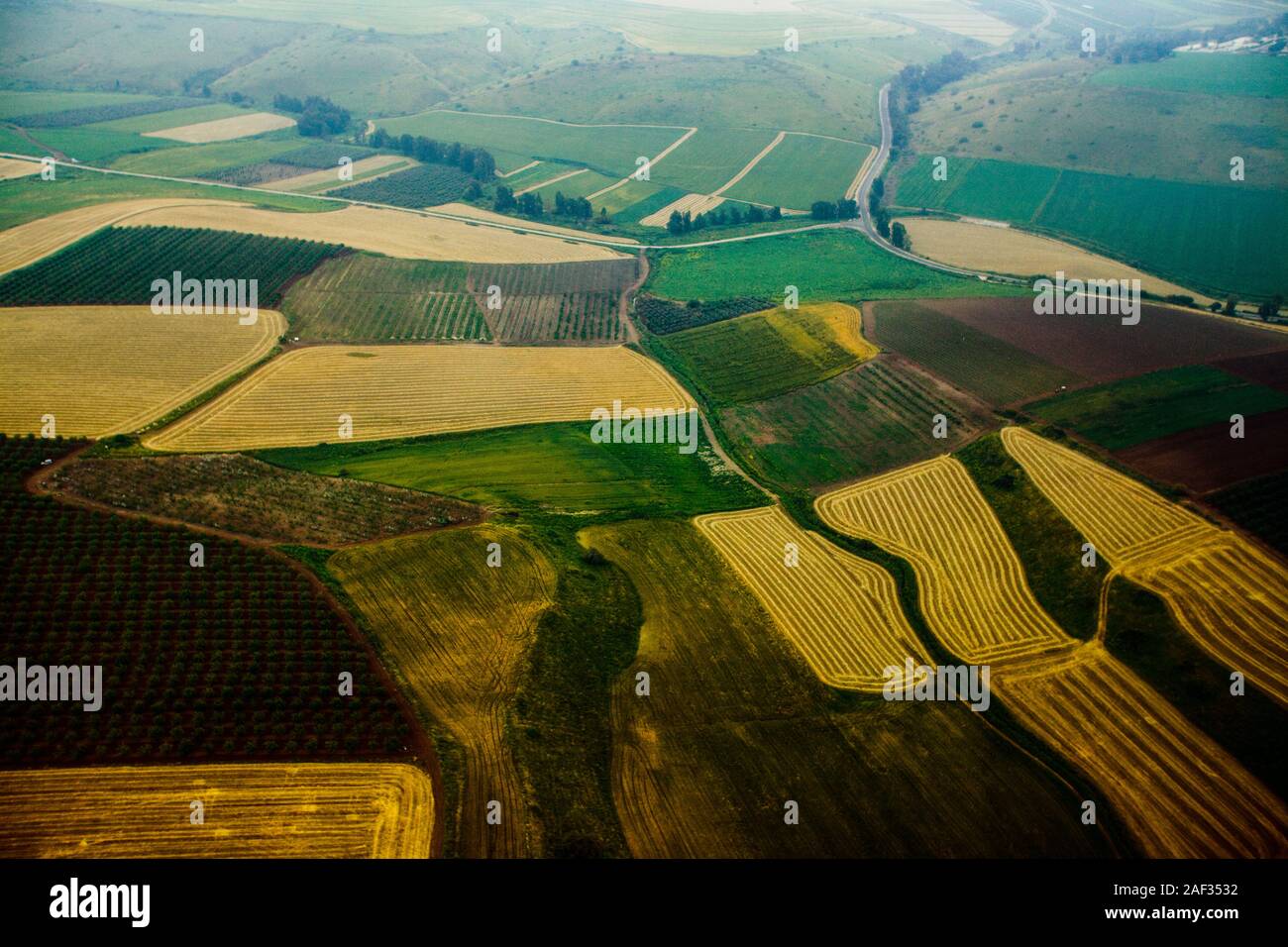 Aerial photography. Elevated view of agricultural fields in Jezreel Valley, Israel Stock Photohttps://www.alamy.com/image-license-details/?v=1https://www.alamy.com/aerial-photography-elevated-view-of-agricultural-fields-in-jezreel-valley-israel-image336286694.html
RM2AF3532–Aerial photography. Elevated view of agricultural fields in Jezreel Valley, Israel
 Israel, Jezreel valley, an aerial view of Tel Megiddo Stock Photohttps://www.alamy.com/image-license-details/?v=1https://www.alamy.com/stock-photo-israel-jezreel-valley-an-aerial-view-of-tel-megiddo-29441048.html
RMBKW4A0–Israel, Jezreel valley, an aerial view of Tel Megiddo
 An areal view of lush Jezreel Valley in Israel Stock Photohttps://www.alamy.com/image-license-details/?v=1https://www.alamy.com/an-areal-view-of-lush-jezreel-valley-in-israel-image595752109.html
RF2WH6RW1–An areal view of lush Jezreel Valley in Israel
 Aerial view of agriculture fields in Jezreel Valley a large fertile plain and inland valley south of the Lower Galilee region in northern Israel Stock Photohttps://www.alamy.com/image-license-details/?v=1https://www.alamy.com/stock-photo-aerial-view-of-agriculture-fields-in-jezreel-valley-a-large-fertile-126101772.html
RMH94C2M–Aerial view of agriculture fields in Jezreel Valley a large fertile plain and inland valley south of the Lower Galilee region in northern Israel
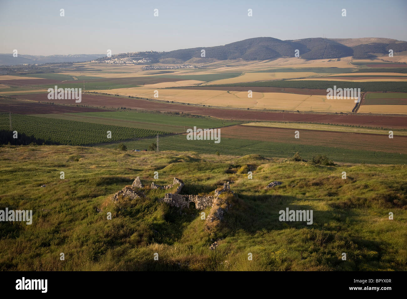 Aerial photograph of the ruins of the mound of Jezreel in the Jezreel valley Stock Photohttps://www.alamy.com/image-license-details/?v=1https://www.alamy.com/stock-photo-aerial-photograph-of-the-ruins-of-the-mound-of-jezreel-in-the-jezreel-31345911.html
RMBPYX0R–Aerial photograph of the ruins of the mound of Jezreel in the Jezreel valley
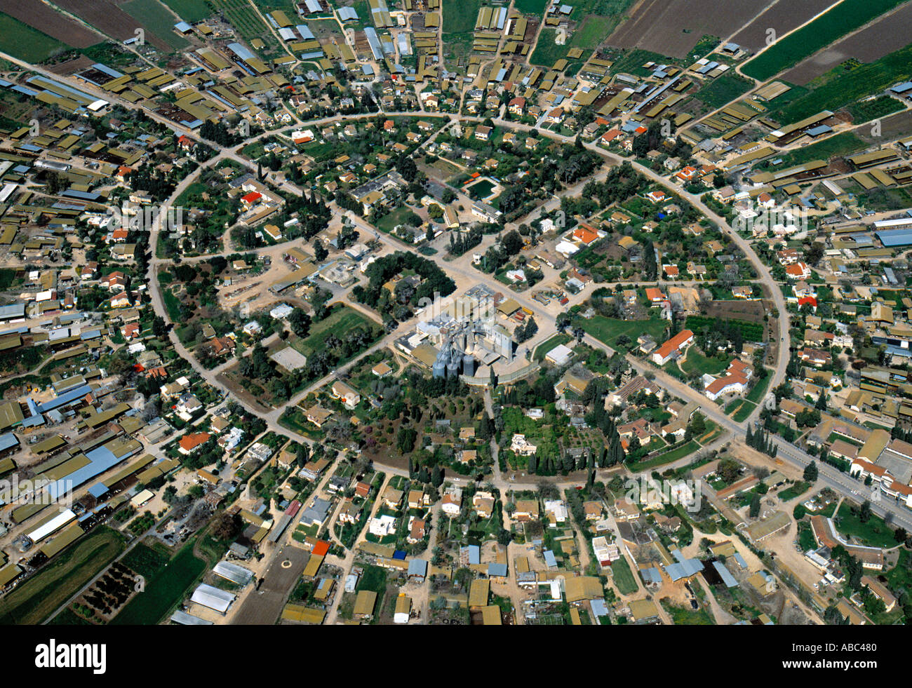 Nahalal (1st Moshav in Israel), Jezreel Valley, Israel Stock Photohttps://www.alamy.com/image-license-details/?v=1https://www.alamy.com/nahalal-1st-moshav-in-israel-jezreel-valley-israel-image771200.html
RMABC480–Nahalal (1st Moshav in Israel), Jezreel Valley, Israel
 Israel jezreel valley galilee fruitful valley Stock Photohttps://www.alamy.com/image-license-details/?v=1https://www.alamy.com/israel-jezreel-valley-galilee-fruitful-valley-image228094790.html
RFR72H6E–Israel jezreel valley galilee fruitful valley
 Water reservoirs for purification and water treatment facilities Stock Photohttps://www.alamy.com/image-license-details/?v=1https://www.alamy.com/water-reservoirs-for-purification-and-water-treatment-facilities-image334203907.html
RF2ABM8DR–Water reservoirs for purification and water treatment facilities
 Jezreel Valley in Israel Stock Photohttps://www.alamy.com/image-license-details/?v=1https://www.alamy.com/jezreel-valley-in-israel-image217232061.html
RMPHBNKW–Jezreel Valley in Israel
 Sunset view of the Jezreel Valley from Mount Tabor. Northern Israel Stock Photohttps://www.alamy.com/image-license-details/?v=1https://www.alamy.com/stock-photo-sunset-view-of-the-jezreel-valley-from-mount-tabor-northern-israel-175524627.html
RFM5FRCK–Sunset view of the Jezreel Valley from Mount Tabor. Northern Israel
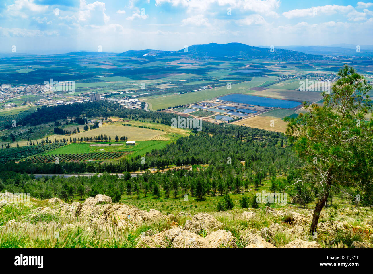 The Jezreel Valley landscape, viewed from Mount Precipice. Northern Israel Stock Photohttps://www.alamy.com/image-license-details/?v=1https://www.alamy.com/stock-photo-the-jezreel-valley-landscape-viewed-from-mount-precipice-northern-138708412.html
RFJ1JKYT–The Jezreel Valley landscape, viewed from Mount Precipice. Northern Israel
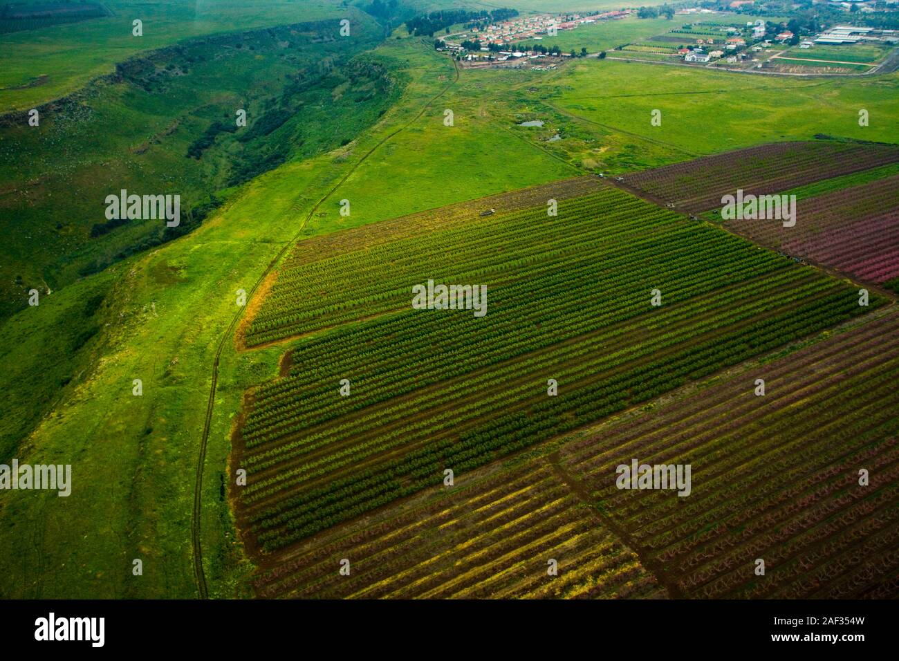 Aerial photography. Elevated view of agricultural fields in Jezreel Valley, Israel Stock Photohttps://www.alamy.com/image-license-details/?v=1https://www.alamy.com/aerial-photography-elevated-view-of-agricultural-fields-in-jezreel-valley-israel-image336286745.html
RM2AF354W–Aerial photography. Elevated view of agricultural fields in Jezreel Valley, Israel
 Mount Precipice and a view of Jezreel Valley Stock Photohttps://www.alamy.com/image-license-details/?v=1https://www.alamy.com/mount-precipice-and-a-view-of-jezreel-valley-image241708930.html
RFT16P5P–Mount Precipice and a view of Jezreel Valley
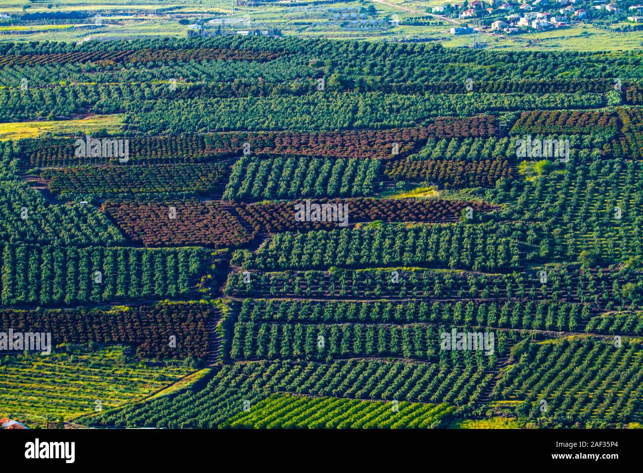 Aerial photography. Elevated view of citrus tree orchards in Jezreel Valley, Israel Stock Photohttps://www.alamy.com/image-license-details/?v=1https://www.alamy.com/aerial-photography-elevated-view-of-citrus-tree-orchards-in-jezreel-valley-israel-image336287228.html
RM2AF35P4–Aerial photography. Elevated view of citrus tree orchards in Jezreel Valley, Israel
 Israel, Jezreel valley, an aerial view of Tel Megiddo Stock Photohttps://www.alamy.com/image-license-details/?v=1https://www.alamy.com/stock-photo-israel-jezreel-valley-an-aerial-view-of-tel-megiddo-29443049.html
RMBKW6WD–Israel, Jezreel valley, an aerial view of Tel Megiddo
 Aerial photograph of the agriculture fields of the Jezreel valley Stock Photohttps://www.alamy.com/image-license-details/?v=1https://www.alamy.com/stock-photo-aerial-photograph-of-the-agriculture-fields-of-the-jezreel-valley-31345903.html
RMBPYX0F–Aerial photograph of the agriculture fields of the Jezreel valley
 Aerial view of agriculture fields in Jezreel Valley a large fertile plain and inland valley south of the Lower Galilee region in northern Israel Stock Photohttps://www.alamy.com/image-license-details/?v=1https://www.alamy.com/stock-photo-aerial-view-of-agriculture-fields-in-jezreel-valley-a-large-fertile-126101620.html
RMH94BW8–Aerial view of agriculture fields in Jezreel Valley a large fertile plain and inland valley south of the Lower Galilee region in northern Israel
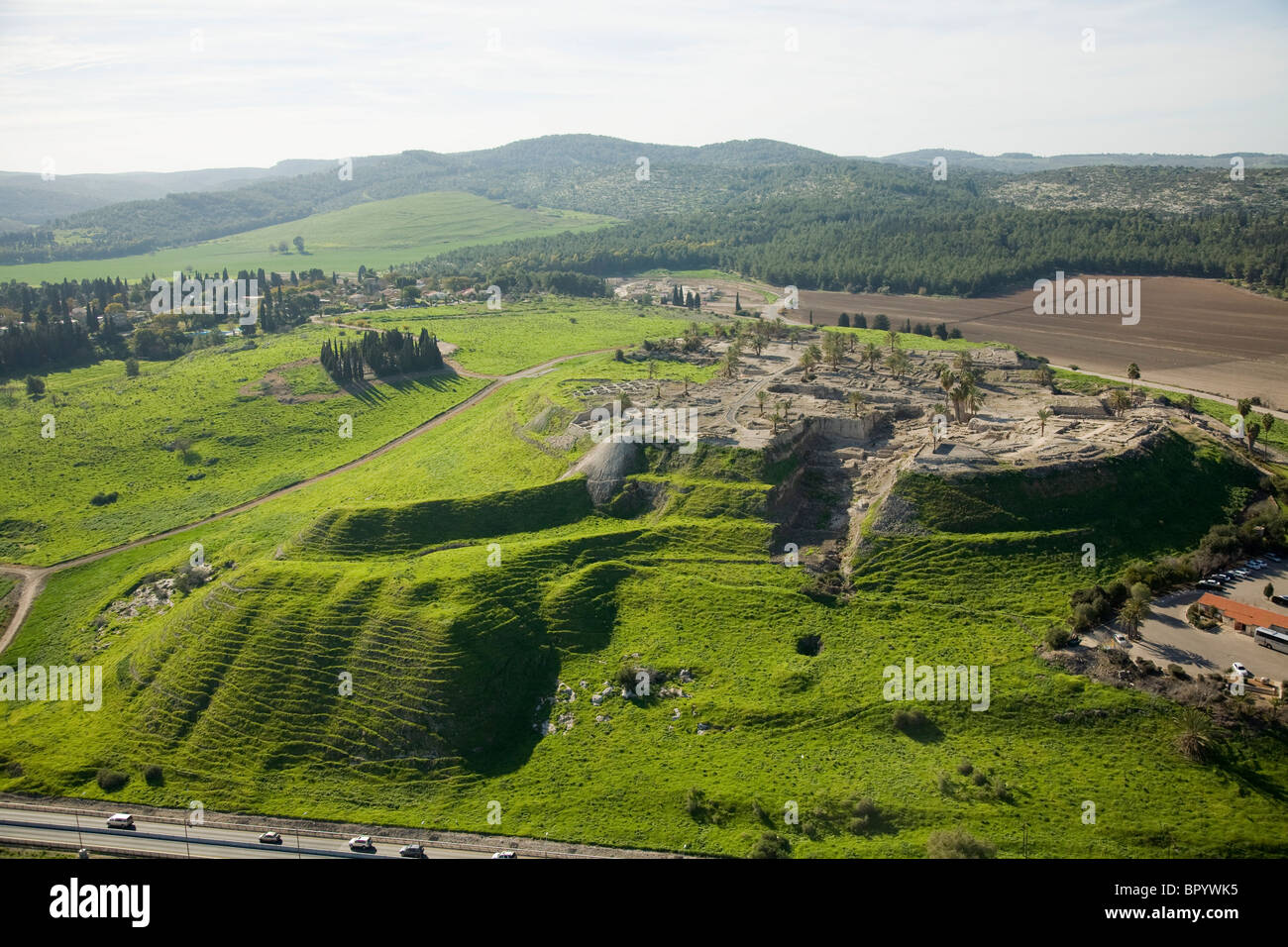 Aerial photograph of the archeology site of mound Megidoin the Jezreel valley Stock Photohttps://www.alamy.com/image-license-details/?v=1https://www.alamy.com/stock-photo-aerial-photograph-of-the-archeology-site-of-mound-megidoin-the-jezreel-31345641.html
RMBPYWK5–Aerial photograph of the archeology site of mound Megidoin the Jezreel valley
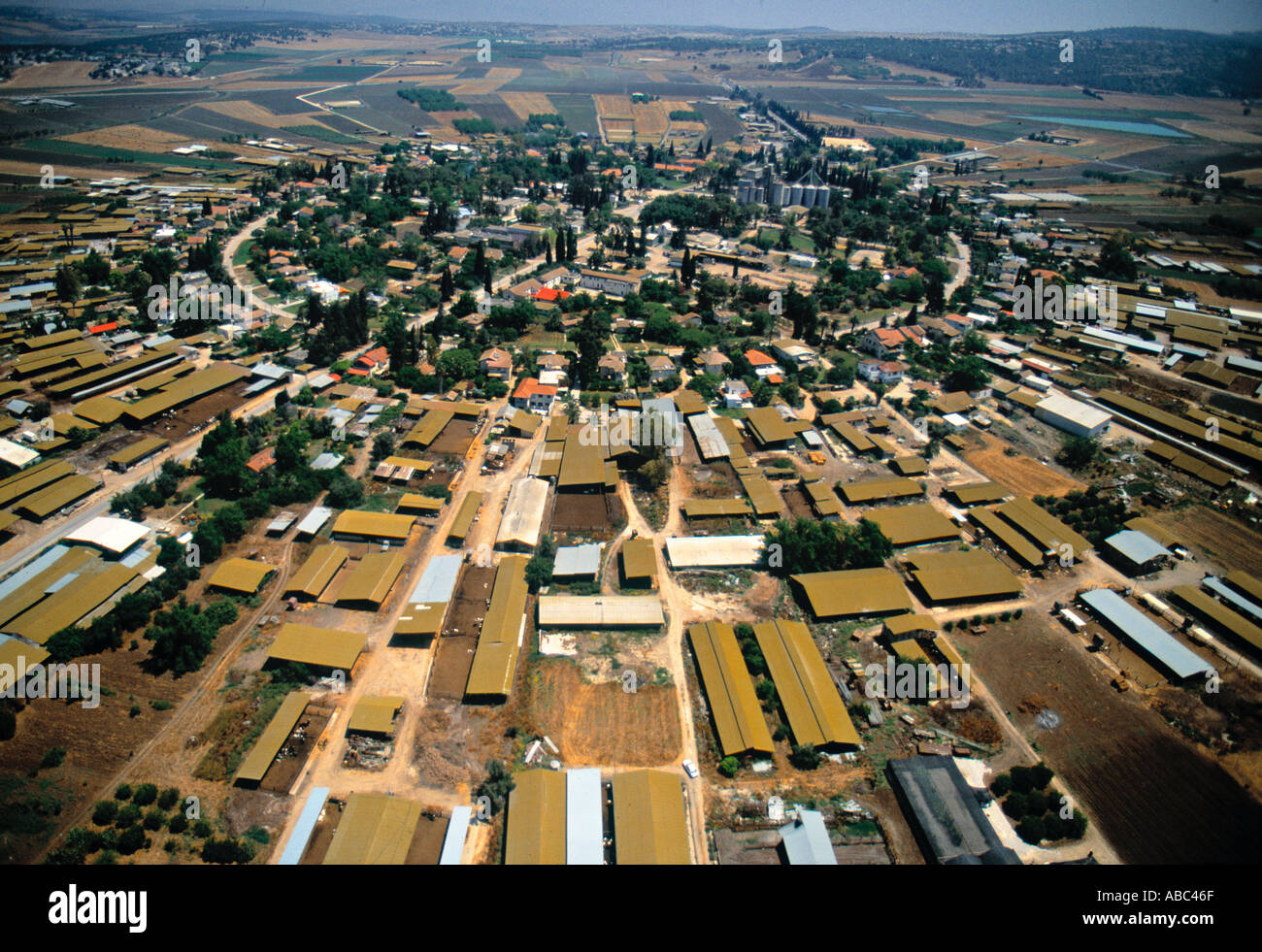 Nahalal (1st Moshav in Israel), Jezreel Valley, Israel Stock Photohttps://www.alamy.com/image-license-details/?v=1https://www.alamy.com/nahalal-1st-moshav-in-israel-jezreel-valley-israel-image771183.html
RMABC46F–Nahalal (1st Moshav in Israel), Jezreel Valley, Israel
 An areal view of lush Jezreel Valley in Israel Stock Photohttps://www.alamy.com/image-license-details/?v=1https://www.alamy.com/an-areal-view-of-lush-jezreel-valley-in-israel-image595752108.html
RF2WH6RW0–An areal view of lush Jezreel Valley in Israel
 Ponds of Water reservoirs for purification and water treatment facilities Stock Photohttps://www.alamy.com/image-license-details/?v=1https://www.alamy.com/ponds-of-water-reservoirs-for-purification-and-water-treatment-facilities-image334202201.html
RF2ABM68W–Ponds of Water reservoirs for purification and water treatment facilities
 Aerial view of agricultural fields in the Jezreel Valley Israel Stock Photohttps://www.alamy.com/image-license-details/?v=1https://www.alamy.com/aerial-view-of-agricultural-fields-in-the-jezreel-valley-israel-image334205460.html
RF2ABMAD8–Aerial view of agricultural fields in the Jezreel Valley Israel
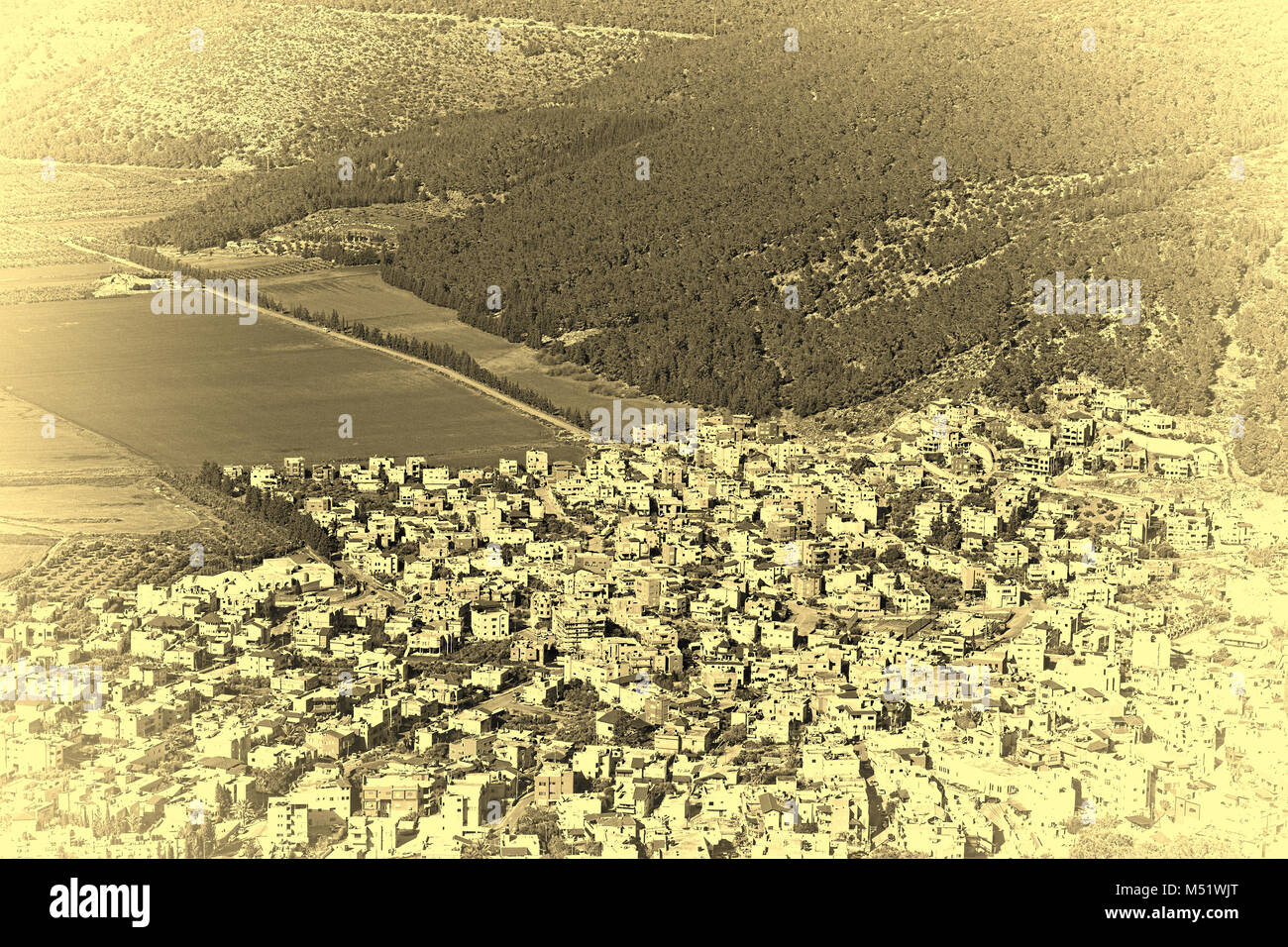 Arab City in Jezreel Valley Stock Photohttps://www.alamy.com/image-license-details/?v=1https://www.alamy.com/stock-photo-arab-city-in-jezreel-valley-175219040.html
RMM51WJT–Arab City in Jezreel Valley
 Aerial view of agricultural fields in the Jezreel Valley Israel Stock Photohttps://www.alamy.com/image-license-details/?v=1https://www.alamy.com/aerial-view-of-agricultural-fields-in-the-jezreel-valley-israel-image334206097.html
RF2ABMB81–Aerial view of agricultural fields in the Jezreel Valley Israel
 Panorama of the Jezreel Valley landscape, viewed from Mount Precipice. Northern Israel Stock Photohttps://www.alamy.com/image-license-details/?v=1https://www.alamy.com/stock-photo-panorama-of-the-jezreel-valley-landscape-viewed-from-mount-precipice-138708398.html
RFJ1JKYA–Panorama of the Jezreel Valley landscape, viewed from Mount Precipice. Northern Israel
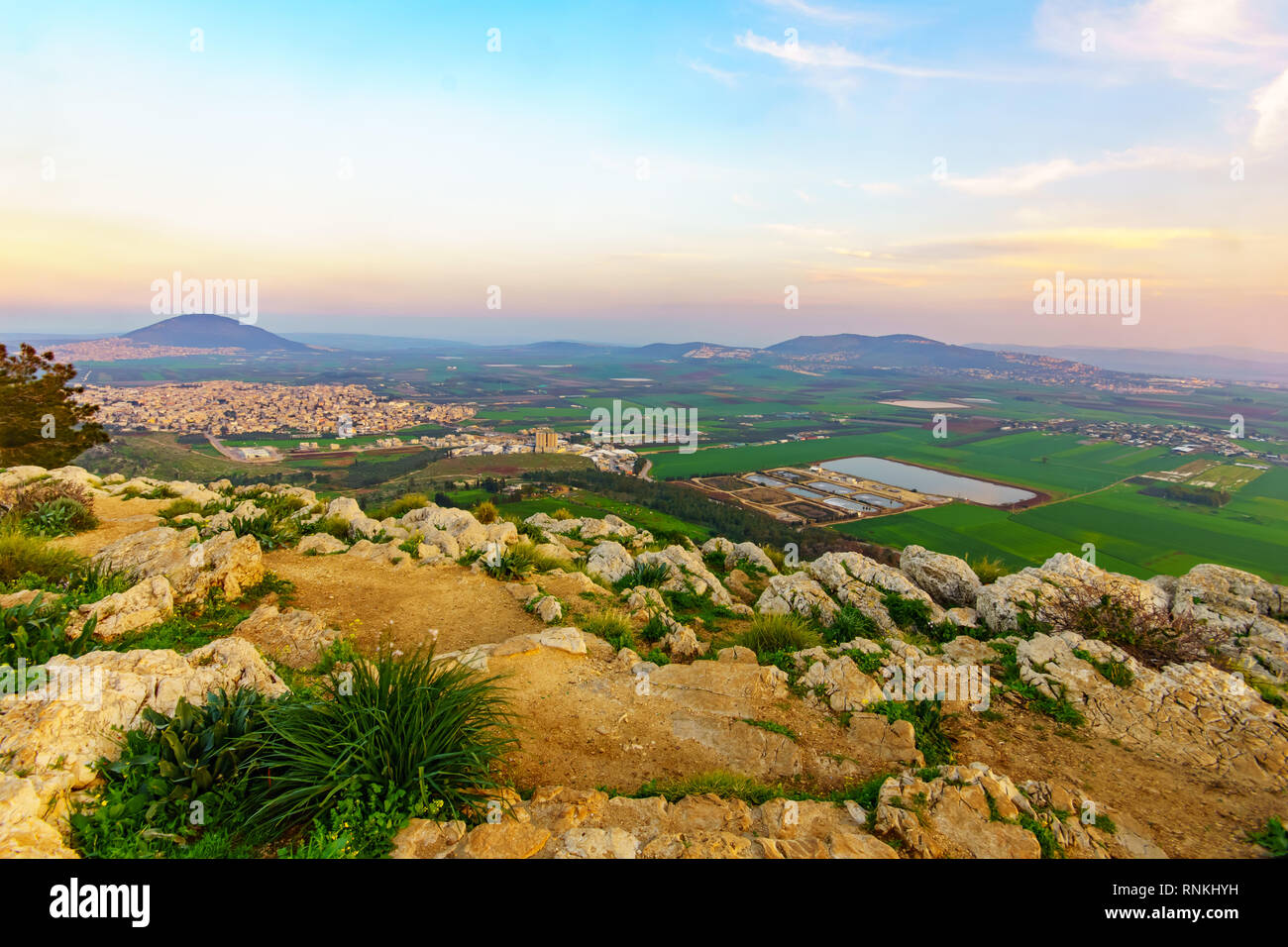 Sunset view of the Jezreel Valley and Mont Tabor, from Mount Precipice. Israel Stock Photohttps://www.alamy.com/image-license-details/?v=1https://www.alamy.com/sunset-view-of-the-jezreel-valley-and-mont-tabor-from-mount-precipice-israel-image237073749.html
RFRNKHYH–Sunset view of the Jezreel Valley and Mont Tabor, from Mount Precipice. Israel
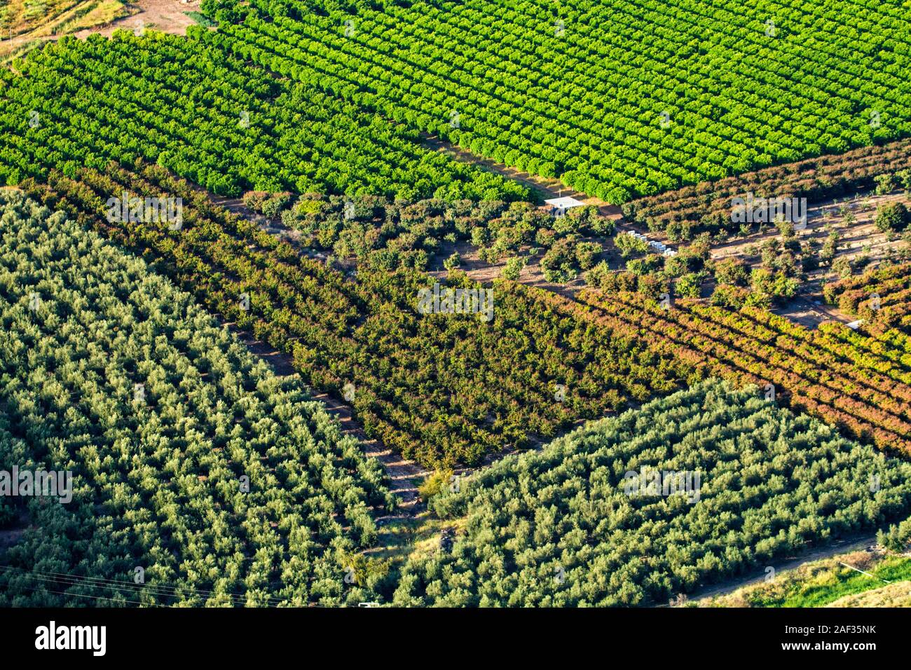 Aerial photography. Elevated view of citrus tree orchards in Jezreel Valley, Israel Stock Photohttps://www.alamy.com/image-license-details/?v=1https://www.alamy.com/aerial-photography-elevated-view-of-citrus-tree-orchards-in-jezreel-valley-israel-image336287215.html
RM2AF35NK–Aerial photography. Elevated view of citrus tree orchards in Jezreel Valley, Israel
 The Jezreel Valley landscape, viewed from Mount Precipice. Northern Israel Stock Photohttps://www.alamy.com/image-license-details/?v=1https://www.alamy.com/stock-photo-the-jezreel-valley-landscape-viewed-from-mount-precipice-northern-138708345.html
RFJ1JKWD–The Jezreel Valley landscape, viewed from Mount Precipice. Northern Israel
 Israel, Jezreel valley, an aerial view of Tel Megiddo Stock Photohttps://www.alamy.com/image-license-details/?v=1https://www.alamy.com/stock-photo-israel-jezreel-valley-an-aerial-view-of-tel-megiddo-29441833.html
RMBKW5A1–Israel, Jezreel valley, an aerial view of Tel Megiddo
 Aerial view of agriculture fields in Jezreel Valley a large fertile plain and inland valley south of the Lower Galilee region in northern Israel Stock Photohttps://www.alamy.com/image-license-details/?v=1https://www.alamy.com/stock-photo-aerial-view-of-agriculture-fields-in-jezreel-valley-a-large-fertile-126101566.html
RMH94BRA–Aerial view of agriculture fields in Jezreel Valley a large fertile plain and inland valley south of the Lower Galilee region in northern Israel
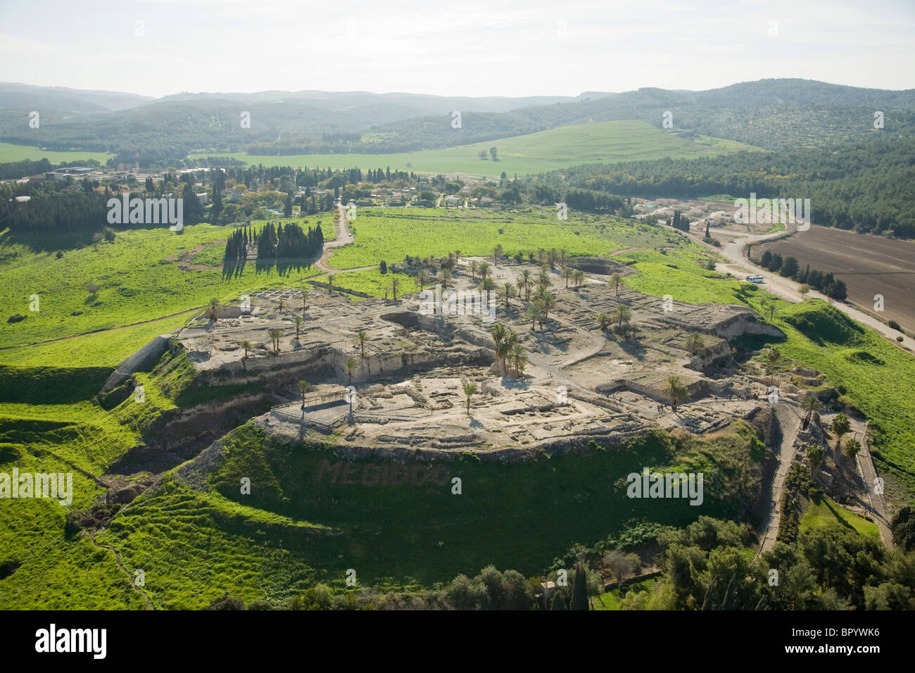 Aerial photograph of the archeology site of mound Megidoin the Jezreel valley Stock Photohttps://www.alamy.com/image-license-details/?v=1https://www.alamy.com/stock-photo-aerial-photograph-of-the-archeology-site-of-mound-megidoin-the-jezreel-31345642.html
RMBPYWK6–Aerial photograph of the archeology site of mound Megidoin the Jezreel valley
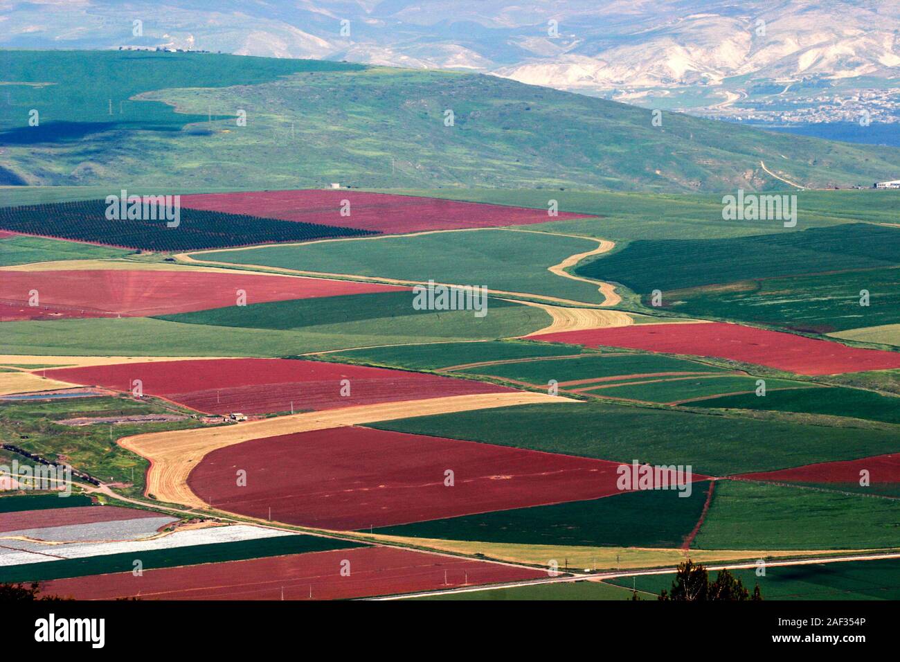 Aerial photography. Elevated view of agricultural fields in Jezreel Valley, Israel Stock Photohttps://www.alamy.com/image-license-details/?v=1https://www.alamy.com/aerial-photography-elevated-view-of-agricultural-fields-in-jezreel-valley-israel-image336286742.html
RM2AF354P–Aerial photography. Elevated view of agricultural fields in Jezreel Valley, Israel
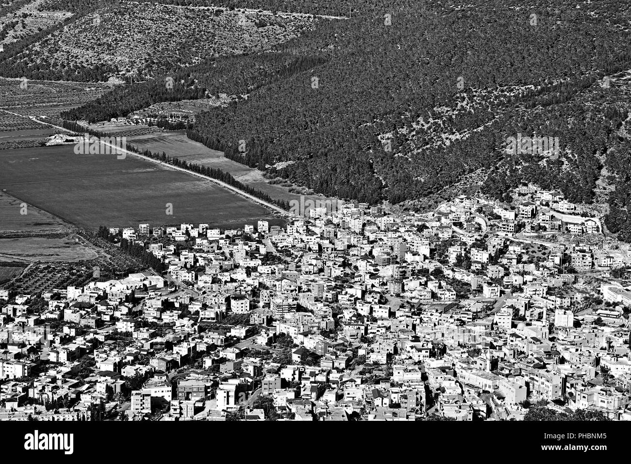 Arab City in Jezreel Valley Stock Photohttps://www.alamy.com/image-license-details/?v=1https://www.alamy.com/arab-city-in-jezreel-valley-image217232069.html
RMPHBNM5–Arab City in Jezreel Valley
 Aerial view of agricultural fields in the Jezreel Valley Israel Stock Photohttps://www.alamy.com/image-license-details/?v=1https://www.alamy.com/aerial-view-of-agricultural-fields-in-the-jezreel-valley-israel-image334207227.html
RF2ABMCMB–Aerial view of agricultural fields in the Jezreel Valley Israel
 Asphalt to the Mount Tabor Stock Photohttps://www.alamy.com/image-license-details/?v=1https://www.alamy.com/asphalt-to-the-mount-tabor-image362051286.html
RM2C10T32–Asphalt to the Mount Tabor
 Panorama of the Jezreel Valley landscape, viewed from Mount Precipice. Northern Israel Stock Photohttps://www.alamy.com/image-license-details/?v=1https://www.alamy.com/stock-photo-panorama-of-the-jezreel-valley-landscape-viewed-from-mount-precipice-138708377.html
RFJ1JKXH–Panorama of the Jezreel Valley landscape, viewed from Mount Precipice. Northern Israel
 Israel, Jezreel valley, an aerial view of Tel Megiddo Stock Photohttps://www.alamy.com/image-license-details/?v=1https://www.alamy.com/stock-photo-israel-jezreel-valley-an-aerial-view-of-tel-megiddo-29444781.html
RMBKW939–Israel, Jezreel valley, an aerial view of Tel Megiddo
 Aerial view of an almond orchard in Jezreel Valley a large fertile plain and inland valley south of the Lower Galilee region in northern Israel Stock Photohttps://www.alamy.com/image-license-details/?v=1https://www.alamy.com/stock-photo-aerial-view-of-an-almond-orchard-in-jezreel-valley-a-large-fertile-126101828.html
RMH94C4M–Aerial view of an almond orchard in Jezreel Valley a large fertile plain and inland valley south of the Lower Galilee region in northern Israel
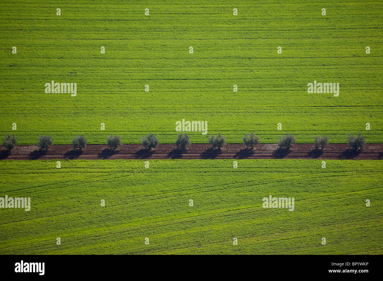 Aerial photograph of the Agriculture fields of the Galilee Stock Photohttps://www.alamy.com/image-license-details/?v=1https://www.alamy.com/stock-photo-aerial-photograph-of-the-agriculture-fields-of-the-galilee-31345658.html
RMBPYWKP–Aerial photograph of the Agriculture fields of the Galilee
 Aerial view of agricultural fields in the Jezreel Valley Israel Stock Photohttps://www.alamy.com/image-license-details/?v=1https://www.alamy.com/aerial-view-of-agricultural-fields-in-the-jezreel-valley-israel-image334206975.html
RF2ABMCBB–Aerial view of agricultural fields in the Jezreel Valley Israel
 Asphalt to the Mount Tabor Stock Photohttps://www.alamy.com/image-license-details/?v=1https://www.alamy.com/asphalt-to-the-mount-tabor-image362051288.html
RM2C10T34–Asphalt to the Mount Tabor
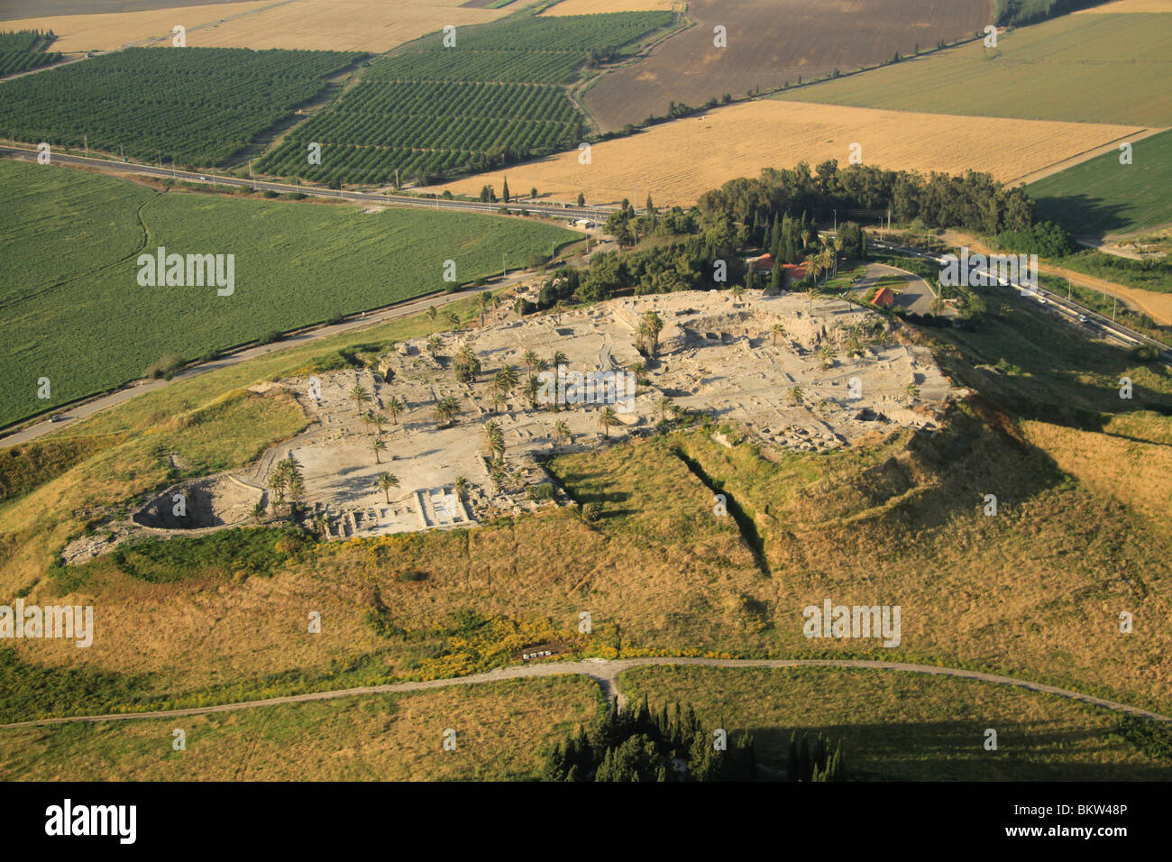 Israel, Jezreel valley, an aerial view of Tel Megiddo Stock Photohttps://www.alamy.com/image-license-details/?v=1https://www.alamy.com/stock-photo-israel-jezreel-valley-an-aerial-view-of-tel-megiddo-29441014.html
RMBKW48P–Israel, Jezreel valley, an aerial view of Tel Megiddo
 Aerial view of an almond orchard in Jezreel Valley a large fertile plain and inland valley south of the Lower Galilee region in northern Israel Stock Photohttps://www.alamy.com/image-license-details/?v=1https://www.alamy.com/stock-photo-aerial-view-of-an-almond-orchard-in-jezreel-valley-a-large-fertile-126101850.html
RMH94C5E–Aerial view of an almond orchard in Jezreel Valley a large fertile plain and inland valley south of the Lower Galilee region in northern Israel
 Aerial photograph of the Agriculture fields of the Galilee Stock Photohttps://www.alamy.com/image-license-details/?v=1https://www.alamy.com/stock-photo-aerial-photograph-of-the-agriculture-fields-of-the-galilee-31345666.html
RMBPYWM2–Aerial photograph of the Agriculture fields of the Galilee
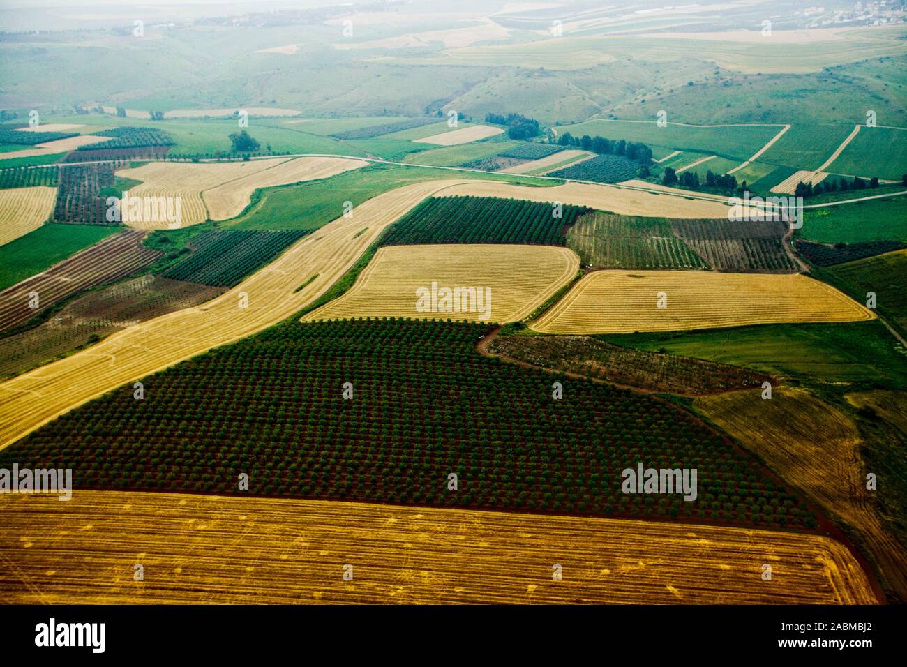 Aerial view of agricultural fields in the Jezreel Valley Israel Stock Photohttps://www.alamy.com/image-license-details/?v=1https://www.alamy.com/aerial-view-of-agricultural-fields-in-the-jezreel-valley-israel-image334206378.html
RF2ABMBJ2–Aerial view of agricultural fields in the Jezreel Valley Israel