Kenya political map capital nairobi Stock Photos and Images
(69)See kenya political map capital nairobi stock video clipsQuick filters:
Kenya political map capital nairobi Stock Photos and Images
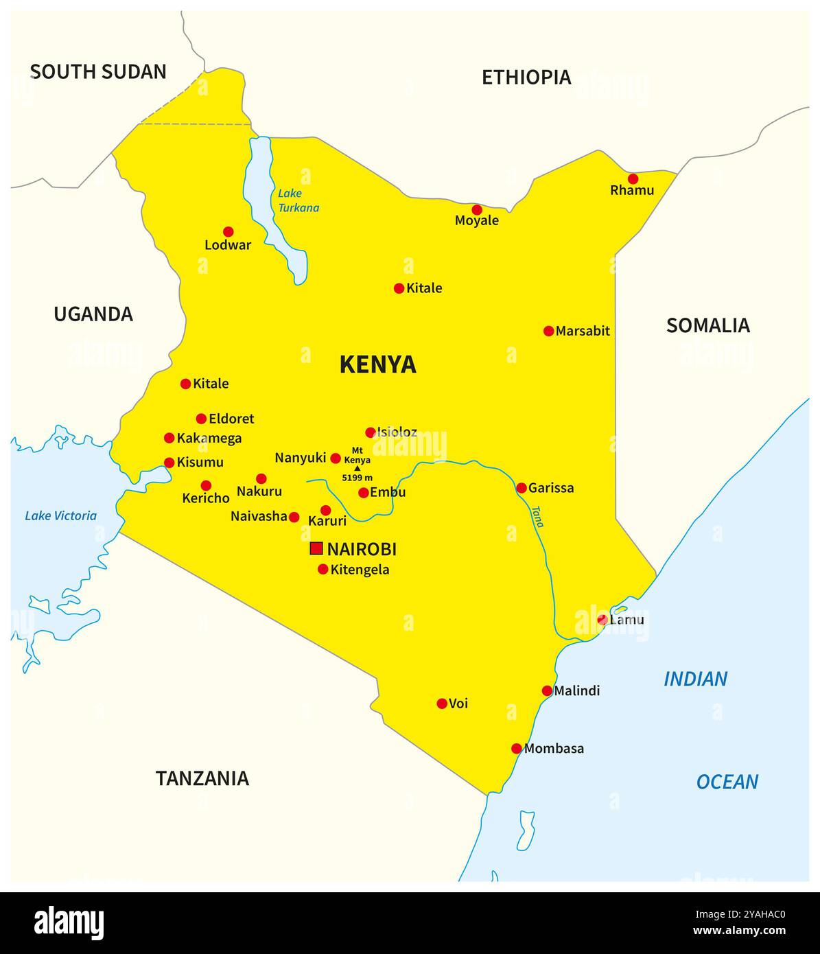 Simple yellow overview map of Kenya Stock Photohttps://www.alamy.com/image-license-details/?v=1https://www.alamy.com/simple-yellow-overview-map-of-kenya-image626101168.html
RF2YAHAC0–Simple yellow overview map of Kenya
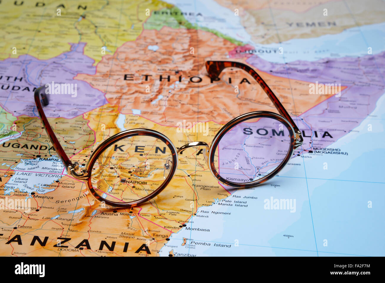 Glasses on a map - Nairobi Stock Photohttps://www.alamy.com/image-license-details/?v=1https://www.alamy.com/stock-photo-glasses-on-a-map-nairobi-92254280.html
RFFA2F7M–Glasses on a map - Nairobi
 Beautiful photo of a map of Kenya and the capital Nairobi . Stock Photohttps://www.alamy.com/image-license-details/?v=1https://www.alamy.com/stock-photo-beautiful-photo-of-a-map-of-kenya-and-the-capital-nairobi-127541566.html
RFHBE0FX–Beautiful photo of a map of Kenya and the capital Nairobi .
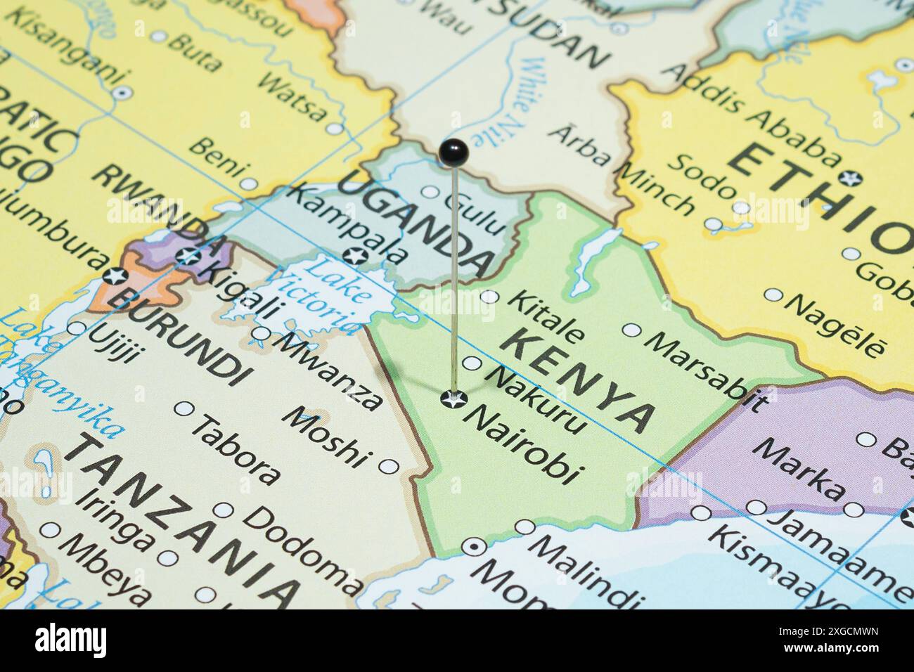 Close up to a Nairobi city with a black pin needle into Kenya country political map Stock Photohttps://www.alamy.com/image-license-details/?v=1https://www.alamy.com/close-up-to-a-nairobi-city-with-a-black-pin-needle-into-kenya-country-political-map-image612477201.html
RF2XGCMWN–Close up to a Nairobi city with a black pin needle into Kenya country political map
 Nairobi, Kenya. Political map. City visualization illustrative concept on display screen through magnifying glass. Stock Photohttps://www.alamy.com/image-license-details/?v=1https://www.alamy.com/nairobi-kenya-political-map-city-visualization-illustrative-concept-on-display-screen-through-magnifying-glass-image244445017.html
RFT5KC35–Nairobi, Kenya. Political map. City visualization illustrative concept on display screen through magnifying glass.
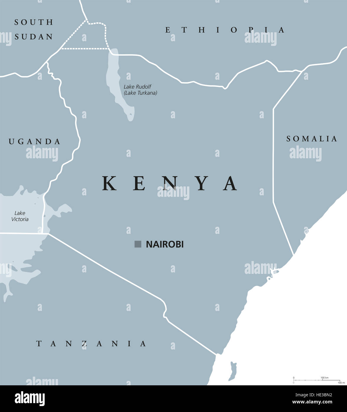 Kenya political map with capital Nairobi. Republic in Africa with national borders, neighbor countries. Stock Photohttps://www.alamy.com/image-license-details/?v=1https://www.alamy.com/stock-photo-kenya-political-map-with-capital-nairobi-republic-in-africa-with-national-129152830.html
RFHE3BN2–Kenya political map with capital Nairobi. Republic in Africa with national borders, neighbor countries.
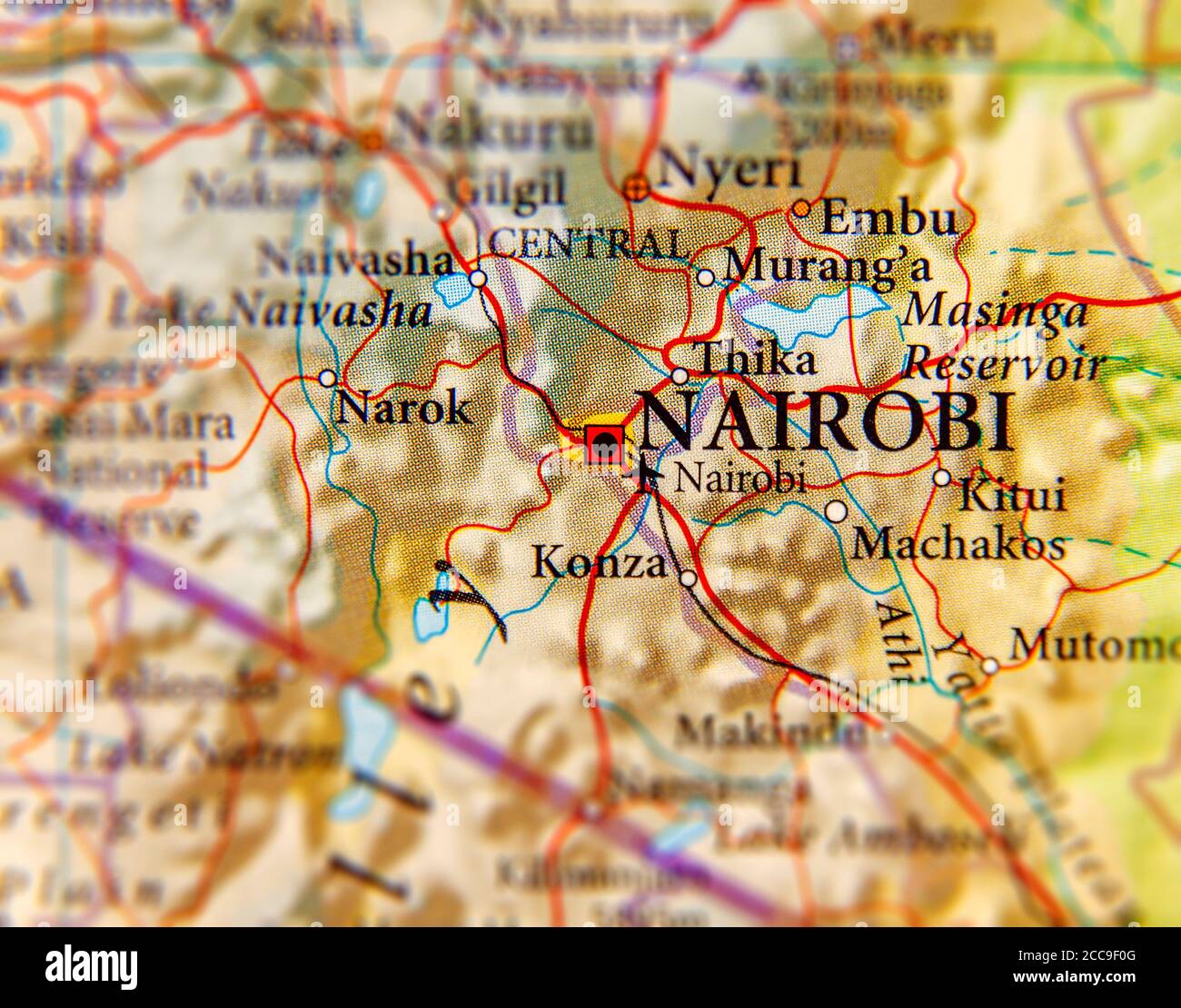 Geographic map of Kenya and focus on capital of Nairobi Stock Photohttps://www.alamy.com/image-license-details/?v=1https://www.alamy.com/geographic-map-of-kenya-and-focus-on-capital-of-nairobi-image369002944.html
RF2CC9F0G–Geographic map of Kenya and focus on capital of Nairobi
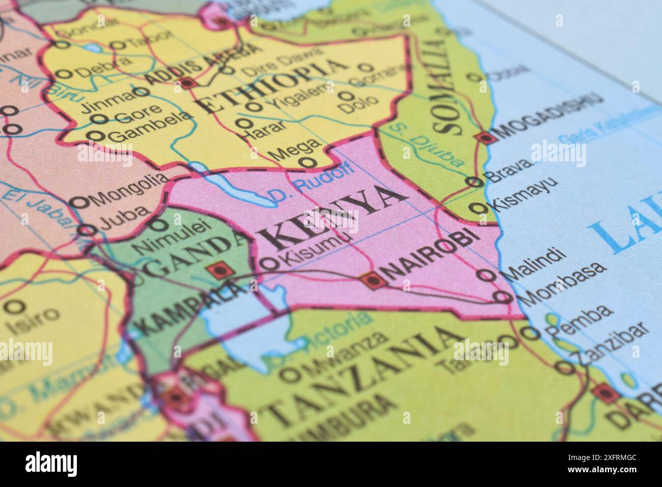 Kenya of the World Map. Close up and selective focus. Travel concept Stock Photohttps://www.alamy.com/image-license-details/?v=1https://www.alamy.com/kenya-of-the-world-map-close-up-and-selective-focus-travel-concept-image612103756.html
RF2XFRMGC–Kenya of the World Map. Close up and selective focus. Travel concept
 This stock image shows the location of Kenya on a world map Stock Photohttps://www.alamy.com/image-license-details/?v=1https://www.alamy.com/this-stock-image-shows-the-location-of-kenya-on-a-world-map-image566882743.html
RF2RX7MM7–This stock image shows the location of Kenya on a world map
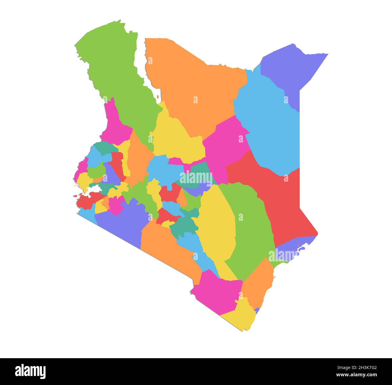 Kenya map, administrative division, separate individual regions, color map isolated on white background, blank Stock Photohttps://www.alamy.com/image-license-details/?v=1https://www.alamy.com/kenya-map-administrative-division-separate-individual-regions-color-map-isolated-on-white-background-blank-image449736562.html
RF2H3K7G2–Kenya map, administrative division, separate individual regions, color map isolated on white background, blank
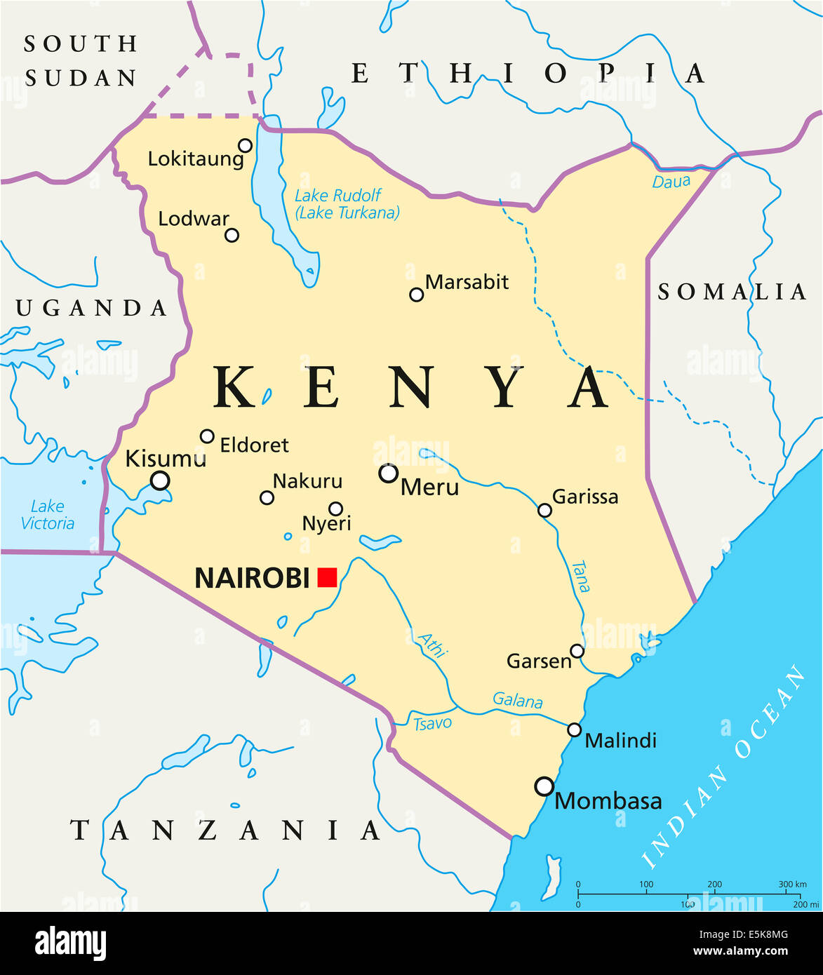 Kenya Political Map with capital Nairobi, national borders, most important cities, rivers and lakes with English labeling. Stock Photohttps://www.alamy.com/image-license-details/?v=1https://www.alamy.com/stock-photo-kenya-political-map-with-capital-nairobi-national-borders-most-important-72338688.html
RFE5K8MG–Kenya Political Map with capital Nairobi, national borders, most important cities, rivers and lakes with English labeling.
 Shallow depth of field focus on geographical map location of Nairobi city in Kenya Africa continent on atlas Stock Photohttps://www.alamy.com/image-license-details/?v=1https://www.alamy.com/shallow-depth-of-field-focus-on-geographical-map-location-of-nairobi-city-in-kenya-africa-continent-on-atlas-image357750301.html
RF2BP0X4D–Shallow depth of field focus on geographical map location of Nairobi city in Kenya Africa continent on atlas
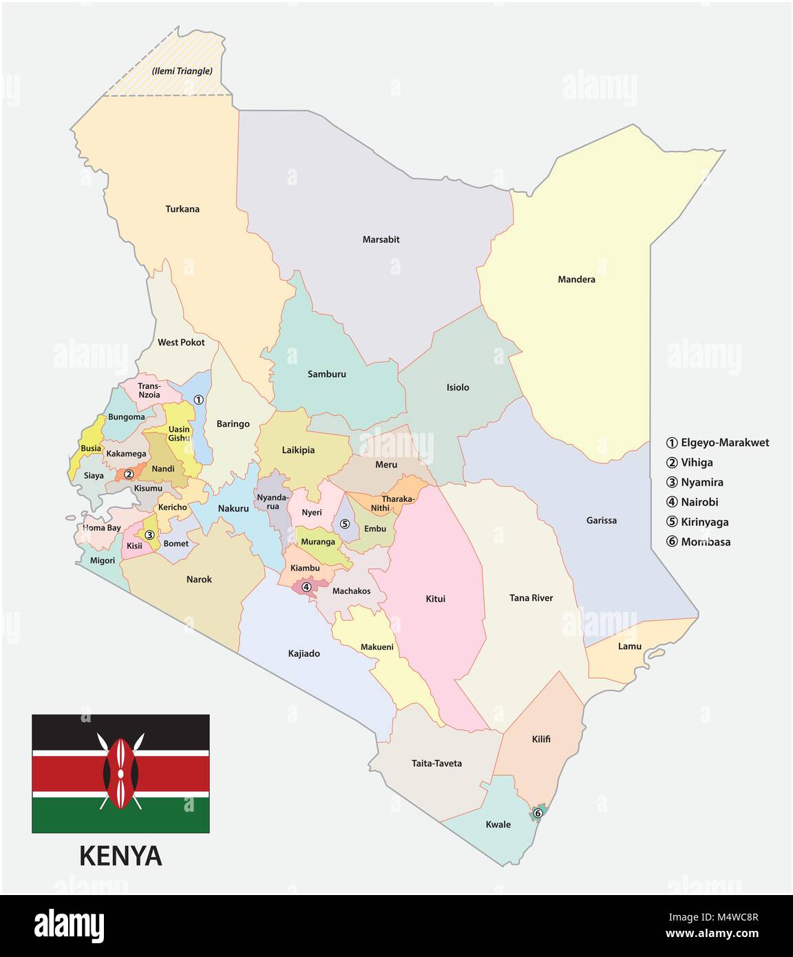 Administrative and political vector map of the Republic of Kenya with flag Stock Vectorhttps://www.alamy.com/image-license-details/?v=1https://www.alamy.com/stock-photo-administrative-and-political-vector-map-of-the-republic-of-kenya-with-175120759.html
RFM4WC8R–Administrative and political vector map of the Republic of Kenya with flag
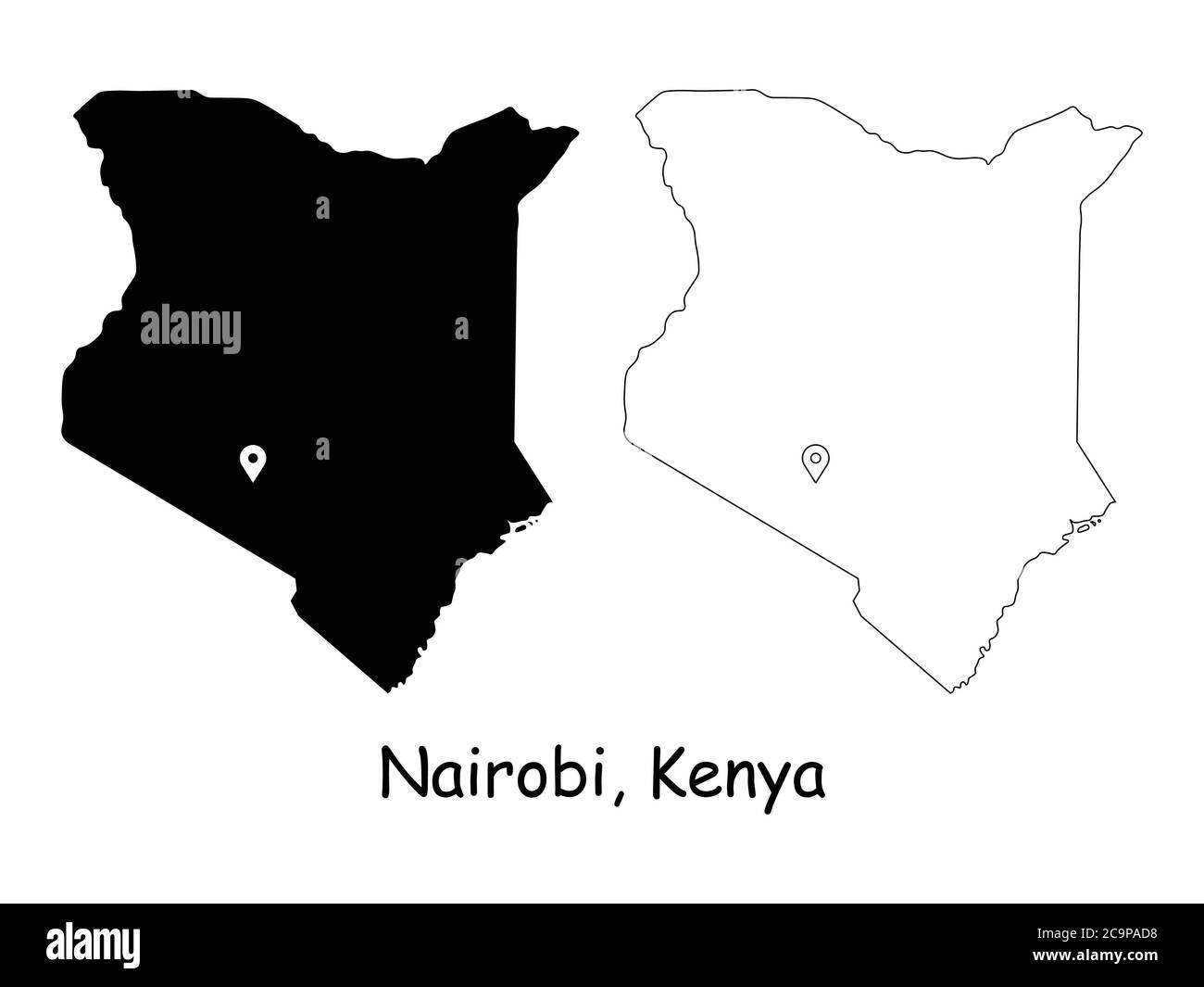 Nairobi Kenya. Detailed Country Map with Location Pin on Capital City. Black silhouette and outline maps isolated on white background. EPS Vector Stock Vectorhttps://www.alamy.com/image-license-details/?v=1https://www.alamy.com/nairobi-kenya-detailed-country-map-with-location-pin-on-capital-city-black-silhouette-and-outline-maps-isolated-on-white-background-eps-vector-image367440788.html
RF2C9PAD8–Nairobi Kenya. Detailed Country Map with Location Pin on Capital City. Black silhouette and outline maps isolated on white background. EPS Vector
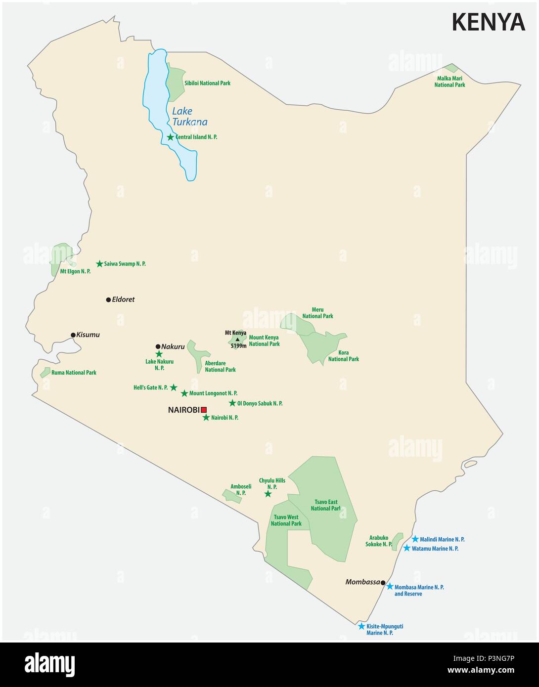 Republic of Kenya national park vector map Stock Vectorhttps://www.alamy.com/image-license-details/?v=1https://www.alamy.com/republic-of-kenya-national-park-vector-map-image208842138.html
RFP3NG7P–Republic of Kenya national park vector map
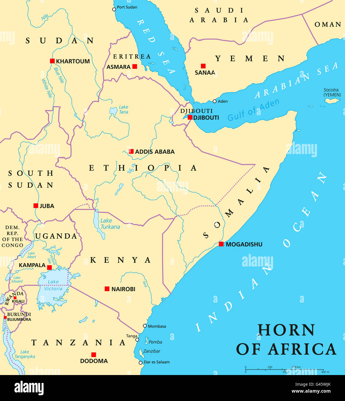 Horn of Africa peninsula political map with capitals, national borders, important cities, rivers and lakes. Stock Photohttps://www.alamy.com/image-license-details/?v=1https://www.alamy.com/stock-photo-horn-of-africa-peninsula-political-map-with-capitals-national-borders-105850715.html
RFG45WJK–Horn of Africa peninsula political map with capitals, national borders, important cities, rivers and lakes.
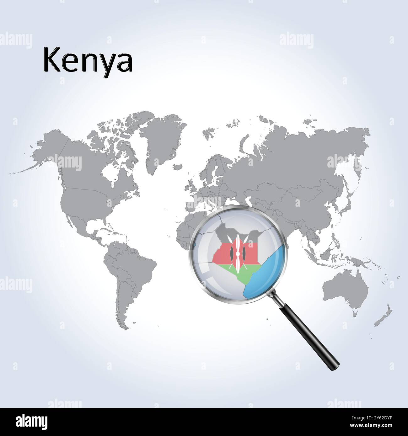 Kenya Magnified Map and Flag, Kenya Enlargement Maps, Vector Art Stock Vectorhttps://www.alamy.com/image-license-details/?v=1https://www.alamy.com/kenya-magnified-map-and-flag-kenya-enlargement-maps-vector-art-image623316058.html
RF2Y62DYP–Kenya Magnified Map and Flag, Kenya Enlargement Maps, Vector Art
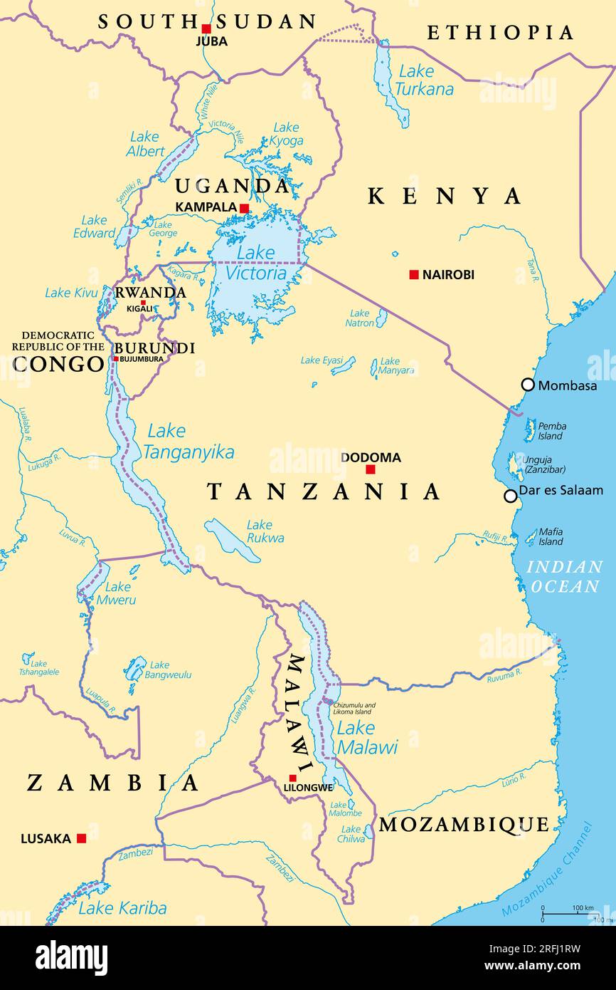 African Great Lakes region, political map. Large rift lakes of Africa, including Lake Victoria, Tanganyika and Lake Malawi. Stock Photohttps://www.alamy.com/image-license-details/?v=1https://www.alamy.com/african-great-lakes-region-political-map-large-rift-lakes-of-africa-including-lake-victoria-tanganyika-and-lake-malawi-image560348205.html
RF2RFJ1RW–African Great Lakes region, political map. Large rift lakes of Africa, including Lake Victoria, Tanganyika and Lake Malawi.
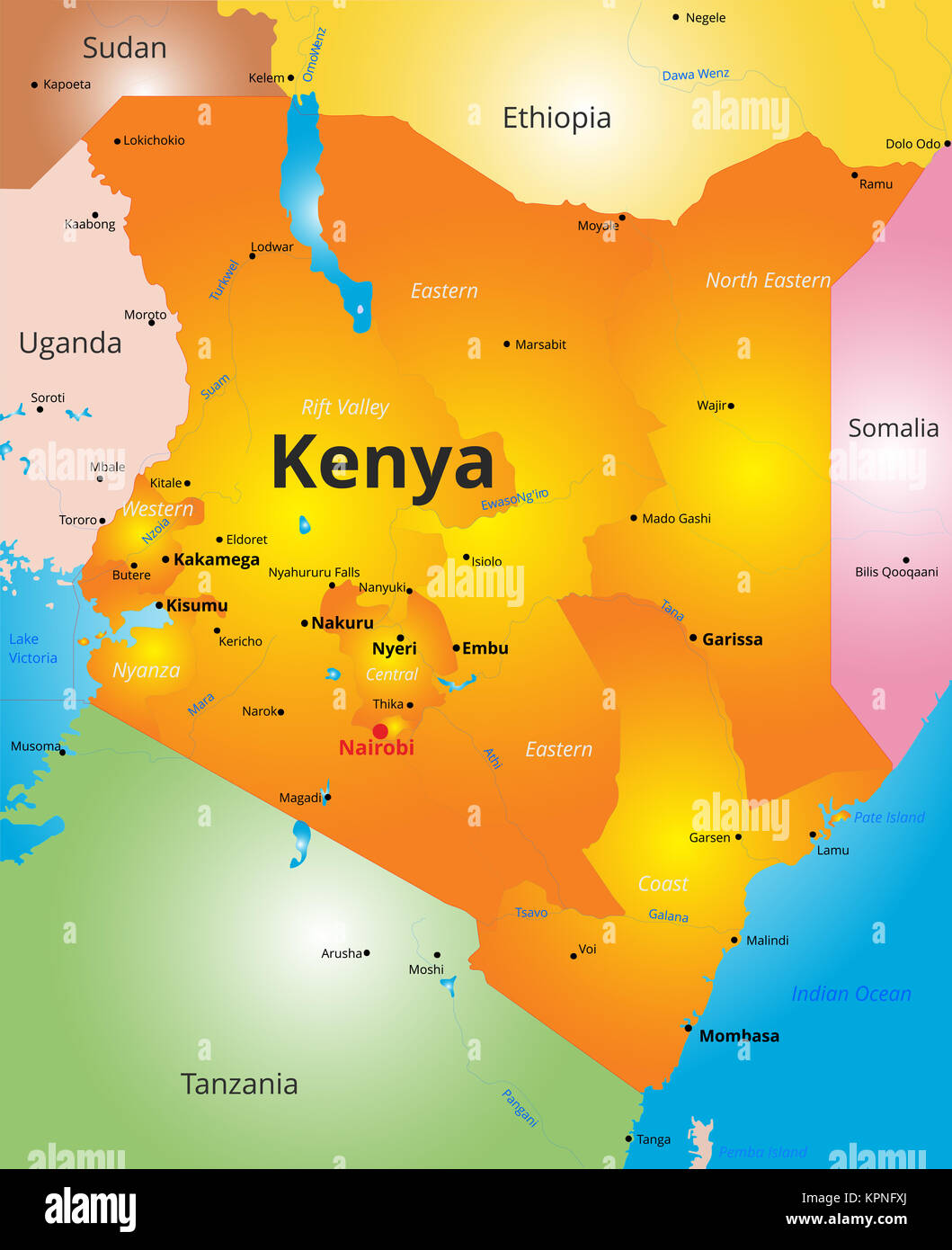 color map of Kenya country Stock Photohttps://www.alamy.com/image-license-details/?v=1https://www.alamy.com/stock-image-color-map-of-kenya-country-168889242.html
RFKPNFXJ–color map of Kenya country
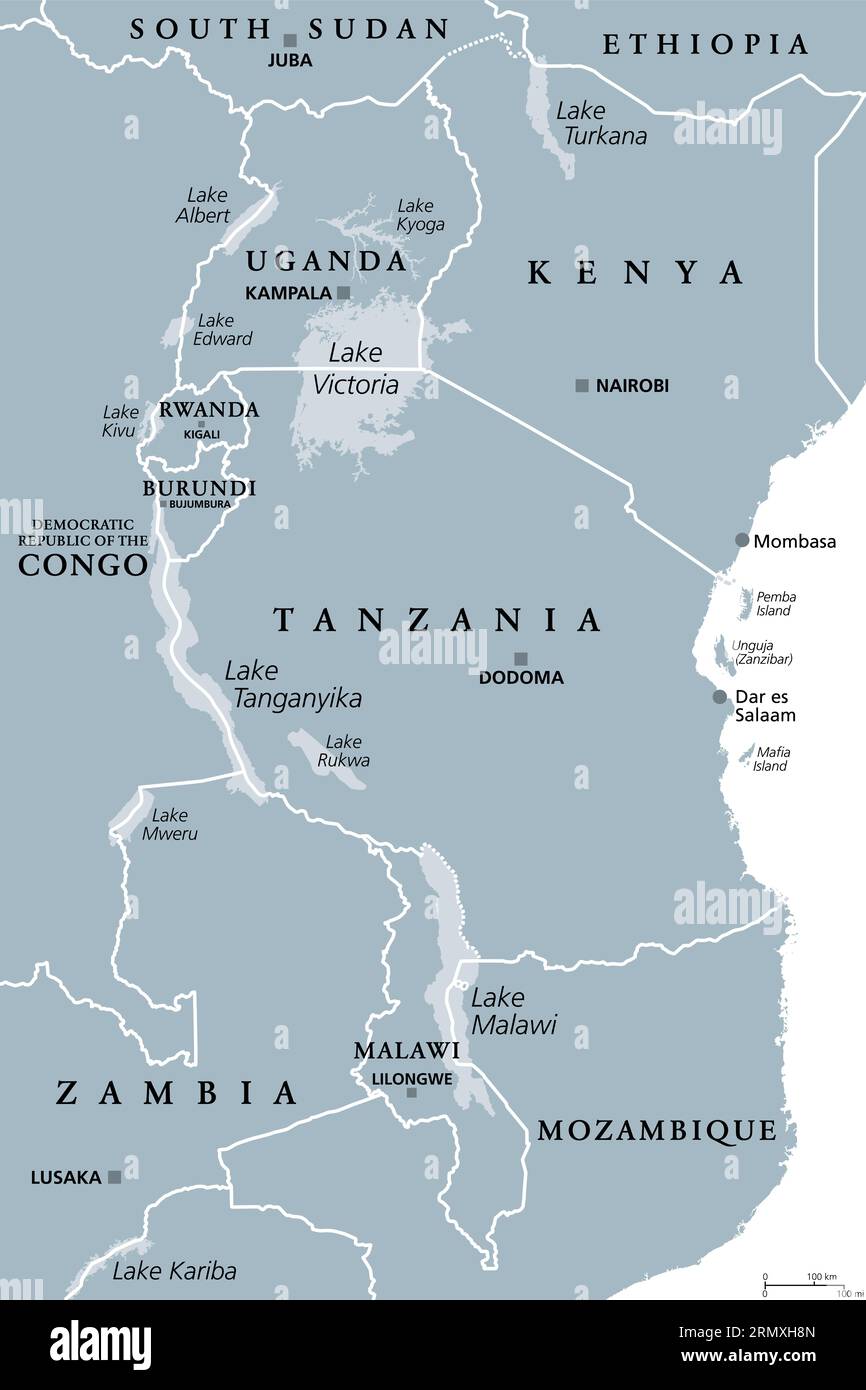 African Great Lakes region, gray political map. Large rift lakes of Africa, and their riparian countries with capitals and borders. Lake Victoria etc. Stock Photohttps://www.alamy.com/image-license-details/?v=1https://www.alamy.com/african-great-lakes-region-gray-political-map-large-rift-lakes-of-africa-and-their-riparian-countries-with-capitals-and-borders-lake-victoria-etc-image563609221.html
RF2RMXH8N–African Great Lakes region, gray political map. Large rift lakes of Africa, and their riparian countries with capitals and borders. Lake Victoria etc.
 Glasses on a map - Nairobi Stock Photohttps://www.alamy.com/image-license-details/?v=1https://www.alamy.com/stock-photo-glasses-on-a-map-nairobi-92254283.html
RFFA2F7R–Glasses on a map - Nairobi
 Beautiful photo of a map of Kenya and the capital Nairobi . Stock Photohttps://www.alamy.com/image-license-details/?v=1https://www.alamy.com/stock-photo-beautiful-photo-of-a-map-of-kenya-and-the-capital-nairobi-99506253.html
RFFNTW6N–Beautiful photo of a map of Kenya and the capital Nairobi .
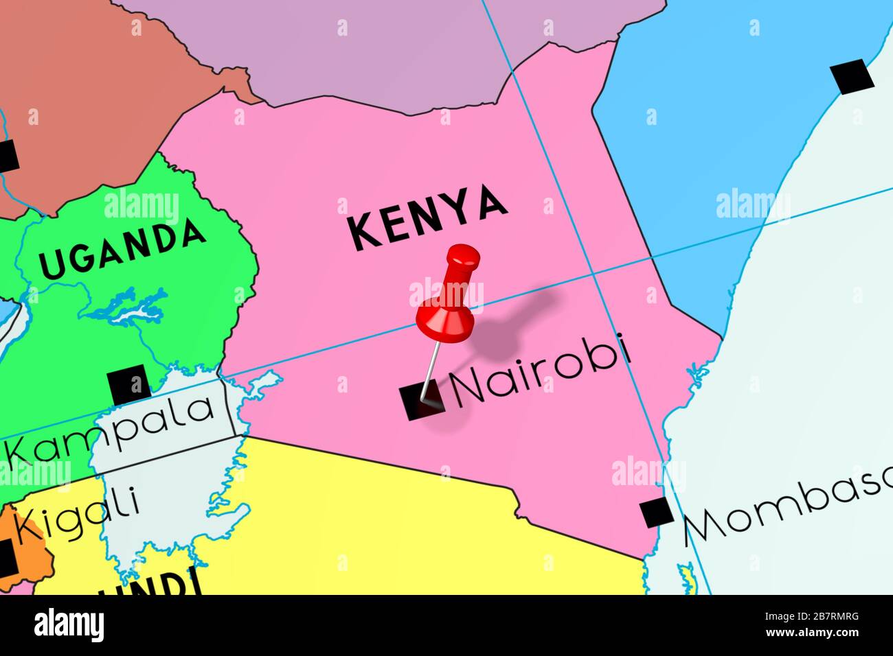 Kenya, Nairobi - capital city, pinned on political map Stock Photohttps://www.alamy.com/image-license-details/?v=1https://www.alamy.com/kenya-nairobi-capital-city-pinned-on-political-map-image349031188.html
RF2B7RMRG–Kenya, Nairobi - capital city, pinned on political map
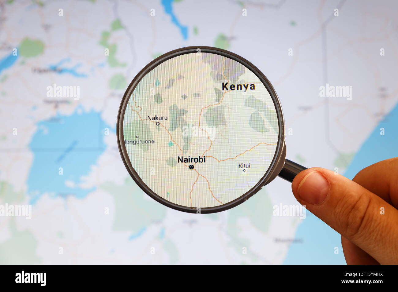 Nairobi, Kenya. Political map. City visualization illustrative concept on display screen through magnifying glass in the hand. Stock Photohttps://www.alamy.com/image-license-details/?v=1https://www.alamy.com/nairobi-kenya-political-map-city-visualization-illustrative-concept-on-display-screen-through-magnifying-glass-in-the-hand-image244627318.html
RFT5YMHX–Nairobi, Kenya. Political map. City visualization illustrative concept on display screen through magnifying glass in the hand.
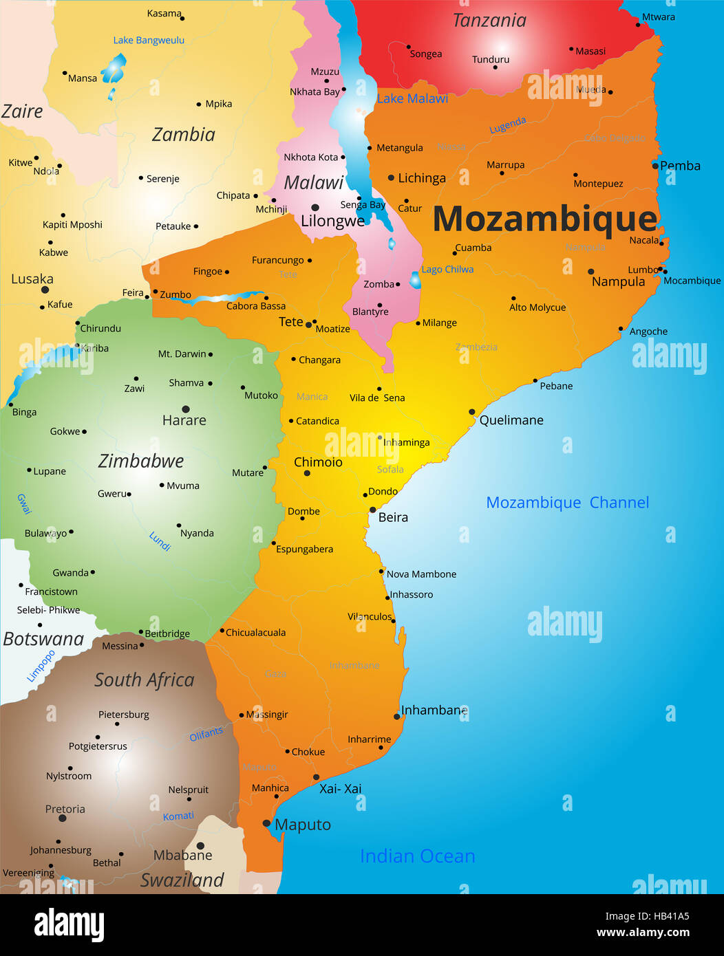 color map of Mozambique country Stock Photohttps://www.alamy.com/image-license-details/?v=1https://www.alamy.com/stock-photo-color-map-of-mozambique-country-127322669.html
RMHB41A5–color map of Mozambique country
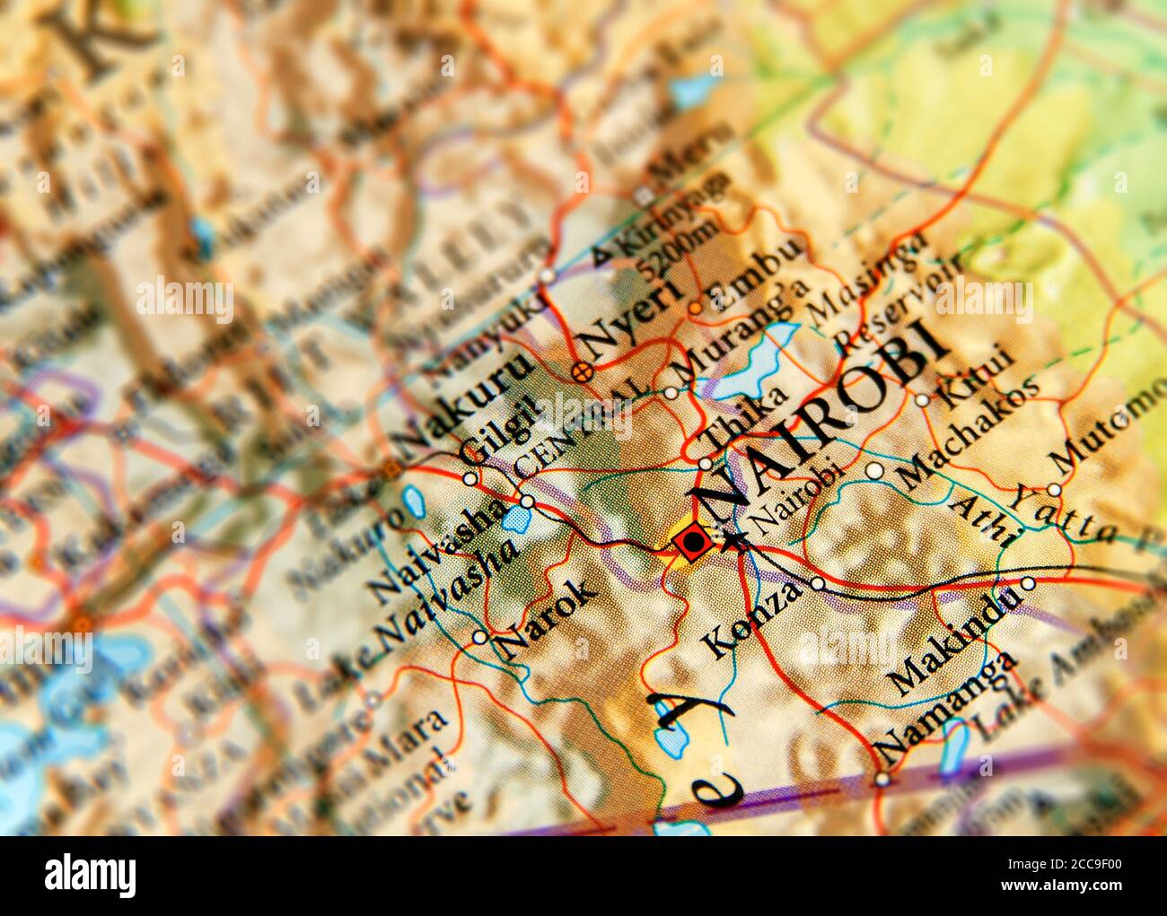 Geographic map of Kenya and focus on capital of Nairobi Stock Photohttps://www.alamy.com/image-license-details/?v=1https://www.alamy.com/geographic-map-of-kenya-and-focus-on-capital-of-nairobi-image369002928.html
RF2CC9F00–Geographic map of Kenya and focus on capital of Nairobi
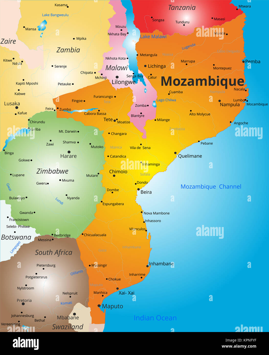 color map of Mozambique country Stock Photohttps://www.alamy.com/image-license-details/?v=1https://www.alamy.com/stock-image-color-map-of-mozambique-country-168889267.html
RFKPNFYF–color map of Mozambique country
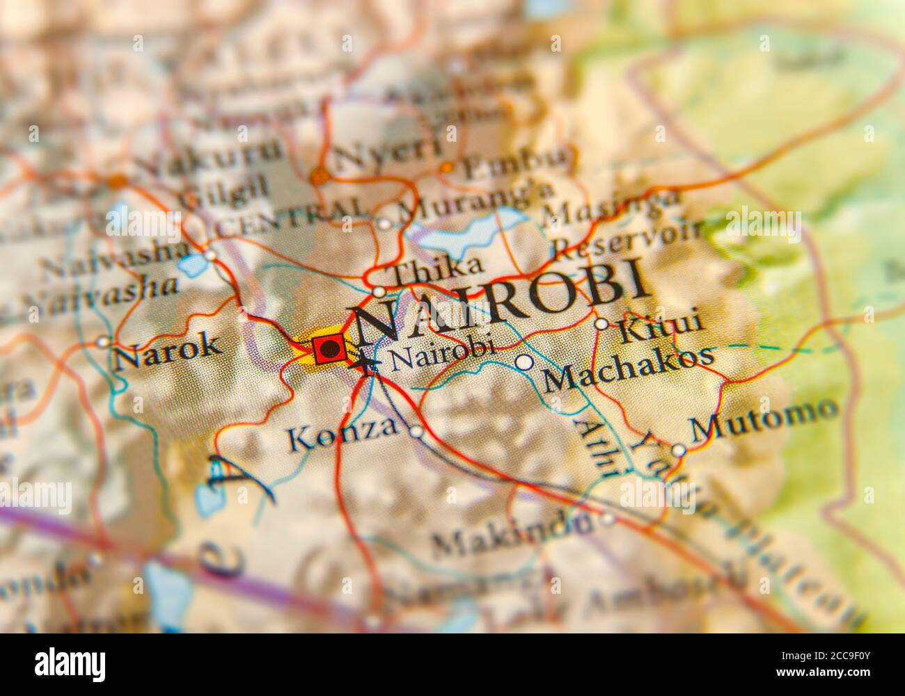 Geographic map of Kenya and focus on capital of Nairobi Stock Photohttps://www.alamy.com/image-license-details/?v=1https://www.alamy.com/geographic-map-of-kenya-and-focus-on-capital-of-nairobi-image369002955.html
RF2CC9F0Y–Geographic map of Kenya and focus on capital of Nairobi
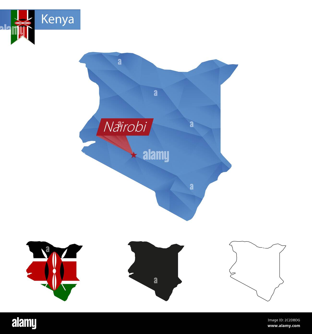 Kenya blue Low Poly map with capital Nairobi, versions with flag, black and outline. Vector Illustration. Stock Vectorhttps://www.alamy.com/image-license-details/?v=1https://www.alamy.com/kenya-blue-low-poly-map-with-capital-nairobi-versions-with-flag-black-and-outline-vector-illustration-image362941420.html
RF2C2DBDG–Kenya blue Low Poly map with capital Nairobi, versions with flag, black and outline. Vector Illustration.
 Black map of Kenya of regions, design blackboard, blank Stock Photohttps://www.alamy.com/image-license-details/?v=1https://www.alamy.com/black-map-of-kenya-of-regions-design-blackboard-blank-image452814494.html
RF2H8KDE6–Black map of Kenya of regions, design blackboard, blank
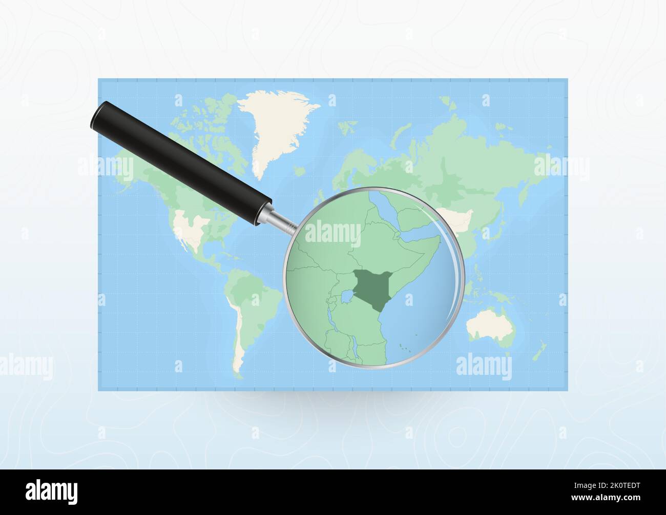 Map of the World with a magnifying glass aimed at Kenya, searching Kenya with loupe. Vector map. Stock Vectorhttps://www.alamy.com/image-license-details/?v=1https://www.alamy.com/map-of-the-world-with-a-magnifying-glass-aimed-at-kenya-searching-kenya-with-loupe-vector-map-image482428516.html
RF2K0TEDT–Map of the World with a magnifying glass aimed at Kenya, searching Kenya with loupe. Vector map.
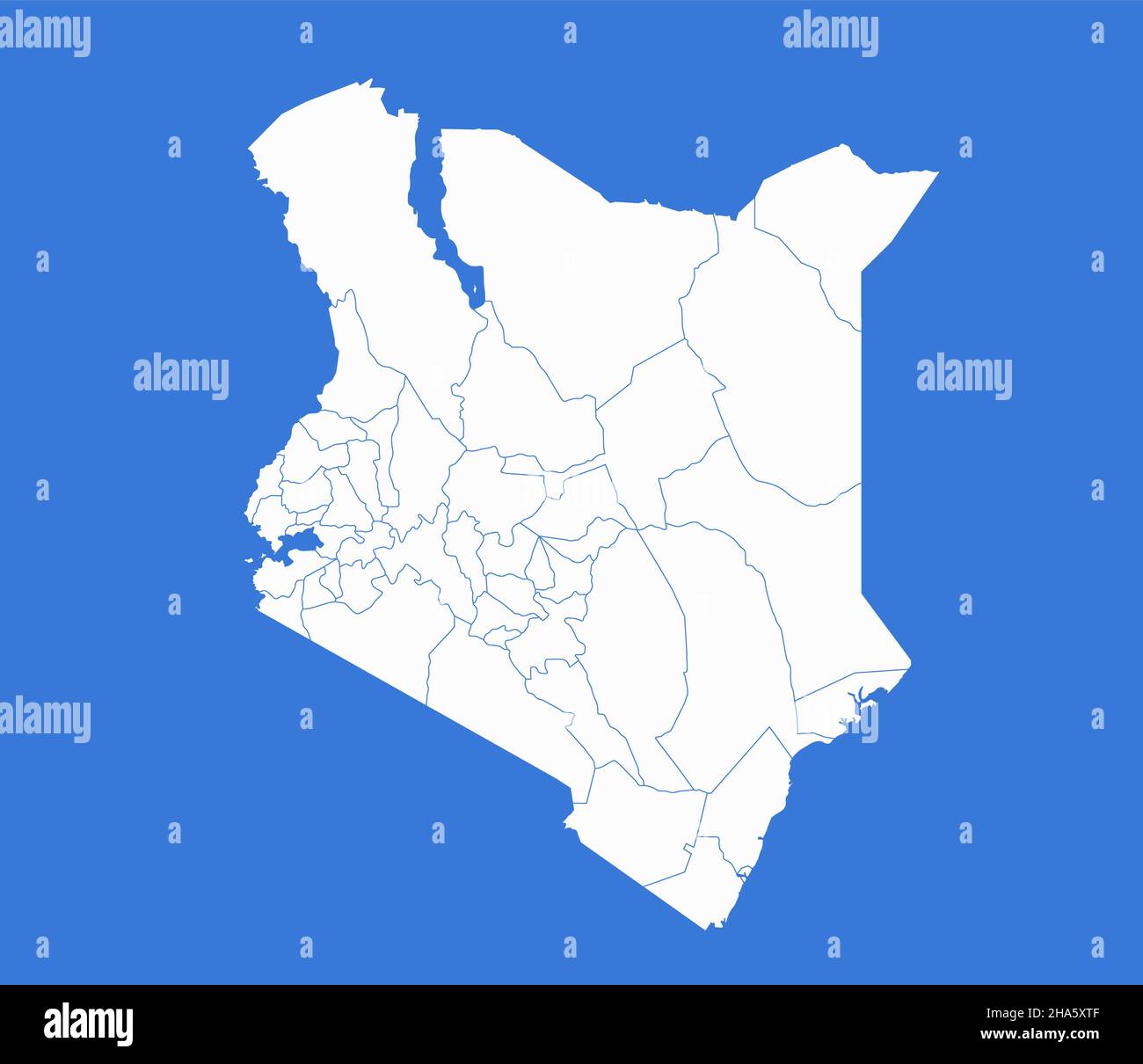 Kenya map, administrative divisions, blue background, blank Stock Photohttps://www.alamy.com/image-license-details/?v=1https://www.alamy.com/kenya-map-administrative-divisions-blue-background-blank-image453746959.html
RF2HA5XTF–Kenya map, administrative divisions, blue background, blank
 Kenya, Nairobi - national flag pinned on political map - 3D illustration Stock Photohttps://www.alamy.com/image-license-details/?v=1https://www.alamy.com/kenya-nairobi-national-flag-pinned-on-political-map-3d-illustration-image591736645.html
RF2WAKX3H–Kenya, Nairobi - national flag pinned on political map - 3D illustration
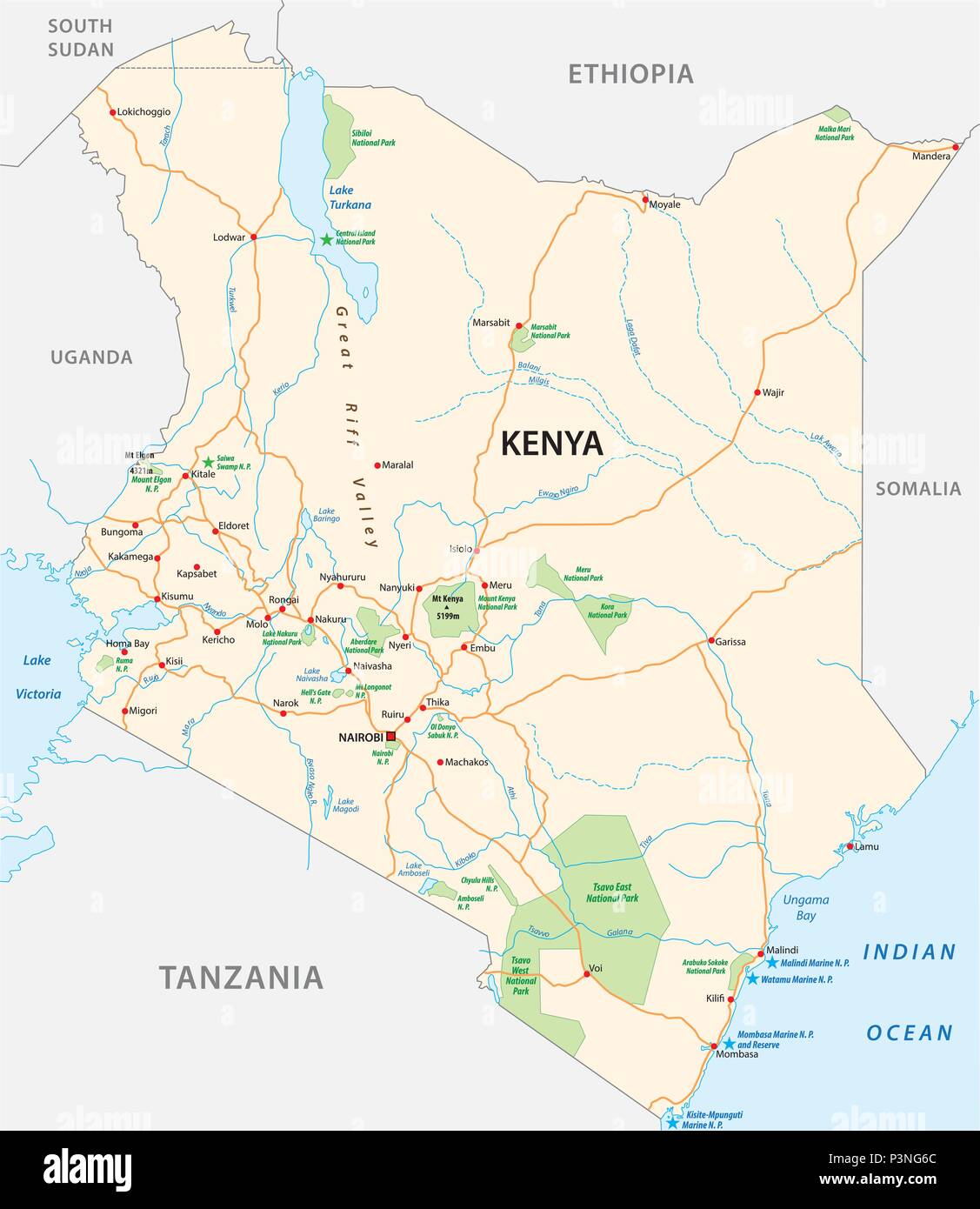 kenya road and national park vector map Stock Vectorhttps://www.alamy.com/image-license-details/?v=1https://www.alamy.com/kenya-road-and-national-park-vector-map-image208842100.html
RFP3NG6C–kenya road and national park vector map
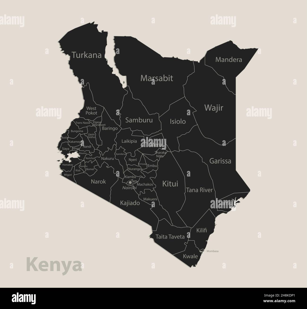 Black map of Kenya with names of regions, design blackboard vector Stock Vectorhttps://www.alamy.com/image-license-details/?v=1https://www.alamy.com/black-map-of-kenya-with-names-of-regions-design-blackboard-vector-image452814713.html
RF2H8KDP1–Black map of Kenya with names of regions, design blackboard vector
 Mombasa Nairobi Railway map in kenya Stock Vectorhttps://www.alamy.com/image-license-details/?v=1https://www.alamy.com/mombasa-nairobi-railway-map-in-kenya-image330542845.html
RF2A5NENH–Mombasa Nairobi Railway map in kenya
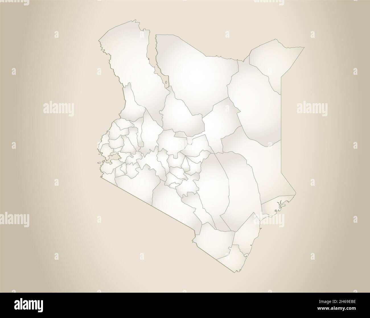 Kenya map, administrative division, old paper background, blank Stock Photohttps://www.alamy.com/image-license-details/?v=1https://www.alamy.com/kenya-map-administrative-division-old-paper-background-blank-image451366370.html
RF2H69EBE–Kenya map, administrative division, old paper background, blank
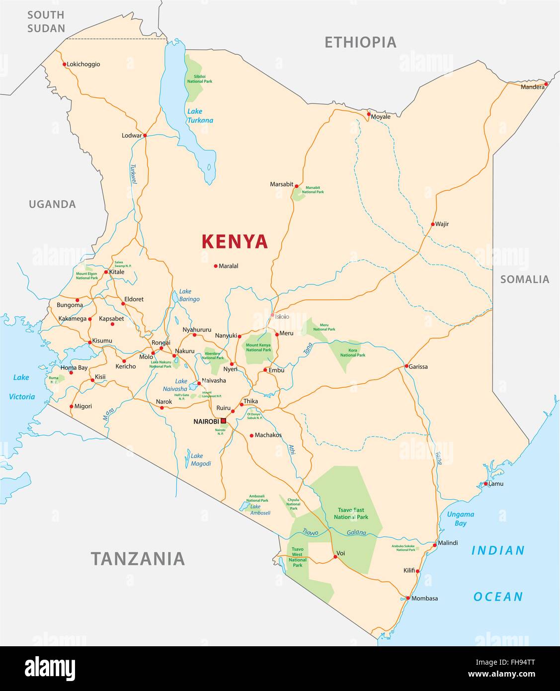 Kenya road and National Park map Stock Vectorhttps://www.alamy.com/image-license-details/?v=1https://www.alamy.com/stock-photo-kenya-road-and-national-park-map-96702392.html
RFFH94TT–Kenya road and National Park map
 Kenya map, separates regions, design card blackboard, chalkboard blank Stock Photohttps://www.alamy.com/image-license-details/?v=1https://www.alamy.com/kenya-map-separates-regions-design-card-blackboard-chalkboard-blank-image450569976.html
RF2H516GT–Kenya map, separates regions, design card blackboard, chalkboard blank
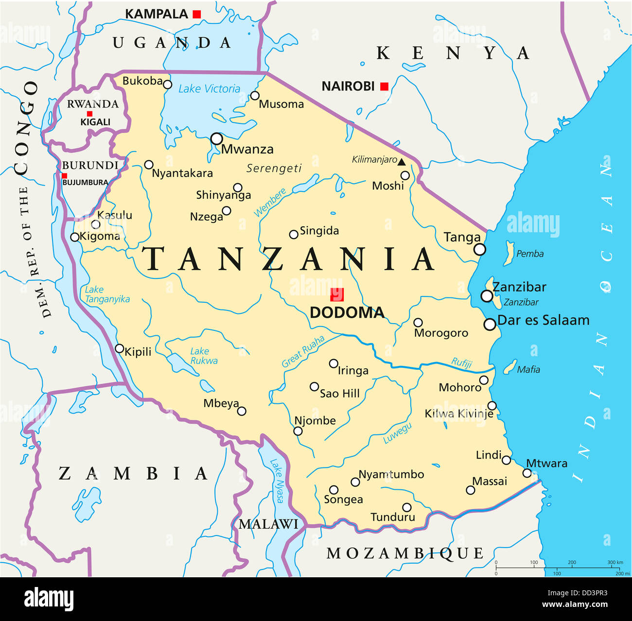 Political map of Tanzania with capital Dodoma, national borders, important cities, rivers, lakes. English labeling and scale. Stock Photohttps://www.alamy.com/image-license-details/?v=1https://www.alamy.com/stock-photo-political-map-of-tanzania-with-capital-dodoma-national-borders-important-59705383.html
RFDD3PR3–Political map of Tanzania with capital Dodoma, national borders, important cities, rivers, lakes. English labeling and scale.
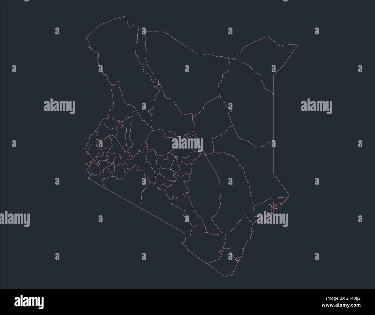 Infographics Kenya map outline, flat design, color blue, blank Stock Photohttps://www.alamy.com/image-license-details/?v=1https://www.alamy.com/infographics-kenya-map-outline-flat-design-color-blue-blank-image449942810.html
RF2H40JJ2–Infographics Kenya map outline, flat design, color blue, blank
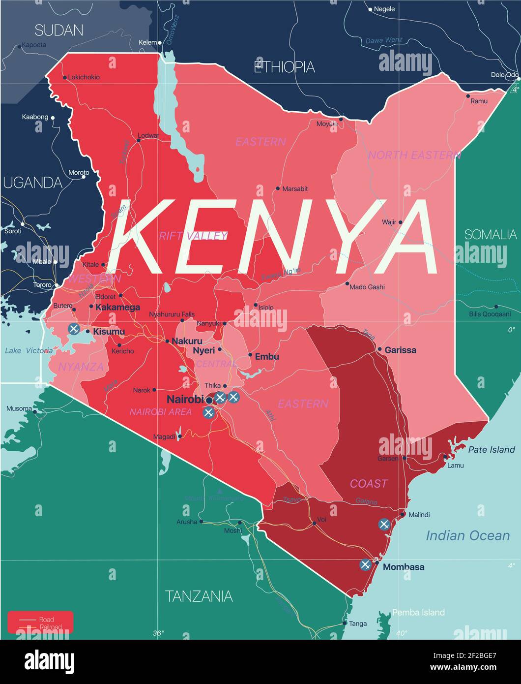 Kenya country detailed editable map with regions cities and towns, roads and railways, geographic sites. Vector EPS-10 file Stock Vectorhttps://www.alamy.com/image-license-details/?v=1https://www.alamy.com/kenya-country-detailed-editable-map-with-regions-cities-and-towns-roads-and-railways-geographic-sites-vector-eps-10-file-image414532559.html
RF2F2BGE7–Kenya country detailed editable map with regions cities and towns, roads and railways, geographic sites. Vector EPS-10 file
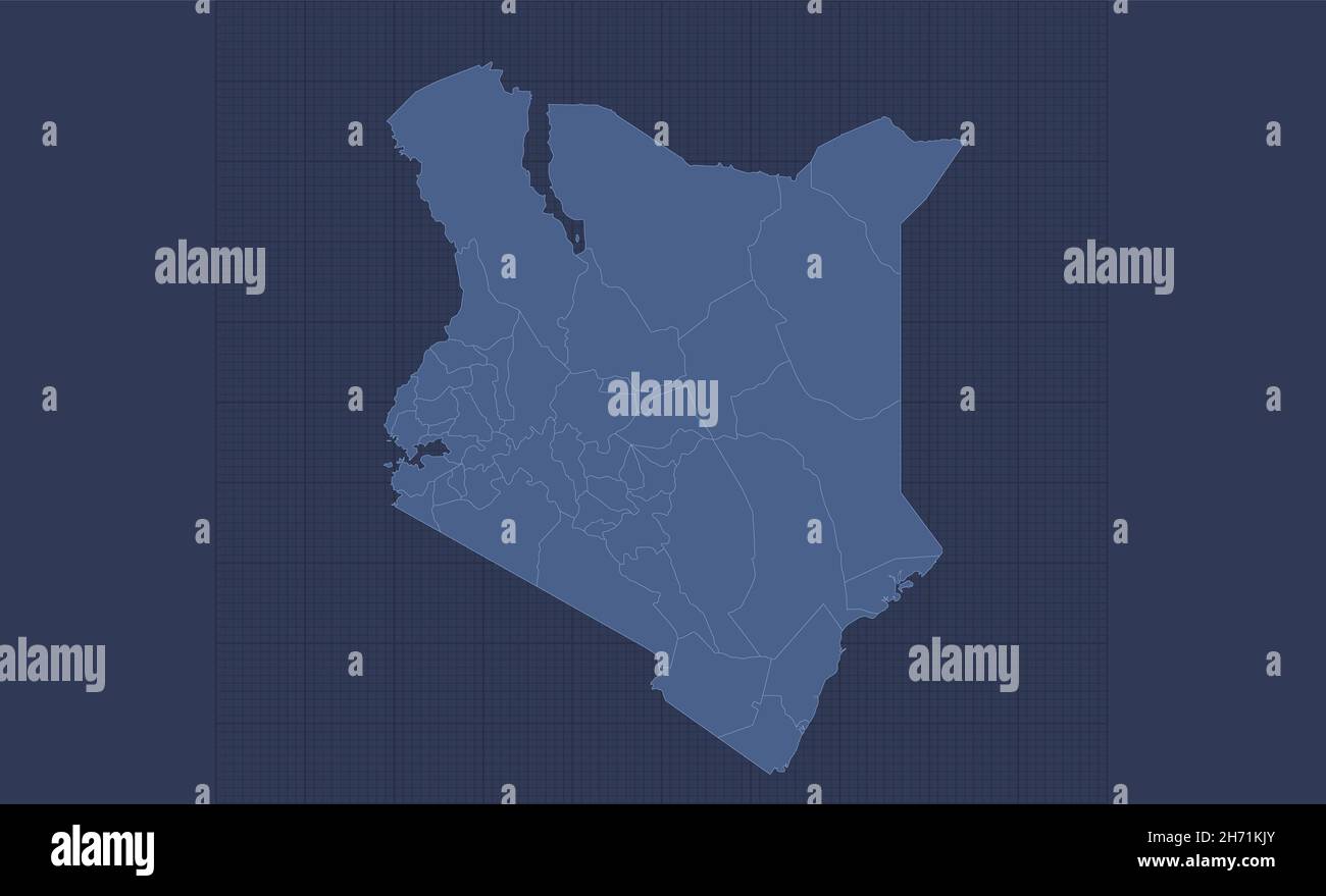 Kenya map, separate regions, infographics blue flat design, blank Stock Photohttps://www.alamy.com/image-license-details/?v=1https://www.alamy.com/kenya-map-separate-regions-infographics-blue-flat-design-blank-image451809539.html
RF2H71KJY–Kenya map, separate regions, infographics blue flat design, blank
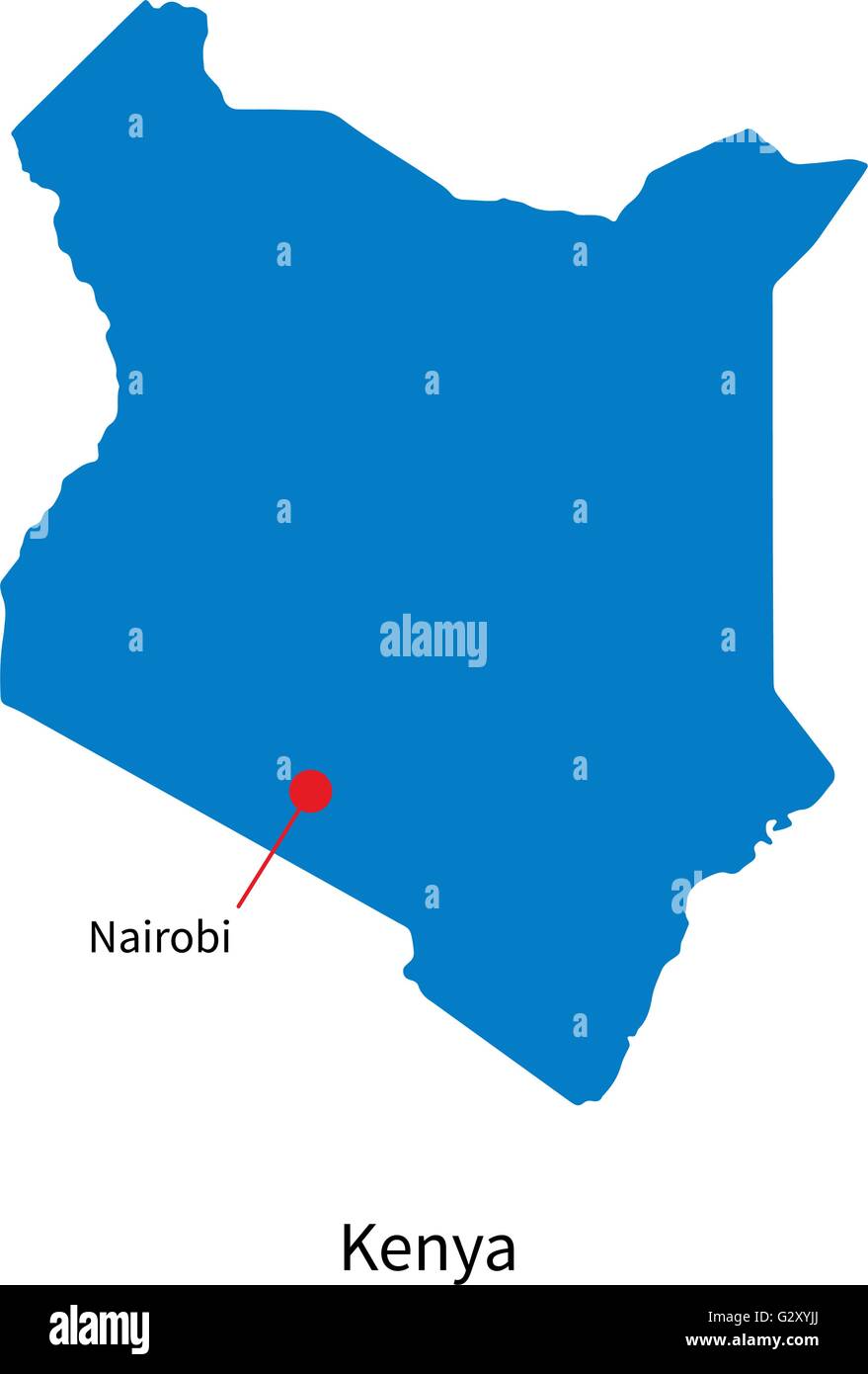 Detailed vector map of Kenya and capital city Nairobi Stock Vectorhttps://www.alamy.com/image-license-details/?v=1https://www.alamy.com/stock-photo-detailed-vector-map-of-kenya-and-capital-city-nairobi-105083962.html
RFG2XYJJ–Detailed vector map of Kenya and capital city Nairobi
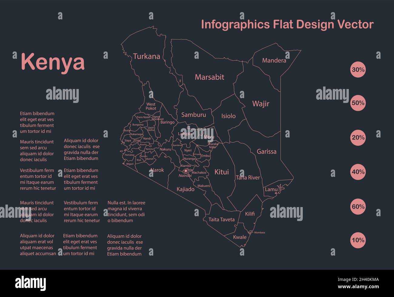 Infographics Kenya map outline, flat design, color blue vector Stock Vectorhttps://www.alamy.com/image-license-details/?v=1https://www.alamy.com/infographics-kenya-map-outline-flat-design-color-blue-vector-image449943658.html
RF2H40KMA–Infographics Kenya map outline, flat design, color blue vector
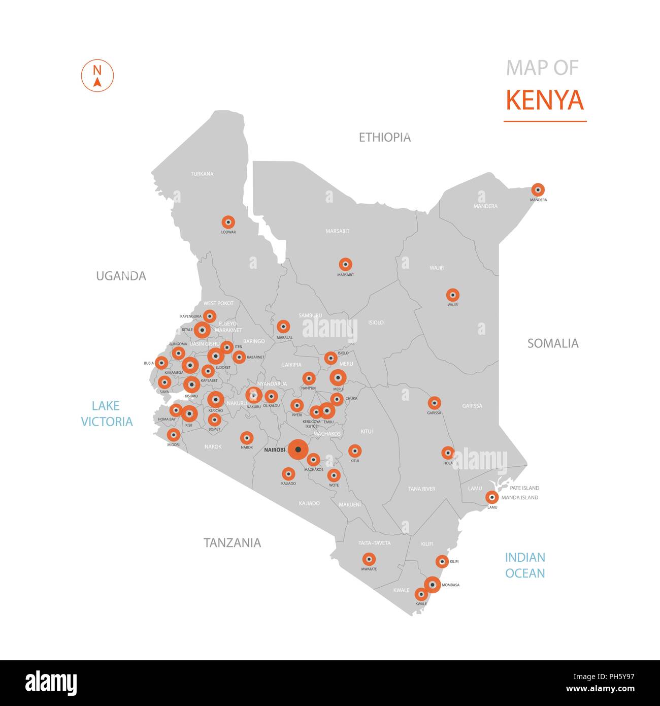 Stylized vector Kenya map showing big cities, capital Nairobi, administrative divisions. Stock Vectorhttps://www.alamy.com/image-license-details/?v=1https://www.alamy.com/stylized-vector-kenya-map-showing-big-cities-capital-nairobi-administrative-divisions-image217104755.html
RFPH5Y97–Stylized vector Kenya map showing big cities, capital Nairobi, administrative divisions.
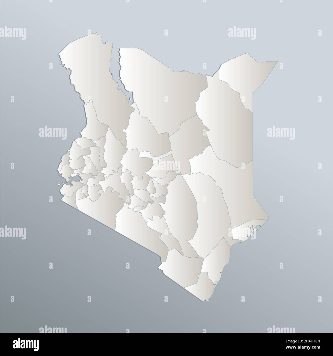 Kenya map, administrative division, blue white card paper 3D, blank Stock Photohttps://www.alamy.com/image-license-details/?v=1https://www.alamy.com/kenya-map-administrative-division-blue-white-card-paper-3d-blank-image450320437.html
RF2H4HT8N–Kenya map, administrative division, blue white card paper 3D, blank
 indicate, show, interpret, cultural, political, chart, graphics, africa, kenya, Stock Vectorhttps://www.alamy.com/image-license-details/?v=1https://www.alamy.com/stock-photo-indicate-show-interpret-cultural-political-chart-graphics-africa-kenya-147044867.html
RFJF6D6B–indicate, show, interpret, cultural, political, chart, graphics, africa, kenya,
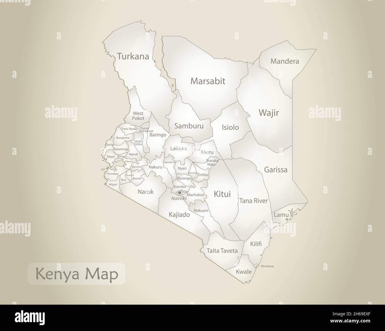 Kenya map, administrative division with names, old paper background vector Stock Vectorhttps://www.alamy.com/image-license-details/?v=1https://www.alamy.com/kenya-map-administrative-division-with-names-old-paper-background-vector-image451366791.html
RF2H69EXF–Kenya map, administrative division with names, old paper background vector
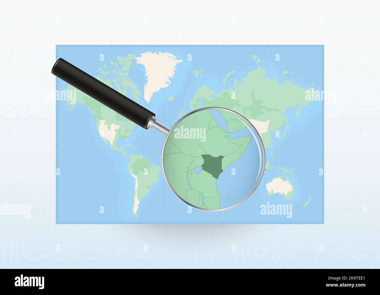 Map of the World with a magnifying glass aimed at Kenya, searching Kenya with loupe. Vector map. Stock Vectorhttps://www.alamy.com/image-license-details/?v=1https://www.alamy.com/map-of-the-world-with-a-magnifying-glass-aimed-at-kenya-searching-kenya-with-loupe-vector-map-image482428521.html
RF2K0TEE1–Map of the World with a magnifying glass aimed at Kenya, searching Kenya with loupe. Vector map.
 Infographics Kenya map, flat design colors, individual administrative division, blank Stock Photohttps://www.alamy.com/image-license-details/?v=1https://www.alamy.com/infographics-kenya-map-flat-design-colors-individual-administrative-division-blank-image451614619.html
RF2H6MR1F–Infographics Kenya map, flat design colors, individual administrative division, blank
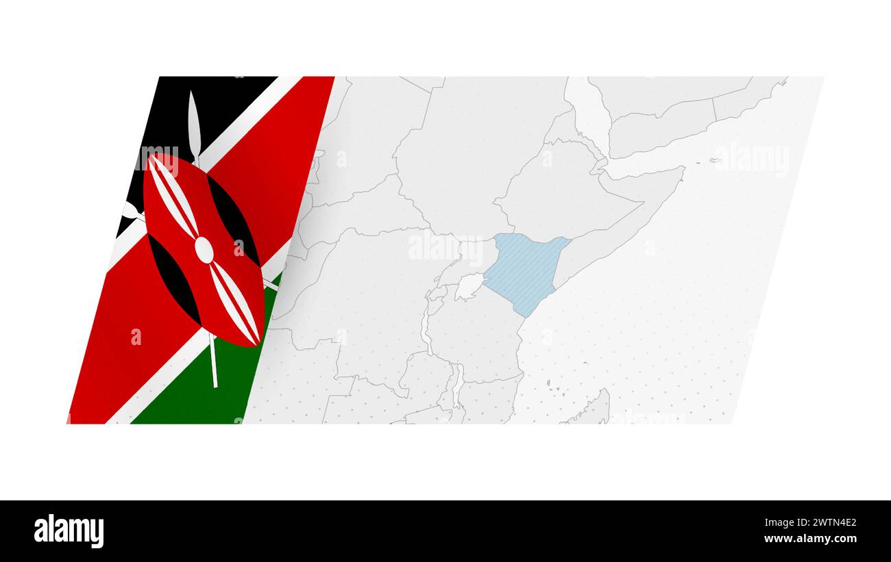 Kenya map in modern style with flag of Kenya on left side. Vector illustration of a map. Stock Vectorhttps://www.alamy.com/image-license-details/?v=1https://www.alamy.com/kenya-map-in-modern-style-with-flag-of-kenya-on-left-side-vector-illustration-of-a-map-image600368778.html
RF2WTN4E2–Kenya map in modern style with flag of Kenya on left side. Vector illustration of a map.
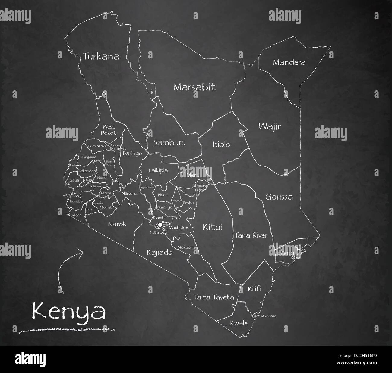 Kenya map, separates regions and names, design card blackboard, chalkboard vector Stock Vectorhttps://www.alamy.com/image-license-details/?v=1https://www.alamy.com/kenya-map-separates-regions-and-names-design-card-blackboard-chalkboard-vector-image450570120.html
RF2H516P0–Kenya map, separates regions and names, design card blackboard, chalkboard vector
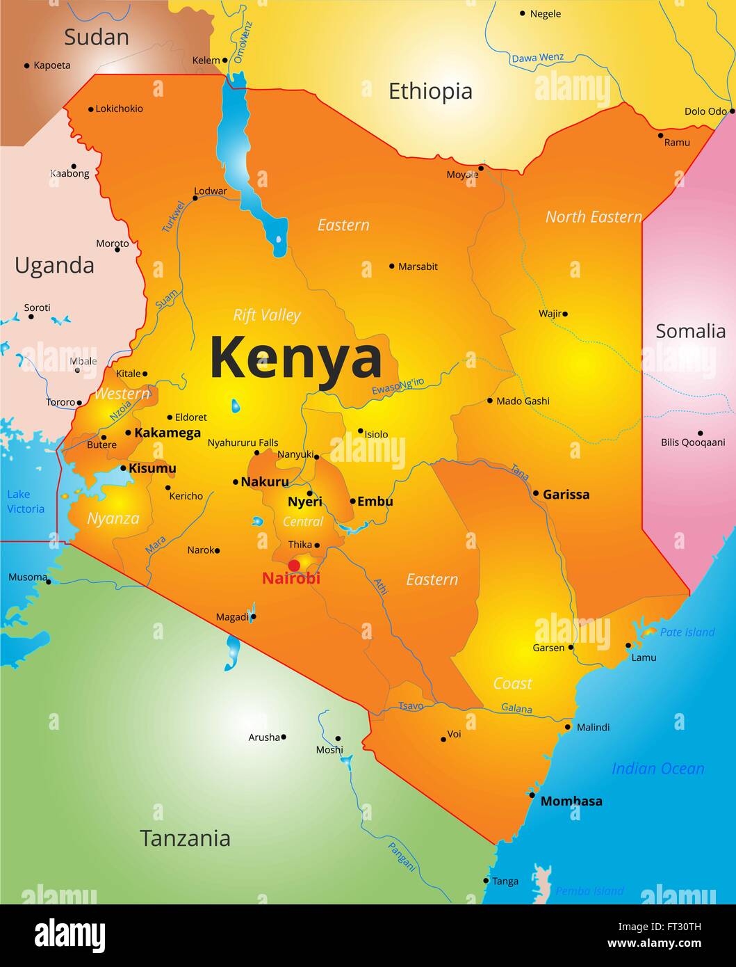 color map of Kenya country Stock Vectorhttps://www.alamy.com/image-license-details/?v=1https://www.alamy.com/stock-photo-color-map-of-kenya-country-100870129.html
RFFT30TH–color map of Kenya country
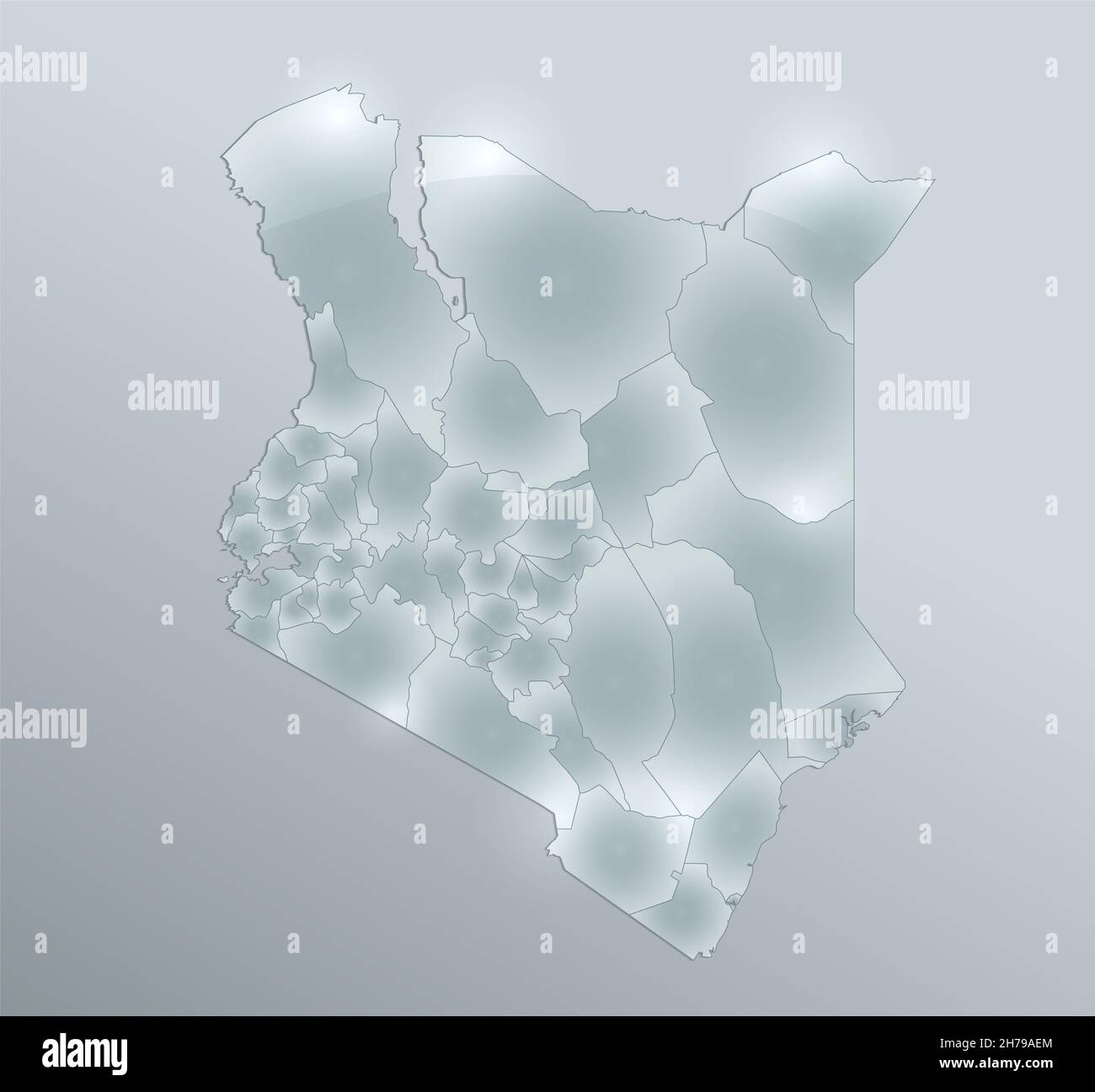 Kenya map, administrative division, separates regions, design glass card 3D blank Stock Photohttps://www.alamy.com/image-license-details/?v=1https://www.alamy.com/kenya-map-administrative-division-separates-regions-design-glass-card-3d-blank-image451977980.html
RF2H79AEM–Kenya map, administrative division, separates regions, design glass card 3D blank
 Kenya map, administrative division, separates regions, card paper 3D natural, blank Stock Photohttps://www.alamy.com/image-license-details/?v=1https://www.alamy.com/kenya-map-administrative-division-separates-regions-card-paper-3d-natural-blank-image450947797.html
RF2H5JCED–Kenya map, administrative division, separates regions, card paper 3D natural, blank
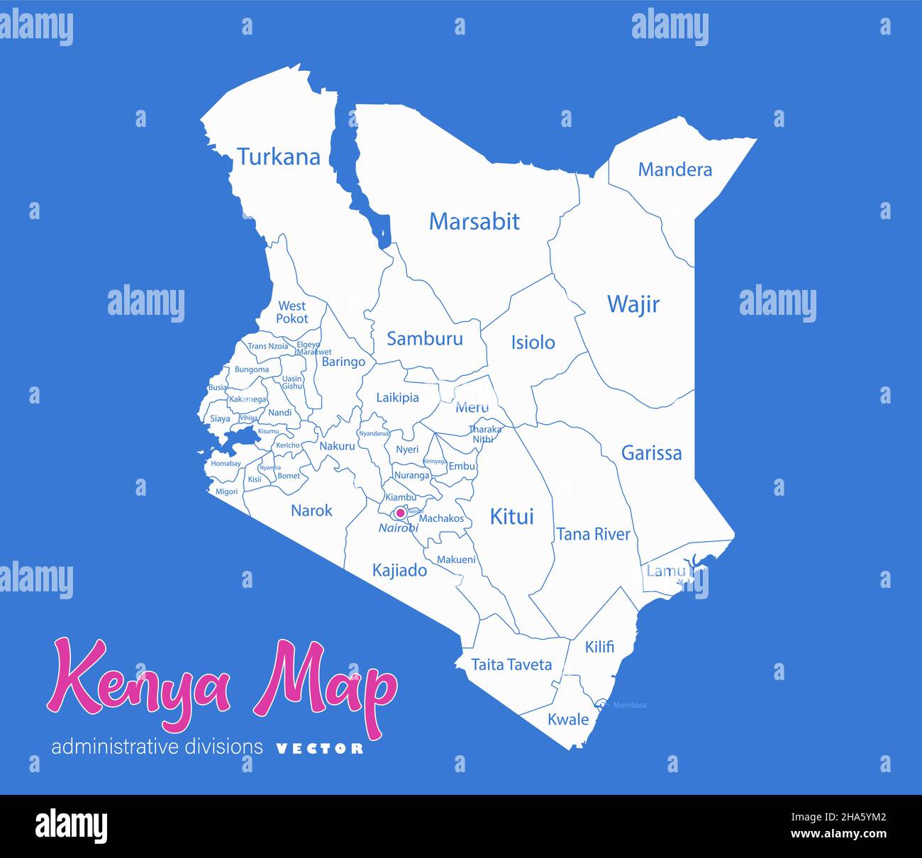 Kenya map, administrative divisions whit names regions, blue background vector Stock Vectorhttps://www.alamy.com/image-license-details/?v=1https://www.alamy.com/kenya-map-administrative-divisions-whit-names-regions-blue-background-vector-image453747618.html
RF2HA5YM2–Kenya map, administrative divisions whit names regions, blue background vector
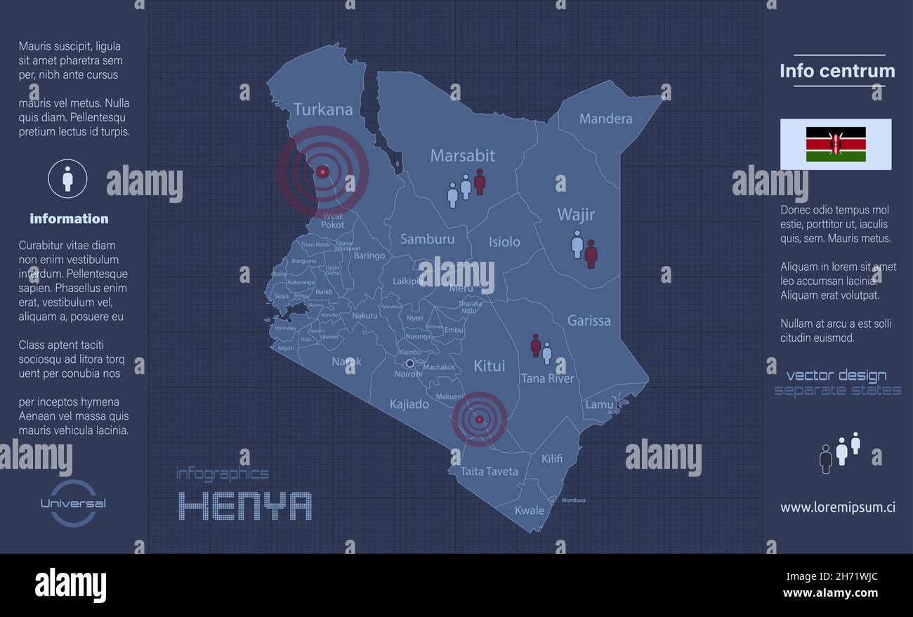 Kenya map, separate regions with names, infographics blue flat design vector Stock Vectorhttps://www.alamy.com/image-license-details/?v=1https://www.alamy.com/kenya-map-separate-regions-with-names-infographics-blue-flat-design-vector-image451814228.html
RF2H71WJC–Kenya map, separate regions with names, infographics blue flat design vector
 Kenya map, Infographics flat design colors snow white,individual regions, blank Stock Photohttps://www.alamy.com/image-license-details/?v=1https://www.alamy.com/kenya-map-infographics-flat-design-colors-snow-whiteindividual-regions-blank-image452628448.html
RF2H8B05M–Kenya map, Infographics flat design colors snow white,individual regions, blank
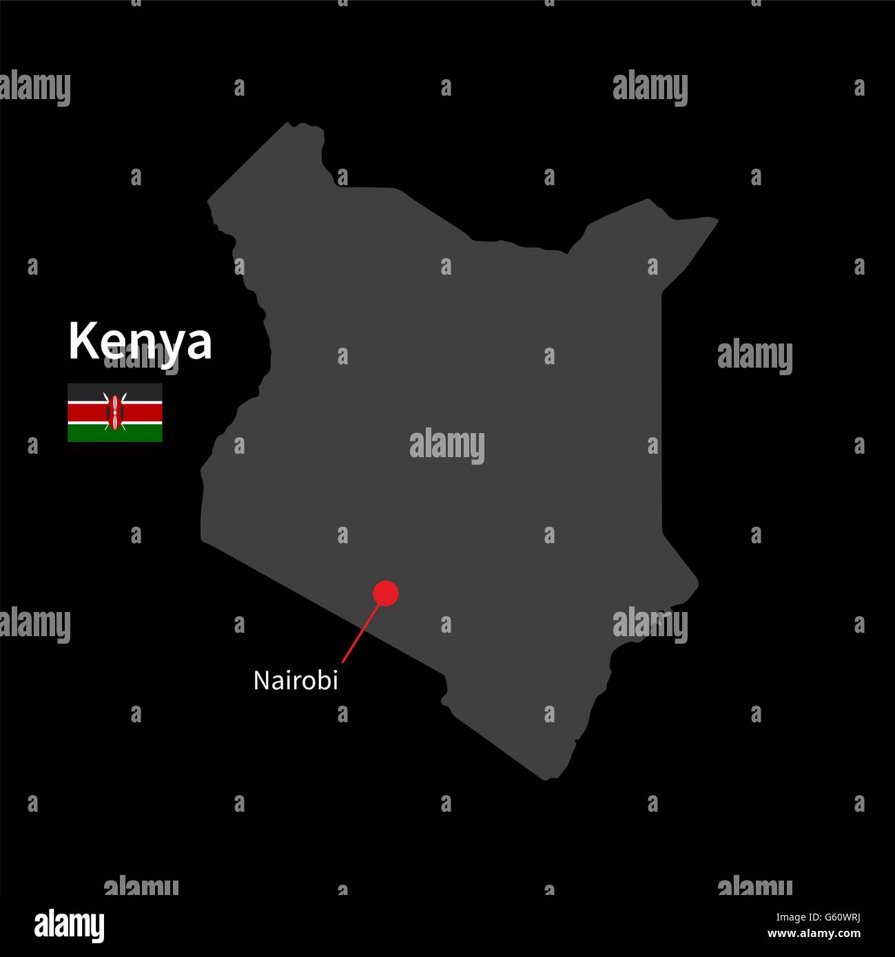 Detailed map of Kenya and capital city Nairobi with flag on black background Stock Vectorhttps://www.alamy.com/image-license-details/?v=1https://www.alamy.com/stock-photo-detailed-map-of-kenya-and-capital-city-nairobi-with-flag-on-black-106970406.html
RFG60WRJ–Detailed map of Kenya and capital city Nairobi with flag on black background
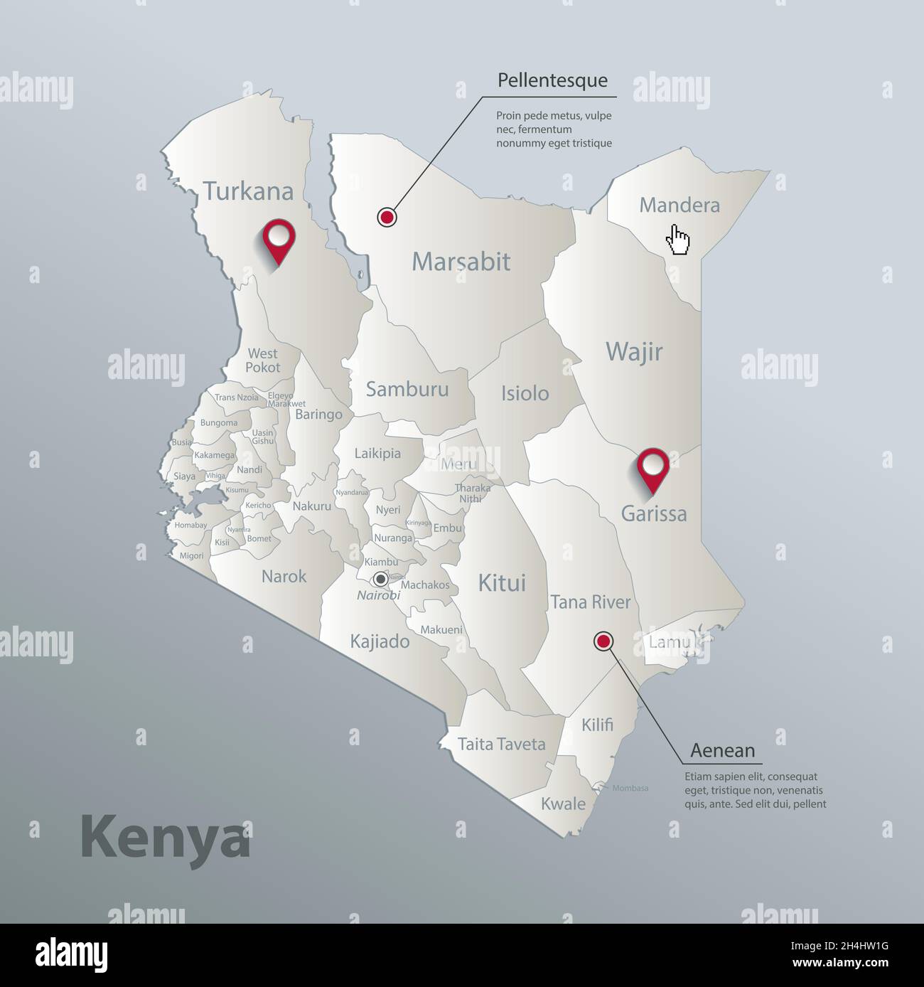 Kenya map, administrative division with names, blue white card paper 3D vector Stock Vectorhttps://www.alamy.com/image-license-details/?v=1https://www.alamy.com/kenya-map-administrative-division-with-names-blue-white-card-paper-3d-vector-image450321020.html
RF2H4HW1G–Kenya map, administrative division with names, blue white card paper 3D vector
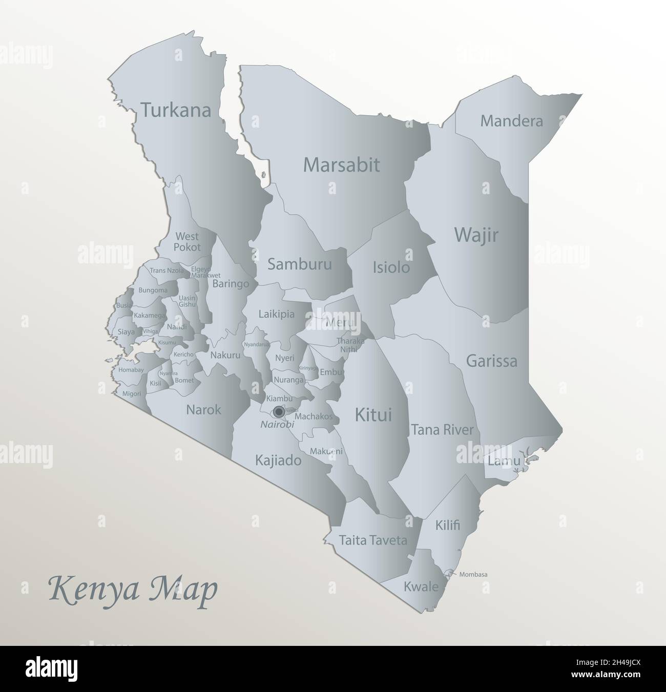 Kenya map, administrative division with names, white blue card paper 3D vector Stock Vectorhttps://www.alamy.com/image-license-details/?v=1https://www.alamy.com/kenya-map-administrative-division-with-names-white-blue-card-paper-3d-vector-image450140234.html
RF2H49JCX–Kenya map, administrative division with names, white blue card paper 3D vector
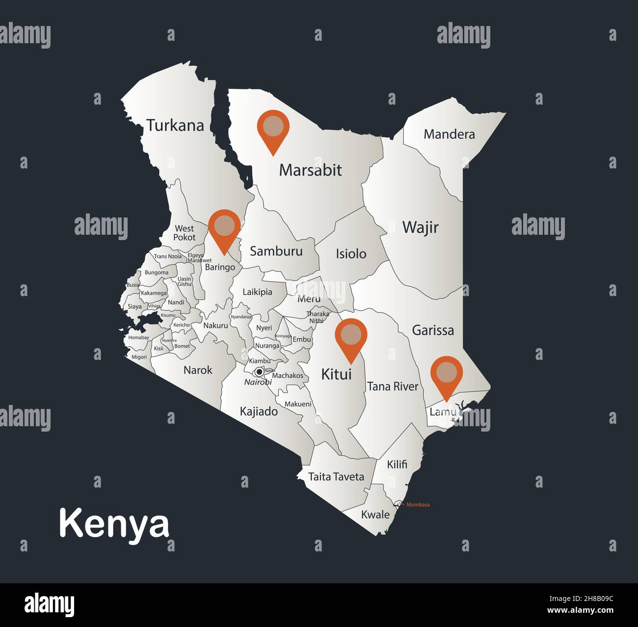 Kenya map, Infographics flat design colors snow white, with names of individual regions vector Stock Vectorhttps://www.alamy.com/image-license-details/?v=1https://www.alamy.com/kenya-map-infographics-flat-design-colors-snow-white-with-names-of-individual-regions-vector-image452628552.html
RF2H8B09C–Kenya map, Infographics flat design colors snow white, with names of individual regions vector
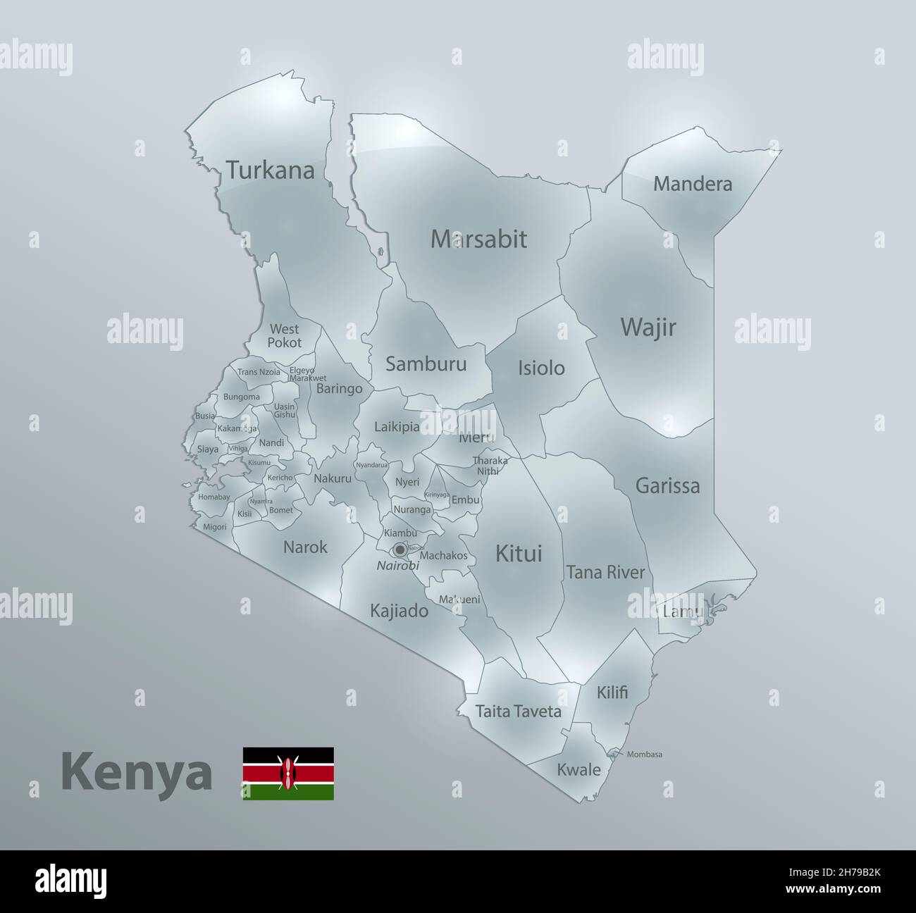 Kenya map and flag, administrative division, separates regions and names, design glass card 3D vector Stock Vectorhttps://www.alamy.com/image-license-details/?v=1https://www.alamy.com/kenya-map-and-flag-administrative-division-separates-regions-and-names-design-glass-card-3d-vector-image451978427.html
RF2H79B2K–Kenya map and flag, administrative division, separates regions and names, design glass card 3D vector
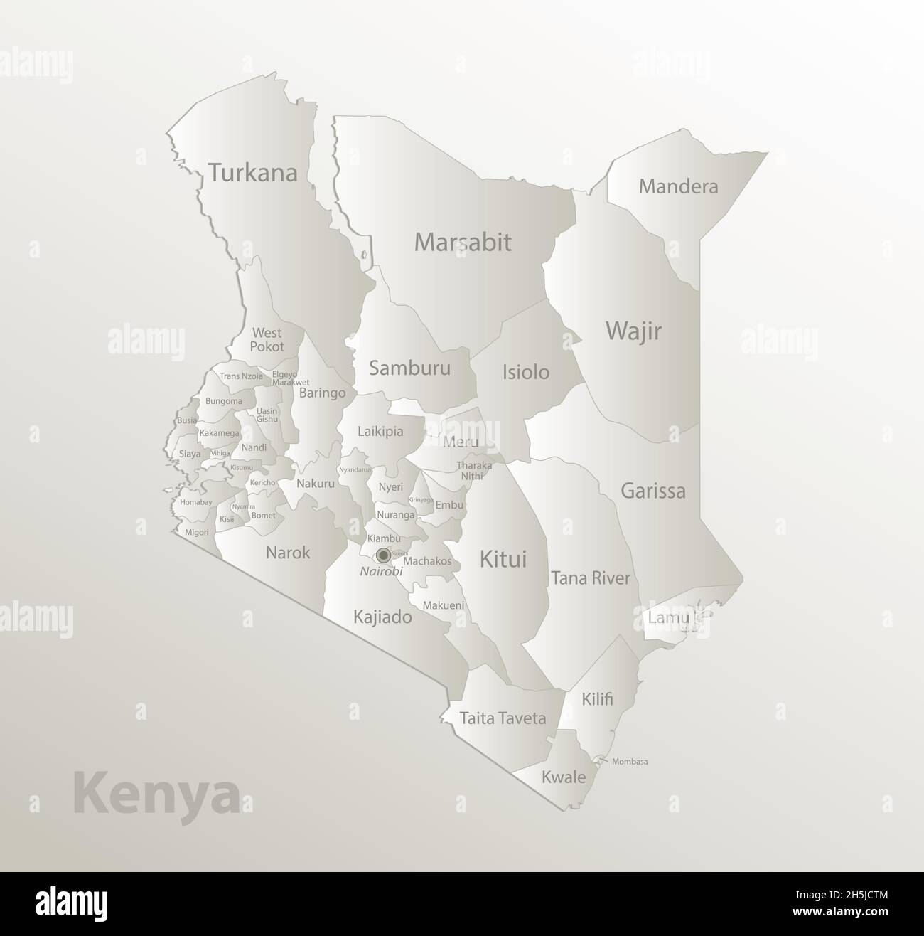 Kenya map, administrative division, separates regions and names individual, card paper 3D natural vector Stock Vectorhttps://www.alamy.com/image-license-details/?v=1https://www.alamy.com/kenya-map-administrative-division-separates-regions-and-names-individual-card-paper-3d-natural-vector-image450948084.html
RF2H5JCTM–Kenya map, administrative division, separates regions and names individual, card paper 3D natural vector
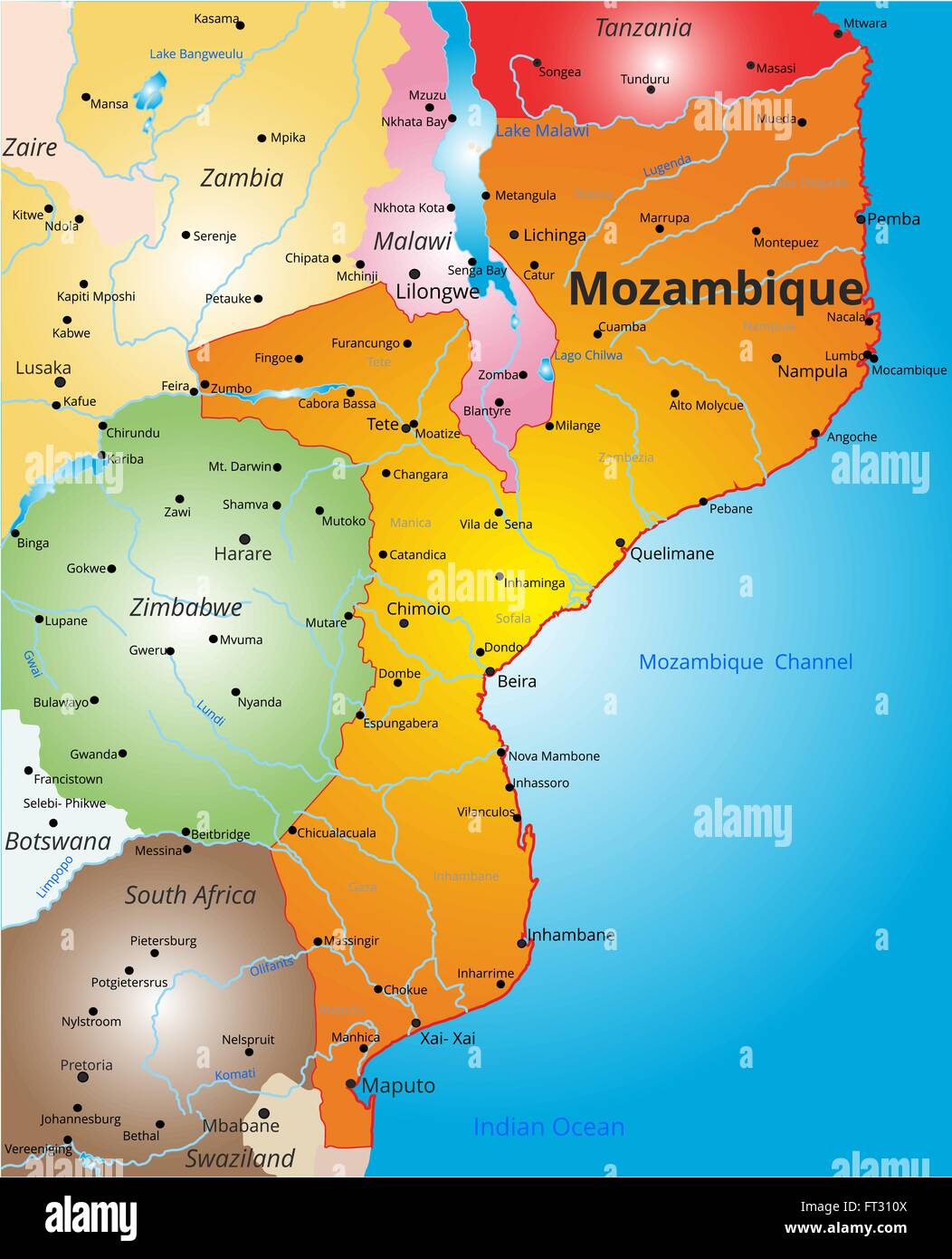 color map of Mozambique country Stock Vectorhttps://www.alamy.com/image-license-details/?v=1https://www.alamy.com/stock-photo-color-map-of-mozambique-country-100870250.html
RFFT310X–color map of Mozambique country
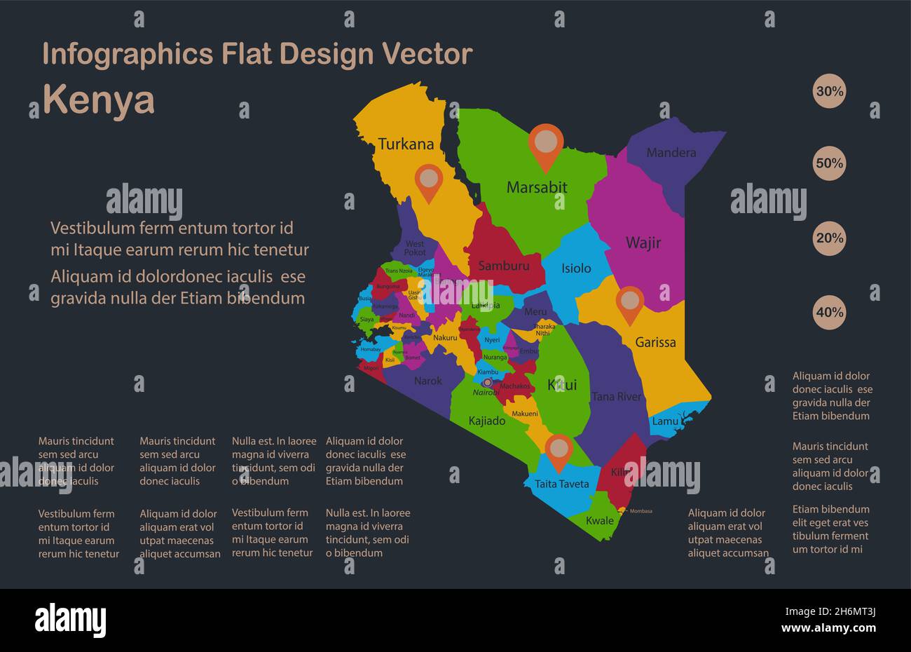 Infographics Kenya map, flat design colors, names of individual administrative division, blue background with orange points vector Stock Vectorhttps://www.alamy.com/image-license-details/?v=1https://www.alamy.com/infographics-kenya-map-flat-design-colors-names-of-individual-administrative-division-blue-background-with-orange-points-vector-image451615462.html
RF2H6MT3J–Infographics Kenya map, flat design colors, names of individual administrative division, blue background with orange points vector
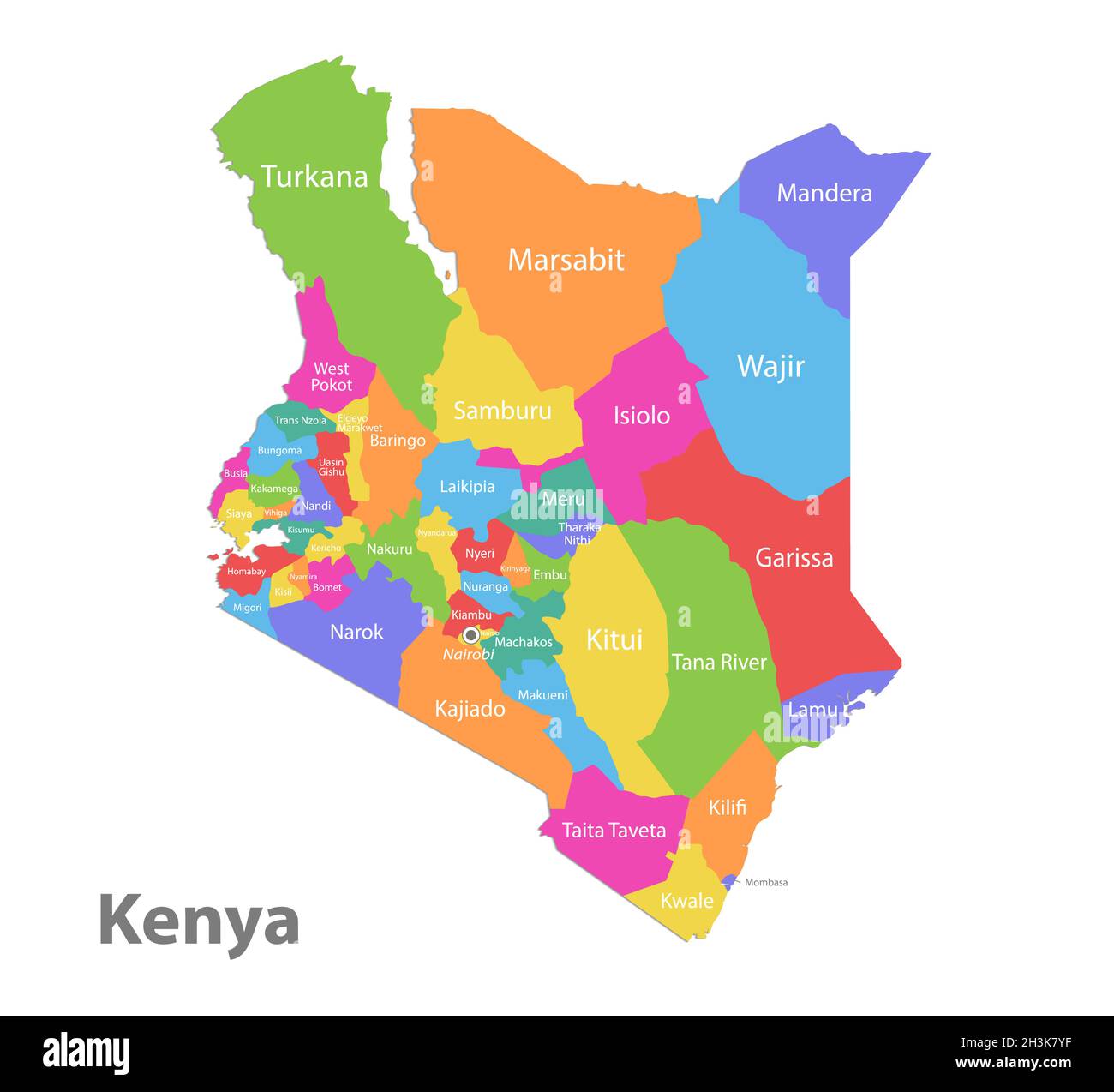 Kenya map, administrative division, separate individual regions with names, color map isolated on white background vector Stock Vectorhttps://www.alamy.com/image-license-details/?v=1https://www.alamy.com/kenya-map-administrative-division-separate-individual-regions-with-names-color-map-isolated-on-white-background-vector-image449736883.html
RF2H3K7YF–Kenya map, administrative division, separate individual regions with names, color map isolated on white background vector
