Quick filters:
Kingsland georgia map Stock Photos and Images
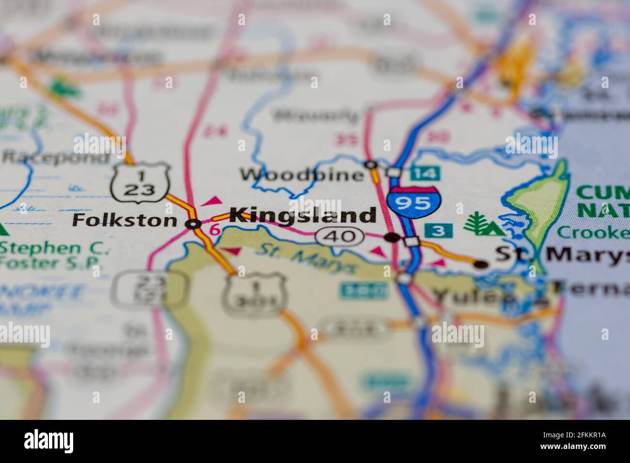 Kingsland Georgia USA Shown on a Geography map or road map Stock Photohttps://www.alamy.com/image-license-details/?v=1https://www.alamy.com/kingsland-georgia-usa-shown-on-a-geography-map-or-road-map-image425162454.html
RM2FKKR1A–Kingsland Georgia USA Shown on a Geography map or road map
 Georgia Kingsland,Interstate 95,I 95,Welcome Center,visitor information,special,colonial coast,destination,attractions,brochure brochures folder folde Stock Photohttps://www.alamy.com/image-license-details/?v=1https://www.alamy.com/stock-photo-georgia-kingslandinterstate-95i-95welcome-centervisitor-informationspecialcolonial-141008857.html
RMJ5BE6H–Georgia Kingsland,Interstate 95,I 95,Welcome Center,visitor information,special,colonial coast,destination,attractions,brochure brochures folder folde
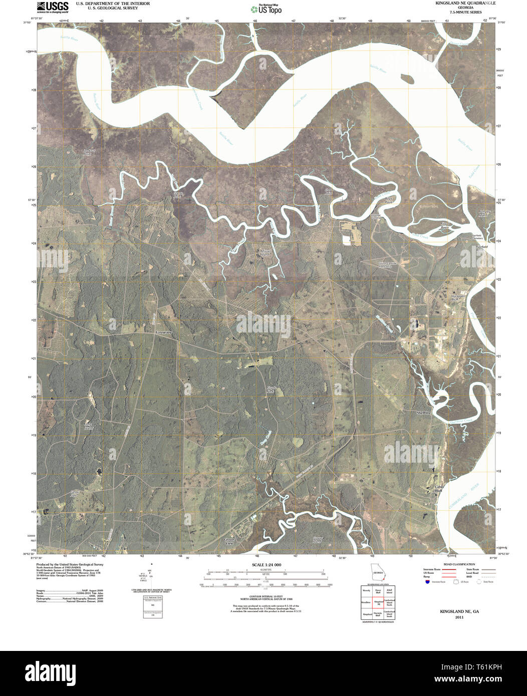 USGS TOPO Map Georgia GA Kingsland NE 20110302 TM Restoration Stock Photohttps://www.alamy.com/image-license-details/?v=1https://www.alamy.com/usgs-topo-map-georgia-ga-kingsland-ne-20110302-tm-restoration-image244670569.html
RMT61KPH–USGS TOPO Map Georgia GA Kingsland NE 20110302 TM Restoration
 Kingsland, Camden County, US, United States, Georgia, N 30 47' 59'', S 81 41' 23'', map, Cartascapes Map published in 2024. Explore Cartascapes, a map revealing Earth's diverse landscapes, cultures, and ecosystems. Journey through time and space, discovering the interconnectedness of our planet's past, present, and future. Stock Photohttps://www.alamy.com/image-license-details/?v=1https://www.alamy.com/kingsland-camden-county-us-united-states-georgia-n-30-47-59-s-81-41-23-map-cartascapes-map-published-in-2024-explore-cartascapes-a-map-revealing-earths-diverse-landscapes-cultures-and-ecosystems-journey-through-time-and-space-discovering-the-interconnectedness-of-our-planets-past-present-and-future-image620826676.html
RM2Y212N8–Kingsland, Camden County, US, United States, Georgia, N 30 47' 59'', S 81 41' 23'', map, Cartascapes Map published in 2024. Explore Cartascapes, a map revealing Earth's diverse landscapes, cultures, and ecosystems. Journey through time and space, discovering the interconnectedness of our planet's past, present, and future.
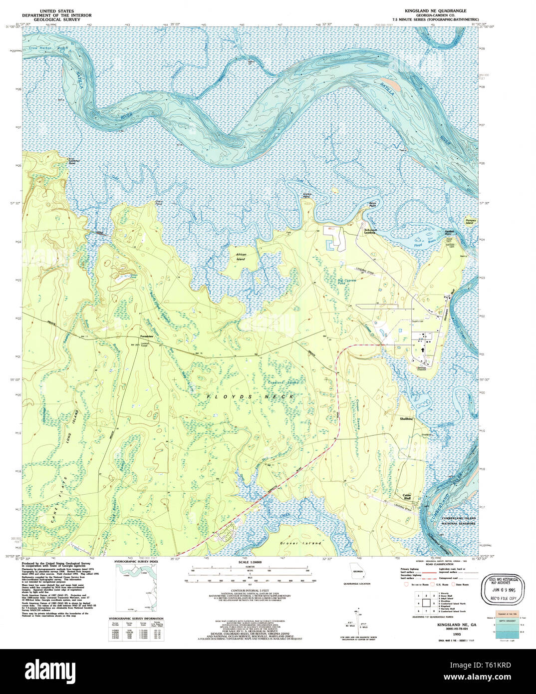 USGS TOPO Map Georgia GA Kingsland NE 246099 1993 24000 Restoration Stock Photohttps://www.alamy.com/image-license-details/?v=1https://www.alamy.com/usgs-topo-map-georgia-ga-kingsland-ne-246099-1993-24000-restoration-image244670593.html
RMT61KRD–USGS TOPO Map Georgia GA Kingsland NE 246099 1993 24000 Restoration
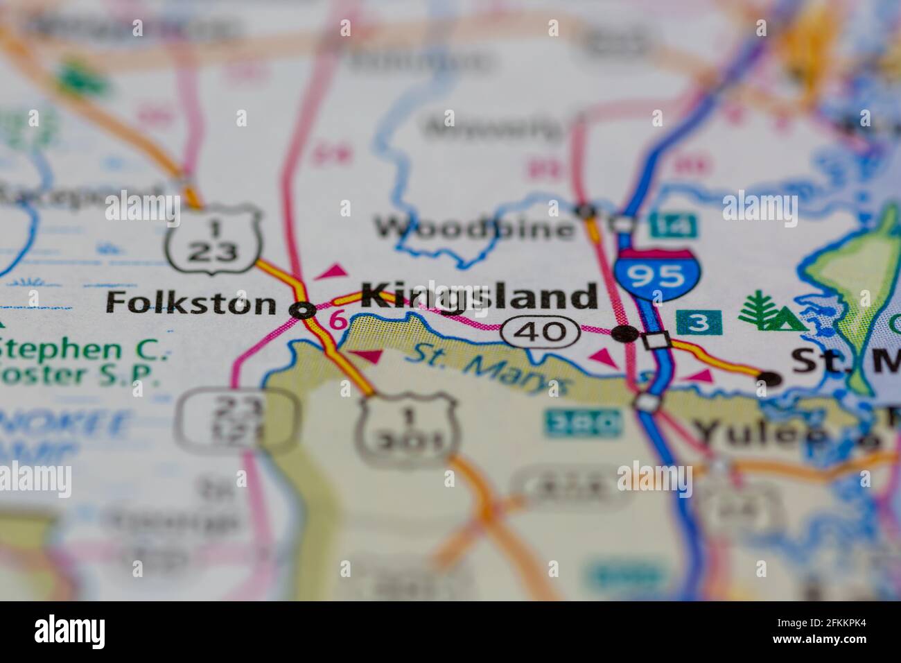 Kingsland Georgia USA Shown on a Geography map or road map Stock Photohttps://www.alamy.com/image-license-details/?v=1https://www.alamy.com/kingsland-georgia-usa-shown-on-a-geography-map-or-road-map-image425162168.html
RM2FKKPK4–Kingsland Georgia USA Shown on a Geography map or road map
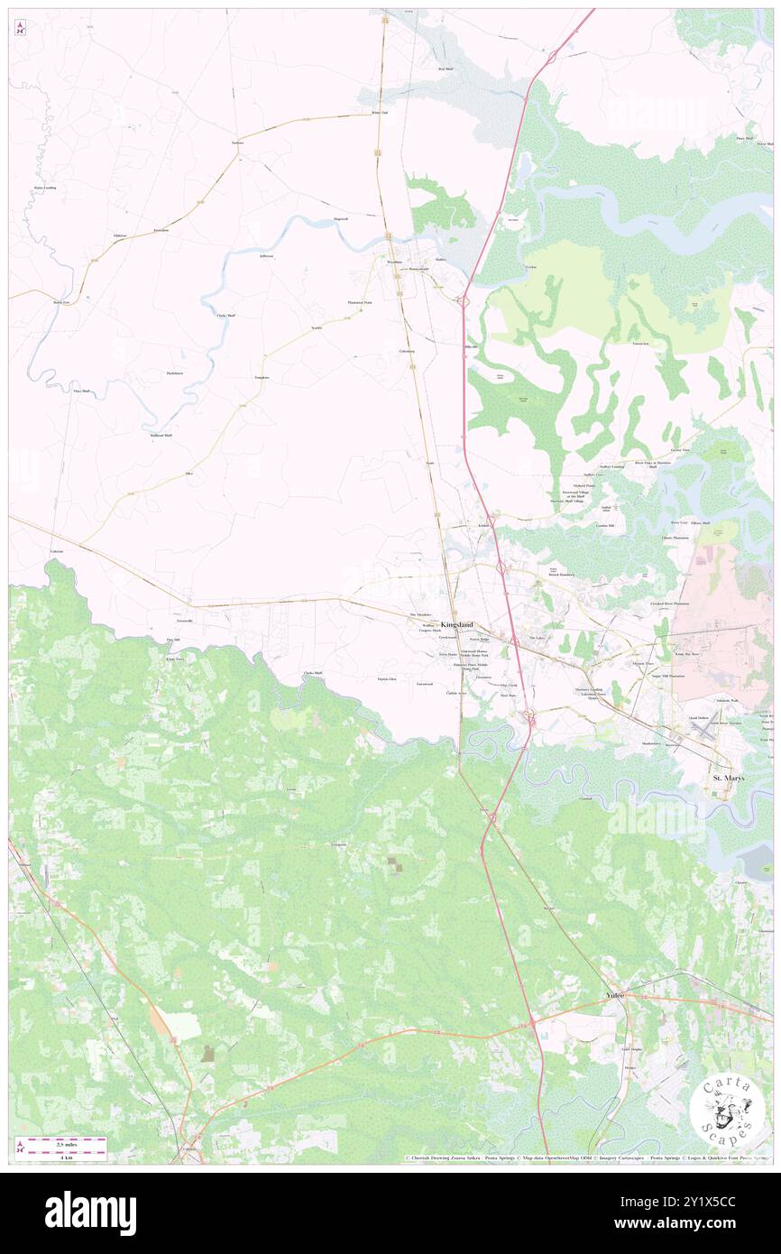 Kingsland, Camden County, US, United States, Georgia, N 30 47' 59'', S 81 41' 23'', map, Cartascapes Map published in 2024. Explore Cartascapes, a map revealing Earth's diverse landscapes, cultures, and ecosystems. Journey through time and space, discovering the interconnectedness of our planet's past, present, and future. Stock Photohttps://www.alamy.com/image-license-details/?v=1https://www.alamy.com/kingsland-camden-county-us-united-states-georgia-n-30-47-59-s-81-41-23-map-cartascapes-map-published-in-2024-explore-cartascapes-a-map-revealing-earths-diverse-landscapes-cultures-and-ecosystems-journey-through-time-and-space-discovering-the-interconnectedness-of-our-planets-past-present-and-future-image620762924.html
RM2Y1X5CC–Kingsland, Camden County, US, United States, Georgia, N 30 47' 59'', S 81 41' 23'', map, Cartascapes Map published in 2024. Explore Cartascapes, a map revealing Earth's diverse landscapes, cultures, and ecosystems. Journey through time and space, discovering the interconnectedness of our planet's past, present, and future.
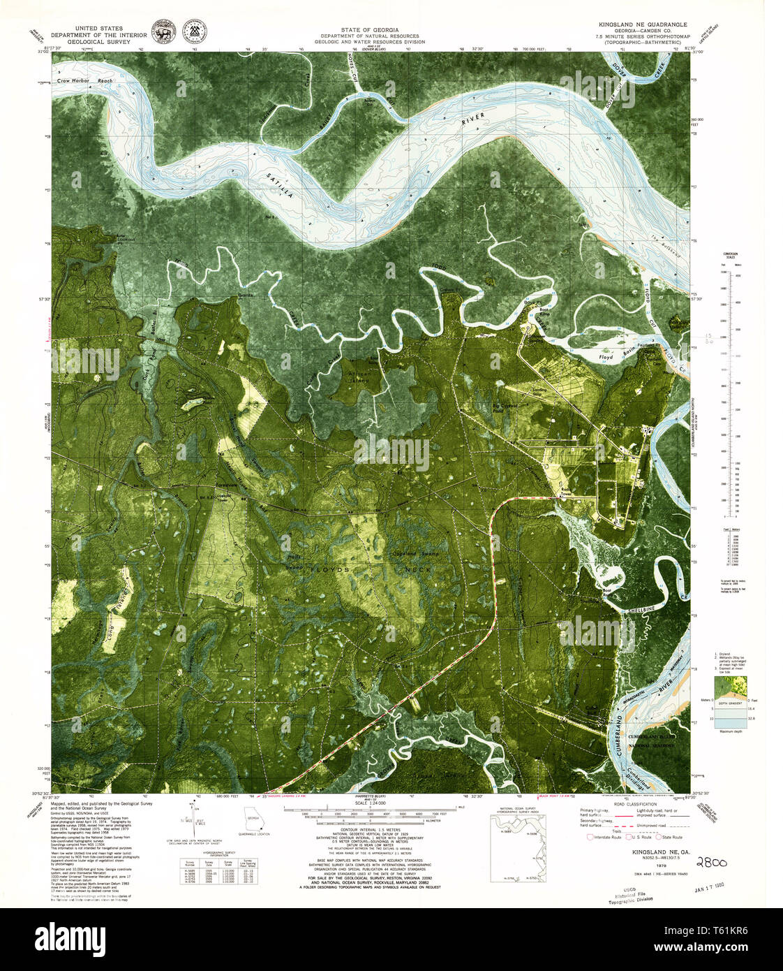 USGS TOPO Map Georgia GA Kingsland NE 246098 1979 24000 Restoration Stock Photohttps://www.alamy.com/image-license-details/?v=1https://www.alamy.com/usgs-topo-map-georgia-ga-kingsland-ne-246098-1979-24000-restoration-image244670586.html
RMT61KR6–USGS TOPO Map Georgia GA Kingsland NE 246098 1979 24000 Restoration
 City of Kingsland, Camden County, US, United States, Georgia, N 30 49' 7'', S 81 47' 13'', map, Cartascapes Map published in 2024. Explore Cartascapes, a map revealing Earth's diverse landscapes, cultures, and ecosystems. Journey through time and space, discovering the interconnectedness of our planet's past, present, and future. Stock Photohttps://www.alamy.com/image-license-details/?v=1https://www.alamy.com/city-of-kingsland-camden-county-us-united-states-georgia-n-30-49-7-s-81-47-13-map-cartascapes-map-published-in-2024-explore-cartascapes-a-map-revealing-earths-diverse-landscapes-cultures-and-ecosystems-journey-through-time-and-space-discovering-the-interconnectedness-of-our-planets-past-present-and-future-image633875224.html
RM2YR7E8T–City of Kingsland, Camden County, US, United States, Georgia, N 30 49' 7'', S 81 47' 13'', map, Cartascapes Map published in 2024. Explore Cartascapes, a map revealing Earth's diverse landscapes, cultures, and ecosystems. Journey through time and space, discovering the interconnectedness of our planet's past, present, and future.
 USGS TOPO Map Georgia GA Kingsland NE 246100 1958 24000 Restoration Stock Photohttps://www.alamy.com/image-license-details/?v=1https://www.alamy.com/usgs-topo-map-georgia-ga-kingsland-ne-246100-1958-24000-restoration-image244670601.html
RMT61KRN–USGS TOPO Map Georgia GA Kingsland NE 246100 1958 24000 Restoration
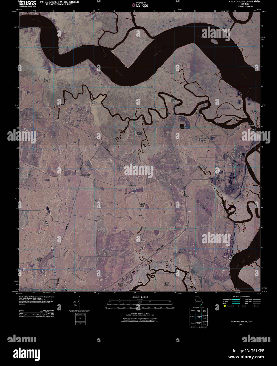 USGS TOPO Map Georgia GA Kingsland NE 20110302 TM Inverted Restoration Stock Photohttps://www.alamy.com/image-license-details/?v=1https://www.alamy.com/usgs-topo-map-georgia-ga-kingsland-ne-20110302-tm-inverted-restoration-image244670567.html
RMT61KPF–USGS TOPO Map Georgia GA Kingsland NE 20110302 TM Inverted Restoration
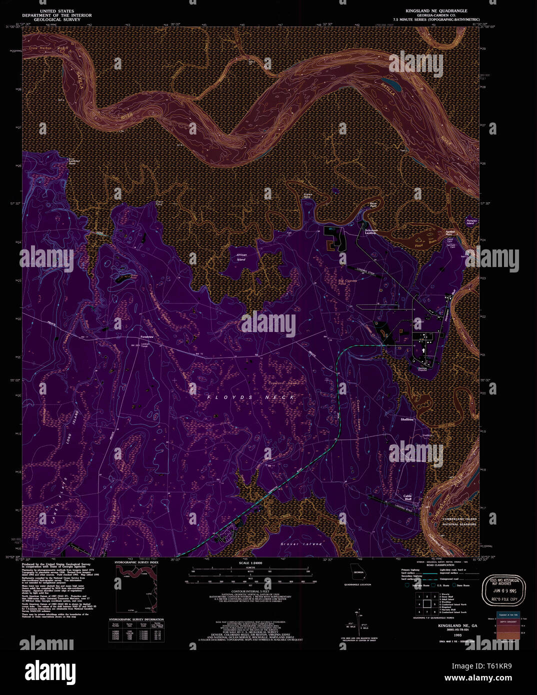 USGS TOPO Map Georgia GA Kingsland NE 246099 1993 24000 Inverted Restoration Stock Photohttps://www.alamy.com/image-license-details/?v=1https://www.alamy.com/usgs-topo-map-georgia-ga-kingsland-ne-246099-1993-24000-inverted-restoration-image244670589.html
RMT61KR9–USGS TOPO Map Georgia GA Kingsland NE 246099 1993 24000 Inverted Restoration
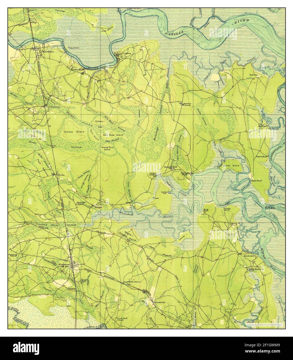 Kingsland, Georgia, map 1918, 1:62500, United States of America by Timeless Maps, data U.S. Geological Survey Stock Photohttps://www.alamy.com/image-license-details/?v=1https://www.alamy.com/kingsland-georgia-map-1918-162500-united-states-of-america-by-timeless-maps-data-us-geological-survey-image414034889.html
RM2F1GWM9–Kingsland, Georgia, map 1918, 1:62500, United States of America by Timeless Maps, data U.S. Geological Survey
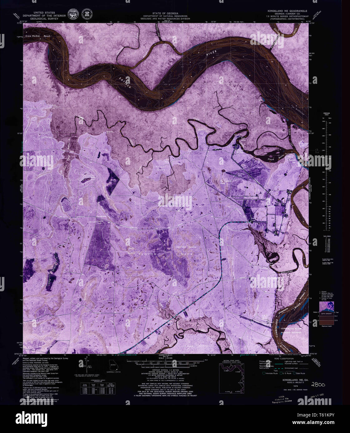 USGS TOPO Map Georgia GA Kingsland NE 246098 1979 24000 Inverted Restoration Stock Photohttps://www.alamy.com/image-license-details/?v=1https://www.alamy.com/usgs-topo-map-georgia-ga-kingsland-ne-246098-1979-24000-inverted-restoration-image244670579.html
RMT61KPY–USGS TOPO Map Georgia GA Kingsland NE 246098 1979 24000 Inverted Restoration
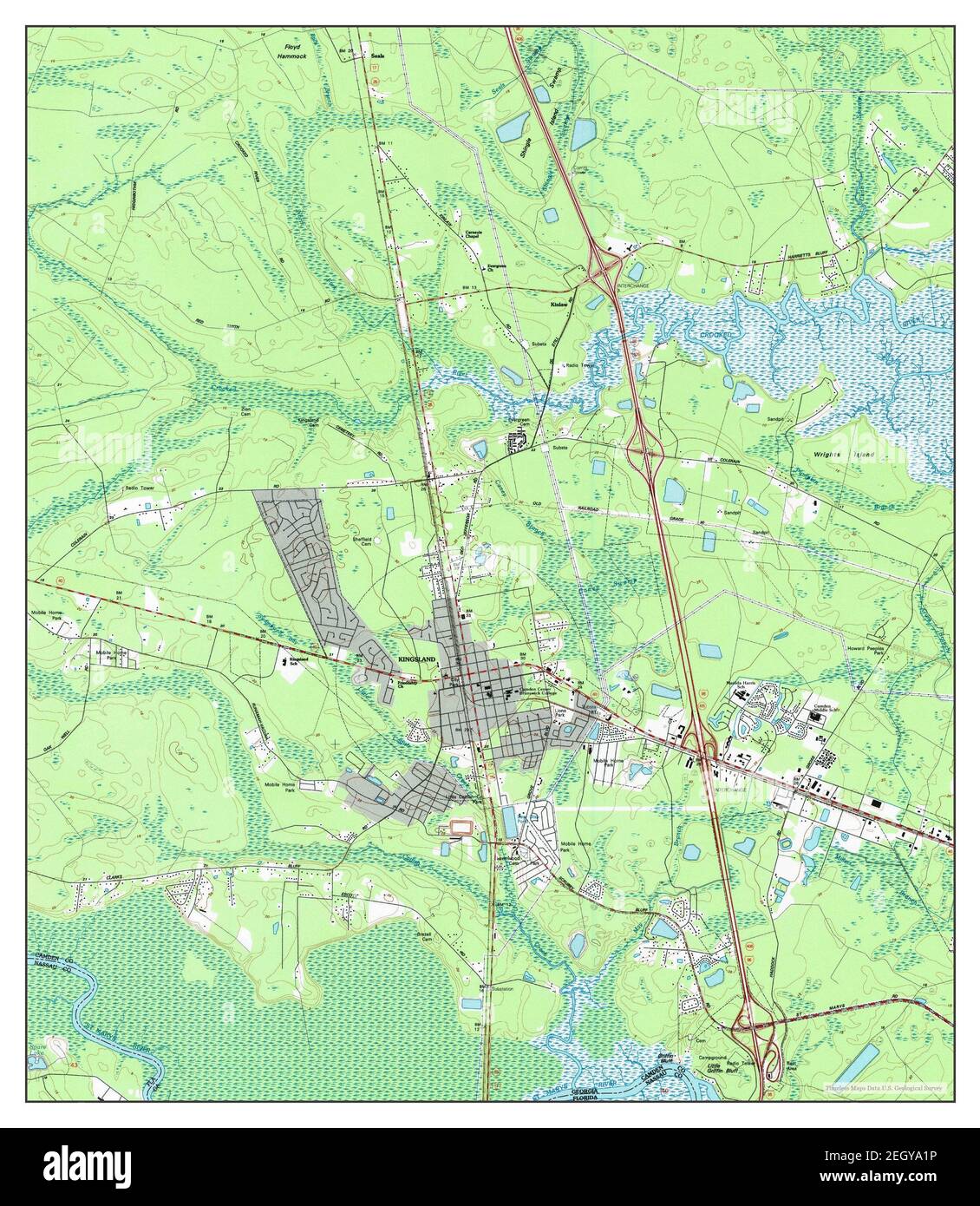 Kingsland, Georgia, map 1993, 1:24000, United States of America by Timeless Maps, data U.S. Geological Survey Stock Photohttps://www.alamy.com/image-license-details/?v=1https://www.alamy.com/kingsland-georgia-map-1993-124000-united-states-of-america-by-timeless-maps-data-us-geological-survey-image406273554.html
RM2EGYA1P–Kingsland, Georgia, map 1993, 1:24000, United States of America by Timeless Maps, data U.S. Geological Survey
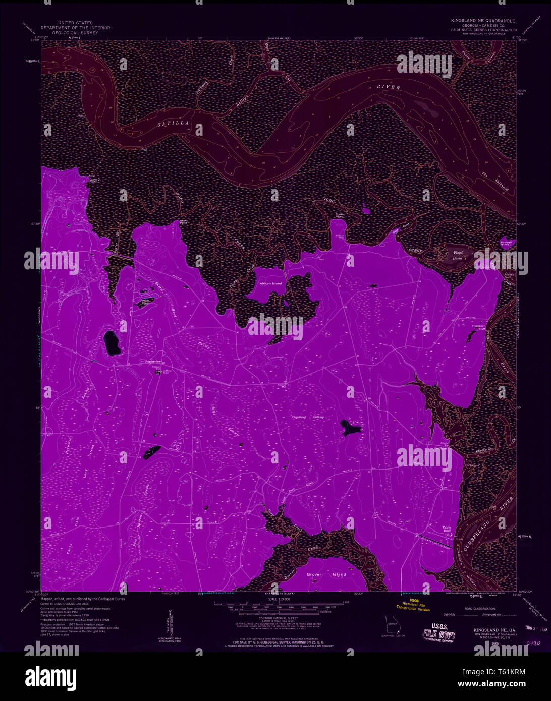 USGS TOPO Map Georgia GA Kingsland NE 246100 1958 24000 Inverted Restoration Stock Photohttps://www.alamy.com/image-license-details/?v=1https://www.alamy.com/usgs-topo-map-georgia-ga-kingsland-ne-246100-1958-24000-inverted-restoration-image244670600.html
RMT61KRM–USGS TOPO Map Georgia GA Kingsland NE 246100 1958 24000 Inverted Restoration
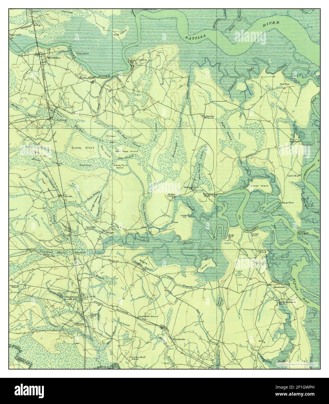 Kingsland, Georgia, map 1918, 1:62500, United States of America by Timeless Maps, data U.S. Geological Survey Stock Photohttps://www.alamy.com/image-license-details/?v=1https://www.alamy.com/kingsland-georgia-map-1918-162500-united-states-of-america-by-timeless-maps-data-us-geological-survey-image414034953.html
RM2F1GWPH–Kingsland, Georgia, map 1918, 1:62500, United States of America by Timeless Maps, data U.S. Geological Survey
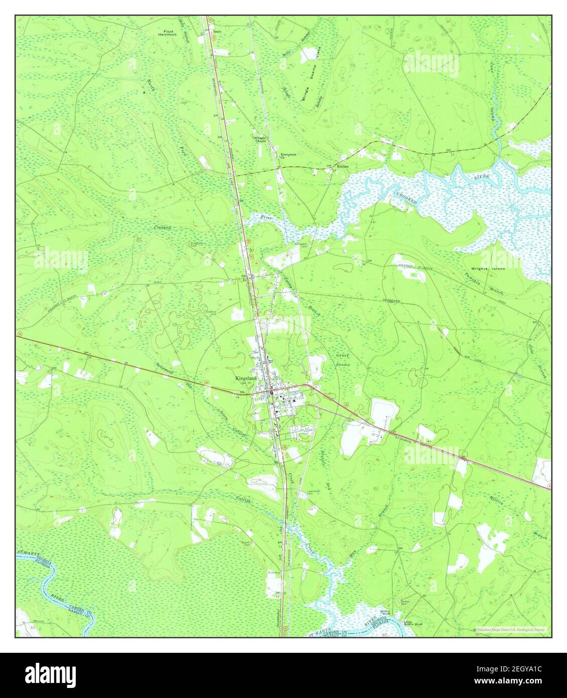 Kingsland, Georgia, map 1958, 1:24000, United States of America by Timeless Maps, data U.S. Geological Survey Stock Photohttps://www.alamy.com/image-license-details/?v=1https://www.alamy.com/kingsland-georgia-map-1958-124000-united-states-of-america-by-timeless-maps-data-us-geological-survey-image406273544.html
RM2EGYA1C–Kingsland, Georgia, map 1958, 1:24000, United States of America by Timeless Maps, data U.S. Geological Survey
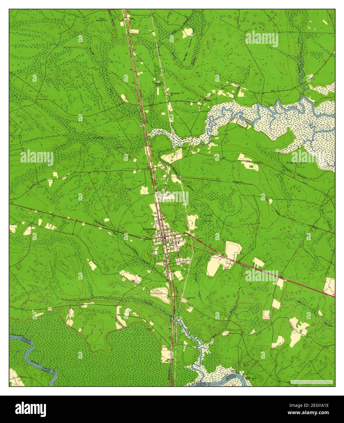 Kingsland, Georgia, map 1958, 1:24000, United States of America by Timeless Maps, data U.S. Geological Survey Stock Photohttps://www.alamy.com/image-license-details/?v=1https://www.alamy.com/kingsland-georgia-map-1958-124000-united-states-of-america-by-timeless-maps-data-us-geological-survey-image406273546.html
RM2EGYA1E–Kingsland, Georgia, map 1958, 1:24000, United States of America by Timeless Maps, data U.S. Geological Survey
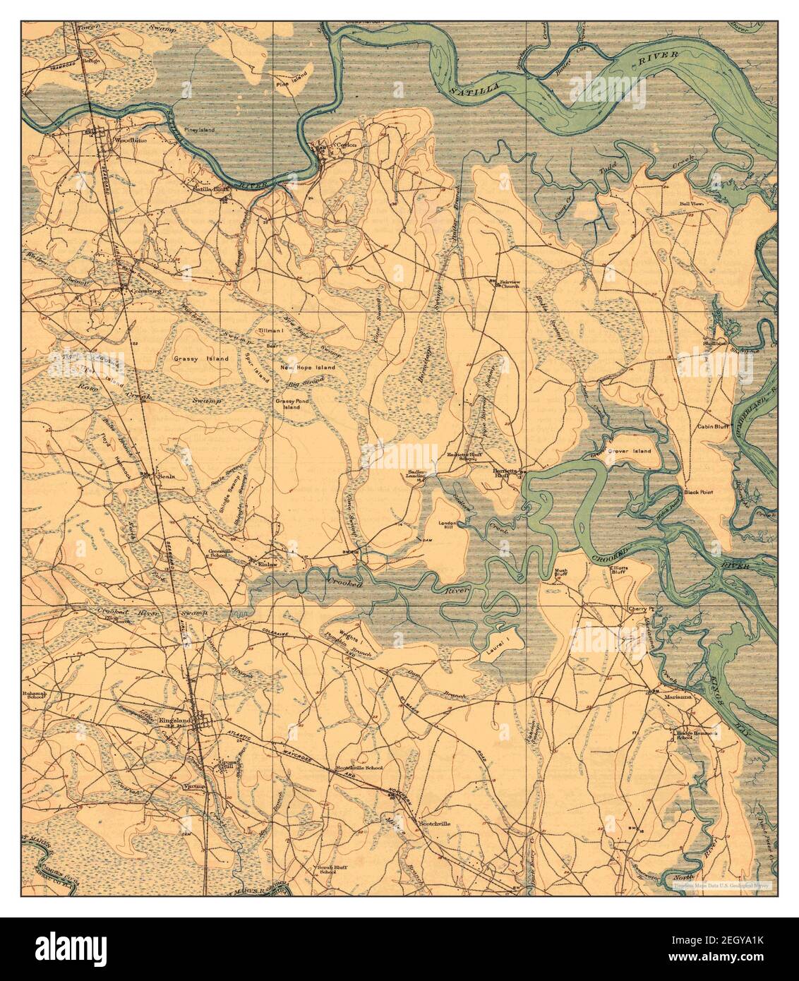 Kingsland, Georgia, map 1918, 1:62500, United States of America by Timeless Maps, data U.S. Geological Survey Stock Photohttps://www.alamy.com/image-license-details/?v=1https://www.alamy.com/kingsland-georgia-map-1918-162500-united-states-of-america-by-timeless-maps-data-us-geological-survey-image406273551.html
RM2EGYA1K–Kingsland, Georgia, map 1918, 1:62500, United States of America by Timeless Maps, data U.S. Geological Survey
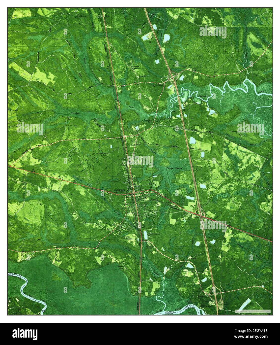 Kingsland, Georgia, map 1980, 1:24000, United States of America by Timeless Maps, data U.S. Geological Survey Stock Photohttps://www.alamy.com/image-license-details/?v=1https://www.alamy.com/kingsland-georgia-map-1980-124000-united-states-of-america-by-timeless-maps-data-us-geological-survey-image406273543.html
RM2EGYA1B–Kingsland, Georgia, map 1980, 1:24000, United States of America by Timeless Maps, data U.S. Geological Survey
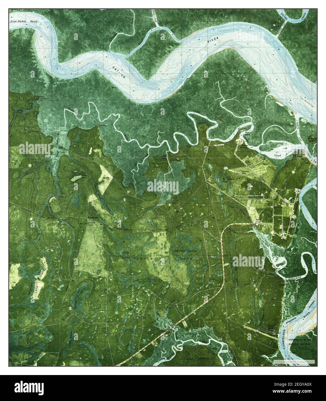 Kingsland NE, Georgia, map 1979, 1:24000, United States of America by Timeless Maps, data U.S. Geological Survey Stock Photohttps://www.alamy.com/image-license-details/?v=1https://www.alamy.com/kingsland-ne-georgia-map-1979-124000-united-states-of-america-by-timeless-maps-data-us-geological-survey-image406273530.html
RM2EGYA0X–Kingsland NE, Georgia, map 1979, 1:24000, United States of America by Timeless Maps, data U.S. Geological Survey
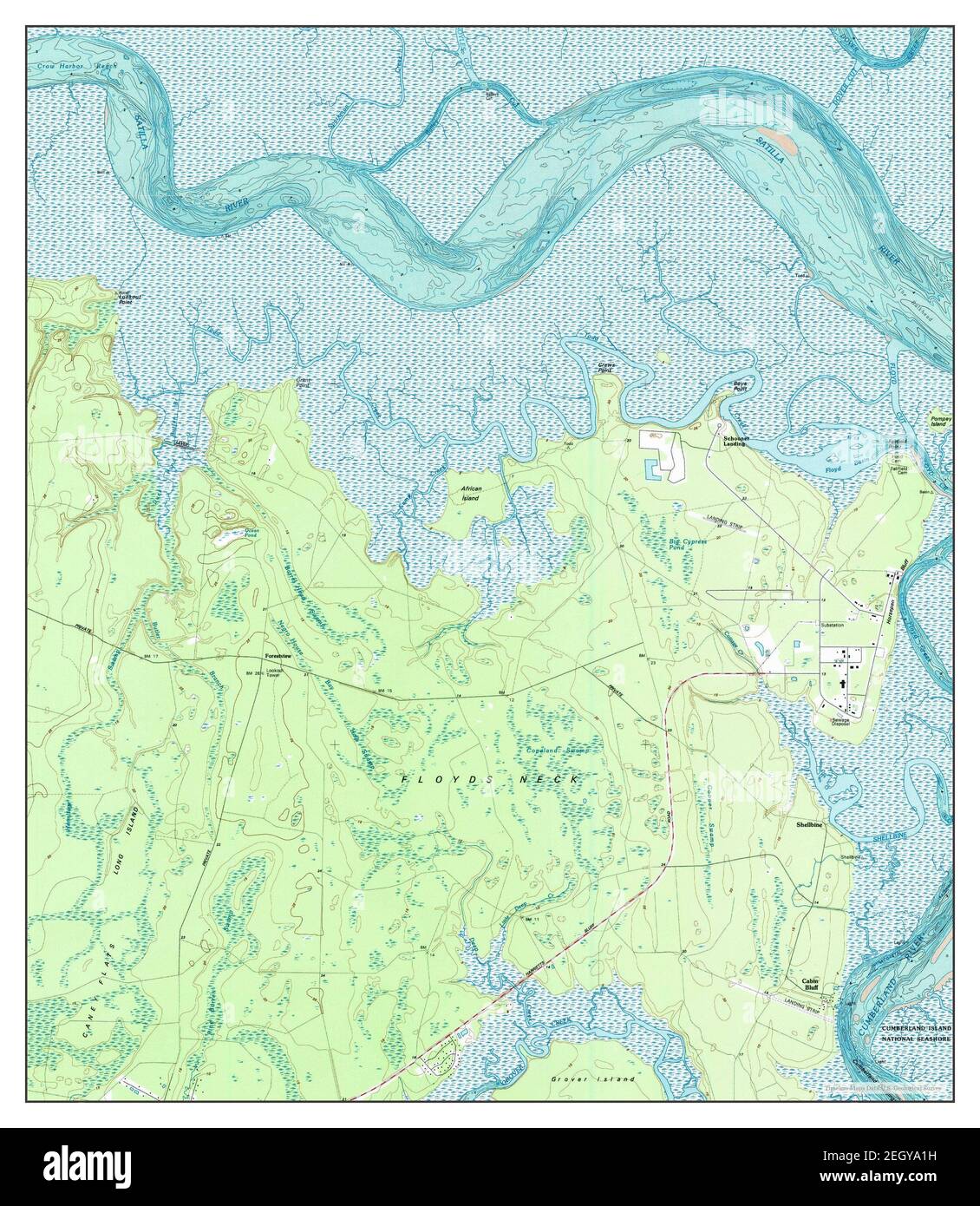 Kingsland NE, Georgia, map 1993, 1:24000, United States of America by Timeless Maps, data U.S. Geological Survey Stock Photohttps://www.alamy.com/image-license-details/?v=1https://www.alamy.com/kingsland-ne-georgia-map-1993-124000-united-states-of-america-by-timeless-maps-data-us-geological-survey-image406273549.html
RM2EGYA1H–Kingsland NE, Georgia, map 1993, 1:24000, United States of America by Timeless Maps, data U.S. Geological Survey
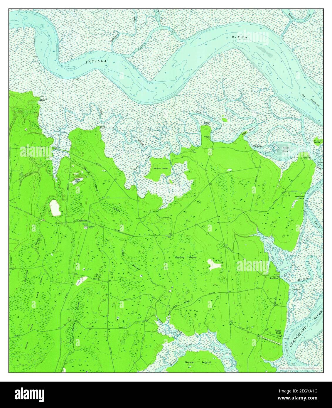 Kingsland NE, Georgia, map 1958, 1:24000, United States of America by Timeless Maps, data U.S. Geological Survey Stock Photohttps://www.alamy.com/image-license-details/?v=1https://www.alamy.com/kingsland-ne-georgia-map-1958-124000-united-states-of-america-by-timeless-maps-data-us-geological-survey-image406273548.html
RM2EGYA1G–Kingsland NE, Georgia, map 1958, 1:24000, United States of America by Timeless Maps, data U.S. Geological Survey