Quick filters:
Kingsteignton Stock Photos and Images
 The River Teign, in Devon. Looking down river at Teignmouth in the distance, viewed from Kingsteignton. Stock Photohttps://www.alamy.com/image-license-details/?v=1https://www.alamy.com/stock-photo-the-river-teign-in-devon-looking-down-river-at-teignmouth-in-the-distance-50281451.html
RMCWPEE3–The River Teign, in Devon. Looking down river at Teignmouth in the distance, viewed from Kingsteignton.
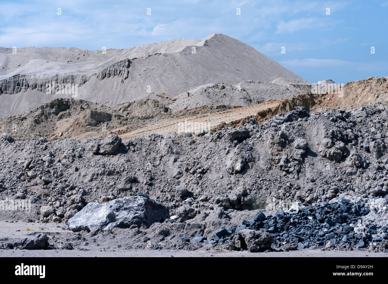 English China Clay pits,English china clay works at Kingsteignton,Devon,Sibelco,english china clay, ball clay, Kaolinite is a clay mineral, Stock Photohttps://www.alamy.com/image-license-details/?v=1https://www.alamy.com/stock-photo-english-china-clay-pitsenglish-china-clay-works-at-kingsteigntondevonsibelcoenglish-57403769.html
RMD9AY2H–English China Clay pits,English china clay works at Kingsteignton,Devon,Sibelco,english china clay, ball clay, Kaolinite is a clay mineral,
 Hackney Marsh Devon heading to the Teign Estuary with the canal joining at the junction of the River Teign. Stock Photohttps://www.alamy.com/image-license-details/?v=1https://www.alamy.com/hackney-marsh-devon-heading-to-the-teign-estuary-with-the-canal-joining-at-the-junction-of-the-river-teign-image452146462.html
RF2H7H1BX–Hackney Marsh Devon heading to the Teign Estuary with the canal joining at the junction of the River Teign.
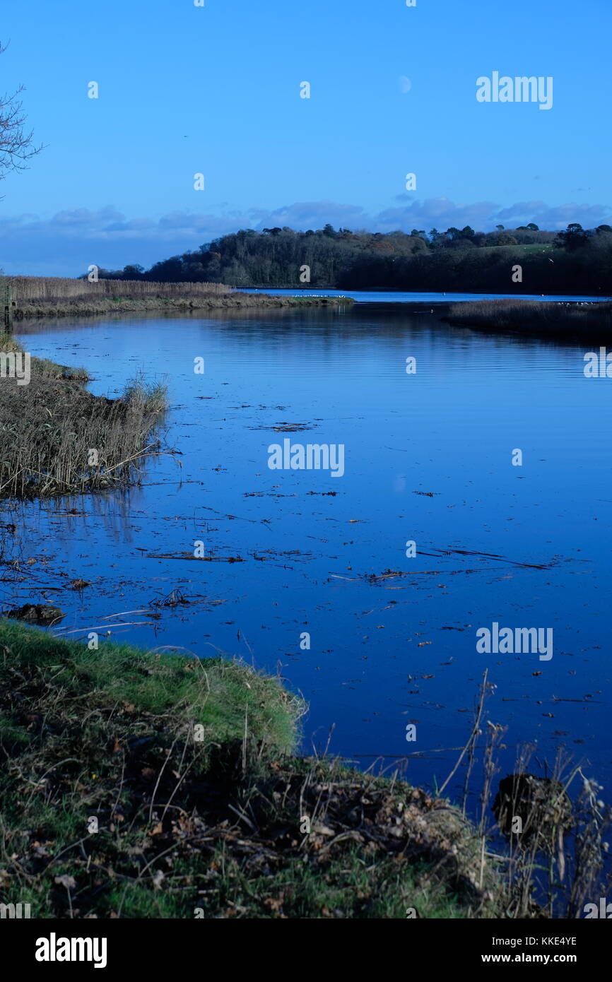 River Teign from Passage House, Hackney, Devon Stock Photohttps://www.alamy.com/image-license-details/?v=1https://www.alamy.com/stock-image-river-teign-from-passage-house-hackney-devon-166883010.html
RMKKE4YE–River Teign from Passage House, Hackney, Devon
 Gestridge road Kingsteignton , Devon . Snow on 1st march 2018, Night time Stock Photohttps://www.alamy.com/image-license-details/?v=1https://www.alamy.com/gestridge-road-kingsteignton-devon-snow-on-1st-march-2018-night-time-image211840852.html
RFP8J54M–Gestridge road Kingsteignton , Devon . Snow on 1st march 2018, Night time
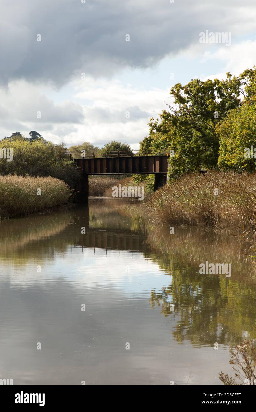 Reflection of Railway bridge over the river at Hackney Marsh Nature Reserve Kingsteignton Stock Photohttps://www.alamy.com/image-license-details/?v=1https://www.alamy.com/reflection-of-railway-bridge-over-the-river-at-hackney-marsh-nature-reserve-kingsteignton-image382591632.html
RF2D6CFET–Reflection of Railway bridge over the river at Hackney Marsh Nature Reserve Kingsteignton
 Kingsteignton, Devon, Samuel Prout, 1783–1852, British, ca. 1819, Watercolor and brown ink over graphite on thick, rough, beige wove paper, Sheet: 7 5/8 x 10 3/16 inches (19.4 x 25.8 cm), architectural subject, buildings, chimney (architectural element), clothesline, cottage, steps, stone, stream, thatched roof, thatching, trees, wood, Devon, England, Europe, Kingsteignton, United Kingdom Stock Photohttps://www.alamy.com/image-license-details/?v=1https://www.alamy.com/kingsteignton-devon-samuel-prout-17831852-british-ca-1819-watercolor-and-brown-ink-over-graphite-on-thick-rough-beige-wove-paper-sheet-7-58-x-10-316-inches-194-x-258-cm-architectural-subject-buildings-chimney-architectural-element-clothesline-cottage-steps-stone-stream-thatched-roof-thatching-trees-wood-devon-england-europe-kingsteignton-united-kingdom-image389614202.html
RM2DHTCTX–Kingsteignton, Devon, Samuel Prout, 1783–1852, British, ca. 1819, Watercolor and brown ink over graphite on thick, rough, beige wove paper, Sheet: 7 5/8 x 10 3/16 inches (19.4 x 25.8 cm), architectural subject, buildings, chimney (architectural element), clothesline, cottage, steps, stone, stream, thatched roof, thatching, trees, wood, Devon, England, Europe, Kingsteignton, United Kingdom
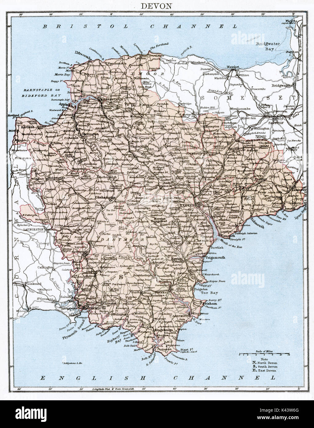 Antique map, circa 1875, of Devon Stock Photohttps://www.alamy.com/image-license-details/?v=1https://www.alamy.com/antique-map-circa-1875-of-devon-image157437576.html
RMK43W6G–Antique map, circa 1875, of Devon
 Windsor, UK. 4th August, 2018. Jackie Edwards, Town Crier of Kingsteignton, takes part in the Ancient and Honourable Guild of Town Criers (AHGTC) National Championship beneath the walls of Windsor Castle. Forty town criers from across the UK and two from Australia compete in two rounds of crying, the first a home cry scored on diction, inflection, clarity and volume and the second a cry on the topic of 'A Celebration’. Credit: Mark Kerrison/Alamy Live News Stock Photohttps://www.alamy.com/image-license-details/?v=1https://www.alamy.com/windsor-uk-4th-august-2018-jackie-edwards-town-crier-of-kingsteignton-takes-part-in-the-ancient-and-honourable-guild-of-town-criers-ahgtc-national-championship-beneath-the-walls-of-windsor-castle-forty-town-criers-from-across-the-uk-and-two-from-australia-compete-in-two-rounds-of-crying-the-first-a-home-cry-scored-on-diction-inflection-clarity-and-volume-and-the-second-a-cry-on-the-topic-of-a-celebration-credit-mark-kerrisonalamy-live-news-image214477660.html
RMPCX8CC–Windsor, UK. 4th August, 2018. Jackie Edwards, Town Crier of Kingsteignton, takes part in the Ancient and Honourable Guild of Town Criers (AHGTC) National Championship beneath the walls of Windsor Castle. Forty town criers from across the UK and two from Australia compete in two rounds of crying, the first a home cry scored on diction, inflection, clarity and volume and the second a cry on the topic of 'A Celebration’. Credit: Mark Kerrison/Alamy Live News
 Samuel Prout, 1783–1852, British, Kingsteignton, Devon, ca. 1819. Watercolor and brown ink over graphite on thick, rough, beige wove paper. architectural subject , buildings , chimney (architectural element) , clothesline , cottage , steps , stone , stream , thatched roof , thatching , trees , wood. Devon , England , Europe , Kingsteignton , United Kingdom Stock Photohttps://www.alamy.com/image-license-details/?v=1https://www.alamy.com/samuel-prout-17831852-british-kingsteignton-devon-ca-1819-watercolor-and-brown-ink-over-graphite-on-thick-rough-beige-wove-paper-architectural-subject-buildings-chimney-architectural-element-clothesline-cottage-steps-stone-stream-thatched-roof-thatching-trees-wood-devon-england-europe-kingsteignton-united-kingdom-image398348348.html
RM2E429AM–Samuel Prout, 1783–1852, British, Kingsteignton, Devon, ca. 1819. Watercolor and brown ink over graphite on thick, rough, beige wove paper. architectural subject , buildings , chimney (architectural element) , clothesline , cottage , steps , stone , stream , thatched roof , thatching , trees , wood. Devon , England , Europe , Kingsteignton , United Kingdom
 Tea Party, Kingsteignton, Devon Stock Photohttps://www.alamy.com/image-license-details/?v=1https://www.alamy.com/stock-photo-tea-party-kingsteignton-devon-83099094.html
RMER5DMP–Tea Party, Kingsteignton, Devon
 A graphic illlustration of a British road sign pointing to Kingsteignton Stock Photohttps://www.alamy.com/image-license-details/?v=1https://www.alamy.com/a-graphic-illlustration-of-a-british-road-sign-pointing-to-kingsteignton-image416408348.html
RF2F5D12M–A graphic illlustration of a British road sign pointing to Kingsteignton
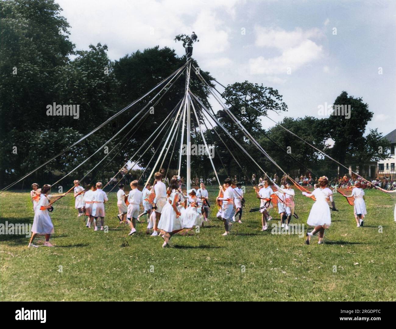 Dancing round the Maypole, a scene at the Ram Roasting Fair, which is held annually on Whitsun Monday at Kingsneignton, Devon, England. Stock Photohttps://www.alamy.com/image-license-details/?v=1https://www.alamy.com/dancing-round-the-maypole-a-scene-at-the-ram-roasting-fair-which-is-held-annually-on-whitsun-monday-at-kingsneignton-devon-england-image560869580.html
RM2RGDPTC–Dancing round the Maypole, a scene at the Ram Roasting Fair, which is held annually on Whitsun Monday at Kingsneignton, Devon, England.
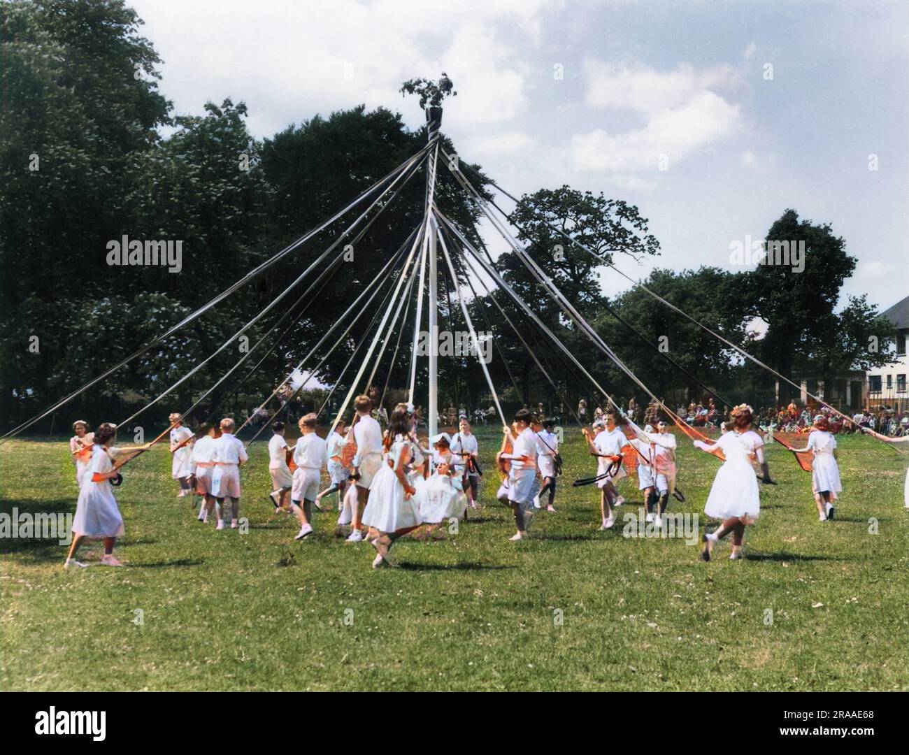 Dancing round the Maypole, a scene at the Ram Roasting Fair, which is held annually on Whitsun Monday at Kingsneignton, Devon, England. Date: 1950s Stock Photohttps://www.alamy.com/image-license-details/?v=1https://www.alamy.com/dancing-round-the-maypole-a-scene-at-the-ram-roasting-fair-which-is-held-annually-on-whitsun-monday-at-kingsneignton-devon-england-date-1950s-image557109008.html
RM2RAAE68–Dancing round the Maypole, a scene at the Ram Roasting Fair, which is held annually on Whitsun Monday at Kingsneignton, Devon, England. Date: 1950s
 A main road at dusk near Newton Abbot Devon Great Britain Stock Photohttps://www.alamy.com/image-license-details/?v=1https://www.alamy.com/a-main-road-at-dusk-near-newton-abbot-devon-great-britain-image801930.html
RFAC3C8A–A main road at dusk near Newton Abbot Devon Great Britain
 Kingsteignton, Devon, GB, United Kingdom, England, N 50 33' 48'', S 3 36' 11'', map, Cartascapes Map published in 2024. Explore Cartascapes, a map revealing Earth's diverse landscapes, cultures, and ecosystems. Journey through time and space, discovering the interconnectedness of our planet's past, present, and future. Stock Photohttps://www.alamy.com/image-license-details/?v=1https://www.alamy.com/kingsteignton-devon-gb-united-kingdom-england-n-50-33-48-s-3-36-11-map-cartascapes-map-published-in-2024-explore-cartascapes-a-map-revealing-earths-diverse-landscapes-cultures-and-ecosystems-journey-through-time-and-space-discovering-the-interconnectedness-of-our-planets-past-present-and-future-image604275889.html
RM2X3341N–Kingsteignton, Devon, GB, United Kingdom, England, N 50 33' 48'', S 3 36' 11'', map, Cartascapes Map published in 2024. Explore Cartascapes, a map revealing Earth's diverse landscapes, cultures, and ecosystems. Journey through time and space, discovering the interconnectedness of our planet's past, present, and future.
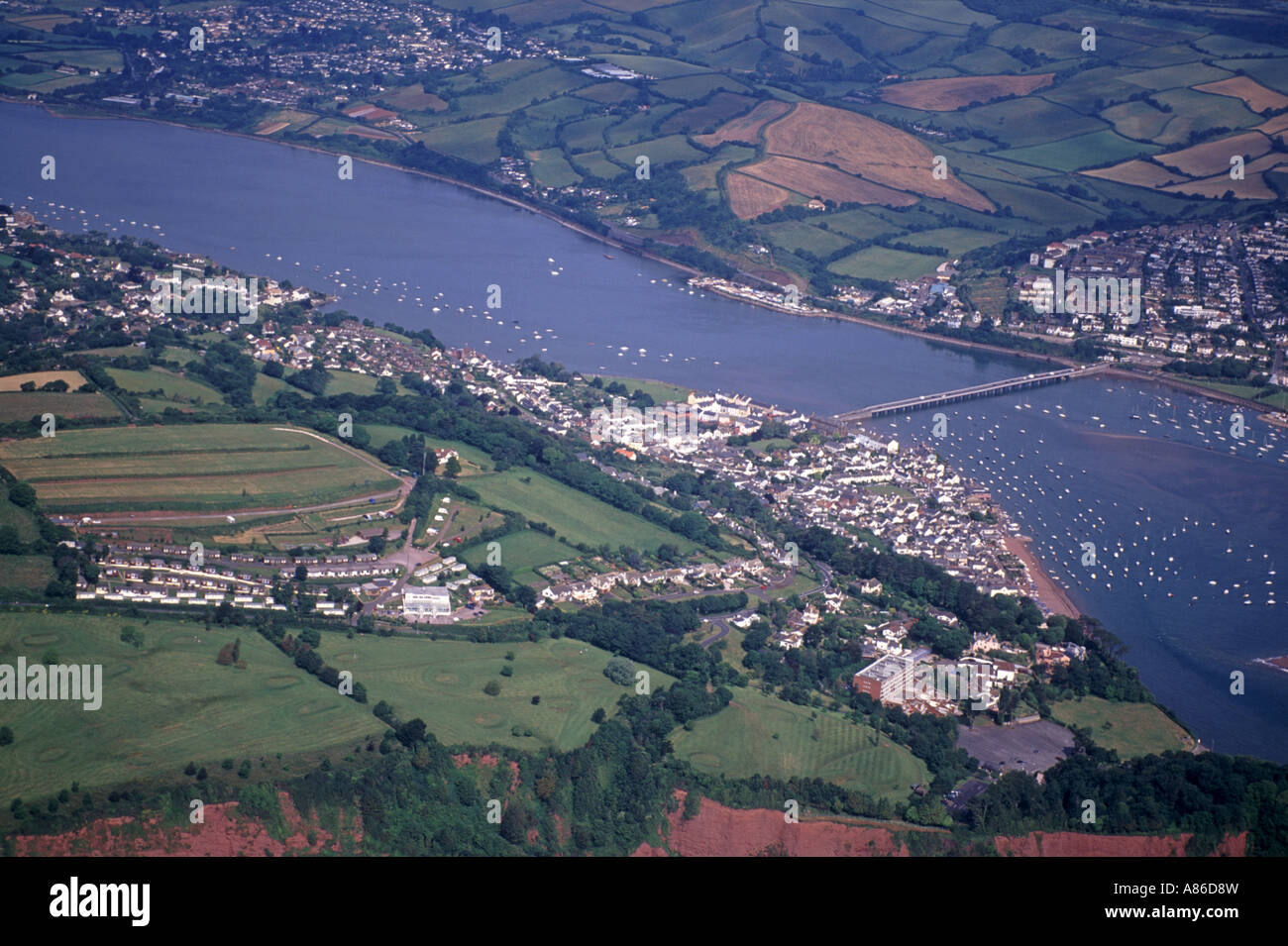 Shaldon & Teignmouth Aerial West Country Devon England UK XPL 6138-480 Stock Photohttps://www.alamy.com/image-license-details/?v=1https://www.alamy.com/stock-photo-shaldon-teignmouth-aerial-west-country-devon-england-uk-xpl-6138-480-12002808.html
RMA86D8W–Shaldon & Teignmouth Aerial West Country Devon England UK XPL 6138-480
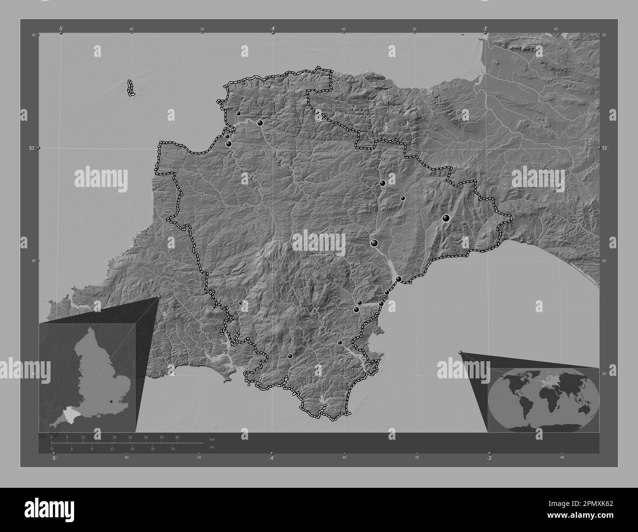 Devon, administrative county of England - Great Britain. Bilevel elevation map with lakes and rivers. Locations of major cities of the region. Corner Stock Photohttps://www.alamy.com/image-license-details/?v=1https://www.alamy.com/devon-administrative-county-of-england-great-britain-bilevel-elevation-map-with-lakes-and-rivers-locations-of-major-cities-of-the-region-corner-image546400346.html
RF2PMXK62–Devon, administrative county of England - Great Britain. Bilevel elevation map with lakes and rivers. Locations of major cities of the region. Corner
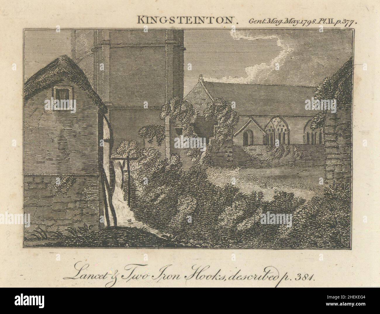 View of St Michael Church at Kingsteinton now Kingsteignton, Devon. SMALL 1798 Stock Photohttps://www.alamy.com/image-license-details/?v=1https://www.alamy.com/view-of-st-michael-church-at-kingsteinton-now-kingsteignton-devon-small-1798-image456503268.html
RF2HEKEG4–View of St Michael Church at Kingsteinton now Kingsteignton, Devon. SMALL 1798
 The River Teign, in Devon. Looking down river at Teignmouth in the distance, viewed from Kingsteignton. Stock Photohttps://www.alamy.com/image-license-details/?v=1https://www.alamy.com/stock-photo-the-river-teign-in-devon-looking-down-river-at-teignmouth-in-the-distance-50281464.html
RMCWPEEG–The River Teign, in Devon. Looking down river at Teignmouth in the distance, viewed from Kingsteignton.
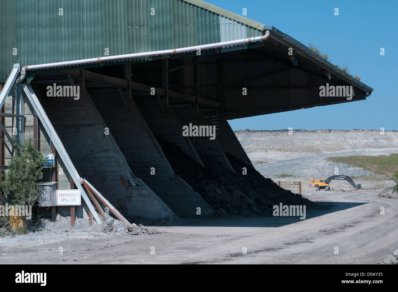 English china clay works at Kingsteignton,Devon,Sibelco,english china clay, ball clay, kingsteignton,Open-pit mining, open-cut Stock Photohttps://www.alamy.com/image-license-details/?v=1https://www.alamy.com/stock-photo-english-china-clay-works-at-kingsteigntondevonsibelcoenglish-china-57403785.html
RMD9AY35–English china clay works at Kingsteignton,Devon,Sibelco,english china clay, ball clay, kingsteignton,Open-pit mining, open-cut
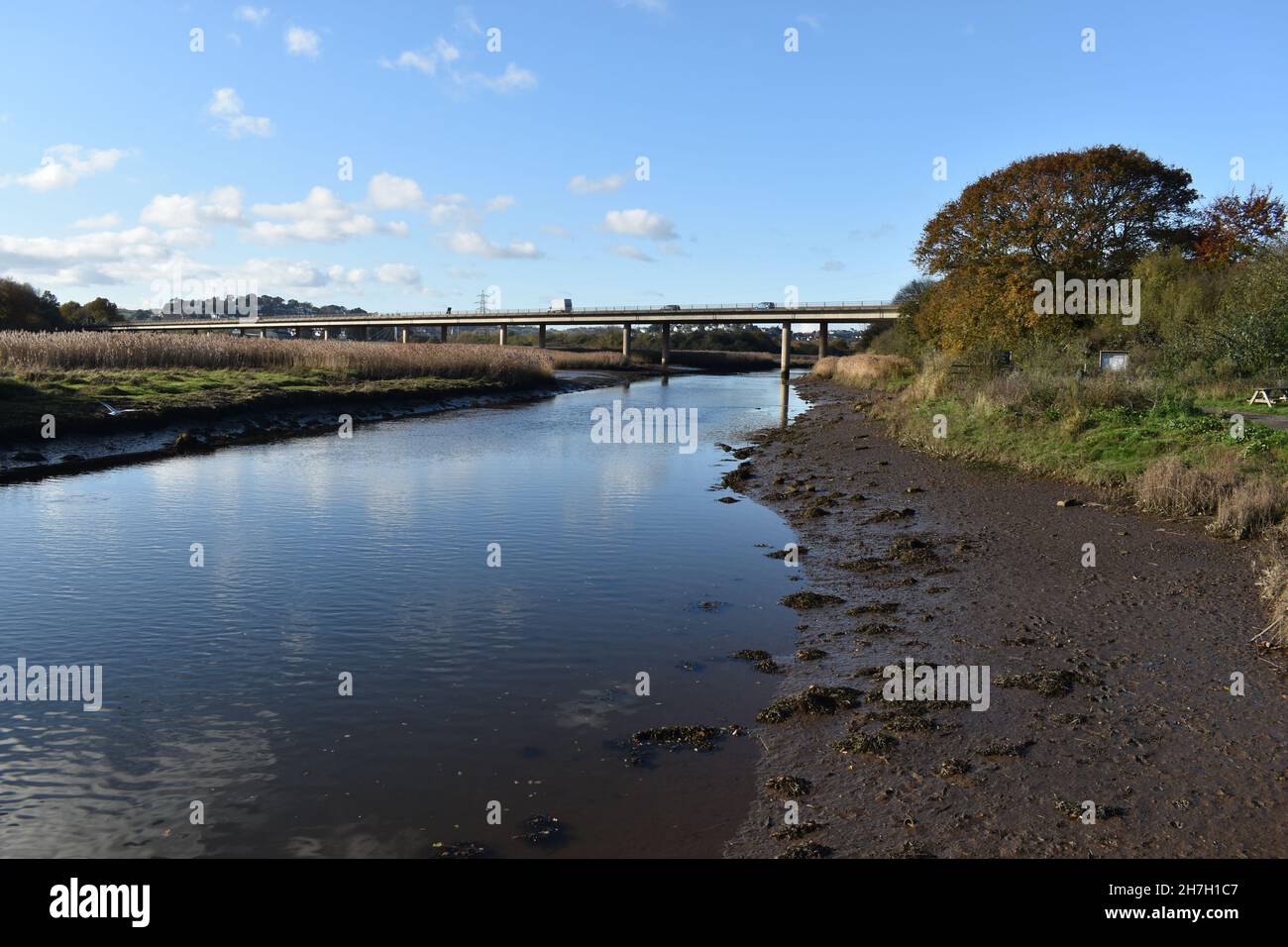 Hackney Marsh Devon heading to the Teign Estuary with the canal joining at the junction of the River Teign. Stock Photohttps://www.alamy.com/image-license-details/?v=1https://www.alamy.com/hackney-marsh-devon-heading-to-the-teign-estuary-with-the-canal-joining-at-the-junction-of-the-river-teign-image452146471.html
RF2H7H1C7–Hackney Marsh Devon heading to the Teign Estuary with the canal joining at the junction of the River Teign.
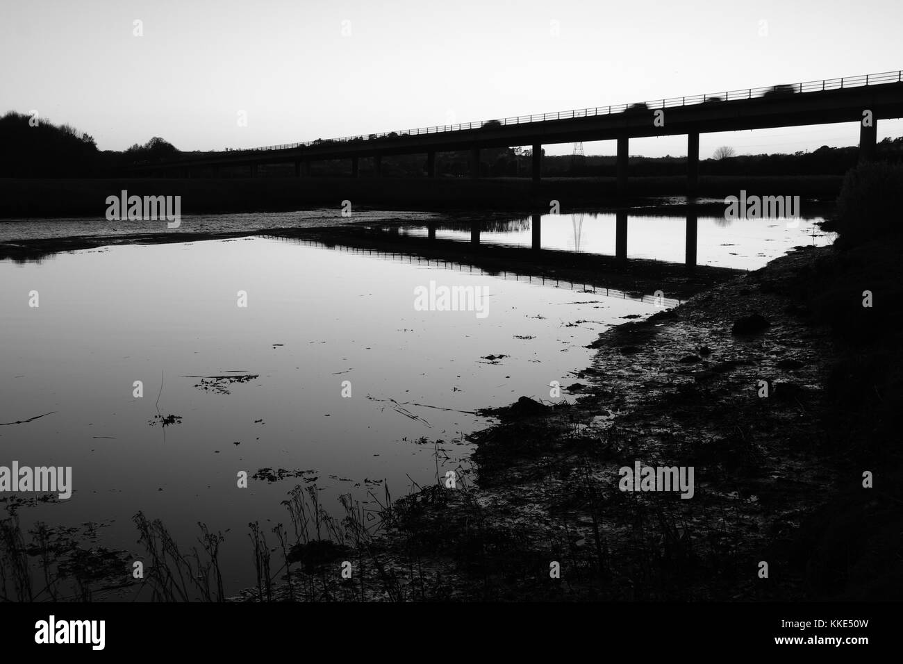 River Teign from Passage House, Hackney, Devon Stock Photohttps://www.alamy.com/image-license-details/?v=1https://www.alamy.com/stock-image-river-teign-from-passage-house-hackney-devon-166883049.html
RMKKE50W–River Teign from Passage House, Hackney, Devon
 Gestridge road Kingsteignton , Devon . Snow on 1st march 2018, Night time Stock Photohttps://www.alamy.com/image-license-details/?v=1https://www.alamy.com/gestridge-road-kingsteignton-devon-snow-on-1st-march-2018-night-time-image211840851.html
RFP8J54K–Gestridge road Kingsteignton , Devon . Snow on 1st march 2018, Night time
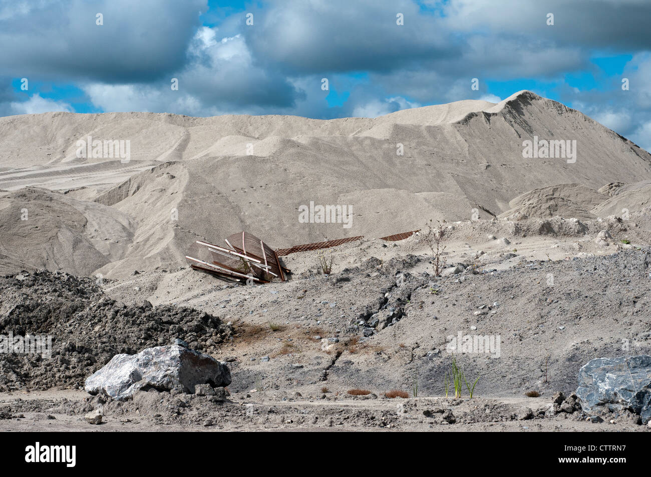 sibelco,english china clay, Watts Blake Bearne became wholly owned by Sibelco.english china clay,ball clay,kingsteignton,quarry Stock Photohttps://www.alamy.com/image-license-details/?v=1https://www.alamy.com/stock-photo-sibelcoenglish-china-clay-watts-blake-bearne-became-wholly-owned-by-49717955.html
RMCTTRN7–sibelco,english china clay, Watts Blake Bearne became wholly owned by Sibelco.english china clay,ball clay,kingsteignton,quarry
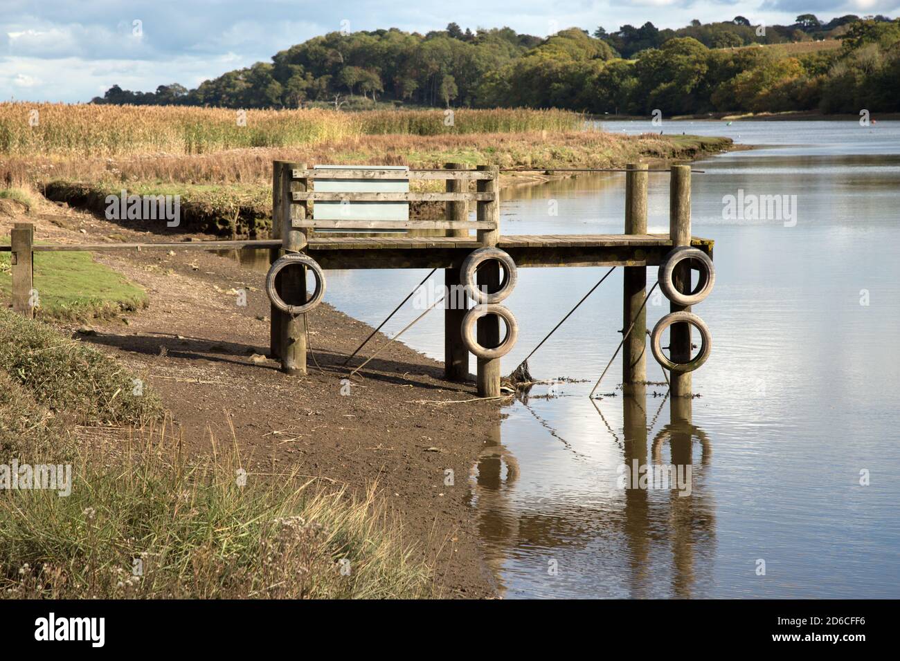 Wooden Jetty or landing stage at Hackney Marsh on the River Teign Devon. This jetty is close to the Passage House Inn and local Nature Reserve. Stock Photohttps://www.alamy.com/image-license-details/?v=1https://www.alamy.com/wooden-jetty-or-landing-stage-at-hackney-marsh-on-the-river-teign-devon-this-jetty-is-close-to-the-passage-house-inn-and-local-nature-reserve-image382591642.html
RF2D6CFF6–Wooden Jetty or landing stage at Hackney Marsh on the River Teign Devon. This jetty is close to the Passage House Inn and local Nature Reserve.
 Windsor, UK. 4th August, 2018. Jackie Edwards, Town Crier of Kingsteignton, takes part in the Ancient and Honourable Guild of Town Criers (AHGTC) National Championship beneath the walls of Windsor Castle. Forty town criers from across the UK and two from Australia compete in two rounds of crying, the first a home cry scored on diction, inflection, clarity and volume and the second a cry on the topic of 'A Celebration’. Credit: Mark Kerrison/Alamy Live News Stock Photohttps://www.alamy.com/image-license-details/?v=1https://www.alamy.com/windsor-uk-4th-august-2018-jackie-edwards-town-crier-of-kingsteignton-takes-part-in-the-ancient-and-honourable-guild-of-town-criers-ahgtc-national-championship-beneath-the-walls-of-windsor-castle-forty-town-criers-from-across-the-uk-and-two-from-australia-compete-in-two-rounds-of-crying-the-first-a-home-cry-scored-on-diction-inflection-clarity-and-volume-and-the-second-a-cry-on-the-topic-of-a-celebration-credit-mark-kerrisonalamy-live-news-image214477666.html
RMPCX8CJ–Windsor, UK. 4th August, 2018. Jackie Edwards, Town Crier of Kingsteignton, takes part in the Ancient and Honourable Guild of Town Criers (AHGTC) National Championship beneath the walls of Windsor Castle. Forty town criers from across the UK and two from Australia compete in two rounds of crying, the first a home cry scored on diction, inflection, clarity and volume and the second a cry on the topic of 'A Celebration’. Credit: Mark Kerrison/Alamy Live News
 A woodland carpeted with bluebells in early summer Haldon Hills near Exeter Devon Great Britain Stock Photohttps://www.alamy.com/image-license-details/?v=1https://www.alamy.com/a-woodland-carpeted-with-bluebells-in-early-summer-haldon-hills-near-image2742579.html
RFAJN934–A woodland carpeted with bluebells in early summer Haldon Hills near Exeter Devon Great Britain
 Kingsteignton, Devon, GB, United Kingdom, England, N 50 33' 48'', S 3 36' 11'', map, Cartascapes Map published in 2024. Explore Cartascapes, a map revealing Earth's diverse landscapes, cultures, and ecosystems. Journey through time and space, discovering the interconnectedness of our planet's past, present, and future. Stock Photohttps://www.alamy.com/image-license-details/?v=1https://www.alamy.com/kingsteignton-devon-gb-united-kingdom-england-n-50-33-48-s-3-36-11-map-cartascapes-map-published-in-2024-explore-cartascapes-a-map-revealing-earths-diverse-landscapes-cultures-and-ecosystems-journey-through-time-and-space-discovering-the-interconnectedness-of-our-planets-past-present-and-future-image604275886.html
RM2X3341J–Kingsteignton, Devon, GB, United Kingdom, England, N 50 33' 48'', S 3 36' 11'', map, Cartascapes Map published in 2024. Explore Cartascapes, a map revealing Earth's diverse landscapes, cultures, and ecosystems. Journey through time and space, discovering the interconnectedness of our planet's past, present, and future.
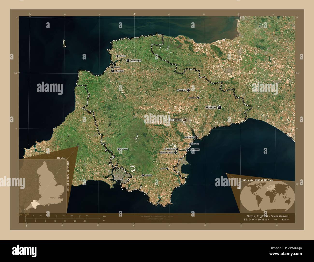 Devon, administrative county of England - Great Britain. Low resolution satellite map. Locations and names of major cities of the region. Corner auxil Stock Photohttps://www.alamy.com/image-license-details/?v=1https://www.alamy.com/devon-administrative-county-of-england-great-britain-low-resolution-satellite-map-locations-and-names-of-major-cities-of-the-region-corner-auxil-image546400684.html
RF2PMXKJ4–Devon, administrative county of England - Great Britain. Low resolution satellite map. Locations and names of major cities of the region. Corner auxil
 Road bridge over the River Teign, in Devon. The bridge is the A380, Besigheim way. Viewed from Kingsteignton. Stock Photohttps://www.alamy.com/image-license-details/?v=1https://www.alamy.com/stock-photo-road-bridge-over-the-river-teign-in-devon-the-bridge-is-the-a380-besigheim-50281439.html
RMCWPEDK–Road bridge over the River Teign, in Devon. The bridge is the A380, Besigheim way. Viewed from Kingsteignton.
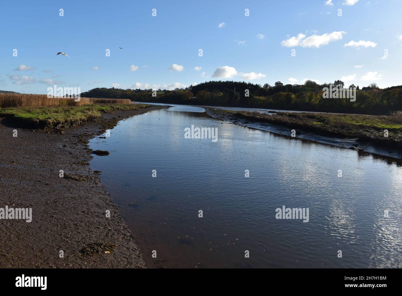 Hackney Marsh Devon heading to the Teign Estuary with the canal joining at the junction of the River Teign. Stock Photohttps://www.alamy.com/image-license-details/?v=1https://www.alamy.com/hackney-marsh-devon-heading-to-the-teign-estuary-with-the-canal-joining-at-the-junction-of-the-river-teign-image452146456.html
RF2H7H1BM–Hackney Marsh Devon heading to the Teign Estuary with the canal joining at the junction of the River Teign.
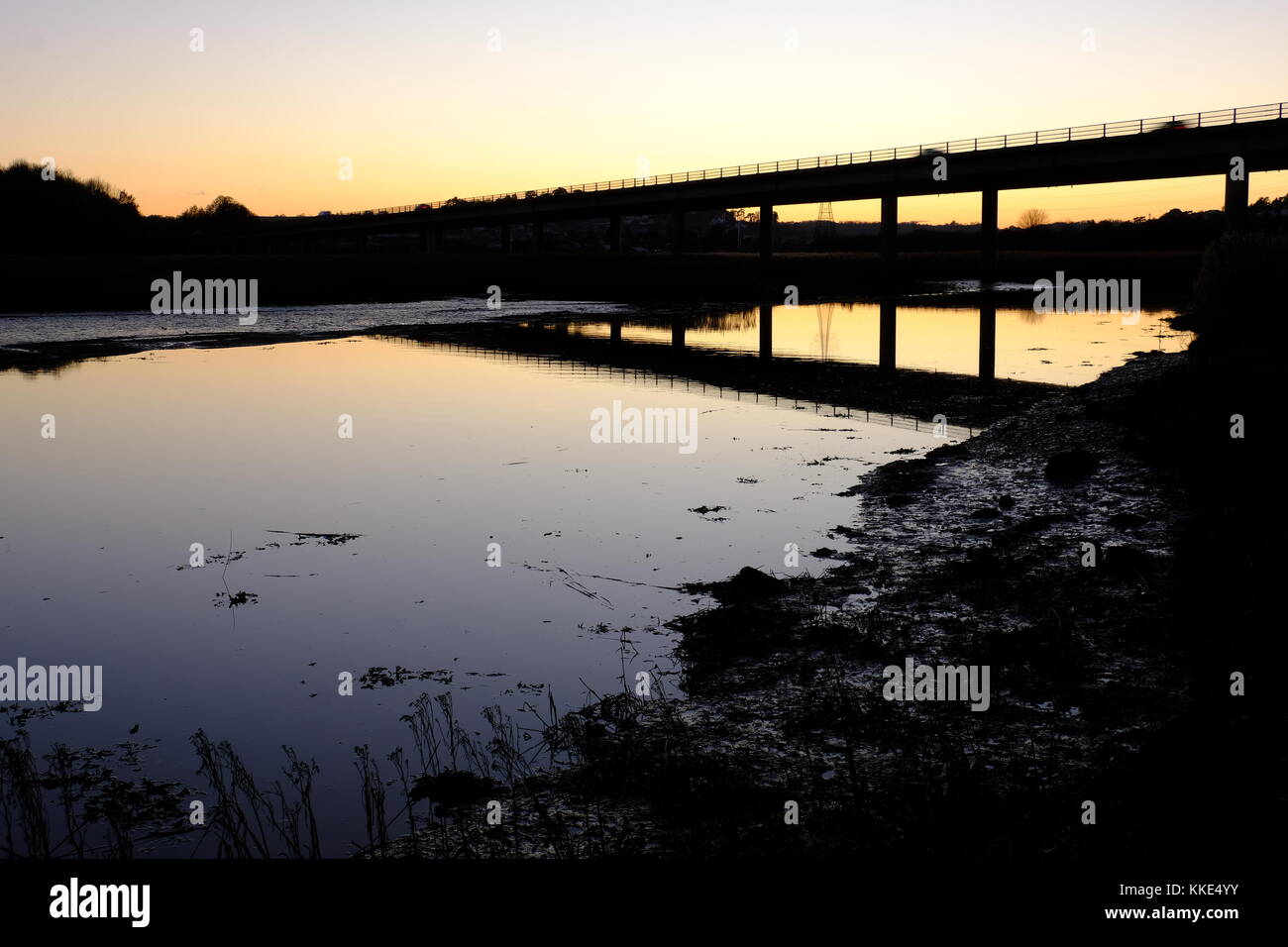 River Teign from Passage House, Hackney, Devon Stock Photohttps://www.alamy.com/image-license-details/?v=1https://www.alamy.com/stock-image-river-teign-from-passage-house-hackney-devon-166883023.html
RMKKE4YY–River Teign from Passage House, Hackney, Devon
 Gestridge road Kingsteignton , Devon . Snow on 1st march 2018, Night time Stock Photohttps://www.alamy.com/image-license-details/?v=1https://www.alamy.com/gestridge-road-kingsteignton-devon-snow-on-1st-march-2018-night-time-image211840850.html
RFP8J54J–Gestridge road Kingsteignton , Devon . Snow on 1st march 2018, Night time
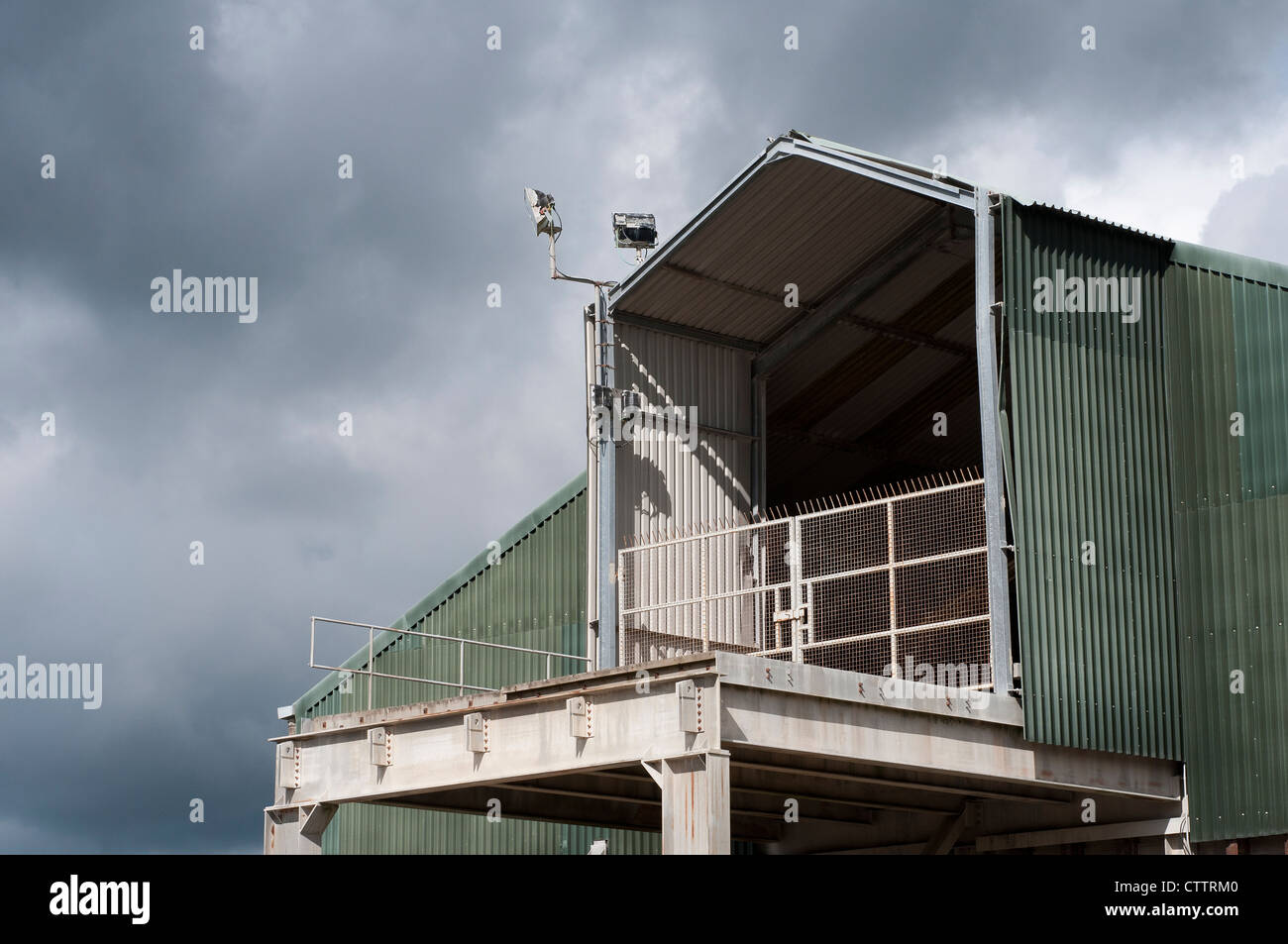 sibelco,english china clay,in 1999 Watts Blake Bearne became wholly owned by Sibelco.english china clay,ball clay,kingsteignton Stock Photohttps://www.alamy.com/image-license-details/?v=1https://www.alamy.com/stock-photo-sibelcoenglish-china-clayin-1999-watts-blake-bearne-became-wholly-49717920.html
RMCTTRM0–sibelco,english china clay,in 1999 Watts Blake Bearne became wholly owned by Sibelco.english china clay,ball clay,kingsteignton
 Power supply Pylons in a rural setting against a cloudy sky but in the sun. Stock Photohttps://www.alamy.com/image-license-details/?v=1https://www.alamy.com/power-supply-pylons-in-a-rural-setting-against-a-cloudy-sky-but-in-the-sun-image382591636.html
RF2D6CFF0–Power supply Pylons in a rural setting against a cloudy sky but in the sun.
 Windsor, UK. 4th August, 2018. Jackie Edwards, Town Crier of Kingsteignton, takes part in the Ancient and Honourable Guild of Town Criers (AHGTC) National Championship beneath the walls of Windsor Castle. Forty town criers from across the UK and two from Australia compete in two rounds of crying, the first a home cry scored on diction, inflection, clarity and volume and the second a cry on the topic of 'A Celebration’. Credit: Mark Kerrison/Alamy Live News Stock Photohttps://www.alamy.com/image-license-details/?v=1https://www.alamy.com/windsor-uk-4th-august-2018-jackie-edwards-town-crier-of-kingsteignton-takes-part-in-the-ancient-and-honourable-guild-of-town-criers-ahgtc-national-championship-beneath-the-walls-of-windsor-castle-forty-town-criers-from-across-the-uk-and-two-from-australia-compete-in-two-rounds-of-crying-the-first-a-home-cry-scored-on-diction-inflection-clarity-and-volume-and-the-second-a-cry-on-the-topic-of-a-celebration-credit-mark-kerrisonalamy-live-news-image214477664.html
RMPCX8CG–Windsor, UK. 4th August, 2018. Jackie Edwards, Town Crier of Kingsteignton, takes part in the Ancient and Honourable Guild of Town Criers (AHGTC) National Championship beneath the walls of Windsor Castle. Forty town criers from across the UK and two from Australia compete in two rounds of crying, the first a home cry scored on diction, inflection, clarity and volume and the second a cry on the topic of 'A Celebration’. Credit: Mark Kerrison/Alamy Live News
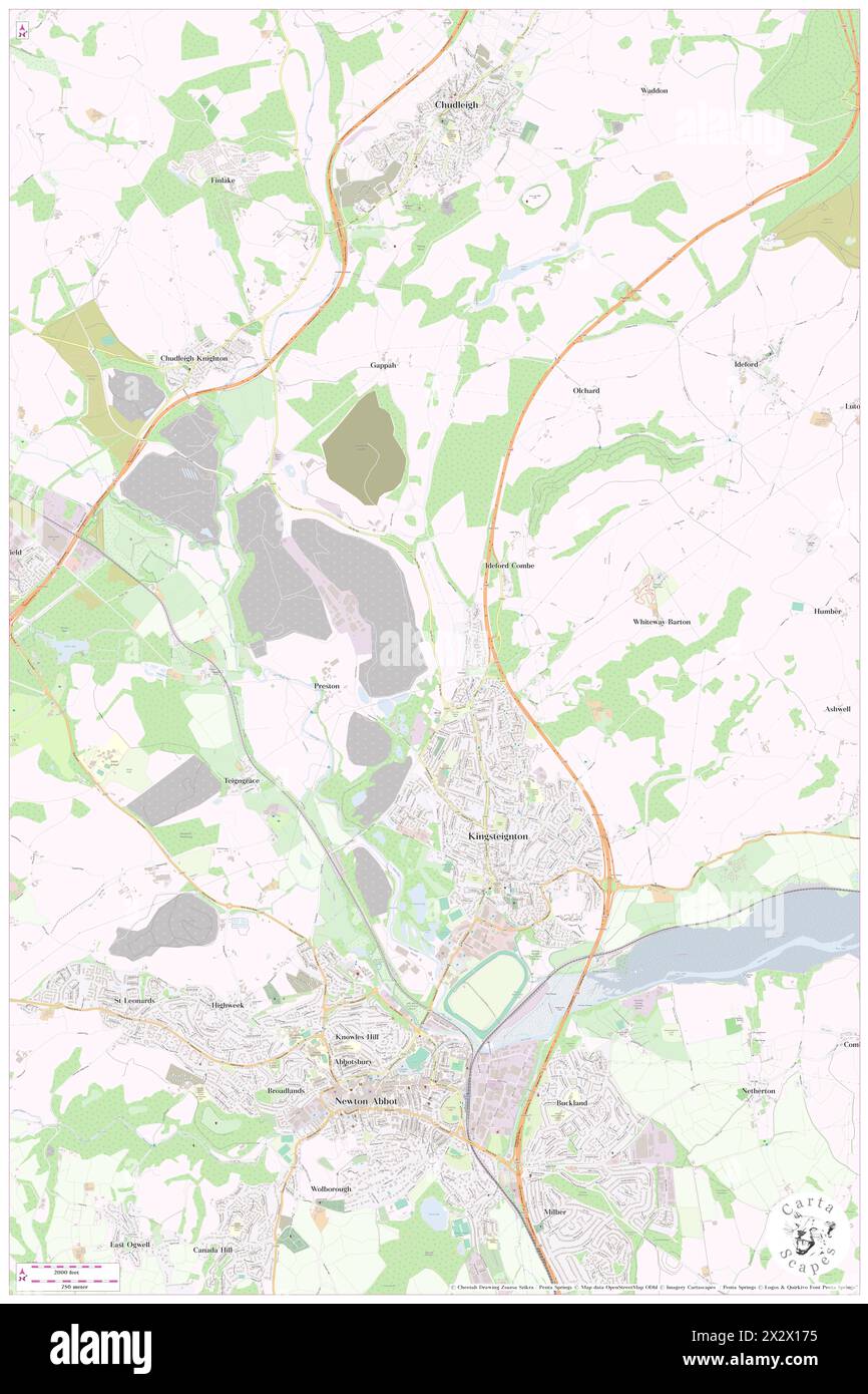 Kingsteignton, Devon, GB, United Kingdom, England, N 50 32' 59'', S 3 34' 59'', map, Cartascapes Map published in 2024. Explore Cartascapes, a map revealing Earth's diverse landscapes, cultures, and ecosystems. Journey through time and space, discovering the interconnectedness of our planet's past, present, and future. Stock Photohttps://www.alamy.com/image-license-details/?v=1https://www.alamy.com/kingsteignton-devon-gb-united-kingdom-england-n-50-32-59-s-3-34-59-map-cartascapes-map-published-in-2024-explore-cartascapes-a-map-revealing-earths-diverse-landscapes-cultures-and-ecosystems-journey-through-time-and-space-discovering-the-interconnectedness-of-our-planets-past-present-and-future-image604163929.html
RM2X2X175–Kingsteignton, Devon, GB, United Kingdom, England, N 50 32' 59'', S 3 34' 59'', map, Cartascapes Map published in 2024. Explore Cartascapes, a map revealing Earth's diverse landscapes, cultures, and ecosystems. Journey through time and space, discovering the interconnectedness of our planet's past, present, and future.
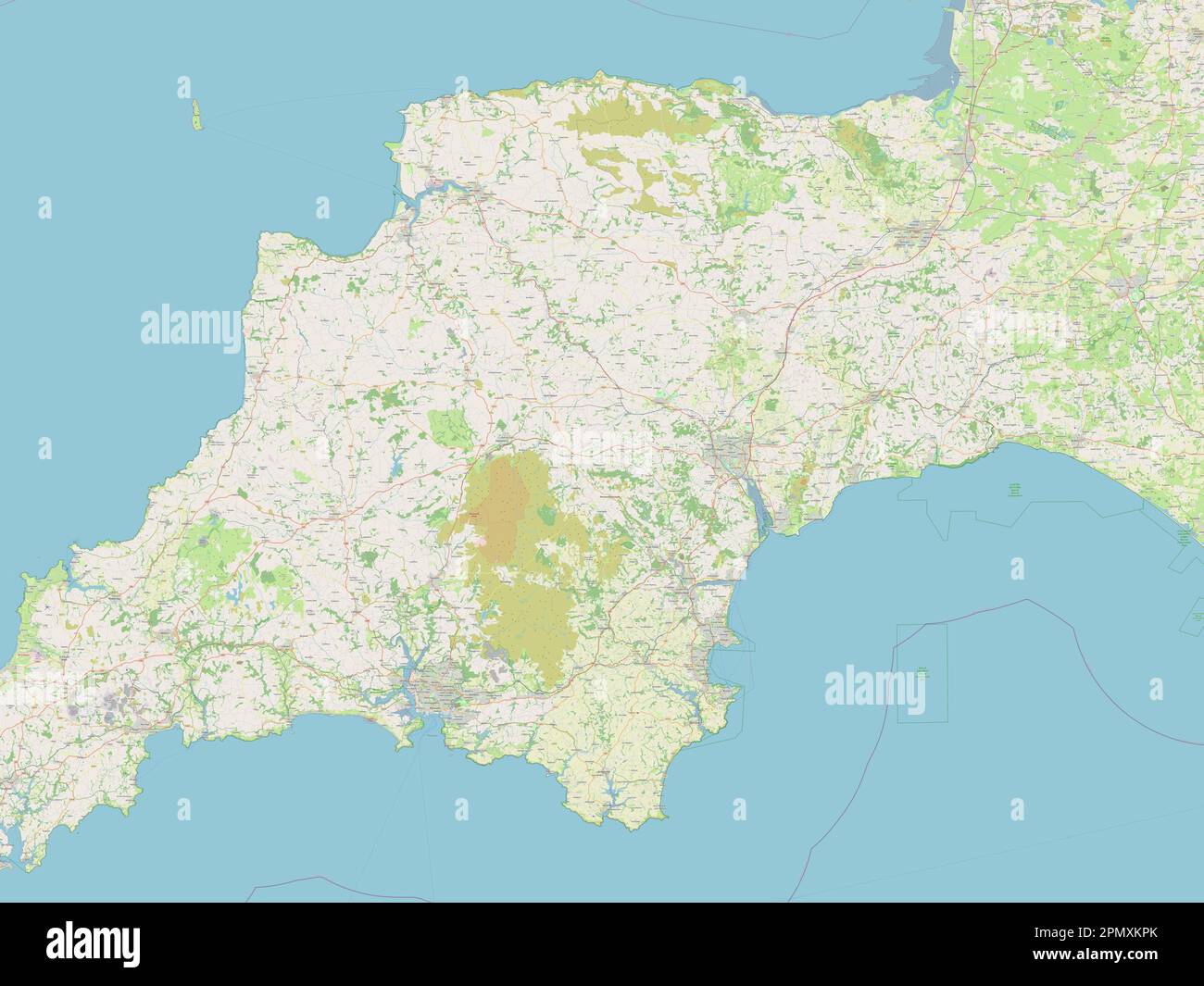 Devon, administrative county of England - Great Britain. Open Street Map Stock Photohttps://www.alamy.com/image-license-details/?v=1https://www.alamy.com/devon-administrative-county-of-england-great-britain-open-street-map-image546400811.html
RF2PMXKPK–Devon, administrative county of England - Great Britain. Open Street Map
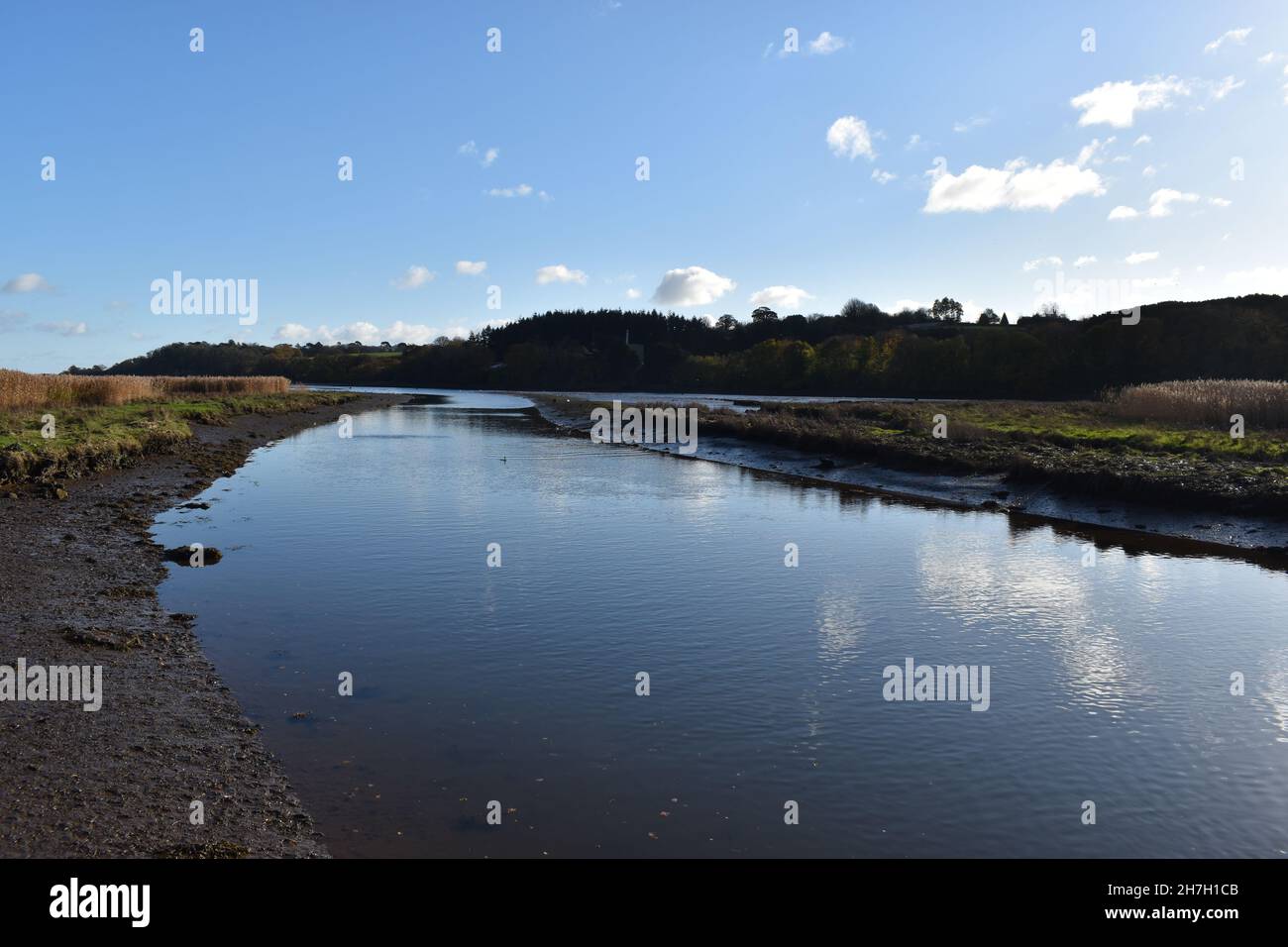 Hackney Marsh Devon heading to the Teign Estuary with the canal joining at the junction of the River Teign. Stock Photohttps://www.alamy.com/image-license-details/?v=1https://www.alamy.com/hackney-marsh-devon-heading-to-the-teign-estuary-with-the-canal-joining-at-the-junction-of-the-river-teign-image452146475.html
RF2H7H1CB–Hackney Marsh Devon heading to the Teign Estuary with the canal joining at the junction of the River Teign.
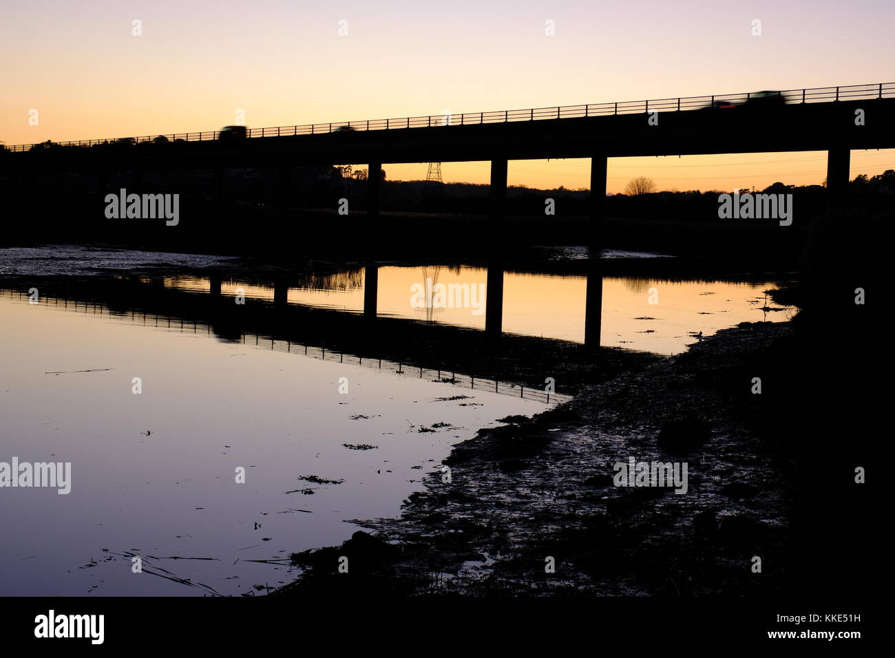 River Teign from Passage House, Hackney, Devon Stock Photohttps://www.alamy.com/image-license-details/?v=1https://www.alamy.com/stock-image-river-teign-from-passage-house-hackney-devon-166883069.html
RMKKE51H–River Teign from Passage House, Hackney, Devon
 Gestridge Road Kingsteignton Devon, snow on 1st march day time Stock Photohttps://www.alamy.com/image-license-details/?v=1https://www.alamy.com/gestridge-road-kingsteignton-devon-snow-on-1st-march-day-time-image211840832.html
RFP8J540–Gestridge Road Kingsteignton Devon, snow on 1st march day time
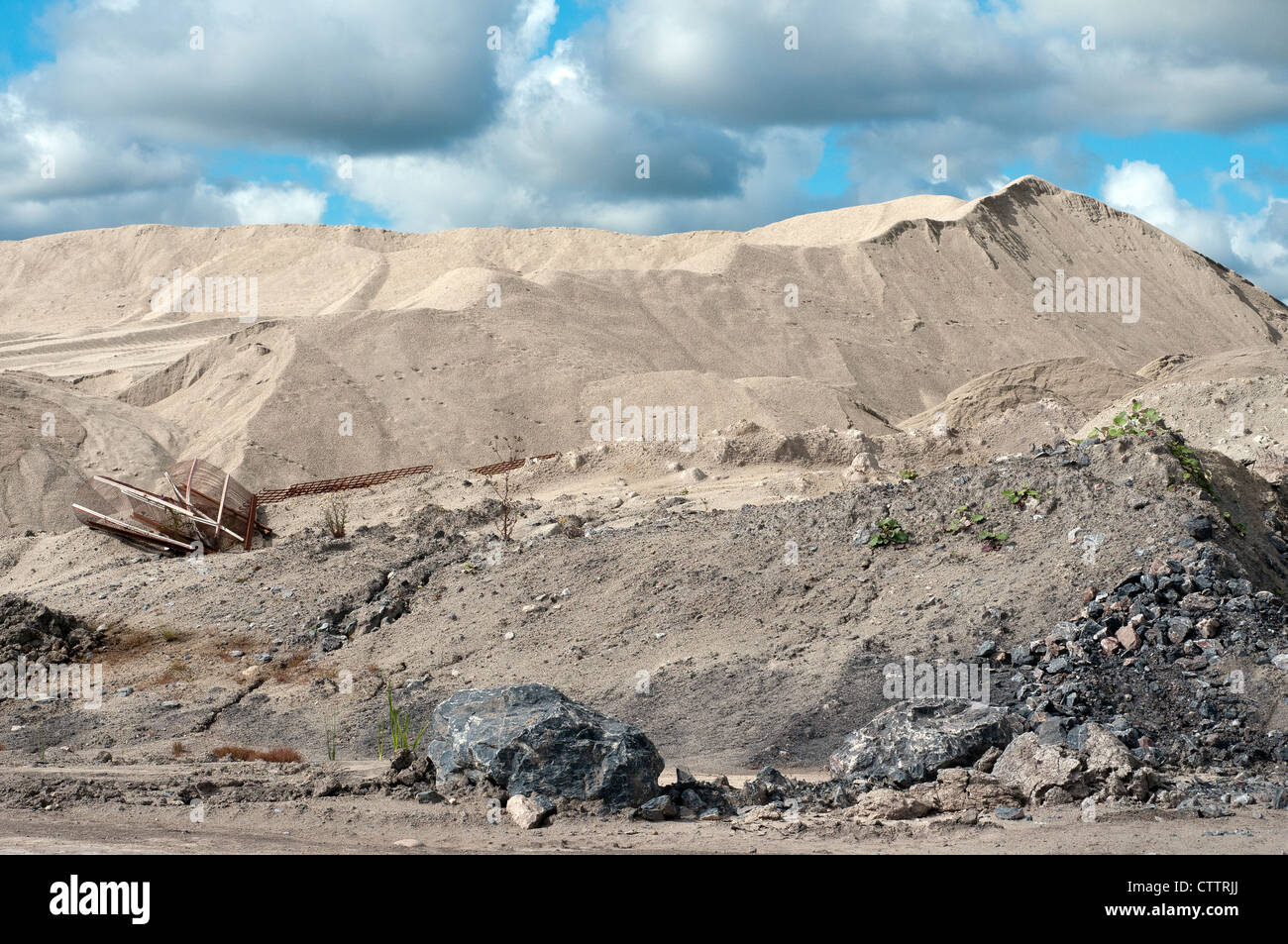 sibelco,english china clay,in 1999 Watts Blake Bearne became wholly owned by Sibelco.english china clay,ball clay,kingsteignton Stock Photohttps://www.alamy.com/image-license-details/?v=1https://www.alamy.com/stock-photo-sibelcoenglish-china-clayin-1999-watts-blake-bearne-became-wholly-49717882.html
RMCTTRJJ–sibelco,english china clay,in 1999 Watts Blake Bearne became wholly owned by Sibelco.english china clay,ball clay,kingsteignton
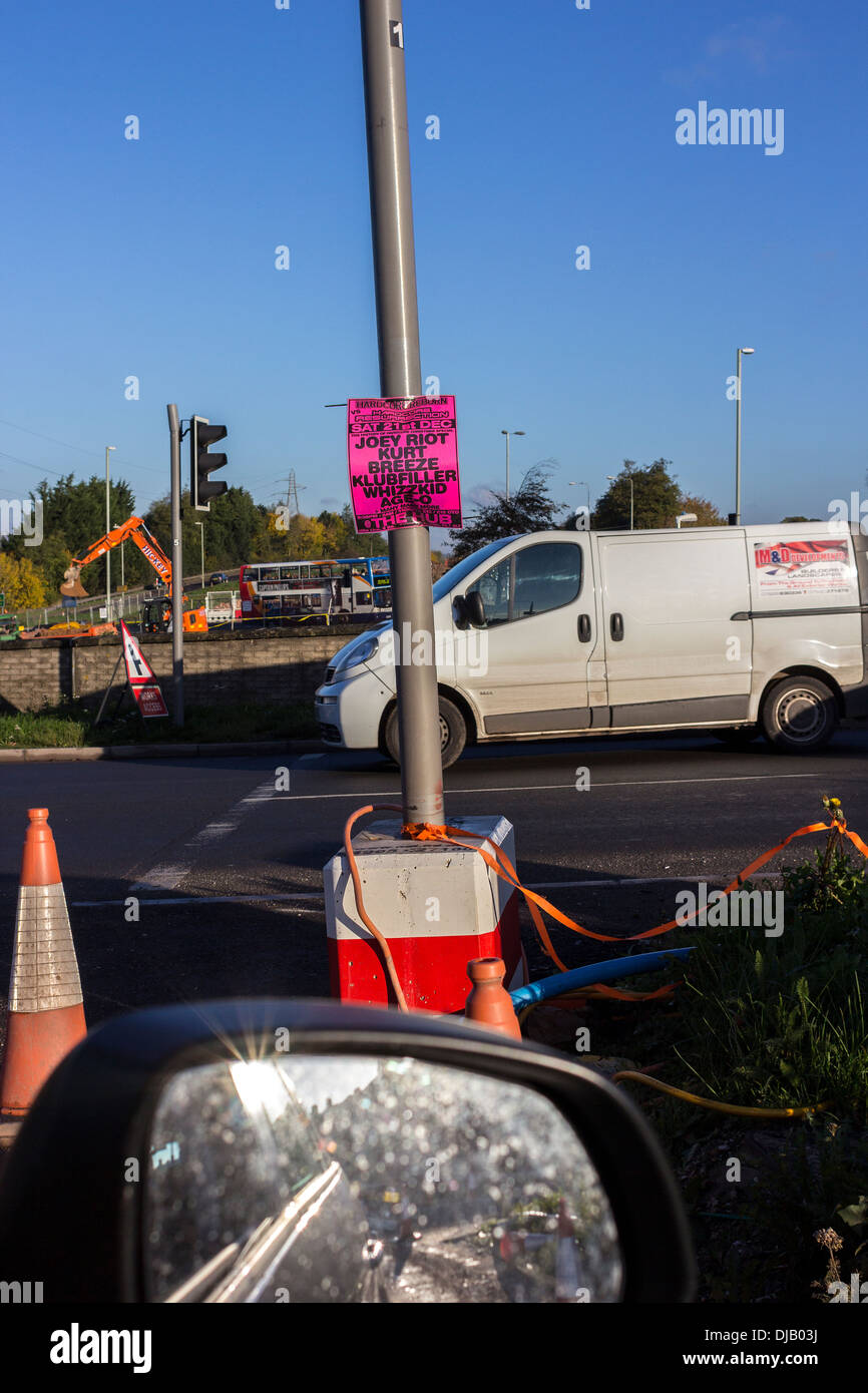 penn inn roundabout,THE 5.5-kilometre new road starts on the Kingsteignton bypass at Penn Inn with a flyover over the roundabout Stock Photohttps://www.alamy.com/image-license-details/?v=1https://www.alamy.com/penn-inn-roundaboutthe-55-kilometre-new-road-starts-on-the-kingsteignton-image62936486.html
RMDJB03J–penn inn roundabout,THE 5.5-kilometre new road starts on the Kingsteignton bypass at Penn Inn with a flyover over the roundabout
 Windsor, UK. 4th August, 2018. Jackie Edwards, Town Crier of Kingsteignton, takes part in the Ancient and Honourable Guild of Town Criers (AHGTC) National Championship beneath the walls of Windsor Castle. Forty town criers from across the UK and two from Australia compete in two rounds of crying, the first a home cry scored on diction, inflection, clarity and volume and the second a cry on the topic of 'A Celebration’. Credit: Mark Kerrison/Alamy Live News Stock Photohttps://www.alamy.com/image-license-details/?v=1https://www.alamy.com/windsor-uk-4th-august-2018-jackie-edwards-town-crier-of-kingsteignton-takes-part-in-the-ancient-and-honourable-guild-of-town-criers-ahgtc-national-championship-beneath-the-walls-of-windsor-castle-forty-town-criers-from-across-the-uk-and-two-from-australia-compete-in-two-rounds-of-crying-the-first-a-home-cry-scored-on-diction-inflection-clarity-and-volume-and-the-second-a-cry-on-the-topic-of-a-celebration-credit-mark-kerrisonalamy-live-news-image214477659.html
RMPCX8CB–Windsor, UK. 4th August, 2018. Jackie Edwards, Town Crier of Kingsteignton, takes part in the Ancient and Honourable Guild of Town Criers (AHGTC) National Championship beneath the walls of Windsor Castle. Forty town criers from across the UK and two from Australia compete in two rounds of crying, the first a home cry scored on diction, inflection, clarity and volume and the second a cry on the topic of 'A Celebration’. Credit: Mark Kerrison/Alamy Live News
 Kingsteignton, Devon, GB, United Kingdom, England, N 50 32' 59'', S 3 34' 59'', map, Cartascapes Map published in 2024. Explore Cartascapes, a map revealing Earth's diverse landscapes, cultures, and ecosystems. Journey through time and space, discovering the interconnectedness of our planet's past, present, and future. Stock Photohttps://www.alamy.com/image-license-details/?v=1https://www.alamy.com/kingsteignton-devon-gb-united-kingdom-england-n-50-32-59-s-3-34-59-map-cartascapes-map-published-in-2024-explore-cartascapes-a-map-revealing-earths-diverse-landscapes-cultures-and-ecosystems-journey-through-time-and-space-discovering-the-interconnectedness-of-our-planets-past-present-and-future-image604163924.html
RM2X2X170–Kingsteignton, Devon, GB, United Kingdom, England, N 50 32' 59'', S 3 34' 59'', map, Cartascapes Map published in 2024. Explore Cartascapes, a map revealing Earth's diverse landscapes, cultures, and ecosystems. Journey through time and space, discovering the interconnectedness of our planet's past, present, and future.
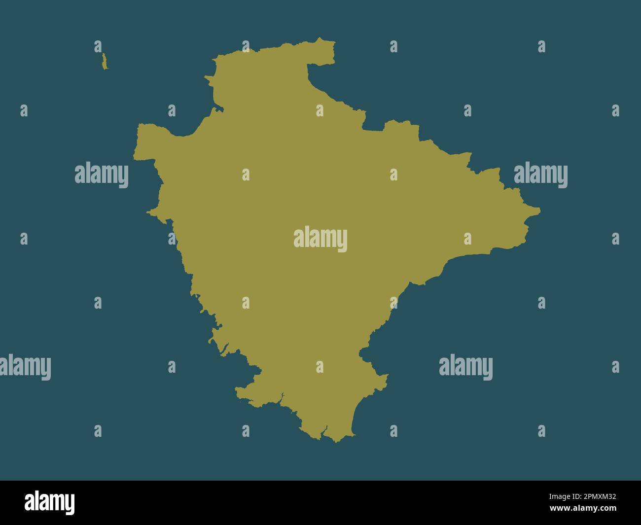 Devon, administrative county of England - Great Britain. Solid color shape Stock Photohttps://www.alamy.com/image-license-details/?v=1https://www.alamy.com/devon-administrative-county-of-england-great-britain-solid-color-shape-image546401046.html
RF2PMXM32–Devon, administrative county of England - Great Britain. Solid color shape
 Gestridge Road Kingsteignton Devon, snow on 1st march day time Stock Photohttps://www.alamy.com/image-license-details/?v=1https://www.alamy.com/gestridge-road-kingsteignton-devon-snow-on-1st-march-day-time-image211840828.html
RFP8J53T–Gestridge Road Kingsteignton Devon, snow on 1st march day time
 Windsor, UK. 4th August, 2018. Jackie Edwards, Town Crier of Kingsteignton, takes part in the Ancient and Honourable Guild of Town Criers (AHGTC) National Championship beneath the walls of Windsor Castle. Forty town criers from across the UK and two from Australia compete in two rounds of crying, the first a home cry scored on diction, inflection, clarity and volume and the second a cry on the topic of 'A Celebration’. Credit: Mark Kerrison/Alamy Live News Stock Photohttps://www.alamy.com/image-license-details/?v=1https://www.alamy.com/windsor-uk-4th-august-2018-jackie-edwards-town-crier-of-kingsteignton-takes-part-in-the-ancient-and-honourable-guild-of-town-criers-ahgtc-national-championship-beneath-the-walls-of-windsor-castle-forty-town-criers-from-across-the-uk-and-two-from-australia-compete-in-two-rounds-of-crying-the-first-a-home-cry-scored-on-diction-inflection-clarity-and-volume-and-the-second-a-cry-on-the-topic-of-a-celebration-credit-mark-kerrisonalamy-live-news-image214477665.html
RMPCX8CH–Windsor, UK. 4th August, 2018. Jackie Edwards, Town Crier of Kingsteignton, takes part in the Ancient and Honourable Guild of Town Criers (AHGTC) National Championship beneath the walls of Windsor Castle. Forty town criers from across the UK and two from Australia compete in two rounds of crying, the first a home cry scored on diction, inflection, clarity and volume and the second a cry on the topic of 'A Celebration’. Credit: Mark Kerrison/Alamy Live News
 Kingsteignton, Devon, United Kingdom, England, N 50 32' 59'', W 3 34' 59'', map, Timeless Map published in 2021. Travelers, explorers and adventurers like Florence Nightingale, David Livingstone, Ernest Shackleton, Lewis and Clark and Sherlock Holmes relied on maps to plan travels to the world's most remote corners, Timeless Maps is mapping most locations on the globe, showing the achievement of great dreams Stock Photohttps://www.alamy.com/image-license-details/?v=1https://www.alamy.com/kingsteignton-devon-united-kingdom-england-n-50-32-59-w-3-34-59-map-timeless-map-published-in-2021-travelers-explorers-and-adventurers-like-florence-nightingale-david-livingstone-ernest-shackleton-lewis-and-clark-and-sherlock-holmes-relied-on-maps-to-plan-travels-to-the-worlds-most-remote-corners-timeless-maps-is-mapping-most-locations-on-the-globe-showing-the-achievement-of-great-dreams-image439394043.html
RM2GET3GB–Kingsteignton, Devon, United Kingdom, England, N 50 32' 59'', W 3 34' 59'', map, Timeless Map published in 2021. Travelers, explorers and adventurers like Florence Nightingale, David Livingstone, Ernest Shackleton, Lewis and Clark and Sherlock Holmes relied on maps to plan travels to the world's most remote corners, Timeless Maps is mapping most locations on the globe, showing the achievement of great dreams
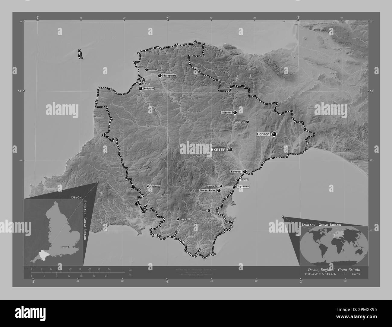 Devon, administrative county of England - Great Britain. Grayscale elevation map with lakes and rivers. Locations and names of major cities of the reg Stock Photohttps://www.alamy.com/image-license-details/?v=1https://www.alamy.com/devon-administrative-county-of-england-great-britain-grayscale-elevation-map-with-lakes-and-rivers-locations-and-names-of-major-cities-of-the-reg-image546400433.html
RF2PMXK95–Devon, administrative county of England - Great Britain. Grayscale elevation map with lakes and rivers. Locations and names of major cities of the reg
 Gestridge Road Kingsteignton Devon, snow on 1st march day time Stock Photohttps://www.alamy.com/image-license-details/?v=1https://www.alamy.com/gestridge-road-kingsteignton-devon-snow-on-1st-march-day-time-image211840829.html
RFP8J53W–Gestridge Road Kingsteignton Devon, snow on 1st march day time
 Windsor, UK. 4th August, 2018. Les Ellis (r), Town Crier of Dartmouth, winner of the award for the best dressed crier at the Ancient and Honourable Guild of Town Criers (AHGTC) National Championship beneath the walls of Windsor Castle. Forty criers from around the UK and two from Australia competed in two rounds of crying, the first a home cry scored on diction, inflection, clarity and volume and the second a cry on the topic of 'A Celebration’. Credit: Mark Kerrison/Alamy Live News Stock Photohttps://www.alamy.com/image-license-details/?v=1https://www.alamy.com/windsor-uk-4th-august-2018-les-ellis-r-town-crier-of-dartmouth-winner-of-the-award-for-the-best-dressed-crier-at-the-ancient-and-honourable-guild-of-town-criers-ahgtc-national-championship-beneath-the-walls-of-windsor-castle-forty-criers-from-around-the-uk-and-two-from-australia-competed-in-two-rounds-of-crying-the-first-a-home-cry-scored-on-diction-inflection-clarity-and-volume-and-the-second-a-cry-on-the-topic-of-a-celebration-credit-mark-kerrisonalamy-live-news-image214480092.html
RMPCXBF8–Windsor, UK. 4th August, 2018. Les Ellis (r), Town Crier of Dartmouth, winner of the award for the best dressed crier at the Ancient and Honourable Guild of Town Criers (AHGTC) National Championship beneath the walls of Windsor Castle. Forty criers from around the UK and two from Australia competed in two rounds of crying, the first a home cry scored on diction, inflection, clarity and volume and the second a cry on the topic of 'A Celebration’. Credit: Mark Kerrison/Alamy Live News
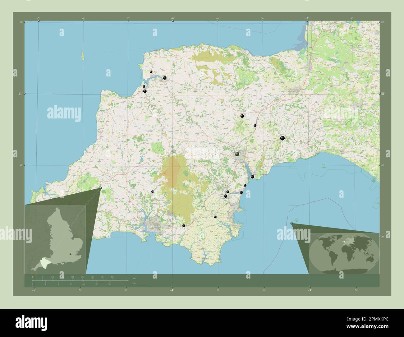 Devon, administrative county of England - Great Britain. Open Street Map. Locations of major cities of the region. Corner auxiliary location maps Stock Photohttps://www.alamy.com/image-license-details/?v=1https://www.alamy.com/devon-administrative-county-of-england-great-britain-open-street-map-locations-of-major-cities-of-the-region-corner-auxiliary-location-maps-image546400804.html
RF2PMXKPC–Devon, administrative county of England - Great Britain. Open Street Map. Locations of major cities of the region. Corner auxiliary location maps
 Gestridge Road Kingsteignton Devon, snow on 1st march day time Stock Photohttps://www.alamy.com/image-license-details/?v=1https://www.alamy.com/gestridge-road-kingsteignton-devon-snow-on-1st-march-day-time-image211840826.html
RFP8J53P–Gestridge Road Kingsteignton Devon, snow on 1st march day time
 African daisy, marigold and allium growing in garden. May 2017. Kingsteignton Devon U.K. Stock Photohttps://www.alamy.com/image-license-details/?v=1https://www.alamy.com/stock-image-african-daisy-marigold-and-allium-growing-in-garden-may-2017-kingsteignton-166315024.html
RFKJG8E8–African daisy, marigold and allium growing in garden. May 2017. Kingsteignton Devon U.K.
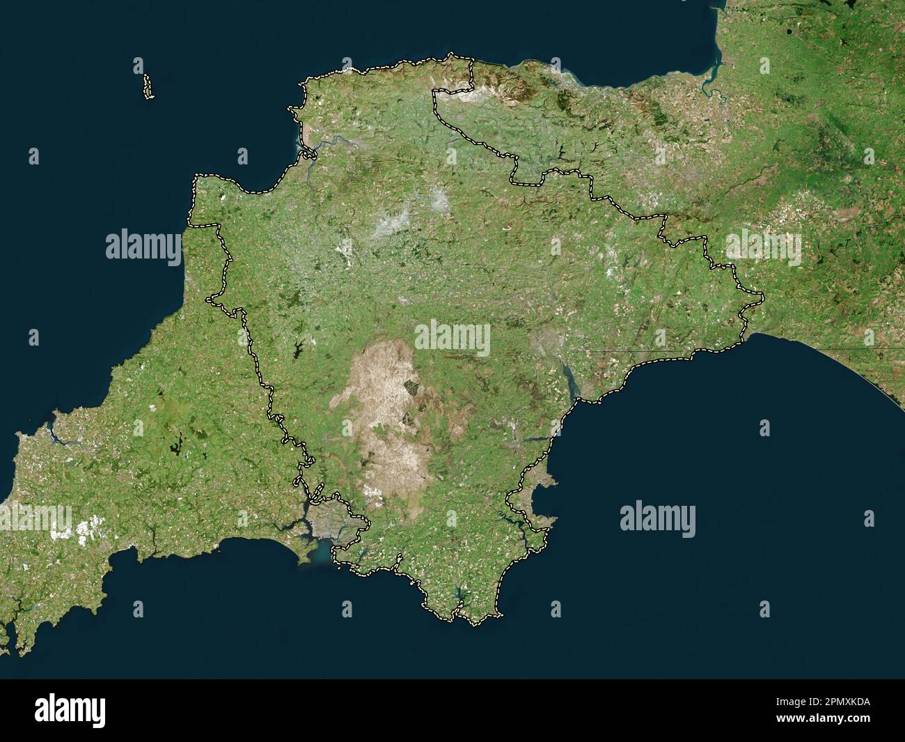 Devon, administrative county of England - Great Britain. High resolution satellite map Stock Photohttps://www.alamy.com/image-license-details/?v=1https://www.alamy.com/devon-administrative-county-of-england-great-britain-high-resolution-satellite-map-image546400550.html
RF2PMXKDA–Devon, administrative county of England - Great Britain. High resolution satellite map
 African daisy, marigold and allium growing in garden. May 2017. Kingsteignton Devon U.K. Stock Photohttps://www.alamy.com/image-license-details/?v=1https://www.alamy.com/stock-image-african-daisy-marigold-and-allium-growing-in-garden-may-2017-kingsteignton-166327264.html
RFKJGT3C–African daisy, marigold and allium growing in garden. May 2017. Kingsteignton Devon U.K.
 Beast from the East hits Devon U.K. Clifford Street Kingsteignton. causing chaos and disruption. Stock Photohttps://www.alamy.com/image-license-details/?v=1https://www.alamy.com/beast-from-the-east-hits-devon-uk-clifford-street-kingsteignton-causing-chaos-and-disruption-image211840805.html
RFP8J531–Beast from the East hits Devon U.K. Clifford Street Kingsteignton. causing chaos and disruption.
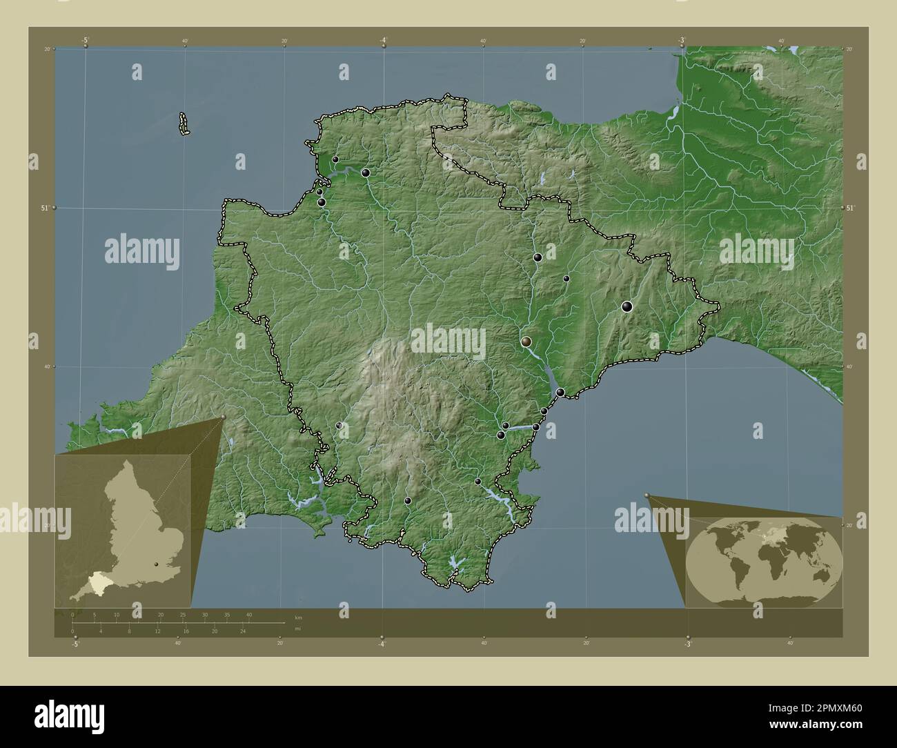 Devon, administrative county of England - Great Britain. Elevation map colored in wiki style with lakes and rivers. Locations of major cities of the r Stock Photohttps://www.alamy.com/image-license-details/?v=1https://www.alamy.com/devon-administrative-county-of-england-great-britain-elevation-map-colored-in-wiki-style-with-lakes-and-rivers-locations-of-major-cities-of-the-r-image546401128.html
RF2PMXM60–Devon, administrative county of England - Great Britain. Elevation map colored in wiki style with lakes and rivers. Locations of major cities of the r
 Beast from the east hits Kingsteignton, Devon , U.K. 1st march 2018 causing chaos and disruption. Stock Photohttps://www.alamy.com/image-license-details/?v=1https://www.alamy.com/beast-from-the-east-hits-kingsteignton-devon-uk-1st-march-2018-causing-chaos-and-disruption-image211840830.html
RFP8J53X–Beast from the east hits Kingsteignton, Devon , U.K. 1st march 2018 causing chaos and disruption.
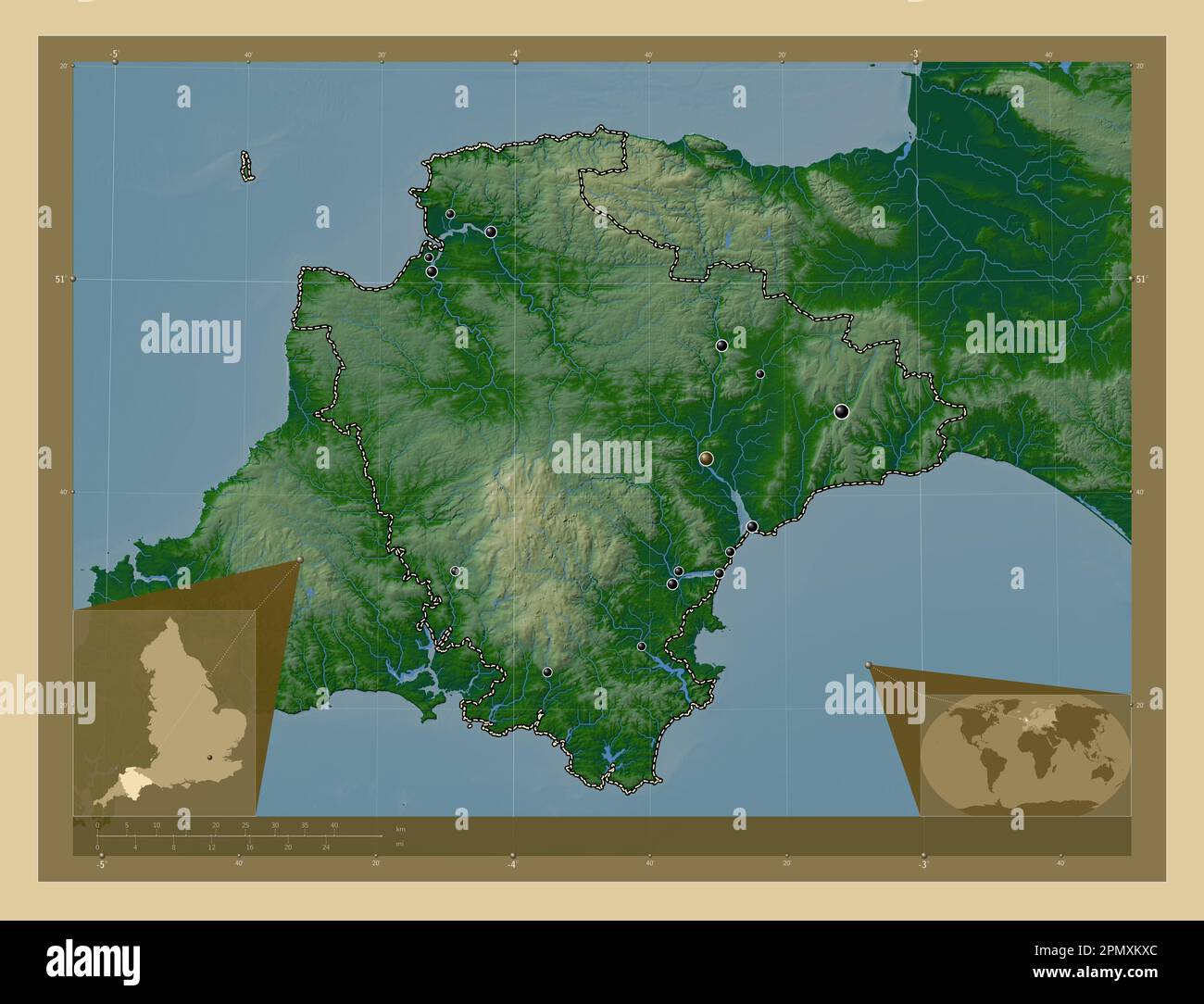 Devon, administrative county of England - Great Britain. Colored elevation map with lakes and rivers. Locations of major cities of the region. Corner Stock Photohttps://www.alamy.com/image-license-details/?v=1https://www.alamy.com/devon-administrative-county-of-england-great-britain-colored-elevation-map-with-lakes-and-rivers-locations-of-major-cities-of-the-region-corner-image546400916.html
RF2PMXKXC–Devon, administrative county of England - Great Britain. Colored elevation map with lakes and rivers. Locations of major cities of the region. Corner
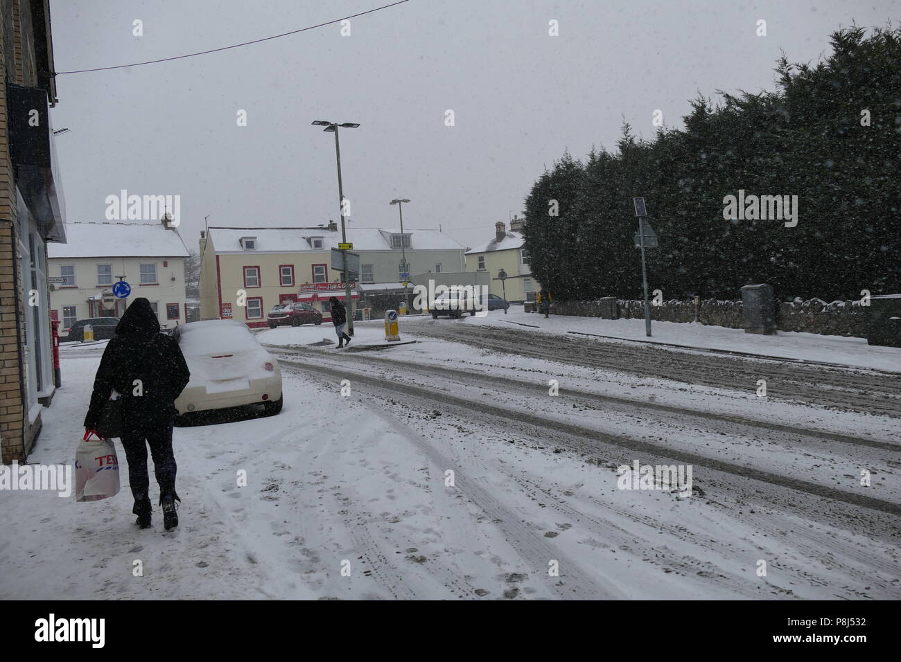 Beast from the east hits Kingsteignton, Devon , U.K. 1st march 2018 causing chaos and disruption. Stock Photohttps://www.alamy.com/image-license-details/?v=1https://www.alamy.com/beast-from-the-east-hits-kingsteignton-devon-uk-1st-march-2018-causing-chaos-and-disruption-image211840806.html
RFP8J532–Beast from the east hits Kingsteignton, Devon , U.K. 1st march 2018 causing chaos and disruption.
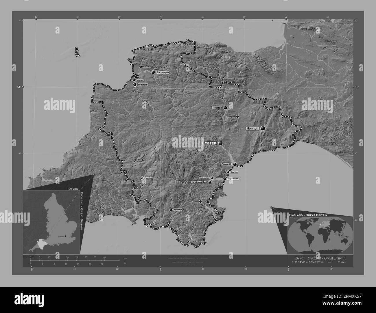 Devon, administrative county of England - Great Britain. Bilevel elevation map with lakes and rivers. Locations and names of major cities of the regio Stock Photohttps://www.alamy.com/image-license-details/?v=1https://www.alamy.com/devon-administrative-county-of-england-great-britain-bilevel-elevation-map-with-lakes-and-rivers-locations-and-names-of-major-cities-of-the-regio-image546400323.html
RF2PMXK57–Devon, administrative county of England - Great Britain. Bilevel elevation map with lakes and rivers. Locations and names of major cities of the regio
 Beast from the east hits Kingsteignton, Devon , U.K. 1st march 2018 causing chaos and disruption. Stock Photohttps://www.alamy.com/image-license-details/?v=1https://www.alamy.com/beast-from-the-east-hits-kingsteignton-devon-uk-1st-march-2018-causing-chaos-and-disruption-image211840833.html
RFP8J541–Beast from the east hits Kingsteignton, Devon , U.K. 1st march 2018 causing chaos and disruption.
 Devon, administrative county of England - Great Britain. Colored elevation map with lakes and rivers. Locations and names of major cities of the regio Stock Photohttps://www.alamy.com/image-license-details/?v=1https://www.alamy.com/devon-administrative-county-of-england-great-britain-colored-elevation-map-with-lakes-and-rivers-locations-and-names-of-major-cities-of-the-regio-image546400918.html
RF2PMXKXE–Devon, administrative county of England - Great Britain. Colored elevation map with lakes and rivers. Locations and names of major cities of the regio
 Beast from the east hits Kingsteignton, Devon , U.K. 1st march 2018 causing chaos and disruption. Stock Photohttps://www.alamy.com/image-license-details/?v=1https://www.alamy.com/beast-from-the-east-hits-kingsteignton-devon-uk-1st-march-2018-causing-chaos-and-disruption-image211840831.html
RFP8J53Y–Beast from the east hits Kingsteignton, Devon , U.K. 1st march 2018 causing chaos and disruption.
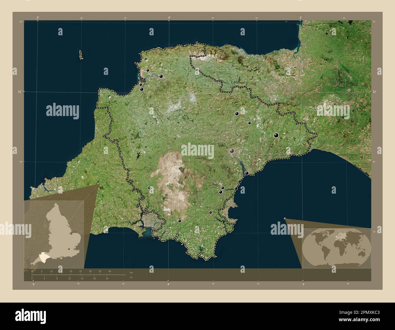 Devon, administrative county of England - Great Britain. High resolution satellite map. Locations of major cities of the region. Corner auxiliary loca Stock Photohttps://www.alamy.com/image-license-details/?v=1https://www.alamy.com/devon-administrative-county-of-england-great-britain-high-resolution-satellite-map-locations-of-major-cities-of-the-region-corner-auxiliary-loca-image546400515.html
RF2PMXKC3–Devon, administrative county of England - Great Britain. High resolution satellite map. Locations of major cities of the region. Corner auxiliary loca
 Beast from the east hits Kingsteignton, Devon , U.K. 1st march 2018 causing chaos and disruption. Stock Photohttps://www.alamy.com/image-license-details/?v=1https://www.alamy.com/beast-from-the-east-hits-kingsteignton-devon-uk-1st-march-2018-causing-chaos-and-disruption-image211840827.html
RFP8J53R–Beast from the east hits Kingsteignton, Devon , U.K. 1st march 2018 causing chaos and disruption.
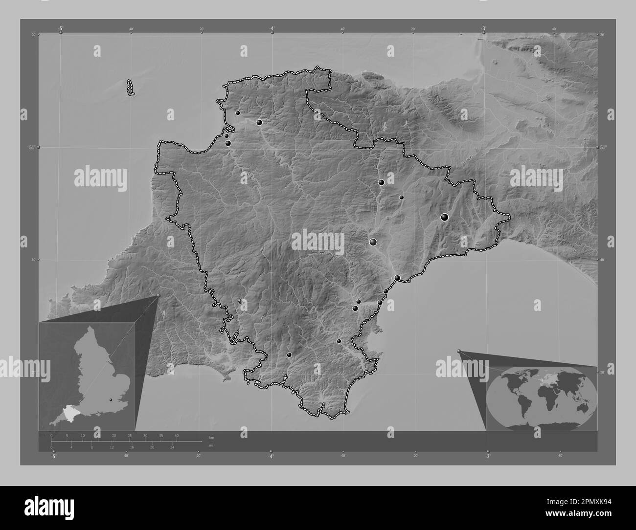 Devon, administrative county of England - Great Britain. Grayscale elevation map with lakes and rivers. Locations of major cities of the region. Corne Stock Photohttps://www.alamy.com/image-license-details/?v=1https://www.alamy.com/devon-administrative-county-of-england-great-britain-grayscale-elevation-map-with-lakes-and-rivers-locations-of-major-cities-of-the-region-corne-image546400432.html
RF2PMXK94–Devon, administrative county of England - Great Britain. Grayscale elevation map with lakes and rivers. Locations of major cities of the region. Corne
 Beast from the east hits Kingsteignton, Devon , U.K. 1st march 2018 causing chaos and disruption. Stock Photohttps://www.alamy.com/image-license-details/?v=1https://www.alamy.com/beast-from-the-east-hits-kingsteignton-devon-uk-1st-march-2018-causing-chaos-and-disruption-image211840804.html
RFP8J530–Beast from the east hits Kingsteignton, Devon , U.K. 1st march 2018 causing chaos and disruption.
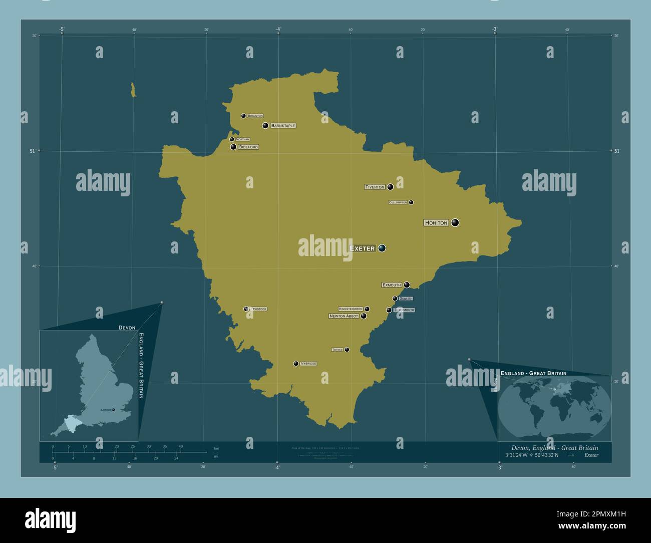 Devon, administrative county of England - Great Britain. Solid color shape. Locations and names of major cities of the region. Corner auxiliary locati Stock Photohttps://www.alamy.com/image-license-details/?v=1https://www.alamy.com/devon-administrative-county-of-england-great-britain-solid-color-shape-locations-and-names-of-major-cities-of-the-region-corner-auxiliary-locati-image546401005.html
RF2PMXM1H–Devon, administrative county of England - Great Britain. Solid color shape. Locations and names of major cities of the region. Corner auxiliary locati
 Beast from the east hits Kingsteignton, Devon , U.K. 1st march 2018 causing chaos and disruption. Stock Photohttps://www.alamy.com/image-license-details/?v=1https://www.alamy.com/beast-from-the-east-hits-kingsteignton-devon-uk-1st-march-2018-causing-chaos-and-disruption-image211840825.html
RFP8J53N–Beast from the east hits Kingsteignton, Devon , U.K. 1st march 2018 causing chaos and disruption.
 California poppy. Home grown from seed in my garden. Kingsteignton Devon U.K. May 2017. Stock Photohttps://www.alamy.com/image-license-details/?v=1https://www.alamy.com/stock-image-california-poppy-home-grown-from-seed-in-my-garden-kingsteignton-devon-166327541.html
RFKJGTD9–California poppy. Home grown from seed in my garden. Kingsteignton Devon U.K. May 2017.
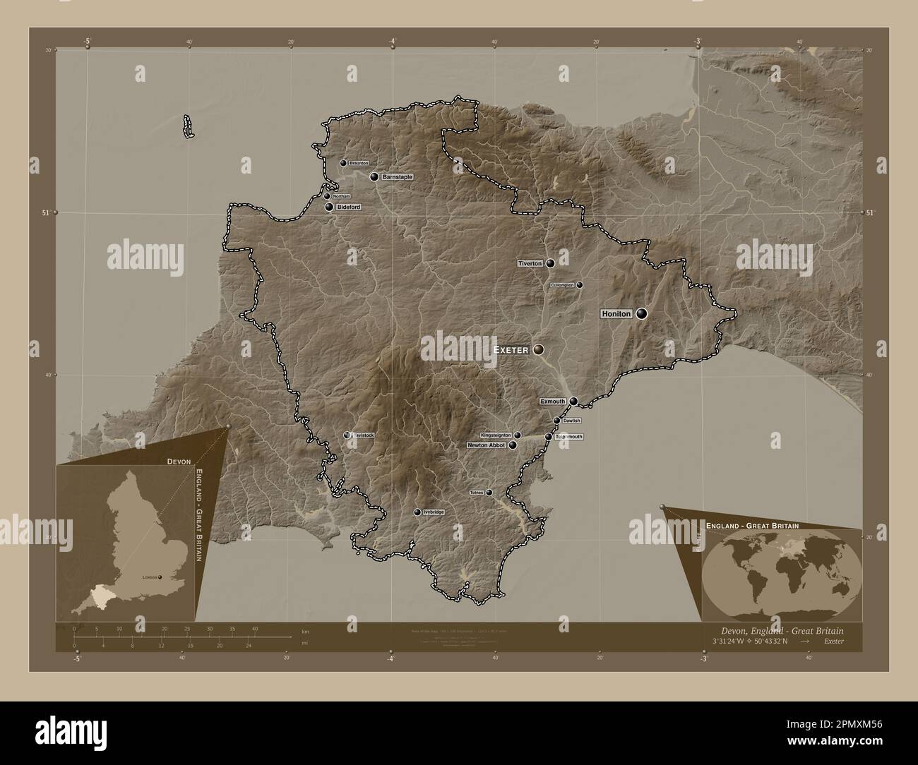 Devon, administrative county of England - Great Britain. Elevation map colored in sepia tones with lakes and rivers. Locations and names of major citi Stock Photohttps://www.alamy.com/image-license-details/?v=1https://www.alamy.com/devon-administrative-county-of-england-great-britain-elevation-map-colored-in-sepia-tones-with-lakes-and-rivers-locations-and-names-of-major-citi-image546401106.html
RF2PMXM56–Devon, administrative county of England - Great Britain. Elevation map colored in sepia tones with lakes and rivers. Locations and names of major citi
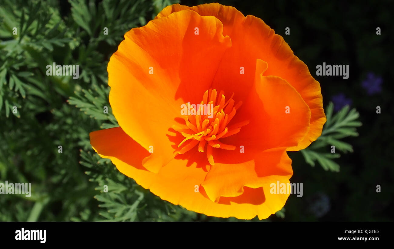 California poppy. Home grown in my garden from seed. Kingsteignton Devon U.K. May 2017. Stock Photohttps://www.alamy.com/image-license-details/?v=1https://www.alamy.com/stock-image-california-poppy-home-grown-in-my-garden-from-seed-kingsteignton-devon-166327565.html
RFKJGTE5–California poppy. Home grown in my garden from seed. Kingsteignton Devon U.K. May 2017.
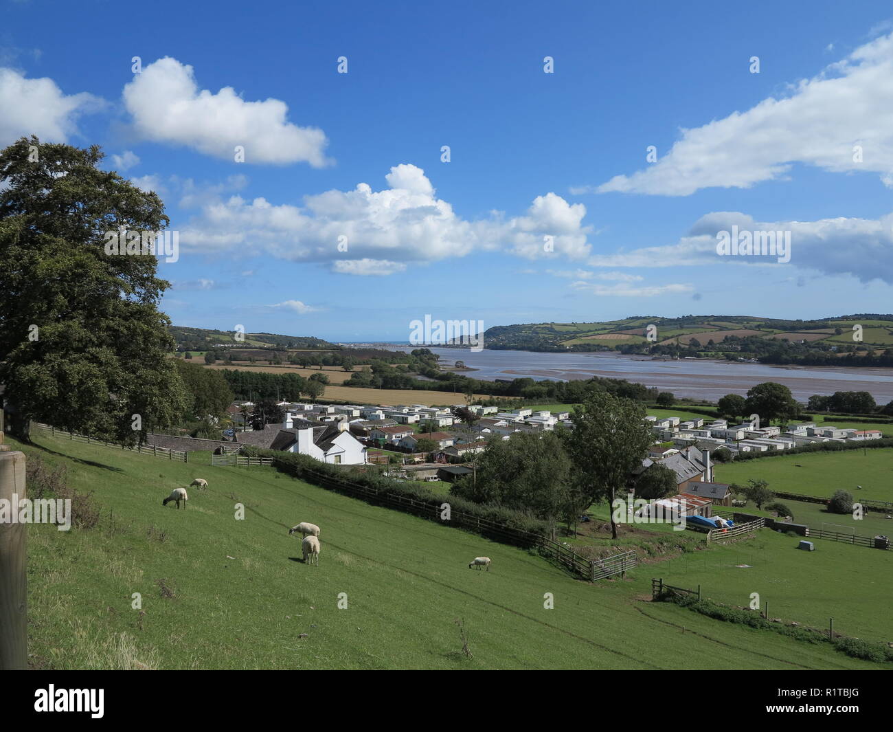 Wear Farm, Devon, England, U.K. Stock Photohttps://www.alamy.com/image-license-details/?v=1https://www.alamy.com/wear-farm-devon-england-uk-image224885432.html
RFR1TBJG–Wear Farm, Devon, England, U.K.
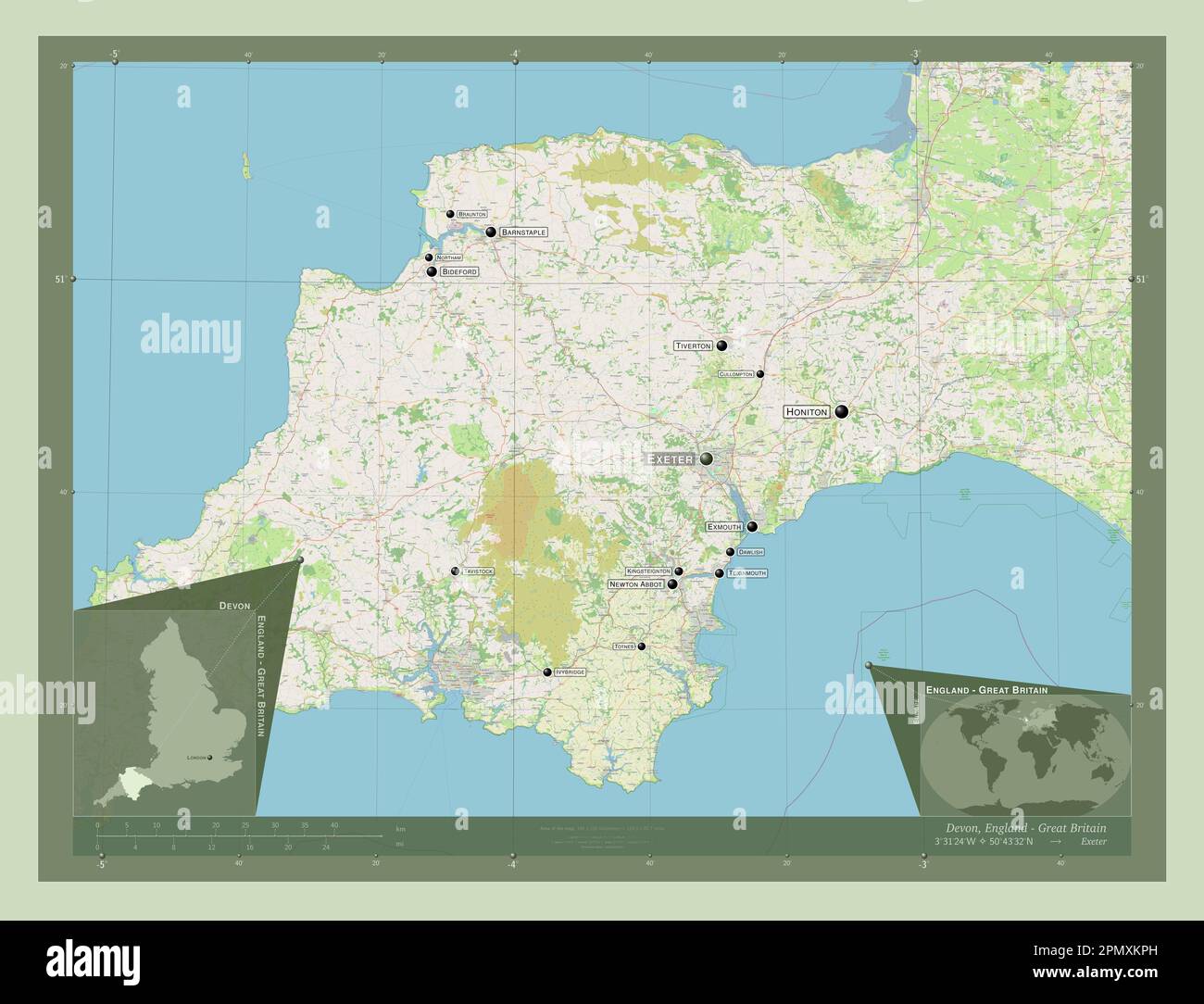 Devon, administrative county of England - Great Britain. Open Street Map. Locations and names of major cities of the region. Corner auxiliary location Stock Photohttps://www.alamy.com/image-license-details/?v=1https://www.alamy.com/devon-administrative-county-of-england-great-britain-open-street-map-locations-and-names-of-major-cities-of-the-region-corner-auxiliary-location-image546400809.html
RF2PMXKPH–Devon, administrative county of England - Great Britain. Open Street Map. Locations and names of major cities of the region. Corner auxiliary location
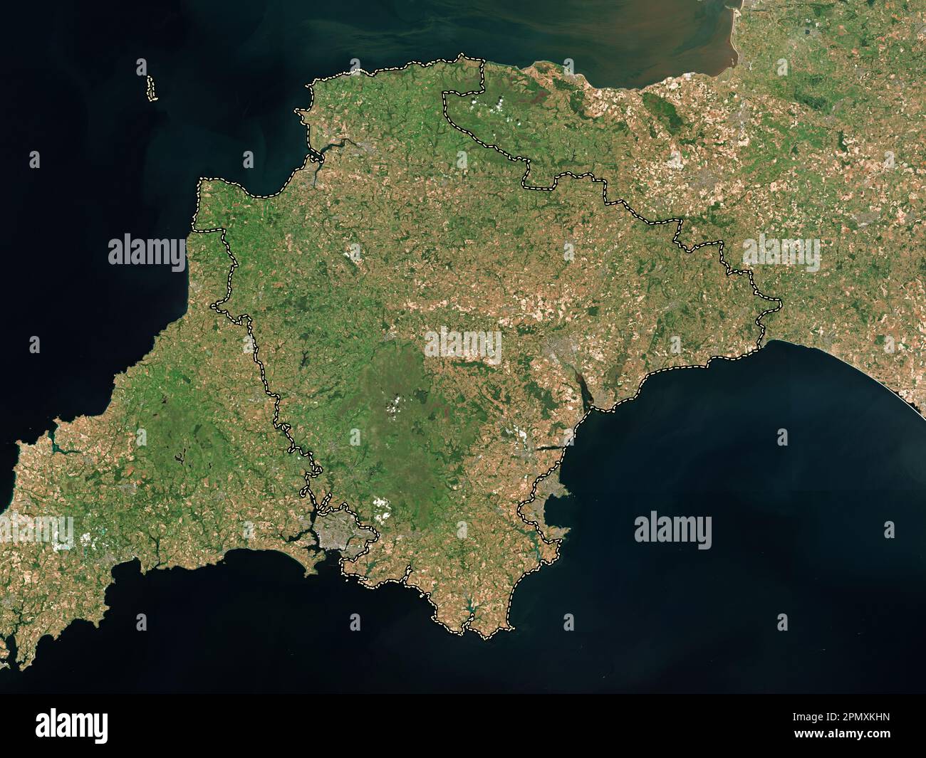 Devon, administrative county of England - Great Britain. Low resolution satellite map Stock Photohttps://www.alamy.com/image-license-details/?v=1https://www.alamy.com/devon-administrative-county-of-england-great-britain-low-resolution-satellite-map-image546400673.html
RF2PMXKHN–Devon, administrative county of England - Great Britain. Low resolution satellite map
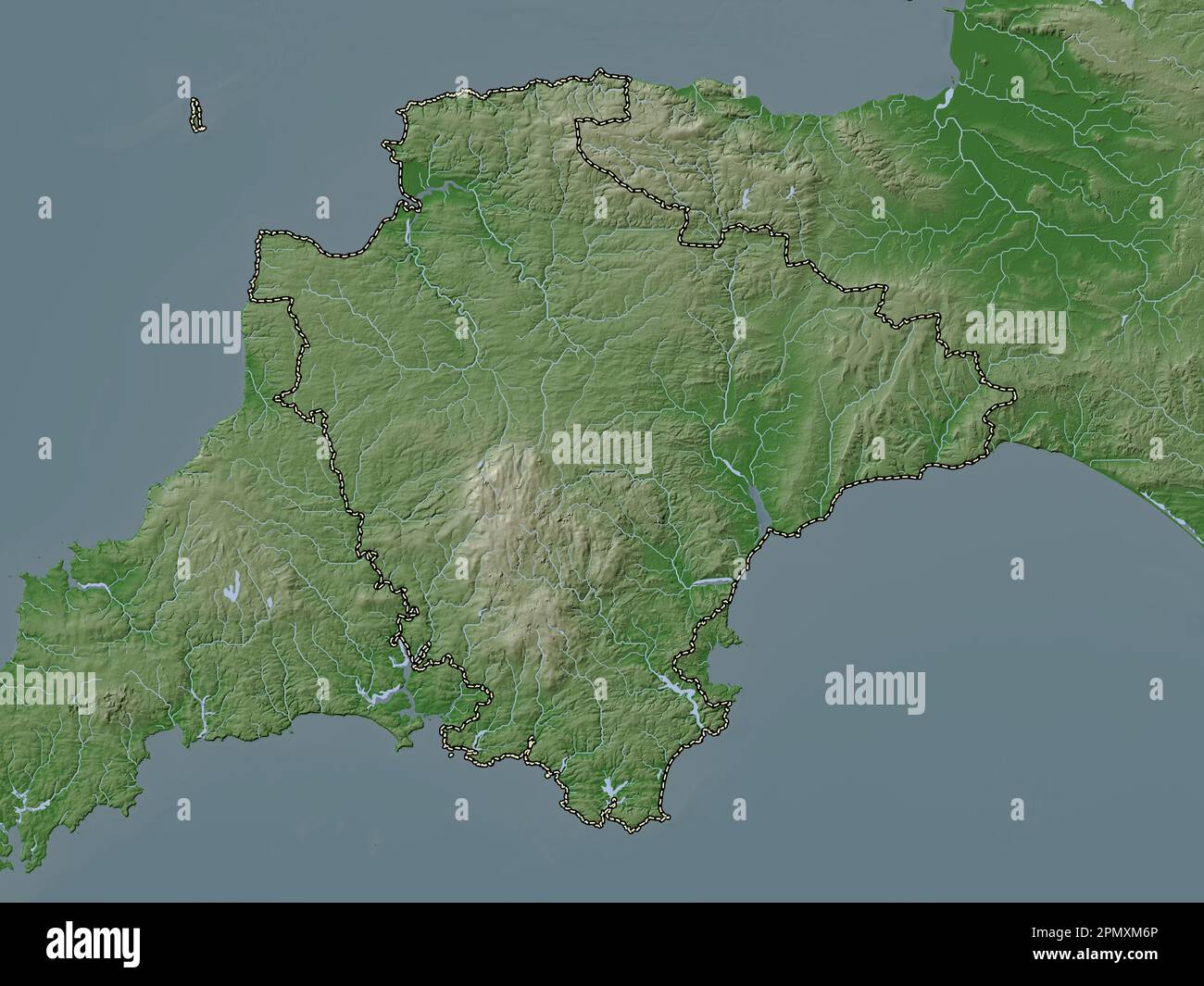 Devon, administrative county of England - Great Britain. Elevation map colored in wiki style with lakes and rivers Stock Photohttps://www.alamy.com/image-license-details/?v=1https://www.alamy.com/devon-administrative-county-of-england-great-britain-elevation-map-colored-in-wiki-style-with-lakes-and-rivers-image546401150.html
RF2PMXM6P–Devon, administrative county of England - Great Britain. Elevation map colored in wiki style with lakes and rivers
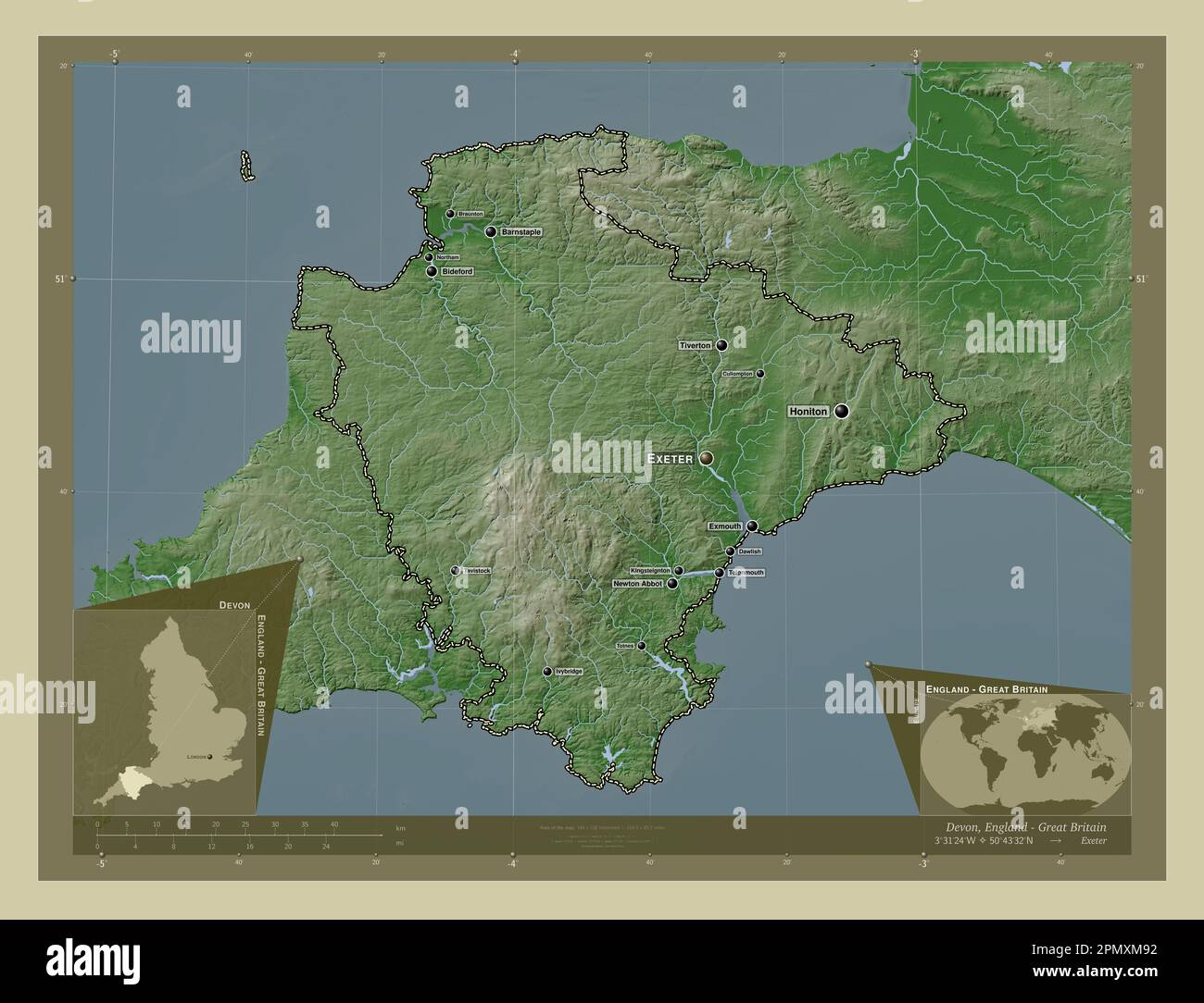 Devon, administrative county of England - Great Britain. Elevation map colored in wiki style with lakes and rivers. Locations and names of major citie Stock Photohttps://www.alamy.com/image-license-details/?v=1https://www.alamy.com/devon-administrative-county-of-england-great-britain-elevation-map-colored-in-wiki-style-with-lakes-and-rivers-locations-and-names-of-major-citie-image546401214.html
RF2PMXM92–Devon, administrative county of England - Great Britain. Elevation map colored in wiki style with lakes and rivers. Locations and names of major citie
 Devon, administrative county of England - Great Britain. Elevation map colored in sepia tones with lakes and rivers Stock Photohttps://www.alamy.com/image-license-details/?v=1https://www.alamy.com/devon-administrative-county-of-england-great-britain-elevation-map-colored-in-sepia-tones-with-lakes-and-rivers-image546401027.html
RF2PMXM2B–Devon, administrative county of England - Great Britain. Elevation map colored in sepia tones with lakes and rivers
 Devon, administrative county of England - Great Britain. Bilevel elevation map with lakes and rivers Stock Photohttps://www.alamy.com/image-license-details/?v=1https://www.alamy.com/devon-administrative-county-of-england-great-britain-bilevel-elevation-map-with-lakes-and-rivers-image546400334.html
RF2PMXK5J–Devon, administrative county of England - Great Britain. Bilevel elevation map with lakes and rivers
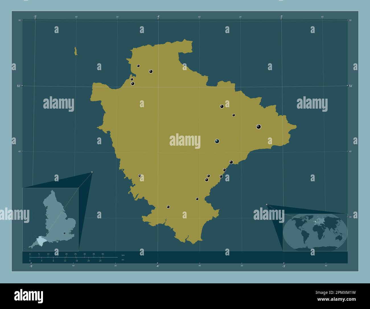 Devon, administrative county of England - Great Britain. Solid color shape. Locations of major cities of the region. Corner auxiliary location maps Stock Photohttps://www.alamy.com/image-license-details/?v=1https://www.alamy.com/devon-administrative-county-of-england-great-britain-solid-color-shape-locations-of-major-cities-of-the-region-corner-auxiliary-location-maps-image546401013.html
RF2PMXM1W–Devon, administrative county of England - Great Britain. Solid color shape. Locations of major cities of the region. Corner auxiliary location maps
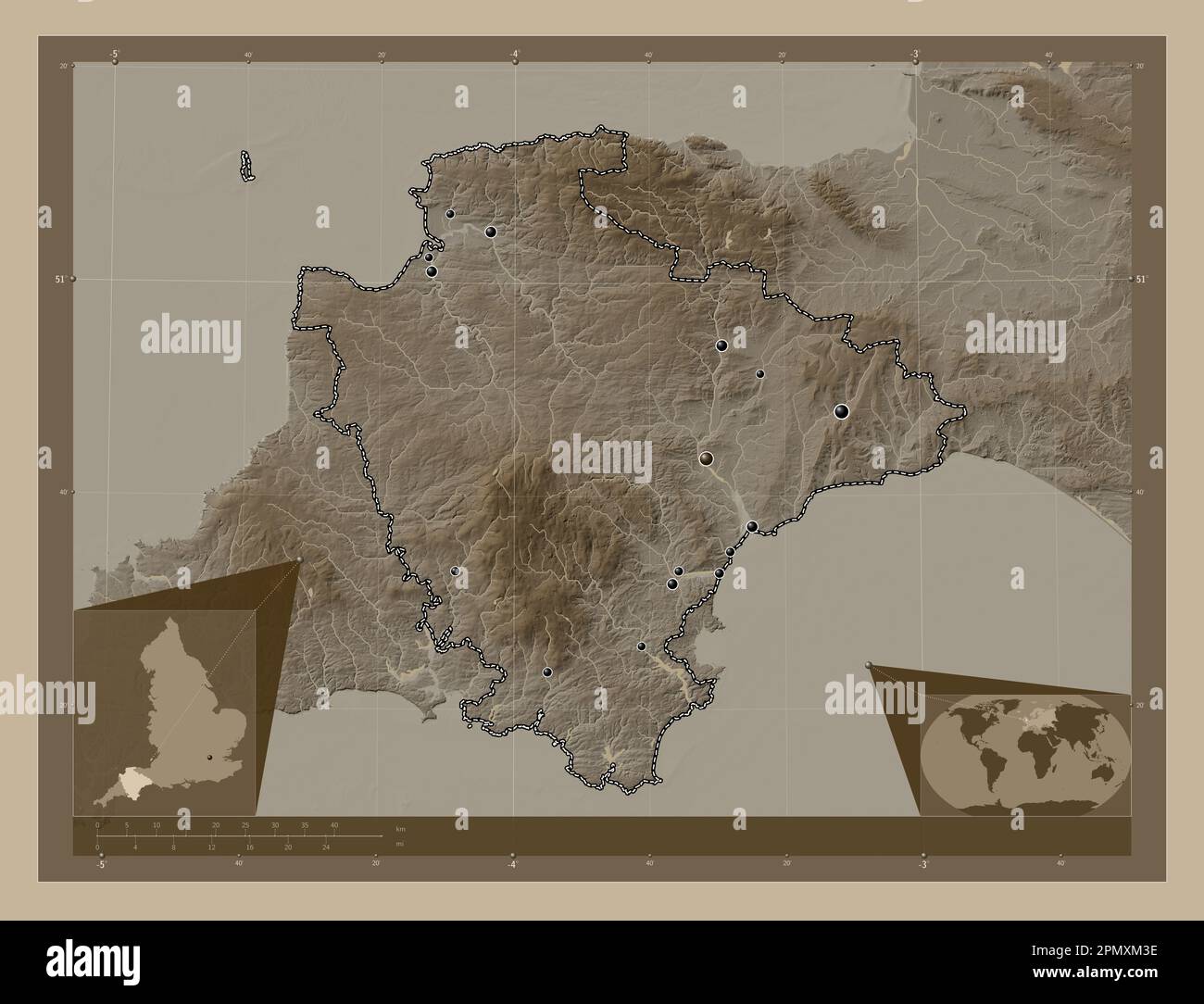 Devon, administrative county of England - Great Britain. Elevation map colored in sepia tones with lakes and rivers. Locations of major cities of the Stock Photohttps://www.alamy.com/image-license-details/?v=1https://www.alamy.com/devon-administrative-county-of-england-great-britain-elevation-map-colored-in-sepia-tones-with-lakes-and-rivers-locations-of-major-cities-of-the-image546401058.html
RF2PMXM3E–Devon, administrative county of England - Great Britain. Elevation map colored in sepia tones with lakes and rivers. Locations of major cities of the
 Devon, administrative county of England - Great Britain. Low resolution satellite map. Locations of major cities of the region. Corner auxiliary locat Stock Photohttps://www.alamy.com/image-license-details/?v=1https://www.alamy.com/devon-administrative-county-of-england-great-britain-low-resolution-satellite-map-locations-of-major-cities-of-the-region-corner-auxiliary-locat-image546400680.html
RF2PMXKJ0–Devon, administrative county of England - Great Britain. Low resolution satellite map. Locations of major cities of the region. Corner auxiliary locat
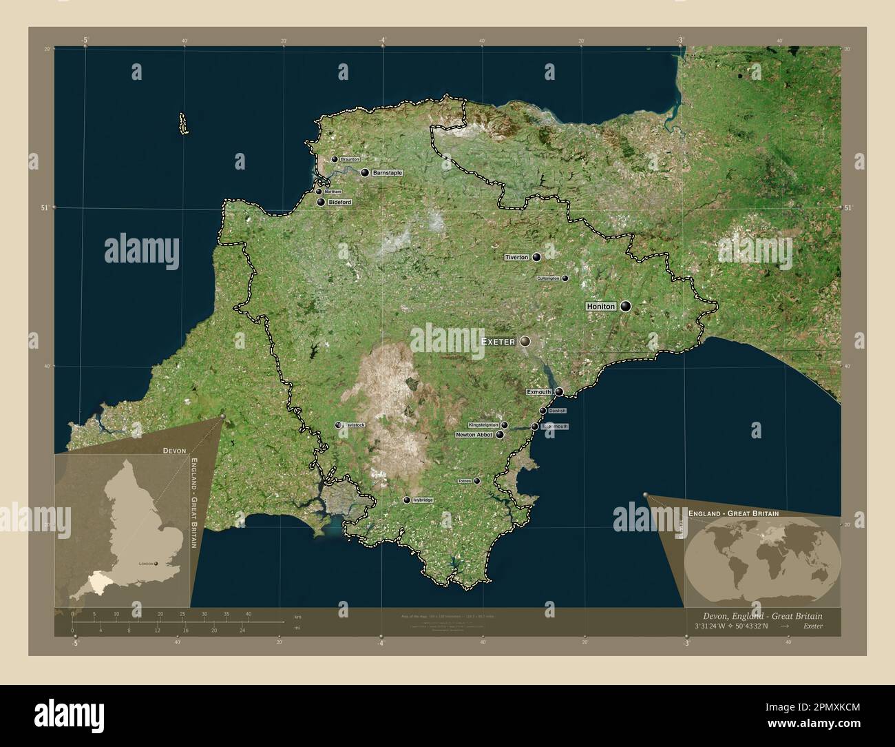 Devon, administrative county of England - Great Britain. High resolution satellite map. Locations and names of major cities of the region. Corner auxi Stock Photohttps://www.alamy.com/image-license-details/?v=1https://www.alamy.com/devon-administrative-county-of-england-great-britain-high-resolution-satellite-map-locations-and-names-of-major-cities-of-the-region-corner-auxi-image546400532.html
RF2PMXKCM–Devon, administrative county of England - Great Britain. High resolution satellite map. Locations and names of major cities of the region. Corner auxi
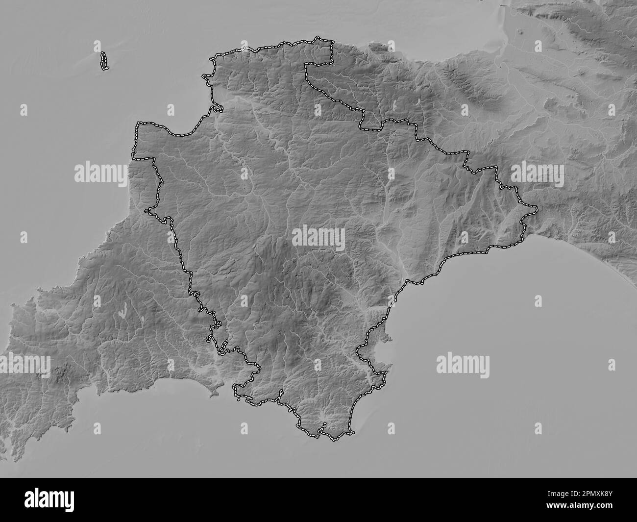 Devon, administrative county of England - Great Britain. Grayscale elevation map with lakes and rivers Stock Photohttps://www.alamy.com/image-license-details/?v=1https://www.alamy.com/devon-administrative-county-of-england-great-britain-grayscale-elevation-map-with-lakes-and-rivers-image546400427.html
RF2PMXK8Y–Devon, administrative county of England - Great Britain. Grayscale elevation map with lakes and rivers
 Devon, administrative county of England - Great Britain. Colored elevation map with lakes and rivers Stock Photohttps://www.alamy.com/image-license-details/?v=1https://www.alamy.com/devon-administrative-county-of-england-great-britain-colored-elevation-map-with-lakes-and-rivers-image546400915.html
RF2PMXKXB–Devon, administrative county of England - Great Britain. Colored elevation map with lakes and rivers
 Teignbridge, non metropolitan district of England - Great Britain. Elevation map colored in sepia tones with lakes and rivers. Locations and names of Stock Photohttps://www.alamy.com/image-license-details/?v=1https://www.alamy.com/teignbridge-non-metropolitan-district-of-england-great-britain-elevation-map-colored-in-sepia-tones-with-lakes-and-rivers-locations-and-names-of-image546510905.html
RF2PN3M6H–Teignbridge, non metropolitan district of England - Great Britain. Elevation map colored in sepia tones with lakes and rivers. Locations and names of
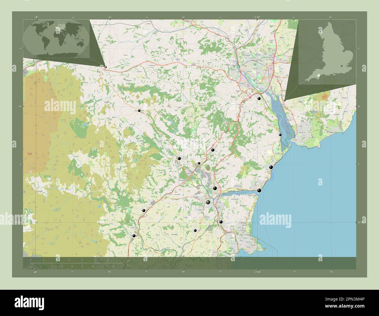 Teignbridge, non metropolitan district of England - Great Britain. Open Street Map. Locations of major cities of the region. Corner auxiliary location Stock Photohttps://www.alamy.com/image-license-details/?v=1https://www.alamy.com/teignbridge-non-metropolitan-district-of-england-great-britain-open-street-map-locations-of-major-cities-of-the-region-corner-auxiliary-location-image546510854.html
RF2PN3M4P–Teignbridge, non metropolitan district of England - Great Britain. Open Street Map. Locations of major cities of the region. Corner auxiliary location
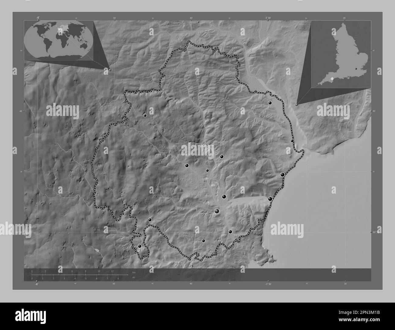 Teignbridge, non metropolitan district of England - Great Britain. Grayscale elevation map with lakes and rivers. Locations of major cities of the reg Stock Photohttps://www.alamy.com/image-license-details/?v=1https://www.alamy.com/teignbridge-non-metropolitan-district-of-england-great-britain-grayscale-elevation-map-with-lakes-and-rivers-locations-of-major-cities-of-the-reg-image546510759.html
RF2PN3M1B–Teignbridge, non metropolitan district of England - Great Britain. Grayscale elevation map with lakes and rivers. Locations of major cities of the reg
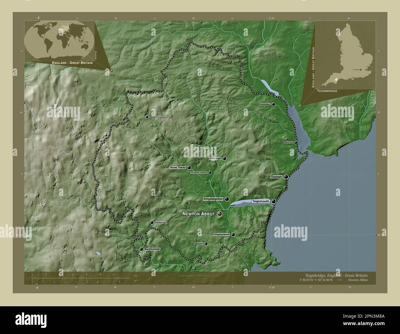 Teignbridge, non metropolitan district of England - Great Britain. Elevation map colored in wiki style with lakes and rivers. Locations and names of m Stock Photohttps://www.alamy.com/image-license-details/?v=1https://www.alamy.com/teignbridge-non-metropolitan-district-of-england-great-britain-elevation-map-colored-in-wiki-style-with-lakes-and-rivers-locations-and-names-of-m-image546510954.html
RF2PN3M8A–Teignbridge, non metropolitan district of England - Great Britain. Elevation map colored in wiki style with lakes and rivers. Locations and names of m
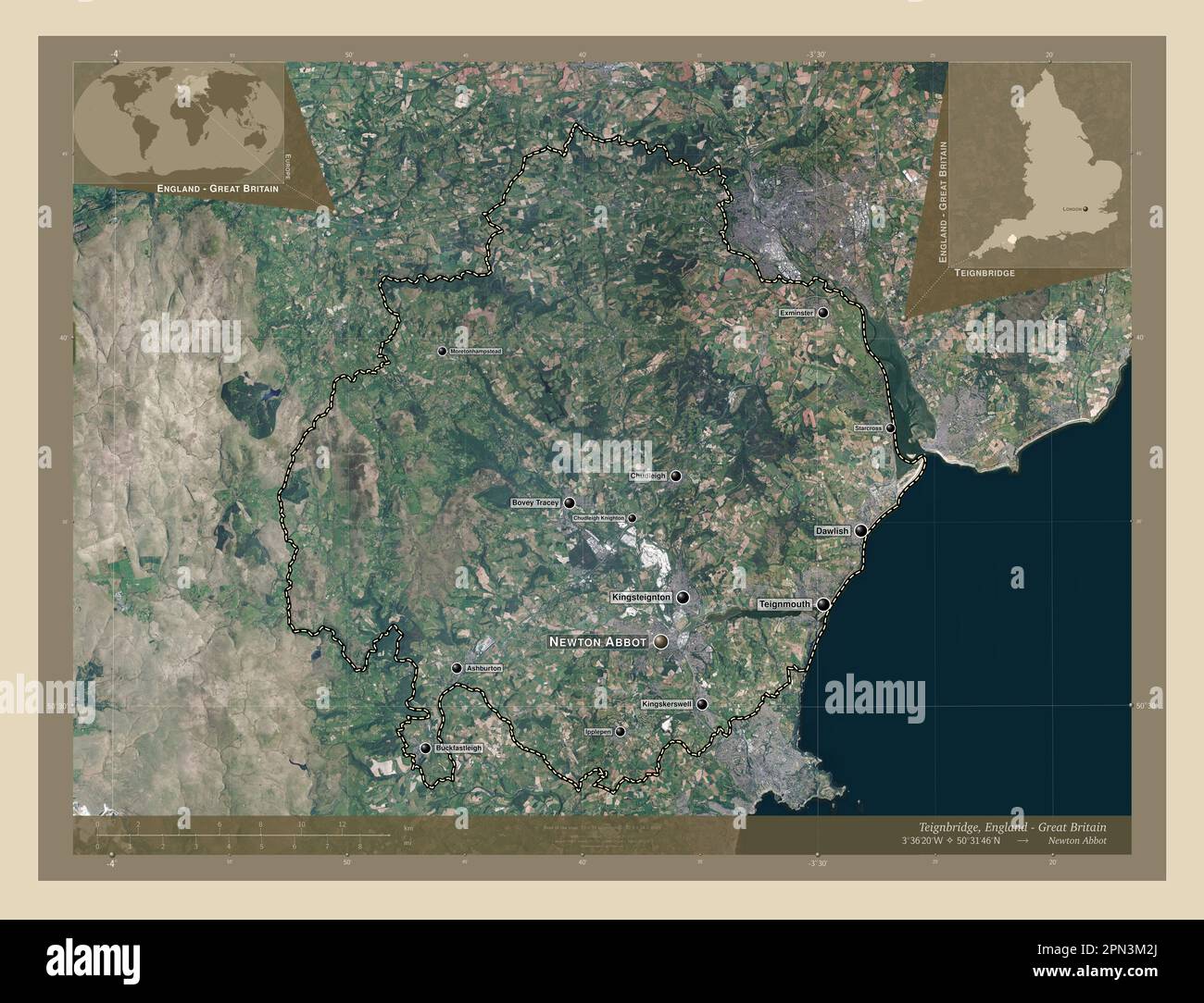 Teignbridge, non metropolitan district of England - Great Britain. High resolution satellite map. Locations and names of major cities of the region. C Stock Photohttps://www.alamy.com/image-license-details/?v=1https://www.alamy.com/teignbridge-non-metropolitan-district-of-england-great-britain-high-resolution-satellite-map-locations-and-names-of-major-cities-of-the-region-c-image546510794.html
RF2PN3M2J–Teignbridge, non metropolitan district of England - Great Britain. High resolution satellite map. Locations and names of major cities of the region. C
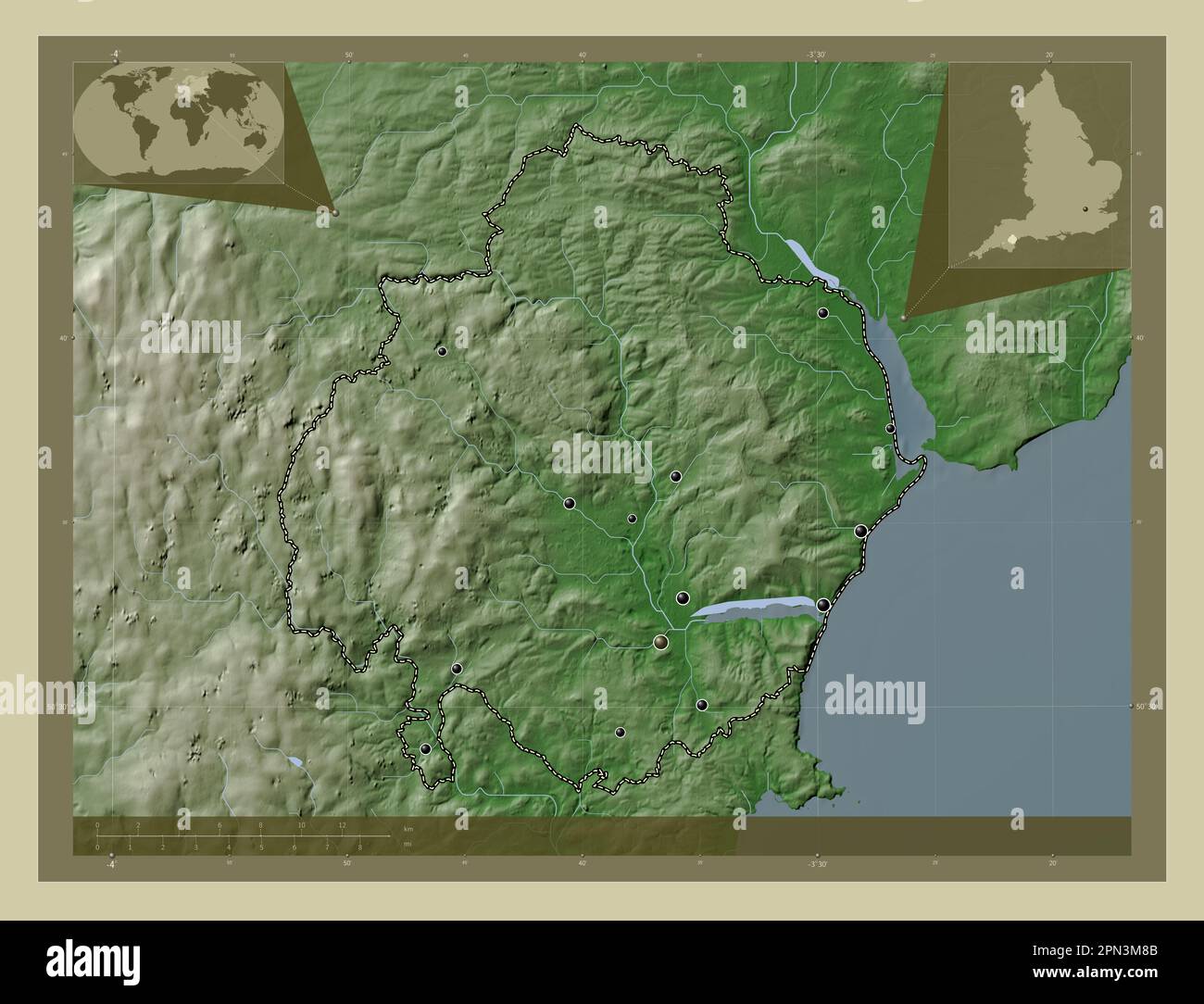 Teignbridge, non metropolitan district of England - Great Britain. Elevation map colored in wiki style with lakes and rivers. Locations of major citie Stock Photohttps://www.alamy.com/image-license-details/?v=1https://www.alamy.com/teignbridge-non-metropolitan-district-of-england-great-britain-elevation-map-colored-in-wiki-style-with-lakes-and-rivers-locations-of-major-citie-image546510955.html
RF2PN3M8B–Teignbridge, non metropolitan district of England - Great Britain. Elevation map colored in wiki style with lakes and rivers. Locations of major citie
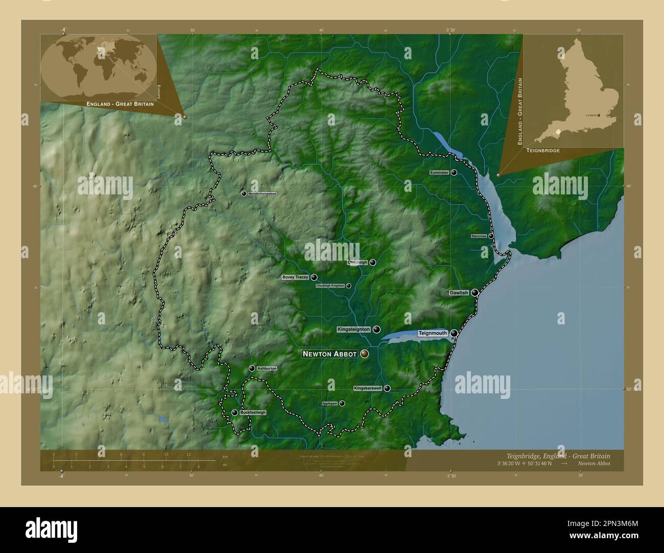 Teignbridge, non metropolitan district of England - Great Britain. Colored elevation map with lakes and rivers. Locations and names of major cities of Stock Photohttps://www.alamy.com/image-license-details/?v=1https://www.alamy.com/teignbridge-non-metropolitan-district-of-england-great-britain-colored-elevation-map-with-lakes-and-rivers-locations-and-names-of-major-cities-of-image546510908.html
RF2PN3M6M–Teignbridge, non metropolitan district of England - Great Britain. Colored elevation map with lakes and rivers. Locations and names of major cities of
 Teignbridge, non metropolitan district of England - Great Britain. Open Street Map. Locations and names of major cities of the region. Corner auxiliar Stock Photohttps://www.alamy.com/image-license-details/?v=1https://www.alamy.com/teignbridge-non-metropolitan-district-of-england-great-britain-open-street-map-locations-and-names-of-major-cities-of-the-region-corner-auxiliar-image546510869.html
RF2PN3M59–Teignbridge, non metropolitan district of England - Great Britain. Open Street Map. Locations and names of major cities of the region. Corner auxiliar
 Teignbridge, non metropolitan district of England - Great Britain. Elevation map colored in sepia tones with lakes and rivers. Locations of major citi Stock Photohttps://www.alamy.com/image-license-details/?v=1https://www.alamy.com/teignbridge-non-metropolitan-district-of-england-great-britain-elevation-map-colored-in-sepia-tones-with-lakes-and-rivers-locations-of-major-citi-image546510896.html
RF2PN3M68–Teignbridge, non metropolitan district of England - Great Britain. Elevation map colored in sepia tones with lakes and rivers. Locations of major citi
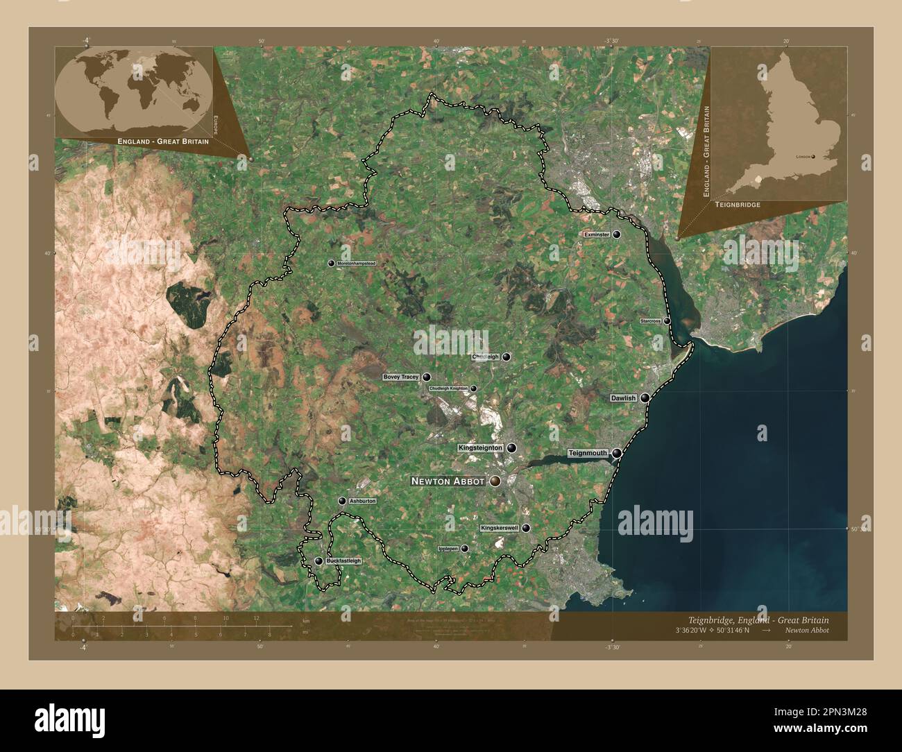 Teignbridge, non metropolitan district of England - Great Britain. Low resolution satellite map. Locations and names of major cities of the region. Co Stock Photohttps://www.alamy.com/image-license-details/?v=1https://www.alamy.com/teignbridge-non-metropolitan-district-of-england-great-britain-low-resolution-satellite-map-locations-and-names-of-major-cities-of-the-region-co-image546510784.html
RF2PN3M28–Teignbridge, non metropolitan district of England - Great Britain. Low resolution satellite map. Locations and names of major cities of the region. Co
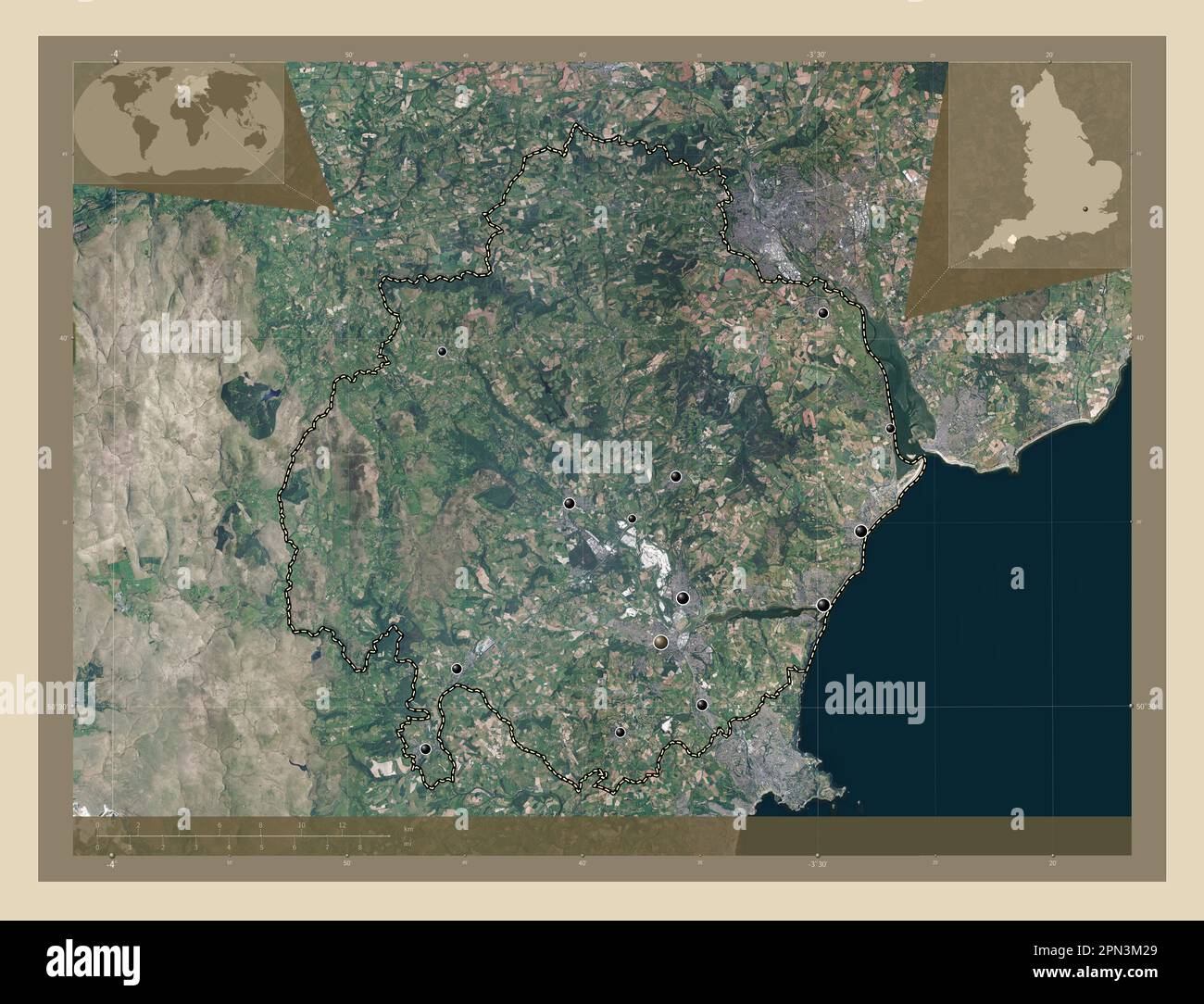 Teignbridge, non metropolitan district of England - Great Britain. High resolution satellite map. Locations of major cities of the region. Corner auxi Stock Photohttps://www.alamy.com/image-license-details/?v=1https://www.alamy.com/teignbridge-non-metropolitan-district-of-england-great-britain-high-resolution-satellite-map-locations-of-major-cities-of-the-region-corner-auxi-image546510785.html
RF2PN3M29–Teignbridge, non metropolitan district of England - Great Britain. High resolution satellite map. Locations of major cities of the region. Corner auxi