Quick filters:
Kitimat Stock Photos and Images
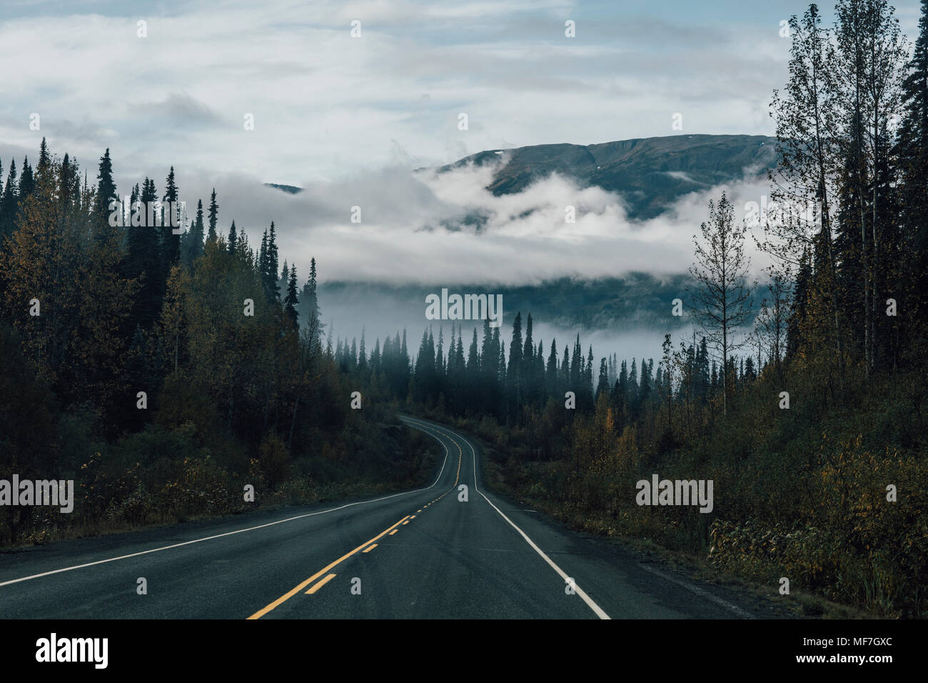 Canada, British Columbia, Kitimat-Stikine A, Highway 37 Stock Photohttps://www.alamy.com/image-license-details/?v=1https://www.alamy.com/canada-british-columbia-kitimat-stikine-a-highway-37-image181490468.html
RFMF7GXC–Canada, British Columbia, Kitimat-Stikine A, Highway 37
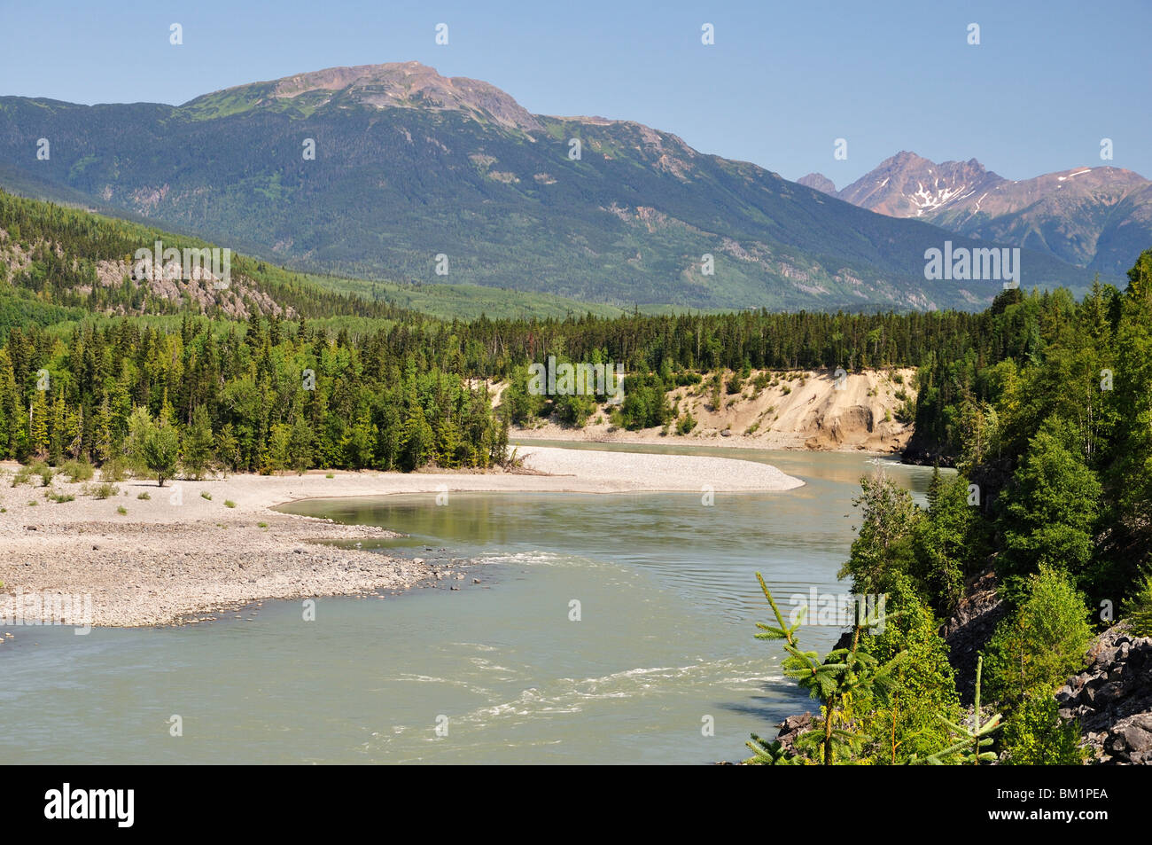 Skeena River and Kitimat Ranges, British Columbia, Canada, North America Stock Photohttps://www.alamy.com/image-license-details/?v=1https://www.alamy.com/stock-photo-skeena-river-and-kitimat-ranges-british-columbia-canada-north-america-29543090.html
RFBM1PEA–Skeena River and Kitimat Ranges, British Columbia, Canada, North America
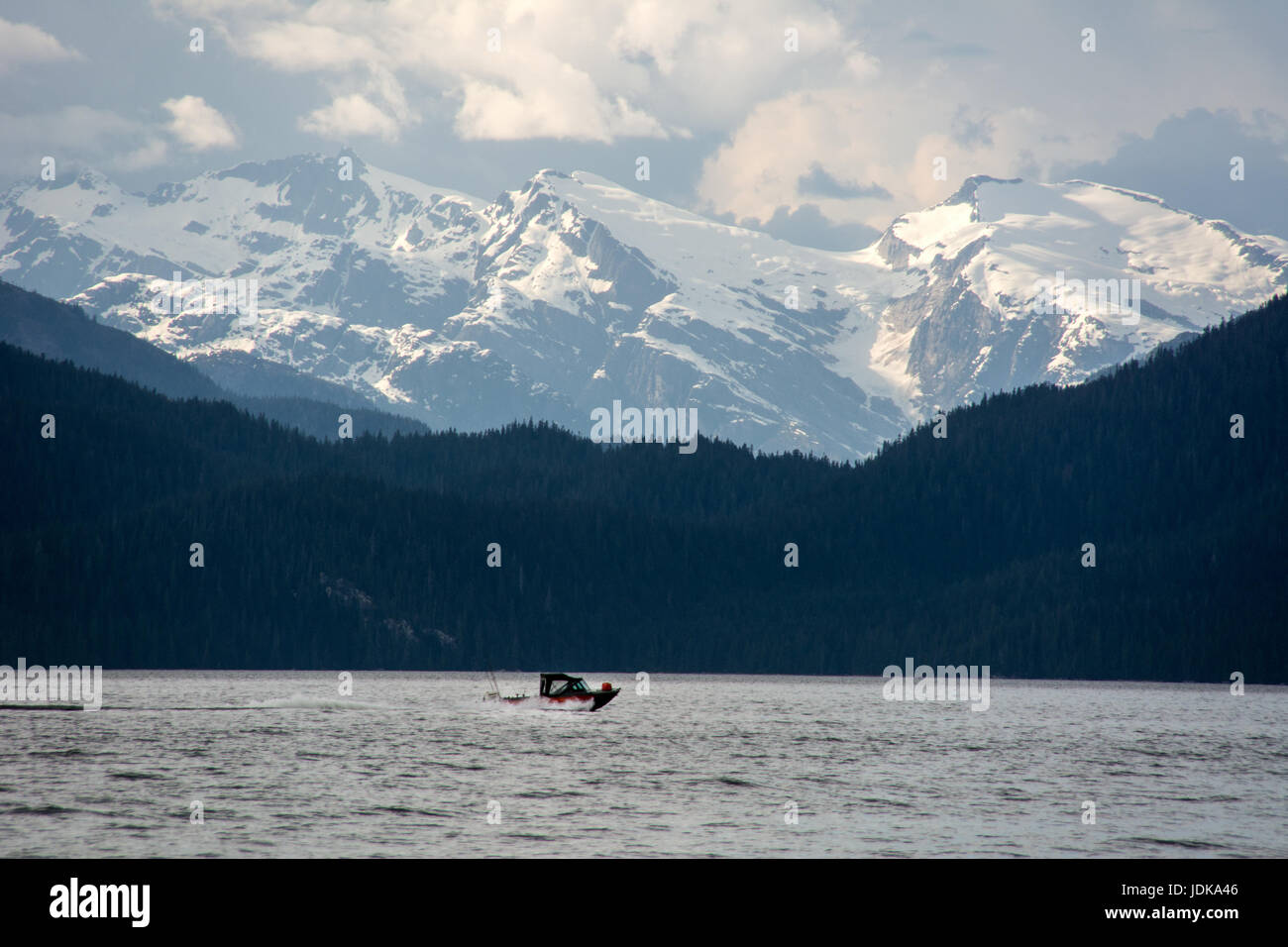 A motorboat travels through the Douglas Channel in the Great Bear Rainforest region, near Kitimat, on the north coast of British Columbia, Canada. Stock Photohttps://www.alamy.com/image-license-details/?v=1https://www.alamy.com/stock-photo-a-motorboat-travels-through-the-douglas-channel-in-the-great-bear-146098518.html
RMJDKA46–A motorboat travels through the Douglas Channel in the Great Bear Rainforest region, near Kitimat, on the north coast of British Columbia, Canada.
 Rainbow Over The Terrace Kitimat Airport As Passengers Load A Plane On The Tarmac; Terrace, British Columbia, Canada Stock Photohttps://www.alamy.com/image-license-details/?v=1https://www.alamy.com/stock-image-rainbow-over-the-terrace-kitimat-airport-as-passengers-load-a-plane-163676343.html
RMKE82RK–Rainbow Over The Terrace Kitimat Airport As Passengers Load A Plane On The Tarmac; Terrace, British Columbia, Canada
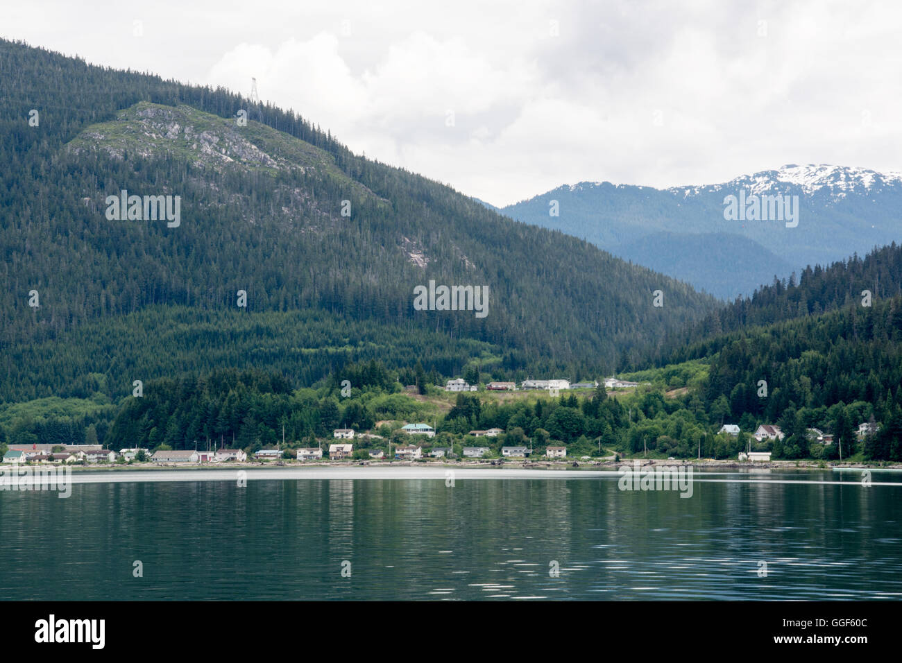 The Haisla First Nation village of Kitamaat on British Columbia's north Pacific coast, Canada. Stock Photohttps://www.alamy.com/image-license-details/?v=1https://www.alamy.com/stock-photo-the-haisla-first-nation-village-of-kitamaat-on-british-columbias-north-113430700.html
RFGGF60C–The Haisla First Nation village of Kitamaat on British Columbia's north Pacific coast, Canada.
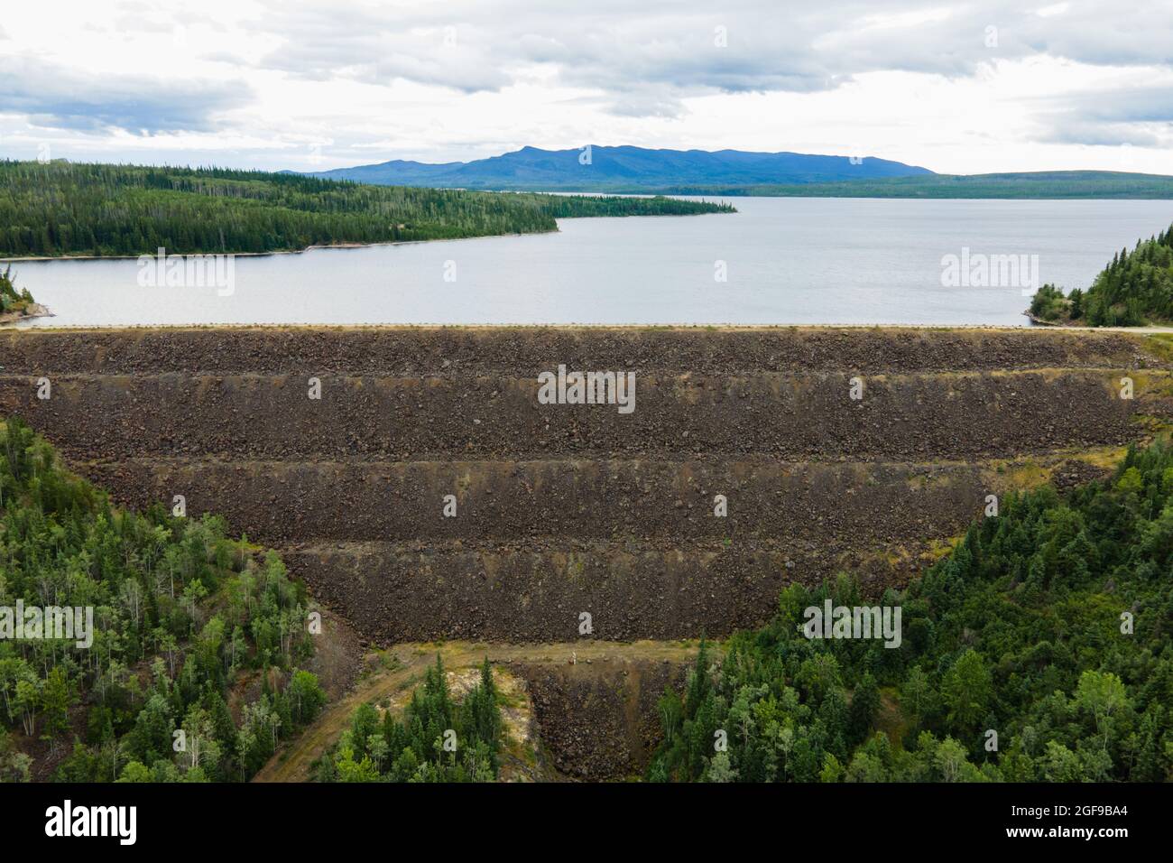 Kenny Dam and the Nechako Reservoir, in North British Columbia. Stock Photohttps://www.alamy.com/image-license-details/?v=1https://www.alamy.com/kenny-dam-and-the-nechako-reservoir-in-north-british-columbia-image439685516.html
RF2GF9BA4–Kenny Dam and the Nechako Reservoir, in North British Columbia.
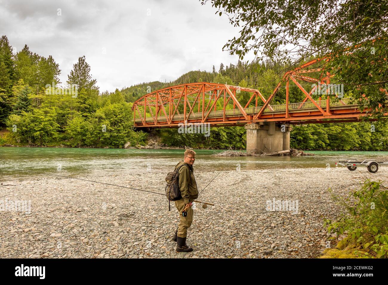 A fisherman at the upper Red Highway Bridge on the Kitimat River, British Columbia, Canada Stock Photohttps://www.alamy.com/image-license-details/?v=1https://www.alamy.com/a-fisherman-at-the-upper-red-highway-bridge-on-the-kitimat-river-british-columbia-canada-image370587058.html
RF2CEWKG2–A fisherman at the upper Red Highway Bridge on the Kitimat River, British Columbia, Canada
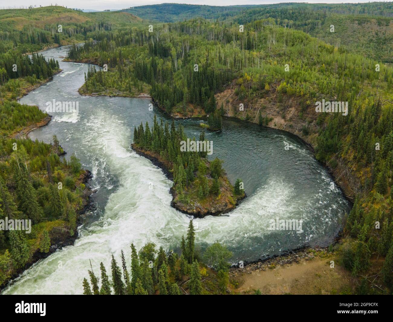 Cheslatta Falls in the Nechako River, Vanderhoof, BC. Stock Photohttps://www.alamy.com/image-license-details/?v=1https://www.alamy.com/cheslatta-falls-in-the-nechako-river-vanderhoof-bc-image439686462.html
RF2GF9CFX–Cheslatta Falls in the Nechako River, Vanderhoof, BC.
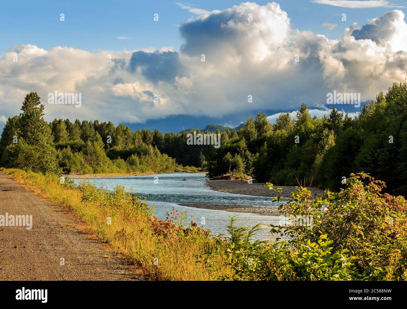 Looking downstream on the Kitimat River in the evening sun, British Columbia, Canada, with forest and cloudy sky in the distance. Stock Photohttps://www.alamy.com/image-license-details/?v=1https://www.alamy.com/looking-downstream-on-the-kitimat-river-in-the-evening-sun-british-columbia-canada-with-forest-and-cloudy-sky-in-the-distance-image364673509.html
RF2C588NW–Looking downstream on the Kitimat River in the evening sun, British Columbia, Canada, with forest and cloudy sky in the distance.
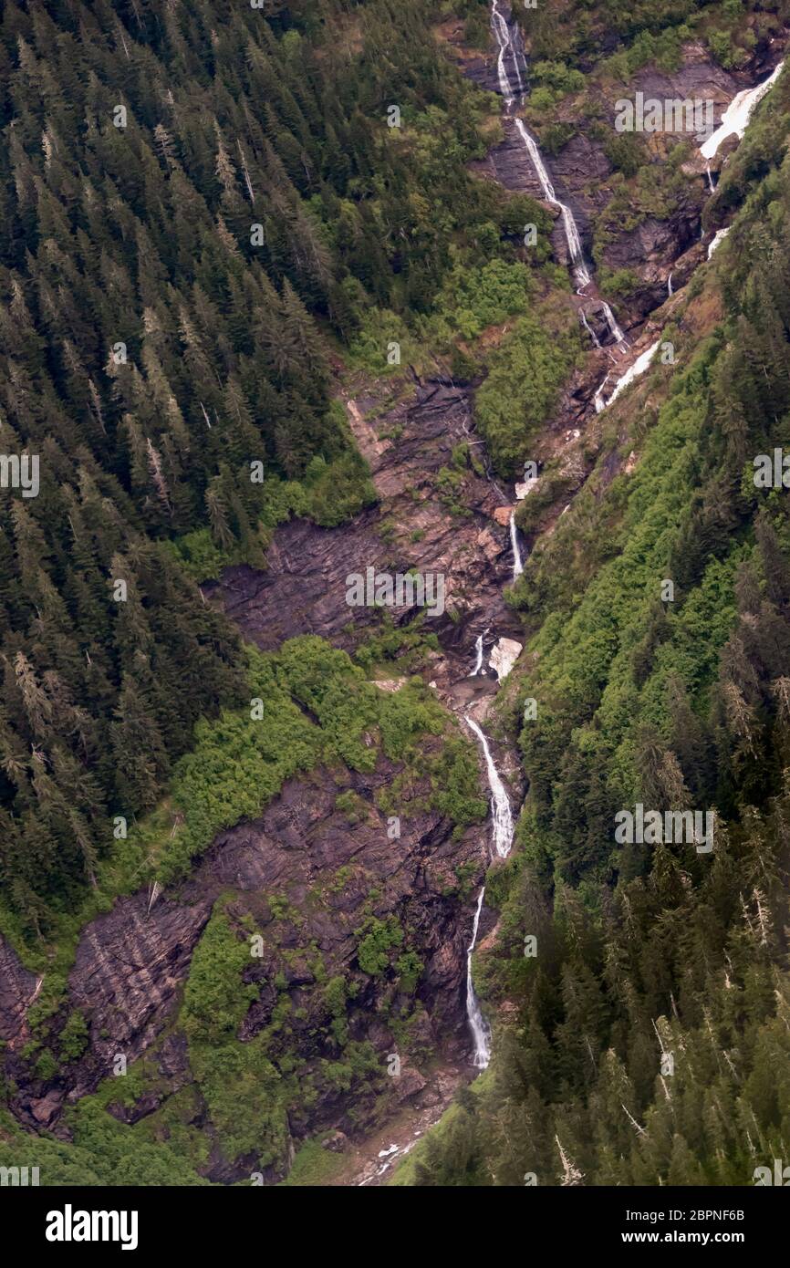 Long series of waterfalls in late spring, Kitimat Range of the Coast Mountains, British Columbia. Stock Photohttps://www.alamy.com/image-license-details/?v=1https://www.alamy.com/long-series-of-waterfalls-in-late-spring-kitimat-range-of-the-coast-mountains-british-columbia-image358202723.html
RF2BPNF6B–Long series of waterfalls in late spring, Kitimat Range of the Coast Mountains, British Columbia.
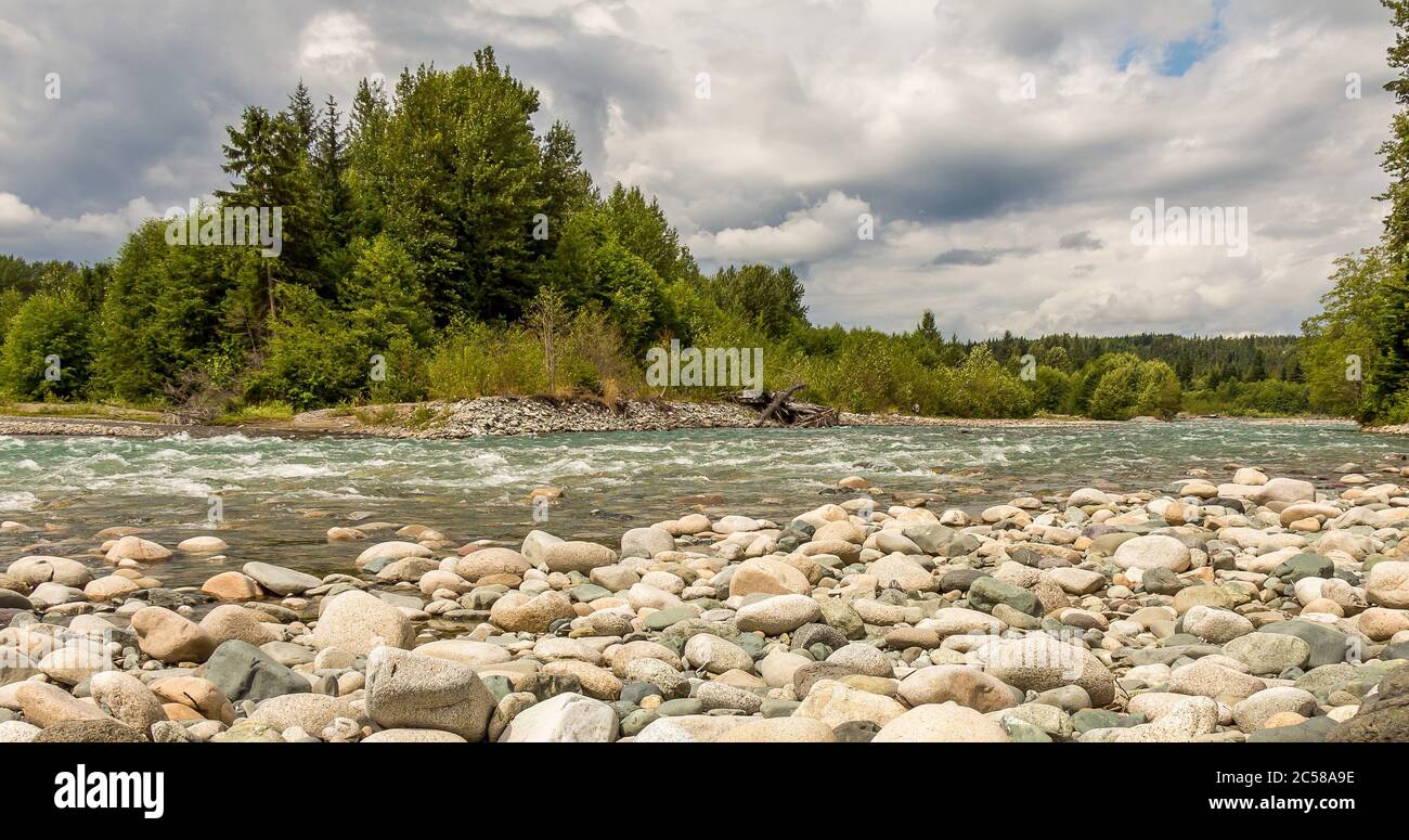 A boulder strewn, fast flowing Kitimat river, beside a forest, on a cloudy day, in British Columbia. Stock Photohttps://www.alamy.com/image-license-details/?v=1https://www.alamy.com/a-boulder-strewn-fast-flowing-kitimat-river-beside-a-forest-on-a-cloudy-day-in-british-columbia-image364674730.html
RF2C58A9E–A boulder strewn, fast flowing Kitimat river, beside a forest, on a cloudy day, in British Columbia.
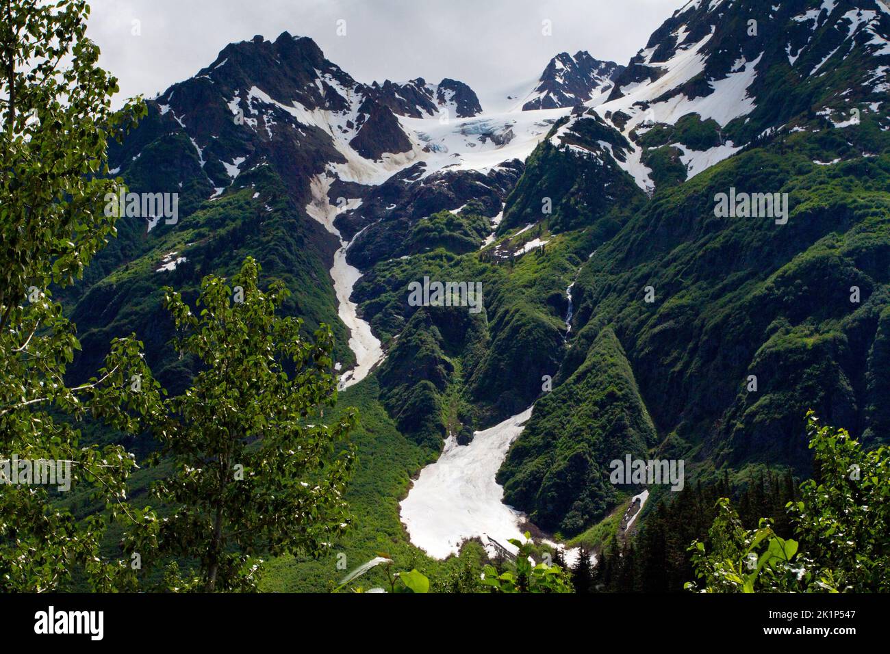 A scenic view of mountains in the Bear Glacier Provincial Park along the 37A route between Meziadin Lake and Stewart, northern BC, Canada Stock Photohttps://www.alamy.com/image-license-details/?v=1https://www.alamy.com/a-scenic-view-of-mountains-in-the-bear-glacier-provincial-park-along-the-37a-route-between-meziadin-lake-and-stewart-northern-bc-canada-image482991943.html
RM2K1P547–A scenic view of mountains in the Bear Glacier Provincial Park along the 37A route between Meziadin Lake and Stewart, northern BC, Canada
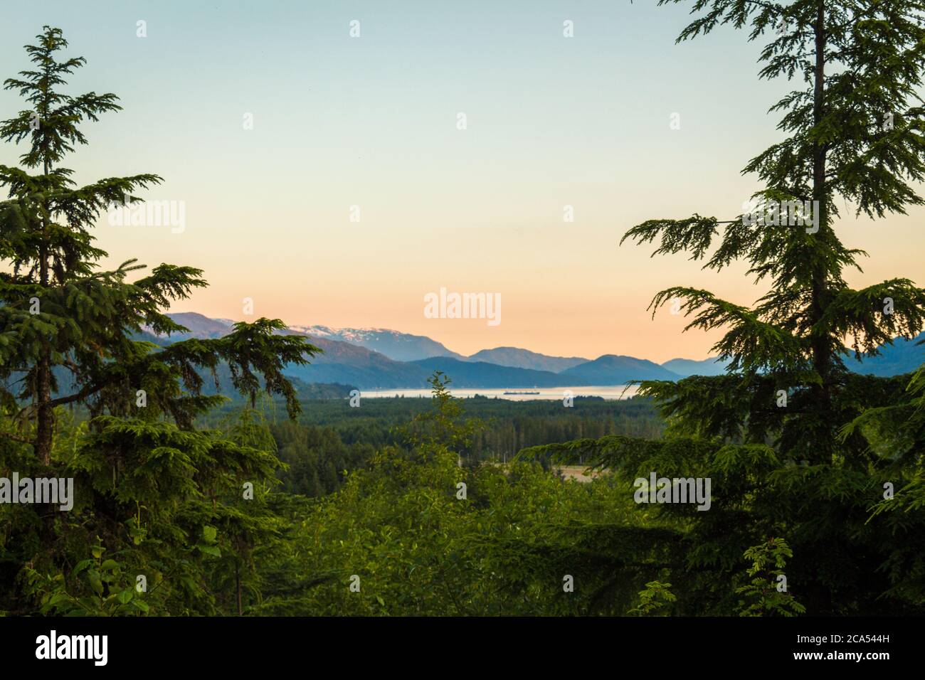 A view of the Douglas Channel at Kitimat from Coghlin Park at sunset, Kitimat, British Columbia Stock Photohttps://www.alamy.com/image-license-details/?v=1https://www.alamy.com/a-view-of-the-douglas-channel-at-kitimat-from-coghlin-park-at-sunset-kitimat-british-columbia-image367677313.html
RF2CA544H–A view of the Douglas Channel at Kitimat from Coghlin Park at sunset, Kitimat, British Columbia
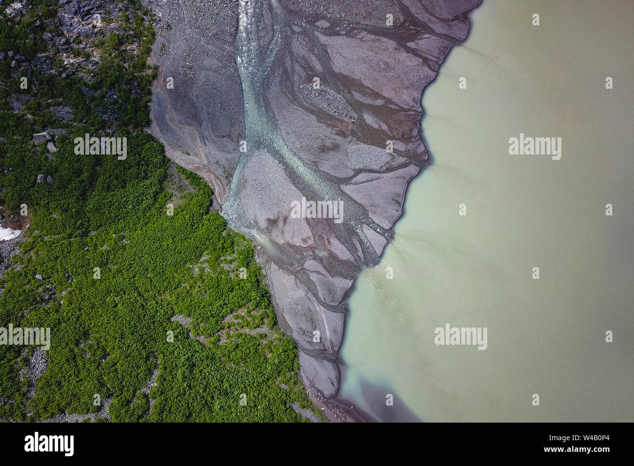 River Veins from Bear Glacier Stock Photohttps://www.alamy.com/image-license-details/?v=1https://www.alamy.com/river-veins-from-bear-glacier-image260856236.html
RFW4B0P4–River Veins from Bear Glacier
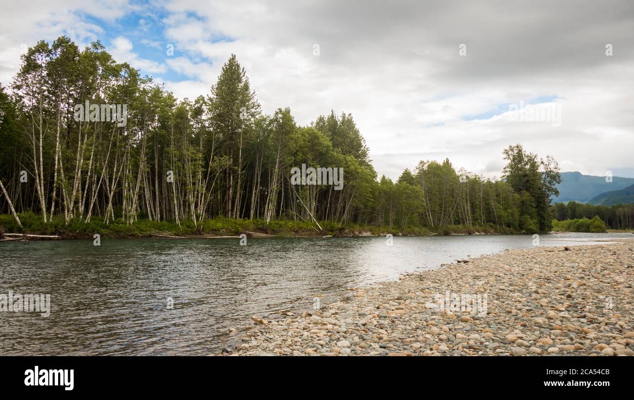 The Kitimat River, with a gravel bar and woodland on a summers day, British Columbia, Canada Stock Photohttps://www.alamy.com/image-license-details/?v=1https://www.alamy.com/the-kitimat-river-with-a-gravel-bar-and-woodland-on-a-summers-day-british-columbia-canada-image367677531.html
RF2CA54CB–The Kitimat River, with a gravel bar and woodland on a summers day, British Columbia, Canada
 Person holding cellphone with logo of industrial energy project LNG Canada on screen in front of webpage. Focus on phone display. Stock Photohttps://www.alamy.com/image-license-details/?v=1https://www.alamy.com/person-holding-cellphone-with-logo-of-industrial-energy-project-lng-canada-on-screen-in-front-of-webpage-focus-on-phone-display-image559441752.html
RF2RE4NJG–Person holding cellphone with logo of industrial energy project LNG Canada on screen in front of webpage. Focus on phone display.
 A fly fisherman hooked into a fish on the Kitimat River, in British Columbia, Canada Stock Photohttps://www.alamy.com/image-license-details/?v=1https://www.alamy.com/a-fly-fisherman-hooked-into-a-fish-on-the-kitimat-river-in-british-columbia-canada-image370587340.html
RF2CEWKX4–A fly fisherman hooked into a fish on the Kitimat River, in British Columbia, Canada
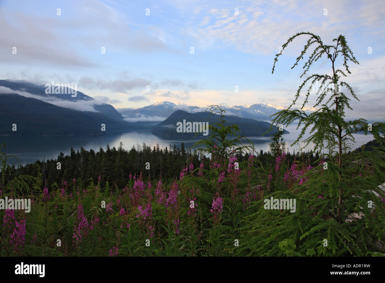 View of Douglas Channel from a clearcut on Bish Creek Forest Service road Kitimat British Columbia Stock Photohttps://www.alamy.com/image-license-details/?v=1https://www.alamy.com/stock-photo-view-of-douglas-channel-from-a-clearcut-on-bish-creek-forest-service-13476012.html
RMADR1RW–View of Douglas Channel from a clearcut on Bish Creek Forest Service road Kitimat British Columbia
 A seedling grows out of an old stump in a coastal estuary Stock Photohttps://www.alamy.com/image-license-details/?v=1https://www.alamy.com/a-seedling-grows-out-of-an-old-stump-in-a-coastal-estuary-image493795328.html
RF2KKA8YC–A seedling grows out of an old stump in a coastal estuary
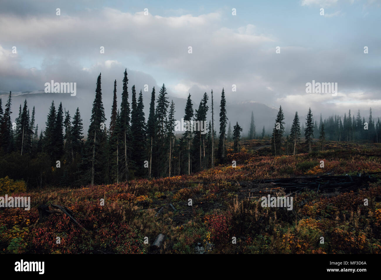 Canada, British Columbia, Kitimat-Stikine A, forest in autumn Stock Photohttps://www.alamy.com/image-license-details/?v=1https://www.alamy.com/canada-british-columbia-kitimat-stikine-a-forest-in-autumn-image181399746.html
RFMF3D6A–Canada, British Columbia, Kitimat-Stikine A, forest in autumn
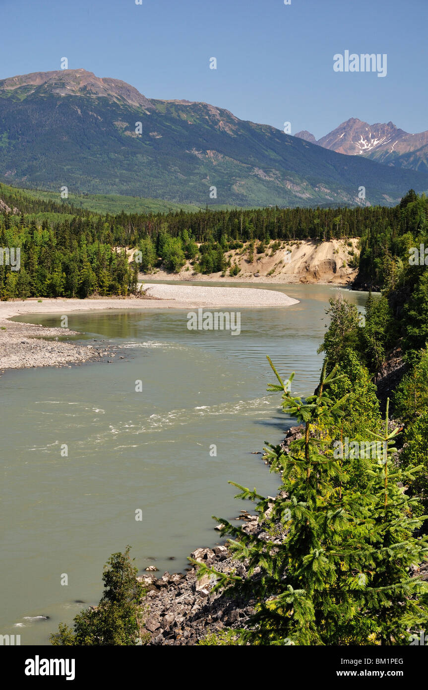 Skeena River and Kitimat Ranges, British Columbia, Canada, North America Stock Photohttps://www.alamy.com/image-license-details/?v=1https://www.alamy.com/stock-photo-skeena-river-and-kitimat-ranges-british-columbia-canada-north-america-29543096.html
RFBM1PEG–Skeena River and Kitimat Ranges, British Columbia, Canada, North America
 Forest reflection Stock Photohttps://www.alamy.com/image-license-details/?v=1https://www.alamy.com/stock-image-forest-reflection-162676995.html
RFKCJG4K–Forest reflection
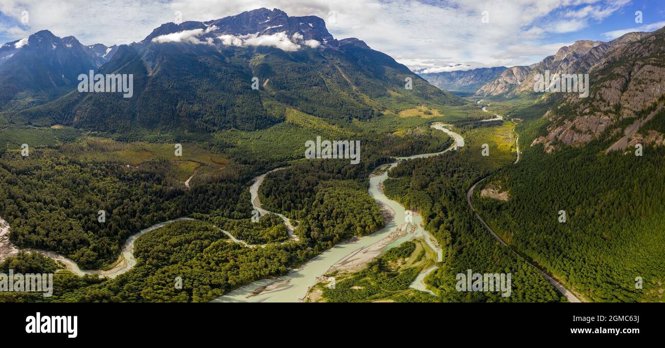 Aerial panorama of the Tweedsmuir (South) Provincial Park with Kitimat Ranges, northern Pacific Ranges, and the Rainbow Range in the background and At Stock Photohttps://www.alamy.com/image-license-details/?v=1https://www.alamy.com/aerial-panorama-of-the-tweedsmuir-south-provincial-park-with-kitimat-ranges-northern-pacific-ranges-and-the-rainbow-range-in-the-background-and-at-image442820550.html
RF2GMC63J–Aerial panorama of the Tweedsmuir (South) Provincial Park with Kitimat Ranges, northern Pacific Ranges, and the Rainbow Range in the background and At
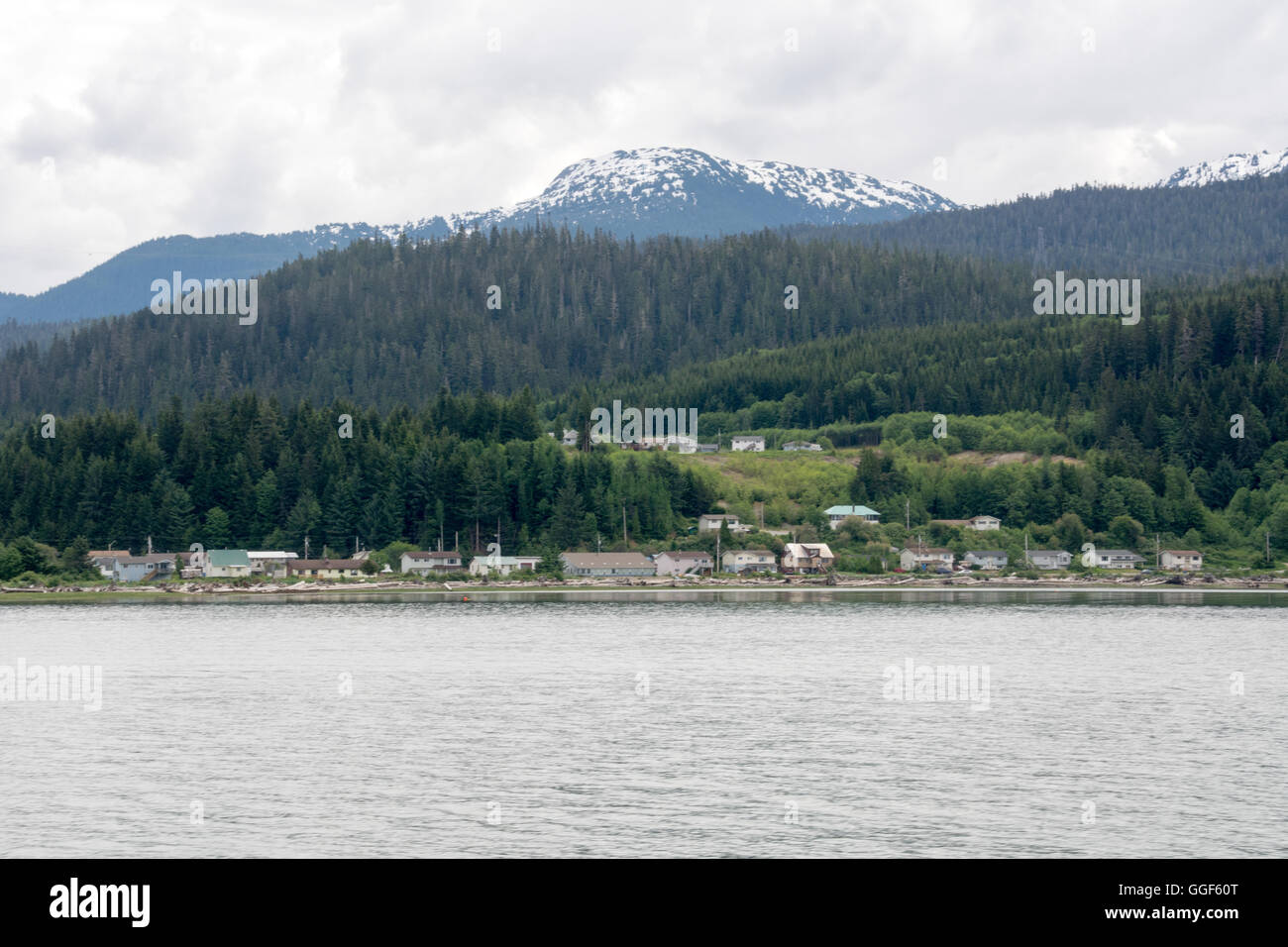 The Haisla First Nation village of Kitamaat on British Columbia's north Pacific coast, Canada. Stock Photohttps://www.alamy.com/image-license-details/?v=1https://www.alamy.com/stock-photo-the-haisla-first-nation-village-of-kitamaat-on-british-columbias-north-113430712.html
RFGGF60T–The Haisla First Nation village of Kitamaat on British Columbia's north Pacific coast, Canada.
 Abandon dock Stock Photohttps://www.alamy.com/image-license-details/?v=1https://www.alamy.com/stock-image-abandon-dock-162658527.html
RFKCHMH3–Abandon dock
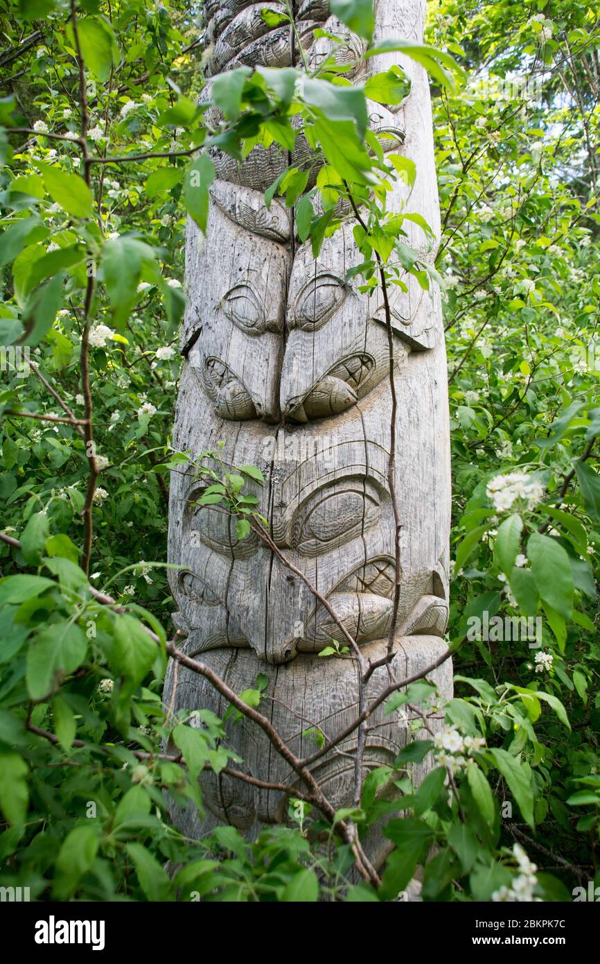 A Haisla First Nation indigenous totem pole depicting seals eating salmon, Kitlope area, north Pacific coast, near Kitimat, British Columbia, Canada. Stock Photohttps://www.alamy.com/image-license-details/?v=1https://www.alamy.com/a-haisla-first-nation-indigenous-totem-pole-depicting-seals-eating-salmon-kitlope-area-north-pacific-coast-near-kitimat-british-columbia-canada-image356383872.html
RF2BKPK7C–A Haisla First Nation indigenous totem pole depicting seals eating salmon, Kitlope area, north Pacific coast, near Kitimat, British Columbia, Canada.
 Moose in lake against trees Stock Photohttps://www.alamy.com/image-license-details/?v=1https://www.alamy.com/stock-photo-moose-in-lake-against-trees-130487734.html
RFHG86C6–Moose in lake against trees
 Scenic view of Grizzly bears (Ursus arctos horribilis) with mountains of the Kitimat range, Khutzeymateen Grizzly Bear Sanctuary, British Columbia, Canada, June 2013. Stock Photohttps://www.alamy.com/image-license-details/?v=1https://www.alamy.com/scenic-view-of-grizzly-bears-ursus-arctos-horribilis-with-mountains-of-the-kitimat-range-khutzeymateen-grizzly-bear-sanctuary-british-columbia-canada-june-2013-image262974974.html
RMW7RF7A–Scenic view of Grizzly bears (Ursus arctos horribilis) with mountains of the Kitimat range, Khutzeymateen Grizzly Bear Sanctuary, British Columbia, Canada, June 2013.
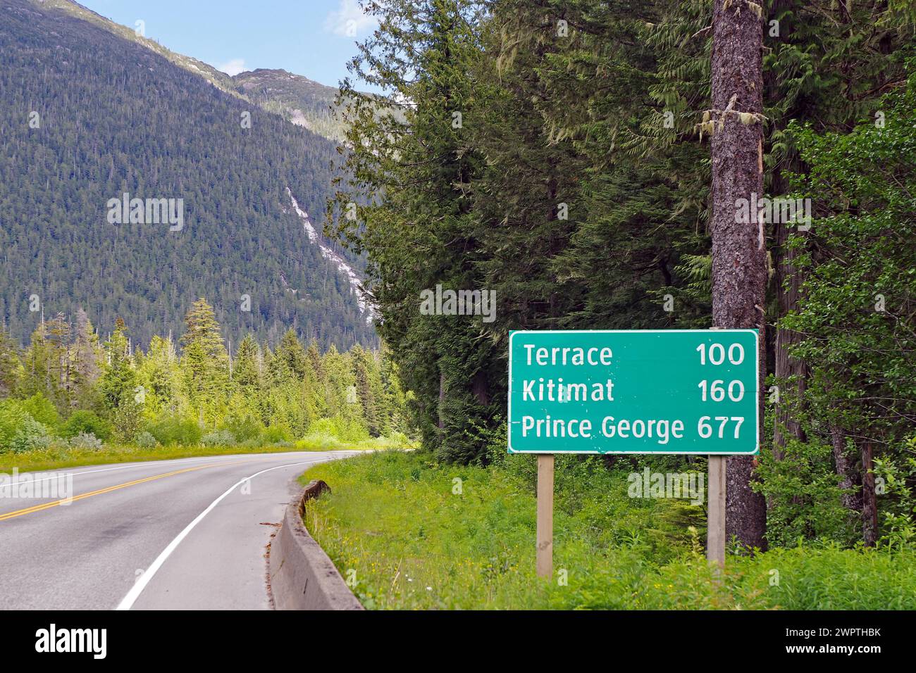 Road sign with distances on the Yellowhead Highway, no traffic, wilderness, Terrace, Kitimat, Prince George, British Columbia, Canada Stock Photohttps://www.alamy.com/image-license-details/?v=1https://www.alamy.com/road-sign-with-distances-on-the-yellowhead-highway-no-traffic-wilderness-terrace-kitimat-prince-george-british-columbia-canada-image599215447.html
RM2WPTHBK–Road sign with distances on the Yellowhead Highway, no traffic, wilderness, Terrace, Kitimat, Prince George, British Columbia, Canada
 Trees reflected in Morcheau Lake in British Columbia, Canada Stock Photohttps://www.alamy.com/image-license-details/?v=1https://www.alamy.com/trees-reflected-in-morcheau-lake-in-british-columbia-canada-image345658905.html
RF2B2A3CW–Trees reflected in Morcheau Lake in British Columbia, Canada
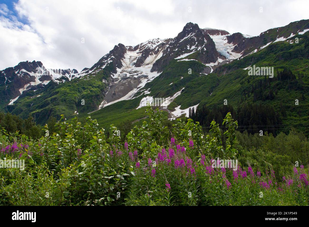 A scenic view of mountains in the Bear Glacier Provincial Park along the 37A route between Meziadin Lake and Stewart, northern BC, Canada Stock Photohttps://www.alamy.com/image-license-details/?v=1https://www.alamy.com/a-scenic-view-of-mountains-in-the-bear-glacier-provincial-park-along-the-37a-route-between-meziadin-lake-and-stewart-northern-bc-canada-image482991945.html
RM2K1P549–A scenic view of mountains in the Bear Glacier Provincial Park along the 37A route between Meziadin Lake and Stewart, northern BC, Canada
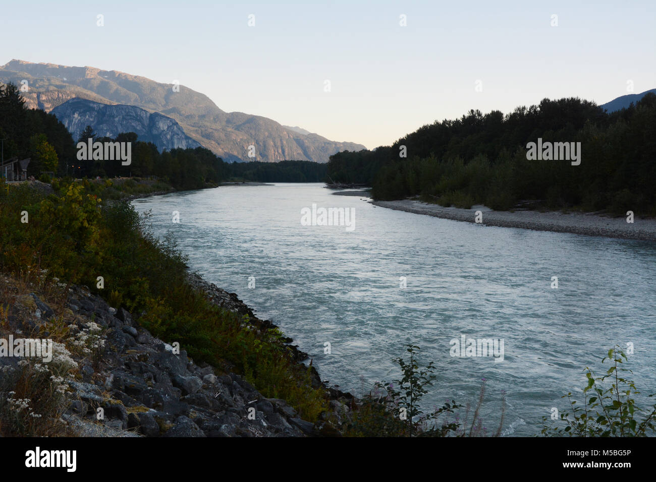 The Skeena River at dusk, running west of the city of Terrace, in Northern British Columbia, Canada. Stock Photohttps://www.alamy.com/image-license-details/?v=1https://www.alamy.com/stock-photo-the-skeena-river-at-dusk-running-west-of-the-city-of-terrace-in-northern-175431138.html
RFM5BG5P–The Skeena River at dusk, running west of the city of Terrace, in Northern British Columbia, Canada.
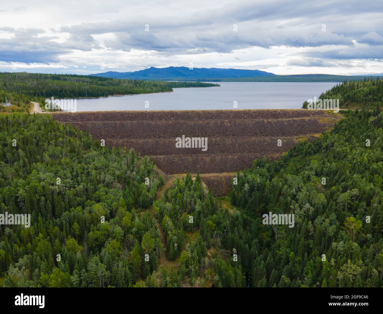 Kenny Dam in the Nechako reservoir and the now dry Nechako Canyon. Stock Photohttps://www.alamy.com/image-license-details/?v=1https://www.alamy.com/kenny-dam-in-the-nechako-reservoir-and-the-now-dry-nechako-canyon-image439686134.html
RF2GF9C46–Kenny Dam in the Nechako reservoir and the now dry Nechako Canyon.
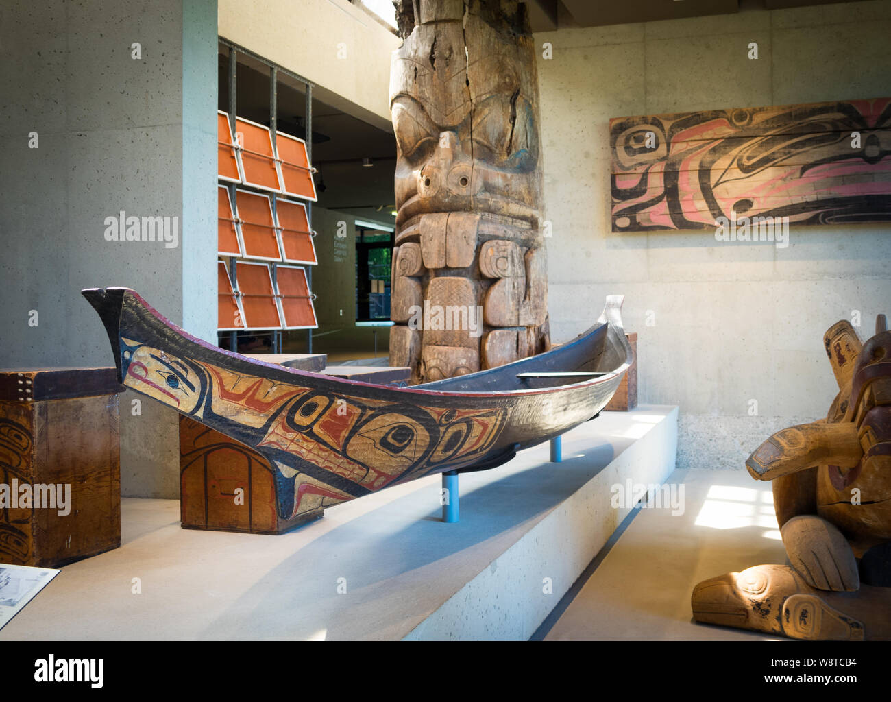 A Haisla (Kitimaat) canoe in the University of British Columbia Museum of Anthropology (UBC Anthropology Museum) in Vancouver, British Columbia Canada Stock Photohttps://www.alamy.com/image-license-details/?v=1https://www.alamy.com/a-haisla-kitimaat-canoe-in-the-university-of-british-columbia-museum-of-anthropology-ubc-anthropology-museum-in-vancouver-british-columbia-canada-image263609336.html
RMW8TCB4–A Haisla (Kitimaat) canoe in the University of British Columbia Museum of Anthropology (UBC Anthropology Museum) in Vancouver, British Columbia Canada
 Person holding smartphone with logo of industrial energy project LNG Canada on screen in front of website. Focus on phone display. Stock Photohttps://www.alamy.com/image-license-details/?v=1https://www.alamy.com/person-holding-smartphone-with-logo-of-industrial-energy-project-lng-canada-on-screen-in-front-of-website-focus-on-phone-display-image559441710.html
RF2RE4NH2–Person holding smartphone with logo of industrial energy project LNG Canada on screen in front of website. Focus on phone display.
 A fly fisherman hooked into a salmon on the Kitimat River, in British Columbia, Canada Stock Photohttps://www.alamy.com/image-license-details/?v=1https://www.alamy.com/a-fly-fisherman-hooked-into-a-salmon-on-the-kitimat-river-in-british-columbia-canada-image370587325.html
RF2CEWKWH–A fly fisherman hooked into a salmon on the Kitimat River, in British Columbia, Canada
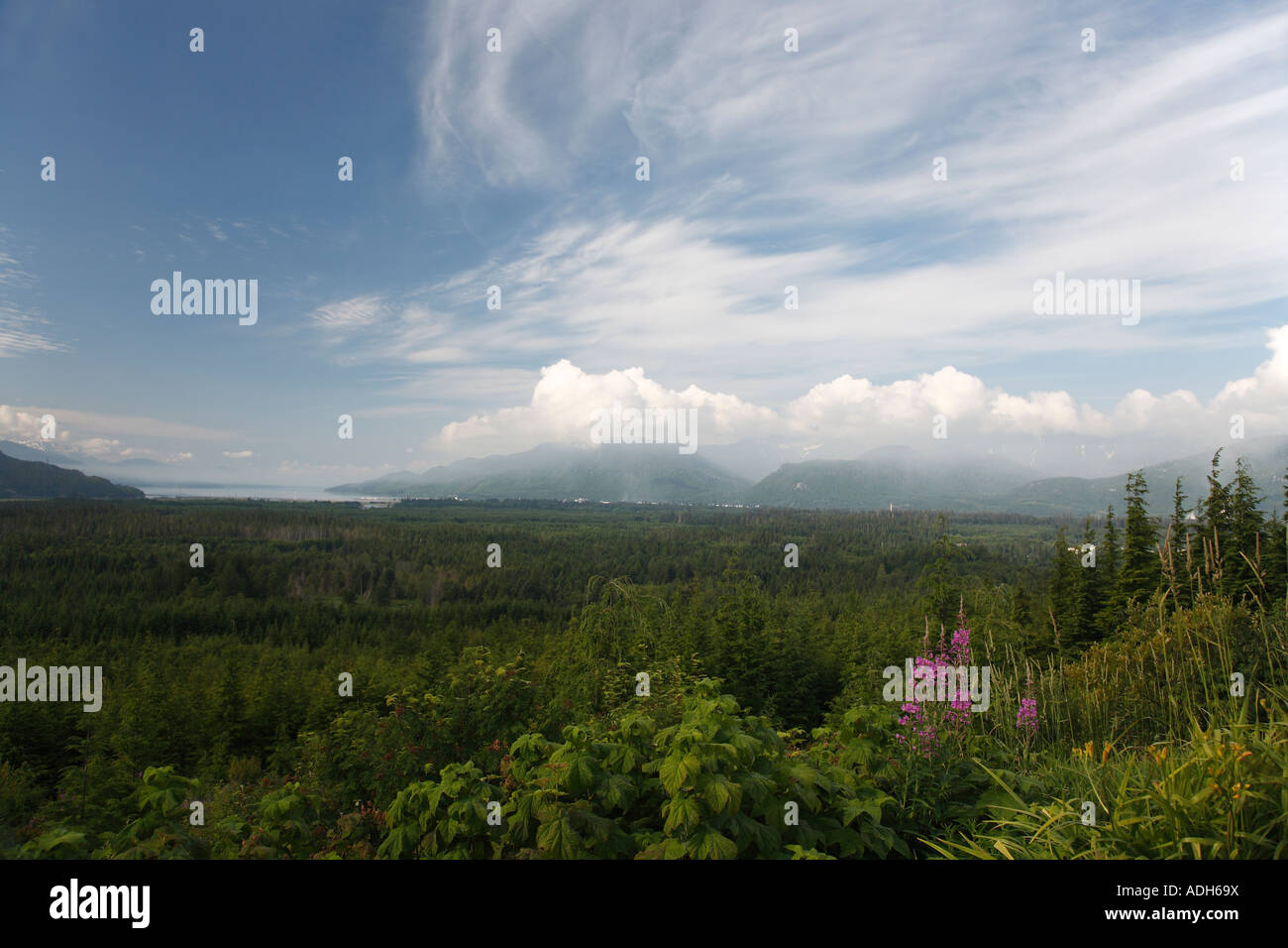 View towards Douglas Channel from lookout in Kitimat British Columbia Stock Photohttps://www.alamy.com/image-license-details/?v=1https://www.alamy.com/stock-photo-view-towards-douglas-channel-from-lookout-in-kitimat-british-columbia-13421077.html
RMADH69X–View towards Douglas Channel from lookout in Kitimat British Columbia
 A Canadian Beaver dragging a branch through the water to its dam, Kitimat River, British Columbia, Canada Stock Photohttps://www.alamy.com/image-license-details/?v=1https://www.alamy.com/a-canadian-beaver-dragging-a-branch-through-the-water-to-its-dam-kitimat-river-british-columbia-canada-image367676329.html
RF2CA52WD–A Canadian Beaver dragging a branch through the water to its dam, Kitimat River, British Columbia, Canada
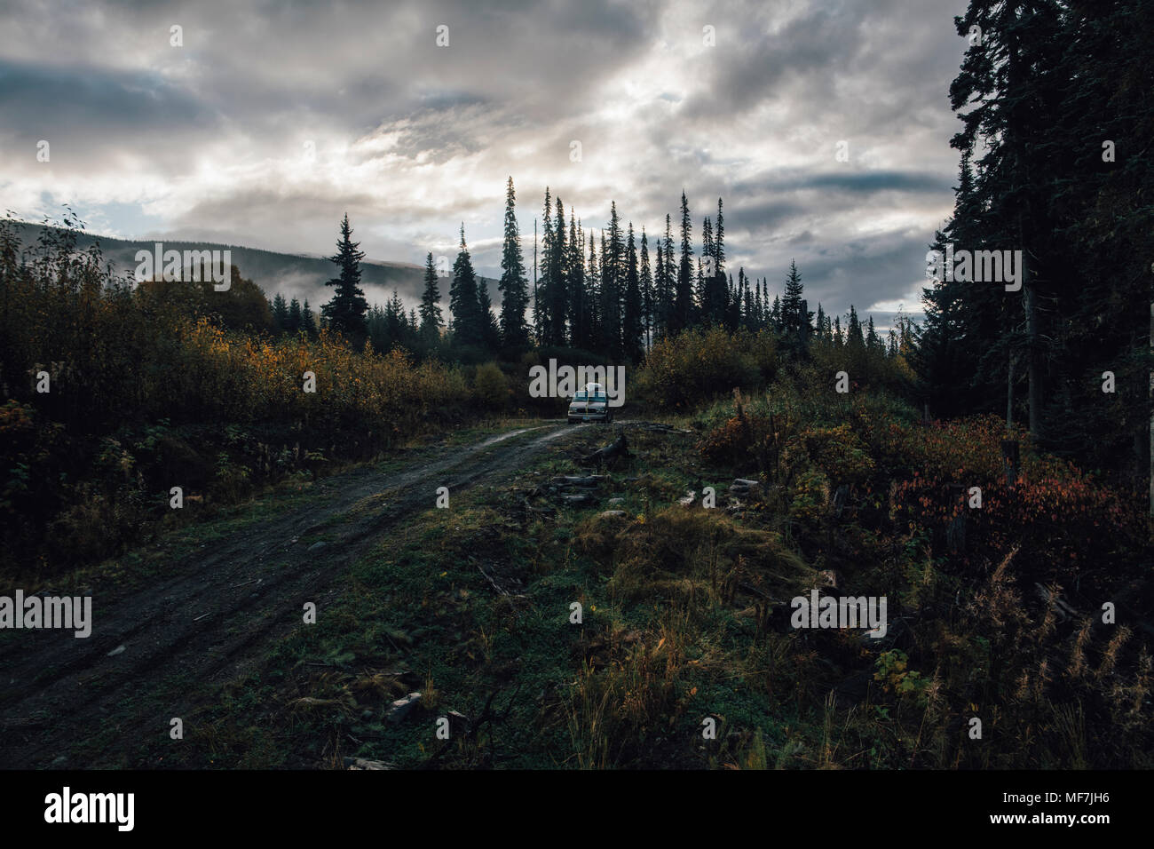 Canada, British Columbia, Kitimat-Stikine A, Highway 37, van Stock Photohttps://www.alamy.com/image-license-details/?v=1https://www.alamy.com/canada-british-columbia-kitimat-stikine-a-highway-37-van-image181491778.html
RFMF7JH6–Canada, British Columbia, Kitimat-Stikine A, Highway 37, van
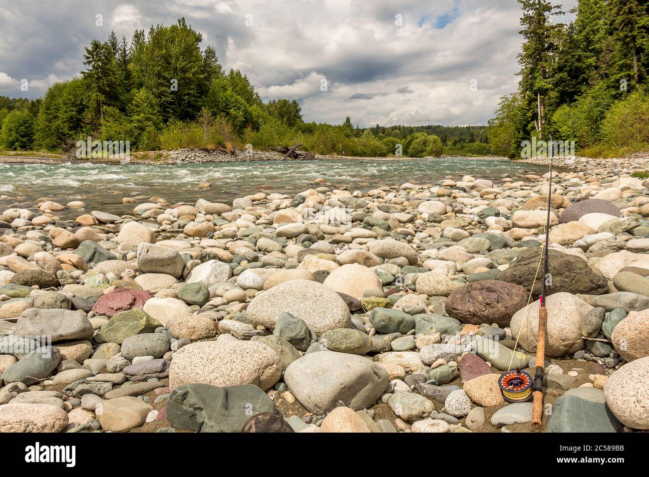 Fly rod resting on boulders beside the fast flowing Kitimat river in British Columbia, Canada. Stock Photohttps://www.alamy.com/image-license-details/?v=1https://www.alamy.com/fly-rod-resting-on-boulders-beside-the-fast-flowing-kitimat-river-in-british-columbia-canada-image364673999.html
RF2C589BB–Fly rod resting on boulders beside the fast flowing Kitimat river in British Columbia, Canada.
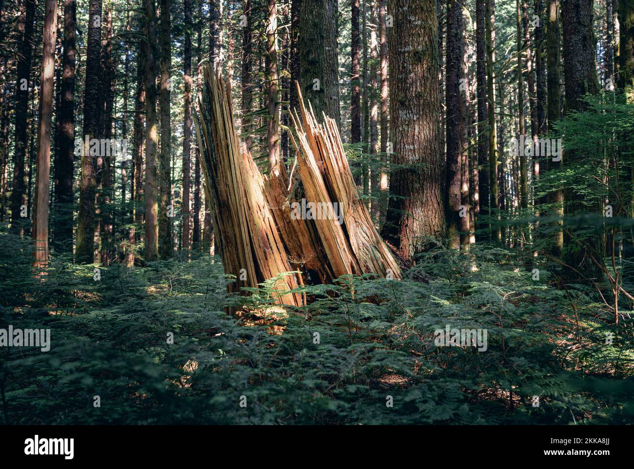 A shaft of sunlight falls across a stump in a forest Stock Photohttps://www.alamy.com/image-license-details/?v=1https://www.alamy.com/a-shaft-of-sunlight-falls-across-a-stump-in-a-forest-image493795082.html
RF2KKA8JJ–A shaft of sunlight falls across a stump in a forest
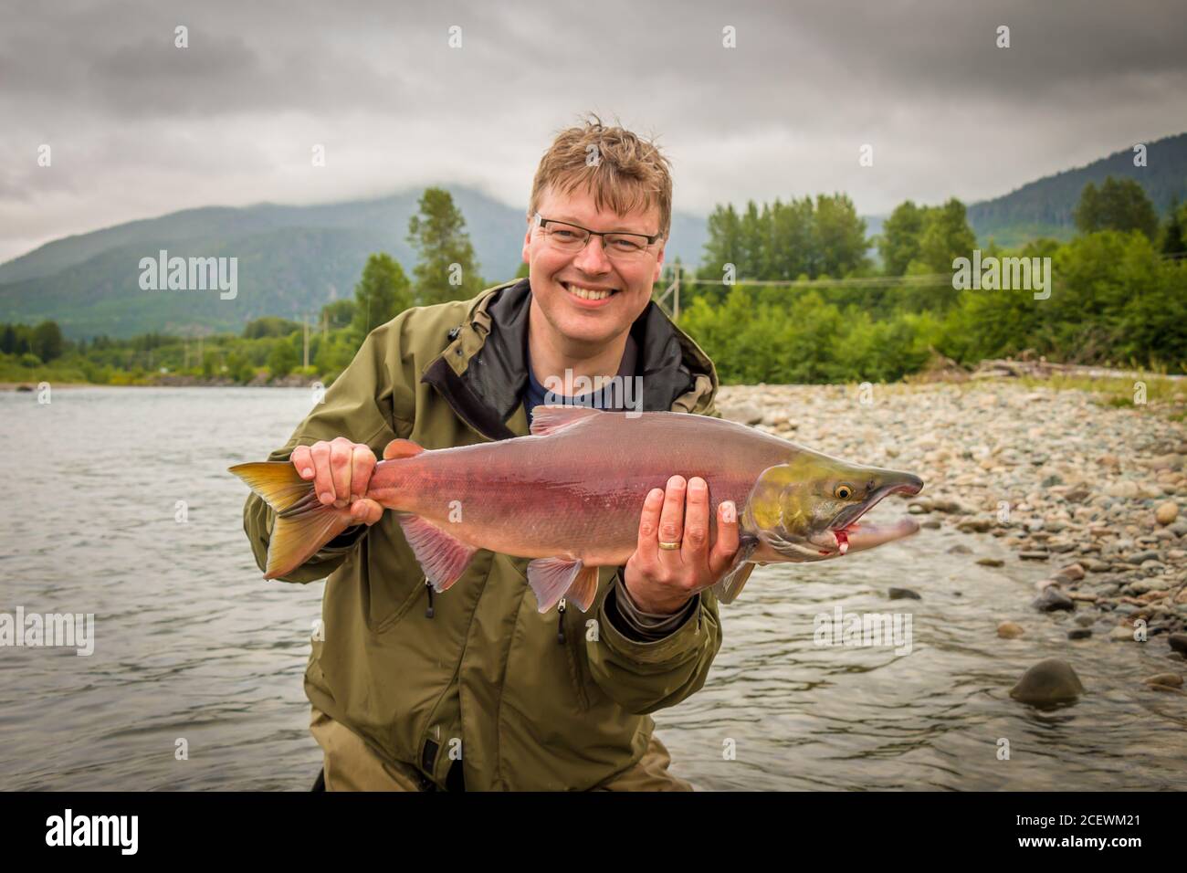 A happy fisherman holding up a red sockeye salmon, caught on the kitimat river, British Columbia, Canada Stock Photohttps://www.alamy.com/image-license-details/?v=1https://www.alamy.com/a-happy-fisherman-holding-up-a-red-sockeye-salmon-caught-on-the-kitimat-river-british-columbia-canada-image370587449.html
RF2CEWM21–A happy fisherman holding up a red sockeye salmon, caught on the kitimat river, British Columbia, Canada
 man fishing on the Dean River, British Columbia, Canada Stock Photohttps://www.alamy.com/image-license-details/?v=1https://www.alamy.com/stock-photo-man-fishing-on-the-dean-river-british-columbia-canada-70016713.html
RME1WF0W–man fishing on the Dean River, British Columbia, Canada
 3D Flag of Terrace (British Columbia), Canada. 3D Illustration. Stock Photohttps://www.alamy.com/image-license-details/?v=1https://www.alamy.com/3d-flag-of-terrace-british-columbia-canada-3d-illustration-image264668314.html
RFWAGK3P–3D Flag of Terrace (British Columbia), Canada. 3D Illustration.
 Steelhead Fishing, Dean River Stock Photohttps://www.alamy.com/image-license-details/?v=1https://www.alamy.com/stock-photo-steelhead-fishing-dean-river-70016712.html
RME1WF0T–Steelhead Fishing, Dean River
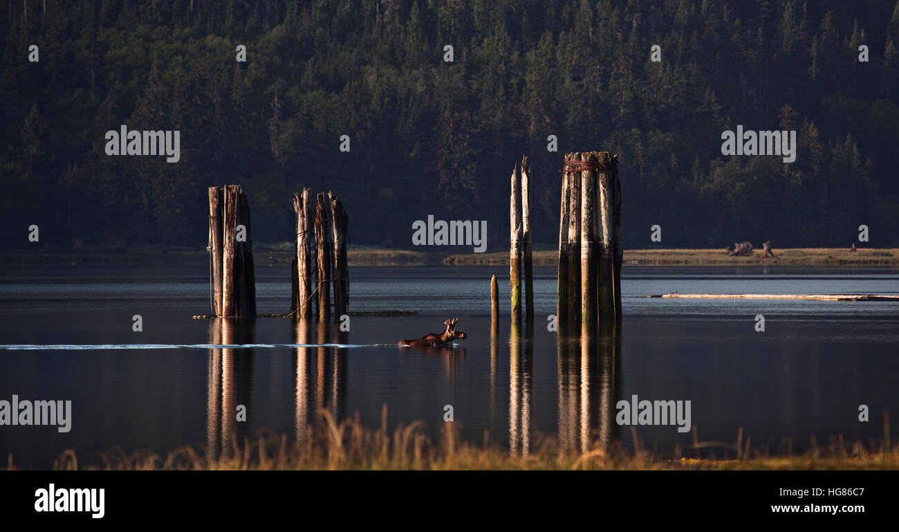 Moose in lake against trees during sunset Stock Photohttps://www.alamy.com/image-license-details/?v=1https://www.alamy.com/stock-photo-moose-in-lake-against-trees-during-sunset-130487735.html
RFHG86C7–Moose in lake against trees during sunset
 BRITISH COLUMBIA, CANADA - JUNE 04, 2019: Camper van parked near the Duffey Lake in the British Columbia, Canada Stock Photohttps://www.alamy.com/image-license-details/?v=1https://www.alamy.com/british-columbia-canada-june-04-2019-camper-van-parked-near-the-duffey-lake-in-the-british-columbia-canada-image472798194.html
RF2JD5PWP–BRITISH COLUMBIA, CANADA - JUNE 04, 2019: Camper van parked near the Duffey Lake in the British Columbia, Canada
 Close-up of western skunk cabbage (Lysichiton americanus) along the trail into Lakelse Provincial Park Stock Photohttps://www.alamy.com/image-license-details/?v=1https://www.alamy.com/close-up-of-western-skunk-cabbage-lysichiton-americanus-along-the-trail-into-lakelse-provincial-park-image597875209.html
RF2WMKFX1–Close-up of western skunk cabbage (Lysichiton americanus) along the trail into Lakelse Provincial Park
 Lily pads on the distant shore of Morcheau Lake in British Columbia, Canada Stock Photohttps://www.alamy.com/image-license-details/?v=1https://www.alamy.com/lily-pads-on-the-distant-shore-of-morcheau-lake-in-british-columbia-canada-image345658911.html
RF2B2A3D3–Lily pads on the distant shore of Morcheau Lake in British Columbia, Canada
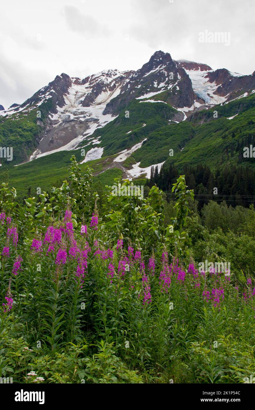 A scenic view of mountains in the Bear Glacier Provincial Park along the 37A route between Meziadin Lake and Stewart, northern BC, Canada Stock Photohttps://www.alamy.com/image-license-details/?v=1https://www.alamy.com/a-scenic-view-of-mountains-in-the-bear-glacier-provincial-park-along-the-37a-route-between-meziadin-lake-and-stewart-northern-bc-canada-image482991948.html
RM2K1P54C–A scenic view of mountains in the Bear Glacier Provincial Park along the 37A route between Meziadin Lake and Stewart, northern BC, Canada
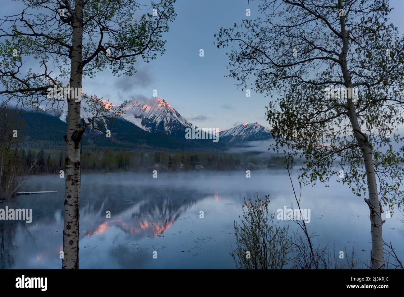 Rugged peak of Hudson Bay Mountain covered in snow with mist rising off the lake in the foreground at sunrise; Smithers, British Columbia, Canada Stock Photohttps://www.alamy.com/image-license-details/?v=1https://www.alamy.com/rugged-peak-of-hudson-bay-mountain-covered-in-snow-with-mist-rising-off-the-lake-in-the-foreground-at-sunrise-smithers-british-columbia-canada-image466959540.html
RF2J3KRJC–Rugged peak of Hudson Bay Mountain covered in snow with mist rising off the lake in the foreground at sunrise; Smithers, British Columbia, Canada
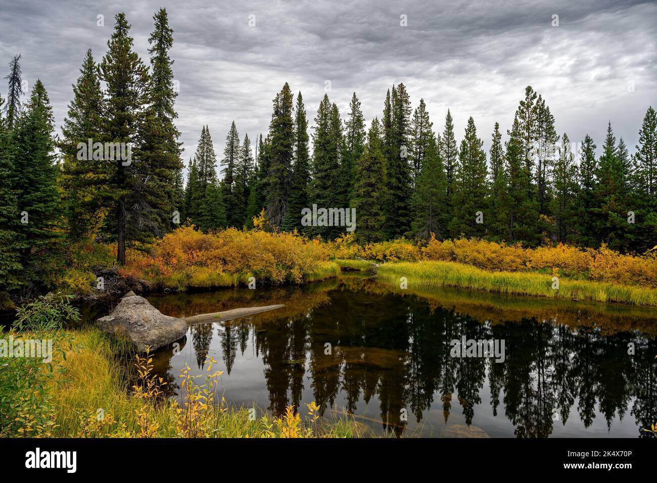 Fall foliage by the Green River in Tweedsmuir South Provincial Park, British Columbia, Canada Stock Photohttps://www.alamy.com/image-license-details/?v=1https://www.alamy.com/fall-foliage-by-the-green-river-in-tweedsmuir-south-provincial-park-british-columbia-canada-image484925190.html
RF2K4X70P–Fall foliage by the Green River in Tweedsmuir South Provincial Park, British Columbia, Canada
RF2D5D14G–Picturesque view vom the ferry of the Inside Passage of the partly snow-covered mountains. In the foreground a beacon of as small island.
 Person holding mobile phone with logo of industrial energy project LNG Canada on screen in front of web page. Focus on phone display. Stock Photohttps://www.alamy.com/image-license-details/?v=1https://www.alamy.com/person-holding-mobile-phone-with-logo-of-industrial-energy-project-lng-canada-on-screen-in-front-of-web-page-focus-on-phone-display-image559441721.html
RF2RE4NHD–Person holding mobile phone with logo of industrial energy project LNG Canada on screen in front of web page. Focus on phone display.
 Fallen tree trunk on field at lakeshore against cloudy sky Stock Photohttps://www.alamy.com/image-license-details/?v=1https://www.alamy.com/stock-photo-fallen-tree-trunk-on-field-at-lakeshore-against-cloudy-sky-130490954.html
RFHG8AF6–Fallen tree trunk on field at lakeshore against cloudy sky
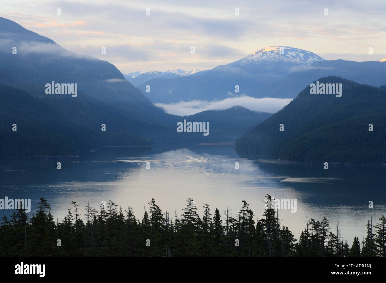 View of Douglas Channel from Bish Creek Forest Service road Kitimat British Columbia Stock Photohttps://www.alamy.com/image-license-details/?v=1https://www.alamy.com/stock-photo-view-of-douglas-channel-from-bish-creek-forest-service-road-kitimat-13475981.html
RMADR1NJ–View of Douglas Channel from Bish Creek Forest Service road Kitimat British Columbia
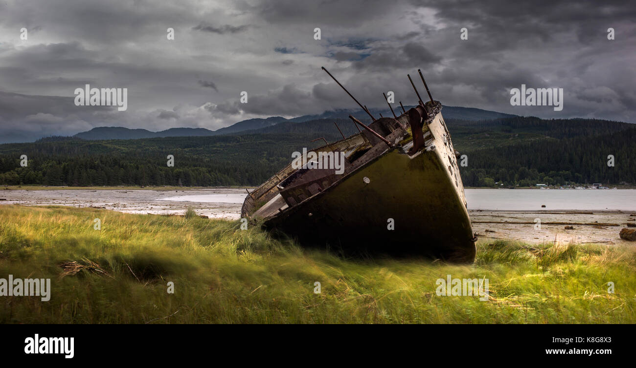 Stranded boat at lakeshore on grassy field against stormy clouds Stock Photohttps://www.alamy.com/image-license-details/?v=1https://www.alamy.com/stock-image-stranded-boat-at-lakeshore-on-grassy-field-against-stormy-clouds-160168795.html
RFK8G8X3–Stranded boat at lakeshore on grassy field against stormy clouds
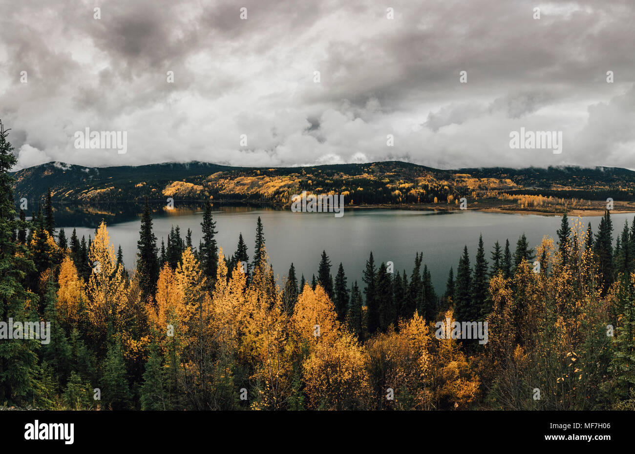 Canada, British Columbia, Kitimat-Stikine A, view from Highway 37, lake in autumn Stock Photohttps://www.alamy.com/image-license-details/?v=1https://www.alamy.com/canada-british-columbia-kitimat-stikine-a-view-from-highway-37-lake-in-autumn-image181490518.html
RFMF7H06–Canada, British Columbia, Kitimat-Stikine A, view from Highway 37, lake in autumn
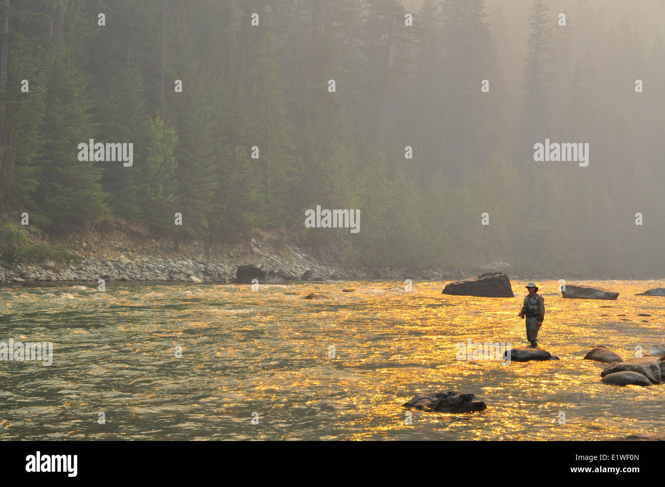 Dean River Forest Fire Stock Photohttps://www.alamy.com/image-license-details/?v=1https://www.alamy.com/stock-photo-dean-river-forest-fire-70016709.html
RME1WF0N–Dean River Forest Fire
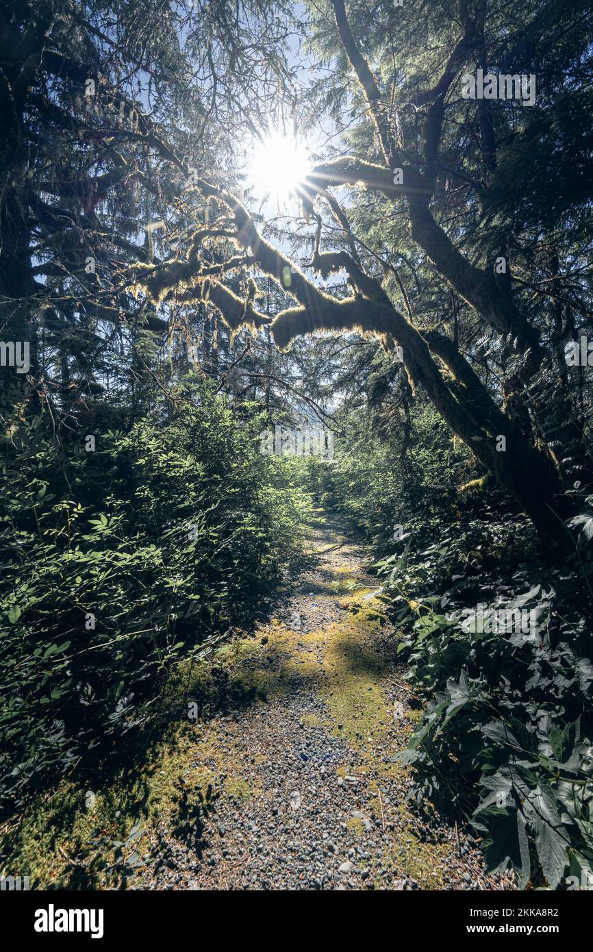 Sun filters through the forest canopy of a hiking trail Stock Photohttps://www.alamy.com/image-license-details/?v=1https://www.alamy.com/sun-filters-through-the-forest-canopy-of-a-hiking-trail-image493795206.html
RF2KKA8R2–Sun filters through the forest canopy of a hiking trail
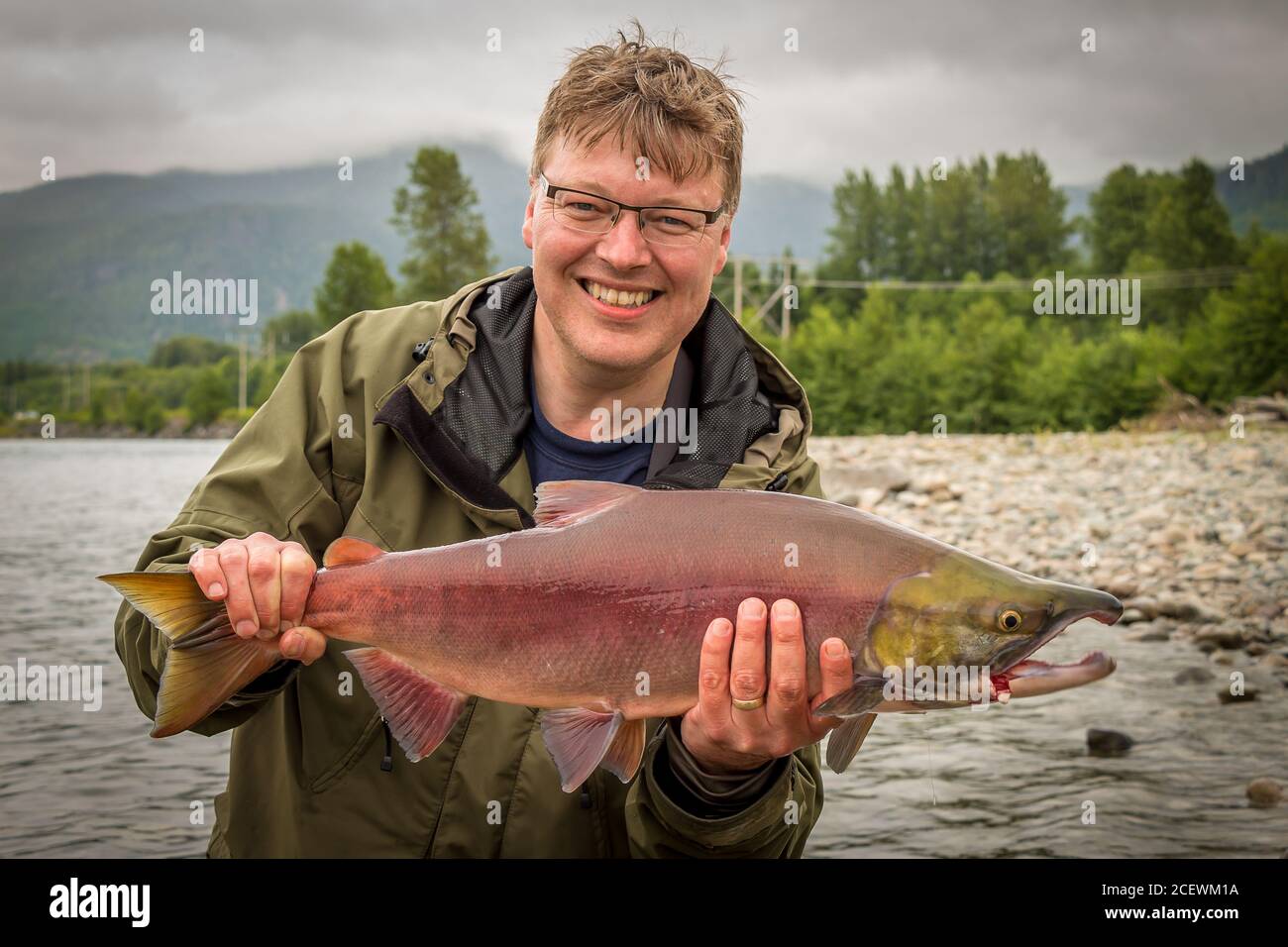 A happy fisherman holding up a red sockeye salmon, caught on the kitimat river, British Columbia, Canada Stock Photohttps://www.alamy.com/image-license-details/?v=1https://www.alamy.com/a-happy-fisherman-holding-up-a-red-sockeye-salmon-caught-on-the-kitimat-river-british-columbia-canada-image370587430.html
RF2CEWM1A–A happy fisherman holding up a red sockeye salmon, caught on the kitimat river, British Columbia, Canada
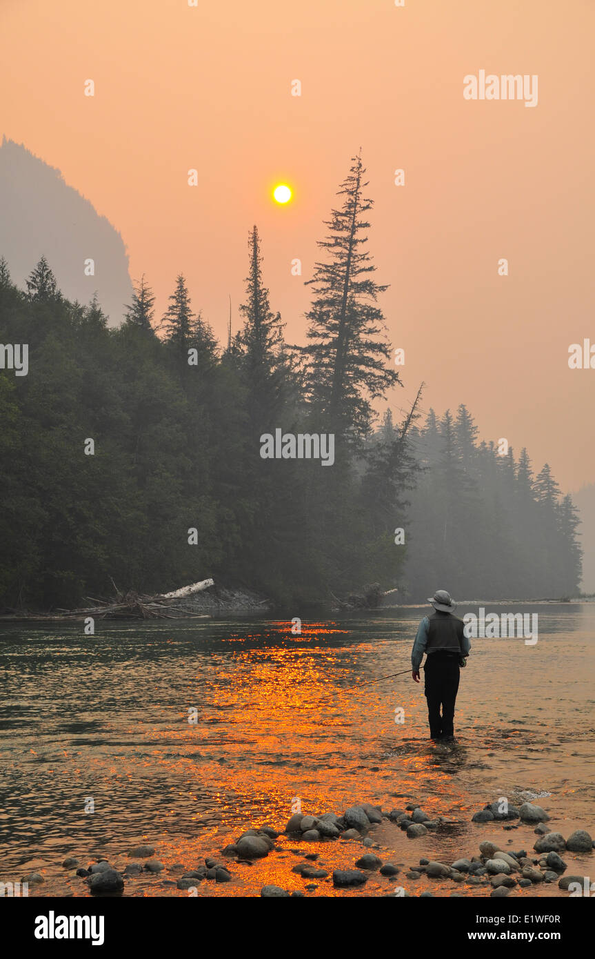 Dean River Forest Fire Stock Photohttps://www.alamy.com/image-license-details/?v=1https://www.alamy.com/stock-photo-dean-river-forest-fire-70016711.html
RME1WF0R–Dean River Forest Fire
 A fly fisherman fishing the fast flowing, green glacial Kitimat River, in North West British Columbia, Canada. Stock Photohttps://www.alamy.com/image-license-details/?v=1https://www.alamy.com/a-fly-fisherman-fishing-the-fast-flowing-green-glacial-kitimat-river-in-north-west-british-columbia-canada-image370587339.html
RF2CEWKX3–A fly fisherman fishing the fast flowing, green glacial Kitimat River, in North West British Columbia, Canada.
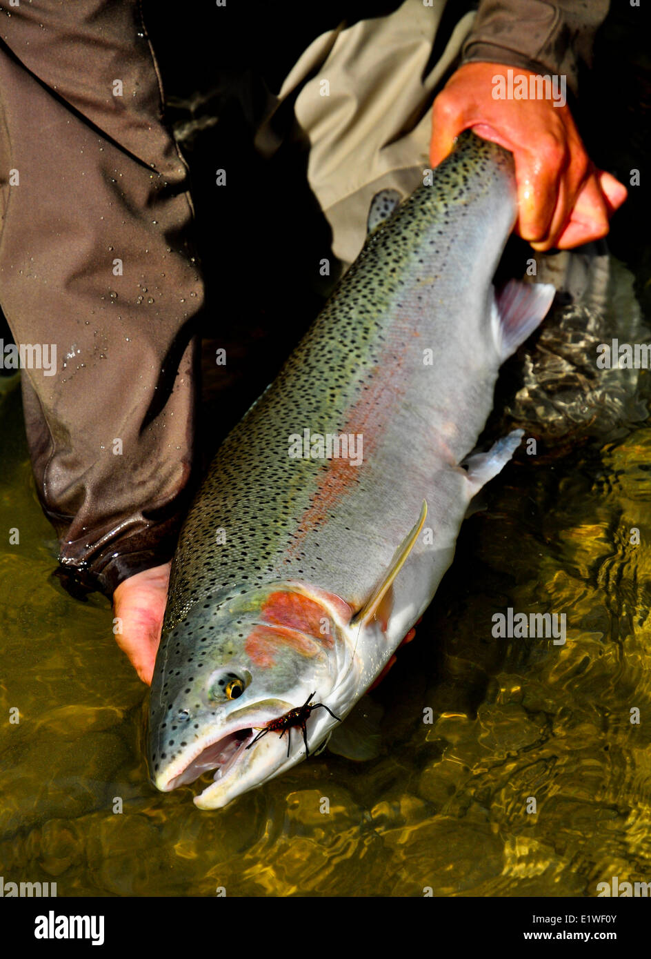 Dean River Summer Run Stonefly Nymph Stock Photohttps://www.alamy.com/image-license-details/?v=1https://www.alamy.com/stock-photo-dean-river-summer-run-stonefly-nymph-70016715.html
RME1WF0Y–Dean River Summer Run Stonefly Nymph
 Last Frontier Heliskiing in Northern BC, Canada Februar 2016 Stock Photohttps://www.alamy.com/image-license-details/?v=1https://www.alamy.com/stock-photo-last-frontier-heliskiing-in-northern-bc-canada-februar-2016-98555499.html
RMFM9GF7–Last Frontier Heliskiing in Northern BC, Canada Februar 2016
 Dean River Steelhead, Oncorhynchus mykiss, British Columbia, Canada Stock Photohttps://www.alamy.com/image-license-details/?v=1https://www.alamy.com/stock-photo-dean-river-steelhead-oncorhynchus-mykiss-british-columbia-canada-70019100.html
RME1WJ24–Dean River Steelhead, Oncorhynchus mykiss, British Columbia, Canada
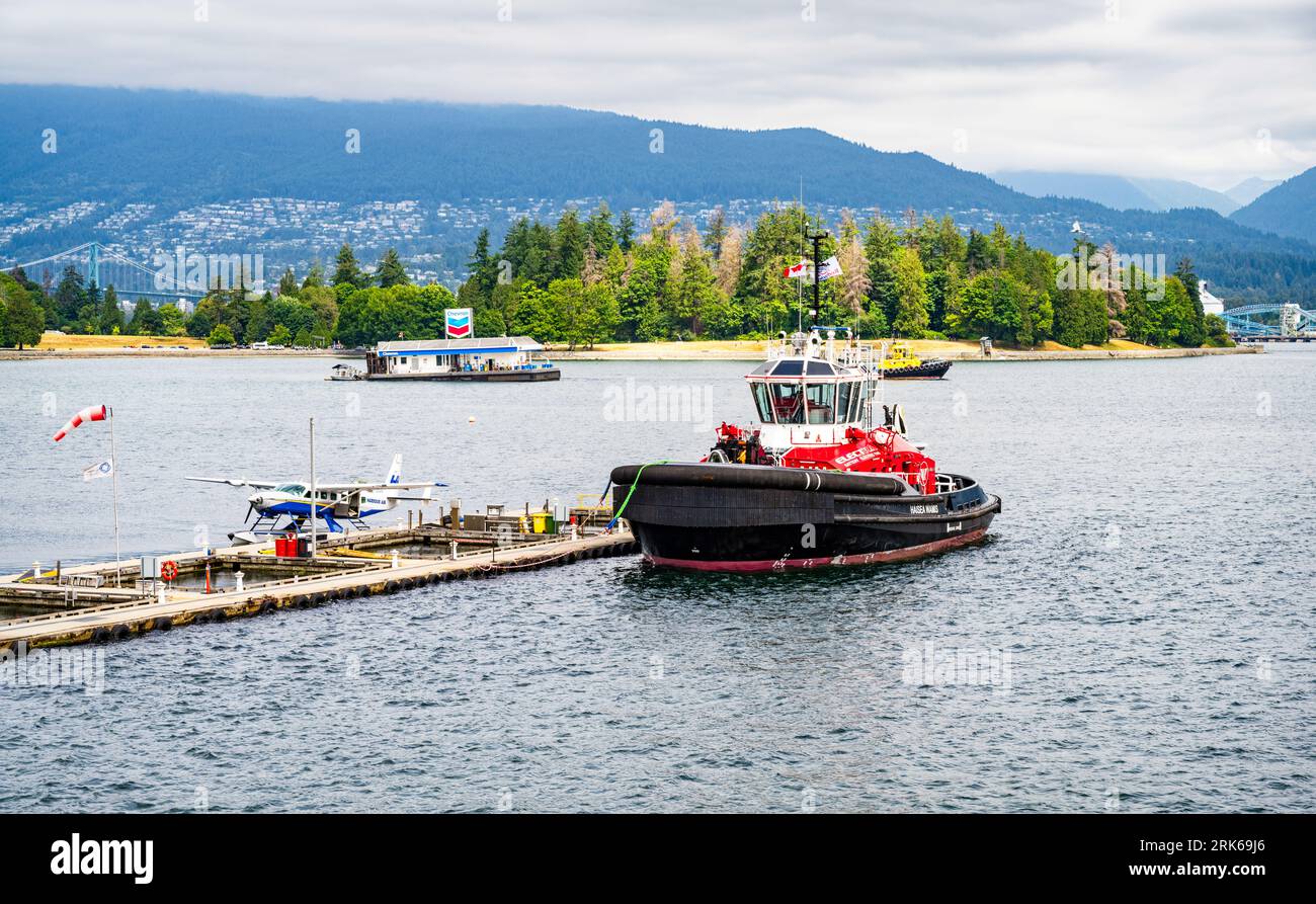 Haisea Wamis is the world's first fully electric tugboat, here seen at Vancouver Harbour Flight Centre, BC, Canada. Stock Photohttps://www.alamy.com/image-license-details/?v=1https://www.alamy.com/haisea-wamis-is-the-worlds-first-fully-electric-tugboat-here-seen-at-vancouver-harbour-flight-centre-bc-canada-image562549518.html
RM2RK69J6–Haisea Wamis is the world's first fully electric tugboat, here seen at Vancouver Harbour Flight Centre, BC, Canada.
 Dean River Steelhead, Oncorhynchus mykiss, British Columbia, Canada Stock Photohttps://www.alamy.com/image-license-details/?v=1https://www.alamy.com/stock-photo-dean-river-steelhead-oncorhynchus-mykiss-british-columbia-canada-70016710.html
RME1WF0P–Dean River Steelhead, Oncorhynchus mykiss, British Columbia, Canada
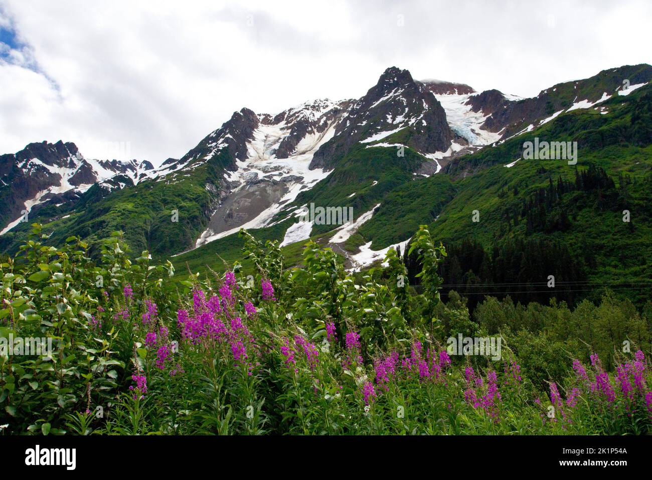 A scenic view of mountains in the Bear Glacier Provincial Park along the 37A route between Meziadin Lake and Stewart, northern BC, Canada Stock Photohttps://www.alamy.com/image-license-details/?v=1https://www.alamy.com/a-scenic-view-of-mountains-in-the-bear-glacier-provincial-park-along-the-37a-route-between-meziadin-lake-and-stewart-northern-bc-canada-image482991946.html
RM2K1P54A–A scenic view of mountains in the Bear Glacier Provincial Park along the 37A route between Meziadin Lake and Stewart, northern BC, Canada
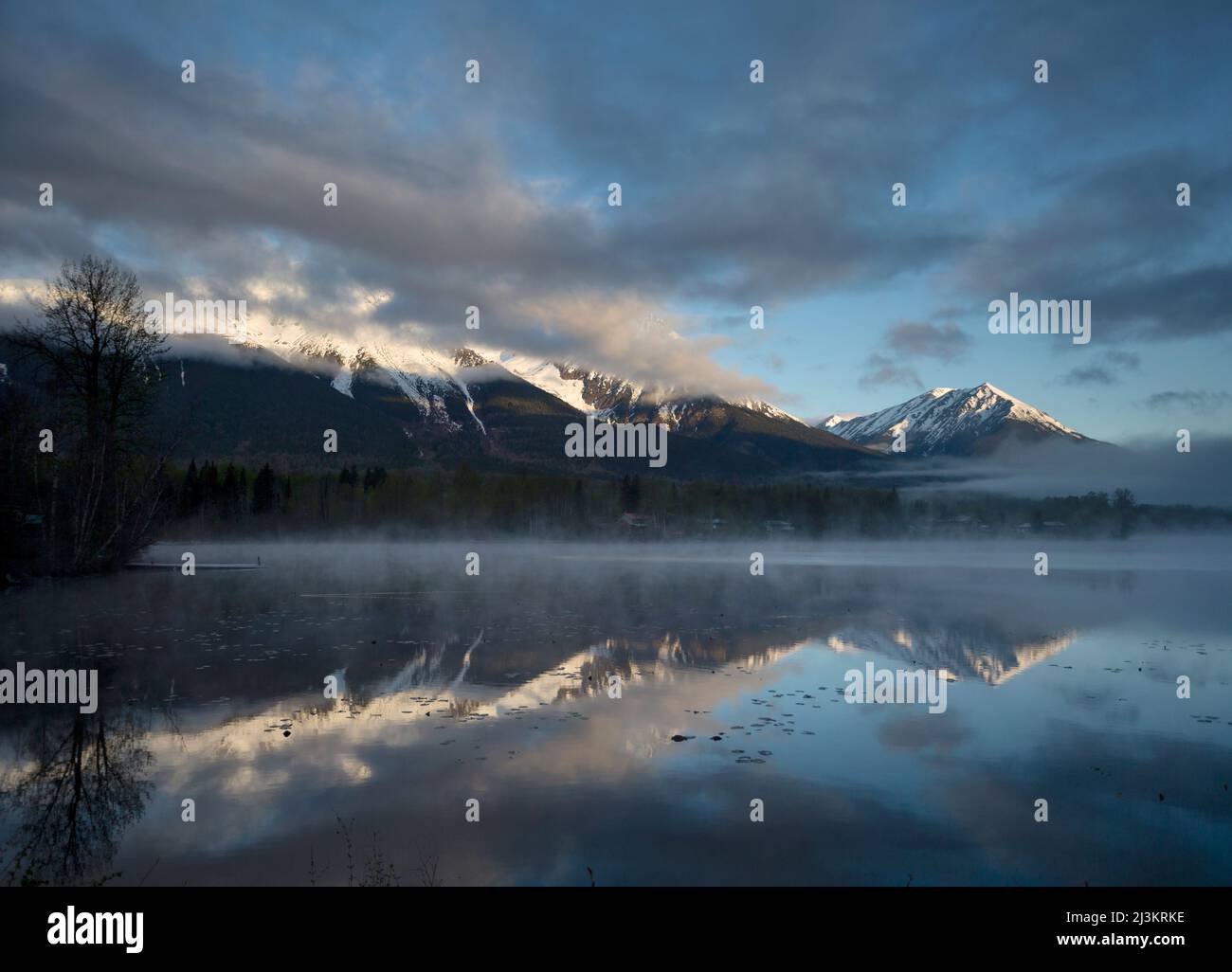 Rugged peak of Hudson Bay Mountain covered in snow with mist rising off the lake in the foreground at sunrise; Smithers, British Columbia, Canada Stock Photohttps://www.alamy.com/image-license-details/?v=1https://www.alamy.com/rugged-peak-of-hudson-bay-mountain-covered-in-snow-with-mist-rising-off-the-lake-in-the-foreground-at-sunrise-smithers-british-columbia-canada-image466959570.html
RF2J3KRKE–Rugged peak of Hudson Bay Mountain covered in snow with mist rising off the lake in the foreground at sunrise; Smithers, British Columbia, Canada
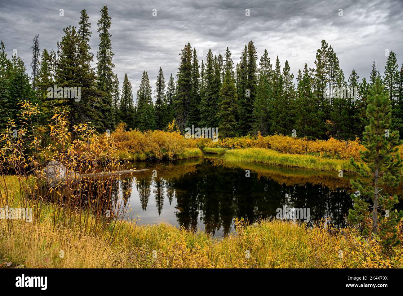 Fall foliage by the Green River in Tweedsmuir South Provincial Park, British Columbia, Canada Stock Photohttps://www.alamy.com/image-license-details/?v=1https://www.alamy.com/fall-foliage-by-the-green-river-in-tweedsmuir-south-provincial-park-british-columbia-canada-image484925194.html
RF2K4X70X–Fall foliage by the Green River in Tweedsmuir South Provincial Park, British Columbia, Canada
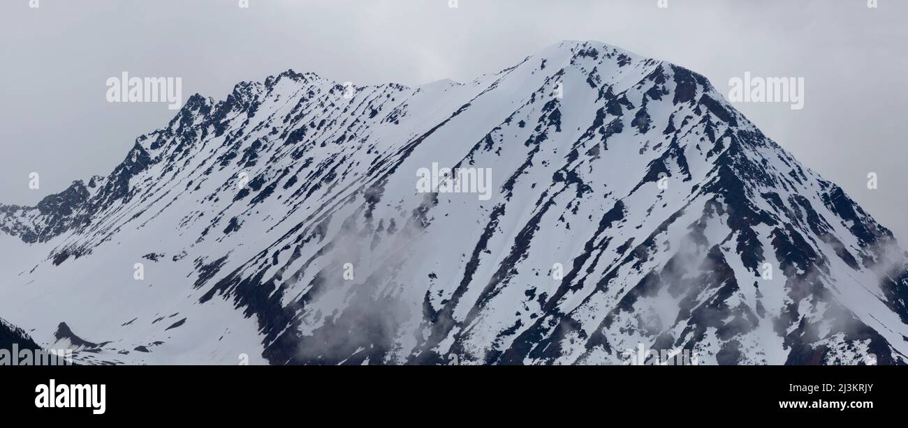 Rugged peak of Hudson Bay Mountain covered in snow; Smithers, British Columbia, Canada Stock Photohttps://www.alamy.com/image-license-details/?v=1https://www.alamy.com/rugged-peak-of-hudson-bay-mountain-covered-in-snow-smithers-british-columbia-canada-image466959555.html
RF2J3KRJY–Rugged peak of Hudson Bay Mountain covered in snow; Smithers, British Columbia, Canada
 Person holding cellphone with website of industrial energy project LNG Canada on screen in front of logo. Focus on center of phone display. Stock Photohttps://www.alamy.com/image-license-details/?v=1https://www.alamy.com/person-holding-cellphone-with-website-of-industrial-energy-project-lng-canada-on-screen-in-front-of-logo-focus-on-center-of-phone-display-image559441768.html
RF2RE4NK4–Person holding cellphone with website of industrial energy project LNG Canada on screen in front of logo. Focus on center of phone display.
 An exotic dancer entertains at the Kitimat Night Club, locally known as the Zoo. The town of Kitimat is experiencing a boom thanks to the huge construction sites where new LNG shipping ports are built. Stock Photohttps://www.alamy.com/image-license-details/?v=1https://www.alamy.com/an-exotic-dancer-entertains-at-the-kitimat-night-club-locally-known-as-the-zoo-the-town-of-kitimat-is-experiencing-a-boom-thanks-to-the-huge-construction-sites-where-new-lng-shipping-ports-are-built-image244404127.html
RMT5HFXR–An exotic dancer entertains at the Kitimat Night Club, locally known as the Zoo. The town of Kitimat is experiencing a boom thanks to the huge construction sites where new LNG shipping ports are built.
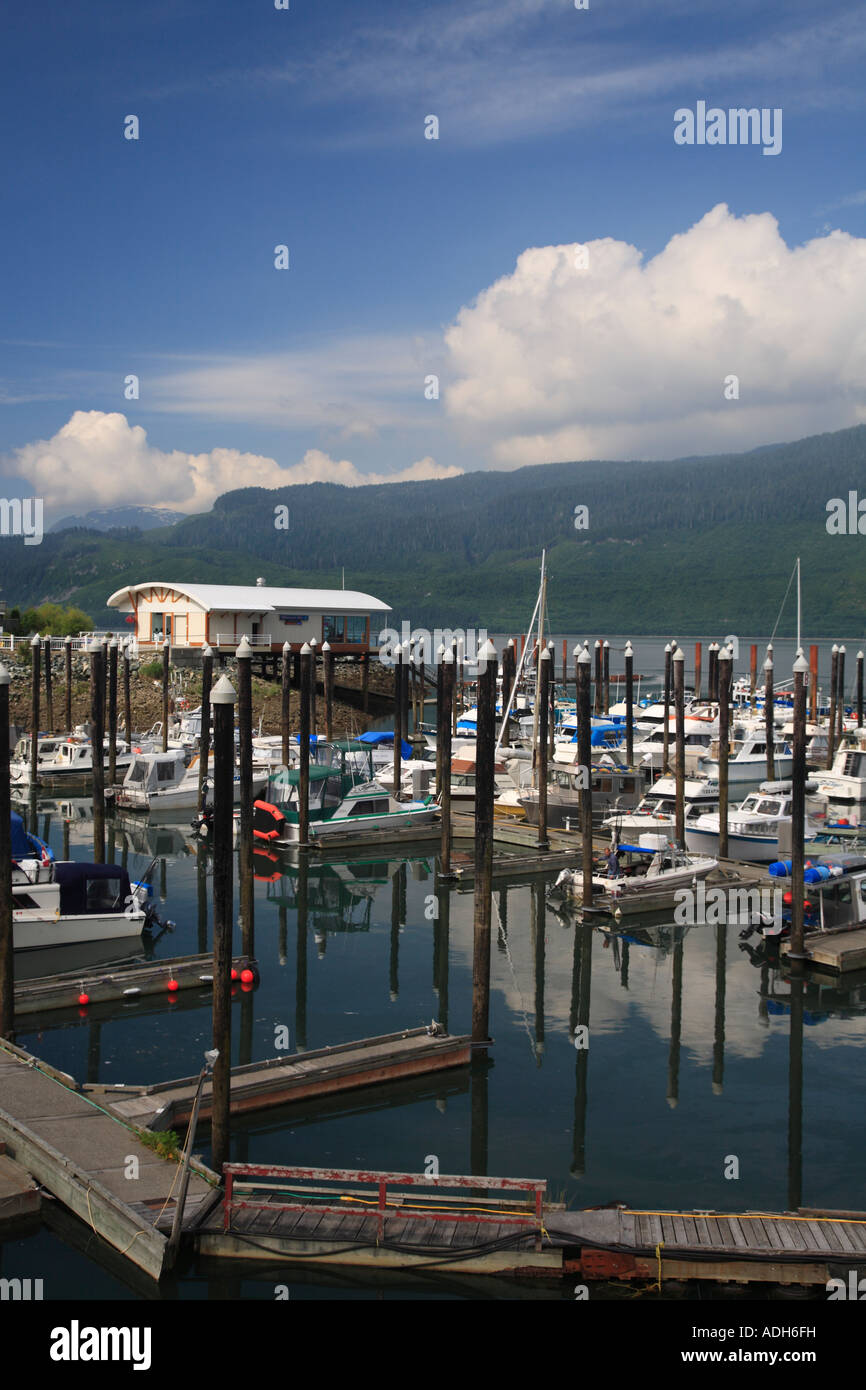 Marina at Minette Bay Kitimat British Columbia Stock Photohttps://www.alamy.com/image-license-details/?v=1https://www.alamy.com/stock-photo-marina-at-minette-bay-kitimat-british-columbia-13421140.html
RMADH6FH–Marina at Minette Bay Kitimat British Columbia
 KRAFTGATE: Områdene rundt Kitimat og Port Edward er fullt av gravemaskiner i full gang med å lage veier,rørgater og kraftgater for de nye LNG-anleggene som er under oppføring. Stock Photohttps://www.alamy.com/image-license-details/?v=1https://www.alamy.com/kraftgate-omrdene-rundt-kitimat-og-port-edward-er-fullt-av-gravemaskiner-i-full-gang-med-lage-veierrrgater-og-kraftgater-for-de-nye-lng-anleggene-som-er-under-oppfring-image618509418.html
RM2XX7F22–KRAFTGATE: Områdene rundt Kitimat og Port Edward er fullt av gravemaskiner i full gang med å lage veier,rørgater og kraftgater for de nye LNG-anleggene som er under oppføring.
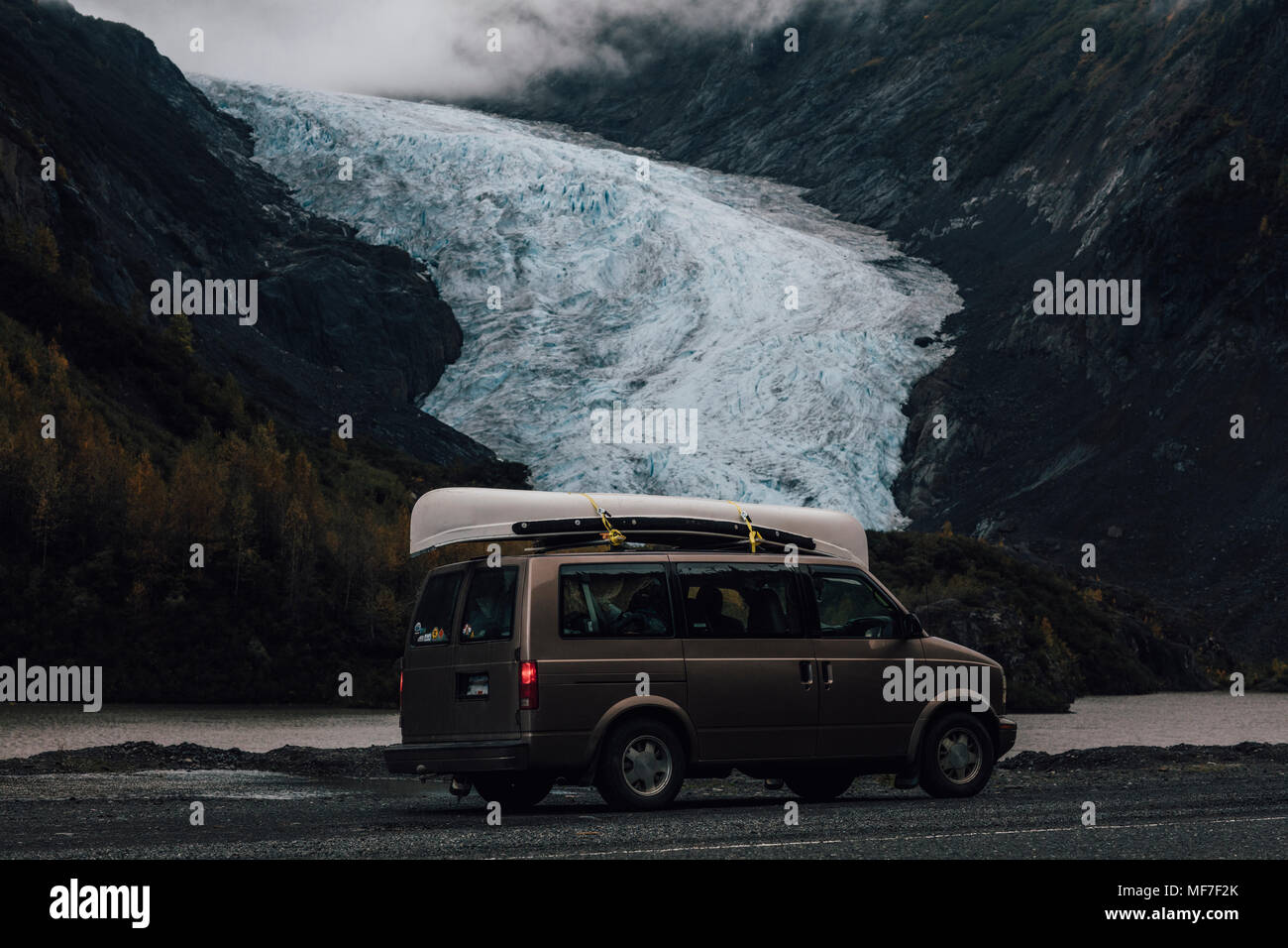 Canada, British Columbia, Kitimat-Stikine A, Glacier Highway, Bear Glacier Provincial Park, Bear Glacier, van Stock Photohttps://www.alamy.com/image-license-details/?v=1https://www.alamy.com/canada-british-columbia-kitimat-stikine-a-glacier-highway-bear-glacier-provincial-park-bear-glacier-van-image181489019.html
RFMF7F2K–Canada, British Columbia, Kitimat-Stikine A, Glacier Highway, Bear Glacier Provincial Park, Bear Glacier, van
 bear glacier at eye height along glacier highway Stock Photohttps://www.alamy.com/image-license-details/?v=1https://www.alamy.com/stock-photo-bear-glacier-at-eye-height-along-glacier-highway-47907743.html
RMCNXAPR–bear glacier at eye height along glacier highway
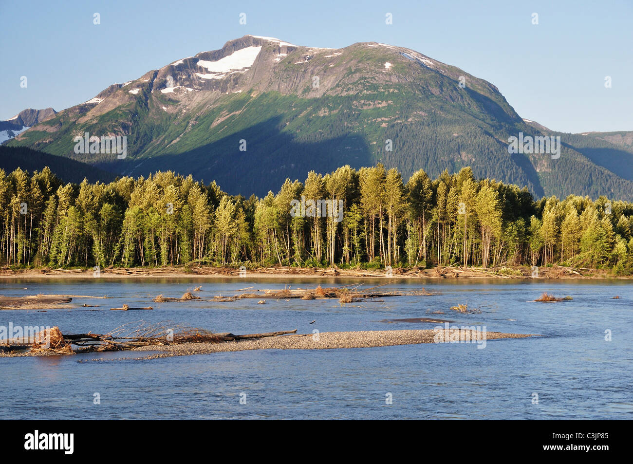 Canada, British Columbia, View of kitimat ranges at skeena river Stock Photohttps://www.alamy.com/image-license-details/?v=1https://www.alamy.com/stock-photo-canada-british-columbia-view-of-kitimat-ranges-at-skeena-river-36677317.html
RFC3JP85–Canada, British Columbia, View of kitimat ranges at skeena river
 Bear Glacier at eye height along Glacier Highway Stock Photohttps://www.alamy.com/image-license-details/?v=1https://www.alamy.com/stock-photo-bear-glacier-at-eye-height-along-glacier-highway-47907680.html
RMCNXAMG–Bear Glacier at eye height along Glacier Highway
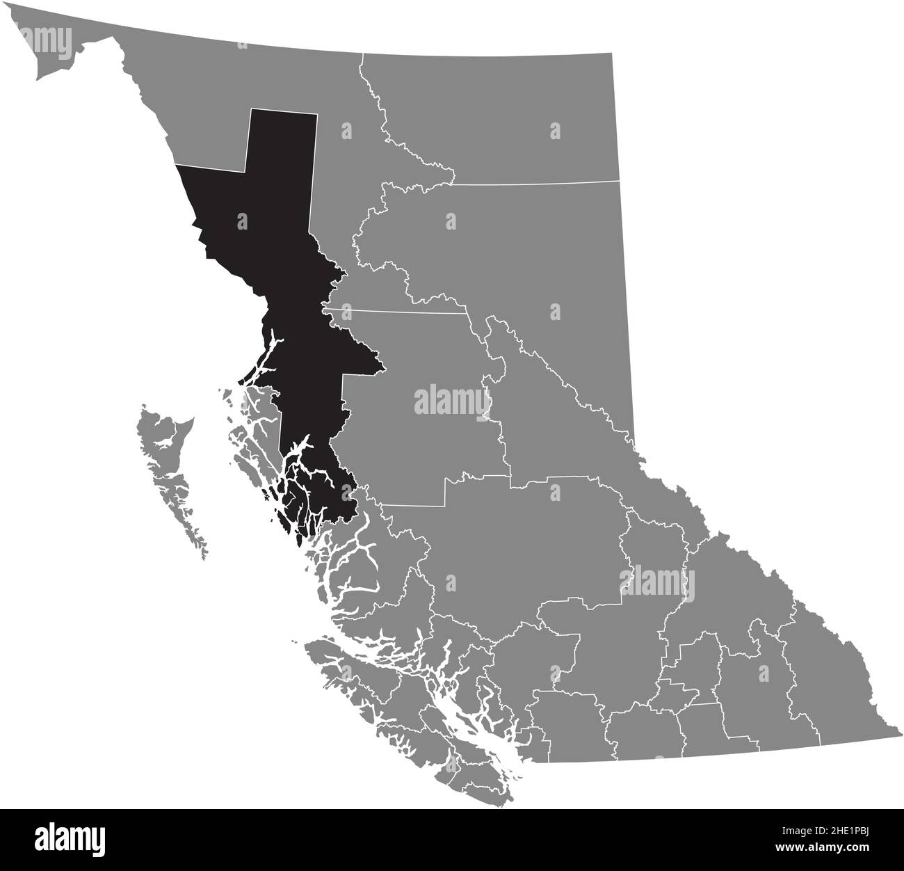 Black flat blank highlighted location map of the KITIMAT–STIKINE regional district inside gray administrative map of the Canadian province of British Stock Vectorhttps://www.alamy.com/image-license-details/?v=1https://www.alamy.com/black-flat-blank-highlighted-location-map-of-the-kitimatstikine-regional-district-inside-gray-administrative-map-of-the-canadian-province-of-british-image456114278.html
RF2HE1PBJ–Black flat blank highlighted location map of the KITIMAT–STIKINE regional district inside gray administrative map of the Canadian province of British
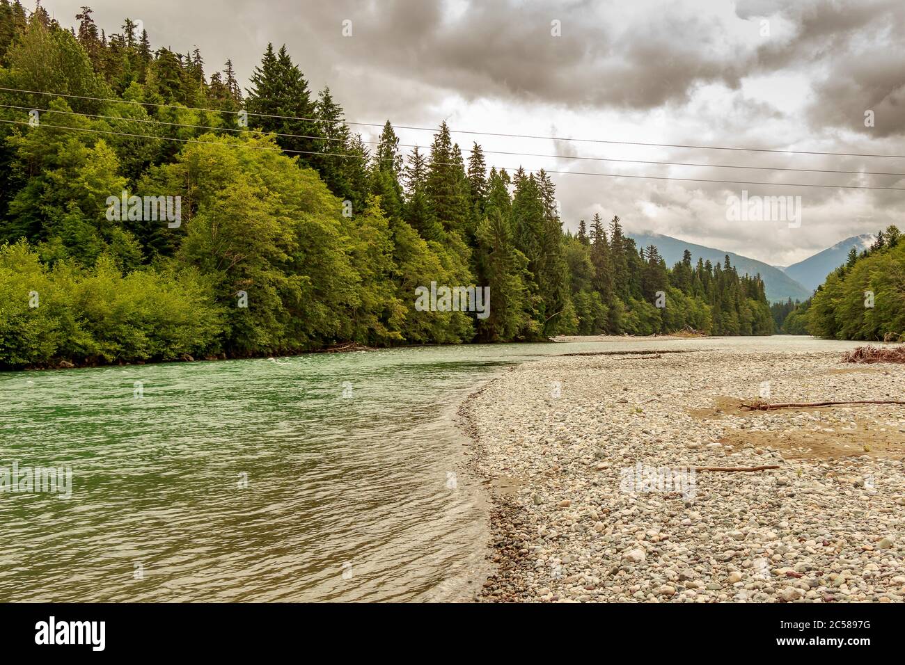 Upper Kitimat, glacial green river, on a cloudy summer day, with rainforests and gravel bars, in British Columbia, Canada Stock Photohttps://www.alamy.com/image-license-details/?v=1https://www.alamy.com/upper-kitimat-glacial-green-river-on-a-cloudy-summer-day-with-rainforests-and-gravel-bars-in-british-columbia-canada-image364673892.html
RF2C5897G–Upper Kitimat, glacial green river, on a cloudy summer day, with rainforests and gravel bars, in British Columbia, Canada
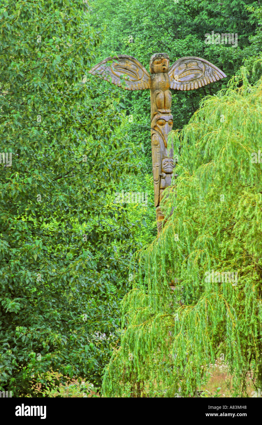 Bird totem in the trees Stock Photohttps://www.alamy.com/image-license-details/?v=1https://www.alamy.com/bird-totem-in-the-trees-image6843927.html
RFA83MH8–Bird totem in the trees
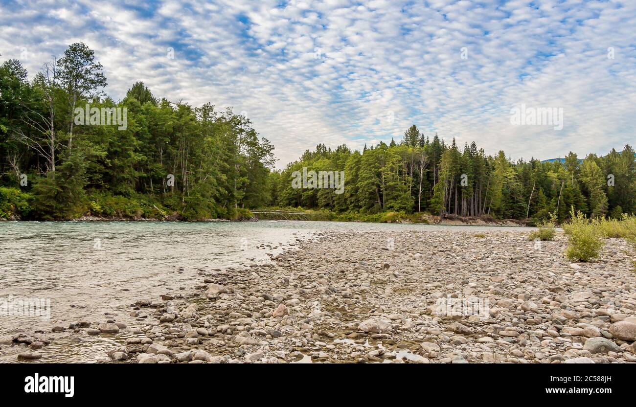 Sunset over the upper Kitimat River in Northern British Columbia, Canada, with a cloudy blue sky, confier woodland and gravel bar. Stock Photohttps://www.alamy.com/image-license-details/?v=1https://www.alamy.com/sunset-over-the-upper-kitimat-river-in-northern-british-columbia-canada-with-a-cloudy-blue-sky-confier-woodland-and-gravel-bar-image364673417.html
RF2C588JH–Sunset over the upper Kitimat River in Northern British Columbia, Canada, with a cloudy blue sky, confier woodland and gravel bar.
 Last Frontier Heliskiing in Northern BC, Canada Februar 2016 Stock Photohttps://www.alamy.com/image-license-details/?v=1https://www.alamy.com/stock-photo-last-frontier-heliskiing-in-northern-bc-canada-februar-2016-98555490.html
RMFM9GEX–Last Frontier Heliskiing in Northern BC, Canada Februar 2016
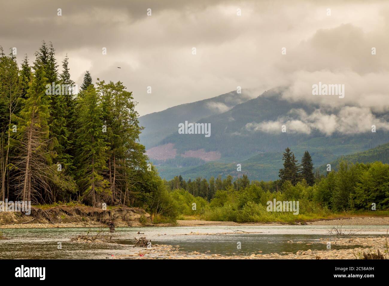 Landscape of a river, mountain and forest, with an eagle in the sky, during a cloudy summer day, on the Kitimat River in British Columbia. Stock Photohttps://www.alamy.com/image-license-details/?v=1https://www.alamy.com/landscape-of-a-river-mountain-and-forest-with-an-eagle-in-the-sky-during-a-cloudy-summer-day-on-the-kitimat-river-in-british-columbia-image364674733.html
RF2C58A9H–Landscape of a river, mountain and forest, with an eagle in the sky, during a cloudy summer day, on the Kitimat River in British Columbia.
 Rainbow, Copper River, British Columbia, Canada Stock Photohttps://www.alamy.com/image-license-details/?v=1https://www.alamy.com/stock-photo-rainbow-copper-river-british-columbia-canada-43938159.html
RFCFDFFY–Rainbow, Copper River, British Columbia, Canada
 Terrace, Canada - July 20th 2017: An angler holding up a pink salmon caught on the Kitimat River, Skeena Region, British Columbia, Canada Stock Photohttps://www.alamy.com/image-license-details/?v=1https://www.alamy.com/terrace-canada-july-20th-2017-an-angler-holding-up-a-pink-salmon-caught-on-the-kitimat-river-skeena-region-british-columbia-canada-image367677825.html
RF2CA54PW–Terrace, Canada - July 20th 2017: An angler holding up a pink salmon caught on the Kitimat River, Skeena Region, British Columbia, Canada
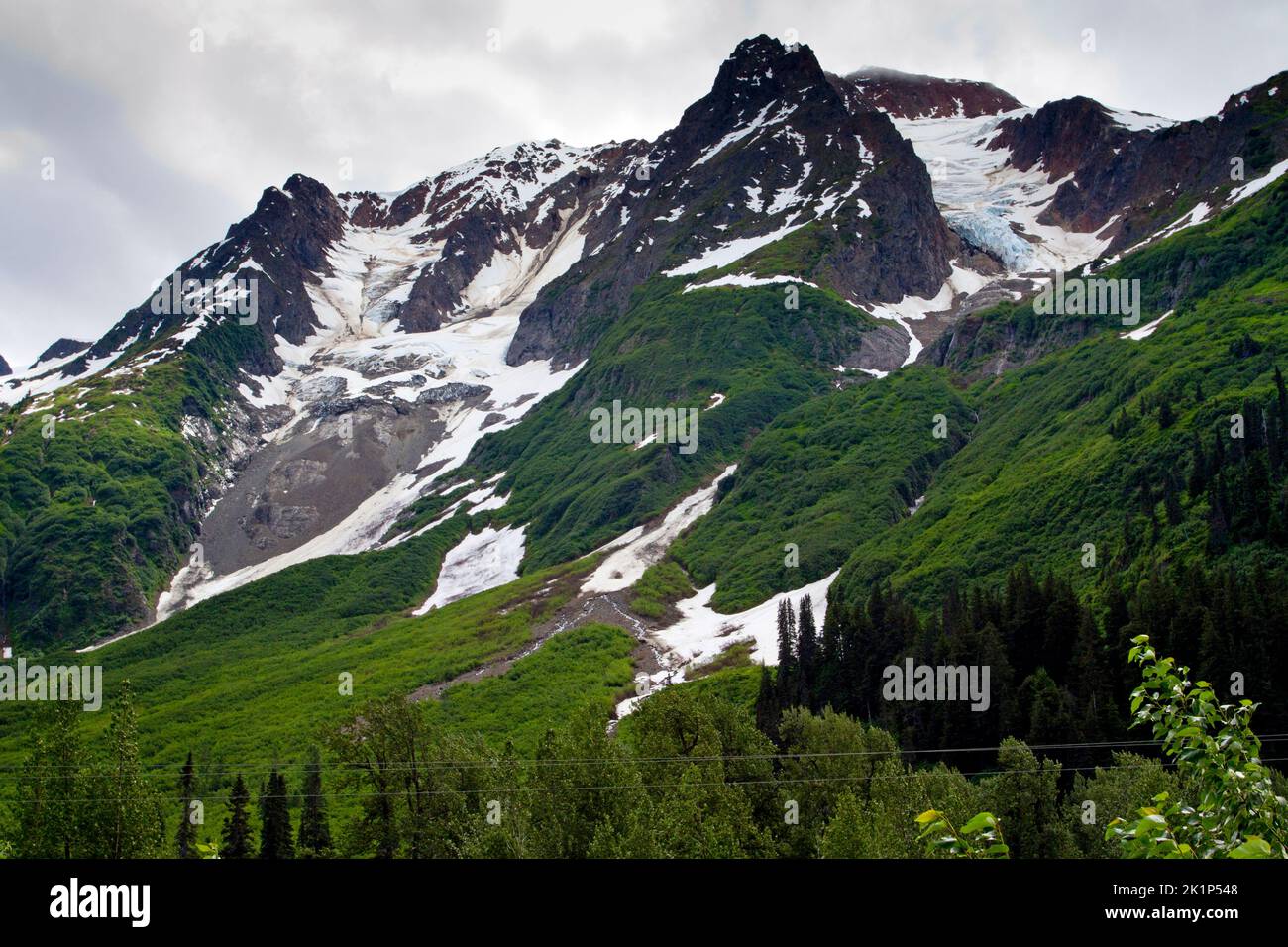 A scenic view of mountains in the Bear Glacier Provincial Park along the 37A route between Meziadin Lake and Stewart, northern BC, Canada Stock Photohttps://www.alamy.com/image-license-details/?v=1https://www.alamy.com/a-scenic-view-of-mountains-in-the-bear-glacier-provincial-park-along-the-37a-route-between-meziadin-lake-and-stewart-northern-bc-canada-image482991944.html
RM2K1P548–A scenic view of mountains in the Bear Glacier Provincial Park along the 37A route between Meziadin Lake and Stewart, northern BC, Canada
 Log jam at the Shames and Skeena River confuence, on a cloudy day, with forest and mountains in the background. Stock Photohttps://www.alamy.com/image-license-details/?v=1https://www.alamy.com/log-jam-at-the-shames-and-skeena-river-confuence-on-a-cloudy-day-with-forest-and-mountains-in-the-background-image364673649.html
RF2C588XW–Log jam at the Shames and Skeena River confuence, on a cloudy day, with forest and mountains in the background.
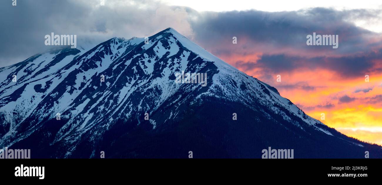 Rugged peak of Hudson Bay Mountain covered in snow with colourful glowing clouds; Smithers, British Columbia, Canada Stock Photohttps://www.alamy.com/image-license-details/?v=1https://www.alamy.com/rugged-peak-of-hudson-bay-mountain-covered-in-snow-with-colourful-glowing-clouds-smithers-british-columbia-canada-image466959544.html
RF2J3KRJG–Rugged peak of Hudson Bay Mountain covered in snow with colourful glowing clouds; Smithers, British Columbia, Canada
 Smartphone with webpage of industrial energy project LNG Canada on screen in front of logo. Focus on top-left of phone display. Stock Photohttps://www.alamy.com/image-license-details/?v=1https://www.alamy.com/smartphone-with-webpage-of-industrial-energy-project-lng-canada-on-screen-in-front-of-logo-focus-on-top-left-of-phone-display-image559441117.html
RF2RE4MRW–Smartphone with webpage of industrial energy project LNG Canada on screen in front of logo. Focus on top-left of phone display.
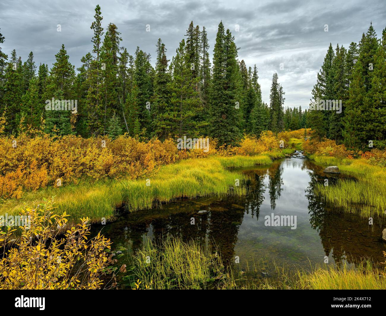 Fall foliage by the Green River in Tweedsmuir South Provincial Park, British Columbia, Canada Stock Photohttps://www.alamy.com/image-license-details/?v=1https://www.alamy.com/fall-foliage-by-the-green-river-in-tweedsmuir-south-provincial-park-british-columbia-canada-image484925198.html
RF2K4X712–Fall foliage by the Green River in Tweedsmuir South Provincial Park, British Columbia, Canada
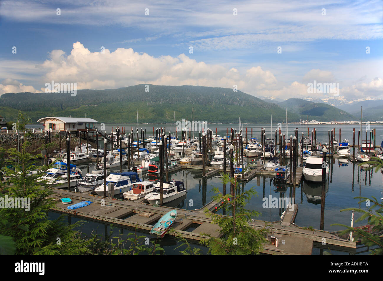 Marina at Minette Bay Kitimat British Columbia Stock Photohttps://www.alamy.com/image-license-details/?v=1https://www.alamy.com/stock-photo-marina-at-minette-bay-kitimat-british-columbia-13422828.html
RMADHBFW–Marina at Minette Bay Kitimat British Columbia
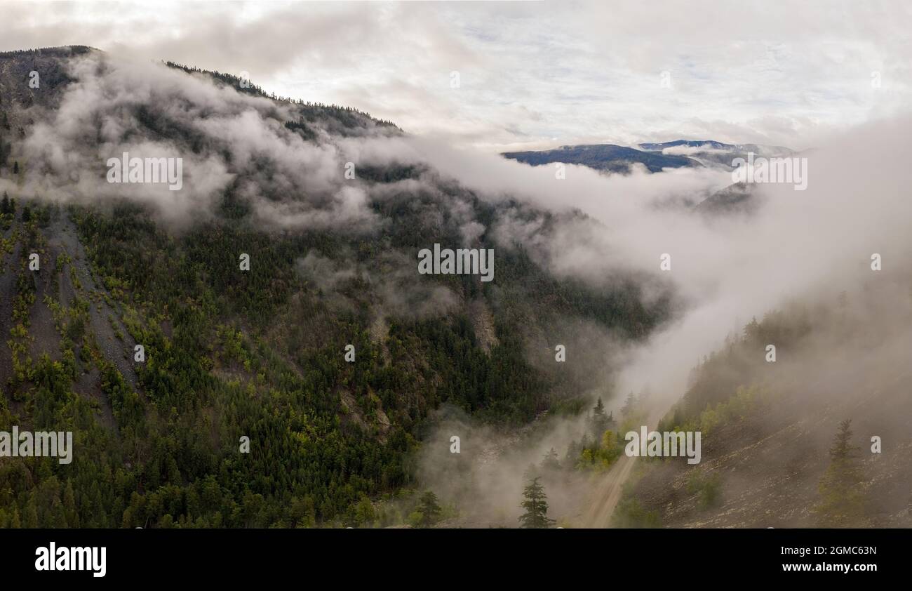 Aerial panorama view of the breathtaking mountainous landscape in Tweedsmuir (South) Provincial Park in a dense fog that is covering the surrounding m Stock Photohttps://www.alamy.com/image-license-details/?v=1https://www.alamy.com/aerial-panorama-view-of-the-breathtaking-mountainous-landscape-in-tweedsmuir-south-provincial-park-in-a-dense-fog-that-is-covering-the-surrounding-m-image442820553.html
RF2GMC63N–Aerial panorama view of the breathtaking mountainous landscape in Tweedsmuir (South) Provincial Park in a dense fog that is covering the surrounding m
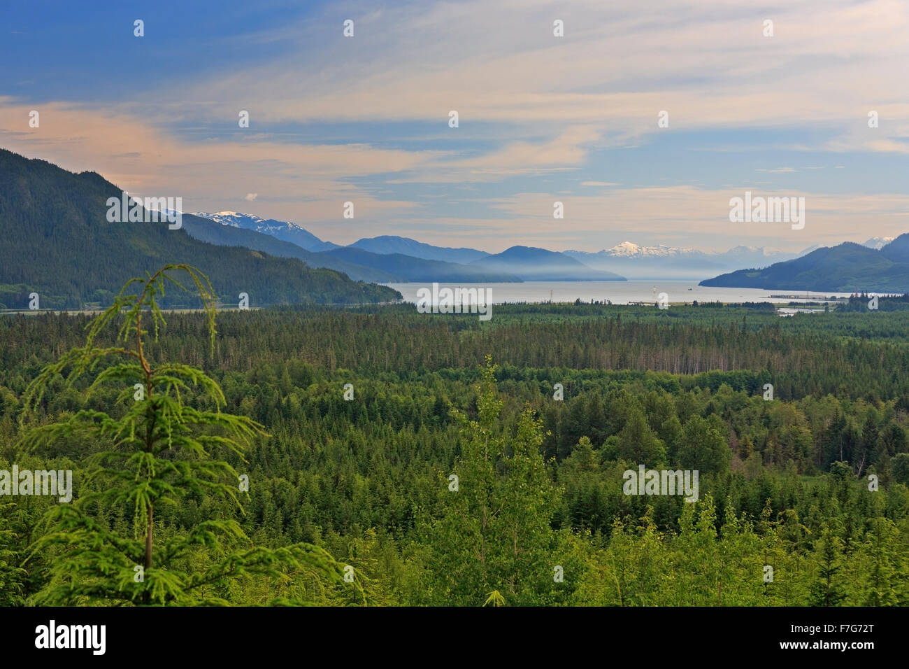 View towards Douglas Channel from lookout in Kitimat, British Columbia Stock Photohttps://www.alamy.com/image-license-details/?v=1https://www.alamy.com/stock-photo-view-towards-douglas-channel-from-lookout-in-kitimat-british-columbia-90711232.html
RMF7G72T–View towards Douglas Channel from lookout in Kitimat, British Columbia
 Greg Knox, director of SkeenaWild Conservation, worries about the proposed LNG (Liquefied Natural Gas) projects in British Columbia. Up to fifteen pipelines and five processing plants are planned for Kitimat and Prince Rupert. The plants are part of the Northern Gateway pipeline, which when finished will transport LNG to Bruderheim in Alberta and diluted oil from the tar sands eastward for export to Asia. The proposed pipeline, highly controversial, was approved in June 2014 – albeit subject to 209 conditions. The pressure is on to build the pipeline, as the future of the proposed Keystone XL Stock Photohttps://www.alamy.com/image-license-details/?v=1https://www.alamy.com/greg-knox-director-of-skeenawild-conservation-worries-about-the-proposed-lng-liquefied-natural-gas-projects-in-british-columbia-up-to-fifteen-pipelines-and-five-processing-plants-are-planned-for-kitimat-and-prince-rupert-the-plants-are-part-of-the-northern-gateway-pipeline-which-when-finished-will-transport-lng-to-bruderheim-in-alberta-and-diluted-oil-from-the-tar-sands-eastward-for-export-to-asia-the-proposed-pipeline-highly-controversial-was-approved-in-june-2014-albeit-subject-to-209-conditions-the-pressure-is-on-to-build-the-pipeline-as-the-future-of-the-proposed-keystone-xl-image618509420.html
RM2XX7F24–Greg Knox, director of SkeenaWild Conservation, worries about the proposed LNG (Liquefied Natural Gas) projects in British Columbia. Up to fifteen pipelines and five processing plants are planned for Kitimat and Prince Rupert. The plants are part of the Northern Gateway pipeline, which when finished will transport LNG to Bruderheim in Alberta and diluted oil from the tar sands eastward for export to Asia. The proposed pipeline, highly controversial, was approved in June 2014 – albeit subject to 209 conditions. The pressure is on to build the pipeline, as the future of the proposed Keystone XL
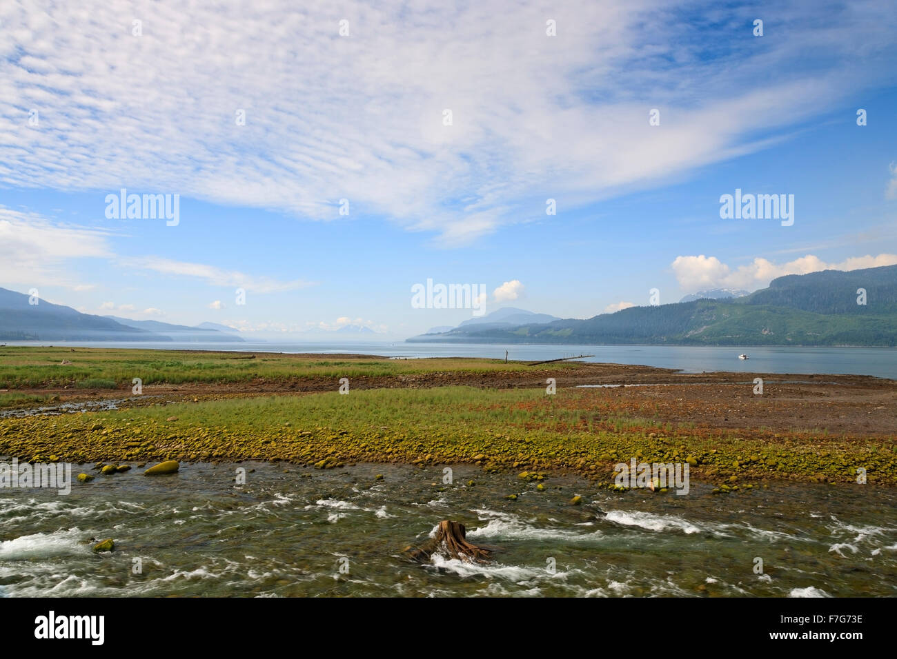 Wathl Creek flowing into Douglas Channel in Kitimaat Village, Kitimat, British Columbia Stock Photohttps://www.alamy.com/image-license-details/?v=1https://www.alamy.com/stock-photo-wathl-creek-flowing-into-douglas-channel-in-kitimaat-village-kitimat-90711250.html
RMF7G73E–Wathl Creek flowing into Douglas Channel in Kitimaat Village, Kitimat, British Columbia
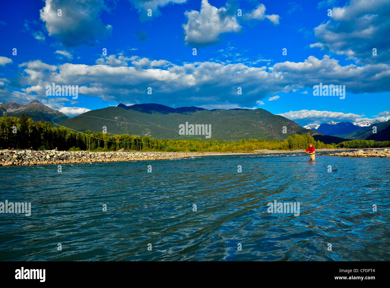 Man fly fishing, Copper River, British Columbia, Canada Stock Photohttps://www.alamy.com/image-license-details/?v=1https://www.alamy.com/stock-photo-man-fly-fishing-copper-river-british-columbia-canada-43938388.html
RFCFDFT4–Man fly fishing, Copper River, British Columbia, Canada
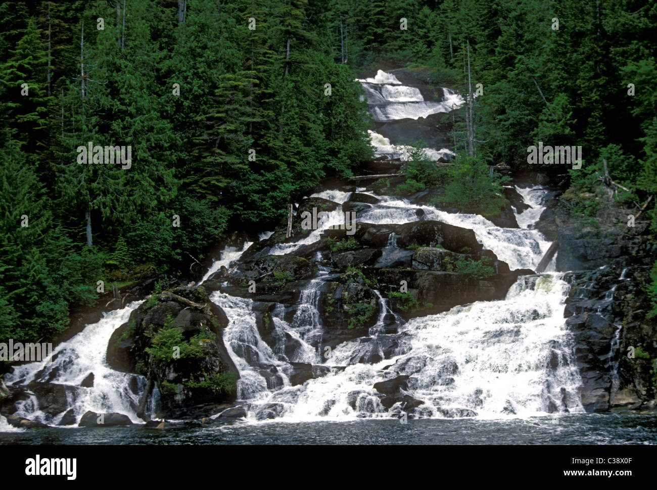 Butedate Falls in Butedale a ghost town on Princess Royal Island at Kitimat at Stikine along the Inside Passage in British Columbia Province Canada Stock Photohttps://www.alamy.com/image-license-details/?v=1https://www.alamy.com/stock-photo-butedate-falls-in-butedale-a-ghost-town-on-princess-royal-island-at-36460719.html
RMC38X0F–Butedate Falls in Butedale a ghost town on Princess Royal Island at Kitimat at Stikine along the Inside Passage in British Columbia Province Canada