Quick filters:
Knox indiana map Stock Photos and Images
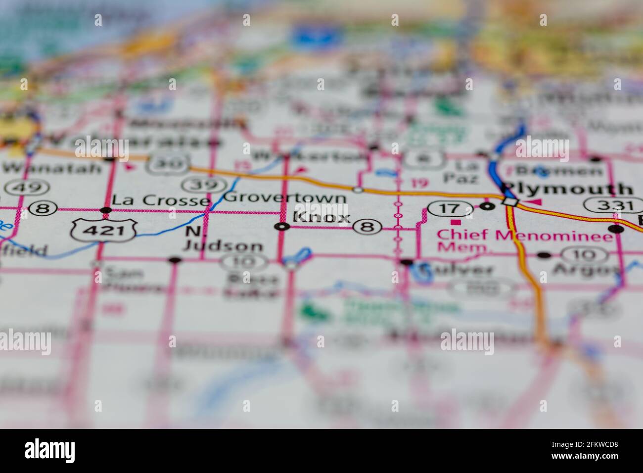 knox Indiana USA shown on a geography map or road map Stock Photohttps://www.alamy.com/image-license-details/?v=1https://www.alamy.com/knox-indiana-usa-shown-on-a-geography-map-or-road-map-image425285876.html
RM2FKWCD8–knox Indiana USA shown on a geography map or road map
 Orrville, Knox County, US, United States, Indiana, N 38 27' 29'', S 87 41' 10'', map, Cartascapes Map published in 2024. Explore Cartascapes, a map revealing Earth's diverse landscapes, cultures, and ecosystems. Journey through time and space, discovering the interconnectedness of our planet's past, present, and future. Stock Photohttps://www.alamy.com/image-license-details/?v=1https://www.alamy.com/orrville-knox-county-us-united-states-indiana-n-38-27-29-s-87-41-10-map-cartascapes-map-published-in-2024-explore-cartascapes-a-map-revealing-earths-diverse-landscapes-cultures-and-ecosystems-journey-through-time-and-space-discovering-the-interconnectedness-of-our-planets-past-present-and-future-image621247023.html
RM2Y2M6WK–Orrville, Knox County, US, United States, Indiana, N 38 27' 29'', S 87 41' 10'', map, Cartascapes Map published in 2024. Explore Cartascapes, a map revealing Earth's diverse landscapes, cultures, and ecosystems. Journey through time and space, discovering the interconnectedness of our planet's past, present, and future.
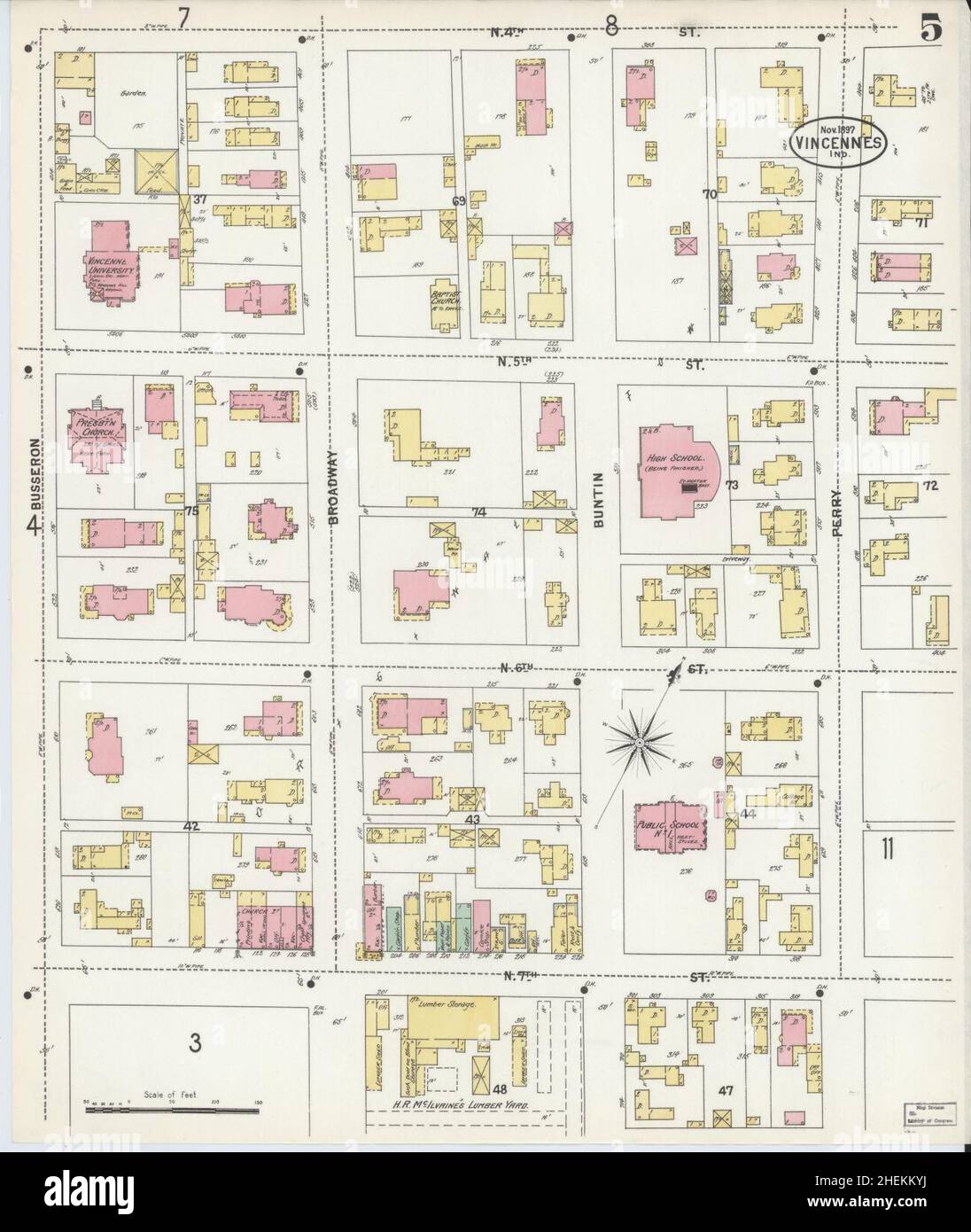 Sanborn Fire Insurance Map from Vincennes, Knox County, Indiana. Stock Photohttps://www.alamy.com/image-license-details/?v=1https://www.alamy.com/sanborn-fire-insurance-map-from-vincennes-knox-county-indiana-image456507510.html
RM2HEKKYJ–Sanborn Fire Insurance Map from Vincennes, Knox County, Indiana.
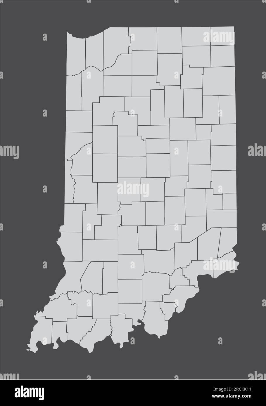 The Indiana State administrative map isolated on dark background Stock Vectorhttps://www.alamy.com/image-license-details/?v=1https://www.alamy.com/the-indiana-state-administrative-map-isolated-on-dark-background-image558539661.html
RF2RCKK11–The Indiana State administrative map isolated on dark background
 Map of Knox in Indiana Stock Photohttps://www.alamy.com/image-license-details/?v=1https://www.alamy.com/map-of-knox-in-indiana-image364660916.html
RF2C57MM4–Map of Knox in Indiana
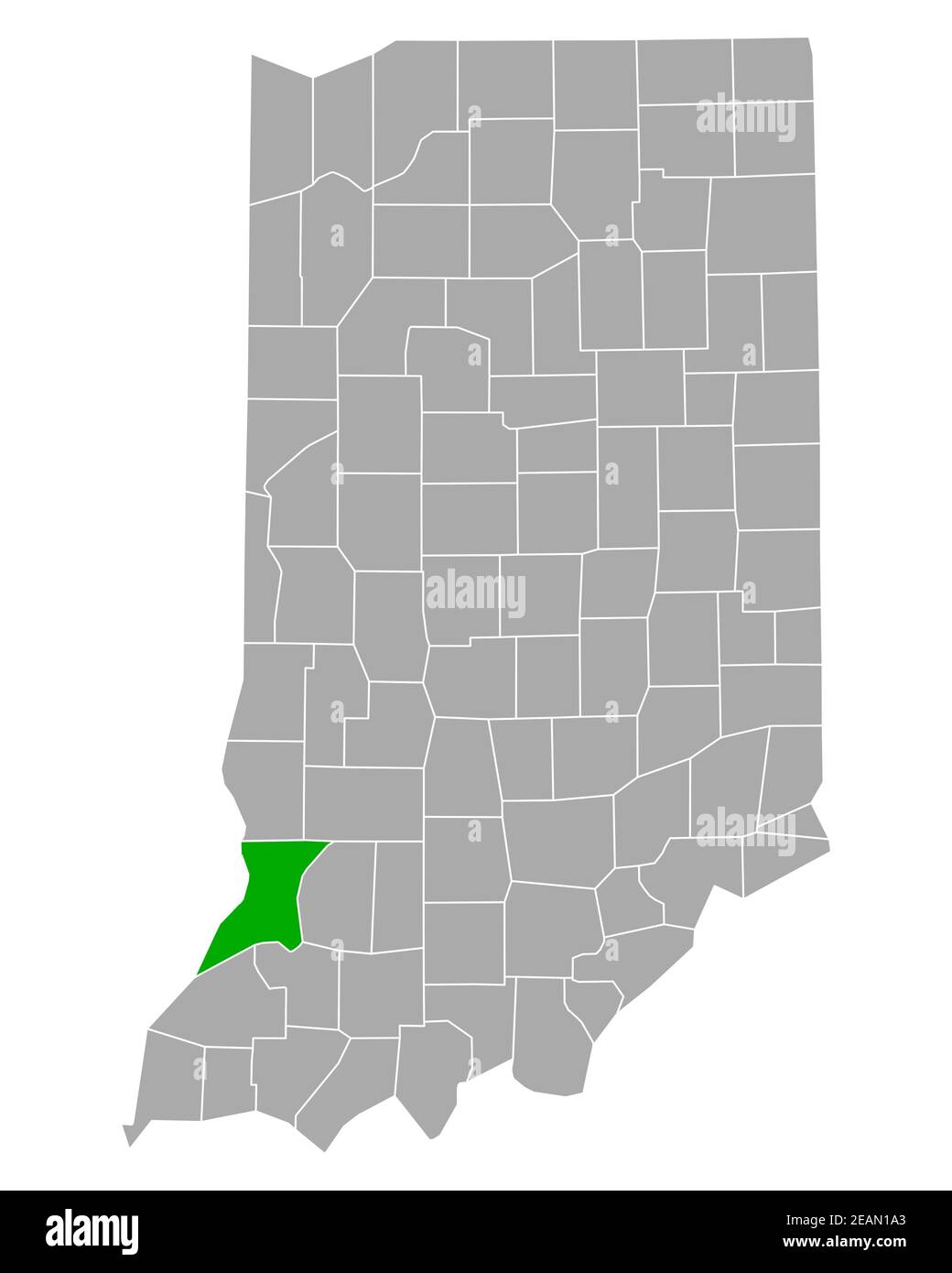 Map of Knox in Indiana Stock Photohttps://www.alamy.com/image-license-details/?v=1https://www.alamy.com/map-of-knox-in-indiana-image402447083.html
RF2EAN1A3–Map of Knox in Indiana
 Indiana map typography. Indiana state map typography. Indiana lettering. Stock Vectorhttps://www.alamy.com/image-license-details/?v=1https://www.alamy.com/indiana-map-typography-indiana-state-map-typography-indiana-lettering-image467950464.html
RF2J58YGG–Indiana map typography. Indiana state map typography. Indiana lettering.
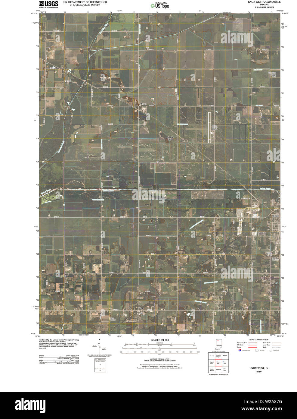 USGS TOPO Map Indiana IN Knox West 20100609 TM Restoration Stock Photohttps://www.alamy.com/image-license-details/?v=1https://www.alamy.com/usgs-topo-map-indiana-in-knox-west-20100609-tm-restoration-image259610836.html
RMW2A87G–USGS TOPO Map Indiana IN Knox West 20100609 TM Restoration
 Knox County (Indiana) outline map set Stock Vectorhttps://www.alamy.com/image-license-details/?v=1https://www.alamy.com/knox-county-indiana-outline-map-set-image620886981.html
RF2Y23RK1–Knox County (Indiana) outline map set
 Knox County, Indiana (U.S. county, United States of America, USA, U.S., US) map vector illustration, scribble sketch Knox map Stock Vectorhttps://www.alamy.com/image-license-details/?v=1https://www.alamy.com/knox-county-indiana-us-county-united-states-of-america-usa-us-us-map-vector-illustration-scribble-sketch-knox-map-image364468611.html
RF2C4XYC3–Knox County, Indiana (U.S. county, United States of America, USA, U.S., US) map vector illustration, scribble sketch Knox map
 Wheatland, Knox County, US, United States, Indiana, N 38 39' 49'', S 87 18' 34'', map, Cartascapes Map published in 2024. Explore Cartascapes, a map revealing Earth's diverse landscapes, cultures, and ecosystems. Journey through time and space, discovering the interconnectedness of our planet's past, present, and future. Stock Photohttps://www.alamy.com/image-license-details/?v=1https://www.alamy.com/wheatland-knox-county-us-united-states-indiana-n-38-39-49-s-87-18-34-map-cartascapes-map-published-in-2024-explore-cartascapes-a-map-revealing-earths-diverse-landscapes-cultures-and-ecosystems-journey-through-time-and-space-discovering-the-interconnectedness-of-our-planets-past-present-and-future-image621337449.html
RM2Y2TA75–Wheatland, Knox County, US, United States, Indiana, N 38 39' 49'', S 87 18' 34'', map, Cartascapes Map published in 2024. Explore Cartascapes, a map revealing Earth's diverse landscapes, cultures, and ecosystems. Journey through time and space, discovering the interconnectedness of our planet's past, present, and future.
 Sanborn Fire Insurance Map from Vincennes, Knox County, Indiana. Stock Photohttps://www.alamy.com/image-license-details/?v=1https://www.alamy.com/sanborn-fire-insurance-map-from-vincennes-knox-county-indiana-image456507509.html
RM2HEKKYH–Sanborn Fire Insurance Map from Vincennes, Knox County, Indiana.
 Map of Knox in Indiana Stock Photohttps://www.alamy.com/image-license-details/?v=1https://www.alamy.com/map-of-knox-in-indiana-image366613985.html
RF2C8CKTH–Map of Knox in Indiana
 Map of Knox in Indiana Stock Photohttps://www.alamy.com/image-license-details/?v=1https://www.alamy.com/map-of-knox-in-indiana-image443845550.html
RF2GP2WEP–Map of Knox in Indiana
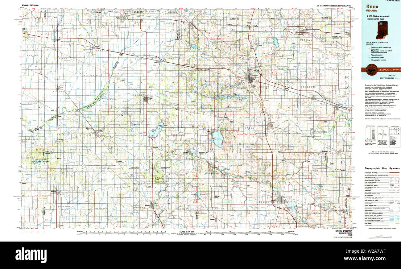 USGS TOPO Map Indiana IN Knox 159993 1984 100000 Restoration Stock Photohttps://www.alamy.com/image-license-details/?v=1https://www.alamy.com/usgs-topo-map-indiana-in-knox-159993-1984-100000-restoration-image259610555.html
RMW2A7WF–USGS TOPO Map Indiana IN Knox 159993 1984 100000 Restoration
 Knox County, Indiana (U.S. county, United States of America, USA, U.S., US) map vector illustration, scribble sketch Knox map Stock Vectorhttps://www.alamy.com/image-license-details/?v=1https://www.alamy.com/knox-county-indiana-us-county-united-states-of-america-usa-us-us-map-vector-illustration-scribble-sketch-knox-map-image367862342.html
RF2CADG4P–Knox County, Indiana (U.S. county, United States of America, USA, U.S., US) map vector illustration, scribble sketch Knox map
 Ridgleville, Knox County, US, United States, Indiana, N 38 34' 0'', S 87 25' 39'', map, Cartascapes Map published in 2024. Explore Cartascapes, a map revealing Earth's diverse landscapes, cultures, and ecosystems. Journey through time and space, discovering the interconnectedness of our planet's past, present, and future. Stock Photohttps://www.alamy.com/image-license-details/?v=1https://www.alamy.com/ridgleville-knox-county-us-united-states-indiana-n-38-34-0-s-87-25-39-map-cartascapes-map-published-in-2024-explore-cartascapes-a-map-revealing-earths-diverse-landscapes-cultures-and-ecosystems-journey-through-time-and-space-discovering-the-interconnectedness-of-our-planets-past-present-and-future-image621283618.html
RM2Y2NWGJ–Ridgleville, Knox County, US, United States, Indiana, N 38 34' 0'', S 87 25' 39'', map, Cartascapes Map published in 2024. Explore Cartascapes, a map revealing Earth's diverse landscapes, cultures, and ecosystems. Journey through time and space, discovering the interconnectedness of our planet's past, present, and future.
 Sanborn Fire Insurance Map from Vincennes, Knox County, Indiana. Stock Photohttps://www.alamy.com/image-license-details/?v=1https://www.alamy.com/sanborn-fire-insurance-map-from-vincennes-knox-county-indiana-image456507541.html
RM2HEKM0N–Sanborn Fire Insurance Map from Vincennes, Knox County, Indiana.
 Map of Knox in Indiana Stock Photohttps://www.alamy.com/image-license-details/?v=1https://www.alamy.com/map-of-knox-in-indiana-image366164047.html
RF2C7M5YB–Map of Knox in Indiana
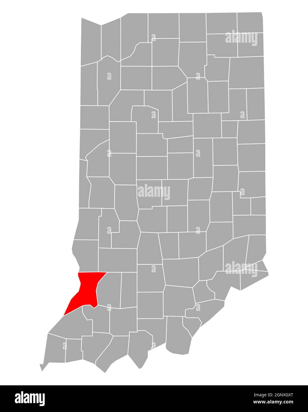 Map of Knox in Indiana Stock Photohttps://www.alamy.com/image-license-details/?v=1https://www.alamy.com/map-of-knox-in-indiana-image443751024.html
RF2GNXGXT–Map of Knox in Indiana
 USGS TOPO Map Indiana IN Knox East 20100609 TM Restoration Stock Photohttps://www.alamy.com/image-license-details/?v=1https://www.alamy.com/usgs-topo-map-indiana-in-knox-east-20100609-tm-restoration-image259610691.html
RMW2A82B–USGS TOPO Map Indiana IN Knox East 20100609 TM Restoration
 Knox County, Indiana (U.S. county, United States of America, USA, U.S., US) map vector illustration, scribble sketch Knox map Stock Vectorhttps://www.alamy.com/image-license-details/?v=1https://www.alamy.com/knox-county-indiana-us-county-united-states-of-america-usa-us-us-map-vector-illustration-scribble-sketch-knox-map-image376825208.html
RF2CW1TB4–Knox County, Indiana (U.S. county, United States of America, USA, U.S., US) map vector illustration, scribble sketch Knox map
 Ragsdale, Knox County, US, United States, Indiana, N 38 44' 45'', S 87 19' 30'', map, Cartascapes Map published in 2024. Explore Cartascapes, a map revealing Earth's diverse landscapes, cultures, and ecosystems. Journey through time and space, discovering the interconnectedness of our planet's past, present, and future. Stock Photohttps://www.alamy.com/image-license-details/?v=1https://www.alamy.com/ragsdale-knox-county-us-united-states-indiana-n-38-44-45-s-87-19-30-map-cartascapes-map-published-in-2024-explore-cartascapes-a-map-revealing-earths-diverse-landscapes-cultures-and-ecosystems-journey-through-time-and-space-discovering-the-interconnectedness-of-our-planets-past-present-and-future-image621299343.html
RM2Y2PHJ7–Ragsdale, Knox County, US, United States, Indiana, N 38 44' 45'', S 87 19' 30'', map, Cartascapes Map published in 2024. Explore Cartascapes, a map revealing Earth's diverse landscapes, cultures, and ecosystems. Journey through time and space, discovering the interconnectedness of our planet's past, present, and future.
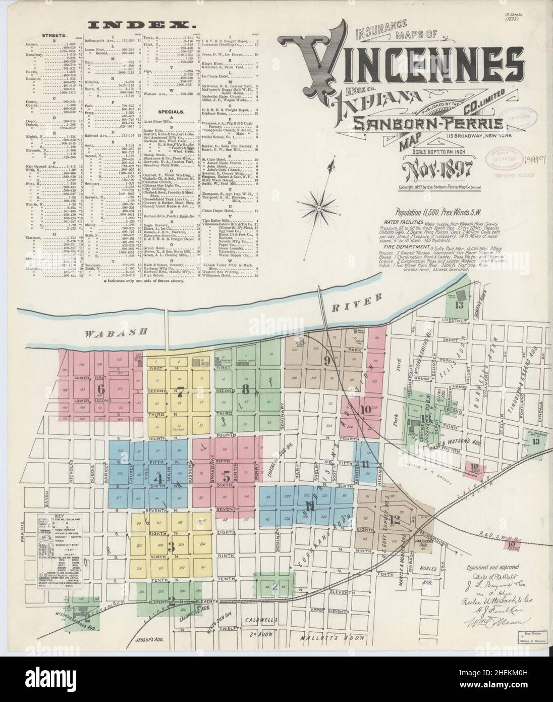 Sanborn Fire Insurance Map from Vincennes, Knox County, Indiana. Stock Photohttps://www.alamy.com/image-license-details/?v=1https://www.alamy.com/sanborn-fire-insurance-map-from-vincennes-knox-county-indiana-image456507537.html
RM2HEKM0H–Sanborn Fire Insurance Map from Vincennes, Knox County, Indiana.
 USGS TOPO Map Indiana IN Knox 159992 1984 100000 Restoration Stock Photohttps://www.alamy.com/image-license-details/?v=1https://www.alamy.com/usgs-topo-map-indiana-in-knox-159992-1984-100000-restoration-image259610513.html
RMW2A7T1–USGS TOPO Map Indiana IN Knox 159992 1984 100000 Restoration
 Starke County, Indiana (U.S. county, United States of America, USA, U.S., US) map vector illustration, scribble sketch Starke map Stock Vectorhttps://www.alamy.com/image-license-details/?v=1https://www.alamy.com/starke-county-indiana-us-county-united-states-of-america-usa-us-us-map-vector-illustration-scribble-sketch-starke-map-image376898466.html
RF2CW55RE–Starke County, Indiana (U.S. county, United States of America, USA, U.S., US) map vector illustration, scribble sketch Starke map
 Sisson, Knox County, US, United States, Indiana, N 38 31' 50'', S 87 33' 41'', map, Cartascapes Map published in 2024. Explore Cartascapes, a map revealing Earth's diverse landscapes, cultures, and ecosystems. Journey through time and space, discovering the interconnectedness of our planet's past, present, and future. Stock Photohttps://www.alamy.com/image-license-details/?v=1https://www.alamy.com/sisson-knox-county-us-united-states-indiana-n-38-31-50-s-87-33-41-map-cartascapes-map-published-in-2024-explore-cartascapes-a-map-revealing-earths-diverse-landscapes-cultures-and-ecosystems-journey-through-time-and-space-discovering-the-interconnectedness-of-our-planets-past-present-and-future-image621389582.html
RM2Y2XMN2–Sisson, Knox County, US, United States, Indiana, N 38 31' 50'', S 87 33' 41'', map, Cartascapes Map published in 2024. Explore Cartascapes, a map revealing Earth's diverse landscapes, cultures, and ecosystems. Journey through time and space, discovering the interconnectedness of our planet's past, present, and future.
 Sanborn Fire Insurance Map from Vincennes, Knox County, Indiana. Stock Photohttps://www.alamy.com/image-license-details/?v=1https://www.alamy.com/sanborn-fire-insurance-map-from-vincennes-knox-county-indiana-image456507511.html
RM2HEKKYK–Sanborn Fire Insurance Map from Vincennes, Knox County, Indiana.
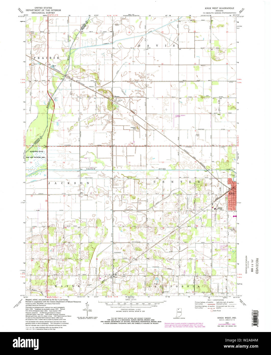 USGS TOPO Map Indiana IN Knox West 156963 1969 24000 Restoration Stock Photohttps://www.alamy.com/image-license-details/?v=1https://www.alamy.com/usgs-topo-map-indiana-in-knox-west-156963-1969-24000-restoration-image259610756.html
RMW2A84M–USGS TOPO Map Indiana IN Knox West 156963 1969 24000 Restoration
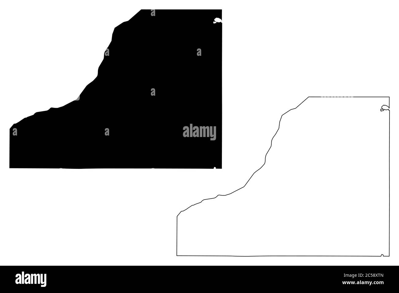 Starke County, Indiana (U.S. county, United States of America, USA, U.S., US) map vector illustration, scribble sketch Starke map Stock Vectorhttps://www.alamy.com/image-license-details/?v=1https://www.alamy.com/starke-county-indiana-us-county-united-states-of-america-usa-us-us-map-vector-illustration-scribble-sketch-starke-map-image364687701.html
RF2C58XTN–Starke County, Indiana (U.S. county, United States of America, USA, U.S., US) map vector illustration, scribble sketch Starke map
 Sandborn, Knox County, US, United States, Indiana, N 38 53' 47'', S 87 11' 12'', map, Cartascapes Map published in 2024. Explore Cartascapes, a map revealing Earth's diverse landscapes, cultures, and ecosystems. Journey through time and space, discovering the interconnectedness of our planet's past, present, and future. Stock Photohttps://www.alamy.com/image-license-details/?v=1https://www.alamy.com/sandborn-knox-county-us-united-states-indiana-n-38-53-47-s-87-11-12-map-cartascapes-map-published-in-2024-explore-cartascapes-a-map-revealing-earths-diverse-landscapes-cultures-and-ecosystems-journey-through-time-and-space-discovering-the-interconnectedness-of-our-planets-past-present-and-future-image621327499.html
RM2Y2RWFR–Sandborn, Knox County, US, United States, Indiana, N 38 53' 47'', S 87 11' 12'', map, Cartascapes Map published in 2024. Explore Cartascapes, a map revealing Earth's diverse landscapes, cultures, and ecosystems. Journey through time and space, discovering the interconnectedness of our planet's past, present, and future.
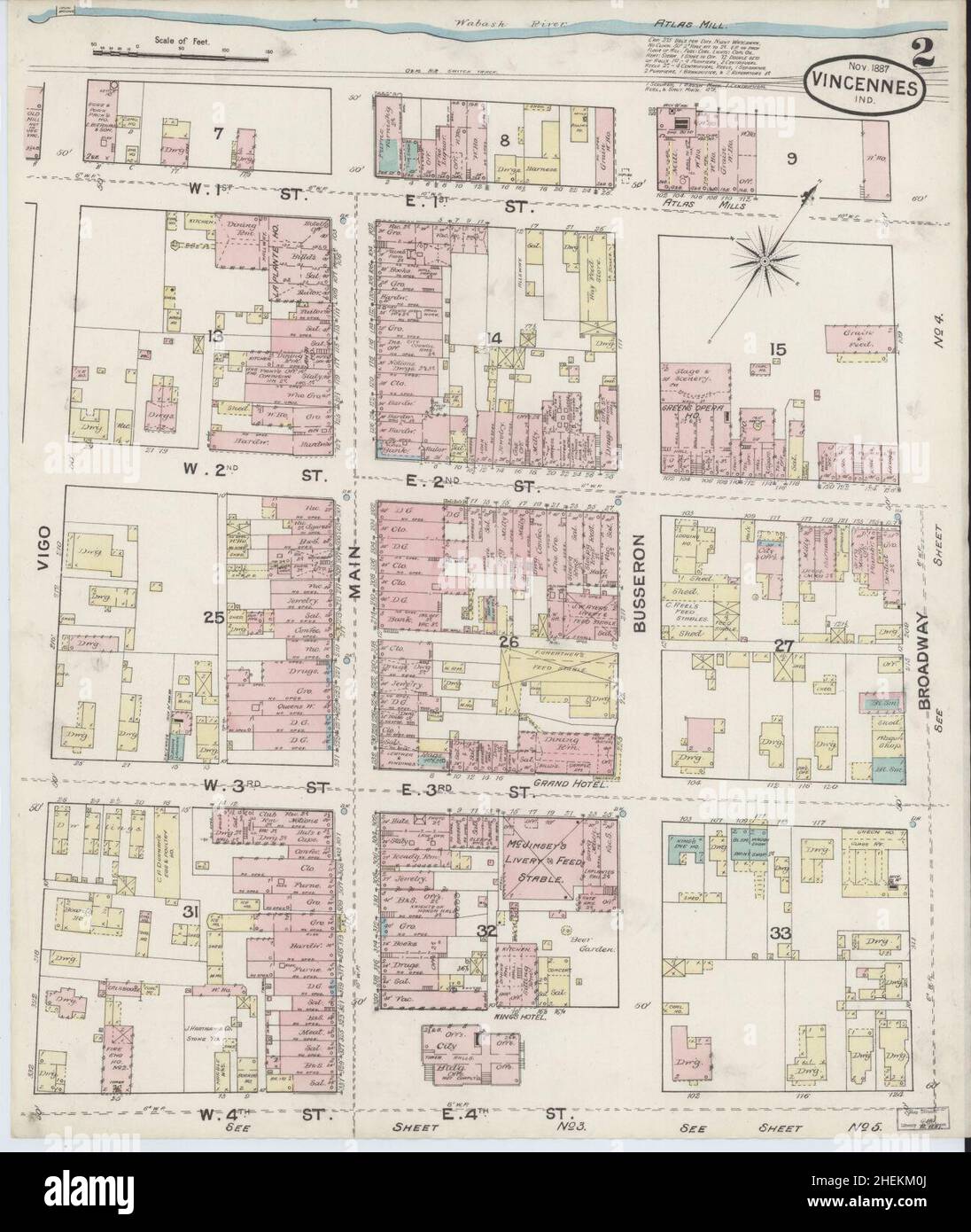 Sanborn Fire Insurance Map from Vincennes, Knox County, Indiana. Stock Photohttps://www.alamy.com/image-license-details/?v=1https://www.alamy.com/sanborn-fire-insurance-map-from-vincennes-knox-county-indiana-image456507538.html
RM2HEKM0J–Sanborn Fire Insurance Map from Vincennes, Knox County, Indiana.
 USGS TOPO Map Indiana IN Knox 159992 1984 100000 Inverted Restoration Stock Photohttps://www.alamy.com/image-license-details/?v=1https://www.alamy.com/usgs-topo-map-indiana-in-knox-159992-1984-100000-inverted-restoration-image259610482.html
RMW2A7PX–USGS TOPO Map Indiana IN Knox 159992 1984 100000 Inverted Restoration
 Starke County, Indiana (U.S. county, United States of America, USA, U.S., US) map vector illustration, scribble sketch Starke map Stock Vectorhttps://www.alamy.com/image-license-details/?v=1https://www.alamy.com/starke-county-indiana-us-county-united-states-of-america-usa-us-us-map-vector-illustration-scribble-sketch-starke-map-image367954859.html
RF2CAHP4Y–Starke County, Indiana (U.S. county, United States of America, USA, U.S., US) map vector illustration, scribble sketch Starke map
 Knox, Starke County, US, United States, Indiana, N 41 17' 45'', S 86 37' 30'', map, Cartascapes Map published in 2024. Explore Cartascapes, a map revealing Earth's diverse landscapes, cultures, and ecosystems. Journey through time and space, discovering the interconnectedness of our planet's past, present, and future. Stock Photohttps://www.alamy.com/image-license-details/?v=1https://www.alamy.com/knox-starke-county-us-united-states-indiana-n-41-17-45-s-86-37-30-map-cartascapes-map-published-in-2024-explore-cartascapes-a-map-revealing-earths-diverse-landscapes-cultures-and-ecosystems-journey-through-time-and-space-discovering-the-interconnectedness-of-our-planets-past-present-and-future-image621228718.html
RM2Y2KBFX–Knox, Starke County, US, United States, Indiana, N 41 17' 45'', S 86 37' 30'', map, Cartascapes Map published in 2024. Explore Cartascapes, a map revealing Earth's diverse landscapes, cultures, and ecosystems. Journey through time and space, discovering the interconnectedness of our planet's past, present, and future.
 Sanborn Fire Insurance Map from Vincennes, Knox County, Indiana. Stock Photohttps://www.alamy.com/image-license-details/?v=1https://www.alamy.com/sanborn-fire-insurance-map-from-vincennes-knox-county-indiana-image456507518.html
RM2HEKKYX–Sanborn Fire Insurance Map from Vincennes, Knox County, Indiana.
 USGS TOPO Map Indiana IN Knox West 156961 1969 24000 Restoration Stock Photohttps://www.alamy.com/image-license-details/?v=1https://www.alamy.com/usgs-topo-map-indiana-in-knox-west-156961-1969-24000-restoration-image259610759.html
RMW2A84R–USGS TOPO Map Indiana IN Knox West 156961 1969 24000 Restoration
 Oaktown, Knox County, US, United States, Indiana, N 38 52' 16'', S 87 26' 29'', map, Cartascapes Map published in 2024. Explore Cartascapes, a map revealing Earth's diverse landscapes, cultures, and ecosystems. Journey through time and space, discovering the interconnectedness of our planet's past, present, and future. Stock Photohttps://www.alamy.com/image-license-details/?v=1https://www.alamy.com/oaktown-knox-county-us-united-states-indiana-n-38-52-16-s-87-26-29-map-cartascapes-map-published-in-2024-explore-cartascapes-a-map-revealing-earths-diverse-landscapes-cultures-and-ecosystems-journey-through-time-and-space-discovering-the-interconnectedness-of-our-planets-past-present-and-future-image621422742.html
RM2Y3071A–Oaktown, Knox County, US, United States, Indiana, N 38 52' 16'', S 87 26' 29'', map, Cartascapes Map published in 2024. Explore Cartascapes, a map revealing Earth's diverse landscapes, cultures, and ecosystems. Journey through time and space, discovering the interconnectedness of our planet's past, present, and future.
 Sanborn Fire Insurance Map from Vincennes, Knox County, Indiana. Stock Photohttps://www.alamy.com/image-license-details/?v=1https://www.alamy.com/sanborn-fire-insurance-map-from-vincennes-knox-county-indiana-image456507643.html
RM2HEKM4B–Sanborn Fire Insurance Map from Vincennes, Knox County, Indiana.
 USGS TOPO Map Indiana IN Knox West 156960 1957 24000 Restoration Stock Photohttps://www.alamy.com/image-license-details/?v=1https://www.alamy.com/usgs-topo-map-indiana-in-knox-west-156960-1957-24000-restoration-image259610717.html
RMW2A839–USGS TOPO Map Indiana IN Knox West 156960 1957 24000 Restoration
 Fritchton, Knox County, US, United States, Indiana, N 38 40' 49'', S 87 25' 23'', map, Cartascapes Map published in 2024. Explore Cartascapes, a map revealing Earth's diverse landscapes, cultures, and ecosystems. Journey through time and space, discovering the interconnectedness of our planet's past, present, and future. Stock Photohttps://www.alamy.com/image-license-details/?v=1https://www.alamy.com/fritchton-knox-county-us-united-states-indiana-n-38-40-49-s-87-25-23-map-cartascapes-map-published-in-2024-explore-cartascapes-a-map-revealing-earths-diverse-landscapes-cultures-and-ecosystems-journey-through-time-and-space-discovering-the-interconnectedness-of-our-planets-past-present-and-future-image621229910.html
RM2Y2KD2E–Fritchton, Knox County, US, United States, Indiana, N 38 40' 49'', S 87 25' 23'', map, Cartascapes Map published in 2024. Explore Cartascapes, a map revealing Earth's diverse landscapes, cultures, and ecosystems. Journey through time and space, discovering the interconnectedness of our planet's past, present, and future.
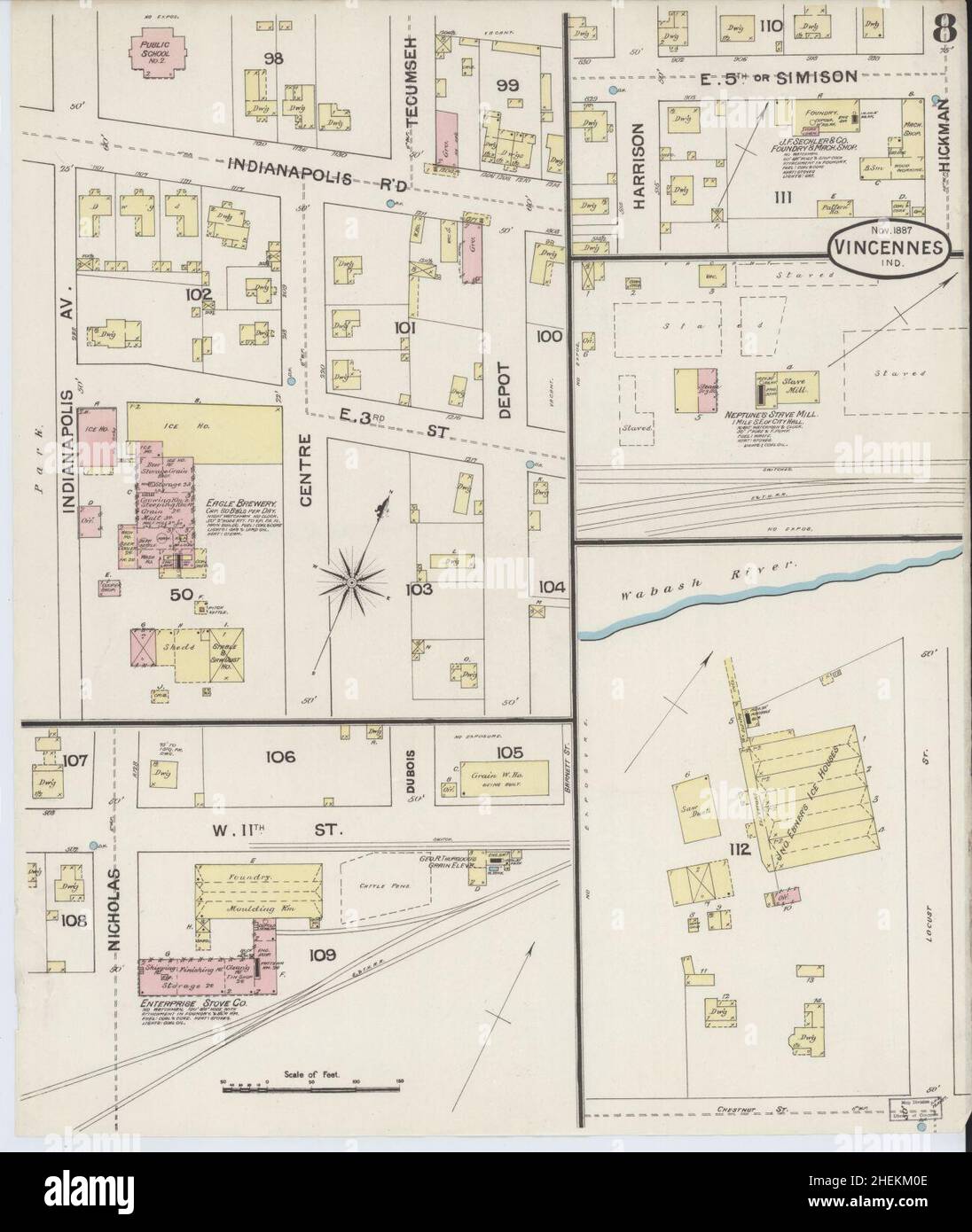 Sanborn Fire Insurance Map from Vincennes, Knox County, Indiana. Stock Photohttps://www.alamy.com/image-license-details/?v=1https://www.alamy.com/sanborn-fire-insurance-map-from-vincennes-knox-county-indiana-image456507534.html
RM2HEKM0E–Sanborn Fire Insurance Map from Vincennes, Knox County, Indiana.
 USGS TOPO Map Indiana IN Knox East 156959 1969 24000 Restoration Stock Photohttps://www.alamy.com/image-license-details/?v=1https://www.alamy.com/usgs-topo-map-indiana-in-knox-east-156959-1969-24000-restoration-image259610672.html
RMW2A81M–USGS TOPO Map Indiana IN Knox East 156959 1969 24000 Restoration
 Bandmill, Knox County, US, United States, Indiana, N 38 32' 18'', S 87 36' 10'', map, Cartascapes Map published in 2024. Explore Cartascapes, a map revealing Earth's diverse landscapes, cultures, and ecosystems. Journey through time and space, discovering the interconnectedness of our planet's past, present, and future. Stock Photohttps://www.alamy.com/image-license-details/?v=1https://www.alamy.com/bandmill-knox-county-us-united-states-indiana-n-38-32-18-s-87-36-10-map-cartascapes-map-published-in-2024-explore-cartascapes-a-map-revealing-earths-diverse-landscapes-cultures-and-ecosystems-journey-through-time-and-space-discovering-the-interconnectedness-of-our-planets-past-present-and-future-image621471075.html
RM2Y32CKF–Bandmill, Knox County, US, United States, Indiana, N 38 32' 18'', S 87 36' 10'', map, Cartascapes Map published in 2024. Explore Cartascapes, a map revealing Earth's diverse landscapes, cultures, and ecosystems. Journey through time and space, discovering the interconnectedness of our planet's past, present, and future.
 Sanborn Fire Insurance Map from Vincennes, Knox County, Indiana. Stock Photohttps://www.alamy.com/image-license-details/?v=1https://www.alamy.com/sanborn-fire-insurance-map-from-vincennes-knox-county-indiana-image456507504.html
RM2HEKKYC–Sanborn Fire Insurance Map from Vincennes, Knox County, Indiana.
 USGS TOPO Map Indiana IN Knox East 20100609 TM Inverted Restoration Stock Photohttps://www.alamy.com/image-license-details/?v=1https://www.alamy.com/usgs-topo-map-indiana-in-knox-east-20100609-tm-inverted-restoration-image259610665.html
RMW2A81D–USGS TOPO Map Indiana IN Knox East 20100609 TM Inverted Restoration
 Vincennes, Knox County, US, United States, Indiana, N 38 40' 38'', S 87 31' 43'', map, Cartascapes Map published in 2024. Explore Cartascapes, a map revealing Earth's diverse landscapes, cultures, and ecosystems. Journey through time and space, discovering the interconnectedness of our planet's past, present, and future. Stock Photohttps://www.alamy.com/image-license-details/?v=1https://www.alamy.com/vincennes-knox-county-us-united-states-indiana-n-38-40-38-s-87-31-43-map-cartascapes-map-published-in-2024-explore-cartascapes-a-map-revealing-earths-diverse-landscapes-cultures-and-ecosystems-journey-through-time-and-space-discovering-the-interconnectedness-of-our-planets-past-present-and-future-image621380105.html
RM2Y2X8JH–Vincennes, Knox County, US, United States, Indiana, N 38 40' 38'', S 87 31' 43'', map, Cartascapes Map published in 2024. Explore Cartascapes, a map revealing Earth's diverse landscapes, cultures, and ecosystems. Journey through time and space, discovering the interconnectedness of our planet's past, present, and future.
 Sanborn Fire Insurance Map from Vincennes, Knox County, Indiana. Stock Photohttps://www.alamy.com/image-license-details/?v=1https://www.alamy.com/sanborn-fire-insurance-map-from-vincennes-knox-county-indiana-image456507527.html
RM2HEKM07–Sanborn Fire Insurance Map from Vincennes, Knox County, Indiana.
 USGS TOPO Map Indiana IN Knox West 20100609 TM Inverted Restoration Stock Photohttps://www.alamy.com/image-license-details/?v=1https://www.alamy.com/usgs-topo-map-indiana-in-knox-west-20100609-tm-inverted-restoration-image259610842.html
RMW2A87P–USGS TOPO Map Indiana IN Knox West 20100609 TM Inverted Restoration
 Willis, Knox County, US, United States, Indiana, N 38 33' 12'', S 87 21' 26'', map, Cartascapes Map published in 2024. Explore Cartascapes, a map revealing Earth's diverse landscapes, cultures, and ecosystems. Journey through time and space, discovering the interconnectedness of our planet's past, present, and future. Stock Photohttps://www.alamy.com/image-license-details/?v=1https://www.alamy.com/willis-knox-county-us-united-states-indiana-n-38-33-12-s-87-21-26-map-cartascapes-map-published-in-2024-explore-cartascapes-a-map-revealing-earths-diverse-landscapes-cultures-and-ecosystems-journey-through-time-and-space-discovering-the-interconnectedness-of-our-planets-past-present-and-future-image621429379.html
RM2Y30FEB–Willis, Knox County, US, United States, Indiana, N 38 33' 12'', S 87 21' 26'', map, Cartascapes Map published in 2024. Explore Cartascapes, a map revealing Earth's diverse landscapes, cultures, and ecosystems. Journey through time and space, discovering the interconnectedness of our planet's past, present, and future.
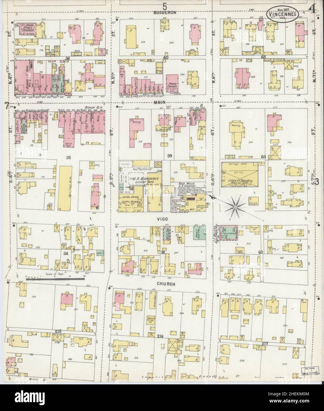 Sanborn Fire Insurance Map from Vincennes, Knox County, Indiana. Stock Photohttps://www.alamy.com/image-license-details/?v=1https://www.alamy.com/sanborn-fire-insurance-map-from-vincennes-knox-county-indiana-image456507540.html
RM2HEKM0M–Sanborn Fire Insurance Map from Vincennes, Knox County, Indiana.
 USGS TOPO Map Indiana IN Knox East 156958 1969 24000 Restoration Stock Photohttps://www.alamy.com/image-license-details/?v=1https://www.alamy.com/usgs-topo-map-indiana-in-knox-east-156958-1969-24000-restoration-image259610636.html
RMW2A80C–USGS TOPO Map Indiana IN Knox East 156958 1969 24000 Restoration
 Westphalia, Knox County, US, United States, Indiana, N 38 51' 46'', S 87 13' 32'', map, Cartascapes Map published in 2024. Explore Cartascapes, a map revealing Earth's diverse landscapes, cultures, and ecosystems. Journey through time and space, discovering the interconnectedness of our planet's past, present, and future. Stock Photohttps://www.alamy.com/image-license-details/?v=1https://www.alamy.com/westphalia-knox-county-us-united-states-indiana-n-38-51-46-s-87-13-32-map-cartascapes-map-published-in-2024-explore-cartascapes-a-map-revealing-earths-diverse-landscapes-cultures-and-ecosystems-journey-through-time-and-space-discovering-the-interconnectedness-of-our-planets-past-present-and-future-image621363307.html
RM2Y2WF6K–Westphalia, Knox County, US, United States, Indiana, N 38 51' 46'', S 87 13' 32'', map, Cartascapes Map published in 2024. Explore Cartascapes, a map revealing Earth's diverse landscapes, cultures, and ecosystems. Journey through time and space, discovering the interconnectedness of our planet's past, present, and future.
 Sanborn Fire Insurance Map from Vincennes, Knox County, Indiana. Stock Photohttps://www.alamy.com/image-license-details/?v=1https://www.alamy.com/sanborn-fire-insurance-map-from-vincennes-knox-county-indiana-image456507532.html
RM2HEKM0C–Sanborn Fire Insurance Map from Vincennes, Knox County, Indiana.
 USGS TOPO Map Indiana IN Knox 159993 1984 100000 Inverted Restoration Stock Photohttps://www.alamy.com/image-license-details/?v=1https://www.alamy.com/usgs-topo-map-indiana-in-knox-159993-1984-100000-inverted-restoration-image259610571.html
RMW2A7X3–USGS TOPO Map Indiana IN Knox 159993 1984 100000 Inverted Restoration
 Freelandville, Knox County, US, United States, Indiana, N 38 51' 53'', S 87 18' 21'', map, Cartascapes Map published in 2024. Explore Cartascapes, a map revealing Earth's diverse landscapes, cultures, and ecosystems. Journey through time and space, discovering the interconnectedness of our planet's past, present, and future. Stock Photohttps://www.alamy.com/image-license-details/?v=1https://www.alamy.com/freelandville-knox-county-us-united-states-indiana-n-38-51-53-s-87-18-21-map-cartascapes-map-published-in-2024-explore-cartascapes-a-map-revealing-earths-diverse-landscapes-cultures-and-ecosystems-journey-through-time-and-space-discovering-the-interconnectedness-of-our-planets-past-present-and-future-image621441317.html
RM2Y312MN–Freelandville, Knox County, US, United States, Indiana, N 38 51' 53'', S 87 18' 21'', map, Cartascapes Map published in 2024. Explore Cartascapes, a map revealing Earth's diverse landscapes, cultures, and ecosystems. Journey through time and space, discovering the interconnectedness of our planet's past, present, and future.
 Sanborn Fire Insurance Map from Vincennes, Knox County, Indiana. Stock Photohttps://www.alamy.com/image-license-details/?v=1https://www.alamy.com/sanborn-fire-insurance-map-from-vincennes-knox-county-indiana-image456507524.html
RM2HEKM04–Sanborn Fire Insurance Map from Vincennes, Knox County, Indiana.
 USGS TOPO Map Indiana IN Knox East 156957 1957 24000 Restoration Stock Photohttps://www.alamy.com/image-license-details/?v=1https://www.alamy.com/usgs-topo-map-indiana-in-knox-east-156957-1957-24000-restoration-image259610599.html
RMW2A7Y3–USGS TOPO Map Indiana IN Knox East 156957 1957 24000 Restoration
 Decker, Knox County, US, United States, Indiana, N 38 31' 8'', S 87 31' 23'', map, Cartascapes Map published in 2024. Explore Cartascapes, a map revealing Earth's diverse landscapes, cultures, and ecosystems. Journey through time and space, discovering the interconnectedness of our planet's past, present, and future. Stock Photohttps://www.alamy.com/image-license-details/?v=1https://www.alamy.com/decker-knox-county-us-united-states-indiana-n-38-31-8-s-87-31-23-map-cartascapes-map-published-in-2024-explore-cartascapes-a-map-revealing-earths-diverse-landscapes-cultures-and-ecosystems-journey-through-time-and-space-discovering-the-interconnectedness-of-our-planets-past-present-and-future-image621390057.html
RM2Y2XNA1–Decker, Knox County, US, United States, Indiana, N 38 31' 8'', S 87 31' 23'', map, Cartascapes Map published in 2024. Explore Cartascapes, a map revealing Earth's diverse landscapes, cultures, and ecosystems. Journey through time and space, discovering the interconnectedness of our planet's past, present, and future.
 Sanborn Fire Insurance Map from Vincennes, Knox County, Indiana. Stock Photohttps://www.alamy.com/image-license-details/?v=1https://www.alamy.com/sanborn-fire-insurance-map-from-vincennes-knox-county-indiana-image456507508.html
RM2HEKKYG–Sanborn Fire Insurance Map from Vincennes, Knox County, Indiana.
 USGS TOPO Map Indiana IN Knox East 156959 1969 24000 Inverted Restoration Stock Photohttps://www.alamy.com/image-license-details/?v=1https://www.alamy.com/usgs-topo-map-indiana-in-knox-east-156959-1969-24000-inverted-restoration-image259610640.html
RMW2A80G–USGS TOPO Map Indiana IN Knox East 156959 1969 24000 Inverted Restoration
 Cantaloupe, Knox County, US, United States, Indiana, N 38 31' 53'', S 87 31' 10'', map, Cartascapes Map published in 2024. Explore Cartascapes, a map revealing Earth's diverse landscapes, cultures, and ecosystems. Journey through time and space, discovering the interconnectedness of our planet's past, present, and future. Stock Photohttps://www.alamy.com/image-license-details/?v=1https://www.alamy.com/cantaloupe-knox-county-us-united-states-indiana-n-38-31-53-s-87-31-10-map-cartascapes-map-published-in-2024-explore-cartascapes-a-map-revealing-earths-diverse-landscapes-cultures-and-ecosystems-journey-through-time-and-space-discovering-the-interconnectedness-of-our-planets-past-present-and-future-image621468577.html
RM2Y329E9–Cantaloupe, Knox County, US, United States, Indiana, N 38 31' 53'', S 87 31' 10'', map, Cartascapes Map published in 2024. Explore Cartascapes, a map revealing Earth's diverse landscapes, cultures, and ecosystems. Journey through time and space, discovering the interconnectedness of our planet's past, present, and future.
 Sanborn Fire Insurance Map from Vincennes, Knox County, Indiana. Stock Photohttps://www.alamy.com/image-license-details/?v=1https://www.alamy.com/sanborn-fire-insurance-map-from-vincennes-knox-county-indiana-image456507528.html
RM2HEKM08–Sanborn Fire Insurance Map from Vincennes, Knox County, Indiana.
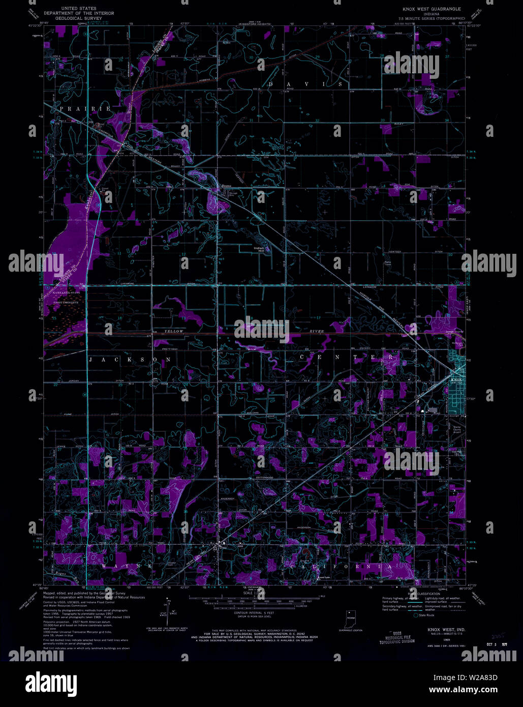 USGS TOPO Map Indiana IN Knox West 156961 1969 24000 Inverted Restoration Stock Photohttps://www.alamy.com/image-license-details/?v=1https://www.alamy.com/usgs-topo-map-indiana-in-knox-west-156961-1969-24000-inverted-restoration-image259610721.html
RMW2A83D–USGS TOPO Map Indiana IN Knox West 156961 1969 24000 Inverted Restoration
 Bruceville, Knox County, US, United States, Indiana, N 38 45' 34'', S 87 24' 56'', map, Cartascapes Map published in 2024. Explore Cartascapes, a map revealing Earth's diverse landscapes, cultures, and ecosystems. Journey through time and space, discovering the interconnectedness of our planet's past, present, and future. Stock Photohttps://www.alamy.com/image-license-details/?v=1https://www.alamy.com/bruceville-knox-county-us-united-states-indiana-n-38-45-34-s-87-24-56-map-cartascapes-map-published-in-2024-explore-cartascapes-a-map-revealing-earths-diverse-landscapes-cultures-and-ecosystems-journey-through-time-and-space-discovering-the-interconnectedness-of-our-planets-past-present-and-future-image621241000.html
RM2Y2KY6G–Bruceville, Knox County, US, United States, Indiana, N 38 45' 34'', S 87 24' 56'', map, Cartascapes Map published in 2024. Explore Cartascapes, a map revealing Earth's diverse landscapes, cultures, and ecosystems. Journey through time and space, discovering the interconnectedness of our planet's past, present, and future.
 Sanborn Fire Insurance Map from Vincennes, Knox County, Indiana. Stock Photohttps://www.alamy.com/image-license-details/?v=1https://www.alamy.com/sanborn-fire-insurance-map-from-vincennes-knox-county-indiana-image456507516.html
RM2HEKKYT–Sanborn Fire Insurance Map from Vincennes, Knox County, Indiana.
 USGS TOPO Map Indiana IN Knox West 156963 1969 24000 Inverted Restoration Stock Photohttps://www.alamy.com/image-license-details/?v=1https://www.alamy.com/usgs-topo-map-indiana-in-knox-west-156963-1969-24000-inverted-restoration-image259610761.html
RMW2A84W–USGS TOPO Map Indiana IN Knox West 156963 1969 24000 Inverted Restoration
 Knox, Henry County, US, United States, Indiana, N 39 49' 23'', S 85 32' 30'', map, Cartascapes Map published in 2024. Explore Cartascapes, a map revealing Earth's diverse landscapes, cultures, and ecosystems. Journey through time and space, discovering the interconnectedness of our planet's past, present, and future. Stock Photohttps://www.alamy.com/image-license-details/?v=1https://www.alamy.com/knox-henry-county-us-united-states-indiana-n-39-49-23-s-85-32-30-map-cartascapes-map-published-in-2024-explore-cartascapes-a-map-revealing-earths-diverse-landscapes-cultures-and-ecosystems-journey-through-time-and-space-discovering-the-interconnectedness-of-our-planets-past-present-and-future-image621420382.html
RM2Y30412–Knox, Henry County, US, United States, Indiana, N 39 49' 23'', S 85 32' 30'', map, Cartascapes Map published in 2024. Explore Cartascapes, a map revealing Earth's diverse landscapes, cultures, and ecosystems. Journey through time and space, discovering the interconnectedness of our planet's past, present, and future.
 Sanborn Fire Insurance Map from Vincennes, Knox County, Indiana. Stock Photohttps://www.alamy.com/image-license-details/?v=1https://www.alamy.com/sanborn-fire-insurance-map-from-vincennes-knox-county-indiana-image456507515.html
RM2HEKKYR–Sanborn Fire Insurance Map from Vincennes, Knox County, Indiana.
 USGS TOPO Map Indiana IN Knox East 156957 1957 24000 Inverted Restoration Stock Photohttps://www.alamy.com/image-license-details/?v=1https://www.alamy.com/usgs-topo-map-indiana-in-knox-east-156957-1957-24000-inverted-restoration-image259610601.html
RMW2A7Y5–USGS TOPO Map Indiana IN Knox East 156957 1957 24000 Inverted Restoration
 Vincennes, Knox County, US, United States, Indiana, N 38 40' 38'', S 87 31' 43'', map, Cartascapes Map published in 2024. Explore Cartascapes, a map revealing Earth's diverse landscapes, cultures, and ecosystems. Journey through time and space, discovering the interconnectedness of our planet's past, present, and future. Stock Photohttps://www.alamy.com/image-license-details/?v=1https://www.alamy.com/vincennes-knox-county-us-united-states-indiana-n-38-40-38-s-87-31-43-map-cartascapes-map-published-in-2024-explore-cartascapes-a-map-revealing-earths-diverse-landscapes-cultures-and-ecosystems-journey-through-time-and-space-discovering-the-interconnectedness-of-our-planets-past-present-and-future-image621231318.html
RM2Y2KETP–Vincennes, Knox County, US, United States, Indiana, N 38 40' 38'', S 87 31' 43'', map, Cartascapes Map published in 2024. Explore Cartascapes, a map revealing Earth's diverse landscapes, cultures, and ecosystems. Journey through time and space, discovering the interconnectedness of our planet's past, present, and future.
 Sanborn Fire Insurance Map from Vincennes, Knox County, Indiana. Stock Photohttps://www.alamy.com/image-license-details/?v=1https://www.alamy.com/sanborn-fire-insurance-map-from-vincennes-knox-county-indiana-image456507531.html
RM2HEKM0B–Sanborn Fire Insurance Map from Vincennes, Knox County, Indiana.
 USGS TOPO Map Indiana IN Knox West 156960 1957 24000 Inverted Restoration Stock Photohttps://www.alamy.com/image-license-details/?v=1https://www.alamy.com/usgs-topo-map-indiana-in-knox-west-156960-1957-24000-inverted-restoration-image259610690.html
RMW2A82A–USGS TOPO Map Indiana IN Knox West 156960 1957 24000 Inverted Restoration
 Busseron, Knox County, US, United States, Indiana, N 38 50' 8'', S 87 26' 57'', map, Cartascapes Map published in 2024. Explore Cartascapes, a map revealing Earth's diverse landscapes, cultures, and ecosystems. Journey through time and space, discovering the interconnectedness of our planet's past, present, and future. Stock Photohttps://www.alamy.com/image-license-details/?v=1https://www.alamy.com/busseron-knox-county-us-united-states-indiana-n-38-50-8-s-87-26-57-map-cartascapes-map-published-in-2024-explore-cartascapes-a-map-revealing-earths-diverse-landscapes-cultures-and-ecosystems-journey-through-time-and-space-discovering-the-interconnectedness-of-our-planets-past-present-and-future-image621273193.html
RM2Y2NC89–Busseron, Knox County, US, United States, Indiana, N 38 50' 8'', S 87 26' 57'', map, Cartascapes Map published in 2024. Explore Cartascapes, a map revealing Earth's diverse landscapes, cultures, and ecosystems. Journey through time and space, discovering the interconnectedness of our planet's past, present, and future.
 Sanborn Fire Insurance Map from Vincennes, Knox County, Indiana. Stock Photohttps://www.alamy.com/image-license-details/?v=1https://www.alamy.com/sanborn-fire-insurance-map-from-vincennes-knox-county-indiana-image456507536.html
RM2HEKM0G–Sanborn Fire Insurance Map from Vincennes, Knox County, Indiana.
 USGS TOPO Map Indiana IN Knox East 156958 1969 24000 Inverted Restoration Stock Photohttps://www.alamy.com/image-license-details/?v=1https://www.alamy.com/usgs-topo-map-indiana-in-knox-east-156958-1969-24000-inverted-restoration-image259610635.html
RMW2A80B–USGS TOPO Map Indiana IN Knox East 156958 1969 24000 Inverted Restoration
 Verne, Knox County, US, United States, Indiana, N 38 38' 12'', S 87 25' 46'', map, Cartascapes Map published in 2024. Explore Cartascapes, a map revealing Earth's diverse landscapes, cultures, and ecosystems. Journey through time and space, discovering the interconnectedness of our planet's past, present, and future. Stock Photohttps://www.alamy.com/image-license-details/?v=1https://www.alamy.com/verne-knox-county-us-united-states-indiana-n-38-38-12-s-87-25-46-map-cartascapes-map-published-in-2024-explore-cartascapes-a-map-revealing-earths-diverse-landscapes-cultures-and-ecosystems-journey-through-time-and-space-discovering-the-interconnectedness-of-our-planets-past-present-and-future-image621201649.html
RM2Y2J515–Verne, Knox County, US, United States, Indiana, N 38 38' 12'', S 87 25' 46'', map, Cartascapes Map published in 2024. Explore Cartascapes, a map revealing Earth's diverse landscapes, cultures, and ecosystems. Journey through time and space, discovering the interconnectedness of our planet's past, present, and future.
 Sanborn Fire Insurance Map from Vincennes, Knox County, Indiana. Stock Photohttps://www.alamy.com/image-license-details/?v=1https://www.alamy.com/sanborn-fire-insurance-map-from-vincennes-knox-county-indiana-image456507502.html
RM2HEKKYA–Sanborn Fire Insurance Map from Vincennes, Knox County, Indiana.
 Beal, Knox County, US, United States, Indiana, N 38 34' 36'', S 87 37' 48'', map, Cartascapes Map published in 2024. Explore Cartascapes, a map revealing Earth's diverse landscapes, cultures, and ecosystems. Journey through time and space, discovering the interconnectedness of our planet's past, present, and future. Stock Photohttps://www.alamy.com/image-license-details/?v=1https://www.alamy.com/beal-knox-county-us-united-states-indiana-n-38-34-36-s-87-37-48-map-cartascapes-map-published-in-2024-explore-cartascapes-a-map-revealing-earths-diverse-landscapes-cultures-and-ecosystems-journey-through-time-and-space-discovering-the-interconnectedness-of-our-planets-past-present-and-future-image621362246.html
RM2Y2WDTP–Beal, Knox County, US, United States, Indiana, N 38 34' 36'', S 87 37' 48'', map, Cartascapes Map published in 2024. Explore Cartascapes, a map revealing Earth's diverse landscapes, cultures, and ecosystems. Journey through time and space, discovering the interconnectedness of our planet's past, present, and future.
 Sanborn Fire Insurance Map from Vincennes, Knox County, Indiana. Stock Photohttps://www.alamy.com/image-license-details/?v=1https://www.alamy.com/sanborn-fire-insurance-map-from-vincennes-knox-county-indiana-image456507539.html
RM2HEKM0K–Sanborn Fire Insurance Map from Vincennes, Knox County, Indiana.
 Emison, Knox County, US, United States, Indiana, N 38 48' 18'', S 87 27' 29'', map, Cartascapes Map published in 2024. Explore Cartascapes, a map revealing Earth's diverse landscapes, cultures, and ecosystems. Journey through time and space, discovering the interconnectedness of our planet's past, present, and future. Stock Photohttps://www.alamy.com/image-license-details/?v=1https://www.alamy.com/emison-knox-county-us-united-states-indiana-n-38-48-18-s-87-27-29-map-cartascapes-map-published-in-2024-explore-cartascapes-a-map-revealing-earths-diverse-landscapes-cultures-and-ecosystems-journey-through-time-and-space-discovering-the-interconnectedness-of-our-planets-past-present-and-future-image621214005.html
RM2Y2JMPD–Emison, Knox County, US, United States, Indiana, N 38 48' 18'', S 87 27' 29'', map, Cartascapes Map published in 2024. Explore Cartascapes, a map revealing Earth's diverse landscapes, cultures, and ecosystems. Journey through time and space, discovering the interconnectedness of our planet's past, present, and future.
 Sanborn Fire Insurance Map from Vincennes, Knox County, Indiana. Stock Photohttps://www.alamy.com/image-license-details/?v=1https://www.alamy.com/sanborn-fire-insurance-map-from-vincennes-knox-county-indiana-image456507526.html
RM2HEKM06–Sanborn Fire Insurance Map from Vincennes, Knox County, Indiana.
 Wheatland, Knox County, US, United States, Indiana, N 38 39' 49'', S 87 18' 34'', map, Cartascapes Map published in 2024. Explore Cartascapes, a map revealing Earth's diverse landscapes, cultures, and ecosystems. Journey through time and space, discovering the interconnectedness of our planet's past, present, and future. Stock Photohttps://www.alamy.com/image-license-details/?v=1https://www.alamy.com/wheatland-knox-county-us-united-states-indiana-n-38-39-49-s-87-18-34-map-cartascapes-map-published-in-2024-explore-cartascapes-a-map-revealing-earths-diverse-landscapes-cultures-and-ecosystems-journey-through-time-and-space-discovering-the-interconnectedness-of-our-planets-past-present-and-future-image621189210.html
RM2Y2HH4X–Wheatland, Knox County, US, United States, Indiana, N 38 39' 49'', S 87 18' 34'', map, Cartascapes Map published in 2024. Explore Cartascapes, a map revealing Earth's diverse landscapes, cultures, and ecosystems. Journey through time and space, discovering the interconnectedness of our planet's past, present, and future.
 Sanborn Fire Insurance Map from Vincennes, Knox County, Indiana. Stock Photohttps://www.alamy.com/image-license-details/?v=1https://www.alamy.com/sanborn-fire-insurance-map-from-vincennes-knox-county-indiana-image456507530.html
RM2HEKM0A–Sanborn Fire Insurance Map from Vincennes, Knox County, Indiana.
 Sandborn, Knox County, US, United States, Indiana, N 38 53' 47'', S 87 11' 12'', map, Cartascapes Map published in 2024. Explore Cartascapes, a map revealing Earth's diverse landscapes, cultures, and ecosystems. Journey through time and space, discovering the interconnectedness of our planet's past, present, and future. Stock Photohttps://www.alamy.com/image-license-details/?v=1https://www.alamy.com/sandborn-knox-county-us-united-states-indiana-n-38-53-47-s-87-11-12-map-cartascapes-map-published-in-2024-explore-cartascapes-a-map-revealing-earths-diverse-landscapes-cultures-and-ecosystems-journey-through-time-and-space-discovering-the-interconnectedness-of-our-planets-past-present-and-future-image621458394.html
RM2Y31TEJ–Sandborn, Knox County, US, United States, Indiana, N 38 53' 47'', S 87 11' 12'', map, Cartascapes Map published in 2024. Explore Cartascapes, a map revealing Earth's diverse landscapes, cultures, and ecosystems. Journey through time and space, discovering the interconnectedness of our planet's past, present, and future.
 Sanborn Fire Insurance Map from Vincennes, Knox County, Indiana. Stock Photohttps://www.alamy.com/image-license-details/?v=1https://www.alamy.com/sanborn-fire-insurance-map-from-vincennes-knox-county-indiana-image456507521.html
RM2HEKM01–Sanborn Fire Insurance Map from Vincennes, Knox County, Indiana.
 Wagner Station, Knox County, US, United States, Indiana, N 38 51' 7'', S 87 14' 1'', map, Cartascapes Map published in 2024. Explore Cartascapes, a map revealing Earth's diverse landscapes, cultures, and ecosystems. Journey through time and space, discovering the interconnectedness of our planet's past, present, and future. Stock Photohttps://www.alamy.com/image-license-details/?v=1https://www.alamy.com/wagner-station-knox-county-us-united-states-indiana-n-38-51-7-s-87-14-1-map-cartascapes-map-published-in-2024-explore-cartascapes-a-map-revealing-earths-diverse-landscapes-cultures-and-ecosystems-journey-through-time-and-space-discovering-the-interconnectedness-of-our-planets-past-present-and-future-image621160923.html
RM2Y2G92K–Wagner Station, Knox County, US, United States, Indiana, N 38 51' 7'', S 87 14' 1'', map, Cartascapes Map published in 2024. Explore Cartascapes, a map revealing Earth's diverse landscapes, cultures, and ecosystems. Journey through time and space, discovering the interconnectedness of our planet's past, present, and future.
 Sanborn Fire Insurance Map from Vincennes, Knox County, Indiana. Stock Photohttps://www.alamy.com/image-license-details/?v=1https://www.alamy.com/sanborn-fire-insurance-map-from-vincennes-knox-county-indiana-image456507507.html
RM2HEKKYF–Sanborn Fire Insurance Map from Vincennes, Knox County, Indiana.
 Twin Bridges, Knox County, US, United States, Indiana, N 38 33' 12'', S 87 37' 51'', map, Cartascapes Map published in 2024. Explore Cartascapes, a map revealing Earth's diverse landscapes, cultures, and ecosystems. Journey through time and space, discovering the interconnectedness of our planet's past, present, and future. Stock Photohttps://www.alamy.com/image-license-details/?v=1https://www.alamy.com/twin-bridges-knox-county-us-united-states-indiana-n-38-33-12-s-87-37-51-map-cartascapes-map-published-in-2024-explore-cartascapes-a-map-revealing-earths-diverse-landscapes-cultures-and-ecosystems-journey-through-time-and-space-discovering-the-interconnectedness-of-our-planets-past-present-and-future-image621239149.html
RM2Y2KTTD–Twin Bridges, Knox County, US, United States, Indiana, N 38 33' 12'', S 87 37' 51'', map, Cartascapes Map published in 2024. Explore Cartascapes, a map revealing Earth's diverse landscapes, cultures, and ecosystems. Journey through time and space, discovering the interconnectedness of our planet's past, present, and future.
 Sanborn Fire Insurance Map from Vincennes, Knox County, Indiana. Stock Photohttps://www.alamy.com/image-license-details/?v=1https://www.alamy.com/sanborn-fire-insurance-map-from-vincennes-knox-county-indiana-image456507533.html
RM2HEKM0D–Sanborn Fire Insurance Map from Vincennes, Knox County, Indiana.
 Monroe City, Knox County, US, United States, Indiana, N 38 36' 55'', S 87 21' 16'', map, Cartascapes Map published in 2024. Explore Cartascapes, a map revealing Earth's diverse landscapes, cultures, and ecosystems. Journey through time and space, discovering the interconnectedness of our planet's past, present, and future. Stock Photohttps://www.alamy.com/image-license-details/?v=1https://www.alamy.com/monroe-city-knox-county-us-united-states-indiana-n-38-36-55-s-87-21-16-map-cartascapes-map-published-in-2024-explore-cartascapes-a-map-revealing-earths-diverse-landscapes-cultures-and-ecosystems-journey-through-time-and-space-discovering-the-interconnectedness-of-our-planets-past-present-and-future-image621210056.html
RM2Y2JFNC–Monroe City, Knox County, US, United States, Indiana, N 38 36' 55'', S 87 21' 16'', map, Cartascapes Map published in 2024. Explore Cartascapes, a map revealing Earth's diverse landscapes, cultures, and ecosystems. Journey through time and space, discovering the interconnectedness of our planet's past, present, and future.
 Sanborn Fire Insurance Map from Vincennes, Knox County, Indiana. Stock Photohttps://www.alamy.com/image-license-details/?v=1https://www.alamy.com/sanborn-fire-insurance-map-from-vincennes-knox-county-indiana-image456507513.html
RM2HEKKYN–Sanborn Fire Insurance Map from Vincennes, Knox County, Indiana.
 Saint Thomas, Knox County, US, United States, Indiana, N 38 35' 10'', S 87 33' 44'', map, Cartascapes Map published in 2024. Explore Cartascapes, a map revealing Earth's diverse landscapes, cultures, and ecosystems. Journey through time and space, discovering the interconnectedness of our planet's past, present, and future. Stock Photohttps://www.alamy.com/image-license-details/?v=1https://www.alamy.com/saint-thomas-knox-county-us-united-states-indiana-n-38-35-10-s-87-33-44-map-cartascapes-map-published-in-2024-explore-cartascapes-a-map-revealing-earths-diverse-landscapes-cultures-and-ecosystems-journey-through-time-and-space-discovering-the-interconnectedness-of-our-planets-past-present-and-future-image621199571.html
RM2Y2J2AY–Saint Thomas, Knox County, US, United States, Indiana, N 38 35' 10'', S 87 33' 44'', map, Cartascapes Map published in 2024. Explore Cartascapes, a map revealing Earth's diverse landscapes, cultures, and ecosystems. Journey through time and space, discovering the interconnectedness of our planet's past, present, and future.
 Sanborn Fire Insurance Map from Vincennes, Knox County, Indiana. Stock Photohttps://www.alamy.com/image-license-details/?v=1https://www.alamy.com/sanborn-fire-insurance-map-from-vincennes-knox-county-indiana-image456507651.html
RM2HEKM4K–Sanborn Fire Insurance Map from Vincennes, Knox County, Indiana.
 Little Rock, Knox County, US, United States, Indiana, N 38 29' 41'', S 87 40' 45'', map, Cartascapes Map published in 2024. Explore Cartascapes, a map revealing Earth's diverse landscapes, cultures, and ecosystems. Journey through time and space, discovering the interconnectedness of our planet's past, present, and future. Stock Photohttps://www.alamy.com/image-license-details/?v=1https://www.alamy.com/little-rock-knox-county-us-united-states-indiana-n-38-29-41-s-87-40-45-map-cartascapes-map-published-in-2024-explore-cartascapes-a-map-revealing-earths-diverse-landscapes-cultures-and-ecosystems-journey-through-time-and-space-discovering-the-interconnectedness-of-our-planets-past-present-and-future-image621288280.html
RM2Y2P3F4–Little Rock, Knox County, US, United States, Indiana, N 38 29' 41'', S 87 40' 45'', map, Cartascapes Map published in 2024. Explore Cartascapes, a map revealing Earth's diverse landscapes, cultures, and ecosystems. Journey through time and space, discovering the interconnectedness of our planet's past, present, and future.
 Sanborn Fire Insurance Map from Vincennes, Knox County, Indiana. Stock Photohttps://www.alamy.com/image-license-details/?v=1https://www.alamy.com/sanborn-fire-insurance-map-from-vincennes-knox-county-indiana-image456507624.html
RM2HEKM3M–Sanborn Fire Insurance Map from Vincennes, Knox County, Indiana.
 Five Points, Knox County, US, United States, Indiana, N 38 36' 37'', S 87 20' 53'', map, Cartascapes Map published in 2024. Explore Cartascapes, a map revealing Earth's diverse landscapes, cultures, and ecosystems. Journey through time and space, discovering the interconnectedness of our planet's past, present, and future. Stock Photohttps://www.alamy.com/image-license-details/?v=1https://www.alamy.com/five-points-knox-county-us-united-states-indiana-n-38-36-37-s-87-20-53-map-cartascapes-map-published-in-2024-explore-cartascapes-a-map-revealing-earths-diverse-landscapes-cultures-and-ecosystems-journey-through-time-and-space-discovering-the-interconnectedness-of-our-planets-past-present-and-future-image621203102.html
RM2Y2J6W2–Five Points, Knox County, US, United States, Indiana, N 38 36' 37'', S 87 20' 53'', map, Cartascapes Map published in 2024. Explore Cartascapes, a map revealing Earth's diverse landscapes, cultures, and ecosystems. Journey through time and space, discovering the interconnectedness of our planet's past, present, and future.
 Sanborn Fire Insurance Map from Vincennes, Knox County, Indiana. Stock Photohttps://www.alamy.com/image-license-details/?v=1https://www.alamy.com/sanborn-fire-insurance-map-from-vincennes-knox-county-indiana-image456507628.html
RM2HEKM3T–Sanborn Fire Insurance Map from Vincennes, Knox County, Indiana.
 Indian Creek Settlement, Knox County, US, United States, Indiana, N 38 43' 45'', S 87 20' 44'', map, Cartascapes Map published in 2024. Explore Cartascapes, a map revealing Earth's diverse landscapes, cultures, and ecosystems. Journey through time and space, discovering the interconnectedness of our planet's past, present, and future. Stock Photohttps://www.alamy.com/image-license-details/?v=1https://www.alamy.com/indian-creek-settlement-knox-county-us-united-states-indiana-n-38-43-45-s-87-20-44-map-cartascapes-map-published-in-2024-explore-cartascapes-a-map-revealing-earths-diverse-landscapes-cultures-and-ecosystems-journey-through-time-and-space-discovering-the-interconnectedness-of-our-planets-past-present-and-future-image621409758.html
RM2Y2YJDJ–Indian Creek Settlement, Knox County, US, United States, Indiana, N 38 43' 45'', S 87 20' 44'', map, Cartascapes Map published in 2024. Explore Cartascapes, a map revealing Earth's diverse landscapes, cultures, and ecosystems. Journey through time and space, discovering the interconnectedness of our planet's past, present, and future.
 Pond Creek Mills, Knox County, US, United States, Indiana, N 38 34' 40'', S 87 17' 11'', map, Cartascapes Map published in 2024. Explore Cartascapes, a map revealing Earth's diverse landscapes, cultures, and ecosystems. Journey through time and space, discovering the interconnectedness of our planet's past, present, and future. Stock Photohttps://www.alamy.com/image-license-details/?v=1https://www.alamy.com/pond-creek-mills-knox-county-us-united-states-indiana-n-38-34-40-s-87-17-11-map-cartascapes-map-published-in-2024-explore-cartascapes-a-map-revealing-earths-diverse-landscapes-cultures-and-ecosystems-journey-through-time-and-space-discovering-the-interconnectedness-of-our-planets-past-present-and-future-image621175068.html
RM2Y2GY3T–Pond Creek Mills, Knox County, US, United States, Indiana, N 38 34' 40'', S 87 17' 11'', map, Cartascapes Map published in 2024. Explore Cartascapes, a map revealing Earth's diverse landscapes, cultures, and ecosystems. Journey through time and space, discovering the interconnectedness of our planet's past, present, and future.