Quick filters:
Korean peninsula map Stock Photos and Images
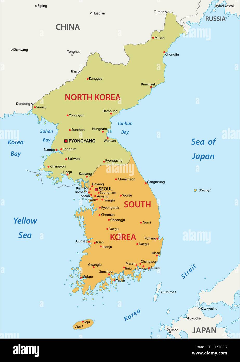 korean peninsula map Stock Vectorhttps://www.alamy.com/image-license-details/?v=1https://www.alamy.com/stock-photo-korean-peninsula-map-122246392.html
RFH2TPEG–korean peninsula map
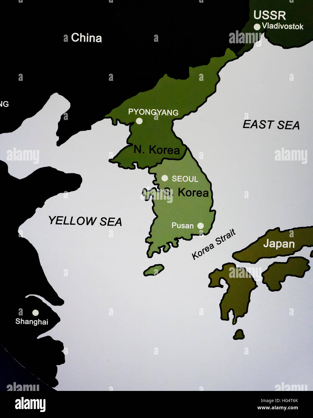 Map of the Korean peninsula showing North/South division Stock Photohttps://www.alamy.com/image-license-details/?v=1https://www.alamy.com/stock-photo-map-of-the-korean-peninsula-showing-northsouth-division-130413883.html
RMHG4T6K–Map of the Korean peninsula showing North/South division
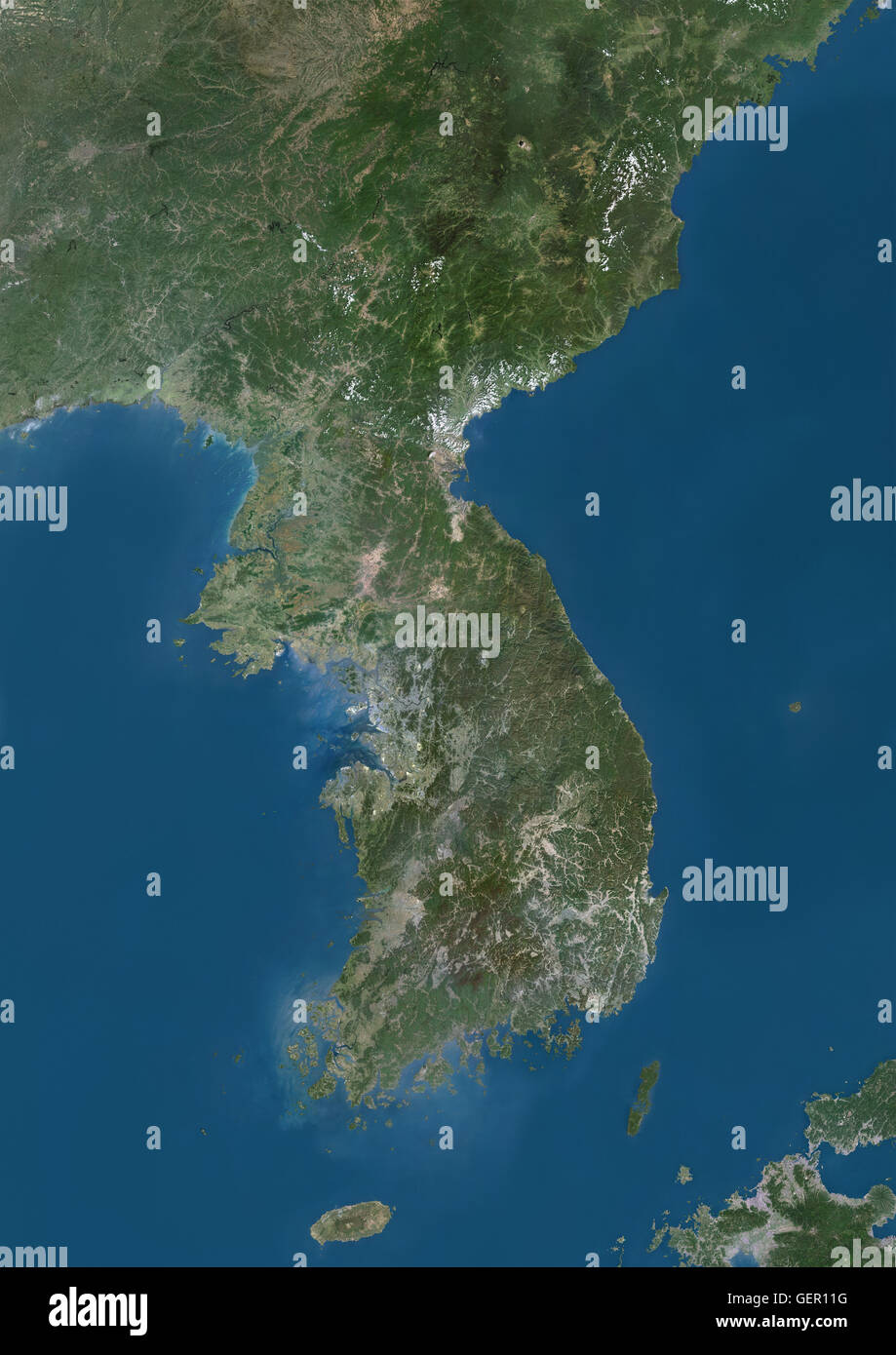 Satellite view of Korean Peninsula. This image was compiled from data acquired by Landsat satellites. Stock Photohttps://www.alamy.com/image-license-details/?v=1https://www.alamy.com/stock-photo-satellite-view-of-korean-peninsula-this-image-was-compiled-from-data-112373116.html
RMGER11G–Satellite view of Korean Peninsula. This image was compiled from data acquired by Landsat satellites.
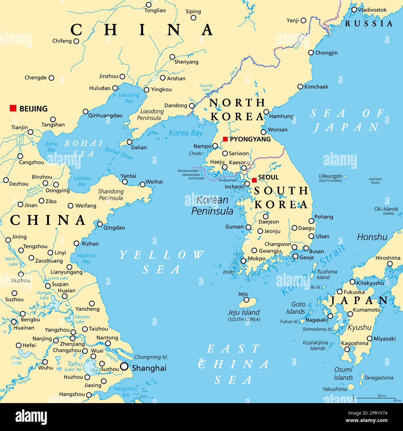
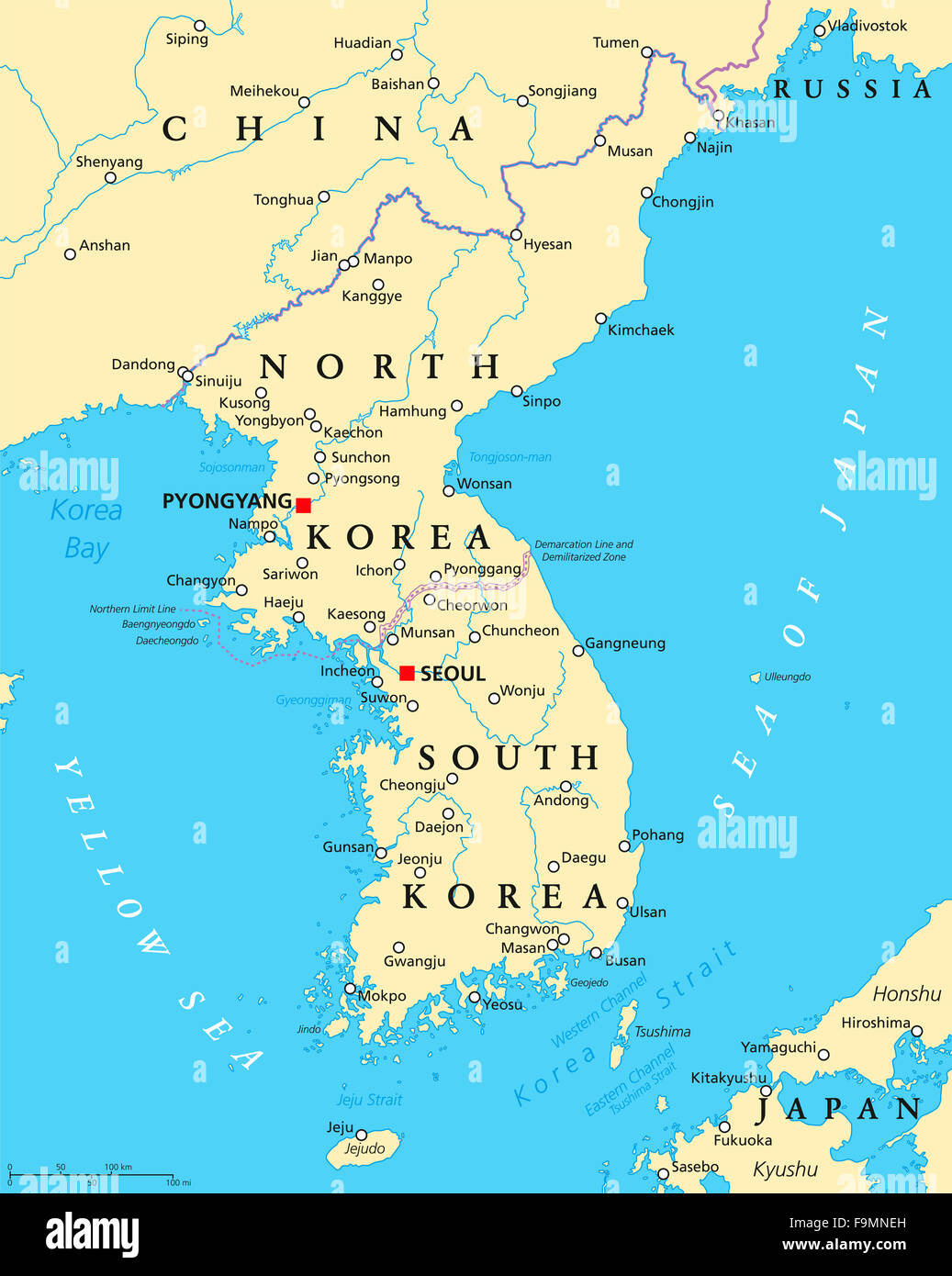 Korean peninsula political map with North and South Korea and the capitals Pyongyang and Seoul. Stock Photohttps://www.alamy.com/image-license-details/?v=1https://www.alamy.com/stock-photo-korean-peninsula-political-map-with-north-and-south-korea-and-the-92039657.html
RFF9MNEH–Korean peninsula political map with North and South Korea and the capitals Pyongyang and Seoul.
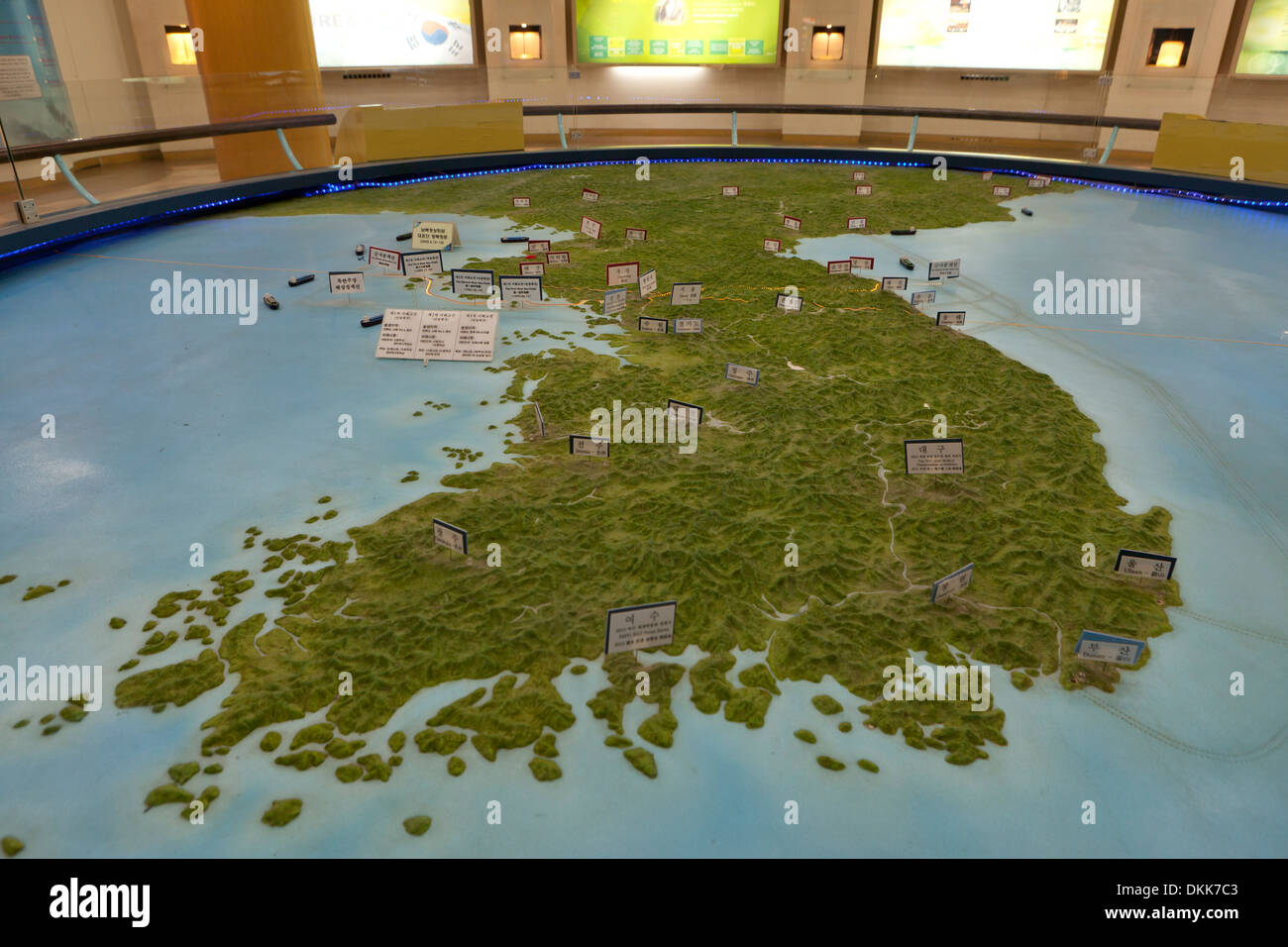 Topographic map of the Korean peninsula, showing DMZ at Unification Observatory - Odusan, South Korea Stock Photohttps://www.alamy.com/image-license-details/?v=1https://www.alamy.com/topographic-map-of-the-korean-peninsula-showing-dmz-at-unification-image63732483.html
RMDKK7C3–Topographic map of the Korean peninsula, showing DMZ at Unification Observatory - Odusan, South Korea
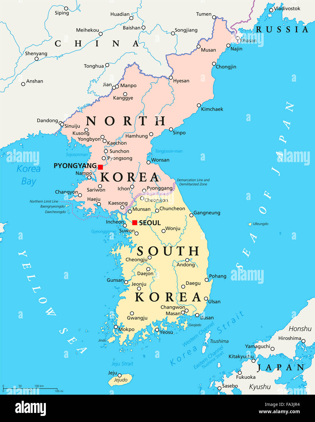 North Korea, South Korea political map with capitals Pyongyang and Seoul. Korean peninsula, national borders, important cities. Stock Photohttps://www.alamy.com/image-license-details/?v=1https://www.alamy.com/stock-photo-north-korea-south-korea-political-map-with-capitals-pyongyang-and-92279016.html
RFFA3JR4–North Korea, South Korea political map with capitals Pyongyang and Seoul. Korean peninsula, national borders, important cities.
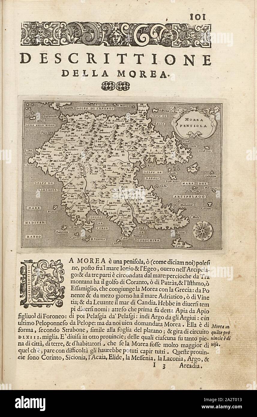 Korean Peninsula, Map of the peninsula Peloponnese, Fig. 23, p. 101, Porro, Girolamo (ill.), 1575, Thomaso Porcacchi, Girolamo Porro: L' isole piu famose del mondo. Il secondo libro. In Venetia: apresso gli Heredi di Simon Galignani, 1590 Stock Photohttps://www.alamy.com/image-license-details/?v=1https://www.alamy.com/korean-peninsula-map-of-the-peninsula-peloponnese-fig-23-p-101-porro-girolamo-ill-1575-thomaso-porcacchi-girolamo-porro-l-isole-piu-famose-del-mondo-il-secondo-libro-in-venetia-apresso-gli-heredi-di-simon-galignani-1590-image328753183.html
RM2A2T013–Korean Peninsula, Map of the peninsula Peloponnese, Fig. 23, p. 101, Porro, Girolamo (ill.), 1575, Thomaso Porcacchi, Girolamo Porro: L' isole piu famose del mondo. Il secondo libro. In Venetia: apresso gli Heredi di Simon Galignani, 1590
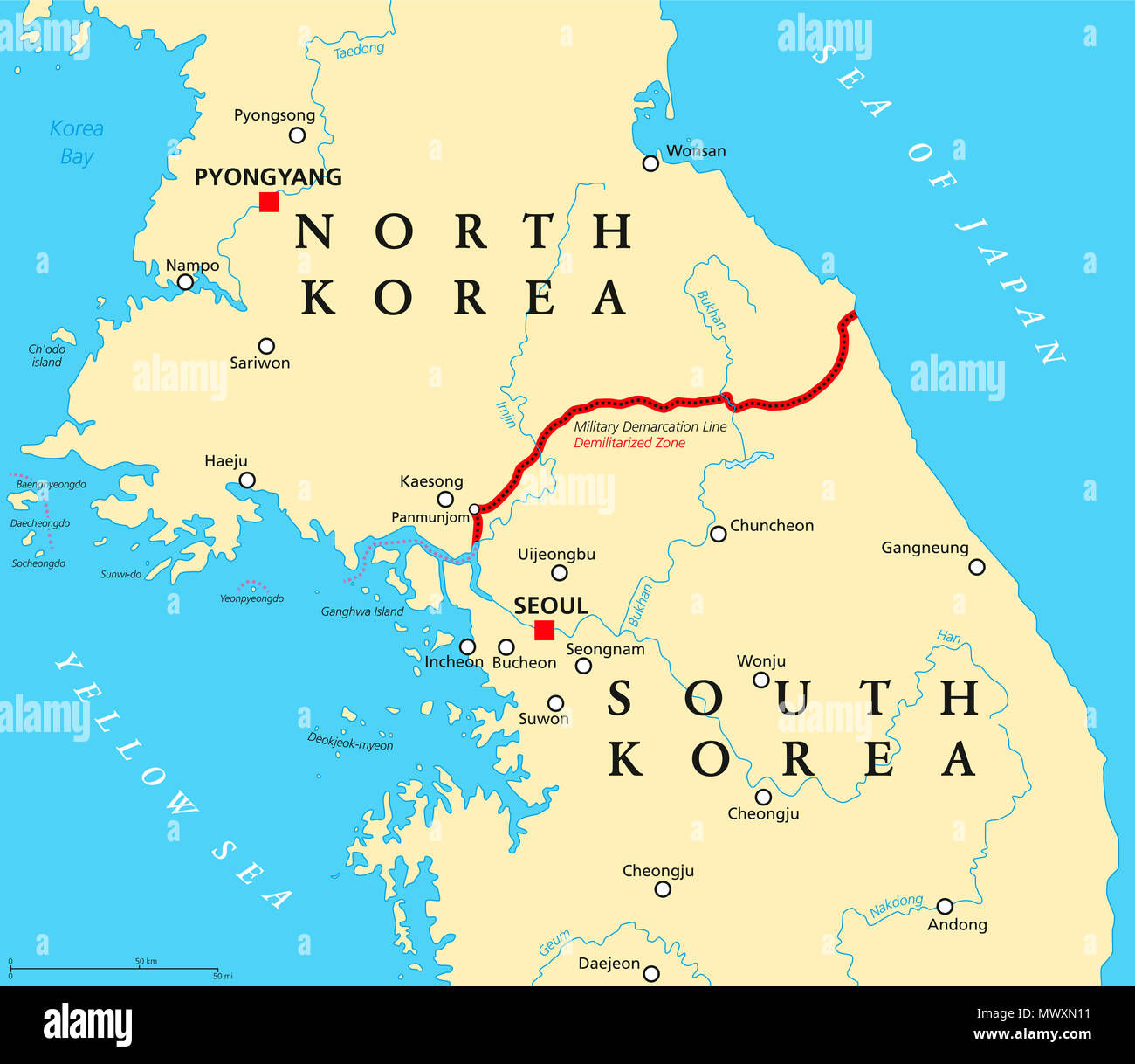 Korean Peninsula, Demilitarized Zone, political map. North and South Korea with Military Demarcation Line, capitals, borders, most important cities. Stock Photohttps://www.alamy.com/image-license-details/?v=1https://www.alamy.com/korean-peninsula-demilitarized-zone-political-map-north-and-south-korea-with-military-demarcation-line-capitals-borders-most-important-cities-image188057325.html
RFMWXN11–Korean Peninsula, Demilitarized Zone, political map. North and South Korea with Military Demarcation Line, capitals, borders, most important cities.
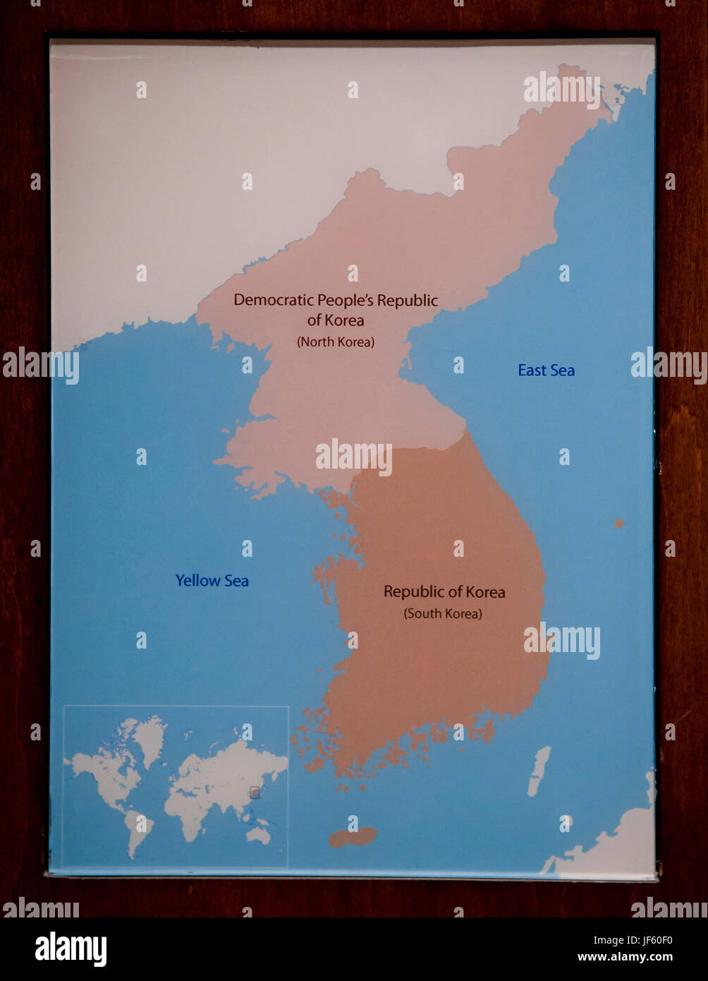 Simple map of Korean peninsula (North Korea, South Korea) Stock Photohttps://www.alamy.com/image-license-details/?v=1https://www.alamy.com/stock-photo-simple-map-of-korean-peninsula-north-korea-south-korea-147034916.html
RMJF60F0–Simple map of Korean peninsula (North Korea, South Korea)
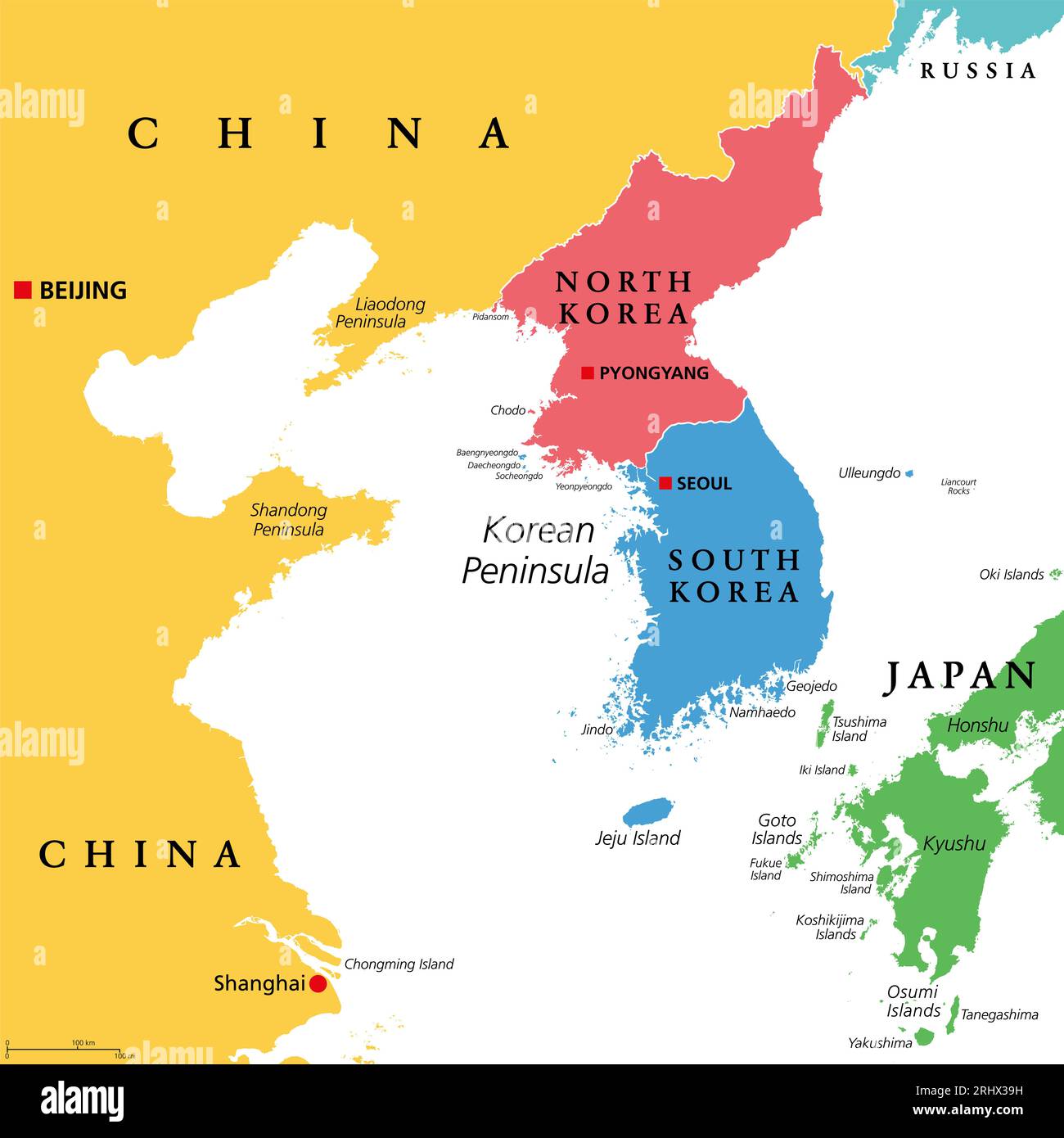 Korean Peninsula region, colored political map. Peninsular region Korea in East Asia, divided between North and South Korea. Stock Photohttps://www.alamy.com/image-license-details/?v=1https://www.alamy.com/korean-peninsula-region-colored-political-map-peninsular-region-korea-in-east-asia-divided-between-north-and-south-korea-image561754301.html
RF2RHX39H–Korean Peninsula region, colored political map. Peninsular region Korea in East Asia, divided between North and South Korea.
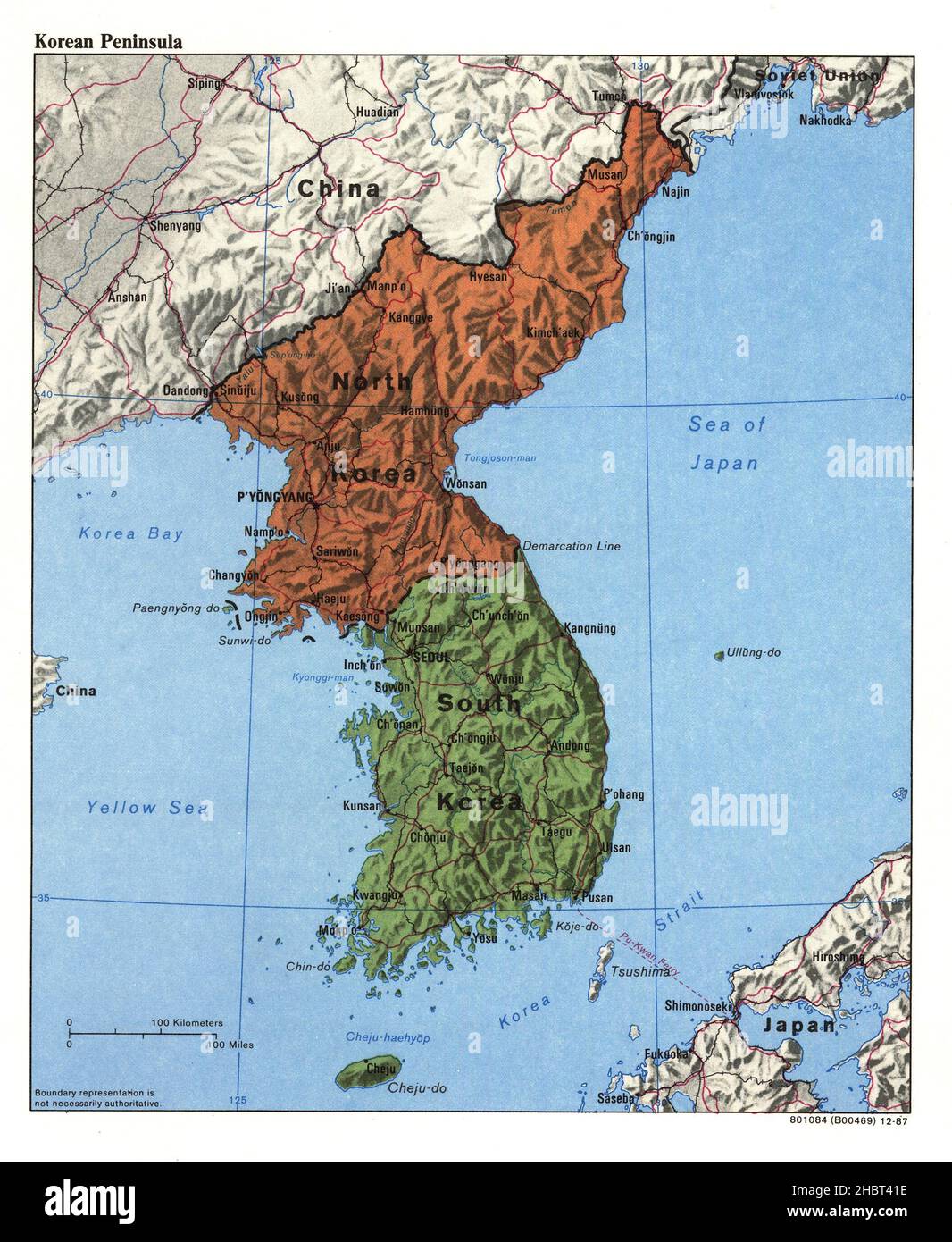 1987 Korean Peninsula map Stock Photohttps://www.alamy.com/image-license-details/?v=1https://www.alamy.com/1987-korean-peninsula-map-image454760810.html
RM2HBT41E–1987 Korean Peninsula map
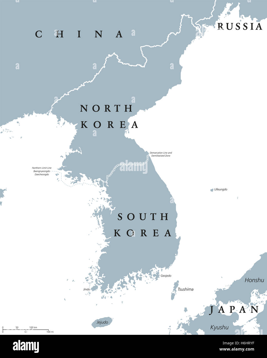 Korean peninsula countries political map with North and South Korea and national borders. Gray illustration, English labeling. Stock Photohttps://www.alamy.com/image-license-details/?v=1https://www.alamy.com/stock-photo-korean-peninsula-countries-political-map-with-north-and-south-korea-124552499.html
RFH6HRYF–Korean peninsula countries political map with North and South Korea and national borders. Gray illustration, English labeling.
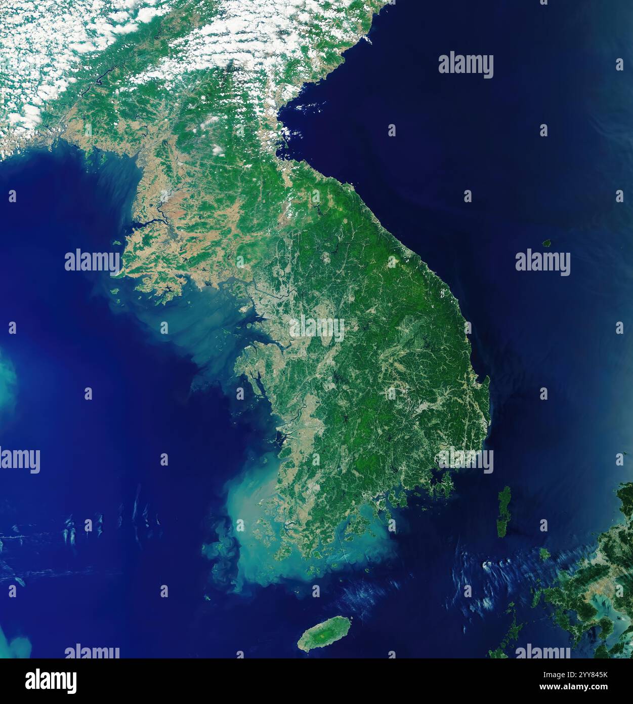 Korean Peninsula from the Space. Stock Photohttps://www.alamy.com/image-license-details/?v=1https://www.alamy.com/korean-peninsula-from-the-space-image636347871.html
RF2YY845K–Korean Peninsula from the Space.
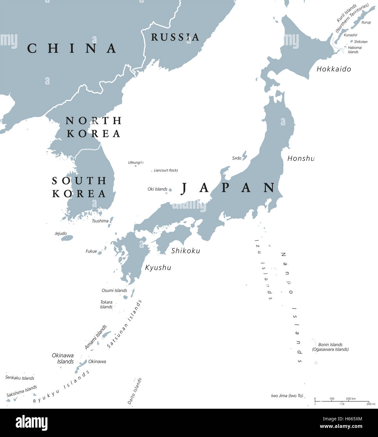 Korean peninsula and Japan countries political map with national borders and islands. Nations in East Asia. English labeling. Stock Photohttps://www.alamy.com/image-license-details/?v=1https://www.alamy.com/stock-photo-korean-peninsula-and-japan-countries-political-map-with-national-borders-124296892.html
RFH665XM–Korean peninsula and Japan countries political map with national borders and islands. Nations in East Asia. English labeling.
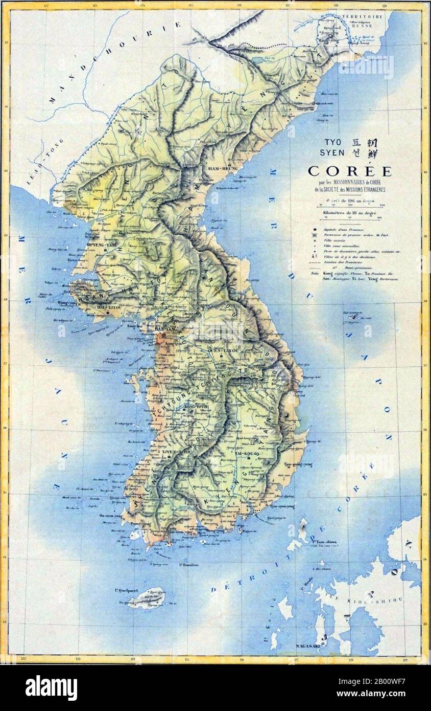 Korea: 19th century French map of the Korean Peninsula. Japan began to force Korea out of the Manchu Qing Dynasty's traditional sphere of influence into its own in the 1870s. As a result of the Sino-Japanese War (1894–5), the Qing Dynasty had to give up such a position according to the Treaty of Shimonoseki, which was concluded between China and Japan in 1895. That same year, Korean Empress Myeongseong was assassinated by Japanese agents. In 1897, the Joseon dynasty proclaimed the Korean Empire (1897–1910), and King Gojong became Emperor Gojong. Stock Photohttps://www.alamy.com/image-license-details/?v=1https://www.alamy.com/korea-19th-century-french-map-of-the-korean-peninsula-japan-began-to-force-korea-out-of-the-manchu-qing-dynastys-traditional-sphere-of-influence-into-its-own-in-the-1870s-as-a-result-of-the-sino-japanese-war-18945-the-qing-dynasty-had-to-give-up-such-a-position-according-to-the-treaty-of-shimonoseki-which-was-concluded-between-china-and-japan-in-1895-that-same-year-korean-empress-myeongseong-was-assassinated-by-japanese-agents-in-1897-the-joseon-dynasty-proclaimed-the-korean-empire-18971910-and-king-gojong-became-emperor-gojong-image344227387.html
RM2B00WF7–Korea: 19th century French map of the Korean Peninsula. Japan began to force Korea out of the Manchu Qing Dynasty's traditional sphere of influence into its own in the 1870s. As a result of the Sino-Japanese War (1894–5), the Qing Dynasty had to give up such a position according to the Treaty of Shimonoseki, which was concluded between China and Japan in 1895. That same year, Korean Empress Myeongseong was assassinated by Japanese agents. In 1897, the Joseon dynasty proclaimed the Korean Empire (1897–1910), and King Gojong became Emperor Gojong.
 Haejwa chondo, map of the Korean Peninsula 1822 showing the 8 provinces of Korea. Stock Photohttps://www.alamy.com/image-license-details/?v=1https://www.alamy.com/haejwa-chondo-map-of-the-korean-peninsula-1822-showing-the-8-provinces-image66219314.html
RMDRMFBE–Haejwa chondo, map of the Korean Peninsula 1822 showing the 8 provinces of Korea.
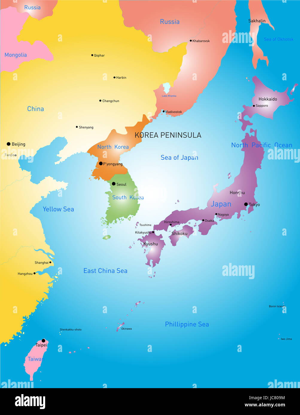 Korea peninsula vector color map Stock Photohttps://www.alamy.com/image-license-details/?v=1https://www.alamy.com/stock-photo-korea-peninsula-vector-color-map-145234704.html
RFJC809M–Korea peninsula vector color map
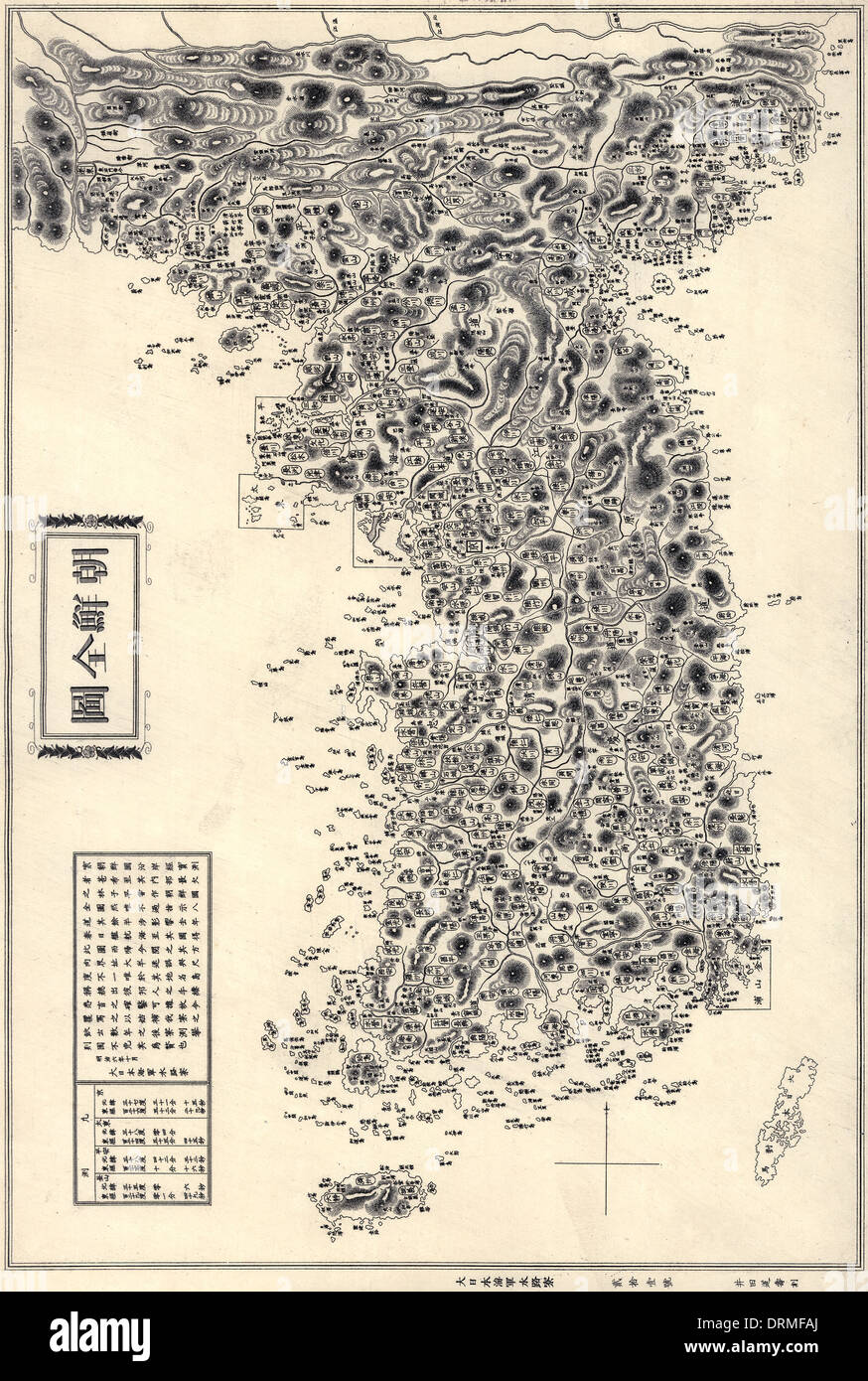 Map of the Korean Peninsula (Chosŏn Pando) published 1860. Also visible are Tsushima and Jeju Islands Stock Photohttps://www.alamy.com/image-license-details/?v=1https://www.alamy.com/map-of-the-korean-peninsula-chosn-pando-published-1860-also-visible-image66219290.html
RMDRMFAJ–Map of the Korean Peninsula (Chosŏn Pando) published 1860. Also visible are Tsushima and Jeju Islands
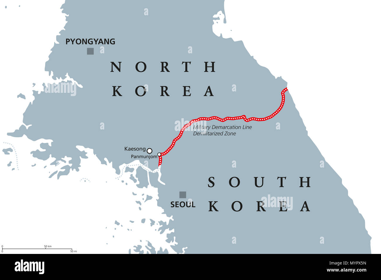 Korean Peninsula, Demilitarized Zone Area, political map. North and South Korea with red Military Demarcation Line, capitals and borders. Stock Photohttps://www.alamy.com/image-license-details/?v=1https://www.alamy.com/korean-peninsula-demilitarized-zone-area-political-map-north-and-south-korea-with-red-military-demarcation-line-capitals-and-borders-image189202881.html
RFMYPX5N–Korean Peninsula, Demilitarized Zone Area, political map. North and South Korea with red Military Demarcation Line, capitals and borders.
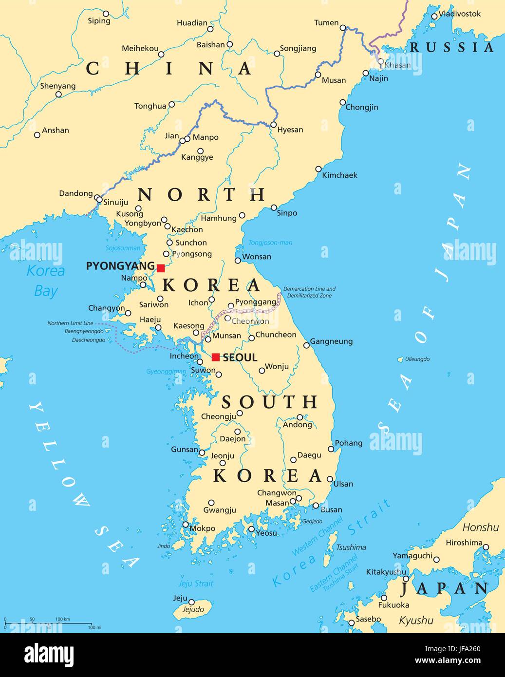 Korean Peninsula Political Map Stock Vectorhttps://www.alamy.com/image-license-details/?v=1https://www.alamy.com/stock-photo-korean-peninsula-political-map-147124040.html
RFJFA260–Korean Peninsula Political Map
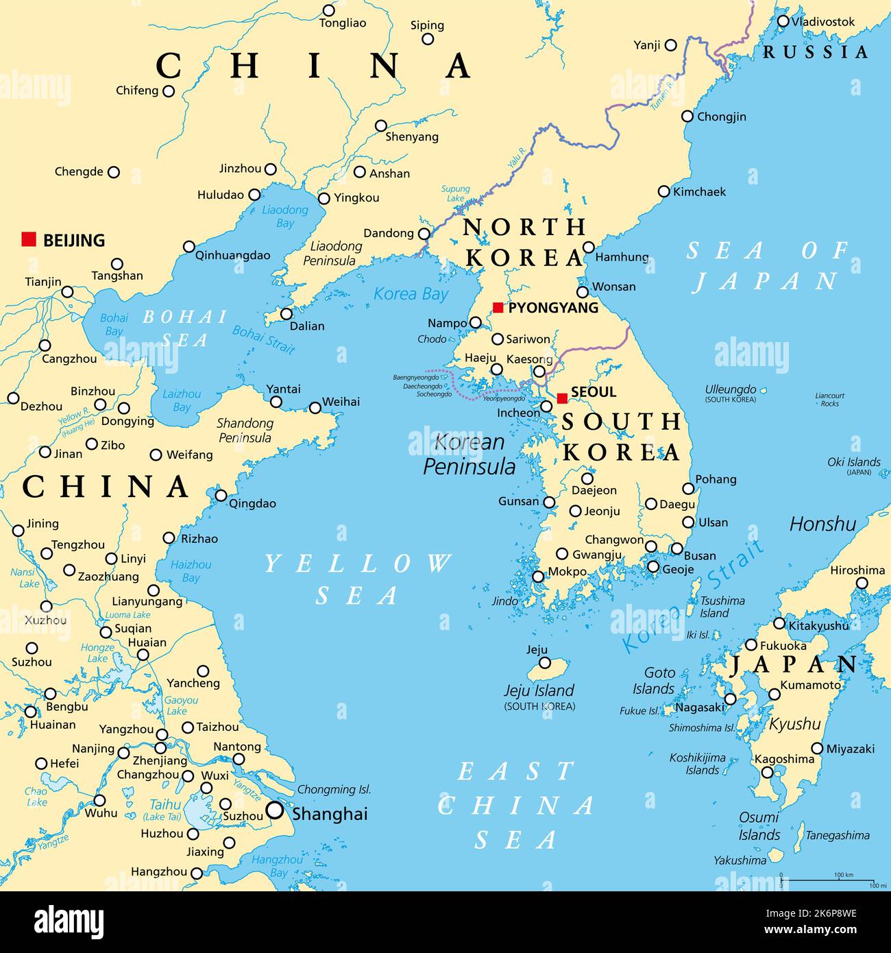 Korean Peninsula region, political map. Peninsular region Korea in East Asia, divided between the 2 countries North and South Korea. Stock Photohttps://www.alamy.com/image-license-details/?v=1https://www.alamy.com/korean-peninsula-region-political-map-peninsular-region-korea-in-east-asia-divided-between-the-2-countries-north-and-south-korea-image486068170.html
RF2K6P8WE–Korean Peninsula region, political map. Peninsular region Korea in East Asia, divided between the 2 countries North and South Korea.
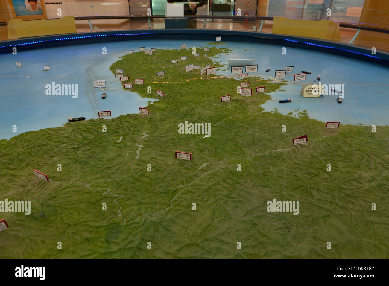 Topographic map of the Korean peninsula, showing DMZ at Unification Observatory - Odusan, South Korea Stock Photohttps://www.alamy.com/image-license-details/?v=1https://www.alamy.com/topographic-map-of-the-korean-peninsula-showing-dmz-at-unification-image63732599.html
RMDKK7G7–Topographic map of the Korean peninsula, showing DMZ at Unification Observatory - Odusan, South Korea
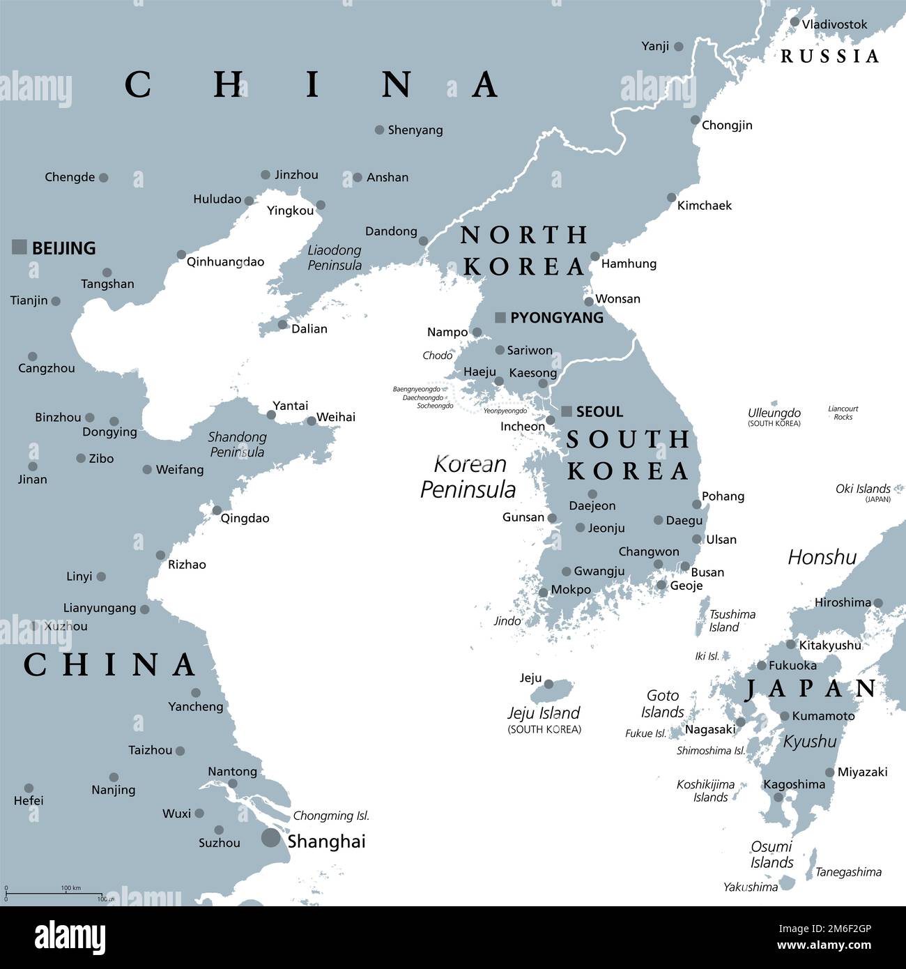 Korean Peninsula region, gray political map. Peninsular region Korea in East Asia, divided between North and South Korea, bordered by China and Russia. Stock Photohttps://www.alamy.com/image-license-details/?v=1https://www.alamy.com/korean-peninsula-region-gray-political-map-peninsular-region-korea-in-east-asia-divided-between-north-and-south-korea-bordered-by-china-and-russia-image503119926.html
RF2M6F2GP–Korean Peninsula region, gray political map. Peninsular region Korea in East Asia, divided between North and South Korea, bordered by China and Russia.
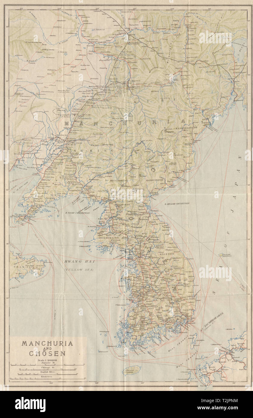 'Manchuria and Chosen'. The Korean peninsula & North East China 1913 old map Stock Photohttps://www.alamy.com/image-license-details/?v=1https://www.alamy.com/manchuria-and-chosen-the-korean-peninsula-north-east-china-1913-old-map-image242587456.html
RFT2JPNM–'Manchuria and Chosen'. The Korean peninsula & North East China 1913 old map
 The Korean Demilitarized Zone running across the Korean Peninsula near the 38th parallel north. The demilitarized zone (DMZ) is a border barrier that divides the Korean Peninsula. It serves as a buffer zone between North and South Korea under the provisions of the Korean Armistice Agreement in 1953, an agreement between North Korea, China and the United Nations Command. The DMZ is 250 kilometres (160 miles) long and about 4 kilometres (2.5 miles) wide. Stock Photohttps://www.alamy.com/image-license-details/?v=1https://www.alamy.com/the-korean-demilitarized-zone-running-across-the-korean-peninsula-near-the-38th-parallel-north-the-demilitarized-zone-dmz-is-a-border-barrier-that-divides-the-korean-peninsula-it-serves-as-a-buffer-zone-between-north-and-south-korea-under-the-provisions-of-the-korean-armistice-agreement-in-1953-an-agreement-between-north-korea-china-and-the-united-nations-command-the-dmz-is-250-kilometres-160-miles-long-and-about-4-kilometres-25-miles-wide-image482198498.html
RM2K0E12X–The Korean Demilitarized Zone running across the Korean Peninsula near the 38th parallel north. The demilitarized zone (DMZ) is a border barrier that divides the Korean Peninsula. It serves as a buffer zone between North and South Korea under the provisions of the Korean Armistice Agreement in 1953, an agreement between North Korea, China and the United Nations Command. The DMZ is 250 kilometres (160 miles) long and about 4 kilometres (2.5 miles) wide.
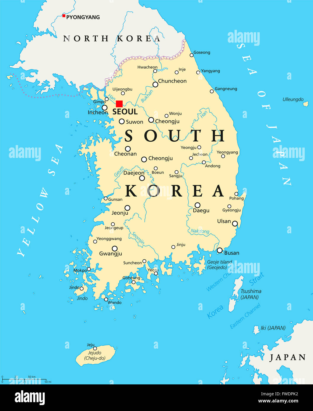 South Korea political map with capital Seoul, national borders, important cities, rivers and lakes. English labeling and scaling Stock Photohttps://www.alamy.com/image-license-details/?v=1https://www.alamy.com/stock-photo-south-korea-political-map-with-capital-seoul-national-borders-important-101721398.html
RFFWDPK2–South Korea political map with capital Seoul, national borders, important cities, rivers and lakes. English labeling and scaling
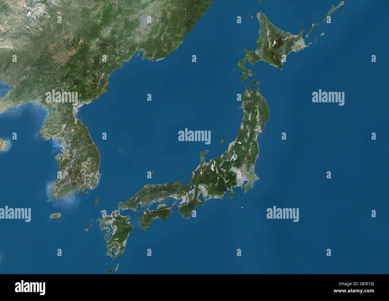 Satellite view of Japan and Korean Peninsula. This image was compiled from data acquired by Landsat satellites. Stock Photohttps://www.alamy.com/image-license-details/?v=1https://www.alamy.com/stock-photo-satellite-view-of-japan-and-korean-peninsula-this-image-was-compiled-112373090.html
RMGER10J–Satellite view of Japan and Korean Peninsula. This image was compiled from data acquired by Landsat satellites.
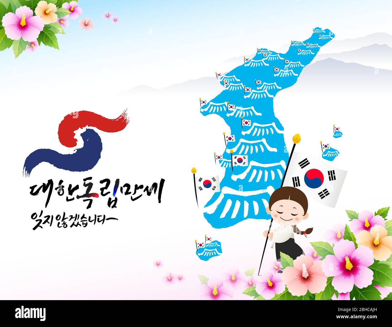 Independence Movement Day, Korean translation. A child in hanbok is holding the national flag in front of a Korean map. Vector. Stock Vectorhttps://www.alamy.com/image-license-details/?v=1https://www.alamy.com/independence-movement-day-korean-translation-a-child-in-hanbok-is-holding-the-national-flag-in-front-of-a-korean-map-vector-image354928297.html
RF2BHCAJH–Independence Movement Day, Korean translation. A child in hanbok is holding the national flag in front of a Korean map. Vector.
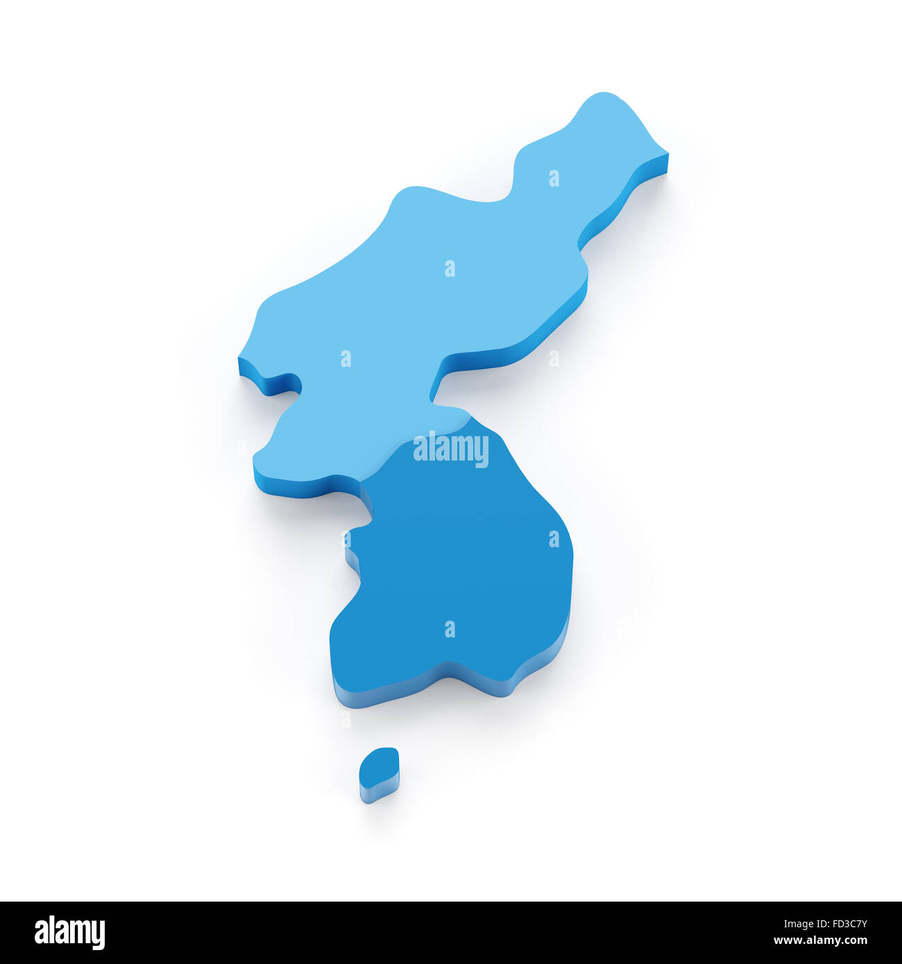 Map of Korea peninsula Stock Photohttps://www.alamy.com/image-license-details/?v=1https://www.alamy.com/stock-photo-map-of-korea-peninsula-94117855.html
RFFD3C7Y–Map of Korea peninsula
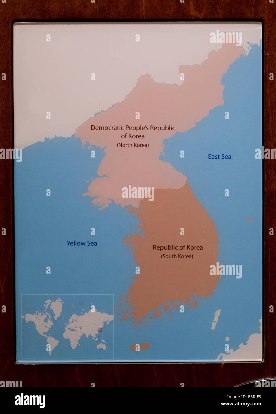 Map of Korea Stock Photohttps://www.alamy.com/image-license-details/?v=1https://www.alamy.com/stock-photo-map-of-korea-74278151.html
RME8RJF3–Map of Korea
 Map of Korean Peninsula ca. 2011 Stock Photohttps://www.alamy.com/image-license-details/?v=1https://www.alamy.com/map-of-korean-peninsula-ca-2011-image454757212.html
RM2HBRYD0–Map of Korean Peninsula ca. 2011
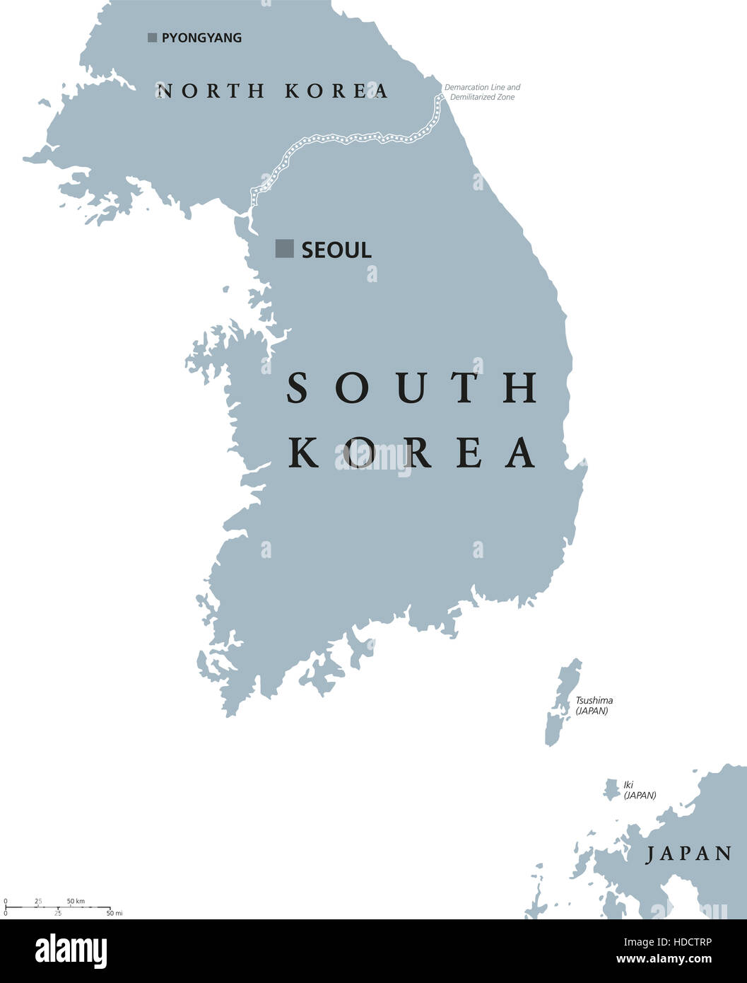 South Korea political map with capital Seoul and national borders. Republic in East Asia. Stock Photohttps://www.alamy.com/image-license-details/?v=1https://www.alamy.com/stock-photo-south-korea-political-map-with-capital-seoul-and-national-borders-128746010.html
RFHDCTRP–South Korea political map with capital Seoul and national borders. Republic in East Asia.
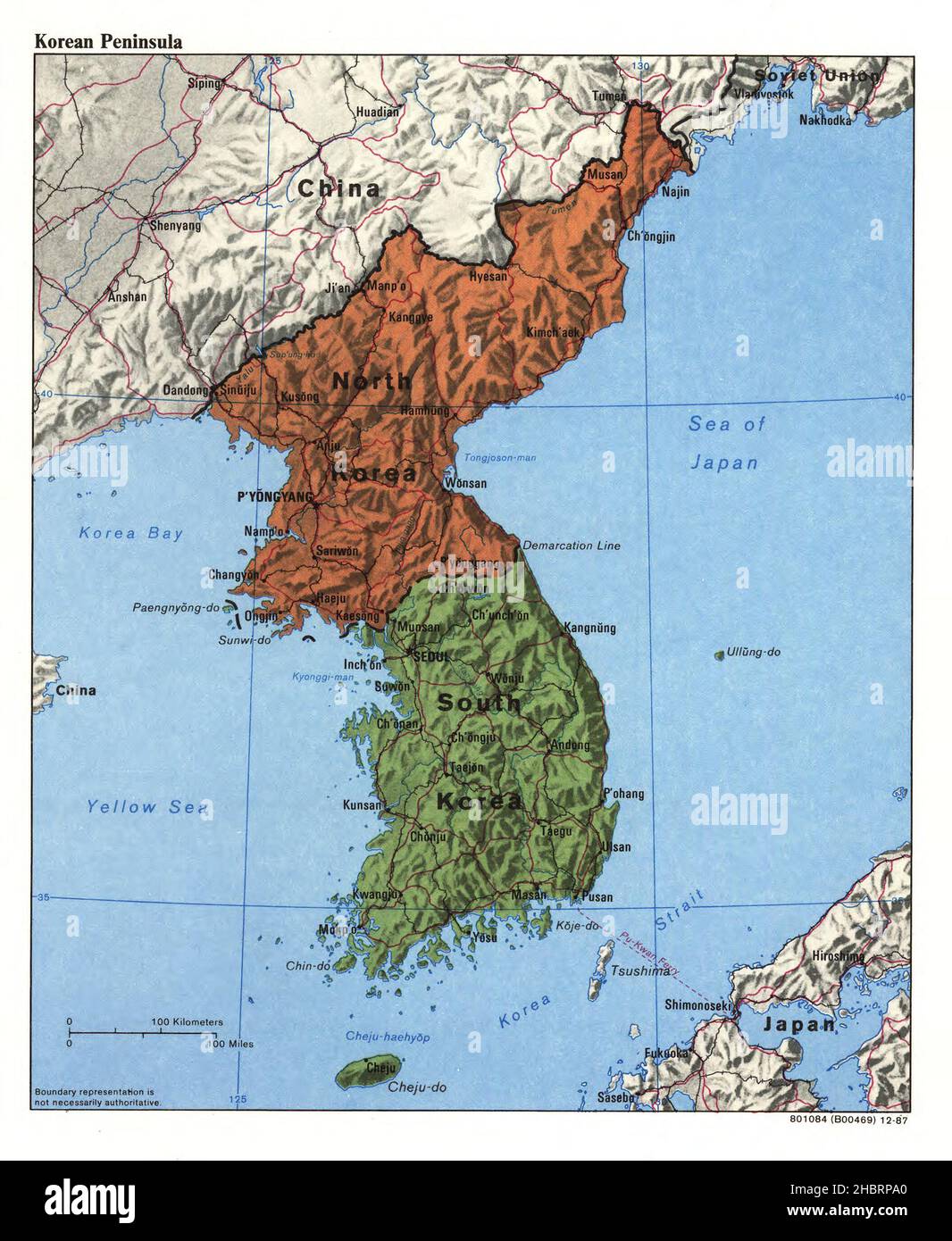 Map of Korean Peninsula ca. 1987 Stock Photohttps://www.alamy.com/image-license-details/?v=1https://www.alamy.com/map-of-korean-peninsula-ca-1987-image454753208.html
RM2HBRPA0–Map of Korean Peninsula ca. 1987
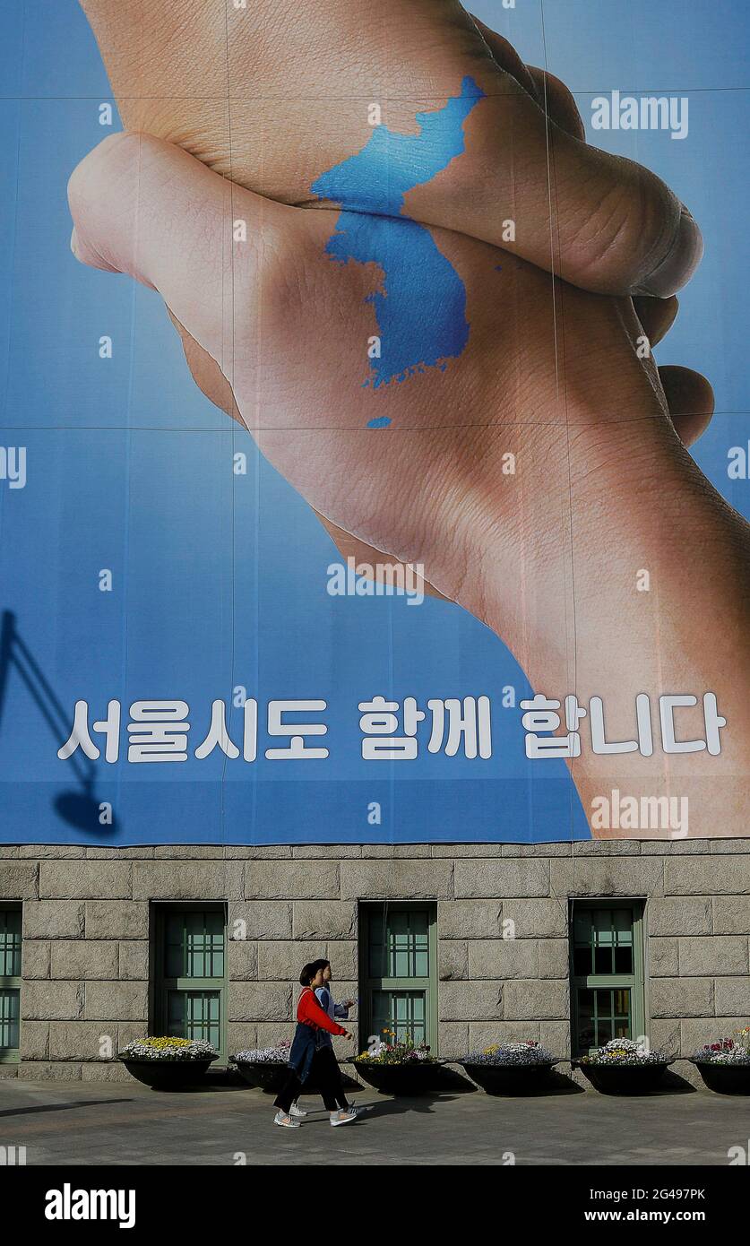 April 21, 2018-Seoul, South Korea-People walk by a banner showing a map of the Korean peninsular to wish for a successful inter-Korean summit on April 21, 2018 in Seoul, South Korea. The inter-Korean summit is scheduled on April 27, 2018 at the Joint Security Area in Panmunjom, agreed by South Korean President Moon Jae-in and North Korea's leader Kim Jong-un. Stock Photohttps://www.alamy.com/image-license-details/?v=1https://www.alamy.com/april-21-2018-seoul-south-korea-people-walk-by-a-banner-showing-a-map-of-the-korean-peninsular-to-wish-for-a-successful-inter-korean-summit-on-april-21-2018-in-seoul-south-korea-the-inter-korean-summit-is-scheduled-on-april-27-2018-at-the-joint-security-area-in-panmunjom-agreed-by-south-korean-president-moon-jae-in-and-north-koreas-leader-kim-jong-un-image432921515.html
RM2G497PK–April 21, 2018-Seoul, South Korea-People walk by a banner showing a map of the Korean peninsular to wish for a successful inter-Korean summit on April 21, 2018 in Seoul, South Korea. The inter-Korean summit is scheduled on April 27, 2018 at the Joint Security Area in Panmunjom, agreed by South Korean President Moon Jae-in and North Korea's leader Kim Jong-un.
 Map of the Korean Peninsula ca. 1986 Stock Photohttps://www.alamy.com/image-license-details/?v=1https://www.alamy.com/map-of-the-korean-peninsula-ca-1986-image454767561.html
RM2HBTCJH–Map of the Korean Peninsula ca. 1986
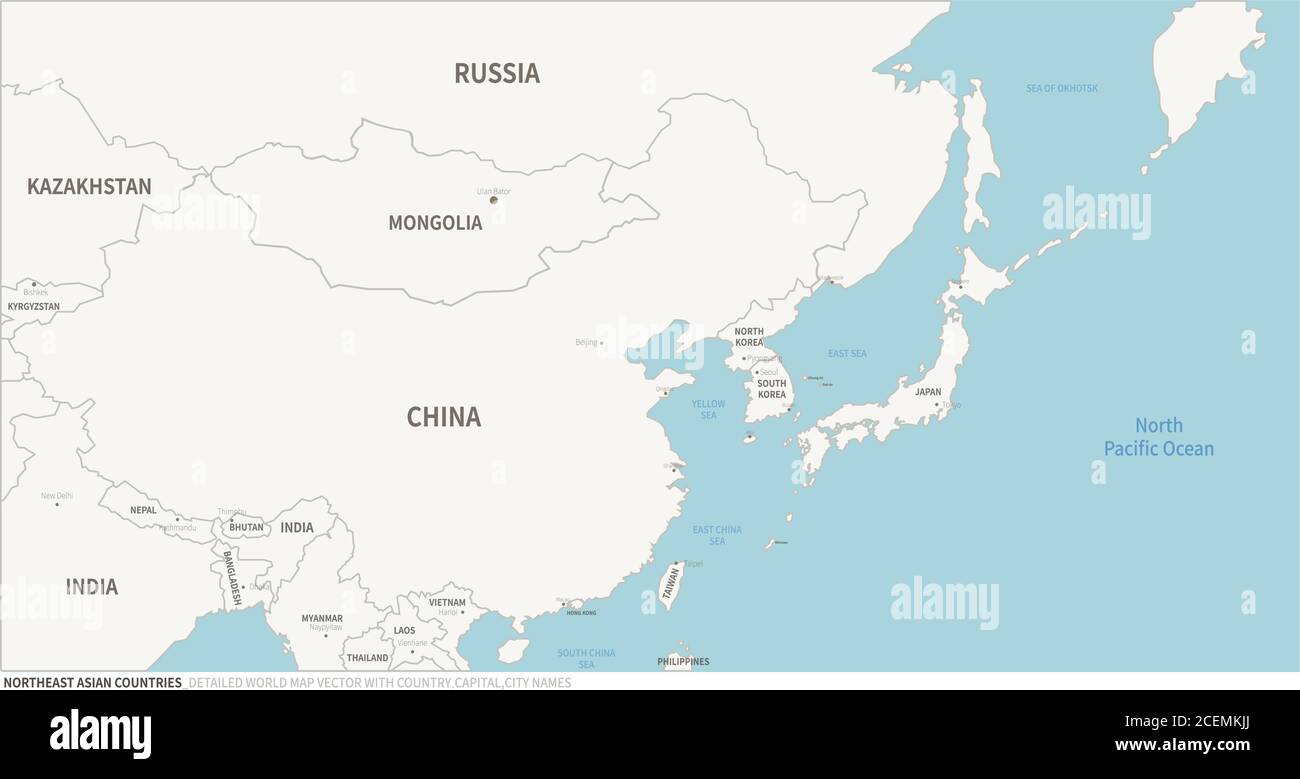 Northeast Asia Countries Map. Editable Continental Map of Country. Stock Vectorhttps://www.alamy.com/image-license-details/?v=1https://www.alamy.com/northeast-asia-countries-map-editable-continental-map-of-country-image370477370.html
RF2CEMKJJ–Northeast Asia Countries Map. Editable Continental Map of Country.
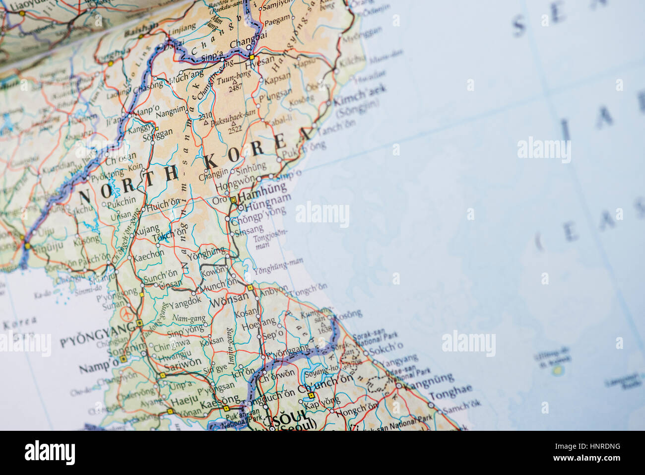 North Korea Map Stock Photohttps://www.alamy.com/image-license-details/?v=1https://www.alamy.com/stock-photo-north-korea-map-133896044.html
RMHNRDNG–North Korea Map
 Contour drawing of Japan and Korea. Map illustration of East Asian countries. Stock Photohttps://www.alamy.com/image-license-details/?v=1https://www.alamy.com/contour-drawing-of-japan-and-korea-map-illustration-of-east-asian-countries-image606192159.html
RF2X66C7Y–Contour drawing of Japan and Korea. Map illustration of East Asian countries.
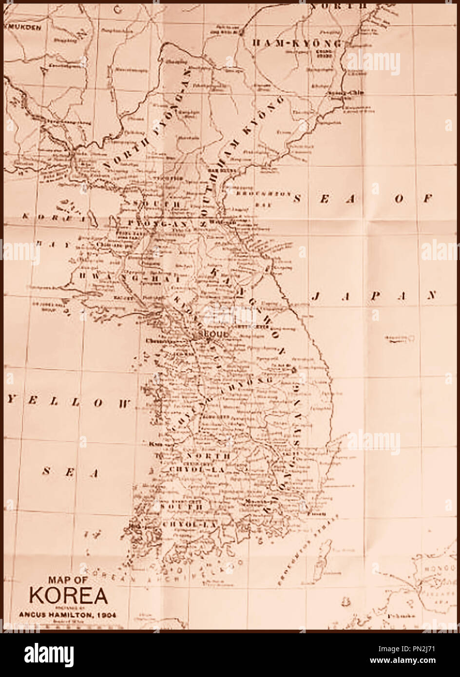 A Map of Korea 1904 Stock Photohttps://www.alamy.com/image-license-details/?v=1https://www.alamy.com/a-map-of-korea-1904-image219490405.html
RMPN2J71–A Map of Korea 1904
 The Korean Peninsula Tiger and the dividing line Stock Vectorhttps://www.alamy.com/image-license-details/?v=1https://www.alamy.com/the-korean-peninsula-tiger-and-the-dividing-line-image501680756.html
RF2M45EWT–The Korean Peninsula Tiger and the dividing line
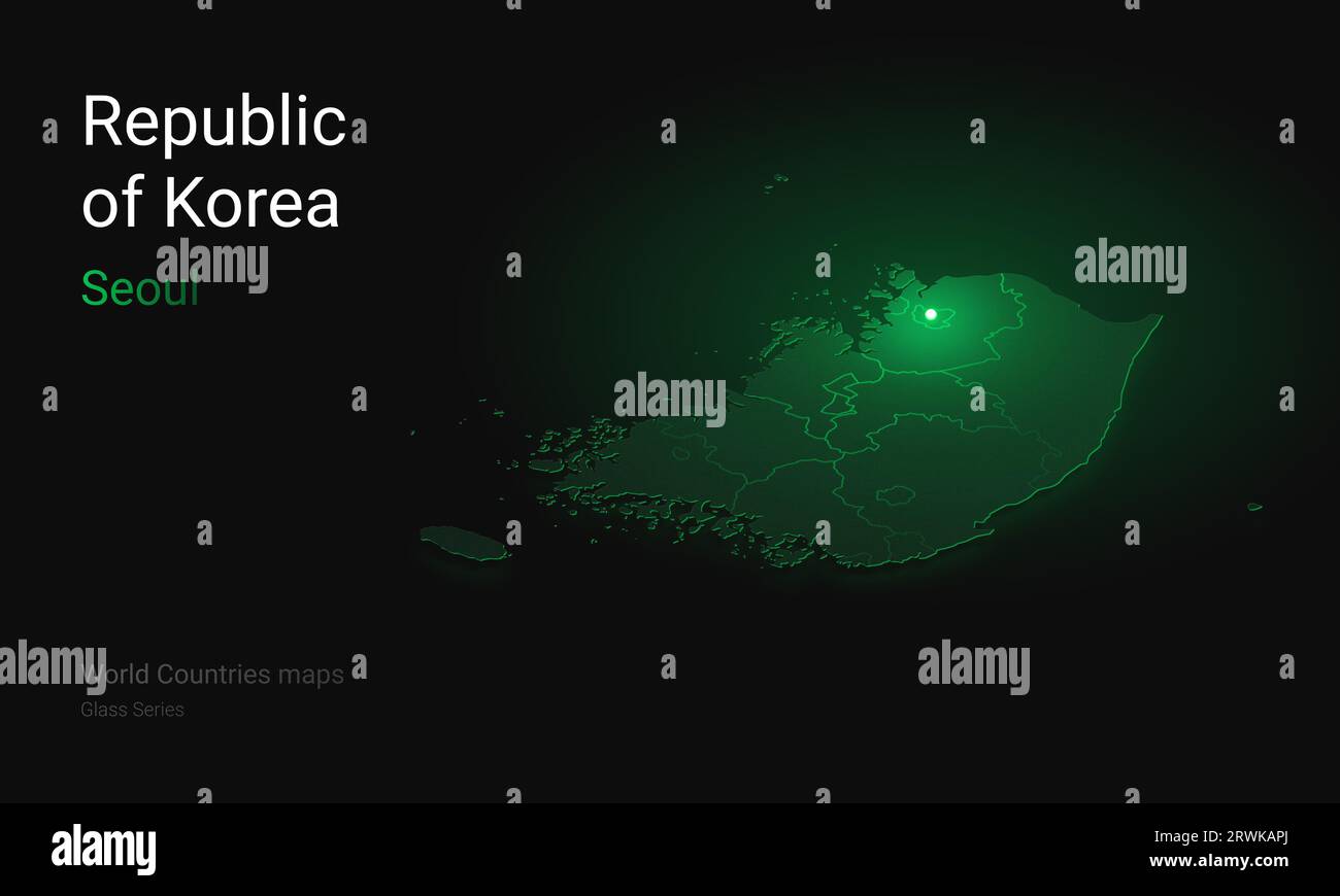 Creative map of Korea. Political map. Seoul Capital of Republic of Korea. World Countries maps with borders. Glass isometric Series. Set Stock Photohttps://www.alamy.com/image-license-details/?v=1https://www.alamy.com/creative-map-of-korea-political-map-seoul-capital-of-republic-of-korea-world-countries-maps-with-borders-glass-isometric-series-set-image566523738.html
RF2RWKAPJ–Creative map of Korea. Political map. Seoul Capital of Republic of Korea. World Countries maps with borders. Glass isometric Series. Set
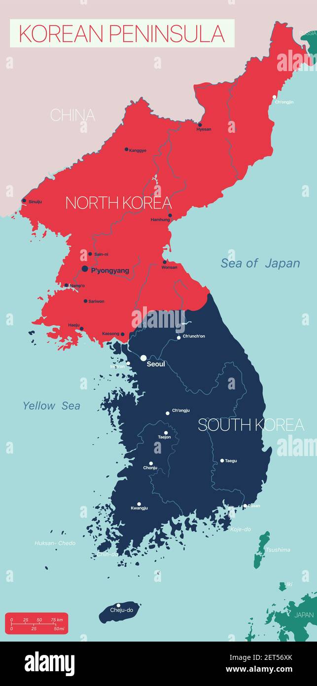 KOREAN PENINSULA detailed editable map with regions cities and towns, geographic sites. Vector EPS-10 file Stock Vectorhttps://www.alamy.com/image-license-details/?v=1https://www.alamy.com/korean-peninsula-detailed-editable-map-with-regions-cities-and-towns-geographic-sites-vector-eps-10-file-image410705419.html
RF2ET56XK–KOREAN PENINSULA detailed editable map with regions cities and towns, geographic sites. Vector EPS-10 file
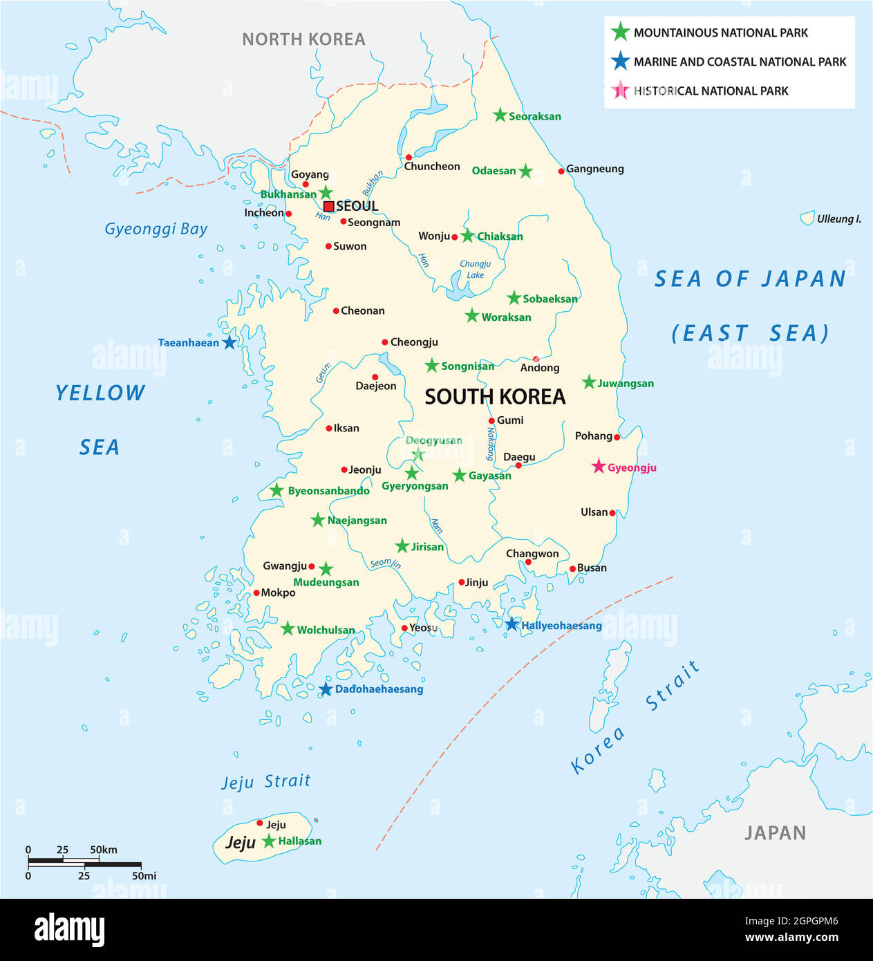 Vector map of the South Korean National Parks Stock Vectorhttps://www.alamy.com/image-license-details/?v=1https://www.alamy.com/vector-map-of-the-south-korean-national-parks-image444150678.html
RF2GPGPM6–Vector map of the South Korean National Parks
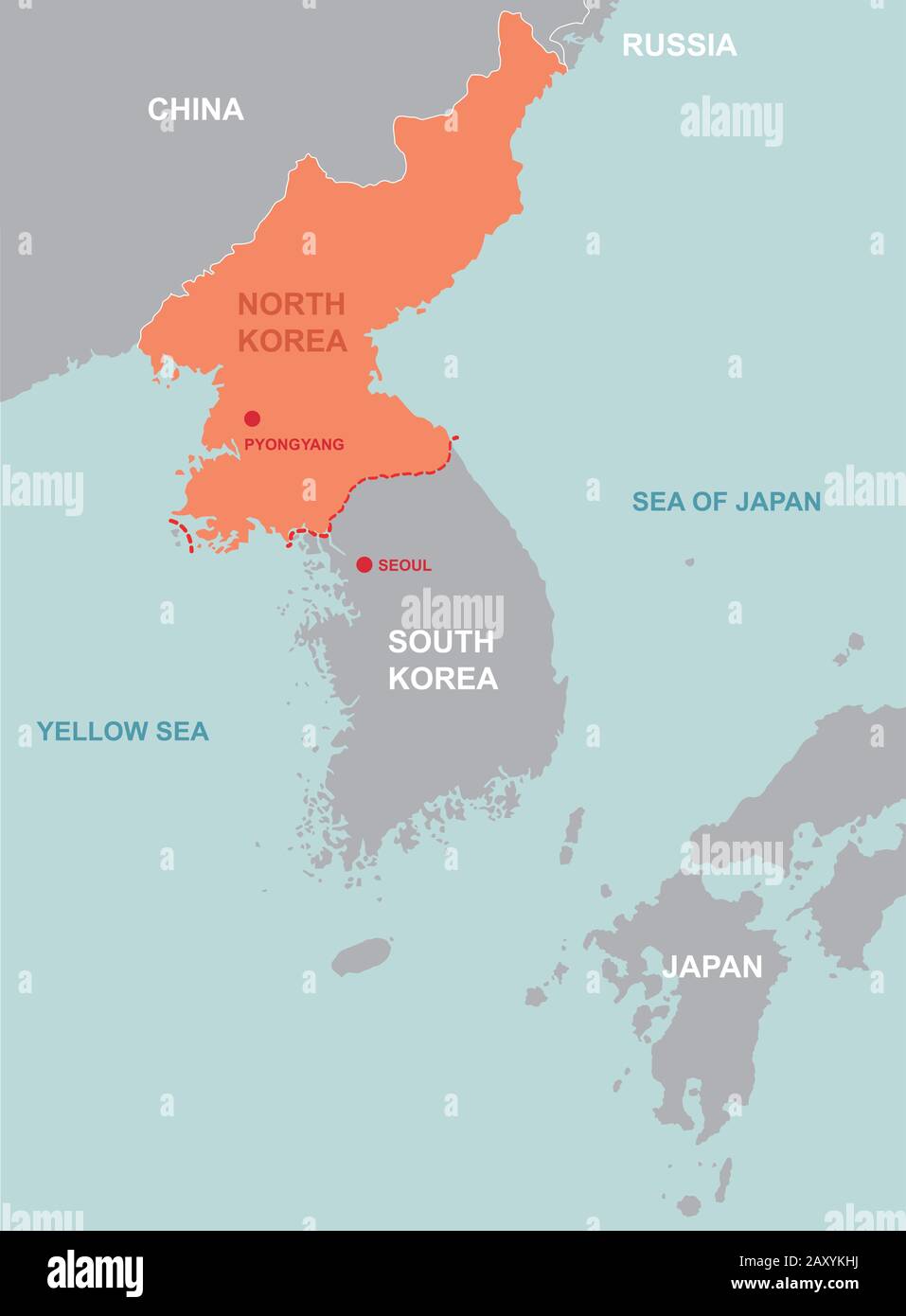 North korea and far east map Stock Vectorhttps://www.alamy.com/image-license-details/?v=1https://www.alamy.com/north-korea-and-far-east-map-image343586142.html
RF2AXYKHJ–North korea and far east map
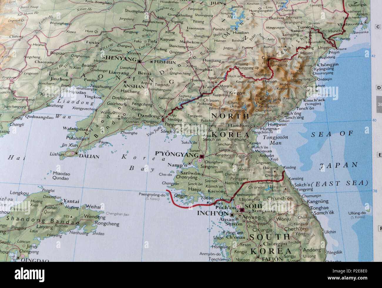 North Korea on a map of Asia Stock Photohttps://www.alamy.com/image-license-details/?v=1https://www.alamy.com/north-korea-on-a-map-of-asia-image208067720.html
RMP2E8E0–North Korea on a map of Asia
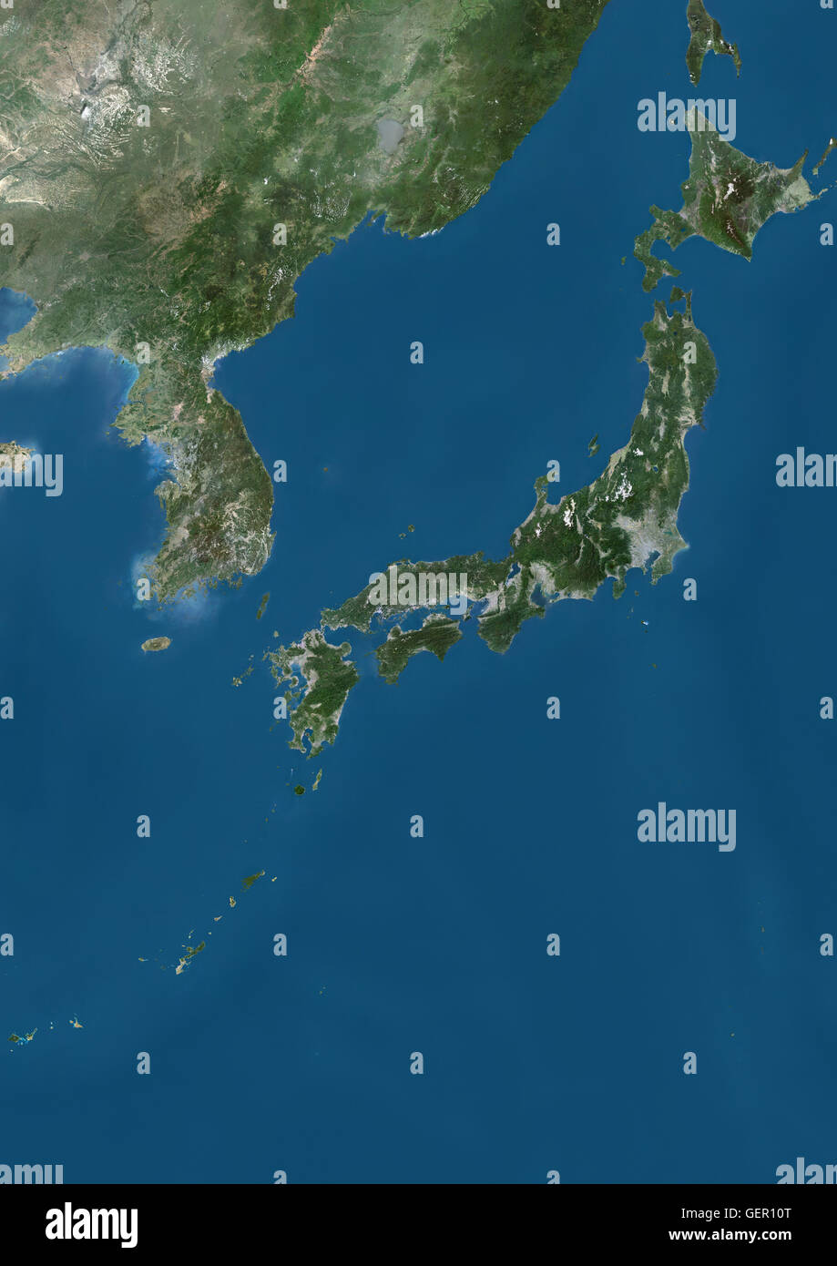 Satellite view of Japan and Korean Peninsula. This image was compiled from data acquired by Landsat satellites. Stock Photohttps://www.alamy.com/image-license-details/?v=1https://www.alamy.com/stock-photo-satellite-view-of-japan-and-korean-peninsula-this-image-was-compiled-112373096.html
RMGER10T–Satellite view of Japan and Korean Peninsula. This image was compiled from data acquired by Landsat satellites.
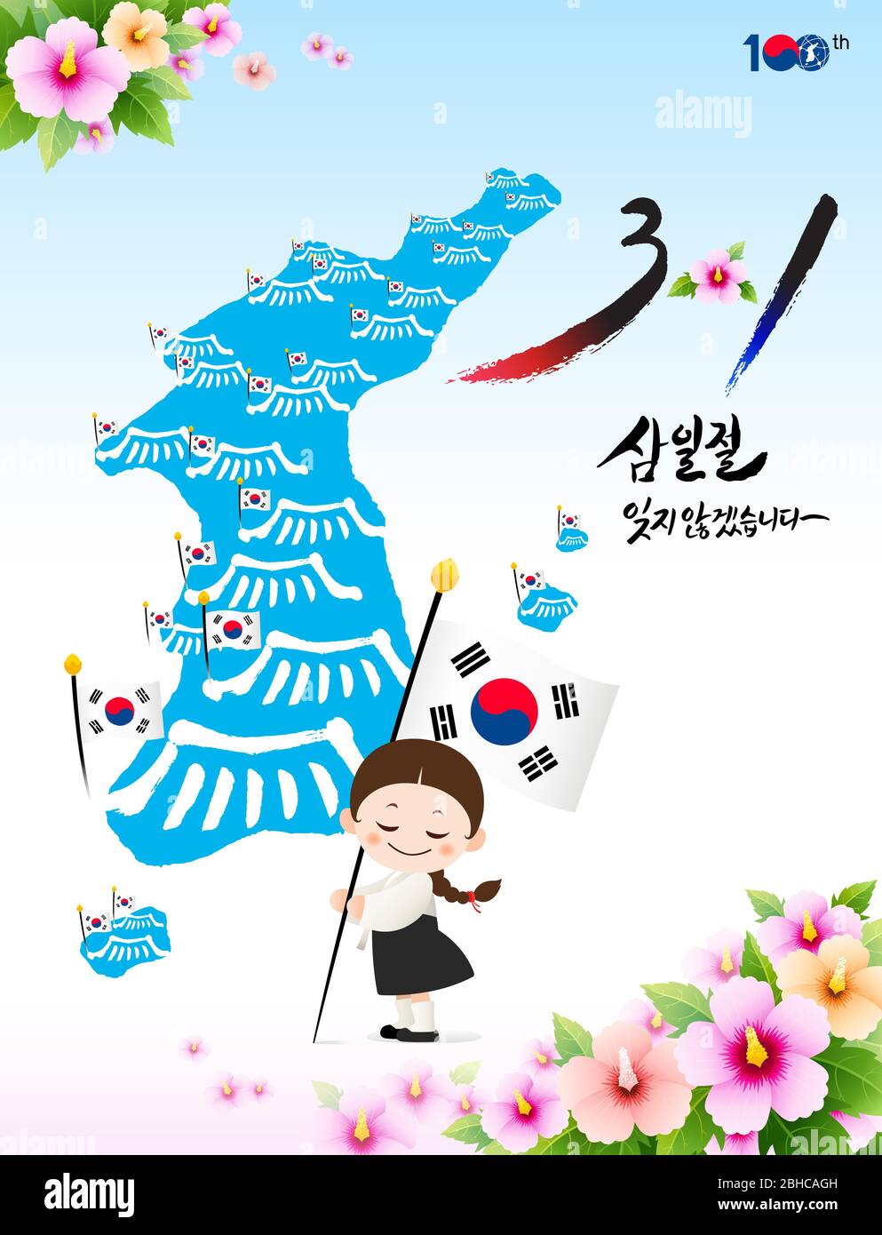 Independence Movement Day, Korean translation. A child in hanbok is holding the national flag in front of a Korean map. Vector. Stock Vectorhttps://www.alamy.com/image-license-details/?v=1https://www.alamy.com/independence-movement-day-korean-translation-a-child-in-hanbok-is-holding-the-national-flag-in-front-of-a-korean-map-vector-image354928241.html
RF2BHCAGH–Independence Movement Day, Korean translation. A child in hanbok is holding the national flag in front of a Korean map. Vector.
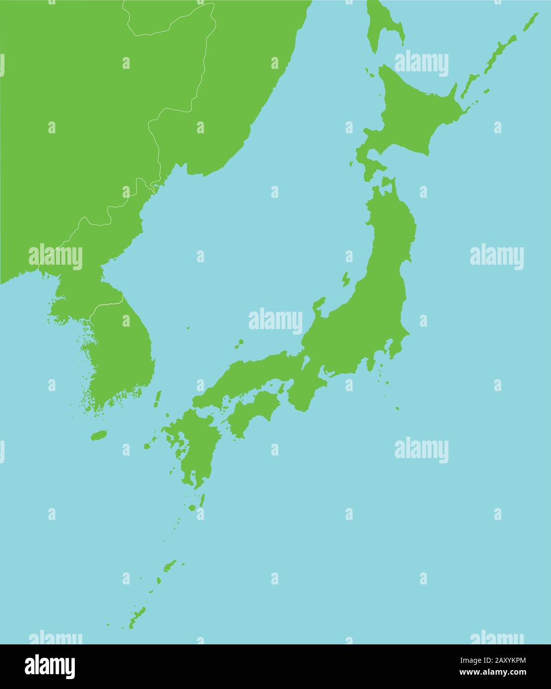 Far east asia map vector illustration Stock Vectorhttps://www.alamy.com/image-license-details/?v=1https://www.alamy.com/far-east-asia-map-vector-illustration-image343586284.html
RF2AXYKPM–Far east asia map vector illustration
RF2YE55W7–Korean flag and map of Korea and Japanese flag and map of Japan icon set. Editable vector.
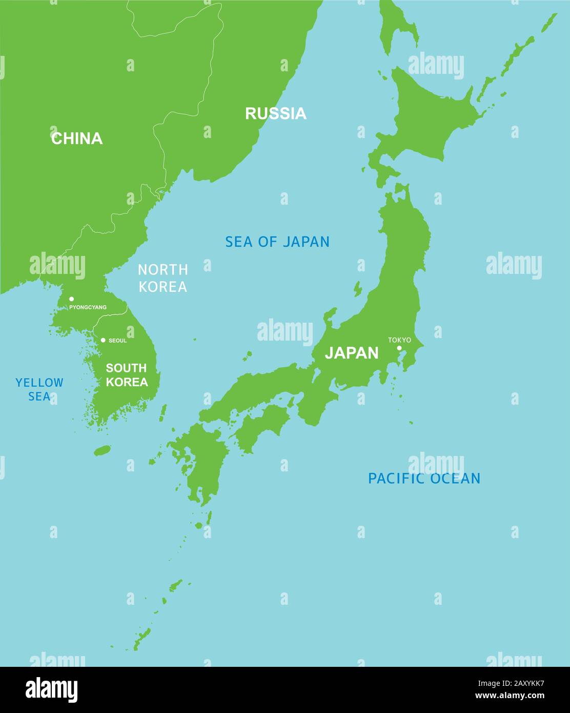 Far east asia map vector illustration Stock Vectorhttps://www.alamy.com/image-license-details/?v=1https://www.alamy.com/far-east-asia-map-vector-illustration-image343586187.html
RF2AXYKK7–Far east asia map vector illustration
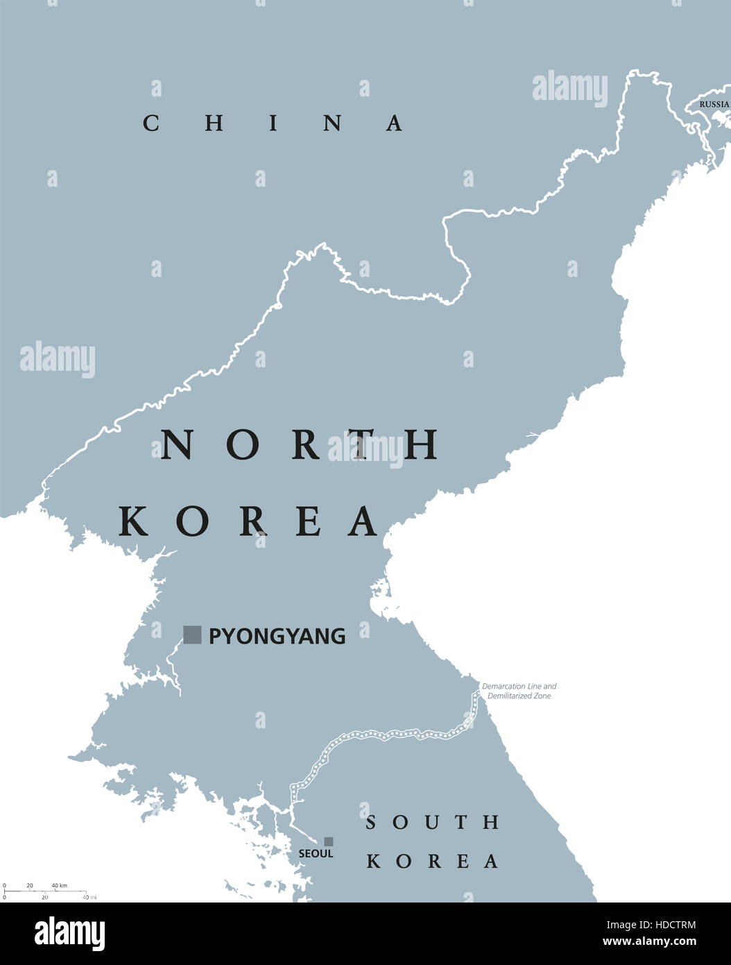 North Korea political map with capital Pyongyang and national borders. Democratic Peoples Republic in East Asia. Stock Photohttps://www.alamy.com/image-license-details/?v=1https://www.alamy.com/stock-photo-north-korea-political-map-with-capital-pyongyang-and-national-borders-128746008.html
RFHDCTRM–North Korea political map with capital Pyongyang and national borders. Democratic Peoples Republic in East Asia.
 Far east asia map vector illustration (Japanese) Stock Vectorhttps://www.alamy.com/image-license-details/?v=1https://www.alamy.com/far-east-asia-map-vector-illustration-japanese-image343586280.html
RF2AXYKPG–Far east asia map vector illustration (Japanese)
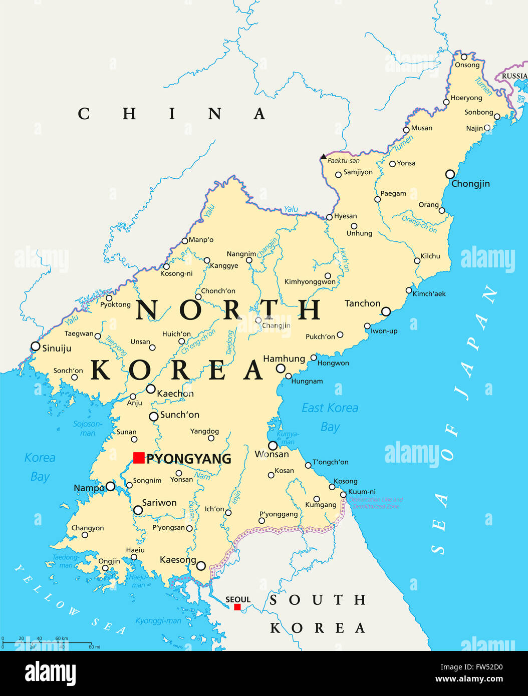 North Korea political map with capital Pyongyang, national borders, important cities, rivers and lakes. English labeling. Stock Photohttps://www.alamy.com/image-license-details/?v=1https://www.alamy.com/stock-photo-north-korea-political-map-with-capital-pyongyang-national-borders-101529932.html
RFFW52D0–North Korea political map with capital Pyongyang, national borders, important cities, rivers and lakes. English labeling.
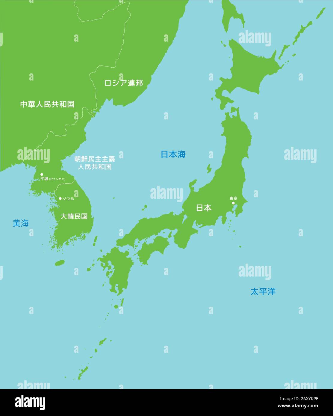 Far east asia map vector illustration (Japanese) Stock Vectorhttps://www.alamy.com/image-license-details/?v=1https://www.alamy.com/far-east-asia-map-vector-illustration-japanese-image343586279.html
RF2AXYKPF–Far east asia map vector illustration (Japanese)
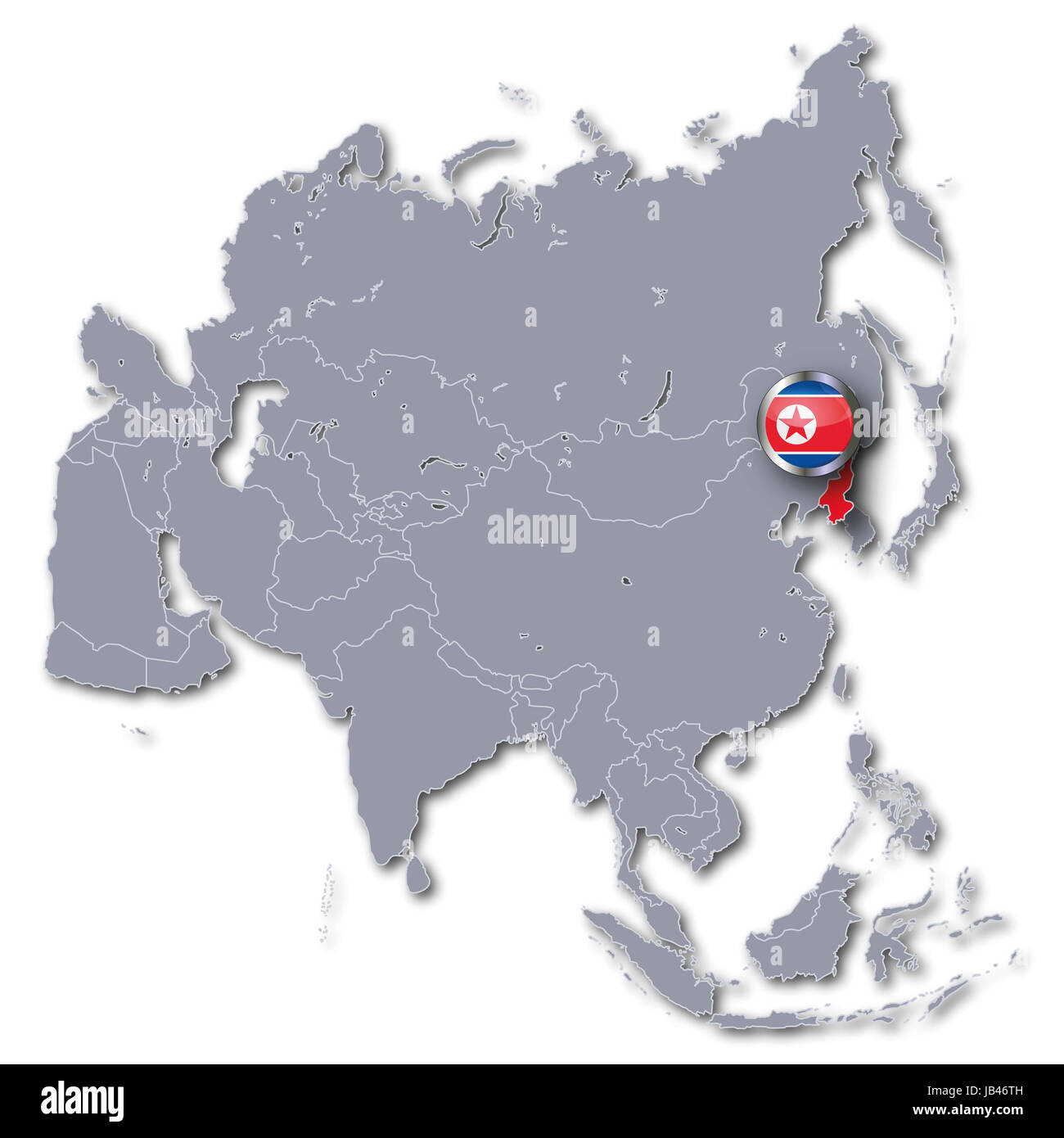 asia map with north korea Stock Photohttps://www.alamy.com/image-license-details/?v=1https://www.alamy.com/stock-photo-asia-map-with-north-korea-144537361.html
RFJB46TH–asia map with north korea
 North Korea Map Stock Photohttps://www.alamy.com/image-license-details/?v=1https://www.alamy.com/stock-photo-north-korea-map-133896038.html
RMHNRDNA–North Korea Map
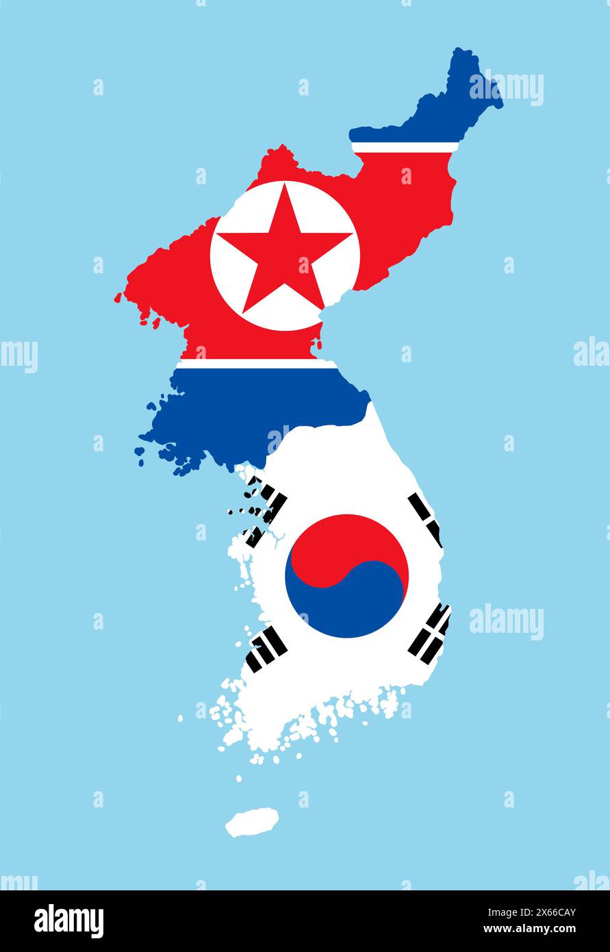 South Korea and North Korea in national flag colors. Map illustration of East Asian countries. Stock Photohttps://www.alamy.com/image-license-details/?v=1https://www.alamy.com/south-korea-and-north-korea-in-national-flag-colors-map-illustration-of-east-asian-countries-image606192243.html
RF2X66CAY–South Korea and North Korea in national flag colors. Map illustration of East Asian countries.
 A 1910 map of Korea, the Sea of Japan, Yellow Sea,strait of Korea and Korea Bay Stock Photohttps://www.alamy.com/image-license-details/?v=1https://www.alamy.com/a-1910-map-of-korea-the-sea-of-japan-yellow-seastrait-of-korea-and-korea-bay-image219490440.html
RMPN2J88–A 1910 map of Korea, the Sea of Japan, Yellow Sea,strait of Korea and Korea Bay
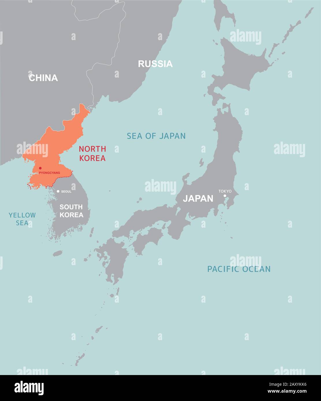 North korea and far east map vector illustration Stock Vectorhttps://www.alamy.com/image-license-details/?v=1https://www.alamy.com/north-korea-and-far-east-map-vector-illustration-image343586186.html
RF2AXYKK6–North korea and far east map vector illustration
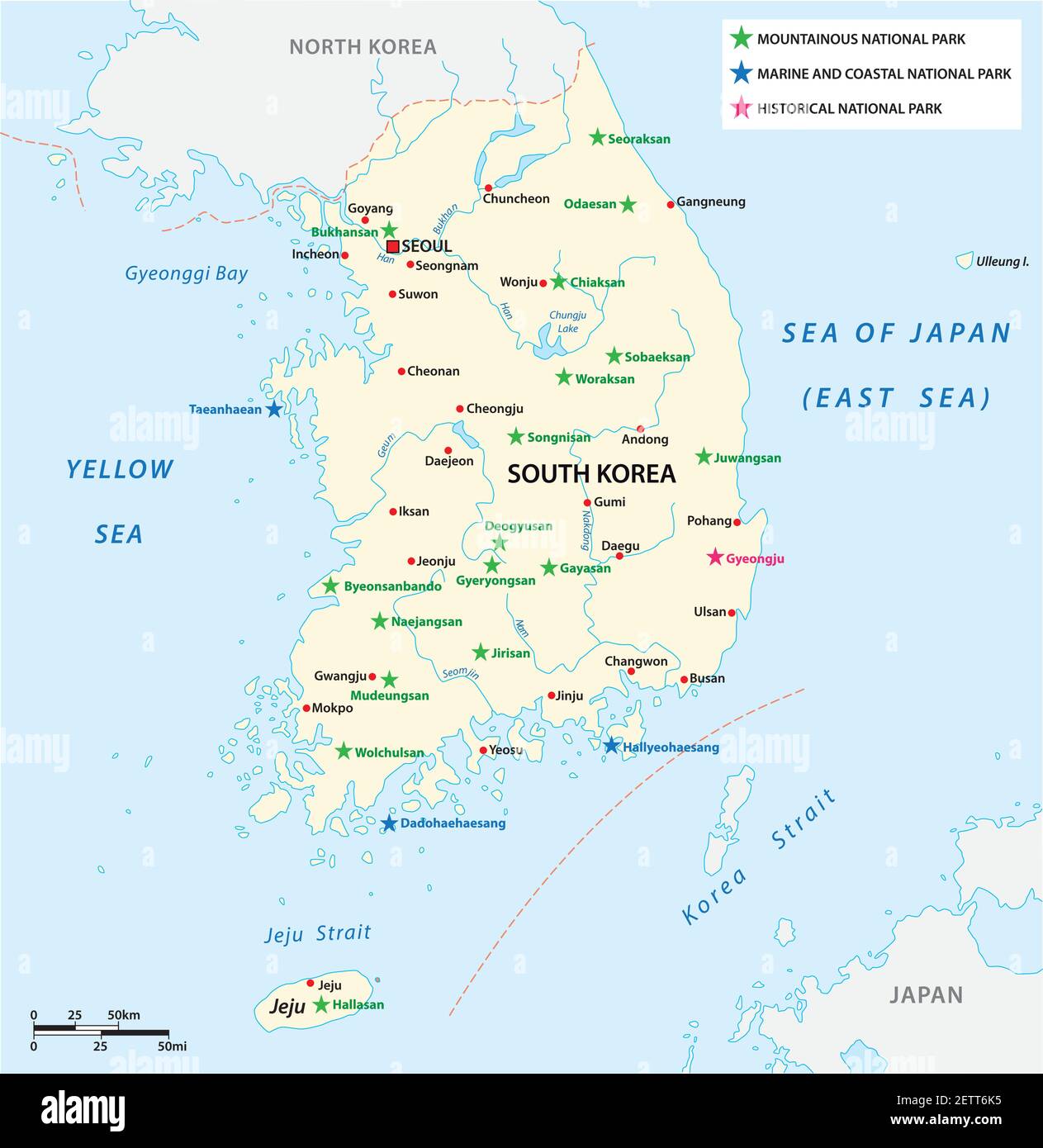 Vector map of the South Korean National Parks Stock Vectorhttps://www.alamy.com/image-license-details/?v=1https://www.alamy.com/vector-map-of-the-south-korean-national-parks-image411122297.html
RF2ETT6K5–Vector map of the South Korean National Parks
 North korea, South korea, Japan and far east map Stock Vectorhttps://www.alamy.com/image-license-details/?v=1https://www.alamy.com/north-korea-south-korea-japan-and-far-east-map-image343586286.html
RF2AXYKPP–North korea, South korea, Japan and far east map
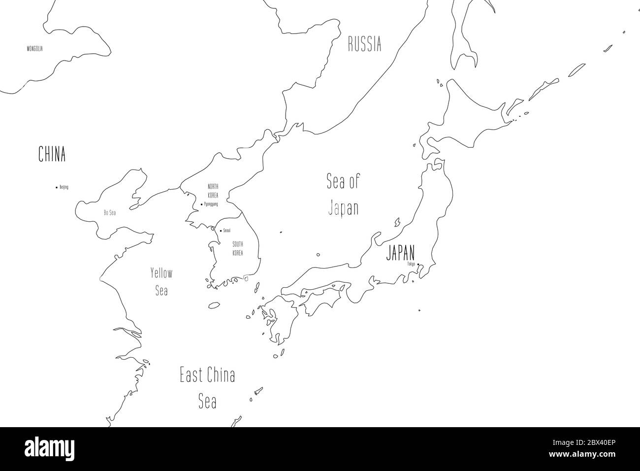 Map of Japan and Korean Peninsula. Handdrawn doodle style. Vector illustration. Stock Vectorhttps://www.alamy.com/image-license-details/?v=1https://www.alamy.com/map-of-japan-and-korean-peninsula-handdrawn-doodle-style-vector-illustration-image360276638.html
RF2BX40EP–Map of Japan and Korean Peninsula. Handdrawn doodle style. Vector illustration.
 North korea, South korea, Japan and far east map Stock Vectorhttps://www.alamy.com/image-license-details/?v=1https://www.alamy.com/north-korea-south-korea-japan-and-far-east-map-image343586419.html
RF2AXYKYF–North korea, South korea, Japan and far east map
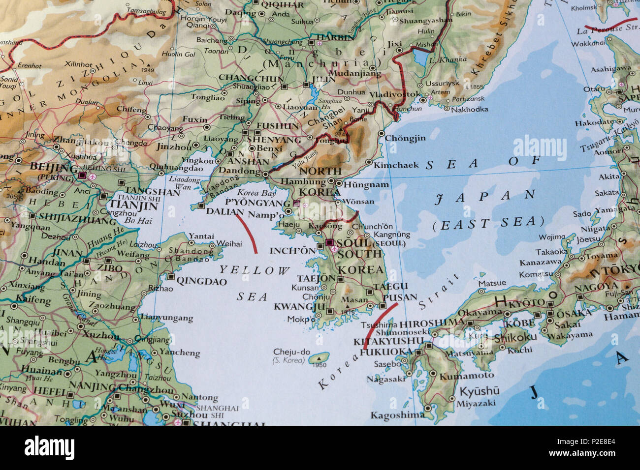 North Korea on a map of Asia Stock Photohttps://www.alamy.com/image-license-details/?v=1https://www.alamy.com/north-korea-on-a-map-of-asia-image208067724.html
RMP2E8E4–North Korea on a map of Asia
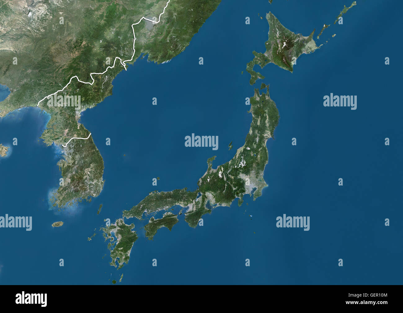 Satellite view of Japan and Korean Peninsula (with country boundaries). This image was compiled from data acquired by Landsat satellites. Stock Photohttps://www.alamy.com/image-license-details/?v=1https://www.alamy.com/stock-photo-satellite-view-of-japan-and-korean-peninsula-with-country-boundaries-112373092.html
RMGER10M–Satellite view of Japan and Korean Peninsula (with country boundaries). This image was compiled from data acquired by Landsat satellites.
 Independence Movement Day, Korean translation. Taegeukgi background, Mugunghwa flower and Gwanghwamun palace design vector Stock Vectorhttps://www.alamy.com/image-license-details/?v=1https://www.alamy.com/independence-movement-day-korean-translation-taegeukgi-background-mugunghwa-flower-and-gwanghwamun-palace-design-vector-image354928149.html
RF2BHCAD9–Independence Movement Day, Korean translation. Taegeukgi background, Mugunghwa flower and Gwanghwamun palace design vector
 North Korea, Asia, True Colour Satellite Image With Mask. Satellite view of North Korea (with mask). This image was compiled fro Stock Photohttps://www.alamy.com/image-license-details/?v=1https://www.alamy.com/stock-photo-north-korea-asia-true-colour-satellite-image-with-mask-satellite-view-71605558.html
RME4DWHA–North Korea, Asia, True Colour Satellite Image With Mask. Satellite view of North Korea (with mask). This image was compiled fro
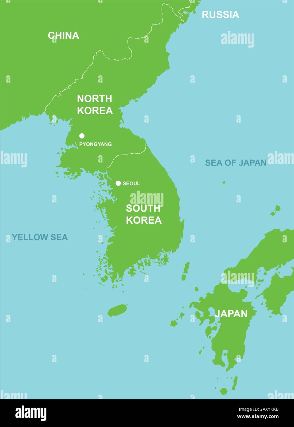 North korea, South korea, Japan and far east map Stock Vectorhttps://www.alamy.com/image-license-details/?v=1https://www.alamy.com/north-korea-south-korea-japan-and-far-east-map-image343586191.html
RF2AXYKKB–North korea, South korea, Japan and far east map
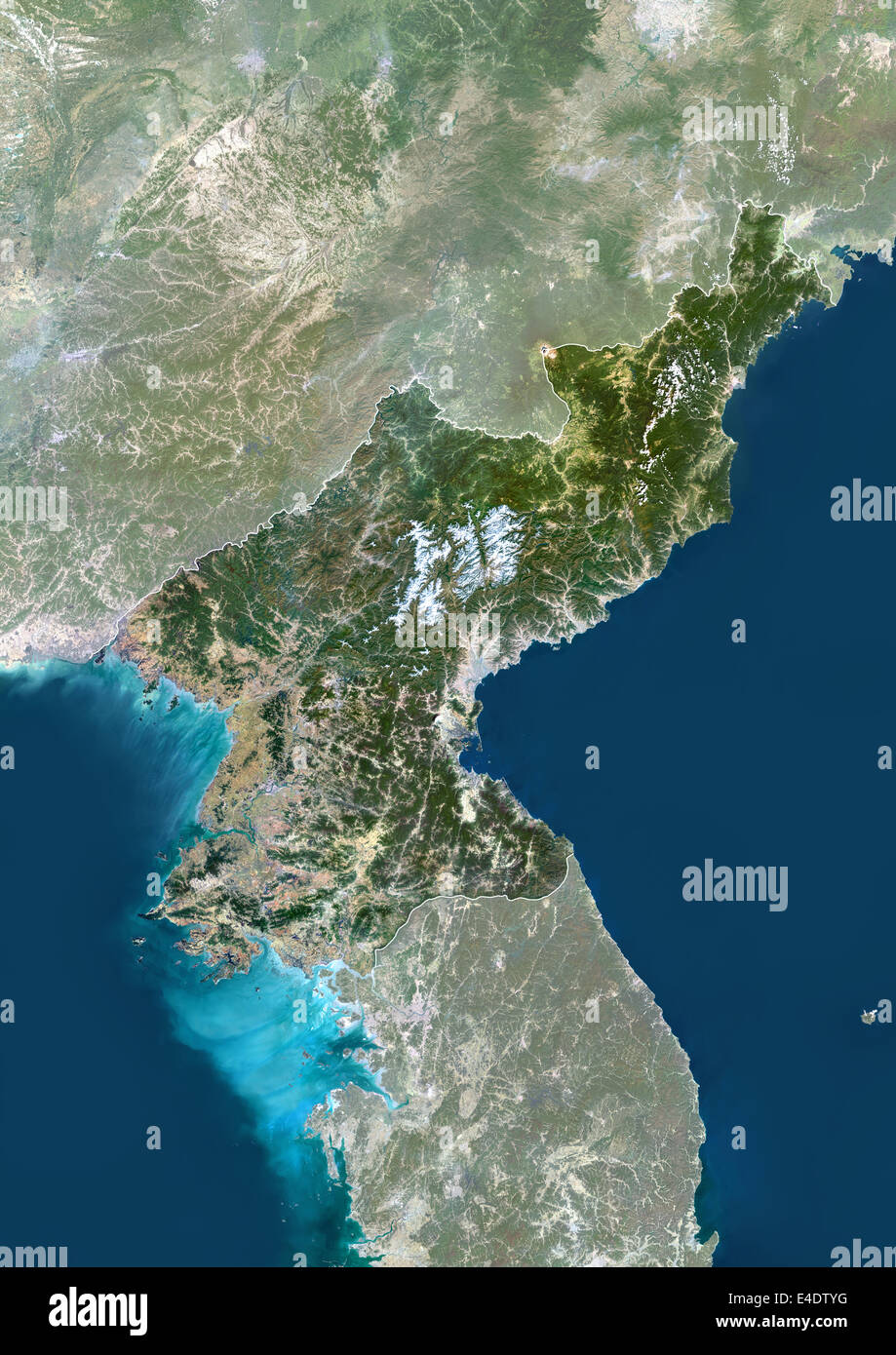 North Korea, Asia, True Colour Satellite Image With Border And Mask. Satellite view of North Korea (with border and mask). This Stock Photohttps://www.alamy.com/image-license-details/?v=1https://www.alamy.com/stock-photo-north-korea-asia-true-colour-satellite-image-with-border-and-mask-71605060.html
RME4DTYG–North Korea, Asia, True Colour Satellite Image With Border And Mask. Satellite view of North Korea (with border and mask). This
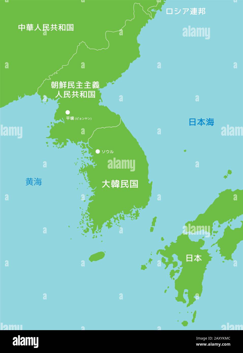 North korea, South korea, Japan and far east map (japanese) Stock Vectorhttps://www.alamy.com/image-license-details/?v=1https://www.alamy.com/north-korea-south-korea-japan-and-far-east-map-japanese-image343586220.html
RF2AXYKMC–North korea, South korea, Japan and far east map (japanese)
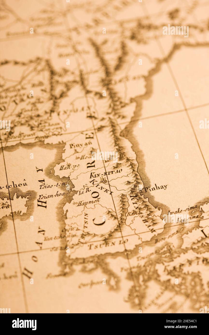 Old Map Korean Peninsula Stock Photohttps://www.alamy.com/image-license-details/?v=1https://www.alamy.com/old-map-korean-peninsula-image611081297.html
RF2XE54C1–Old Map Korean Peninsula
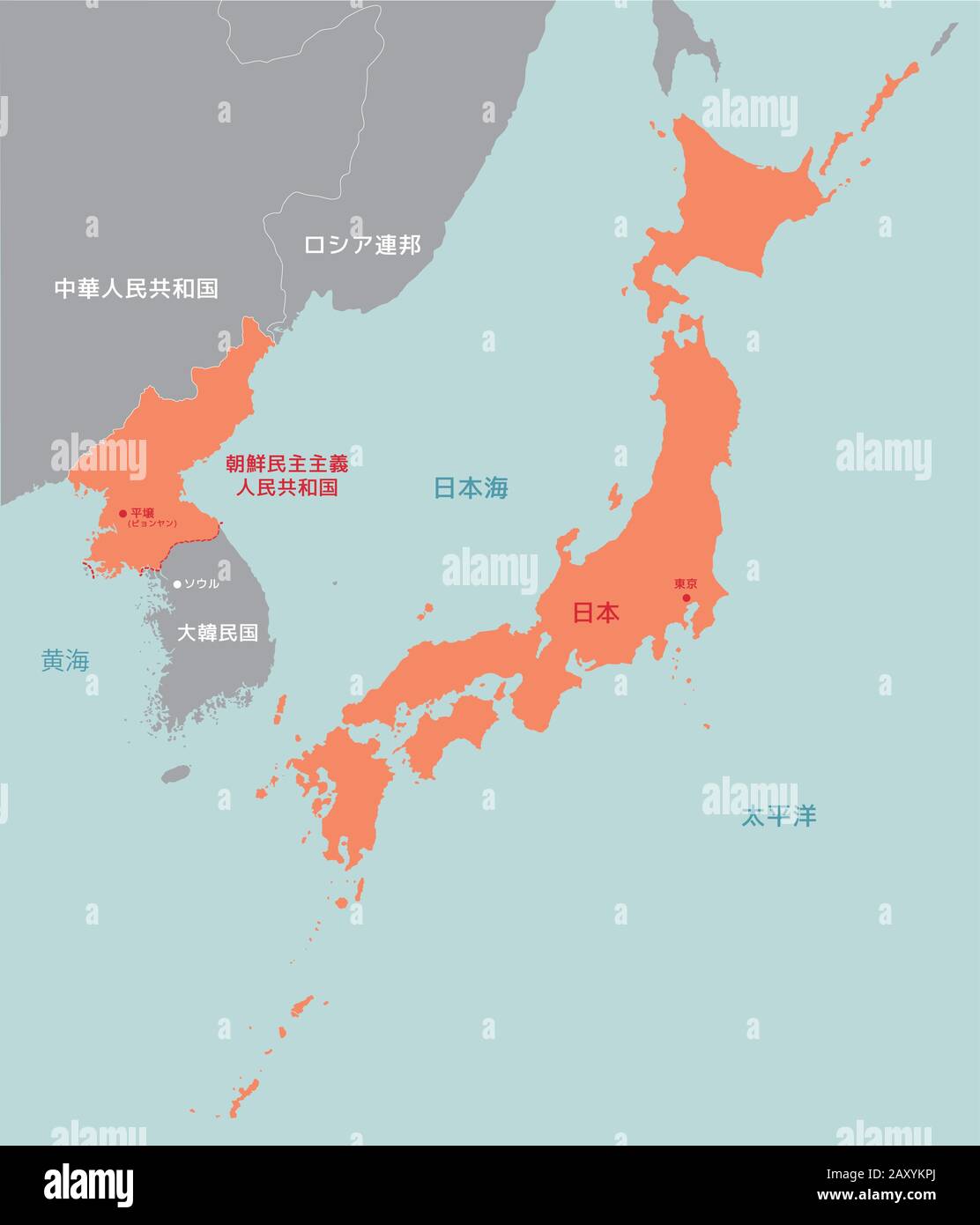 Far east asia map vector illustration (north korea and Japan) Stock Vectorhttps://www.alamy.com/image-license-details/?v=1https://www.alamy.com/far-east-asia-map-vector-illustration-north-korea-and-japan-image343586282.html
RF2AXYKPJ–Far east asia map vector illustration (north korea and Japan)
 Old map Korean Peninsula Stock Photohttps://www.alamy.com/image-license-details/?v=1https://www.alamy.com/old-map-korean-peninsula-image632065062.html
RF2YM91C6–Old map Korean Peninsula
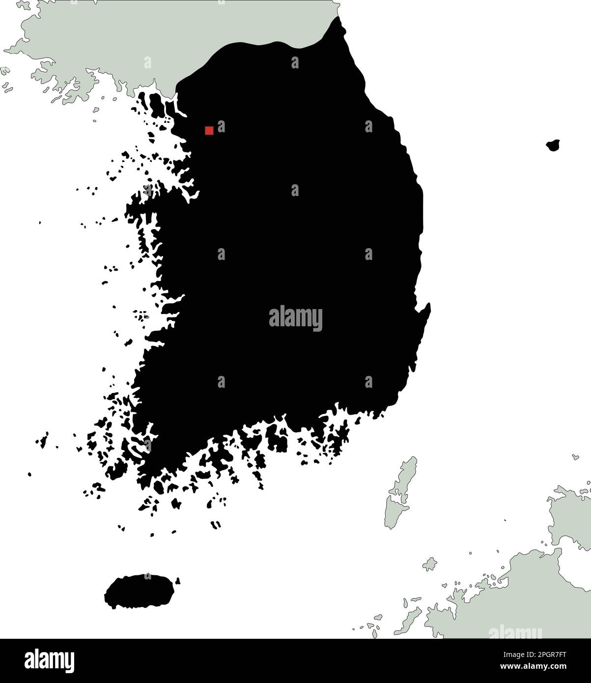 Highly Detailed South Korea Silhouette map. Stock Vectorhttps://www.alamy.com/image-license-details/?v=1https://www.alamy.com/highly-detailed-south-korea-silhouette-map-image543866732.html
RF2PGR7FT–Highly Detailed South Korea Silhouette map.
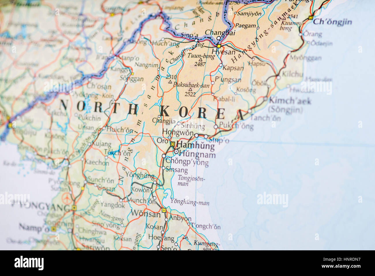 North Korea Map Stock Photohttps://www.alamy.com/image-license-details/?v=1https://www.alamy.com/stock-photo-north-korea-map-133896035.html
RMHNRDN7–North Korea Map
 South Korea and North Korea in national flag colors. Map illustration of East Asian countries. Stock Photohttps://www.alamy.com/image-license-details/?v=1https://www.alamy.com/south-korea-and-north-korea-in-national-flag-colors-map-illustration-of-east-asian-countries-image606192292.html
RF2X66CCM–South Korea and North Korea in national flag colors. Map illustration of East Asian countries.
 Korea North and South map on white background with clipping path Stock Photohttps://www.alamy.com/image-license-details/?v=1https://www.alamy.com/korea-north-and-south-map-on-white-background-with-clipping-path-image364840081.html
RF2C5FW6W–Korea North and South map on white background with clipping path
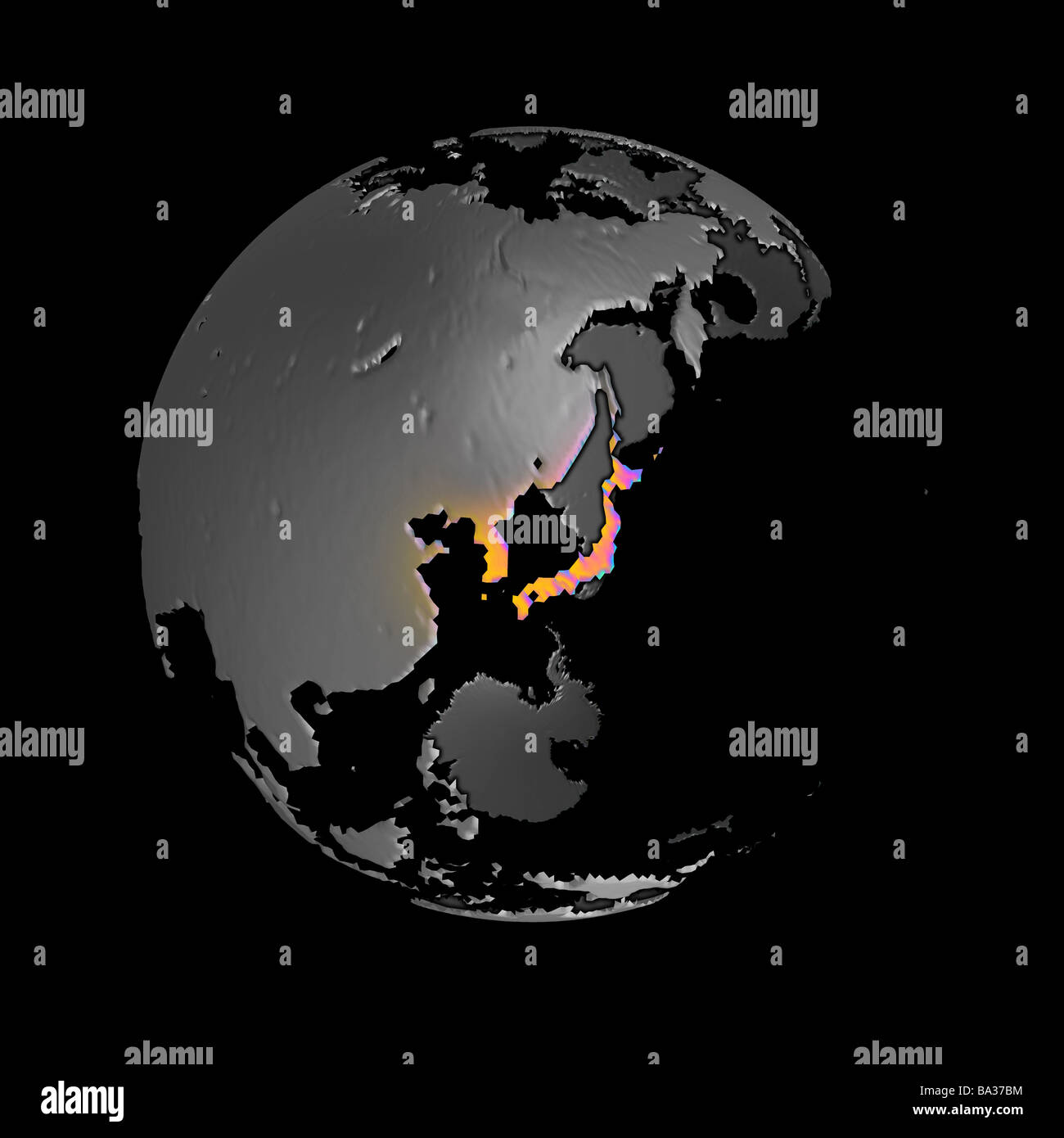 Abstract version of globe centered on Japan and the Korean peninsula Stock Photohttps://www.alamy.com/image-license-details/?v=1https://www.alamy.com/stock-photo-abstract-version-of-globe-centered-on-japan-and-the-korean-peninsula-23428600.html
RMBA37BM–Abstract version of globe centered on Japan and the Korean peninsula
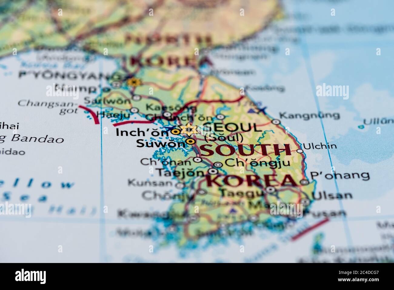 Shallow focus of a general map showing Seoul, the capital of South Korea. The Korean peninsula can be seen with some surrounding Korean regions. Stock Photohttps://www.alamy.com/image-license-details/?v=1https://www.alamy.com/shallow-focus-of-a-general-map-showing-seoul-the-capital-of-south-korea-the-korean-peninsula-can-be-seen-with-some-surrounding-korean-regions-image364171591.html
RF2C4DCG7–Shallow focus of a general map showing Seoul, the capital of South Korea. The Korean peninsula can be seen with some surrounding Korean regions.
 Creative glowing map of South Korea. Seoul Capital of Republic of Korea. World Countries maps with borders. Glass isometric Series. Stock Photohttps://www.alamy.com/image-license-details/?v=1https://www.alamy.com/creative-glowing-map-of-south-korea-seoul-capital-of-republic-of-korea-world-countries-maps-with-borders-glass-isometric-series-image566306043.html
RM2RW9D3R–Creative glowing map of South Korea. Seoul Capital of Republic of Korea. World Countries maps with borders. Glass isometric Series.
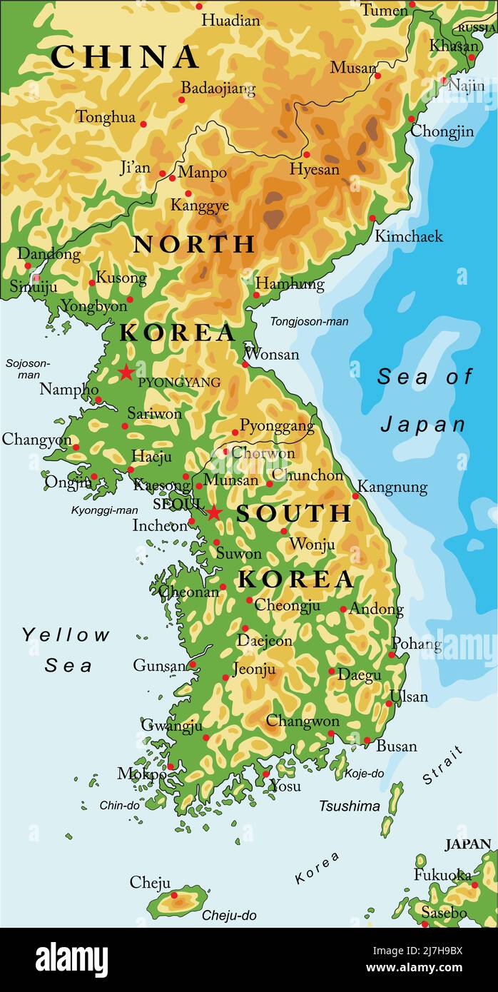 Highly detailed vector map of Korean peninsula with administrative regions,main cities and roads. Stock Vectorhttps://www.alamy.com/image-license-details/?v=1https://www.alamy.com/highly-detailed-vector-map-of-korean-peninsula-with-administrative-regionsmain-cities-and-roads-image469363102.html
RF2J7H9BX–Highly detailed vector map of Korean peninsula with administrative regions,main cities and roads.
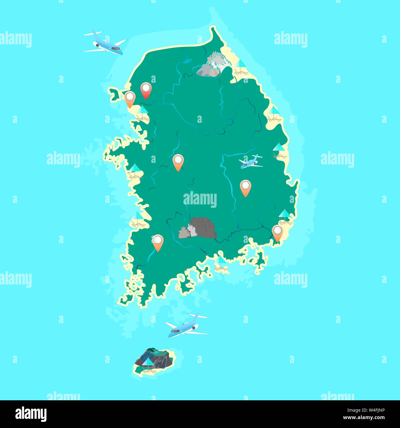 South Korea vector map with the designation of the largest mountains, islands, volcano, beaches, cities and rivers. Vector. Stock Vectorhttps://www.alamy.com/image-license-details/?v=1https://www.alamy.com/south-korea-vector-map-with-the-designation-of-the-largest-mountains-islands-volcano-beaches-cities-and-rivers-vector-image260958146.html
RFW4FJNP–South Korea vector map with the designation of the largest mountains, islands, volcano, beaches, cities and rivers. Vector.
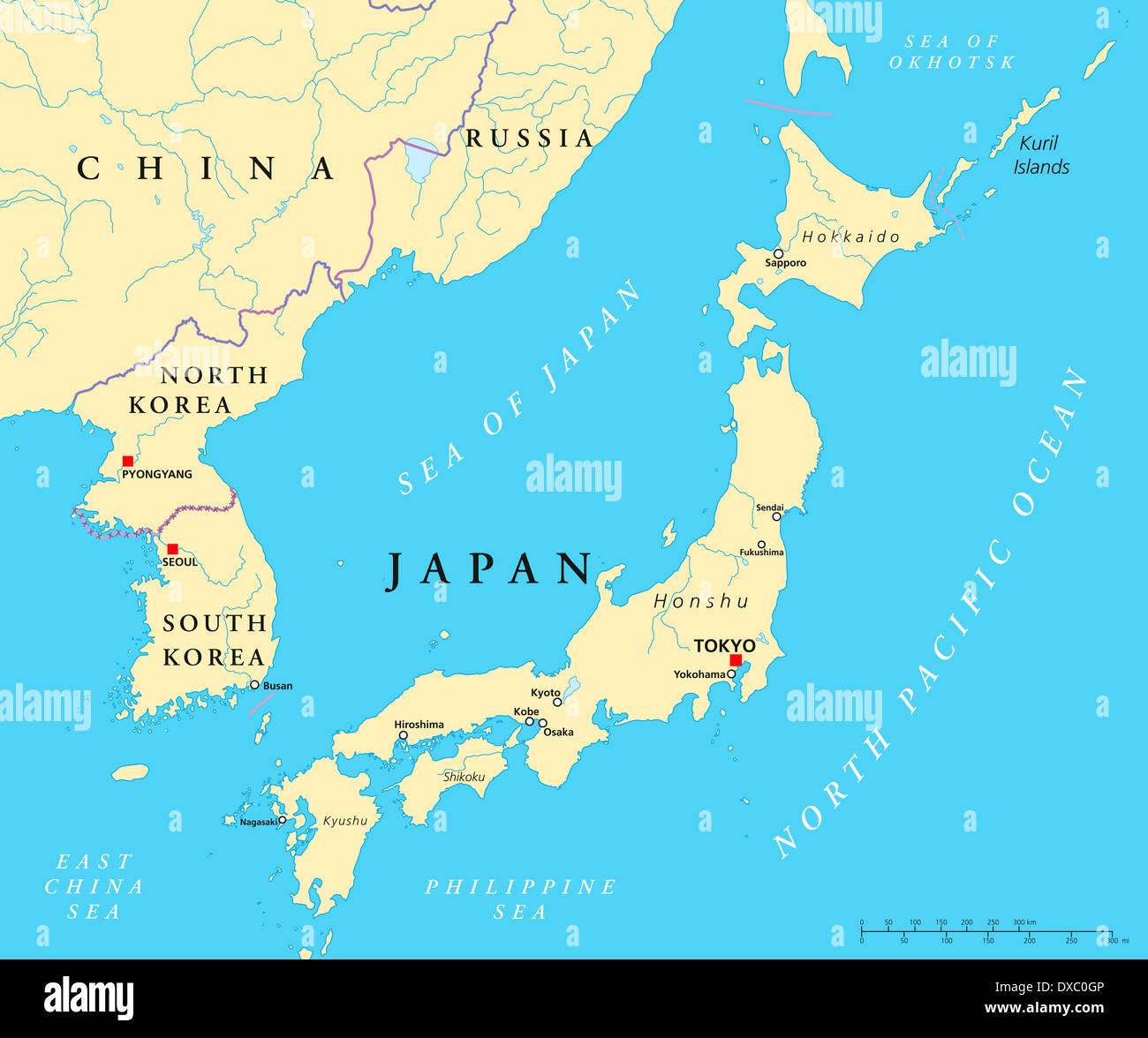 Political map of Japan, North Korea and South Korea with the capitals Tokyo, Pyongyang and Seoul Stock Photohttps://www.alamy.com/image-license-details/?v=1https://www.alamy.com/political-map-of-japan-north-korea-and-south-korea-with-the-capitals-image67876054.html
RFDXC0GP–Political map of Japan, North Korea and South Korea with the capitals Tokyo, Pyongyang and Seoul
 Korea map 22 Stock Vectorhttps://www.alamy.com/image-license-details/?v=1https://www.alamy.com/stock-image-korea-map-22-166779154.html
RFKK9CEA–Korea map 22
 Independence Movement Day, Korean translation. Taegeukgi background, Mugunghwa flower, traditional Hanbok children design vector. Stock Vectorhttps://www.alamy.com/image-license-details/?v=1https://www.alamy.com/independence-movement-day-korean-translation-taegeukgi-background-mugunghwa-flower-traditional-hanbok-children-design-vector-image354928109.html
RF2BHCABW–Independence Movement Day, Korean translation. Taegeukgi background, Mugunghwa flower, traditional Hanbok children design vector.
 Korean tourist's map under the rule of japan Stock Photohttps://www.alamy.com/image-license-details/?v=1https://www.alamy.com/korean-tourists-map-under-the-rule-of-japan-image455953786.html
RM2HDPDKP–Korean tourist's map under the rule of japan
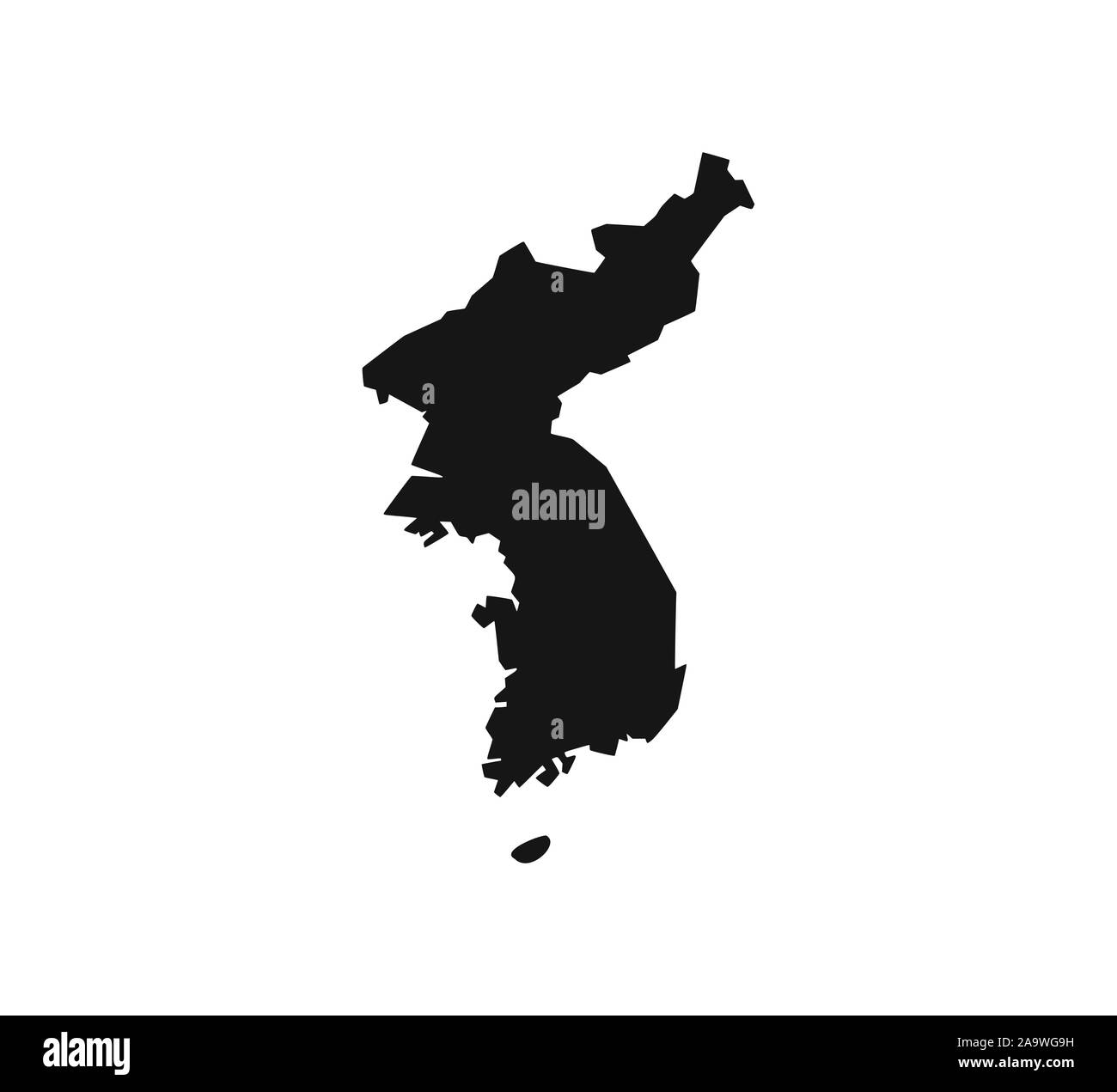 North, South Korea map on white background. Vector illustration. Stock Vectorhttps://www.alamy.com/image-license-details/?v=1https://www.alamy.com/north-south-korea-map-on-white-background-vector-illustration-image333090509.html
RF2A9WG9H–North, South Korea map on white background. Vector illustration.
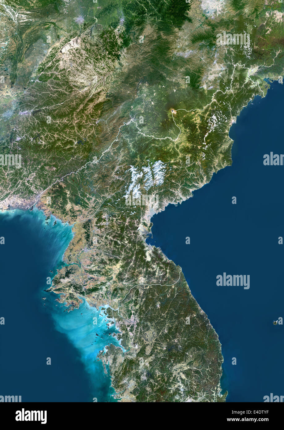 North Korea, Asia, True Colour Satellite Image With Border. Satellite view of North Korea (with border). This image was compiled Stock Photohttps://www.alamy.com/image-license-details/?v=1https://www.alamy.com/stock-photo-north-korea-asia-true-colour-satellite-image-with-border-satellite-71605059.html
RME4DTYF–North Korea, Asia, True Colour Satellite Image With Border. Satellite view of North Korea (with border). This image was compiled
 Korean tourist's map under the rule of japan Stock Photohttps://www.alamy.com/image-license-details/?v=1https://www.alamy.com/korean-tourists-map-under-the-rule-of-japan-image455953729.html
RM2HDPDHN–Korean tourist's map under the rule of japan
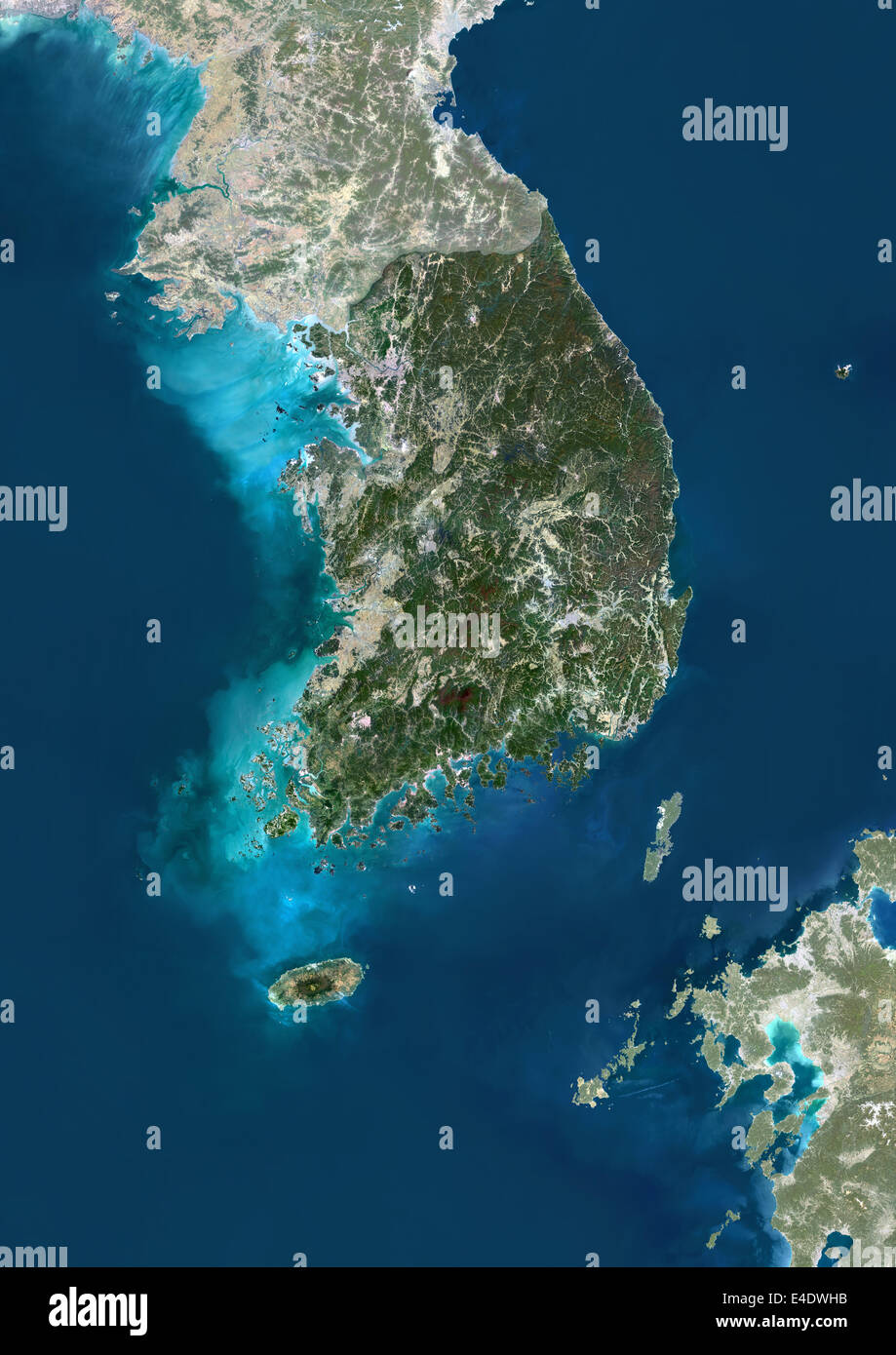 South Korea, Asia, True Colour Satellite Image With Mask. Satellite view of South Korea (with mask). This image was compiled fro Stock Photohttps://www.alamy.com/image-license-details/?v=1https://www.alamy.com/stock-photo-south-korea-asia-true-colour-satellite-image-with-mask-satellite-view-71605559.html
RME4DWHB–South Korea, Asia, True Colour Satellite Image With Mask. Satellite view of South Korea (with mask). This image was compiled fro
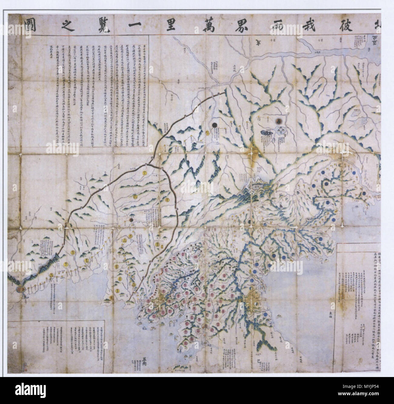 . 한국어: 서북피아양계만리일람지도. 작자, 연대 미상의 한국 관북 관서 지방과 만주 지방, 러시아의 연해주를 포함하는 관방지도 English: An Korean old map of 'Seobuk Pia Yangye Malli Ilram Jido', of which literally refers to Northern West regions of Joseon and Qing china. It includes current Manchria and Russian region of Primorsky Krai where a great deal of Koreans lived throughout Joseon period. Español: Un mapa coreano 'Seobuk Pia Yangye Malli Ilram Jido' del siglo 18. Describe la parte noroeste de la peninsula coreana y tambien Manchuria y ahorita Primorsky Krai de Rusia donde la gran populacion coreana vivieron. 2 November 2008. Anonymous (c. Stock Photohttps://www.alamy.com/image-license-details/?v=1https://www.alamy.com/english-an-korean-old-map-of-seobuk-pia-yangye-malli-ilram-jido-of-which-literally-refers-to-northern-west-regions-of-joseon-and-qing-china-it-includes-current-manchria-and-russian-region-of-primorsky-krai-where-a-great-deal-of-koreans-lived-throughout-joseon-period-espaol-un-mapa-coreano-seobuk-pia-yangye-malli-ilram-jido-del-siglo-18-describe-la-parte-noroeste-de-la-peninsula-coreana-y-tambien-manchuria-y-ahorita-primorsky-krai-de-rusia-donde-la-gran-populacion-coreana-vivieron-2-november-2008-anonymous-c-image189111920.html
RMMYJP54–. 한국어: 서북피아양계만리일람지도. 작자, 연대 미상의 한국 관북 관서 지방과 만주 지방, 러시아의 연해주를 포함하는 관방지도 English: An Korean old map of 'Seobuk Pia Yangye Malli Ilram Jido', of which literally refers to Northern West regions of Joseon and Qing china. It includes current Manchria and Russian region of Primorsky Krai where a great deal of Koreans lived throughout Joseon period. Español: Un mapa coreano 'Seobuk Pia Yangye Malli Ilram Jido' del siglo 18. Describe la parte noroeste de la peninsula coreana y tambien Manchuria y ahorita Primorsky Krai de Rusia donde la gran populacion coreana vivieron. 2 November 2008. Anonymous (c.
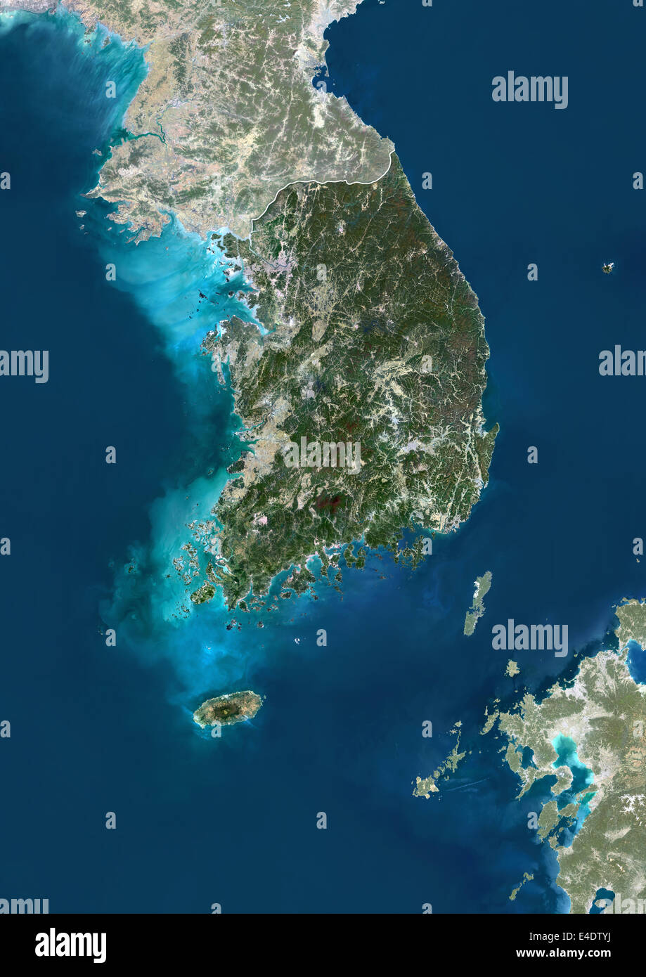 South Korea, Asia, True Colour Satellite Image With Border And Mask. Satellite view of South Korea (with border and mask). This Stock Photohttps://www.alamy.com/image-license-details/?v=1https://www.alamy.com/stock-photo-south-korea-asia-true-colour-satellite-image-with-border-and-mask-71605062.html
RME4DTYJ–South Korea, Asia, True Colour Satellite Image With Border And Mask. Satellite view of South Korea (with border and mask). This
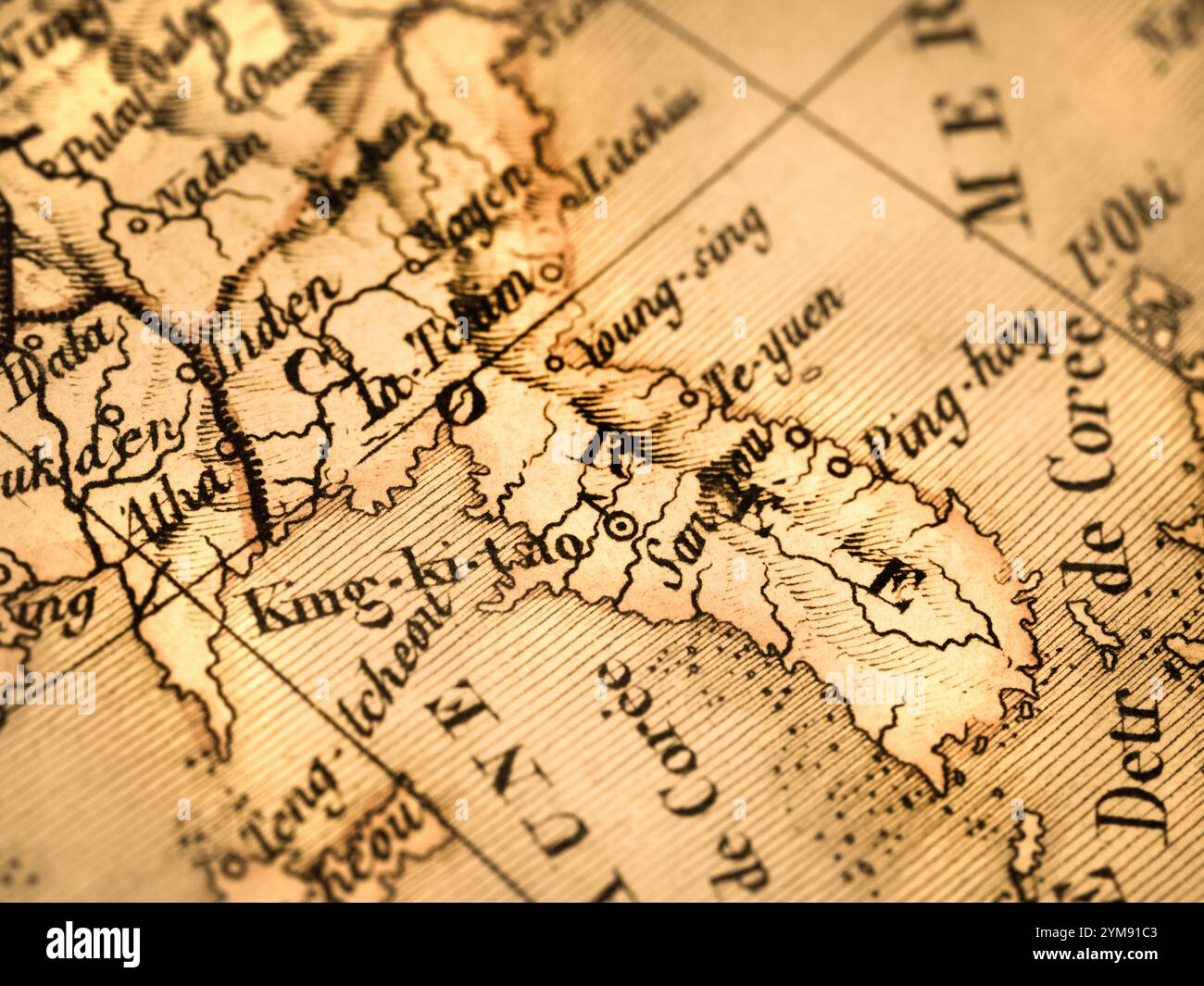 Old map Korean Peninsula Stock Photohttps://www.alamy.com/image-license-details/?v=1https://www.alamy.com/old-map-korean-peninsula-image632065059.html
RF2YM91C3–Old map Korean Peninsula
 Highly detailed South Korea physical map. Stock Vectorhttps://www.alamy.com/image-license-details/?v=1https://www.alamy.com/highly-detailed-south-korea-physical-map-image543866993.html
RF2PGR7W5–Highly detailed South Korea physical map.
 White silhouette drawing of Japan and Korea. Map illustration of East Asian countries. Stock Photohttps://www.alamy.com/image-license-details/?v=1https://www.alamy.com/white-silhouette-drawing-of-japan-and-korea-map-illustration-of-east-asian-countries-image606192198.html
RF2X66C9A–White silhouette drawing of Japan and Korea. Map illustration of East Asian countries.
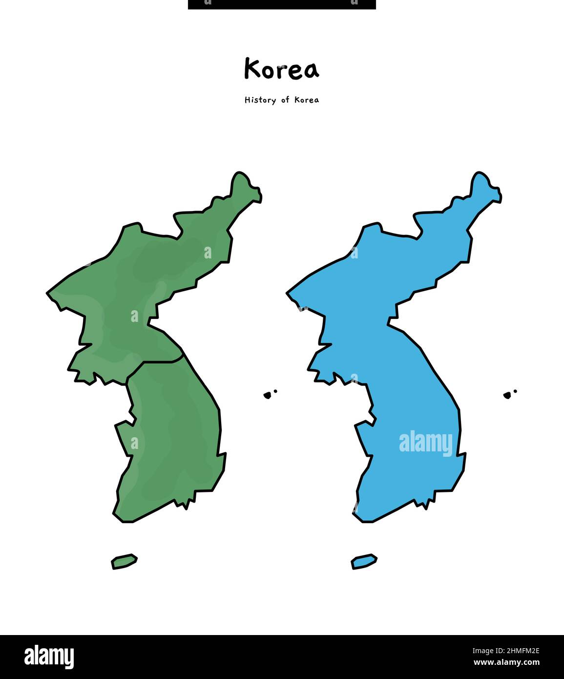 This is a simple map of Korea. It is called the Korean Peninsula. Stock Vectorhttps://www.alamy.com/image-license-details/?v=1https://www.alamy.com/this-is-a-simple-map-of-korea-it-is-called-the-korean-peninsula-image460107718.html
RF2HMFM2E–This is a simple map of Korea. It is called the Korean Peninsula.
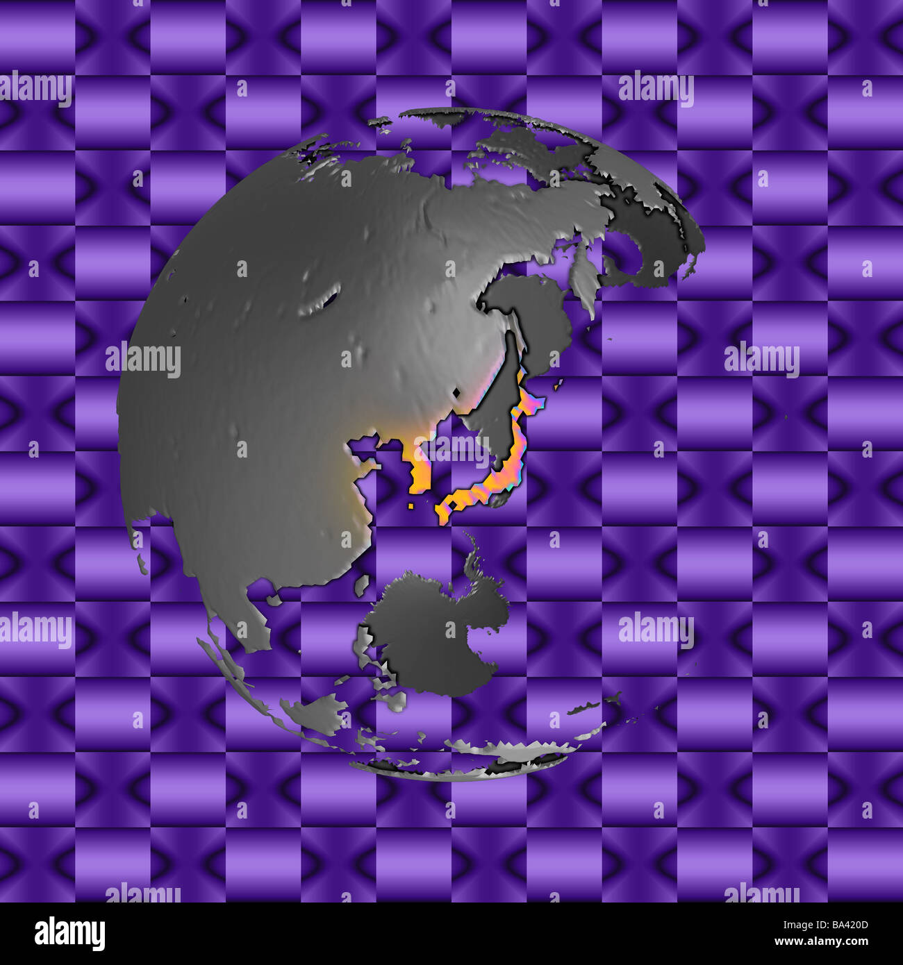 Abstract version of globe centered on Japan and the Korean peninsula Stock Photohttps://www.alamy.com/image-license-details/?v=1https://www.alamy.com/stock-photo-abstract-version-of-globe-centered-on-japan-and-the-korean-peninsula-23446317.html
RMBA420D–Abstract version of globe centered on Japan and the Korean peninsula
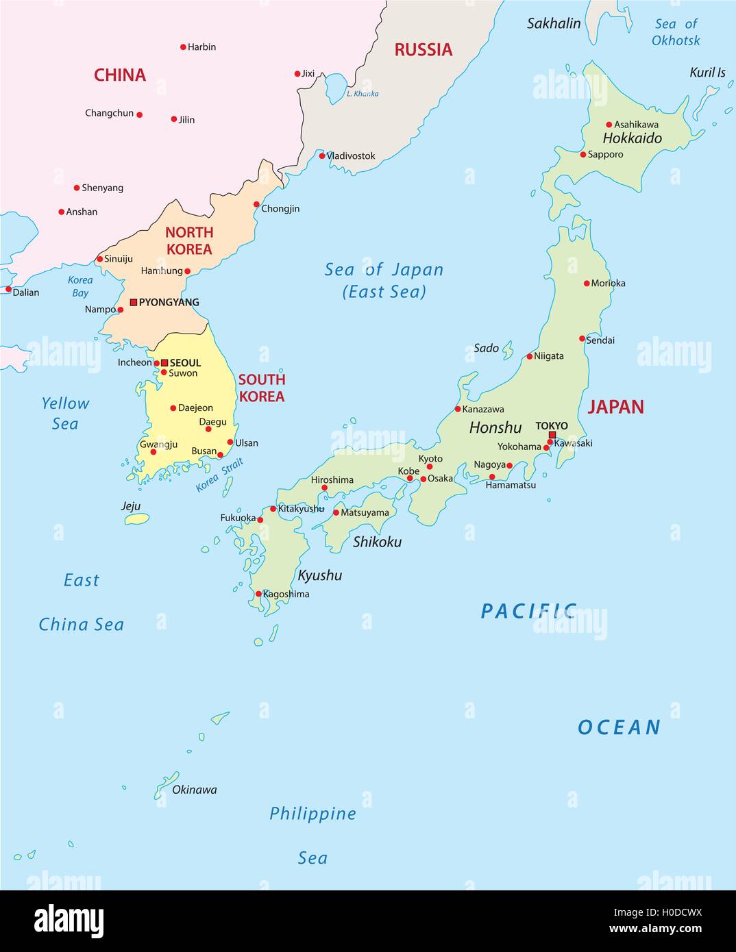 japan-korea map Stock Vectorhttps://www.alamy.com/image-license-details/?v=1https://www.alamy.com/stock-photo-japan-korea-map-120768086.html
RFH0DCWX–japan-korea map
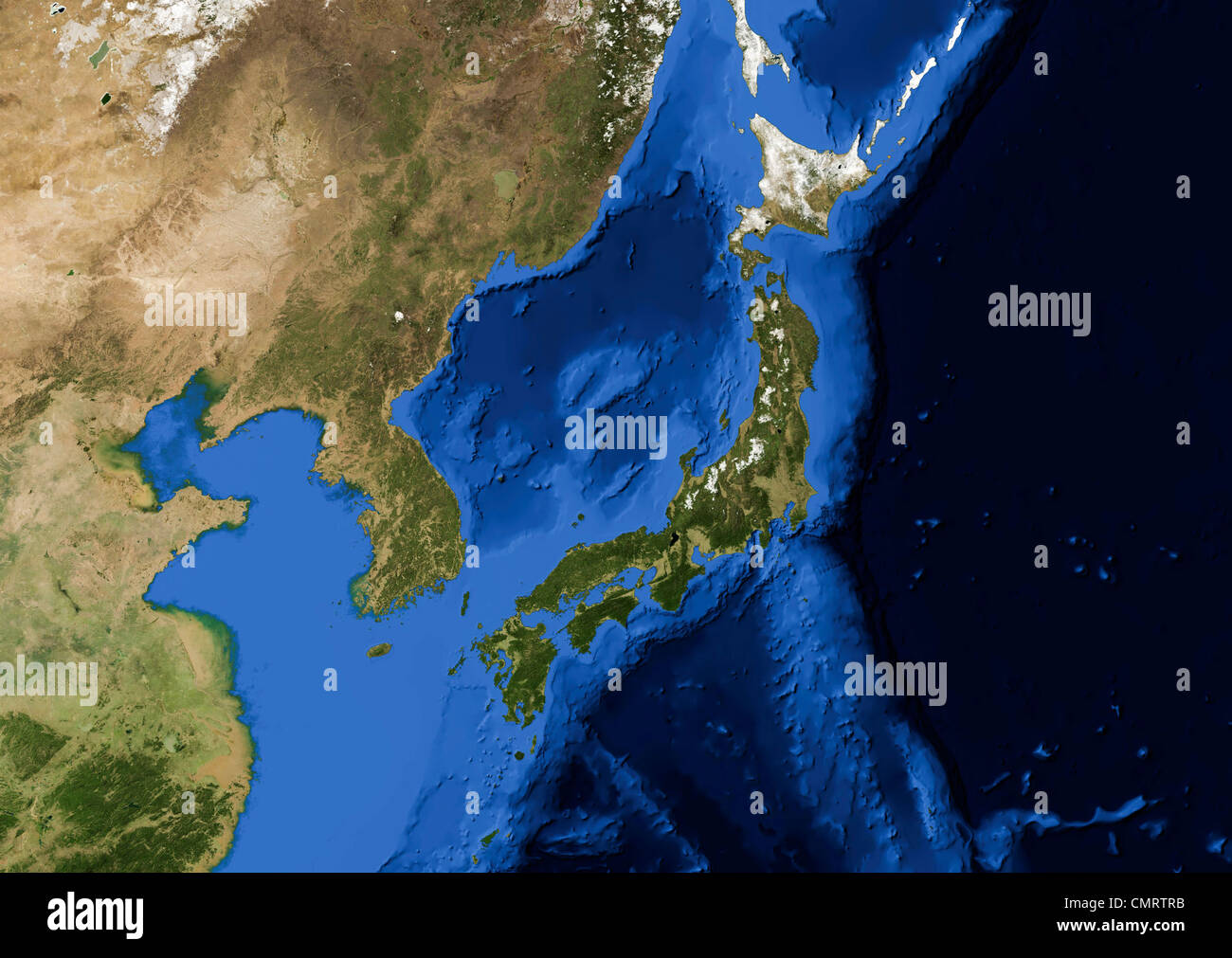 True color Terra/MODIS satellite image of the Korean peninsula and Japan rendered in Lambert azimuthal equal area projection. Stock Photohttps://www.alamy.com/image-license-details/?v=1https://www.alamy.com/stock-photo-true-color-terramodis-satellite-image-of-the-korean-peninsula-and-47238223.html
RMCMRTRB–True color Terra/MODIS satellite image of the Korean peninsula and Japan rendered in Lambert azimuthal equal area projection.
