Quick filters:
La junta map Stock Photos and Images
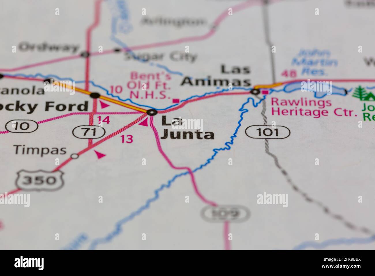 La Junta Colorado USA shown on a Geography map or road map Stock Photohttps://www.alamy.com/image-license-details/?v=1https://www.alamy.com/la-junta-colorado-usa-shown-on-a-geography-map-or-road-map-image424911870.html
RM2FK8BBX–La Junta Colorado USA shown on a Geography map or road map
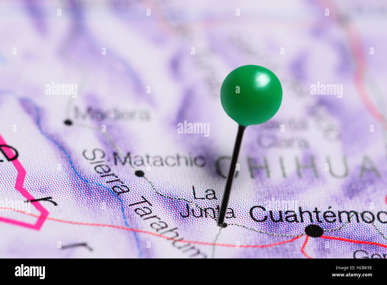 La Junta pinned on a map of Mexico Stock Photohttps://www.alamy.com/image-license-details/?v=1https://www.alamy.com/stock-photo-la-junta-pinned-on-a-map-of-mexico-121958522.html
RFH2BK9E–La Junta pinned on a map of Mexico
 Watching for Federals at La Junta 33495095893 o Stock Photohttps://www.alamy.com/image-license-details/?v=1https://www.alamy.com/stock-photo-watching-for-federals-at-la-junta-33495095893-o-147096309.html
RMJF8PRH–Watching for Federals at La Junta 33495095893 o
 La Junta pinned on a map of Colorado, USA Stock Photohttps://www.alamy.com/image-license-details/?v=1https://www.alamy.com/la-junta-pinned-on-a-map-of-colorado-usa-image359838418.html
RF2BWC1G2–La Junta pinned on a map of Colorado, USA
 La Junta, Otero County, US, United States, Colorado, N 37 59' 6'', S 103 32' 37'', map, Cartascapes Map published in 2024. Explore Cartascapes, a map revealing Earth's diverse landscapes, cultures, and ecosystems. Journey through time and space, discovering the interconnectedness of our planet's past, present, and future. Stock Photohttps://www.alamy.com/image-license-details/?v=1https://www.alamy.com/la-junta-otero-county-us-united-states-colorado-n-37-59-6-s-103-32-37-map-cartascapes-map-published-in-2024-explore-cartascapes-a-map-revealing-earths-diverse-landscapes-cultures-and-ecosystems-journey-through-time-and-space-discovering-the-interconnectedness-of-our-planets-past-present-and-future-image621166554.html
RM2Y2GG7P–La Junta, Otero County, US, United States, Colorado, N 37 59' 6'', S 103 32' 37'', map, Cartascapes Map published in 2024. Explore Cartascapes, a map revealing Earth's diverse landscapes, cultures, and ecosystems. Journey through time and space, discovering the interconnectedness of our planet's past, present, and future.
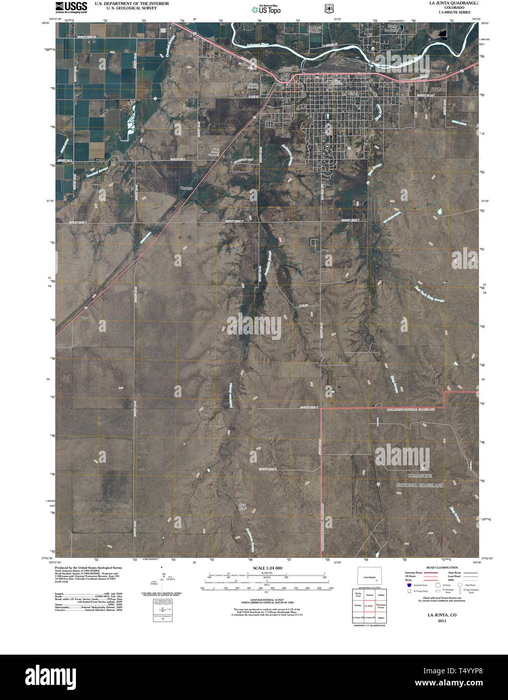 USGS TOPO Map Colorado CO La Junta 20110211 TM Restoration Stock Photohttps://www.alamy.com/image-license-details/?v=1https://www.alamy.com/usgs-topo-map-colorado-co-la-junta-20110211-tm-restoration-image244018272.html
RMT4YYP8–USGS TOPO Map Colorado CO La Junta 20110211 TM Restoration
 Placa de la Primera Junta Stock Photohttps://www.alamy.com/image-license-details/?v=1https://www.alamy.com/stock-photo-placa-de-la-primera-junta-140396205.html
RMJ4BGP5–Placa de la Primera Junta
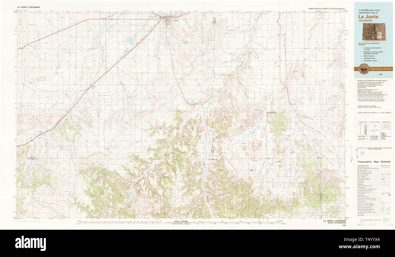 USGS TOPO Map Colorado CO La Junta 403040 1982 100000 Restoration Stock Photohttps://www.alamy.com/image-license-details/?v=1https://www.alamy.com/usgs-topo-map-colorado-co-la-junta-403040-1982-100000-restoration-image244018380.html
RMT4YYX4–USGS TOPO Map Colorado CO La Junta 403040 1982 100000 Restoration
 Morgan and Otero County, Colorado (U.S. county, United States of America,USA, U.S., US) map vector illustration, scribble sketch Morgan and Otero map Stock Vectorhttps://www.alamy.com/image-license-details/?v=1https://www.alamy.com/morgan-and-otero-county-colorado-us-county-united-states-of-americausa-us-us-map-vector-illustration-scribble-sketch-morgan-and-otero-map-image343539607.html
RF2AXWG7K–Morgan and Otero County, Colorado (U.S. county, United States of America,USA, U.S., US) map vector illustration, scribble sketch Morgan and Otero map
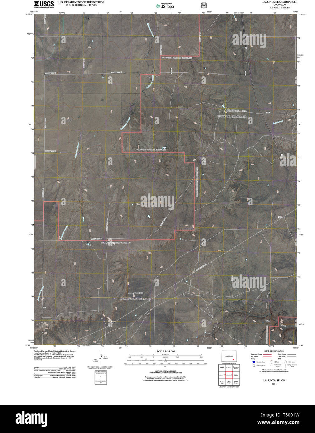 USGS TOPO Map Colorado CO La Junta SE 20110131 TM Restoration Stock Photohttps://www.alamy.com/image-license-details/?v=1https://www.alamy.com/usgs-topo-map-colorado-co-la-junta-se-20110131-tm-restoration-image244018485.html
RMT5001W–USGS TOPO Map Colorado CO La Junta SE 20110131 TM Restoration
![[Watching for Federals at La Junta Train] 34264764336 o Stock Photo [Watching for Federals at La Junta Train] 34264764336 o Stock Photo](https://c8.alamy.com/comp/JF8PRP/watching-for-federals-at-la-junta-train-34264764336-o-JF8PRP.jpg) [Watching for Federals at La Junta Train] 34264764336 o Stock Photohttps://www.alamy.com/image-license-details/?v=1https://www.alamy.com/stock-photo-watching-for-federals-at-la-junta-train-34264764336-o-147096314.html
[Watching for Federals at La Junta Train] 34264764336 o Stock Photohttps://www.alamy.com/image-license-details/?v=1https://www.alamy.com/stock-photo-watching-for-federals-at-la-junta-train-34264764336-o-147096314.htmlRMJF8PRP–[Watching for Federals at La Junta Train] 34264764336 o
 La Junta, Parker County, US, United States, Texas, N 32 55' 11'', S 97 35' 59'', map, Cartascapes Map published in 2024. Explore Cartascapes, a map revealing Earth's diverse landscapes, cultures, and ecosystems. Journey through time and space, discovering the interconnectedness of our planet's past, present, and future. Stock Photohttps://www.alamy.com/image-license-details/?v=1https://www.alamy.com/la-junta-parker-county-us-united-states-texas-n-32-55-11-s-97-35-59-map-cartascapes-map-published-in-2024-explore-cartascapes-a-map-revealing-earths-diverse-landscapes-cultures-and-ecosystems-journey-through-time-and-space-discovering-the-interconnectedness-of-our-planets-past-present-and-future-image621209089.html
RM2Y2JEEW–La Junta, Parker County, US, United States, Texas, N 32 55' 11'', S 97 35' 59'', map, Cartascapes Map published in 2024. Explore Cartascapes, a map revealing Earth's diverse landscapes, cultures, and ecosystems. Journey through time and space, discovering the interconnectedness of our planet's past, present, and future.
 Wheeler Hall La Junta CO 26157641765 o Stock Photohttps://www.alamy.com/image-license-details/?v=1https://www.alamy.com/stock-photo-wheeler-hall-la-junta-co-26157641765-o-147111948.html
RMJF9EP4–Wheeler Hall La Junta CO 26157641765 o
 La junta directiva de los actos. y pagina de del programa Stock Photohttps://www.alamy.com/image-license-details/?v=1https://www.alamy.com/stock-photo-la-junta-directiva-de-los-actos-y-pagina-de-del-programa-140187553.html
RMJ422J9–La junta directiva de los actos. y pagina de del programa
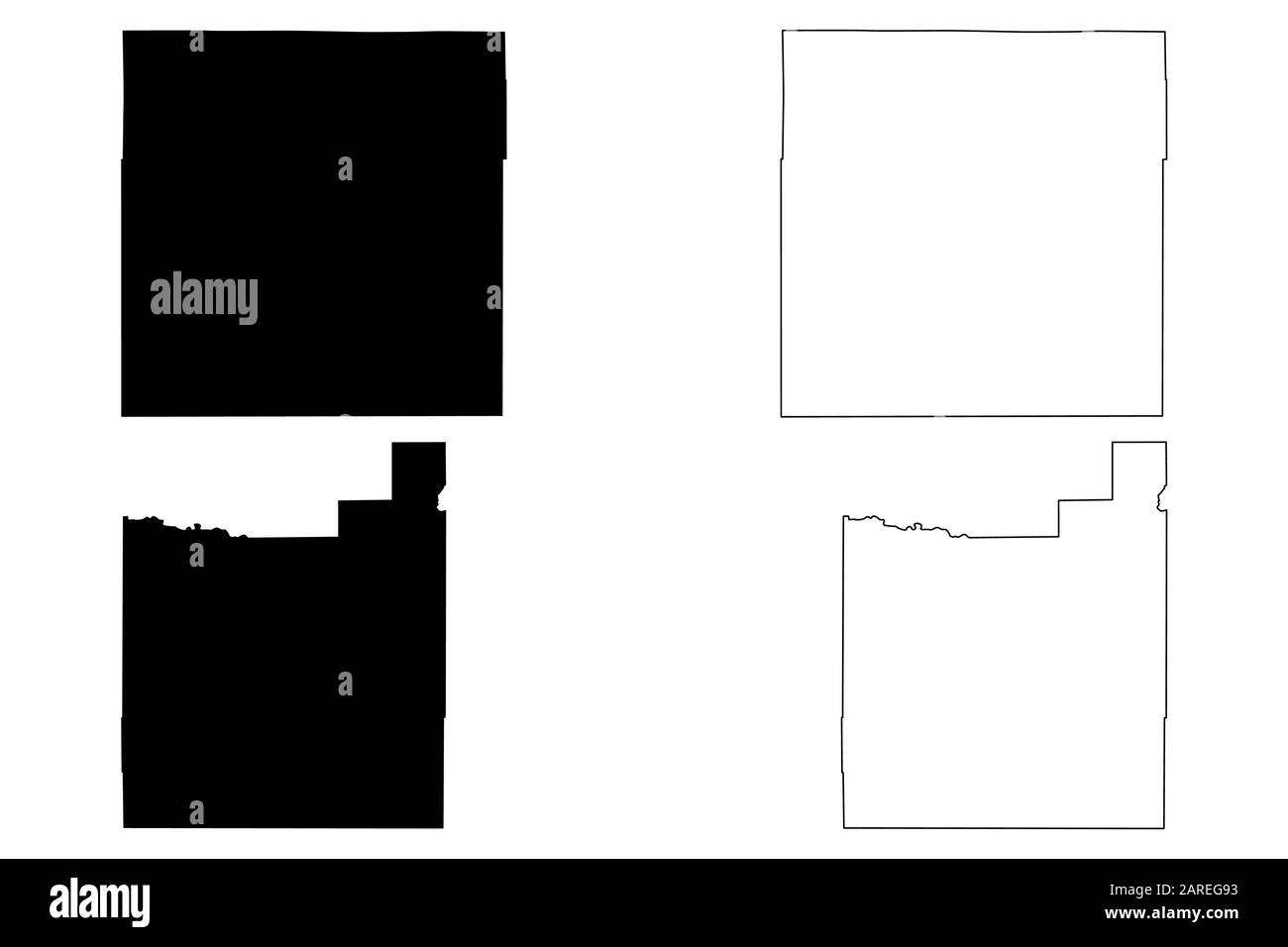 Morgan and Otero County, Colorado (U.S. county, United States of America,USA, U.S., US) map vector illustration, scribble sketch Morgan and Otero map Stock Vectorhttps://www.alamy.com/image-license-details/?v=1https://www.alamy.com/morgan-and-otero-county-colorado-us-county-united-states-of-americausa-us-us-map-vector-illustration-scribble-sketch-morgan-and-otero-map-image341454207.html
RF2AREG93–Morgan and Otero County, Colorado (U.S. county, United States of America,USA, U.S., US) map vector illustration, scribble sketch Morgan and Otero map
 USGS TOPO Map Colorado CO La Junta SW 20110131 TM Restoration Stock Photohttps://www.alamy.com/image-license-details/?v=1https://www.alamy.com/usgs-topo-map-colorado-co-la-junta-sw-20110131-tm-restoration-image244018535.html
RMT5003K–USGS TOPO Map Colorado CO La Junta SW 20110131 TM Restoration
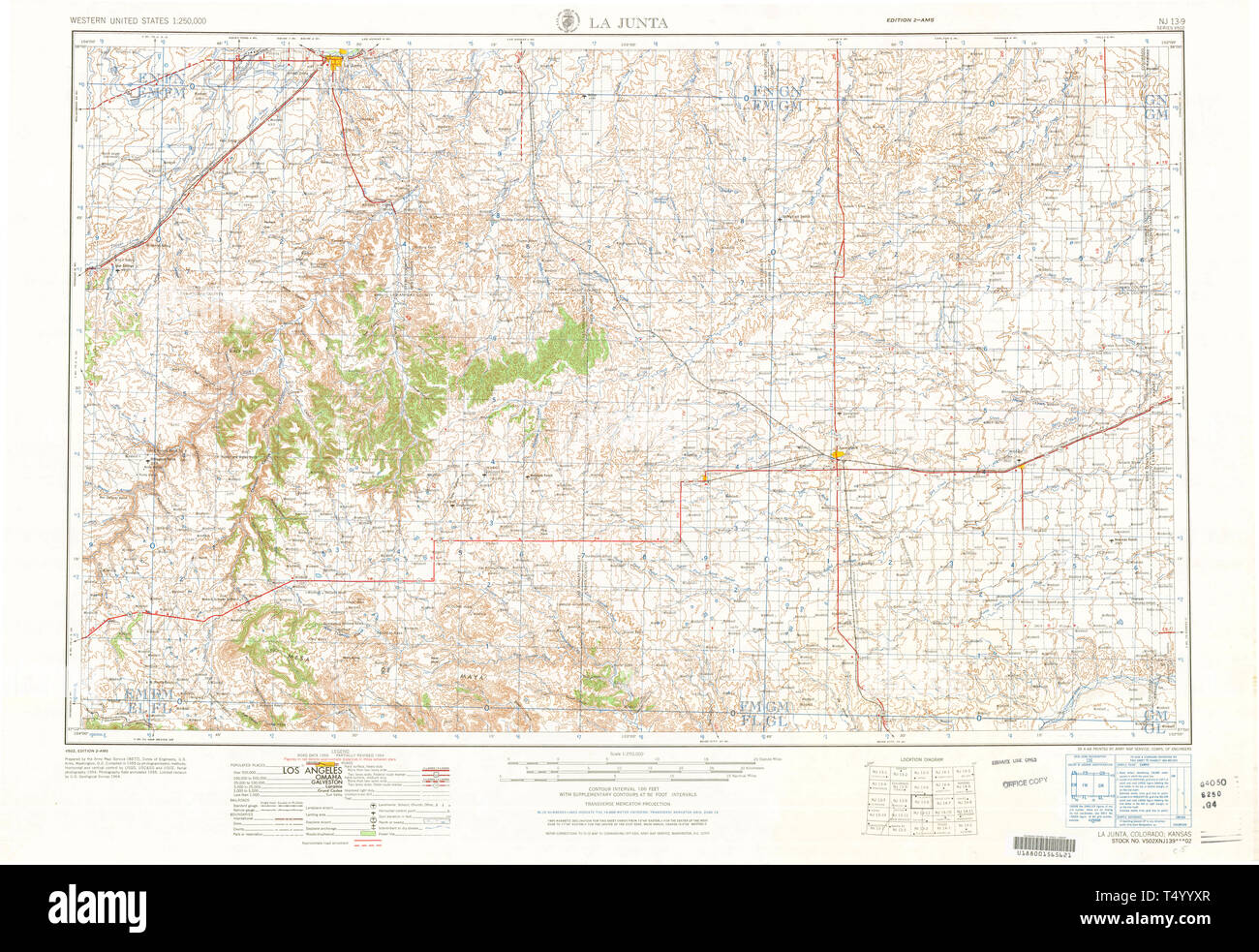 USGS TOPO Map Colorado CO La Junta 403136 1968 250000 Restoration Stock Photohttps://www.alamy.com/image-license-details/?v=1https://www.alamy.com/usgs-topo-map-colorado-co-la-junta-403136-1968-250000-restoration-image244018399.html
RMT4YYXR–USGS TOPO Map Colorado CO La Junta 403136 1968 250000 Restoration
 North La Junta, Otero County, US, United States, Colorado, N 37 59' 49'', S 103 31' 54'', map, Cartascapes Map published in 2024. Explore Cartascapes, a map revealing Earth's diverse landscapes, cultures, and ecosystems. Journey through time and space, discovering the interconnectedness of our planet's past, present, and future. Stock Photohttps://www.alamy.com/image-license-details/?v=1https://www.alamy.com/north-la-junta-otero-county-us-united-states-colorado-n-37-59-49-s-103-31-54-map-cartascapes-map-published-in-2024-explore-cartascapes-a-map-revealing-earths-diverse-landscapes-cultures-and-ecosystems-journey-through-time-and-space-discovering-the-interconnectedness-of-our-planets-past-present-and-future-image621308252.html
RM2Y2R10C–North La Junta, Otero County, US, United States, Colorado, N 37 59' 49'', S 103 31' 54'', map, Cartascapes Map published in 2024. Explore Cartascapes, a map revealing Earth's diverse landscapes, cultures, and ecosystems. Journey through time and space, discovering the interconnectedness of our planet's past, present, and future.
 Ramer orderly La Junta Hospital CO 25554302253 o Stock Photohttps://www.alamy.com/image-license-details/?v=1https://www.alamy.com/stock-photo-ramer-orderly-la-junta-hospital-co-25554302253-o-147111957.html
RMJF9EPD–Ramer orderly La Junta Hospital CO 25554302253 o
 Junta de Iquique 1891 - La Ilustración Artistica Stock Photohttps://www.alamy.com/image-license-details/?v=1https://www.alamy.com/stock-photo-junta-de-iquique-1891-la-ilustracin-artistica-147573835.html
RMJG2FX3–Junta de Iquique 1891 - La Ilustración Artistica
 Morgan and Otero County, Colorado (U.S. county, United States of America,USA, U.S., US) map vector illustration, scribble sketch Morgan and Otero map Stock Vectorhttps://www.alamy.com/image-license-details/?v=1https://www.alamy.com/morgan-and-otero-county-colorado-us-county-united-states-of-americausa-us-us-map-vector-illustration-scribble-sketch-morgan-and-otero-map-image345165462.html
RF2B1FJ1X–Morgan and Otero County, Colorado (U.S. county, United States of America,USA, U.S., US) map vector illustration, scribble sketch Morgan and Otero map
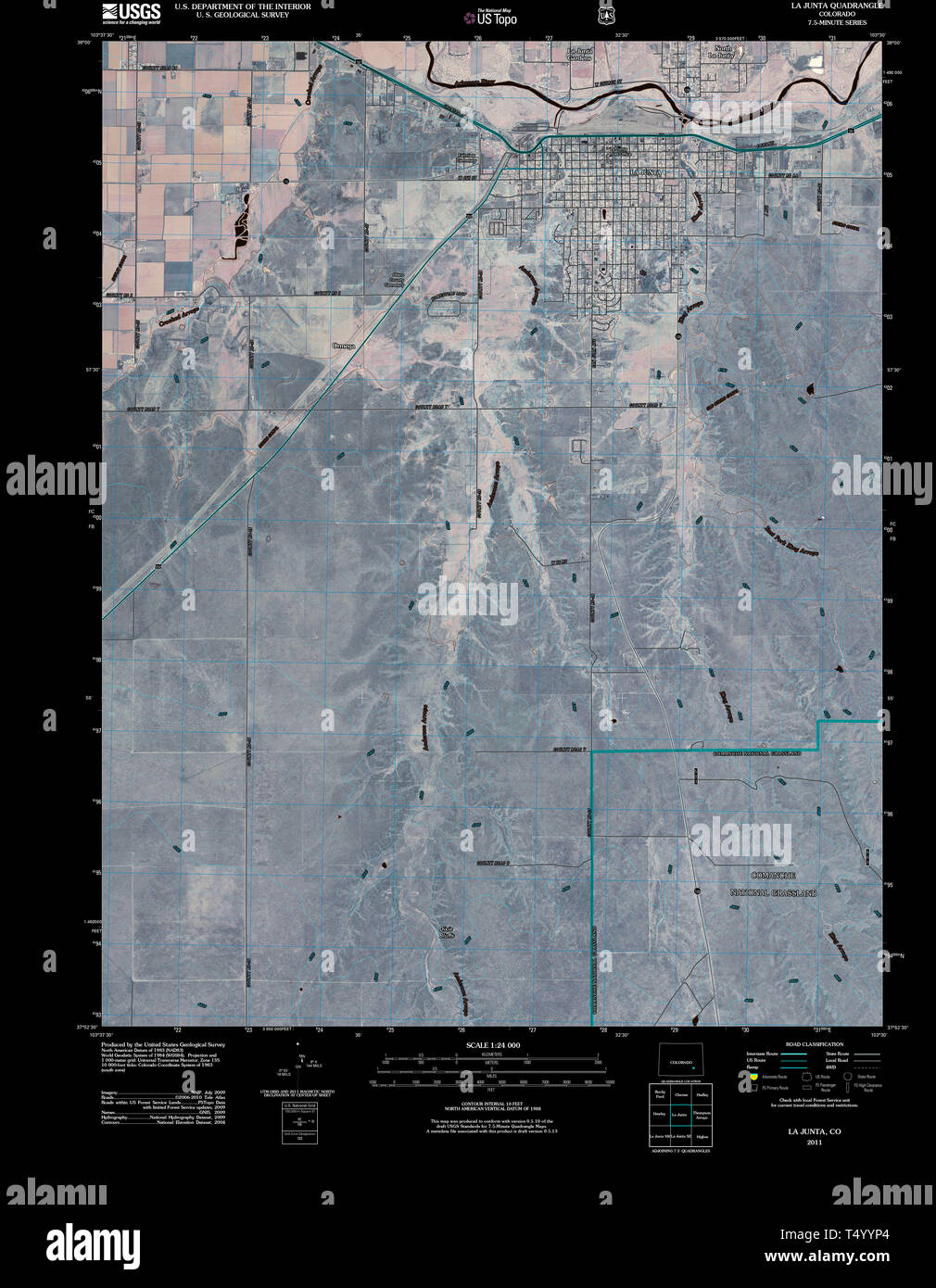 USGS TOPO Map Colorado CO La Junta 20110211 TM Inverted Restoration Stock Photohttps://www.alamy.com/image-license-details/?v=1https://www.alamy.com/usgs-topo-map-colorado-co-la-junta-20110211-tm-inverted-restoration-image244018268.html
RMT4YYP4–USGS TOPO Map Colorado CO La Junta 20110211 TM Inverted Restoration
 La Junta Addition Colonia, El Paso County, US, United States, Texas, N 31 39' 14'', S 106 18' 1'', map, Cartascapes Map published in 2024. Explore Cartascapes, a map revealing Earth's diverse landscapes, cultures, and ecosystems. Journey through time and space, discovering the interconnectedness of our planet's past, present, and future. Stock Photohttps://www.alamy.com/image-license-details/?v=1https://www.alamy.com/la-junta-addition-colonia-el-paso-county-us-united-states-texas-n-31-39-14-s-106-18-1-map-cartascapes-map-published-in-2024-explore-cartascapes-a-map-revealing-earths-diverse-landscapes-cultures-and-ecosystems-journey-through-time-and-space-discovering-the-interconnectedness-of-our-planets-past-present-and-future-image621445984.html
RM2Y318KC–La Junta Addition Colonia, El Paso County, US, United States, Texas, N 31 39' 14'', S 106 18' 1'', map, Cartascapes Map published in 2024. Explore Cartascapes, a map revealing Earth's diverse landscapes, cultures, and ecosystems. Journey through time and space, discovering the interconnectedness of our planet's past, present, and future.
 Unit devotions La Junta CO 26063522482 o Stock Photohttps://www.alamy.com/image-license-details/?v=1https://www.alamy.com/stock-photo-unit-devotions-la-junta-co-26063522482-o-147111961.html
RMJF9EPH–Unit devotions La Junta CO 26063522482 o
 Decreto de constitución de la Junta de Defensa Nacional Stock Photohttps://www.alamy.com/image-license-details/?v=1https://www.alamy.com/stock-photo-decreto-de-constitucin-de-la-junta-de-defensa-nacional-147559495.html
RMJG1WHY–Decreto de constitución de la Junta de Defensa Nacional
 USGS TOPO Map Colorado CO La Junta 233505 1966 24000 Restoration Stock Photohttps://www.alamy.com/image-license-details/?v=1https://www.alamy.com/usgs-topo-map-colorado-co-la-junta-233505-1966-24000-restoration-image244018301.html
RMT4YYR9–USGS TOPO Map Colorado CO La Junta 233505 1966 24000 Restoration
 La Junta, Otero County, US, United States, Colorado, N 37 59' 6'', S 103 32' 37'', map, Cartascapes Map published in 2024. Explore Cartascapes, a map revealing Earth's diverse landscapes, cultures, and ecosystems. Journey through time and space, discovering the interconnectedness of our planet's past, present, and future. Stock Photohttps://www.alamy.com/image-license-details/?v=1https://www.alamy.com/la-junta-otero-county-us-united-states-colorado-n-37-59-6-s-103-32-37-map-cartascapes-map-published-in-2024-explore-cartascapes-a-map-revealing-earths-diverse-landscapes-cultures-and-ecosystems-journey-through-time-and-space-discovering-the-interconnectedness-of-our-planets-past-present-and-future-image620731818.html
RM2Y1TNNE–La Junta, Otero County, US, United States, Colorado, N 37 59' 6'', S 103 32' 37'', map, Cartascapes Map published in 2024. Explore Cartascapes, a map revealing Earth's diverse landscapes, cultures, and ecosystems. Journey through time and space, discovering the interconnectedness of our planet's past, present, and future.
 Girls singing to patient La Junta CO 25554302193 o Stock Photohttps://www.alamy.com/image-license-details/?v=1https://www.alamy.com/stock-photo-girls-singing-to-patient-la-junta-co-25554302193-o-147111955.html
RMJF9EPB–Girls singing to patient La Junta CO 25554302193 o
 Junta Provincial de Protección a la Infancia y Represión de la Mendicidad Stock Photohttps://www.alamy.com/image-license-details/?v=1https://www.alamy.com/stock-photo-junta-provincial-de-proteccin-a-la-infancia-y-represin-de-la-mendicidad-147573838.html
RMJG2FX6–Junta Provincial de Protección a la Infancia y Represión de la Mendicidad
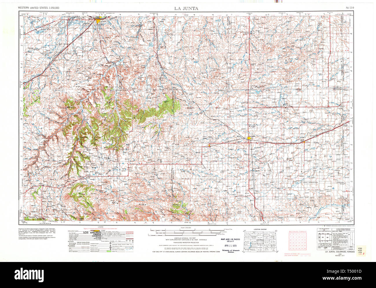 USGS TOPO Map Colorado CO La Junta 707431 1955 250000 Restoration Stock Photohttps://www.alamy.com/image-license-details/?v=1https://www.alamy.com/usgs-topo-map-colorado-co-la-junta-707431-1955-250000-restoration-image244018473.html
RMT5001D–USGS TOPO Map Colorado CO La Junta 707431 1955 250000 Restoration
 La Junta Gardens, Otero County, US, United States, Colorado, N 37 59' 58'', S 103 33' 12'', map, Cartascapes Map published in 2024. Explore Cartascapes, a map revealing Earth's diverse landscapes, cultures, and ecosystems. Journey through time and space, discovering the interconnectedness of our planet's past, present, and future. Stock Photohttps://www.alamy.com/image-license-details/?v=1https://www.alamy.com/la-junta-gardens-otero-county-us-united-states-colorado-n-37-59-58-s-103-33-12-map-cartascapes-map-published-in-2024-explore-cartascapes-a-map-revealing-earths-diverse-landscapes-cultures-and-ecosystems-journey-through-time-and-space-discovering-the-interconnectedness-of-our-planets-past-present-and-future-image620803535.html
RM2Y2016R–La Junta Gardens, Otero County, US, United States, Colorado, N 37 59' 58'', S 103 33' 12'', map, Cartascapes Map published in 2024. Explore Cartascapes, a map revealing Earth's diverse landscapes, cultures, and ecosystems. Journey through time and space, discovering the interconnectedness of our planet's past, present, and future.
 Mission Bd Meeting 1964 La Junta CO 26496370761 o Stock Photohttps://www.alamy.com/image-license-details/?v=1https://www.alamy.com/stock-photo-mission-bd-meeting-1964-la-junta-co-26496370761-o-147111928.html
RMJF9ENC–Mission Bd Meeting 1964 La Junta CO 26496370761 o
 Junta de guerra de l 1 de Setembre de 1714amb la participació d Antoni Villarroel Casanova i Basset Stock Photohttps://www.alamy.com/image-license-details/?v=1https://www.alamy.com/stock-photo-junta-de-guerra-de-l-1-de-setembre-de-1714amb-la-participaci-d-antoni-147573834.html
RMJG2FX2–Junta de guerra de l 1 de Setembre de 1714amb la participació d Antoni Villarroel Casanova i Basset
 USGS TOPO Map Colorado CO La Junta 403139 1958 250000 Restoration Stock Photohttps://www.alamy.com/image-license-details/?v=1https://www.alamy.com/usgs-topo-map-colorado-co-la-junta-403139-1958-250000-restoration-image244018436.html
RMT50004–USGS TOPO Map Colorado CO La Junta 403139 1958 250000 Restoration
 La Junta, Presidio County, US, United States, Texas, N 29 35' 37'', S 104 24' 39'', map, Cartascapes Map published in 2024. Explore Cartascapes, a map revealing Earth's diverse landscapes, cultures, and ecosystems. Journey through time and space, discovering the interconnectedness of our planet's past, present, and future. Stock Photohttps://www.alamy.com/image-license-details/?v=1https://www.alamy.com/la-junta-presidio-county-us-united-states-texas-n-29-35-37-s-104-24-39-map-cartascapes-map-published-in-2024-explore-cartascapes-a-map-revealing-earths-diverse-landscapes-cultures-and-ecosystems-journey-through-time-and-space-discovering-the-interconnectedness-of-our-planets-past-present-and-future-image620872589.html
RM2Y23591–La Junta, Presidio County, US, United States, Texas, N 29 35' 37'', S 104 24' 39'', map, Cartascapes Map published in 2024. Explore Cartascapes, a map revealing Earth's diverse landscapes, cultures, and ecosystems. Journey through time and space, discovering the interconnectedness of our planet's past, present, and future.
 Glen Bond Dietary Dept La Junta CO 26090609221 o Stock Photohttps://www.alamy.com/image-license-details/?v=1https://www.alamy.com/stock-photo-glen-bond-dietary-dept-la-junta-co-26090609221-o-147111958.html
RMJF9EPE–Glen Bond Dietary Dept La Junta CO 26090609221 o
 Junta de guerra de l 1 de Setembre de 1714amb la participació d Antoni Villarroel Casanova i Basset Stock Photohttps://www.alamy.com/image-license-details/?v=1https://www.alamy.com/stock-photo-junta-de-guerra-de-l-1-de-setembre-de-1714amb-la-participaci-d-antoni-147573833.html
RMJG2FX1–Junta de guerra de l 1 de Setembre de 1714amb la participació d Antoni Villarroel Casanova i Basset
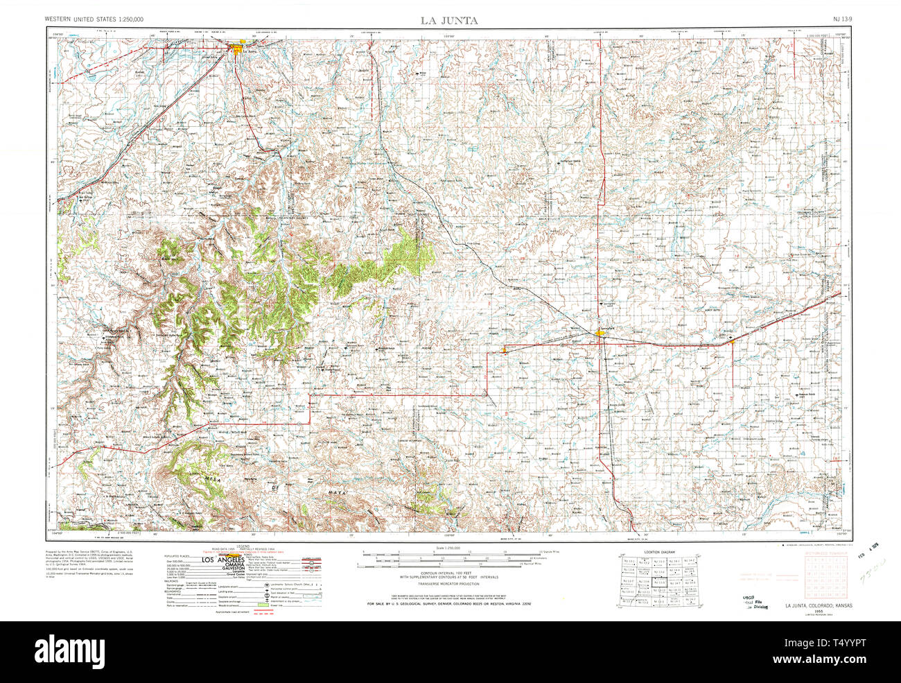 USGS TOPO Map Colorado CO La Junta 233503 1955 250000 Restoration Stock Photohttps://www.alamy.com/image-license-details/?v=1https://www.alamy.com/usgs-topo-map-colorado-co-la-junta-233503-1955-250000-restoration-image244018288.html
RMT4YYPT–USGS TOPO Map Colorado CO La Junta 233503 1955 250000 Restoration
 La Junta Village, Otero County, US, United States, Colorado, N 38 2' 15'', S 103 31' 51'', map, Cartascapes Map published in 2024. Explore Cartascapes, a map revealing Earth's diverse landscapes, cultures, and ecosystems. Journey through time and space, discovering the interconnectedness of our planet's past, present, and future. Stock Photohttps://www.alamy.com/image-license-details/?v=1https://www.alamy.com/la-junta-village-otero-county-us-united-states-colorado-n-38-2-15-s-103-31-51-map-cartascapes-map-published-in-2024-explore-cartascapes-a-map-revealing-earths-diverse-landscapes-cultures-and-ecosystems-journey-through-time-and-space-discovering-the-interconnectedness-of-our-planets-past-present-and-future-image620722269.html
RM2Y1T9GD–La Junta Village, Otero County, US, United States, Colorado, N 38 2' 15'', S 103 31' 51'', map, Cartascapes Map published in 2024. Explore Cartascapes, a map revealing Earth's diverse landscapes, cultures, and ecosystems. Journey through time and space, discovering the interconnectedness of our planet's past, present, and future.
 Mrs Naswood Burbank 1964 La Junta CO 25689108554 o Stock Photohttps://www.alamy.com/image-license-details/?v=1https://www.alamy.com/stock-photo-mrs-naswood-burbank-1964-la-junta-co-25689108554-o-147111941.html
RMJF9ENW–Mrs Naswood Burbank 1964 La Junta CO 25689108554 o
 Inici de l enderrocament de les muralles de València el 20 de febrer de 1865 junta a la Porta del Real Stock Photohttps://www.alamy.com/image-license-details/?v=1https://www.alamy.com/stock-photo-inici-de-l-enderrocament-de-les-muralles-de-valncia-el-20-de-febrer-147563779.html
RMJG232Y–Inici de l enderrocament de les muralles de València el 20 de febrer de 1865 junta a la Porta del Real
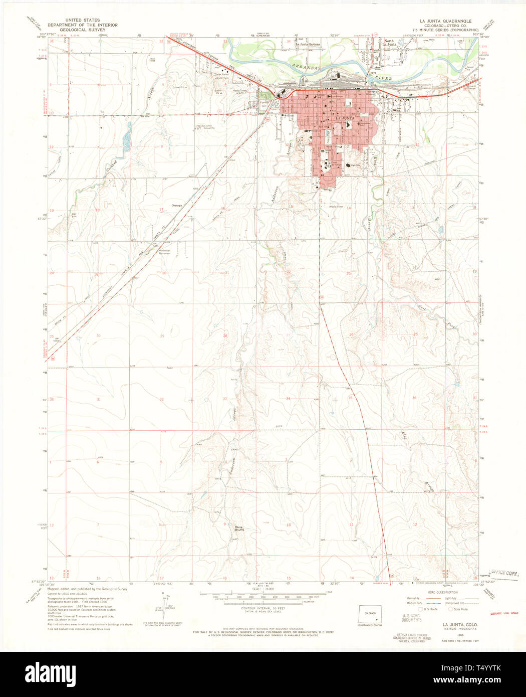 USGS TOPO Map Colorado CO La Junta 401171 1966 24000 Restoration Stock Photohttps://www.alamy.com/image-license-details/?v=1https://www.alamy.com/usgs-topo-map-colorado-co-la-junta-401171-1966-24000-restoration-image244018339.html
RMT4YYTK–USGS TOPO Map Colorado CO La Junta 401171 1966 24000 Restoration
 La Junta, Rio Arriba County, US, United States, New Mexico, N 36 12' 41'', S 105 55' 1'', map, Cartascapes Map published in 2024. Explore Cartascapes, a map revealing Earth's diverse landscapes, cultures, and ecosystems. Journey through time and space, discovering the interconnectedness of our planet's past, present, and future. Stock Photohttps://www.alamy.com/image-license-details/?v=1https://www.alamy.com/la-junta-rio-arriba-county-us-united-states-new-mexico-n-36-12-41-s-105-55-1-map-cartascapes-map-published-in-2024-explore-cartascapes-a-map-revealing-earths-diverse-landscapes-cultures-and-ecosystems-journey-through-time-and-space-discovering-the-interconnectedness-of-our-planets-past-present-and-future-image620800978.html
RM2Y1YWYE–La Junta, Rio Arriba County, US, United States, New Mexico, N 36 12' 41'', S 105 55' 1'', map, Cartascapes Map published in 2024. Explore Cartascapes, a map revealing Earth's diverse landscapes, cultures, and ecosystems. Journey through time and space, discovering the interconnectedness of our planet's past, present, and future.
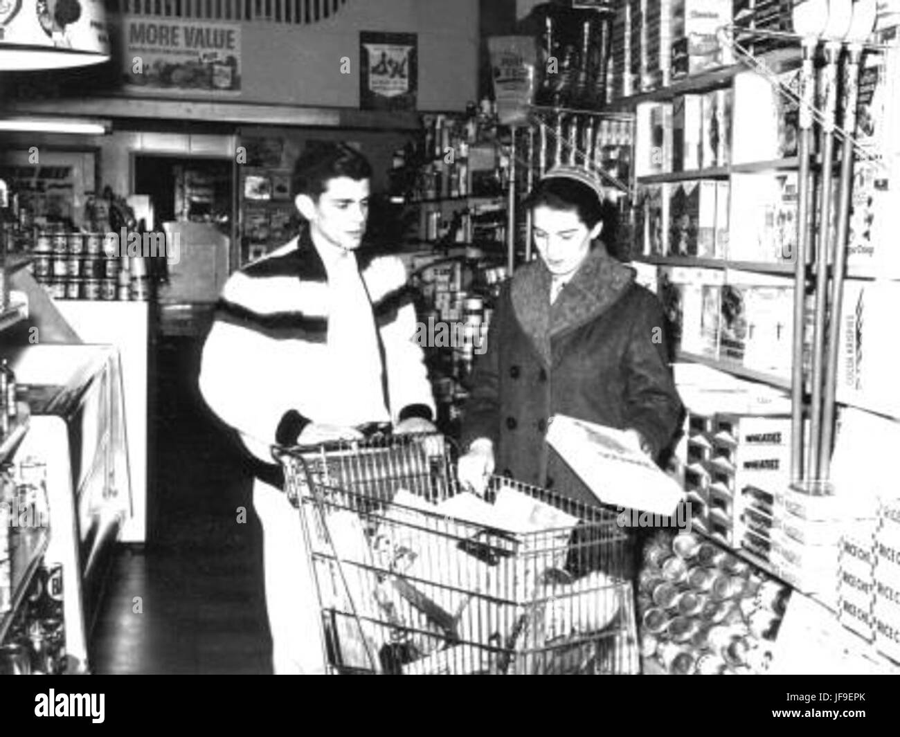 Martin Unit Leaders La Junta CO 25553331723 o Stock Photohttps://www.alamy.com/image-license-details/?v=1https://www.alamy.com/stock-photo-martin-unit-leaders-la-junta-co-25553331723-o-147111963.html
RMJF9EPK–Martin Unit Leaders La Junta CO 25553331723 o
 USGS TOPO Map Colorado CO La Junta 401170 1966 24000 Restoration Stock Photohttps://www.alamy.com/image-license-details/?v=1https://www.alamy.com/usgs-topo-map-colorado-co-la-junta-401170-1966-24000-restoration-image244018322.html
RMT4YYT2–USGS TOPO Map Colorado CO La Junta 401170 1966 24000 Restoration
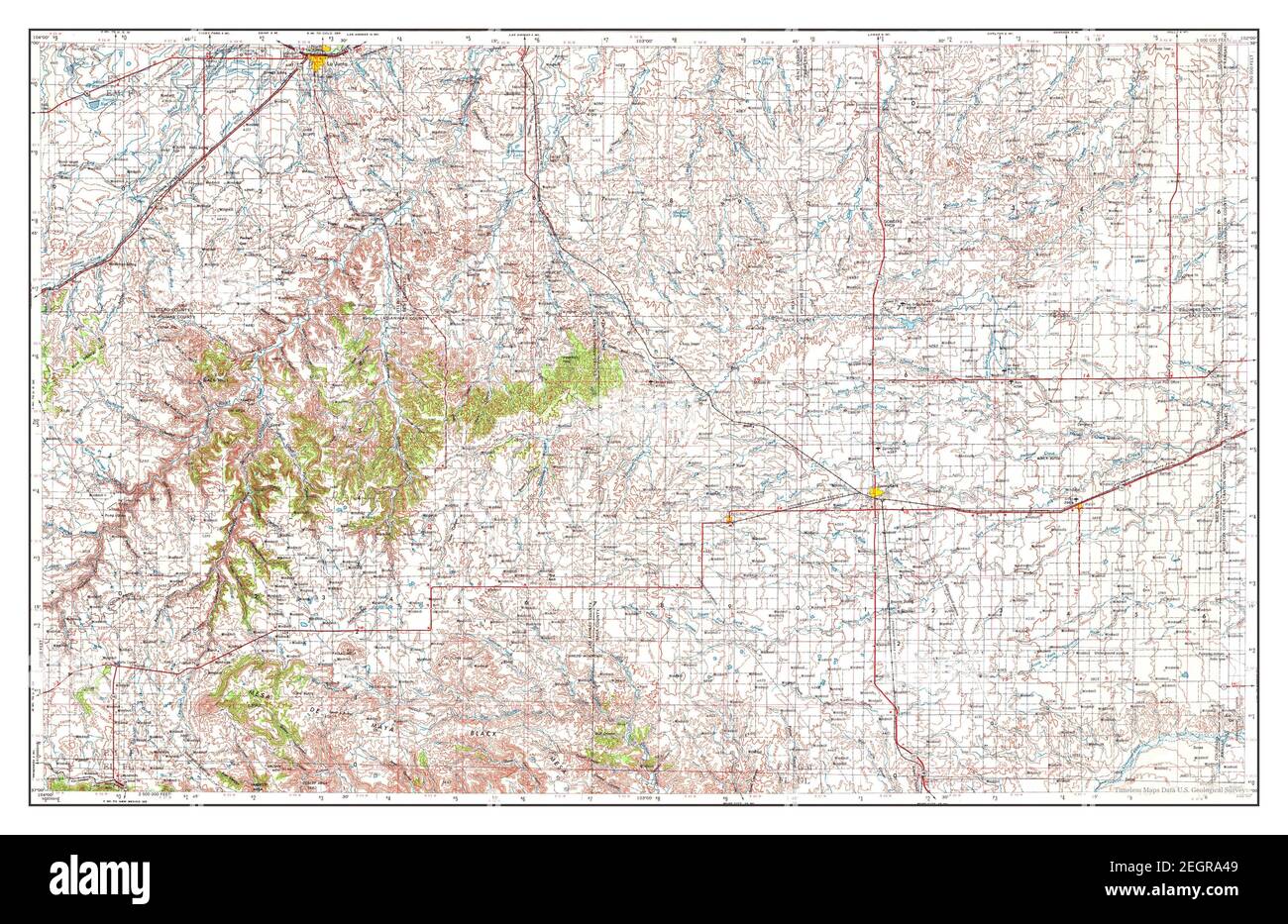 La Junta, Colorado, map 1955, 1:250000, United States of America by Timeless Maps, data U.S. Geological Survey Stock Photohttps://www.alamy.com/image-license-details/?v=1https://www.alamy.com/la-junta-colorado-map-1955-1250000-united-states-of-america-by-timeless-maps-data-us-geological-survey-image406185817.html
RM2EGRA49–La Junta, Colorado, map 1955, 1:250000, United States of America by Timeless Maps, data U.S. Geological Survey
 Martin & Birky La Junta Hospital CO 25551215974 o Stock Photohttps://www.alamy.com/image-license-details/?v=1https://www.alamy.com/stock-photo-martin-birky-la-junta-hospital-co-25551215974-o-147111960.html
RMJF9EPG–Martin & Birky La Junta Hospital CO 25551215974 o
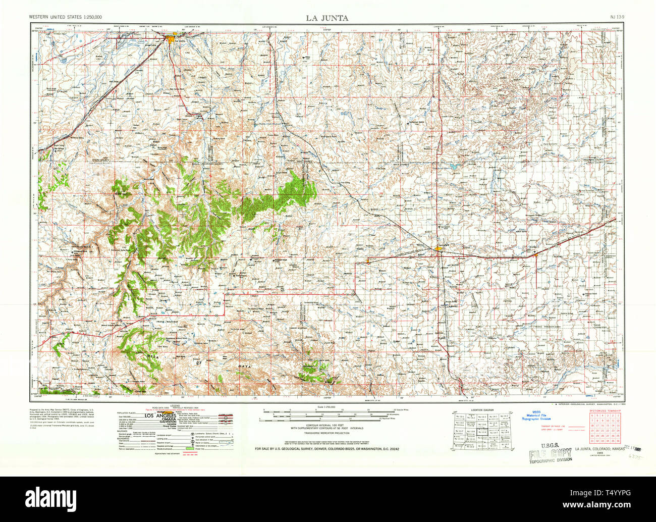 USGS TOPO Map Colorado CO La Junta 233502 1955 250000 Restoration Stock Photohttps://www.alamy.com/image-license-details/?v=1https://www.alamy.com/usgs-topo-map-colorado-co-la-junta-233502-1955-250000-restoration-image244018280.html
RMT4YYPG–USGS TOPO Map Colorado CO La Junta 233502 1955 250000 Restoration
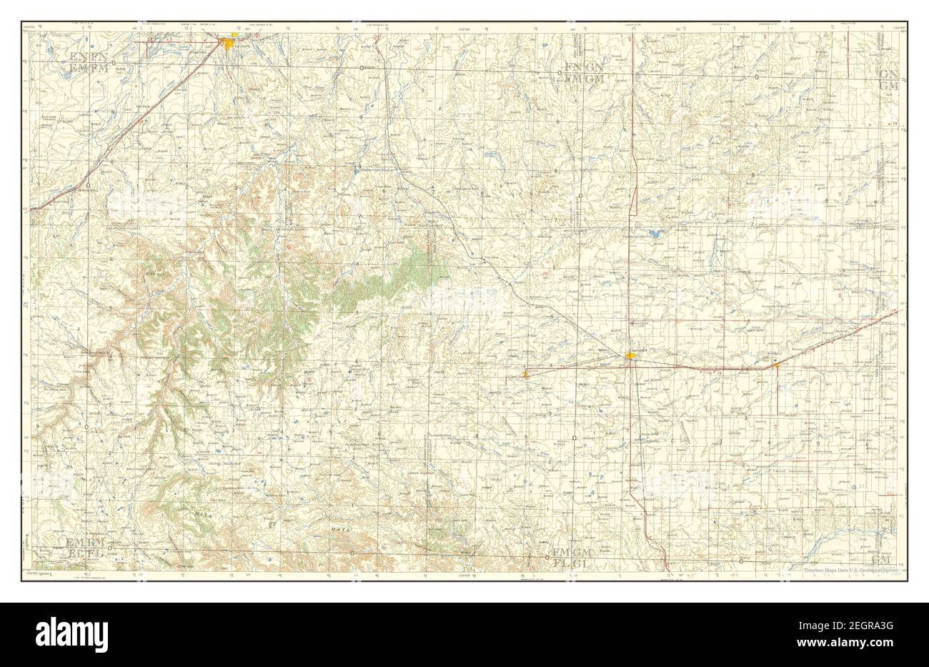 La Junta, Colorado, map 1958, 1:250000, United States of America by Timeless Maps, data U.S. Geological Survey Stock Photohttps://www.alamy.com/image-license-details/?v=1https://www.alamy.com/la-junta-colorado-map-1958-1250000-united-states-of-america-by-timeless-maps-data-us-geological-survey-image406185796.html
RM2EGRA3G–La Junta, Colorado, map 1958, 1:250000, United States of America by Timeless Maps, data U.S. Geological Survey
 Martin doing unit laundry La Junta CO 26063522612 o Stock Photohttps://www.alamy.com/image-license-details/?v=1https://www.alamy.com/stock-photo-martin-doing-unit-laundry-la-junta-co-26063522612-o-147111964.html
RMJF9EPM–Martin doing unit laundry La Junta CO 26063522612 o
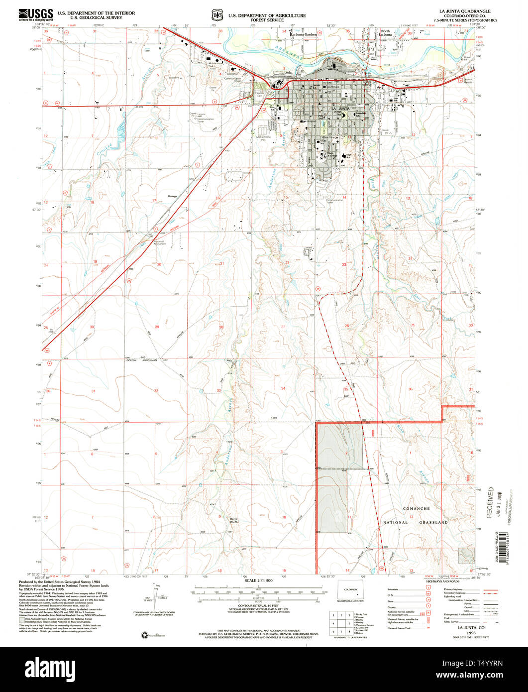 USGS TOPO Map Colorado CO La Junta 233506 1996 24000 Restoration Stock Photohttps://www.alamy.com/image-license-details/?v=1https://www.alamy.com/usgs-topo-map-colorado-co-la-junta-233506-1996-24000-restoration-image244018313.html
RMT4YYRN–USGS TOPO Map Colorado CO La Junta 233506 1996 24000 Restoration
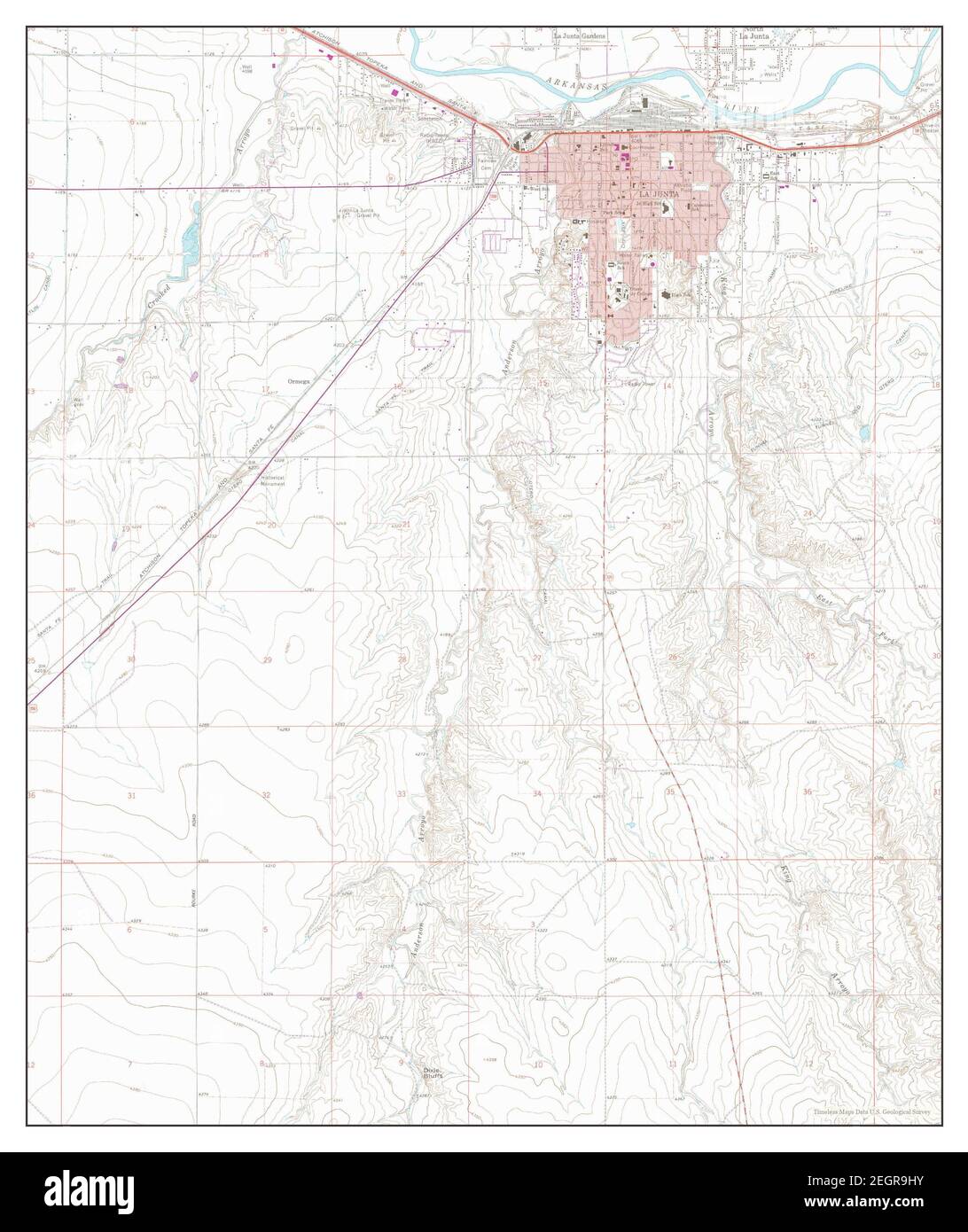 La Junta, Colorado, map 1966, 1:24000, United States of America by Timeless Maps, data U.S. Geological Survey Stock Photohttps://www.alamy.com/image-license-details/?v=1https://www.alamy.com/la-junta-colorado-map-1966-124000-united-states-of-america-by-timeless-maps-data-us-geological-survey-image406185415.html
RM2EGR9HY–La Junta, Colorado, map 1966, 1:24000, United States of America by Timeless Maps, data U.S. Geological Survey
 Miller X-ray tech La Junta CO 26157641885 o Stock Photohttps://www.alamy.com/image-license-details/?v=1https://www.alamy.com/stock-photo-miller-x-ray-tech-la-junta-co-26157641885-o-147111949.html
RMJF9EP5–Miller X-ray tech La Junta CO 26157641885 o
 USGS TOPO Map Colorado CO La Junta 403138 1958 250000 Restoration Stock Photohttps://www.alamy.com/image-license-details/?v=1https://www.alamy.com/usgs-topo-map-colorado-co-la-junta-403138-1958-250000-restoration-image244018417.html
RMT4YYYD–USGS TOPO Map Colorado CO La Junta 403138 1958 250000 Restoration
 La Junta, Colorado, map 1996, 1:24000, United States of America by Timeless Maps, data U.S. Geological Survey Stock Photohttps://www.alamy.com/image-license-details/?v=1https://www.alamy.com/la-junta-colorado-map-1996-124000-united-states-of-america-by-timeless-maps-data-us-geological-survey-image406185419.html
RM2EGR9J3–La Junta, Colorado, map 1996, 1:24000, United States of America by Timeless Maps, data U.S. Geological Survey
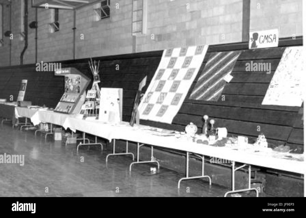 1964 Annual Mission Bd Meeting La Junta CO 26021101930 o Stock Photohttps://www.alamy.com/image-license-details/?v=1https://www.alamy.com/stock-photo-1964-annual-mission-bd-meeting-la-junta-co-26021101930-o-147111947.html
RMJF9EP3–1964 Annual Mission Bd Meeting La Junta CO 26021101930 o
 USGS TOPO Map Colorado CO La Junta 401172 1966 24000 Restoration Stock Photohttps://www.alamy.com/image-license-details/?v=1https://www.alamy.com/usgs-topo-map-colorado-co-la-junta-401172-1966-24000-restoration-image244018351.html
RMT4YYW3–USGS TOPO Map Colorado CO La Junta 401172 1966 24000 Restoration
 La Junta, Colorado, map 1955, 1:250000, United States of America by Timeless Maps, data U.S. Geological Survey Stock Photohttps://www.alamy.com/image-license-details/?v=1https://www.alamy.com/la-junta-colorado-map-1955-1250000-united-states-of-america-by-timeless-maps-data-us-geological-survey-image406185785.html
RM2EGRA35–La Junta, Colorado, map 1955, 1:250000, United States of America by Timeless Maps, data U.S. Geological Survey
 Mission BdAnnual Meeting 1964 La Junta CO 25692829923 o Stock Photohttps://www.alamy.com/image-license-details/?v=1https://www.alamy.com/stock-photo-mission-bdannual-meeting-1964-la-junta-co-25692829923-o-147111934.html
RMJF9ENJ–Mission BdAnnual Meeting 1964 La Junta CO 25692829923 o
 USGS TOPO Map Colorado CO La Junta 401175 1966 24000 Restoration Stock Photohttps://www.alamy.com/image-license-details/?v=1https://www.alamy.com/usgs-topo-map-colorado-co-la-junta-401175-1966-24000-restoration-image244018360.html
RMT4YYWC–USGS TOPO Map Colorado CO La Junta 401175 1966 24000 Restoration
 La Junta, Colorado, map 1982, 1:100000, United States of America by Timeless Maps, data U.S. Geological Survey Stock Photohttps://www.alamy.com/image-license-details/?v=1https://www.alamy.com/la-junta-colorado-map-1982-1100000-united-states-of-america-by-timeless-maps-data-us-geological-survey-image406185790.html
RM2EGRA3A–La Junta, Colorado, map 1982, 1:100000, United States of America by Timeless Maps, data U.S. Geological Survey
 S Horst C Moyer 1964 La Junta CO 26227700851 o Stock Photohttps://www.alamy.com/image-license-details/?v=1https://www.alamy.com/stock-photo-s-horst-c-moyer-1964-la-junta-co-26227700851-o-147111945.html
RMJF9EP1–S Horst C Moyer 1964 La Junta CO 26227700851 o
 USGS TOPO Map Oklahoma CO La Junta 233502 1955 250000 Restoration Stock Photohttps://www.alamy.com/image-license-details/?v=1https://www.alamy.com/usgs-topo-map-oklahoma-co-la-junta-233502-1955-250000-restoration-image334150629.html
RM2ABHTF1–USGS TOPO Map Oklahoma CO La Junta 233502 1955 250000 Restoration
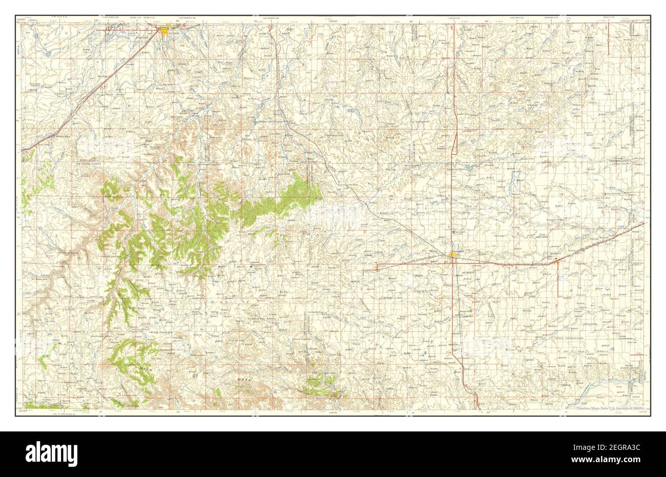 La Junta, Colorado, map 1958, 1:250000, United States of America by Timeless Maps, data U.S. Geological Survey Stock Photohttps://www.alamy.com/image-license-details/?v=1https://www.alamy.com/la-junta-colorado-map-1958-1250000-united-states-of-america-by-timeless-maps-data-us-geological-survey-image406185792.html
RM2EGRA3C–La Junta, Colorado, map 1958, 1:250000, United States of America by Timeless Maps, data U.S. Geological Survey
 Annual Mission Bd Meeting 1964 La Junta CO 25692829743 o Stock Photohttps://www.alamy.com/image-license-details/?v=1https://www.alamy.com/stock-photo-annual-mission-bd-meeting-1964-la-junta-co-25692829743-o-147111930.html
RMJF9ENE–Annual Mission Bd Meeting 1964 La Junta CO 25692829743 o
 USGS TOPO Map Oklahoma CO La Junta 403138 1958 250000 Restoration Stock Photohttps://www.alamy.com/image-license-details/?v=1https://www.alamy.com/usgs-topo-map-oklahoma-co-la-junta-403138-1958-250000-restoration-image334150728.html
RM2ABHTJG–USGS TOPO Map Oklahoma CO La Junta 403138 1958 250000 Restoration
 La Junta, Colorado, map 1955, 1:250000, United States of America by Timeless Maps, data U.S. Geological Survey Stock Photohttps://www.alamy.com/image-license-details/?v=1https://www.alamy.com/la-junta-colorado-map-1955-1250000-united-states-of-america-by-timeless-maps-data-us-geological-survey-image406185407.html
RM2EGR9HK–La Junta, Colorado, map 1955, 1:250000, United States of America by Timeless Maps, data U.S. Geological Survey
 H Wenger M Kauffman 1964 La Junta CO 26202021922 o Stock Photohttps://www.alamy.com/image-license-details/?v=1https://www.alamy.com/stock-photo-h-wenger-m-kauffman-1964-la-junta-co-26202021922-o-147111937.html
RMJF9ENN–H Wenger M Kauffman 1964 La Junta CO 26202021922 o
 USGS TOPO Map Oklahoma CO La Junta 707431 1955 250000 Restoration Stock Photohttps://www.alamy.com/image-license-details/?v=1https://www.alamy.com/usgs-topo-map-oklahoma-co-la-junta-707431-1955-250000-restoration-image334150779.html
RM2ABHTMB–USGS TOPO Map Oklahoma CO La Junta 707431 1955 250000 Restoration
 La Junta, Colorado, map 1968, 1:250000, United States of America by Timeless Maps, data U.S. Geological Survey Stock Photohttps://www.alamy.com/image-license-details/?v=1https://www.alamy.com/la-junta-colorado-map-1968-1250000-united-states-of-america-by-timeless-maps-data-us-geological-survey-image406185788.html
RM2EGRA38–La Junta, Colorado, map 1968, 1:250000, United States of America by Timeless Maps, data U.S. Geological Survey
 Martin & Mullet in darkroom La Junta CO 25553331383 o Stock Photohttps://www.alamy.com/image-license-details/?v=1https://www.alamy.com/stock-photo-martin-mullet-in-darkroom-la-junta-co-25553331383-o-147111959.html
RMJF9EPF–Martin & Mullet in darkroom La Junta CO 25553331383 o
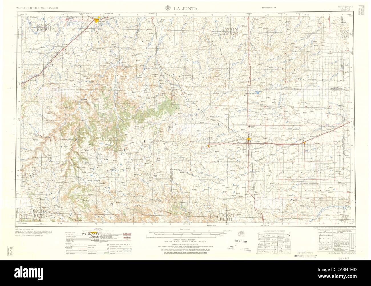 USGS TOPO Map Oklahoma CO La Junta 403139 1958 250000 Restoration Stock Photohttps://www.alamy.com/image-license-details/?v=1https://www.alamy.com/usgs-topo-map-oklahoma-co-la-junta-403139-1958-250000-restoration-image334150781.html
RM2ABHTMD–USGS TOPO Map Oklahoma CO La Junta 403139 1958 250000 Restoration
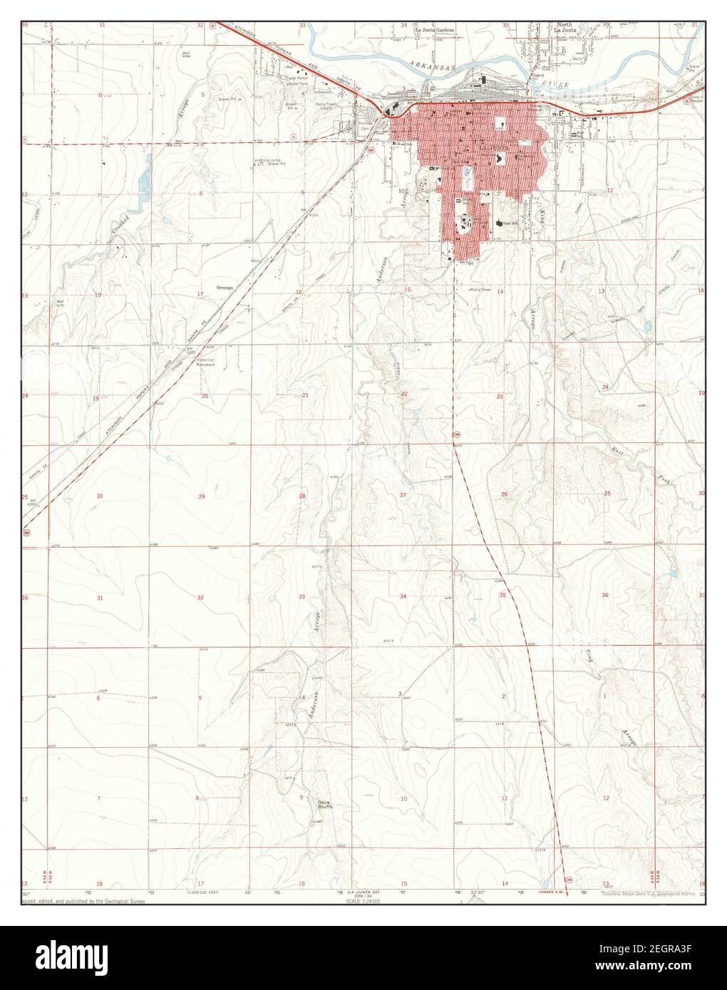 La Junta, Colorado, map 1966, 1:24000, United States of America by Timeless Maps, data U.S. Geological Survey Stock Photohttps://www.alamy.com/image-license-details/?v=1https://www.alamy.com/la-junta-colorado-map-1966-124000-united-states-of-america-by-timeless-maps-data-us-geological-survey-image406185795.html
RM2EGRA3F–La Junta, Colorado, map 1966, 1:24000, United States of America by Timeless Maps, data U.S. Geological Survey
 Mission Bd Annual Meeting 1964 La Junta CO 26202021902 o Stock Photohttps://www.alamy.com/image-license-details/?v=1https://www.alamy.com/stock-photo-mission-bd-annual-meeting-1964-la-junta-co-26202021902-o-147111936.html
RMJF9ENM–Mission Bd Annual Meeting 1964 La Junta CO 26202021902 o
 USGS TOPO Map Oklahoma CO La Junta 403136 1968 250000 Restoration Stock Photohttps://www.alamy.com/image-license-details/?v=1https://www.alamy.com/usgs-topo-map-oklahoma-co-la-junta-403136-1968-250000-restoration-image334150729.html
RM2ABHTJH–USGS TOPO Map Oklahoma CO La Junta 403136 1968 250000 Restoration
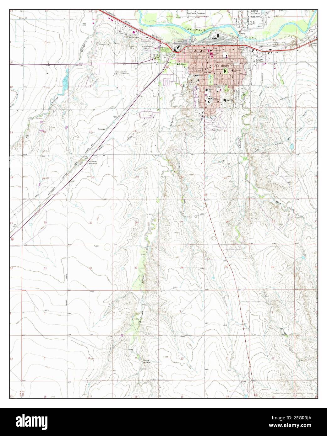 La Junta, Colorado, map 1966, 1:24000, United States of America by Timeless Maps, data U.S. Geological Survey Stock Photohttps://www.alamy.com/image-license-details/?v=1https://www.alamy.com/la-junta-colorado-map-1966-124000-united-states-of-america-by-timeless-maps-data-us-geological-survey-image406185426.html
RM2EGR9JA–La Junta, Colorado, map 1966, 1:24000, United States of America by Timeless Maps, data U.S. Geological Survey
 H Y Shetler E Linebach 1964 La Junta CO 26229290851 o Stock Photohttps://www.alamy.com/image-license-details/?v=1https://www.alamy.com/stock-photo-h-y-shetler-e-linebach-1964-la-junta-co-26229290851-o-147111933.html
RMJF9ENH–H Y Shetler E Linebach 1964 La Junta CO 26229290851 o
 USGS TOPO Map Oklahoma CO La Junta 233503 1955 250000 Restoration Stock Photohttps://www.alamy.com/image-license-details/?v=1https://www.alamy.com/usgs-topo-map-oklahoma-co-la-junta-233503-1955-250000-restoration-image334150622.html
RM2ABHTEP–USGS TOPO Map Oklahoma CO La Junta 233503 1955 250000 Restoration
 Mission Bd Annual Session 1964 La Junta CO 26022692580 o Stock Photohttps://www.alamy.com/image-license-details/?v=1https://www.alamy.com/stock-photo-mission-bd-annual-session-1964-la-junta-co-26022692580-o-147111935.html
RMJF9ENK–Mission Bd Annual Session 1964 La Junta CO 26022692580 o
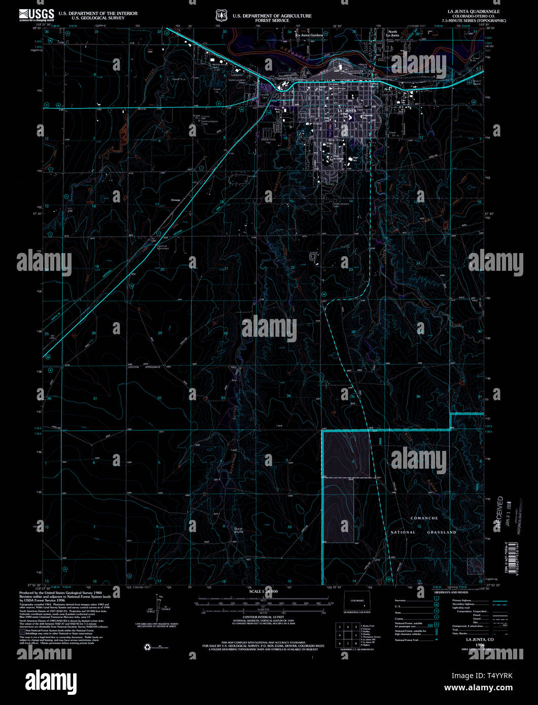 USGS TOPO Map Colorado CO La Junta 233506 1996 24000 Inverted Restoration Stock Photohttps://www.alamy.com/image-license-details/?v=1https://www.alamy.com/usgs-topo-map-colorado-co-la-junta-233506-1996-24000-inverted-restoration-image244018311.html
RMT4YYRK–USGS TOPO Map Colorado CO La Junta 233506 1996 24000 Inverted Restoration
 S Gingerich N Kauffman L Horst 1964 La Junta CO 25691229753 o Stock Photohttps://www.alamy.com/image-license-details/?v=1https://www.alamy.com/stock-photo-s-gingerich-n-kauffman-l-horst-1964-la-junta-co-25691229753-o-147111944.html
RMJF9EP0–S Gingerich N Kauffman L Horst 1964 La Junta CO 25691229753 o
 USGS TOPO Map Colorado CO La Junta 403040 1982 100000 Inverted Restoration Stock Photohttps://www.alamy.com/image-license-details/?v=1https://www.alamy.com/usgs-topo-map-colorado-co-la-junta-403040-1982-100000-inverted-restoration-image244018379.html
RMT4YYX3–USGS TOPO Map Colorado CO La Junta 403040 1982 100000 Inverted Restoration
 A Gingerich J Mosemann H Bennett 1964 La Junta 26229290671 o Stock Photohttps://www.alamy.com/image-license-details/?v=1https://www.alamy.com/stock-photo-a-gingerich-j-mosemann-h-bennett-1964-la-junta-26229290671-o-147111931.html
RMJF9ENF–A Gingerich J Mosemann H Bennett 1964 La Junta 26229290671 o
 USGS TOPO Map Colorado CO La Junta SE 401176 1966 24000 Restoration Stock Photohttps://www.alamy.com/image-license-details/?v=1https://www.alamy.com/usgs-topo-map-colorado-co-la-junta-se-401176-1966-24000-restoration-image244018526.html
RMT5003A–USGS TOPO Map Colorado CO La Junta SE 401176 1966 24000 Restoration
 Sanitarium La Junta CO 1951 26131697256 o Stock Photohttps://www.alamy.com/image-license-details/?v=1https://www.alamy.com/stock-photo-sanitarium-la-junta-co-1951-26131697256-o-147111951.html
RMJF9EP7–Sanitarium La Junta CO 1951 26131697256 o
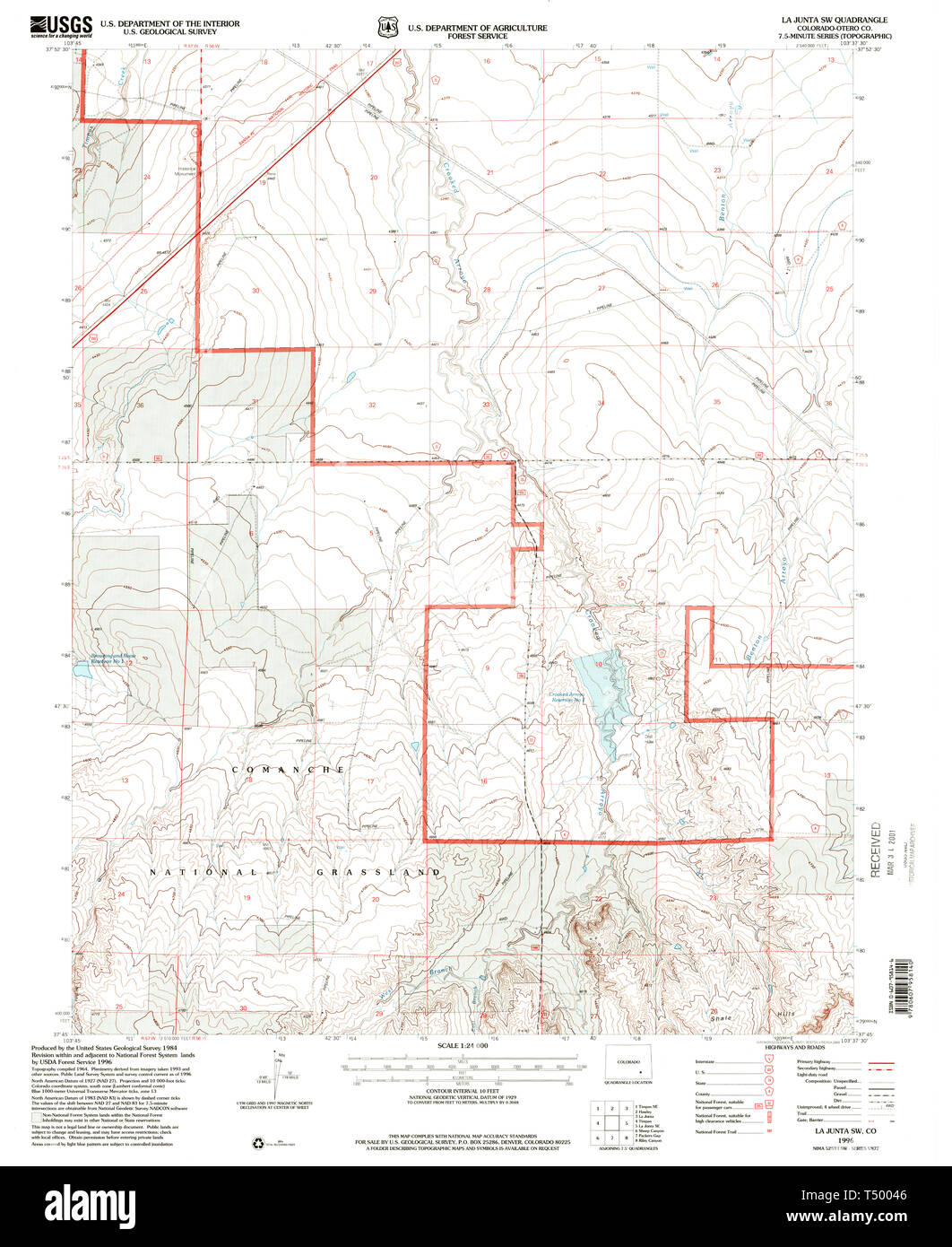 USGS TOPO Map Colorado CO La Junta SW 233500 1996 24000 Restoration Stock Photohttps://www.alamy.com/image-license-details/?v=1https://www.alamy.com/usgs-topo-map-colorado-co-la-junta-sw-233500-1996-24000-restoration-image244018550.html
RMT50046–USGS TOPO Map Colorado CO La Junta SW 233500 1996 24000 Restoration
 O Brenneman VS La Junta CO 35162533062 o Stock Photohttps://www.alamy.com/image-license-details/?v=1https://www.alamy.com/stock-photo-o-brenneman-vs-la-junta-co-35162533062-o-147094308.html
RMJF8M84–O Brenneman VS La Junta CO 35162533062 o
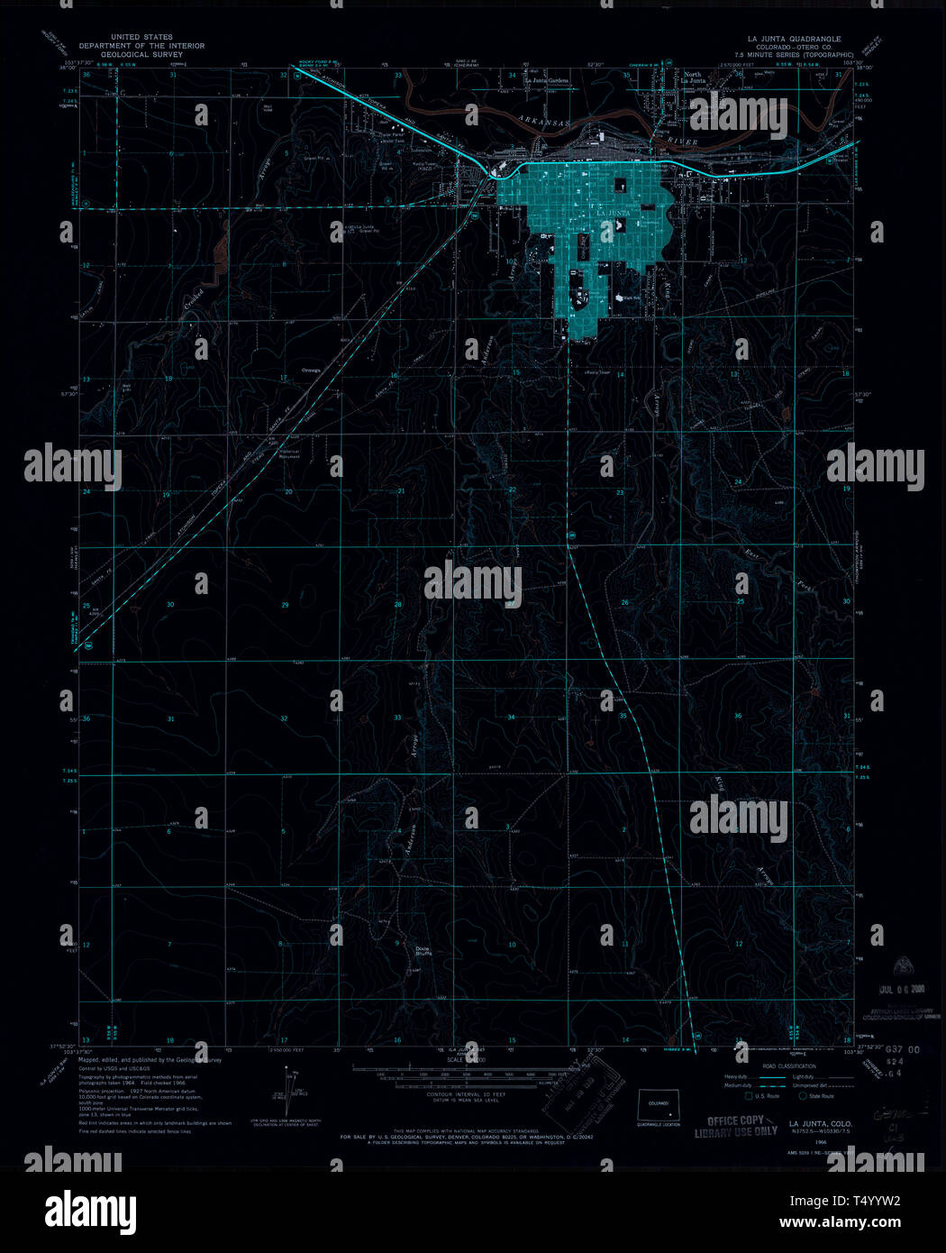 USGS TOPO Map Colorado CO La Junta 401172 1966 24000 Inverted Restoration Stock Photohttps://www.alamy.com/image-license-details/?v=1https://www.alamy.com/usgs-topo-map-colorado-co-la-junta-401172-1966-24000-inverted-restoration-image244018350.html
RMT4YYW2–USGS TOPO Map Colorado CO La Junta 401172 1966 24000 Inverted Restoration
 K Hostetler VS La Junta CO 35161971092 o Stock Photohttps://www.alamy.com/image-license-details/?v=1https://www.alamy.com/stock-photo-k-hostetler-vs-la-junta-co-35161971092-o-147094345.html
RMJF8M9D–K Hostetler VS La Junta CO 35161971092 o
 USGS TOPO Map Colorado CO La Junta 233503 1955 250000 Inverted Restoration Stock Photohttps://www.alamy.com/image-license-details/?v=1https://www.alamy.com/usgs-topo-map-colorado-co-la-junta-233503-1955-250000-inverted-restoration-image244018293.html
RMT4YYR1–USGS TOPO Map Colorado CO La Junta 233503 1955 250000 Inverted Restoration
 M Gauche VS La Junta CO 35198522241 o Stock Photohttps://www.alamy.com/image-license-details/?v=1https://www.alamy.com/stock-photo-m-gauche-vs-la-junta-co-35198522241-o-147094349.html
RMJF8M9H–M Gauche VS La Junta CO 35198522241 o
 USGS TOPO Map Colorado CO La Junta 233505 1966 24000 Inverted Restoration Stock Photohttps://www.alamy.com/image-license-details/?v=1https://www.alamy.com/usgs-topo-map-colorado-co-la-junta-233505-1966-24000-inverted-restoration-image244018300.html
RMT4YYR8–USGS TOPO Map Colorado CO La Junta 233505 1966 24000 Inverted Restoration
 A Miller VS La Junta CO 34519087193 o Stock Photohttps://www.alamy.com/image-license-details/?v=1https://www.alamy.com/stock-photo-a-miller-vs-la-junta-co-34519087193-o-147094305.html
RMJF8M81–A Miller VS La Junta CO 34519087193 o
 USGS TOPO Map Colorado CO La Junta SW 233499 1965 24000 Restoration Stock Photohttps://www.alamy.com/image-license-details/?v=1https://www.alamy.com/usgs-topo-map-colorado-co-la-junta-sw-233499-1965-24000-restoration-image244018540.html
RMT5003T–USGS TOPO Map Colorado CO La Junta SW 233499 1965 24000 Restoration
 D Babcock VS La Junta CO 35328750235 o Stock Photohttps://www.alamy.com/image-license-details/?v=1https://www.alamy.com/stock-photo-d-babcock-vs-la-junta-co-35328750235-o-147094319.html
RMJF8M8F–D Babcock VS La Junta CO 35328750235 o
 USGS TOPO Map Colorado CO La Junta 401171 1966 24000 Inverted Restoration Stock Photohttps://www.alamy.com/image-license-details/?v=1https://www.alamy.com/usgs-topo-map-colorado-co-la-junta-401171-1966-24000-inverted-restoration-image244018330.html
RMT4YYTA–USGS TOPO Map Colorado CO La Junta 401171 1966 24000 Inverted Restoration
 H Zook VS La Junta CO 34941164320 o Stock Photohttps://www.alamy.com/image-license-details/?v=1https://www.alamy.com/stock-photo-h-zook-vs-la-junta-co-34941164320-o-147094315.html
RMJF8M8B–H Zook VS La Junta CO 34941164320 o
 USGS TOPO Map Colorado CO La Junta SW 401178 1965 24000 Restoration Stock Photohttps://www.alamy.com/image-license-details/?v=1https://www.alamy.com/usgs-topo-map-colorado-co-la-junta-sw-401178-1965-24000-restoration-image244018554.html
RMT5004A–USGS TOPO Map Colorado CO La Junta SW 401178 1965 24000 Restoration
 Martin writing reports La Junta CO 25554302123 o Stock Photohttps://www.alamy.com/image-license-details/?v=1https://www.alamy.com/stock-photo-martin-writing-reports-la-junta-co-25554302123-o-147111953.html
RMJF9EP9–Martin writing reports La Junta CO 25554302123 o
 USGS TOPO Map Colorado CO La Junta 403138 1958 250000 Inverted Restoration Stock Photohttps://www.alamy.com/image-license-details/?v=1https://www.alamy.com/usgs-topo-map-colorado-co-la-junta-403138-1958-250000-inverted-restoration-image244018416.html
RMT4YYYC–USGS TOPO Map Colorado CO La Junta 403138 1958 250000 Inverted Restoration