Lago de cabras Stock Photos and Images
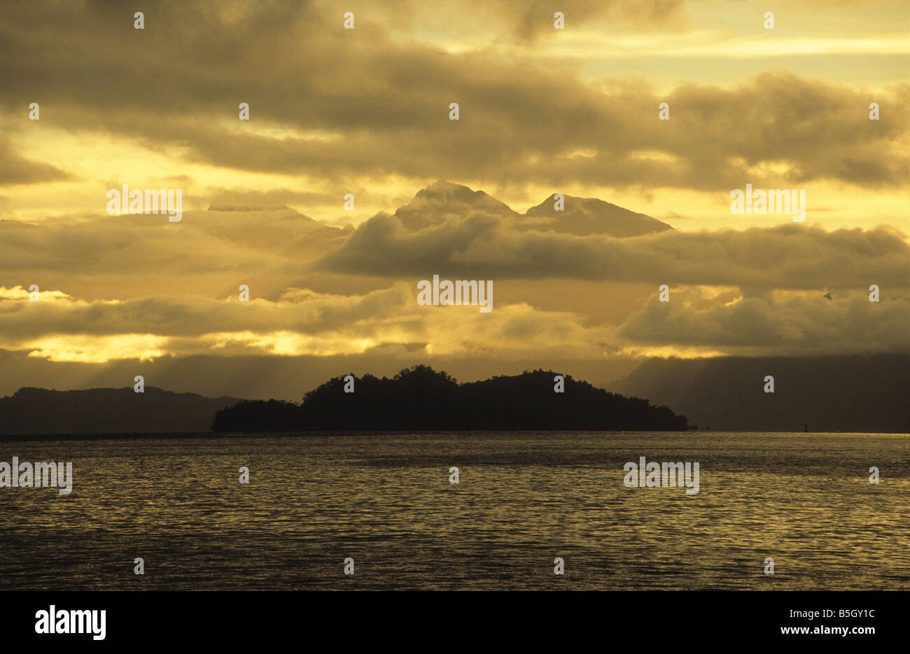 Moody skies over Isla de las Cabras, Lake Todos los Santos, Vicente Perez Rosales National Park, Chile Stock Photohttps://www.alamy.com/image-license-details/?v=1https://www.alamy.com/stock-photo-moody-skies-over-isla-de-las-cabras-lake-todos-los-santos-vicente-20656088.html
RMB5GY1C–Moody skies over Isla de las Cabras, Lake Todos los Santos, Vicente Perez Rosales National Park, Chile
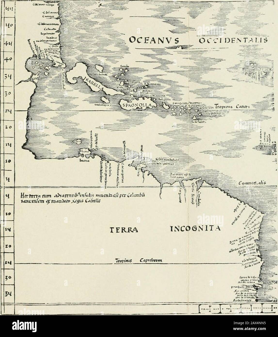 The discovery of America . Diego. C. del gato, C. de lago. cape of the cat. puta Roixa, ponta royal. 1 red point ? )p. Bayxa,^ low point ? ) Rio de las almadias, rio de las amadias. river of canoes. Cabo Santo, C. Santo, holy cape. Rio de los largartos, rio de los garlartos, river of lizards, or aUigators. las cabras, la cablas ? ? lago luncor, lago luncor. 1. luengo, long lagoon ? Costa alta, Costa alta. high coast. Cabo de boa ventura, C. de bonauentura, cape of good fortune. Cansure, Caninor, ? Cabo d. licotu, C. del itontir. C. del encontro,^ cape of meeting ? Costa del mar v^ano, C. del m Stock Photohttps://www.alamy.com/image-license-details/?v=1https://www.alamy.com/the-discovery-of-america-diego-c-del-gato-c-de-lago-cape-of-the-cat-puta-roixa-ponta-royal-1-red-point-p-bayxa-low-point-rio-de-las-almadias-rio-de-las-amadias-river-of-canoes-cabo-santo-c-santo-holy-cape-rio-de-los-largartos-rio-de-los-garlartos-river-of-lizards-or-auigators-las-cabras-la-cablas-lago-luncor-lago-luncor-1-luengo-long-lagoon-costa-alta-costa-alta-high-coast-cabo-de-boa-ventura-c-de-bonauentura-cape-of-good-fortune-cansure-caninor-cabo-d-licotu-c-del-itontir-c-del-encontro-cape-of-meeting-costa-del-mar-vano-c-del-m-image343082913.html
RM2AX4NN5–The discovery of America . Diego. C. del gato, C. de lago. cape of the cat. puta Roixa, ponta royal. 1 red point ? )p. Bayxa,^ low point ? ) Rio de las almadias, rio de las amadias. river of canoes. Cabo Santo, C. Santo, holy cape. Rio de los largartos, rio de los garlartos, river of lizards, or aUigators. las cabras, la cablas ? ? lago luncor, lago luncor. 1. luengo, long lagoon ? Costa alta, Costa alta. high coast. Cabo de boa ventura, C. de bonauentura, cape of good fortune. Cansure, Caninor, ? Cabo d. licotu, C. del itontir. C. del encontro,^ cape of meeting ? Costa del mar v^ano, C. del m
 Toa Baja, municipality of Puerto Rico. Low resolution satellite map. Locations and names of major cities of the region. Corner auxiliary location maps Stock Photohttps://www.alamy.com/image-license-details/?v=1https://www.alamy.com/toa-baja-municipality-of-puerto-rico-low-resolution-satellite-map-locations-and-names-of-major-cities-of-the-region-corner-auxiliary-location-maps-image517105442.html
RF2N1857E–Toa Baja, municipality of Puerto Rico. Low resolution satellite map. Locations and names of major cities of the region. Corner auxiliary location maps
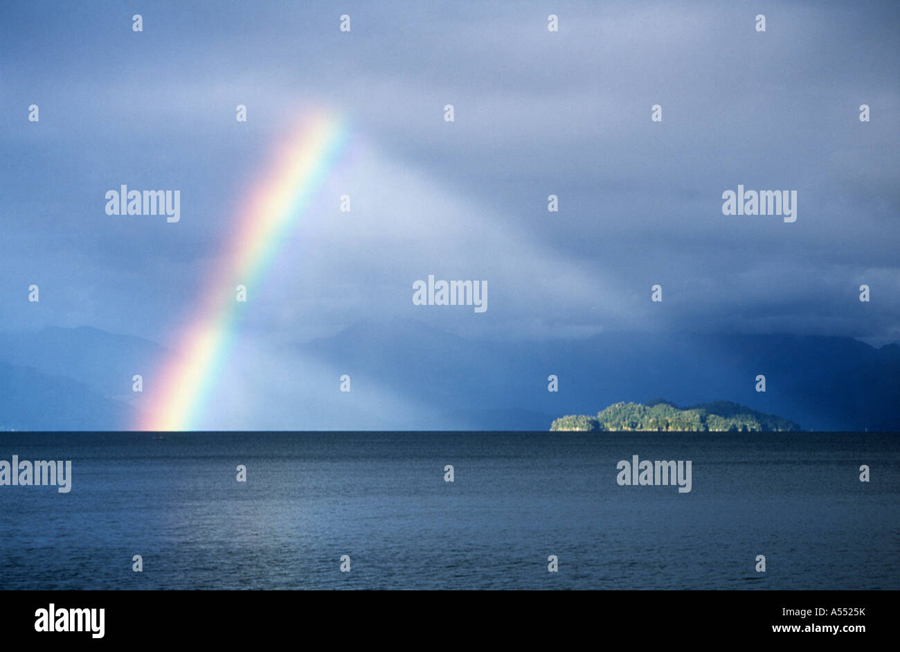 Rainbow over Lake Todos Santos and Isla de las Cabras, Vicente Perez Rosales National Park, Chile Stock Photohttps://www.alamy.com/image-license-details/?v=1https://www.alamy.com/stock-photo-rainbow-over-lake-todos-santos-and-isla-de-las-cabras-vicente-perez-11199390.html
RMA5525K–Rainbow over Lake Todos Santos and Isla de las Cabras, Vicente Perez Rosales National Park, Chile
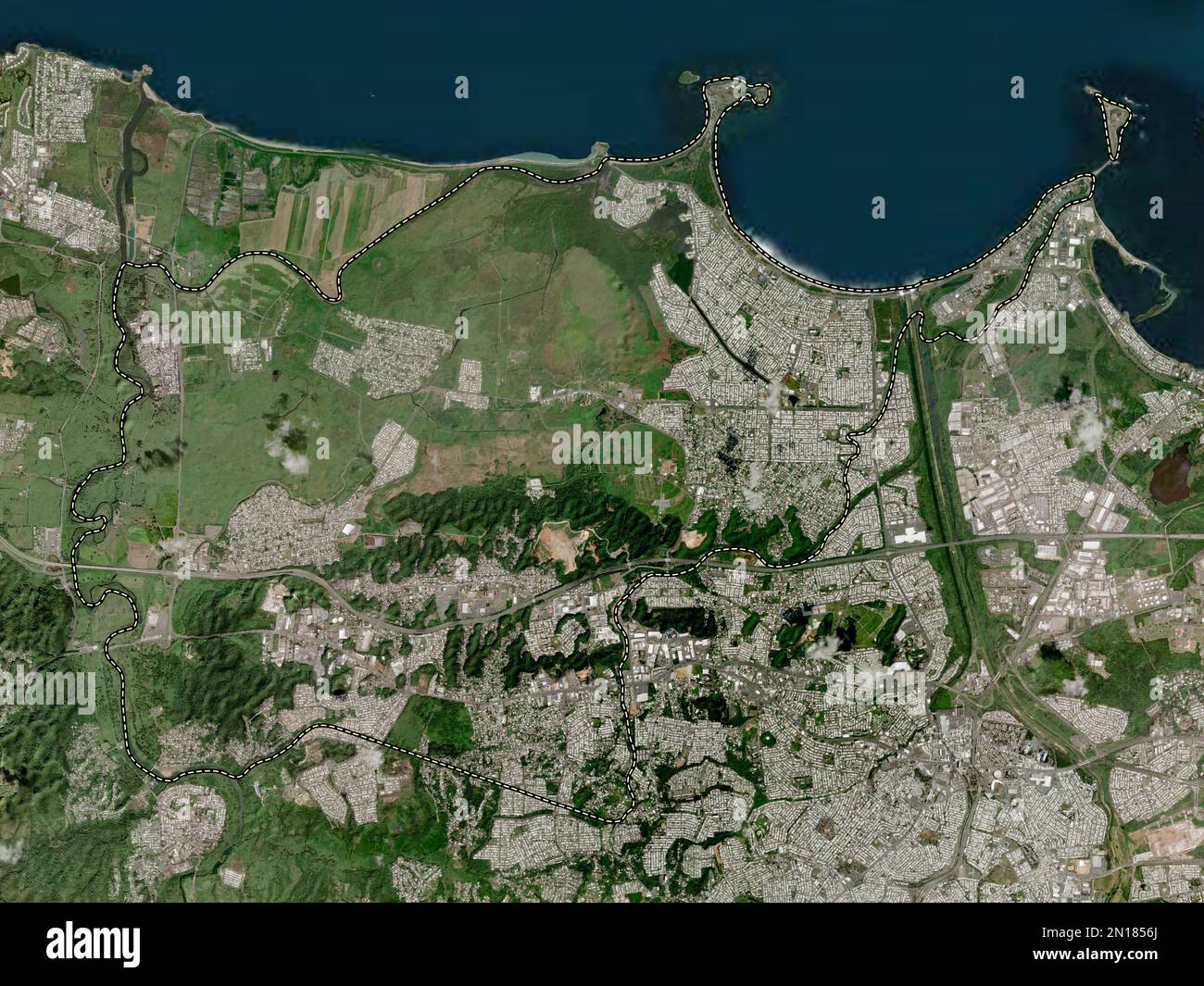 Toa Baja, municipality of Puerto Rico. High resolution satellite map Stock Photohttps://www.alamy.com/image-license-details/?v=1https://www.alamy.com/toa-baja-municipality-of-puerto-rico-high-resolution-satellite-map-image517105418.html
RF2N1856J–Toa Baja, municipality of Puerto Rico. High resolution satellite map
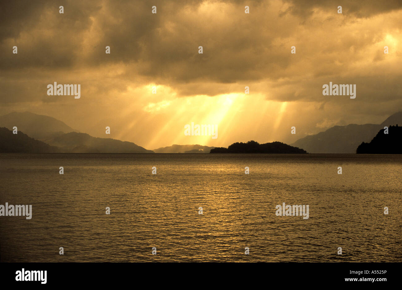 Sunbeams through storm clouds over Lake Todos los Santos and Isla de las Cabras, Vicente Perez Rosales National Park, Chile Stock Photohttps://www.alamy.com/image-license-details/?v=1https://www.alamy.com/stock-photo-sunbeams-through-storm-clouds-over-lake-todos-los-santos-and-isla-11199393.html
RMA5525P–Sunbeams through storm clouds over Lake Todos los Santos and Isla de las Cabras, Vicente Perez Rosales National Park, Chile
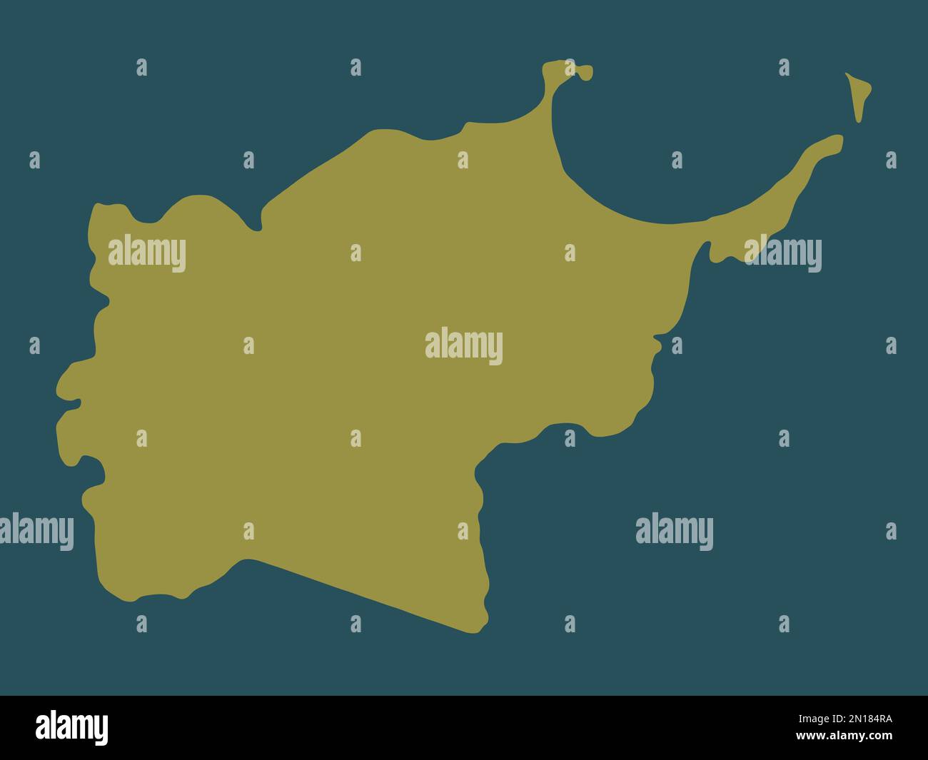 Toa Baja, municipality of Puerto Rico. Solid color shape Stock Photohttps://www.alamy.com/image-license-details/?v=1https://www.alamy.com/toa-baja-municipality-of-puerto-rico-solid-color-shape-image517105102.html
RF2N184RA–Toa Baja, municipality of Puerto Rico. Solid color shape
 Toa Baja, municipality of Puerto Rico. High resolution satellite map. Locations of major cities of the region. Corner auxiliary location maps Stock Photohttps://www.alamy.com/image-license-details/?v=1https://www.alamy.com/toa-baja-municipality-of-puerto-rico-high-resolution-satellite-map-locations-of-major-cities-of-the-region-corner-auxiliary-location-maps-image517105100.html
RF2N184R8–Toa Baja, municipality of Puerto Rico. High resolution satellite map. Locations of major cities of the region. Corner auxiliary location maps
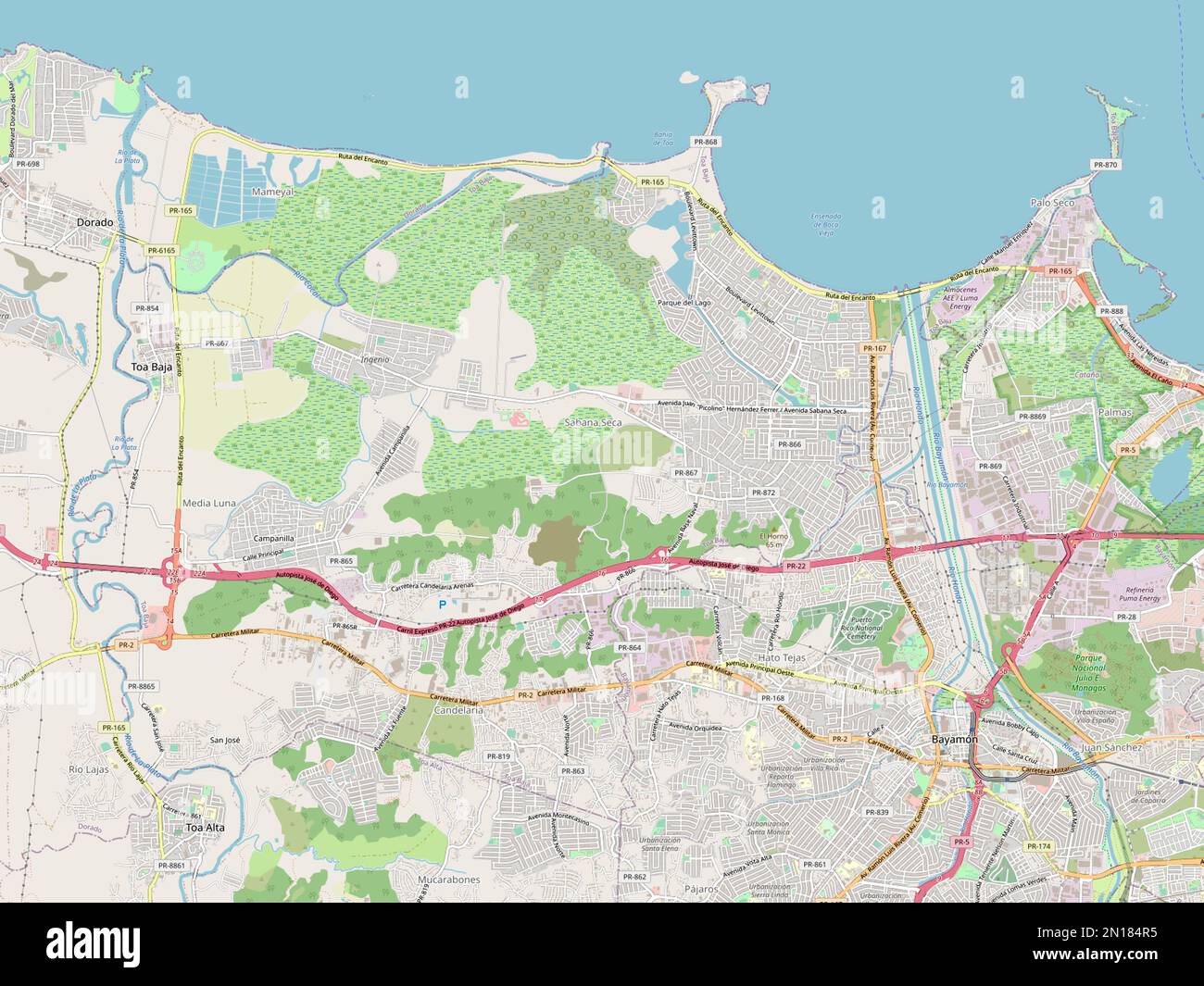 Toa Baja, municipality of Puerto Rico. Open Street Map Stock Photohttps://www.alamy.com/image-license-details/?v=1https://www.alamy.com/toa-baja-municipality-of-puerto-rico-open-street-map-image517105097.html
RF2N184R5–Toa Baja, municipality of Puerto Rico. Open Street Map
 Toa Baja, municipality of Puerto Rico. Open Street Map. Locations of major cities of the region. Corner auxiliary location maps Stock Photohttps://www.alamy.com/image-license-details/?v=1https://www.alamy.com/toa-baja-municipality-of-puerto-rico-open-street-map-locations-of-major-cities-of-the-region-corner-auxiliary-location-maps-image517105496.html
RF2N1859C–Toa Baja, municipality of Puerto Rico. Open Street Map. Locations of major cities of the region. Corner auxiliary location maps
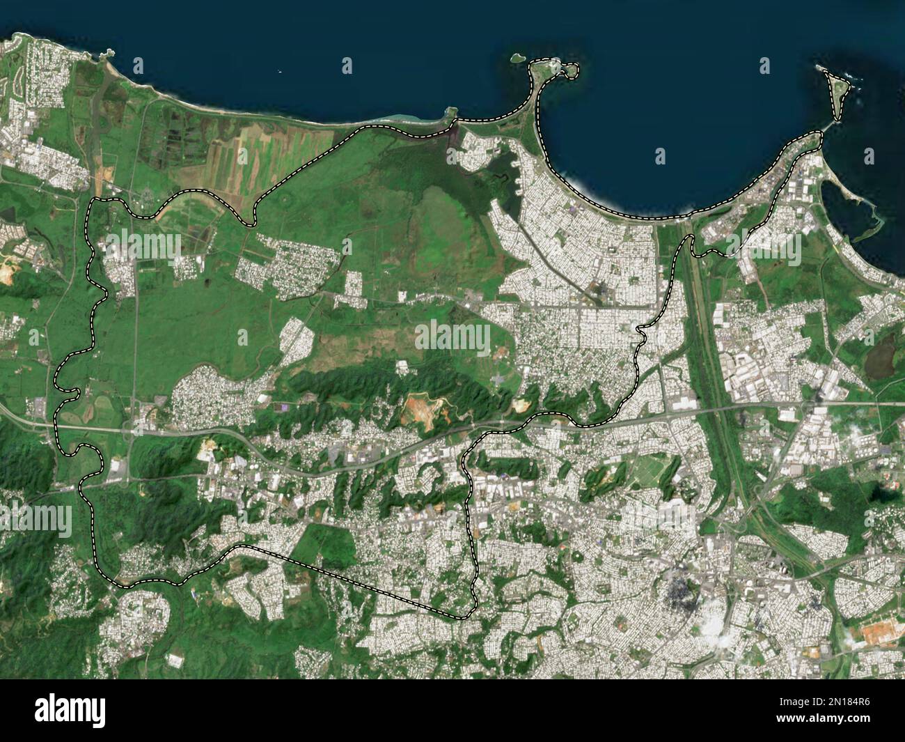 Toa Baja, municipality of Puerto Rico. Low resolution satellite map Stock Photohttps://www.alamy.com/image-license-details/?v=1https://www.alamy.com/toa-baja-municipality-of-puerto-rico-low-resolution-satellite-map-image517105098.html
RF2N184R6–Toa Baja, municipality of Puerto Rico. Low resolution satellite map
 Toa Baja, municipality of Puerto Rico. Solid color shape. Locations of major cities of the region. Corner auxiliary location maps Stock Photohttps://www.alamy.com/image-license-details/?v=1https://www.alamy.com/toa-baja-municipality-of-puerto-rico-solid-color-shape-locations-of-major-cities-of-the-region-corner-auxiliary-location-maps-image517105110.html
RF2N184RJ–Toa Baja, municipality of Puerto Rico. Solid color shape. Locations of major cities of the region. Corner auxiliary location maps
 Toa Baja, municipality of Puerto Rico. Low resolution satellite map. Locations of major cities of the region. Corner auxiliary location maps Stock Photohttps://www.alamy.com/image-license-details/?v=1https://www.alamy.com/toa-baja-municipality-of-puerto-rico-low-resolution-satellite-map-locations-of-major-cities-of-the-region-corner-auxiliary-location-maps-image517105497.html
RF2N1859D–Toa Baja, municipality of Puerto Rico. Low resolution satellite map. Locations of major cities of the region. Corner auxiliary location maps
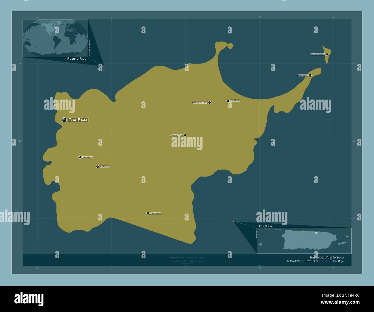 Toa Baja, municipality of Puerto Rico. Solid color shape. Locations and names of major cities of the region. Corner auxiliary location maps Stock Photohttps://www.alamy.com/image-license-details/?v=1https://www.alamy.com/toa-baja-municipality-of-puerto-rico-solid-color-shape-locations-and-names-of-major-cities-of-the-region-corner-auxiliary-location-maps-image517105104.html
RF2N184RC–Toa Baja, municipality of Puerto Rico. Solid color shape. Locations and names of major cities of the region. Corner auxiliary location maps
 Toa Baja, municipality of Puerto Rico. High resolution satellite map. Locations and names of major cities of the region. Corner auxiliary location map Stock Photohttps://www.alamy.com/image-license-details/?v=1https://www.alamy.com/toa-baja-municipality-of-puerto-rico-high-resolution-satellite-map-locations-and-names-of-major-cities-of-the-region-corner-auxiliary-location-map-image517105431.html
RF2N18573–Toa Baja, municipality of Puerto Rico. High resolution satellite map. Locations and names of major cities of the region. Corner auxiliary location map
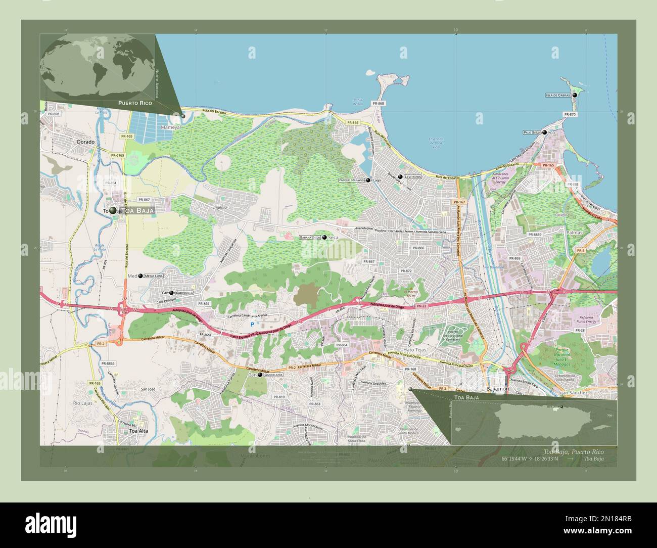 Toa Baja, municipality of Puerto Rico. Open Street Map. Locations and names of major cities of the region. Corner auxiliary location maps Stock Photohttps://www.alamy.com/image-license-details/?v=1https://www.alamy.com/toa-baja-municipality-of-puerto-rico-open-street-map-locations-and-names-of-major-cities-of-the-region-corner-auxiliary-location-maps-image517105103.html
RF2N184RB–Toa Baja, municipality of Puerto Rico. Open Street Map. Locations and names of major cities of the region. Corner auxiliary location maps