Quick filters:
Lake maps Stock Photos and Images
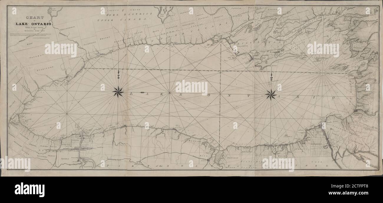 Chart of Lake Ontario, cartographic, Maps, 1836, Ford, A. (Augustus), N. Currier (Firm Stock Photohttps://www.alamy.com/image-license-details/?v=1https://www.alamy.com/chart-of-lake-ontario-cartographic-maps-1836-ford-a-augustus-n-currier-firm-image376516680.html
RM2CTFPT8–Chart of Lake Ontario, cartographic, Maps, 1836, Ford, A. (Augustus), N. Currier (Firm
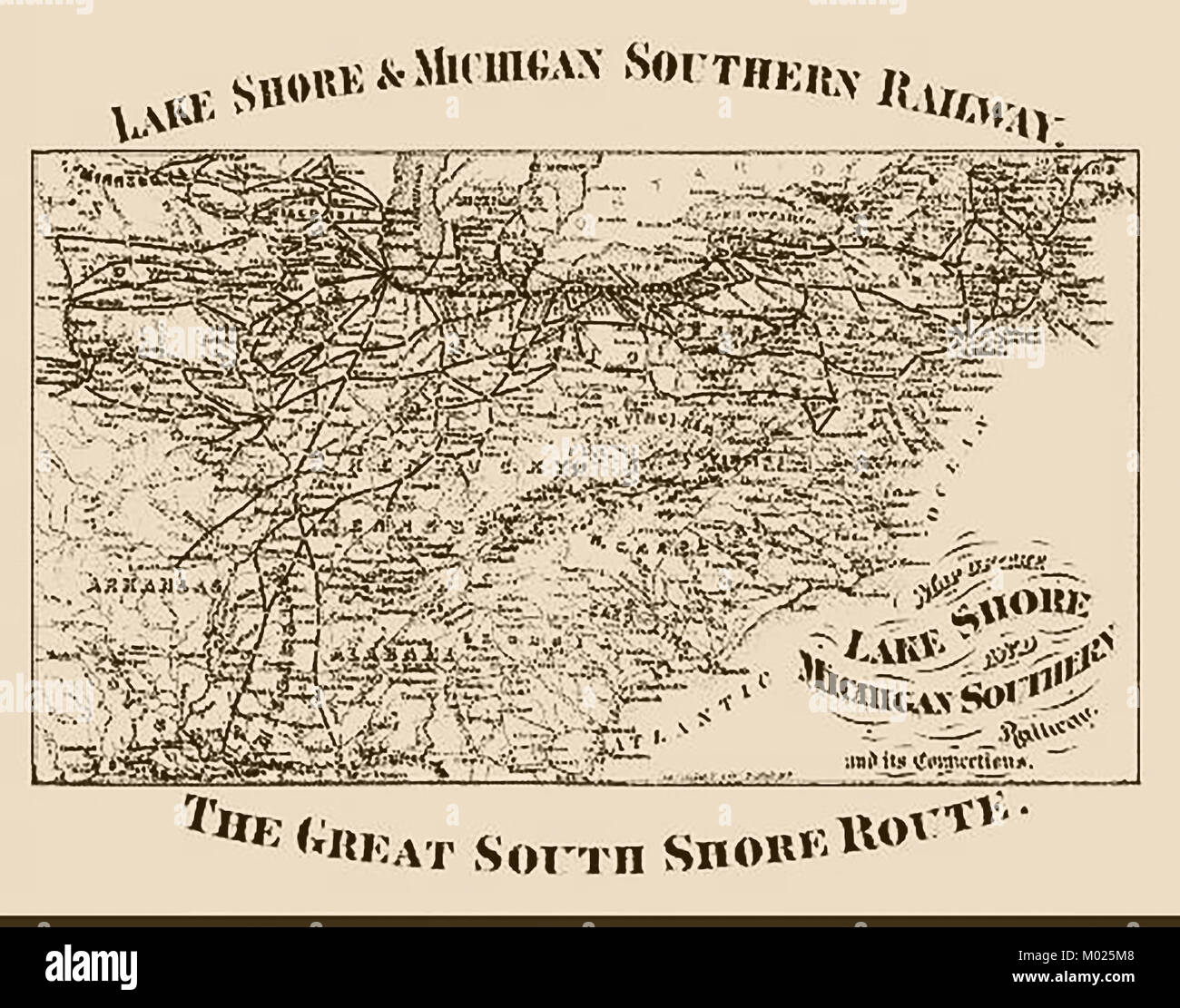 Lake Shore and Michigan Southern Railway 1876 - USA - Great Southern Route Map Stock Photohttps://www.alamy.com/image-license-details/?v=1https://www.alamy.com/stock-photo-lake-shore-and-michigan-southern-railway-1876-usa-great-southern-route-172152072.html
RMM025M8–Lake Shore and Michigan Southern Railway 1876 - USA - Great Southern Route Map
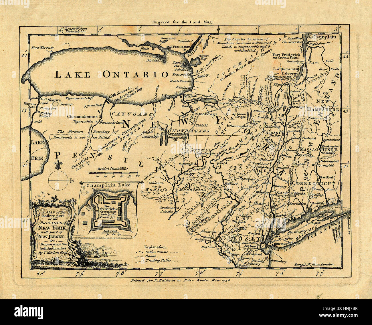 Map Of Lake Ontario 1756 Stock Photohttps://www.alamy.com/image-license-details/?v=1https://www.alamy.com/stock-photo-map-of-lake-ontario-1756-133781307.html
RFHNJ7BR–Map Of Lake Ontario 1756
![[ 1920s Japan - Map of Kyoto, 1928 ] — 'Map of Kyoto and Vicinity with Shopping Directory.' English language map, published by the Miyako Hotel. Features references for shops, factories and tourist sites. Inset maps for Arashiyama, Lake Biwa, Mt. Hiei, Uji and Daigo. The map is not dated but contains markings for the 'Grand Exposition in Commemoration of the Imperial Coronation,' which dates it to 1928 (Showa 3) when an exhibition for the coronation of Emperor Showa (Hirohito) took place. 20th century vintage map. Stock Photo [ 1920s Japan - Map of Kyoto, 1928 ] — 'Map of Kyoto and Vicinity with Shopping Directory.' English language map, published by the Miyako Hotel. Features references for shops, factories and tourist sites. Inset maps for Arashiyama, Lake Biwa, Mt. Hiei, Uji and Daigo. The map is not dated but contains markings for the 'Grand Exposition in Commemoration of the Imperial Coronation,' which dates it to 1928 (Showa 3) when an exhibition for the coronation of Emperor Showa (Hirohito) took place. 20th century vintage map. Stock Photo](https://c8.alamy.com/comp/WB59B8/1920s-japan-map-of-kyoto-1928-map-of-kyoto-and-vicinity-with-shopping-directory-english-language-map-published-by-the-miyako-hotel-features-references-for-shops-factories-and-tourist-sites-inset-maps-for-arashiyama-lake-biwa-mt-hiei-uji-and-daigo-the-map-is-not-dated-but-contains-markings-for-the-grand-exposition-in-commemoration-of-the-imperial-coronation-which-dates-it-to-1928-showa-3-when-an-exhibition-for-the-coronation-of-emperor-showa-hirohito-took-place-20th-century-vintage-map-WB59B8.jpg) [ 1920s Japan - Map of Kyoto, 1928 ] — 'Map of Kyoto and Vicinity with Shopping Directory.' English language map, published by the Miyako Hotel. Features references for shops, factories and tourist sites. Inset maps for Arashiyama, Lake Biwa, Mt. Hiei, Uji and Daigo. The map is not dated but contains markings for the 'Grand Exposition in Commemoration of the Imperial Coronation,' which dates it to 1928 (Showa 3) when an exhibition for the coronation of Emperor Showa (Hirohito) took place. 20th century vintage map. Stock Photohttps://www.alamy.com/image-license-details/?v=1https://www.alamy.com/1920s-japan-map-of-kyoto-1928-map-of-kyoto-and-vicinity-with-shopping-directory-english-language-map-published-by-the-miyako-hotel-features-references-for-shops-factories-and-tourist-sites-inset-maps-for-arashiyama-lake-biwa-mt-hiei-uji-and-daigo-the-map-is-not-dated-but-contains-markings-for-the-grand-exposition-in-commemoration-of-the-imperial-coronation-which-dates-it-to-1928-showa-3-when-an-exhibition-for-the-coronation-of-emperor-showa-hirohito-took-place-20th-century-vintage-map-image265033868.html
[ 1920s Japan - Map of Kyoto, 1928 ] — 'Map of Kyoto and Vicinity with Shopping Directory.' English language map, published by the Miyako Hotel. Features references for shops, factories and tourist sites. Inset maps for Arashiyama, Lake Biwa, Mt. Hiei, Uji and Daigo. The map is not dated but contains markings for the 'Grand Exposition in Commemoration of the Imperial Coronation,' which dates it to 1928 (Showa 3) when an exhibition for the coronation of Emperor Showa (Hirohito) took place. 20th century vintage map. Stock Photohttps://www.alamy.com/image-license-details/?v=1https://www.alamy.com/1920s-japan-map-of-kyoto-1928-map-of-kyoto-and-vicinity-with-shopping-directory-english-language-map-published-by-the-miyako-hotel-features-references-for-shops-factories-and-tourist-sites-inset-maps-for-arashiyama-lake-biwa-mt-hiei-uji-and-daigo-the-map-is-not-dated-but-contains-markings-for-the-grand-exposition-in-commemoration-of-the-imperial-coronation-which-dates-it-to-1928-showa-3-when-an-exhibition-for-the-coronation-of-emperor-showa-hirohito-took-place-20th-century-vintage-map-image265033868.htmlRMWB59B8–[ 1920s Japan - Map of Kyoto, 1928 ] — 'Map of Kyoto and Vicinity with Shopping Directory.' English language map, published by the Miyako Hotel. Features references for shops, factories and tourist sites. Inset maps for Arashiyama, Lake Biwa, Mt. Hiei, Uji and Daigo. The map is not dated but contains markings for the 'Grand Exposition in Commemoration of the Imperial Coronation,' which dates it to 1928 (Showa 3) when an exhibition for the coronation of Emperor Showa (Hirohito) took place. 20th century vintage map.
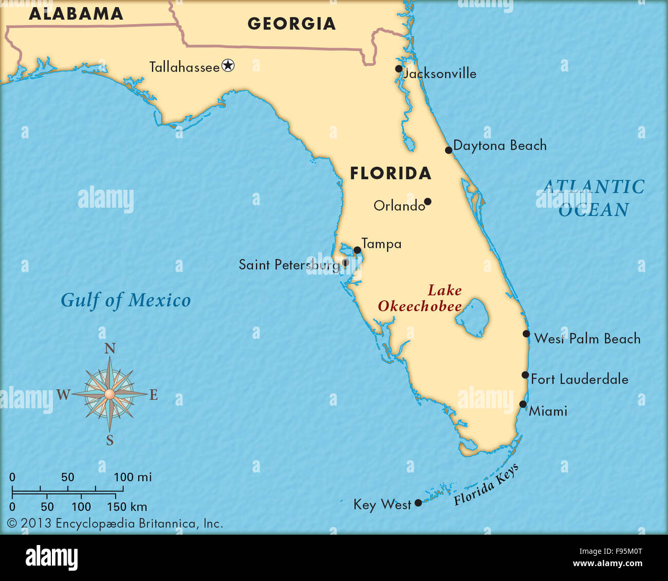 Lake Okeechobee Stock Photohttps://www.alamy.com/image-license-details/?v=1https://www.alamy.com/stock-photo-lake-okeechobee-91709208.html
RMF95M0T–Lake Okeechobee
 Sketch taken at Spider Lake. Maps and Related Records Pertaining to the Northeastern Boundary of the United States Stock Photohttps://www.alamy.com/image-license-details/?v=1https://www.alamy.com/sketch-taken-at-spider-lake-maps-and-related-records-pertaining-to-the-northeastern-boundary-of-the-united-states-image555192500.html
RM2R775KG–Sketch taken at Spider Lake. Maps and Related Records Pertaining to the Northeastern Boundary of the United States
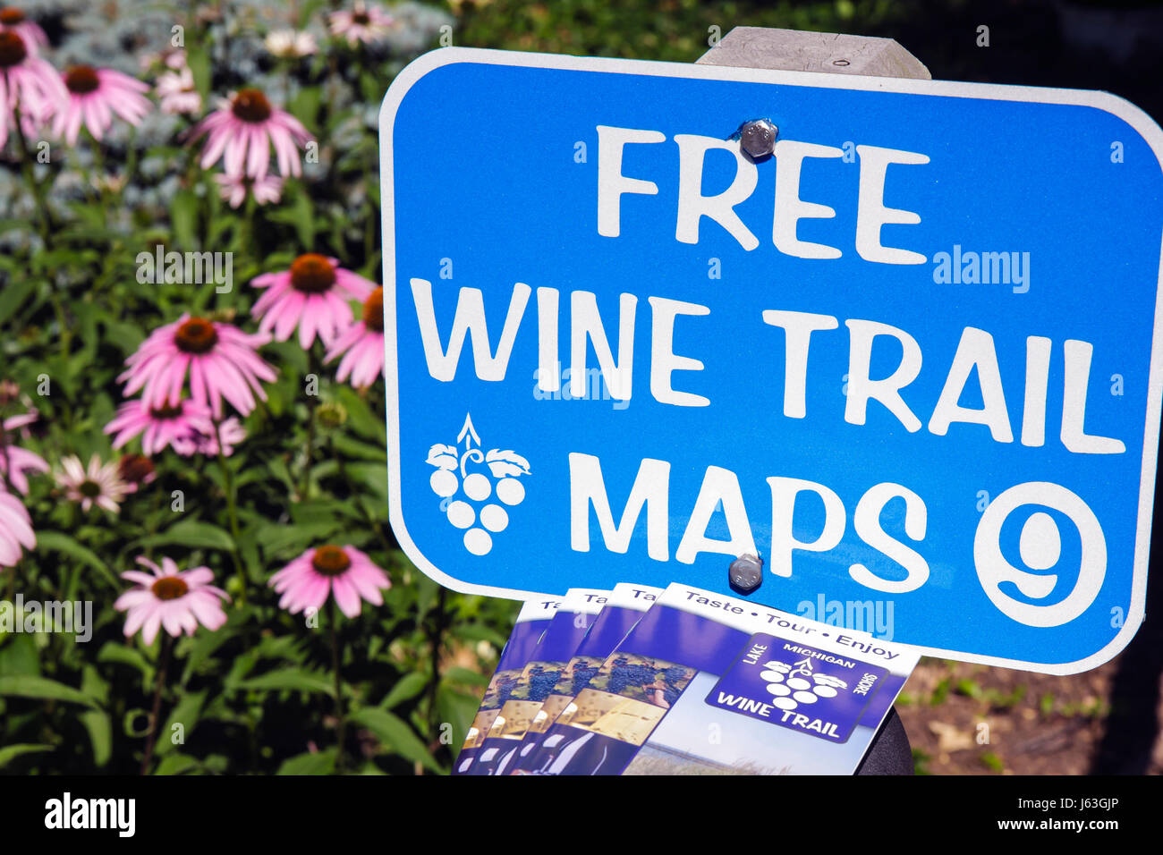 Michigan Buchanan,Tabor Hill Winery and,restaurant restaurants food dining cafe cafes,Lake Michigan Shore Wine Trail,sign,information,tour,grapes,wine Stock Photohttps://www.alamy.com/image-license-details/?v=1https://www.alamy.com/stock-photo-michigan-buchanantabor-hill-winery-andrestaurant-restaurants-food-141449806.html
RMJ63GJP–Michigan Buchanan,Tabor Hill Winery and,restaurant restaurants food dining cafe cafes,Lake Michigan Shore Wine Trail,sign,information,tour,grapes,wine
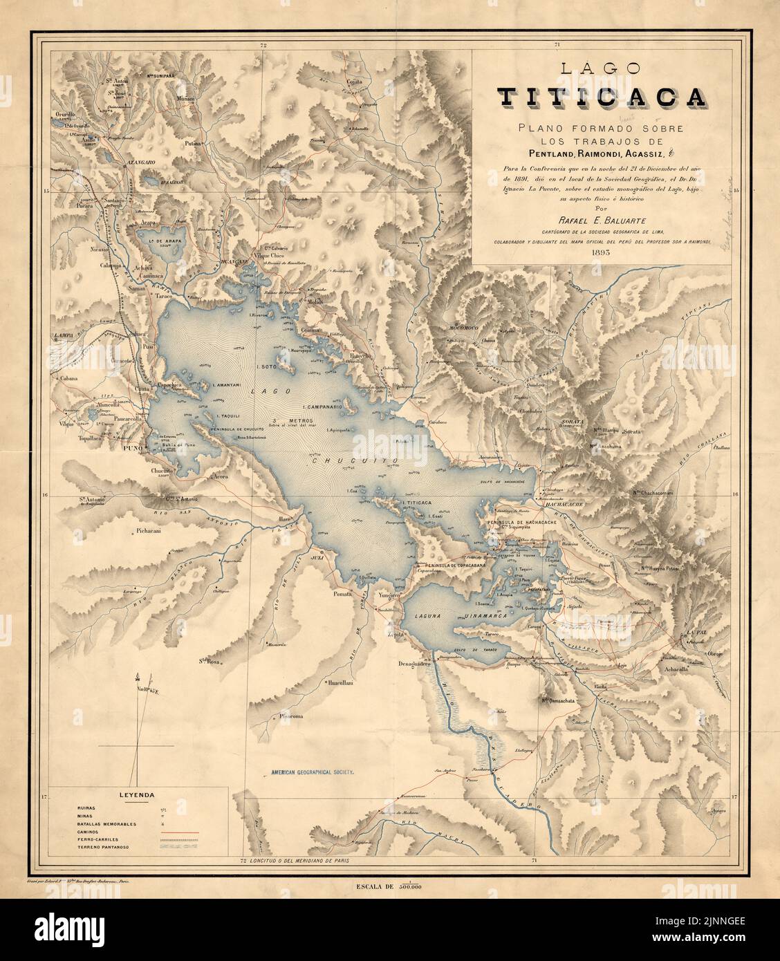 Vintage19the century map of Lake Titicaca in Bolivia and Peru ca 1893, South America Stock Photohttps://www.alamy.com/image-license-details/?v=1https://www.alamy.com/vintage19the-century-map-of-lake-titicaca-in-bolivia-and-peru-ca-1893-south-america-image478061654.html
RM2JNNGEE–Vintage19the century map of Lake Titicaca in Bolivia and Peru ca 1893, South America
 1874 view of the city of Chicago showing the waterfront on Lake Michigan, and the newly re-built city following the 1871 Stock Photohttps://www.alamy.com/image-license-details/?v=1https://www.alamy.com/stock-photo-1874-view-of-the-city-of-chicago-showing-the-waterfront-on-lake-michigan-50011412.html
RMCWA61T–1874 view of the city of Chicago showing the waterfront on Lake Michigan, and the newly re-built city following the 1871
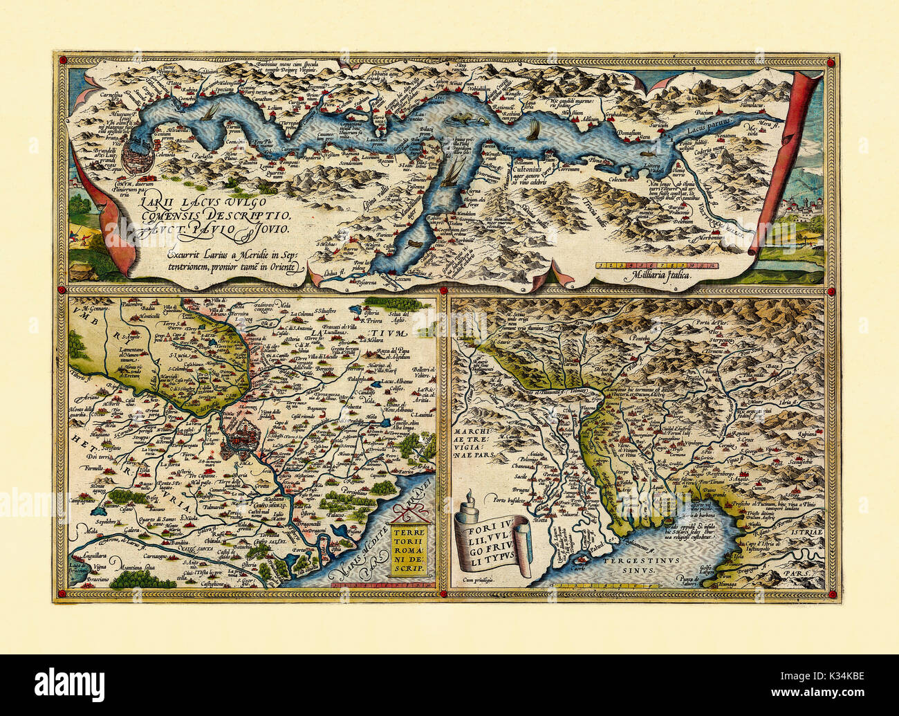 Old Maps. Three detailed views of lake Como, Rome surroundings and Friuli. All in one graphic composition frames suddivided. By Ortelius, Theatrum Orbis Terrarum, Antwerp, 1570 Stock Photohttps://www.alamy.com/image-license-details/?v=1https://www.alamy.com/old-maps-three-detailed-views-of-lake-como-rome-surroundings-and-friuli-image156840306.html
RFK34KBE–Old Maps. Three detailed views of lake Como, Rome surroundings and Friuli. All in one graphic composition frames suddivided. By Ortelius, Theatrum Orbis Terrarum, Antwerp, 1570
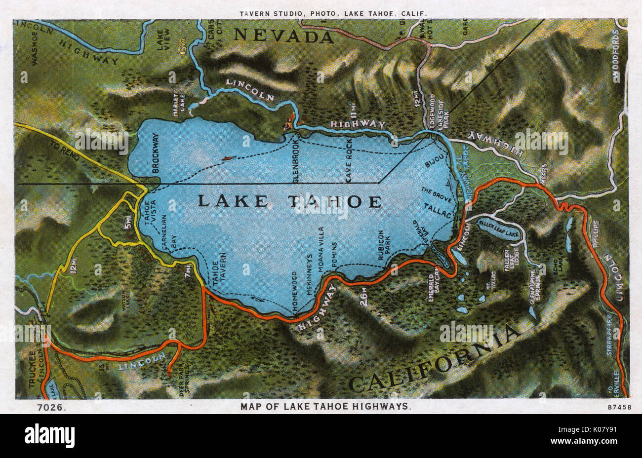 Map of the Lake Tahoe area, Nevada and California, USA Stock Photohttps://www.alamy.com/image-license-details/?v=1https://www.alamy.com/map-of-the-lake-tahoe-area-nevada-and-california-usa-image155068397.html
RMK07Y91–Map of the Lake Tahoe area, Nevada and California, USA
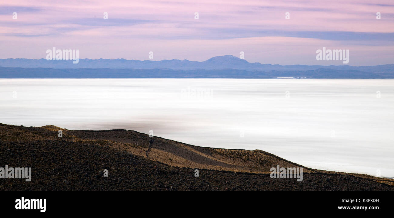 The great salt lake of southern Bolivia. Modern-day maps mostly name the lake Salar de Uyuni, for near its south-eastern shore is the small town of that name. But question the local indigenous folk whose ancestors have lived around the lake for thousands of years. You will learn its name is linked not to Uyuni but to the sacred mountain of Tunupa, which rises like a floating mirage from its northern shores. Bolivia, South America Stock Photohttps://www.alamy.com/image-license-details/?v=1https://www.alamy.com/the-great-salt-lake-of-southern-bolivia-modern-day-maps-mostly-name-image157240989.html
RFK3PXDH–The great salt lake of southern Bolivia. Modern-day maps mostly name the lake Salar de Uyuni, for near its south-eastern shore is the small town of that name. But question the local indigenous folk whose ancestors have lived around the lake for thousands of years. You will learn its name is linked not to Uyuni but to the sacred mountain of Tunupa, which rises like a floating mirage from its northern shores. Bolivia, South America
 Zoe Roberts (Left), volunteer with the U.S. Army Corps of Engineers Nashville District, provides a goody bag with lake maps and water safety information to Murfreesboro resident John Cortez during Earth Day festivities in Town Square April 23, 2016. (USACE photo by Leon Roberts) Nashville District celebrates Earth Day 160423-A-EO110-008 Stock Photohttps://www.alamy.com/image-license-details/?v=1https://www.alamy.com/stock-photo-zoe-roberts-left-volunteer-with-the-us-army-corps-of-engineers-nashville-129579177.html
RMHEPRFN–Zoe Roberts (Left), volunteer with the U.S. Army Corps of Engineers Nashville District, provides a goody bag with lake maps and water safety information to Murfreesboro resident John Cortez during Earth Day festivities in Town Square April 23, 2016. (USACE photo by Leon Roberts) Nashville District celebrates Earth Day 160423-A-EO110-008
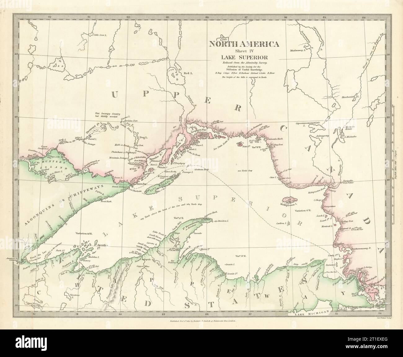 LAKE SUPERIOR.Canada USA Ontario Chippewa Michigan.Indian tribes.SDUK 1844 map Stock Photohttps://www.alamy.com/image-license-details/?v=1https://www.alamy.com/lake-superiorcanada-usa-ontario-chippewa-michiganindian-tribessduk-1844-map-image568884920.html
RF2T1EXEG–LAKE SUPERIOR.Canada USA Ontario Chippewa Michigan.Indian tribes.SDUK 1844 map
 Tali lake, Japan, 1895.Artist: Armand Kohl Stock Photohttps://www.alamy.com/image-license-details/?v=1https://www.alamy.com/tali-lake-japan-1895artist-armand-kohl-image262757220.html
RMW7DHEC–Tali lake, Japan, 1895.Artist: Armand Kohl
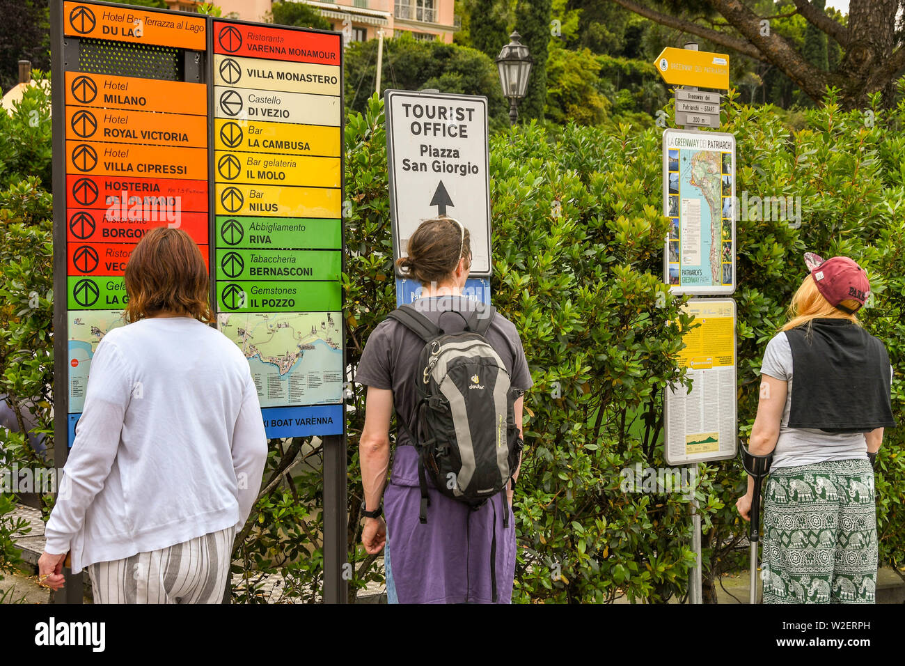 VARENNA, LAKE COMO, ITALY - JUNE 2019: People looking at maps and tourist information in Varenna on Lake Como. Stock Photohttps://www.alamy.com/image-license-details/?v=1https://www.alamy.com/varenna-lake-como-italy-june-2019-people-looking-at-maps-and-tourist-information-in-varenna-on-lake-como-image259710825.html
RMW2ERPH–VARENNA, LAKE COMO, ITALY - JUNE 2019: People looking at maps and tourist information in Varenna on Lake Como.
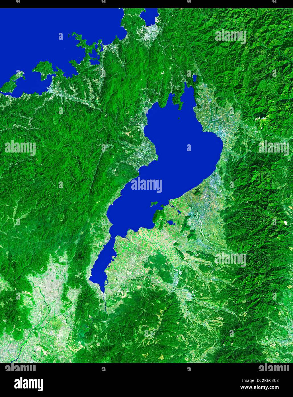 Lake Biwa Stock Photohttps://www.alamy.com/image-license-details/?v=1https://www.alamy.com/lake-biwa-image559603080.html
RM2REC3C8–Lake Biwa
 1929 Briquet Map of Geneva and Lake Geneva, Switzerland Stock Photohttps://www.alamy.com/image-license-details/?v=1https://www.alamy.com/stock-photo-1929-briquet-map-of-geneva-and-lake-geneva-switzerland-50538314.html
RMCX663P–1929 Briquet Map of Geneva and Lake Geneva, Switzerland
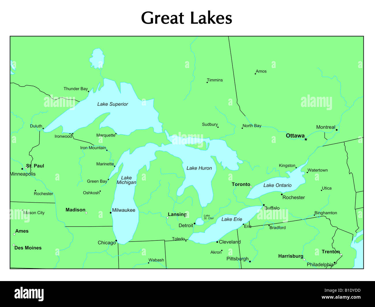 Great Lakes map Stock Photohttps://www.alamy.com/image-license-details/?v=1https://www.alamy.com/stock-photo-great-lakes-map-18131945.html
RFB1DYDD–Great Lakes map
 Map showing the boulevards and park system and twelve miles of lake frontage of the city of Chicago , cartographic, Maps, 1881, Rand McNally and Company Stock Photohttps://www.alamy.com/image-license-details/?v=1https://www.alamy.com/map-showing-the-boulevards-and-park-system-and-twelve-miles-of-lake-frontage-of-the-city-of-chicago-cartographic-maps-1881-rand-mcnally-and-company-image376512949.html
RM2CTFJ31–Map showing the boulevards and park system and twelve miles of lake frontage of the city of Chicago , cartographic, Maps, 1881, Rand McNally and Company
 Raleigh's map of Guinea, El Dorado and the Orinoco coast. From the original map, drawn by Raleigh. This map is drawn upside down, the South being at the top and the East on the left, while the Panama Isthmus is at the bottom on the right. The river above the 'Lake of Manoa' is the Amazon. Stock Photohttps://www.alamy.com/image-license-details/?v=1https://www.alamy.com/stock-photo-raleighs-map-of-guinea-el-dorado-and-the-orinoco-coast-from-the-original-104968062.html
RMG2NKRA–Raleigh's map of Guinea, El Dorado and the Orinoco coast. From the original map, drawn by Raleigh. This map is drawn upside down, the South being at the top and the East on the left, while the Panama Isthmus is at the bottom on the right. The river above the 'Lake of Manoa' is the Amazon.
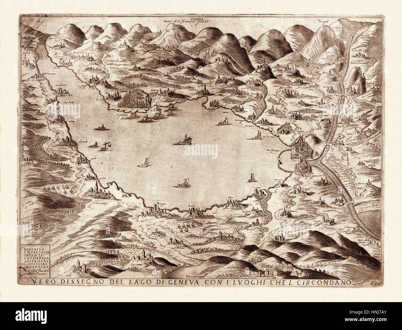 Map Of Lake Geneva 1590 Stock Photohttps://www.alamy.com/image-license-details/?v=1https://www.alamy.com/stock-photo-map-of-lake-geneva-1590-133781283.html
RFHNJ7AY–Map Of Lake Geneva 1590
![[ 1930s Japan - Map of Shiga, 1935 ] — Map of Shiga Prefecture, including Lake Biwako and Otsu city, printed on Apr 25, 1935 (Showa 10). 20th century vintage map. Stock Photo [ 1930s Japan - Map of Shiga, 1935 ] — Map of Shiga Prefecture, including Lake Biwako and Otsu city, printed on Apr 25, 1935 (Showa 10). 20th century vintage map. Stock Photo](https://c8.alamy.com/comp/WB537T/1930s-japan-map-of-shiga-1935-map-of-shiga-prefecture-including-lake-biwako-and-otsu-city-printed-on-apr-25-1935-showa-10-20th-century-vintage-map-WB537T.jpg) [ 1930s Japan - Map of Shiga, 1935 ] — Map of Shiga Prefecture, including Lake Biwako and Otsu city, printed on Apr 25, 1935 (Showa 10). 20th century vintage map. Stock Photohttps://www.alamy.com/image-license-details/?v=1https://www.alamy.com/1930s-japan-map-of-shiga-1935-map-of-shiga-prefecture-including-lake-biwako-and-otsu-city-printed-on-apr-25-1935-showa-10-20th-century-vintage-map-image265029068.html
[ 1930s Japan - Map of Shiga, 1935 ] — Map of Shiga Prefecture, including Lake Biwako and Otsu city, printed on Apr 25, 1935 (Showa 10). 20th century vintage map. Stock Photohttps://www.alamy.com/image-license-details/?v=1https://www.alamy.com/1930s-japan-map-of-shiga-1935-map-of-shiga-prefecture-including-lake-biwako-and-otsu-city-printed-on-apr-25-1935-showa-10-20th-century-vintage-map-image265029068.htmlRMWB537T–[ 1930s Japan - Map of Shiga, 1935 ] — Map of Shiga Prefecture, including Lake Biwako and Otsu city, printed on Apr 25, 1935 (Showa 10). 20th century vintage map.
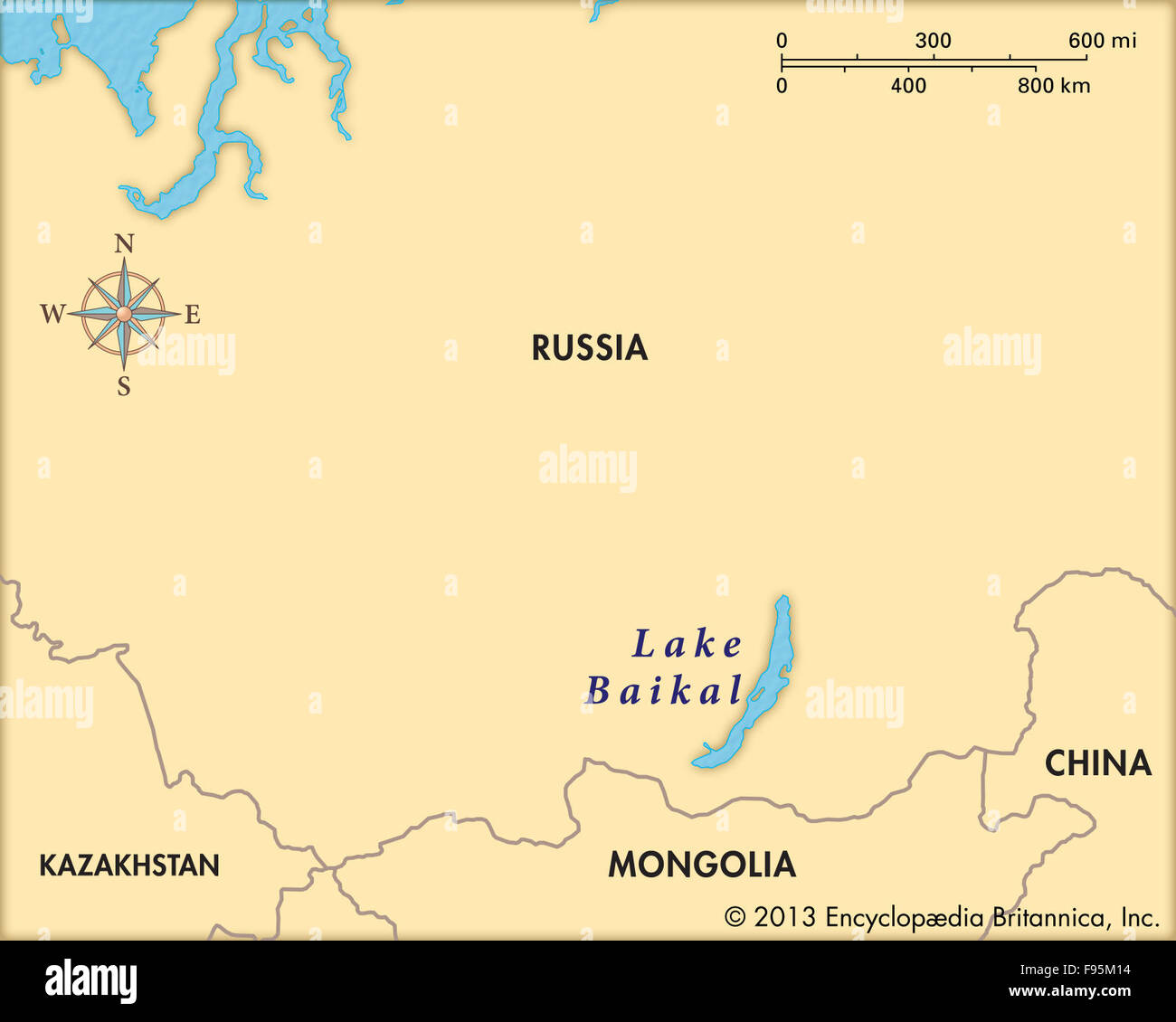 Lake Baikal Stock Photohttps://www.alamy.com/image-license-details/?v=1https://www.alamy.com/stock-photo-lake-baikal-91709216.html
RMF95M14–Lake Baikal
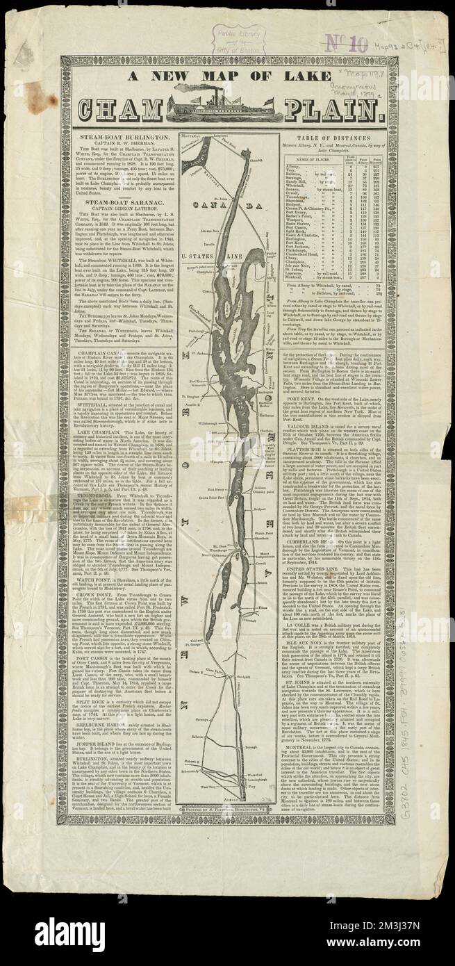 A new map of Lake Champlain , Champlain, Lake, Maps Norman B. Leventhal Map Center Collection Stock Photohttps://www.alamy.com/image-license-details/?v=1https://www.alamy.com/a-new-map-of-lake-champlain-champlain-lake-maps-norman-b-leventhal-map-center-collection-image501342345.html
RM2M3J37N–A new map of Lake Champlain , Champlain, Lake, Maps Norman B. Leventhal Map Center Collection
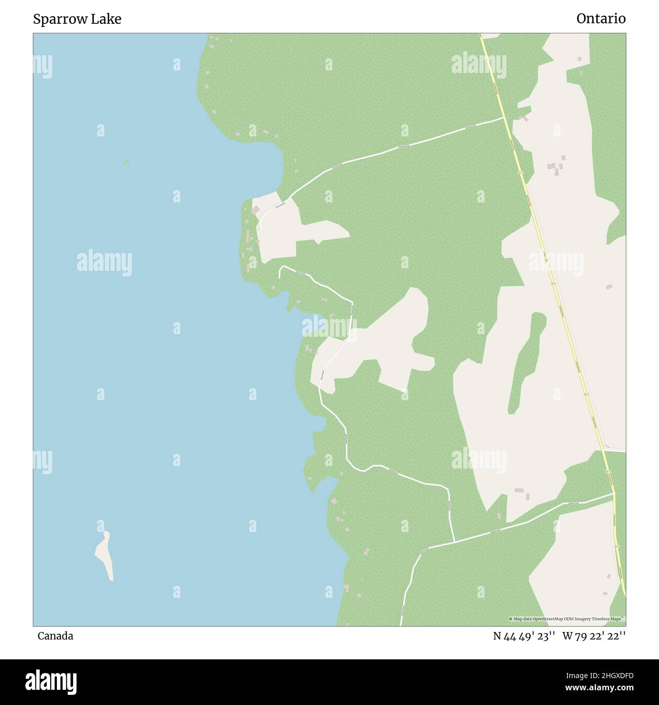 Sparrow Lake, Canada, Ontario, N 44 49' 23'', W 79 22' 22'', map, Timeless Map published in 2021. Travelers, explorers and adventurers like Florence Nightingale, David Livingstone, Ernest Shackleton, Lewis and Clark and Sherlock Holmes relied on maps to plan travels to the world's most remote corners, Timeless Maps is mapping most locations on the globe, showing the achievement of great dreams Stock Photohttps://www.alamy.com/image-license-details/?v=1https://www.alamy.com/sparrow-lake-canada-ontario-n-44-49-23-w-79-22-22-map-timeless-map-published-in-2021-travelers-explorers-and-adventurers-like-florence-nightingale-david-livingstone-ernest-shackleton-lewis-and-clark-and-sherlock-holmes-relied-on-maps-to-plan-travels-to-the-worlds-most-remote-corners-timeless-maps-is-mapping-most-locations-on-the-globe-showing-the-achievement-of-great-dreams-image457885441.html
RM2HGXDFD–Sparrow Lake, Canada, Ontario, N 44 49' 23'', W 79 22' 22'', map, Timeless Map published in 2021. Travelers, explorers and adventurers like Florence Nightingale, David Livingstone, Ernest Shackleton, Lewis and Clark and Sherlock Holmes relied on maps to plan travels to the world's most remote corners, Timeless Maps is mapping most locations on the globe, showing the achievement of great dreams
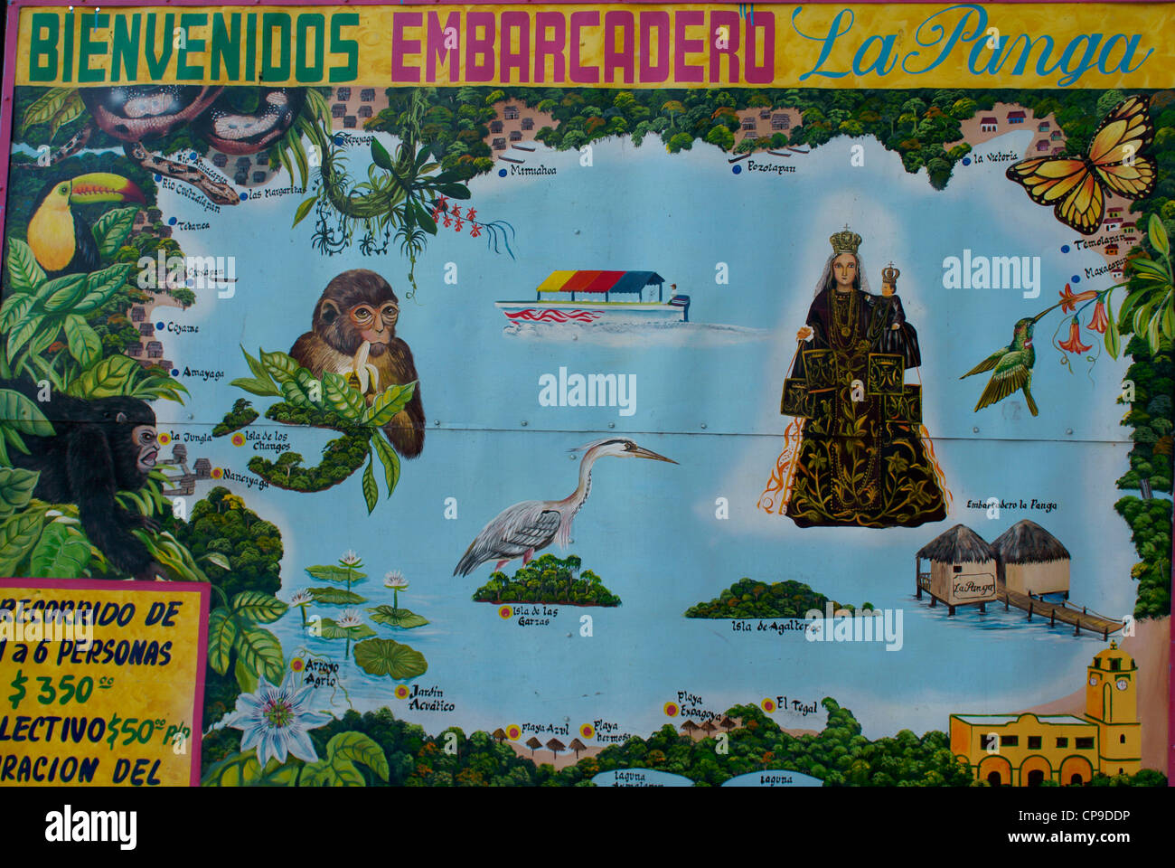 Tourist map of Lake Catemaco, Catemaco, Veracruz, Mexico Stock Photohttps://www.alamy.com/image-license-details/?v=1https://www.alamy.com/stock-photo-tourist-map-of-lake-catemaco-catemaco-veracruz-mexico-48151314.html
RMCP9DDP–Tourist map of Lake Catemaco, Catemaco, Veracruz, Mexico
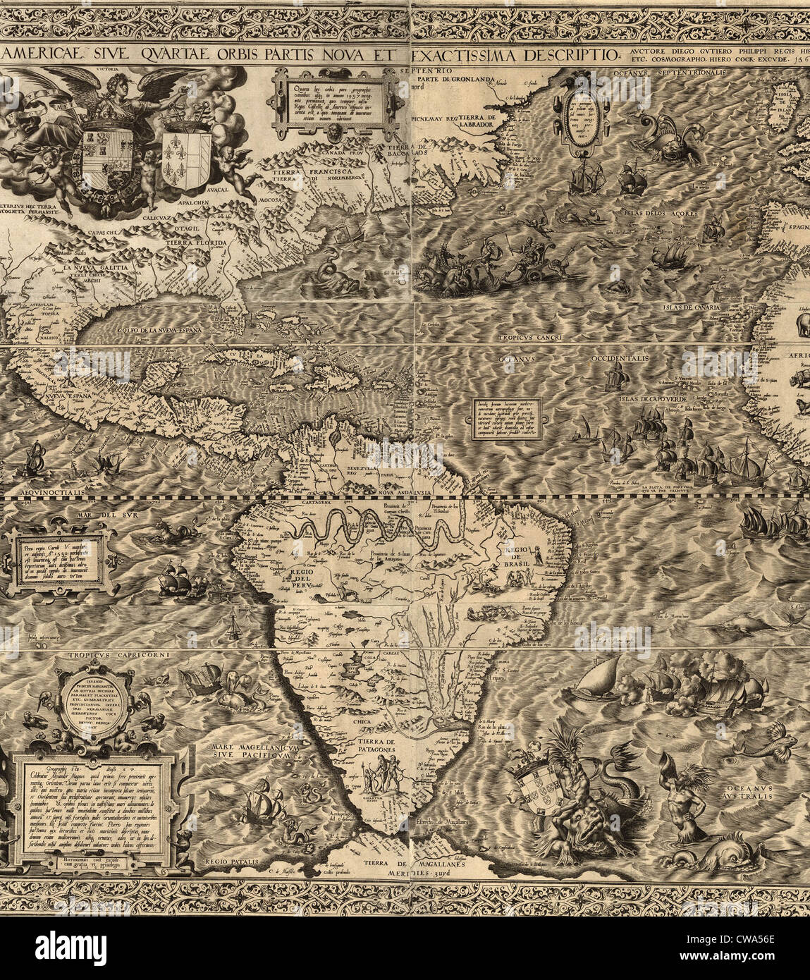 1562 map of North and South America by Spaniard, Diego Gutiérrez. Map features not only the Amazon River system, Lake Titicaca, Stock Photohttps://www.alamy.com/image-license-details/?v=1https://www.alamy.com/stock-photo-1562-map-of-north-and-south-america-by-spaniard-diego-gutirrez-map-50010758.html
RMCWA56E–1562 map of North and South America by Spaniard, Diego Gutiérrez. Map features not only the Amazon River system, Lake Titicaca,
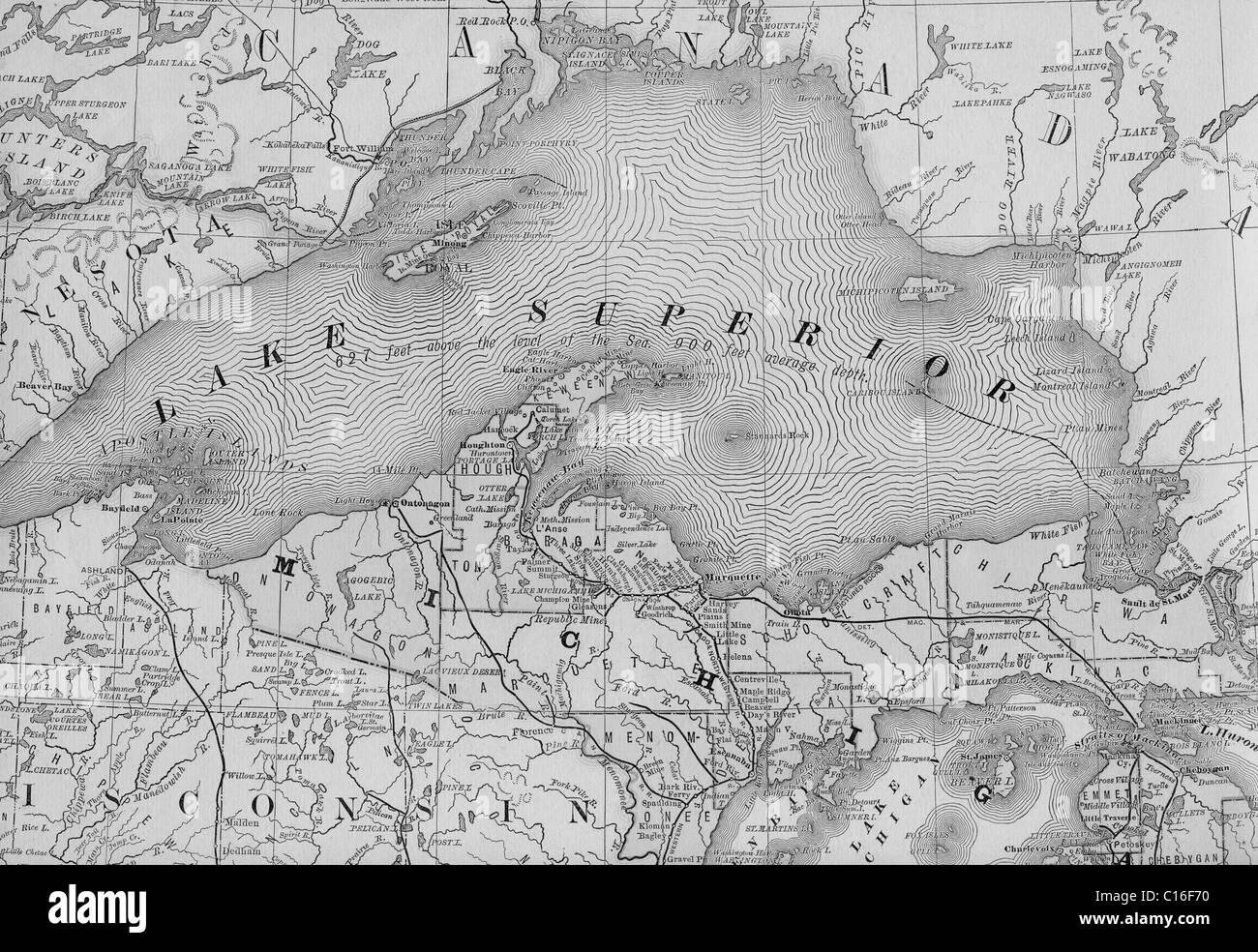 Old map of Lake Superior from original geography textbook, 1884 Stock Photohttps://www.alamy.com/image-license-details/?v=1https://www.alamy.com/stock-photo-old-map-of-lake-superior-from-original-geography-textbook-1884-35179060.html
RMC16F70–Old map of Lake Superior from original geography textbook, 1884
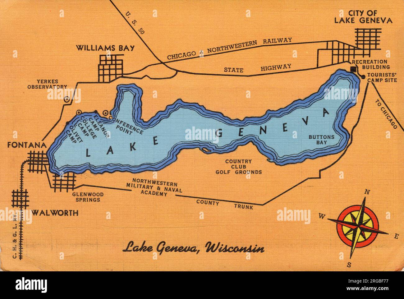 Lake Geneva, Wisconsin, USA - map of lake and surrounding area Stock Photohttps://www.alamy.com/image-license-details/?v=1https://www.alamy.com/lake-geneva-wisconsin-usa-map-of-lake-and-surrounding-area-image560819707.html
RM2RGBF77–Lake Geneva, Wisconsin, USA - map of lake and surrounding area
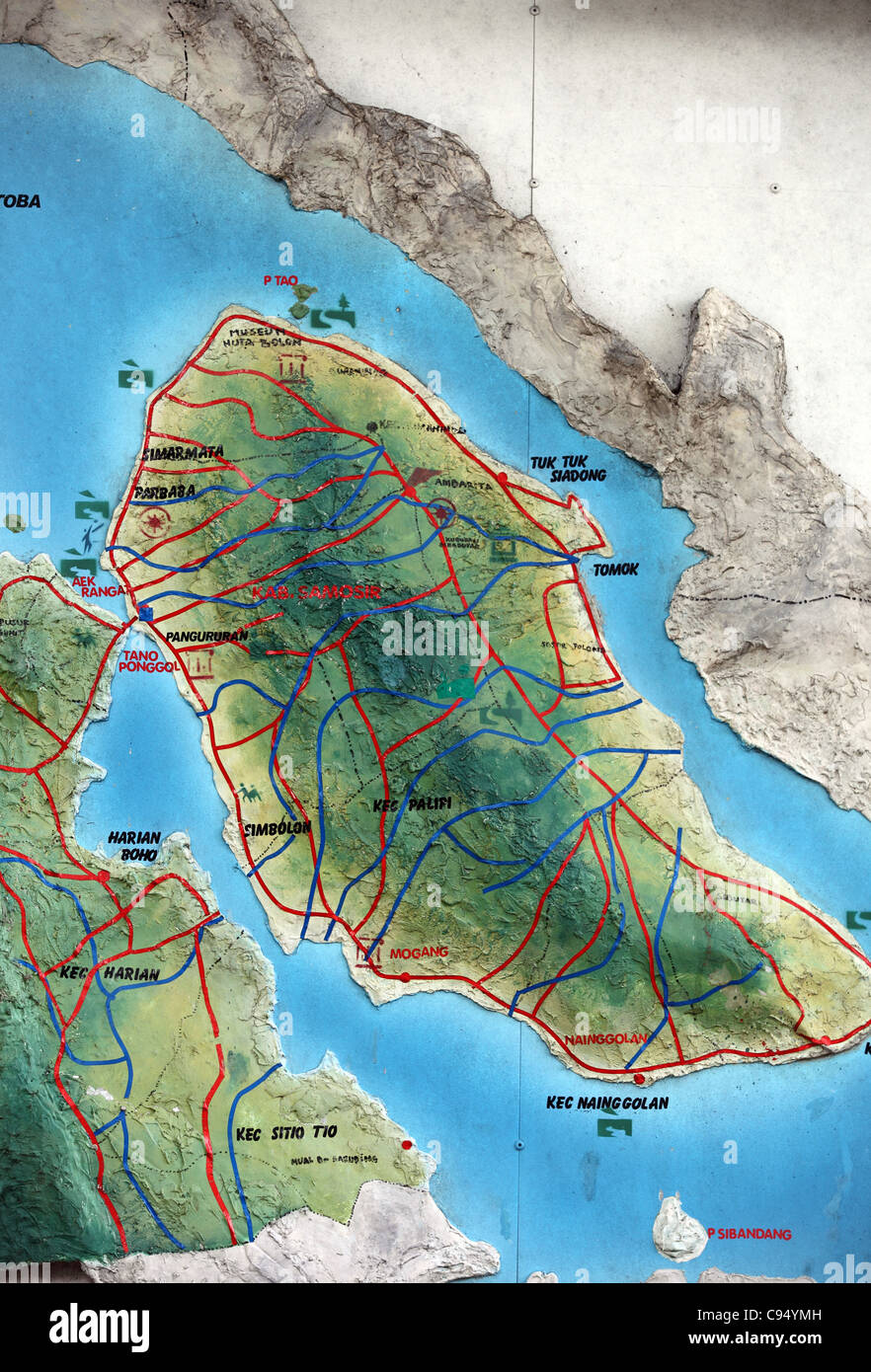 Basic map of Lake Toba and Samosir Island painted on an exterior wall. Stock Photohttps://www.alamy.com/image-license-details/?v=1https://www.alamy.com/stock-photo-basic-map-of-lake-toba-and-samosir-island-painted-on-an-exterior-wall-40062193.html
RMC94YMH–Basic map of Lake Toba and Samosir Island painted on an exterior wall.
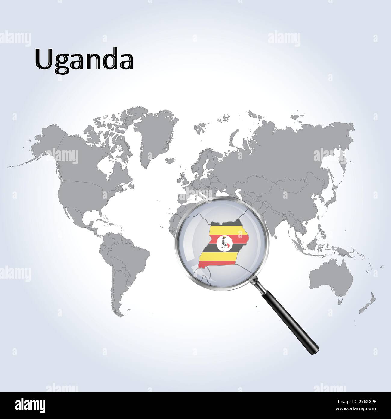 Uganda Magnified Map and Flag, Uganda Enlargement Maps, Vector Art Stock Vectorhttps://www.alamy.com/image-license-details/?v=1https://www.alamy.com/uganda-magnified-map-and-flag-uganda-enlargement-maps-vector-art-image623318263.html
RF2Y62GPF–Uganda Magnified Map and Flag, Uganda Enlargement Maps, Vector Art
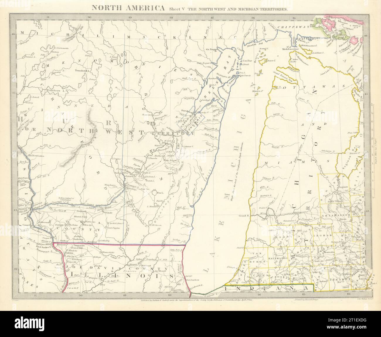 LAKE MICHIGAN.Wisconsin - NW Territory.Indian tribes villages. SDUK 1844 map Stock Photohttps://www.alamy.com/image-license-details/?v=1https://www.alamy.com/lake-michiganwisconsin-nw-territoryindian-tribes-villages-sduk-1844-map-image568884892.html
RF2T1EXDG–LAKE MICHIGAN.Wisconsin - NW Territory.Indian tribes villages. SDUK 1844 map
 Encampment of the English Expedition of 1871, Lake Pang-Kong, Tibet, 1895. Artist: Unknown Stock Photohttps://www.alamy.com/image-license-details/?v=1https://www.alamy.com/encampment-of-the-english-expedition-of-1871-lake-pang-kong-tibet-1895-artist-unknown-image262756873.html
RMW7DH21–Encampment of the English Expedition of 1871, Lake Pang-Kong, Tibet, 1895. Artist: Unknown
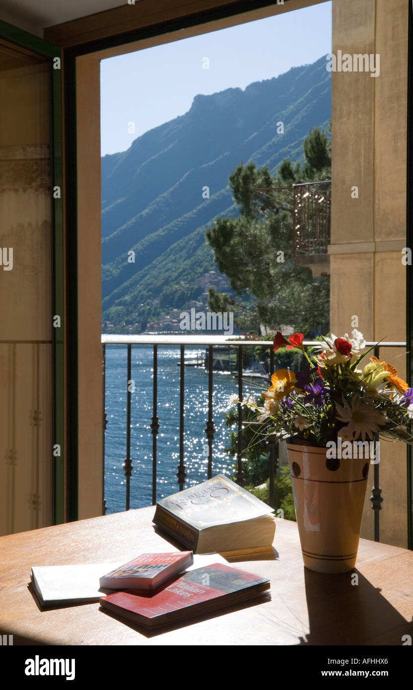 VIEW FROM APARTMENT WINDOW OF SAN MAMETTE VILLAGE AND LAKE LUGANO NORTHERN ITALY WITH BOOKS MAPS Stock Photohttps://www.alamy.com/image-license-details/?v=1https://www.alamy.com/view-from-apartment-window-of-san-mamette-village-and-lake-lugano-image7972453.html
RMAFHHX6–VIEW FROM APARTMENT WINDOW OF SAN MAMETTE VILLAGE AND LAKE LUGANO NORTHERN ITALY WITH BOOKS MAPS
 Quarry Lakes Regional Recreation Area, information, maps, rules and directions, Fremont, California Stock Photohttps://www.alamy.com/image-license-details/?v=1https://www.alamy.com/quarry-lakes-regional-recreation-area-information-maps-rules-and-directions-fremont-california-image611043397.html
RM2XE3C2D–Quarry Lakes Regional Recreation Area, information, maps, rules and directions, Fremont, California
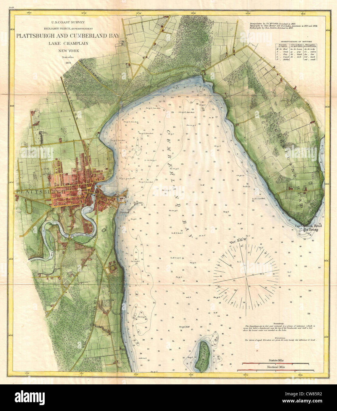 1872 U.S. Coast Survey Map of Plattsburgh and Lake Champlain, New York Stock Photohttps://www.alamy.com/image-license-details/?v=1https://www.alamy.com/stock-photo-1872-us-coast-survey-map-of-plattsburgh-and-lake-champlain-new-york-49967318.html
RMCW85R2–1872 U.S. Coast Survey Map of Plattsburgh and Lake Champlain, New York
 Shopping street in the centre of the old town, Garda, Lake Garda, Italy Stock Photohttps://www.alamy.com/image-license-details/?v=1https://www.alamy.com/stock-photo-shopping-street-in-the-centre-of-the-old-town-garda-lake-garda-italy-19964241.html
RMB4DCGH–Shopping street in the centre of the old town, Garda, Lake Garda, Italy
 Bird's-eye view of the Conemaugh Valley from Nineveh to the lake, Johnstown, Pa. , cartographic, Maps, 1889, Lee, Alex. Y., Pennsylvania Railroad Stock Photohttps://www.alamy.com/image-license-details/?v=1https://www.alamy.com/birds-eye-view-of-the-conemaugh-valley-from-nineveh-to-the-lake-johnstown-pa-cartographic-maps-1889-lee-alex-y-pennsylvania-railroad-image376517903.html
RM2CTFTBY–Bird's-eye view of the Conemaugh Valley from Nineveh to the lake, Johnstown, Pa. , cartographic, Maps, 1889, Lee, Alex. Y., Pennsylvania Railroad
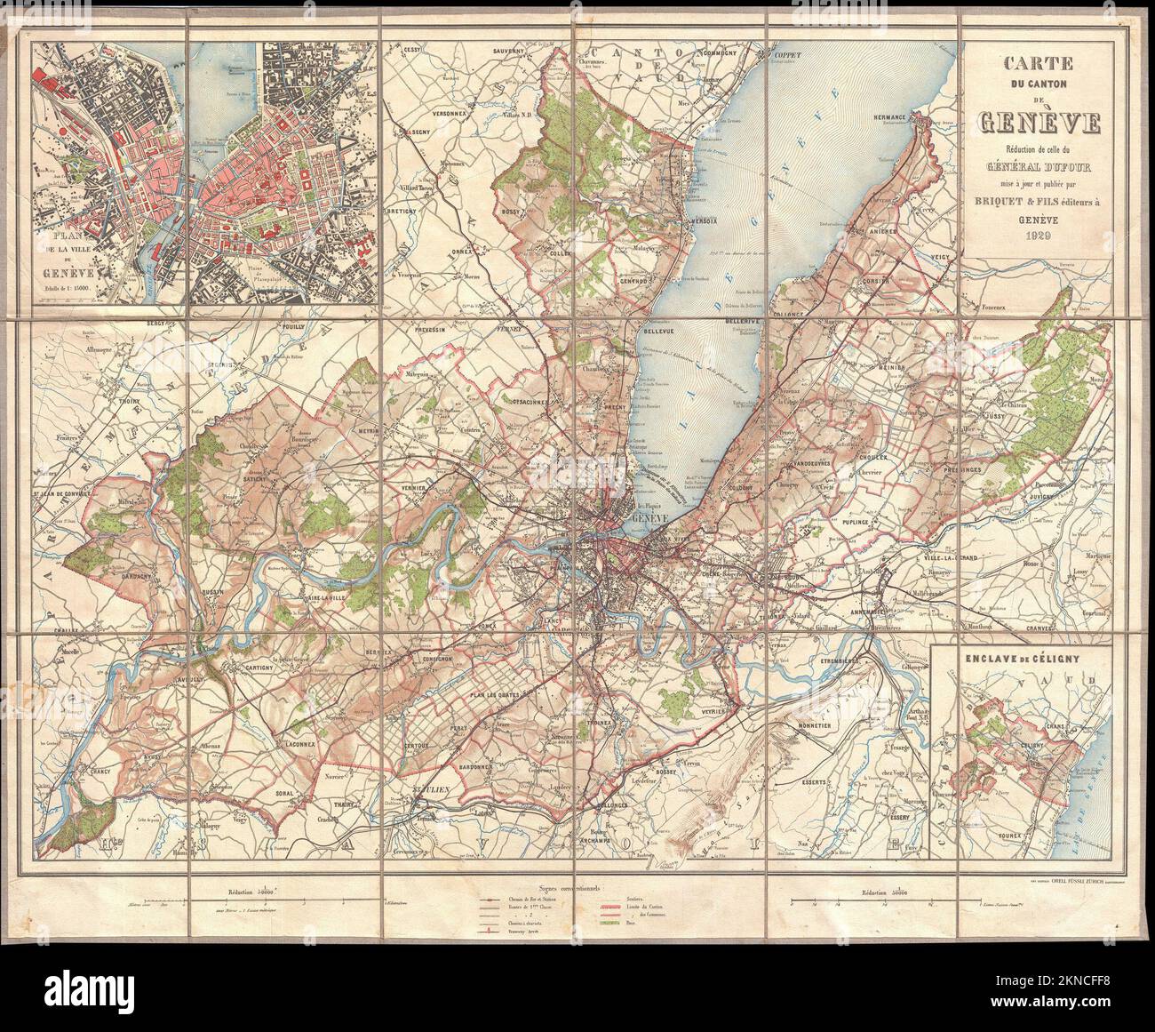 Vintage city plan of Geneva and area around it from 20th century. Maps are beautifully hand illustrated and engraved showing it at the time. Stock Photohttps://www.alamy.com/image-license-details/?v=1https://www.alamy.com/vintage-city-plan-of-geneva-and-area-around-it-from-20th-century-maps-are-beautifully-hand-illustrated-and-engraved-showing-it-at-the-time-image495073692.html
RF2KNCFF8–Vintage city plan of Geneva and area around it from 20th century. Maps are beautifully hand illustrated and engraved showing it at the time.
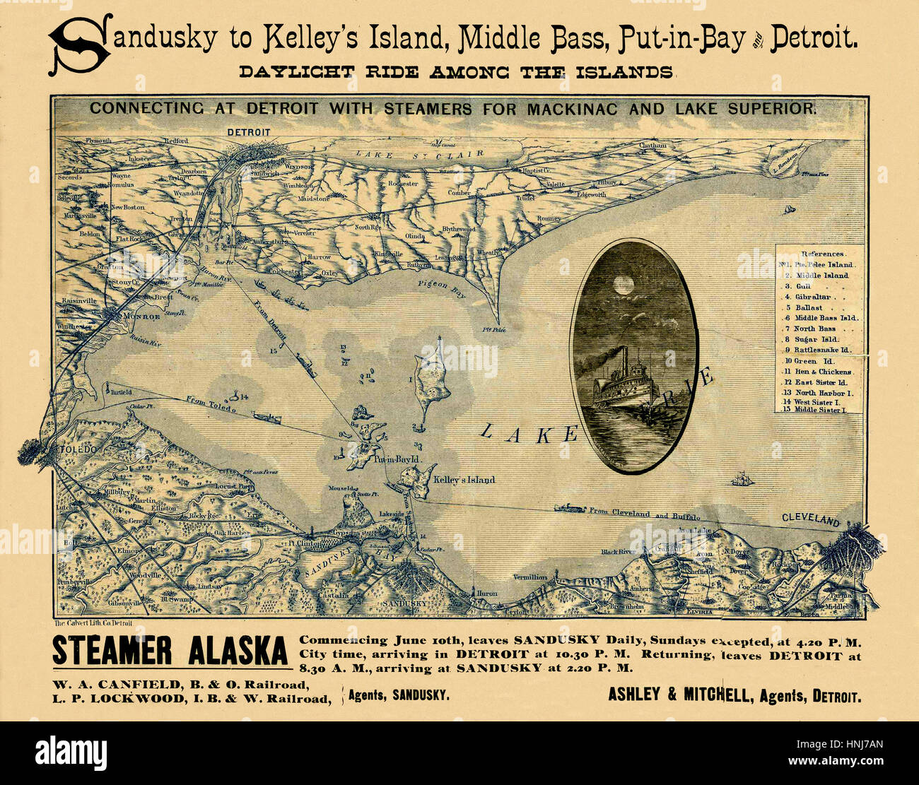 Map Of Lake Erie 1876 Stock Photohttps://www.alamy.com/image-license-details/?v=1https://www.alamy.com/stock-photo-map-of-lake-erie-1876-133781277.html
RFHNJ7AN–Map Of Lake Erie 1876
![[ 1910s Japan - Map of Lake Biwa, 1914 ] — Map of Lake Biwa from An Official Guide to Eastern Asia published by The Imperial Japanese Government Railways, 1914. 20th century vintage map. Stock Photo [ 1910s Japan - Map of Lake Biwa, 1914 ] — Map of Lake Biwa from An Official Guide to Eastern Asia published by The Imperial Japanese Government Railways, 1914. 20th century vintage map. Stock Photo](https://c8.alamy.com/comp/WB4PKB/1910s-japan-map-of-lake-biwa-1914-map-of-lake-biwa-from-an-official-guide-to-eastern-asia-published-by-the-imperial-japanese-government-railways-1914-20th-century-vintage-map-WB4PKB.jpg) [ 1910s Japan - Map of Lake Biwa, 1914 ] — Map of Lake Biwa from An Official Guide to Eastern Asia published by The Imperial Japanese Government Railways, 1914. 20th century vintage map. Stock Photohttps://www.alamy.com/image-license-details/?v=1https://www.alamy.com/1910s-japan-map-of-lake-biwa-1914-map-of-lake-biwa-from-an-official-guide-to-eastern-asia-published-by-the-imperial-japanese-government-railways-1914-20th-century-vintage-map-image265022335.html
[ 1910s Japan - Map of Lake Biwa, 1914 ] — Map of Lake Biwa from An Official Guide to Eastern Asia published by The Imperial Japanese Government Railways, 1914. 20th century vintage map. Stock Photohttps://www.alamy.com/image-license-details/?v=1https://www.alamy.com/1910s-japan-map-of-lake-biwa-1914-map-of-lake-biwa-from-an-official-guide-to-eastern-asia-published-by-the-imperial-japanese-government-railways-1914-20th-century-vintage-map-image265022335.htmlRMWB4PKB–[ 1910s Japan - Map of Lake Biwa, 1914 ] — Map of Lake Biwa from An Official Guide to Eastern Asia published by The Imperial Japanese Government Railways, 1914. 20th century vintage map.
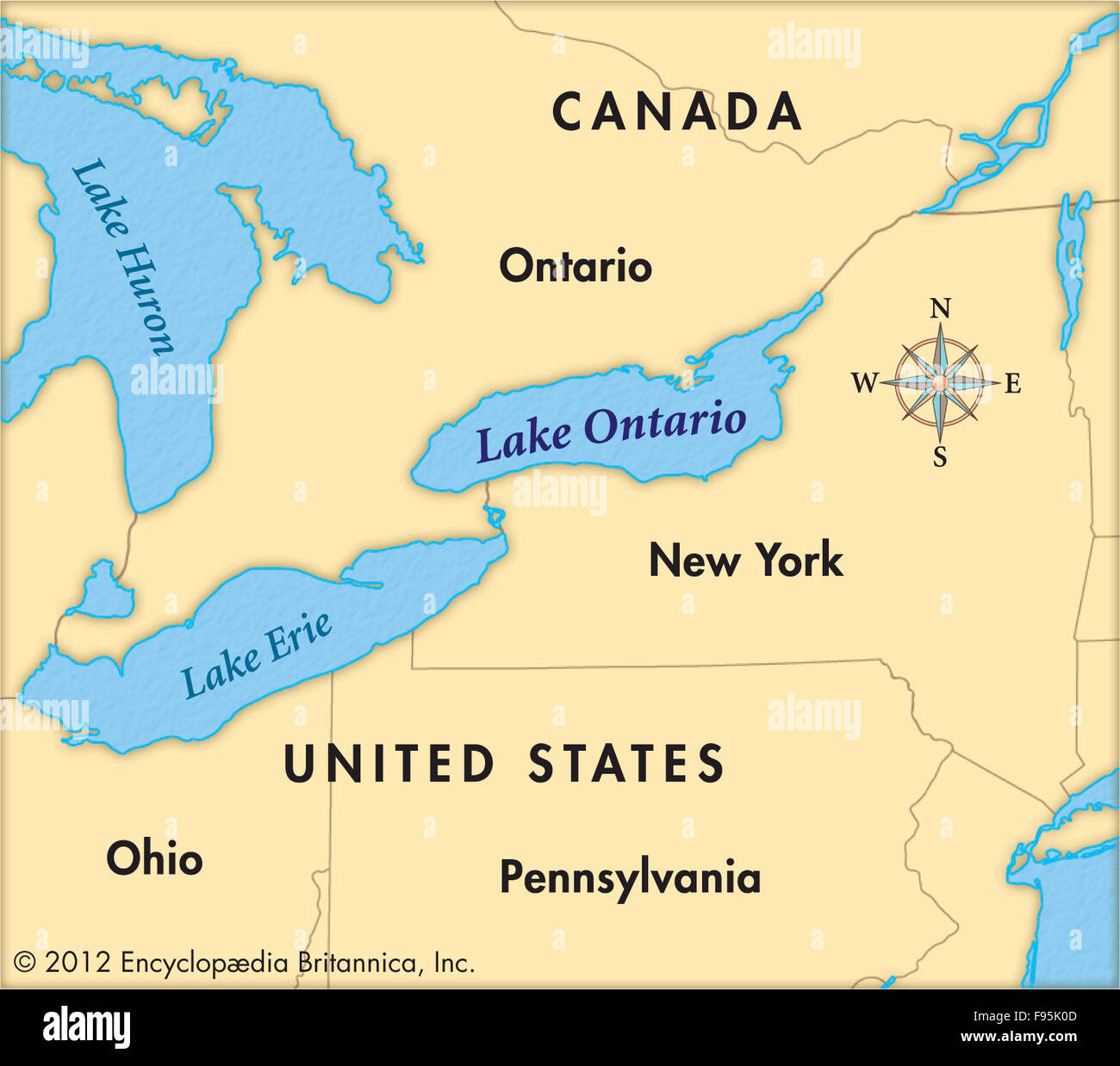 Lake Ontario Stock Photohttps://www.alamy.com/image-license-details/?v=1https://www.alamy.com/stock-photo-lake-ontario-91708413.html
RMF95K0D–Lake Ontario
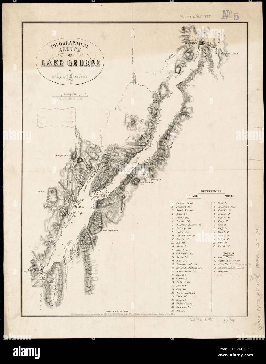 Topographical sketch of Lake George , George, Lake N.Y. : Lake, Maps Norman B. Leventhal Map Center Collection Stock Photohttps://www.alamy.com/image-license-details/?v=1https://www.alamy.com/topographical-sketch-of-lake-george-george-lake-ny-lake-maps-norman-b-leventhal-map-center-collection-image499924136.html
RM2M19E9C–Topographical sketch of Lake George , George, Lake N.Y. : Lake, Maps Norman B. Leventhal Map Center Collection
 Swan Lake, Canada, Manitoba, N 49 24' 42'', W 98 47' 31'', map, Timeless Map published in 2021. Travelers, explorers and adventurers like Florence Nightingale, David Livingstone, Ernest Shackleton, Lewis and Clark and Sherlock Holmes relied on maps to plan travels to the world's most remote corners, Timeless Maps is mapping most locations on the globe, showing the achievement of great dreams Stock Photohttps://www.alamy.com/image-license-details/?v=1https://www.alamy.com/swan-lake-canada-manitoba-n-49-24-42-w-98-47-31-map-timeless-map-published-in-2021-travelers-explorers-and-adventurers-like-florence-nightingale-david-livingstone-ernest-shackleton-lewis-and-clark-and-sherlock-holmes-relied-on-maps-to-plan-travels-to-the-worlds-most-remote-corners-timeless-maps-is-mapping-most-locations-on-the-globe-showing-the-achievement-of-great-dreams-image457887153.html
RM2HGXFMH–Swan Lake, Canada, Manitoba, N 49 24' 42'', W 98 47' 31'', map, Timeless Map published in 2021. Travelers, explorers and adventurers like Florence Nightingale, David Livingstone, Ernest Shackleton, Lewis and Clark and Sherlock Holmes relied on maps to plan travels to the world's most remote corners, Timeless Maps is mapping most locations on the globe, showing the achievement of great dreams
 Road map of the Lake District showing Lake Windermere and with a map pin indicating the position of Ambleside. Stock Photohttps://www.alamy.com/image-license-details/?v=1https://www.alamy.com/stock-photo-road-map-of-the-lake-district-showing-lake-windermere-and-with-a-map-97378875.html
RMFJBYMY–Road map of the Lake District showing Lake Windermere and with a map pin indicating the position of Ambleside.
 1915 aerial view of West Palm Beach, North Palm Beach and Lake Worth, Florida. Stock Photohttps://www.alamy.com/image-license-details/?v=1https://www.alamy.com/stock-photo-1915-aerial-view-of-west-palm-beach-north-palm-beach-and-lake-worth-50010719.html
RMCWA553–1915 aerial view of West Palm Beach, North Palm Beach and Lake Worth, Florida.
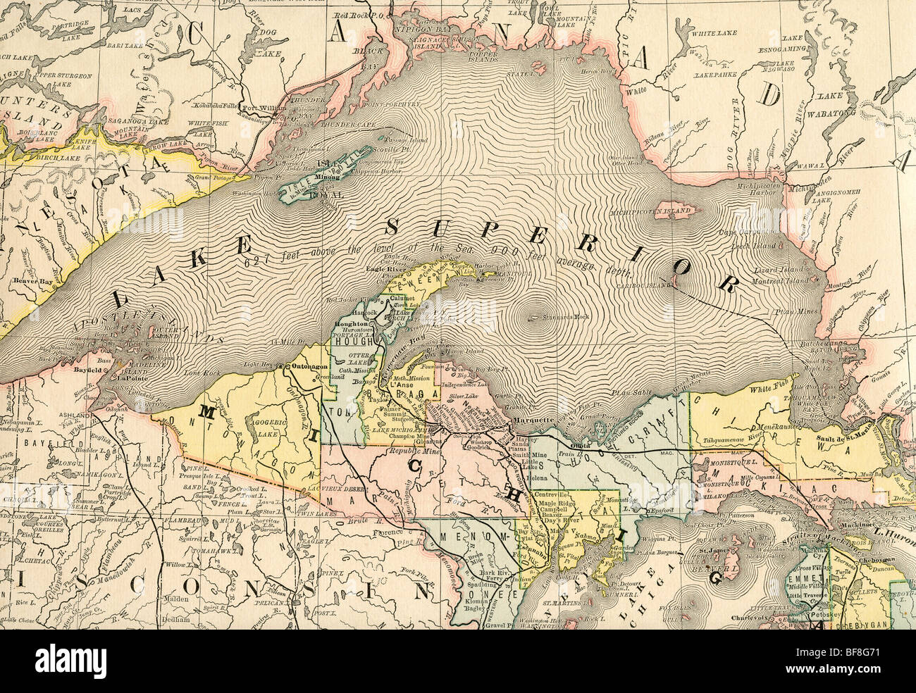 Original old map of Lake Superior from 1884 geography textbook Stock Photohttps://www.alamy.com/image-license-details/?v=1https://www.alamy.com/stock-photo-original-old-map-of-lake-superior-from-1884-geography-textbook-26618565.html
RMBF8G71–Original old map of Lake Superior from 1884 geography textbook
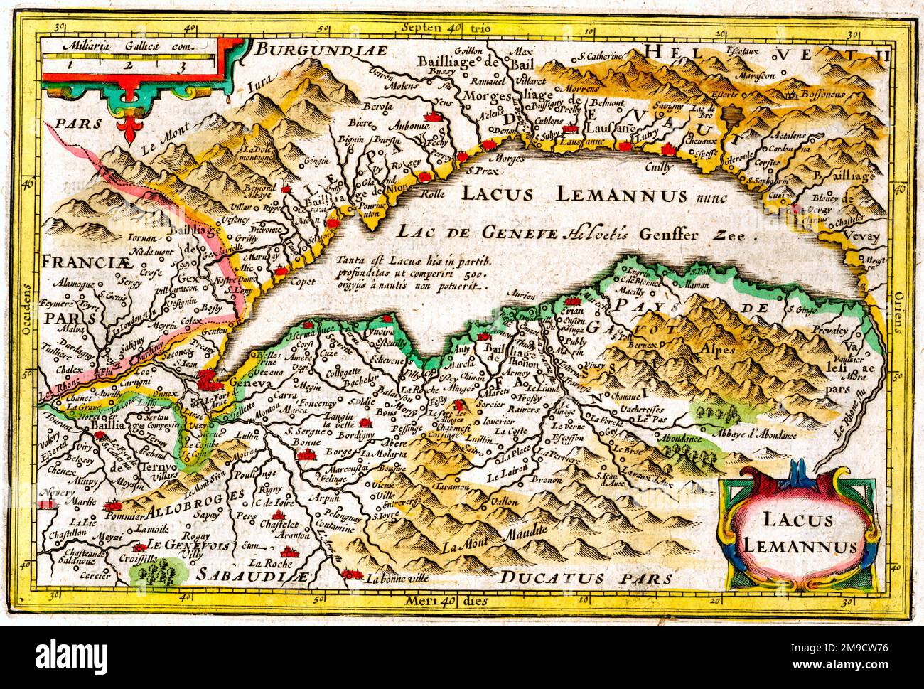 17th century Map of Lake Geneva (Leman or Lemannus), Switzerland Stock Photohttps://www.alamy.com/image-license-details/?v=1https://www.alamy.com/17th-century-map-of-lake-geneva-leman-or-lemannus-switzerland-image504915802.html
RM2M9CW76–17th century Map of Lake Geneva (Leman or Lemannus), Switzerland
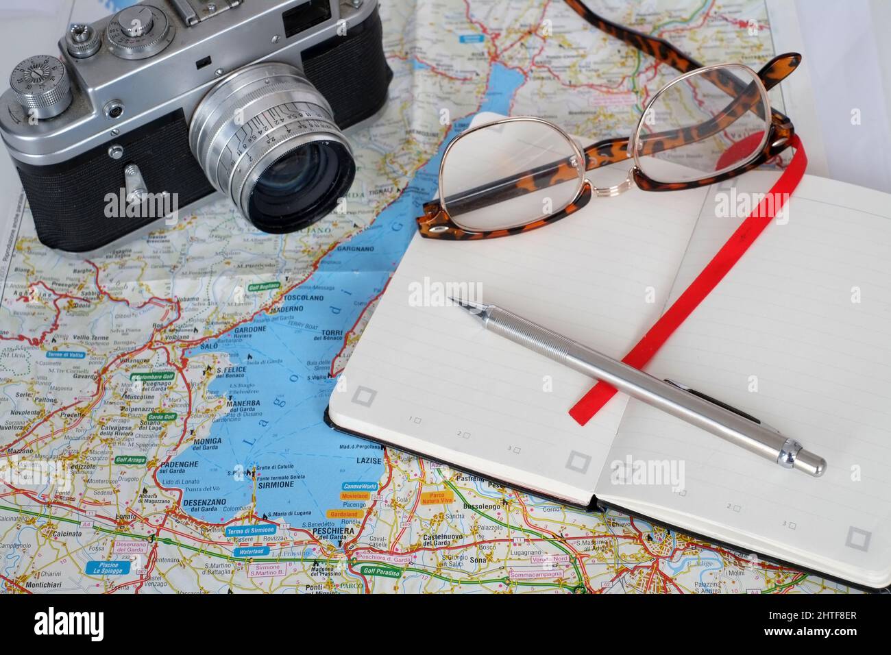 February 2022 - Travel planning - old film camera, with note book, glasses and a map of Lake Garda in Italy Stock Photohttps://www.alamy.com/image-license-details/?v=1https://www.alamy.com/february-2022-travel-planning-old-film-camera-with-note-book-glasses-and-a-map-of-lake-garda-in-italy-image462557279.html
RM2HTF8ER–February 2022 - Travel planning - old film camera, with note book, glasses and a map of Lake Garda in Italy
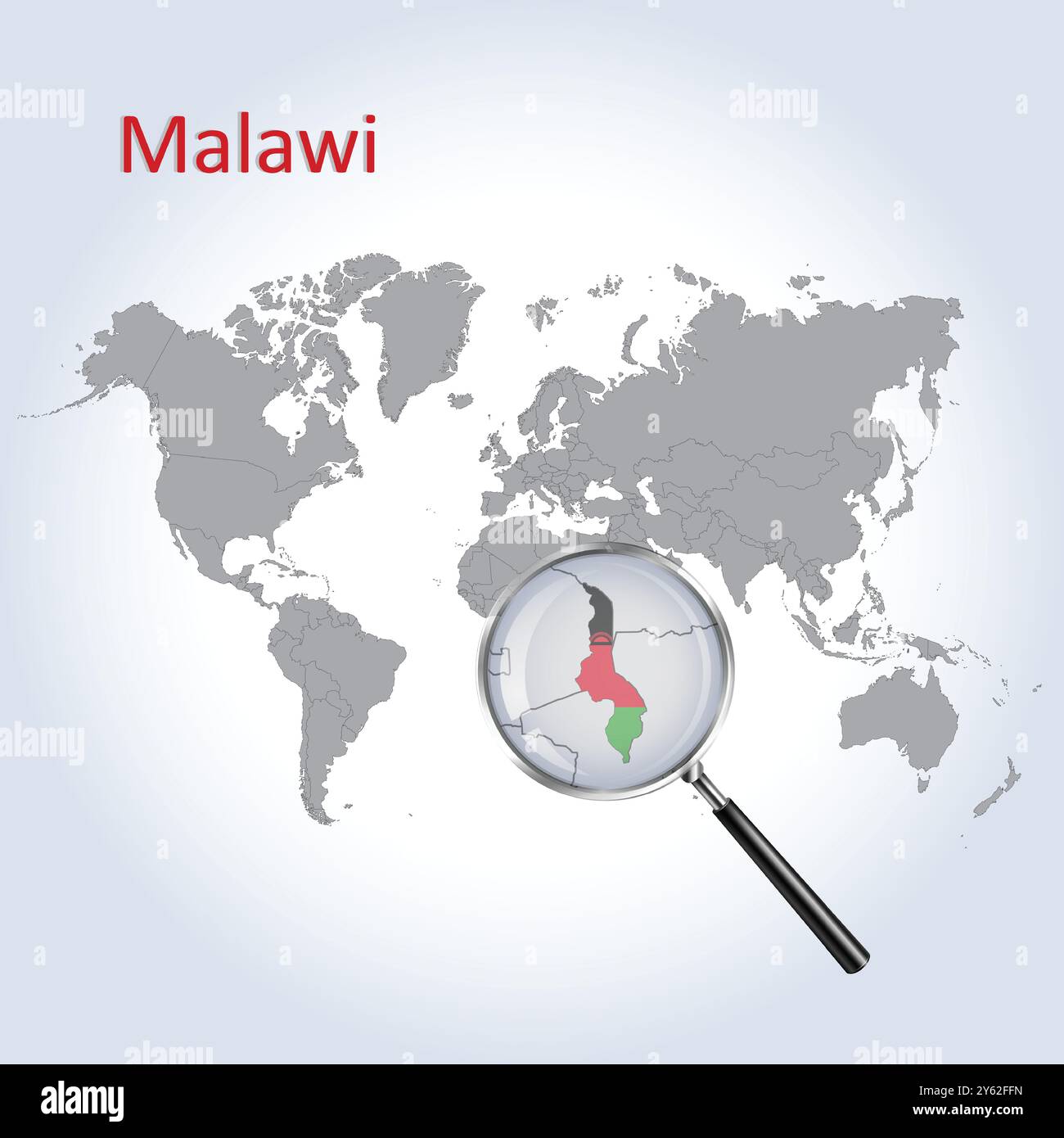 Malawi Magnified Map and Flag, Malawi Enlargement Maps, Vector Art Stock Vectorhttps://www.alamy.com/image-license-details/?v=1https://www.alamy.com/malawi-magnified-map-and-flag-malawi-enlargement-maps-vector-art-image623317289.html
RF2Y62FFN–Malawi Magnified Map and Flag, Malawi Enlargement Maps, Vector Art
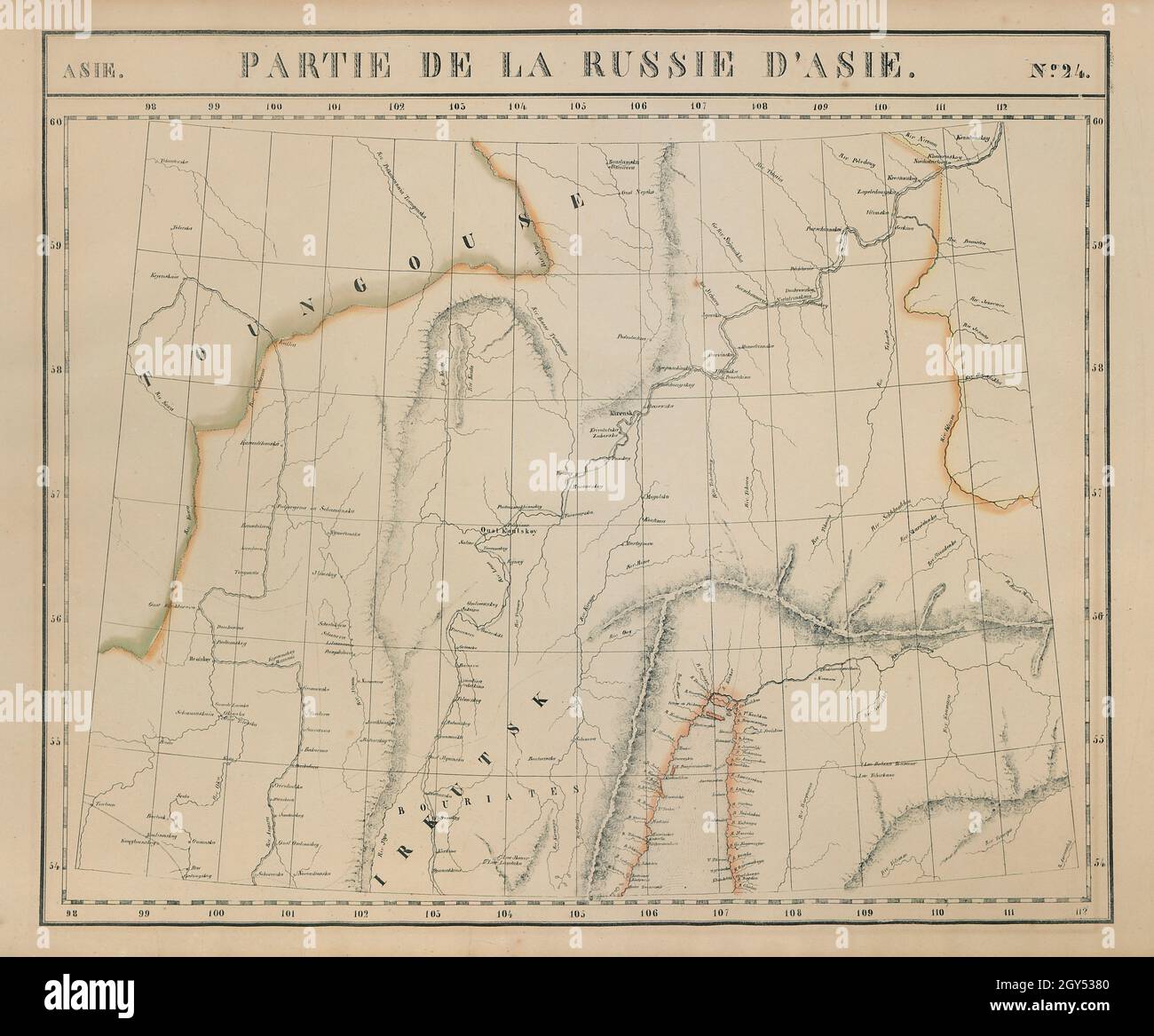 Russie d'Asie #24 Lake Baikal. Russia Irkutsk Buryatia. VANDERMAELEN 1827 map Stock Photohttps://www.alamy.com/image-license-details/?v=1https://www.alamy.com/russie-dasie-24-lake-baikal-russia-irkutsk-buryatia-vandermaelen-1827-map-image446967248.html
RF2GY5380–Russie d'Asie #24 Lake Baikal. Russia Irkutsk Buryatia. VANDERMAELEN 1827 map
 Lake dwellings of Santa Rosa, near Maracaibo, Venezuela, 1895. Artist: Unknown Stock Photohttps://www.alamy.com/image-license-details/?v=1https://www.alamy.com/lake-dwellings-of-santa-rosa-near-maracaibo-venezuela-1895-artist-unknown-image262756140.html
RMW7DG3T–Lake dwellings of Santa Rosa, near Maracaibo, Venezuela, 1895. Artist: Unknown
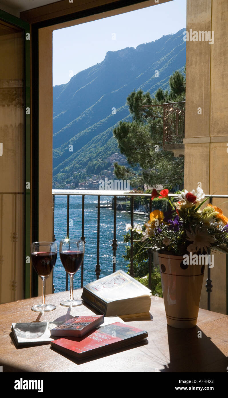 VIEW FROM APARTMENT WINDOW OF SAN MAMETE VILLAGE AND LAKE LUGANO NORTHERN ITALY WITH BOOKS MAPS AND WINE Stock Photohttps://www.alamy.com/image-license-details/?v=1https://www.alamy.com/view-from-apartment-window-of-san-mamete-village-and-lake-lugano-northern-image7972450.html
RMAFHHX3–VIEW FROM APARTMENT WINDOW OF SAN MAMETE VILLAGE AND LAKE LUGANO NORTHERN ITALY WITH BOOKS MAPS AND WINE
 Japan, Honshu, Fuji-Hakone-Izu National Park, Lake Ashinoko, European Tourist Couple Looking at Map Stock Photohttps://www.alamy.com/image-license-details/?v=1https://www.alamy.com/stock-photo-japan-honshu-fuji-hakone-izu-national-park-lake-ashinoko-european-172282764.html
RMM084BT–Japan, Honshu, Fuji-Hakone-Izu National Park, Lake Ashinoko, European Tourist Couple Looking at Map
 1874 U.S.C.S. Map or Chart of Lake Champlain ( Burlington, VT ) Stock Photohttps://www.alamy.com/image-license-details/?v=1https://www.alamy.com/stock-photo-1874-uscs-map-or-chart-of-lake-champlain-burlington-vt-49968046.html
RMCW86N2–1874 U.S.C.S. Map or Chart of Lake Champlain ( Burlington, VT )
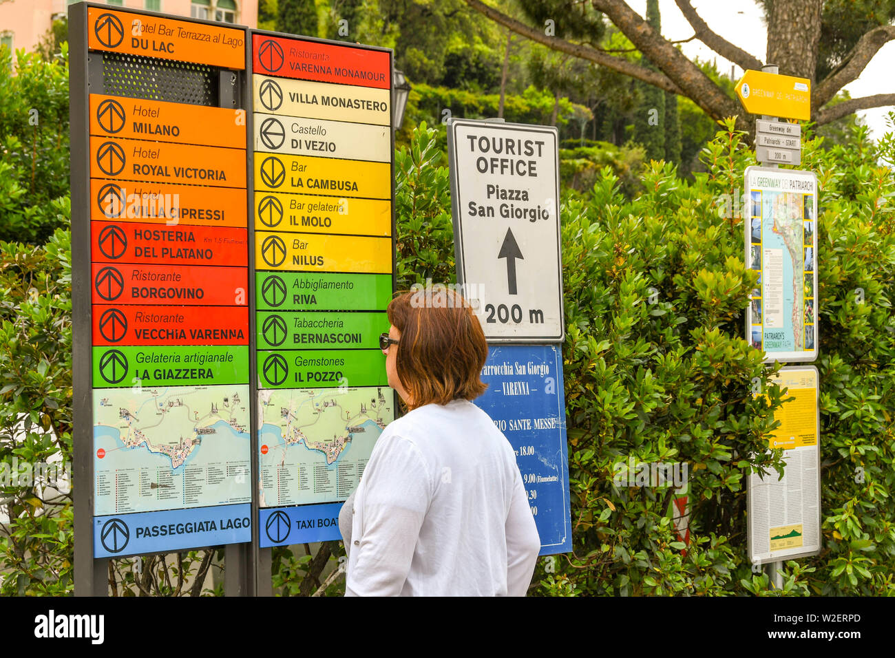 VARENNA, LAKE COMO, ITALY - JUNE 2019: Person looking at a map of Varenna on Lake Como. Stock Photohttps://www.alamy.com/image-license-details/?v=1https://www.alamy.com/varenna-lake-como-italy-june-2019-person-looking-at-a-map-of-varenna-on-lake-como-image259710821.html
RMW2ERPD–VARENNA, LAKE COMO, ITALY - JUNE 2019: Person looking at a map of Varenna on Lake Como.
 Map showing the boulevards and park system and twelve miles of lake frontage of the City of Chicago , cartographic, Maps, 1882, Rand McNally and Company, Rand McNally and Company Stock Photohttps://www.alamy.com/image-license-details/?v=1https://www.alamy.com/map-showing-the-boulevards-and-park-system-and-twelve-miles-of-lake-frontage-of-the-city-of-chicago-cartographic-maps-1882-rand-mcnally-and-company-rand-mcnally-and-company-image376510037.html
RM2CTFEB1–Map showing the boulevards and park system and twelve miles of lake frontage of the City of Chicago , cartographic, Maps, 1882, Rand McNally and Company, Rand McNally and Company
 Vintage Maps / Antique Maps - A survey of Lake Champlain, from Crown Point to Windmil Point, and from thence to St. Iohns ca. 1762 Stock Photohttps://www.alamy.com/image-license-details/?v=1https://www.alamy.com/vintage-maps-antique-maps-a-survey-of-lake-champlain-from-crown-point-to-windmil-point-and-from-thence-to-st-iohns-ca-1762-image220943775.html
RMPRCT13–Vintage Maps / Antique Maps - A survey of Lake Champlain, from Crown Point to Windmil Point, and from thence to St. Iohns ca. 1762
 The ongoing drought in the western United States has lowered the water level of Lake Mead, the largest man-made reservoir in the nation. It was created by the Hoover Dam built on the Nevada-Arizona border between 1931-36. The water level of the lake, which is fed by the Colorado River, has been dropping since 2000. Among those affected are vacationers who boat, swim and fish in Lake Mead, which is a National Recreation Area. Seen beyond the sign is one of the marinas that has had to move farther into the lake as the water recedes from the former shoreline. Stock Photohttps://www.alamy.com/image-license-details/?v=1https://www.alamy.com/stock-photo-the-ongoing-drought-in-the-western-united-states-has-lowered-the-water-82827389.html
RMEPN351–The ongoing drought in the western United States has lowered the water level of Lake Mead, the largest man-made reservoir in the nation. It was created by the Hoover Dam built on the Nevada-Arizona border between 1931-36. The water level of the lake, which is fed by the Colorado River, has been dropping since 2000. Among those affected are vacationers who boat, swim and fish in Lake Mead, which is a National Recreation Area. Seen beyond the sign is one of the marinas that has had to move farther into the lake as the water recedes from the former shoreline.
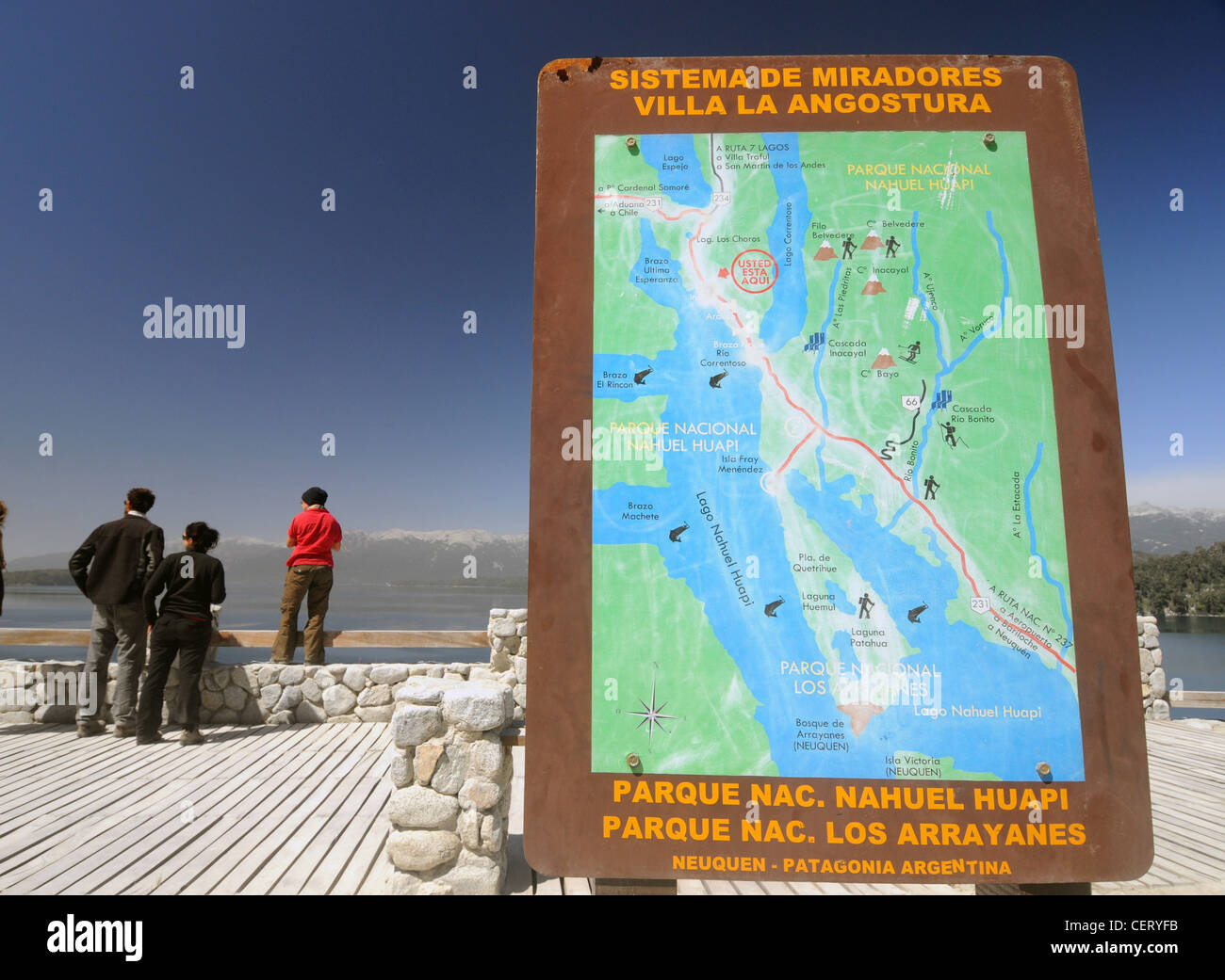 Tourists at viewpoint overlooking Lake Nahuel Huapi, Parque Nacional Nahuel Huapi, Neuquen, Patagonia, Argentina. No MR or PR Stock Photohttps://www.alamy.com/image-license-details/?v=1https://www.alamy.com/stock-photo-tourists-at-viewpoint-overlooking-lake-nahuel-huapi-parque-nacional-43552415.html
RMCERYFB–Tourists at viewpoint overlooking Lake Nahuel Huapi, Parque Nacional Nahuel Huapi, Neuquen, Patagonia, Argentina. No MR or PR
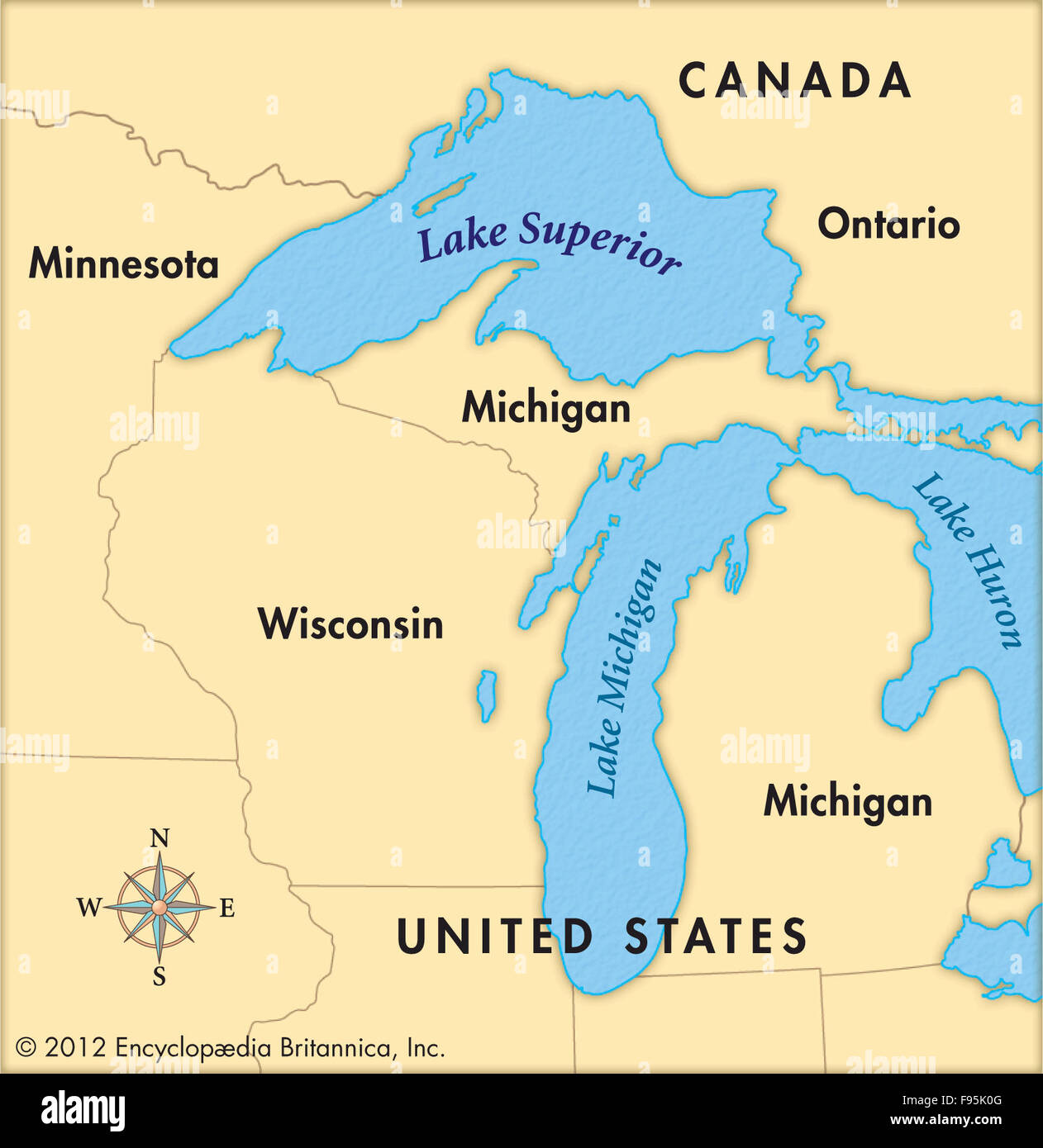 Lake Superior Stock Photohttps://www.alamy.com/image-license-details/?v=1https://www.alamy.com/stock-photo-lake-superior-91708416.html
RMF95K0G–Lake Superior
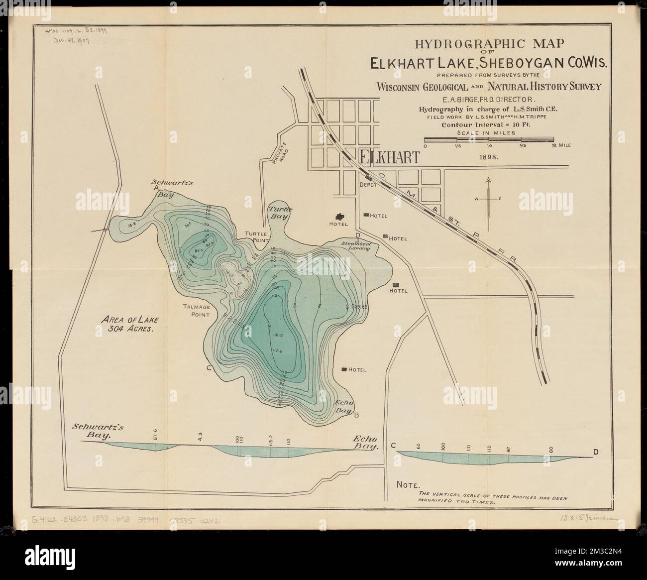 Hydrographic map of Elkhart Lake, Sheboygan Co. Wis. , Hydrology, Wisconsin, Elkhart Lake, Maps, Elkhart Lake Wis., Maps Norman B. Leventhal Map Center Collection Stock Photohttps://www.alamy.com/image-license-details/?v=1https://www.alamy.com/hydrographic-map-of-elkhart-lake-sheboygan-co-wis-hydrology-wisconsin-elkhart-lake-maps-elkhart-lake-wis-maps-norman-b-leventhal-map-center-collection-image501210224.html
RM2M3C2N4–Hydrographic map of Elkhart Lake, Sheboygan Co. Wis. , Hydrology, Wisconsin, Elkhart Lake, Maps, Elkhart Lake Wis., Maps Norman B. Leventhal Map Center Collection
 Calling Lake, Canada, Alberta, N 55 15' 0'', W 113 12' 7'', map, Timeless Map published in 2021. Travelers, explorers and adventurers like Florence Nightingale, David Livingstone, Ernest Shackleton, Lewis and Clark and Sherlock Holmes relied on maps to plan travels to the world's most remote corners, Timeless Maps is mapping most locations on the globe, showing the achievement of great dreams Stock Photohttps://www.alamy.com/image-license-details/?v=1https://www.alamy.com/calling-lake-canada-alberta-n-55-15-0-w-113-12-7-map-timeless-map-published-in-2021-travelers-explorers-and-adventurers-like-florence-nightingale-david-livingstone-ernest-shackleton-lewis-and-clark-and-sherlock-holmes-relied-on-maps-to-plan-travels-to-the-worlds-most-remote-corners-timeless-maps-is-mapping-most-locations-on-the-globe-showing-the-achievement-of-great-dreams-image457853923.html
RM2HGW19R–Calling Lake, Canada, Alberta, N 55 15' 0'', W 113 12' 7'', map, Timeless Map published in 2021. Travelers, explorers and adventurers like Florence Nightingale, David Livingstone, Ernest Shackleton, Lewis and Clark and Sherlock Holmes relied on maps to plan travels to the world's most remote corners, Timeless Maps is mapping most locations on the globe, showing the achievement of great dreams
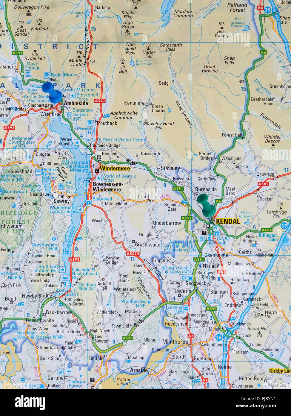 Road map of the Lake District showing Lake Windermere with map pins indicating the position of Ambleside and Kendal. Stock Photohttps://www.alamy.com/image-license-details/?v=1https://www.alamy.com/stock-photo-road-map-of-the-lake-district-showing-lake-windermere-with-map-pins-97378877.html
RMFJBYN1–Road map of the Lake District showing Lake Windermere with map pins indicating the position of Ambleside and Kendal.
 1565 World Map by Paulo Forlani, based on the work of Giacomo Gastaldi. Map lake accuracy by joining North America to Asia, and Stock Photohttps://www.alamy.com/image-license-details/?v=1https://www.alamy.com/stock-photo-1565-world-map-by-paulo-forlani-based-on-the-work-of-giacomo-gastaldi-50012000.html
RMCWA6PT–1565 World Map by Paulo Forlani, based on the work of Giacomo Gastaldi. Map lake accuracy by joining North America to Asia, and
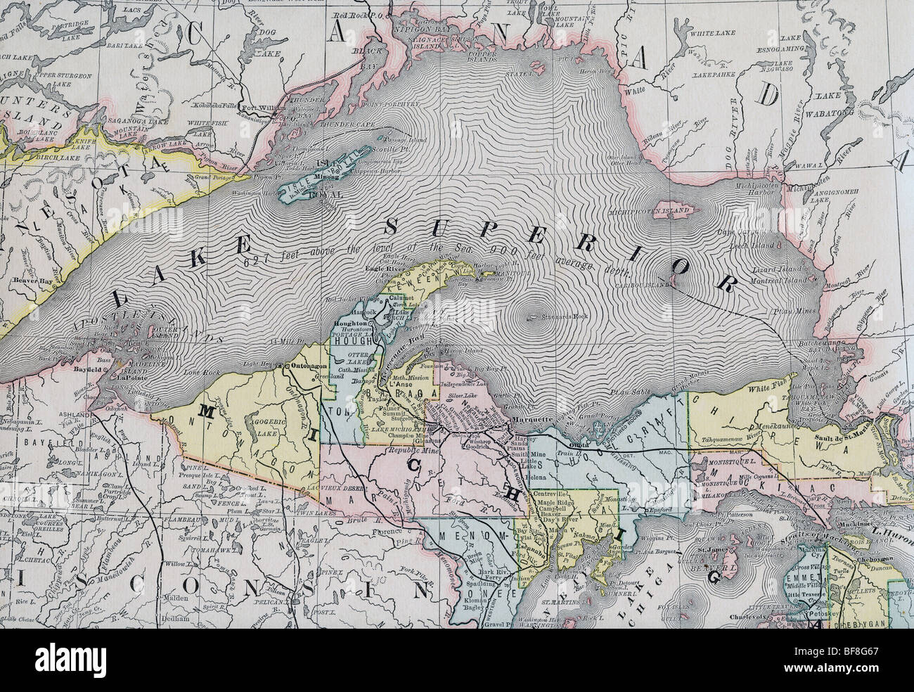 Original old map of Lake Superior from 1884 geography textbook Stock Photohttps://www.alamy.com/image-license-details/?v=1https://www.alamy.com/stock-photo-original-old-map-of-lake-superior-from-1884-geography-textbook-26618543.html
RMBF8G67–Original old map of Lake Superior from 1884 geography textbook
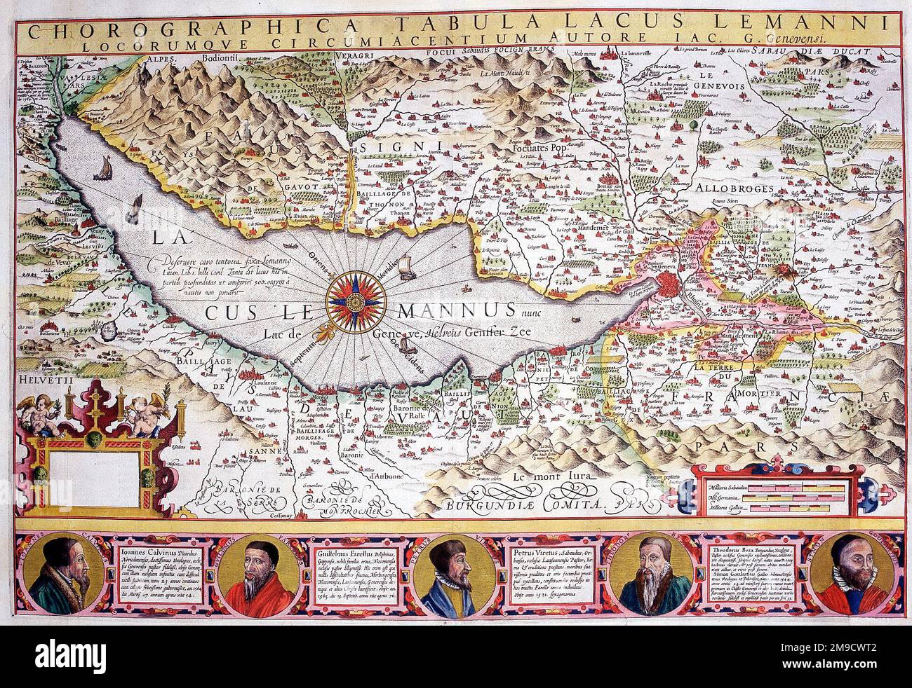 17th century Map of Lake Geneva, Switzerland - Chorographica Tabula Lacus Lemanni Stock Photohttps://www.alamy.com/image-license-details/?v=1https://www.alamy.com/17th-century-map-of-lake-geneva-switzerland-chorographica-tabula-lacus-lemanni-image504916274.html
RM2M9CWT2–17th century Map of Lake Geneva, Switzerland - Chorographica Tabula Lacus Lemanni
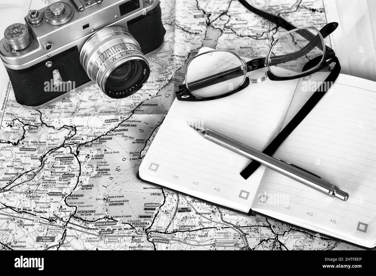 February 2022 - Travel planning - old film camera, with note book, glasses and a map of Lake Garda in Italy Stock Photohttps://www.alamy.com/image-license-details/?v=1https://www.alamy.com/february-2022-travel-planning-old-film-camera-with-note-book-glasses-and-a-map-of-lake-garda-in-italy-image462557278.html
RM2HTF8EP–February 2022 - Travel planning - old film camera, with note book, glasses and a map of Lake Garda in Italy
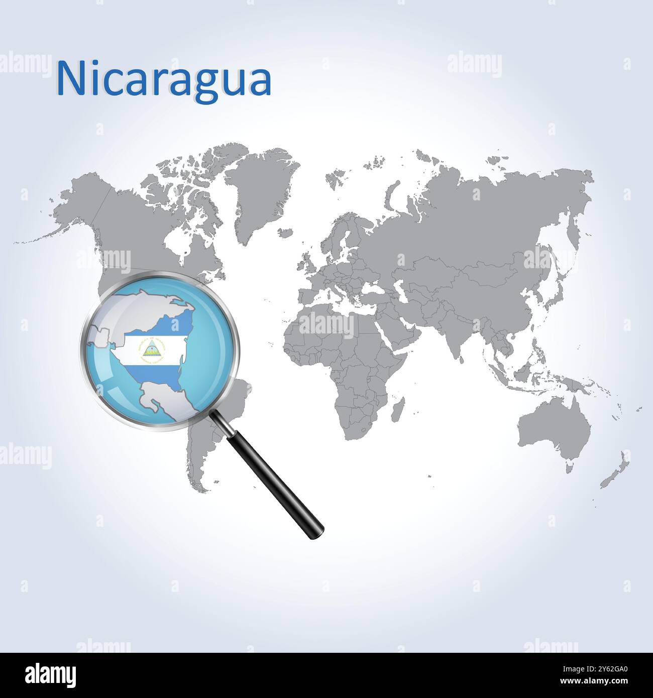 Nicaragua Magnified Map and Flag, Nicaragua Enlargement Maps, Vector Art Stock Vectorhttps://www.alamy.com/image-license-details/?v=1https://www.alamy.com/nicaragua-magnified-map-and-flag-nicaragua-enlargement-maps-vector-art-image623317912.html
RF2Y62GA0–Nicaragua Magnified Map and Flag, Nicaragua Enlargement Maps, Vector Art
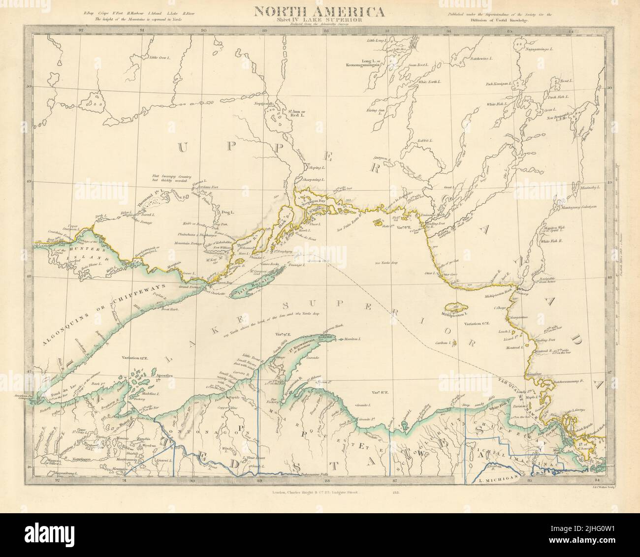 LAKE SUPERIOR. Canada USA Ontario Michigan. Fur trading posts. SDUK 1851 map Stock Photohttps://www.alamy.com/image-license-details/?v=1https://www.alamy.com/lake-superior-canada-usa-ontario-michigan-fur-trading-posts-sduk-1851-map-image475481021.html
RF2JHG0W1–LAKE SUPERIOR. Canada USA Ontario Michigan. Fur trading posts. SDUK 1851 map
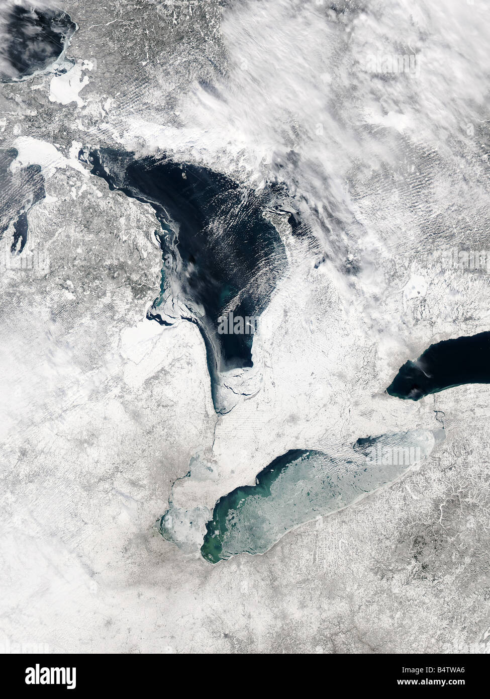 Satellite view of Lake Erie, Winter, USA Stock Photohttps://www.alamy.com/image-license-details/?v=1https://www.alamy.com/stock-photo-satellite-view-of-lake-erie-winter-usa-20215726.html
RFB4TWA6–Satellite view of Lake Erie, Winter, USA
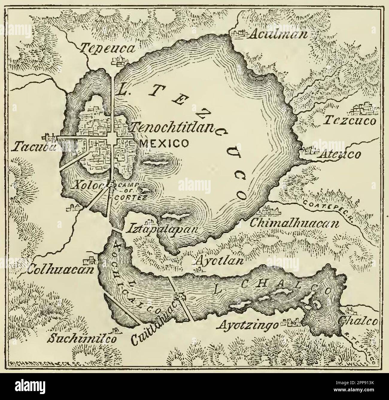 Vintage map of Lake Texcoco or Lago Tezcuco and the ancient Aztec city of Tenochtitlan, Mexco, Harper & Brothers Publishers 1856 Stock Photohttps://www.alamy.com/image-license-details/?v=1https://www.alamy.com/vintage-map-of-lake-texcoco-or-lago-tezcuco-and-the-ancient-aztec-city-of-tenochtitlan-mexco-harper-brothers-publishers-1856-image547242295.html
RM2PP913K–Vintage map of Lake Texcoco or Lago Tezcuco and the ancient Aztec city of Tenochtitlan, Mexco, Harper & Brothers Publishers 1856
 Japan, Honshu, Fuji-Hakone-Izu National Park, Lake Ashinoko, European Tourist Couple Posing for Souvenir Photo Stock Photohttps://www.alamy.com/image-license-details/?v=1https://www.alamy.com/stock-photo-japan-honshu-fuji-hakone-izu-national-park-lake-ashinoko-european-172282763.html
RMM084BR–Japan, Honshu, Fuji-Hakone-Izu National Park, Lake Ashinoko, European Tourist Couple Posing for Souvenir Photo
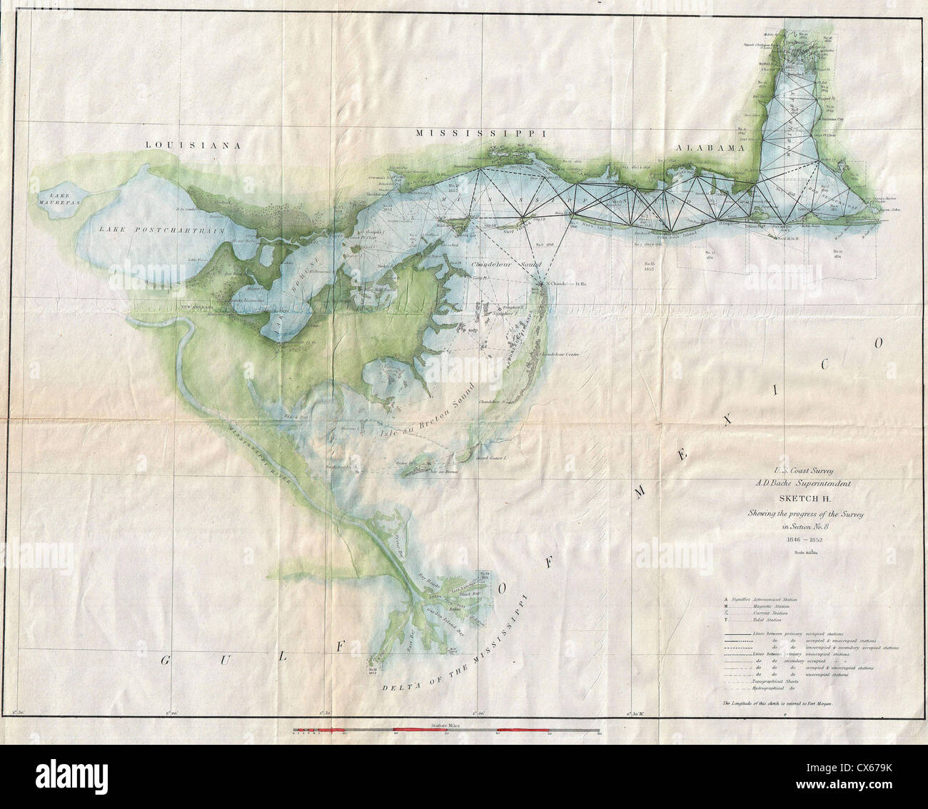 1853 U.S. Coast Survey Map of Lake Pontchartrain, New Orleans, and the Mississippi Delta Stock Photohttps://www.alamy.com/image-license-details/?v=1https://www.alamy.com/stock-photo-1853-us-coast-survey-map-of-lake-pontchartrain-new-orleans-and-the-50539263.html
RMCX679K–1853 U.S. Coast Survey Map of Lake Pontchartrain, New Orleans, and the Mississippi Delta
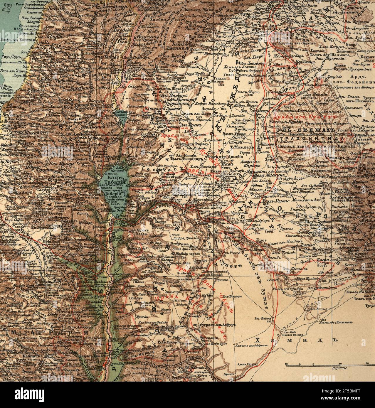 A detailed vintage map of part of Palestine. Lake Tiberias or Sea of Galilee General geographical (physical) map Stock Photohttps://www.alamy.com/image-license-details/?v=1https://www.alamy.com/a-detailed-vintage-map-of-part-of-palestine-lake-tiberias-or-sea-of-galilee-general-geographical-physical-map-image571273020.html
RM2T5BMFT–A detailed vintage map of part of Palestine. Lake Tiberias or Sea of Galilee General geographical (physical) map
 Map & profile of the Lake Ontario & Hudson River Rail Road, with the water and rail road connections, 1857, cartographic, Maps, 1857, Edwards, A. F., Wm. E. & J. Sibell (Firm Stock Photohttps://www.alamy.com/image-license-details/?v=1https://www.alamy.com/map-profile-of-the-lake-ontario-hudson-river-rail-road-with-the-water-and-rail-road-connections-1857-cartographic-maps-1857-edwards-a-f-wm-e-j-sibell-firm-image376515436.html
RM2CTFN7T–Map & profile of the Lake Ontario & Hudson River Rail Road, with the water and rail road connections, 1857, cartographic, Maps, 1857, Edwards, A. F., Wm. E. & J. Sibell (Firm
 Vintage Maps / Antique Maps - A survey of Lake Champlain, from Crown Point to Windmil Point, and from thence to St. Iohns ca. 1762 Stock Photohttps://www.alamy.com/image-license-details/?v=1https://www.alamy.com/vintage-maps-antique-maps-a-survey-of-lake-champlain-from-crown-point-to-windmil-point-and-from-thence-to-st-iohns-ca-1762-image220823955.html
RMPR7B5R–Vintage Maps / Antique Maps - A survey of Lake Champlain, from Crown Point to Windmil Point, and from thence to St. Iohns ca. 1762
 Group of children wearing backpacks while hiking and reading topographic map with compass near lake Stock Photohttps://www.alamy.com/image-license-details/?v=1https://www.alamy.com/stock-photo-group-of-children-wearing-backpacks-while-hiking-and-reading-topographic-26259951.html
RMBEM6RB–Group of children wearing backpacks while hiking and reading topographic map with compass near lake
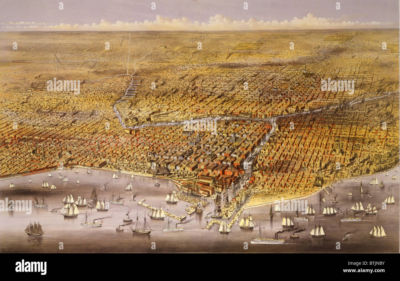 1874 view of the city of Chicago showing the waterfront on Lake Michigan, and the newly re-built city following the 1871 Chicago Fire. Stock Photohttps://www.alamy.com/image-license-details/?v=1https://www.alamy.com/stock-photo-1874-view-of-the-city-of-chicago-showing-the-waterfront-on-lake-michigan-32374047.html
RMBTJNBY–1874 view of the city of Chicago showing the waterfront on Lake Michigan, and the newly re-built city following the 1871 Chicago Fire.
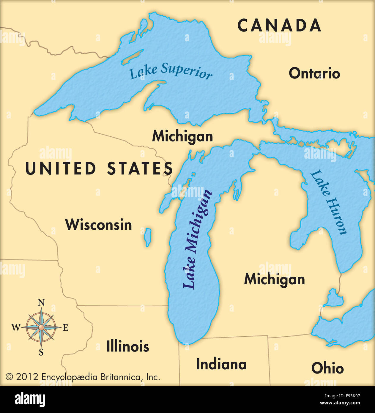 Lake Michigan Stock Photohttps://www.alamy.com/image-license-details/?v=1https://www.alamy.com/stock-photo-lake-michigan-91708407.html
RMF95K07–Lake Michigan
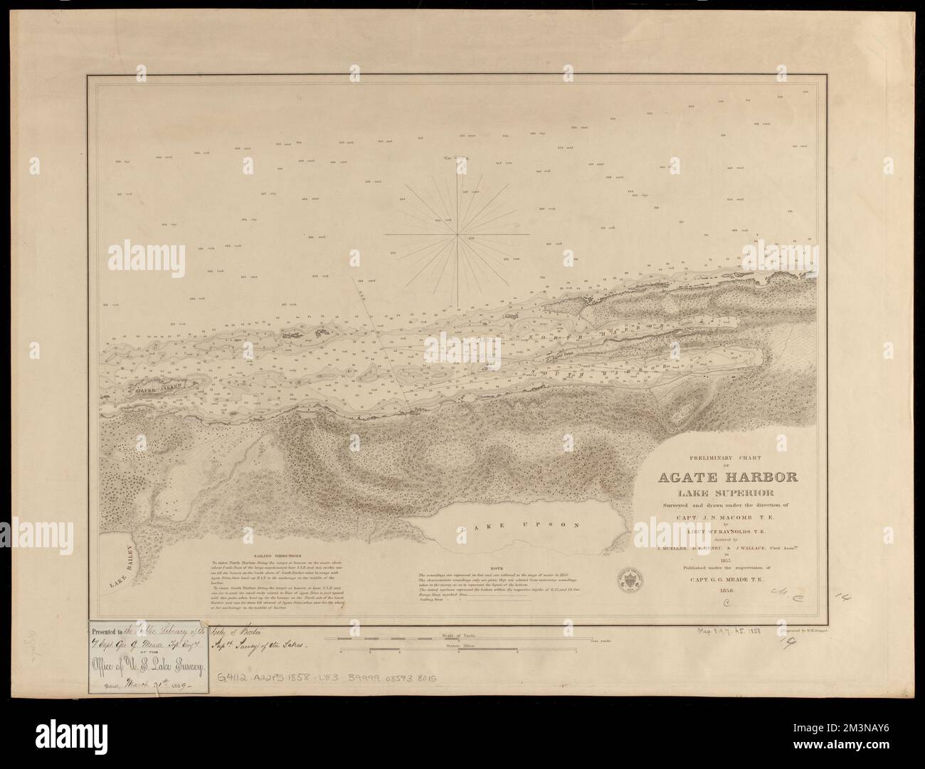 Preliminary chart of Agate Harbor, Lake Superior , Nautical charts, Michigan, Agate Harbor, Agate Harbor Mich., Maps, Superior, Lake, Maps Norman B. Leventhal Map Center Collection Stock Photohttps://www.alamy.com/image-license-details/?v=1https://www.alamy.com/preliminary-chart-of-agate-harbor-lake-superior-nautical-charts-michigan-agate-harbor-agate-harbor-mich-maps-superior-lake-maps-norman-b-leventhal-map-center-collection-image501414234.html
RM2M3NAY6–Preliminary chart of Agate Harbor, Lake Superior , Nautical charts, Michigan, Agate Harbor, Agate Harbor Mich., Maps, Superior, Lake, Maps Norman B. Leventhal Map Center Collection
 Eden Lake, Canada, Manitoba, N 56 44' 46'', W 100 13' 13'', map, Timeless Map published in 2021. Travelers, explorers and adventurers like Florence Nightingale, David Livingstone, Ernest Shackleton, Lewis and Clark and Sherlock Holmes relied on maps to plan travels to the world's most remote corners, Timeless Maps is mapping most locations on the globe, showing the achievement of great dreams Stock Photohttps://www.alamy.com/image-license-details/?v=1https://www.alamy.com/eden-lake-canada-manitoba-n-56-44-46-w-100-13-13-map-timeless-map-published-in-2021-travelers-explorers-and-adventurers-like-florence-nightingale-david-livingstone-ernest-shackleton-lewis-and-clark-and-sherlock-holmes-relied-on-maps-to-plan-travels-to-the-worlds-most-remote-corners-timeless-maps-is-mapping-most-locations-on-the-globe-showing-the-achievement-of-great-dreams-image457860749.html
RM2HGWA1H–Eden Lake, Canada, Manitoba, N 56 44' 46'', W 100 13' 13'', map, Timeless Map published in 2021. Travelers, explorers and adventurers like Florence Nightingale, David Livingstone, Ernest Shackleton, Lewis and Clark and Sherlock Holmes relied on maps to plan travels to the world's most remote corners, Timeless Maps is mapping most locations on the globe, showing the achievement of great dreams
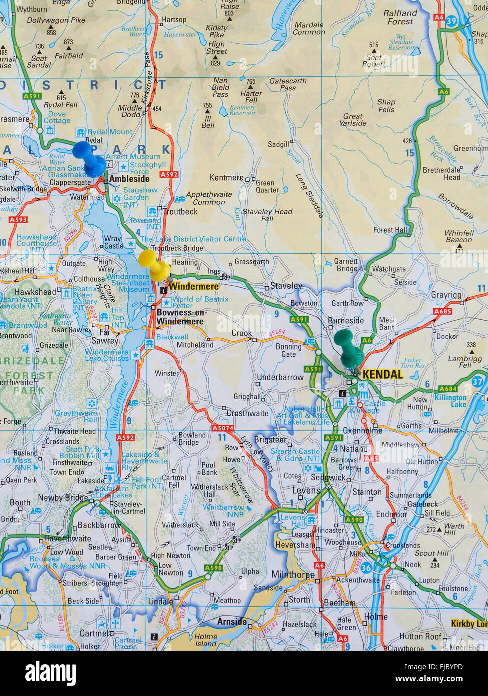 Road map of the Lake District showing Lake Windermere with map pins in the towns of Ambleside, Windermere and Kendal. Stock Photohttps://www.alamy.com/image-license-details/?v=1https://www.alamy.com/stock-photo-road-map-of-the-lake-district-showing-lake-windermere-with-map-pins-97378917.html
RMFJBYPD–Road map of the Lake District showing Lake Windermere with map pins in the towns of Ambleside, Windermere and Kendal.
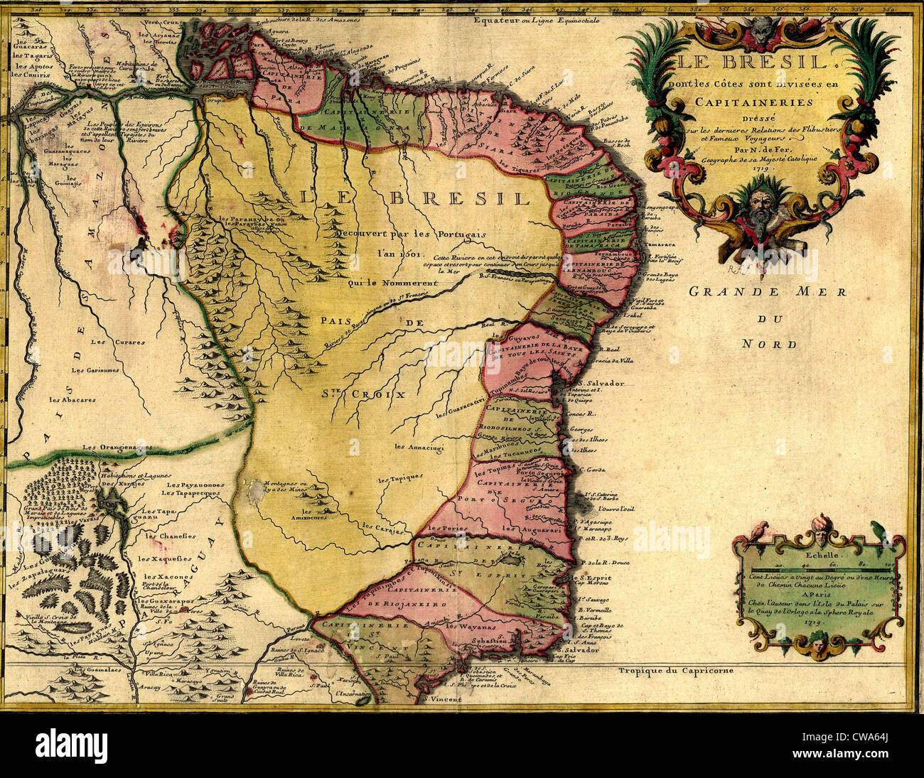 1719 map of Brazil, showing geographic definition on the coast. Stock Photohttps://www.alamy.com/image-license-details/?v=1https://www.alamy.com/stock-photo-1719-map-of-brazil-showing-geographic-definition-on-the-coast-50011490.html
RMCWA64J–1719 map of Brazil, showing geographic definition on the coast.
 Burgoyne's Invasion Stock Photohttps://www.alamy.com/image-license-details/?v=1https://www.alamy.com/stock-photo-burgoynes-invasion-36034545.html
RMC2HEC1–Burgoyne's Invasion
 Lake Avernus, Cuma, Italy and the Cave of the Cumean Sibyl Stock Photohttps://www.alamy.com/image-license-details/?v=1https://www.alamy.com/lake-avernus-cuma-italy-and-the-cave-of-the-cumean-sibyl-image504914466.html
RM2M9CRFE–Lake Avernus, Cuma, Italy and the Cave of the Cumean Sibyl
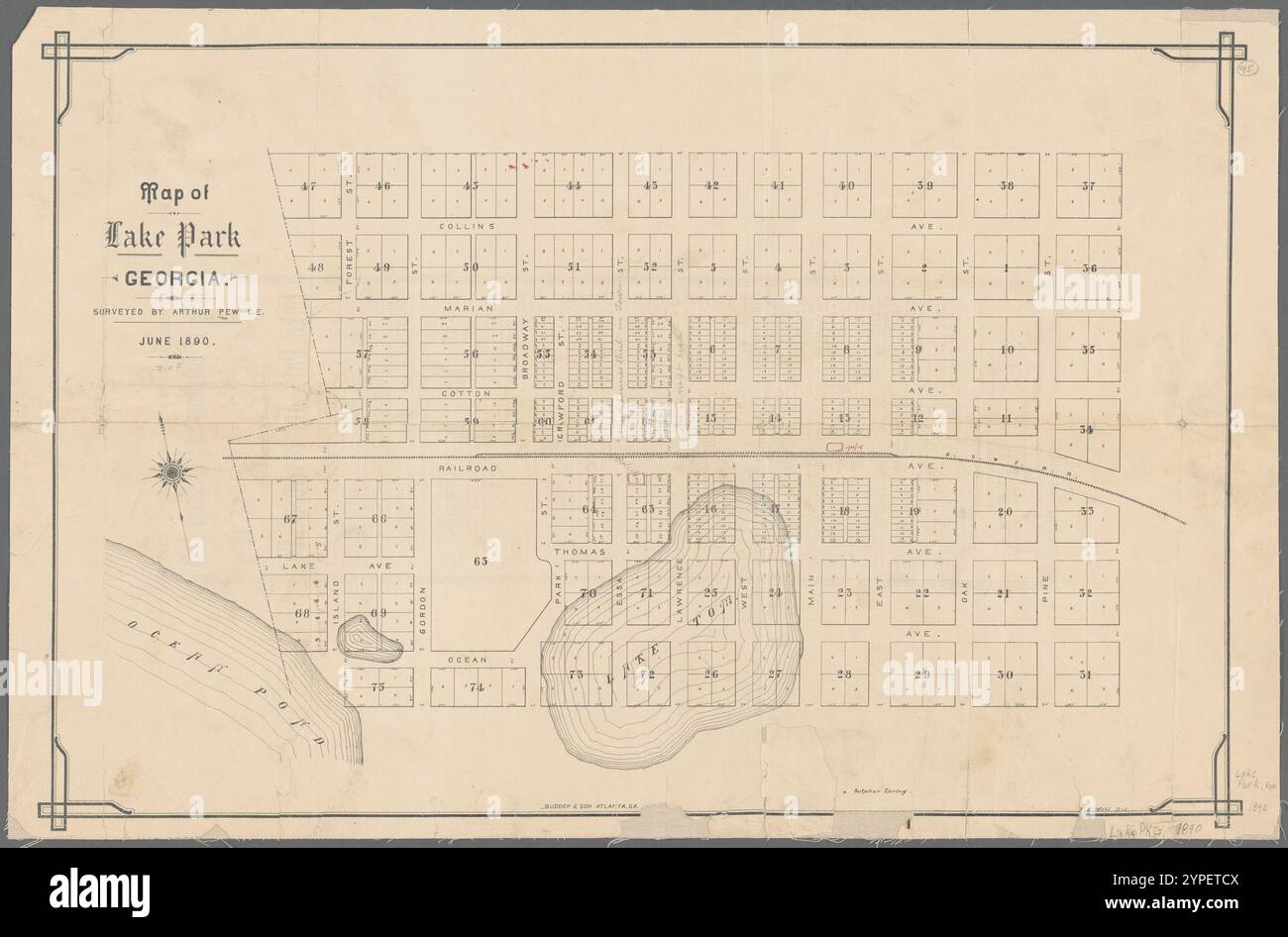 Map of Lake Park, Georgia 1890 Stock Photohttps://www.alamy.com/image-license-details/?v=1https://www.alamy.com/map-of-lake-park-georgia-1890-image633422186.html
RM2YPETCX–Map of Lake Park, Georgia 1890
 Isla Zapatera in the Lake Nicaragua - belonging to Nicaragua. Described location diagram with yellow shape of the island and sample maps of its surrou Stock Photohttps://www.alamy.com/image-license-details/?v=1https://www.alamy.com/isla-zapatera-in-the-lake-nicaragua-belonging-to-nicaragua-described-location-diagram-with-yellow-shape-of-the-island-and-sample-maps-of-its-surrou-image617456231.html
RF2XTFFM7–Isla Zapatera in the Lake Nicaragua - belonging to Nicaragua. Described location diagram with yellow shape of the island and sample maps of its surrou
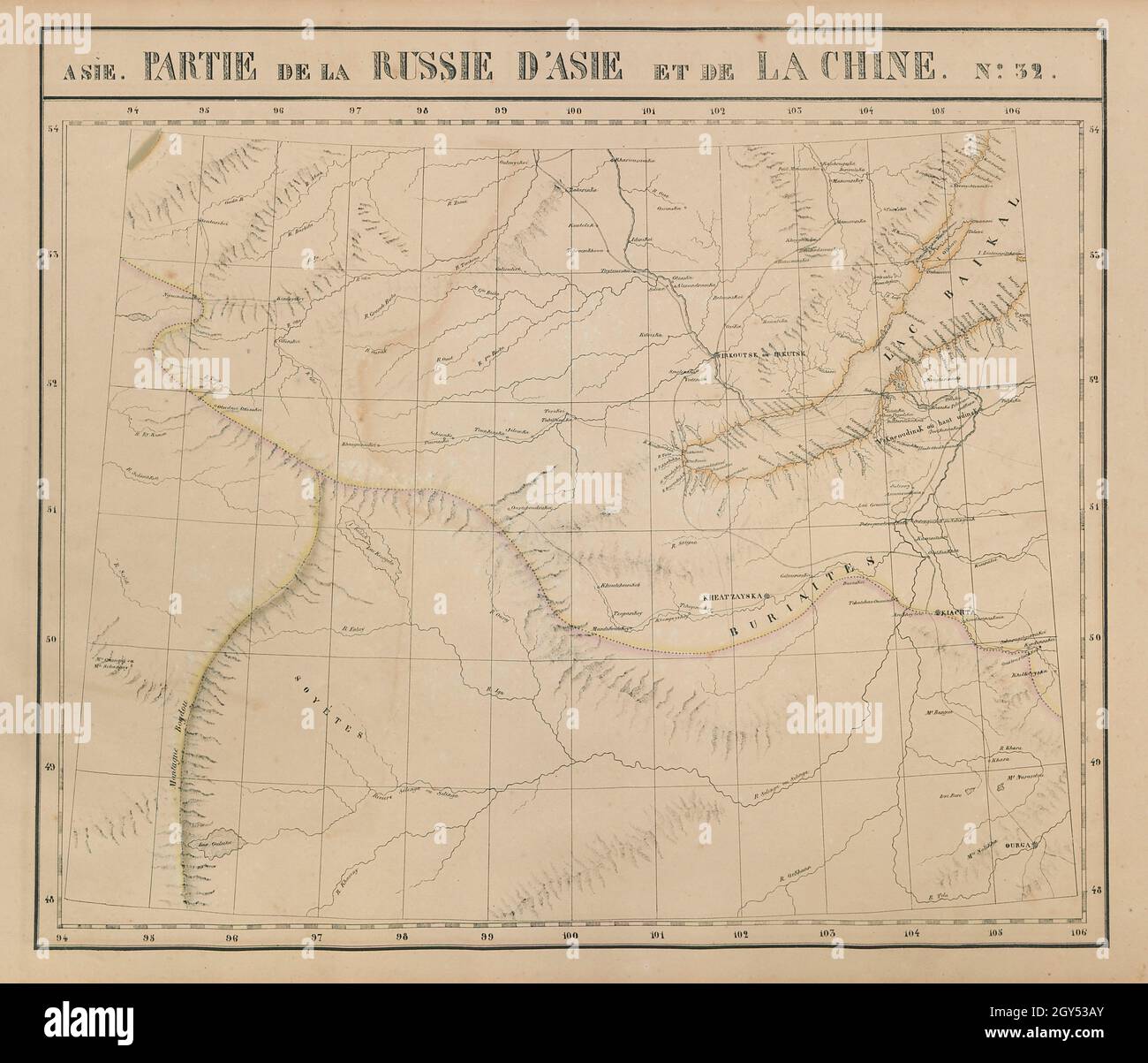 Russie d'Asie & Chine #32 Lake Baikal. Russia Mongolia VANDERMAELEN 1827 map Stock Photohttps://www.alamy.com/image-license-details/?v=1https://www.alamy.com/russie-dasie-chine-32-lake-baikal-russia-mongolia-vandermaelen-1827-map-image446967331.html
RF2GY53AY–Russie d'Asie & Chine #32 Lake Baikal. Russia Mongolia VANDERMAELEN 1827 map
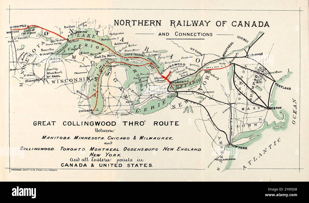 19th century map of the Northern railway of Canada and Great rail & lake connections, 1878, the Great Collinwood thro' route towards the West shower steamer routes on the Great Lakes Stock Photohttps://www.alamy.com/image-license-details/?v=1https://www.alamy.com/19th-century-map-of-the-northern-railway-of-canada-and-great-rail-lake-connections-1878-the-great-collinwood-thro-route-towards-the-west-shower-steamer-routes-on-the-great-lakes-image623605032.html
RM2Y6FJG8–19th century map of the Northern railway of Canada and Great rail & lake connections, 1878, the Great Collinwood thro' route towards the West shower steamer routes on the Great Lakes
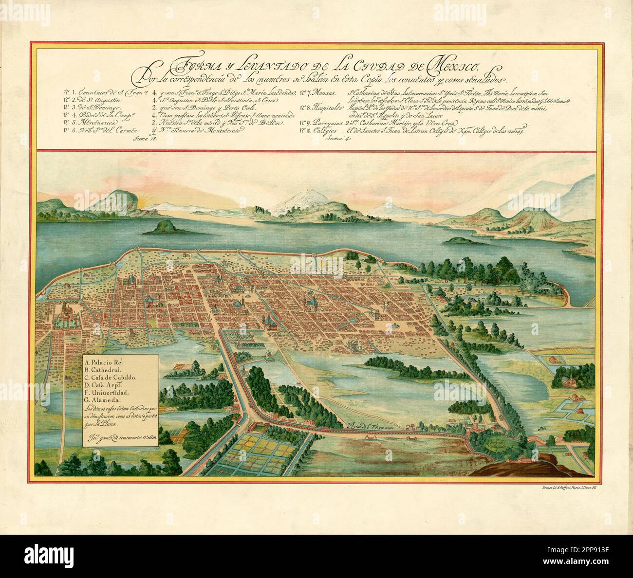 Vintage aerial view plan of Mexico City and surroundings including Lake Texcoco and volcanoes, by Juan Gomez de Trasmonte di Ao c. 1628 Stock Photohttps://www.alamy.com/image-license-details/?v=1https://www.alamy.com/vintage-aerial-view-plan-of-mexico-city-and-surroundings-including-lake-texcoco-and-volcanoes-by-juan-gomez-de-trasmonte-di-ao-c-1628-image547242291.html
RM2PP913F–Vintage aerial view plan of Mexico City and surroundings including Lake Texcoco and volcanoes, by Juan Gomez de Trasmonte di Ao c. 1628
 Japan, Honshu, Fuji-Hakone-Izu National Park, Lake Ashinoko, European Tourist Couple Posing for Souvenir Photo Stock Photohttps://www.alamy.com/image-license-details/?v=1https://www.alamy.com/stock-photo-japan-honshu-fuji-hakone-izu-national-park-lake-ashinoko-european-172282758.html
RMM084BJ–Japan, Honshu, Fuji-Hakone-Izu National Park, Lake Ashinoko, European Tourist Couple Posing for Souvenir Photo
 1893 Poor's Wheeling and Lake Erie Railway Stock Photohttps://www.alamy.com/image-license-details/?v=1https://www.alamy.com/stock-photo-1893-poors-wheeling-and-lake-erie-railway-77874607.html
RMEEKDRY–1893 Poor's Wheeling and Lake Erie Railway
 window to the lake Stock Photohttps://www.alamy.com/image-license-details/?v=1https://www.alamy.com/stock-photo-window-to-the-lake-143210067.html
RFJ8YNW7–window to the lake
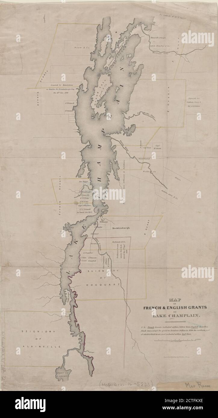 Map of French & English grants on Lake Champlain, cartographic, Maps, 1851, Pease, Richard H., 1813-1869, OCallaghan, E. B. (Edmund Bailey), 1797-1880Callaghan, E. B. (Edmund Bailey), 1797-1880 Stock Photohttps://www.alamy.com/image-license-details/?v=1https://www.alamy.com/map-of-french-english-grants-on-lake-champlain-cartographic-maps-1851-pease-richard-h-1813-1869-ocallaghan-e-b-edmund-bailey-1797-1880callaghan-e-b-edmund-bailey-1797-1880-image376514390.html
RM2CTFKXE–Map of French & English grants on Lake Champlain, cartographic, Maps, 1851, Pease, Richard H., 1813-1869, OCallaghan, E. B. (Edmund Bailey), 1797-1880Callaghan, E. B. (Edmund Bailey), 1797-1880
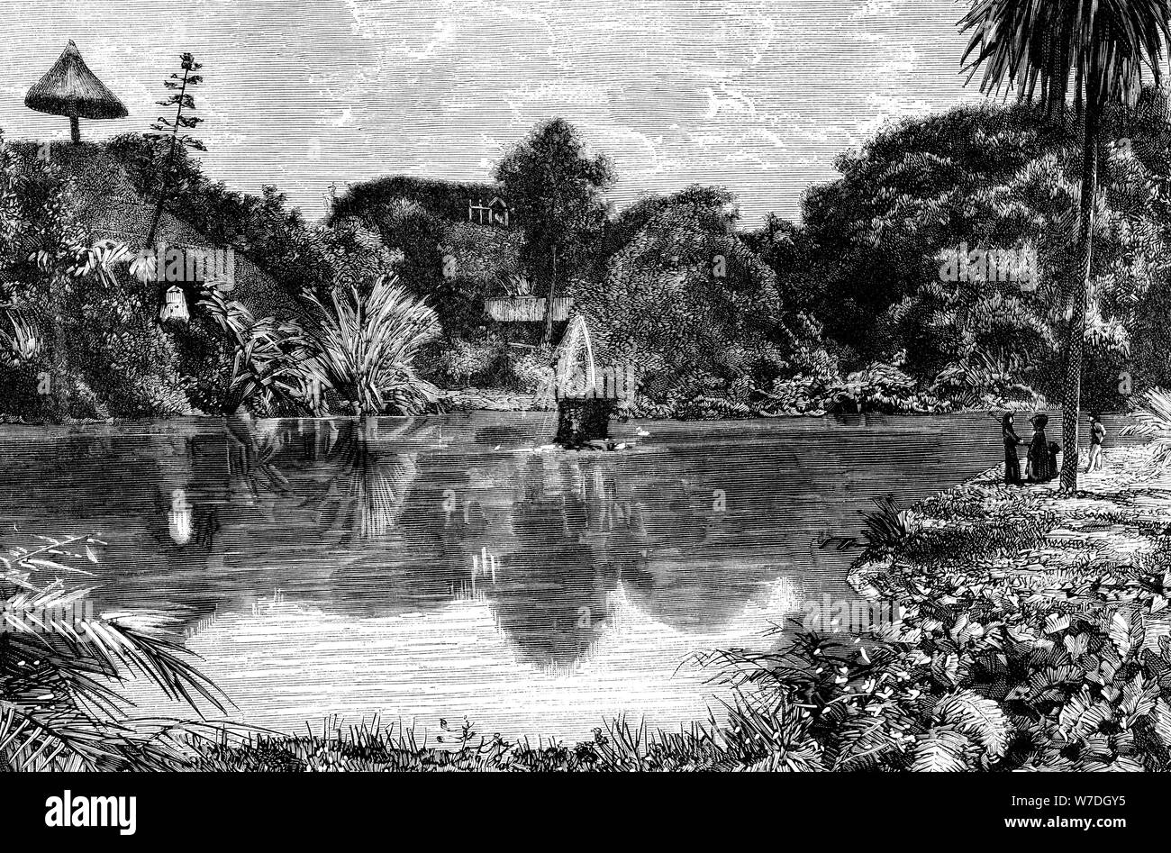 San Miguel, Tenerife, Canary Islands, Spain, 1985. Artist: Unknown Stock Photohttps://www.alamy.com/image-license-details/?v=1https://www.alamy.com/san-miguel-tenerife-canary-islands-spain-1985-artist-unknown-image262756793.html
RMW7DGY5–San Miguel, Tenerife, Canary Islands, Spain, 1985. Artist: Unknown
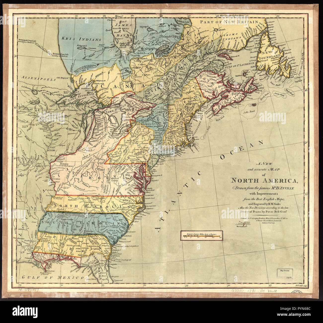 Vintage Maps / Antique Maps - Differs from other copies in coloration and boundaries. Map is colored in. Long Island is colored as being attached to New York. St. John and Isle Royal are colored as being attached to Nova Scotia. A boundary has been added from 'Lake Almipigon' north to the edge of the map. Stock Photohttps://www.alamy.com/image-license-details/?v=1https://www.alamy.com/vintage-maps-antique-maps-differs-from-other-copies-in-coloration-and-boundaries-map-is-colored-in-long-island-is-colored-as-being-attached-to-new-york-st-john-and-isle-royal-are-colored-as-being-attached-to-nova-scotia-a-boundary-has-been-added-from-lake-almipigon-north-to-the-edge-of-the-map-image223586060.html
RMPYN68C–Vintage Maps / Antique Maps - Differs from other copies in coloration and boundaries. Map is colored in. Long Island is colored as being attached to New York. St. John and Isle Royal are colored as being attached to Nova Scotia. A boundary has been added from 'Lake Almipigon' north to the edge of the map.
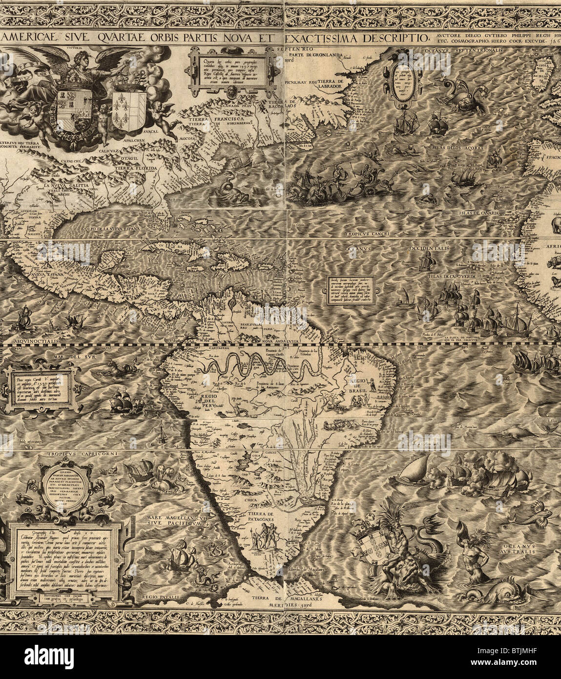 1562 map of North and South America by Spaniard, Diego Gutiérrez. Map features not only the Amazon River system, Lake Titicaca, Stock Photohttps://www.alamy.com/image-license-details/?v=1https://www.alamy.com/stock-photo-1562-map-of-north-and-south-america-by-spaniard-diego-gutirrez-map-32373419.html
RMBTJMHF–1562 map of North and South America by Spaniard, Diego Gutiérrez. Map features not only the Amazon River system, Lake Titicaca,
